Monthly Archives: June 2024

Kincardine Lighthouse

June 29, 2024

It was the spring of 1848 when Captain Alexander M MacGregor took shelter at the mouth of the Penetangor River in his schooner named The Fly. It wasn’t a very sheltered spot but it soon became settled and the population grew. A thriving fishing industry developed and soon local salt was being shipped out of the harbour as well. A pier was built and in 1874 a square lighthouse was constructed on the end of it. The image below is taken from online and shows the original lighthouse on the pier. I spent two nights in Kincardine while doing some work in Tiverton and had the chance to explore the harbour area after enjoying a nice meal at The Bruce.

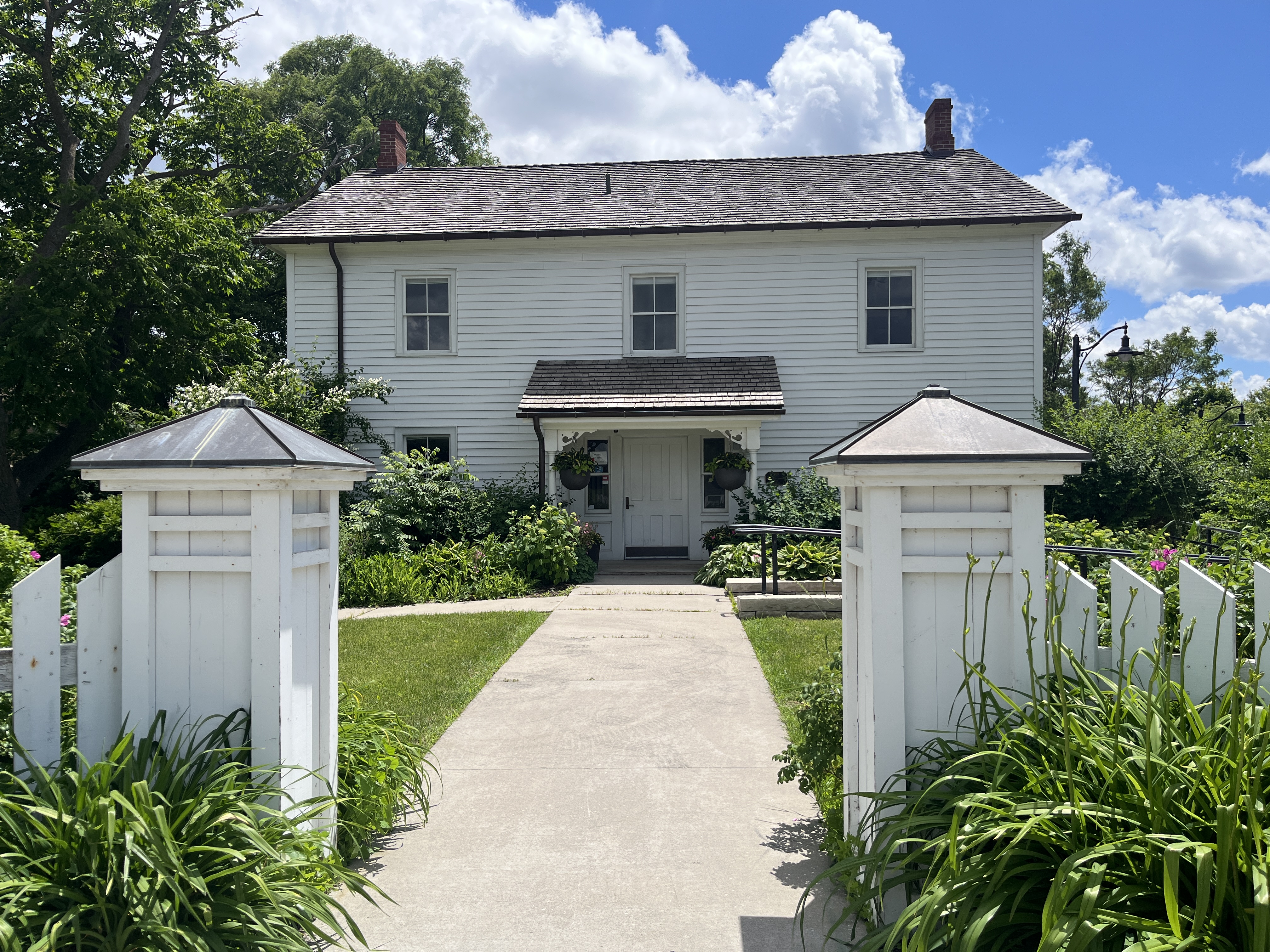
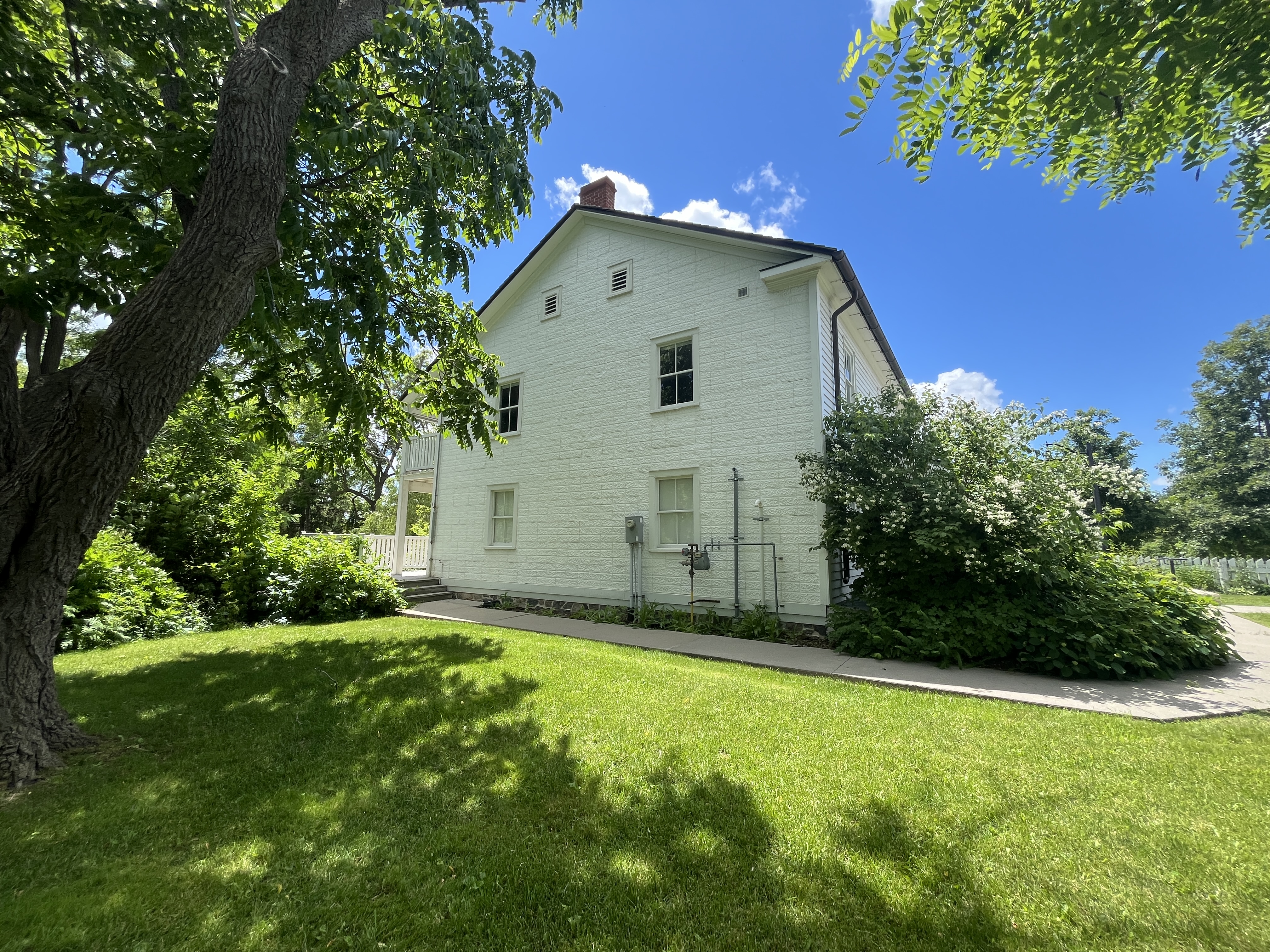
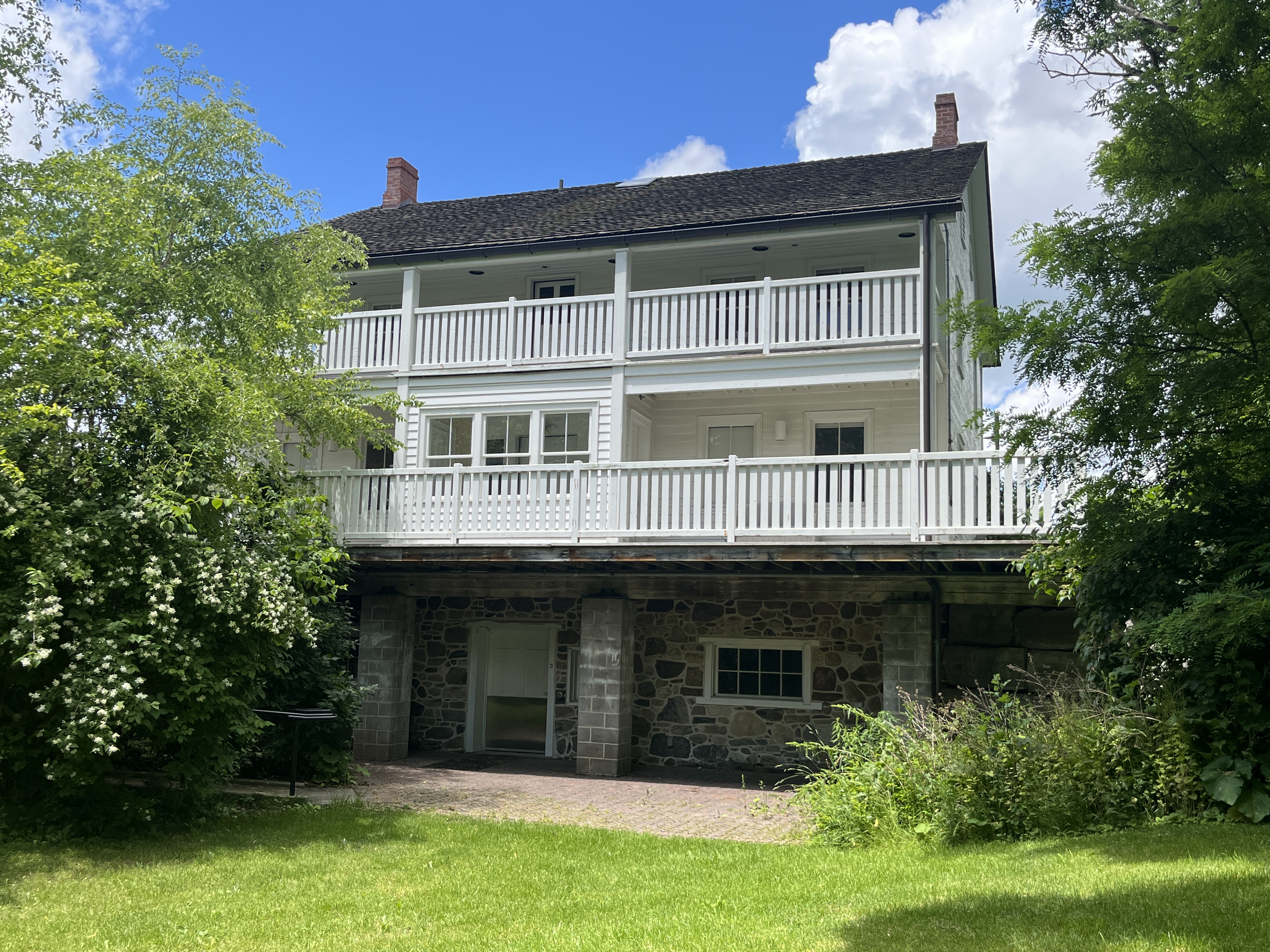
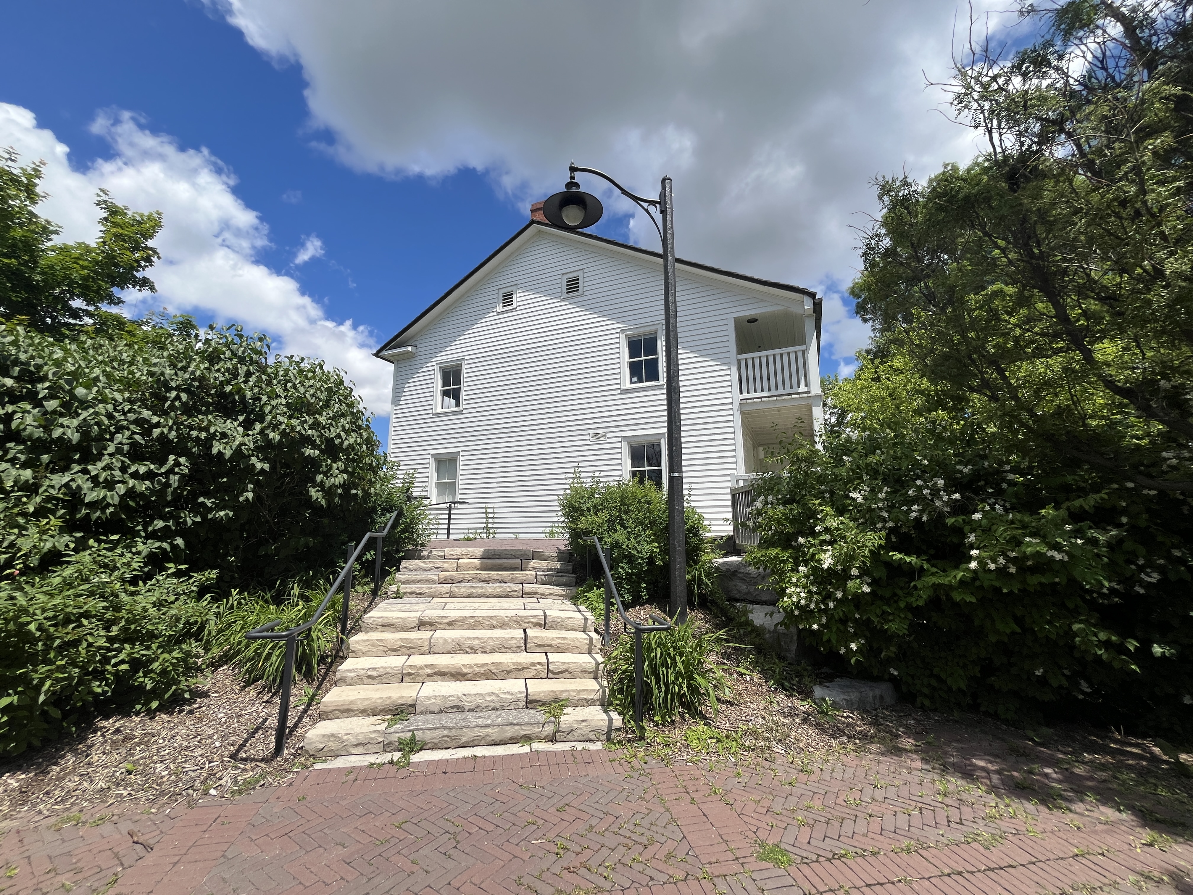
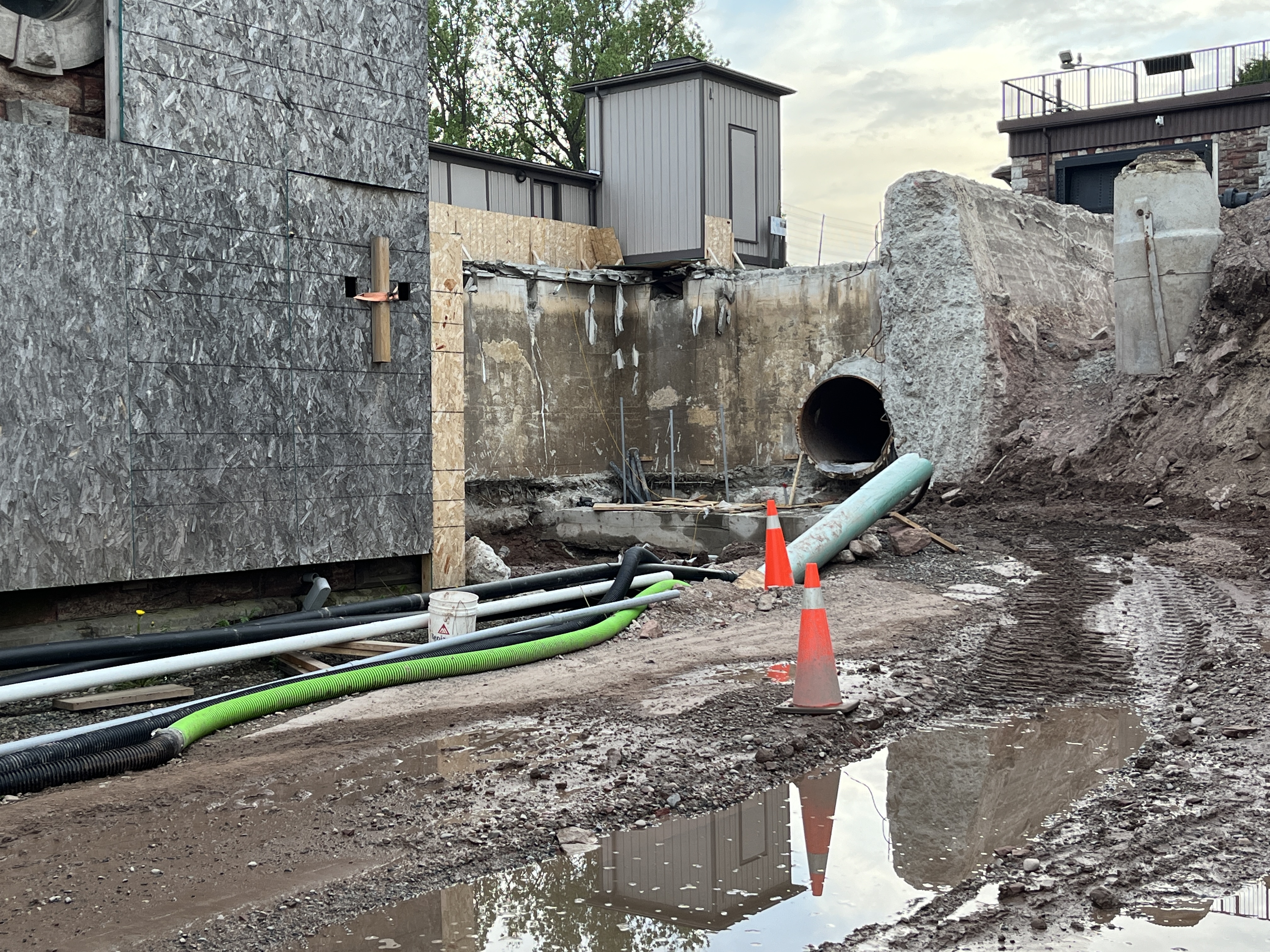
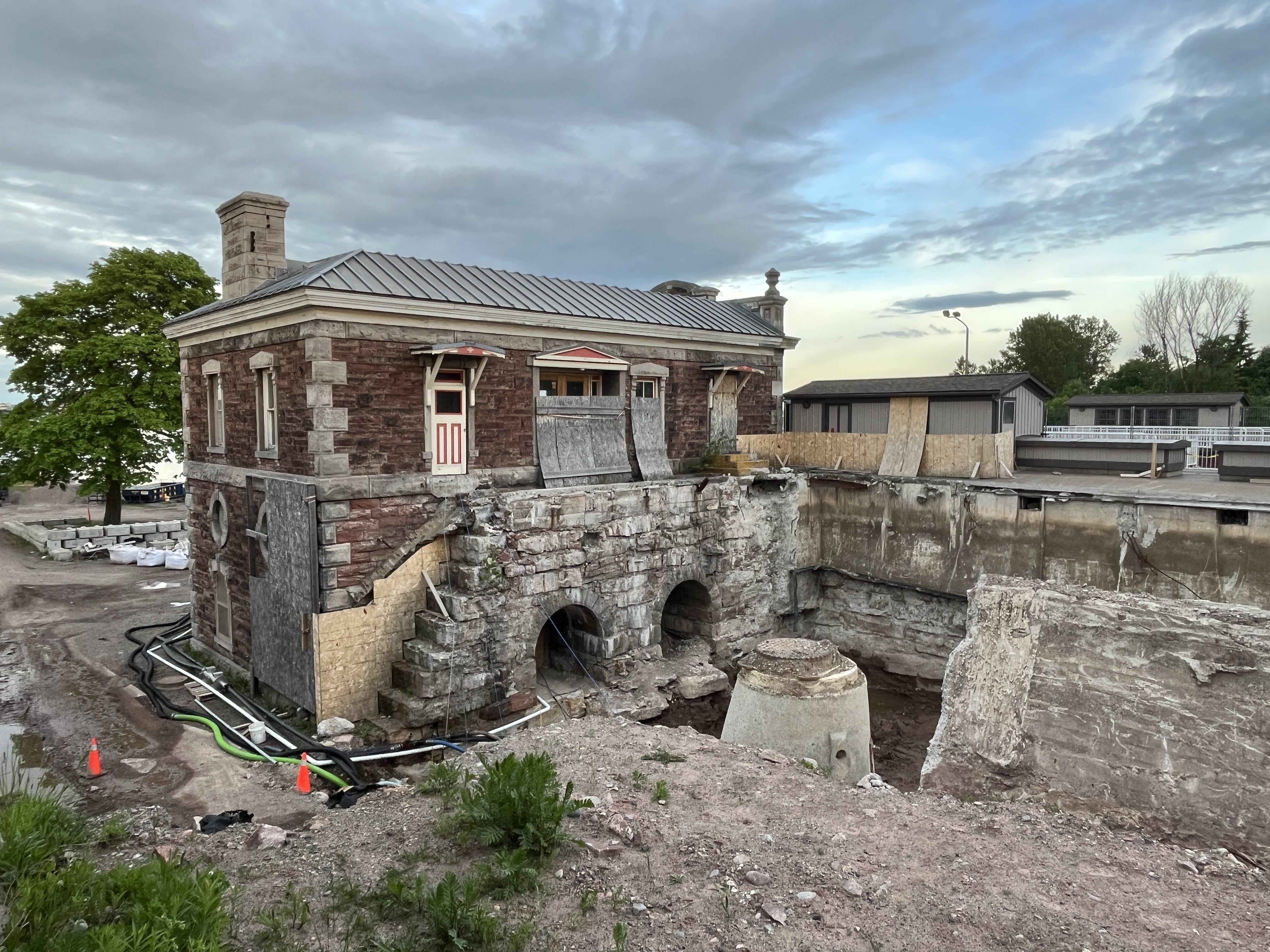
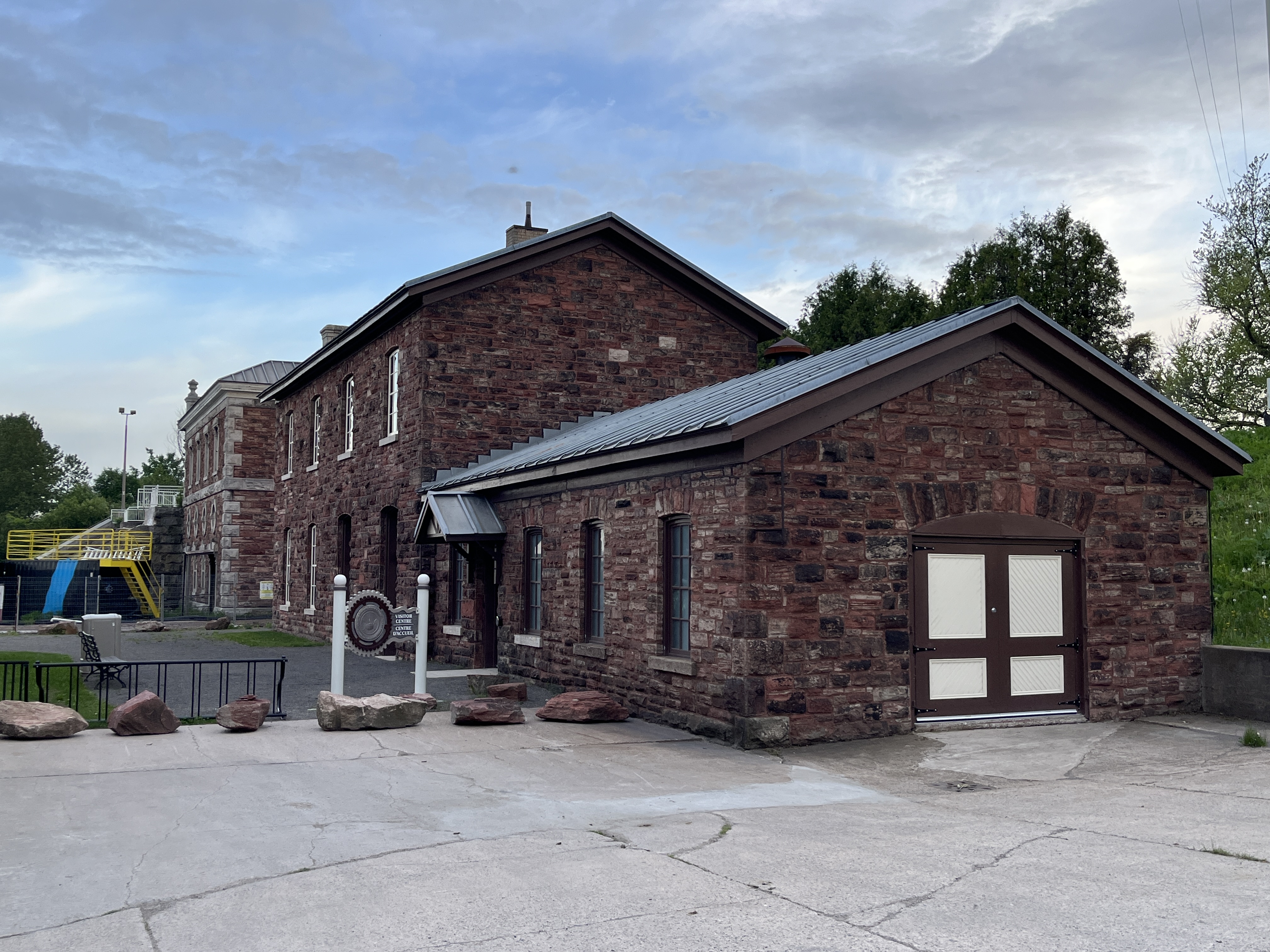
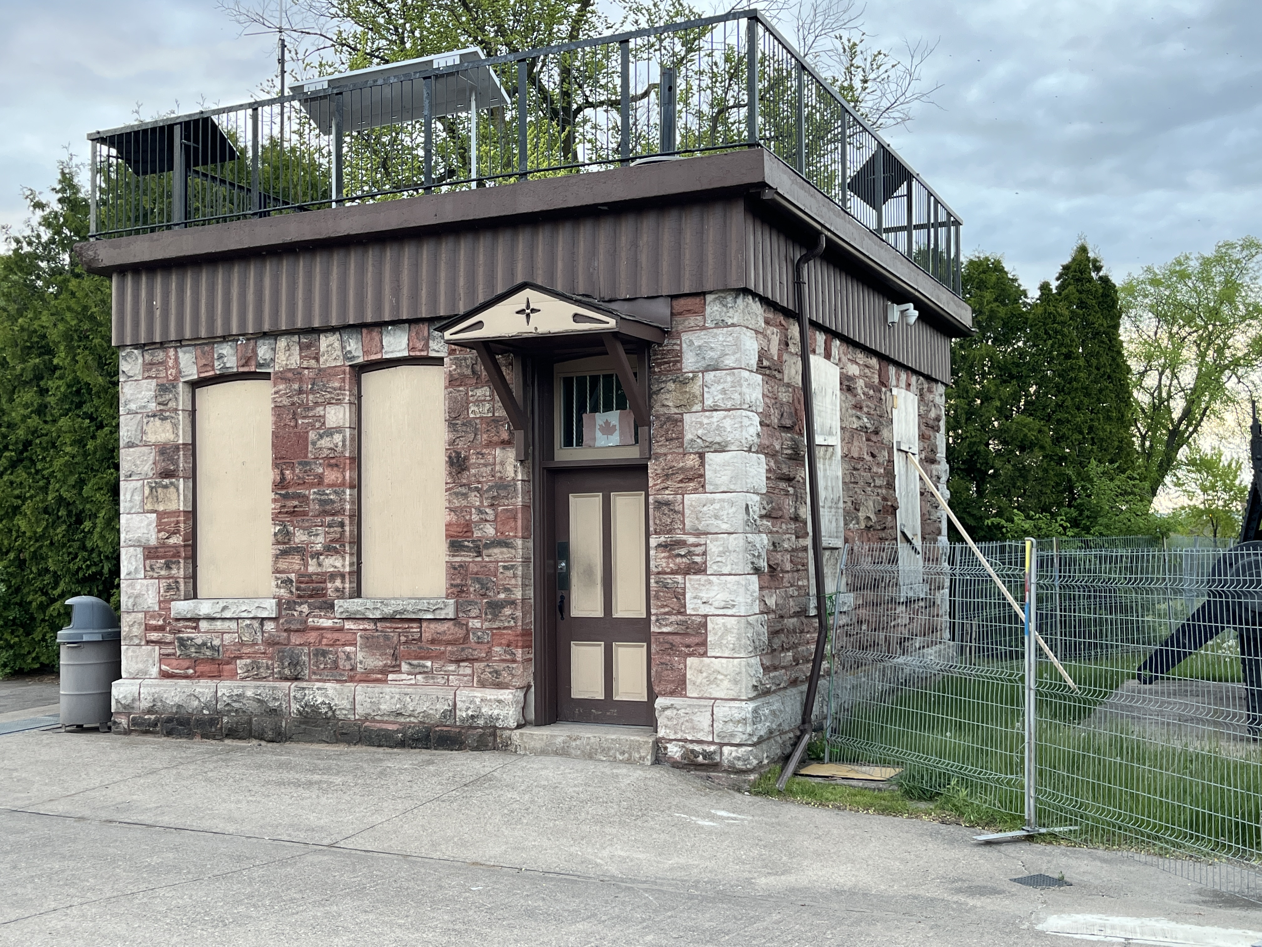
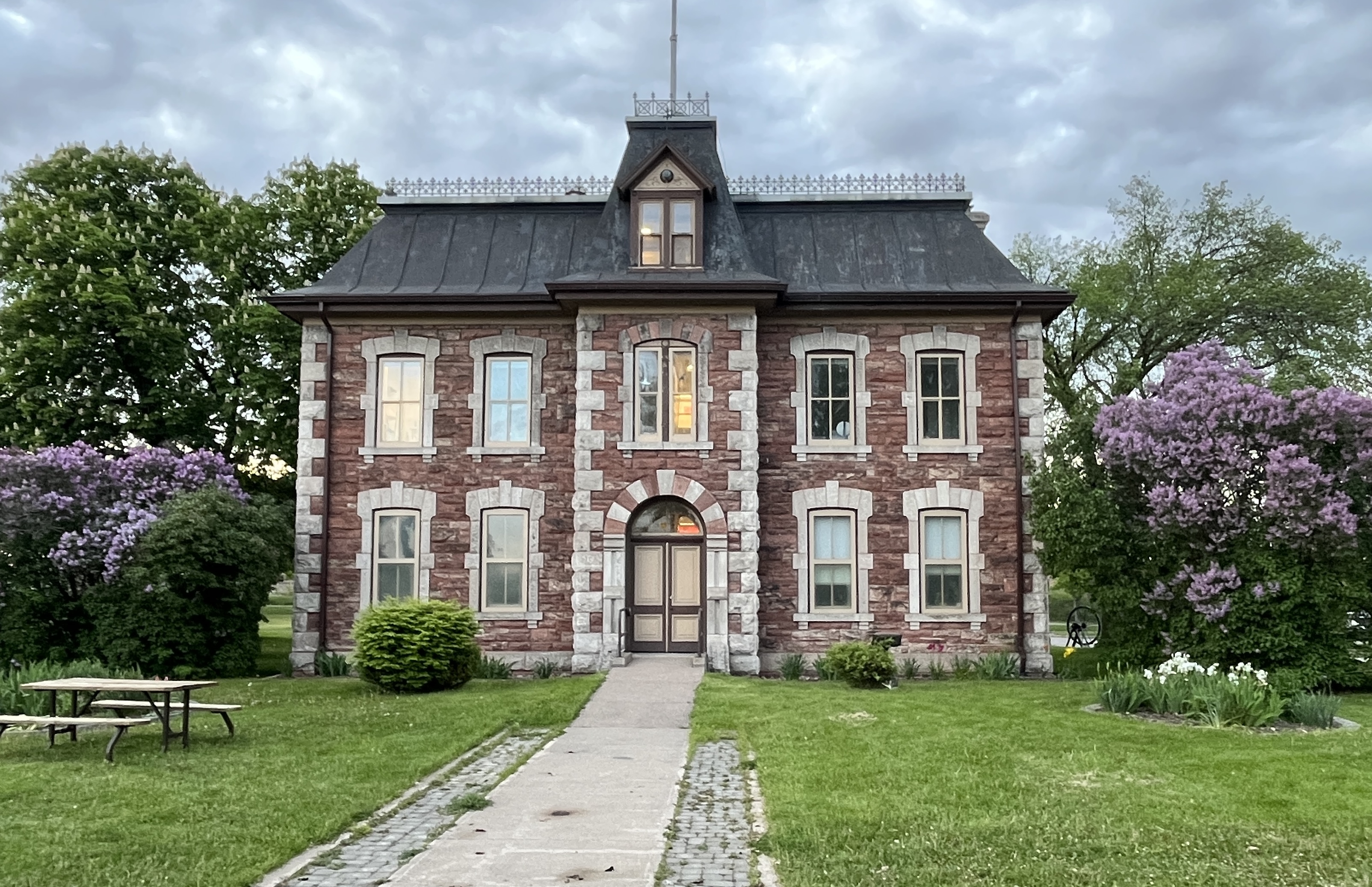
In 1880 a new lighthouse was built into the embankment a little further inland. A two-storey home was built as a base and this is where the lighthouse keeper lived. The octagonal tower that rose above the base stands 24.4 metres (74 feet) tall.

The job of the lighthouse keeper was to ensure that the lantern was kept lit. He had to climb up the 69 steps carrying kerosene and wind the mechanism to keep it running. In 1910 a twelve sided, Fourth Order Fresnel lense was installed which was visible for 30 kilometres. Then, in 1922 the kerosene lantern and foghorn were replaced with electric power. This made the job of the lighthouse keeper much easier. Finally, it was automated in 1970. Today the lighthouse serves as a marine museum.

The salt industry in Kincardine was a significant in the late 18th century and a driving force for the building of the lighthouse. The image below from the Bruce County Museum shows Rightmeyer’s Salt Block on the left with the lighthouse showing in the background. Levi Rightmeyer built his salt industry in 1871 and it was the third in the community. He evaporated brine to make salt which he sold to pork packing industries in Chicago and Milwaukee. The salt blocks slowly closed with Rightmeyer’s being the last one. It closed around 1900 and the buildings were later destroyed by fire. The site is now home to the tennis courts and children’s playground.

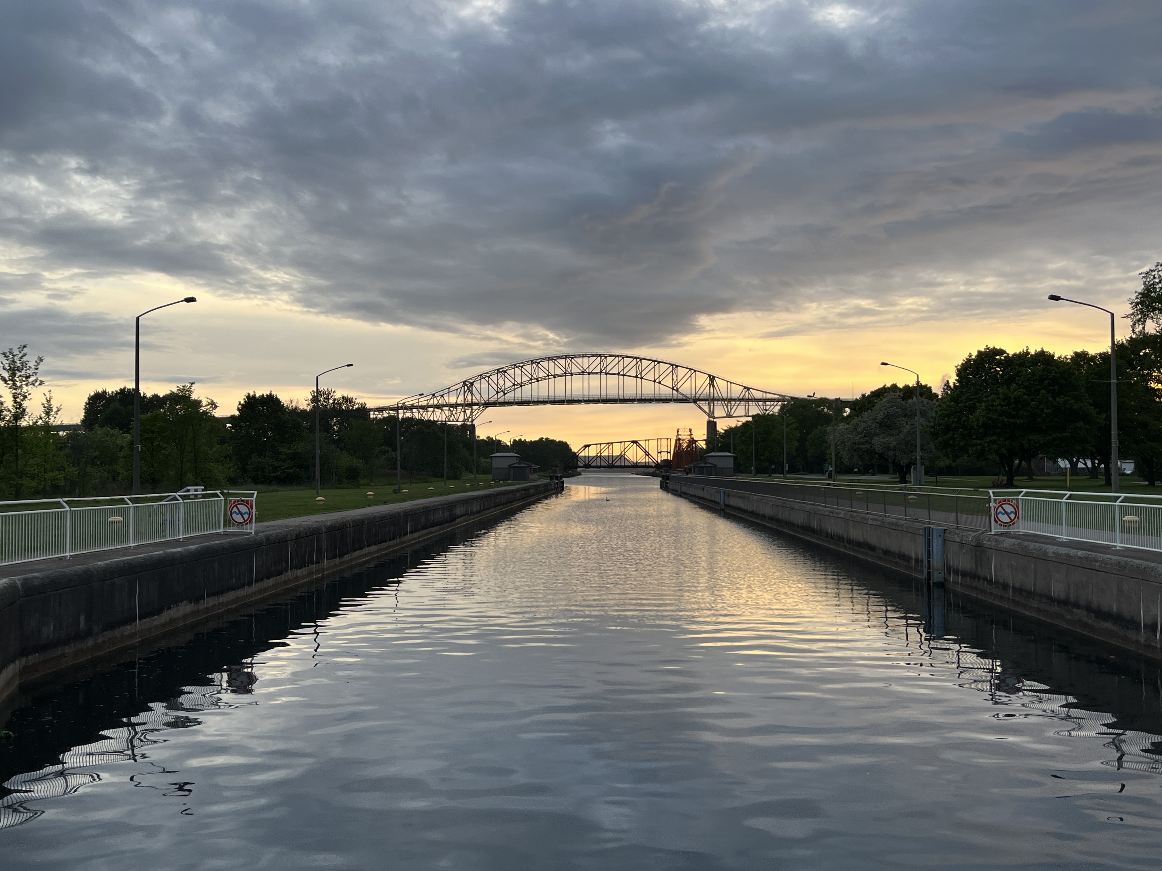
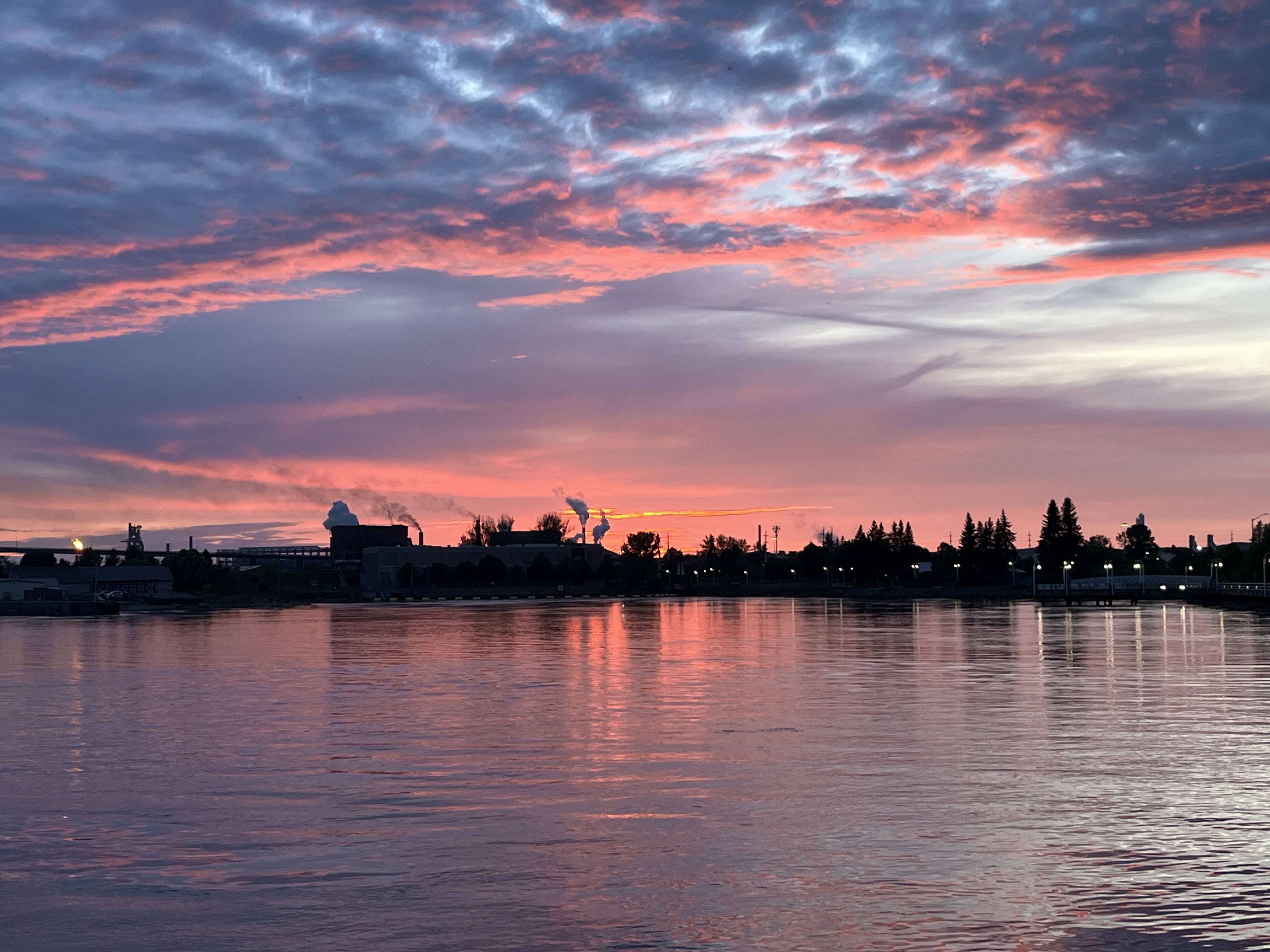
As the fishing and salt industries declined the harbour shifted from industry to recreation and is now used as a marina for personal pleasure craft. There are slips for 150 boats in the marina.

The piers in Kincardine are over 150 years old and have recently undergone restoration. The south pier is used for swimming from with people jumping in the water as I was walking around taking pictures for this post.

Some people will be asking themselves what Kincardine has to do with the GTA. Well, the trail that runs along the shore of Lake Huron is part of the Great Lakes Waterfront Trail and you can walk here from Toronto. The trail is over 3600 kilometres long and runs along four Great Lakes. It connects 170 communities, villages and First Nations and passes through 520 waterfront parks. One of which is in Kincardine. As you can see from the trail map below, it would take quite some time to complete the walk from Toronto to Kincardine.

The trail along the waterfront has been planted with many gardens and flowers. There’s an extensive area of milkweed which was attracting many Monarch Butterflies. They were a little shy and wouldn’t sit still to get their picture taken.

The boardwalk has been engraved with many names, some of whom are listed in memory of those who have passed before us.

There are sandy beaches on both sides of the marina but I was only able to explore the north beach because it rained on the second night of my visit. The south beach has historic plaques and attractions which will have to wait for another visit.

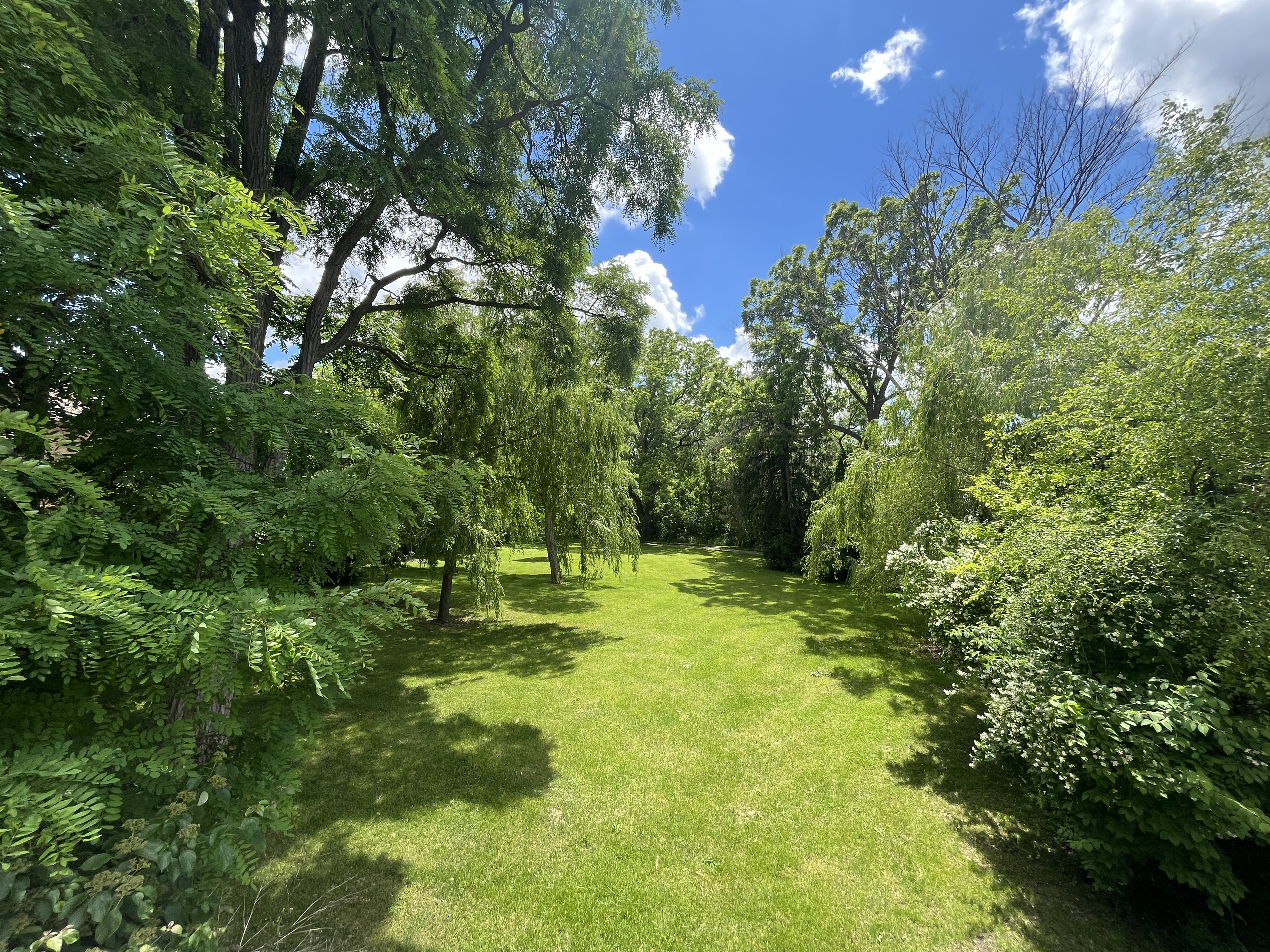
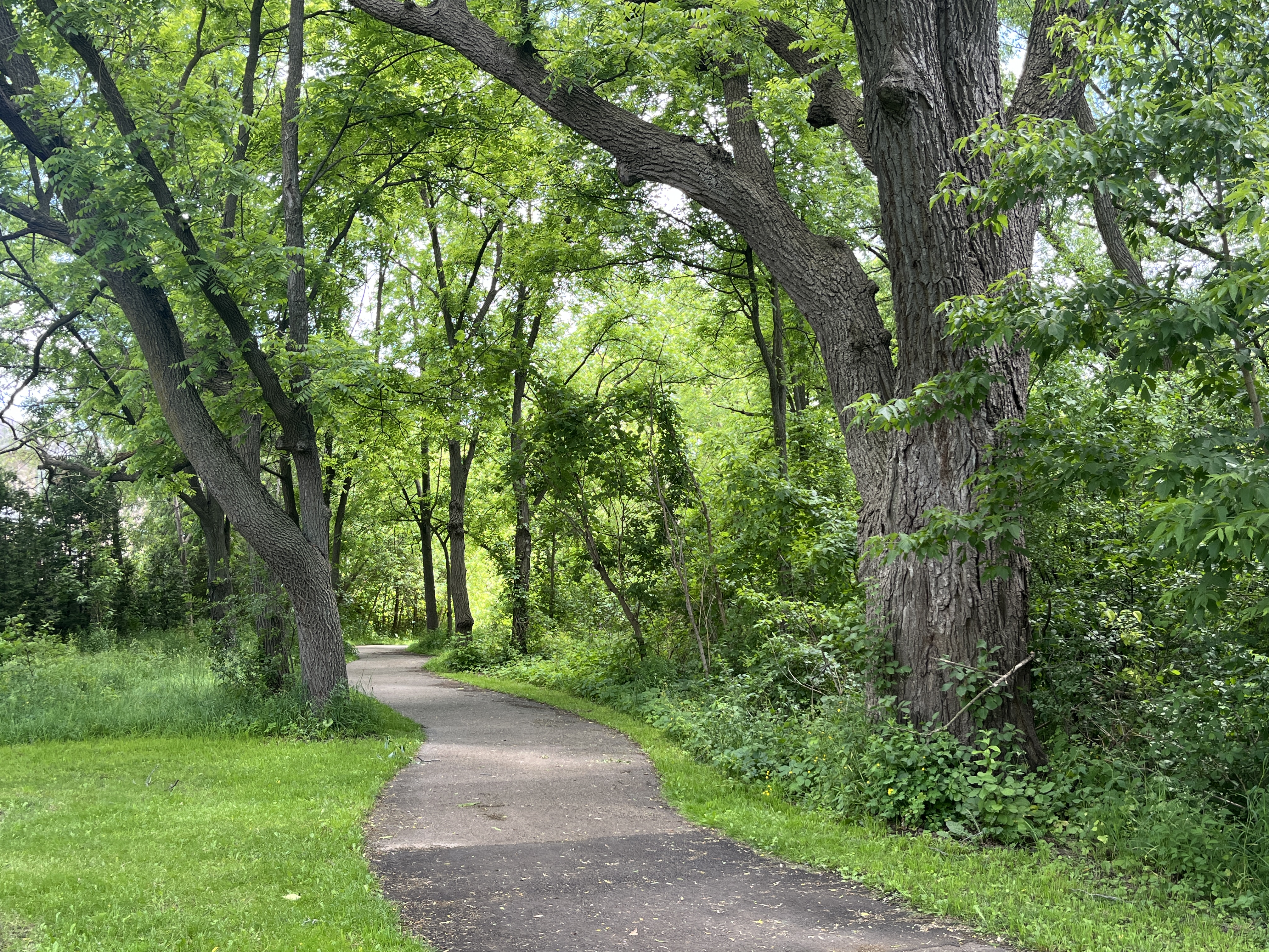
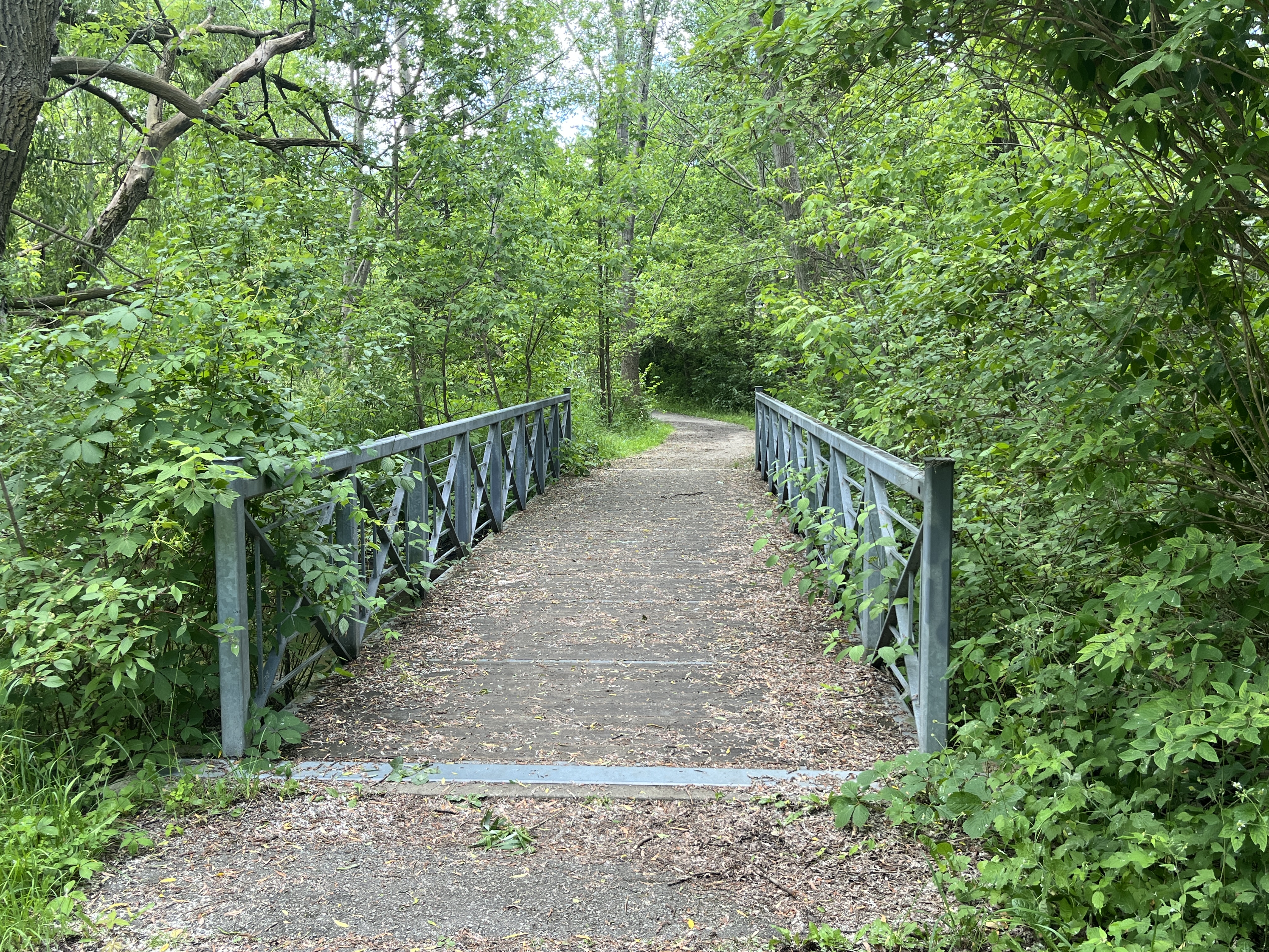
Kincardine has an extensive and growing network of trails. After visiting the lighthouse, marina and northern beach I took the trail that follows the river and ended up at Queens Lookout Park on Queen Street.

For those wishing to explore Kincardine there are many historic buildings and museums to visit. There is also a set of trail maps that can be found at www.kincardinetrails.net

Google Maps link: Kincardine Lighthouse

Like us at http://www.facebook.com/hikingthegta

Follow us at http://www.hikingthegta.com

Also, look for us on Instagram.

Mississauga’s First Gas Station

June 22. 2024

The original town of Cooksville is basically history and exists in name only. It has been absorbed and overrun by the city of Mississauga. It started when Daniel Harris arrived in 1807 and the community was originally named Harrisville. It was a stagecoach stop on the Dundas highway which had been carved out of the forest based on a 1798 road survey. A store was located on the south east corner of the modern intersection of Dundas Street and Hurontario street as early as 1809. The town grew around the intersection and had a hotel as well as a blacksmith shop and a few dozen residents.

The map below was taken from the County Atlas of 1877 and shows how small Cooksville was at the time. The site of the store is shown circled in green on the south east corner of the main intersection in town.

The name of the town was changed to Cooksville in 1836 after prominent resident and landowner Jacob Cook. On May 26, 1852 a fire broke out in Belcher’s Blacksmith Shop. By the time it was finished, 35 houses and businesses, 16 barns and 4 stables had been destroyed. Including the original store on the corner.

The archive photo below was taken from InSauga News and shows the store as it appeared during its days as a gas station. The sign on the post reads “Keep Right” and “Cooks”.

The store was rebuilt of red brick and has survived as a business building ever since making it one of the oldest commercial buildings in Mississauga. Jacob Cook ran the store, and several other enterprises, until he passed away in 1873. His son, Miles Washington Cook, rented the store to George and John McClelland who operated it. After George married Jacob Cooks great niece Anna Langdon he bought the store and the couple lived in the apartment above it. In 1910 they sold it to Alfred Scott and it became Scott’s Grocery. It was Scott who had a gas pump installed in 1911 to service the growing need for petroleum for the automobile industry. This was the first gas pump in the area that has become Mississauga. This was just three years after the Model T was invented by Henry Ford.

The store was sold to William Copeland in 1912 and renamed Copeland’s General Store and he operated this business until 1922 when he sold the gas station to the British American Oil Company. The store was moved 80 feet to the east by sliding rails under it and pulling it with horses and the grocery business was continued in the new location. When William died in 1948 the business was taken over by his son Charles who ran it along with his sisters.

The oldest building in Cooksville continues its existence in use as a variety store which is appropriate considering the variety of commercial uses it has had over the years.

Related Stories: Toronto’s Model T Factory

Google Maps Link: Cooksville

Like us at http://www.facebook.com/hikingthegta

Follow us at http://www.hikingthegta.com

Also, look for us on Instagram

Eyer Homestead

June 15, 2024

John Eyer moved from Pennsylvania to Richmond Hill in 1803 and bought a parcel of land that had two branches of the headwaters of the Rouge River flowing through it. It had the ideal location for a sawmill and so his son David Eyer opened one in 1825. He added a foundry and a farm implement factory in 1868. Tragedy struck in 1881 when a fire destroyed the foundry and the agricultural implements factory. The image below is from the 1878 County Atlas and shows the Eyer Estate as well as David Eyer’s property. A stove factory is shown on David’s property while the sawmill is located at the bottom of the mill pond on the estate.

The house was built in 1828 according to the date carved in beam in the attic. The records indicate that David built the house for his parents. There is a large front door with six panels and side lights.

There are two kitchens in the basement which suggests that David and his family lived here along with his parents. The Mennonite tradition would have the two families living together in one house in separate quarters. There is no house shown David’s property on the map above.

The exterior of the house is designed in the Georgian style. This was likely borrowed from the English neighbours they had in Pennsylvania. The fireplaces have an angular design which would have been borrowed from the Swedish settlers in Pennsylvania.

The rear elevation of the house shows two levels of verandas as well as the walkout from the basement.

The Eyer family lived in the house until 1907 when it was sold to the Wideman family. Three generations of Widemans lived in the home until 1965. All the other buildings that used to exist on the property have been lost but the house remains. It is the oldest example of a Mennonite home in Richmond Hill.

The back yard has been turned into a 1.75 acre park. It is nicely landscaped with mature trees.

A series of paved trails makes its way along the side of the river.

A footbridge lets you cross over the river but only leads to a subdivision.

One of the features is the Eyers Homestead Ropes Challenge Course. Access is limited to people who sign up through Richmond Hill’s Community Services Department. People participate in groups and the program is ideal for team building activities. There are five high rope elements and a number of low ones as well.

There’s also a climbing wall. Trained staff lead the groups through a series of challenges based on the goals set by the group. Naturally, there’s a waiver that has to be signed before you can begin.

There wasn’t time to explore the trail going south but there’s always another day to check them out.

Google Maps Link: Eyer Homestead

Like us at http://www.facebook.com/hikingthegta

Follow us at http://www.hikingthegta.com

Also, look for us on Instagram

Sault Ste Marie Canal

Saturday, June 1, 2024

Another business trip took me back to Sault Ste Marie and since I had some time in the evening I decided to visit a Canadian National Heritage site. The Sault Ste Marie Canal. The city is located on the St. Mary River where water flows from Lake Superior to Lake Huron. The St. Marys Rapids were the site of the most significant change in elevation between the two Great Lakes. These rapids made an impediment for the fur trade and the first lock was built here in 1798 by the North West Fur company. This lock was destroyed by the Americans during the War of 1812 in an effort to disrupt the British control of the Great Lakes. A replacement lock was opened in 1895 and included the first electric operating system that was run by power created on site in a powerhouse. The image below shows the lower end of the single lock on the canal.

Lake Superior is about 23 feet in elevation higher than Lake Huron. The St. Mary’s River that connects the two lakes accommodates the elevation change through a series of rapids. The St. Mary’s Rapids were the site of a portage for centuries before Etienne Brule arrived there in 1621 as the first European to arrive at what would become Sault Ste. Marie. The St. Mary’s Falls Ship Canal Company started operating the first modern style lock in 1855. The image below shows the lock which is 253 feet long (77m), 51 feet wide (15.4m) and 44 feet deep (13.5m). It is normally at the water level of Lake Huron.

The other side of the gates shows the water level of Lake Superior.

A powerhouse was constructed to supply power for the canal and to light the area. The building is currently under restoration and will be open to the public when completed. The original design from 1893 called for hydraulic power to operate the canal. A decision was made to convert it to electrical power making it the first electrically powered canal in the world.

The power mill was operated using water from the canal. A 1,000 foot intake pipe was run from the top end of the canal to the back of the powerhouse. The excavations for repair show the size of the pipe that supplied the water to the powerhouse.

The water was gravity fed to the powerhouse and split into two smaller penstocks before entering the back of the building. There were two water turbines on the first floor and the force of the water entering them caused them to spin. A series of belts and pulleys turned the generators on the second floor where electricity was generated.

Another building was added in 1896 to act as the Stores building and Blacksmith Shop. The main building was used to store everything that was needed for the operation and maintenance of the canal. The single story portion on the end served as a blacksmith shop where metal parts were forged or repaired. The building was in terrible shape by 2010 and the foundation was collapsing. A major restoration has been completed and it now serves as the visitor centre.

There’s a small building which was used for shelter for the canalmen. An observation platform has been constructed on the top of the building from which you can see the whole canal area.

One of the most beautiful buildings in the area is the Administration Building. This Second Empire structure boasts a mansard roof and plenty of decorative stone work.

The Superintendent’s home is still located just a few feet from the canal and boasts Late-Victorian architecture.

The canal has the last remaining Emergency Swing Dam which is designed to prevent disaster in case of a failure of the canal retention system. On June 9, 1909 it was put into use when the gates were rammed from the top, allowing a torrent of water to enter the lock as two ships were preparing to transition the lock. The swing dam was put into action and the flow of water slowed down so that the auxiliary gates could be closed. It took 12 days to reopen the canal. In 1987 there was a lock wall failure and the canal was closed. When it reopened in 1998 it was made available to recreational craft who are the users of the canal up until now.

There are many interpretive signs to aid your exploration and a guided tour is also available, making this an interesting historical site to visit.

Related Stories: Burlington Canal, The First Three Welland Canals, Newmarket Ghost Canal, Peterborough Lift Lock

Google Maps Link: Sault Ste Marie Canal

Like us at http://www.facebook/com/hikingthegta

Follow us at http://www.hikingthegta.com

Also, look for us on Instagram