Sunday, November 24, 2019
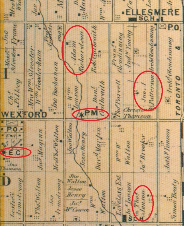
The community of Wexford got its start around 1840 at the intersection of present day Lawrence Avenue and Pharmacy Avenue. Richard Sylvester had arrived from Wexford County in Ireland and built The Rising Sun Inn on the south west corner of the intersection. This became the nucleus for a small farming hamlet known as Hough’s Corners. In 1865 Sylvester added a post office which he named Wexford after his home. The community served the local farmers for the next 100 years with growth and little change. After the Second World War, Toronto expanded rapidly and by the 1950’s the farms around Wexford fell to developers. The little community has been lost with the exception of a couple of churches and a few homes. These I have marked on the 1877 county atlas shown below.
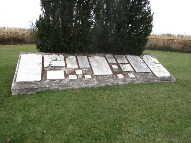
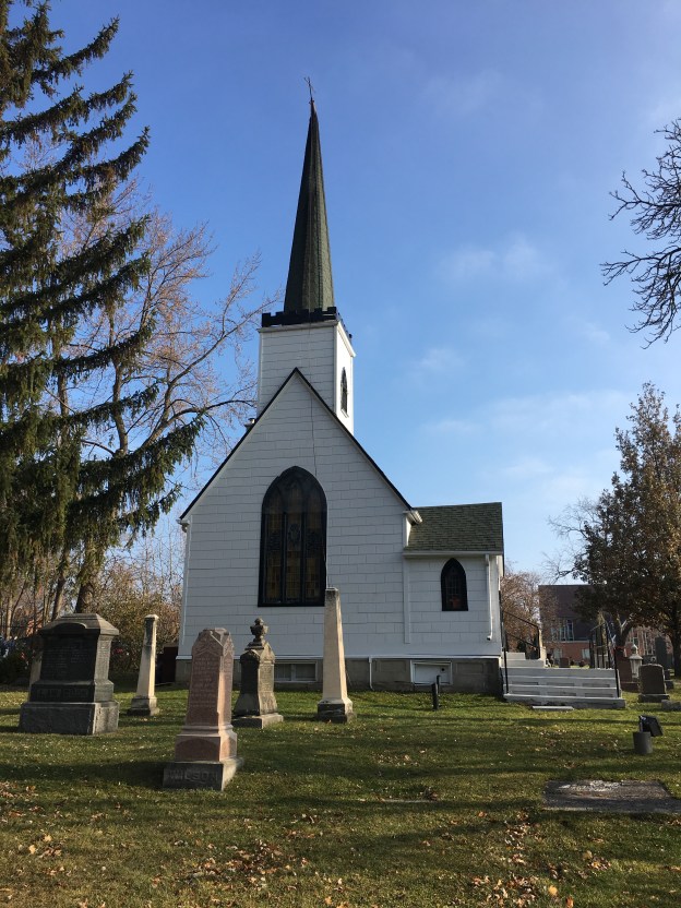
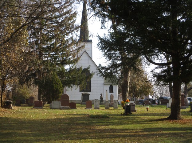
After meeting in homes for several years the Anglicans of Wexford decided to build a permanent church building. They built St. Jude’s Church in 1848 on a small parcel of land that had been donated for the church. It already included a family cemetery plot that would become the church plot. The 20 foot by 20 foot church has seating for 60 and is the smallest purpose built church in the GTA. The pews are small and it was described as seating for a “tight four” people. The church originally had no basement and was heated by a pot-bellied stove but a basement was dug for a furnace in 1929. Like the town, the church remained small and unchanged for a hundred years, With the sudden growth of the surrounding community the membership jumped from 79 in 1950 to 1,000 families in 1958. With this growth came a new church building in 1953 on the south east corner of the lot. The little church has since been used by several small congregations who have contributed to the upkeep and restoration of the building over the years. Many of the early pioneering families are interred in the cemetery around the church.
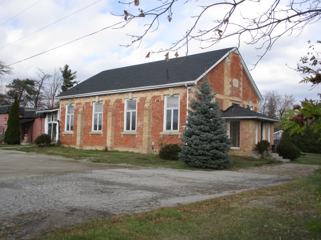
In 1842 a small wood chapel was built by the Primitive Methodist congregation. They used the church until 1877 when it was replaced with the large brick building that stands beside the pioneer cemetery,
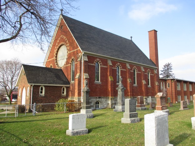
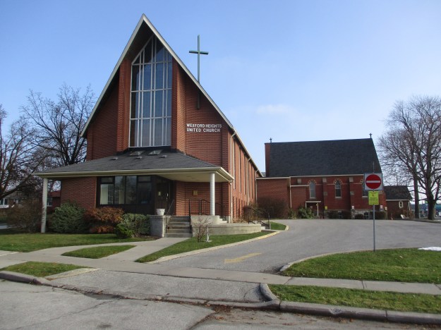
In 1925 they joined with the United Church of Canada but growth still remained slow. It didn’t take off until the 1950’s when the area was built up. Then the church decided to add two pieces between 1950 and 1960. This summer the church closed after years of declining attendance. Around the area there are several other churches who all seem to be doing okay.
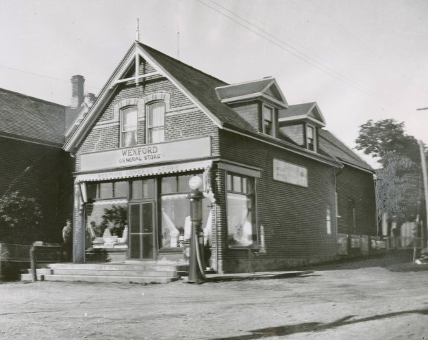
Wexford had all the amenities of a rural farming town including a blacksmith, a hotel and a post office in the general store. The photo below was taken from the Toronto Public Library collection and is dated 1960. This was taken just before the 1883 building was demolished to make room to widen Lawrence Avenue.
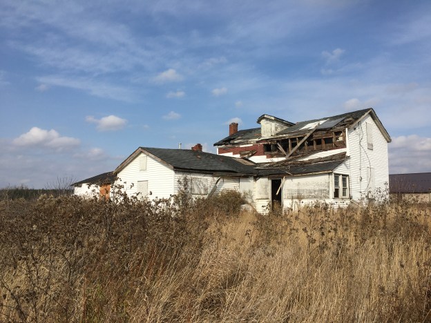
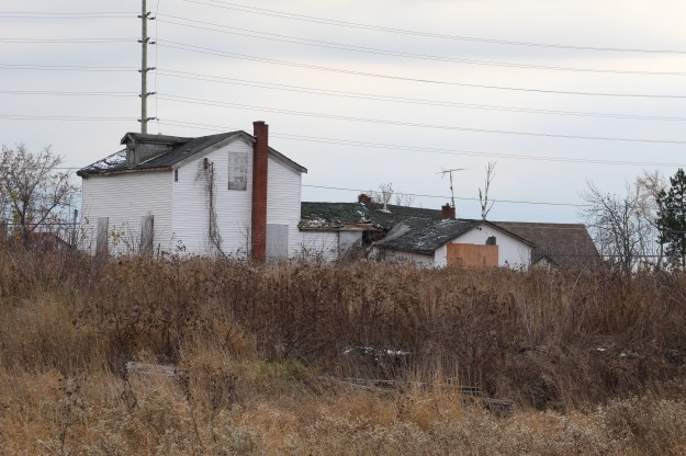
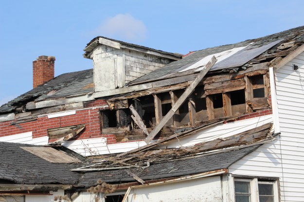
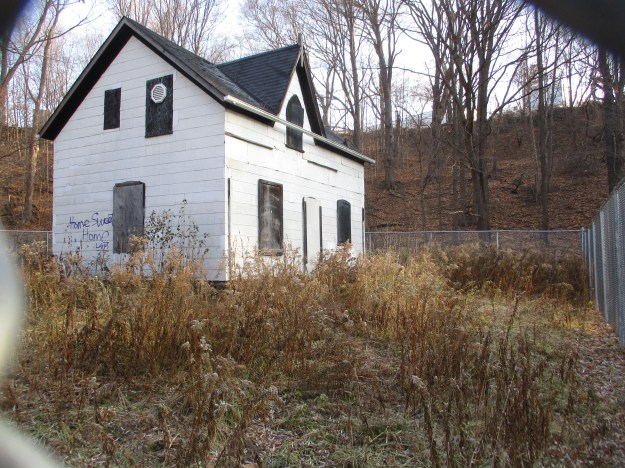
Just to the west along Lawrence Avenue stood a small industrial complex where some of the locals found employment. Milneford Mills contained a woolen mill, dry goods store and wagon shop. Milne House was built in 1871 and is one of the oldest examples of gothic frame architecture in the city. The front porch which used to look out over the mills has been removed. Now abandoned, it is intended to be restored eventually.
The house at 37 Kecala Road originally fronted onto Kennedy Road but has been swallowed up by the surrounding subdivision. This house was built by John Patterson in 1858 and stood on his farm for the next century in isolation. Today, it is a house in a subdivision that faces sideways to the rest of the homes because it doesn’t align with the new street pattern.

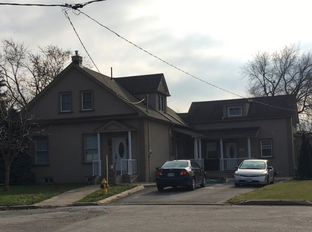
12 Iondale Place hides another historic house on a quiet street of cookie-cutter homes. This house and the converted drive shed are also on the county atlas featured above as belonging to John Ionson in 1877.
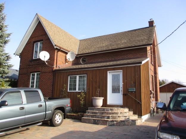
1369 Warden Ave is known as the Richardson House and it is another one of the homes seen on the county atlas. It has been given an historic designation as have all of the buildings featured in this post. It stands among a street full of single story war time housing units.
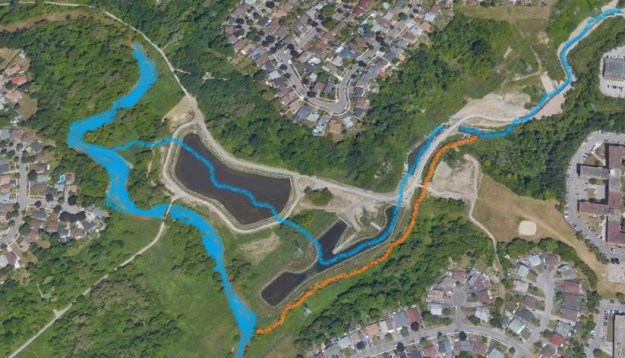
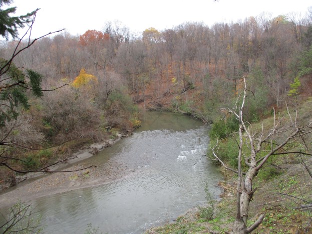
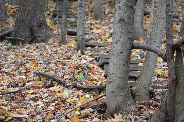
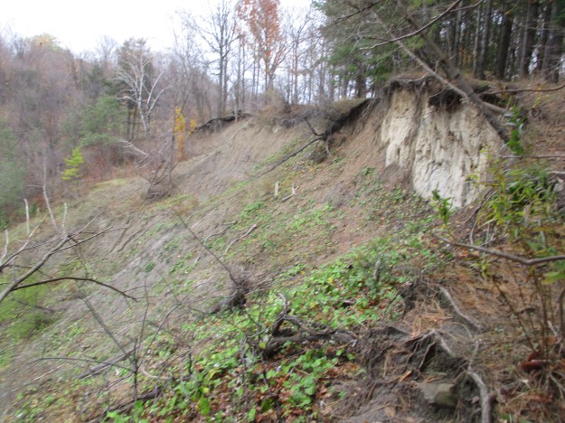
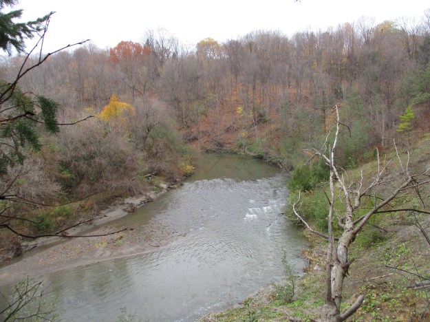
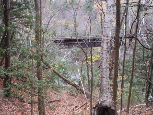
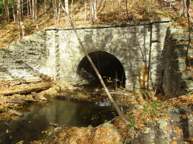
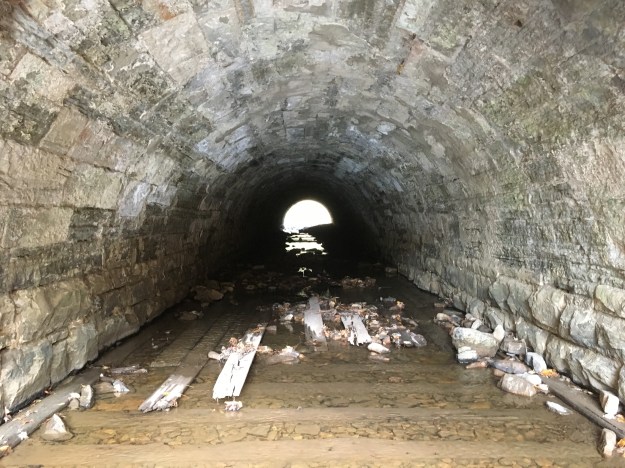
There is an abandoned rail spur that runs along the side of the cemetery at the Wexford Zion Church. I chose to follow it a ways north to see where it went to. I had previously explored the southern section as it followed the Underwriter’s Reach of Taylor Massey Creek. This northern section ran for a kilometre north until it was buried beneath the parking lot for Costco. A high fence kept me from investigation further.

The spur line has only been abandoned for a short while but nature doesn’t care. This section of pavement was likely a parking area but the trees have taken over pretty quickly.

A black squirrel was trying to get away from me and ran up the side of this building. When he got to the top he discovered that he couldn’t get a grip on the flashing along the top. After a couple of attempts I chose to wander along so he could come down safely.

60 Rowena Drive was home to the estate of the O’Connor Family who had invented Laura Secord Chocolates. There’s a complete story on the candy as well as the home and it can be found here: O’Connor Estate.

Wexford is only represented by a few scattered historic buildings but they are worth the effort to go investigate.
Google Maps Link: Wexford
Like us at http://www.facebook.com/hikingthegta
Follow us at http://www.hikingthegta.com
Also find us on Instagram