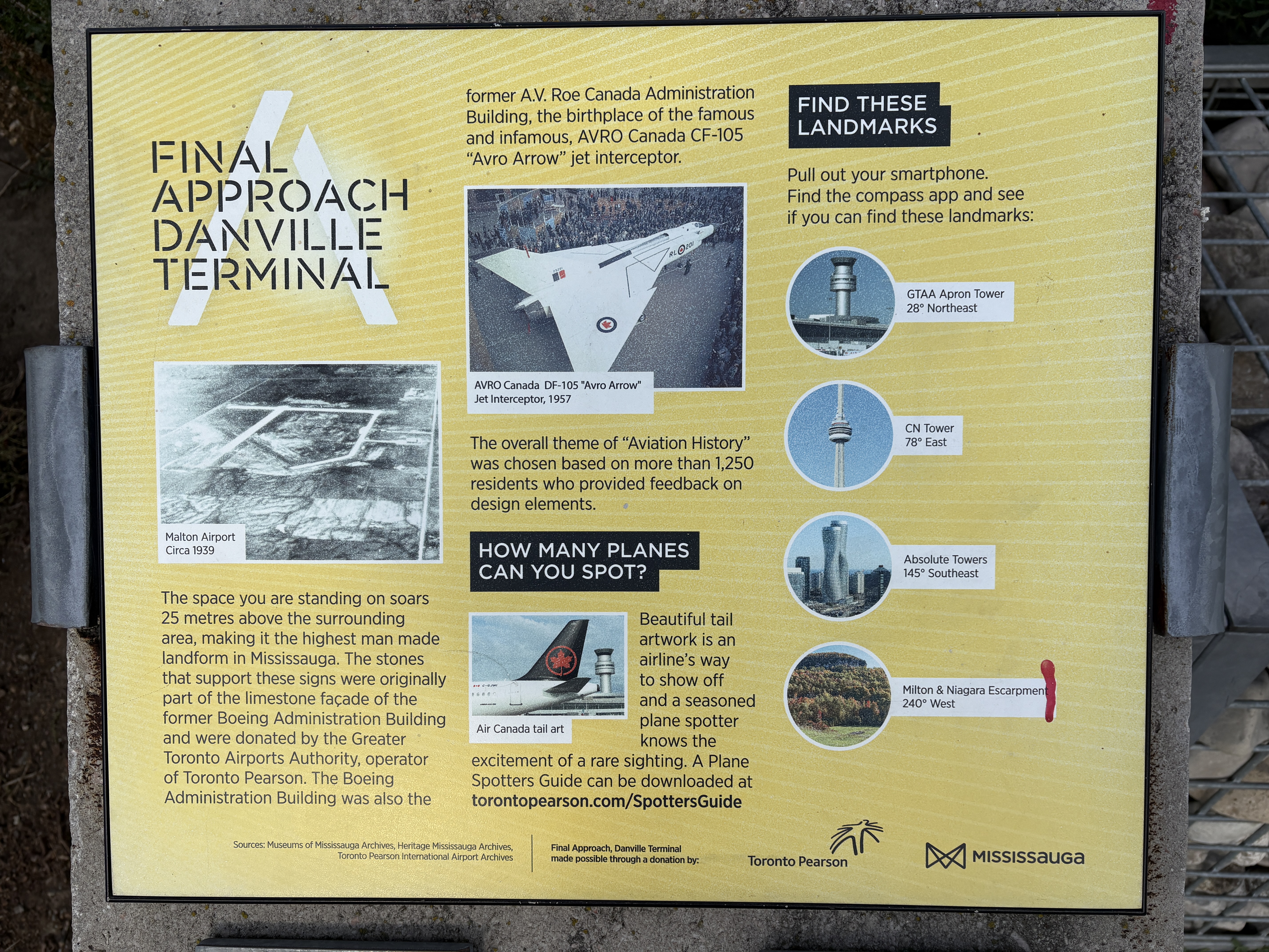
April 18, 2026
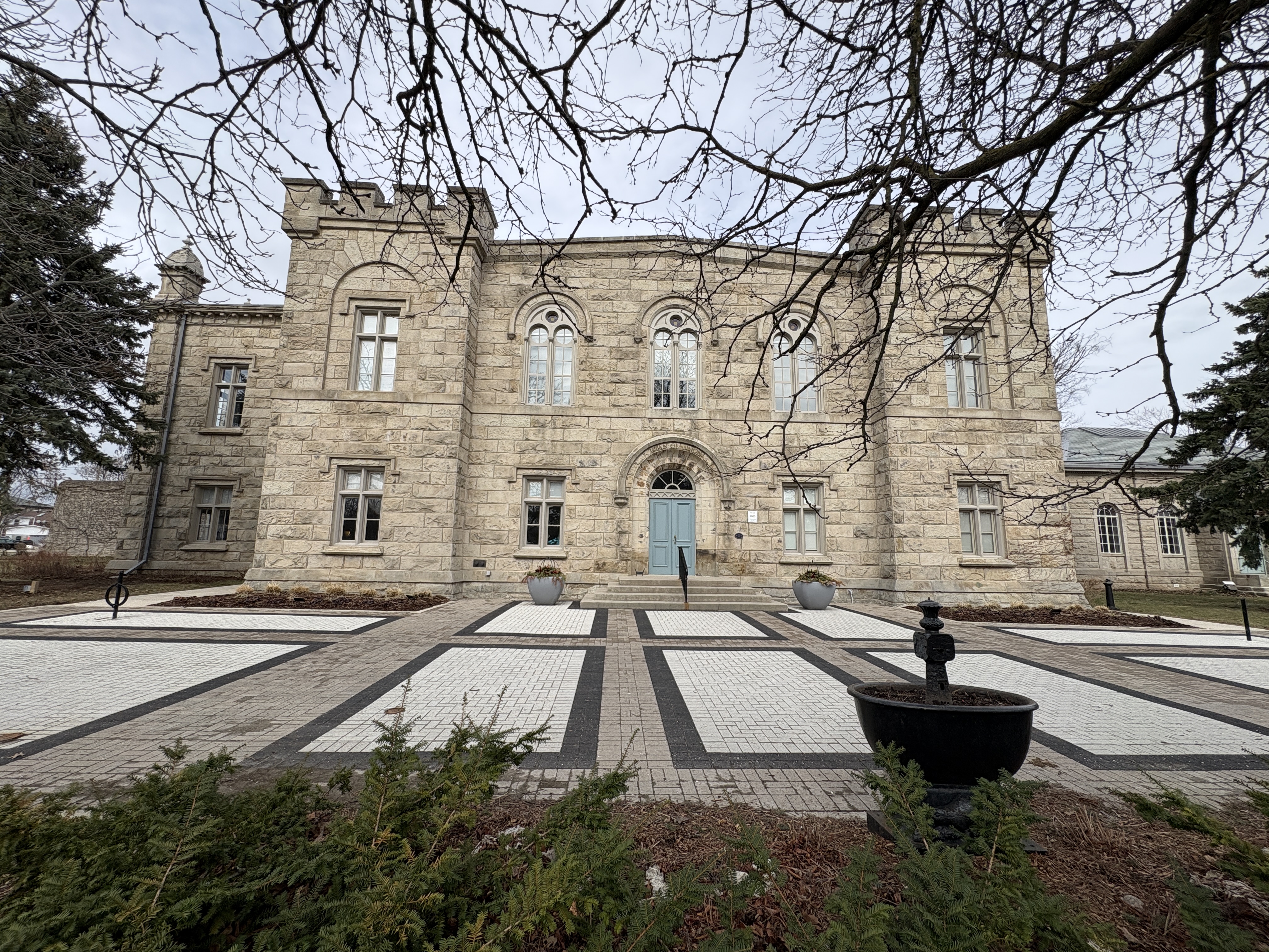
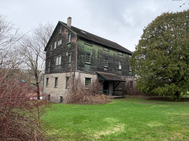
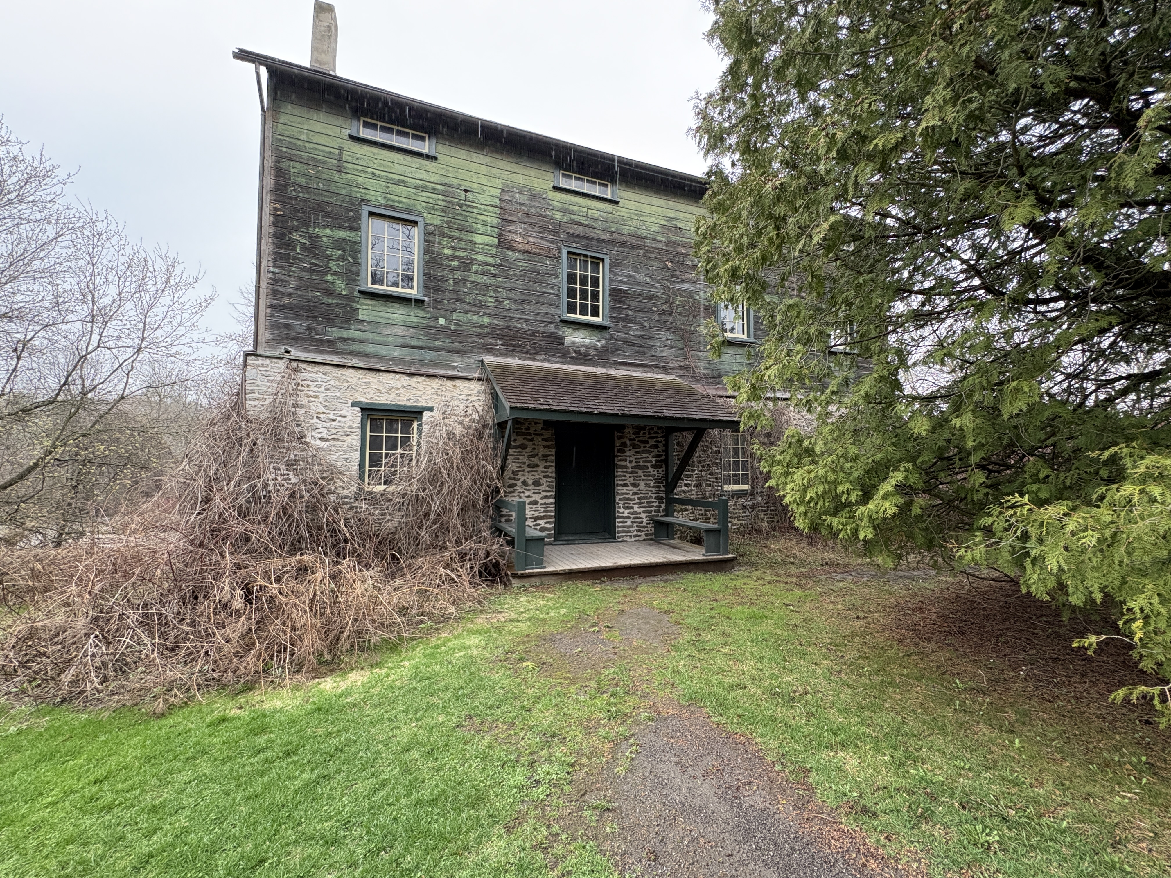
Port Hope has done a great job of preserving its historical buildings and this includes an old grist mill that stands on the side of the Ganaraska River. The mill is known as Molson’s Mill and is associated with the Molson Family who ran a brewing, shipping, railway and banking empire. Molson’s Brewery was established in Montreal in 1786. Thomas Molson was the son of founder John Molson and he wanted to expand the brewing empire into Upper Canada. He applied to build a brewery in Toronto but was rejected because there was too much competition, including Gooderham and Worts.
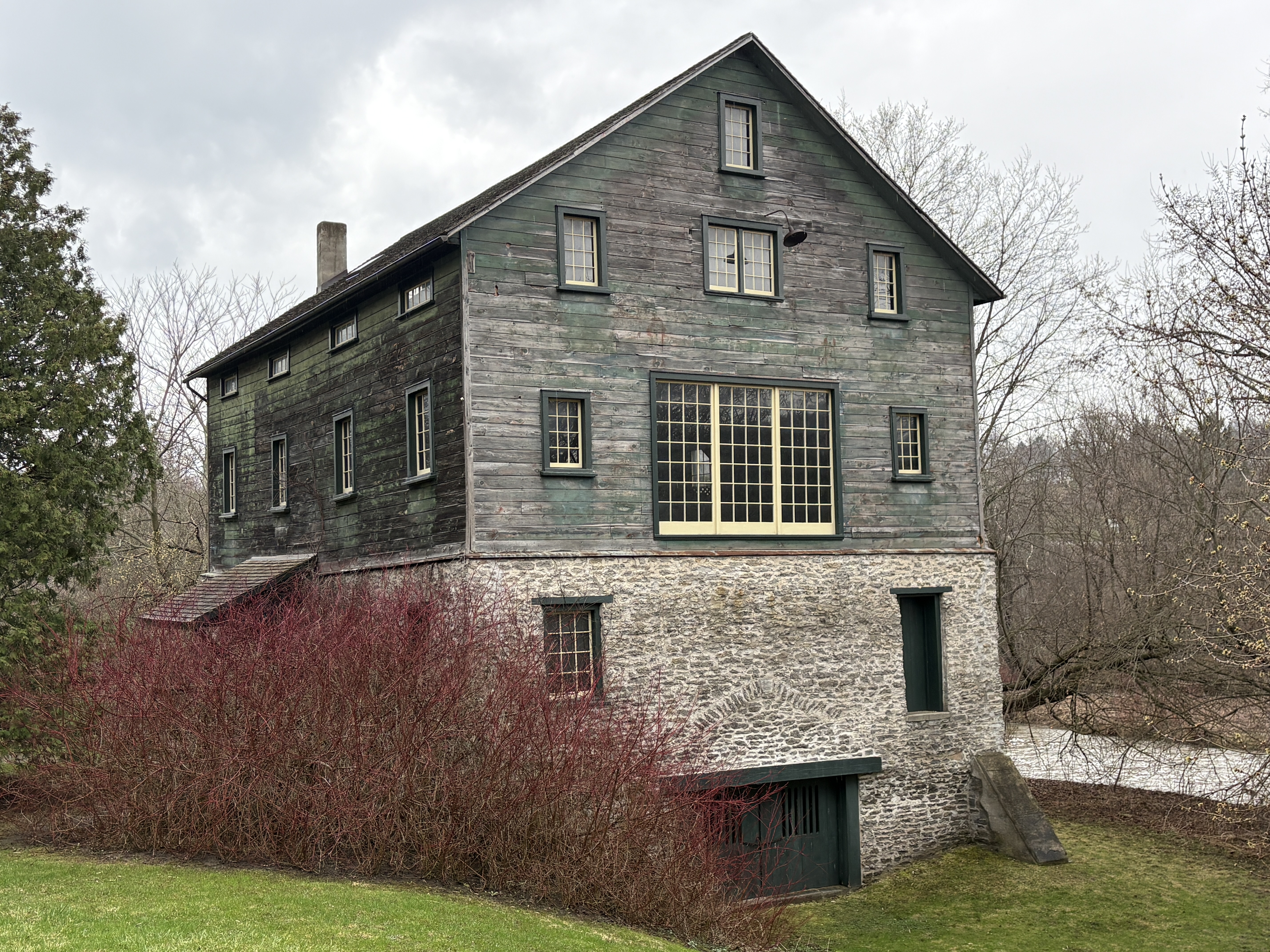
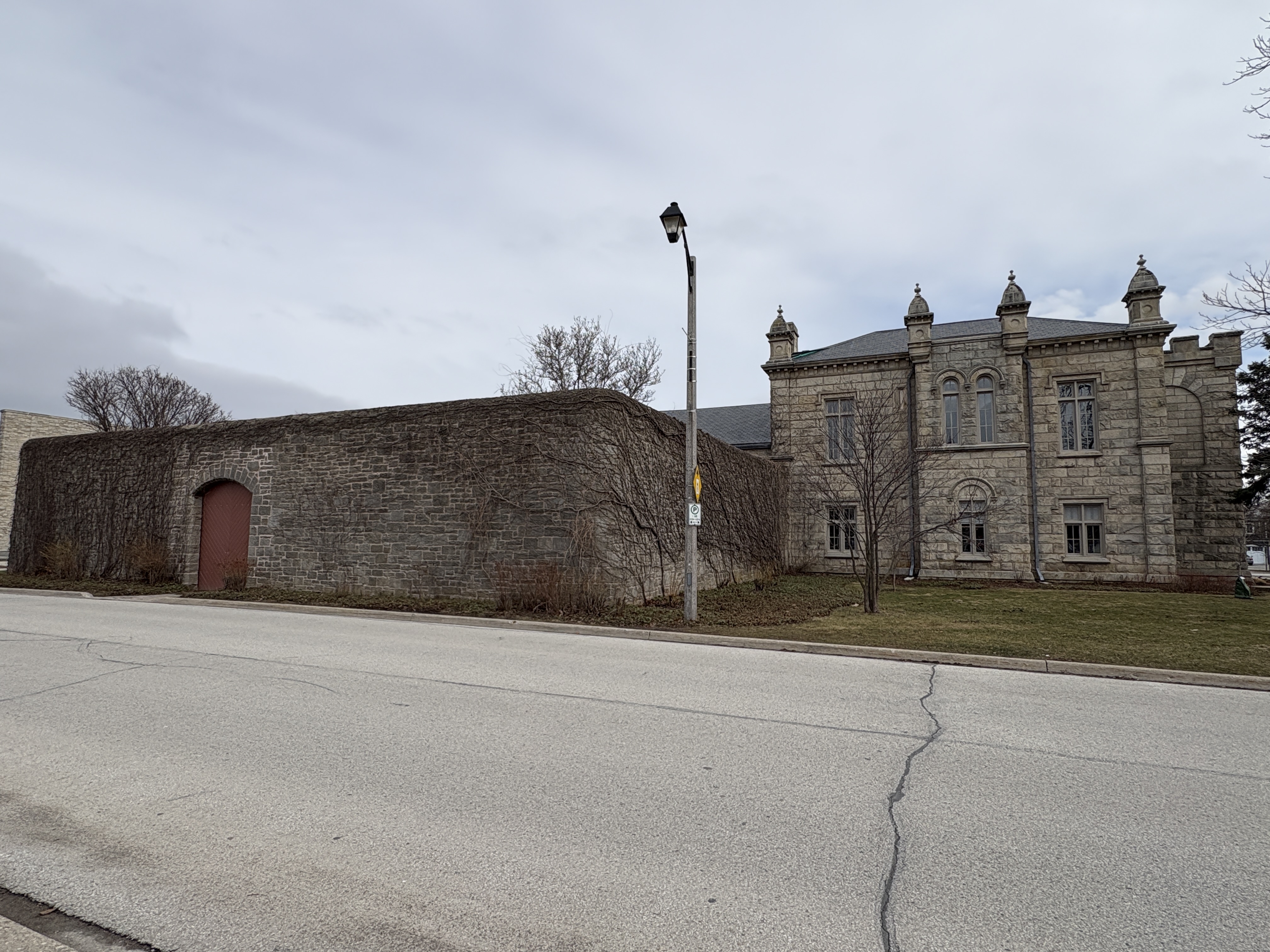
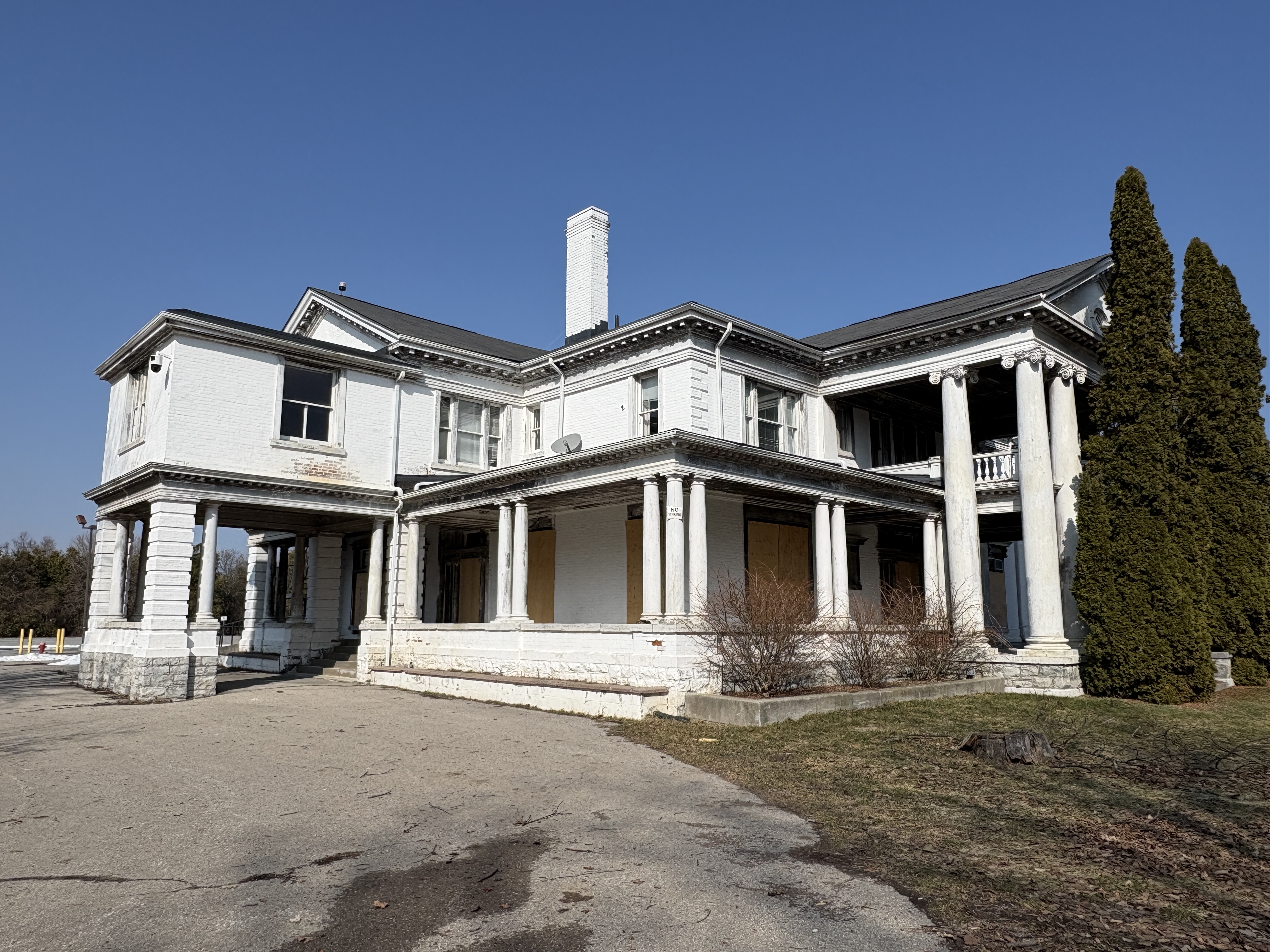
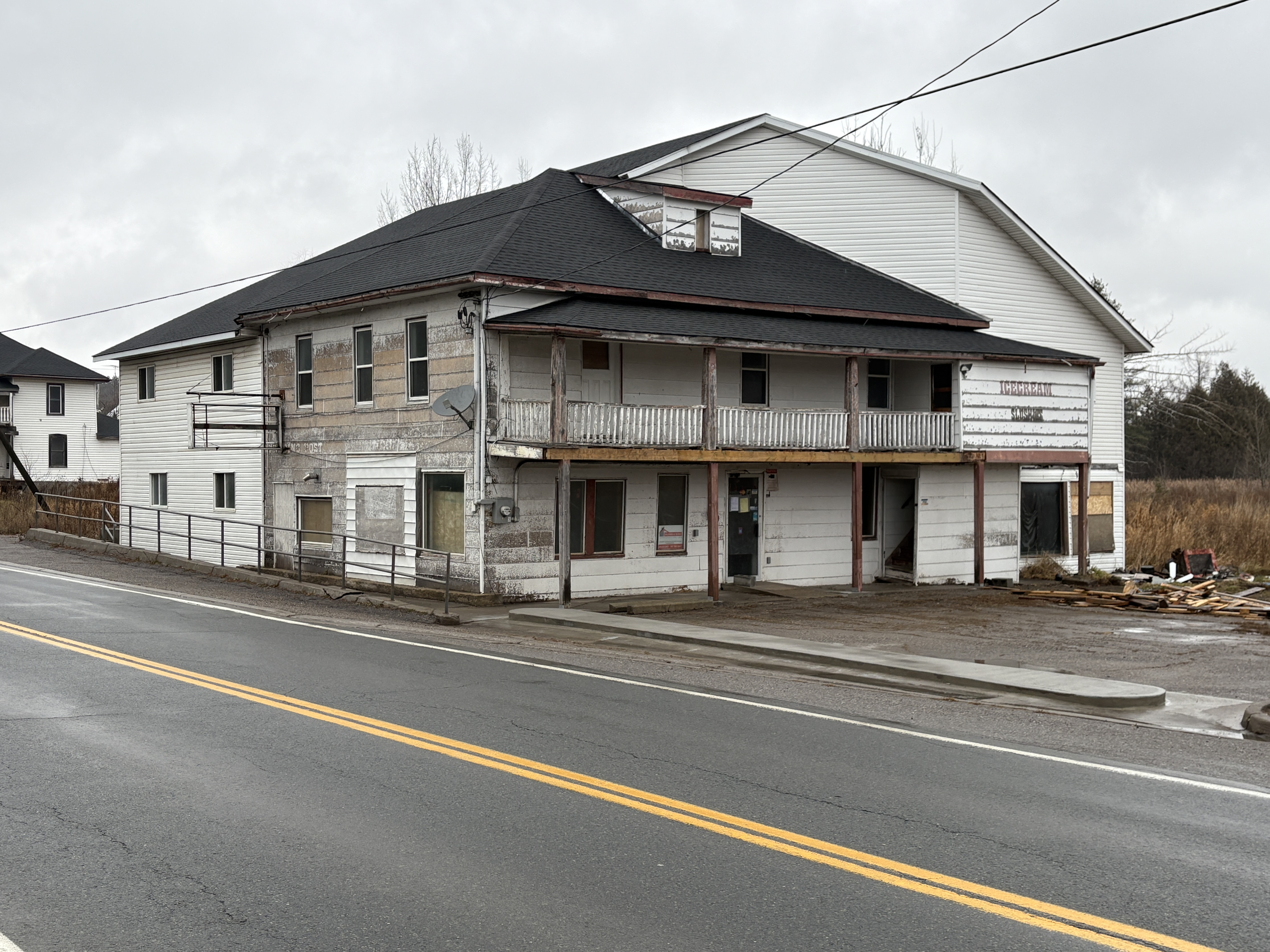
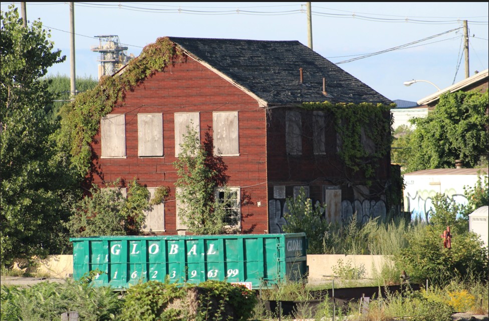
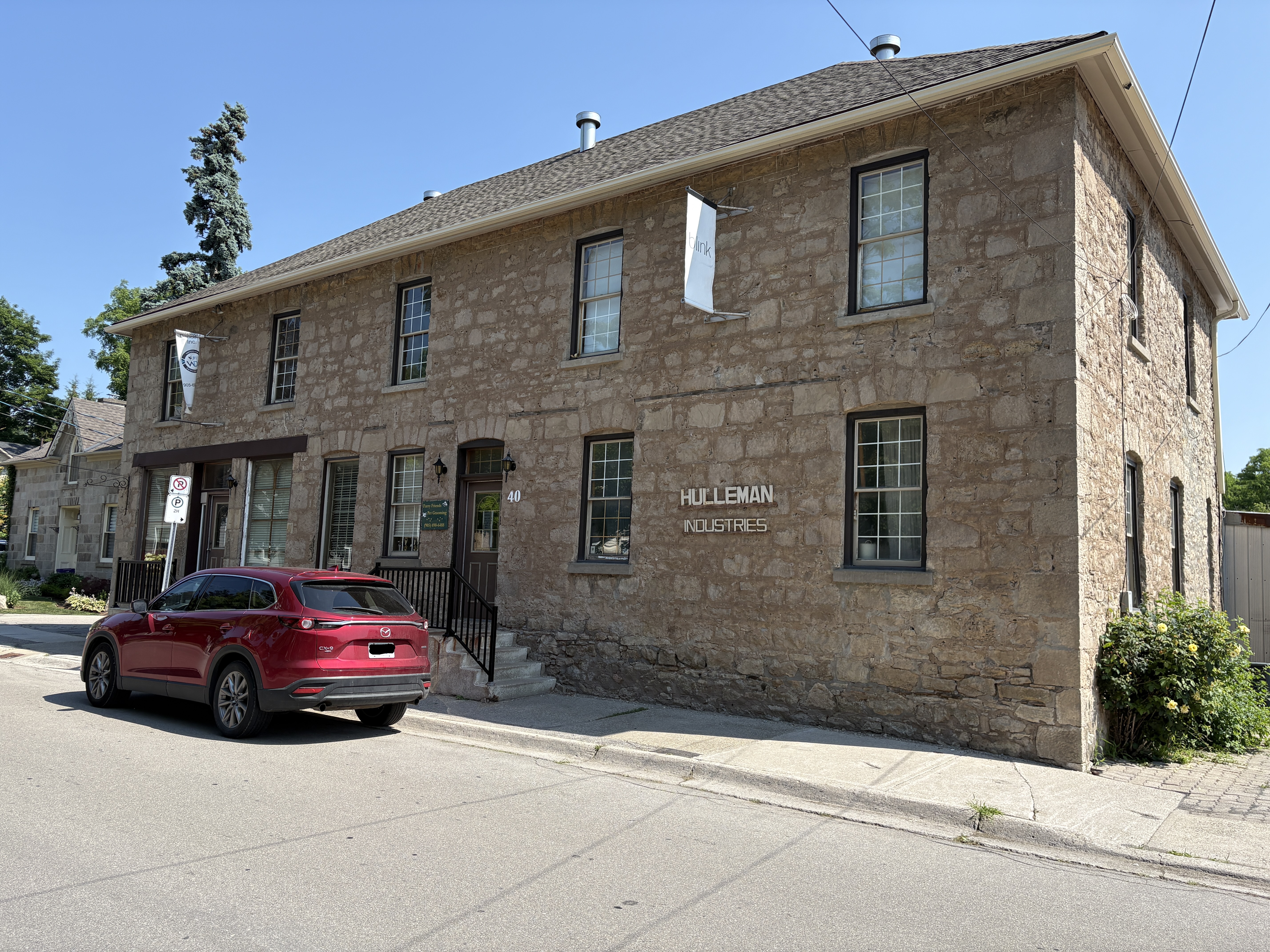
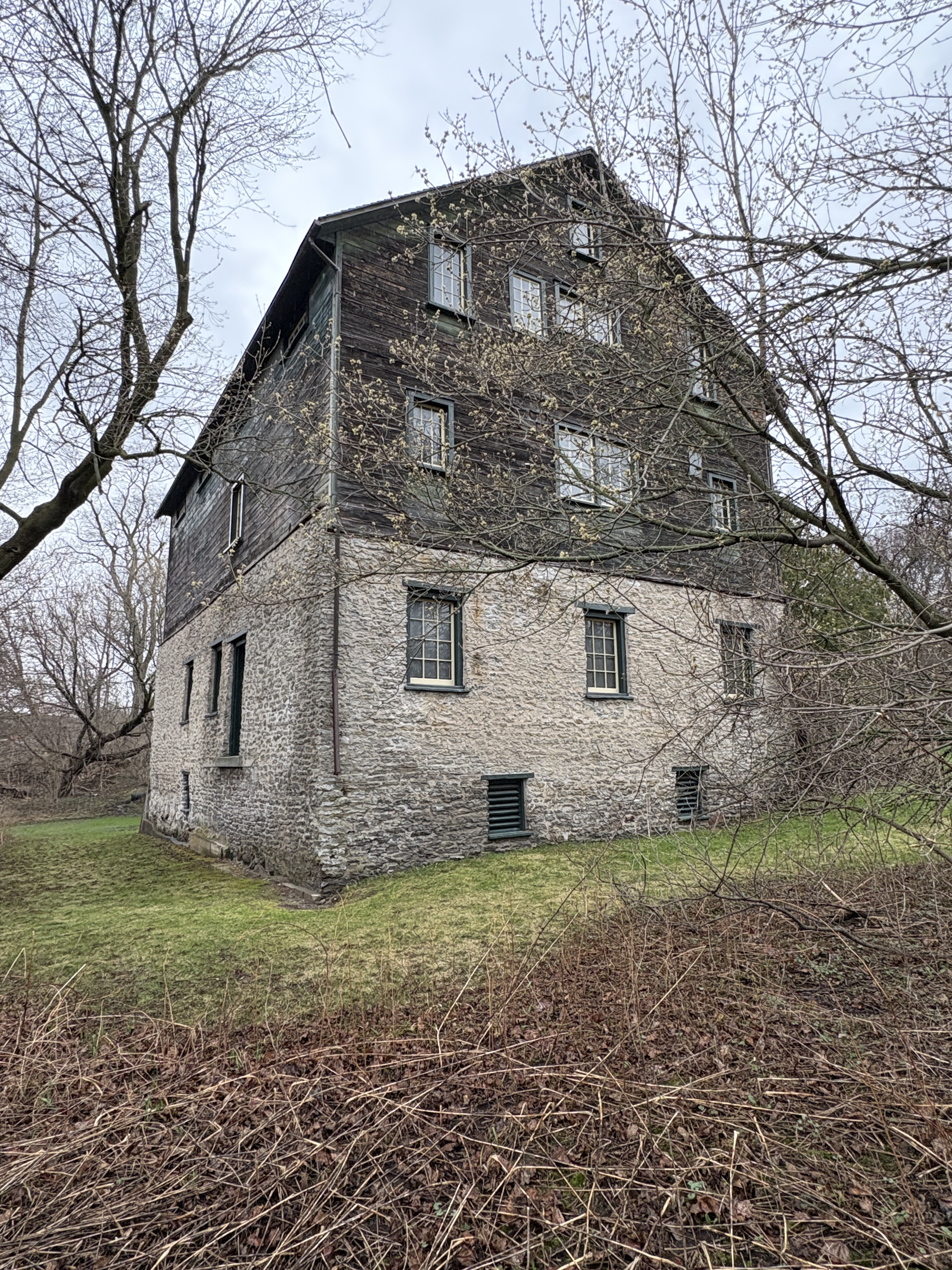
In 1851 Port Hope had the second largest harbour in Upper Canada and so Thomas set his sights on this community. He bought a mill site on the Ganaraska River about a mile upstream from the harbour. The grist mill is three and a half stories and is of post and beam construction. It stands on a foundation of river stones and has seen some alterations over the years, The large multi-paned window on the end was added in the 1920s.
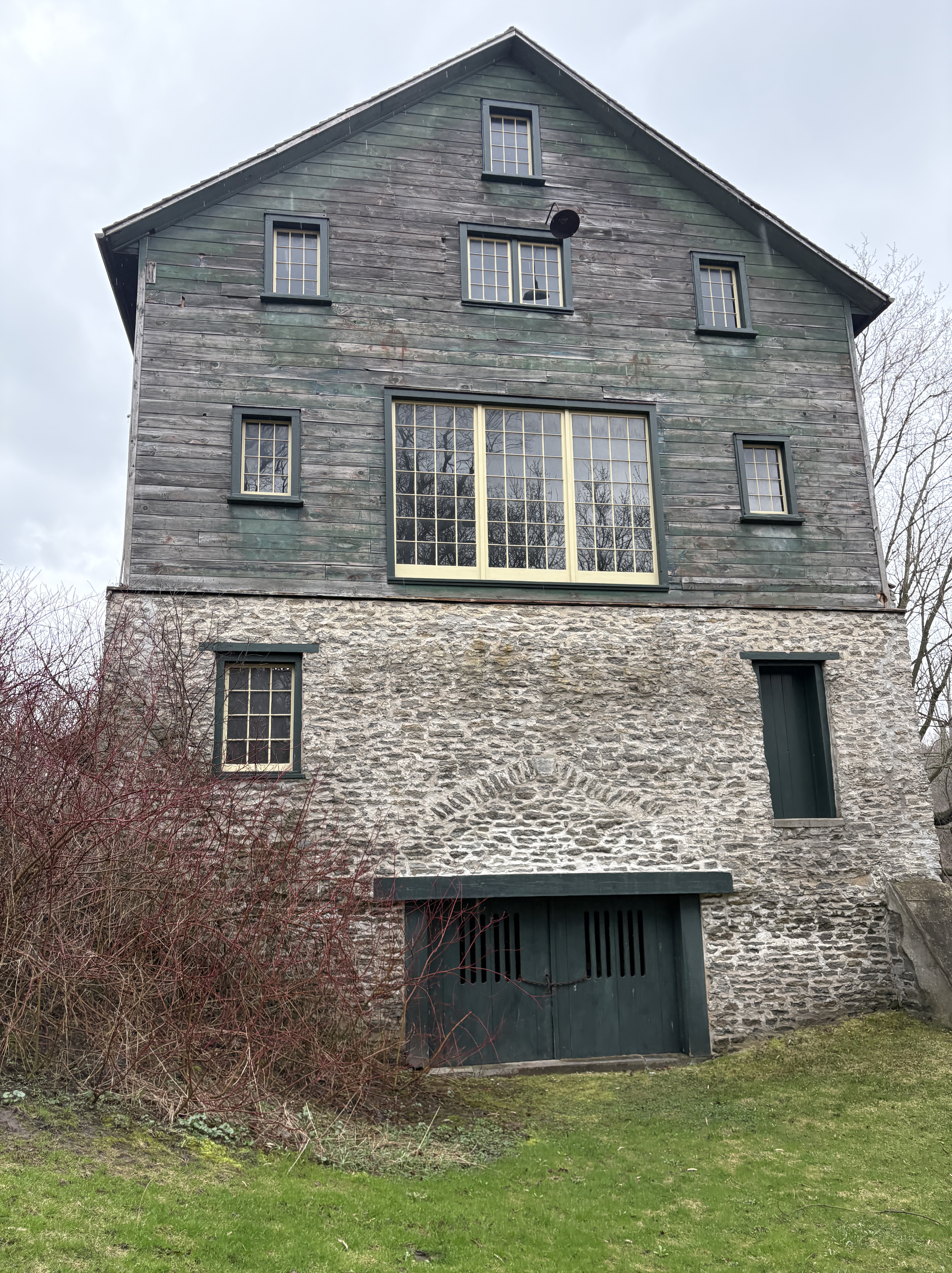
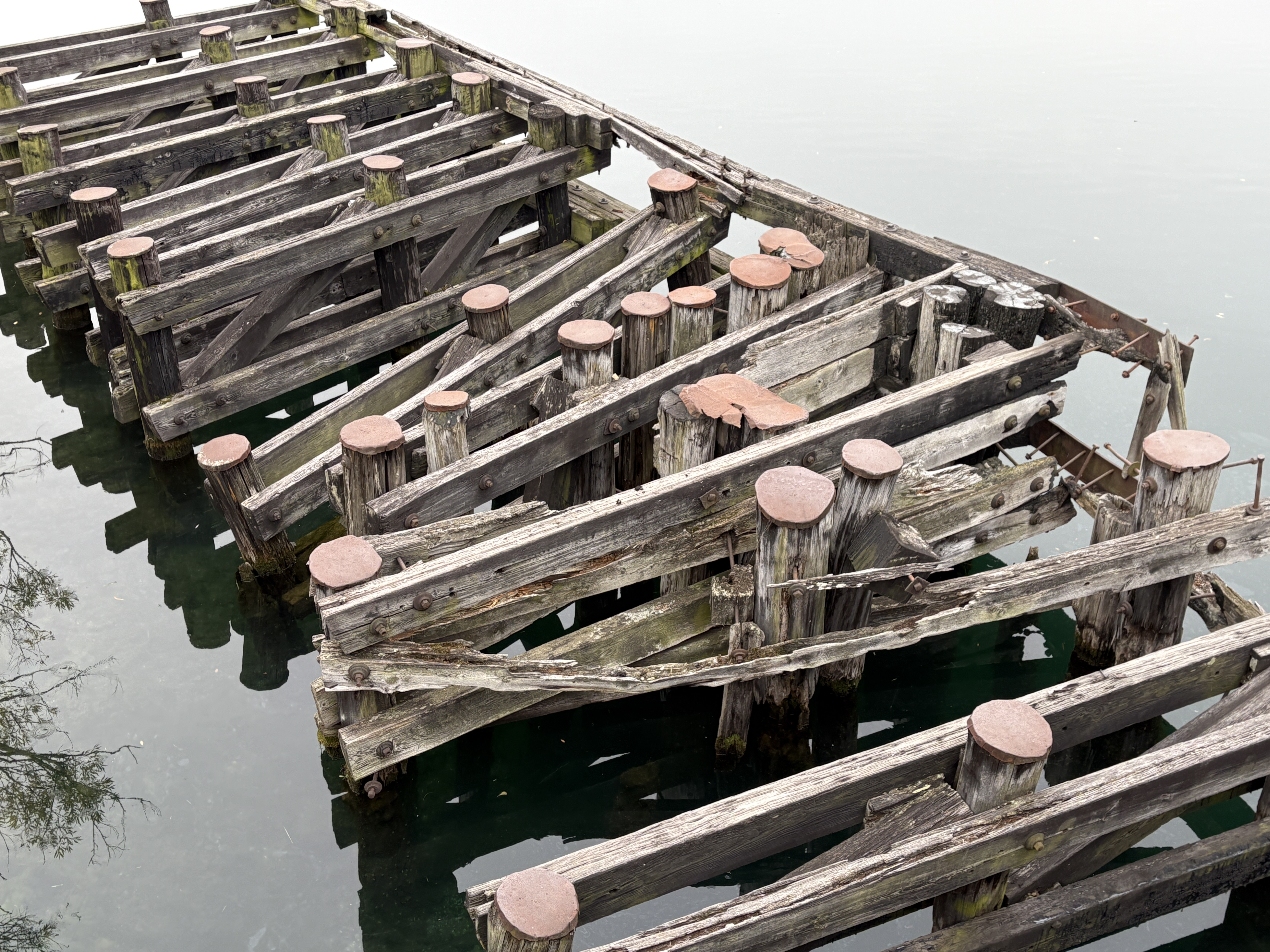
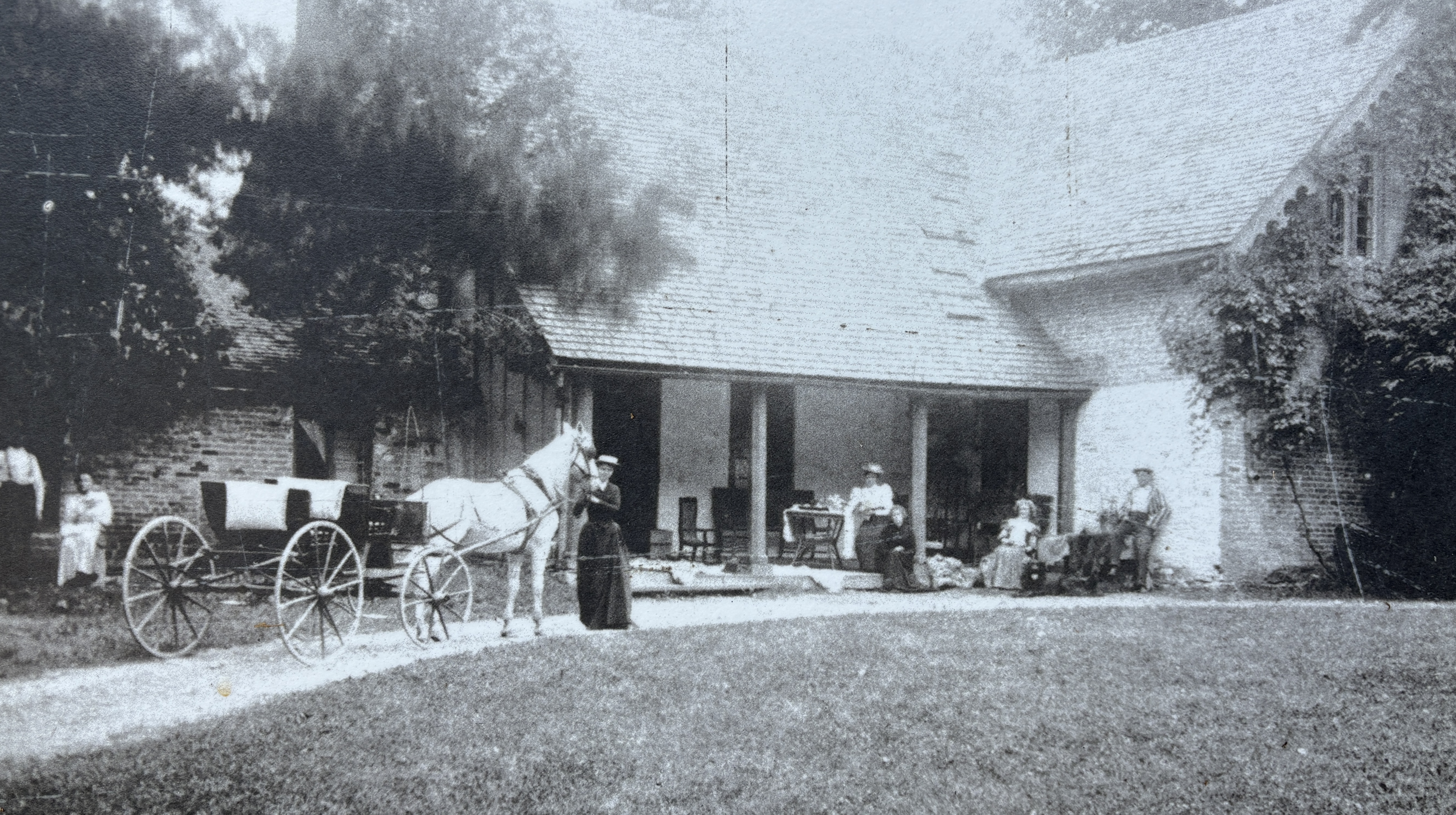
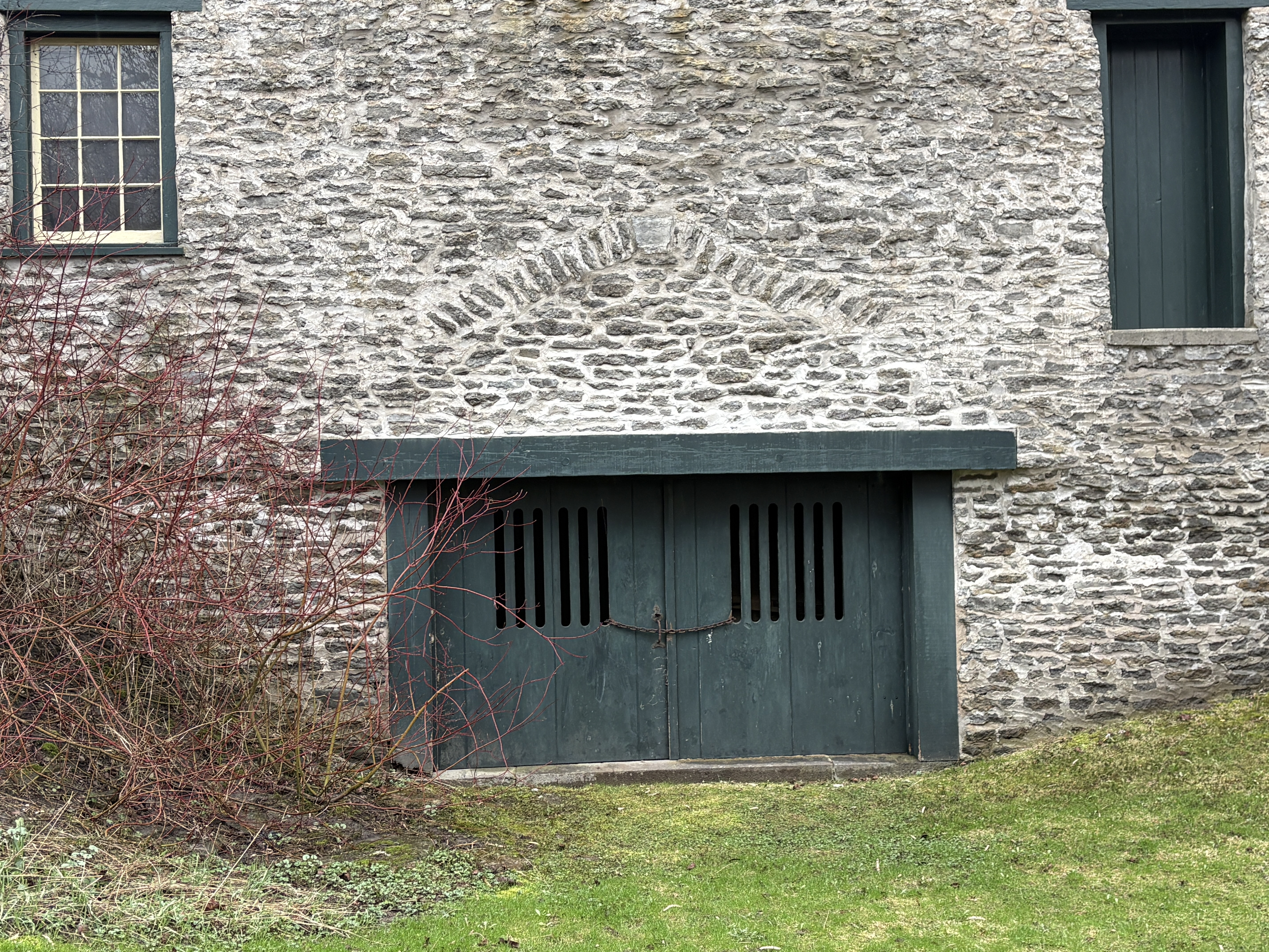
He paid 337 pounds for a property where he operated a small industrial empire. In addition to the grist mill there was a brewery and distillery. A saw mill produced staves for the barrels that were needed for the shipment of the flour they milled. The image below shows the alterations made to the large ground level doors to the building. The row of vertical stones above the door shows the outline of the previous opening.
The mill featured six runs of stones which were capable of turning out 300 barrels of flour each day. Flour was shipped in barrels which were produced on site. The saw mill was capable of producing 6000 board feet of lumber per day. Some of this was taken next door to the stave factory where they were turned into wooden barrels for shipping flour in. The stave factory had a output of 7000 staves per day. Molson owned the best wharf in the harbour and his steam ships delivered barley for the production of beer in the brewery.
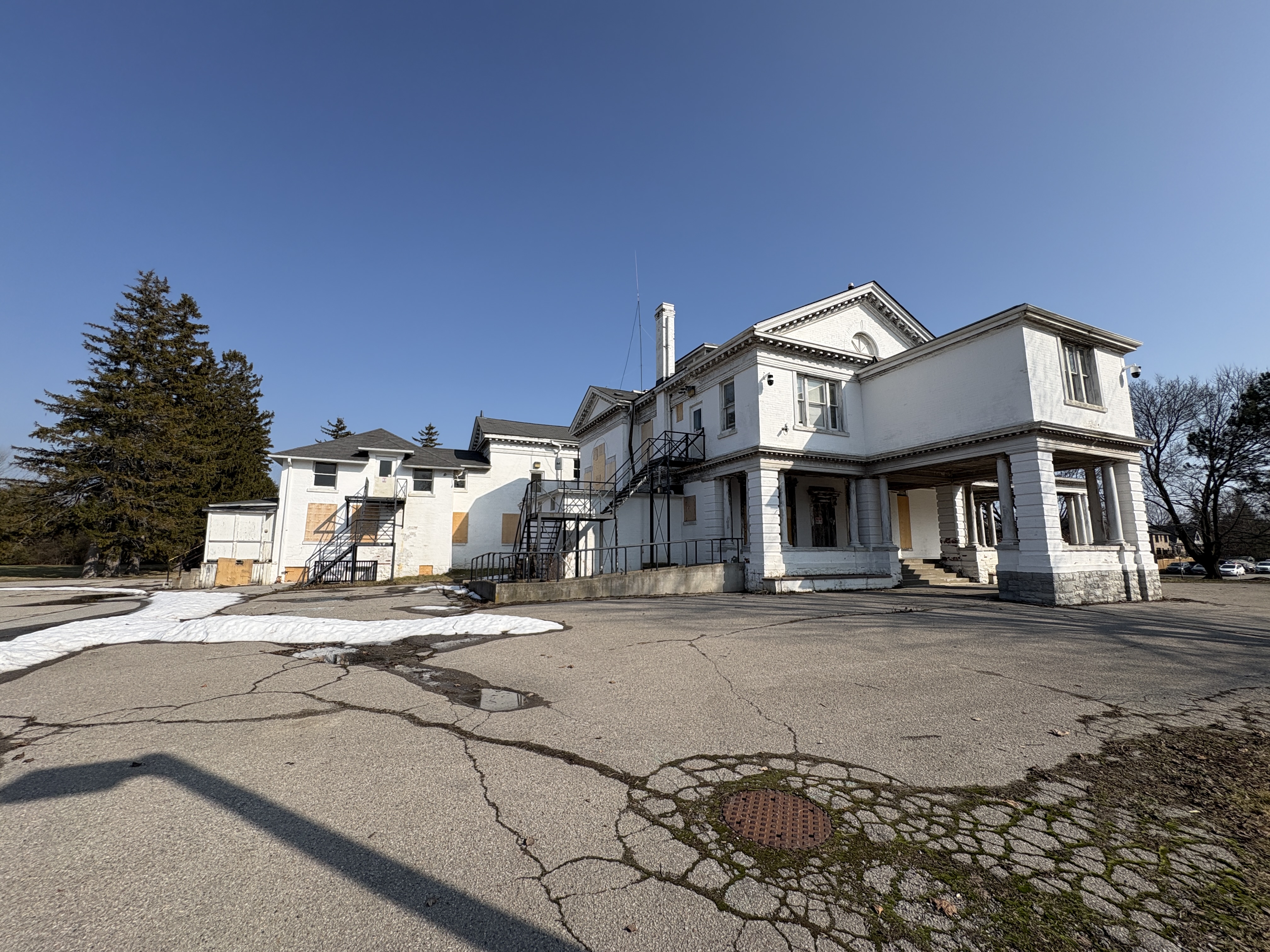
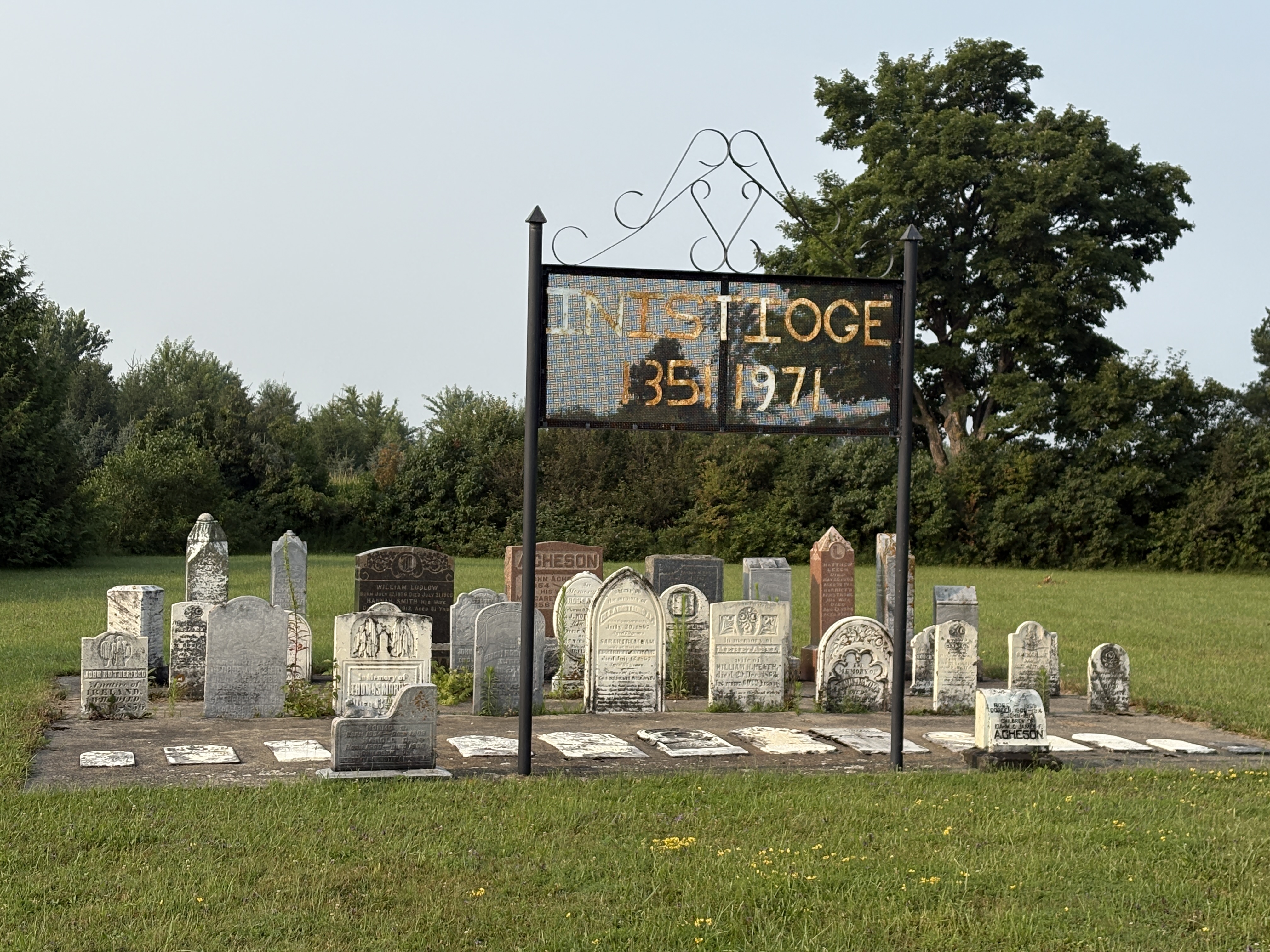
The mill closed at the end of the 19th century and was later used as an artists centre. It was designated as an historic site on July 20, 1987.
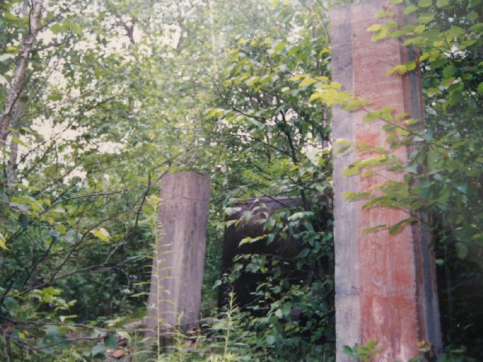
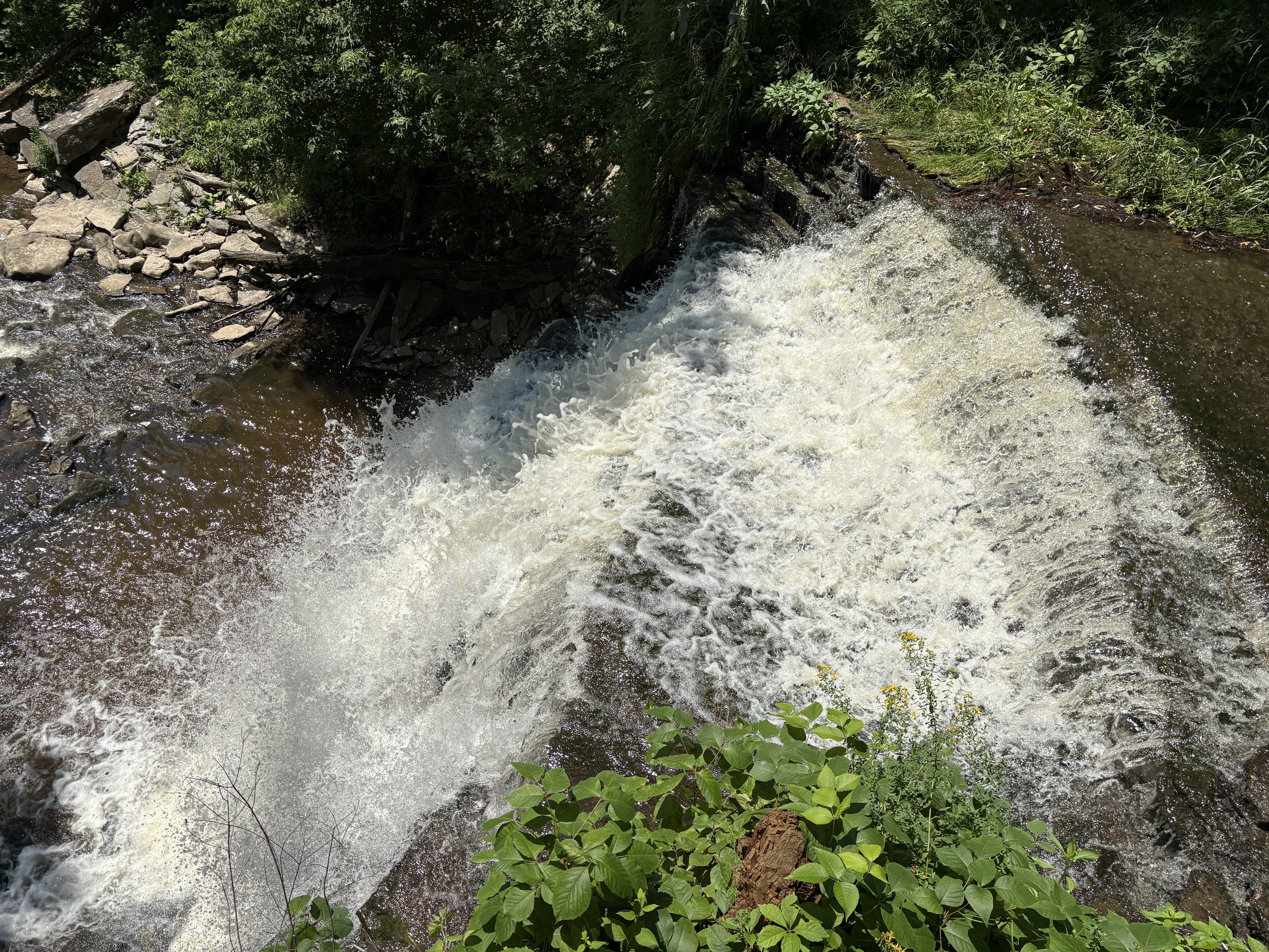
Corbett’s dam is a modern concrete dam replacing the older wooden crib construction. Until 1973 migratory fish were manually lifted over the dam. It was decided to build a fish ladder to let fish jump over the dam but keeping invasive species out of the upper reached of the river. The image below shows one of several fish which were trying to jump the highest part of the dam. I guess they never taught them about the ladder when they were in fish “school”.

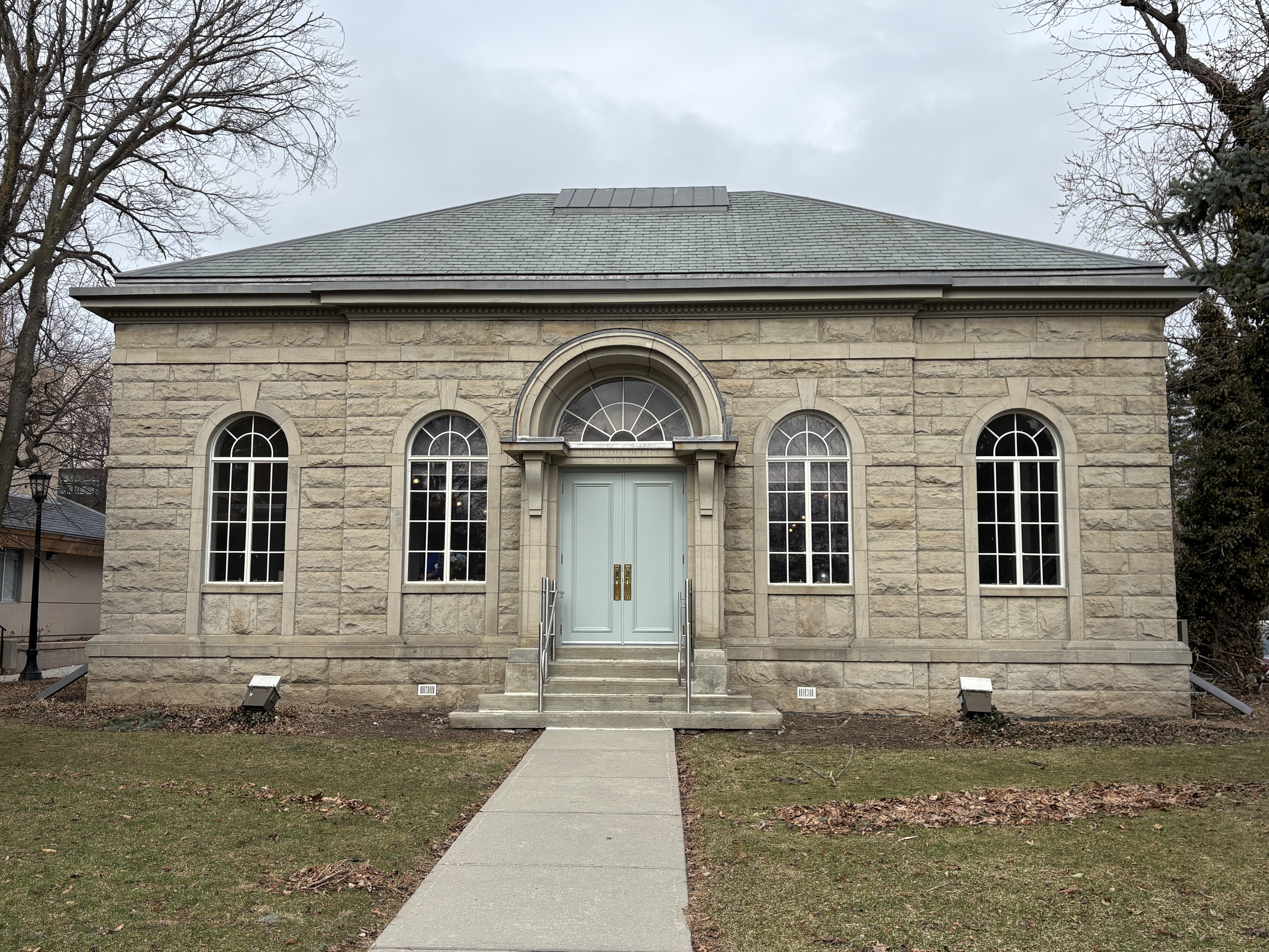
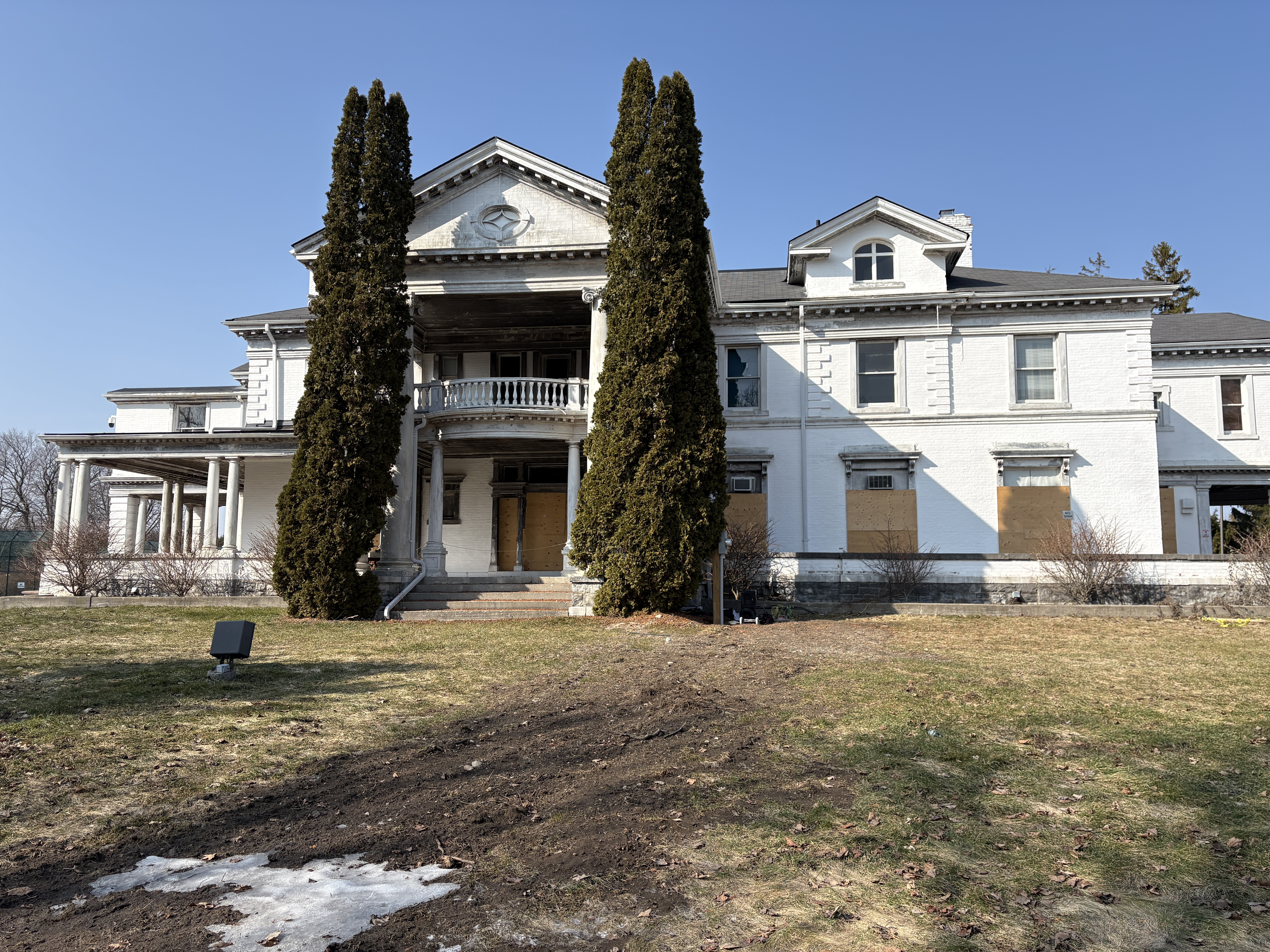
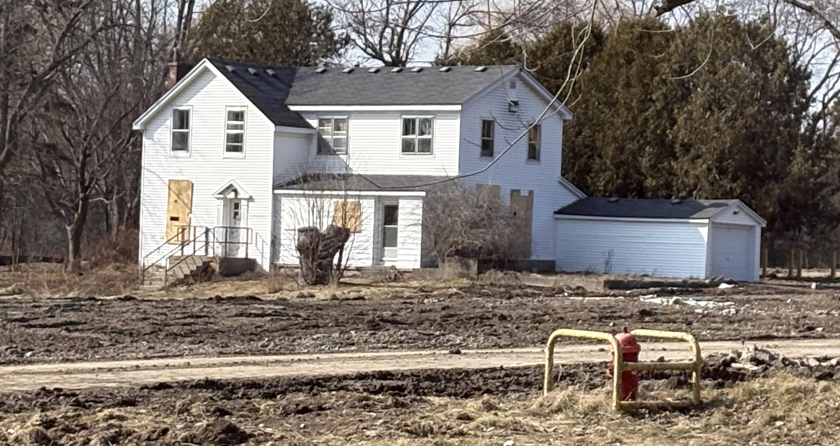
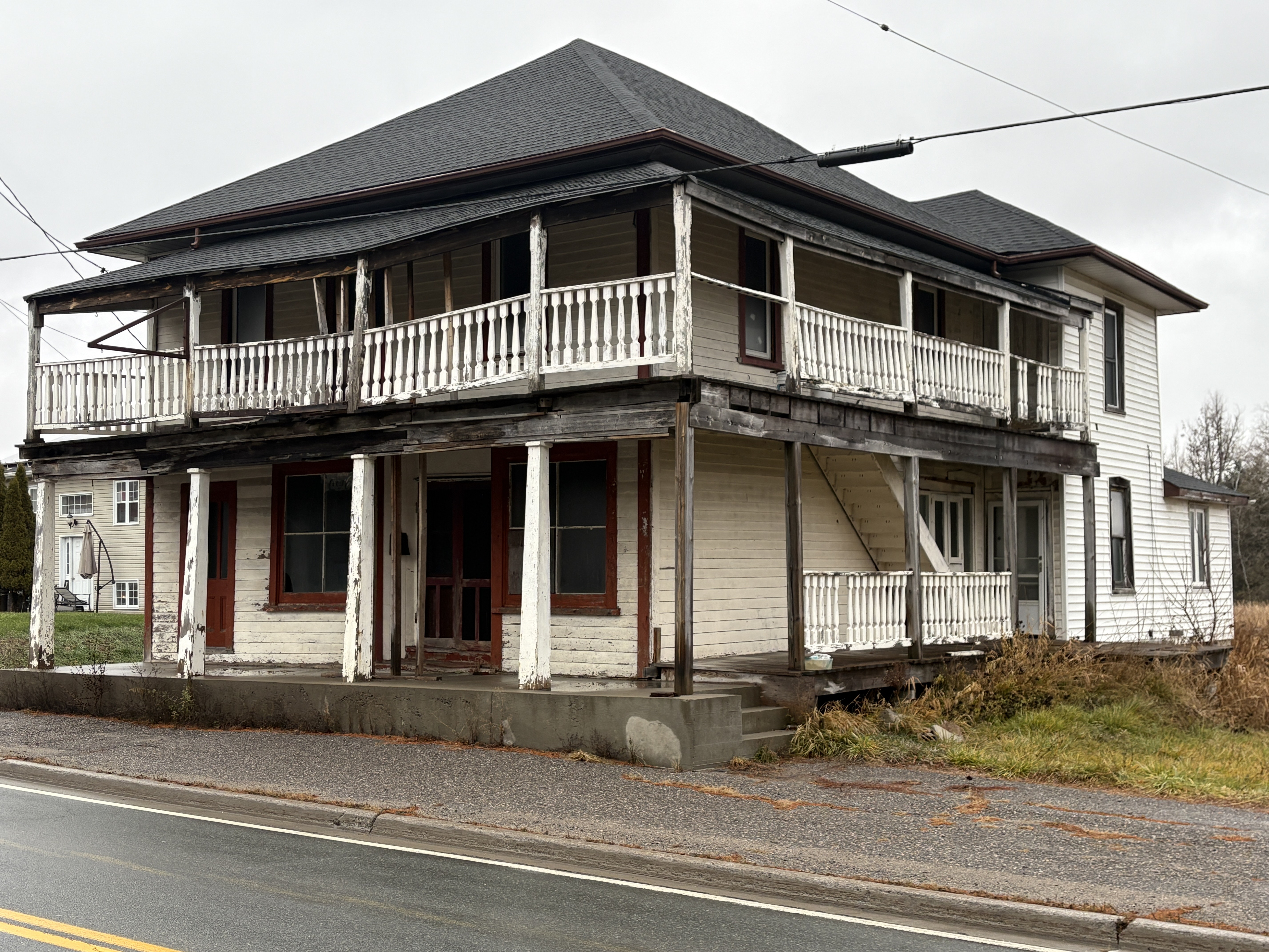
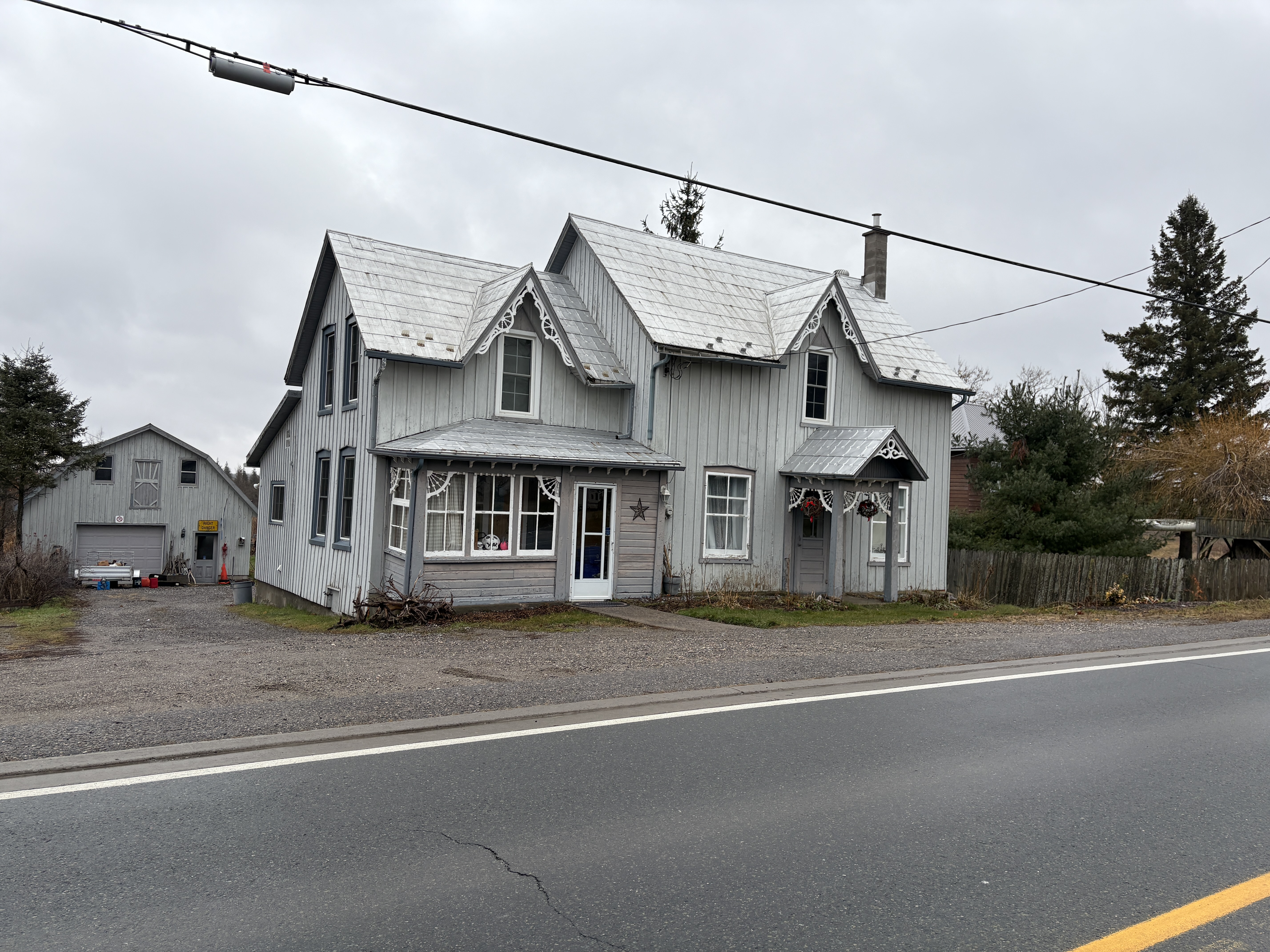
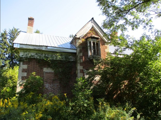
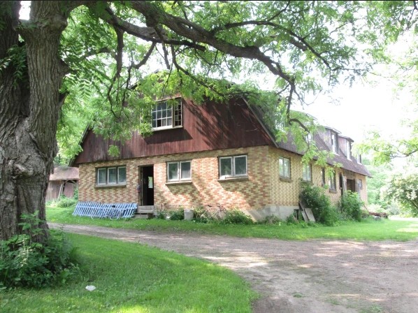
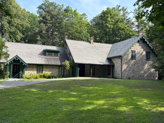
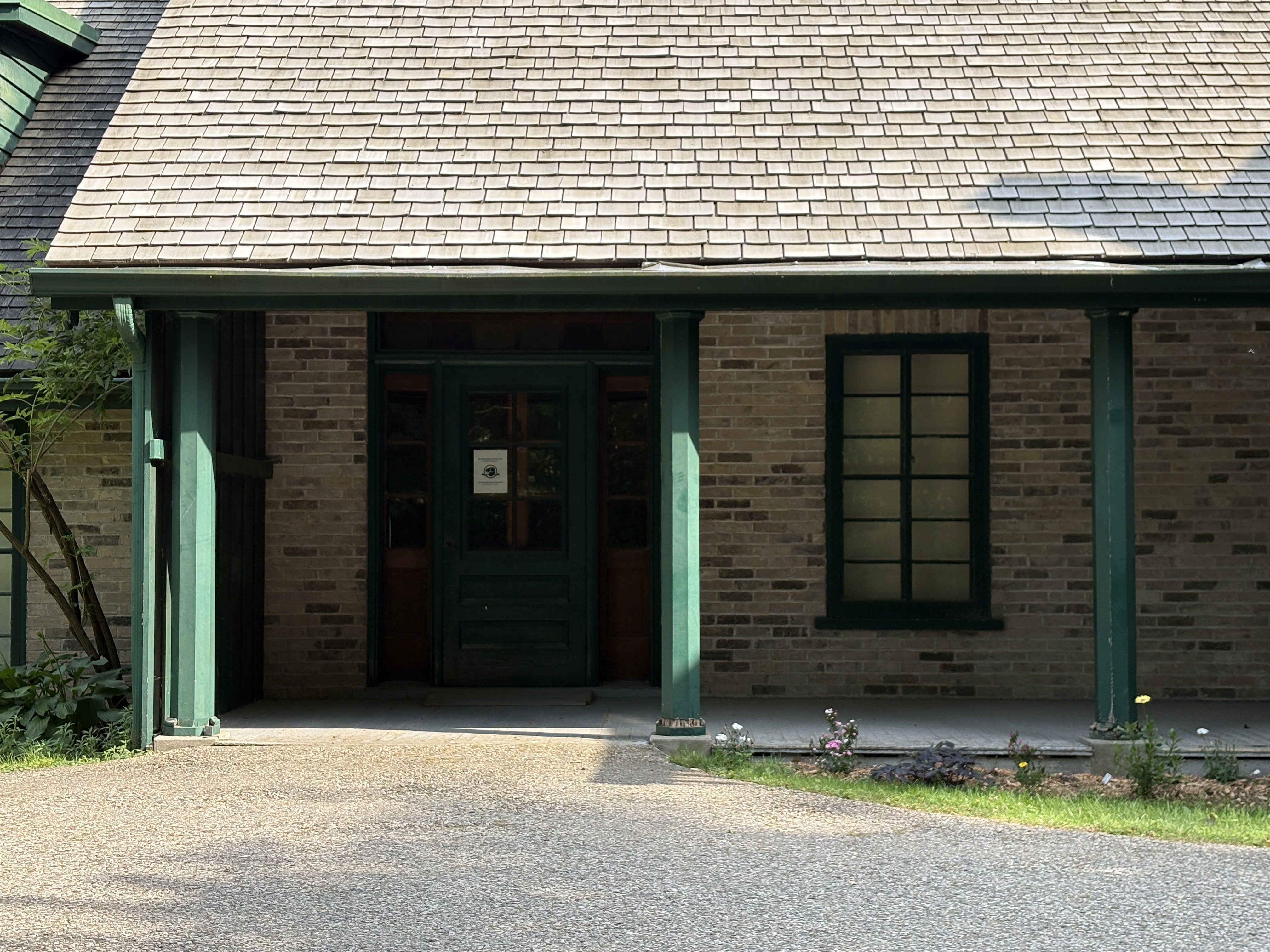
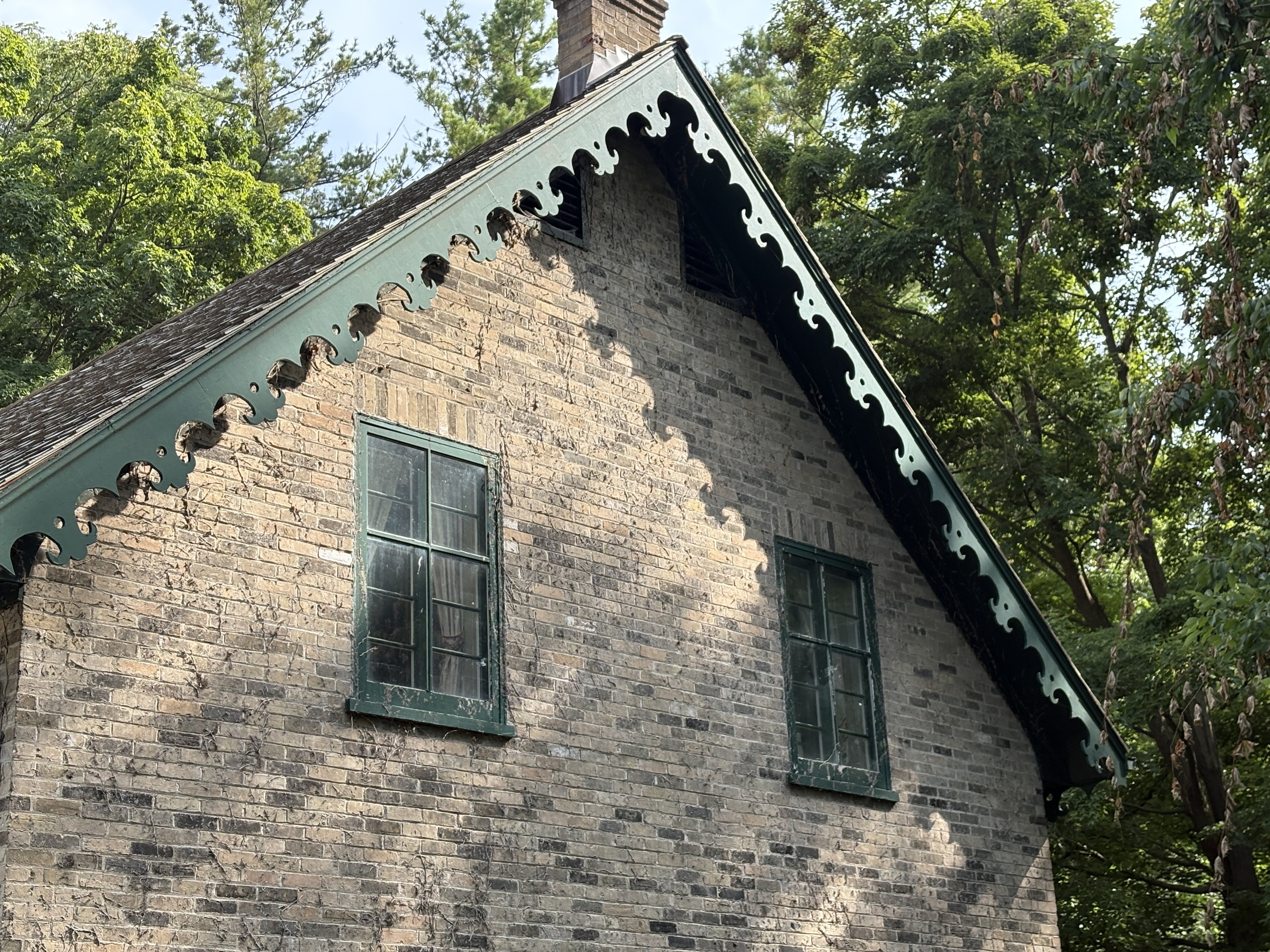
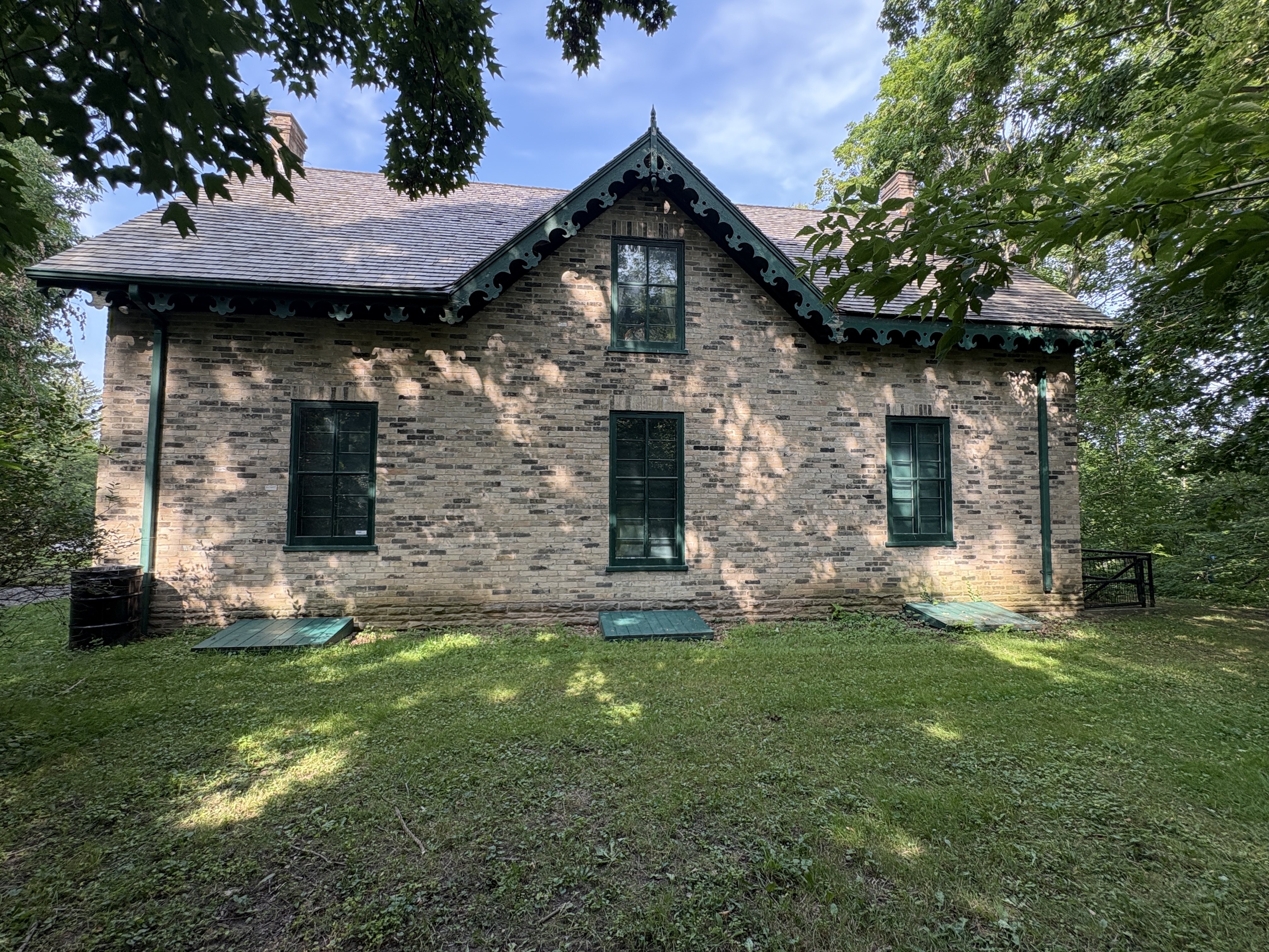
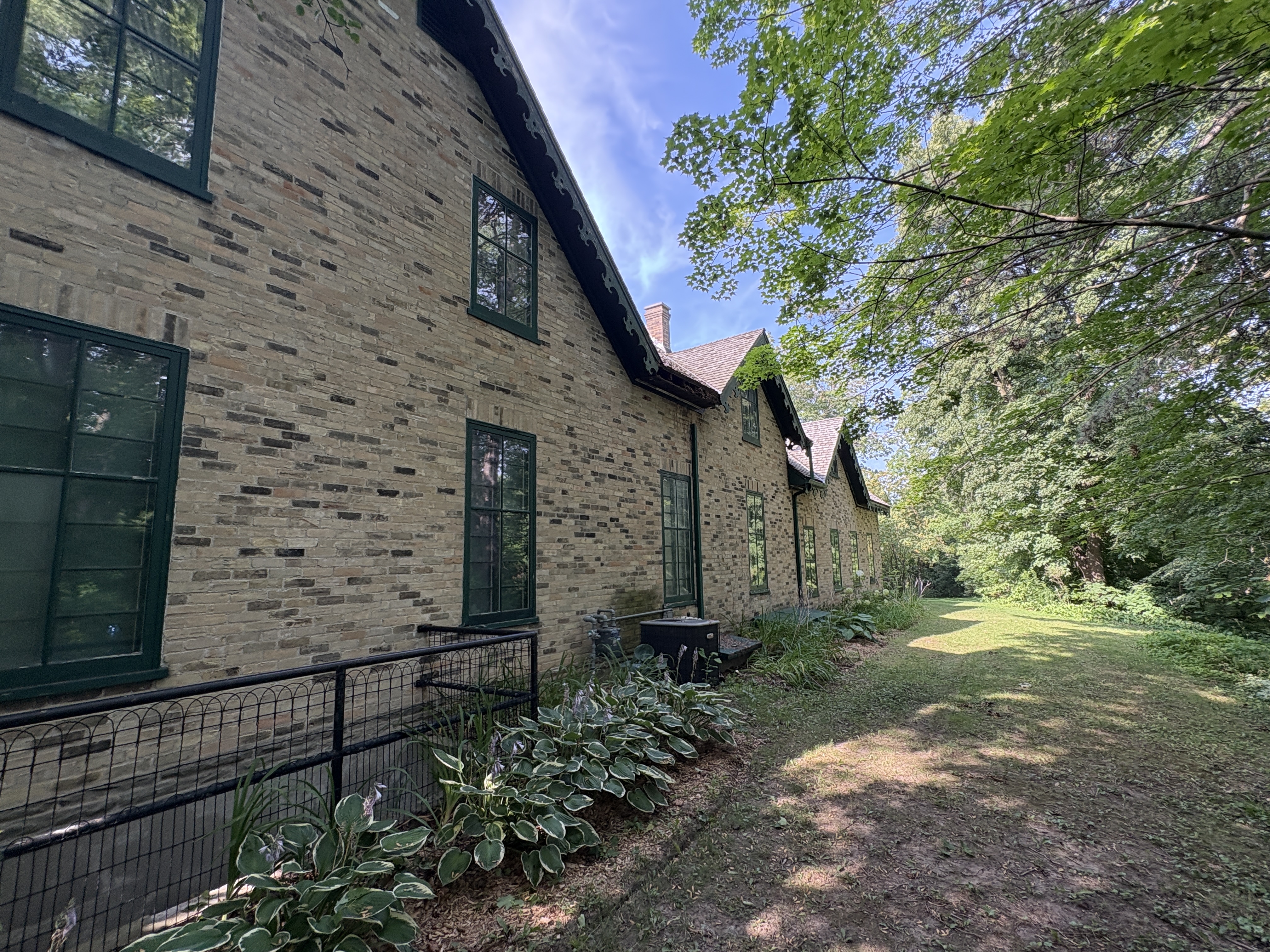
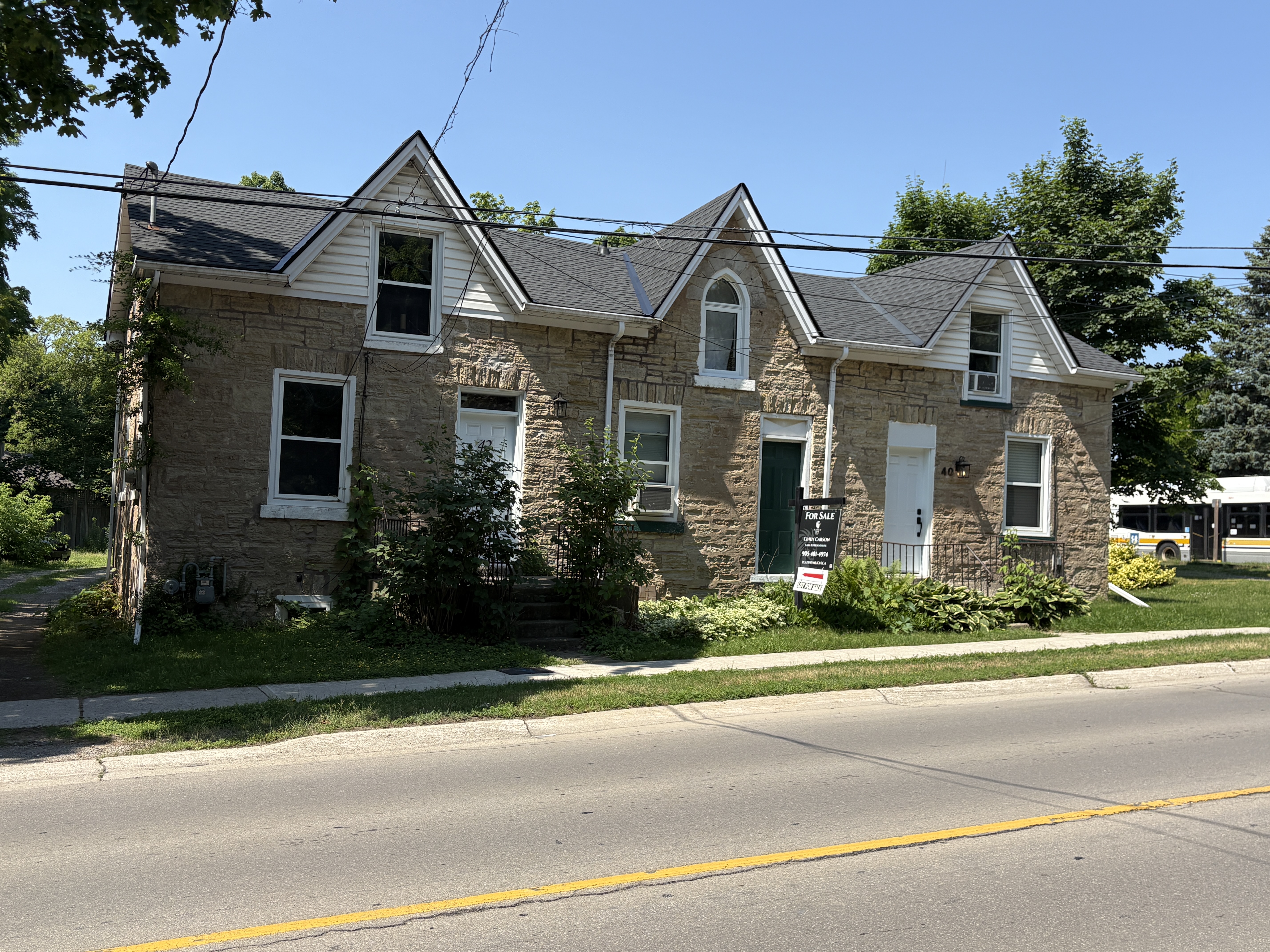
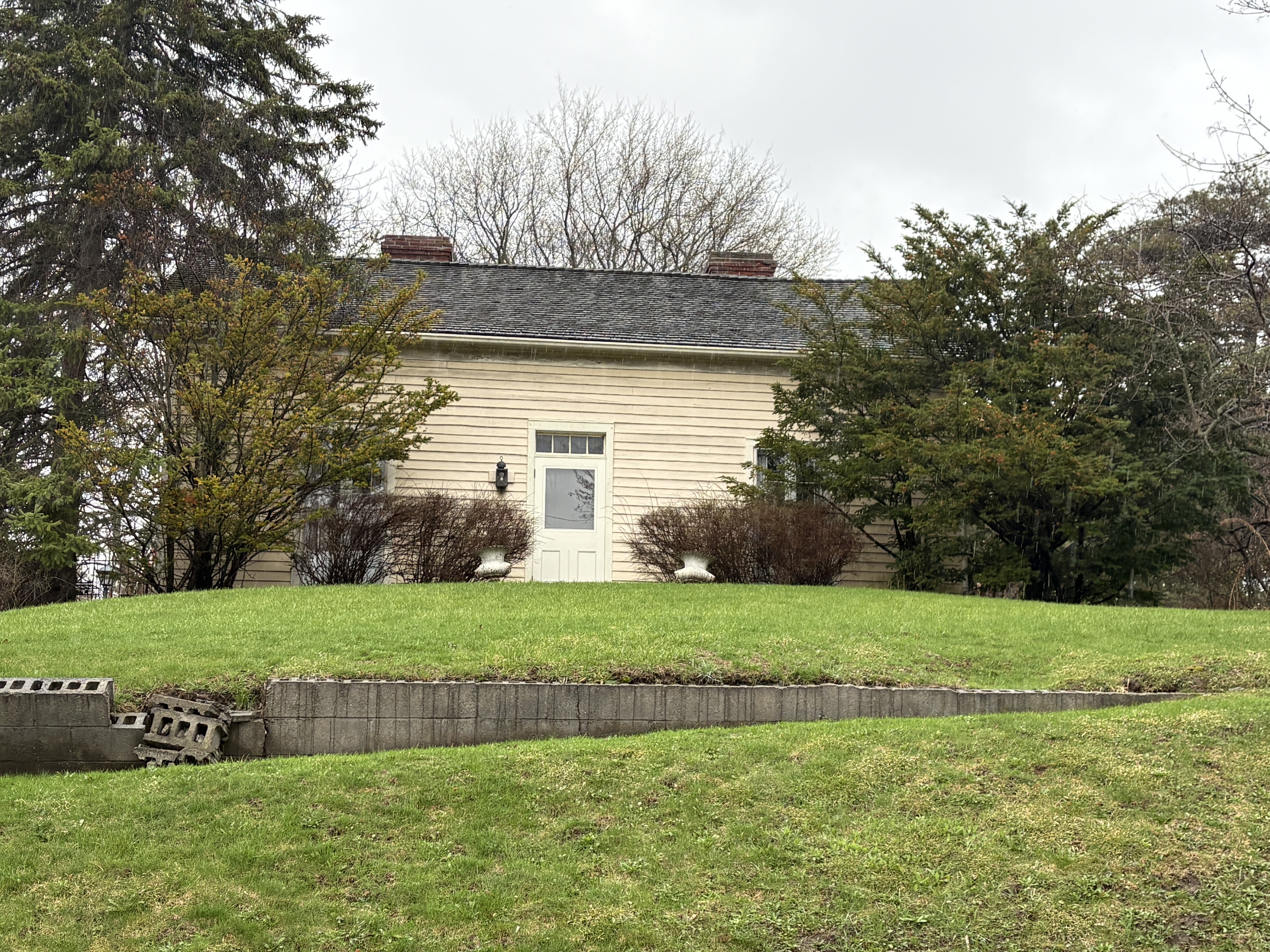
The miller’s house stands across the road from the mill. Robert Orr was the miller employed by Molson to operate the grist mill. He lived in this house until the milling operations were shut down. The house was then bought by J. W. Beatty who was an artist with connections to the Group of Seven.
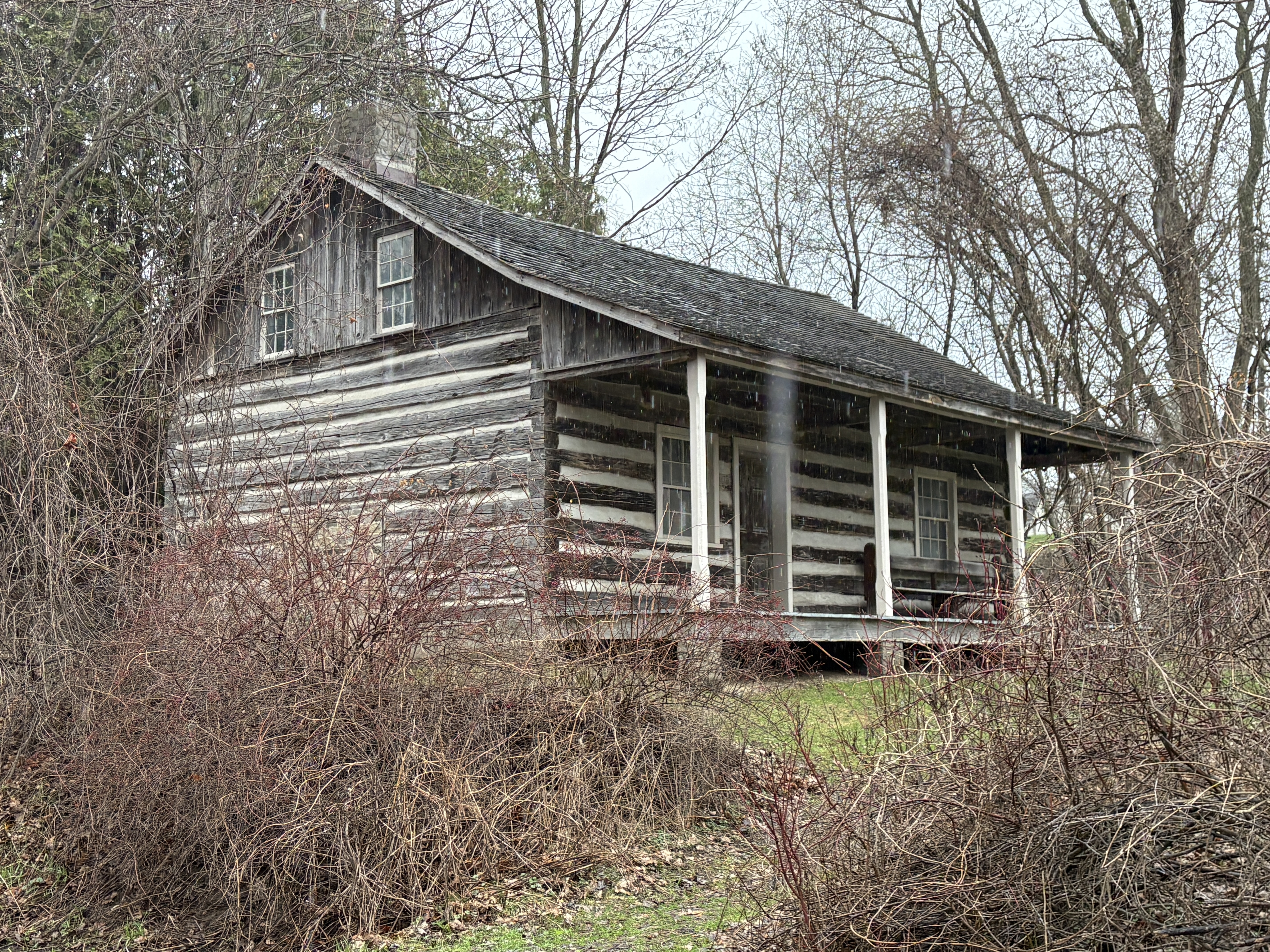
The log house that stands behind the miller’s house was moved here and then restored.
The Molson Mill is part of the industrial history of Port Hope and is one of a small number of original mills remaining in Ontario.
Related Stories: Midland Railway, Distillery District,
Google Maps Link: Molson Mill
Like us at http://www.facebook.com/hikingthegta
Follow us at http://www.hikingthegta.com