November 29, 2025
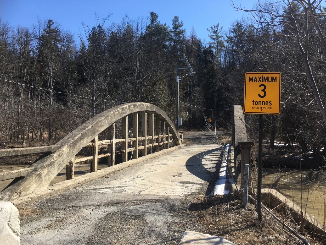
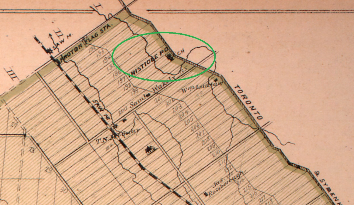
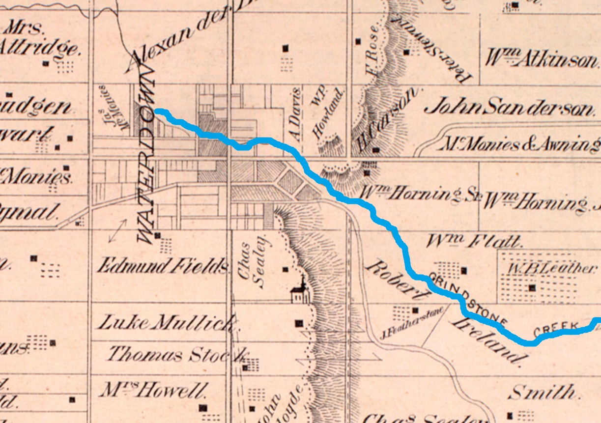
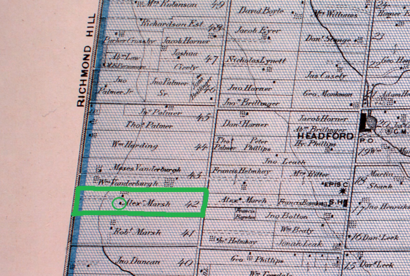
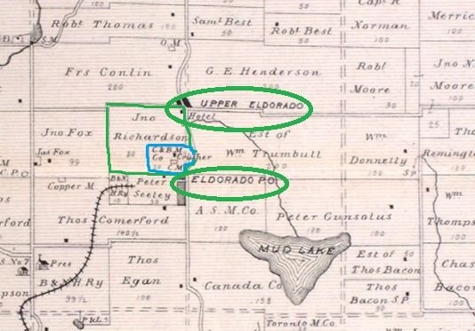
Ontario’s first gold rush happened in 1866 on a farm north of Madoc. August 15 was the fateful day when Marcus Herbert Powell discovered gold while prospecting for copper on the farm of John Richardson. Richardson had given up on farming and was looking for one last opportunity to make money from his property. He had hired Powell because of his skills as a part time prospector. During his regular job Marcus served as a county clerk but suddenly he had new opportunities. He leased 19 acres of the farm for half of the proceeds from any gold that was found. The map below shows Eldorado as it existed in 1877 when the county atlas was drawn. Richardson’s property is outlined in green while the site of the mine is shown in blue. The two sections of Eldorado as it existed at the time are circled in green.
Powell soon sold the farm for $36,000 to two miners from Chicago. John Richardson got $21,000 out of the deal. The town of Eldorado was founded in 1867 and very quickly there were town streets laid out and construction began on 80 homes. Hotels and other support businesses sprang up over night with the expectations of 3,000 to 4,000 prospectors greedy to make their fortune in the gold that was apparently just laying around waiting to be collected. Today there are vacant buildings scattered throughout the area.
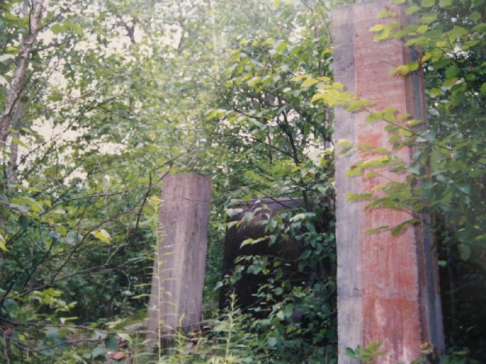
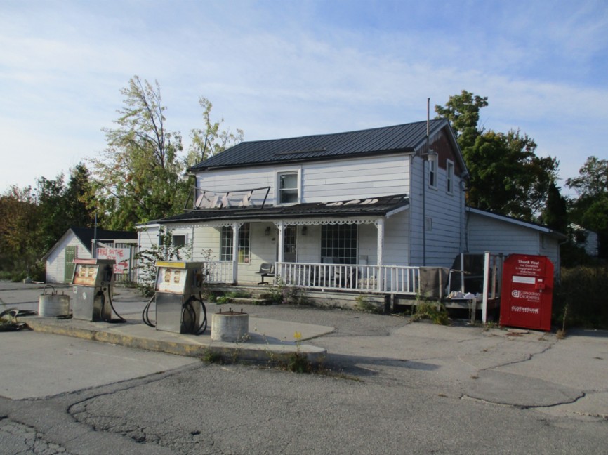
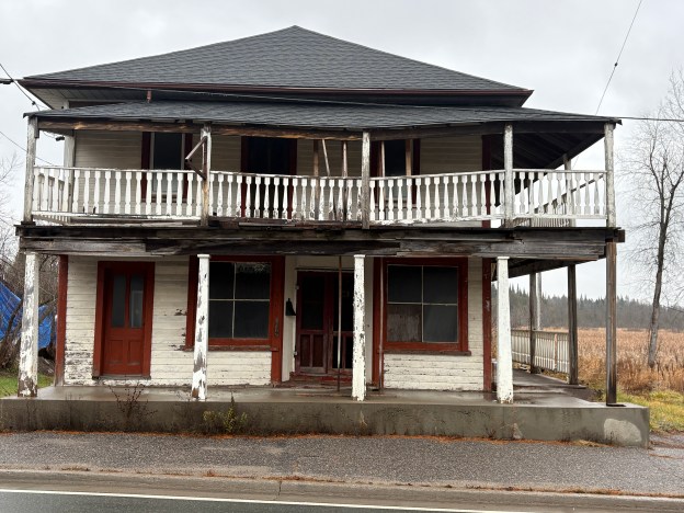
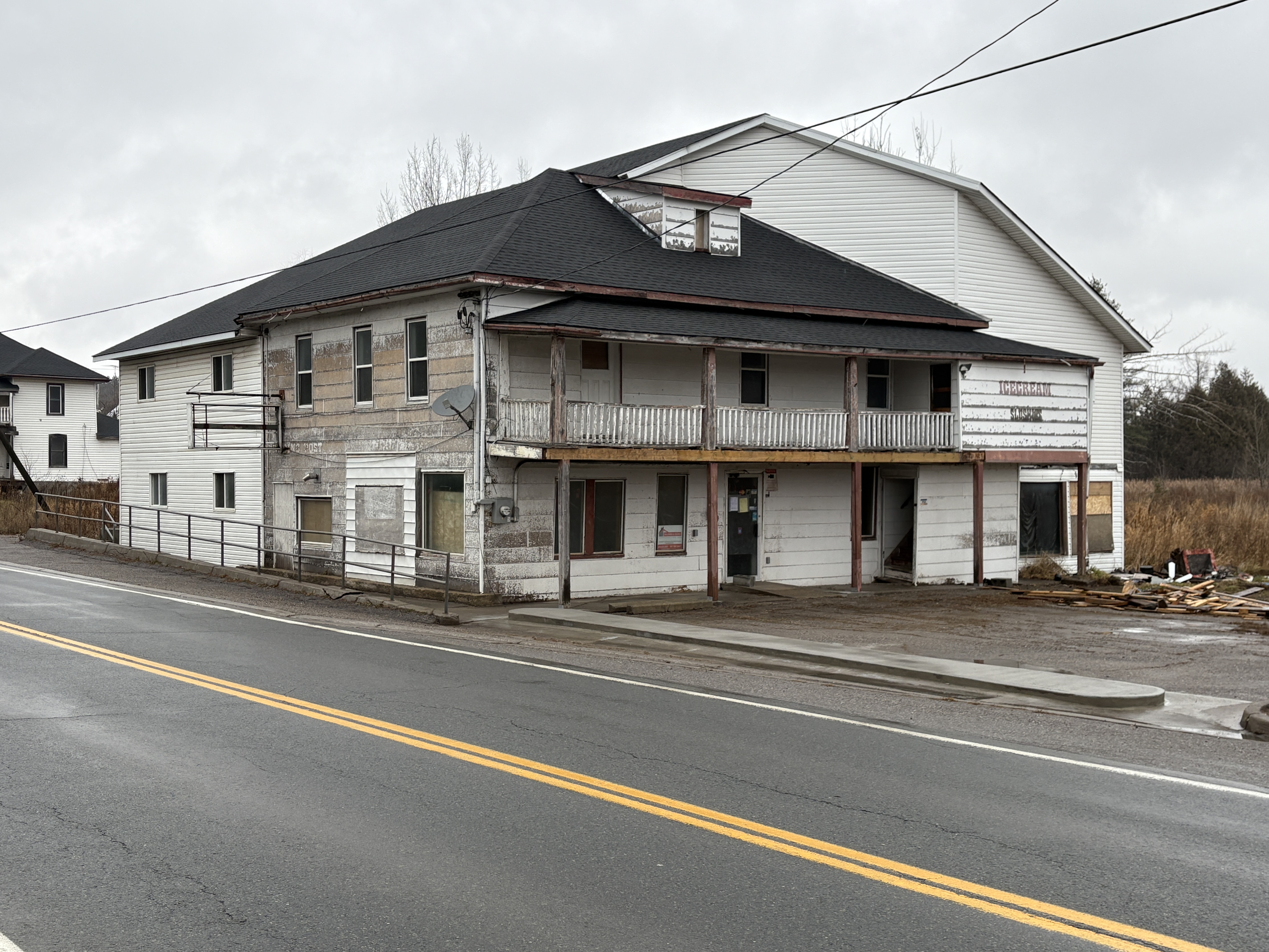
By 1867 the mine was opened and a shaft 15 feet deep was dug that opened into a cave where gold was seen in the form of nuggets and gold leaves. Soon several other mines were opened in the area but each was underproducing. Eventually it was suggested that Powell was lying about discovering the gold and 100 miners burst onto the Richardson mine property demanding to inspect the mine for themselves. With the help of 25 RCMP officers the situation was brought under control. The image below shows the former gas station which has served as a hotel and trading post over the years. The sign on the far end of the building used to say “Canada’s Oldest Gas Station” but much of the lettering has fallen off. That seems to be appropriate considering the pumps have long been removed.
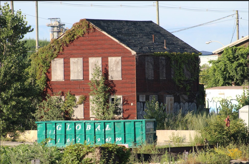
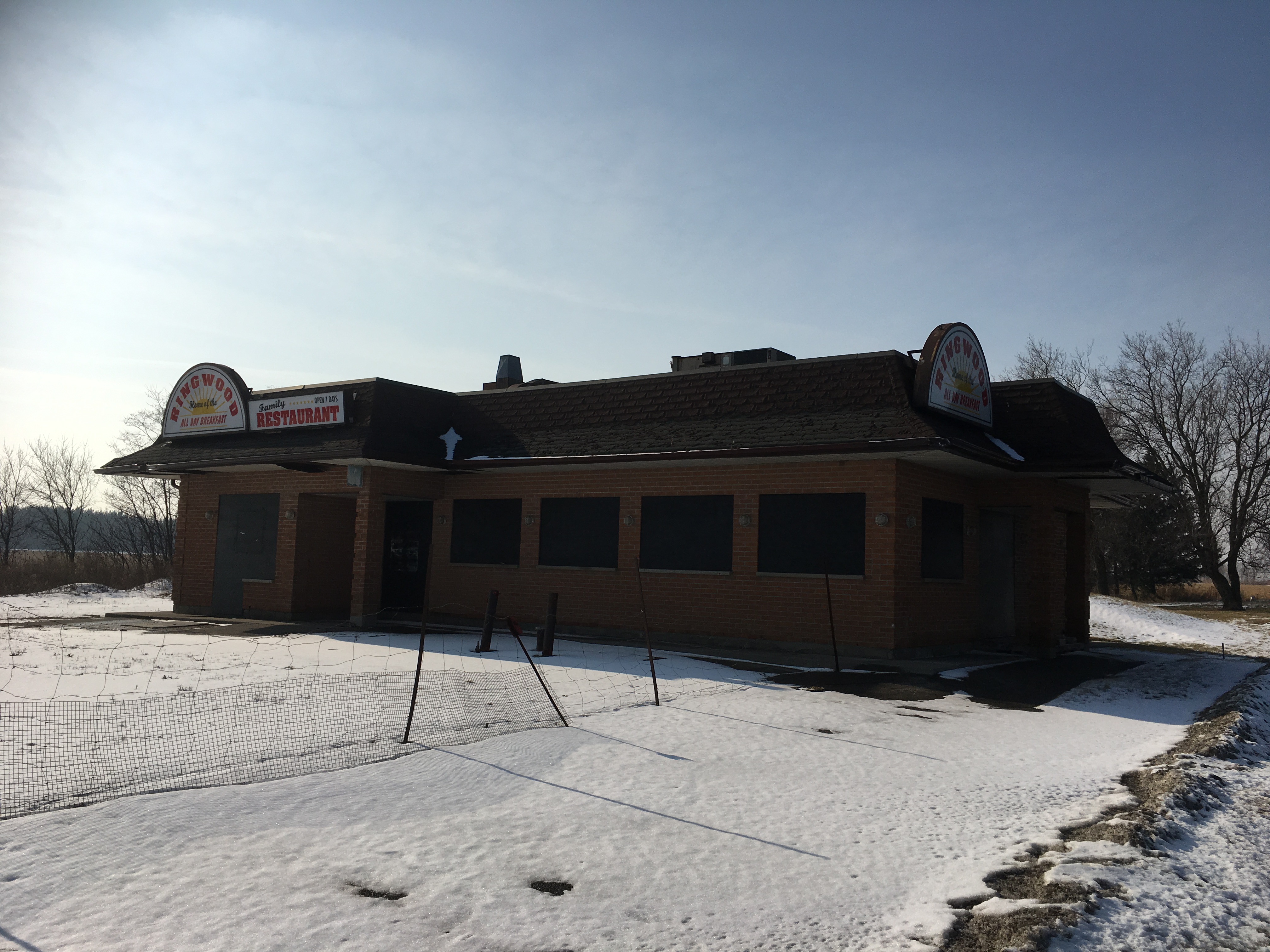
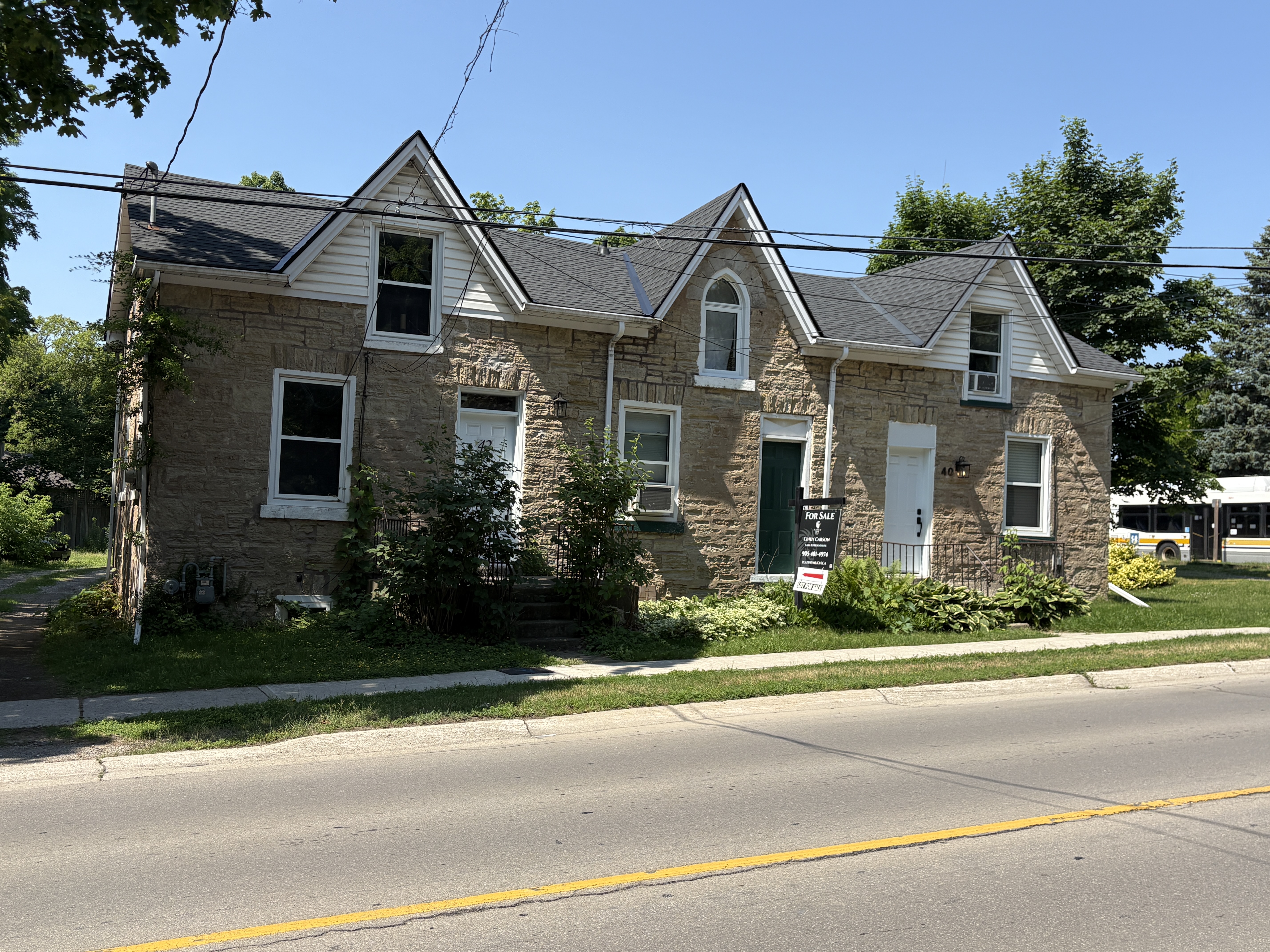
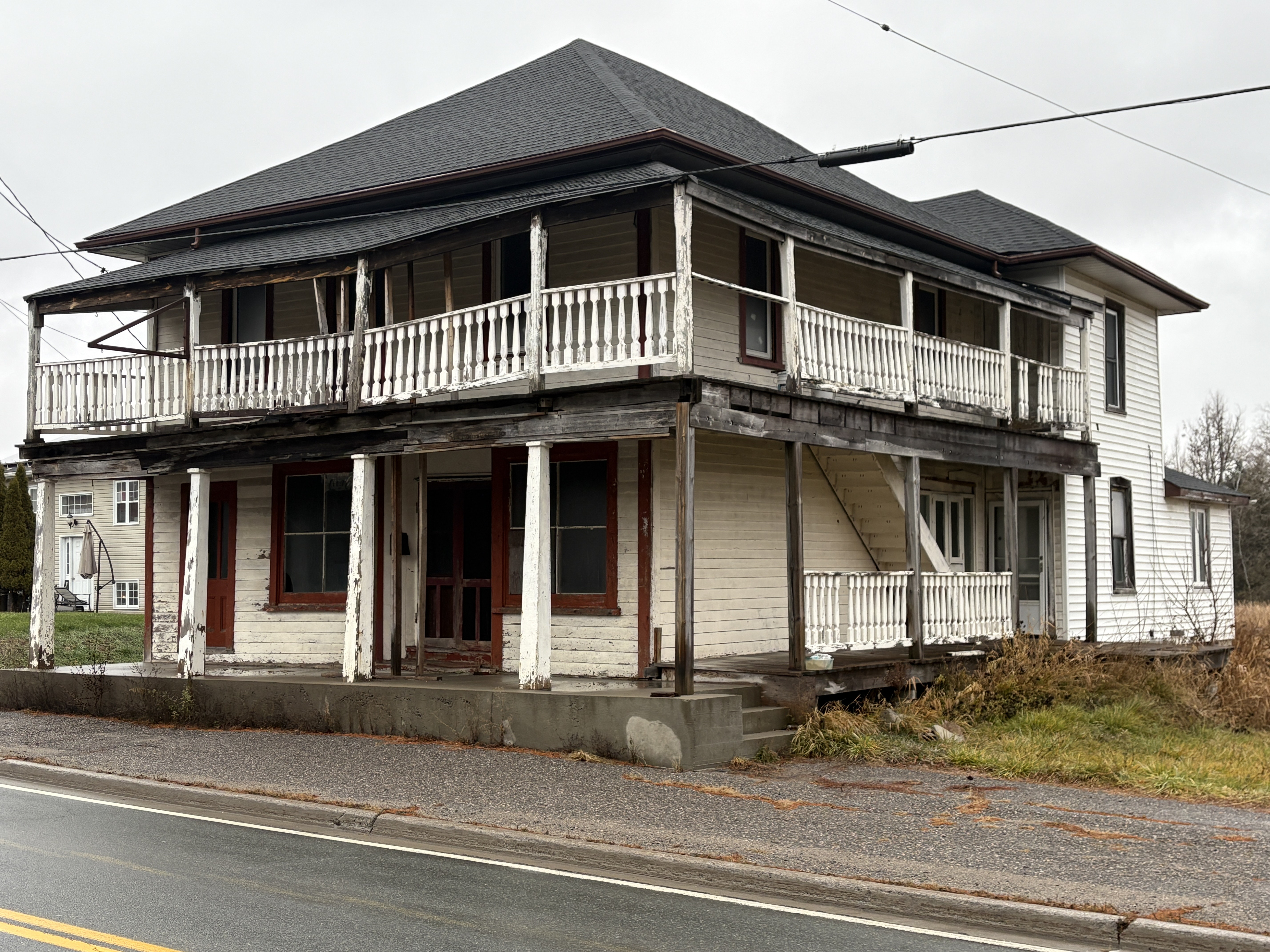
Town lots were laid out on Lot 17 in Concession 5 and soon a boom town was growing. There were muddy streets lined with homes and newly opened businesses. By 1869 there were 4 hotels, a dry goods store, 2 grocery stores a doctor and a lawyer. The hopes for Richardson’s Mine were fading and the expensive crusher that had been built failed to expose very much gold. By 1869 the mine was played out and only 100 ounces of gold were found there. This had a value of about $1,500 at the time, which was much less than the investment the miners had made in purchasing the site. Only Powell and Richardson were able to profit while other investors lost their money. Most of the hotel and store buildings have been lost to fire or neglect and the remainders won’t be too far behind them as they are also falling down.
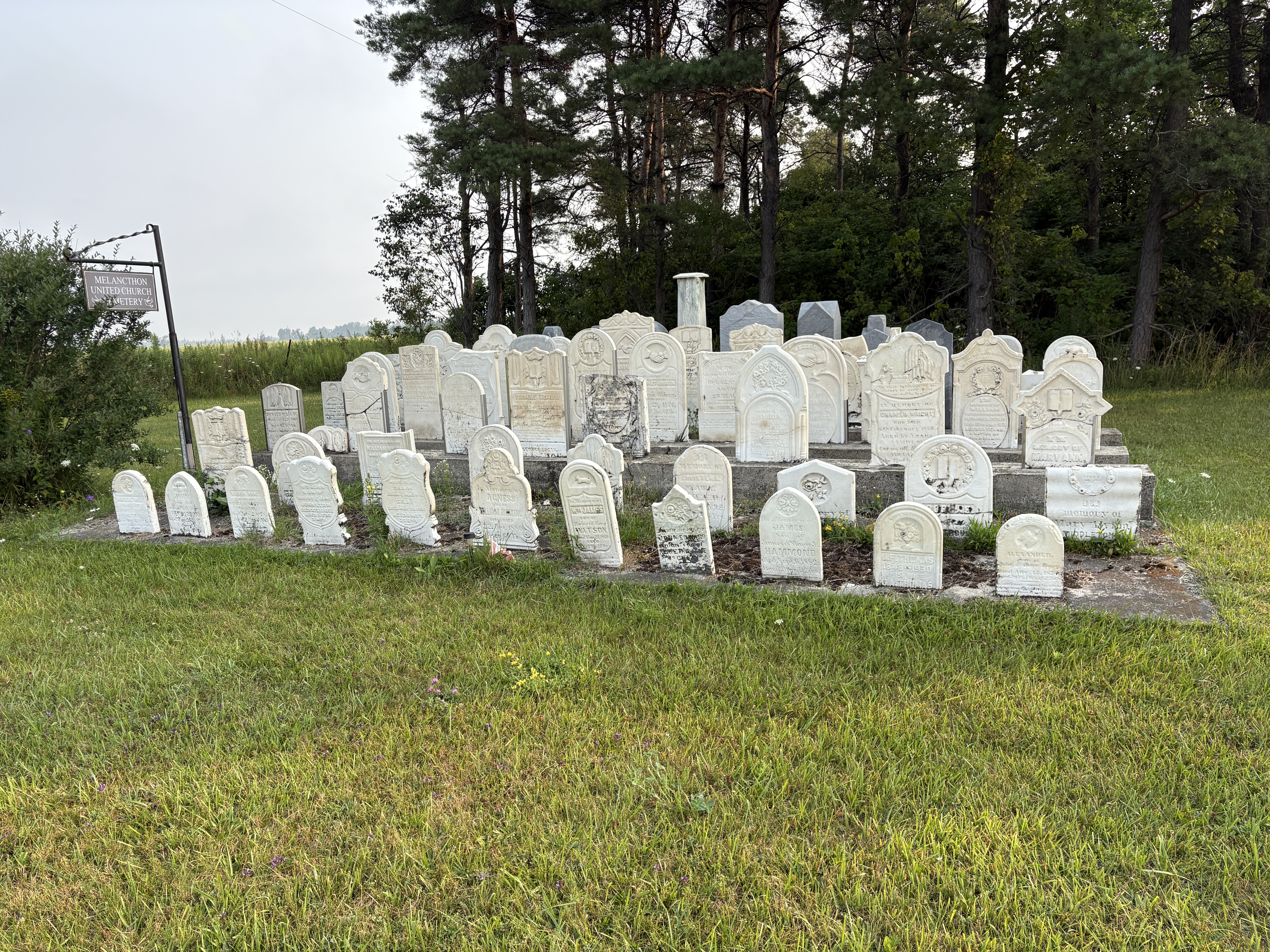
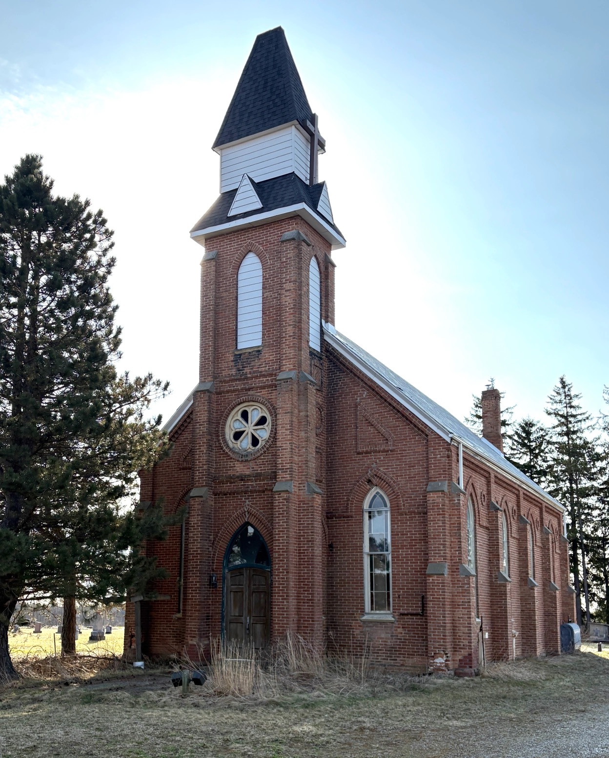
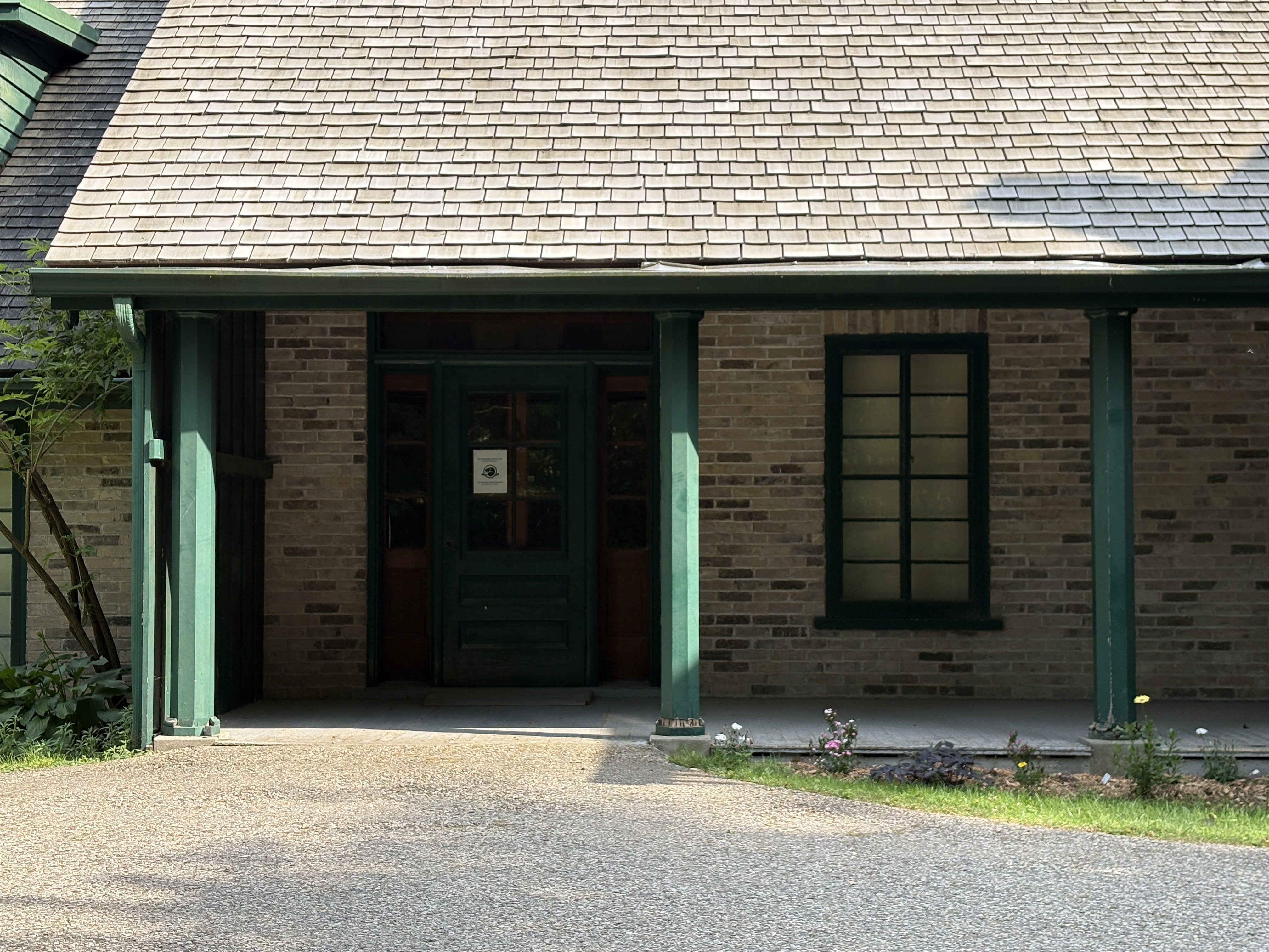
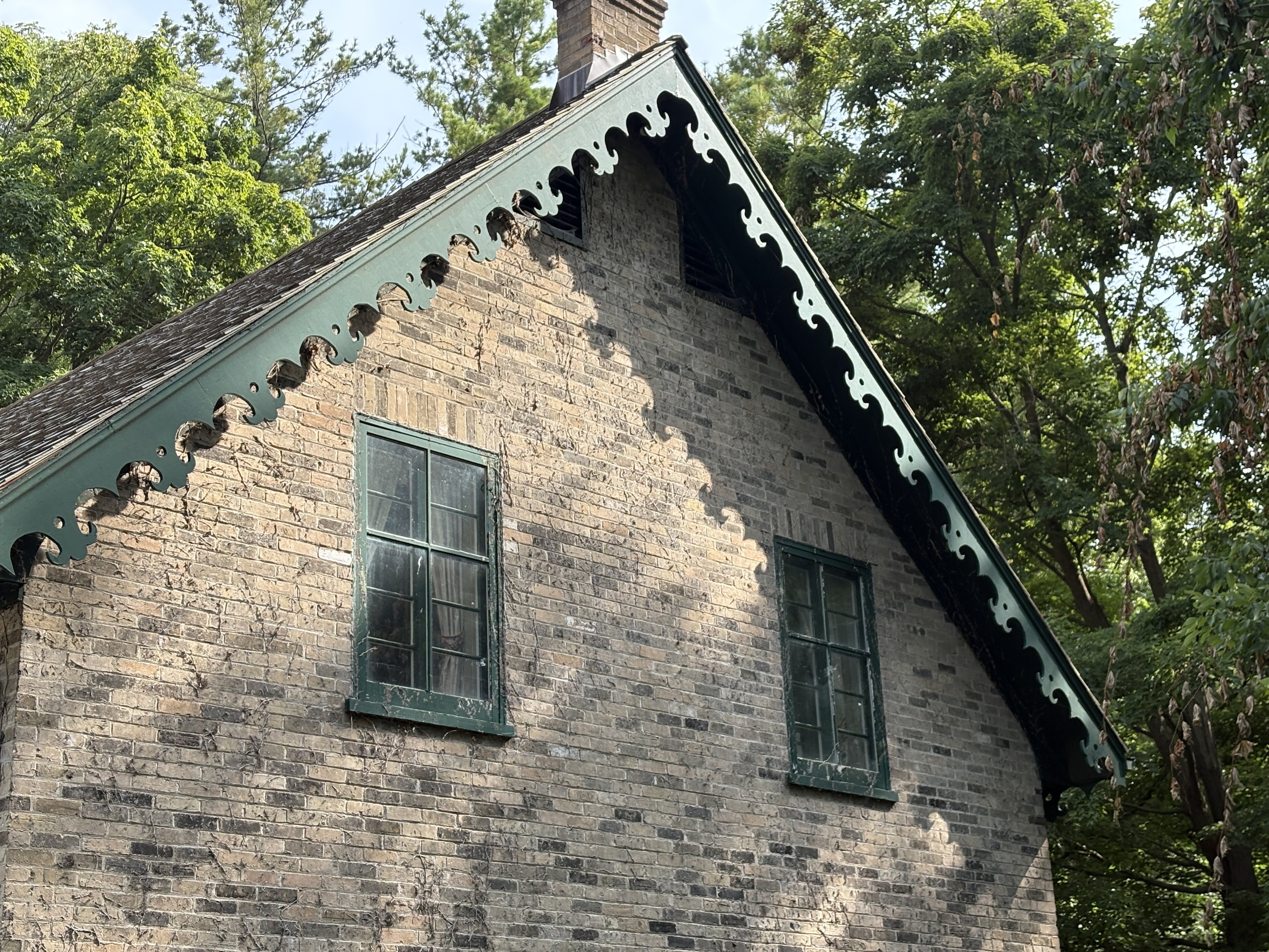
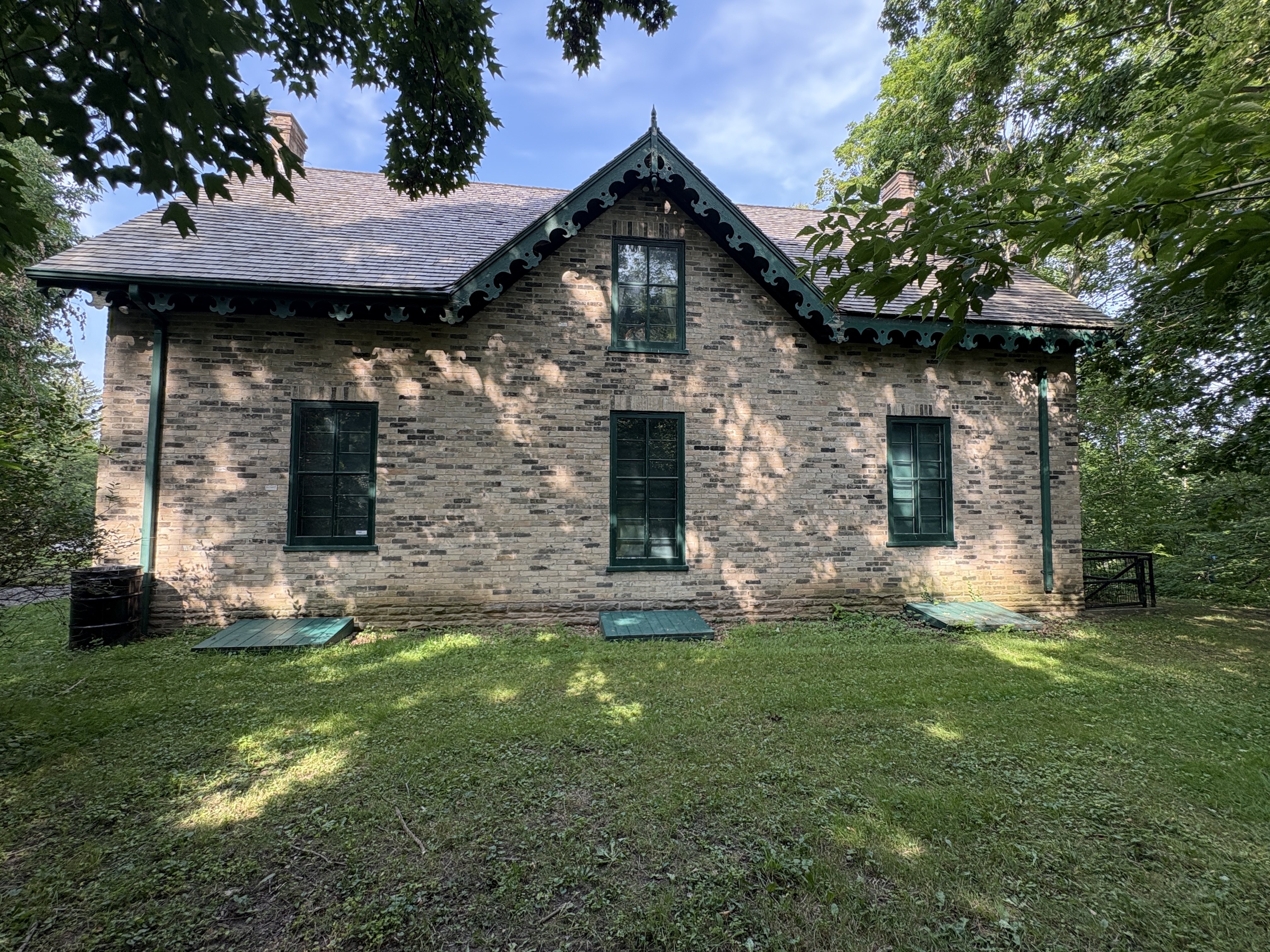
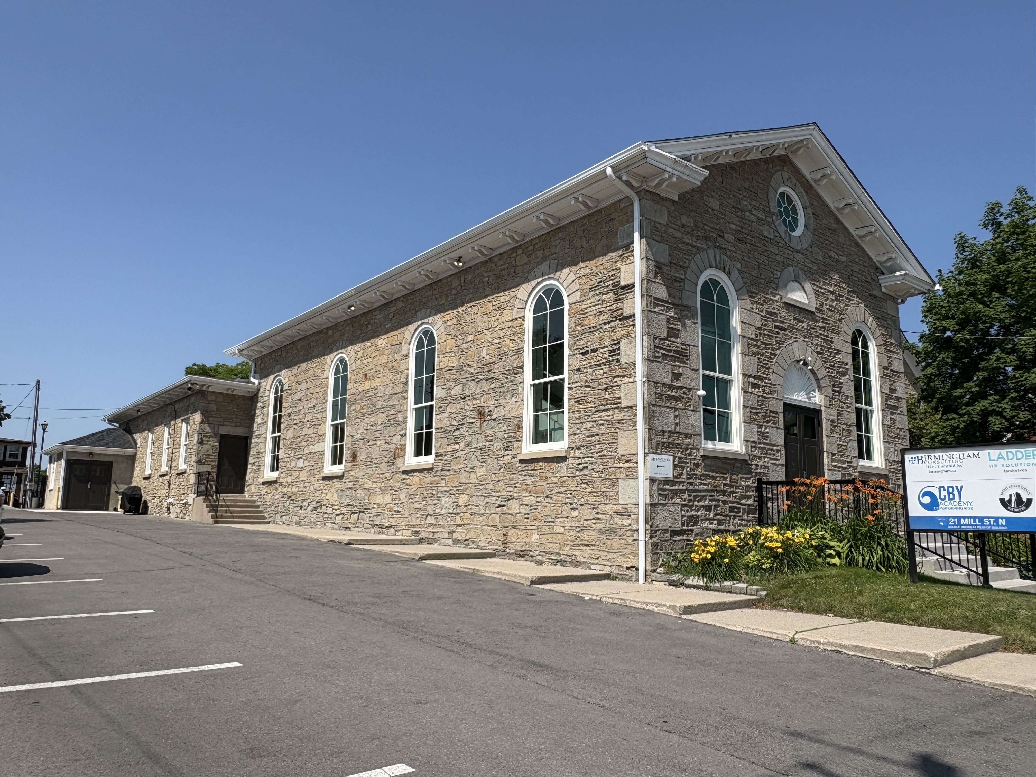
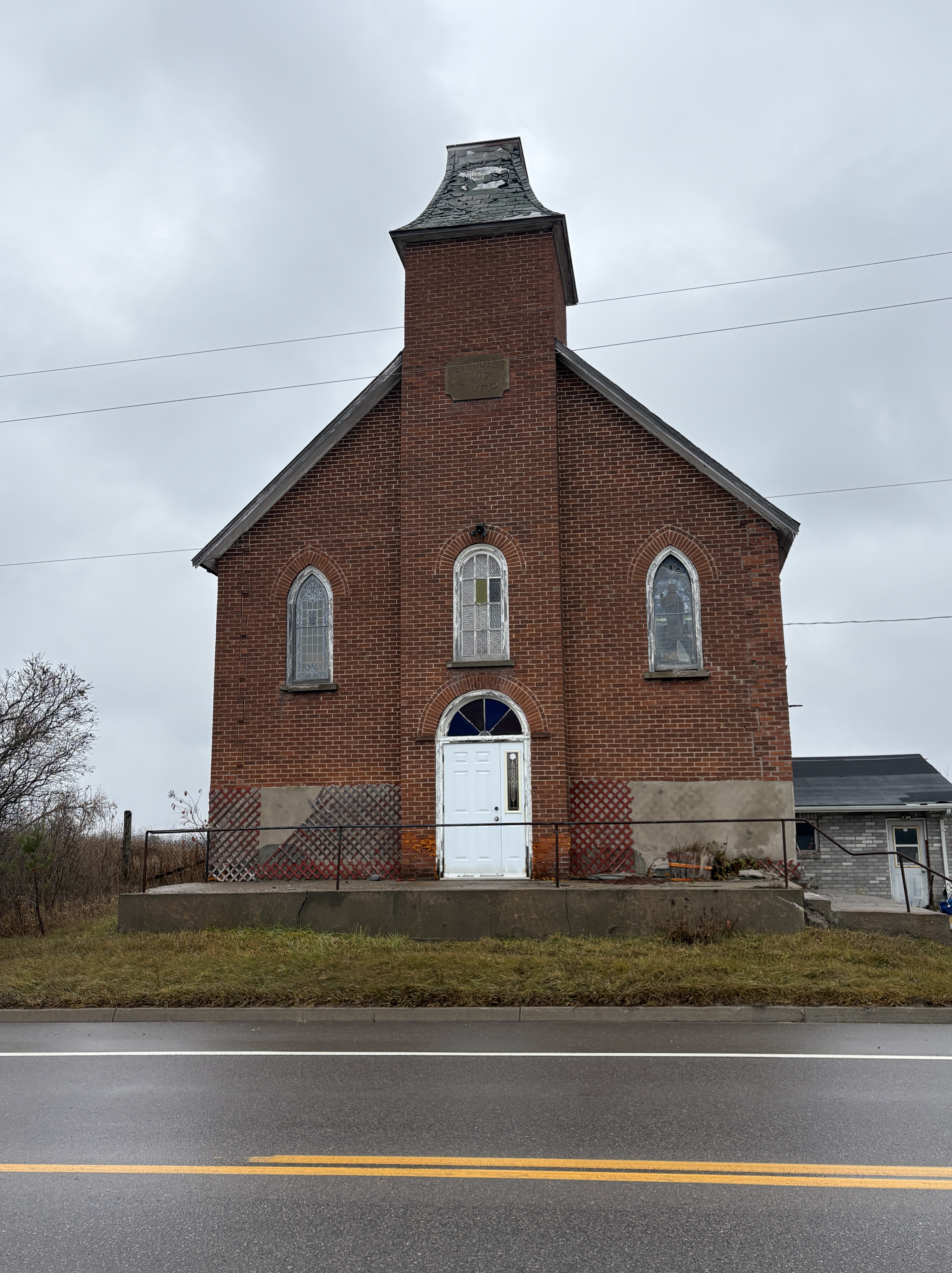
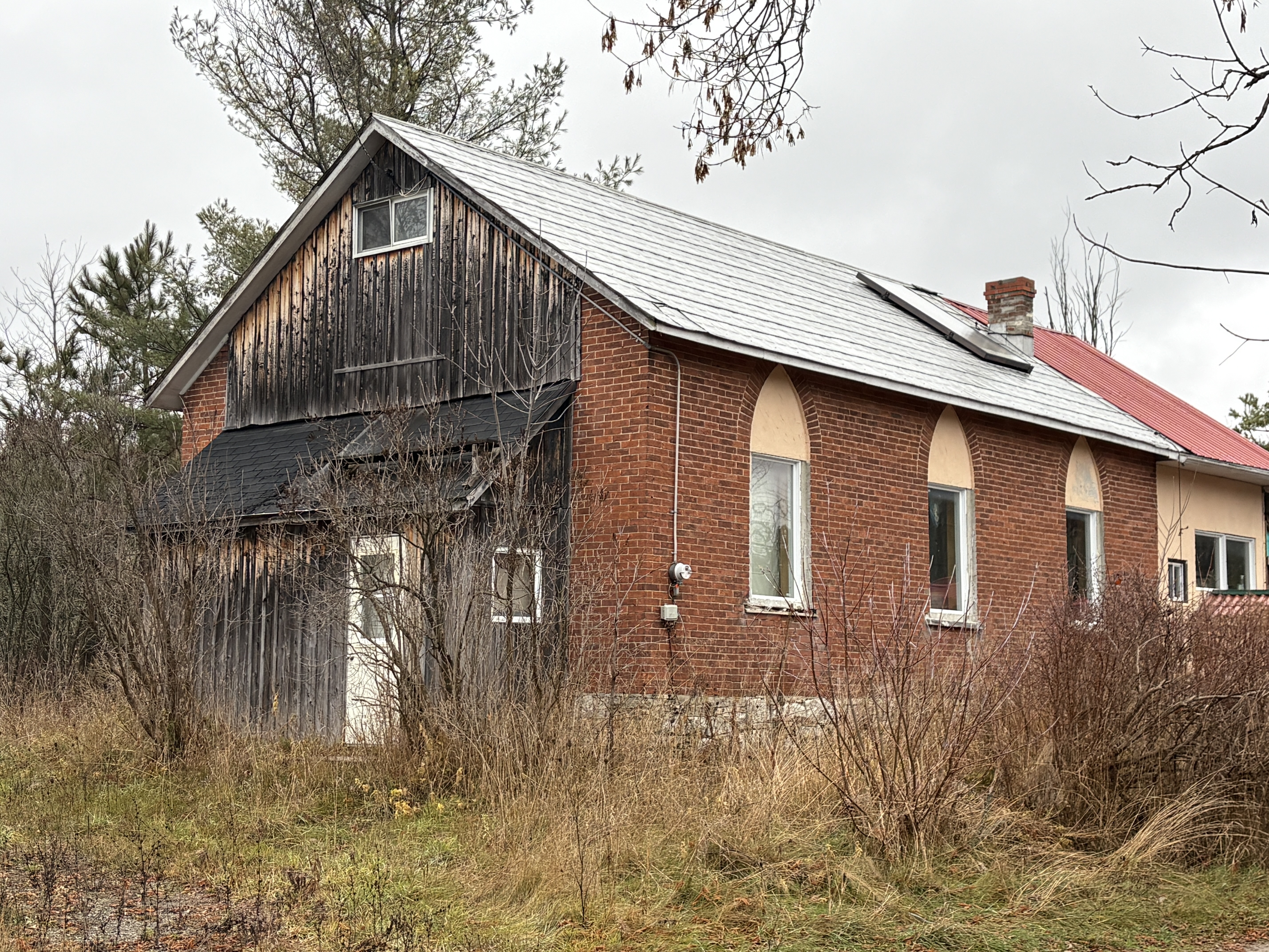
Several other smaller mines operated for a few years without much success. The Phoenix Mine worked until 1871 with a half a dozen men but also closed without making a profit. At that time there were no longer any hotels but there were still two taverns in town. There were three stores supporting the population as it was starting to dwindle. There were three churches at the peak of population including the Methodist Church. Fox Methodist Church was meeting prior to the construction of their new building in 1907. The church has an unusual construction with a small front door with a window above it. The tower is also very short and lacks a bell. The church became a United Church in 1925 and by the 1960s was closed.
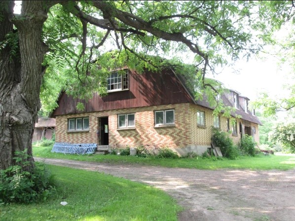
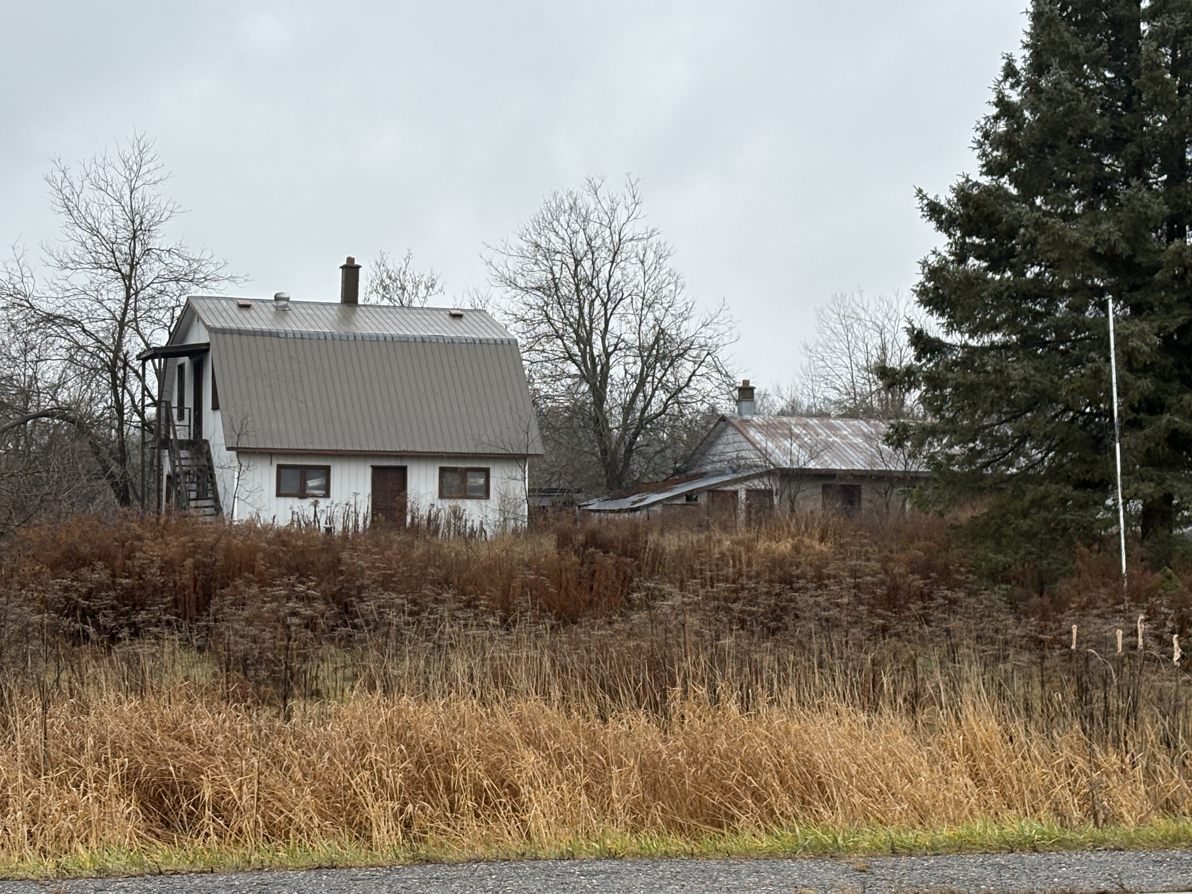
Aside from the three churches there was also a school. This building was likely the school but was altered to be a home at some point in time.
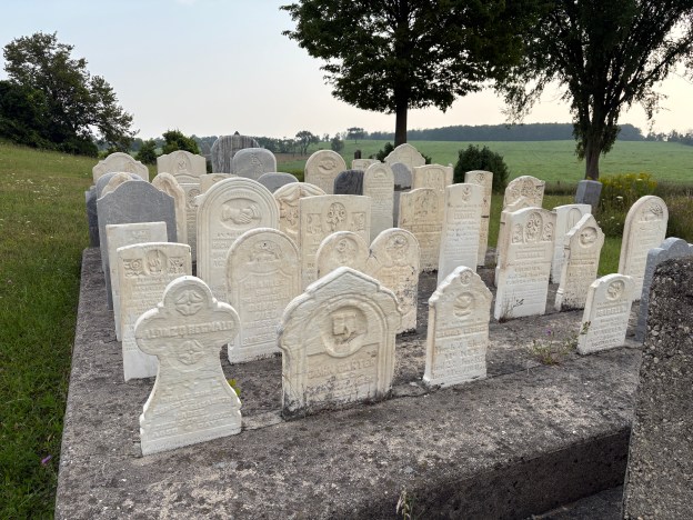
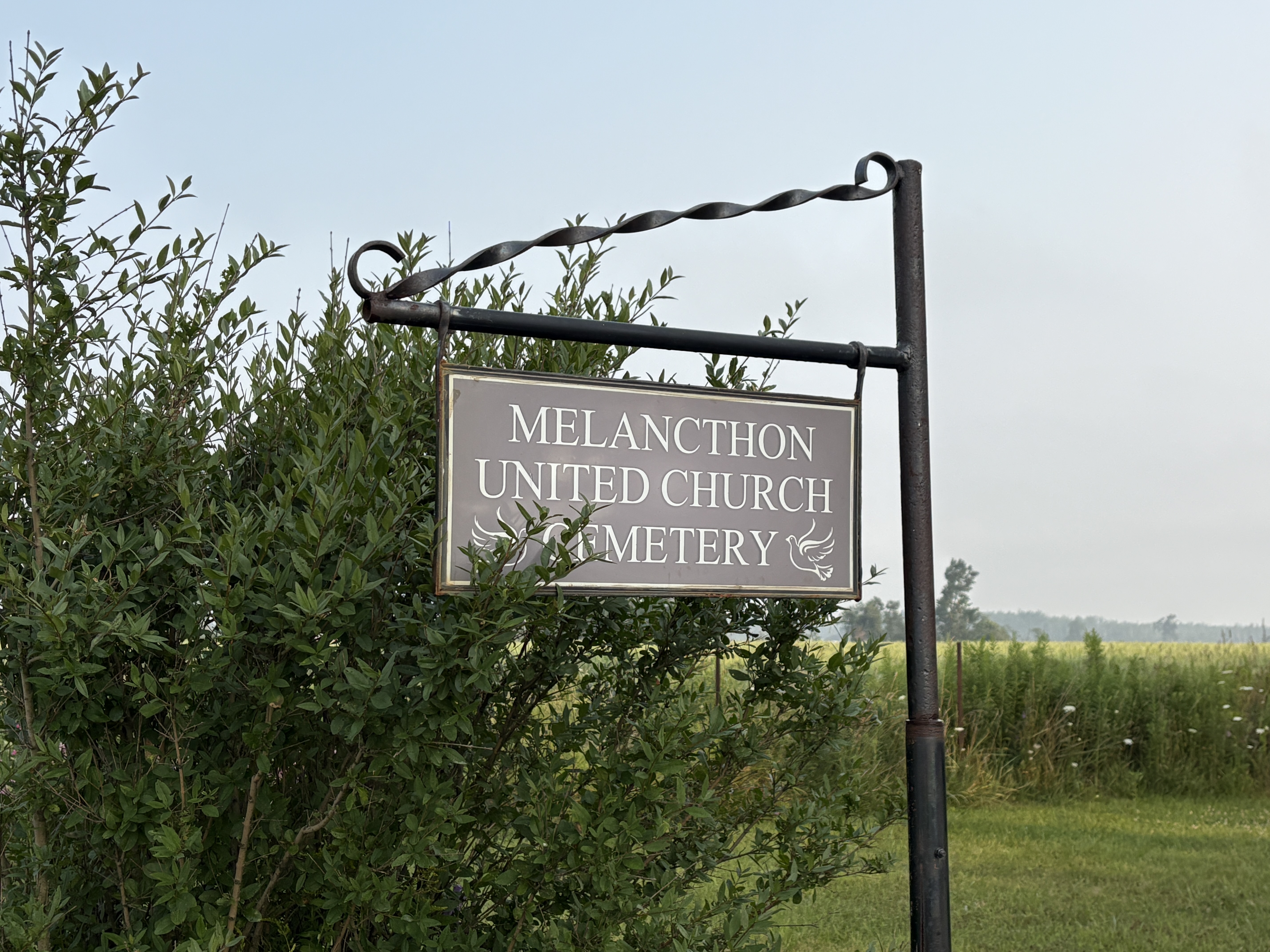
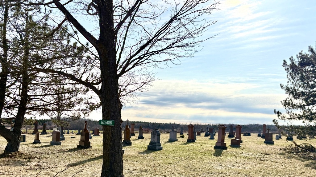
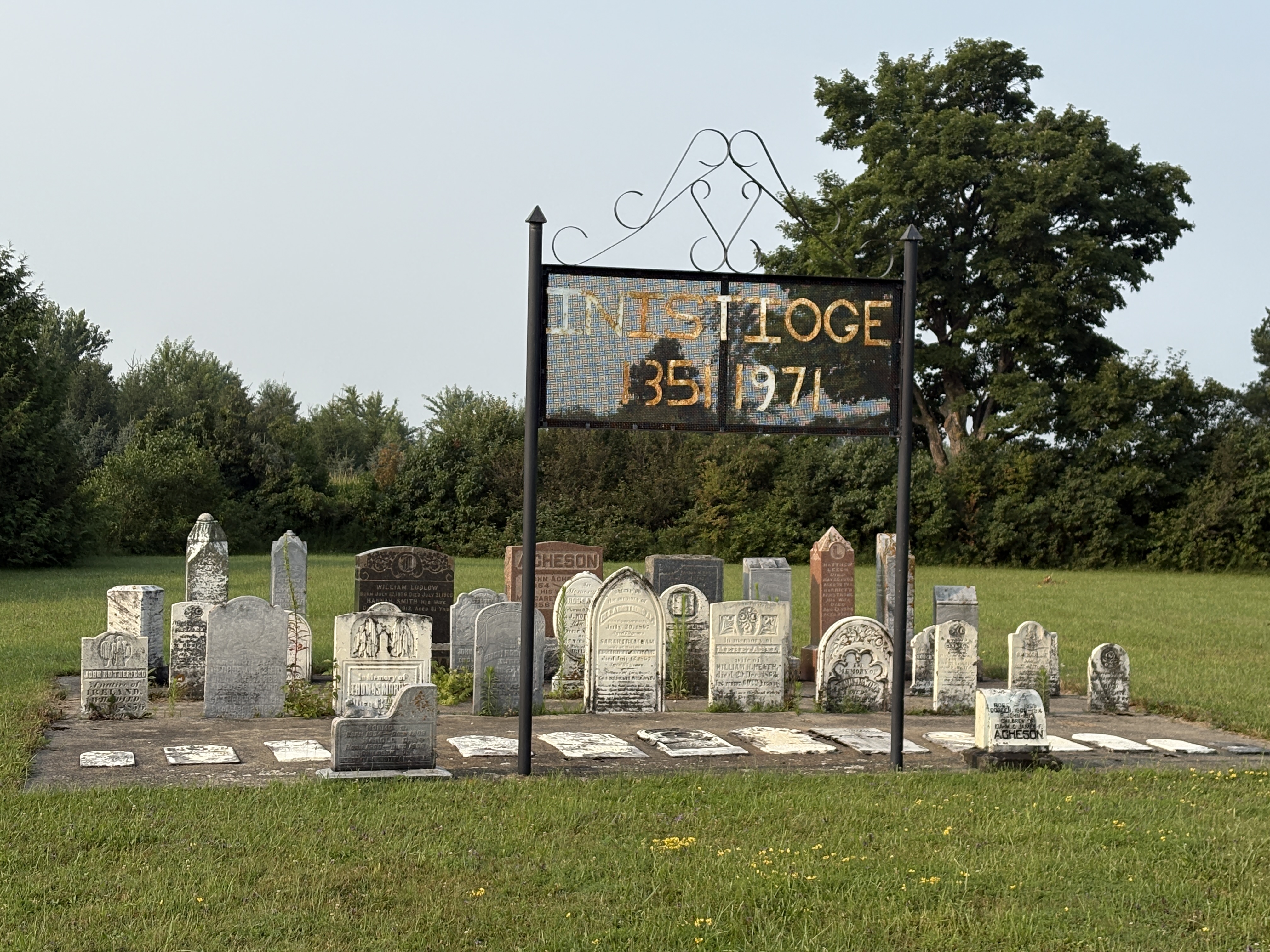
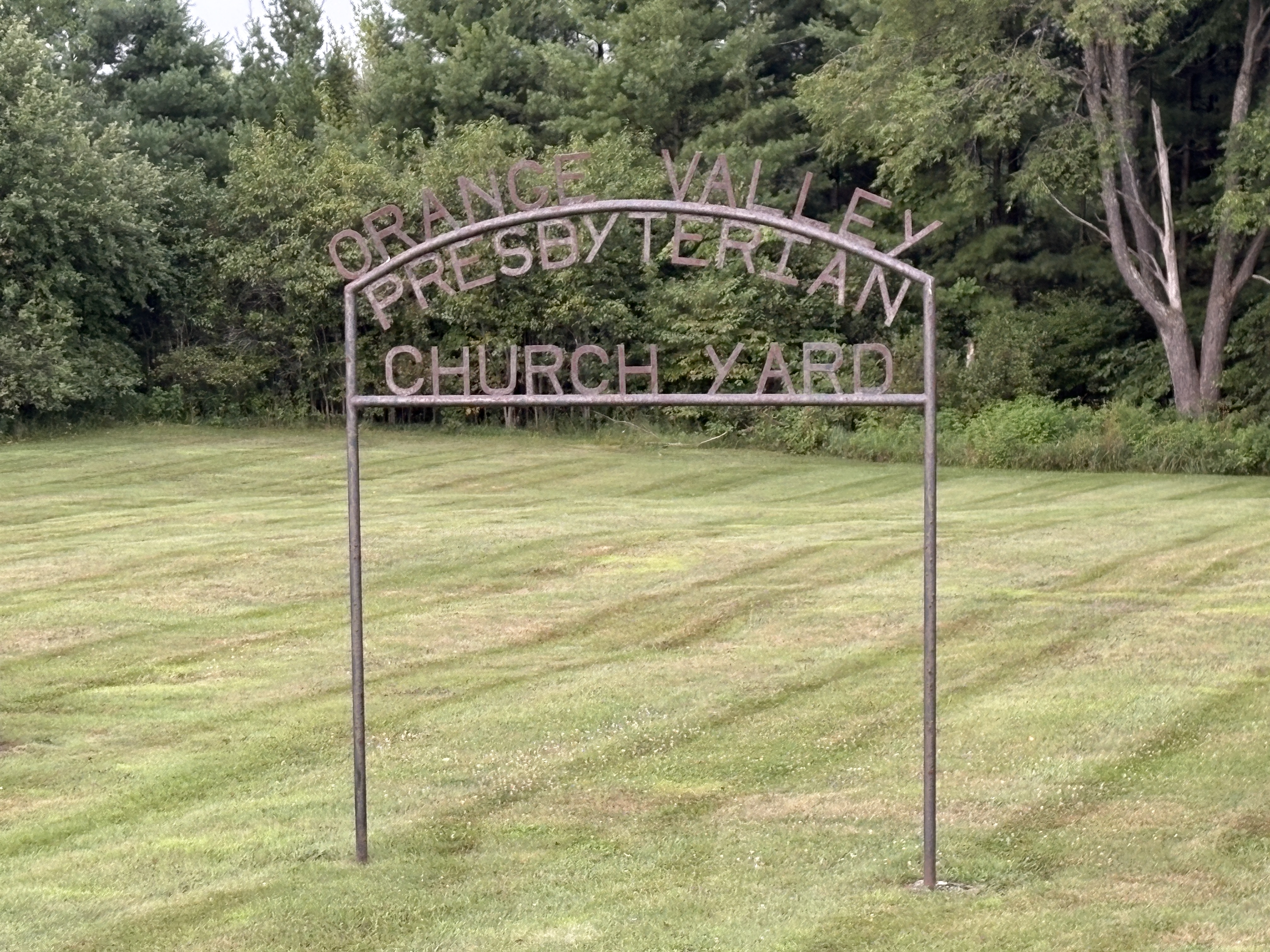
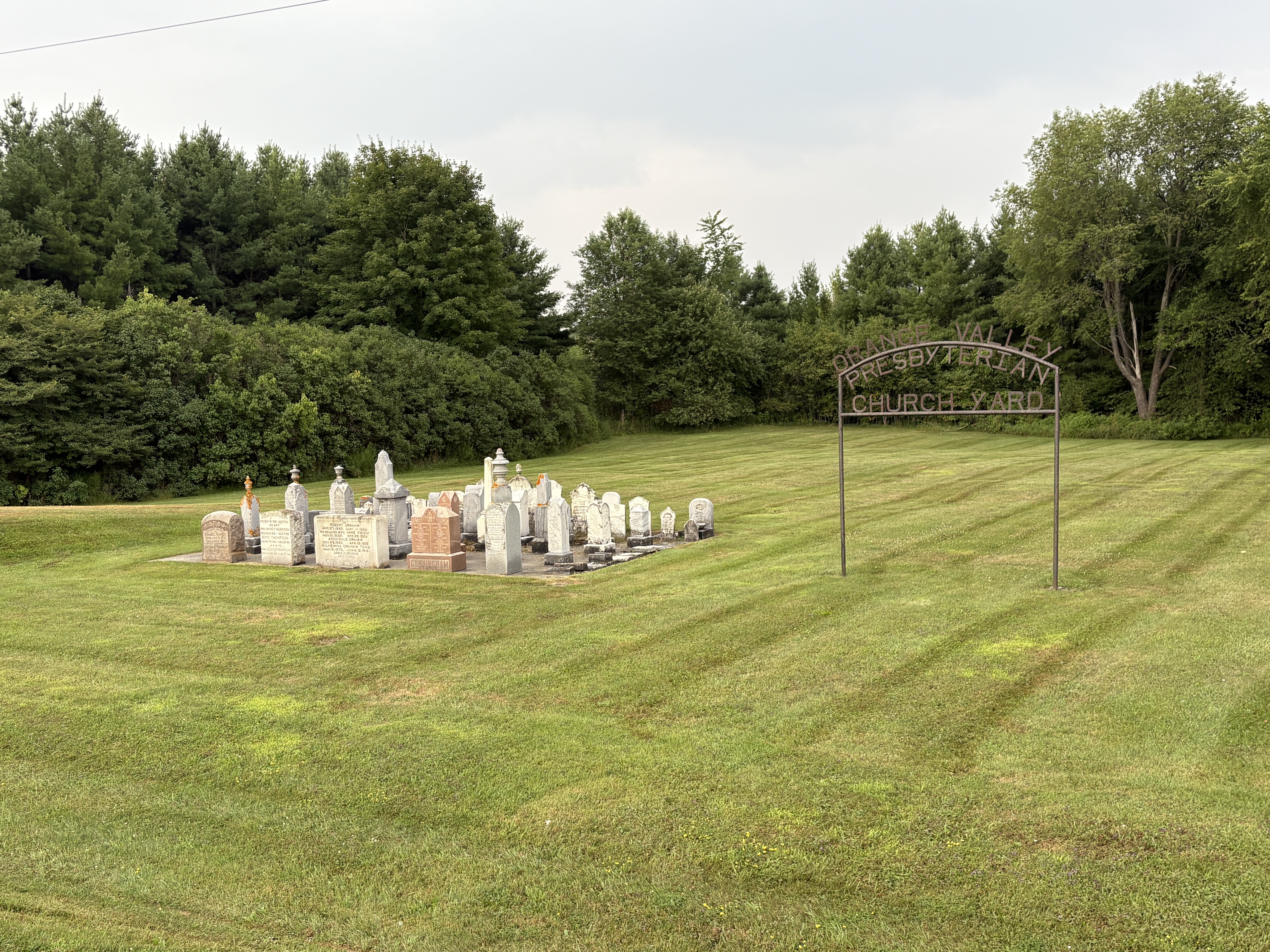
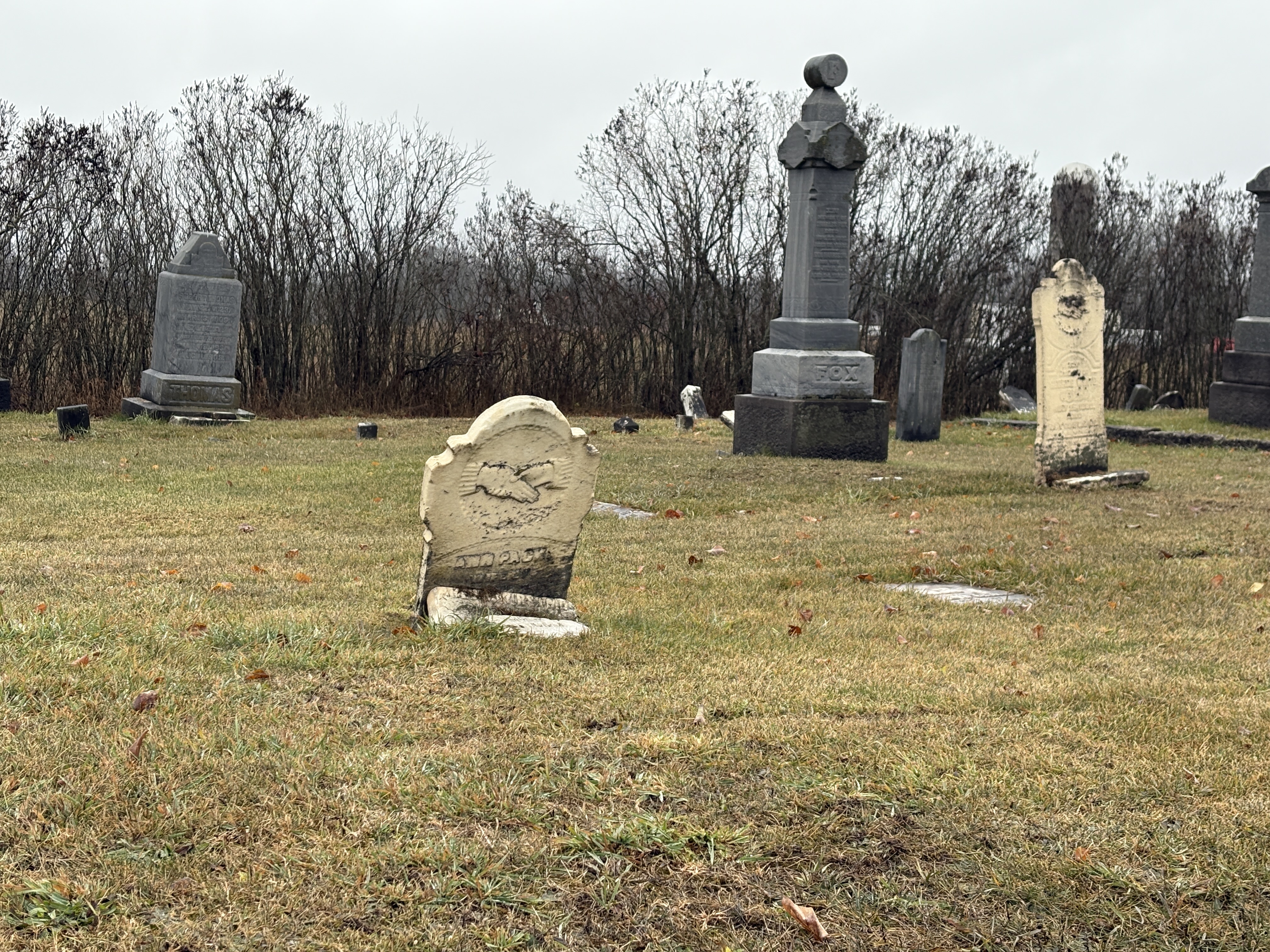
New life was given to the community with the building of the Central Ontario Railway (COR) which built a small wooden station in town. Construction of the railway began in 1882 and was completed the following year. It was connected to the Belleville and North Hastings Railway in 1887 at which time the town boasted a shingle mill and box factory on John Street near the railway station. A blacksmith and wagon maker were also listed in the town directory at this time. The Eldorado cemetery started off as Fox Methodist cemetery and is now in use as a general one for the community.
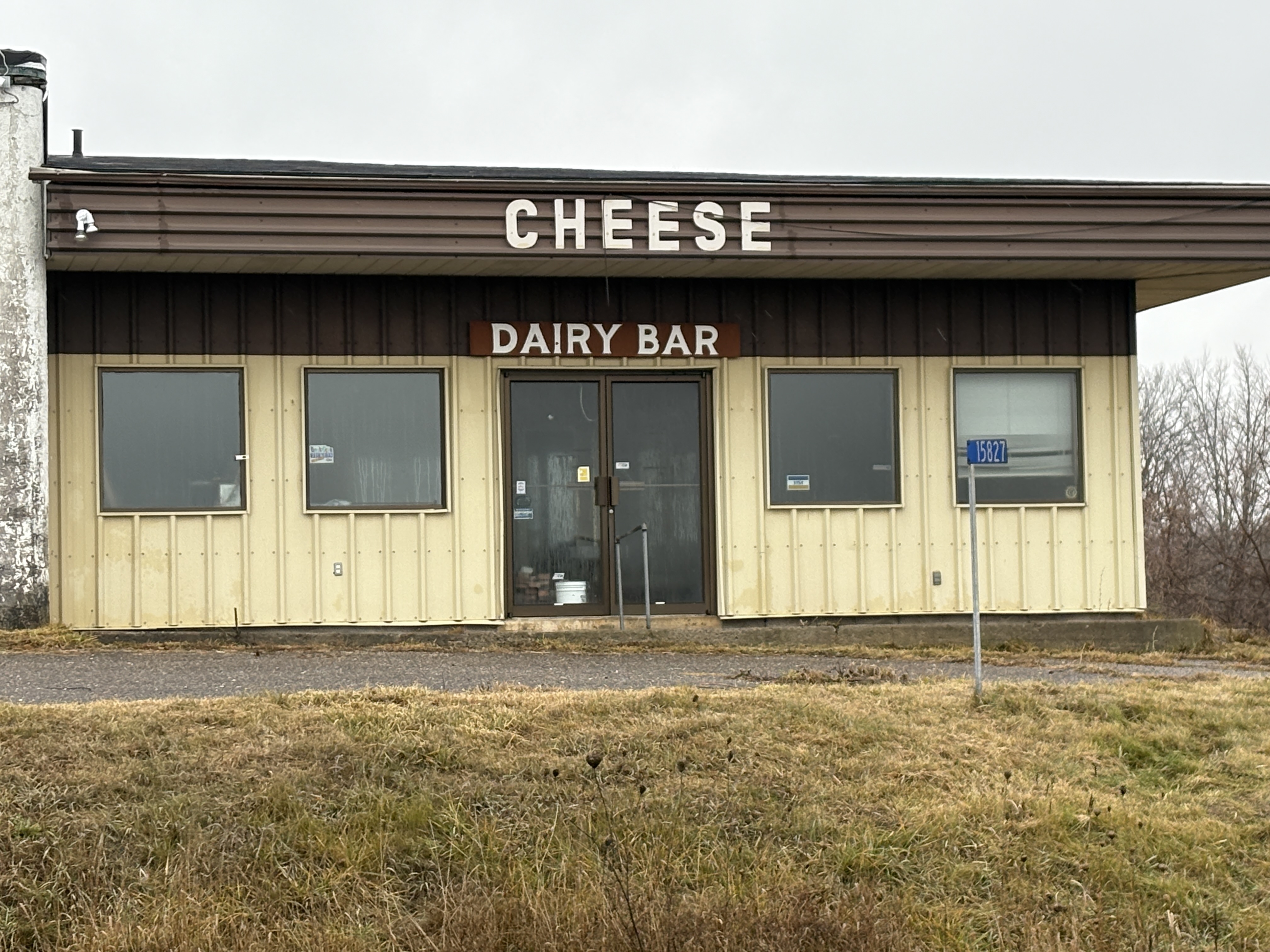
Before the days of refrigeration and large scale trucking it was common for small towns to have a dairy to process the local milk. The making of cheese was a good way to extend the self life of milk. Thompson’s Cheese Factory opened in the 1880s and served the village and local community until 1991 when production was shut down.
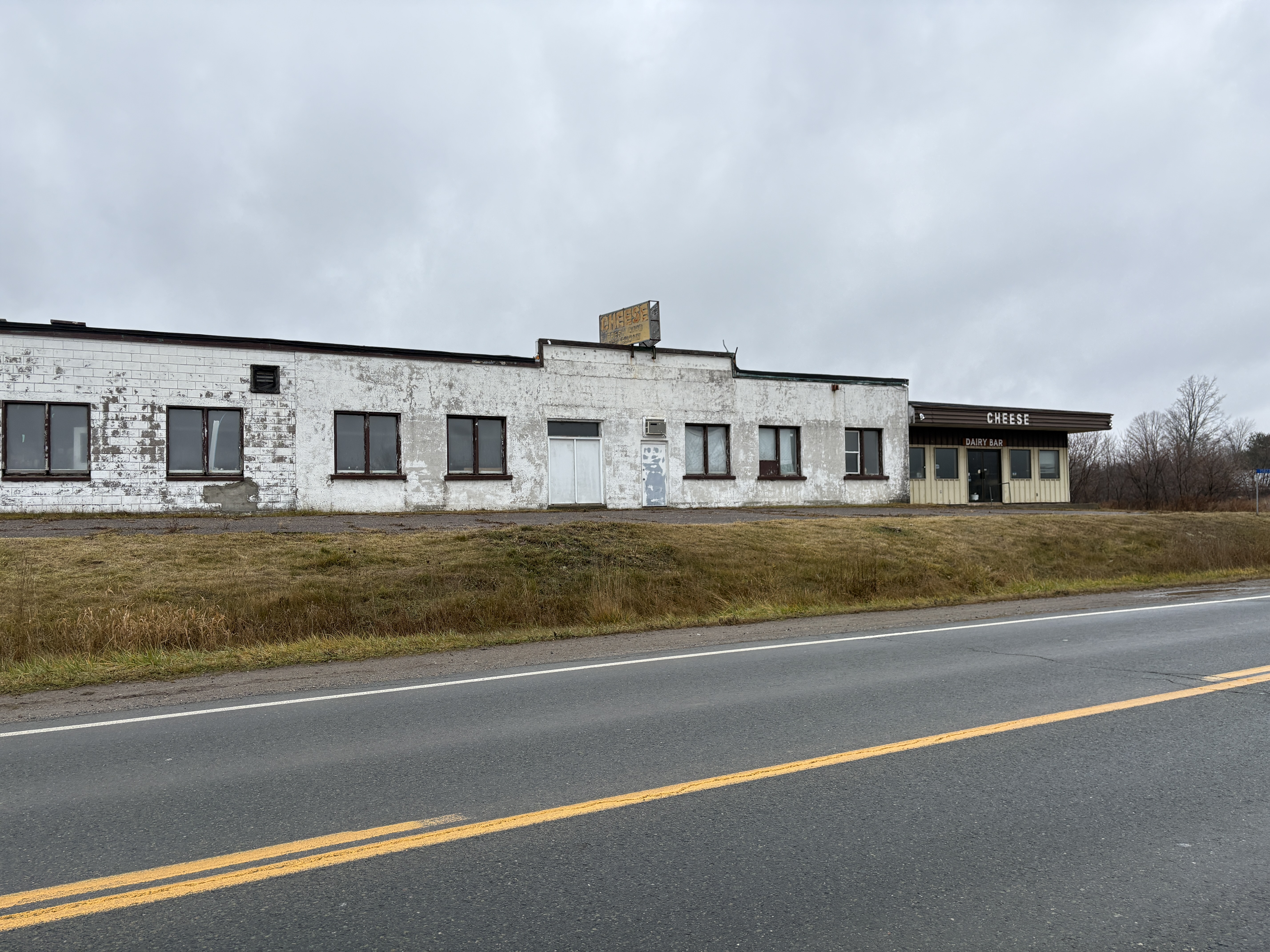
The retail dairy bar was able to carry on for another 20 years and didn’t close until 2011. By 2019 the population was listed at just 50 people, down from a peak of about 3000.
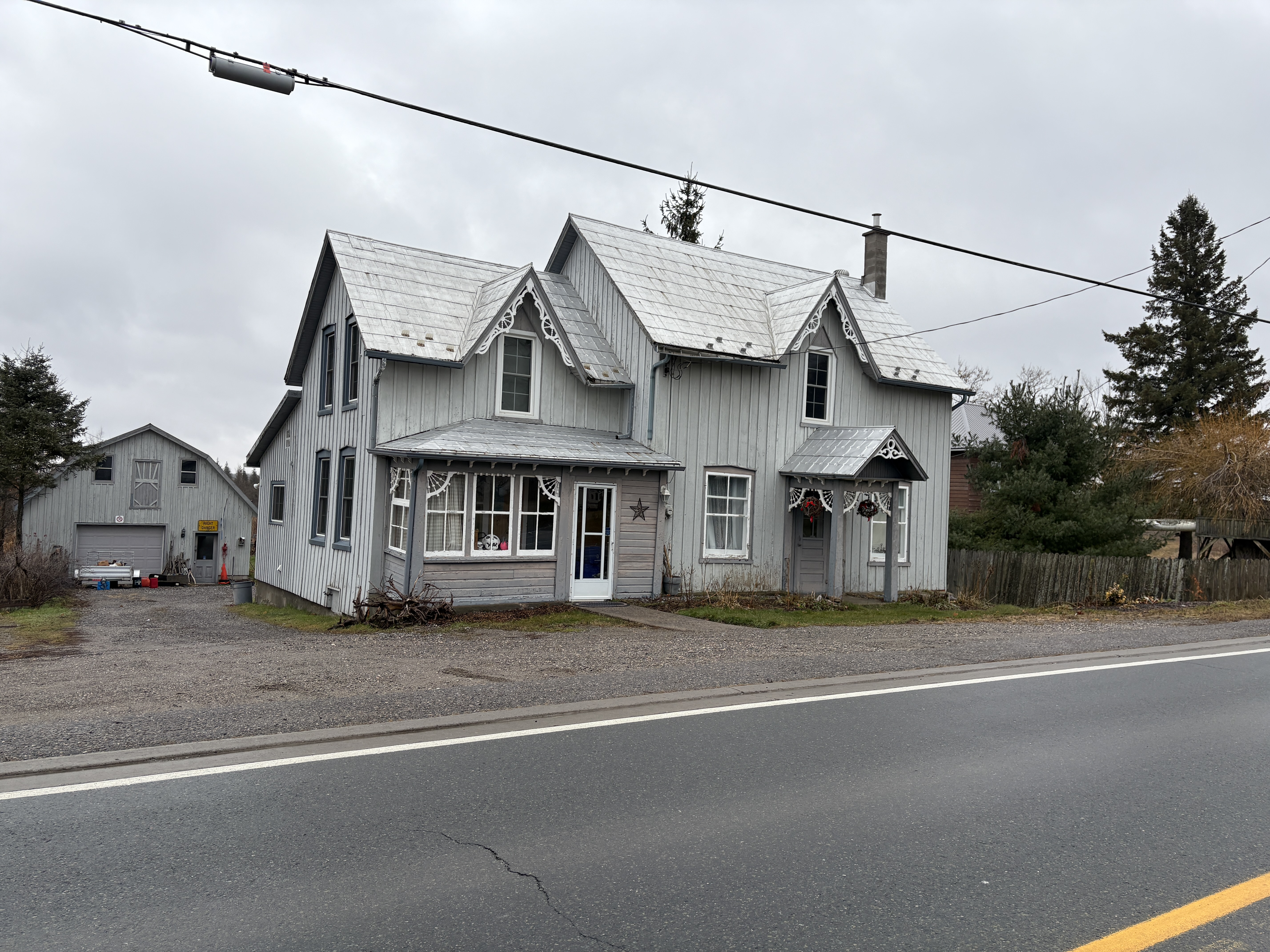
Across the road from the dairy bar is this home which still has a lot of its 1800s charm with the gingerbread and board and batten construction. This is where the post office is shown on the county atlas and the part of the house on the left looks like it was a former retail establishment. The post office was opened in 1867 when the town was in a major growth spurt. At this time there were extra stage coaches providing additional service for the crowds of gold seekers who were flocking into the town. This led to highly inflated prices as merchants from Belleville to Madoc cashed in on the extra traffic.
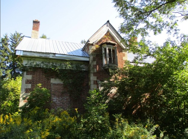
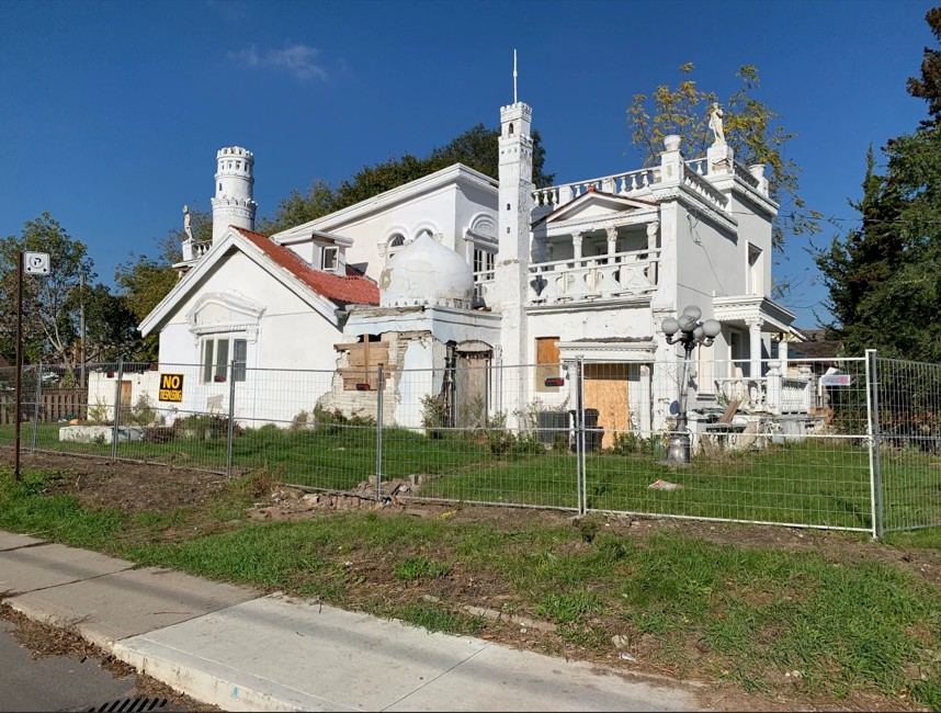
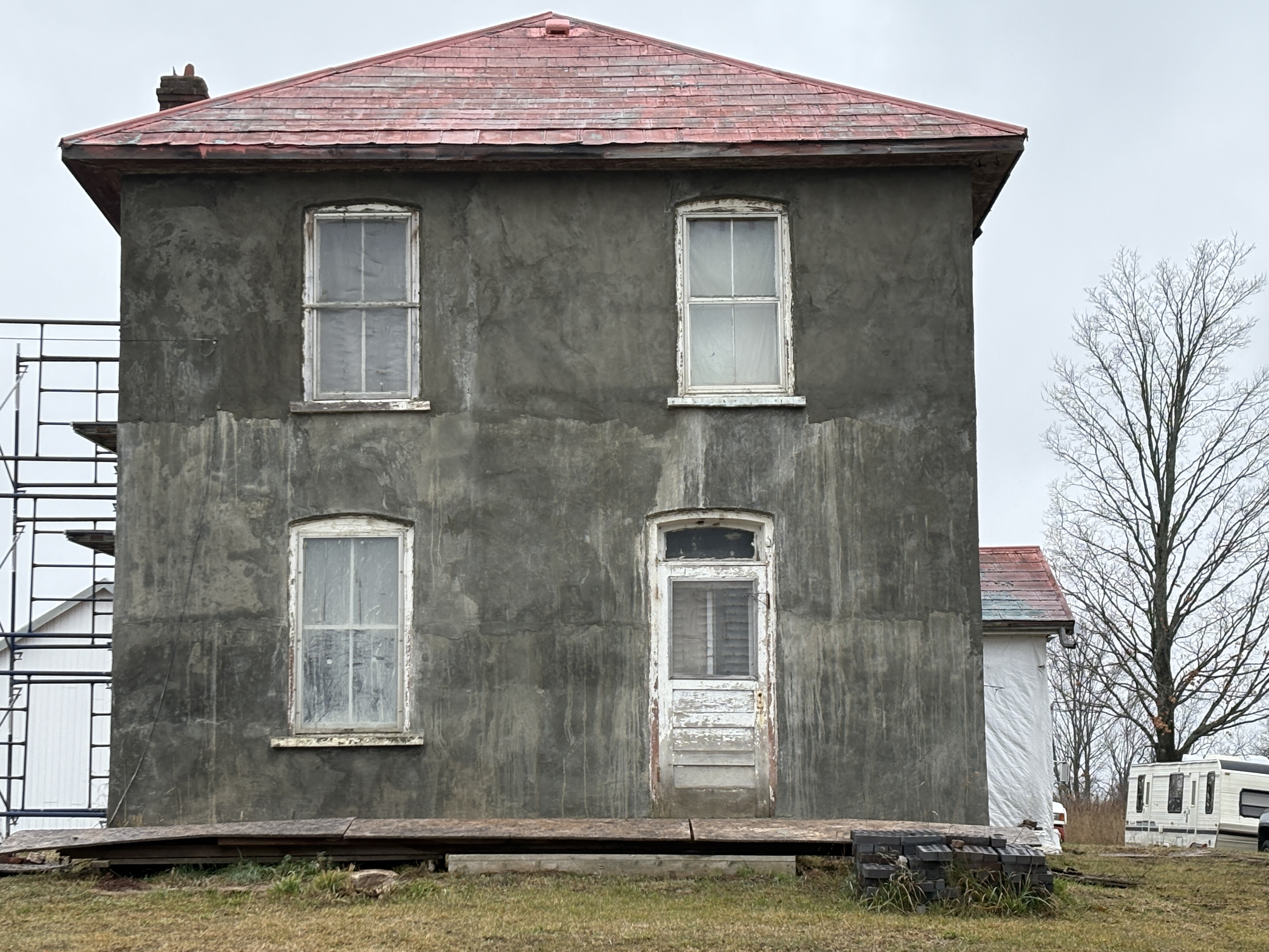
Adjacent to the cheese factory stands this sad looking house. The Edwardian Classic styling was common in the early 1900s and rejected the decoration and styling of the Victorian era. There is a set of scaffolding on the side of the house indicating that someone may be in the process of reviving the home. This is a case where the original plaster should be hidden by some siding or at least a new coat of paint.
Eldorado had its boom years over 150 years ago and has shrunk back to be a local farming community. There’s still plenty of historic charm but some of it is decaying quickly and may soon be lost forever.
Related stories: Coopers Falls
Google Maps link: Eldorado
Like us at http://www.facebook.com/hikingthegta
Follow us at http://www.hikingthegta.com