May 4, 2024
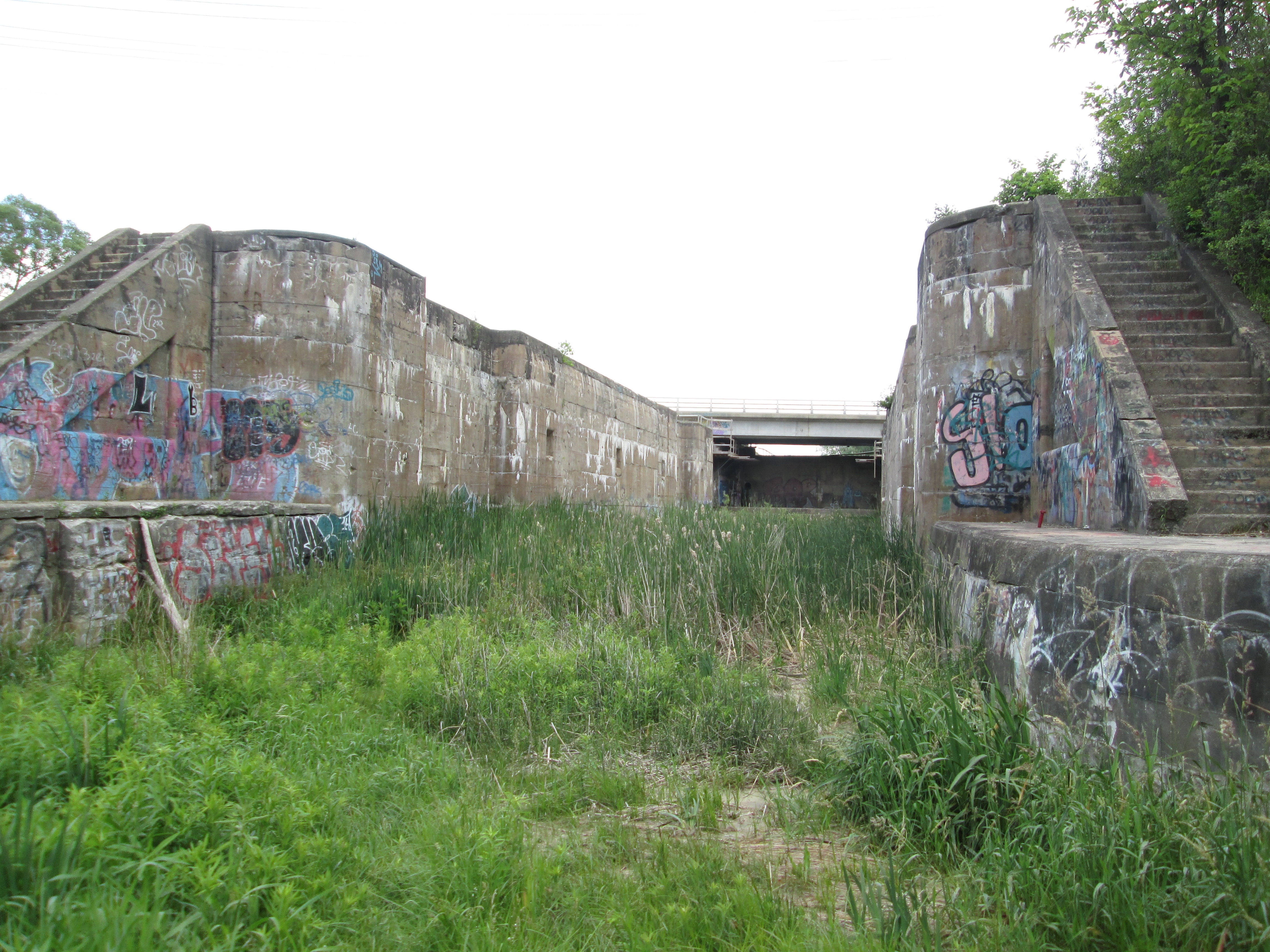
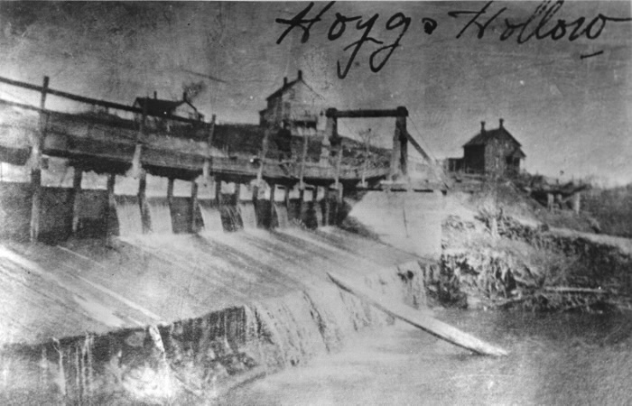
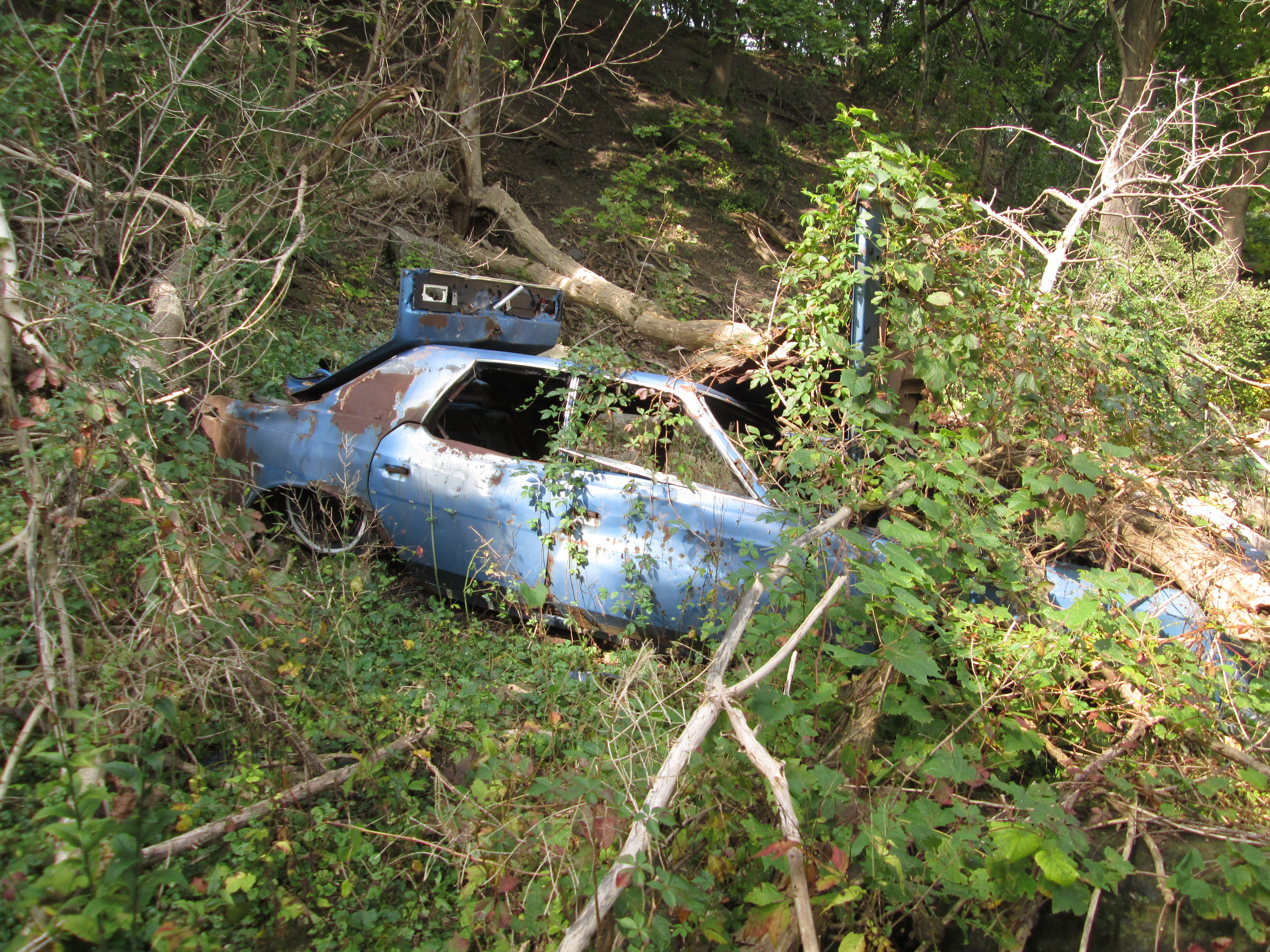
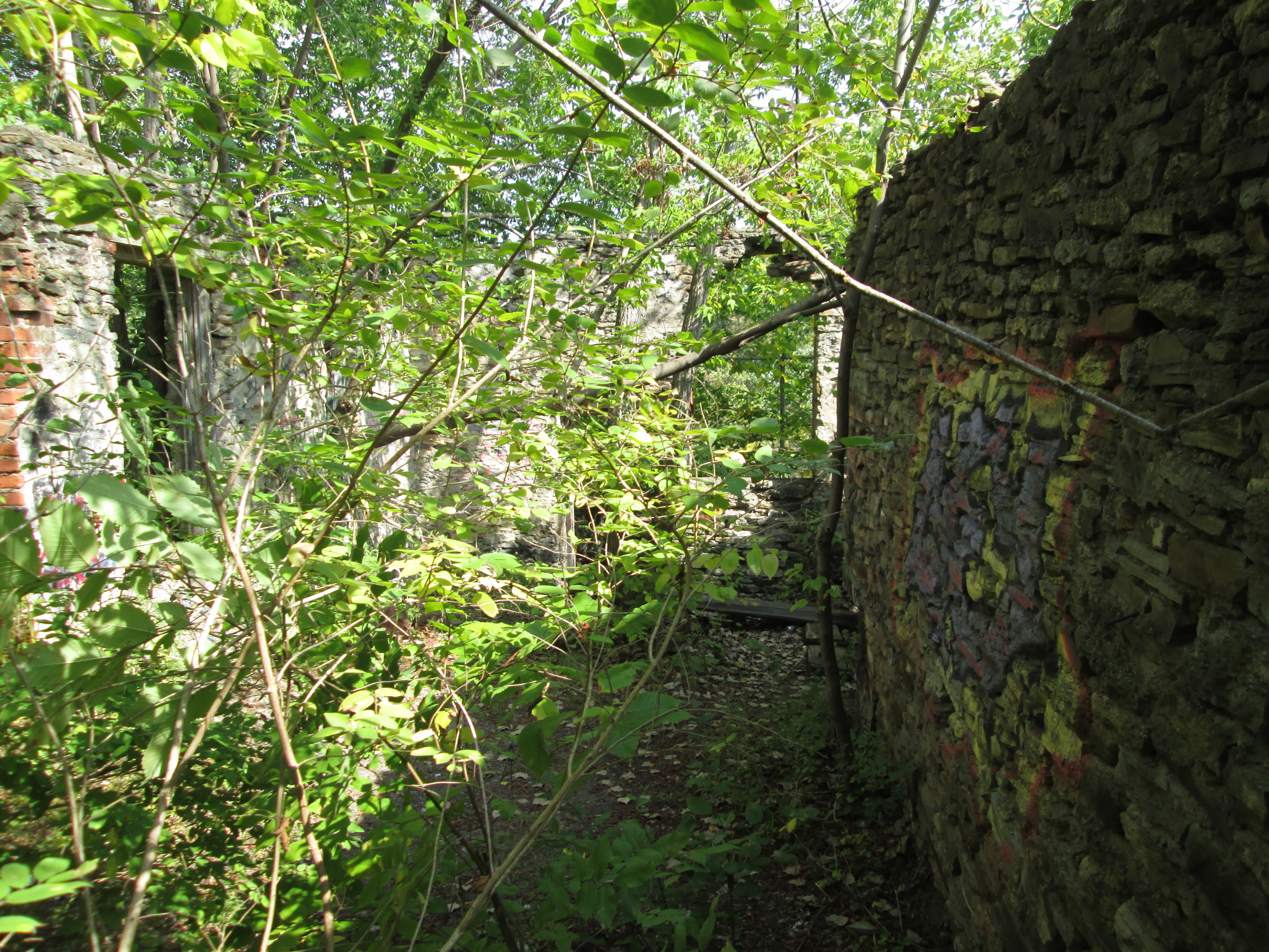
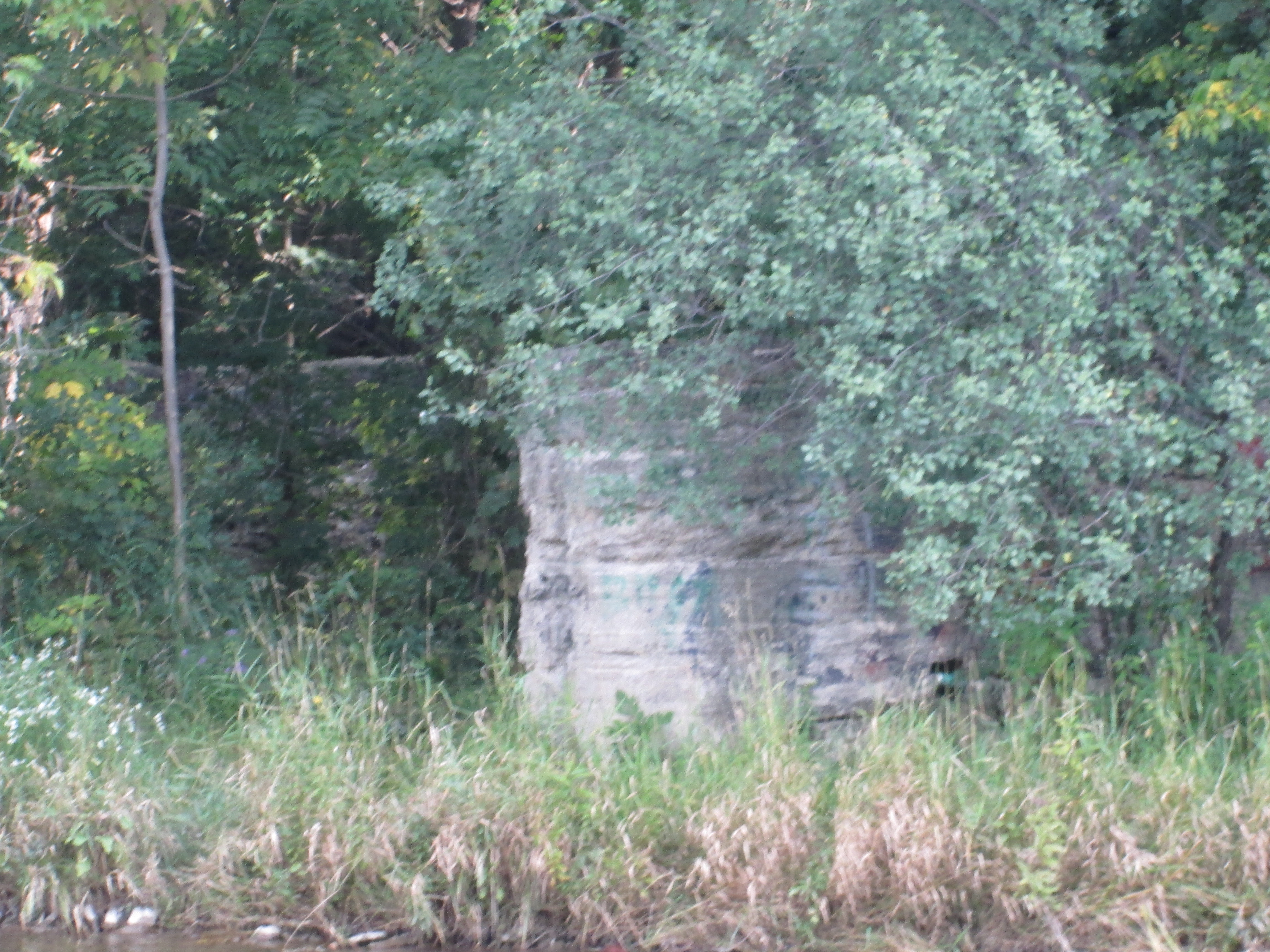
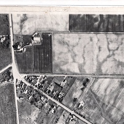
When millwright Ira White arrived at the north end of what would become Unionville in 1839 he recognized the east half of lot 13 in the 5th concession to be an ideal site to harness the water power of Bruce Creek. He built a sawmill first and then set about cutting the wood for the grist mill he built where the creek crosses Main Street in Unionville. He built a dam across the creek to create a mill pond to provide consistent water flow to power the wheels that operated his grist and saw mills. Originally it was known as The Pond and later as Willow Lake. The mill continued to operate under water power from the pond until the dam was washed away in a flood in 1930. The mill stood for another four years until it was destroyed by a fire in 1934. The image below shows Willow Lake as it appeared in the 1877 County Atlas.

The mill was never rebuilt and the property that the mill pond stood on was sold in 1939 to a family named Toogood who had just moved from Alberta. The pond was used as a swimming hole for the local children and in 1953 the Unionville Swimming Club was established to provide supervised swimming for the children to increase safety. The Red Cross also started to provide swimming lessons. Today, you can no longer swim in the pond.
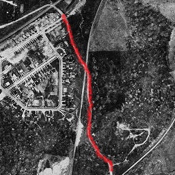
The 33.3 hectare site was acquired by the City of Markham in 1980 and became known as Toogood Park. The park is a common place to go fishing in the hopes of catching largemouth bass, carp, pumpkinseed, brown, black or yellow bullhead and creek chub.
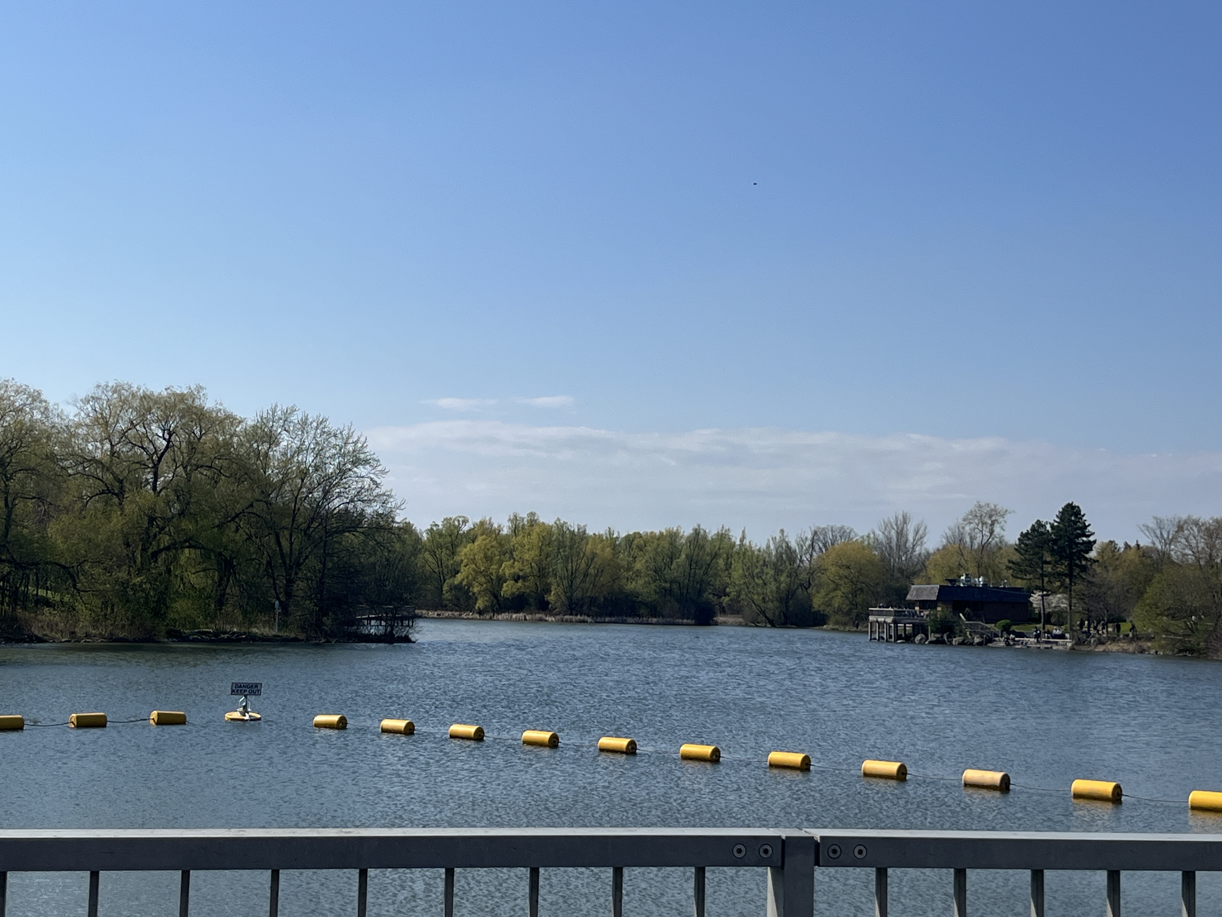
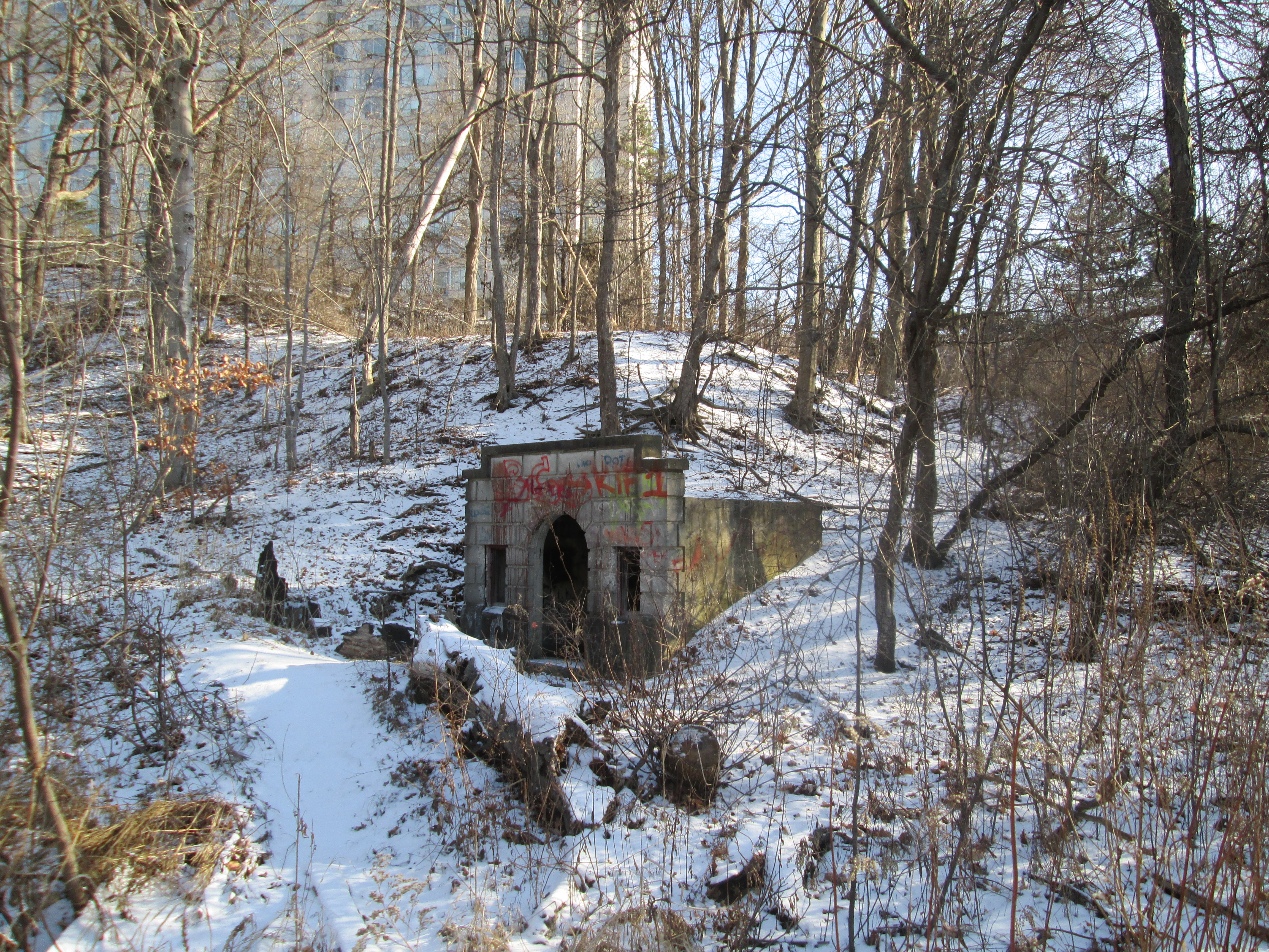
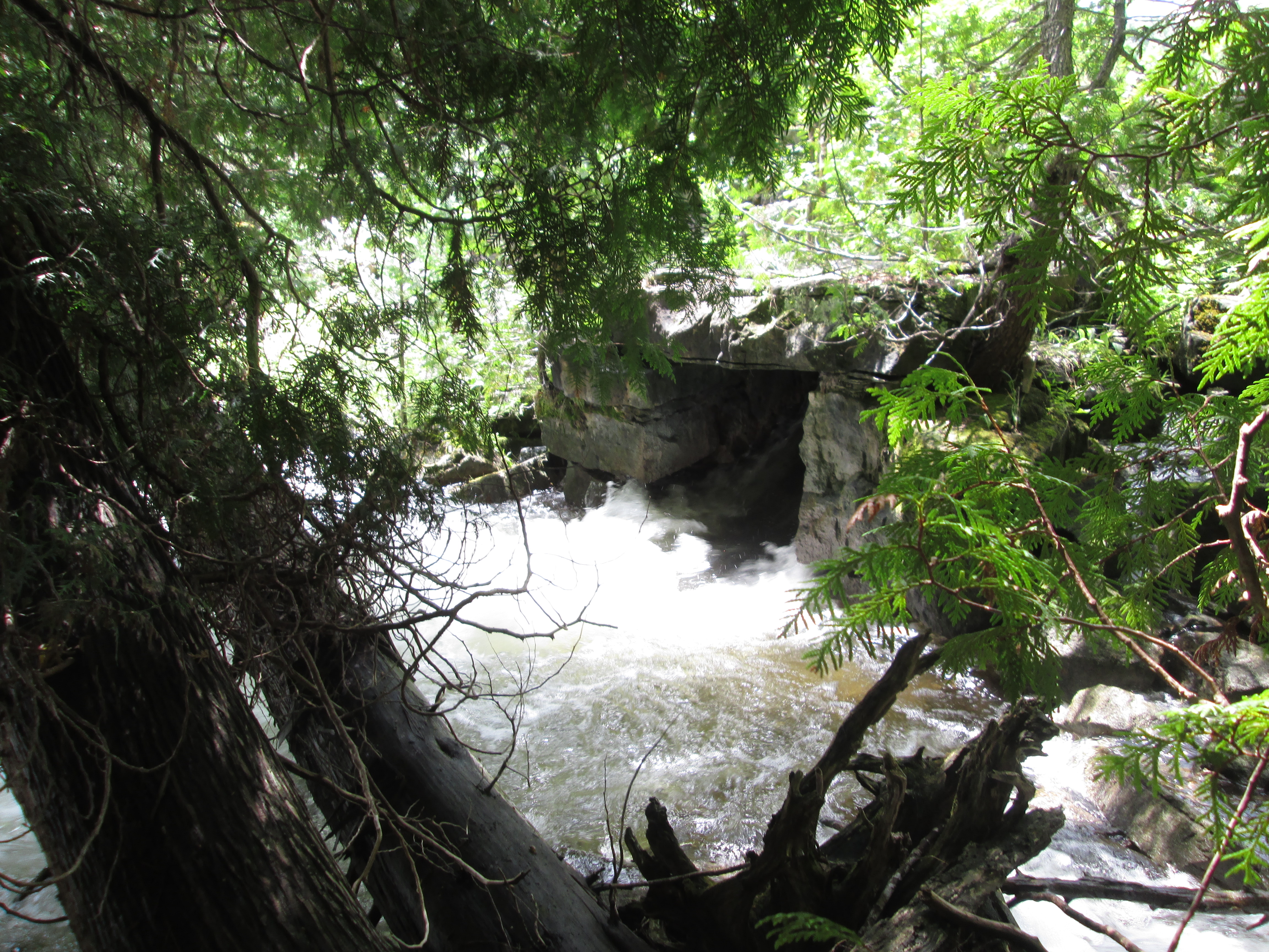
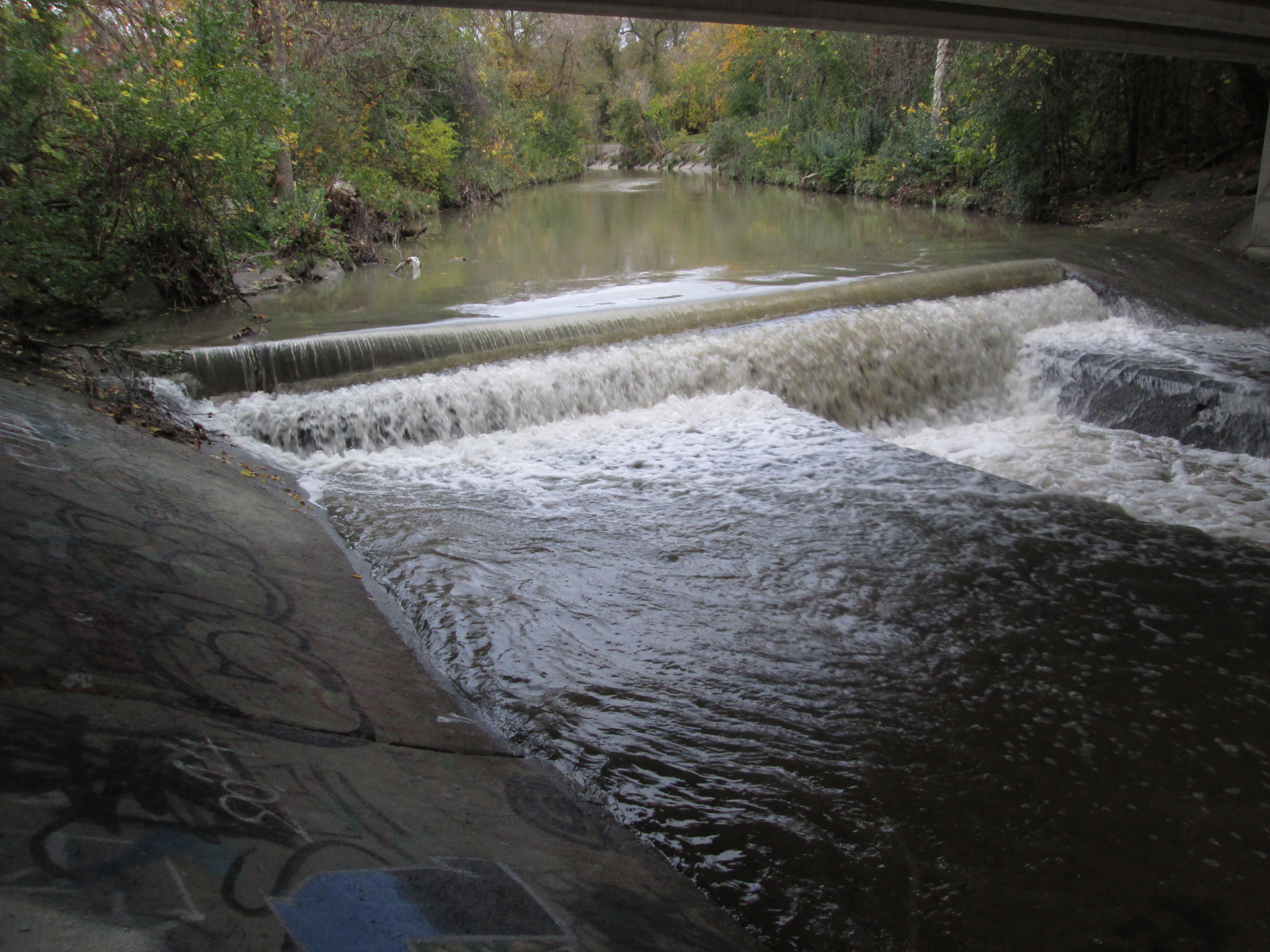
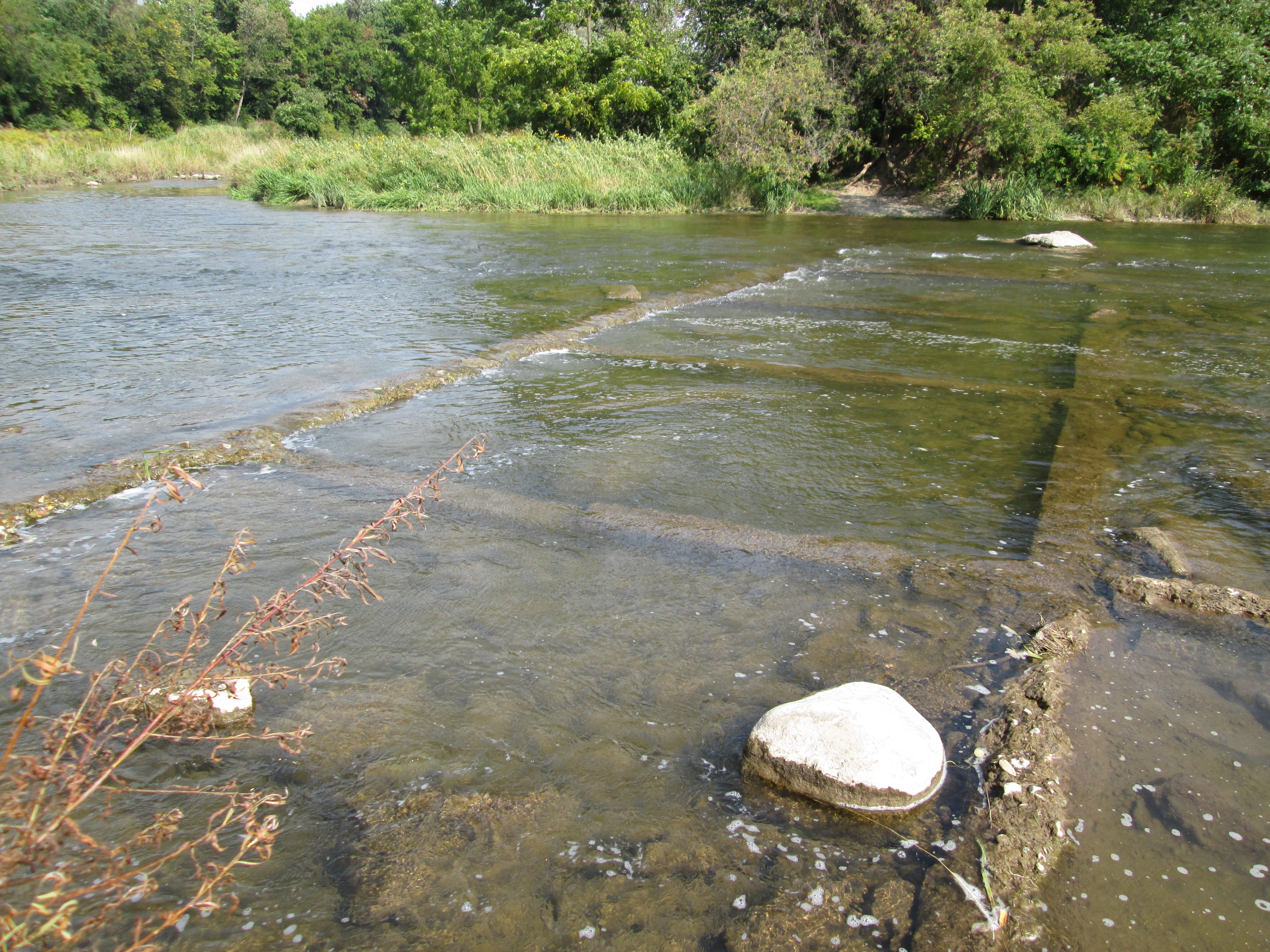
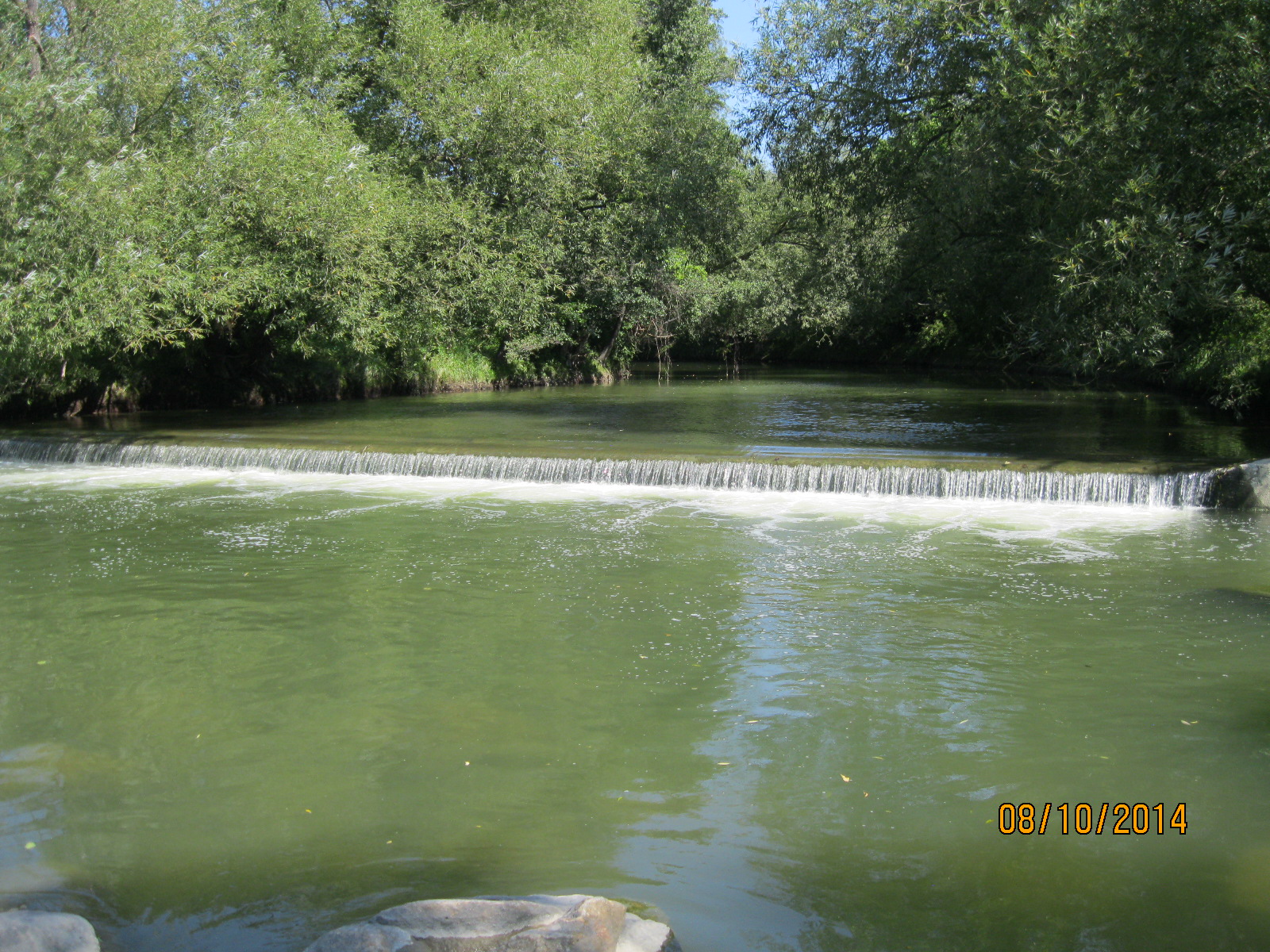
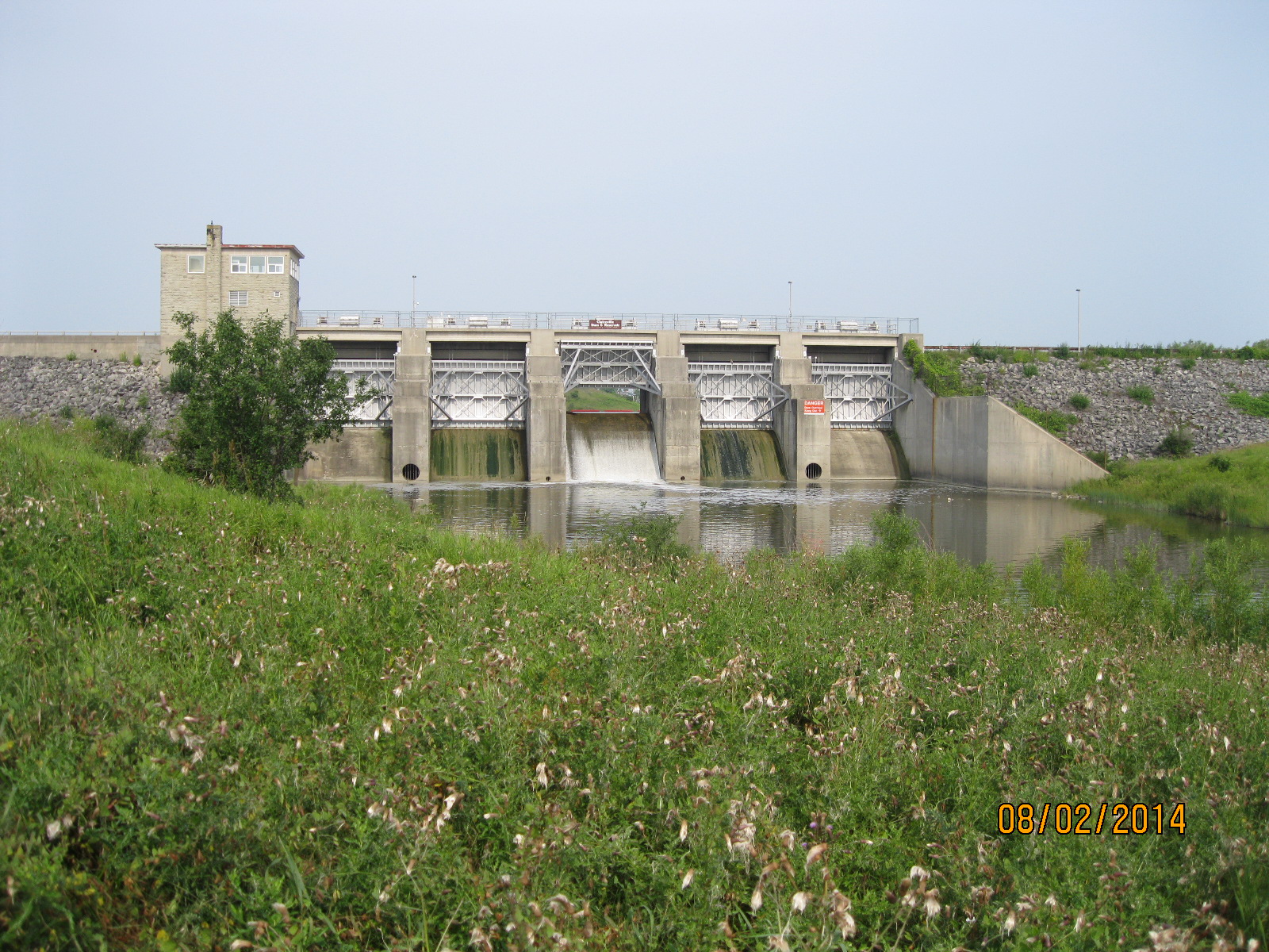
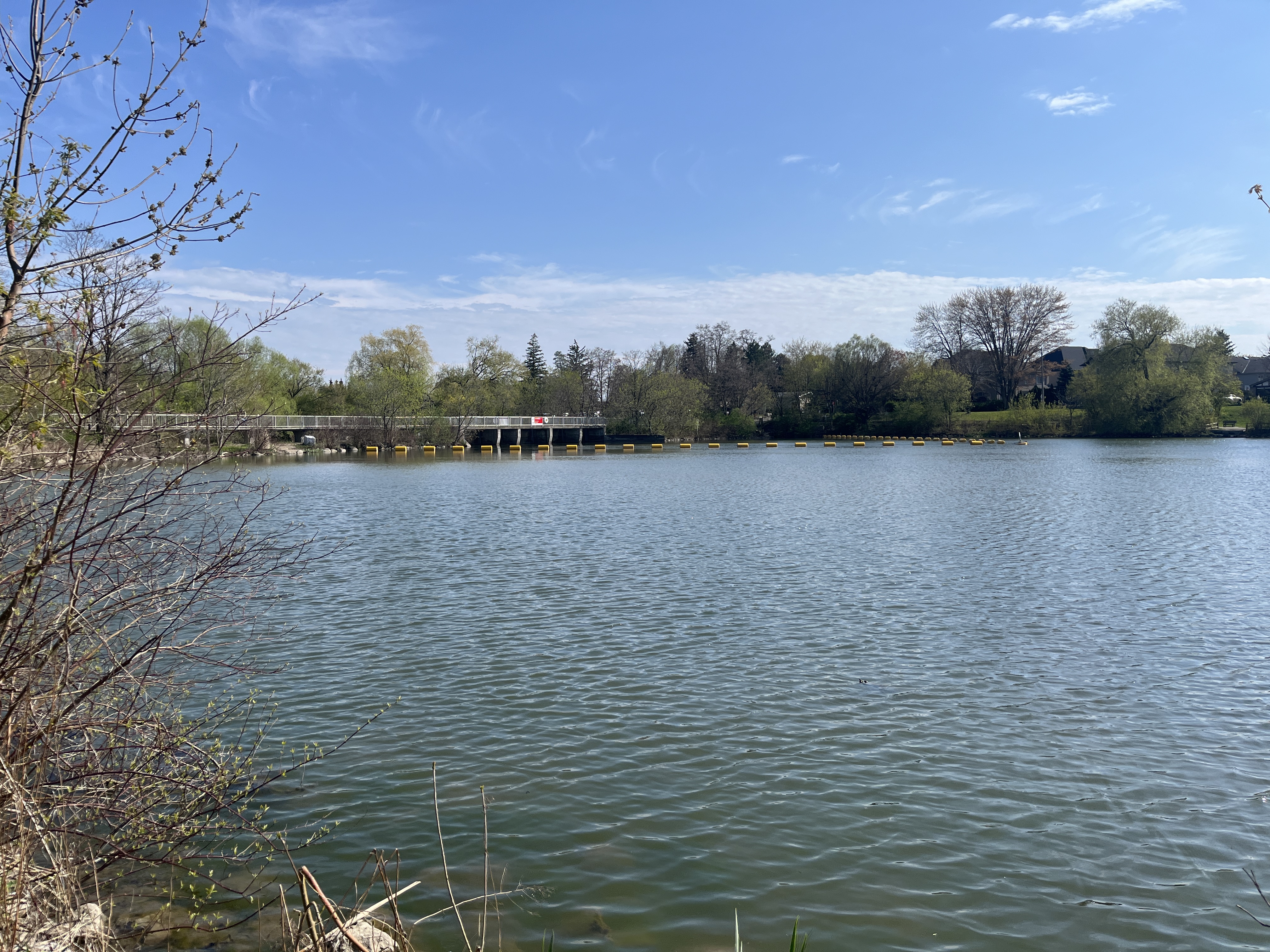
Water flows over the spillway on the dam as well as through a small channel on the side which acts as a fish ladder allowing fish to navigate around the dam. The image below shows Bruce Creek as it flows away from the dam and into the former village of Unionville.

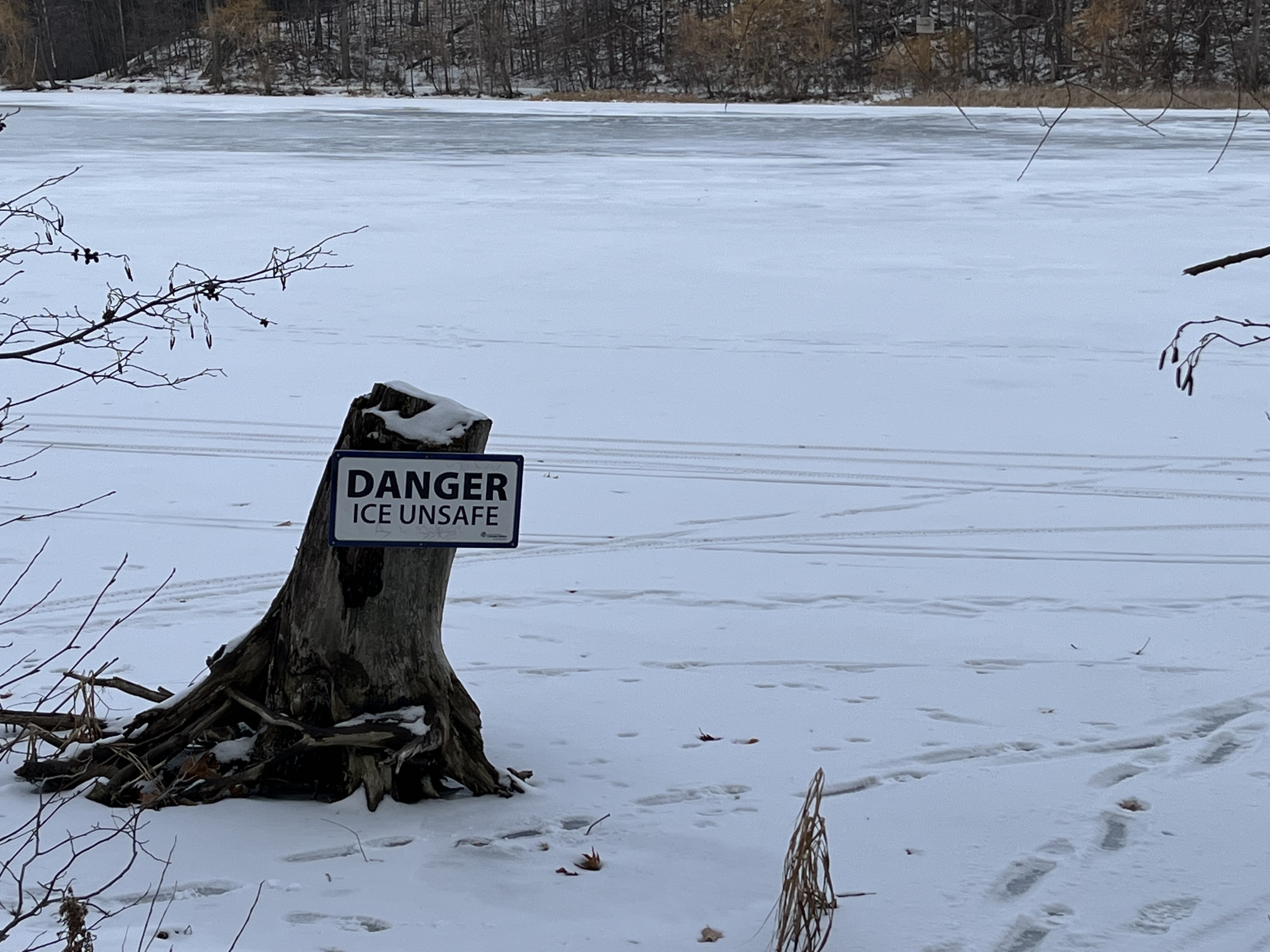
For many years it was common practice to go skating on the pond in the winter. In 2015 the city banned this for safety reasons. By November of 2016 it was announced that users could skate on the pond at their own risk.
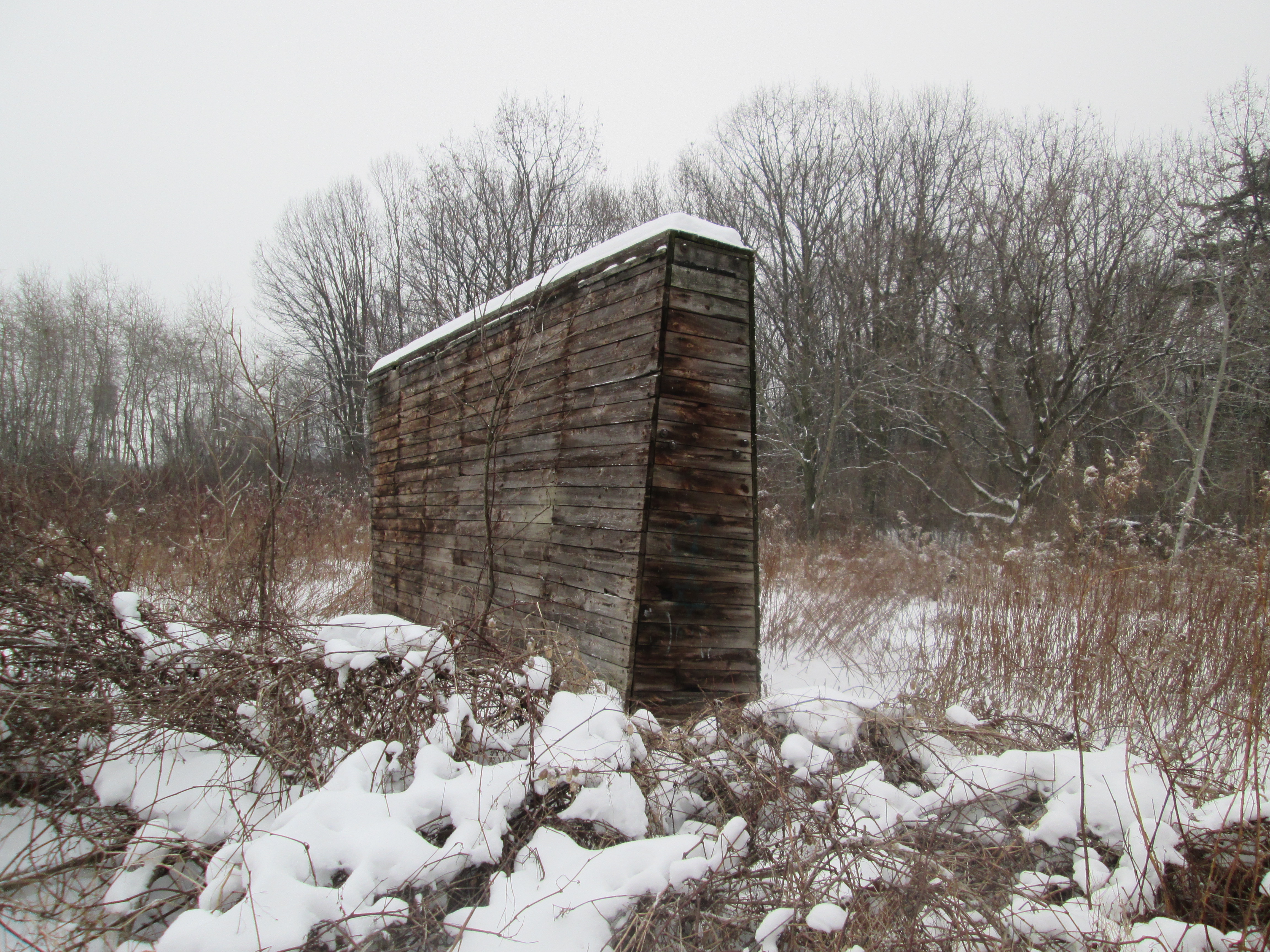
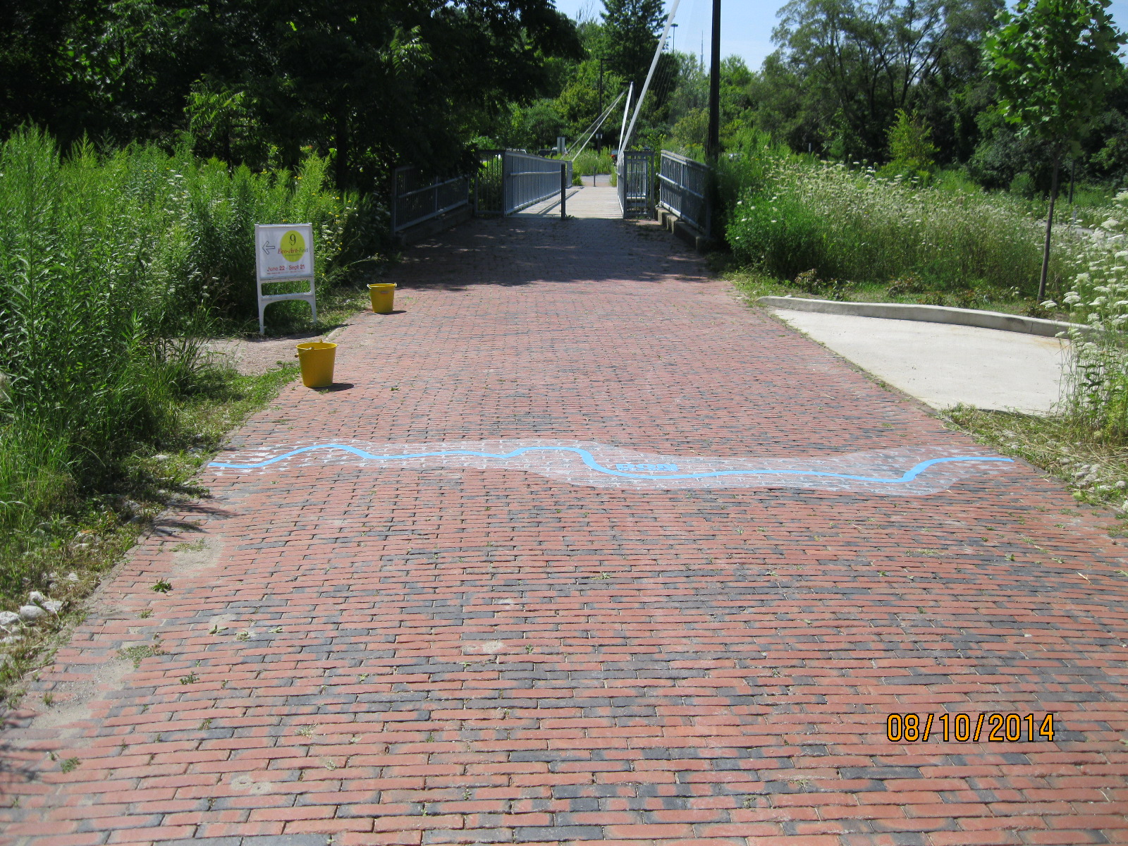
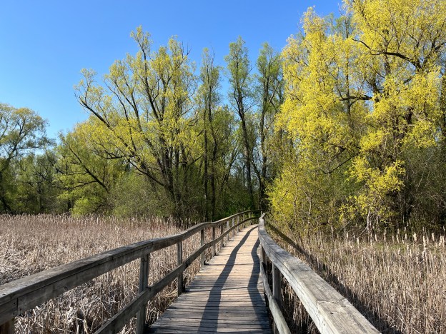
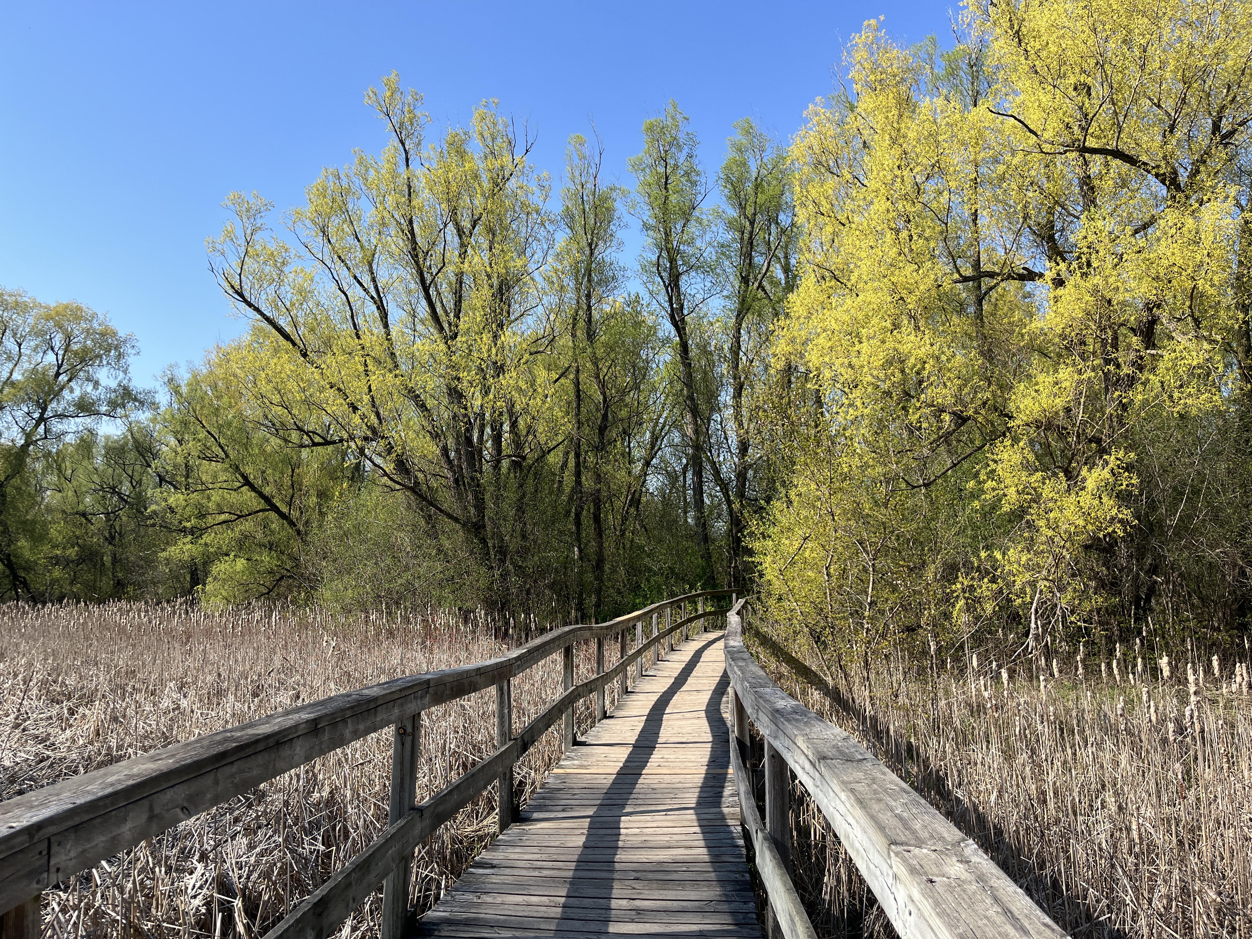
A boardwalk carries the trail along the northern end of the pond through a wetland of bullrushes.
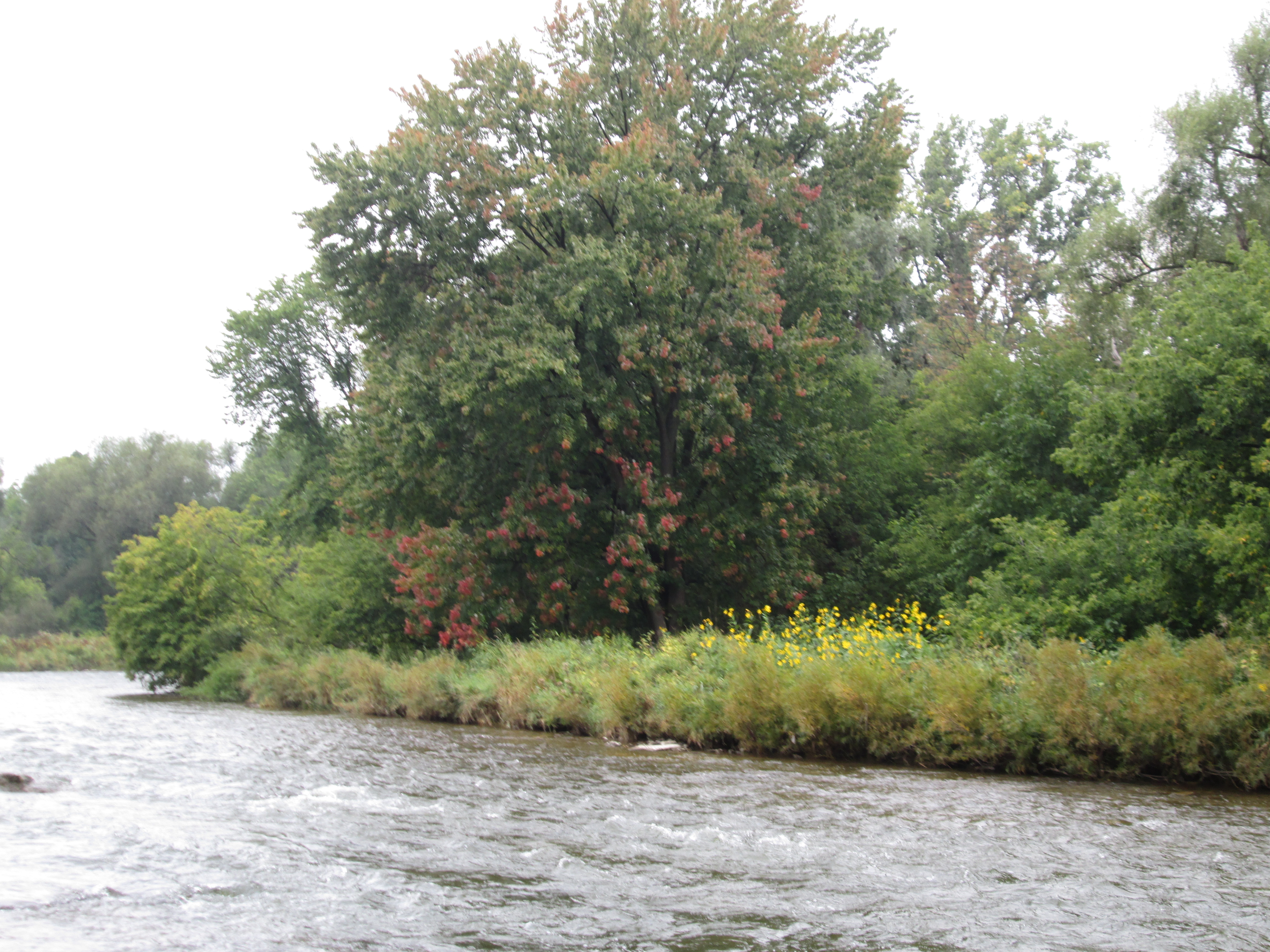
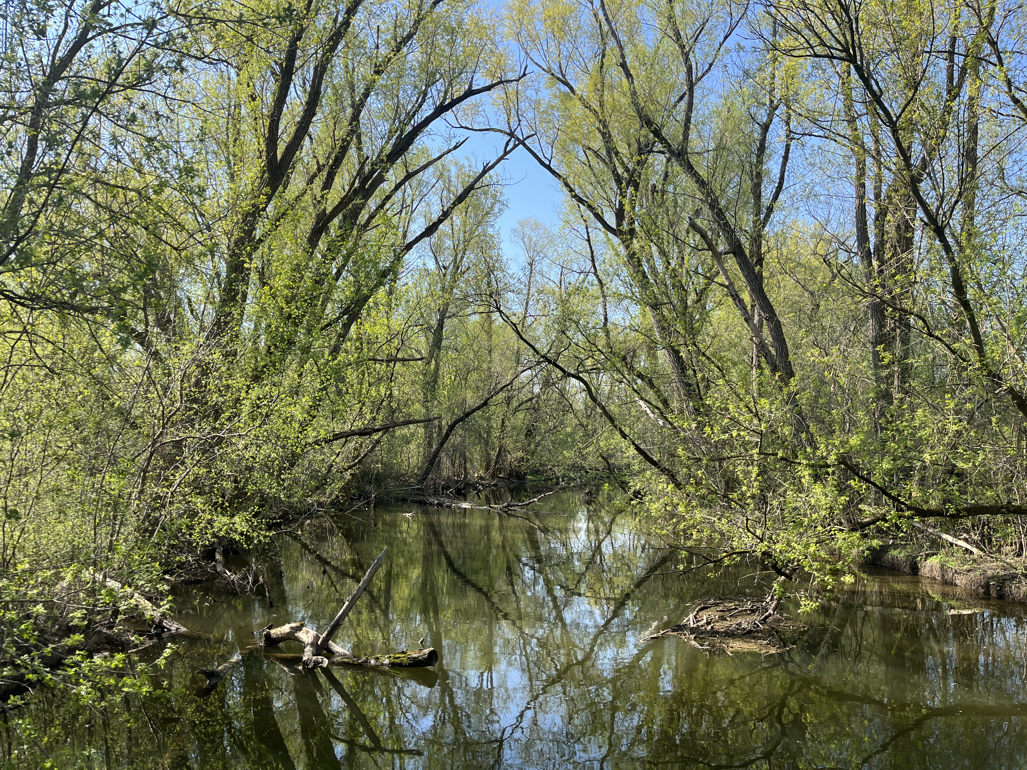
Bruce’s Creek flows south from Bruce’s Mill and makes its way towards Unionville. This image shows the watercourse on the south side of the boardwalk as it makes its way into Toogood Pond.

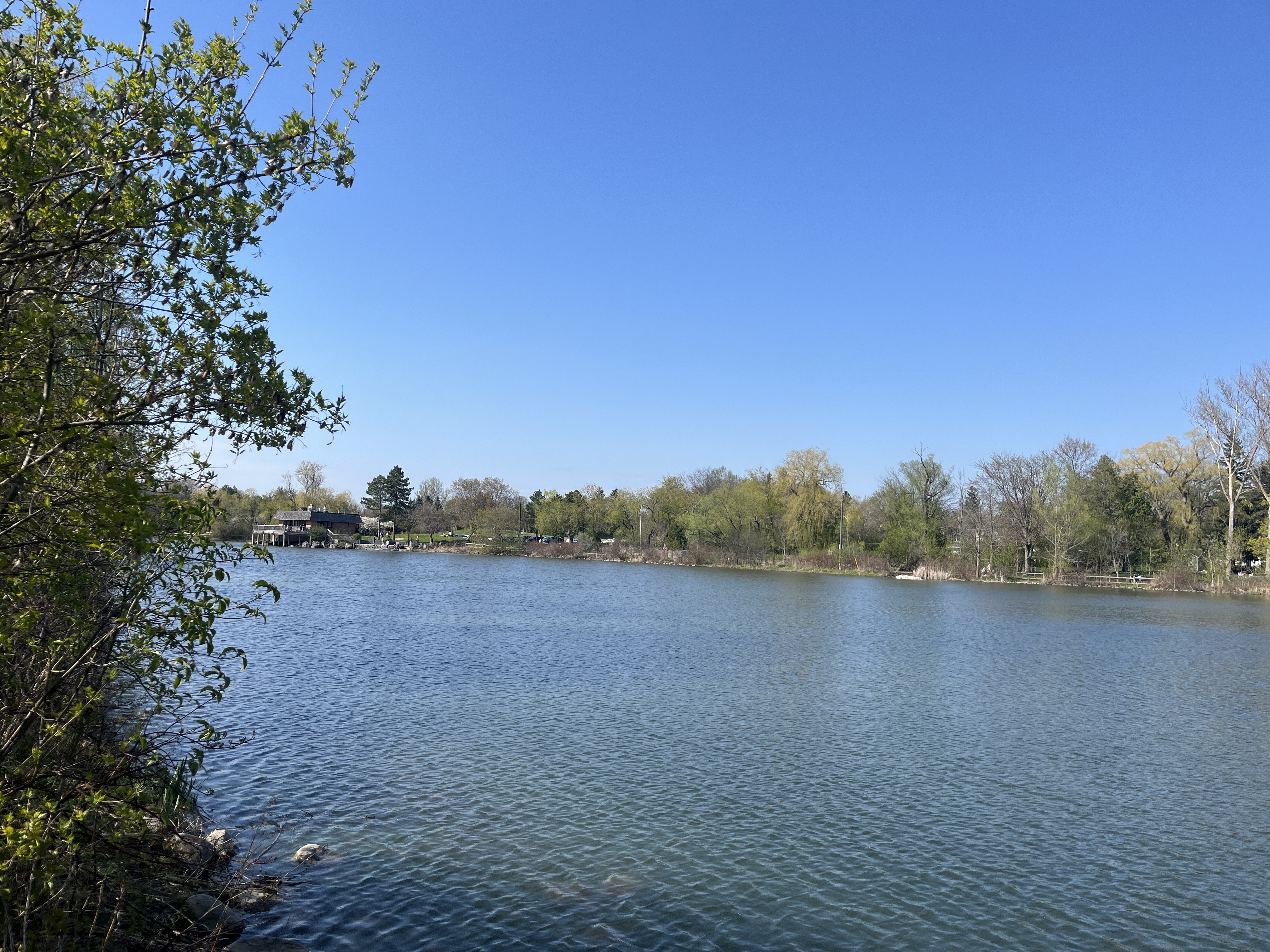
Looking upstream from the boardwalk the scenery is very beautiful on this sunny spring afternoon with the leaves really starting to come out.
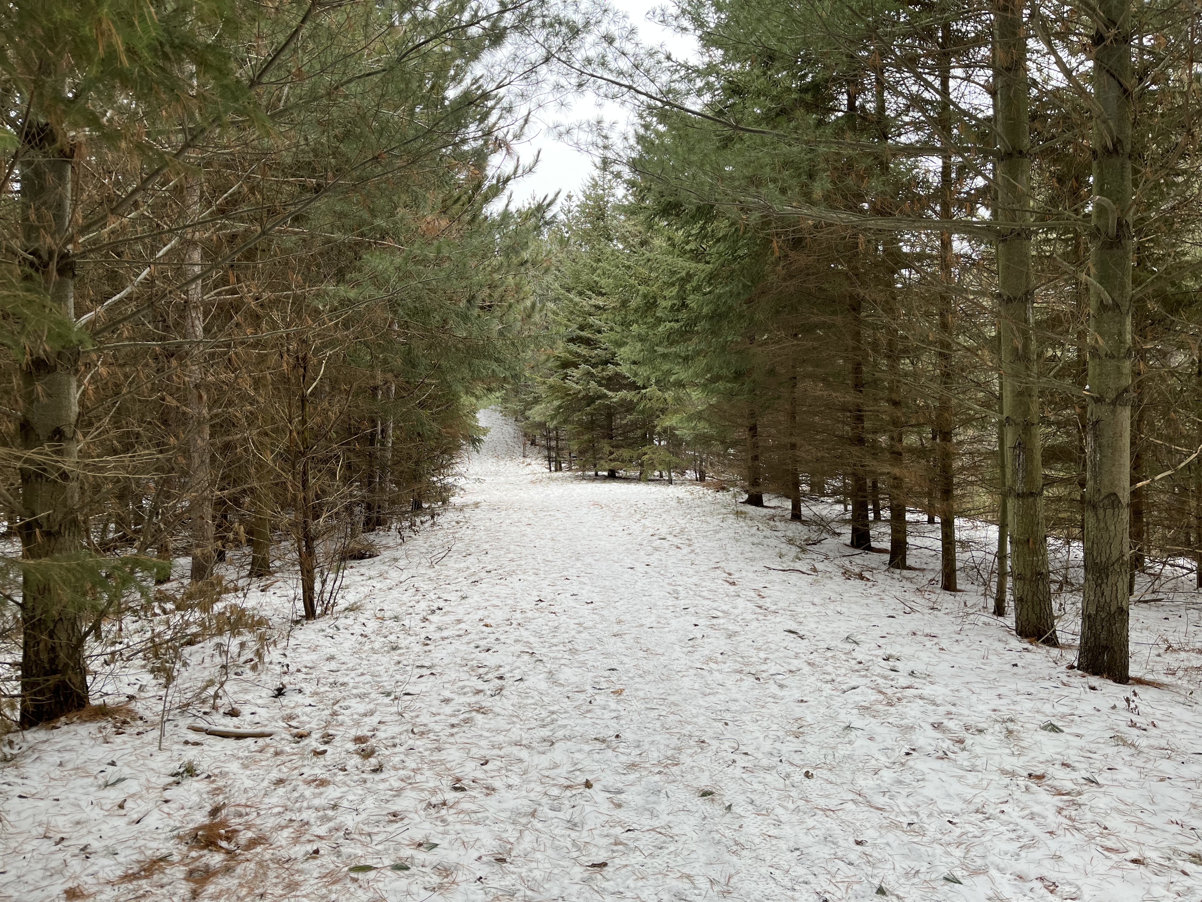
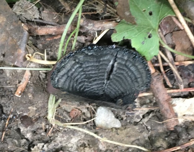
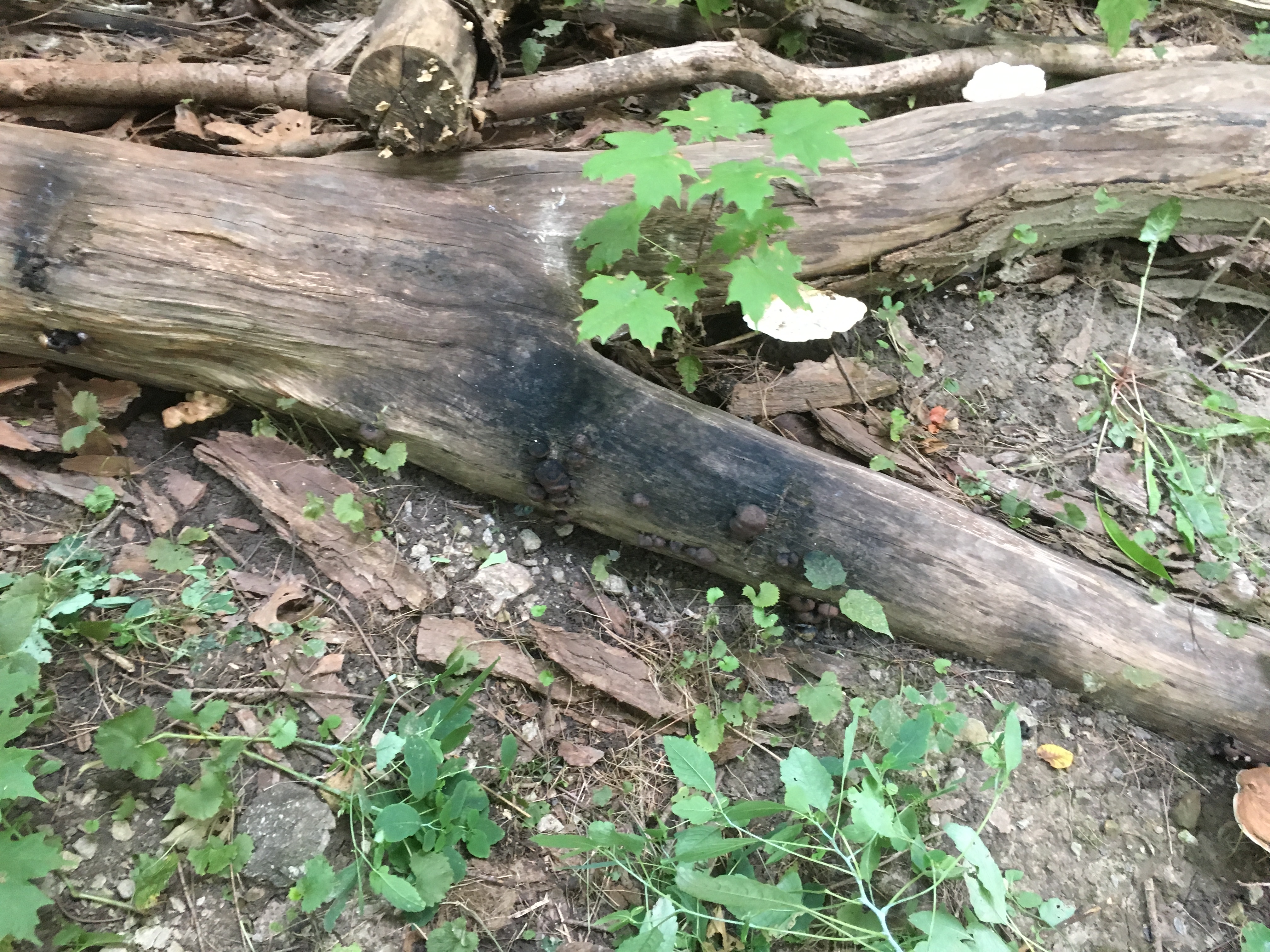
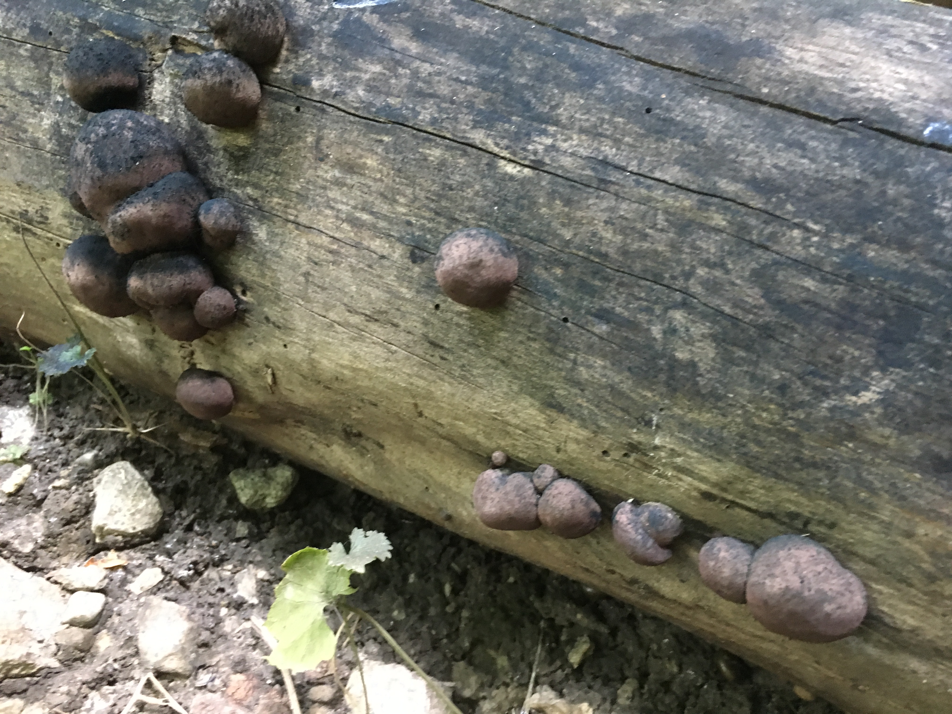
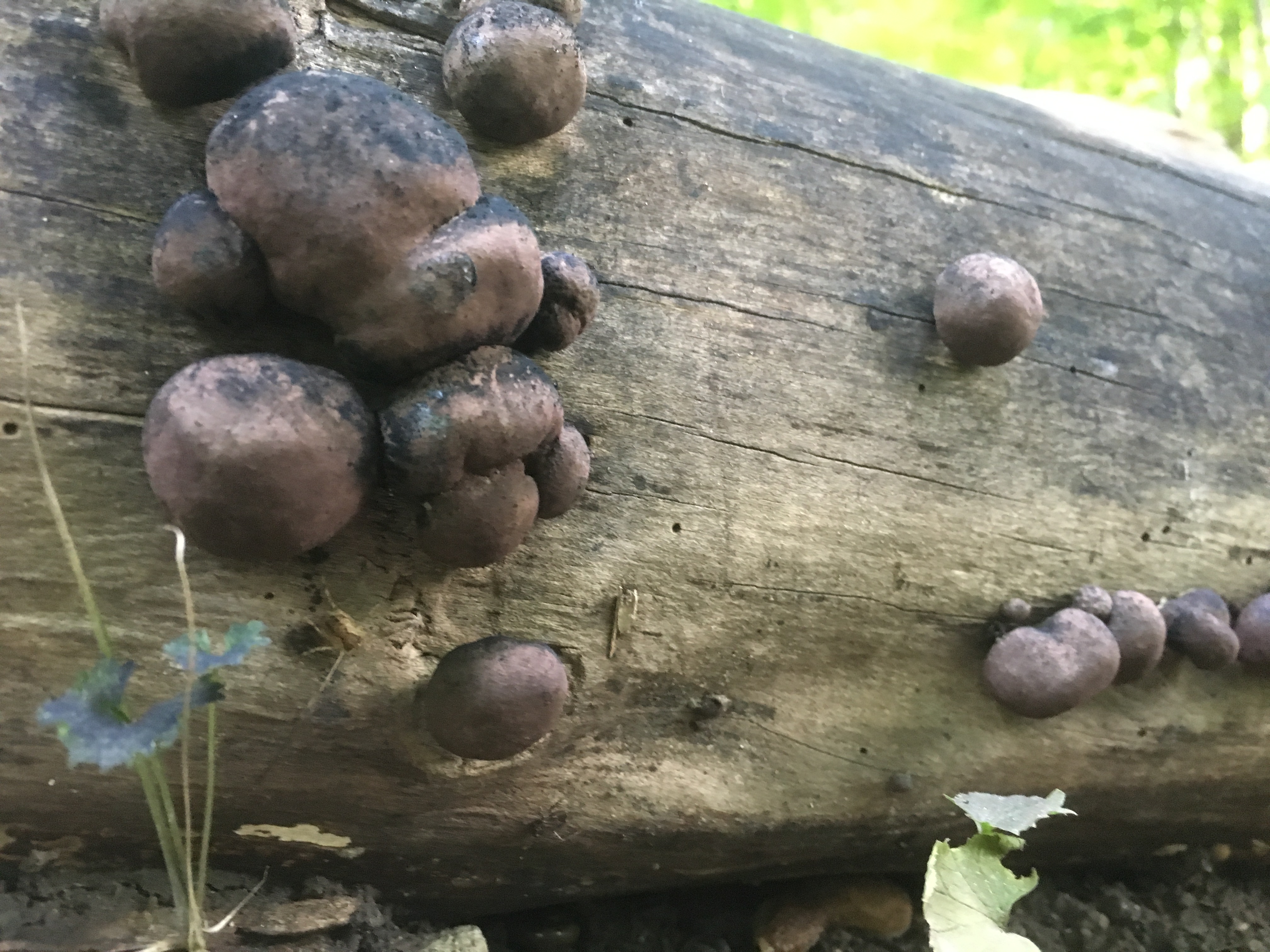
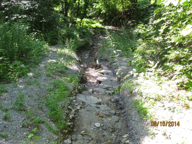
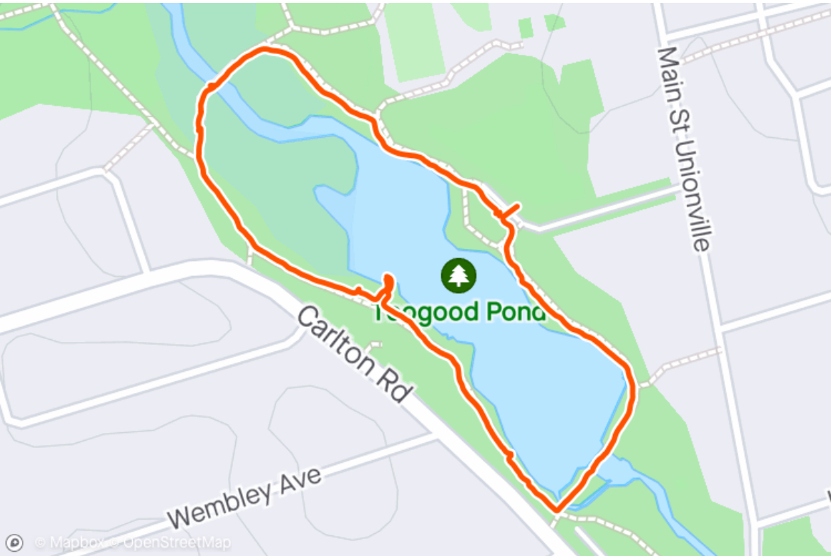
The trail around Toogood Pond is less that 1.5 kilometers and can be done in under half an hour at a leisurely pace. If you’re lucky you might spot some turtles sunning themselves on partially submerged logs in the pond.
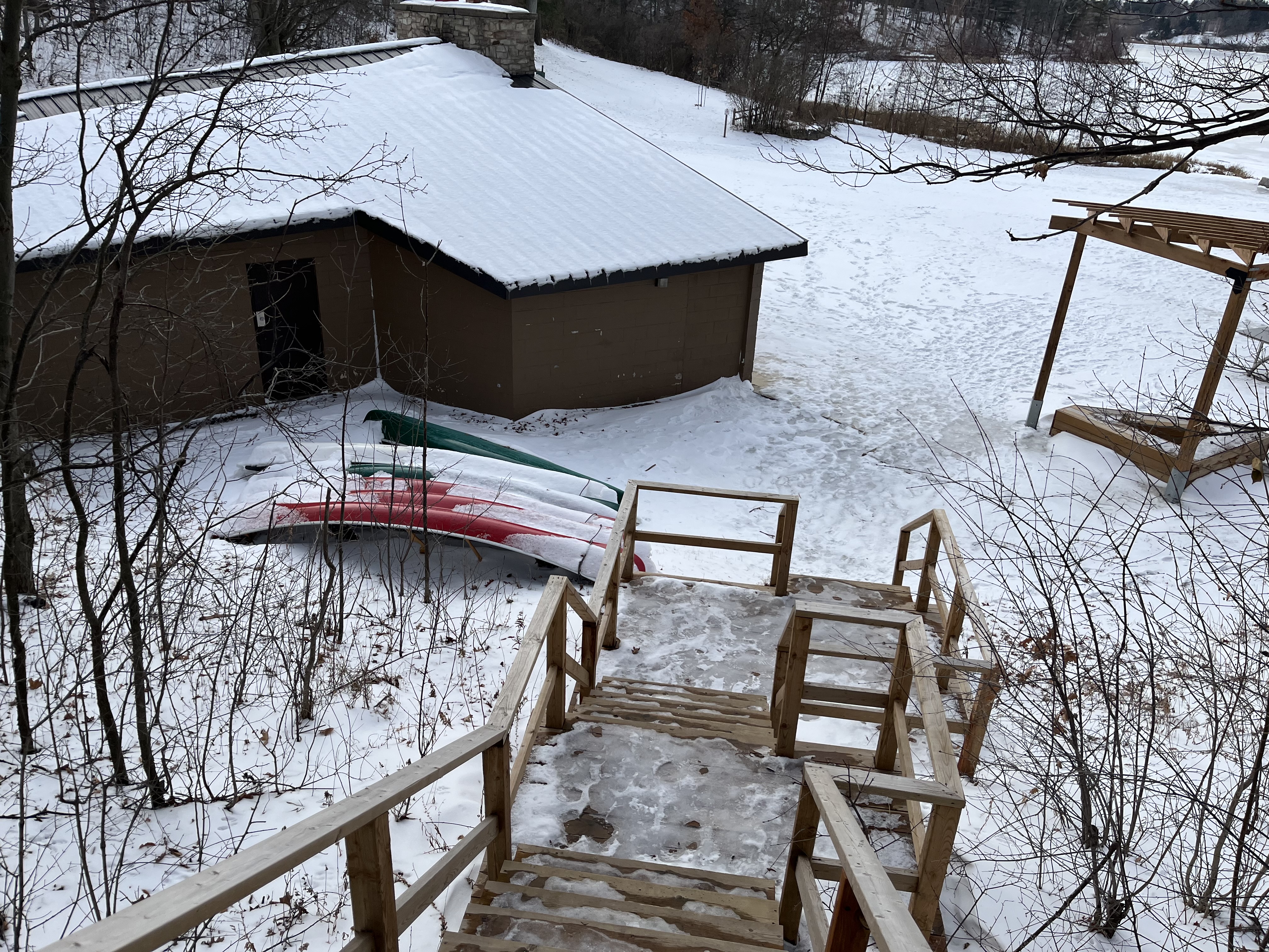
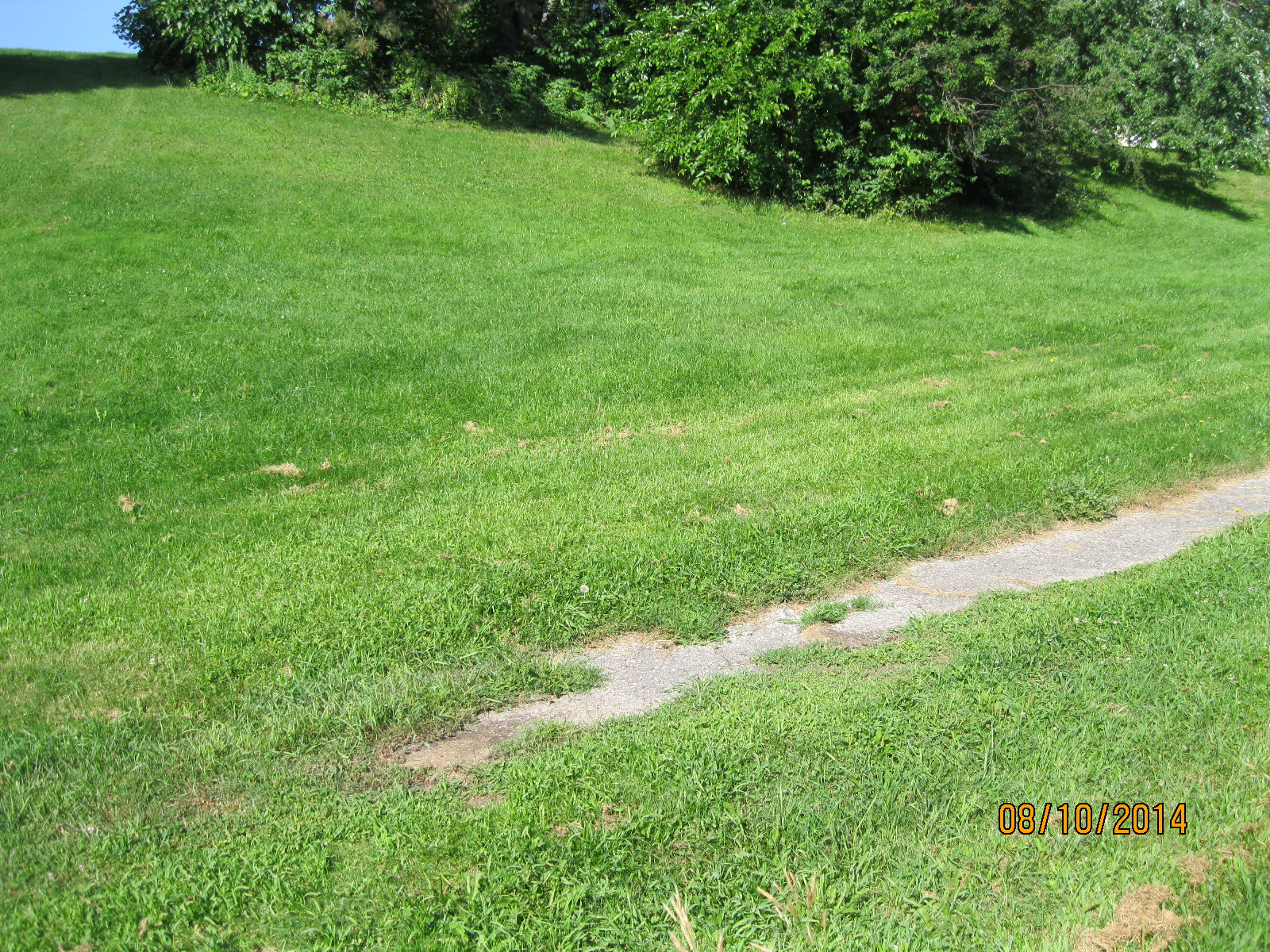
Toogood Pond Park is a great place to for a walk, try you luck at fishing or just to relax and unwind. Free parking can be found off main street in Unionville at Toogood Pond Park road and also on Carlton Road at Pomander Road.
Associated Blogs: Unionville, Bruce’s Mill
Google Maps link: Toogood Pond
Like us at http://www.facebook.com/hikingthegta.com
Follow us at http://www.hikingthegta.com
Also, look for us on Instagram