Monthly Archives: September 2020

Lower Don Trail

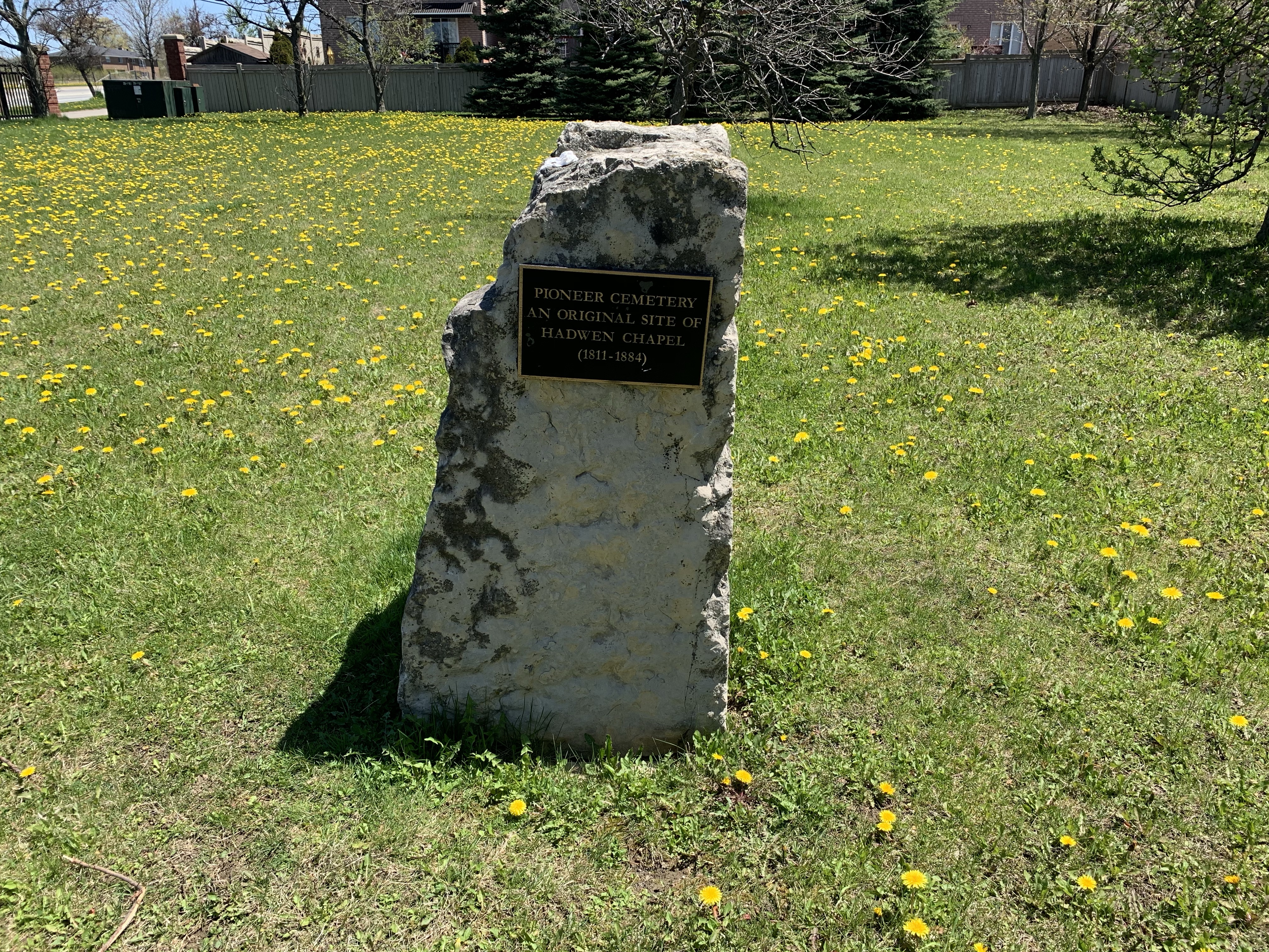
Friday, September 18, 2020

The Lower Don Trail runs along the Don River from Corktown Commons to Pottery Road. Having previously covered the section from Riverdale Park south to Corktown Commons in our feature The Don Narrows it was time to return and visit the north section. As before there was free parking on the end of Carlton Street at Riverdale Farm. A metal staircase leads you down the 88 steps to the floodplain of the Don River in Riverdale Park. The picture below shows the pedestrian bridge that crosses Bayview Avenue and the railway tracks. There’s a set of stairs that lead to the Lower Don Trail on the west side of the Don River.

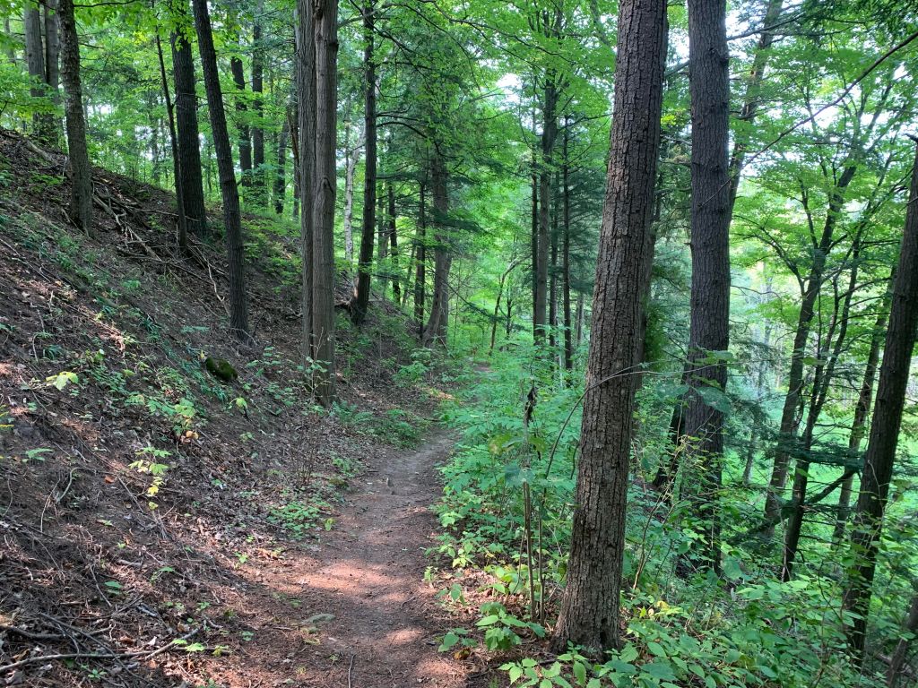
South of the bridge the trail follows the section of the Don River that was straightened in the 1880’s. This section is sometimes referred to as The Don Narrows. Heading north the river quickly starts winding and turning as it follows its natural course. Blue Jays were out in abundance along the trail.

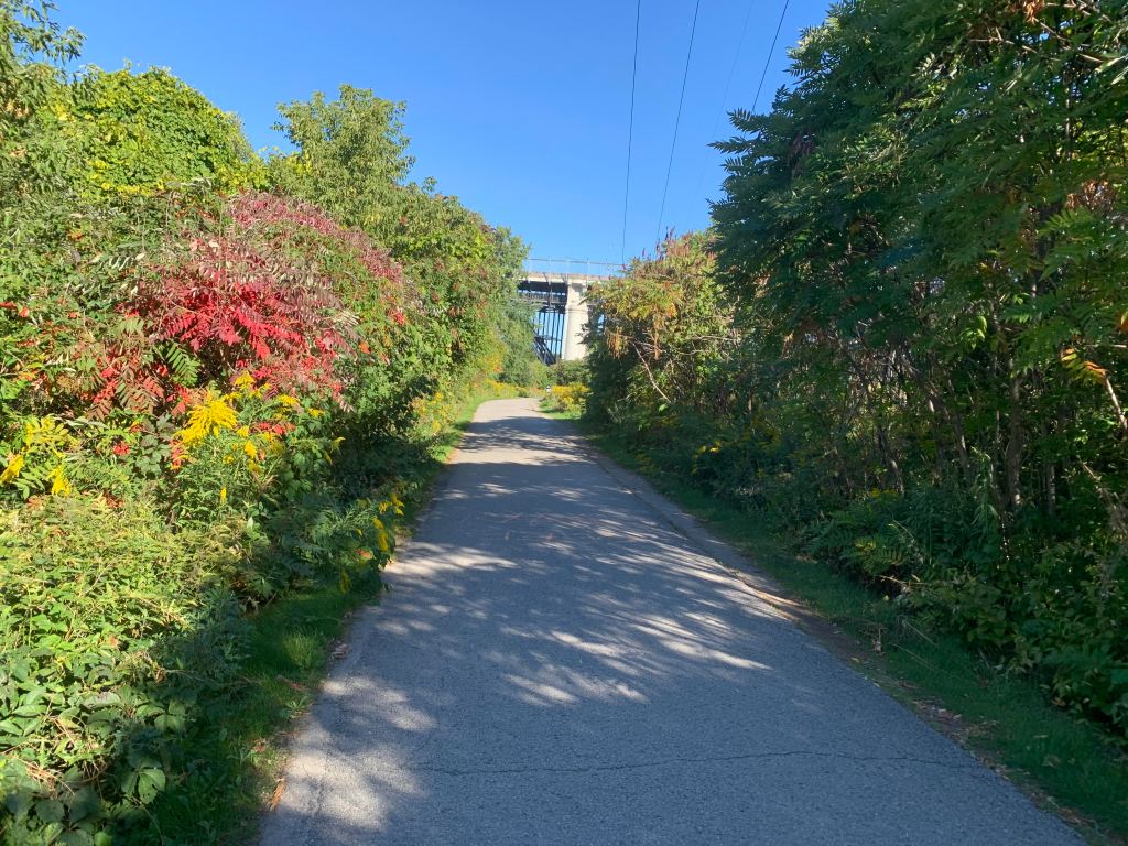
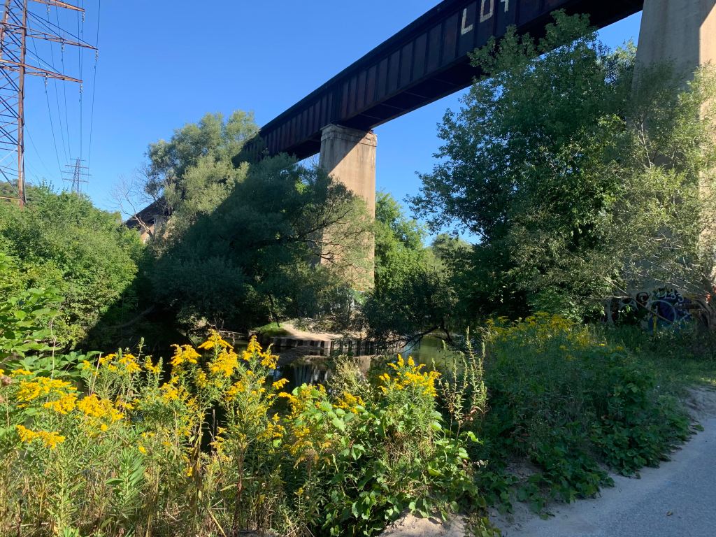
The Don River is known to flood its banks and the Don Valley Parkway during heavy rain storms but on this morning it was perfectly calm in many places. The railway bridge in the picture below belongs to Metrolinx and is currently not used. It leads to the Half Mile Bridge and makes an interesting walk. We have previously proposed that this section be turned into The Half Mile Bridge Trail, at least temporarily. It is currently illegal to walk along these tracks and when I was making my return along the trail I saw a Metrolinx rail truck driving along the tracks. That likely would have been trouble for anyone caught walking there.

The main trail heads north after crossing the Don river on a footbridge. The Bloor Viaduct spans the ravine and the trail passes underneath it. Officially known as the Prince Edward Viaduct, construction was started in 1915. A detailed story of the bridge can be found in our feature story The Bloor Viaduct.

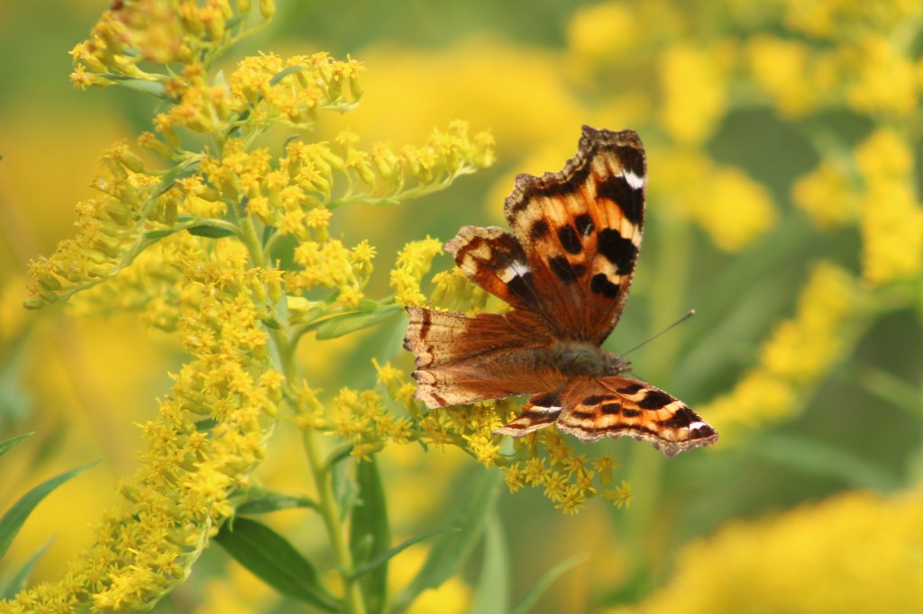
Goldenrod is a member of the aster family and usually has the distinct disc and ray florets of a daisy. There are over 100 members of the goldenrod family and their tiny yellow flowers bring witness of the changing of the seasons.

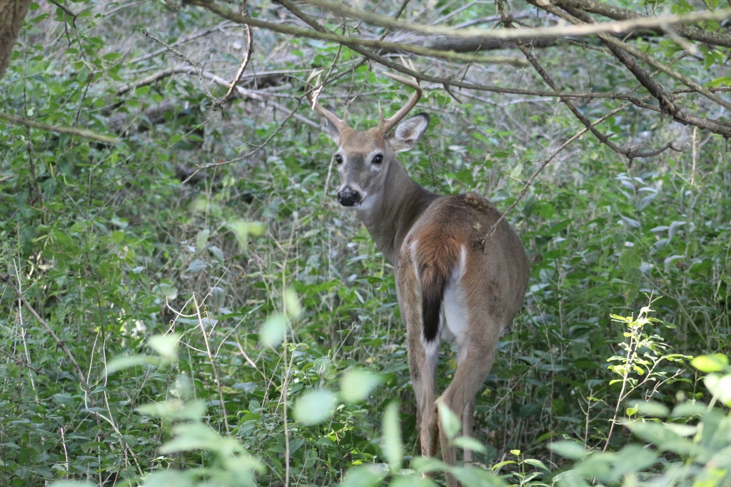
A white tailed deer buck was casually grazing on the trees on the side of the Don River. This buck had 6 points on his antlers. Some people believe that you can tell the age of the animal by the number of points but this isn’t true. The deer will grow about 10 % of its potential antler mass in the second summer of its life. The third year it may reach 25-35% of its full growth. Out side the parks and ravines the male deer typically only live about four years due to hunting pressure. That obviously isn’t a factor in the downtown area. They say that the only real way to tell the age of a deer is to look at the teeth. This one let me get pretty close, but not quite that close.

A short distance north of the Bloor Viaduct is a public art display known as Monsters for Beauty, Permanence and Individuality. It contains fourteen cast concrete sculptures that were placed here in 2017.

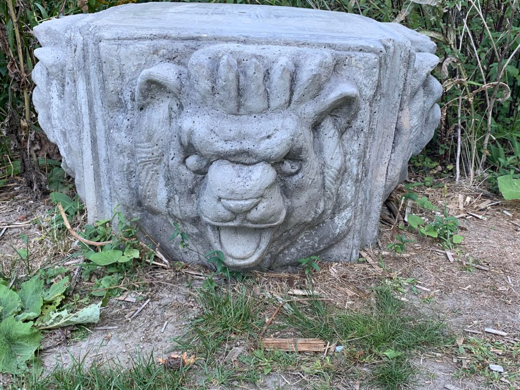
The sculpture are recreations of gargoyles that adorn buildings in downtown Toronto. Old City Hall and Queens Park provided some of the inspiration for the artwork.

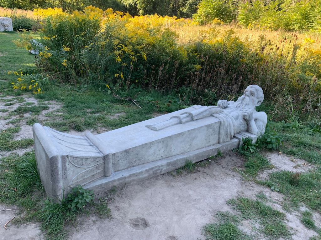
The artist is named Duane Linklater and he is an Omaskeko Cree from Moose Factory. Duane has been awarded by the Canada Council for the Arts as well as having won the Sobey Art Award. His display on the Lower Don Trail is intended to draw attention to the changing role of the Don River in the early industrialization of the city.

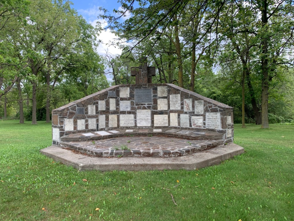
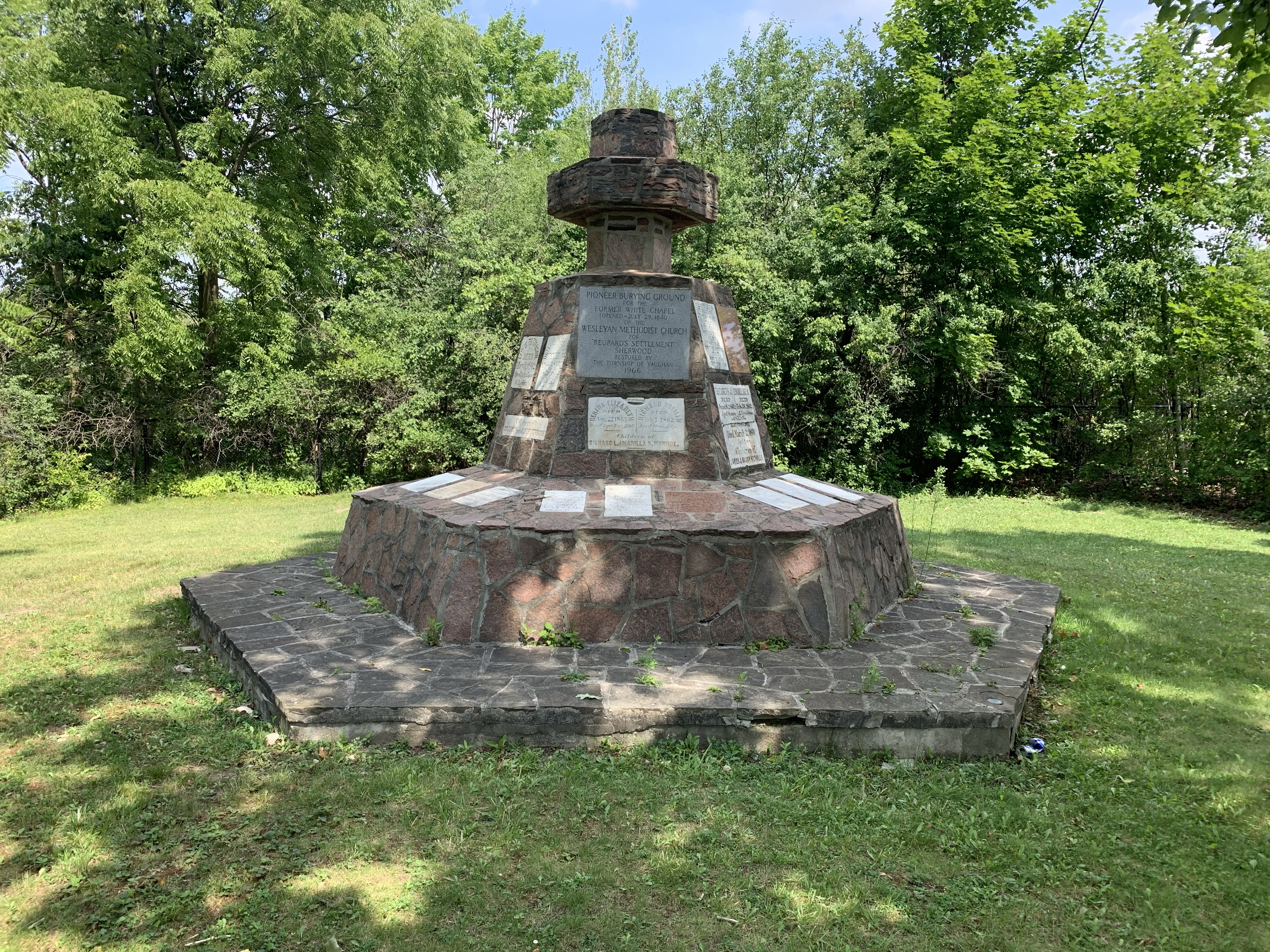
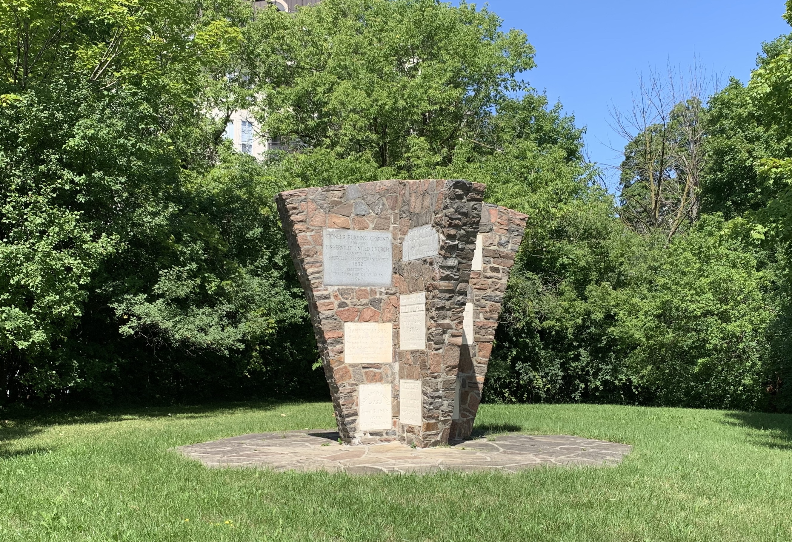
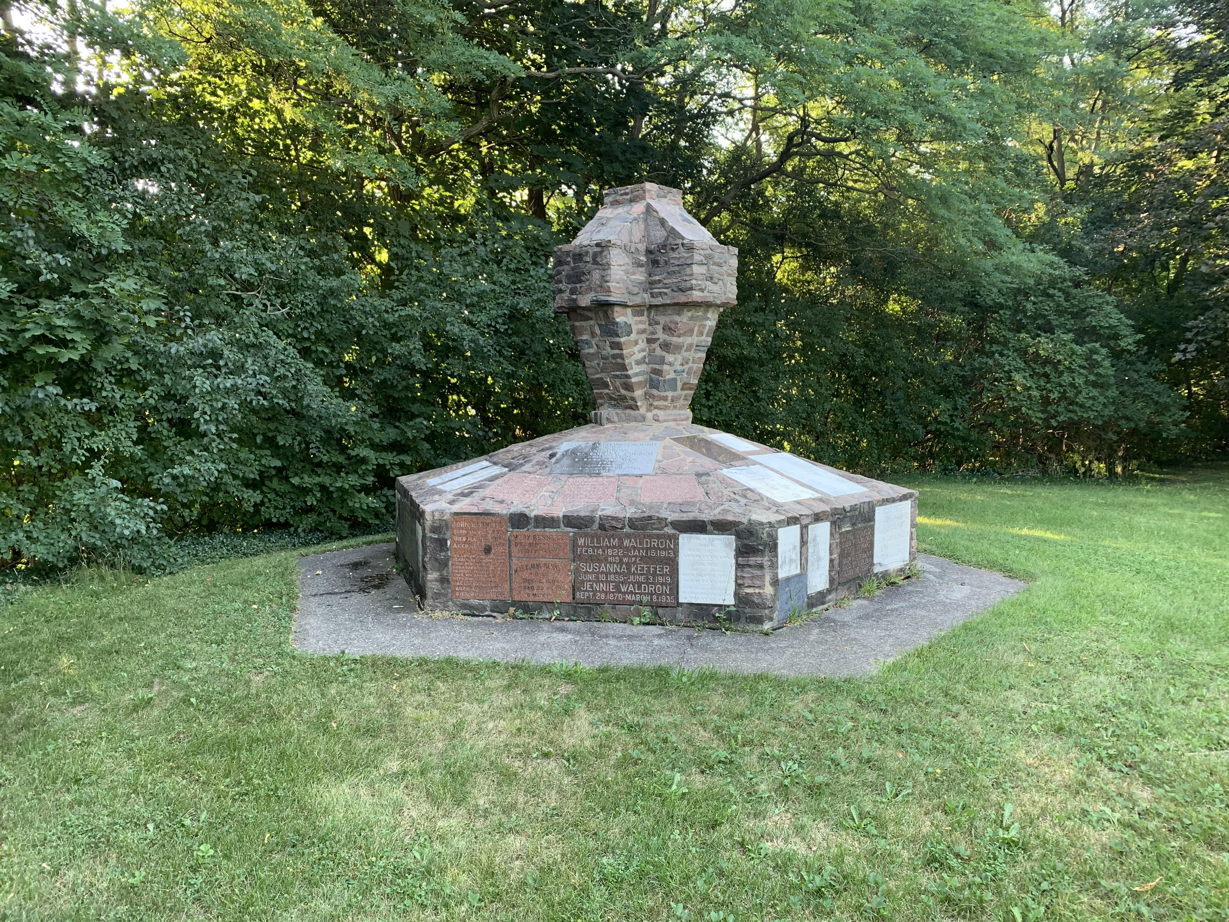
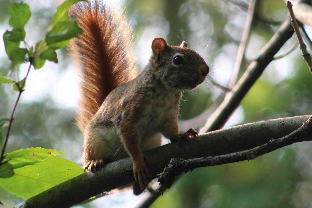
Side trails run along the edge of the river in places where the floodplain is wide enough. These can be much more interesting and you are more likely to see the local wildlife on these less used trails. Kingfishers were zipping up and down the river calling out in their urgent chatter and a couple of hawks were circling in the distance. This is the area where you may see one of the deer that reside in this greenbelt.

The Half Mile Bridge was replaced in the 1920’s with a wider bed on concrete piers. The old steel piers were all removed except the one on the west end by the Don Valley Brick Works.

As you approach Pottery Road you can see the chimney from Todmorden Mills which was the first industrial site in the new town of York (Toronto). I love the 1967 Canadian Centennial Maple Leaf that was installed at the top of the chimney during restorations that year.

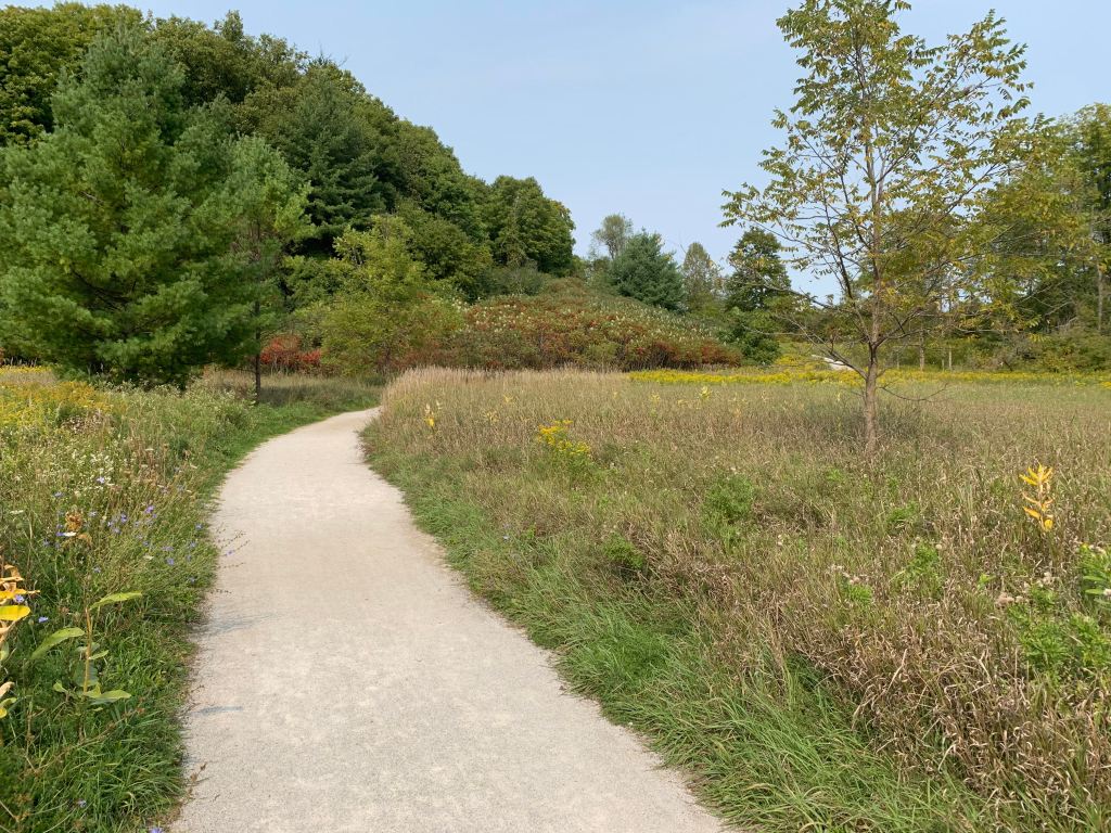
When you reach Pottery Road you have the option to follow it across Bayview Avenue and explore the abandoned section which can be read about in our post Abandoned Pottery Road. If you follow the trail north it brings you to Beechwood Wetlands and Crothers Woods.

Google Maps Link: Lower Don Trail

Like us at http://www.facebook.com/hikingthegta

Follow us at http://www.hikingthegta.com

Also look for us on Instagram

Pioneer Cemetery Cairns

Sunday, September 20, 2020

Vaughan has embraced a program of repairing and maintaining their pioneer cemeteries. Many of these are still associated with places of worship and are being maintained by the congregation. Others mark the location of a previous church building that no longer exists. These are being restored in the form of commemorative cairns.

Presbyterian Free Church Purpleville. The Presbyterian church in this area was started in 1846 in the kitchen of Jane Lucas’ log cabin. A church was built around 1860 and the last person to be buried in the cemetery was in 1879. The church building was disassembled and used in local farm buildings and the cemetery deteriorated badly. It was the first of the Vaughan restorations having been completed in 1962.

Hope Primitive Methodist Church. Hope or Nixon’s Chapel was built around 1840 as a Primitive Methodist Church. In 1884 the various Methodist congregations joined together into the Methodist Church of Canada. When the United Church was created in 1925 Hope joined and became the Hope United Church. By 1966 the congregation had dwindled to the point where they decided to join the Maple United Church and the building was sold and dismantled. The cemetery was restored in 1963 while the church was still active on the site.

Kleinberg Wesleyan Methodist Church. Methodist congregations were formed in many small towns in Ontario with the Kleinberg one being founded in 1856. The church building was erected in 1859 but by 1869 was too small for the congregation. The Kleinberg Evangelical Lutheran Church was unable to maintain their building and so they sold it to the Methodists along with the burial grounds behind it. In 1925 when they joined the United Church a new building was constructed in town and the old one demolished. The cemetery contains members of both congregations and was restored in 1964 in the shape of a cross with a flower garden in the middle.

Old St. Stephen’s Langstaff. An Anglican Church was built in 1838 on a plot of land donated by one of the Keffer brothers of Sherwood.  The property was owned by a member of the Zion Lutheran Church, honouring a longstanding history of cooperation between the two denominations.  In 1895 they built a new church on Keele Street on the north end of Maple. While looking at the names and dates on the markers I noticed that there were a lot of tombstones marking the graves of people who lived less than a year.  From the days of the first settlers in North America until the mid-1800s about 30% of infants did not survive their first year. The cairn was constructed in 1965. More can be read about this church and cemetery in our feature post Pioneer Heartbreak.

Rupert’s Chapel in Sherwood. In the early 1880’s Adam and Ann Rupert lived on Lot 16 Concession 3 of Vaughan.  On April 23, 1939 Peter Rupert deeded an acre of land for the construction of a Wesleyan Methodist church.  The Methodists worshiped here from 1840 until 1870 when they opened a new building in Maple.  The church building was purchased in 1885 by the Sherwood Church of Christ (Disciples) which had been meeting in homes prior to that.  They used the building until 1925 after which it sat empty until it was dismantled in 1944. The tombstones were collected into a cairn in 1966. More about the town of Sherwood can be found in our feature Sherwood – Ghost Towns of the GTA.

img_5233

Fisherville Presbyterian Church. The only surviving building from Fisherville is the Presbyterian church which was built in 1856.  It was located near the north east corner of Dufferin and Steeles but moved to Black Creek Pioneer Village in 1960. The remaining tombstones were collected into a cairn in 1967. The story of Fisherville can be read in our feature Fisherville – Ghost Towns of the GTA.

img_5323-1

Pinegrove Congregational Church. This church was established in 1840 in a large frame structure that served the community of Pine Grove until 1864 at which time it was decided to build a new church on Islington Avenue. The old frame building was eventually demolished and the cemetery left until it was restored in 1968.

Cairn

Purpleville Wesleyan Church. Founded in 1840 this congregation met in homes until their church building was finally completed around 1850. The congregation remained small and by 1900 most of the remaining Methodists had either moved away or started attending church in Teston. The building stood vacant until being demolished in 1915 and the cemetery was restored in 1969.

Cairn

Edgeley Meeting House. The oldest existing church structure erected in Vaughan is the Edgeley Meeting House which was built in 1824. When the Mennonite congregation split in 1889 weekly meetings were discontinued. At first they were held monthly but by 1923 were discontinued. In 1976 the building was moved to Black Creek Pioneer Village while the cemetery was restored in 1985.

Cairn

St. Paul’s Presbyterian Church. This is the only cairn presented here that is attached to a site with an active church congregation. The Upper Corner church was established in 1837 but erected its first building in 1844. A beautiful brick building was constructed in 1889 to replace the original and it remains in use at this time, although the congregation is meeting on-line due to Covid-19. Something the founders could never have imagined. The pioneer stones were restored in 1990.

Cairn

St. Paul’s 1889 church building.

Teston Wesleyan Church is an exception to this process of restoration. The congregation began in 1811 meeting in various homes. in 1845 they built a log church on the side of Teston Road. When it burned down in the late 1860’s the church was replaced with a new one at the main intersection in town. The early pioneers now lay in unmarked graves with no tombstones at all. Perhaps they are in storage for some later restoration project.

img_2798

There are several other restored cairns around Vaughan which will eventually be photographed and added to this collection.

Like us at http://www.facebook.com/hikingthegta

Follow us at http://www.hikingthegta.com

Also look for us on Instagram

Bindertwine Park

Wednesday, September 16, 2020

Bindertwine Park is on the edge of Kleinberg and is the northern trail head for an eight kilometre section of the Humber Trail known as the William Granger Greenway. It runs from Kleinberg to Boyd Conservation Area following the East Humber River. The trail is temporarily broken at Major Mackenzie Drive as the bridgework there requires the use of heavy machinery. We followed the empty trail south, enjoying a beautiful Wednesday morning on a vacation day from work.

Bedstraw Hawk Moth Caterpillars are usually green, but can be brown, with black bands and pairs of yellow spots. Another distinct feature is the tail, or horn, on the rear end which is always red. The moth is tan and olive brown with a red stripe on the hind wing that fades to white at the edge. It has a wingspan that is up to 80 millimeters wide and flies between May and October. This caterpillar will make a cocoon in a shallow burrow and overwinter there. In the spring it will appear as a moth and start the lifecycle again by laying eggs.

It was a day for seeing a variety of insects although the biting kind were not too bad. Praying mantis are carnivorous and will eat many other insects and even other praying mantises. The female is said to often consume the male either during or after intercourse. She will then lay an egg sack which will contain hundreds of eggs. The little ones hatch looking much like miniature versions of their parents. We saw several praying mantis which are easy to spot when they fly because of their size compared to other flying insects. Once they land their resemblance to the plants they live on makes them hard to pick out.

An unusual piece of art stands along the side of the trail tells you that you are getting close to the McMichael Canadian Art Gallery. The sculpture is called the Peace Making Machine and was built in 2011 out of ash planks and steel pipe. We continued along the trail heading south from the gallery.

Apart from the main trail there are several smaller side trails. These are limited because the area is environmentally sensitive and they don’t want people wandering throughout the woods. We followed one small trail up the side of the ravine to the top and then back down again.

Part way up we found a garter snake that was moving sluggishly toward some sunnier places up the trail. Snakes don’t fatten up for the winter like mammals do because they don’t hibernate, they do something called brumation. Their metabolism slows down when its cold to the point that they use almost no energy all winter. Their biggest challenge is to get deep enough to be below the frost line so that they don’t freeze to death. Places where this can be accomplished are relatively few and so snakes will often spend the winter in large groups.

There were purple asters and lots of goldenrod along the sections of the trail that pass through meadows. Dozens of types of pollinators were at work among the wild flowers including bumble bees, honey bees, moths, butterflies, hornets and various types of hover flies.

We made it to where the trail went under Major Mackenzie Drive and had to stop because of the active construction site at the bridge. On the way back we heard the chittering of a red squirrel as it scolded us. It had been busy building mounds of pine cones at the base each tree. This isn’t pandemic hoarding, it’s just normal behaviour for red squirrels who don’t bury their food stores.

We decided to take a different trail on the way back and passed through the grounds of The McMichael Canadian Art Collection. Along with their gallery and art exhibits they also have a building known as the Tom Thomson Shack. It was built in the Rosedale Ravine for a cabinet maker and later used as a tool shed during the construction of a low rent artist studio. By the fall of 1915 Thomson had moved into the shack and he lived and worked there until his death in 1917. In 1962 the shack was purchased and moved here.

Outdoor art is a large part of the exhibit at the gallery. The Shibagau Shard was added to the collection in 1989 and uses a single piece of granite to depict native petroglyphs and pictographs.

The main trail is in pretty good shape and is likely good for walkers or wheel chairs when the ground is dry. The signs of fall are in the plant world and the picture below shows a group of sumac trees that are just starting to take on their red colours.

The compton tortoiseshell butterfly can be seen from July until November and then the adults hibernate over the winter. They can be found in meadows near deciduous forests of aspen, willows and paper birch.

There are several more trails at the McMichael property which will require an additional hike to fully experience what they have to offer.

Other trails in the area that are interesting to explore include William T Foster Woods, Kortright Centre and Boyd Conservation Area.

Google Maps Link: Bindertwine Park

Like us at http://www.facebook.com/hikingthegta

Follow us at http://www.hikingthegta.com

Also look for us on Instagram

Tyrone Mill

Saturday, September 12, 2020

Tyrone mill is the last surviving, commercially operated, water powered mill in the GTA, and one of very few in all of Ontario. The village was founded around 1828 although records of it’s beginning are unclear. At one time the settlement was split with the English living on the eastern end in a community named Mount Hope while Irish settled on the western end in Tyrone. In 1840 the two ends decided to have a cricket match to see what the town would be called. The western side won and the town became known as Tyrone. The county atlas below shows the narrow town stretched out along the side road with no side streets. The road no longer goes around the mill pond and continues north and although it has been closed for decades it can still be traced on Google Earth.

The mill dates back to 1846 when James McFeeters and John Gray built a dam on Bowmanville Creek and erected a grist mill. The mill operated under different owners until 1908 when milling grain became unprofitable and the mill was converted to preparing feed stock. Even this operation didn’t last and by the late 1970’s the mill was once again in danger of closing permanently. It was purchased by Bob Shafer who decided to operate it as a water powered saw and grist mill and cater to those with a sense of the historic. It has now become a popular destination in the GTA where a short drive that can take you back into the pioneer lifestyle of the past.

The turbine has been upgraded and parts of an earlier turbine are now on display outside the mill.

The entrance to the mill still has an old bell which was once operated by a string that runs into the building to alert the owners that someone was entering. They could have been anywhere around the mill but would come to take care of their customers.

It also has its own small blacksmith shop and in the early days Abraham Younie operated a barrel shop that served the export trade of the grist mill. Younie owned property on the east end of town and later opened a stave factory to make the wooden parts for his cooper shop to turn into flour barrels.

Inside the mill there is a store tucked around all of the original mill structure. Unfortunately, due to the ongoing COVID-19 restrictions I was unable to see the full extent of the mill and its workings. The side of the store with the baker in it was closed off but baked goods could still be purchased, including fresh baked bread. One of the specialties of the mill bakery is home-made doughnuts and I was able to get some that were still slightly warm. Rolled in cinnamon and sugar these were the closest thing to the ones my great-grandmother used to make for us when we visited as children.

The blacksmith shop in Tryone was erected by a local mason named Richard Treneuth who is credited with several other stone buildings in the area. The blacksmith shop was built in 1860 for George Emmerson. The shop then passed to his apprentice Robert McCullough who operated it from 1895 to 1950.

Byam’s General Store stands across the street from the blacksmith shop. It occupies the site of a former hotel. The previous hotel was complete with a number of horse sheds in the back that have been replaced with lawn and trees.

Prior to 1860 the children in town had to walk two miles to get to their classes in either school section 10 or 13. Then a school was erected in town that took in parts of each of these school sections and created a new one. Then in 1892 the town built a beautiful brick school house, complete with a bell tower, on the site of the earlier school.

Across the street from the Methodist Church stands Tyrone Community Hall which was erected in 1925.

Methodist preachers traveled throughout the communities in Upper Canada and founded churches in almost every one of them. A small church had been built in the 1830’s but within a decade it was too small and was replaced with a new building in 1844. By 1868 this was also too small and was replaced with the present building which now houses the United Church.

John Gray owned the only stone house in the early town. He was one of the original settlers in the area, having arrived in 1810.

This house is a surviving example of the Georgian Style which was popular for many of the earliest homes in Upper Canada. This house was built by Samuel Bingham but was occupied by Samuel Younie for many years.

Tyrone Mill is a place that I will be visiting again to get a better look around when I can go upstairs to see the saw mill in operation and perhaps enjoy the added bonus of the excellent bakery.

Google Maps Link: Tyrone

Like us at http://www.facebook.com/hikingthegta

Follow us at http://www.hikingthegta.com

Also look for us on Istagram

St. Raphael’s Ruins

Sunday, September 6, 2020

St. Raphael’s Catholic church was built in 1821 and is located just a few kilometres in Ontario near the border with Quebec, about 20 kilometres north-east of Cornwall. It was built by Alexander Macdonell who was to become the Vicar General for the Roman Catholic Church in Upper Canada. The church served a congregation of Gaelic-speaking Scottish Highlanders who had emigrated to Canada in 1786 and settled in the eastern townships of what would become Ontario. The church was originally under the jurisdiction of the Bishop of Quebec but this only lasted until 1826. St. Raphael’s is recognized as the founding church for all the English congregations of Catholics in the province. The sketch below shows what the church looked like in the early days of the 20th century.

St. Raphael’s remained the largest parish of Roman Catholics in Upper Canada during the 19th century. Plans for the church were drawn up in 1815 with the first load of stone being paid for in 1816. It took only five years to pay off any construction costs because the building was consecrated in 1821. Consecration services are not allowed to be held on buildings that have any outstanding debt on them.

The front of the church featured a three bay composition framed by giant pilasters on each corner. The masonry was expertly crafted and withstood the fire that destroyed the rest of the building.

The church was laid out in a cruciform shape as was common with Catholic churches that were being built in Quebec around the same time. There is a semi-circular apse at the rear of the church and all the widows throughout were round-headed and originally supported stained glass artwork.

The church building still dominates the countryside because of its grand scale. The roof rested directly on the walls with no support pillars needed. This meant that there was an unobstructed view for the full 1000 people that it seated.

The picture below shows the view from where the priest stood looking out over the congregation.

In 1970 when the church was just shy of its 150th anniversary a fire broke out and destroyed the roof, the bell tower and gutted everything inside. The walls were all that remained when the mess was cleaned up. The congregation decided to keep the historic building as it was rather than demolish it or try to rebuild. In 1974 the first phase of stabilizing the structure was undertaken with the tops of the walls being sealed. over the years there has been work done on it three times and even so it was recently closed to the public for a safety inspection after a stone fell out of one of the walls.

The fire destroyed the bell tower and sent the bell crashing to the floor of the church. The heat melted one side of the bell and left a large lump of slag where the knocker used to be.

The walls are over a meter thick with a layer of cut stone on each side and then filled with rubble in the middle.

There is a large graveyard at St. Raphael’s that wraps around two sides of the church and contains the remains of many of the local pioneers. The church ruins have been designated as a national historic monument which recognizes that the church has played a significant role in Canadian history.

St. Raphael’s was a beautiful church inside as the archive photo below shows. The wood work on the beams was carved with intricate details and the inside walls were lined with plaster.

St. Raphael’s may be too far away from the GTA to make it a practical day trip but if you happen to be headed to Montreal it is well worth the time to make the short detour.

Google Maps Link: St. Raphael’s

Like us at http://www.facebook.com/hikingthegta

Like us at http://www.hikingthegta.com

Also look for us on Instagram