Monthly Archives: April 2014

Old Eglinton Road

Sunday April 27th, 2014

It was a bright sunny afternoon around 10 degrees.  I entered the woods at the east end of the Eglinton Ave. bridge over the East Don River.  As you go into the south east you come quickly to the first storm drain.  Cross above the drain and make your way through the cedar woods towards the bottom of the hill and the CPR tracks.

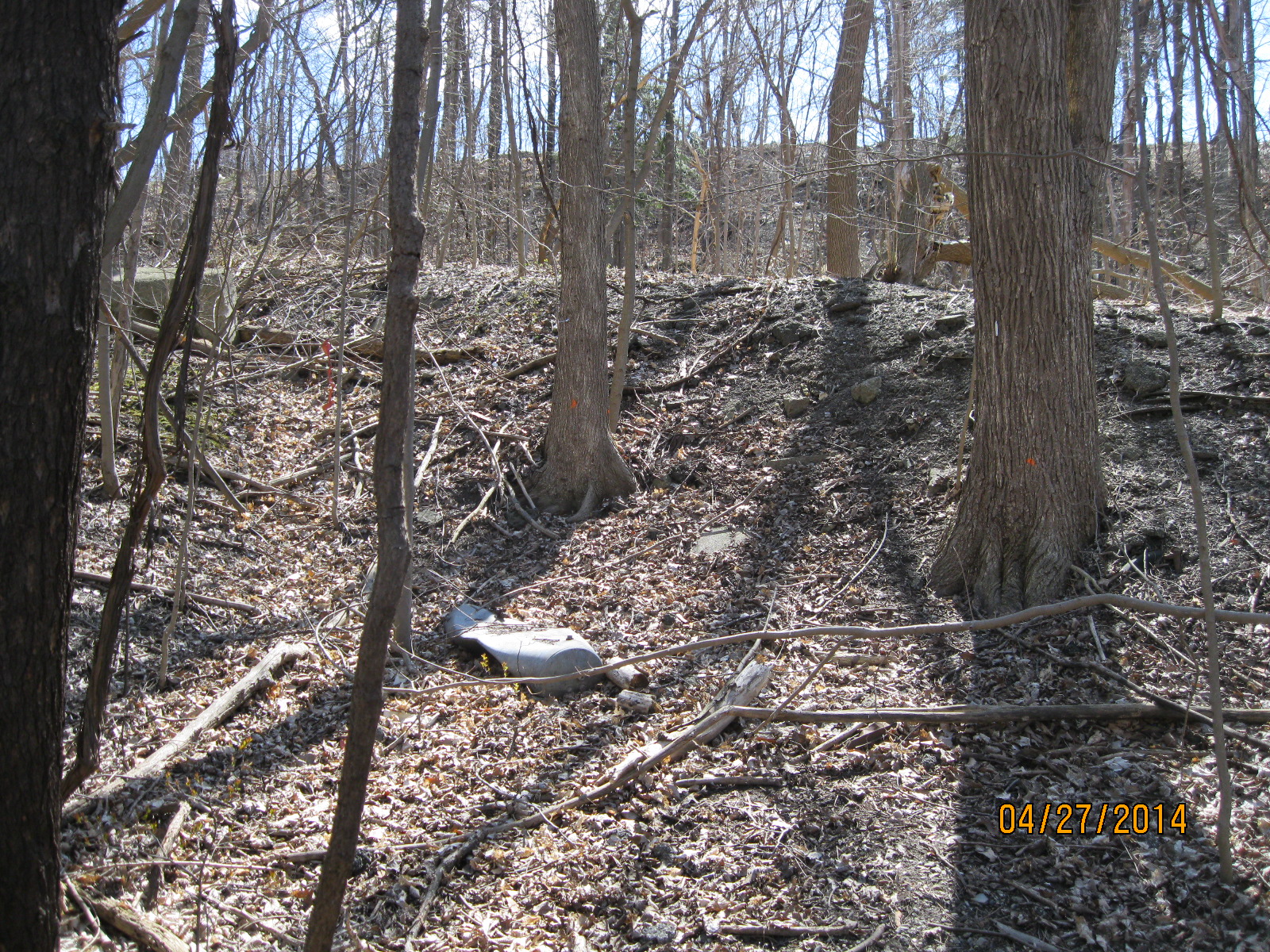
After skirting the edge of the hill for a short while you will come across a ramp coming down the hillside.  This is the end of Old Eglinton Road when it used to come down the hill and out to the railroad tracks as recently as the 1970’s.  There is some garbage along the north side of the roadway but nothing to specifically date the rubbish.  Lots of Ketchup bottles but unfortunately Heinz never took to dating their bottles.

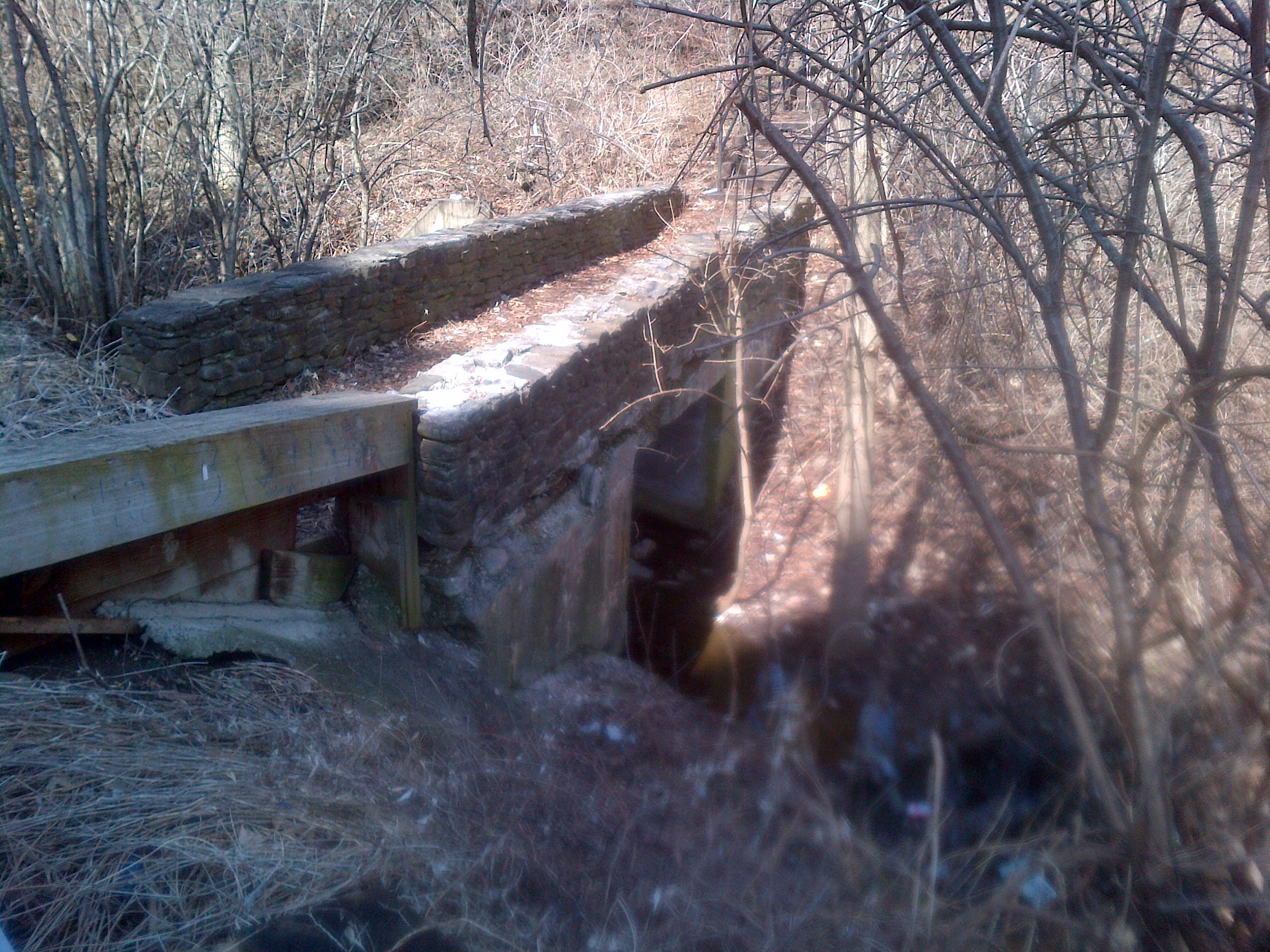
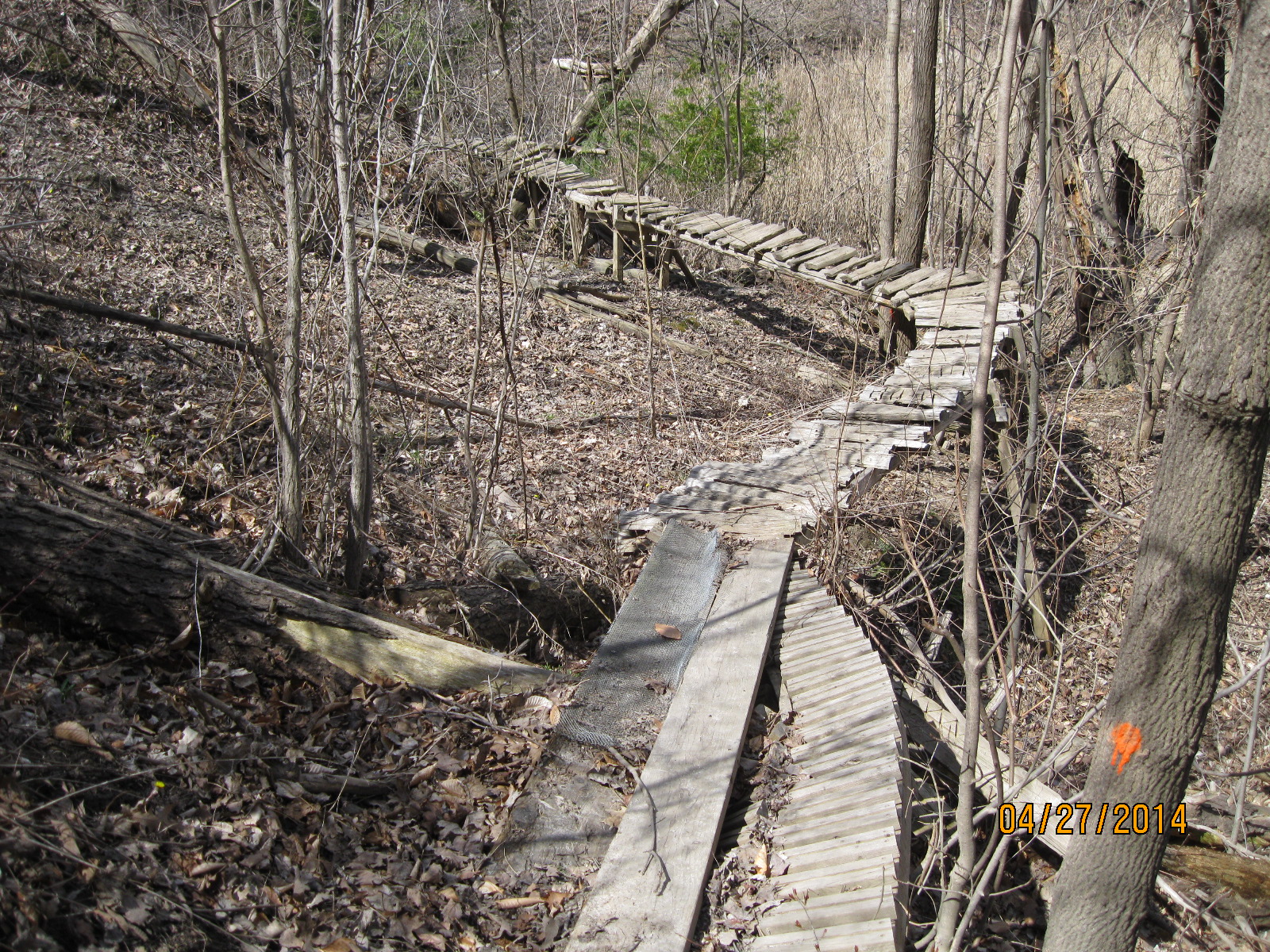
Following the trail a little further brings you to a small stream that disappears under the railroad tracks and runs under the golf course to the East Don River.  If you take the trail away from the tracks and midway along the side of the hill you will come to a place to cross the stream where it flows out of a large culvert.  Crossing the culvert and turning to your right you will find a set of five footings from an old bridge.  The footings on the north side have been broken up, but still remain.  I disturbed a pair of cardinals who likely have a nest here.  As usual they’re a little camera shy and don’t sit still long enough to get their picture taken.

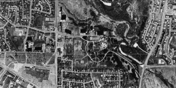
Old Eglinton Road as seen in this 1971 aerial photo.  The road can be seen cutting through the trees in the lower right hand corner.  The new Eglinton Ave is marked where it runs a couple hundred meters north of the old road.


Eglinton 1971

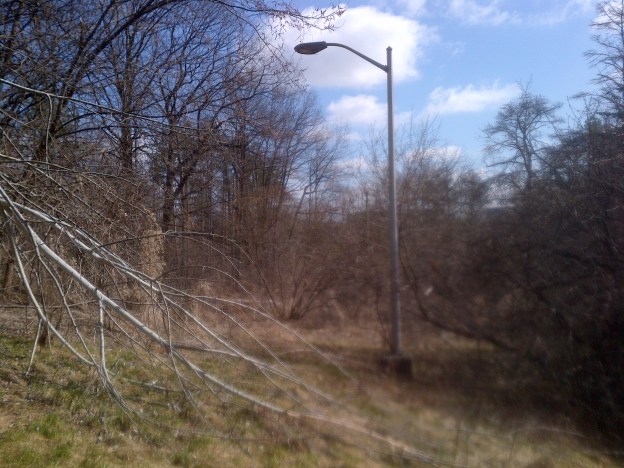
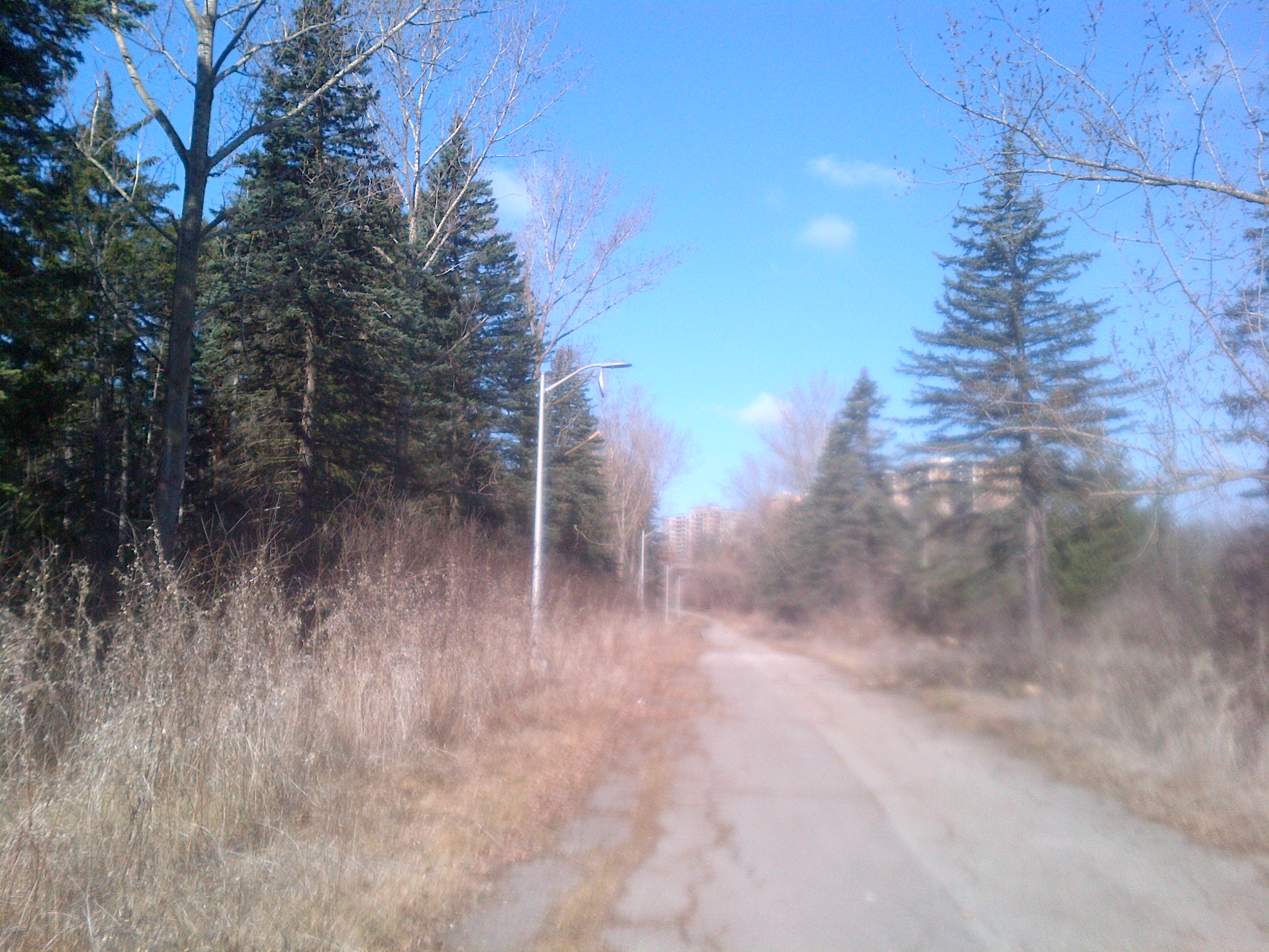
The north side of the bottom end of Old Eglinton Road as it descends the hill.

IMG_1839


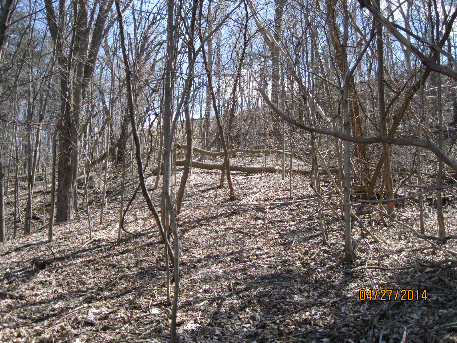
Looking up the hill on Old Eglinton road the trees are well established.

IMG_1840


Hiking by myself, I decided not to try this bridge.  There is a little trail that will lead you up and around.

IMG_1844


Hiding in the trees and leading straight up the hill into the side of a building are five concrete supports for a bridge.  As of this writing I can’t find anything on them.


IMG_1848

Visit us at http://www.facebook.com/hikinthegta

Humber River at Finch and Islington

Saturday, April 20, 2014

Islington Avenue and Finch Avenue.

It was a sunny morning around 3 degrees C.  The first part of the hike was in the south-west corner of the intersection.  This is a small area where there is fairly recent growth with lots of underbrush.  We found an old culvert set in shale rocks in the brush.  The roadway that passed over it would have run north-south parallel to Islington.   Aside from the culvert, we saw plenty of deer tracks in the woods.

Crossing Finch, we hiked in the north-west corner of the intersection.  Here there is an old roadway which has been closed off from its connection with Finch Ave.   Research from the Toronto Archive aerial photographs shows this area was closed off between 1983 and 1992, likely when Finch was extended across the river.

A large deer, likely a buck was seen climbing the hill to the west of the old road.  We didn’t see it again but there are lots of trails littered with piles of deer poop.  We also saw the carcass of a dead animal, perhaps a beaver.  Lots of birds were seen including woodpeckers, robins, ducks and geese.  High up in the trees we could see that the buds were out but at ground level, there was still no sign of new growth.

1983 Aerial photo of Islington and Finch.

Finch 1983

1992 Aerial photo of Islington and Finch

Finch 1992

It has now been closed for about 25 years but it appears to be maintained at least enough that the broken trees from the Dec. 23, 2013 ice storm have been cleared away.  On the south side of Finch all traces are lost except the culvert.

IMG-20140419-00152

A little further along was found an older foot bridge across a side stream that runs through the ditch.  This bridge is made of poured concrete with a layer of river rocks on the top which gives it its aged look.

IMG-20140419-00153

An older pathway down from a school ground to the roadway has been totally overgrown.  The lamp posts are all that mark the pathway.

IMG-20140419-00154

(A return visit in October 2016, told the story of this site as the Country Hospital For Sick Children)

Like us at http://www.facebook.com/hikingthegta

Follow us at http://www.hikingthegta.com