Category Archives: Don River

Marita Payne Pond

Sunday, September 19, 2021

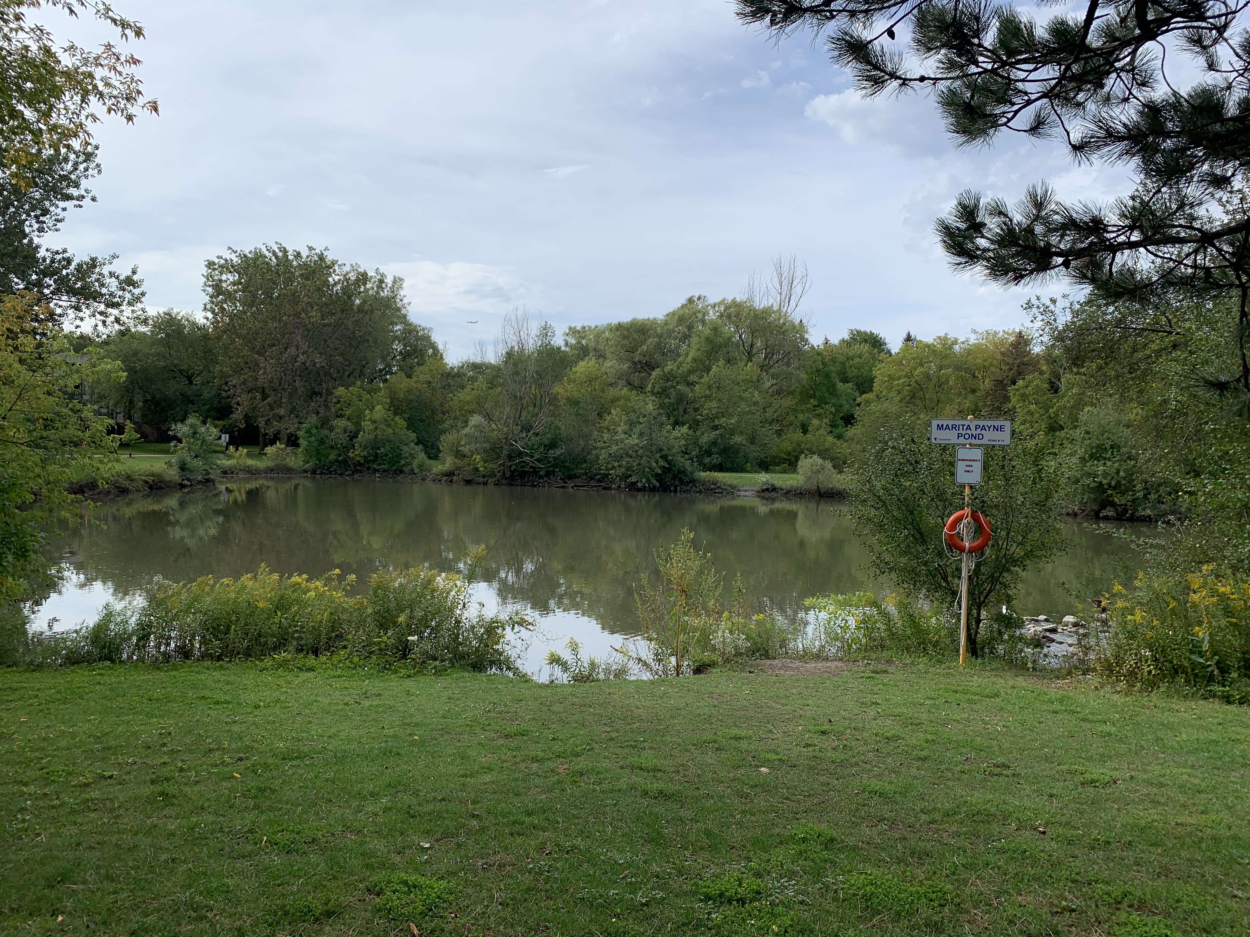
Marita Payne Pond is in a small residential park that follows the Don River through the Dufferin Road and Steeles Avenue area. The pond, and the park it is located in are named after Marita Payne who is a Vaughan resident. She is remembered for winning two silver medals in the 1984 Summer Olympics in Los Angeles. She is also currently a co-holder of the Canadian record for the 400-metre dash.

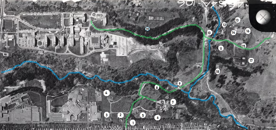
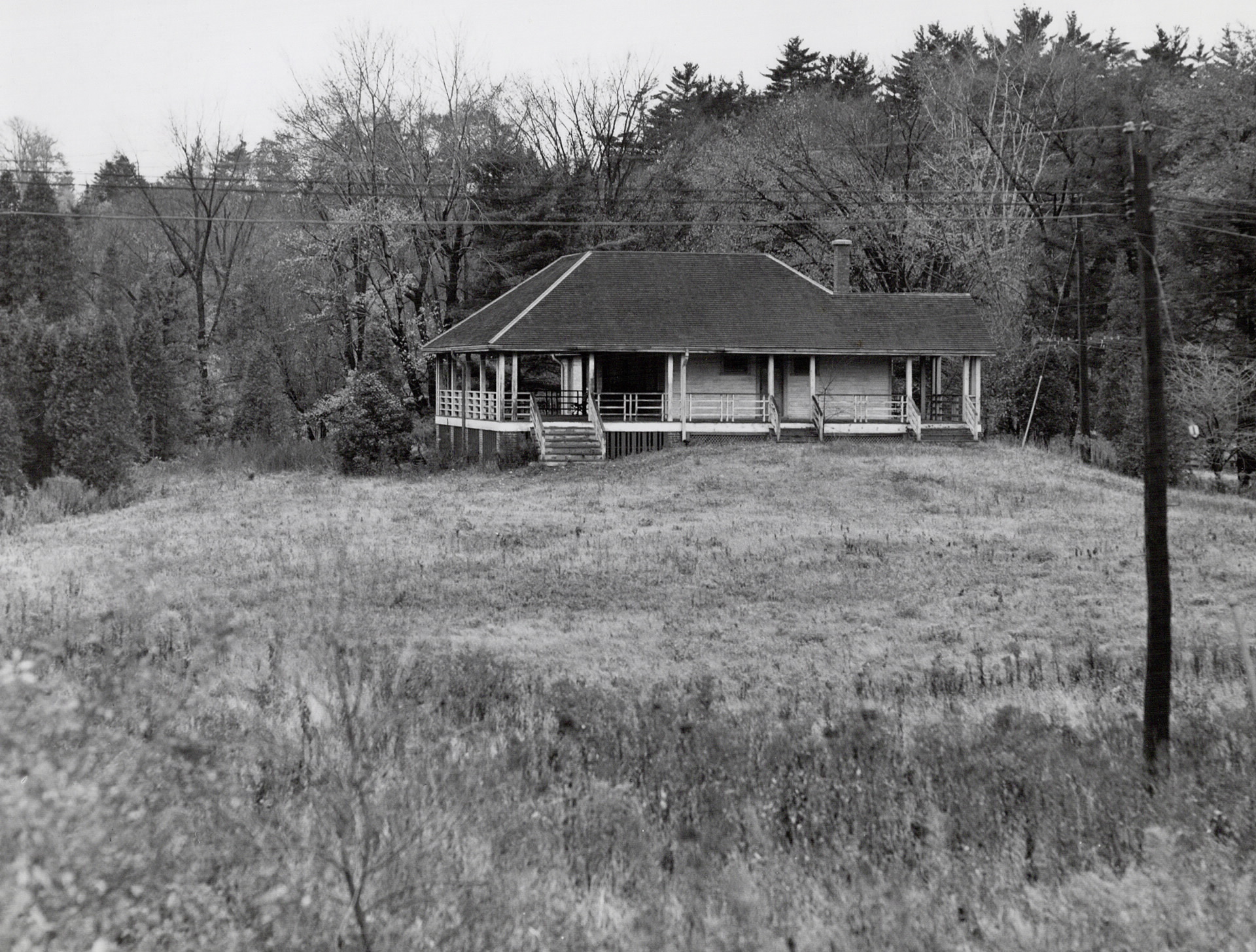
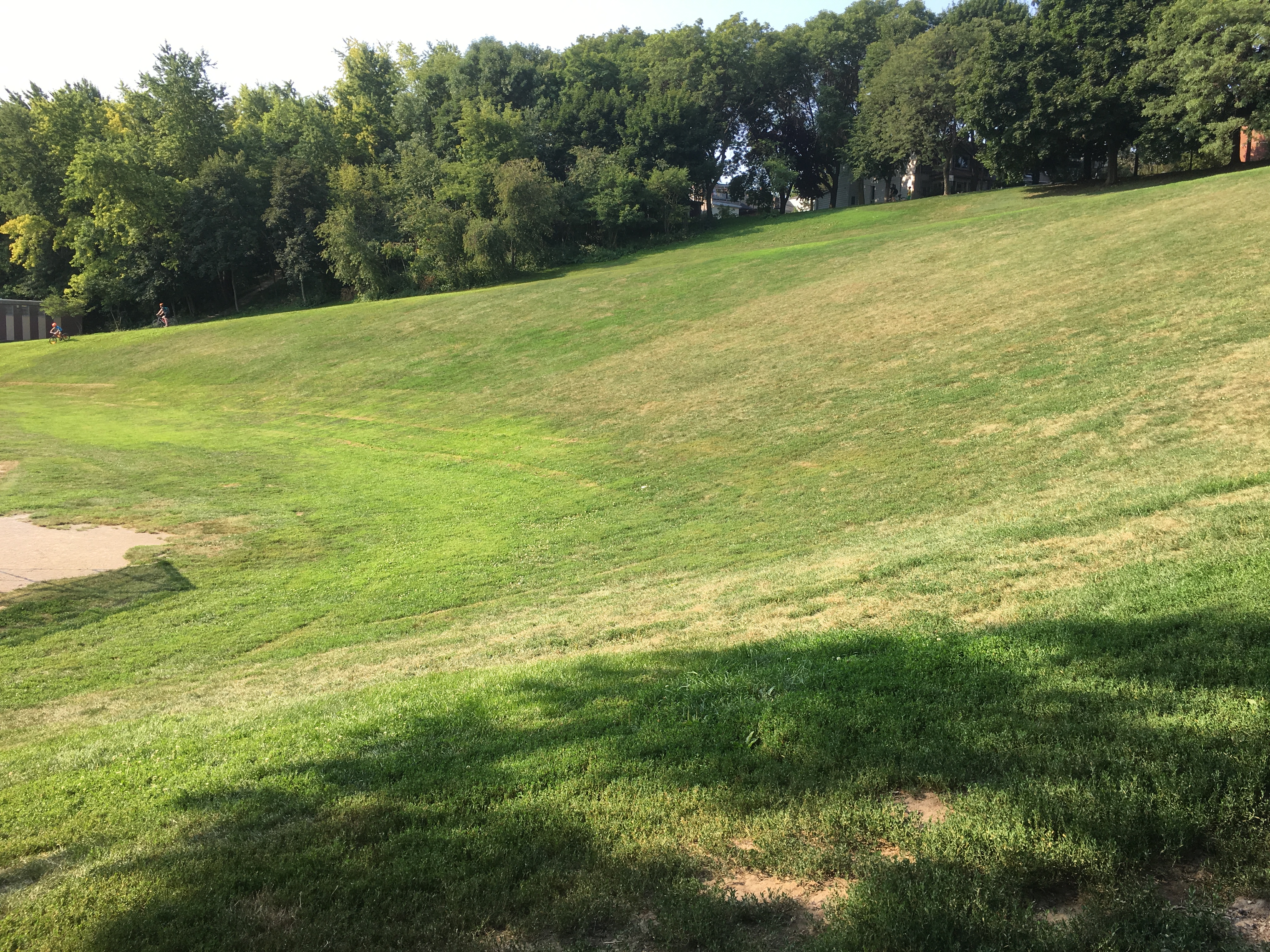
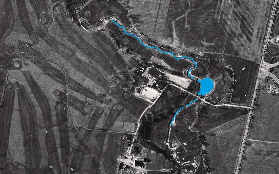
The park was developed on the grounds of the former Glen Shields Golf Course (1952-1979) where it ran along both sides of the Don River. The 1967 aerial photo below is from the Toronto Archives and shows the river and an earlier pond where Marita Payne Pond is today. The fairways and greens from the old golf course can still be seen in the picture. The table lands were developed for housing while the ravine areas were turned into Glen Shields Park and Marita Payne Park.

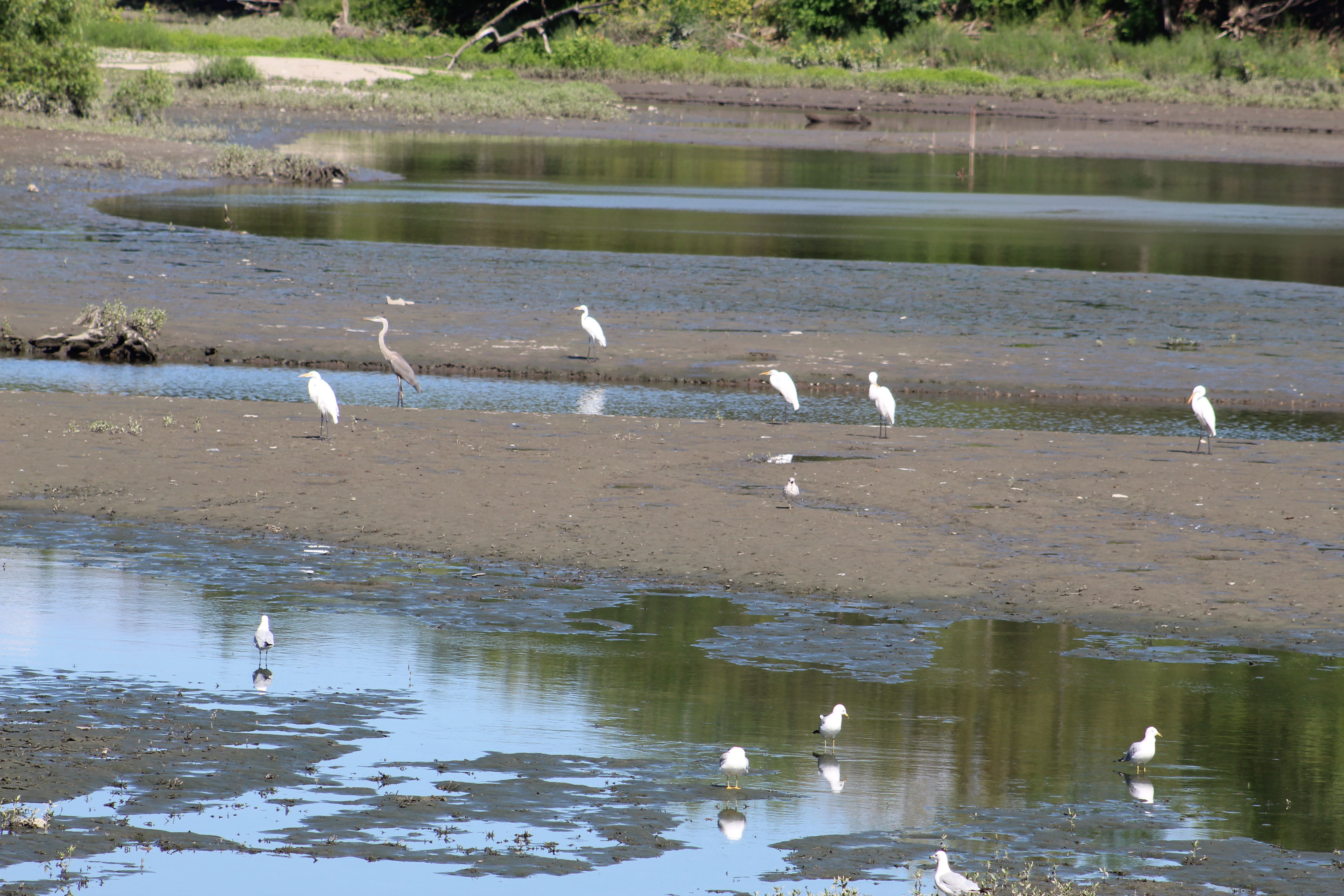
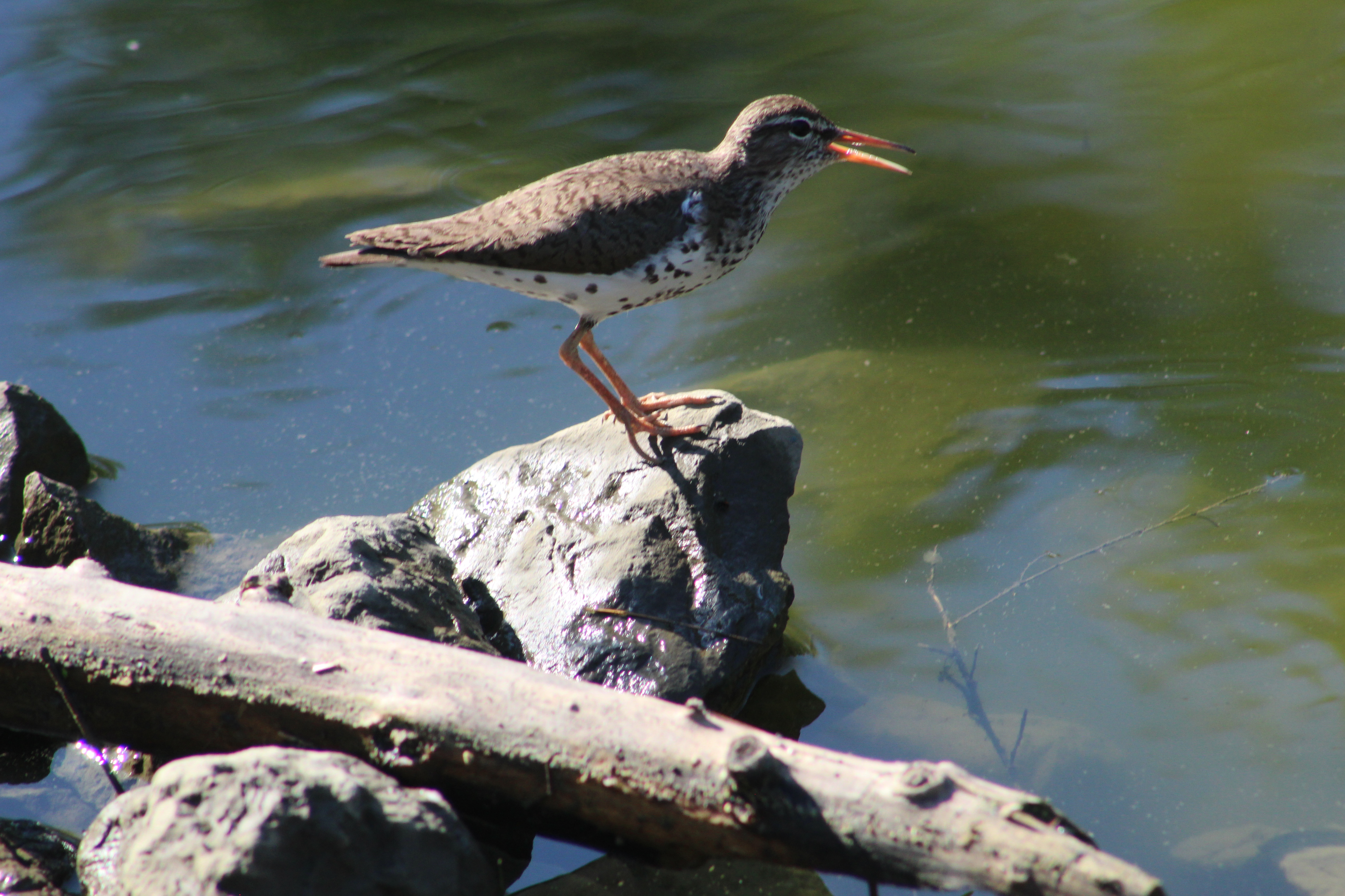
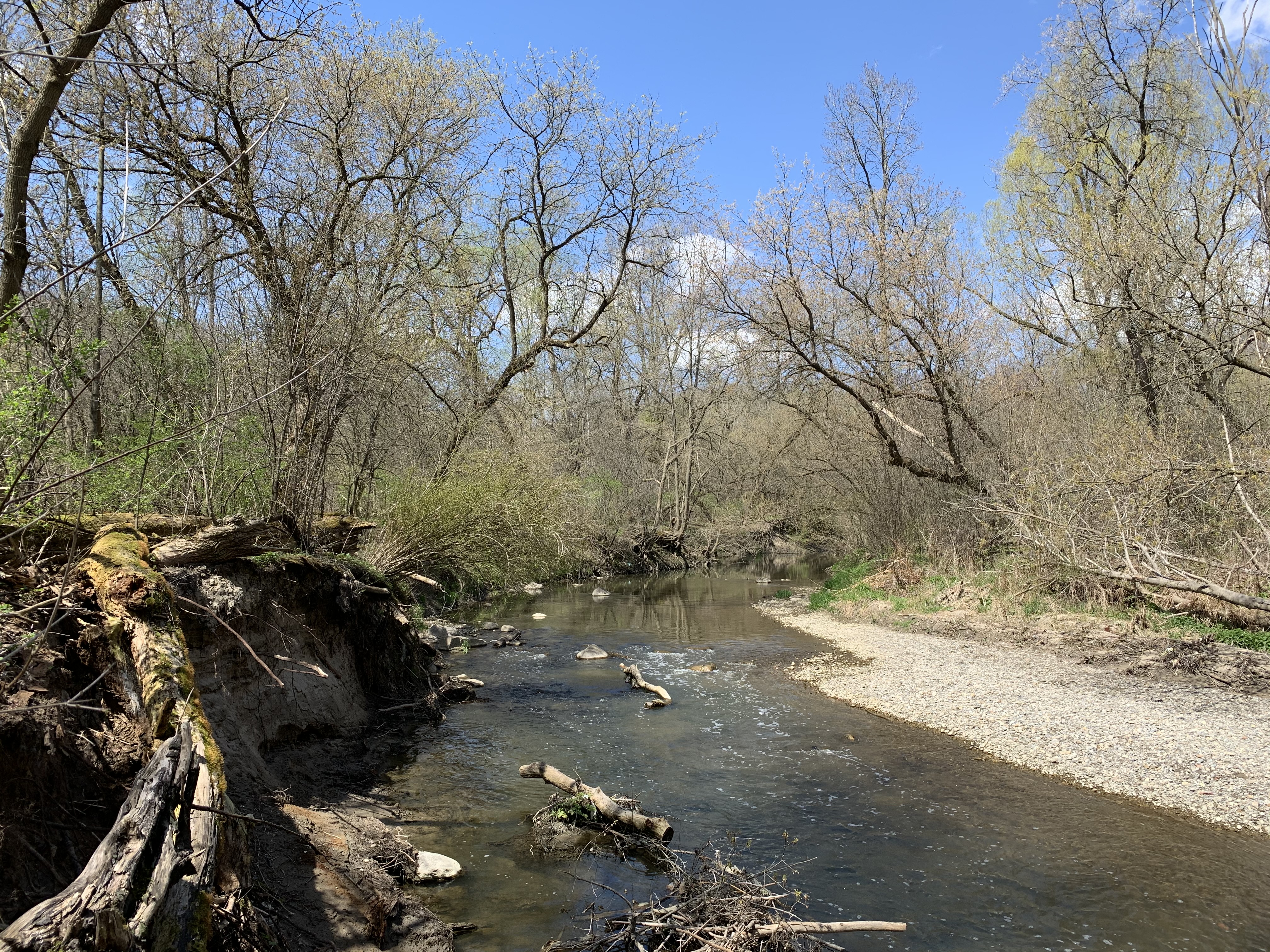
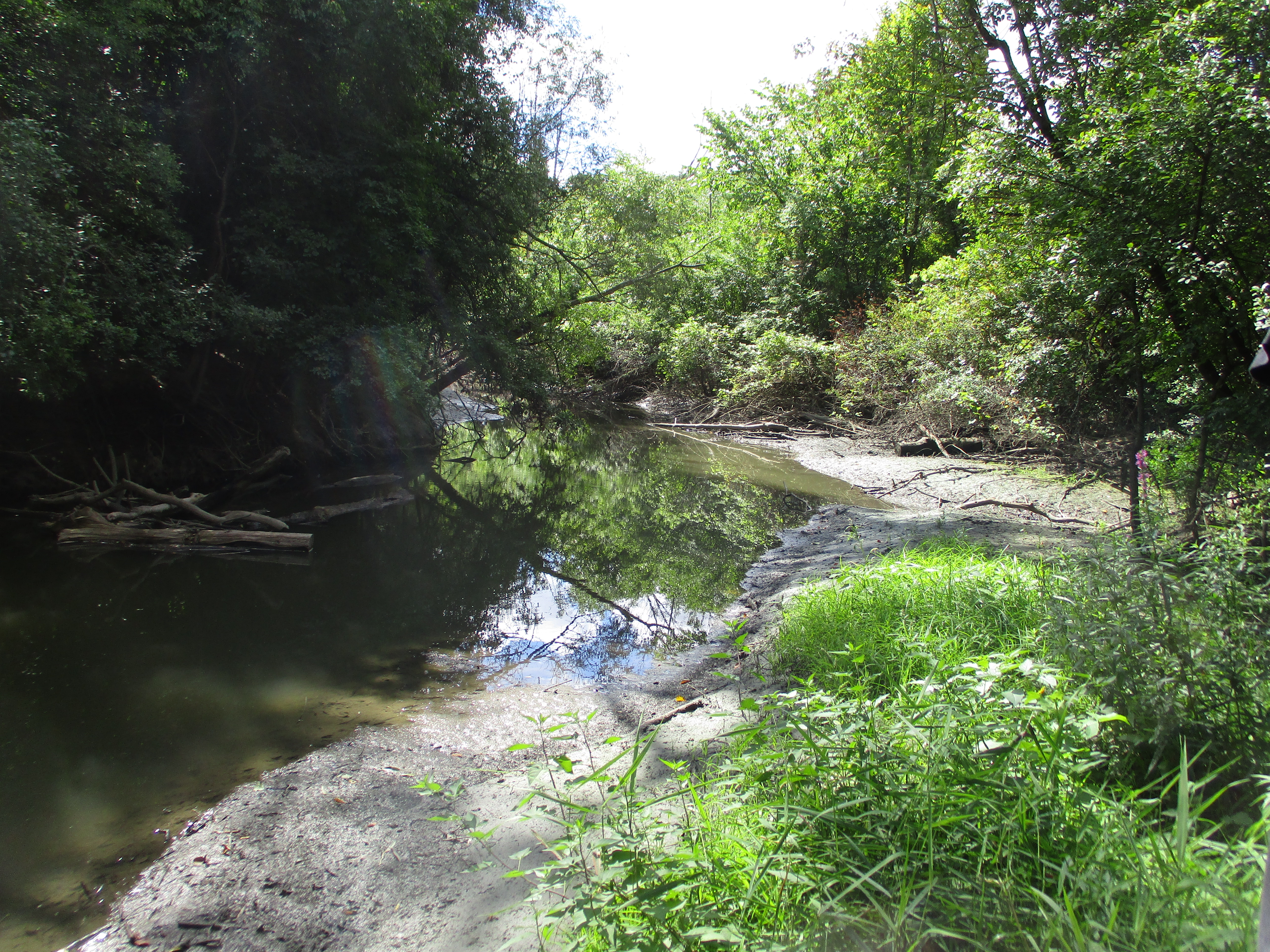
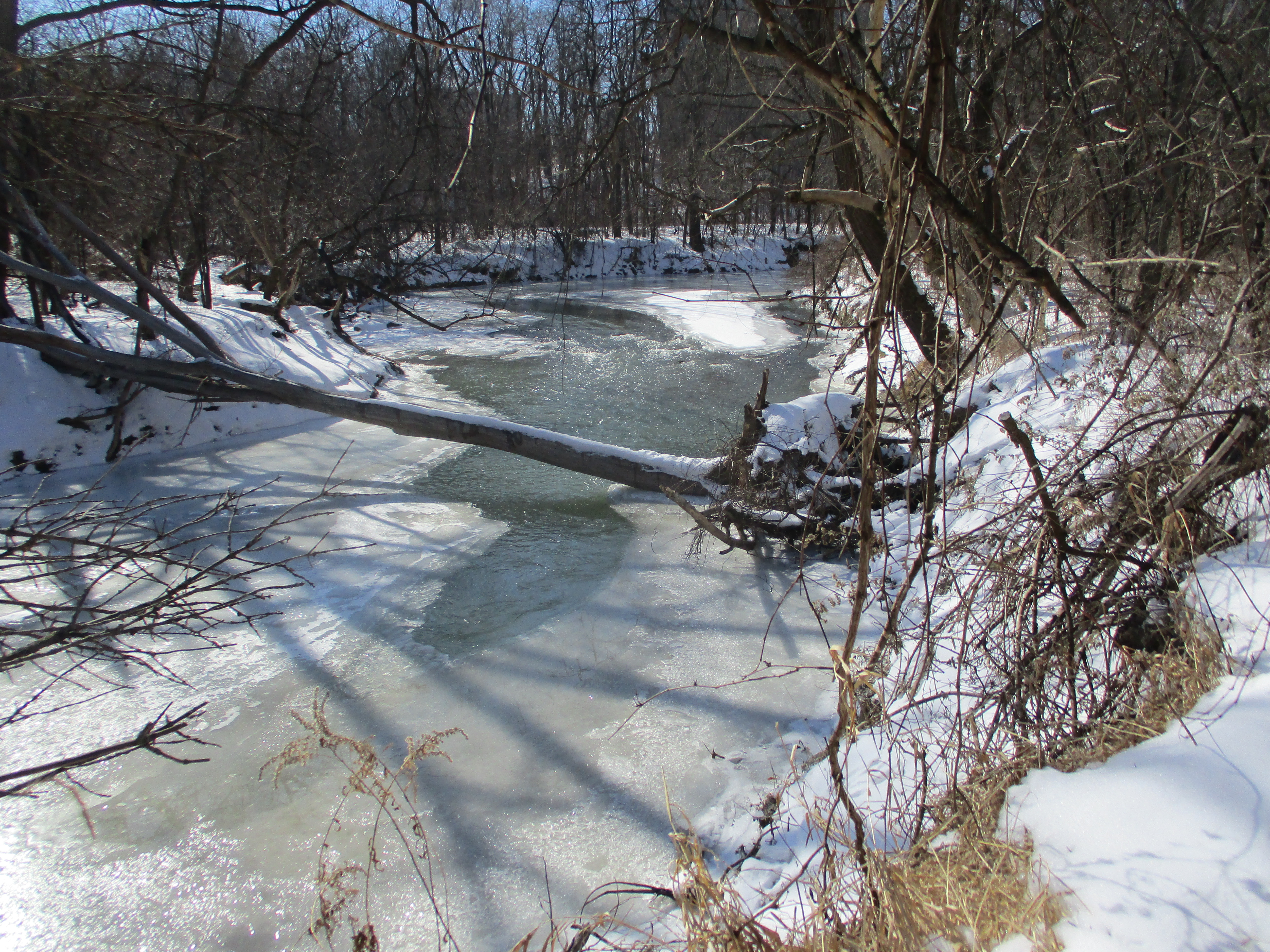
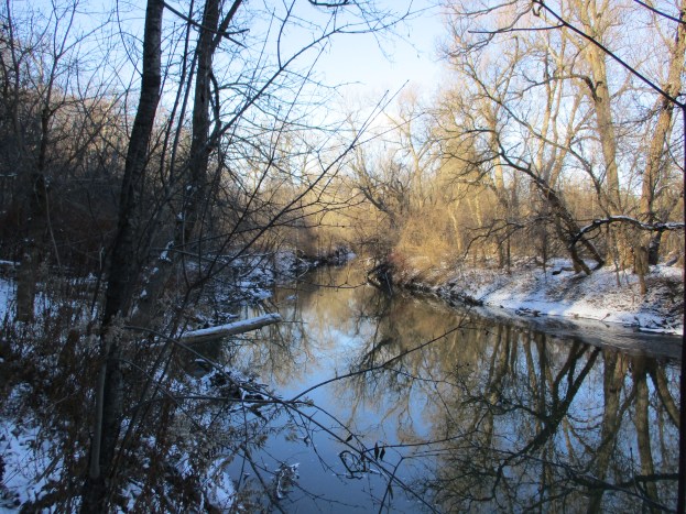
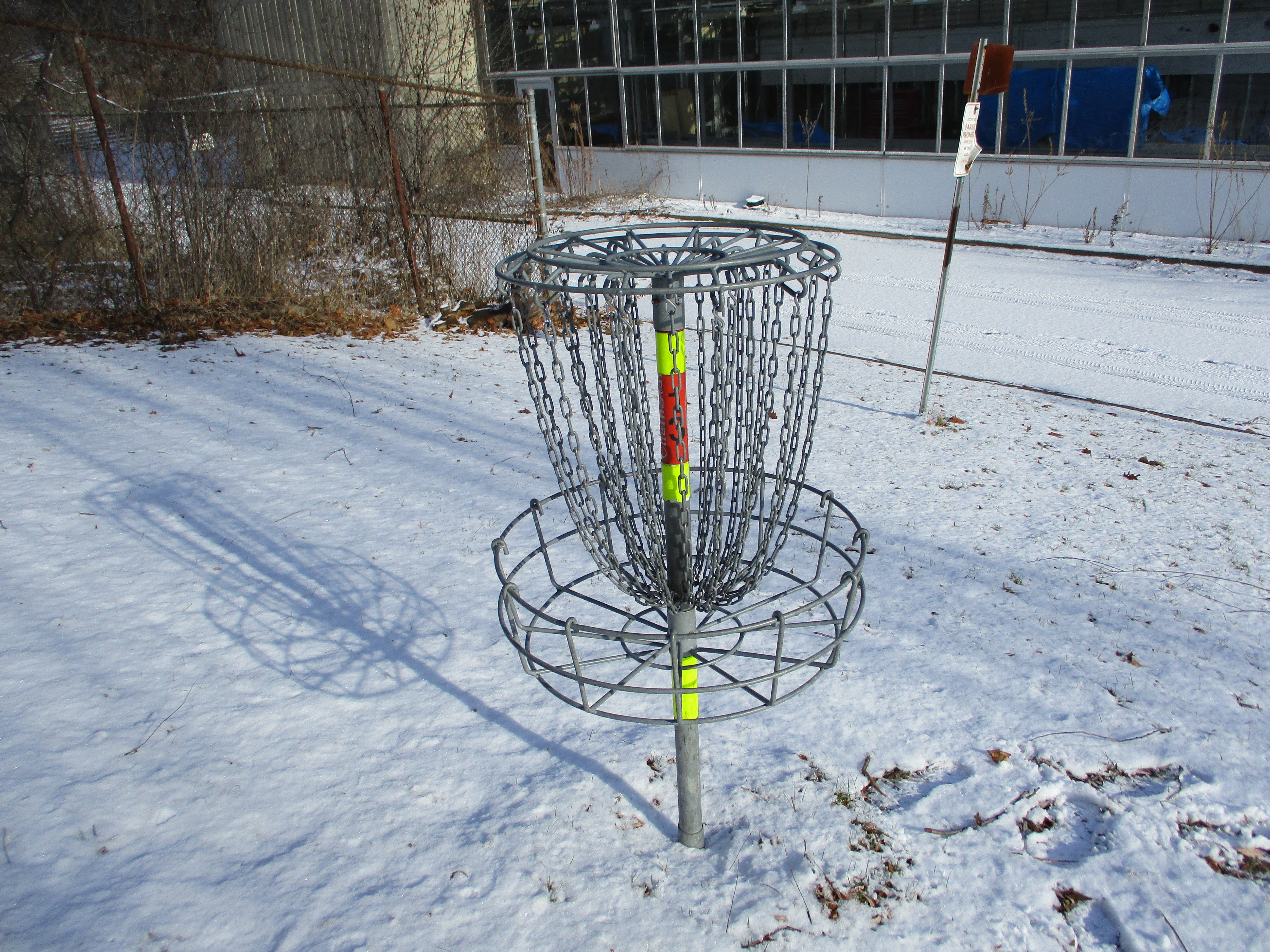
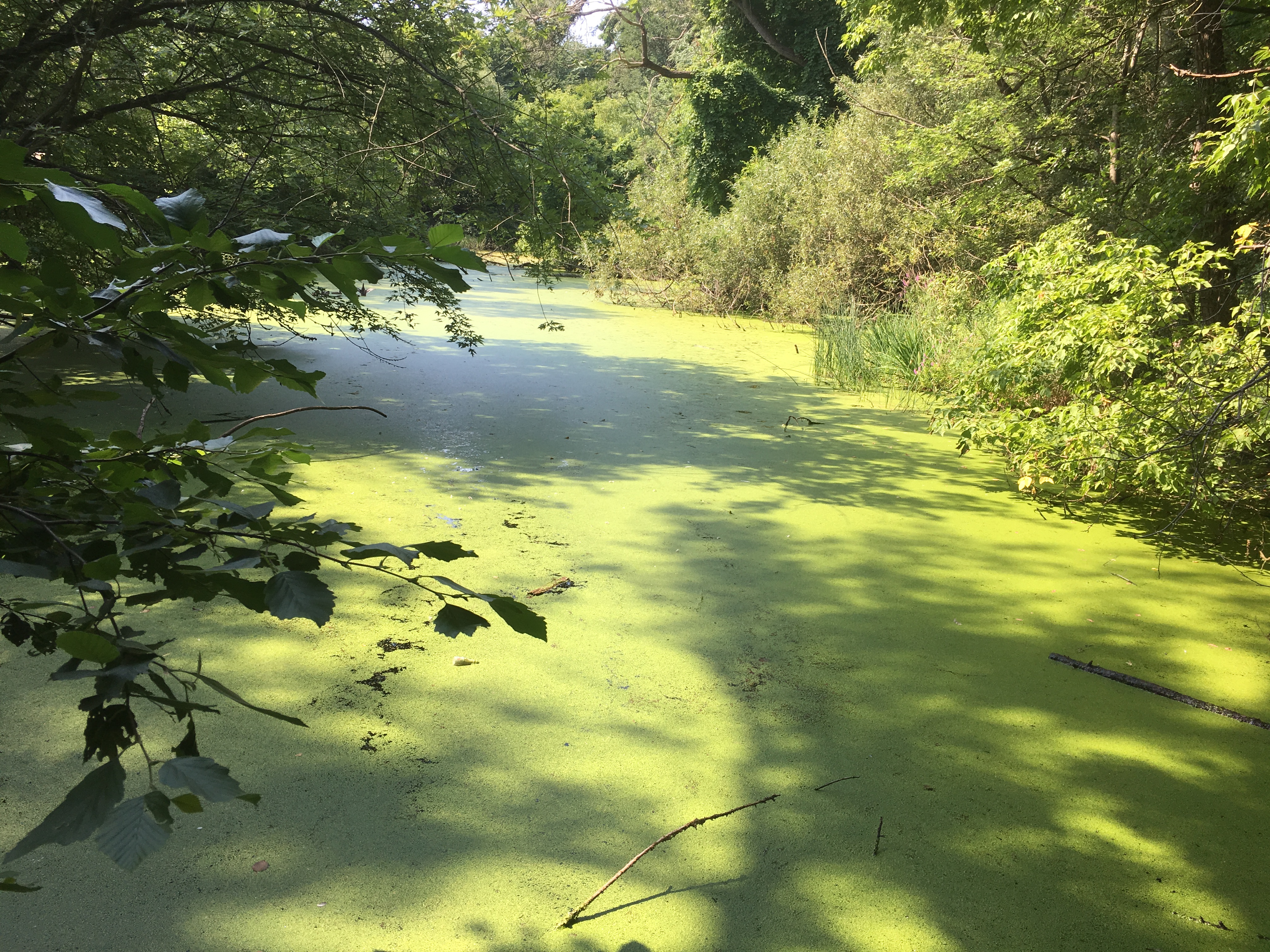
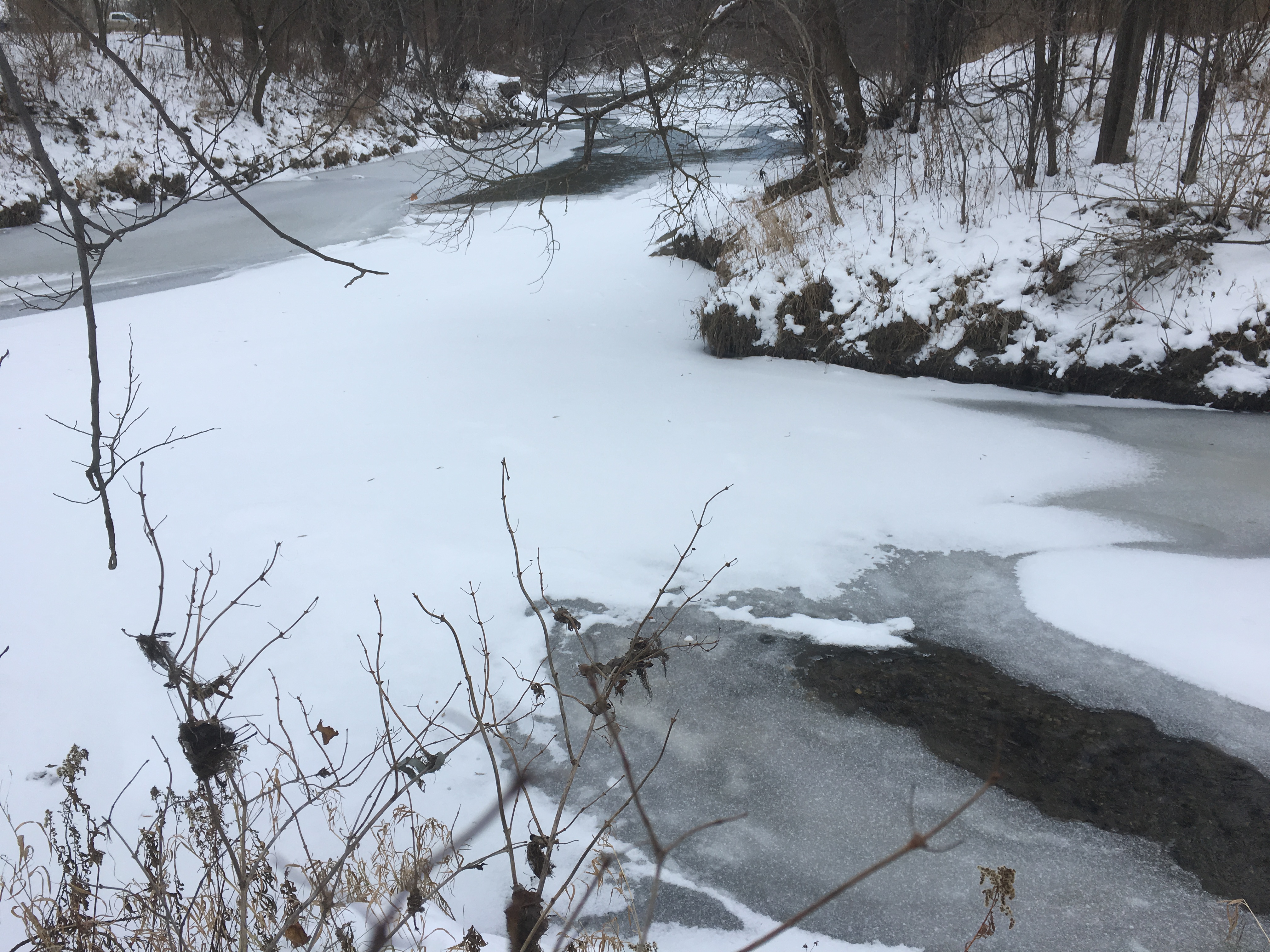
The pond serves as a flood control feature by holding heavy rainfall until it can be slowly released into the Don River. The pond is fairly small but has a surprising amount of wildlife.

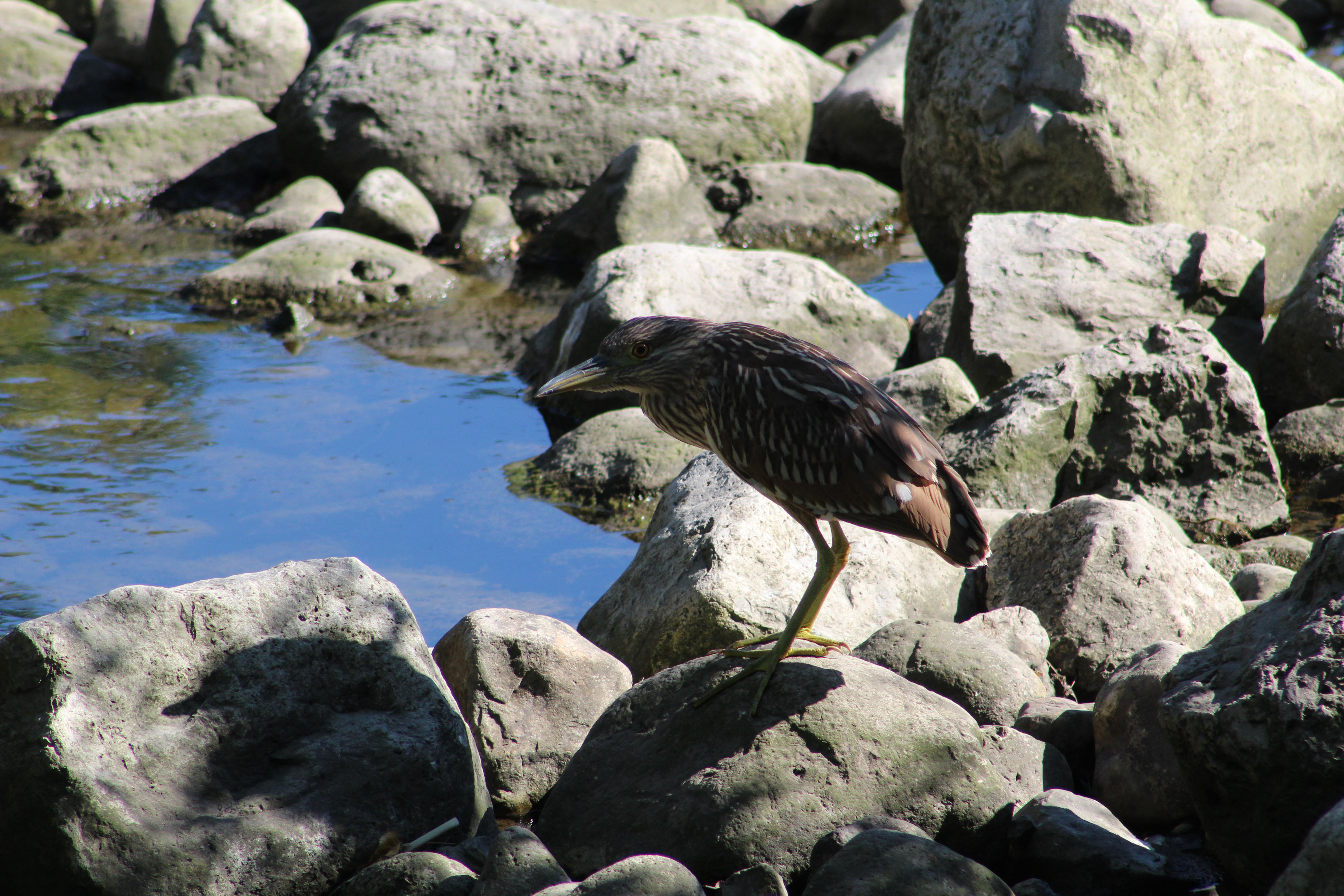
Although the pond has been home to a Great Blue Heron for the past several summers it was a pleasant surprise to see a juvenile Black-crowned Night Heron standing on the rocks at the storm water outfall into the pond. Juveniles have a brown colour with lighter streaks and a pale yellow beak. As they mature the belly turns a pale white and they develop a black crown and back. As their name suggests, they are nocturnal and do most of their feeding in the evenings. During the day they can be hard to spot because they sleep in trees or dense foliage. The average Black-crowned Night Heron can expect to live for about 20 years.

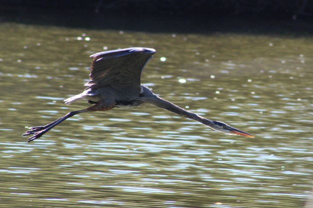
Great Blue Herons, on the other hand tend to live for around 17 years. With their wingspan of nearly two meters they are able to reach speeds of 55 kilometers per hour in flight. It’s common for them to nest in large colonies and then fly for up to an hour each day to reach their feeding places. There has been a Great Blue Heron at Marita Payne Pond for several years in a row and it’s likely the same one each year. Birds that have been banded for tracking purposes are known to migrate to the same place each winter and return to the same nesting grounds each spring. For some reason many of these birds moved farther north this spring and we seem to have a lot more of them in the GTA. The Great Blue Heron in the cover photo is a second one, the first time I have ever seen two at this little pond. It is flying with its neck stretched out straight unlike the normal retracted “S” curve we usually see when they’re in flight.

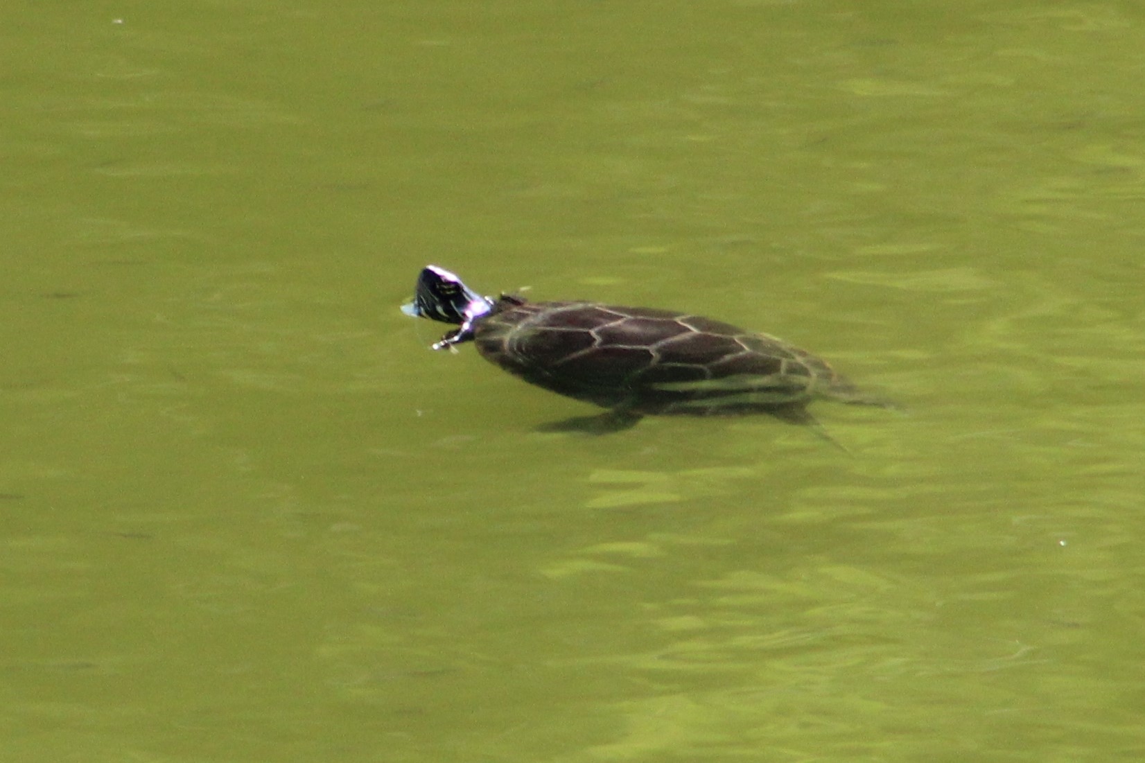
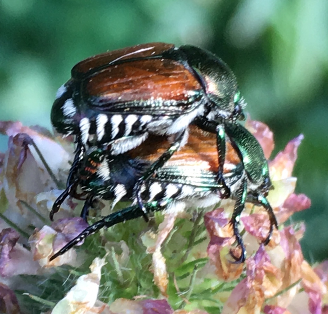
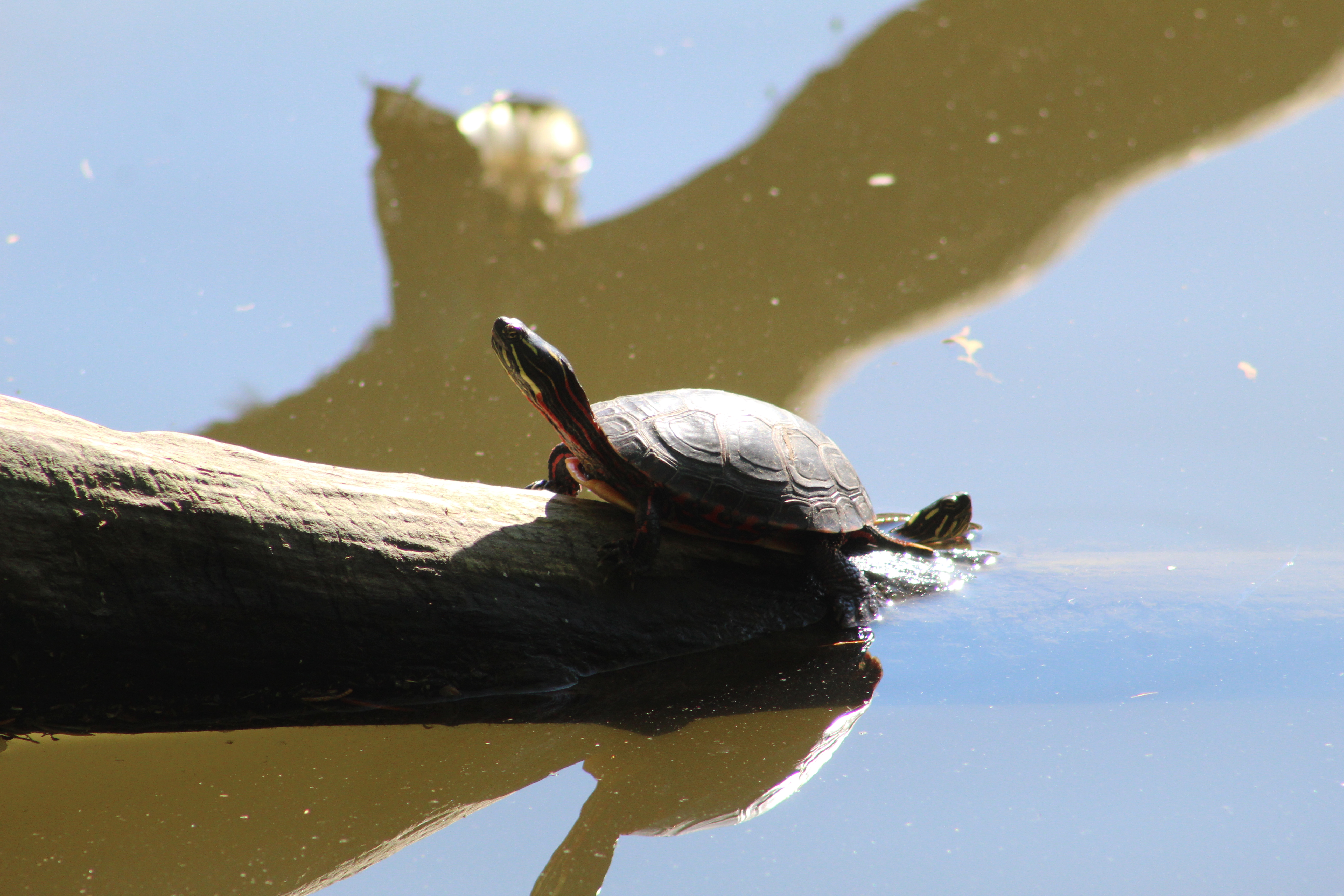
Painted Turtles usually live between 20 and 30 years but some have been known to survive for 50 years. When you see the feet of Painted Turtles you may notice that some of them have long nails while others have relatively short ones. The long-nailed ones are the males and they use them to stroke the female turtle on the head to indicate interest in mating. If she is tickled correctly she will dive to the bottom of the water and wait for him to come and mate. When I took the picture below I thought there was just one turtle in it but a second one decided to photobomb my picture. That was nice of it.

Call Ducks are domesticated and sometimes kept for pets. They were developed in the mid-19th century as hunting ducks. They were specifically bred to be smaller than average ducks so that they could lure other ducks into funnel traps and then escape through the small exit. They also have a distinct call that carries well and can lure wild ducks from great distances. With the advent of duck whistles and the decline in popularity of hunting, Call Ducks became relatively rare. In the mid-20th century they made a come-back as show ducks and as livestock on hobby farms where they are raised for eggs and food. The pair of Call Ducks at Marita Payne Pond were quite attached to each other and when they decided to sleep they snuggled up and dozed off.

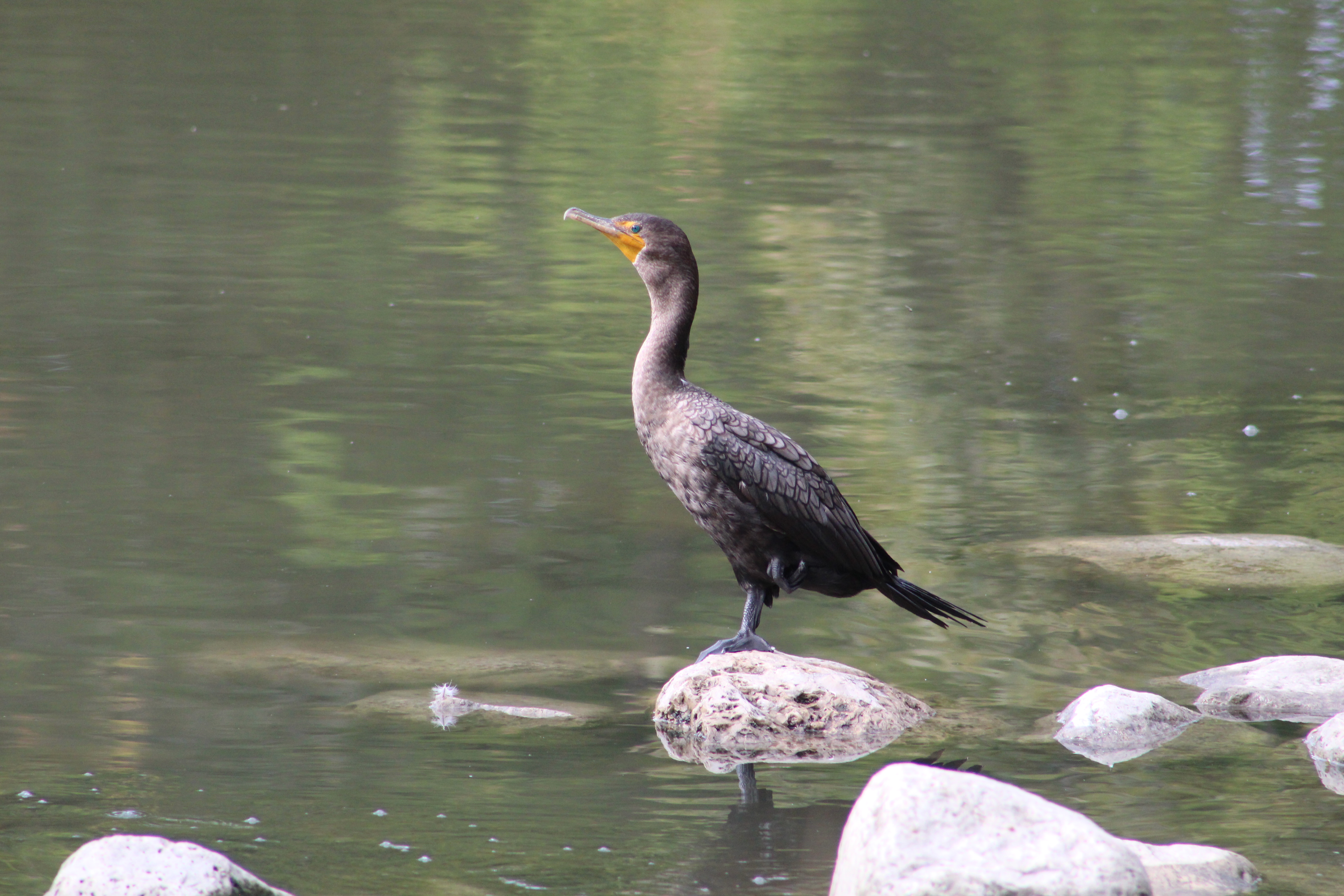
I was surprised to see a Cormorant at Marita Payne Pond for the first time in nearly 20 years of visiting here. An adult Cormorant will eat about a pound of fish per day which is nearly 10,000 pounds in their 23 year lifetime. The pond is said to have Bass, Carp, Sunfish, Catfish and Black Crappie but I wonder if it isn’t being over-fished by the large predatory water birds.

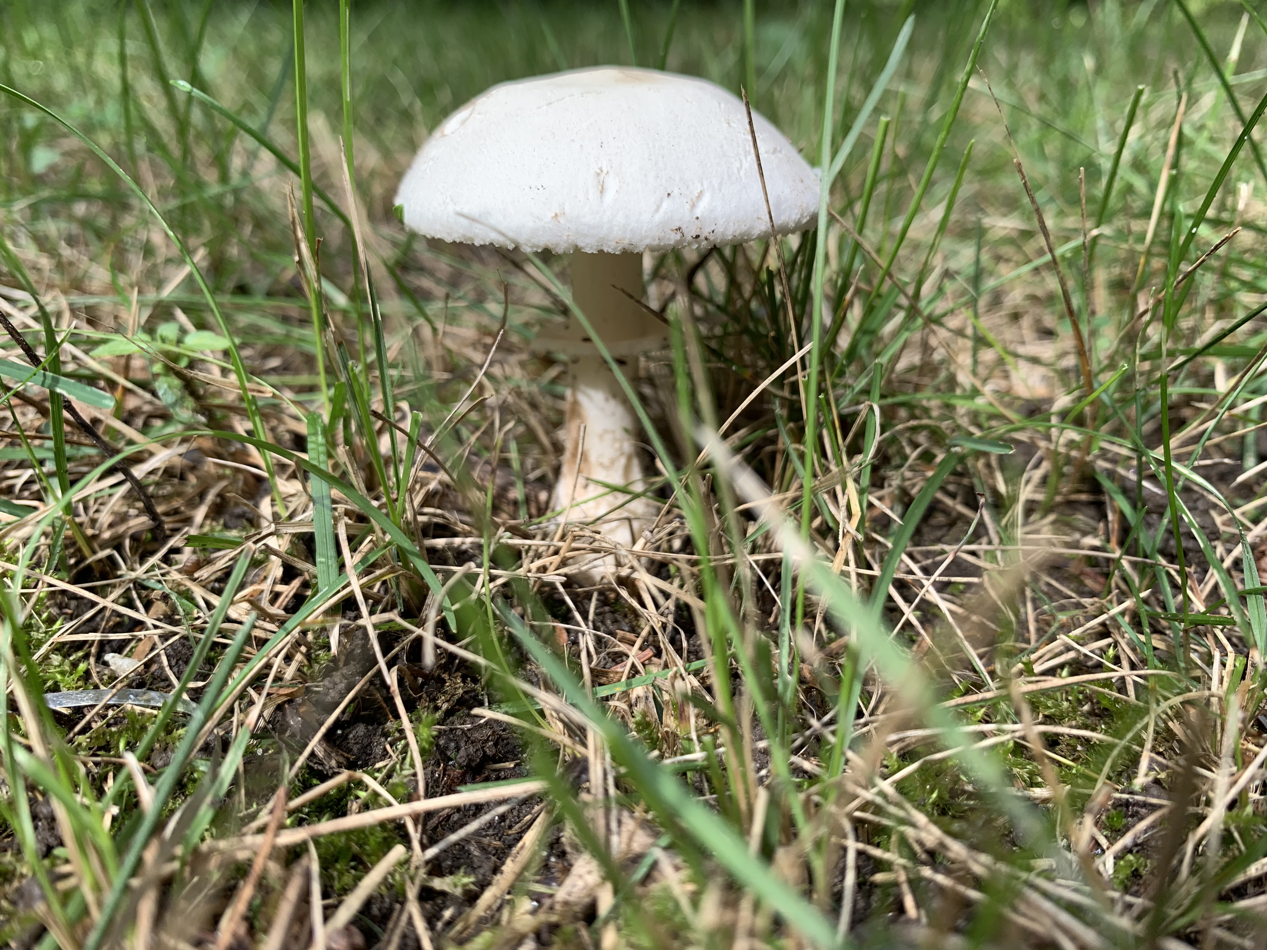
Pleated Inkcap Mushrooms grow in short grass or on wood chips and can be found in the mornings, especially the day after a rain storm. These little mushrooms are also known as Little Japanese Umbrella and the caps are between 1 and 2 centimeters and stand atop a 6 centimeter stem which is only 4-5 millimeters in diameter.

These mushrooms are very frail and thin. The radial grooves that extend from the centre to the edge of the cap match the gills on the underside. They reach maturity around noon and after releasing their spores they bein to fade away. Twenty-four hours later there will be hardly a trace of their coming and going.

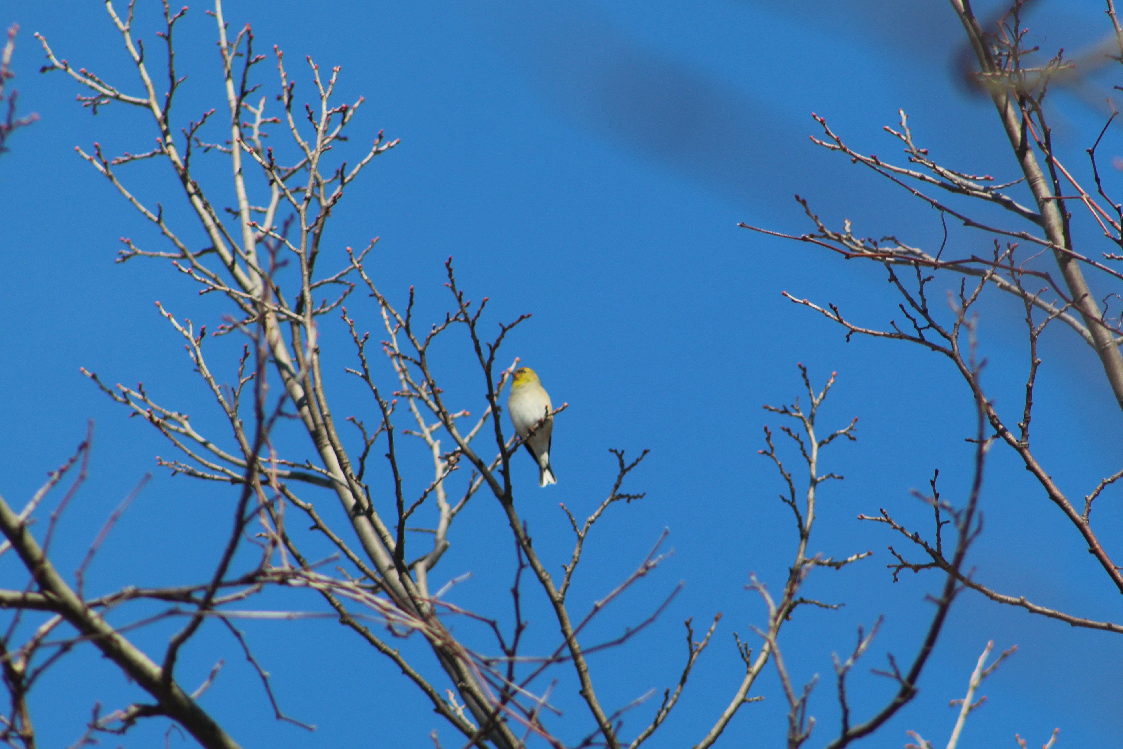
The Eastern Grey Squirrel comes in both grey and black colours. Both can be born in the same litter but some confuse them for two different species. The black ones are more common in the northern range of their habitats while they don’t exist at all in the southern United States. Some populations are also known to have a black body with a red tail and a few groups of albino squirrels have also been reported.

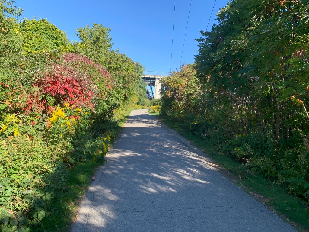
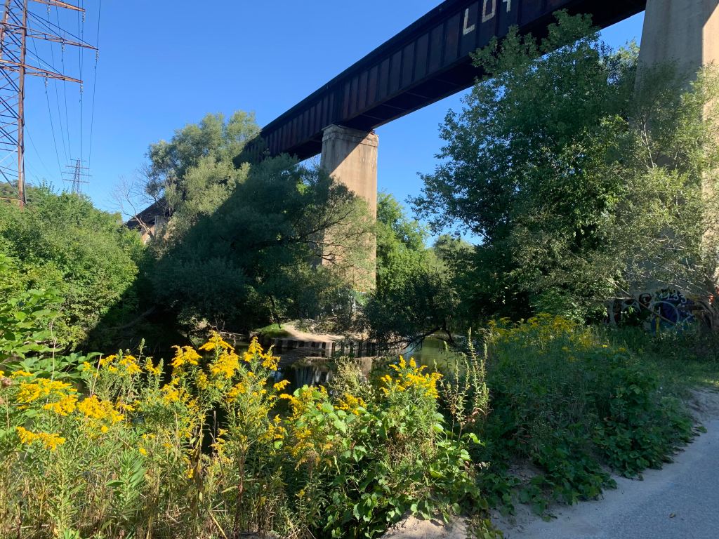
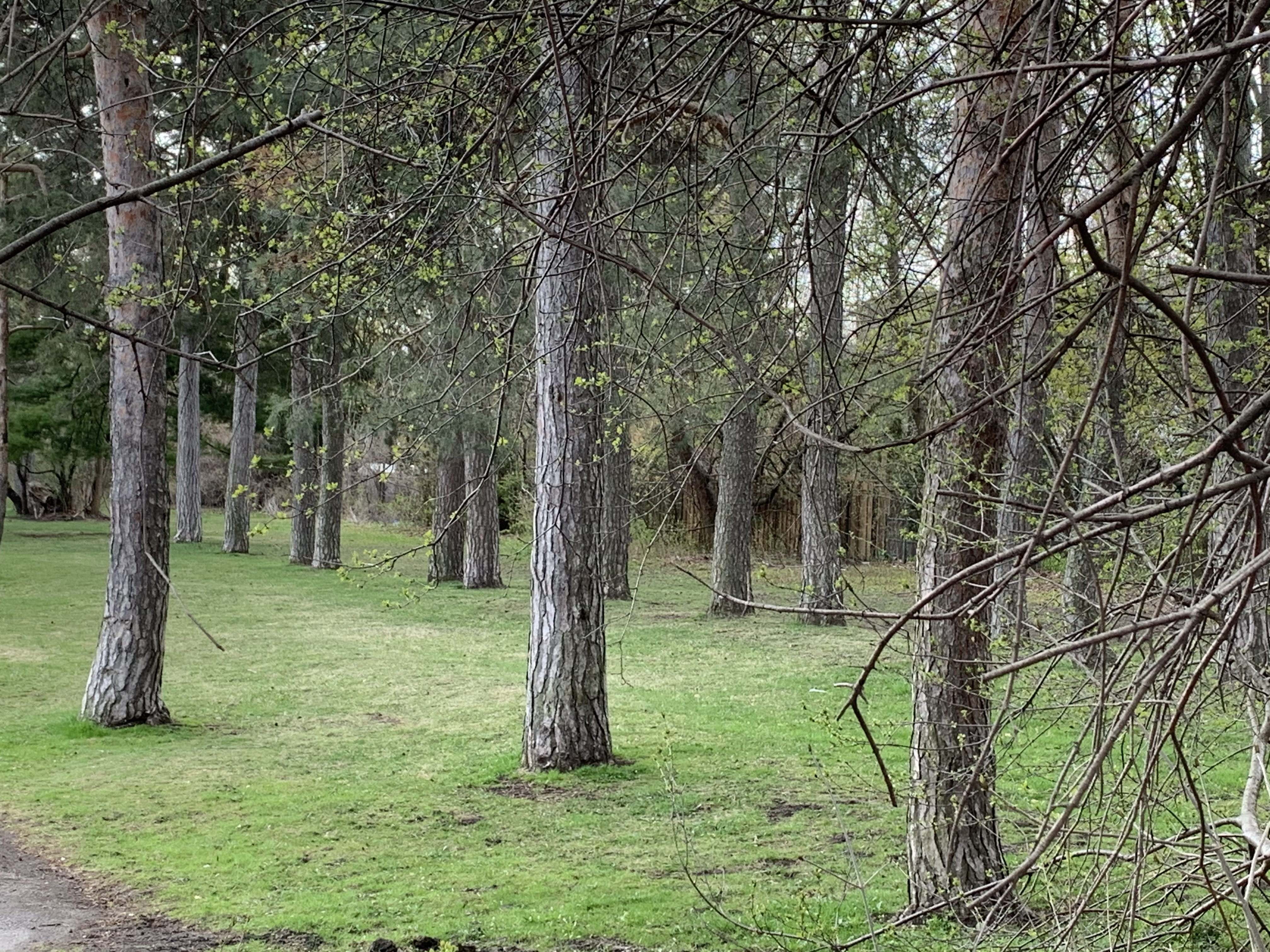
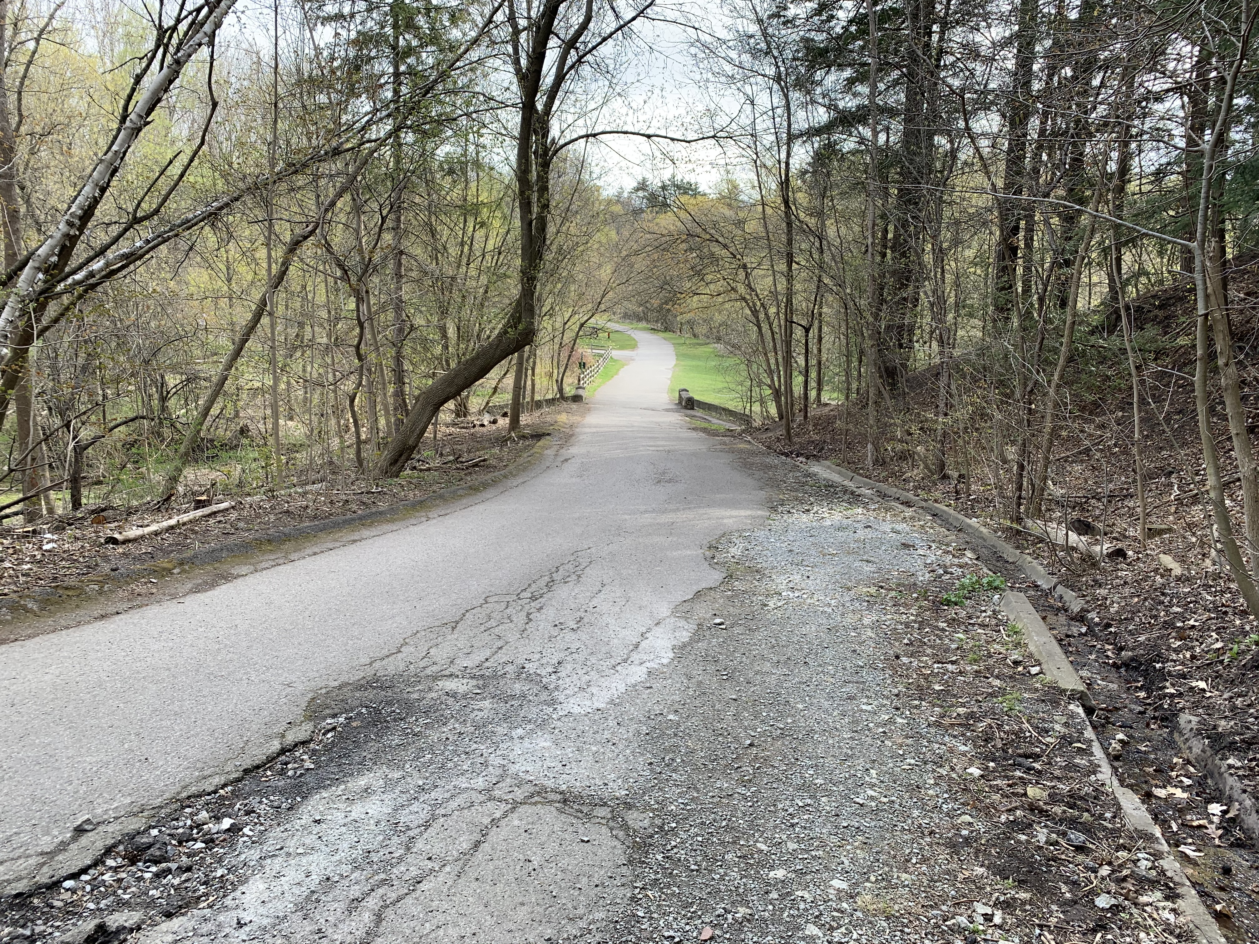
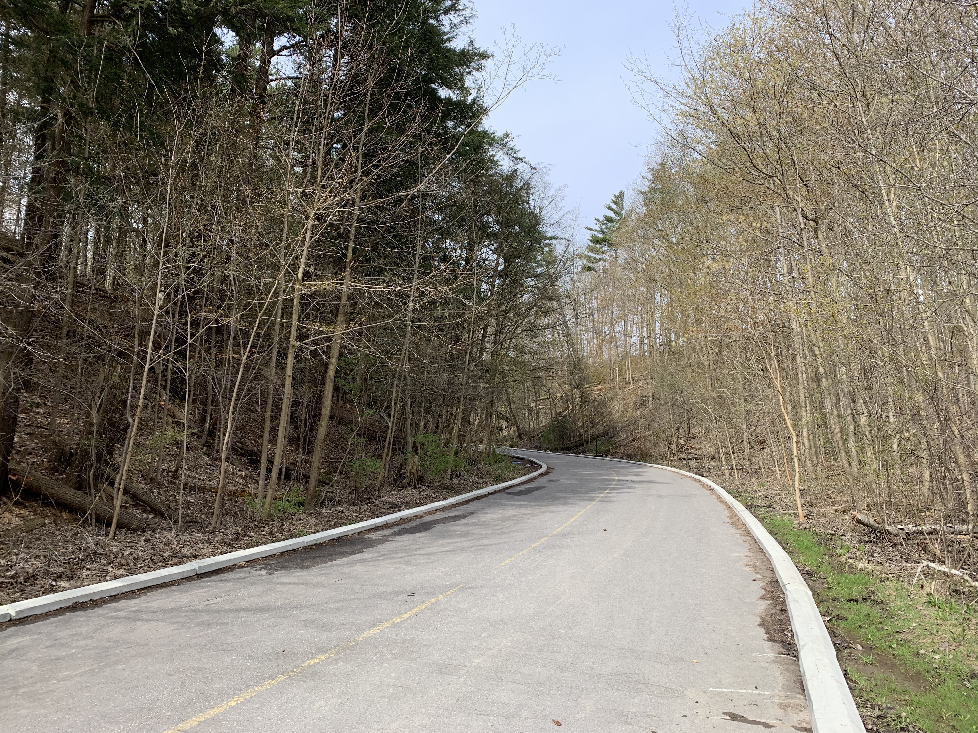
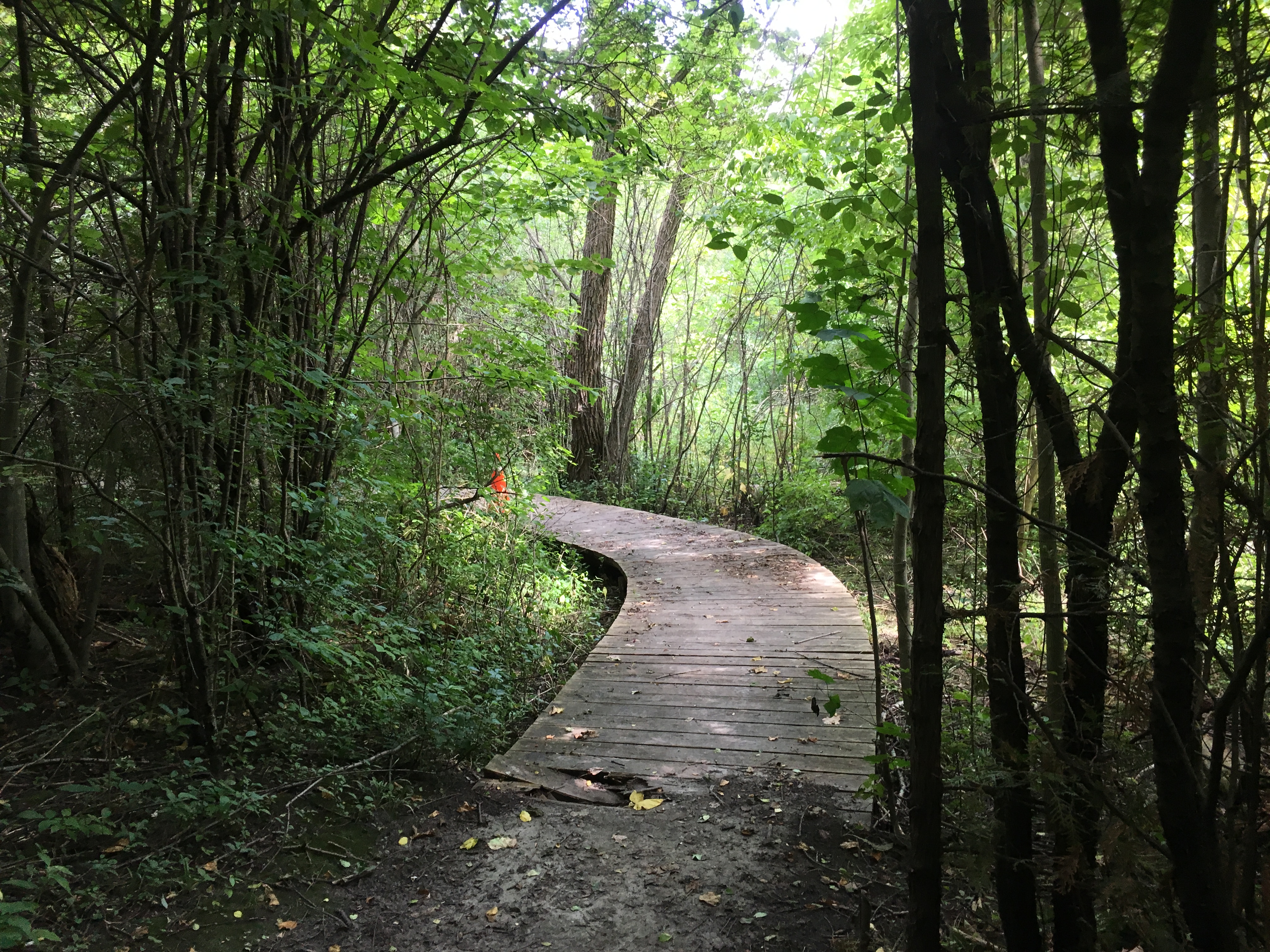
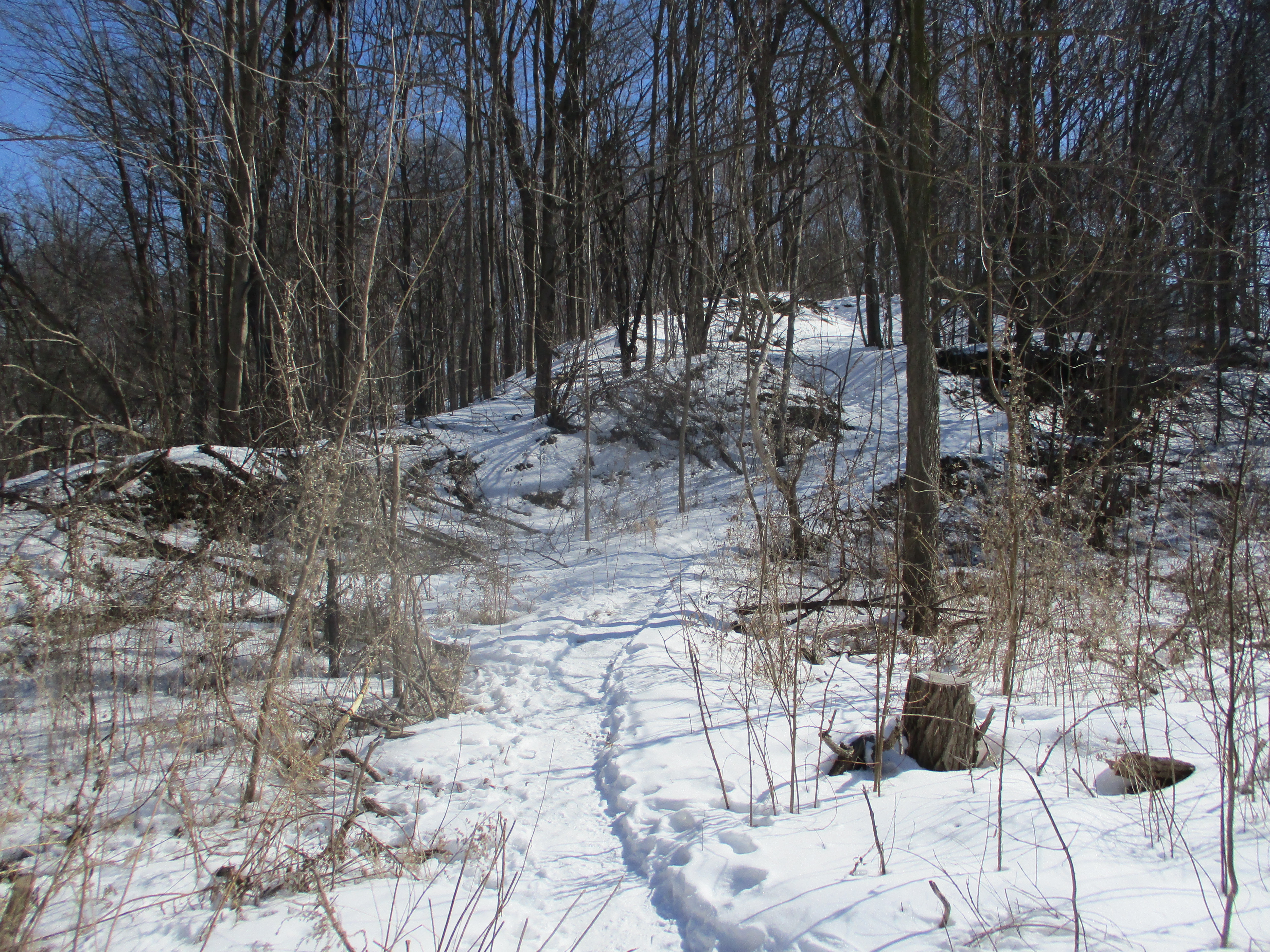
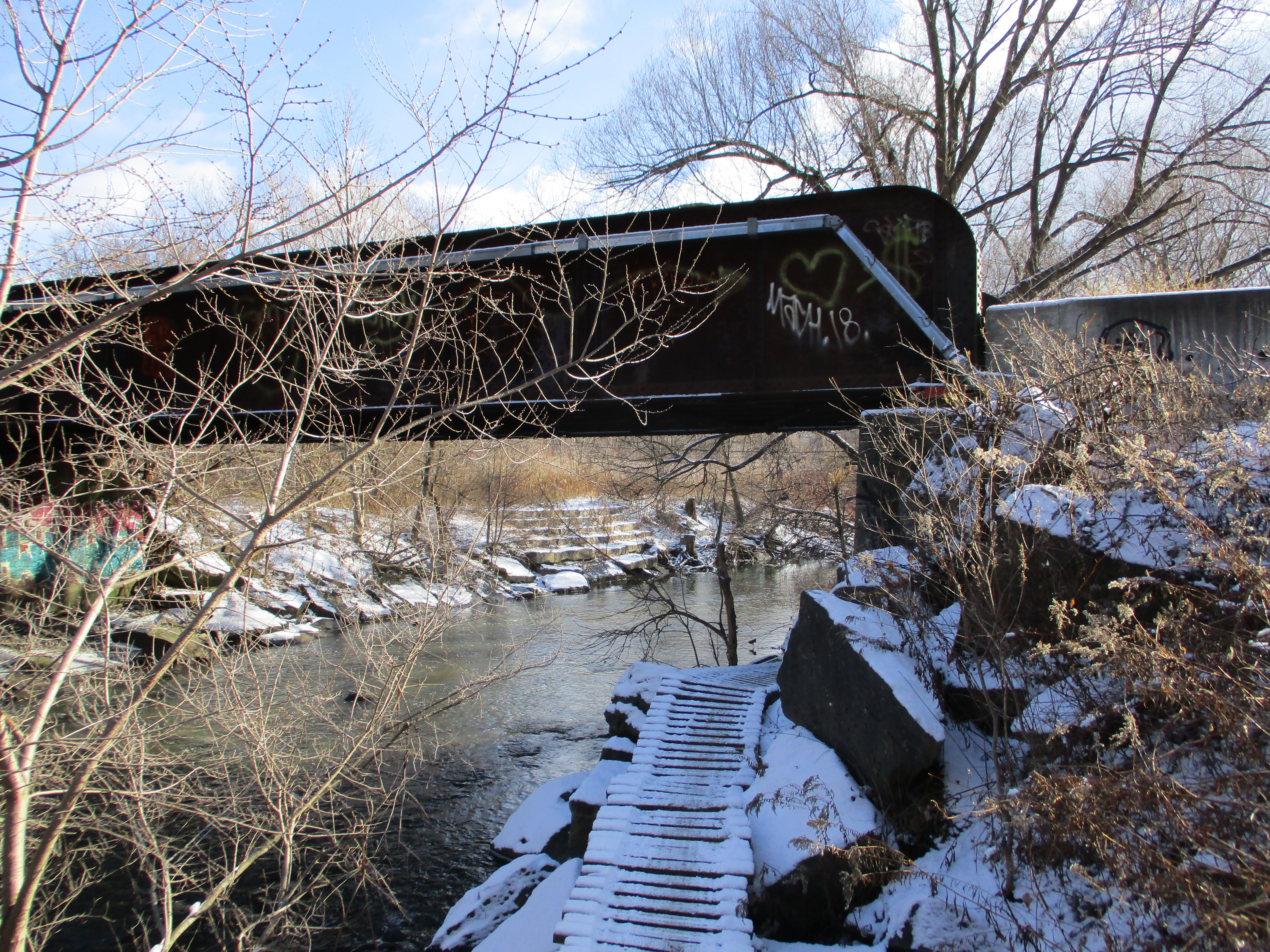
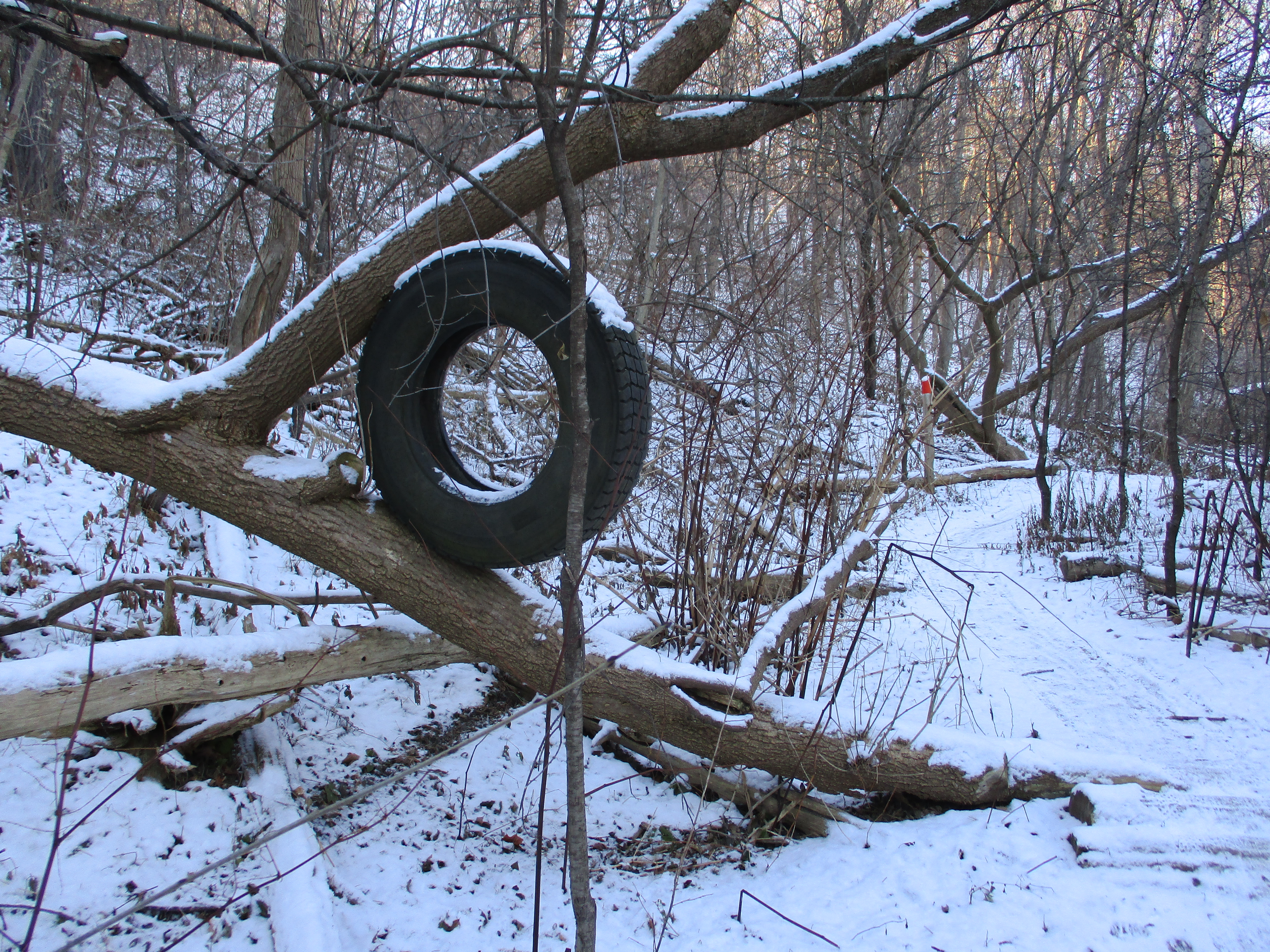
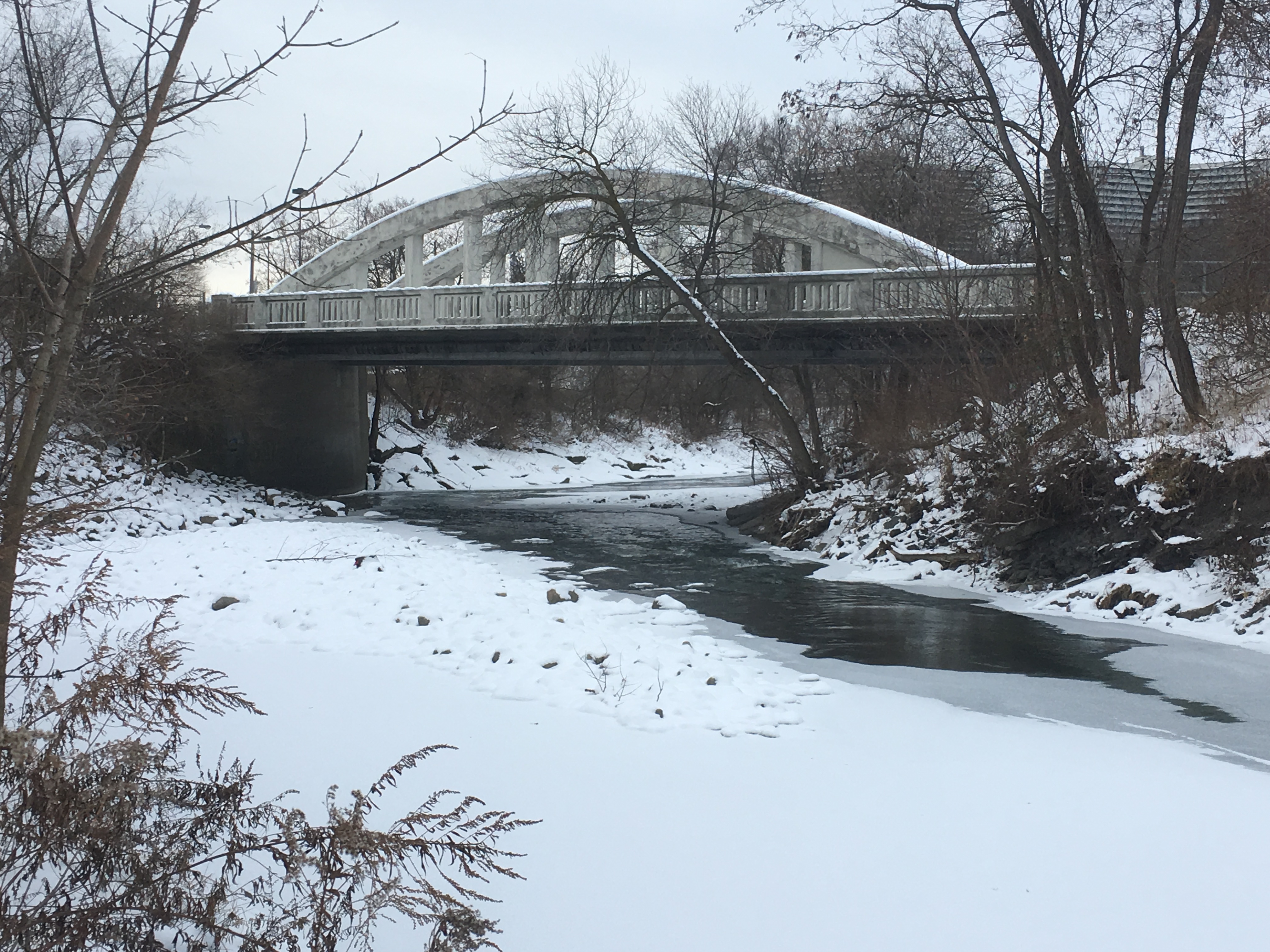
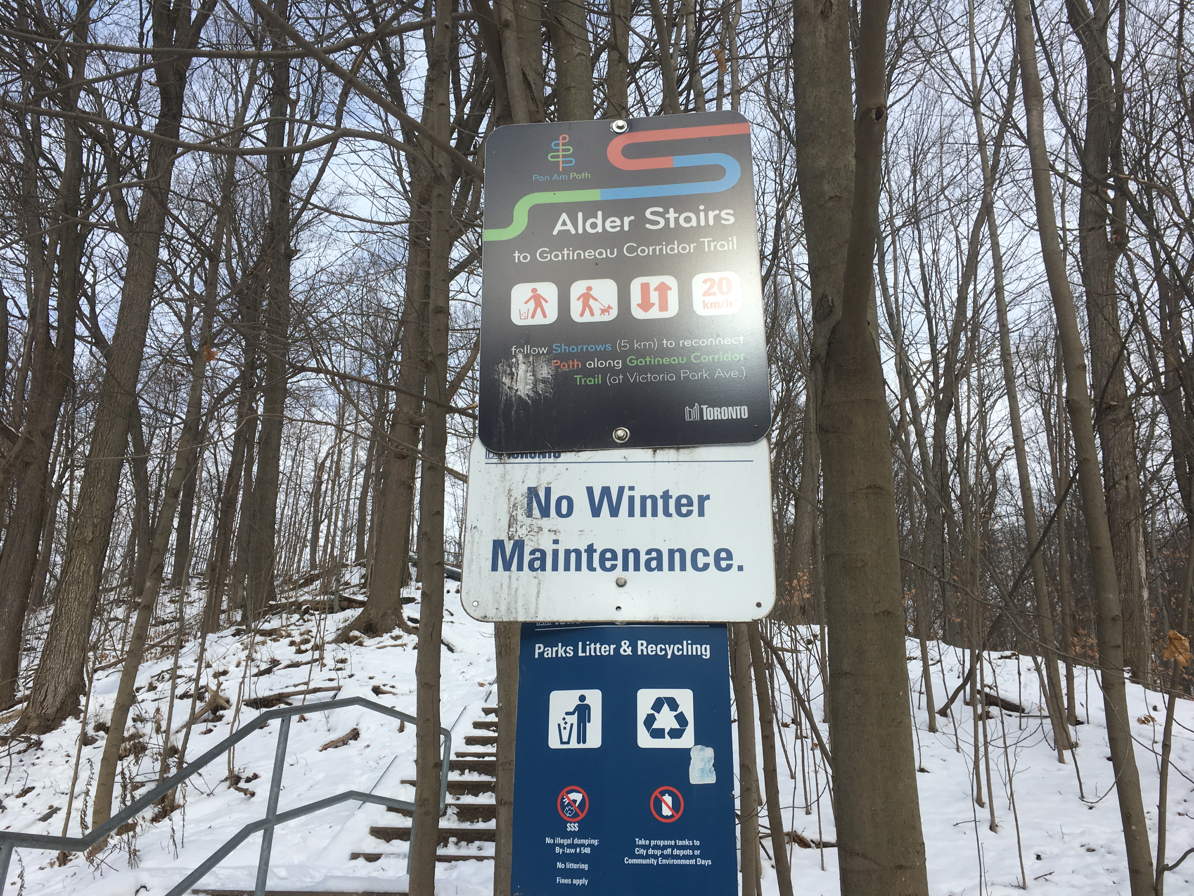
The trail through Marita Payne Park is part of the Bartley-Smith Greenway, a 15-kilometer trail that follows the West Don River. As you follow it north-west you pass under the Glen Shields Avenue bridge and the trail changes to fine gravel from pavement. The park also become a little less maintained between here and and where it passes under the bridge for Highway 407.

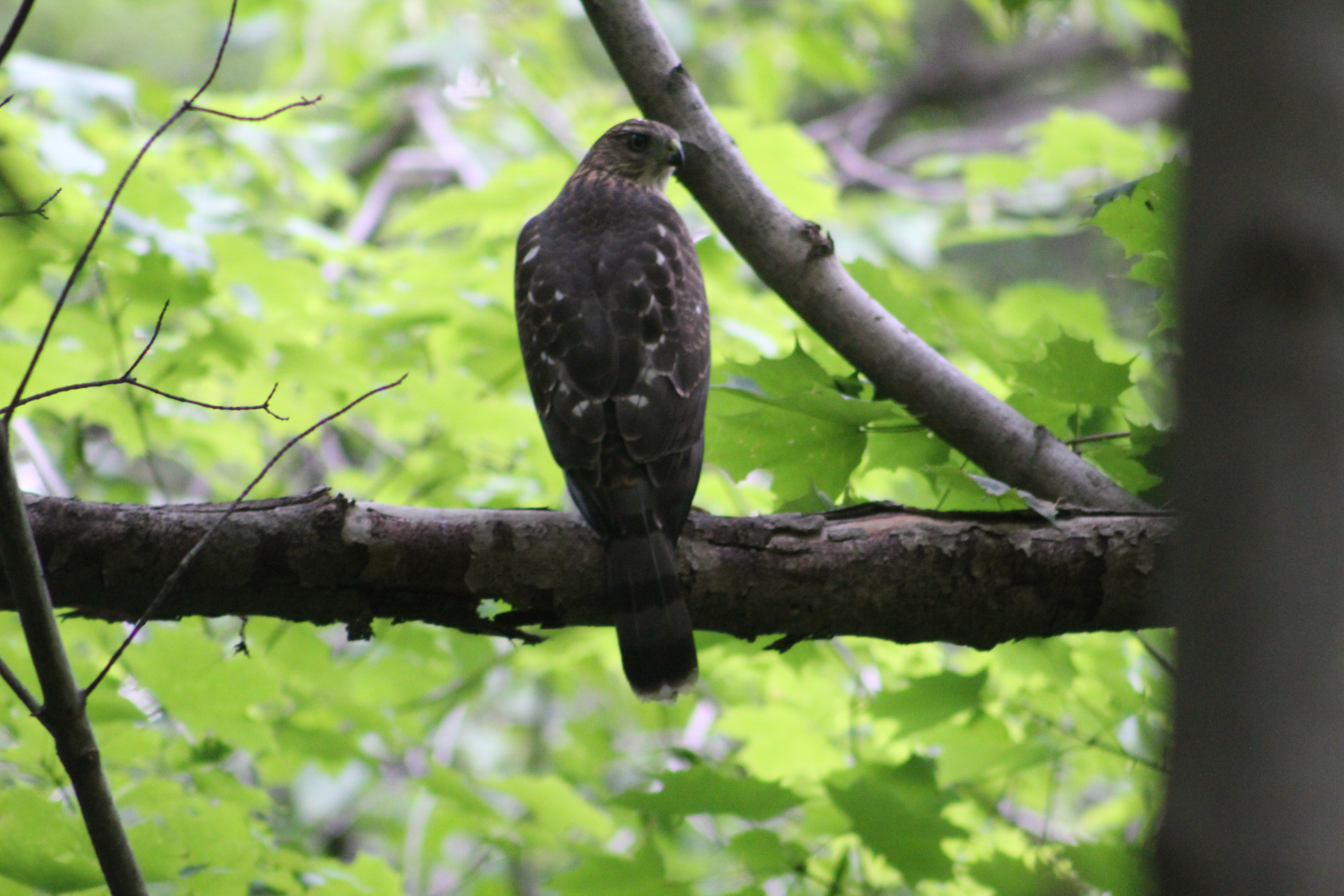
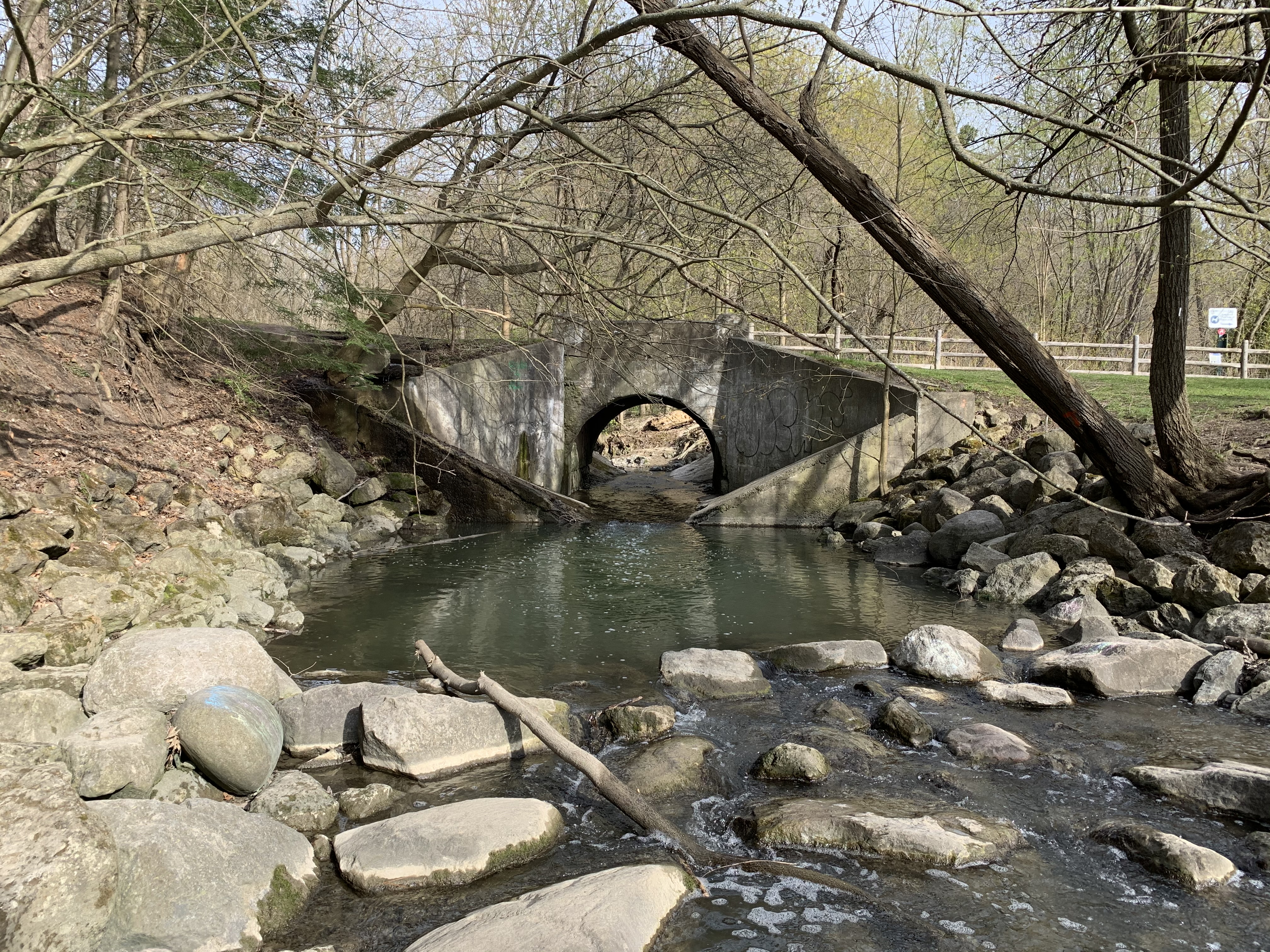
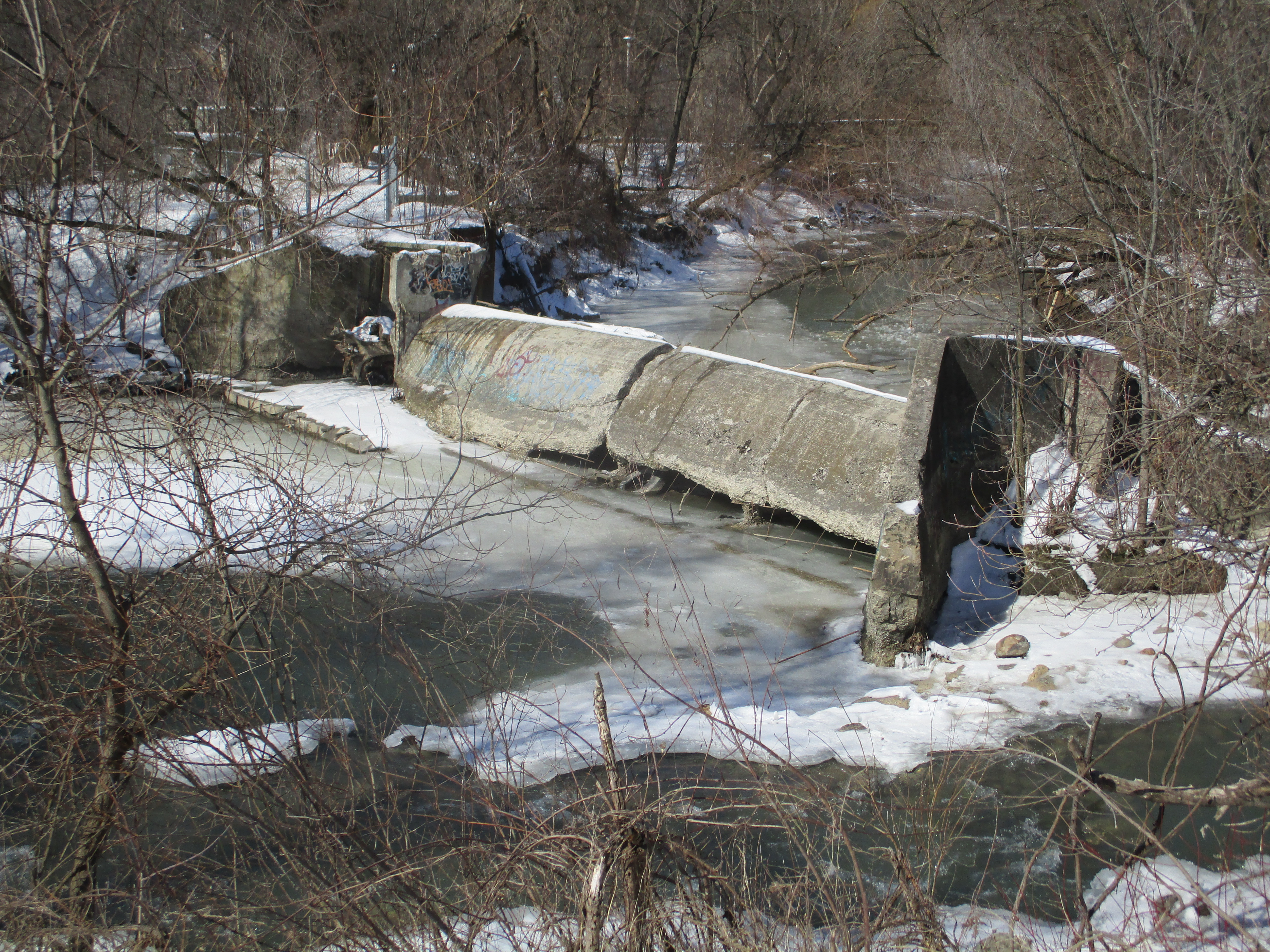
I was wondering if the second Heron at Marita Payne was possible the one that is usually at the old dam just past the 407 bridge. As it turns out, this bird is in its normal spot at the base of the abutment from the dam. There’s no shortage of Herons this year in any of our parks.

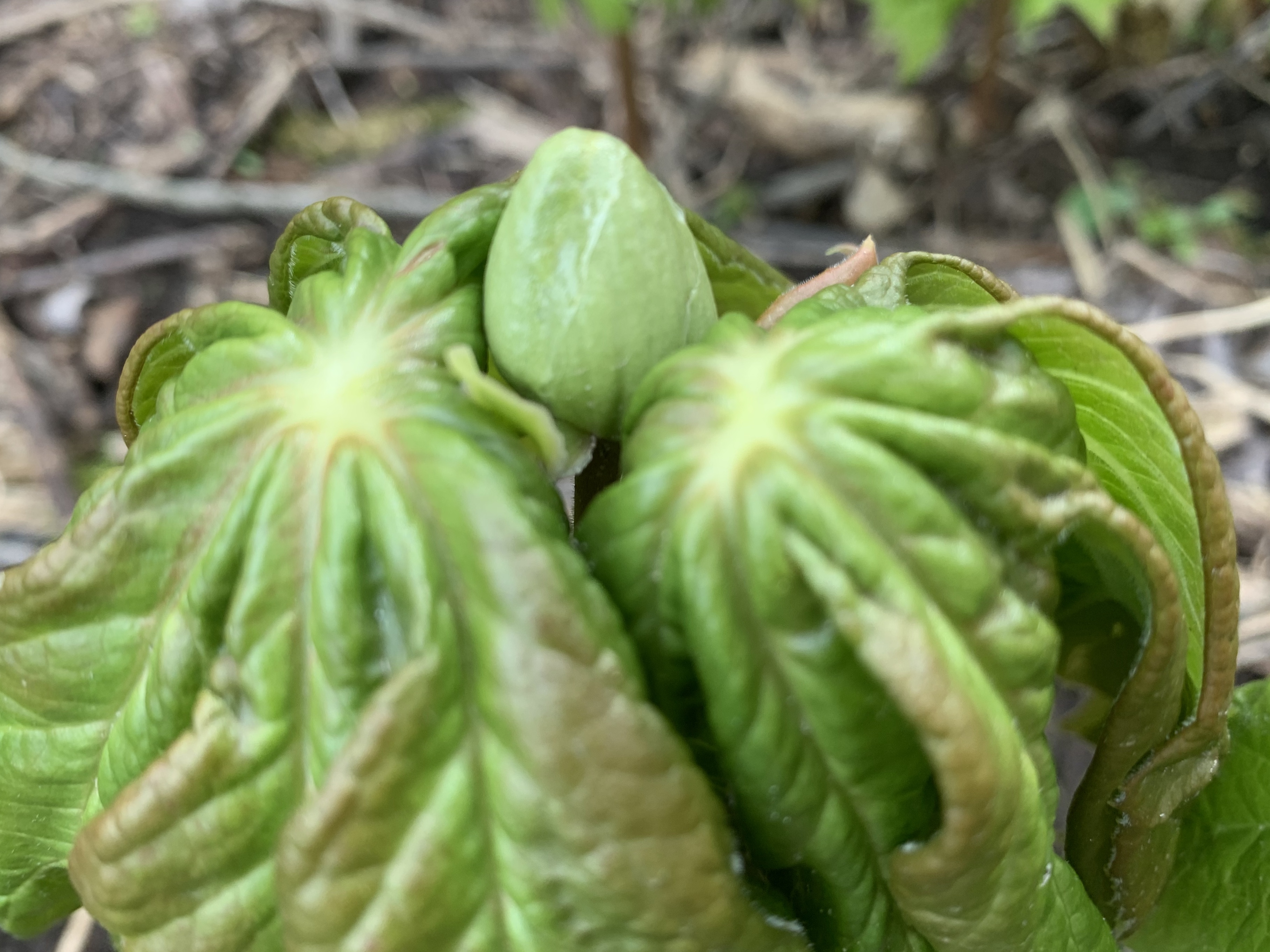
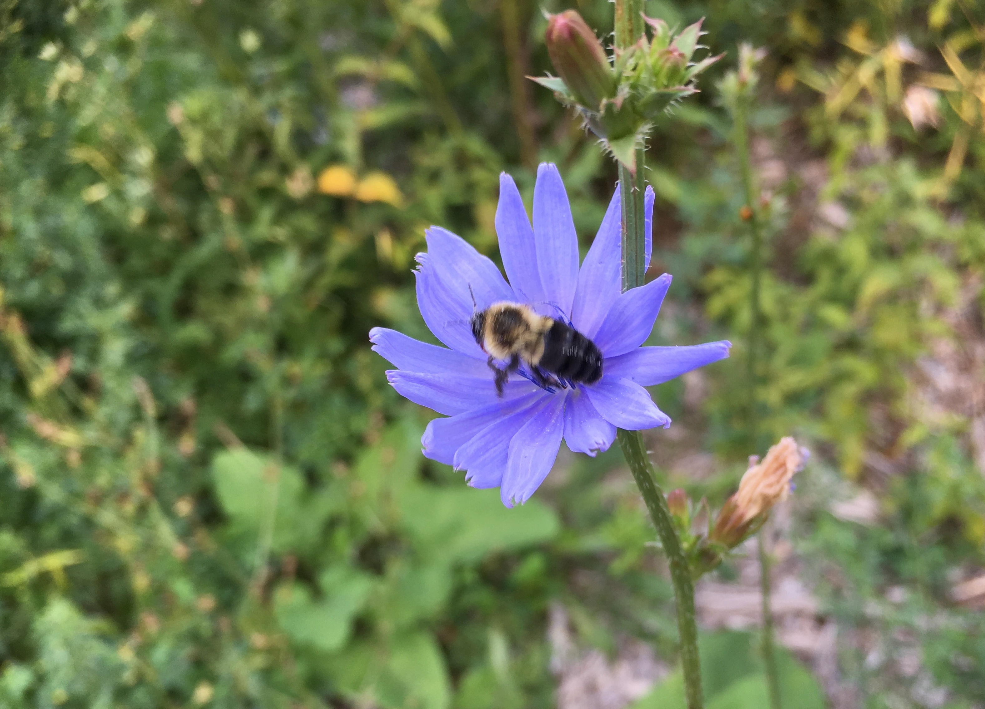
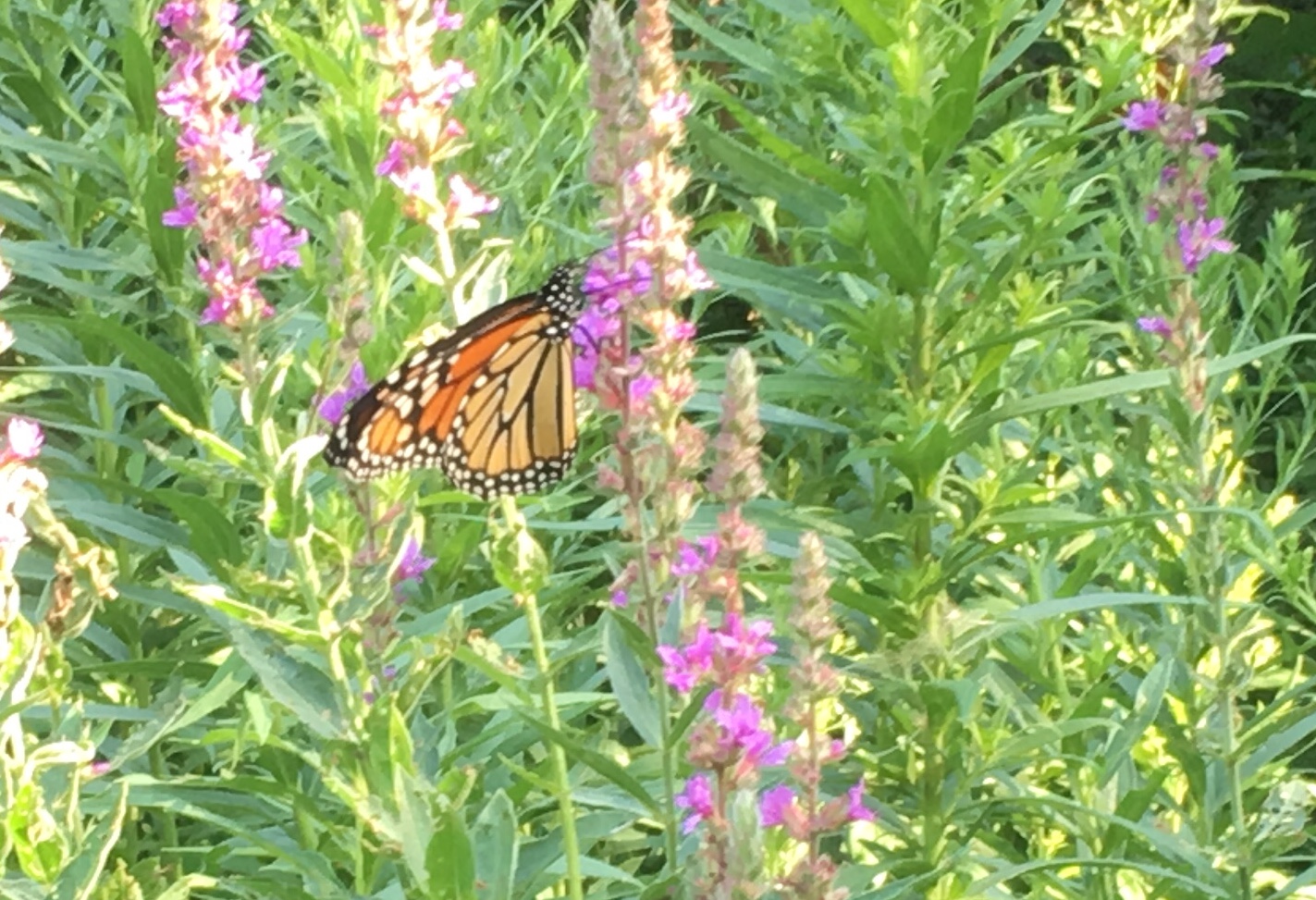
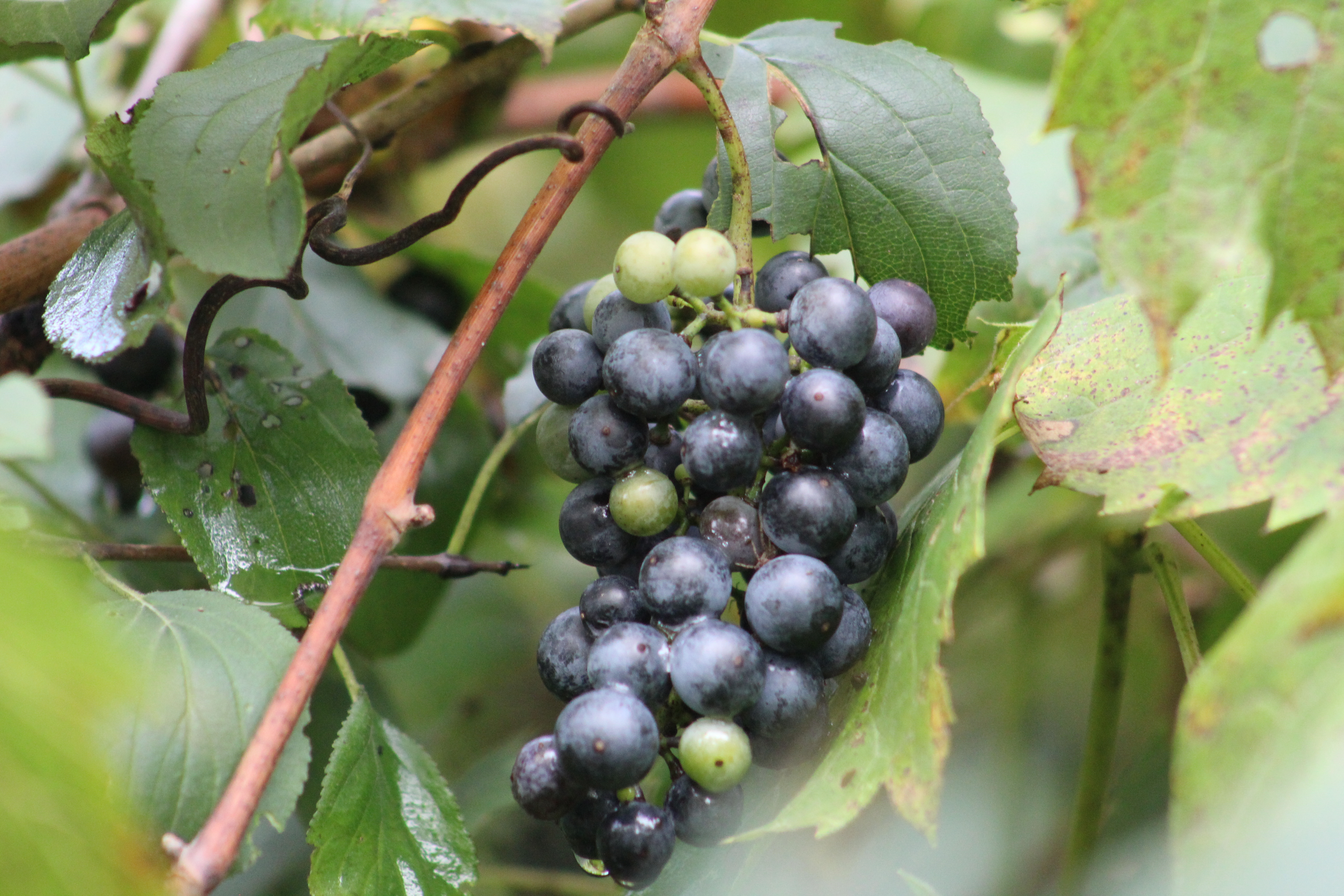
River Grapes or wild grapes are growing in abundance along the side of the river. From the looks of the fruit, it’s going to be a good year for a large crop. Cultivated grapes have been developed from wild grapes by choosing plants that are the hardiest and cross breeding them.

Destroying Angel is one of the poisonous mushrooms that grow in the region. They are often found growing solo and can be identified by their bright white colour and the large veil below the cap. A distinguishing feature is the sac-like cup at the bottom of the stem.

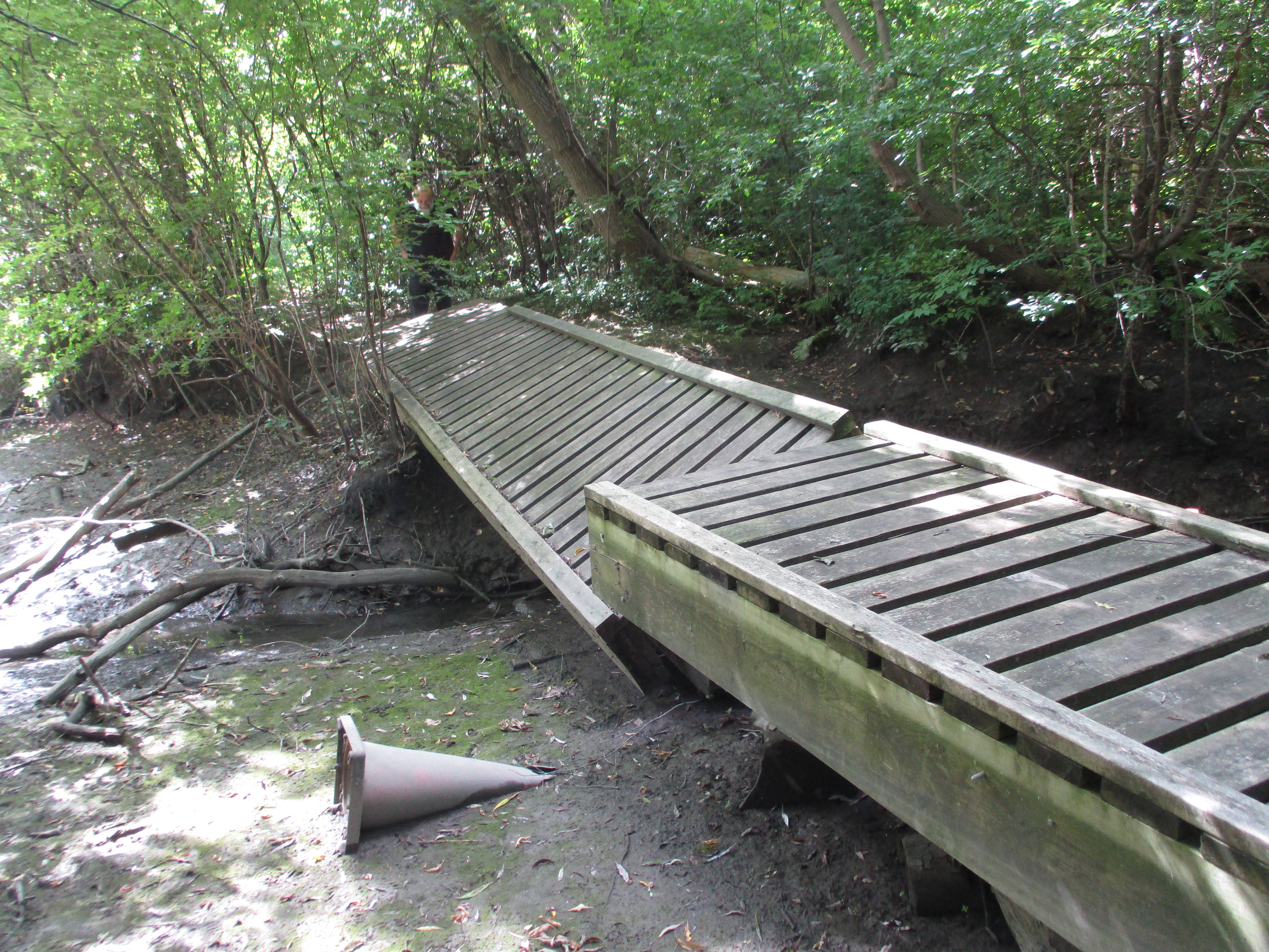
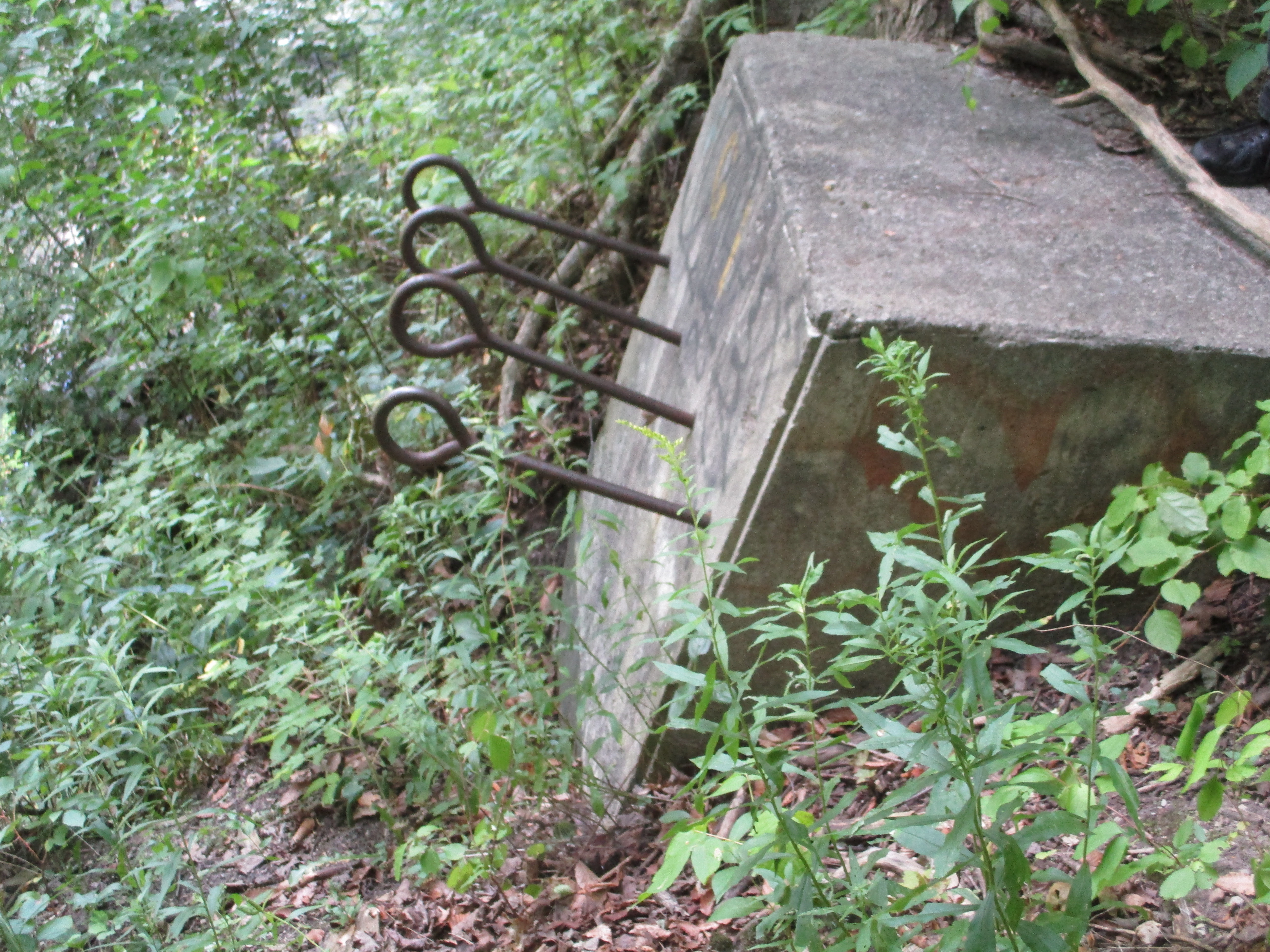
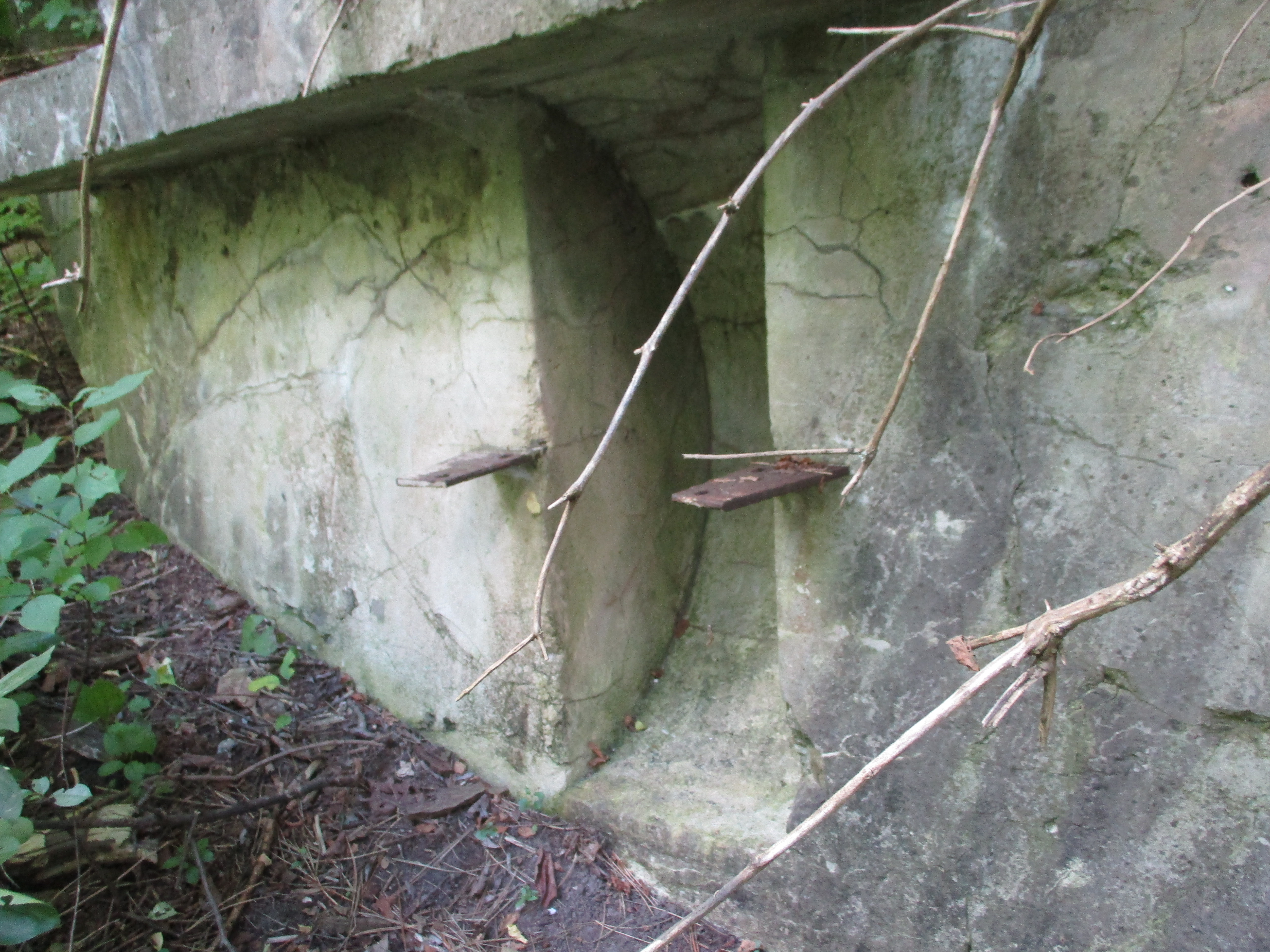
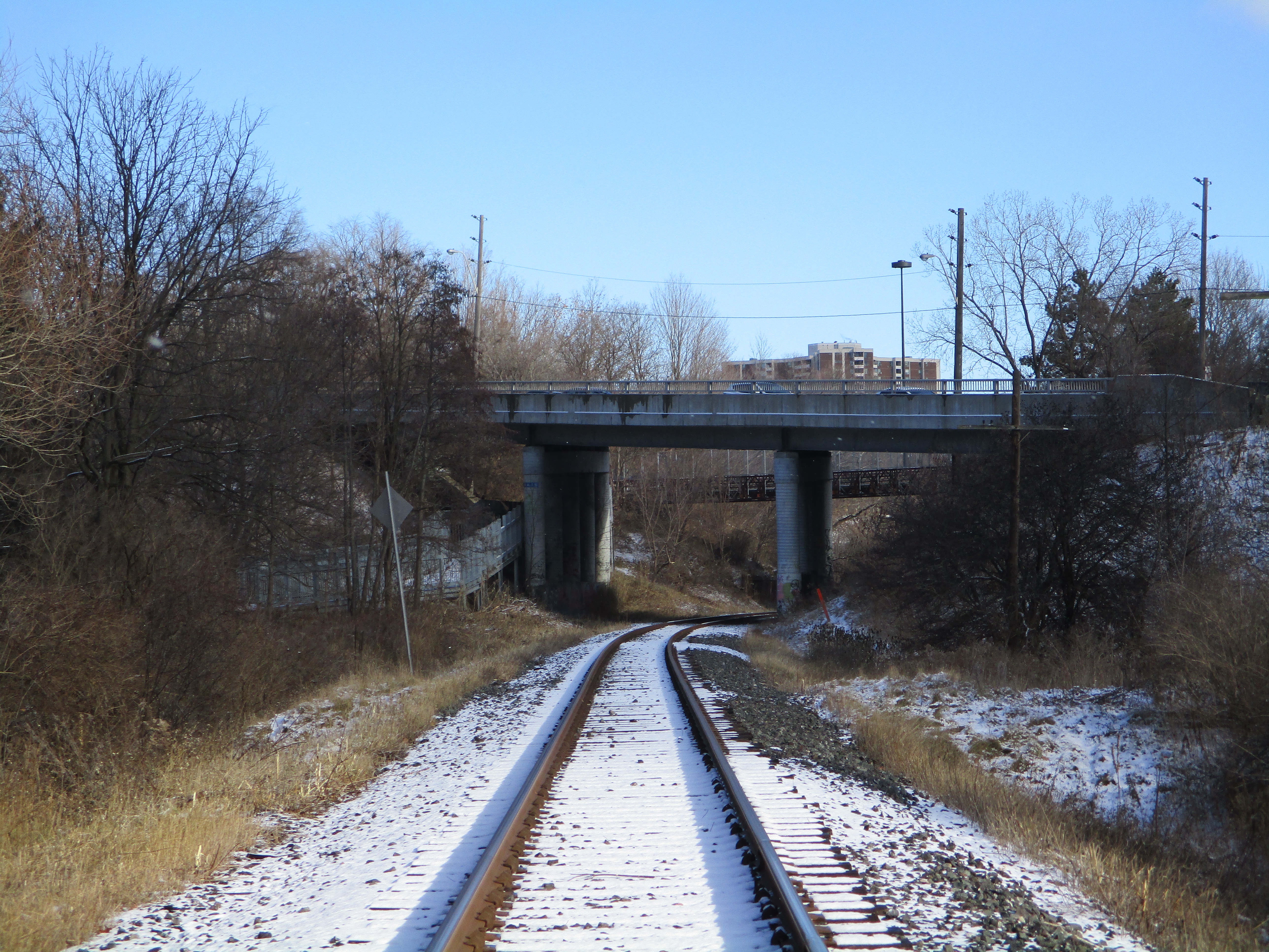
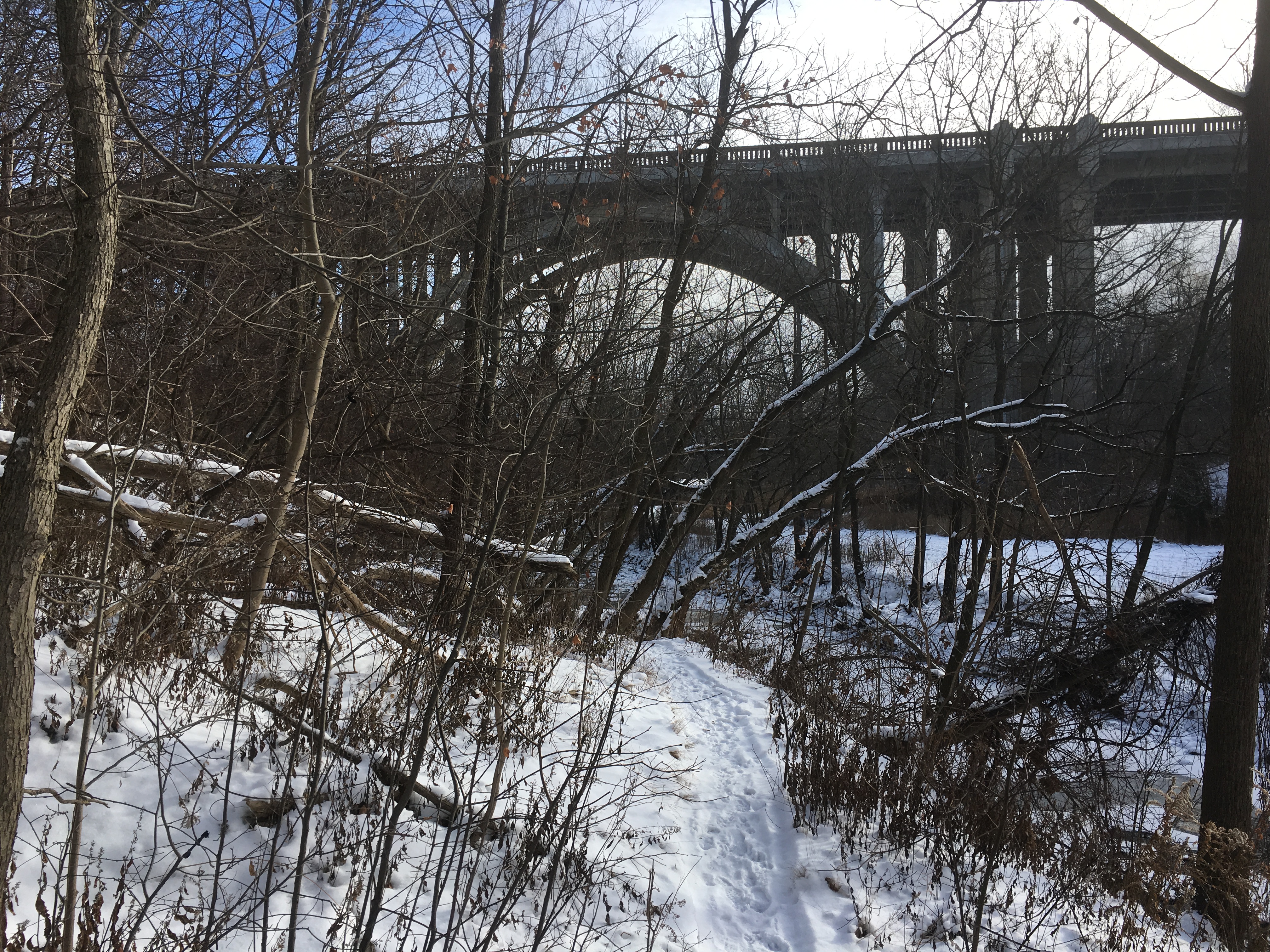
Highway 407 was originally proposed in 1959 but the first section wasn’t opened until 1997. When construction was completed through the Concord area it was decided to re-align Highway 7 where it crossed the West Don River. A small portion of the old highway was closed and the bridge was removed. There is still a small section of the old road allowance that can be found just before the present Highway 7 bridge.

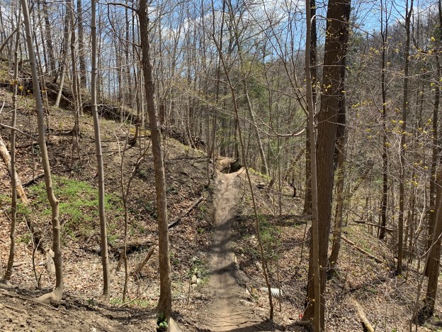
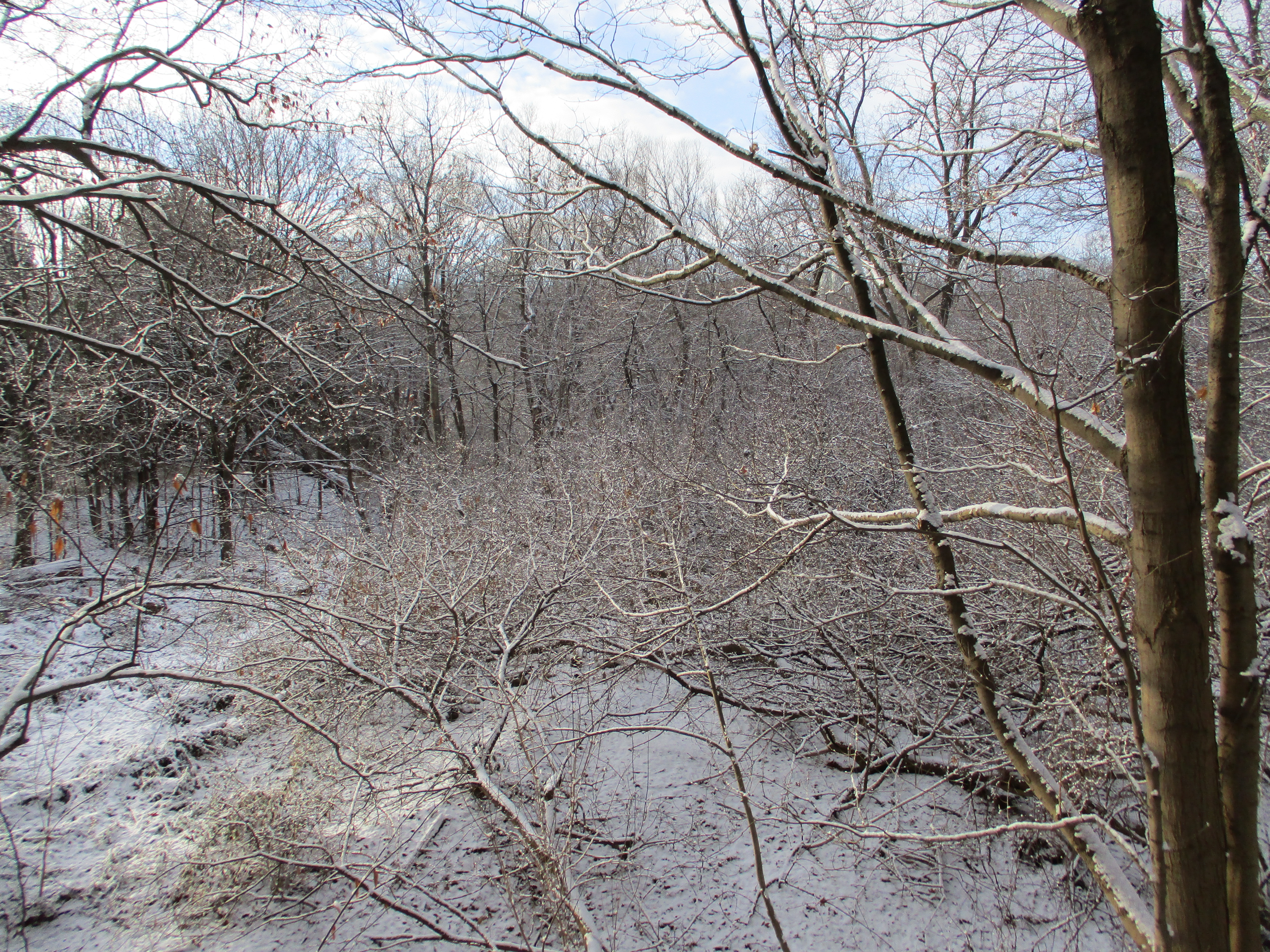
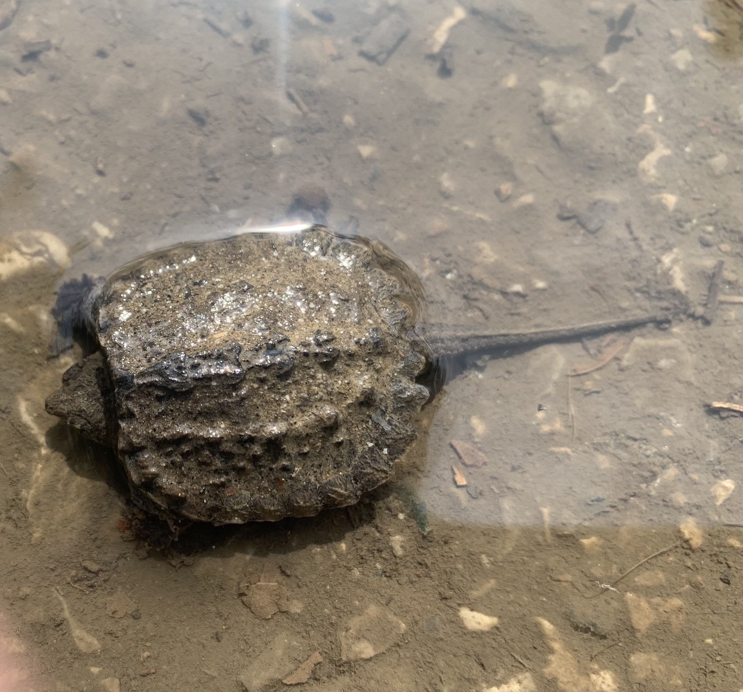
We often look for loop trails so that we can experience more terrain without having to go back over sections we already explored. Trails along the rivers in the GTA tend to be “out and back” as the parks are normally only as wide as the floodplain of the waterway they surround. It’s amazing how often we see something on the way back that was missed on the outward part of the journey. This time it was a baby Snapping Turtle that was lying in a puddle on the edge of the path. It looked a lot like a leaf in the water and could have easily been stepped on or crushed by a bike tire. Snapping Turtles can live up to 45 years in the wild and this one will have a better chance after I moved him up onto the grass between the path and the river.

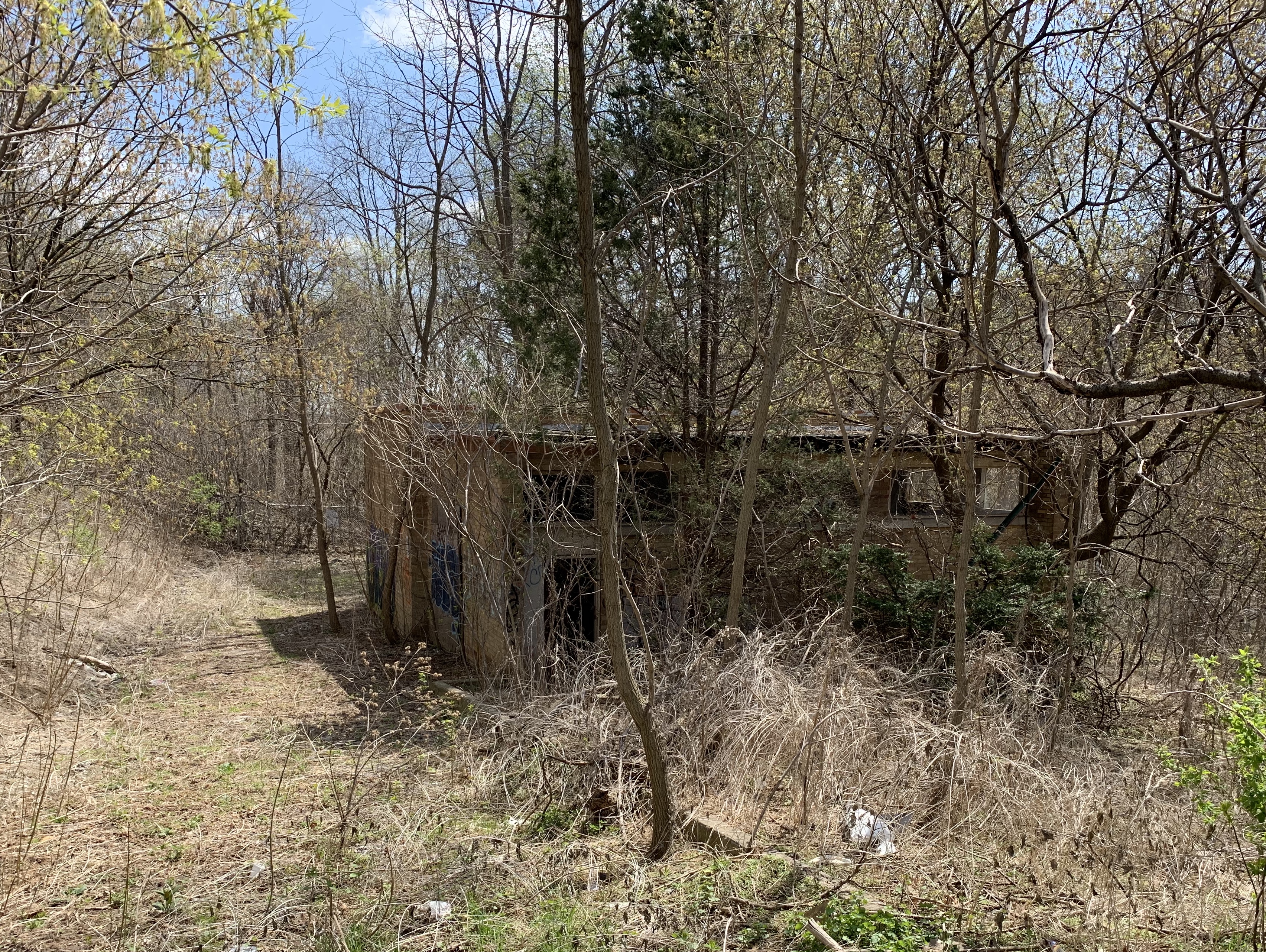
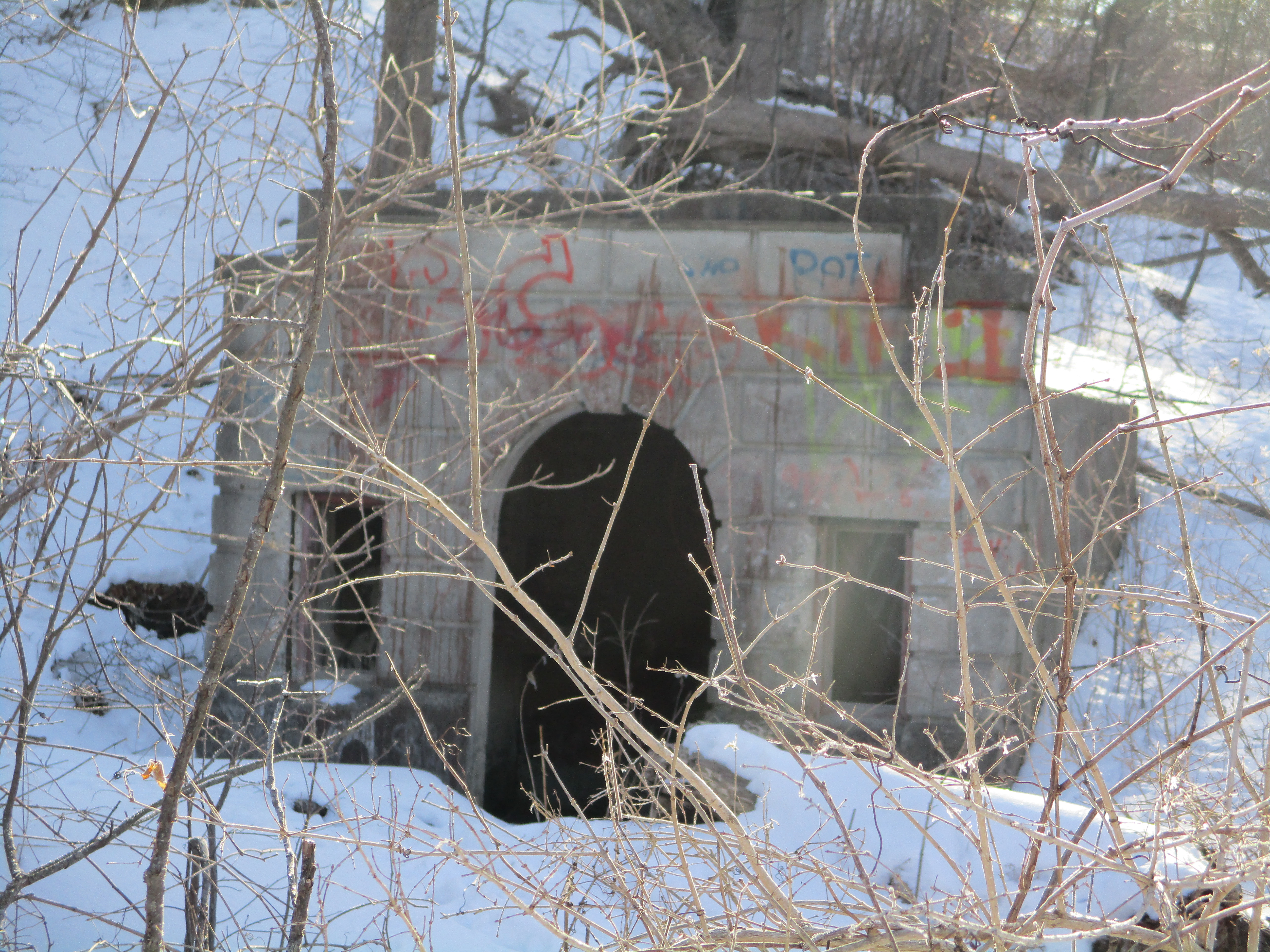
Returning to the pond, it’s possible to follow the trail to the corner Of Glen Shields Avenue and Dufferin Street where it cuts through the Ghost Town of Fisherville before ending at the entrance to G. Ross Lord Park.

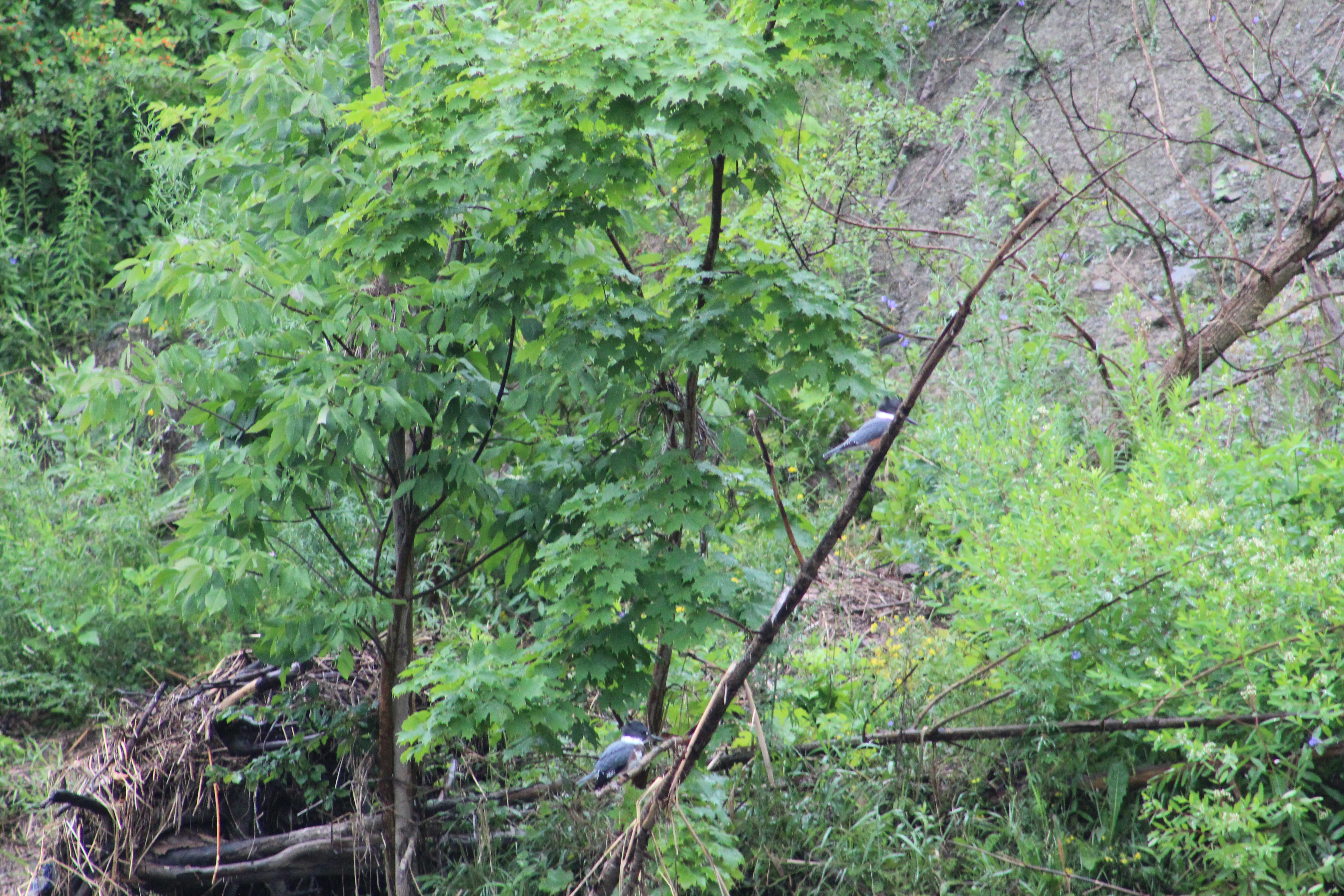
Marita Payne Pond has a direct connection to the Don River and fish have an easy way into the pond. Perhaps this is why such a small pond can support four large fishing birds.

Relayed blogs: Fisherville – Ghost Towns of the GTA, G. Ross Lord Park

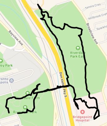
Google Maps Link: Marita Payne Pond

Like us at http://www.facebook.com/hikingthegta

Follow us at http://www.hikingthegta.com

Also look for us on Instagram

The Flood Control Pond at G. Ross Lord Park

Sunday, August 8, 2021

G Ross Lord Park is one of our favourite places as followers of our Facebook page will know. We post wildlife and nature photos from there almost every week and the variety of creatures is outstanding. This post focusses on the flood control pond and the surrounding woods and grasslands and pays particular attention to the wide variety of birds that can be found there. The County Atlas from 1877 shows that there were two dams on the West Don River in the area that is now G Ross Lord Park. The lower pond supplied water to a saw mill and it is this flood plain that was used to create the flood control pond in G Ross Lord Park.

Following Hurricane Hazel in 1954 it was decided that flood control measures would be implemented to control the release of water to downstream areas. A dam was built on the West Don River near Dufferin and Finch that would be capable of holding five and a half million cubic metres of water. The G Ross Lord Dam was completed in 1973 and the flood control pond can rise by as much as five metres following a major rain event or during spring thaws.

It has been common over recent summers to see a pair of Herons and an Egret at the pond. This year there has been up to 14 Egret and 4 Heron at the same time. There’s five Egrets and one Heron in the picture below.

This aerial photo comes from the Toronto Archives and shows the site in 1971 before the flood control pond was created. The blue shows where the West Don River used to flow around a wide ridge of land and reveals that the hydro towers were originally located on land.

The dam flooded a large area of land that expands dramatically after every heavy rain event. A soon as the rain has stopped the dam is opened to allow the water to slowly drain away to create room for the next rain storm.

Although this is a man made pond it was formed around a river and has become home to a wide range of wildlife. The baby Painted Turtle featured below is native to the area but the Red-eared Slider I saw last year is a domestic pet that has been dumped in the pond. Over the years I have often seen a large Snapping Turtle just up-stream from the pond.

Earlier this year I was lucky enough to see a pair of Peregrine Falcons land on the mud flats when the pond was at a low point. There are a few nesting pairs around Toronto but most of them are in the area of Lake Superior.

There are often people fishing in the pond where they catch Brown Bullhead, Carp, Pumpkinseed and White Suckers. The Herons, Egrets and Cormorants live here in large numbers because of the easy fishing when the water level is lower. The Heron in the picture below has just speared a young sucker.

Cedar Waxwings live in the forests surrounding the flood control pond. They like to sit on branches and fly out over the water to snatch insects out of the air. There are several different types of damselflies and dragonflies that hover over the pond and make great snacks for the birds.

It’s common to see both Red-tailed Hawks and Copper’s Hawks in the area around the pond. The Cooper’s Hawk in the picture below is one of a pair that is nesting in the trees on the north side of the pond.

The image below shows the pond looking toward the east when the water is at it’s lowest level. When flooded, it can rise well into the trees on the other side as well as covering the place where this picture was taken.

Woodpeckers are very common in the park and there are at least three different species that feed off the bugs in the trees that have died from being flooded around the pond’s edge. The large Pileated Woodpecker is less common than the Downey and Hairy ones that can be found on almost every visit. The picture below shows a male Downey Woodpecker.

Spotted Sandpipers are shore birds that can be found all around the edges of the pond where they compete with Killdeer for the small insects and minnows that live there.

Over the years I have watched a pair of Belted Kingfishers working the river just upstream from the flood control pond. This year, they appear to have moved downstream to the pond where they can be heard before they are seen. Kingfishers are one of the chattiest birds and seldom fly without filling the air with their loud rattling scolding noises. They will sit on a branch until they see a fish under the water and they will dive at great speeds into the water to come up with their lunch. Both the male and female can be seen in the picture below.

The grasslands and new growth forests along the edge of the flood control pond have become home to a wide variety of songbirds. Various warblers share the trees with American Goldfinch and make for a nice splash of colour.

It’s alost certain that every visit to the flood control pond will be rewarded with the sight of Cardinals. These beautiful birds mate for life and can be seen and heard all year around.

When people think of bird watching in the Toronto area they often think of Tommy Thompson Park which is known for the wide variety of birds that can be seen there. If you live in the northern part of the city you may find that G. Ross Lord Park is more convenient and also has an amazing variety of birds.

Google Maps Link : G Ross Lord Park

Like at at http://www.facebook.com/hikingthegta

Follow us at http://www.hikigthegta.com

Also look for us on Instagram

Lower Don Trail

Friday, September 18, 2020

The Lower Don Trail runs along the Don River from Corktown Commons to Pottery Road. Having previously covered the section from Riverdale Park south to Corktown Commons in our feature The Don Narrows it was time to return and visit the north section. As before there was free parking on the end of Carlton Street at Riverdale Farm. A metal staircase leads you down the 88 steps to the floodplain of the Don River in Riverdale Park. The picture below shows the pedestrian bridge that crosses Bayview Avenue and the railway tracks. There’s a set of stairs that lead to the Lower Don Trail on the west side of the Don River.

South of the bridge the trail follows the section of the Don River that was straightened in the 1880’s. This section is sometimes referred to as The Don Narrows. Heading north the river quickly starts winding and turning as it follows its natural course. Blue Jays were out in abundance along the trail.

The Don River is known to flood its banks and the Don Valley Parkway during heavy rain storms but on this morning it was perfectly calm in many places. The railway bridge in the picture below belongs to Metrolinx and is currently not used. It leads to the Half Mile Bridge and makes an interesting walk. We have previously proposed that this section be turned into The Half Mile Bridge Trail, at least temporarily. It is currently illegal to walk along these tracks and when I was making my return along the trail I saw a Metrolinx rail truck driving along the tracks. That likely would have been trouble for anyone caught walking there.

The main trail heads north after crossing the Don river on a footbridge. The Bloor Viaduct spans the ravine and the trail passes underneath it. Officially known as the Prince Edward Viaduct, construction was started in 1915. A detailed story of the bridge can be found in our feature story The Bloor Viaduct.

Goldenrod is a member of the aster family and usually has the distinct disc and ray florets of a daisy. There are over 100 members of the goldenrod family and their tiny yellow flowers bring witness of the changing of the seasons.

A white tailed deer buck was casually grazing on the trees on the side of the Don River. This buck had 6 points on his antlers. Some people believe that you can tell the age of the animal by the number of points but this isn’t true. The deer will grow about 10 % of its potential antler mass in the second summer of its life. The third year it may reach 25-35% of its full growth. Out side the parks and ravines the male deer typically only live about four years due to hunting pressure. That obviously isn’t a factor in the downtown area. They say that the only real way to tell the age of a deer is to look at the teeth. This one let me get pretty close, but not quite that close.

A short distance north of the Bloor Viaduct is a public art display known as Monsters for Beauty, Permanence and Individuality. It contains fourteen cast concrete sculptures that were placed here in 2017.

The sculpture are recreations of gargoyles that adorn buildings in downtown Toronto. Old City Hall and Queens Park provided some of the inspiration for the artwork.

The artist is named Duane Linklater and he is an Omaskeko Cree from Moose Factory. Duane has been awarded by the Canada Council for the Arts as well as having won the Sobey Art Award. His display on the Lower Don Trail is intended to draw attention to the changing role of the Don River in the early industrialization of the city.

Side trails run along the edge of the river in places where the floodplain is wide enough. These can be much more interesting and you are more likely to see the local wildlife on these less used trails. Kingfishers were zipping up and down the river calling out in their urgent chatter and a couple of hawks were circling in the distance. This is the area where you may see one of the deer that reside in this greenbelt.

The Half Mile Bridge was replaced in the 1920’s with a wider bed on concrete piers. The old steel piers were all removed except the one on the west end by the Don Valley Brick Works.

As you approach Pottery Road you can see the chimney from Todmorden Mills which was the first industrial site in the new town of York (Toronto). I love the 1967 Canadian Centennial Maple Leaf that was installed at the top of the chimney during restorations that year.

When you reach Pottery Road you have the option to follow it across Bayview Avenue and explore the abandoned section which can be read about in our post Abandoned Pottery Road. If you follow the trail north it brings you to Beechwood Wetlands and Crothers Woods.

Google Maps Link: Lower Don Trail

Like us at http://www.facebook.com/hikingthegta

Follow us at http://www.hikingthegta.com

Also look for us on Instagram

York Lodge

Friday, May 8, 2020

A century ago the property that is home to Sunnybrook Hospital and Sunnybrook Park was a working farm and country estate for one of Toronto’s wealthy elite.  Joseph Kilgour was partners in the Canada Paper Company and made his fortune from flat-bottomed paper bags like the grocery bags some of us remember from our childhood.  With the COVID-19 lockdown still underway I went for another walk through the park with an eye to locating the remnants of his legacy.

Joseph purchased several parcels of land to comprise the farm and estate he intended to create.  He added to the buildings on the old Burke farm to create Sunnybrook Farm where he raised horses and cattle.  Then he went to the top of the Burke Brook ravine and built a grand country estate that he named York Lodge.  At that time there were less trees and Kilgour had a grand view across the valley and his farm.  The picture below was captured from the City of Toronto archives collection of photos, this one was taken in 1964.  I’ve marked the roadways on the old estate in green and the waterways in blue.  I entered the ravine from Bayview avenue and followed the trail along the top of the ravine on the south side of the brook and made my way toward the original gates to the property.

1964

There were originally two sets of gates, one on Bayview directly across from the end of Blythwood Avenue.  This set led directly to Sunnybrook Farm and was removed when the hospital was built in the mid-1940s.  The second set can be found at the end of Sutherland Drive and it led directly to York Lodge.  The pair of stone gates feature ornate wrought iron lamp posts which must have looked quite spectacular to guests arriving for an afternoon fox hunt or social gathering.

IMG_2494

The only remaining building from the York Lodge estate is the gatehouse.  It stands just inside the gates and is identified as number two on the map.  Along with the gates, it was listed on the Toronto Heritage Register in 2005.

IMG_2496

There were four summer cottages on the estate but they have all been demolished.  The picture below is from the Toronto Archives and shows one of them.  They’re marked 3-6 on the map above.

Kilgour cottage

When Alice donated the property to the city she kept ownership of York Lodge and continued to live there until 1930.  She sold it to another prominent Toronto business man named David Dunkelman.  He was the president of Tip Top Taylors.  Dunkelman only kept it for 6 years before selling it to Captain James Flanigan.  In 1943 Flanigan converted it into a military hospital renaming it Divadale after his daughter Diva.  In 1953 it was converted into a convalescent home for veterans but was demolished around 1980.  This archive photo is credited to John Chuckman and gives us a look at the outside of York Lodge after the name was changed.  It is marked as number 7 on our map.

Divadale

Lydhurst Hospital was constructed on the property in 1978 but some of the roadways and landscaping can still be found as well as rows of mature trees planted in straight lines.

IMG_2499

The lane way is shown as number 8 on the old photo above.  It led down the hill from York Lodge to Sunnybrook Farm and connected with the other lane way off of Bayview Avenue.  At the bottom of the hill the lane crossed Burke Brook at the point just before the brook enters into the Don River.  Burke Brook takes its name from Edward Burke who owned the 200 acre farm in 1860.

IMG_2515 (1)

The Burke Brook bridge is architecturally interesting because of the wings on either side of the abutments.  When the water level is just right you can see a small waterfall through the centre of the bridge.  The off-leash dog park can be seen in the background.  It seems strange now that there are no dogs playing and chasing each other in the park.  This bridge is number 9 on the map above.  Near this bridge is a circular well or pumping station that we featured in last weeks companion post Staying Close To Home.

IMG_2509

The bridge over the Don River is more typical of one used by regular traffic.  This bridge was closed to vehicles when the farm was donated to the city as a park and is number 10 on the map.  Alice Kilgour decreed that the park should remain free of charge for the citizens to use and that no road should be allowed to pass from Bayview through to Leslie Street.

IMG_2516

The 1964 photo above shows a building identified as number 11.  This structure no longer exists but number 12 still stands, tucked in overlooking the river and bridge.  These homes were built for the use of various farm and estate workers.

IMG_2518

The house identified as 13 on the map was tucked in behind the horse barn and is another of the farm worker homes that were deeded to the city along with the land.

IMG_2520

A very ornate barn with two silos is shown as number 14 on the map.  Unfortunately it was destroyed in a fire on May 21, 2018 killing 16 horses that were housed inside.  Another 13 horses were moved to another barn and were saved.  This barn was home to the Toronto Police horses for many years until they were relocated to the CNE grounds.  The picture below was taken from our Sunnybrook Park post.

img_0303 (1)

This picture was taken from the space where the barn formerly stood, now a vacant field with no trace of the barn or silo.  The outer fence for the horse paddock can be seen in the photo above as well as in the distance below.  Across the way is a second barn from Sunnybrook Farms where the cows and other farm animals were kept.  Horses that were rescued from the fire were moved over to this barn, labelled as 15 above.

IMG_2523

Kilgour erected one of the first indoor riding riding arenas in Canada which is shown as item 16.

IMG_2529

One other building in the compound, number 17, currently houses washrooms and has an equipment shed in the one end.

IMG_2533

Building number 18 caught my attention because it looks like an older style of farm house.  This house is not listed on the heritage register but I wonder if it may have been erected by the Burke family before Joseph Kilgour bought their homestead farm to create his dream estate.  I had planned to walk right up and get a better view but the sign on the tree gave me reason to reevaluate that plan.

IMG_2534

On the valley floor near the Don River is a large patch of Mayapples.  The plants with two leaves are the only ones that will produce buds and that appears to be the case for most of these plants.  The bud pictured below will open into a single flower that will later produce the lone fruit on this plant.

IMG_2546

The lane way back to Bayview is marked as 19 on the map and now leads to the rear of Sunnybrook Hospital.  To the north of the hospital are three other country estates that were built by the wealthy so they could escape the city.  The stories and pictures of these former estates can found in our previous post entitled Bayview Estates.

IMG_2548 (1)

Although it has been nearly a century since the property was given over to the city a surprising number of artifacts remain from the days of Joseph and Alice Kilgour.

Google Maps Link: Sunnybrook Hospital and Park

Like us at http://www.facebook.com/hikingthegta

Follow us at http://www.hikingthegta.com

Also look for us on Instagram

Staying Close To Home

Sunday, May 3, 2020

In keeping with the request to limit travel I decided to take advantage of the nice weather and walk through the Burke Brook ravine to The Don River and back.  Years of exploring different places each weekend has left me with the impression that my local park was boring.  That certainly wasn’t true.  One section of the trail along Burke Brook in Sherwood Park is an off-leash dog area and is currently closed due to COVID-19.  This forced me to walk along Blythwood Avenue until I reached Bayview.  From just south of there I could enter the ravine near the old Bayview Transformer House.   I stopped to see the deterioration that had occurred since my last visit.  With all the windows broken, the weather has been able to get inside and the ceiling is almost gone.

IMG_2399

White Fawn Lily are a variation of the yellow Trout Lily.  These plants are also known as Adder’s Tongue and Dog’s-tooth Violet.  Yellow Trout Lily are very common throughout the GTA but the white ones are a rare find.

IMG_2466

Twice I thought I heard something in the leaves but couldn’t identify a source for the sound.  Moments later I crested a small rise to see a Garter Snake crossing the trail.  It stopped to say “Hello” and then was gone under the leaves.

IMG_9823

There is a well used trail along the valley floor that follows Burke Brook and the upper trail is used mostly by cyclists.  For this reason you need to be cautious as there are places where allowing a bike to pass is tricky.  There’s also a couple of steep sections that are impassible when muddy.  The section pictured below has a knotted rope to help people get up the slope.

IMG_2417

White Trillium are the Provincial Flower for Ontario.  Along the trail I found a small patch of three.  At this time of year I usually follow the progress of the red ones in G Ross Lord Park.  These are less common than the white ones, but there are between 3 and 5 red flowers in one spot and 2 in another.  On occasion, the white flowers may have a green stripe down the middle of each petal.  This is caused by a virus and the size of the stripe will increase until the plant is no longer able to produce proper flowers and seeds.

IMG_2419

I returned to the trail in the valley which has a boardwalk through sections where water is weeping out of the ground.  There were a few people on the trail but when parks are only used by the locals, it is fairly easy to respect social distancing guidelines.  We’ll see how it goes when they ease the restrictions and everyone rushes out to the trails the first nice weekend.  I hope people won’t be careless and cause the parks to be closed again.

IMG_2421

Burke Brook enters the Don River near another off-leash dog park which is currently closed.  It is possible to get to the mouth of the brook but other people were already enjoying it so I chose to go another way.

IMG_2423

Near the mouth of Burke Brook I found the remains of of a concrete circle, possibly a well except that had been lined with wood.  I decided that it had probably been part of the landscaping for the home of Joseph and Alice Kilgour.  The donation of their 200 acre estate had allowed the creation of Sunnybrook Park and provided the land for Sunnybrook Hospital.  Later, as I did a little research, I discovered that there just might be enough interesting stuff around to tell their story.  It looks like another neighbourhood walk is in order.

IMG_2425

There were many Ostrich Ferns throughout the area, just beginning to open.  At this point of their development people often refer to them as Fiddlehead Ferns because their shape is similar to the end of a fiddle.  Later when they are fully open they resemble Ostrich plumes, from which they take their name.  It is when they are very young that people pick them to enjoy the annual delicacy of fresh fiddleheads.

IMG_2427

Bloodroot is a member of the poppy family and is one of the earlier spring flowers.  There is a single leaf and flower that emerge on separate stems but with the leaf completely wrapping around the flower bud.  The red sap from the roots of the plant was traditionally used as a dye for clothing and baskets.  It was also used by the native peoples as an insect repellent.

IMG_2430

You can follow the Don River northward until you come to Glendon Forest.  This section of the river is usually home to a heron and several families of cardinals.  I didn’t see any and decided not to wander too far into Glendon Forest as that is another entire adventure on its own.

IMG_2432

The original driveway leading to the Kilgour properties still leads back up the hill toward Sunnybrook Health Sciences Centre.  It was here that the first presumptive case of COVID-19 in Ontario was recorded.  I walked by and realized that behind these walls are hundreds of true heroes.  This blog is dedicated to everyone who works in this series of hospital buildings and all other front line workers, everywhere.

IMG_2434

All of this was within walking distance of my home.  What is waiting near you?

Click here for our previous story on Sunnybrook Park.

Google Maps Link: Sunnybrook Park

Like us at http://www.facebook.com/hikingthegta

Follow us at http://www.hikingthegta.com

Look for us on Instagram

West Don Parkland

August 31, 2019

It was a perfect temperature for hiking and also for mosquitoes.  We decided to visit the West Don Parklands to explore the west side of the river and found parking on Maxwell Street where there is access under the power corridor.  We followed the West Don River north until we came to private property and were forced to turn back.  The picture below is a capture from the Toronto Archives of a 1960 aerial photograph of the area we explored.  Our trail has been roughly traced in green while the river is coloured in blue.

West Don

Japanese Beetles were plentiful in the field under the meadow that runs under the hydro corridor.  They are native to the islands of Japan and were first found in the United States in 1916 and in Canada in 1939.  Since then they have spread throughout North America.  The adults eat large amounts of foliage and severely damage over 250 different host plants that they feed on.  Although there are treatment programs designed to reduce the impact of these beetles the picture below gives a good indication of why they continue to thrive.

IMG_1642

At the bottom of the hill the West Don River flows over a small concrete dam and through a dissipator.  It is interesting to see the water that flows over the top of the dam and onto the concrete piers hitting them with considerable force and yet arriving at the bottom in a calm pool having dissipated all of the energy it gained through the drop.  The top of this dam has become clogged with branches and logs that have floated down stream and become caught up in the first row of piers.  Some of it has been there so long that it is silted up and vegetation is growing on the top.

IMG_6422

The valley floor has become overgrown with dog strangling vines and wild cucumber vines.  The wild cucumber is native to Africa but has become naturalized in the New World.  Unlike the dog strangling vine, the wild cucumber does not choke out and kill the vegetation that it grows along with.  The fruit are cultivated and eaten in many places such as Brazil where it is used in a meat and vegetable stew.

IMG_1644

The West Don River was running slow and at a very low level.  Just to the north of here G. Ross Lord Dam and Reservoir are used to collect storm water and release it slowly to prevent flooding in the lower reaches of the river.  Therefore, even after a heavy rainfall this section of the river will see a minimal rise in water levels.

IMG_6441

The chicory appears to have had a very good year and the plants and flowers were plentiful.  Chicory has been used for years as an alternative or additive to coffee.  Chicory is used during times of shortage such as The Depression and Second World War by mixing it up to 60% with 40% coffee.  It gives the coffee a slightly woody flavour.  Tender leaves can also be collected and added directly to salads.

IMG_1659

We came to a sign that said that if you find the log bridge to be impassable you should return and take an alternate side trail.  This naturally prompted us to go and have a look to see if the bridge was impassable.  It wasn’t in very good shape but we did manage to cross carefully.

IMG_6437

Once you clear the bridge there is an extended boardwalk that is not in perfect shape but is safe if you watch for the occasional broken board.

IMG_1664

The trail follows the river and leads to the Forest Valley Outdoor Education Centre which is operated by the Toronto District School Board.  The centre plays host to over 17,000 students each year from 170 different schools who come here to learn about and develop an appreciation for nature.  After you pass the buildings on this site you can follow the trail along the river which leads to a place where a pedestrian bridge once crossed the river.

IMG_6451

Orange Jewelweed has been used in traditional medicine for years as a remedy for poison ivy exposure.  The juice from the flower and leaves can be applied to skin that has been exposed to poison ivy and it has been proven effective at preventing a rash from forming.  The one caution is that some people are known to be allergic to jewelweed and can have an even more severe reaction to this plant than the one they may have had to the poison ivy.

IMG_1667

In the 1877 county atlas the property at the south east corner of modern Dufferin and Finch is shown as belonging to Mrs. E Reggett.  To the west of her property Dufferin street ran north on the Gore and Vaughan Plank Road of which there are still remnants in the valley where Dufferin is shown making its curve.  They can be seen at this link.  Interpretive signage in the park indicates that a grist mill was operated in this location but it wasn’t shown on the county atlas, indicating it was a later construction.

reggett

A little farther along the river we came to the location of the former Reggett grist mill.    The ruins themselves appear to be on a fairly small scale for an actual grist mill.  They are also made out of poured concrete which shows that they were built some time after 1900.  The mill has been gone for a long time but the ruins on the river can be seen in photographs that predate the construction of the outdoor education centre.  This suggests that they were not built as part of an educational display but were the actual Reggett mill ruins.

IMG_6473

Two steel brackets extend out of the concrete to mount the water wheel on.  The recess for the wheel is only a couple of feet in diameter which suggests that this was a very small wheel and was not used to generate significant power.

IMG_6472

The water was directed over the wheel or off to the side by moving a board from one channel to another in the head race.  Today the whole system is crumbling and a tree is starting to grow at the fork in the channel.

IMG_6477

We chose to follow the driveway from the education centre back to the road where we could make our way back to the car.  This is an interesting park and it would be cool to see what lies on the east side of the river.  Perhaps one day…

Google Maps Link: West Don Parklands

Like us at http://www.facebook.com/hikingthegta

Follow us at http://www.hikingthegta.com

Betty Sutherland Trail

Saturday, March 9, 2019

The Betty Sutherland Trail runs for 1.83 kilometres from Leslie Street and Sheppard Avenue to Duncan Mills Road and Don Mills Road.  The park is named after a long time city councilor who was active in supporting Toronto’s recreational areas and trails.  She was also a member of Toronto Region Conservation Authority.  The park runs through an area known as Henry Farm.  The farm was settled in 1806 by Henry Mulholland and was later owned by George Stewart Henry who was the 10th Premier of Ontario.  To explore the trail we parked near the corner of Duncan Mills Road.  The formal trail runs on the west side of the river at this point but we chose the less traveled east side of the river.

The cover photo shows one of the stone buildings associated with Duncan Mills which used to operate at this site.  In 1935 a pump house was built to bring water from the river to Graydon Hall at the top of the ravine.  This water flowed through terraced gardens as it returned to the river.  These two old buildings greet you as you enter the trail and their story can be read in more detail in our story Graydon Hall.

IMG_2374

The East Don River runs along side of the trail.  The river was frozen over in many places but still had open water where the ice hadn’t formed.

IMG_2376

The trail passes under the 401 where the steel girders are marked Bridge & Tank.  This company has its roots in Hamilton in 1872 as the Hamilton Tool Works.  It went under several names until the Second World War when it began manufacturing tanks for the military.  In 1954 they became the Bridge and Tank company and continued operations until 1984.

IMG_2400

A series of side trails form a loop extending the trail and providing access to a couple of ravines

IMG_2382

The Betty Sutherland Trail is well known to bird watchers as a place to see a multitude of species.  This late in the winter there are relatively few but that is about to change very soon.  We saw several cardinals standing pretty in the trees and singing to their females.

IMG_1416

On the west side of the river stands the North York General Hospital.   The idea for this hospital began in 1960 when a group of local citizens met to explore the possibility of building a 70-bed community hospital.  On March 15, 1968 the new hospital was dedicated by the Premier of Ontario.  The present building includes a major expansion that was completed in 2003.

IMG_2384

The trail ends at Sheppard and Leslie which was the former community of Oriole.  We crossed the road to have another look at the old dam that marks the site.  Click on the link to read the story of Oriole – Ghost Towns of the GTA.

IMG_2388

The trail is wide and had three clear paths running along it.  Ideally the walkers would take the middle path while skiers would go single file in the two outside lanes.  If the outside paths were once ski trails they have been over-run with footprints of pedestrians.  With a little luck pedestrians will be sharing the path with cyclists instead of skiers in the next couple of weeks.

IMG_1404

Pine Grosbeaks are normally a northern bird and are uncommon in Southern Ontario and we were lucky to see this female in the top of a tree along the trail.  Pine Grosbeaks move south in the winter looking for food at which time they will feed on buds in maple trees.  They are a member of the finch family but are one of the larger, plumper species.

IMG_1375

The Betty Sutherland Trail is just part of the extensive trails that follow the East Don River.  At this time they are not continuous but each section is well worth the visit.

Google Maps Link: Betty Sutherland Trail

Like us at http://www.facebook.com/hikingthegta

Follow us at http://www.hikingthegta.com

E. T. Seton Park

Saturday, December, 8, 2018

E. T. Seton Park is named after Ernest Thomson Seton who was born in England but moved to Canada with his parents in 1866 at the age of 6.  His father was abusive and he spent much of his time in the Don Valley near the park.  He became famous as an author, painter and a founding member of The Boy Scouts of America.  The park that was named after him follows the West Don River south and features an archery range, disc golf and extensive trails.  We parked for free in the lot that is south of Eglinton accessed off of Leslie Street.  We roughly followed the orange trail on the Google Earth capture below as far as the Forks of the Don.

Seton

The north part of the park has a couple of ponds that sit in the valley below the Ontario Science Centre.  Originally the Science Centre was planned in 1961 with an opening in 1967 for the Canadian Centennial celebrations.  The three pods were designed to match the contours of the Don Valley that it was built along.  Opening was delayed until September 2, 1969.  The ice may be thin on the pond but this was no obstacle to the local coyote.

IMG_1802

The fresh snow always looks so nice sitting on the tree branches.  As the morning progressed the brief periods of sunshine caused the snow to slide of the branches and created the occasional brief snow shower and even a nice dump of snow down the back of the neck just for laughs.

IMG_1786

E. T. Seton Disc Golf Course is 18 holes long, each one a par 3.  The course winds along the river in both directions so that you get to walk the length of the park as you play.  There are disc golf associations that play here but the course is open to everyone who wants to try.  Local rules require a spotter on holes 9 (two-way pedestrian traffic) and 10 (near the archery range) to avoid hitting someone from a tee shot.  The first disc golf course was built 1975 in California.  Today there are over 4,000 courses around the world with there being three free ones in Toronto.  The E. T. Seton Park course opened in 2001 but there is also a course on Toronto Islands and at Centennial Park.

IMG_1816

An old bridge crosses the Don River near where the Upper Mill was in the Taylor Paper making empire.  The Lower Mill was located at Todmorden.  The large parking area just north of the bridge was the site of the paper mill for over 100 years.  The main trial is paved and continues along the east side of the river while a smaller bicycle trail follows the west side of the river.  It passes under the railway tracks.

IMG_1846

Each of the major rivers in the GTA have a split or fork in them.  The West Don River flows through the heart of the park until it reaches the point where east meets west.  The East Don River was formerly known as the Middle Don.  At that time, Taylor-Massey Creek was known as the East Don.  The Forks of the Don can be explored from either side of the river but access to the middle of the forks is only possible by trespassing on the short but active railway bridge above and so we don’t suggest that you do this.

IMG_1838

From the tracks you can see the bridge where Don Mills Road crosses the ravine with the railway in it.  Behind the road is the bridge that carried an old section of Don Mills Road that has been abandoned when the new section opened.

IMG_1842

Two trails make their way up the west side of the West Don River.  The upper trail is known as Catalyst while Beaver Flats is the name of the lower one.  These trails appear to be primarily used by bicyclists and the sharp turns and sudden rises in the trail will require a sharp eye to avoid getting run over.

IMG_1871

I’m not sure if this is intended to be a piece of artwork but we do get tired of seeing tires in our parks and ravines.  They are great places for still water to sit in the summer and create breeding grounds for mosquitoes.

IMG_1877

The Canadian National Railway bridge spans the West Don River ravine in the distance.  This bridge sits on an old set of cut stone piers as well as a newer set that was made of poured concrete.

IMG_1881

The CPR bridge is seen in this 1955 photo.  Of note is the system of wires that along the poles beside the trestle.  Today there are only one or two wires and all the accessible glass insulators have been removed.

1955

The park continues to the south and links up with the Lower Don Trail as well as Taylor Creek Park.  There is plenty more to explore another day.

Google Maps Link: E. T. Seton Park

Like us at http://www.facebook.com/hikingthegta

Follow us at http://www.hikingthegta.com

Riverdale Park

Sunday, August 6, 2018

One of the first settlers in York (Toronto) was John Scadding.  He worked as secretary to Upper Canada’s first Lieutenant Governor, John Graves Simcoe.  In 1794 he built a log cabin on his estate as a first home.  In 1856 the city purchased the Scadding homestead for use as a park and to give the city a place to build a new jail.  Thankfully, the early settlers of Toronto preserved some history for us and his home was moved to the CNE in 1879 to make way for the park.  I parked on Carlton Street near Riverdale Farm and went down the stairs into Riverdale Park West.  On my return trip I walked through Riverdale Farm which is also a great place to visit.

Riverdale

Originally, Riverdale Park was 120 acres but it was later expanded to 162 acres.  When the Don Valley Parkway was built it split the park in two and reduced the size to the current 104 acres.  The two halves of the park are joined by a pedestrian bridge that gives access to the Lower Don Trail which leads north toward The Bloor Viaduct.  The eastern part of the park is smaller and retains the distinct shape of the old riverbed as can be seen in the picture below.

IMG_5859

In the 1880’s the lower portion of The Don River, the Don Narrows, was straightened out and a couple of sections were cut off from the river.  These sections of the former river now form the ponds in Riverdale Farm.

IMG_5927

The east half of Riverale Park was used as a landfill in the 1920’s and exhaust pipes still line the sides of the park where methane gas is allowed to escape from below.  Along with a sports track there is a swimming pool on the east side of the park.  The north end has been naturalized again and there are many mature trees along the various hiking trails.

IMG_5864

The Task Force To Bring Back The Don has been working on various projects in the park including several tree planting sessions.  The first one on the eastern slopes was actually the first action in the 40 Steps to a New Don River program.  They have also created a small wetland at the base of the ravine where the runoff from the embankment is collected and bulrushes now grow.  Maximilian Sunflowers are growing in a large cluster at an intersection of trails in the woodlot.  They are not native plants and this cluster was likely planted here.  They are often found in the wild as escaped garden plants.

IMG_5875

At the north end of the park a set of accessible ramps leads to a bridge that allows you to cross one of the on-ramps for the DVP.  This bridge makes a great place to get a look at the top end of the park.

IMG_5880

Purple Loosestrife was once considered to be a real threat as an invasive species with fears that it would choke out native wetland plants.  There appears to be a balance now where the plant co-exists with native plants and it may eventually be considered naturalized.  Monarch butterflies were taking advantage of the flowers and the sunshine.

IMG_5873

In 1881 five cannons were brought to Riverdale Park for decorations.  The one that stands near the old jail was cast in 1806 and bears the insignia of King George III who ruled from 1760 until 1820 making him the third longest serving monarch in British history.

IMG_5891

Riverdale Park was once the garden for the Don Jail.  Prisoners were used to tend the gardens as well as look after the buildings and animals at Riverale Zoo.  The Don Jail was built in 1864 as the third jail in the city.  It was considered to be a modern facility at the time with better accommodations than other jails of the era.  It wasn’t too long before overcrowding led to it becoming a dreadful place to spend any time.  There was an addition built in the 1950’s and the original jail was closed in 1977.  The addition has since been closed and demolished.  The remaining jail building is one of the oldest pre-confederation buildings in the city.

IMG_5895

The front entrance to the jail was very ornate with Father Time looking down on all the inmates as they entered the building that would be their new home for the duration of their sentence.  The cover photo shows the front of the building with all of the artwork that decorates it.  The Latin phrase meaning Abandon Hope All Who Enter used to adorn the lintle above the door.  With the old jail now serving as part of a rehab hospital it was considered inappropriate and has been removed.  The inside of the old jail has been renovated but it used to be similar to the Owen Sound Jail we featured earlier this year.  Seventy people were executed at the jail, the last two in 1962.  Unclaimed bodies were buried on the property under what would become a parking lot.  Recent demolition and construction on the site revealed several skeletons.

IMG_5901

Starting in the 1860’s the south corner of Riverdale Park was used for healthcare facilities, originally known as the House of Refuge.  A small pox epidemic in 1875 saw the facility changed into the Riverdale Isolation Hospital.  Patients with contagious diseases were treated here until the late 1950’s.  By 1957 the threat of contagion was greatly reduced and the facility was given a new mandate.  They began taking care of chronic illnesses and rehabilitation.  In 1959 a new building was designed for the Riverdale Hospital.  Mushroom shaped canopies were designed for the entrance to the new facility.  With the construction of the new 10-story Bridgepoint building the mushroom canopies have been preserved as part of the architectural heritage of the site.

IMG_5912

The new healthcare facility also has become a place of public artwork.  The Max Tanenbaum Sculpture Garden contains twenty life-sized sculptures made of metal strips.  They celebrate life through a display of dance and sport themes.

IMG_5920

Riverdale Park has a long history and has seen many changes over the years but remains an interesting place to explore.

Google Maps Link: Riverdale Park

Like us at http://www.facebook.com/hikingthegta

Follow us at http://www.hikingthegta.com

Taylor Creek Park

Saturday, December 16, 2017

Taylor-Massey Creek is one of the most significant tributaries of The Don River.  It joins the river near the Forks of the Don and was at one time known as the East Don River and today’s East Don was then known as Middle Don.  The county atlas below shows the extent that the Taylor family controlled the lands around the Don River and Taylor-Massey Creek.  They had a huge share in the early paper industry in York (Toronto) as they had opened the first paper mill in the city at Todmorden.  They eventually owned three paper mills with the upper mill being at the Forks of the Don.  The Taylors also formed the Don Valley Brick Works and were among the leading early 19th century industrialists in the city.  By 1877 most of the original forest cover had been removed but Warden Woods (circled in green) remained with Taylor-Massey Creek flowing through it.  As a point of interest, looking at the property owners on the left side of the map reveals the origin of the name “Leaside”.

Taylor Creek (2)

Taylor-Massey Creek joins the Don River just west of the old Don Mills Road.  This morning the ice was just forming on the confluence of the creek and river.  There is free parking in the Taylor Creek parking lot.  From the lot, we made the short trek back to the mouth of the creek before setting out to explore the unmaintained trail on the west side of the creek.  The Taylor Creek Trail forms a maintained path that runs for 3.5 kilometres along the creek.

IMG_1709

Old Don Mills Road is still used as a recreational trail and cars still cross the concrete bowstring bridge which was built in 1921.  The county atlas above shows the road in brown and a previous bridge to this one.  By 1877 it is possible the road was already using a second bridge to facilitate the traffic the paper mill brought.  The road was also the only concession that had been opened and all north-south traffic had to use this crossing.

IMG_1708

Also, near the parking lot are the elevated wetlands.  From this angle the structures look like they are walking along, following each other.  These sculptures turn art into habitat as they each contain a wetland, complete with all the wildlife they support, mostly birds and flying insects.  The water from the Don River is pumped into the wetlands by solar pumps and filtered through the wetland to be returned to the river cleaner than it began.  Each wetland features small ponds, a couple of small trees and wetland grasses.

IMG_1711

In 1994 the creek was assessed as the most degraded of the main tributaries in the Don Watershed.  The Underwriter’s Reach still shows many of the concrete channels that the creek was forced into when surrounding lands were developed for housing.  The Task Force To Bring Back The Don and other groups have put together a 40 step plan that includes restoring this watershed.  Some of this is discussed in our feature on Terraview and Willowfield Gardens Parks which showcase some impressive restoration projects.  In the picture below you can see the roadway that passes through the creek in the park.

IMG_1717

Stairways jig-jag up and down the sides of the ravine to provide access to the park from the communities on the tablelands.  The sets of steps tend to be 100-120 in length and provide good cardio workouts for those so inclined.

IMG_1798

The Musqueam people lived near the mouth of the Frazer River in British Columbia.  They were very accomplished weavers and their cultural heritage has been incorporated into paintings of five benches in Taylor Creek Park.  The benches were designed and painted by members of STEPS who as an organization attempt to revitalize public spaces and connect communities.  The final designs on the five benches incorporate elements from Musquean, Ojibwa from Southern Ontario, Northern Oaxacan (Southern Mexican), and South Asian culture.  There is other artwork in the park that includes a spiral mural in the parking lot that we couldn’t see due to snow cover.

2811

The benches were painted as part of the celebrations for the Pan Am games that were held in Toronto in July of 2015.  Also created for those games was the Pan Am Path which runs for over 80 kilometres through the city.  On one end it connects Clairville Dam and on the other Rouge Beach Park.  There is a second branch that runs to Centennial Park in Etobicoke.  The Alder Stairs are one of the connection points on the Path and the bench featured above is found at the top of these stairs.

IMG_1810

The ravine formed by Taylor-Massey Creek is cut through the side by another ravine that is separated from the trail by a wetland.  The ravine in the centre of the picture runs up the north side of Glenwood Crescent.

IMG_1812

The bridge on O’Connor Drive was built in 1932 as an extension of Woodbine Avenue and has the formal name Woodbine Bridge.  Later, O’Connor Drive was formed by piecing sections of unconnected road together, mostly under the guidance of Frank O’Connor, founder of Laura Secord Chocolates and the Frank O’Connor Estate.

IMG_1828

Having made our way up the less travelled side of the creek we crossed back to the paved trail.

IMG_1836

Taylor Creek Trail continues past this point but we left it for another day.  That part of the trail continues onto a property owned by the Massey family hat operated a huge farm equipment manufacturing plant in Toronto and lends their name to the creek along with the Taylor family.  There is an old mansion waiting at the other end of the trail.

Google Maps Link: Taylor Massey Creek

Like us at http://www.facebook.com/hikingthegta

Follow us at www.hikngthegta.com