
Sunday, Sep.. 14, 2014
Sunny and warm with a temperature around 16 degrees. My seventh wedding anniversary and a few minutes for a short walk while my wife gets ready to go out with me for dinner. I parked in E. T. Seton park off of Thorncliffe Park Drive. Taking a left when you reach the bottom of the hill will bring you across an old bridge and into a parking lot. This parking lot is on the site of several former buildings. The bridge crosses the East Don River and right beside the bridge is a trail that goes down and under the old rail bridge. Soon you will hear rushing water which tells you that you have come to a waterfall at an old dam.
In 1846 the Taylor Brothers built a paper mill near this dam to join the saw and grist mill already here. This became known as the upper mill. The Taylor’s had two other paper mills. The middle mill was just above Todmorden and the lower mill was at Todmorden. Mid-nineteenth century paper was often made out of rags. Homespun wool and cotton was mixed with straw and jute and cooked with soda and lime. It was then washed, drained, pressed and dried to be made into various paper products. All traces of this operation have either been removed or are hidden in the tall weeds. At least the old mill dam is still easy to find.

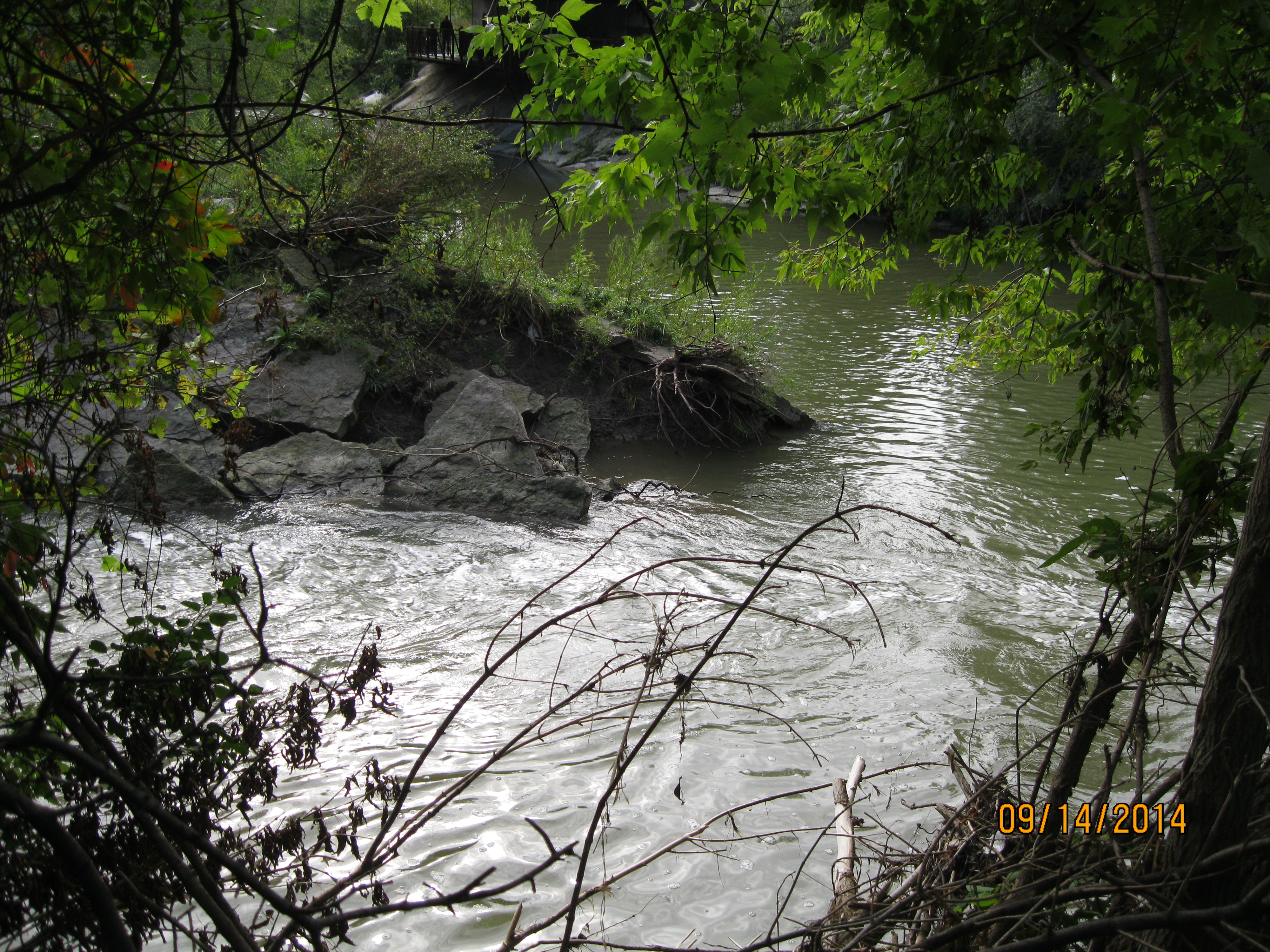
The Don river is divided into the East and West and just south of Overlea Blvd., right where Don Mills Road crosses the river, is where they meet. The forks of the Don can be approached from either bank as well as the little point of land that juts out between where the branches meet in the picture below. The cover photo features the dam from between the East and West Don.
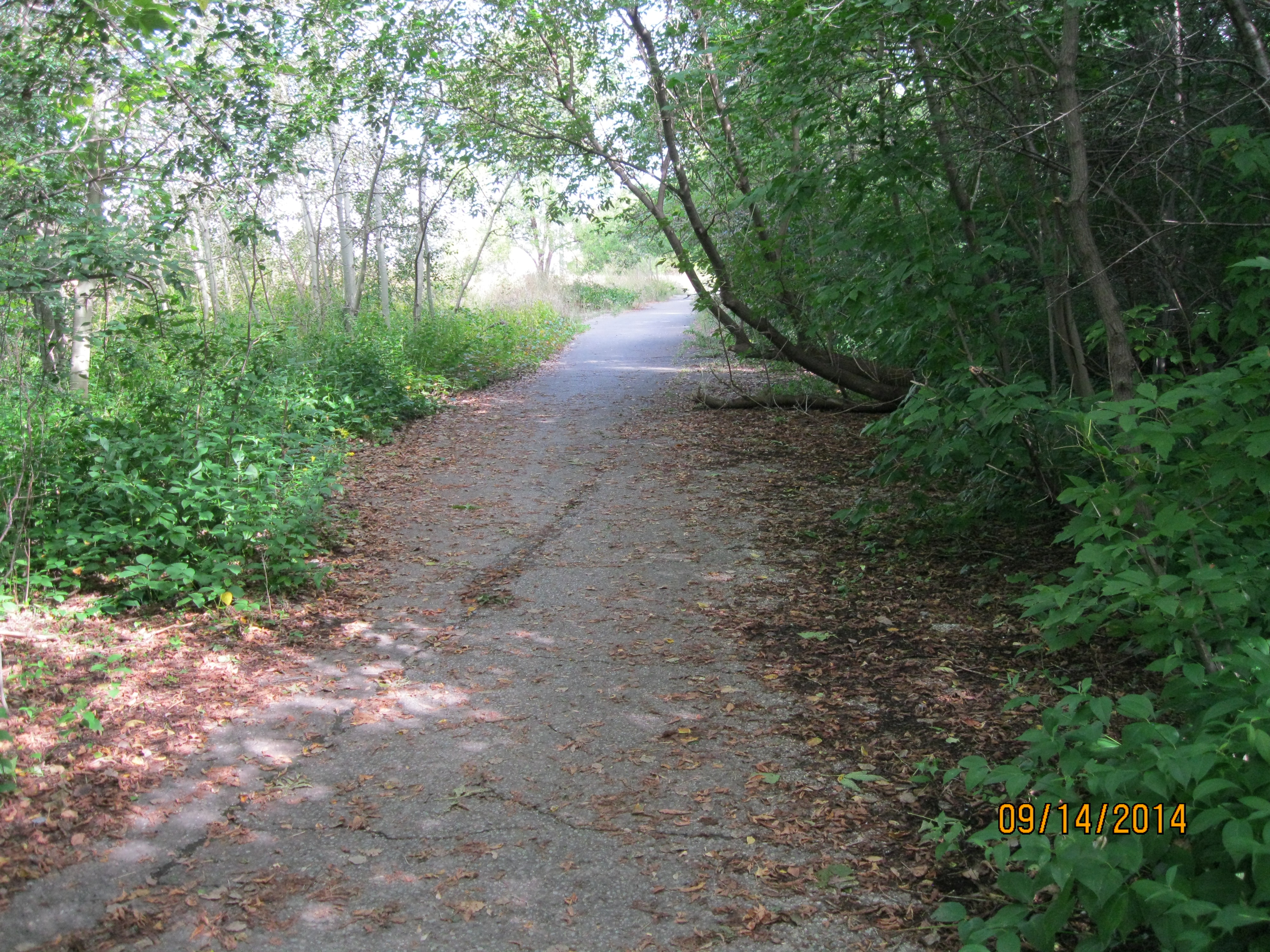
Don Mills road was named for the saw and grist mills that it provided access to. Originally it ran from the mills at the forks of the Don down to Parliament street. It was later extended as far north as York Mills road, passing through various people’s well established land grants. Since this road was independent of the actual mandated road allowance it was called the Independent Mills Road for a time. More recently it has simply been known as Don Mills Road. When it was widened to four lanes in the 1950’s a section south of Gateway Blvd leading down the hill was abandoned. It remains today as part of a trail and a parking lot at the bottom of the hill.
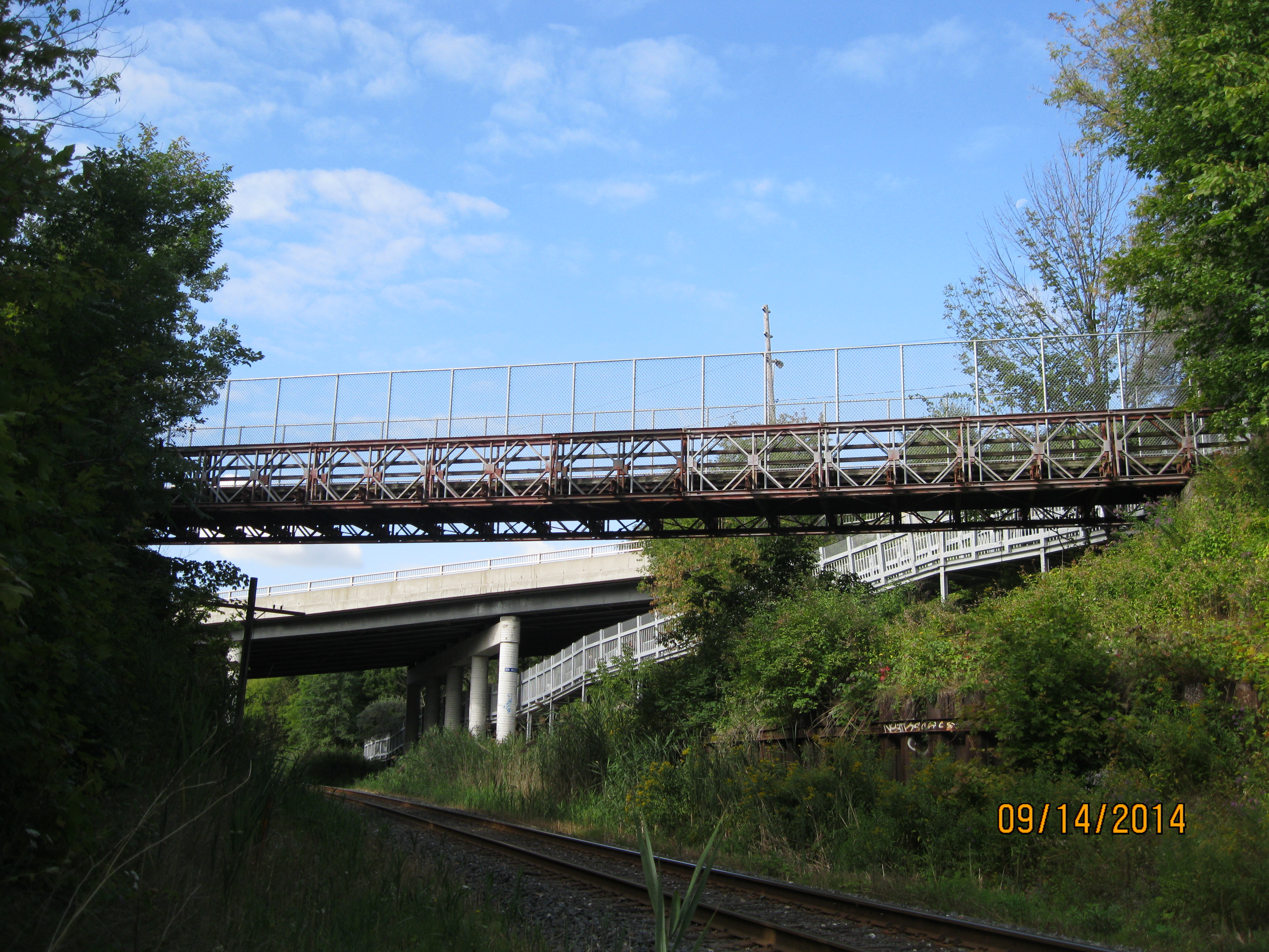
The old Don Mills bridge now carries a trail instead of a road across the railroad tracks. The bridge is constructed of steel beams bolted and pinned together. I arrived here while the Terry Fox run was going on. Crossing this bridge I could feel the sway caused by the runners as they pounded their feet. It must have been interesting when cars and trucks were crossing here. The new Don Mills Road bridge can be seen in the background.
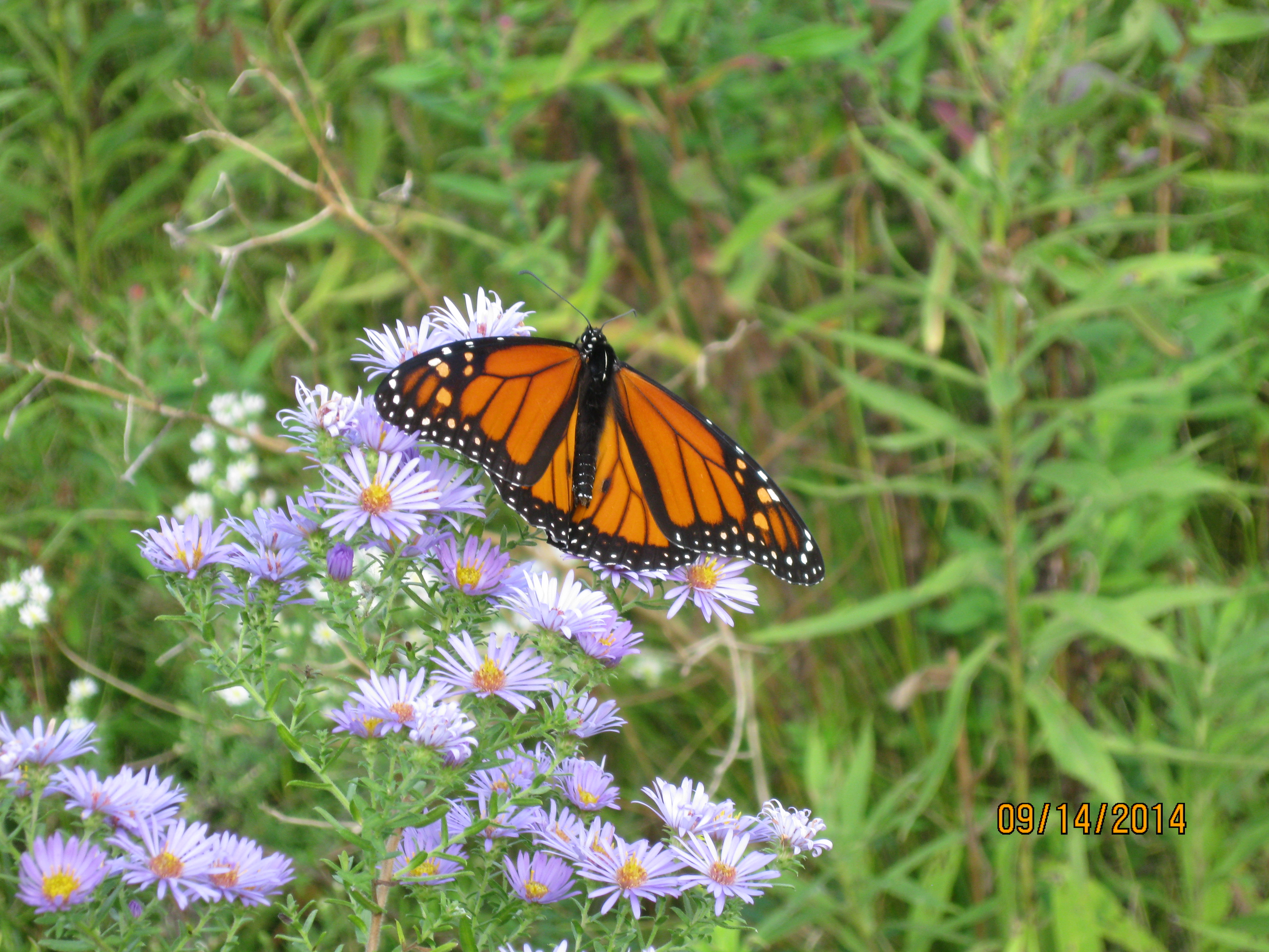
Monarch butterflies are likely the most commonly known species of butterflies in Ontario. They migrate south each winter to central Mexico. Point Pelee Park is the most southerly point in Canada and on Sep. 17, 2014 (2 days ago) they reported over 2,000 monarchs spent the night in the park on their way south. From this they estimate that populations will be up next summer. The butterfly in the picture below is a male. Male monarchs have two little black spots on their rear wings (seen near the back end of the body) that are used to release a scent to attract the females. Monarch’s taste bad due to a chemical in the milkweed they eat and that provides them with protection from being eaten by birds. Another type of butterfly that looks almost identical is the Viceroy. Viceroy’s are slightly smaller and have a second black ring around the back of their rear wings.
Visit us at http://www.facebook.com/hikingthegta

Pingback: Hiking the GTA #100 – Amazing Animals | Hiking the GTA
Pingback: Abandoned Don Mills Road | Hiking the GTA
Pingback: Beechwood Wetlands | Hiking the GTA
Pingback: Taylor Creek Park | Hiking the GTA