Sunday, June 11, 2017
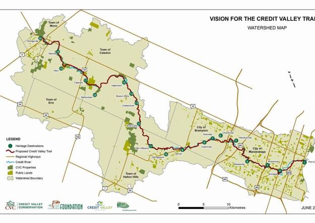
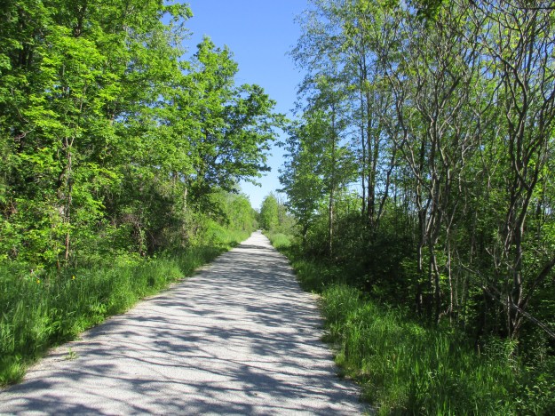
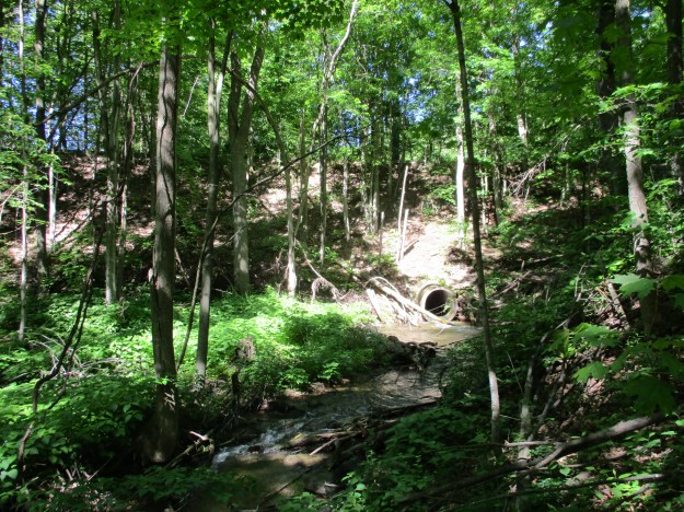
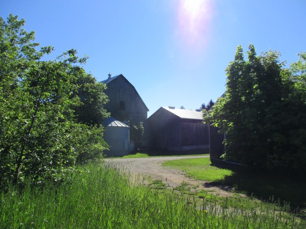
The Credit Valley Trail is a proposed trail that will run from Lake Ontario to Island Lake near Orangeville, covering a walking distance of 113 kilometres. It roughly follows the Credit River, one of the major waterways in the GTA. As such it was home to a lot of the activity in the pioneer era. The fact that the northern tip of the trail can be reached from midtown Toronto in just over an hour makes it ideal for a through hike because each of the sections is within a short drive of home. Credit Valley Conservation and the Credit Valey Trail Committee have released a map showing the proposed route as well as 20 Heritage Destinations as a prelude to the official plan which is due this fall. Hiking the GTA has visited all 20 Heritage Destinations over the past 3 years and presents the following summary of each of them to get you primed for the newest trail in the GTA. A link to a longer article with more pictures is given along with a photo from the article. You don’t need to wait for the official launch of the trail to get out and see what’s out there.
1.) Port Credit
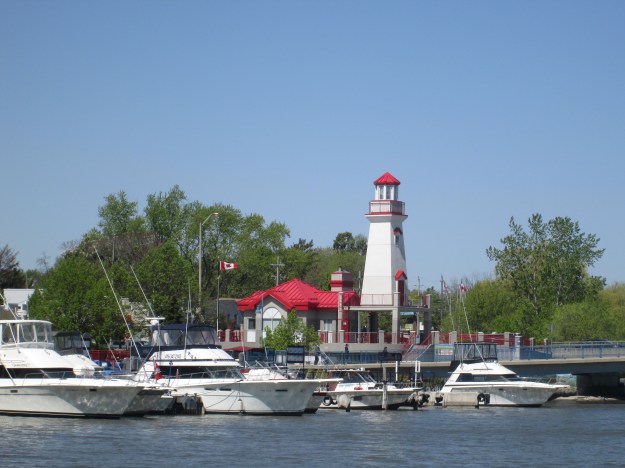
Where the Credit River empties into Lake Ontario The harbour has been active since 1834 for an industry known as “stone-hooking” where shale was collected from the lake bottom for use in construction. Today the Ridgetown, a 100-year old ship, guards the entrance to the harbour.
2.) Erindale
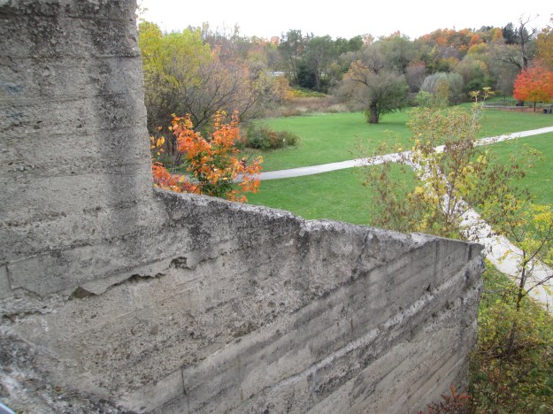
Erindale Park is formerly Erindale Lake from the days when a power generating plant was built in the small community. The historic town retains many of its older buildings but the old hydroelectric dam in the park is an obvious attraction. The view from the top of the dam gives a clue to the depth of the lake it created.
3.) Riverwood
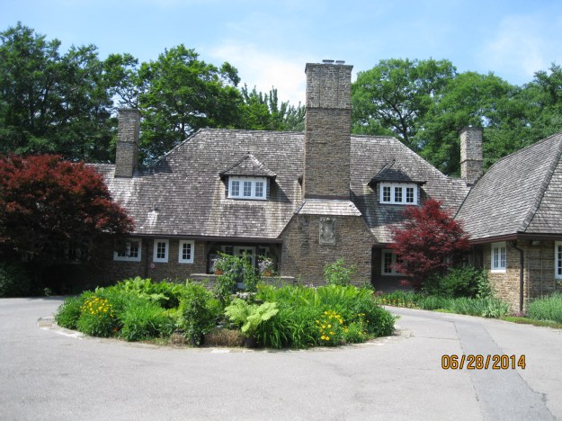
The Riverwood Estate has become a major park in Mississauga and features a 100-year-old stone mansion. The estate also had the first swimming pool in the future city and has a cool set of stairs hiding in the woods.
4.) Streetsville
The Hyde Mill in Streetsville was in business as early as 1840 and in 1906 was converted to become the first municipally owned power plant in Ontario. Streetsville retains much of its historic character and still feels like a small town in the middle of the city.

5.) Meadowvale
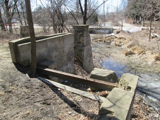
Meadowvale has a cultural heritage designation because of the number of historic buildings that it has retained. The Silverthorne grist mill was demolished but the foundation and the raceways remain.
6.) Churchville
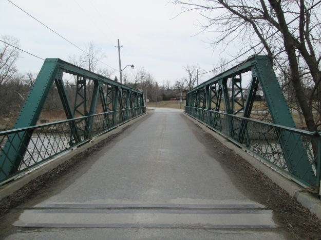
Churchville developed around the mills that Amaziah Church built in 1815. The community has one of two one-lane bridges that remain in Brampton. This steel pony truss bridge was built in 1907.
7.) Eldorado
Eldorado Park was originally a mill site that was later turned into a family park. The Toronto Suburban Railway passed through the park and they turned the park into a destination for their passengers. The park still has plenty of its historic character left to explore including the remains of the old dam.
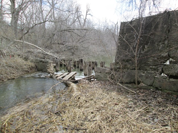
8.) Huttonville
John McMurchy’s woollen mill can be seen from Mississauga Road and was a major employer in the small community of Huttonville. A powerhouse was built and the river dammed to ensure a steady supply of water to power it all. The remains of the dam were badly damaged by Hurricane Hazel.
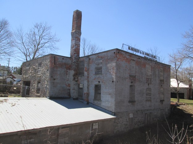
9.) Norval
The town of Norval was home to several mills and was a stage coach stop on road between Guelph and Toronto. The old mill dam still spans the Credit River.
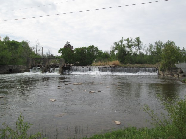
10.) Georgetown
The Barber Paper Mill stands beside the river in a state of ongoing decay while a developer toys with the idea of preserving the heritage buildings within the context of a new building. Downstream the Barbers built a dynamo to power their paper mill.
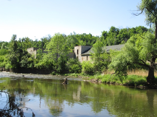
11.) Glen Williams
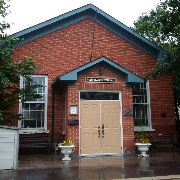
Glen Williams was a local hub of textile manufacturers in the 1800’s with three knitting mills competing with each other. The town is full of history and many of the old buildings house little shops today.
12.) Terra Cotta
Terra Cotta Conservation Area has changed a lot over the years and today is more natural than it has been in many decades. There is a 12 metre waterfall in the park along with several different trails to keep you exploring.

13.) Cheltenham
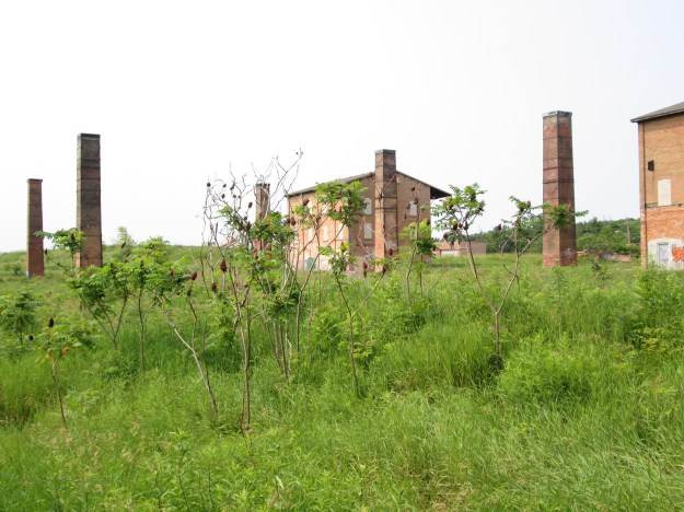
The town of Cheltenham has several historical buildings remaining as well as their old mill. Outside of town the Badlands have exposed the Queenston Shale which was exploited at the Cheltenham Brickyards.
14.) Boston Mills
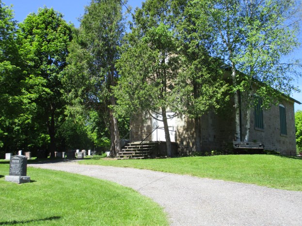
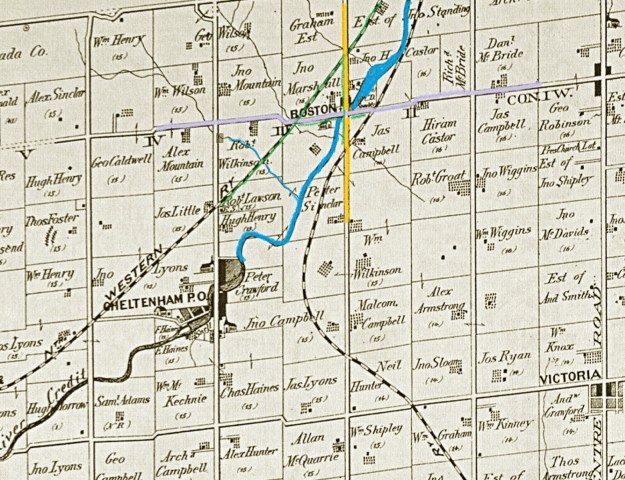
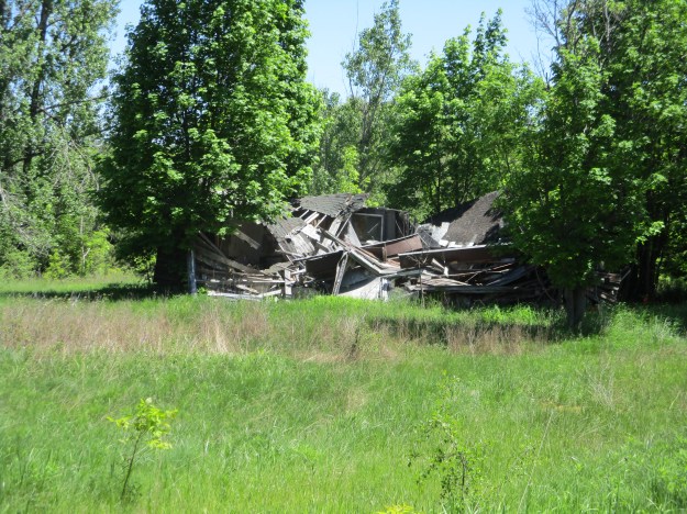
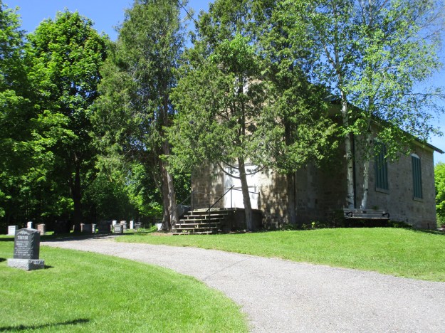
The town of Boston Mills has all but vanished and now the school has been converted to a morgue and stands in the graveyard. On the edge of “town”, a number of old country club chalets have been abandoned and are rapidly collapsing.
15.) Inglewood
Inglewood is a railway town in that it was built at the intersection of The Hamilton & Northwestern Railway and the Credit Valley Railway. It retains much of its railway heritage as well as the Riverside Woolen Mills.

16.) Belfountain
Like many communities, the town of Belfountain grew up around a mill site. Later a park was built that featured an artificial version of Niagara Falls that could be viewed from a swing bridge.
17.) Cataract
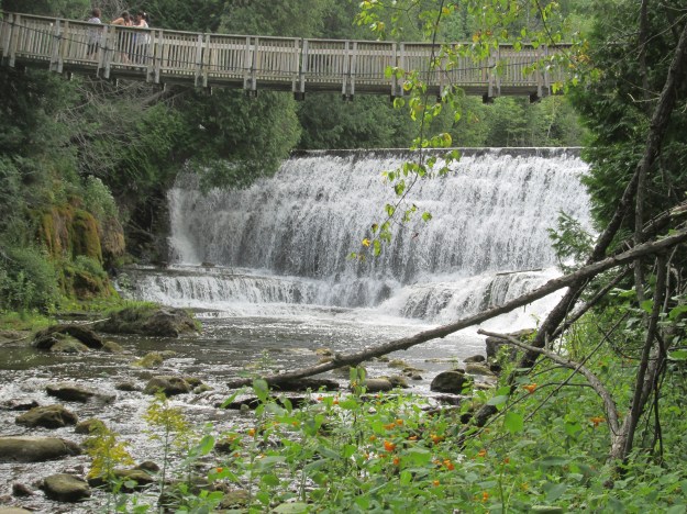
Mills were built at the Cataract Falls starting in 1858 and a community known as Churchville was started. Soon the name changed to Cataract and by 1899 the mill had been converted to the production of electricity under the name of Cataract Electric Company.
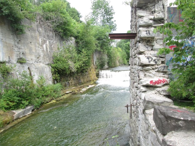
18.) Alton
Alton was an industrial centre in the late 1800’s with several mills lining Shaw’s Creek before it reaches the Credit River. A few of the knitting mills remain in town and there are still dams with waterfalls at a couple of sites.

19.) Melville
A mill with a mill pond along with the Credit Valley Railway and the Toronto Grey & Bruce Railway were enough to get the community of Melville started. Today the former mill pond remains as well as ghost line of the TG&B.
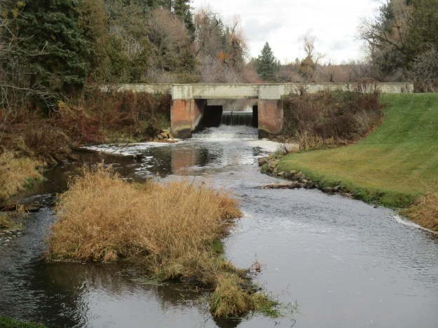
20.) Orangeville – Island Lake
The Credit Valley Trail ends at the Island Lake Conservation Area. The property formerly belonged to the Island family but when the kettle lake was flooded a reservoir was created for Orangeville and a conservation area began. Boardwalks and bridges allow you to walk an 8-kilometre trail around and across the lake.

The proposed trail is not complete yet and may take some years to come to fruition. We have another twenty posts of places that fall between the Heritage Destinations that the Credit Valley Conservation and Credit Valley Trail have identified. Perhaps we’ll share them in a future post.
Google Maps Links for each point of interest are included in the stories.
Like us at http://www.facebook.com/hikingthegta
Follow us at http://www.hikingthegta.com
