Category Archives: Waterfront Trail

The Boardwalk

September 25, 2022

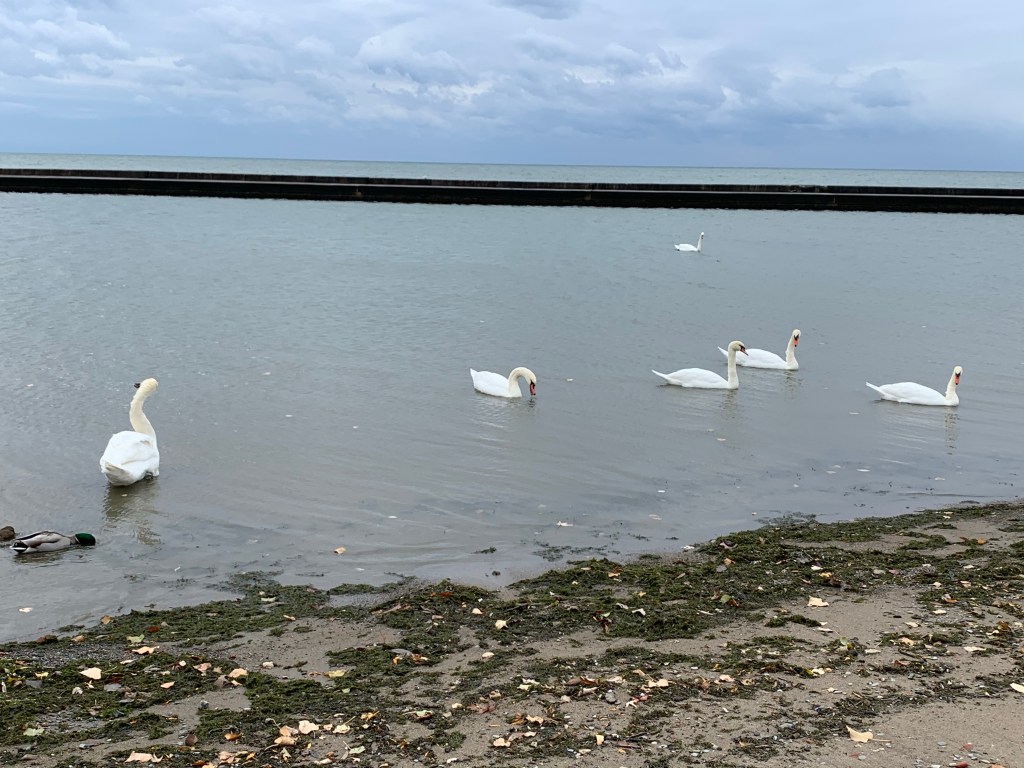
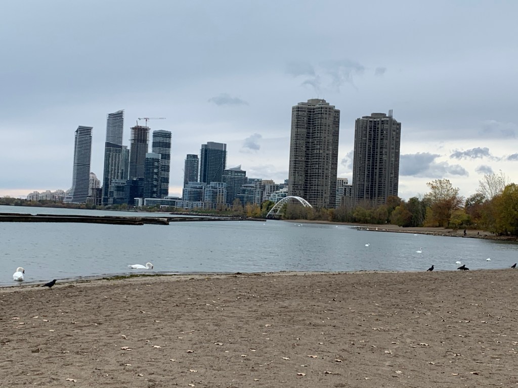
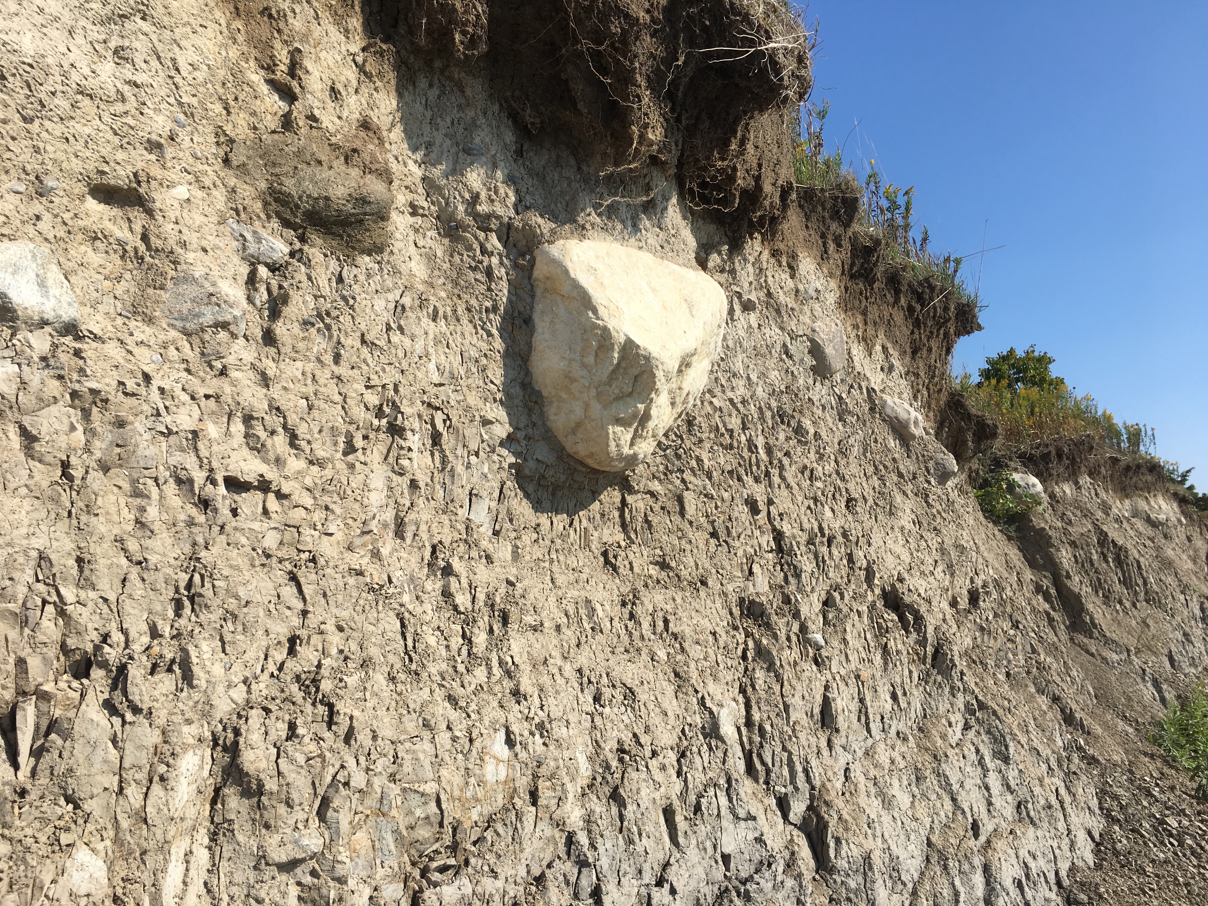
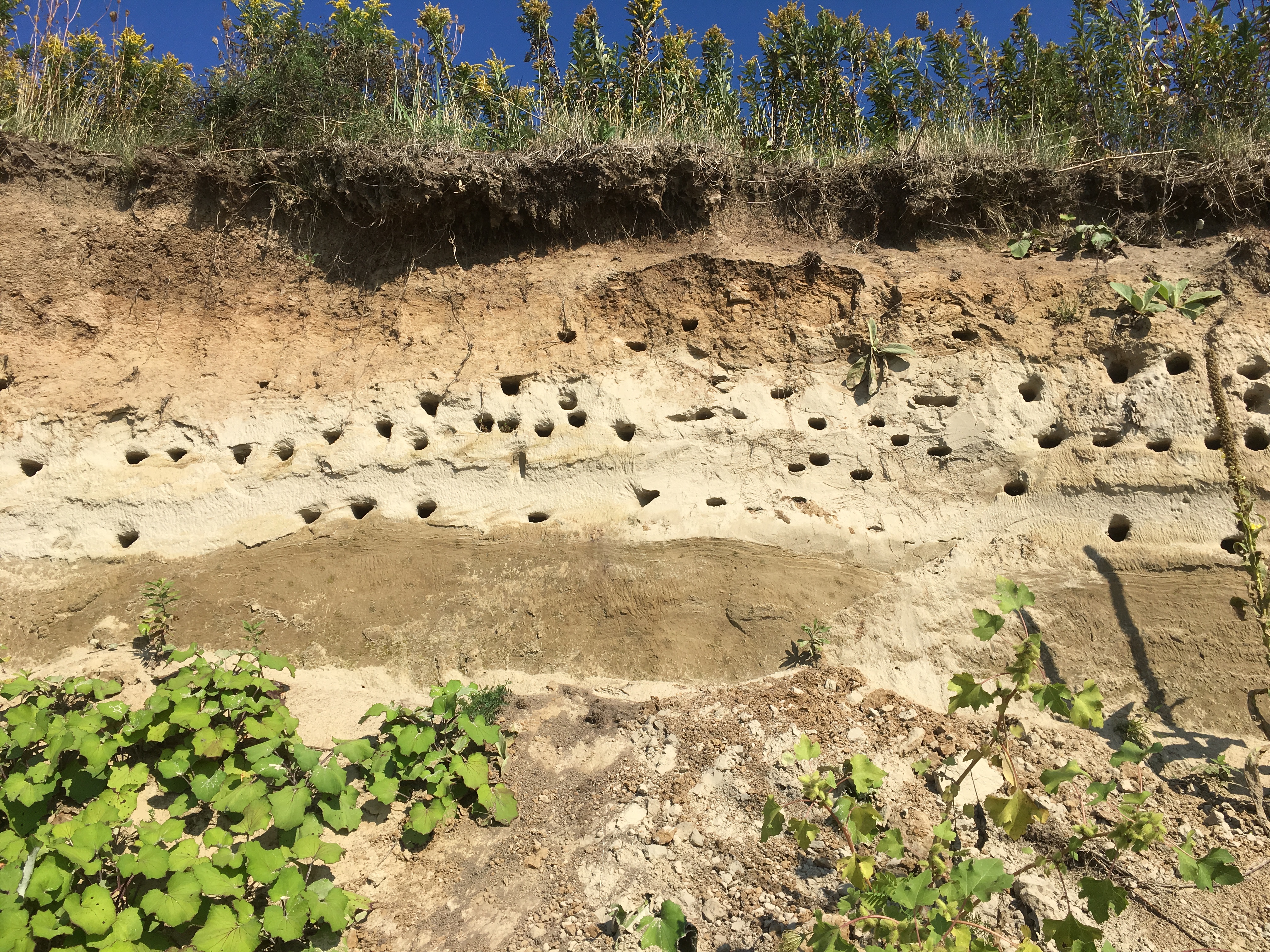
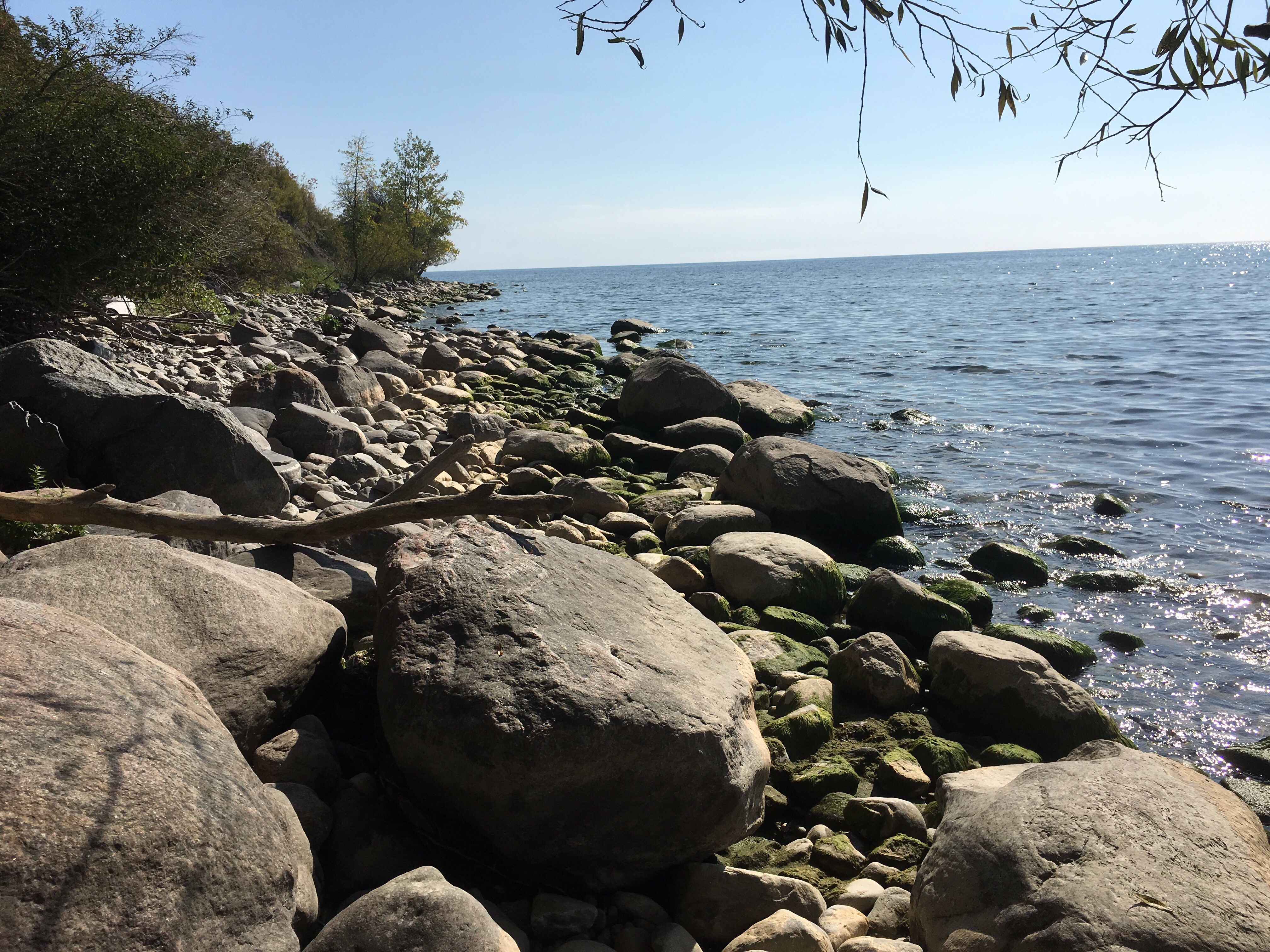
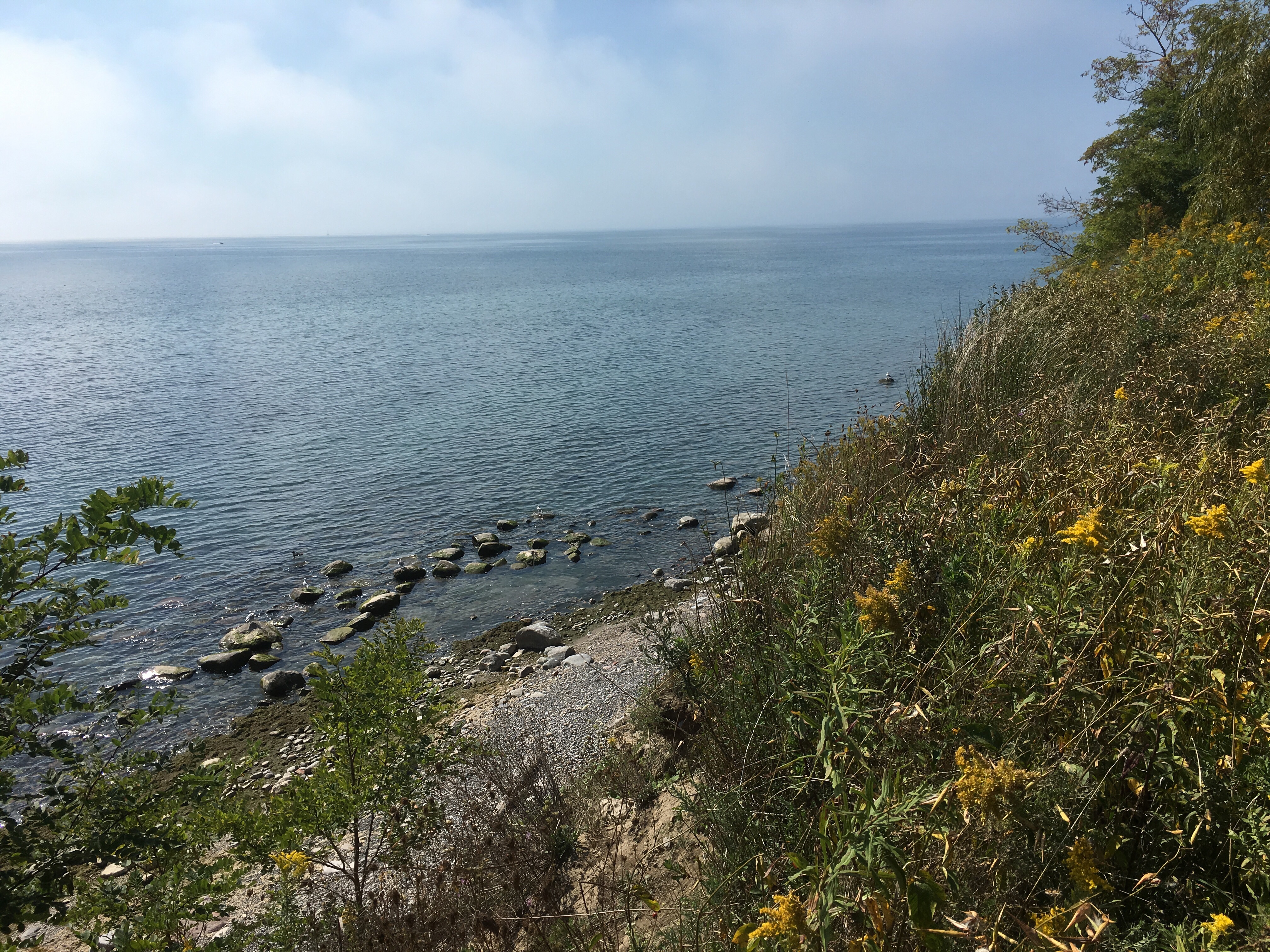
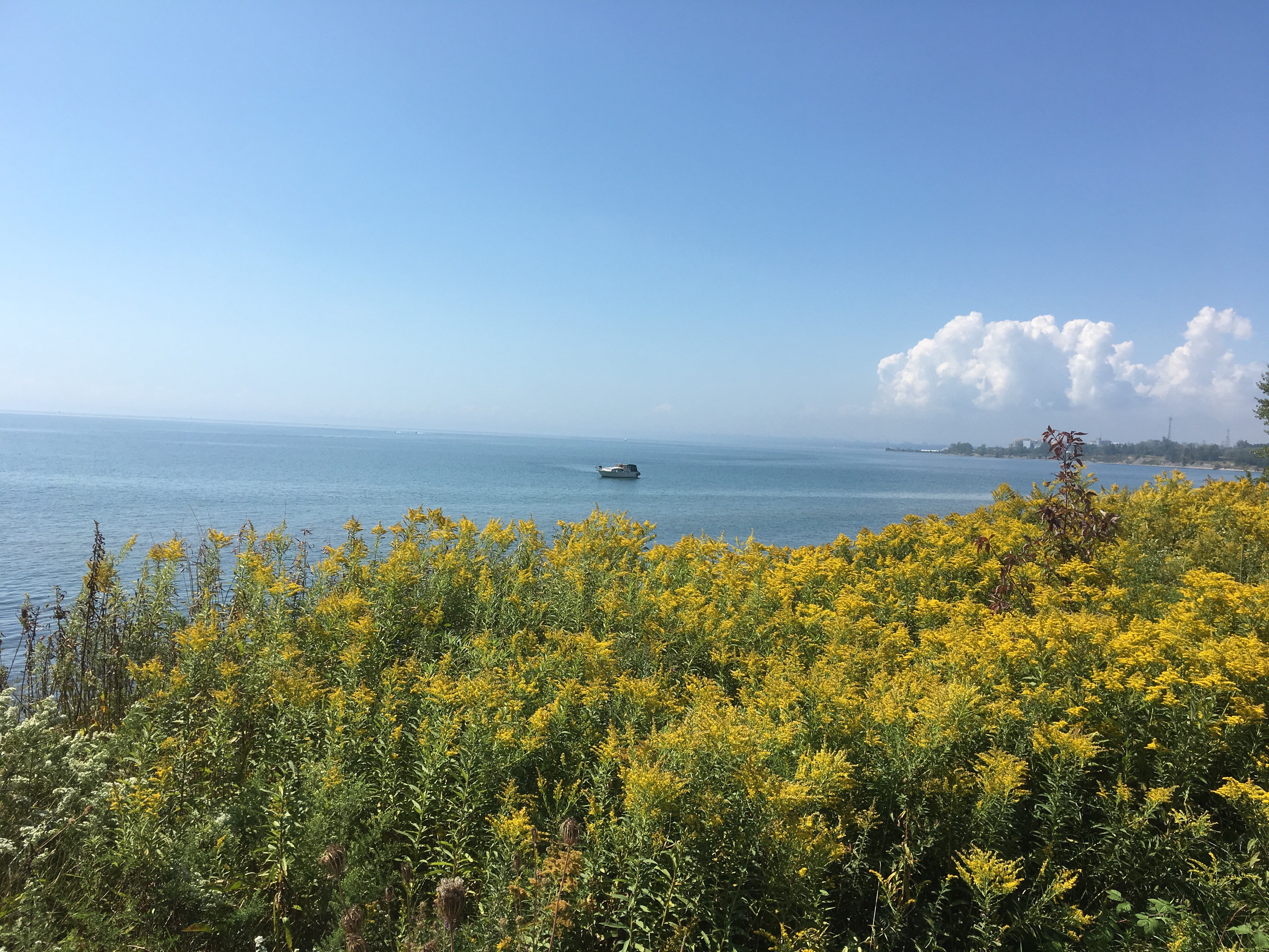
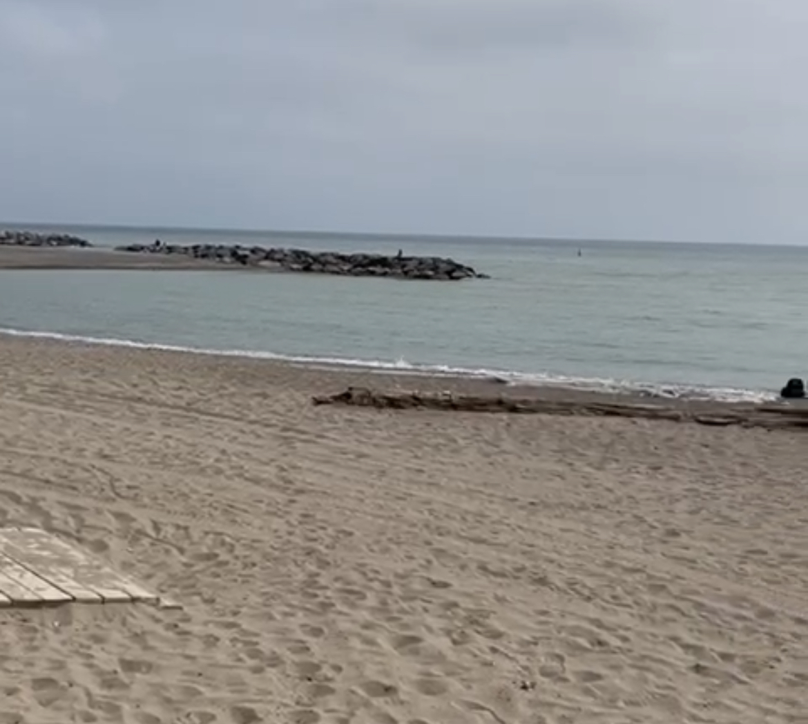
Toronto has a lengthy stretch of beaches that begin near the foot of Victoria Park Avenue on Silver Birch Beach through to Woodbine Beach near Ashbridges Bay. Along the way the names change through Balmy Beach and Kew Gardens Beach, but they are all connected. They have been created over the years by sand that has eroded from the Scarborough Bluffs and has been carried by the lake in its westward spin. The rotation of the lake is known as Longshore Drift and is influenced by the pressure of the Niagara River that pushes water along the southern shore toward the St. Lawrence River. These beaches have been an attraction for city residents for decades and originally were home to amusement parks such as Victoria Park and Kew Gardens. Today they attract dog walkers, swimmers and those who just want to bake in the sun. The Waterfront Trail runs through the beaches and continues for 3,600 kilometres along the shores of The Great Lakes.

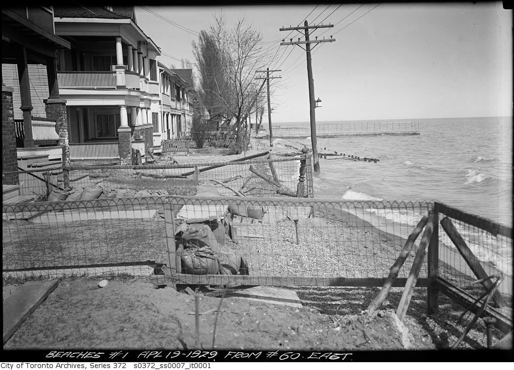
The picture below shows the beaches in April of 1929 when homes and cottages existed close to the water’s edge. As early as 1908 the city had built a wooden boardwalk from Woodbine Beach to Leuty Avenue. Storms in 1929 caused extensive damage and many of the homes had flooded basements. In 1931 and 1932 the city proposed the creation of a permanent boardwalk running from Woodbine Beach all the way to Silver Birch. This would allow for a continuous walk of nearly 5 kilometres. Since then, the boardwalk has been repaired many times and a bicycle and jogging path has been added alongside it.

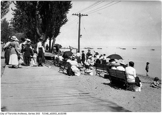
The archive picture below shows people enjoying the early boardwalk along the area of Kew Beach.

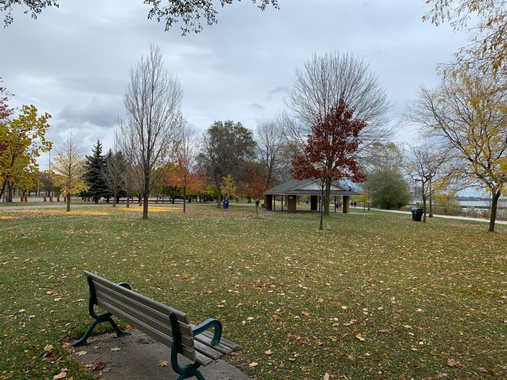
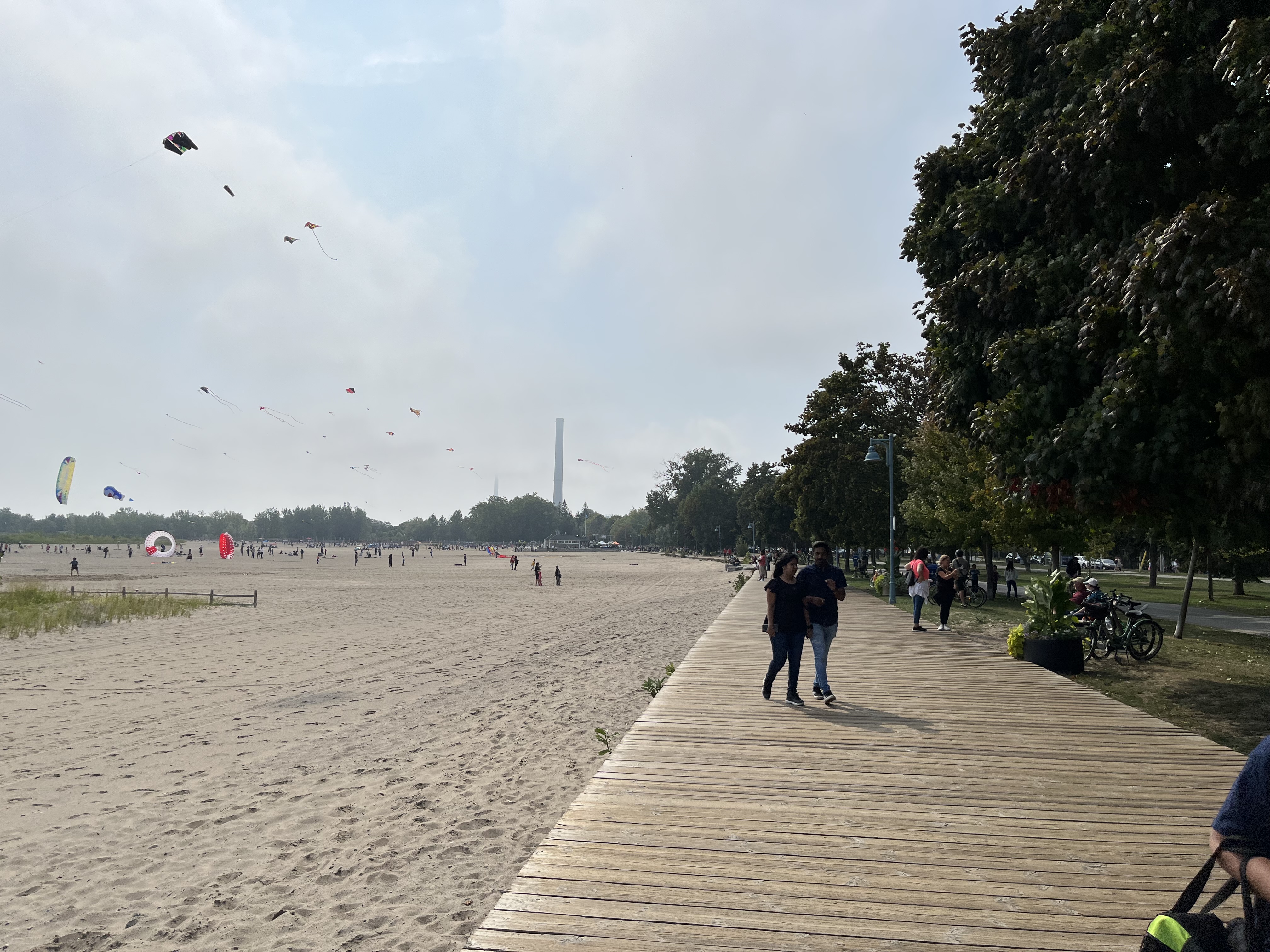
Today, the boardwalk is a destination for many people in the city to enjoy but it wasn’t terribly busy on this September afternoon.

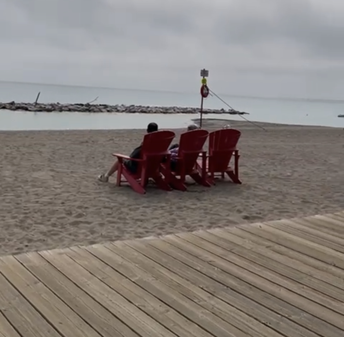
Muskoka Chairs were created in 1903 in the Adirondack Hills in New York with a sloping seat and back and large armrests to allow people to sit in a comfortable reclined position. There are several sets of Muskoka Chairs as well as benches and large pieces of armour stone that provide seating along the beaches.

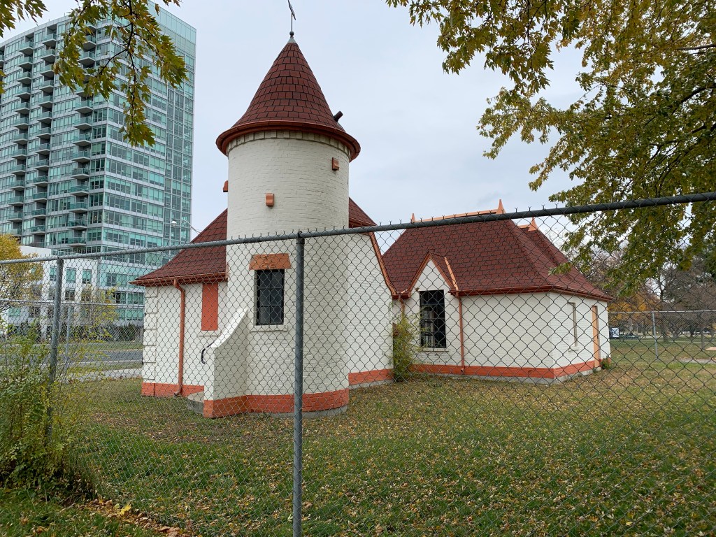
The Leuty Lifeguard Station was built in 1920 and was described in our post Kew Gardens.

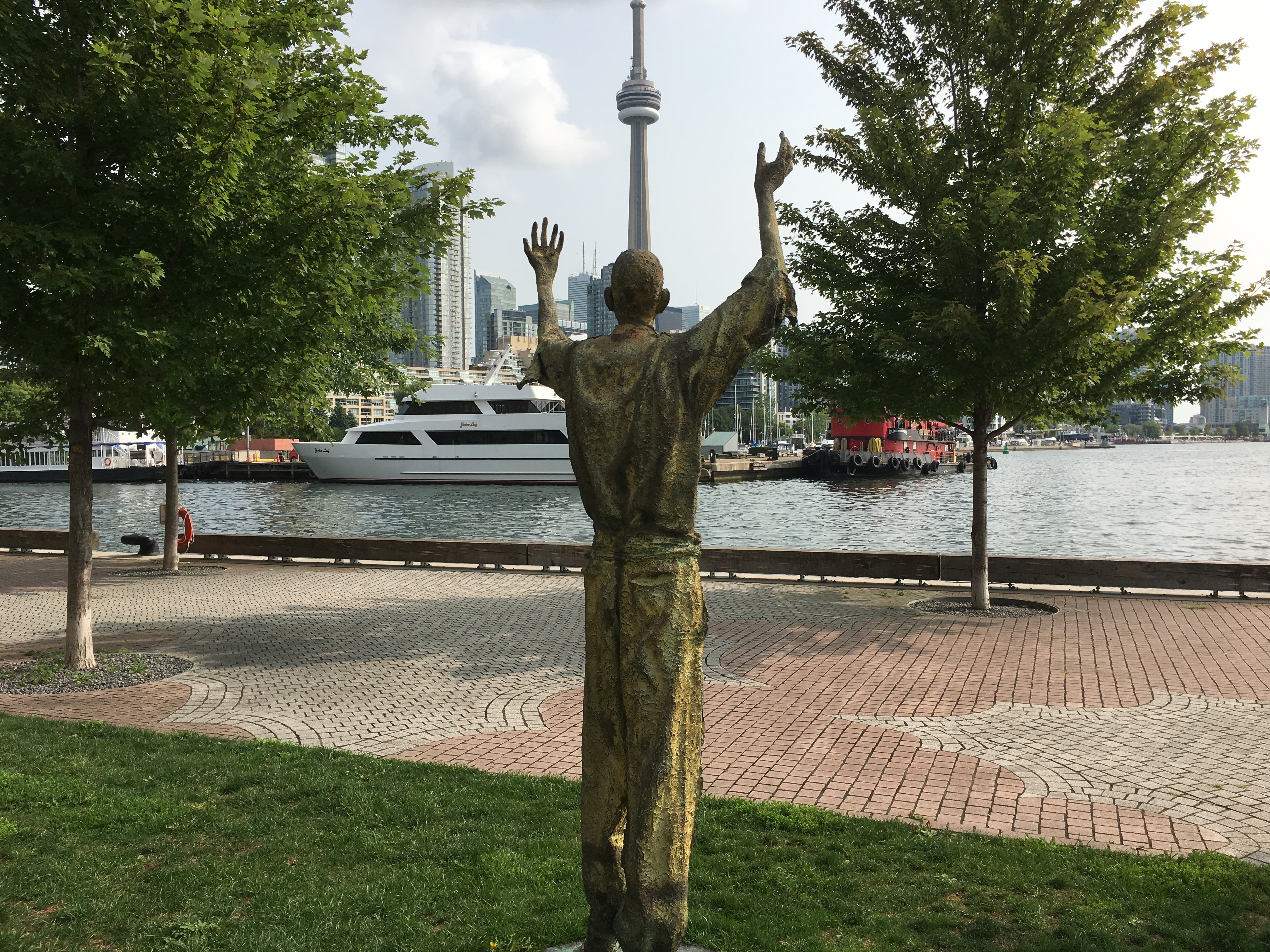
We visited the beaches during Windfest 2022 when dozens of kites were being flown on Woodbine Beach. The annual kite flying festival was held on September 17th from 11:00 am to 4:00 pm.

Participants brought their own kites and there was a wide variety from the simple kites to elaborate ones with bright colours and several shaped like various cartoon characters.

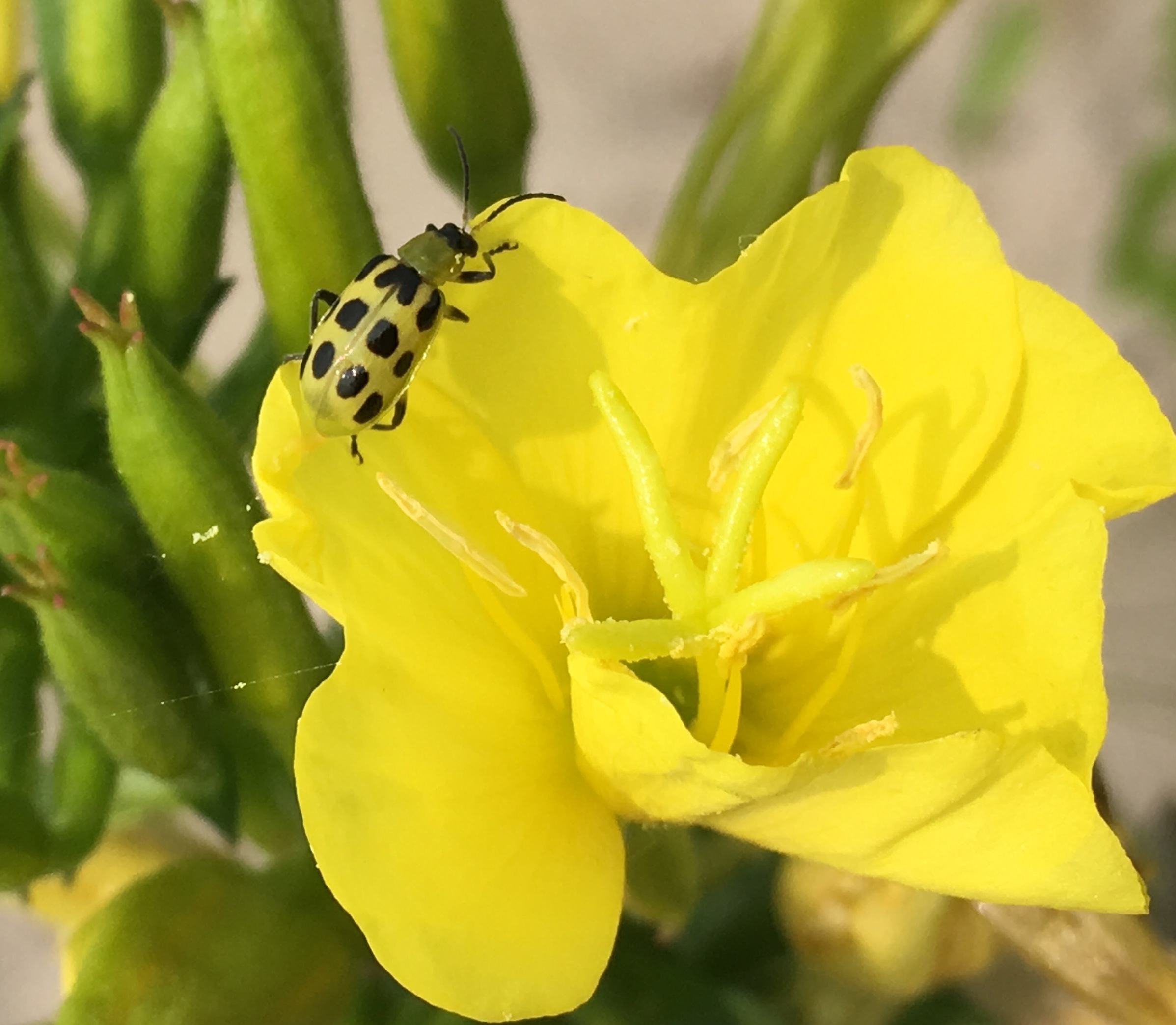
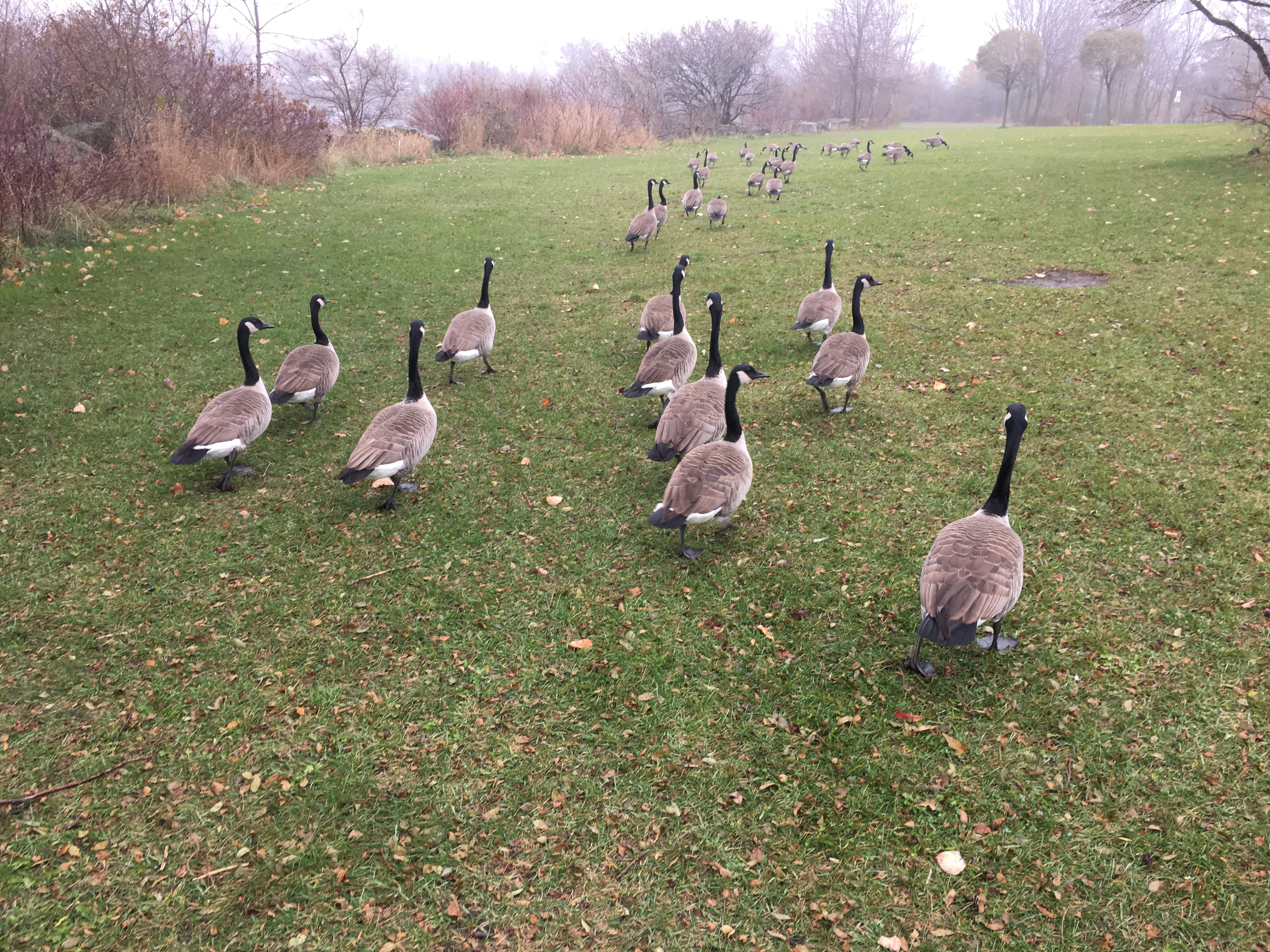
There are over 100 volleyball courts at Woodbine Beach. Most of these are subject to usage permits and are dominated by league players. There’s only a few that can be accessed by the public on a “free to use” basis. There is a petition before City Council to change this and make 50% of the courts available for public use. Woodbine Beach also has a nine-hole disc golf course where people can play golf using frisbees that are thrown at metal poles with chains on them. The course had been expanded in November 2021 but complaints that the new section encroached on a sensitive area that is used by migrating birds led to the new section being removed this spring.

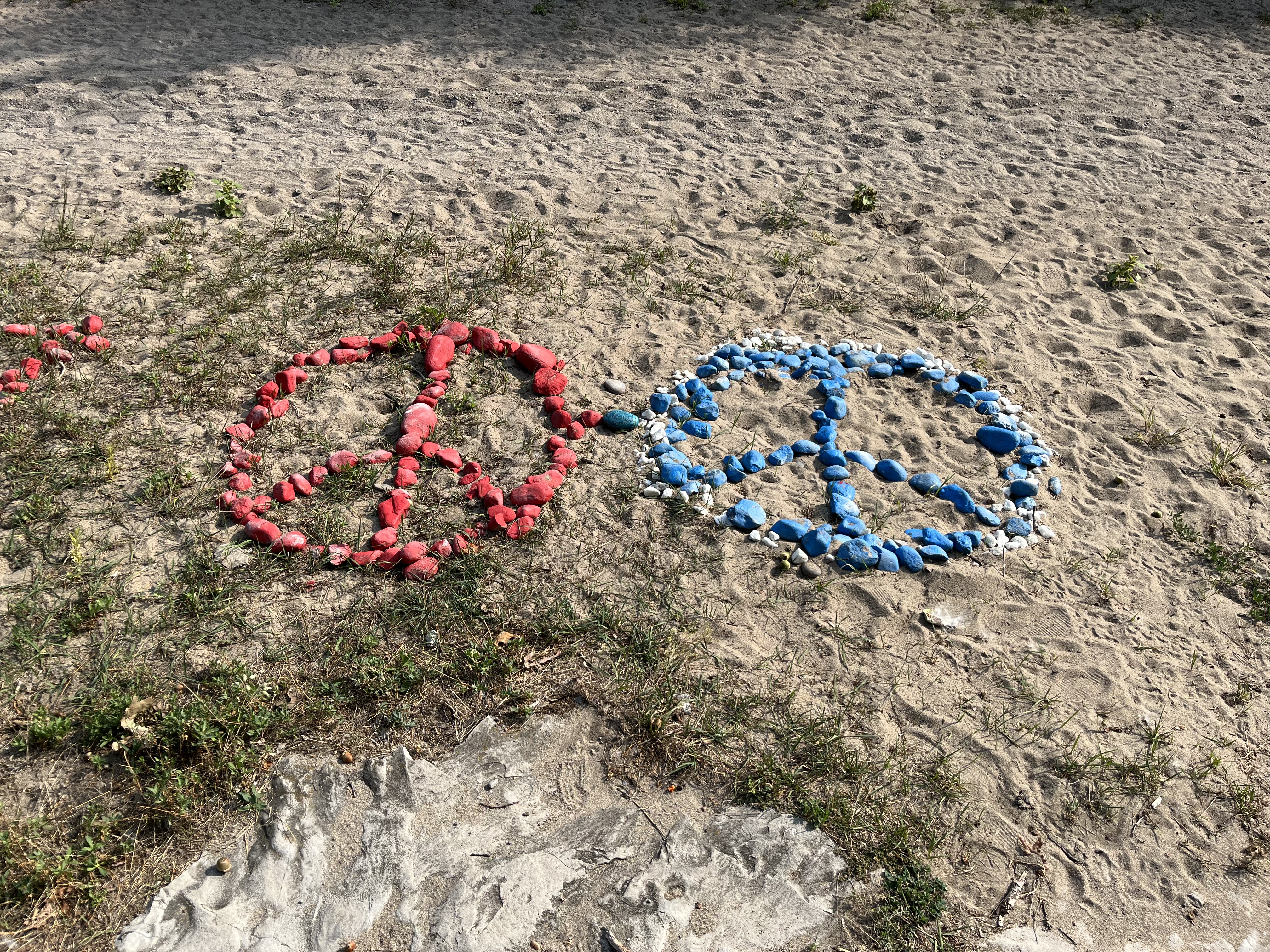
The beaches are a great place to relax although there may not be a lot of peace and quiet on some days. During our visit a concert was going on at Woodbine Beach and it was amplified very loudly. Sudden yelling from the microphone caused some of the people on the boardwalk to be startled and made them jump. Someone has created a couple of peace signs and several hearts out of painted rocks. This symbol dates back to 1958 when Gerald Holtom took the semaphore symbols for N and D to create a symbol for Nuclear Disarmament. A semaphore symbol is a system of depicting the alphabet using the arms and two flags.

Parking is available at Woodbine Beach and in various places along Queen Street.

Related posts: Kew Gardens

Google Maps Link: Woodbine Beach Parking

Like us at http://www.facebook.com/hikingthegta

Follow us at http://www.hikingthegta.com

Also, look for us on Instagram

Sir Casimir Gzowski Park

Sunday, November 1, 2020

It was cold and windy down by the lake but I had decided to check out Sir Casimir Gzowski Park because of its monument to the man who was instrumental in early transportation in Upper Canada. Gzowski was born in St. Petersburg in 1813 to Polish parents and after being exiled to the USA following the Russian November Uprisings he came to Canada in 1841. His first project was work on the Welland Canal. He also completed part of Yonge Street and was a railway builder as well. His work on both the St. Lawrence and Atlantic Railroad and the Grand Trunk Railway helped link communities across Upper and Lower Canada. His design for the international bridge between Fort Erie and Buffalo was made challenging by the wind and strong currents but he was successful. As the first chairman of the Niagara Parks Commission, Gzowski was responsible for planning the park system along the Canadian side of the Niagara River. This includes the observation areas for Niagara Falls.

There is a monument to Sir Casimir Gzowski in the park which is a concrete tripod with steel beams at the top and railway ties at ground level. It was built in 1968 and in addition to the bust shown in the cover photo has several panels with considerable detail about his life and accomplishments. He died on August 24, 1898 after being ill for several months. The park and monument celebrate his contribution as a member of the Polish community.

Mute Swans, like the ones pictured here, have mostly orange bills as opposed to the mainly black bills of Trumpeter Swans and Tundra Swans. Mute swans are not native to North America and were introduced in the 1870’s as garden and park ornaments. Today there are over 3,000 of them in Ontario’s Great Lake regions. They can each eat about 4 kilograms of vegetation a day which means that they damage plant systems and destroy the habitat of local creatures.

The view toward Mimico seems to change every time I look. it wasn’t so long ago the Palace Pier was a lone condo near the mouth of The Humber River and the mouth of Mimico Creek was home to a variety of aging motels. The last of the motels has now been demolished and the now tallest building outside the downtown core stands at 66 floors looking out over the lake.

The park features a beach as well as 9 pieces of exercise equipment along with an off leash area for dogs and two picnic shelters. A concession stand also operates during peak periods. The weather along with the weekend closure of three local parking lots along Lake Shore Boulevard meant that I had the park almost completely to myself.

In the 1930’s the era of personal automobiles was really getting underway and Joy Oil Company Limited was one of the late-comers in Toronto. Gas stations today are purely utilitarian in design but it wasn’t this way with the Joy gas stations. They were built with steep pitched roofs, spires and towers in a design known as Chateau Style. A total of sixteen of these stations were built in the GTA with 14 being in Toronto. All but one has been demolished including the one that stood on the other side of High Park at 429 Roncesvalles Avenue. In 1986 bylaw 837-86 designated that station as being of architectural significance. It wasn’t long before it was demolished and replaced with a unimaginative retail store.

During the 1937 Joy Oil built the station which stood at Windemere Road and Lake Shore Boulevard. It survived the construction of the Queen Elizabeth Way and later the Gardiner Expressway before closing. By 2007 it was badly dilapidated but the city chose to rescue it. They moved it across the road into Sir Casimir Gzowski Park and spent $400,000 to renovate it. Since then it has sat behind a chain link fence waiting for one of the many plans to come to fruition. Meanwhile, the paint is starting to peel again.

The east bound lanes of the Gardiner Expressway were closed which meant that I couldn’t get really close to park. Most of the time you can park almost right beside the old Joy Station. I had to park on Parkside Drive and walk along the waterfront trail to get to Sir Casimir Gzowski Park. Along the way I noticed the true reason for the closure of the busy expressway. It was to allow a flock of geese to cross the road.

My route took me past Sunnyside Bathing Pavilion, one of the last remnants of the strip of attractions, including an amusement park, that used to line the shore of Lake Ontario. More details about Sunnyside can be found in our feature story Sunnyside Beach.

I recently read about a man named Khaleel Sievwright who is building small mobile shelters for the homeless. They are well insulated and reportedly should help people stay warm at -20 with just their own body heat. The city is opposed to the shelters because they say that they could pose a serious fire hazard to the occupants. For now Khaheel continues to make the shelters and give them away, getting the needed money through on-line fundraising platforms. I happened to find one of just two or three that he has distributed so far.

Sir Casimir Gzowski Park is just one of many parks along the 3,600 kilometer Waterfront Trail and is enjoyed by joggers, cyclists and dog walkers as well as the occasional local history buff.

Google Maps Link: Sir Casimir Gzowski Park

Like us at http://www.facebook.com/hikingthegta

Follow us at http://www.hikingthegta.com

Also look for us on Instagram

Ajax Waterfront Park

Saturday, September 15, 2018

The busiest highway in North America runs parallel to the shore of Lake Ontario and the strip in between is mostly developed through the entire GTA.  However, the lake shore itself is a small oasis that is too often broken by private property.  The Waterfront Trail stays off road as much as possible but usually has to take side streets to go around these little enclaves.  Ajax has a lengthy section of beach that can be followed, as I did from Duffins Marsh on Duffins Creek, Rotary Park, through Ajax Waterfront Park and beyond. To begin, I parked in Rotary Park off of Lake Driveway West.  The marsh was calm and several egret and a heron were seeking their breakfast along the water’s edge.  Where Duffins Creek empties into Lake Ontario a foot bridge carries the trail west toward Alex Robertson Park and Frenchman’s Bay.  The picture below shows Duffins Marsh just north of the lake.

I decided to follow the shore line east with the idea that I could return using the paved trail.  It wasn’t long before I attracted the attention of this Trumpeter Swan who swam along beside me for awhile before deciding that I hadn’t noticed it there, supposedly starving.  It came out of the water and started to follow me along the beach.  I noticed that it was tagged and numbered “T61”.  These swans were nearly extinct along the shores of Lake Ontario until about 30 years ago when they were reintroduced with eggs taken from other places in Canada.  The tagged birds are monitored for their movements based on where they are reported.  It also serves to indicate how many swans are being born in the wild as the percentage of tagged swans continues to decrease over the years.  Researchers are monitoring this closely and now estimate the local population in the GTHA to exceed 1000 birds.

There seems to be a lot of apple trees growing along the top of the embankment.  Slowly the ground is being washed away from under these trees and some are in danger of falling over the edge.  Then I came across an apple tree that was growing on the beach.  That seemed a little puzzling as to how it came to be there.  The most likely explanation for the tree on the beach is that an apple fell there and grew.  It’s surprising that it survived the waves that must have beaten upon it as it grew.

IMG_6917

Like the Scarborough Bluffs, the sand along the shore of the lake is eroding away.  Large eratic boulders left behind during the last ice age are slowly being exposed and will eventually end up on the beach.  The rock in the picture below looks like it is about to fall but it is hard to tell how much of the stone may yet remain in the sand bank.

September 15th was the date for The Great Canadian Shoreline Cleanup.  The good people of Ajax were cleaning the shore as I made my way past.  This year there were 1714 different teams across Canada that cleaned 2,679 kilometres of shoreline and removed 58,226 kilograms of trash.  We salute all these people.

Zebra Mussels were first seen in North America in 1988 in Lake St. Clair.  The are believed to have come in the ballast water of a ship from Europe and have since spread into all of the Great Lakes, the St. Lawrence River and many smaller lakes.  One female Zebra Mussel can produce up to a million eggs per year and they can live up to five years.  They are spread from lake to lake on boats and trailers of people who don’t take the time to clean them off their equipment after a day in the water.  Their shells have washed ashore and in some places lay in drifts a foot deep.

There are several metres of sand bank along the shore in most places.  I found it interesting that the swallows seemed to place their nests in just the lighter layer of sand.  The nests are naturally not to close to the top or too close to the bottom so that they provide safety from predators.

IMG_6909

There is a great section of beach along here that hasn’t been artificially protected from erosion.  No armour stone and no break walls have been added to keep the waves from doing what comes naturally.  Some sections have shingle beach features with stone washed in from the lake or eroded out of the embankments along the shore.  Other sections have sand and could make suitable spots to spend an afternoon with the kids.

One rock on the shore was not like the others and appears to be rusting like a giant chunk of iron ore.  This single rock looks so out of place that it makes me wonder how it got there.  Was it ship’s ballast that was later dumped?  Ore headed for Hamilton for smelting, perhaps.  Or was it left there by ancient aliens as a clue that we’d been visited?

The shore line eventually came to a point of land that made access to the top of the embankment quite easy so it seemed like a good place to turn around.  Having walked the shore on the way east, I returned along the paved trail that follows the edge of the lake from a few metres above.  This path provides many great views out across the lake.

I hadn’t seen very many Monarch Butterflies but at one point I came across a patch of goldenrod that had several on it.  I snapped a few pictures and every one had at least two of the colourful insects in it.

Various pleasure craft were seen making their way up and down the lake.  Sometimes one or two larger tankers could be seen off in the distance against the skyline.  The boat in the picture below stopped and executed a turn in front of us as if someone was taking practice on doing so.

The tracker I use indicated that the total loop I made was about 7.4 kilometres.  It was a hot day and there was little shade anywhere along the trail.  I wish I had brought more cold water with me.

IMG_7303

The Waterfront Trail continues in both directions from where I was today so it’s safe to say that there will be more trips to this area.

Google Maps Link: Waterfront Trail Ajax

Like us at http://www.facebook.com/hikingthegta

Follow us at: http://www.hikingthegta.com

Frenchman’s Bay

August 18, 2018

The original inhabitants of the Pickering area were the Senecas who had a settlement named Gandatsetiagon.  Frenchman’s Bay in Pickering was so named because of Francois de Salignac de Fenlon who arrived in Montreal in 1667 and came to Gandatsetiagon in 1669 to work as a missionary with the native people.  After 1791 when the British opened Upper Canada for colonization the area soon became home to settlers who started the settlement of Pickering.  We parked on West Shore Boulevard beside the Rotary Frenchman’s Bay West Park for our exploration of that park.   The county atlas picture below shows the area as it appeared in 1877.

Frenchman

Very shortly after we entered the trail we came across a rose bush that is very well covered in rose hips.  These seed pods often require a winter season of freezing, known as stratification, before they can germinate.  Some species require two seasons of freezing.  The rose hips are frequently used in jams and teas because of their relatively high levels of vitamin c.

IMG_6158

Several types of bee structures have been placed in the park to help encourage the bees that pollinate the wildflowers growing in the park.

IMG_6159

Several trails cut their way through the park leading to the Beachfront Promenade as well as the bay.

IMG_6162

Cucumber beetles come in two groups, striped and spotted.  The striped one has three rows of black stripes on the abdomen while the spotted one, seen below, has 12 black spots.  The striped one feeds exclusively on cucurbits like cucumber, pumpkin or squash while the spotted on is less picky and will feed on other plants too.  Aside from often killing the host plant when the larvae feed on the roots these beetles carry bacterial and fungal diseases from one plant to another.

IMG_6171

This year there appears to be a lot of monarch butterflies.  The section of the Waterfront Trail that surrounds Frenchman’s Bay is known as the Monarch Trail.  This 4.7 kilometre trail section commemorates the monarch butterfly and the annual stop they make at the bay on their return flight from the south.

IMG_6182

We saw the following sign and wondered who defines what constitutes an offence.

IMG_6186

The park is home to the Pickering Rouge Canoe Club.  Canoes, kayaks and dragon boats all belong to the club.  Sculling is also done on the bay with the main difference between sculling and rowing being the use of two oars by a sculler and only one per rower.

IMG_6188

Frenchman’s Bay has a protected harbour with lengthy breakwalls protruding into the lake.  A small green lighthouse guards the west point while a red one is positioned on the east side.  The original channel into the harbour was dredged in 1843 and wooden piers were built to protect the entrance to the bay.  Looking to the east of the harbour you can see the towers of Pickering Nuclear Generating Plant.  The plant was built starting in 1966 and it is one of the oldest nuclear generating stations in the world.  Ontario has committed to continued use of the facility until 2024.

IMG_6193

In 1843 a set of piers was constructed at the north end of the bay with a wharf extending into the middle of the bay.  The wharf was built of hand hewn timbers that were dovetailed and connected much the same way as a log cabin.  The sections were built in shallow water and then towed to their individual locations.  Using stone they were sunk to the bottom, which had been leveled already, and then filled with more stone.  The decking was placed on top and a hand rail was attached completing the structure.  The picture below shows a replica built to the dimensions of the original as measured from sections the archaeological society had recovered.

IMG_6199

During the Second World War the production facilities of Cadillac were used for the manufacture of warplanes.  After the war they incorporated the concept of the wings into tail fins.  If I had an option to buy a classic car it would be a late 50’s Cadillac.  As we were returning from our hike we shared the highway with a string of antique cars.  Many of them had the words “RIP Paul Fernley” written in the rear window.  By having the person driving attain a similar speed to these cars I was able to get several great pictures of each car.

IMG_6226

There are three trails that wrap around Frenchman’s Bay and we will need to return to visit the others.  On the east side of the bay is Alex Robertson Park with a unique set of carvings on the trees, including Merlin, that give the park an enchanted feeling.

Google Maps Link: Frenchman’s Bay

Like us at http://www.facebook.com/hikingthegta

Follow us at http://www.hikingthegta.com

Ireland Park

Sunday, August 19, 2018

Between 1845 and 1849 the Irish Potato Famine claimed 1,000,000 to 1,500,000 lives and caused a mass emigration from the country.  Many of the refugees came to Montreal and Toronto seeking free land and a chance to provide for their families.  Arriving in Toronto the ships docked at The Queen’s Pier (also known as Queen’s Wharf and today Bathurst Quay).  This was the third wharf in the city built by the military and it stood near the mouth of Garrison Creek at Fort York.  The wharf was buried in 1917 as part of a large in-filling project and is today remembered by Queen’s Wharf Road which runs where it used to extend into the lake.  The 1842 map below shows the wharf at the foot of Bathurst Street with the Garrison Hospital and the military cemetery, Victoria Square both circled.  This is what the city would have looked like when the refugees arrived.

Queen's Pier

The idea for Ireland Park started when 7 statues were placed near the dockside in Dublin, Ireland in 1997. This was the 150th anniversary of the famine.  The Toronto park opened ten years later on June 21, 2007 with the president of Ireland doing the honours.  The Irish sculpture is known as Departure while the Toronto one is called Arrival.  The seven statues in Ireland have been reduced to five in Toronto signifying the horrible loss of life that occurred.  The first statue is a triumphant man who stands with his arms raised in thankfulness as he surveys the city of Toronto across the water.  In 1847 there were only 20,000 people in Toronto but they will handle 38,560 refugees, many of whom will pass through the hospital to the graveyard.

IMG_6241

A second statue is of a pregnant lady who stands looking up and clutching her belly.  She faces a new life in a new land with a new life inside her.  Like the others, she looks like she has worn the same clothes for the entire journey and that they may not have been the best to start.

IMG_6242

The little boy that stands to the rear of the woman appears to be unsure of what the future holds as he timidly clutches his hands before himself.  He may represent those children who arrive alone, having lost their family either on the journey or shortly after arriving.

IMG_6247

This individual is known as Pius Mulvey and was inspired by a character in the book Star of the Sea by Joseph O’Connor.

IMG_6243

The fifth sculpture depicts a woman lying on the ground.  She is in the last moments of life and represents the hope that was never realized for so many.  Seven departed, five arrived and only four survived to become part of the fabric of the city.

IMG_6245

The emigrants that fled from Ireland in 1847 were packed into crowded ships with poor hygiene for weeks during the passage.  The result was an outbreak of typhus on the ships with so many dying on board that they became known as coffin ships.  Upon arrival, the sick were taken to the Garrison Hospital.  When this facility was full they were put into fever sheds.  Within weeks of arriving 1186 of them had died and some were taken to the burial grounds at Victoria Square.  The limestone for the wall pictured below was quarried in Kilkenny, Ireland and stands in the park as a tribute to the people who perished after they arrived in Toronto.

IMG_6255

So far, the names of 675 of the people who died upon arrival have been recovered and engraved on the walls.  The names can be found in the narrow slots between the stones.

IMG_6261

The tower of glass bricks represents hope and is lit up at night.  The spaces between the sections of limestone wall where the names are carved are also lit at night to illuminate the names.  After dark, spotlights on the statues cast eerie shadows onto the abandoned silos behind. The silos represent storage facilities for grain during abundant times and stand in contrast to the poverty that the refugees were fleeing from.

IMG_6258

The Canada Malting Company located a set of concrete silos at the foot of Bathurst Street in 1928.  The waterfront had been used for heavy industry for decades and at one time Polson’s Shipbuilding Yards were located here.  Polson’s Pier in The Port Lands is named after this enterprise.  Storage silos had disappeared from the city because they were made of wood and had a lifespan of about ten years due to the fact that they were severe fire hazards.  The Canada Malting Company used concrete silos to store barley in before it was turned into malt.  The original silos near the lake were 120 feet tall and more storage was added in 1944 in the form of 150-foot tall silos.

IMG_6262

The malt was sold for beer and other uses and the operation continued until 1987 when it was closed.  The city has spent the last 25 years looking for a good way to re-purpose the silos as they have a heritage designation being one of the last two remaining on the waterfront.  Some of the silos have been demolished and the remaining ones are crumbling badly but suggestions for their preservation include turning them into a luxury hotel.  It has also been suggested that they may make a good hotel for the dead in a mausoleum with room for 6,500 coffins and niches for an additional 5,000 urns.

IMG_6271

This immigrant statue surveys the skyline of Toronto and raises his arms at the prospects before him.  It would have looked considerably different in 1847 without the towers crowding out the shoreline.

IMG_6246

Ireland Park is a very small location with a very big story to tell and because it is hidden there was no one here during my visit making it perfect for contemplation of this chapter in our history.  It also looks like an interesting place for an evening visit to see the lighting.

Google maps link: Ireland Park

Like us at http://www.facebook.com/hikingthegta

Follow us at http://www.hikingthegta.com

Humber Bay Park – East and West

Saturday, Dec. 2, 2017

Humber Bay Park is split in two by Mimico Creek with the two sides being cleverly named East and West.  They sit at the west end of the Humber Bay shoreline.  Both sides of the park have parking lots accessible off of Lakeshore Boulevard.  In 1970 the Lakeshore bridge over Mimico Creek was right at the mouth of the creek.

humber park

All of Humber Bay Park has been created by lake fill since that time. It was developed by the Metropolitan Toronto and Region Conservation Authority and is operated under the authority of Metropolitan Toronto Parks.  We parked in the west side of the park and the picture below was taken along the shore. It shows that the park is made of what is considered clean fill. This is mostly bricks and concrete from demolition projects which supposedly does not contain any environmental hazards.

IMG_0919

51 million cubic metres of landfill was used by the time the park opened on June 11, 1984.  The debris slowly erodes out of the shoreline and gets tumbled and rounded in the lake. As the years go by they will return to the sand from which they were created. A similar process is going on in Lakeside Park a little west of here.  Many of the bricks in this section of the park were made by Hamilton Brickworks.

IMG_0937

Some wildlife is quite adaptable to living in close proximity to humans.  Although the park is made of landfill, beaver have moved in and made the shoreline home.  Instead of building a lodge to hide from predators in, this large specimen has a home in among the armour stone that lines the shore near the boat launch on the west side of the park.  The west park is also home to the Humber Bay Boating Federation and hosts two yacht clubs. The Etobicoke Yacht Club and Mimico Cruising Club provide docking facilities and the Humber College Sailing School is also operated from the west park.  Two red and white lighthouses are located in the yacht basin that were built in 1895 to mark the eastern gap in Toronto Harbour.  They were moved to the park after being taken out of service in 1973 and relocated in 1981.

IMG_0906

Canada Geese can actually be herded quite easily when they don’t have their young chicks to defend.  Parental instincts can make them much more aggressive than they are under normal circumstances.

IMG_0940

The mud along the side of Mimico Creek reveals the wildlife that lives in this little greenbelt.  White-tailed deer prints are mixed with those of racoons and Canada Geese.  Coyote prints can be found here as well.  They are easily identifiable by the fact that the front claws curl inward.  Domestic dogs have their nails worn down from walking on hard floors and concrete sidewalks.  The front two claws of the coyote print below cut a pair of deep grooves into the mud.  They would do a deadly job on a small animal, should it be caught unawares.

IMG_1304

In 1997 the first single rib inclined arch bridge in North America was built across the Mimico creek near the mouth.  The creek is 90 metres wide at this point but was reduced to 44 metres to keep construction costs down.  The bridge deck was also reduced to just 2.5 metres to keep the project on it’s $650,000 budget.  The narrowing of the creek provided wetlands around the bridge attracting wildlife to the area.

IMG_1314

The east park contains several ponds, the largest of which is traversed by a boardwalk.  Several restoration projects are underway in the park with the trail being diverted onto the boardwalk while the main trail is being repaired.  New habitats are being created along the shore by the addition of some random sunken logs, rock piles, log cribs and sunken vertical trees.

IMG_1333

From the park, you can look back the shore and see the many towers that have sprung up over the years.  On the right-hand side, you can see the white arch of the bridge over the Humber River.  When it was built in 1994 many of these towers didn’t exist.  To the west of here at the mouth of Mimico Creek, the towers get taller with the tallest tower, 62 floors,  in Canada outside of the downtown core currently under construction.

IMG_1386

The park contains Toronto’s memorial to the victims of the bombing of Air India Flight 182 on June 23, 1985.  The flight originated in Montreal and was bound for Dehli and Bombay but it was lost over the Atlantic near Ireland. The sundial memorial in Humber Pay Park East was revealed on June 23, 2007, to commemorate the 329 lives that were lost to the bombing on that day. The stones in the sundial podium were donated from every province and territory in Canada as well as the countries of India, Ireland, Japan, and the USA. All of whom were touched by the tragedy.

IMG_1357

This fall we photographed two pieces of artwork in along the east trail between Mimico Creek and the mouth of the Humber River.  They were created by local artists out of driftwood and represent a bather looking out toward Toronto’s skyline as well as the word Toronto.  The Toronto sign was badly damaged and had been repaired a few times but was finally removed on Dec. 9th, 2017.

Statue

The Waterfront Trail runs for 740 kilometres and part of it passes through the East and West Humber Bay Park area where it can be accessed by the residents of all the new towers going up along the shoreline.

Google Maps Link: Humber Bay Park

Like us at http://www.facebook.com/hikingthegta

Follow us at http://www.hikingthegta.com