Category Archives: Humber River

McMichael Canadian Art Collection

Sunday, July 31, 2022

On May 7, 1920 a new movement in Canadian art was launched at the Art Museum of Toronto (Art Gallery of Ontario). The seven men who came to be known as The Group of Seven were all friends and had worked together for several years. They had been influenced by the work of Tom Thomson who passed away before the group got started. The concept for the group had been in place in 1913-1914 when Thomson was still alive but was put on hold by the First World War. Four of the members, Harris, Jackson, Lismer and Varley were directly involved and a fifth, Carmichael had his studies in Antwerp interrupted by the war. Lawren Harris had the drive, energy and wealth to make the group happen and became the de facto leader. It was at his home at 63 Queen’s Park in Toronto that the group had its founding meeting in March of 1920. Between 1920 and 1932 the group held eight art exhibitions before they disbanded. MacDonald passed away in 1932 but the others went on to lengthy careers after the group was finished. In this post we’ll look at each of the seven as well as some other Canadian art that is housed in the collection.

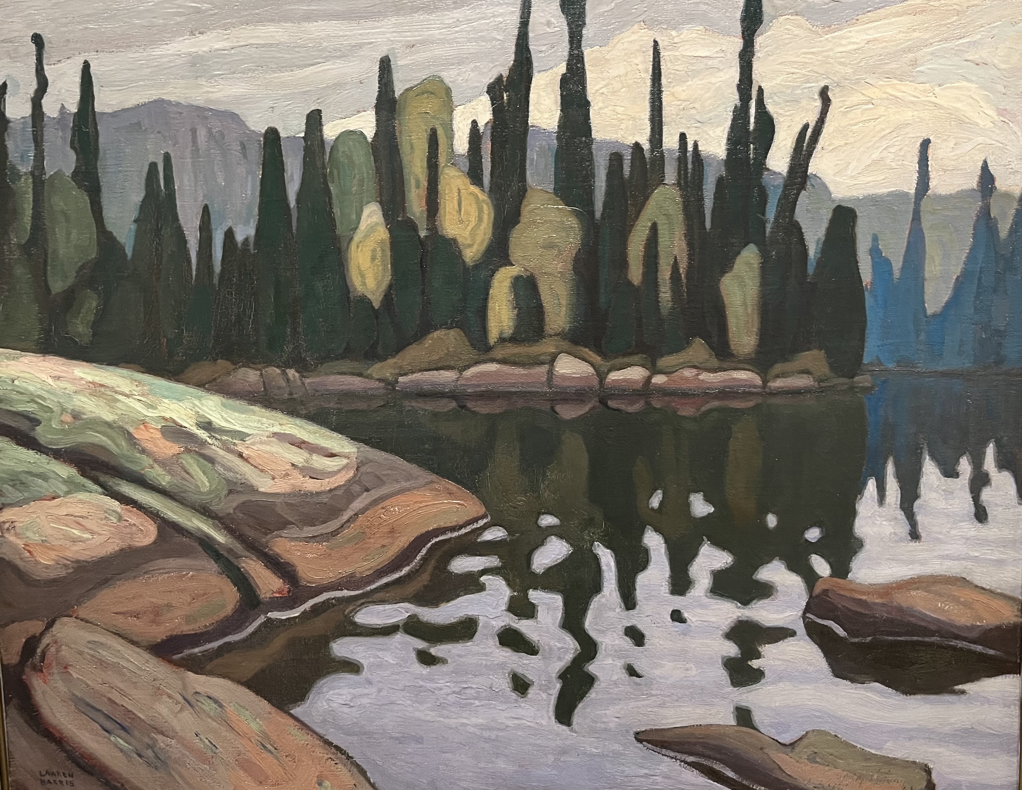
Lawren S. Harris lived from 1885 until 1970 and was one of the heirs to the fortune created by the Massey- Harris farm machinery manufacturing company of Toronto. His fortune allowed him to pursue a career as an artist and he was ultimately the driving force behind the Group of Seven. His early work was mostly urban scenes but inspired by Tom Thomson he started to travel to Algoma in 1908 to paint and later to the north shores of Lake Superior. He developed a style of landscapes painted in flat colours but later developed a style of abstract formalized shapes. By the end of his career he had drifted to painting pure abstract art.

Mount Robson 1929 (oil on canvas)

Sand Lake Algoma 1922 (oil on canvas)

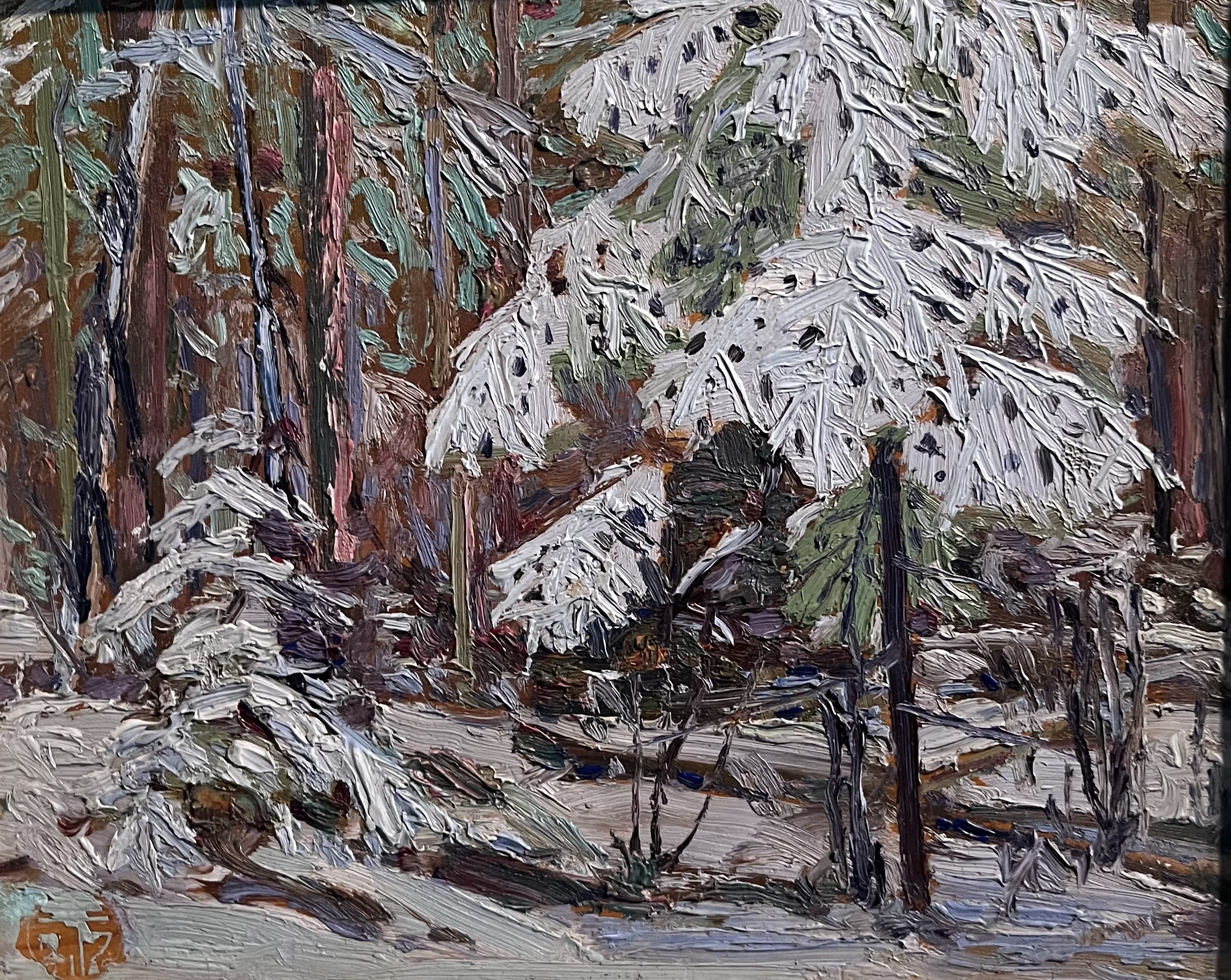
Tom Thomson was born in 1877 and died in July 1917 when he drowned in Canoe Lake in Algonquin Park. Tom made his first journey to Algonquin in 1912 and began sharing a studio with A.Y. Jackson in 1914. Thomson began producing hundreds of oil sketches and a handful of large-scale paintings. Tom was reputed to be an avid outdoorsman, canoeist and Algonquin guide but in July 1917 he drowned in Canoe Lake in circumstances that are still not understood.

In Algonquin Park 1914 (oil on canvas)

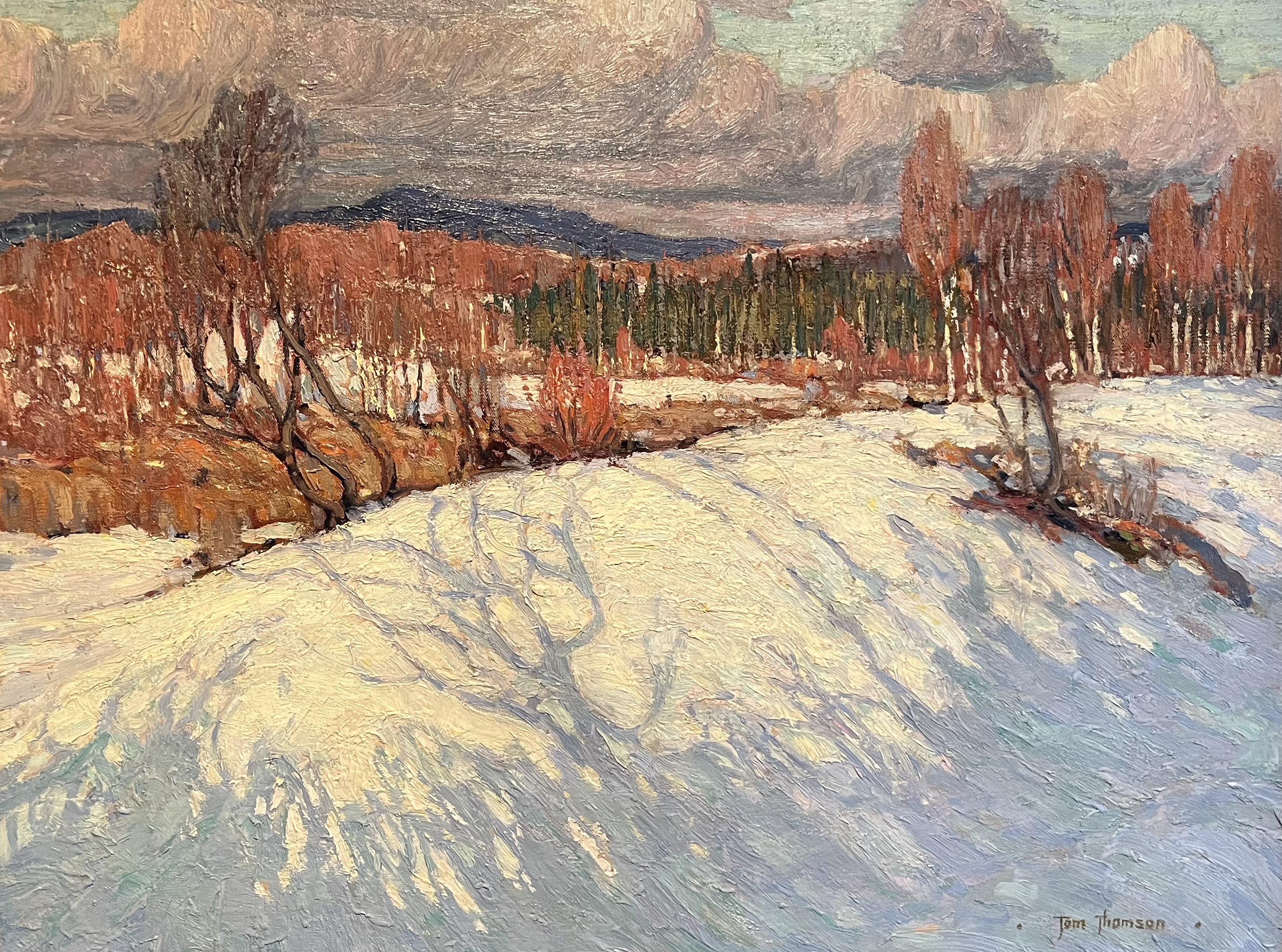
Snow In The Woods 1916 (oil on wood panel)

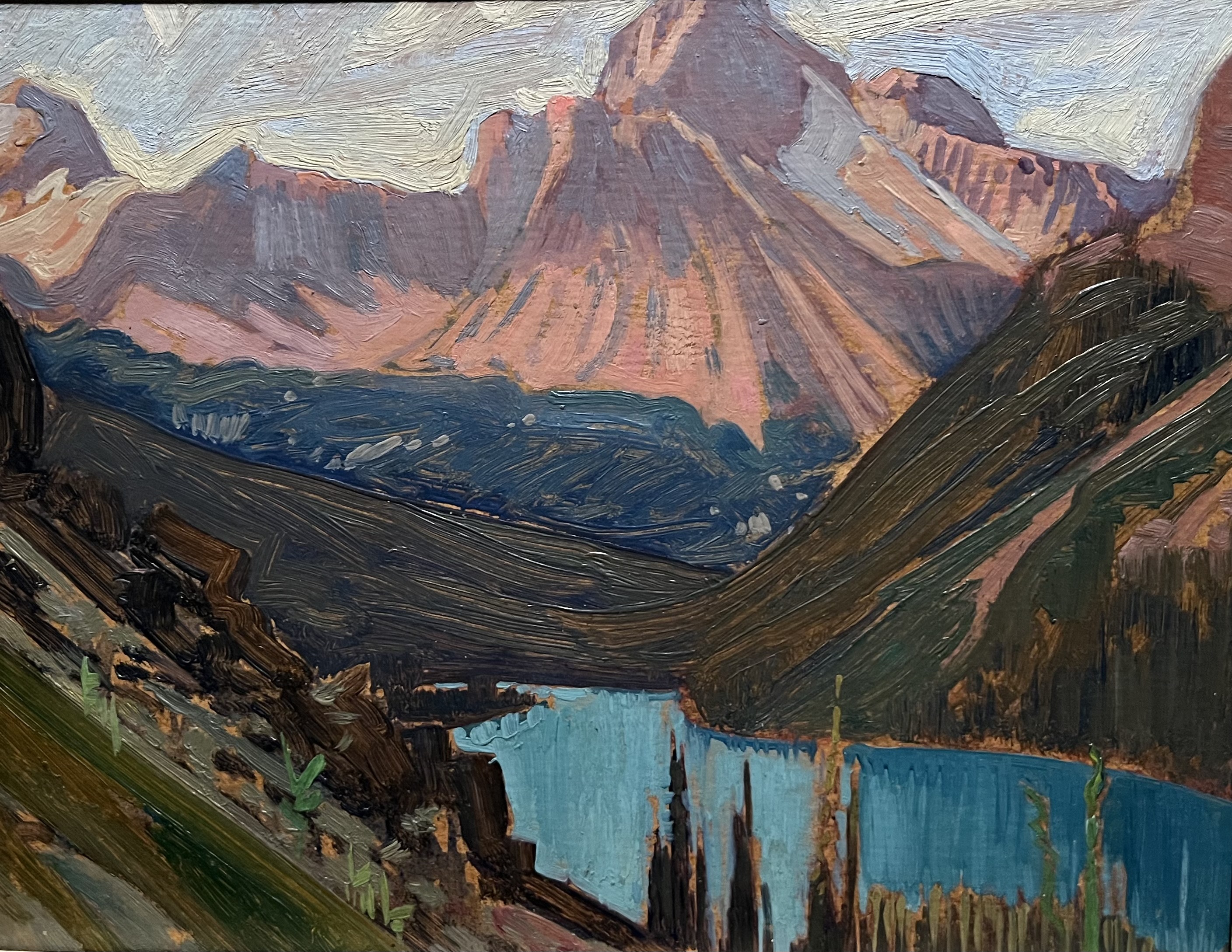
J.E.H. MacDonald lived between 1873 and 1932 and like several others in the group was a commercial artist for the Toronto firm Grip Ltd. In 1911 he left the firm to organize an exhibit of his own art works. He created various styles of landscape paintings until his trips to Algoma led him to take inspiration in the style of Tom Thomson. Beginning in 1924 he started taking trips to the Rockies to paint but he was sidelined by a stroke in 1931. A second one in 1932 was fatal and his loss led to the disbanding of the Group of Seven in January 1933.

Algoma Waterfall 1920 (oil on canvas)

Cathedral Peak and Lake O’Hara 1927 (oil on paperboard)

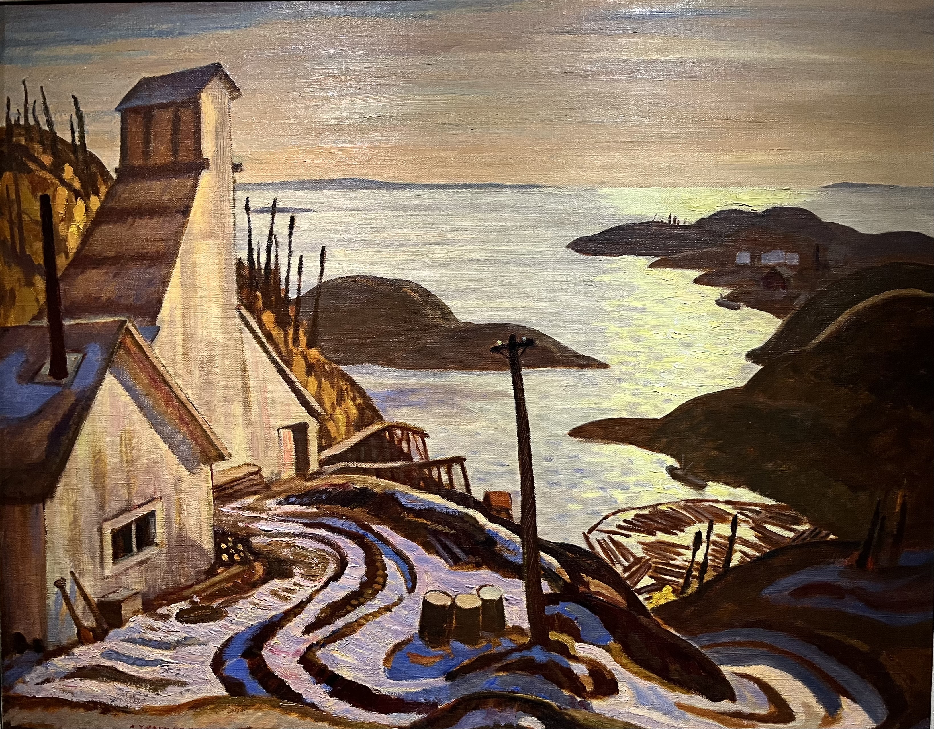
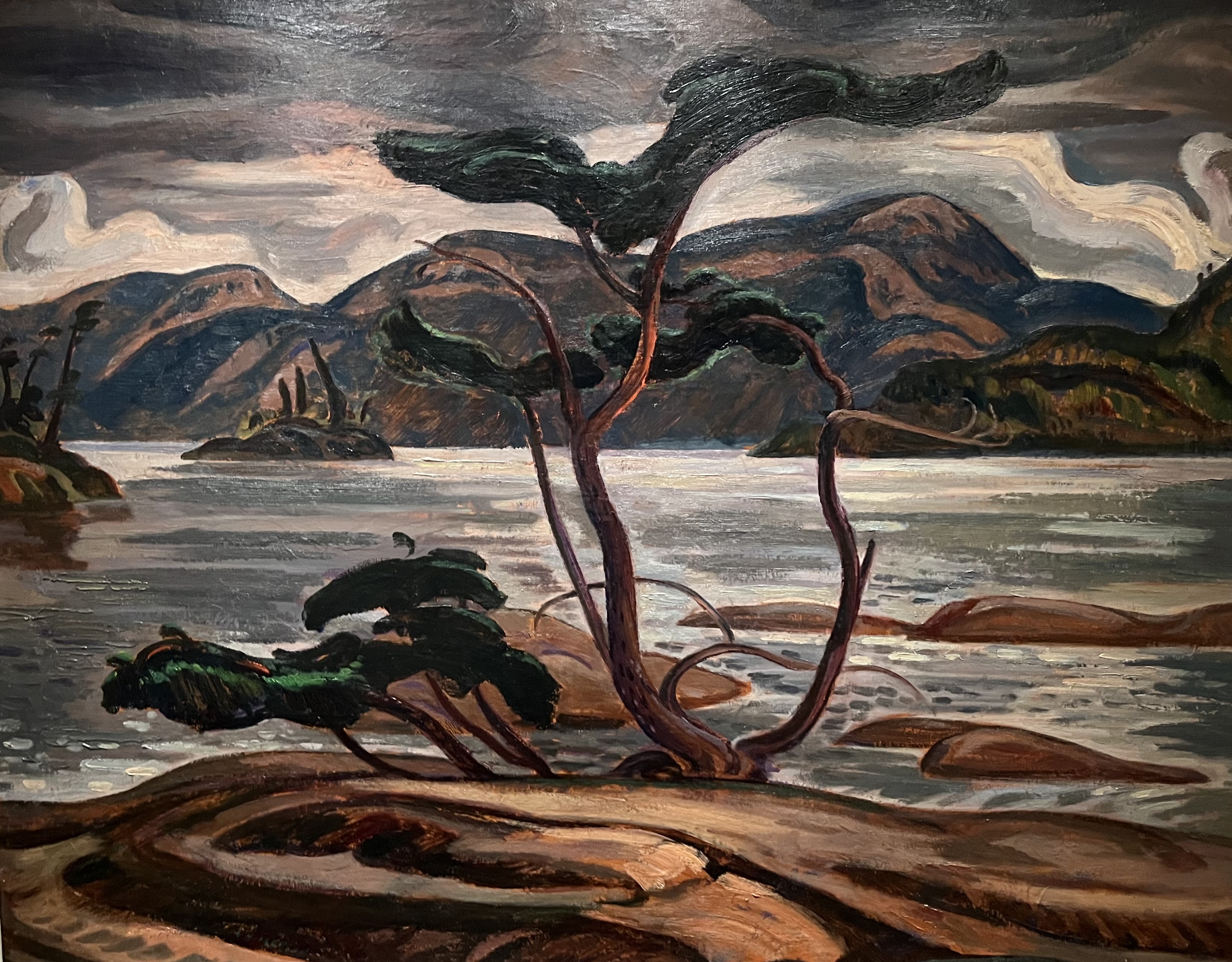
A.Y. Jackson was born in 1882 and lived until 1974. Jackson was a friend of Thomson and travelled to Algonquin with him in 1914. He enlisted for the First World War but was injured in the battle of Sanctuary Wood and spent the rest of the war as an official army artist. In 1927 he joined an RCMP ship to explore and paint the Arctic. When he went back to the Arctic in 1930 he took Harris with him.

Radium Mine 1938 (oil on canvas)

Bent Pine 1948 (oil on canvas)

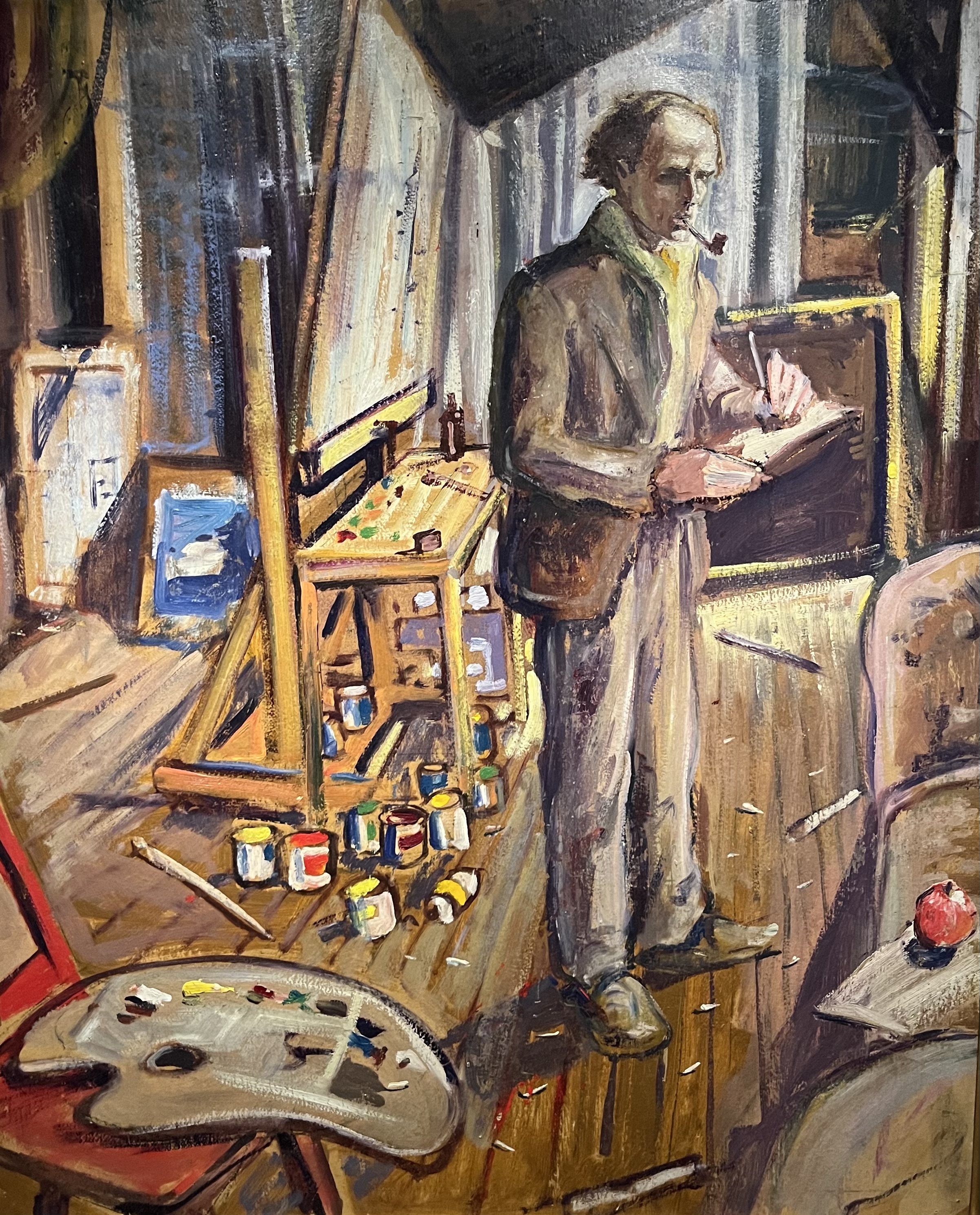
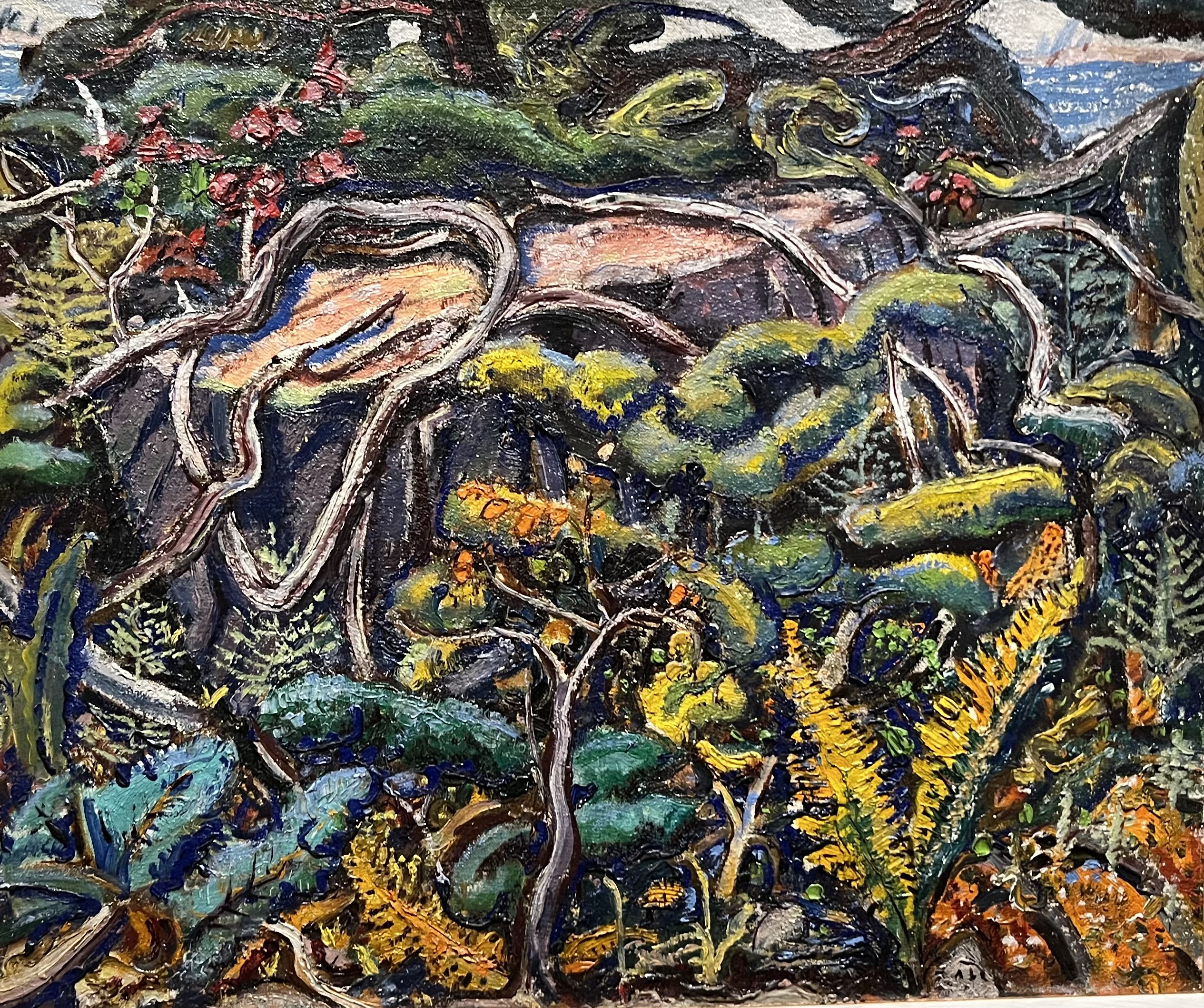
Arthur Lismer 1885-1969 was born in England and came to Canada in 1911 and joined Grip Ltd. as a commercial artist along side other future members of the Group of Seven. Lismer was also a successful art teacher who took a teaching job in Halifax in 1916. He was a witness to the Halifax Harbour Explosion in 1917. When he died in 1969 he was living in Montreal but was brought to the Artists Cemetery on the McMichael grounds to be buried with five other members of the group.

Self Portrait 1924 (oil on board)

Canadian Jungle 1946 (oil on canvas)

Frank Johnston was born in 1888 and lived until 1949. He was a very prolific painter who only participated in one of the eight exhibits with the Group of Seven. The first exhibit in 1920 wasn’t a financial success and in fact was highly criticized. Johnston put together his own show later that year in which he showed 200 paintings that sold quite well. In 1924 he resigned from the group under the belief that he could do better on his own. His painting Winter Beauty from 1935 was done with oil on board and has been used as the cover photo for this article.

Dark Waters undated (oil on board)

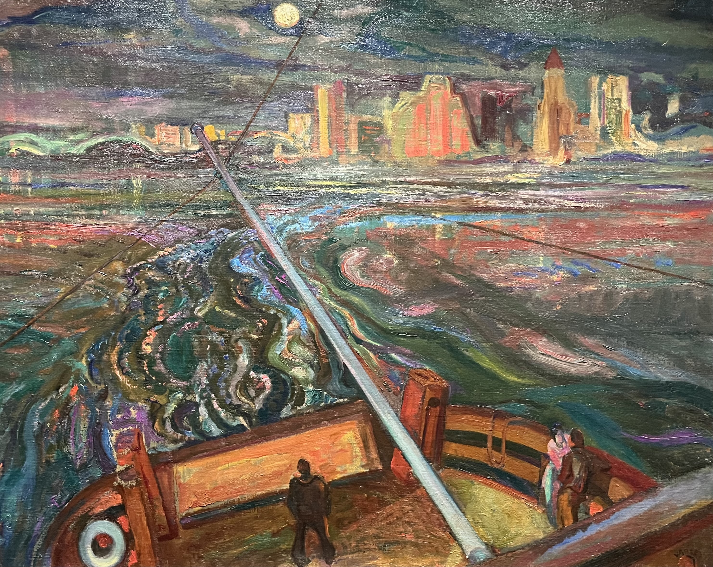
Frederick Horsman Varley 1881-1969 is another of the group who worked at Grip Ltd. before joining the First World War as an artist. After returning from the trenches he became prone to depression and drinking and often got involved with the sitters for his portraits. He moved to Vancouver in 1926 where he stayed until 1935. When he passed away in 1969 he was buried in the cemetery at the McMichael gallery.

Night Ferry To Vancouver 1937 (oil on canvas)

Girl in Gold 1963-1966 (oil on canvas)

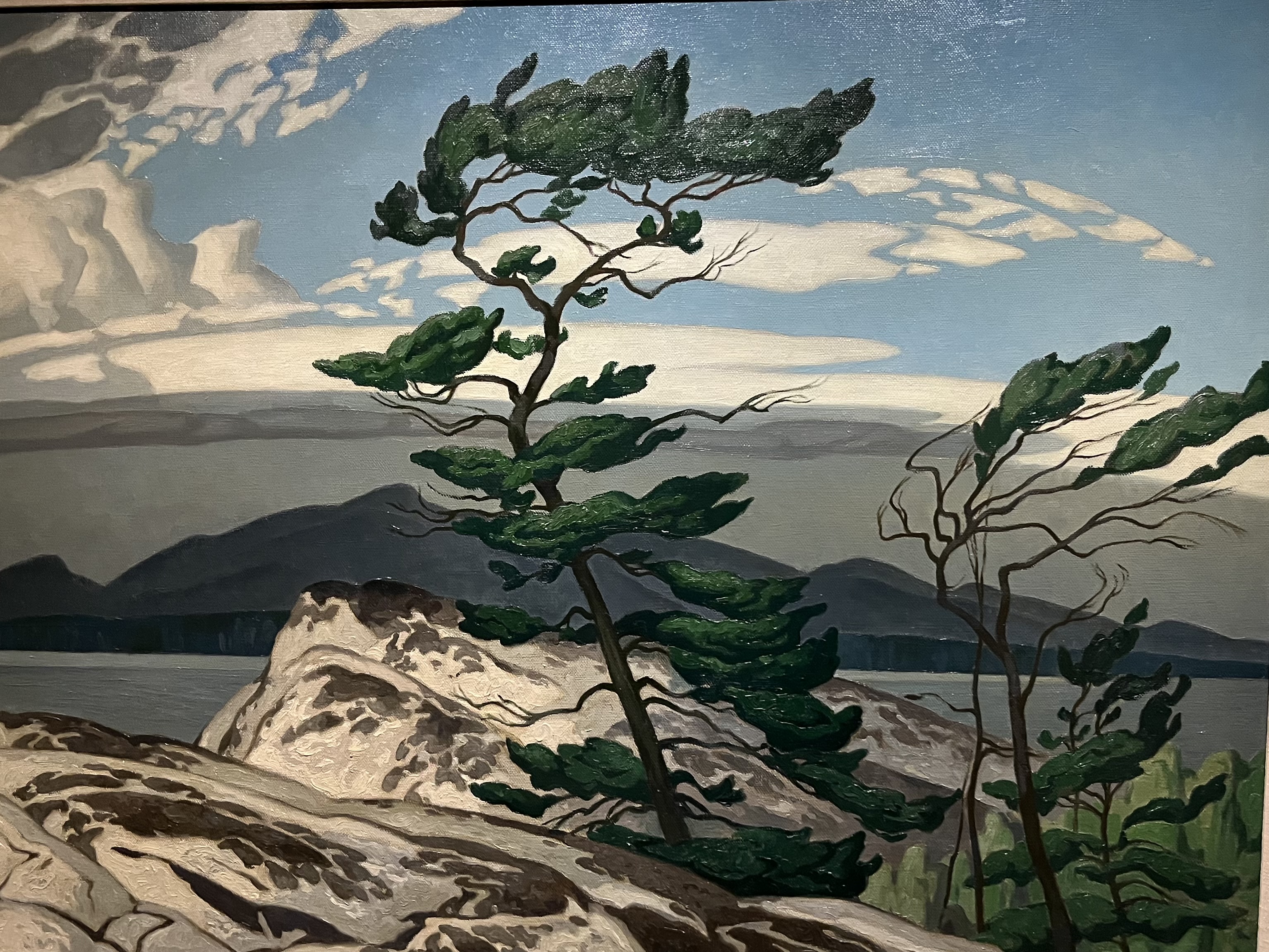
Alfred Joseph Casson 1898-1992 was asked to join the group in 1926 to replace Johnston.

White Pine 1957 (oil on canvas)

The art gallery also features paintings from Edwin Holgate 1882-1977 who joined the Group of Seven in 1929 and Lionel LeMoine FitzGerald 1890-1956 who joined briefly in 1932. Several other Canadian artists are also represented in the collection but we will highlight only a couple of them in the remainder of this lengthy post.

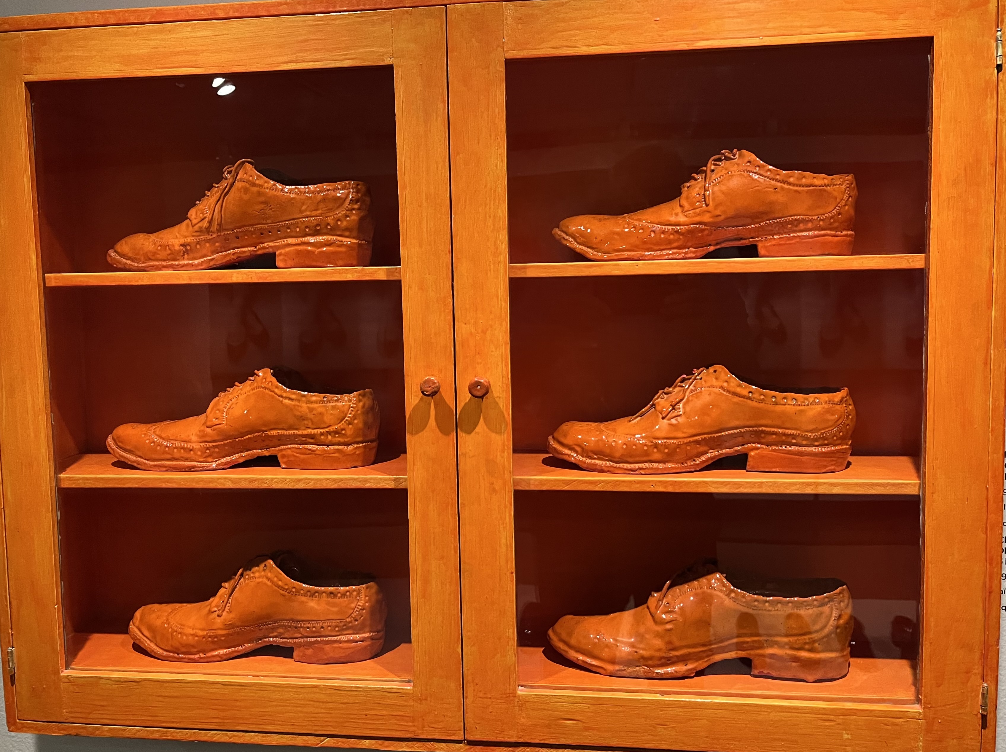
Gathie Falk was born in 1928 and is famous for her work with everyday items including fruit, Paper Mache dresses and picnics. One of the interesting displays at the gallery is her work with ceramics in creating shoes.

Single Men’s Shoes (ceramics)

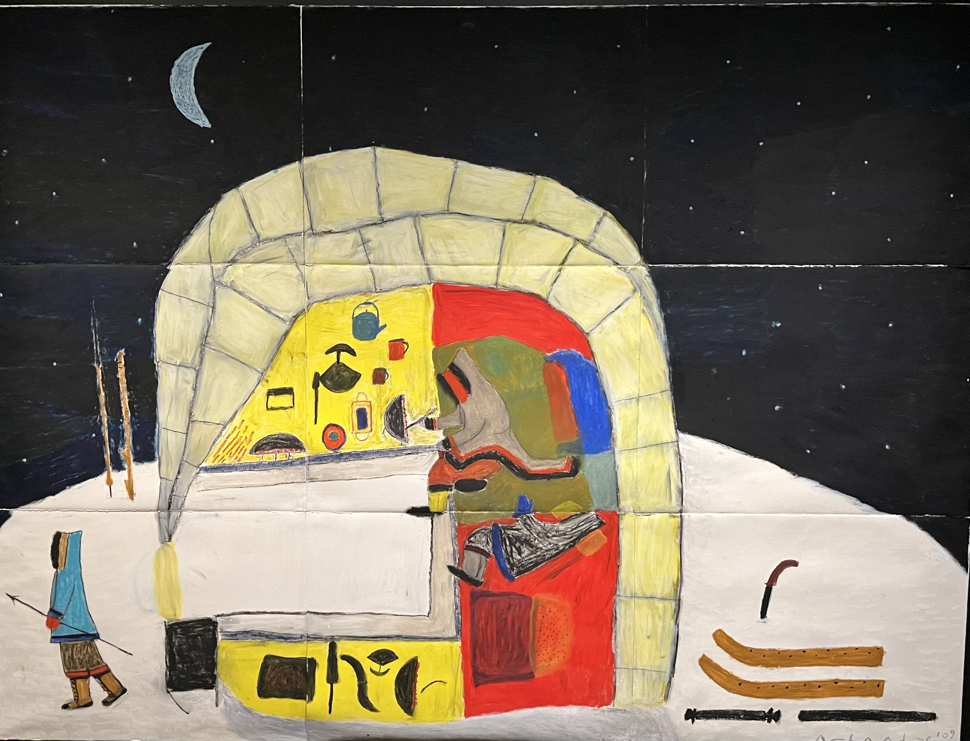
Elisapee Ishulutaq 1925-2018 documented Inuit life in her art during her 50 year career. Starting in 1970 she created colourful drawings and prints that recreated traditional life and stories of her culture.

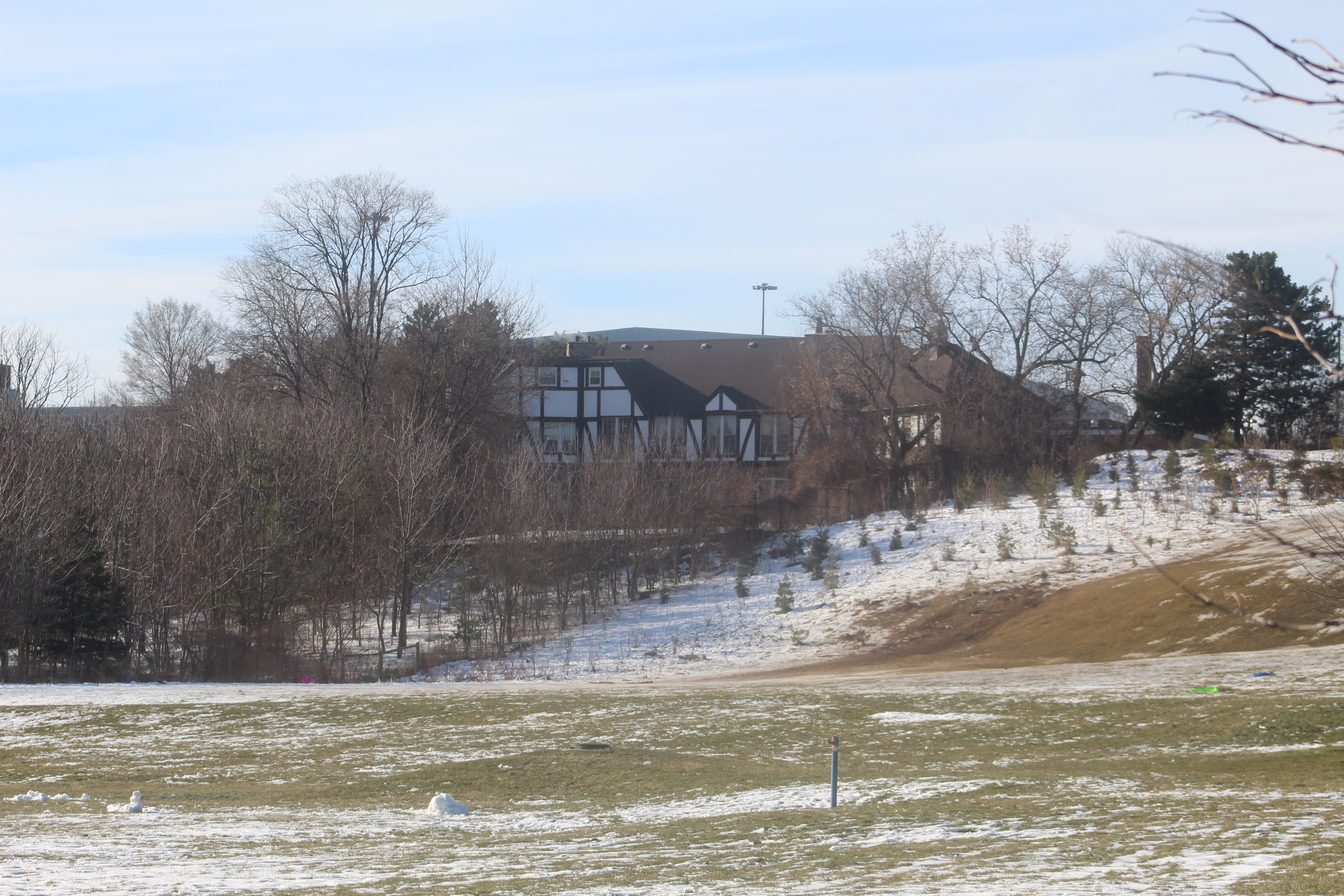
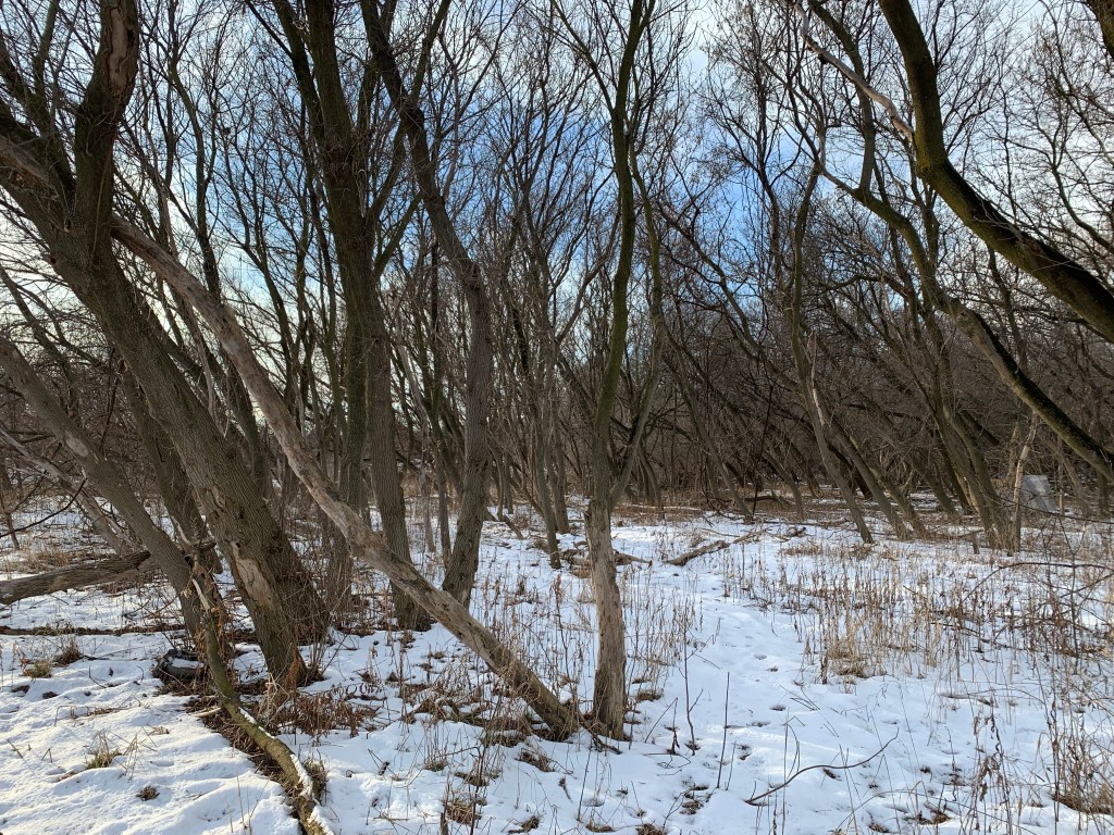
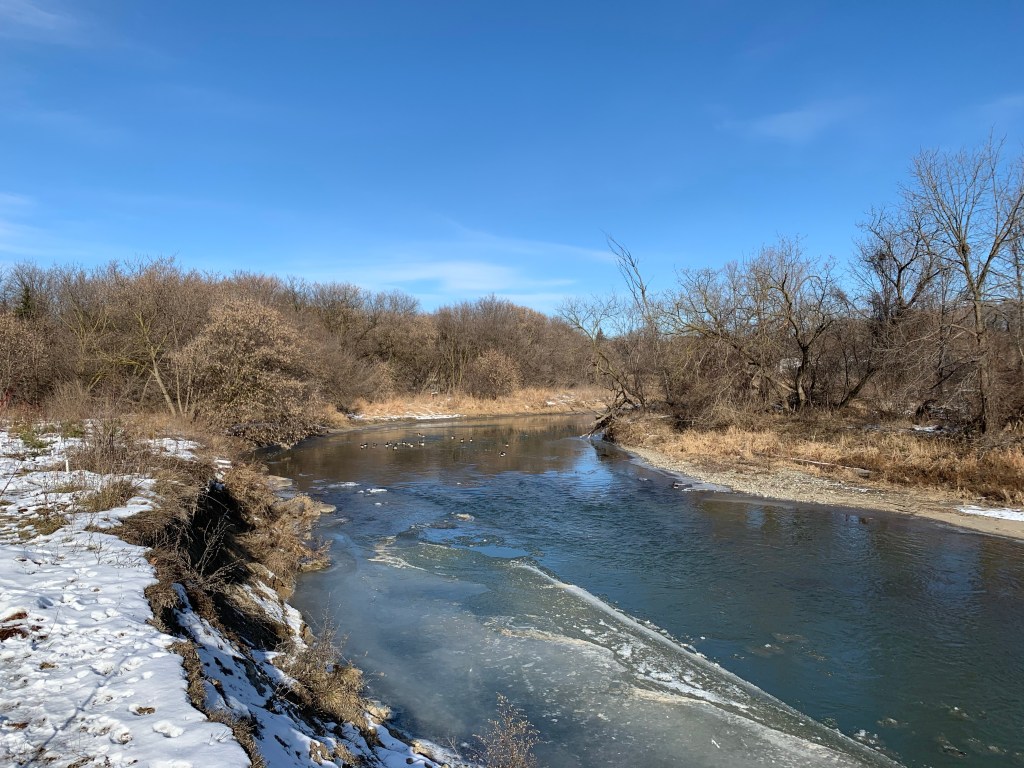
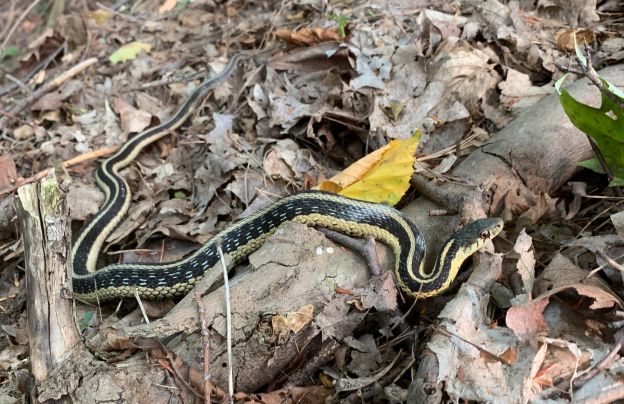
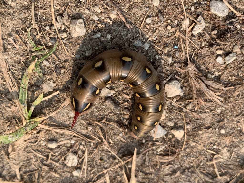
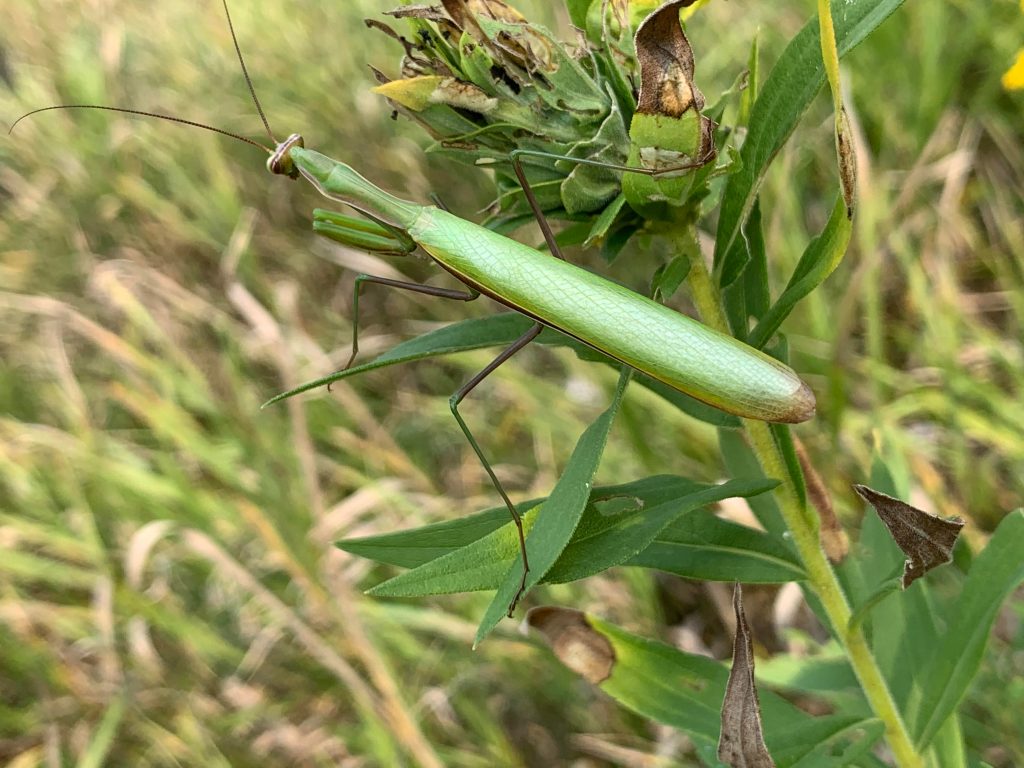
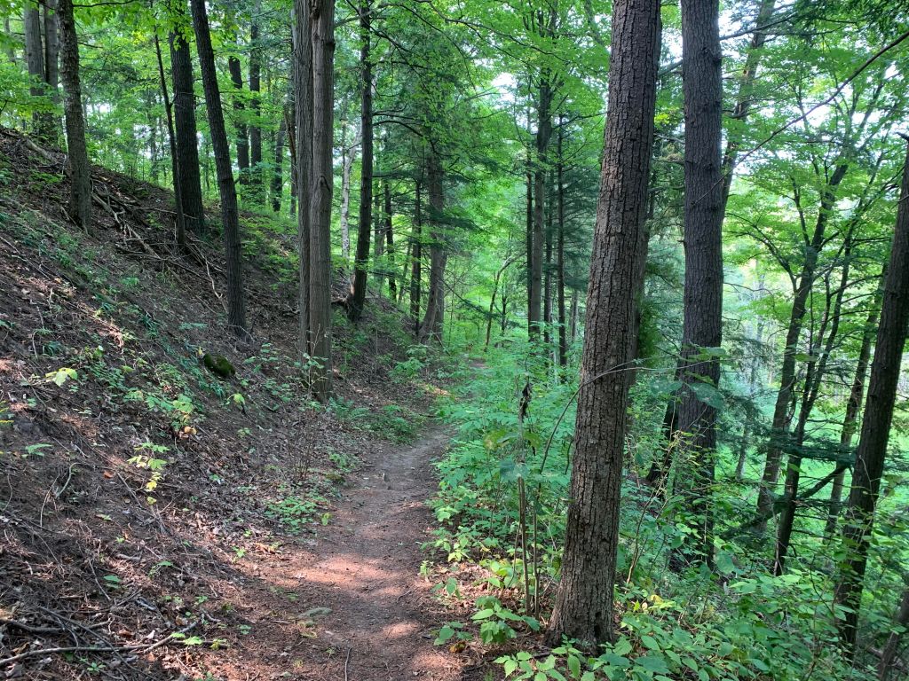
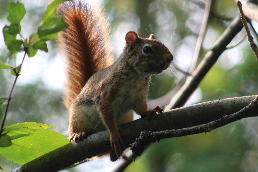
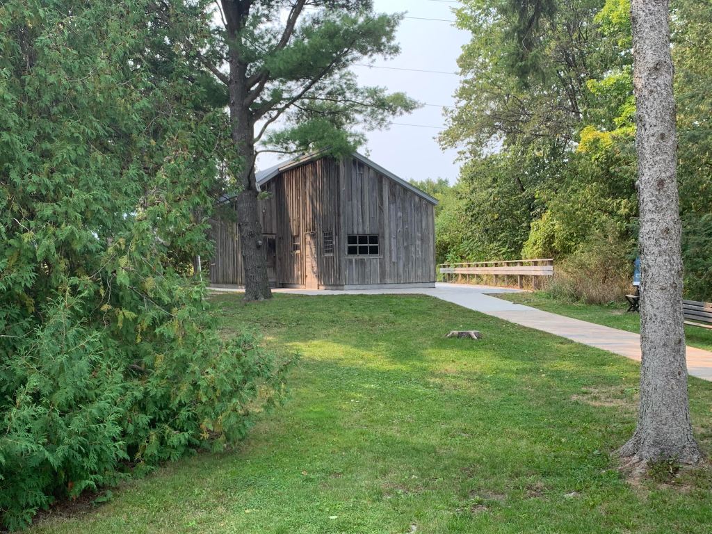
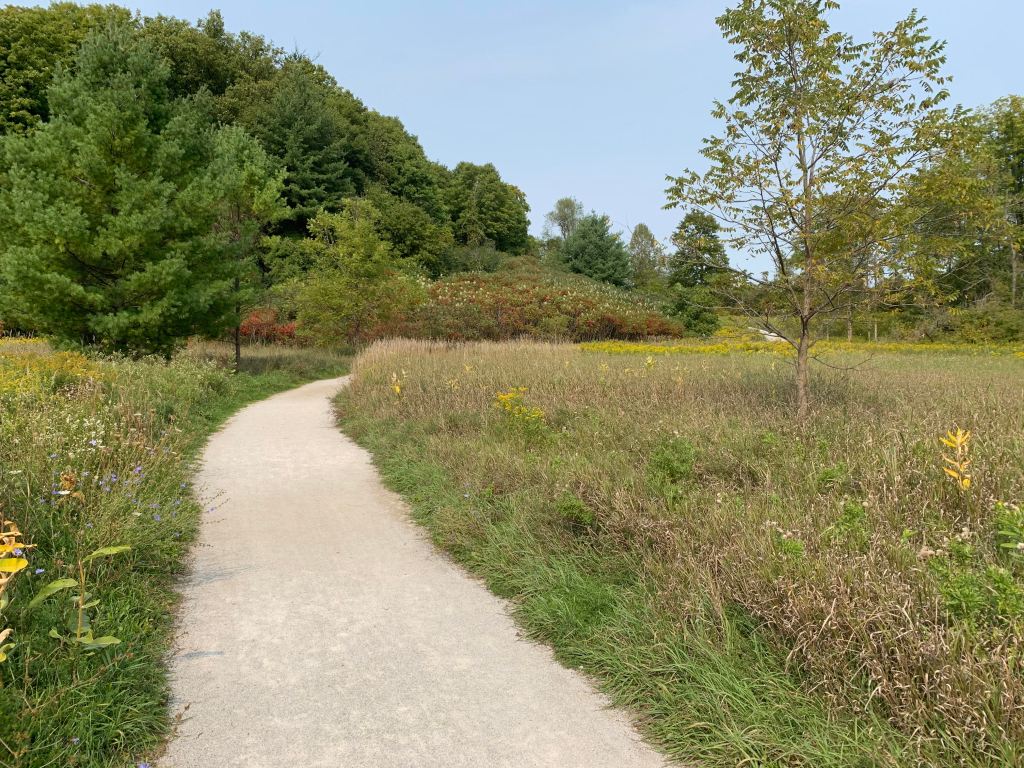
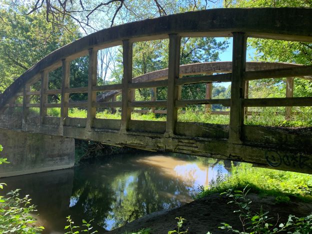
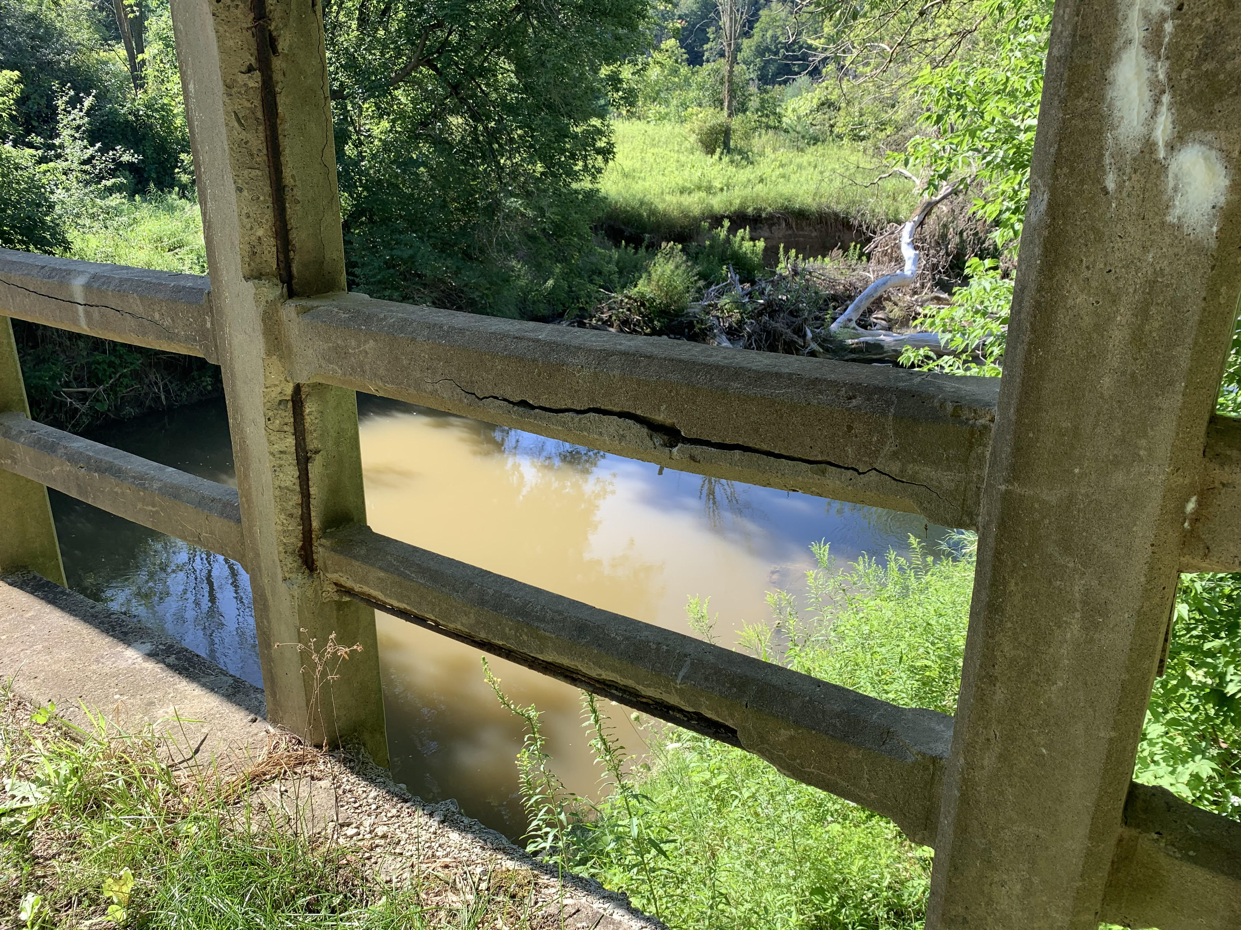
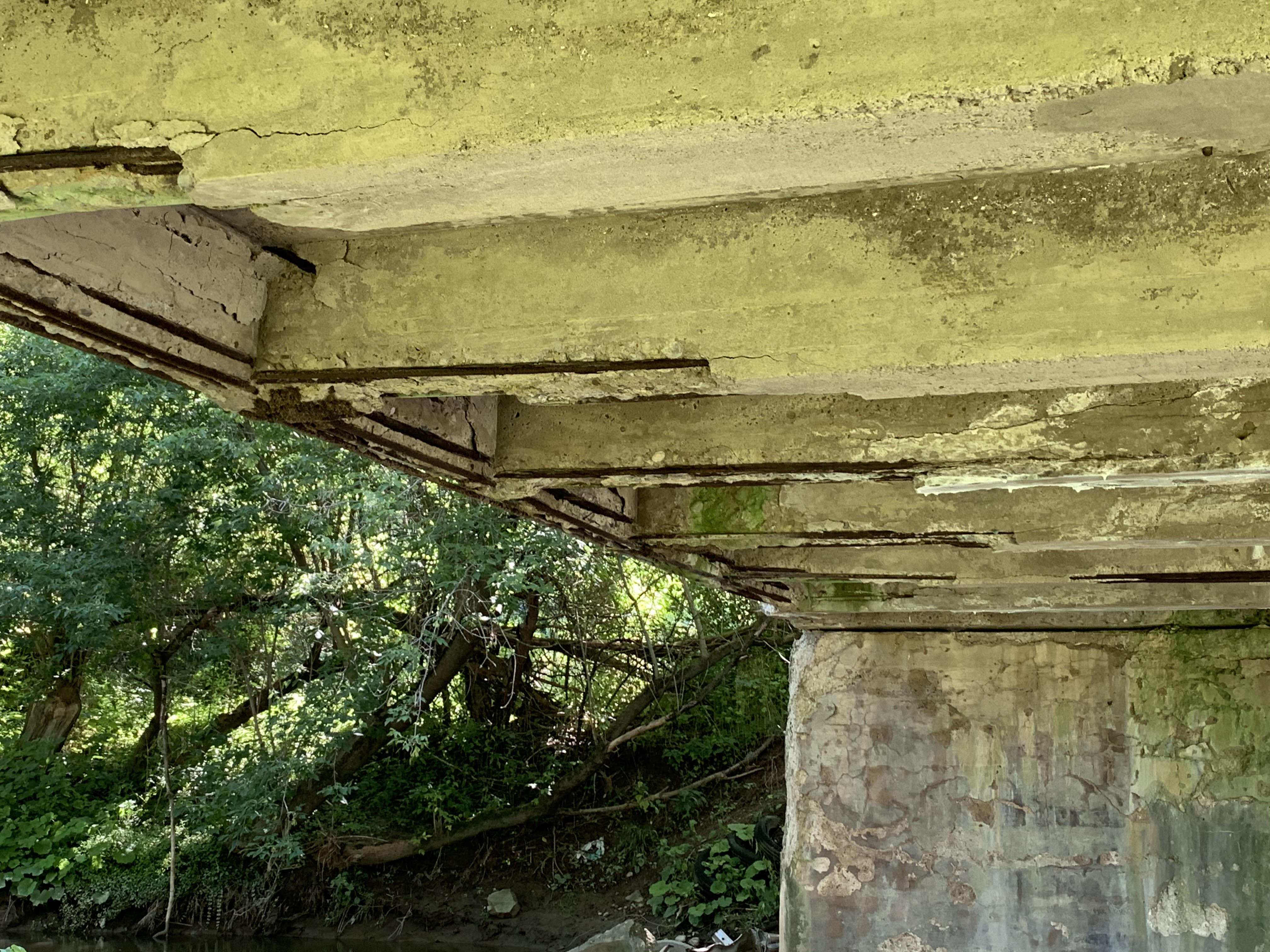
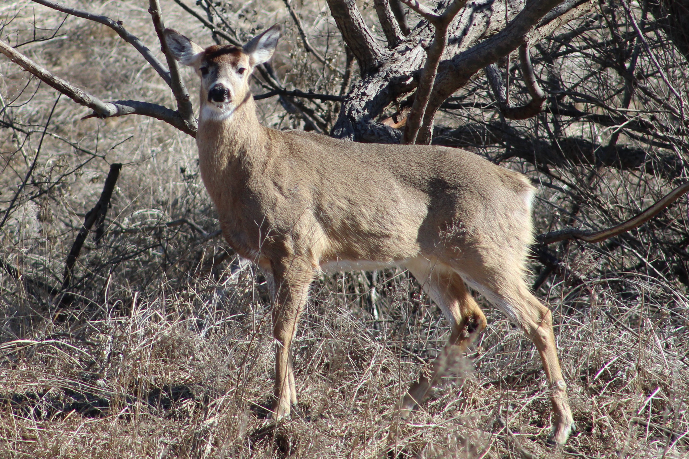
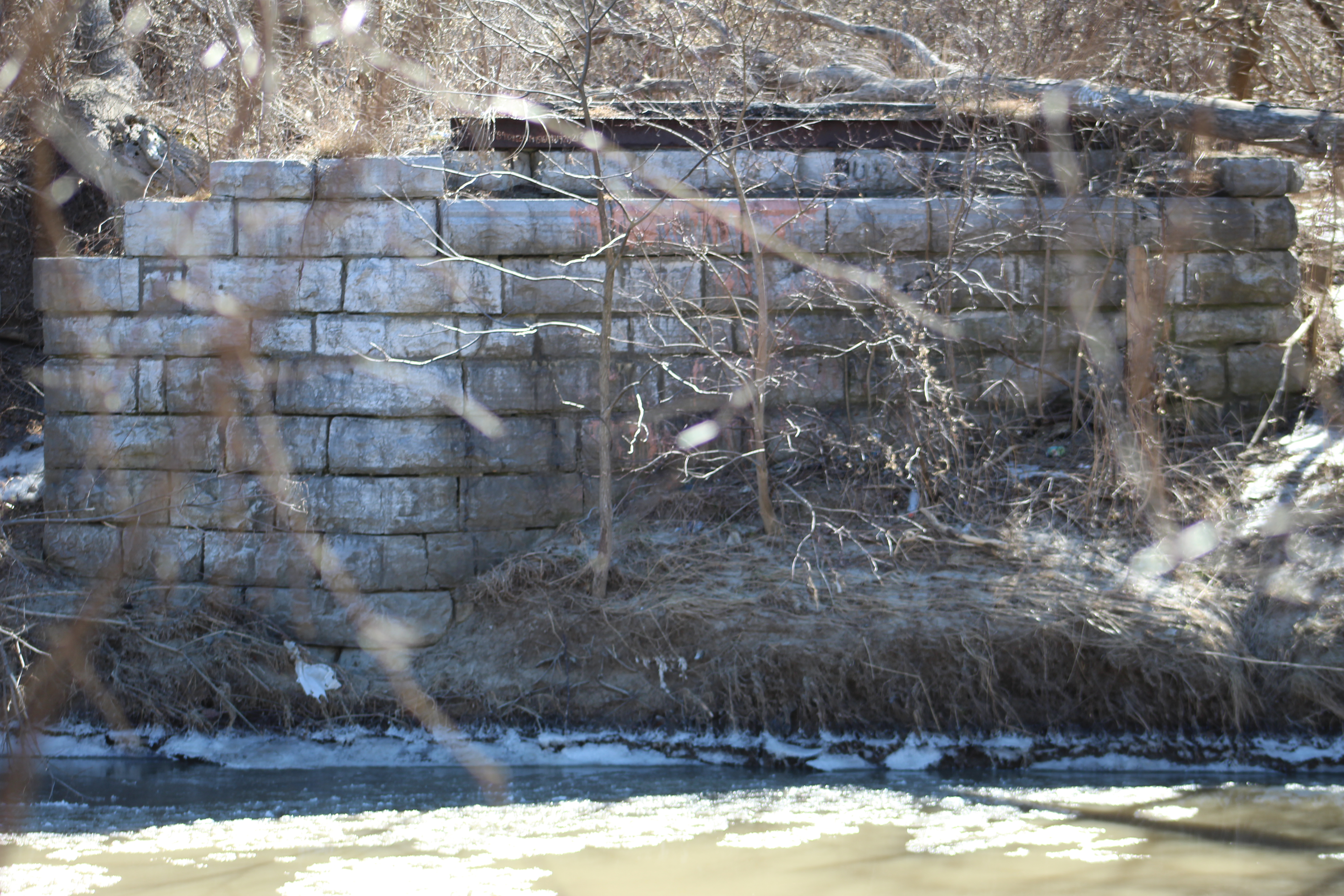
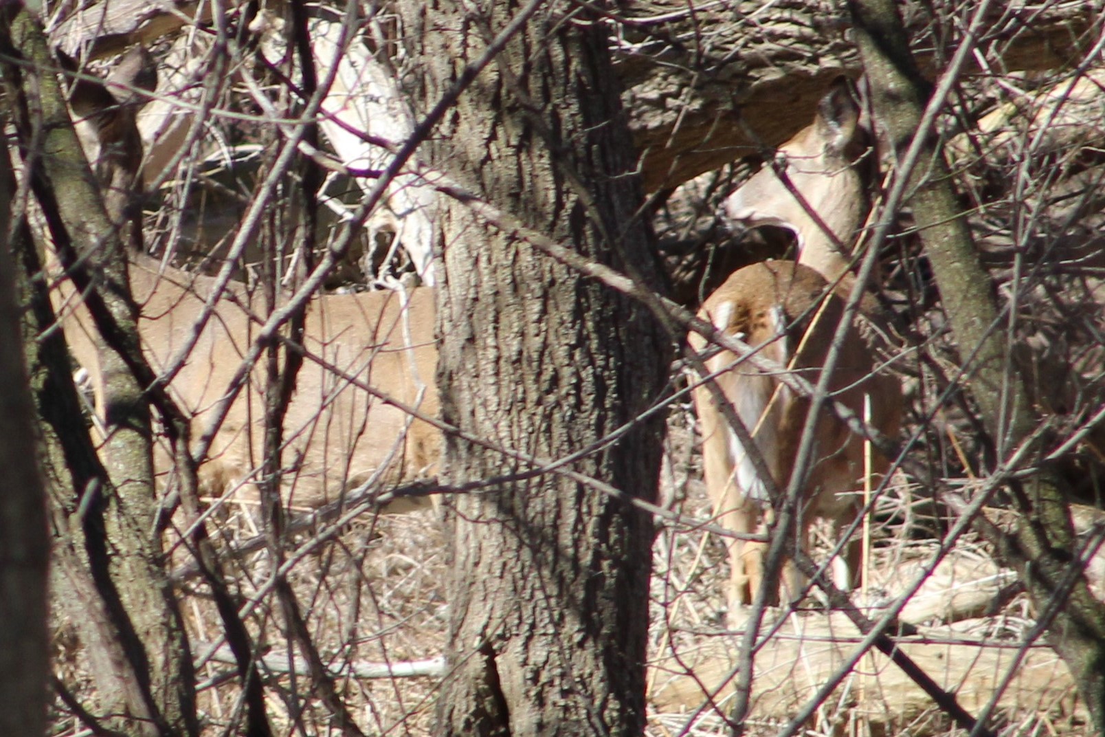
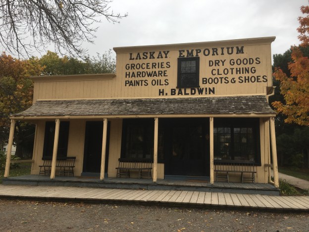
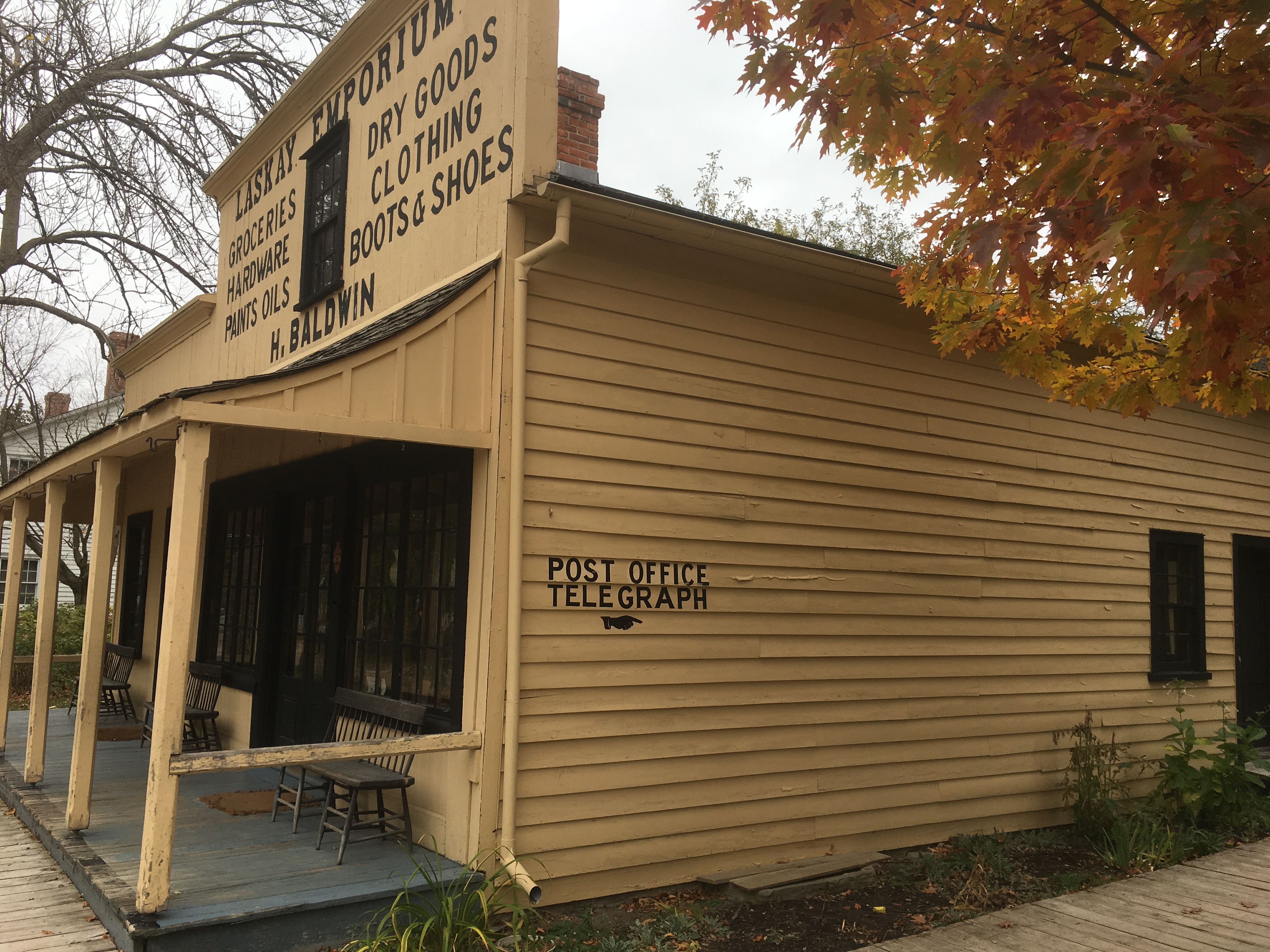
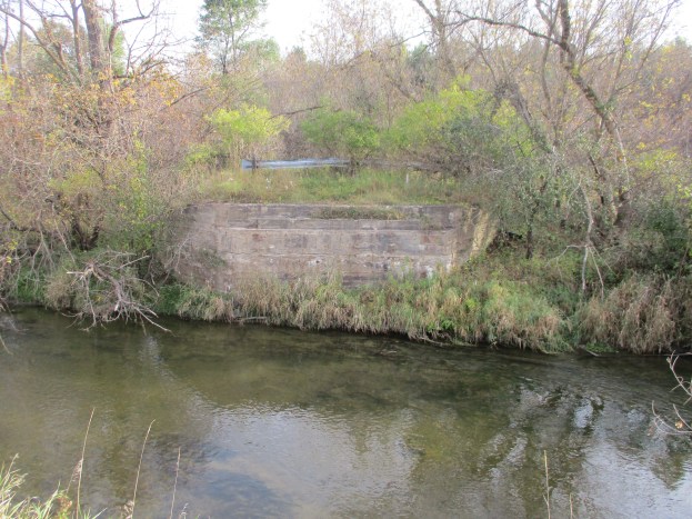
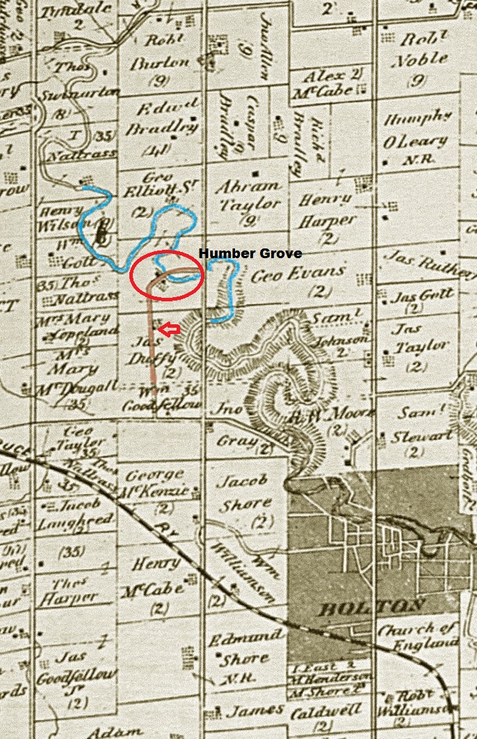
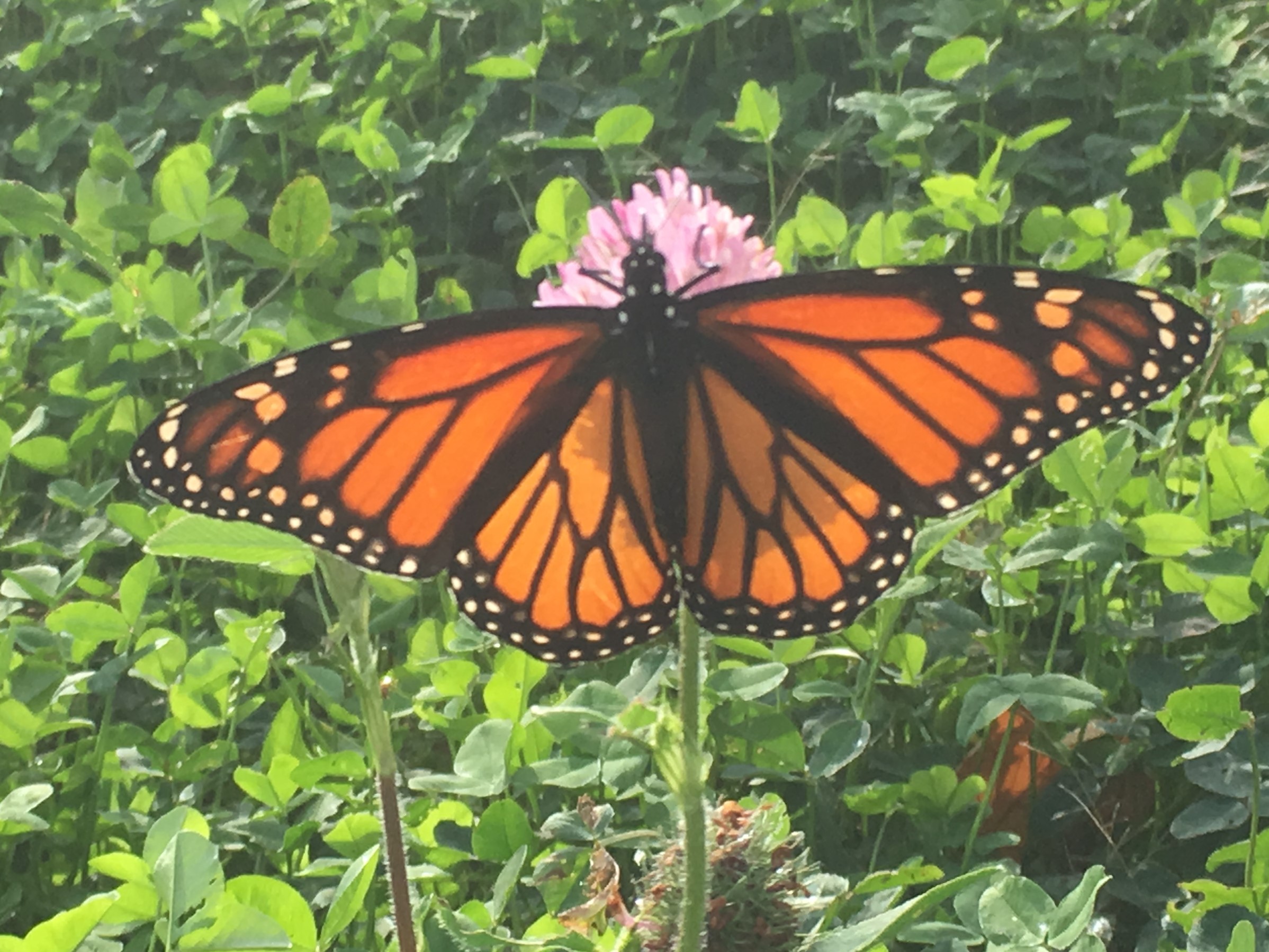
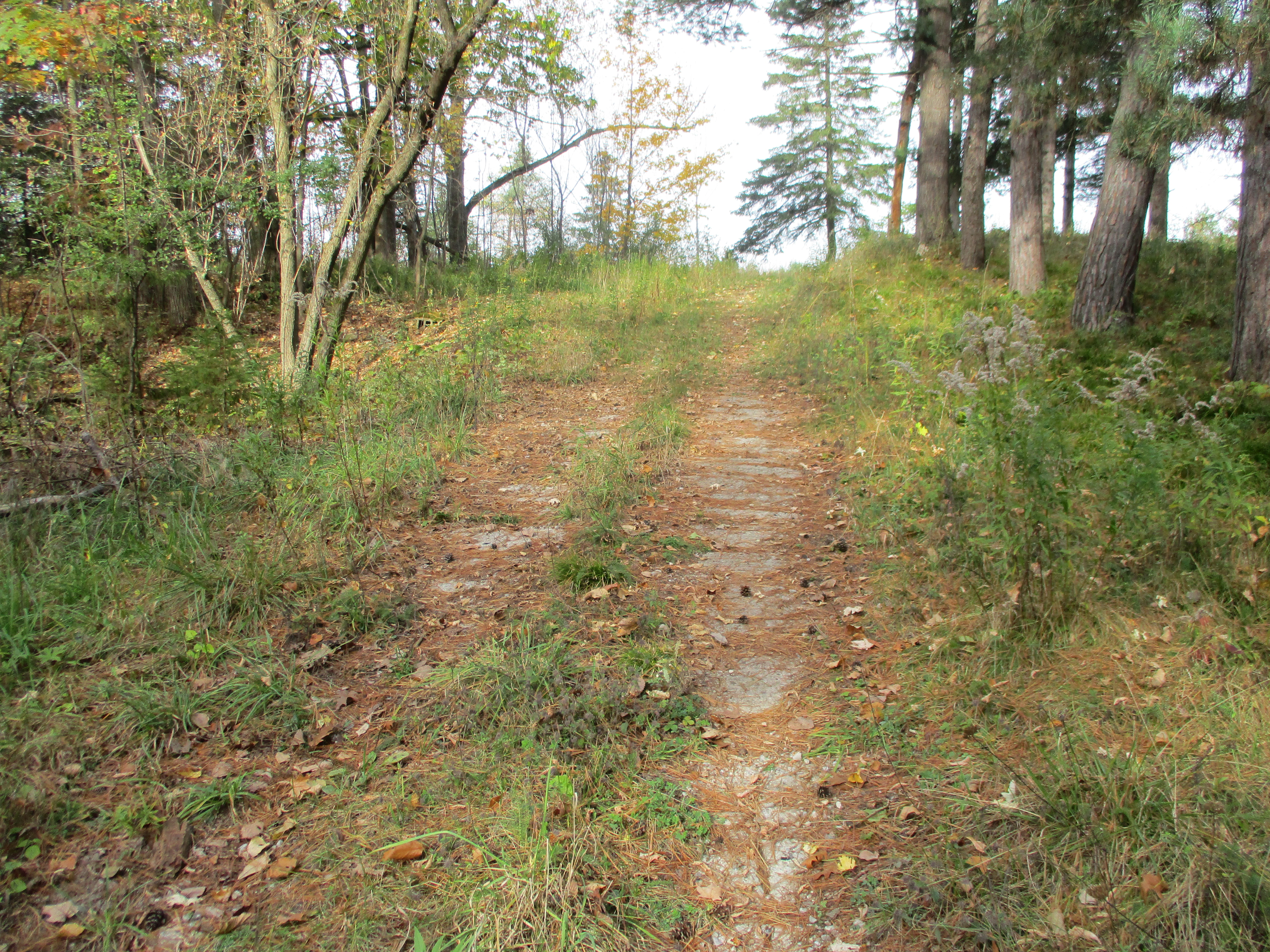
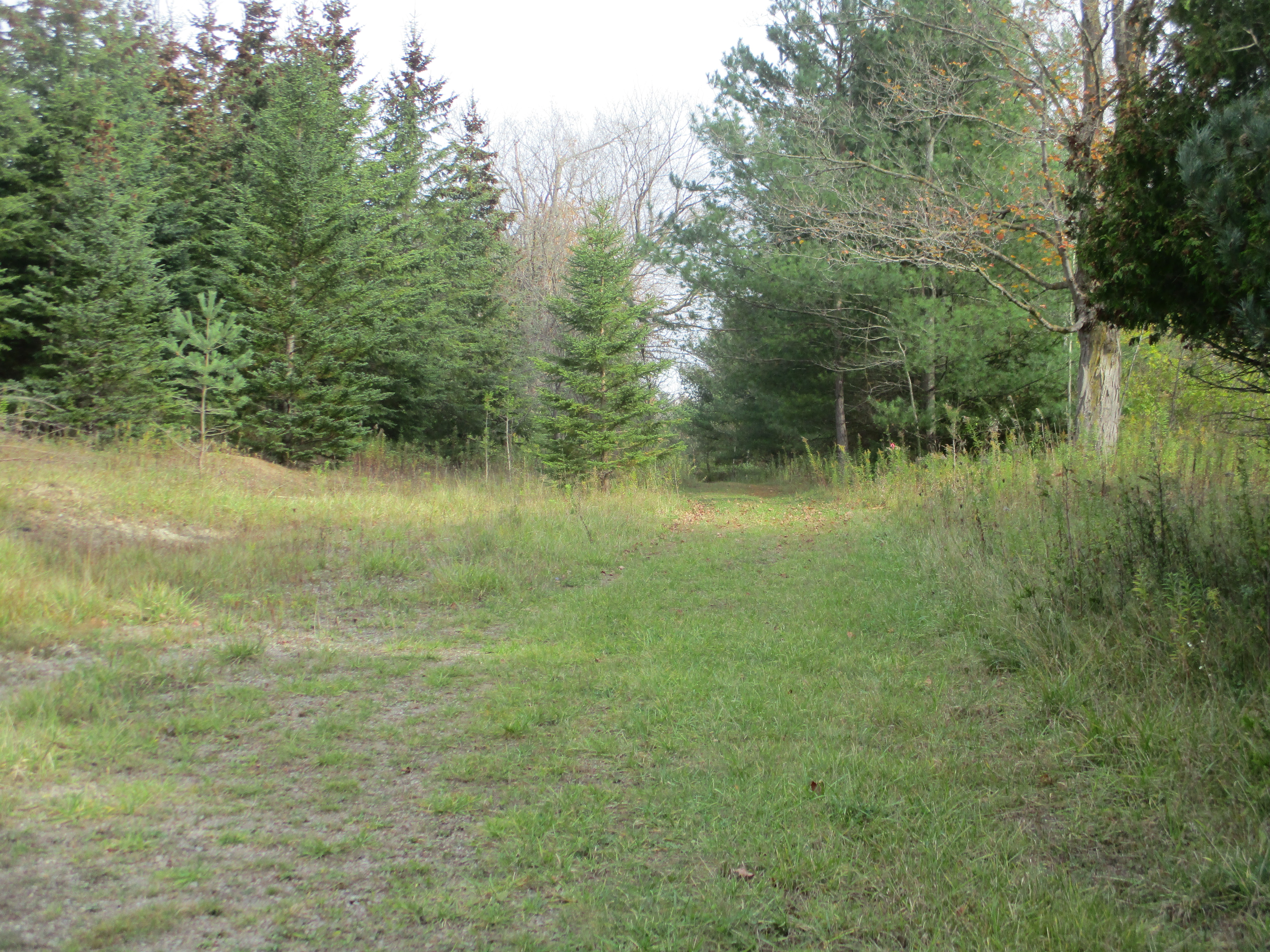
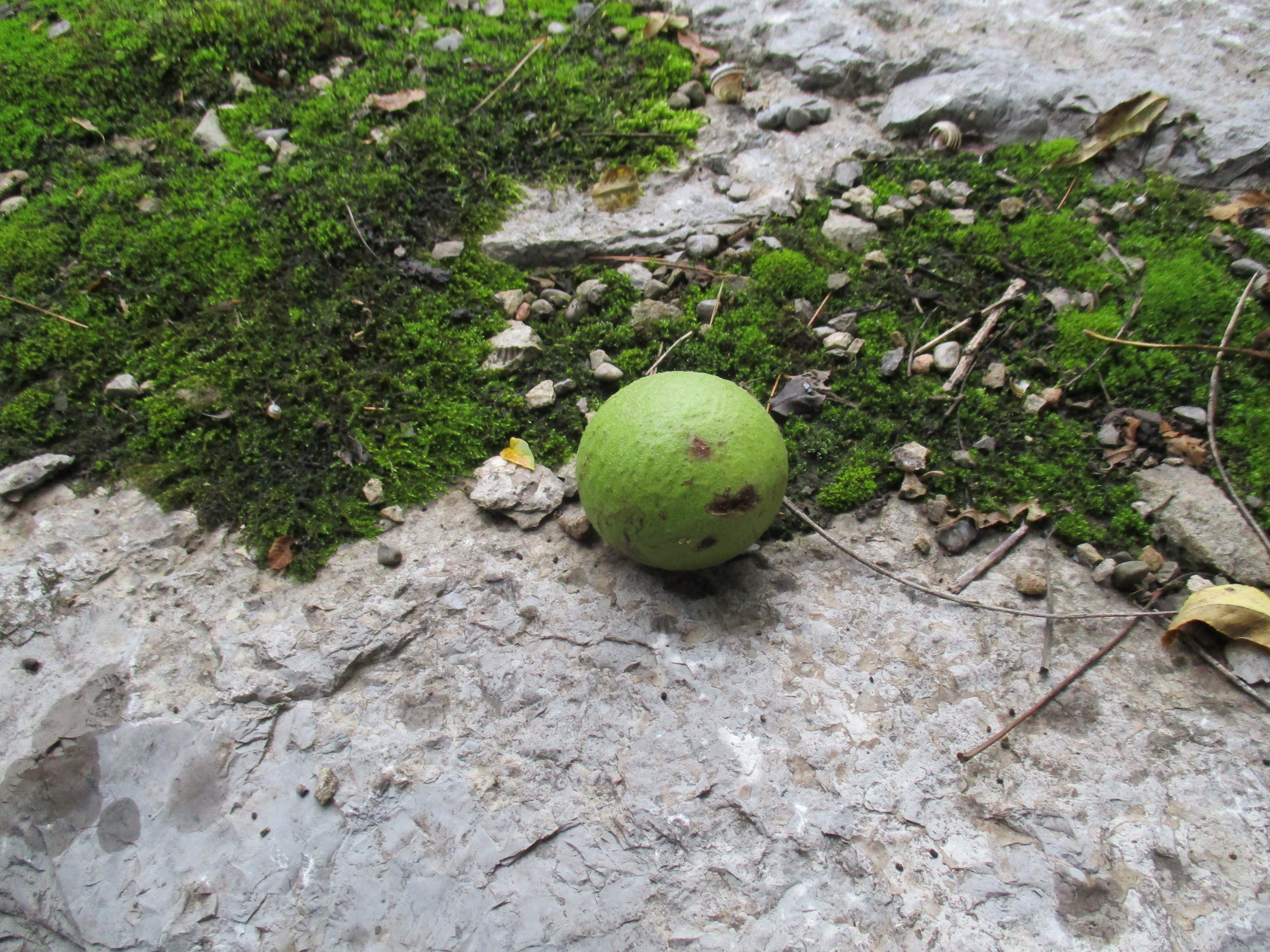
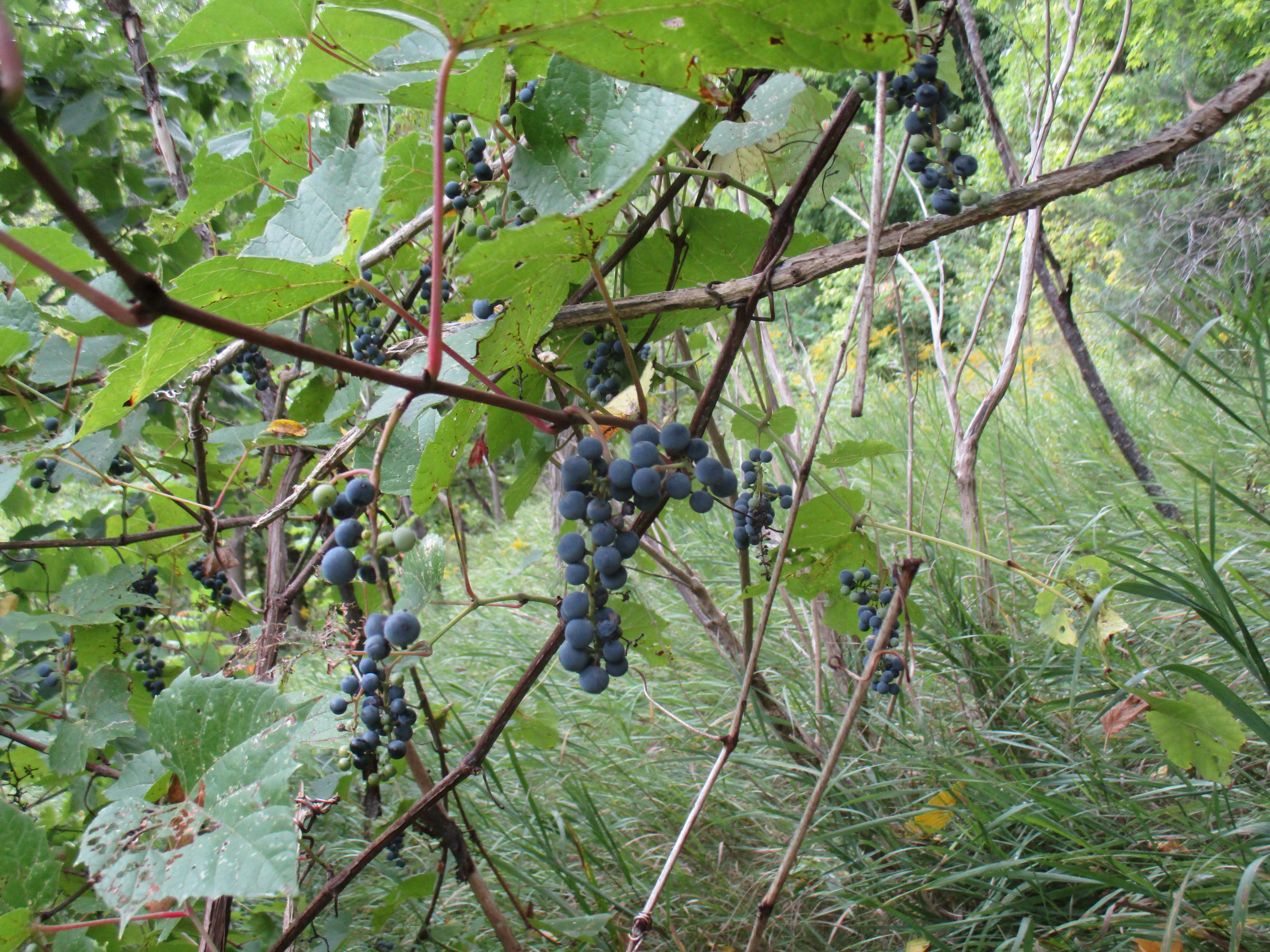
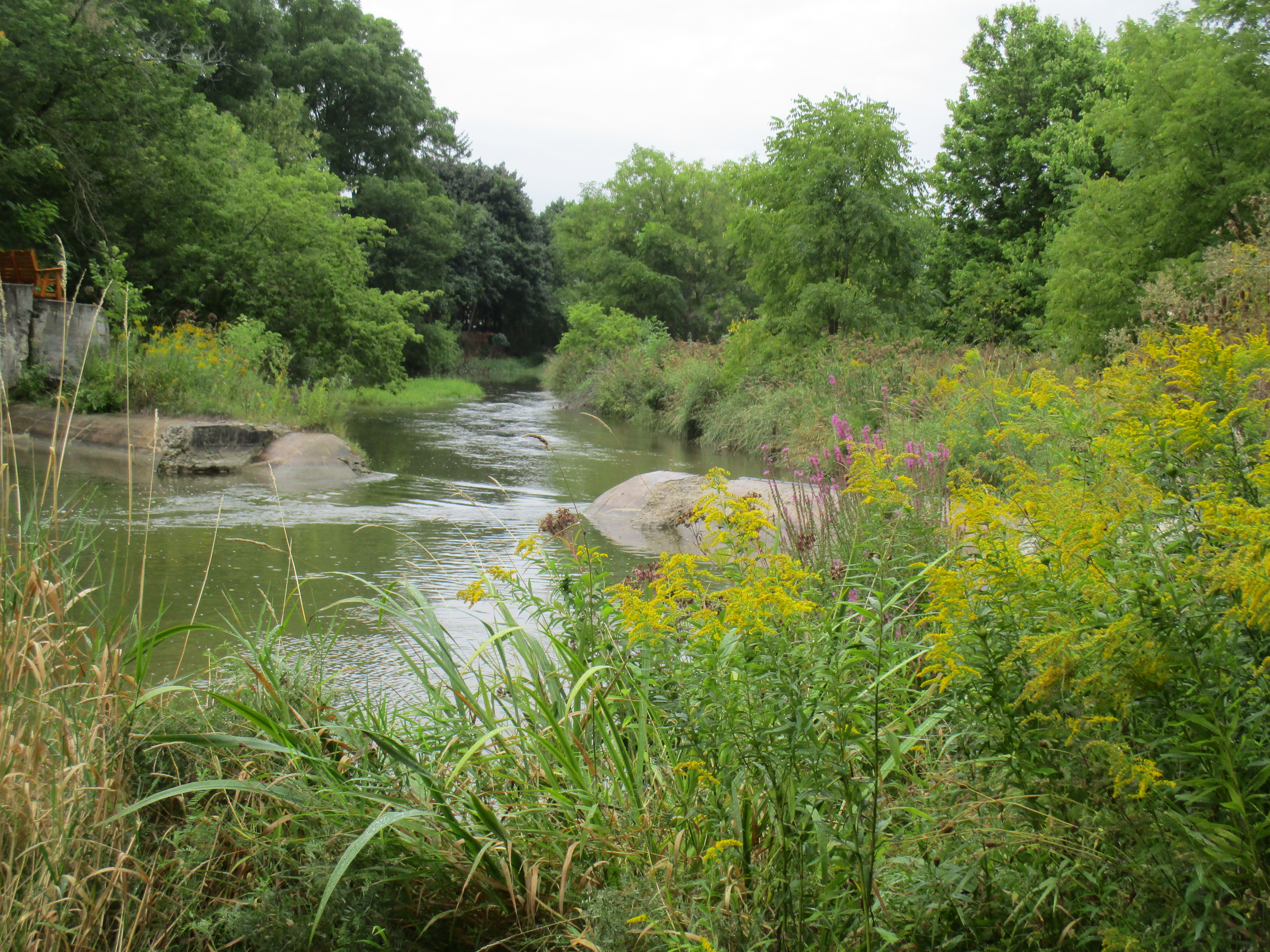
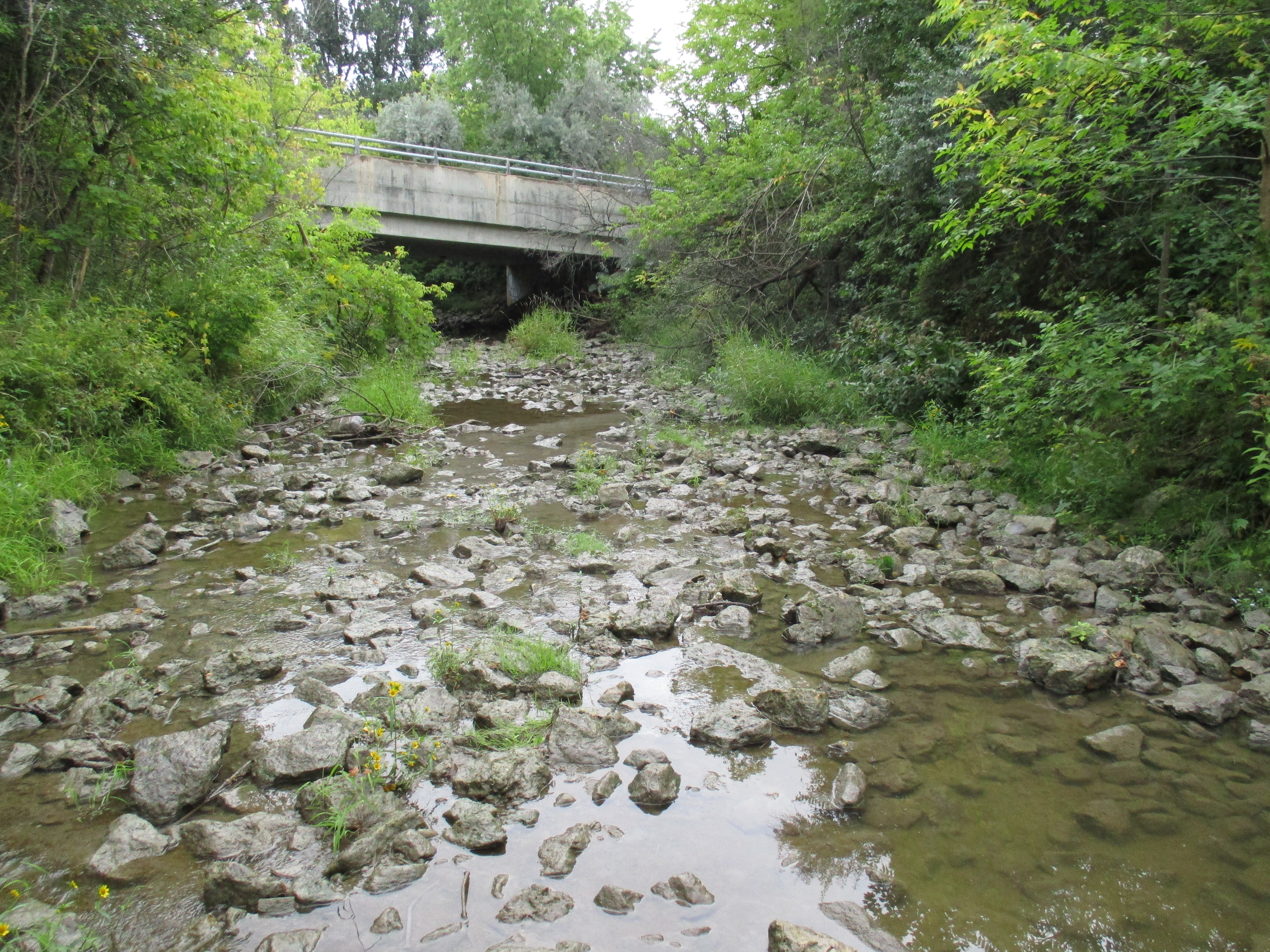
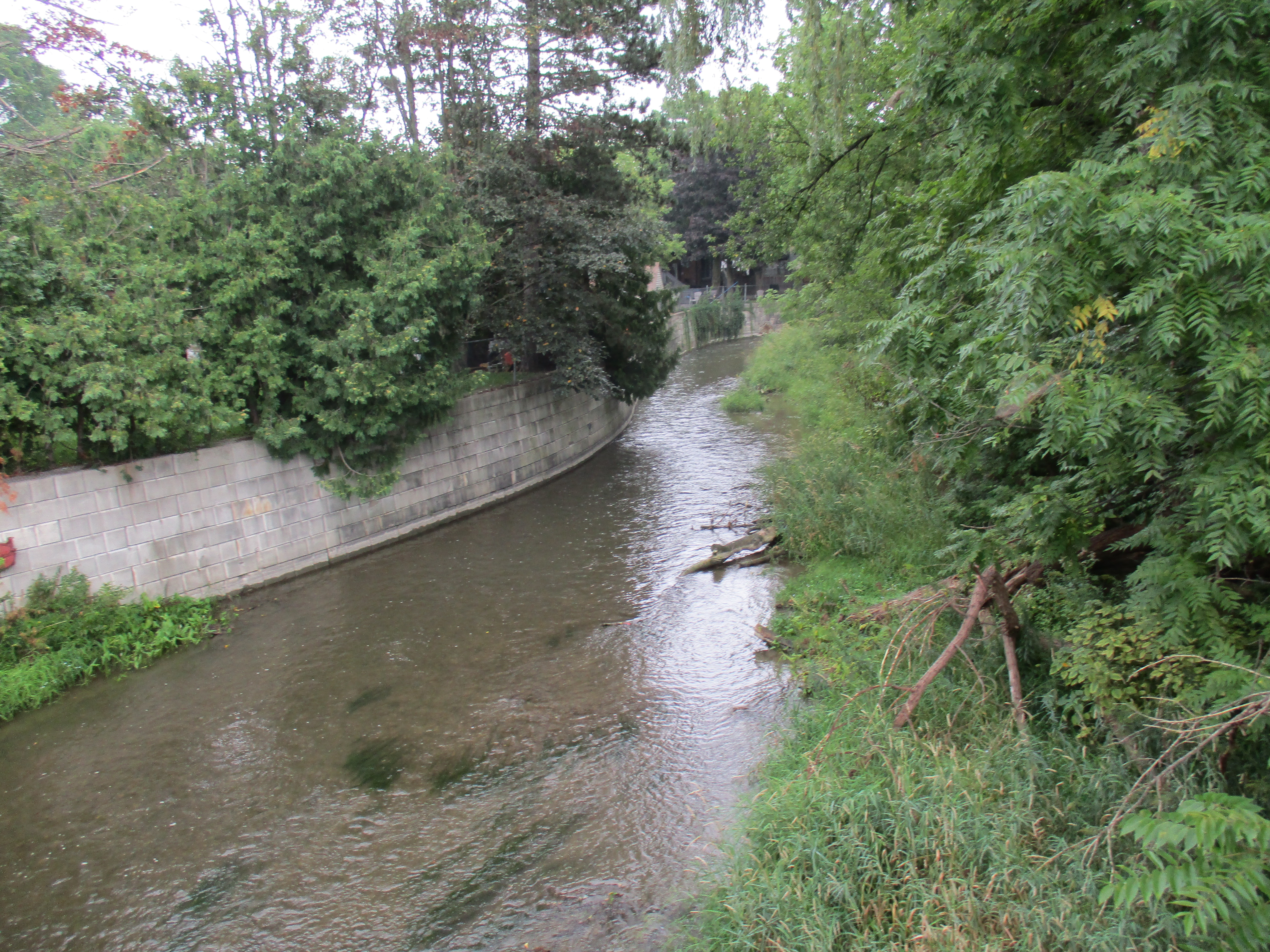
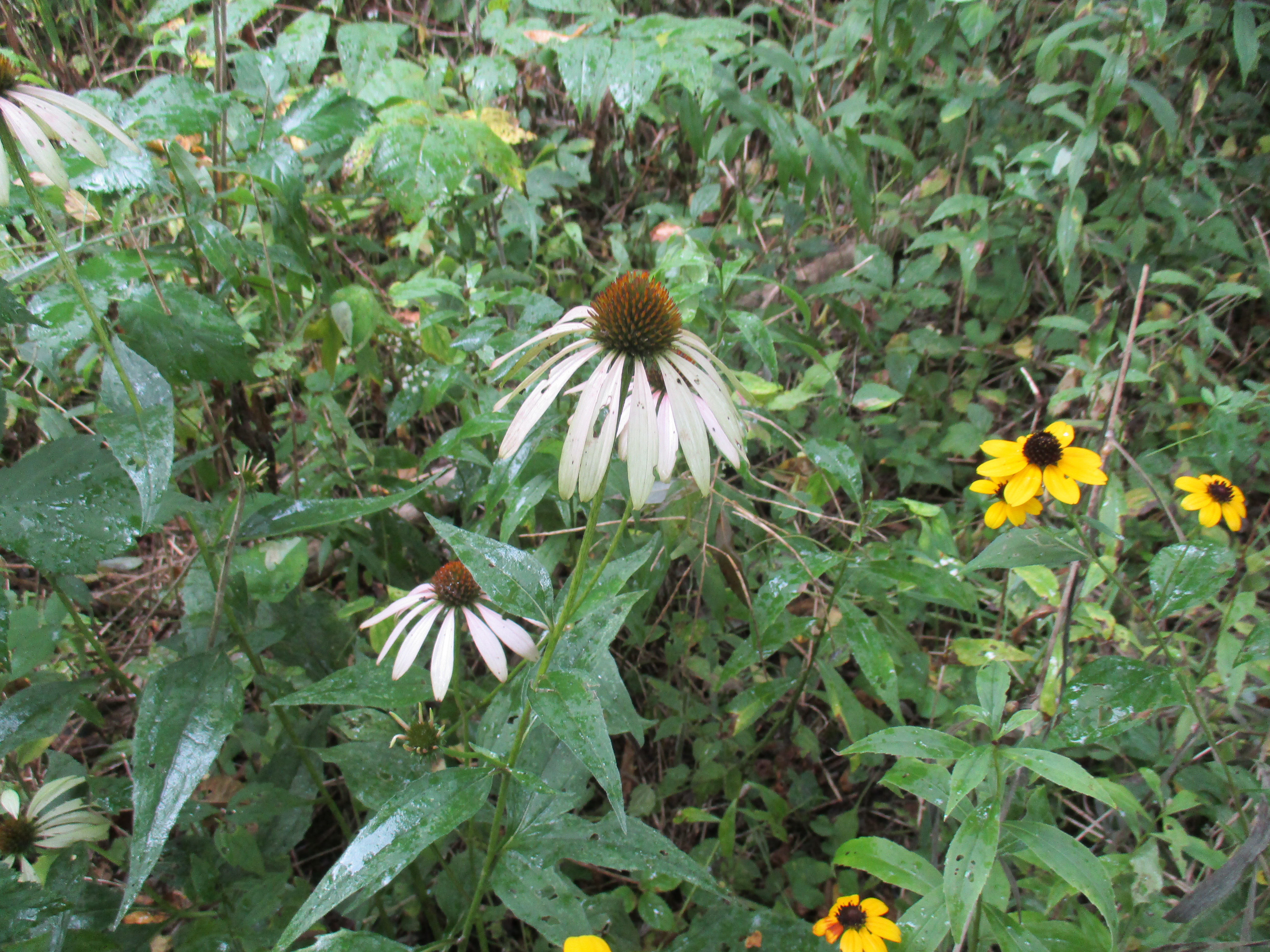
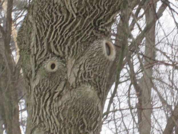
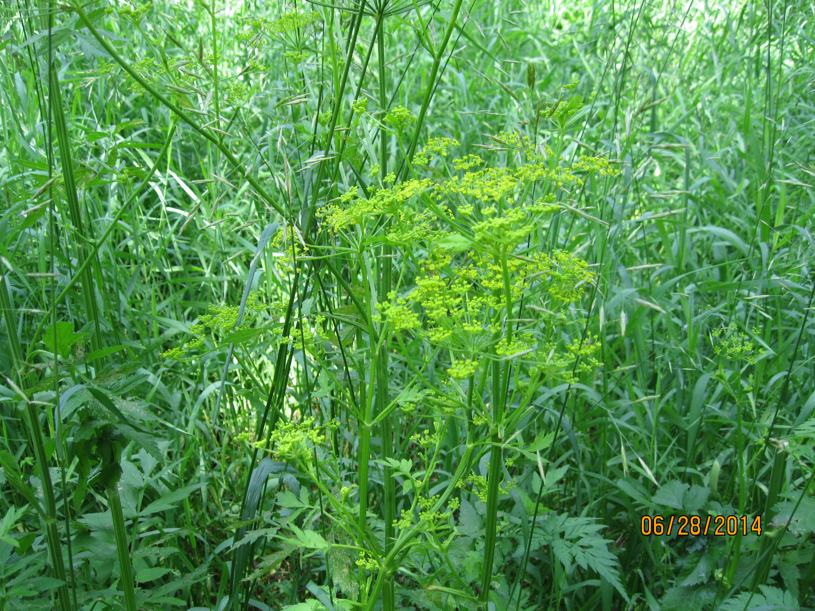
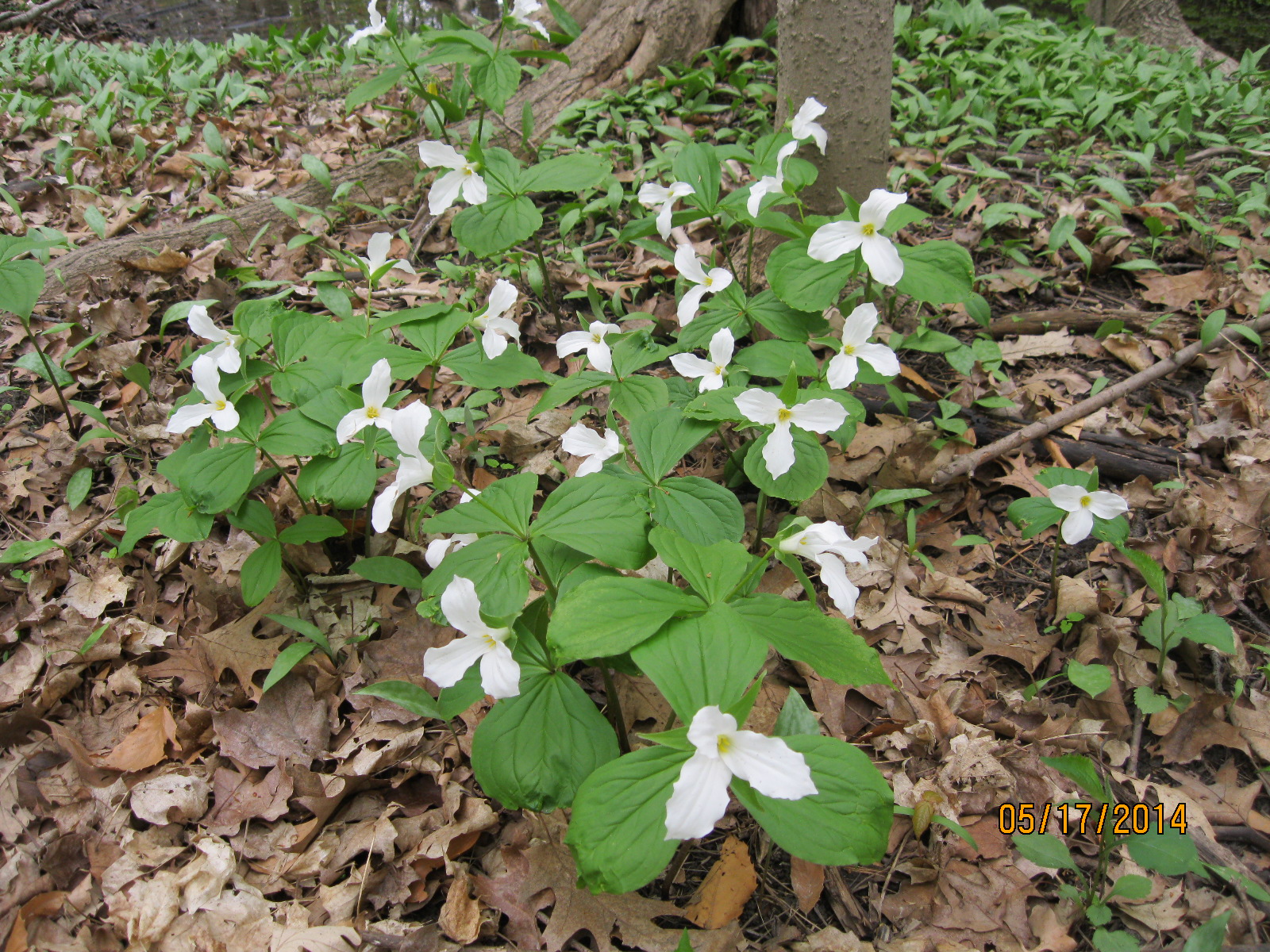
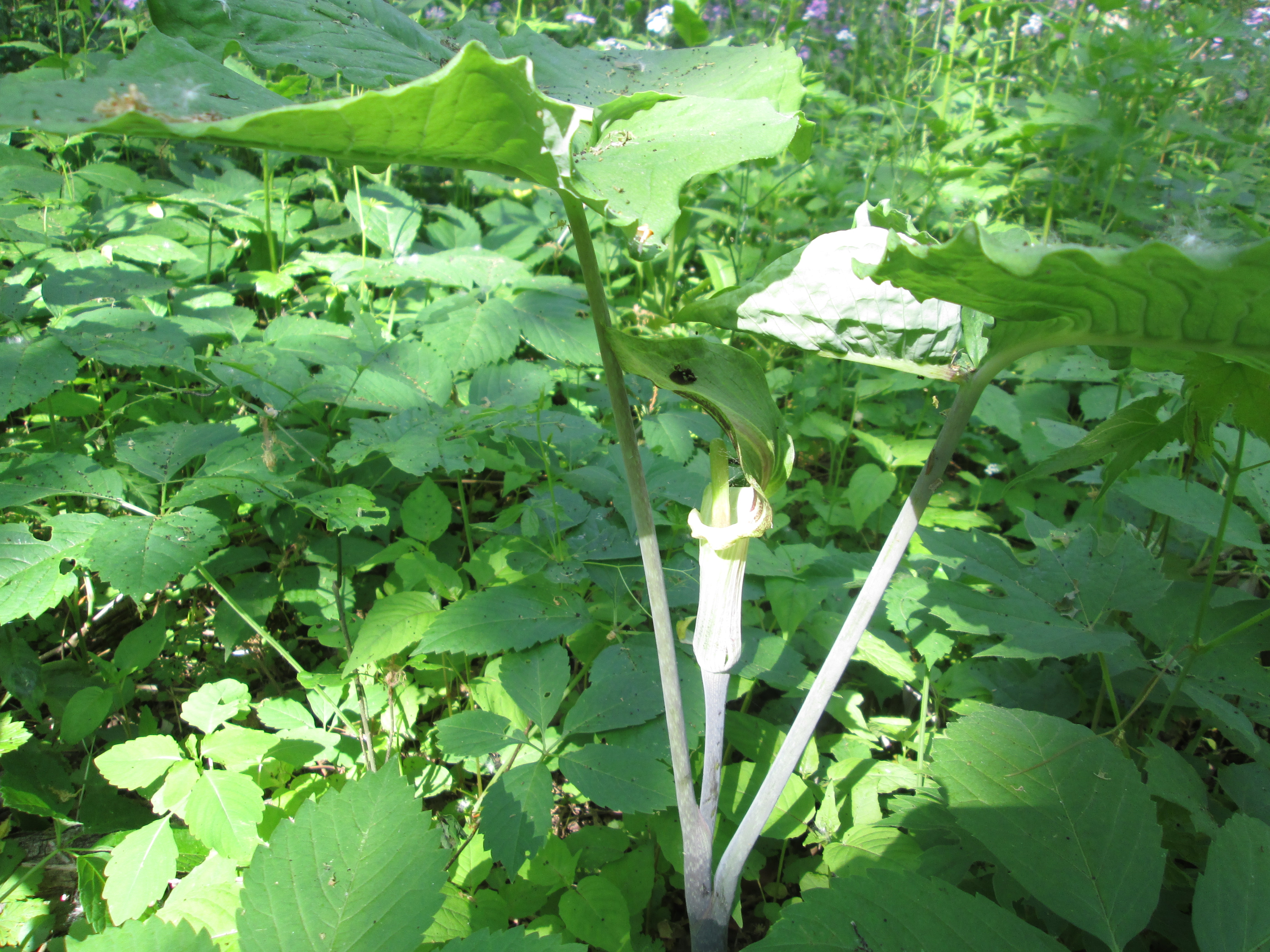
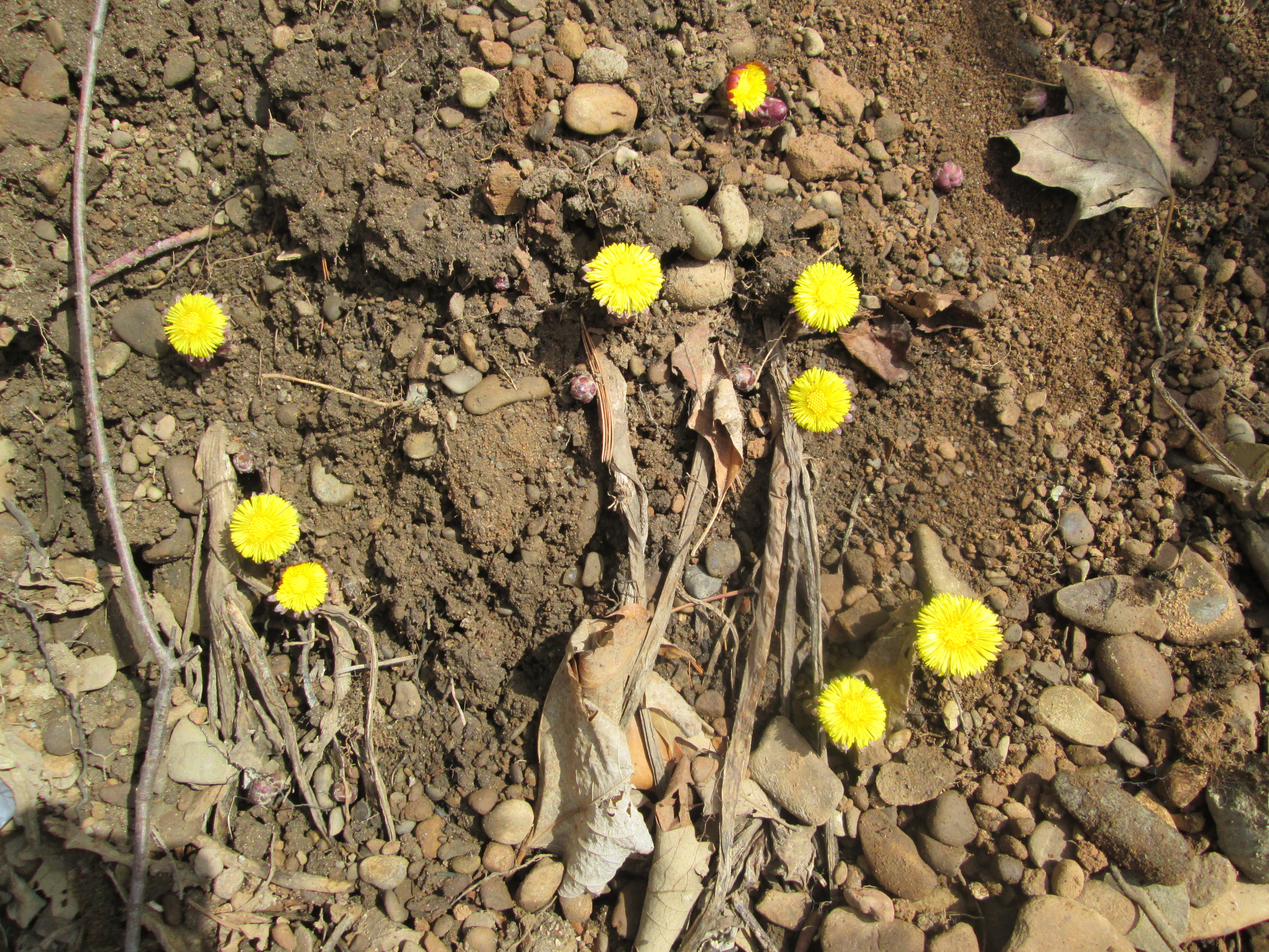
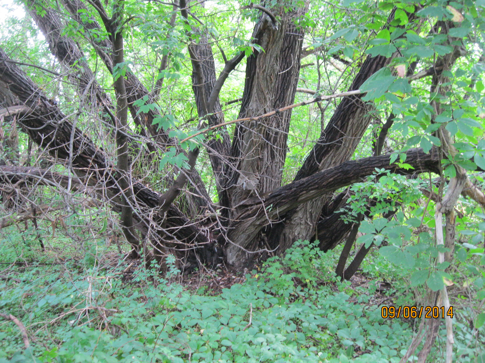
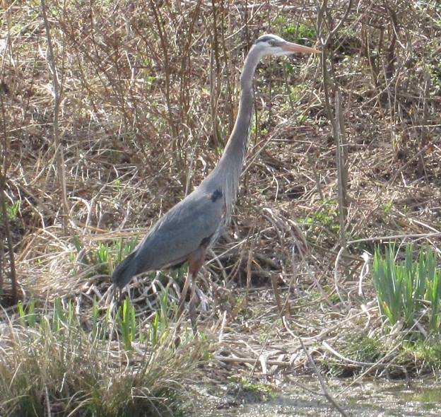
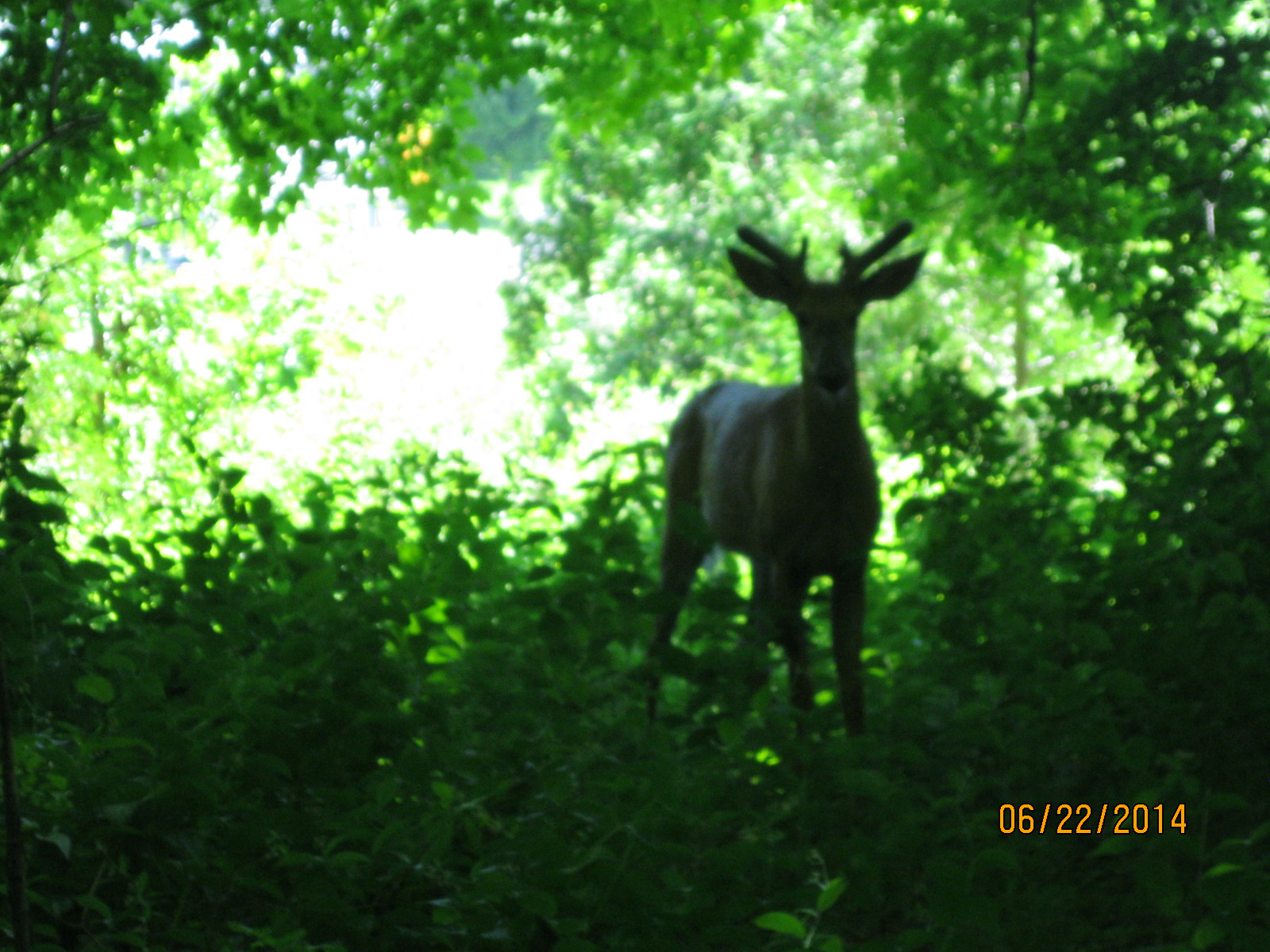
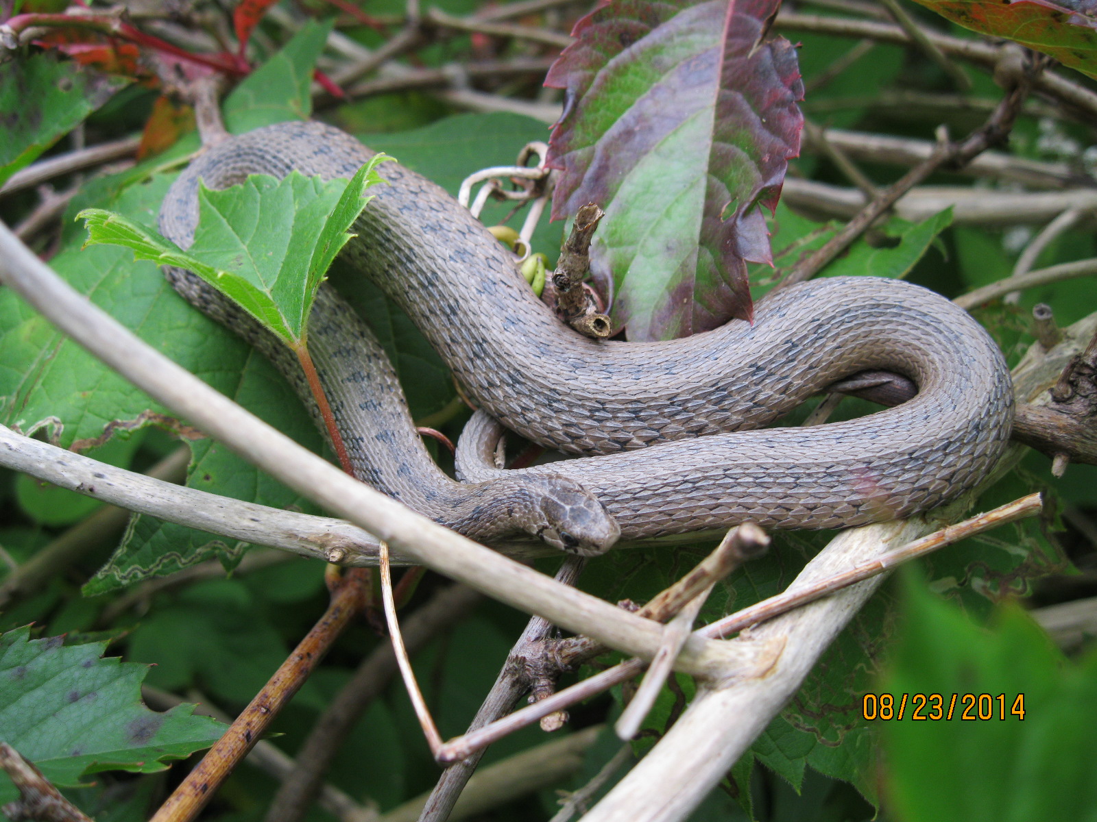
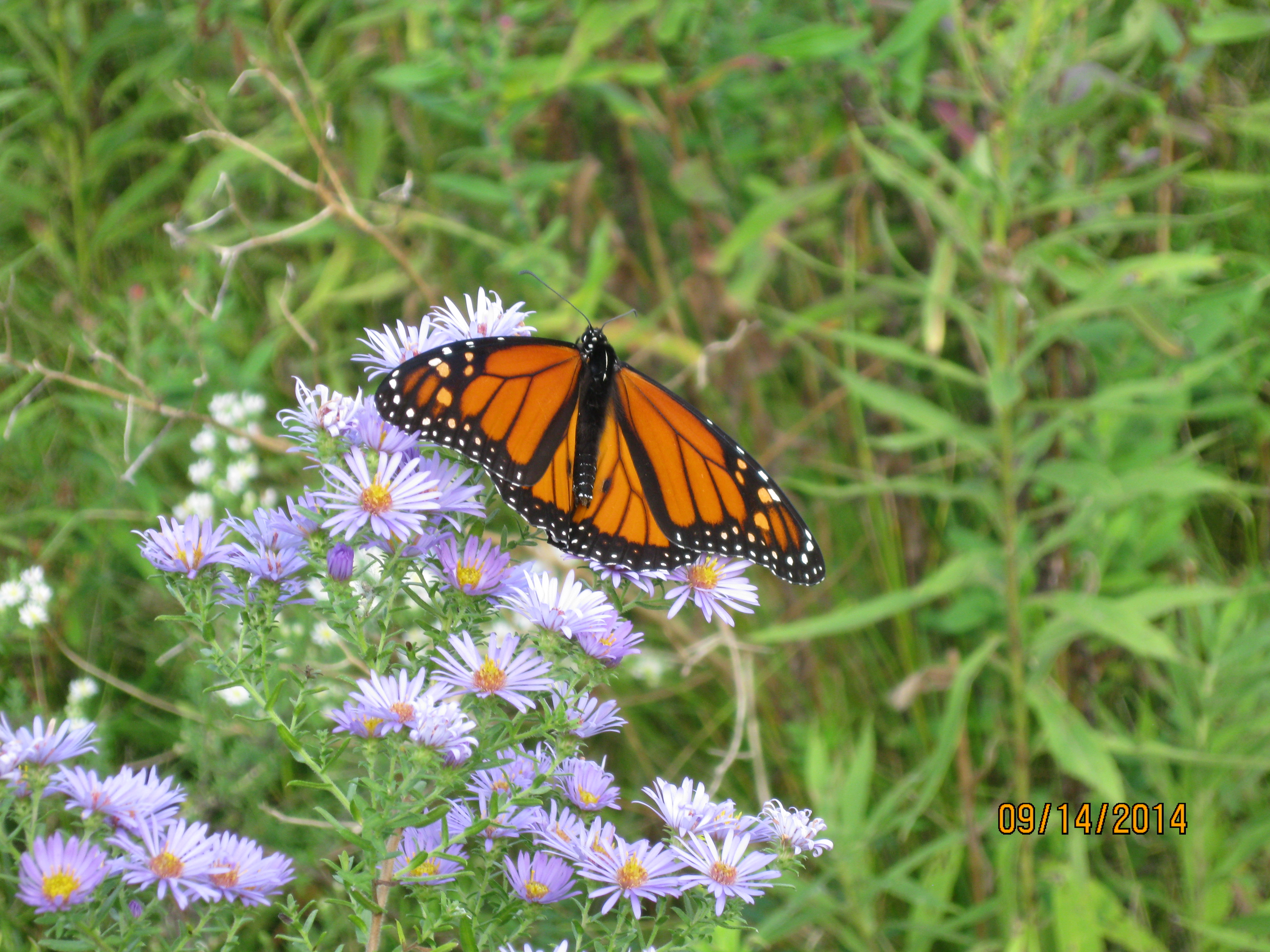
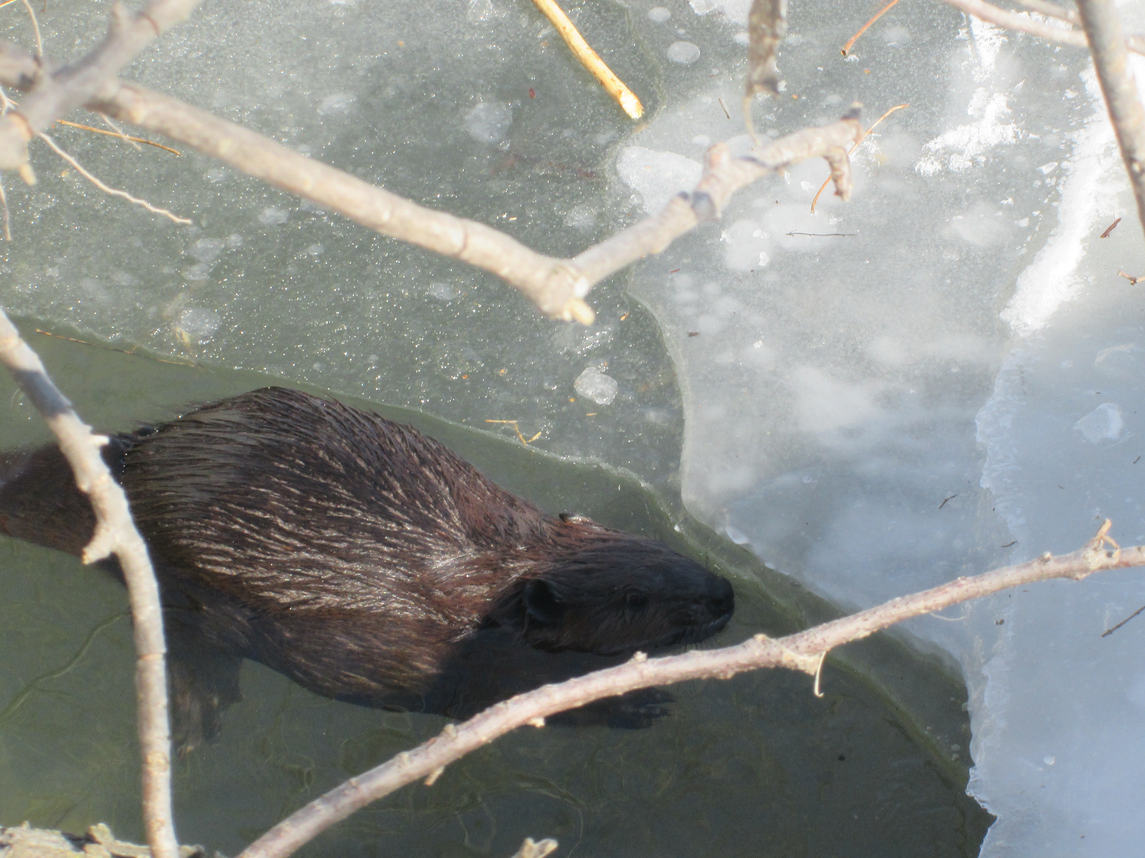
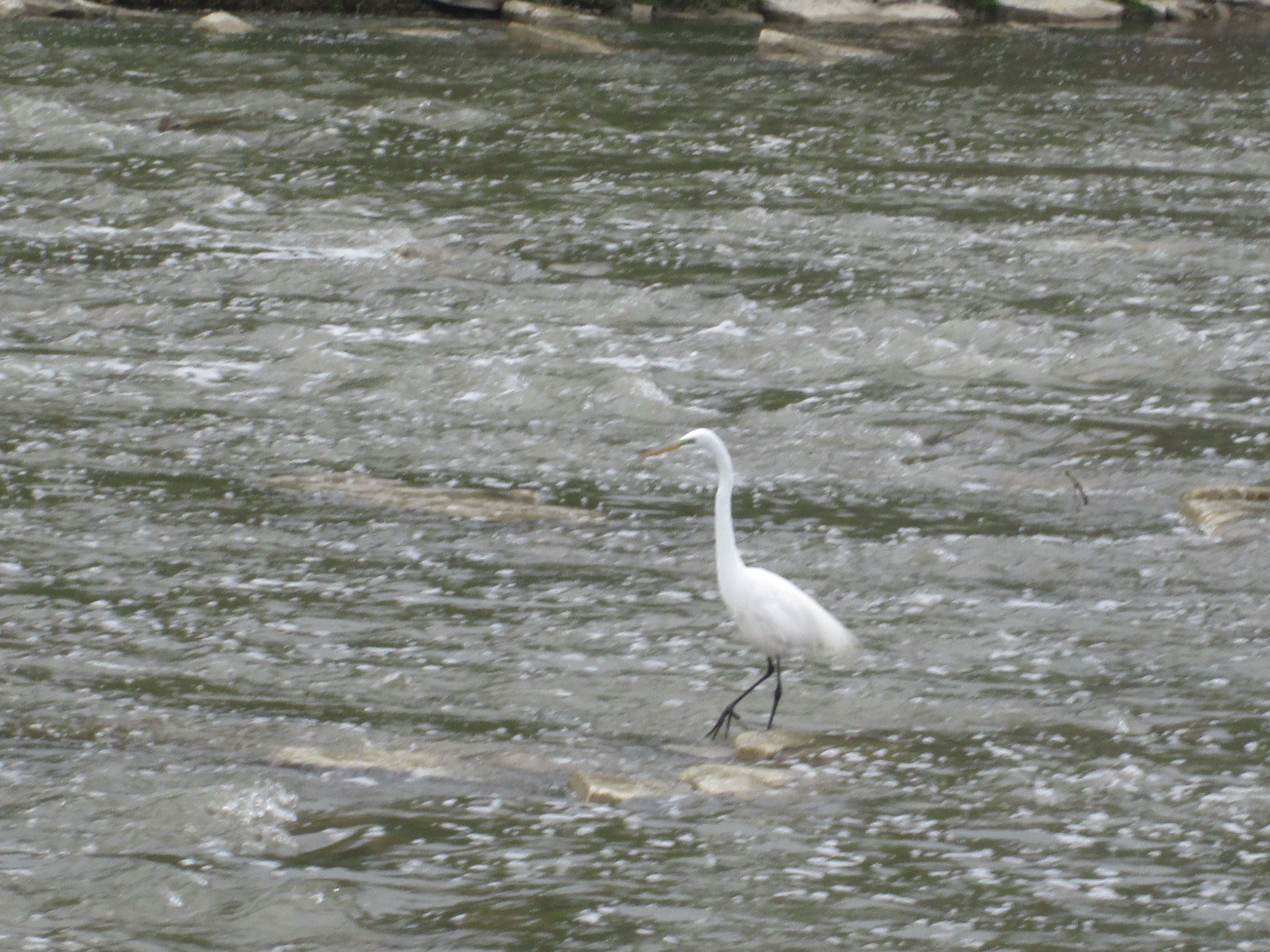
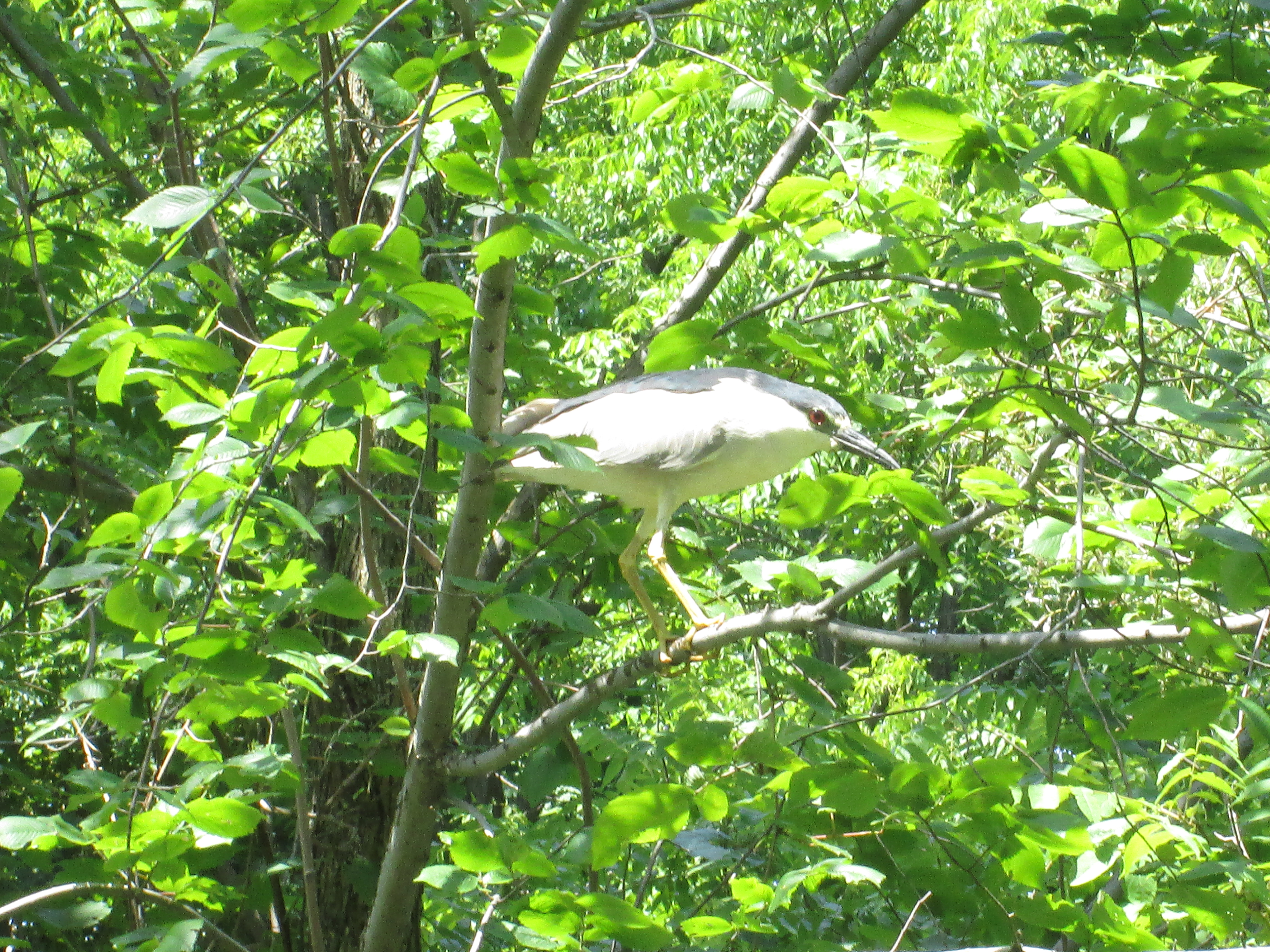
The McMichael property is also an interesting place to go for a walk along the trails and the beautiful grounds which joins to the Humber River Trail and connects to Bindertwine Park.

Related stories: Bindertwine Park

Google Maps Link: McMichael Canadian Art Collection

Like us at http://www.facebook.com/hikingthegta

Follow us at http://www.hikingthegta.com

Also, look for us on Instagram

Pine Point Golf and Country Club

Saturday, January 9, 2021

There are currently 13 golf courses in Toronto and another 87 within 20 miles of Toronto which attests to the popularity of golf. Between 1869 and 1919 there were thirty courses opened in the city but many of them have been built over with homes. At least two of them have been turned into parks that we’ve visited. The former York Downs Golf and Country Club is now Earl Bales Park. Similarly, Pine Point Golf and Country Club is now Pine Point Park.

Pine Point Golf and Country Club wasn’t one of these original 30, nor is it one of the remaining 13 as it came and went between then and now. In 1925 it got its start as the Riverside Golf Course. It consisted of 225 acres and was operated by Cecil White until 1932 when he sold it to Bert and Frank Deakin. This father and son partnership rebranded it as Pine Point Golf and Country Club. They built a new club house in 1932 to replace the existing one.

They experienced disaster on the night of August 6th, 1938. At 2:20 in the morning Frank Cech was watering the far greens on the course when he saw the glow of the blaze. The club house was completely destroyed before the Weston Volunteer Fire Brigade could put it out. As soon as the clean up was complete they set about building a new club house. Things carried on until 1950 when the government bought a strip through the middle of the golf course for construction of the 401. Another 22 acres were bought on the north side of the new highway for the creation of a new park. Pine Point Park was opened in 1957. The picture below shows the back of the club house and a bunch of newly planted trees.

The main chimney still sports the logo from the days when golfers would congregate here before and after a round of golf.

The chimney on the south side of the main door is crumbling badly and appears to be hazardous. You wouldn’t want to be walking below when one of those large stones dropped out.

Below is a 1953 aerial photograph from the Toronto Archives. The small circle on the left is the club house featured above. Shapes of greens and sand traps can be seen in the circle at the centre of the picture while the larger circle shows the bridge over the Humber River. Meanwhile, the new highway west of the river isn’t even fully laid out yet.

Seventy years have passed since the last game of golf was played at Pine Grove. In 1957 the city bought 22 acres of land on the north side of the 401 to create a new park. The club house was retained and the floodplain was turned into an open field of grass with a walking trail along the side of the Humber River. One large section of the park has been allowed to return to a more natural condition and second generation trees have become established. Throughout this wooded area there are several curved depressions in the ground that look suspiciously like old sand traps.

The Humber River had a thin layer of ice along the edges and a fair amount of slush floating downstream but surprisingly has not frozen over yet this season. Some years there could be large ice sheets pushed up on the banks that are several centimeters thick. This freezing and thawing could happen several times per winter.

Other than the club house and the general shape of some parts of the park there isn’t very much remaining from the days of Pine Point Golf and Country Club. Near the river stands an old lamp post that is likely hidden by vines for most of the summer. Notice the two bands of steel at the top which distinguish it from the modern lighting around the parking lot.

We often see tents and other temporary shelter for homeless people in the parks and this year there may be more than average as a result of the pandemic. One of the most unusual of these types of shelters is the one we found in Pine Point Park. Someone has found a group of trees which they have surrounded with industrial stretch wrap. Earth has been scooped up around the bottom to seal out the wind and water while ropes support a roof made of burlap. It’s just about the right size for a sleeping bag to be laid out inside of it. Although it seems like an environmental disaster, i give it high marks for creativity.

In the game of golf it is quite common to hit an errant ball that could come close to hitting another player. It might be more instinctual to yell “heads up” or “duck” but in golf the normal expression is “Fore!”. This appears to be tied to the idea that the player or caddie in danger is before, or in the foreground, of the incoming ball. Since the game of golf is no longer played here it is much more appropriate to whisper “duck” and point to the river. The Common Goldeneye pictured below is the female which has a chocolate brown head and a gray body.

The male Common Goldeneye has an iridescent green head which frequently looks black. They have a white patch behind their bill and white wings on a mostly white body. The wings appear to have little white windows on them. Goldeneye ducks often forage in small flocks and dive together, staying under for up to 20 seconds at a time.

Common Merganser males have a mostly white body with a green head and orange bill. The female has a brown head with a white chin and an orange bill. When migrating or during winter Mergansers are known for mixing with other species of diving ducks, including Goldeneyes, other Mergansers and Buffleheads.

Mallard Ducks were the most common birds we sighted, except perhaps Canada Geese, and a group of them were checking out the ice skating facilities.

Construction of the 401 brought an end to the Pine Point Golf and Country Club and the original highway has been expanded several times creating an extensive set of bridges over the Humber River. It appears that one effective method of reducing graffiti under the bridges is to allow the creation of public art on all the available surfaces. People seem reluctant to tag over the top of some of this creative artwork. The entire length of the trail under the 401 has been covered in some very impressive artwork.

Many people walk their dogs or go jogging through Pine Point Park without ever realizing the history they are passing through.

Additional reading: Earl Bales Park,

Google Maps Link: Pine Point Park

Like us at http://www.facebook.com/hikingthegta

Follow us at http://www.hikingthegta.com

Also look for us on Instagram

Bindertwine Park

Wednesday, September 16, 2020

Bindertwine Park is on the edge of Kleinberg and is the northern trail head for an eight kilometre section of the Humber Trail known as the William Granger Greenway. It runs from Kleinberg to Boyd Conservation Area following the East Humber River. The trail is temporarily broken at Major Mackenzie Drive as the bridgework there requires the use of heavy machinery. We followed the empty trail south, enjoying a beautiful Wednesday morning on a vacation day from work.

Bedstraw Hawk Moth Caterpillars are usually green, but can be brown, with black bands and pairs of yellow spots. Another distinct feature is the tail, or horn, on the rear end which is always red. The moth is tan and olive brown with a red stripe on the hind wing that fades to white at the edge. It has a wingspan that is up to 80 millimeters wide and flies between May and October. This caterpillar will make a cocoon in a shallow burrow and overwinter there. In the spring it will appear as a moth and start the lifecycle again by laying eggs.

It was a day for seeing a variety of insects although the biting kind were not too bad. Praying mantis are carnivorous and will eat many other insects and even other praying mantises. The female is said to often consume the male either during or after intercourse. She will then lay an egg sack which will contain hundreds of eggs. The little ones hatch looking much like miniature versions of their parents. We saw several praying mantis which are easy to spot when they fly because of their size compared to other flying insects. Once they land their resemblance to the plants they live on makes them hard to pick out.

An unusual piece of art stands along the side of the trail tells you that you are getting close to the McMichael Canadian Art Gallery. The sculpture is called the Peace Making Machine and was built in 2011 out of ash planks and steel pipe. We continued along the trail heading south from the gallery.

Apart from the main trail there are several smaller side trails. These are limited because the area is environmentally sensitive and they don’t want people wandering throughout the woods. We followed one small trail up the side of the ravine to the top and then back down again.

Part way up we found a garter snake that was moving sluggishly toward some sunnier places up the trail. Snakes don’t fatten up for the winter like mammals do because they don’t hibernate, they do something called brumation. Their metabolism slows down when its cold to the point that they use almost no energy all winter. Their biggest challenge is to get deep enough to be below the frost line so that they don’t freeze to death. Places where this can be accomplished are relatively few and so snakes will often spend the winter in large groups.

There were purple asters and lots of goldenrod along the sections of the trail that pass through meadows. Dozens of types of pollinators were at work among the wild flowers including bumble bees, honey bees, moths, butterflies, hornets and various types of hover flies.

We made it to where the trail went under Major Mackenzie Drive and had to stop because of the active construction site at the bridge. On the way back we heard the chittering of a red squirrel as it scolded us. It had been busy building mounds of pine cones at the base each tree. This isn’t pandemic hoarding, it’s just normal behaviour for red squirrels who don’t bury their food stores.

We decided to take a different trail on the way back and passed through the grounds of The McMichael Canadian Art Collection. Along with their gallery and art exhibits they also have a building known as the Tom Thomson Shack. It was built in the Rosedale Ravine for a cabinet maker and later used as a tool shed during the construction of a low rent artist studio. By the fall of 1915 Thomson had moved into the shack and he lived and worked there until his death in 1917. In 1962 the shack was purchased and moved here.

Outdoor art is a large part of the exhibit at the gallery. The Shibagau Shard was added to the collection in 1989 and uses a single piece of granite to depict native petroglyphs and pictographs.

The main trail is in pretty good shape and is likely good for walkers or wheel chairs when the ground is dry. The signs of fall are in the plant world and the picture below shows a group of sumac trees that are just starting to take on their red colours.

The compton tortoiseshell butterfly can be seen from July until November and then the adults hibernate over the winter. They can be found in meadows near deciduous forests of aspen, willows and paper birch.

There are several more trails at the McMichael property which will require an additional hike to fully experience what they have to offer.

Other trails in the area that are interesting to explore include William T Foster Woods, Kortright Centre and Boyd Conservation Area.

Google Maps Link: Bindertwine Park

Like us at http://www.facebook.com/hikingthegta

Follow us at http://www.hikingthegta.com

Also look for us on Instagram

Nashville Conservation Reserve

Saturday, August 8, 2020

The Nashville Conservation Reserve is made up of over 900 hectares of land that was bought up by the Conservation Authority in the 1960’s and 1970’s.  In the aftermath of Hurricane Hazel there were plans to create several large flood control reservoirs.  The lands in this conservation reserve would have been developed into a large pond created by damming the Humber River.  Funding wasn’t made available and the property was left to passive recreational uses.

On a previous visit to the Conservation Reserve we had followed the old road allowance for Kirby Road and had not ventured too far into the actual park.  We returned to do a further exploration, once again parking at Kirby Road and Huntington Road.

unnamed

Structurally the bridge is in bad shape.  The steel reinforcement is exposed everywhere and large chunks of concrete have already fallen away.  The TRCA Management Plan for Nashville Conservation Reserve included a clean-up of the bridge in 2015 that removed a lot of the deteriorating concrete.  A similar bridge over the Humber River on Old Major Mackenzie Drive serves a single house on the one side of the bridge.  The City of Vaughan is legally responsible to maintain the bridge for the family that lives there.  It is estimated that it will cost about $800,000 dollars to repair that structure.

unnamed (9)

As we saw on our previous visit to the reserve the bridge no longer serves anything but pedestrian traffic on the Humber Valley Heritage Trail.  Kirby Road through this section was abandoned in the 1970’s and the bridge closed to vehicular traffic.  With the cost of repairs likely to be similar to the Old Major Mackenzie bridge it looks like the days of this bridge are numbered.  The official plan is to permanently close the trail on both sides of the bridge sometime in the next few years.  The view from below the bridge supports the idea that it should be removed before it collapses into the river and creates a flooding obstacle.

unnamed (1)

With the spread of dog-strangling vines and the subsequent decline in common milkweed it was feared that monarch butterfly populations could suffer decline.  It appears from personal observation that this year has been good to the butterfly population and there are plenty of examples to be seen every time we go out hiking.

IMG_8478

Just past the bridge and near the top of the hill we made a left turn to enter the northern loop trail through the woods.  Trails are marked with blue slashes and were all but deserted as we made our way along.

unnamed (7)

Northern Tooth fungus is typically found on Maple Trees where it grows in densely packed shelves from wounds in the tree.  Over time it kills the heart of the tree leaving it hollow and susceptible to being blown over in strong wind storms.  One of the trees along the trail has several large patches growing out of it but it appears that it is the only tree in the area to be suffering from this fungus.  Undoubtedly this tree has already been destroyed, it just hasn’t fallen over yet.

unnamed (3)

The carrots we enjoy at dinner time are cultivars of wild carrots, also known as Queen Anne’s Lace.  A cultivar is a plant that has been selected because it has a desirable trait that it will continue to pass along.  The trait that has been cultivated from the wild carrot is our domesticated carrot.  The flowers on Queen Anne’s Lace are white and clustered in dense umbels.  Among all the white flowers was a single plant which had all four or five umbels that were pink coloured.

unnamed (5)

Artist Bracket or Artist Conk is a bracket fungus that grows on trees where it decays the heart of the tree.  When they are young they are white but quickly turn darker as they age.  When the spore bearing surface below is scratched it forms dark lines that become permanent when the conk dries. Artists use these to create permanent pictures.

unnamed (6)

There were several small mushrooms growing in a cluster at the base of a rotting log.  Orange Mycena produces an orange pigment known as leinafulvene.  It has been shown to have antibiotic properties as well as being toxic to certain tumor cells.

unnamed (8)

Nashville Conservation Reserve is still largely unexplored and we’ll have to come back sometime to see what is happening with the old bridge.

Google Maps Link: Nashville Conservation Reserve

Like us at http://www.hikingthegta.com

Follow us at http://www.hikingthegta.com

Also look for us on Instagram

Old Albion Road

Saturday, March 23, 2019

The Humber Recreational Trail is pretty much continuous through Toronto from Lake Ontario to Steeles Avenue.  It has a short section on the road where a golf course restricts passing.  We chose to explore a section north of the 401 so we could look for the remains of Old Albion Road.  Free parking is available at Pine Point Park at the end of Hadrian Drive.

Staying close to the river, we were treated to several Mergansers who were playing in the slushy waters.  The males were attempting to impress a group of seemingly bored females.  In breeding season the male Merganser gets a glossy green tinge.  Later in the summer and fall both he and the females will be mostly a dull grey.  The diet is mostly fish and so their bills have serrations to help with holding onto their slippery prey.  For this reason they are also sometimes known as “sawbills”.


Merganzer

Male whitetail deer rapidly grow their antlers for three or four months during the summer when their testosterone levels are high.  Following the rutting season the testosterone levels drop quickly which activates specialized cells called osteoclasts at the point of connection of the antlers.  These cells eat away at the pedicle, where the antlers grow, until the connection becomes so weak the antlers are simply shed to make way for new ones.  Depending on the age and health of the animal as well as their local climate they shed their antlers between January and April.  This young buck has clearly visible pedicles, just waiting for new antlers to begin to grow.

IMG_2559

Albion Road was originally a private road built for a French teacher named Jean du Petit Pont de la Haye and ran to his estate at Indian Line and Steeles Avenue.  The settlement he founded there was named Claireville after his daughter Claire.    In 1846 the road was upgraded from Musson’s Bridge at the Humber River all the way to Bolton by The Weston Plank Road Company.  At this time the road was named Claireville Road and there was a toll booth in Claireville to help pay for maintenance of the road.  It is believed that the white house that can be seen from Steeles Avenue is the old toll house.  Claireville Road is coloured brown in the 1877 County Atlas image below.

Musson

Early bridges were built of wood and seldom lasted more than 20 years.  Flooding would often destroy them even earlier than that.  By the time of the County Atlas, Claireville Road was likely on its second bridge across the Humber.  In 1905 the bridge was again in need of replacement and Octavius Laing Hicks was commissioned to build the new one.  The bridge was his first and also the first all-riveted steel bridge to have a permanent deck.  Hicks built it on cut stone abutments instead of concrete that had started to become popular in construction at the time.  As his next bridge was a concrete bow bridge it is clear that Octavius was familiar with concrete as a bridge building material.  This suggests that he built his bridge on the abutments from the previous one.  The bridge became known as Musson’s Bridge because the family owned several pieces of property on the Etobicoke side of the river.

When the remnants of Hurricane Hazel swept down on the city on October 15, 1954 they destroyed or severely damaged 40 bridges.  Musson’s bridge had already been replaced with the new alignment of Albion Road and was no longer as critical to transportation as it had once been.  The bridge wasn’t badly damaged and remained on site until it was removed in 1962.

Albion Road Bridge Hurricane hazel

The bridge abutments on the west side of the river were removed in 1963 but the ones on the east side remain, and we can see them but for the moment there’s still an icy river between us.

IMG_2569

We followed the edge of the Humber Valley Golf Course until the river doubled back on itself leaving us to also turn back.  Just as we were about to do so, we caught sight of a coyote who saw us at about the same time.  Unfortunately, he didn’t hang around to get his picture taken.  Soon, movement in the trees across the river alerted us to the presence of at least two more deer.  These two were likely females who will be giving birth to their fawns in late Spring.  The deer were keeping the swiftly flowing river between them and the coyote.

IMG_2588

We retraced our steps to a pedestrian bridge we had seen earlier in Louise Russo Park and made our way back to the abutment on the east side of the river.  The steel beam is still in place that anchored the bridge to the abutment, however it may have been added by Octavius in place of a previous wooden span.

IMG_2556

One thing that never changes is human interest in seeing the damage that storms can cause.  Ice, wind or water can all inflict a lot of damage and this 1954 picture from the Toronto Public Library shows us the curious ones out to see the damage from the hurricane.  This view is from the east side looking toward Musson’s bridge and the river.

Old albion road bridge 1954

The street view today is much different with the road closed off and the bridge missing.  The embankment on the left of the picture has grown over with trees and there is a park on the right side.  The road crossed the river and then angled north-west  right where the apartment is today.  The small section of Albion Road that ran between Weston Road and the river still provides access to a few houses under the name Norris Place.

IMG_2559

It was nice to see so many birds this weekend along with the other wildlife.  It’s a certain sign of warmer days ahead.

Google Maps Link: Pine Point Park

Like us at http://www.facebook.com/hikingthegta.com

Follow us at http://www.hikingthegta.com

Laskay – Ghost Towns of the GTA

Saturday, November 4, 2017

Laskay is not a ghost town in the formal sense because people still live there.  It was founded in 1832 when a dam was erected on the East Humber River to create a mill pond for a sawmill.  Joseph Baldwin took over the mill site that year when he bought the 100-acre property.  In 1849 he added a grist mill and later expanded with a woollen mill.  When he arrived the community had the nickname Bulltown but Baldwin changed the name to Laskay after his hometown of Laskay in England.

Laskay (2)


The Humber River was prone to flooding and the mill dam was often washed out.  The buildings themselves were destroyed in the floods of the late 1870’s.  By the time of the map above the sawmill was already gone.  The Grist Mill and Carding Mill are marked in blue.  Fires took out the rest of the mills and by the end of the century, they were all gone.

IMG_1652

Village lots were laid out on either side of the river on Joseph Baldwin and David Archibald’s lands.  From the 1850’s these lots began to fill up with workers from the mills along the river.  The town soon had a blacksmith whose shop once stood on Old Forge Road.  Travellers along 3rd line west (Weston Road) would seek a place to water their horses and wash the dust from their throats and beginning in 1845 they made Laskay Tavern a regular stop.  The tavern was built by Baldwin who constructed a general store and post office next door.  Adjacent to that, he built a dressmaking store for his wife to run, a business she shared with her sister.  The tavern is in use as a private home today.

IMG_1651

The town doctor lived in this house on the main street.  The side and rear of the house were planted with herb gardens used in various healing ointments and potions.

IMG_1655

The county atlas shows a Primitive Methodist church in the town in 1877, marked with red on the map.  The church itself was absorbed into the United Church of Canada and the building was eventually closed as a church.  Today it is marked by Old Church Road on which this interesting house can be found.  The walls contain double sets of buttresses with concrete caps as was common on churches around the turn of the past century.  It appears that the old wood structure was either replaced or given a new brick cladding around 1908.  Today most of the church structure is gone and a house stands amid the old walls.

IMG_1646

The Laskay Emporium is shown below and in the cover photo.  It was one of the main hubs of the community starting in 1856 when it was built.  It served the town as a general store and post office for nearly a century.  The store had a “Boom Town” front that hid the sloping roof from the street.  The veranda has a unique sloping roofline under which the locals would sit to watch the evening fade and smoke their pipes.  The Emporium closed and sat vacant waiting for demolition until February 19, 1960, when it was rescued and moved to Black Creek Pioneer Village where it is preserved.

IMG_0431

Joseph Baldwin’s son Henry was the postmaster for 20 years and part of his job was to sort the daily mail into the various slots on the post office pigeonholes.  The Post Office is designated with PO and marked in orange on the map.

IMG_0422

The emporium was the Walmart of the era, importing things and reselling them.  All the usual household needs could be bought here.

IMG_0406

Customers could buy milk by the cup for 2 cents or a lemon for 3 cents.  Three cups of sugar sold for 20 cents and eggs were 2 cents each. You could get four cups of flour for 20 cents, a cup of butter for 18 cents and baking soda for 5 cents.  For under a dollar you could get the ingredients to make a cake.  The cod for your main meal would cost you 8 cents.

IMG_0411

The Emporium was divided into three rooms on the ground floor with one serving in part as an office.  The post master’s desk and safe are seen in this picture.

IMG_0413

The third room was used to sell larger items and to unpack the crates of imported goods.  Beginning in 1852 the Ontario, Simcoe and Huron Railway began stopping at their new station in Springhill (King City) to deliver products from overseas as well as to allow local products, such as grain milled in Laskay, to be shipped to market. A selection of typical cookware is displayed in the rafters of the Emporium.

IMG_0418

One other building from Laskay has been preserved and that is Laskay Hall which was moved from the town to King Township Museum in 2017.  It was built in 1859 by the Sons of Temperance.  Since this museum also houses the railway station mentioned above, the oldest surviving railway station in Canada, it will certainly be featured in a future post.

Google Maps Link: Laskay

Like us at http://www.facebook.com/hikingthegta

Follow us at http://www.hikingthegta.com

Humber Grove – Ghost Towns of the GTA

Saturday, October 21, 2017

The remains of a ghost town lie along the Humber River on Duffy’s Lane just north of Bolton.  The property of George Elliot on the county atlas below was in the Elliot family from 1855 until 1929.  During this time a few homes were built along Duffy’s Lane with views of the river.  Only two are shown at the time the atlas was drawn in 1877.  By 1909 there were half a dozen homes with a small community forming around the bridge over the river.  In 1929 the 100-acre half lot was sold to Bertram Realty Company who planned to capitalize on the quiet setting along the river.  They divided the land into small parcels and started selling them for cottages.  People began to buy the lots and build on them and by the early 1950’s there were enough children to support the construction of a new school at the corner of King Road and Duffy’s Lane.

In October 1954 Hurricane Hazel hit the GTA killing 81 people and changing the way we managed our floodplains.  Local conservation authorities across the GTA began to buy properties and remove houses that were considered at risk.  They also developed a plan that called for the construction of 15 major flood control dams and reservoirs including one on the Humber River just north of Bolton.  Of these dams only Claireville, G Ross Lord and Milne Dam were constructed.  The Glasgow dam would have been 29 metres high and Humber Grove would have been under the new flood control lake.  Slowly the houses were moved or demolished until by 1977 there were no buildings remaining.

humber Grove (2)

Duffy’s Lane is exactly that, their original laneway.  This is what is known as a “given road” because it is not part of the original grid of the township survey.  It is a privately constructed road, on private land, that was given for the use of the public.  For reference, Duffy’s Lane has been coloured brown on the map above.  The Duffy house was built in the 1840’s and has been given a historical designation by the township of Caledon.  It is seen in the picture below and marked with a red arrow on the map above.

IMG_1606

Duffy’s Lane has had many alignments in the area where Humber Grove was and there have been at least four bridges over the river.  The county atlas above shows a bridge over the west branch of the Humber River that predated the use of poured concrete for bridge construction by 20 to 30 years.  Therefore, the abandoned bridge in the cover photo has to be at least the second bridge at this location.  The picture below shows the abutment for the old bridge in the lower right corner.  This bridge was likely built at the time that a subdivision plan was put forward in the 1920’s.  A new bridge would have been helpful in persuading people to buy a lot this far outside of Bolton. On the left in this picture are two newer bridges, the lower one from 1985.  In 2013 work began on the Emil Kolb Parkway as a bypass to keep the increasing flow of traffic from going through downtown Bolton.  The new multi-lane bridge was built in 2014 and the older one converted to a pedestrian trail.  It is likely that some of the original Humber Grove foundations were lost during the construction of these various bridges.

IMG_1573

Milkweed pods have started to break open exposing their seeds to the wind.  Each tiny, flat seed is carried on the breeze by hundreds of tiny filaments attached to it.

2432


Milkweed is essential in the lifecycle of the monarch butterfly.  There were many of these orange beauties flying around and it seems like it is late in the year for them.  This is the fourth generation of monarch born in Ontario this year and it is programmed to fly to Mexico to spend the winter.  The example in the picture below is a female because it lacks the two little black dots on the hind wings that mark the male scent glands.

IMG_0071 (1)

Throughout the woods, there are several obvious laneways, most often marked with a double row of trees that lined either side of the old roads.  In a couple of places, there are old hydro poles in the woods that have the wires cut from them because the homes they once served no longer exist.

IMG_1586

At the end of the laneway above is an obvious clearing where a house once stood.  The back end of the property has been reinforced with a concrete wall.

IMG_1587

A garter snake was sitting on a fallen branch taking in the late October sunshine.  These snakes don’t actually hibernate unless they are in a climate where it goes below -40 Celcius.  In reptiles, hibernation is normally referred to as brumation.  In most cases, the garter snake is awake through the winter with a 77% reduced heart rate and minimal oxygen intake.

IMG_0078

The original alignment of Duffy’s Lane can still be found running north from the earlier bridge abutments at the river.  Former laneways extend into the woods along the sides of the road.  We found an old concrete foundation a few feet into the first of these laneways.  The woods have been regenerating for 40 years and most of the former entrances can only be made out due to the parallel rows of mature trees that line either side.

IMG_1599

Old fence lines mark the edges of the various properties that used to line both sides of old Duffy’s Lane.

IMG_0075

The boletus family of mushrooms includes over 100 varieties, many of which are edible.  They can be distinguished by the tubes that carry the spores under the cap rather than the gills that can be found on many other types of mushrooms.  Make sure that you never touch or eat any mushroom that you cannot positively identify.  There are often similar looking species where some are edible and some are poisonous and can kill you.

IMG_0068

There is a lot of tall grass, dog-strangling vines and undergrowth throughout the area. There are plenty of foundations remaining to be found, perhaps when there is less foliage.  Humber Grove can be accessed from the Humber Valley Heritage Trail.  We explored part of this trail in a previous post called Humber Heritage Trail Bolton.

The Toronto Region Conservation Authority has an informative article on Humber Grove with historic maps that can be found here.

Google Maps Link: Humber Grove

Like us at http://www.facebook.com/hikingthegta

Follow us at http://www.hikingthegta.com


Humber Heritage Trail Bolton

Saturday Sept. 10, 2016

The town of Bolton has an interesting past that developed along the Humber River when the mills began to arrive.  To help commemorate this they have developed the Humber Heritage Trail along the river.  The trail extends from the Trans-Canada Trail at Humber Station Road near Albion Hills Conservation Area through to Kleinberg.  It will cover 33 kilometers when it is completed and there is free parking in Dick’s Dam Park.  Even after the mill pond was no longer required the dam in this park used to have the boards inserted every summer to create a fishing and swimming hole.  This practice continued into the 1970’s.  From this park the trail extends in both directions however it has no discernable marking.  If there are coloured slashes I was unable to find them anywhere along the trail.

The trees in the park are full of empty Tent Caterpillar nests.  Placement in the tent is critical because the caterpillars emerge during the cool of spring.  They must elevate their body temperatures above 15 degrees Celsius in order for digestion to occur.  They move between layers of the tent to regulate themselves.  It is common for the temperature of the mass of caterpillars to be as much as 30 degrees Celsius higher than the surrounding air on a cool sunny morning.

img_3400

The Humber River was a source of water power and when the counties were surveyed it was the responsibility of the survey team to record the locations of suitable mill seats.  The stretch of river around what would come to be known as Bolton had several suitable places as the river drops quickly in elevation between Glasgow and Bolton.  James Bolton arrived in Upper Canada in 1819 and spent two years building mills around Southern Ontario.  He decided to settle down and farm and bought a 100 acre lot just north of Bolton.  In 1821 George Bolton emigrated to Canada and bought a mill site on the Humber River near his relatives.  James helped George build a grist mill and soon the community of Bolton’s Mills was established.  Black Walnut trees are no longer used for food like they were in the early days of settlement.  Pioneers used to set aside as many sacks of these nutritious nuts as they could for the winter.  These days Persian Walnuts are much easier to remove from the shell and have taken over the market.  Black walnuts are growing in several places along the trail and the green fruit balls are dropping to the ground.

img_3387

Although George started the mill he never married and it is James’ six sons who were prominent in village history. In 1842 one of them, also named James, bought the mill from George.  James moved the grist mill to the north side of the river and added a saw mill.  The first general store and post office was run by another of James Bolton’s sons, this one named George.  As can be seen in the picture below the clusters of wild grapes along the trail are ripe..

img_3434

The Toronto, Grey and Bruce Railway arrived in town in 1870.  With access to other markets the town prospered and new industry was attracted to the area around the mills.  A cooperage for making barrels and a blacksmith shop were added and new homes sprang up to house the workers.  By 1872 the community had grown to the point where it was incorporated as a town.  Dick’s Agricultural Works opened in 1869 and quickly became a major producer of quality agricultural implements.  Dodd’s Carriage Works and Plumber’s Foundry added to the growth of the town and led to it becoming the largest community in Caledon township.  Bolton Mill Park sits on top of the filled in mill race from Bolton’s mills.

img_3432

The mill passed out of the Bolton family’s control quite quickly as James sold it to Edward Lawson in 1855.  Lawson had it for 5 years before selling to John Gardhouse.  In 1881 he sold it to Andrew McFall who had to add steam power due to falling water levels in the Humber River.  The McFall family operated the mill for 46 years.  In 1899 Andrew added a rolling-chopping block so he could produce livestock feed.  The town of Bolton got it’s first electrical power from McFall’s generator in 1905.  McFall built a new dam just downstream from Bolton’s dam.  This 1912 concrete dam was built in response to another of the towns major floods, the second in two years.  Around 1984 the tiers were cut off of the dam reducing it to water level to prevent the flooding that the dam was causing in the spring when ice got wedged behind the tiers.  Recently a channel was cut in the dam to allow fish to pass through.  The remains of McFall’s dam are featured below and in the cover photo.

img_3421

The mill changed hands several more times and finally ended up in the hands of the Woodbridge Farmer’s Cooperative in 1952. It had stopped using water power the previous year. In 1968 the mill was closed and then demolished to make way for Humber Lea Road.  The remains were set on fire for the local fire department to practice on.  A diversion channel was created in 1983 to carry the river away from the town core to try to reduce the damage caused by ongoing floods.

img_3424

In other places the river has been given a hard shoreline to reduce erosion.

img_3441

Black Eyed Susan flowers are out in full bloom.  These ones are sharing their space with this member of the sunflower family that is known as a White Swan or White Coneflower.

img_3395

The Humber Heritage Trail is a nice place to explore and it would be a great idea of they would mark the trail so people could follow it more easily.

Google Maps Link: Bolton

Like us at http://www.facebook.com/hikingthegta

Follow us at http://www.hikinghtegta.com

Hiking the GTA #100- Pernicious Plants and Beautiful Blossoms

April 28, 2014 to July 18, 2015

Presented below is a gallery of plant, flower and fungi  pictures taken during the first 100 hikes on the journey called Hiking the GTA.  This post concludes our celebration of chapter one in this adventure.

On July 21, 2015 I published my 100th post in this blog under the title Hiking the GTA #100 – Greatest Treks.  That post presented the 15 most popular stories on the blog, so far.  I’ve posted a gallery of animal pictures from those first blogs under the title Hiking the GTA – Amazing Animals.  Ontario has many edible plants, some very beautiful ones and several really nasty ones.  The pictures below are in no particular order except that the three most common poisonous ones are presented first.

Giant Hogweed is one of the nastiest plants in Ontario.  It can cause severe burns and even blindness.  These picture shows last year’s stocks and this year’s white blossoms and was published in the Canada Day post on July 1, 2015.

IMG_6074

Wild Parsnip is another plant with similar poisonous sap to the Giant Hogweed.  This picture was taken in Riverwood Part 1 – The Bird Property on June 28, 2014.

IMG_2492

A third poisonous plant is Poison Ivy.  This patch was photographed at Barbertown on Aug. 23, 2014.

IMG_3016

Burdocks have a tiny hook on the end of each stem that inspired velcro.  This one, complete with Lady Beetle, was photographed at The Winding Lane Bird Sanctuary on Oct. 11, 2014.

IMG_0579

Coral Mushroom are one of the plants that although relatively rare can be eaten.  This fungi was discovered on Canada Day 2015.

IMG_6023

Ontario’s provincial flower is the Trillium.  These were seen on our hike from Old Mill to Lambton Mills on May 17, 2014.

IMG_1961

The Yellow Iris is an invasive species that takes over our wetlands and chokes out other plant life.  This patch was seen on June 14, 2014 near Raymore Drive.

IMG_2190

Dog-Toothed Violets were seen on the hike where we discovered the Ovens Above Old Mill on May 10, 2014.

IMG_1894

The Vipers Bugloss has a brilliant shade of blue.  We found this example during our hike at the Devil’s Pulpit on July 11, 2015.

SAMSUNG

We found young teasels growing at Glen Williams on June 27, 2015.

SAMSUNG

Jack-In-The-Pulpit plants can live up to 100 years.  We found this large plant growing in Palgrave on May 30, 2015.

IMG_4909

Forget-Me-Nots were used in Newfoundland for their Remembrance Day celebrations before they joined confederation and adopted the poppy.  There were photographed near the Barber Paper Mills on June 6, 2015.

IMG_5189

Coltsfoot is one of the first flowers seen in spring.  We found this patch at Churchville on April 3, 2015.

IMG_3227

Canada Thistle isn’t native to Canada but appears on our Coat of Arms.  This bee was collecting pollen on a Canada Thistle near the Erindale Hydro Electric Dam on Oct. 19, 2014

IMG_0730

Black Willow trees grow in wet areas and reach massive sizes.  This one is in Riverside Park in Streetsville where we visited on Sep. 6, 2014.

IMG_3181

Trees suck the chlorophyll back out of the leaves and store it in the woody parts of the tree for re-use the next year.  These trees appear to be doing just that.  These were also photographed at The Winding Lane Bird Sanctuary on Oct. 11, 2014.

IMG_0611

Our parks are full of a wide variety of plants which keep the woods alive with splashes of colour from early spring until late fall.  Watch out for the pernicious plants and enjoy the beautiful blossoms as you have your own adventures, Hiking the GTA.

Visit us at http://www.facebook.com/hikingthegta


Hiking the GTA #100 – Amazing Animals

April 28, 2014 to July 18, 2015

Presented below is a gallery of animal pictures taken during the first 100 hikes on the Hiking the GTA adventure.

On July 21, 2015 I published my 100th post in this blog under the title Hiking the GTA #100 – Greatest Treks.  That post looked back at the creation of Hiking the GTA and listed the top 15 hikes as determined by activity on WordPress.  This post presents some of the amazing animals that we encountered along the way.  By hiking quietly and keeping off of the beaten path you have the opportunity to come face to face with some of the wide variety of wildlife we share our parks with.  Most of the animals are more afraid of you than you are of them and will disappear quickly.  In reality some of the plants in our parks are more dangerous than the wildlife.  The following pictures are in the order in which I took them except that I saved my personal favourite for last.  Links to the related articles are provided where additional descriptions of the animals are presented.

This White Tail Deer buck was following me through the woods along Wilket Creek on June 22, 2014.  This was the only creature I saw all year that made me nervous as I’m usually the one doing the following.

IMG_2389

The little baby Cross Orb Weaver spiders in this picture are just hatching and look like grains of pepper leaving the egg sac.  The mother spider had previously brought a Daddy Long Legs spider into the web to provide a breakfast to the hatchlings.  Seen near Middle Road Bridge on Aug. 16, 2014

IMG_2944

This Red Tailed Hawk was feasting near Barbertown on Aug. 23, 2014.

IMG_3098

Also seen in Barbertown was this Dekay’s Brown Snake on Aug. 23, 2014

IMG_3021

The Monarch Butterfly below was seen at the forks of the Don on Sept. 14, 2014.

IMG_3361

Spadina House has it’s own resident fox as photographed on Dec. 21, 2014.

Spadina 74

This Snowy Owl was seen at the Adamson Estate on Jan. 24, 2015

IMG_2092

This coyote was photographed in West Deane Park on Jan. 31, 2015

???????????????????????????????

The beaver in this picture was seen in Etobicoke Valley Park on Feb. 28, 2015

IMG_2663

This White Egret was fishing near the dam at The Old Mill on May 10, 2015.

IMG_4287

The Red Breasted Grosbeak below was photographed in Norval on May 16, 2015.

IMG_4404a

This Trumpeter Swan, complete with tracking tag, was seen at the mouth of the Credit River and featured in The Ridgetown – Port Credit on May 23, 2015.

IMG_4755

This Black-crowned Night Heron was published in The Forks of the Credit – The Stone Cutter’s Dam on July 18, 2015.  Unlike the Great Blue Heron in the cover photo it does not have long legs and neck.

IMG_6600

Hiding in plain sight in the picture below is a new born White Tail Deer Fawn.  This is my favourite picture of the past year and was taken near the Barber Paper Mills on June 6, 2015.

IMG_5361

This is just a sample of the some of the amazing animals we saw on our journeys in the first 100 hikes in this blog.  Many others were featured and many more will yet be photographed on future hikes.

visit us at http://www.facebook.com/hikingthegta