Monthly Archives: January 2015

Adamson Estate

Saturday Jan. 24, 2015,

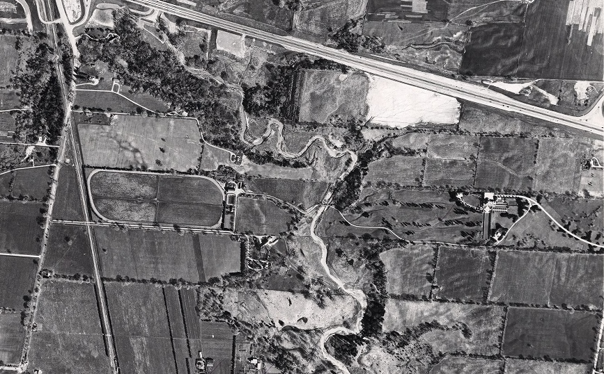
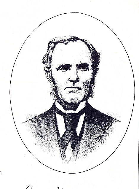
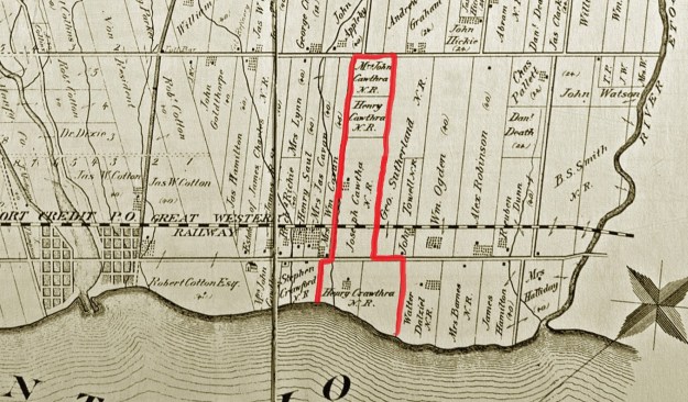
Joseph Cawthra came to York in 1802 and was given 400 acres of land near Port Credit where Lotten – Cawthra House would eventually be built.  He was a prominent reformer working with the likes of William Lyon MacKenzie to bring responsible government to Upper Canada.  Like Robert Baldwin, of Spadina house, he was elected to the government where he sought to bring about change.  Cawthra street in Mississauga used to be his driveway.  When his daughter Mabel married Agar Adamson they were given the lakefront property and it became known as the Adamson Estate.  The property remained in the hands of their son Anthony until 1970.

cawthra map

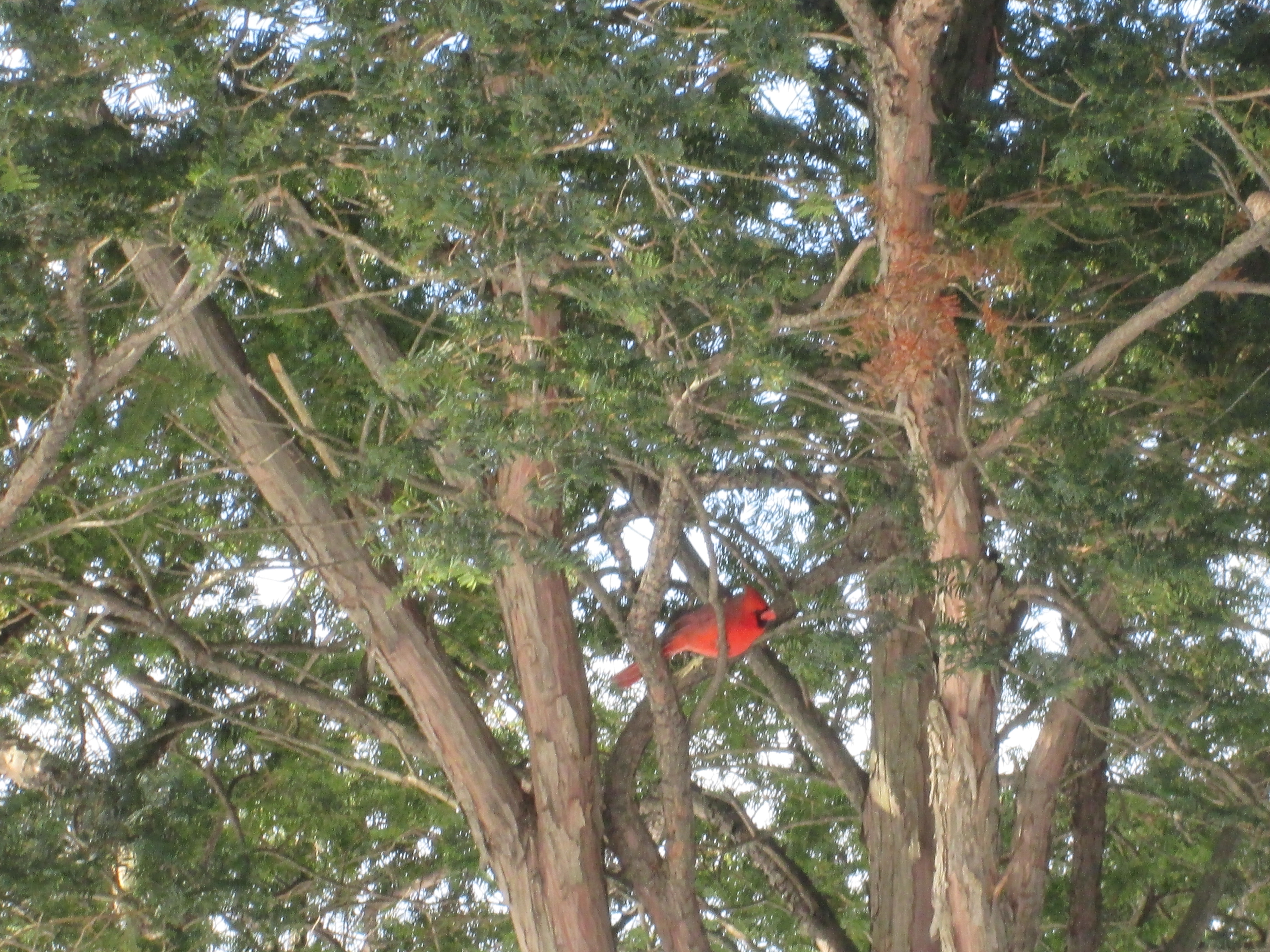
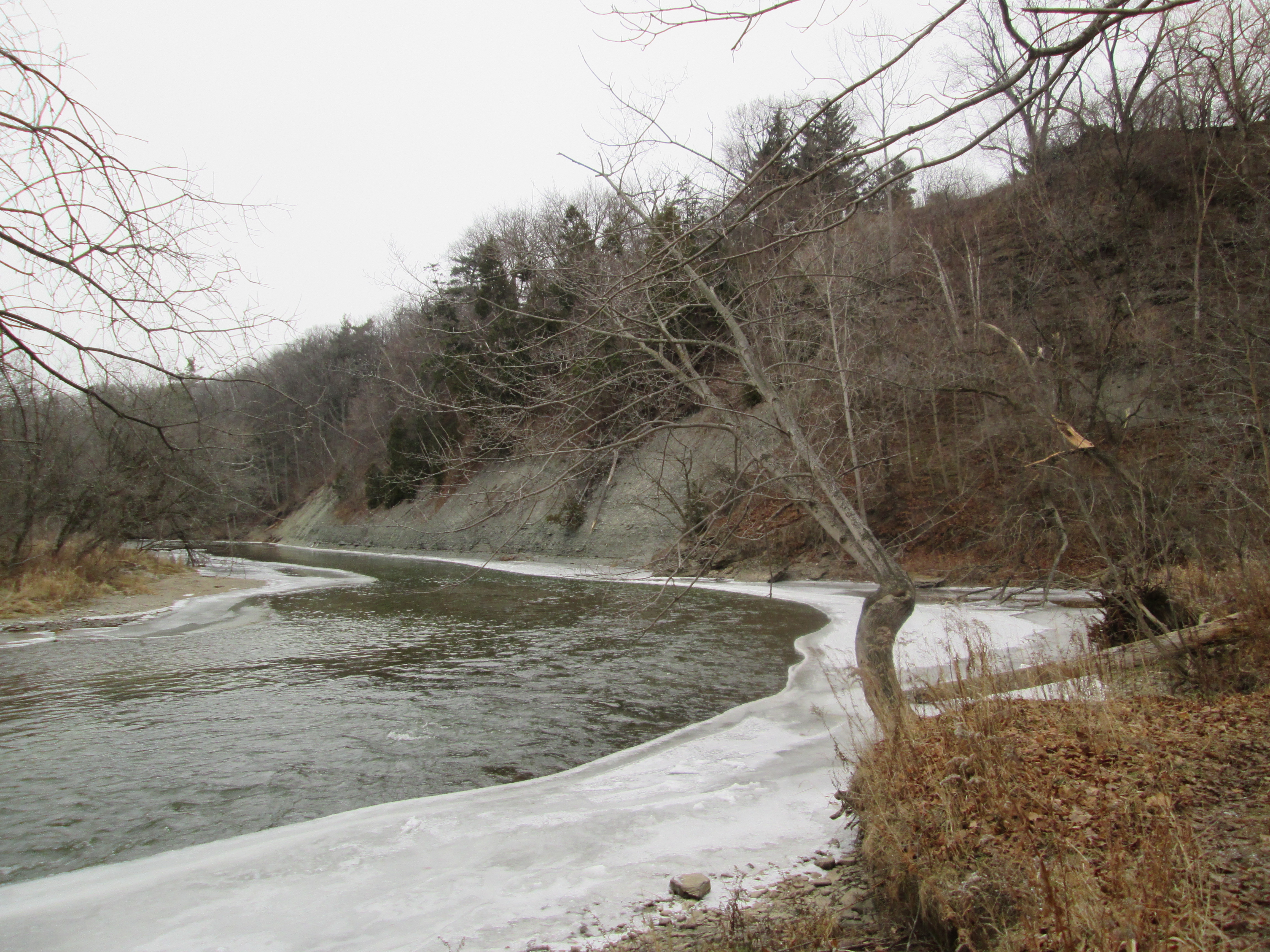
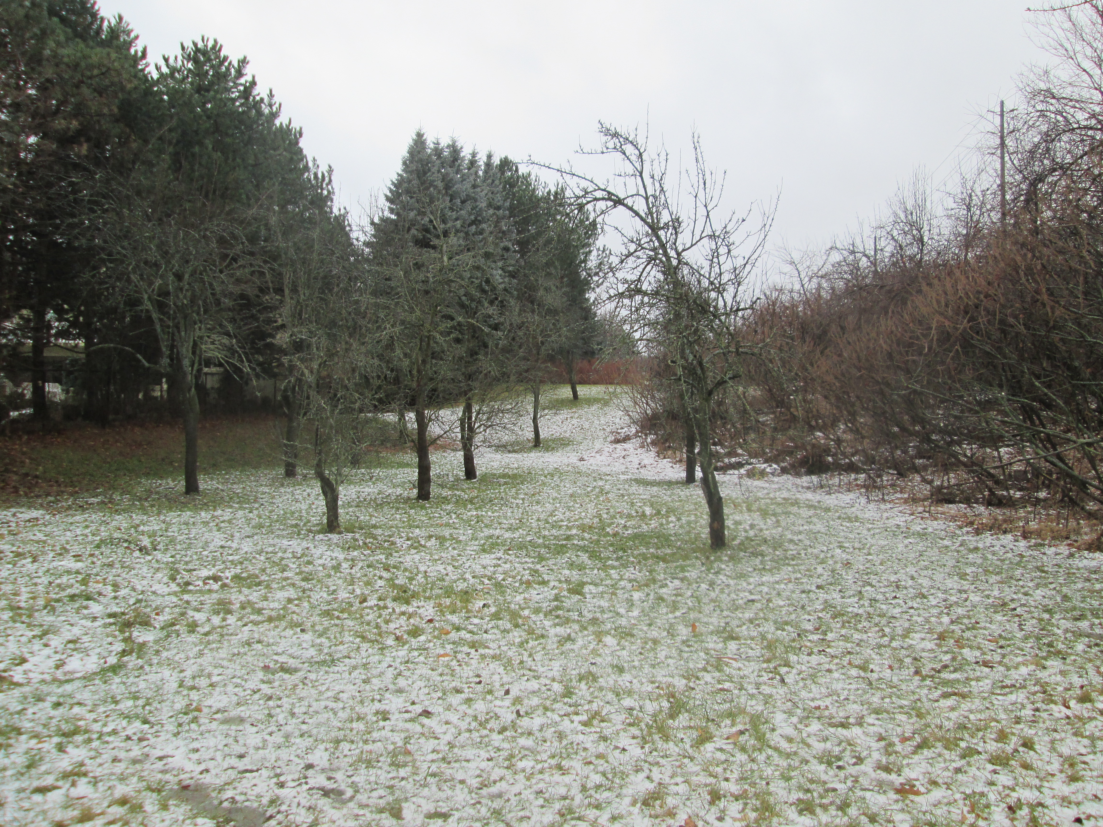
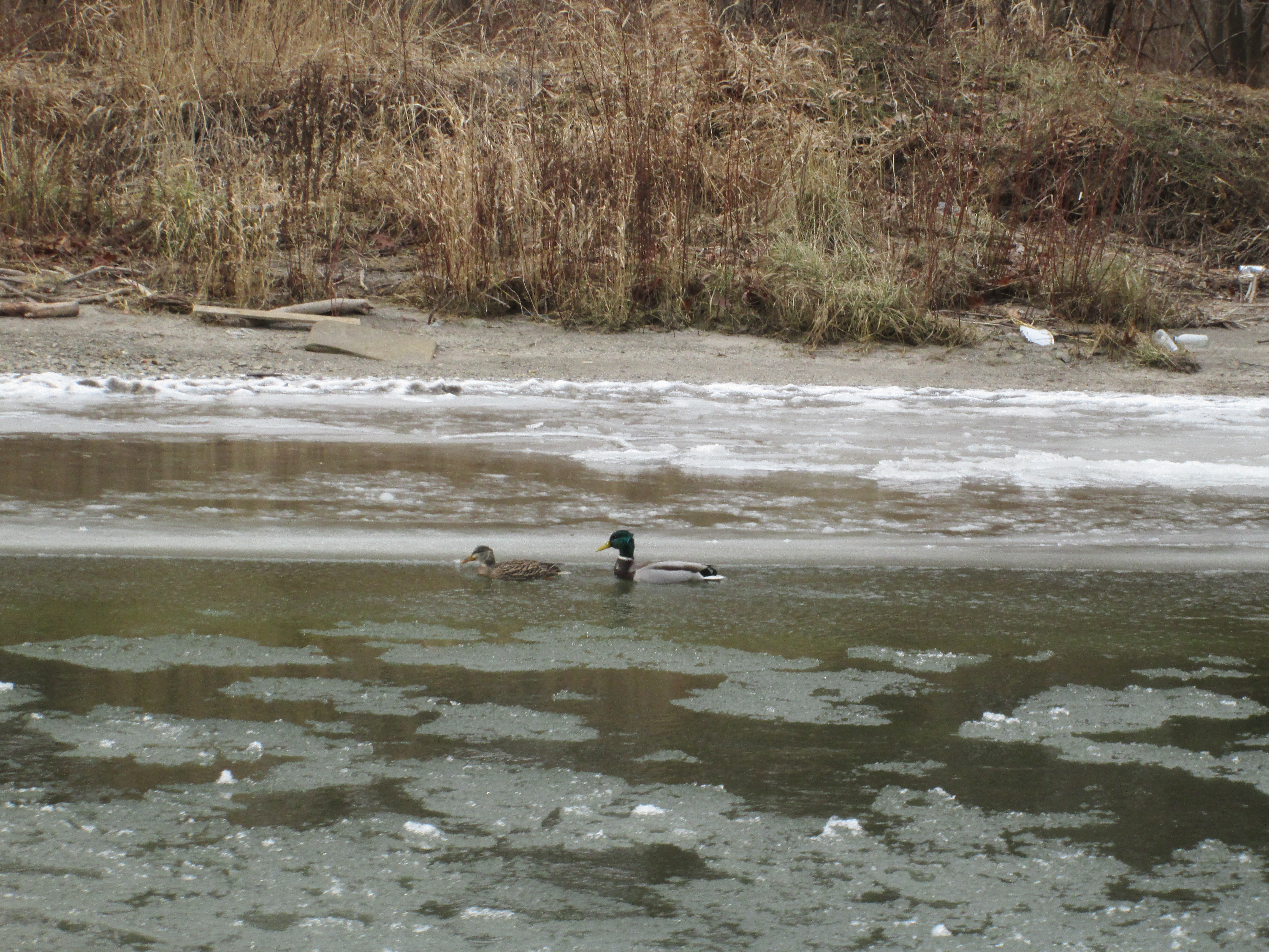
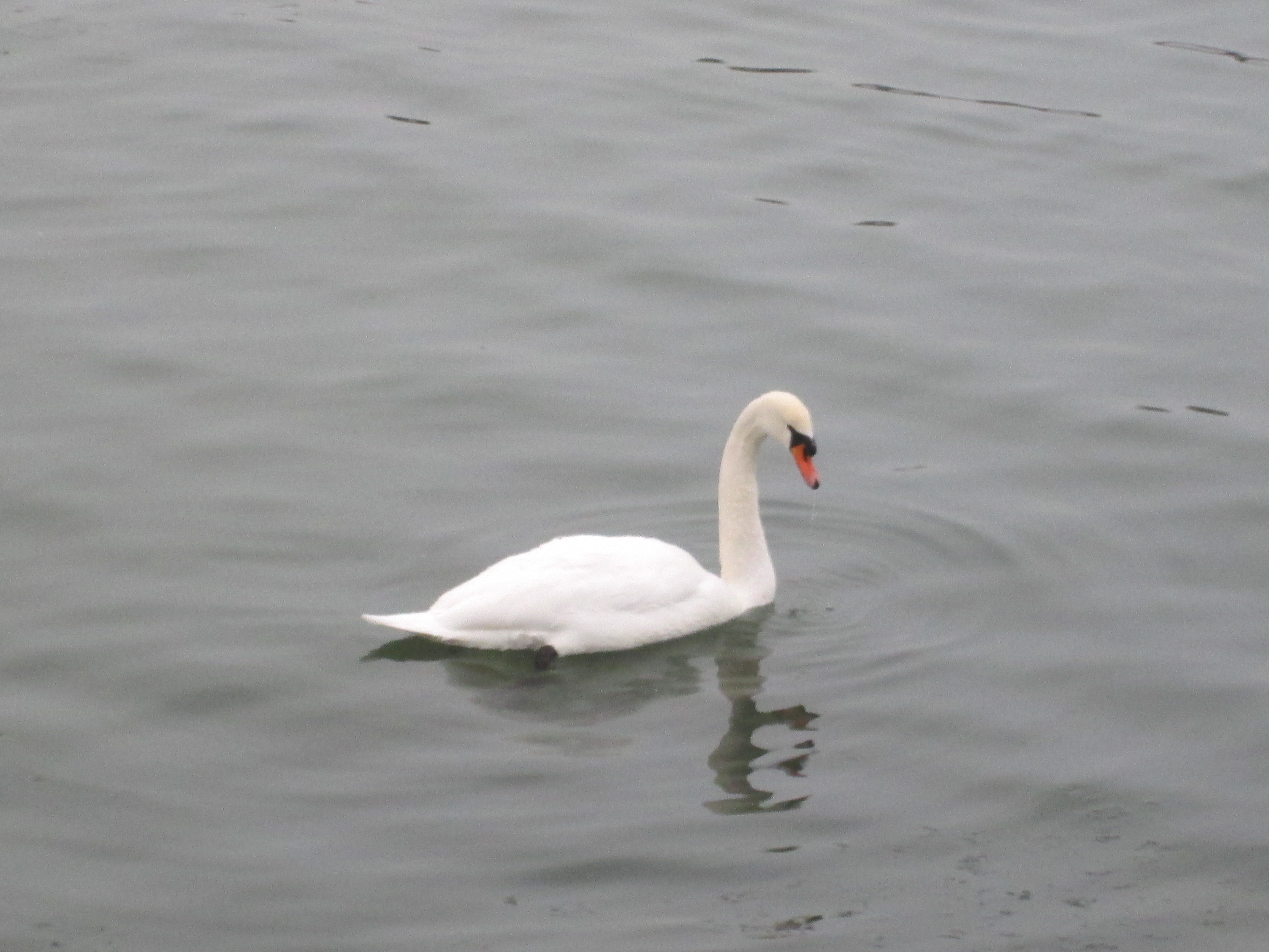
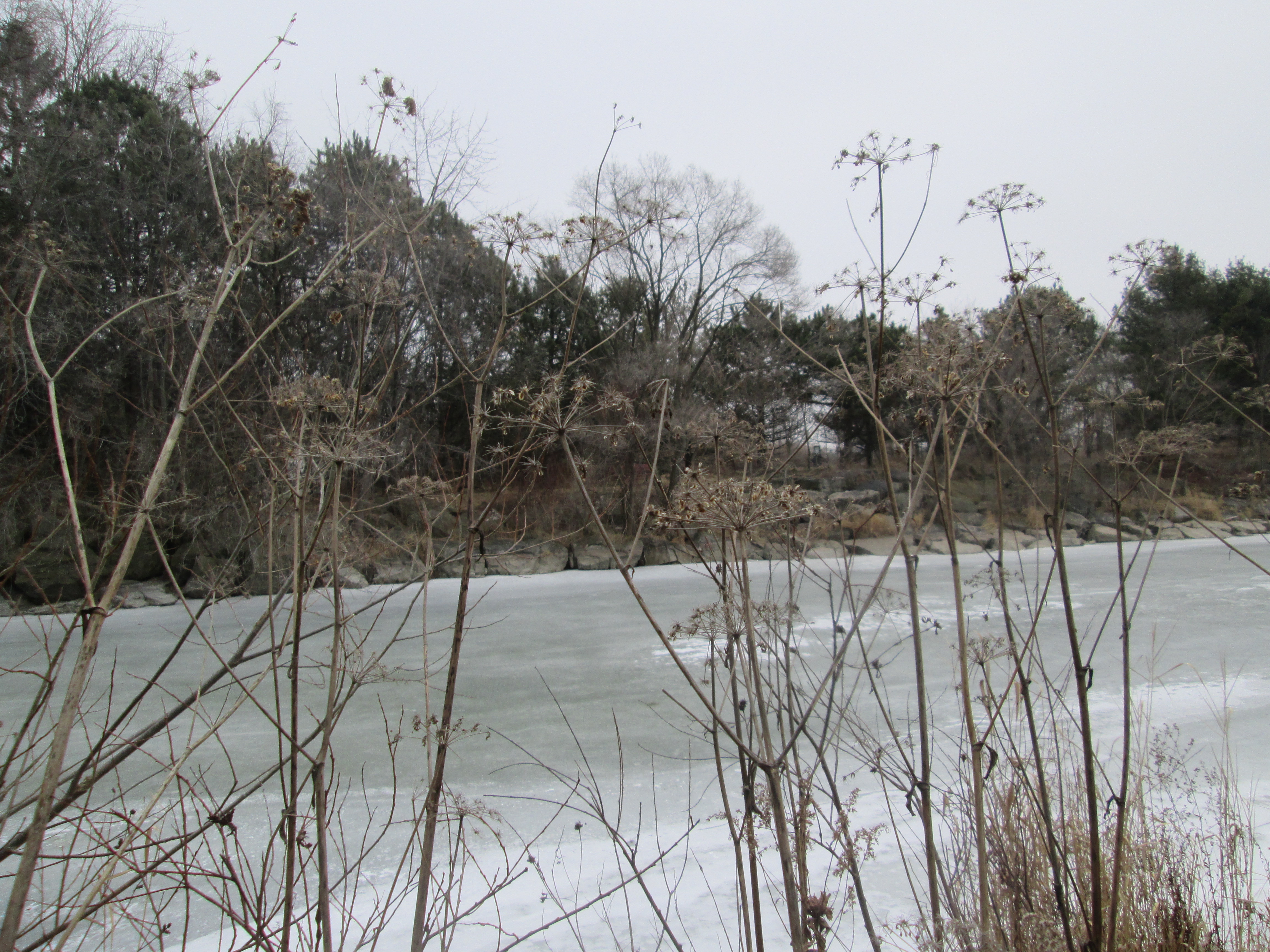
It was minus 2 feeling like minus 6 with the odd snow flurry.  Parking off of the end of Hampton Street will place you just east of where Cooksville Creek empties into Lake Ontario.  As we walked along the waterfront we found many species of birds including Mute Swans which have made their home along the waterfront.

IMG_2083

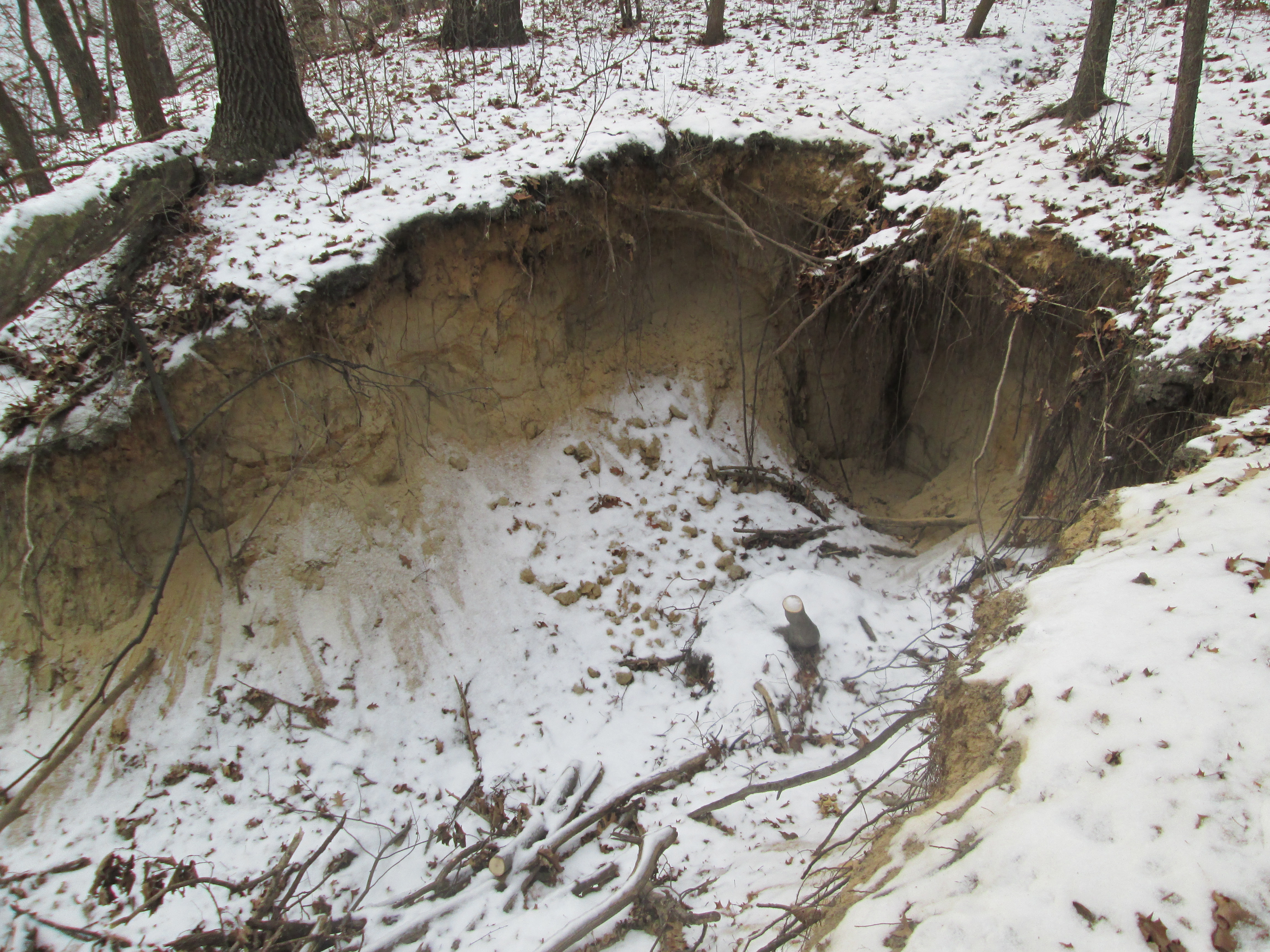
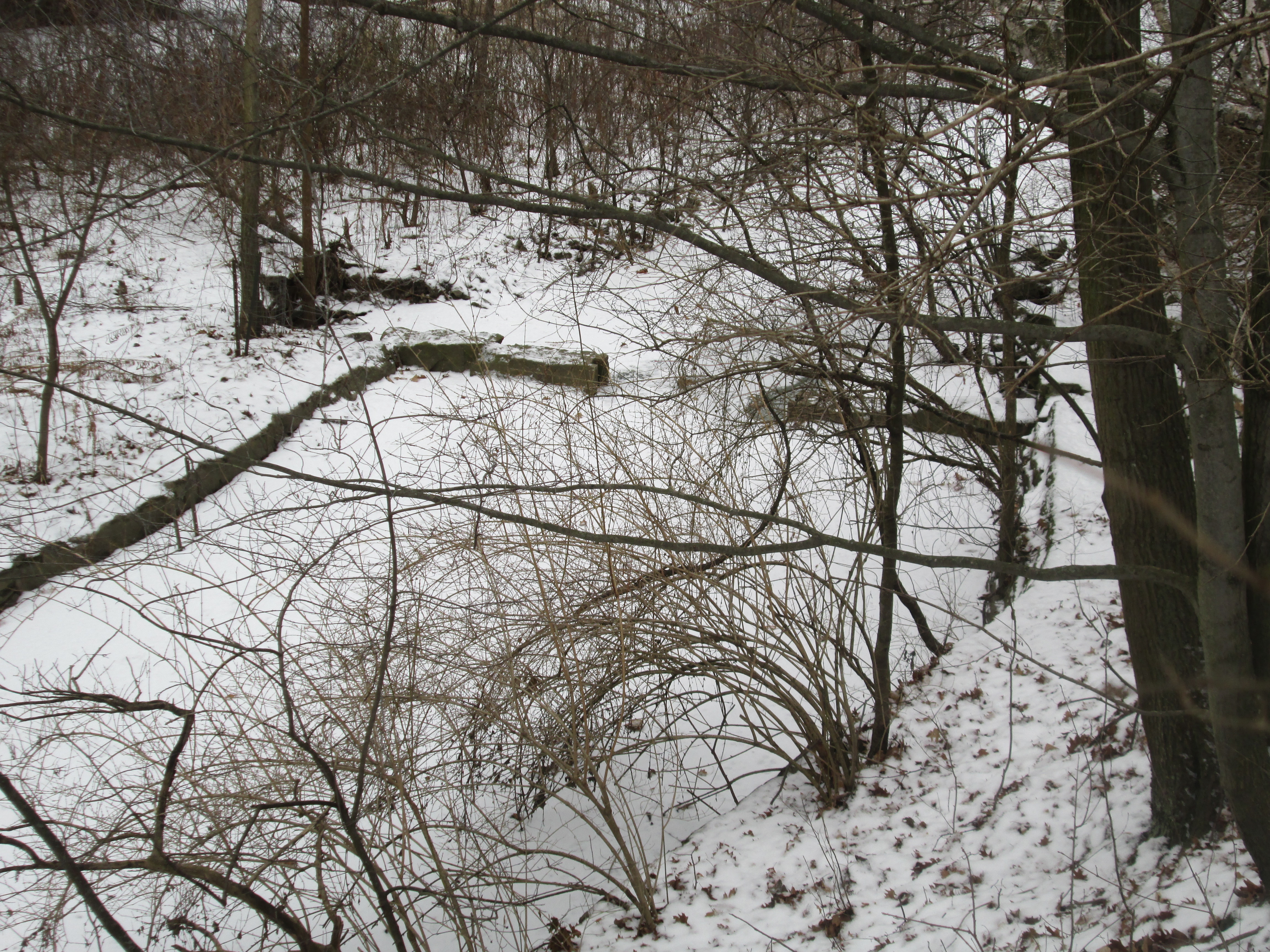
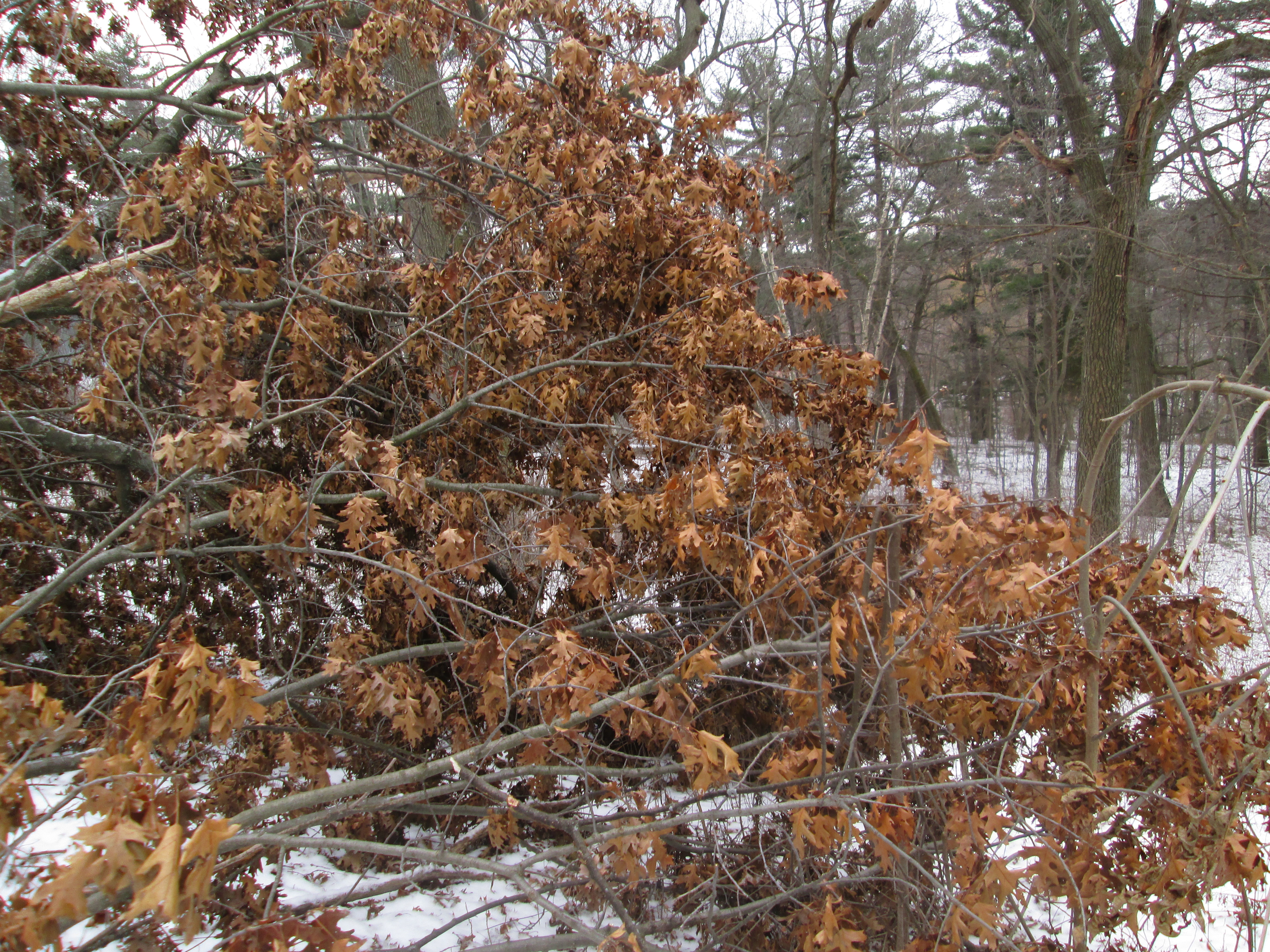
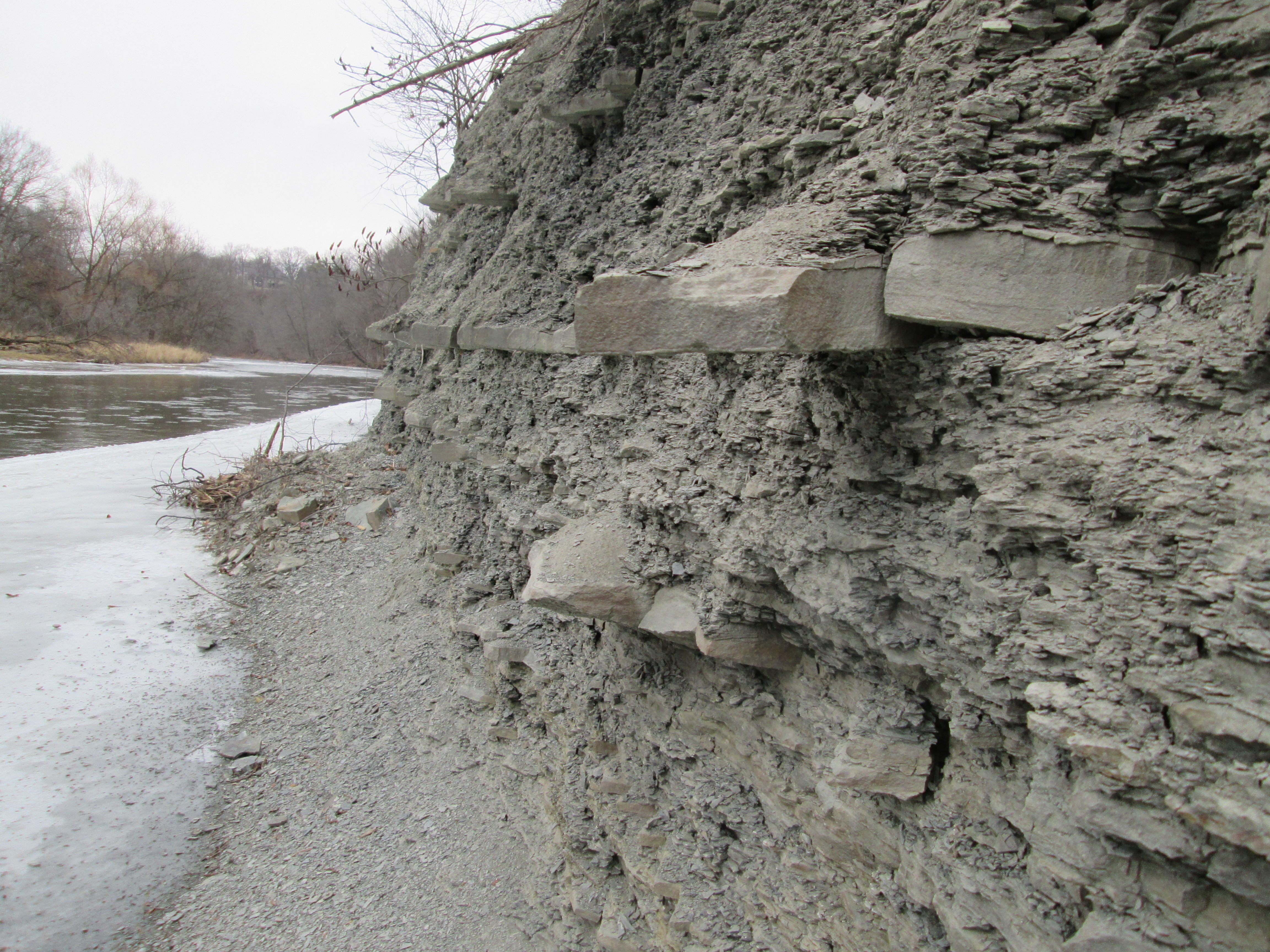
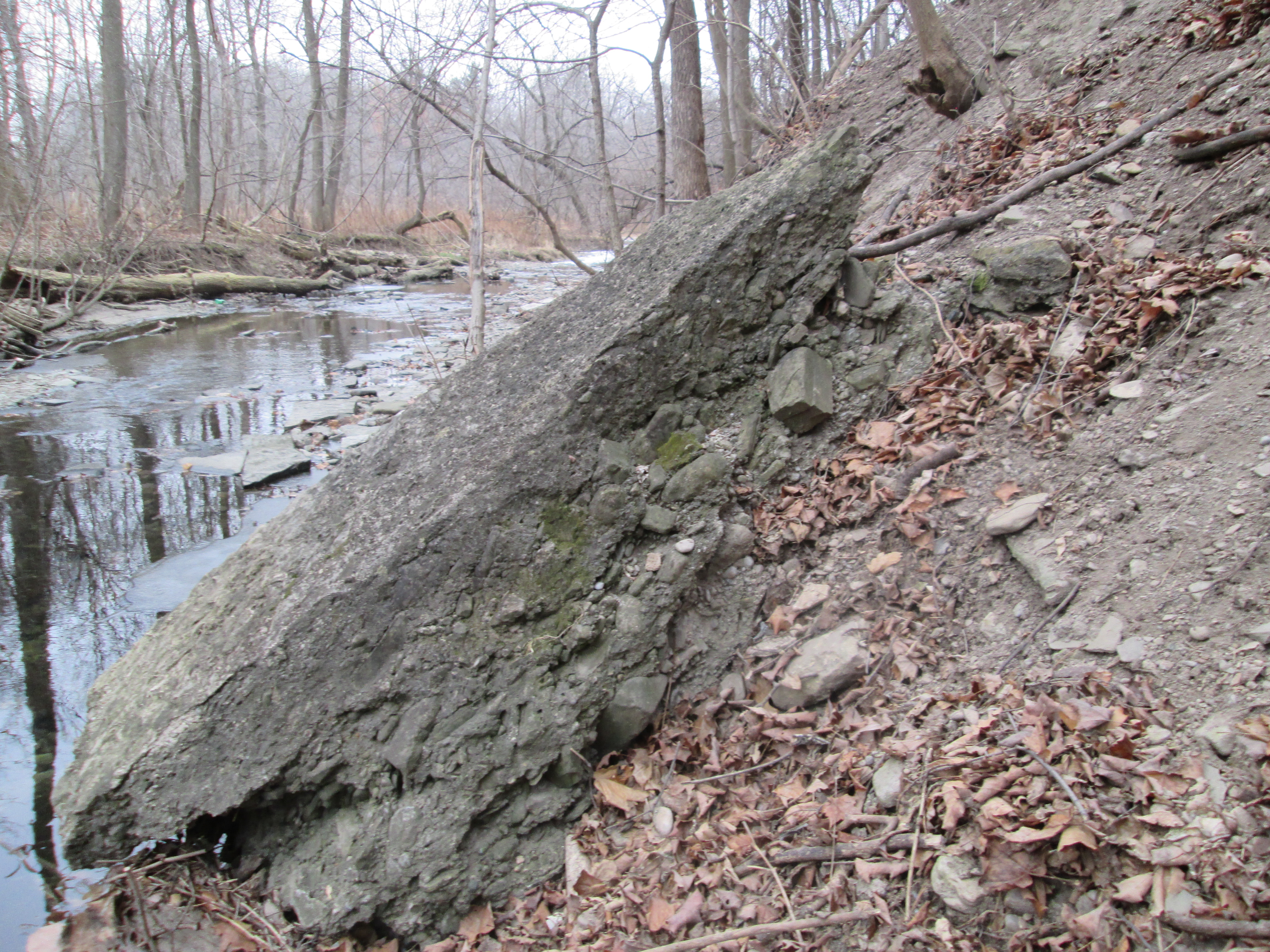
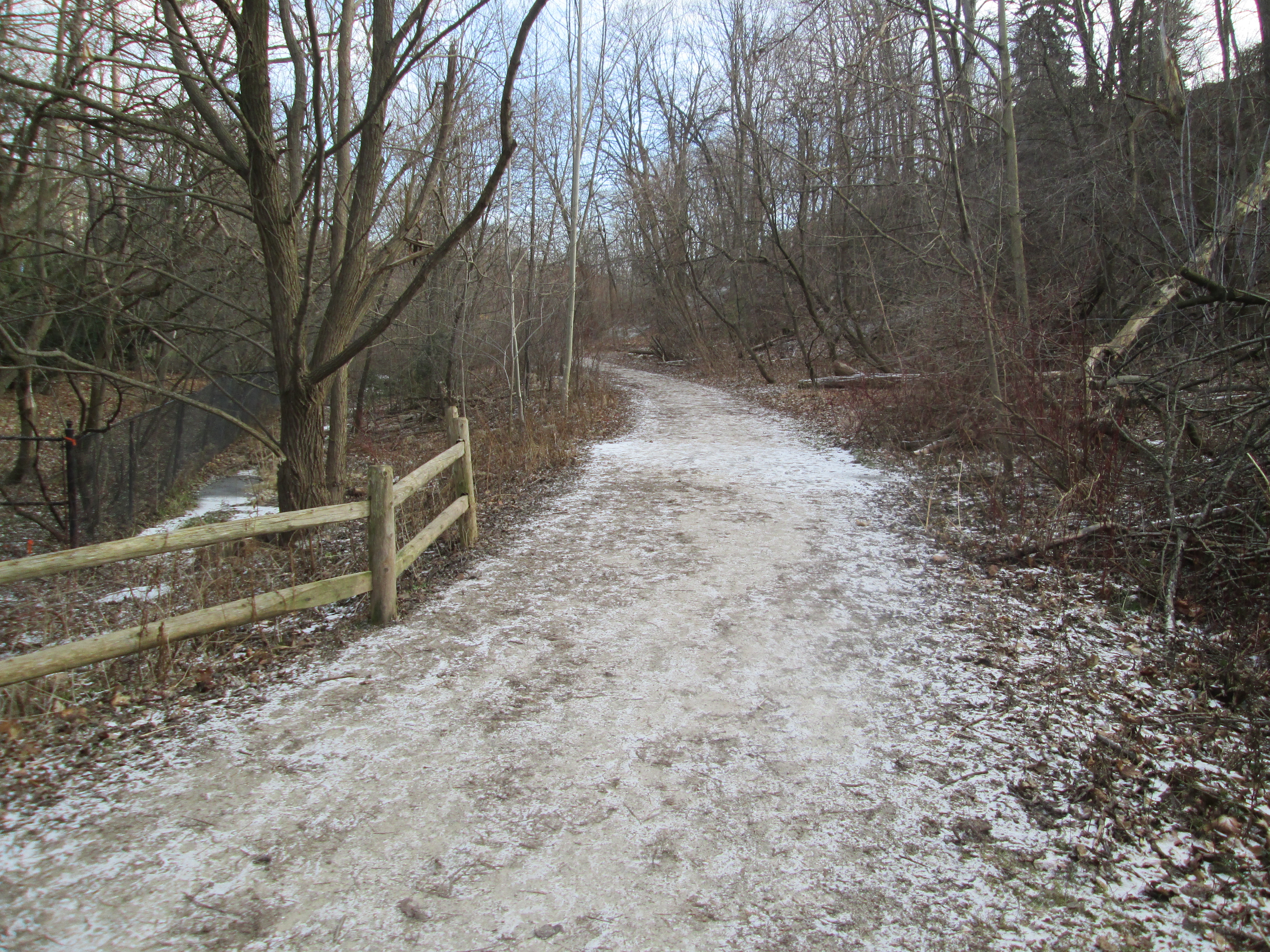
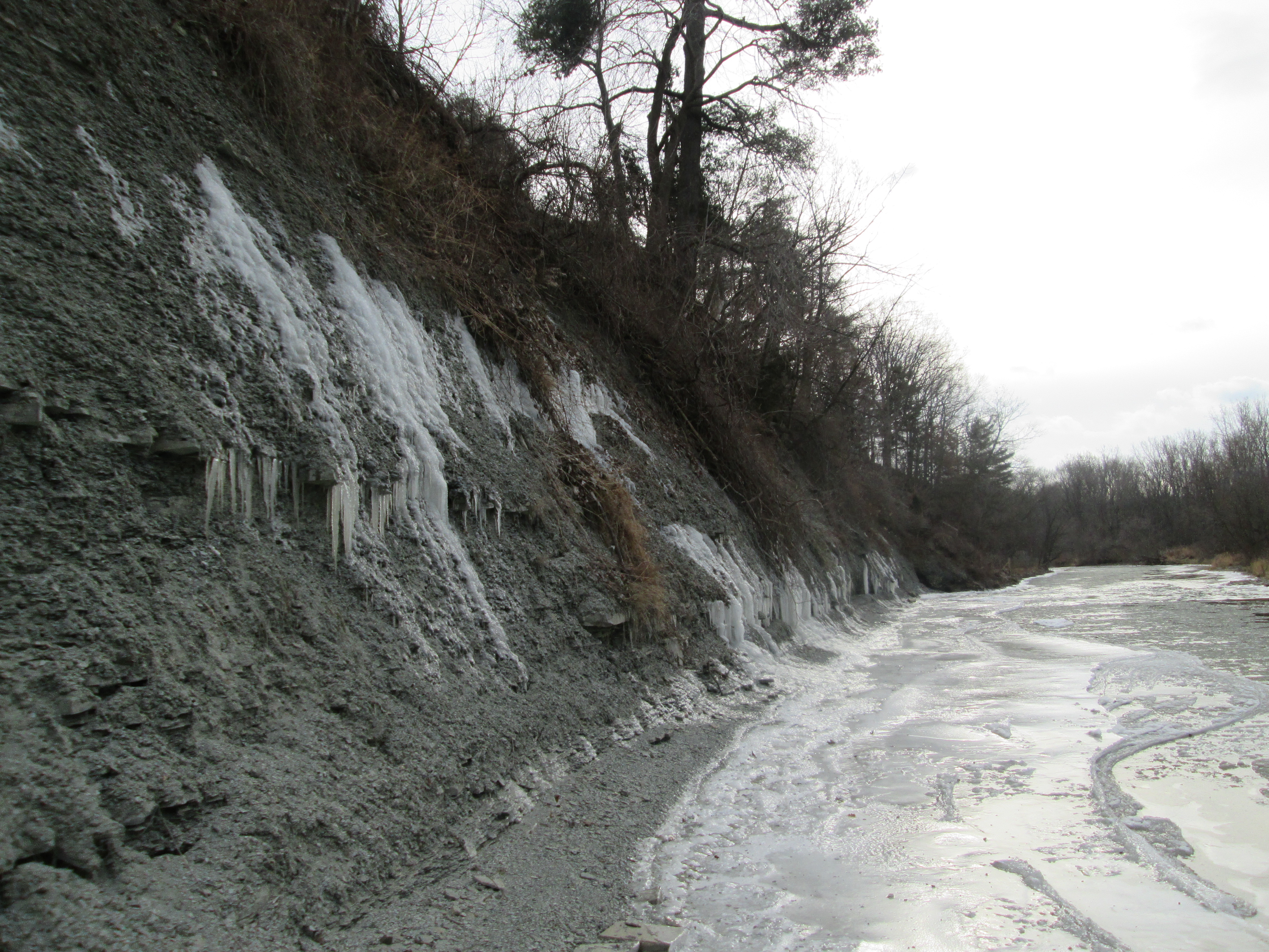
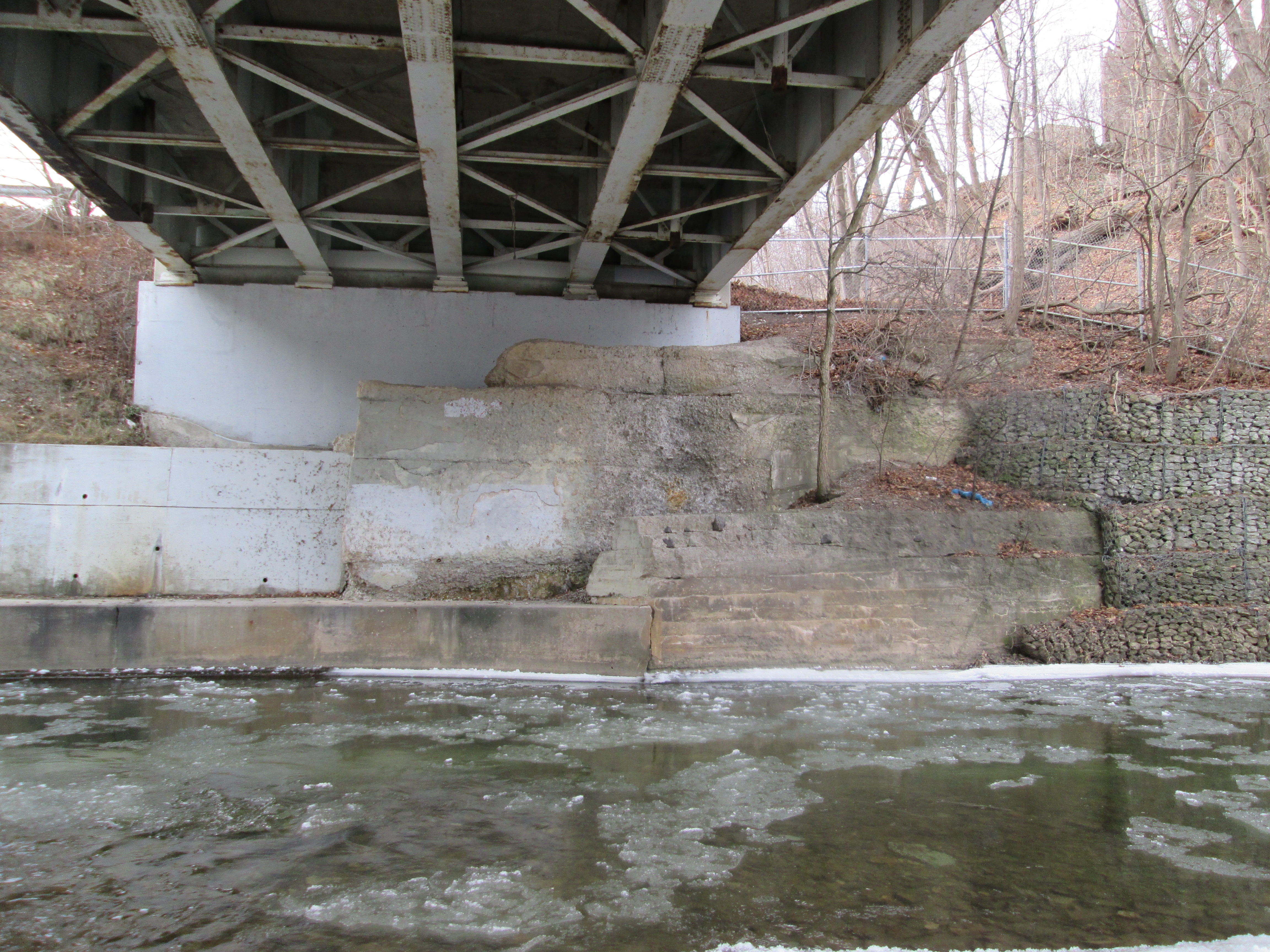
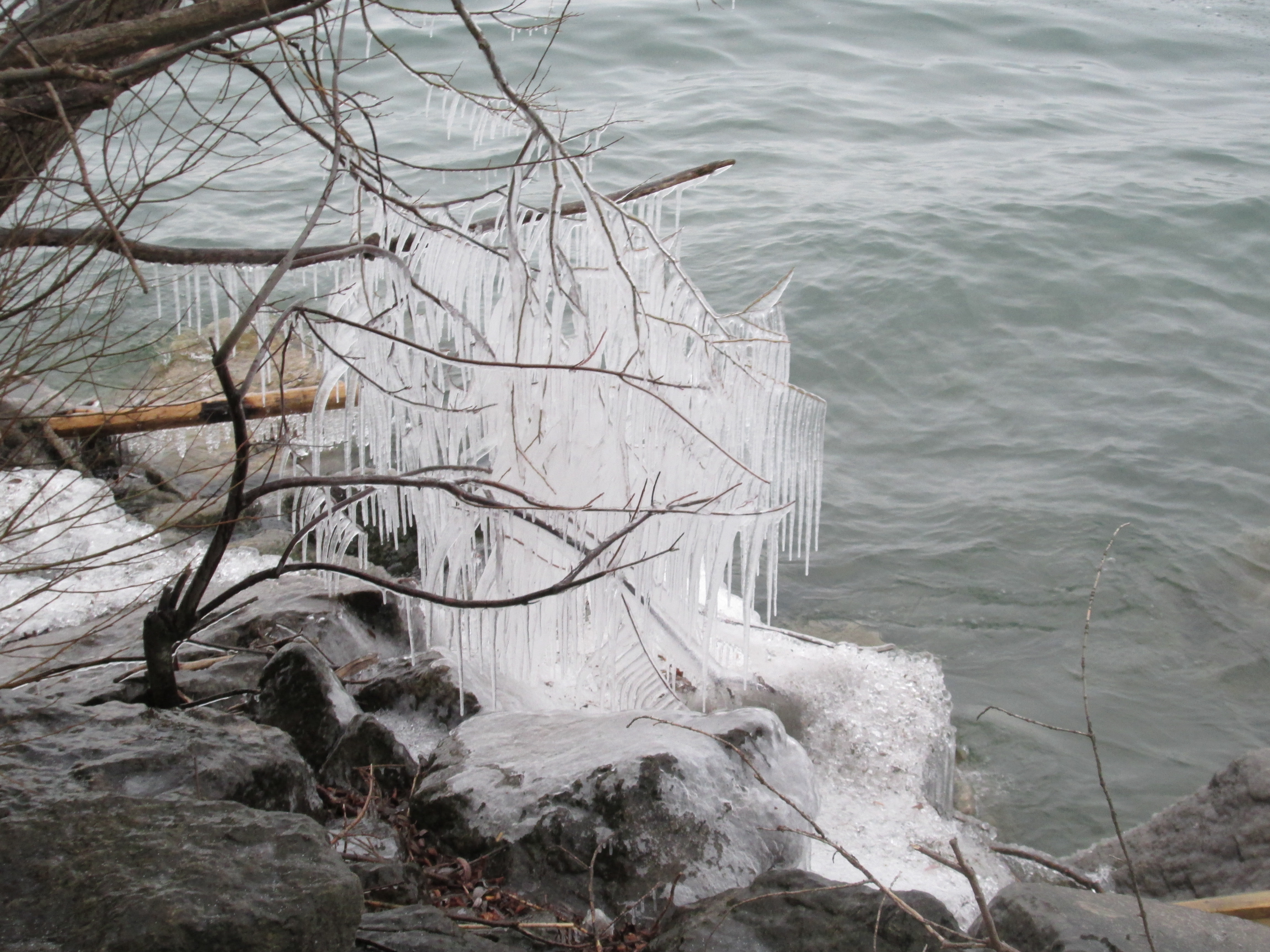
The icy waters of Cooksville Creek have been splashing off the branches along the creek edge creating an elaborate ice sculpture.

IMG_2087

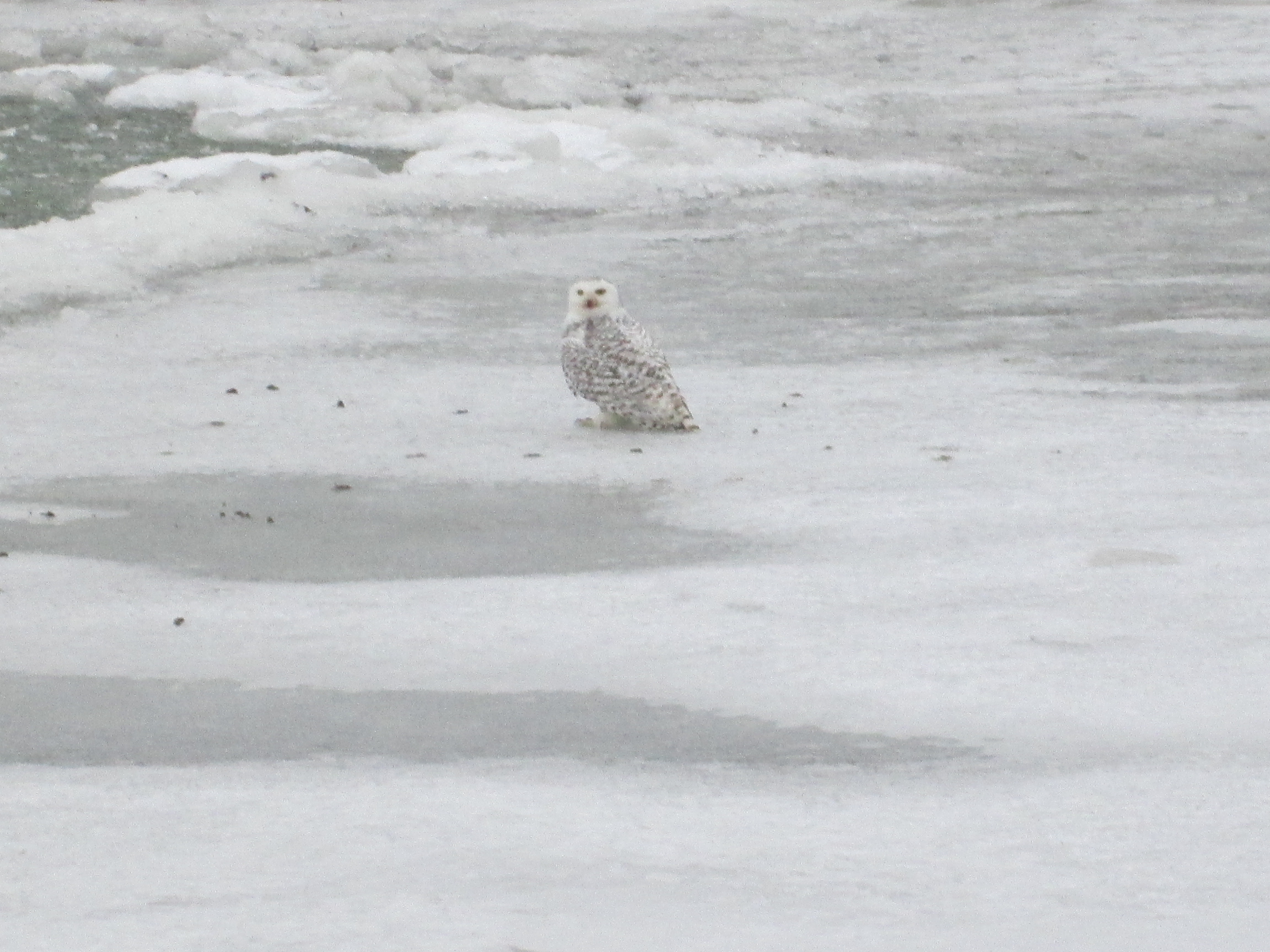
Right at the mouth of Cooksville Creek we spotted a Snowy Owl sitting on the ice.  These owls spend their summers north of the Arctic Circle hunting lemmings.  Each bird can consume up to 1600 lemmings per year.  It is normal for a few Snowy Owls to be seen in Southern Ontario each winter.  Last year they appeared in record numbers for the first time in about 15 years.  When large numbers of birds are found outside of their normal migration zones it is called an irruption.  If it happens a second year in a row, as it has this year, it is termed an echo.  We observed this female from both sides of the creek as well as on a rooftop where she flew when we got too close.  We also saw what was likely a second one in the park near our cars when we returned at the end of the hike.

IMG_2092

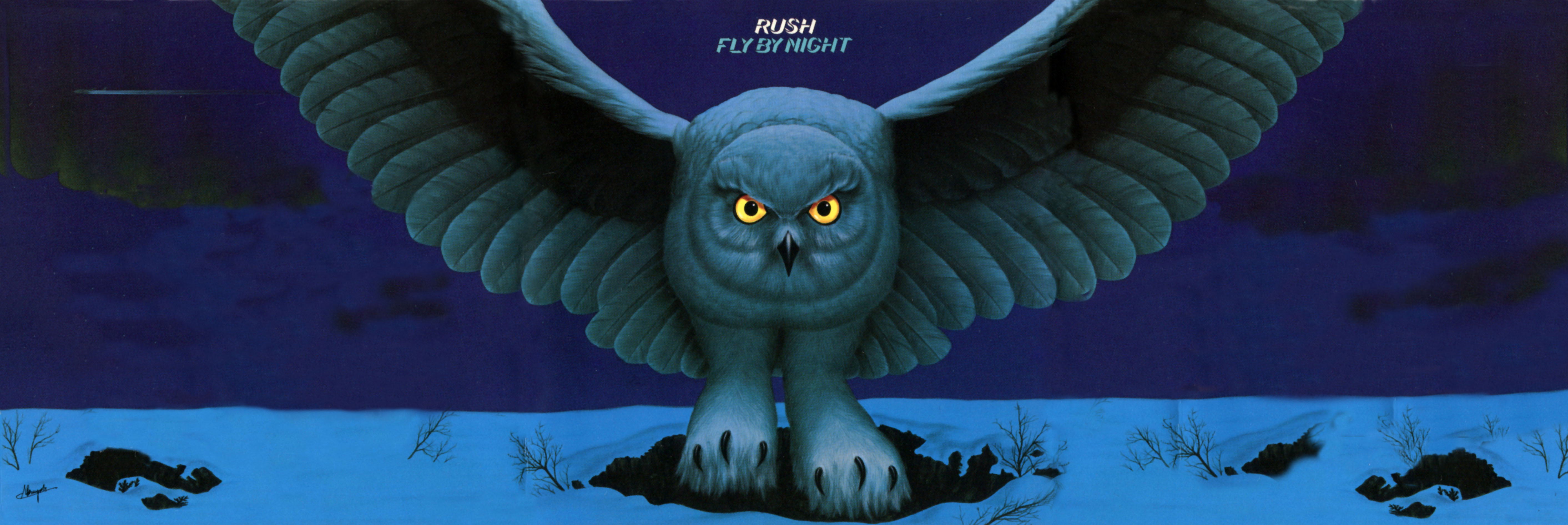
My first encounter with a Snowy Owl came almost exactly 40 years ago in February 1975 when local band Rush released their album Fly by Night.

flybynight-1

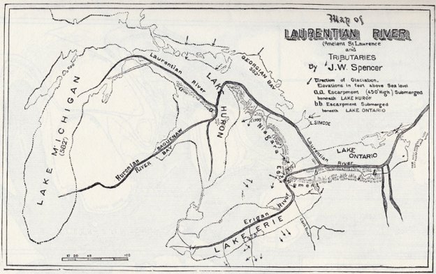
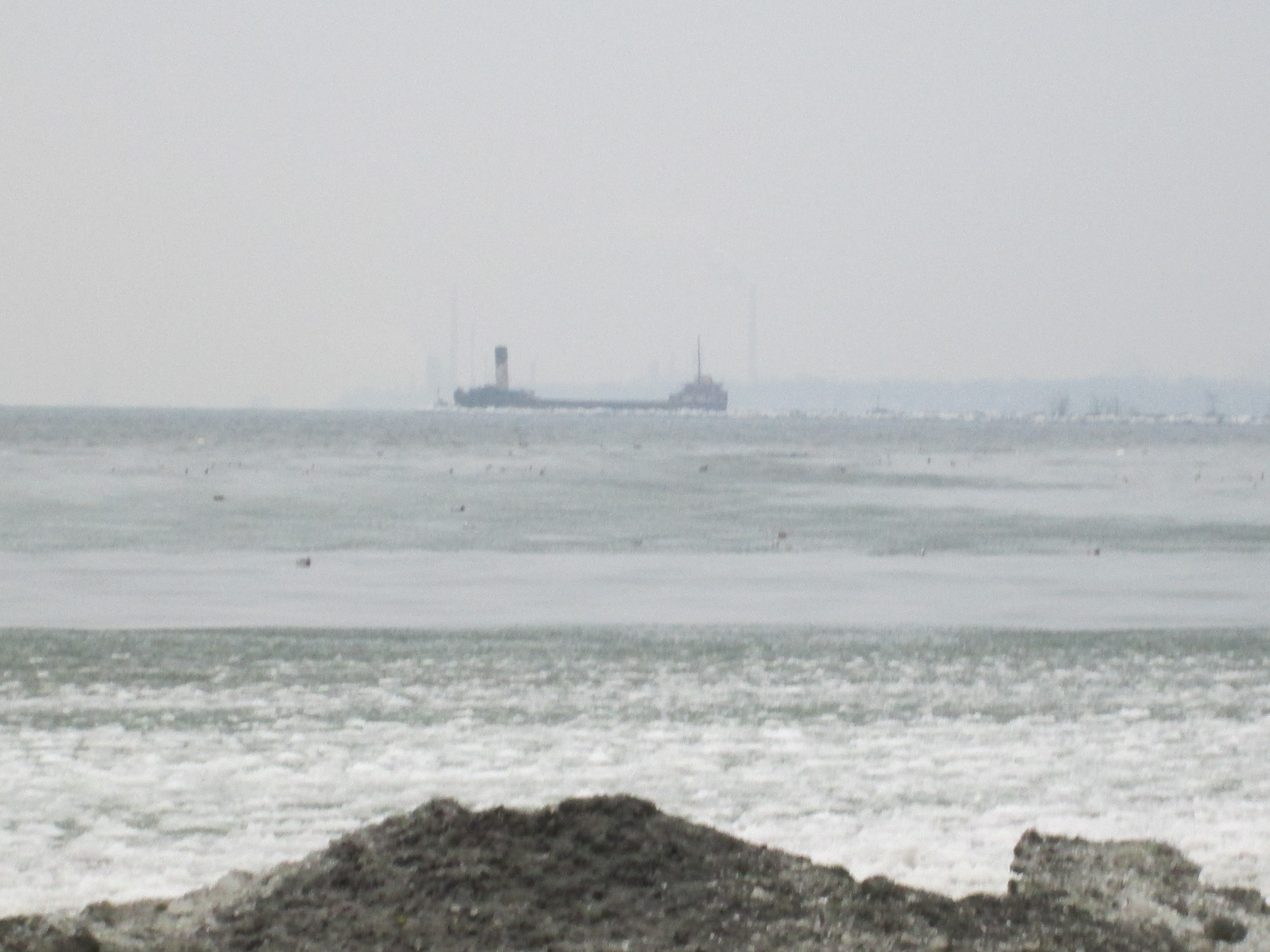
From the mouth of the Cooksville Creek looking west you can see an old freighter.  This is the Ridgetown and it guards the entrance to Port Credit harbour at the mouth of the Credit River. Built in Chicago in 1905 it became grounded in a storm on it’s maiden voyage and suffered $100,000 worth of damage.  In 1970 it was sunk at Nanticoke to form part of a temporary break wall while construction of the Ontario Power Plant was being completed.  Later it was raised and brought to Toronto where it was filled with stone and sunk on June 21, 1974 in it’s present location.

IMG_2115

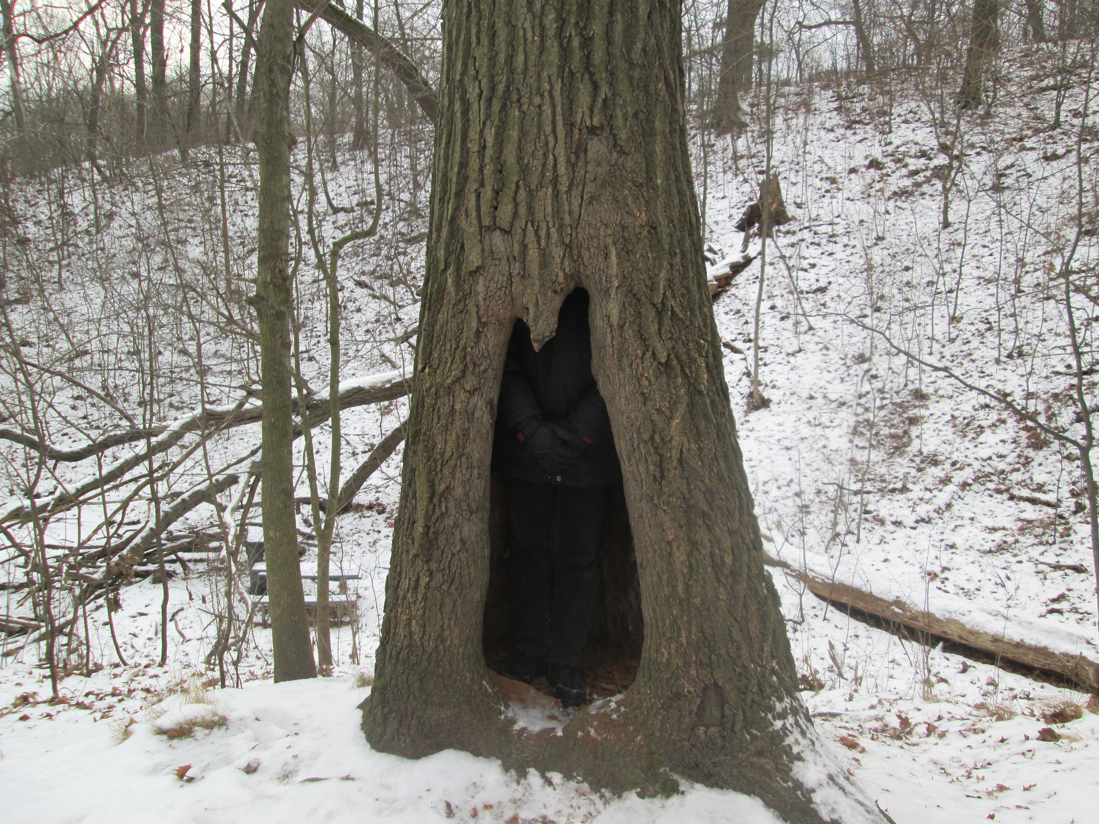
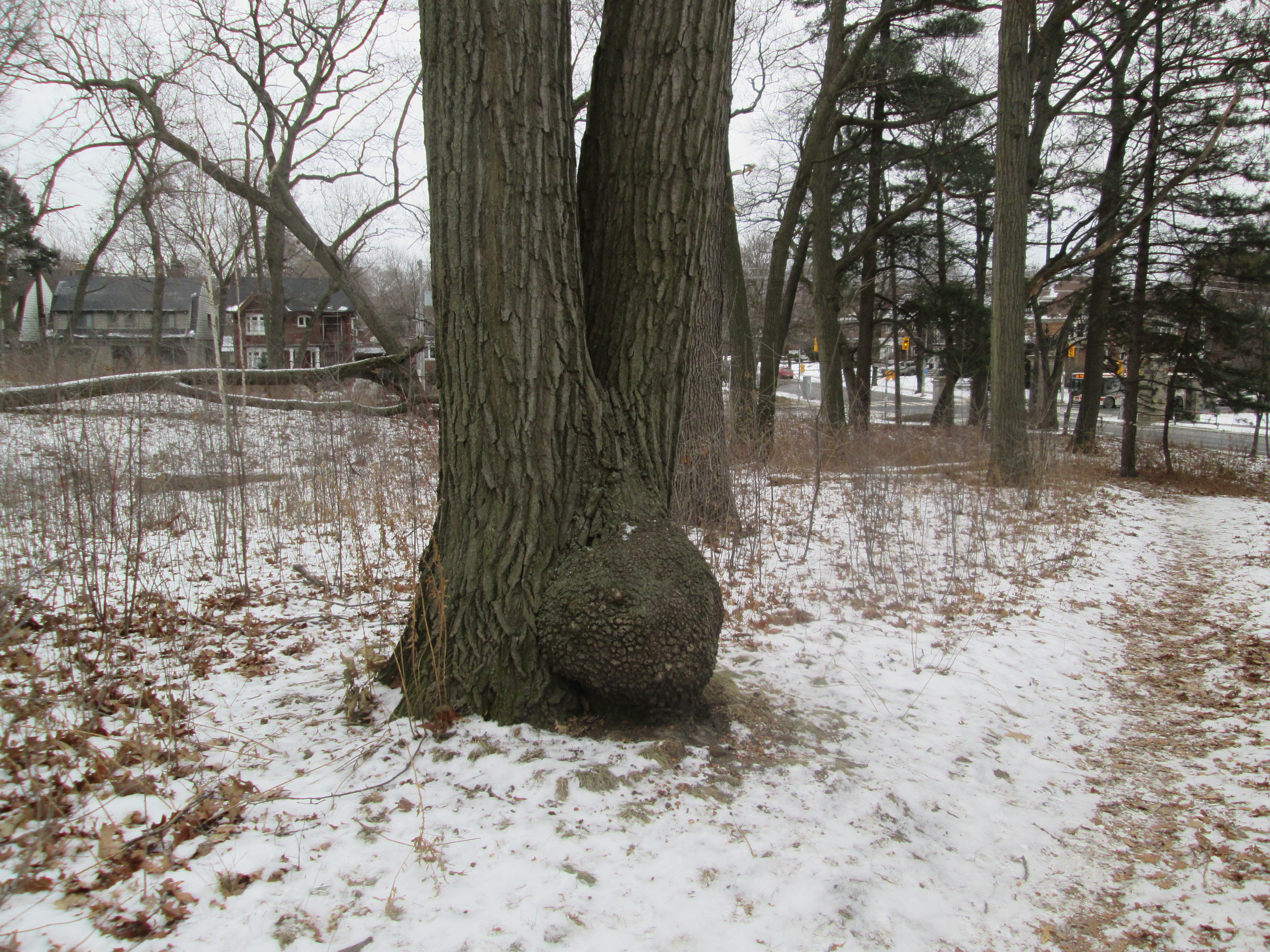
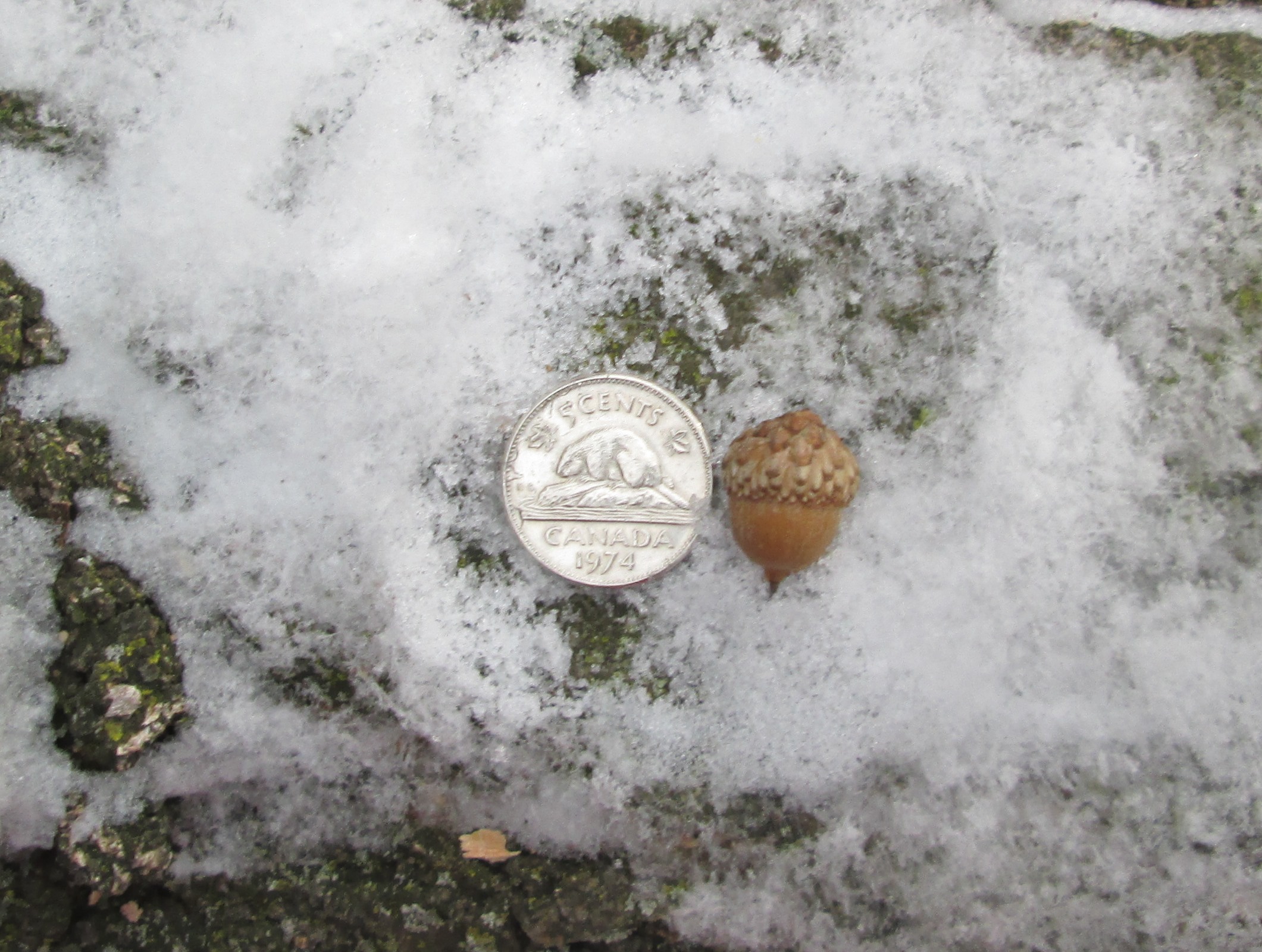
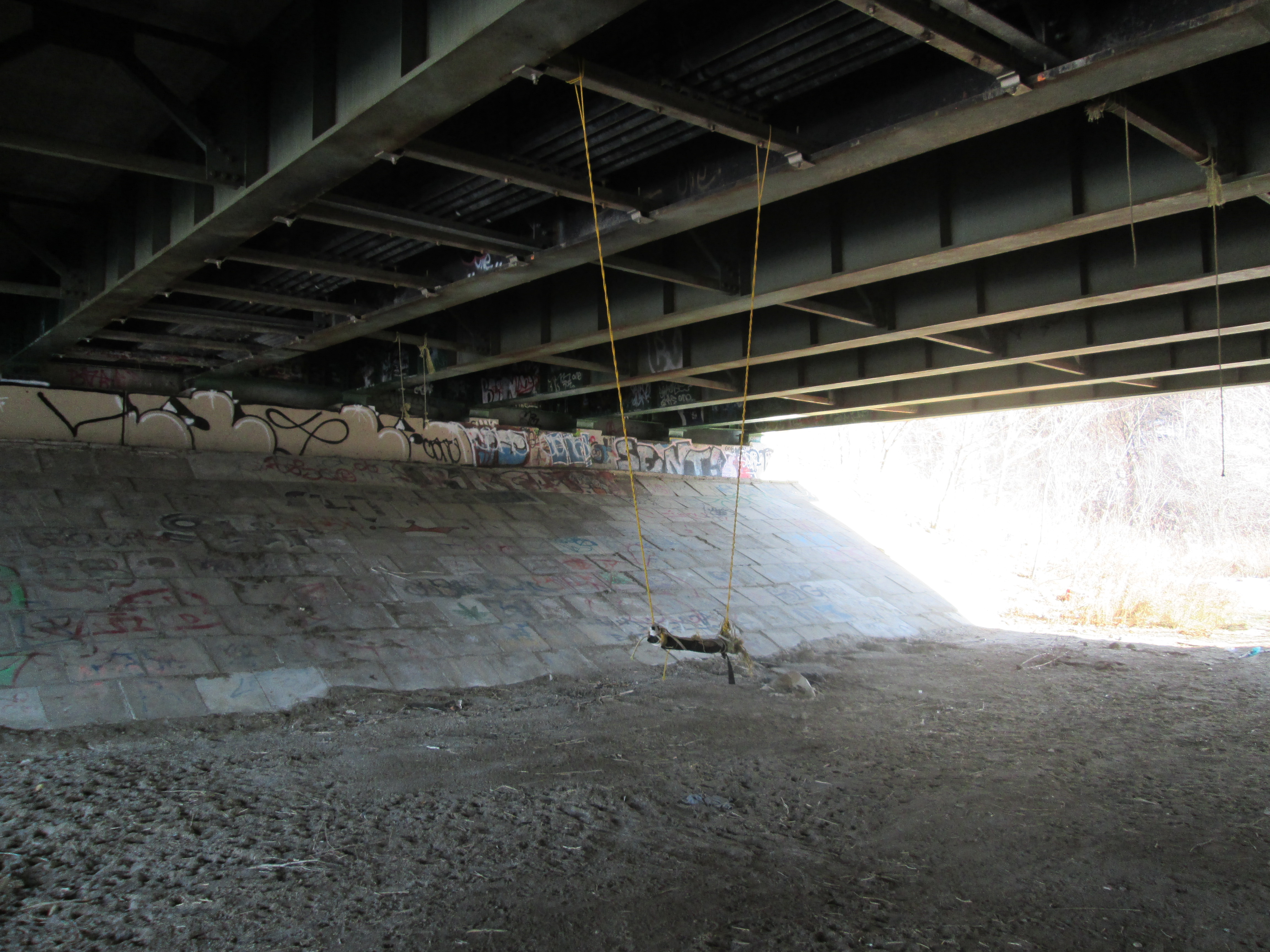
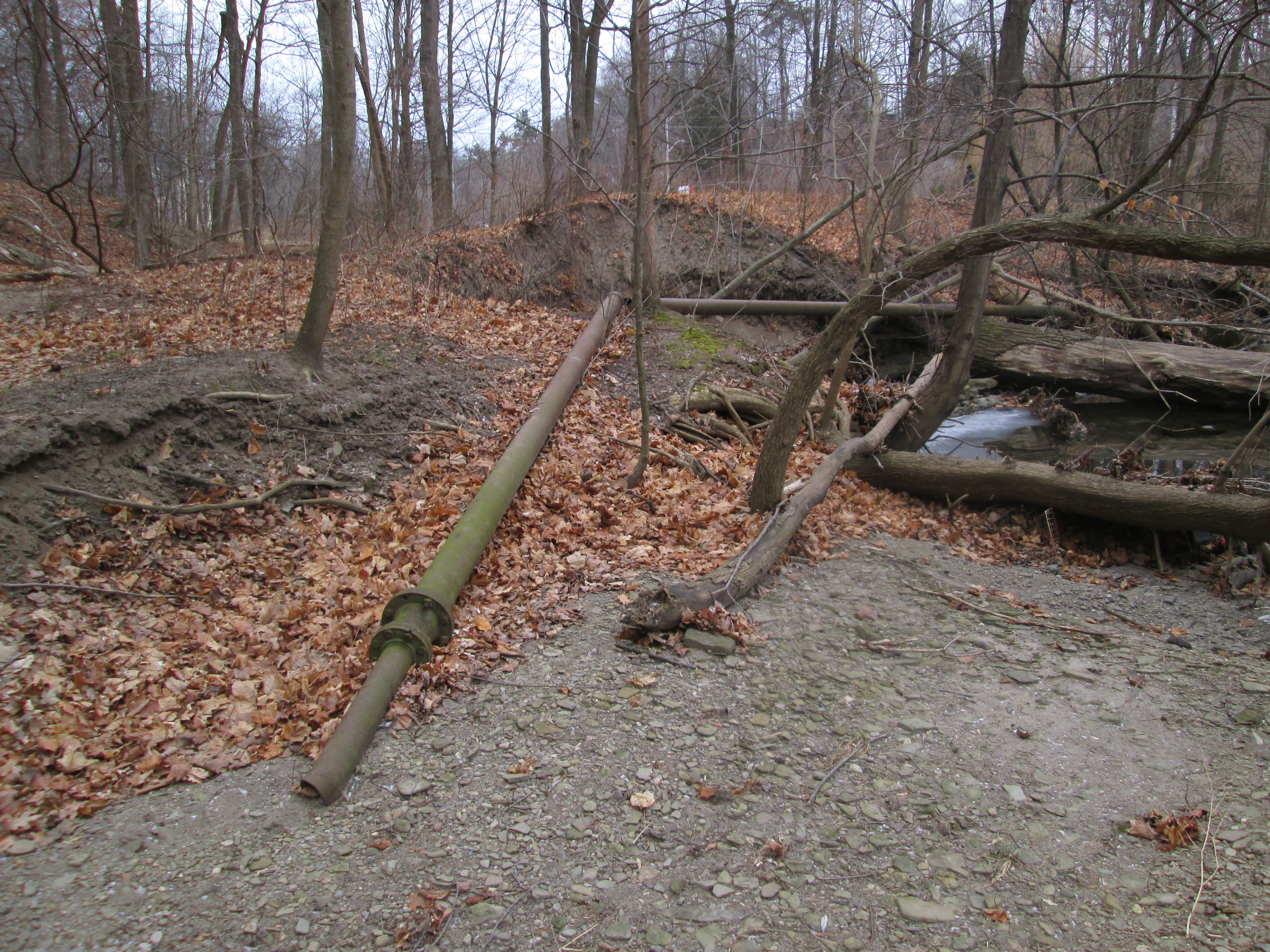
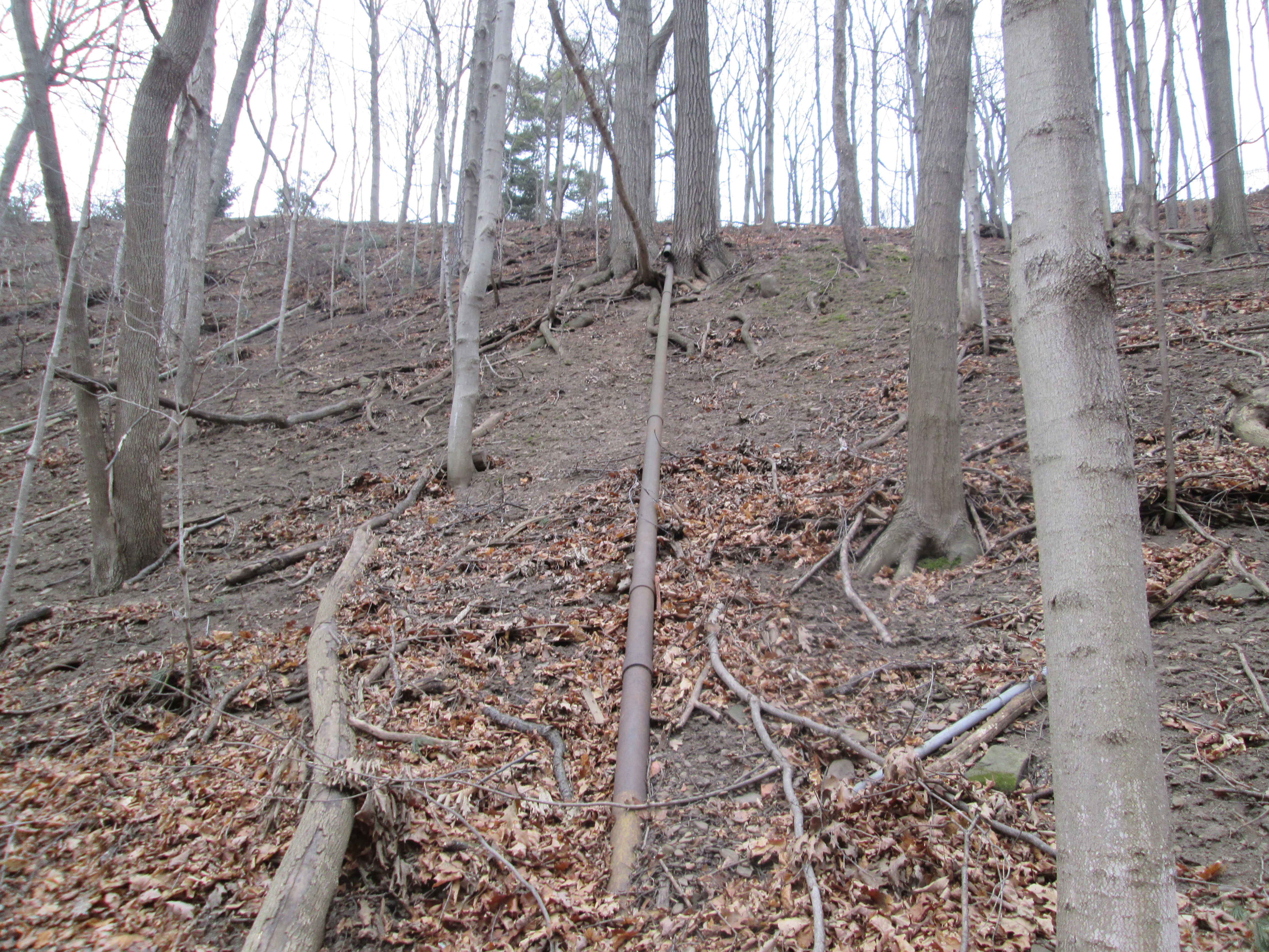
Giant Hogweed is a noxious plant that grows up to 10 feet tall and can cause severe burns and blindness.  There are many examples growing along the west bank of the Cooksville Creek.  If you hike here in the summer beware as the path leads right through a patch of them.

IMG_2117

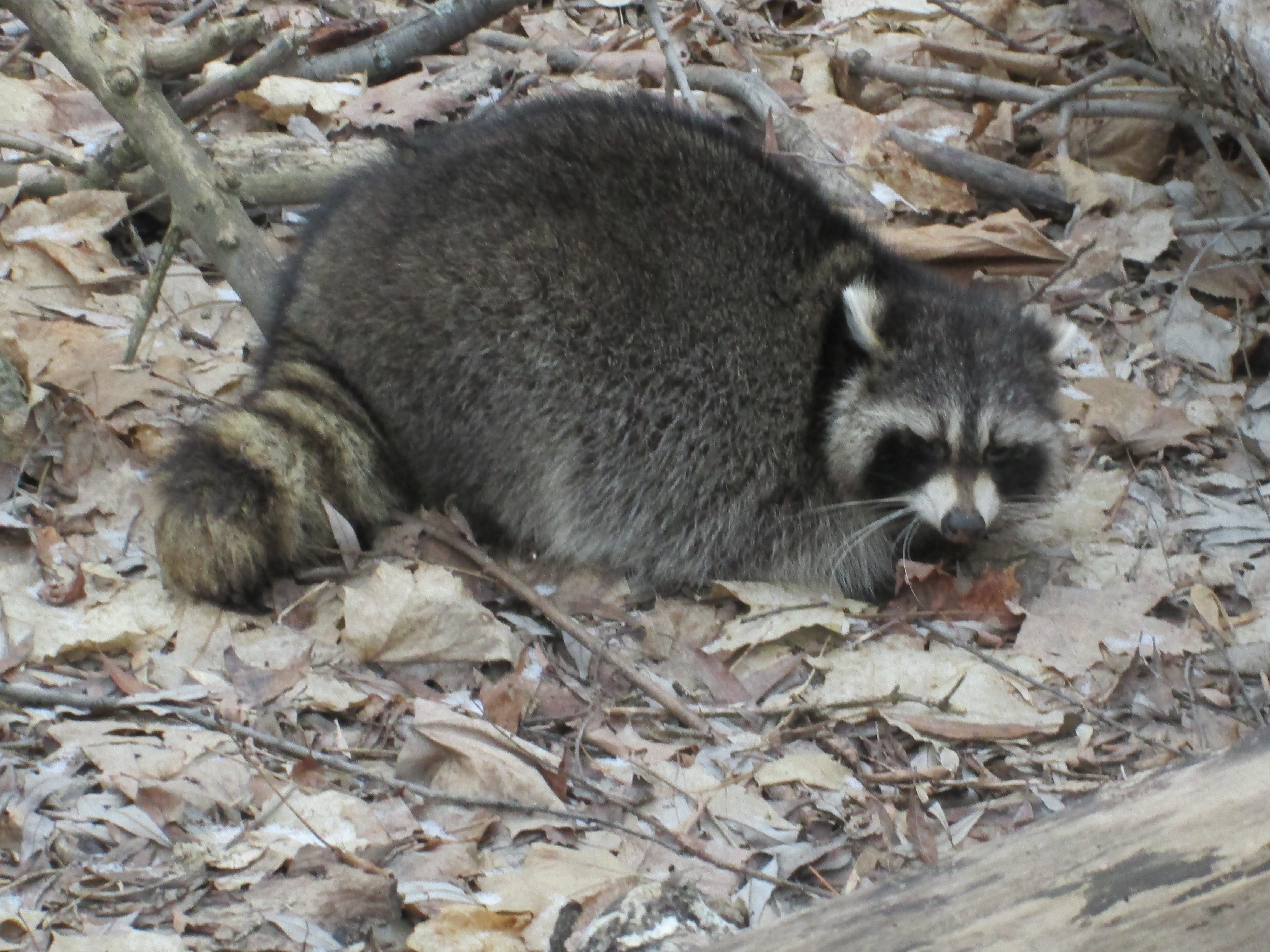
As you enter the Adamson Property there are two old tree stumps that have been carved with animal figures.  One has three squirrels carved into it while the one in the picture below features raccoons.

IMG_2121

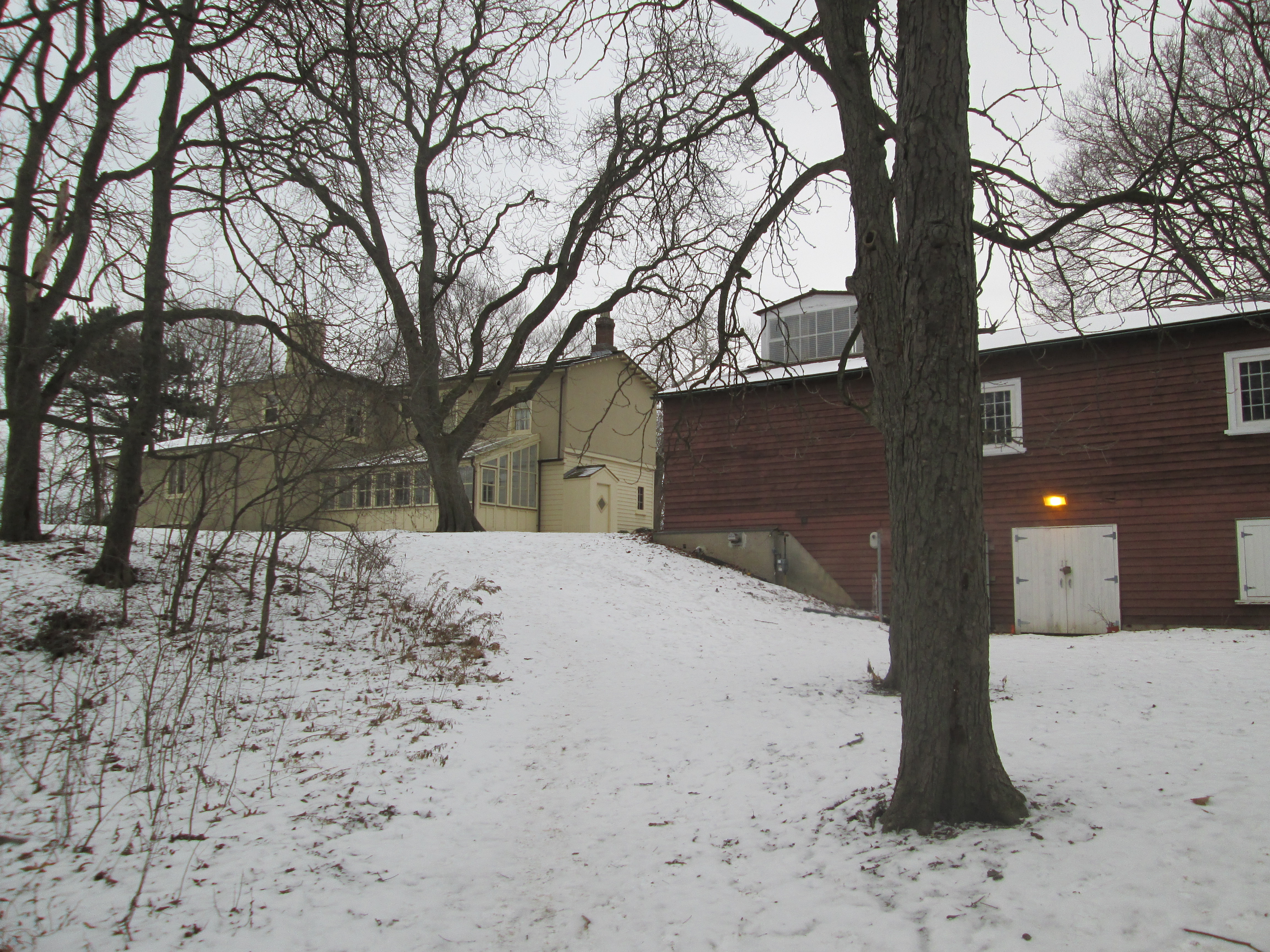
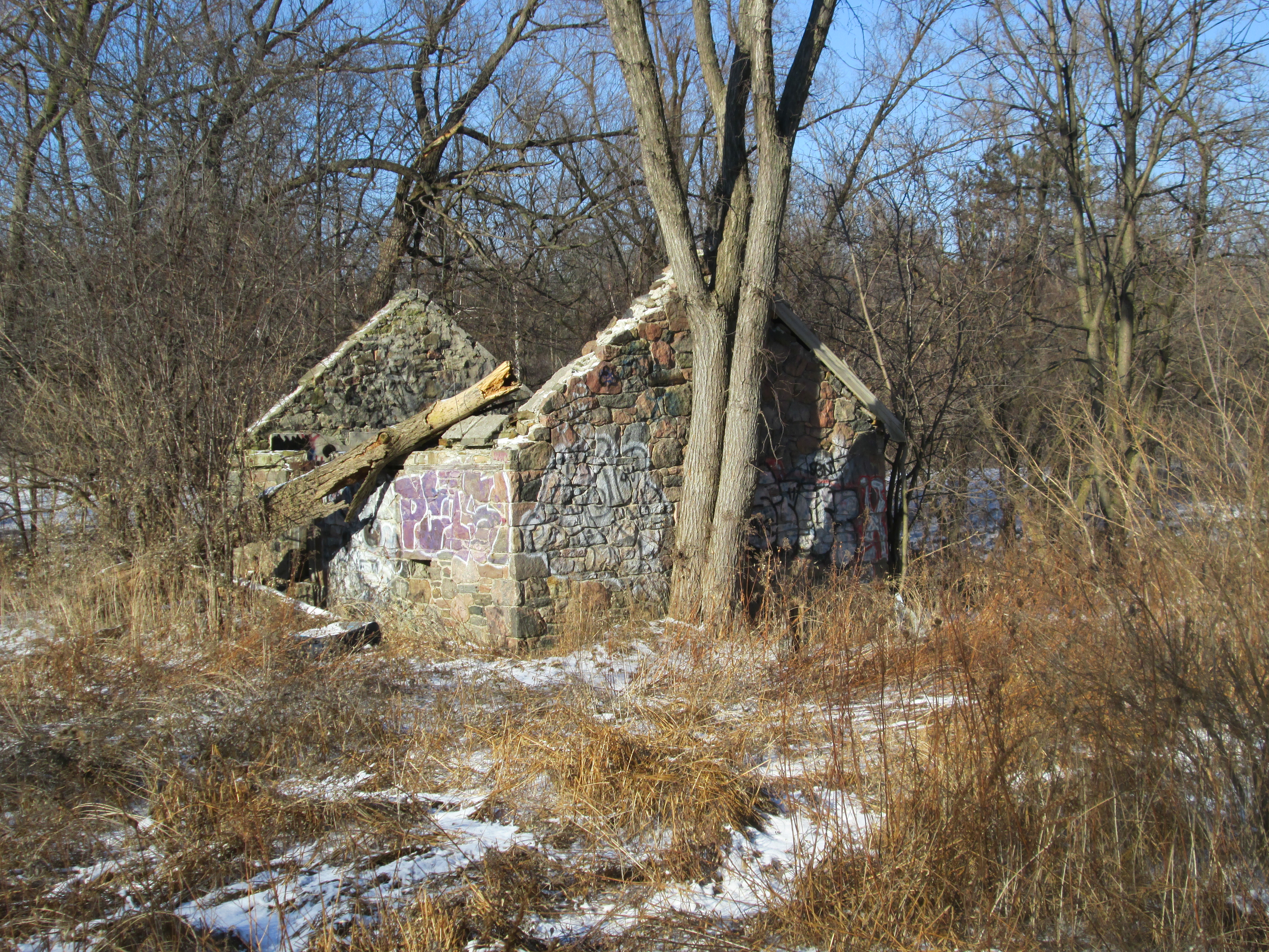
Built in 1932 by Anthony Adamson, son of Agar and Mabel, the Derry House sits on the east end of the Adamson property.   It’s “U” shaped construction frames a central fireplace and flagstone courtyard.  Anthony and his wife Augusta lived here until his mother passed away in December 1943.  After they moved into the family mansion this house was sold to the Derry family, whose name it bears today.  Anthony was awarded the Order of Canada for his contribution to Canadian architecture.

IMG_2122

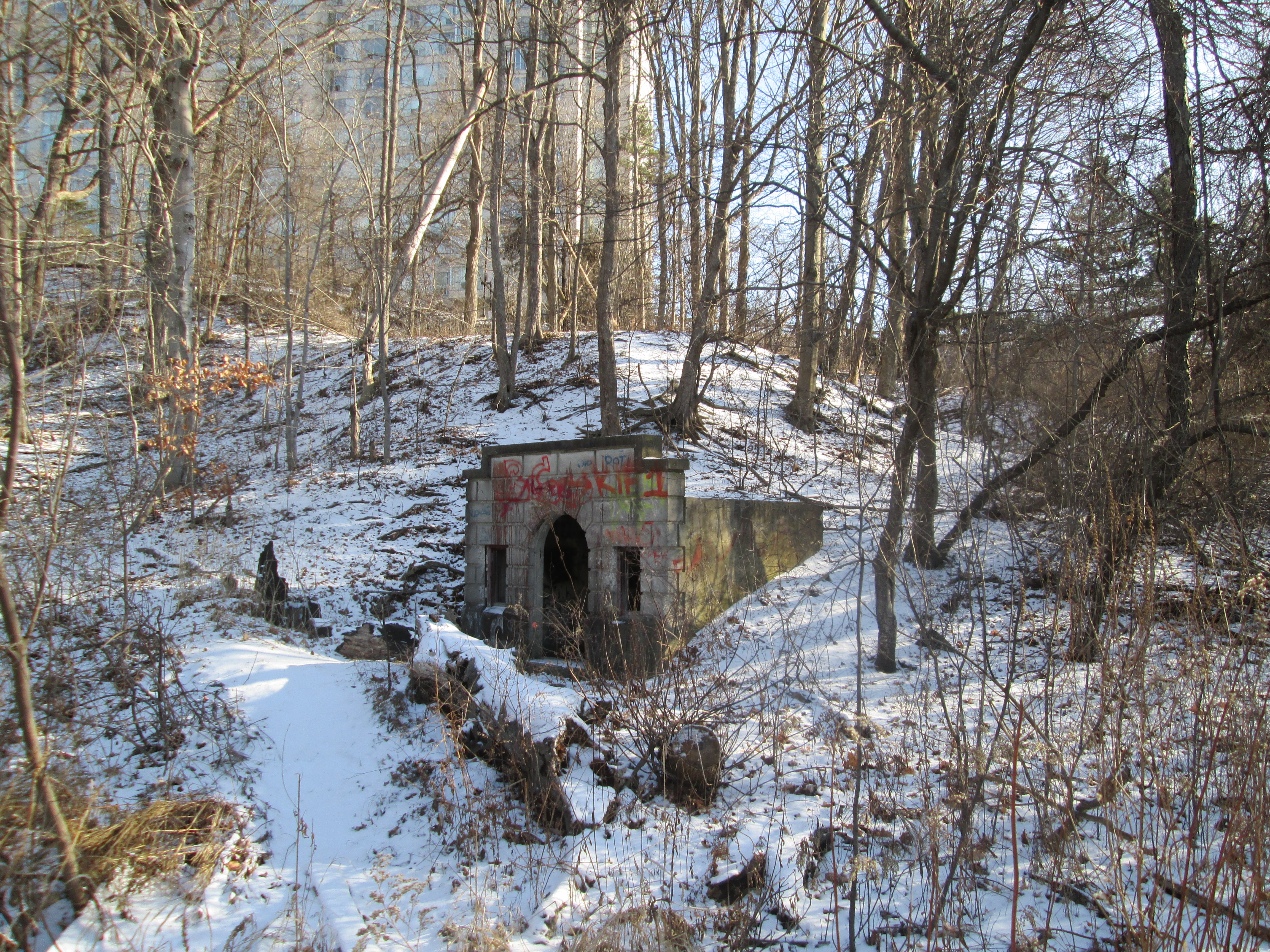
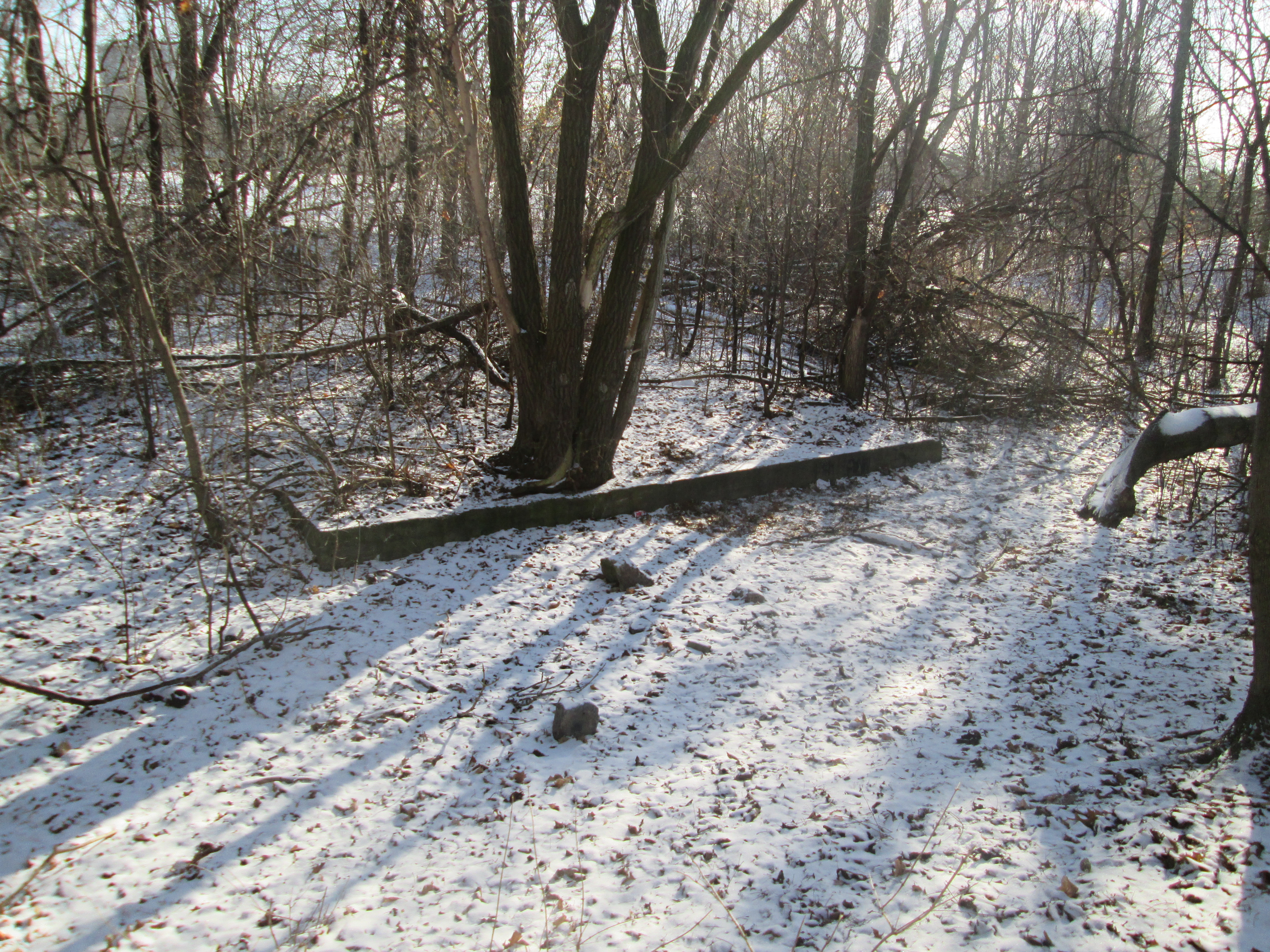
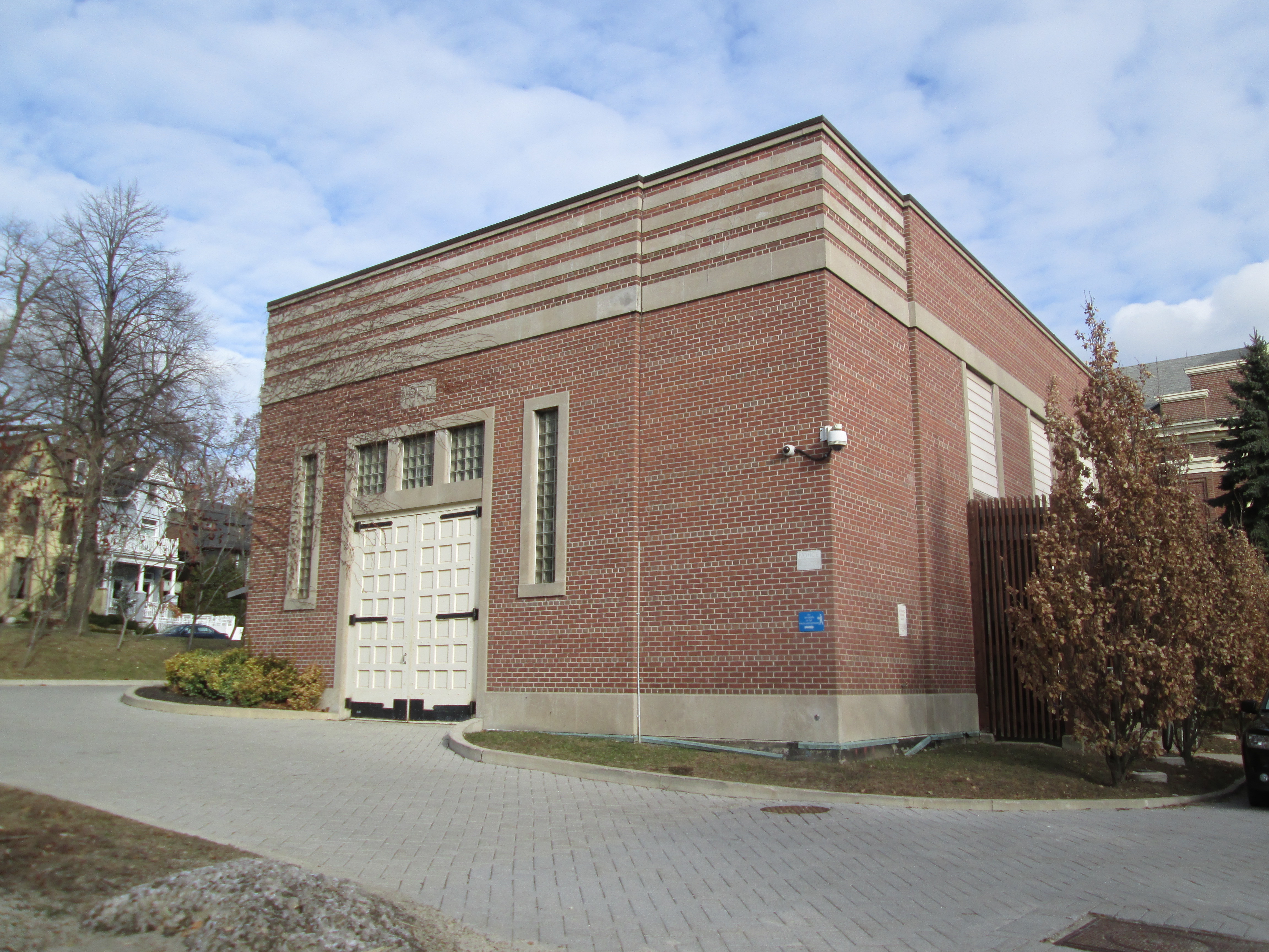
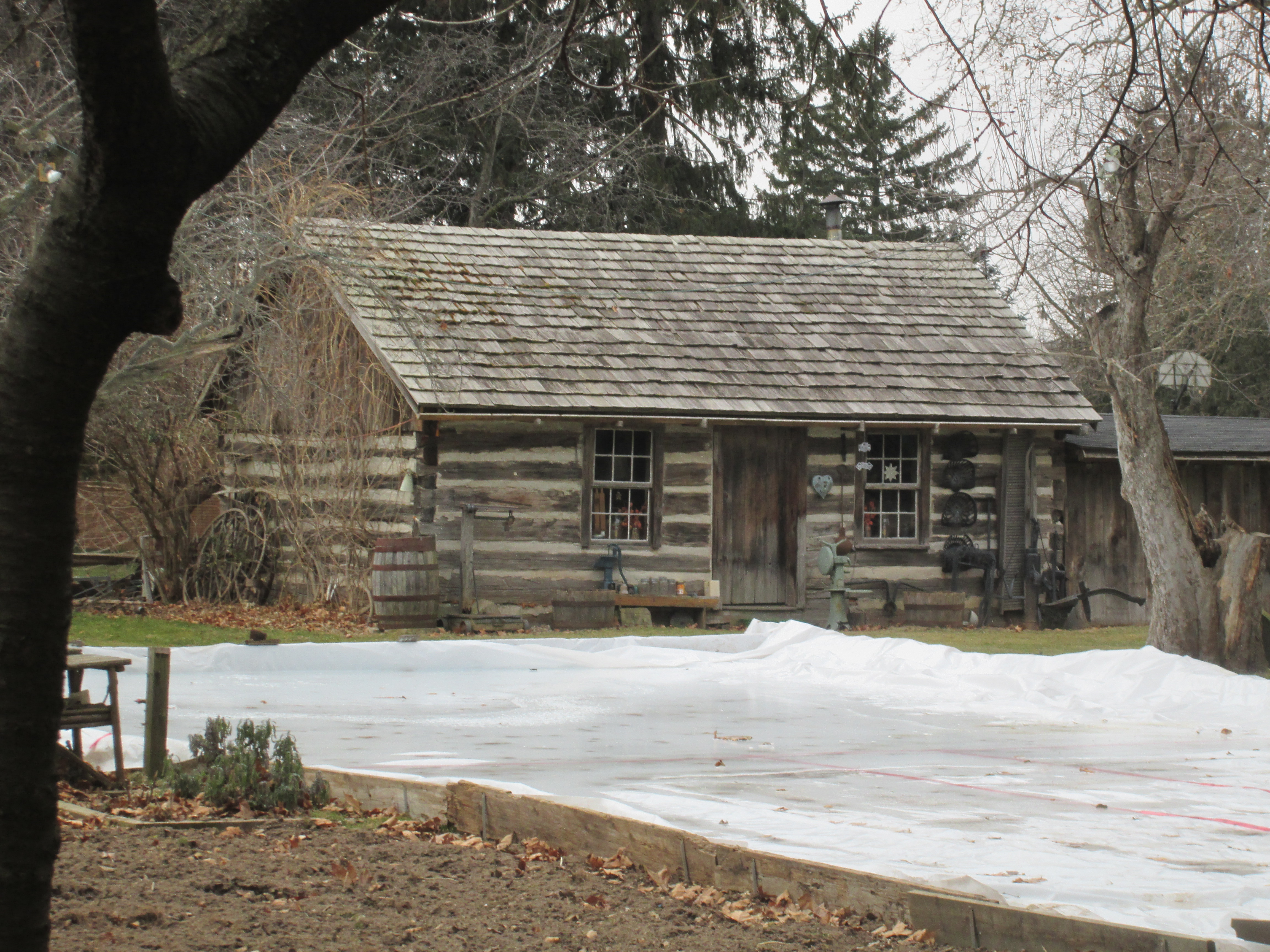
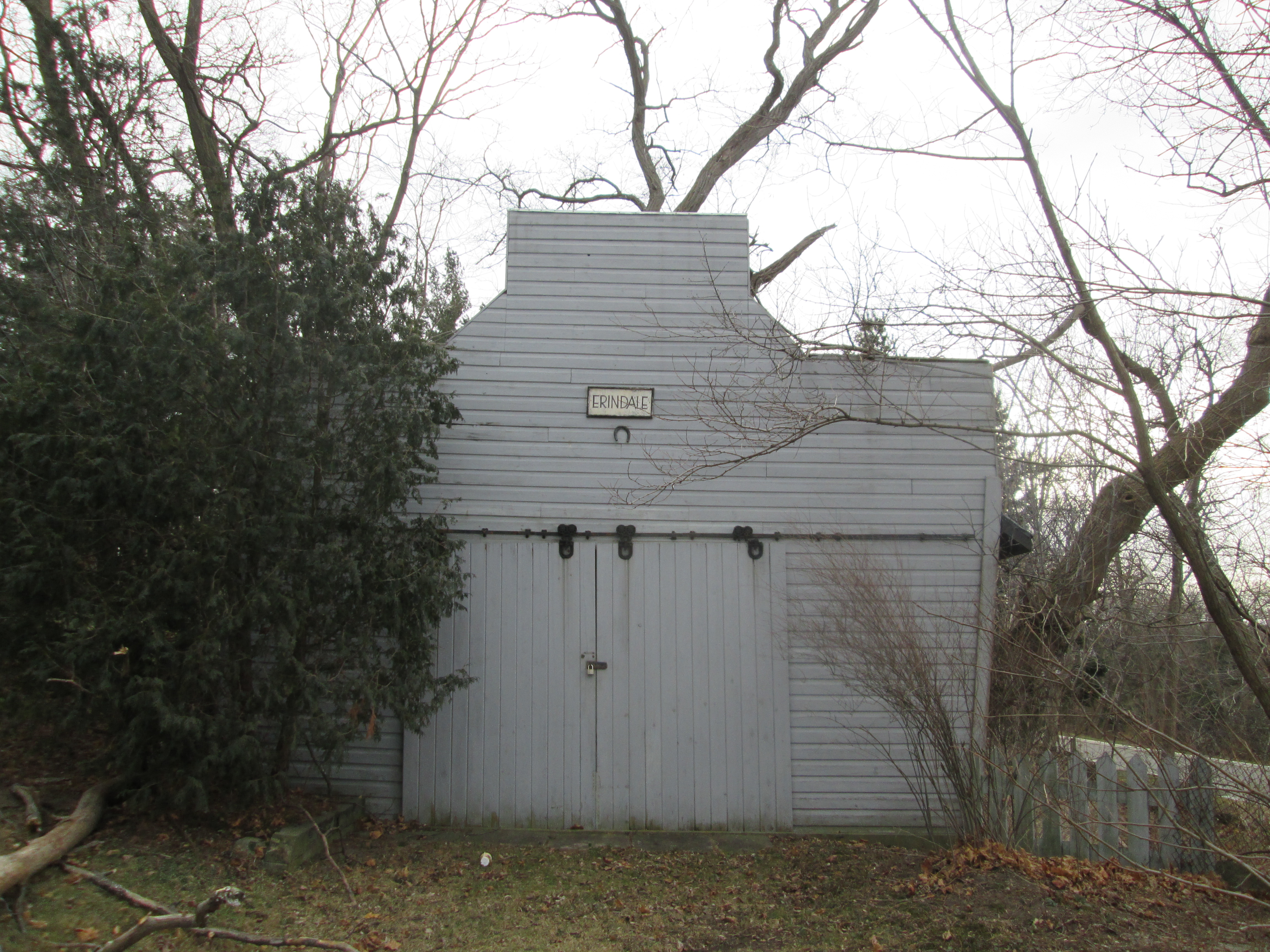
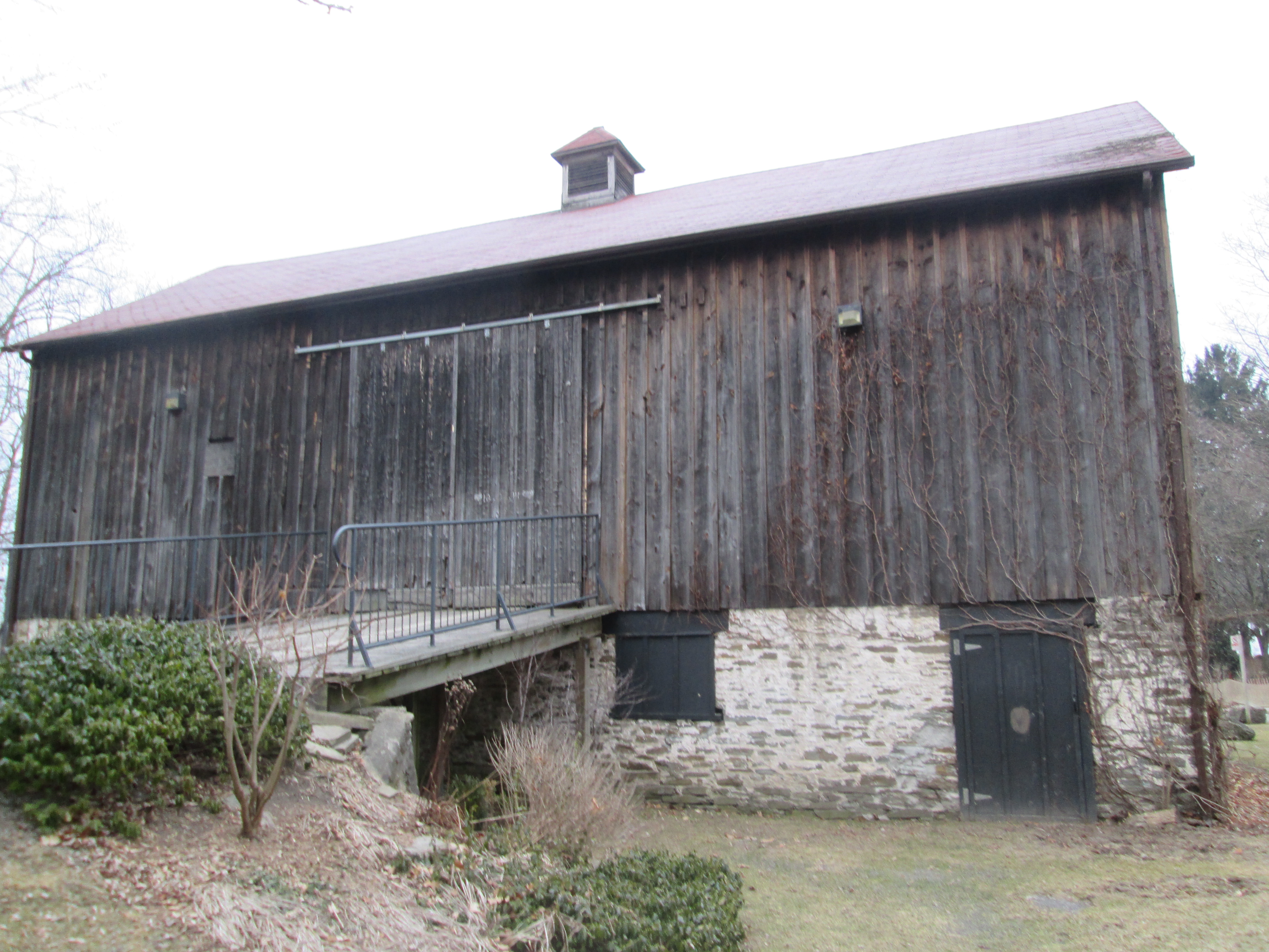
The barn dates to 1870 and is one of the oldest surviving agricultural structures in the region. It is built with a foundation of field stones and mortar and an upper portion of board and batten. The farm was known as “The Grove” due to the large grove of white pine trees that were reserved to be used as masts for ships by the Royal Navy.

IMG_2136

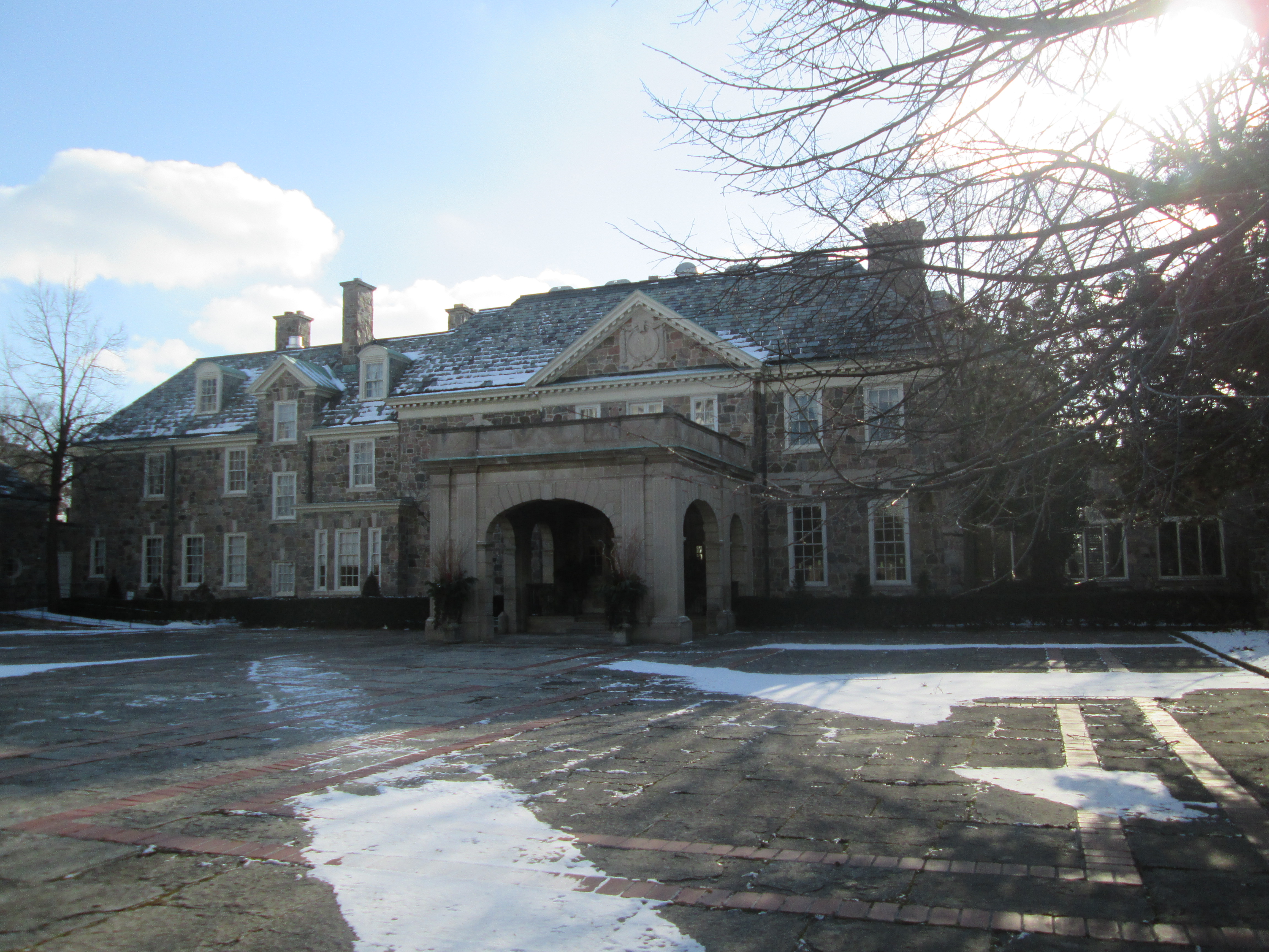
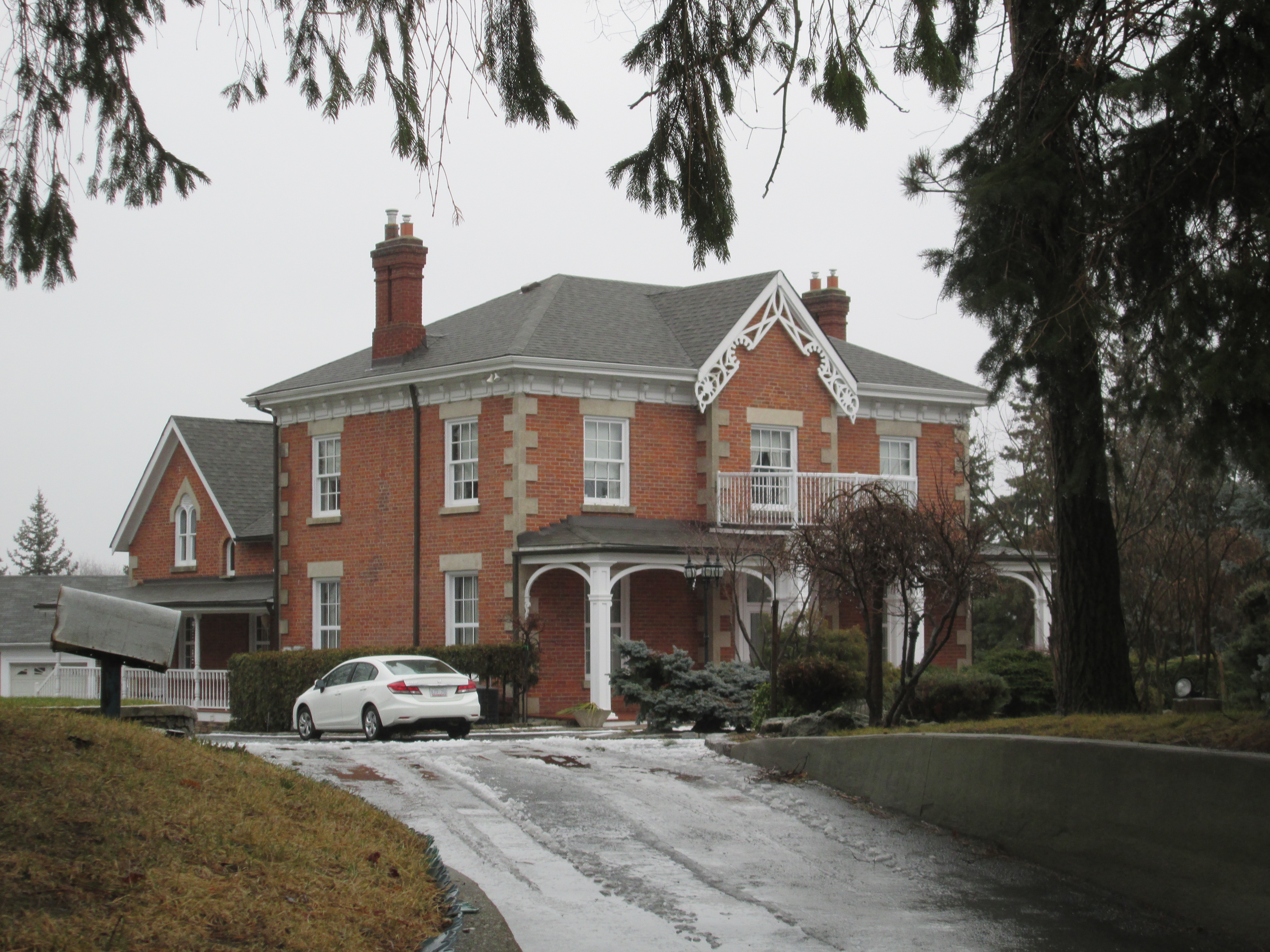
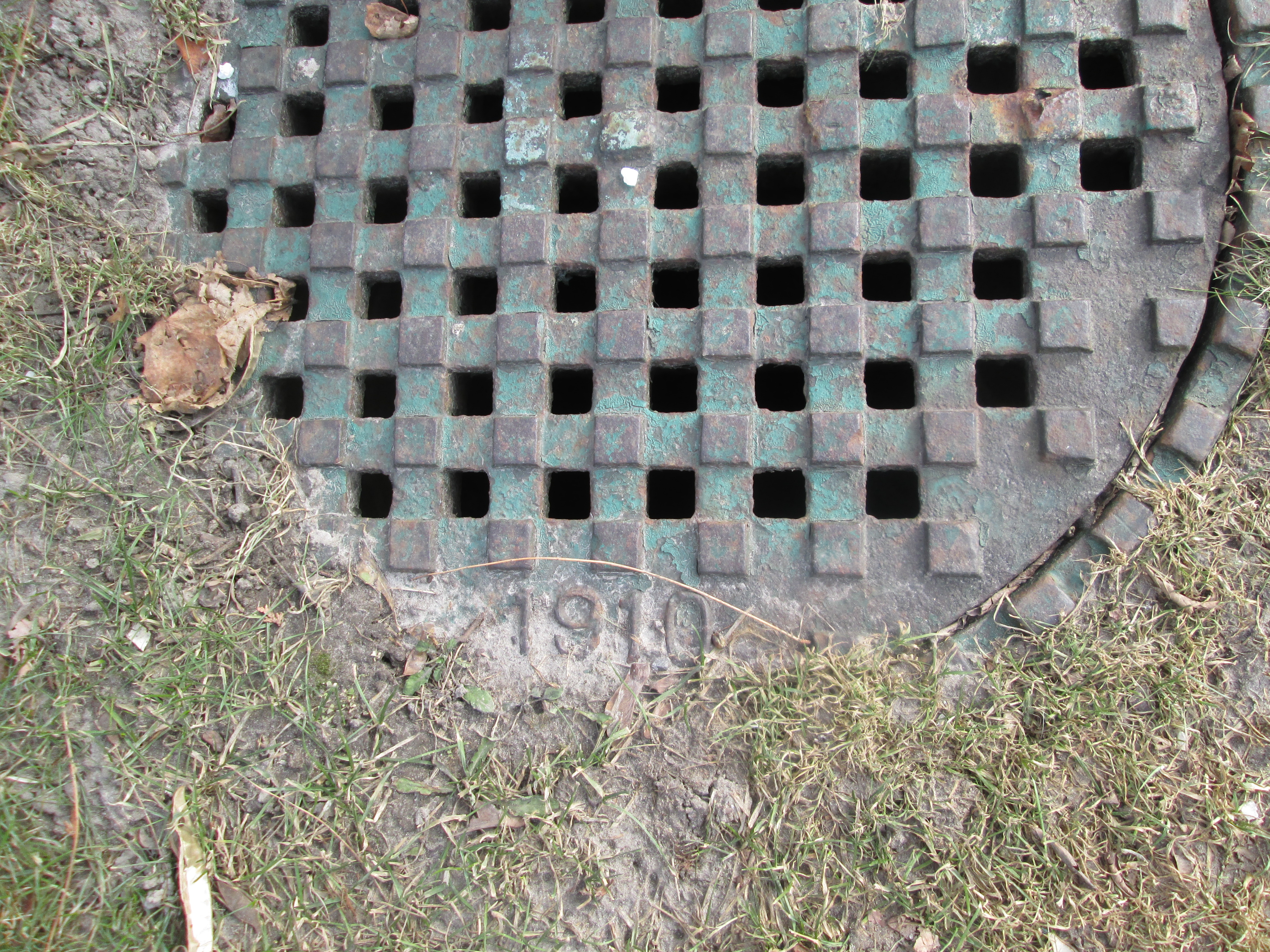
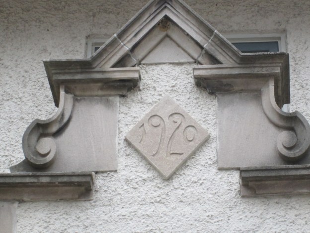
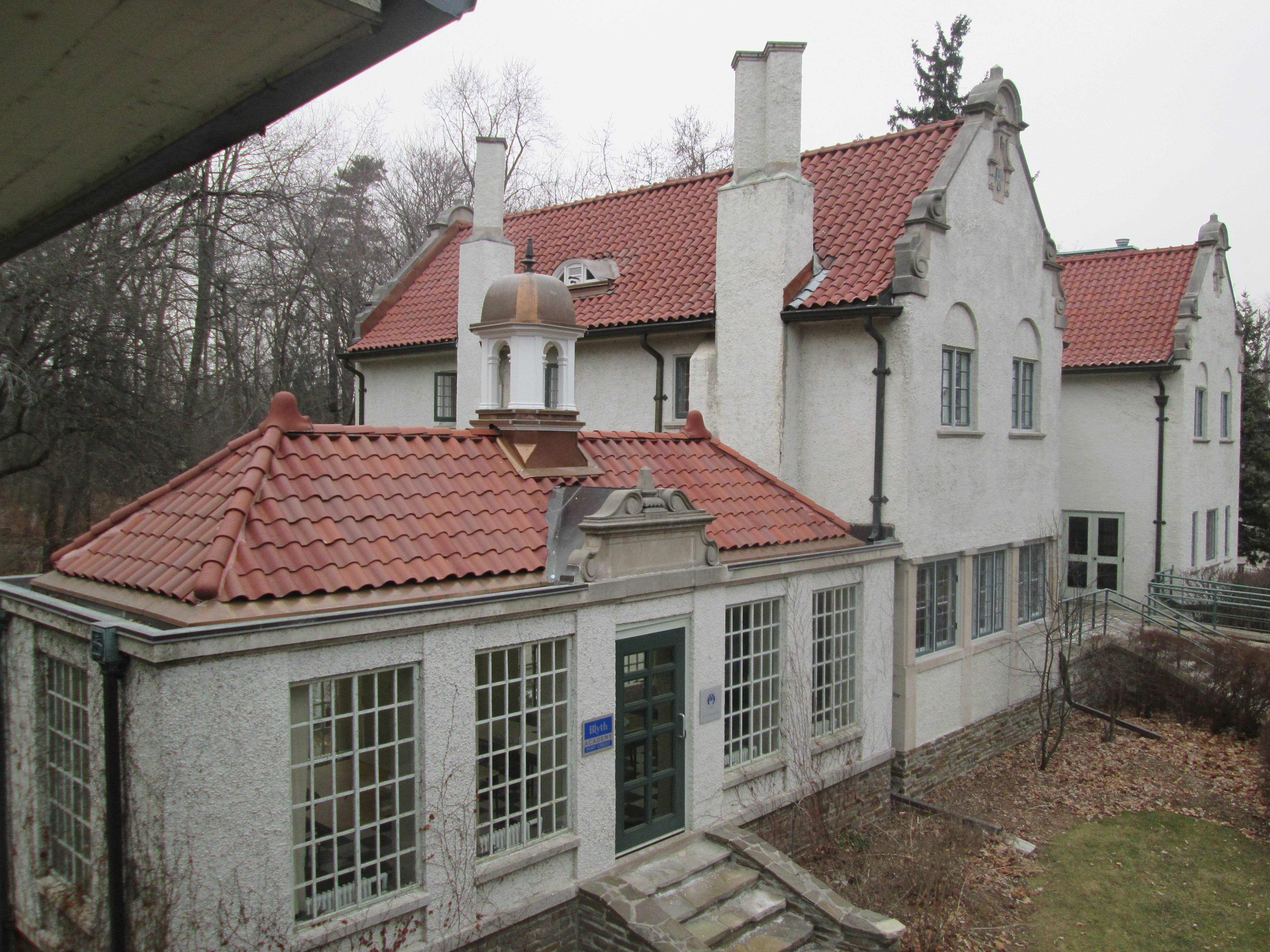
The main house was built over the winter of 1919-1920 and it’s date stone is featured in the cover photo.  It replaced a summer cottage from 1866 that stood between it and the lake.  The site of the original log cabin from 1809 was identified in 1991 and stood close to the water front.  It appears that each time the family built a new home they moved a few feet further away from the lake.  This view is taken from the upstairs balcony below the bell on the gatehouse.

IMG_2163

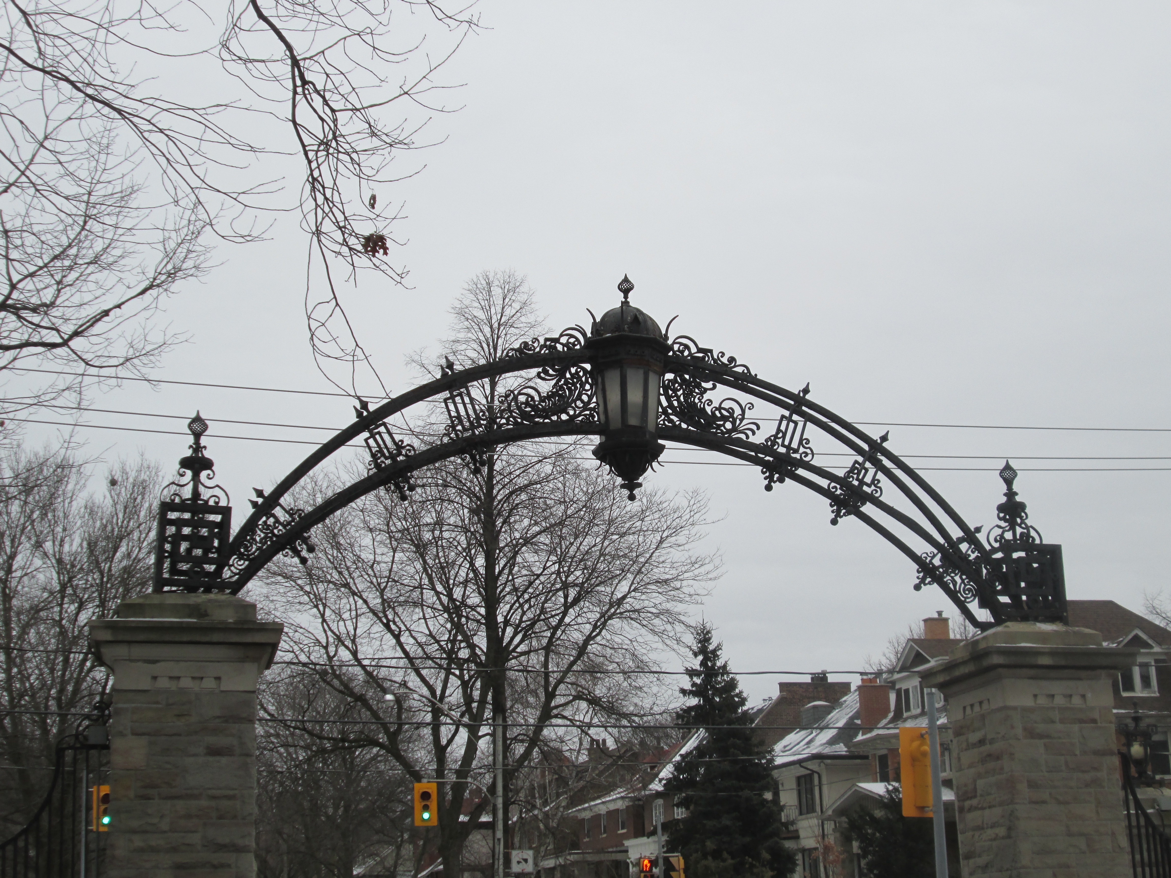
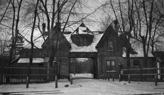
The gatehouse or “Folly” was built in 1904 and is one of only three of this design in Canada.  The other two are in Ottawa at the residence of the Prime Minister and the Governor General.  The upstairs served as a nursery for Anthony who was born in 1906.

IMG_2150

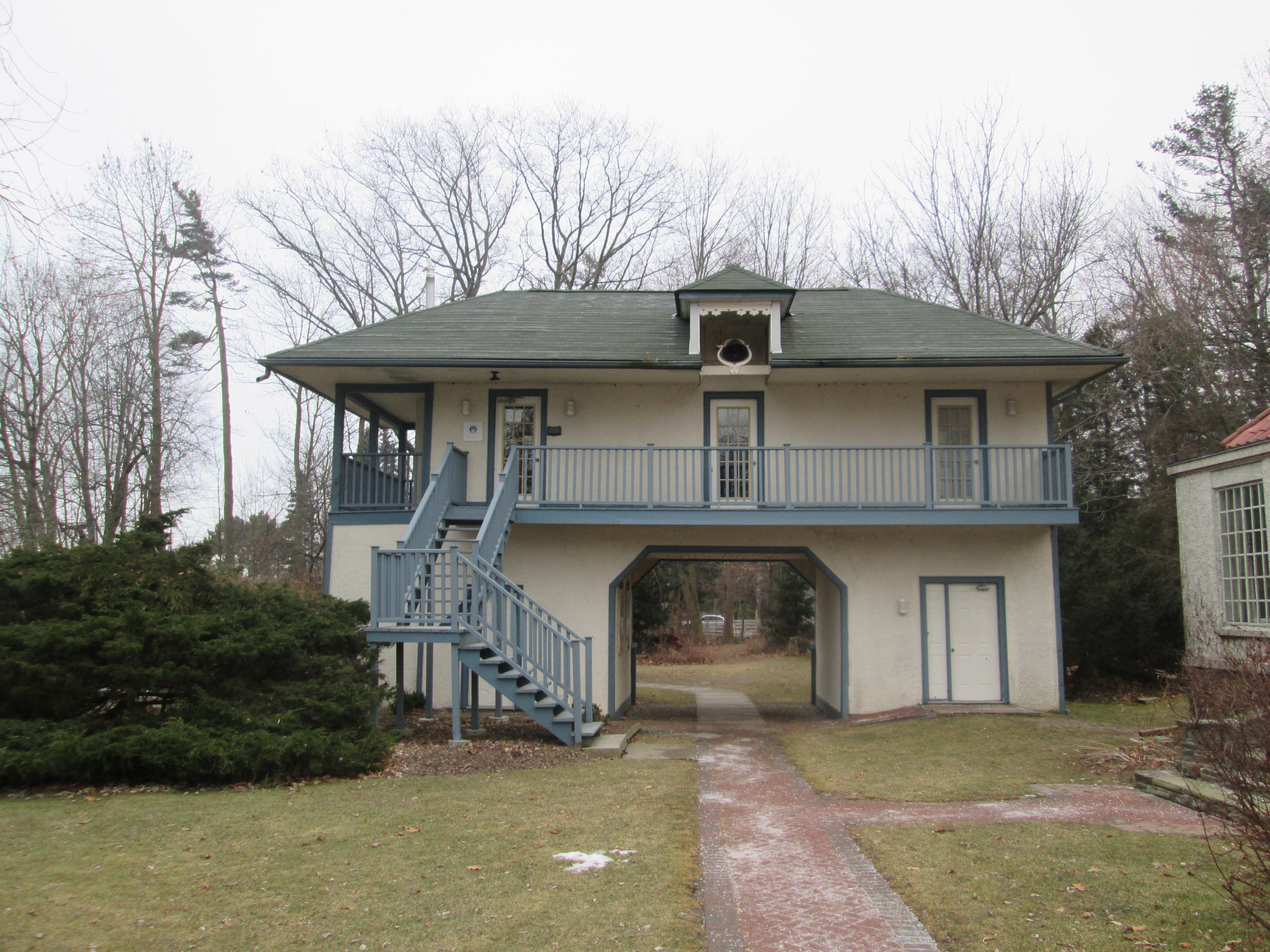
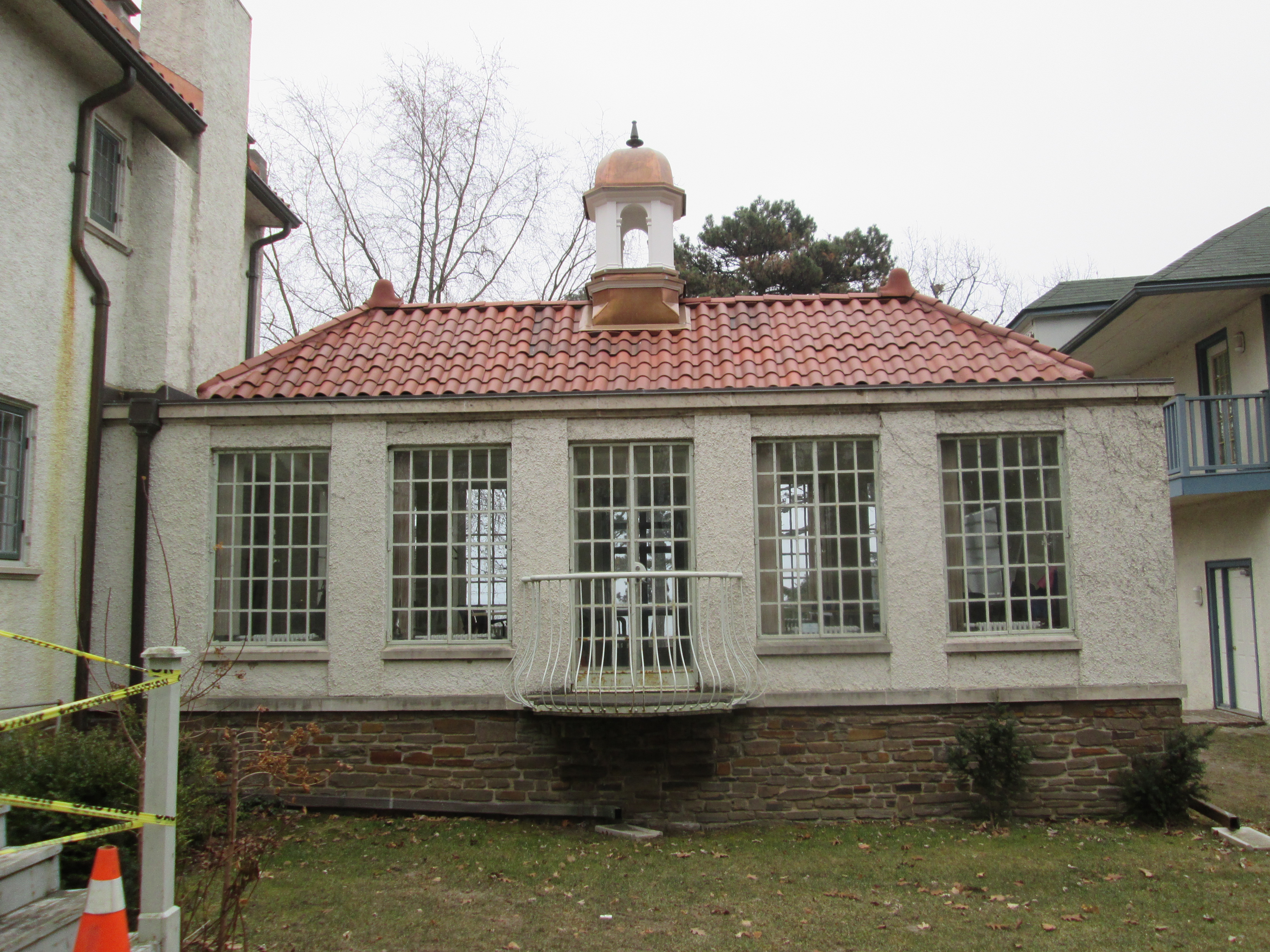
The so-called orange room extends from the west end of the house and contains a unique rounded balcony and a small cupola.

IMG_2180

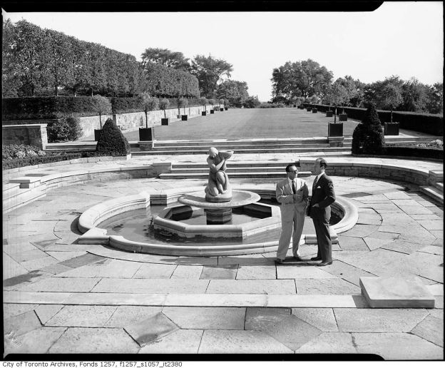
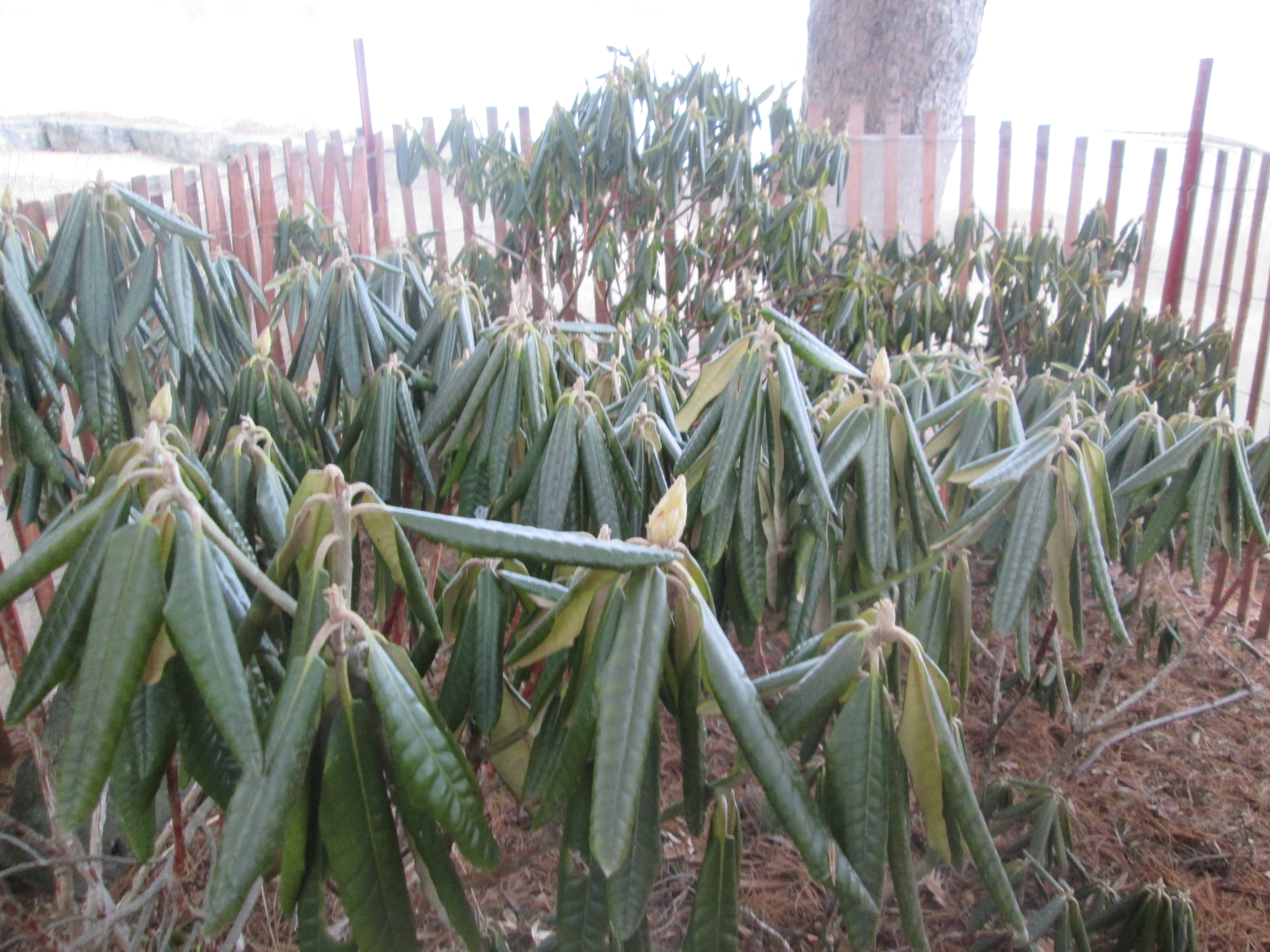
Rhododendron gardens grow under the evergreen trees on the front lawns of the house.

IMG_2147

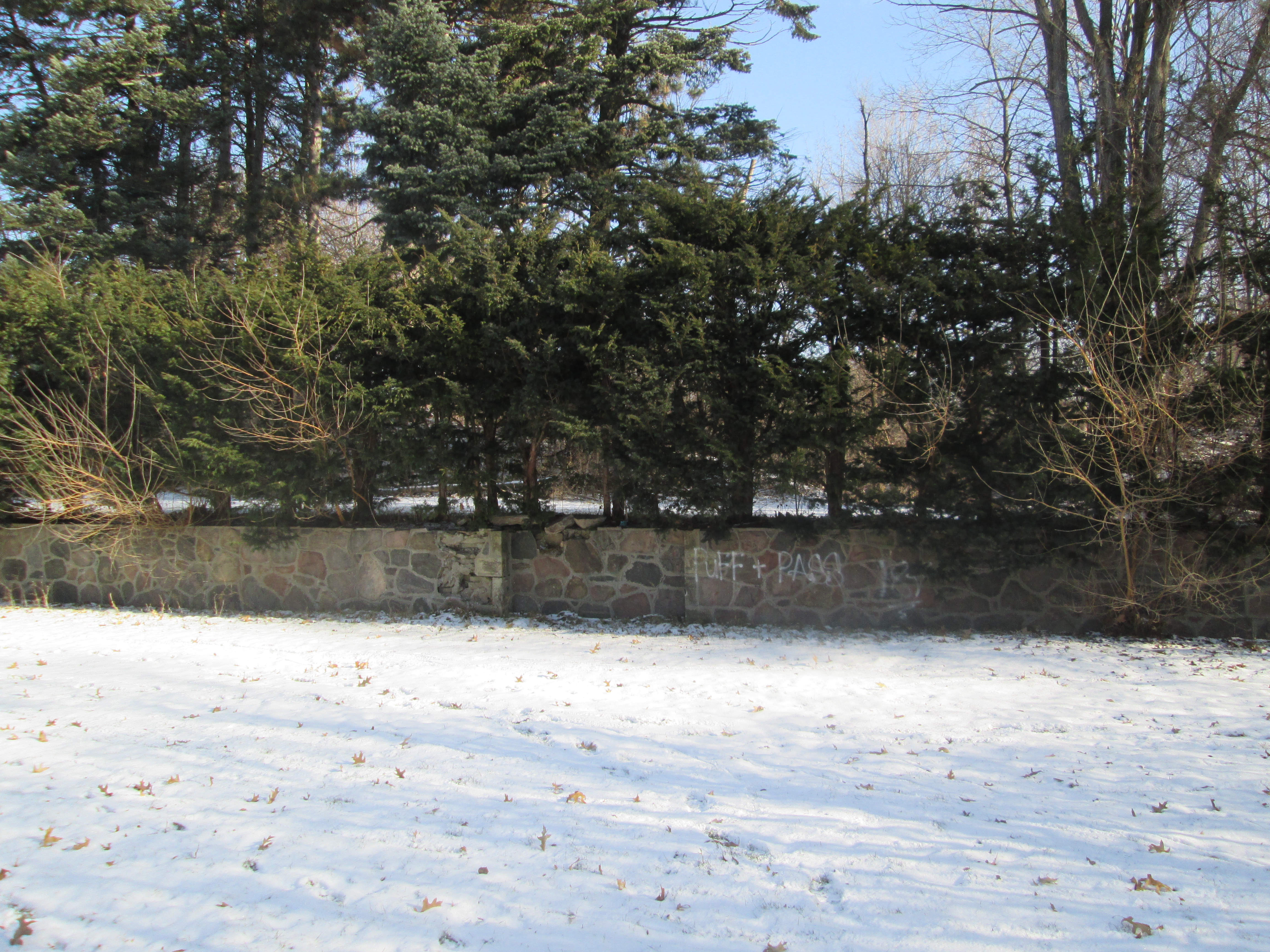
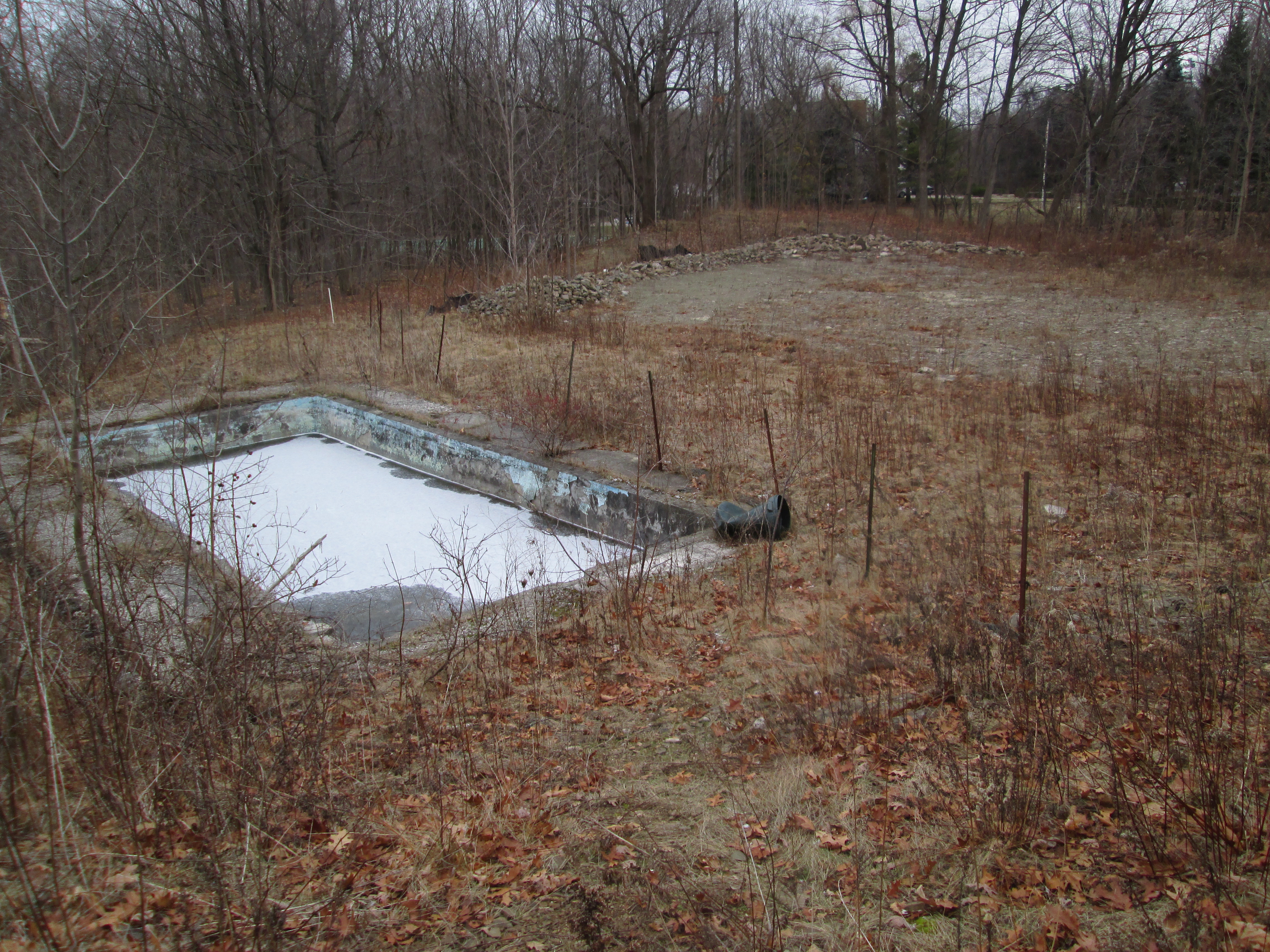
By 1968 there were only 15 acres of the original property left that had not been sold off. Anthony applied to the city for permission to develop the site for apartment buildings and the city rezoned it for high rise in 1972.  After neighbours sent in 115 letters of objection the Credit Valley Conservation Authority stepped in and expropriated the land, buying out the Adamsons in 1975.

Like us at http://www.facebook.com/hikingthegta

High Park – Eastern Ravine

Saturday Jan. 17, 2015

There are plenty of nice days for hiking in the winter and this was one of them.  It was minus 8 with a wind chill of minus 16 and absolutely free of bugs.  In recovery mode from a head cold I was likely over-dressed which isn’t a good thing as you don’t want to sweat.  Sweating in the cold air can actually leave you feeling even colder.  Today I accessed the park from the Keele subway station.  Two visits to the park in November had explored the west side and then the middle sections.  The first ending at Colborne Lodge and then the second taking in The Zoo. This time the target was the area known as the east ravine. This 176 acre section of High Park had belonged to Percival Rideout until it was sold to the city and added to the park in 1876.

Prior to any ice ages, the Laurentian River drained much of Ontario through what has become the St. Lawrence River.  Ice age debris has buried the ancient river channel and much of it now lies under the Great Lakes.  As the cover picture of the 1890 map of the river system shows, it was believed to have passed through the Toronto area.  In 2003 a 15 meter geyser led to the discovery that the preglacial river system still flows 50 meters below the surface under bedrock. High Park sits above the southern terminus where the Laurentian River system is blocked from entry into Lake Ontario.

Following the last ice age the lake was larger than today, reaching to the area of Davenport road.  This lake was known as Lake Iroquois and it left large sand and gravel deposits along it’s shore.  The area of High Park sits on extensive sand banks.  In one place there is a sink hole ten feet deep where the sand is being washed away.

IMG_2024

There is a large oak forest on the eastern ravine of the park.  This hollow red oak tree is capable of concealing various kinds of wildlife including the specimen hiding inside it in this picture.

IMG_2036

Toronto Urban Forestry maintains 4.1 million trees in the city including about 3.5 million in our parks.  Every year they plant about 100,000 trees to replace diseased or unsafe trees that are removed.  Red oak number 26827 is tagged in the picture below.  It stands, along with others in the same number sequence, along one of the sand rills behind Colborne Lodge.

IMG_2038

A rear view of Colborne Lodge and the carriage house.

IMG_2042

Crown galls are caused by a bacterial infection and can attack thousands of different species of plants. They cause galls to form, often near the soil line of the plant.  The red oak featured in the picture below has a gall larger than a beach ball.

IMG_2056

Spring Creek flows down the eastern ravine and has been dammed near Colborne Lodge, perhaps to create a swimming pool.

IMG_2044

Spring Creek empties into Lower Duck Pond where it is fed into the lake by means of pipes and a detour through Grenadier Pond.  The picture below looks from the south end of Lower Duck Pond back into the park.  The willow tree in the middle of the picture will become a harbinger of spring in a few weeks when the branches start to take on a green colour.

IMG_2047

In December 1913 a set of gates was constructed on the entrance off of Parkside drive in honour of John George Howard for donating the property.  Ironically, they are constructed on the Percival Rideout property that the city acquired in 1876 and not on the former Howard property .  The metal work in this 102 year old structure is highly ornate.  The city had just received electricity from Niagara falls a couple of years earlier and this must have looked quite special with it’s central light and two corner post lamps lit.

IMG_2055

This large oak branch is lying on the ground with it’s leaves still intact.  As discussed in the post Winding Lane Bird Sanctuary the tree will extract chlorophyll from the leaves and store it in the wooden parts of the tree for the winter.  It then forms a scab and a new bud for the next spring. This process causes the tree to eject the old leaf.  As this branch fell prior to that happening, the leaves will remain on the branch until they rot enough to be blown off by wind, rain or snow.

IMG_2058

The tree branch broke off early in the season when the acorns were just beginning to form.  For scale a baby acorn is placed beside a 1974 5 cent piece.

???????????????????????????????

High Park has plenty left to discover in future visits.  For a gallery of additional photos please visit our Facebook page at http://www.facebook.com/hikingthegta

Graydon Hall

Saturday January 10, 2015

Minus 12 with a wind chill of minus 26 but sunny and really not as bad as it sounds.  As long as I was in the valley I didn’t notice any wind chill at all, and dressed in my new parka, I was quite comfortable.  I parked on Olsen Dr. near the little walkway that goes down to the intersection of Don Mills road, Duncan Mill road and Graydon Hall drive.  I entered the Don River Ravine on the east side just off of Duncan Mill road.  This property originally belonged to the Duncan family who operated a sawmill on the East Don River in the mid 1800’s

Henry Rupert Bain made his fortune first in his own brokerage firm then as a gold investor during the depression.  In 1934 he bought 100 acres of land from the Duncan family on which to build his estate.  One of the features of his estate was terraced gardens with cascading waterfalls.  Bain built a pump house near the river to pump water up to his estate for his gardens.  There are the remains of two old buildings here.  The building closer to the river is made of rough fieldstone and is likely much older than the other one.  Inside, it has been divided into two rooms with modern concrete blocks.  This suggests that it has been remodeled at the time the second building was added.  It contains some electrical potheads made by G&W Electric in Chicago and a large oil storage drum.  A roadway ran just south of the building crossing the river on a bridge until the late 1980’s.  Bain’s barns and race track were on the west side of the river and accessed by this road.  The bridge has been torn up and the concrete was just tossed in the woods near the pump house.

IMG_1971

Closer to the embankment is the pumphouse.  It is made of preform concrete block in the Art Deco style that was popular in the 1930’s and 1940’s.

IMG_1977

Inside the pump house water was fed into the pipe-head at the back of the room.  The flash of my camera revealed a large pipe which curves to the right about ten feet in.

IMG_1979

Alder trees grow along the riverbank just north of the Duncan Mill Road bridge.  The alder is unique in that it is a cone bearing deciduous tree.  The tree has it’s male and female parts on the same branches.  The longer male catkins produce pollen in the spring which is wind blown to the rounder more cone shaped female catkins.  Like other trees that rely on the wind for pollination, the alder will flower prior to the leaves forming in the spring.

IMG_1992

I walked along the east side of the river, crossing under the Duncan Mill road bridge and the bridge on Don Mills road.  Under the Don Mills road bridge someone has crawled out and strung up a swing.

IMG_1996

Completed in 1936 Graydon Hall may have been named after the Gray family that operated a grist mill on the Don river just below the property.  The grist mill remains today on the property of the Donalda Golf course.  When Bain completed his estate it boasted a private 9 hole golf course, race track, stables, polo field and kennels for raising hunting dogs.  The cover photo shows Henry Bain standing near his garden fountain.  This fountain statue of a lady kneeling and holding a bowl is now housed at the Art Gallery of Ontario.  The 29 room house was built for $250,000, a sum equal to $4,250,000 today.  Notice the large front canopy that was common on estate mansions of the early 20th century.  Similar structures can be seen in Bayview Estates on the three Clifford mansions that now form the Toronto French School.

IMG_2012

Much of the rear ground of the property is still preserved as parkland in the form of Graydon Hall Park.  A small rectangle of concrete which stands in a hollow slightly uphill from the house is all that remains of a small building.   This may have been the upper end of the pumping system.

IMG_2006

The terraced gardens remain along the back of the house.  Between the gardens and the river stretched four acres of pools and waterfalls as the water made it’s way back downhill.

IMG_2009

On the east side of Graydon Hall road stands a pair of gate pillars that mark the old laneway to Graydon Hall.  Prior to the construction of Graydon Hall Drive in 1964 the estate was approached by a looping driveway off of Woodbine Avenue.  This portion of Woodbine was removed in the 1960’s for construction of the Don Valley Parkway.  A new access was created off of the recently extended Don Mills Road.

In the 1957 aerial photo below the property of Henry Rupert Bail is seen.  The 401 cuts across the top of the picture.  Graydon Hall stands roughly in the middle of the picture on the right hand side.  A private roadway leads from the house, past the small building and down the lawn to the river.  The road crosses the river near the pump house and reaches the barns and racetrack.  Don Mills Road has not yet been extended this far north yet but it will soon cut between Graydon Hall and the river.

gray

In 1954 Bain died of complications from a horse riding accident.  His property was sold in 1964 to developers who constructed apartment buildings on the estate.  The house remains and now serves as a banquet hall.  A cardinal provides a little splash of red among the evergreens along the old lane way as I made my way back to the car.

IMG_2019

Like us at http://www.facebook.com/hikingthegta

Follow us at http://www.hikingthegta.com

Erindale Orchards

Sat. Jan. 3, 2014

The day started off nice at -2 but was predicted to have a storm starting around noon.  We parked one more time in Erindale Park.  The plan was to enter the west side of the Credit River just south of the Sawmill Valley Creek’s confluence with the Credit.  We wanted to try and get to a point across the river from the Erindale Power Plant that we had been seeking when we hiked the Credit River at Erindale on January first.  We walked down the edge of Sawmill Valley Creek and turned south along the west side of the Credit River.  Almost immediately we came to the foundations of an old building which we identified as a house when we found the swimming pool in the back yard.

IMG_1893

Keeping to the river side of the fence line, we made our way along the river.  Soon we were past the point where we were stopped two days earlier by the shale cliffs on the east bank of the river.  Presently we found a raccoon who, contrary to their normal nocturnal habits, was sitting on the ground in broad daylight.  Suspecting that he was ill we acted with caution but there was no aggression.   In captivity a raccoon can live for up to 20 years but the normal life expectancy of a raccoon in the wild is less than 3 years.  Ones like this that aren’t in peak condition can become dinner to the local coyote helping to keep that number low.

IMG_1904

As we approached the bend in the river we started to see that the shale banks farther along would pose a problem like the one we experienced a couple of days earlier.  At the bend in the river we found the mouth of a small stream and so we followed it west toward Mississauga Road.

IMG_1947

A little way upstream we started to find extensive sections of old pipe along with concrete foundations in the creek.

IMG_1922

As we contemplated what their original purpose had been we noticed two people working in the woods with a Bobcat cleaning up fallen trees.  The man approached us and we had an opportunity to ask about the pipes.  He shared with us that the area above the ravine had been an extensive orchard and in the 1930’s a pump house had been built to irrigate the orchards. He also told us that the creek was named Loyalist Creek.  Pipes still run up the side of the hill on the south of Loyalist Creek toward orchards that were already gone by the 1960’s.

IMG_1930

We crossed Loyalist Creek and made our way as far along the shale cliffs as was reasonable and then turned back.  The shale along here has layers of thick harder stone that stick out like rows of broken teeth.

IMG_1935

Right at the mouth of  Loyalist Creek are several pieces of old concrete. We met the gentleman a second time and he had actually never noticed them.  It is likely that a dam was placed at the mouth of Loyalist Creek to retain a pond of water for consistent irrigation of the orchards during dry seasons.  As we were leaving we encountered the Bobcat operator who was quick to inform us that we were on private property, a fact that her husband had already failed to mention twice.  When we got to Mississauga Road we discovered that the property was very well marked with No Trespassing signs.  We had missed them by entering along Sawmill Valley Creek.  This is one hike that you can’t try yourself.  The old concrete at the mouth of the Loyalist Creek is shown in the photo below.

IMG_1931

Returning home it was time to do some research to see what could be learned.  I discovered that the 1880 Historical Atlas shows extensive apple farms around Erindale including the farm of Thomas Hammond.  In the 1971 aerial photo below, the Hammond farm has a large orchard that by quick calculation contains over 900 trees.  They appear as the straight rows of little dots. The Hammond farm house appears just to the left of the orchard at the top of the picture.  It was designated as a heritage building in 1991 and so a quick follow-up appeared to be in order. The area was sold for development shortly after this picture and by 1976 houses had replaced the orchards.

Apples 1971

(Sunday, Jan. 4)  We returned and parked near the old Hammond house which was built by Oliver Hammond. Oliver was born in 1812 and is featured in the cover photo.   Oliver built his house in 1866 and it currently sits on a large property tucked in the middle of the subdivision which was his farm’s final crop.  Loyalist Creek flows through the property close to the house.  A developer’s proposal suggests that the open space around the house will soon hold 7 new homes.  Hammond’s house will become just an odd old house, looking out of place, amid the modern homes on a small cul-de-sac.

IMG_1962

All that remains of the orchards is three rows of old trees in the park along the side of Lincoln Green Close.  It seems like these trees might still produce fruit in spite of their age.  Apple trees are not native to North America but were introduced by the French around 1606.  The McIntosh apple is named after John McIntosh who discovered a sapling on his farm in Upper Canada in 1811 and cultivated the tree which produced an exceptional fruit.  By the early 1900’s the McIntosh was the most commonly cultivated apple in North America.  This was due to the fact that it was good for both eating and cooking.   I’m not sure what kind of trees these are but they were planted around the right time to be McIntosh.

IMG_1963

The old Erindale Power Station remains elusive, but there is always future explorations to be made.

Like us at http://www.facebook.com/hikingthegta

Follow us at http://www.hikingthegta.com


Yorkville Water Works

Friday January 2, 2015

I parked on Russell Hill Road near the entrance to the St. Clair reservoir to enjoy the sunshine and a rare Friday off work.  Nordheimer Ravine runs just south of the reservoir.  I had been introduced to the ravine while exploring the Baldwin Estate known as Spadina.  The toponym (place name) ‘Nordheimer Ravine’ appears to have been in use since at least the 1940’s.  Castle Frank Brook ran through the ravine across Baldwin’s property and then through Samuel Nordheimer’s estate.  A brief history of Nordheimer was also introduced in the Spadina post. Samuel Nordheimer had married Edyth Boulton in 1871.  He built her a grand estate he called Glenedyth, after the forest glen where it was set and her name.  In the process he demolished the 1818 home of Russell Hill leaving just a street name to remember the original landowner by. The gatehouse of Glenedyth is featured in the cover photo.  Nordheimer died in 1912 and his son Roy inherited the estate.  When the son died in 1921 a subdivision plan was approved and the estate commemorated in the street names Boulton and Glen Edyth.  Roycroft Drive, named after Roy, was also one of the streets in this 1923 plan but was closed to traffic in 1971.  The trail from the reservoir to Boulton Drive roughly follows this old road allowance.

IMG_1854

Following Castle Frank Brook brings you out to Boulton Drive where the brook flows under a row of houses.  The brook itself was buried in a sewer pipe around 1930 to facilitate development of the subdivision.  The edge of the ravine can be seen in this picture with the brook flowing out from under the houses to the north and under Boulton Park where I’m standing.

IMG_1856

Samuel Nordheimer dammed the brook on his property to create a pond for the garden setting of his estate.  In 1874 the town of Yorkville refused to buy water from the City of Toronto and entered into an agreement with Nordheimer to buy water from his pond.  A combined Pumping house and engineer’s house was built in 1875.  The water in the pond became so foul that the drinking water in Yorkville became a problem.  In 1883 the town voted to be annexed by the city of Toronto in order to gain access to potable drinking water.  The pump house was integrated into the the city water plan and renamed High Level Pumping Station.  High Level referred to both the station’s position on top of the Iroquois Bluffs and it’s function of pumping water to the higher elevation area’s of the expanding city to the north.  The first pump house remains today as a private residence.

IMG_1867

The pumping station expanded with the growth of the city with major construction in 1889 (now demolished).  A large central block was added in 1906.

IMG_1858

The 1906 block in the middle, the 1910 addition on the right and the 1952 expansion on the left.

IMG_1857

The 1910 expansion with it’s ornate yellow brick pattern on the top of the building.

IMG_1859

The 1952 expansion was the final one.  The High Level Pumping Station has taken on a role as the nerve centre of Toronto’s water system.  It controls the water from 4 water treatment plants, 18 pumping stations, 10 underground reservoirs and 4 water towers.  These in turn supply water to over 3 million people.  It has come a long way from it’s inception as the Yorkville Water Works.  The 1952 expansion is seen in the picture below.

IMG_1860

The 1953 aerial photograph below shows area that once belonged to Samuel.   The Nordheimer Ravine comes out of the top left corner. Someone has marked the Castle Frank Brook sewer pipe in a brown marker where it flows between Glen Edyth on the left and Boulton on the right.   The brook itself used to wander back and forth across what became Boulton Drive.  The black circle at the bottom centre is Nordheimer’s pond with it’s fountain in the middle.  The first pumping station is the small building right at the edge of the pond at “one o’clock” if the pond were a clock face.  The new pumping station and it’s additions are at the top of the pond at “twelve o’clock”.

HLPS 1953

Samuel and his brother Abraham will be remembered for their contribution to music in Toronto more than to the water supply.  The Nordheimer piano was considered a local masterpiece in the 19th century.  The program below is for a concert in St. Lawrence Hall on February 19th 1862.  The first note below the agenda proudly informs everyone that “The piano used on this occasion is from Mssrs. A & S Nordheimer’s Ware-rooms.”

grandconcert

Access covers have long been dated and I found the oldest one in my knowledge on the High Level Pump Station propery.  This cover was installed at the time of the 1910 expansion.

IMG_1879

Like us at http://www.facebook.com/hikingthegta


Credit River at Erindale

Thursday Jan. 1, 2015

It was minus 6 feeling like minus 14.  Realizing that I hadn’t been hiking all year, I set out to fix that.  When we had investigated the Erindale Hydro Electric Dam in October we hadn’t looked for the power plant on the south end of town.  Parking in the first lot at Erindale Park we set off for the Credit River on the east side.

We crossed Dundas Street and entered a pathway down to the river from the east end of the bridge.  There we came across a large paper wasp nest.  Paper wasps build their nests out of chewed up plant fiber that they mix with saliva to make a paper-like substance.  They secrete a chemical onto the anchor stem of the nest so that ants don’t invade.  Gardeners consider paper wasps to be beneficial because they pollinate the plants as well as eat garden pests.

IMG_1773

It may have been New Years Day but we didn’t see any people swimming in the river, doing their polar bear thing.  A pair of mallard ducks were swimming in the slushy river, feeding and enjoying the day.  Mallards form breeding pairs in the fall and perform courtship rites all winter. In the spring when the eggs are laid they separate.  The male takes no role in the raising of the ducklings but will hang out with the guys all summer.  In the fall a male duck’s fancies turn lightly to love and he leaves the boys in search of a mate.

IMG_1785

As we made our way along the eastern river bank it started to look like we wouldn’t get around the curve in the river due to the shale banks along the side.  Going up and over wasn’t an option because in places the fence along the top was already falling down the embankment.   Water seeping out between the layers of shale has created icicles that reach down to the river in places.

IMG_1774

We were able to get out to where the ice had formed in the shale layers.  Where it flows out onto the thin river ice is currently impassible.  There is a possibility of making it around here in the summer when the water level is low.

IMG_1780

We decided to try to come at the old power station site from the top of the ravine.  We hoped to find access from one of the original Erindale side streets south of Dundas.  Turning north again we came to where Sawmill Valley Creek enters the Credit River just below Dundas Street.  It has been placed into a concrete channel with a series of concrete squares which help prevent the discharge from getting frozen by accelerating the water.

IMG_1792

Dundas Street was surveyed in 1796 by Augustus Jones who also surveyed Yonge Street.  These two streets were built by the Queens Rangers under the direction of Lieutenant-Governor General Simcoe.  Roads were required for easy movement of troops should the defence of Fort York become necessary, as it did in 1812.  Dundas Street has had several bridges over the Credit from the earliest wood structures to the current 4 lane version.  The remnants of the foundations for earlier bridges can be seen below the modern one.

IMG_1799

The picture below shows Erindale in 1910 looking west toward the river.  There is a vehicle just entering the bridge where the road hooks to the left.  Also featured in in this image are the stone flower mill, blacksmith shop, Barker’s Hotel with the large veranda and Caven’s store. The community hall is on the left.  All of these buildings were destroyed by fire in May 1919.

ha0045l (1)

Passing under the bridge we made our way back to the old power dam that created Lake Erindale from 1910 until 1940.

IMG_1800

Along the side of Dundas street stands the old head race for the power generating station. Water from Lake Erindale was diverted through a tunnel under Dundas Street to the power plant south of town.  A large intake structure allowed for the controlled flow of water from the lake.

IMG_1811

We climbed the hill behind the intake and crossed Dundas Street.  Following Proudfoot Street we looked for a way to get down to the river.  Short of boldly walking across someone’s lawn there is no access anywhere along the ravine.  This older part of town contains many historical homes from the days of settlement in Erindale.  The 1855 log home on Jarvis Street wasn’t one of them though.  It was moved here in the 1970’s but is cool because of it’s collection of antique wheels and pumps that are displayed around the outside of the house.

IMG_1824

Just east of the 1928 Community Hall is this old driving shed.  The cover photo is of this building with it’s horseshoe hanging upside down.  Horse shoes are considered lucky by some.  By hanging it with the open ends facing down it was supposed to pour the luck out over the doorway preventing evil from entering the building or home.

IMG_1827

This tree has been confused by the weather and is thinking about blooming.

IMG_1848

So, no luck on finding the tail race and foundations of the power plant today.  That will have to wait perhaps for a time when we can pass below the shale cliff on the side of the river.