November 23, 2024
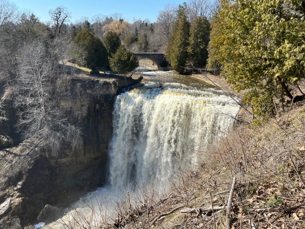
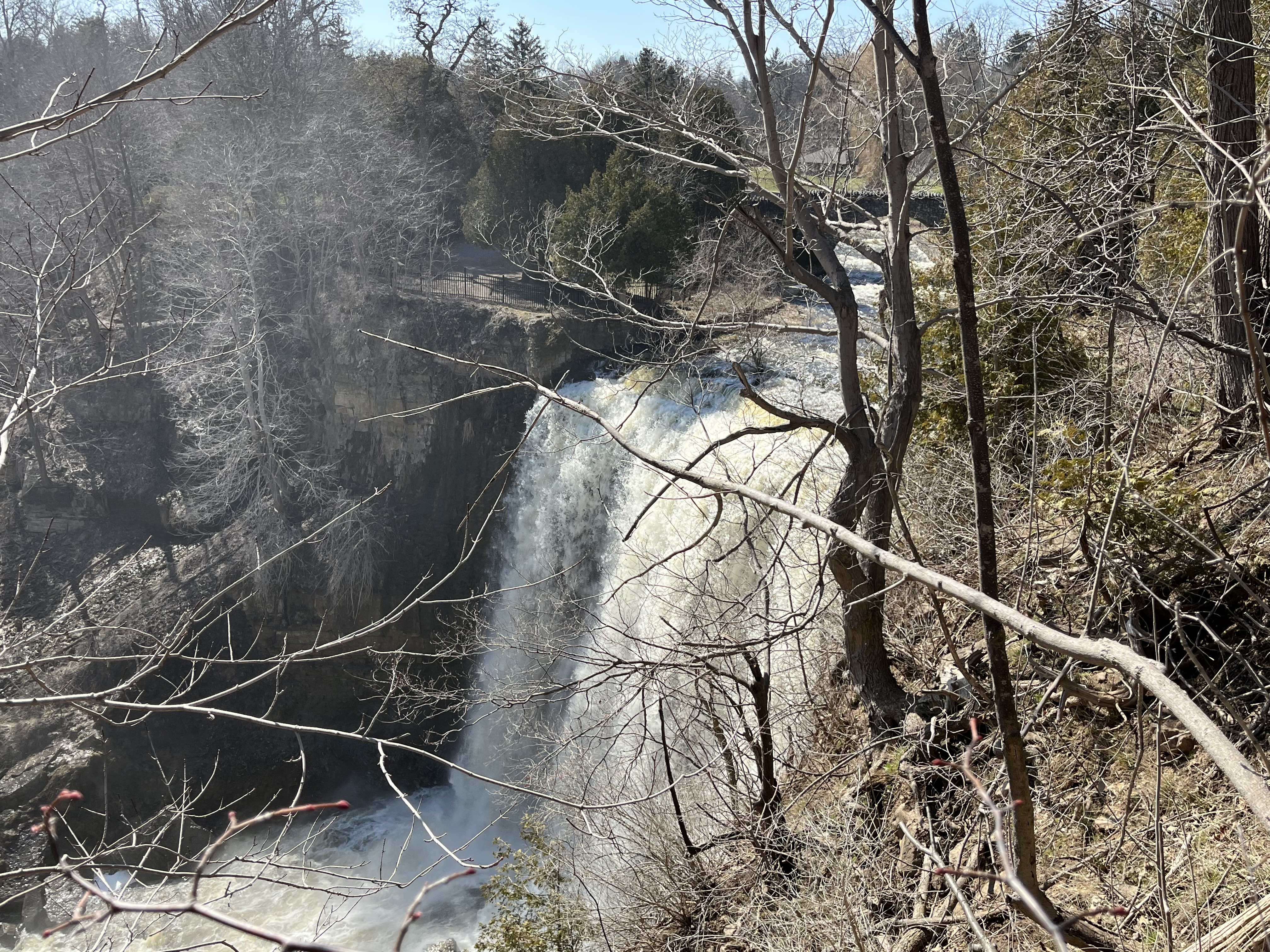
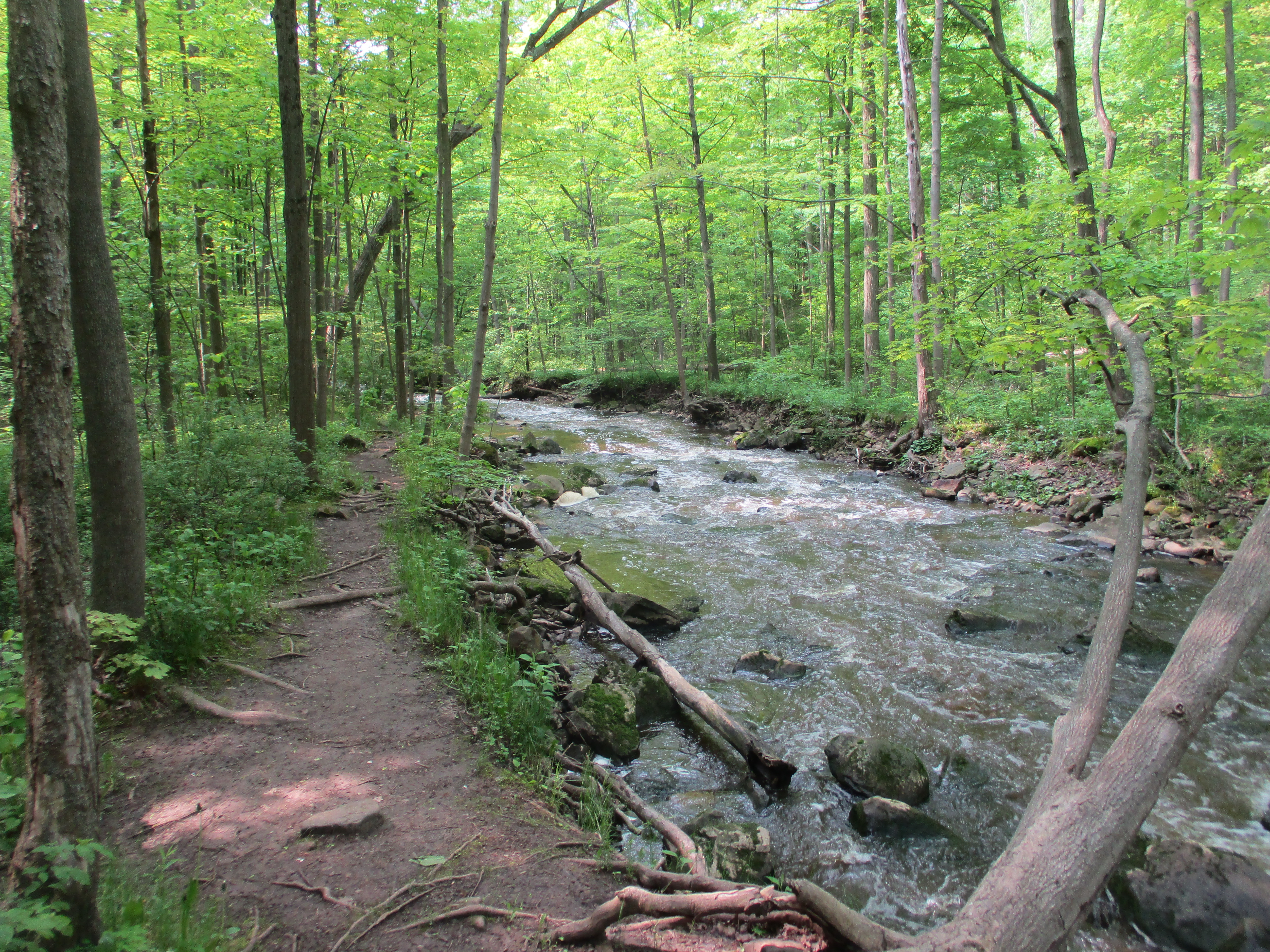
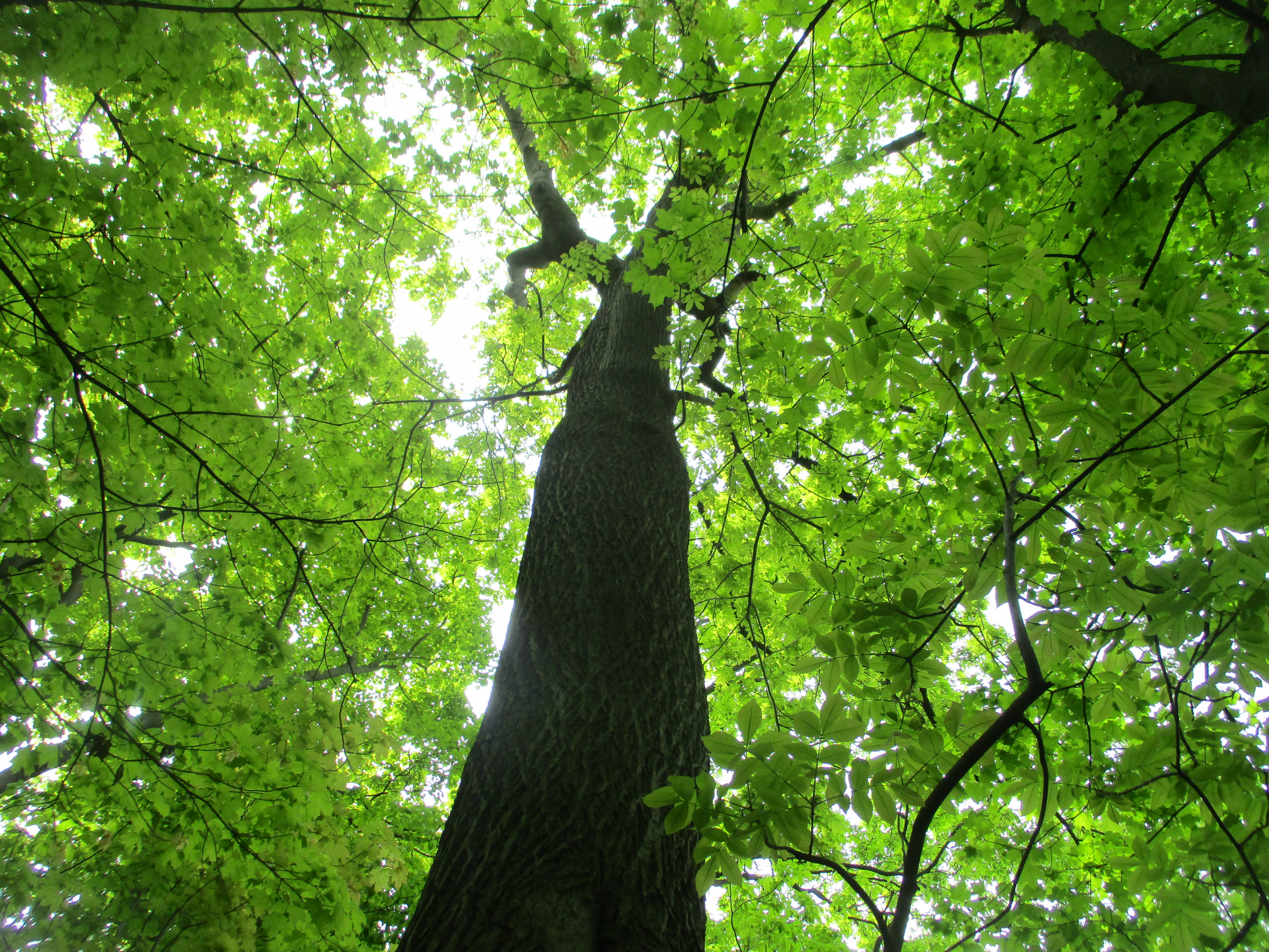
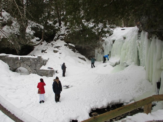
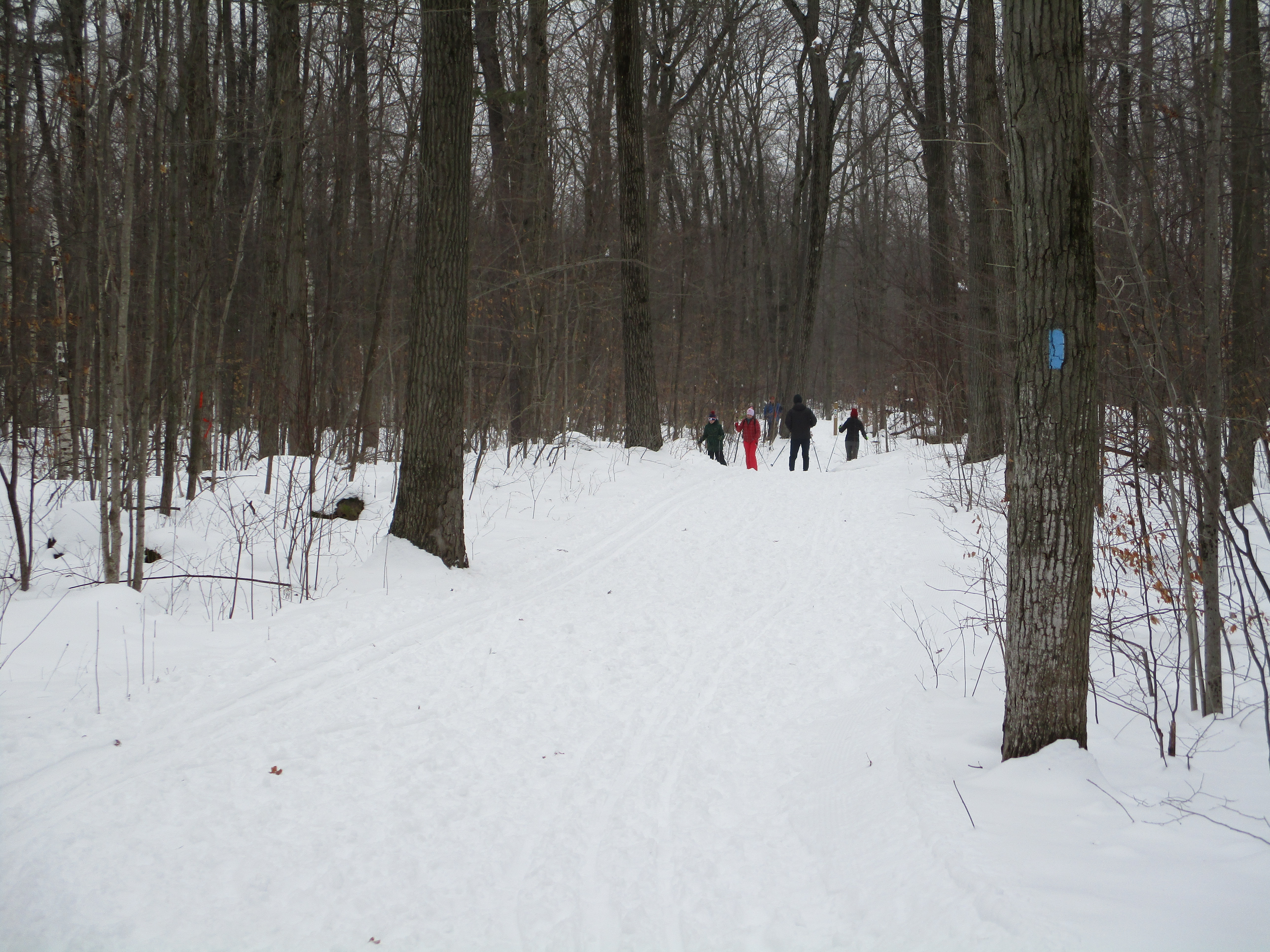
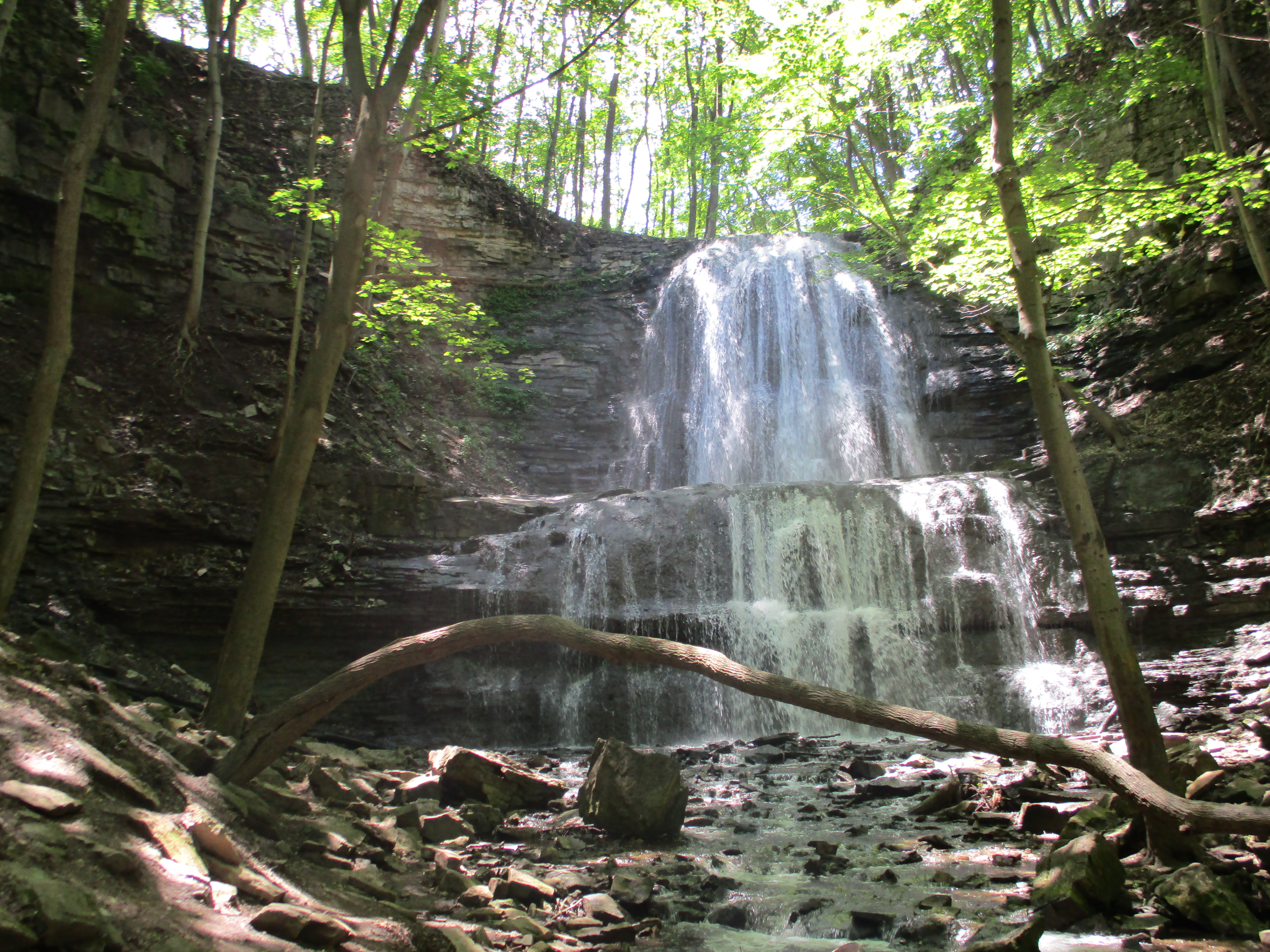
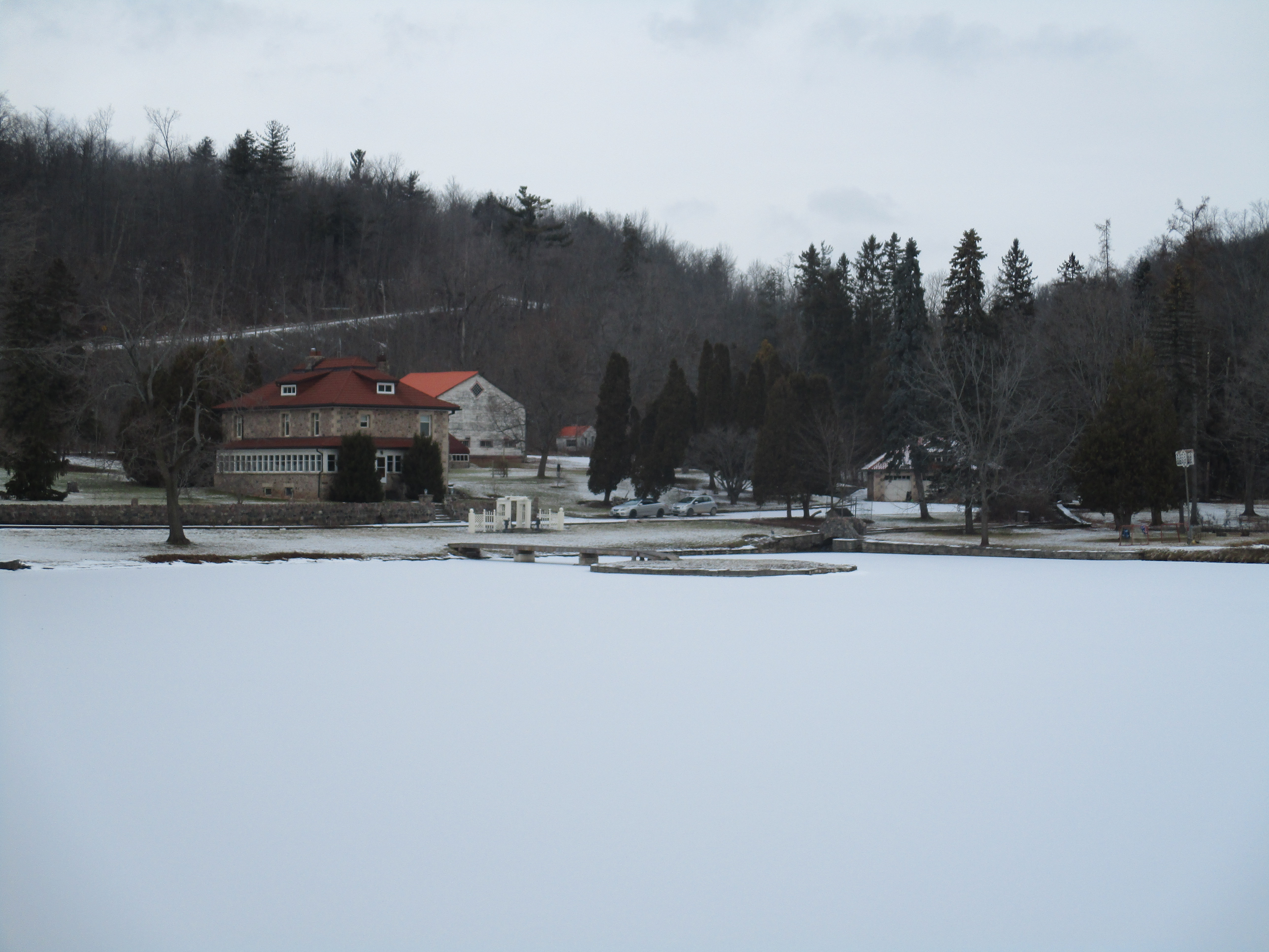
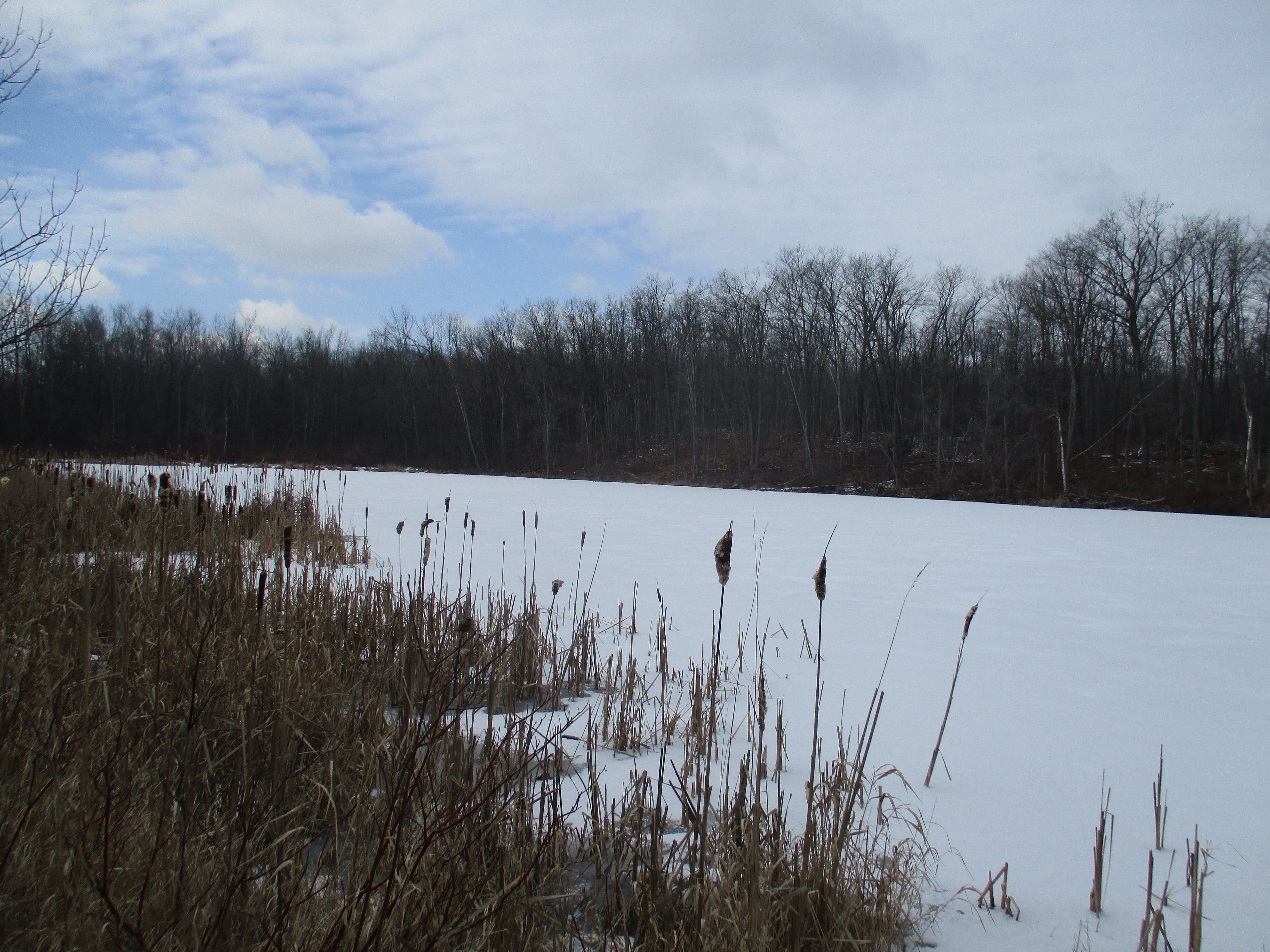
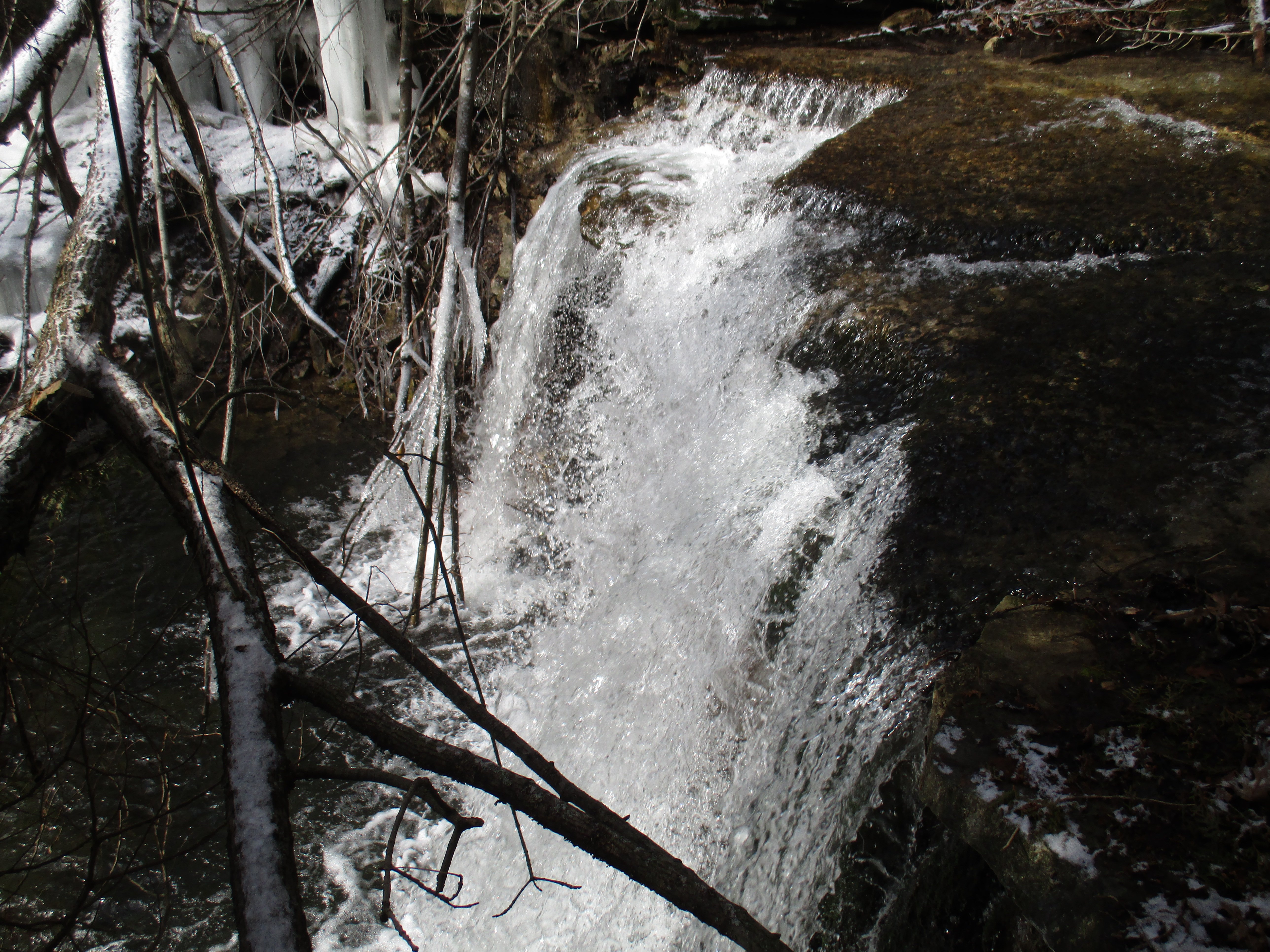
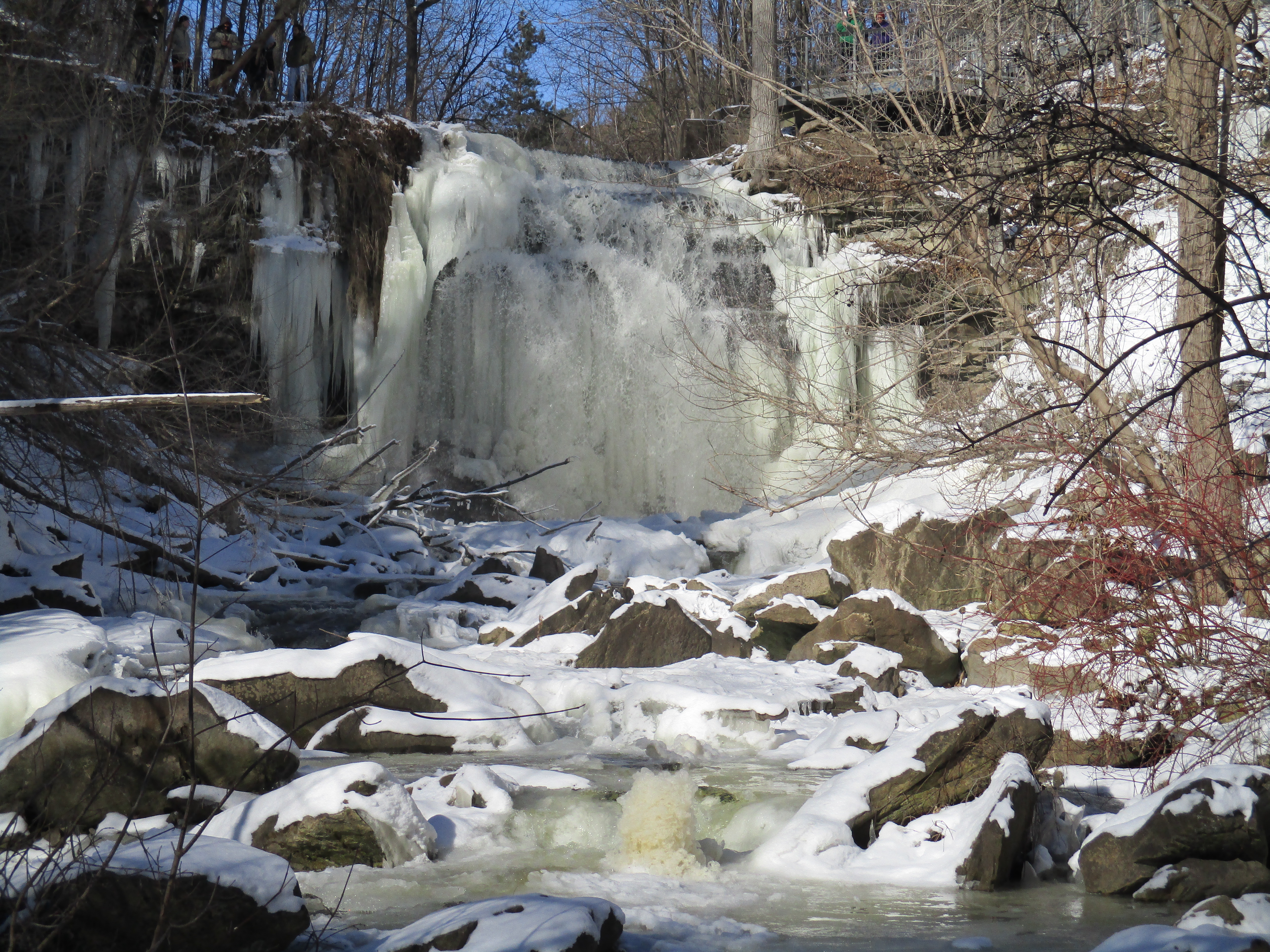
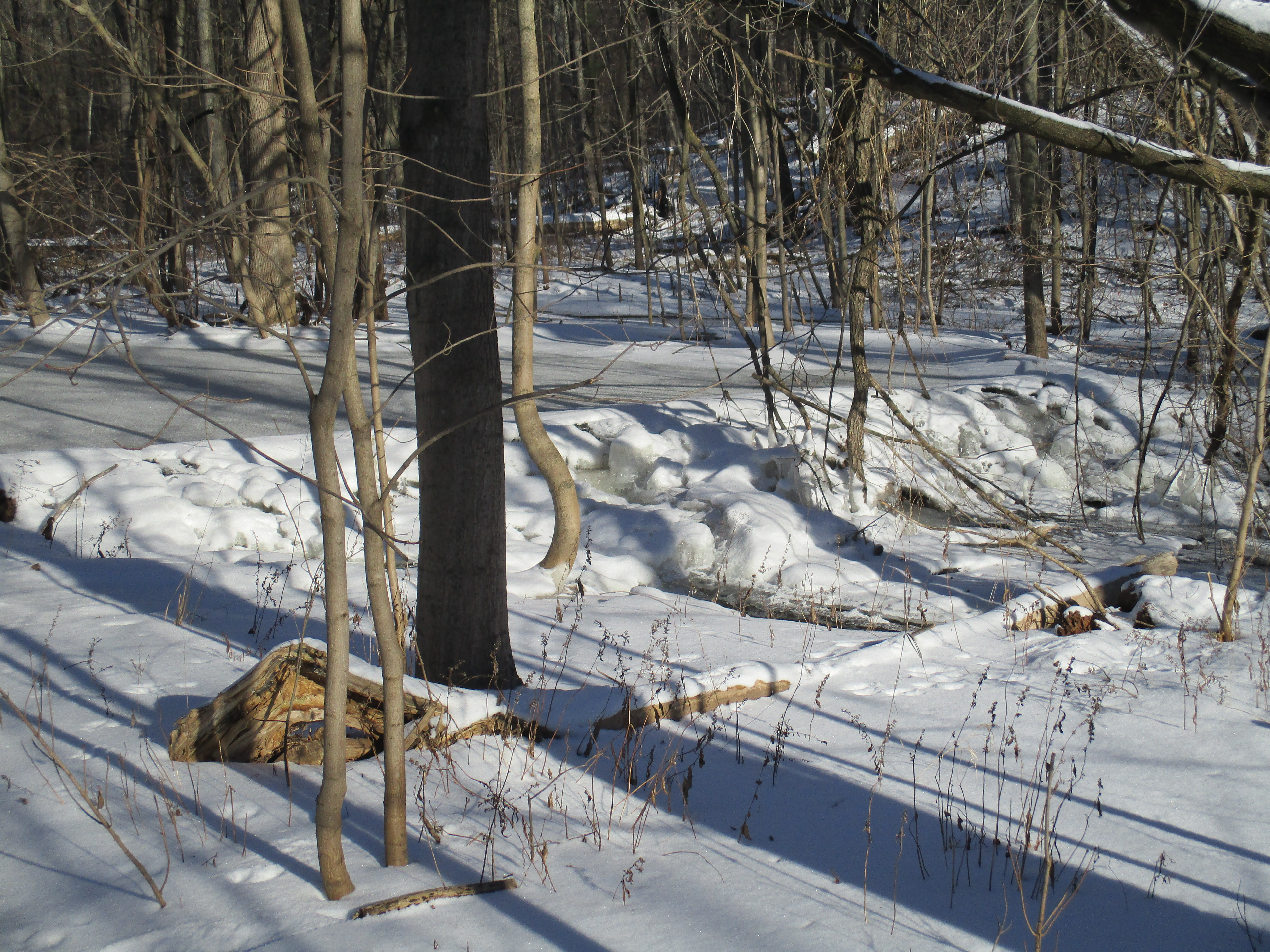
Cascades Conservation Area in Thunder Bay features the Current River and includes a one kilometre section of cascades as the river makes its way toward Lake Superior. I’m very fortunate that I get to travel around Ontario for work and that I have a client in Thunder Bay that I see every four months. They routinely provide me with options of things to see while I’m waiting for my flight home. Some of their earlier suggestions can be found in the links at the end of this article. This trip I was rewarded with a visit to Cascades Conservation Area. The conservation area is 162 hectares or 400 acres and has over 5 kilometres of trails to carry you through the popular and birch forest.
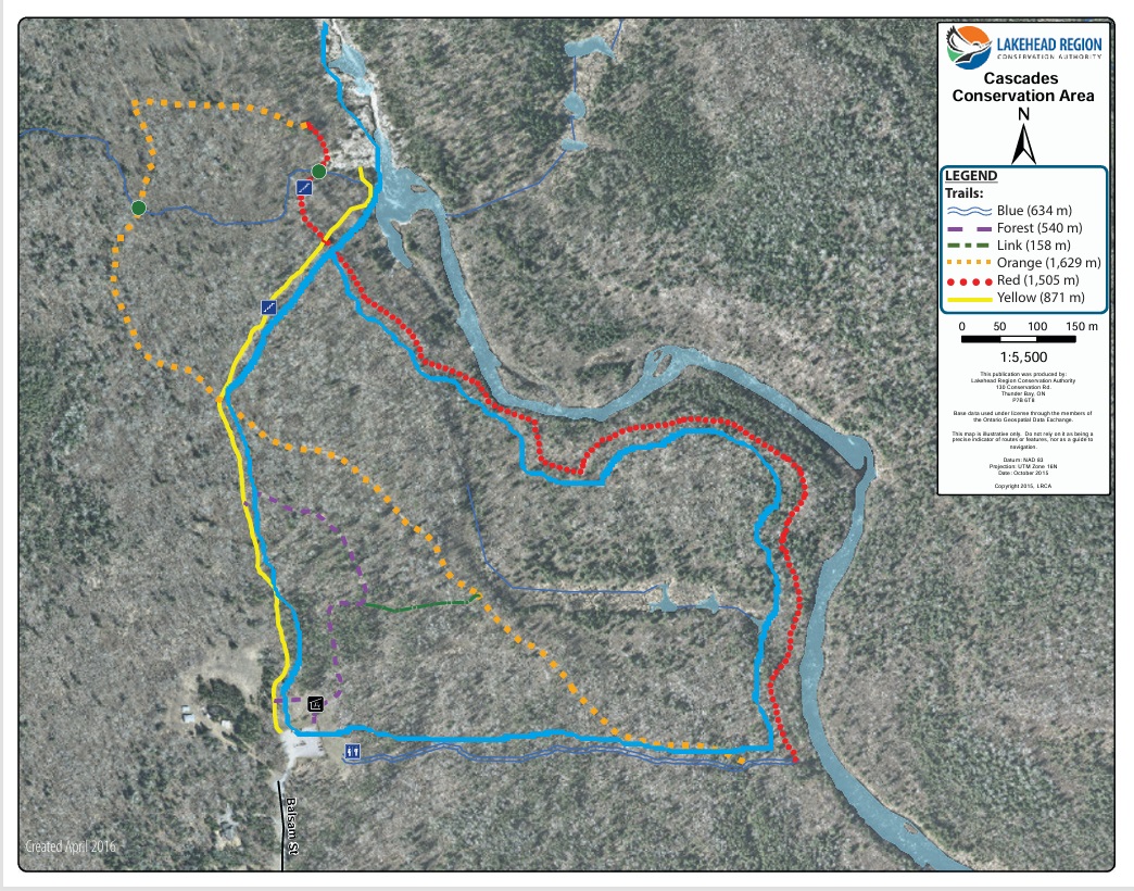
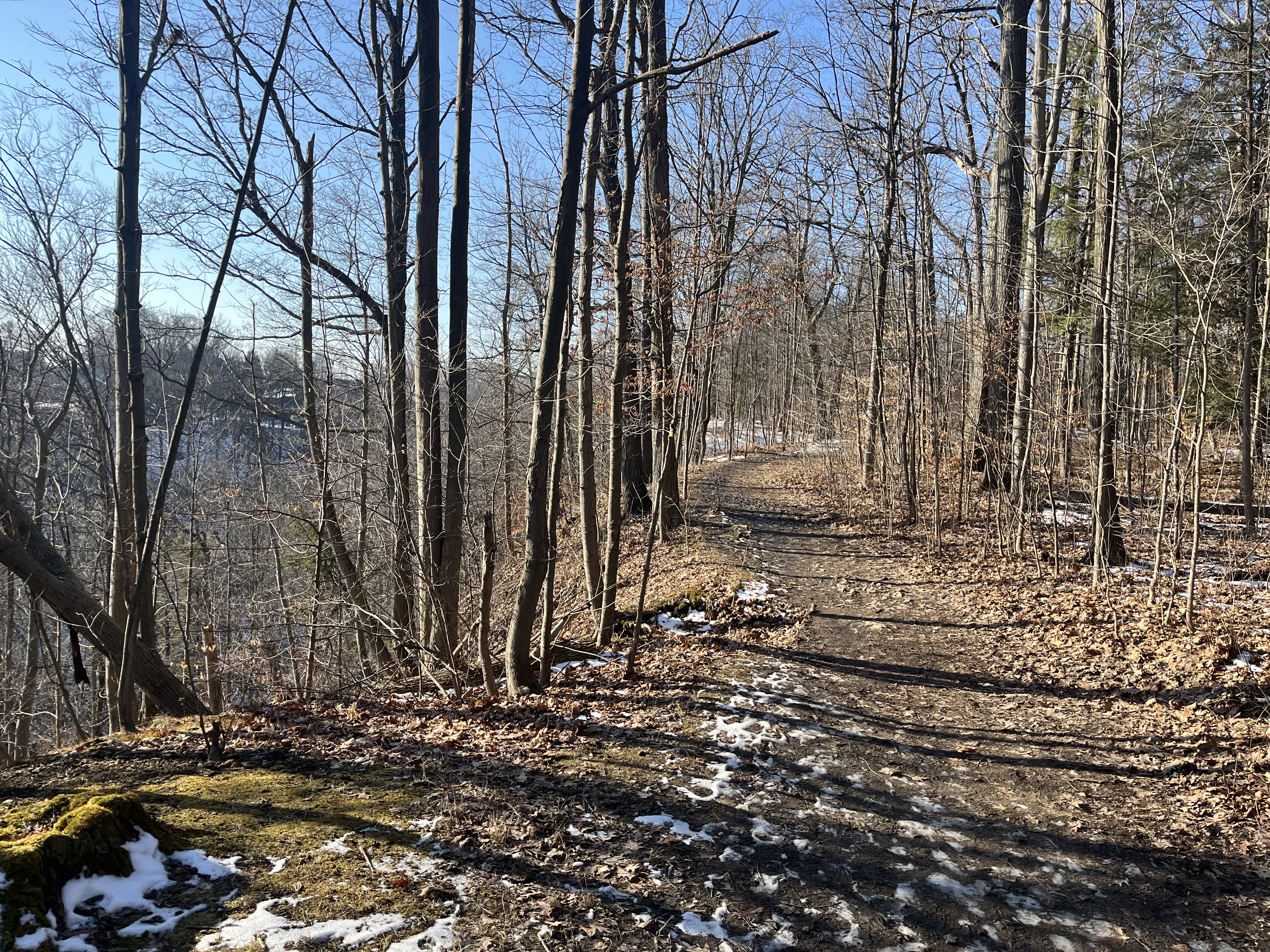
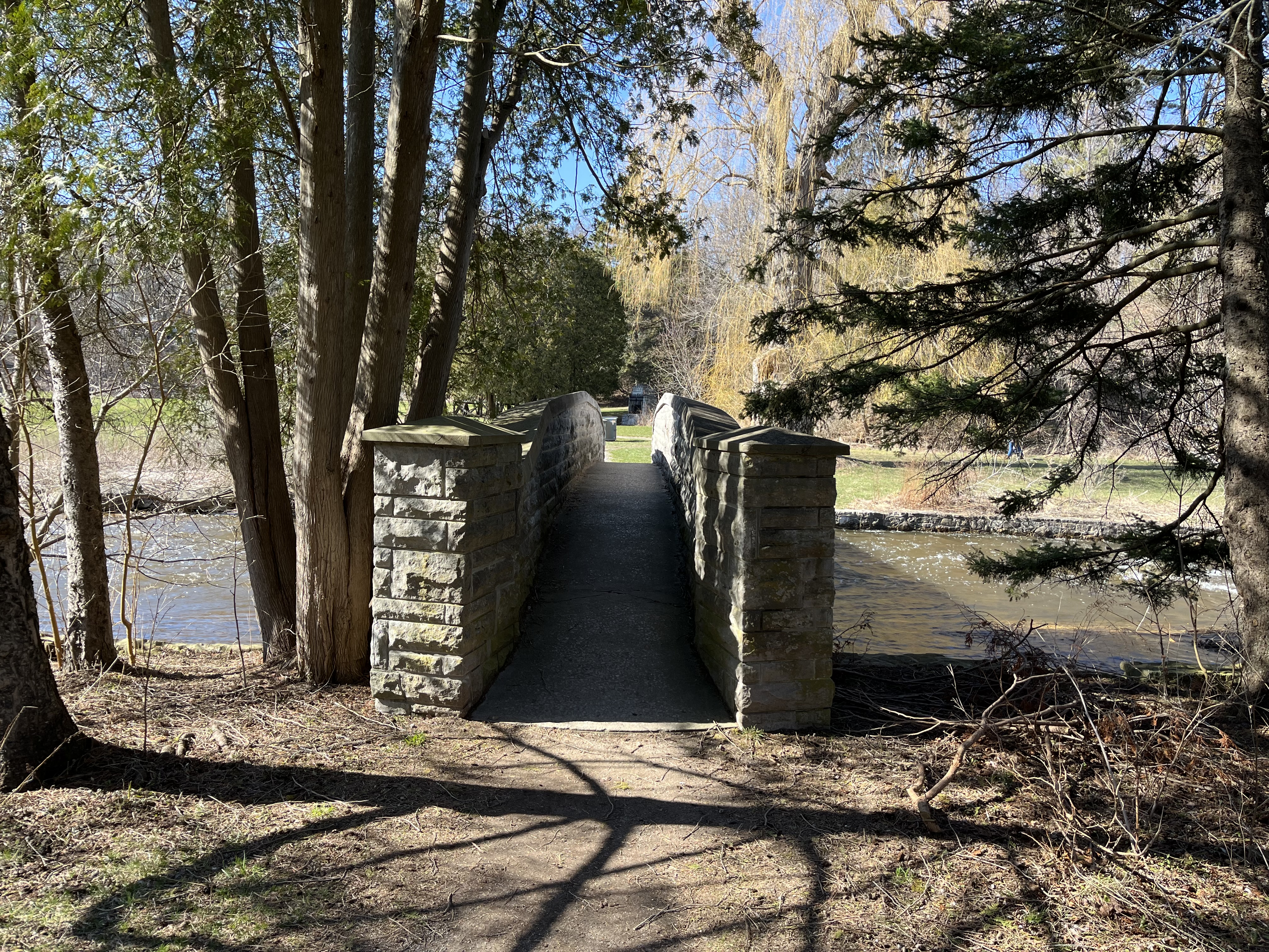
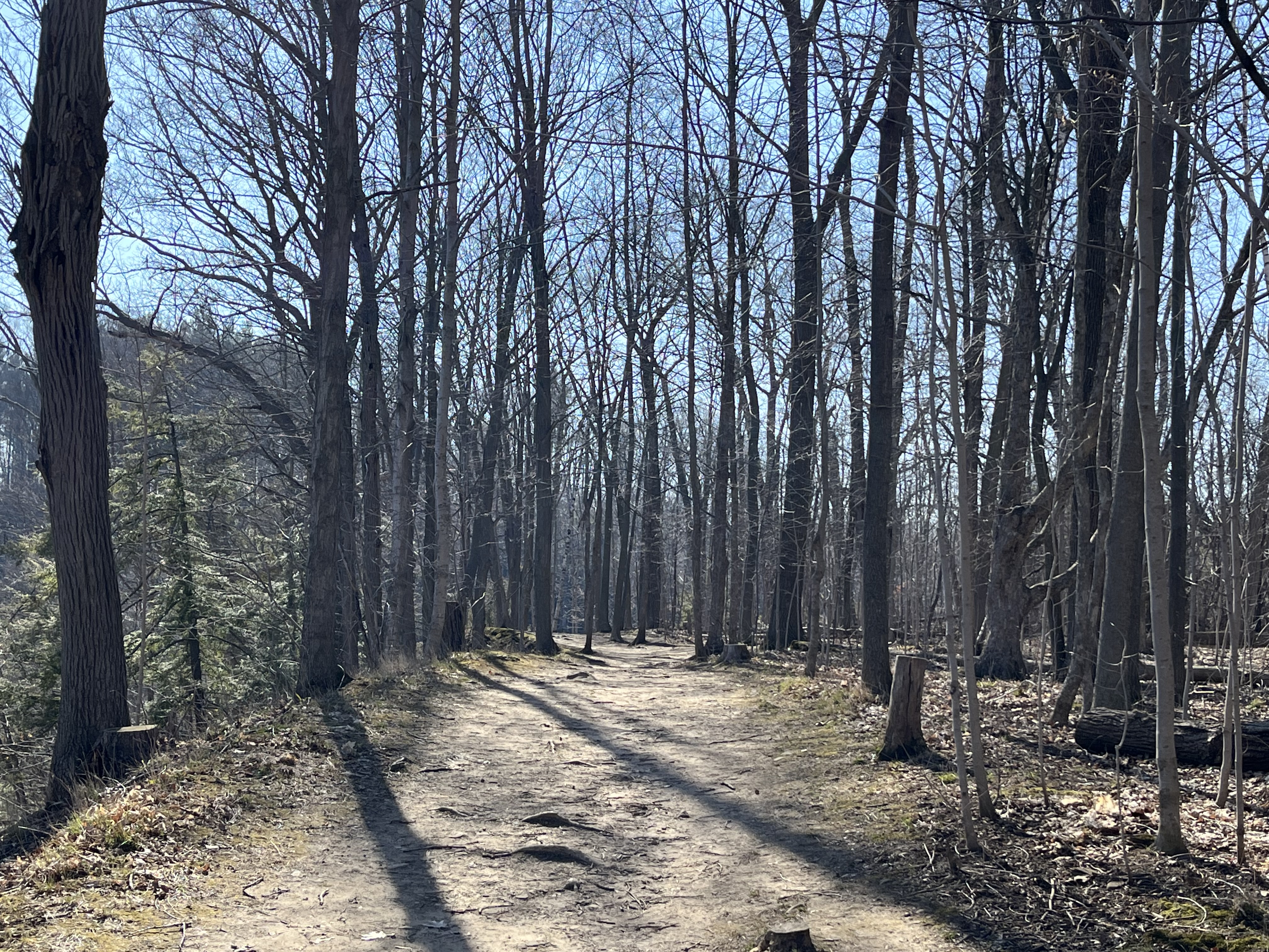
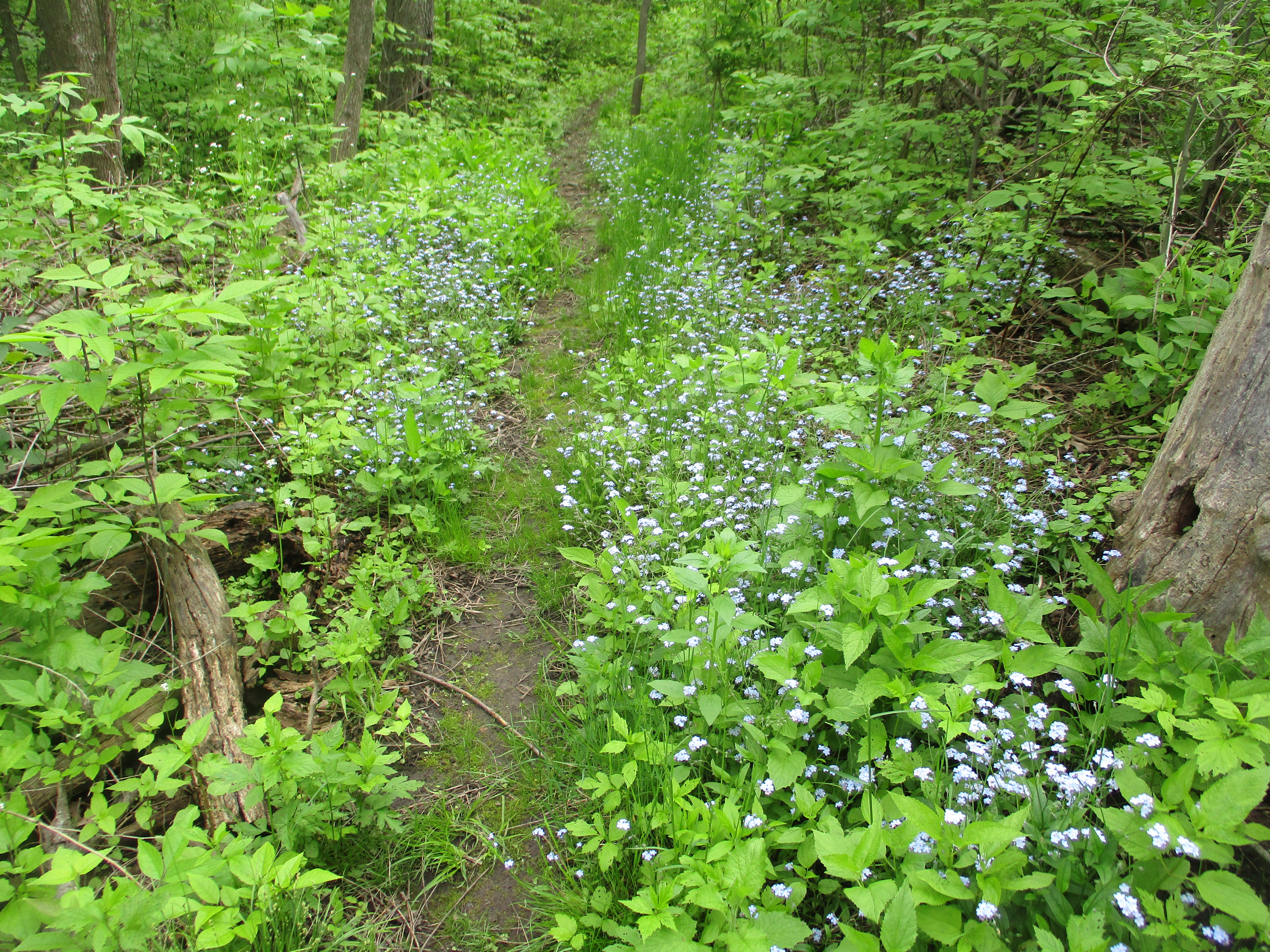
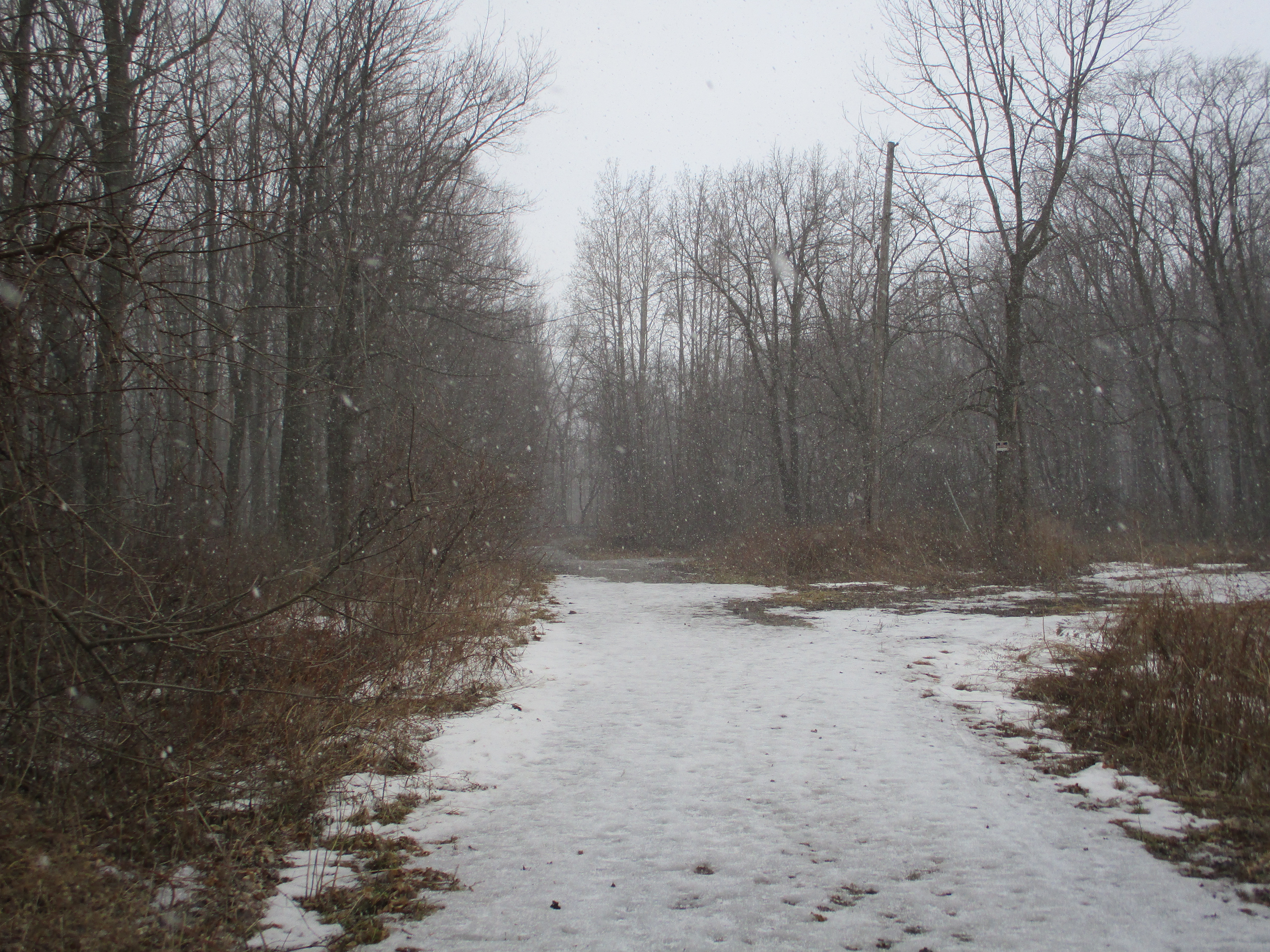
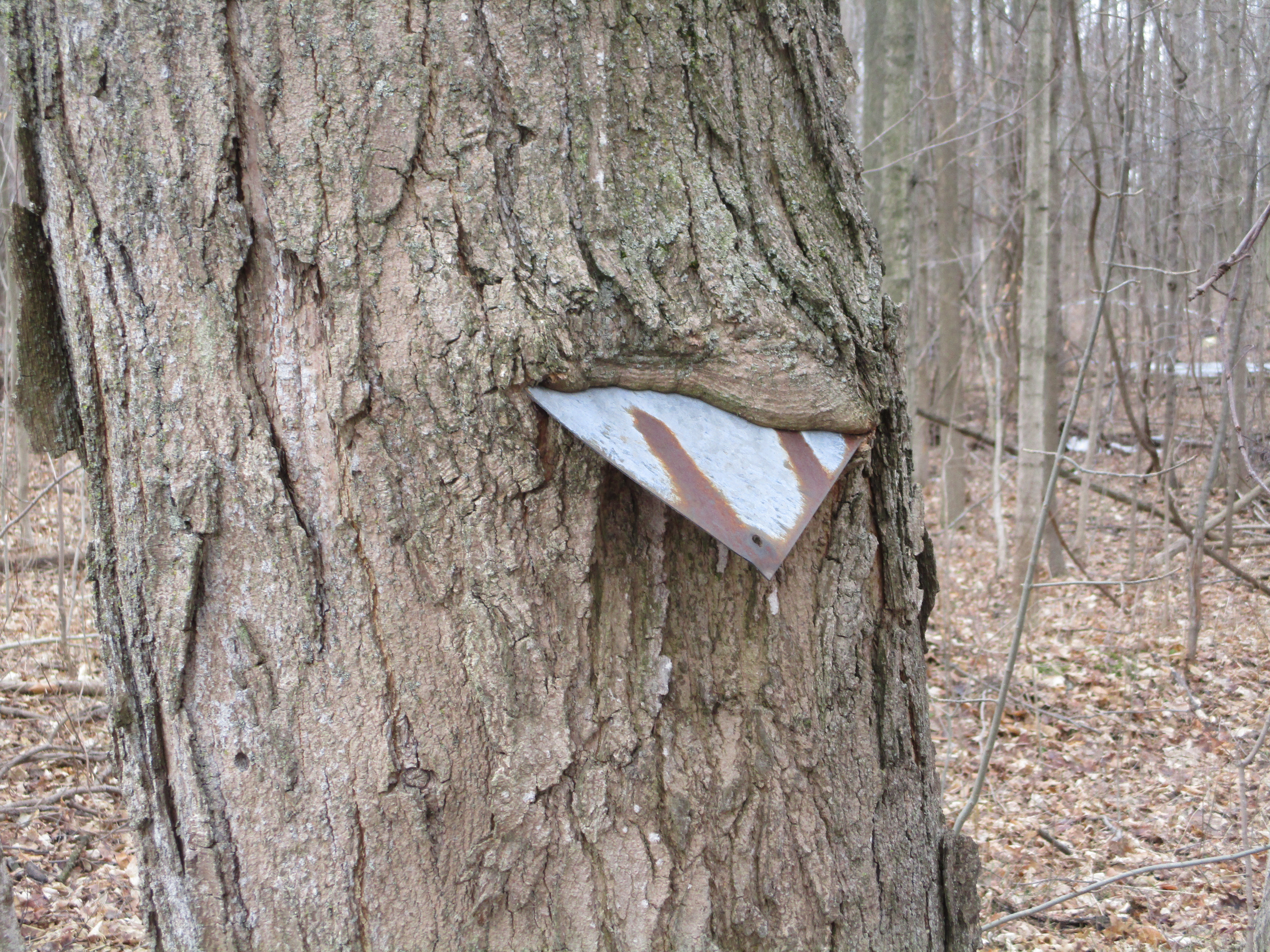
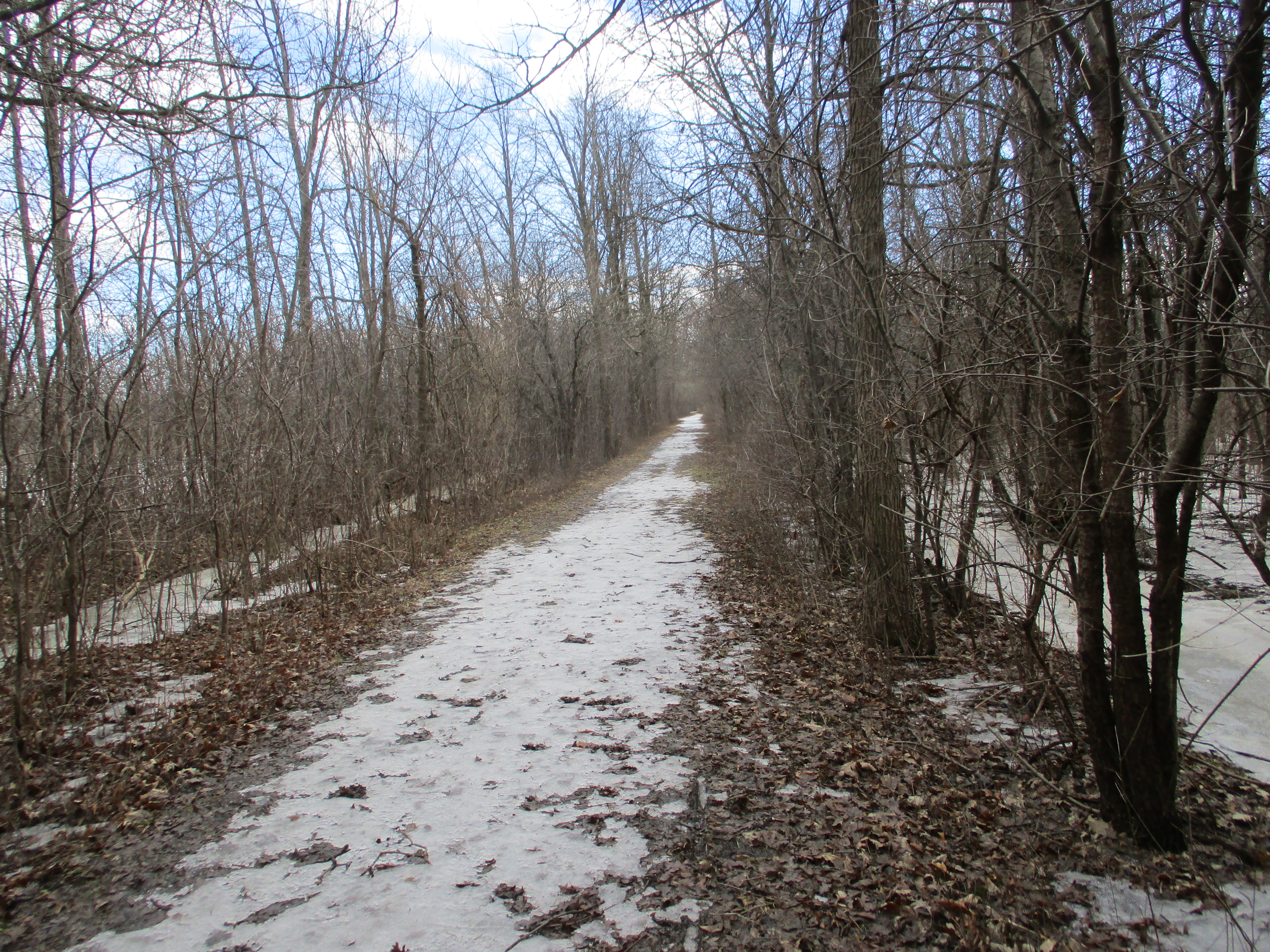
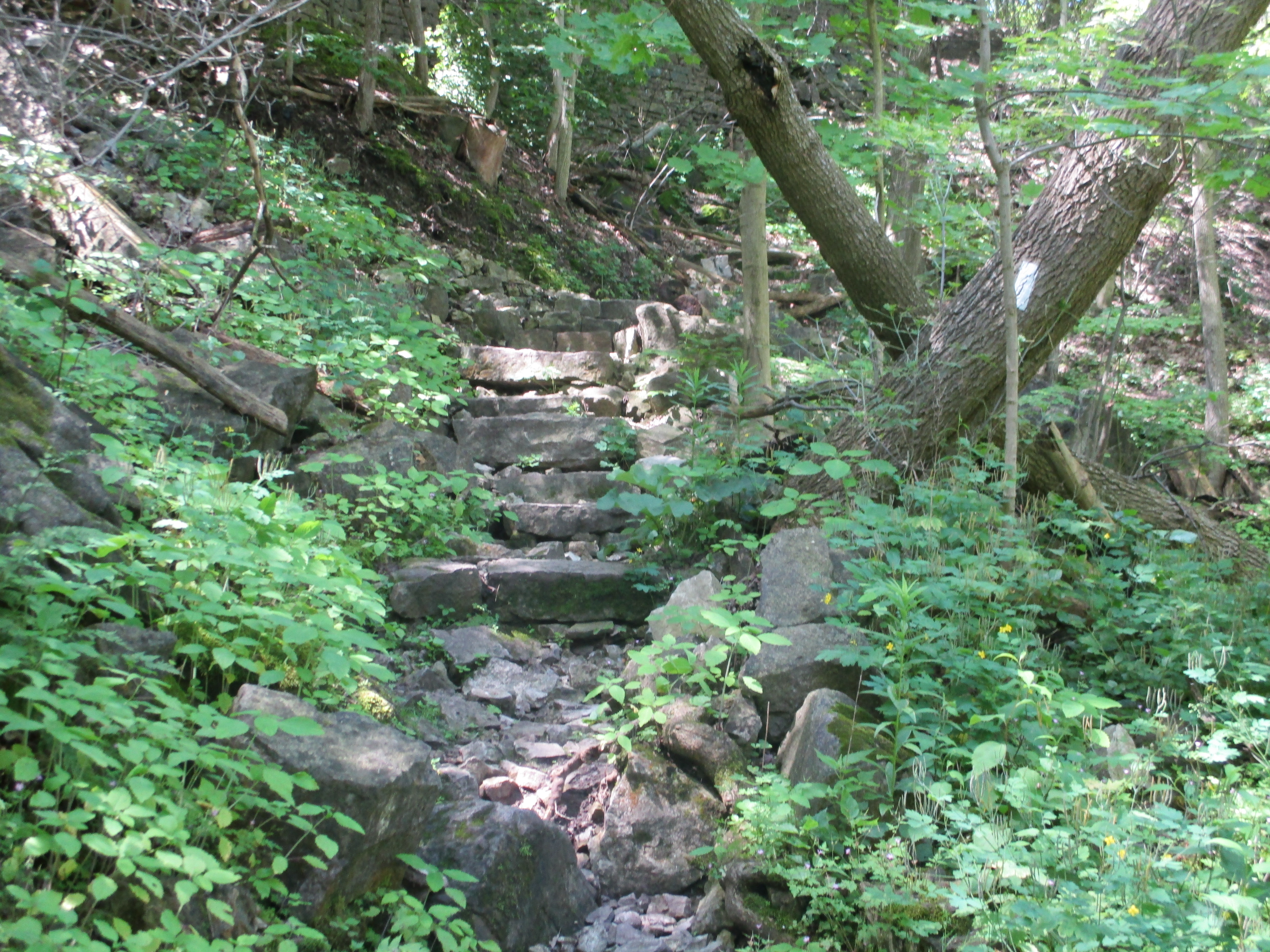
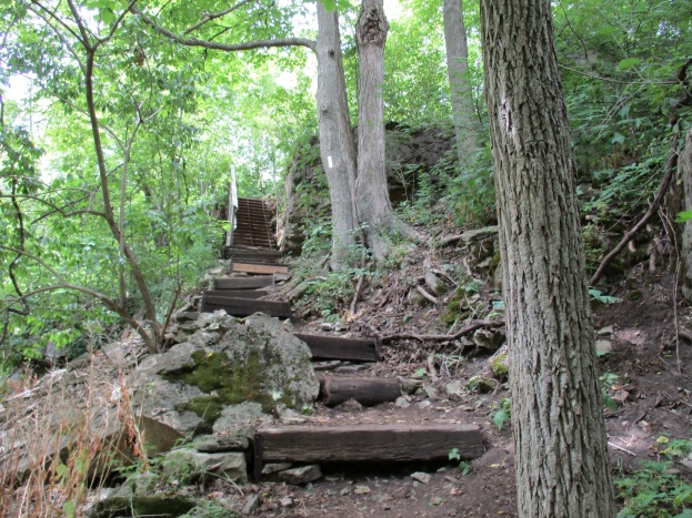
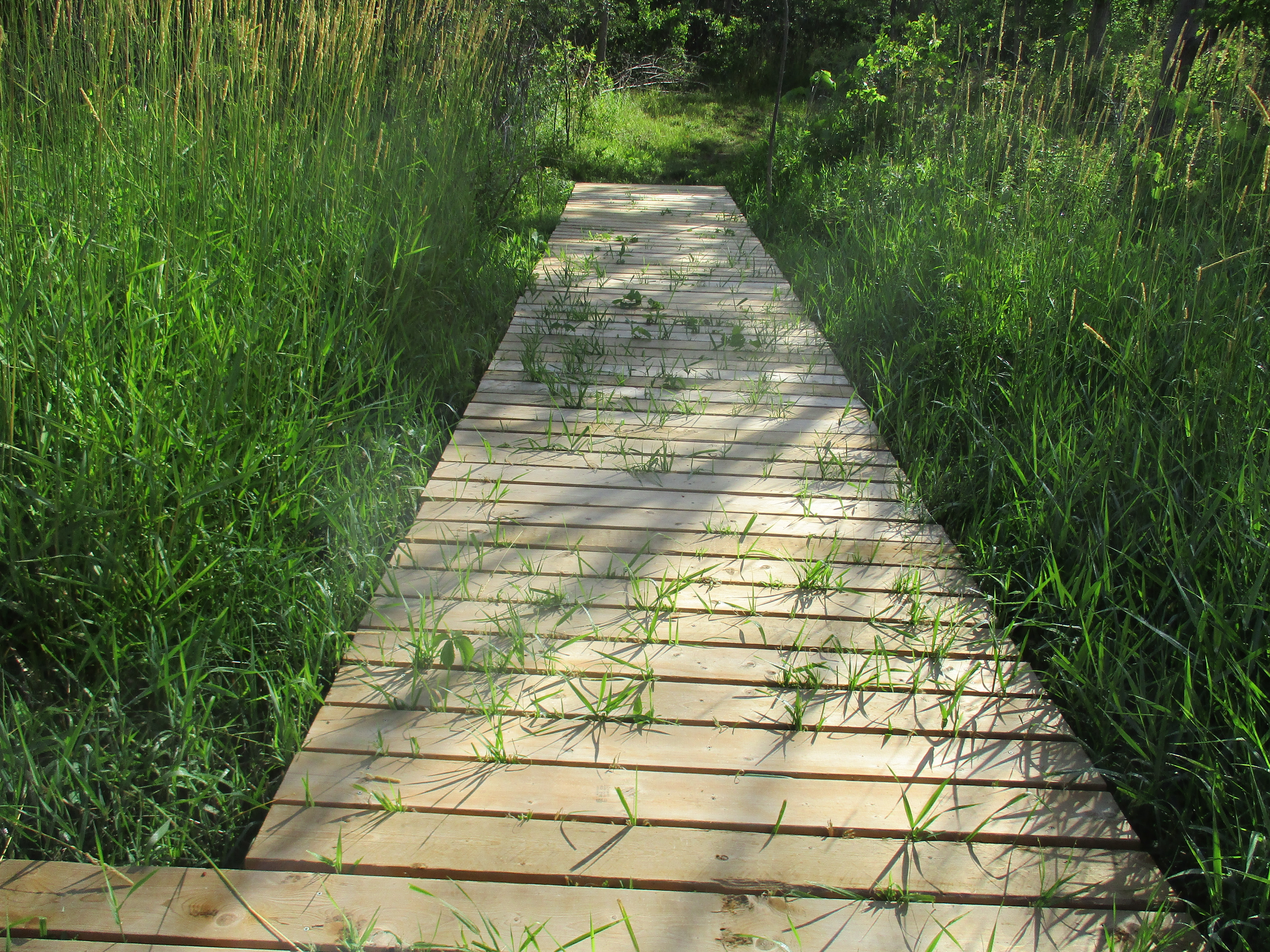
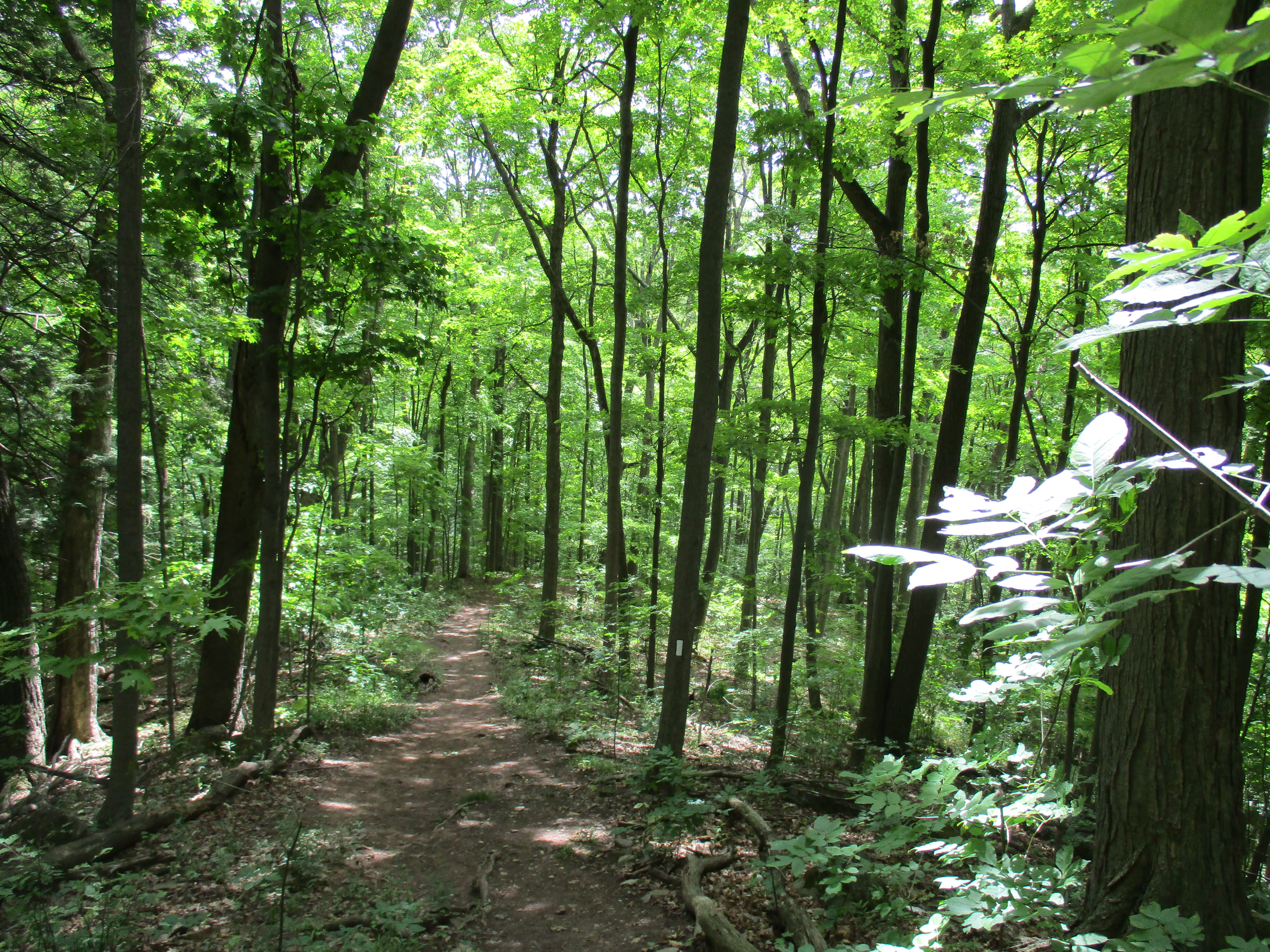
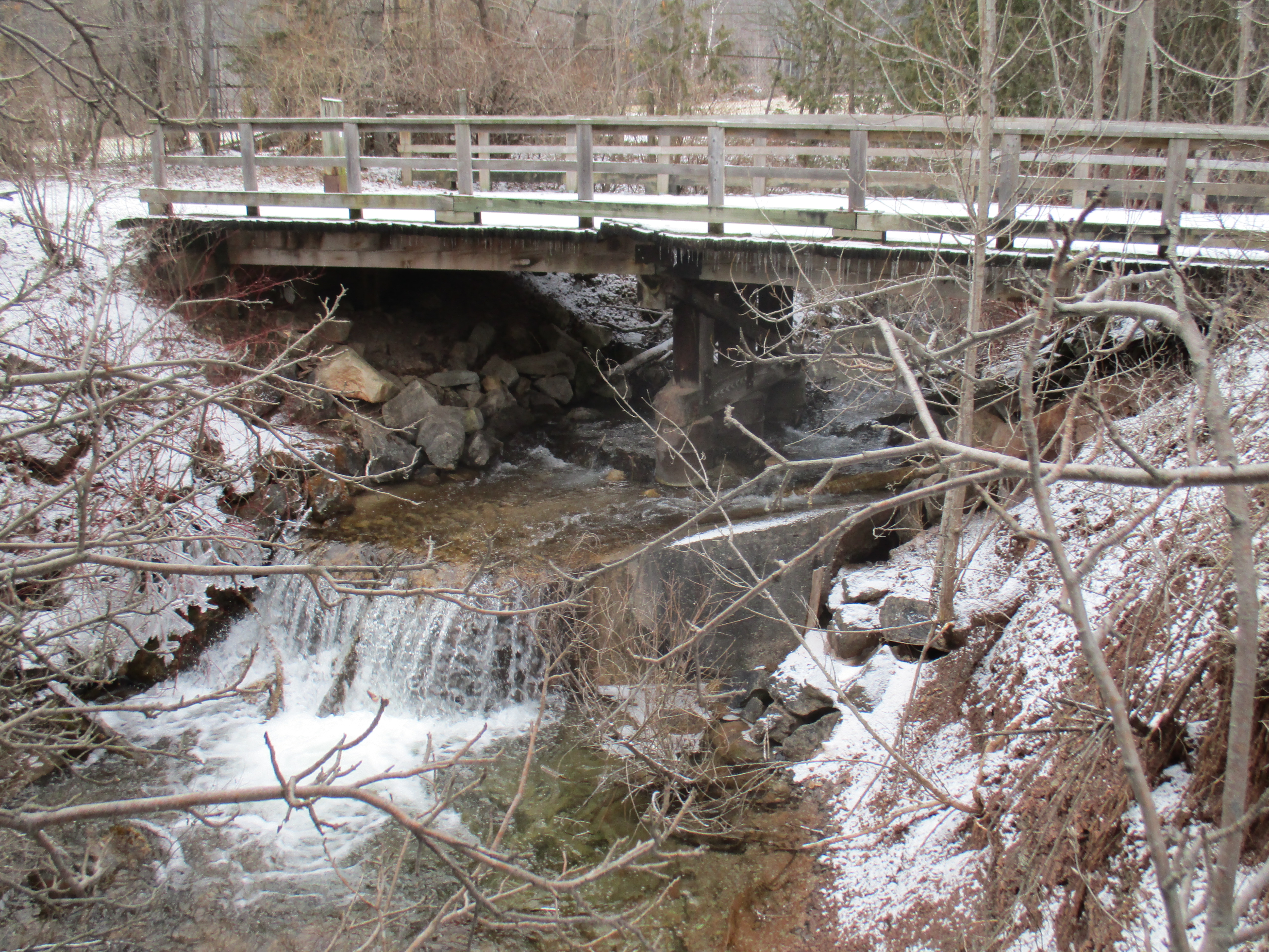
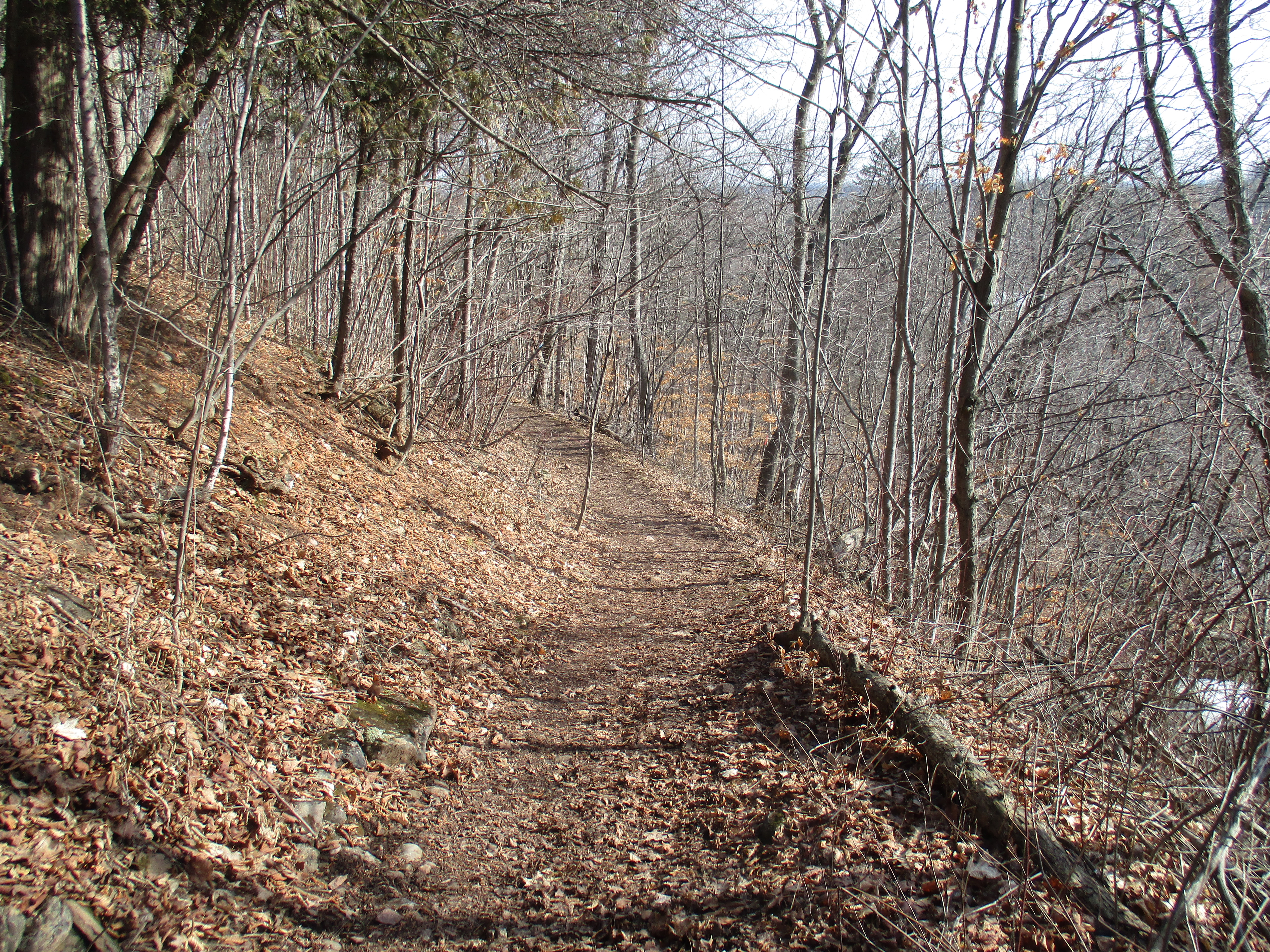
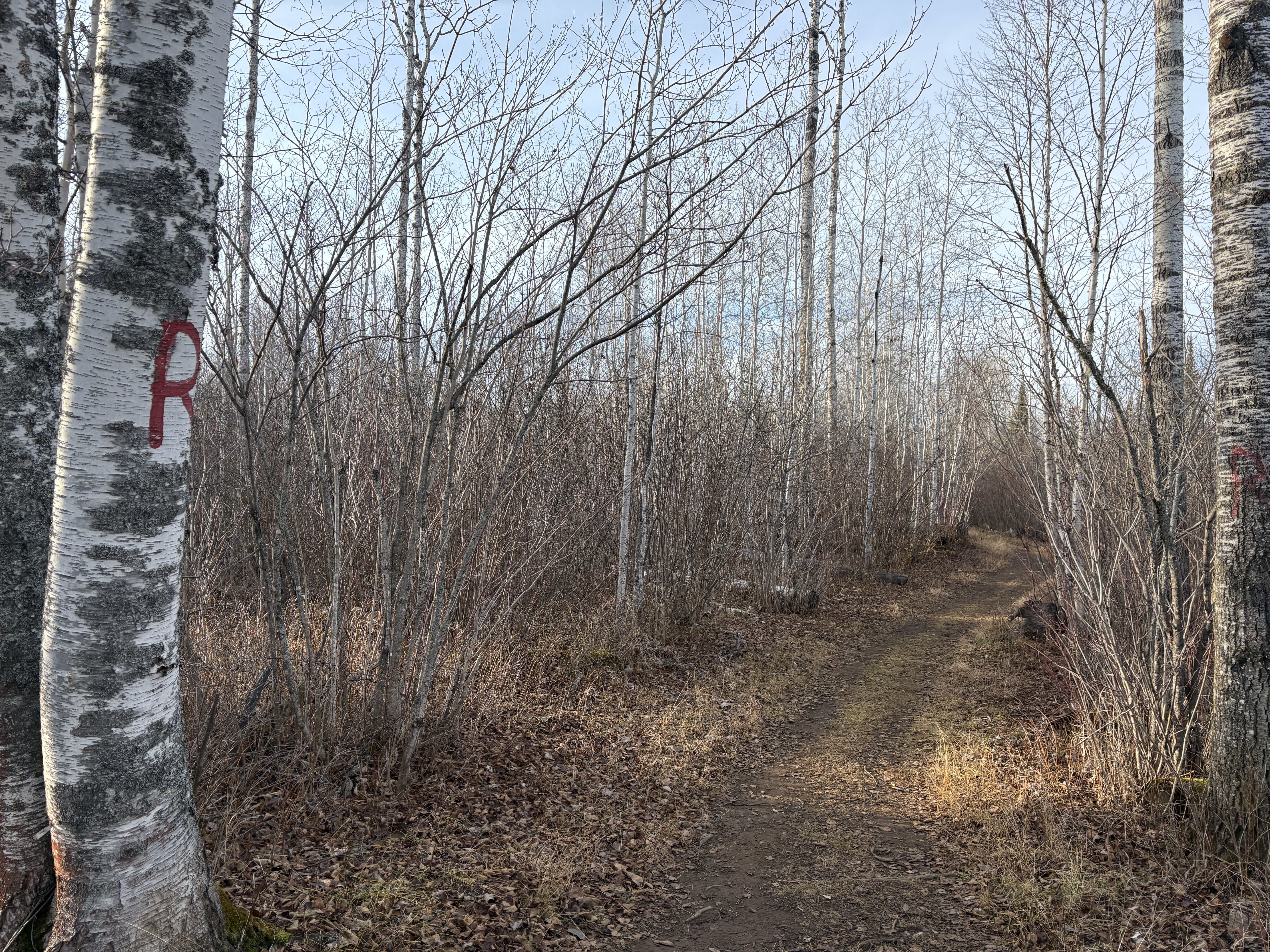
The trails are nice and wide and colour coded so that you can know which trail you are on. The markings are very creative, using a yellow “Y” to designate the yellow trail. One short trail was paved in 2002 to allow a fully accessible experience for those who need it. Unfortunately, this doesn’t go all the way to the river. Parts of the trail system are more challenging with some climbing and some uneven footing. Be careful on those days when the ground is wet because they can be slippery and the trails are not maintained in the winter.
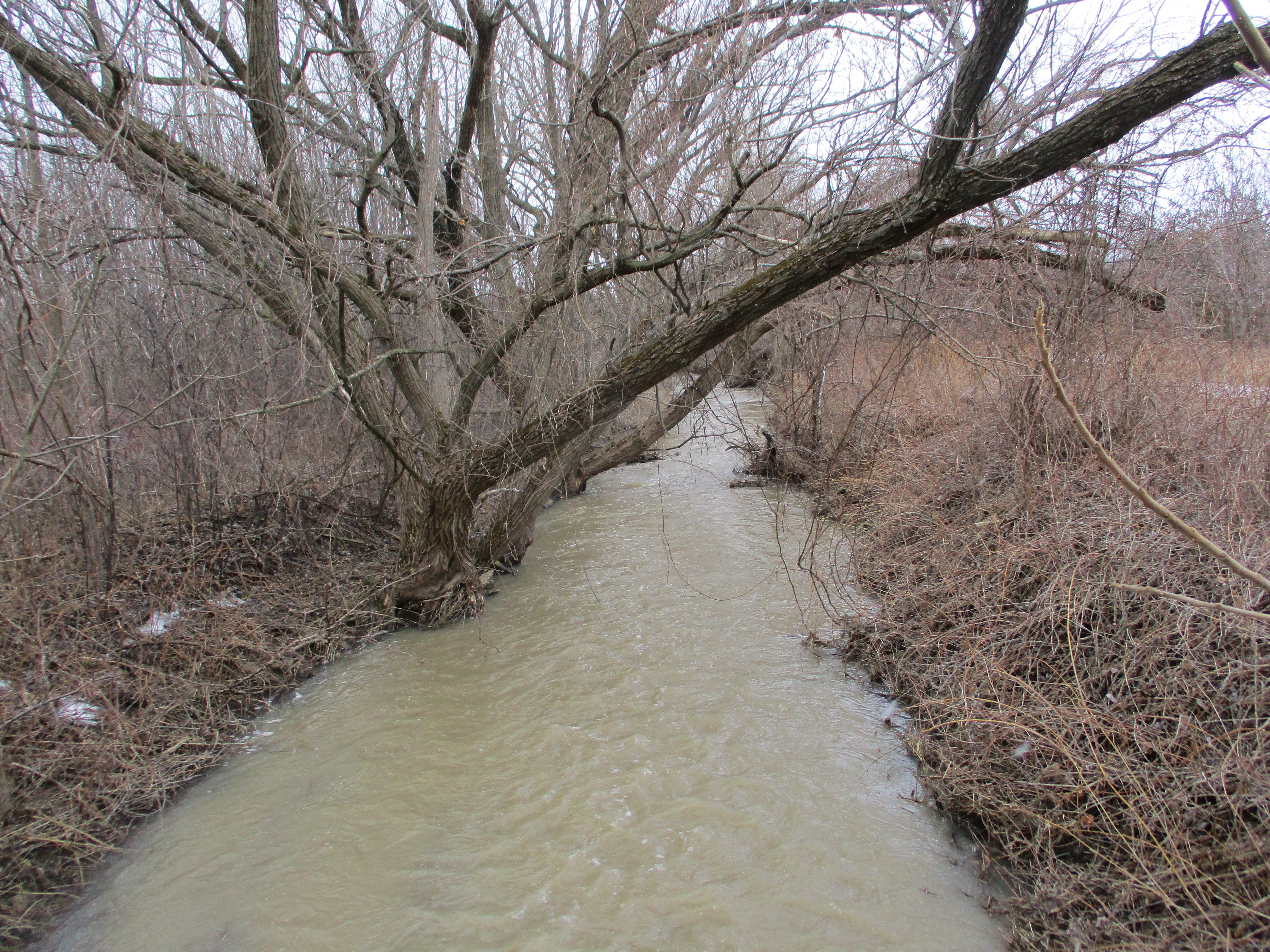
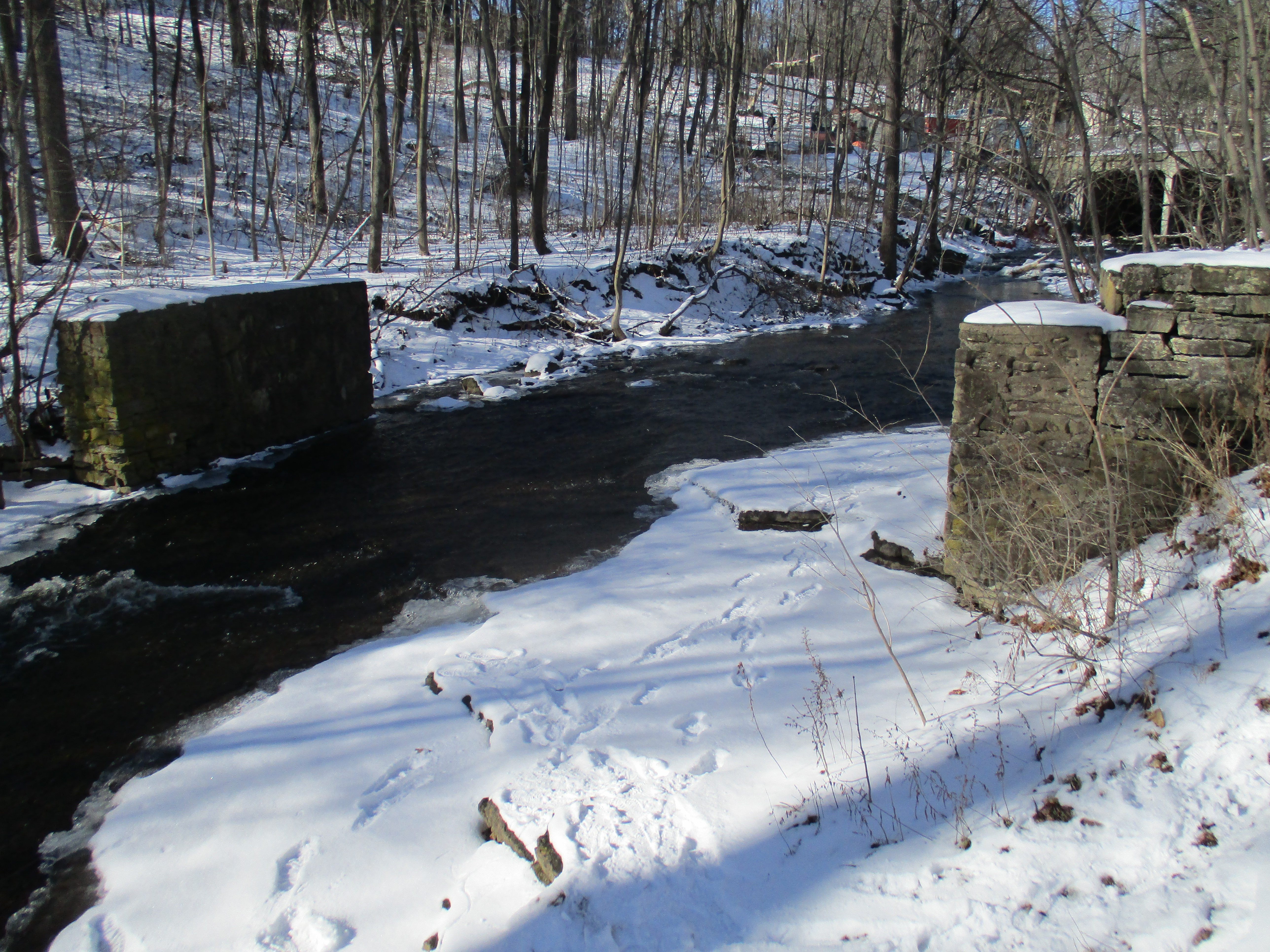
The Current River takes its name from the original French name Riviere Aux Courants which was given to it by the early explorers. It is one of the main rivers that empty into Lake Superior in Thunder Bay.
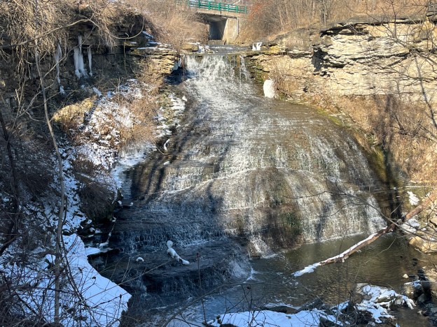
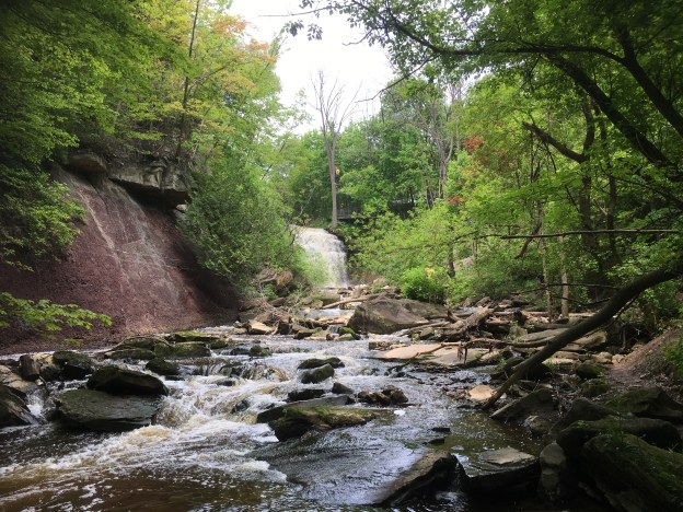
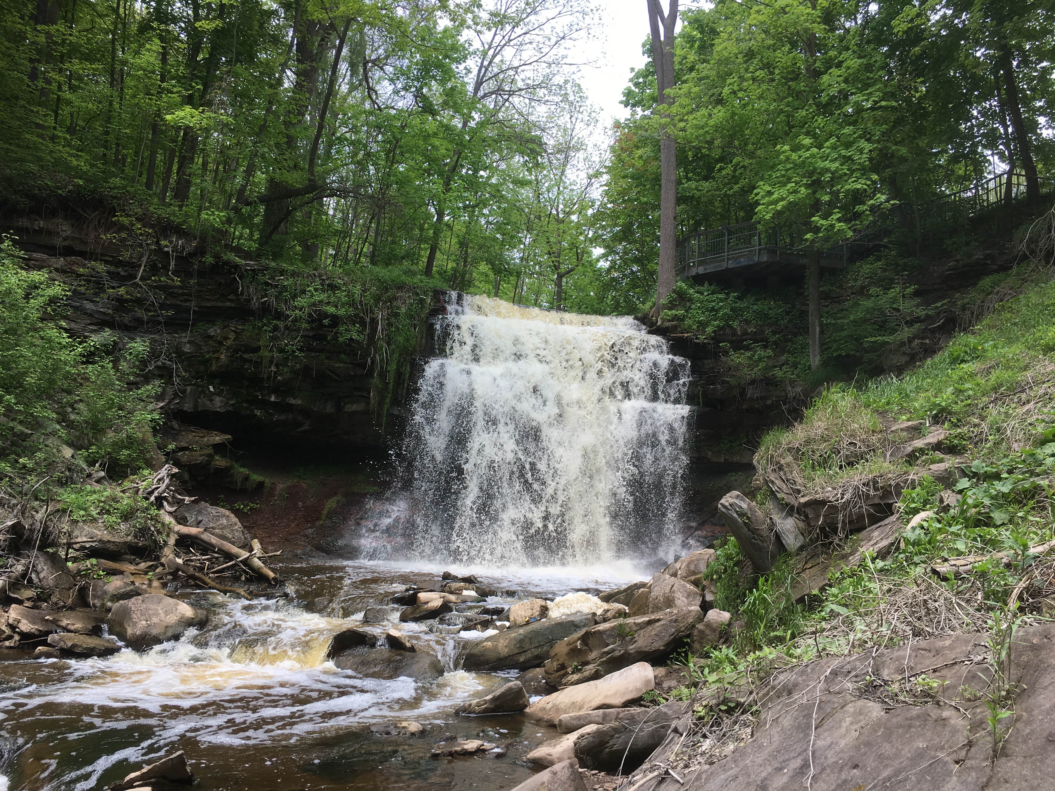
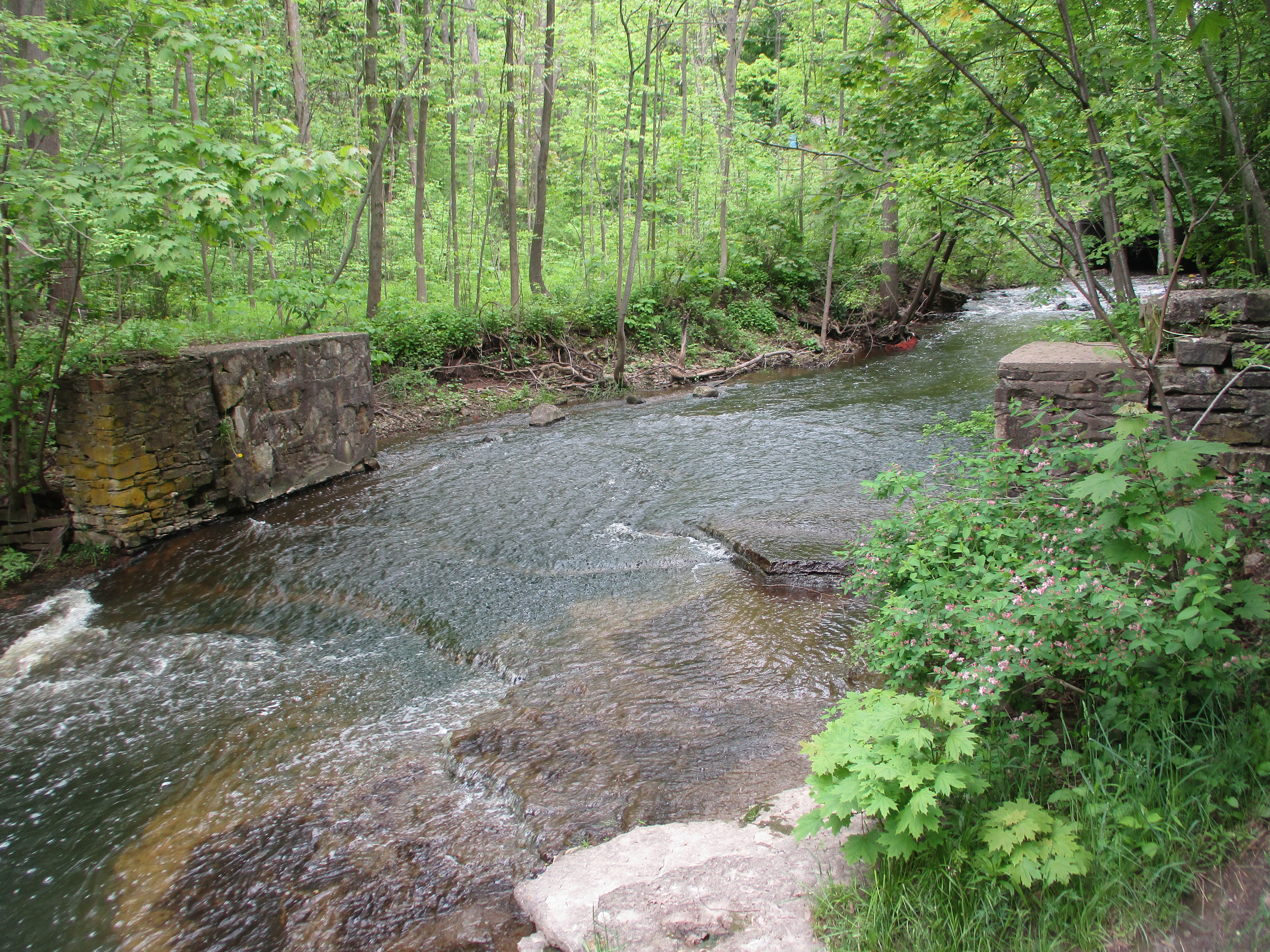
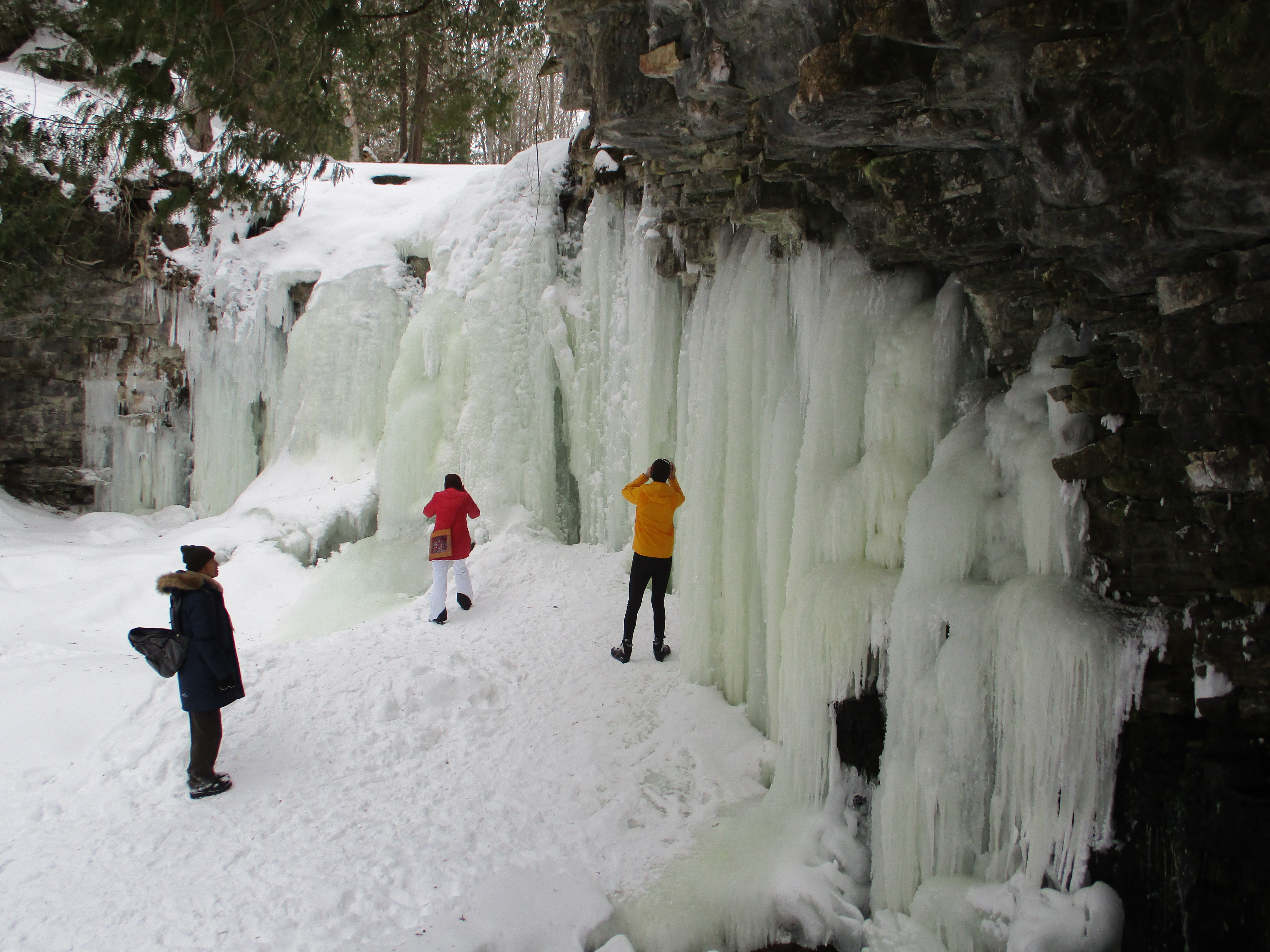
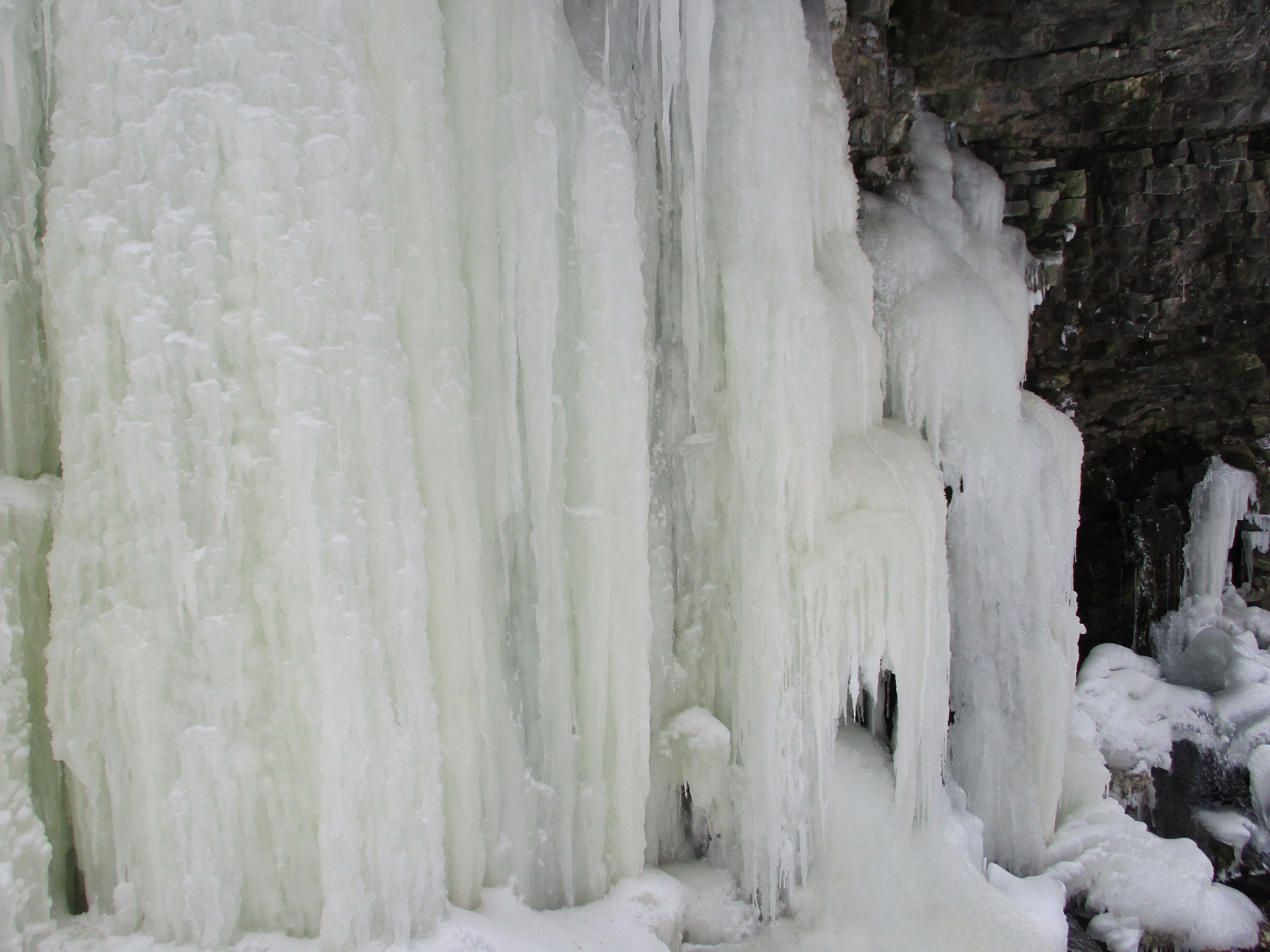
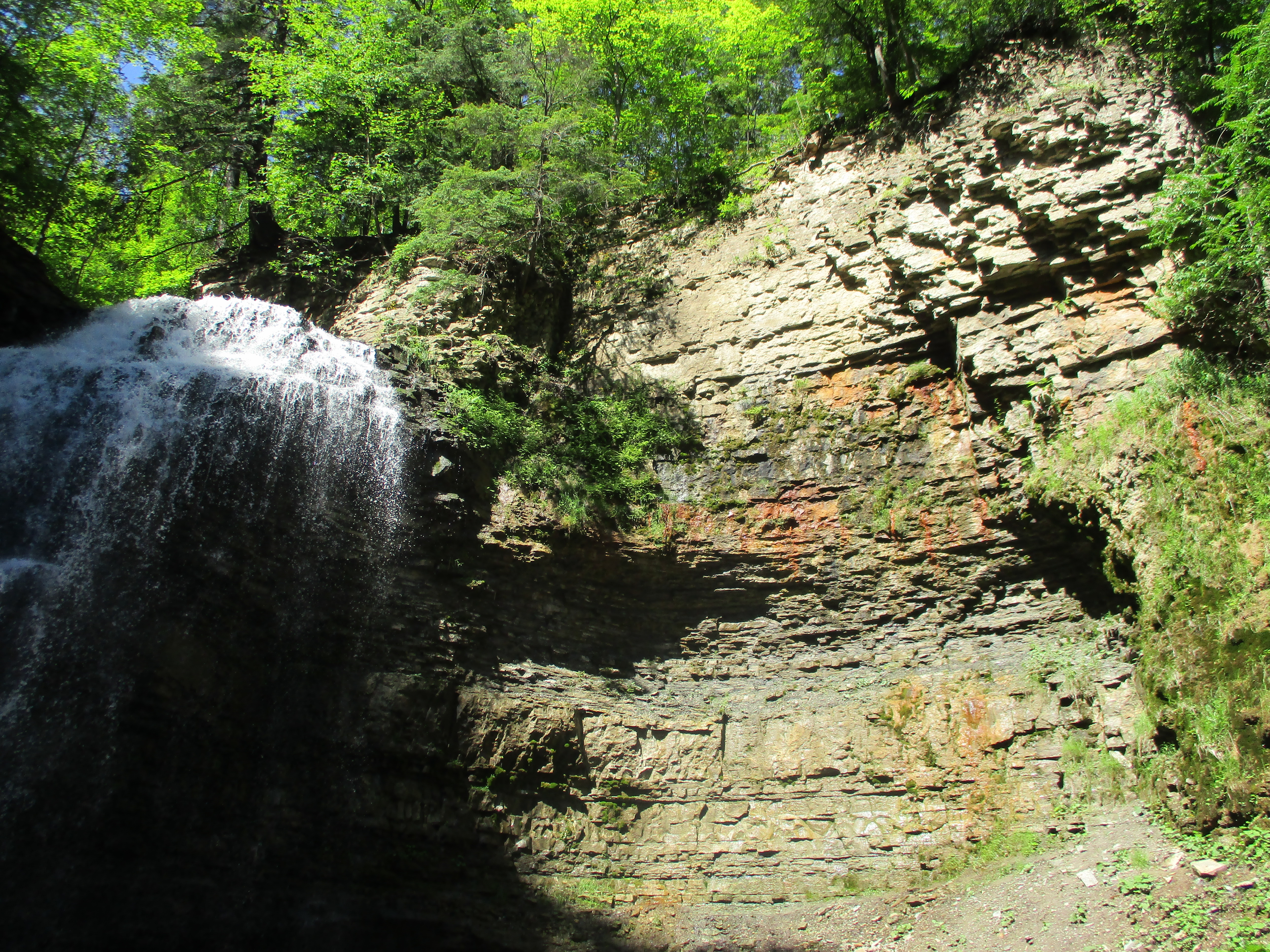
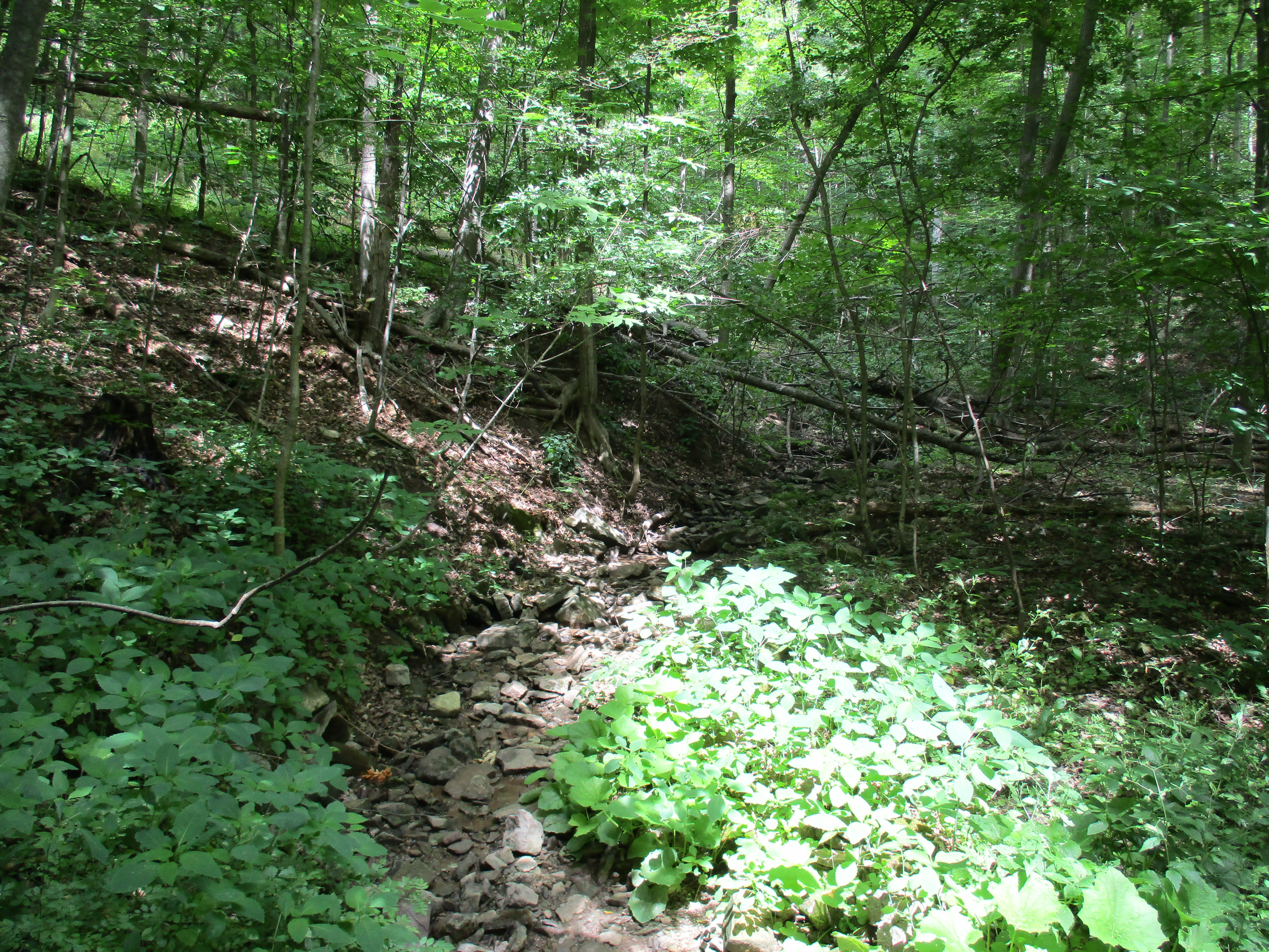
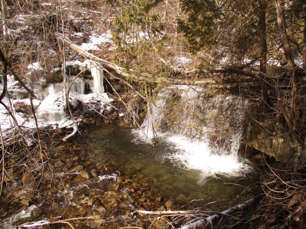
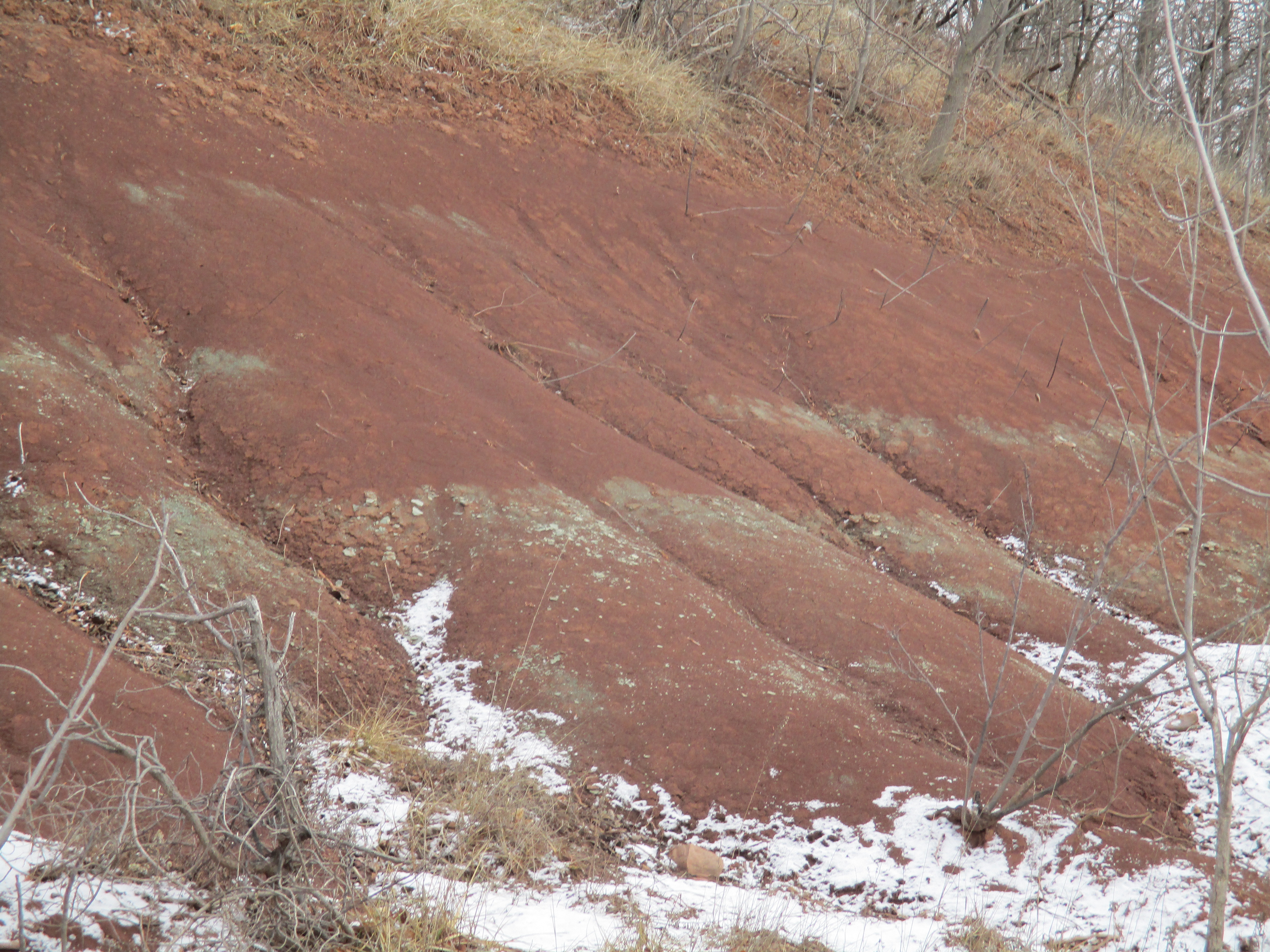
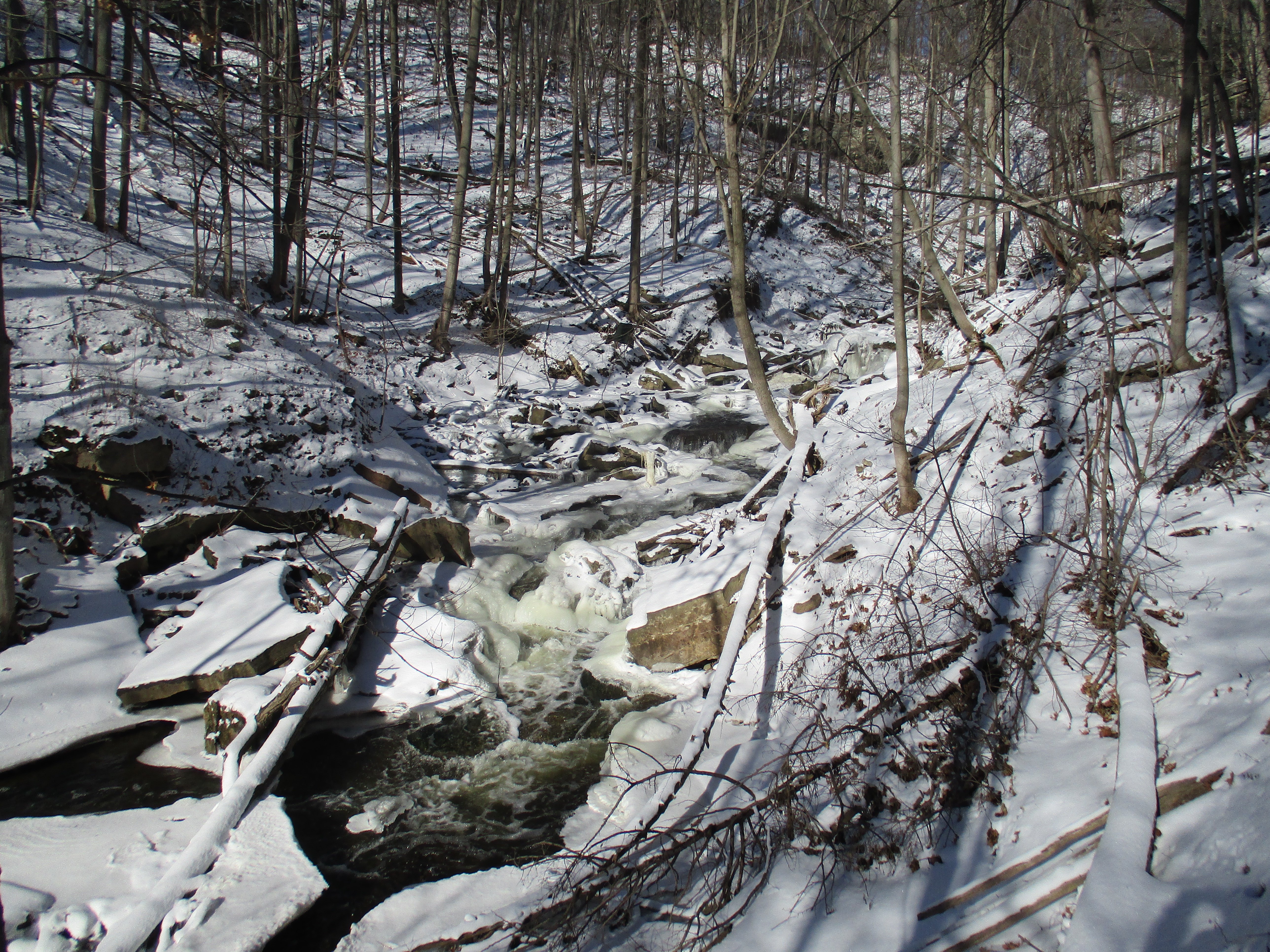
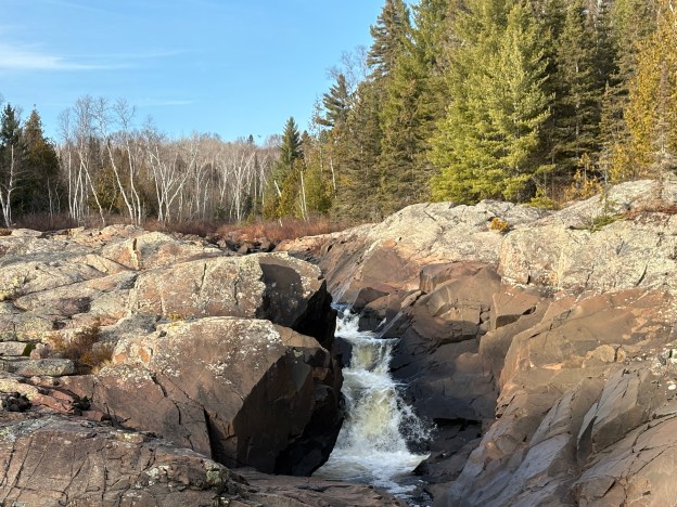
The yellow trail will bring you to the river via the most direct route. The rocks in this area are full of iron and have a rusty red colour to them.
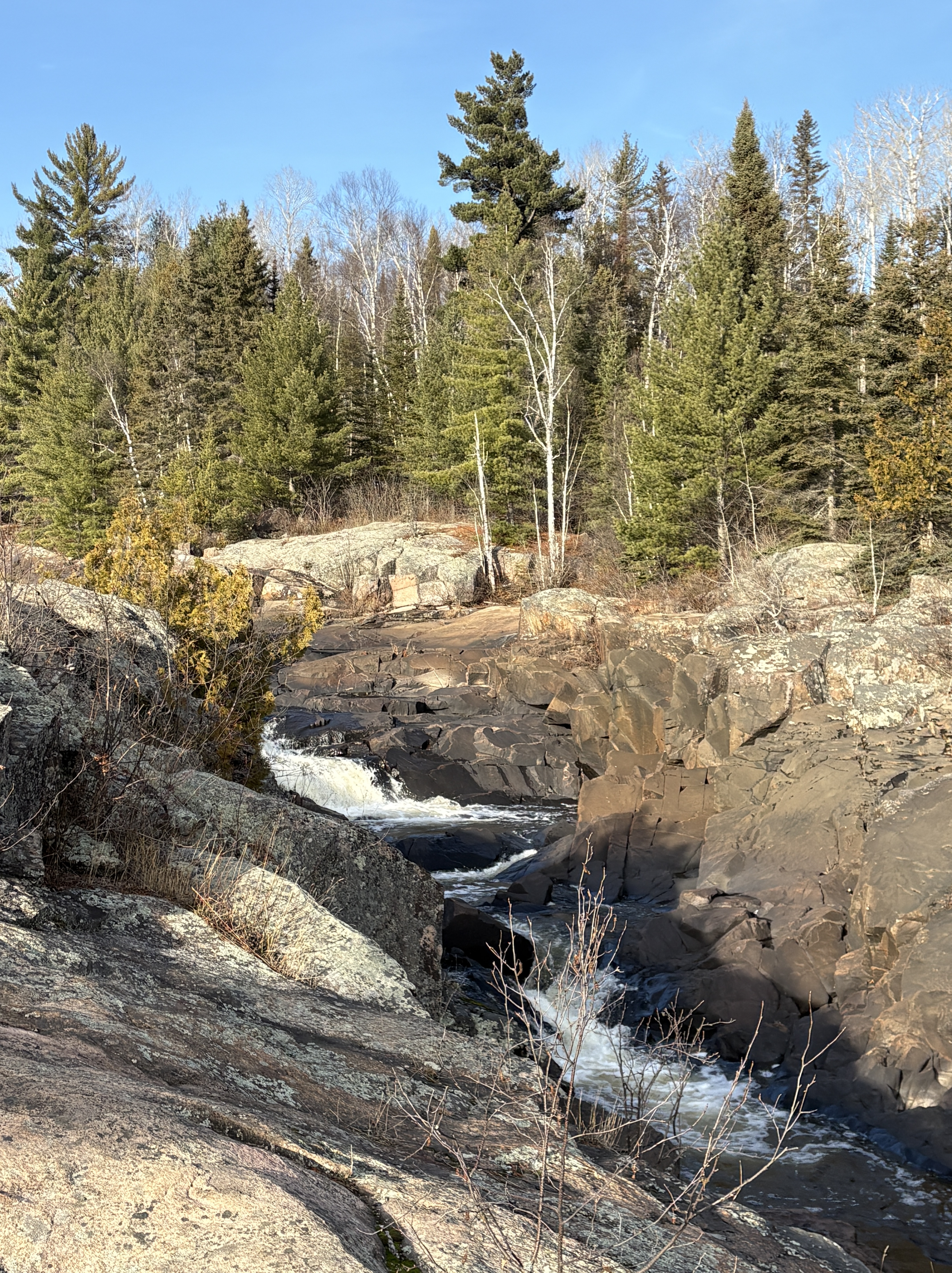
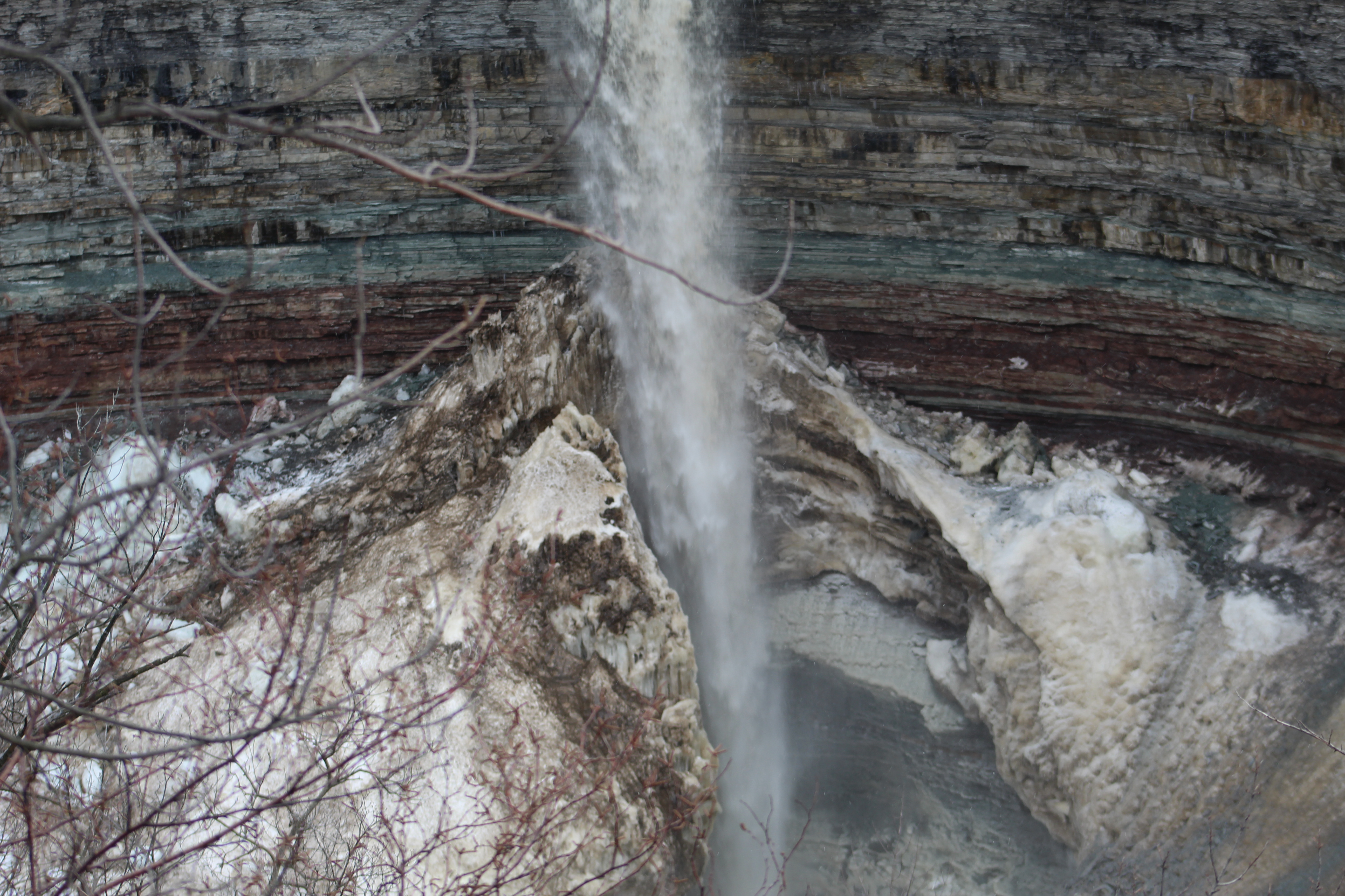
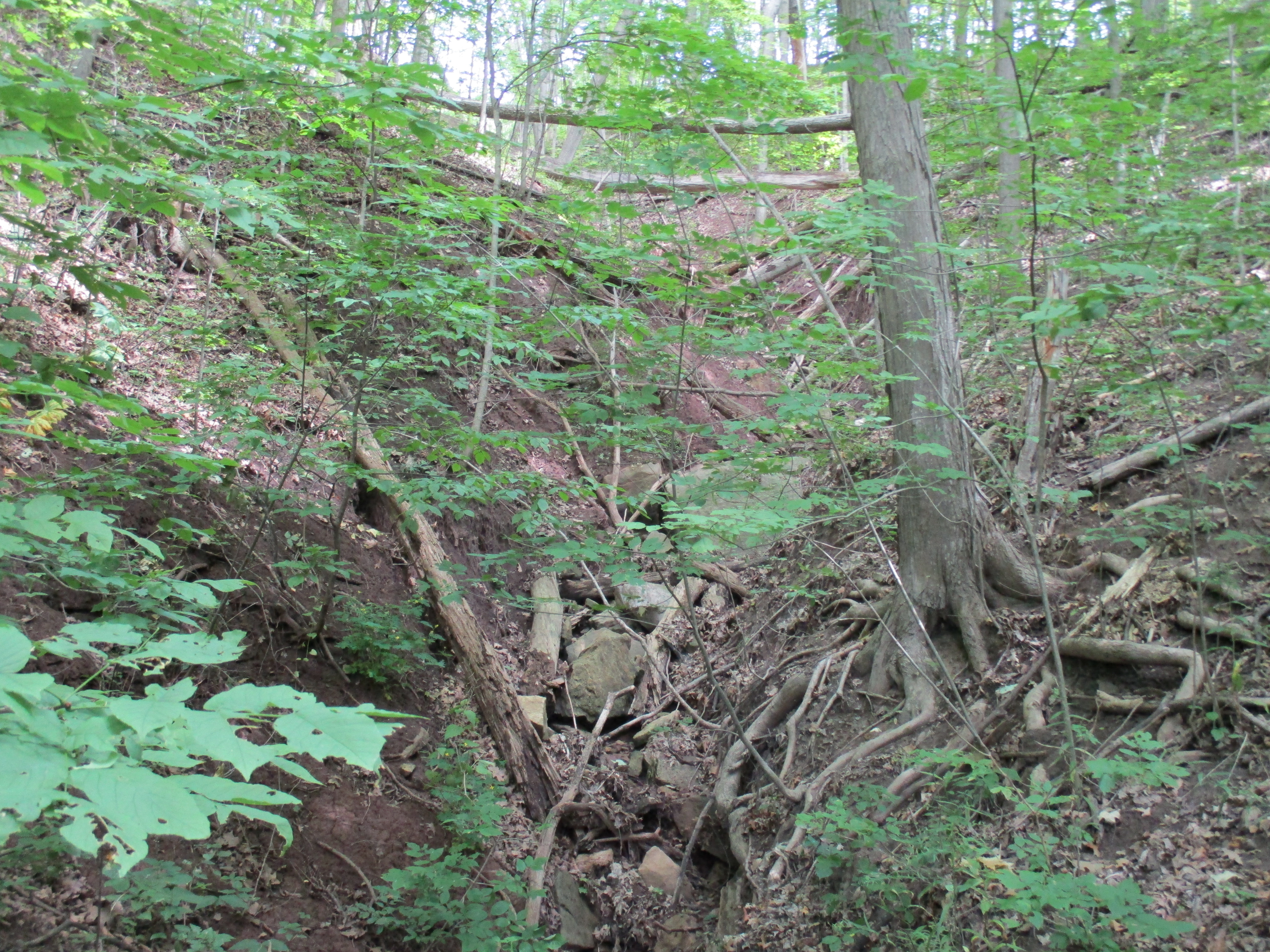
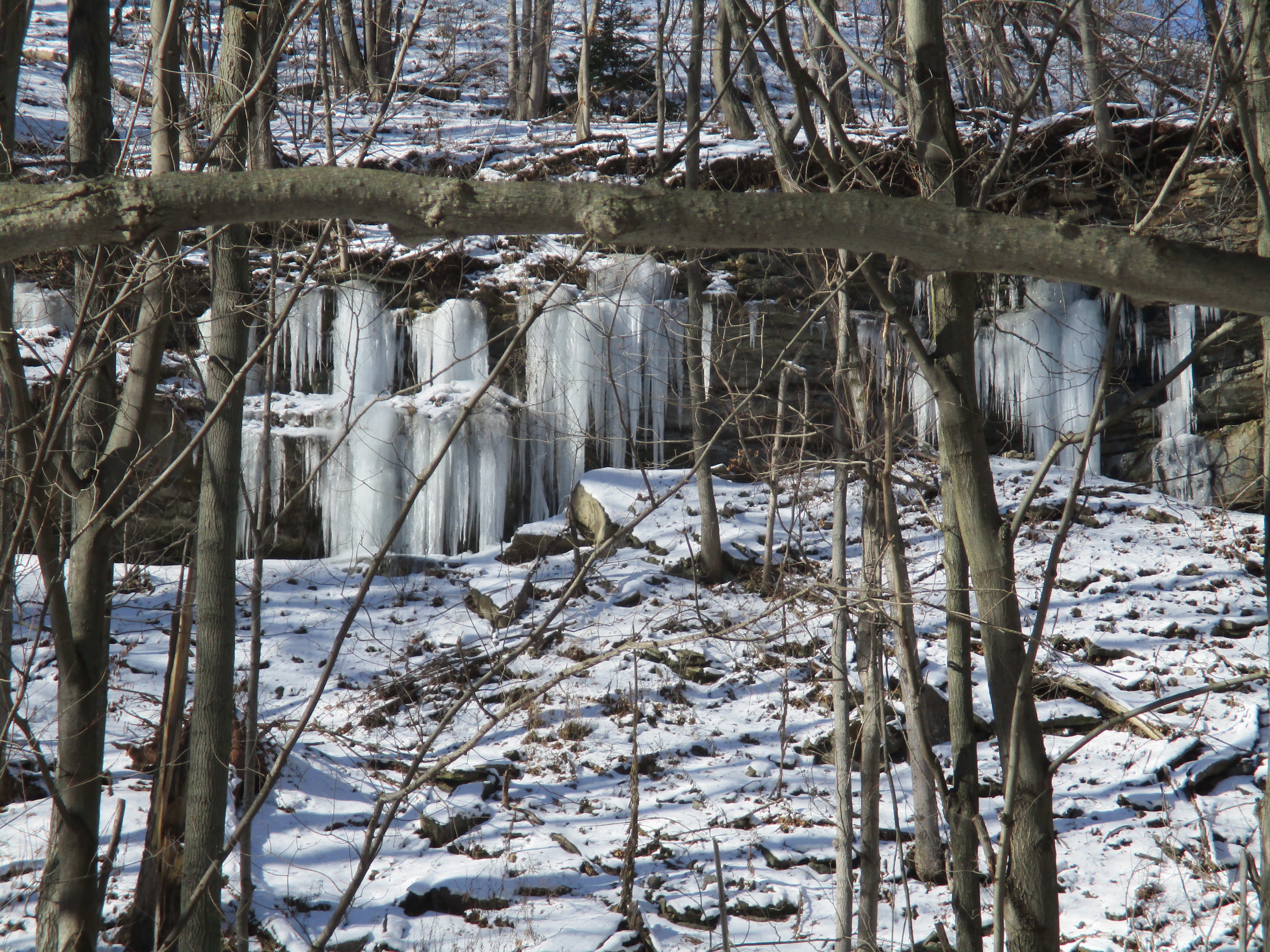
As you make your way over the exposed bedrock you will come to an area of pink granite. The second set of rapids flows through an area of dark coloured rocks that have been formed from volcanic activity. Further north, the upper half of the cascades flows though rocks that are said to be 2.5 billion years old and made of compacted sand, silt and mud.
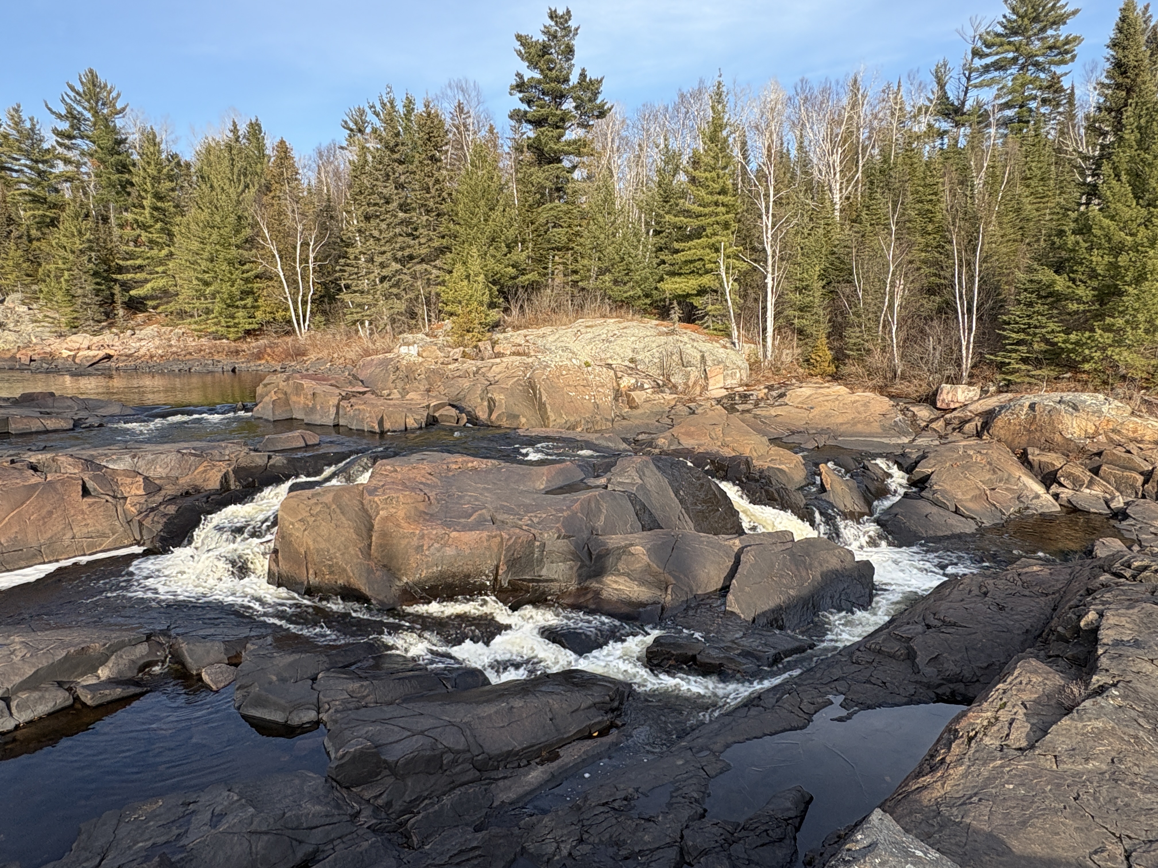
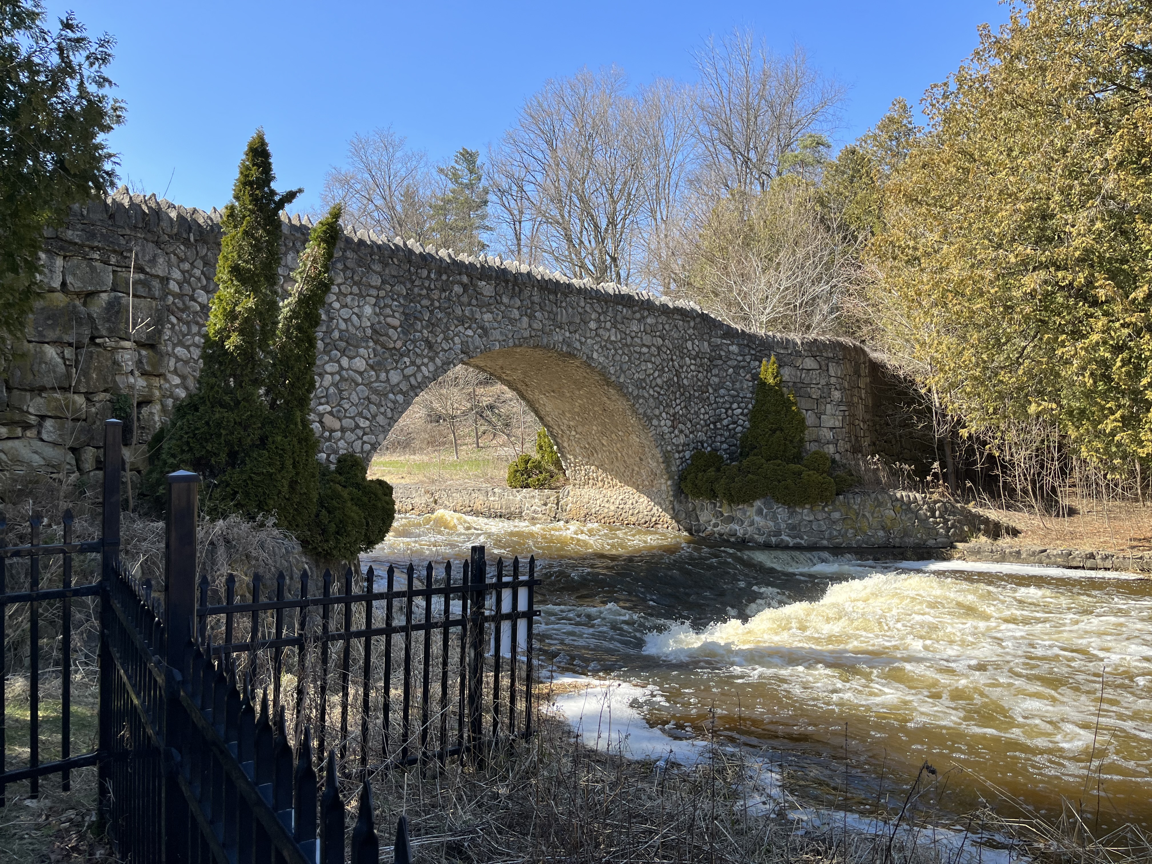
The cascades run for a kilometre along the river and you can follow them heading upstream by walking along the bedrock on the sides of the river.

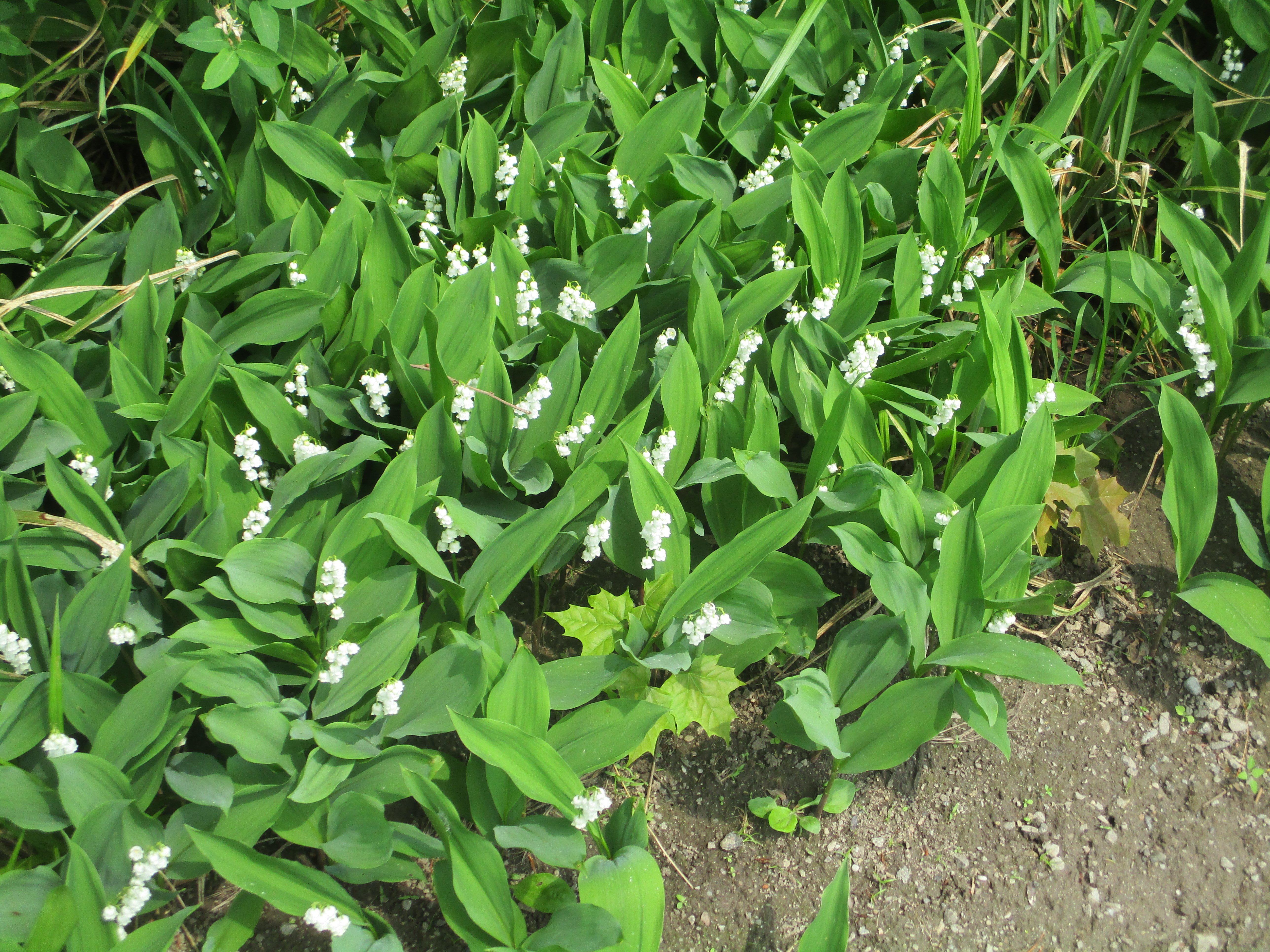
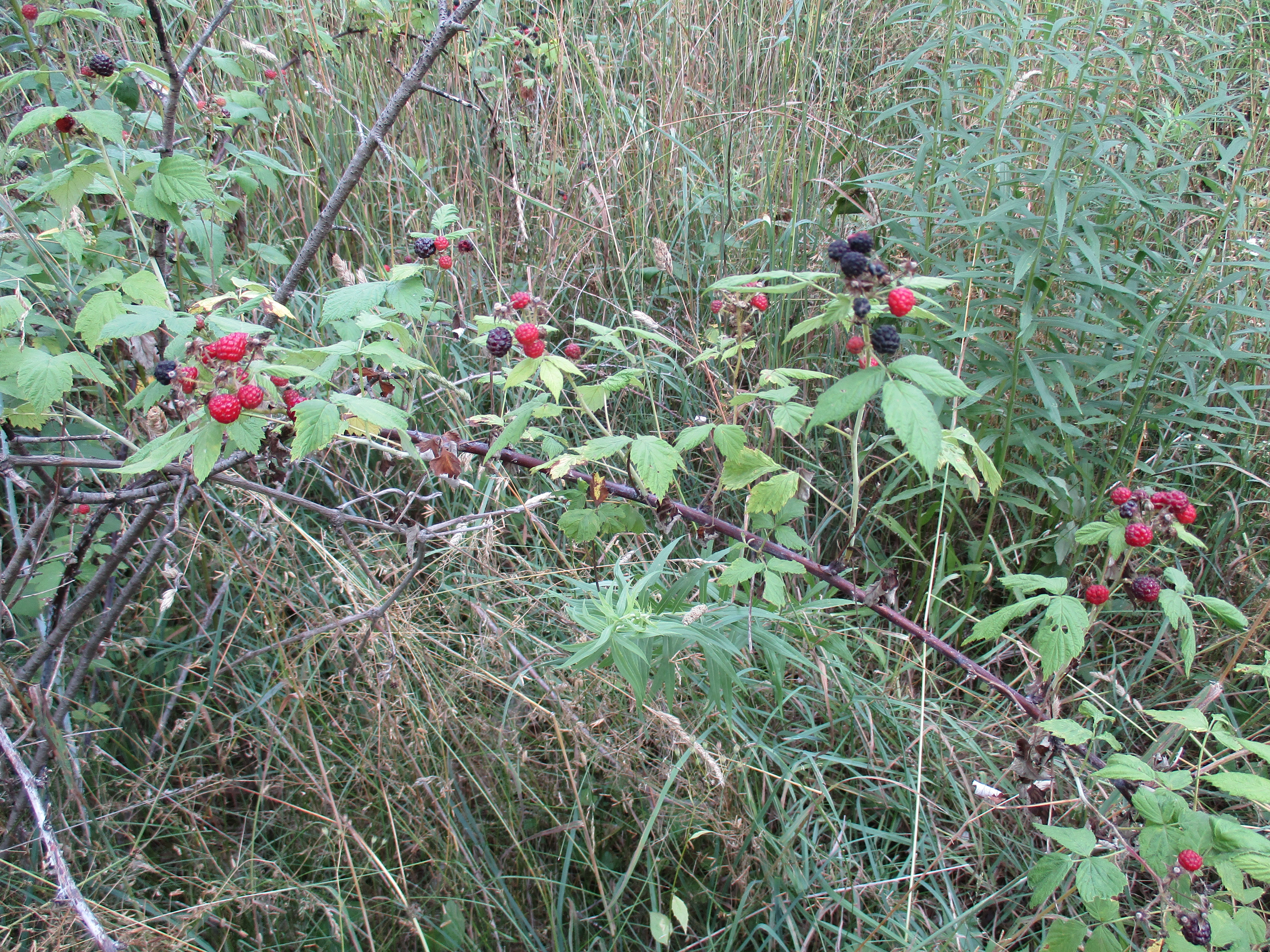
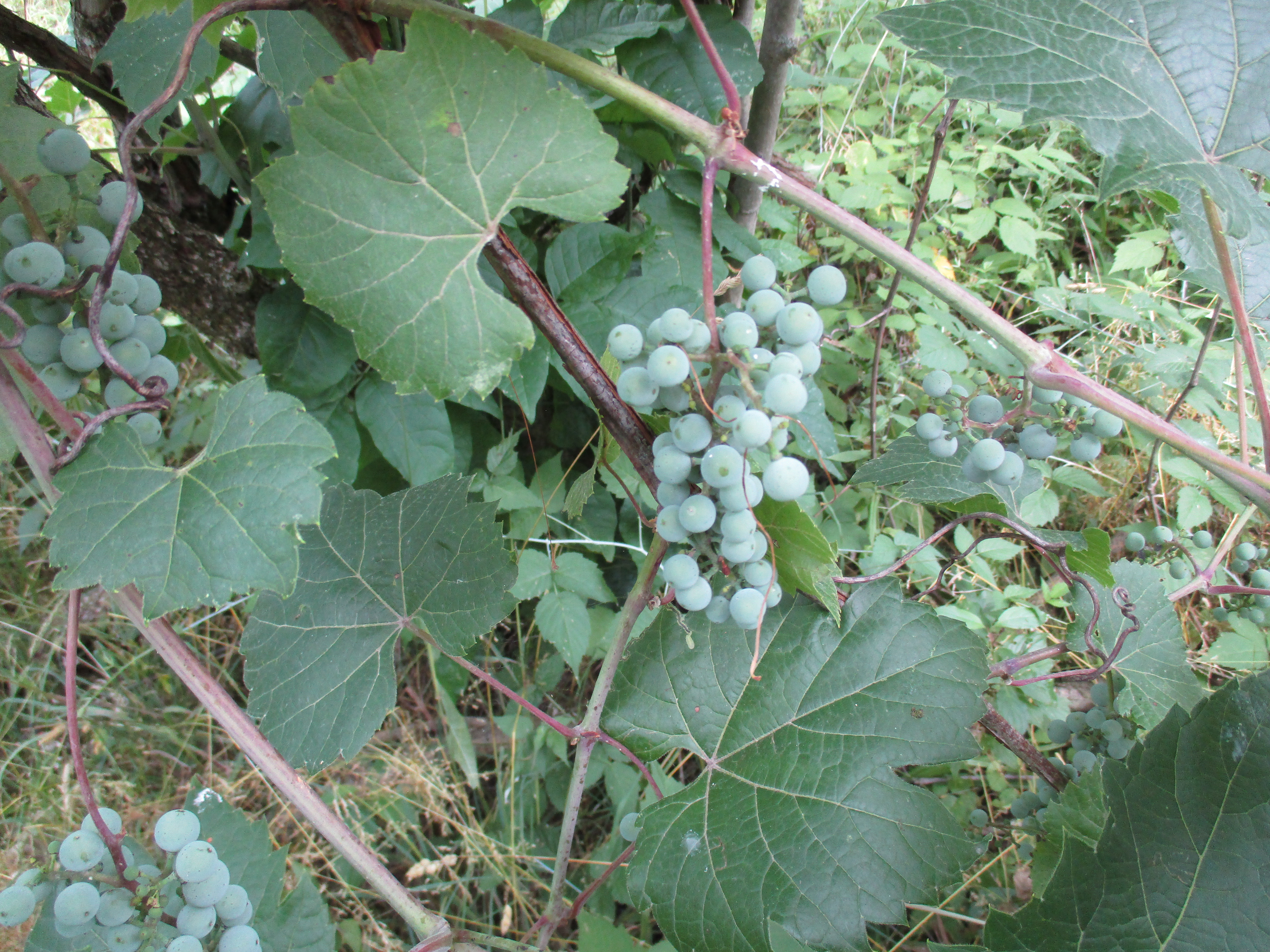
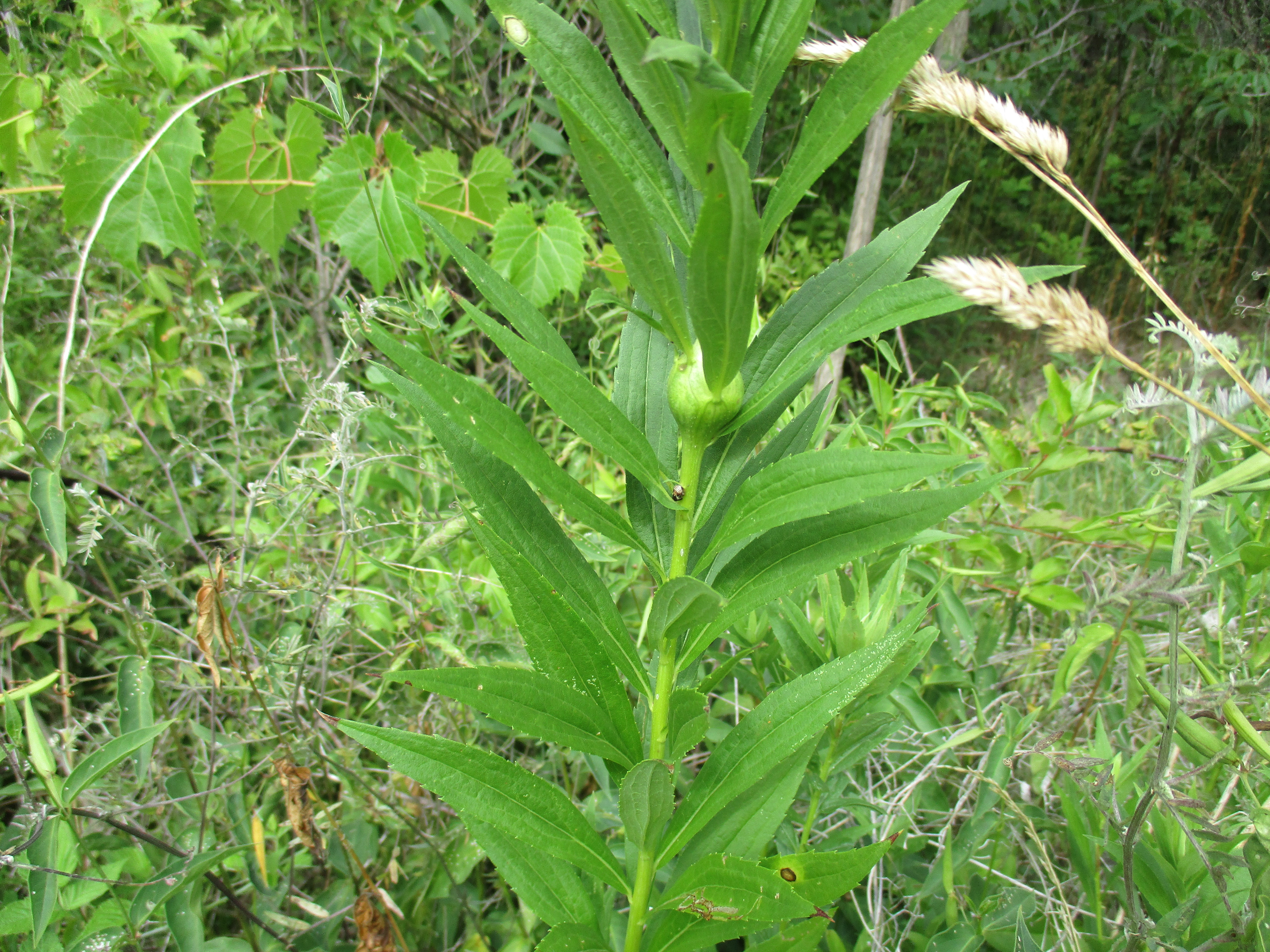
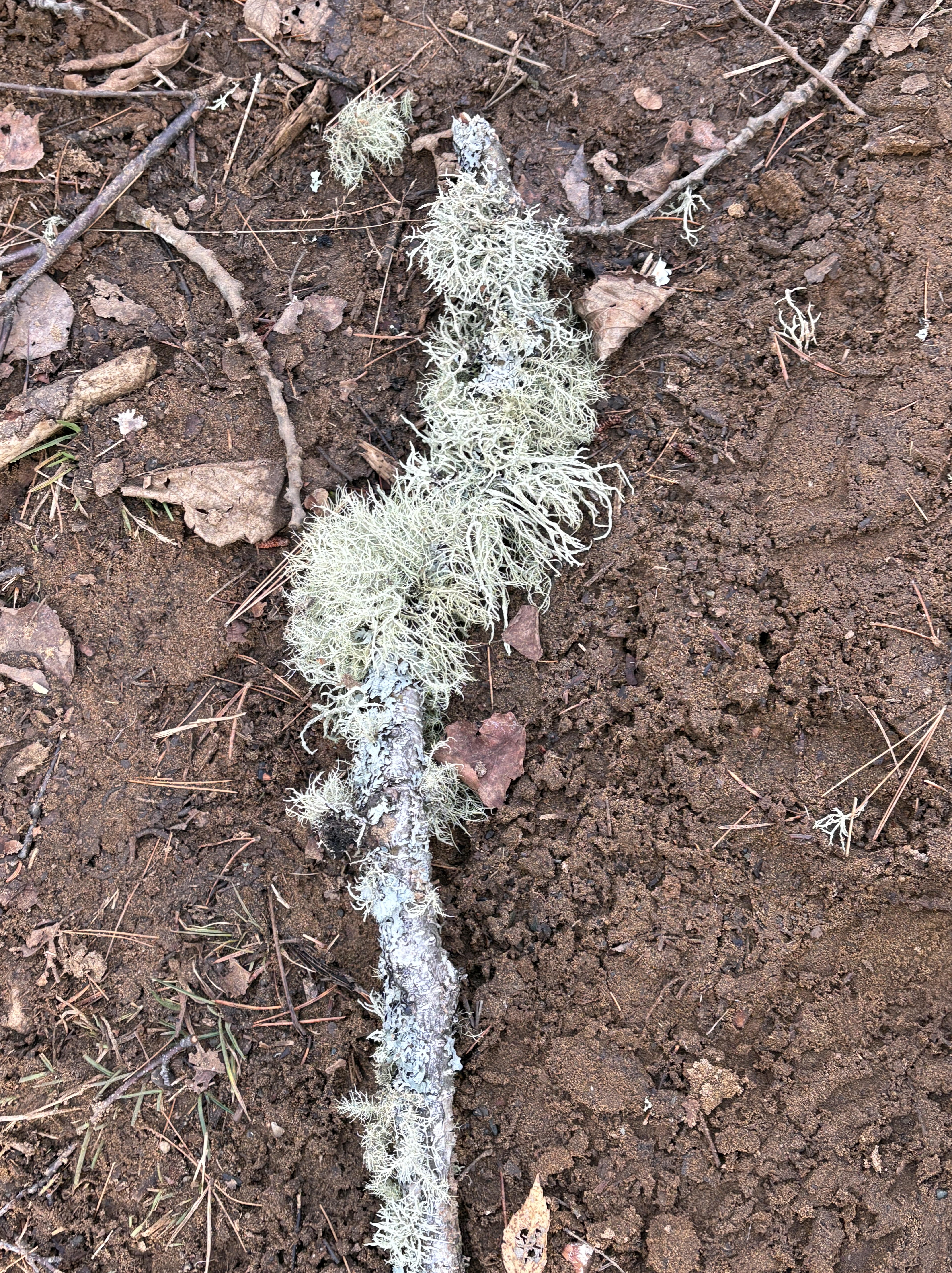
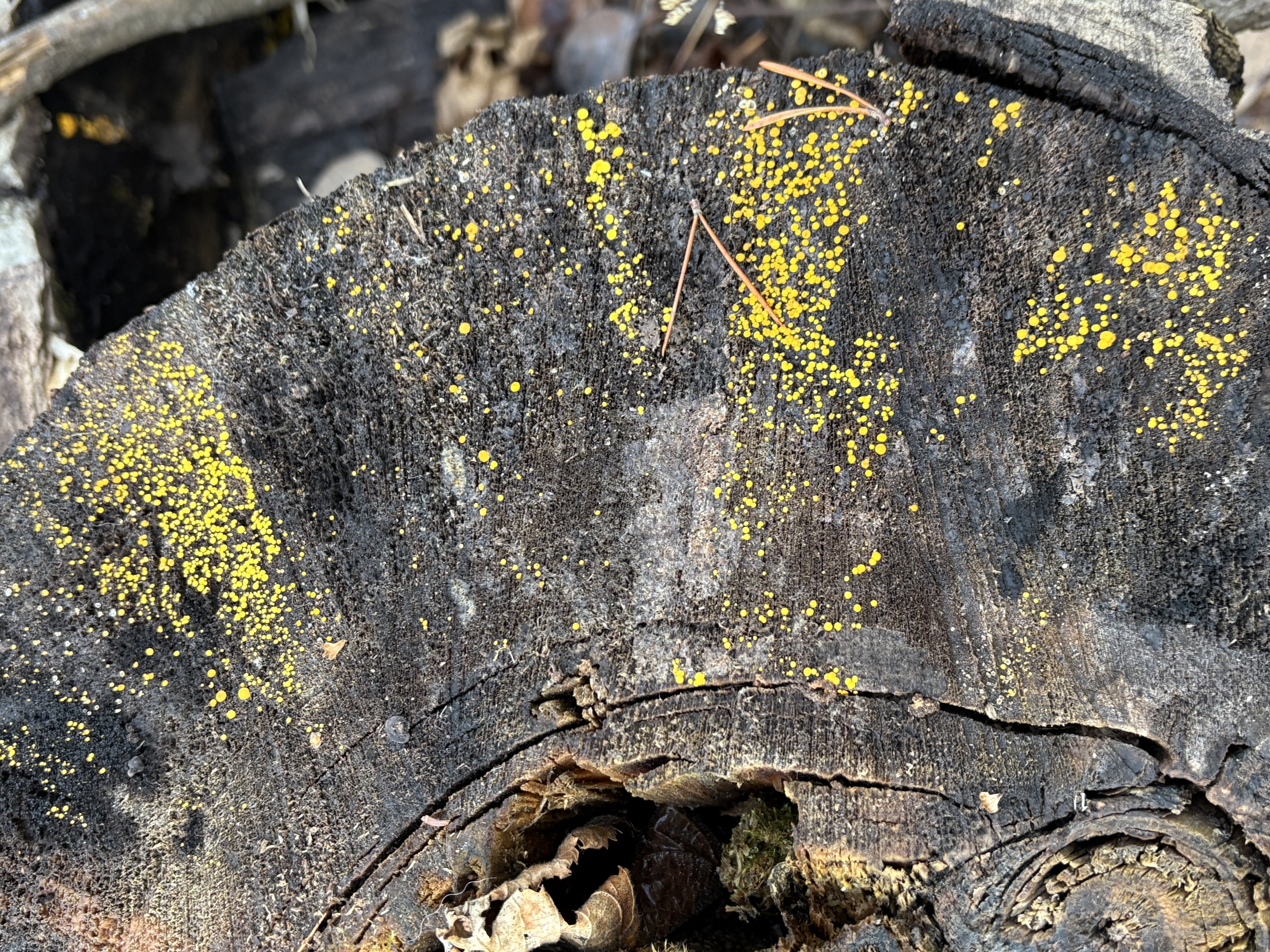
Healthy forests will have a great variety of fungus and mushrooms. Even this late in the season I found at least 6 varieties that were actively growing. I imagine that the summer and early fall months there must be many varieties that come and go in the forest. The forest floor is also said to be covered with flowers in the spring and trilliums grow in large clusters. The hairy looking fungus shown below was growing in several places on fallen sticks.
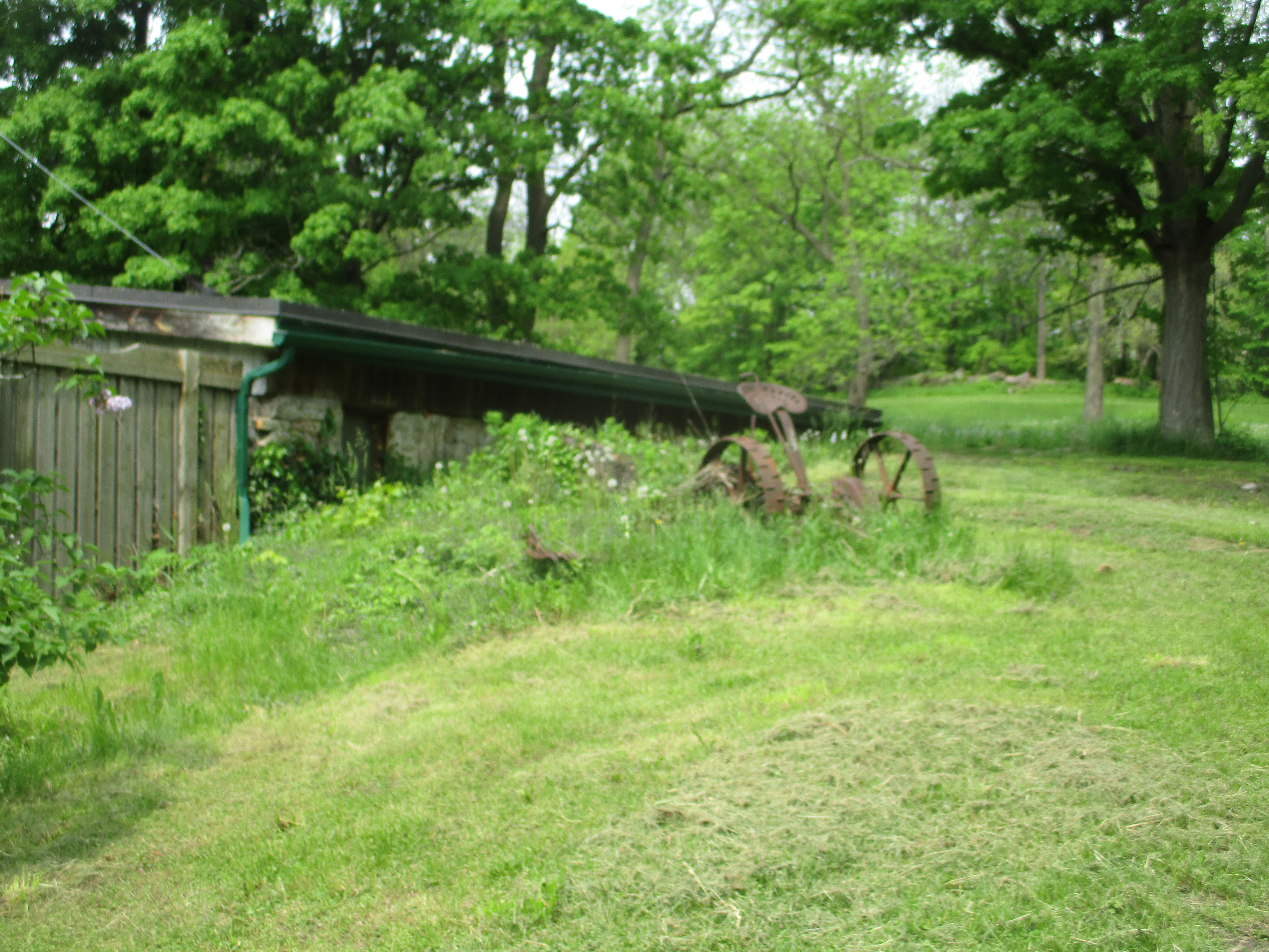
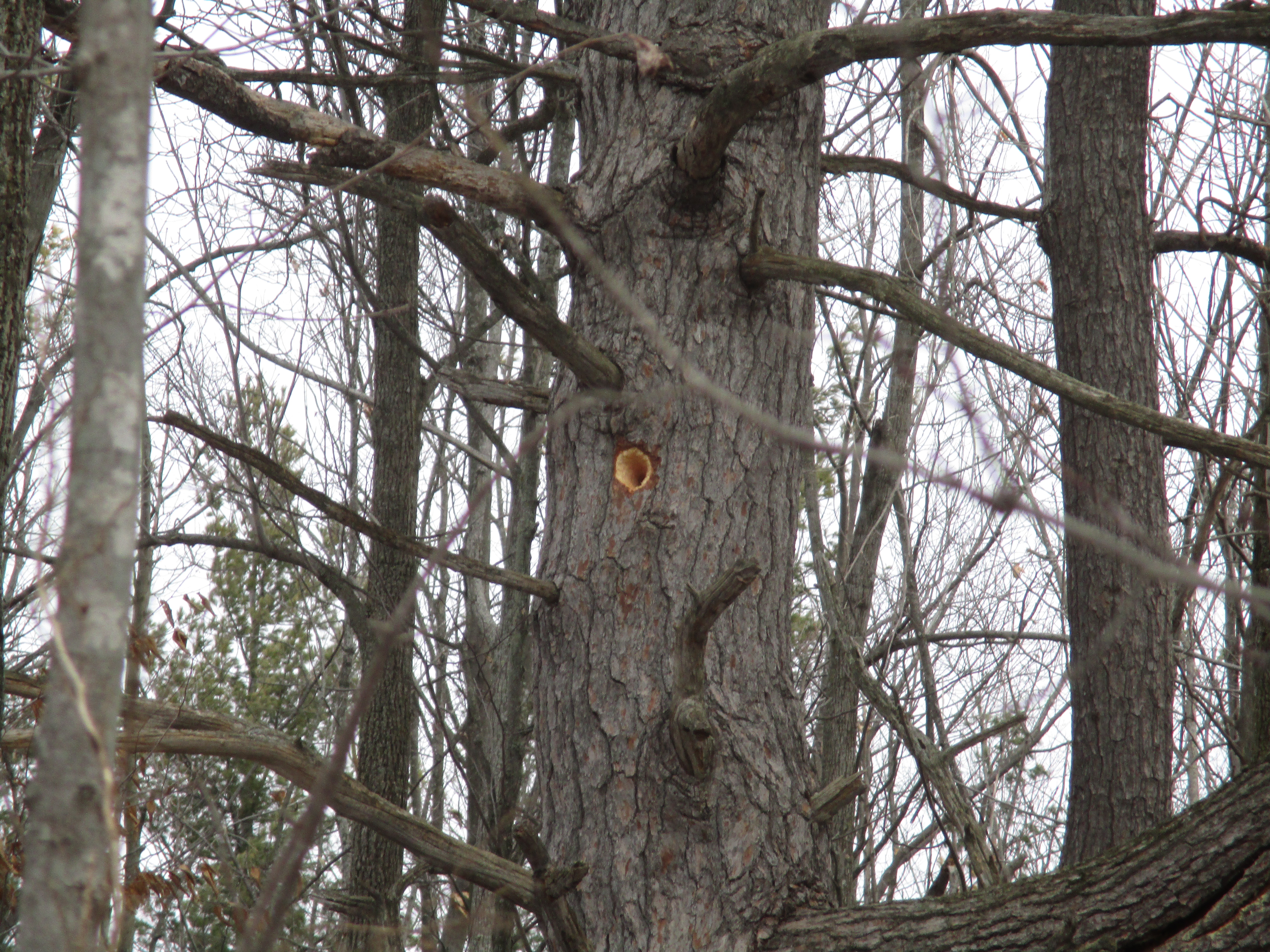
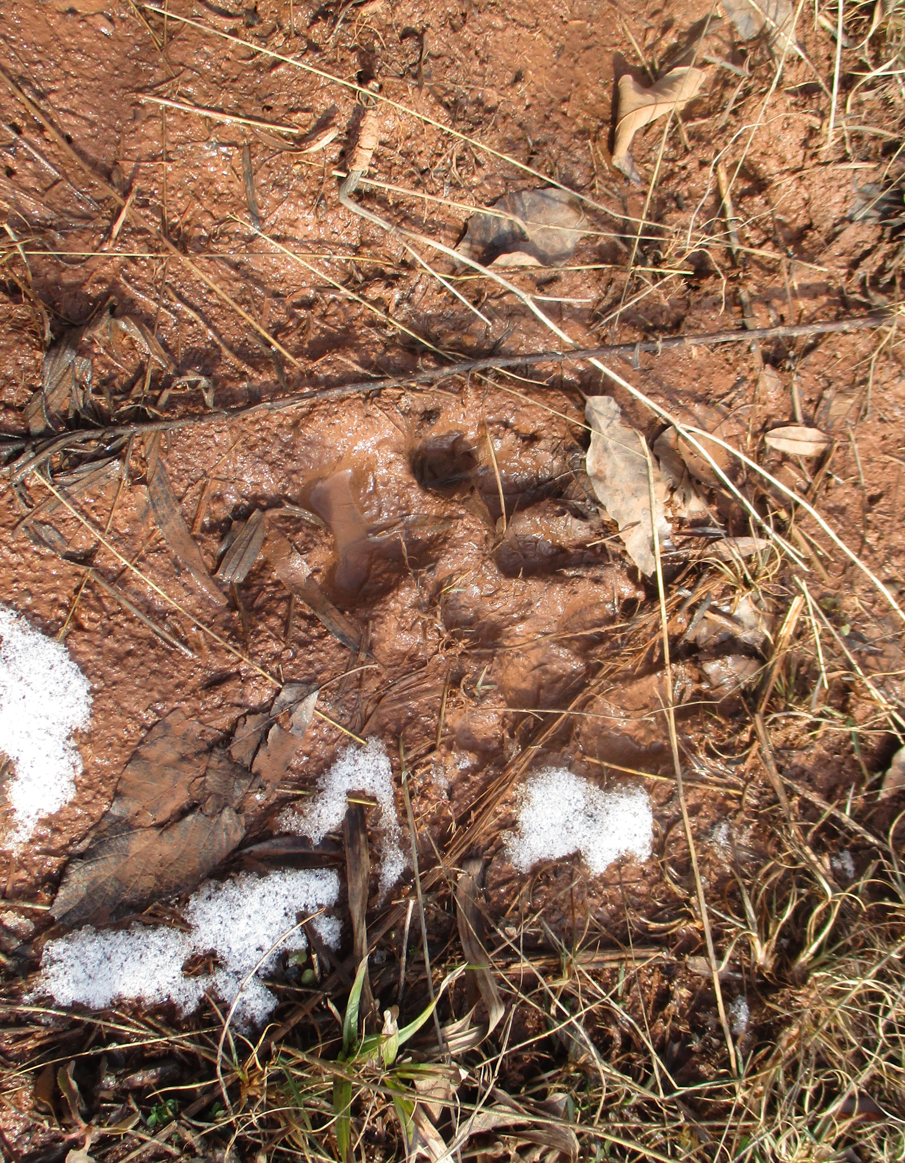
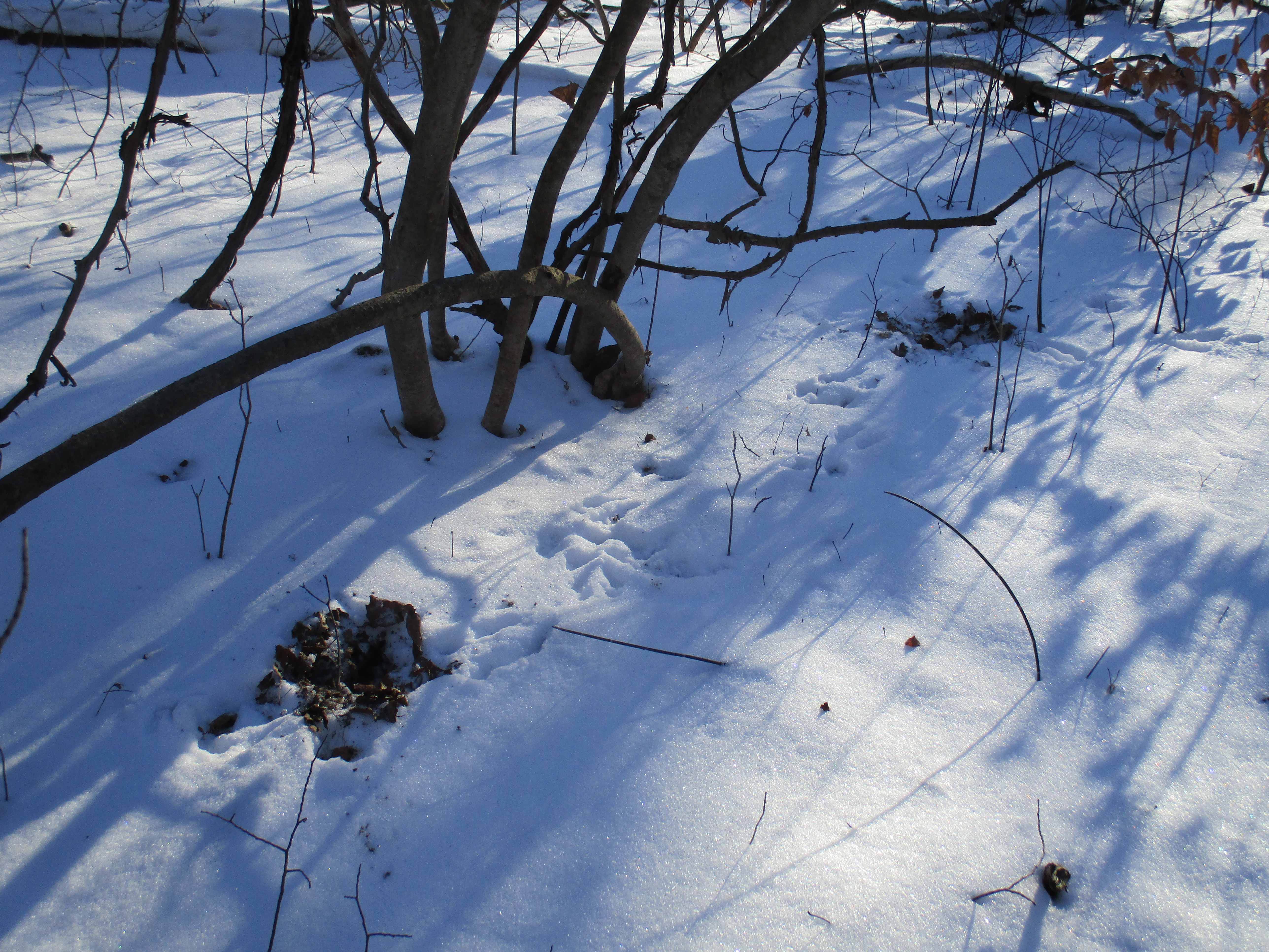
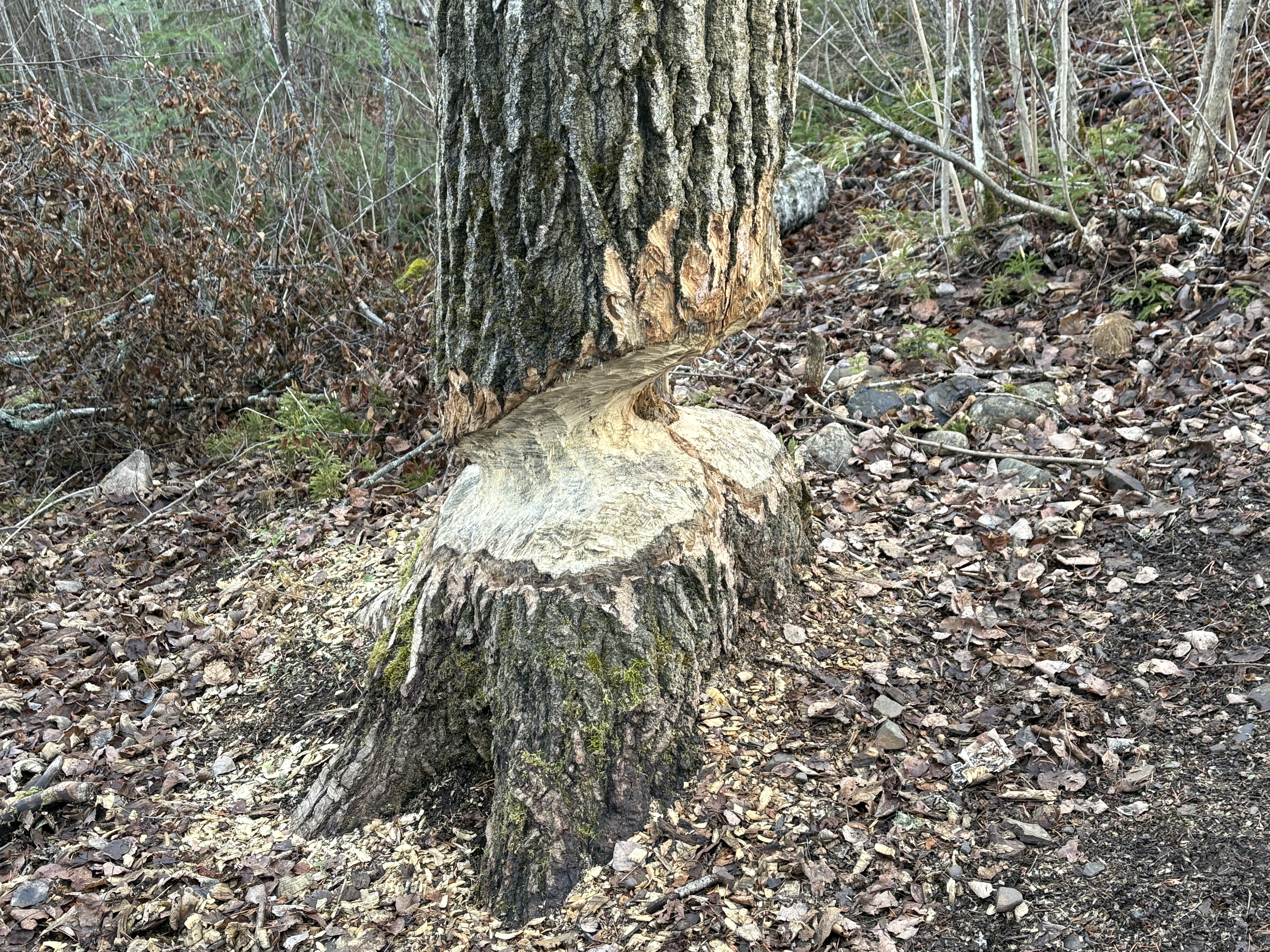
There is evidence that beaver live in the river and feed in the forest along the shore. They have nearly finished chewing through this large tree along the side of the trail.
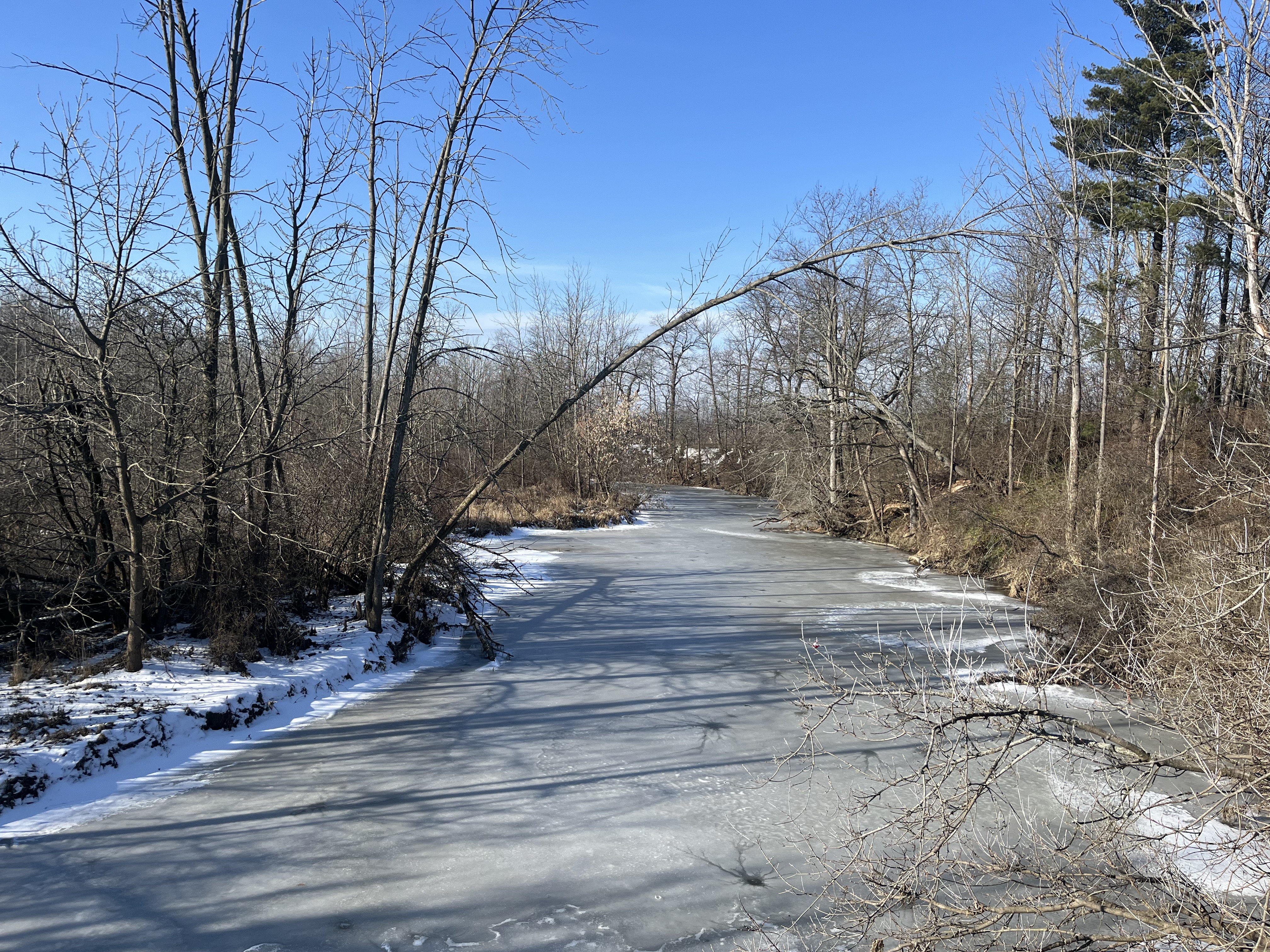
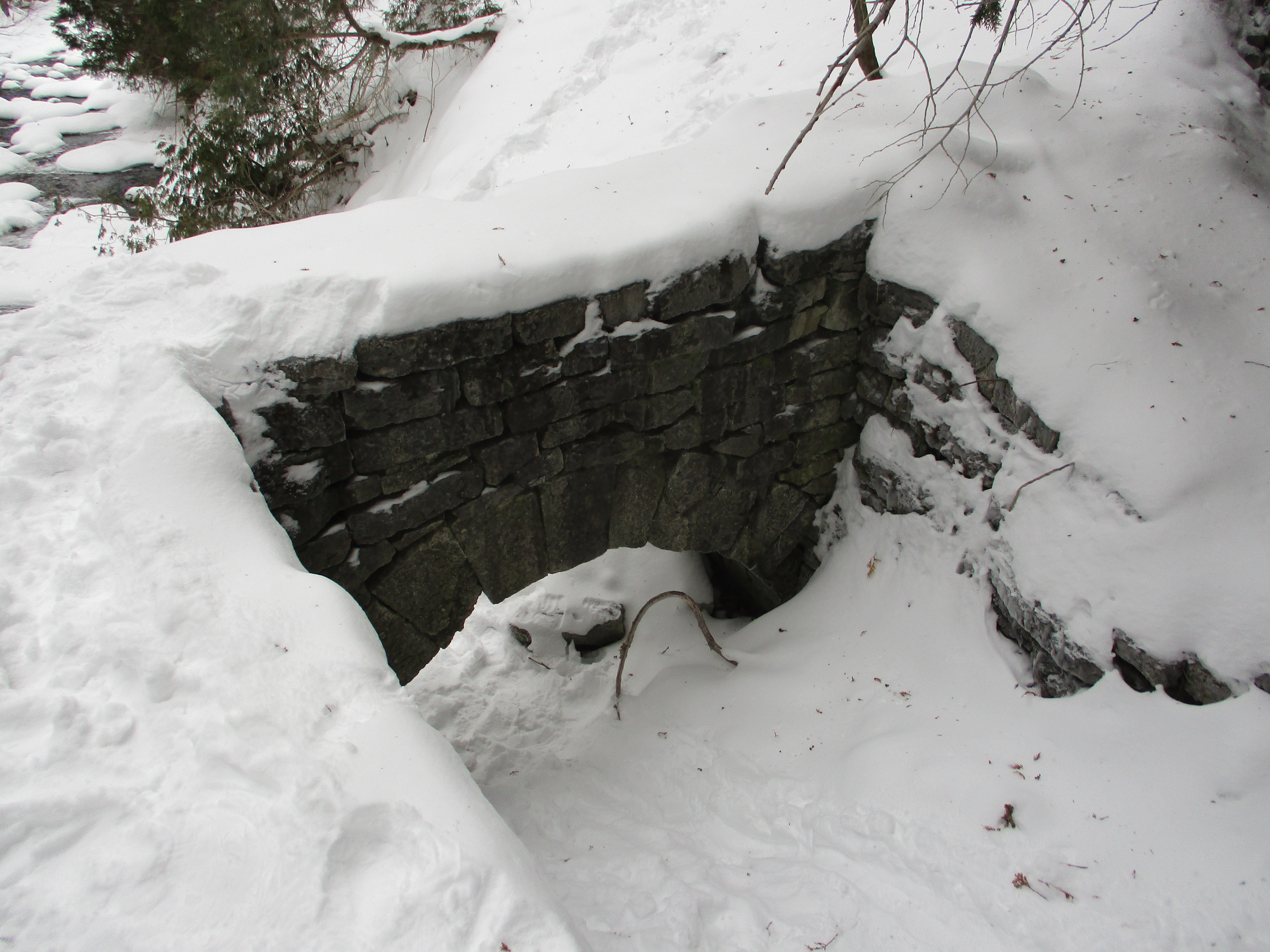
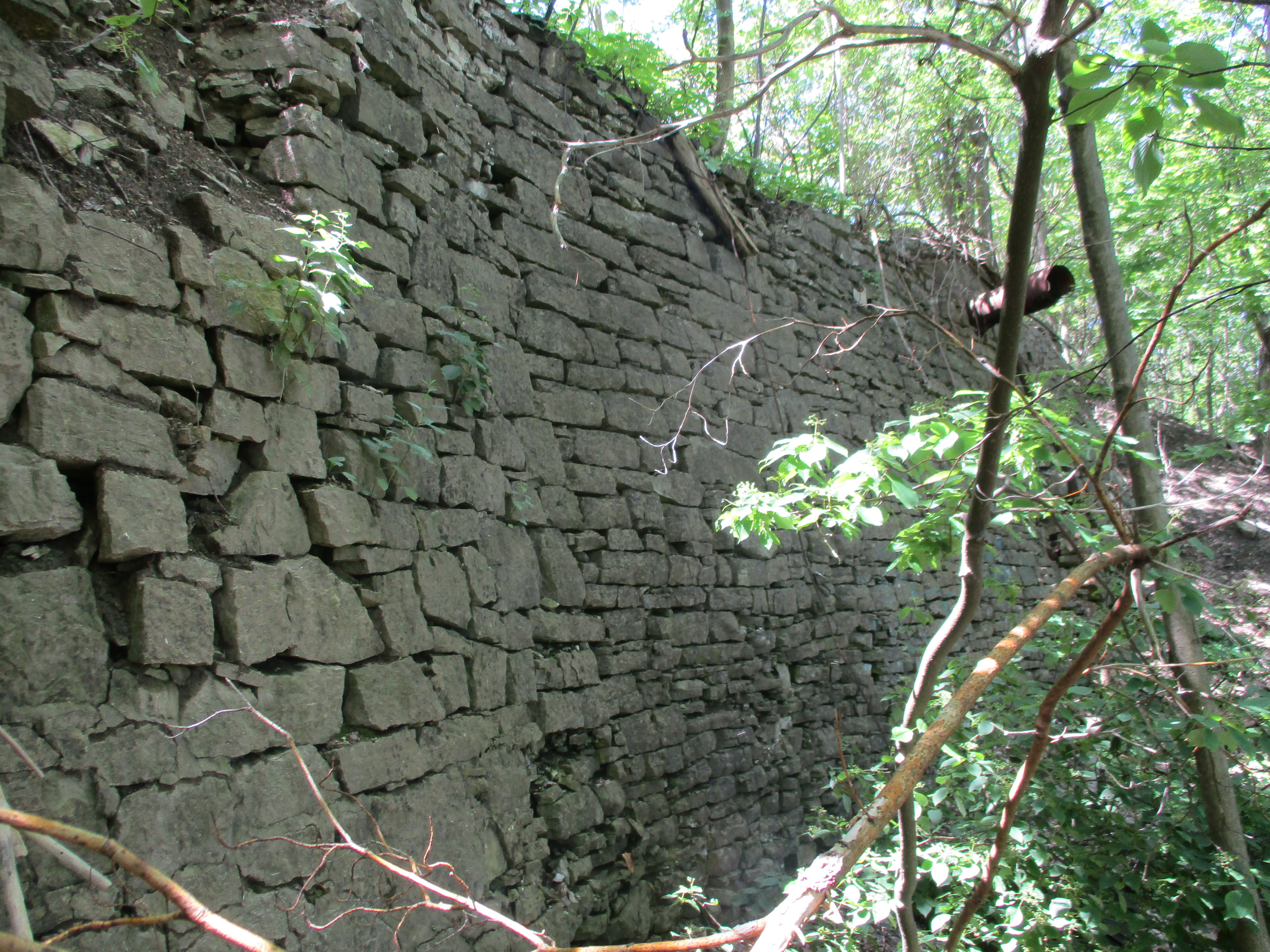
Just as the yellow trail is marked with a yellow “Y” on the trees, the red trail is marked with a red “R” on the trees. I covered almost 4 kilometres of trails in the park and walked for over an hour in the fall sunshine. This entire area was under a kilometre thick layer of ice around 10,000 years ago during the last ice age. This has left large deposits of sand and gravel in the park.
Bisporella Citrina is an inedible mushroom that grows as little yellow dots on rotting wood in several places in the forest around the conservation area.
Parking is $5.00 but the conservation authority gets no federal or provincial funding so the money is used for maintenance within the park system.
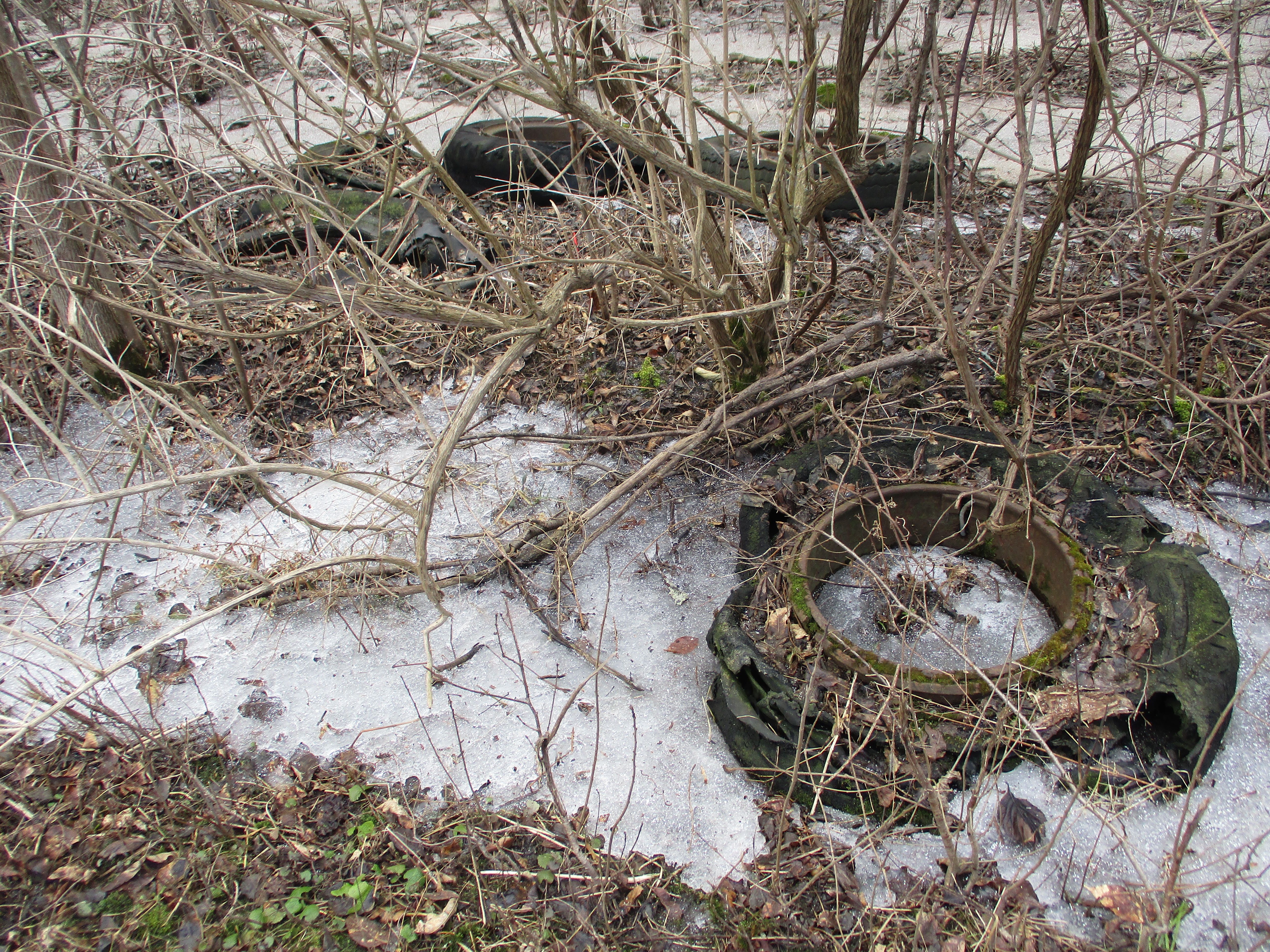
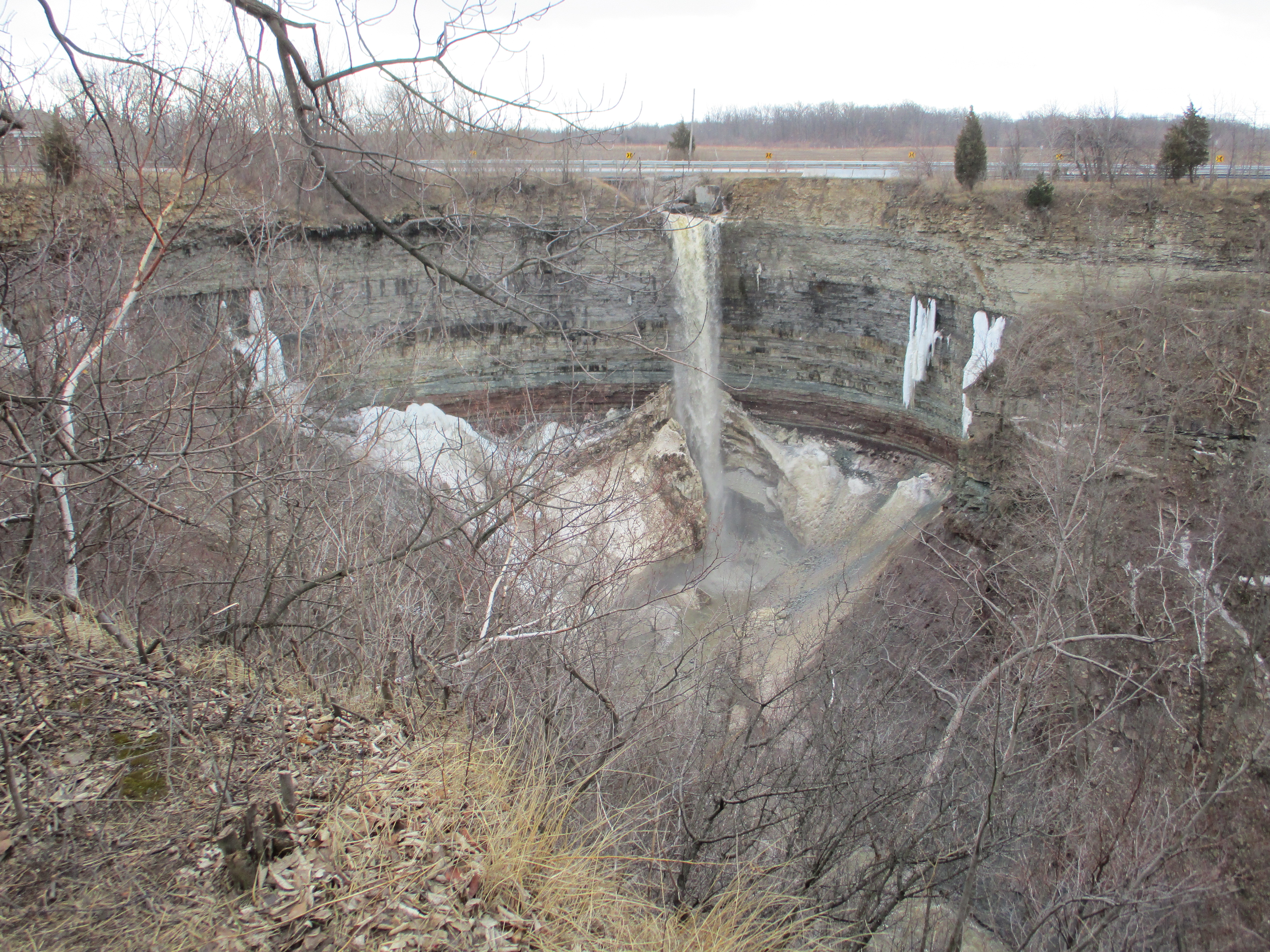
Related stories from around Thunder Bay: Kakabeca Falls, Fort William Historical Park, Forest of Cars
Google Maps Link: Cascades Conservation Area
Like us at http://www.facebook.com/hikingthegta
Follow us at http://www.hikingthegta.com