Tag Archives: Bruce Trail

Bruce Trail – Coolihans To Finnerty

Sunday, May 22, 2022

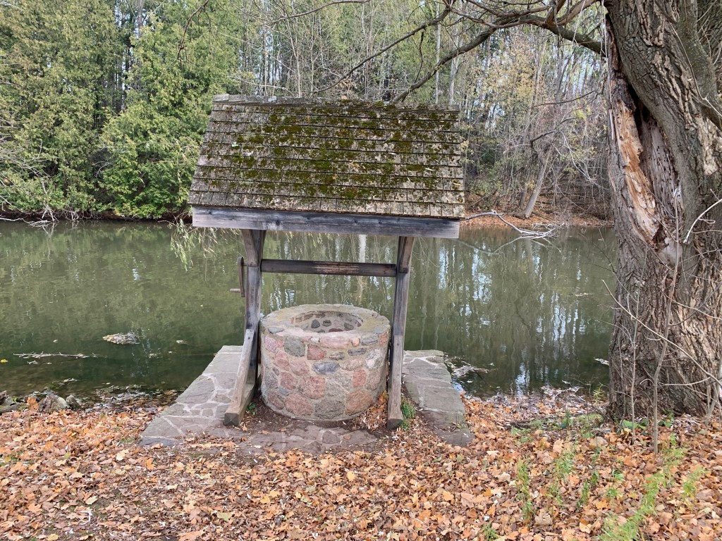
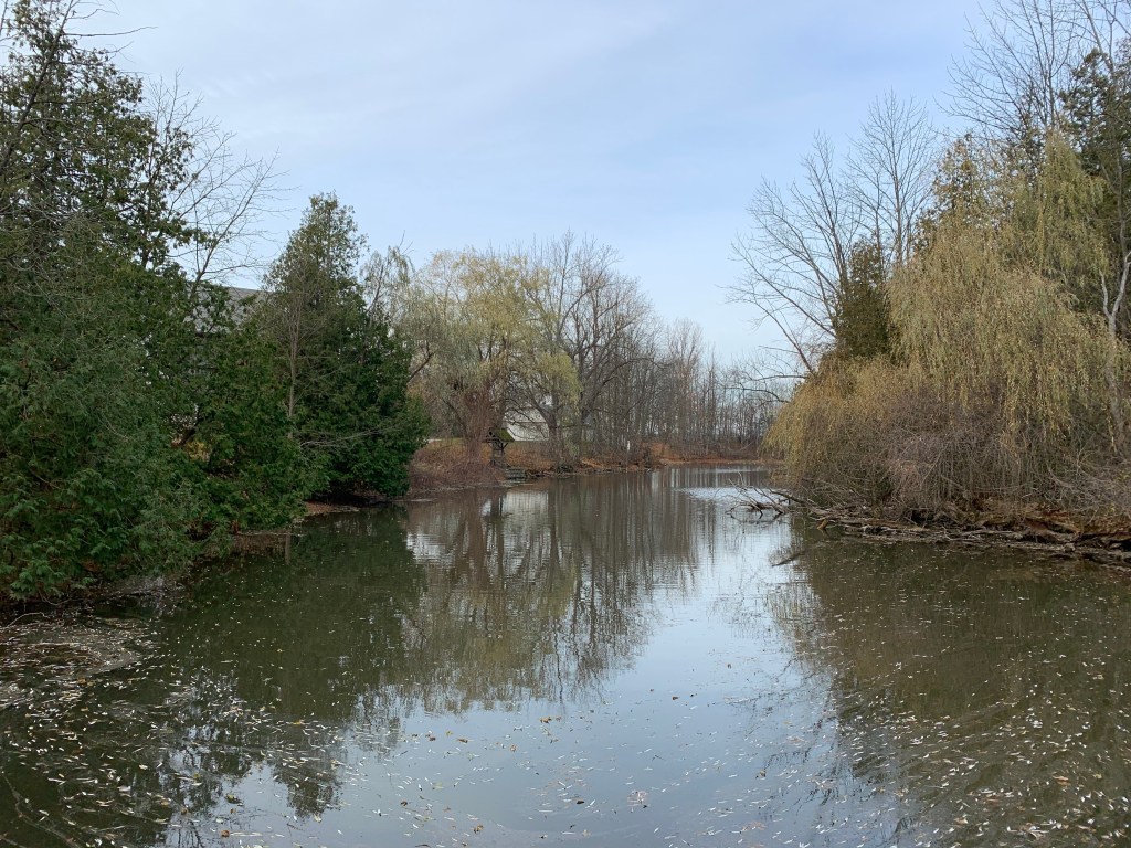
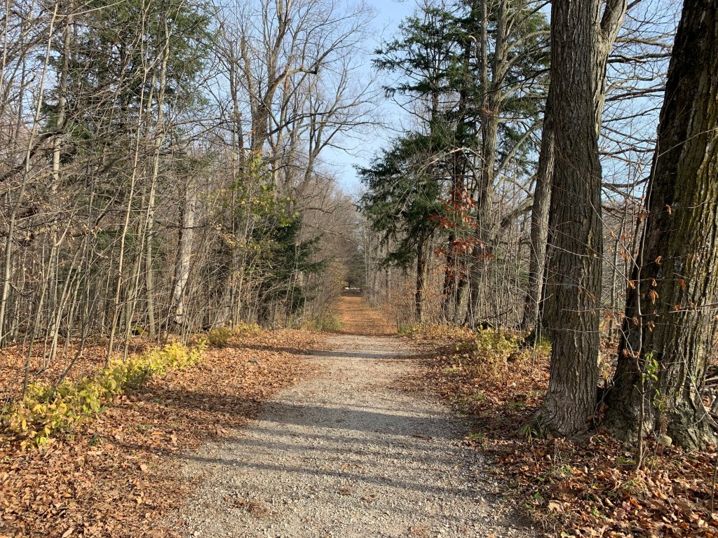
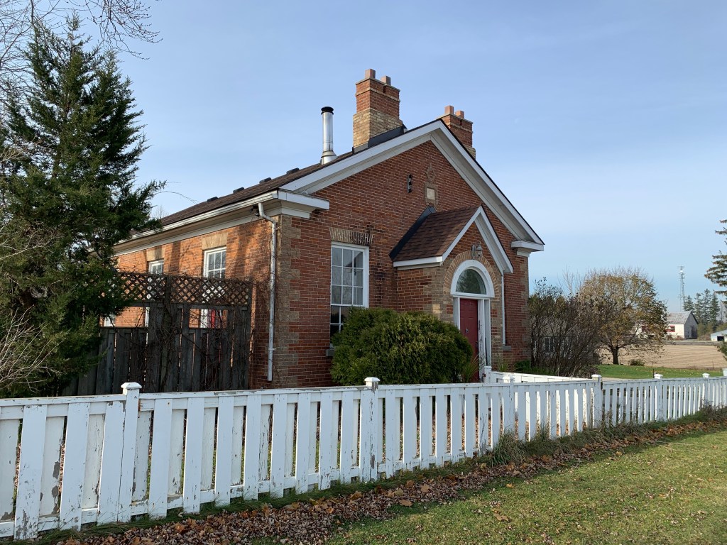
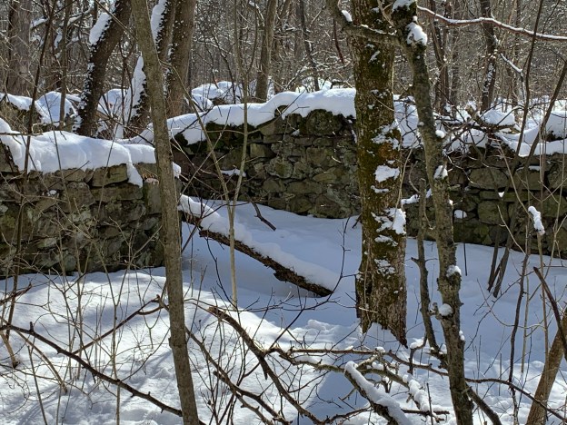
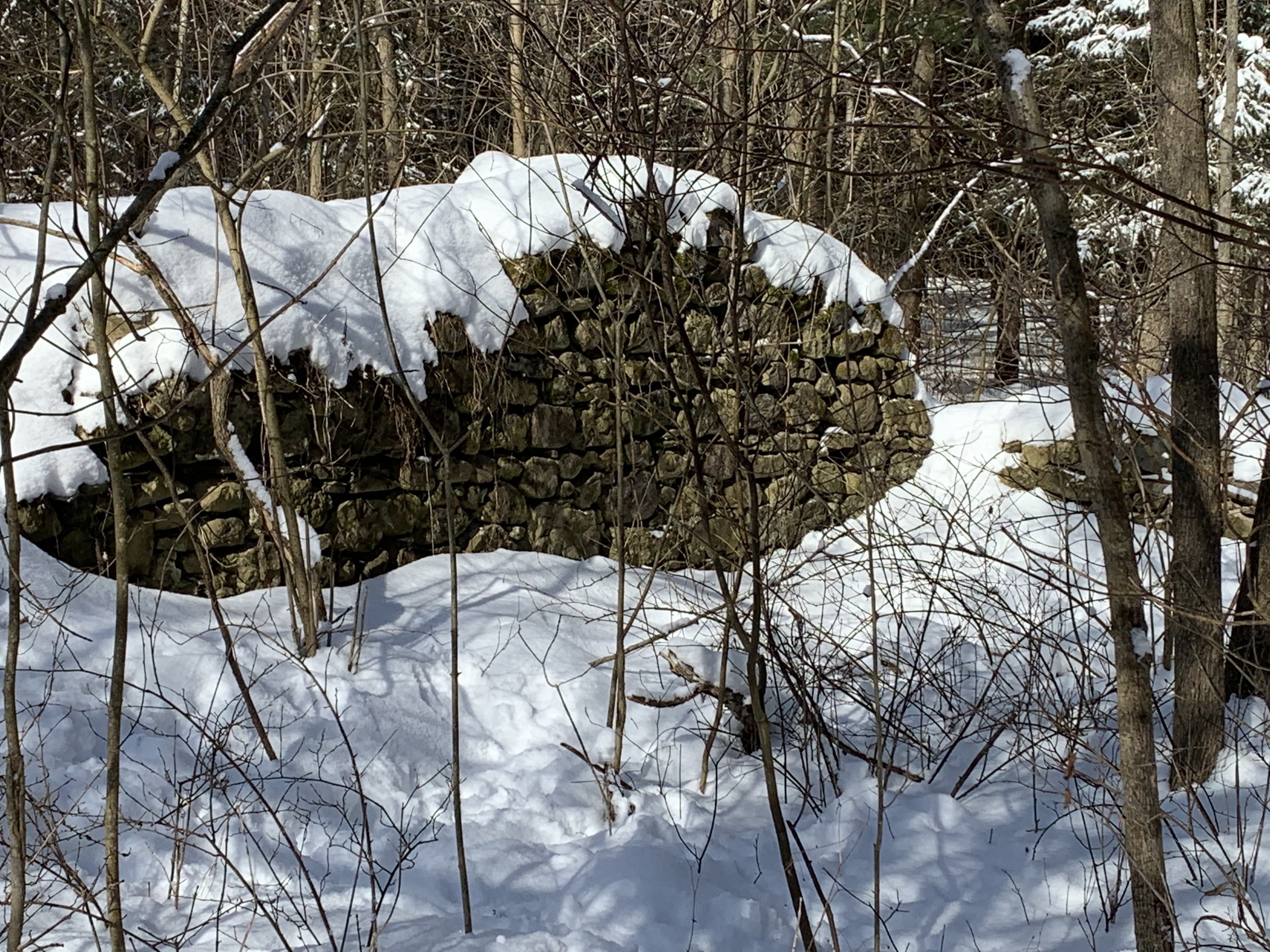
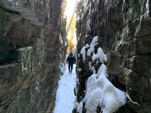
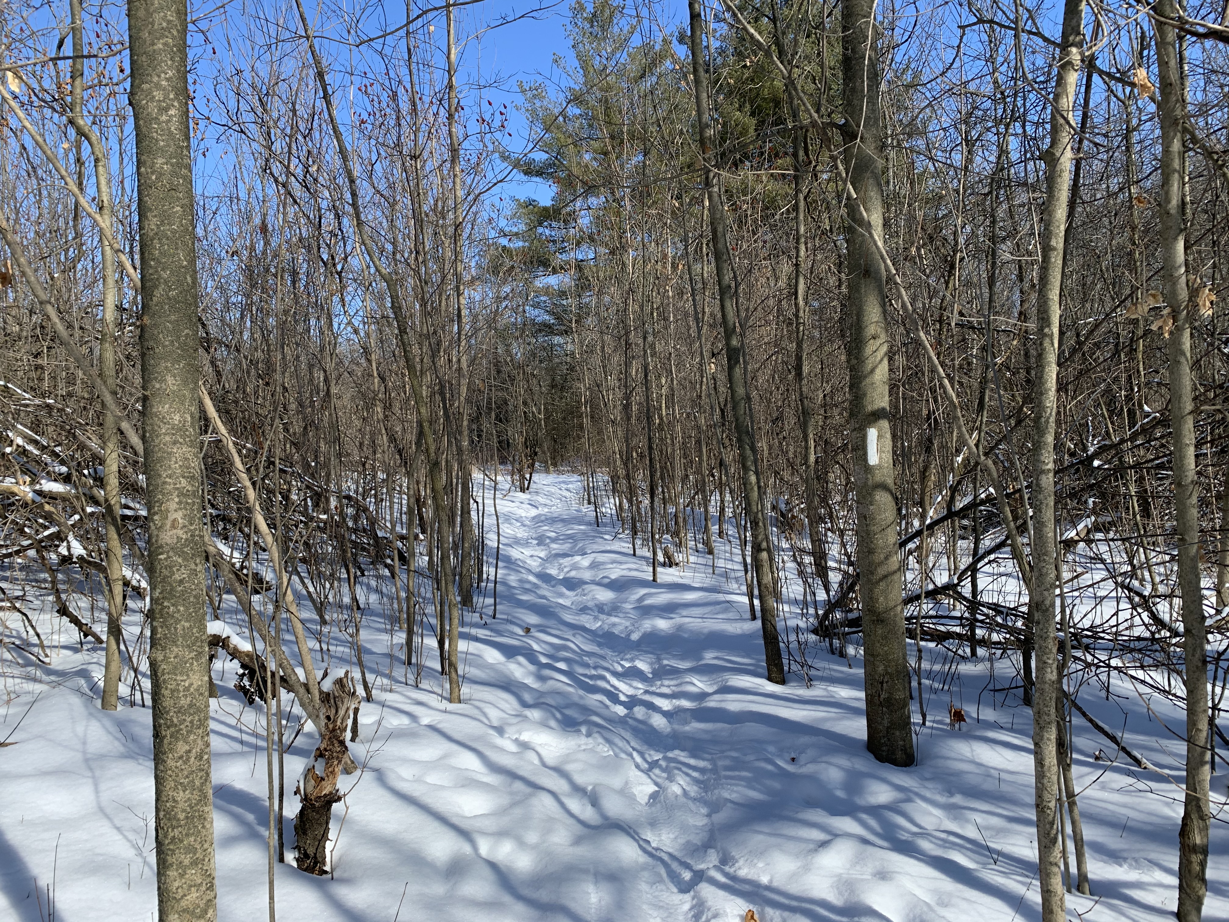
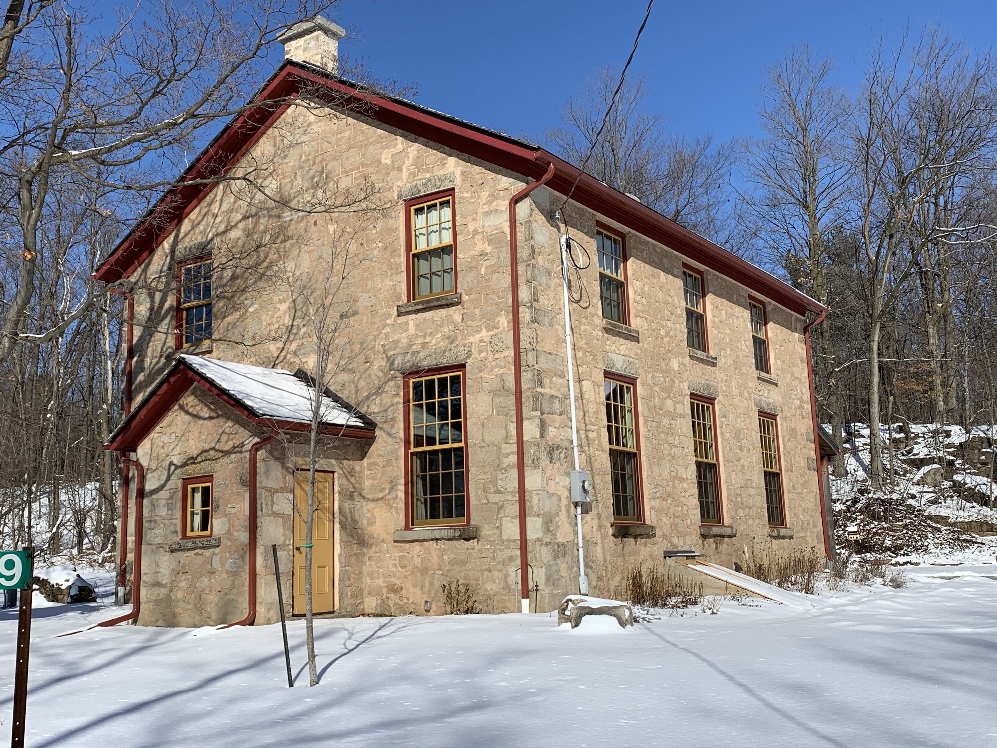
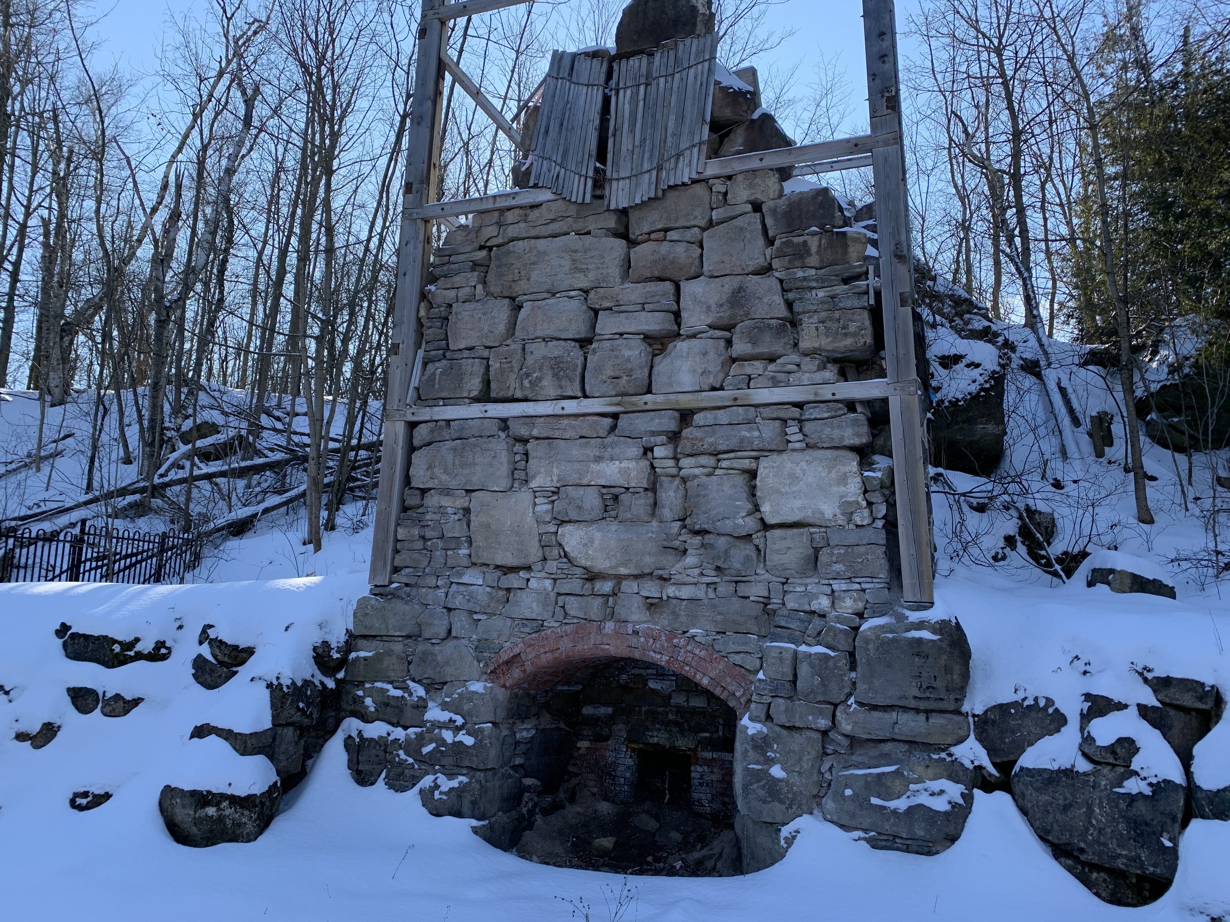
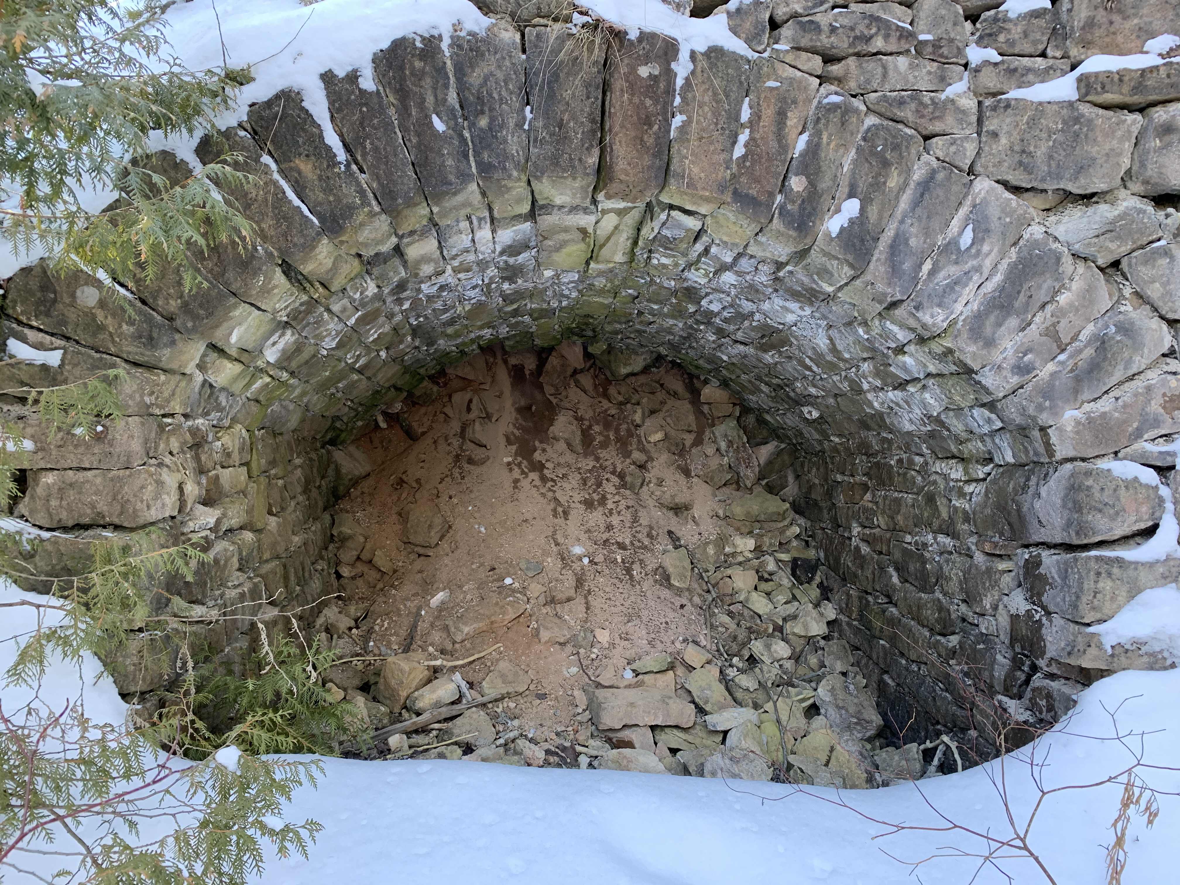
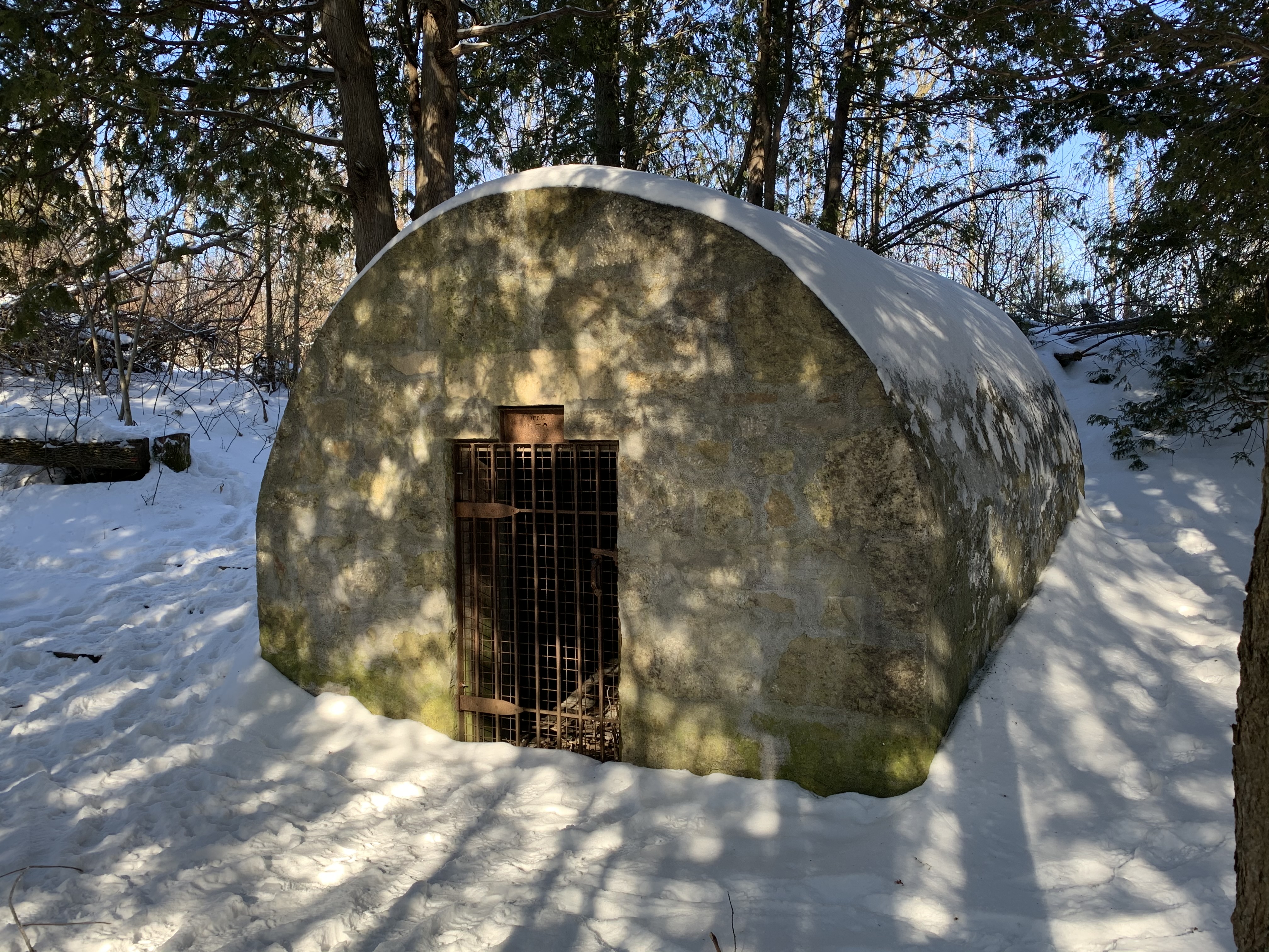
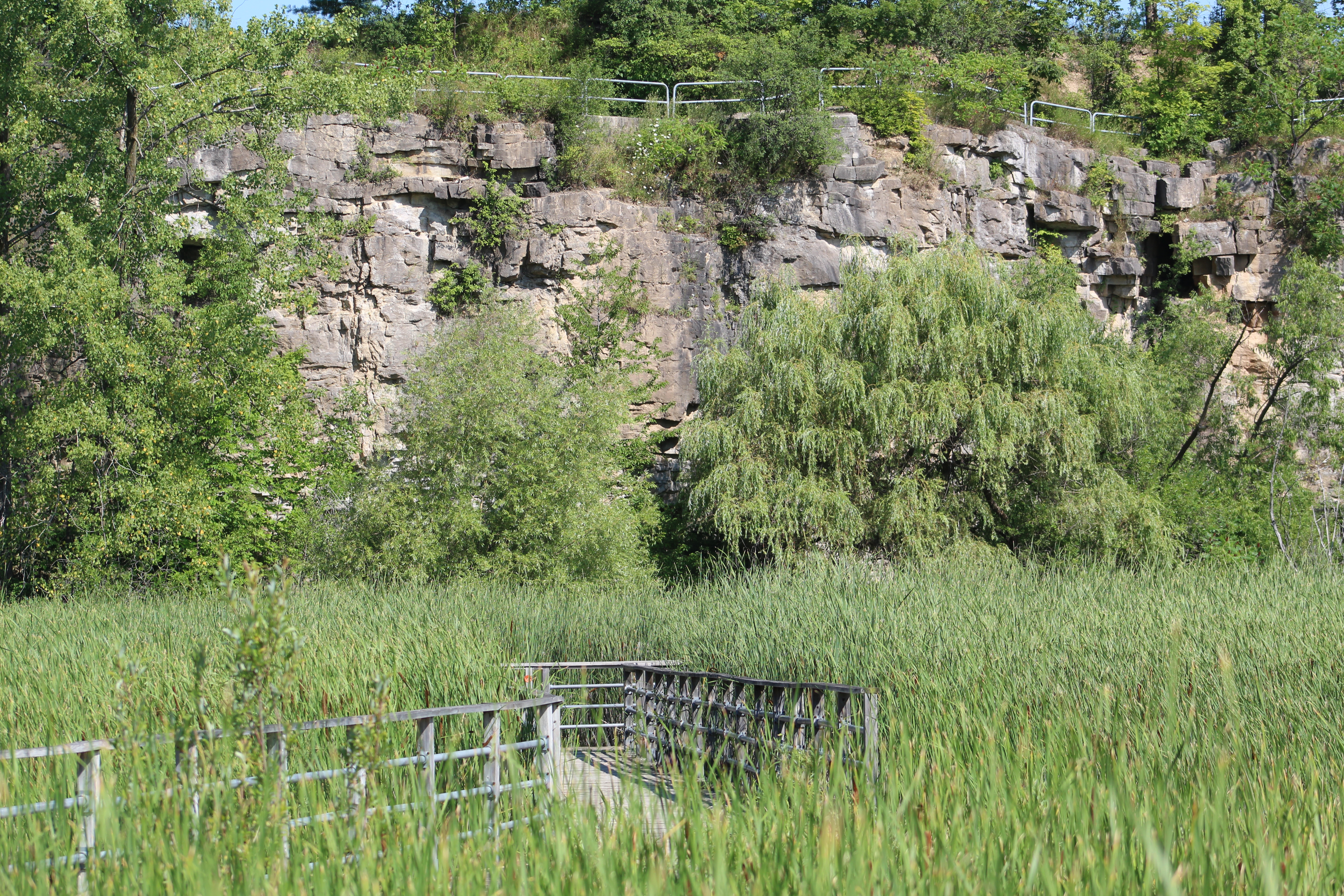
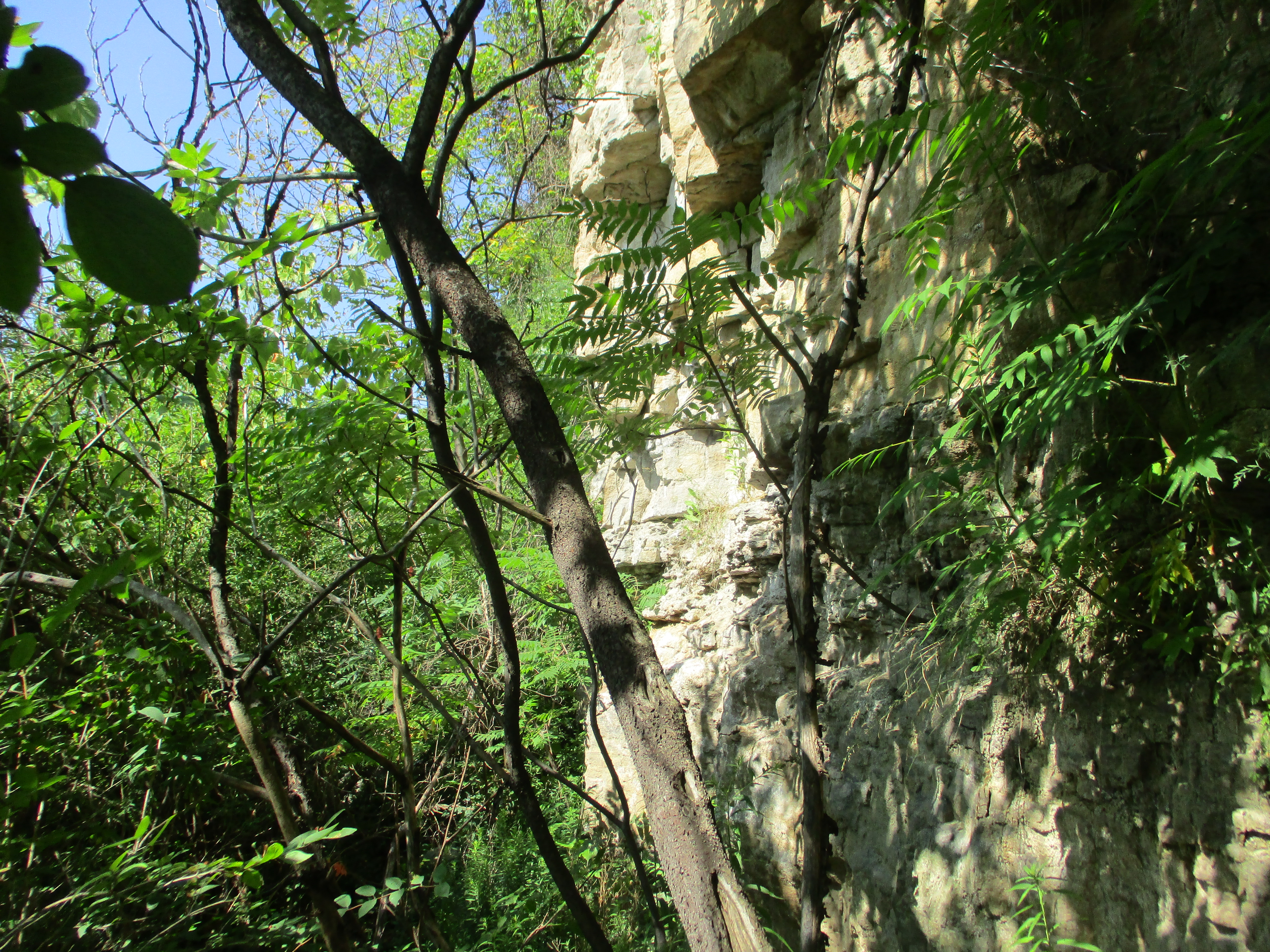
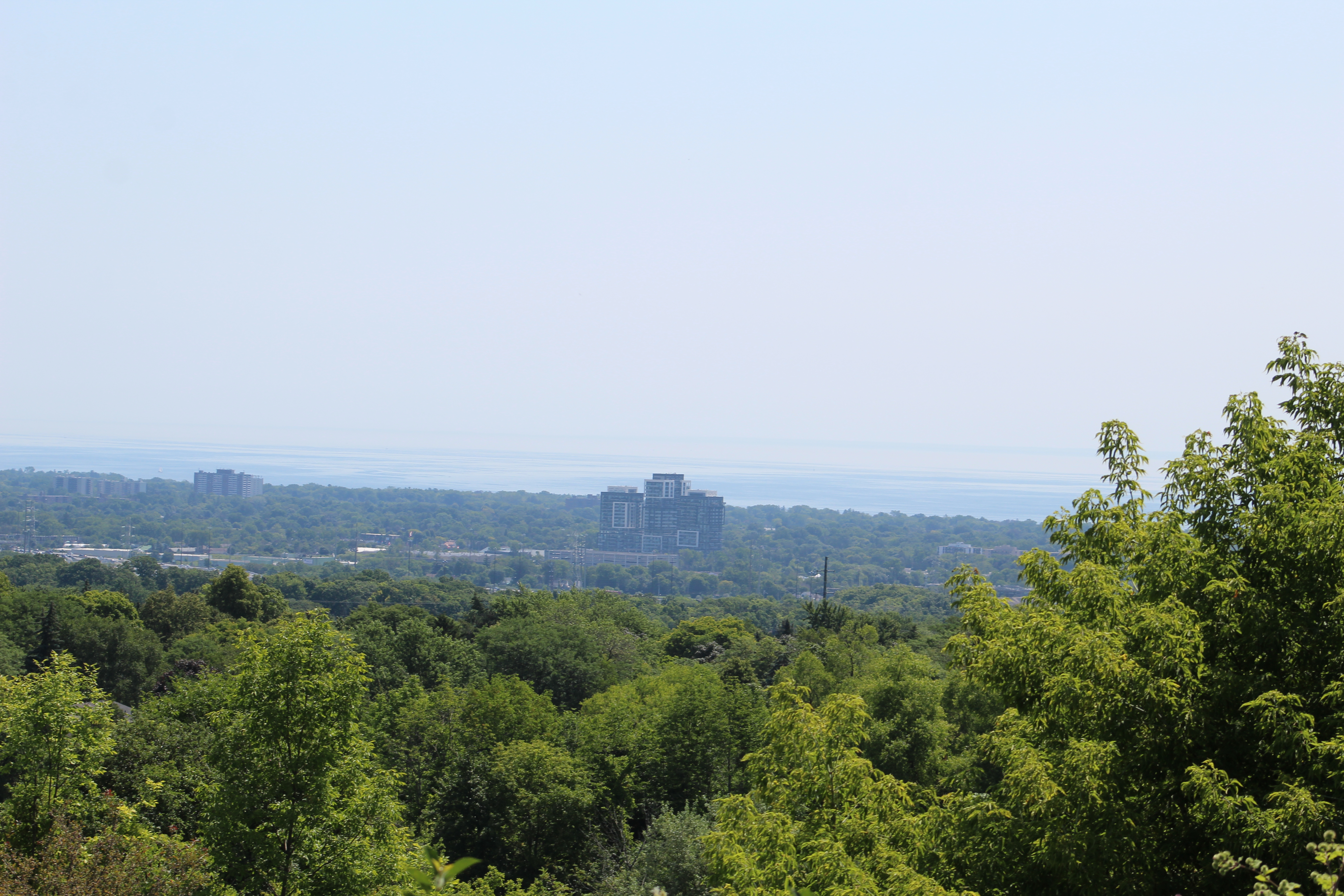
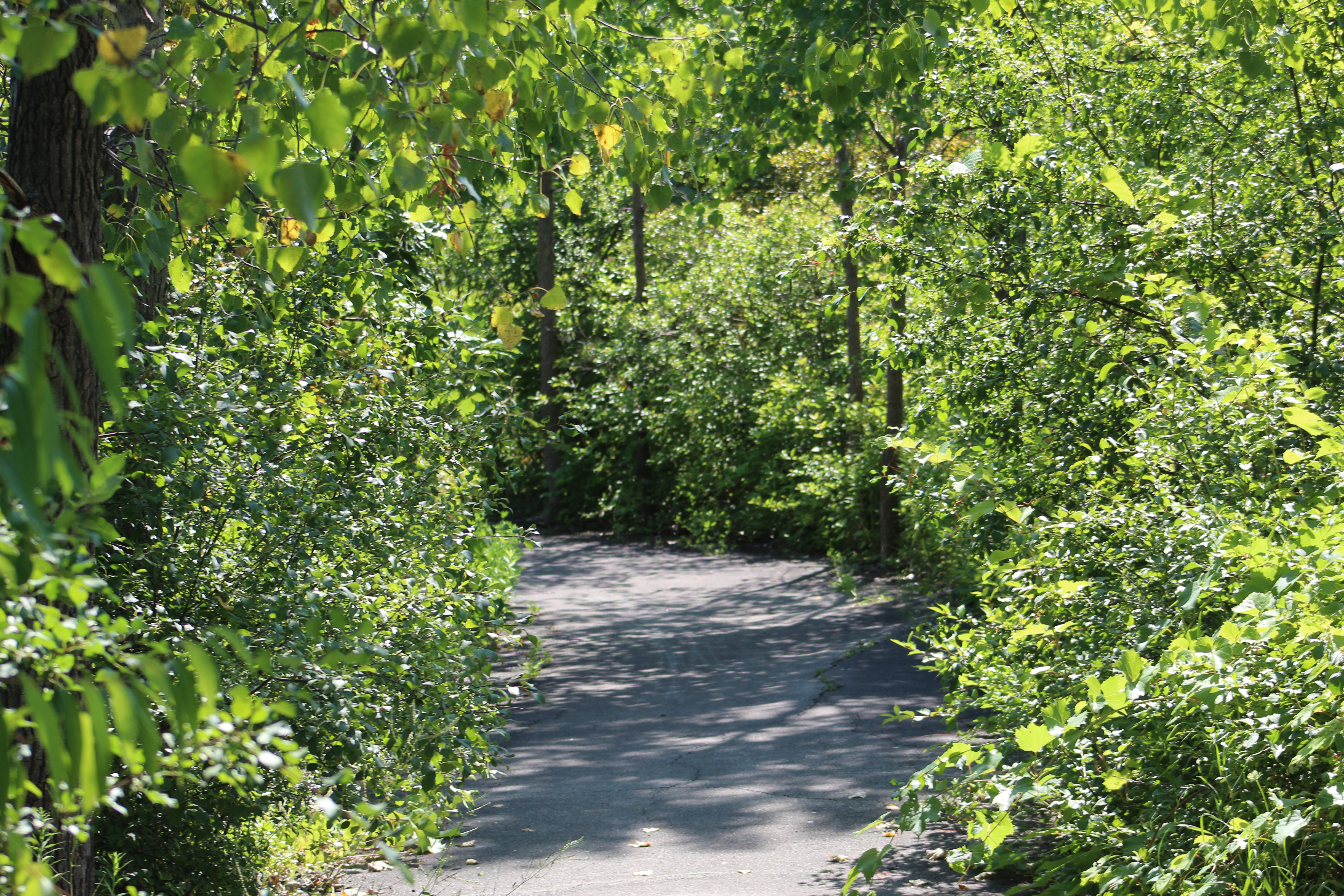
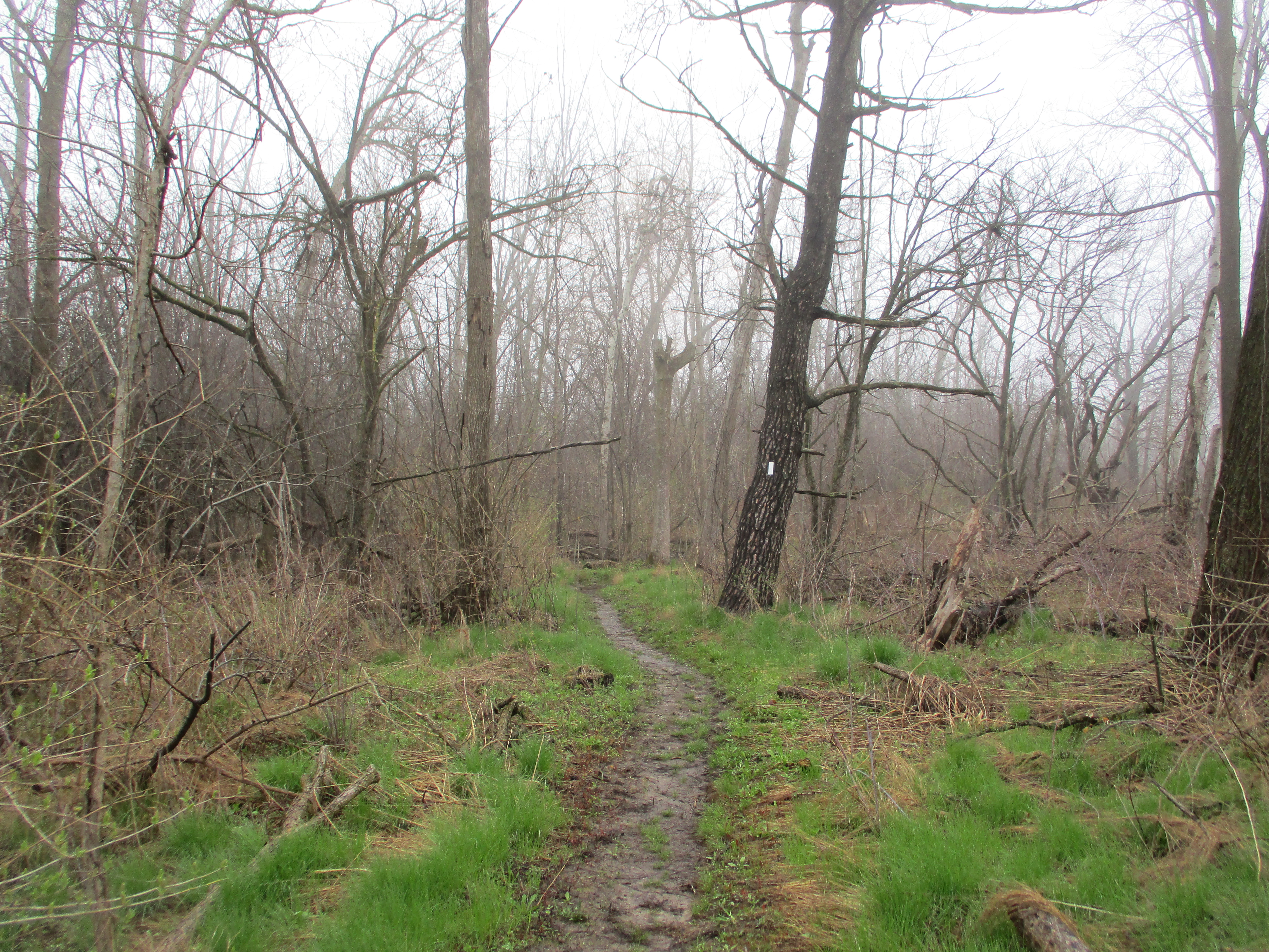
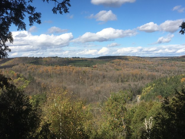
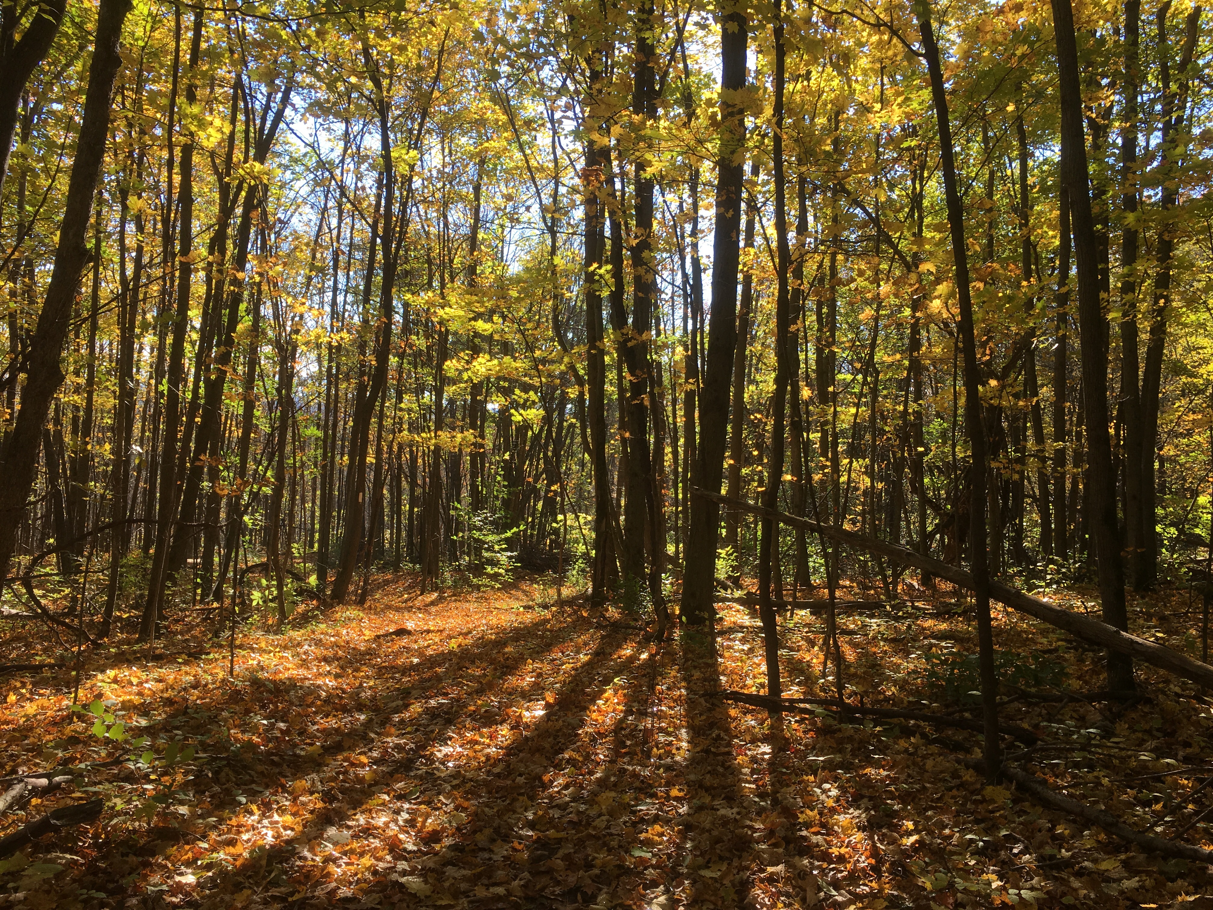
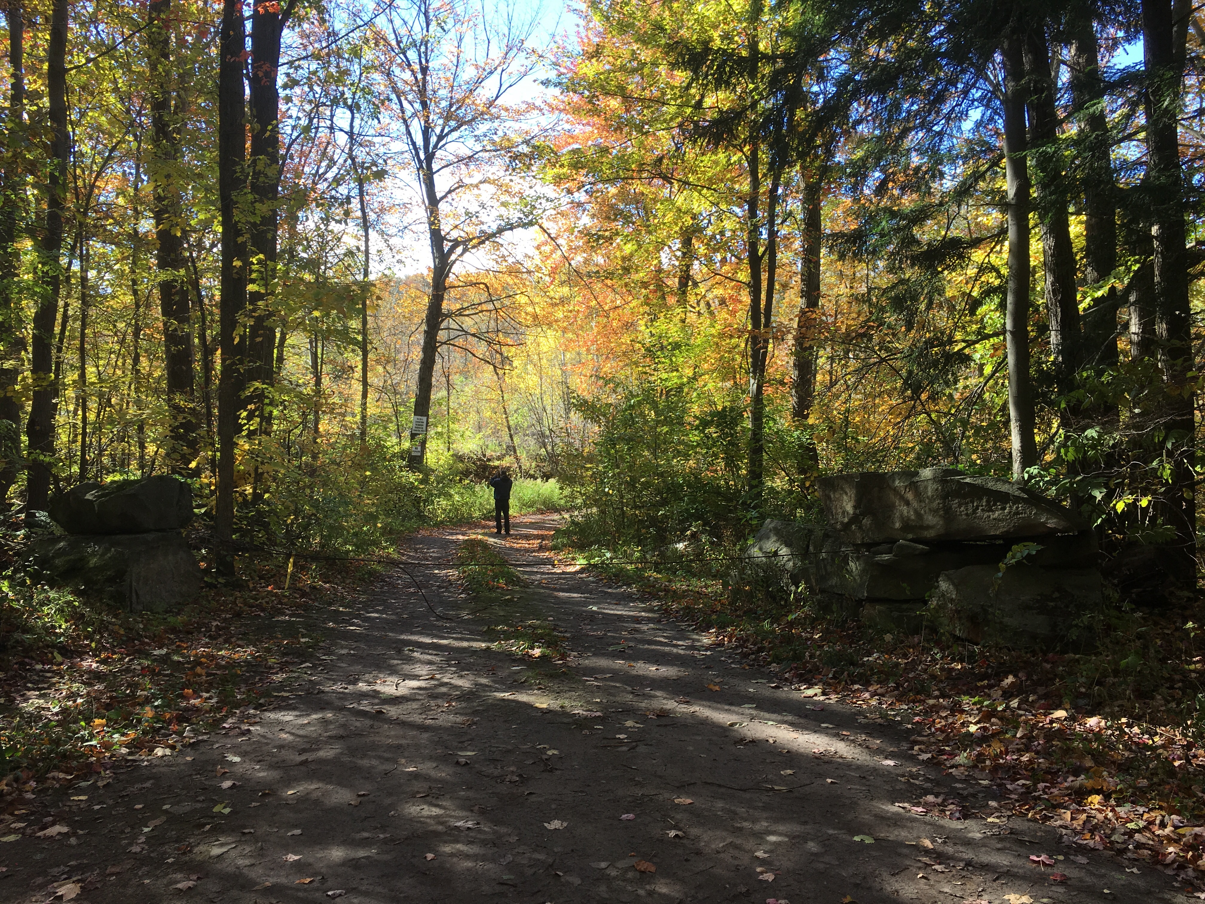
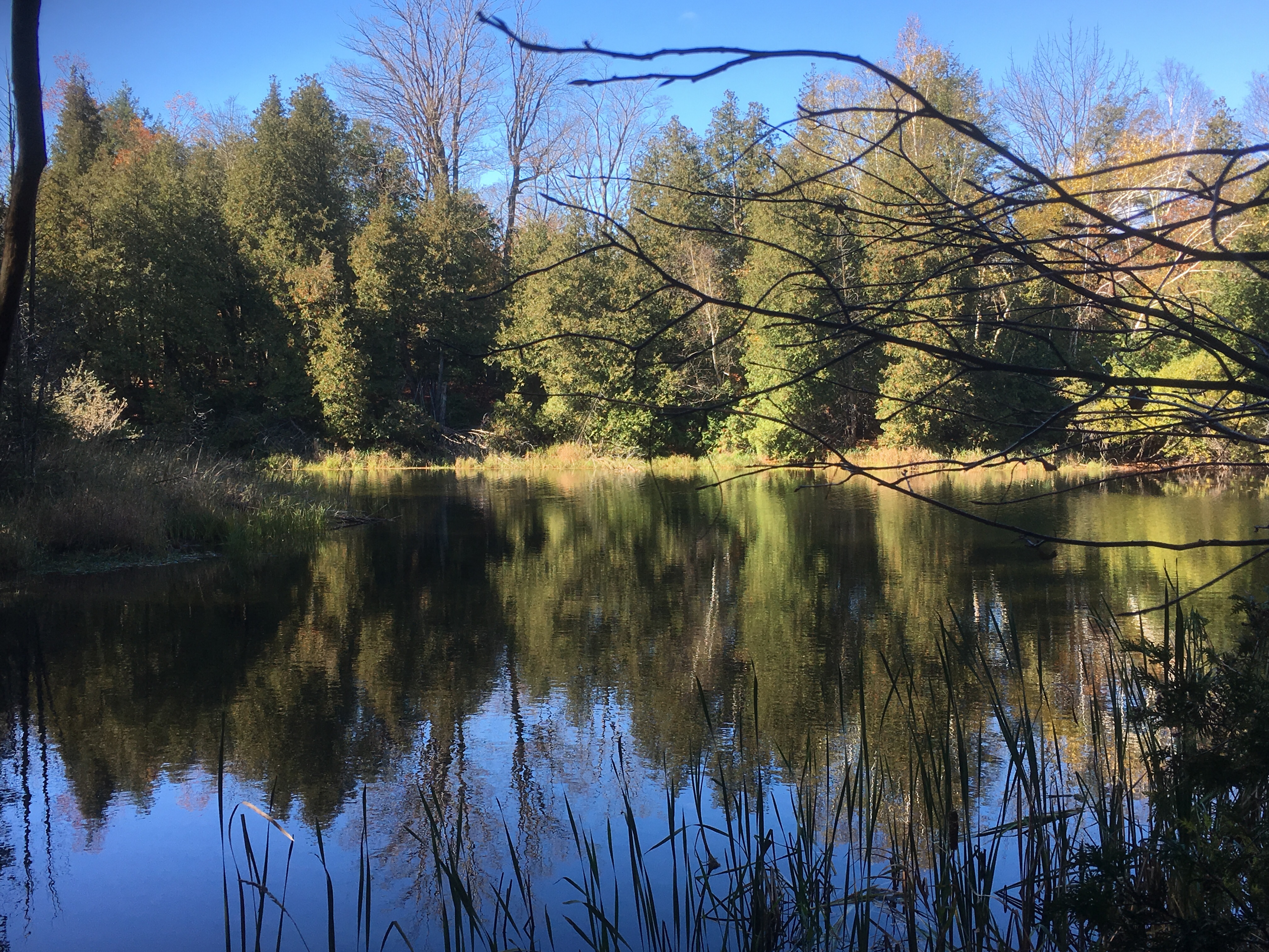
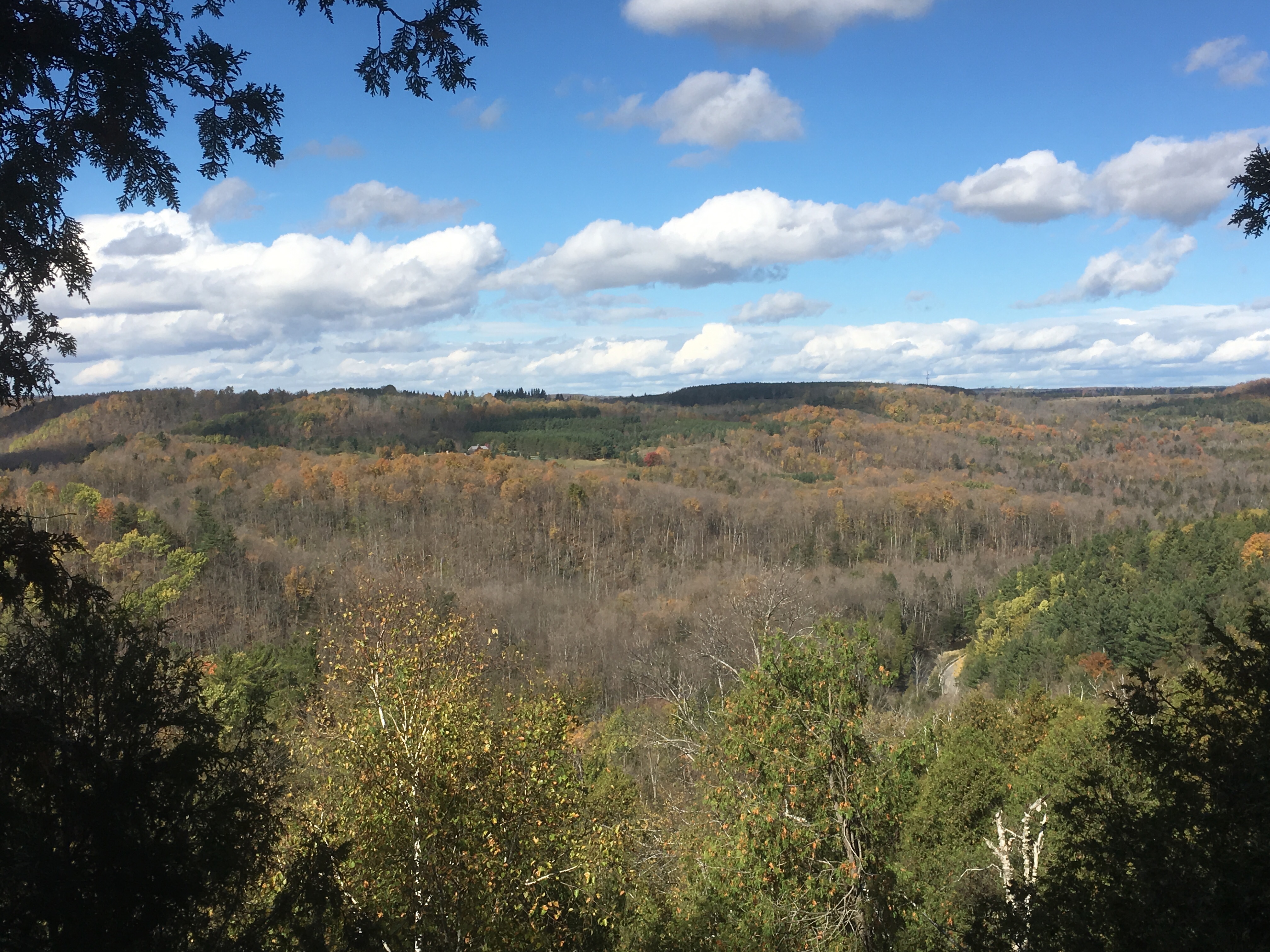
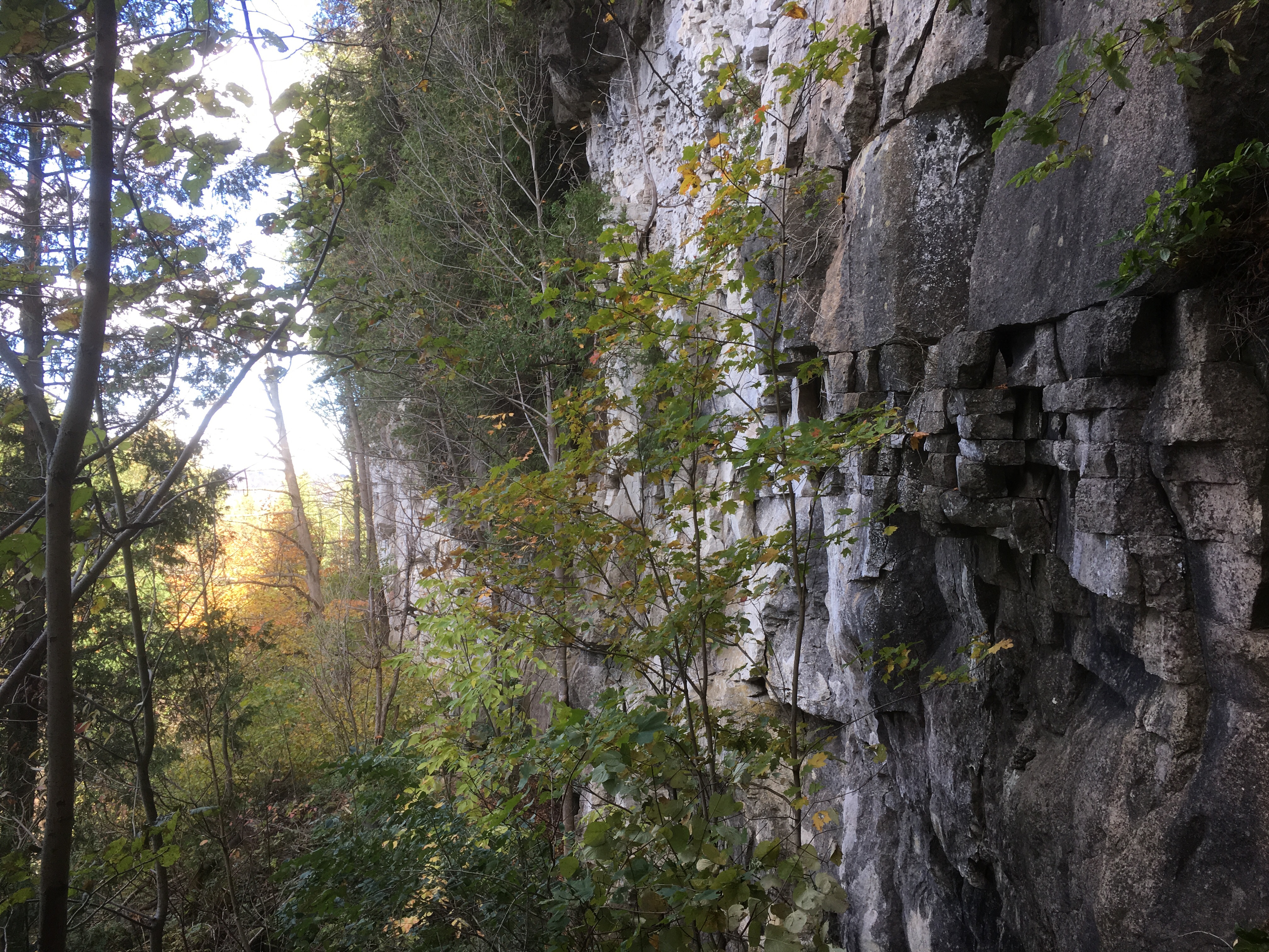
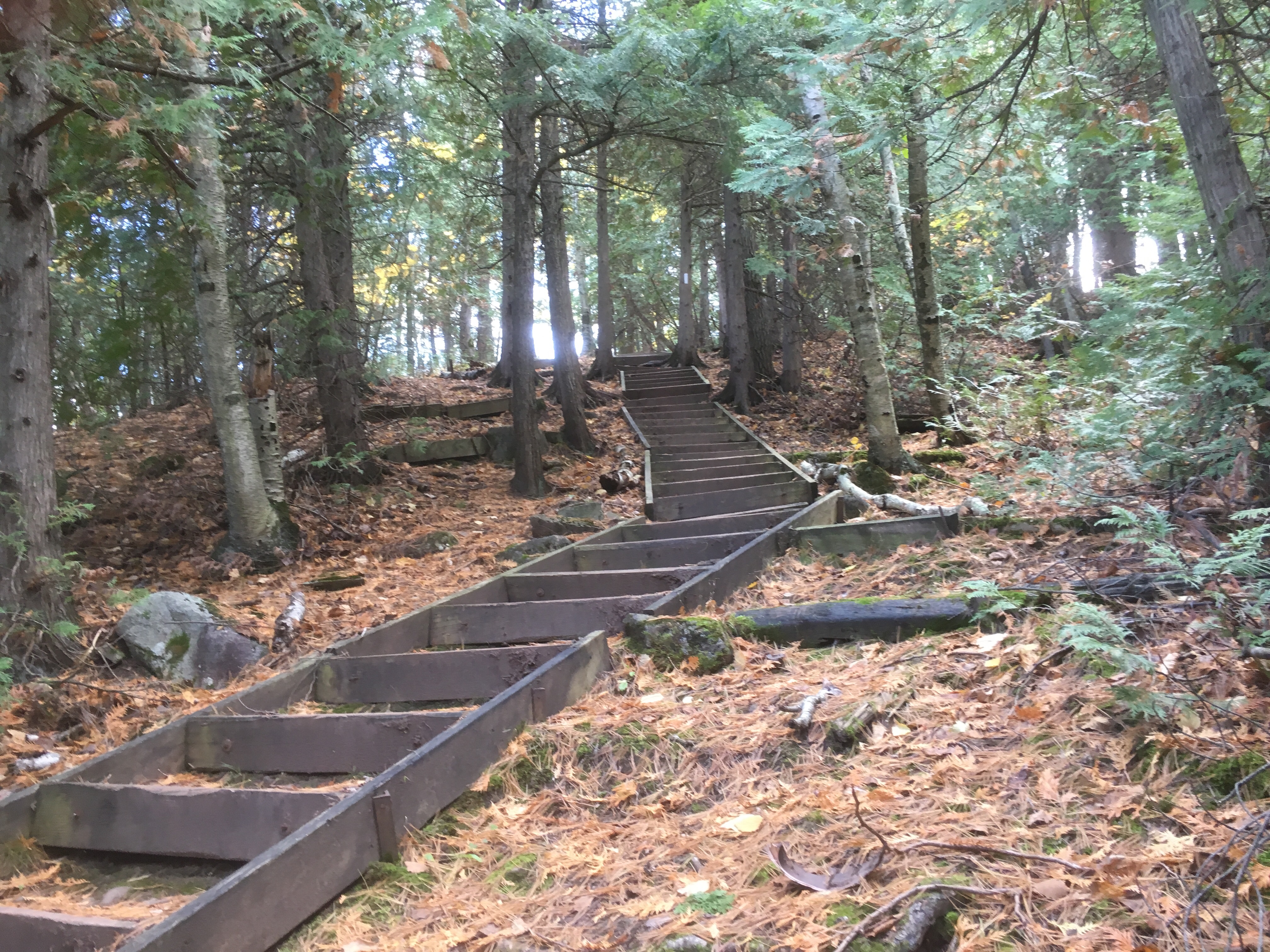
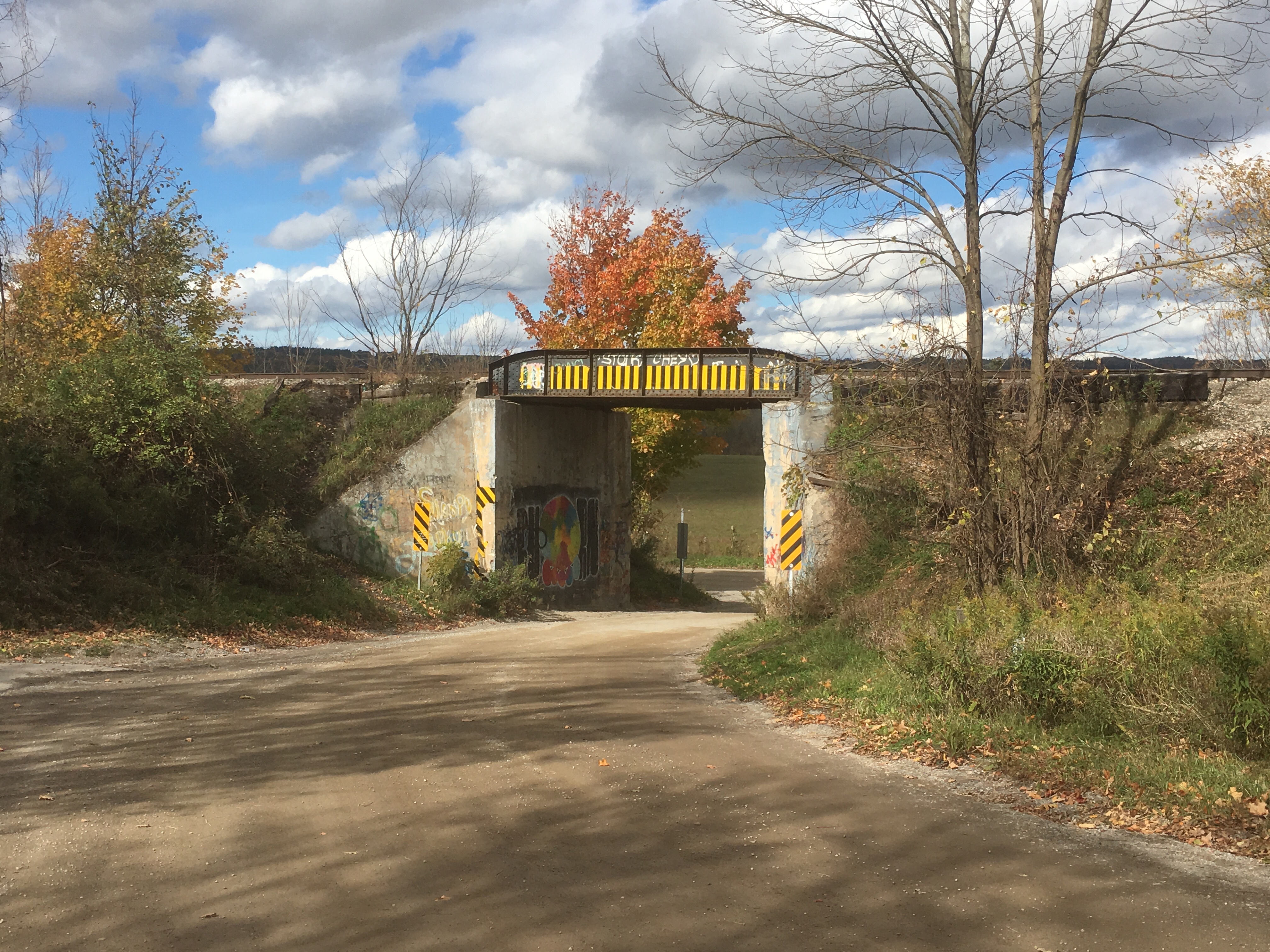
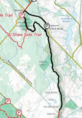
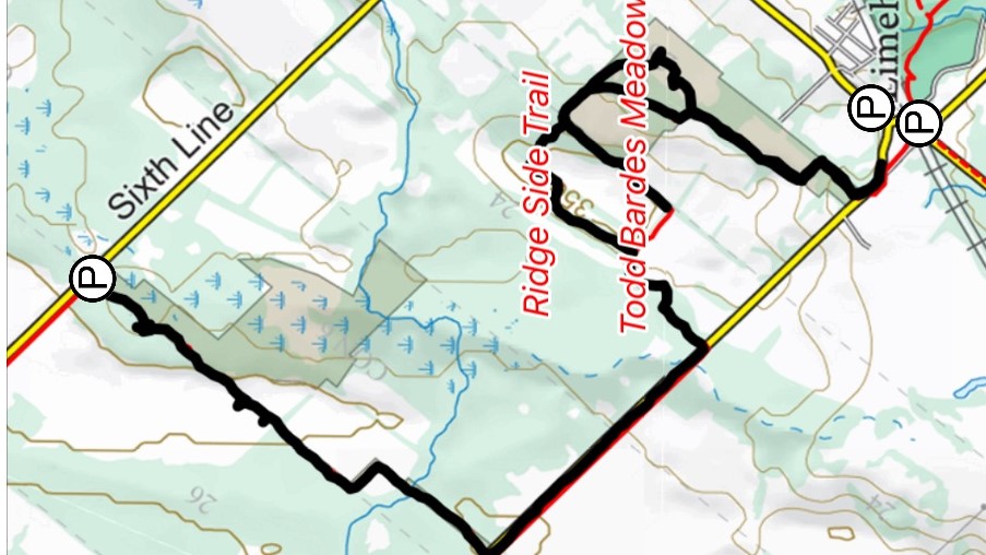
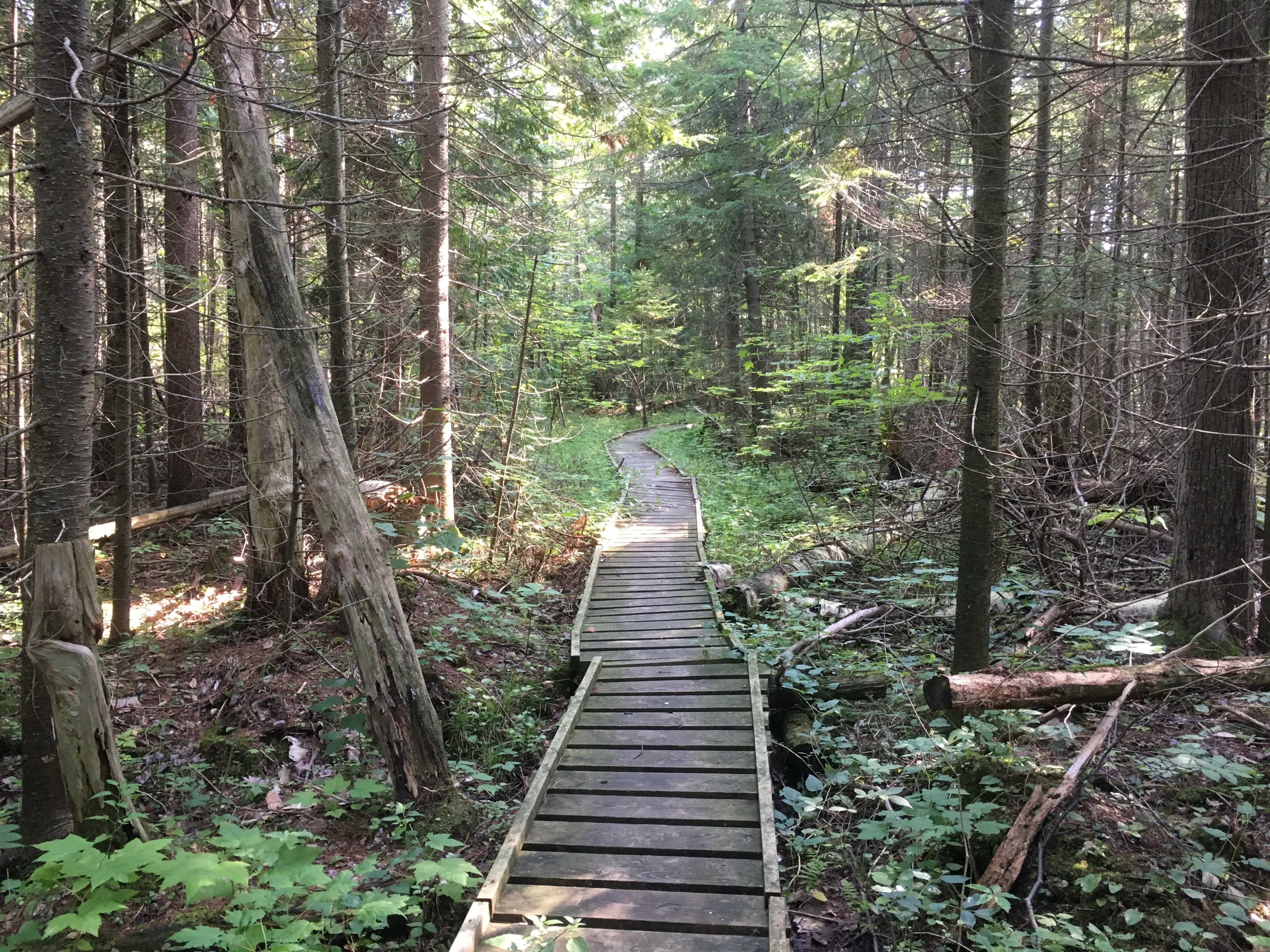
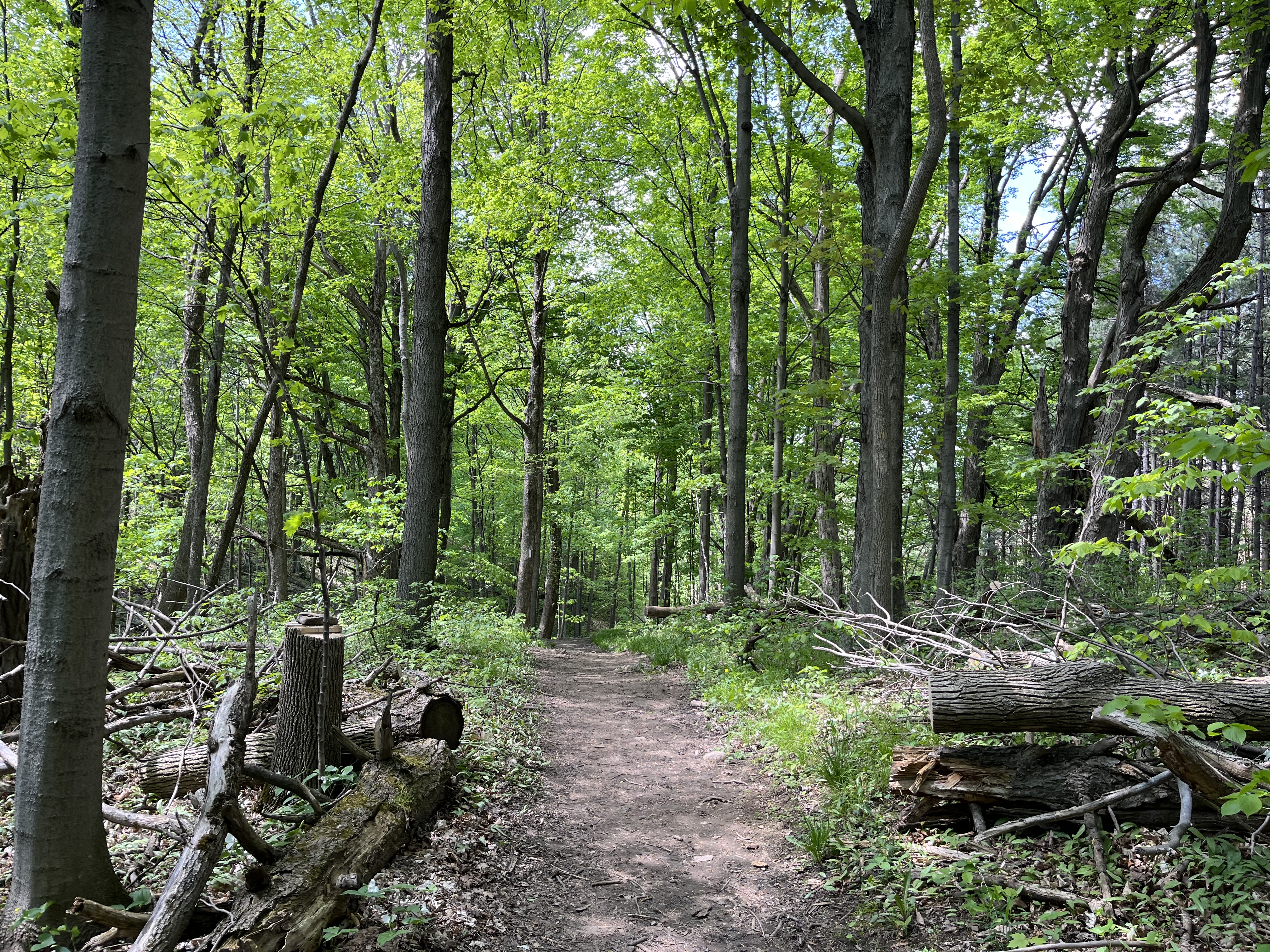
I decided to go to the Bruce Trail for a hike and to look for a natural feature called The Dingle as well as an old school house associated with it. There’s parking on Coolihans Side Road where the trail crosses and so I headed for there to begin my hike. I had the understanding that I could reach the side trail to The Dingle from the main trail, however, that wasn’t the case. At any rate, I had a good hike through to Finnerty Side Road and back. It was a beautiful afternoon and the trail was basically deserted.

The woods were full of flowers of various colours but these bright yellow ones stood out because of their size. Yellow Wood Poppies grow in shaded areas and are also known as Celandine Poppies. The can grow as a single flower or in large patches like the ones I found along the trail.

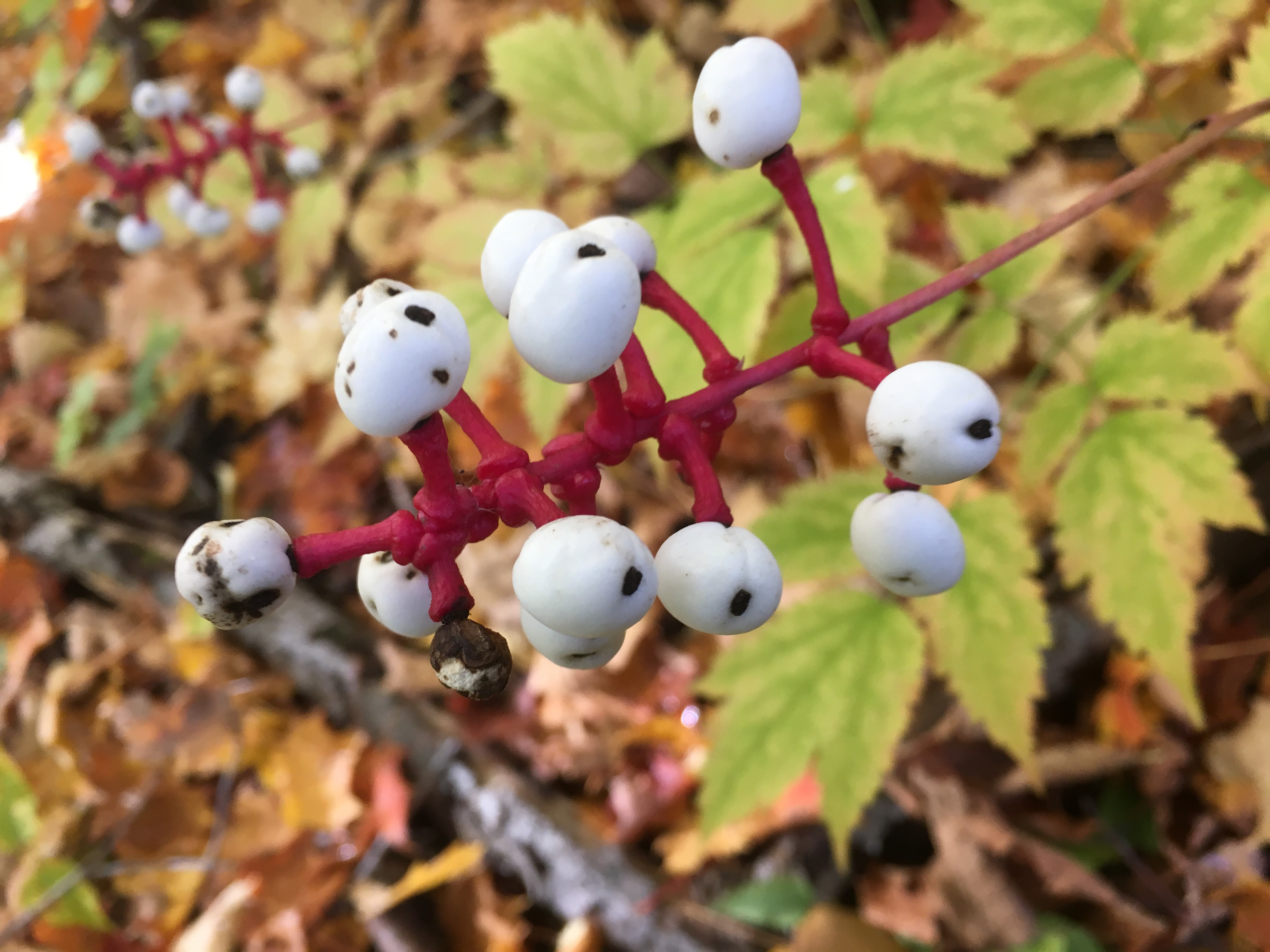
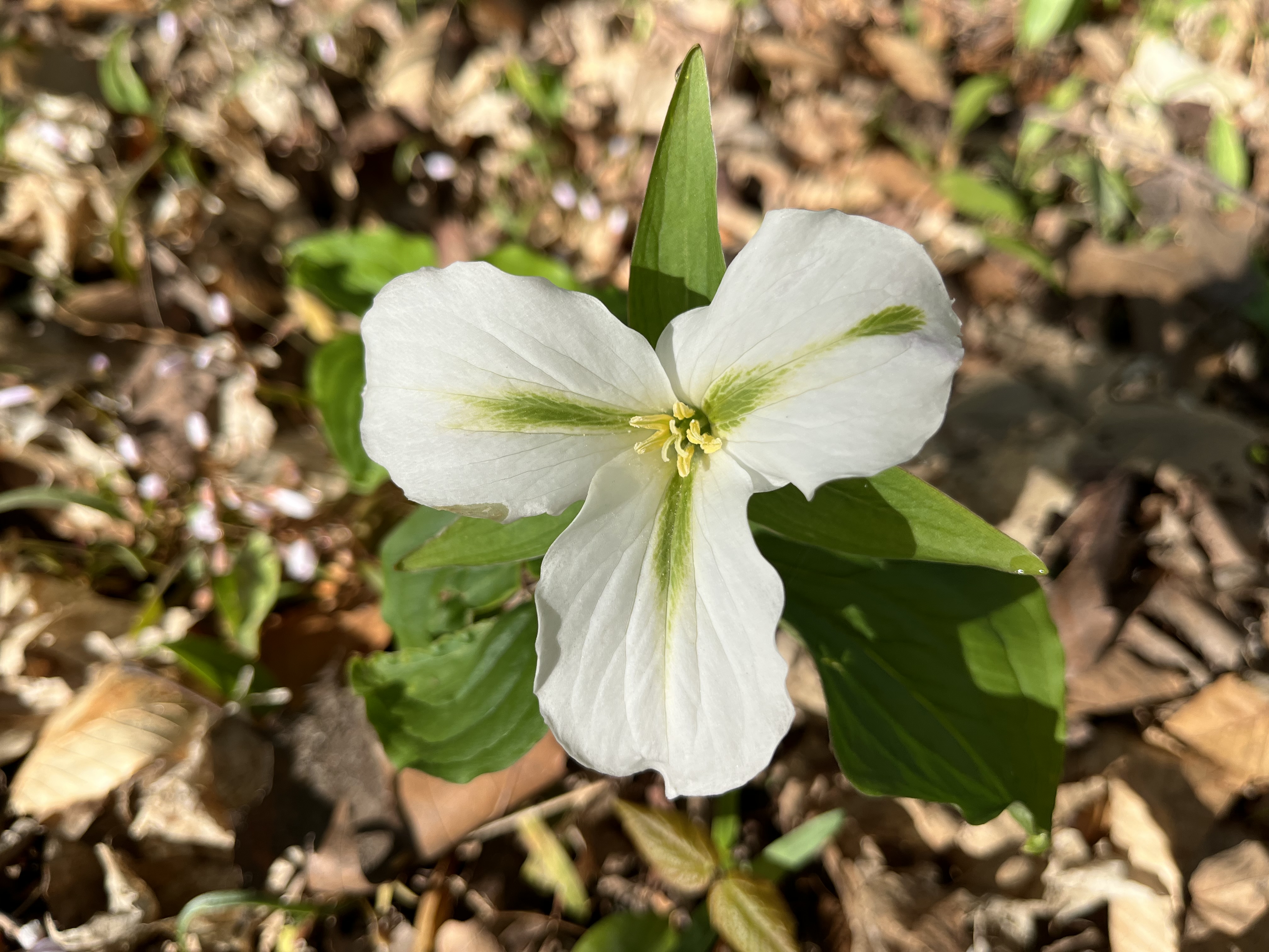
There were many patches of trilliums growing in the woods, most of them were white. A few of the white ones had a green stripe running along each petal. These are not a different type of trillium but rather one that has a disease. There is a small virus known as a mycoplasma that infects the plants and causes this discolouration. It will get worse until the plant is no longer able to flower. In some cases the streaks can show up as pink lines on the flowers.

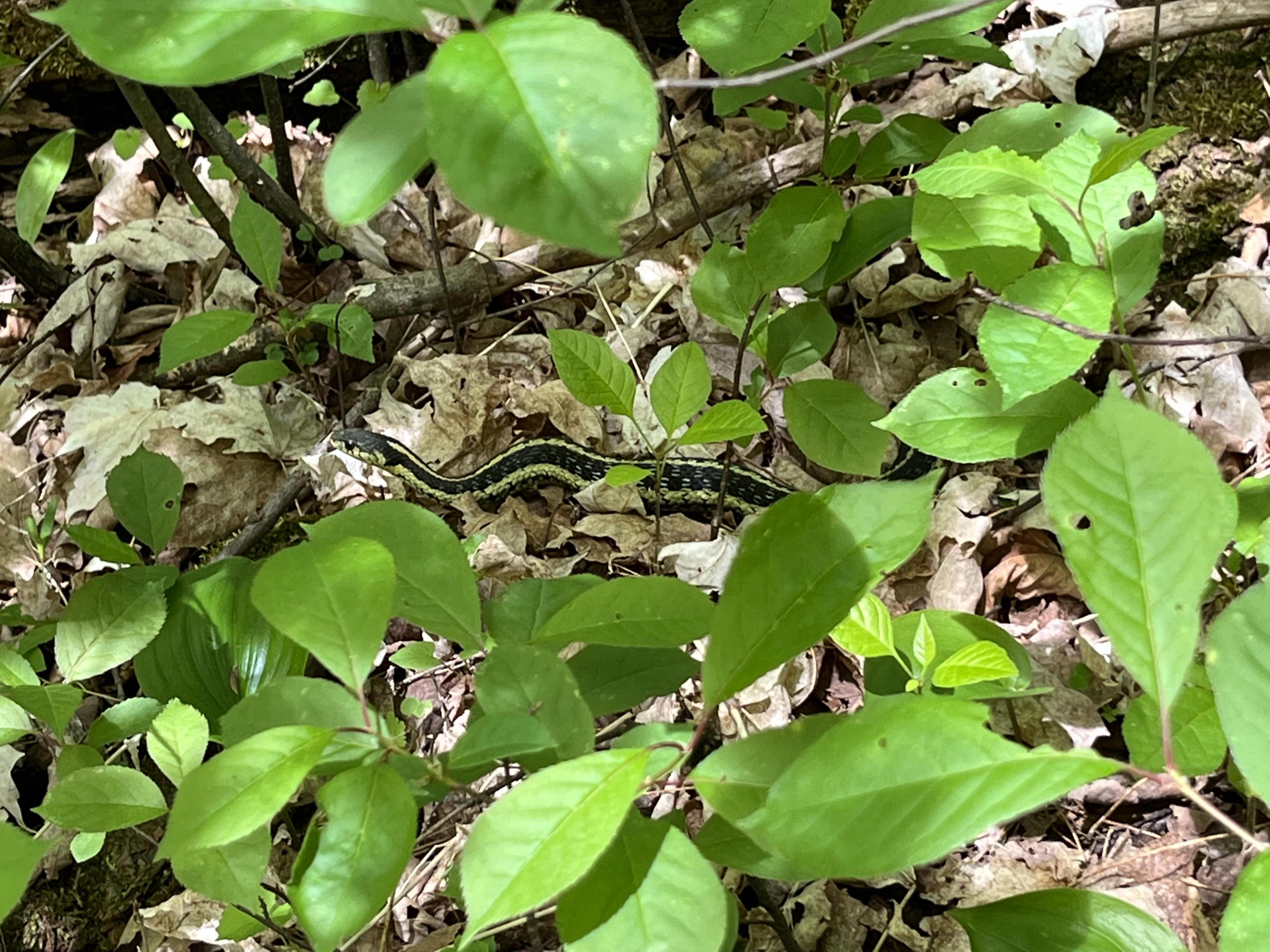
I found a large Garter Snake sunning itself on the trail. It moved into the undergrowth when it saw me coming but I managed to get a picture before it slithered away. I don’t know if it was a male or female but other snakes would have known right away. Garter Snakes leave a pheromone scented trail that is very different for either gender. Some male snakes give of both male and female scents and this can fool other males into trying to mate with them. This isn’t very effective with the other males but it increases the snakes body heat and gets them more interaction with the females.

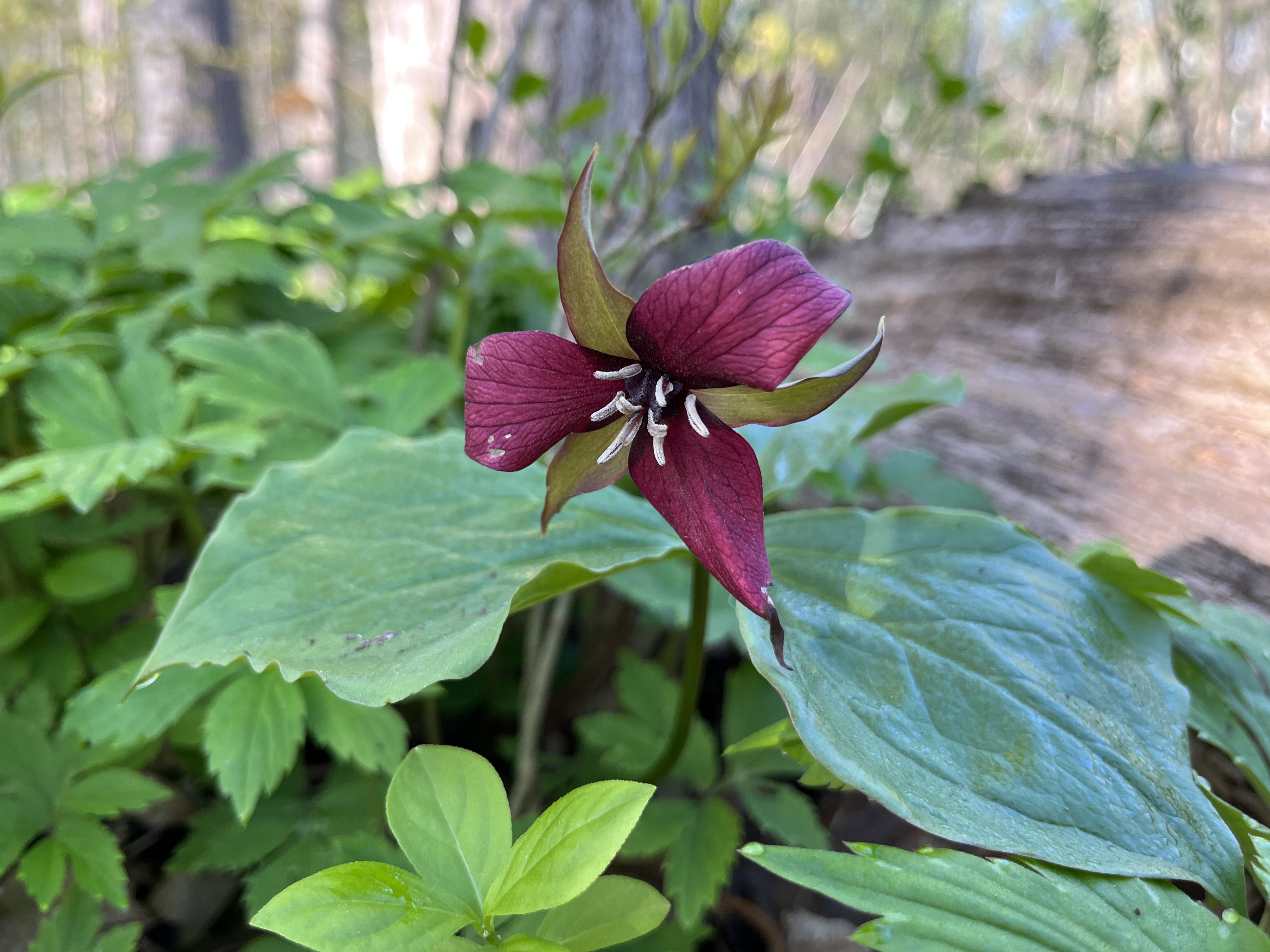
Red trilliums are less common in this forest than the white ones but there were a few examples scattered around. It is said that ants often carry the seeds of trilliums underground and then eat only the outer part leaving the seed to germinate. Once a trillium starts it will take between 4 and 15 years to flower the first time after which it will flower annually. However, if they are picked it sets them back and they can take up to seven years before they start to flower again.

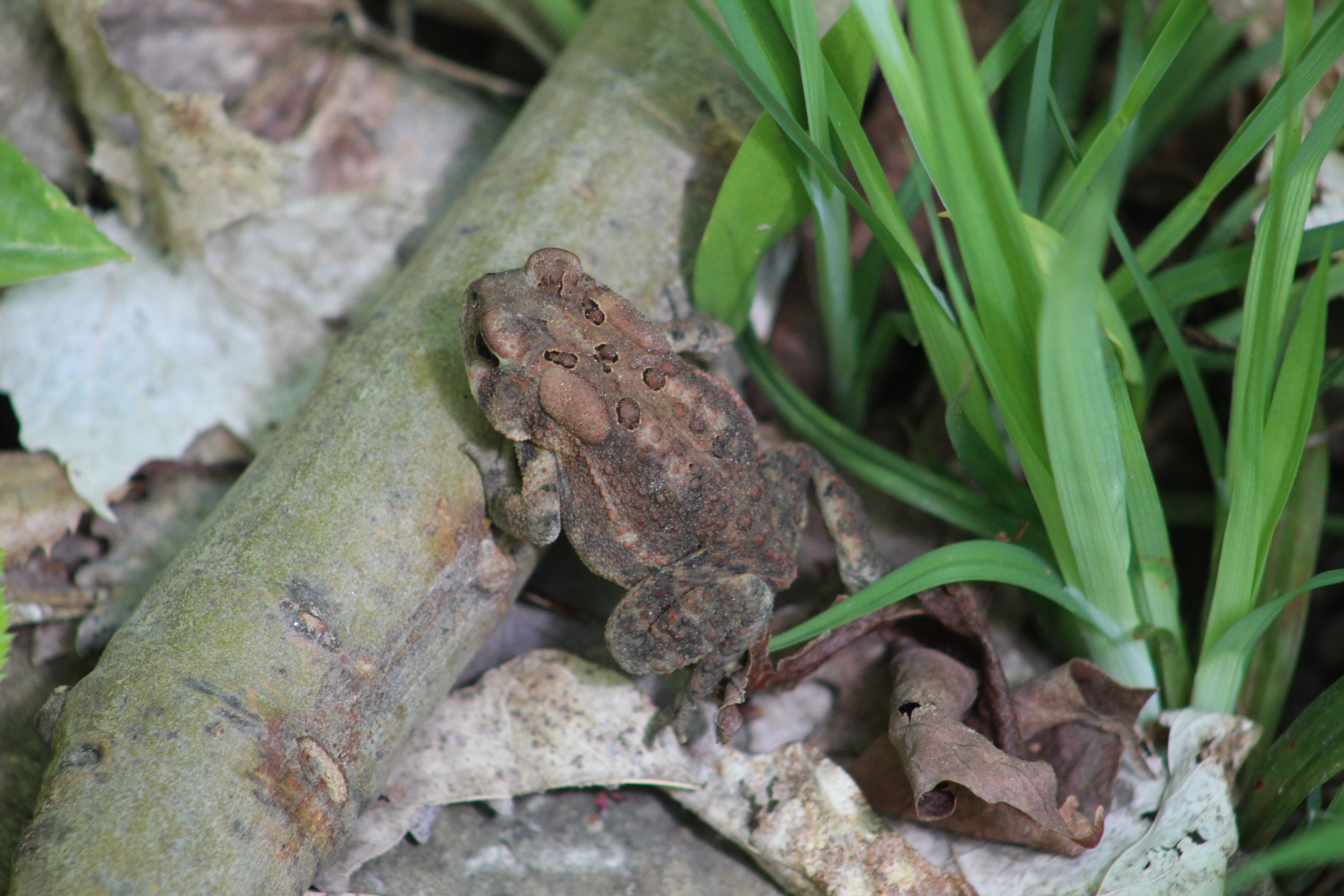
The Eastern American Toad can have a variable colouring as they adapt to their habitat and the females have a wider variety of markings. Stress and temperature as well as humidity can also play a role in the colours of these toads. The tadpoles protect themselves by the toxic chemicals in their skin which can kill a fish if it eats just one of them.

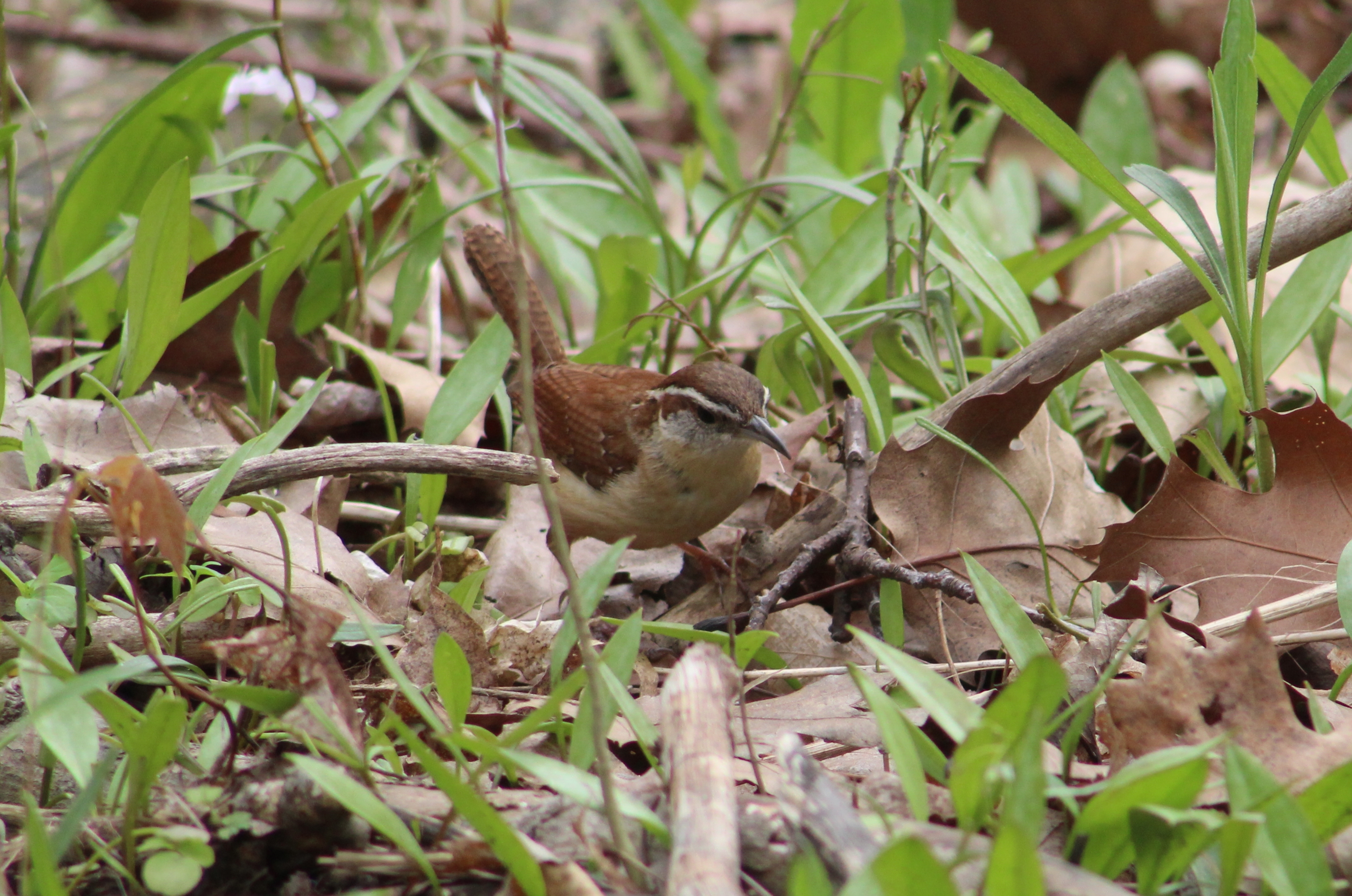
Carolina Wren are most common in the eastern United States but range into the extreme southern parts of Ontario. If the winter is severe these wrens will not venture as far north but they can have several broods during the summer. The young are often victims of the brown-headed cowbird who raid their nests. Carolina Wrens will mate for several years and live for an average of ten years. They tend to stay out of the open and rarely sit still long enough to get their pictures taken.

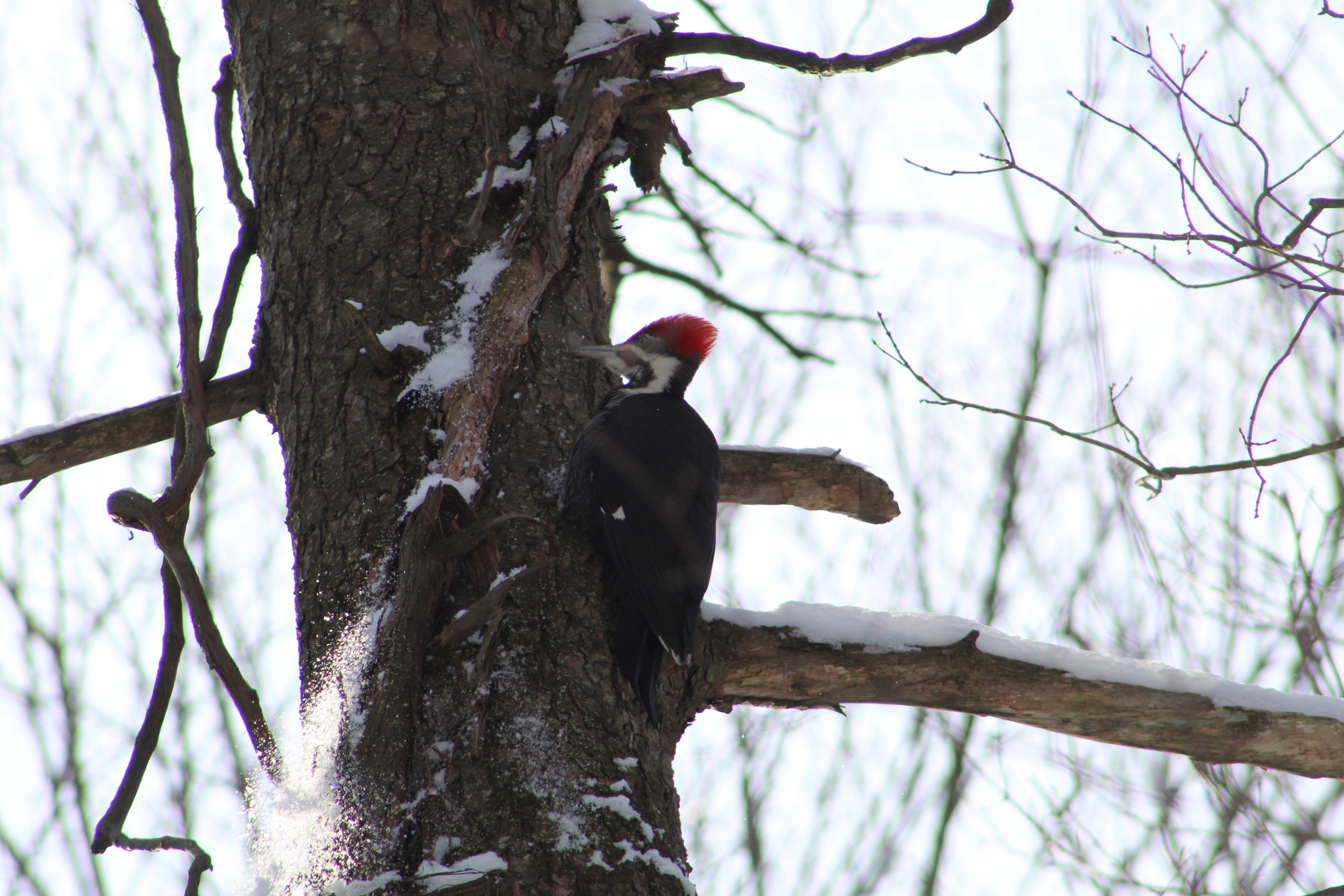
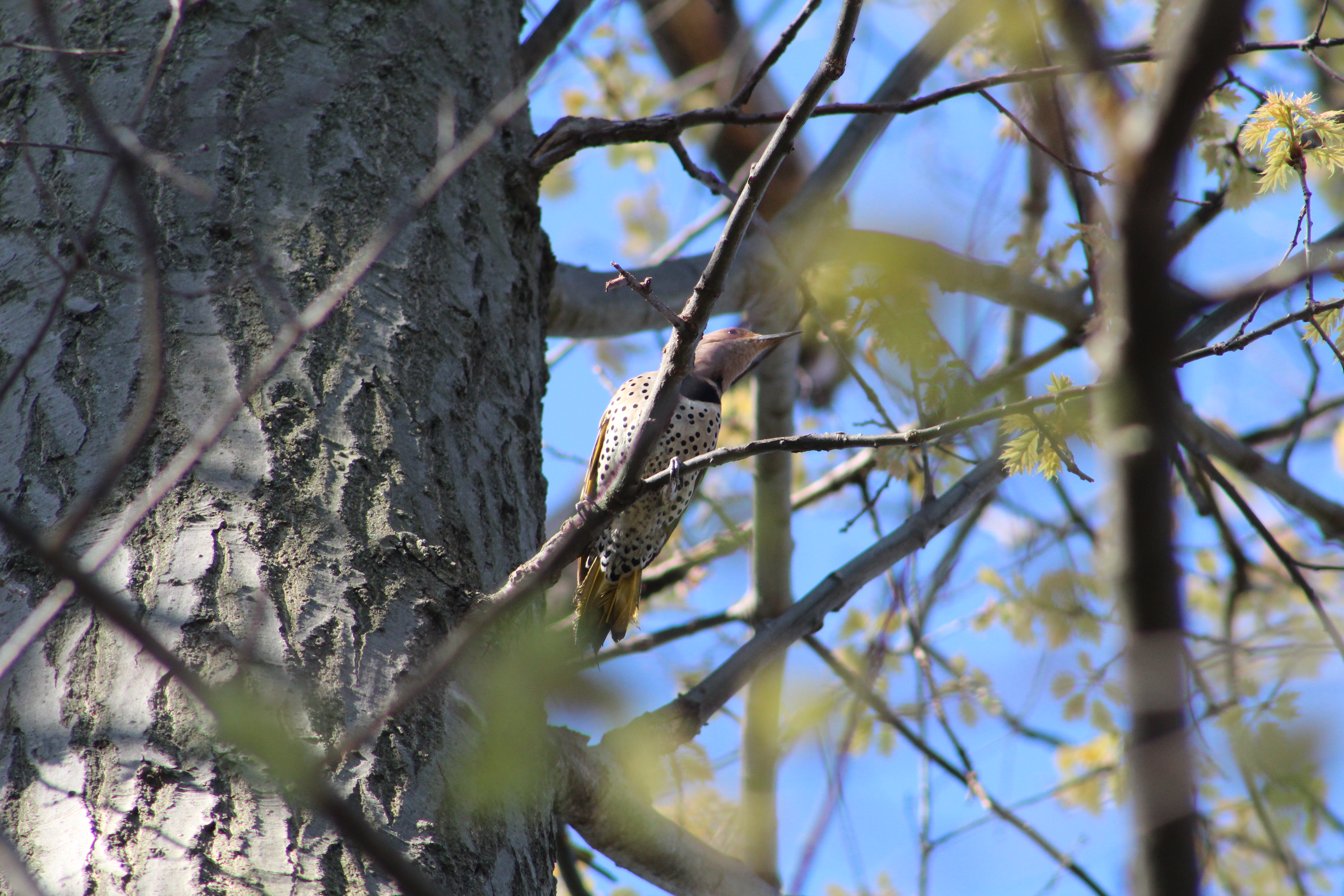
The Northern Flicker is a member of the woodpecker family and is medium sized. The males have a red patch on their head like many other woodpeckers in Ontario. Unlike most woodpeckers. the Northern Flicker migrates for the winter season.

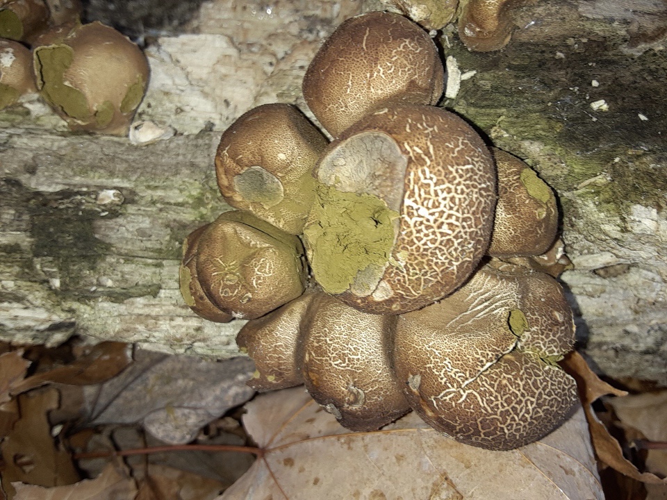
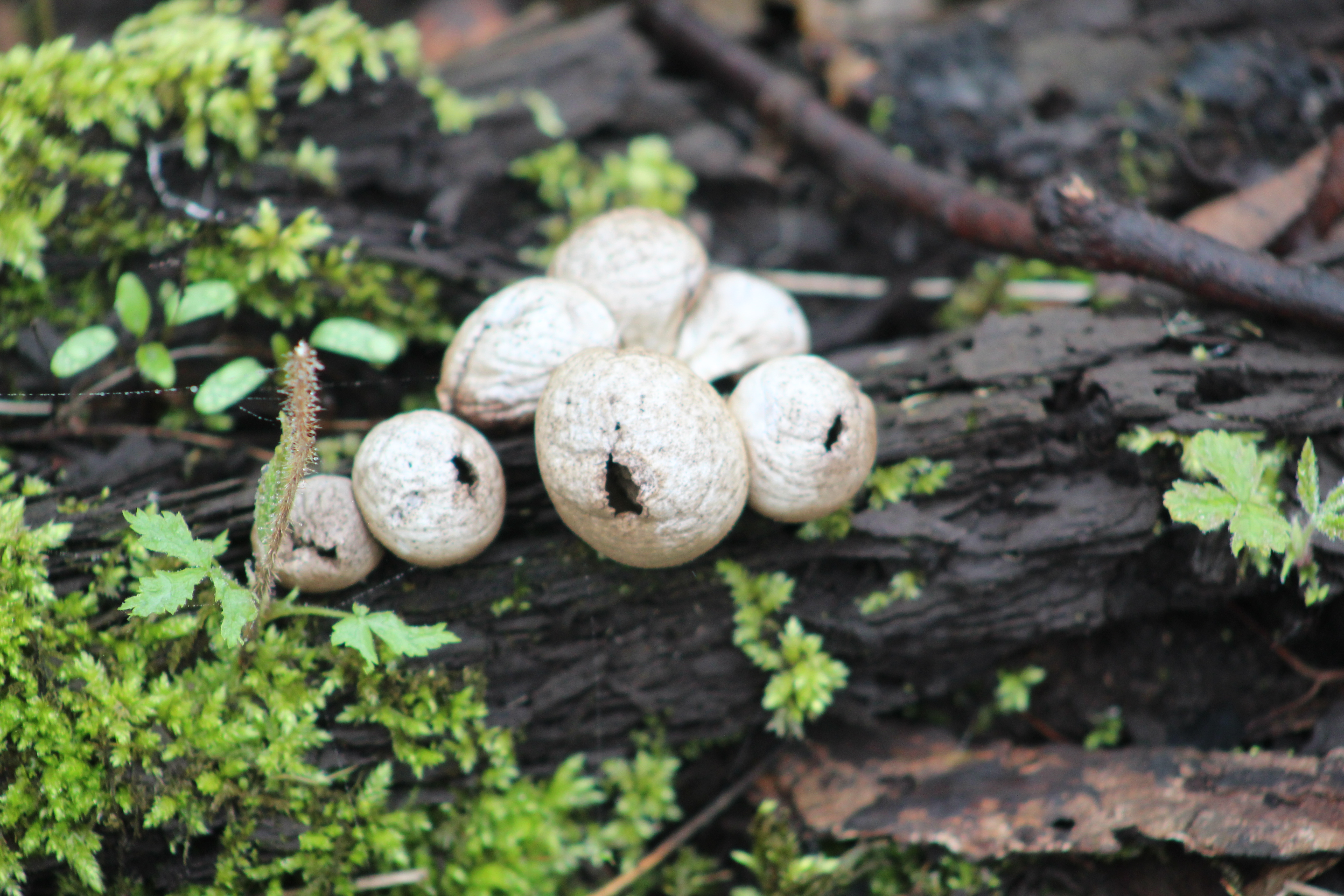
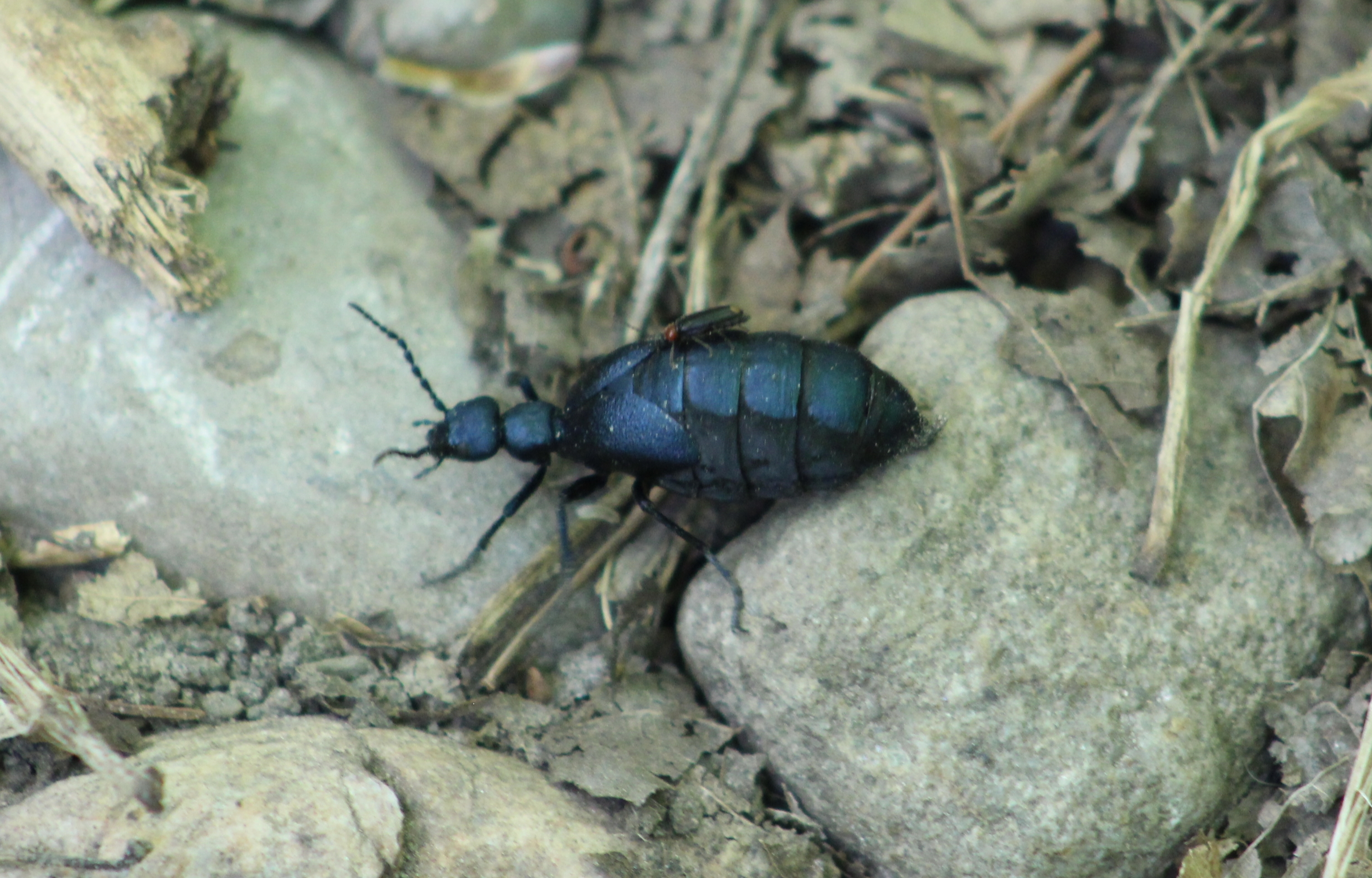
Short-winged Blister Beetles are also known as Oil Beetles. They grow to be 8-10 millimetres in length and get their name from the droplets of oil they excrete from their leg joints when they are disturbed. This oil can cause blisters on the skin and is a deterrent to predators. The larva of this beetle is a parasite that attacks the larvae of bees. The one below has a hitch-hiker on its back.

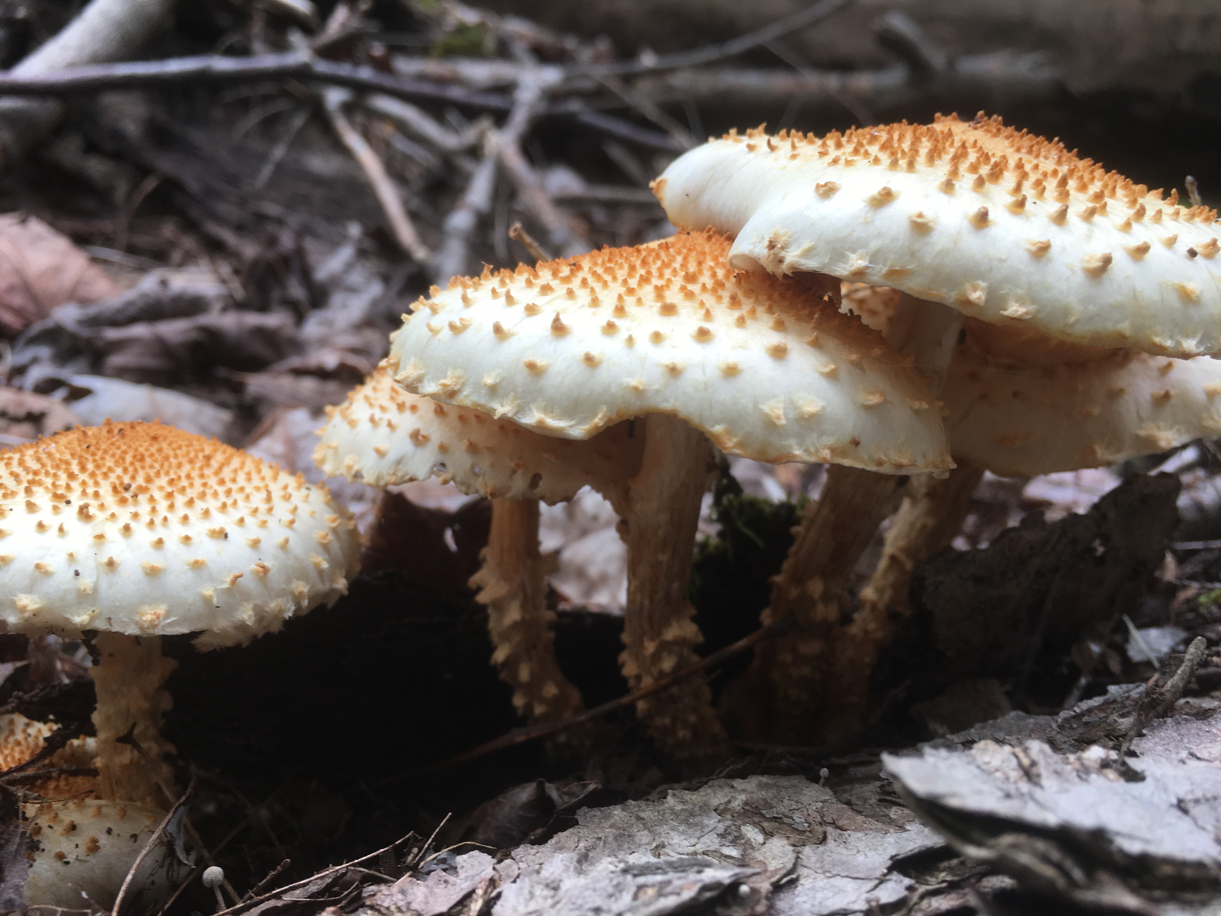
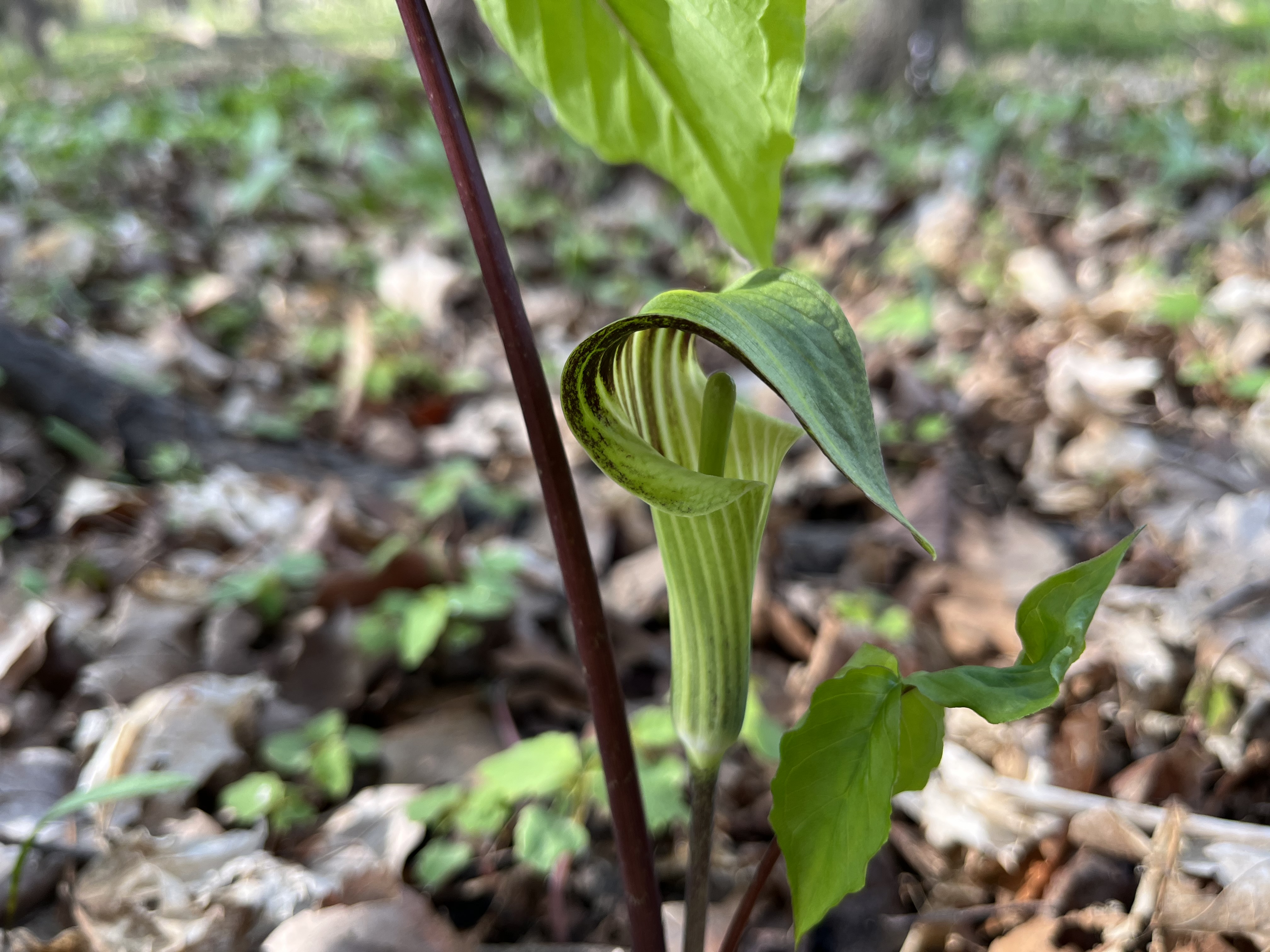
There are lots of Jack-In-The-Pulpits along the trail and these plants can live for up to 100 years. They have very earthy colours and the hood that hides the flower is called a spathe. Although they are not brightly coloured like many of the other spring flowers they are one of my favourites.

At Finnerty Side Road I turned around and made my way back to the car. This trail feels like it is uphill in both directions but it makes a great hike.

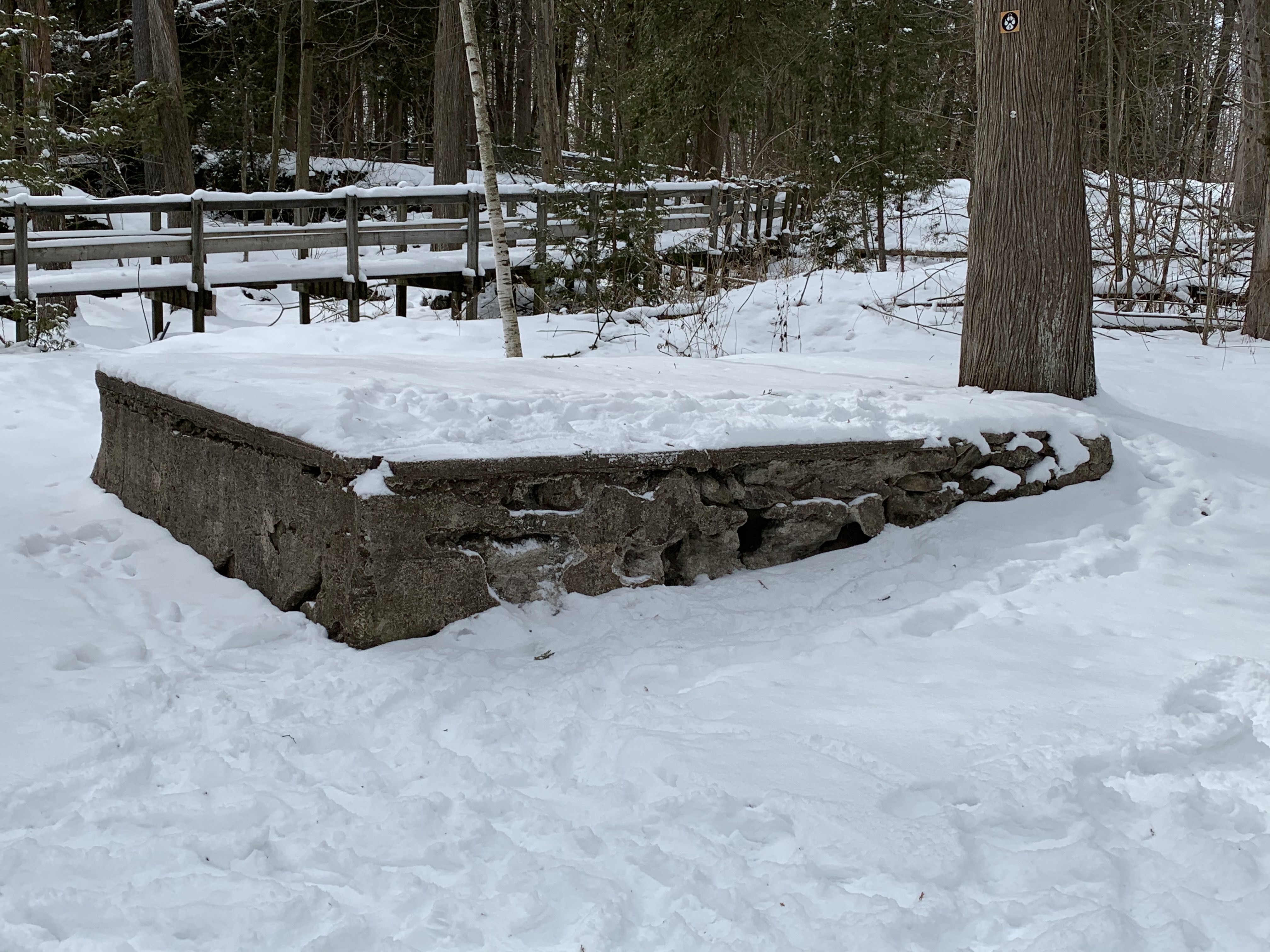
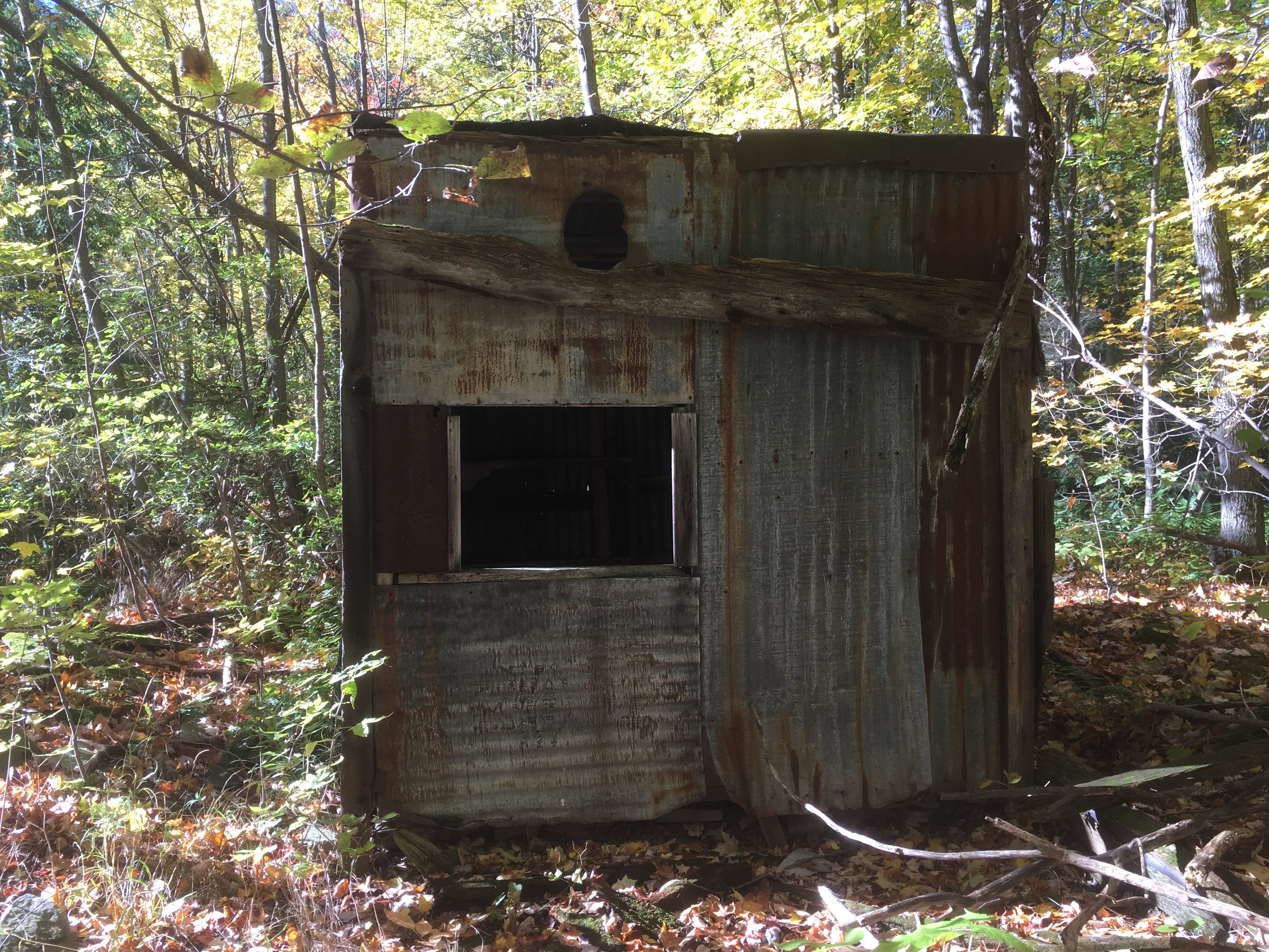
Having failed to find the Dingle or the Dingle Schoolhouse it appears that another trip will be in order in the near future.

Check out our top 50 stories at this link: Back Tracks

Google Maps Link: Coolihans Side Road

Like us at http://www.facebook.com/hikingthegta

Follow us at http://www.hikingthegta.com

Also, look for us on Instagram

Scotsdale Farm

Saturday, November 7, 2020

Scotsdale Farm is a 531 acre farm that was given to the Ontario Heritage Trust in 1982. It has several historic buildings and is frequently used as a location for shooting movies. There are several trails that pass through the farm including a side trail from the Bruce Trail. There is limited parking on the site and with frequent movie crews taking up space it is recommended to arrive early. The 1877 county atlas below shows the property outlined in green. The school house near the end of the laneway is still standing and has been circled in green.

Parking is located near the house but you have to walk back up the tree lined lane to get to the trails that lead to the south. The trails also continue behind the barns and out toward the eight line.

The first house on the property was a small log house which was built in 1836 by Christopher Cook. His son David, along with his wife Almira, expanded the house in the 1860’s. They sold the property to Stuart and Violet Bennet in 1938 and they further expanded the home into the American Colonial style that it bears today.

There’s a guest cottage beside the house where people could have a little privacy while visiting the estate. Underground steam pipes provided heating for the cottage but it was still closed off for the winter each year.

From the back of the house you look out over the two barns and the silo. The precast blocks used to build the silo date it to around 1900. The barn closest to the house was used for horses. The Bennetts kept six or seven Arabian horses that they used for riding.

The barns were built prior to 1880 and there were separate ones for the cattle and horses. This is the cattle barn where the short-horn cattle were kept that were the specialty of the Bennetts.

There’s a wishing well by the pond and another one in the back of the house. The cedar and willow trees that line the pond make it an excellent place to take pictures.

You can walk across the concrete dam that is used to contain the pond water used by the farm for their livestock. Snow’s Creek is a tributary to Silver Creek and is one of two creeks that flow through the property. It was quite relaxing looking at the geese on the far end of the pond but they looked to be gathering together for their trip south for the winter.

Trails follow the old lane way that was the rear entrance to the property.

The little pigskin puffballs have gone to spore. When these are broken open they release their green spores. These are cast to the winds by the millions but very few will actually germinate and grow into the next season’s puff balls.

Conks are a type of polypore mushroom that grows on dead or dying trees. They are characterized by the thousands of small pores on their flat undersides through which spores are released. This fallen tree has several that were growing while the tree was standing and many more that grew after the tree fell. That is why some of these conks are growing at 90 degrees to the ground.

Just north of the driveway is school section number 14 which was built in 1871. Like many one room school houses this one was heated by a wood stove. Parents were expected to help with the supply of wood and often children would walk to school carrying a log or two for the stove. Students had to walk up to six miles to school and so the days were long but when the weather was bad or the crops were being harvested is was understood that they wouldn’t attend.

Scotsdale Farm is an interesting place to visit and the trails connect to Irwin Quarry and Fallbrook. Both of these are in the Silver Creek Conservation Area.

Google Maps Link: Scotsdale Farm

Like us at http://www.facebook.com/hiningthegta

Follow us at http://www.hikingthegta.com

Also look for is on Instagram

Crawford Lake Trails

Saturday, February 29, 2020

February 29th falls on a Saturday once every 28 years with the next one coming in 2048.  To mark this rare occasion we decided to explore the area around Crawford Lake.  We had been here about 5 years ago to explore the longhouses and the meromictic lake that helped modern scholars locate the site.  It isn’t possible to see everything in one trip because the park is 232 acres in size and full of trails.

Having recently heard about stone foundations on the property, we set out to have a look for them.  There is plenty of parking near the re-created Indigenous Village but you have to pay using an envelope and drop-box so no change can be expected.

IMG_1124

Crawford Lake has more than 15 kilometres of trails, including the Bruce Trail.  After parking near the longhouses we followed the Nassagaweya Canyon Trail until we came to The Bruce Trail.  This allowed us to connect with the Escarpment Trail and make our way over to the lookout across the canyon.  From there we used The Woodland Trail to reach The Crawford Lake Trail.  Like most parks, we recommend that you take a picture of the trail map in the parking lot.  This will help you keep track of where you are  in the park and which turns to take at each trail connection.

IMG_1129

After passing several trees with very large woodpecker holes in them it wasn’t surprising to see a Pileated Woodpecker.  We saw one land on a nearby tree while a second one could be heard hammering away on a tree in the distance.  A nesting pair will take turns incubating 3 – 5 eggs until they hatch in about two weeks.  The young may take about a month to fledge after which time they can live for up to 12 years.

IMG_9218

As you follow the trail you will see several large walls of stone that have been put up by the farmers as they cleared the land in an attempt to farm it.

IMG_9231

When the settlers arrived they tried to become self dependent as quickly as possible.  They would raise animals during the summer when feeding them was easy and then slaughter them for food before the winter set in.  The livestock would be kept in a barn to protect it from the worst of the weather.  As we neared the escarpment edge we came to the stone foundations of an old barn.  The barn that was originally built on this property was small with an overhanging porch along the east side.  Wagons didn’t fit in the barn so they were likely stored under the overhang.  A few feet to the east of the barn stands the remains of another one of the stone walls that run across the property.  It provides some shelter to the items stored on this side of the barn.  Close examination reveals a single man-door and a larger animal-door.  These days the barn is used as a shortcut by white tailed deer that shelter among the rows of evergreens near the barn foundations.

IMG_1137

A few metres away from the barn are the foundations of the small house the family lived in.  When settlers cleared the land they used the materials at hand to build their homes and the barns where they kept their livestock.  The house was built on a foundation of field stones collected when the land was cleared.  The trees that were cut down became the logs that were used for the house and barn.  The log house would often have three rooms inside, two of which were bedrooms.  By the middle of the 1800’s the log house would be often be outgrown and the family would build a new home out of bricks.

IMG_1148

Crawford Lake Conservation Area covers several former land grants including that of Mrs. Allan White.  The log house built by her husband can be seen on the county atlas map marked with a green circle.  At the time the county atlas was drawn in 1877 the house was already reaching the end of its normal lifespan.

hal-m-nassagaweyaSmith (2)

Crawford Lake Conservation Area and The Bruce Trail Association are working on removing Ash Trees from the park, especially along the Bruce Trail section in the park.  Emerald Ash Borers have decimated the forests around the GTA with estimates reaching as high as 99% of all ash trees being infected with the beetles.

IMG_1152

Emerald Ash Borers live in the layer between the bark and the core of the tree.  The phloem is the layer directly below the bark and it is responsible for passing nutrients and hormones between the ground and the leaves of the tree.  The larvae of the beetle eats extensive pathways under the bark and leaves the tree without the ability to feed itself.  The places where the bark has fallen off the stumps below reveal the extend of damage on these trees and the reason for their destruction.

IMG_9236

The trail leads to a lookout where there are several information plaques about the history and wildlife of the area.  The canyon below is known as the Nassagaweya Canyon and it separates the Niagara Escarpment from a small section known as the Milton Outlier.  Rattlesnake Point is at the southern end of the outlier and it can be reached by following the Nassagaweya Canyon Trail which is paired with the Bruce Trail through this section.

IMG_1160

Limestone Creek flows through the bottom of Nassagaweya Canyon but it took a much larger force of water to cut the canyon through the limestone and dolomite layers of the escarpment.  Melting ice sheets at the end of the last ice age were able to move large amounts of stone and till.  Much of this material was deposited at the mouth of the canyon and is currently being mined by aggregate companies.  In a couple of months, when they return from warmer climates, Turkey Vultures will fill the skies above the canyon.

IMG_1162

Near Crawford Lake is the Hide and Seek trail which features wood carvings of several of the nearly 200 species that are at risk in Ontario.  The wood carvings were made by Robins Amazing Art.

IMG_1172

Originally the lake was known as Little Lake but when George Crawford bought it in 1883 he started a business called the Crawford Lake Company which ran a mill at the end of the lake.

IMG_1181

A cottage and boathouse were included in the sale of the property to the conservation area in 1969.  The house has since been demolished with only the front porch remaining.

IMG_1183

Crawford Lake is an interesting place to explore and we’ll likely be back.  We have previously posted about the longhouses in the conservation area as well as the Bruce Trail south of the park in the Crawford Forestry Tract.

Google Maps Link: Crawford Lake

Like us at http://www.facebook.com/hikingthegta

Follow us at http://www.hikingthegta.com

Look for us on Instagram

Hole In The Wall

Saturday, February 6, 2020

Saturday proved to be one of the coldest hike days of the year so far and we determined not to set ourselves up for too long of an excursion.  Arriving with two cars, we parked one beside the town hall in Limehouse.  The second car we moved to the point where the Bruce Trail crosses the 4th Line.  With fresh snow on the ground, it is always interesting to see the tracks of the animals we share the trails with.  This small set of tracks includes drag marks from the tail of the mouse that made them.

IMG_0633

The Bruce Trail is a resource that many people seem to ignore in the winter months but each season has its own special beauty.  We saw very few other people until we reached the Limehouse Conservation Area, where dog walkers were taking advantage of the sunny day.

IMG_0639 (1)

The first school in Limehouse was one room made of log construction.  It was replaced in 1862 with a one room stone building.  When the lime industry was prosperous the town grew fast so that by 1876 there were three hotels and three general stores.  That year, 4,130 tons of lime and lumber was shipped from the railway station in town.  A second floor was added to the school in 1875 but it was only used until 1890 when it was closed.  The room was opened again in 1954 and remained in use until 1962 when the school was replaced with a new one.  Today the building serves as a private residence.

IMG_0636

Eastern gray squirrels can move quickly when they are caught by surprise and are capable of clearing surprisingly large distances with each leap.

Resized_20200208_121253

Acidic water breaks down carbonate rocks such as limestone by dissolving them.  This process is known as karst and is common throughout the Niagara Escarpment.  For more detailed information and pictures of this please visit our post on Eramosa Karst.  At Limehouse the Bruce Trail passes through a section of karst known as The Hole In The Wall.  Stairs allow you to access the bottom of these cracks in the limestone.

IMG_0645

The cover photo shows the depth of the karst at Limehouse.  Small caves throughout the area are some of the most accessible caves in Southern Ontario.

IMG_0652

In 1917 the Toronto Suburban Electric Railway arrived in Limehouse with a stop on the 5th line at the foot of what is locally known as Gibraltar Hill.  The stop was convenient because it was located between the school and the heart of town.  The old line can still be traced from Georgetown through to Guelph by looking at Google Earth.  The rail line passed through the middle of the mill pond on a trestle.  Three rows of pilings for the trestle can still be seen crossing the drained pond.

IMG_0659

The lime mill was built by John Newton who took the burnt lumps of limestone and ground them into powder.  This was then “slaked” with water and mixed with sand and cow hair.  The resulting mixture was used as mortar in construction.  The mill ruins and the remains of the stone arch from the tail race are all that is left.  These have been deteriorating from people climbing on them and the arch has lost several rows of stones.  They have now been protected behind a recently installed fence.

IMG_0660

The big innovation in lime kilns came with the creation of the draw kiln.  The draw kiln at Limehouse was 16 metres high when it was completed in the 1860s.  It has since collapsed considerably in spite of restoration efforts.  Several of these kilns can be found scattered across the Ontario landscape, including two near complete ones at Kelso.

IMG_0668

The earliest kilns were set kilns where the limestone was placed in the kiln and packed in with wood.  Burning would take days and then it would be allowed to cool down before being unloaded.  There is a strip of seven set kilns that were built in the 1840s.

IMG_0670

The powder house was added in the 1850’s to provide storage for the blasting powder that was used to break up the larger chunks of limestone.  Blasting was discontinued around 1917 as the quarry had expanded to the point where the local residents feared the explosions would damage their homes.

IMG_0675

Limehouse is one of our favourite places to explore because there is so much history that has been retained.  Fortunately, the local historical society is actively working on preservation of the kilns.

Read our other Limehouse blogs: Limehouse and The Bruce Trial – Limehouse

Google Maps Link: Limehouse

Like us at http://www.facebook.com/hikingthegta

Follow us at http://www.hikingthegta.com

Look for us on Instagram

Kerncliff Park

Saturday, August 3, 2019

Nelson Quarry operated a limestone quarry on Kerns Road in Burlington until 1981.  After it closed it became the site of an ongoing rehabilitation program.  The city of Burlington purchased the old quarry with the intention of creating their first environmental park which eventually opened in 2005.  We decided to check it out and found that there is free parking on both sides of Kerns Road.  The lot on the south side of the road has an interesting concrete artifact near where we parked.  This was likely associated with the quarry across the road.

IMG_5878

The old quarry covers about 40 acres and is now the site of a provincially significant area of natural and scientific interest.  The quarry exposes a transitional layer between the dolomite of the Lockport Formation and the limestone of the Amabel Formation.

IMG_5440

The Ian Reid Side Trail is 1.4 kilometres long and allows people to traverse the wetlands on an elevated boardwalk.  It is named after a long time supporter of the Bruce Trail and a former Bruce Trail Association president.

IMG_5898

The boardwalk has a small observation platform in the middle of the wetlands.  Bullrushes have grown tall enough that it is hard to see the frogs and other wildlife that have made the former quarry home.

IMG_5899

The floor of the old quarry is remarkably flat considering it was created by blasting the limestone off the surface.

IMG_5901

Guard rails have been added along the top of the rock face to protect people who are hiking on the Bruce Trail which runs along the crest.  One of the characteristics of the quarry that made extraction attractive at this site is the relatively thin layer of soil on top of the limestone.  This layer is known as overburden and any place where it is more than two metres thick it becomes impractical to remove it.  There’s always are other places where the limestone is closer to the surface.

IMG_5896

The rock face of the quarry looks as if they just packed up and left.  There is a large amount of broken rock at the base of the cliff as if they blasted a bunch of rock and processed what they could.  Then, rather than working until they ran out of available rock, they just punched out at 5:00 and never came back.

IMG_5445

In the spring and summer the male goldfinch has bright yellow plumage.  The colour is attributed to carotenoids in their diet.  They typically live from 3 to 6 years in the wild but the record has been observed at 11 years.

IMG_5891

From the park you get views into Burlington and out to Lake Ontario in the distance.

IMG_5913

Black walnut trees are known for their dark hardwood that is perfect for making high quality wood furniture.  The nuts can be harvested in late September or early October and should be collected from the tree before they fall.  If you can leave an impression on the shell with your finger the nut is ripe.

IMG_5908

Portions of the trail are accessible for those who use some form of mobility assistance.

IMG_5906

Returning to the car we had another look at the concrete foundations with the tree growing out of the top of them.

IMG_5431

The Bruce Trail runs along the top of the cliff face and we had previously explored there in our post Bruce Trail – Kerns Road to Guelph Line.

Google Maps Link: Kerncliff Park

Like us at http://www.facebook.com/hikingthegta

Follow us at http://www.hikingthegta.com


Bruce Trail – Kerns Road to Guelph Line

Saturday, May 4, 2019

It seemed like a good time for a hike on the Bruce Trail and this time we planned to do a little larger section using two cars.  We parked one on Guelph Line and moved with the second one to Kerns Road beside Kerncliffe Park.  There is free parking in both places.

Kerncliffe Park is located just below the Bruce Trail and is the site of a former quarry.  Nelson Quarry closed in 1981 and has been the site of an ongoing rehabilitation project since then.  The 40-acre park was completed in 2005 and features gravel trails with a boardwalk and observation decks in the wetlands.  It can be accessed from the Bruce Trail via the Ian Reid Side Trail.  The old rock faces that were blasted to access the limestone have now been taken over by swallows who find this to be a perfect habitat.  Geese and red-winged blackbirds have found a home in the wetlands.

IMG_0072

Pileated Woodpeckers are the largest species of woodpecker that is native to Ontario.  Both the male and female have a bright red crest that sweeps off the back of the head.  The male is distinguished by the red stripe on the cheek, as seen on the specimen below.  Their main food is the carpenter ant and they dig large square holes in trees to look for them.  The mated pair stay in their territory all year long and tend to nest in the largest tree in the area.  For this reason they are prone to being killed in lightning strikes.  The oldest known pileated woodpecker was almost 12 years old when it was caught for the second time in a banding operation.

IMG_3574

Once again we found a ruined car that had been dumped in the woods and left to rot.  This one has been stripped of everything and has been here long enough that there is a tree growing up through the middle of the engine compartment.

IMG_0080

Positive identification wasn’t possible because no identifying stickers or plastic parts could be found.  We did notice that the front bumper incorporated the side signals in a unique three cut-out pattern.  Identical looking side markers can be found on the 1970 Chevy Impala.

IMG_0101

These little white puffballs have already released their spores through the hole in each one.  These were likely purple spored puffballs that have overwintered.

IMG_3615

Raccoons are primarily a nocturnal animal and seeing one out in the daylight is much less common.  Some believe that a raccoon that is out in the daytime might have rabies.  This could be true but is not necessarily so.  In the spring time when females are nursing young they may be out foraging in the daylight.  Any signs of paralysis in the rear legs, erratic walking patterns or foaming at the mouth should be considered signs of possible rabies infections.  The little raccoon in the picture below was walking slowly and seemed confused so there is a risk that it is not well.

IMG_3569

Several species of violets are in bloom.  The ones pictured below are Marsh Blue Violets and are sometimes called Purple Violets.  They are the provincial flower for New Brunswick.

IMG_3591

We saw very few other hikers on this morning except a few dog walkers, none of whom had their dogs on leashes.  Having too many people on muddy trails is not a good idea anyway.  There are those who don’t wear the correct boots and are afraid to walk in the mud in the middle of the trail.  They make secondary trails along the edges which can sometimes trample sensitive plants and wildlife habitat.  It can also lead to property owners denying access to hikers and forcing the trail onto roads.  Please stay on the trail.

IMG_0110

Dutchman’s Breeches get their name from the flowers which looks like a tiny pair of breeches.  The flowers grow on racemes with up to 14 flowers on the stalk.  The plant can be toxic and some people could get contact dermatitis from touching it.  Native Americans found the plant useful for skin conditions and as a blood purifier.  It was also used to aid people with syphilis.

IMG_3601

After we had covered almost 10 kilometres of muddy trail it was time to head for home.  We regularly check ourselves for ticks after each hike regardless of where we’ve been.  This is the first time we have ever found a tick after hiking on the Bruce Trail.  Never assume the area is clear because the risk is always there.

Check out our top 20 posts from our first five years of hiking: Back Tracks – The First 5 Years

Google Maps Link: Kerns Road

Like us at http://www.facebook.com/hikingthegta

Follow us at http://www.hikingthegta.com

Bruce Trail – Hilton Falls Side Trail

Saturday, February 2, 2019

When we previously visited Hilton Falls we followed the trail from the sixth line.  Today we decided to complete the other portion of the trail from the main parking lot north to the falls.  The history of the falls can be read in our previous post Hilton Falls.

Although the snow was deep making hiking a lot of heavy work, we decided to add the Philip Gosling Side Trail.  This short trail takes you to the main Bruce Trail, completing a partial loop around the reservoir by the time it connects with the Hilton Falls Side Trail.

Hilton Falls Conservation Area opened in 1967 and the dam and reservoir in 1973.  We followed the lower trail from the parking lot toward the Bruce Trail.

IMG_2053

Philip R. Gosling was awarded the Order of Canada for his role in creating the Bruce Trail.  Gosling had a vision of a trail that could be passed down to future generations and worked tirelessly to make it happen.  A short section of side trail has been named in his honour.  We noticed that most of the trees on both sides of the trail have been marked for removal.  I’m not certain if this is for emerald ash borer or for trail maintenance and widening.

IMG_2062

This side trail connects the parking lot with the main Bruce Trail and then carries on part way around the reservoir.  You can’t see the reservoir from this trail as it is hiding behind the ridge of land in the picture below.

IMG_2065

Small rodents often dig holes in the snow to stay warm and avoid inclement weather.  Tunnels and open pockets of air form under the snow where they can remain for extended periods, feeding off the grasses and insects there.  This is known as the subnivean (Latin for “under snow”) zone and with 6 to 8 inches of snow it can remain around the freezing mark, regardless of the outside temperature.  Air holes will be dug as needed to provide ventilation and access from outside.

IMG_2068

There are about 35 kilometres of trails in Hilton Falls Conservation Area.  In the summer half of these trails are for bicycles only but at this time of the year the trails are taken over by cross country skiers.  It also turned out to be perfect conditions for snow shoes.  In spite of the deep snow we saw several people walking their dogs while others were slowly walking along the trails.

IMG_2070

When you reach to top of Hilton Falls there is a campfire burning there.  People can warm themselves or food and a general party mood prevailed.  A set of stairs leads down to a small viewing platform.  As can be seen, many people did not stay on the platform and the frozen falls was difficult to photograph without people in the shot.

IMG_2074

However, close ups were still available.

IMG_2079

On the opposite side of the creek stands the old wheel housing from the saw mill.  The arch allowed water to return to the creek after being used to turn the water wheel.

IMG_2080

At one time a 40-foot wheel spun in this cut stone wheel housing.  The mill was abandoned in 1867 and the wheel housing has deteriorated in height since then.

IMG_2081

After turning the wheel in the housing, the water joined Sixteen Mile Creek again and continued downstream.  The creek has cut a fairly narrow exit compared to the size of the bowl around the waterfall.

IMG_2085

The return hike passes through a mature forest along the western side of the reservoir.  When we were within sight of the parking lot we had the option to turn and follow the roadway along the top of the reservoir dam.  From there you can see how the reservoir is set in the ravine and on the south side of the dam you can get a sense of the depth of water.  This is a favourite place for fishing.

IMG_2092

There are still plenty of trails at Hilton Falls that we have yet to explore but along with our previous Hilton Falls hike we have covered off all of the Bruce Trail side trails.

Google Maps Link: Hilton Falls Conservation Area

Like us at http://www.facebook.com/hikingthegta

Follow us at http://www.hikingthegta.com

Bruce Trail – Olde Base to The Forks

Saturday, October 20, 2018

In a previous post we had looked at The Devil’s Pulpit having approached from the Forks of the Credit road.  Thinking that the fall colours might still hold some charm we decided to hike to the pulpit from the south.  When possible, we like to hike longer sections of the Bruce Trail using two cars.  We met on the Forks of the Credit Road near the end of Chisholm Street where we left one car.  We drove east to McLaughlin Road and then two concessions south through the historic community of Inglewood to Olde Base Line.  There is parking for a few cars west of here where Chinguacousey Road dead-ends.  The Bruce Trail roughly follows the old road allowance north from here.  It was an ideal morning for a hike in the woods with the sun shining and the smell of fall in the air.

The remains of an old split rail fence snake their way through the woods.  These fences were often the first method a farmer employed to divide his fields.  They were easy to build and could be made from material cut from the property.  They also provided the farmer with the option to reconfigure his fields, changing the size and shape of them quite easily. Their biggest drawback came in the amount of land that was used in their construction.  In later years when farming techniques improved and productivity was sought from the greatest amount of land possible.  The wooden snake fence was often replaced with flat wire fencing.

There are several ponds along the side of the trail that appear to have formerly been aggregate extraction sites.  Many of these former quarries along the Niagara Escarpment are now flooded and have become important wildlife habitats.  Mother nature reclaims her own.

Original property owners found that land grants along the top of the Niagara Escarpment were often not the best farmland.   The climax forests provided an initial resource in wood but this was soon exhausted.  Many land owners then sought to make money off the natural resources on the escarpment.  Transportation costs meant that many small quarries could no longer be profitable when local road building projects were completed and the market moved farther from the quarry.  Other uses for the property then had to be developed.  Grants have been offered at various times over the years for property that is reforested.  The production of maple syrup can turn a forest into a profit centre for a few weeks each spring and there are remains of sugar shacks in the woods.

Eventually the trail emerges onto a small section of Chinguacousey Road that provides access to one of these aggregate extraction sites.  Deforest Brothers Quarries is licenced to operate a quarry that is just over 10 hectares in size.  They are allowed to extract up to 20,000 tonnes of material per year.  How ironic that the Deforest Brothers have been cutting down trees to reveal their product.

The trail follows the Grange Side Road west for one concession until it reaches the third line, now known as Creditview Road. Once again, the Bruce Trail heads north along the old right of way for the road.  The road was never completed through to connect with the Forks of the Credit Road because the Devil’s Pulpit lies in the way.

The fall colours are still quite vivid on some of the trees but most of them are past their prime.

White Baneberry grows in a small patch along the trail.  Birds will eat the berries and the seeds pass through their digestive system and are deposited somewhere else to start a new plant.  Toxins in the seeds are known to have a sedative effect on the human heart muscle and ingestion can lead to cardiac arrest and possibly death.

This beautiful pond is one of several along this stretch of the trail.

When you reach the top of The Devil’s Pulpit the view is quite spectacular at any time of the year.

Stairs and a guide wire help you up or down the side of the escarpment.

The rock face at The Devil’s Pulpit must have been an interesting place to work every day.  Workplace standards have changed considerably in the last 150 years.

The trail continues to descend and passes the Ring Kiln Side Trail that leads to the Hoffman Lime Kilns.  This 0.6 kilometre trail leads to a dozen set kilns built in a ring for the burning of limestone.  As the trail descends to the former Credit Valley Railway it uses another set of stairs.

On the way back to the car near Olde Base Line we decided to check out the one-lane rail bridge where the CVR was built over The Grange Sideroad.

We encountered very few people for such a nice fall day on the Bruce Trail.

Google Maps link: Forks of the Credit

Like us at http://www.facebook.com/hikingthegta

Follow us at http://www.hikingthegta.com

The Bruce Trail – Speyside to The Gap

Saturday, September 1, 2018

Having previously visited Speyside to see a Royal Oak tree that has a historic designation we had covered a small section of the Bruce Trail in the Speyside Resource Management Area.  We had also been to a large gap that is cut in the escarpment by Dufferin Quarries.  We decided to hike the trail between these two locations.  There is free parking at the resource management area.  Near the start of the trail we found a place where people had been dumping garbage in a hole in the middle of a pile of rocks.  This is a shameful way to use one of two historic kilns on the property.  These were used by Alexander Livingstone to dry the hops he grew when this was his farm.

IMG_6496

Sometimes you see the least expected things in the woods if you slow down and take notice.  We covered the first kilometre or two of this hike in a record long length of time, but we found some interesting things we may have otherwise missed.  For example, the peeling bark on this dead Paper Birch looks like an alien or a skeleton.  These trees are also known as White Birch or Canoe Birch.  This example could make an interesting picture if photographed just at dusk when it might look even spookier.

IMG_6497

Mushrooms often come in look-a-likes that can be very different in toxicity.  For instance, the mushrooms below could be either Pholiota Squarrosa or Pholiota Squarrosoides.  A minor difference in spelling (“oides” as a suffix means “looks like”) and also a minor one in appearance.  The Shaggy Scalycap Mushroom (P Squarrosa) is dry between the scales on the cap and has a green gill below. It is considered poisonous and appears to be more dangerous when mixed with alcohol. The P Squarrosoides is sticky between the scales, has a whiter flesh with white gills and no smell.   I believe these mushrooms here are the P. Sqarrosaoides but as I didn’t touch the cap or get a shot of the gills I can’t be certain.

IMG_6509

Chocolate Tube Slime is another of those curiosities that can easily be missed.  This is found in my National Audubon Society field guide for mushrooms but it isn’t really a true mushroom.  It forms spore bearing clusters that can produce an incredible number of spores.  Slime molds start off as plasmodia that creep over surfaces and absorb food sources.  It takes less than 24 hours for the slime to transform into the chocolate coloured tubes that will spit out spores and then vanish almost as fast.

IMG_6511

Cup fungi are usually small and grow in clusters.  Some of the bigger ones can be up to 4 inches across and often grow individually.  This common brown cup fungi was a couple of inches across.

IMG_6538

These hairy white caterpillars are the larvae of the Hickory Tussock Moth.  Near the front and rear of the caterpillar are a couple of black tufts of hair.  These are part of a venom delivery system that the insect uses in self defense.  If these are pressed, a poison is injected that will feel much like stinging nettles.  The sensation will last for about 20 minutes for the average person and can range from a burning feeling to severe pain and nausea.

IMG_6527

As you cross a little stream on the trail you can see the Cardinal Flowers that are just beginning to bloom.  They live in shallow wetlands and provide a bright splash of red in the late summer and early fall.  Some native tribes used the plant in a plaster to be applied to swelling and to reduce the pain of rheumatism.

IMG_6535

We followed the trail until we came to the place where Dufferin Quarries has cut an opening in the side of the escarpment.  We’ve covered this in more detail in our second most popular post, The Gap.  The picture below shows the workings of the quarry.

IMG_6548

We made our way back from the quarry as the heat of the day climbed and our water disappeared.  When we reached the closed end of St. Helena Road we elected to follow the roads back to the car to take advantage of some even footing and reach our stash of cold water quicker.  It is quite common to see little book exchange boxes in the city but it was unexpected when hiking the Bruce Trail.  This one is near the little parking area along St. Helena Road.

IMG_6549

Speyside has been reduced to a ghost town.  The gas station and general store have been closed for years and almost all other early buildings have vanished.  The price of gas was 79 cents per litre when these pumps were last used.  It’s closing in on double that now.

IMG_6550

We used the Bruce Trail app to track our hike and had lost the first part of the trek through Speyside Resource Management Area when I closed the app by accident.  I’ve drawn that part back in on the map below.  The tracker shows 12 kilometres and with the additional section, the hike was about 14 kilometres.

Speyside to Gap

Google Maps Link: Speyside

Like us at http://www.facebook.com/hikingthegta

Follow us at http://www.hikingthegta.com

The Bruce Trail – Limehouse

Saturday, August 11, 2018

The Bruce Trail has many side trails which form little loops along the way, especially in The Toronto Section where side trails account for 60 kilometres compared to only 50 kilometres of main trail.  This makes for a nice change of scenery if you are doing a one car, return hike.  We set out to hike from the parking place on the Sixth Line, north of 22nd Side Road, into Limehouse and back doing the Ridge Side Trail and Todd Bardes Meadowland Side Trail along the way.  A severe limitation to the Bruce Trail App in combination with my iPhone is the extreme drain on the battery.  I was forced to switch it off after only 8 kilometres because the battery was down to 1%.   I have since learned that using airplane mode and low power can help resolve this if I want to map hikes for the sake of a blog.

Limehouse Trail

The trail starts off along a beautiful boardwalk through the woods which were surprisingly free of mosquitoes on this morning.  There was also a stillness to the woods as the birds were quiet.  The trail leads almost directly from the sixth line to the fifth where you are forced onto the road for half kilometre or so.

IMG_6027

Hemlock Varnish Shelf is growing along this fallen tree.  This fungus starts off as a small red nub on the side of the tree and grows into the familiar conk shape.  When it is young it has a brighter red colour and a varnished look to it.  The outer edges will be yellow or white but as it ages over the summer it changes to a more even rusty colour extending to the edges.  These fungi are known as polypores because they have multiple small tubes or pores on the underside of the fruit body that release the spores.  This group of fungi is key to the breaking down of wood and are key in the nutrient cycle of the forest.  Polypores are often used in traditional medicine and science is studying the Hemlock Varnish Shelf for potential uses in cancer therapy.

IMG_6046

As this hike progressed it became obvious that there was an extremely large variety of mushrooms growing along the trail.  Every time we hike there is always something interesting and unique about the area we’ve selected.  This time it turned out be the fascinating colours and forms of the fungi we encountered.  Giant puffballs grow along the trail in several places and are one of the prized edible mushrooms.  They grow from August to September and can grow to 20 inches or bigger.  They can be pan fried or battered and fried in slices.  The spores form inside the mature ball and are released in a “puff” when the skin cracks at maturity.

IMG_6065

As the puff balls mature they turn yellow and the skin cracks to release the spores.  The inside turns from white to grey or dark yellow of the puffball spores.  It has been estimated that an average size puff ball can contain up to 7 trillion spores.

IMG_6063

Oyster Mushrooms are considered to be one of the choice edible ones.  They need to be collected when they are young before the flesh becomes tough and woody.  Many Asian cultures use them extensively in cooking and they are cultivated in parts of India.

IMG_6042

There were several places where Scarlet Fading Waxy Cap mushrooms were growing.  As this mushroom matures the scarlet fades to orange or yellow.  The cap is deeply convex with an incurved margin.  It is one of the edible mushrooms however it is reported to be flavourless so it may be best used in a soup or chili.

IMG_6043

Several types of artificial bee habitats have been set up in places along the trail.  These ones are known as mason bee tubes.  This type of bee habitat can be a fun home project to make as a way to encourage the survival of the honey bee.

IMG_6066

The bees still seem to prefer their own handy work in building their nests but the similarities to the mason tubes is interesting.

IMG_6291

A good example of a mushroom that may be edible or may be a poisonous one is seen below.  If this is a Jack O-Lantern it is poisonous but because it is growing singular instead of in a cluster it is likely a Chanterelle which is edible.  Either way, the gills under the cap make this an interesting looking mushroom.

IMG_6033

The Yellowish-White Melanoleuca is also an edible mushroom but there is a very similar mushroom that is poisonous.  The Entoloma species look almost identical but have very different spores that allow them to be distinguished.  Due to the fact that so many mushrooms have look-a-likes that are poisonous you should either be very sure of your identification or leave the plant alone.

IMG_6035

Having reached Limehouse, where a large collection of 19th century lime kilns are preserved we made our way back to the car.

Google Maps Link: Bruce Trail Limehouse

Like us at http://www.facebook.com/hikingthegta

Follow us at http://www.hikingthegta.com