January 4, 2025
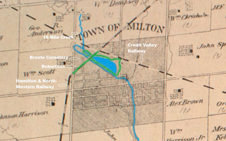
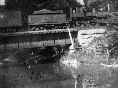
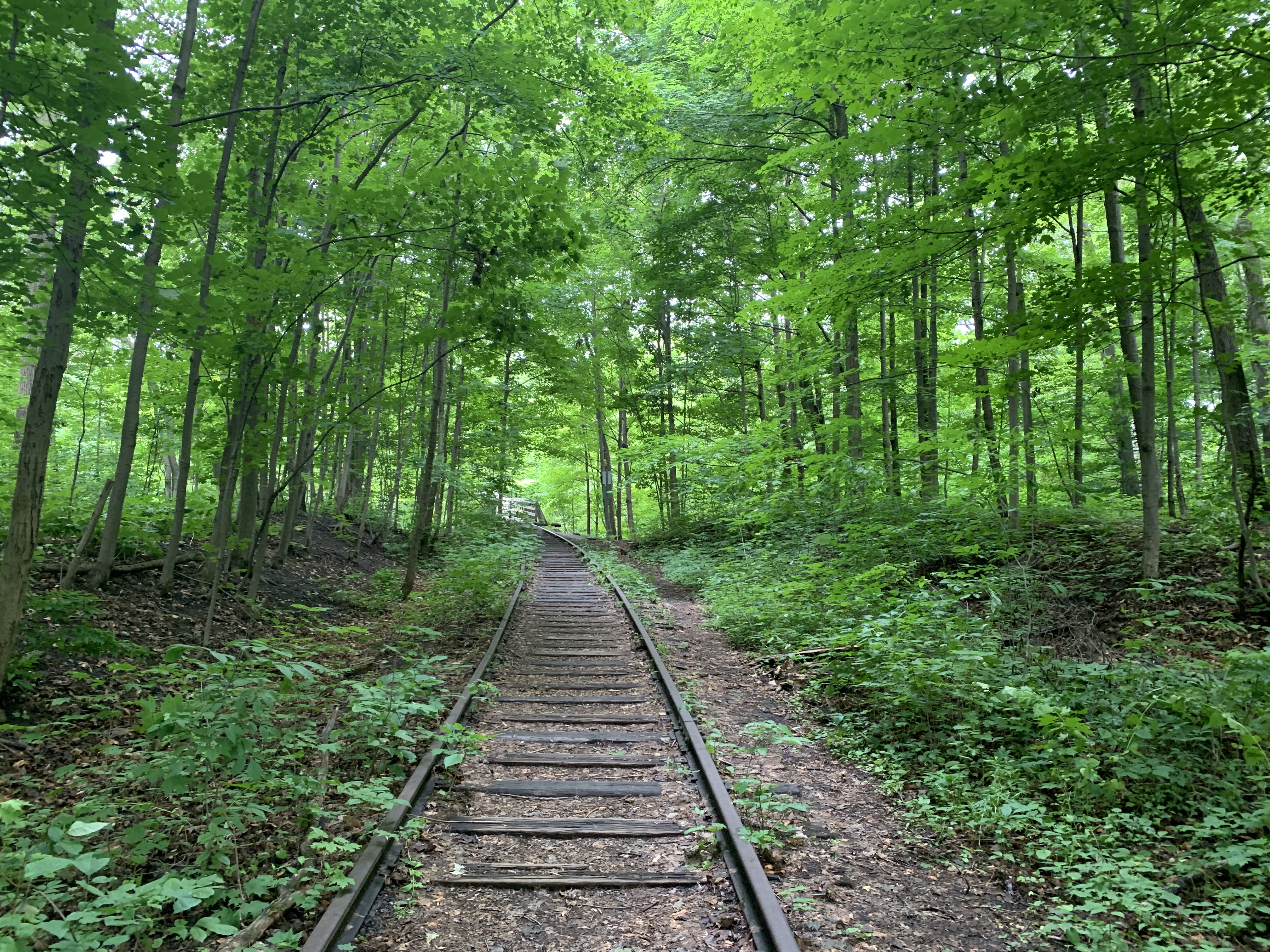
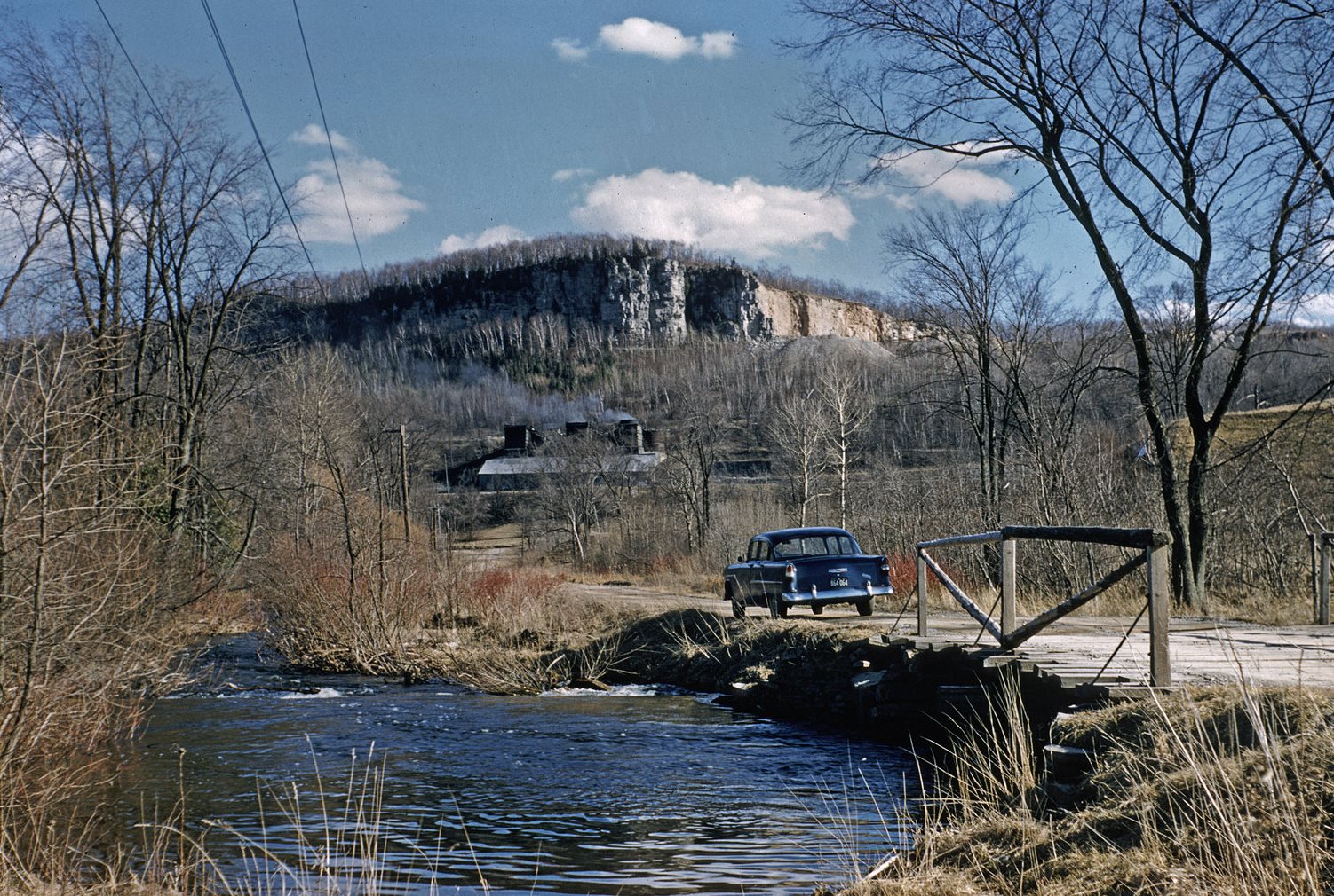
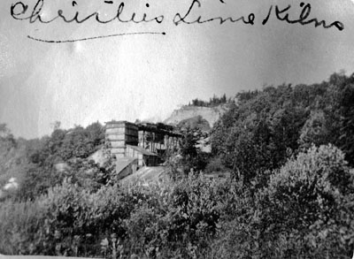
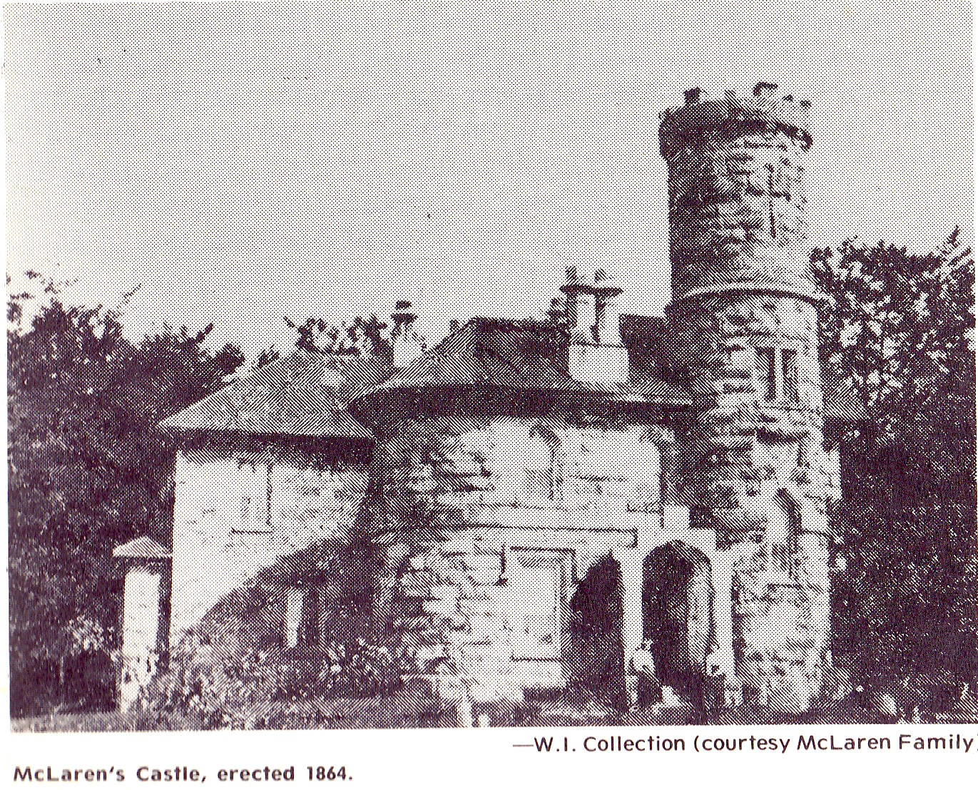
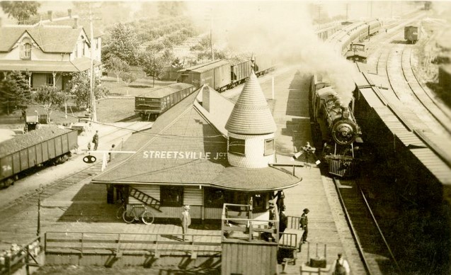
The city of Mississauga is made up of several historic communities and many of these had their own train stations in the 19th century as the railway lines were expanding across Canada. Heritage Mississauga lists five stations on the Credit Valley Railway (CVR). Summerville Station which was built in 1878 and has apparently been in storage since 1978. Cooksville Station was built in 1878 and destroyed by fire in 1883. Meadowvale Station was built in 1878 and demolished in 1976. Erindale Station was built in 1879 and demolished in the 1950s. Streetsville Junction Station was built in 1879 and replaced in 1914 with a new station. The station was then moved to its present location. The historic image below shows Streetsville Junction as it appeared in 1913, prior to being decommissioned and moved to its current location the following year. The “front” of the station was built facing the line to St. Thomas as this was correctly assessed as the busier of the two lines. The line to Orangeville approached the station from the rear.
George Laidlaw was instrumental in the construction of several railways in Ontario including the Toronto & Nipissing which passed through Goodwood. He was also behind the Toronto, Grey & Bruce which saw the Horseshoe Curve Rail Disaster in 1917. The CVR was incorporated Feb. 15, 1871 to build from Toronto to Orangeville with a stop in Streetsville. In 1872 an amendment was made to the charter to allow a line through Cataract to Elora and an 1873 amendment allowed construction to St. Thomas.
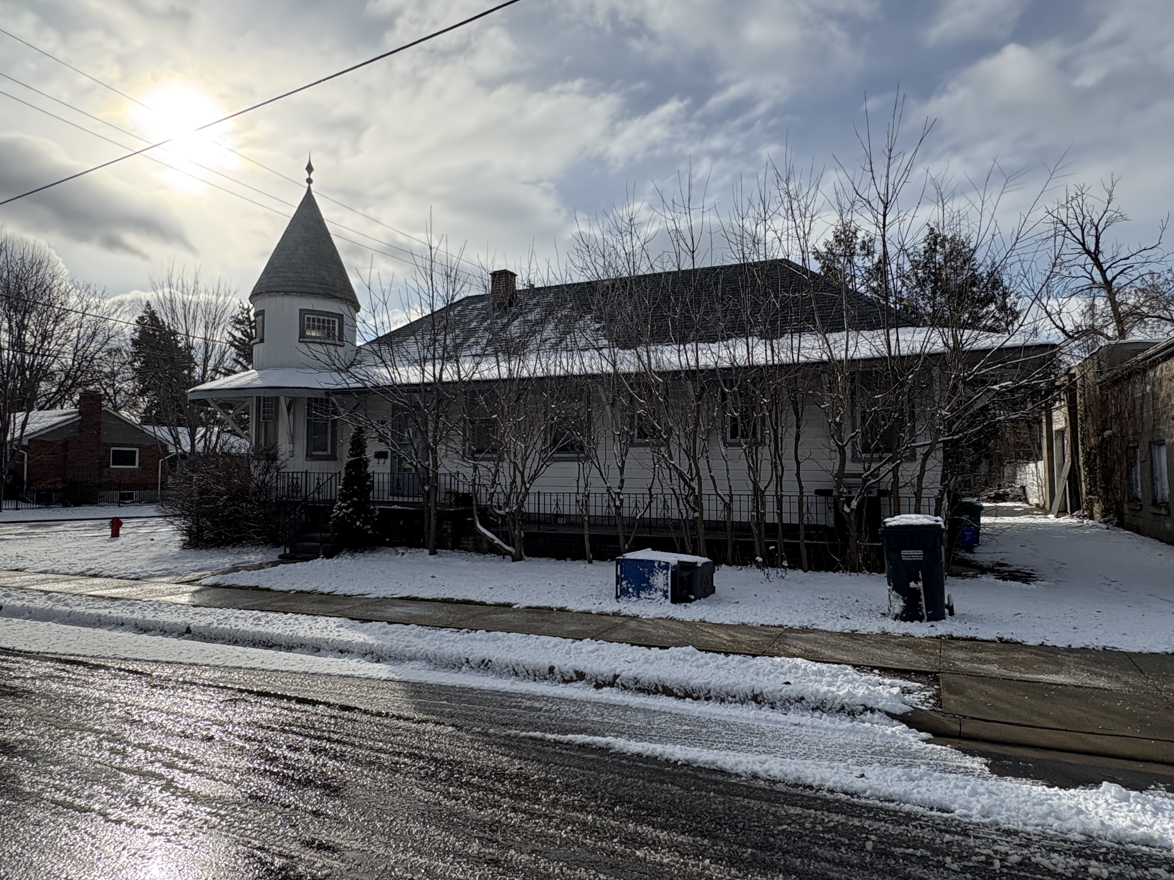
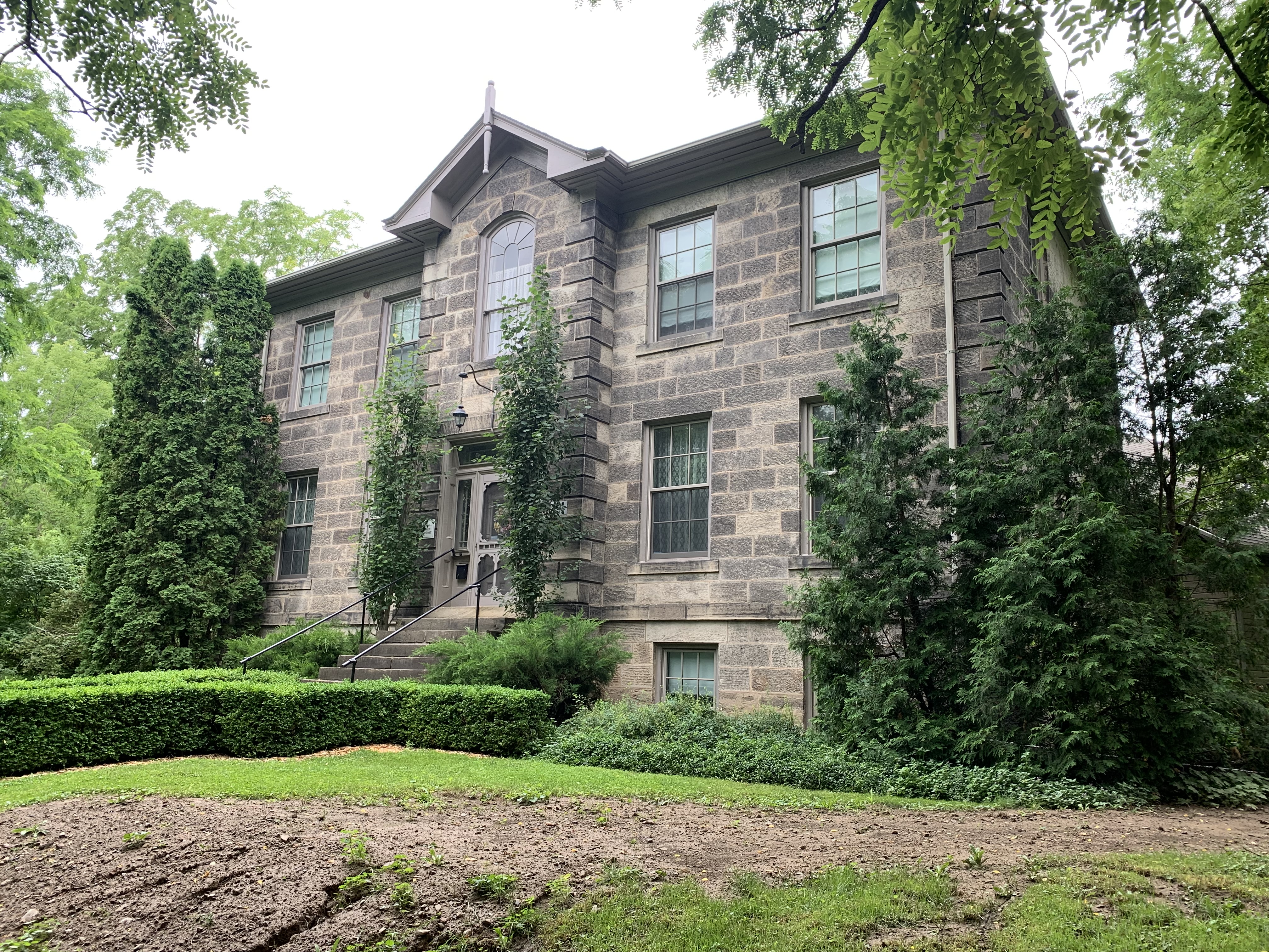
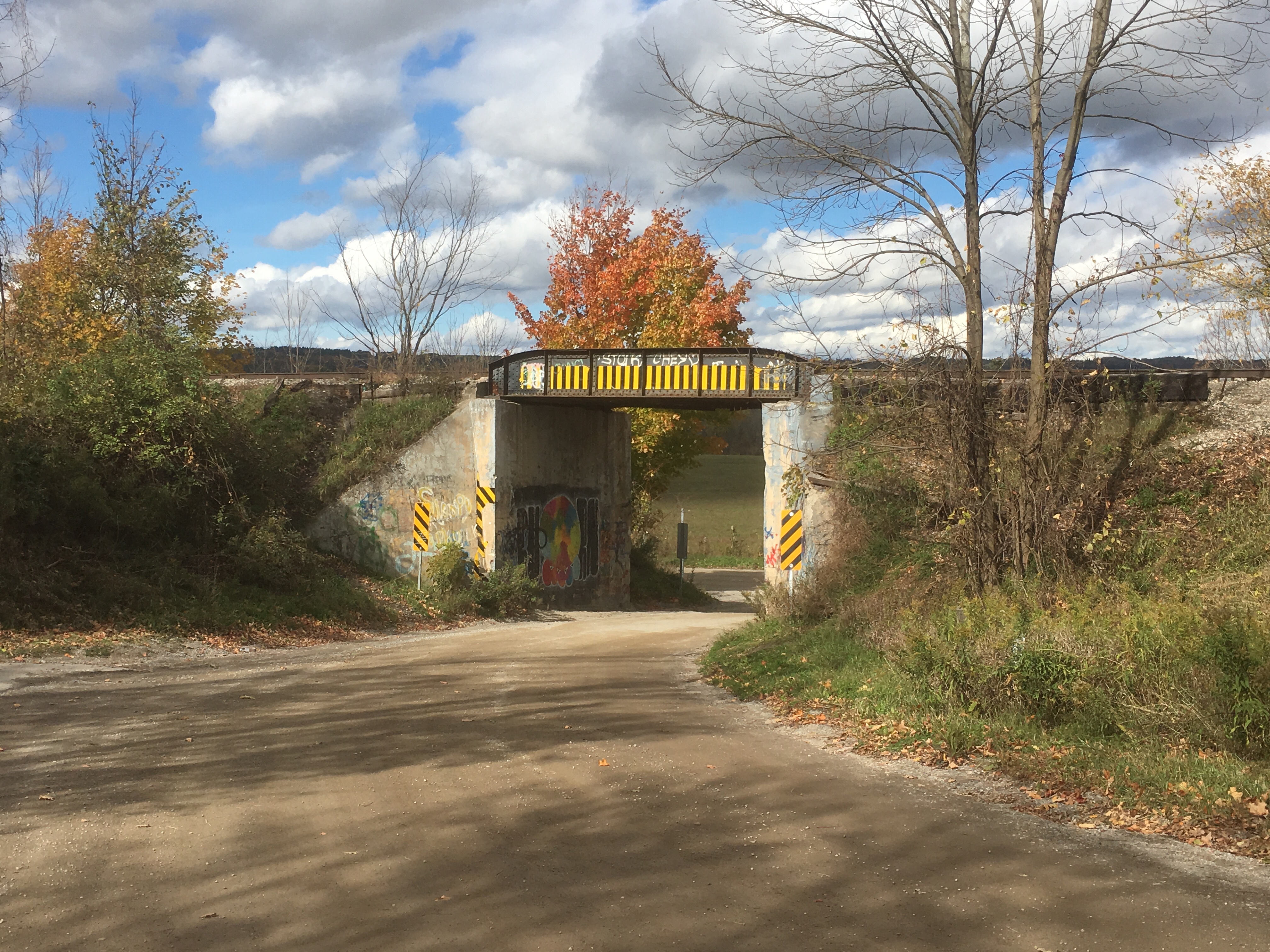
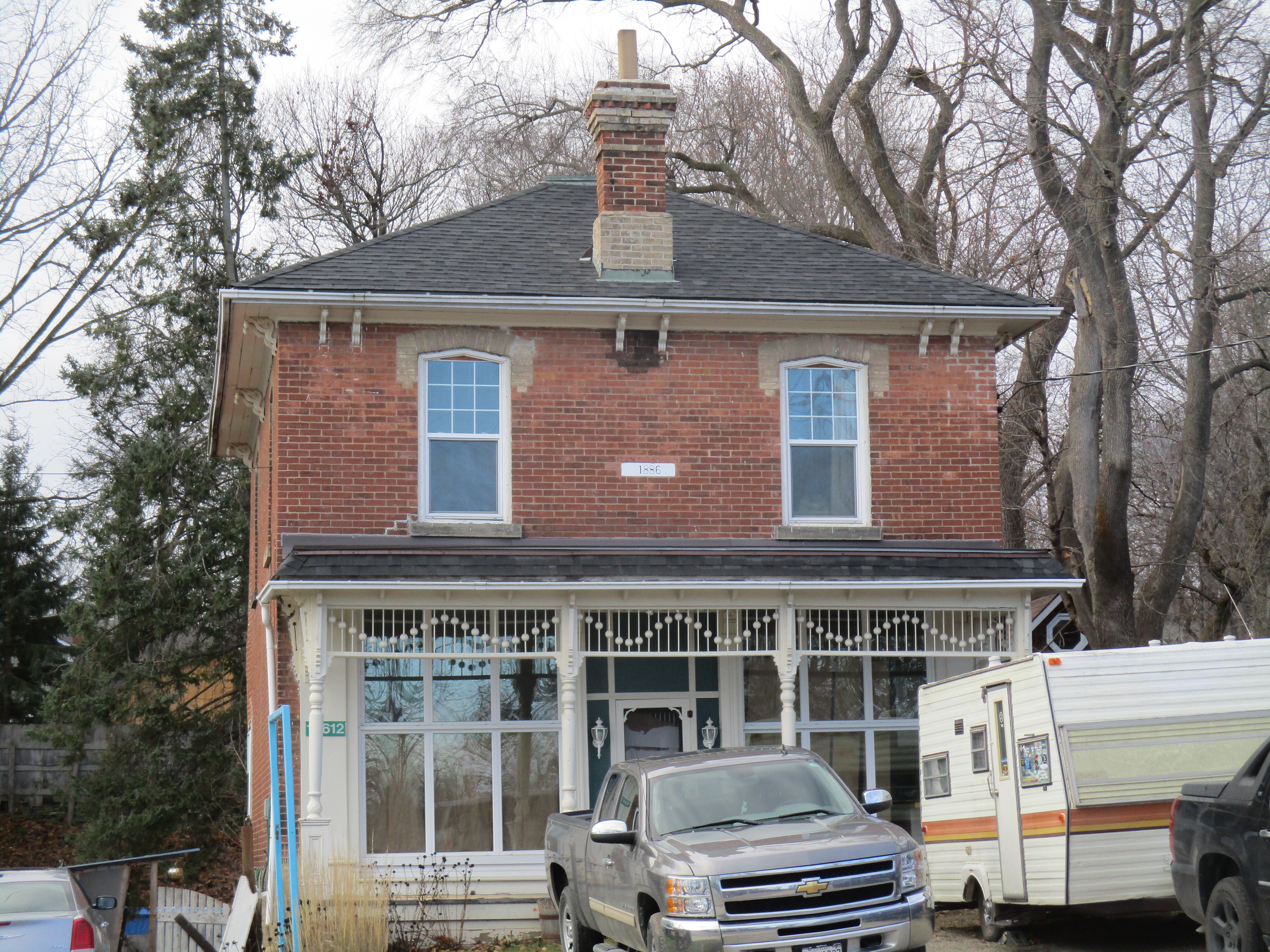
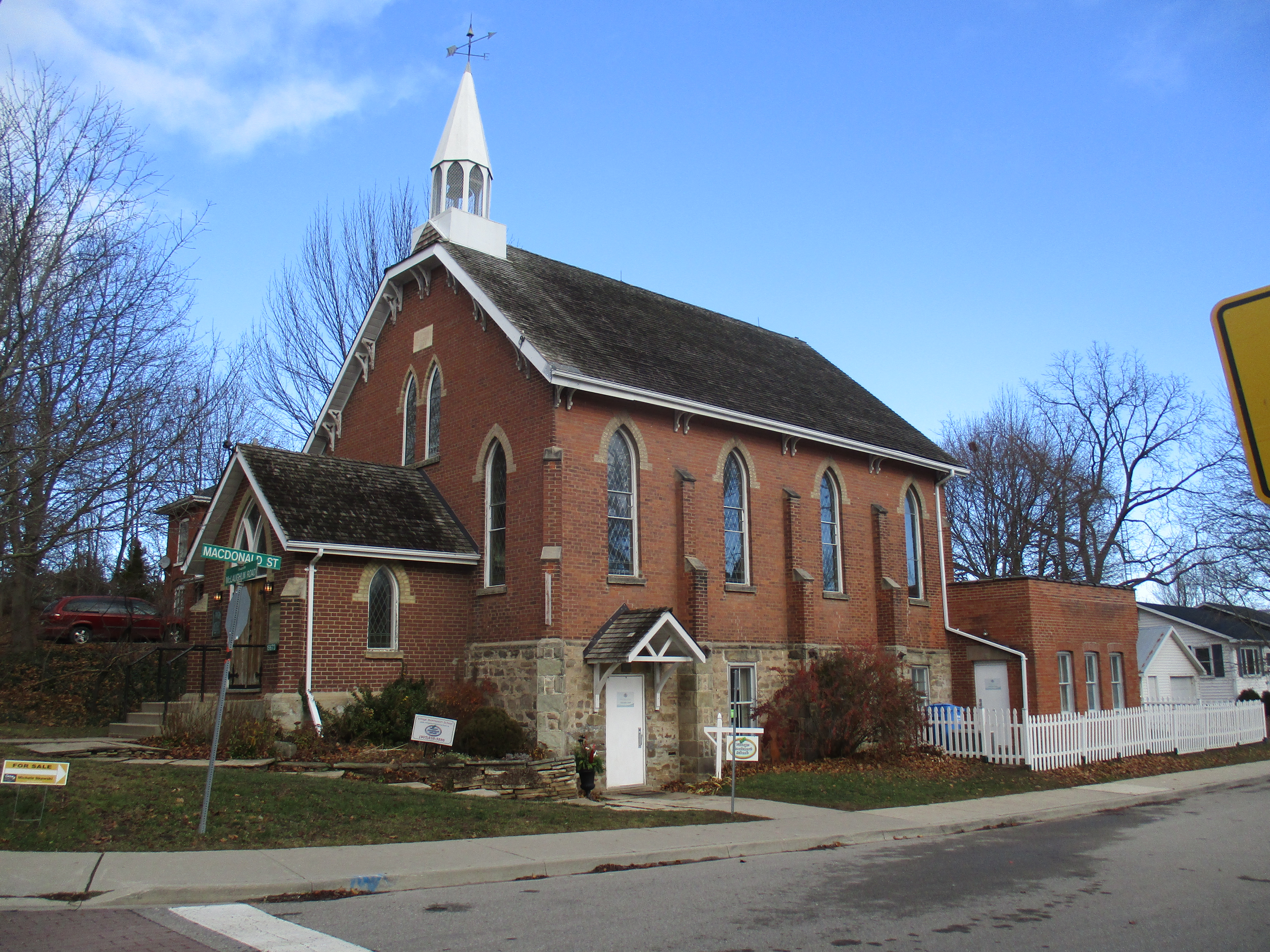
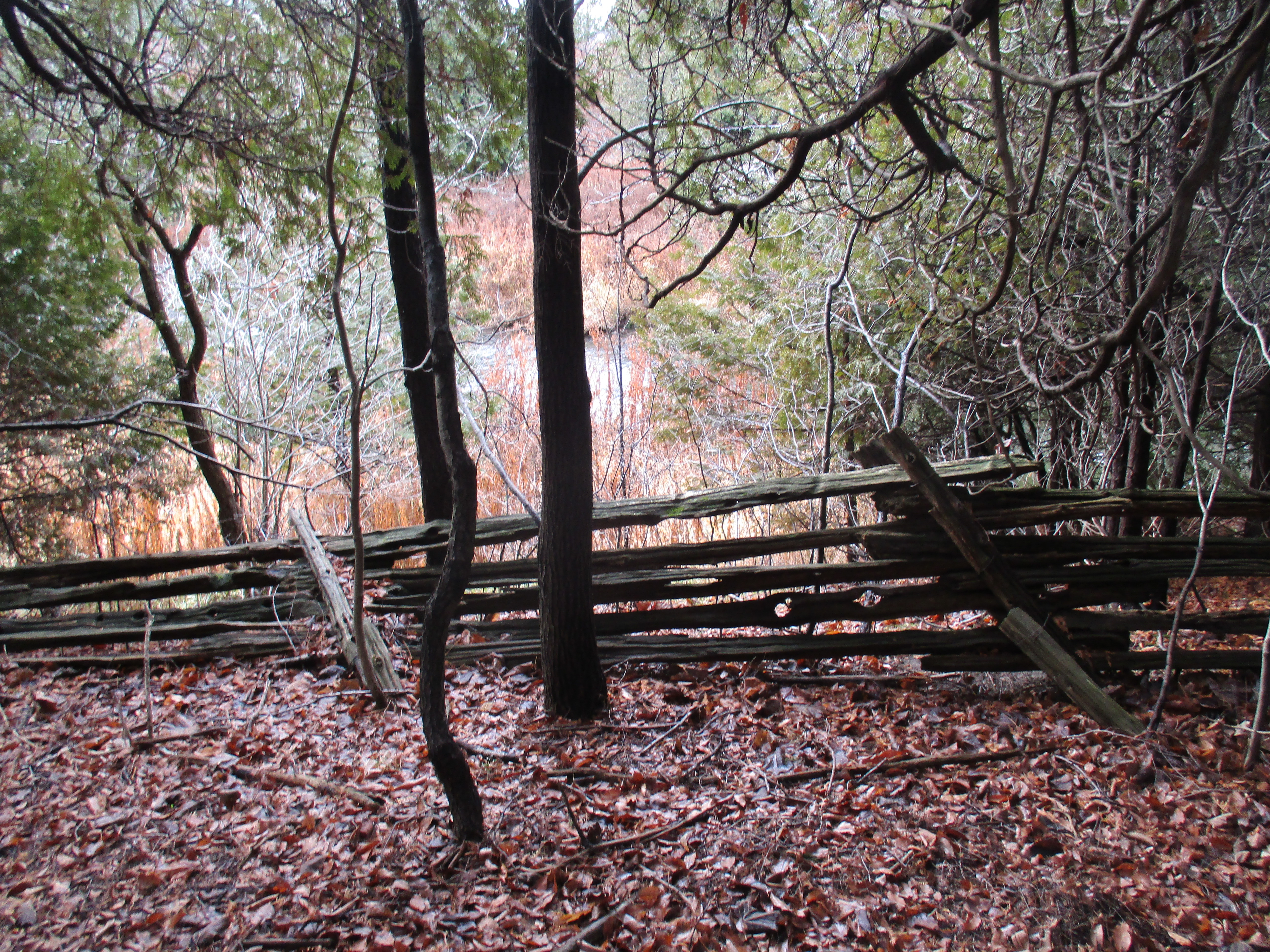
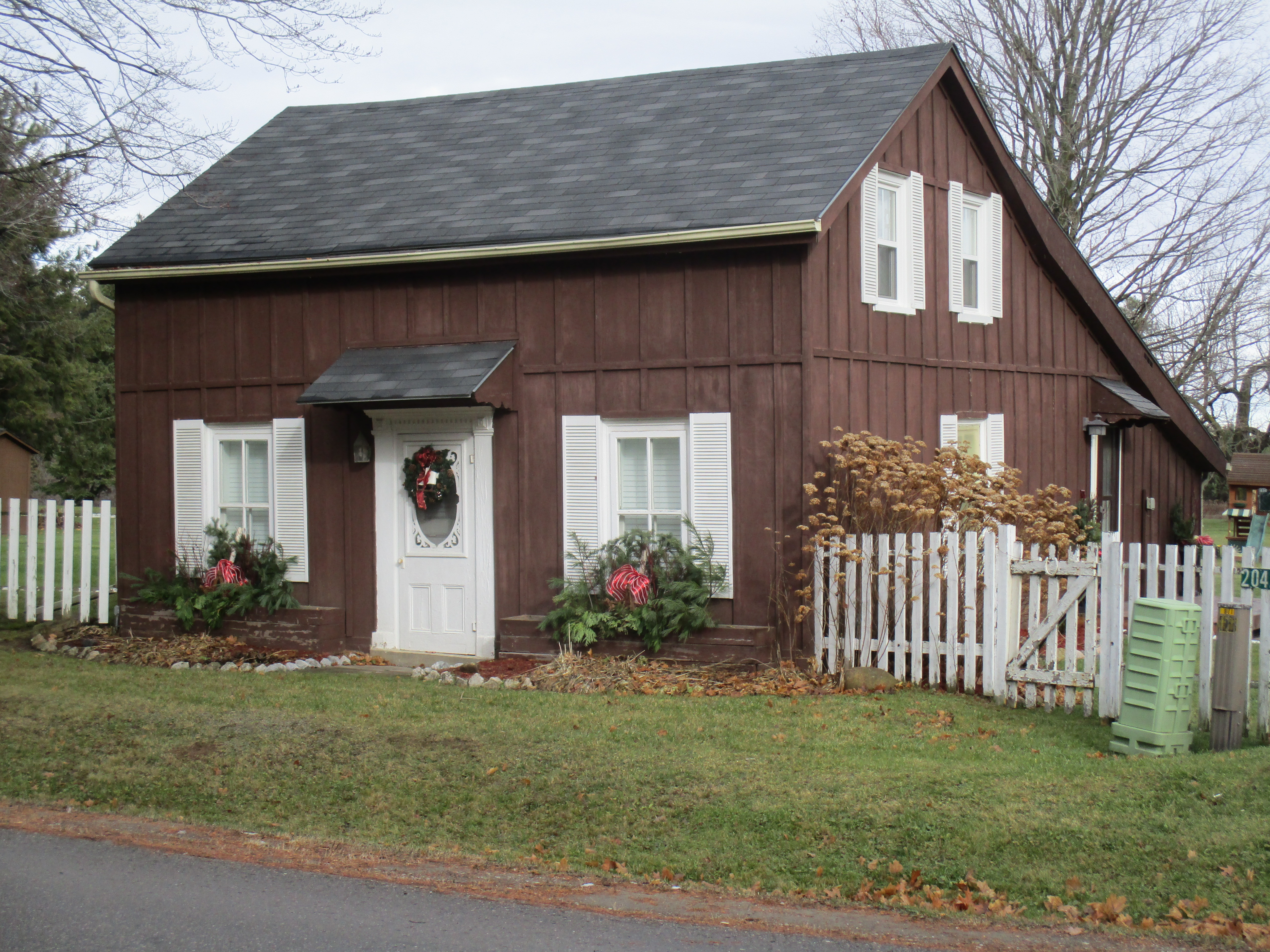
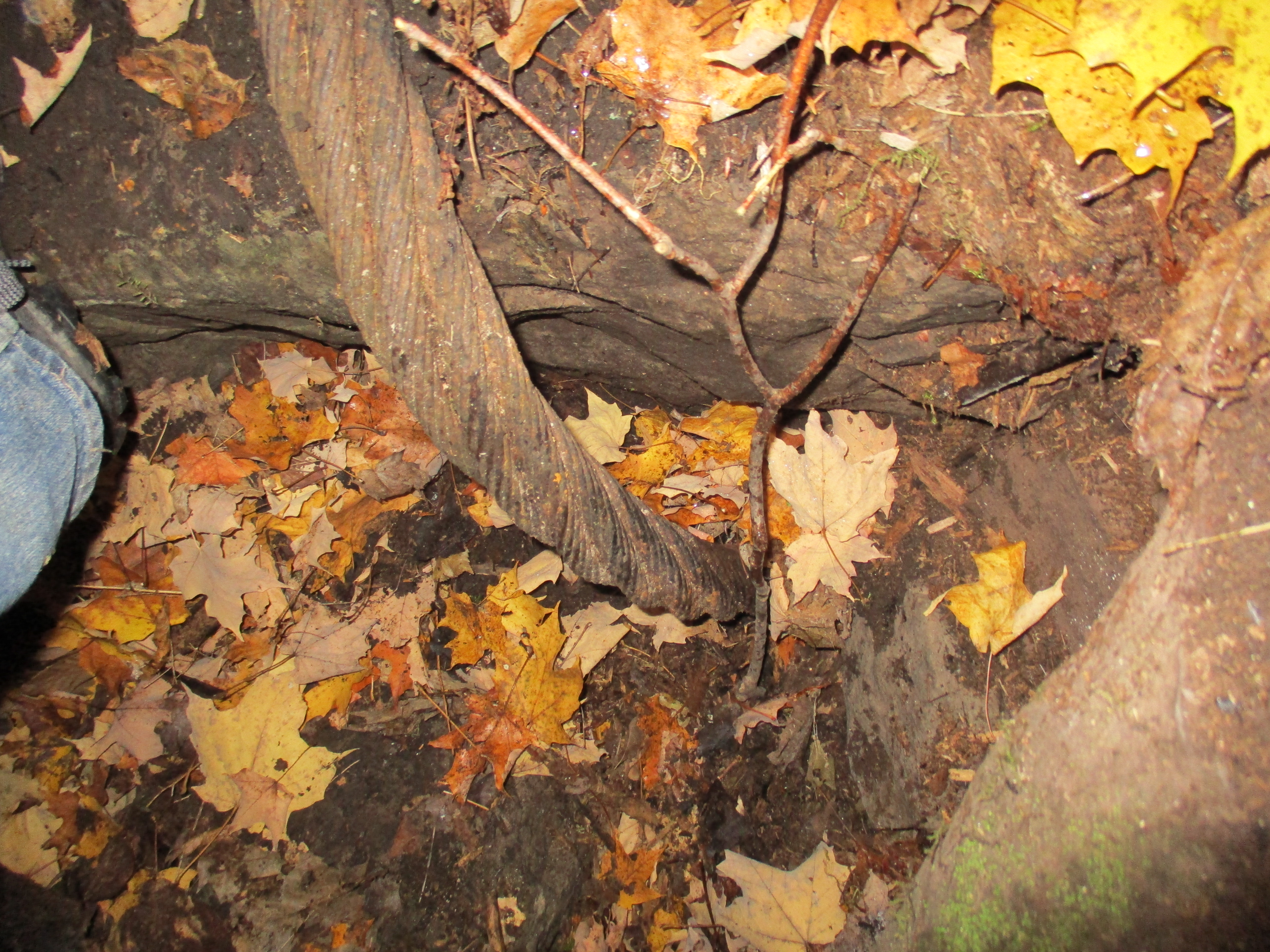
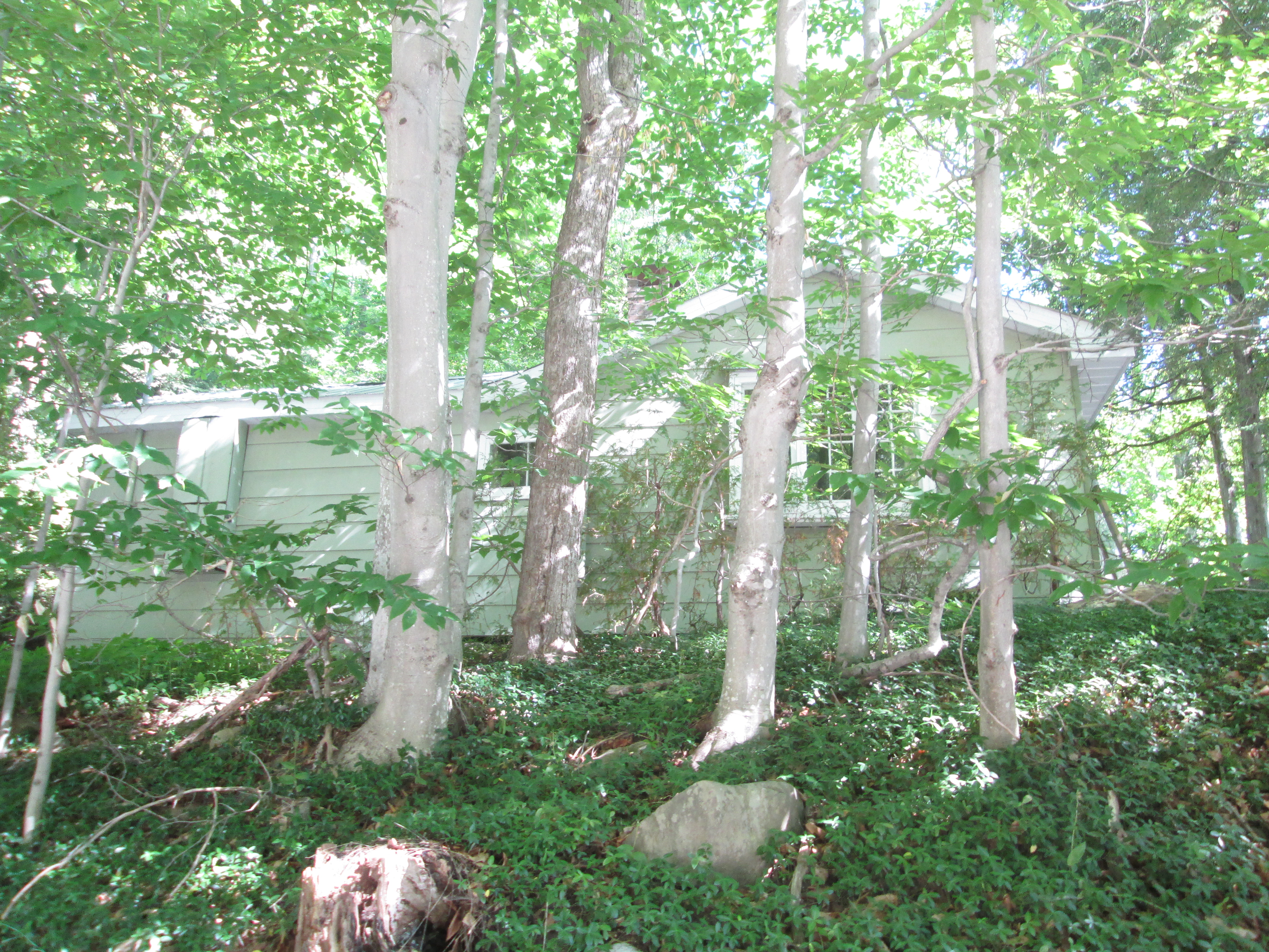
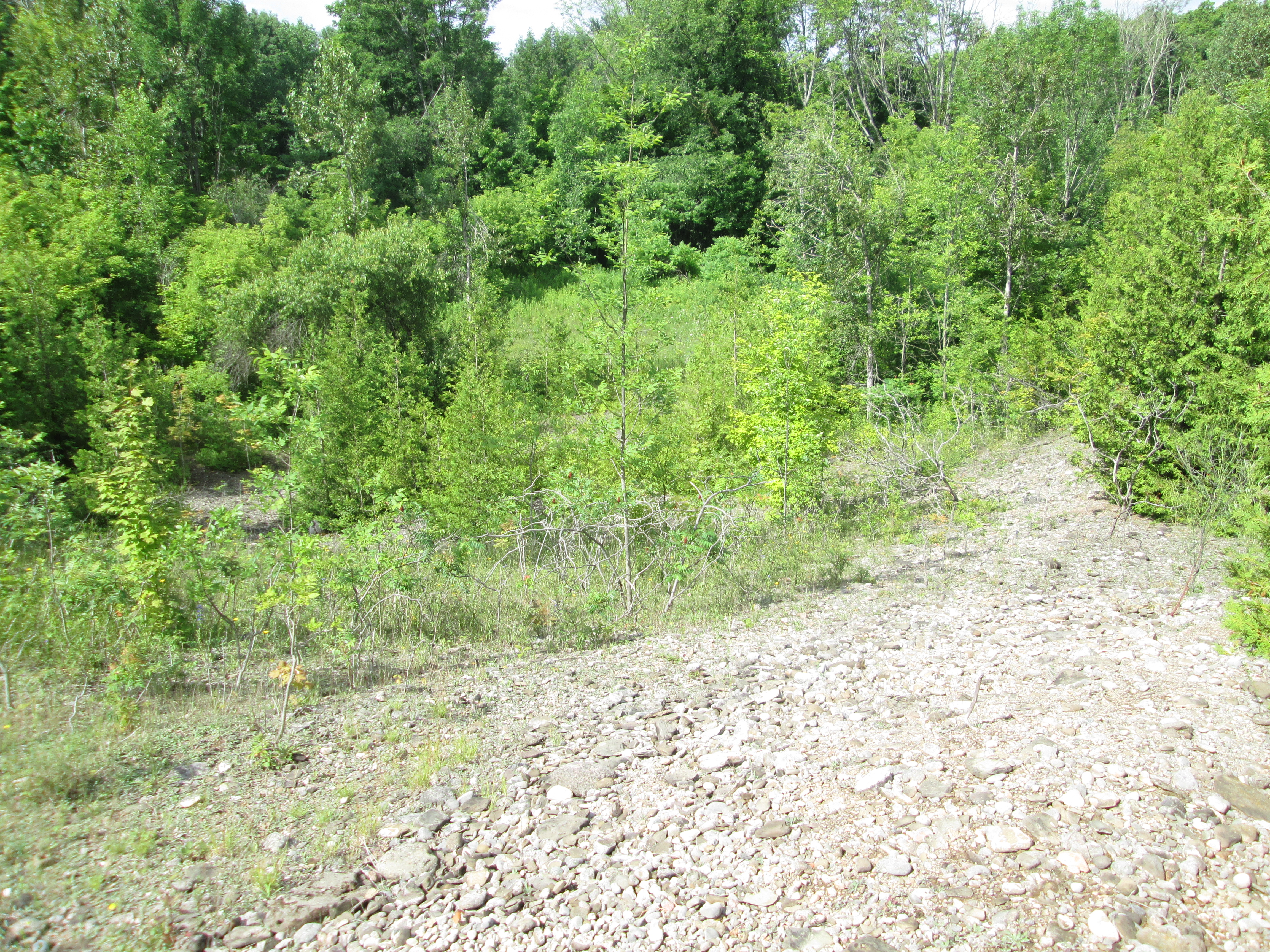
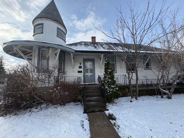
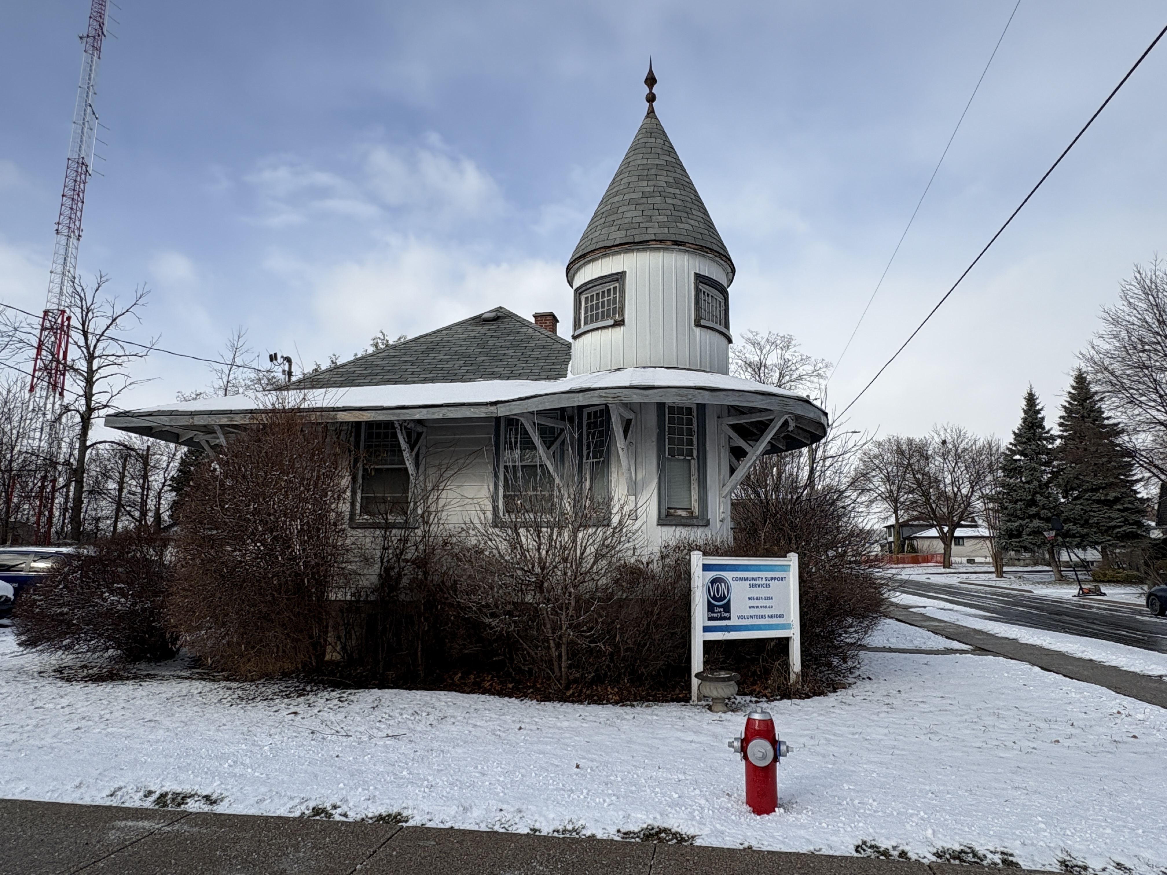
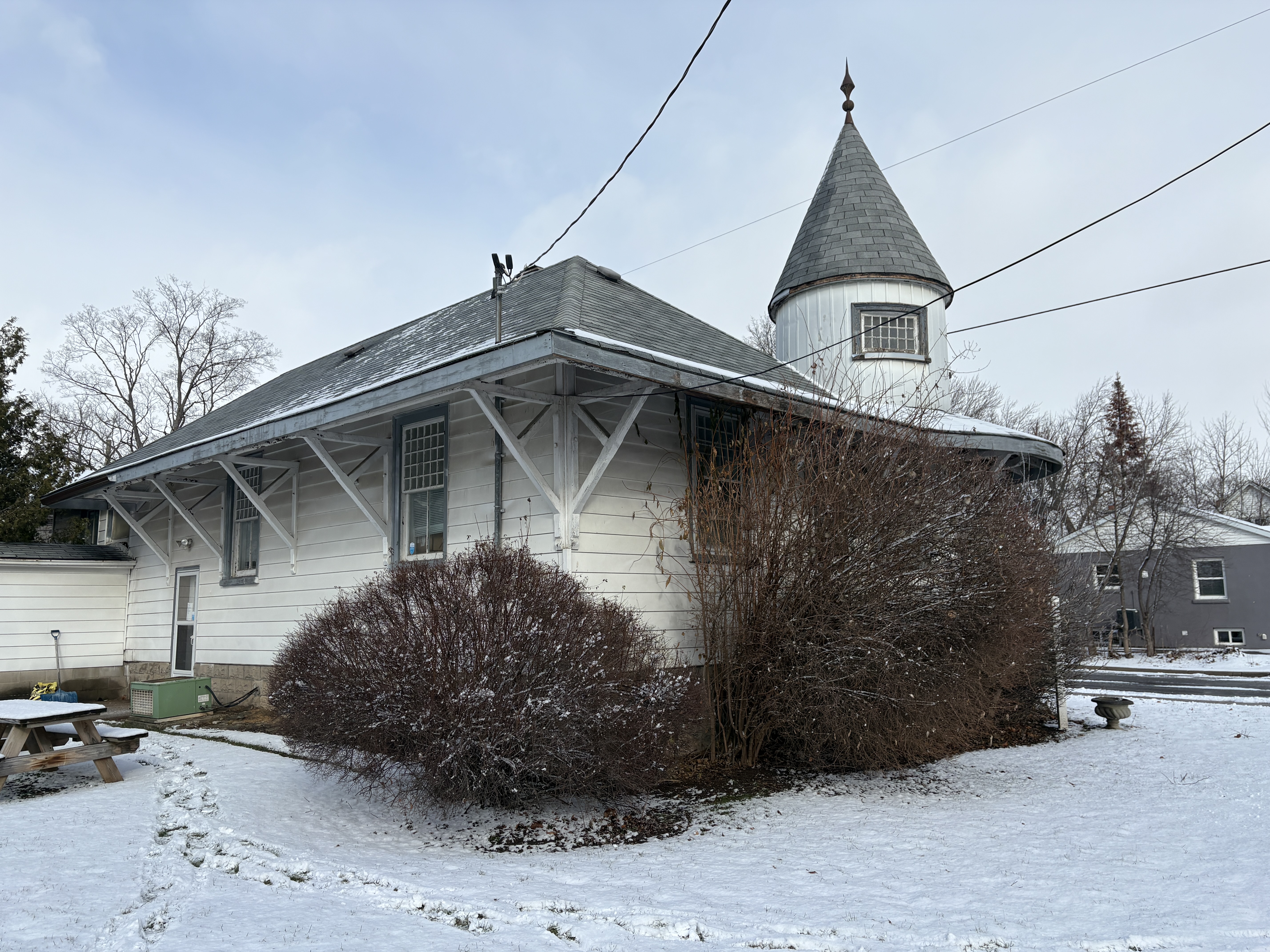
The station in Streetsville was built about 1.5 kilometres north of the main part of town at the point where the CVR split with one set of tracks going to Orangeville and the other going to St. Thomas. The rectangular building features a two storey turret on the south-east corner. The tower was decorative as well as practical as it allowed view down both sets of tracks to see what traffic was on the line at Streestville Junction. The tower still shows its board and batten construction although the rest of the building has been clad over in aluminum siding.
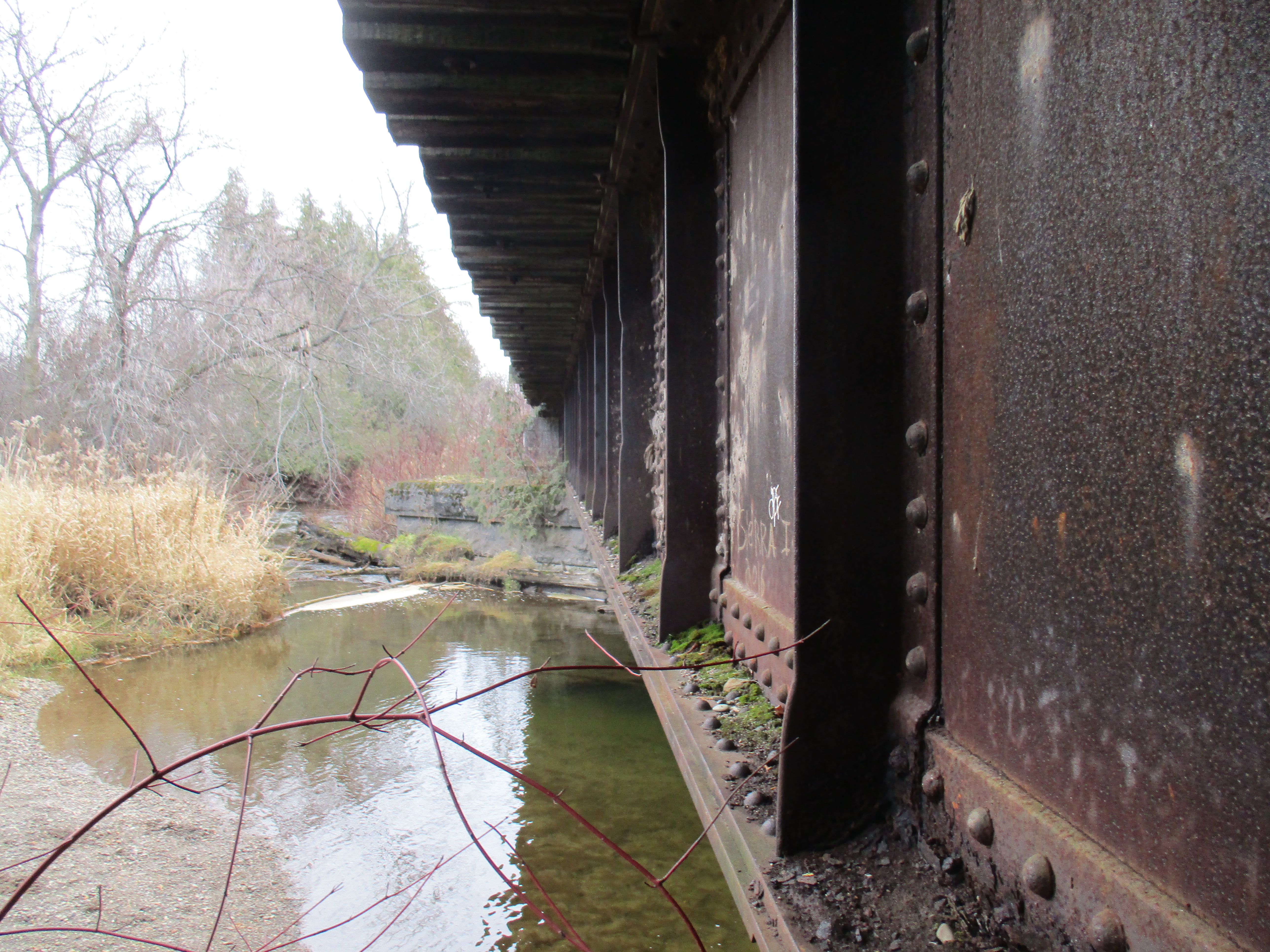
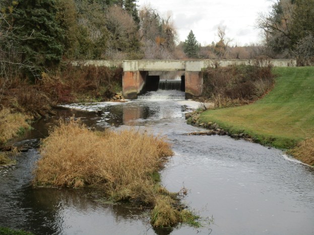
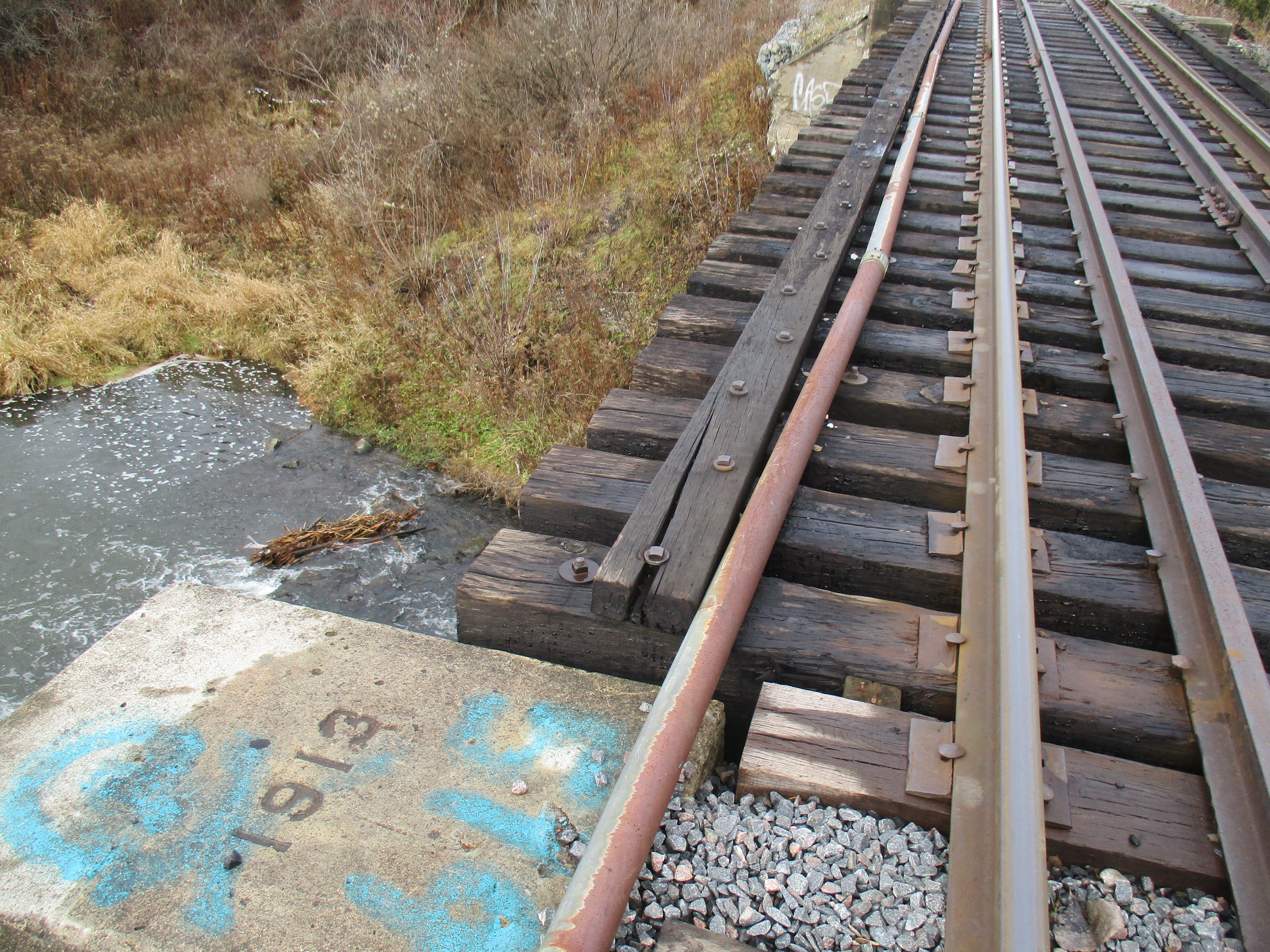
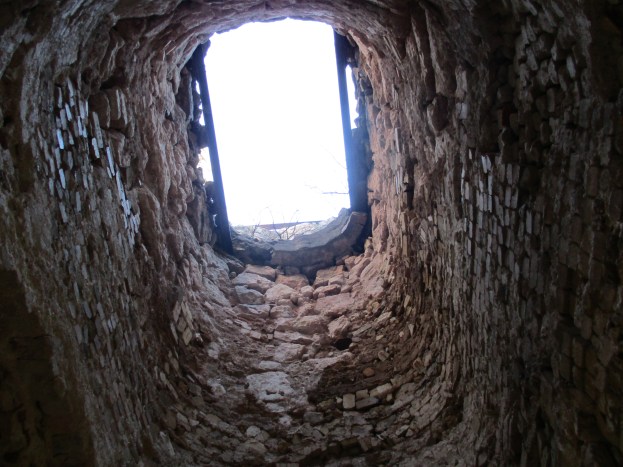
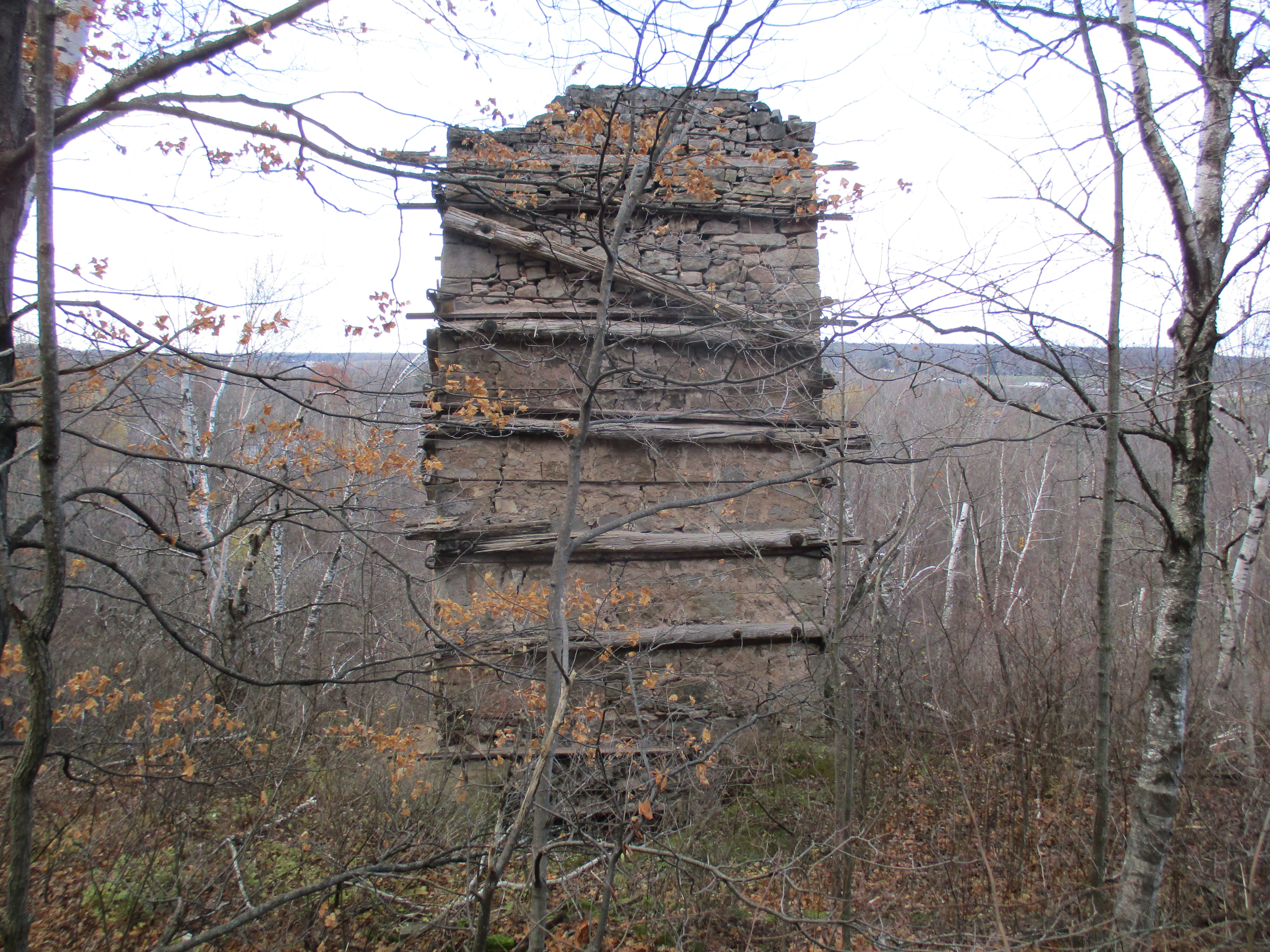
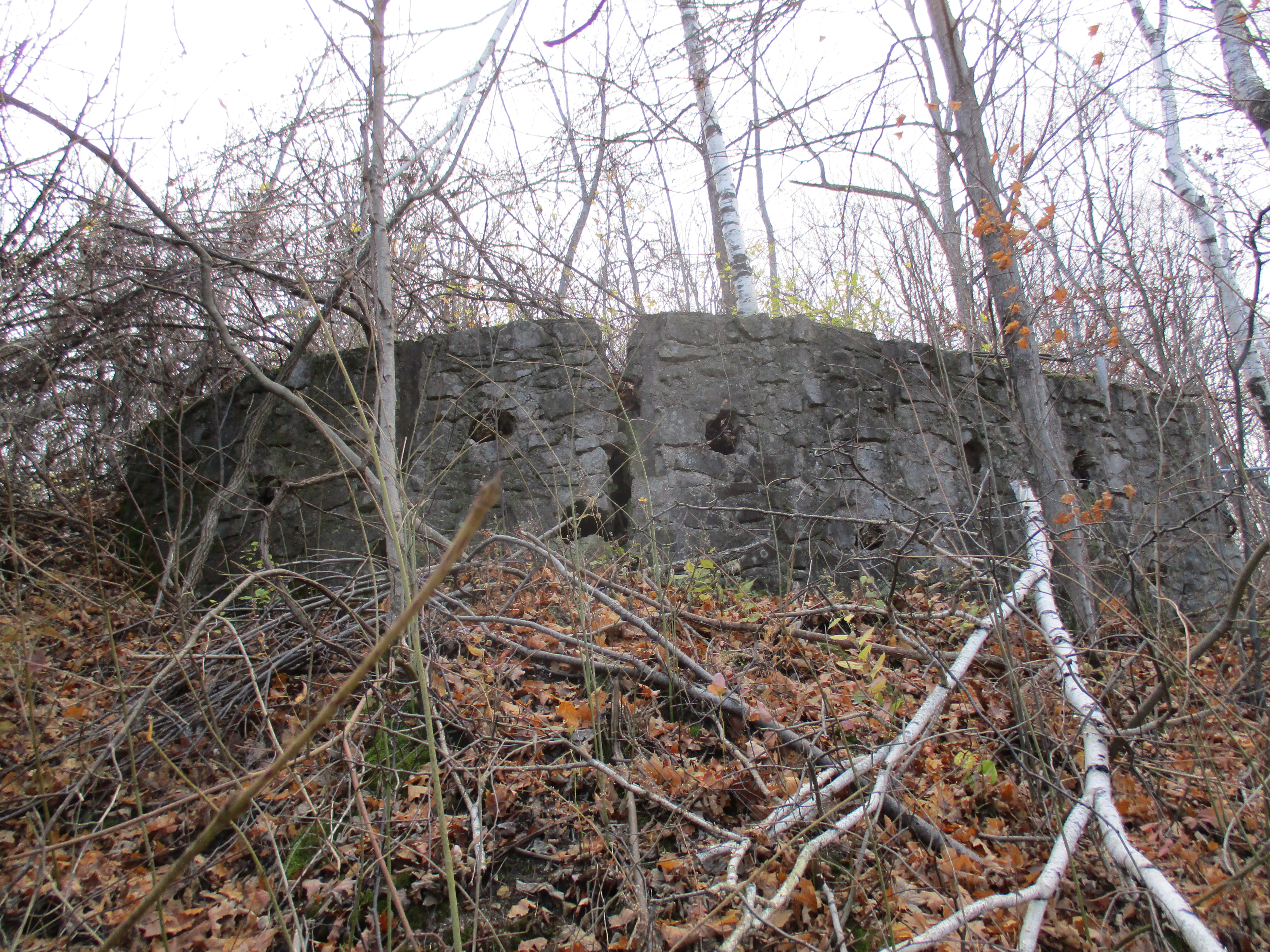
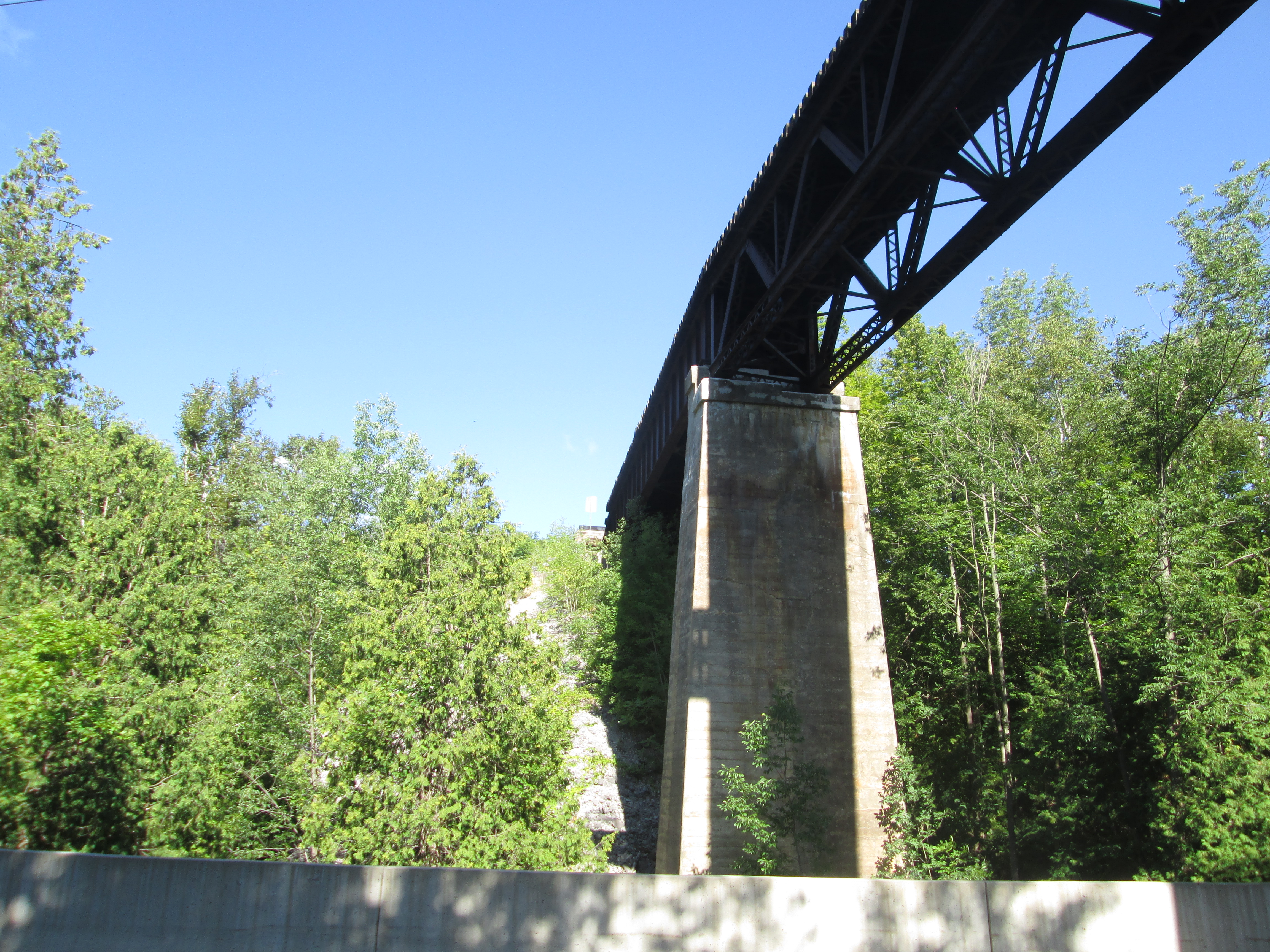
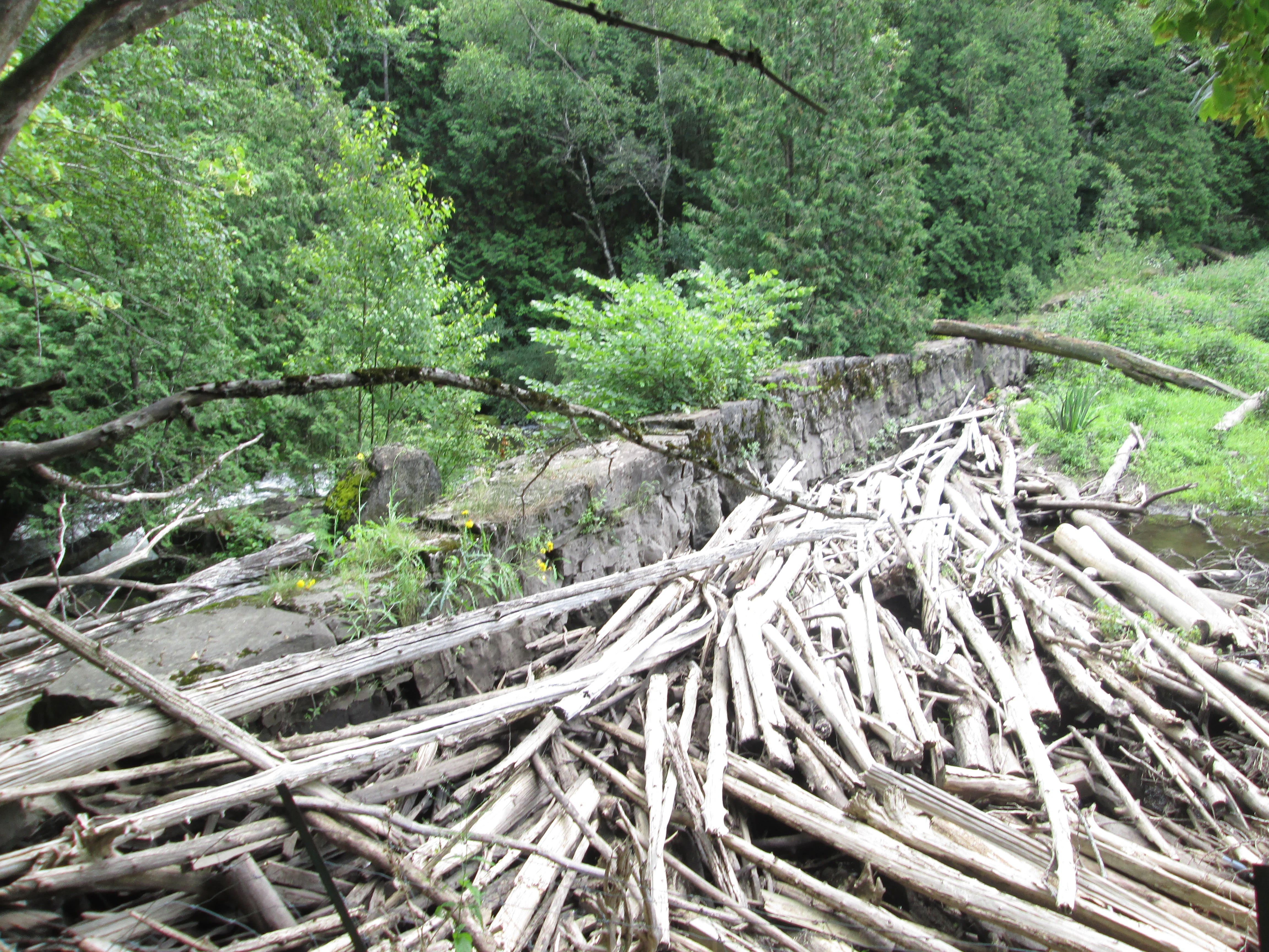
Survey work on the line began in 1873 and grading followed the next year. Track laying began in 1876 and the first train arrived in Streetsville on September 1, 1879. This is also the month that the 1,146 foot long trestle at the Forks of the Credit was completed. The line was finished in 1881 but it was already in talks with the Great Western Railway because of financial troubles. On November 30, 1883 the CVR and the London Junction Railway were amalgamated into the Ontario & Quebec Railway. This was then absorbed into the Canadian Pacific Railway (CPR) on January 4, 1884.
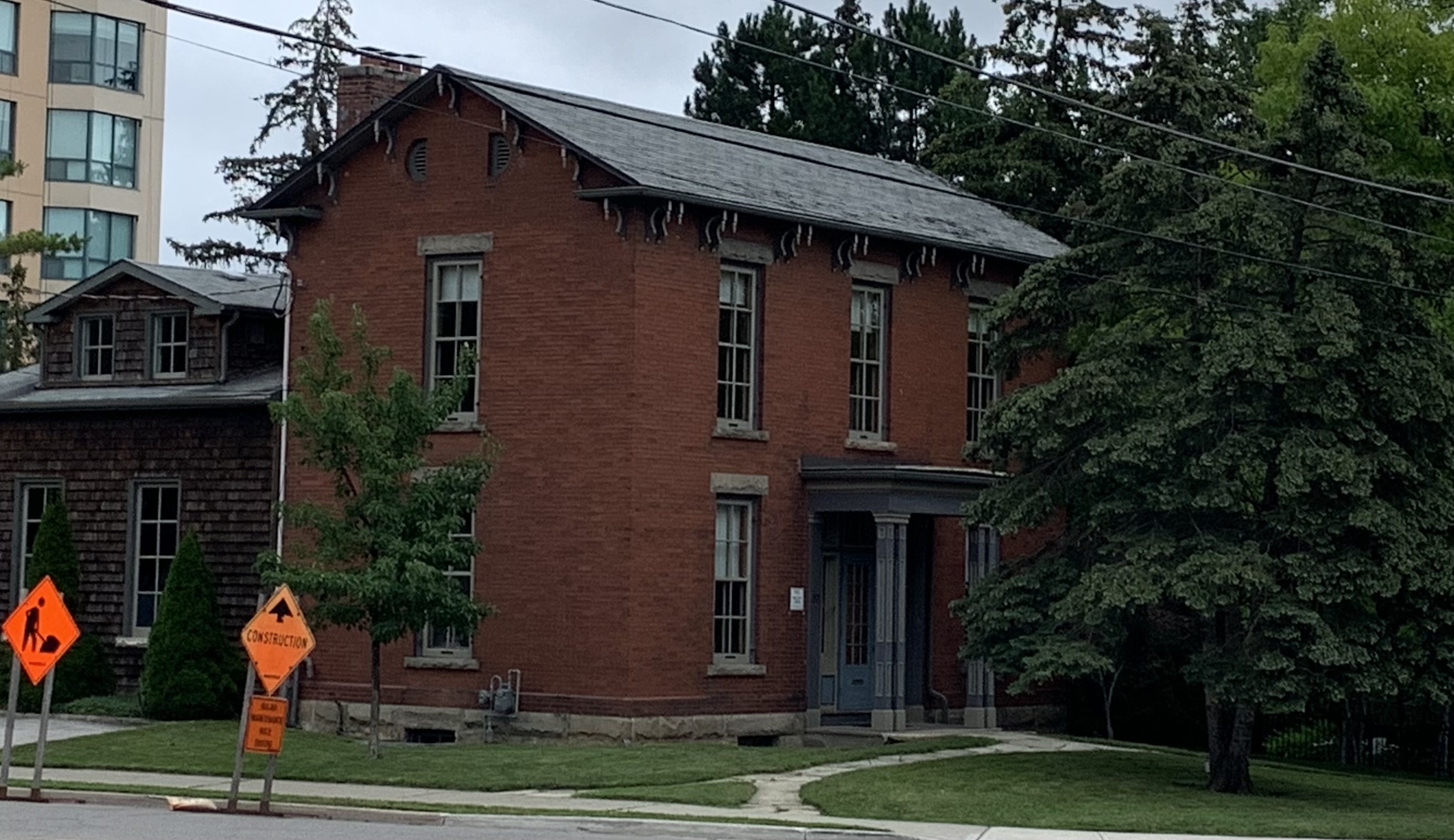
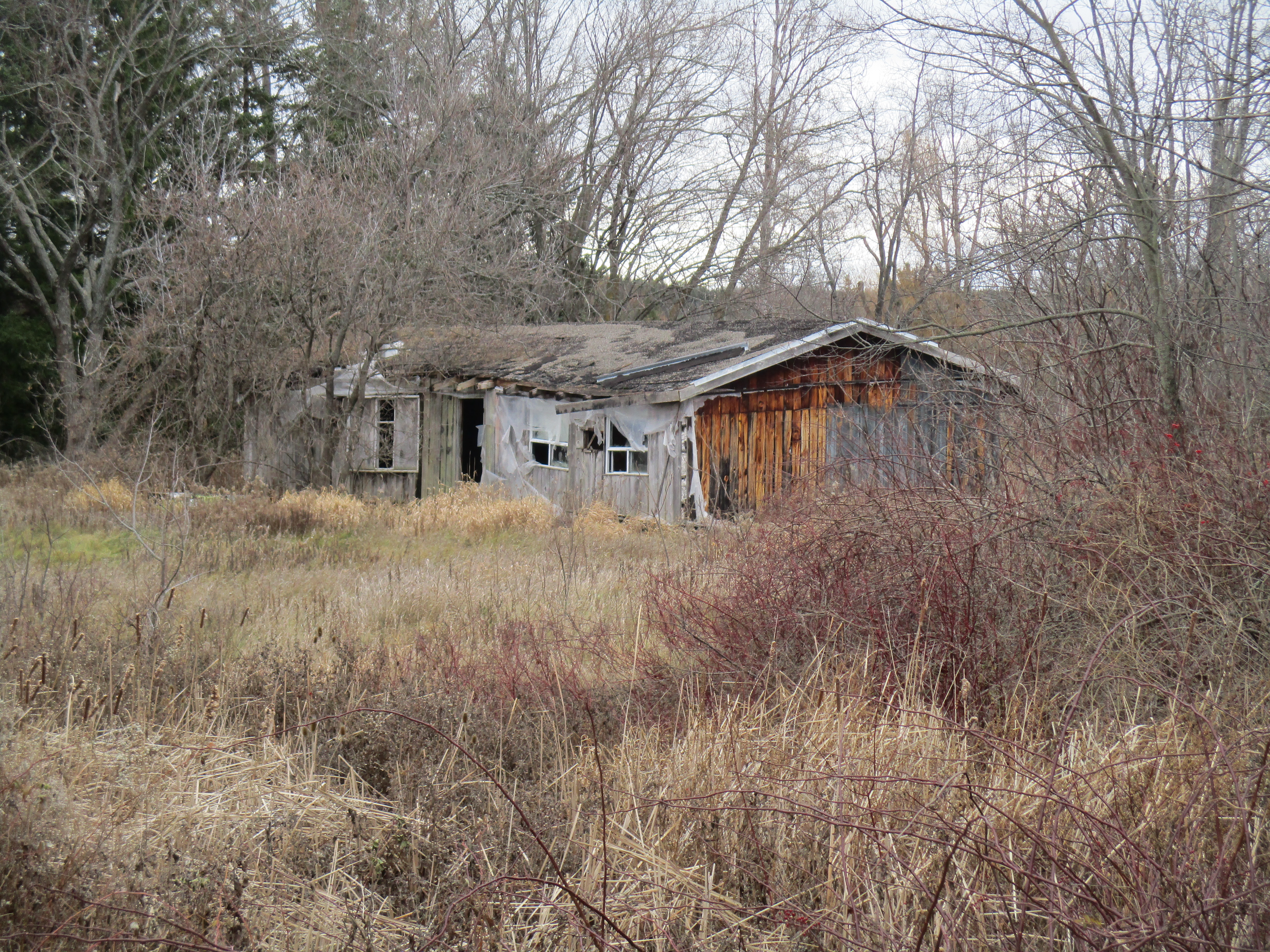
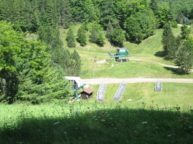
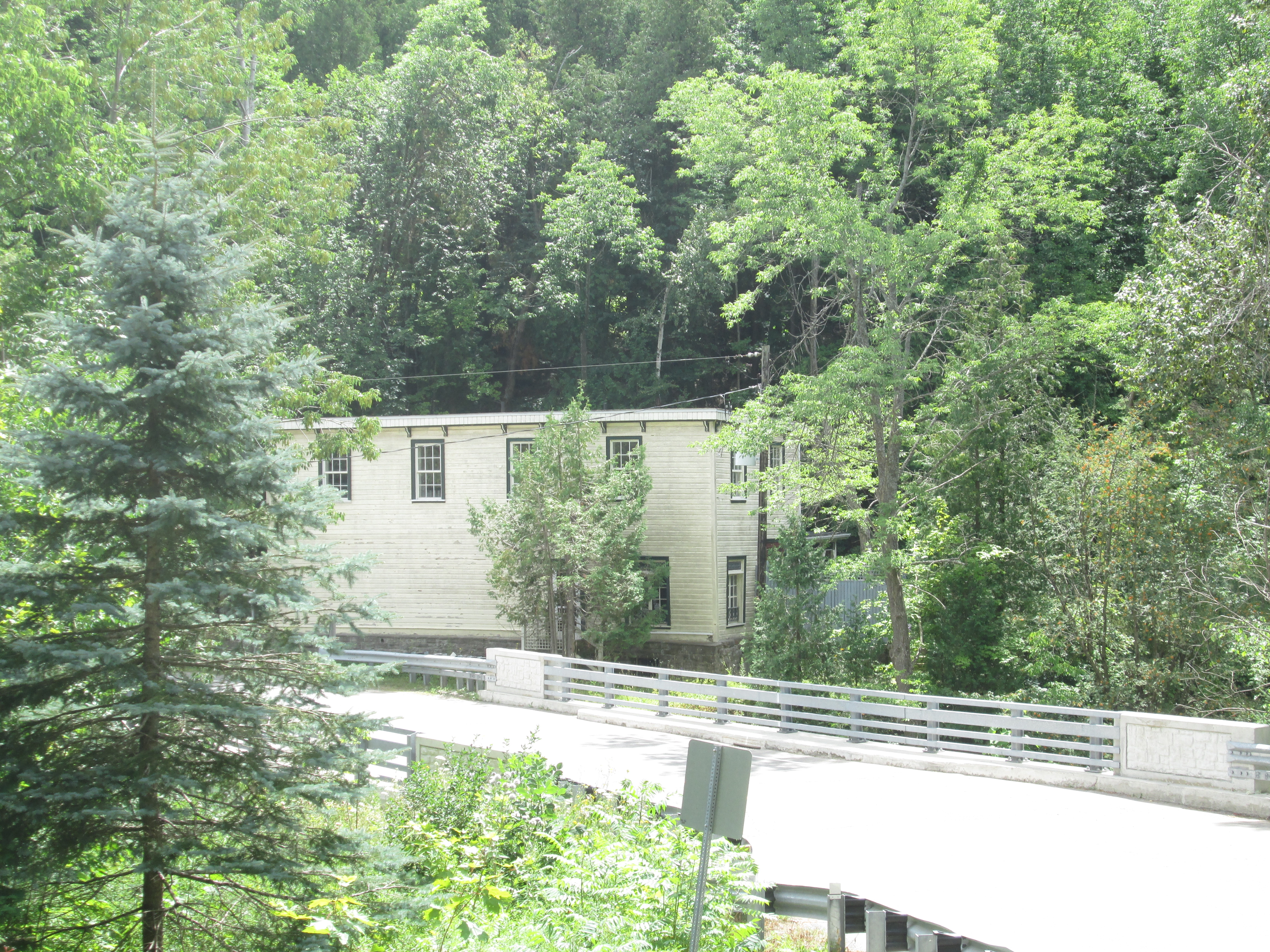
Due to the fact that the CVR station was built outside of Streetsville it wasn’t convenient for the residents to use. A small passenger shelter was built at the end of Old Station road to accommodate them. As passenger service increased it was decided to build a new Streetsville Station which opened in 1914 about halfway between the two existing stations. At that time the old junction station was set to be demolished. Ephraim Evans bought it and had it moved to its present location on Ontario Street. He converted it into a residence and today it serves as the Community Support Services building for the VON.
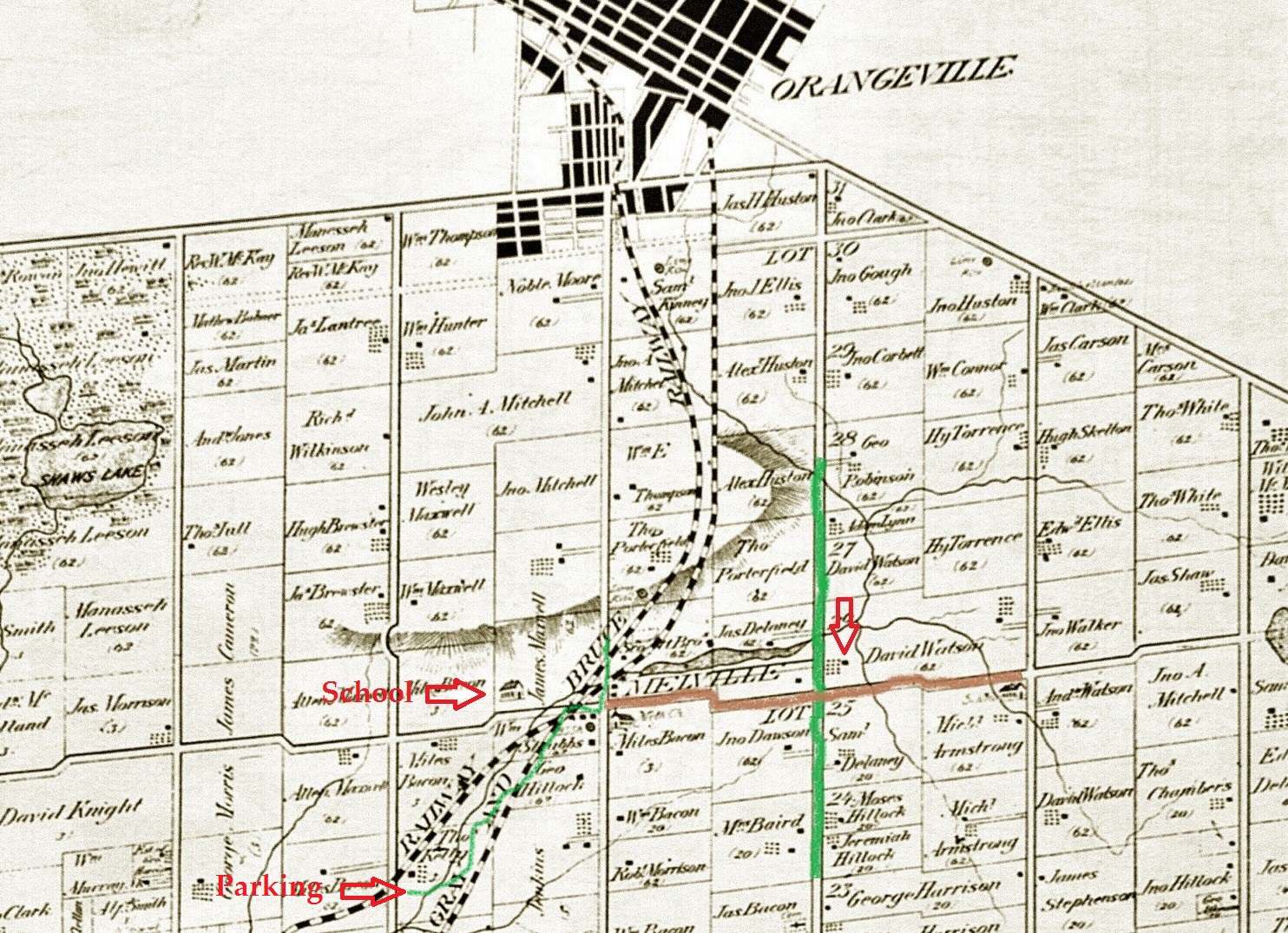
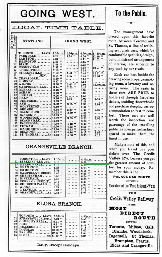
This 1883 timetable was taken from Old Time Trains on www.trainweb.org and further reading can be found there. Streetsville Junction was on the Orangeville Branch and is underlined in green.
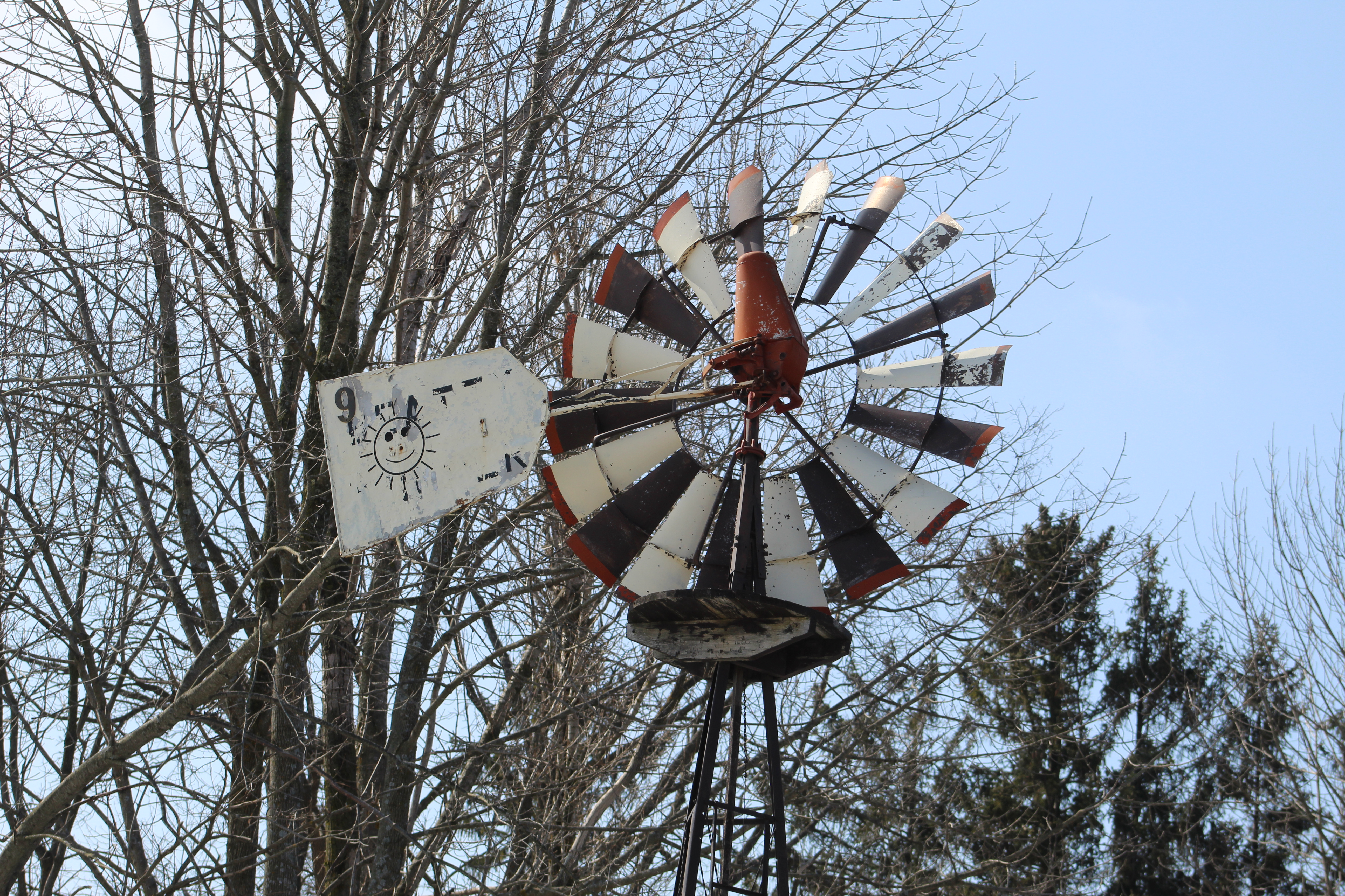
It’s nice to see this historic train station preserved as an example of 19th century railway station construction.
Related Stories: Goodwood, Horseshoe Curve Rail Disaster, Forks of the Credit
Google Maps Link: Credit Valley Railway Station
Like us at http://www.facebook.com/hikingthegta
Follow us at http://www.hikingthegta.com