Monthly Archives: December 2017

The Best of 2017

January 1, 2018

In 2017 we published 59 posts which, naturally means that we got to explore some pretty interesting places.  Based on readership, here are the 12 most popular releases of 2017. The cover photo shows the Japanese Cherry Blossoms in High Park which was our overall most popular picture published on our Facebook page in 2017.

12)  Albion Falls

We were fortunate to visit Albion Falls before the fences went up.  Now getting to the bottom requires a hike up the ravine trail from below the falls.

Albion A

11) Glenorchy – Ghost Towns of the GTA

Glenorchy was the site of a bridge failure when construction routed a full potato truck over a bridge that couldn’t support it.

IMG_1590

10) Abandoned DVP Ramp

One of the clover-leaf ramps to the Don Valley Parkway at York Mills that is very quickly becoming overgrown.

DVP

9) Humber Grove – Ghost Towns of the GTA

North of Bolton on the Humber River a small community was removed following Hurricane Hazel.  The lines of roads can still be traced leading to various foundations and abandoned bridges.

Humber grove road

8) Rosetta McClain Gardens

On the top of the Scarborough Bluffs is a beautiful garden on the former home of Rosetta McClain.  Her home has been allowed to crumble but retains a certain mystical charm.

rosetta home

7) Hog’s Back Park – Oakville

While looking for the tunnel from the old dam in Oakville through the Hog’s Back we found some interesting surprises instead.

back

6) Flynntown – Ghost Towns of the GTA

Not much remains of this ghost town except for the concrete support for one of the dams on the Don River but it made for an interesting exploration.

flynntown

5) Taber Hill Ossuary

A small mound in a park in Scarborough contains a native ossuary with the remains of 523 people who were buried here before 1250 A.D.

taber

4) Joshua Creek

This exploration of the mouth of Joshua Creek ended with this splendid estate built in 1938.

Joshua Estate

3) Mimico Branch Asylum

When the Mimico Branch Asylum opened on January 21, 1889, it was known as the Mimico Branch Asylum.  When it became independent of the Queen Street Asylum in 1894 it took on the name Mimico Insane Asylum.

mimico asylum

2) Toronto’s Abandoned Roads

This post features previously released stories of various abandoned roads in Toronto and was popular with explorers.

Bayview bridge


1) Palermo – Ghost Towns of the GTA

The ghost town of Palermo, unlike many of the other ones we’ve visited, still has many buildings left from 100 or more years ago.  Most of these are vacant and some are almost beyond repair but concern over these historic homes led this story to become the most popular one of 2017.

Palermo house

We had a lot of fun in 2017 and look forward to many more adventures in 2018.  Thanks for coming along on the journey.

Like us at http://www.facebook.com/hikingthegta

Follow us at http://www.hikingthegta.com

Mountain Sanatorium

Wednesday, December 27, 2017

Tuberculosis has the historic name of Consumption because one of the symptoms is weight loss.  This, along with a chronic cough, fever, night sweats and blood in the sputum would kill half of the people who developed an active bacterial infection.  The disease is transmitted by the coughing or sneezing of an infected person.  By the 1880s a campaign was started in Britain to have victims enter sanatoria to keep them isolated and provide fresh air and labour to help facilitate a cure.  In  Canada, the first sanatorium was opened in 1898 in Gravenhurst and a second one was added in 1902.  These were both filled and soon Calydor Sanatorium was opened in 1908 as well.  The third sanatorium in Canada was opened in Weston in 1904 with the Mountain Sanatorium being fourth in 1906.

Originally the hospital consisted of 8 patients in 2 tents on a donated farm atop Hamilton Mountain.  In 1943 drug therapy replaced years of bedrest and suddenly the Sanatorium was empty and in danger of closing.  The TB clinic was extended by bringing in Inuit patients from the north where there were no clinics. By 1961 even these patients were not enough to keep the hospital busy and it began to serve as the Chedoke General and Children’s Hospital.  In 1979 it merged with McMaster Hospitals and by 1997 was known as the Chedoke Hospital of Hamilton Health Sciences.  It has since been closed and abandoned.  The property has been sold to developers who have started to remove the old buildings.  All of the buildings encircled by Sanatorium Road and Scenic Drive were removed between 2013 and 2014.  Only the Long & Bisby Building remains.

Sanatorium Dec. 31, 20015

The Long & Bisby Building is one of the oldest remaining structures on the site, having been built in 1920 as a nurses residence.  The building is named after the people who owned the property in 1906 and donated it for the construction of the hospital.  I’m glad this building is standing, at least for the time being.  I wonder if Mr. W. D. Long and Mrs. George H. Bixby would approve of the housing development that is about to happen on their former property.

IMG_1965

Near the Long & Bisby Building and right near the road is Upper Sanatorium Falls.  It is 9-metres high and classified as a complex ribbon cascade.  It is 3-metres wide and carries a tributary of Chedoke Creek over the escarpment.  When the Sanatorium opened there was a set of concrete steps on the west side and a bridge that led to a long set of wooden steps.  These steps led to the Brantford and Hamilton Electric Railway Company line that allowed employees who lived at the site to get easy access to town for schooling and shopping.  Two original stone pillars remain beside the road to mark the spot.

IMG_1942

From the top of the escarpment, you can see the city of Hamilton with the Skyway Bridge in the background.

IMG_1947

Following the blue side trail, you come to an unmaintained foot trail that snakes its way down the side of the escarpment to meet the rail trail part way down.  The Brantford and Hamilton Electric Railway Company was opened in 1908 and operated until 1931.  It ran electric radial cars from Brantford to Hamilton every hour but generally provided no freight service on the line.  The Depression took a toll on the rail line and it was sold and closed on July 30, 1931.  Most of the rails were removed in 1932 and now there is a 2.7-kilometre section that is operated as the Chedoke Rail Trail but is also shared by The Bruce Trail.  The picture below shows the bridge on the trail that replaces the original rail bridge on the creek below Sanatorium Falls.

IMG_1951

Returning to the area where so many of the Sanatorium buildings have been removed you can still make out traces of the elaborate landscaping that existed for therapeutic purposes.  An old footbridge remains but it connects two places that no longer exist.

IMG_1971

The Cross of Lorraine is styled as a two-beamed cross and dates back to the 12th century. In 1902 the American Lung Association selected the cross as symbolic of the fight against tuberculosis.  As the Mountain Sanatorium was built to combat tuberculosis it is appropriate that in November 1953 one was constructed on the side of the escarpment near the main buildings.

IMG_1941

The second cluster of buildings stands to the west of the escarpment face, now separated by a housing development.  Most of the buildings on the north side of Sanatorium Road appear to be waiting for demolition to make way for Chedoke Heights housing development.  On the south side of the road is the Medical Superintendents Residence which was built in 1922.  Initially, the Medical Superintendent lived in the Macklem family farmhouse until it was destroyed by fire.  This building stands behind the 1932 Patterson Building which was constructed as a 4-story nurses residence.

IMG_1982

The Empire Building was constructed in 1926-1927 to replace the Empire Shack which was one of the first buildings to be constructed following the period where patients were housed in tents.  This building appears to be in danger of demolition.

IMG_1989

Also in danger of demolition is the Wilcox Building.  Charles Seward Wilcox made a donation of $250,000 for the construction of this pavilion and the sod turning ceremony took place on July 18, 1938.  By the time the Wilcox Building opened on January 7, 1939, its benefactor had been dead for six weeks of an illness that he had been suffering from at the time of the sod turning.  This building is also in the way of some badly needed housing development.

IMG_1984

The building has the Cross of Lorraine in the concrete below the windows.  The Wilcox building is surrounded by several others that are slated for demolition.

IMG_1992

The Holbrook Pavillion was built in 1950-1951 but no one stands in the parking control booth anymore.

IMG_1994

It remains to be seen what the neighbourhood will look like in ten years but I’m glad to have got some pictures before the historical side of the Sanatorium is lost forever.

Google Maps Link: Sanatorium Falls

Like us at http://www.facebook.com/hikingthegta

Follow us at http://www.hikingthegta.com

Taylor Creek Park

Saturday, December 16, 2017

Taylor-Massey Creek is one of the most significant tributaries of The Don River.  It joins the river near the Forks of the Don and was at one time known as the East Don River and today’s East Don was then known as Middle Don.  The county atlas below shows the extent that the Taylor family controlled the lands around the Don River and Taylor-Massey Creek.  They had a huge share in the early paper industry in York (Toronto) as they had opened the first paper mill in the city at Todmorden.  They eventually owned three paper mills with the upper mill being at the Forks of the Don.  The Taylors also formed the Don Valley Brick Works and were among the leading early 19th century industrialists in the city.  By 1877 most of the original forest cover had been removed but Warden Woods (circled in green) remained with Taylor-Massey Creek flowing through it.  As a point of interest, looking at the property owners on the left side of the map reveals the origin of the name “Leaside”.

Taylor Creek (2)

Taylor-Massey Creek joins the Don River just west of the old Don Mills Road.  This morning the ice was just forming on the confluence of the creek and river.  There is free parking in the Taylor Creek parking lot.  From the lot, we made the short trek back to the mouth of the creek before setting out to explore the unmaintained trail on the west side of the creek.  The Taylor Creek Trail forms a maintained path that runs for 3.5 kilometres along the creek.

IMG_1709

Old Don Mills Road is still used as a recreational trail and cars still cross the concrete bowstring bridge which was built in 1921.  The county atlas above shows the road in brown and a previous bridge to this one.  By 1877 it is possible the road was already using a second bridge to facilitate the traffic the paper mill brought.  The road was also the only concession that had been opened and all north-south traffic had to use this crossing.

IMG_1708

Also, near the parking lot are the elevated wetlands.  From this angle the structures look like they are walking along, following each other.  These sculptures turn art into habitat as they each contain a wetland, complete with all the wildlife they support, mostly birds and flying insects.  The water from the Don River is pumped into the wetlands by solar pumps and filtered through the wetland to be returned to the river cleaner than it began.  Each wetland features small ponds, a couple of small trees and wetland grasses.

IMG_1711

In 1994 the creek was assessed as the most degraded of the main tributaries in the Don Watershed.  The Underwriter’s Reach still shows many of the concrete channels that the creek was forced into when surrounding lands were developed for housing.  The Task Force To Bring Back The Don and other groups have put together a 40 step plan that includes restoring this watershed.  Some of this is discussed in our feature on Terraview and Willowfield Gardens Parks which showcase some impressive restoration projects.  In the picture below you can see the roadway that passes through the creek in the park.

IMG_1717

Stairways jig-jag up and down the sides of the ravine to provide access to the park from the communities on the tablelands.  The sets of steps tend to be 100-120 in length and provide good cardio workouts for those so inclined.

IMG_1798

The Musqueam people lived near the mouth of the Frazer River in British Columbia.  They were very accomplished weavers and their cultural heritage has been incorporated into paintings of five benches in Taylor Creek Park.  The benches were designed and painted by members of STEPS who as an organization attempt to revitalize public spaces and connect communities.  The final designs on the five benches incorporate elements from Musquean, Ojibwa from Southern Ontario, Northern Oaxacan (Southern Mexican), and South Asian culture.  There is other artwork in the park that includes a spiral mural in the parking lot that we couldn’t see due to snow cover.

2811

The benches were painted as part of the celebrations for the Pan Am games that were held in Toronto in July of 2015.  Also created for those games was the Pan Am Path which runs for over 80 kilometres through the city.  On one end it connects Clairville Dam and on the other Rouge Beach Park.  There is a second branch that runs to Centennial Park in Etobicoke.  The Alder Stairs are one of the connection points on the Path and the bench featured above is found at the top of these stairs.

IMG_1810

The ravine formed by Taylor-Massey Creek is cut through the side by another ravine that is separated from the trail by a wetland.  The ravine in the centre of the picture runs up the north side of Glenwood Crescent.

IMG_1812

The bridge on O’Connor Drive was built in 1932 as an extension of Woodbine Avenue and has the formal name Woodbine Bridge.  Later, O’Connor Drive was formed by piecing sections of unconnected road together, mostly under the guidance of Frank O’Connor, founder of Laura Secord Chocolates and the Frank O’Connor Estate.

IMG_1828

Having made our way up the less travelled side of the creek we crossed back to the paved trail.

IMG_1836

Taylor Creek Trail continues past this point but we left it for another day.  That part of the trail continues onto a property owned by the Massey family hat operated a huge farm equipment manufacturing plant in Toronto and lends their name to the creek along with the Taylor family.  There is an old mansion waiting at the other end of the trail.

Google Maps Link: Taylor Massey Creek

Like us at http://www.facebook.com/hikingthegta

Follow us at www.hikngthegta.com

Glenorchy – Ghost Towns of the GTA

Saturday, December 9, 2017

The community of Glenorchy never had a large population and had all but vanished until the city of Oakville started to expand into the area.  It won’t be long before the community will have lost all of its historical charms among new townhouses and subdivisions.  The few original houses and a school stood along the fourth line near Burnhamthorpe Road.

Glenorchy Schoolhouse

The 1877 county atlas below shows the east branch of Sixteen Mile Creek in blue as it flows under the fourth line which is marked in brown.  Glenorchy is not marked on the map, perhaps because it didn’t have a post office.  The name is likely of Scottish origin and means valley of tumbling waters.  Sixteen Mile Creek and the picturesque valley it flows through could easily give rise to a name like that.

Glenorchy (2)

This picture shows the fourth line with the bridge in the foreground.  A set of stairs leads down the side of the hill to the school which is located in the ravine.  The county atlas above shows the school to the west of the road which means that the earlier road and bridge alignment likely took a more direct route to the bottom and may be still visible behind the stairs at the time of this picture.  This photo was supplied by Neil Omstead.

Glenorchy Schoolhouse

We parked on the Fourth Line south of Lower Base Line near the entrance to Glenorchy Conservation Area.  Glenorchy Conservation Area protects 400 hectares of environmentally sensitive land containing both the Sixteen Mile Creek Valley and Trafalgar Moraine.  The trail follows the old road south and into the ravine.

IMG_1507

The fourth line makes a steep descent to the creek and on this day the ice was just forming in the water.

IMG_1510

As you follow the fourth line south down the side of the ravine you see the back of the remaining abutment from the former bridge.

IMG_1554

The fourth line bridge over Sixteen Mile Creek is shown in the county atlas of 1877.  The exact location of this bridge has been hidden by time.  In 1898 Dr Ansun Buck of Palermo, a nearby ghost town, designed a new bridge over the creek.  It was built with the north abutment made of cut stone.  The picture below shows the bridge around 1900 and was taken from close to the location of the public school which was built in the floodplain of the creek.

Glenorchy Bridge 1900

Only the north abutment remains today.  The south approach to the bridge can still be identified by a pathway that has a ridge of earth piled on each side from the levelling of the road.  The north abutment has a major crack in it where the soil has washed away from behind the cut stones and they are slowly shifting.  There is a possibility that this abutment may partially collapse.

IMG_1590

The bridge stood until 1964 when it collapsed.  There was construction in the area and traffic was being diverted onto the fourth line.  A fully loaded potato truck followed the detour onto the bridge but it collapsed under the weight.  The picture below from the Halton Archives shows the truck in the ravine and the crane that was brought in to retrieve it.  The picture is dated March 1965 however that is the date it was printed and not the date it was taken.  In those days, you didn’t get to upload your pictures from the side of the river, you had to wait until the whole roll of film was finished and take it in for development.

glenorchy truck

A new bridge was built over the creek in the 1980’s and online sources say it was built on the same abutment as the earlier bridge.  Having visited the site it seems likely that it was built a hundred metres downstream where today’s footbridge crosses.  This bridge was closed in 2001 on a permanent basis.  The steep slope of the northern approach combined with a hairpin turn onto the bridge meant that it was closed for the winter every year anyway.  The road was closed to vehicle traffic but left open for pedestrians and cyclists.  Looking below the new footbridge you can see the larger cut stone abutment for the 1980’s bridge.

IMG_1571

Looking from the south toward the bridge you can see the sharp turn in the road and the steep incline as the road makes its way toward Lower Base Line.  It is easy to see why a fully loaded truck was out of place coming down the steep hill onto the hairpin turn that leads onto the bridge.

IMG_1595

In 1835 George Ludlow and his wife Francis moved to Trafalgar and built this log cabin which stands at the end of Burnhamthorpe Road in Glenorchy.  Francis gave birth to their six daughters in this three-room cabin.  Similar to the first house on the Stong property (now Black Creek Pioneer Village) this house has two bedrooms and a living room where the cooking, weaving and dining would have been done.  The end of the house with the chimney had this family room in it.  The bedrooms are on the end of the house with no window.  The cabin is known as the Ludlow/Slacer cabin because of Martha, the second oldest daughter, who lived here after she married John Slacer.  The cabin is marked with a red arrow on the county atlas above.

IMG_1496

In 1991 there was a sign welcoming people into Glenochy.  The population was 18 at that time.  This house is near the corner of the Fourth Line and Burnhamthorpe Road.  It is one of several that appear to be uninhabited although this one has a light on over the front porch, not exactly common among abandoned places.  There is very little information on historic houses in Glenorchy, unlike nearby Palermo but this house stands on property that also belonged to John Slacer in 1877.

IMG_1604

Kings Christian College is located at the corner of the old Fourth Line and Burnhamthorpe where it replaces a couple of historic homes.  This set of gates stands on the south side of Burnhamthorpe Road but a quick investigation shows that whatever they originally announced, remains here no more.  Perhaps they once led to the farmhouse of T.L. Johnson and I’ve marked a potential laneway in green on the map above.

IMG_1599

Glenorchy may have had only 18 people in 1991 but since then it has a brand new subdivision and the town of Oakville is approaching quickly.  The Glenorchy Conservation is yet to be explored and so a future visit is in order.

Google Maps Link: Glenorchy

Like us at http://www.facebook.com/hikingthegta

Follow us at http://www.hikingthegta.com


The Devil Made Me Do It

Thursday, December 14, 2017

Ontario has some very interesting geological features named after the devil.  So far we’ve visited five of them, all of which have a beauty one wouldn’t normally associate with their namesake.  The links for each are given as well as a brief description of what can be seen there.  Google Maps links for the locations are contained in each story.

The Devil’s Punch Bowl

The Devil’s Punch Bowl is a 37-metre waterfall on Stoney Creek.  There is a 7-metre lower punch bowl and combined all the layers of the Niagara Escarpment are exposed here.  Stories suggest that at one time the water from the falls was collected and used by local moonshiners and so the area took the name The Devil’s Punch Bowl.

punch bowl

The Devil’s Pulpit

The Devil’s Pulpit looks out over the Forks of the Credit.  It is accessed by the Bruce Trail and involves a climb up the side of the escarpment as seen in the cover photo. Having climbed to the top you are treated to the expansive vista pictured below which has its charms regardless of the season.  This site was formerly known as the Forks Quarries but is now known as the Devil’s Pulpit.

devils-pulpit

The Devil’s Well

The world’s largest intact glacial pothole is known as the Devil’s Well.  There are six obvious potholes along the top of the cliff that was formed when calcium and magnesium carbonates in the limestone were dissolved in mildly acidic rainwater.  Rapidly moving water at the end of the last ice age would have scoured the inside of these karst formations and created the potholes, five of which merged into each other.  The remaining pothole is over 13 metres deep and has a maximum diameter of 6.4 metres.  The Devil’s Well is truly a remarkable pothole.

well

The Devil’s Cave

North of Oakville is a cave that has collapsed and the entrance is now closed.  Behind this rock, it may still open up into a cavern known as the Devil’s Cave.  The pool in the back of the cave was referred to as the Devil’s Pool.  This cave may have played a role in the aftermath of the 1837 Rebellion in that rebel leader William Lyon Mackenzie is said to have stayed in the Devil’s Cave one night during his flight to exile in the United States.

IMG_1127

Devil’s Falls

Devil’s Falls drops 12-metres into the Grand River and is the farthest away from the GTA of these five devils.  The picture below shows a side view from the top as we were unwilling to try and scale down the side of the ravine.  Local stories of smoke that came out of a cave part way down the side were used to discourage children from playing on the steep cliffs.  The idea that the devil lived in the cave led to the name Devil’s Creek being applied to the short waterway nearby which ends at Devil’s Falls.

devils falls

We have yet to visit the Devil’s Tabletop.  Please reply with a comment if you know of another geological feature with “Devil” in the name that may be of interest to readers.

Like us at http://www.facebook.com/hikingtheta

Follow us at http://www.hikingthegta.com

Humber Bay Park – East and West

Saturday, Dec. 2, 2017

Humber Bay Park is split in two by Mimico Creek with the two sides being cleverly named East and West.  They sit at the west end of the Humber Bay shoreline.  Both sides of the park have parking lots accessible off of Lakeshore Boulevard.  In 1970 the Lakeshore bridge over Mimico Creek was right at the mouth of the creek.

humber park

All of Humber Bay Park has been created by lake fill since that time. It was developed by the Metropolitan Toronto and Region Conservation Authority and is operated under the authority of Metropolitan Toronto Parks.  We parked in the west side of the park and the picture below was taken along the shore. It shows that the park is made of what is considered clean fill. This is mostly bricks and concrete from demolition projects which supposedly does not contain any environmental hazards.

IMG_0919

51 million cubic metres of landfill was used by the time the park opened on June 11, 1984.  The debris slowly erodes out of the shoreline and gets tumbled and rounded in the lake. As the years go by they will return to the sand from which they were created. A similar process is going on in Lakeside Park a little west of here.  Many of the bricks in this section of the park were made by Hamilton Brickworks.

IMG_0937

Some wildlife is quite adaptable to living in close proximity to humans.  Although the park is made of landfill, beaver have moved in and made the shoreline home.  Instead of building a lodge to hide from predators in, this large specimen has a home in among the armour stone that lines the shore near the boat launch on the west side of the park.  The west park is also home to the Humber Bay Boating Federation and hosts two yacht clubs. The Etobicoke Yacht Club and Mimico Cruising Club provide docking facilities and the Humber College Sailing School is also operated from the west park.  Two red and white lighthouses are located in the yacht basin that were built in 1895 to mark the eastern gap in Toronto Harbour.  They were moved to the park after being taken out of service in 1973 and relocated in 1981.

IMG_0906

Canada Geese can actually be herded quite easily when they don’t have their young chicks to defend.  Parental instincts can make them much more aggressive than they are under normal circumstances.

IMG_0940

The mud along the side of Mimico Creek reveals the wildlife that lives in this little greenbelt.  White-tailed deer prints are mixed with those of racoons and Canada Geese.  Coyote prints can be found here as well.  They are easily identifiable by the fact that the front claws curl inward.  Domestic dogs have their nails worn down from walking on hard floors and concrete sidewalks.  The front two claws of the coyote print below cut a pair of deep grooves into the mud.  They would do a deadly job on a small animal, should it be caught unawares.

IMG_1304

In 1997 the first single rib inclined arch bridge in North America was built across the Mimico creek near the mouth.  The creek is 90 metres wide at this point but was reduced to 44 metres to keep construction costs down.  The bridge deck was also reduced to just 2.5 metres to keep the project on it’s $650,000 budget.  The narrowing of the creek provided wetlands around the bridge attracting wildlife to the area.

IMG_1314

The east park contains several ponds, the largest of which is traversed by a boardwalk.  Several restoration projects are underway in the park with the trail being diverted onto the boardwalk while the main trail is being repaired.  New habitats are being created along the shore by the addition of some random sunken logs, rock piles, log cribs and sunken vertical trees.

IMG_1333

From the park, you can look back the shore and see the many towers that have sprung up over the years.  On the right-hand side, you can see the white arch of the bridge over the Humber River.  When it was built in 1994 many of these towers didn’t exist.  To the west of here at the mouth of Mimico Creek, the towers get taller with the tallest tower, 62 floors,  in Canada outside of the downtown core currently under construction.

IMG_1386

The park contains Toronto’s memorial to the victims of the bombing of Air India Flight 182 on June 23, 1985.  The flight originated in Montreal and was bound for Dehli and Bombay but it was lost over the Atlantic near Ireland. The sundial memorial in Humber Pay Park East was revealed on June 23, 2007, to commemorate the 329 lives that were lost to the bombing on that day. The stones in the sundial podium were donated from every province and territory in Canada as well as the countries of India, Ireland, Japan, and the USA. All of whom were touched by the tragedy.

IMG_1357

This fall we photographed two pieces of artwork in along the east trail between Mimico Creek and the mouth of the Humber River.  They were created by local artists out of driftwood and represent a bather looking out toward Toronto’s skyline as well as the word Toronto.  The Toronto sign was badly damaged and had been repaired a few times but was finally removed on Dec. 9th, 2017.

Statue

The Waterfront Trail runs for 740 kilometres and part of it passes through the East and West Humber Bay Park area where it can be accessed by the residents of all the new towers going up along the shoreline.

Google Maps Link: Humber Bay Park

Like us at http://www.facebook.com/hikingthegta

Follow us at http://www.hikingthegta.com

Rebel Rebel – William Lyon Mackenzie

Thursday, December 7, 2017

In the course of Hiking the GTA we have come across William Lyon Mackenzie several times.  December 7th, 2017 will be the 180th anniversary of the failure of his dream to overthrow British colonial rule.

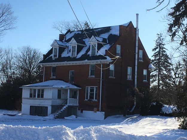
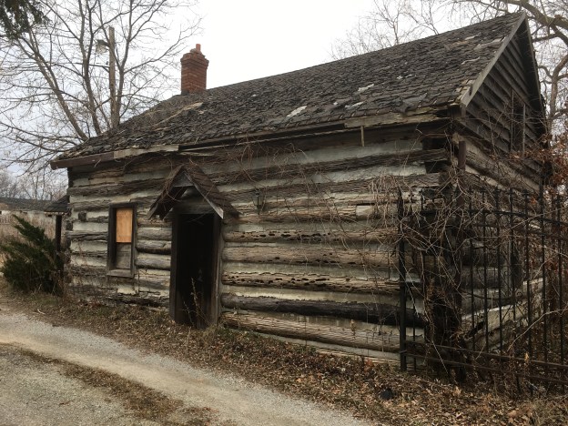
Mackenzie was born near Dundee, Scotland on March 12, 1795.  William was born into the clan Mackenzie and both of his grandfathers had fought in the uprising of 1745 when the Scottish Highlanders fought unsuccessfully behind Prince Charles Stuart in an attempt to put a Scottish King back on the throne.  At the age of 25, he immigrated to Upper Canada and moved into the house pictured below in Queenston. On April 18, 1824, he planted 5 Honey Locust trees to mark the launch of his newspaper The Colonial Advocate.  Two of the trees survive and one is visible behind the chimney on the left.  The Colonial Advocate became a prime voice for the reform movement in Upper Canada and was highly critical of the ruling elect whom he berated with scathing personal attacks.

Colonial Advocate

Mackenzie moved to York (Toronto) in 1825 and continued to publish the Colonial Advocate.  It was so unpopular with the aristocracy that on June 8, 1826, several well-placed young men broke into his print shop and wrecked his printing press.  Then they carried his type down to the bay and threw it in.  This incident became known as the Types Riots and was used by Mackenzie to gain support for his reform movements.  The type in the picture below was photographed at the Mackenzie House Museum and is typical of what was thrown in the bay.  Capital letters were stored in the case on the top while small letters were stored in the case on the bottom.  From this, we derive the term upper case and lower case letters.

IMG_0138

Mackenzie was elected in 1831 and carried his reform attitude into the House of Assembly where it continued to get him in trouble.  He was expelled from the assembly 5 times between 1831 and 1834 but was re-elected every time.  York was incorporated as a city in 1834 and the name was changed to Toronto.  Elections were held to select the first mayor of the new city and Mackenzie won.  The following year he ran for the Assembly again and this time a majority of reformers were elected.  David Gibson was one of Mackenzie’s most consistent followers and was also elected.  Gibson was a surveyor and had named the town of Willowdale at modern Yonge and Shepherd.  His house was a common meeting place for Mackenzie and his rebels as they convinced themselves that the political process would never work and an open rebellion was required.  Gibson would later have a price put on his head for his part in the rebellion.  He would escape to the USA but his property was confiscated and the house and barns burned by the government in retaliation.  The current Gibson house was built upon his return in 1851 and operates as a museum hidden among the highrises of North York.

IMG_0279

Sir Francis Bond Head had moved the troops from Fort York to present day Quebec to put down the rebellion that was taking place in Lower Canada.  He didn’t think Mackenzie was capable of mounting an armed rebellion but he had dropped the word Colonial from his newspaper as the Advocate because he was no longer thinking in terms of being a colony.  The Draft Constitution for the Independent State of Upper Canada was presented at a meeting on November 18th, 1837 and a date of December 7th set for the uprising.  On December 4th Mackenzie arrived at Gibson’s house to find that Samuel Lount had left Holland Landing with his supporters and was on his way to Montgomery’s Tavern, ahead of schedule.  This tavern was the second one on the site just north of Yonge and Eglinton and would have appeared as it did in this contemporary sketch of the death of Lt. Col. Robert Moodie.  Moodie had tried to force the rebel lines at the tavern on December 4th and when he drew his pistol he was met with four rifle shots and later died of his wounds.

Montgomery's_Tavern

Meanwhile, John Powell, one of the ruling Family Compact, had attempted to kill Mackenzie but was captured when his gun misfired.  Mackenzie, along with his military leader Anthony Anderson, wanted to appear to be gentlemen and so they accepted Powell’s word that he was unarmed.  Powell later shot and killed Anderson and made his escape.  Anderson had military experience and his loss was critical for the rebels.  The following day Samuel Lount, Mackenzie and a detachment of men set out down Yonge Street.  Sheriff Willliam Jarvis and 27 men armed with muskets were hiding in William Sharpe’s garden (now the site of Maple Leaf Gardens).  That evening the Tory muskets fired into the darkness and the front row of rebels answered in kind.  They dropped to their knees so the men behind could fire over their heads but these militias thought their comrades were shot.  Once they fled the battle was over quickly but Lount had been captured.

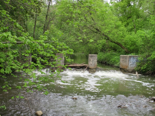
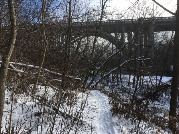
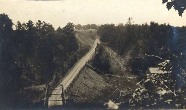
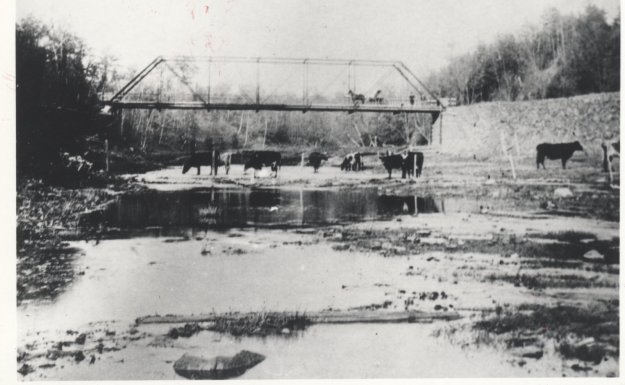
By December 6th the rebel forces were discouraged and becoming outnumbered.  To prevent British support from arriving from Kingston or Lower Canada it was decided to burn the Queen Street bridge over the Don River.  Peter Matthews and 60 men set out to do this but they failed and Matthews was captured.   December 7th was revolution day and Mackenzie was determined to carry on.  He rallied his forces at Montgomery’s Tavern and prepared to march into the city.  However, Lieutenant Governor Bond Head had moved north with his cannon and opened fire.  When cannonballs started crashing through the tavern the rebels scattered.  Bond Head watched as the tavern was torched and Montgomery arrested.  The tavern was later replaced with another one that burned down in 1881.  The land was then sold to John Oulcott who built a three-story brick hotel.  It later served as the North Toronto post office from 1890 until it was torn down in the 1930’s.  Postal Station K was opened in 1936 and bears the inscription EviiiR for Edward viii, King of Canada.  Very few public buildings were erected during his 11-month reign and this is perhaps the only one in Toronto.  Today the old post office is being incorporated into a new condo tower.

img_1738

With the end of the rebellion came a period of retribution. Most of the rebels attempted to make their way to the United States. Mackenzie had a 1000 pound price on his head and so he made his way from farm to farm being hidden by his supporters.

IMG_1470

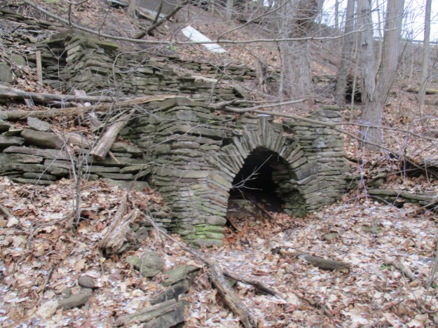
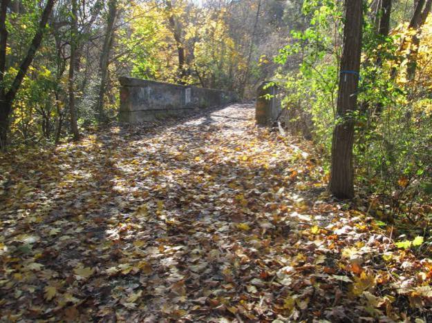
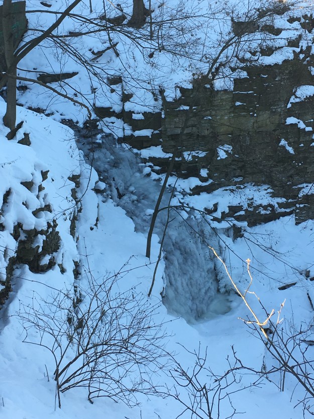
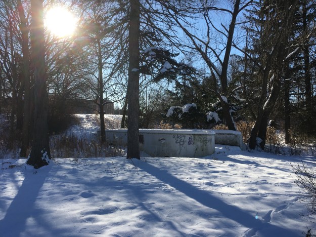
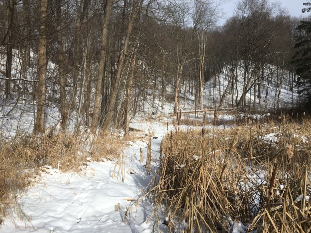
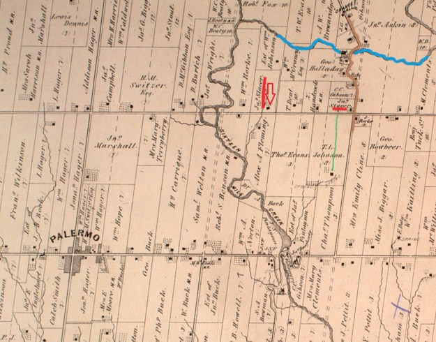
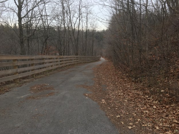
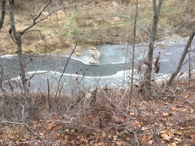
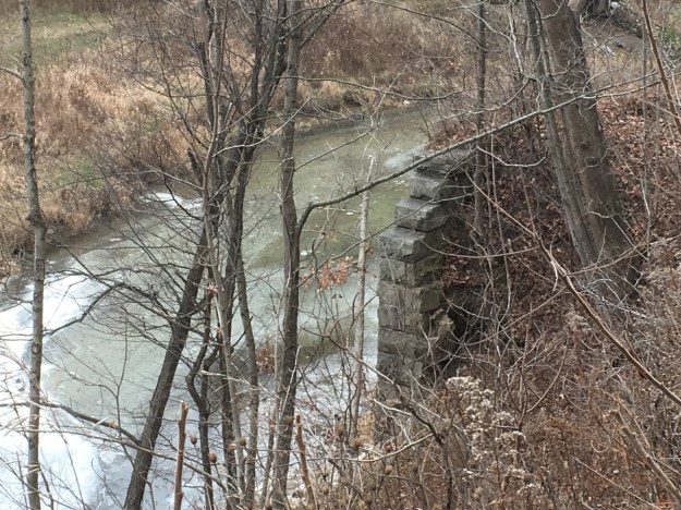
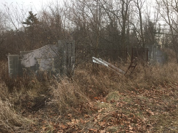
In all, 25 people were executed in Upper Canada following the rebellion.  Samuel Lount and Peter Matthews were the only two in Toronto, both of them at the Don Jail.  They were buried in the Potter’s Field at Yonge and Bloor where all hanged people were interred.  One hundred and fifty men were sentenced to banishment in Tasmania and Australia.  In February 1849 a general amnesty was granted and many started to return to Canada.  The picture below shows the Devil’s Cave where Mackenzie is said to have hidden during his flight to the States.

IMG_1127

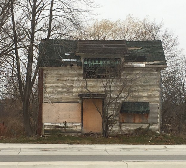
Upon his return to Canada in 1849 he resumed his political life and went back to publishing his newspapers.  He was given the house at 82 Bond Street where he spent the remainder of his days.  The house was originally the middle of three townhouses that were built in 1858.  In 1936 the house was saved from demolition because of its historic value.  Mackenzie’s daughter married into the King family and when she had a son she named after her father.  William Lyon Mackenzie King was Canada’s longest serving Prime Minister and the one that guided us through the Second World War.  He was in office at the time that the house was preserved.  Today it houses a museum and a print shop similar to the one that Mackenzie had when he lived in the house.

IMG_0096

William Lyon Mackenzie was instrumental in having the remains of Samuel Lount and Peter Matthews removed from their common grave in the potter’s field when that cemetery was closed.  They were reinterred at The Necropolis.  Mackenzie would be buried there himself when he passed away on August 28th, 1861 of an apoplectic seizure.

Mackenzie Grave

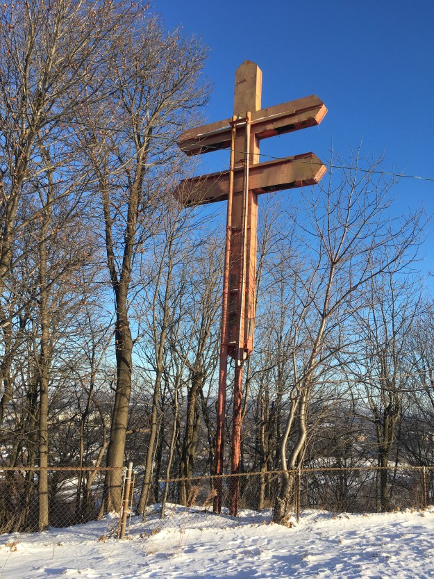
The cover picture shows the memorial to Mackenzie that stands on the west side of Queens Park.  Before he passed away Mackenzie got to witness the establishment of a system of responsible government.  His life struggle had not been in vain.

Further reading:

The Firebrand – William Kilbourn contains Mackenzie’s own account of the rebellion.

1837 Rebellion A Tour Of Toronto and Nearby Places – Mark Frank has walking tours of the various points of interest.

Like us at http://www.facebook.com/hikingthegta

Follow us at http://www.hikingthegta.com