Monthly Archives: December 2020

The Scarborough Bluffs

Sunday, December 27, 2020

The Scarborough Bluffs that we see today have changed significantly since 1793 when Elizabeth Simcoe named them while exploring the area around the newly founded town of York. Through her diaries we have the records of the original hiker in the area. The bluffs have been receding inland for the past 12,000 years ever since their exposure at the end of the last ice age. As York grew into Toronto and then expanded to the GTA the bluffs continued to erode and they way they appear today will most certainly change in the future.

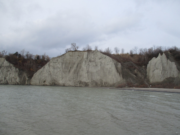
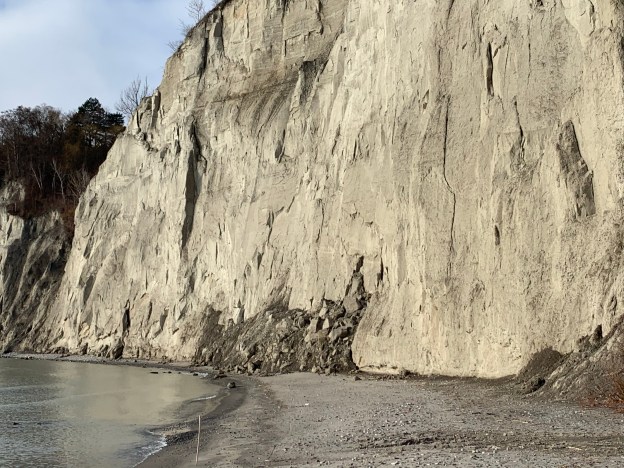
The article below contains links to the eleven stories we wrote as we explored the various sections of the bluffs. They are arranged from west to east which is roughly the sequence in which they were written. Before we get started though, we present a new photograph that was taken on December 15th 2020 at Bluffer’s Park. Notice the dark pile of sand at the water’s edge and the horizontal shelf about two thirds of the way up. This is the remnant of a slide that took place on August 24, 2020.

The picture below was taken in January 2016 before the slide took place. In the right of the picture is a section of sand that is topped by two pointed spires. In the recent picture one of those spires is missing and the other is much more rounded.
We now present the detailed blogs about each of the sections of the Scarborough Bluffs. Click on the link to find more pictures and the stories behind each section.

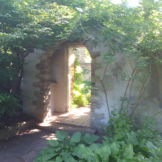
Rosetta McClain Gardens sit on top of the western end of the bluffs and is one of the most beautiful places in the city. The gardens were laid out by Rosetta McClain and her husband and have been in use as a city park since 1959. Aside from all the birds that can be seen in the park it has a view from on top of the Bluffs out over the lake.
Sand Castles was the first one written and tells the geology of the formation of the Bluffs. It also looks at the section of the Bluffs that can be accessed to the west of Bluffers Park.
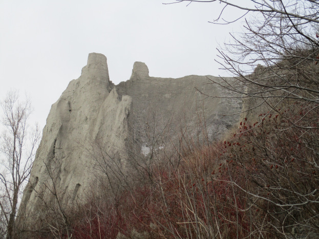
Erosion at Cathedral Bluffs describes some of the forces effecting the stability of the bluffs and follows them to the east of Bluffers Park.
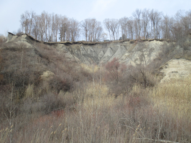
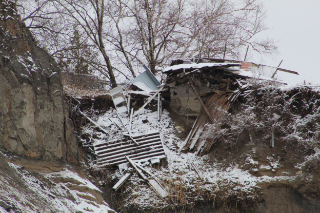
The Hilarious House Of Frightenstein is located just west of the Gates Gully access to the bottom of the Bluffs. Several houses have fallen prey to the forces of erosion as the land has disappeared out from underneath them. The house in this story used to belong to Billy Van who starred in many roles in the TV show The House of Frightenstein. Just a few years ago the property owners were cutting the grass in the back yard of this house which today is almost completely destroyed.
Gates Gully provides a trail to the bottom of the Bluffs and has quite the history of its own. Along with stories of smugglers and sunken ships it also claims to have buried treasure from 1813. The trail through the gully is named after Dorthy McCarthy who was one of the early artists to take up residence on the Bluffs. The artwork at the bottom of the trail is known as the Passage.

The Alexandria was a steamship
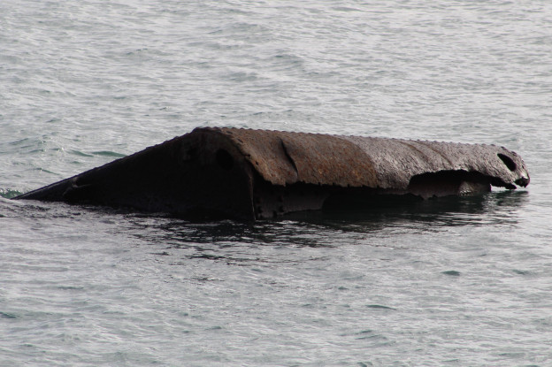
South Marine Park Drive is an old construction road that has been turned into a linear park that runs west from the access road beside the Guild Inn. The road was used to create what is known as a hard shoreline which is intended to slow down the erosion of the Bluffs. Old construction materials and parts of demolished buildings were dumped along the shore destroying the natural interface between the lake and the land.

Guildwood Park sits on top of the Scarborough Bluffs and contains a newly restored Guild Inn. It is also home to pieces that were salvaged from early Toronto buildings that were demolished. These are presented as artwork throughout the property.
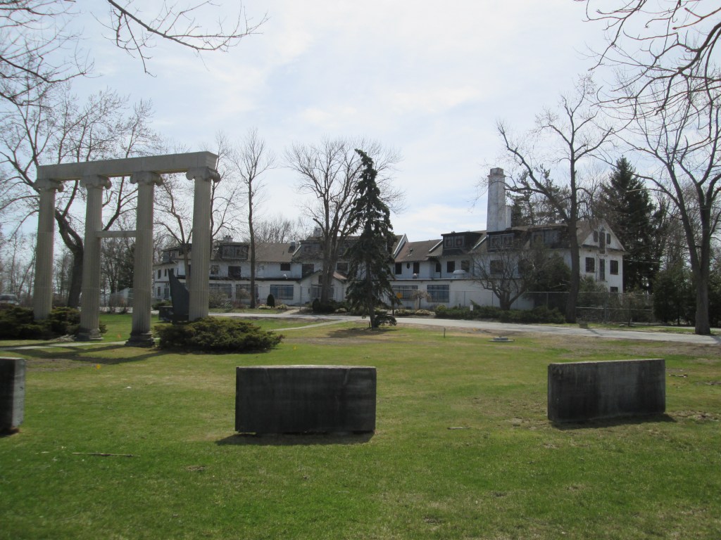
Beachcombers is the title we selected for the section of the Bluffs that runs east from the Guild Inn toward East Point Park. Up until now this section of the Bluffs has a natural beach that allows the lake to deposit a wide variety of stuff onto the beach. We met a couple who regularly walk this section looking for the most recent treasures. It sounds like the Toronto Region Conservation Authority will be going ahead with a plan to hardline this shore, thereby destroying one of the last natural sections of the Bluffs.
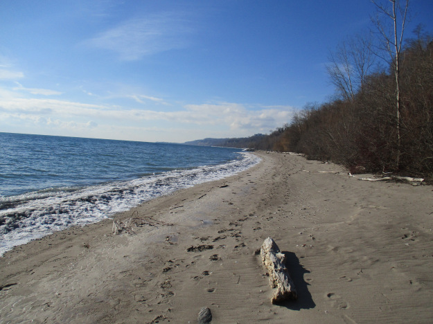
East Point Park has an upper meadow, wetlands, a segment of the Scarborough Bluffs and a lengthy beach. The meadow is a staging area for Monarch Butterflies as they prepare to migrate south for the winter.
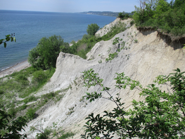
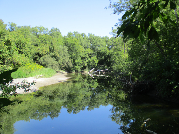
Highland Creek marks the eastern end of the Scarborough Bluffs and has plenty of natural spaces which provide homes to its varied wildlife.
It isn’t possible to hike from one end of the Bluffs to the other at water level because of places where the lake and bluffs meet but you can explore most of it by approaching it in sections.

Google Maps Links are provided in each individual story.

Like us at http://www.facebook.com/hikingthegta

Follow us at http://www.hikingthegta.com

Also look for us on Instagram
Paletta Lakefront Park

Sunday, December 20, 2020

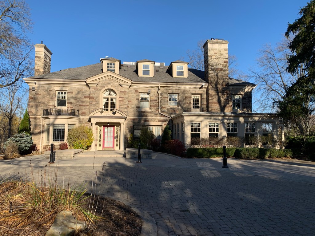
The site of Paletta Lakefront Park covers 14 acres and is considered to be the finest among the waterfront parks in Burlington. The original land grant has a long history of changing hands starting in 1809 when lot 8 in concession 4 was given to Laura Secord. The Secord family didn’t settle on their property in Nelson Township and conveyed the lot to John Beaupre in 1810 before moving to the Niagara region. Laura Secord would go on to play a pivotal role in The Battle of Lundy’s Lane in 1813 during the War of 1812.

After being sold about 15 times the property was bought in 1912 by Cyrus Albert Birge and William Delos Flatt. It was used as a fruit farm and people from around the area would visit for the purpose of fishing, swimming or boating.

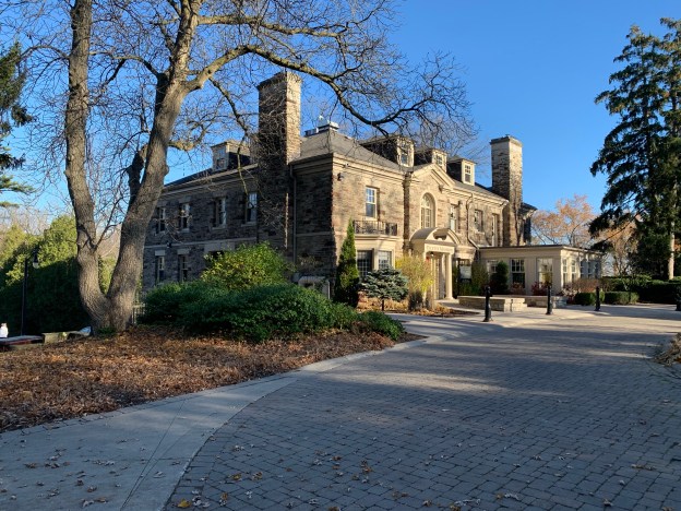
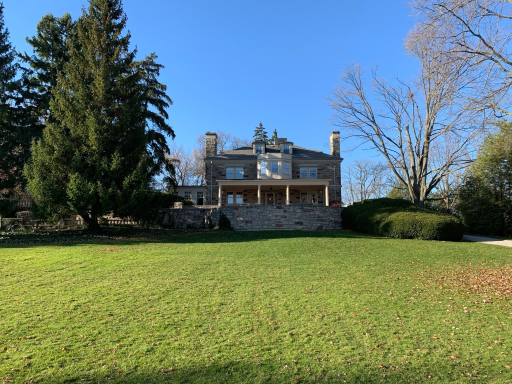
Cyrus Albert Birge was an industrialist who started off with the Canada Screw Company and by 1910 he was the VP of the new Steel Company of Canada. He died on December 14, 1929 leaving his wealth to his daughter Edyth Merriam MacKay. She tore down the existing home on the property and set about building an 11,000 square foot mansion. The finest materials were used which she sourced on trips to Europe and the Southern United States. The house included servant quarters, a dumbwaiter and large ballroom.

The mansion sat empty from 1990 until 2000 when restoration began. The work was expensive and $2 million dollars were donated by Pat Paletta whose name has now been given to the estate. The view from the mansion to the lake is quite spectacular and has changed over the years as some of the grounds have been planted with new trees.

Horse riding was a favourite pass time and horses were kept in a stable on the property. These stables are one of last surviving ones in the urban part of Burlington.

A miniature house was built for the children to play in. This was known as the doll house and was constructed in the early 1930’s for Dorthy McKay and her friends so that they would have their own special place. It was complete with running water and electricity.

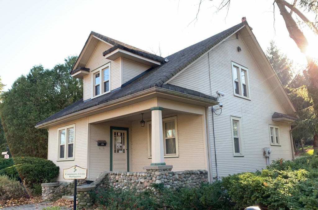
There were three formal gardens, various lawns and fruit trees that all required the help of a full time gardener. The former gardeners house is the fourth historic structure that is being preserved in the park. This building served as a gatehouse from the time of its construction in 1912.

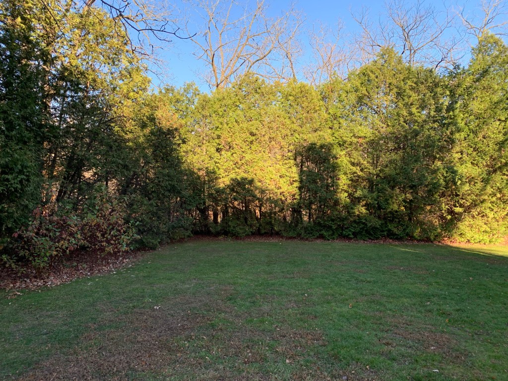
On the east side of the property there are three lawns, each separated by a row of cedar hedges. The cedars have run wild and are thirty feet tall. Beyond the hedges is another section of the park where a small creek flows through a more natural area that is home to a lot of wildlife.

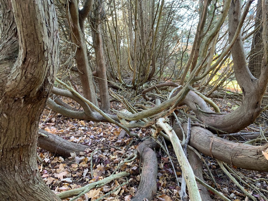
The past 90 years have seen the original hedge rows get a little on the wild side.

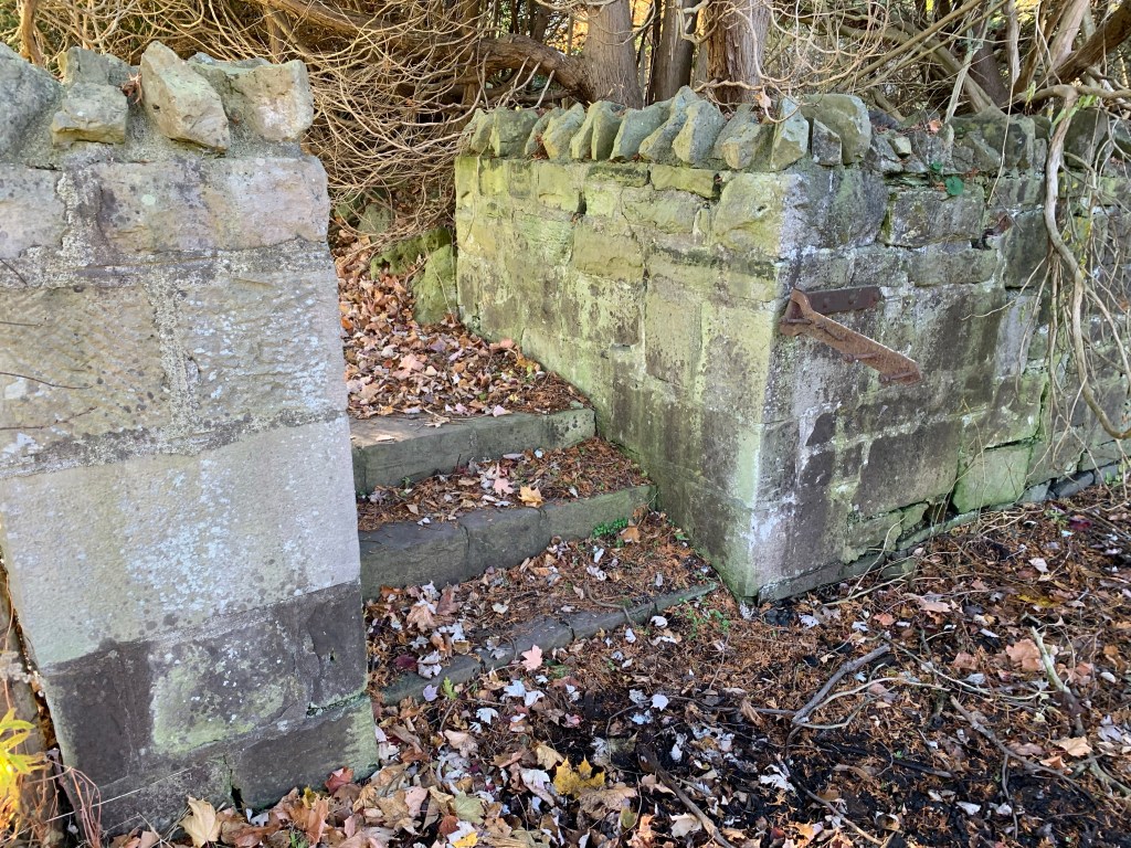
A long stone wall runs along the length of the gardens but the gate has been removed over the years.

The lake provides a perfect backdrop and the park has become a common place for weddings and other types of social events. It’s a lot quieter this year.

This is a beautiful example of a grand estate that was built during the early years of the Great Depression.

Google Maps Link: Paletta Lakefront Park

Like us a http://www.facebook.com/hikingthegta

Follow us at http://www.hikingthegta.com

Also look for us on Instagram
Cooper’s Falls – Ghost Towns of Ontario

Sunday, December 13, 2020

Cooper’s Falls has a few newer homes that appear to be occupied, but nearly all of its historical buildings have been left to the elements. It isn’t that far off of highway 11 north and can make an interesting side trip on your way north of Orillia. At Hiking the GTA we typically explore the places in our area since this is where we spend most weekends but not all of them. These pictures were taken on a trip to visit my mother for her birthday back when that was still a good idea.

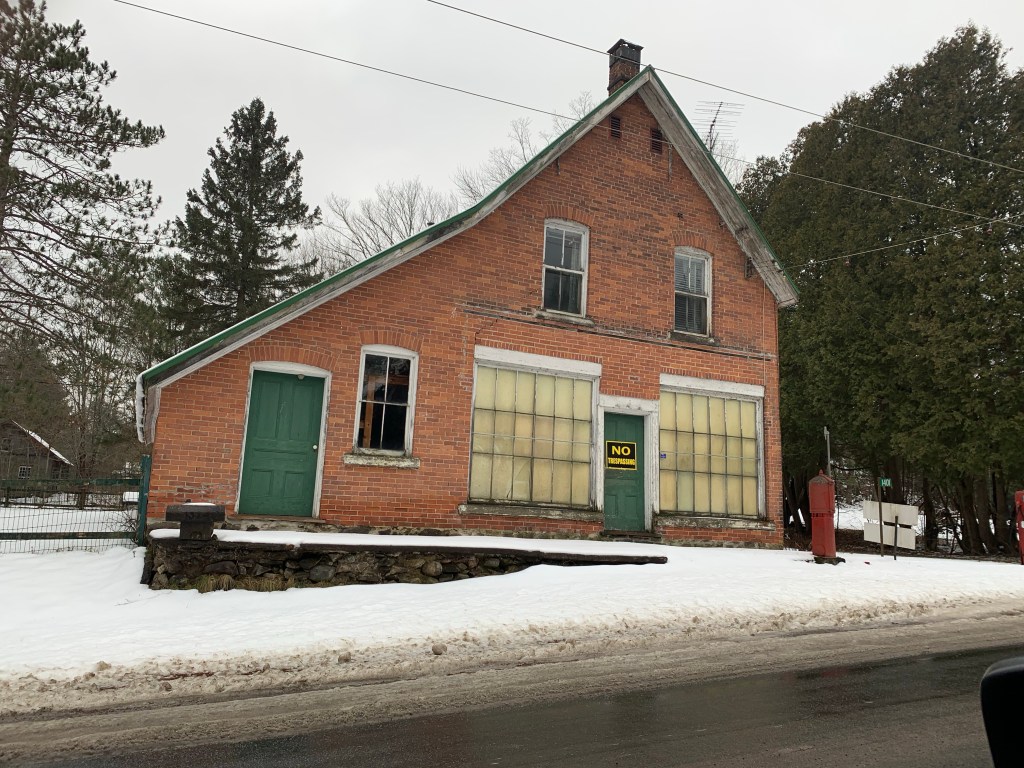
Thomas and Emma Cooper were each 27 in 1864 when they arrived at Washago. From there they made their way through the woods to the location of their land grant. After building a log school house in 1874 and donating land for a church and graveyard Thomas opened a general store in 1876. A post office was added on April 1, 1878 and he was postmaster until March 1905. Two generations later his grandson would close it on April 30, 1968. In the picture below a line in the bricks just below the second story windows shows the position of a former front veranda sheltering the door and the display windows. The general store also sold gasoline with the Esso pump being featured in the cover photo. The family home is attached on the side and back with the front porch being seen behind the gas pump in that shot. In 1968 gasoline went to $0.33 per gallon, or 8 cents per liter, for the first time.

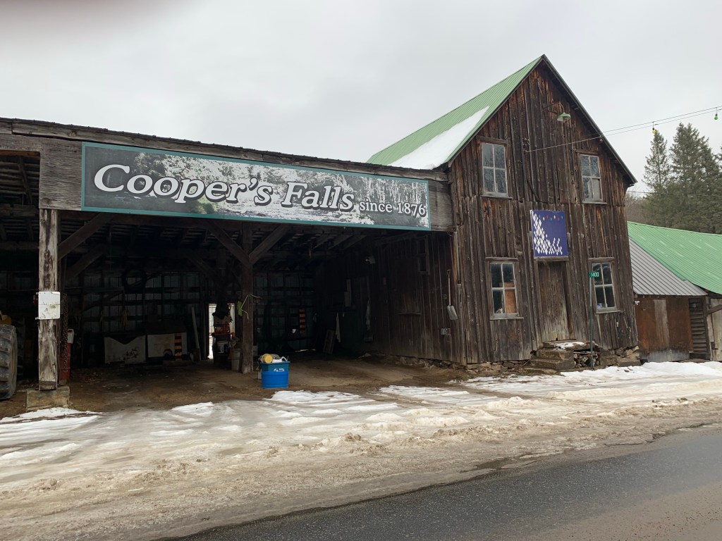
Across the street from the general store is a building which was the town hall and was locally known as the courthouse. A string of coloured lights extends across the road to the old general store and can be seen below. There are fourteen of these lights which are maintained by Frank Cooper who was born on the second floor of the general store. He claims to have strung them up sometime after the Second World War when electricity was being extended across the street. He decided to decorate the wire and as of 2011 had still been lighting it nightly.

The first church in town was St. George’s Anglican Church which was built around 1884 a couple of kilometers outside of town. This building is still maintained and is used for the occasional service and as a funeral chapel.

By 1921 William, son of Thomas, had converted the saw mill to steam power. When he had a fatal accident at the mill in 1925 it closed because the lumber supply was depleted and the family didn’t have the will to continue. The Anglican cemetery is just east of the church and contains many early gave markers including those of the several of the Cooper family including William. Although the town began a rapid decline when the lumber mill closed it is clear that a large number of people have lived here and in the surrounding area over the years. This one of two cemeteries in the community.

A second church was added by the Free Methodists in 1894 when the town was booming. This denomination remained separate from the Methodist Church when it was united in 1884 and then didn’t participate in the formation of the United Church. Cooper’s Falls Free Methodist Church has been closed for years but there is still one in Armadale that is the oldest continually serving one in Canada. You can read about it in our story Armadale Free Methodist Church. The Cooper’s Falls Free Methodist Church stands right beside the Anglican Cemetery with its own cemetery on the other side.

In small communities the blacksmith was an important tradesman because you couldn’t run to Walmart when something broke and these people kept horses, buggies and much more going. As the town declined and Washago and Severn Bridge grew, the need for a blacksmith disappeared. After the mill closed his shop wasn’t far behind. Today it has a distinct lean to it.

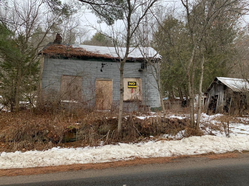
The buildings along Cooper’s Falls Road are in various states of decay and most of them have either the walls or roof opened up. Even if these buildings were not marked as No Trespassing it would be an exceptionally risky thing to get too close, let alone go into them.

Around Ontario we seem to have kept a fair amount of our grist mill heritage compared to our saw mill history. Perhaps this is because the grist mills operated for a few decades after the last of the lumber supplies forced the closure of most of the saw mills in the province. Lumber camps and their supporting towns seemed to have fared poorly and this part of our heritage seems to be vanishing.

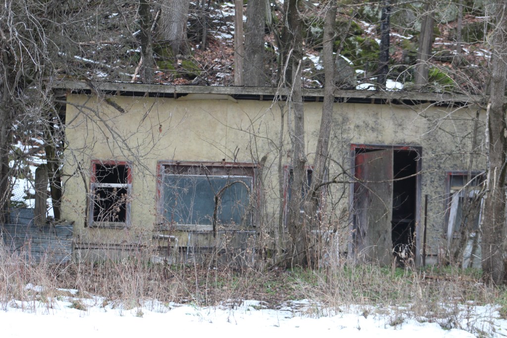
Thomas Cooper served the workers who lived in local lumber camps by providing them with supplies through his general store. He also provided for the people of his community including ensuring they had places to live. The men who worked in Cooper’s Lumber Mill, the blacksmith shop or the cheese factory likely lived in small workers cottages like the one rotting in the trees in the picture below.

There’s no shortage of old homes in the community but unfortunately most don’t have any ongoing maintenance to keep the weather from destroying them. Without the interest and interaction of a local historical society the lumber era portion of Cooper’s Falls is being felled by nature.

The Black River was pretty calm on this particular afternoon when this picture was taken upstream from the falls where Thomas Copper built his sawmill. The waterfall is on private property behind the former general store but can be seen from the road during the winter if you know exactly where to look.

Cooper’s Falls Trail is an 8 kilometer hike which is listed as challenging featuring 100 meters of elevation changes. It includes parts of The Great Trail but the entrance off of Cooper’s Falls Road doesn’t have parking. For that you need to enter off of Housey’s Rapids Road.

Google Maps Link: Cooper’s Falls

Like us at http://www.facebook.com/hikingthegta

Follow us at http://www.hikingthegta.com

Also look for us on Instagram
Bronte Bluffs Park

Saturday, November 28, 2020

Just west of the mouth of Bronte Creek is a geological feature that dates back 13,000 years to the end of the last ice age. At that time, the lake level was about 100 feet higher than today and that version of Lake Ontario is referred to as Glacial Lake Iroquois. It is responsible for various land formations all around the lake including the Scarborough Bluffs and Iroquois Shoreline Woods Park. We decided to go and see this feature and explore the area and we used free parking in one of the lots on West River Street.

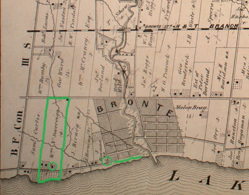
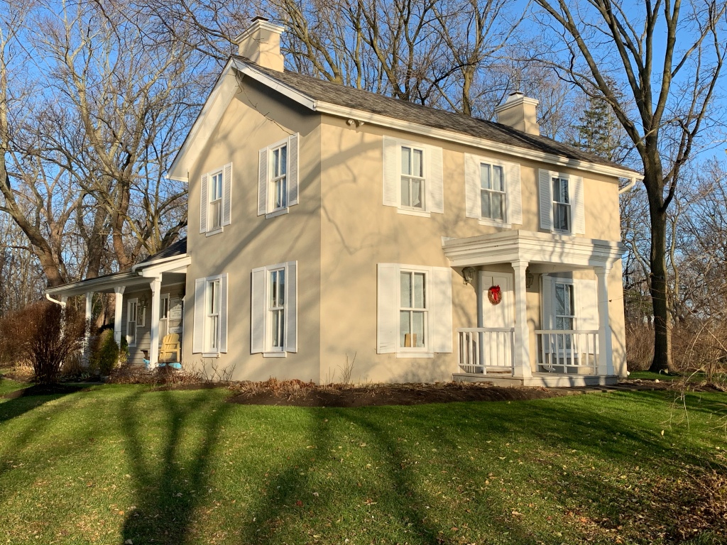
The map below shows the area as it was in 1877 including the Sovereign property which originally stretched all the way to Bronte Creek. The Sovereign House featured below is one of the three at the end of the property by the lake, possibly the one circled. Also circled is the site of the Bronte Cemetery which was on land donated by the family.

Philip Sovereign was one of the first settlers on Twelve Mile Creek, now known as Bronte Creek, when he arrived in 1814. His property on the west side of the creek mouth would be the site of the first school house in the community when he had a small log building erected the following year. His son Charles would be the teacher in the school by the time he was 17. The Sovereign family was instrumental in the early development of Bronte and their house was built in 1825. After Charles passed away in 1885 the house had several tenants the most notable being in the years 1911-1914. During this time Mazo de la Roche lived here. She was the author of the “Jalna” series of books whose 16 novels were among the most popular of the era. The house was moved on Aug. 23, 1988 to Bronte Bluffs Park where it was restored and now houses the Bronte Historical Society. Several trails run east from the house along the bluffs and lead to stairs that provide access to the beach.

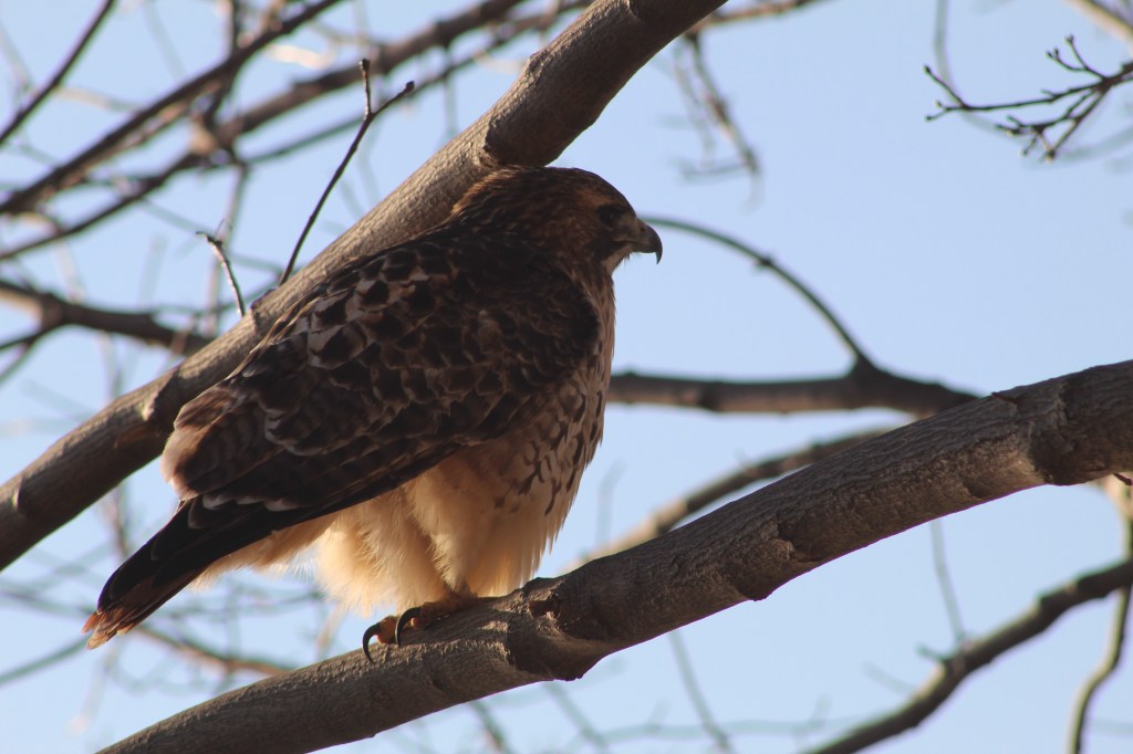
Hawks are one of the few animals with colour receptors in their eyes making them incredible hunters even at great distances. Their keen eyesight also allows them to be diurnal, hunting during both the day and night hours. They can take their prey from the air as well as off the ground and can dive at speeds up to 150 miles per hour to capture it. The one sitting in a large tree outside of Sovereign House allowed me to get pretty close before pooping in my general direction and flying off. Such attitude!

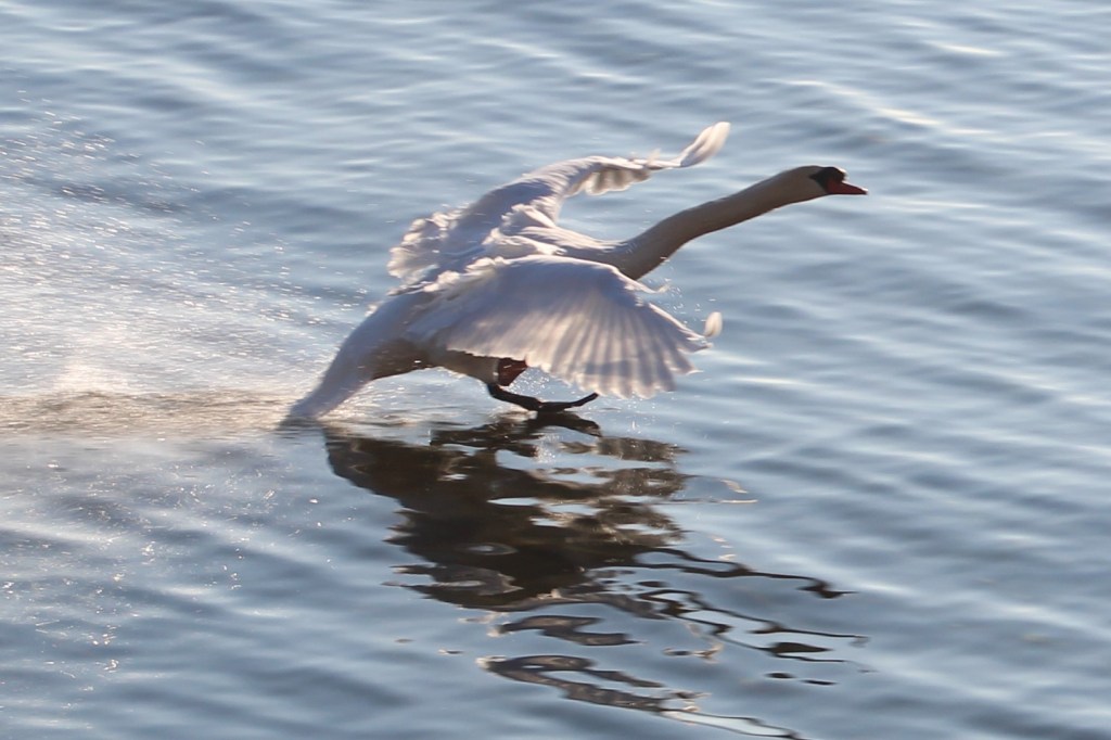
There were several swans on the lake and three of them were an obvious family unit. The cygnet, or baby swan, was still grey in colour and slightly smaller than its parents. Swans are not very graceful when they take off as they need about 30 yards just to become airborne and about that much again to achieve a safe height above the land or water. The picture below shows one just as it is landing.

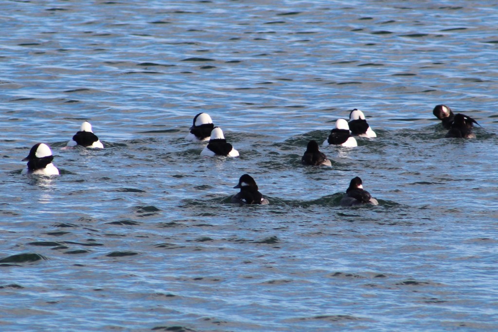
There was a small flock of Bufflehead ducks on the lake. These birds dive for their food and at times the entire group would disappear at the same time. The males have the large white patch that wraps around the back of the head while the females have a smaller white patch on the cheek.

While we were watching from the top of the bluffs a young couple appeared on the beach below. They both dashed into the water but she only went about knee deep. He didn’t hesitate, diving in and getting completely wet. Except for those two people there was no one else enjoying the lake on this sunny day. Even so, the Halton Police were still out on patrol, perhaps looking for those people who froze while swimming.

Chris Vokes Memorial Park is named after Major General Christopher Vokes who served Canada during the Second World War. He was from Oakville and passed away there in 1985. The war memorial in the park is dedicated to the soldiers who died in two World Wars plus the Korean War. It is actually the second war memorial to be built in Bronte, the first one being placed in 1956 at 2457 Lakeshore Road West.

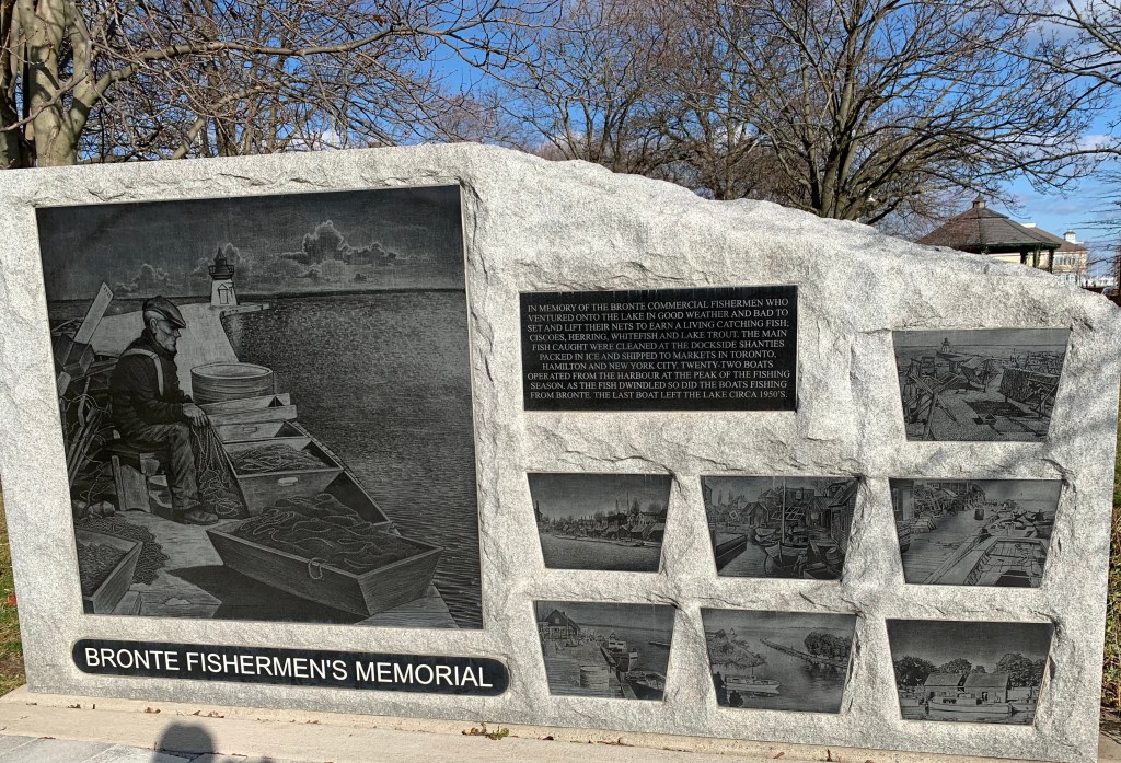
Bronte harbour was home to fishermen and stone hookers who provided much of the early industry in the town. Lake Trout, Whitefish and Herring were cleaned at the docks and packed into ice for shipping to the large city markets. Up to 22 fishing boats operated out of the harbour until the 1950’s by which time most of the fish stocks had been depleted. The stone hooking industry ended after 1910 when portland cement replaced stone as a primary building material for foundations. There are several information signs around Bronte describing the local history and there is one dedicated to the fishing industry as well.

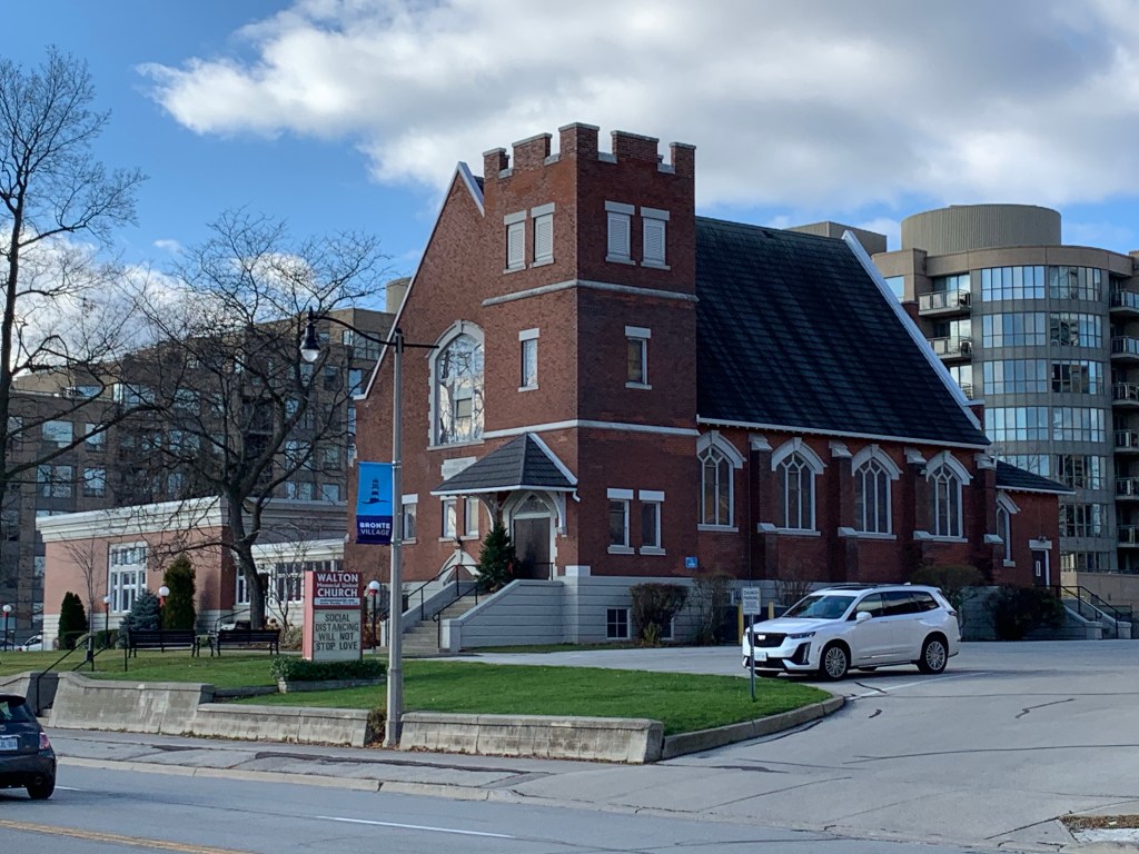
The Methodist Church sent missionaries to Upper Canada as both Primitive Methodists and Episcopal Methodists, often competing to both start a church in a community. The Episcopal church formed in Bronte and built a white structure of wood on the south side of Lakeshore. The two Methodist groups united in 1884 and a period of growth followed. By 1912 the church had outgrown its building and the next year a new brick building was opened across the street. Since this building was a gift from the Walton Family in memory of their father the church became known as Walton Memorial church. It has been part of the United Church since 1925.

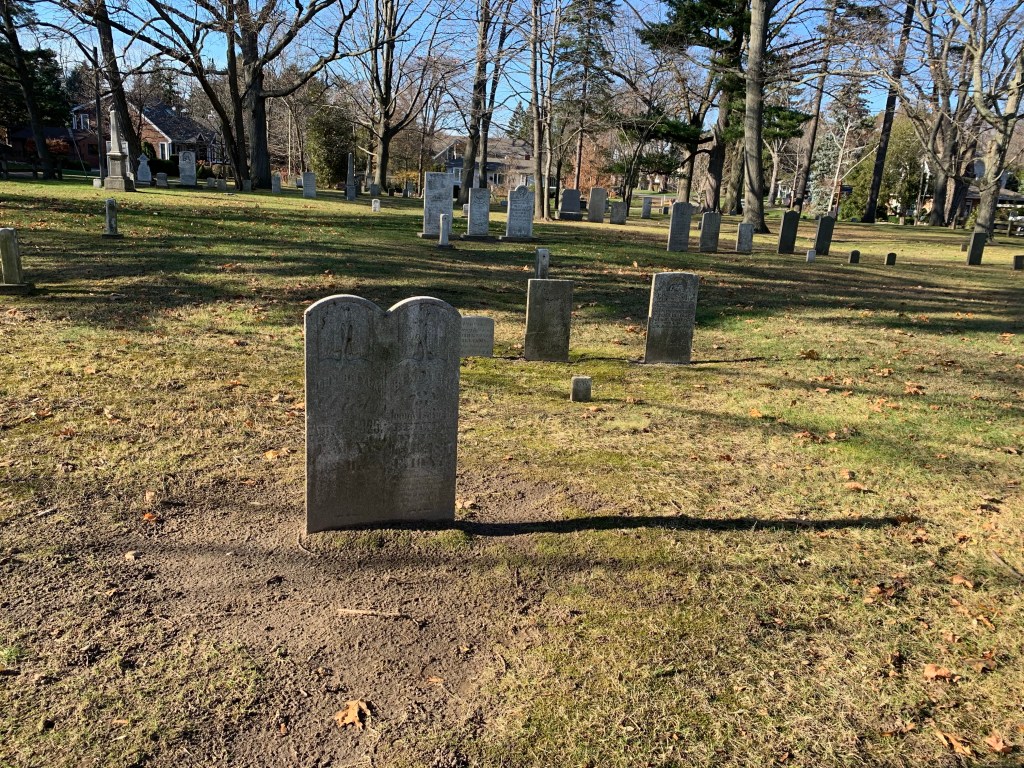
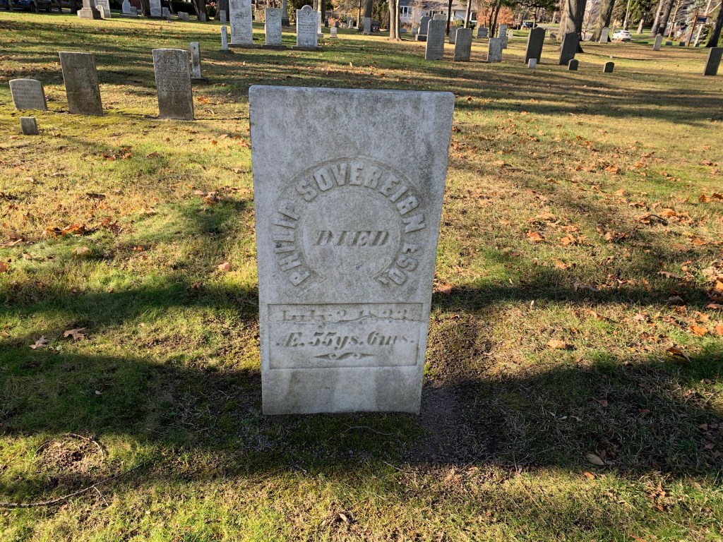
Bronte Cemetery is located on land that was owned by Philip Sovereign and both he and his son Charles are buried here. A large portion of the headstones in Bronte Cemetery commemorate those who drowned working in the fishing and stone hooking industries along the lakeshore. Ironically, some of those who drowned and were later recovered and buried may be among those whose remains have subsequently been lost to the lake. Over the years about 70 feet of the cemetery has been eroded into the lake as it relentlessly beats on the shore

Philip Sovereign died in 1833 and was laid to rest in the cemetery he donated to the community.

Bronte Bluffs Park made for an interesting visit and somehow you get the feeling that you may have just scratched the surface of all that is to be seen. Hmmm…

Related blogs: Scarborough Bluffs and Iroquois Shoreline Woods Park

Google Maps link: Bronte Bluffs Park

Like us at http://www.facebook.com/hikingthegta

Follow us at http://www.hikingthegta.com

Also look for us on Instagram