Monthly Archives: November 2020

Hendrie Valley – Royal Botanical Gardens

November 8, 2020

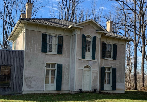
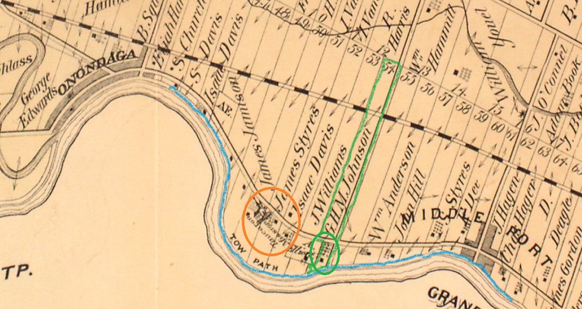
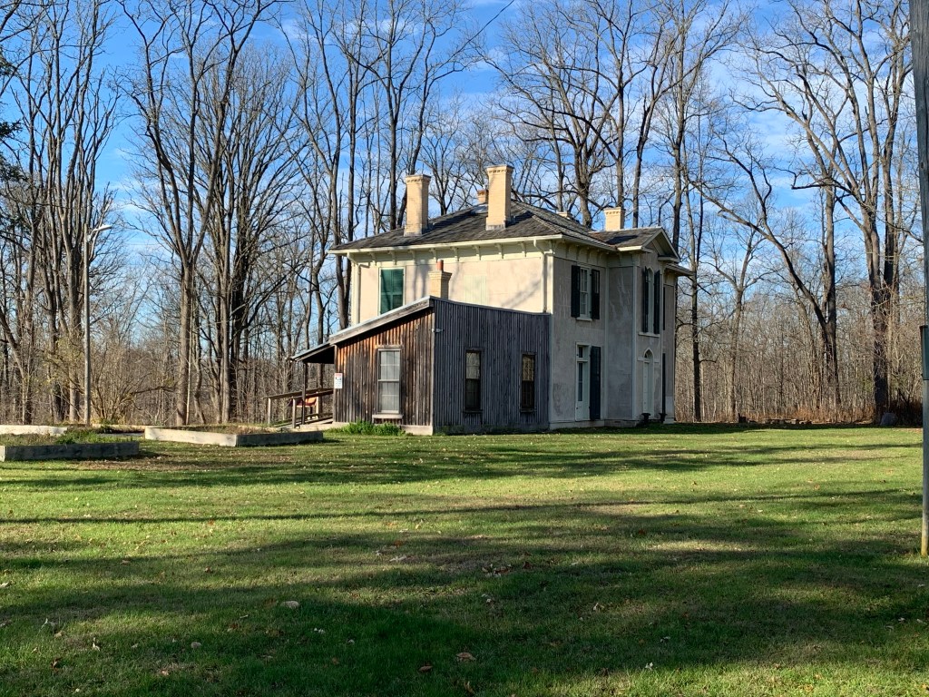
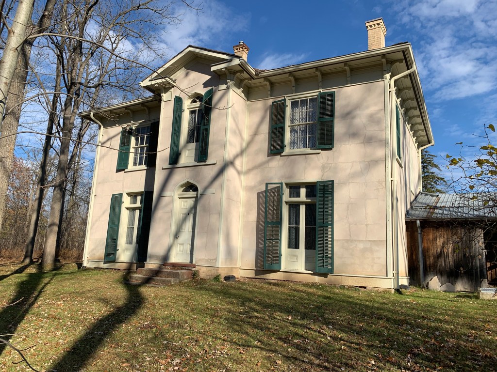
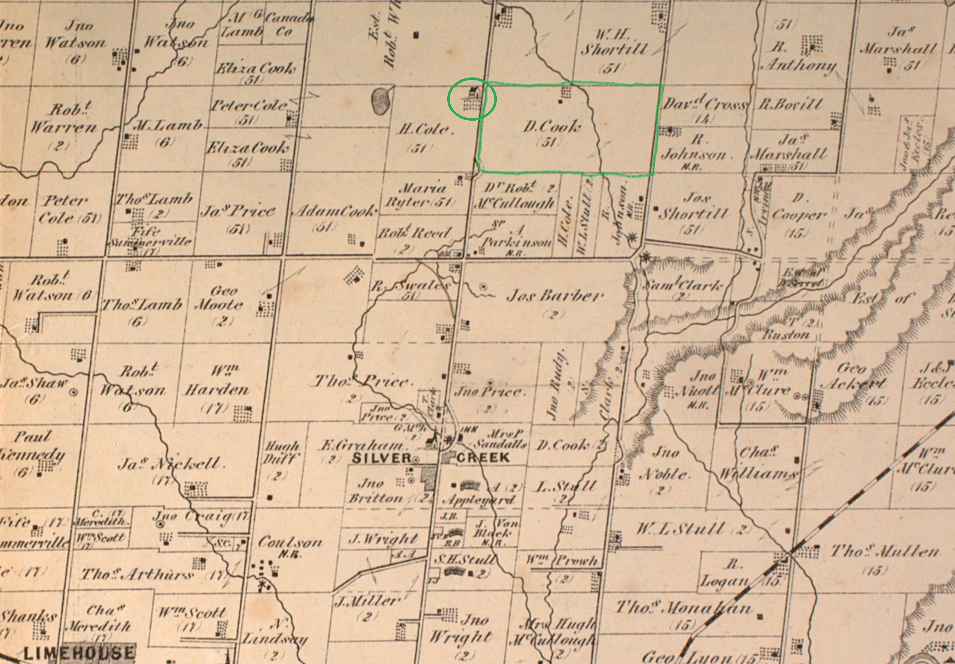
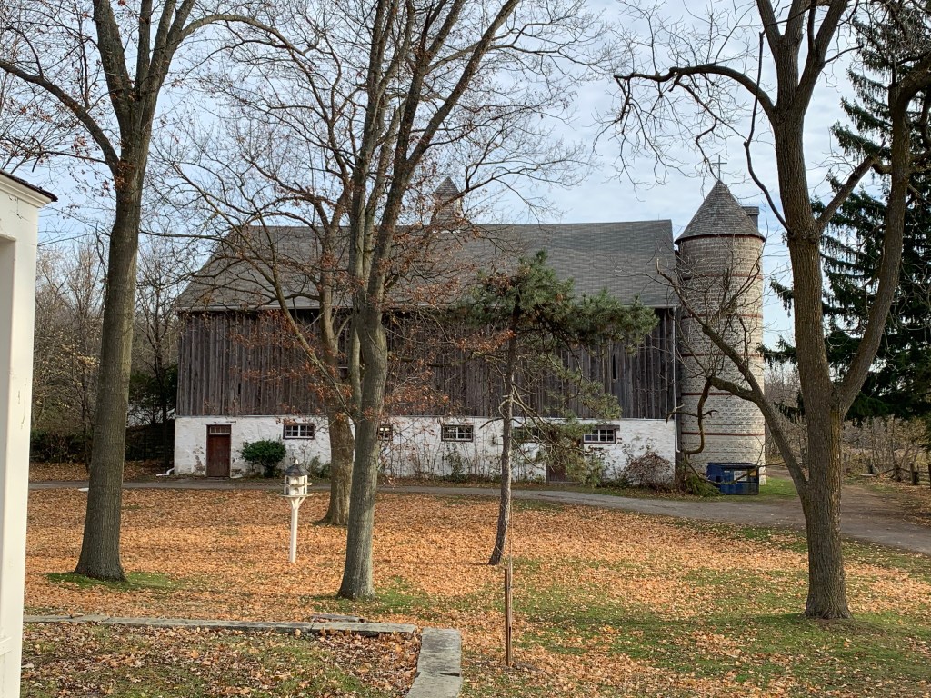
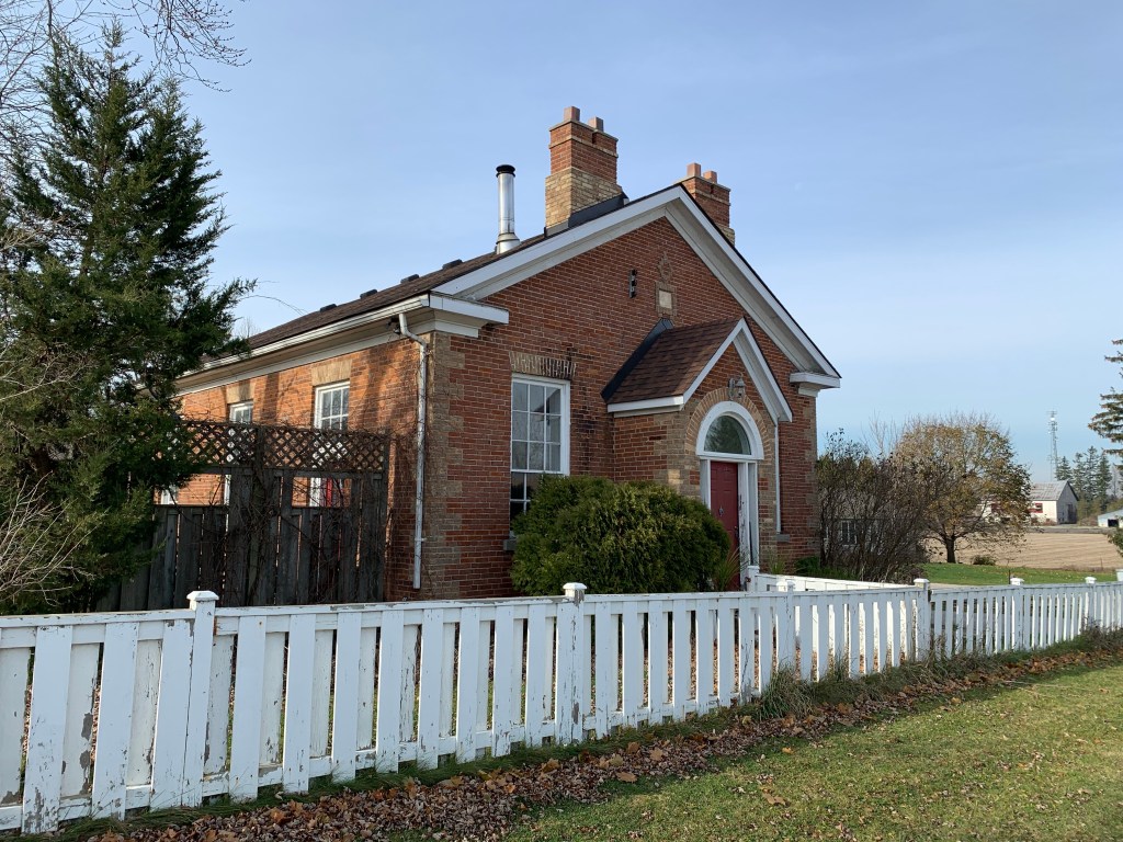
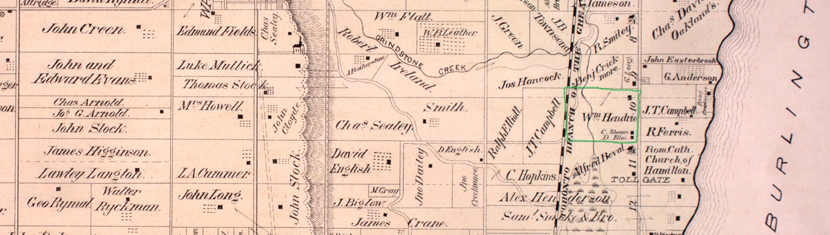
Hendrie Valley is a 100-hectare section of the Grindstone Creek Valley which has been part of the Royal Botanical Gardens since 1941. Sixty percent of the area is a wetland marsh that is considered to be the best marsh on the western end of Lake Ontario. This part of the larger Royal Botanical Gardens, which covers over 900 hectares and is home to over 750 plant species along with 277 species of migratory birds, 37 species of mammals plus amphibians and reptiles. To enjoy Hendrie Valley you can park where I did on Unsworth Avenue where there are several free spots. If these are all taken there are spots on Plains Road but these ones require a parking fee. William Hendrie came to East Flamborough from Scotland in the 1870’s to purchase land for a racehorse farm. The property was donated to Hamilton Parks Board in 1931 by his son George and then turned over to the Royal Botanical Gardens ten years later. His farm was located downstream from Smokey Hollow and can be seen outlined in green on the county atlas excerpt below.

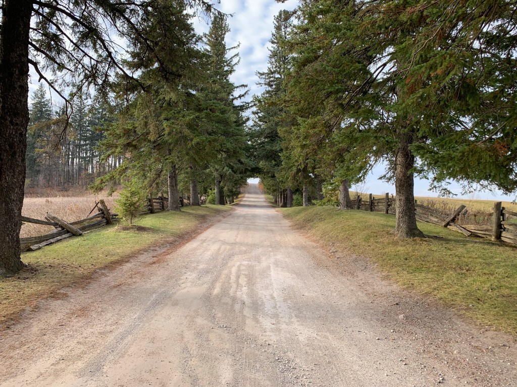
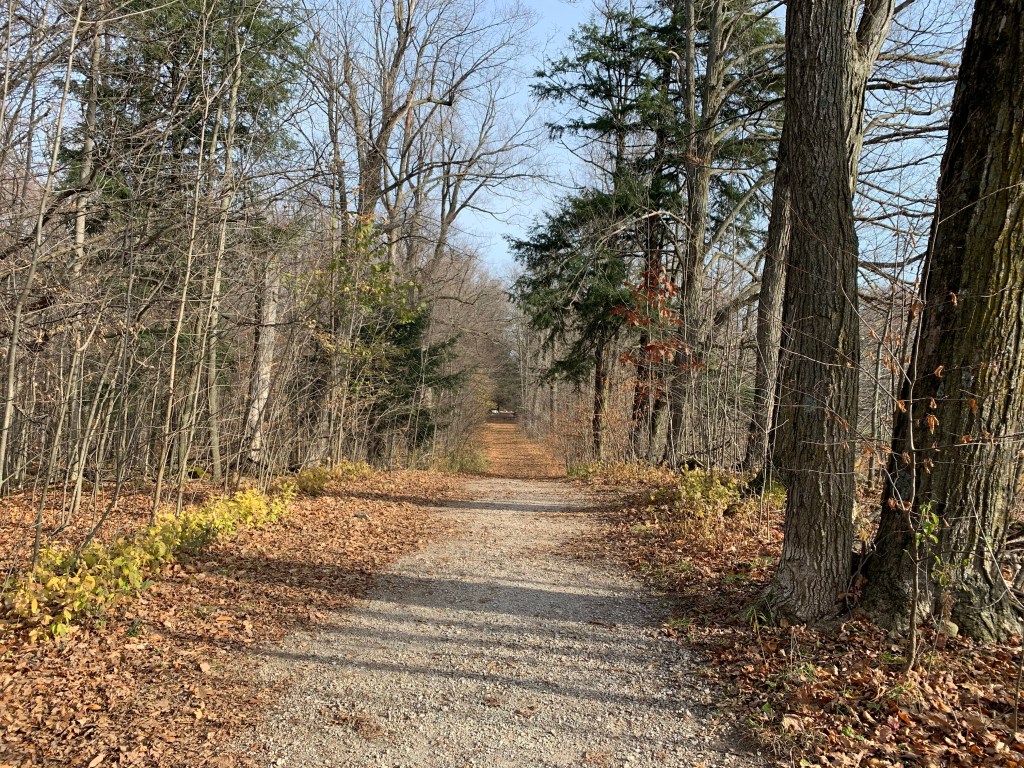
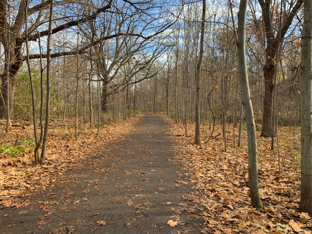
The main trails in the park are well maintained and there are very few side trails. The Royal Botanical Gardens tries to keep large sections of the grounds free of trails and discourages off trail exploration so the local wildlife can enjoy the sanctuary. Bicycles and joggers are not allowed and all pets must be kept on a leash. It is also a rule that no one can feed the wildlife but as I found out, that one is not observed.

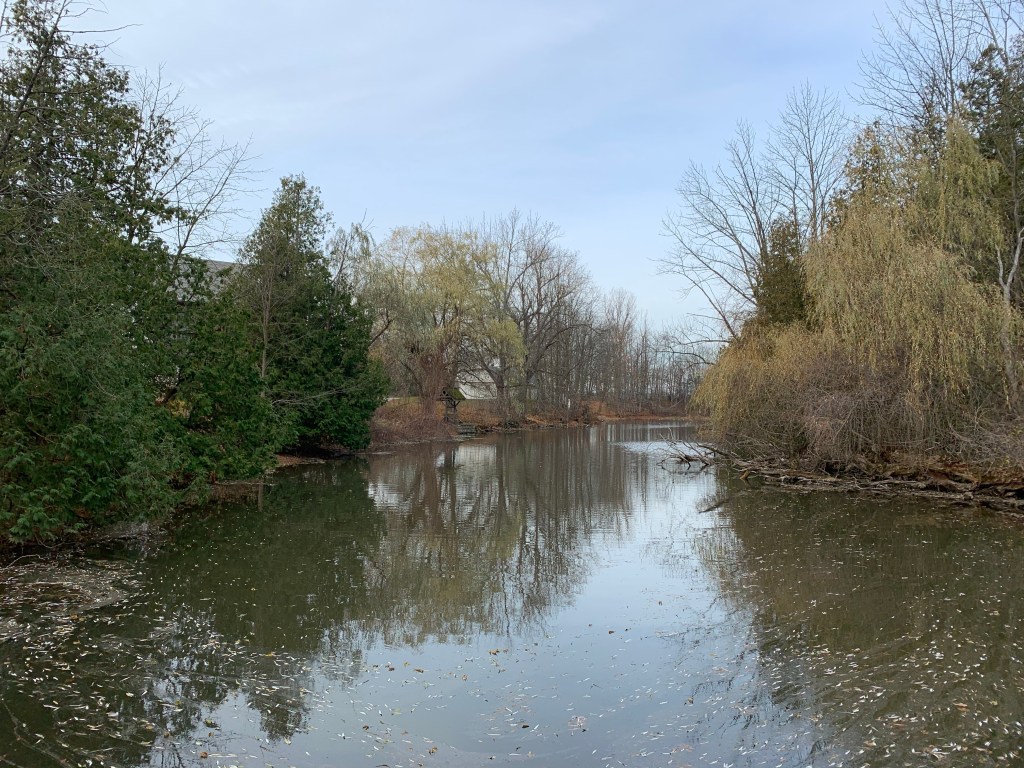
Grindstone Creek flows through the valley on its way to the lake and the trail winds its way along side of it.

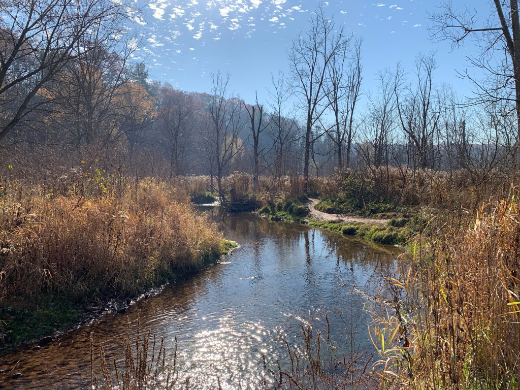
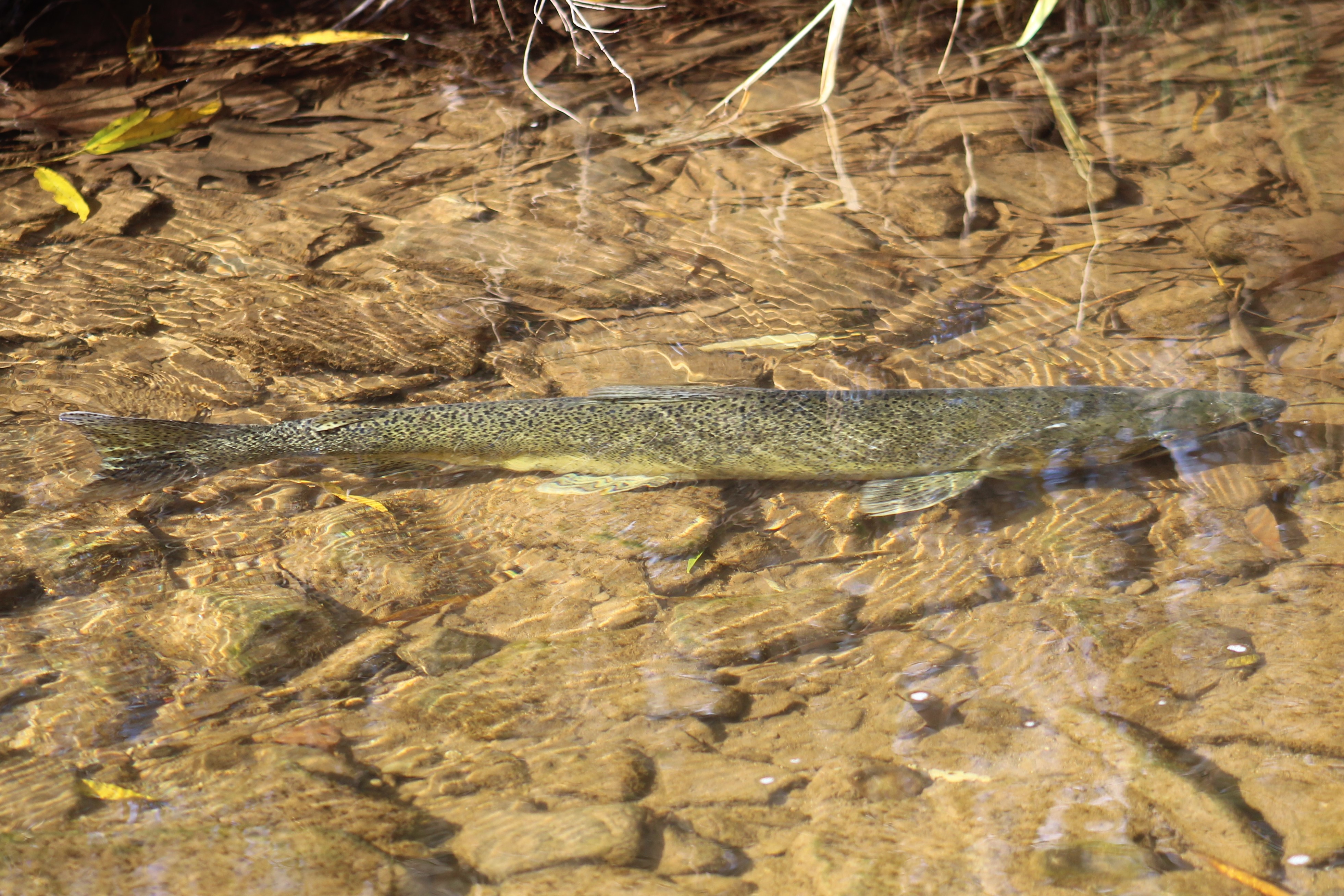
There was still a large number of salmon trying to make their way upstream to spawn even though it was late in the season. In the early 1800’s Atlantic Salmon were so plentiful in the streams around Lake Ontario that they used to fish them using a shovel to throw them onto the shore. However by 1898 the last salmon was caught off the Scarborough Bluffs and no more would be seen until restocking programs brought Chinook and Coho into the lake several decades later. In 2011 Atlantic Salmon were reintroduced to the Humber River with 100,000 fry being released. These will grow up in the lake and then return to the Humber River to spawn when they are of age.

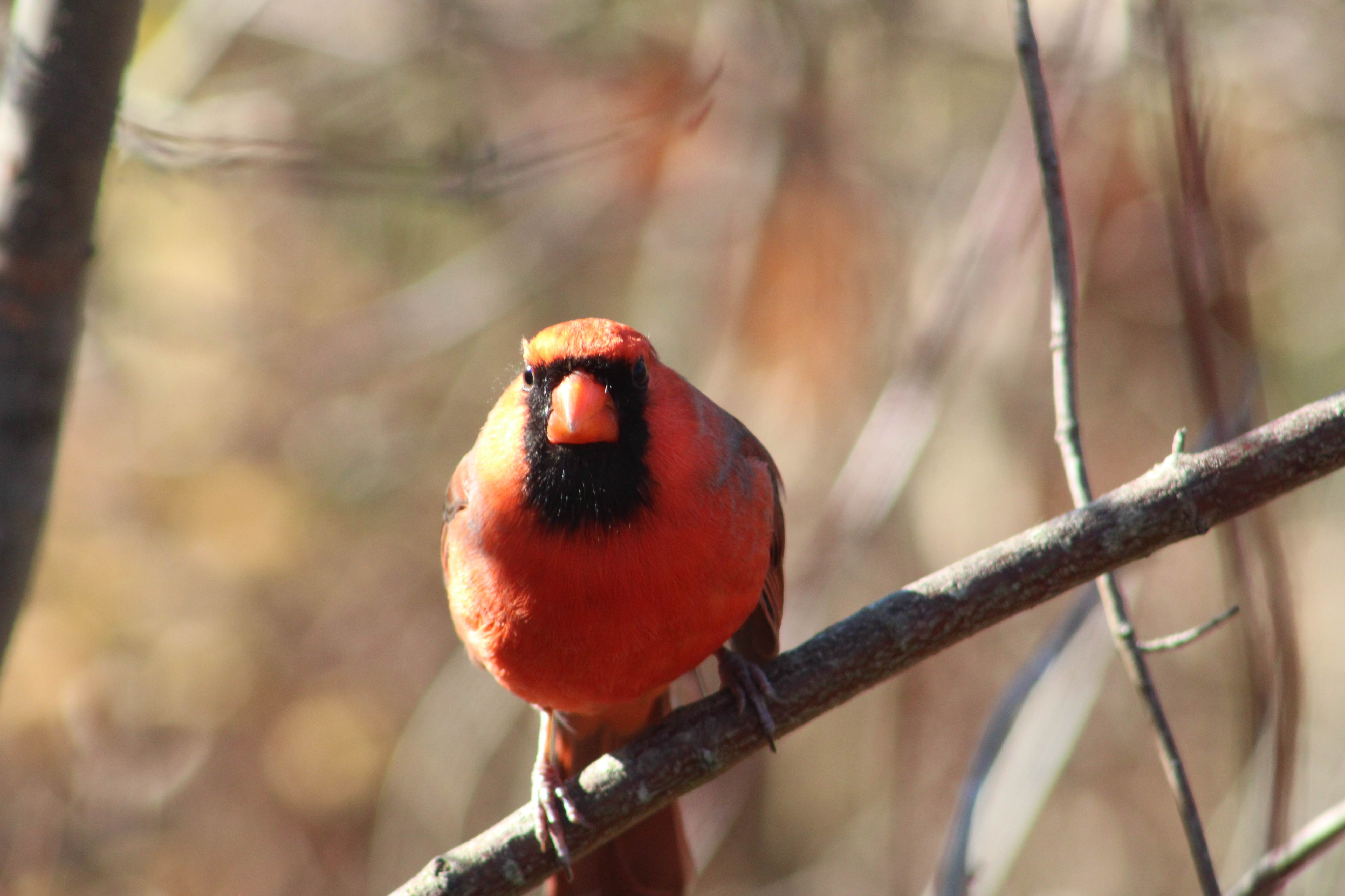
Male Cardinals can be quite bold in the spring when they are trying to steer you away from the female as she sits on her nest but the rest of the year they are a little less likely to get in your face. I had one particularly curious fellow who was perhaps used to taking food from people because he was having a close look at me as I went past.

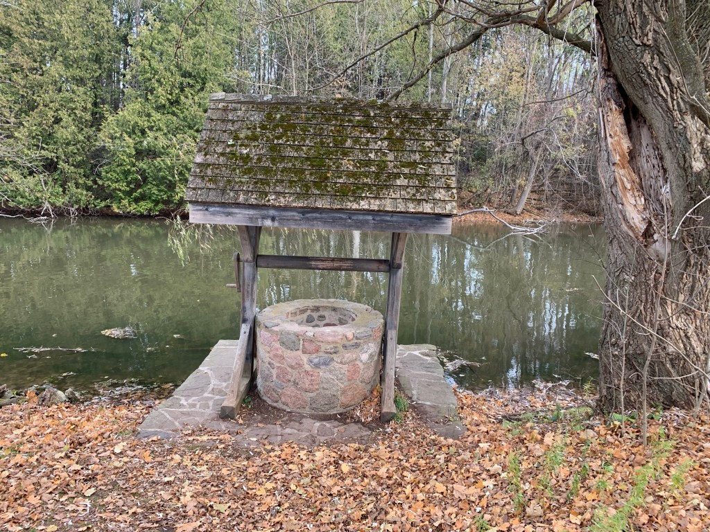
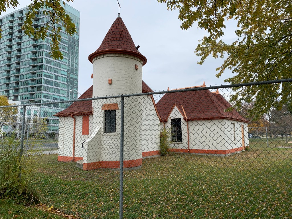
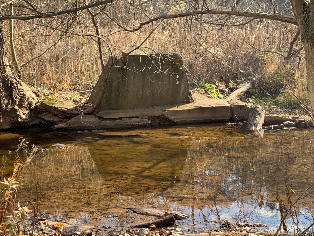
There are several pedestrian bridges that cross Grindstone Creek and evidence that there were previous bridges as well, perhaps dating to the days of private use for horse farming.

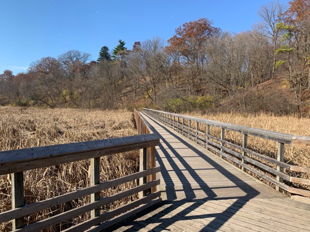
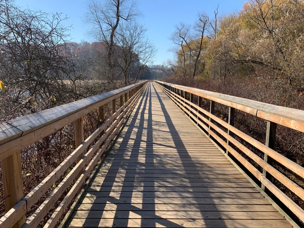
The section of the trail that runs through the mashes and wetlands is supported by a couple of boardwalks, one of which runs for 350 meters.

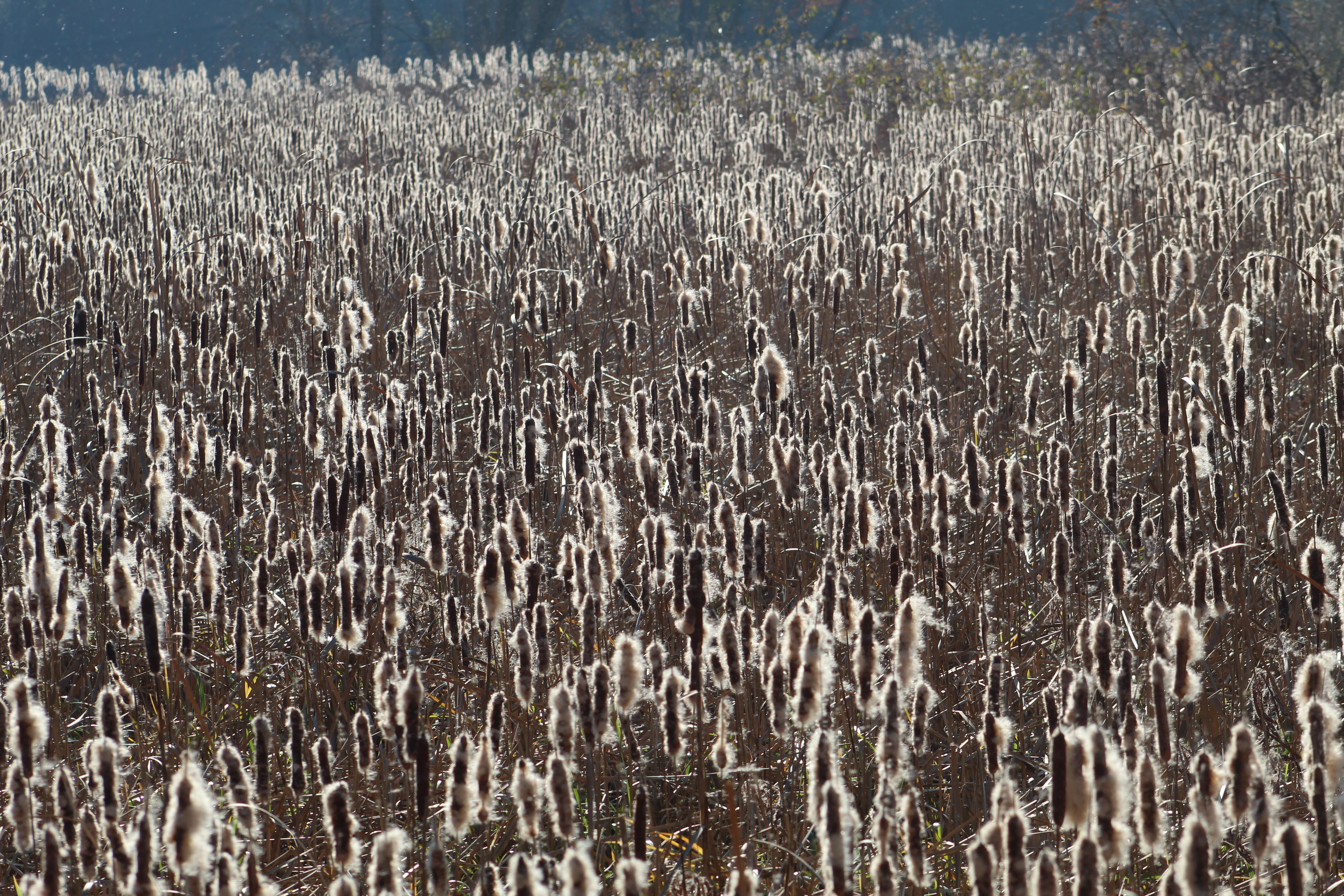
The sunlight was shining on the seeds from the sea of cattails that have populated the marshlands. Considering that each one of these cattails can contain up to 25,000 seeds it is little wonder that they spread very quickly.

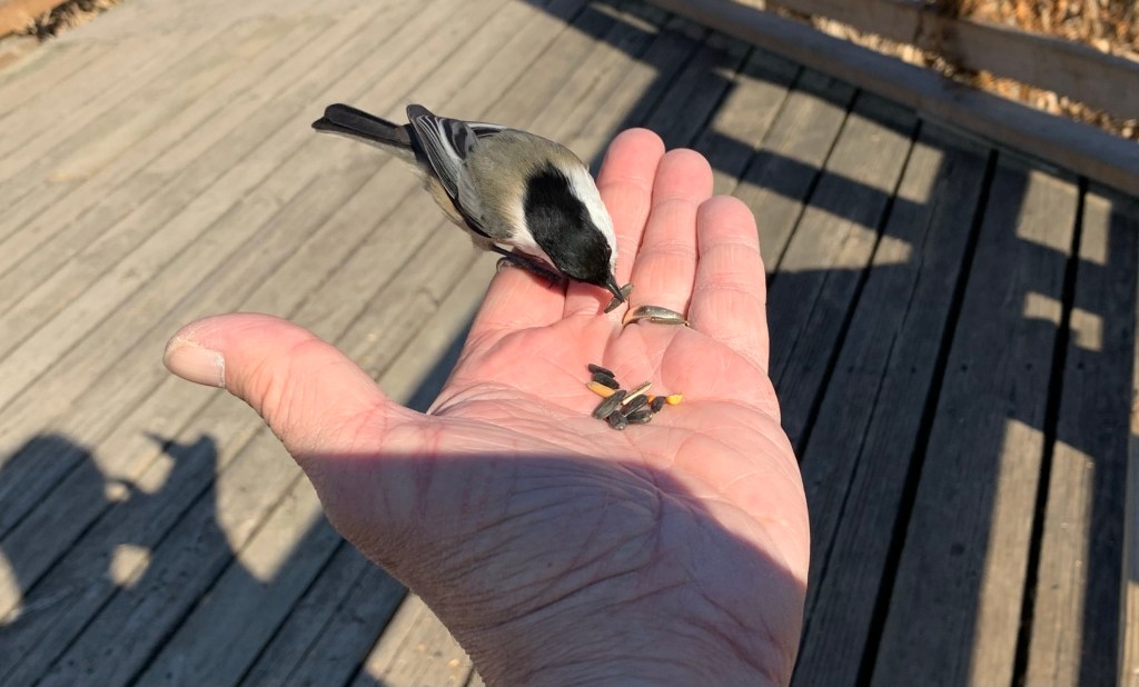
It appears that the visitors to Hendrie Valley routinely leave bird feed along the boardwalk and there was plenty there on this day. This has led to the local birds becoming overly comfortable with people and dependent on them for their primary food source. This isn’t really a good thing but it does lead the Black-capped Chickadees to be quite willing to land on your hand and take a seed. A small Downey Woodpecker came for one as well but didn’t stay to get his picture taken.

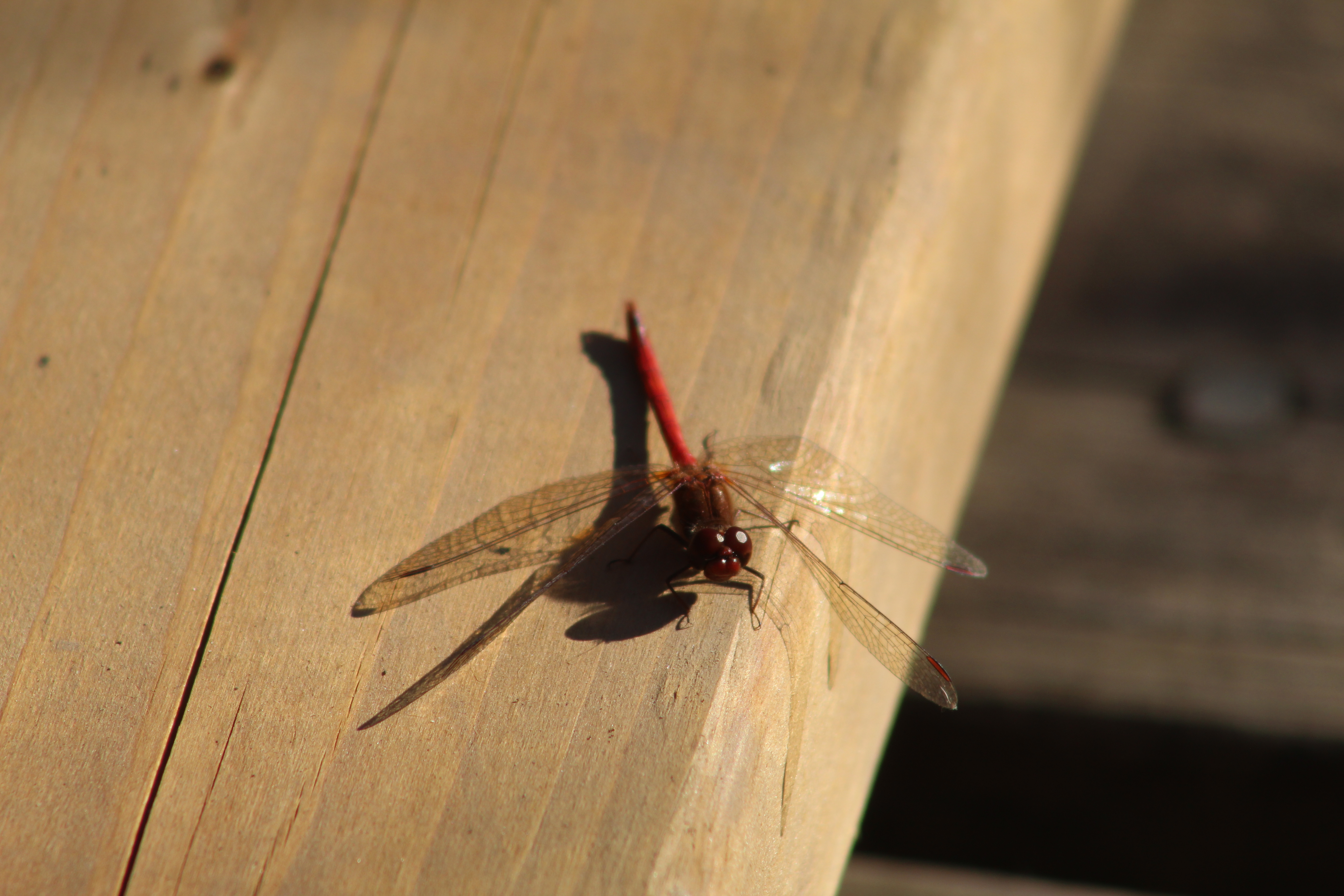
There were several dragonflies taking advantage of the unusually warm day and soaking up the sunshine along the boardwalk. The Half-banded Topper has become scarce as its habitat has been reduced through development. The marshes of Hendrie Valley provide a perfect place for them to breed. When the eggs are ready the mated pair will fly in tandem while she slowly flips her tail through the water to wash the individual eggs off.

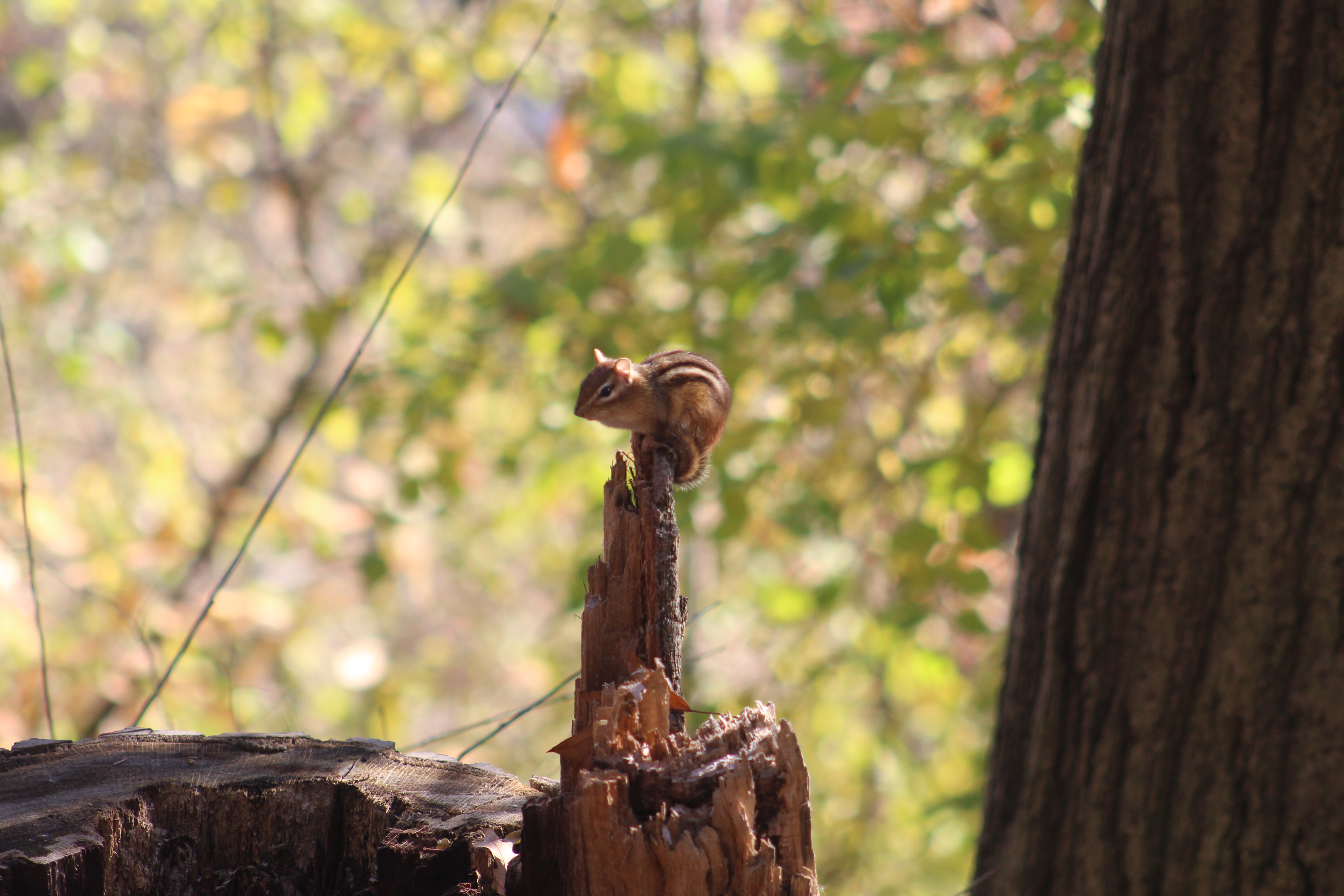
The chipmunks also love the free food that has been left for the birds and so there are a lot more chipmunks here than I am used to seeing in one place. It is also reported that there is an increased number of chipmunks in 2020 because of an unusually large acorn crop last year, which allowed them to do better over the winter. There also seems to be a large crop (or mast) this year based on what we saw during our trip to The Credit River in Georgetown back in September.

You can cross Plains Road and carry on into other parts of the Royal Botanical Gardens or use this as a loop trail and return to the car depending on the length of hike you plan to enjoy.

Google Maps Link: Hendrie Valley

Like us at http://www.facebook.com/hikingthegta

Follow us at http://www.hikingthegta.com

Also look for us on Instagram

Chiefswood

Sunday, November 22, 2020

A little west of the GTA, near Brantford, stands a truly unique home. It was built in the 1850’s for a native chief and his English bride and is recognized as Canada’s first truly multicultural home. The county atlas section below shows that area in 1877. The property of George H. M. Johnson is outlined in green and the house is circled in green. The church where our love story starts is circled in orange. The tow path along the Grand River is marked in blue and is a feature from the canal system that once ran along the river.

George Henry Martin Johnson was born in 1816 at Six Nations of the Grand River Territory and grew up to become a chief on the Haudenosaunee Confederacy Council. He also spent time as an interpreter for local preachers and government officials. Meanwhile, Emily Susanna Howells was born in Bristol, England in 1824. Four years later her family moved to the USA where they became active in the underground railroad transporting slaves to Canada. It was when Emily moved to Canada to live with her sister and brother-in-law at Tuscarora Parsonage that she met George Johnson and fell in love with him. After being secretly engaged for 5 years they were married in August of 1853.

George started building the house in 1853 to be given to her as a wedding present. The nature of their multi-cultural marriage caused George to incorporate some unique features into the design, creating a house that would eventually become a Canadian National Historic Site

The house has a central hall plan with two rooms on either side and four more upstairs. Four fire places kept the place warm in the winter and eventually a summer kitchen was added to help keep the heat down in the summer. The symmetry on the inside of the home was mirrored on the outside in a unique way. The front and the back of the house are identical. There is no “front” and “rear” entrance because both sides of the home are identical. This is because the multicultural marriage was honoured in the very architecture of the home. Emily’s family and friends would arrive by horse and carriage and would be welcomed on the side of the house facing the road.

George’s family would arrive by canoe along the Grand River and be greeted on that side of the house. Neither side of the family was given any preference, although the side facing the river seems to be in a little better shape today. It took three years to complete the building and the family didn’t move in until 1856. The Johnson Family lived here until 1884 and, after various tenants, it was willed to the Six Nations in 1937.

Emily Pauline Johnson was born at Chiefswood and was raised enjoying some of the benefits from both of her cultural ancestries. She went on to become one of Canada’s premier poets and story tellers whose work often focused on the plight of her native ancestors. At the time she was referred to in some circles as half-breed but her fame rises above all that. On the hundredth anniversary of her birth she was honoured with a postage stamp. She has the distinction of being the first woman, other than the queen, to be featured on a postage stamp. She was also the first author and the first indigenous person on a Canadian stamp. One of her poems was called “Both Sides” and reflects the fact that her family entertained people from both sides of the river.

It was recognized as a National historic Site in 1953 and opened as a museum in 1963. Since then it has been renovated a couple of times. Plans are in the works to create a more popular tourist attraction by adding interpretive signage and upscale camping sites. Near Chiefswood, they have already constructed a replica of a longhouse for teaching purposes. This building is very similar to the ones reconstructed at Crawford Lake.

The house is open for tours, and would certainly be interesting to see inside, but that wasn’t an option when I was there so I enjoyed it from the outside.

Google Maps link: Chiefswood

Like us at http://www.Facebook.com/hikingthegta

Follow us at http://www.hikingthegta.com

Also look for us on Instagram

Scotsdale Farm

Saturday, November 7, 2020

Scotsdale Farm is a 531 acre farm that was given to the Ontario Heritage Trust in 1982. It has several historic buildings and is frequently used as a location for shooting movies. There are several trails that pass through the farm including a side trail from the Bruce Trail. There is limited parking on the site and with frequent movie crews taking up space it is recommended to arrive early. The 1877 county atlas below shows the property outlined in green. The school house near the end of the laneway is still standing and has been circled in green.

Parking is located near the house but you have to walk back up the tree lined lane to get to the trails that lead to the south. The trails also continue behind the barns and out toward the eight line.

The first house on the property was a small log house which was built in 1836 by Christopher Cook. His son David, along with his wife Almira, expanded the house in the 1860’s. They sold the property to Stuart and Violet Bennet in 1938 and they further expanded the home into the American Colonial style that it bears today.

There’s a guest cottage beside the house where people could have a little privacy while visiting the estate. Underground steam pipes provided heating for the cottage but it was still closed off for the winter each year.

From the back of the house you look out over the two barns and the silo. The precast blocks used to build the silo date it to around 1900. The barn closest to the house was used for horses. The Bennetts kept six or seven Arabian horses that they used for riding.

The barns were built prior to 1880 and there were separate ones for the cattle and horses. This is the cattle barn where the short-horn cattle were kept that were the specialty of the Bennetts.

There’s a wishing well by the pond and another one in the back of the house. The cedar and willow trees that line the pond make it an excellent place to take pictures.

You can walk across the concrete dam that is used to contain the pond water used by the farm for their livestock. Snow’s Creek is a tributary to Silver Creek and is one of two creeks that flow through the property. It was quite relaxing looking at the geese on the far end of the pond but they looked to be gathering together for their trip south for the winter.

Trails follow the old lane way that was the rear entrance to the property.

The little pigskin puffballs have gone to spore. When these are broken open they release their green spores. These are cast to the winds by the millions but very few will actually germinate and grow into the next season’s puff balls.

Conks are a type of polypore mushroom that grows on dead or dying trees. They are characterized by the thousands of small pores on their flat undersides through which spores are released. This fallen tree has several that were growing while the tree was standing and many more that grew after the tree fell. That is why some of these conks are growing at 90 degrees to the ground.

Just north of the driveway is school section number 14 which was built in 1871. Like many one room school houses this one was heated by a wood stove. Parents were expected to help with the supply of wood and often children would walk to school carrying a log or two for the stove. Students had to walk up to six miles to school and so the days were long but when the weather was bad or the crops were being harvested is was understood that they wouldn’t attend.

Scotsdale Farm is an interesting place to visit and the trails connect to Irwin Quarry and Fallbrook. Both of these are in the Silver Creek Conservation Area.

Google Maps Link: Scotsdale Farm

Like us at http://www.facebook.com/hiningthegta

Follow us at http://www.hikingthegta.com

Also look for is on Instagram

Jacob Rupert’s Octagonal House

Friday, November 13, 2020

The home of Jacob Rupert is known as the Round House of Maple even thought it is an octagon with eight sides. Built in 1865, this home was truly made of local materials. The wood was cut on the property and the bricks were made from clay dug up on the site. It is believed that the Rupert daughters trimmed the wood for the interior. The front doors are quite grand with side lights and lots of little windows to let the sun in. The style was developed in the 1850’s by a man named Orson Squire Fowler whose book promoted this unique shape of home. It was popular for the next fifty years before more conservative architecture arrived with the Edwardian Period. This home stands on Major MacKenzie Drive just a little west of Keele Street.

Most of these homes were built with a flat roof with a small cupola on top. This one is adorned with patterned brick under the paired roof brackets.

At one time there were more examples of this style of house even though they were not overly popular. Today there are about 2000 remaining with only about 20 of them being in Canada.

The floor plans show how the space was used inside Jacob’s house. The house design was considered easier to heat and cooler in the summer because of the reduced outer walls. It also claimed to be filled with more natural light. The circle would have been the ideal shape but it was hard to build and difficult to furnish. Since architects were used to working with 135 degree angles they easily adapted the “bay window” into the shape of an eight sided house.

It’s nice to see that the house continues to be in use even though it seems out of context among the cookie cutter homes that surround it today.

Also see our feature on the historic town of Maple, to which this house belongs.

Google Maps Link: Jacob Rupert’s House

Like us at http://www.facebook.com/hikingthegta

Follow us at http://www.hikingthegta.com

Also look for us on Instagram

Sir Casimir Gzowski Park

Sunday, November 1, 2020

It was cold and windy down by the lake but I had decided to check out Sir Casimir Gzowski Park because of its monument to the man who was instrumental in early transportation in Upper Canada. Gzowski was born in St. Petersburg in 1813 to Polish parents and after being exiled to the USA following the Russian November Uprisings he came to Canada in 1841. His first project was work on the Welland Canal. He also completed part of Yonge Street and was a railway builder as well. His work on both the St. Lawrence and Atlantic Railroad and the Grand Trunk Railway helped link communities across Upper and Lower Canada. His design for the international bridge between Fort Erie and Buffalo was made challenging by the wind and strong currents but he was successful. As the first chairman of the Niagara Parks Commission, Gzowski was responsible for planning the park system along the Canadian side of the Niagara River. This includes the observation areas for Niagara Falls.

There is a monument to Sir Casimir Gzowski in the park which is a concrete tripod with steel beams at the top and railway ties at ground level. It was built in 1968 and in addition to the bust shown in the cover photo has several panels with considerable detail about his life and accomplishments. He died on August 24, 1898 after being ill for several months. The park and monument celebrate his contribution as a member of the Polish community.

Mute Swans, like the ones pictured here, have mostly orange bills as opposed to the mainly black bills of Trumpeter Swans and Tundra Swans. Mute swans are not native to North America and were introduced in the 1870’s as garden and park ornaments. Today there are over 3,000 of them in Ontario’s Great Lake regions. They can each eat about 4 kilograms of vegetation a day which means that they damage plant systems and destroy the habitat of local creatures.

The view toward Mimico seems to change every time I look. it wasn’t so long ago the Palace Pier was a lone condo near the mouth of The Humber River and the mouth of Mimico Creek was home to a variety of aging motels. The last of the motels has now been demolished and the now tallest building outside the downtown core stands at 66 floors looking out over the lake.

The park features a beach as well as 9 pieces of exercise equipment along with an off leash area for dogs and two picnic shelters. A concession stand also operates during peak periods. The weather along with the weekend closure of three local parking lots along Lake Shore Boulevard meant that I had the park almost completely to myself.

In the 1930’s the era of personal automobiles was really getting underway and Joy Oil Company Limited was one of the late-comers in Toronto. Gas stations today are purely utilitarian in design but it wasn’t this way with the Joy gas stations. They were built with steep pitched roofs, spires and towers in a design known as Chateau Style. A total of sixteen of these stations were built in the GTA with 14 being in Toronto. All but one has been demolished including the one that stood on the other side of High Park at 429 Roncesvalles Avenue. In 1986 bylaw 837-86 designated that station as being of architectural significance. It wasn’t long before it was demolished and replaced with a unimaginative retail store.

During the 1937 Joy Oil built the station which stood at Windemere Road and Lake Shore Boulevard. It survived the construction of the Queen Elizabeth Way and later the Gardiner Expressway before closing. By 2007 it was badly dilapidated but the city chose to rescue it. They moved it across the road into Sir Casimir Gzowski Park and spent $400,000 to renovate it. Since then it has sat behind a chain link fence waiting for one of the many plans to come to fruition. Meanwhile, the paint is starting to peel again.

The east bound lanes of the Gardiner Expressway were closed which meant that I couldn’t get really close to park. Most of the time you can park almost right beside the old Joy Station. I had to park on Parkside Drive and walk along the waterfront trail to get to Sir Casimir Gzowski Park. Along the way I noticed the true reason for the closure of the busy expressway. It was to allow a flock of geese to cross the road.

My route took me past Sunnyside Bathing Pavilion, one of the last remnants of the strip of attractions, including an amusement park, that used to line the shore of Lake Ontario. More details about Sunnyside can be found in our feature story Sunnyside Beach.

I recently read about a man named Khaleel Sievwright who is building small mobile shelters for the homeless. They are well insulated and reportedly should help people stay warm at -20 with just their own body heat. The city is opposed to the shelters because they say that they could pose a serious fire hazard to the occupants. For now Khaheel continues to make the shelters and give them away, getting the needed money through on-line fundraising platforms. I happened to find one of just two or three that he has distributed so far.

Sir Casimir Gzowski Park is just one of many parks along the 3,600 kilometer Waterfront Trail and is enjoyed by joggers, cyclists and dog walkers as well as the occasional local history buff.

Google Maps Link: Sir Casimir Gzowski Park

Like us at http://www.facebook.com/hikingthegta

Follow us at http://www.hikingthegta.com

Also look for us on Instagram