Saturday, November 26, 2016
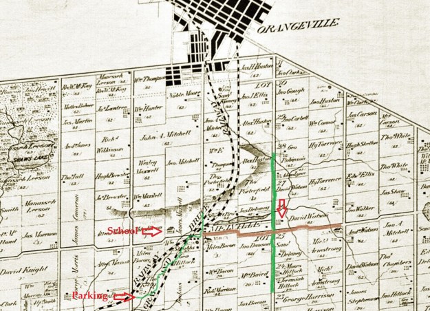
Caledon Township was surveyed between 1819 and 1820 with settlements beginning shortly after. The town of Melville was founded in 1831 but was originally known as West Caledon after the church that was located on the southwest corner of Highpoint Sideroad (25th s.r.) and Willoughby Road (1st line west).
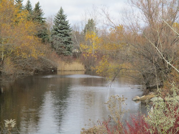
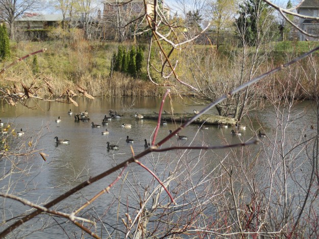
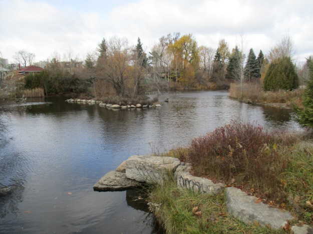
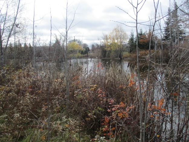
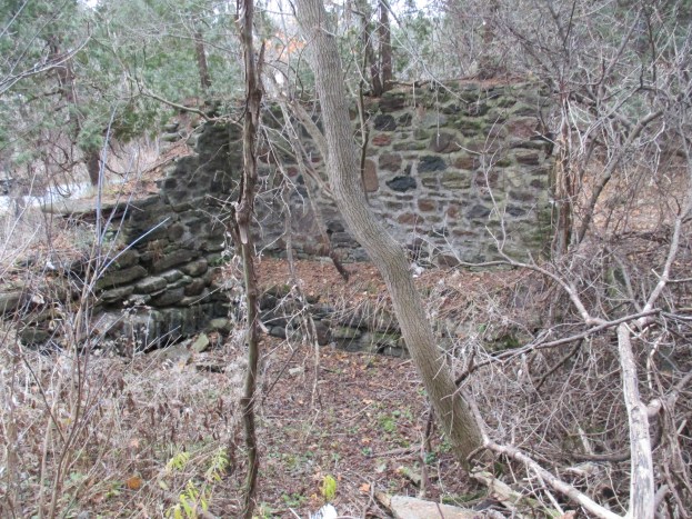
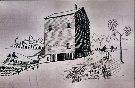
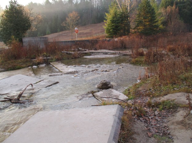
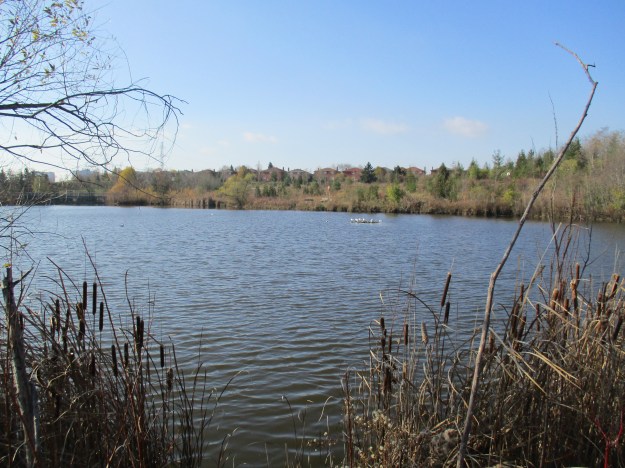
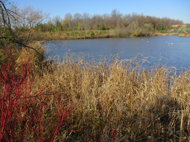
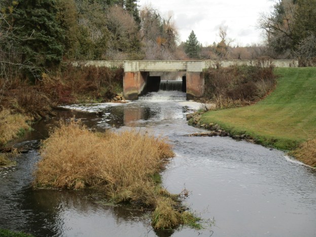
Jesse Ketchum Jr. saw the possibility for a mill and a town was born. He built a dam on his property creating the mill pond that still exists today. The concrete dam in the cover photo replaces an earlier wood structure that would have required constant maintenance. His father, Jesse Ketchum, had been a tanner in Toronto and had gotten rich selling leather to the government, whom he silently opposed in the rebellion of 1837. In 1831 he had donated property for a school and a park in Yorkville, both named in his honour. Jesse Jr. laid out the north part of Orangeville on lands owned by the family in 1856. Then in 1859 he laid out an ambitious town plan for Melville on his property there. Soon there was a tannery, possibly connected to the Ketchums, as well as a saw mill and an oat mill. The town never grew the way Ketchum Jr. envisioned and eventually the tannery and mills all closed.
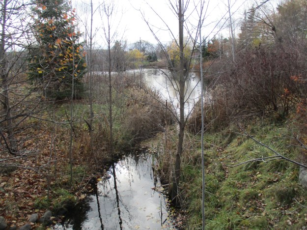
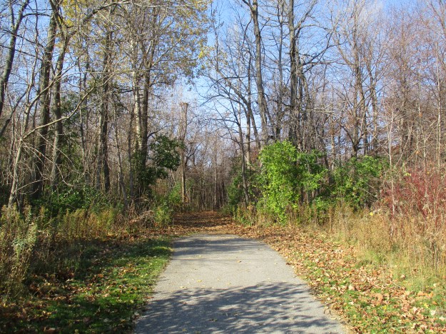
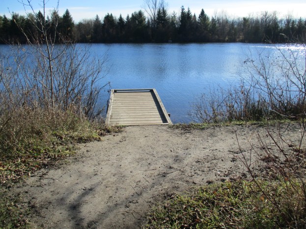
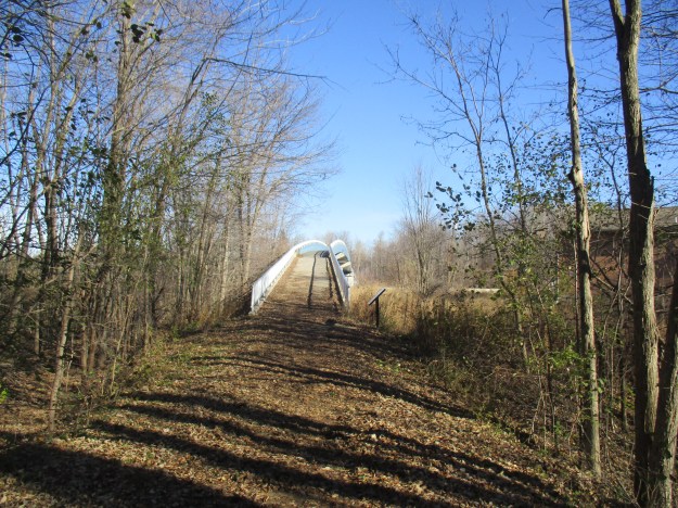
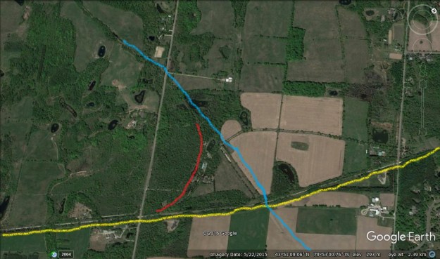
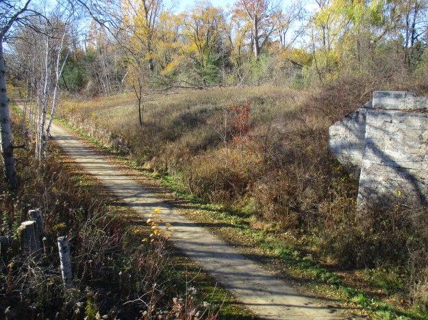
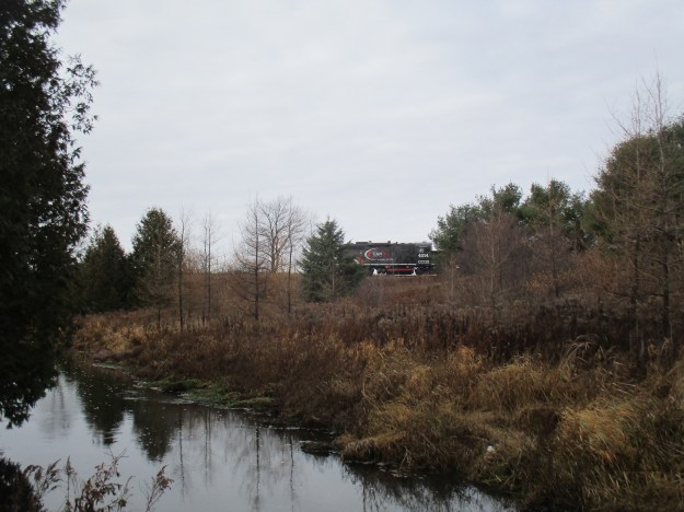
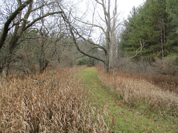
There is an Upper Credit Conservation Parking lot on Porterfield Road (2nd line west) south of town, near the train tracks. From here a trail leads east following the Credit River. A footbridge is provided to cross the river and then the trail divides but we followed it to the north, toward Melville. As we made our way along the trail we could hear the approach of the Credit Valley Explorer as it was making a short run through Melville. The picture below shows the engine as it is emerging from behind a small ridge. The Explorer runs on the old Credit Valley Railway (CVR) right of way south of town.
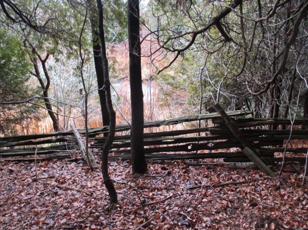
To the early settlers a fence had no practical value. Pigs and cows were left to forage all summer and were slaughtered in the fall. By the middle of the 19th century farms were opened up enough that property lines needed to be marked and cedar rails were used, often in a zig-zag pattern. These snaking fence lines wasted a lot of productive land and eventually they were replaced with straight fences. Fence wire was introduced in the 1890’s and steel poles came after WWII. Snaking fences had one major advantage that kept them in use even after more advanced methods became available. They were the only truly portable fences and farmers could move them to reconfigure their fields to meet changing needs.
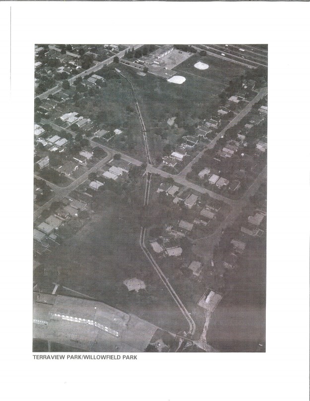
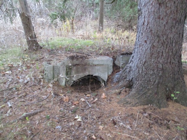
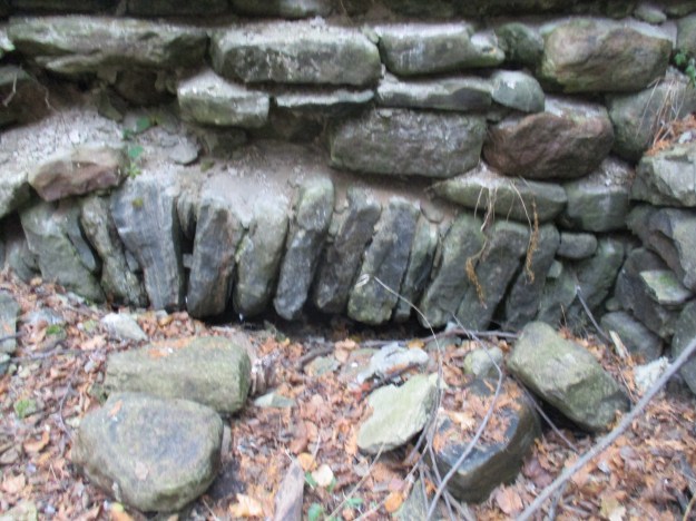
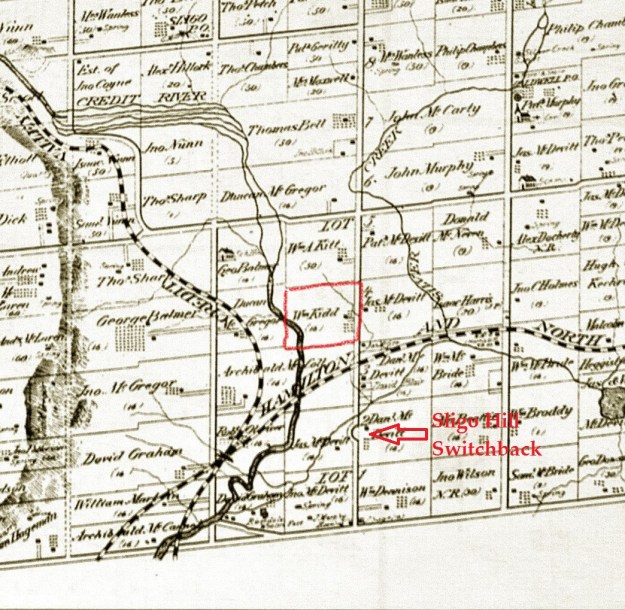
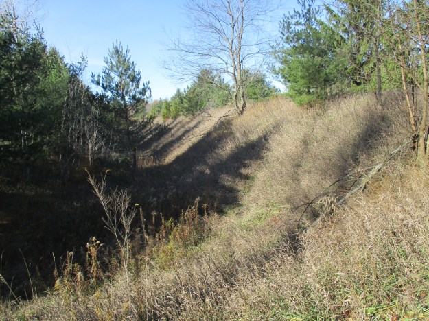
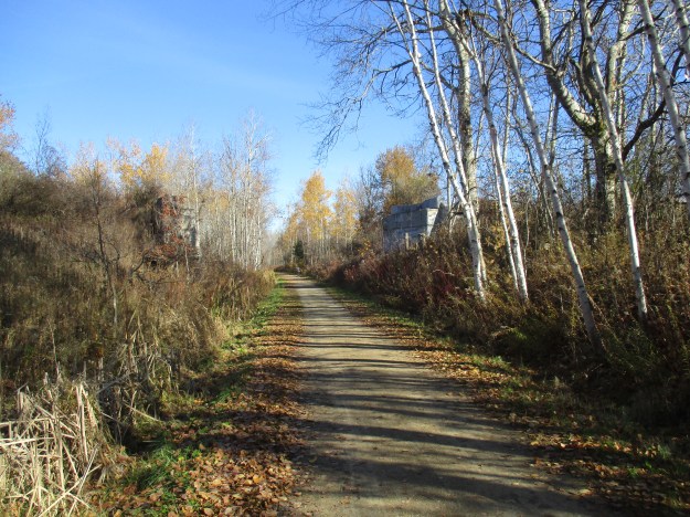
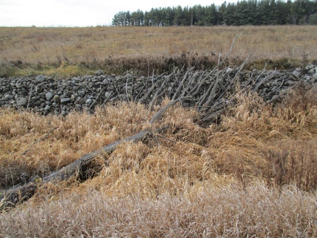
Following the trail east along the river, you will come to a new fence where the trail loops back around. This fence is running along the top of a berm in the field. This berm is the former right of way for the Toronto Grey & Bruce Railway (TG&B) that ran through Melville starting in 1871. This section of the line has been closed for nearly a century but the berm is still visible from Google Earth. There isn’t much to see other than an obviously man-made hill in the field. There are interpretive signs in the park but none about the railway. Yet, one can stand here and almost see the steam engines rolling into town. The farmer has created a stone fence along the edge of his field where he sold a strip of land for the railway. Every spring the frost lifts a new crop of stones to the surface of the fields so that the farmers have to clear the rocks before planting. Stone fence lines across Ontario are the result of needing to dispose of these stones.
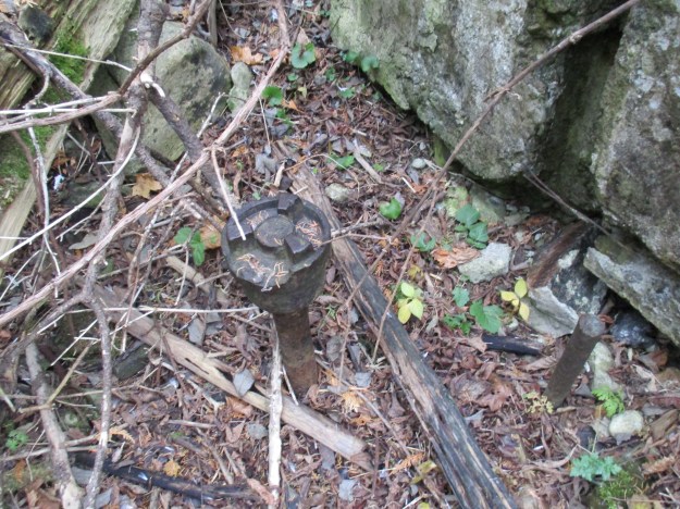
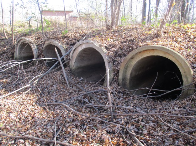
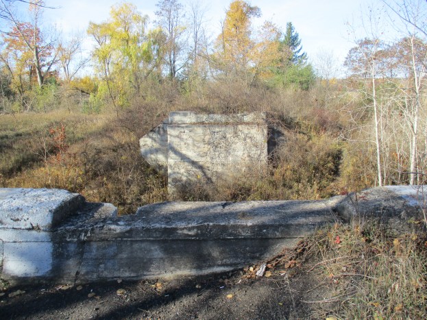
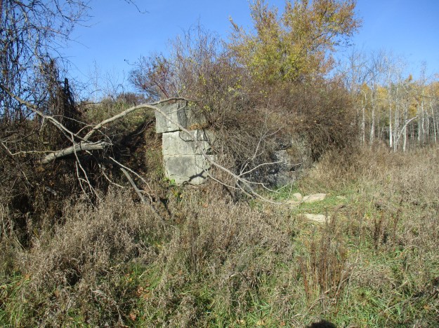
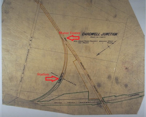
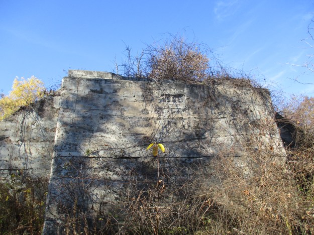
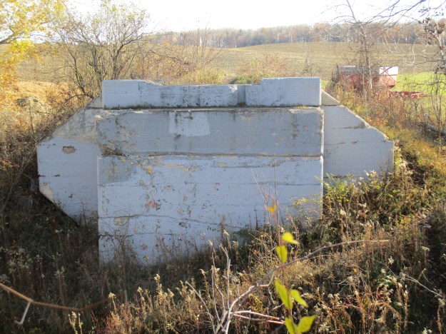
The CVR came into town in 1879 and it intersected with the TG&B just south of Highpoint Sideroad. Known as Melville Junction it contained the station and freight buildings. Today the junction has reverted to a farmer’s field and the old right of way for the TG&B is being kept open by a lawn mower.
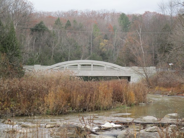
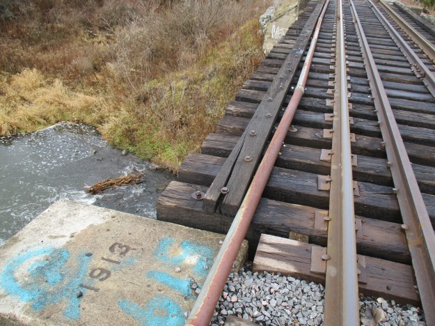
In 1932 the CPR closed the section of TG&B line from Bolton to Melville. A little south of Melville is the site of the Horseshoe Curve Rail Disaster where a train left the tracks in 1907 killing 7 and injuring 114. From there the line passed through Cardwell Junction. The portion of track between Melville Junction and Orangeville is still in use as part of the CPR line through town. Between Highpoint Sideroad and Willoughby Road the tracks cross the Credit River on a bridge that replaced the original trestle.
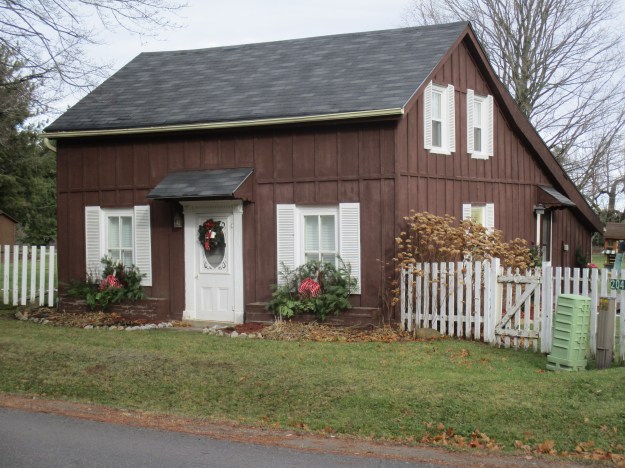
This one and a half story cottage is the oldest remaining home in the village. It was built around 1850 in what is known as the Georgian Style. The 2 over 2 windows are likely replacements as most of the homes in this era had 6 over 6 windows. The smaller panes of glass were easier to produce and transport without breakage.
Like all small towns, Melville had at least one hotel. The large building on the northeast corner of town was also the post office.
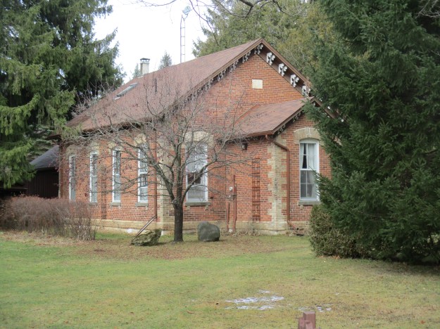
According to the date stone, Caledon School Section 12 in Melville got a new building in 1871. Melville’s saw mill was doing a good business in decorative brackets for eaves and the local tradesmen liked to use them in pairs.
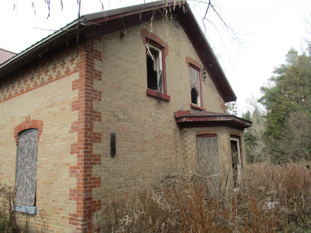
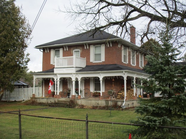
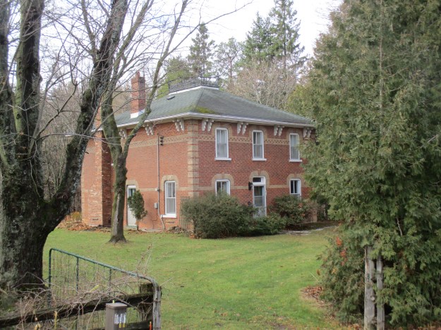
Italianate architecture was popular in Ontario between 1840 and 1890. This style also tends to have the round headed windows and doors that can be seen in this example below from 1875. Like many Italianate houses, George Hillock’s home has heavy bracketing under the eaves with the ornamentation being paired. Another interesting feature of the style is the Widow’s Walk. This platform on the rooftop was often railed with highly detailed wrought iron. The name comes from their frequent location on homes built near water and the suggestion that women would walk there looking out for their husbands to return from sea. The fact that they often didn’t return made them widows. It is, in fact, a variation on the cupola which is common to the Italianate style.
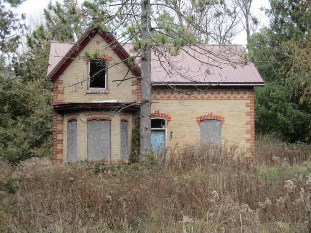
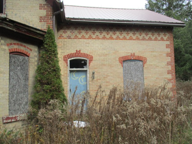
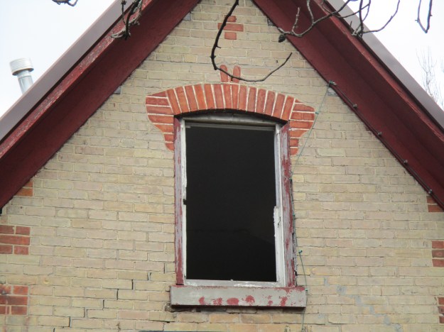
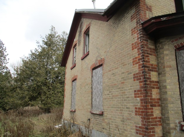
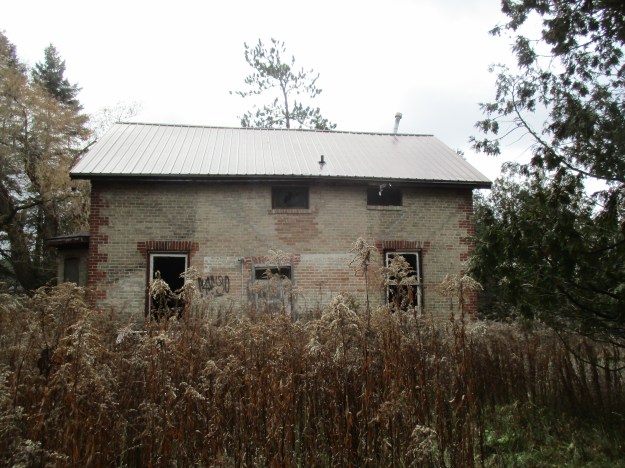
At the intersection of highway 10 and Highpoint Sideroad stands an abandoned house (red arrow on map). The preceding two buildings from the 1870’s were made of red brick with buff trim. Typical of many homes in the 1850’s, this one is buff with red trim. This farmhouse was built in 1859 by David Watson and has been covered in greater detail in a separate post which can be found here.

Google Maps link: Melville
Like us at http://www.facebook.com/hikingthegta
Follow us at http://www.hikingthegta.com