May 11, 2024
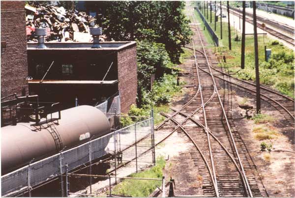
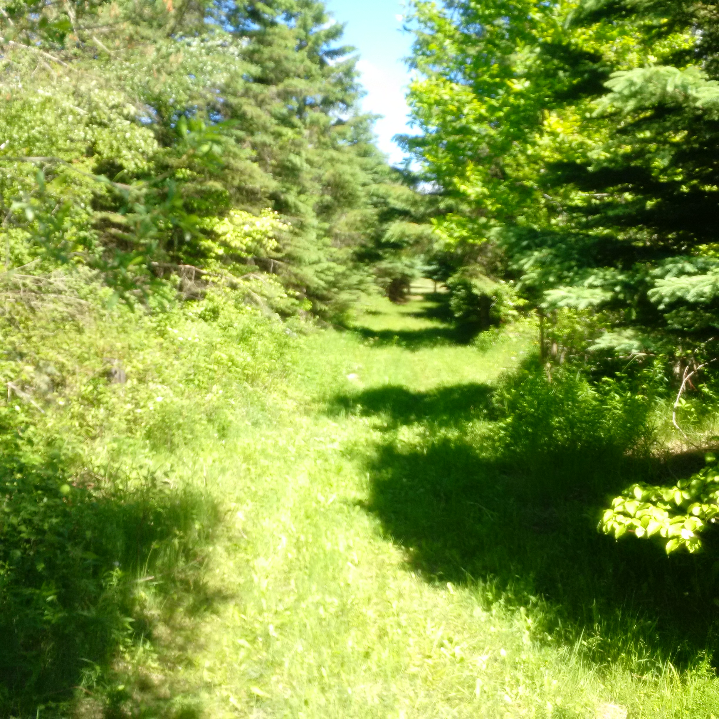
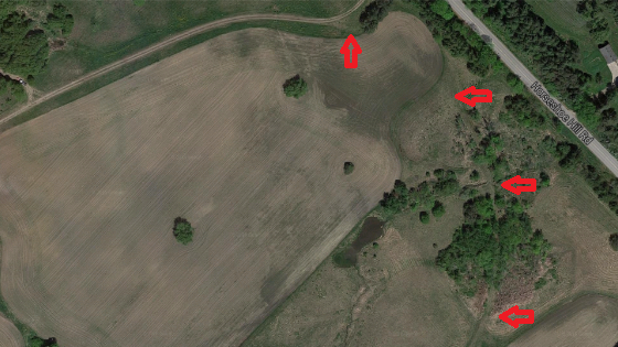
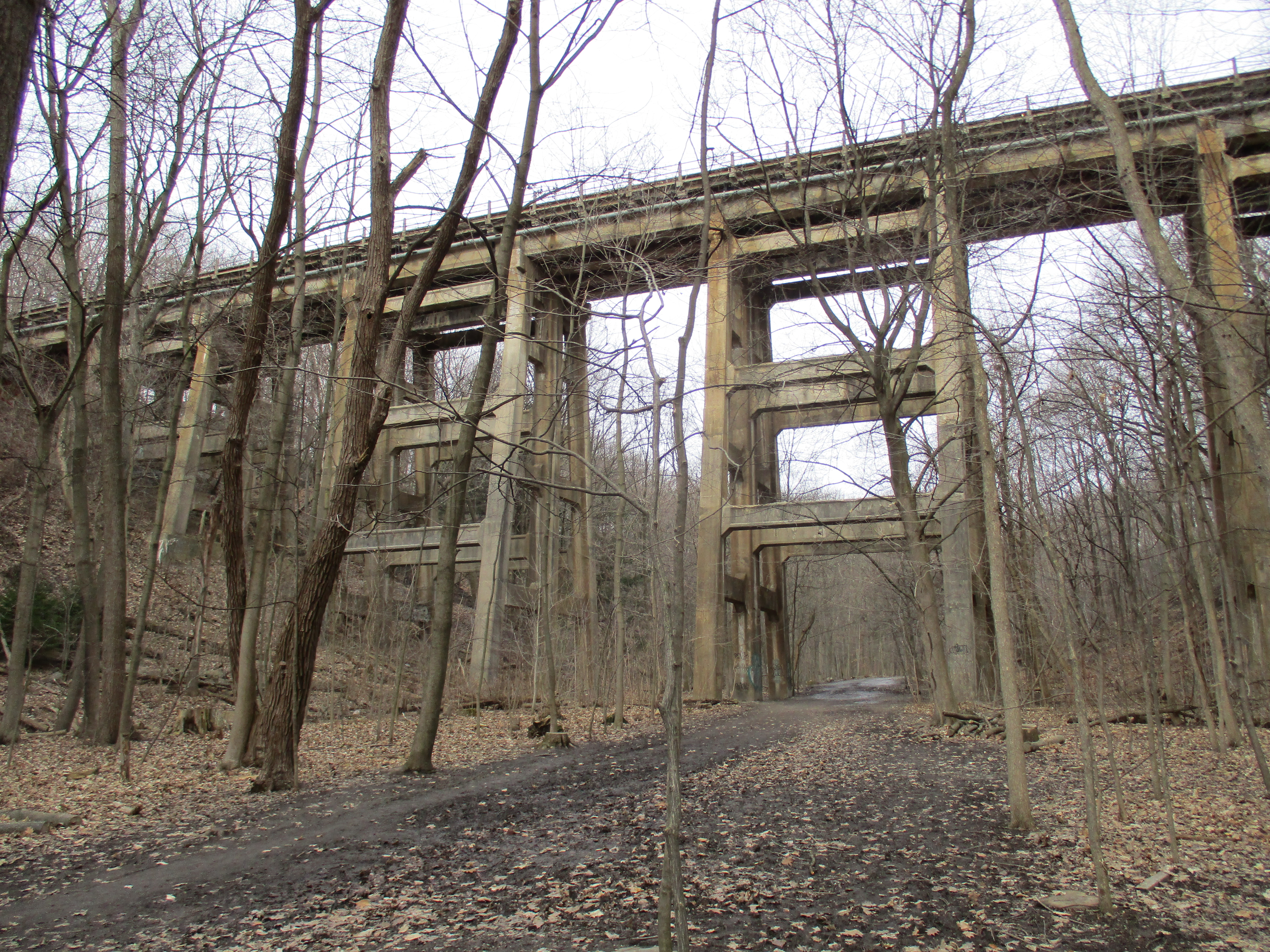
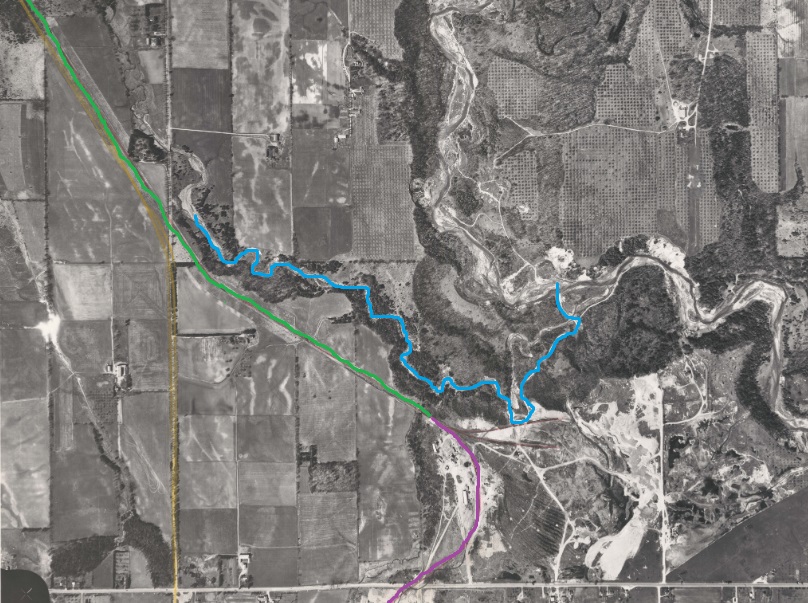
The Scarborough Railpath, also known as the Upper Rouge Trail, is a 2.3 kilometer trail that runs from Upper Rouge Trail to Sewels Road. It follows the right of way for a short rail line that used to run through Scarborough. There is little about this rail line on-line but it is likely a spur line and appears in aerial photography dating back to the 1940s. The image below is from the 1961 aerial photographs on the Toronto’s Archives website and shows the part of the right of way that is in use as a railpath marked in green. The section marked in purple has been lost beneath urban development. Morningside Creek has been marked in blue as it makes its way to the Rouge River.
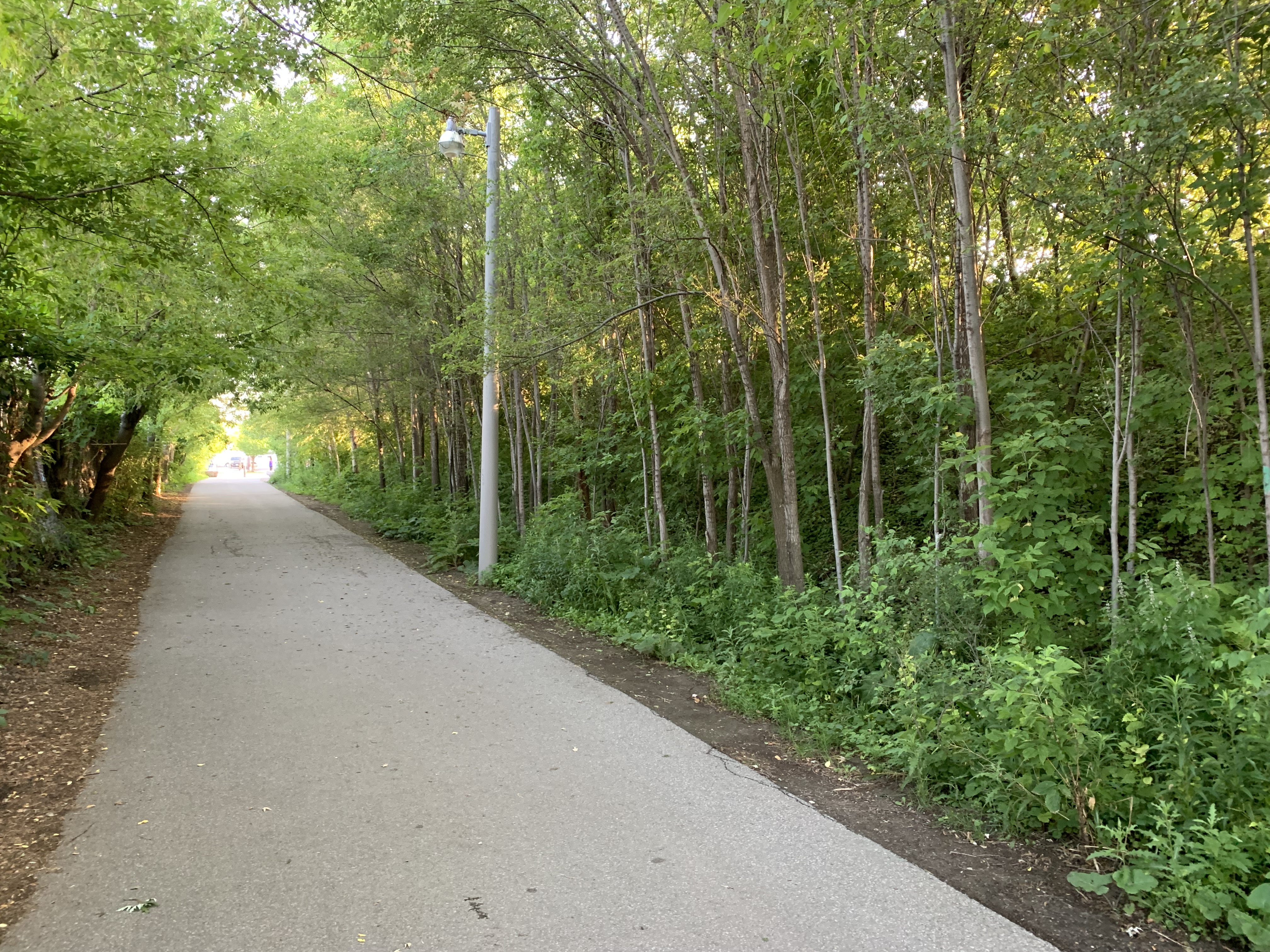
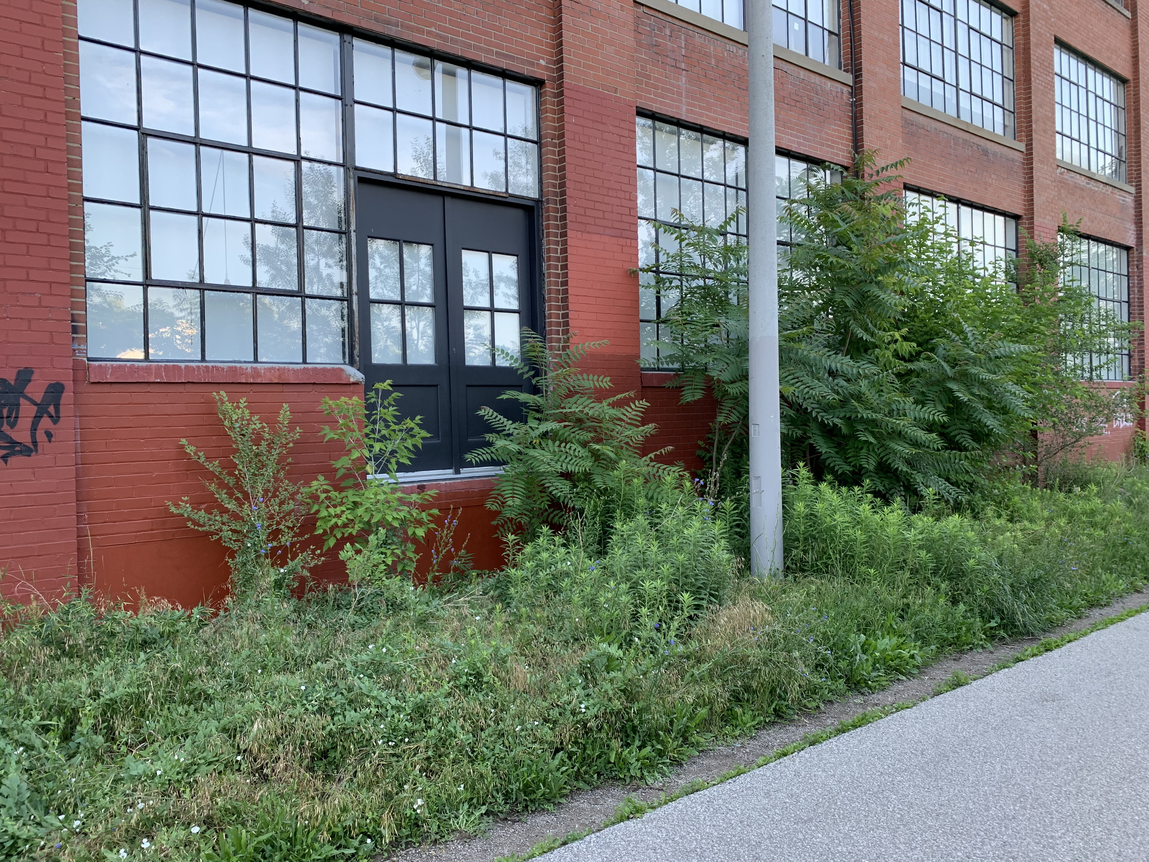
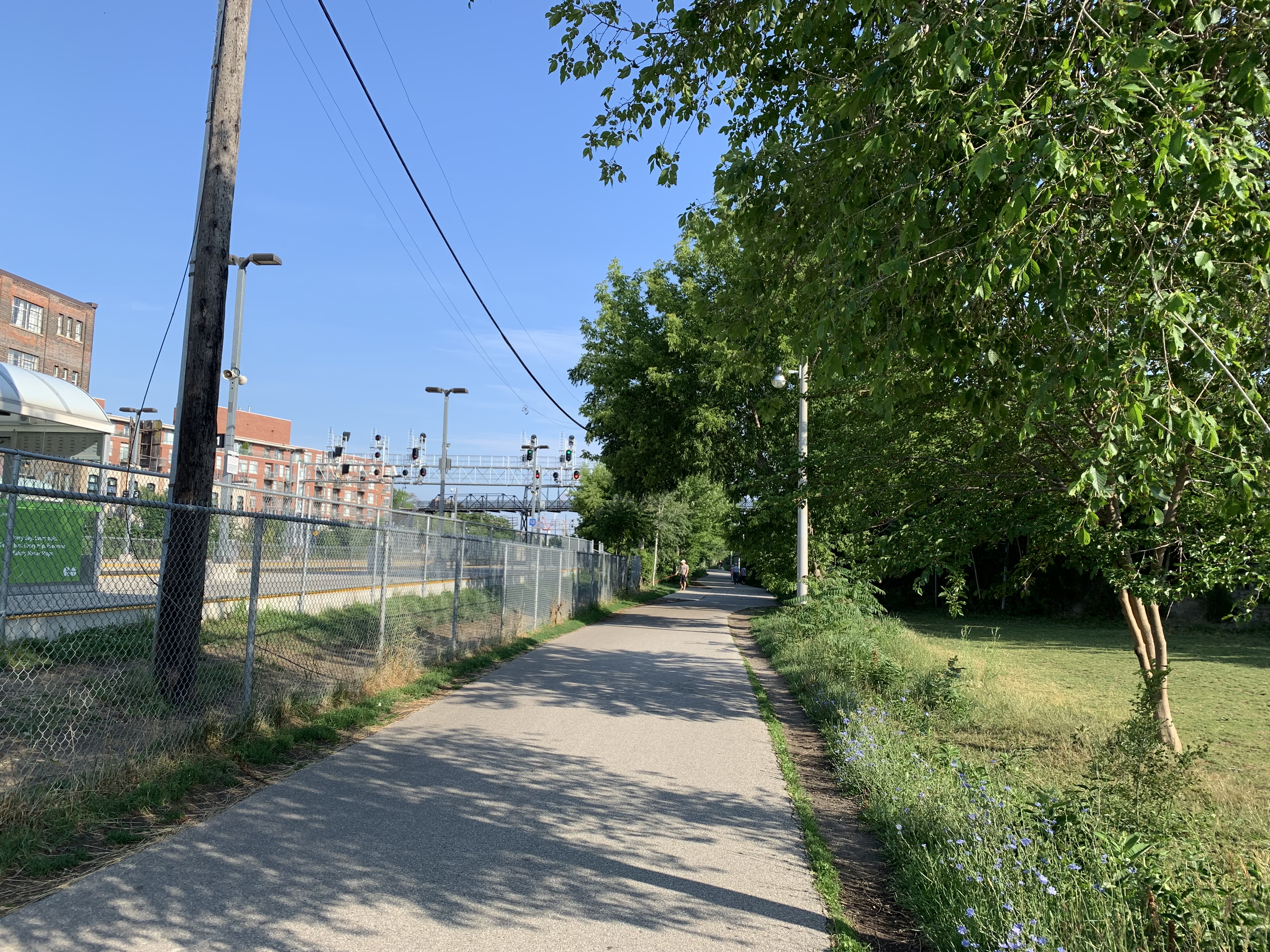
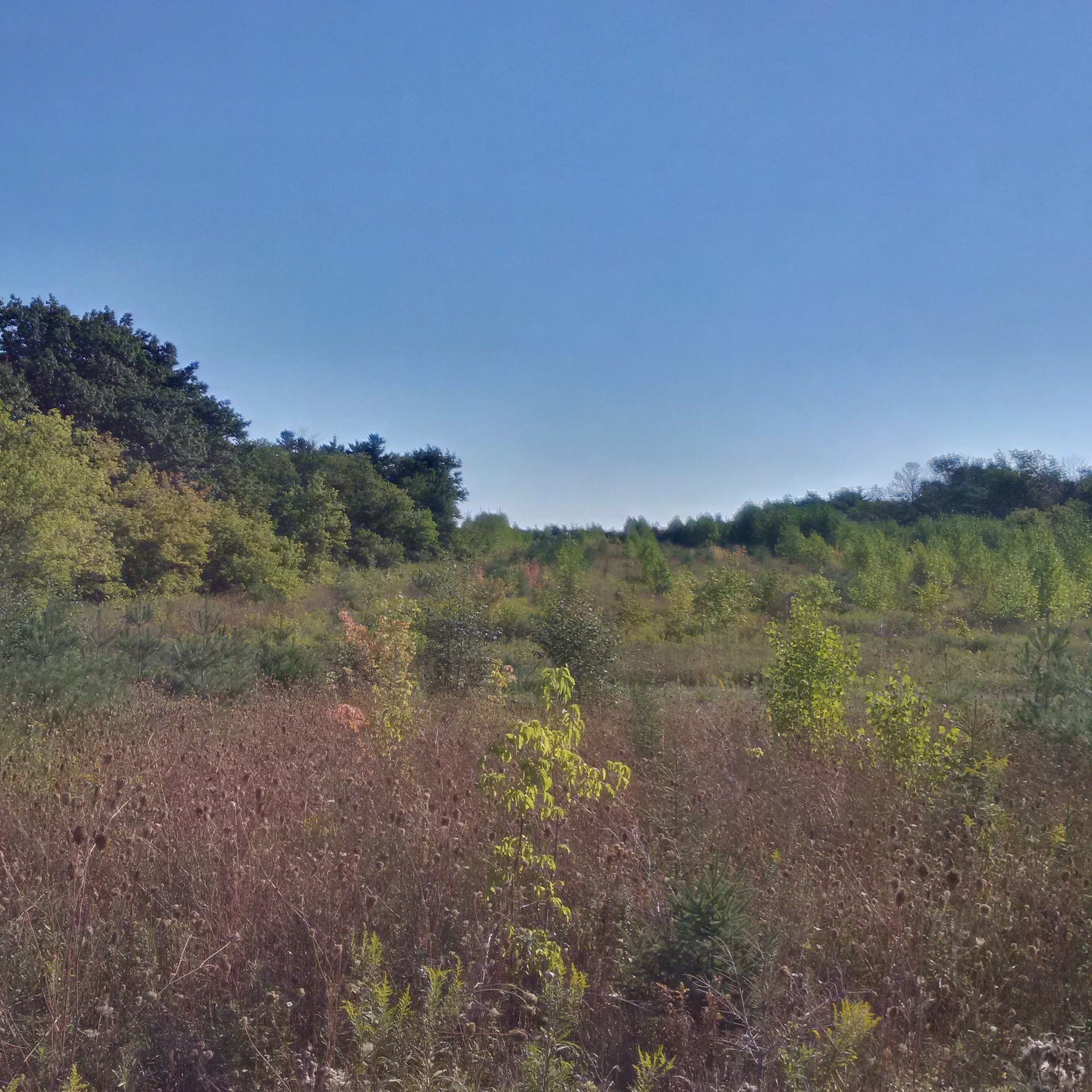
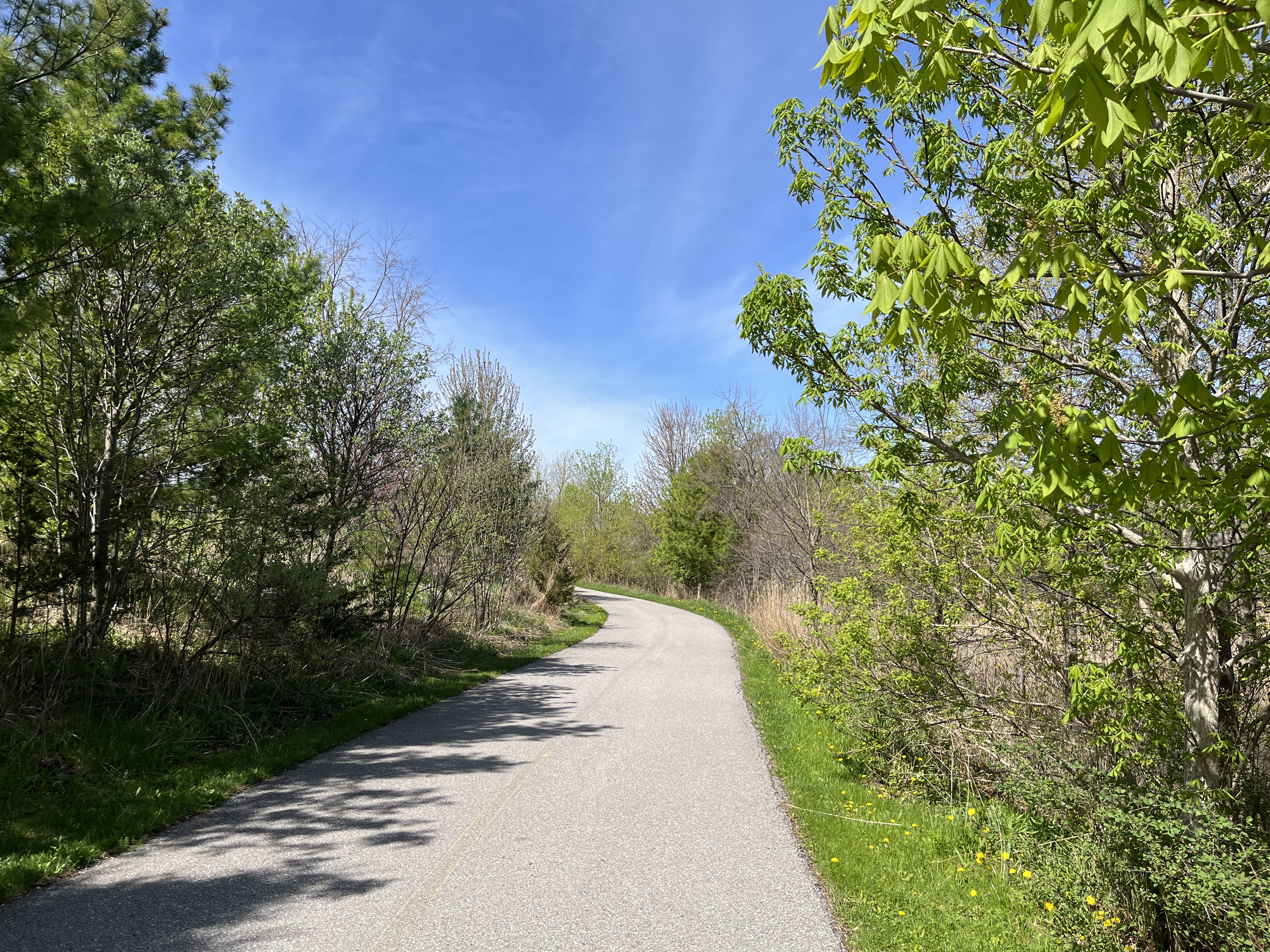
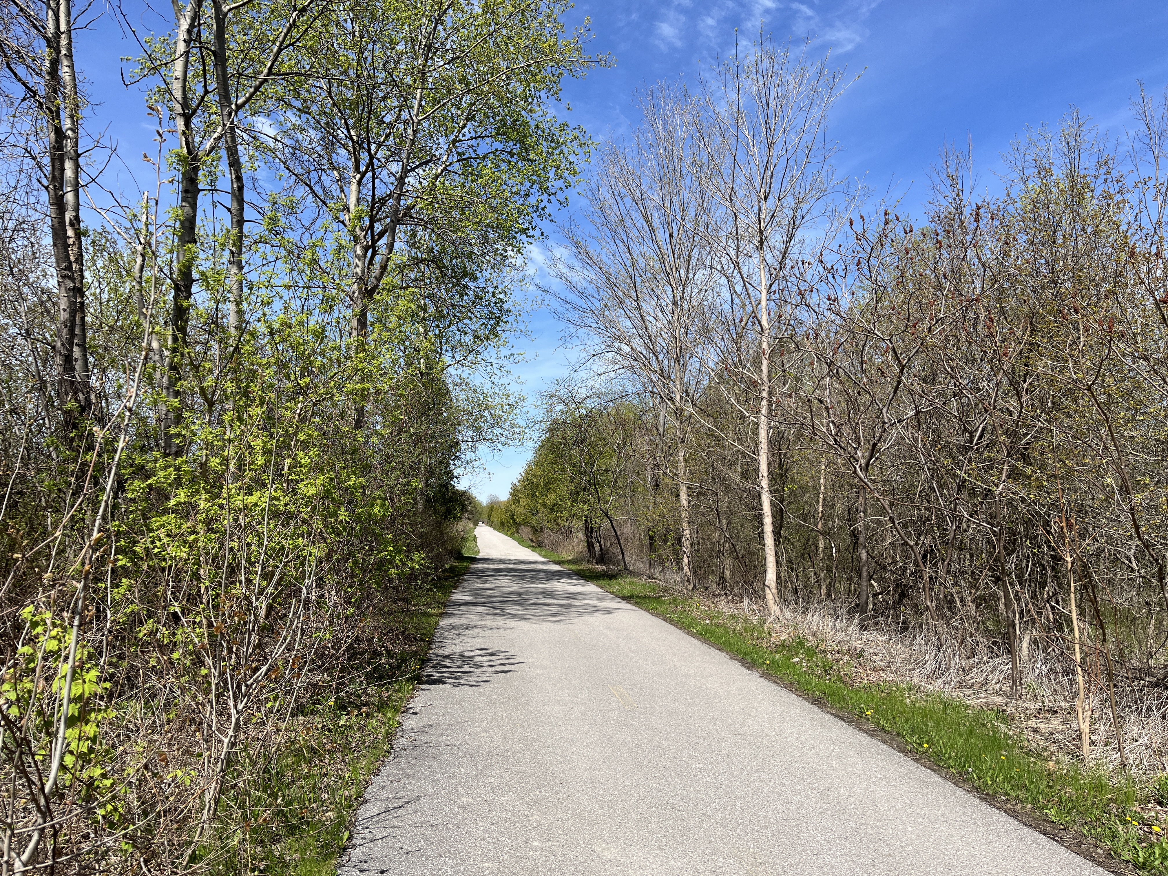
The trail has been paved and, as an old railway, it is relatively flat. It is suitable for use by everyone and is commonly used for cycling, jogging and dog walking. I had the opportunity after visiting a client in the area to take a walk on the trail on a Monday morning.
There were several Six Spotted Green Tiger Beetles that kept flying and landing a few feet in front of me. They love to sit in the sunshine on trails or logs and wait for their prey to come along. They don’t generally bite humans unless they are handled but have a huge appetite for spiders, ants and caterpillars. These beetles have a lifespan of up to three years but when you include the time they spend as larvae they can live for almost 5 years.

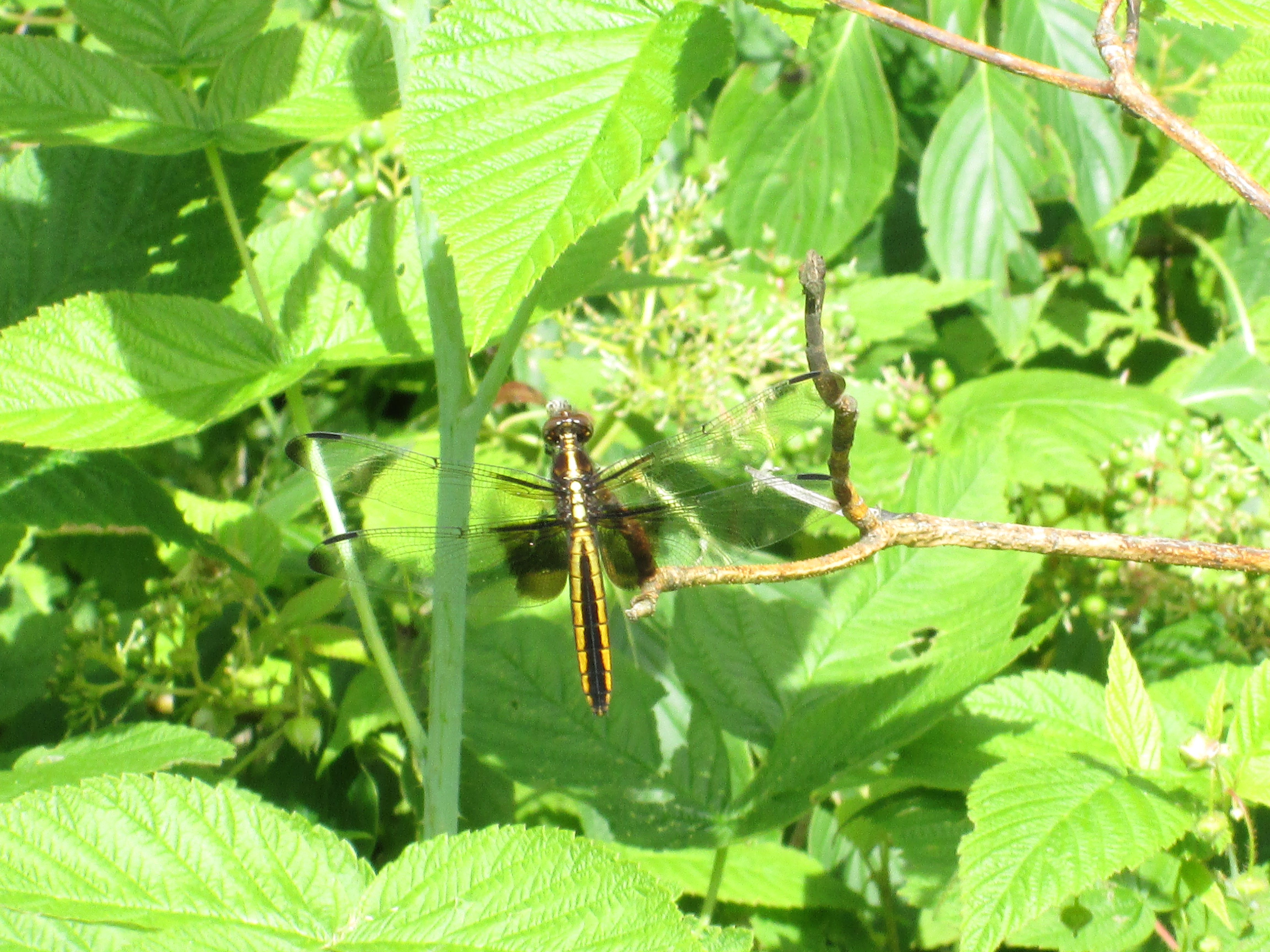
There were several species of butterflies to be seen along the walk. I saw a Mourning Cloak, Clouded Sulfur, Cabbage White, Eastern Tailed Blue and several Red Admirals. The Red Admiral, pictured below, is a relatively calm butterfly that is easy to photograph because they will allow you to get pretty close before they fly away.

Animals can generally be split into two groups. Endothermic and Ectothermic. Endothermic animals are the ones we call “warm blooded” and are capable of generating internal body heat. Ectothermic animals are “cold blooded” and must rely on external sources of heat such as basking in the sunshine. Reptiles are ectothermic and can be found sitting in sunny places absorbing the heat. I saw two different species of snakes enjoying the sunny morning but wasn’t fast enough with the camera to get a picture of the Dekays Brown Snake. The Garter Snake got off the pathway pretty quickly but stayed in the grass along the side long enough to pose for a picture.

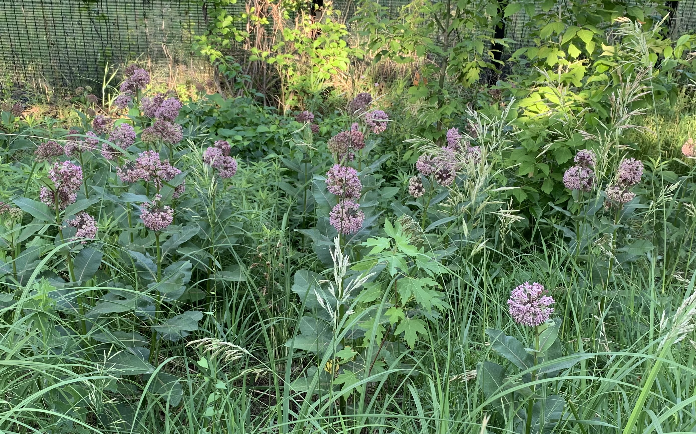
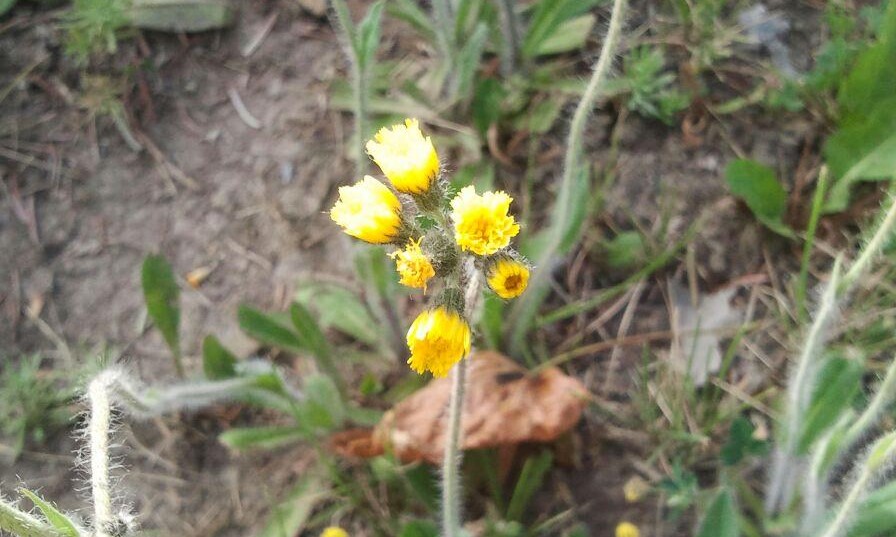
There was a small patch of Trilliums growing in the woods just beside the berm for the former rail bridge. These plants are often considered to have three leaves and a three petal flower. However, the green parts are actually bracts and are part of the flower.

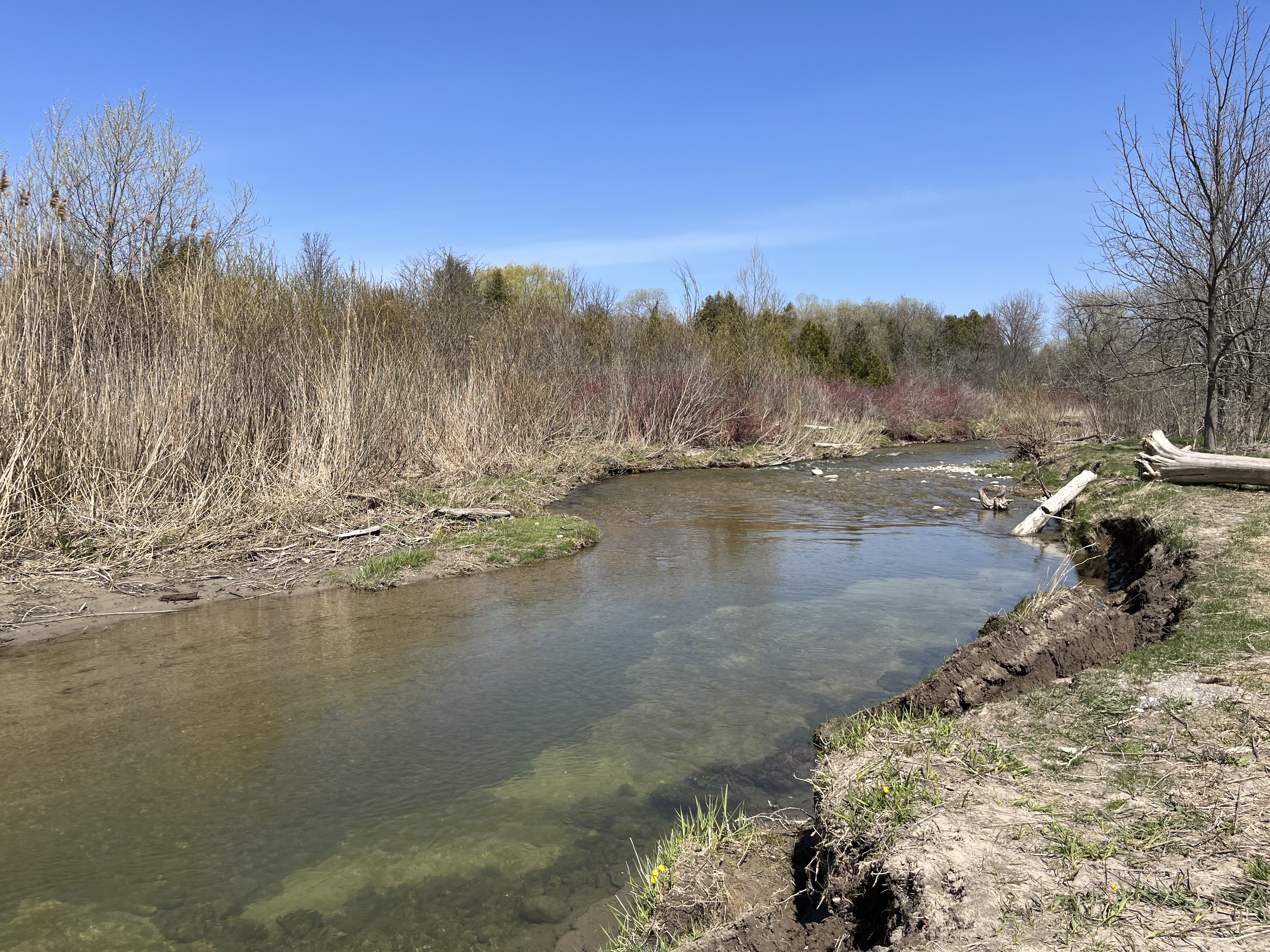
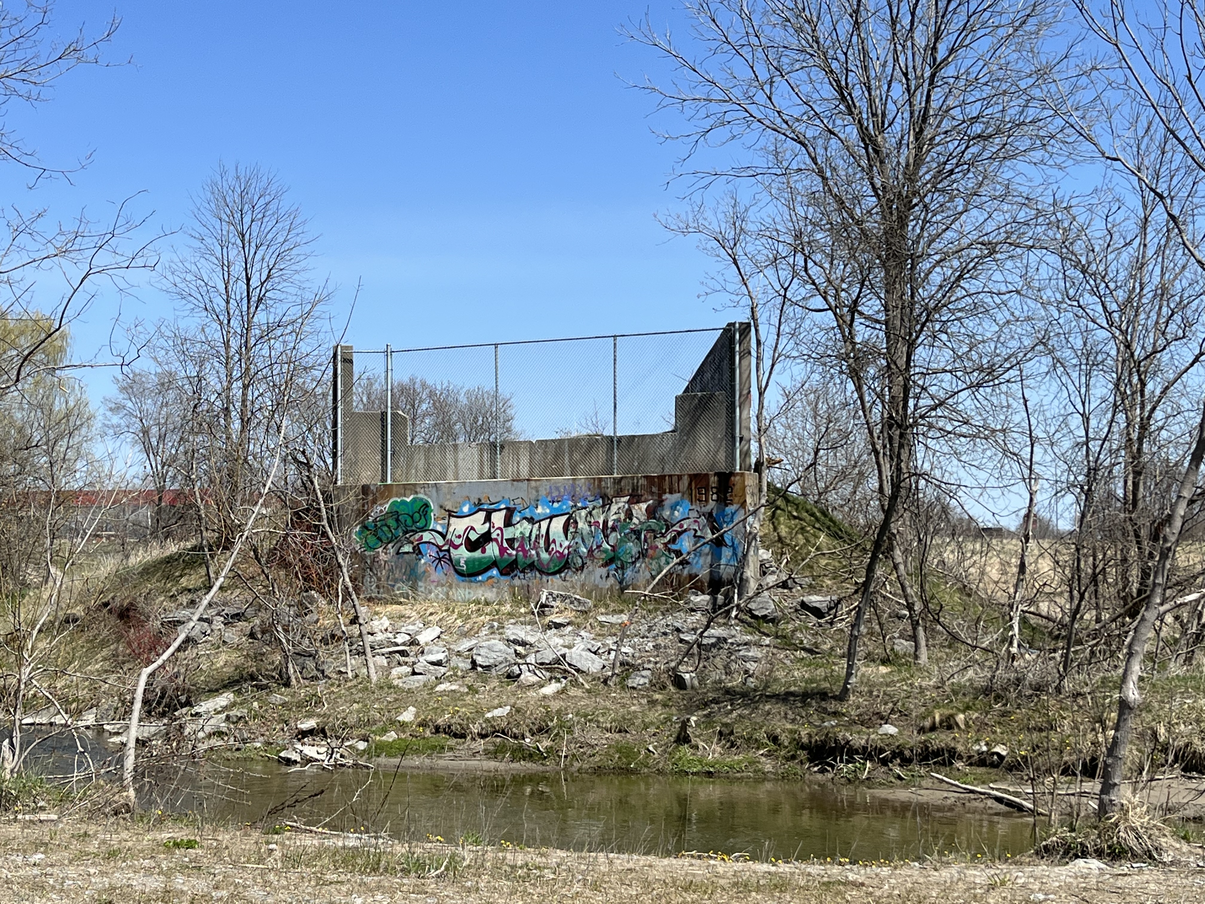
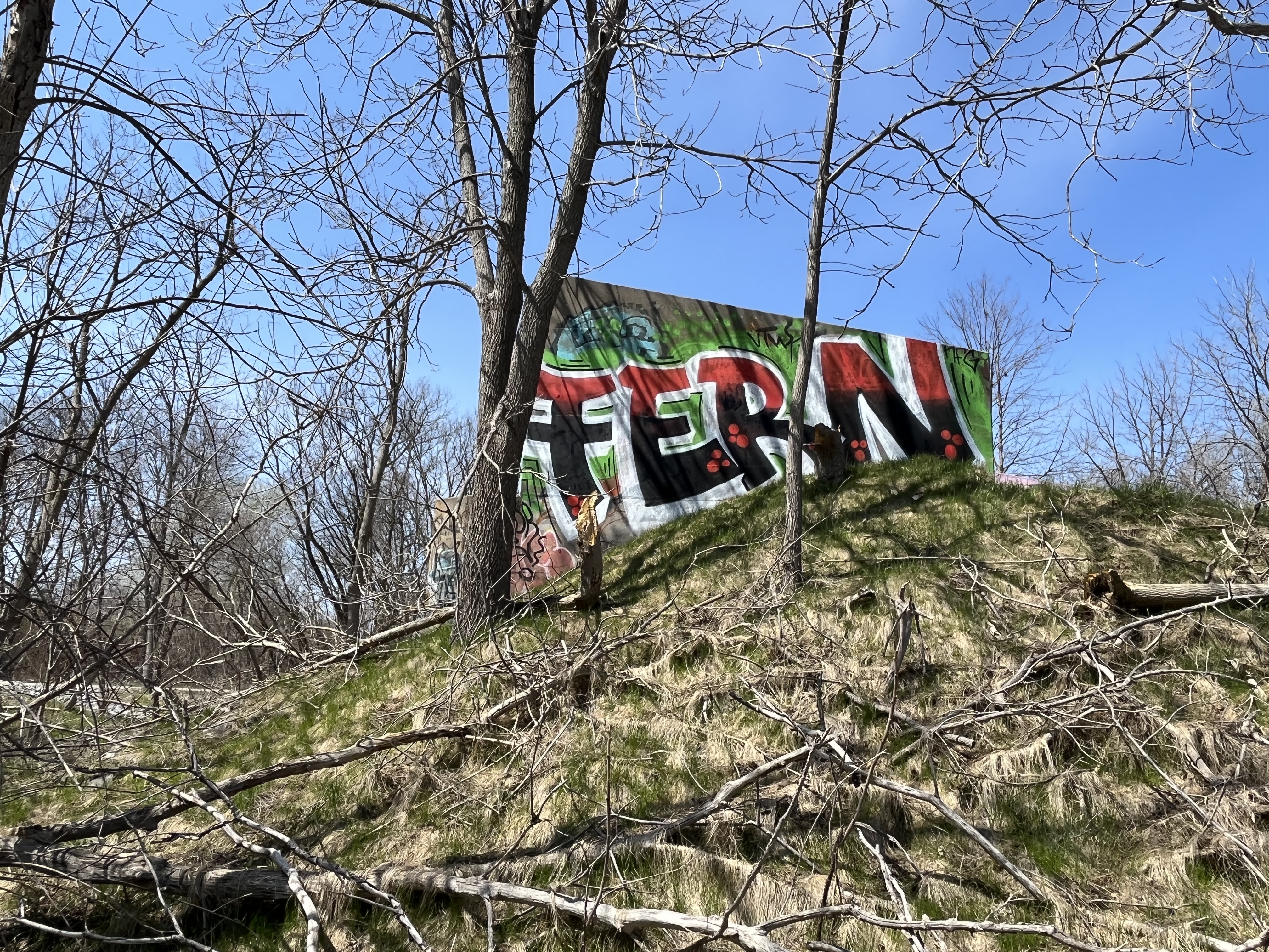
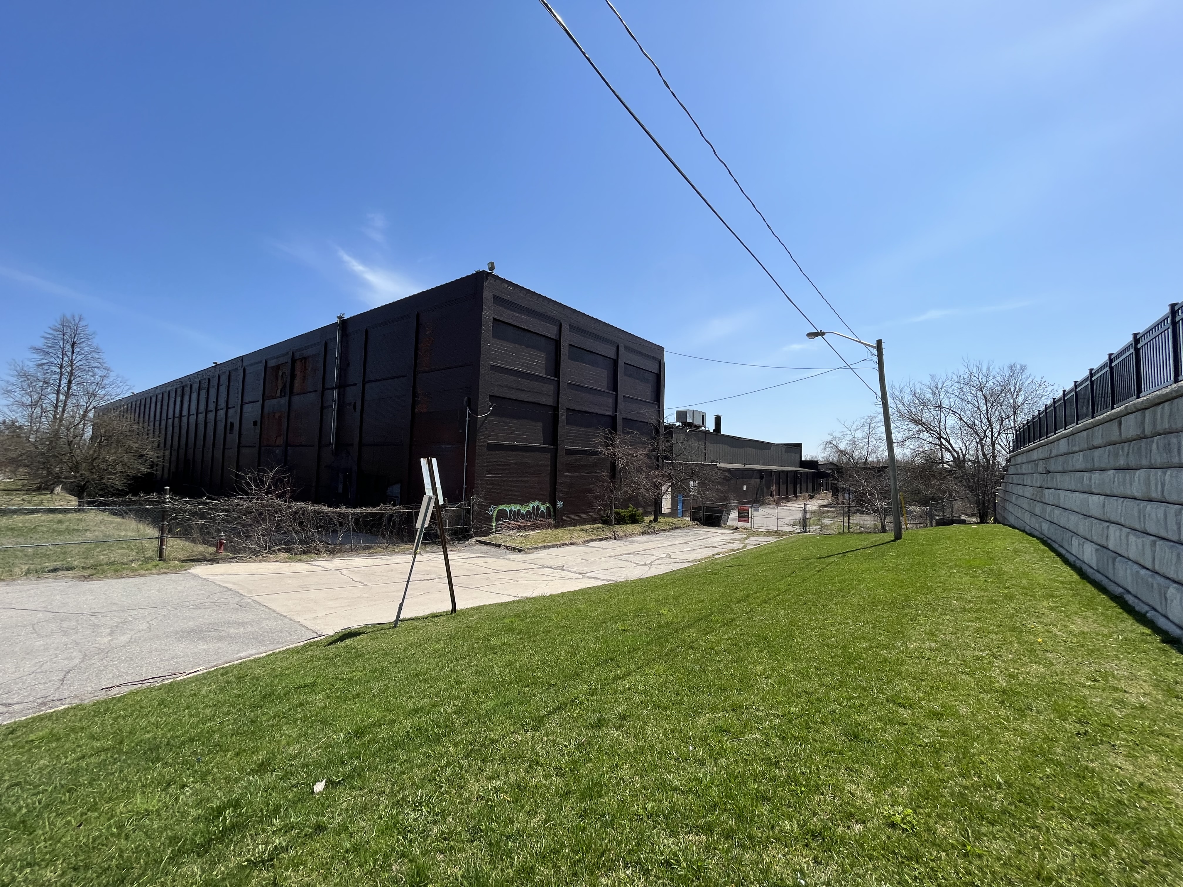
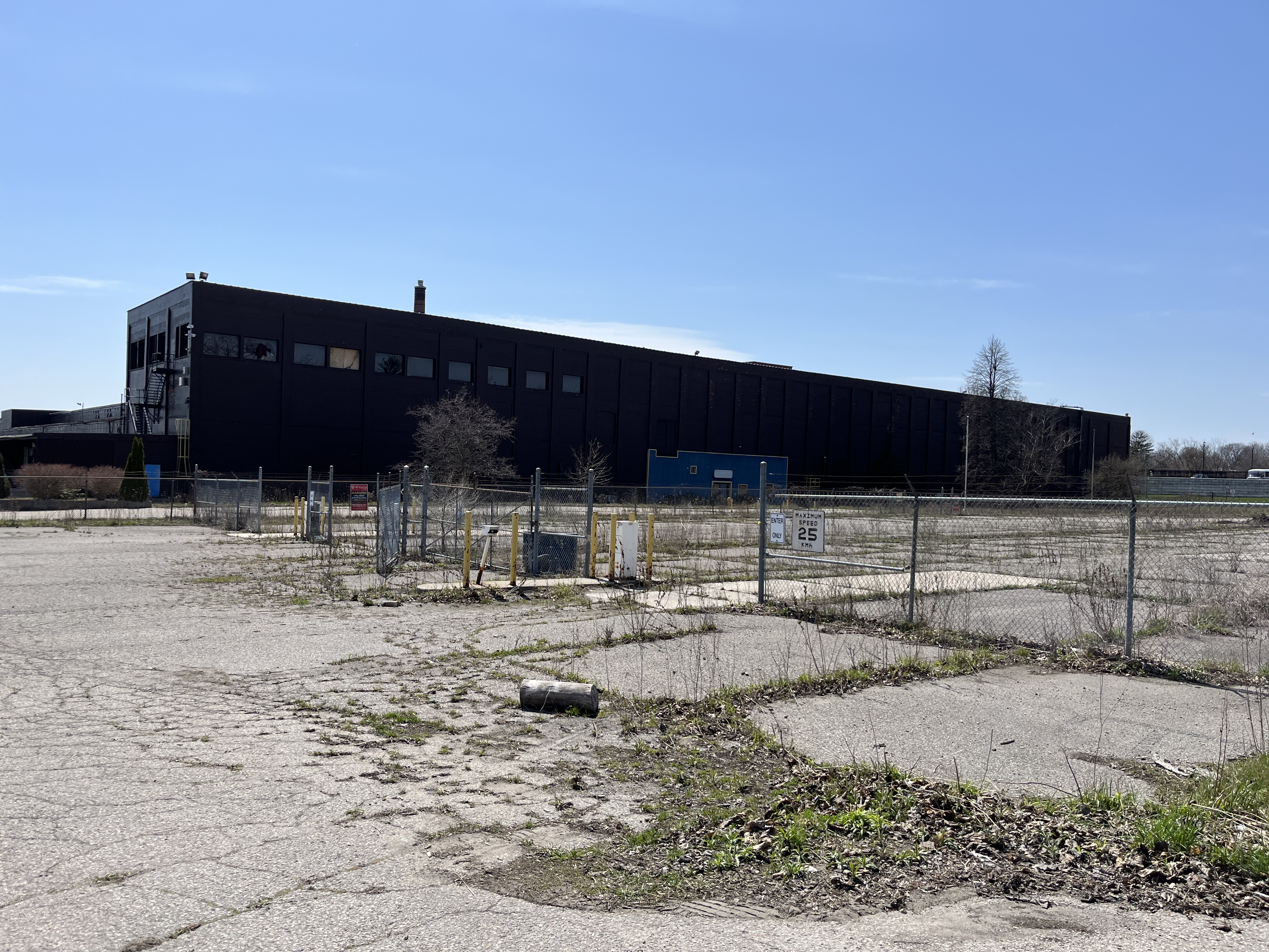
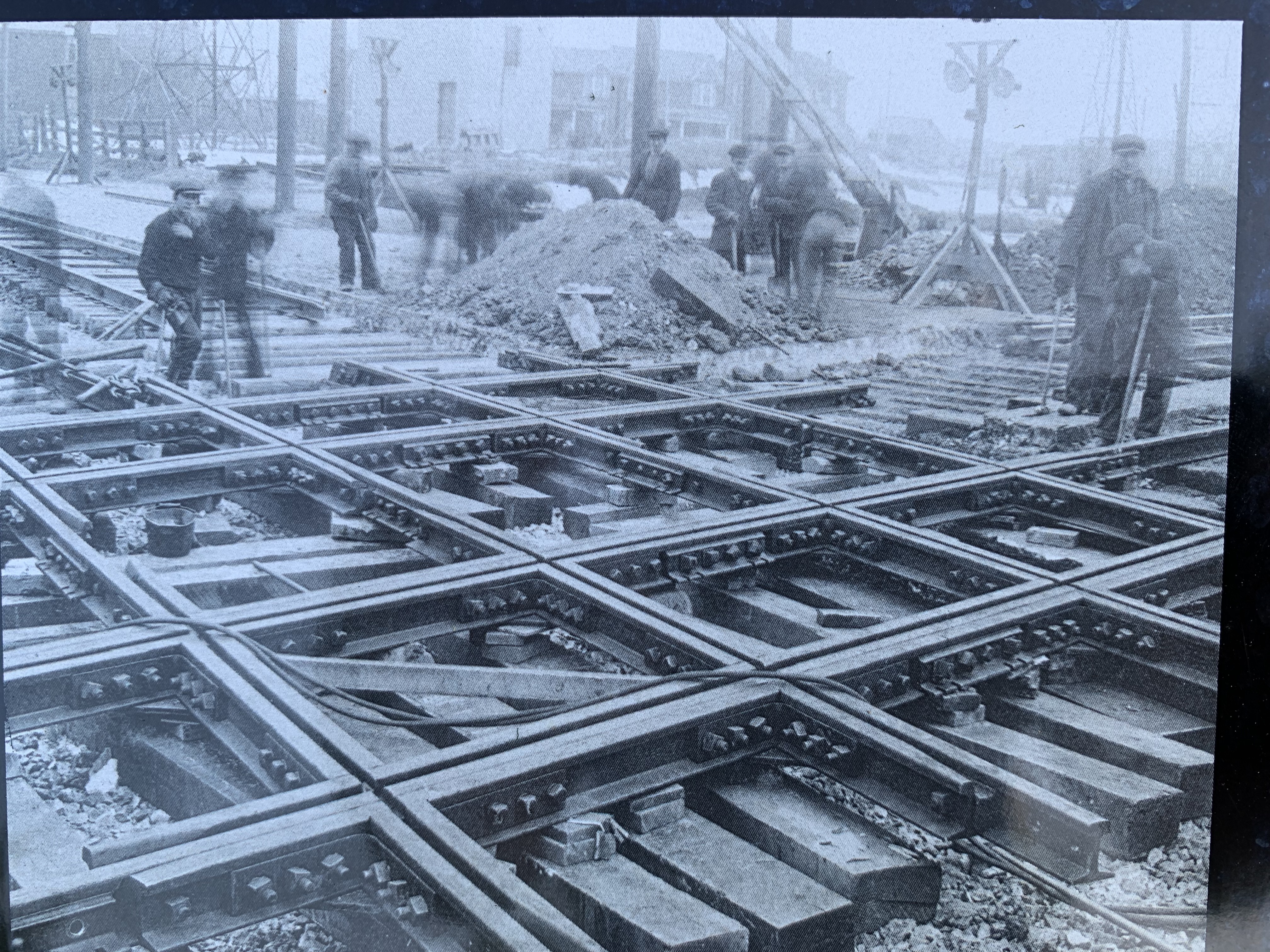
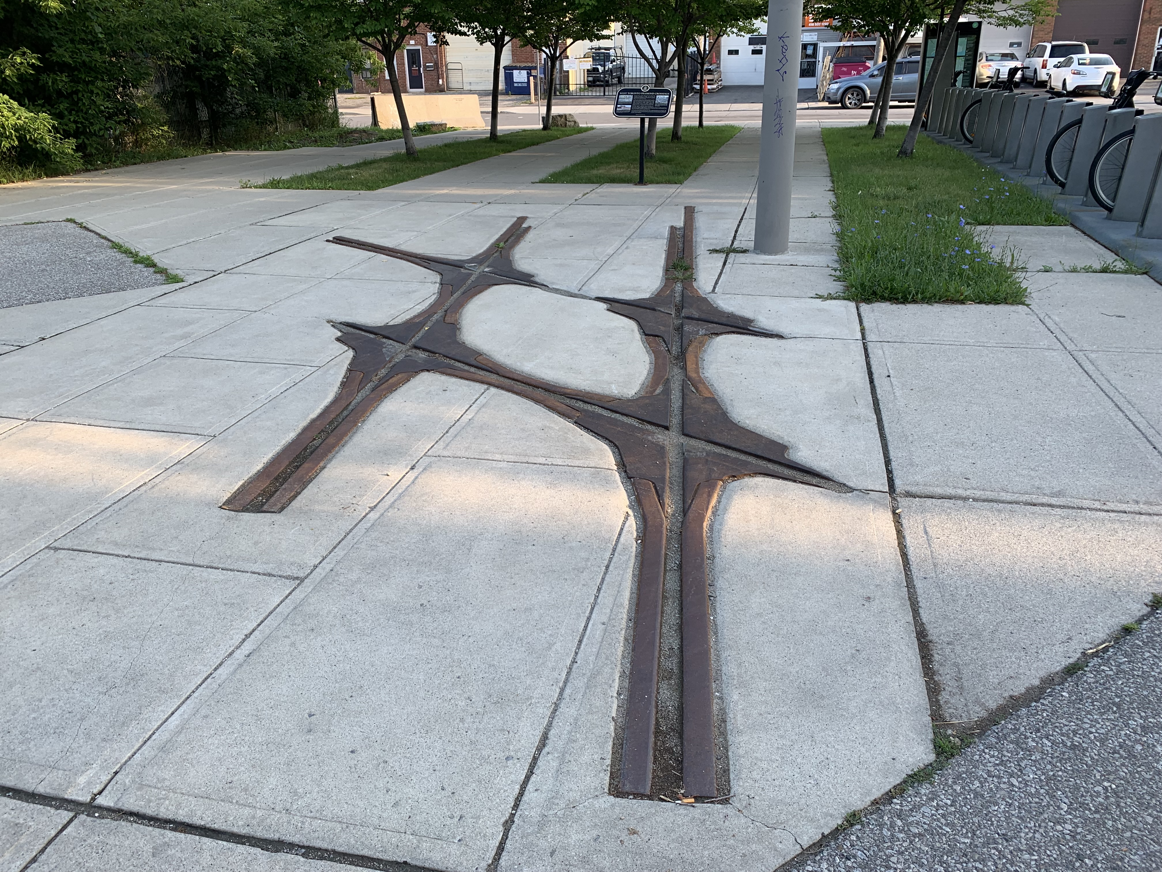
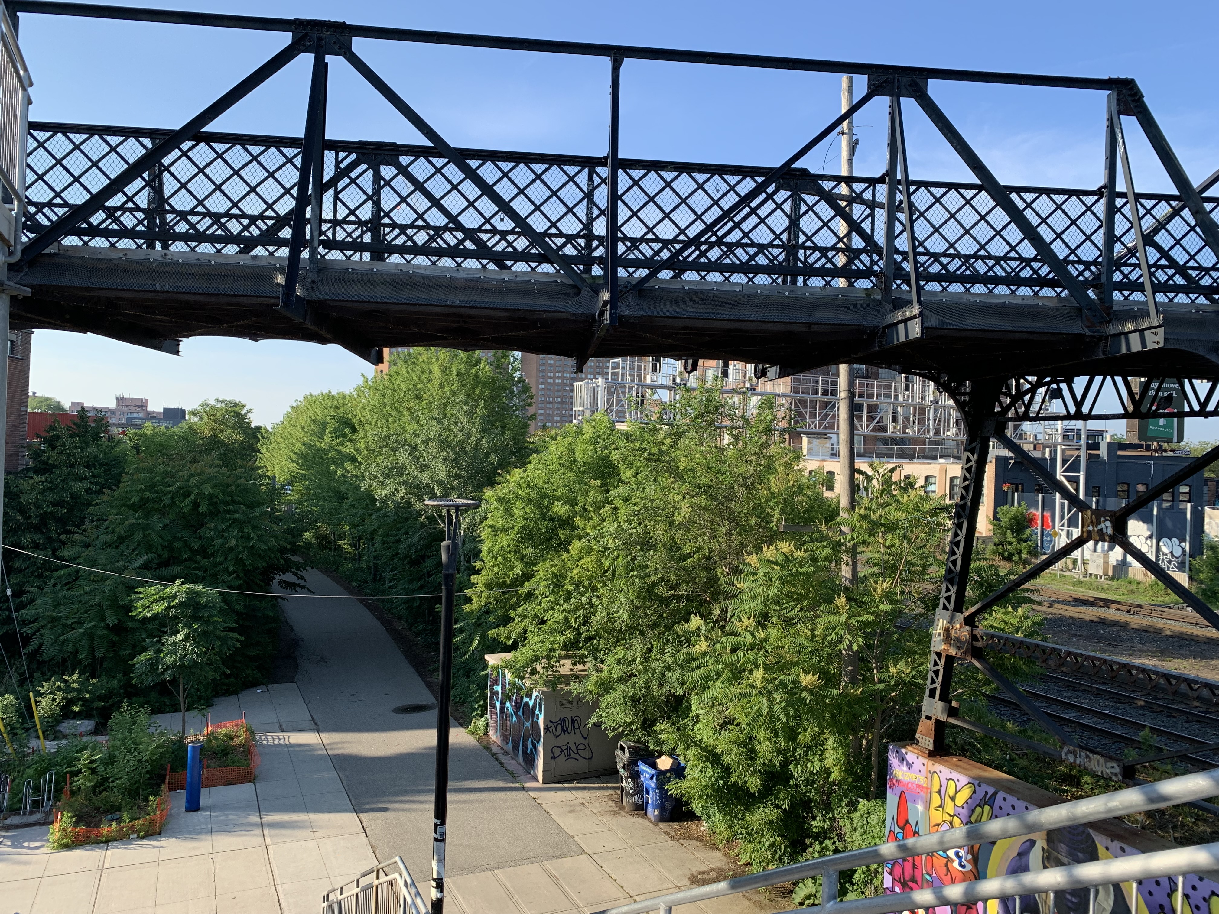
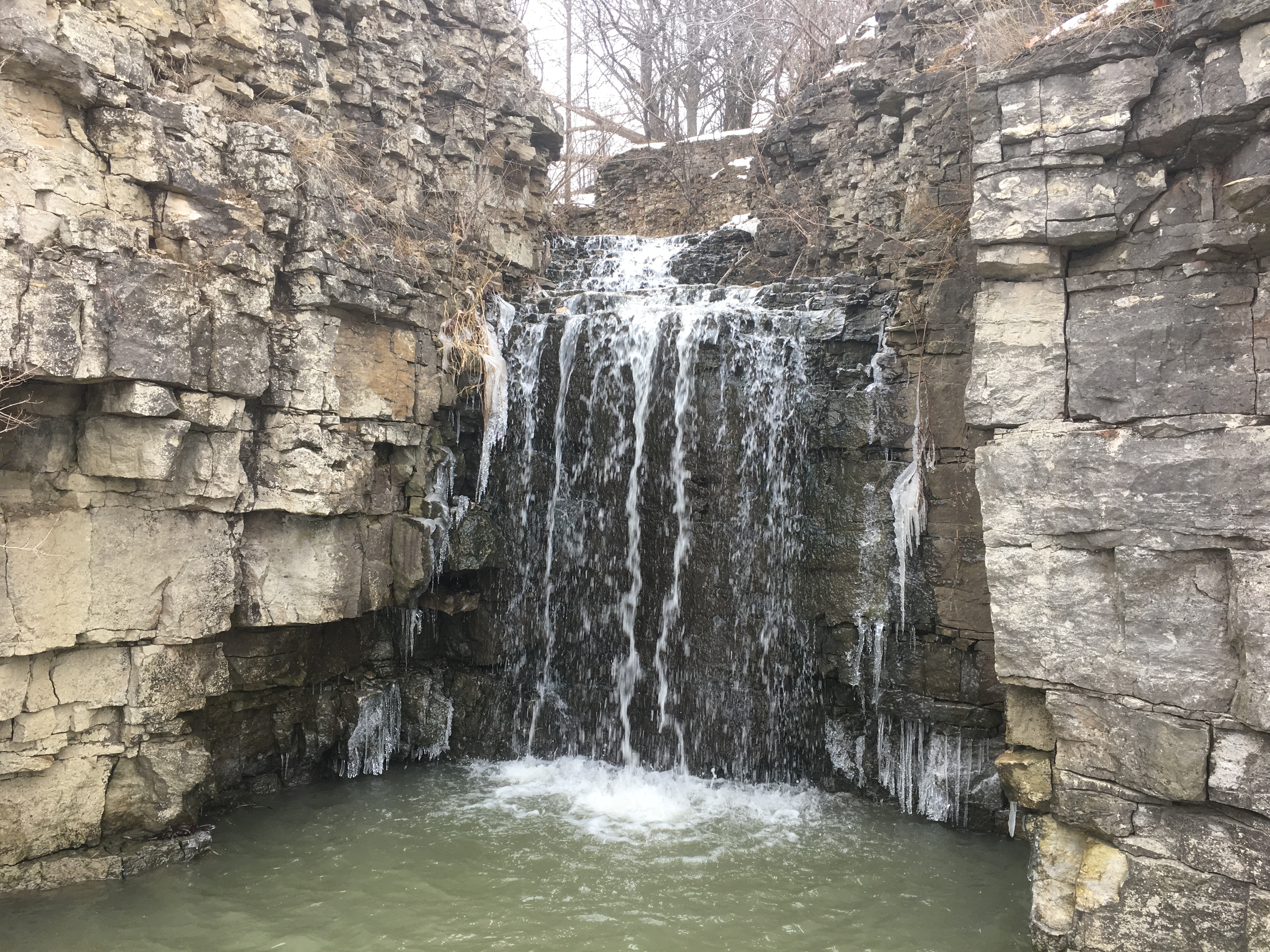
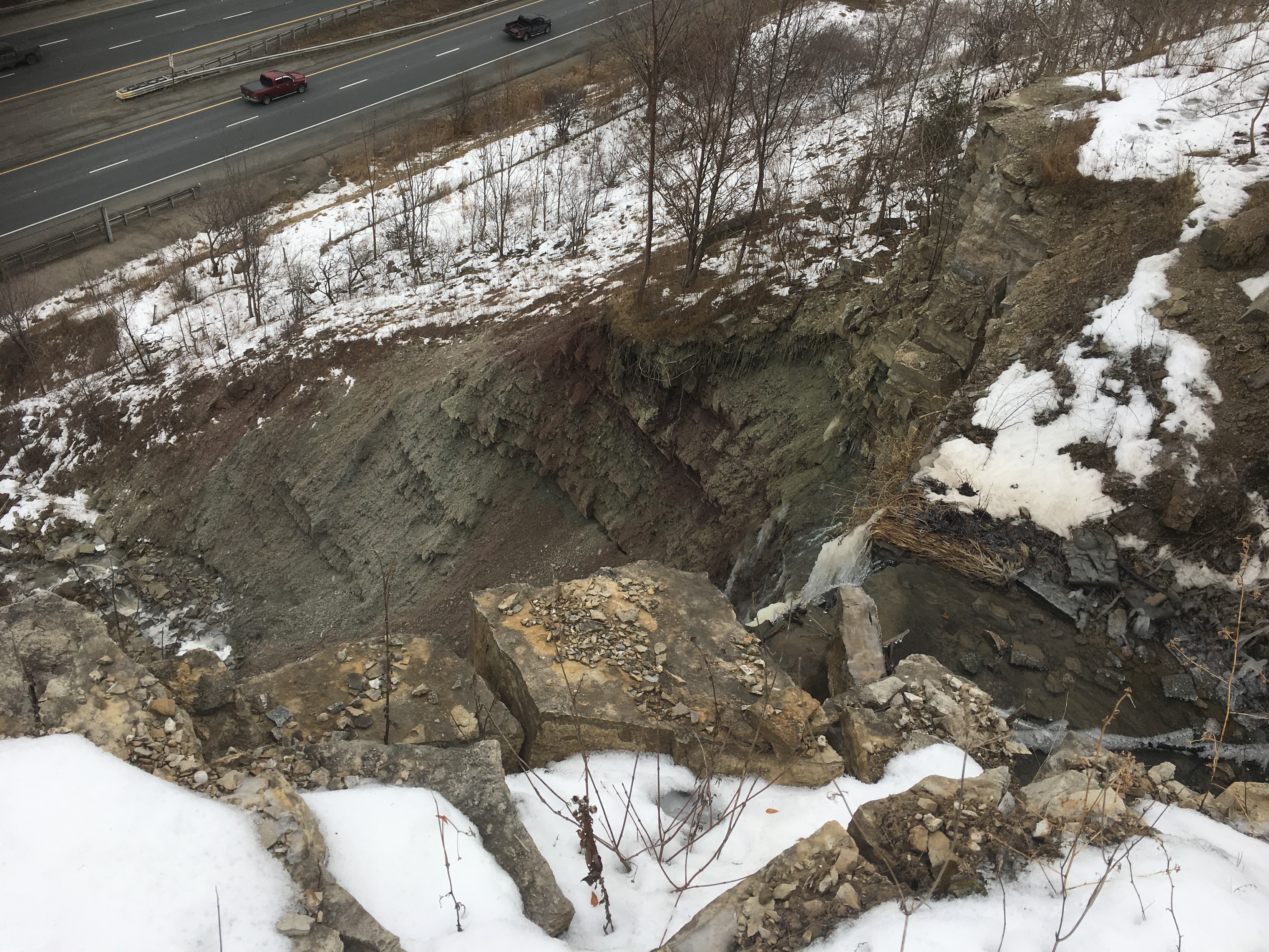
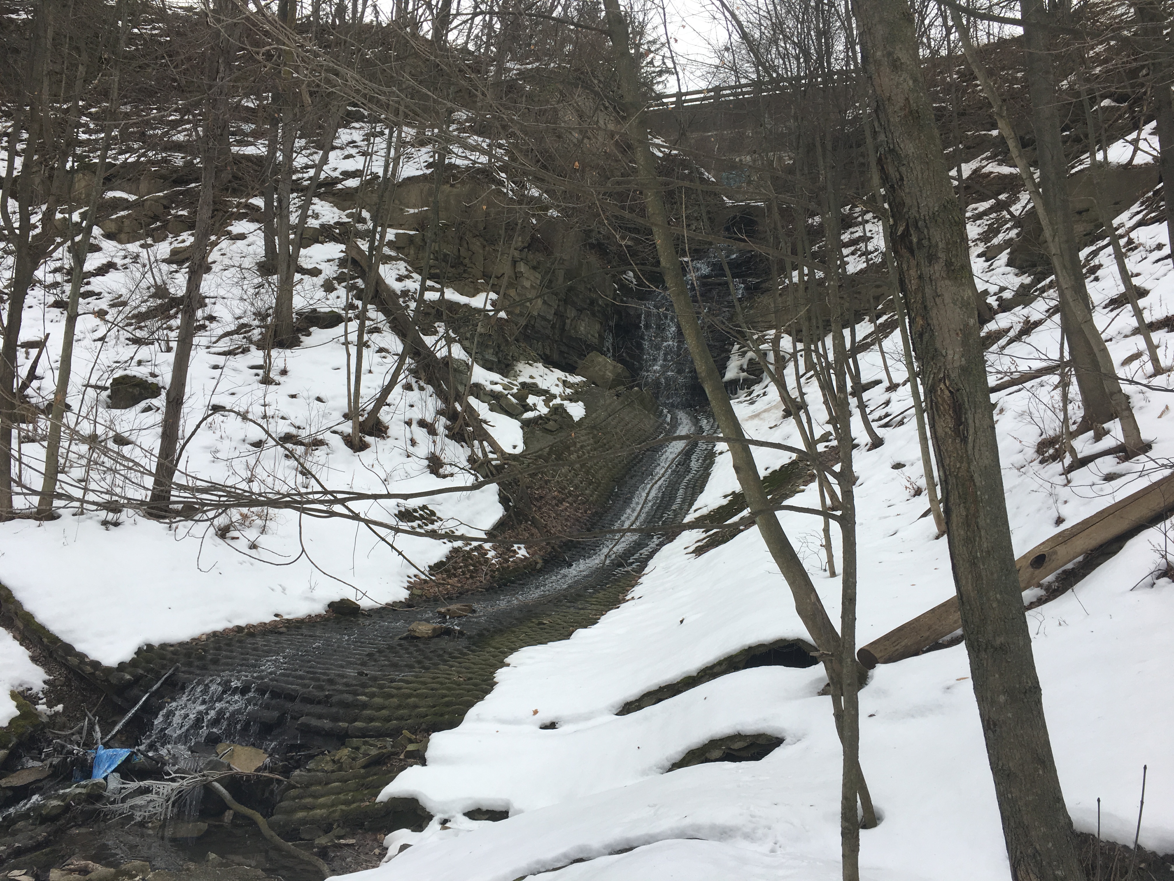
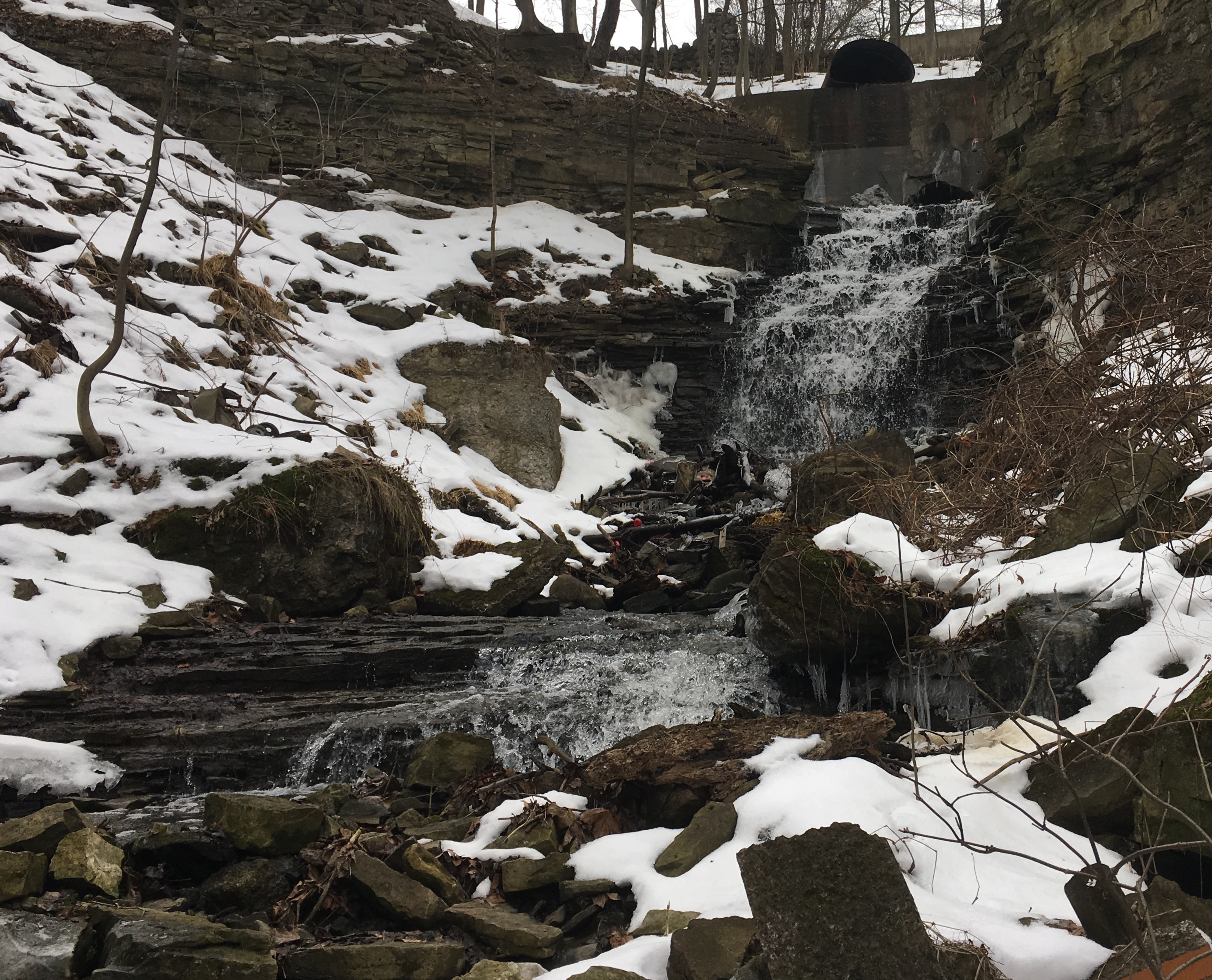
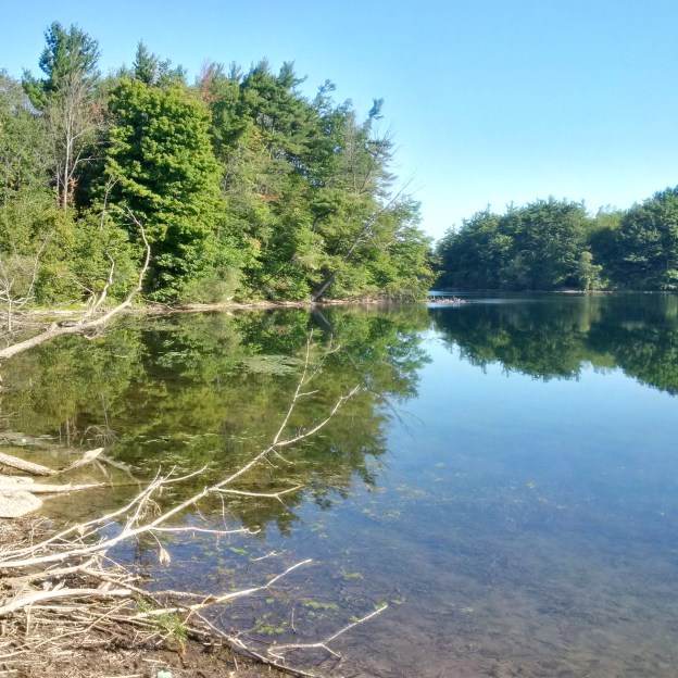
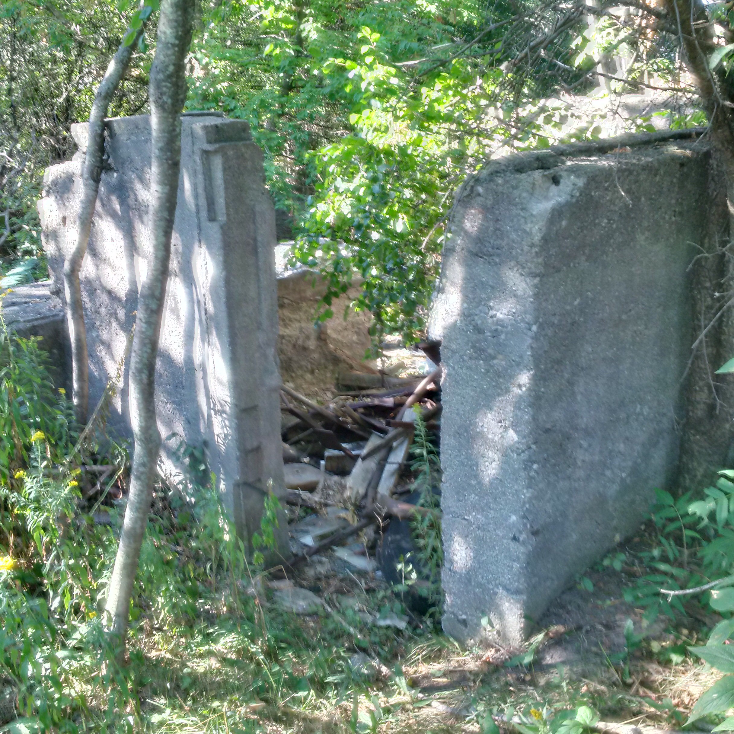
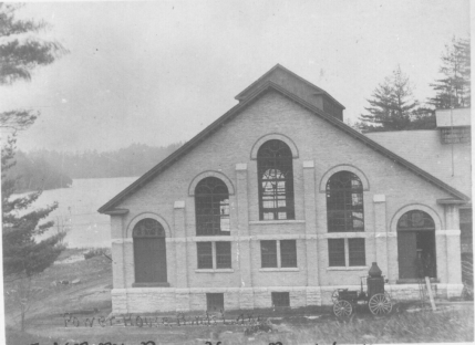
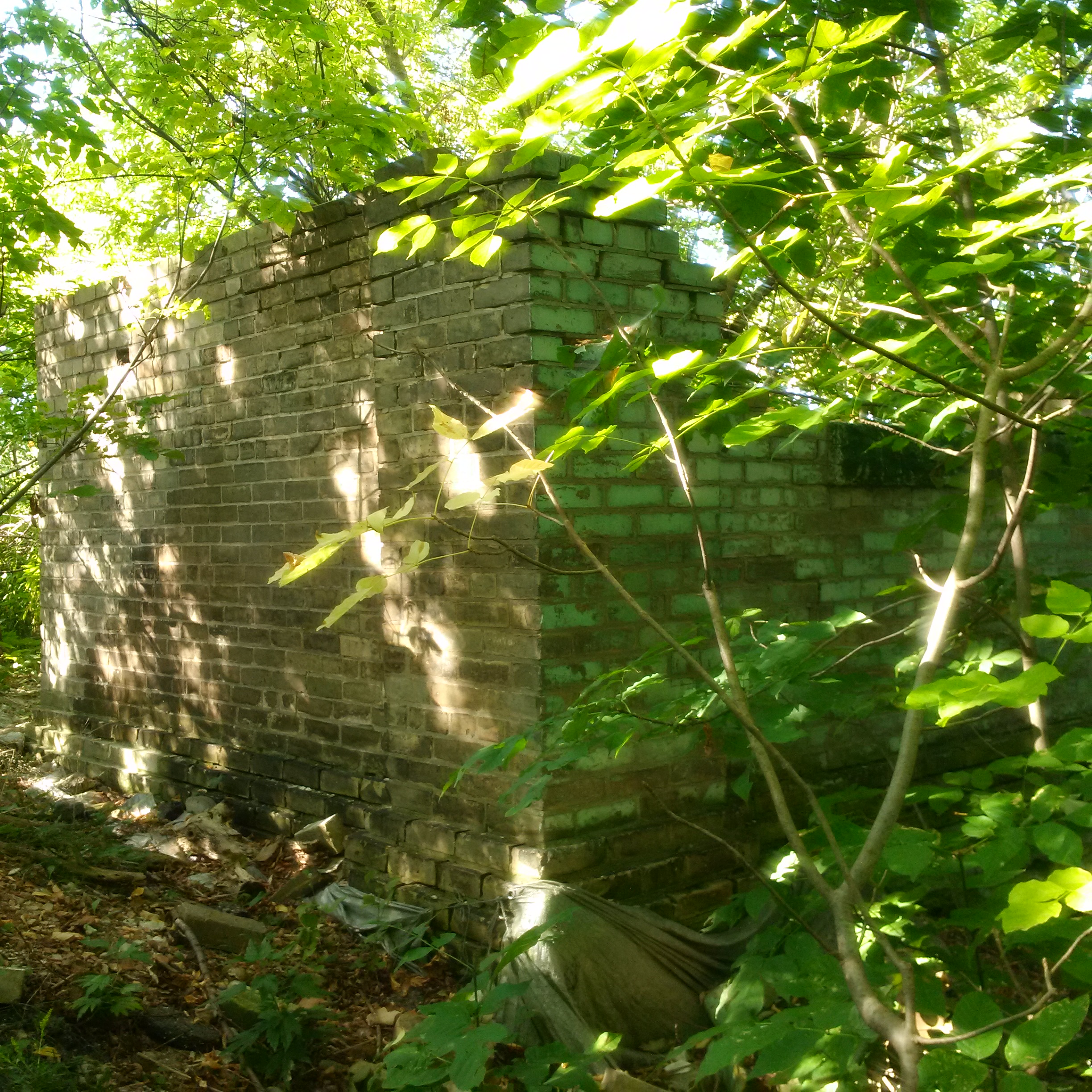
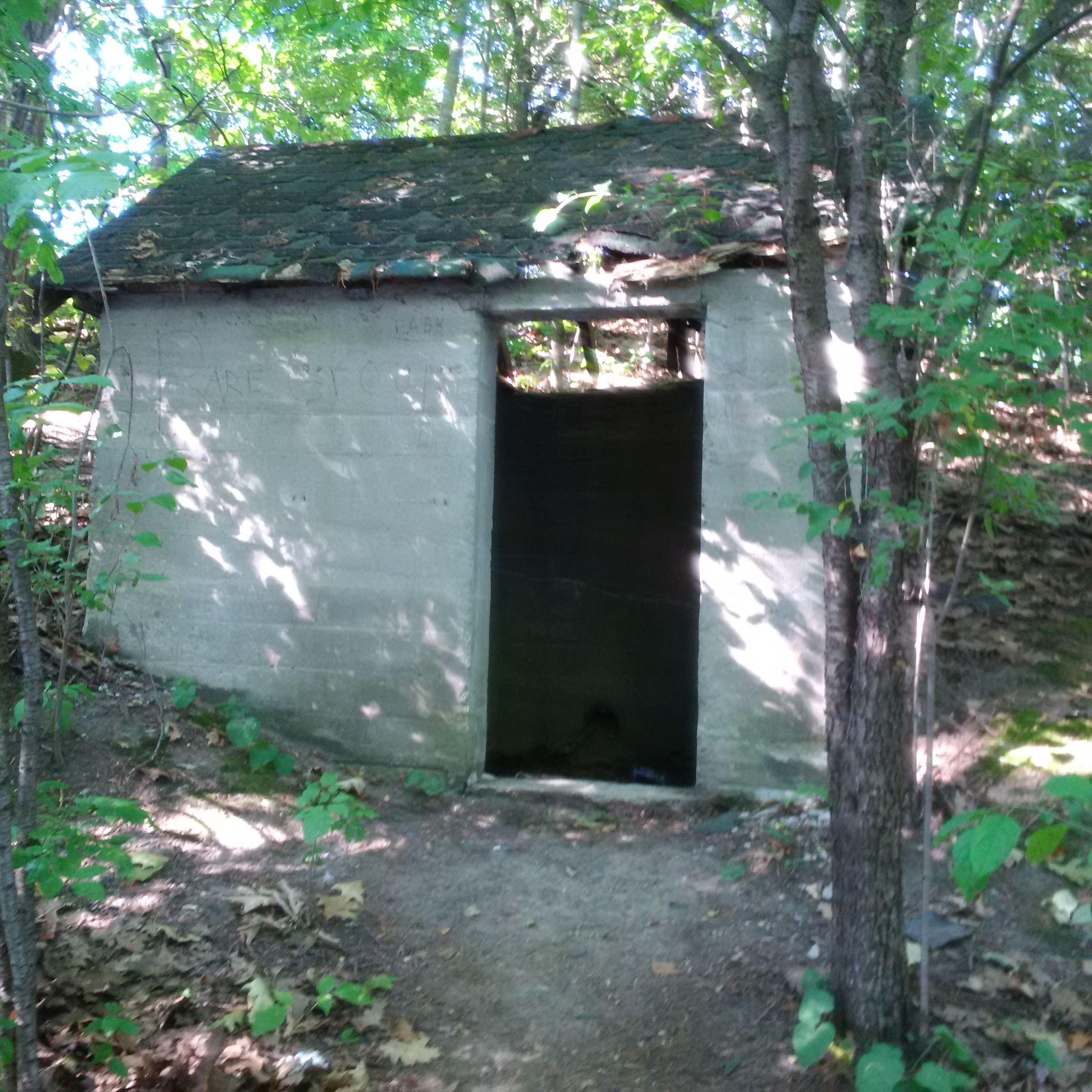
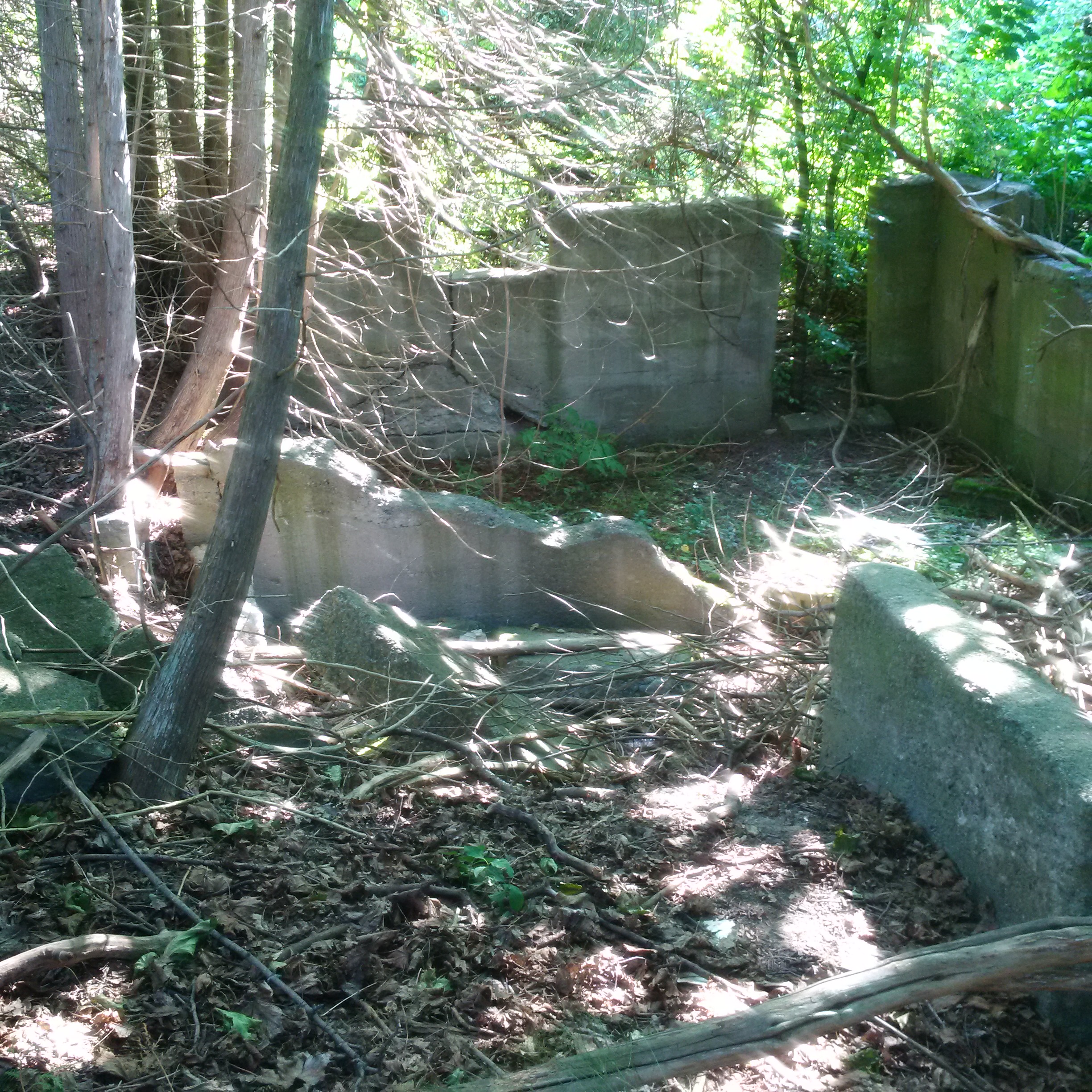
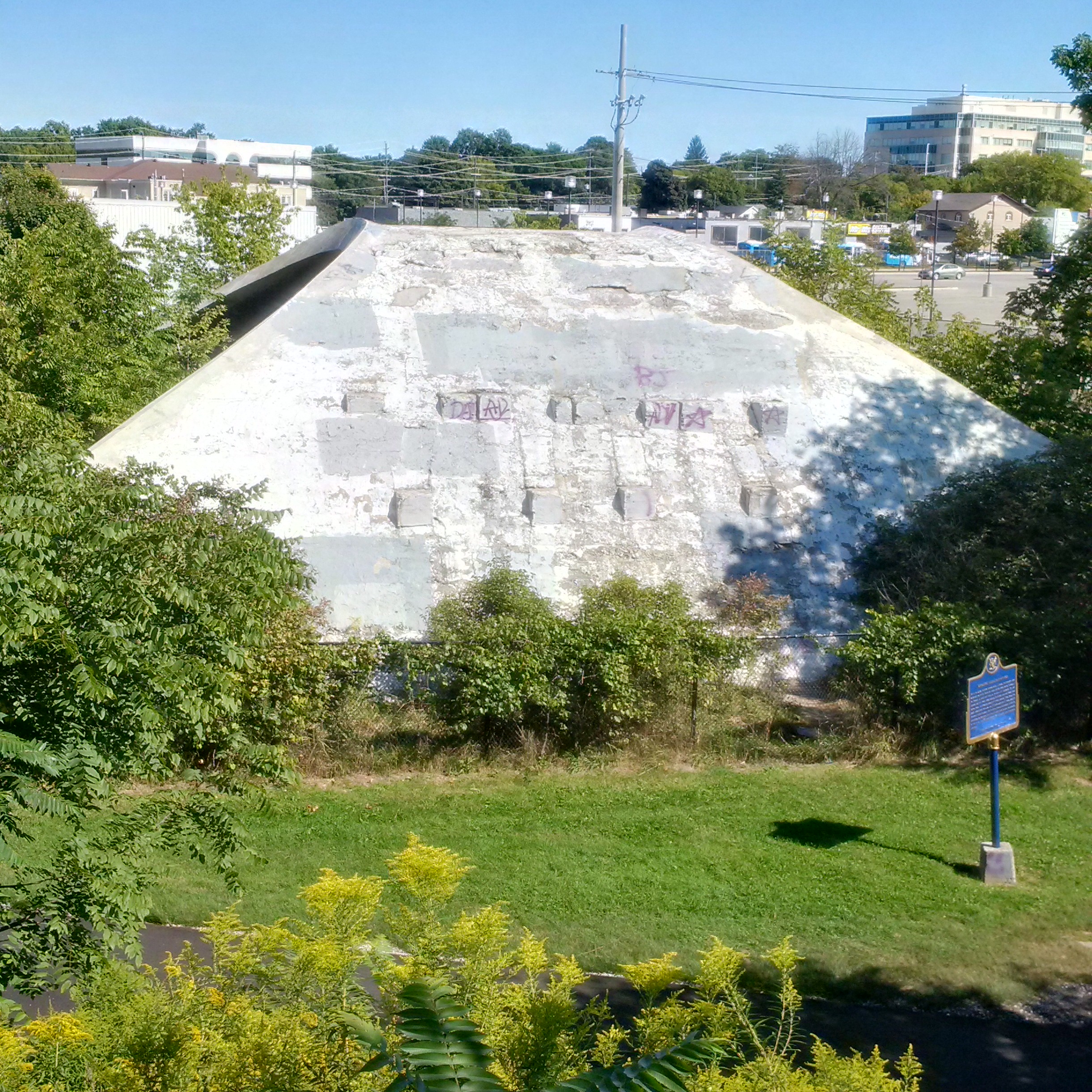
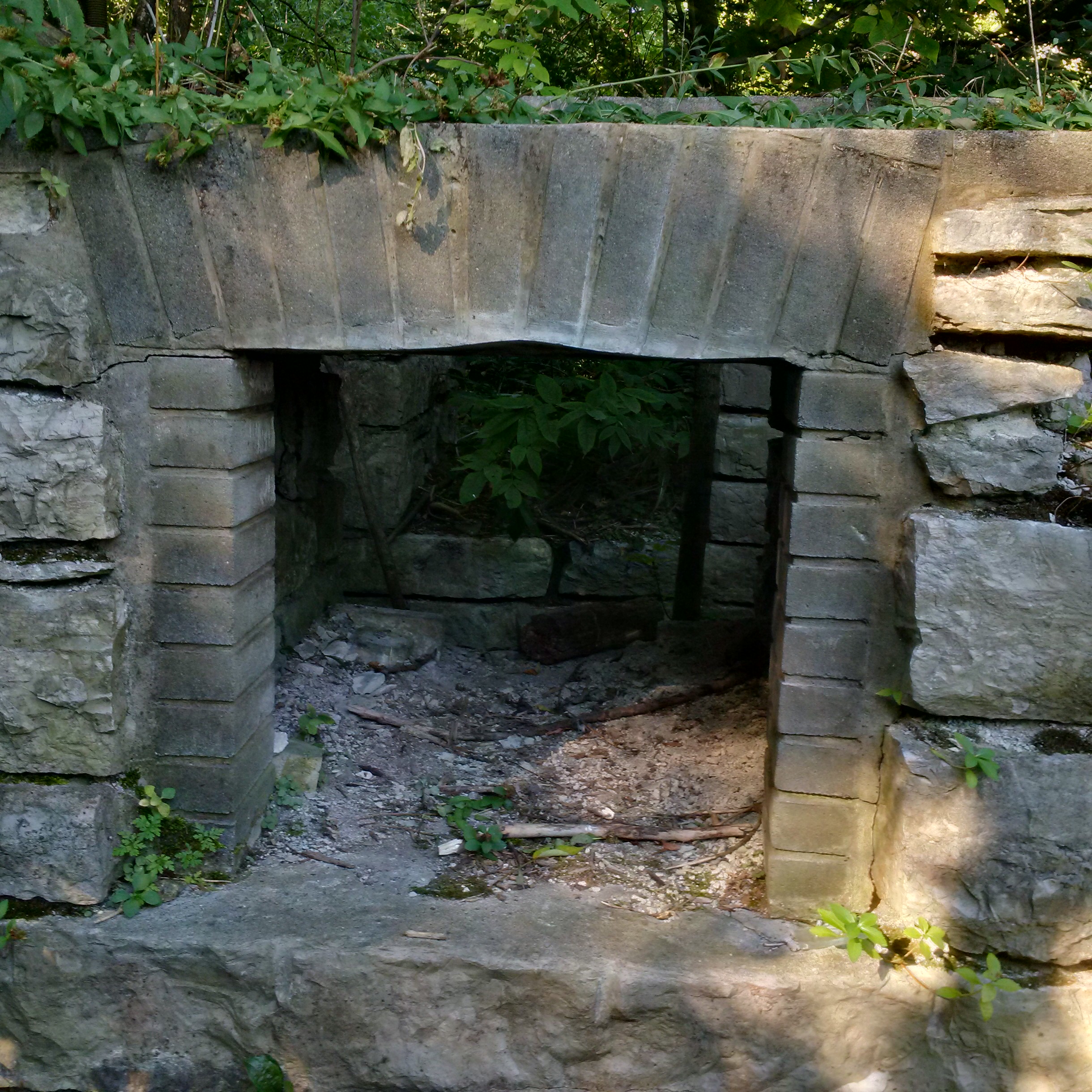
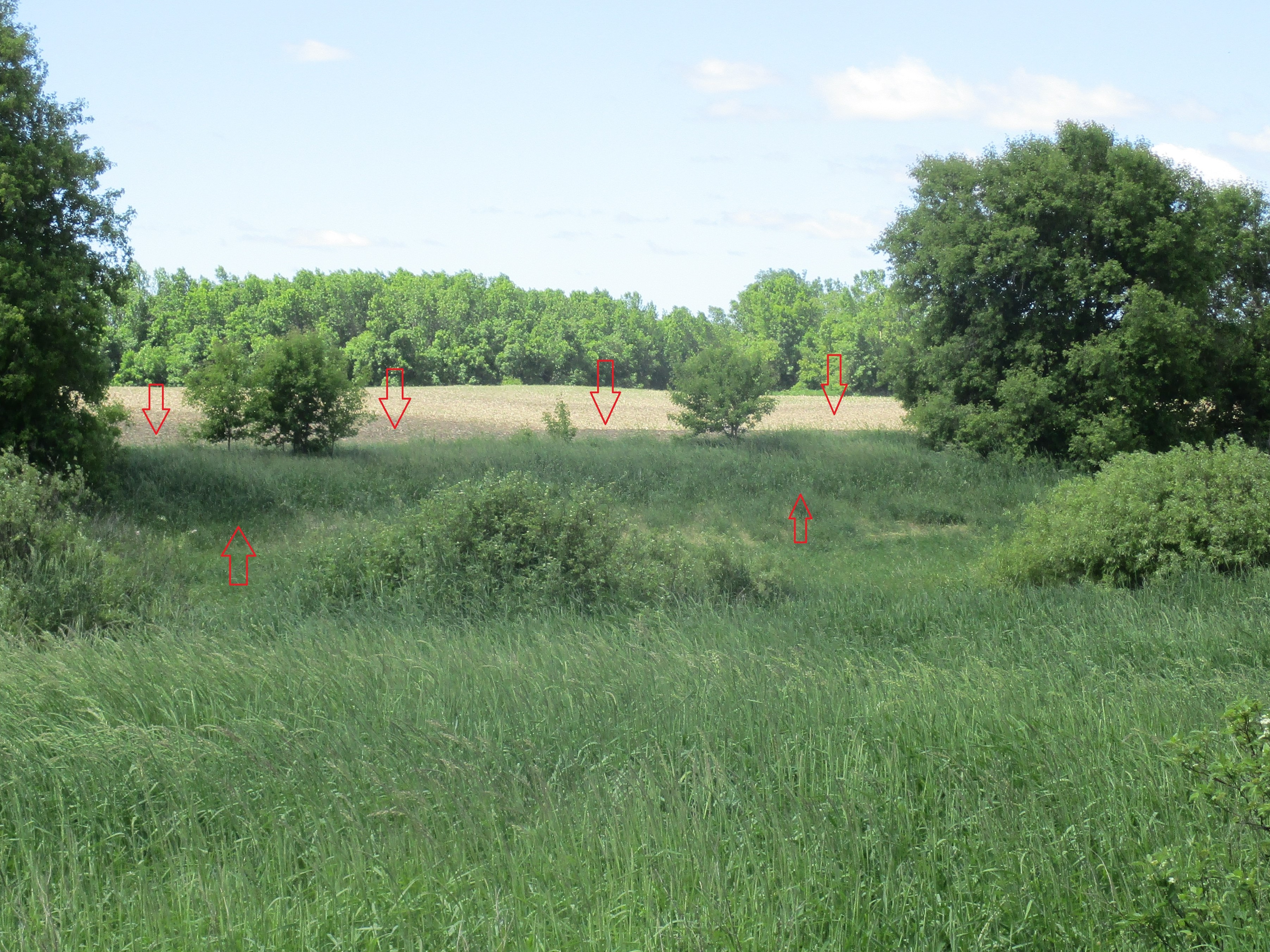
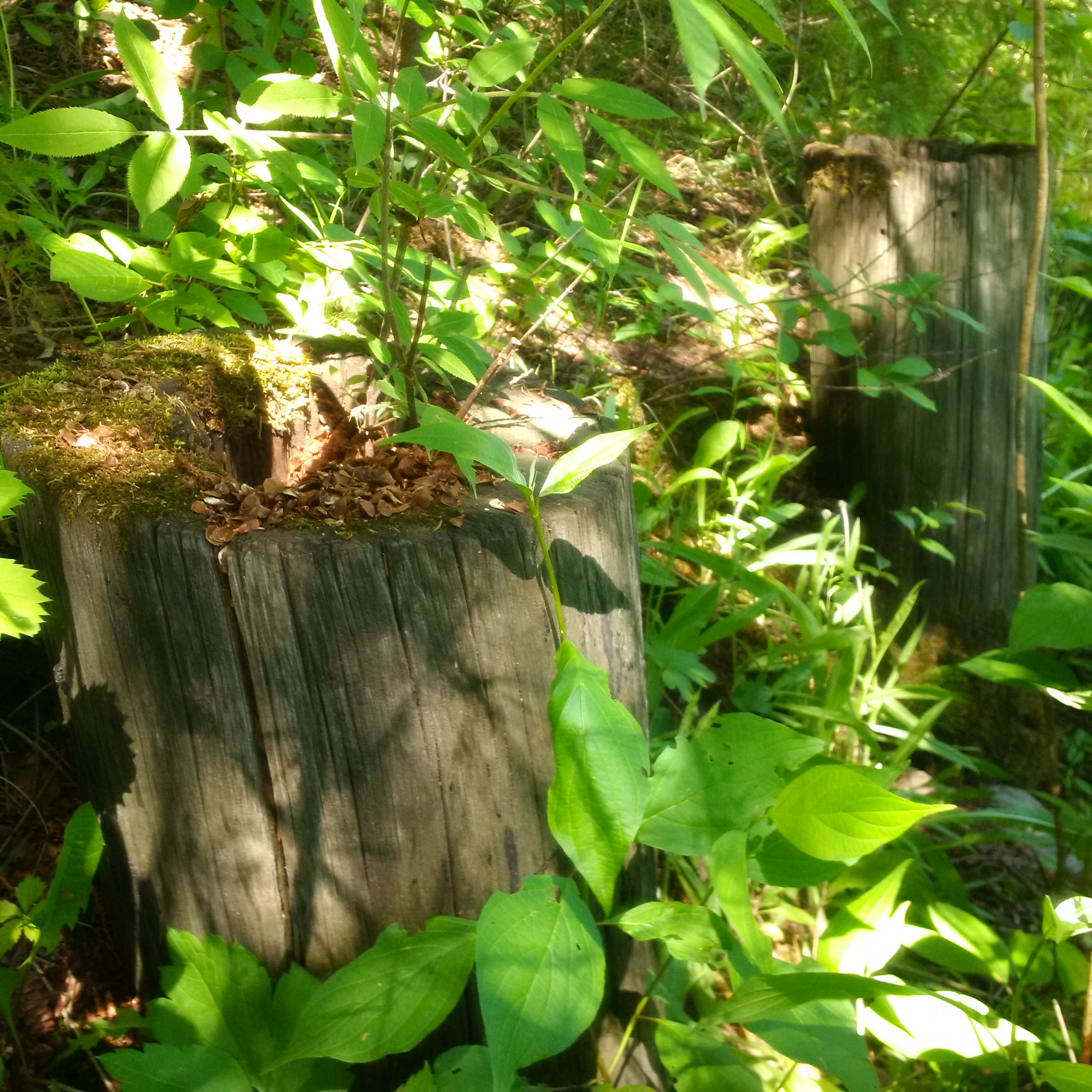
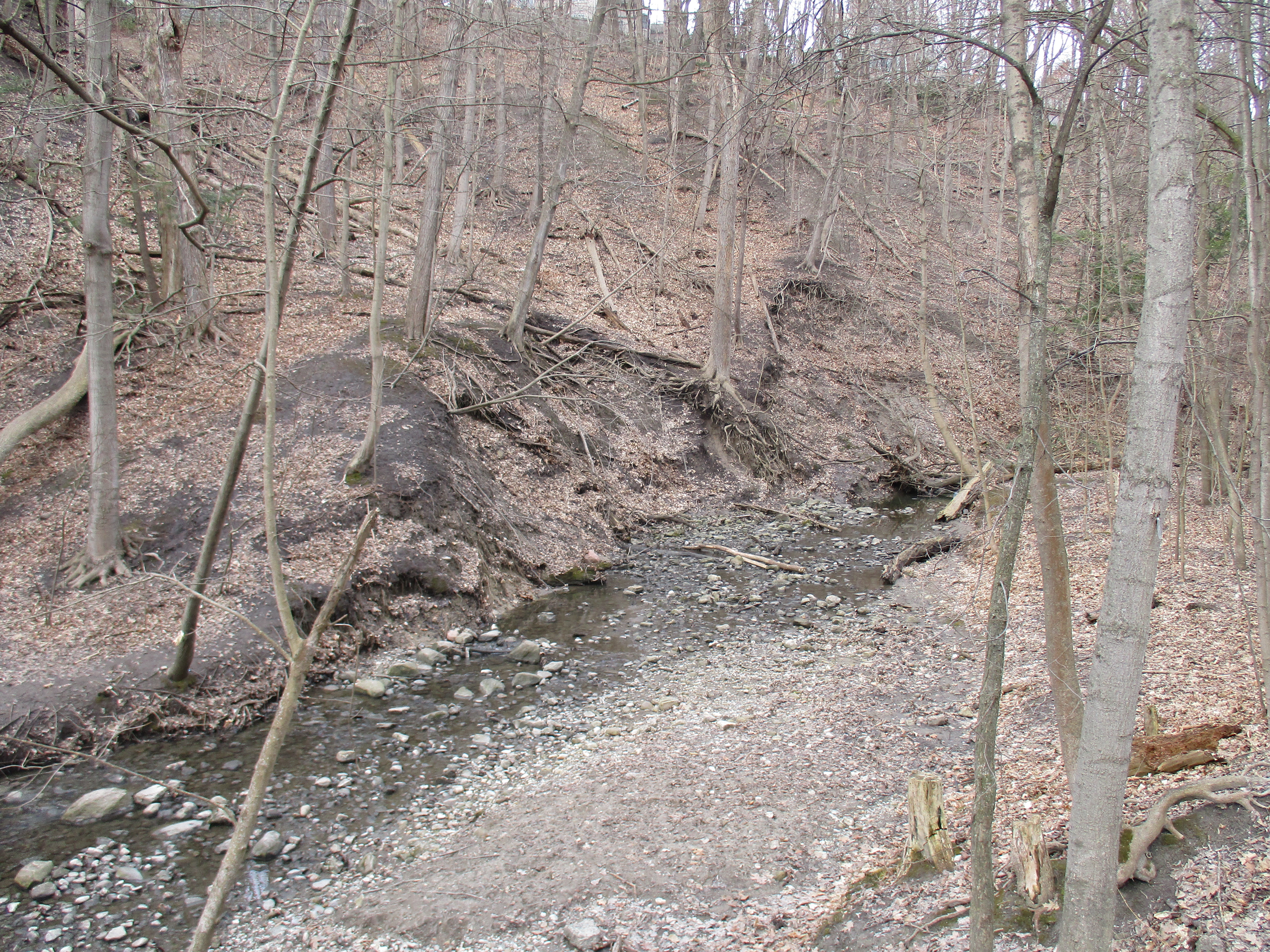
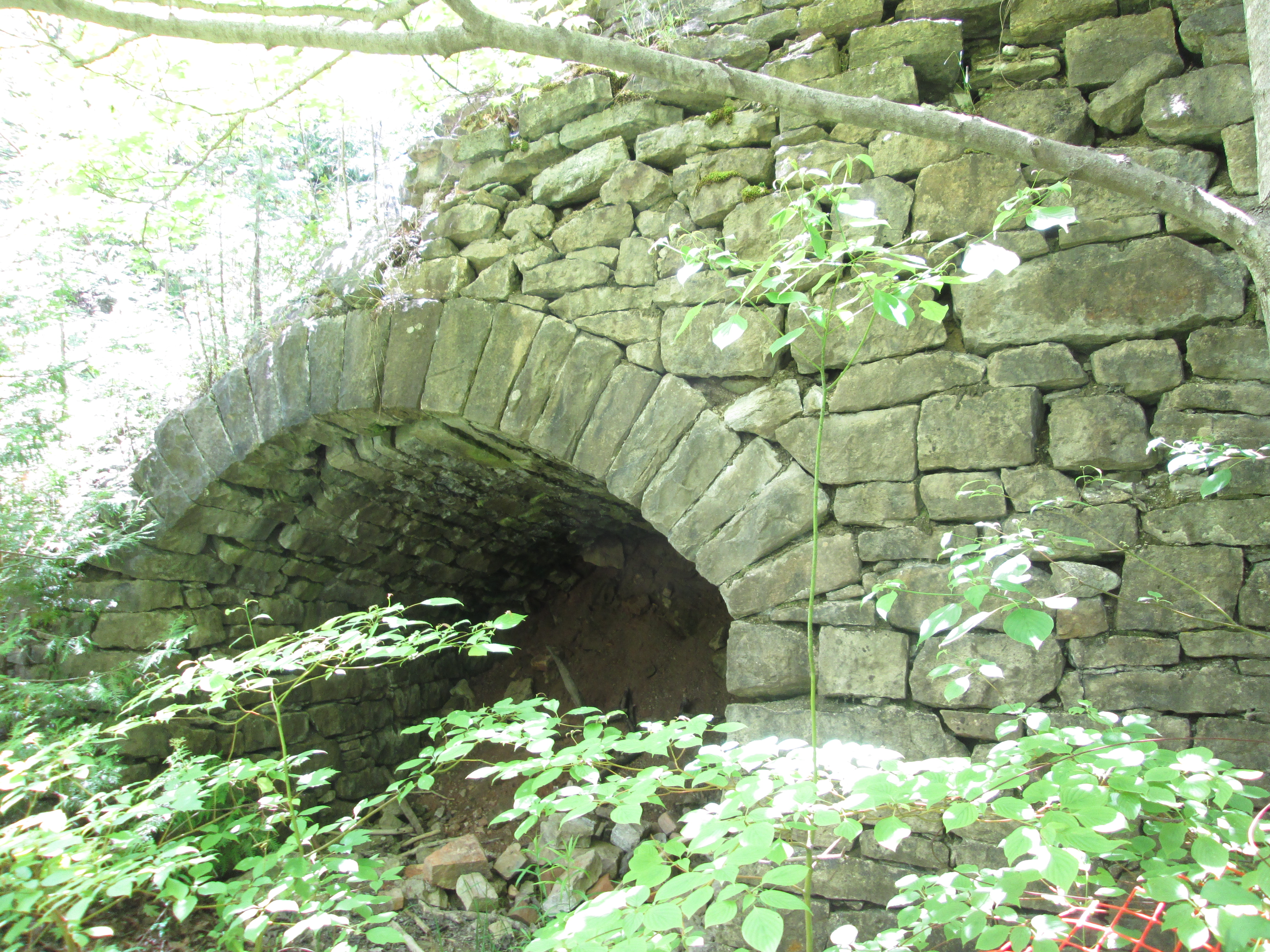
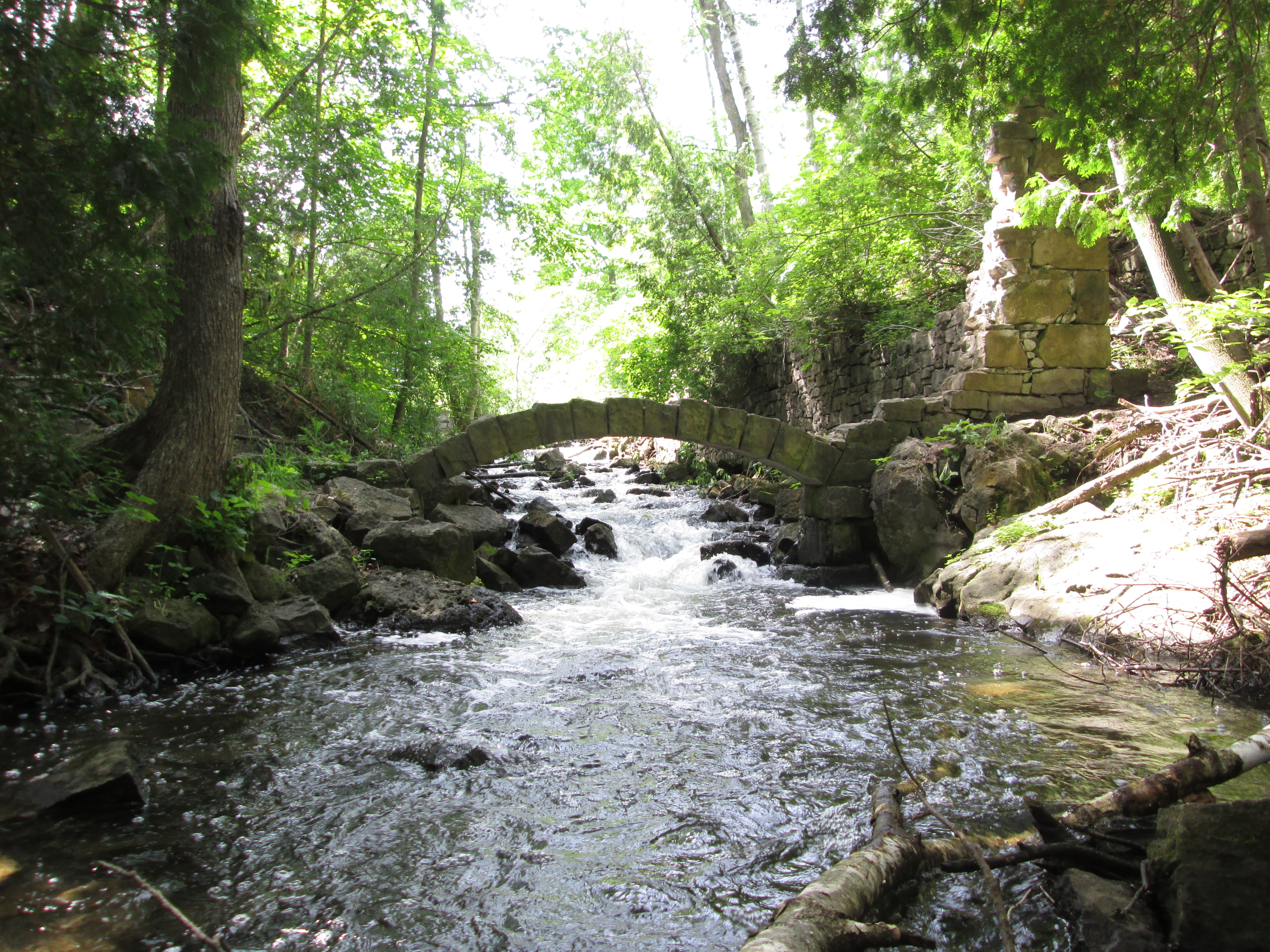
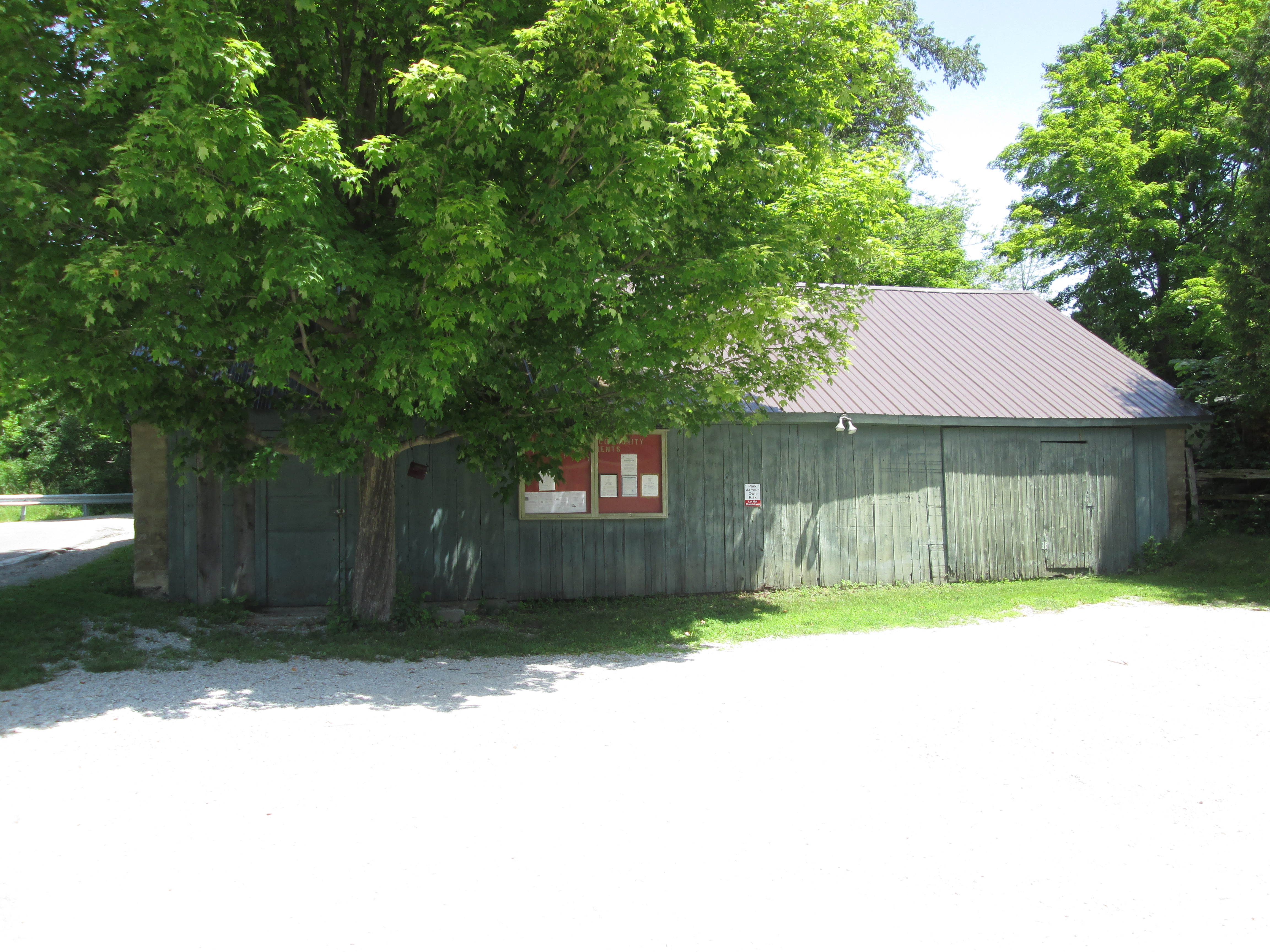
A tall berm covers the culvert that carries a small tributary of Morningside Creek. A small bridge used to carry the railway over the creek but has been replaced with the culvert and filled in with earth. The rail berm at this point is at its tallest along the length of the railpath. The cover photo shows the rail berm that runs along the end of Casebridge Court, which is another entry point to the railpath.

There are three Major League Baseball teams that are named after birds and I saw all of their namesakes on this walk. Cardinals and Blue Jays are a fairly common sight in Southern Ontario but I don’t see Baltimore Orioles nearly as often. Blue Jays and Cardinals overwinter in Ontario while the Baltimore Oriole is migratory. They get their name from their colouring which resembles the Coat of Arms for Lord Baltimore.

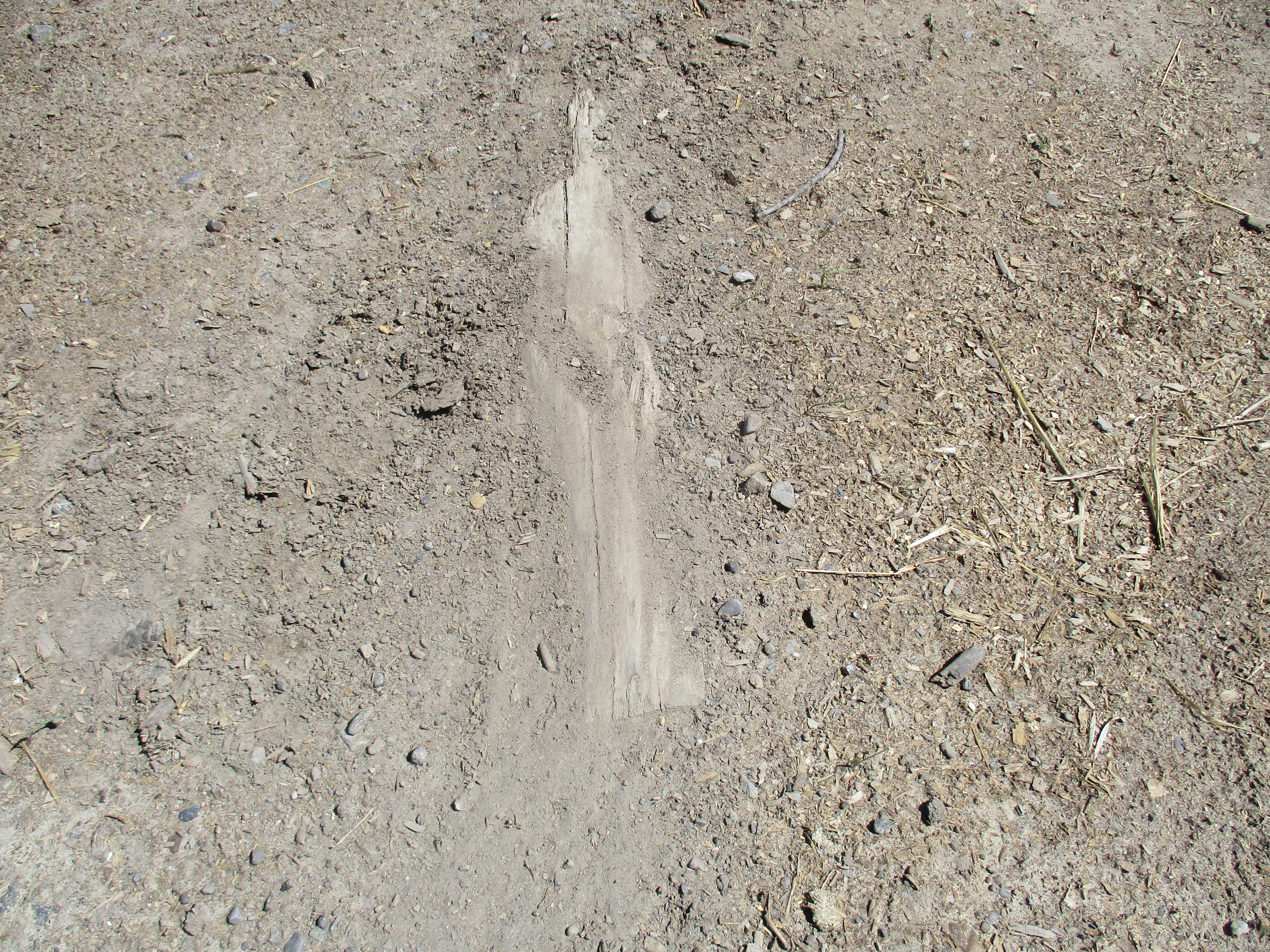
As I was walking along the path near Morningview Trail I noticed a white flash in the trees beside the path. It was a White-tailed Deer. It disappeared into the trees before I had a chance to get a clear picture of it. So, I decided to follow its trail for a few minutes in the hopes of getting a clear shot of it. I wasn’t quick enough and it managed to elude me through the underbrush. I followed its footprints for a ways before finding a small dirt foot trail that runs near Morningside Creek. All I ended up with was a picture of the hoofprints.

Morningside Creek is one of 11 tributaries of the Rouge River. It rises in the area of Dennison Avenue and Markham Road and runs along the west side of the Toronto Zoo. Some sections of the Upper Rouge Trail run along the border of the zoo and are posted as No Trespassing to keep people out of the zoo property.

Mayapples were growing in a large patch along the forest floor but have not gone to flower yet. Mayapples with one leaf will not flower while those with two leaves will develop a single flower between the two leaves.

The trail was lightly used on this sunny Monday morning which probably helped increase the amount of wildlife that was available to be seen.
Although this pathway runs along the edge of residential and industrial areas before running parallel to Morningside Drive, it provides a surprising number of opportunities to see wildlife.
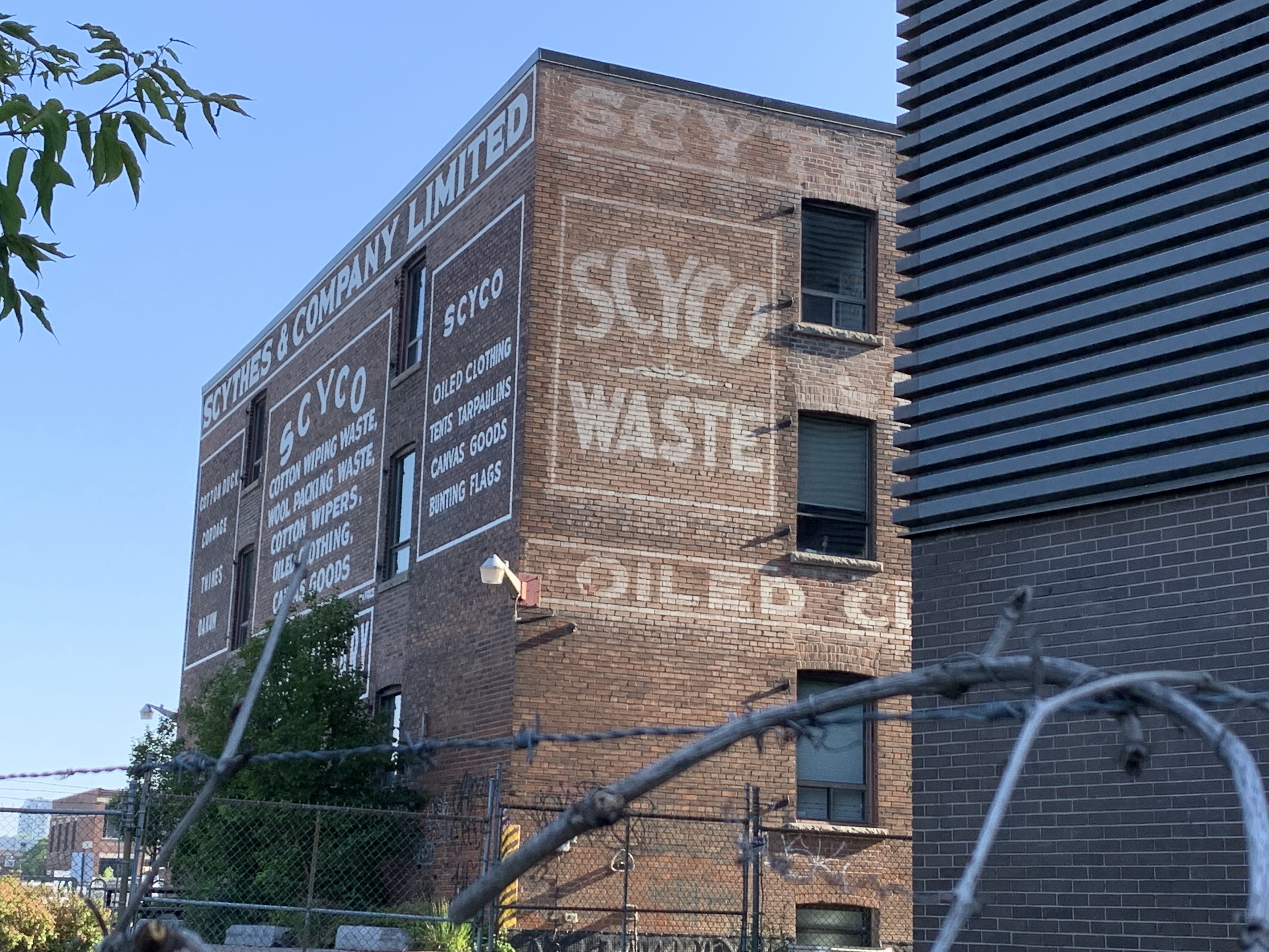
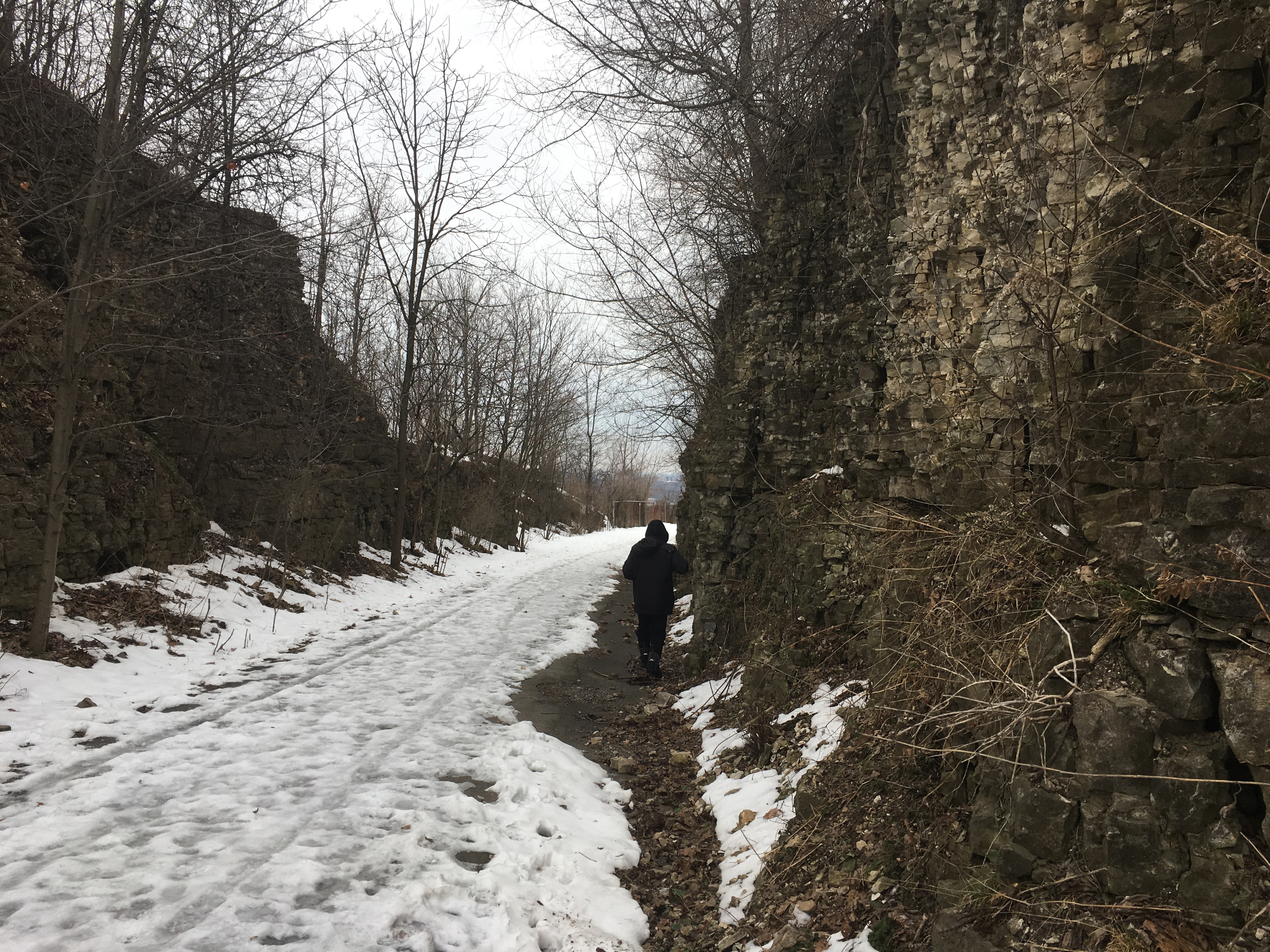
Related stories about former Toronto railways that are now hiking trails: West Toronto Railpath, Leaside Spur Trail, Beltline Railway, Moore Park, York Beltline Trail
Google Maps link: Upper Rouge Trail
Like us at http://www.facebook.com/hikingthegta
Follow us at http://www.hikingthegta.com
Also, look for us on Instsagram