Saturday Jan. 23, 2016
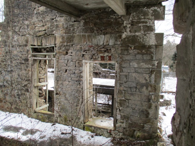
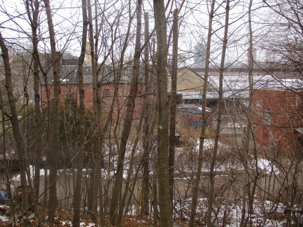
Grindstone Creek flows through Waterdown where it drops over the Great Falls, runs past the former mills of Smokey Hollow then descends the lengthy Grindstone Cascade. In the 1800’s it provided water power for a selection of mills and industries in the valley below the falls. Alexander Brown held the original land grant and he built a saw mill at the top of the falls near the current parking lot. Ebenezer Griffin bought half of Brown’s land and built a mill in the valley below. in 1830 he had his property surveyed for building lots and the town was born. Soon other mills were built along the creek to create Waterdown’s industrial hub. Saw, grist, flour and woolen mills, tanneries and foundries along with factories for rakes, staves, cradles and baskets all arrived. With the mills came smoke and soon the nick-name Smokey Hollow was being applied to the area. Steam replaced water wheels to turn the machines in the mills and by the early 1900’s electricity was the common form of power. Competition, shifting markets and fires led to the loss of all industry in the valley and today there are few traces of the milling community left.
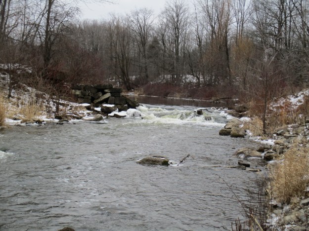
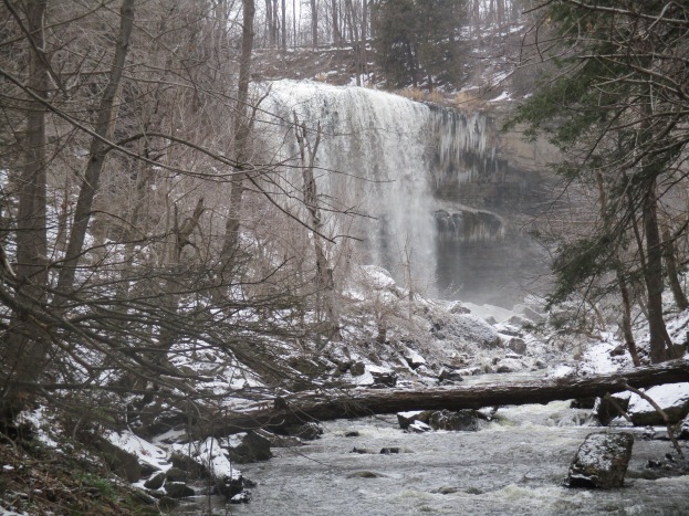
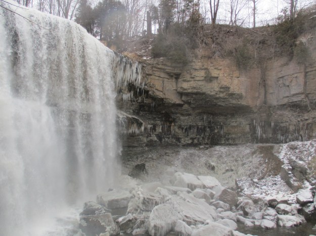
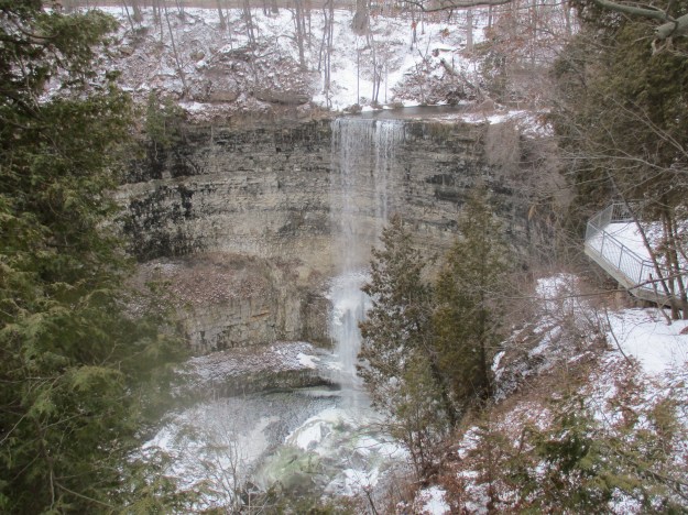
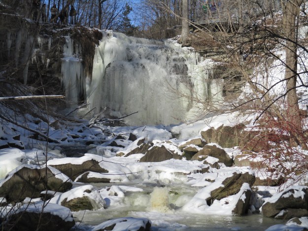
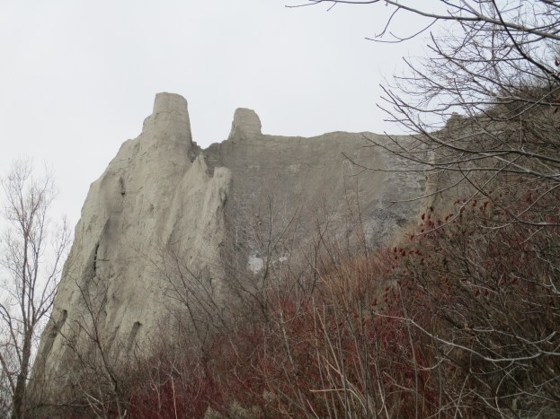
Great Falls, also known as Grindstone Falls, Boundary Falls and Waterdown Falls is 10 metres high and 5 metres wide. The softer Rochester Shale has eroded away below the harder dolostone of the Lockport Formation on top leaving an overhang that will eventually break away as the falls moves slowly upstream. It is possible to see the rock strata behind the curtain of ice should one climb behind it.
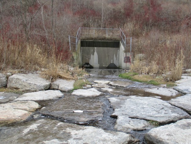
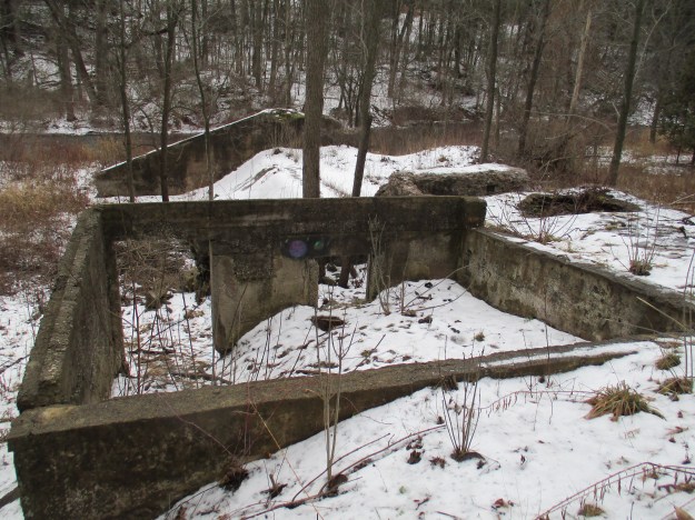
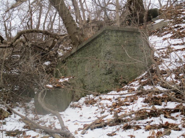
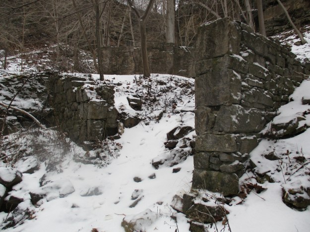
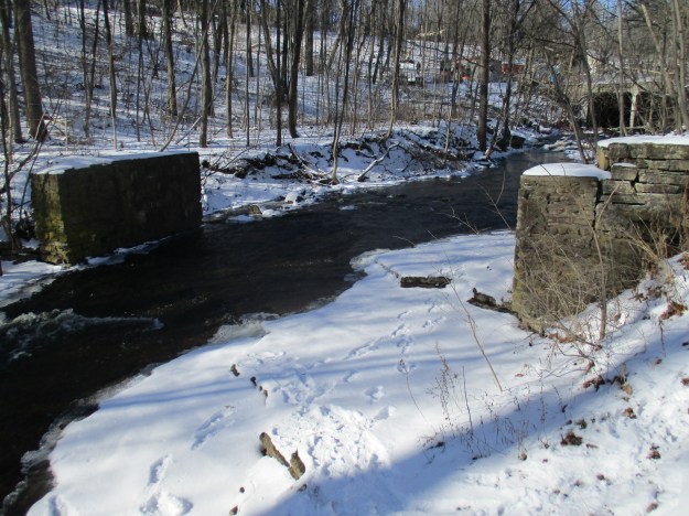
On the west side of the creek are the remains of an oval structure. The poured concrete on top suggests a construction date in the 1900’s.

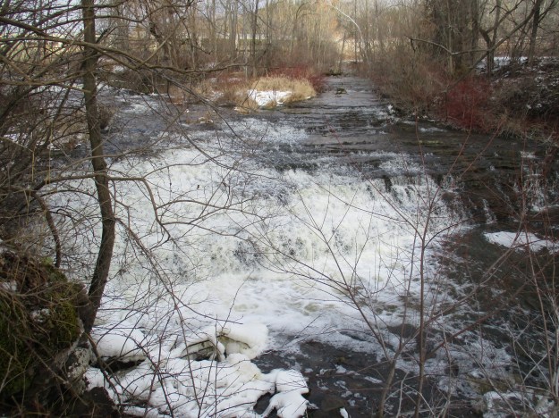
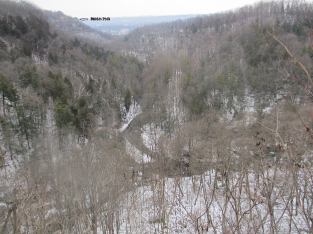
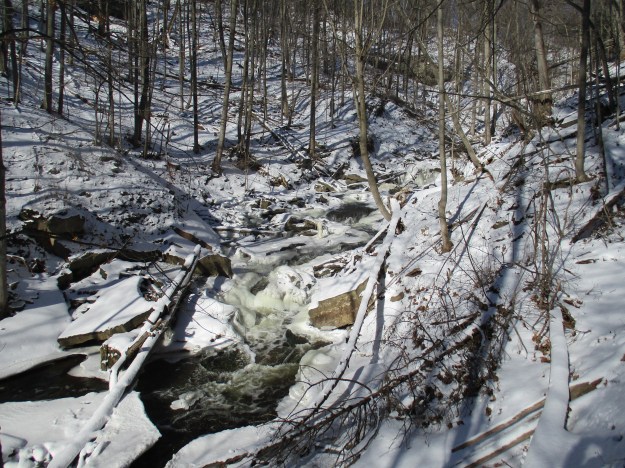
Grindstone Creek makes it’s way down the escarpment in two lengthy cascades. Here the waterway is jumbled with chucks of dolomite that have had the shale eroded out from under them.
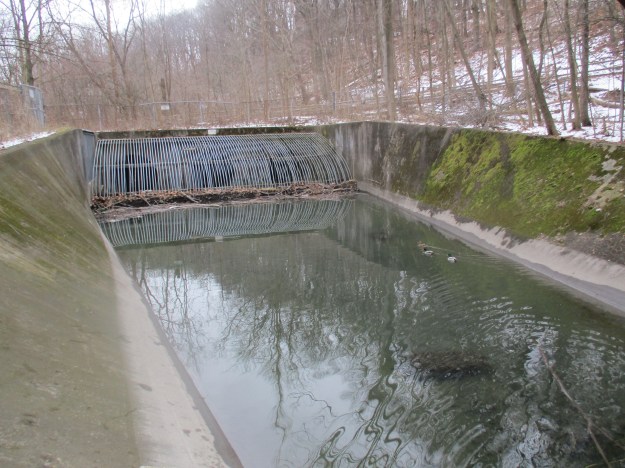
Beavers have dammed Grindstone Creek to create a pond for their habitat. The pond and the little waterfall created by the dam have frozen over and we didn’t see any beaver foot prints in the snow around the dam. Beavers do not hibernate in the winter but live off of bark they strip from trees. They keep a stash of branches in the ponds but we also saw several places where they had been feeding.

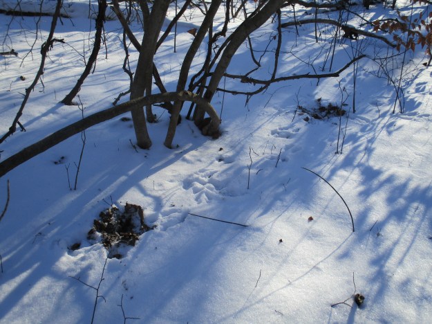
We see less wildlife in the winter but there is always evidence of their presence. Distinct footprints in the snow as well as unique feces allow one to identify the creatures that are not hibernating. We found a set of squirrel footprints that led between food stashes. Squirrels stash many more nuts than they actually need to survive the winter and they forget most of them. Grey squirrels bury their stashes and the ones they forget often sprout, meaning that the squirrels are beneficial in the spread of nut bearing trees. Unfortunately, the red squirrel piles it’s stashes of nuts on top of the ground where they dry out which means they have a negative impact on the spread of nut trees. The picture below shows two places where the snow has been dug up and the leaves turned over in search of caches of food.
Water seeps out of the shale along the sides of the Grindstone Creek ravine and forms ice sculptures.

When we returned to the falls we found a group of slackliners enjoying an outing at the gorge. Slackline is different from tightrope walking in the way the wire is tensioned. For a traditional tightrope the wire is tightly tensioned and the walker maintains their centre of balance above the wire. A slackwire is made of nylon webbing and is left to stretch and bounce like a trampoline. The walker moves the wire to keep it under their centre of balance while making the crossing. The start of Slacklining dates to 1976 and is credited to Adam Growsowsky. Gerald Situ of Toronto Slackliners is seen in the photo below as he makes his way across the falls. Notice that in spite of the freezing temperatures the crossing is made barefoot. The term highlining can be applied when the line is strung above a waterfall like the group was doing over Grindstone Falls. We witnessed one walker leap off the cliff face with just his harness attached to the line and go sailing out into open air above the rocks below. The cover photo shows this crossing in context.

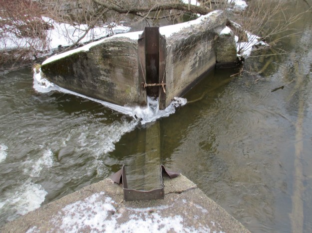
Waterdown became a source of cut stone which was used extensively in the early construction of the town. Stone quarried here was taken to Toronto for use in the construction of King’s College. A set of cut stone abutments stand at the top of the waterfall.
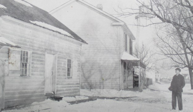
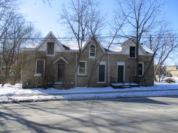
As you walk along Mill Street you find that there are still remnants of the industrial past of the community. Typical of mill worker’s cottages from the mid 1800’s the ones pictured below have survived. Originally three homes, this building has been renovated to have just two active doorways. The central unit retains it’s original arched window, unlike the end units.
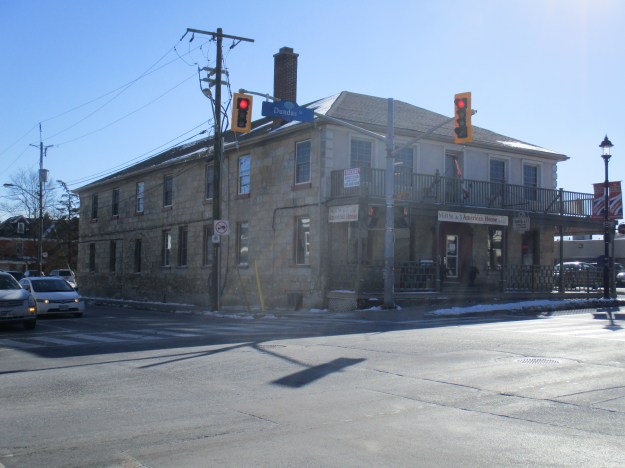
At the corner of Mill Street and Dundas Road stands a cut stone hotel built in 1824. It occupies the site of the original log school house. One of the oldest stone structures in Southern Ontario it is called the American House and the building has had at least one notable modification. The third window from the end on the ground floor has a stone arch set above it. This arch likely led to the stables in the rear of the hotel similar to the Exchange Hotel in Hillsburgh. The stone mason that filled the arch in did an excellent job of matching the original stone work.
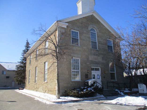
East Flamborough’s township hall was built in 1857 and served as the local government seat until 1974. The Waterdown public library is now housed in the iconic building.
Google maps link: https: Smokey Hollow
Toronto Slackline: torontoslackline.ca On FaceBook: Toronto Slackline
Like us at http://www.facebook.com/hikingthegta
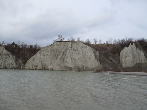
![Scarborough Bluffs. - [ca. 1912]](https://hikingthegta.com/wp-content/uploads/2016/01/1912.jpg?w=625)