Category Archives: Mimico Creek

National Flag Day

Saturday Feb. 14, 2015

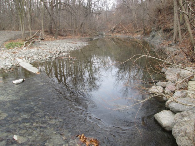
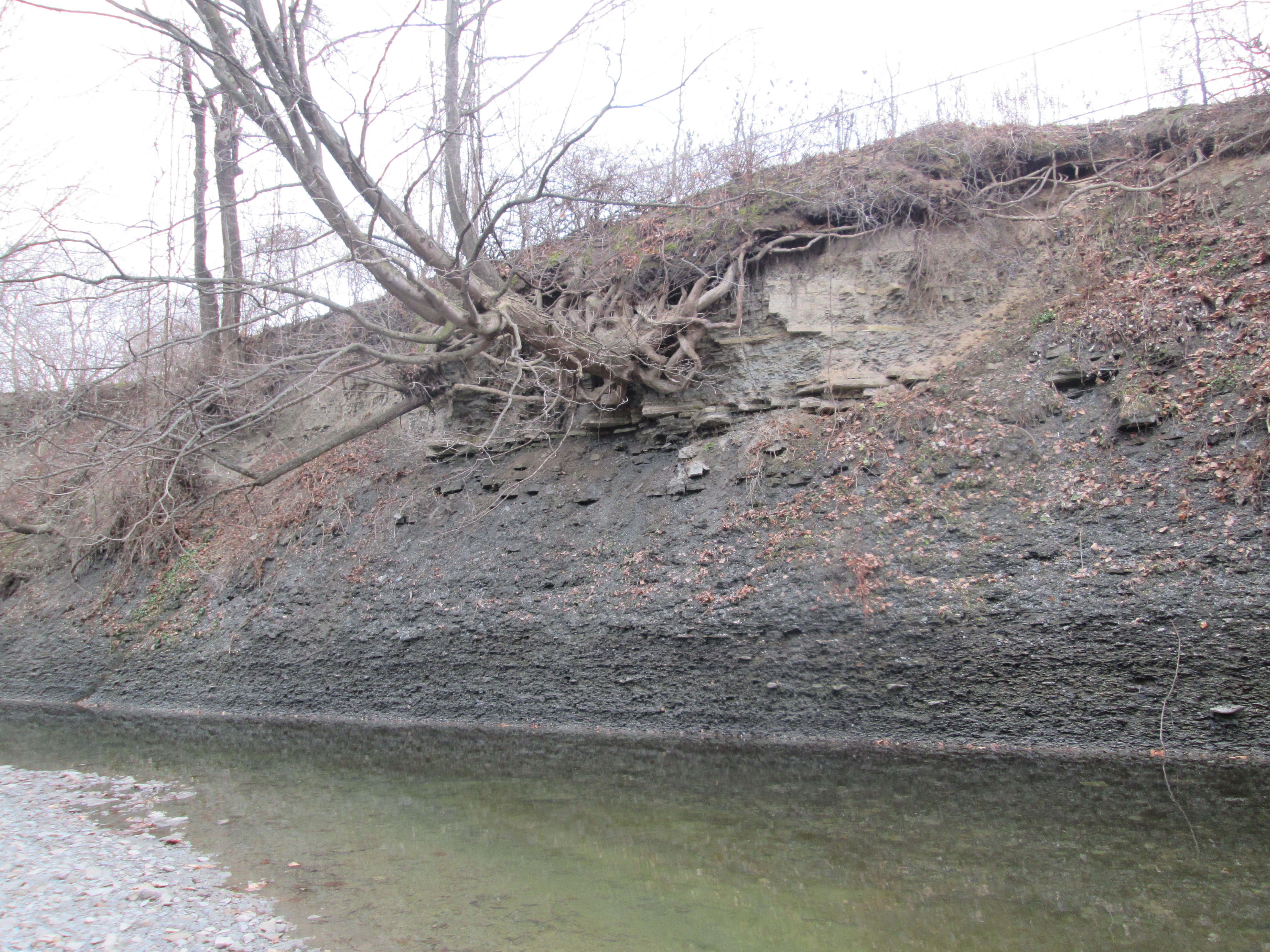
The weatherman has been calling for a very cold weekend with wind chills in the range of -40, but this morning it was only -7 feeling like -18.  We parked in West Deane Park and headed south along the east side of Mimico Creek.  After the trail passes under Martin Grove Road the park changes names to become Ravenscrest Park.

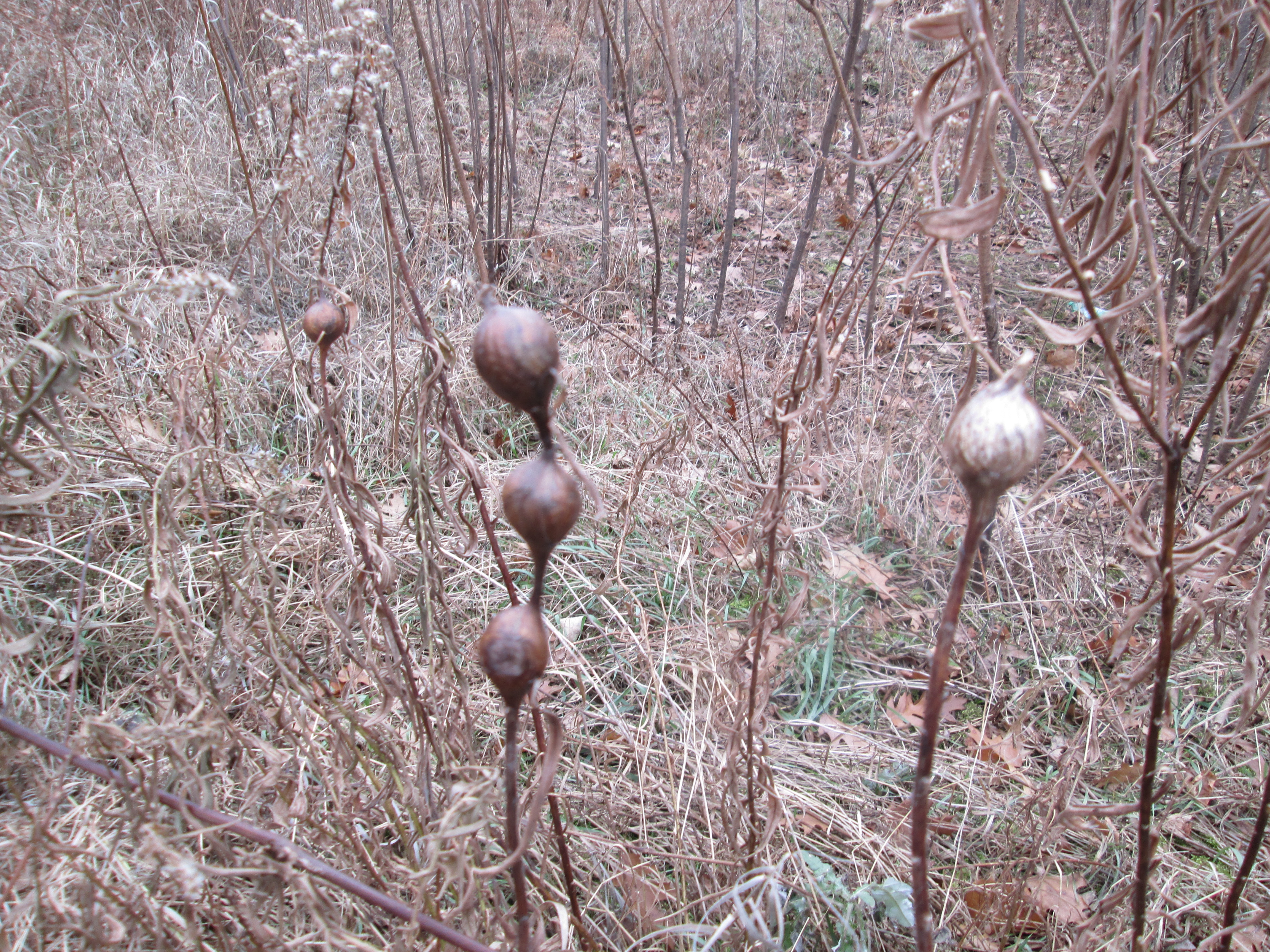
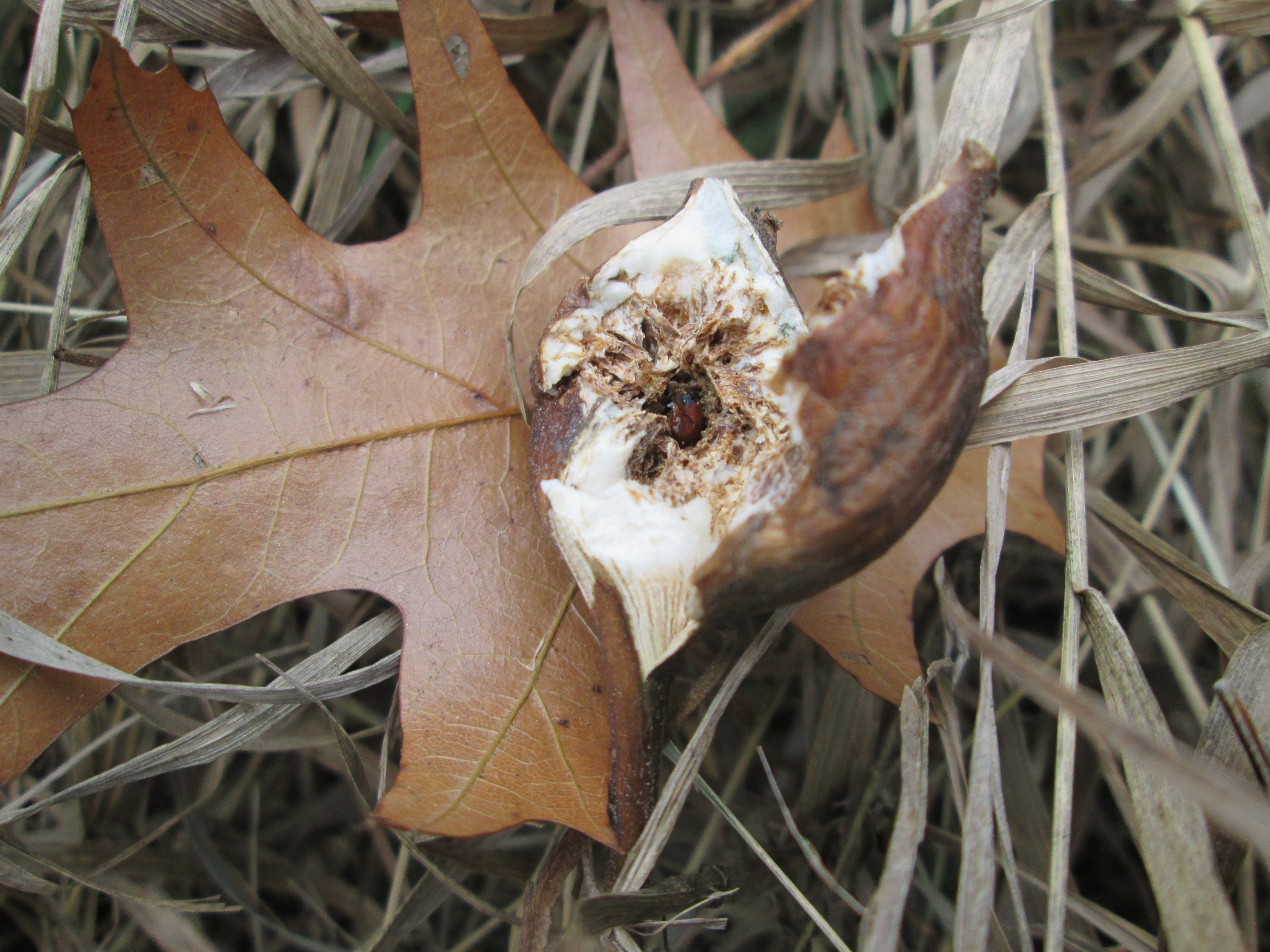
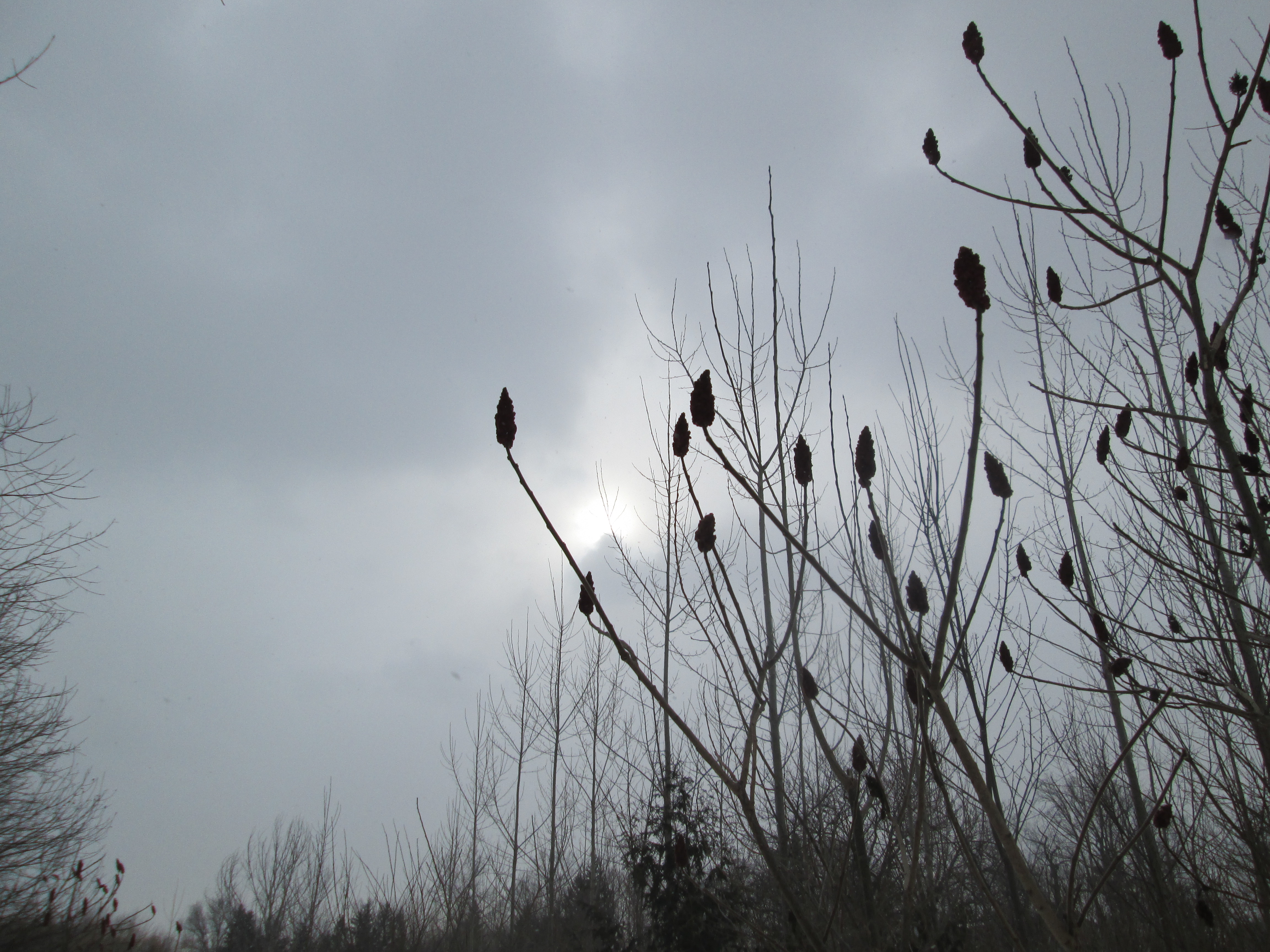
Sumacs are one of the first plants to take hold on previously cleared land.  They can reach heights of over thirty feet and produce a type of fruit known as a drupe.  These clusters of reddish fruit are known as sumac bobs and form the tips of each branch.  Sumac is used as a spice in some middle eastern foods and also as a dye.  The drupes are used as a winter source of food for birds who spread the seeds through their droppings.  In the picture below sumac bobs frame the sun as it was peeking out from behind the clouds.

IMG_2389

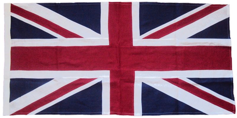
On July 21, 1793 the Queen’s Rangers under the direction of Lieutenant-Governor General Simcoe landed on the north shore of Lake Ontario and stuck a British flag in the soil where they would build Fort York.  This was the founding of the town of York (Toronto) and the beginning of Simcoe’s plans for the defense of Upper Canada.  Simcoe moved the capital of the colony from Newark (Niagara) to York in 1797.  In 1801 the British flag was modified to include a red saltire inside of the existing white one to represent the Irish who were united with England that year.  The British flag is known as the union flag.  It is only correctly called a union jack if it is flying on a naval vessel.

During the war of 1812 the Americans attacked Fort York on April 27, 1813.  The British, sensing defeat, decided to retreat to Kingston to prevent the army from being captured.  They left their flag flying at Fort York to fool the attackers into thinking they remained inside.  On the way out they detonated their munitions store to prevent it from falling into enemy hands.  When the dust settled the Americans replaced the British flag with their own and used the British one for a pillow for General Pike who was mortally wounded in the explosion.  This is the only British flag ever captured in battle that was never recovered.

British Union Jack sewn flag linen cotton cloth

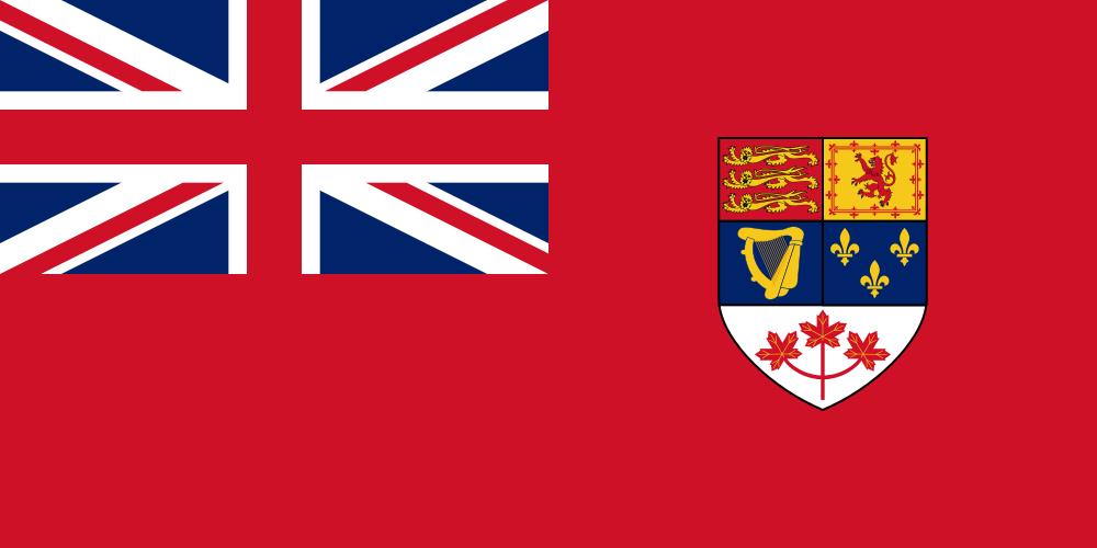
The Union Flag was used in Canada until after confederation.  In 1868 Canada adopted a Red Ensign with the union flag in the upper corner, and featuring the arms of each of the four original provinces.  In 1922 the Royal Arms of Canada replaced the provincial arms and 3 green maple leaves adorned the bottom of the crest.  In 1957 the maple leaves were changed to red.

Canadian

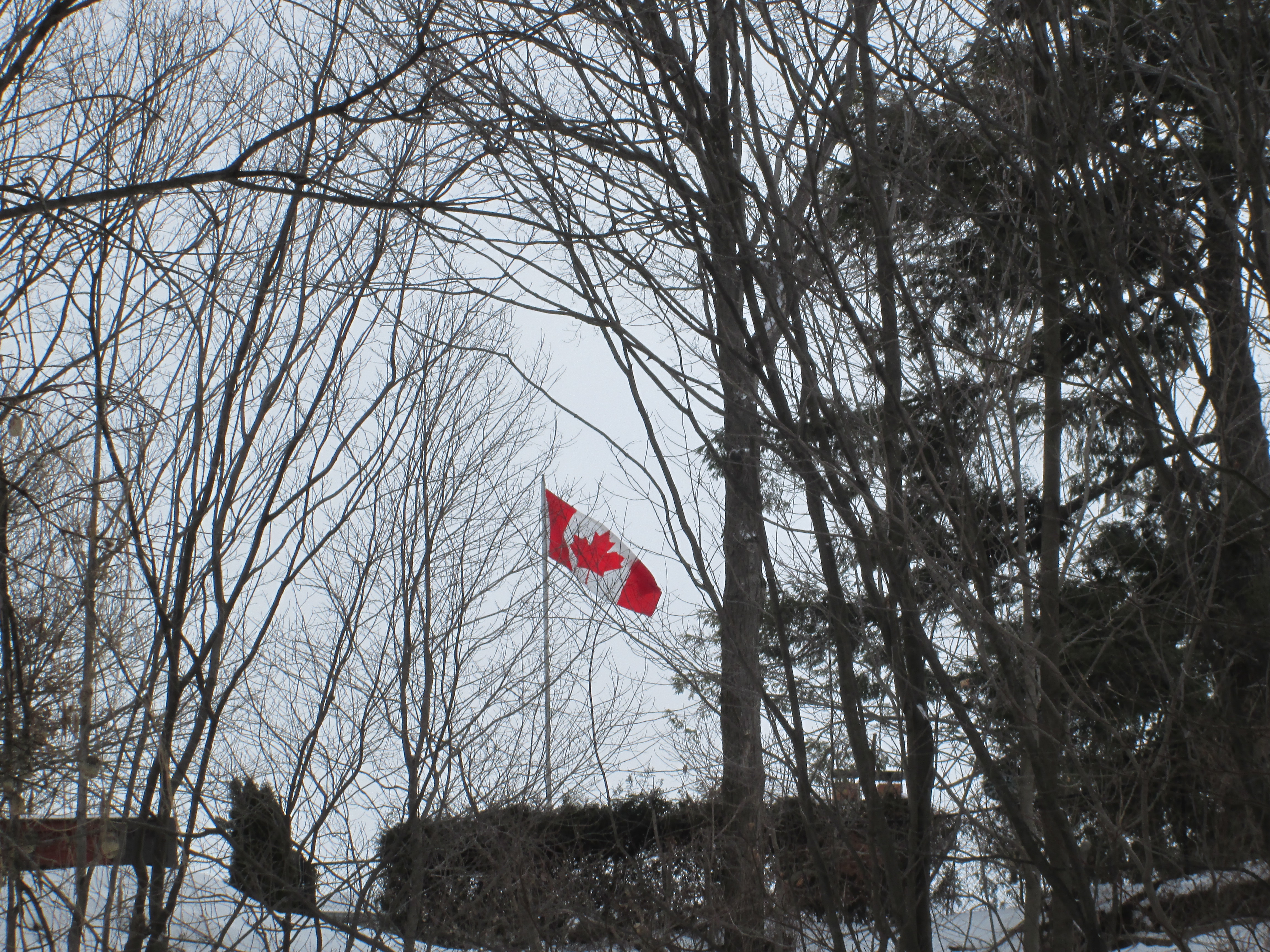
Having the union flag as part of the Canadian flag became an issue during the Suez Crisis in 1956 as the Egyptian government objected to Canadian Peacekeepers because of it.  The flag was never popular in french Canada, also because of the union flag it contained.  In the early 1960’s a proposal came to create a uniquely Canadian Flag.  The new flag was to feature nothing distinctive to any group of people which meant it could not contain the union flag or the french fleur-de-lis.  A symmetrical design was chosen so the the front and back would look the same in the wind.  An 11 point maple leaf was selected because wind tunnel experiments showed there was the least distortion of the leaf in high winds.  The flag was officially flown for the first time in a ceremony on Parliament Hill on Feb. 15, 1965.  As I write this on Sunday afternoon of Feb. 15, 2015 the flag is celebrating it’s 50th birthday.  Happy Birthday to our flag!

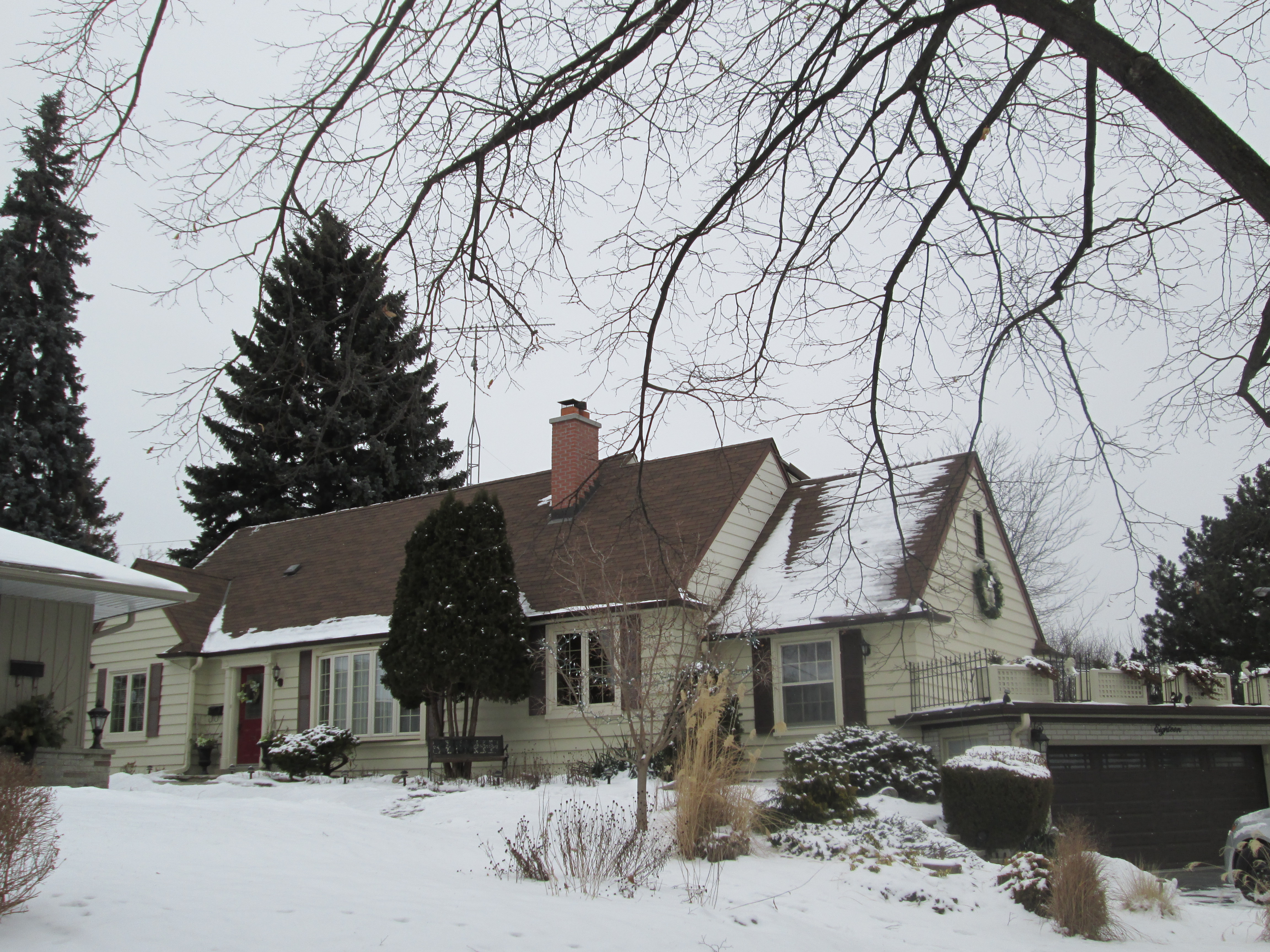
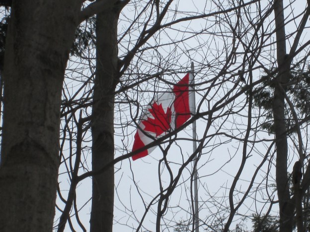
As we walked through Ravenscrest Park we saw that one of the homes on the top of the ravine was flying our flag.  The picture below and the cover photo illustrate the majesty of the Canadian Flag.

IMG_2386

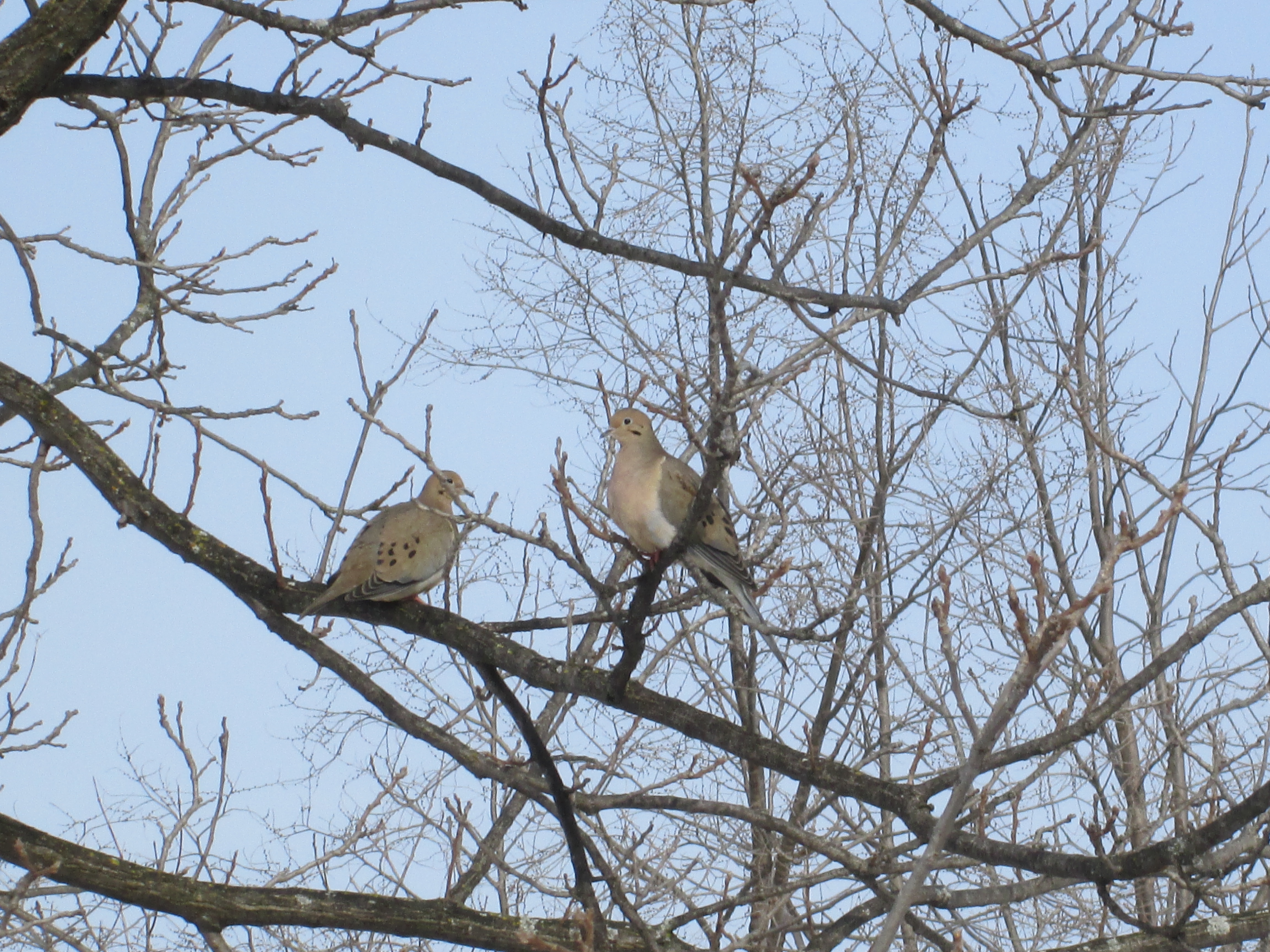
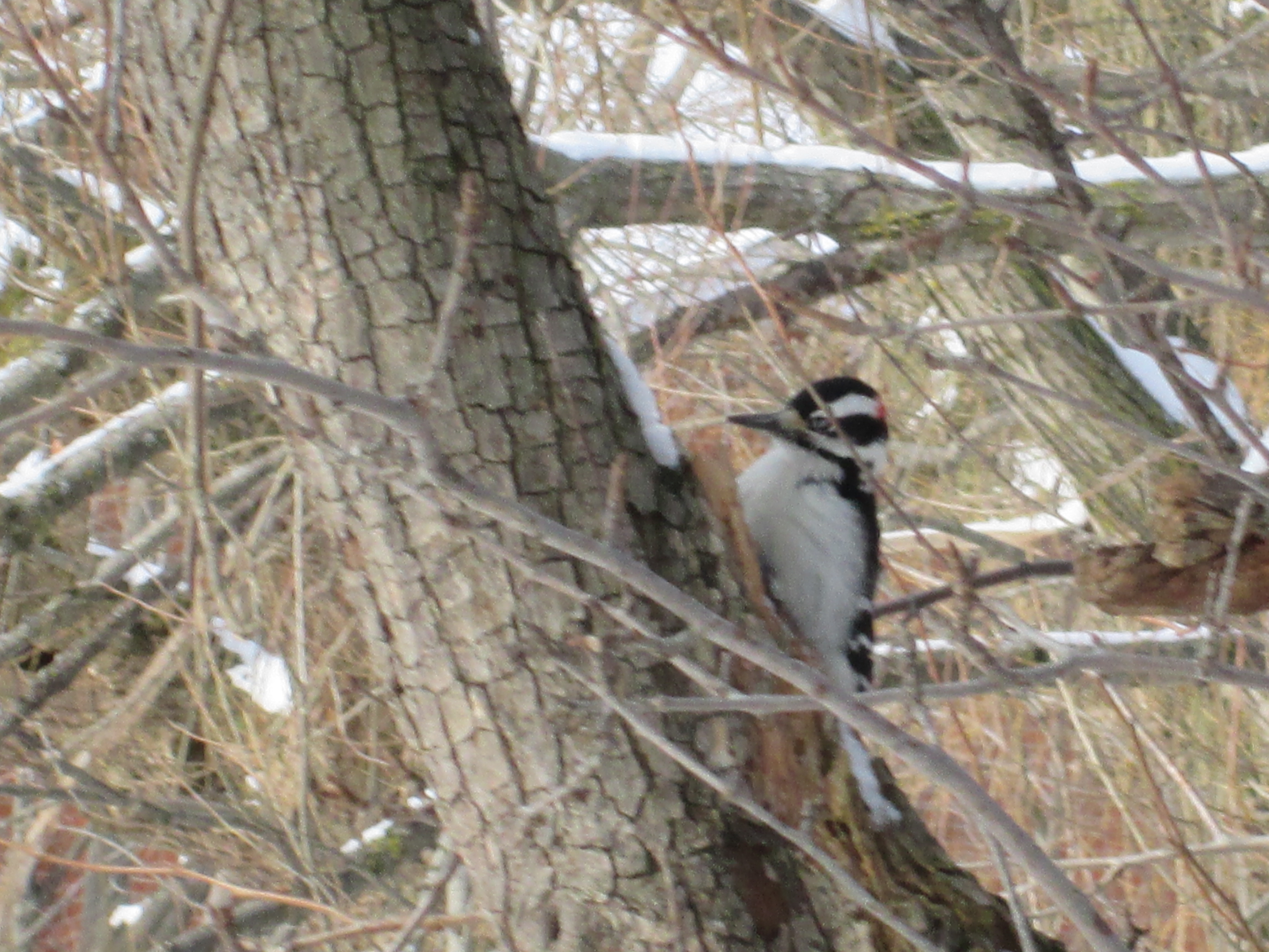
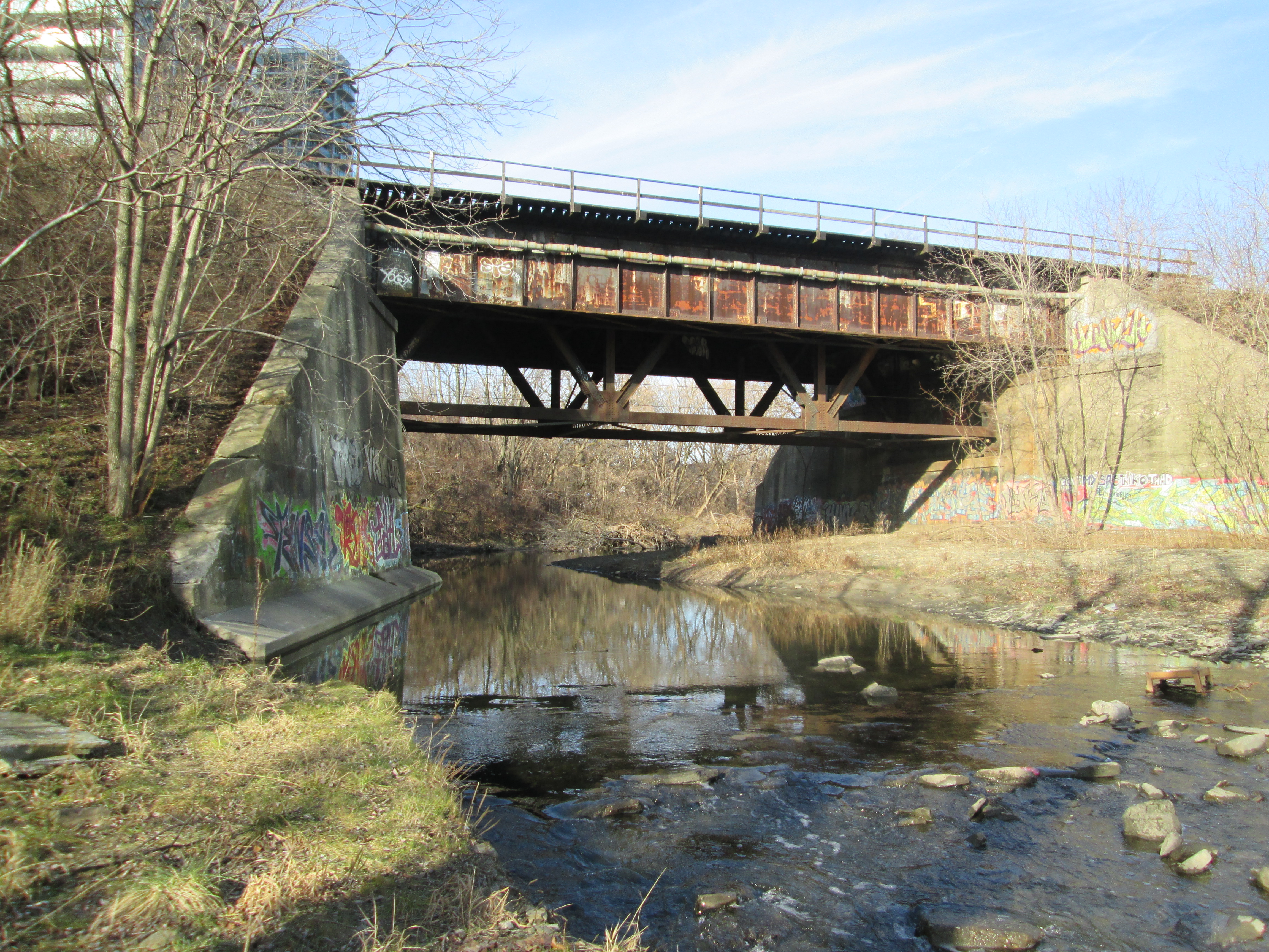
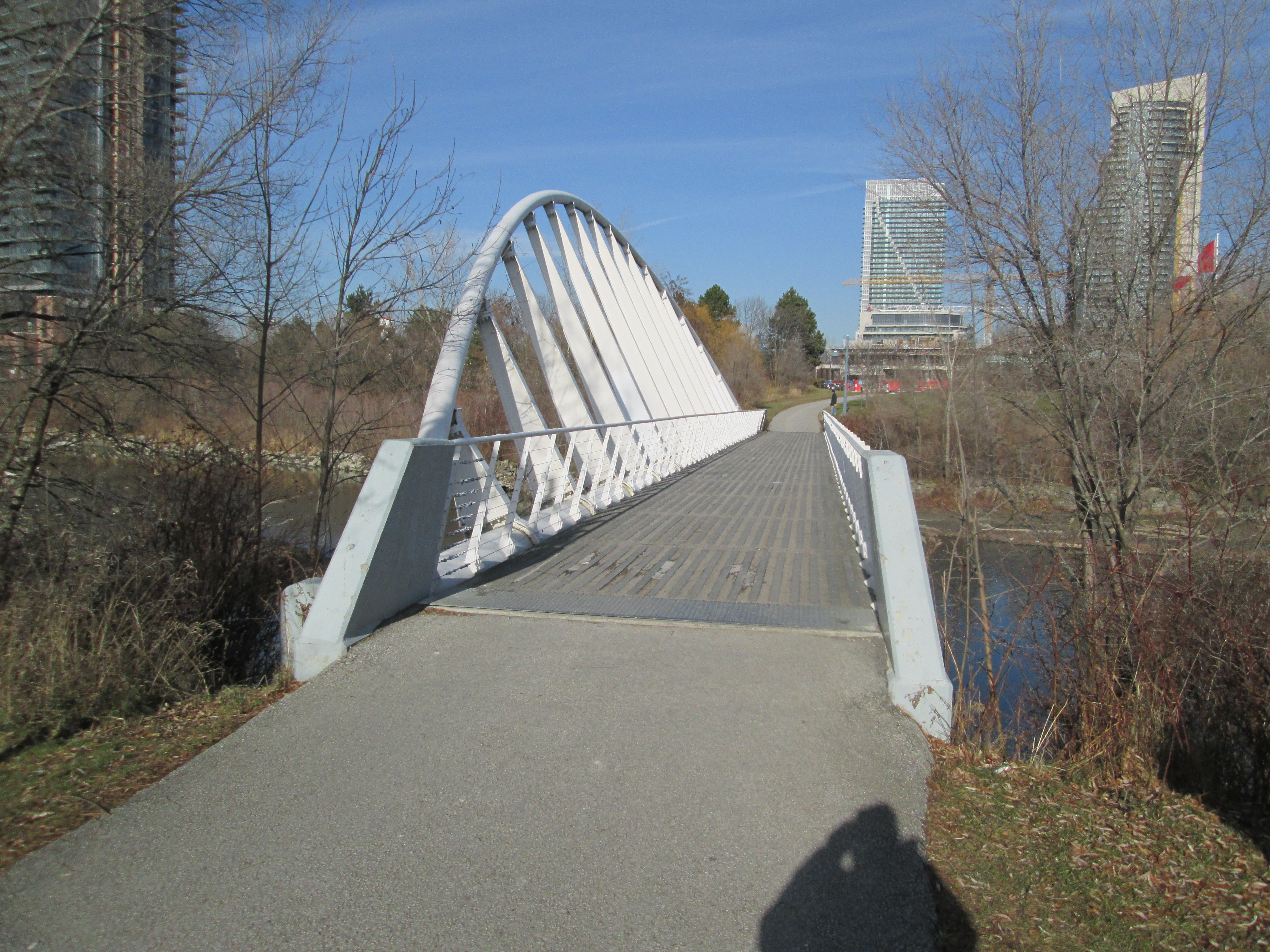
We followed the trail under Rathburn road into Echo Valley Park.  There is section of trail here that passes through a wooded area.  If you stand on the side of the trail for a few minutes all the birds that have been scattering in front of you will return.  We saw a selection of Blue Jays, Cardinals, Doves, Downey and Hairy Woodpeckers and Chickadees.  A Kestrel appears to have seen them as well.

Along here we saw an old utility pole on which someone has spray painted a heart with an arrow through it.  Since it was Valentine’s Day when we noticed the pole it seemed to be appropriate.  There are several traditions surrounding the origins of Valentine’s Day, some suggesting Christian roots and others Roman.  Either way, greeting card companies manage to sell 150 million cards each each year.  Valentine’s Day is special to me and my wife as well because eight years ago we got engaged on this day.

IMG_2408

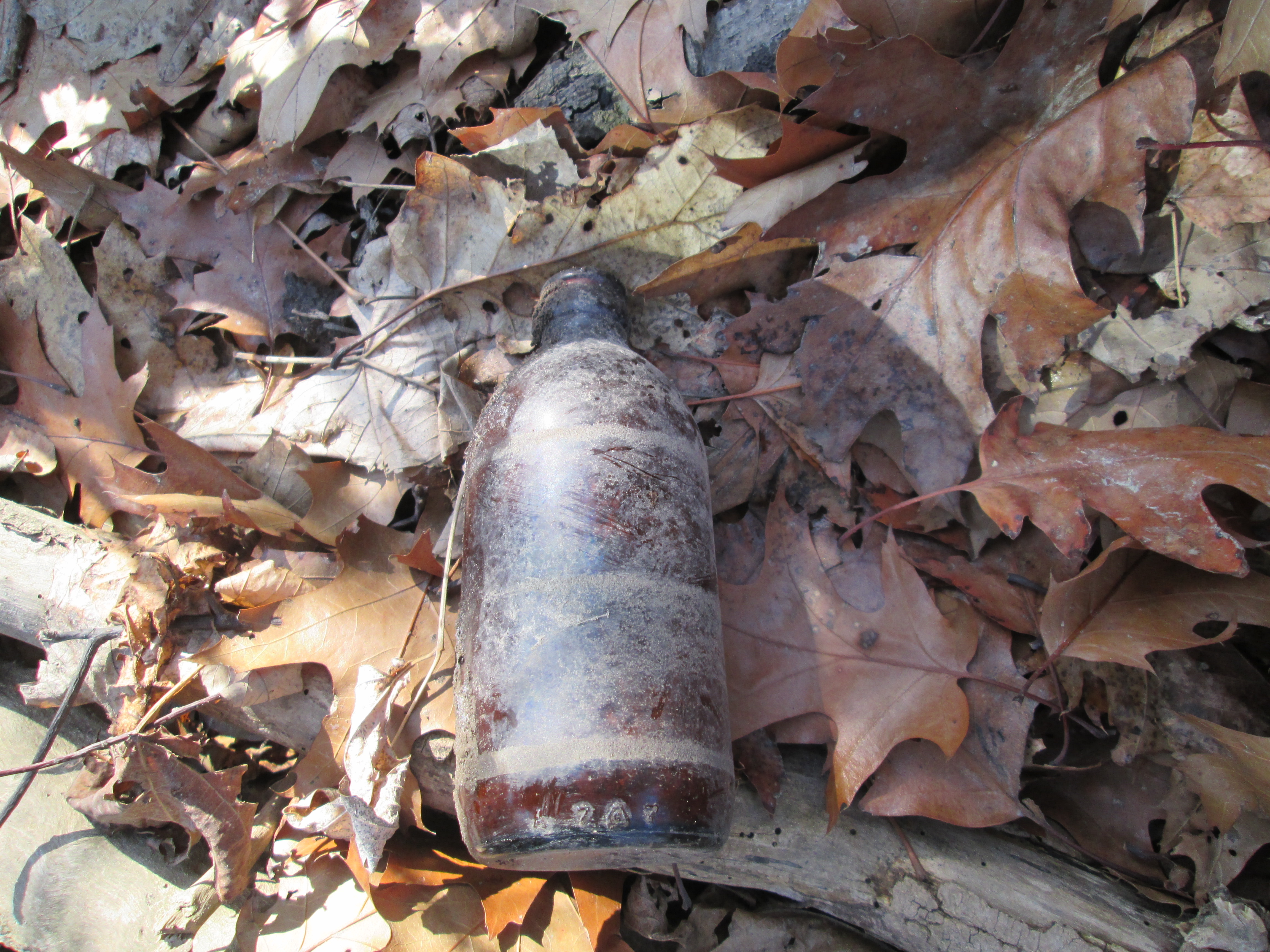
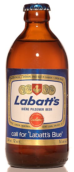
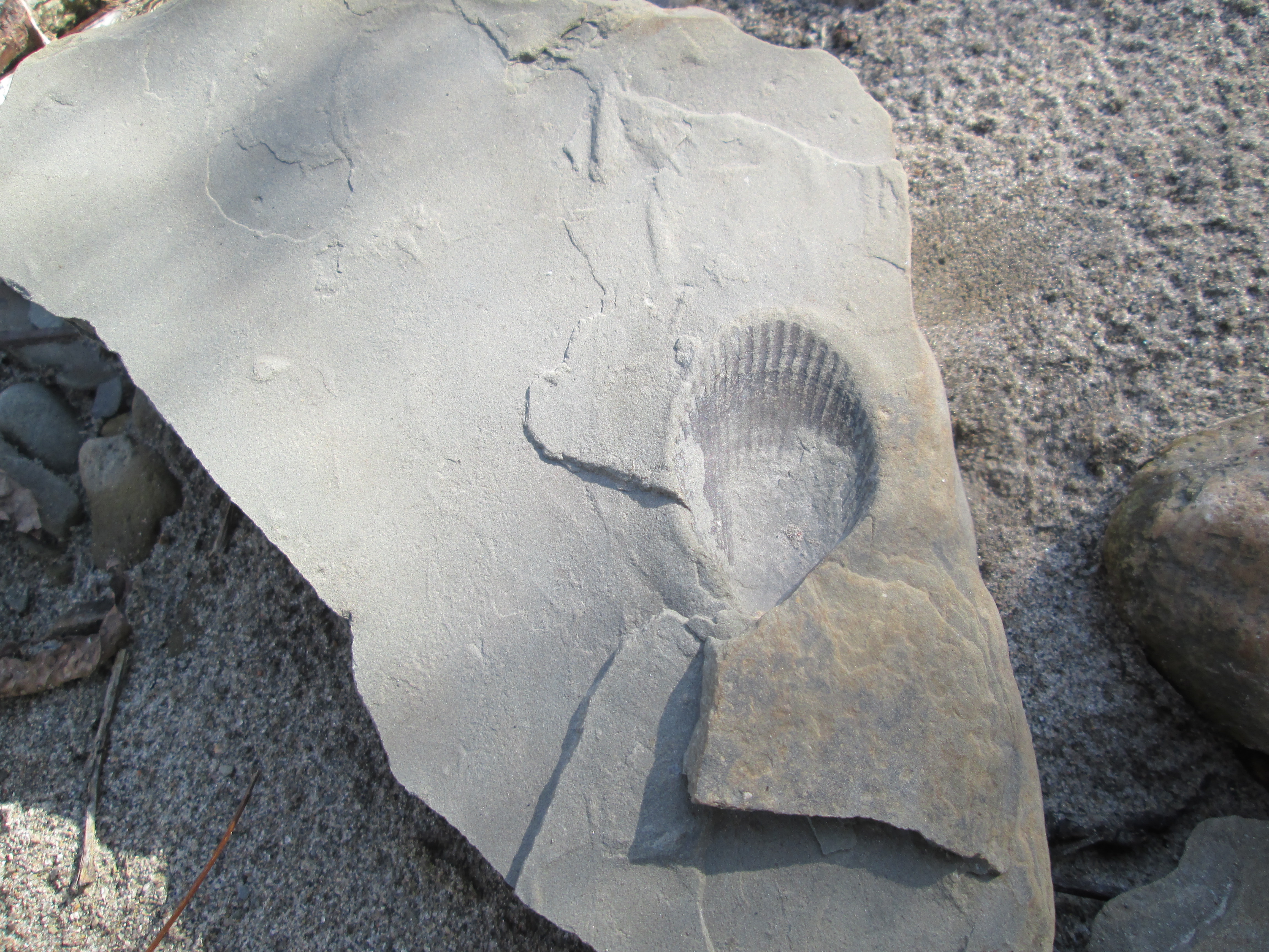
A common tool used for inventory control in manufacturing is known as the Kanban System.  A tag is used to identify a quantity of an item.  When that quantity is consumed the tag becomes the ticket to order replacement stock.  Toyota has been credited with developing the system in 1953 but in reality it has been in use far longer than that.  In Toronto there were community dairies in various parts of the city.  Due to poor refrigeration, milk had to be delivered almost daily.  Houses had a milk chute (delivery door) like the one featured in the picture below.  If you needed milk you just left your empties and the money in the chute and when you came home there were fresh bottles of milk there instead.

IMG_2410

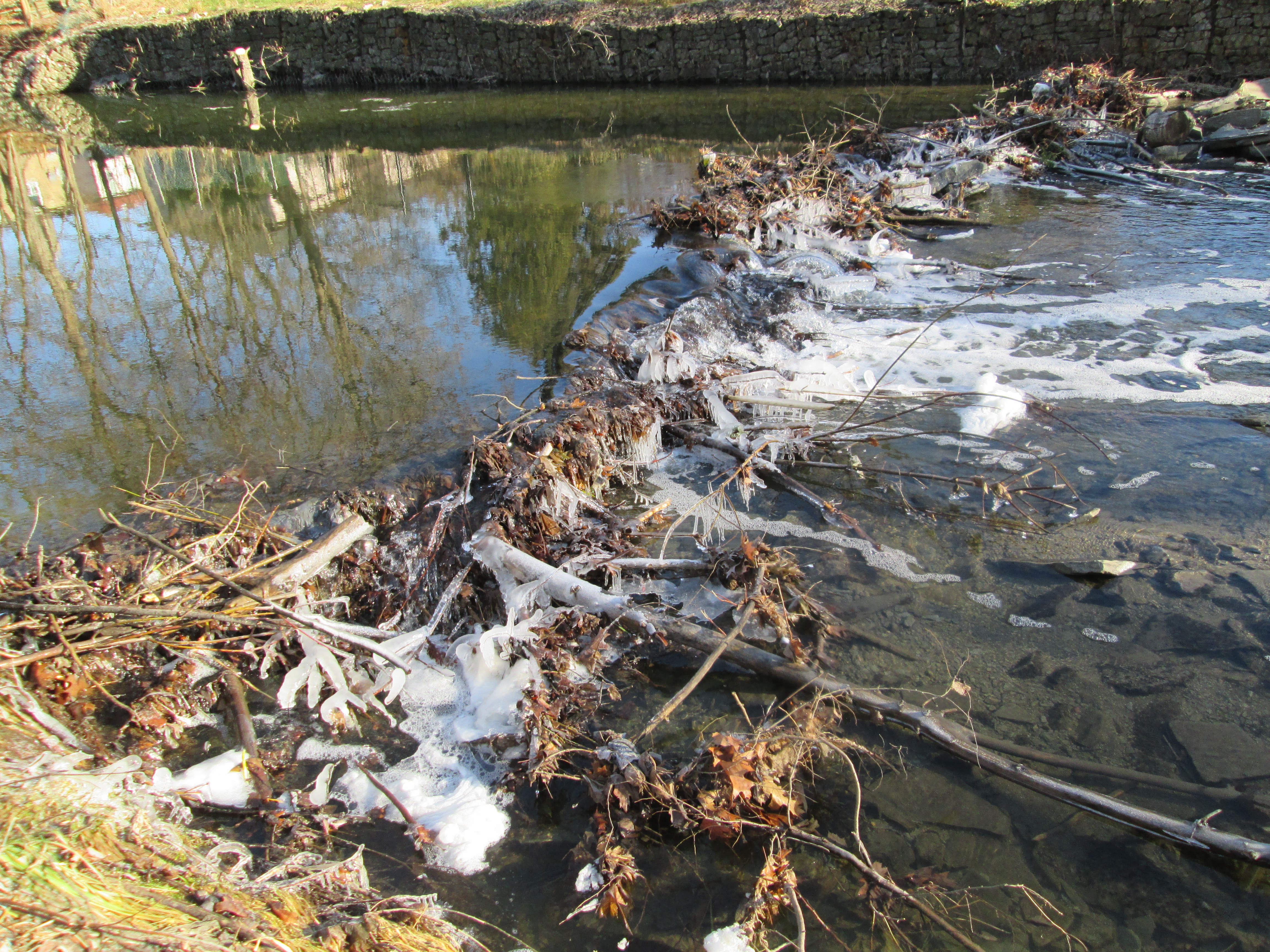
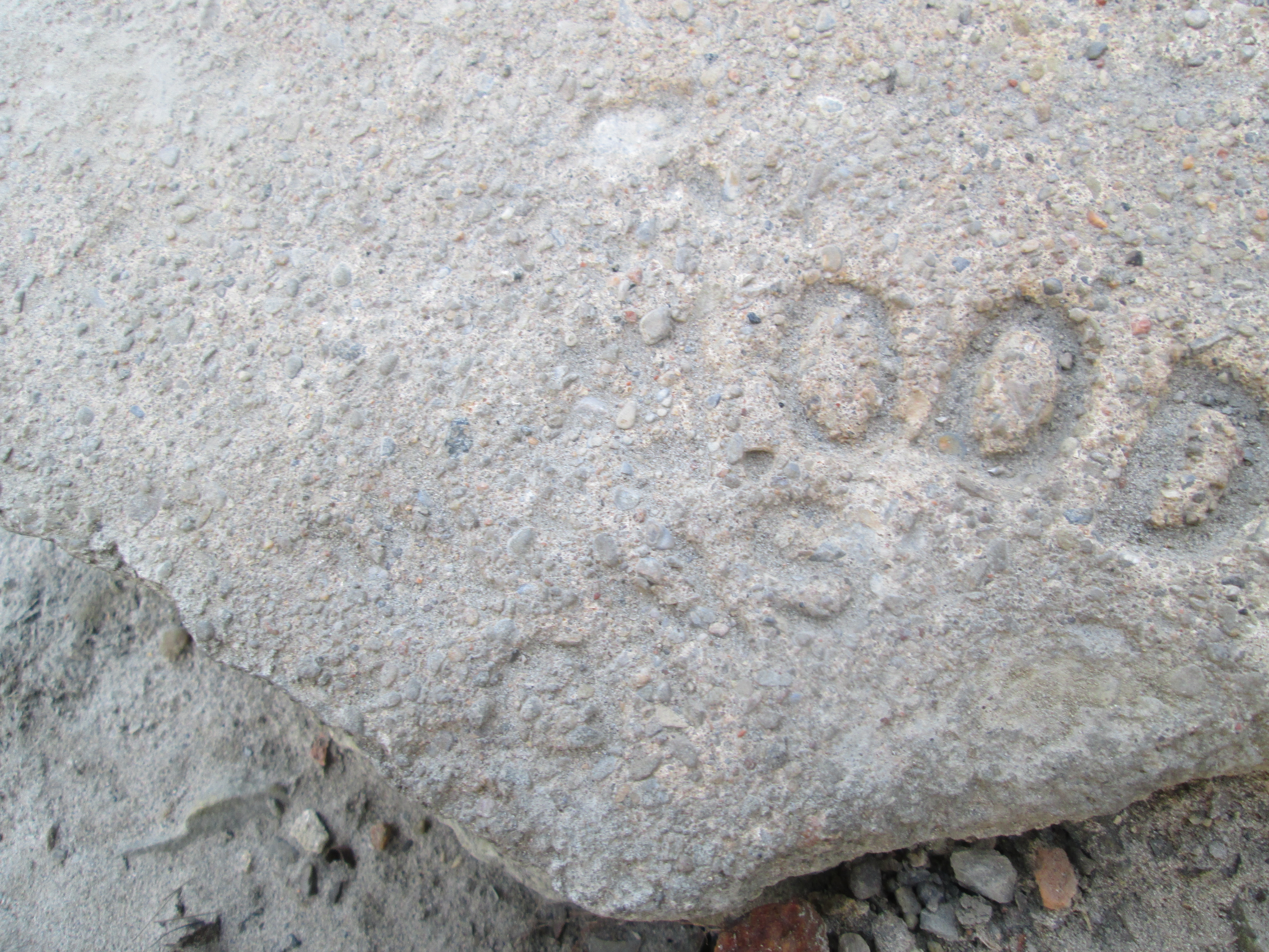
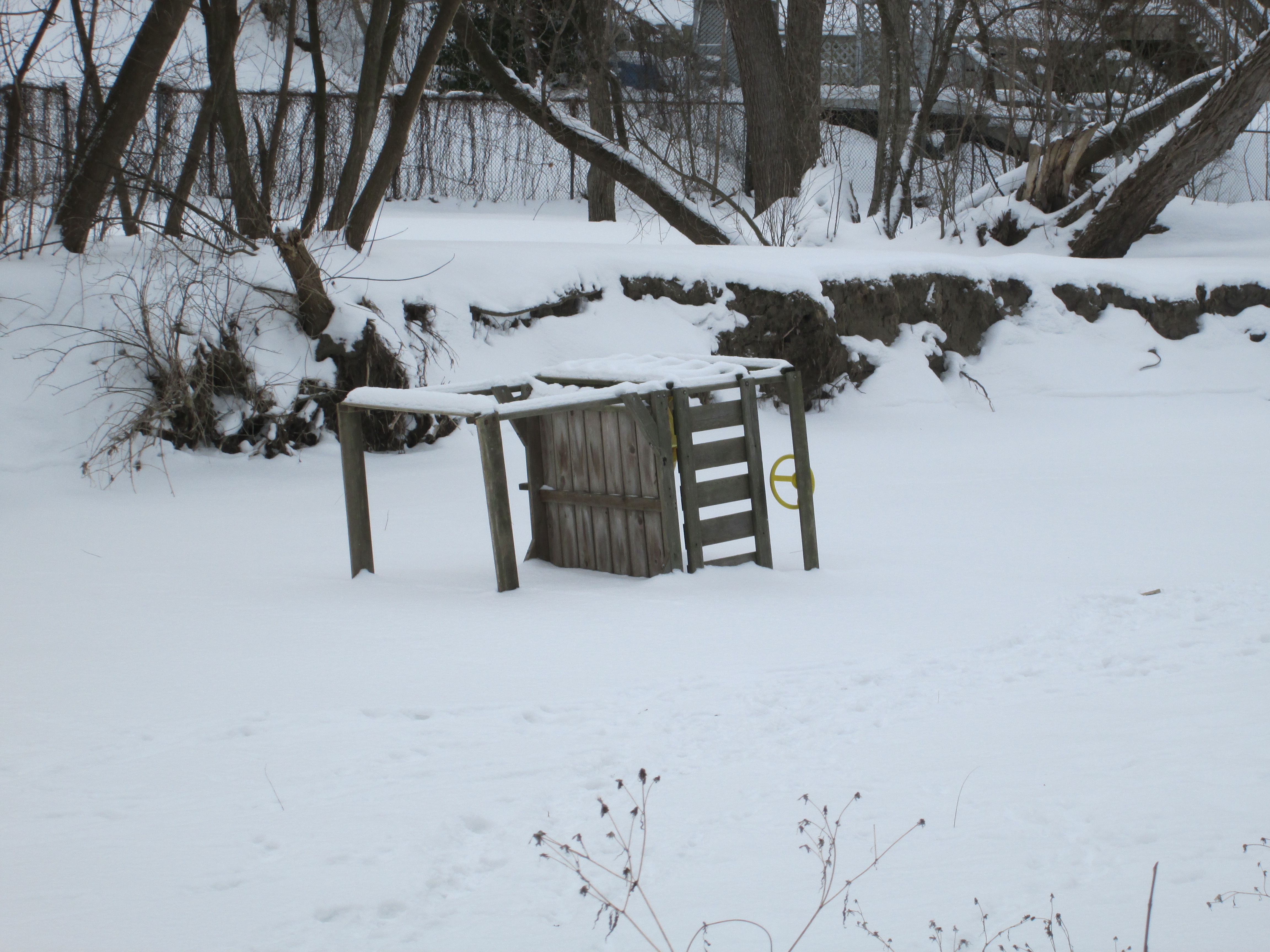
As we continued down stream we saw that someone’s playground toys have ended up frozen in the middle of Mimico Creek.

IMG_2411

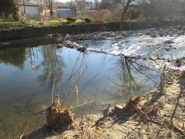
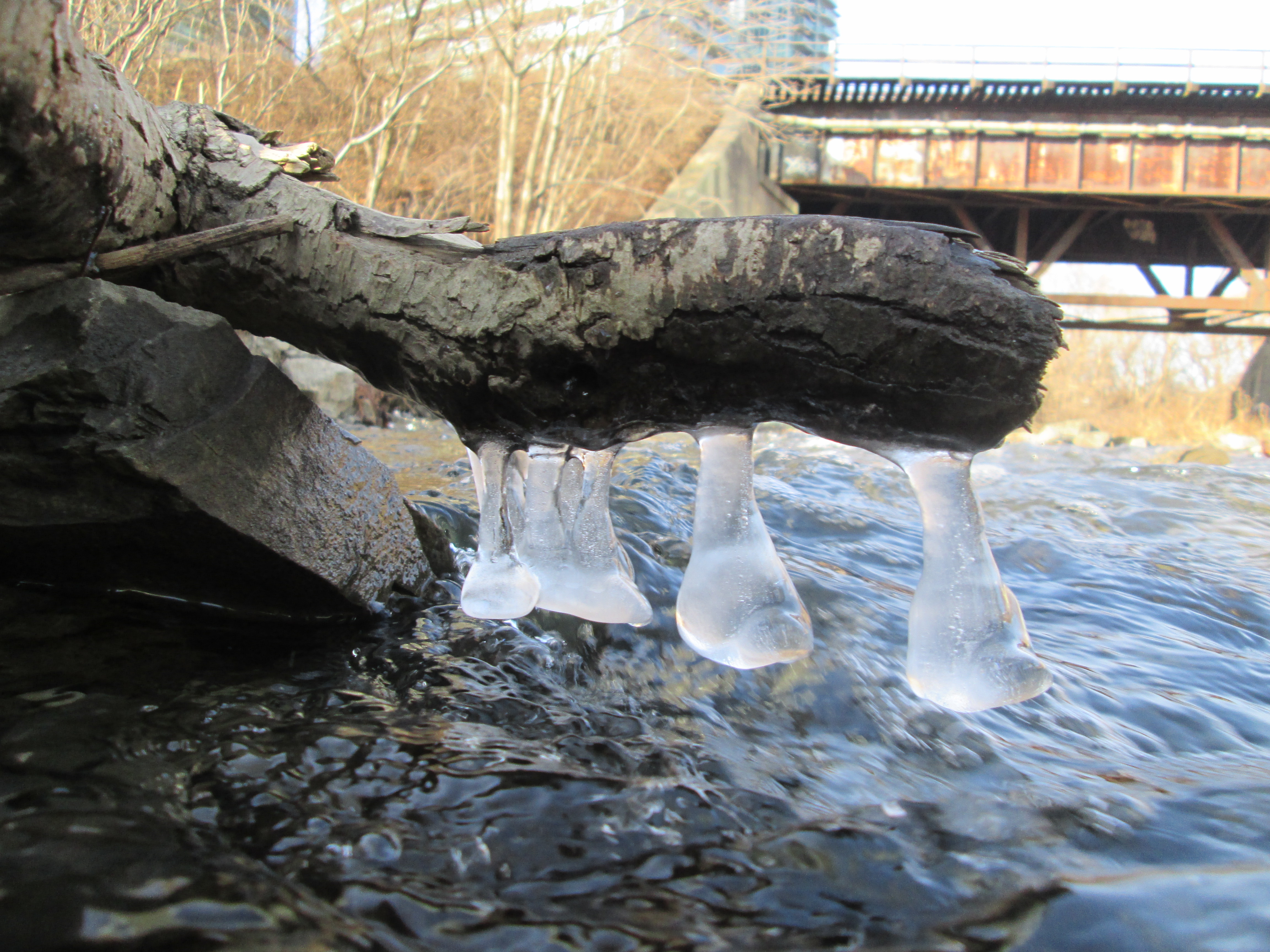
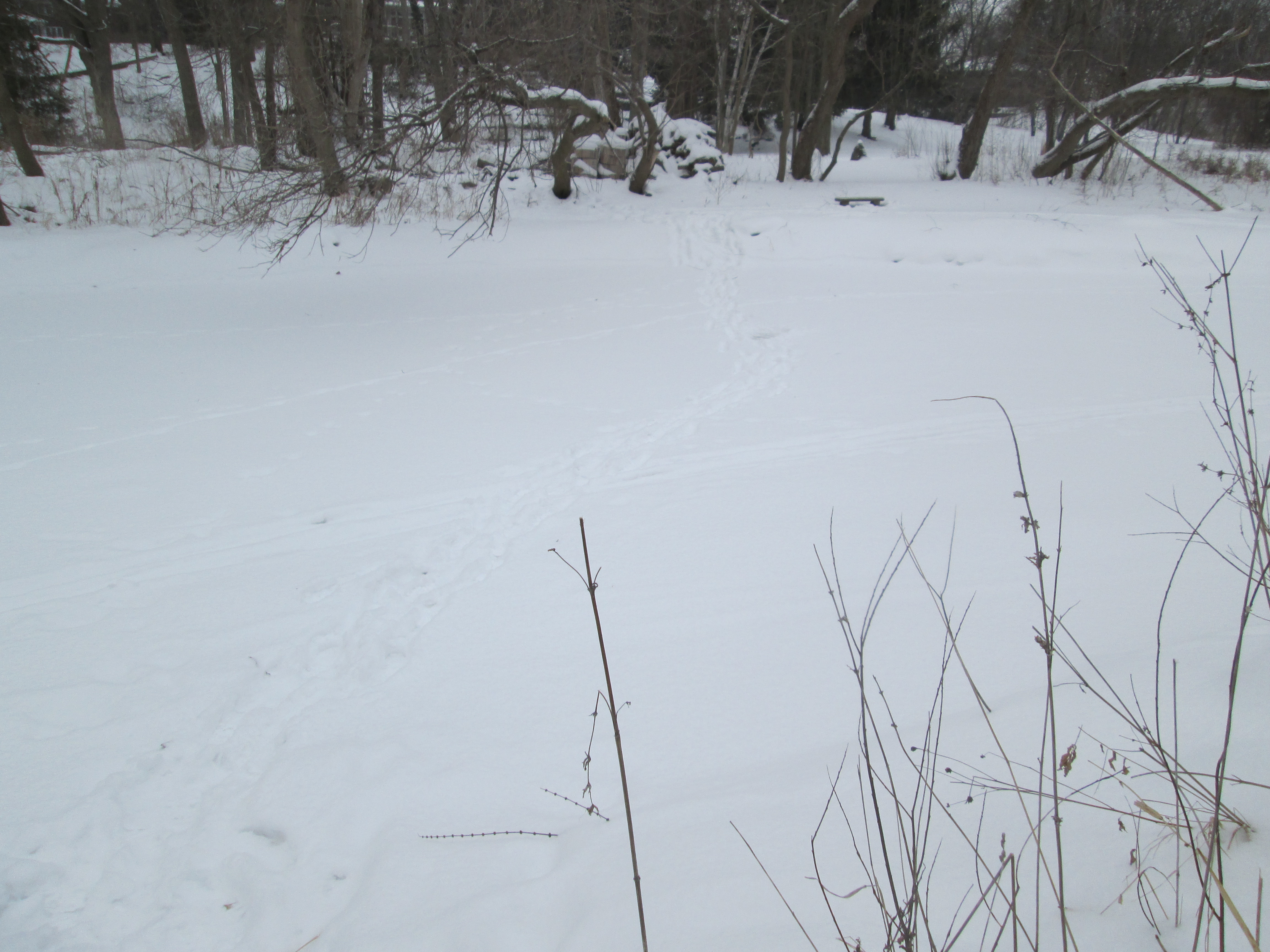
The ice on Mimico Creek is several inches thick in most places and people have been going back and forth.  On the opposite side of the creek is an ornate bench that someone has crossed over to examine.  Perhaps it was just a two minute bench minor.

IMG_2399

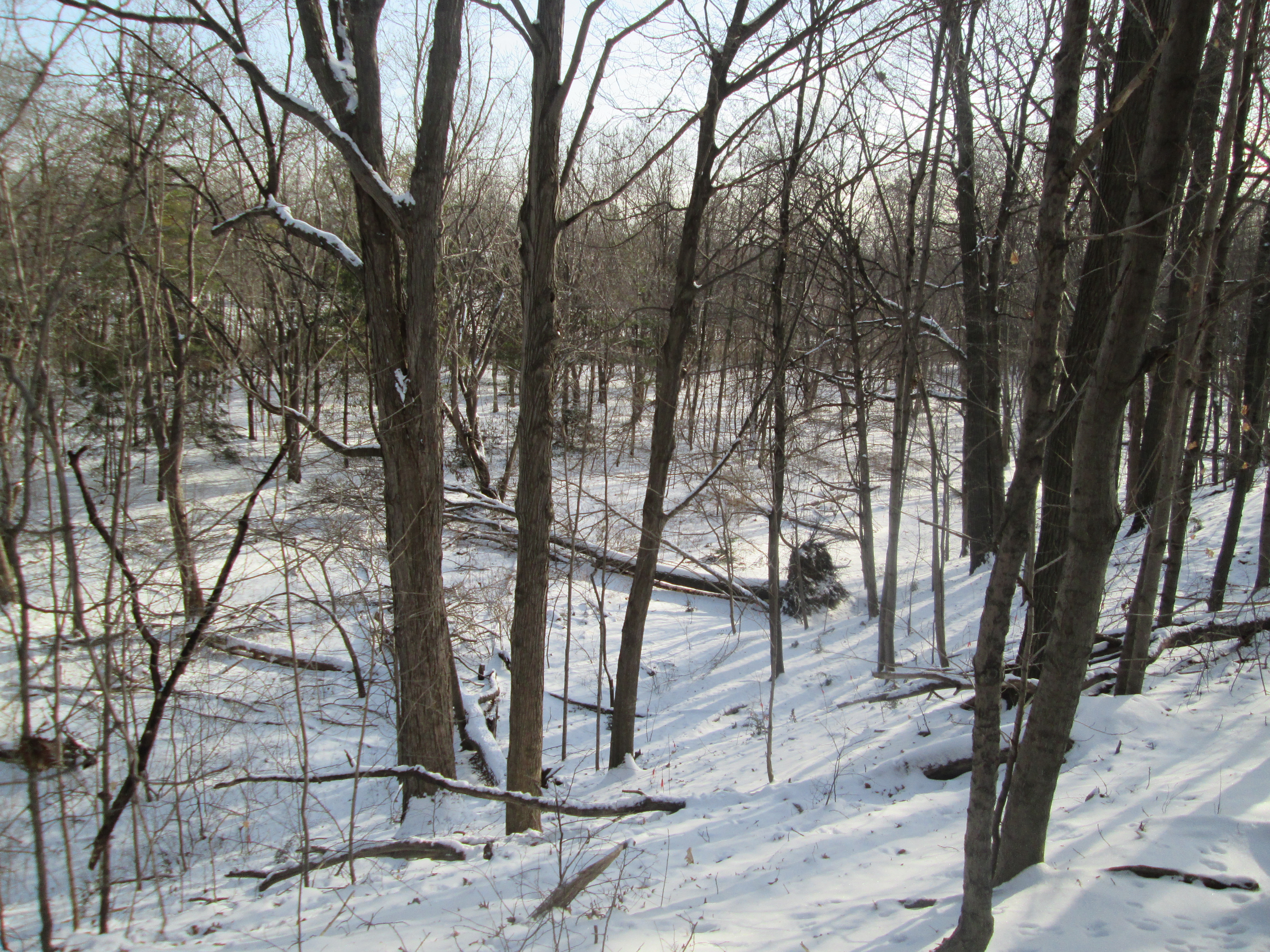
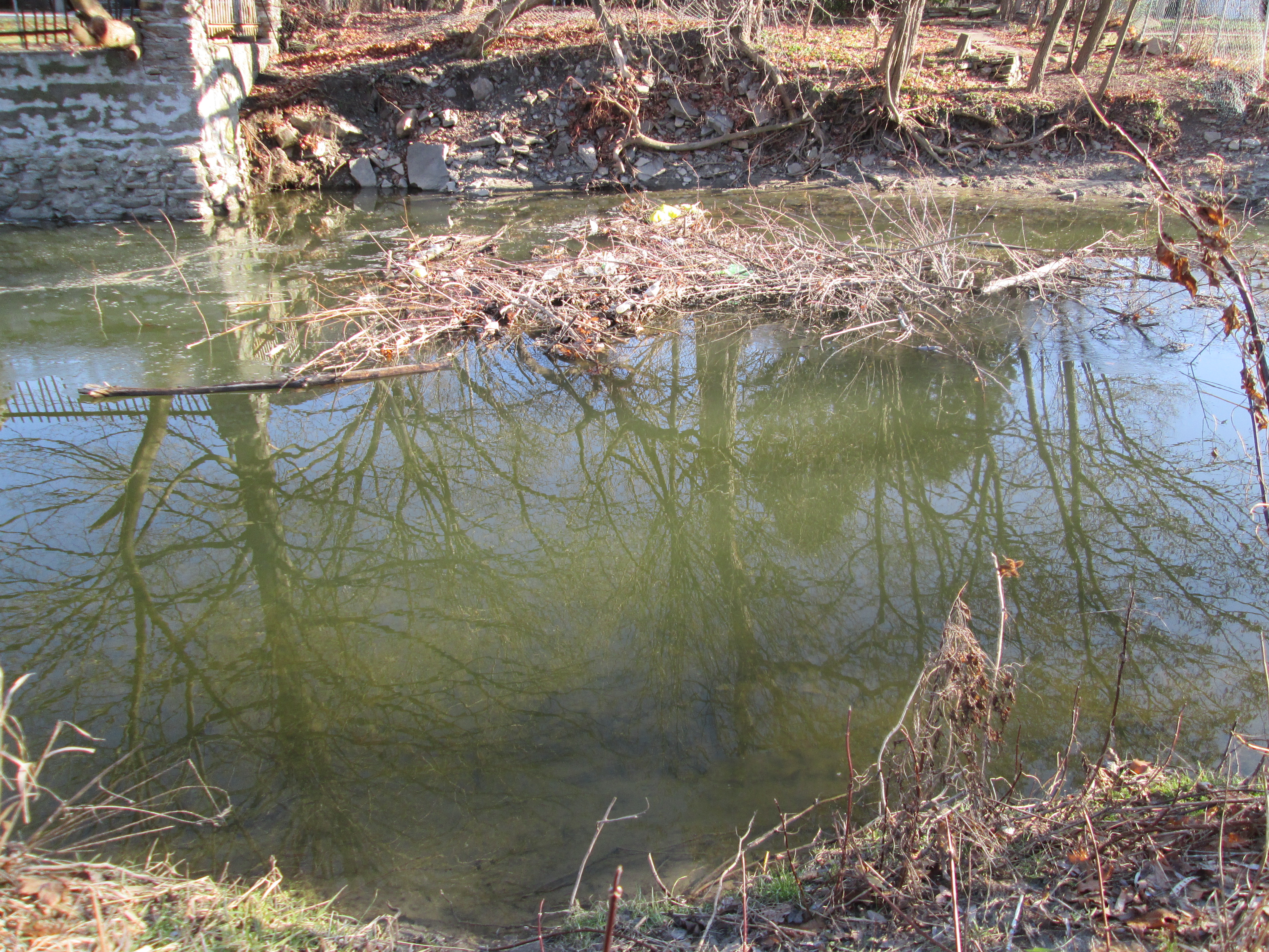
There is a foot of snow on the ground but there appear to be some interesting areas here for exploring later in the year.

West Deane Park

Sat. Jan. 31, 2015

It was -11 feeling like -12 which seemed like a nice temperature considering that the weatherman had been calling for -18 with a wind chill of -30. It started off cloudy but the sun came out a little later on.  We parked in the parking lot off of Martin Grove at West Deane Park.

Andrew and Martha Coulter emigrated to Etobicoke from Ireland in 1822 along with the first two of nine children.  They bought 100 acres of land which lay between highway 27 and Martin Grove Road, halfway between Rathburn and Eglinton in an area known as Richview.  Over the next few years they acquired an additional 150 acres.   The Coulter’s operated the farm until the 1880’s and in 1939 the land was purchased by construction magnate Percy Law.  He kept race horses here until he sold it for development in 1956.

We crossed Mimico Creek and headed uphill on the south side of the bridge.  At the top of the hill we found a small playground where there was a coyote sitting in the distance in  the snow. Coyote are related to the grey wolf and have become quite adept at living in close proximity to humans in urban environments.

IMG_2232

We started to sneak up on what we believe was a female but when she saw us she ran into the trees.  One advantage of fresh snow is the ability to follow animal tracks and we soon found where she had gone.  Following her we found ourselves in the middle of her hunting ground. The coyote started circling us at a distance and we were soon able to capture the short video below and the picture in the cover photo.

Tracking the coyote we found that the footprints were smaller than some we had seen previously suggesting that perhaps the animal was not fully grown.

IMG_2244

We came across the remnants of a Christmas party hanging in the trees.

IMG_2246

The sun came out at one point and lit up the valley in front of us.  For scale, the large tree laying in the bottom of the ravine once stood at the base of the hill but would not have been tall enough for the canopy to reach the upper rim.

IMG_2248

We followed the west side of Mimico Creek north and soon came to an area full of winter birds. A cardinal was singing in the trees above us and we soon spotted him.  Cardinals eat insects in the summer, raising their young almost exclusively on them.  In the winter cardinals will live off of seeds and will also eat the bark of elm trees.  There were several pairs of doves sitting in the trees.  Doves are one of 11 animals that mate for life, along with termites and Schistosoma mansoni worms.  Wolves, which are related to Coyotes, also mate for life.  This is perhaps the reason that doves come in pairs in the Twelve Days of Christmas.

IMG_2255

There was a flock of a dozen or more woodpeckers moving through.  There were both the larger Hairy, pictured below, and the smaller Downey flocking together.  These two birds are not actually birds of a feather as they are unrelated in spite of their nearly exact same marking and appearance.

IMG_2259

Andew Coulter built a saw mill on Mimico Creek and operated a farm on his property.  After his death in 1857 the farm was run by his 4 sons.  Andrew Coulter and his sons are buried in the Richview Methodist Cemetery which sits in the very middle of the highway 401 and 427 interchange.  By 1852 Andrew had built an 11 room 5 bay Georgian style farmhouse on the property.  The Coulter’s house was built of red brick with yellow quoins and lintels.  Percy Law modified this brick farm house to create a Kentucky colonial revival style home by adding white clapboard siding and a two story classical portico with four Corinthian columns.  He also built himself a horse ranch complete with stables and a carriage house.  The picture below shows the Coulter’s 1852 house as it appeared in 1929.

1ET_AndrewCoulterHouseIn1929BW_Content

The house remains today at 59 Beaver Bend Crescent but the white siding has been replaced with yellow aluminum.  The Law family retained the house and 11 acres surrounding it until it was sold for development in 1981.  The original patterned brick house is still hiding inside the veneer that has been added to the outside over the years.  I think I’d strip it all off.

IMG_2264

Law built a house for his farm manager which stands at 18 Deanewood Crescent.  It is conspicuous among the surrounding homes as it faces sideways to the rest of them.  It also sports a tv antenna indicating that it was constructed prior to the arrival of cable in the neighbourhood.  In Sept. 1952 CBLT, the Toronto CBC station began experimenting with cable broadcasts in the city.  By the time this part of the the farm was sold for development in 1981 cable would have been installed in the new built homes on the street.

IMG_2265

The Coulter’s oldest son, Robert built his house around the same time as his father’s.  It still shows it’s yellow brick quoins and lintels.  The house originally faced east and Martin Grove Road, overlooking what is now Glen Agar Park.  The board and batten addition that now serves as a front entrance and garage would have been a later addition.

IMG_2266

This was our first visit to this section of Mimico Creek but there is lots of unexplored area here for future visits both in the winter and after the snow has melted.


Mimico Creek – Queensway to Lake Ontario

Saturday Dec. 20, 2014

It was minus 5 with almost no breeze.  The Canadian flag reflected on the creek in the cover photo hangs almost motionless.  With the sun shining it made for beautiful day to mark the end of fall.  Returning to the parking lot at Jeff Healey park we set out heading south to see what we could see.  Steep shale embankments on the west side of Mimico Creek forced us to cross to the east side.  It wasn’t too long before we began to see a lot of trees that had recently been chewed off by beavers.  Beavers have strong jaws for cutting down trees and can bite through a 1.5 cm tree in a single bite.  Larger trees, like the one in the picture below, are not used for construction of lodges or dams.  Their bark is used for food and the upper branches are taken for building materials.

IMG_1585

The beavers have started to build a dam across the creek.  Left on their own they will continue to build their dam higher as they raise the water level in the creek.  The dam is strengthened with mud and stone that is dug up off the bottom of the creek with their tails.

IMG_1578

Beavers like to build a lodge which they use as a home for the winter.  The entrance to the home will be from under the water but the home will eventually be built up to have room above the water to make a dry comfy home.  This one is currently under construction.  The beavers will raise the water level to close to a meter above the lodge entrance to keep it clear of ice during winter.

IMG_1582

Along the creek bed a lot of old building materials have been dumped.  The Port Credit brick in the picture below is like one described in Middle Road Bridge on Aug. 16th from a brickyard that closed in 1920.  The J. Price brick is from a brickyard that operated on Greenwood Avenue in Scarborough from 1912 to 1962.  Greenwood Avenue ran along a seam of clay which made it home to several brick makers during the 1900’s.  John Price ran his brick yards producing a soft mud brick which is used for residential construction.  The term “John Price Brick” is still used generically to refer to this type of brick.

IMG_1592

When the Price brickyards closed in 1962 the soft mud press was moved to the Don Valley Brick Works.  The picture below shows Price’s soft mud brick press as photographed during an excursion to the Brick Works on Nov. 16th.

IMG_1054

A little farther along we found an old beer bottle.  The stubby, as it was affectionately known, was introduced to Canadian beer drinkers in 1961.  Market research showed that women drank less beer than men and it was thought that making the bottle skinnier would appeal more to that untapped market.  By the mid 1980’s all the stubbies had been eliminated in favour of the American style long neck bottle.  The picture below shows a 1977 stubby.

IMG_1605

This is what it may have looked like when it was new.

stubby_beer_bottle_labatt_133

William Gamble built a saw mill on the Mimico Creek on the west side near the railway crossing. It is likely that it was located on the land that can be seen upstream, framed by the rail bridge. Gamble also owned the King’s Mill before it was destroyed by fire in 1881.  Today we know that restored mill as The Old Mill.

IMG_1618

The creek had been splashing on this branch creating it’s own form of Christmas decorations.

IMG_1624

We found a couple of records of past lives along the creek bed.  Below is a perfectly preserved shell from when this area was the bottom of Lake Iroquois.  Davenport Road marks the approximate shoreline of this ancient inland lake.

IMG_1625

The past life recorded on this piece of rock is from a much more recent era.  However, it is only possible to make out that the last 4 letters on the first line say “wood” while the second line ends with “sons”.

IMG_1631

In 1997 the first single rib inclined arch bridge in North America was built across the Mimico creek near the mouth.  The creek is 90 meters wide at this point but was reduced to 44 meters to keep construction costs down.  The bridge deck was also reduced to just 2.5 meters to keep the project on it’s $650,000 budget.  The narrowing of the creek provided wetlands around the bridge attracting wild life to the area.

IMG_1636

Where Mimico Creek empties into Lake Ontario is protected by a in-filling.  The shoreline has been altered to create a safe harbour for boat launches.  An earlier boat launch on the west side of the creek has been replaced with a new one in the sheltered cove.  On the horizon near the left side of the picture, way off in the distance, is a large ship.

IMG_1647

Visit us at http://www.facebook.com/hikingthegta for a gallery of unpublished pictures.


Mimico Creek – Queensway to Royal York

Saturday Dec. 6, 2014

It was a cloudy day, threatening sunshine, and just around the freezing mark.  We parked in Jeff Healey Park on Mimico Creek.  Jeff Healey was a blind Canadian Jazz/Rock guitarist and singer. Jeff grew up on Bonnyview dr. just across from Woodford Park where he liked to toboggan in the winter.  After his death to cancer in 2008 the city renamed the park in his honour.  Efforts are currently underway to redevelop the park into a disabilities friendly park which will include large scale musical instruments for the local children to jam together on.

The name Mimico comes from the Ojibwe word that means “pigeon”.  The passenger pigeon, after which the area is named, was considered to be the most numerous species in the world at the time that Europeans came to North America.  Today they are extinct.

William Gamble, who later operated the King’s Mill (now Old Mill), opened a saw mill on Mimico Creek, giving rise to the town of Mimico.  It was initially comprised of three estates or land grants.  We started off on the west side of Mimico Creek.  Mimico creek is cut through layers of shale.  This shale is full of fossils and we found the fossil plant in the picture below.  This fossil is standing up and passes through several layers of shale deposits.  This is known as a polystyrate fossil.  This makes it appear to have been lucky enough to stand up for thousands of years without rotting while the rock formed around it.

IMG_1396

We crossed the creek on a series of stepping stones.  A bush of large oak trees grows along the east side of the creek just north of here.  Both white oak and red oak grow in abundance.  The red oak in the picture below was split into two main trunks as were most of the local examples. A hole in one of the trunks has been taken over for a home by some lucky squirrel.  A large fungus provides an awning over his doorway.

IMG_1406

On Sept. 6th when we visited Riverside Park in Streetsville we described the Goldenrod Gall Fly and it’s life cycle.  Finding two goldenrod galls on the same plant stem is rare but the picture below shows an even more rare triple gall.

IMG_1414

One of these plants was broken down and so we investigated the gall on it.  Just before winter the gall fly chews an escape route for the following spring.  This leaves a soft spot on the outside where the gall is chewed almost to the outer skin.  Breaking the damaged one open revealed the little insect inside.

IMG_1418

Mimico Creek appears calm and perfectly clear today.  When it floods it races down the creek valley carrying rocks and trees with it.  Along the west shale bank the creek has thrown up a three foot high wall of stones.  It can be seen as the whiter rock just above the water line.  The cover photo shows a picture of the creek at a point north of here where there has been an old dam or flood control built in the creek.

IMG_1460

Common Mullein is a biennial plant, meaning that it takes two years to mature.  The tall thin stalks stand out among the other field plants.  The stalks contain a core that is light and dry and perfect for tinder to start a fire in an emergency situation.  Even in the rain or winter snows the insides of these plants can provide a dry source of fire starter.  The stalk is often used as a hand drill to create friction to start a fire with.

IMG_1427

This is a first year common mullein.  The leaves are soft and pliable, rounded at the ends and fuzzy.  These leaves are unique and no other plant in Ontario has similar leaves.

IMG_1451

Life is tenacious as this tree bears witness.  It clings to the side of the shale embankment by a massive system of roots.

IMG_1461

A brick factory was founded in Cooksville in 1912 under the name of the National Brick Company.   After changing names several times it became Domtar (Shale Division) in 1953.  The site was closed down in 1991 but produced a brick that became known as Canada Brick.  Along the side of the creek we found a sample.

IMG_1467

The brick works as it appeared in 1983 at the north east corner of Dundas Street and Mavis Road in Mississauga.  Filled in, the site is now home to a Home Depot, grocery store and townhouse development.

LG_m308

Like us at http://www.facebook.com/hikingthegta

Follow us at http://www.hikingthegta.com