Nov. 1, 2025
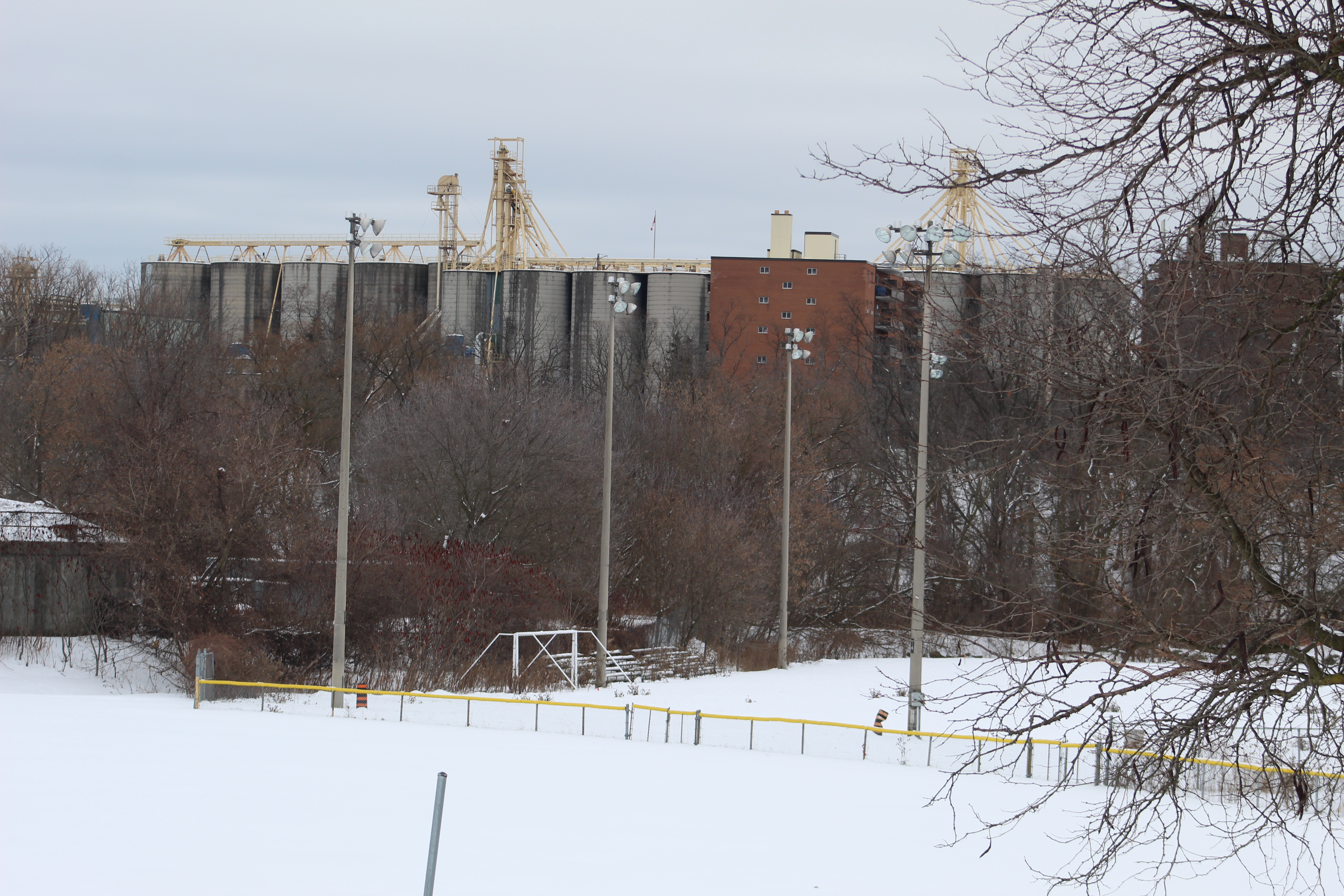
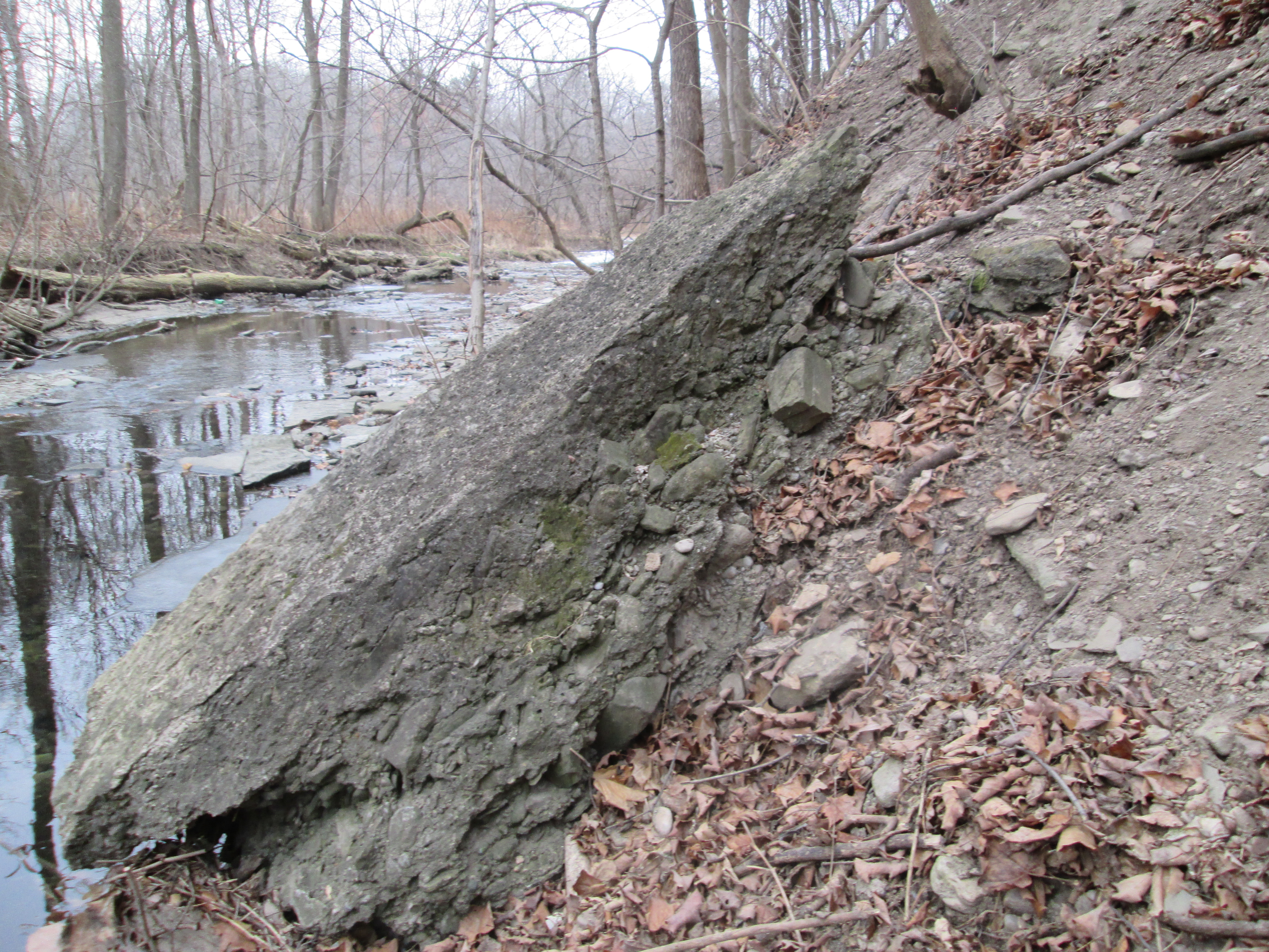
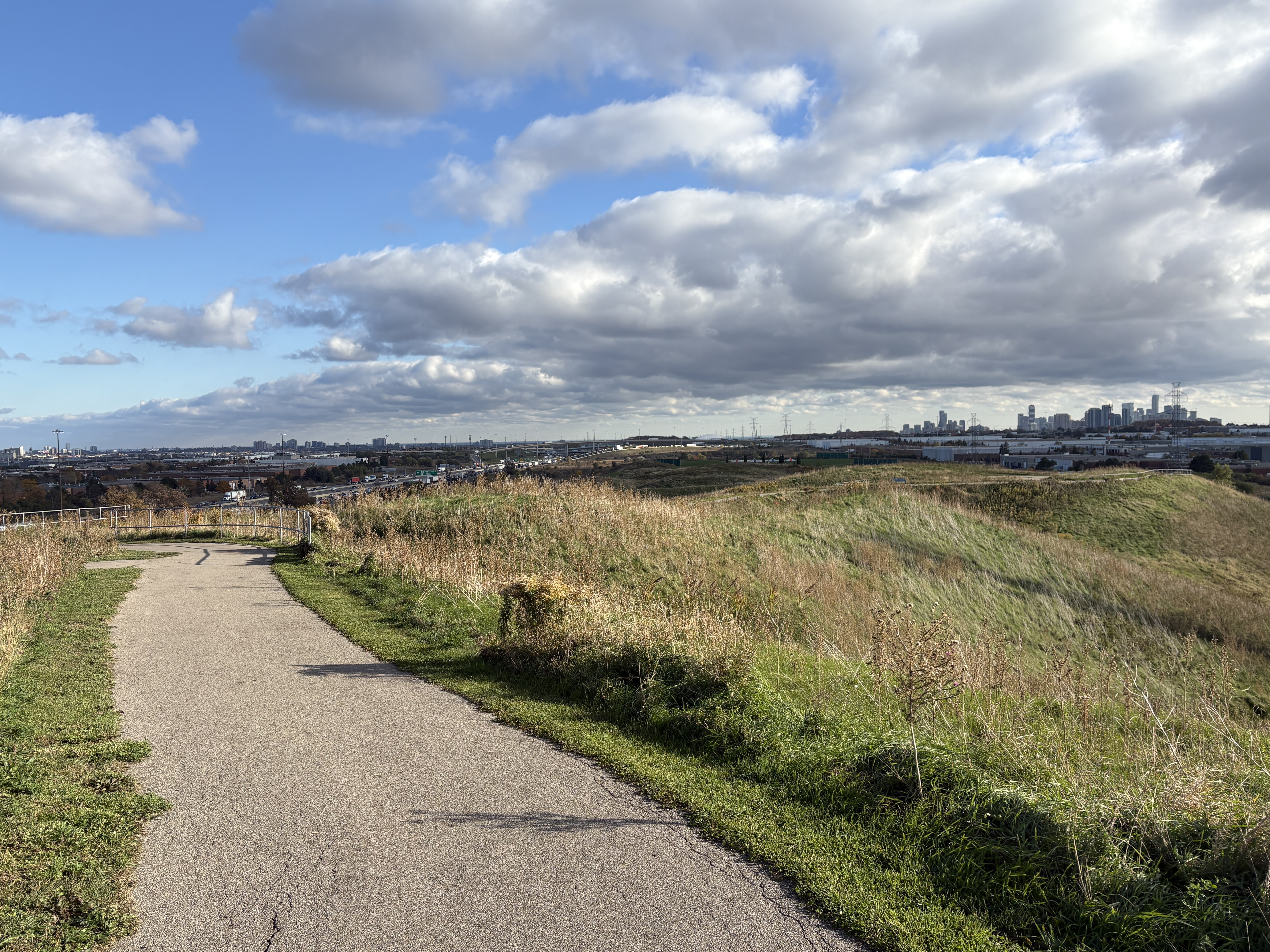
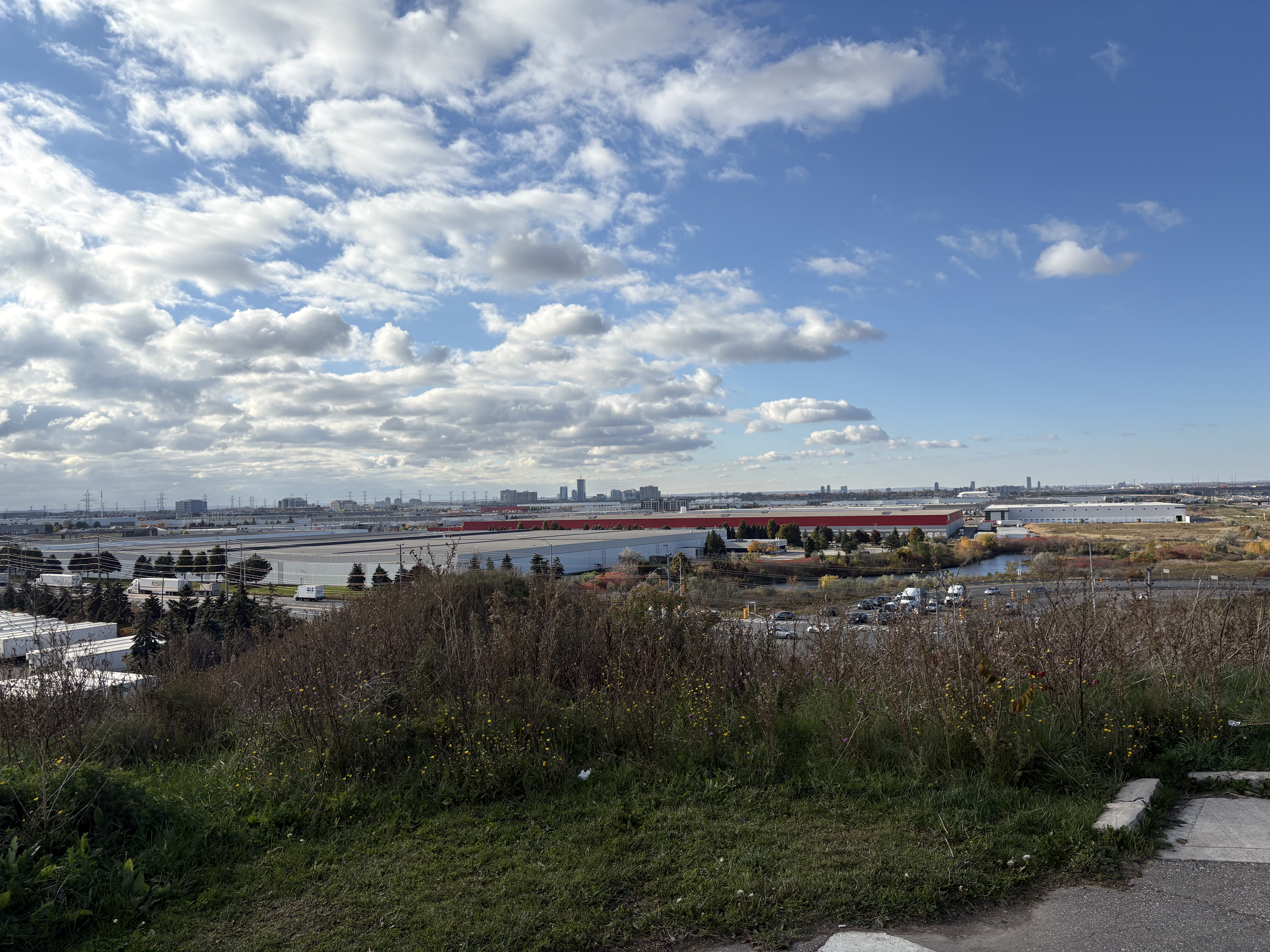
Danville Park is one of Mississauga’s newest parks having just opened in 2017. It is a 26 hectare linear park that is sandwiched between an industrial area and the 410 in the Kennedy Road and Courtney Park section of the city. The park is mostly open grasslands with few trees. The topography is rolling hills and valleys. This has been shaped by the moving of 230,000 cubic metres of earth. For many years this area along side the 410 was just a wasteland of left over earth from various construction projects but has been turned into a unique type of park with ties to the aviation industry in Mississauga.
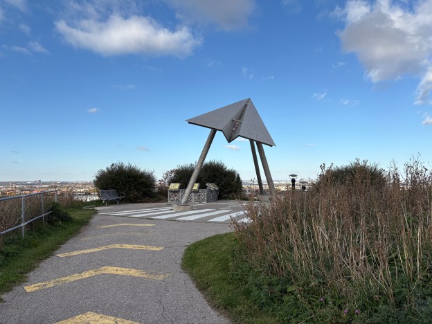
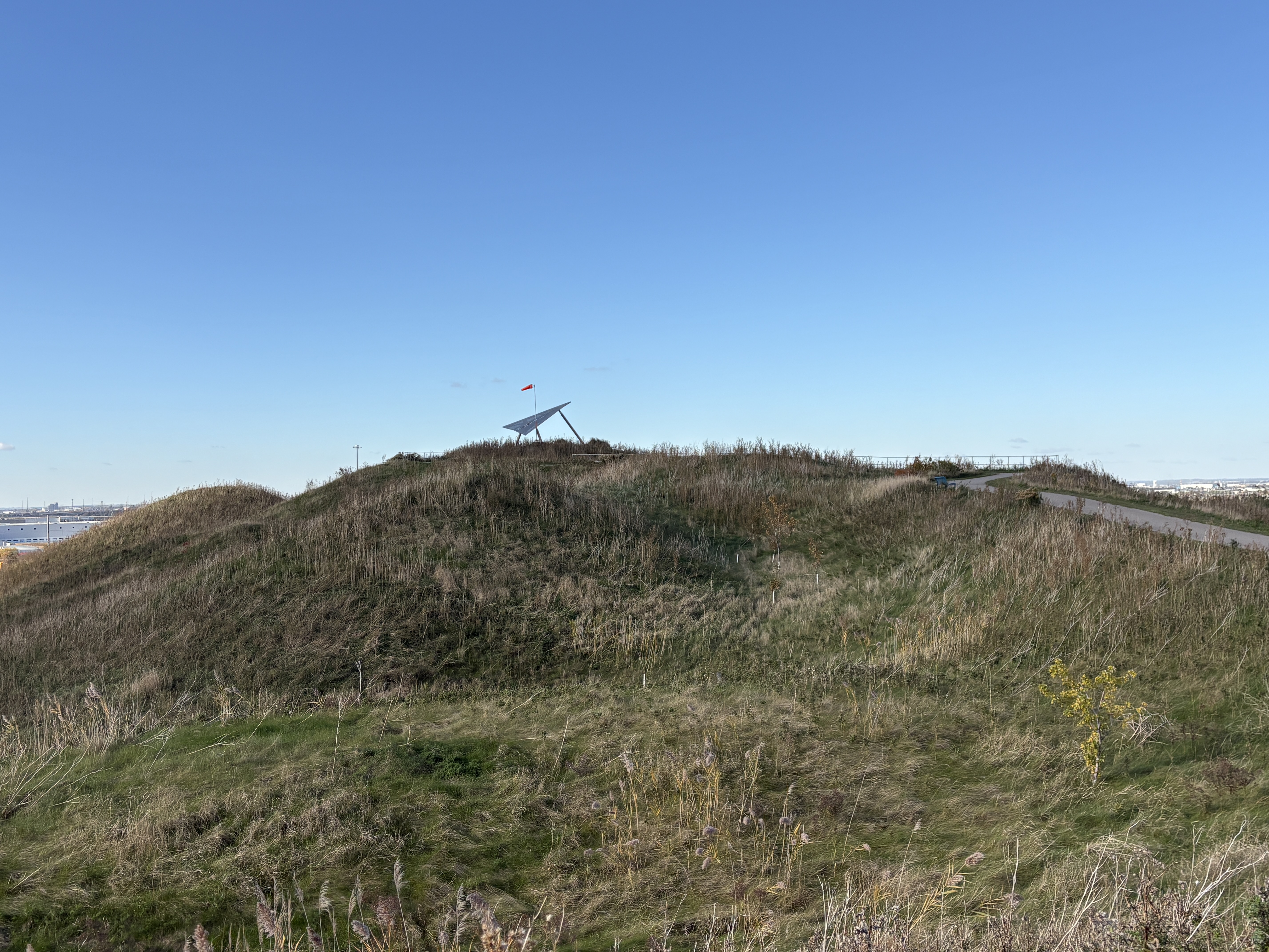
The Greater Toronto Airport Authority participated in the creation of the The Final Approach – Danville Terminal. This aviation themed display on the highest point has become a regular place for people to watch airplanes coming and going from the airport. It lines up with one of the main runways and has a wind sock to demonstrate wind speed and direction. There are runway markings on the ground and a pair of free binoculars to view the airport with. Unfortunately, the lenses are missing out of the adult one. The kids one still works but is set a little low for me.
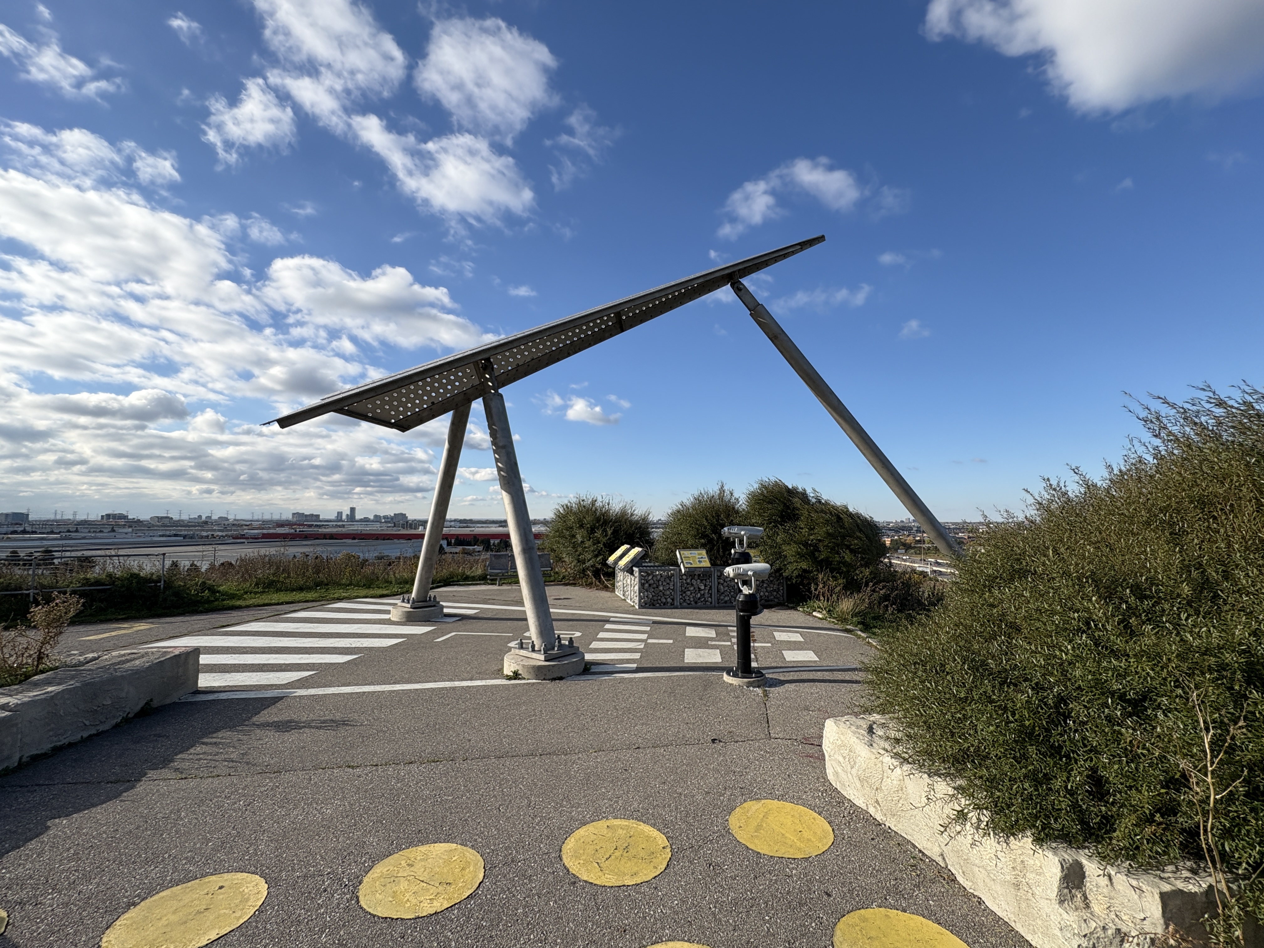
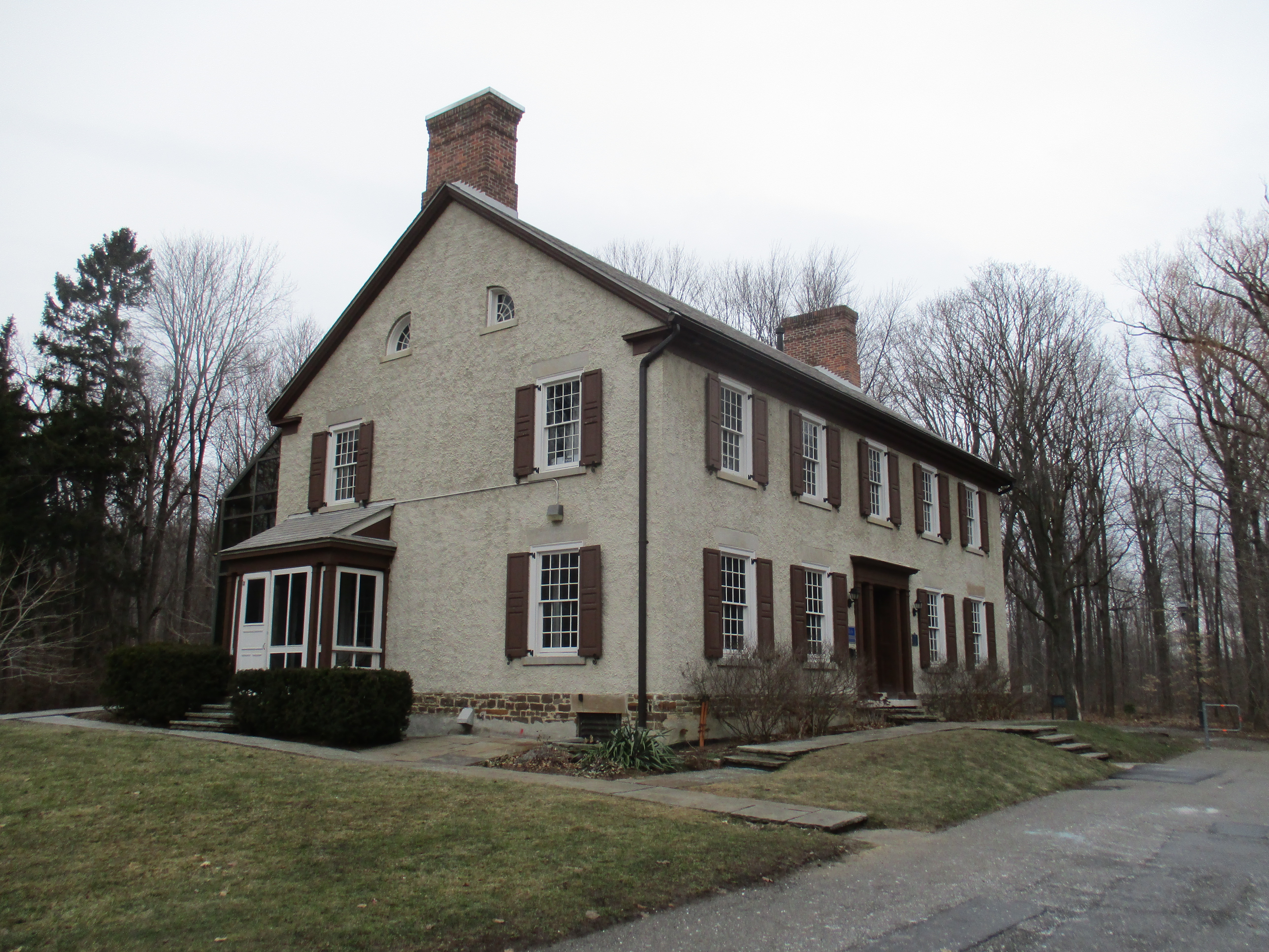
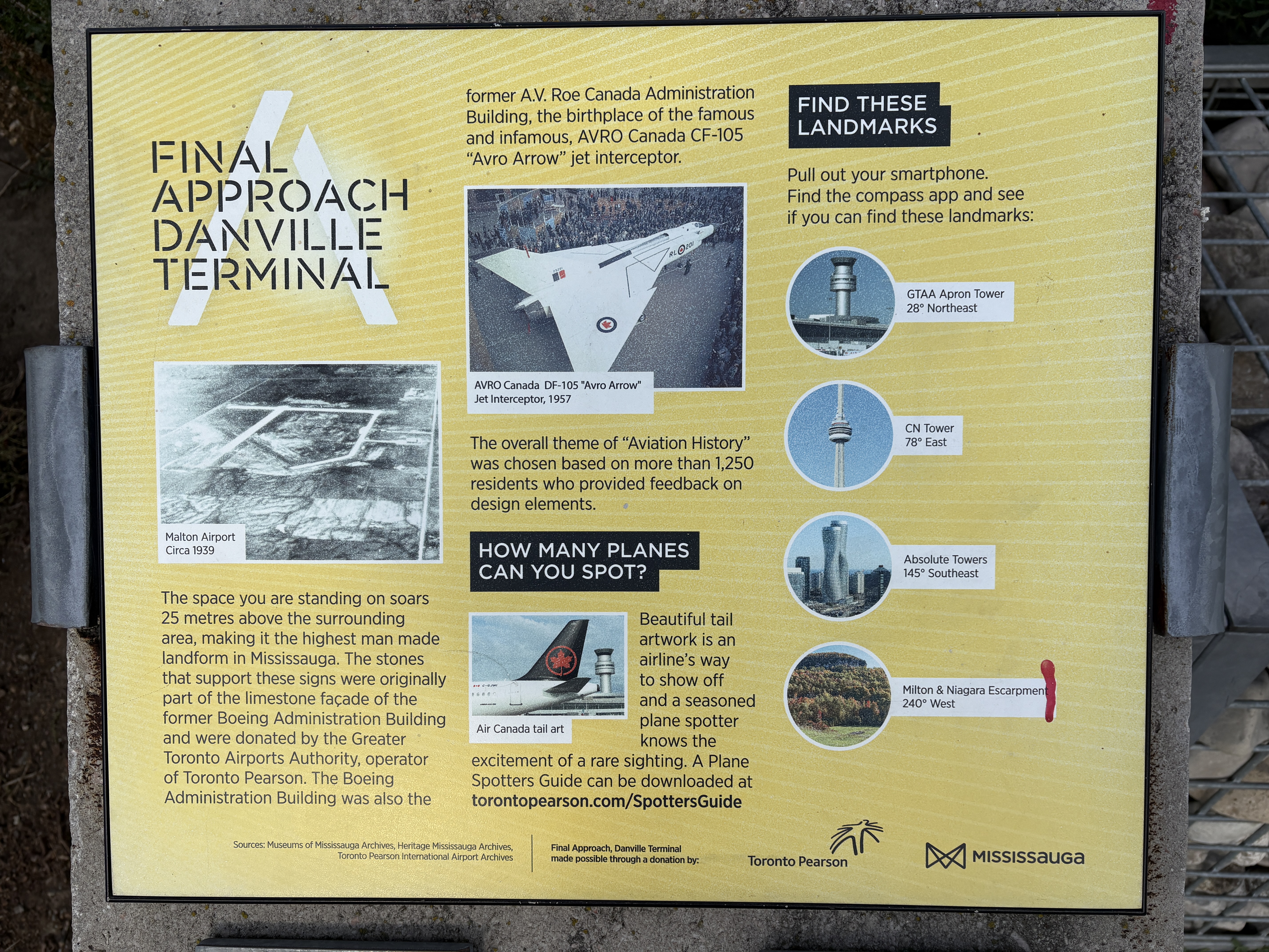
There is a four panel information display about the Avro Arrow and it’s production and halting. Other panels discuss the history of the airport and the aerospace industry in Mississauga. The plaques are mounted on pieces of the limestone façade of the former Boeing Administrative Building.
Situated 25 metres above Highway 410 it affords excellent views of the airport as well as looking south west to the towers of Mississauga. The park is used as a toboggan destination during the winter for its uniquely shaped runs.
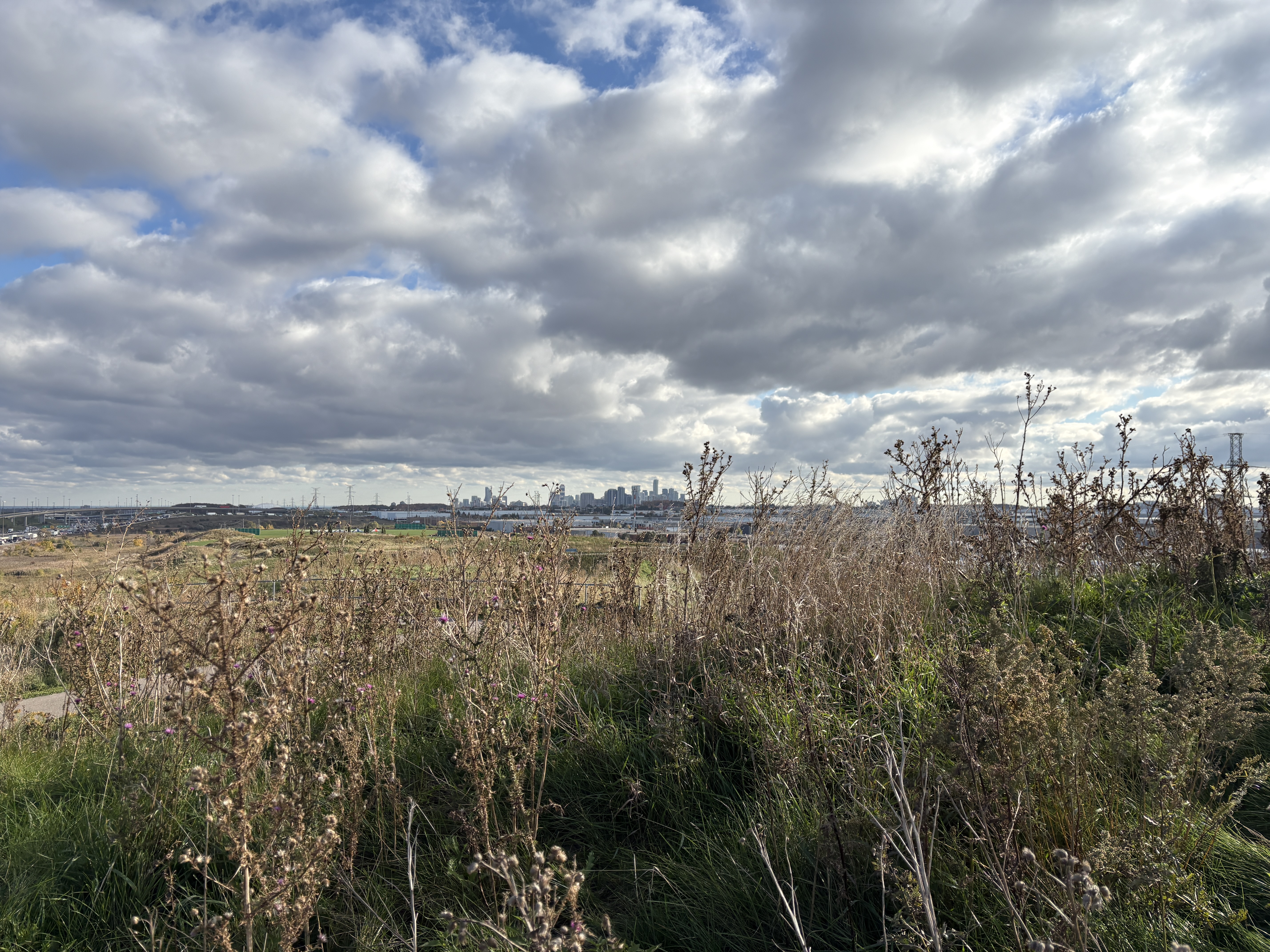
Brampton is starting to approve taller and taller buildings now and their skyline is set to change dramatically over the next decade or so.
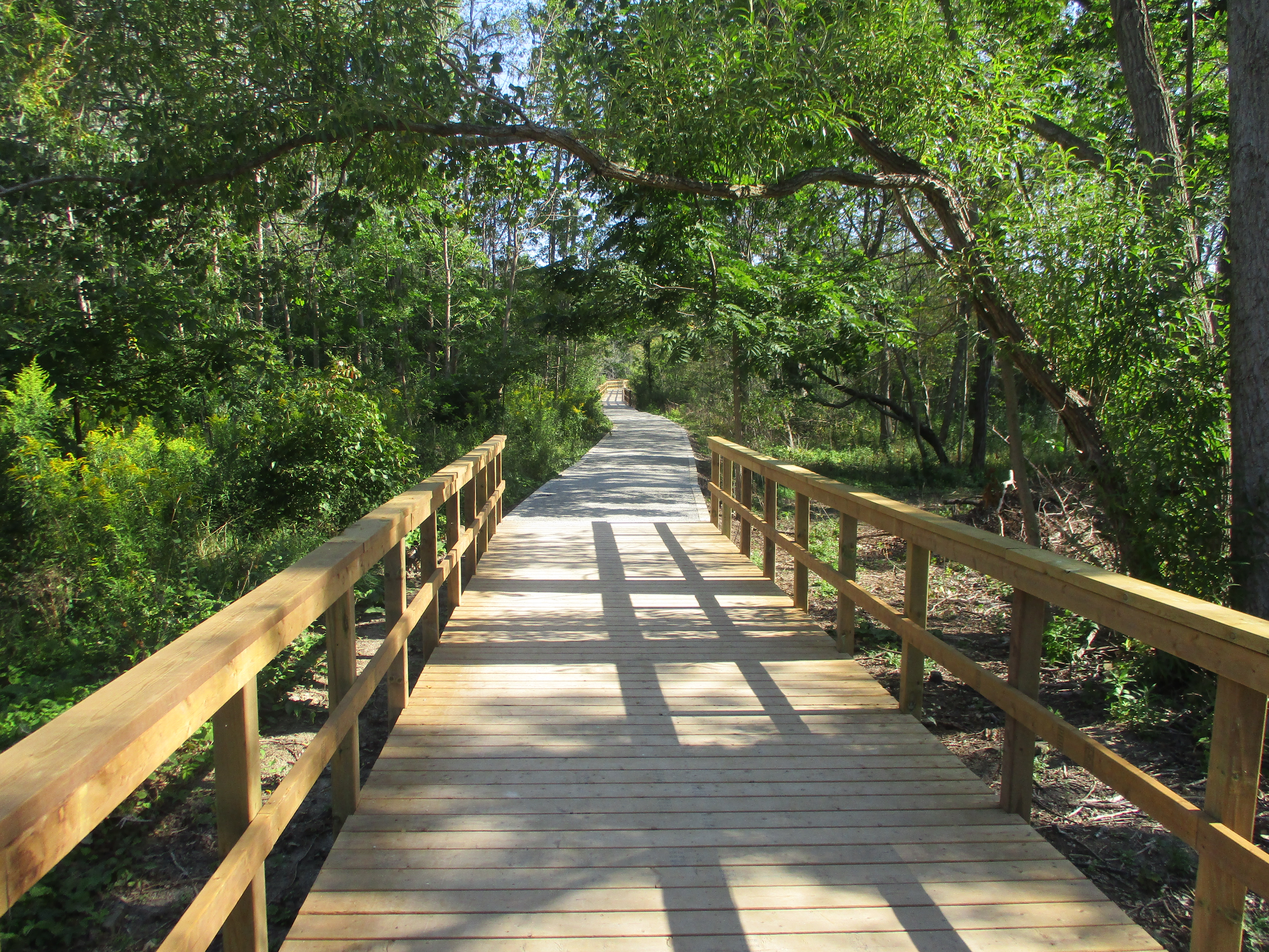
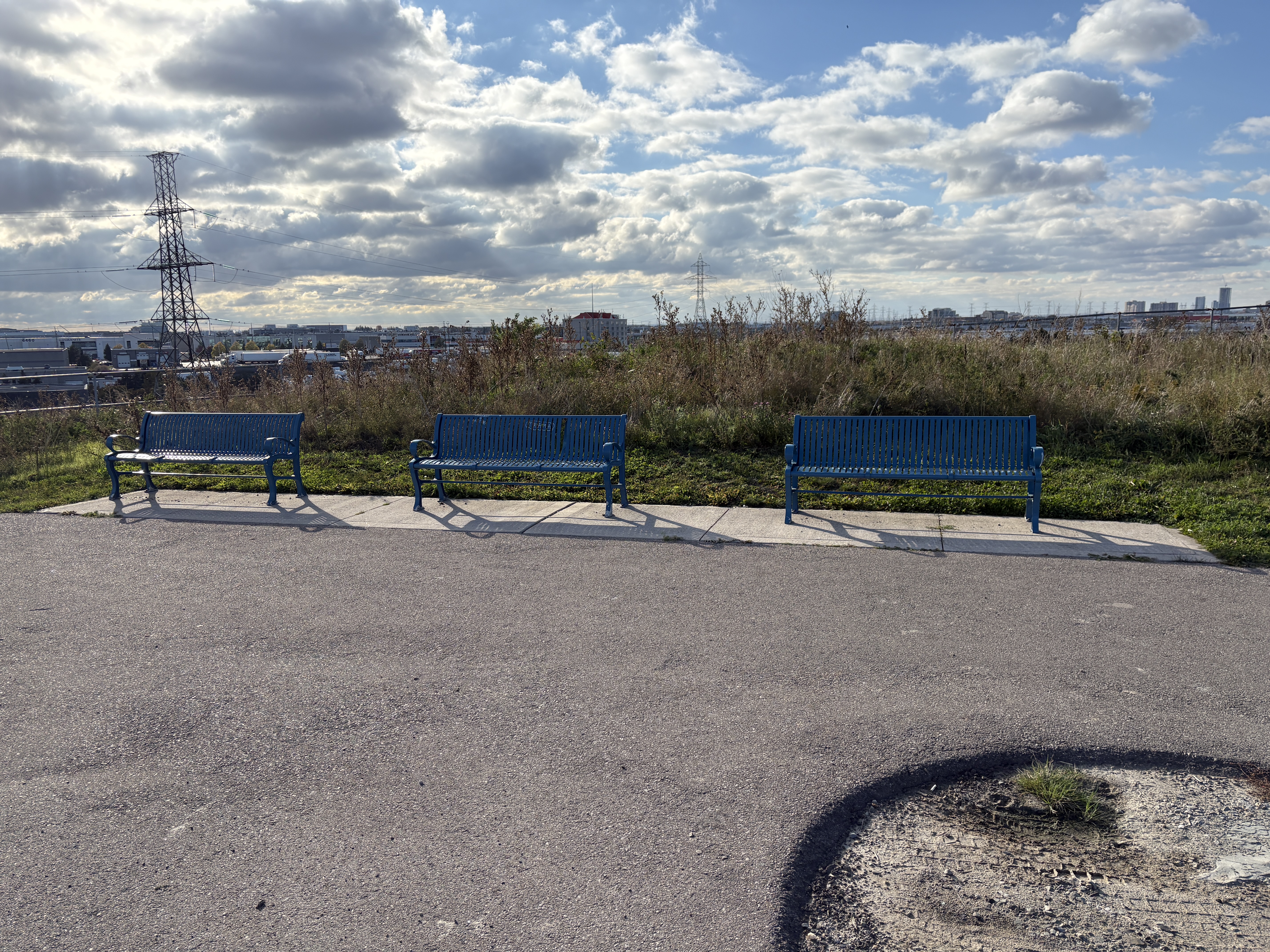
Benches have been provided at strategic places along the path.
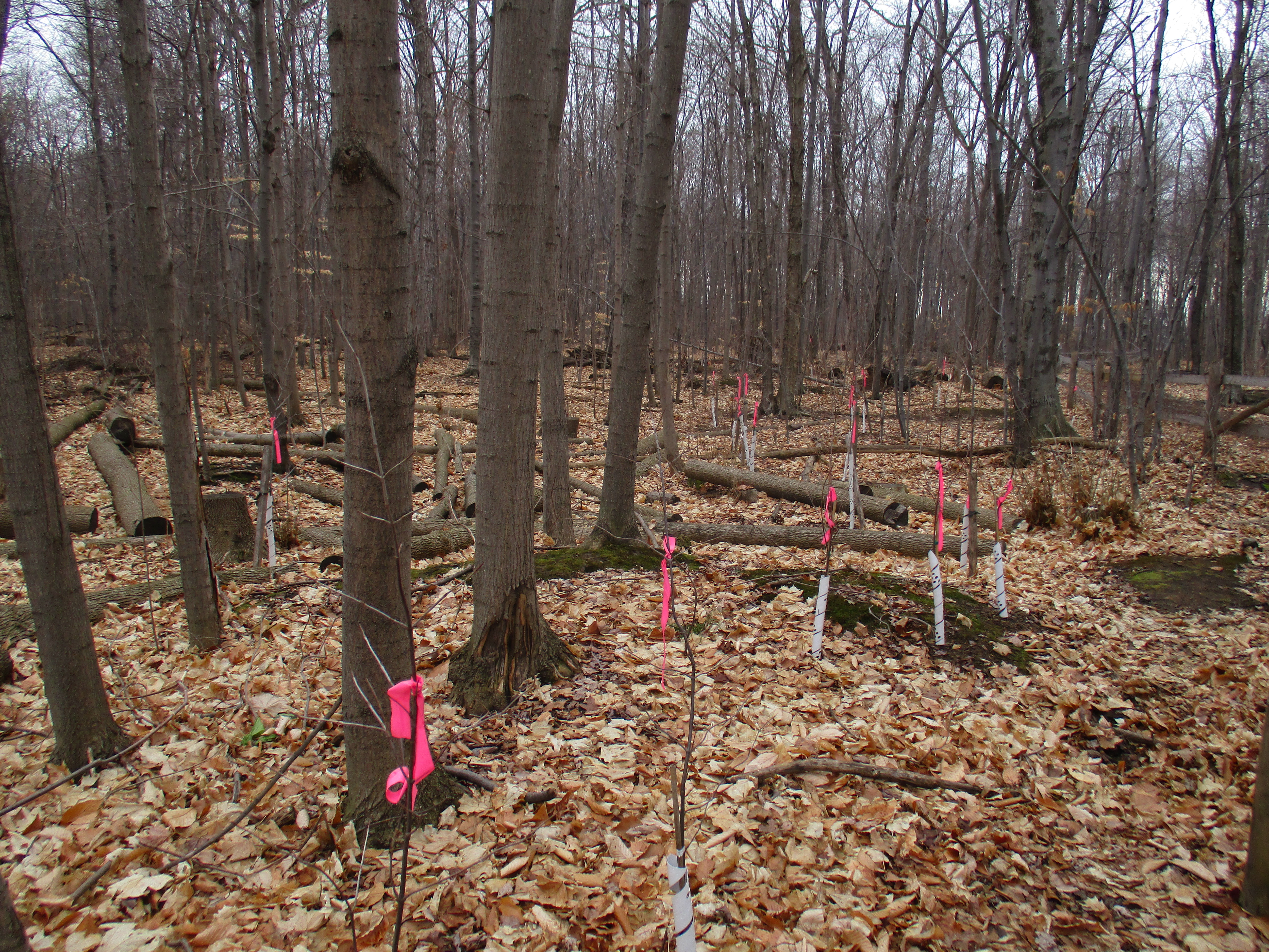
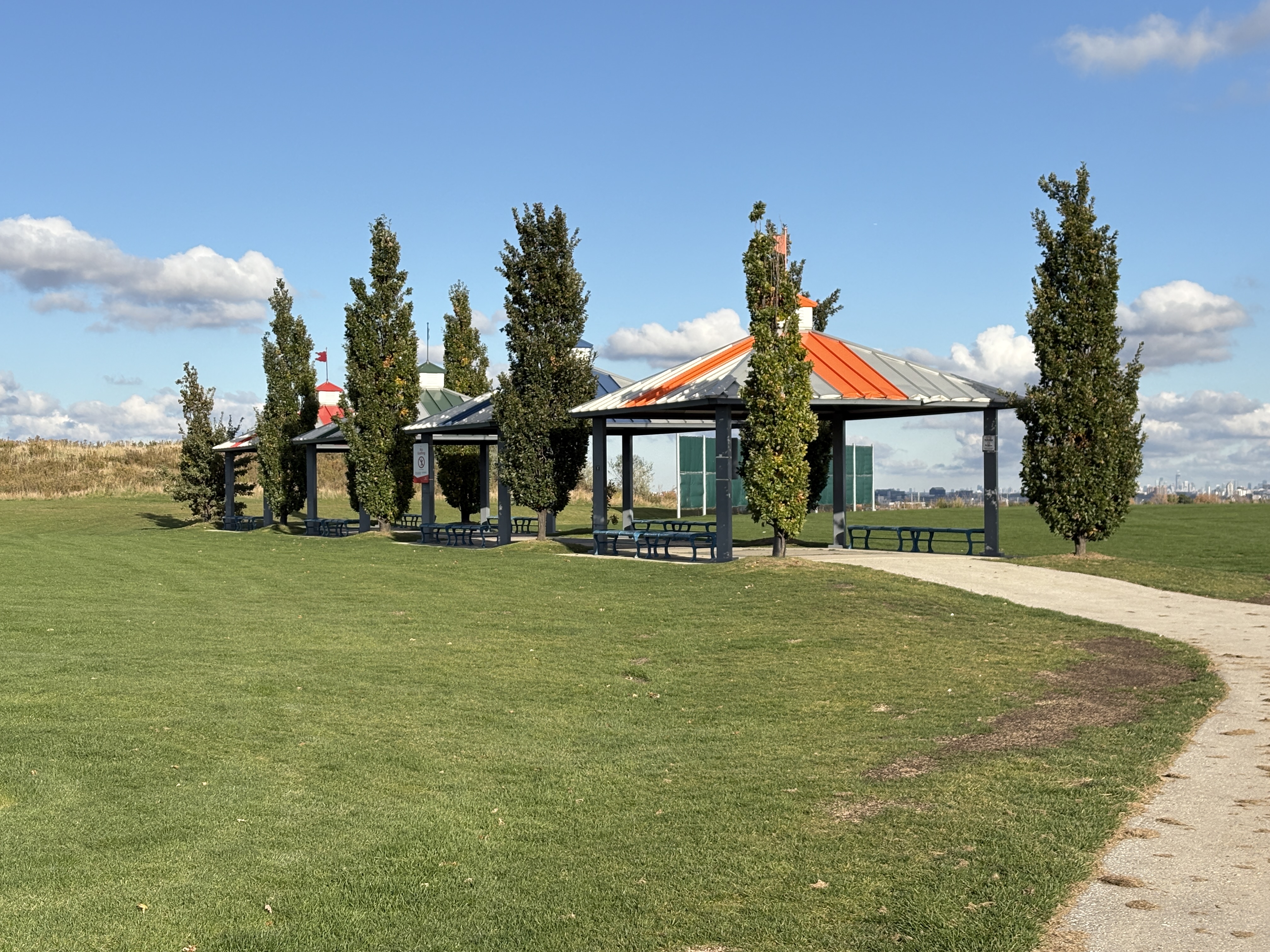
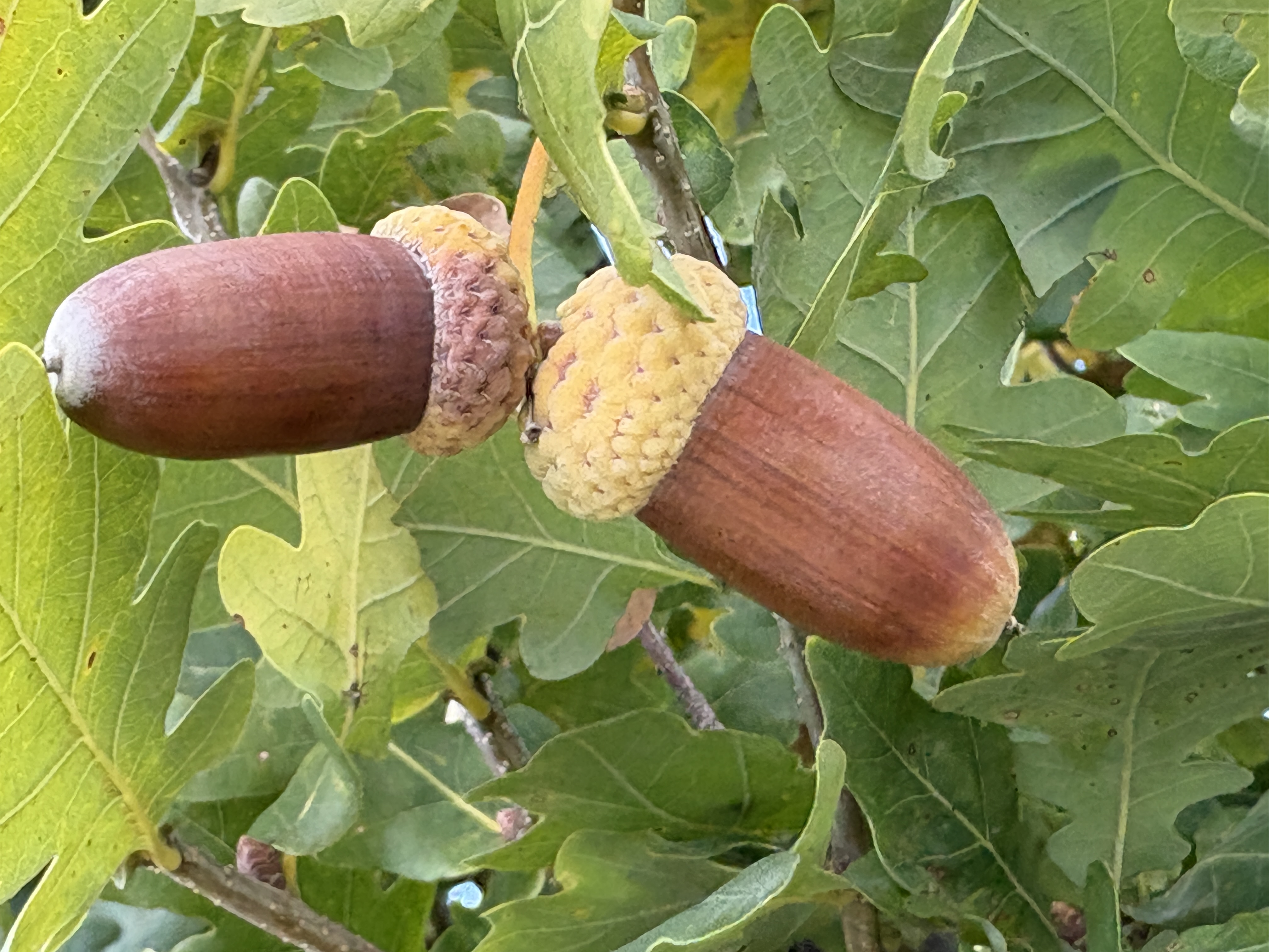
Two full size cricket fields have been created with seating areas located between them. Seats face outward to each of the fields. A series of oak trees have been planted along side the shelters.
These oak trees have leaves like White Oak but the tree shape is very compact compared to the usual spread of the crown. Also, the acorns have the right kind of cap but are very elongated. White Oak acorns will normally have a cap which is about 1/4 of the over-all size of the nut. There are over 500 recognized species of “Quercus”, or oak trees.
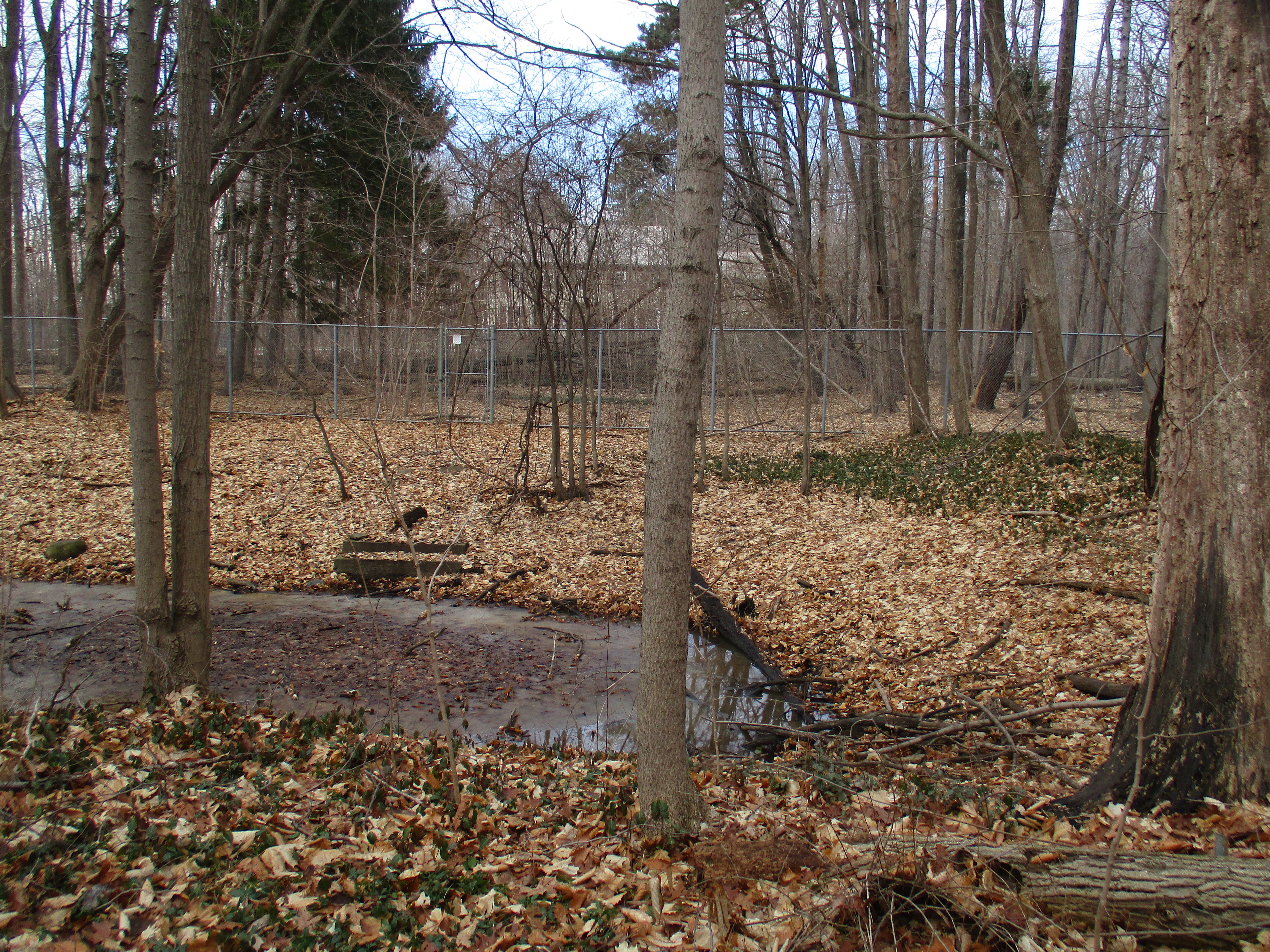
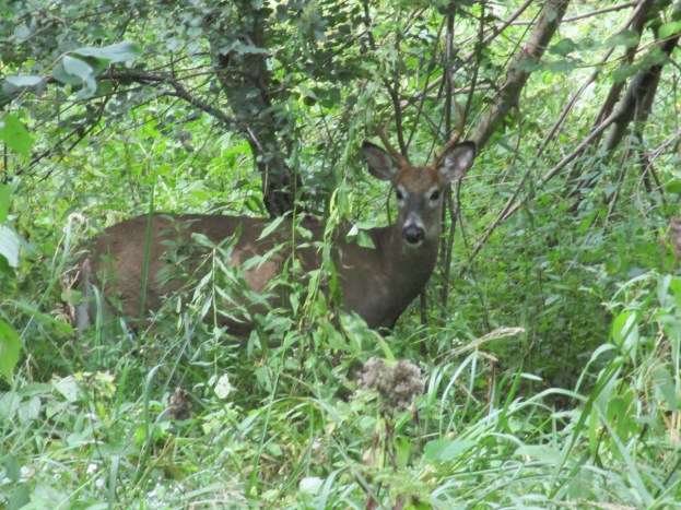
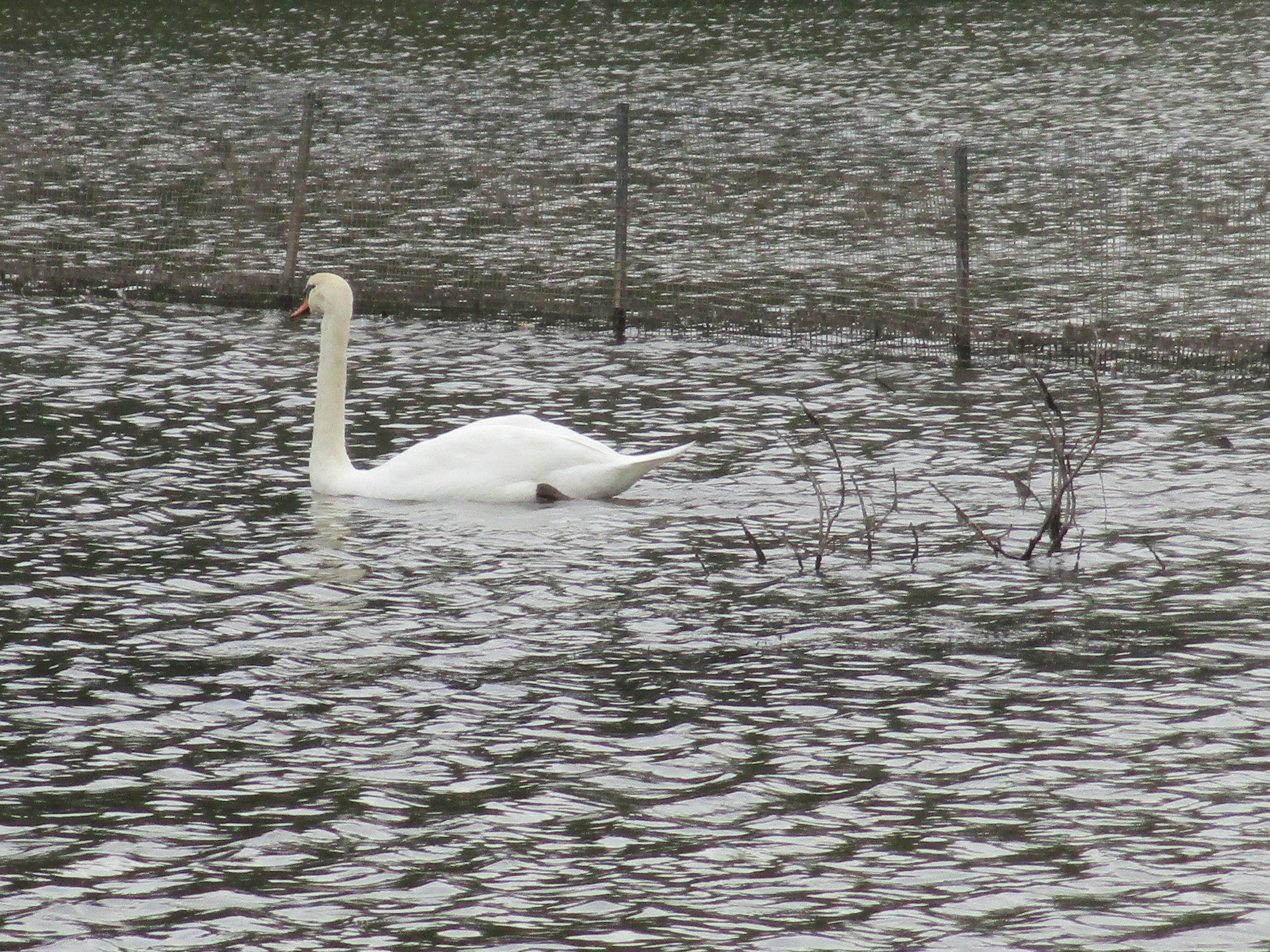
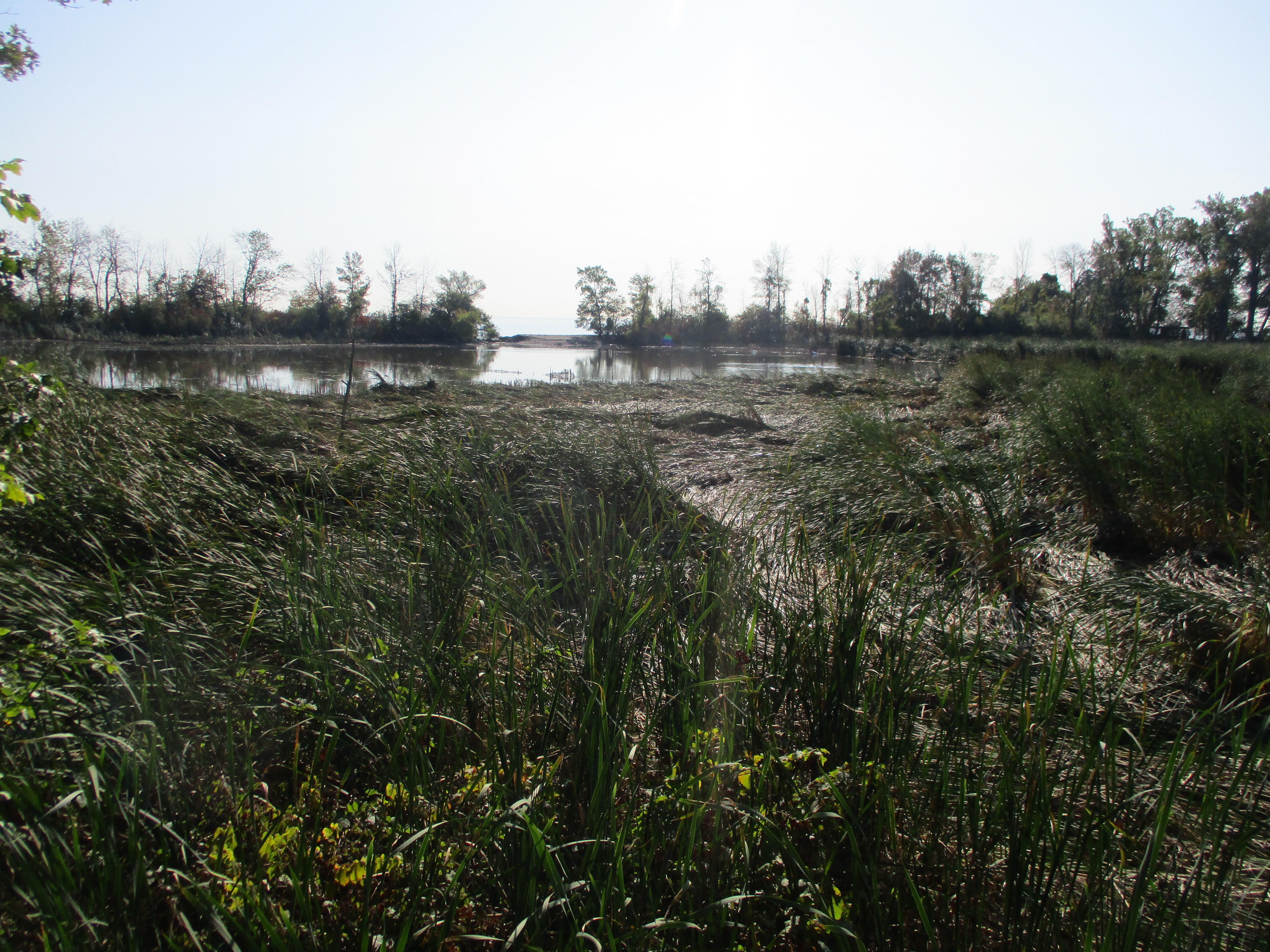
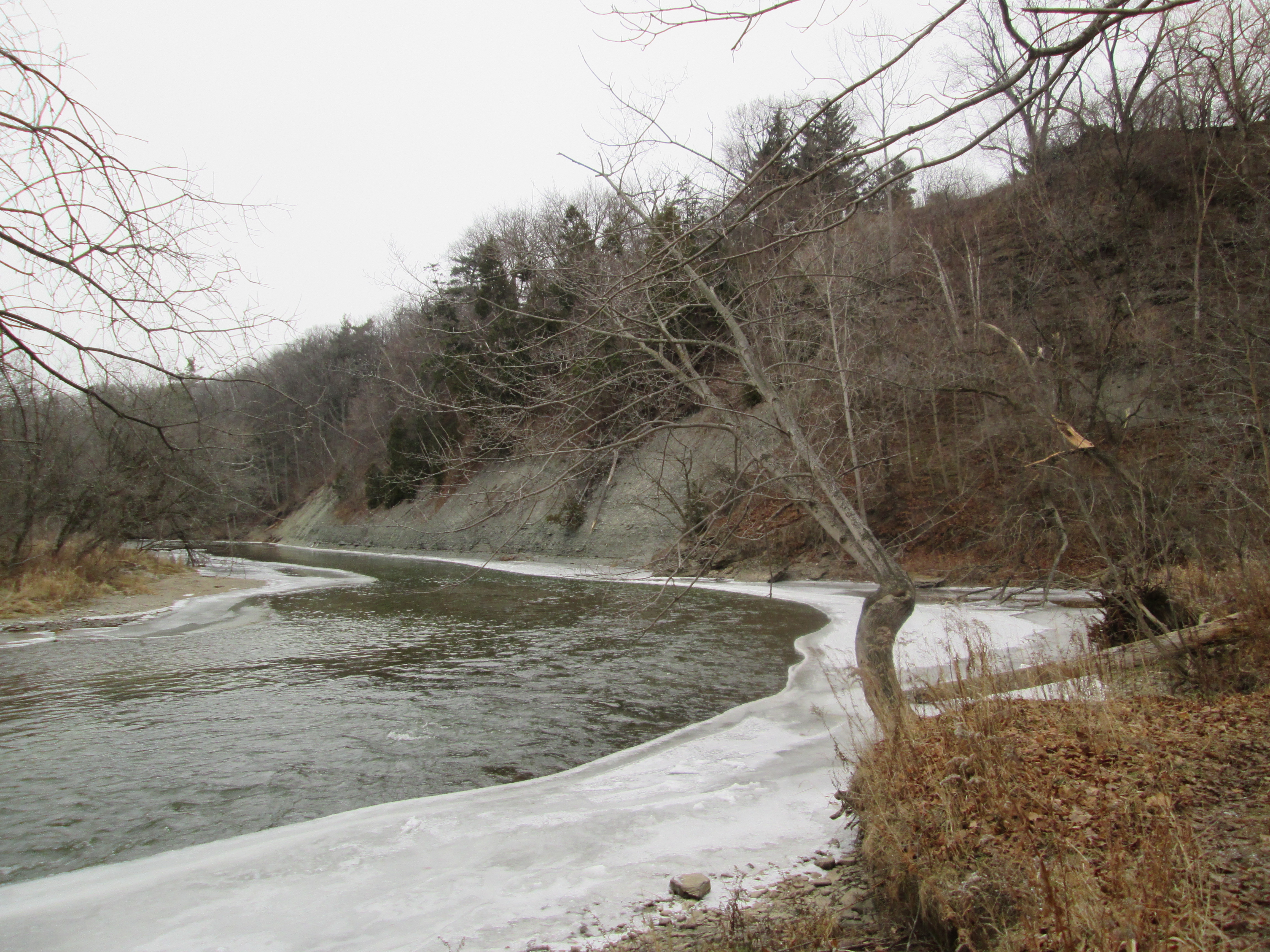
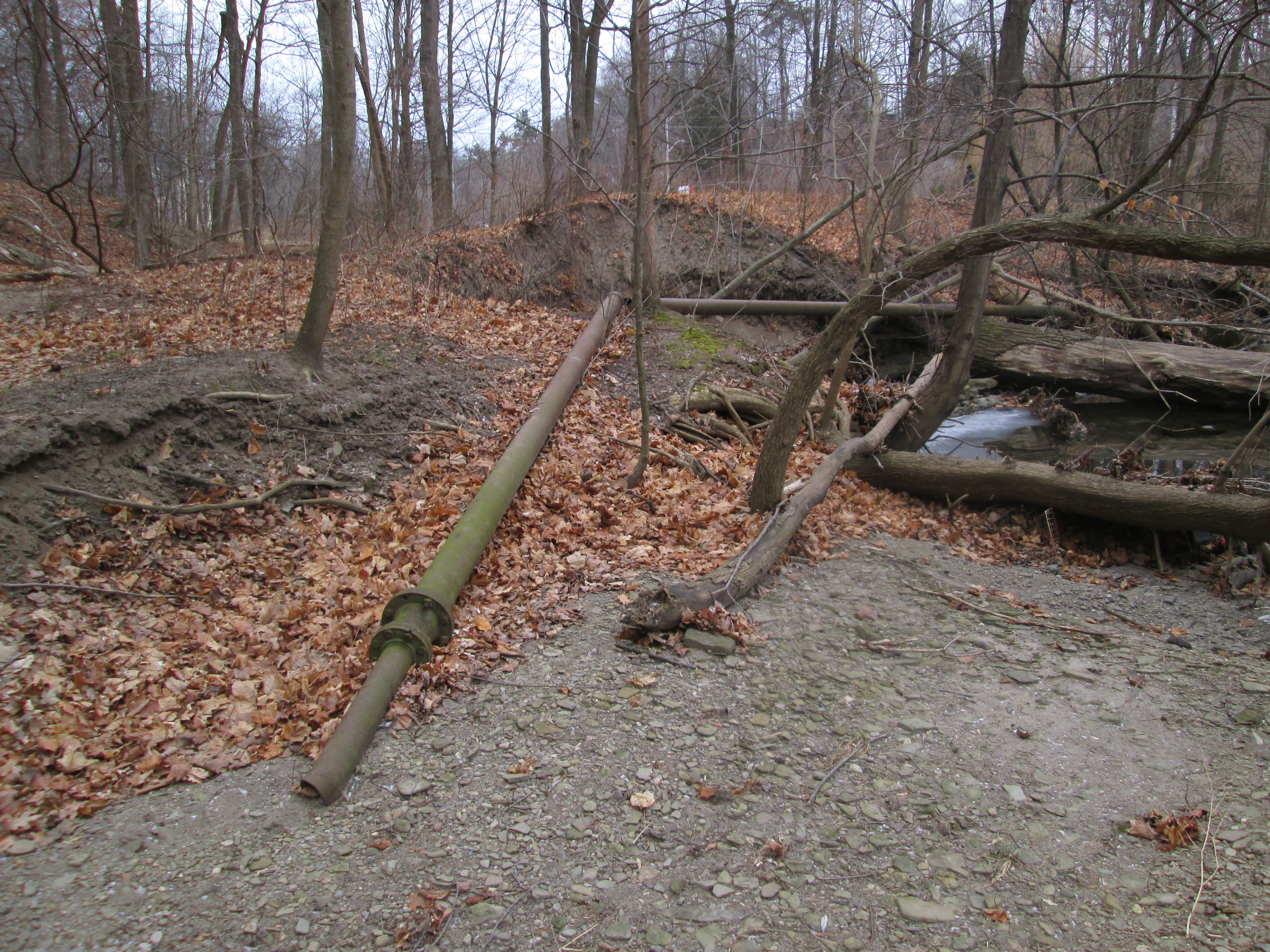
There are several flood control ponds on the southern portion of the park which enhance the area as a natural spot for the wildlife moving through the city from the lake toward northern destinations.
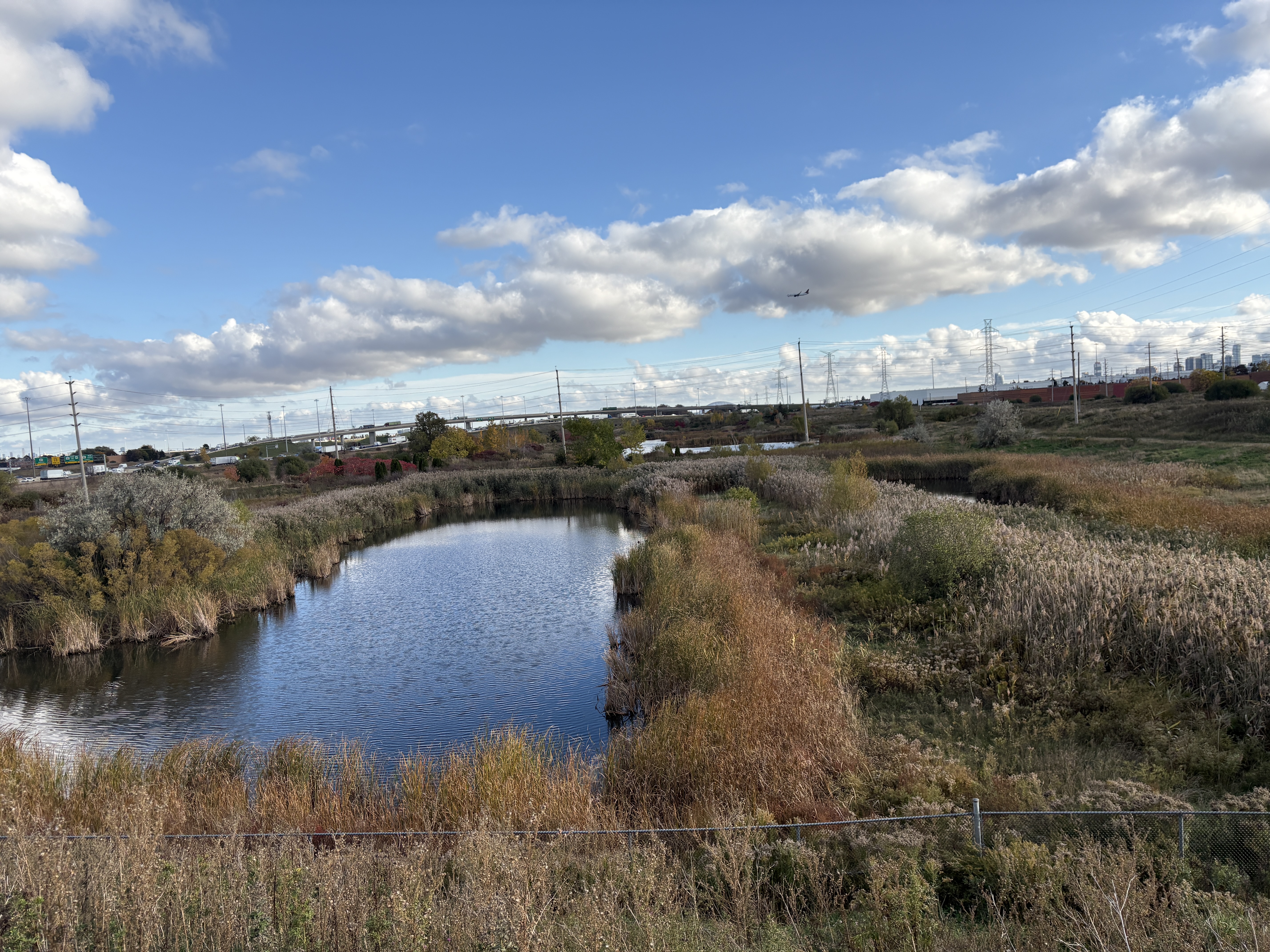
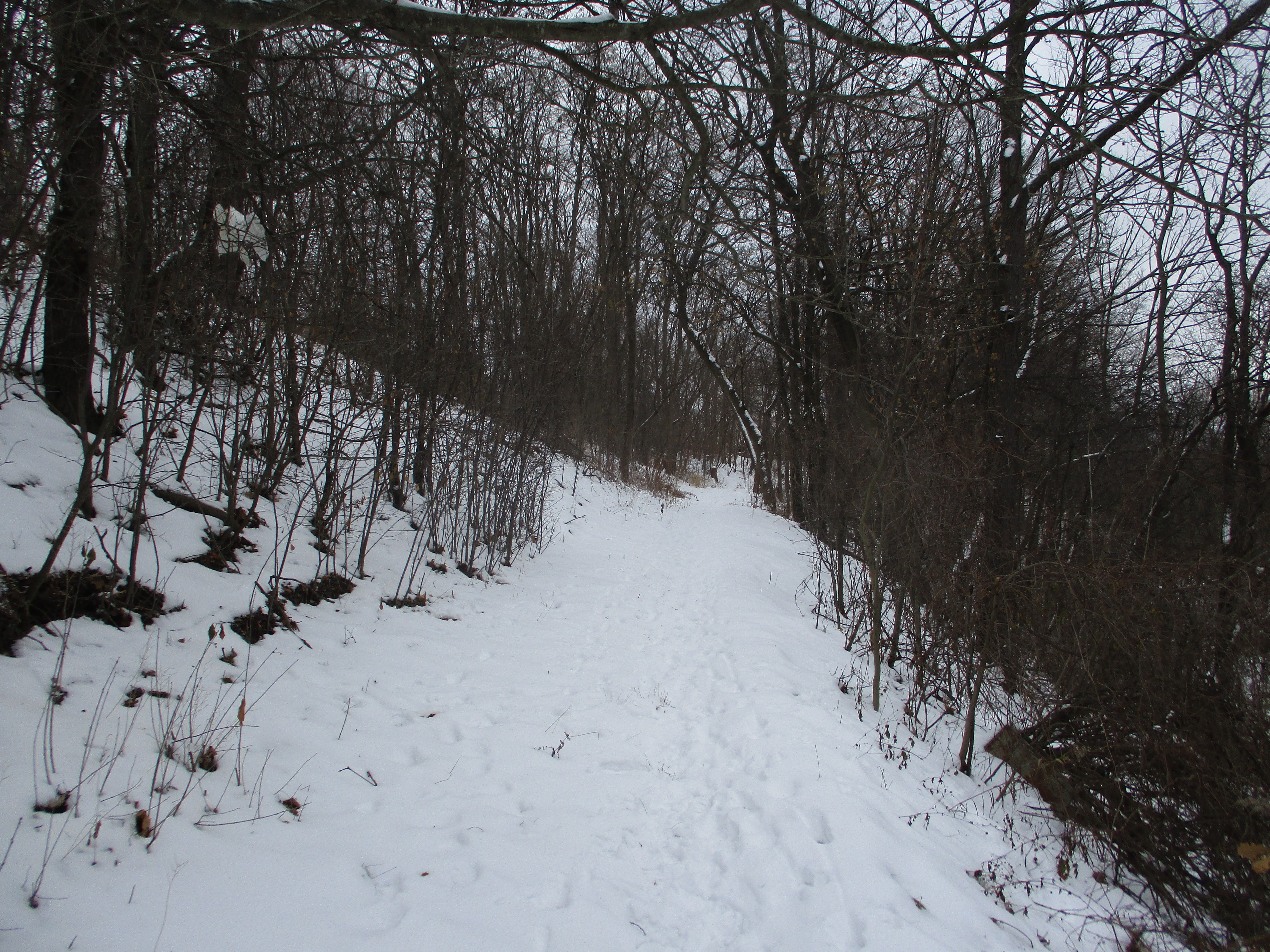
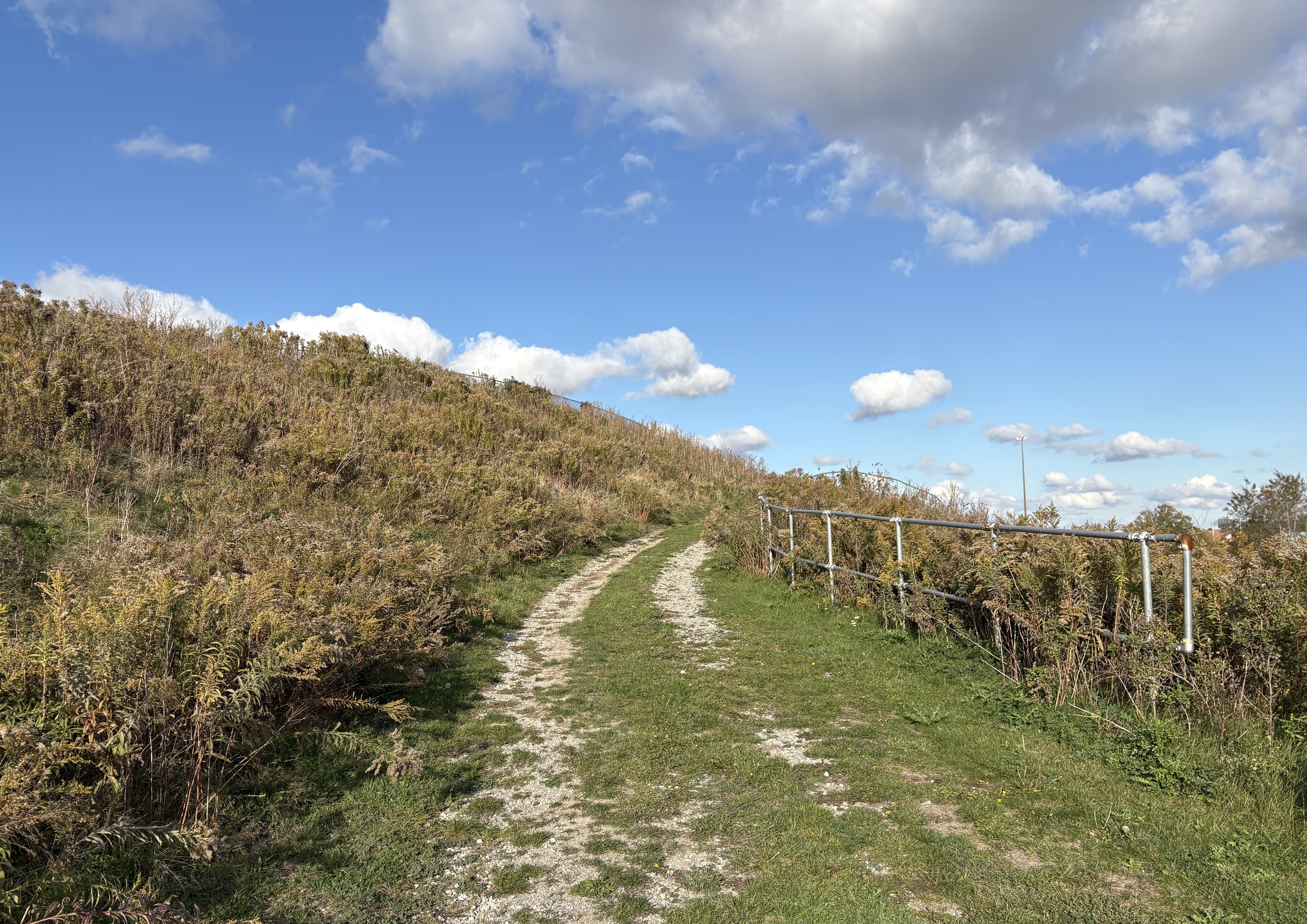
There are some less developed trails around the flood control ponds and up the back side of the southernmost cricket pitch.
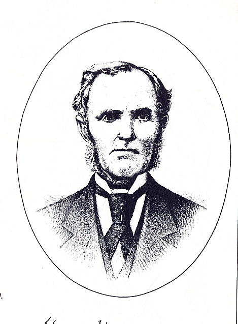
Danville Park was named after the industrial street where the entrance is located. In 2025 the name was changed to Max Ward Park to commemorate Max Ward who founded Ward Airlines in 1952. He grew it into the third largest airline in Canada before it joined Canadian Airlines in 1989 and was later absorbed in Air Canada in 2001.
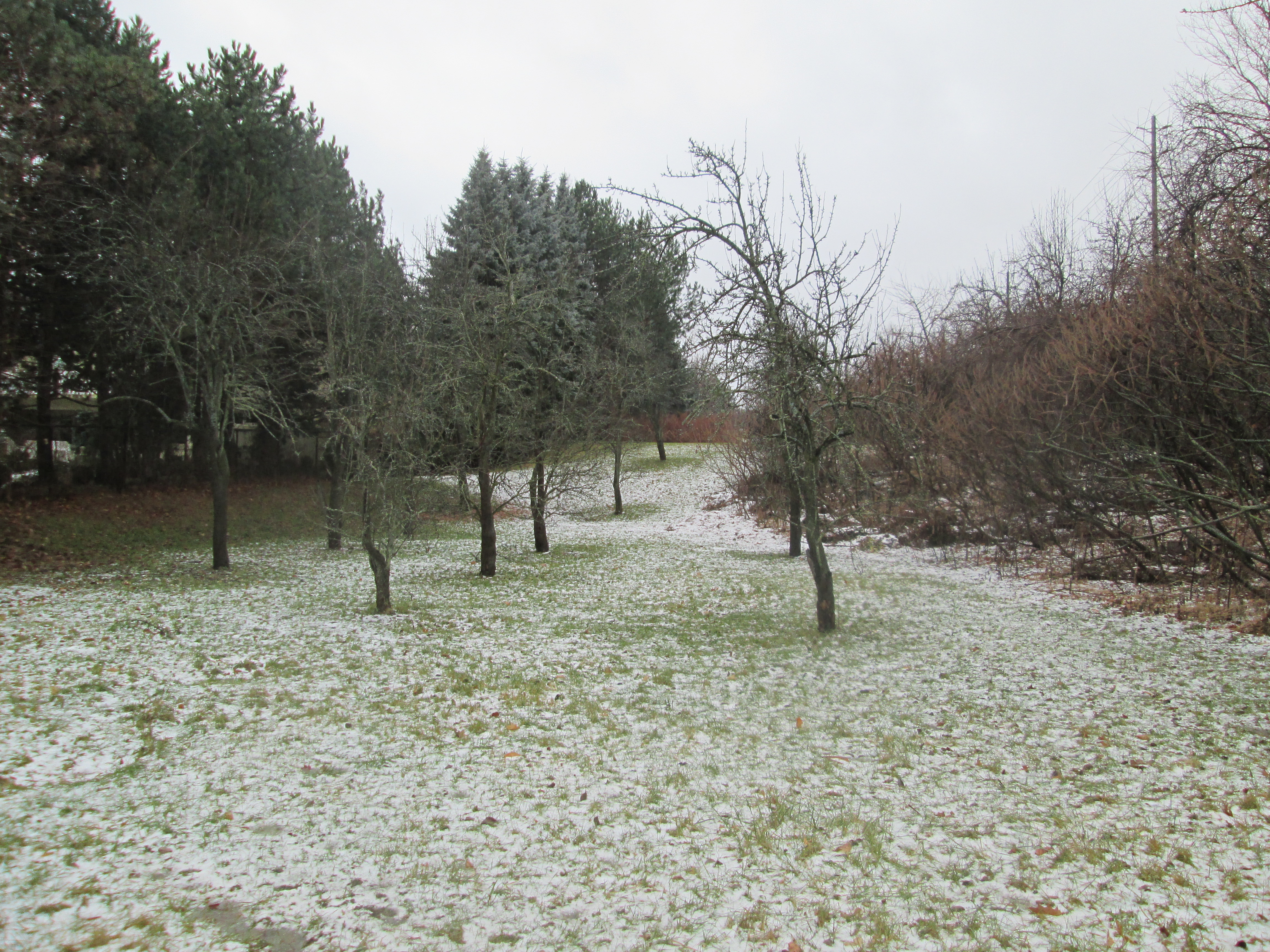
Max Ward Park is relatively new with a few tree plantings and it will naturalize even more over the coming years. It is an interesting place for a visit.
Google Maps Link: Max Ward (Danville Park)
Like us at http://www.facebook.com/hikingthgta
Follow us at http://www.hikingthegta.com