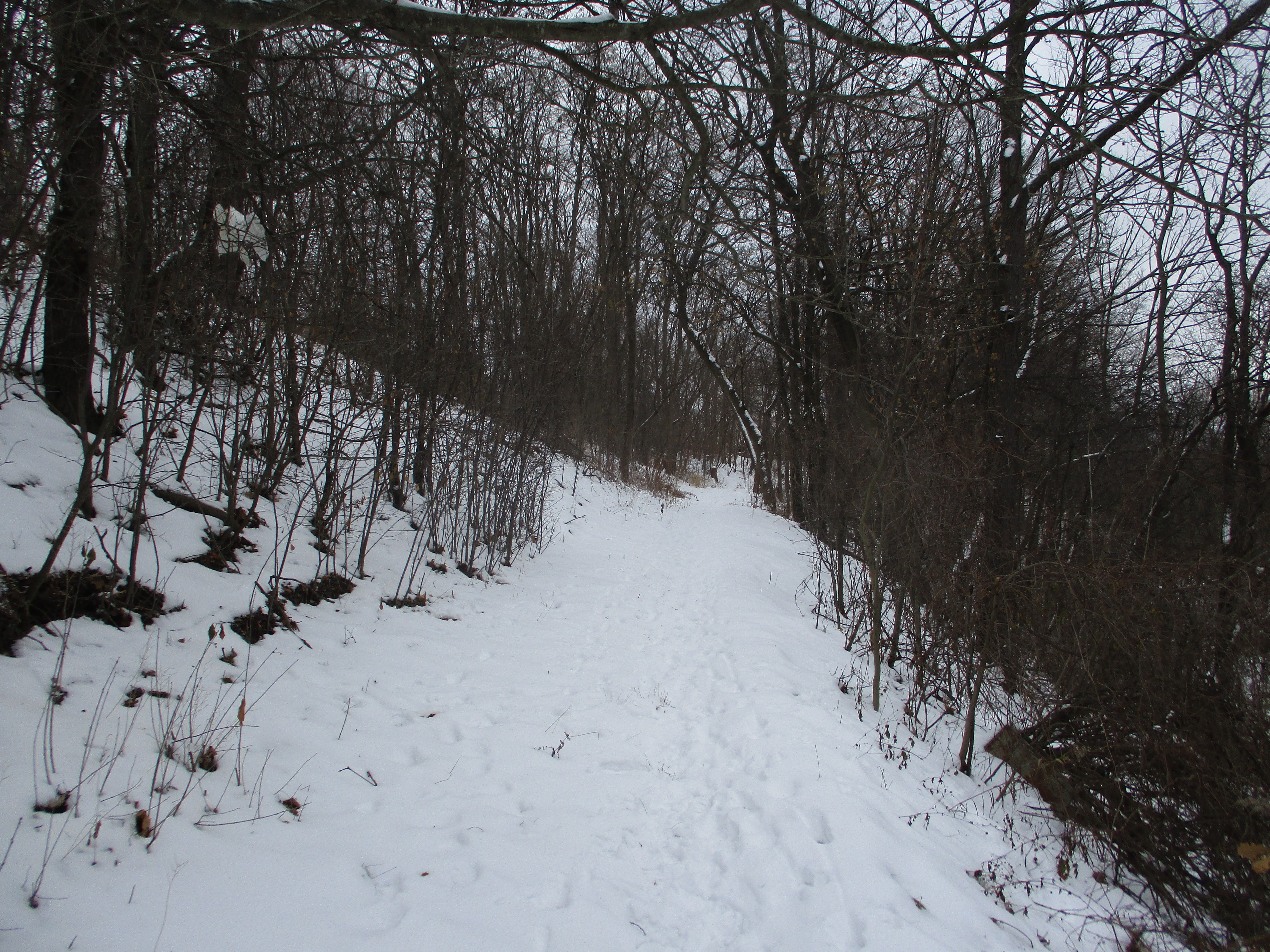
As you drive between Shelburne and Markdale on Highway 10 you may notice several pioneer cemeteries that appear to be in the middle of nowhere. In fact, they were located in small communities with houses, stores, hotels, schools and churches. For different reasons the communities faded from prominence and disappeared. The buildings were lost to fire, neglect and demolition. Some were lost as the highway was widened and realigned. The first of these communities was just north of Shelburne and was known as Melancthon.
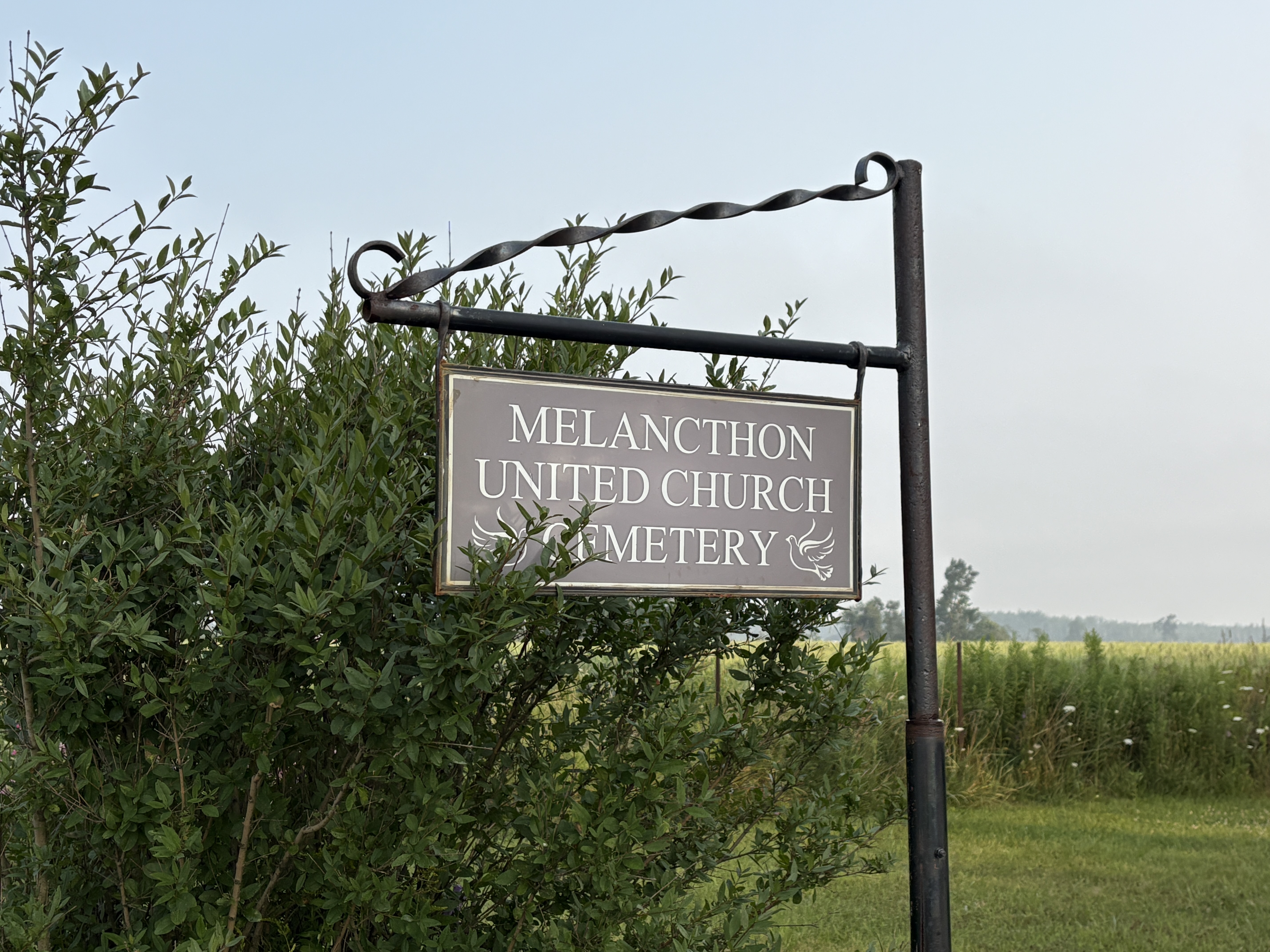
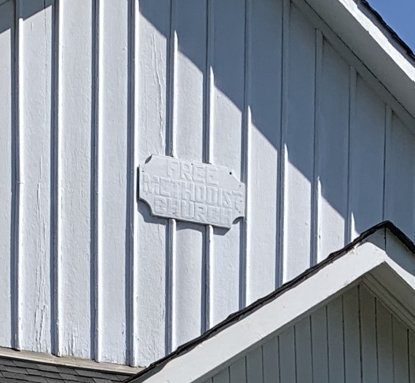
The Melancthon Methodist Episcopal Church was operating as early as 1858 as part of a circuit that included Shleburne, Hornings Mills and Maple Grove. It became part of the Methodist Church of Canada in 1885 and the United Church of Canada in 1925. The church was informally known as the Gravel Road Church and the Gravel Road Cemetery. The archive image below is from 1964 and shows the cemetery when the church building still stood beside it.
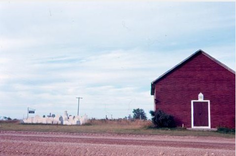
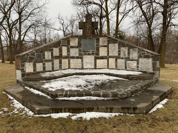
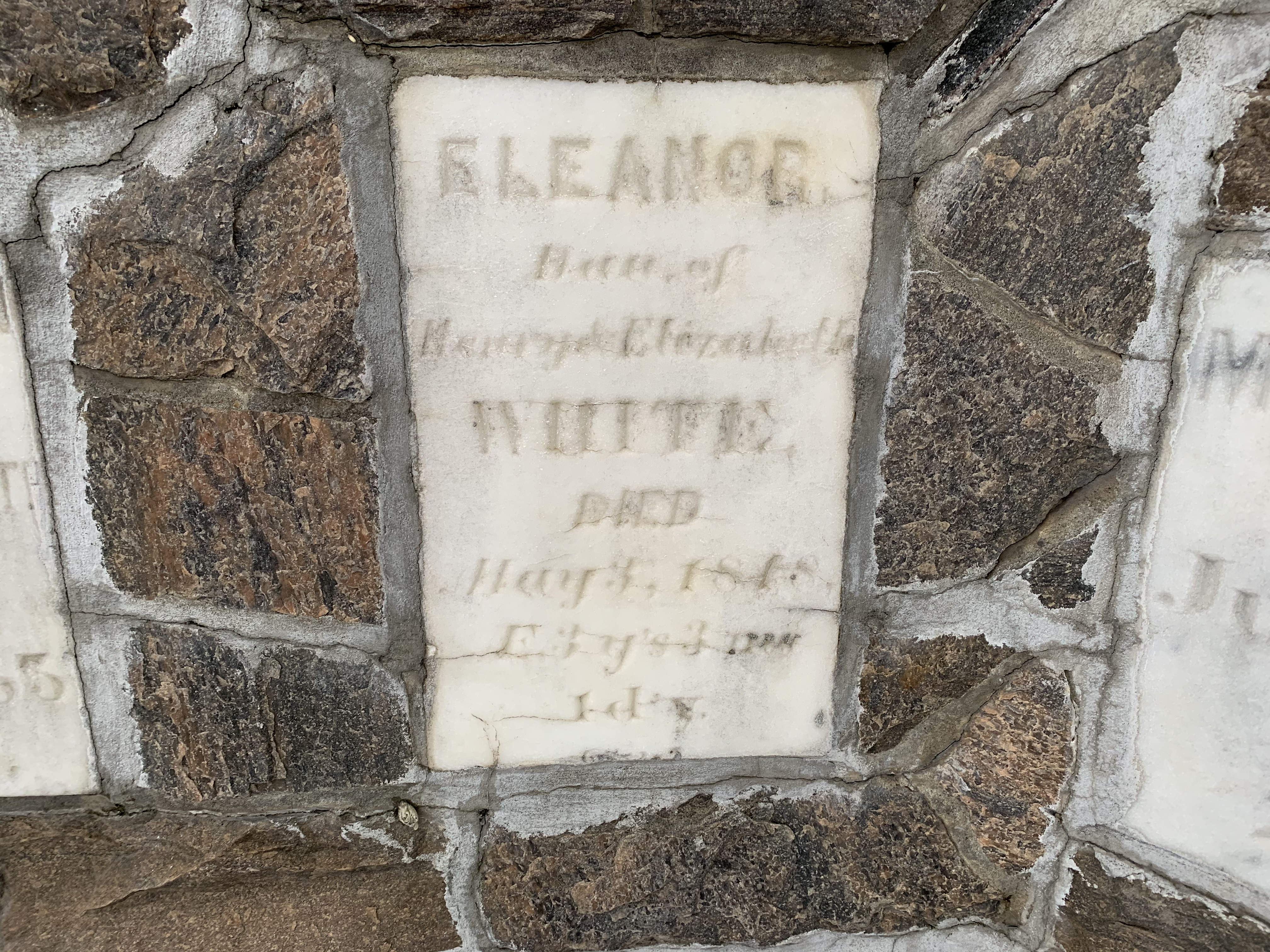
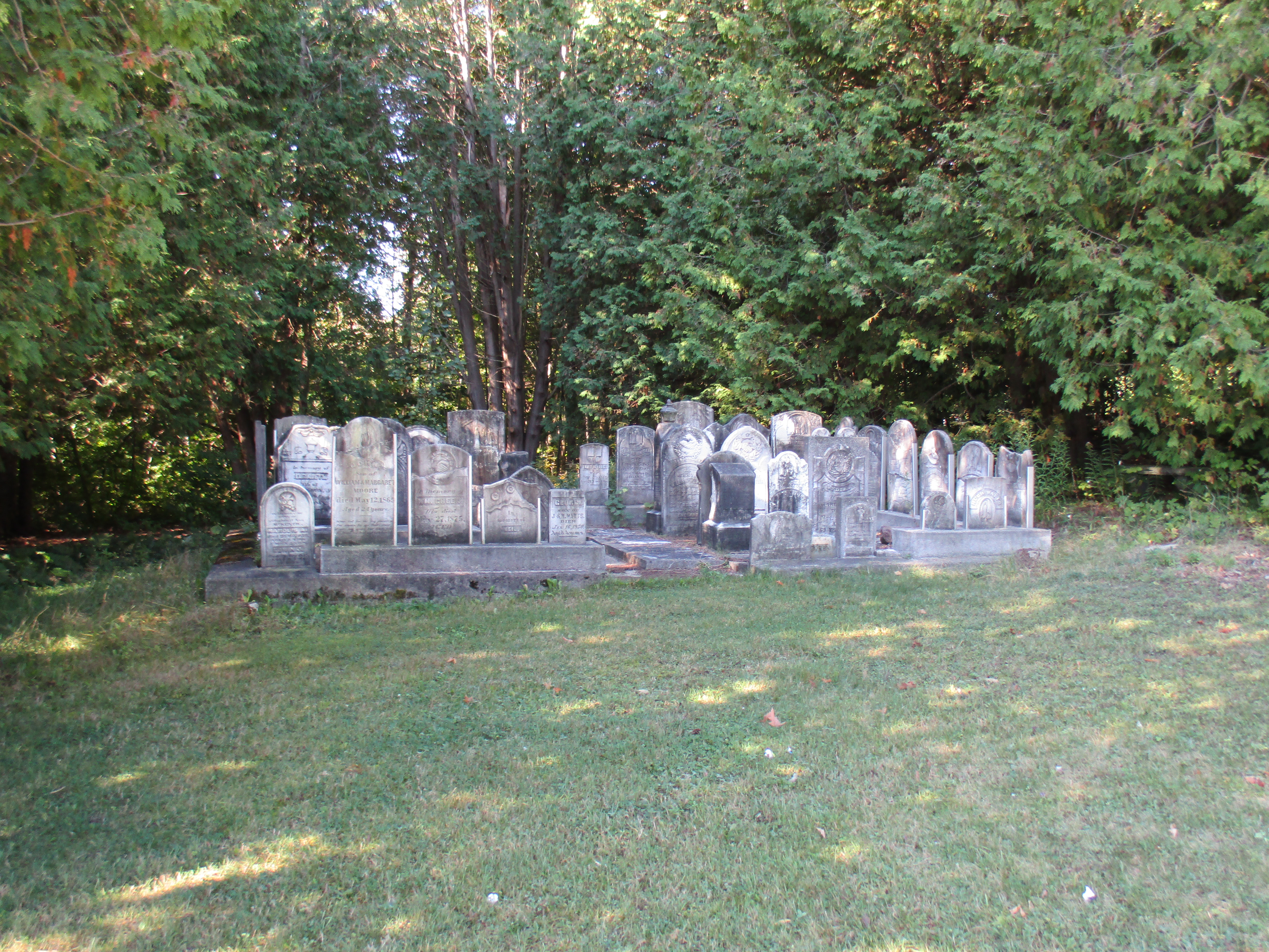
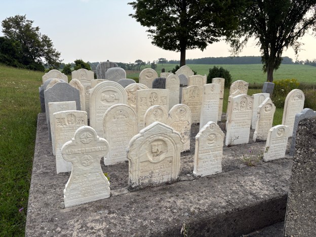
The stones were gathered into a central display when the road was widened and some stories say that the deceased may now be interred under the roadway. This cemetery can be found here.
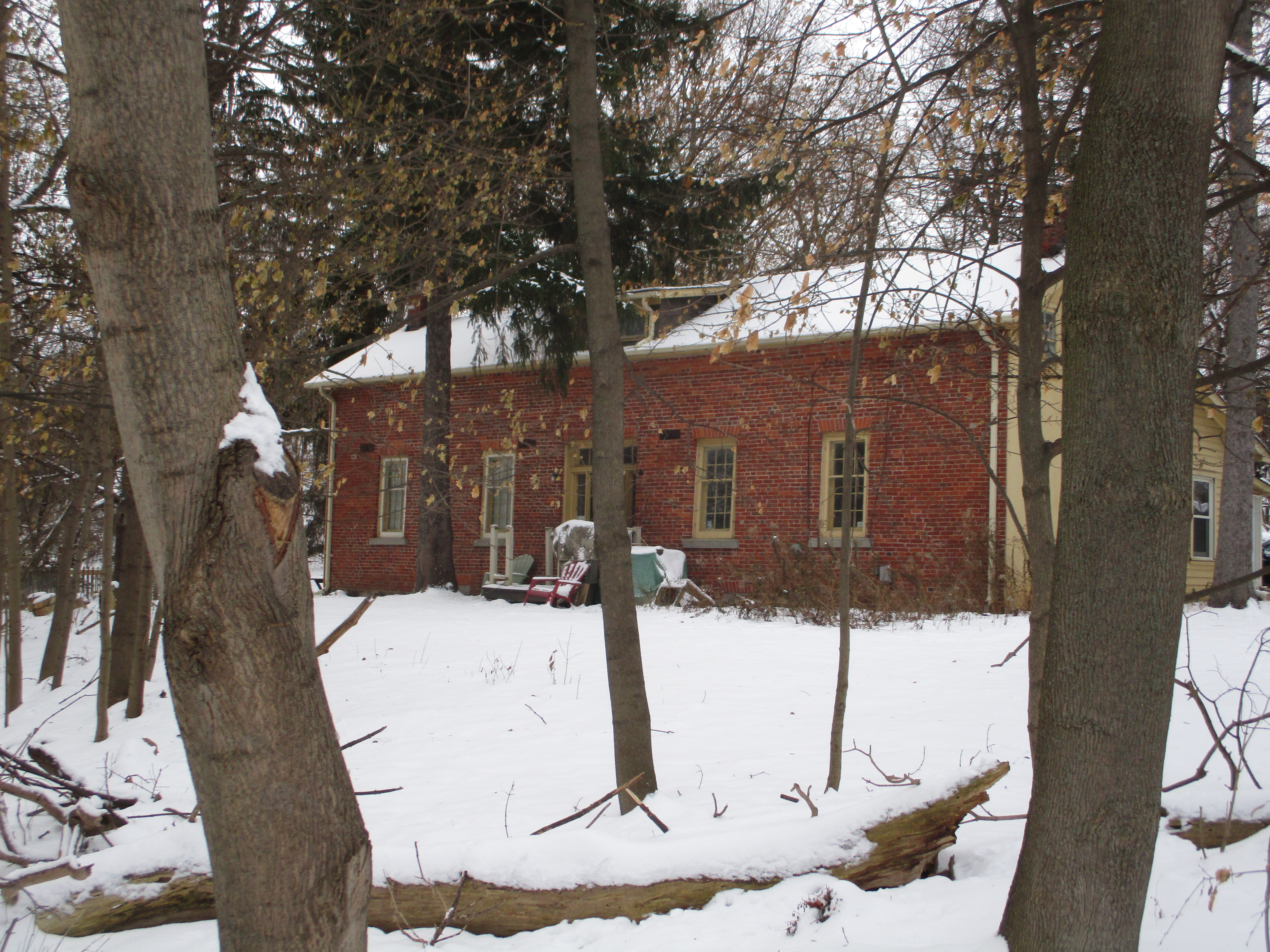
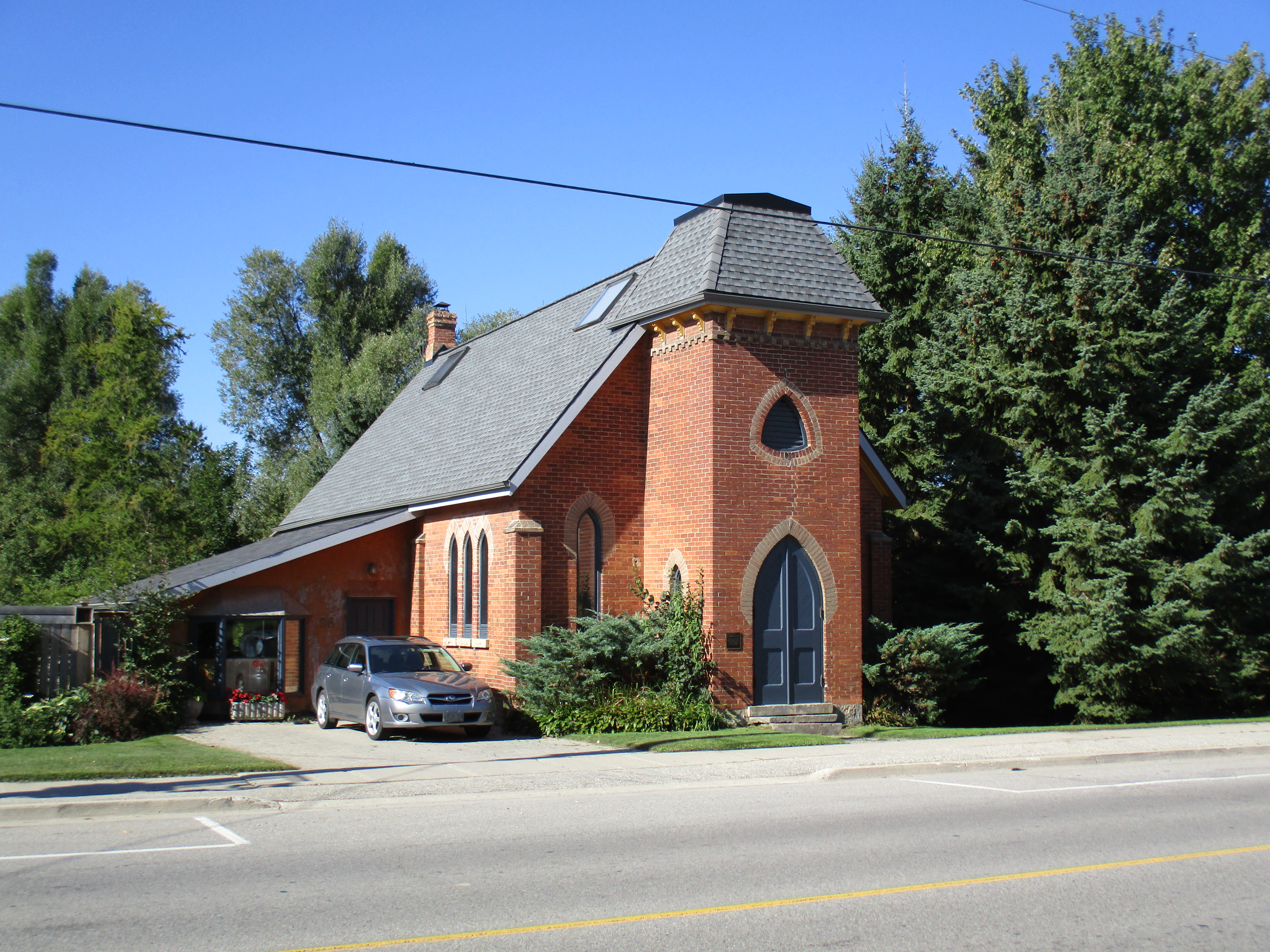
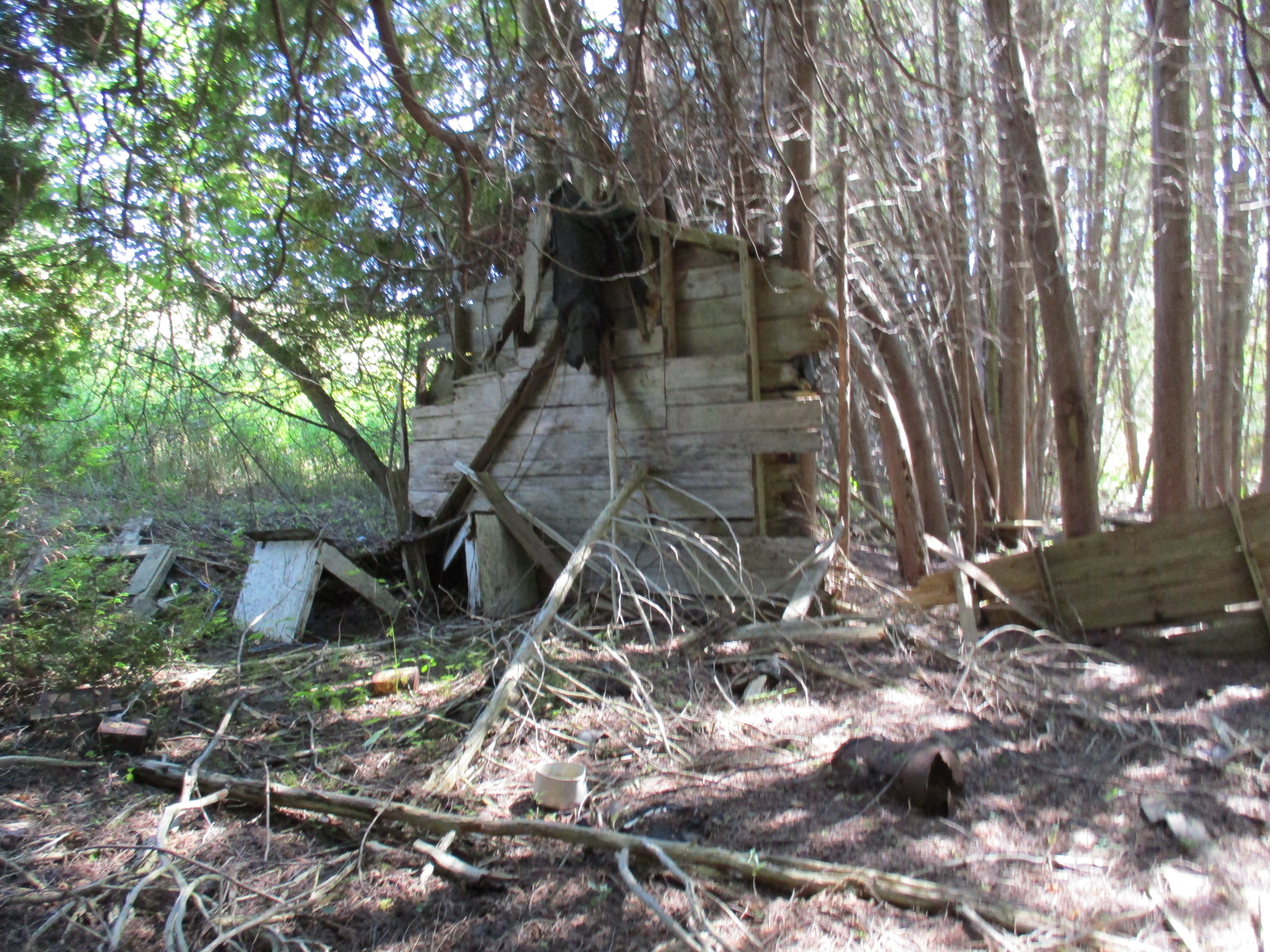
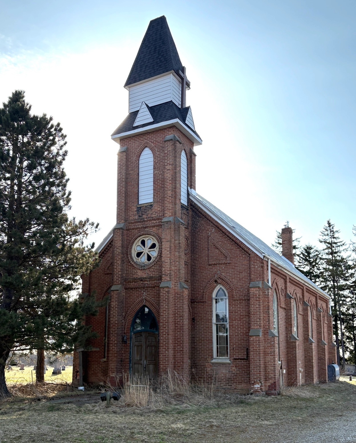
A hewn-log Catholic church was built in 1858 which also served as a school and was later named St. Patrick’s Catholic Church. This building was used for twenty years before it was decided to replace it with a brick building. As the community of Melancthon slowly disappeared, the attendance in the church dropped off. By 2017 there were only about 40 people left in the congregation and the building was deteriorating badly. It was decided to leave the building and amalgamate with the Trinity United Church in Shelburne. The building has stood empty now for the past 8 years and its fate is in the hands of the Catholic Diocese of Hamilton.
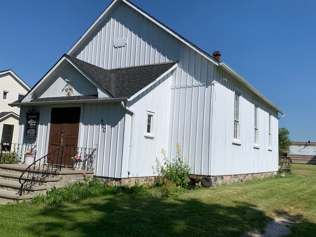
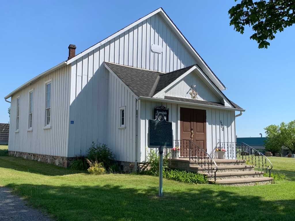
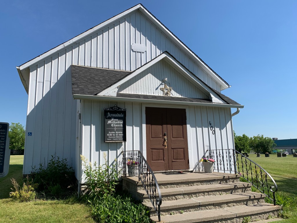
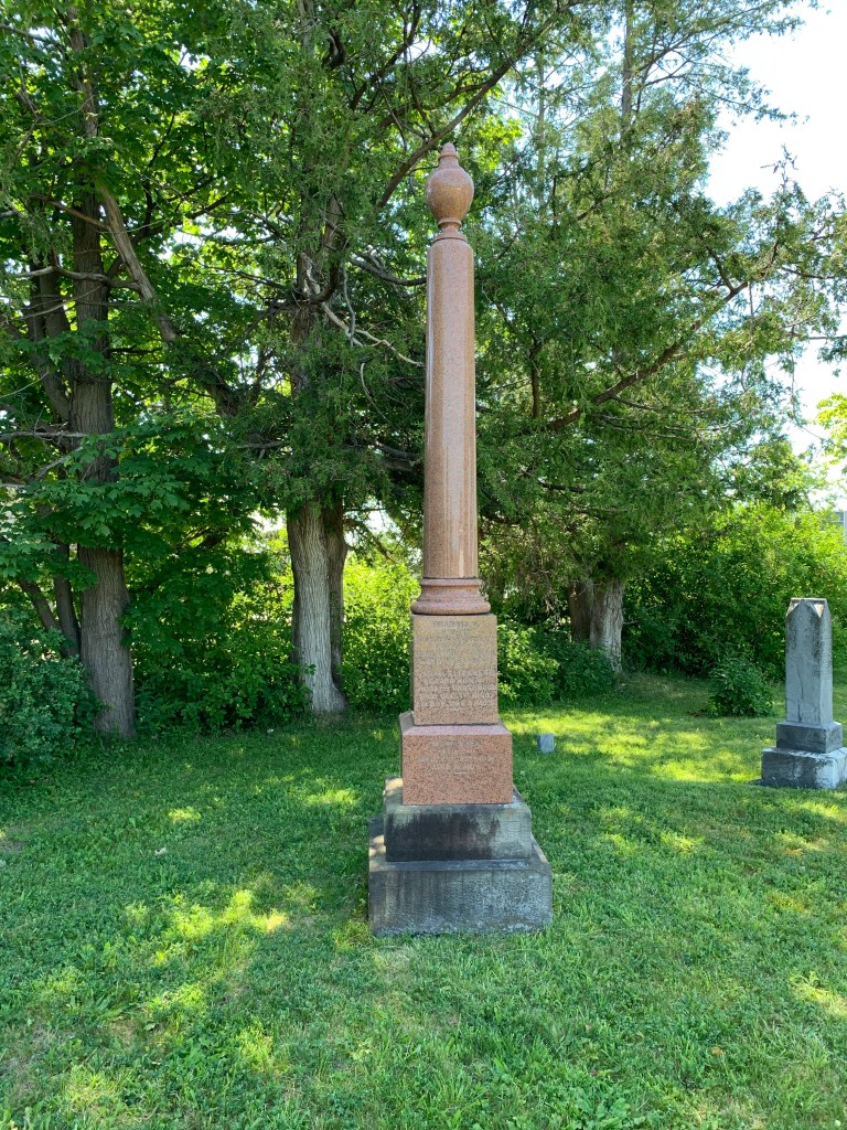
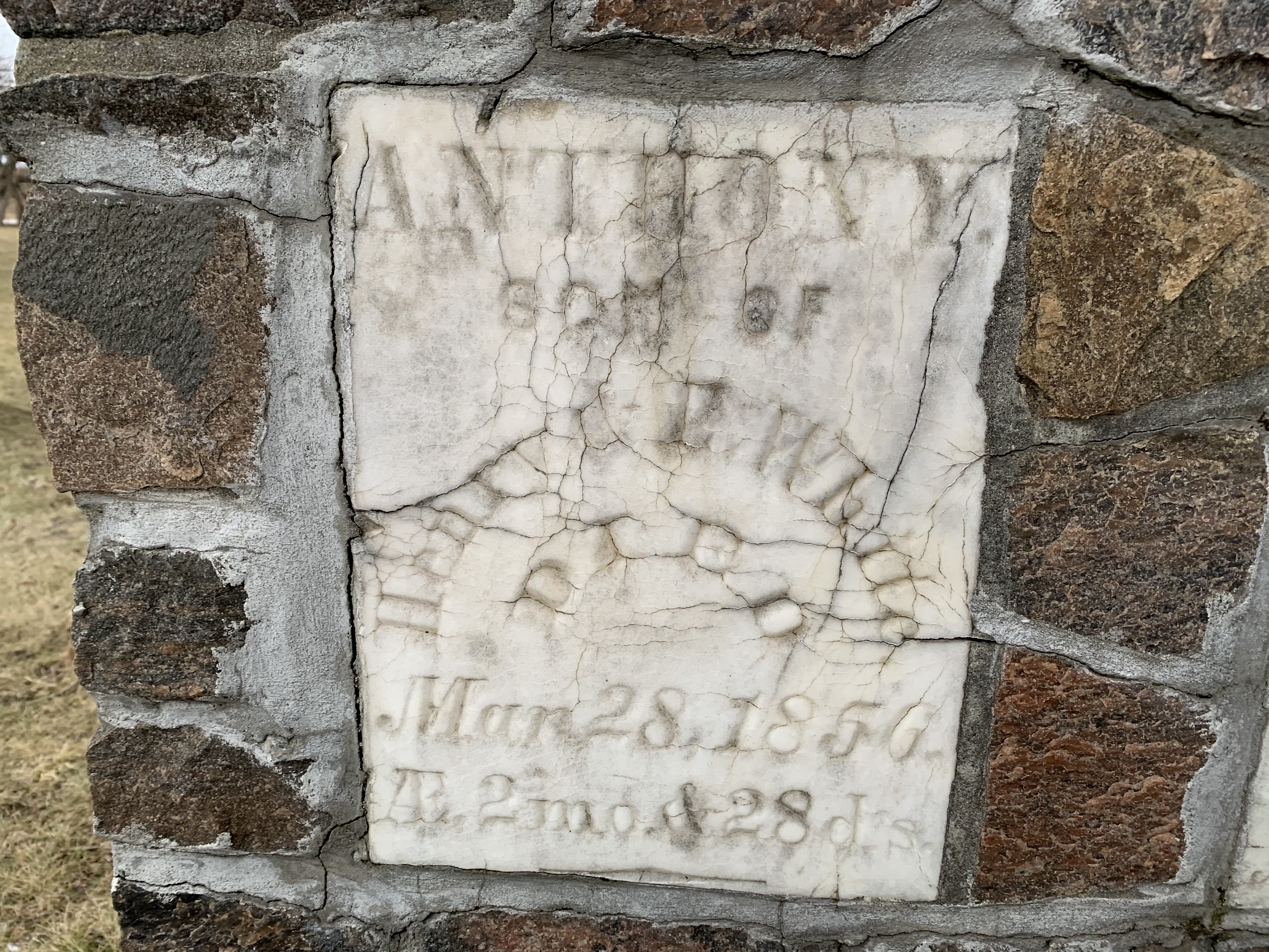
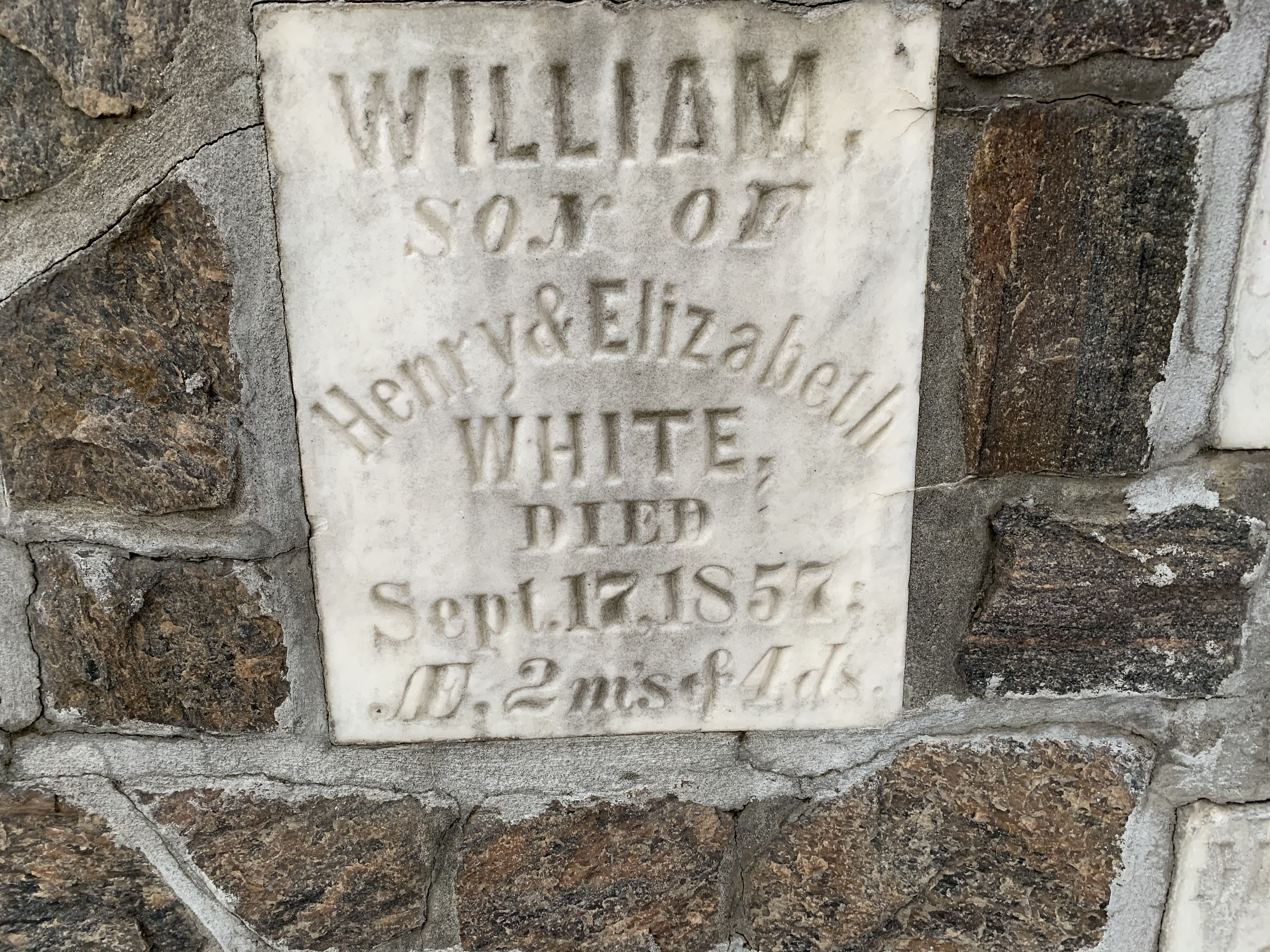
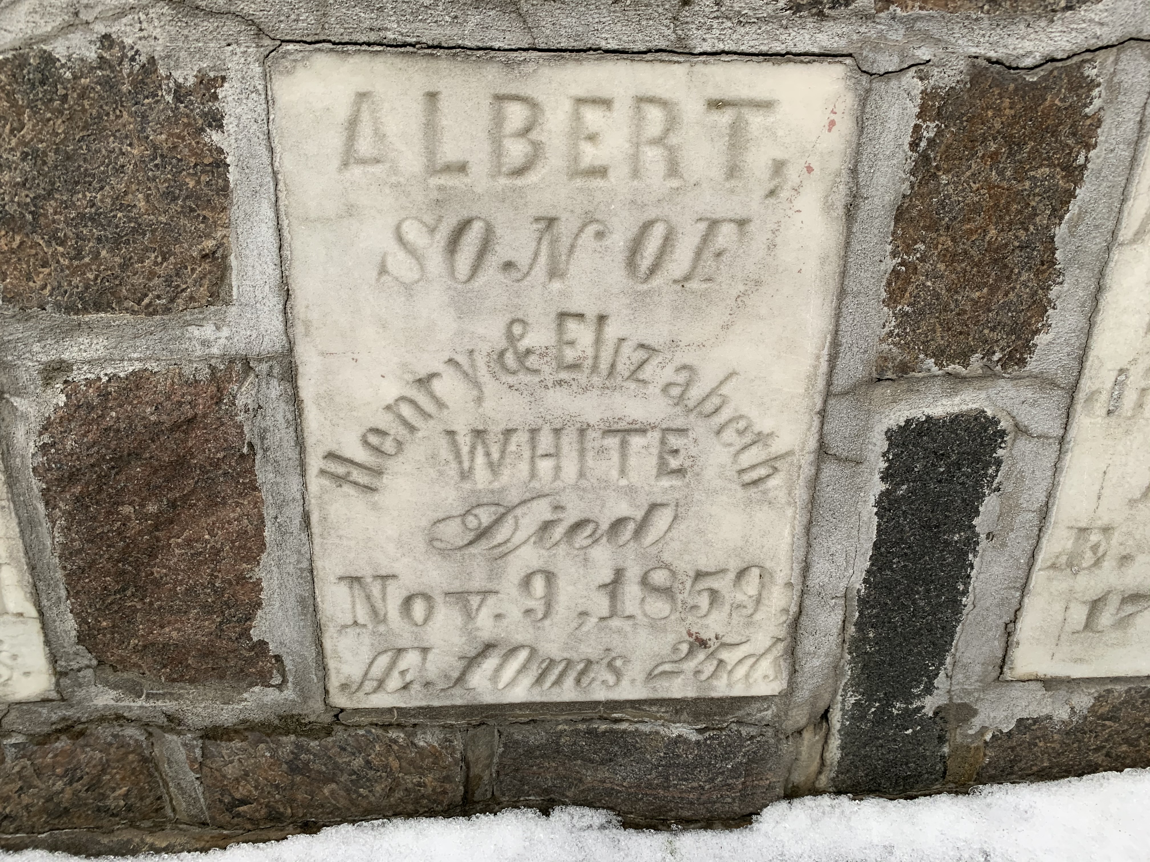
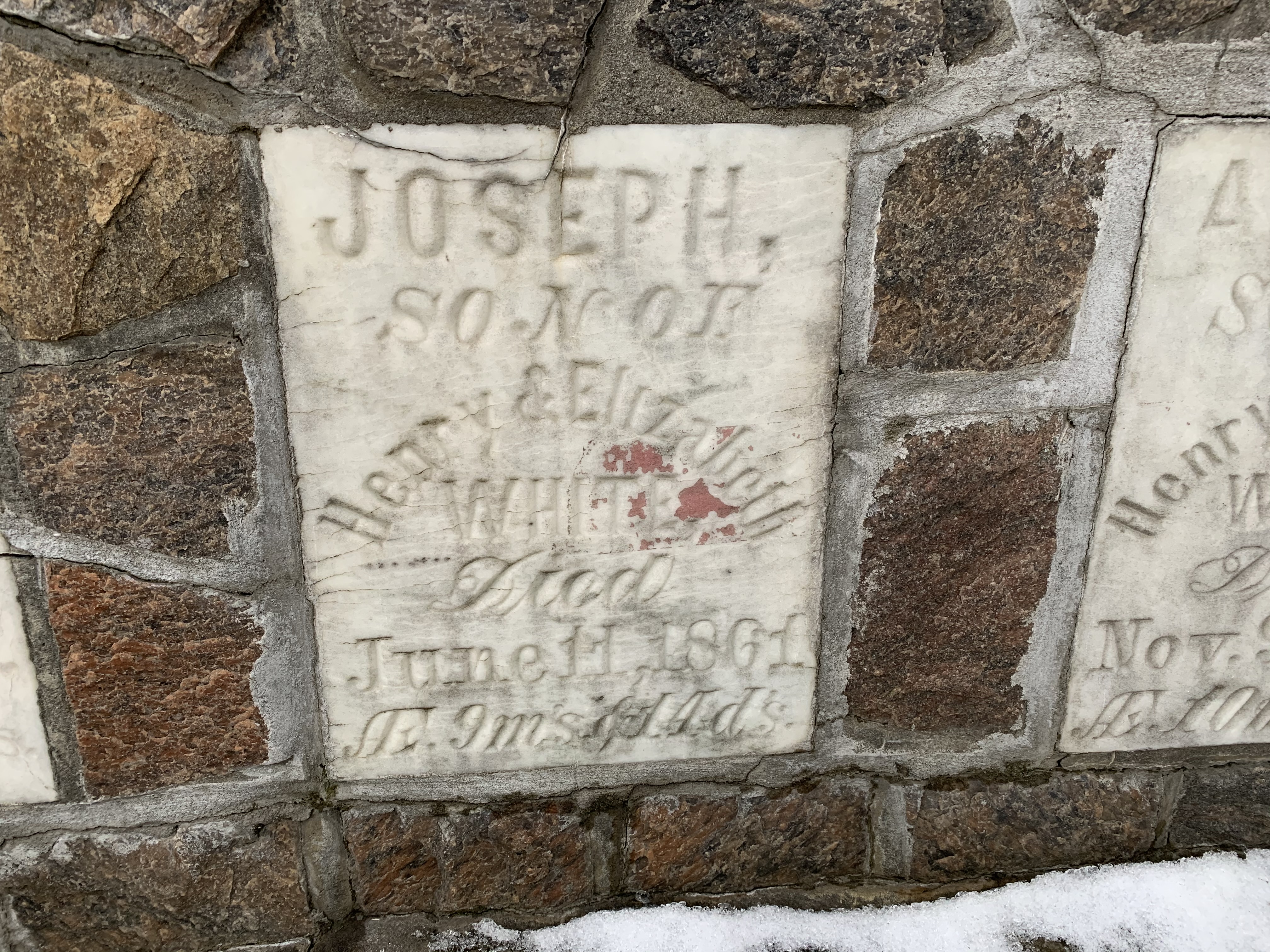
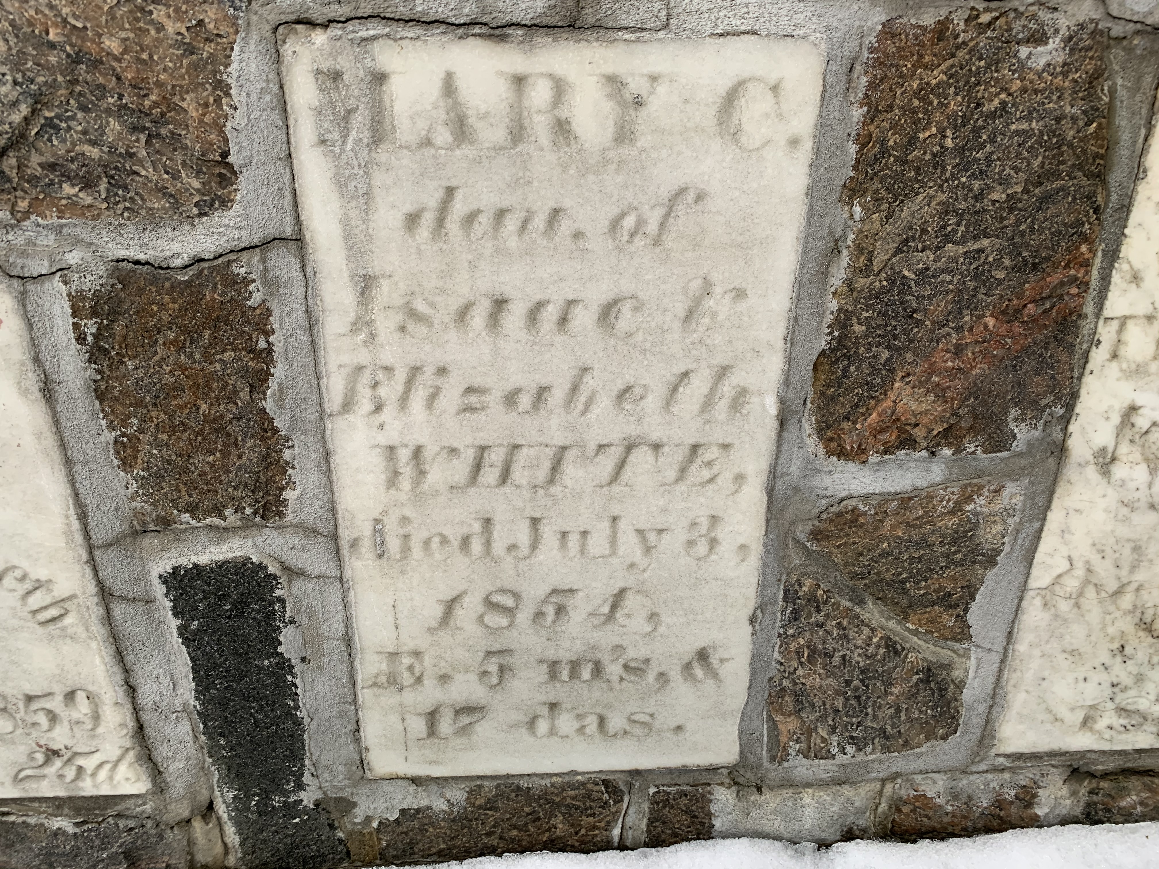
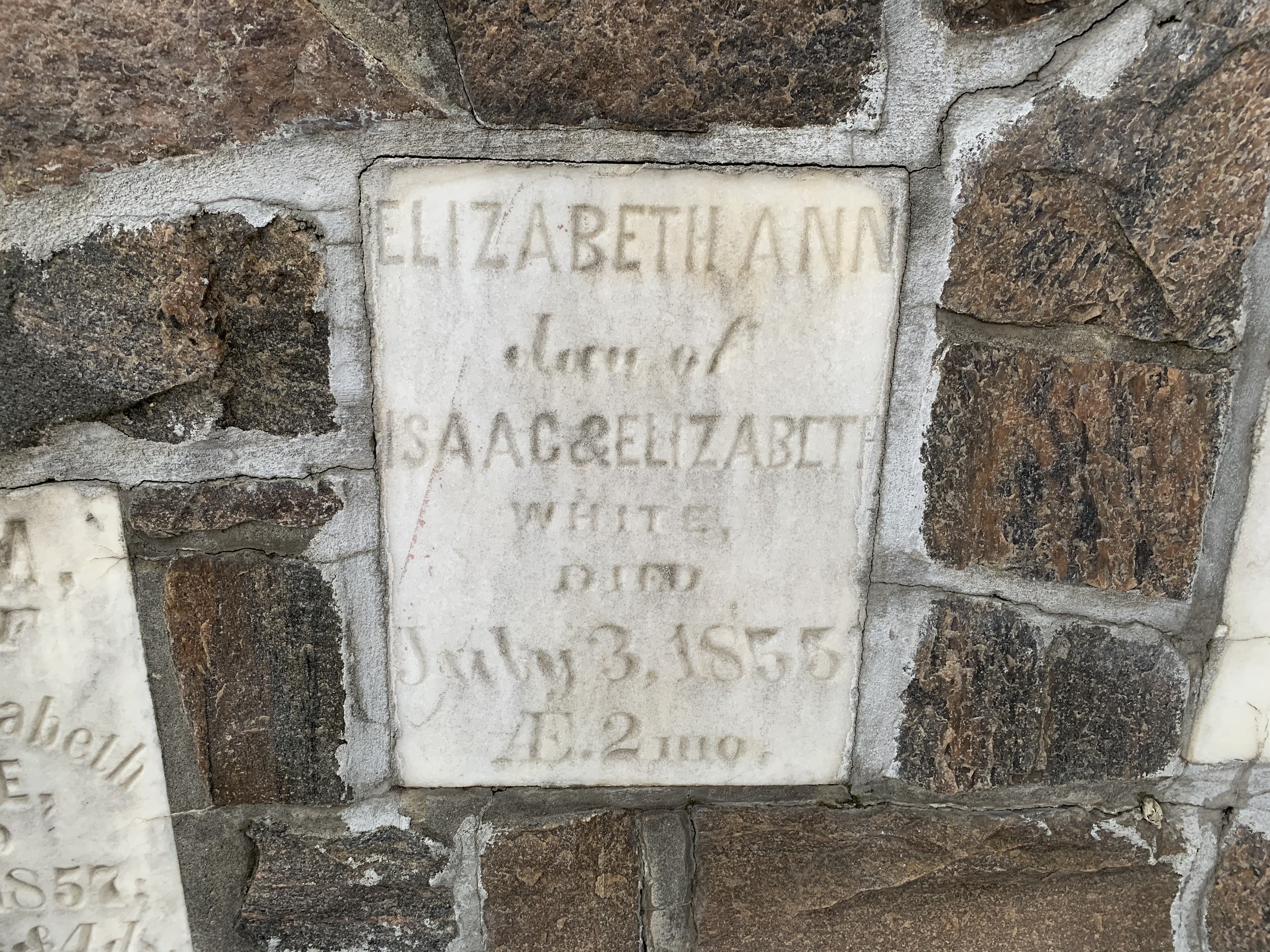
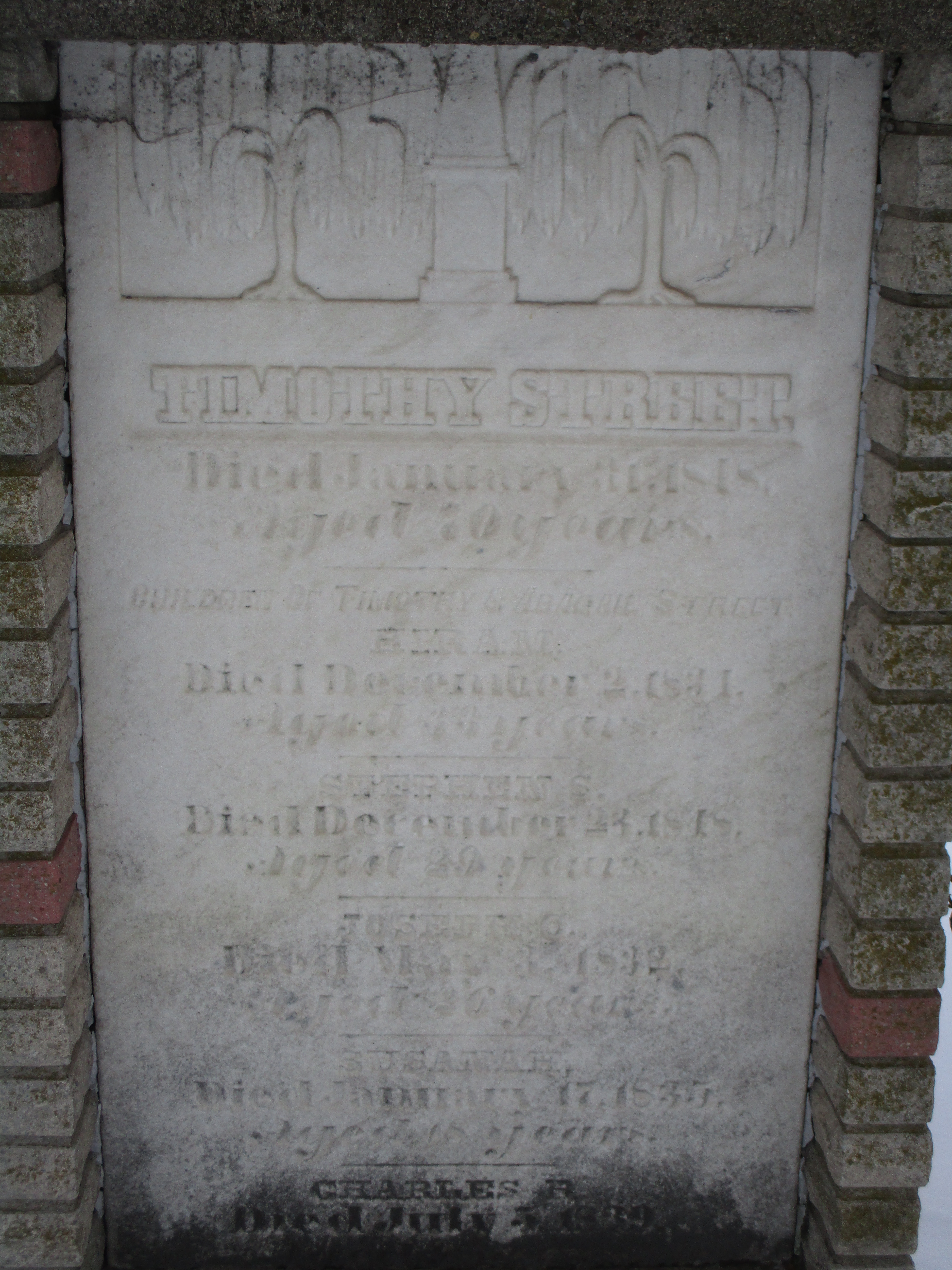
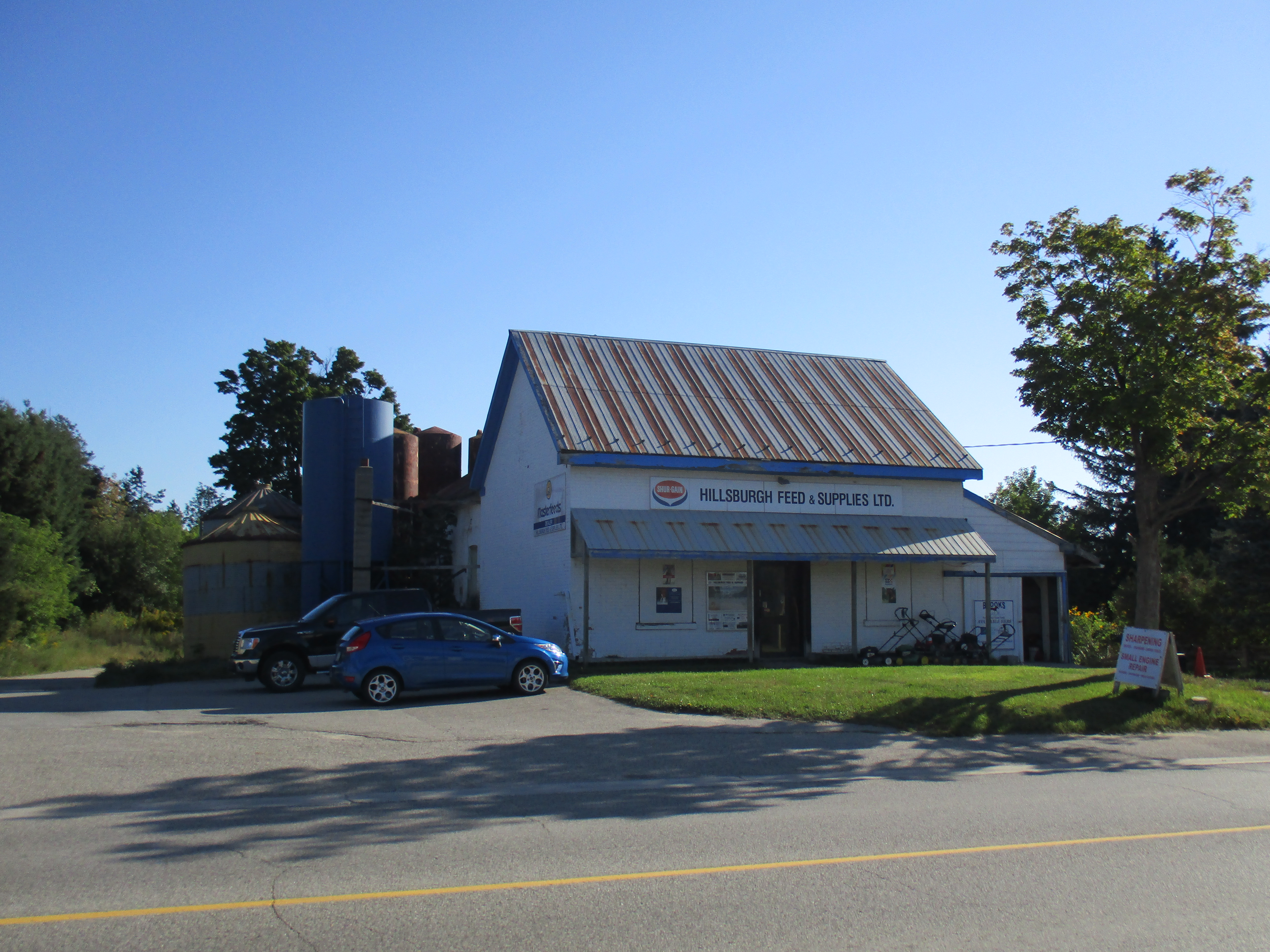
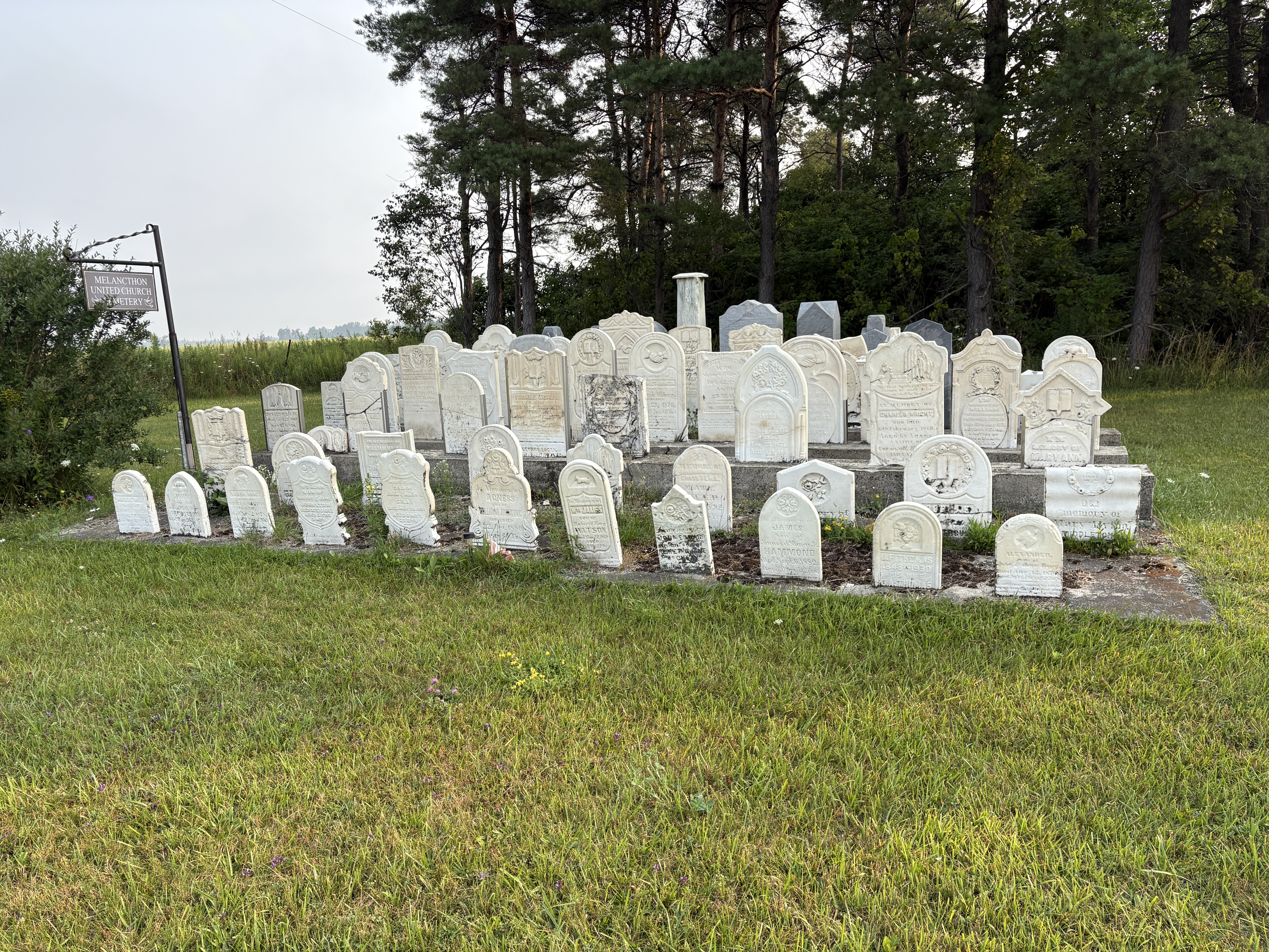
Melancthon soon had 4 hotels, a blacksmith, undertaker and several stores. An Orange Lodge was built in 1858 and a Methodist Church in 1860. A town hall was added in 1874. Things changed rapidly after the First World War as the lumber industry was finished and changes in agriculture styles left the town in a continual downward spiral. Soon, all the commercial buildings and industries were gone and now only the church remains. In the cemetery beside the derelict building are 171 headstones that mark the graves of some of the areas earliest pioneers. This cemetery can be found here.
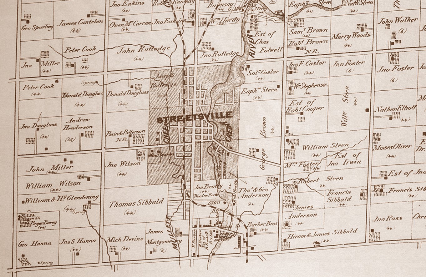
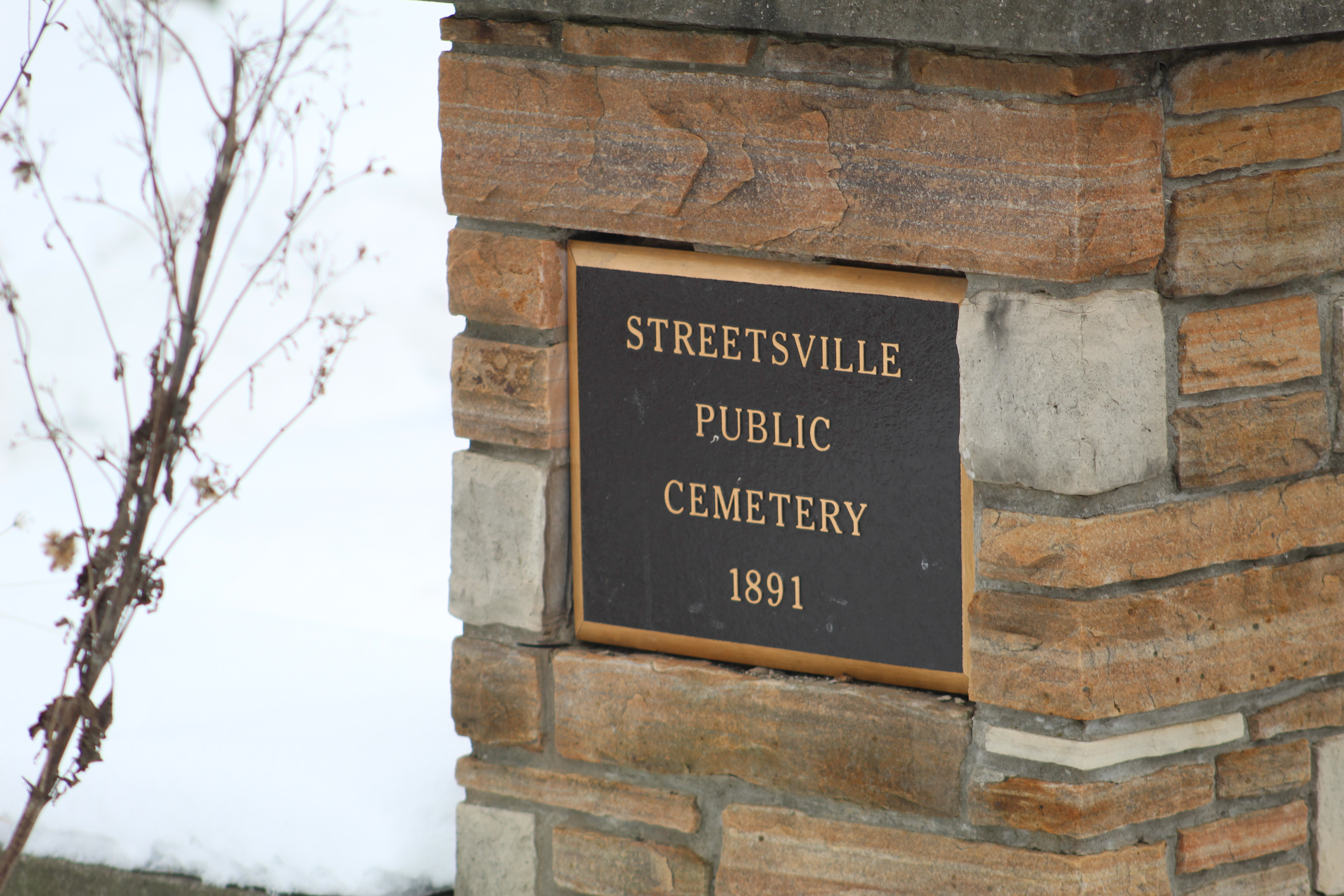
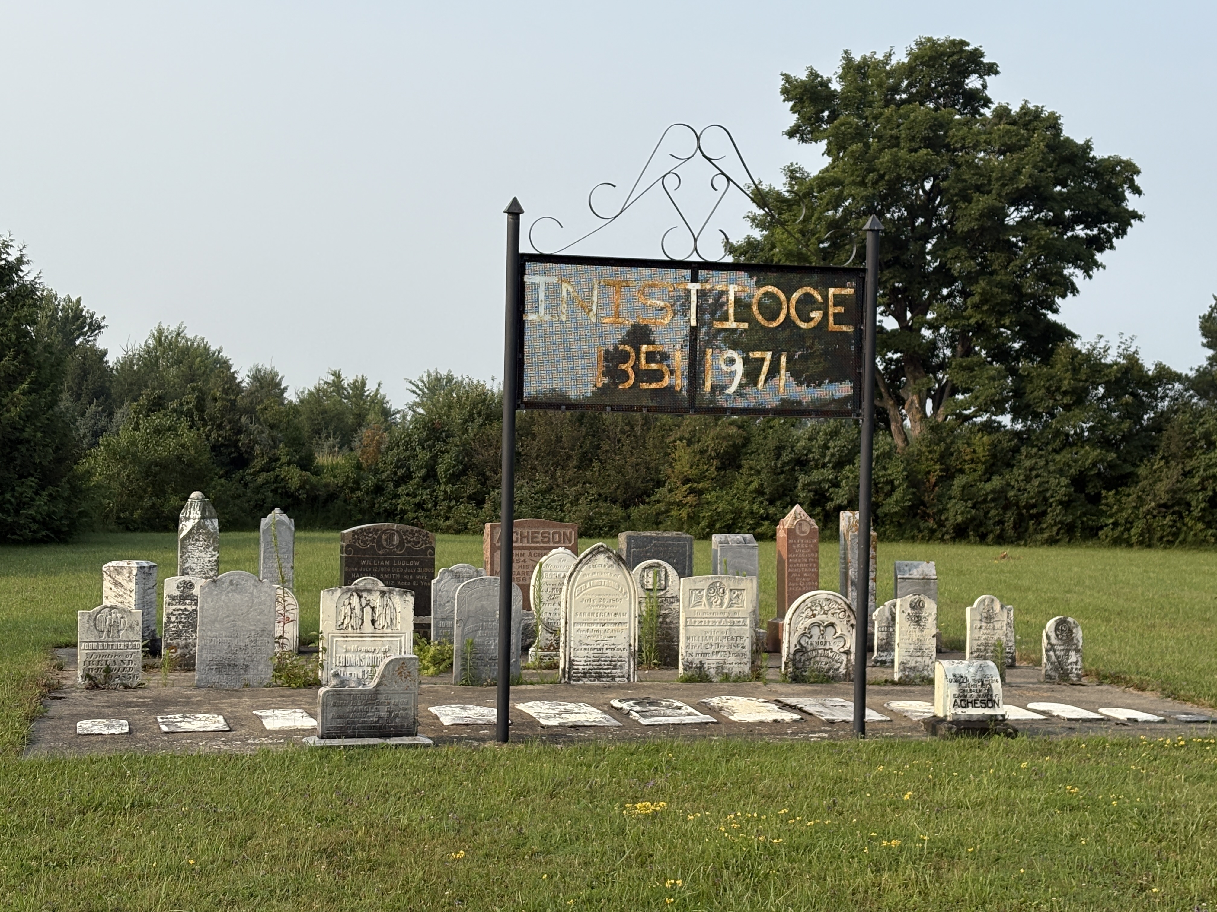
On the 1877 County Atlas the community of Inistioge doesn’t look like much. It was founded around 184 when the Toronto-Sydenham Road (Now Highway 10) was being opened up. George Armstrong and his family arrived from Inistioge, Ireland and started to build a community. Methodist Church services were held in the home of George Snyder until about 1850 when a log church was built on the Armstrong Farm. A cemetery was opened up beside it with the first burial being in 1851. That same year a post office was opened in the Armstrong home under the name of Proton but this name was changed to Inistioge in 1865.
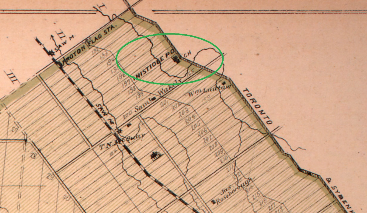
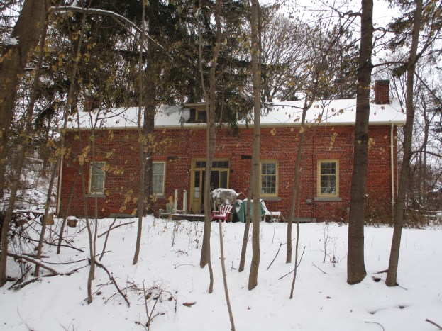
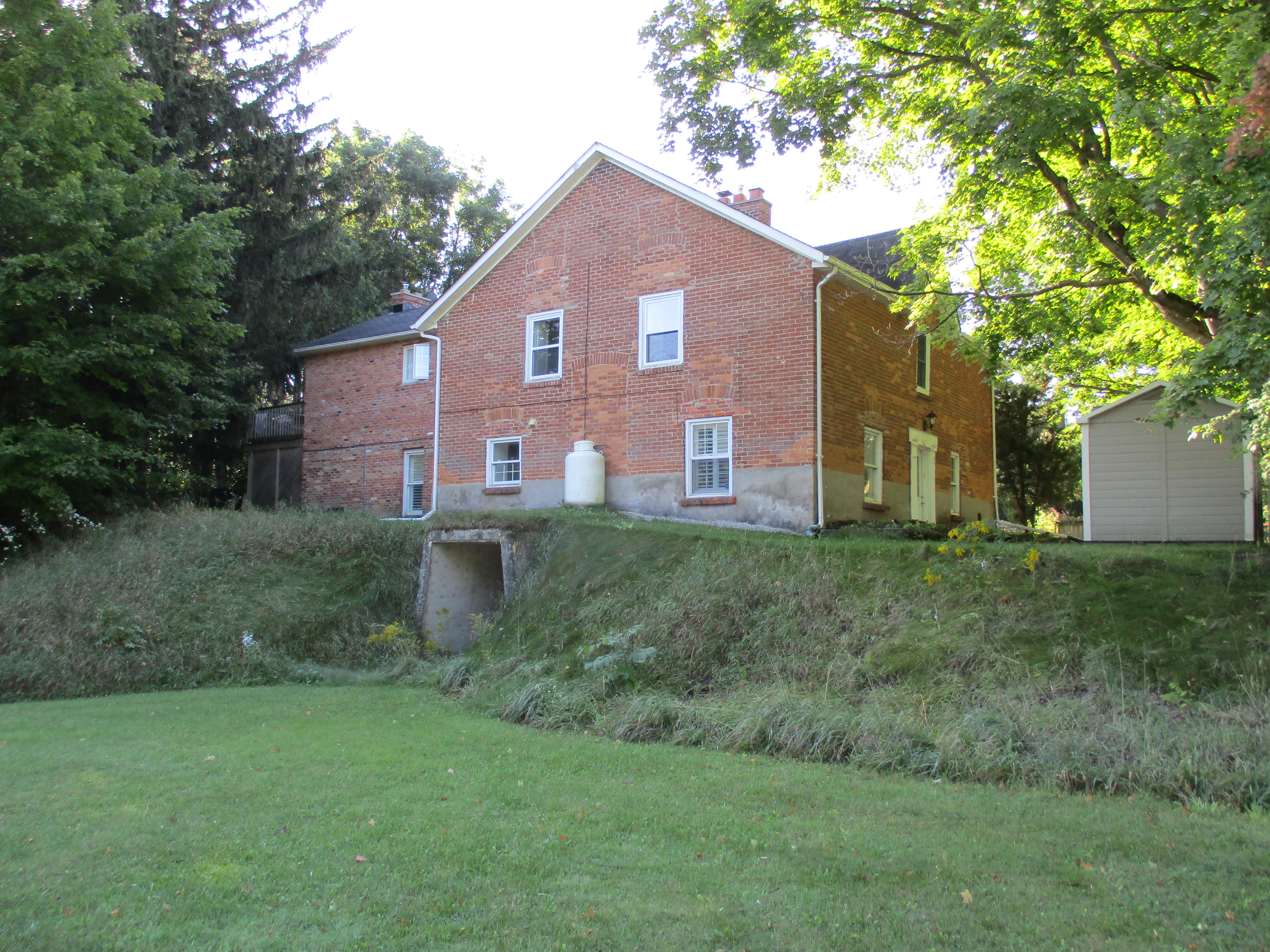
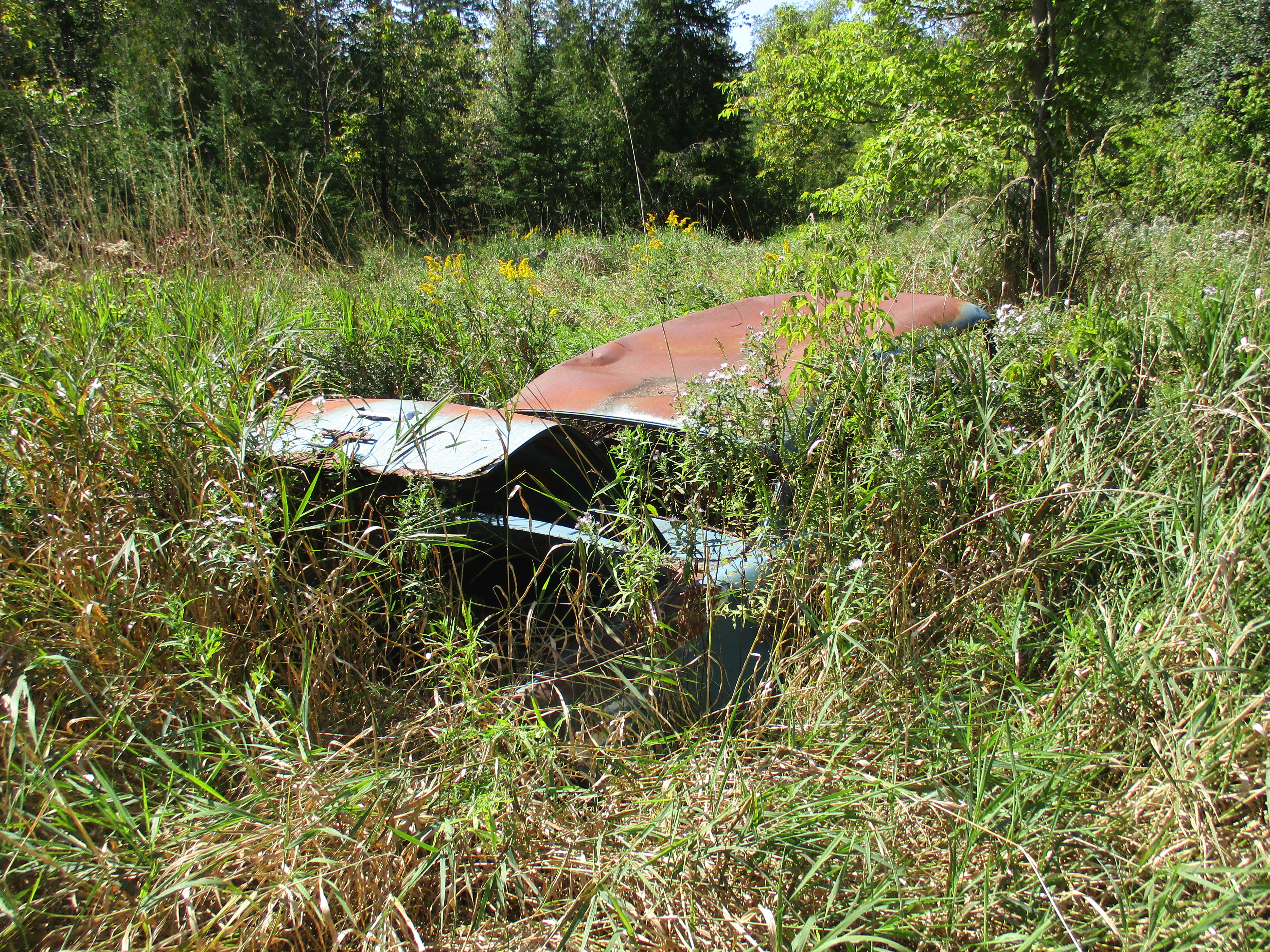
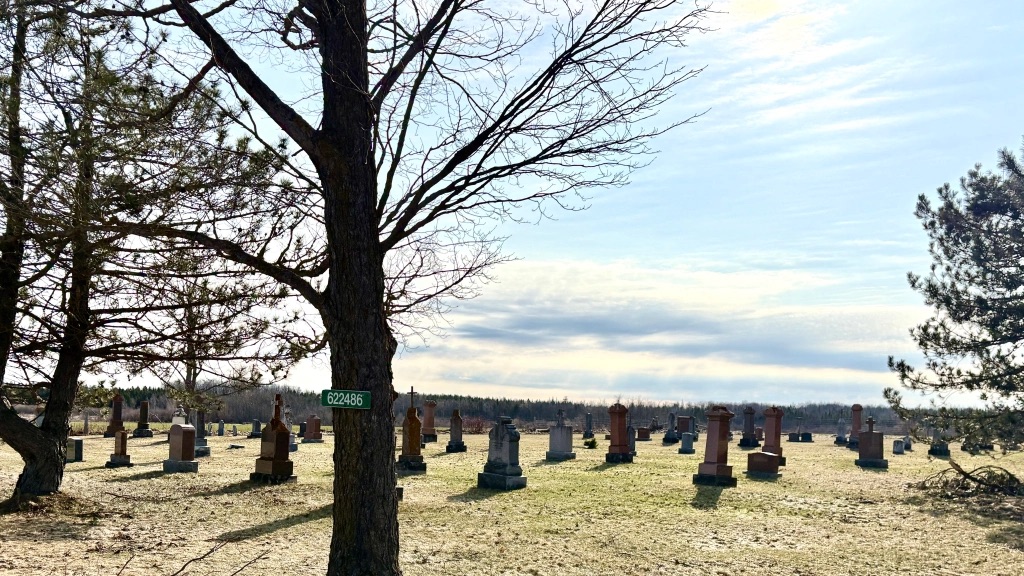
Inistioge attracted a growing number of businesses including a blacksmith, shoe maker, harness maker, hotel, saw mill, general stores and hotels. When the railway passed them by in 1872 and the decline of the community began. The log church lasted for 20 years but was replaced in 1871 with a new, larger building. It was closed in 1961 and later demolished. The school was built in 1865 and replaced with a new building in 1889. This new building remains as a private residence and is about the only surviving remnant of the town with the exception of the forgotten cemetery with its wrought iron sign. This cemetery can be found here.
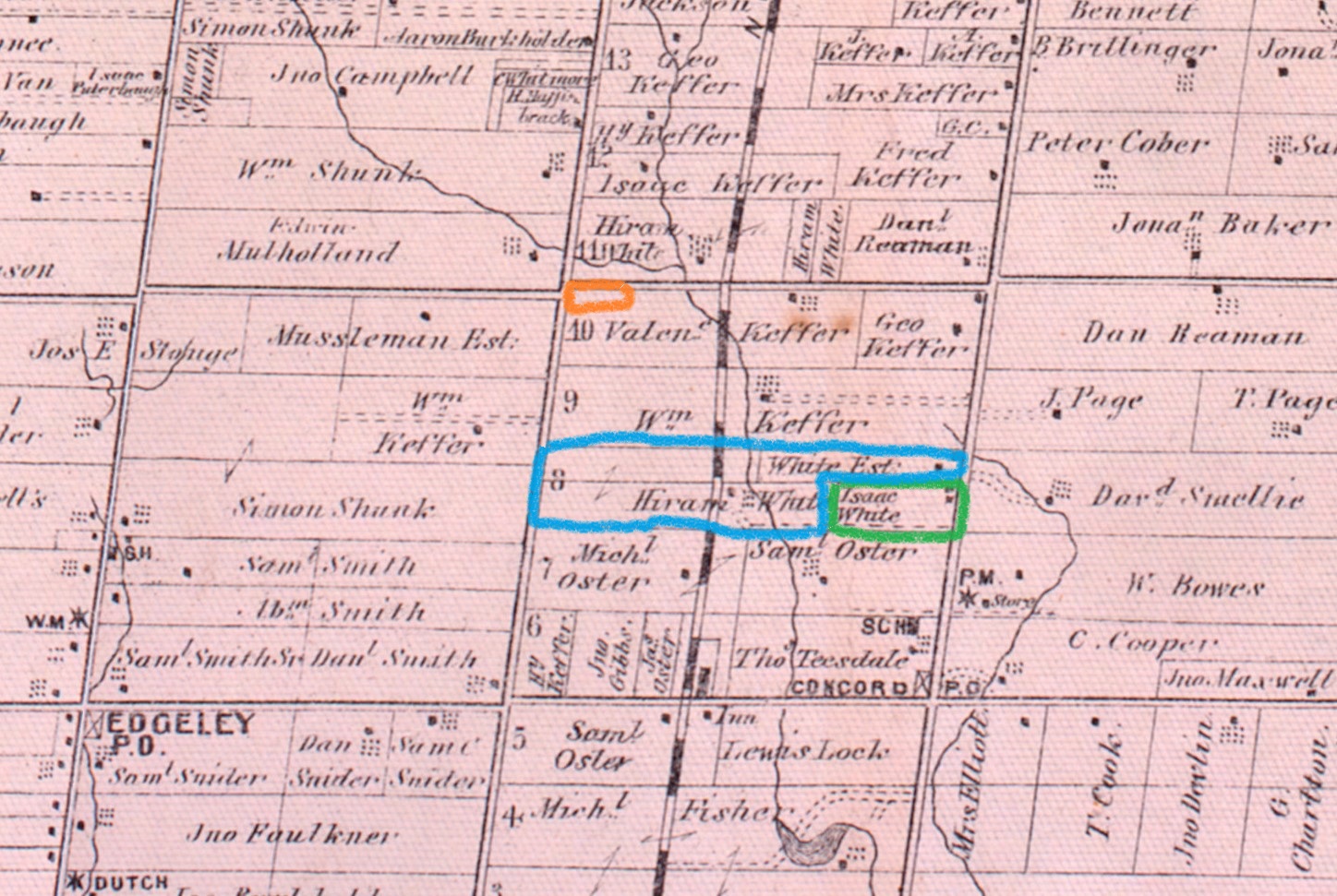
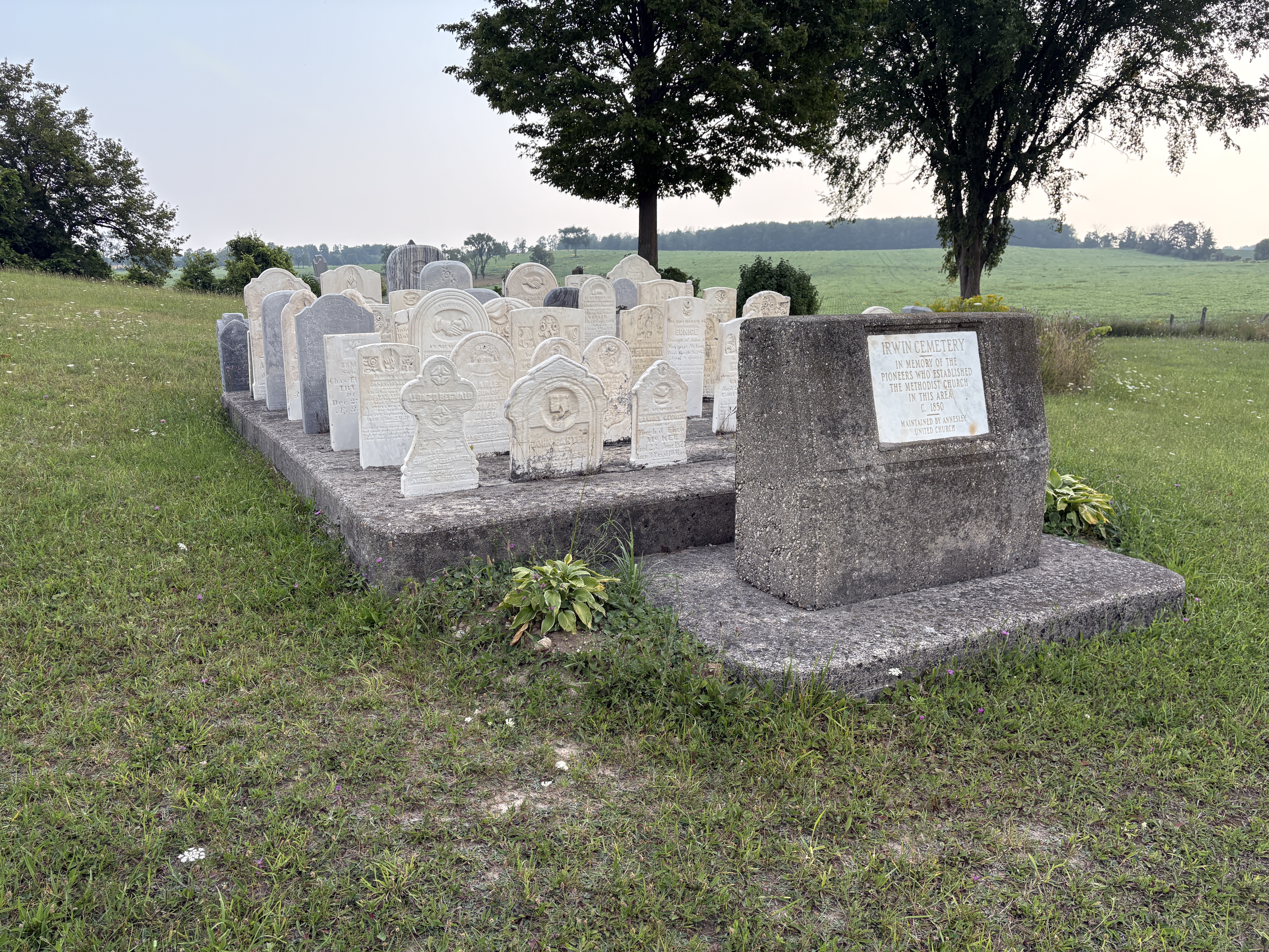
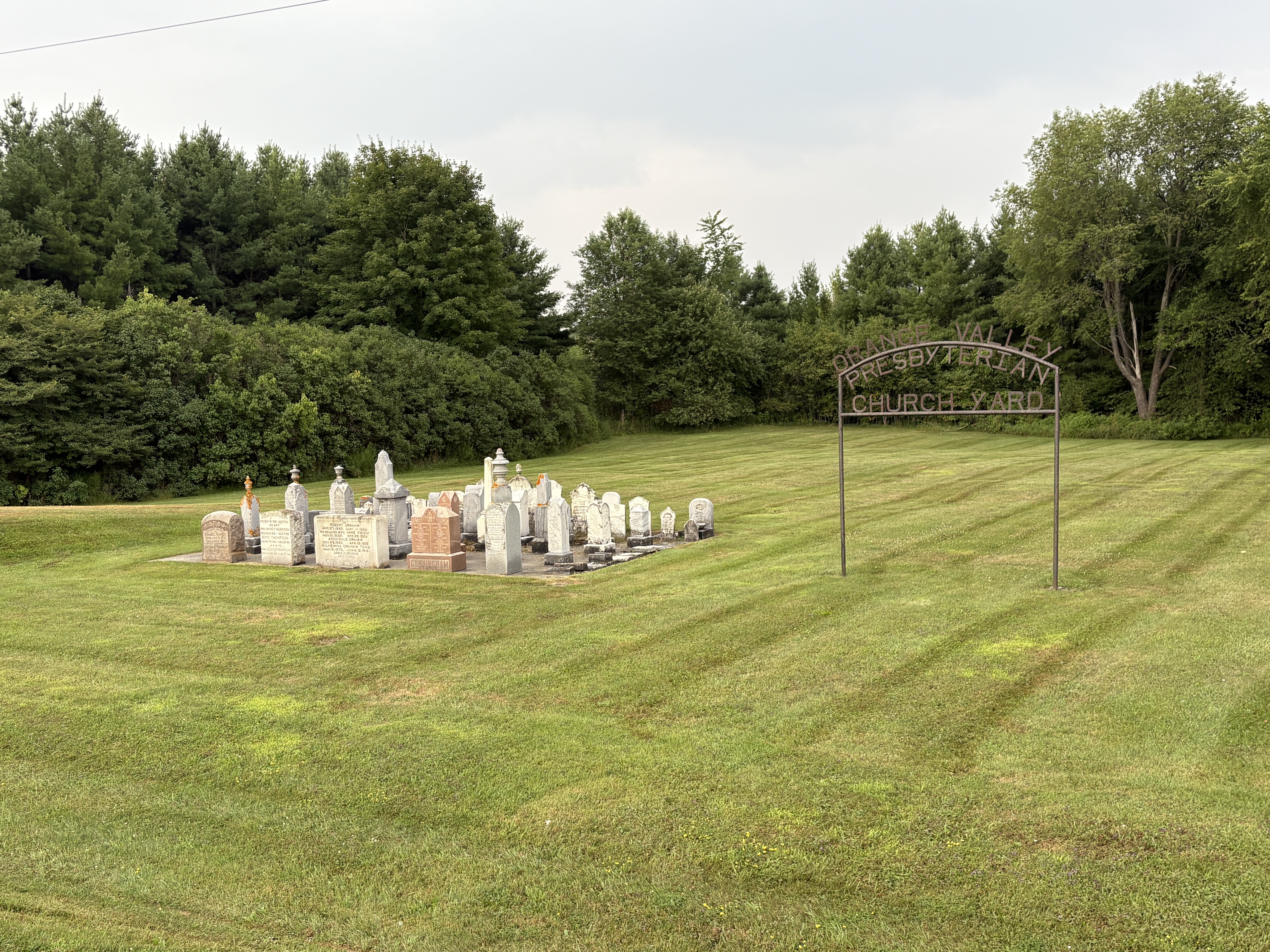
South of Markdale there is an isolated cemetery on opposite sides of the road. The one on the east side of the road is the Irwin Cemetery and on the west side is the Orange Valley Presbyterian Cemetery. These are both found in the upper circle on the 1877 county atlas image below. The orange hall a few lots south was all that existed at this time to show the location of another public building.
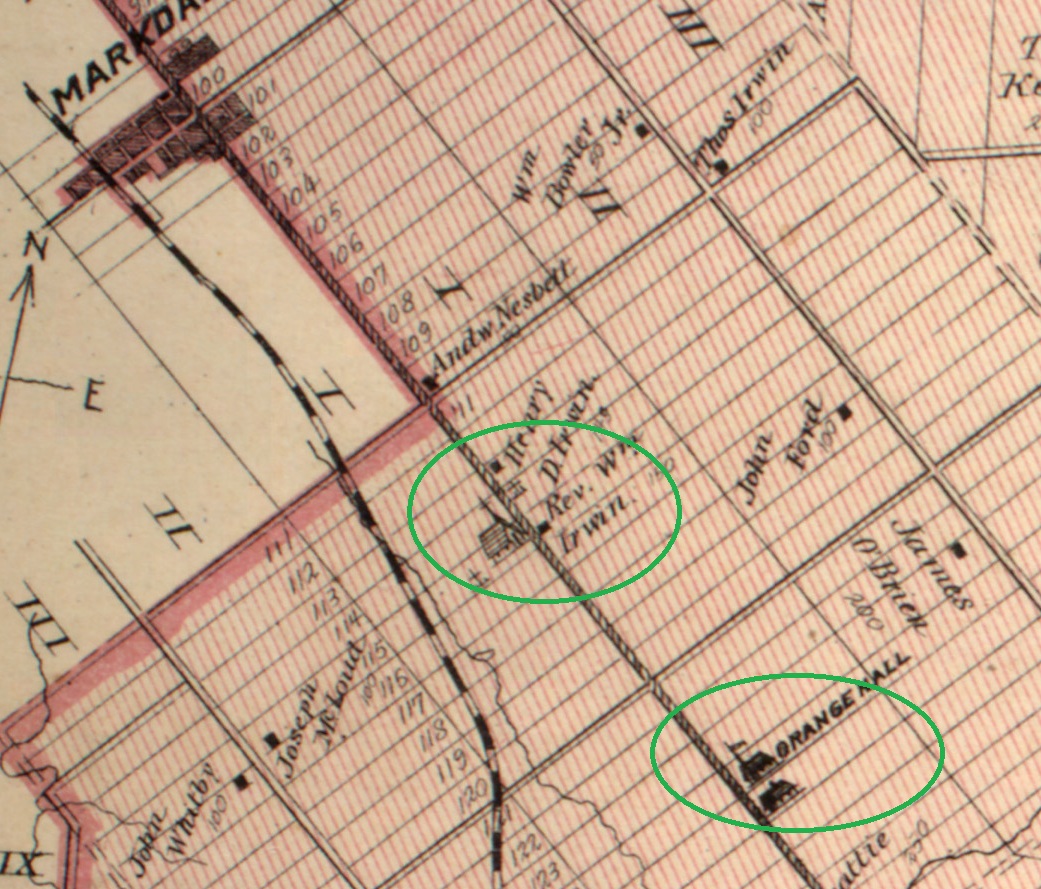
Methodism followed the settlers into the area and by December of 1849 worship services were being held in the home of the Miller family. A log church was opened in June of 1856 at the cost of $150. It was on land donated from the Irwin farm and had seating for 150 people. When a new Methodist Church opened in Markdale in 1870 the congregation of the Irwin church went there or to Annesley Methodist.
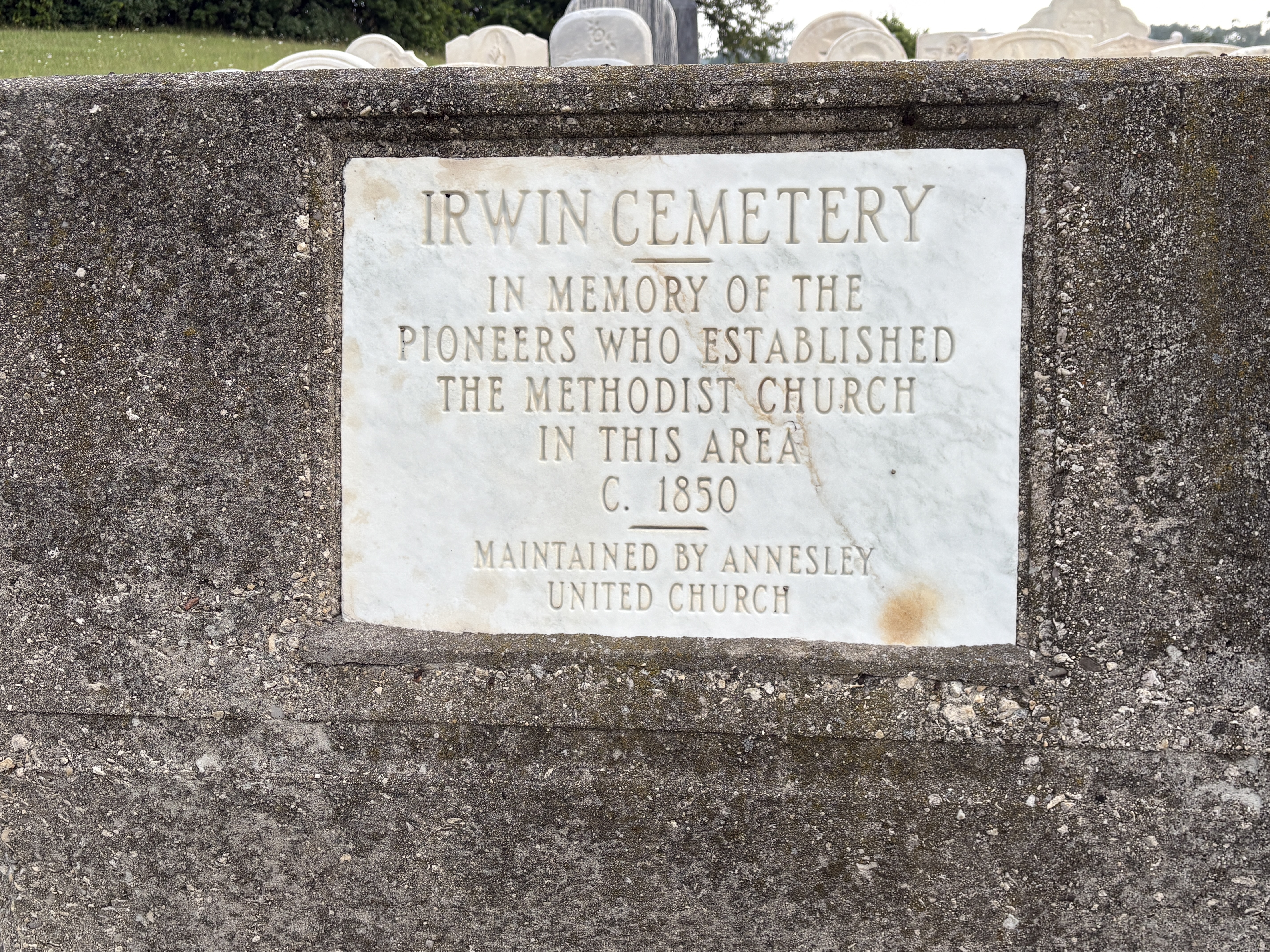
The church is gone but the cemetery remains. The stones are mostly all of the burials are from the 1870s and earlier. As usual they were gathered together into a cairn. This cemetery can be found here.
Orange Valley Presbyterian seems to be a bit of a mystery with limited information available. Although there is no community marked on the map in the 1870s when many of the burials took place, there are close to three hundred individuals laid to rest in the two cemeteries, mostly in the 19th century. This suggests a sizeable local community or that most congregants were coming down from Markdale as well as from local farms.
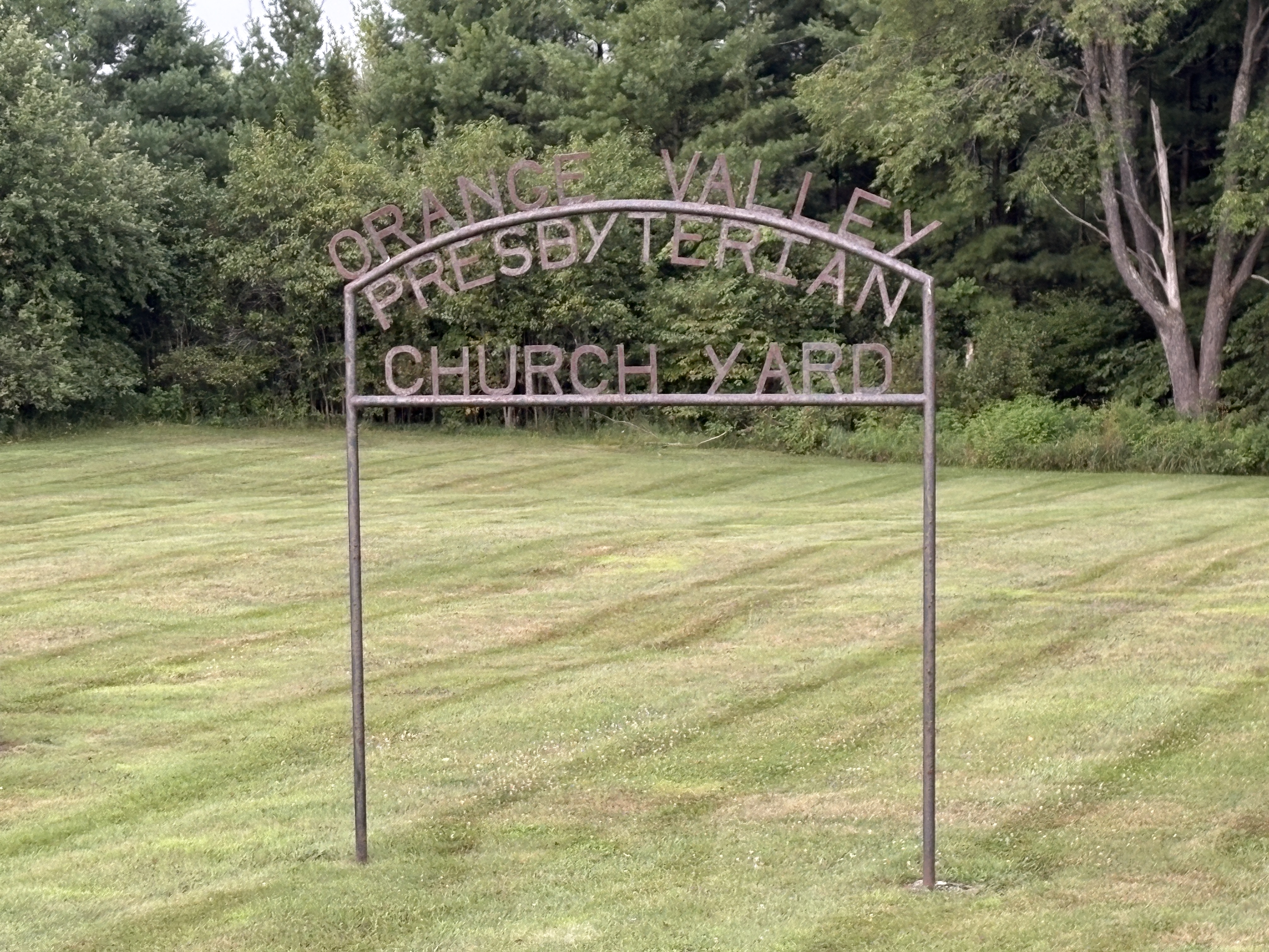
The burials are commemorated with 127 memorials beginning in the same time period as those across the street. Most burials here are prior to 1925 when the Presbyterian Church joined with the Methodist Church to form the United Church of Canada. That spelled the end of this small congregation and later burials appear to be spouses who were later laid to rest with their departed loved ones. This cemetery can be found here.
These cemeteries are the last remaining vestiges of small rural communities that thrived and then faded away during the pioneer period in Ontario.
Related Stories: Pioneer Heartbreak, Pioneer Cemetery Cairns
Google Map links in stories.
Like us at http://www.facebook.com/hikingthegta
Follow us at http://www.hikingthegta.com