Monthly Archives: October 2015

Ontario’s First Rehab Hospital – St. John’s Rehab

Sunday October 25, 2015

The story of The Road To Recovery starts on October 28th 1837.  For me personally it started on October 23rd when my wife was transferred to St. John’s Rehab Hospital.  It was then that I discovered that the hospital hidden in the gardens on Cummer Avenue was the very first rehab hospital in Ontario.  Sunday afternoon I decided to park a short distance from the hospital and walk through Newtonbrook Ravine on my way to visit her.  It was a sunny afternoon and the fall air was fresh with a crisp breeze.

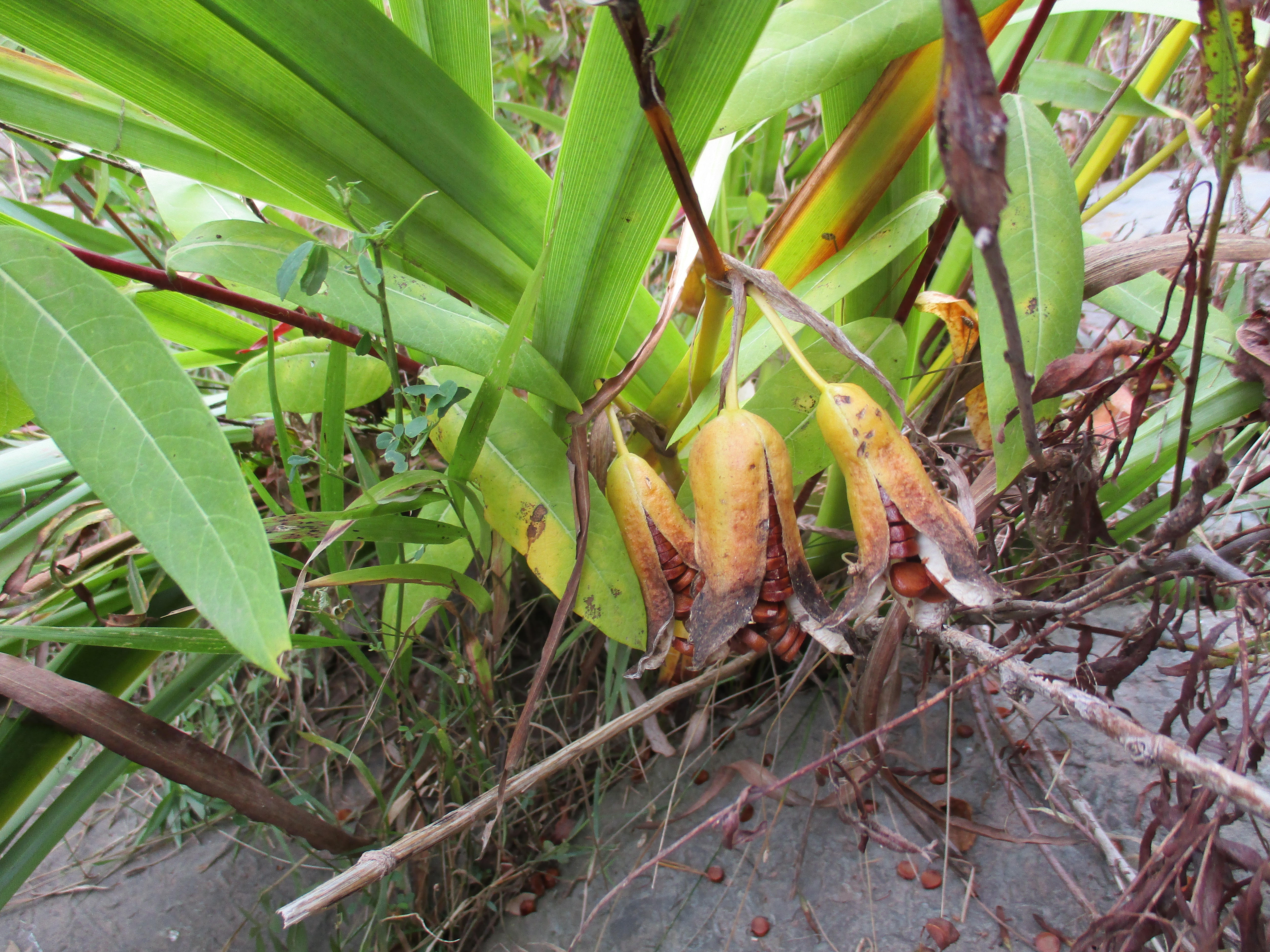
I parked on Manorcrest Drive near Bayview and Finch and entered Newtonbrook Park.  It was a windy day and the milkweed plants were shedding their seeds.  Milkweed is essential in the life cycle of the monarch butterfly and it is recommended that everyone grow milkweed in their garden.  Collecting local seeds and starting your own plants will bring these beautiful butterflies into your yard.

IMG_0949

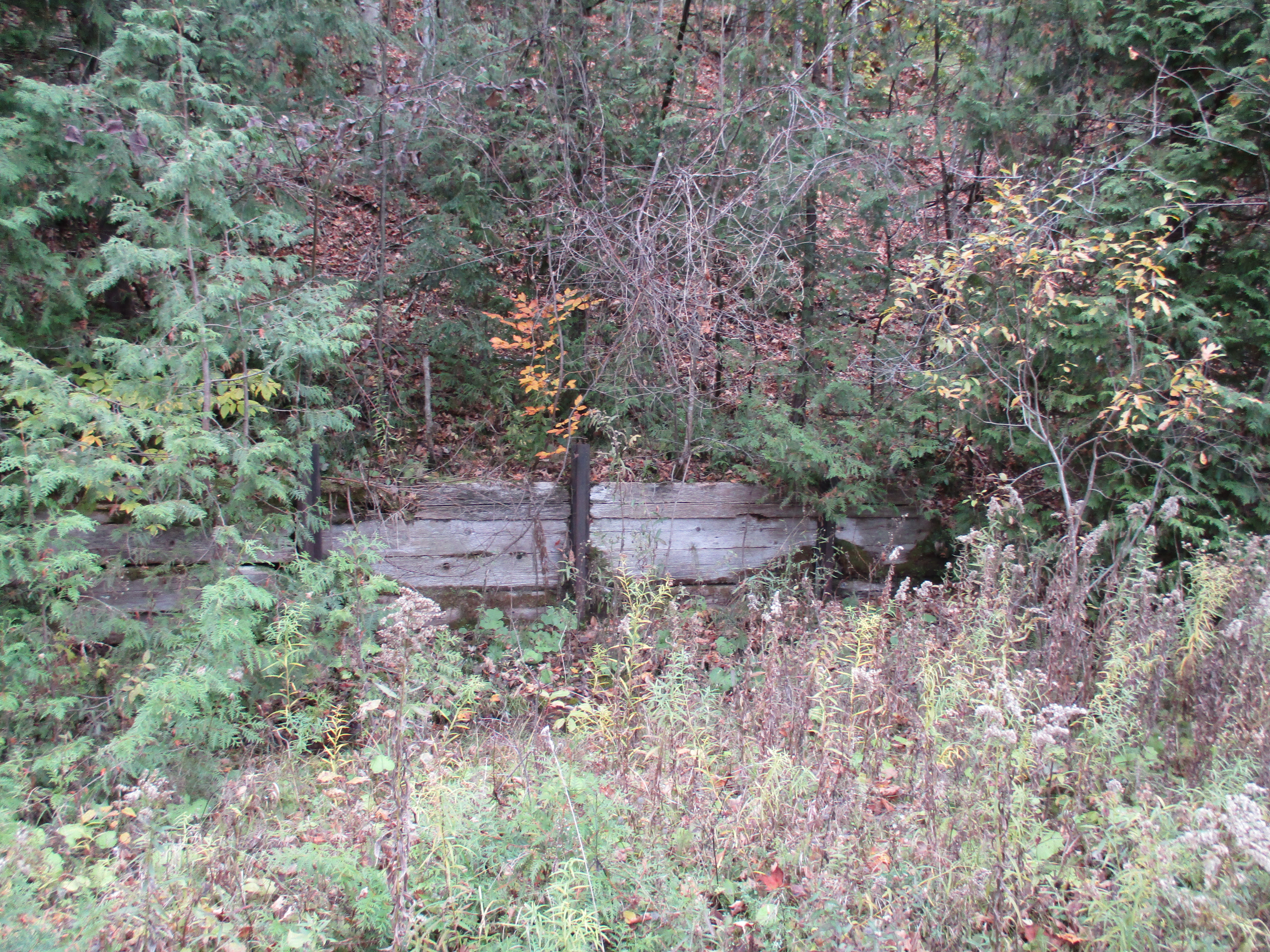
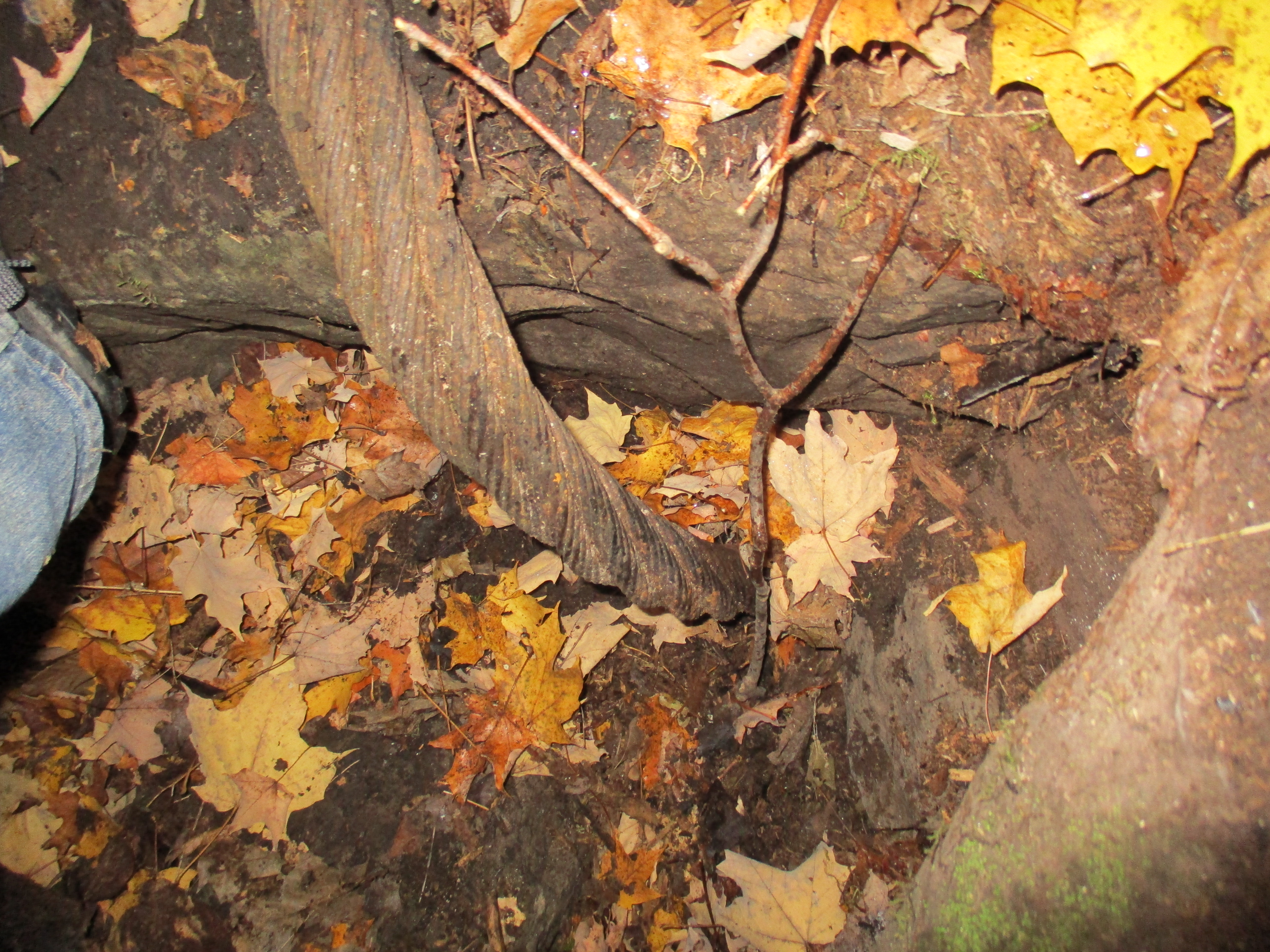
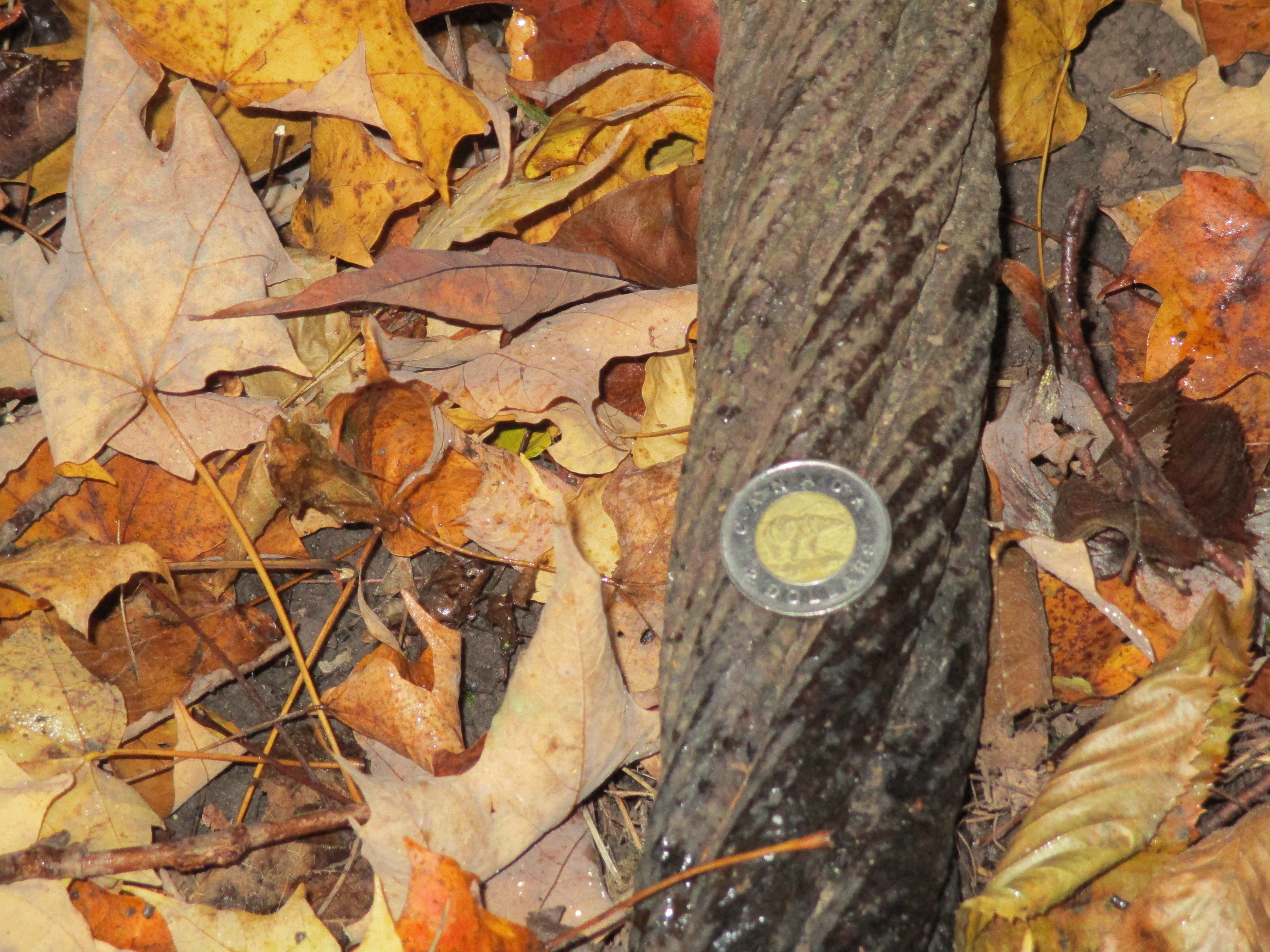
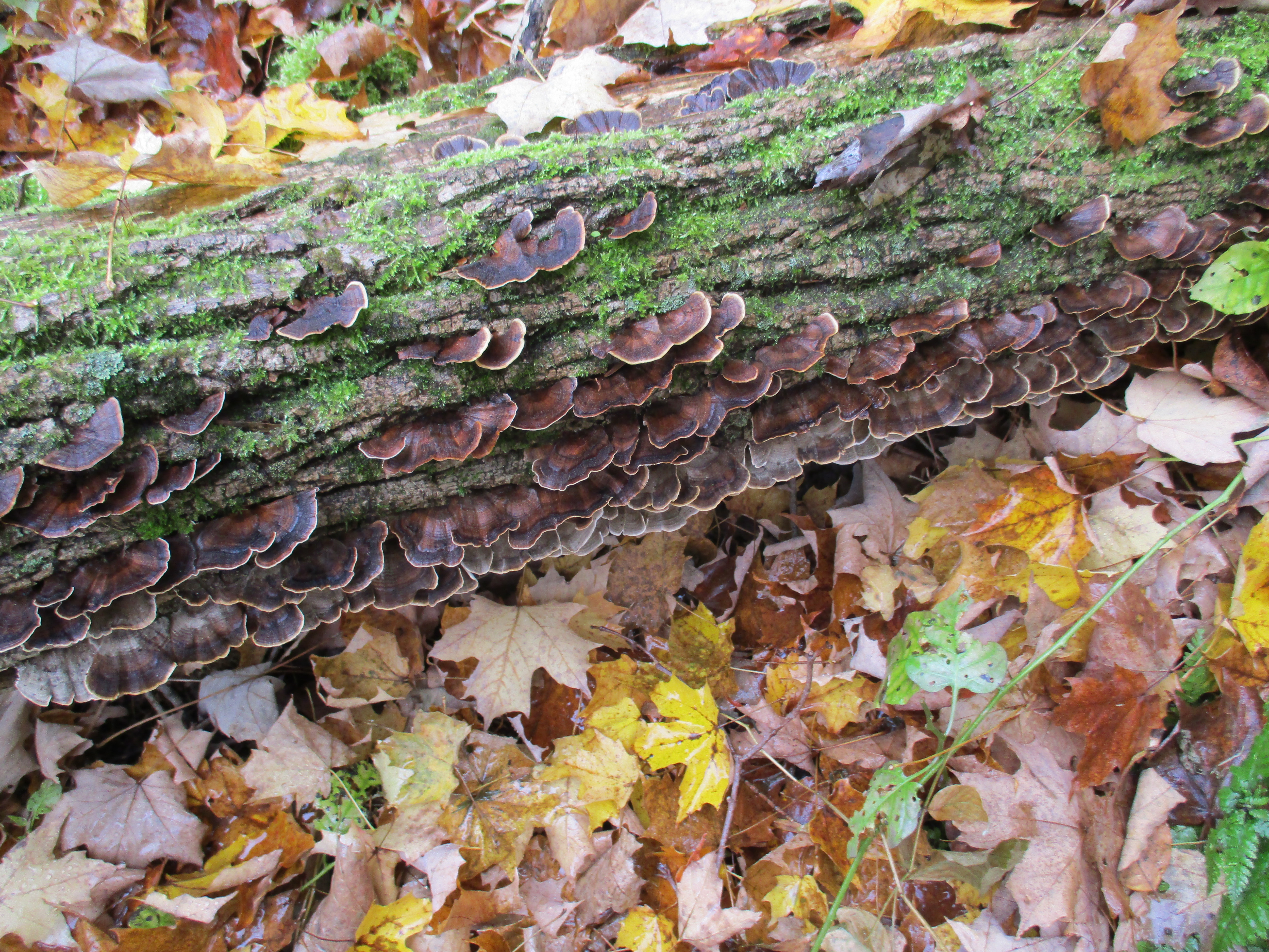
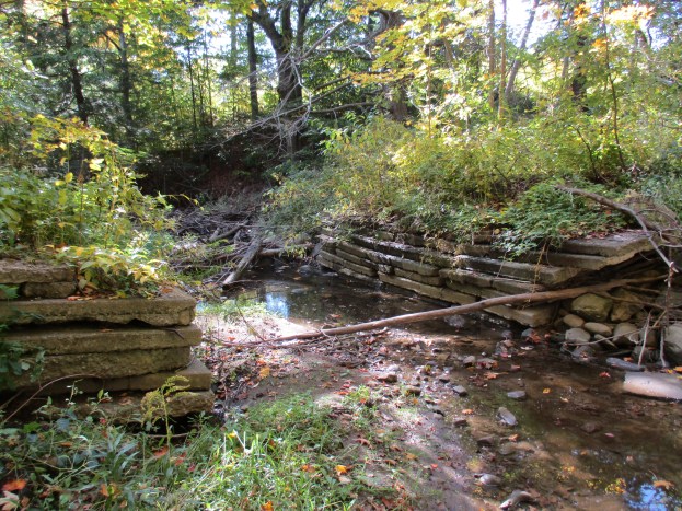
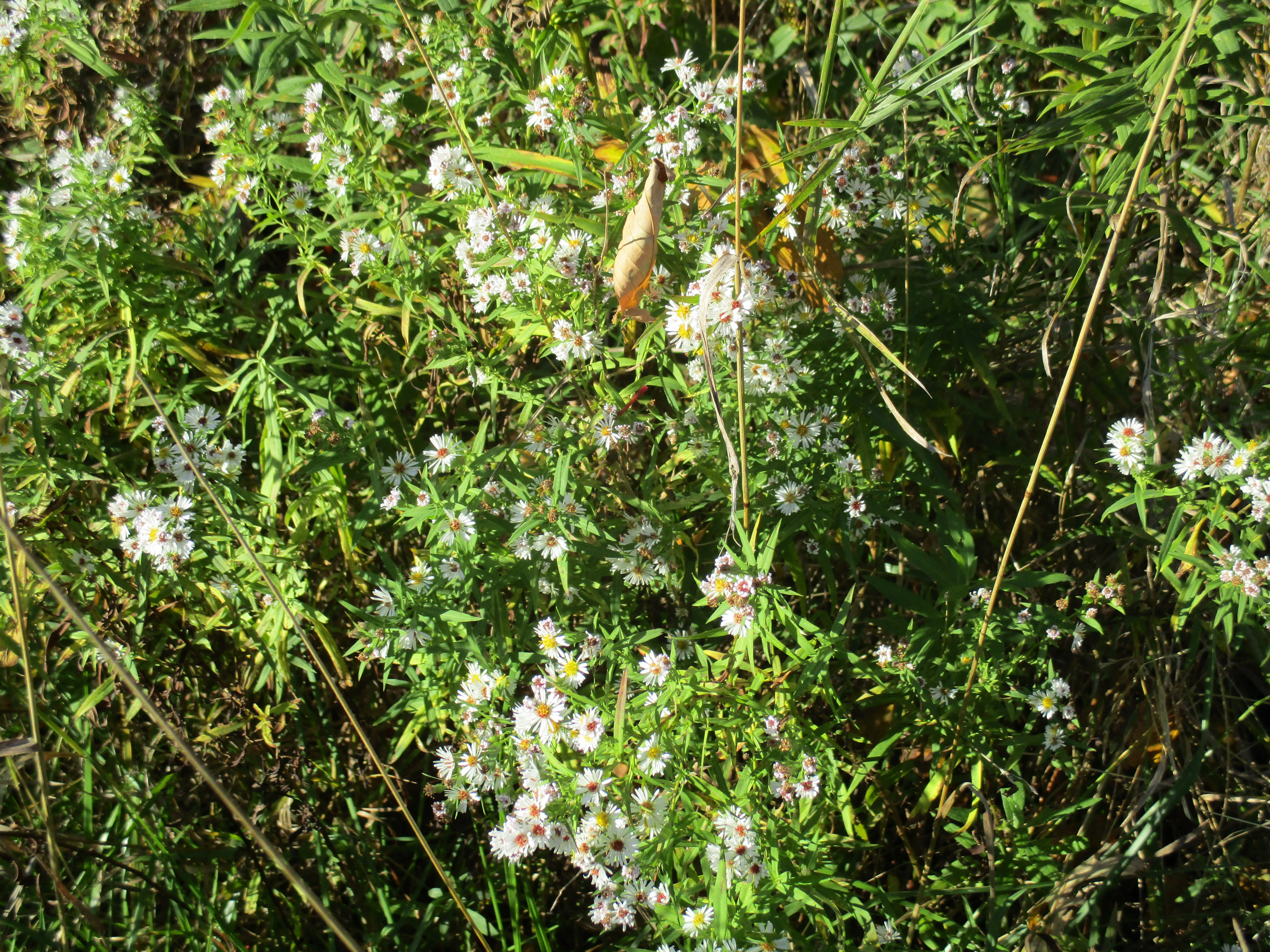
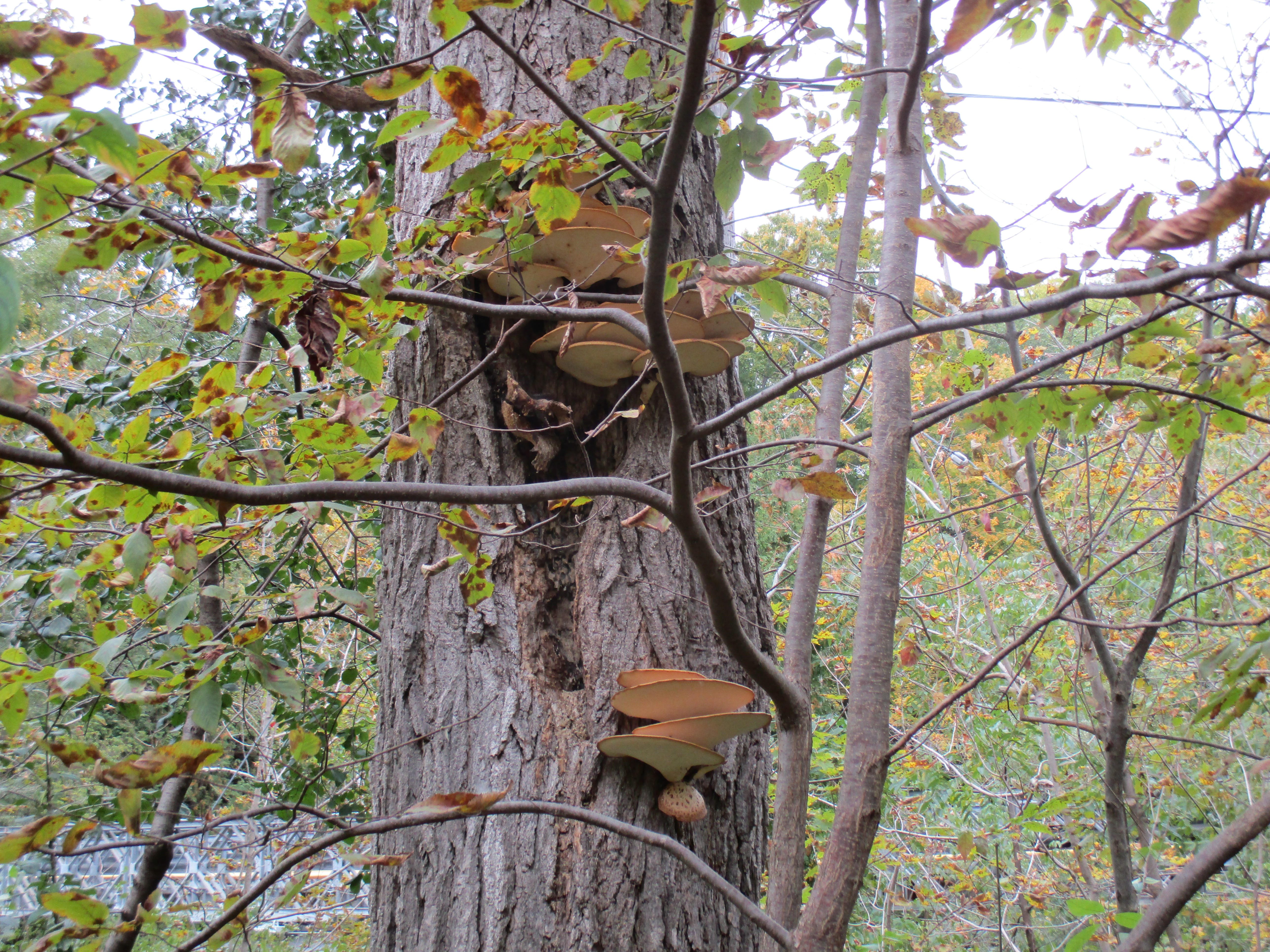
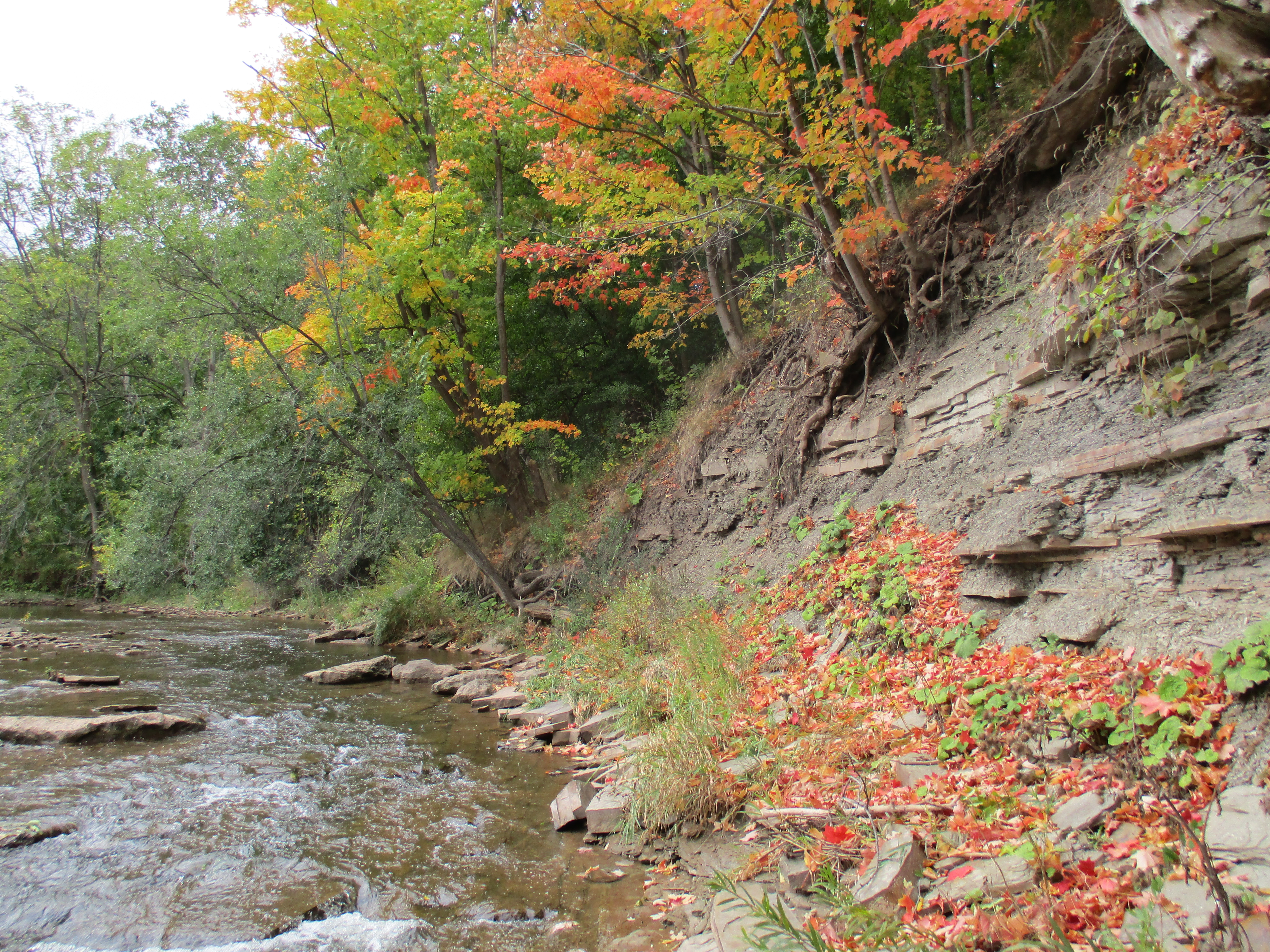
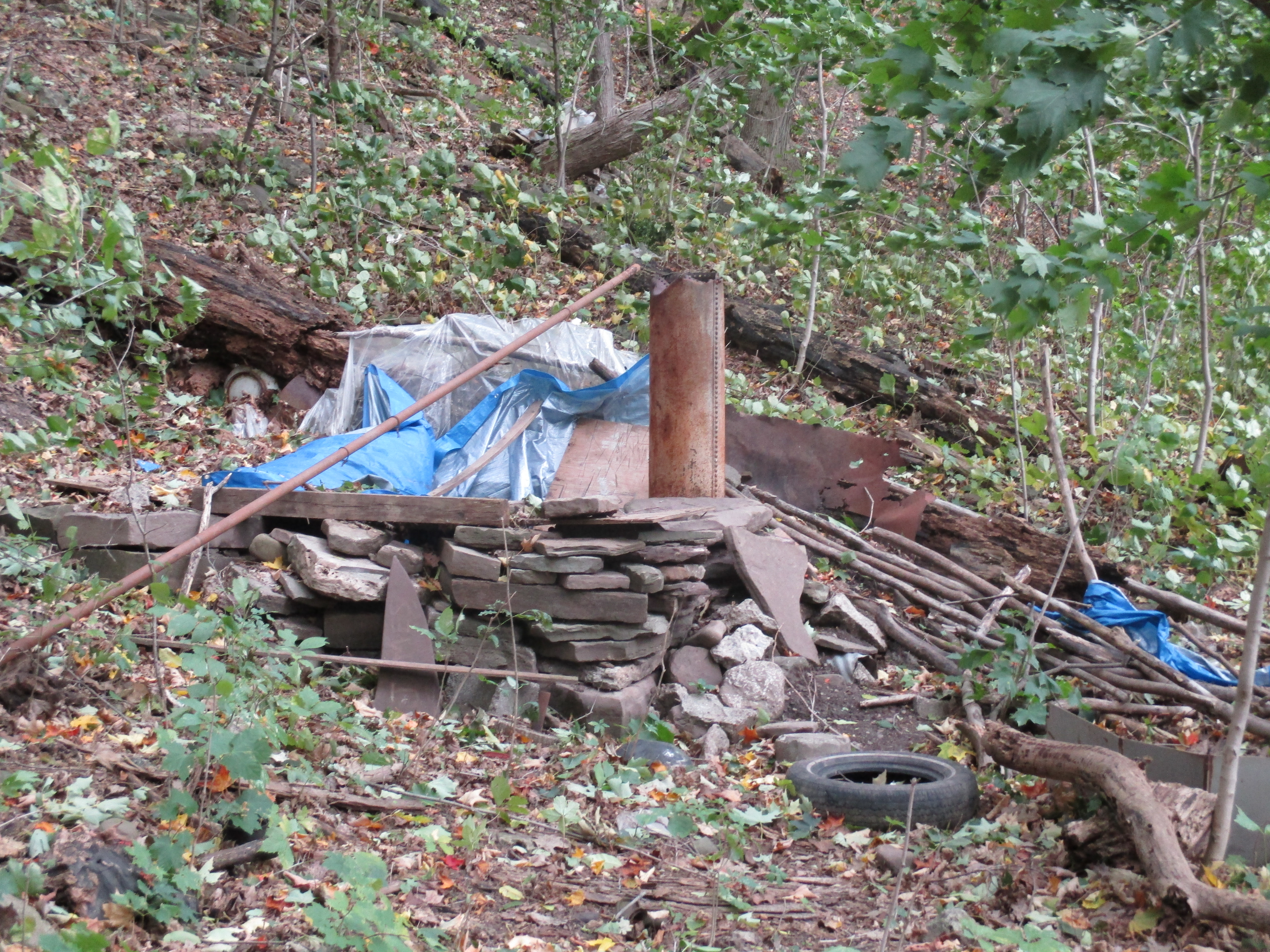
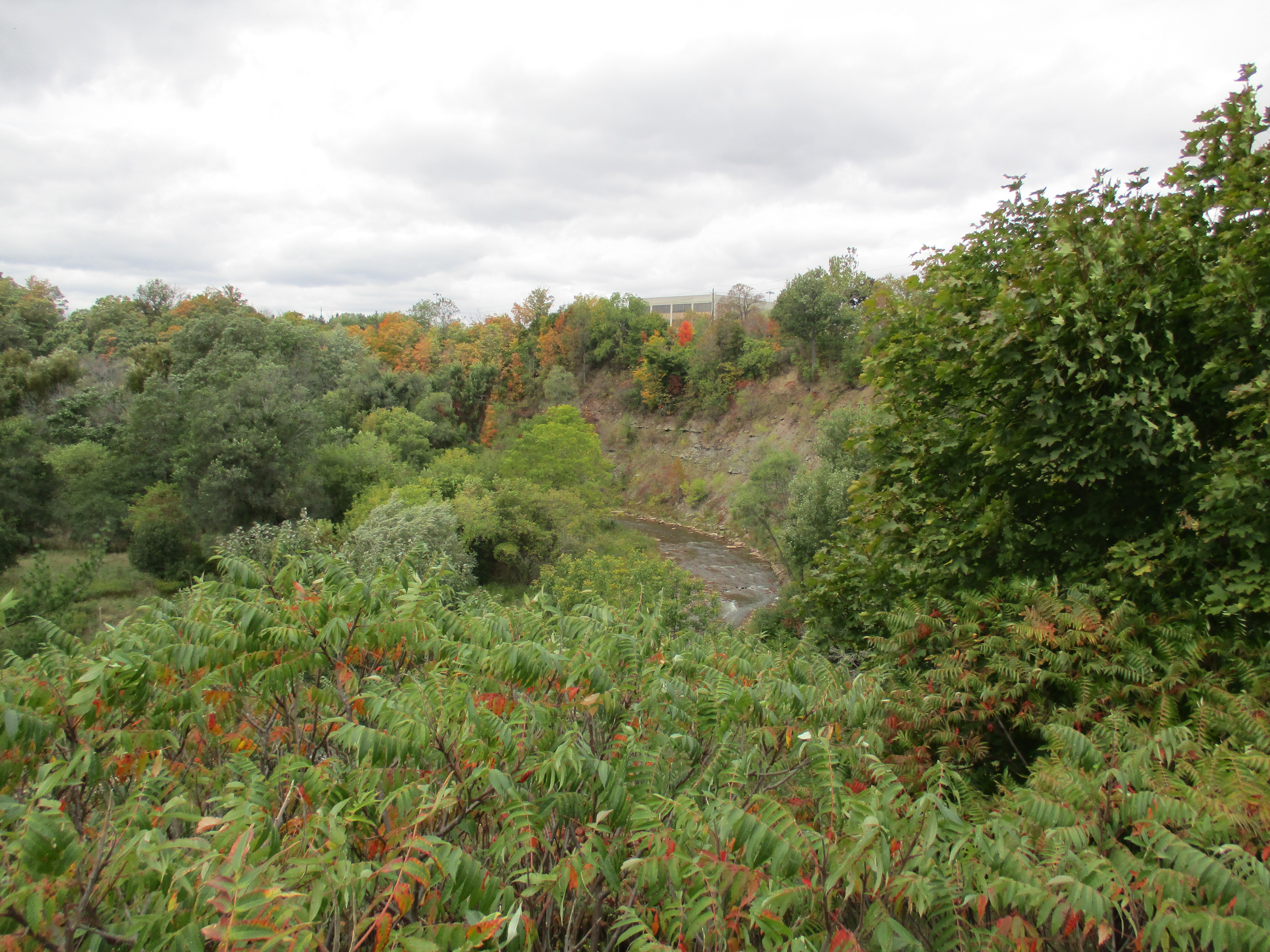
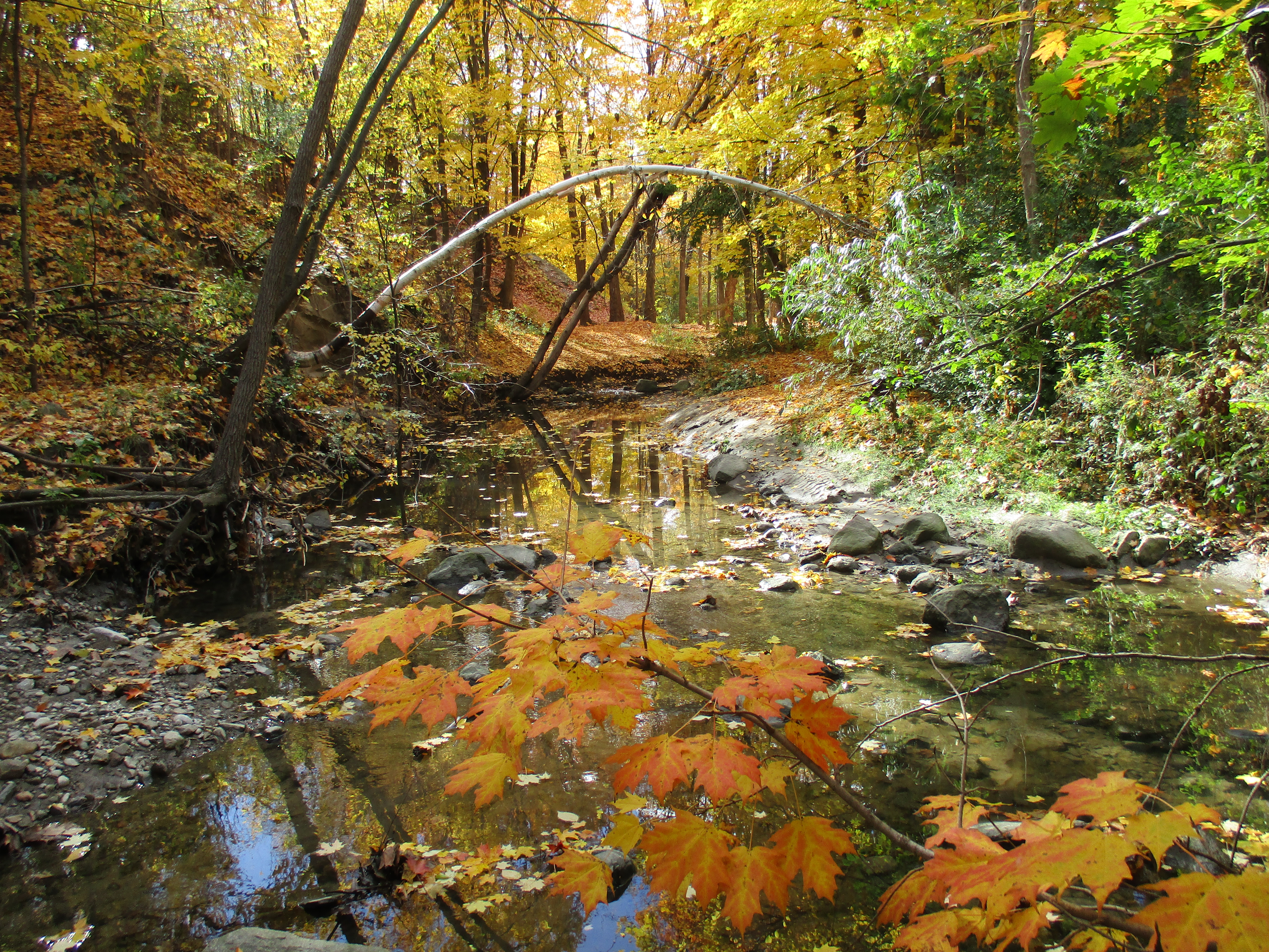
This little park does not connect with the paved path unless you cross Newtonbrook Creek.  The water level was low and people have made a stone path through the water.  The park itself has some wild stretches along the creek.  The sunlight was working on the late leaves bringing the yellow and orange into a bright collage of colour.

IMG_0972

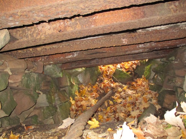
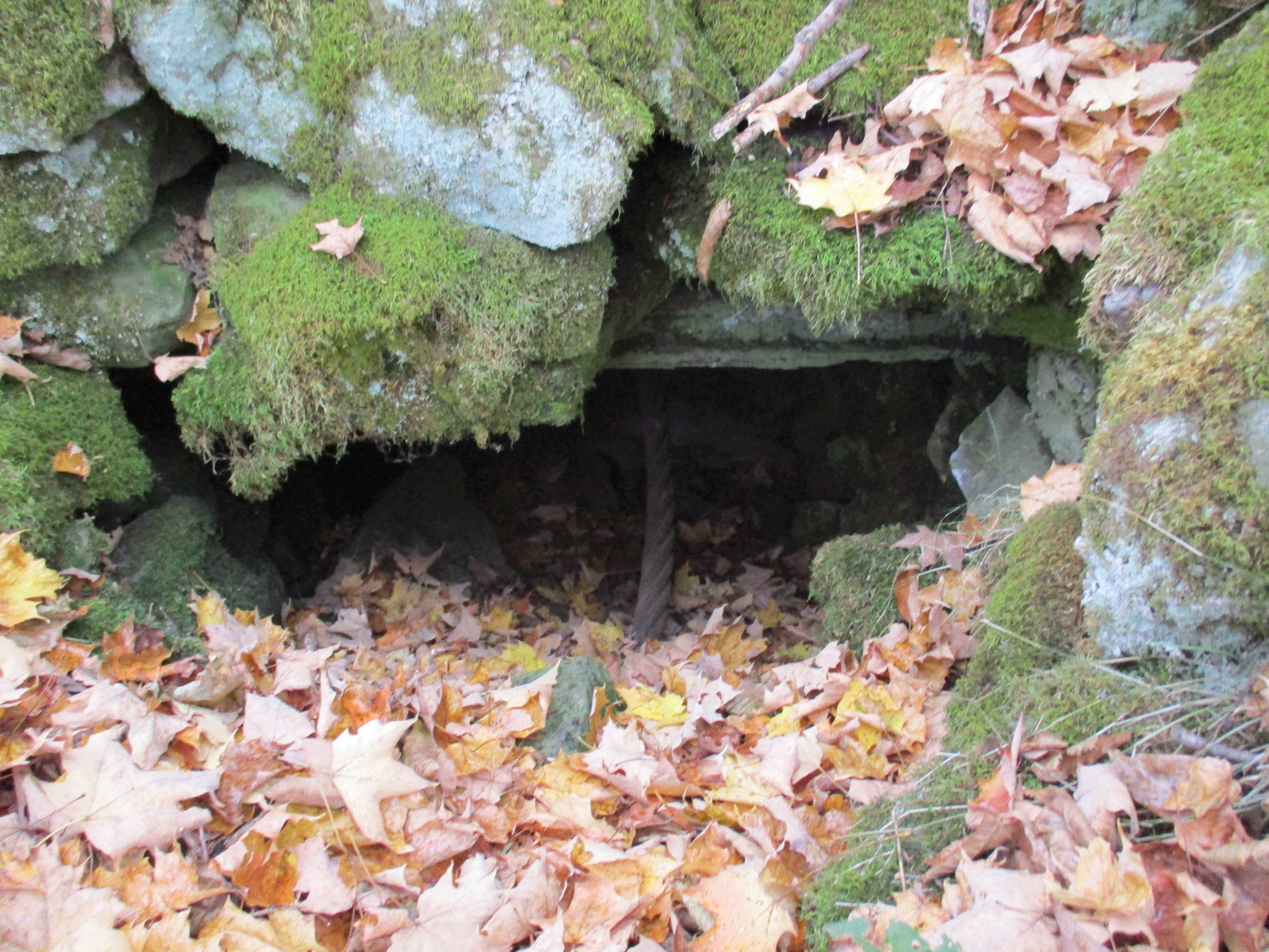
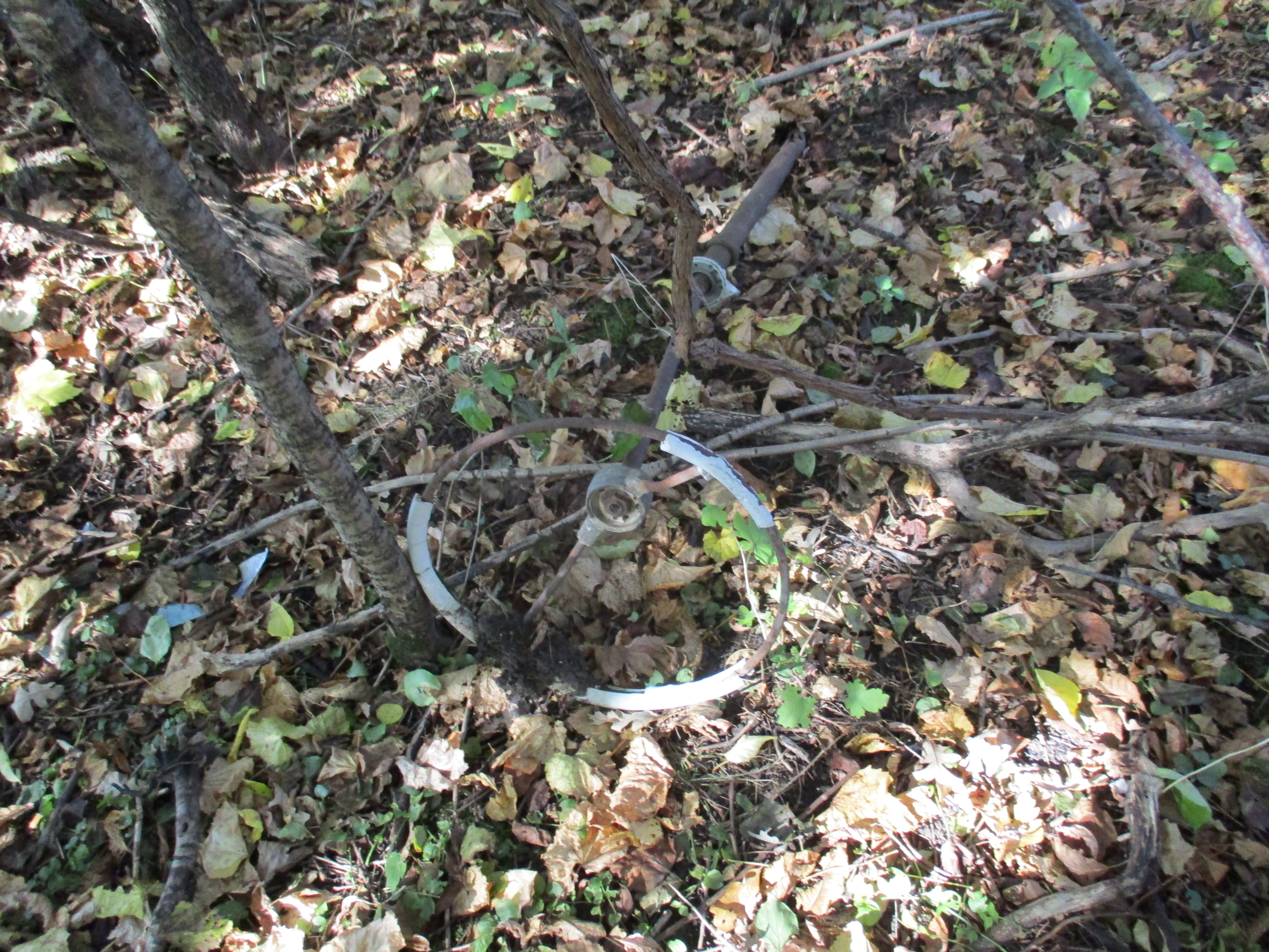
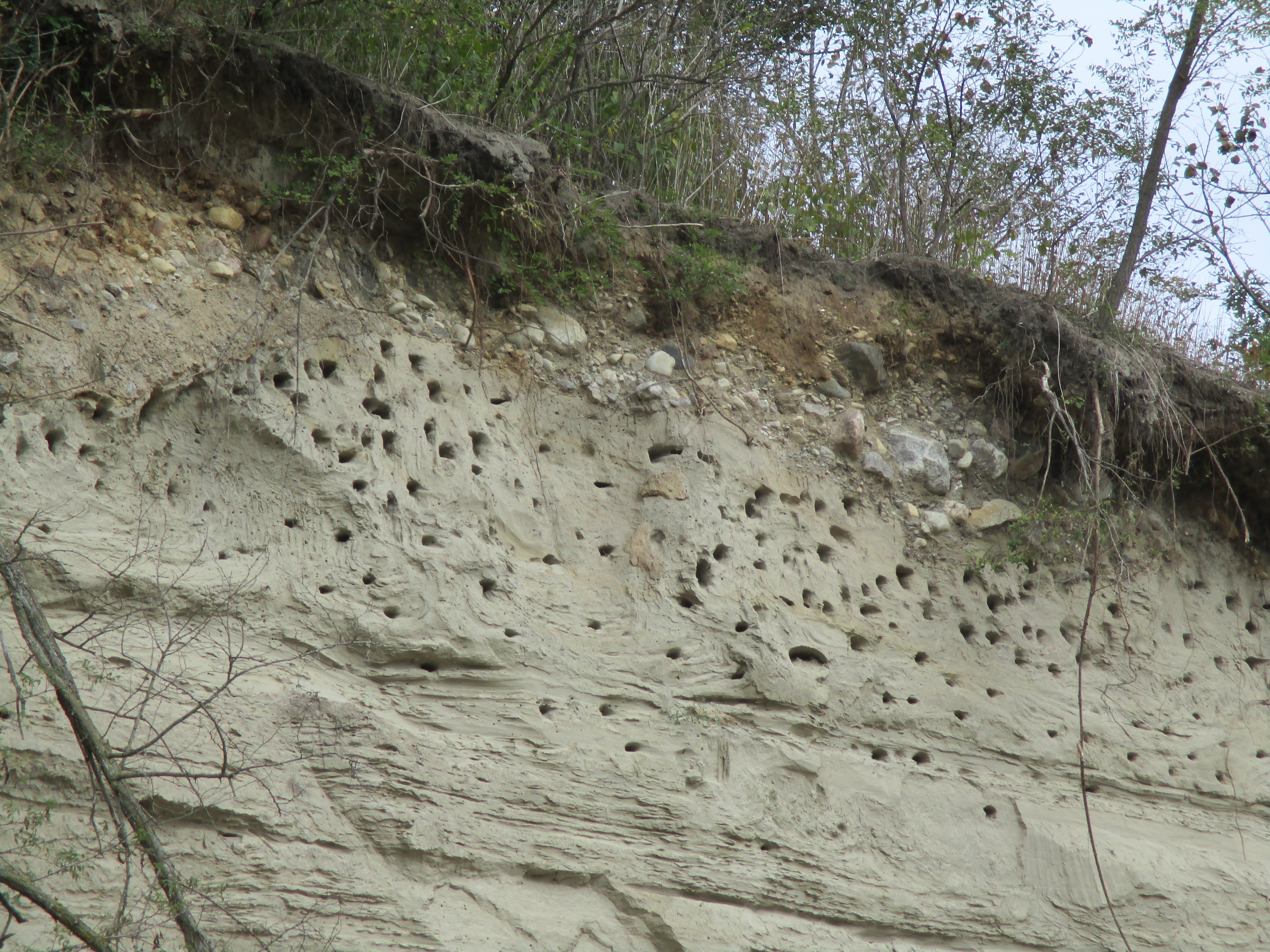
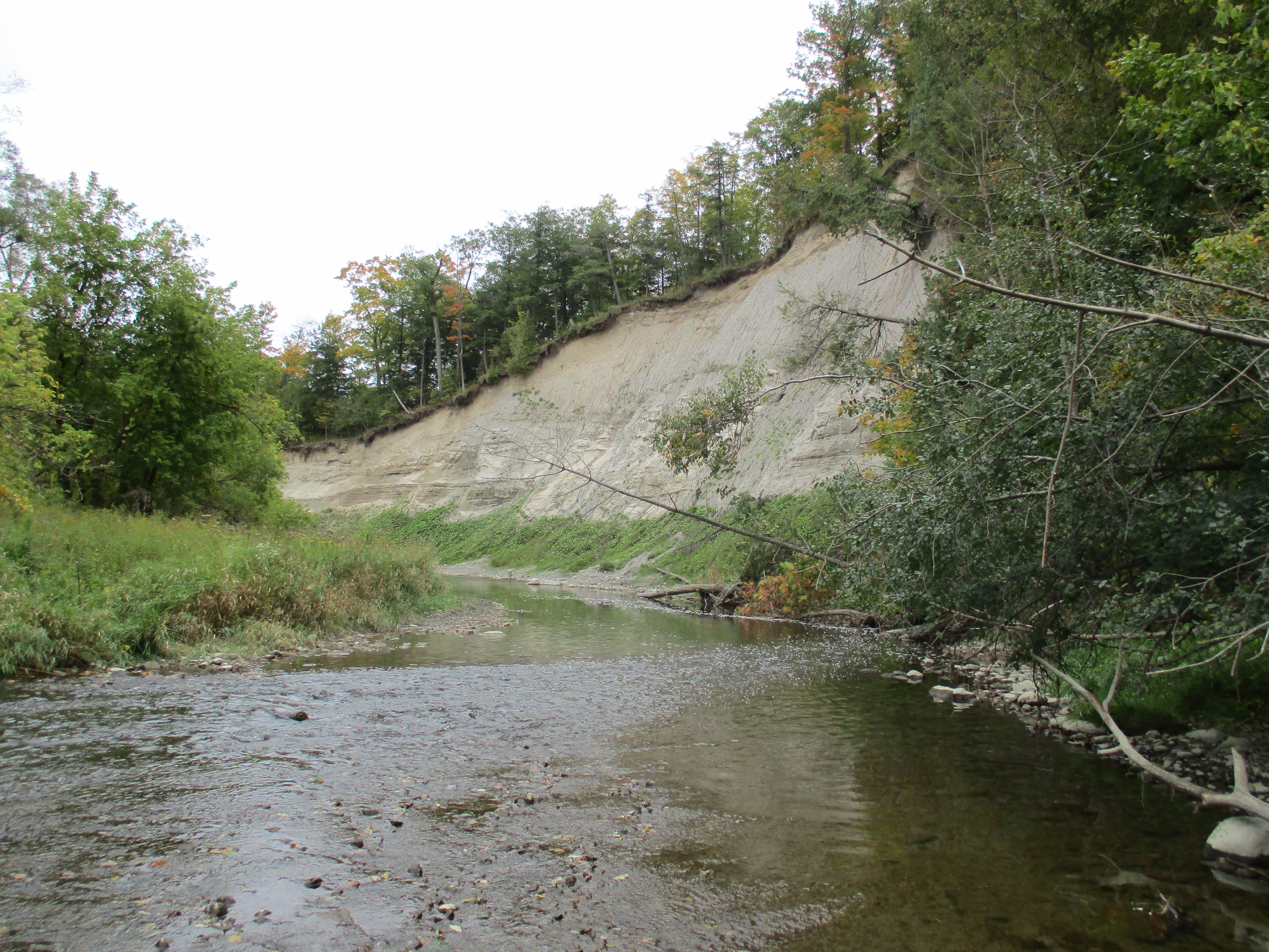
Along the side of Newtonbrook Creek there are extensive sand deposits.  The creek has cut through these indicating that it had a much stronger flow at times in the past.  The sandbank below had several small holes and one large one cut into it.  Suspecting a large animal, perhaps a coyote, had made that large hole I decided to work my way around for a closer view.  It is simply a spot where a large chunk of sand fell out due to erosion.

IMG_0975

Hannah Greir Coome was born in October 1837 at The Carrying Place, Upper Canada.  When Hannah’s husband died in 1878 she decided to dedicate her widowhood to the service of God and was on her way to England to join a convent.  Having stopped in Toronto on route she met a small group of people who convinced her to start a religious order in Canada.  She agreed and joined an Episcopalian-Anglican order in New York state for training.  She took her vows on Sep. 8, 1884 and this is the founding date for the Canadian Order of the Sisterhood of Saint John The Divine.  The archive picture below shows Mother Hannah in 1918.

Mother Hannah

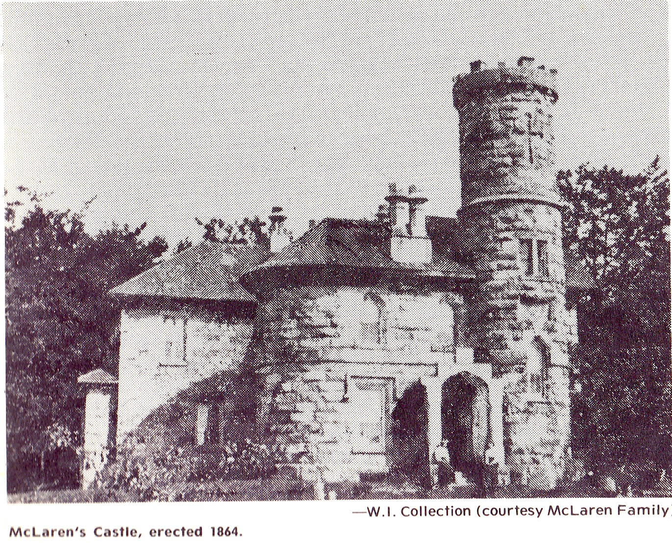
On Dec. 27, 1884, the feast day of St. John The Divine, the Order formally opened it’s first convent called St. John’s House.  It was located at 71-73 Robinson Street, now renumbered 81-83, and included a dispensary to provide free medication to the poor.  In 1885 the adjacent property on Euclid Avenue was acquired and converted into an infirmary which was named St. John’s Surgical Hospital for Women.  Hannah had been born in the year of the Upper Canada Rebellion and delayed the opening of the hospital to participate in the 1885 Riel Rebellion. Hannah, along with nurses and a doctor, traveled to Moose Jaw to create a hospital for the Canadian Army.  By 1890 a larger hospital was required in Toronto and using this experience several lots were purchased on Major Street for a new facility.

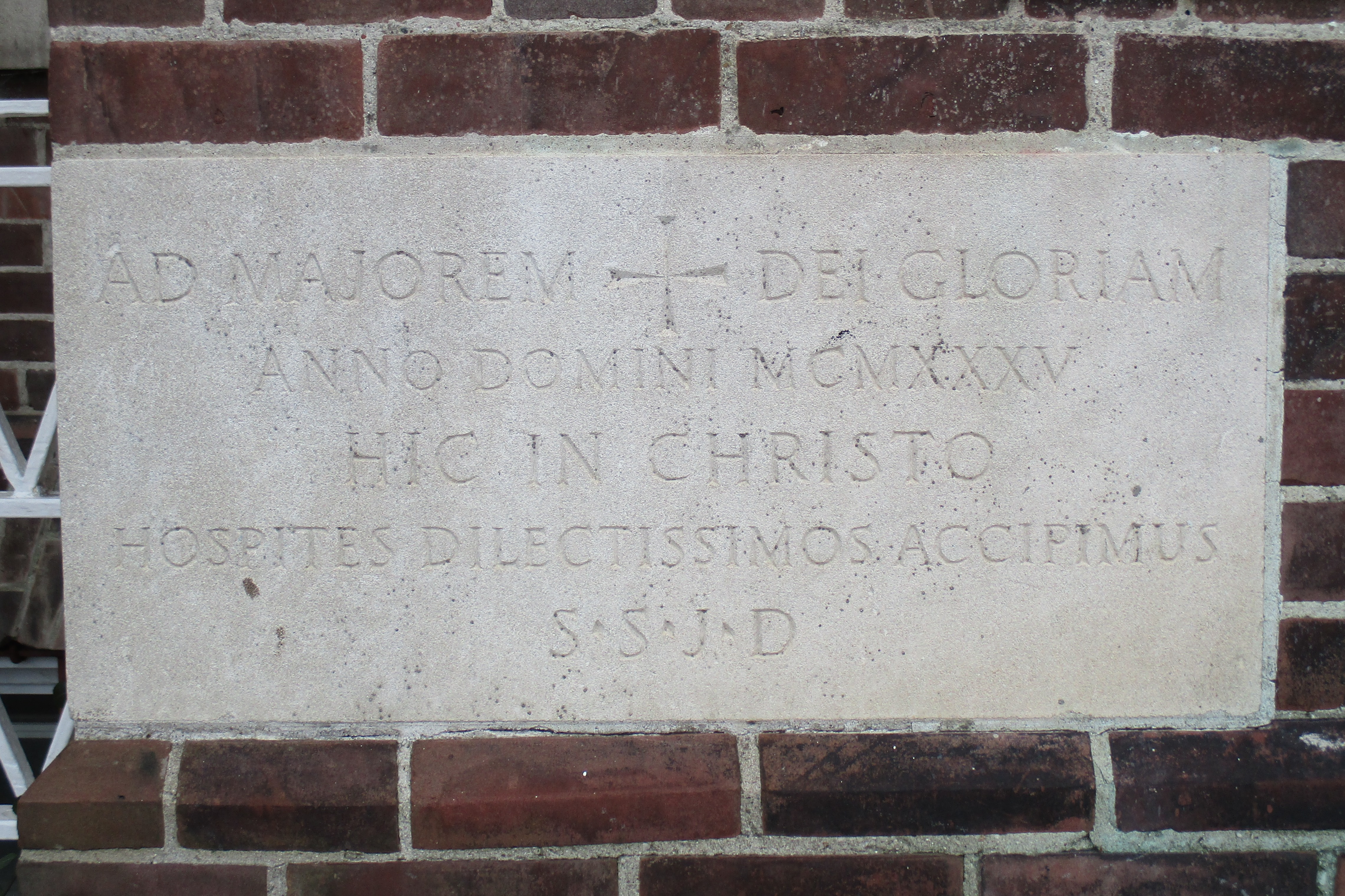
This hospital featured large verandas which connected to, or over looked, the gardens.  From the beginning open air and access to nature were combined with scientific medicine and the Sister’s prayers and spiritual attention.  The hospital always operated independent of government funding and when 1930’s medical advances required excessive investment the Sisters decided to take advantage of their unique approach to convalescence.  In 1933 they had the idea to create a centre for rehab treatment for patients from all seven Toronto public hospitals.  This would free up beds in the hospitals for patients needing active treatment.  They laid the corner stone for their new building on Cummer Avenue on October 8, 1935.

IMG_0999

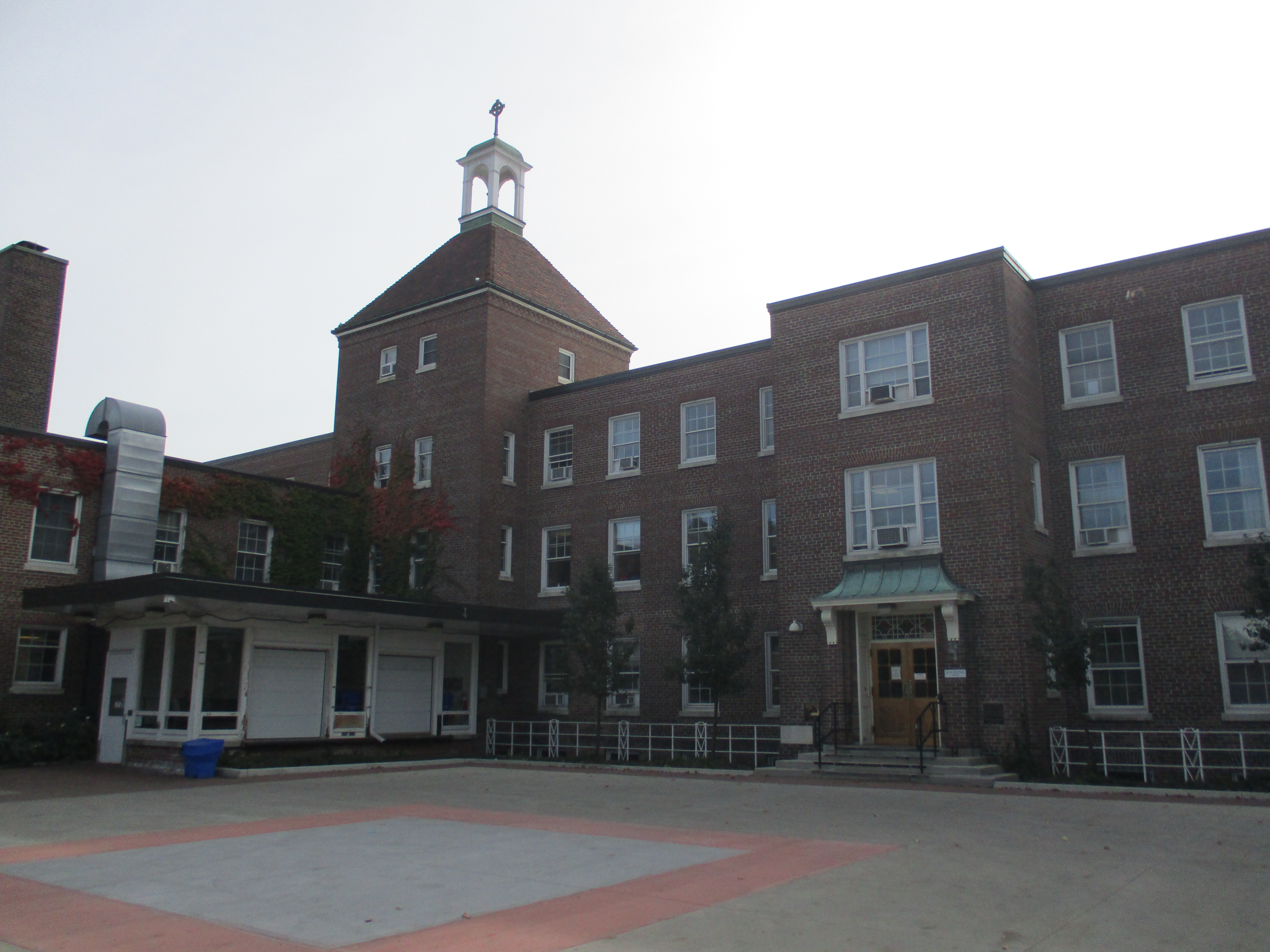
The Governor General of Canada officially opened the facility on May 22, 1937.  The original hospital had the same number of beds as the Major street facility and contained three floors of rooms with a four story bell tower.

IMG_0995

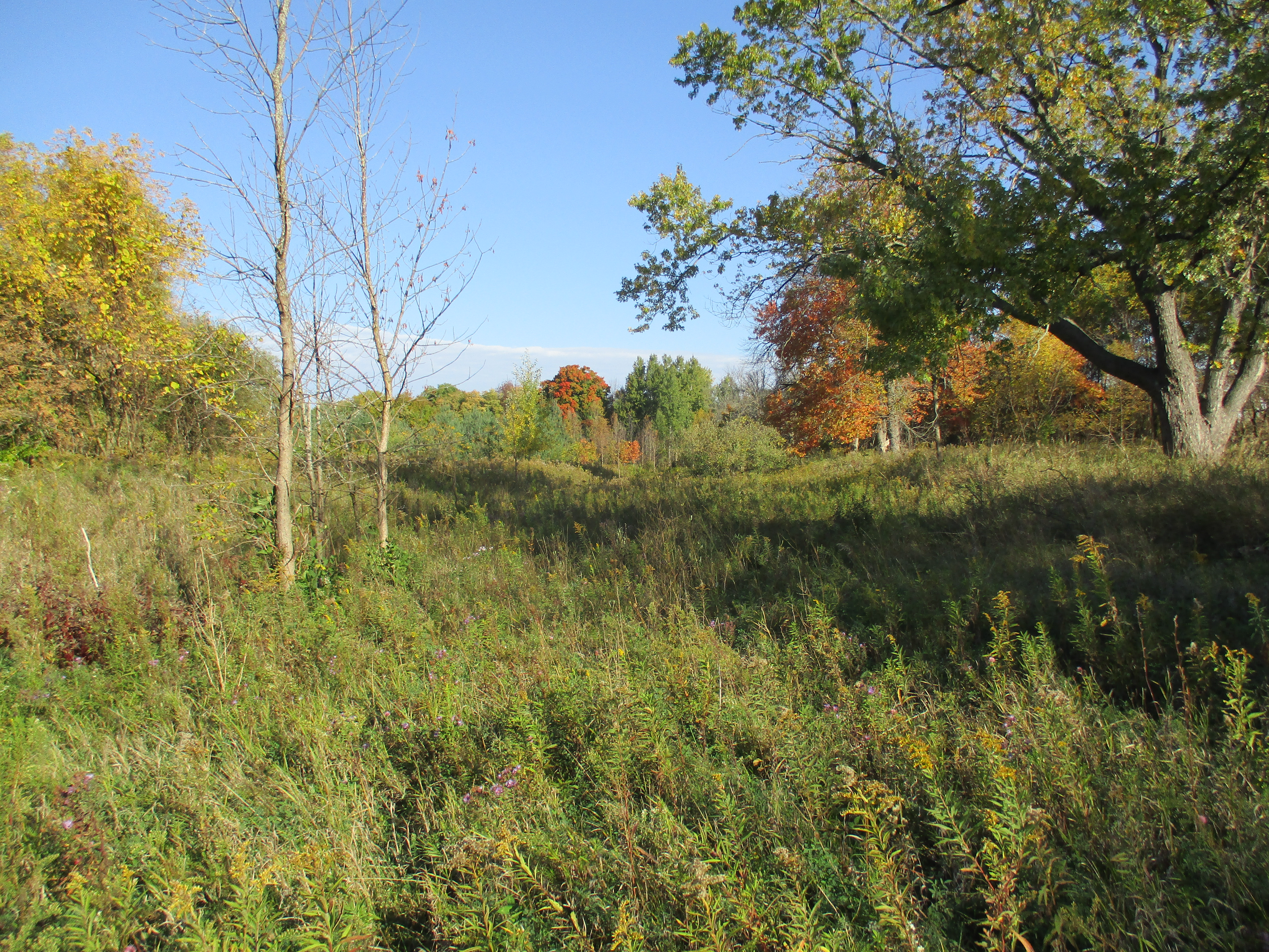
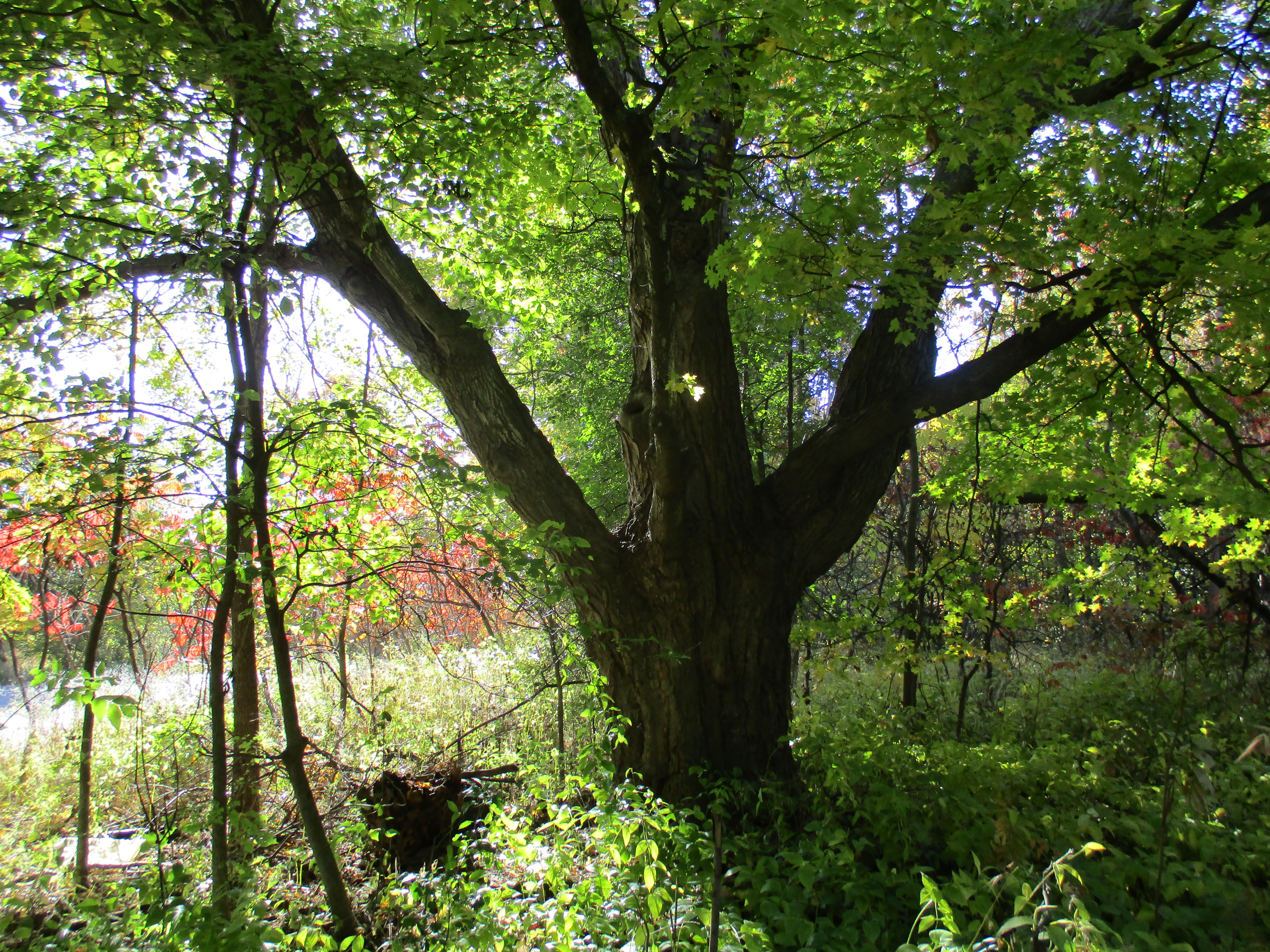
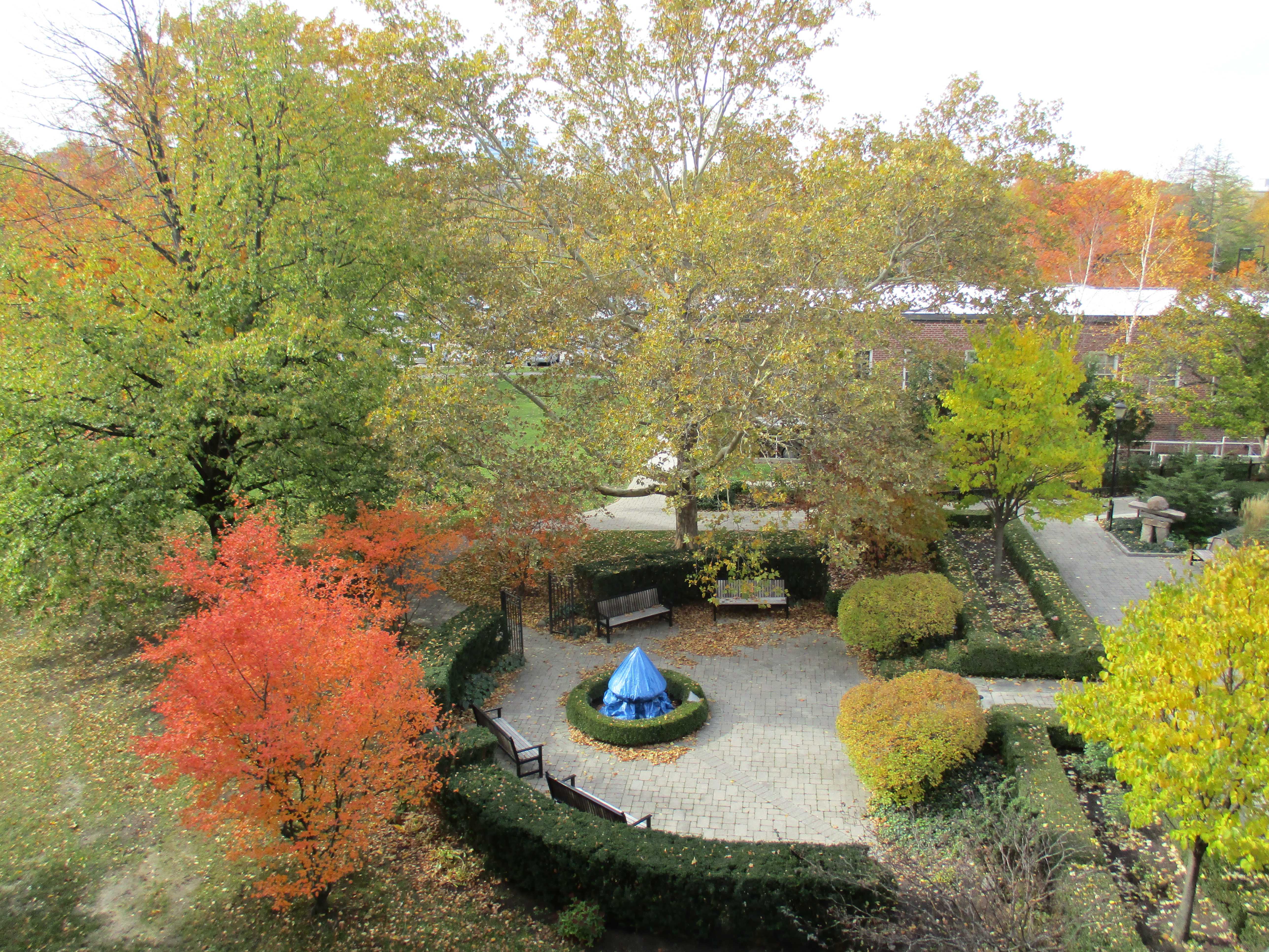
The Sisters owned 31.5 acres of land with the southern border being the Newtonbrook Ravine which features the type of natural beauty displayed above.  The property was flat farmland but they transformed it into a series of gardens so the patients could experience the calming effect of nature.

IMG_1001

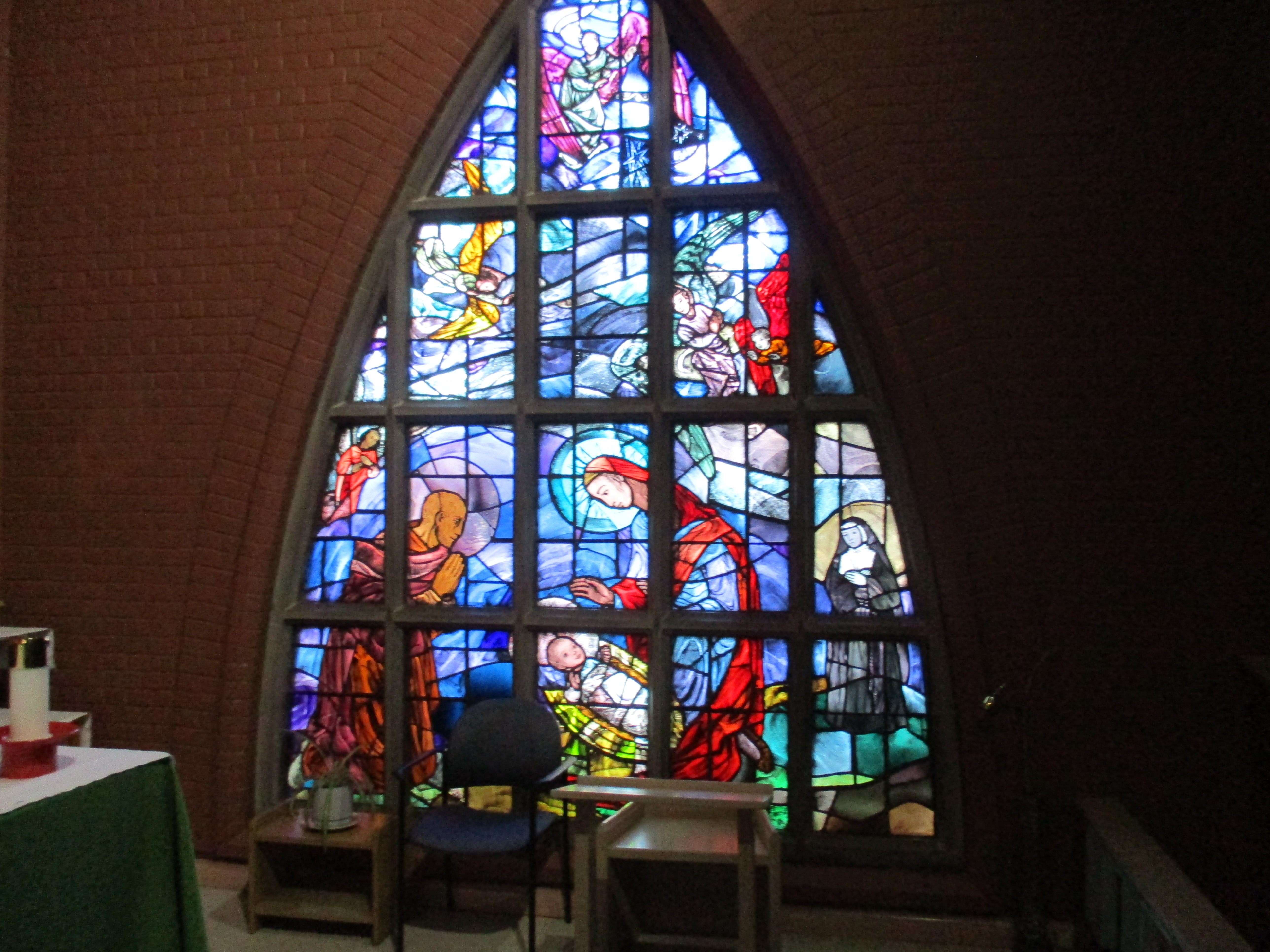
The hospital was founded by an Anglican order on their spiritual principles to specialize in women’s care, especially for the poor.  However, they never turned people away based on their gender, race or social status.  They asked those who could pay to do so to offset the cost of tending  to the needy.  They have always included prayer and an open spiritual atmosphere as an essential element of their care.  Today they have an open policy that is accepting of all faiths. The chapel was consecrated on June 4, 1953 and is designed to accommodate those in all stages of recovery from beds to wheel chairs then to regular seating.  The chapel is beautiful inside and my wife and I spent a few quiet moments there.  On the east wall is a stained glass mural depicting the sisterhood’s contribution to nursing.  Notice the nun in the lower right hand corner.

IMG_0991

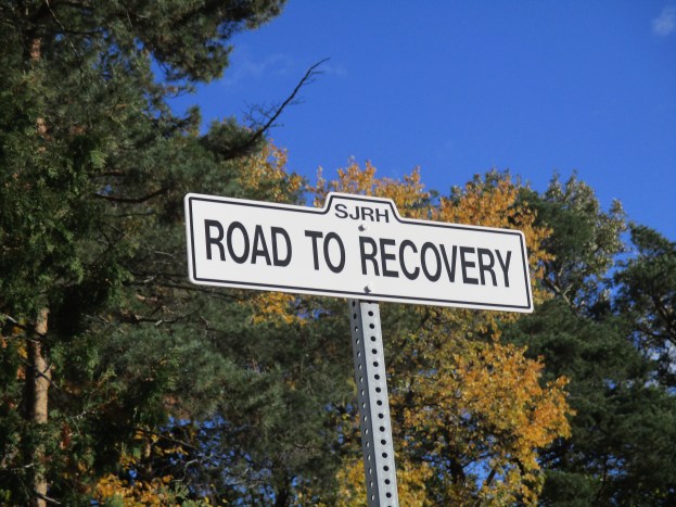
The hospital operated on the Sister’s experience that rehabilitation needed to look after more than just the body, it included the mind and spirit as well.  This led to the North American College of Physicians designating them as the standard for rehabilitation.  It occurs to me that hiking also challenges the body, stimulates the mind and soothes the spirit.  As I left the hospital I stopped to look back down the Road to Recovery at the bell tower and wondered how many people have traveled that road.  Going in via hospital vehicle and leaving to go home.

IMG_0985

I slowly made my way back through the ravine to the car enjoying the restorative wonder and beauty of creation.

IMG_0974

Like us at http://www.facebook.com/hikingthegta

The Caledon Aerial Tramway – The Cox Property

Saturday Oct. 24, 2015

For over 100 years a steam powered aerial tramway has been hidden away in the Caledon hills. It was 8 degrees when we set out and it started lightly raining almost as soon as we found the west end of the tramway.  Having parked on The Forks Road near Dominion Street we walked up the hill to the hairpin turn.  This is where the Credit Valley Railroad (CVR) built their station.  The CVR was absorbed into the Canadian Pacific Railroad (CPR) who took over transportation for the mineral extraction activities in the area.  The embankment on the side of the railway has been reinforced by driving steel rails into the ground to support boards.

IMG_0883

The medina sandstone in the Caledon hills had not been exploited with much success until the coming of the CVR.  McLaren’s Castle was built in 1864 and is a rare example of local stone prior to the arrival of the railway in 1879.  For the next thirty years quarries mined all the easily accessed deposits until one by one they were closed.  In 1900 an aerial tramway was built to bring stone from the eastern embankment of the Credit River to the railway line.  This avoided bringing it down to Dominion Street and then back up the hill on the Forks of the Credit Road. McLaren’s castle is shown in the archive photo below but it was destroyed in a series of fires in the 1960’s.

the grange

The Cox Property is the east half of lot 9 concession 4 while the west half of lot 9 is the Willoughby Property which features the Stonecutter’s Dam.  Both properties are owned by the Credit Valley Conservation Authority.  The CVC has taken a “hands off” approach to managing the Cox property.  No formal trails have been established and the area is being allowed to return to it’s naturally vegetated condition.  Almost immediately we found an area of disturbed rocks where steel rails could be seen underneath.  After a brief investigation we located the two inch steel cable from the tramway running through a chamber below ground.

IMG_0885

A little farther along several steel railway rails have been exposed.  These rails support chunks of stone that hide the chamber below where the cable runs.  Inside, the curving end of the tramway cable can be seen.

IMG_0904

I climbed into the chamber that the cable ran through.  After cleaning a bit of debris away I still couldn’t see where the cable went as it curved around a large block of cut stone and down deeper into the underground chamber.  Without preparations, or permission, it wasn’t possible to dig all the stone fill out of the chamber and discover if the cable turns on a hidden drive below.  The cover photo shows the cable from inside the chamber looking to the east where it entered this end of it’s route.  The walls are lined with cut stone and the roof is supported on a series of steel rails.  Above ground the rails are covered with a layer of stone that has been spread over the top.

IMG_0902

The steel wire rope used on the tramway had a two inch diameter as can be seen relative to the 28mm (1.1 inch) coin in the picture below.  The rope appears to have a 6 X 7 construction which means that it has 6 strands made of 7 wires each.  The six strands are wrapped around a central core. Without seeing a cross section it isn’t possible to determine of there is a 7th strand in the core making it a 7 X 7 rope.  Using 7 wires per strand allows for larger outer wire diameter which greatly improves abrasion resistance but reduces flexibility.  The wires in the strands of this rope run in the same direction as the stands and this is known as a “lang lay”. Depending on the exact construction this wire rope should have a breaking strength somewhere between 175 and 200 tons.

IMG_0915

Other evidence of past industrial use of the land is seen in the remains of a steel ladder.

IMG_0913

There is a small patch of horsetail growing on the side of the hill and most of it has been chewed off.  White tail deer will sometimes eat horsetail and we saw the departing end of a deer as we came through this part of the woods.

IMG_0907

Stone was brought from the quarry on the other end of the tramway and unloaded to waiting train cars on the CPR.  A large steel spike is seen protruding out of the side of the hill near where the tramway ended. This spike is similar to the ones I saw on the 1855 Gore and Vaughn Plank Road I reported in Dufferin Creek.

IMG_0912

The Cox Property was the site of quarry number two as well as several smaller quarries.  The picture below shows the face of one of the smaller quarries.  We found various metal and wire scraps in this overgrown quarry.

IMG_0927

Turkey tail fungus is known by the scientific name Trametes Versicolor and it grows on fallen hardwood and stumps.  This fungus contains a protein called PSK which has been shown to have anti-cancer properties.  It inhibits growth of breast and lung cancers as well various ones in the digestive system.  Treatment with turkey tail proteins has shown very little negative side effects.

IMG_0929

The eastern end of the tramway was at a much higher elevation than the western end and I could see that cable making an excellent zip-line across the Credit River valley.  This picture looks from near the terminus on the Cox Property across the valley to where the steam boiler that powered it hides at the other end.

IMG_0892

The Caledon aerial tramway has given up some of the secrets it guarded for the past century but I suspect that there is even more buried in that underground chamber.  The Cox property also contains a couple more quarries and access roads but after a couple of hours of non-stop rain, we decided to call it a day, leaving the rest for another time.

Please note that the Credit Valley Conservation considers this property to be private and as noted above, no trails are maintained on it.  Access to the property is by permission only.

Like us at http://www.facebook.com/hikingthegta

Follow us at http://www.hikingthegta.com


Abandoned Passmore Avenue

Sunday October 11, 2015

Passmore Avenue was never completed as a continuous road but today it has become even more fragmented.  I set out on Sunday afternoon to hike through the sections which had once been opened and are now closed (marked in green on the map below).  Passmore Avenue , also known as the 5th Concession, ran from The Scarborough – Pickering Townline to where the 404 now lies. Parts of it are still open under other names, including Gordon Baker Drive which lies on the old roadway. From Kennedy Road to Midland it still bears the name of Passmore Avenue. At Markham Road there are still sections running both east and west known as Passmore Avenue.

Steeles Avenue runs across the top of the 1877 historical atlas pictured below.  Passmore Avenue runs one lot below except where the line is dotted indicating that the road allowance was never opened.  The Rouge River cuts through the centre of the map between lots 12 and 13 (numbered along the top).  Between lots 10 and 11 runs Littles Road (yellow) which has also been recently closed.  It is shown extending one lot beyond Passmore Avenue but the southern portion has been closed so long the farmer has taken it back as part of the field.  The area east between here and the Rouge River is now Cedar Brae Golf and Country Club.

passmore (1)

This picture looks from the end of Littles Road along Passmore Avenue toward the golf course.

IMG_0579

In the field just before the golf club are the remains of a race track for horses.  It was built in 1966 and within 20 years it was gone.  From the ground little can be seen except the remains of the barn and the foundations of some out buildings.  The last three structures on the property were removed in 2002.  This picture is taken from standing on the racetrack looking north to where it curves left just before the trees at the horizon.  The outline of the oval track is still clearly visible from Google Earth.

IMG_0589

Passmore Avenue used to run east from Littles road.  On the county atlas there is a road which runs between lots 8 and 9 and divides John Sewells properties.  Today we call this Sewells Road (orange) and where it crosses the Rouge River on the map is the site of Toronto’s only suspension bridge.  The section of abandoned  Passmore Avenue (green) between Littles and Sewells roads has become fully overgrown.  It is little more than a strip of trees one chain wide (66 feet) along the end of the farmer’s field.

IMG_0592

I have walked through this section several times over the years and always find old pop bottles along here.  Today I found a 1962 Pepsi bottle but the condition was poor and I already have a better example.  Like all closed roads they seem to attract people with garbage.  There are the parts of an old truck scattered along the old road allowance.  The steering wheel is seen in the picture below.

IMG_0596

White asters bloom in places along the roadway.  These examples are smaller in size than their purple cousins that are common at this time of year.

IMG_0604

Motorists driving down Sewells Road would never see where Passmore Avenue emerges from the woods.  Two large trees stand guard over either corner of the former roadway and it’s intersection with Sewells Road.  The tree featured below is the southern of the two and has seen the transition from horses to model T’s and now to only the occasional hiker.

IMG_0609

The section of road along lots 7 and 8 was never opened but lot 7 was one of several owned by the Reesor family who lend their name to Reesor Road (pink).  I returned to the car and moved it to Gordon Murison Lane (red) which runs between lots 4 and 5 and leads to William Murison’s farm on the county atlas.  At the curve it joins Passmore Avenue and I parked where the maintained road ended.  I spoke briefly with the people who live in the old Murison home and they feel that the old roadway is now private property but have not posted it as such.  I walked from here through to the town line which is on the right side of the atlas pictured above.  The road allowance from the Murison’s through to Beare Road (brown) is a regularly used trail with the eastern section servicing a few houses.

IMG_0616

The final section between Beare Road and Town Line (grey) is almost impassible.  Dog Strangling Vine has taken over the most of the old road allowance.  This invasive weed wasn’t here when I last hiked this section in 2011.  I decided to make my way along the edge of the roadway because walking through the vines at this time of year helps spread the seeds.  Soybeans are being grown in the adjacent field.  Per acre, soybean produces more protein than most other land uses.  Some studies suggest that men who eat a lot of soy products may have a lower sperm count and it is not recommended for those hoping to conceive.

IMG_0623

Orange Crush was sold in small brown bottles following World War two until 1958 when the new clear Marilyn Monroe bottles were introduced.  These brown bottles were described as able to “protect the fresh fruit flavor from the harmful effects of light.”  I found a bottle that was, unfortunately, missing the bottom.  The applied colour label was badly faded on the side that was facing down (shown) and completely missing on the exposed side.

IMG_0630

When it was new the Orange Crush bottle would have  looked like the one I have on my desk at work. From left to right a 1970 no return 7-Up, 1860’s Minard’s Linament, 1906 Milk of Magnesia, 1949 Orange Crush, 1953 Pepsi, 1880’s perfume sampler, 1956 Coke, 1860’s Pitcher’s Castoria and a 1984 Labbatt Blue bottle complete this picture.

IMG_0724

A pair of abutments is all that remains where Passmore Avenue crossed Petticoat Creek.  There isn’t much water in here at the moment but at times there must be a fair bit.  The short span of the bridge can be seen in the cover photo.

IMG_0640

Passmore Avenue never ran the full length of Scarborough Township and several sections have since been closed.  Those sections make for an interesting hike where I always see something new each time I explore.

Like us at http://www.facebook.com/hikingthegta


Toronto’s Only Suspension Bridge

Sunday Oct. 5, 2015

The Rouge River flows between two historically significant bridges in Scarborough.  I decided to try to hike the river from one to the other.  I parked on Sewells Road a little north of the suspension bridge.  It was a nice fall day with temperatures in the “no bug” zone of 12 degrees.

Frank Barber (1878-1945) was a civil engineer who designed several bridges in Toronto including the Middle Road Bridge (1909) and the bridge at the Old Mill (1916) both of which were visited in previous posts.  In 1912 he designed the suspension bridge across the Rouge River on Sewells Road.  At the time, Toronto was expanding and access to new parts of the city was restricted by the deep ravines of the Humber, Don and Rouge Rivers.  This was one of the early bridges to provide a permanent crossing to the river in this area.

Suspension bridges are normally a solution for major waterways or wide valleys but this one is just 160 feet long. The bridge deck is concrete suspended 13 feet above the river by two cables securely anchored into the ground on either end. The cables are seen in detail in the cover photo.  These cables bear the load of the bridge which is suspended on hangers or vertical rods.  Barber completed the bridge in 1912 and it was restored in 1981.  It is one of only a few suspension bridges in Ontario and the only one in Toronto.  It is also one of 15 bridges listed as heritage properties by the city.

IMG_0527

Under the bridge is the distinctive nest of  the organ pipe mud dauber wasp.  This is an unusual wasp in that the male stands guard at the nest while the female gathers food.  One of the main food sources is spiders.  The wasps are about an inch long and as such are the largest of their species.

IMG_0533

Also under the bridge is the Google logo which is a rare example of graffiti that can actually be read.

IMG_0531

Rough Cockleburs grow along the side of the Rouge River.  This member of the aster family doesn’t have the usual wind blown seeds.  Instead, it spreads through seeds that grow inside of oval heads that are covered with spines.  They get caught in animal fur and clothing and can be carried long distances.  The cocklebur is also related to the sunflower and daisy and has been used for it’s anti-inflammatory and antimicrobial properties.

IMG_0537

I had chosen to try to follow the west side of the Rouge because a thirty foot sand bank on the east side of the river can be seen from the road.  As you get closer you can see that there are hundreds of Sand Martin holes along the edge of the cliff.  These birds dig winding holes into the side of the sandbank where they are difficult for predators to reach.  There is a large breeding colony living in this embankment.

IMG_0540

After disturbing a Great Blue Heron and traversing a mess of poisonous wild parsnips I discovered that there is an even taller sand bank on the west side.  It may be possible to pass on the edge of the river, but not when hiking alone.  The strip along the water’s edge is made of material that has fallen down the face of the sand bank and may not be very stable in spite of the thin vegetation growing on it.

IMG_0544

My attempt to make my way downstream to the second local bridge of interest wasn’t successful and so I moved my car to the Rouge Park Finch Meander Area parking lot.  Near the parking on Old Finch Avenue is a tree with a large number of artist conks growing on it.  They can be picked and the white underside scratched to produce pictures or writing which turns brown as the conk dries.  The surface then becomes hard and the artwork is permanent.

IMG_0559

On October 15, 1954 Hurricane Hazel landed in Ontario bringing heavy rain and strong winds and taking 81 lives in it’s wake. Rivers across the GTA flooded and bridges were destroyed or damaged on every major waterway.  Sections of the city were isolated and traffic flow was severely affected.  To get people moving again the army was called in to help build temporary bailey bridges.  Only one of these remains in service in Scarborough and it is the one on Old Finch Avenue.  It is 130 feet long and, along with the wood piers in the middle, was constructed by the 2nd Field Engineer Regiment in just 3 days.

IMG_0561

Like us at http://www.facebook.com/hikingthegta

The Strawberry Fields Weren’t Forever

Saturday October 3, 2015

The Trafalgar, Esquesing and Erin Road Company established a toll gate on Trafalgar Road in Oakville near the present site of Inglehart Street.  Tolls were collected to pay for the maintenance of the plank road that was to be built from Oakville to Fergus.  We decided to return to Sixteen Mile Creek and continue north from Kerosene Castle, hiking on the east side of the creek.  We parked on Inglehart street near Trafalgar.  It was cloudy and windy with a temperature of only 7 degrees.

The Hamilton Radial Electric Railway Company was chartered in 1893.  In 1905 it was extended to Oakville and a large steel bridge was constructed across Sixteen Mile Creek.  The Oakville station is seen in this archive photo as it appeared in 1908 with one of the electric cars in front.

RadialStationhistoric1

The Oakville station is the only remaining one on the line but the building is abandoned today and has some broken windows on the front.  We took a short trip down to the site of the old station before starting our hike.  Some windows have been added to the rear portion of the building but otherwise it retains it’s original charm.

IMG_0412

Directly across the street from the train station is the Scout Hut built in 1926.  The location is perfect since Scouts were expected to be well trained.

IMG_0414

John Cross introduced the growing of strawberries to Oakville.  He found that the fruit grew wild in the area and was easily cultivated.  Soon others were following suit and by the mid 1870’s Oakville was the primary strawberry production area in the Dominion of Canada.  The delicate fruit was easily damaged and so to support it’s storage and transportation a local basket industry developed.  Cross designed a wood veneer basket that he produced.  Soon John A. Chisholm opened his own basket factory and expanded operations in 1874.  His son, Charles, invented a machine to slice wood veneer for the baskets.  By 1877 there were almost 750,000 fruit baskets being produced each year in Oakville.  In 1889 he sold the business which was re-named the Oakville Basket Company  three years later.  Although it was destroyed by fire twice it was rebuilt each time.  It operated until 1984 when it was finally shut down.  In it’s later years all the local strawberry fields had been subdivided for housing and so the factory produced Popsicle sticks and tongue depressors.  The drive wheel from the steam generator has been preserved and is located in Old Mill Parkette.

IMG_0504

We descended to the level of the creek soon after we crossed Trafalgar and began to make our way upstream. It was a windy morning and we were watching the wind burst in sudden swirls on the surface of the water.  Suddenly we heard a loud crack from directly across the creek and looked in time to see three quarters of a large tree collapse to the right.  As it came to rest the remaining section topped in slow motion to the left.  In all my time spent hiking in the woods this is the only time I’ve witnessed a tree fall and it most certainly does make a noise.  The broken and twisted remains of the tree stump can be seen in the picture below.

IMG_0418

Cormorants were fishing in the Sixteen Mile Creek.  The rock on the right in this picture had three of them standing on it at one point.  As they flew away they almost skipped across the top of the water like a flat stone.  The bird on the wing below slapped the water fast enough that the spray from the previous two impacts hasn’t settled back into the creek yet as it reaches for the next wing flap.

IMG_0437

The fall colours are still not at their prime but there are places where the display is beginning. The trigger for change is the shorter hours of daylight which causes the change to happen at nearly the same time each year, regardless of the temperature.

IMG_0448

The yellow iris has seed pods that contain rows of brown seeds.   These seeds react to the freezing and thawing cycle in the spring to wake them from their dormant state.

IMG_0479

We made our way along the shale embankment on the east side of the creek.  There were many places where we had to go part way up the embankment to get around a fallen tree or a place where there was no footing at the water’s edge.

IMG_0481

It’s quite common to find the remnants of some person’s temporary shelter in the woods. Seldom do they take the time to build from shale and have a more durable home complete with a fire place.

IMG_0482

A little past the shale home in the woods we decided to climb the hill where we found the Oakville St. Mary Pioneer Cemetery.  This cemetery contains Oakville’s founder William Chisholm and the first mayor George King Chisholm in a separate family plot surrounded by a wrought iron fence.  Like most pioneer cemeteries there is a tale of premature death and the loss of infants.  There are several stones here that record the tragic loss of multiple children within a family.  Weather has eroded some of the earliest stones until they’re almost illegible but the bold and deep carving of this one will last for many more centuries.

IMG_0492

We walked along the historical trail on the way back to the car.  It follows the street and is far less challenging than the arduous journey along the edge of the creek. Looking down at the curve in the creek where we had been climbing it was obvious that this is not a hike to be undertaken alone or by those just starting out.

IMG_0503

Much of the industry in Oakville was located on the west side of the creek and so a future journey may undertake to see what remains from this period.

Like us at http://www.facebook.com/hikingthegta