Tag Archives: Oriole

Scarborough Railpath Trail

May 11, 2024

The Scarborough Railpath, also known as the Upper Rouge Trail, is a 2.3 kilometer trail that runs from Upper Rouge Trail to Sewels Road. It follows the right of way for a short rail line that used to run through Scarborough. There is little about this rail line on-line but it is likely a spur line and appears in aerial photography dating back to the 1940s. The image below is from the 1961 aerial photographs on the Toronto’s Archives website and shows the part of the right of way that is in use as a railpath marked in green. The section marked in purple has been lost beneath urban development. Morningside Creek has been marked in blue as it makes its way to the Rouge River.

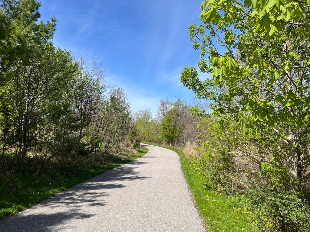
The trail has been paved and, as an old railway, it is relatively flat. It is suitable for use by everyone and is commonly used for cycling, jogging and dog walking. I had the opportunity after visiting a client in the area to take a walk on the trail on a Monday morning.
There were several Six Spotted Green Tiger Beetles that kept flying and landing a few feet in front of me. They love to sit in the sunshine on trails or logs and wait for their prey to come along. They don’t generally bite humans unless they are handled but have a huge appetite for spiders, ants and caterpillars. These beetles have a lifespan of up to three years but when you include the time they spend as larvae they can live for almost 5 years.

There were several species of butterflies to be seen along the walk. I saw a Mourning Cloak, Clouded Sulfur, Cabbage White, Eastern Tailed Blue and several Red Admirals. The Red Admiral, pictured below, is a relatively calm butterfly that is easy to photograph because they will allow you to get pretty close before they fly away.

Animals can generally be split into two groups. Endothermic and Ectothermic. Endothermic animals are the ones we call “warm blooded” and are capable of generating internal body heat. Ectothermic animals are “cold blooded” and must rely on external sources of heat such as basking in the sunshine. Reptiles are ectothermic and can be found sitting in sunny places absorbing the heat. I saw two different species of snakes enjoying the sunny morning but wasn’t fast enough with the camera to get a picture of the Dekays Brown Snake. The Garter Snake got off the pathway pretty quickly but stayed in the grass along the side long enough to pose for a picture.

There was a small patch of Trilliums growing in the woods just beside the berm for the former rail bridge. These plants are often considered to have three leaves and a three petal flower. However, the green parts are actually bracts and are part of the flower.

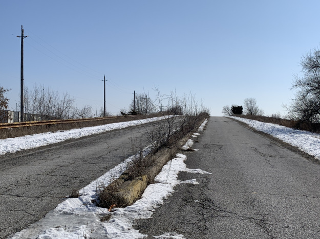
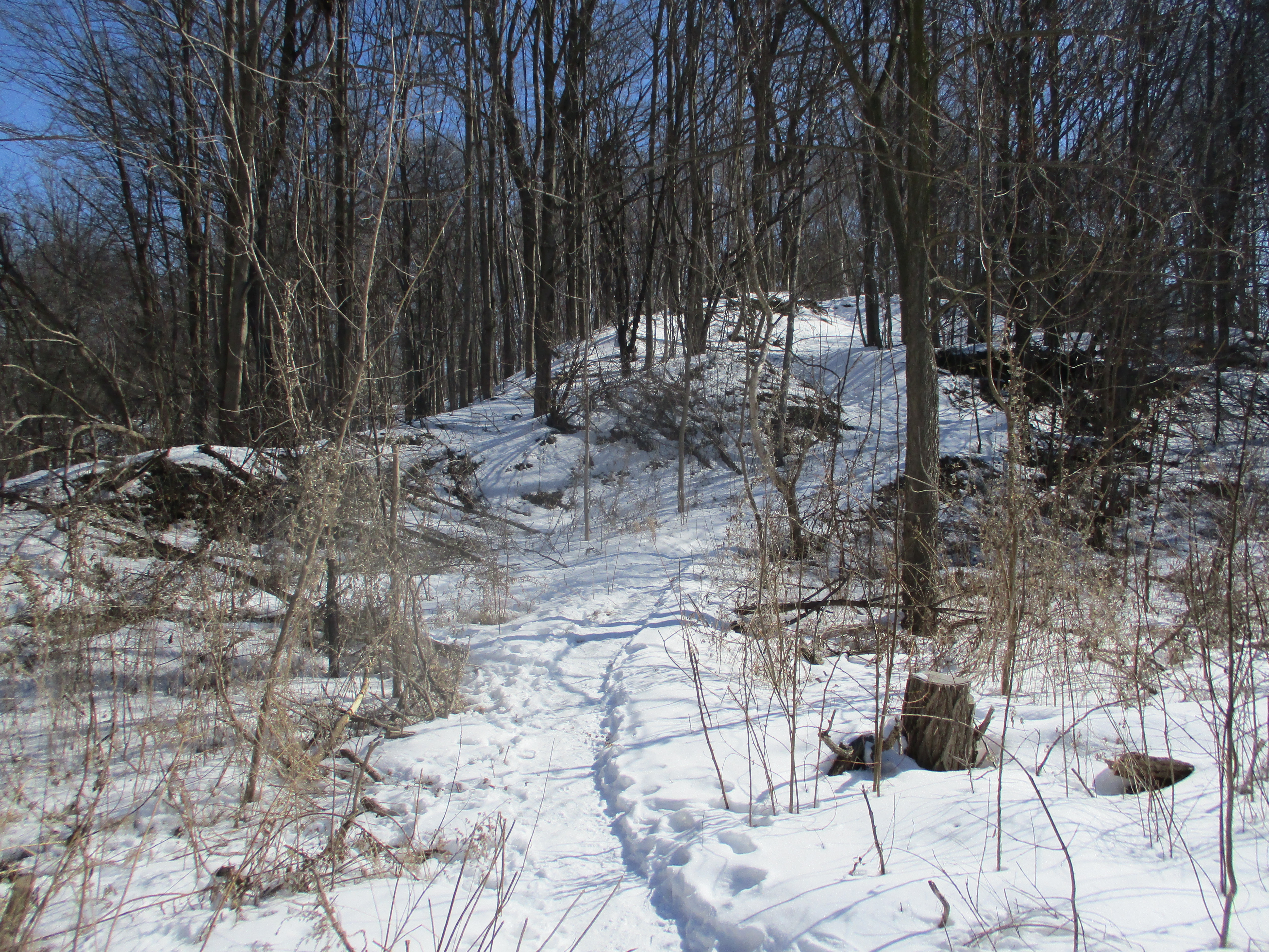
A tall berm covers the culvert that carries a small tributary of Morningside Creek. A small bridge used to carry the railway over the creek but has been replaced with the culvert and filled in with earth. The rail berm at this point is at its tallest along the length of the railpath. The cover photo shows the rail berm that runs along the end of Casebridge Court, which is another entry point to the railpath.

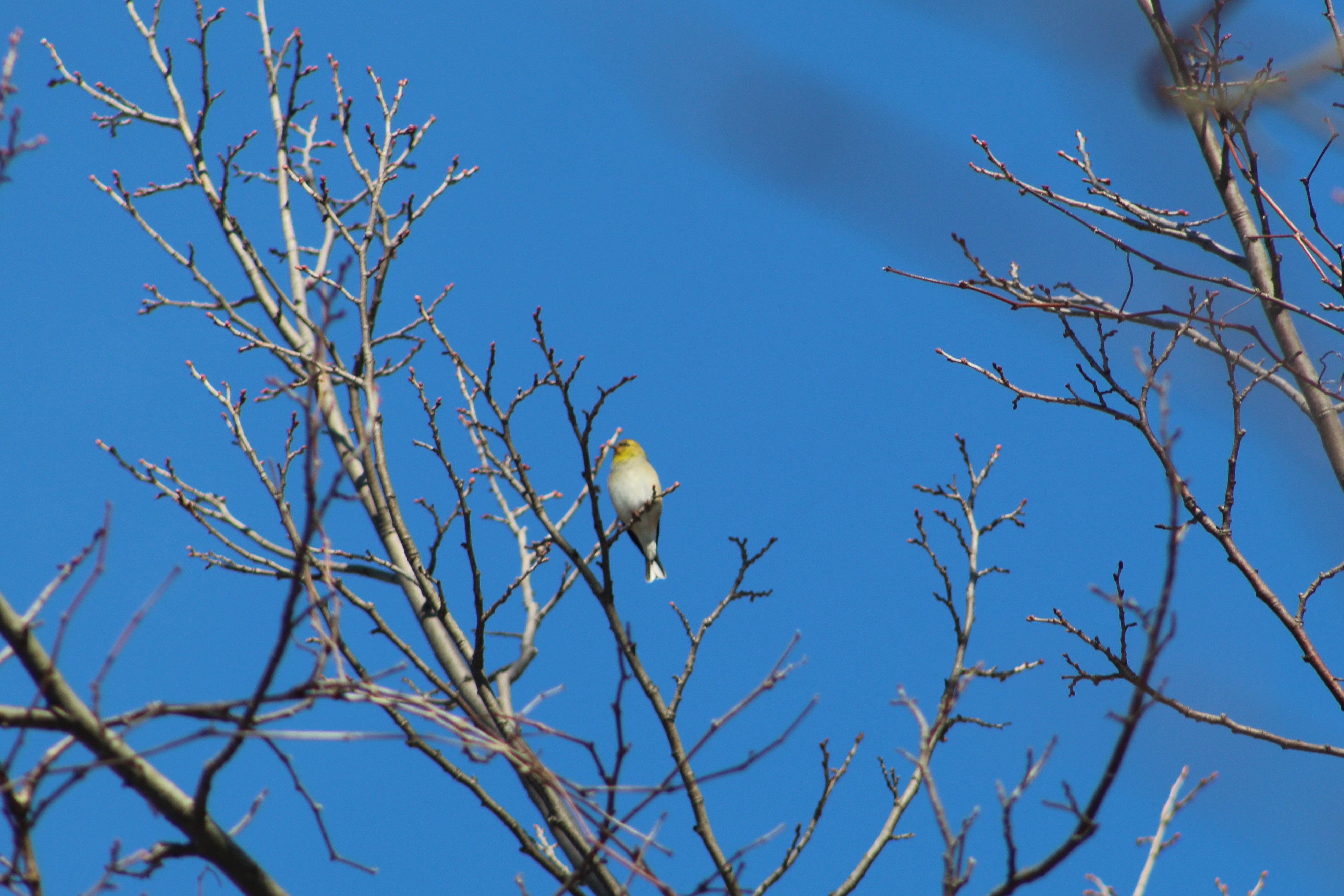
There are three Major League Baseball teams that are named after birds and I saw all of their namesakes on this walk. Cardinals and Blue Jays are a fairly common sight in Southern Ontario but I don’t see Baltimore Orioles nearly as often. Blue Jays and Cardinals overwinter in Ontario while the Baltimore Oriole is migratory. They get their name from their colouring which resembles the Coat of Arms for Lord Baltimore.

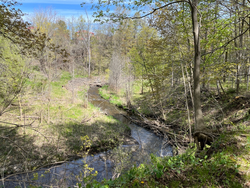
As I was walking along the path near Morningview Trail I noticed a white flash in the trees beside the path. It was a White-tailed Deer. It disappeared into the trees before I had a chance to get a clear picture of it. So, I decided to follow its trail for a few minutes in the hopes of getting a clear shot of it. I wasn’t quick enough and it managed to elude me through the underbrush. I followed its footprints for a ways before finding a small dirt foot trail that runs near Morningside Creek. All I ended up with was a picture of the hoofprints.

Morningside Creek is one of 11 tributaries of the Rouge River. It rises in the area of Dennison Avenue and Markham Road and runs along the west side of the Toronto Zoo. Some sections of the Upper Rouge Trail run along the border of the zoo and are posted as No Trespassing to keep people out of the zoo property.
Mayapples were growing in a large patch along the forest floor but have not gone to flower yet. Mayapples with one leaf will not flower while those with two leaves will develop a single flower between the two leaves.

The trail was lightly used on this sunny Monday morning which probably helped increase the amount of wildlife that was available to be seen.

Although this pathway runs along the edge of residential and industrial areas before running parallel to Morningside Drive, it provides a surprising number of opportunities to see wildlife.

Related stories about former Toronto railways that are now hiking trails: West Toronto Railpath, Leaside Spur Trail, Beltline Railway, Moore Park, York Beltline Trail

Google Maps link: Upper Rouge Trail

Like us at http://www.facebook.com/hikingthegta

Follow us at http://www.hikingthegta.com

Also, look for us on Instsagram

Ghost Towns of Toronto

Sunday, February 21, 2021

Within the present boundaries of the City of Toronto lie the sites and remains of all the small communities that used to surround the city when it was much smaller. Some of these places have very nearly disappeared but if you know where to look there is still a ghost of the community that once was. This blog collects 12 of the ones that we have visited and arranges them in alphabetical order. Each has a picture that represents the community as well as a brief description. The link for each will take you to a feature article on the community which has the local history as well as pictures of any surviving architectural features. At the end of each feature article is a google maps link in case you should wish to explore for yourself someday. Future companion blogs in this series will cover the ghost towns of the Regions of Peel, Halton, and York, excluding Toronto.

Armadale sat at the intersection of Steeles Avenue and Markham Road. It bordered with Markham which is on the north side of Steeles Avenue. Today there are five historic houses as well as the oldest continually serving Free Methodist Church in Canada. It was built in 1880 and its cemetery and parsonage still survive as reminders of a simpler past.

Claireville was started in 1850 and became a toll stop on the Albion Plank Road. It grew to 175 people but today has fallen back to just a few houses in an industrial park. It is flanked by a section of Indian Line which has been cut off and abandoned.

The town of Downsview was named after a home that was called Downs View. It was built in 1844 by a Justice of the Peace who sometimes locked up the convicts in the cells in his basement. The town is mostly gone now but the 1860 Methodist Church still stands.

The town of Eglinton has been completely absorbed into Toronto but there’s still a few clues to the community that grew at Yonge and Eglinton. The second school was built in the 1890’s and that has been absorbed into John Fisher School.

Jacob Fisher got a land grant in 1797 at Dufferin and Steeles where mills attracted a small community who built a Presbyterian Church in 1856. That church building survives at Black Creek Pioneer Village but the rest of the community of Fisherville has vanished.

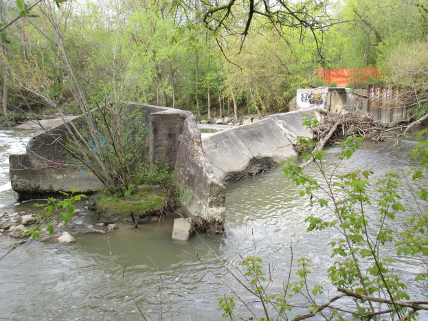
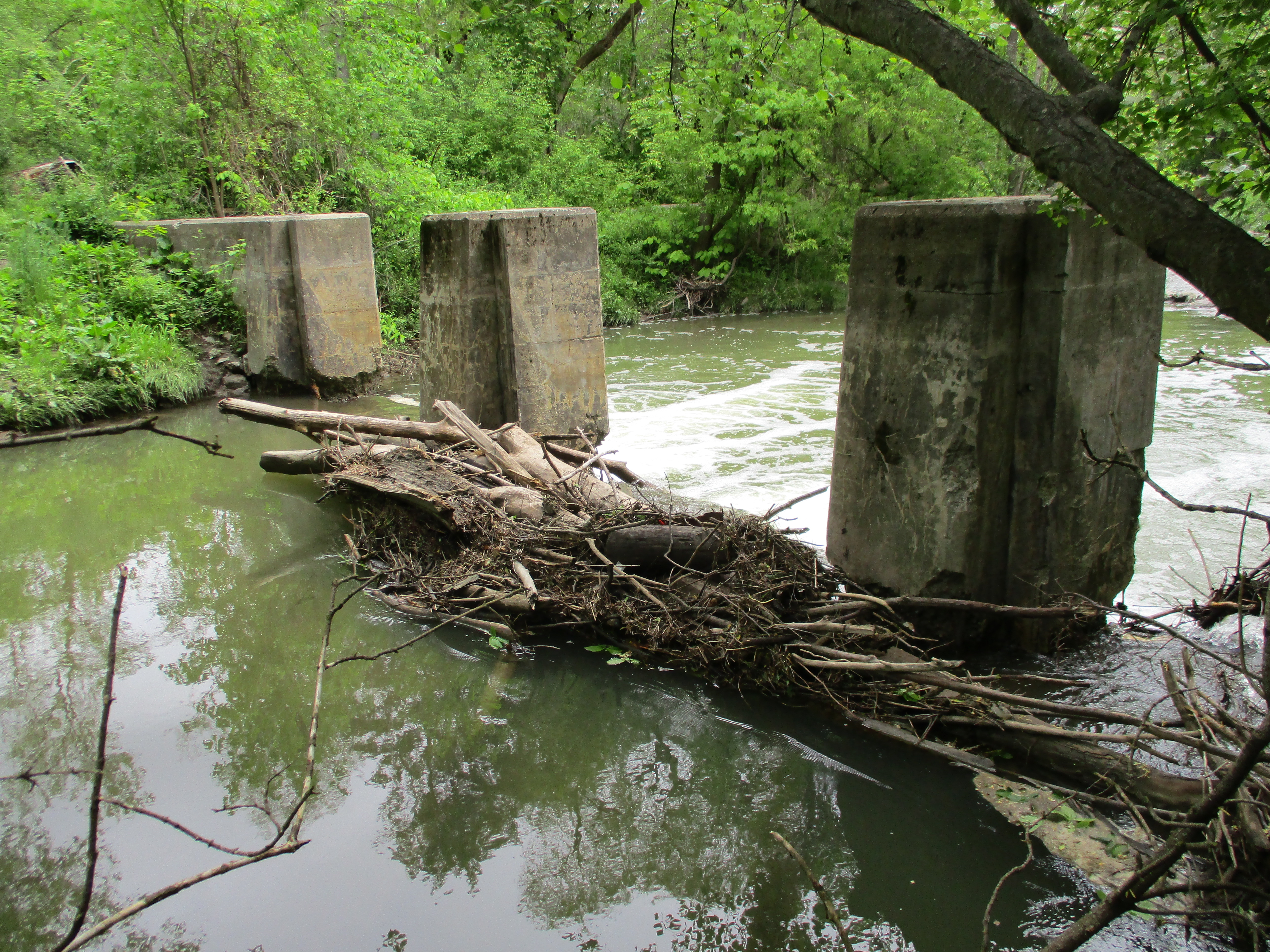
Flynntown is marked by the remains of its milling industries. There are rough hewn logs that are the remainders of an early saw mill and a much later set of concrete weirs that are the remains of the dam across the Don River.

Lambton Mills grew up on both sides of the Humber River and several early homes and the hotel still survive. Lambton House was built in 1848.

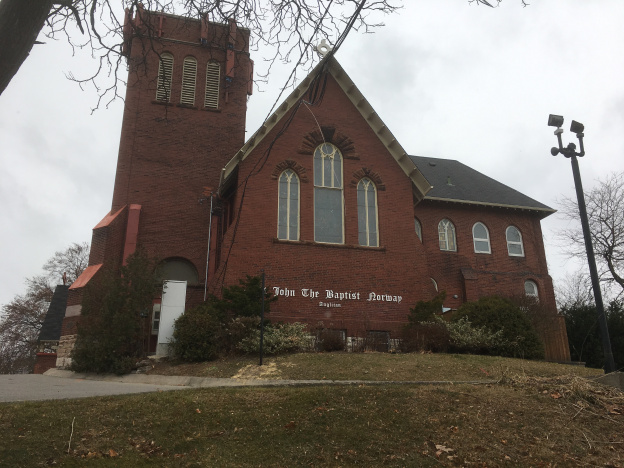
By 1837 the community of Norway had grown to about 80 people centred on the toll station on Kingston Road at Woodbine. A few older buildings still line Kingston Road but the most obvious reminder of the community is the Norway Anglican Church which was built in 1893.

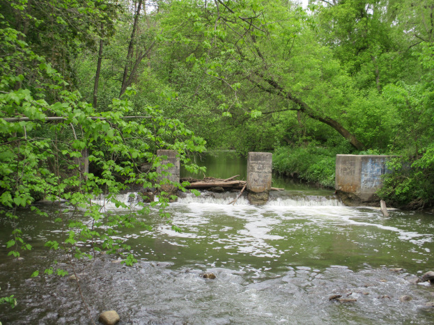
The town of Oriole was a thriving industrial site with seven mills and a brickyard on The Don River at Sheppard and Leslie. Road expansions have eliminated most of the physical history but one of the old dams still survives.

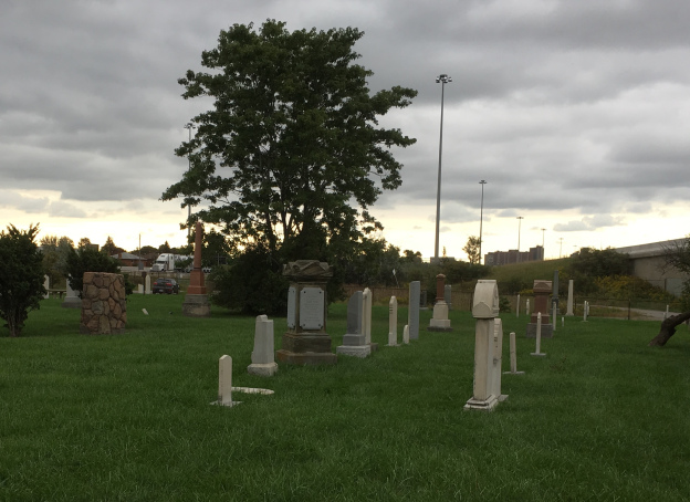
The town of Richview has disappeared under the intersection of highway 401 and 427 and their various on ramps. All that remains is the cemetery which is surrounded by the highways and can only be accessed off of Eglinton Avenue.

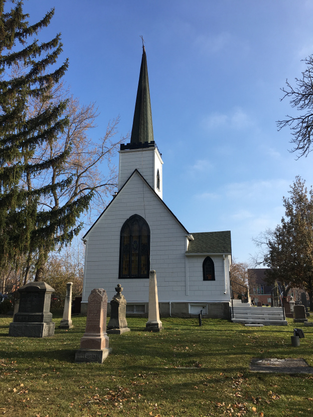
A couple of churches survive to mark the old community of Wexford. St. Judes, pictured below, was built in 1848.

York Mills grew up around several mills on the Don River where it crossed Yonge Street. Several older homes have survived as has the York Mills Hotel which was built in 1857.

Toronto had small communities that sprouted up at nearly every cross roads on the edges of town. The march of progress has wiped most of these places off the map but small hints are there to remind us of these little bits of our past.

Like us at http://www.facebook.com/hikingthegta

Follow us at http://www.hikingthegta.com

Also look for us on Instagram
Betty Sutherland Trail

Saturday, March 9, 2019

The Betty Sutherland Trail runs for 1.83 kilometres from Leslie Street and Sheppard Avenue to Duncan Mills Road and Don Mills Road.  The park is named after a long time city councilor who was active in supporting Toronto’s recreational areas and trails.  She was also a member of Toronto Region Conservation Authority.  The park runs through an area known as Henry Farm.  The farm was settled in 1806 by Henry Mulholland and was later owned by George Stewart Henry who was the 10th Premier of Ontario.  To explore the trail we parked near the corner of Duncan Mills Road.  The formal trail runs on the west side of the river at this point but we chose the less traveled east side of the river.

The cover photo shows one of the stone buildings associated with Duncan Mills which used to operate at this site.  In 1935 a pump house was built to bring water from the river to Graydon Hall at the top of the ravine.  This water flowed through terraced gardens as it returned to the river.  These two old buildings greet you as you enter the trail and their story can be read in more detail in our story Graydon Hall.

IMG_2374

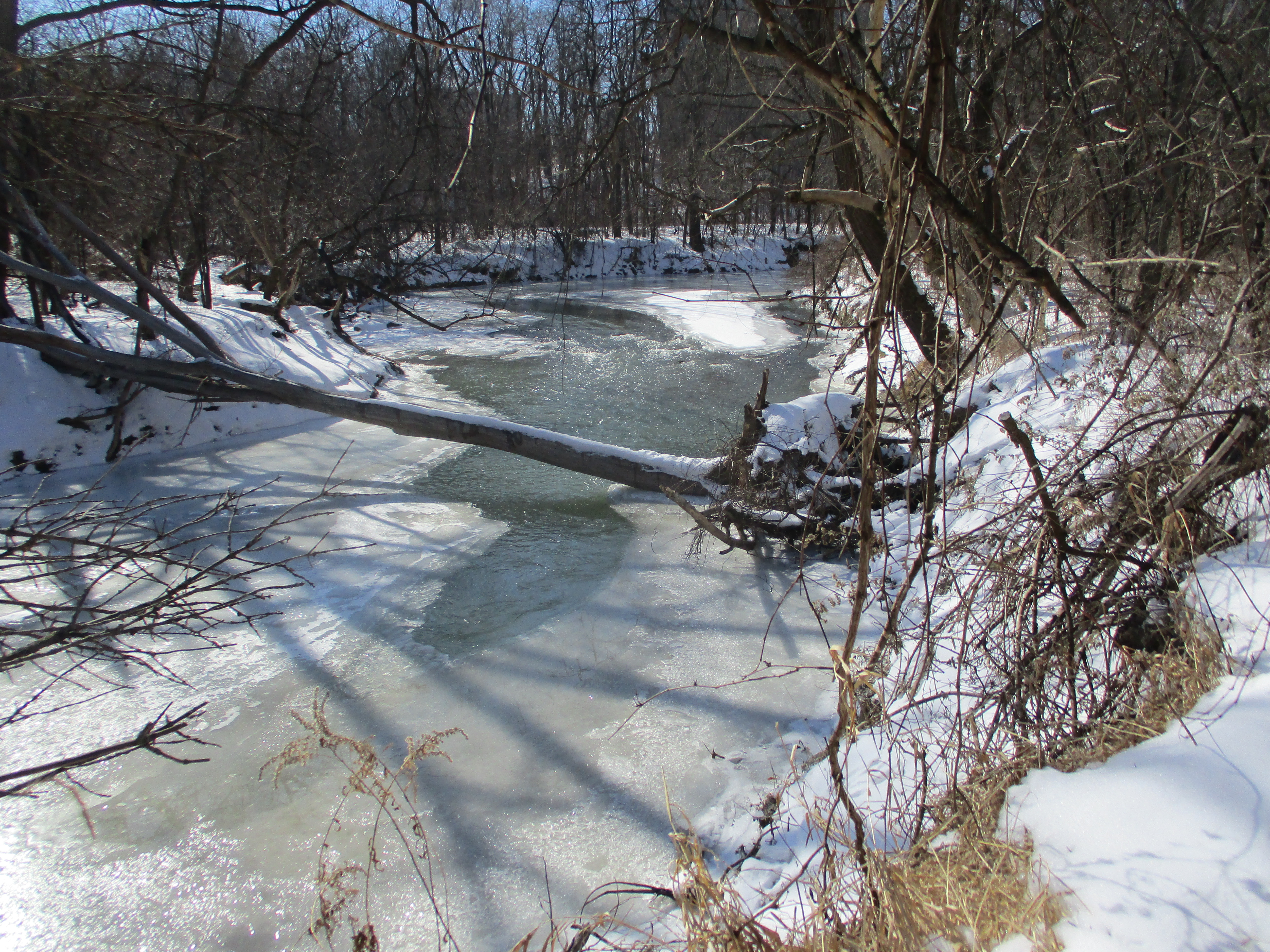
The East Don River runs along side of the trail.  The river was frozen over in many places but still had open water where the ice hadn’t formed.

IMG_2376

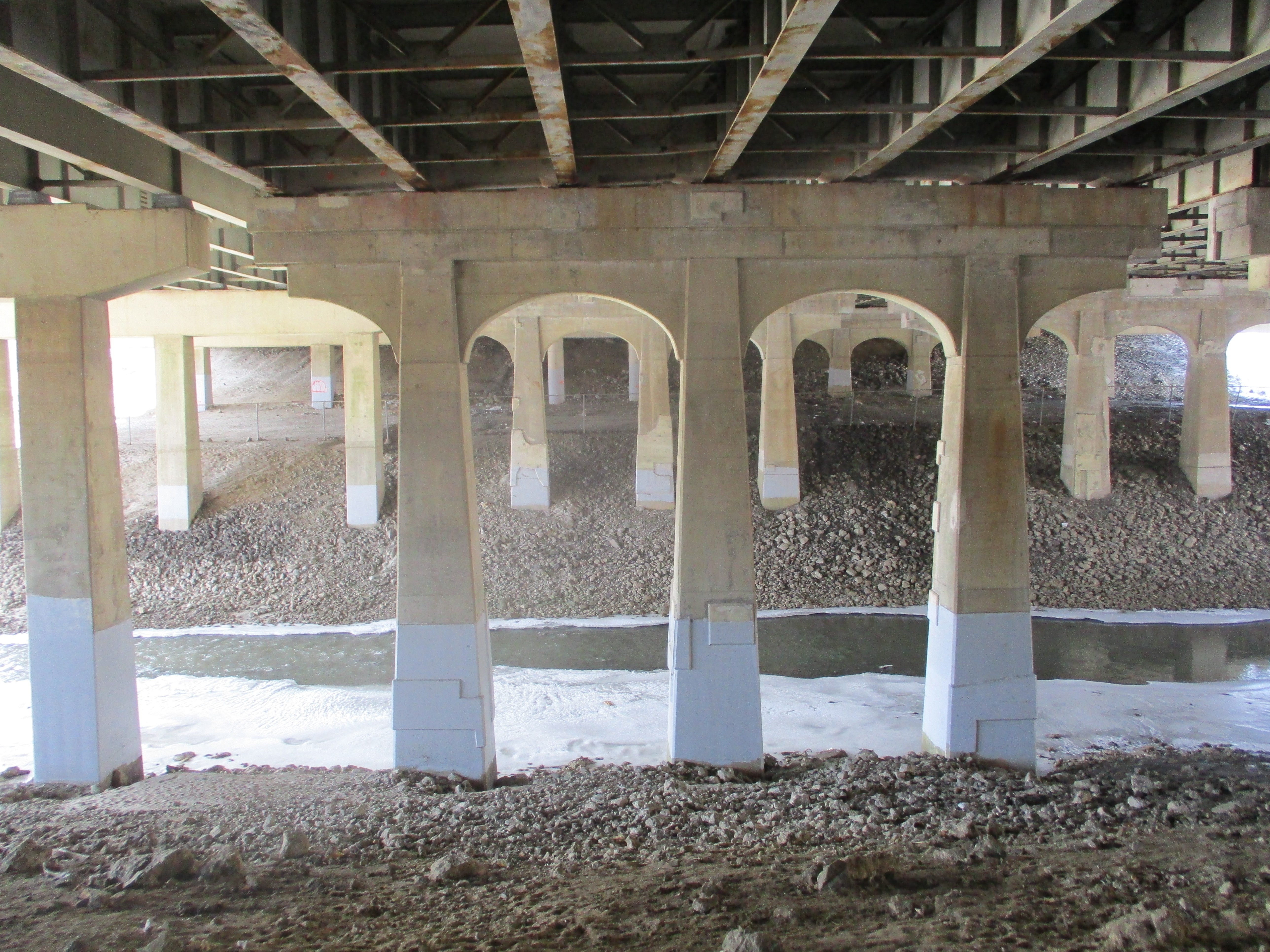
The trail passes under the 401 where the steel girders are marked Bridge & Tank.  This company has its roots in Hamilton in 1872 as the Hamilton Tool Works.  It went under several names until the Second World War when it began manufacturing tanks for the military.  In 1954 they became the Bridge and Tank company and continued operations until 1984.

IMG_2400

A series of side trails form a loop extending the trail and providing access to a couple of ravines

IMG_2382

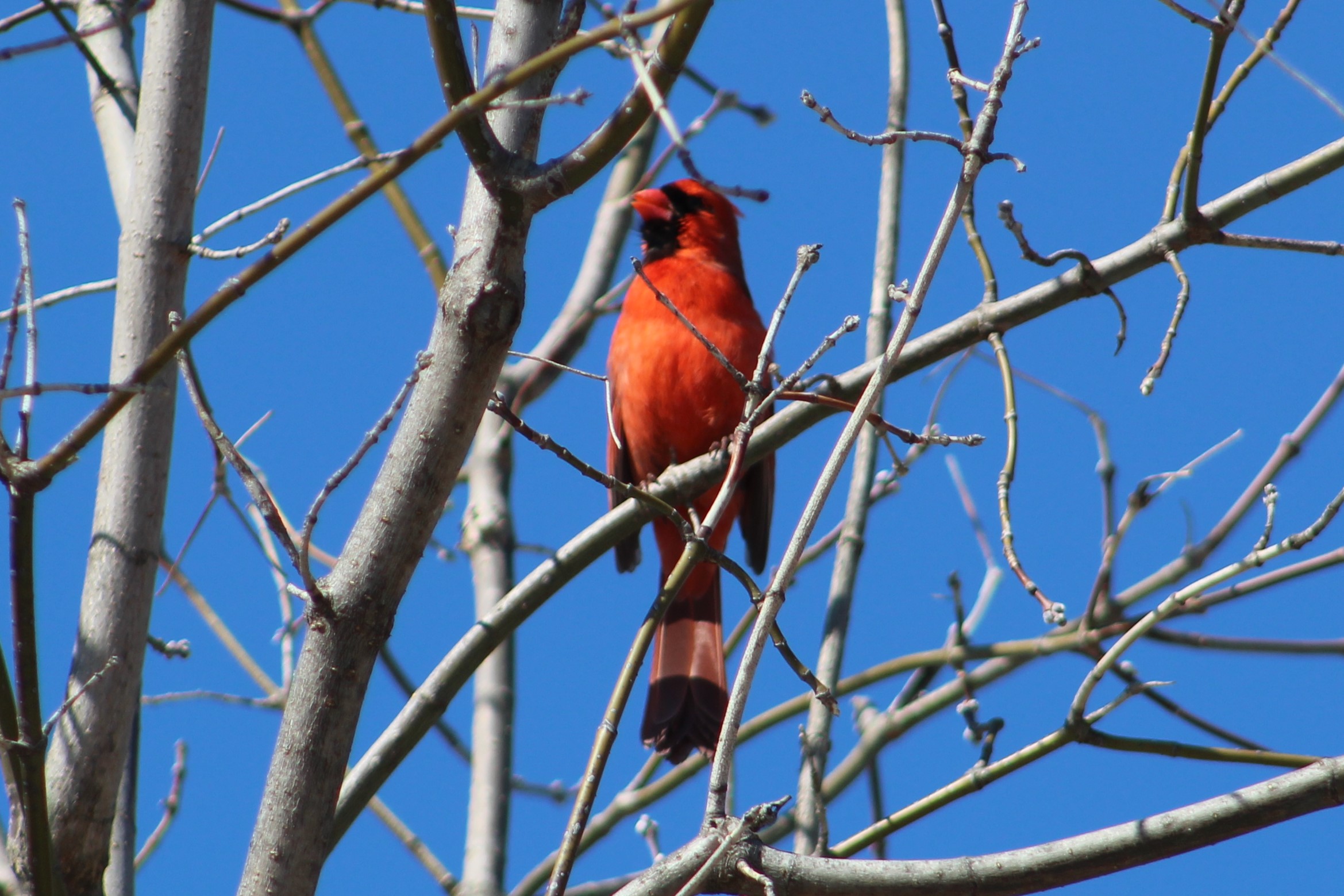
The Betty Sutherland Trail is well known to bird watchers as a place to see a multitude of species.  This late in the winter there are relatively few but that is about to change very soon.  We saw several cardinals standing pretty in the trees and singing to their females.

IMG_1416

On the west side of the river stands the North York General Hospital.   The idea for this hospital began in 1960 when a group of local citizens met to explore the possibility of building a 70-bed community hospital.  On March 15, 1968 the new hospital was dedicated by the Premier of Ontario.  The present building includes a major expansion that was completed in 2003.

IMG_2384

The trail ends at Sheppard and Leslie which was the former community of Oriole.  We crossed the road to have another look at the old dam that marks the site.  Click on the link to read the story of Oriole – Ghost Towns of the GTA.

IMG_2388

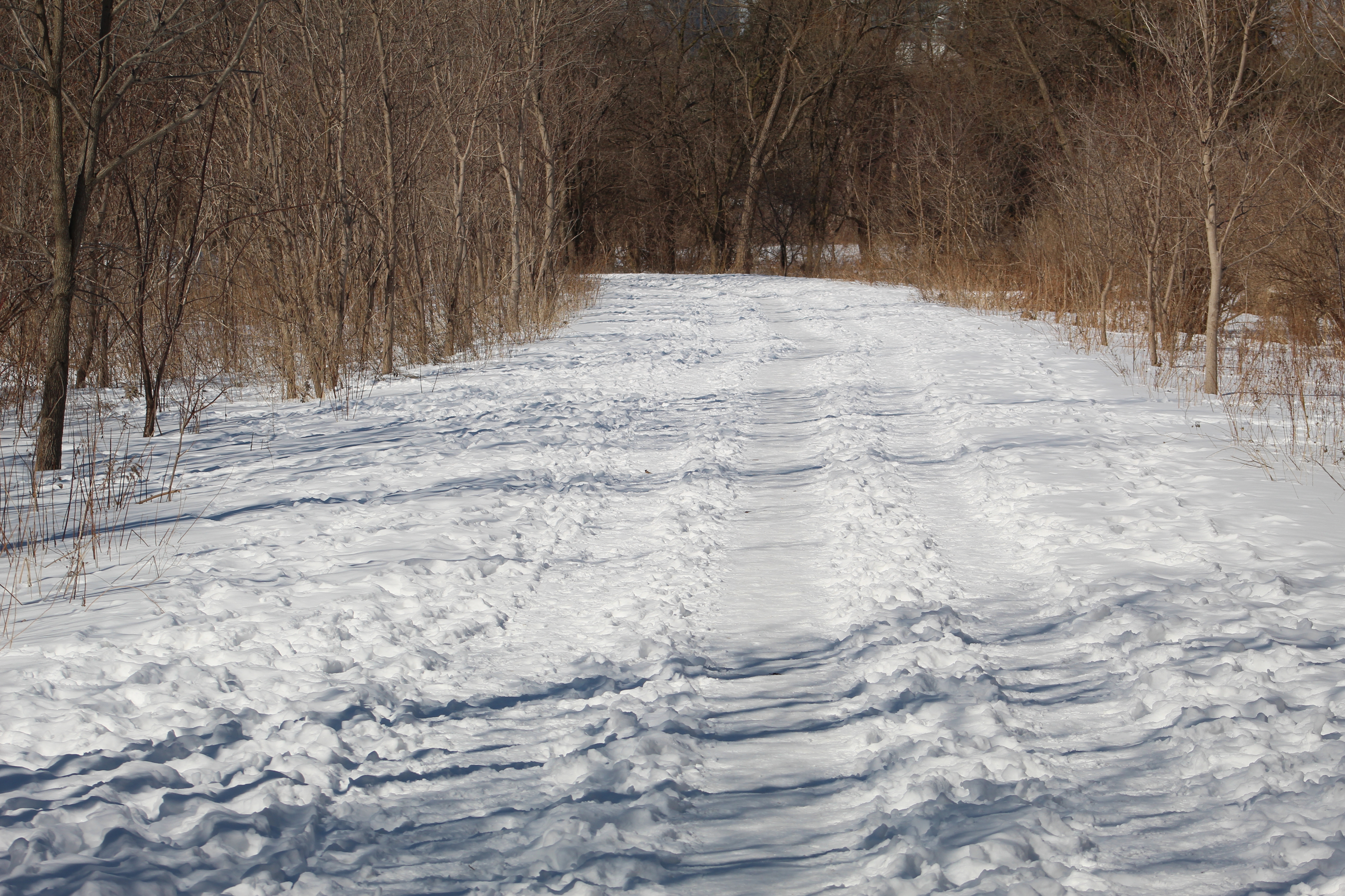
The trail is wide and had three clear paths running along it.  Ideally the walkers would take the middle path while skiers would go single file in the two outside lanes.  If the outside paths were once ski trails they have been over-run with footprints of pedestrians.  With a little luck pedestrians will be sharing the path with cyclists instead of skiers in the next couple of weeks.

IMG_1404

Pine Grosbeaks are normally a northern bird and are uncommon in Southern Ontario and we were lucky to see this female in the top of a tree along the trail.  Pine Grosbeaks move south in the winter looking for food at which time they will feed on buds in maple trees.  They are a member of the finch family but are one of the larger, plumper species.

IMG_1375

The Betty Sutherland Trail is just part of the extensive trails that follow the East Don River.  At this time they are not continuous but each section is well worth the visit.

Google Maps Link: Betty Sutherland Trail

Like us at http://www.facebook.com/hikingthegta

Follow us at http://www.hikingthegta.com

Flynntown – Ghost Towns of the GTA

Saturday, May 27, 2017

Last week we visited the former community of Oriole at Sheppard Avenue and Leslie Street and made a short excursion north that only made it as far as Newtonbrook Creek.  To pick up where that hike left off, we took advantage of free street parking on Alamosa Drive and Gatehead Road where there is an entrance to the park.  The next community north along the river was known as Flynntown and was located around the intersection of Leslie and Finch.  Like Oriole, it formed around the mill sites that were prominent along the Don River in the first half of the 19th century.  It too was a name applied to a postal district in much the same way that we use postal codes today.

The 1877 county atlas below shows the area of the hike with the section of the East Don River that we covered being outlined in blue.  A small tip of German Mills Creek is coloured leading to the right near the top of the map.  We started at the former property of William Dunton where we looked for the remains of the saw mill built by Phillip Phillips. Old Cummer Road has been coloured in black and we followed the short piece that runs on an angle from the stream up to where it meets the grey line marking the new section of Cummer Road.  Cooper’s grist mill is shown where the new road meets the older section.

german (2)

Near the bottom of the hill when you enter the park off Alamosa Drive you will find a set of tennis courts.  Near the courts, beside the river, is a pole with life saving equipment on it.  That marks the spot where Philip Phillips built his saw mill in the early 1800’s.  The wood for the mill was rough hewn by hand indicating that it was prepared before the mill went into operation.  After the saw mill was up and running the wood produced displayed the obvious signs of being cut with a blade or wheel.  The houses and barns closest to the mill would have been constructed with wood that had been prepared at the saw mill.  The picture below shows the remains of what is most likely part of the wooden crib for the old mill dam.  The only other place we have seen the wooden crib preserved is at the Barber Dynamo.  One of the mill mapping sites reports that these are actual timbers from the saw mill.

IMG_0048

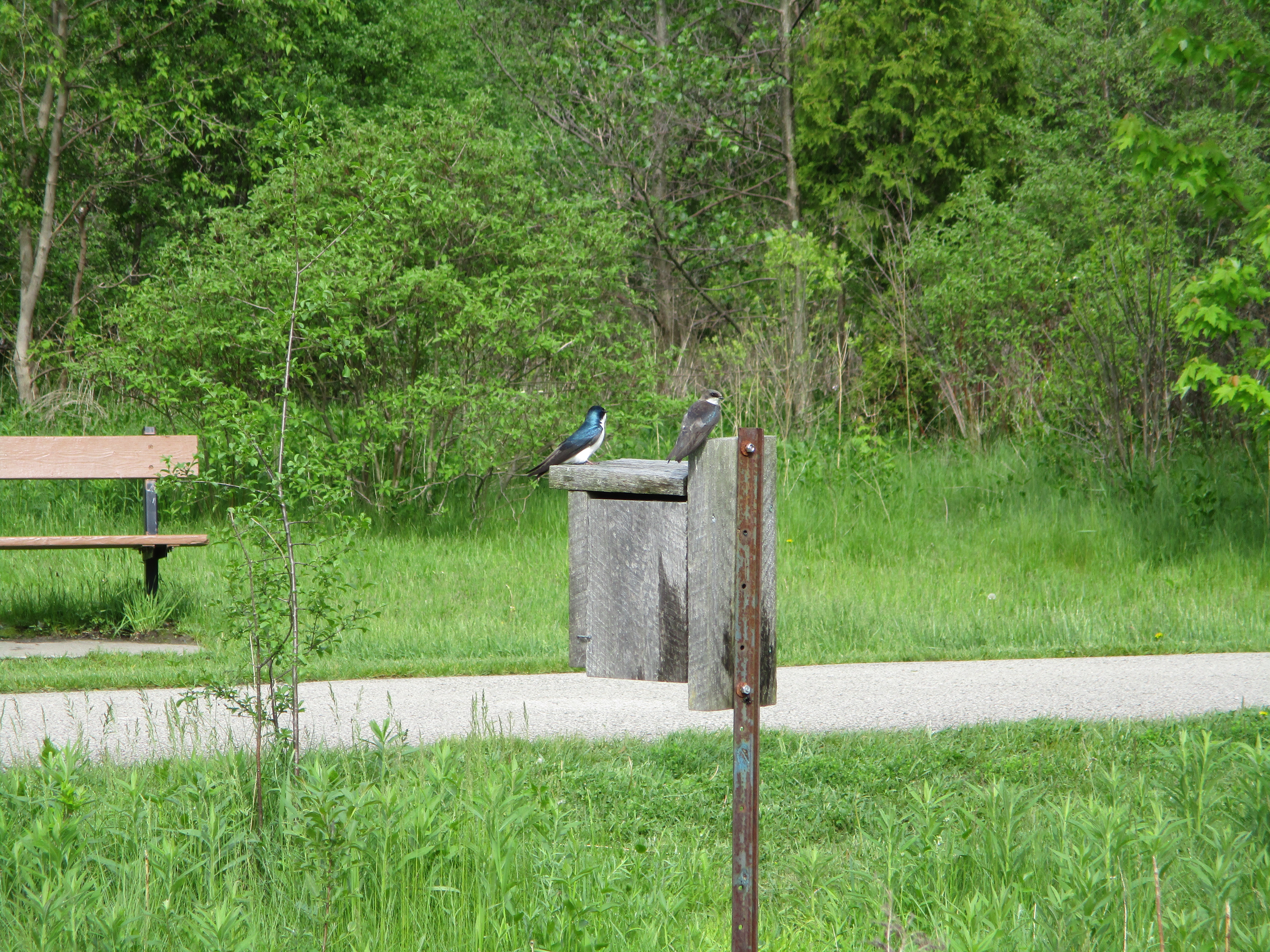
Tree Swallows are highly social birds and can form flocks of thousands around their nesting sites.  They breed in Canada and the United States but spend the winter in Mexico, the Carribean and throughout Central America.  Their genus name is tachycineta bicolor which comes from the ancient Greek for “moving quickly” and the bicolor from their two coloured markings.  The males have much brighter blue-green upperparts while the females tend to have duller colours.  The female needs to hide on the nest for two weeks before the eggs hatch and another three before the young ones are ready to leave the nest.  The brighter male likes to be obvious as he dive bombs intruders to protect the nest.

IMG_0052

Following the trail north of Finch Avenue brings you to the intersection of Old Cummer Road and the century-old bridge across the river.  The single-lane bridge was replaced when the surrounding farms were developed for housing.  In 1968 the new portion of Cummer Road (grey on the map above) was opened and this became Old Cummer Road and was closed to through traffic.

IMG_0135

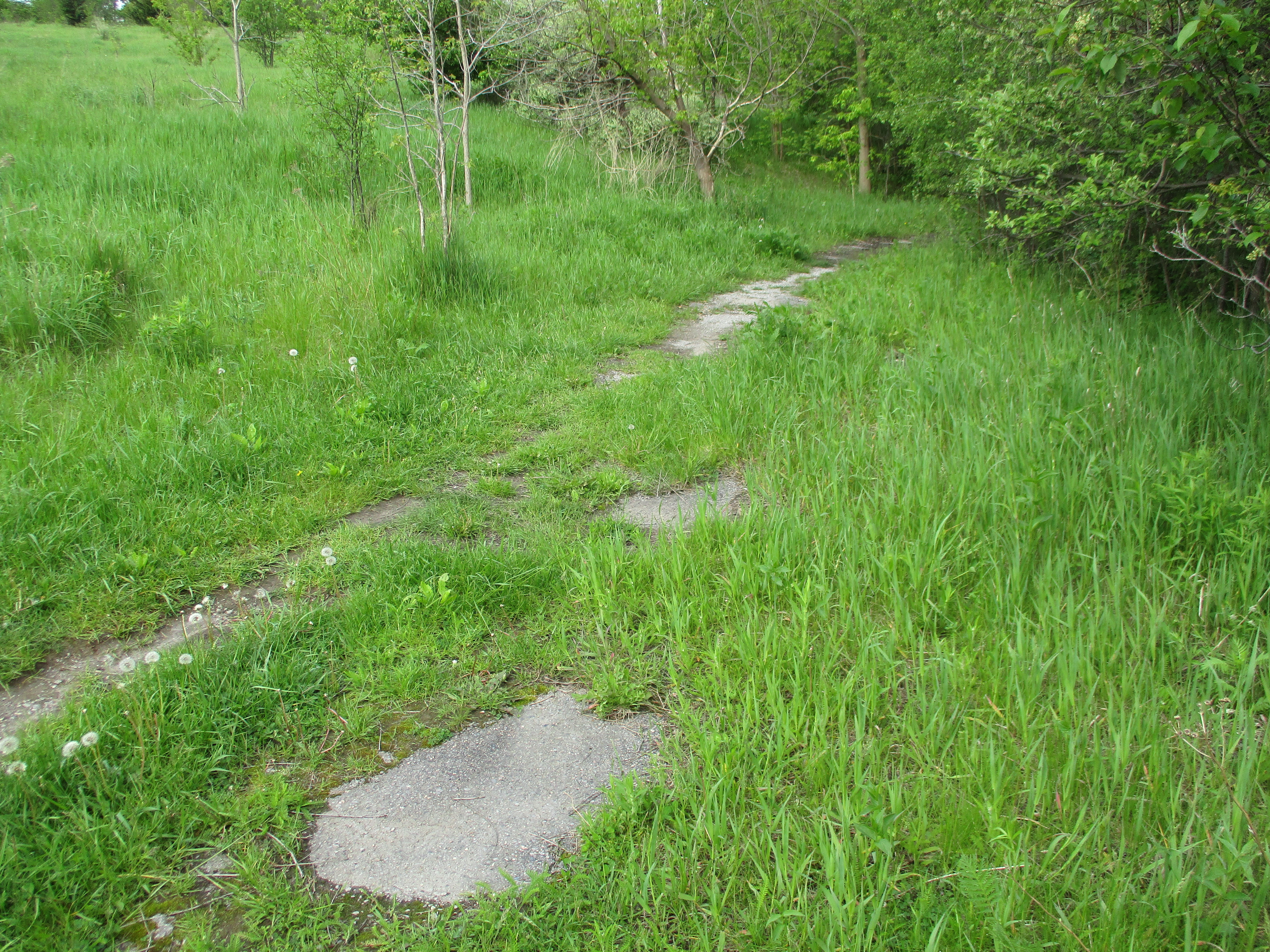
The road north of the closed bridge has been largely overgrown and the former pavement has all but vanished.  Cummer operated a saw mill and a woollen mill on the river near his home but it closed in 1857 and all traces are now lost.

IMG_0060

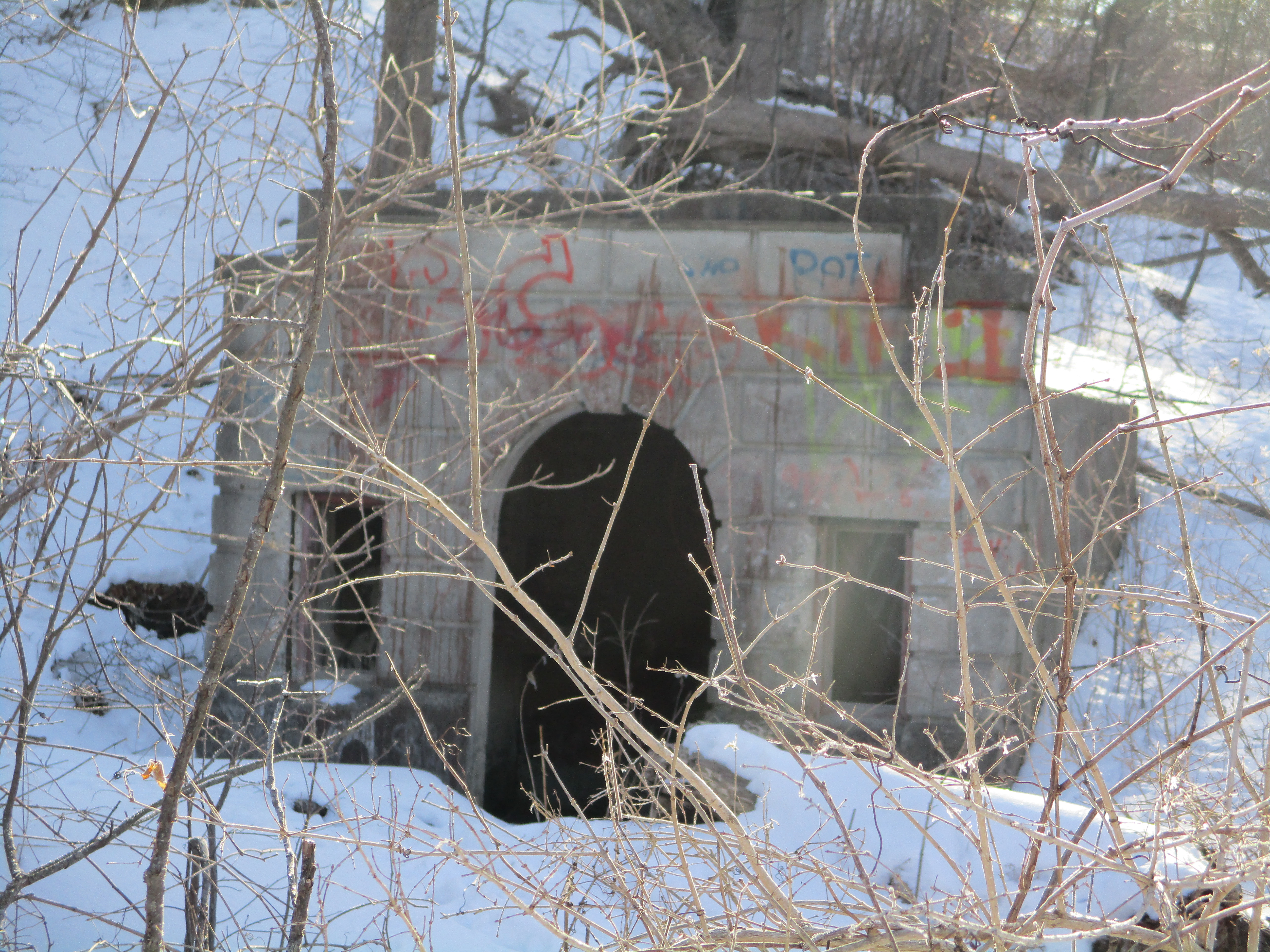
Crossing under the new Cummer Road bridge, the trail quickly follows a pedestrian bridge to the east side of the Don River.  We chose a small path that led along the west side but after crossing a drainage ditch the trail quickly vanished.  Our intention was to find any evidence of the mill site or dam that was shown on the county atlas.  The mill appears to have been somewhere near the new bridge and no trace exists.  The concrete dam we found on Cooper’s property would have been built here long after the mill had closed and would have replaced a wood crib dam.  The mill pond shown on the map has been drained.  The cover photo shows the dam from the downstream side while the picture below shows the upstream side.

IMG_0081

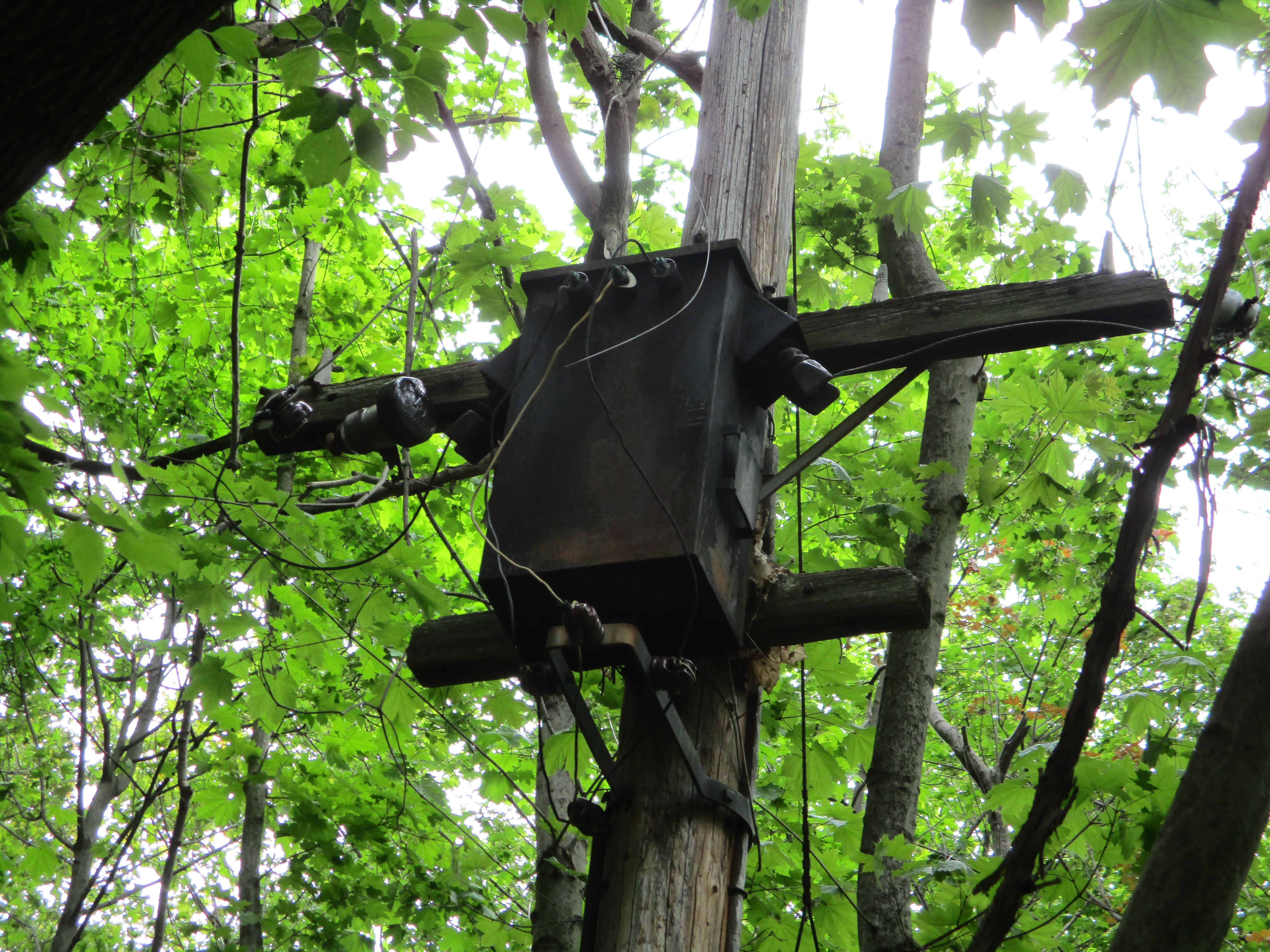
This dam looks more like an electrical generating dam than one used to store water for mill operations.  A large building stood  near the end of the dam but all traces of it have vanished today.  What remains is an old utility pole that has a large transformer attached to the top along with several old light sockets.  A second electrical pole is leaning into the trees a little farther upstream.

IMG_0093

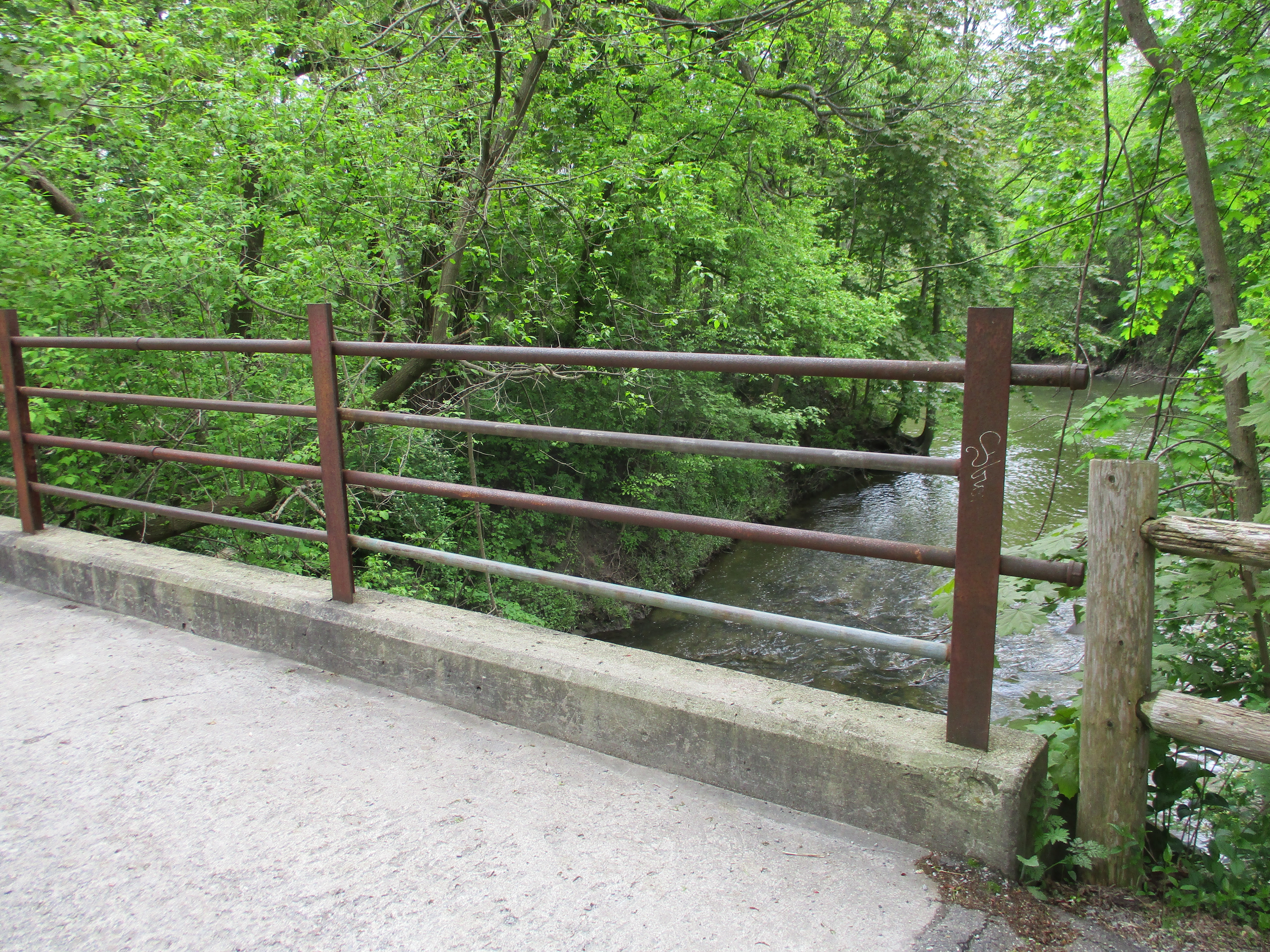
Returning to the main trail, we crossed the Don River and went up the east side to explore the dam from that vantage point.  Near this place, German Mills Creek empties into The Don.  German Mills Creek flows for about 10 kilometres as a left tributary of the East Don River.  It gets its name from the community of German settlers who, in 1796, became the first pioneers in Markham Township.  The settlement of German Mills fell apart after only a few years but the name has been preserved via this creek.  The bridge across the creek has been here for a long time and formerly provided access to the mills and other establishments in the valley.  Today this little bridge supports the traffic along the hiking trail that follows the former roadway.

IMG_0131

The picture below shows German Mills Creek and the confluence with the East Don River as seen from the old bridge over the creek.

IMG_0106

The Don River is interwoven with the early history of Toronto and York County and there will always be more to explore another day.

Google Maps Link: Flynntown

Like us at http://www.facebook.com/hikingthegta

Follow us at http://www.hikingthegta.com

Oriole – Ghost Towns of the GTA

Sunday, May 14, 2017

The East Don Parklands are a much different place today than they were 200 years ago. The corner of Sheppard and Leslie was originally known as the postal village of Oriole and was home to a thriving industrial community.  Seven mills and a brickyard lined the valley along the East Don River as it passed through this intersection.  The remainder of the valley was used by the various landowners for farming.

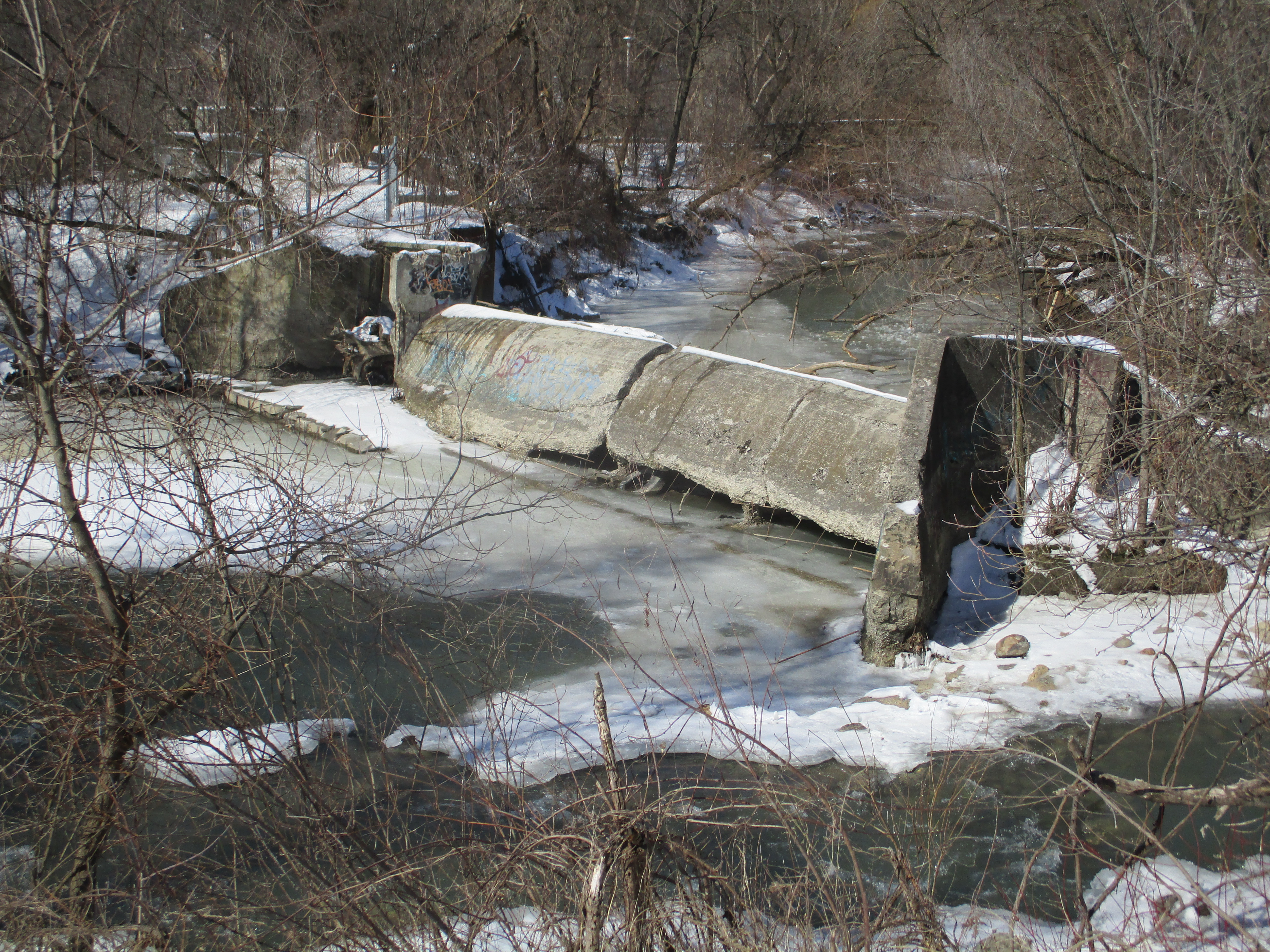
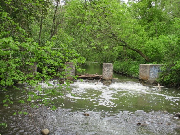
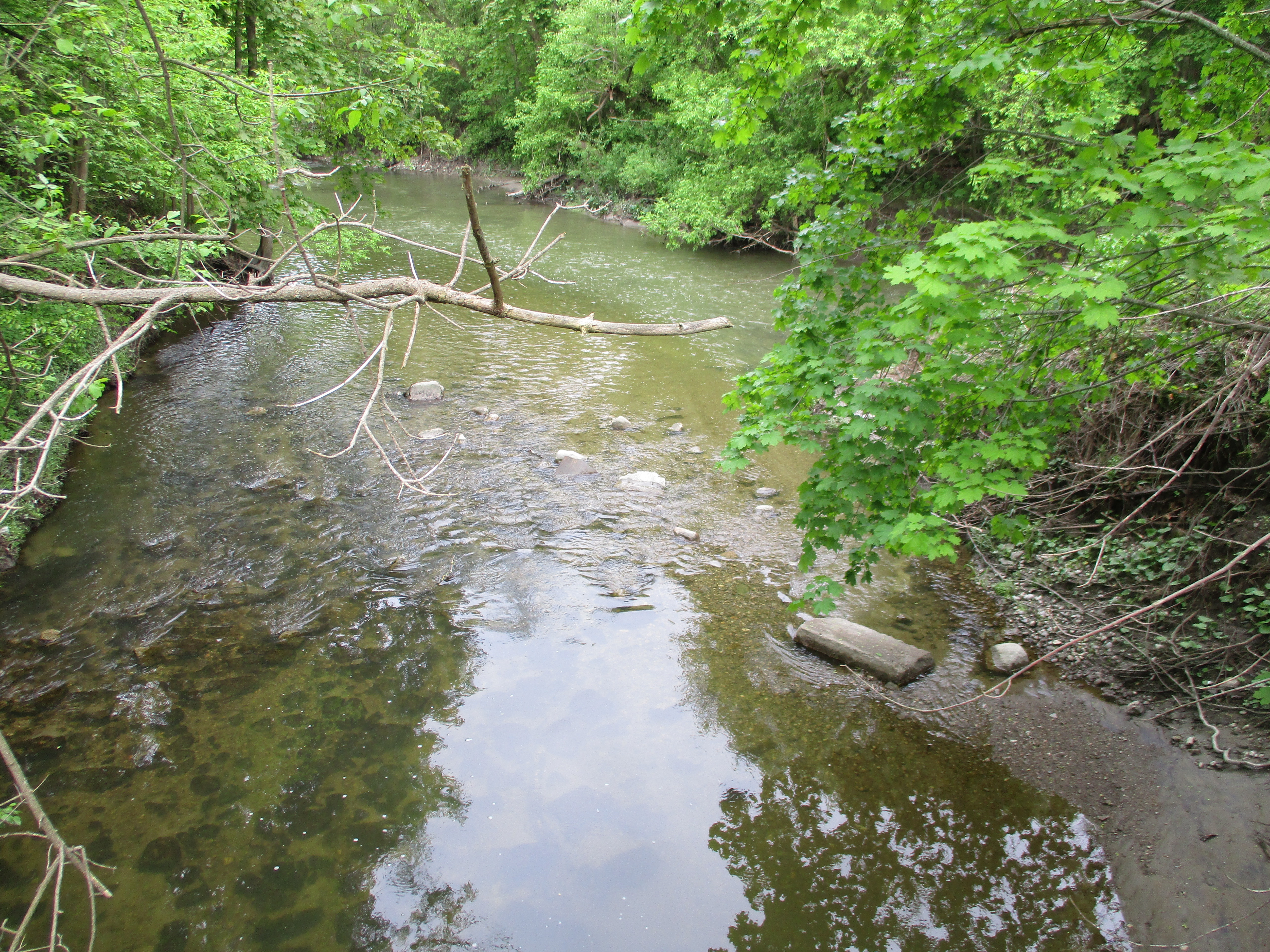
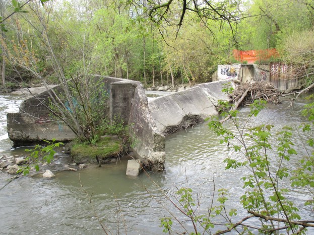
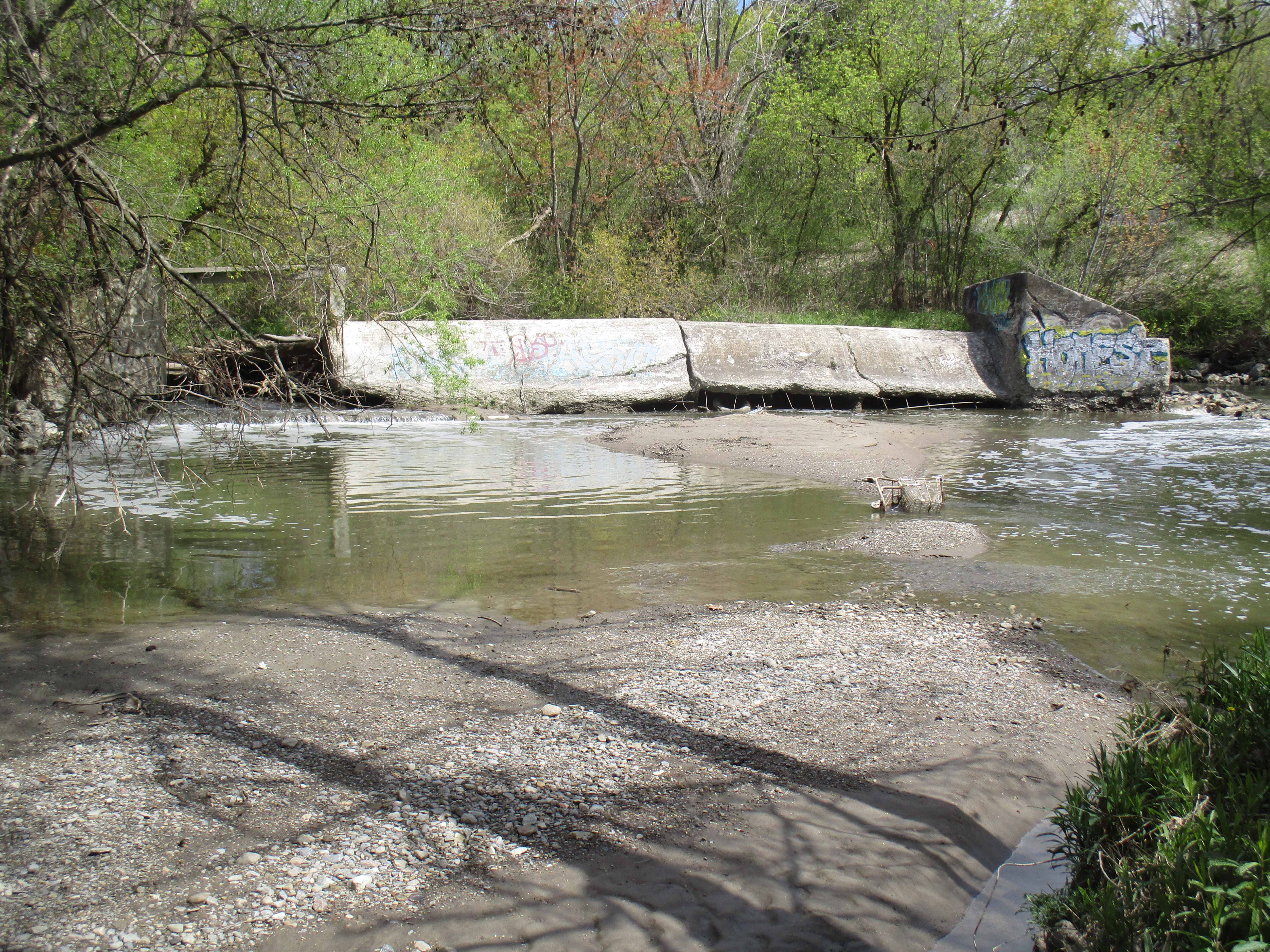
Over time the saw mills, grist mill and woollen mills all disappeared along with the dams that retained their mill ponds.  Beginning in 1984 the Toronto Region Conservation Authority began a long-term rehabilitation program aimed at improving the wetlands and restoring the forest cover to the parklands.  All of the original mill dams have been removed except for one right at the corner of Sheppard and Leslie beside the parking lot. The river has cut a new path around the east end of the dam as can be seen in the cover photo.  Decades of neglect have taken their toll on the dam and large chunks have been removed at water level.  An extensive amount of tree branches has gathered behind the old sluice gate on the left.  A fence has been installed to keep people from getting on the top of the sluice as it is becoming unsafe.  This dam is likely to be removed in the not too distant future if erosion controls are implemented along the watercourse.
IMG_8300

By 1877 when the county atlas below was drawn most of the mills were already gone. I’ve coloured Leslie Street (2nd line east) green and Sheppard (15 Concession) red while a mill access road has been coloured yellow.  I wandered along the west side of the East Don River, across the first little tributary and then as far along Newtonbrook Creek as I could.  This trek I’ve coloured blue.  The south-east corner shows a mill pond in the atlas where North York General Hospital stands today.  The sawmill in the curve of the yellow road belonged to Hunter and Sons and was destroyed in the flood of 1878.  The first sawmill on this site was Stillwell Wilson’s but it was washed away in a breach of the dam in 1828.  Thomas Sheppard then operated a grist mill here until it was lost to a fire in 1869.  The concrete dam featured above was on the property that belonged to Mrs. Lee at the time of the atlas.  South of here the Duncan Mill is shown with an arrow and it still exists on the property of the Donalda Club Golf Course.  Further north, likely on the Gould property, are reportedly the remains of the Philip Phillips sawmill waiting for another day.

Oriole


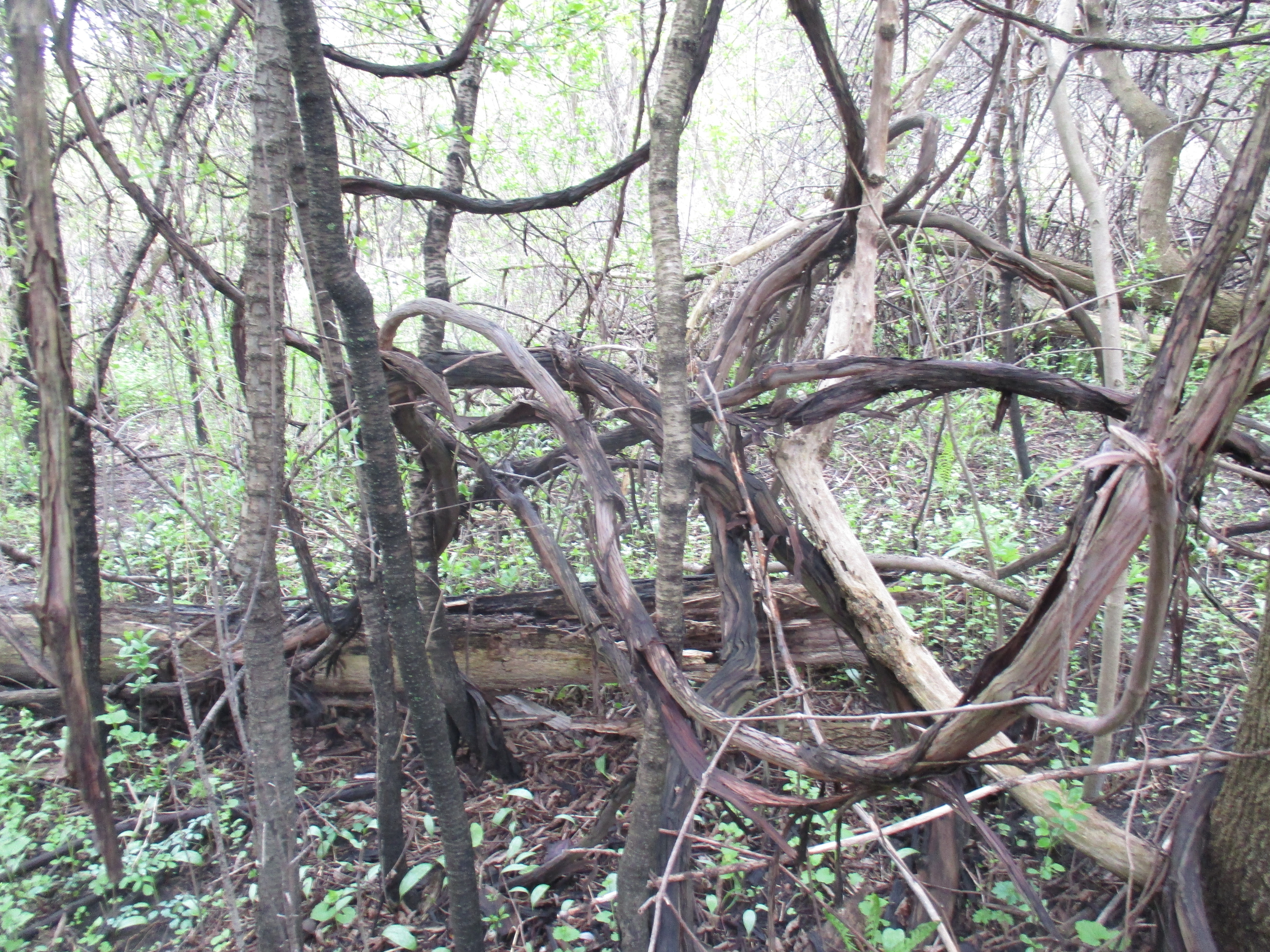
River grapes have become a real problem in the valley.  This invasive species has the ability to climb the biggest trees and ultimately can choke the life out of it by covering the canopy.  Their twisted vines grow up to two inches thick where they’re well established.

IMG_8262

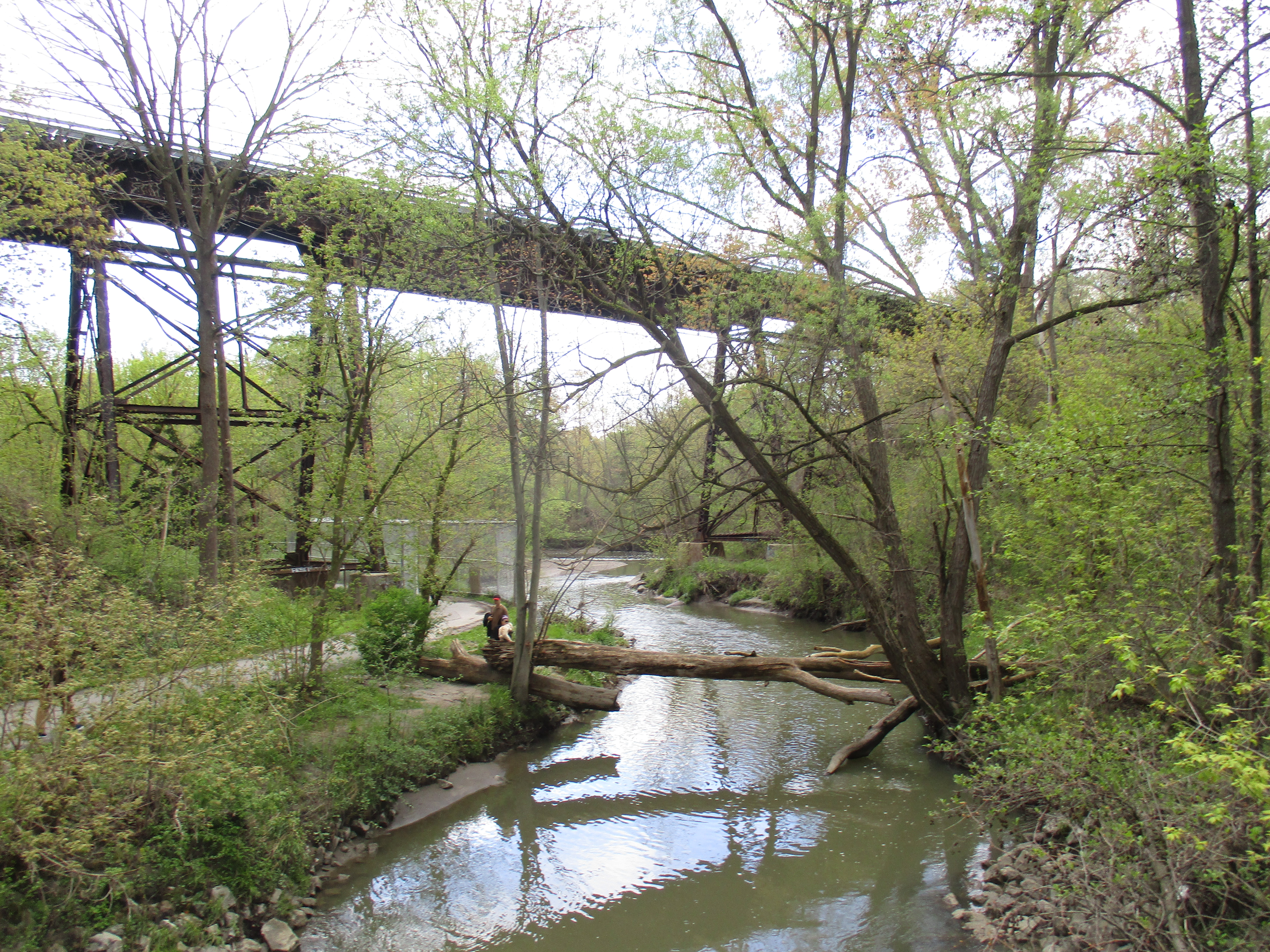
A couple of foot bridges allow you to cross between the two sides of the river but there is a maintained trail on one side of the river only.  In addition to the usual families with strollers and dogs, the joggers and cyclists are joined on this Sunday by a marathon running the length of the trail.  This makes the trail rather crowded and scares any wildlife away.  Most of the waterways in the GTA have a maintained path on one side and a dirt footpath on the other.  In a busy park like the East Don Parklands the birds, coyote and any deer will be found on the side with the dirt trail.  Therefore, this is the trail I chose.

IMG_8264

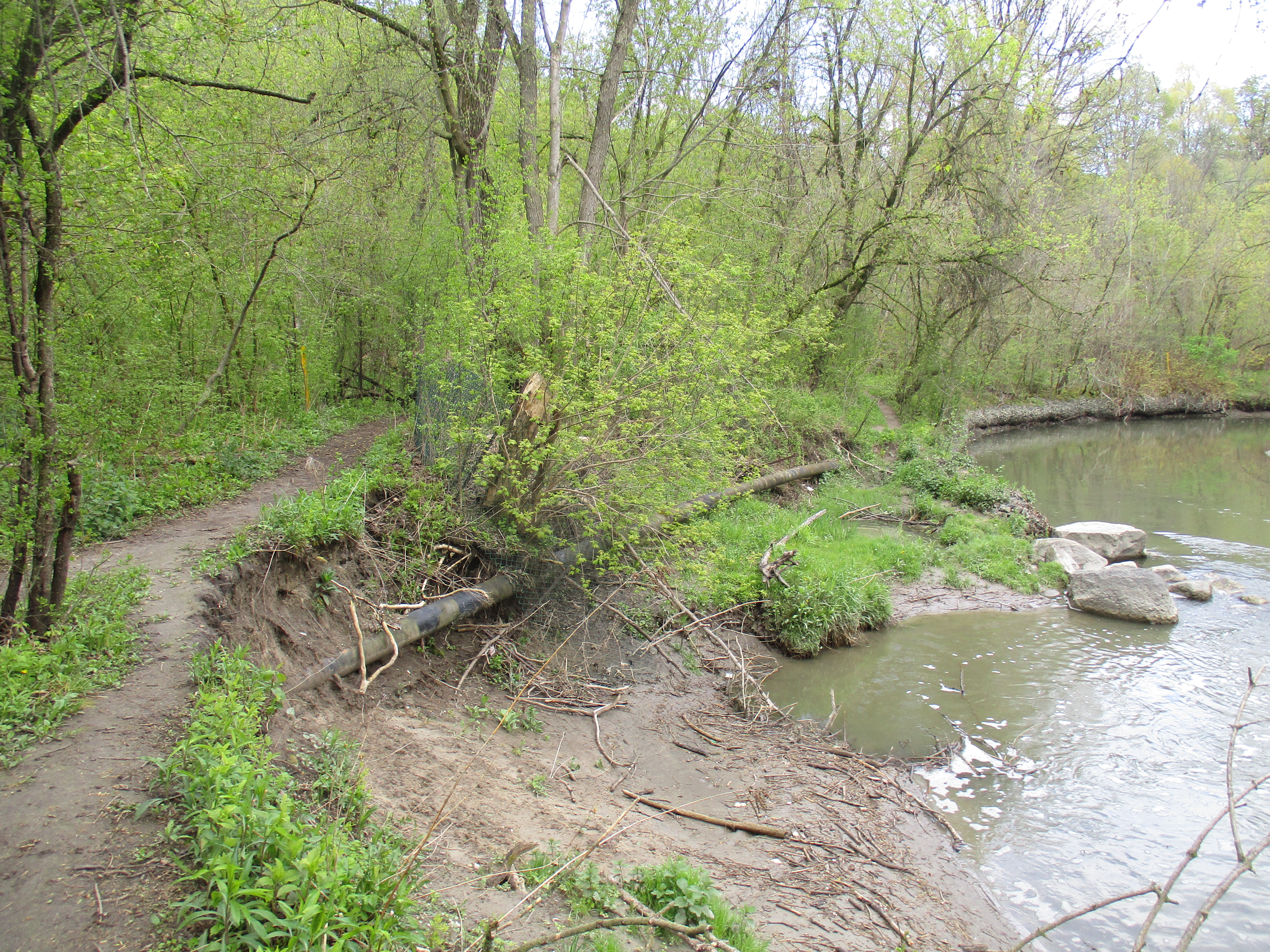
Erosion is a major problem and the river bank has been washed away several feet from the previous shoreline.  The natural gas pipeline in this section has been exposed and will now need to be buried again to prevent possible damage to the pipe.  This is going to require heavy equipment and likely some of the trees will be removed along the sides of the pathway.  In will come the armour stone and at the same time the dam downstream will likely be removed for “safety” reasons.

IMG_8277

People always find places to hang out and have a cold beer, relax and enjoy the feeling of being in the country, even if you’re not too far from high rises and the subway.  In some places, people sit in relative comfort in the little forts they build.  This little rest stop is beside the first little tributary and at this time it was easy to cross on the stones that had been provided by the local explorers.

IMG_8278

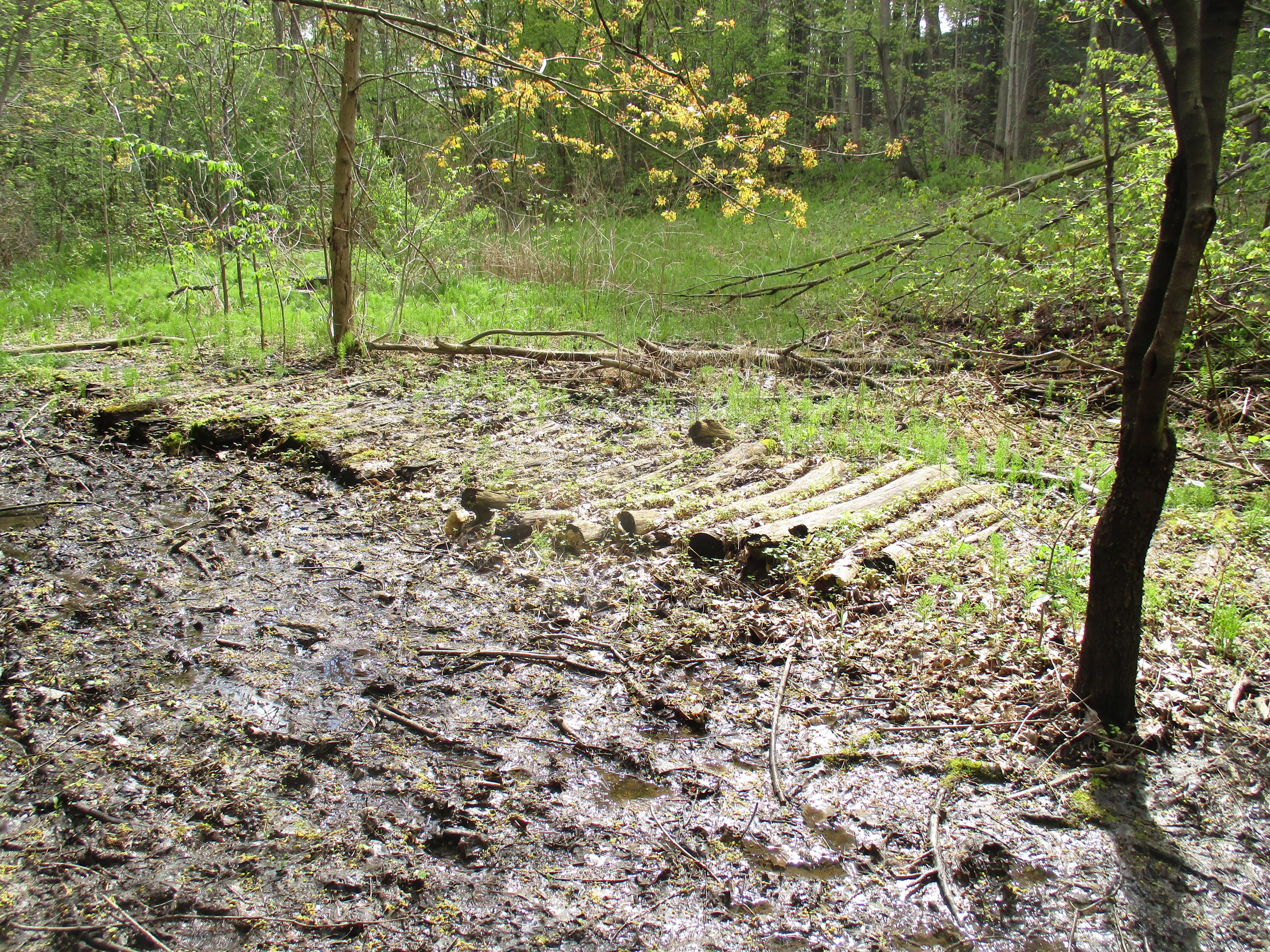
Sections of the trail along the west side of the river have been very wet at times in the past.  There are several places where there are logs that have been put down similar to a corduroy road.  Recent rain has left the trail pretty muddy in some places.  I’m sure this will turn into a mosquito haven in the coming weeks.

IMG_8293

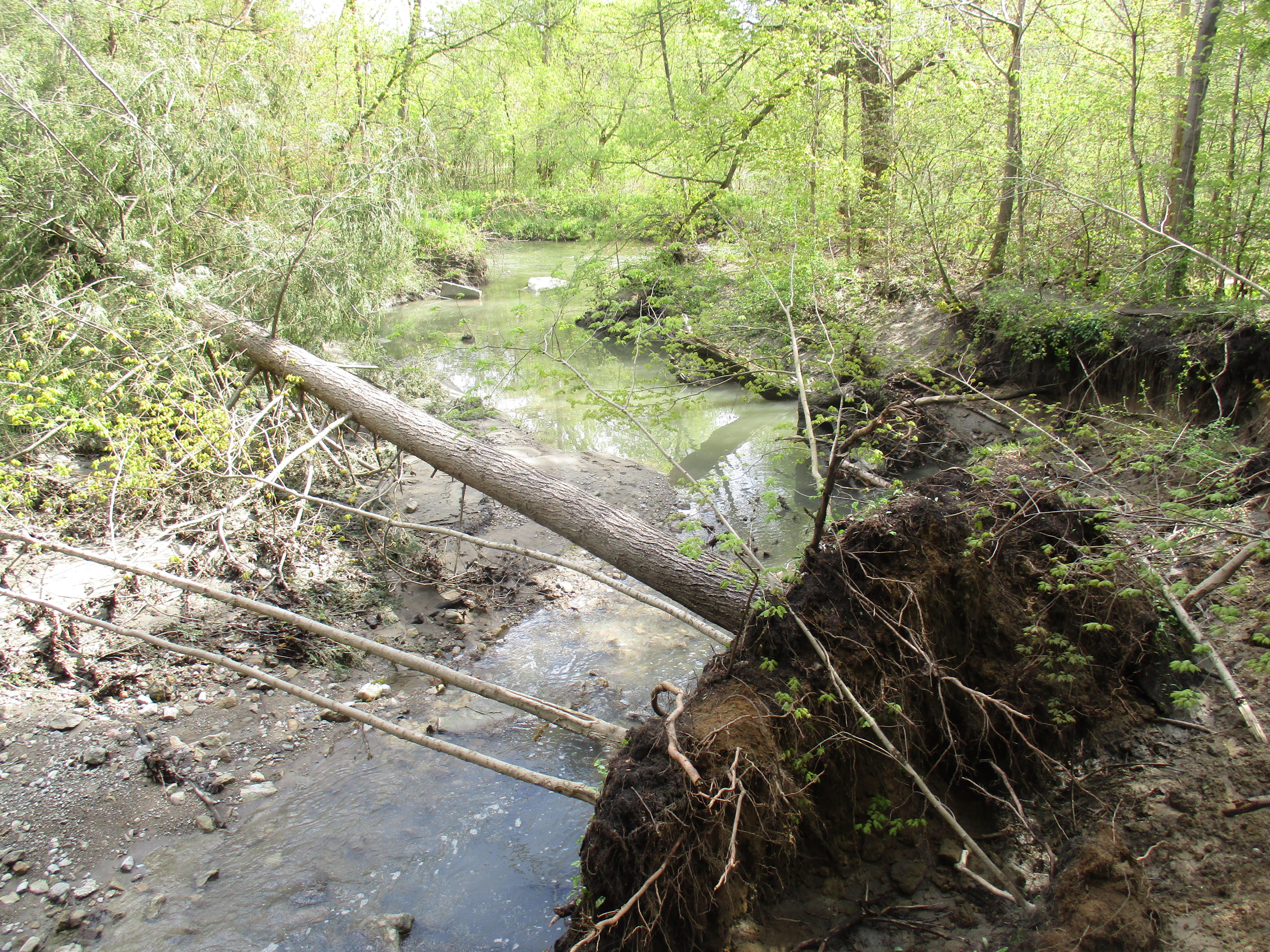
More signs of erosion can be seen along the East Don river with large trees bring washed into the river in several places.  The Conservation Authority will have to come along and remove them so that they don’t form dams in the river and lead to flooding.

IMG_8294

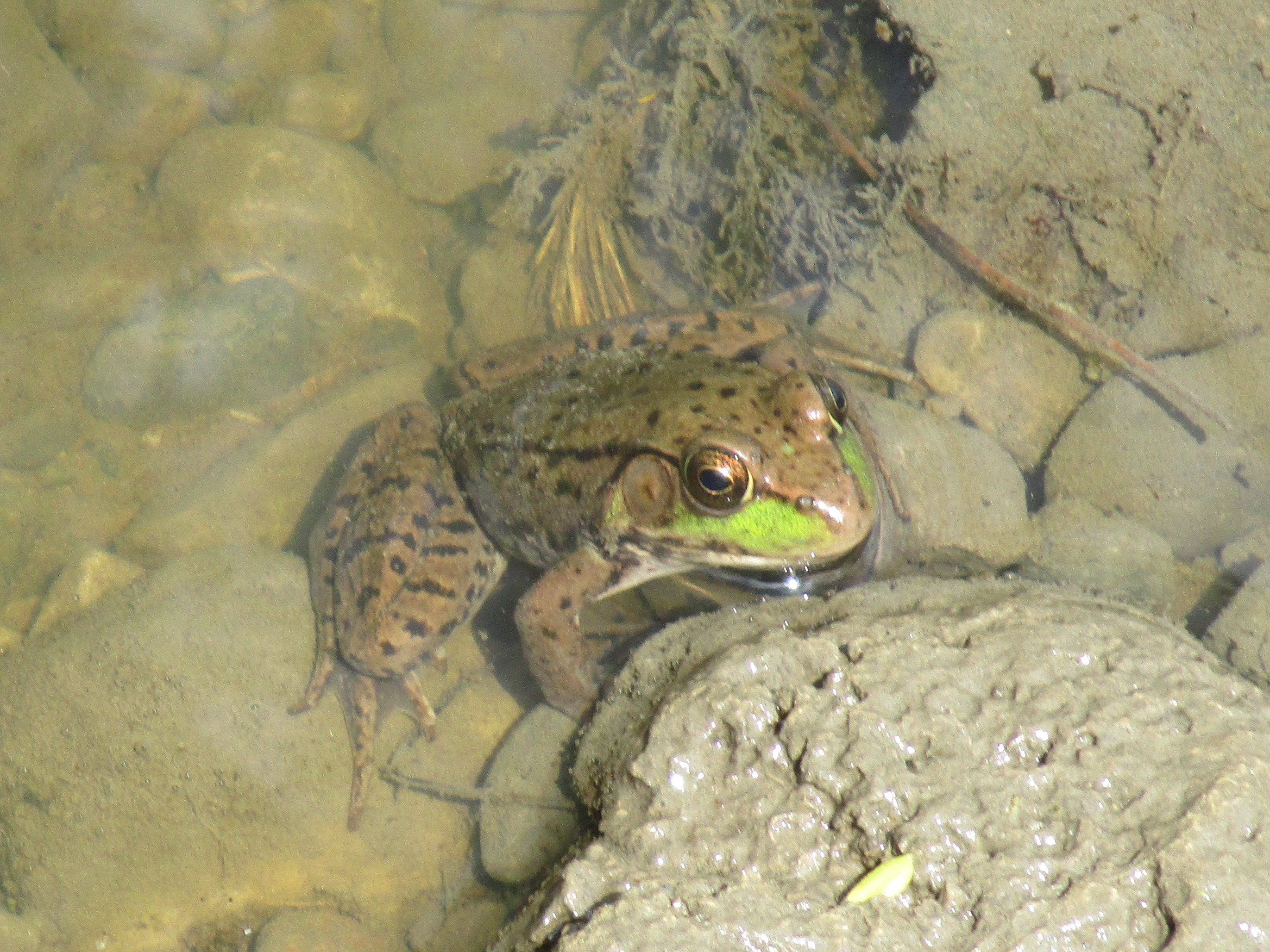
The green frog has large, distinctive, tympani or ear drums that can be seen behind their eyes.  They also have two folds of skin that run down either side of the back that are known as dorsolateral folds.  They typically have a distinctive green patch on their upper lips.  Tadpoles overwinter and transform into frogs the following spring.

IMG_8306

Having taken the trail on the west side of the river I was forced to turn back when I came to Newtonbrook Creek because I couldn’t get across.  This leaves a large section of the park between here and Old Cummer Road that still needs to be explored, including the Stillwell mill site.

Google Maps Link: East Don Parklands

Like us at http://www.facebook.com/hikingthegta

Follow us at http://www.hikingthegta.com