
Saturday, March 9, 2019
The Betty Sutherland Trail runs for 1.83 kilometres from Leslie Street and Sheppard Avenue to Duncan Mills Road and Don Mills Road. The park is named after a long time city councilor who was active in supporting Toronto’s recreational areas and trails. She was also a member of Toronto Region Conservation Authority. The park runs through an area known as Henry Farm. The farm was settled in 1806 by Henry Mulholland and was later owned by George Stewart Henry who was the 10th Premier of Ontario. To explore the trail we parked near the corner of Duncan Mills Road. The formal trail runs on the west side of the river at this point but we chose the less traveled east side of the river.
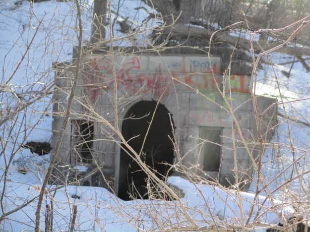
The cover photo shows one of the stone buildings associated with Duncan Mills which used to operate at this site. In 1935 a pump house was built to bring water from the river to Graydon Hall at the top of the ravine. This water flowed through terraced gardens as it returned to the river. These two old buildings greet you as you enter the trail and their story can be read in more detail in our story Graydon Hall.
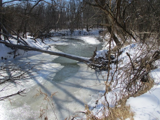
The East Don River runs along side of the trail. The river was frozen over in many places but still had open water where the ice hadn’t formed.
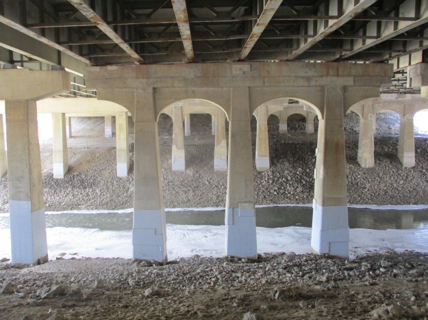
The trail passes under the 401 where the steel girders are marked Bridge & Tank. This company has its roots in Hamilton in 1872 as the Hamilton Tool Works. It went under several names until the Second World War when it began manufacturing tanks for the military. In 1954 they became the Bridge and Tank company and continued operations until 1984.
A series of side trails form a loop extending the trail and providing access to a couple of ravines
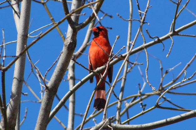
The Betty Sutherland Trail is well known to bird watchers as a place to see a multitude of species. This late in the winter there are relatively few but that is about to change very soon. We saw several cardinals standing pretty in the trees and singing to their females.
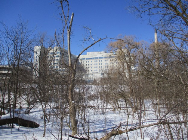
On the west side of the river stands the North York General Hospital. The idea for this hospital began in 1960 when a group of local citizens met to explore the possibility of building a 70-bed community hospital. On March 15, 1968 the new hospital was dedicated by the Premier of Ontario. The present building includes a major expansion that was completed in 2003.
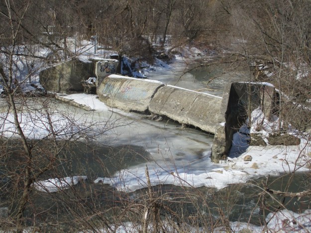
The trail ends at Sheppard and Leslie which was the former community of Oriole. We crossed the road to have another look at the old dam that marks the site. Click on the link to read the story of Oriole – Ghost Towns of the GTA.
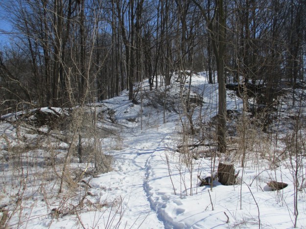
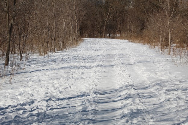
The trail is wide and had three clear paths running along it. Ideally the walkers would take the middle path while skiers would go single file in the two outside lanes. If the outside paths were once ski trails they have been over-run with footprints of pedestrians. With a little luck pedestrians will be sharing the path with cyclists instead of skiers in the next couple of weeks.
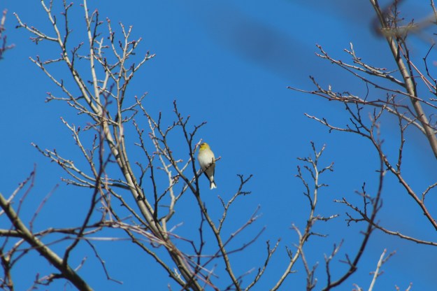
Pine Grosbeaks are normally a northern bird and are uncommon in Southern Ontario and we were lucky to see this female in the top of a tree along the trail. Pine Grosbeaks move south in the winter looking for food at which time they will feed on buds in maple trees. They are a member of the finch family but are one of the larger, plumper species.
The Betty Sutherland Trail is just part of the extensive trails that follow the East Don River. At this time they are not continuous but each section is well worth the visit.
Google Maps Link: Betty Sutherland Trail
Like us at http://www.facebook.com/hikingthegta
Follow us at http://www.hikingthegta.com
