Feb. 24, 2024
John Beamer was born in Greenwich Township, New Jersey on November 27th 1759. He emigrated to Upper Canada in 1790 and took up 300 acres of land along the Niagara Escarpment near Grimsby. He passed away on February 9th. 1854 in his 94th year. A ripe old age for those days when hard, dangerous work and lack of medical attention often carried people away at much younger ages. His property included 40 Mile Creek and featured the place where it makes its decent over the escarpment. This water fall now bears his name.
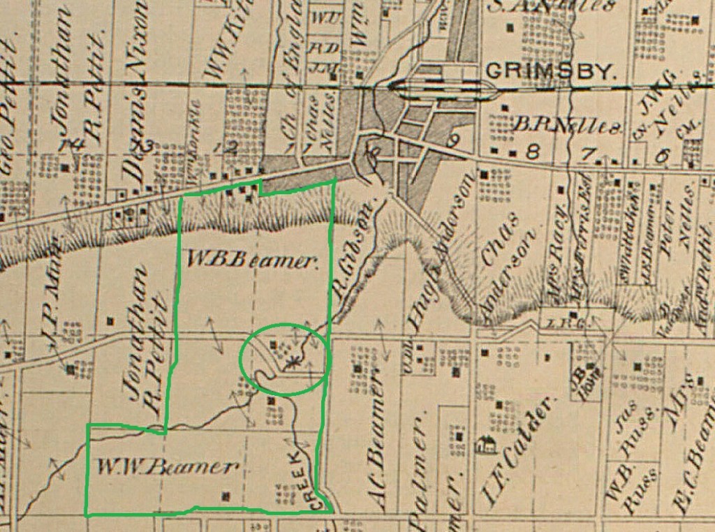
The image below is taken from the 1877 County Atlas and shows the Beamer properties as related to the town of Grimsby. Beamer Falls is circled.
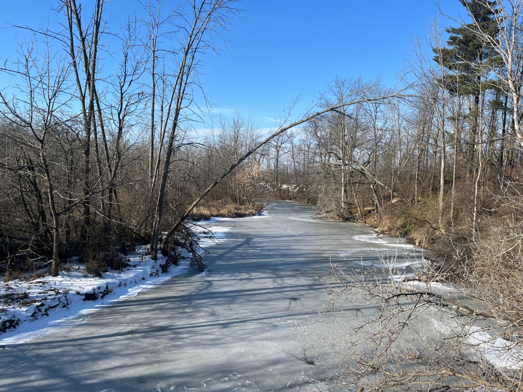
Elizabeth Simcoe was the wife of Upper Canada’s first Lieutenant Governor, John Graves Simcoe. She was known for her landscape paintings and the extensive diary that she kept. These combine to give some detailed insights into the area in the 1790s. Her diary entry for May 18, 1794 reads in part: “We coasted to the Forty Mile Creek forty miles from Niagara and passed in at three o’clock. The mouth of this creek forms a fine scene; a very bold spur of high land appears beautiful in the distance. It is about three miles off.” This describes the escarpment where the creek flows over forming Beamer Falls. During my visit the creek was frozen over above the falls.
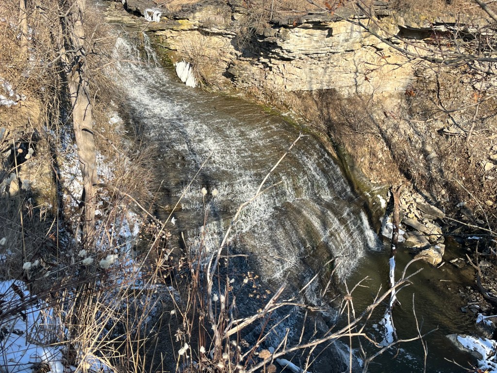
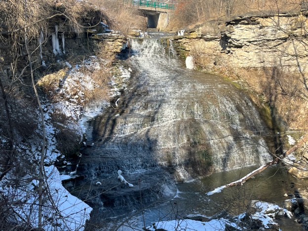
Beamer Falls has a washboard formation and a drop of 45 metres. The crest is 20 metres wide.
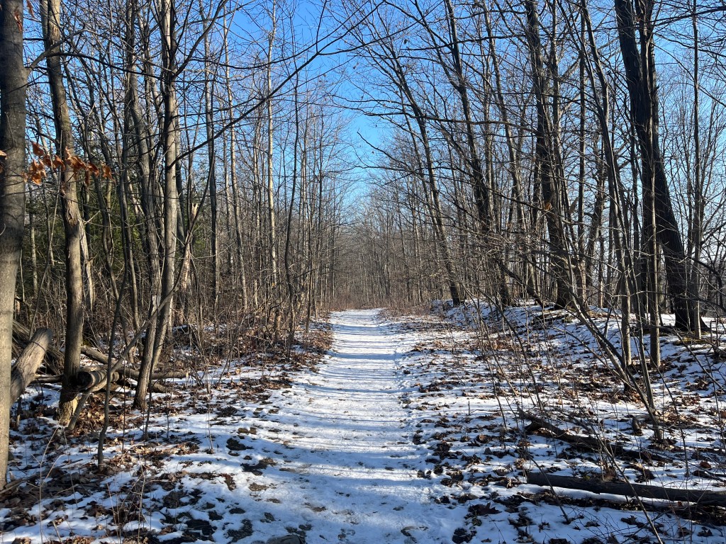
There is a short trail along the north side of 40 Mile Creek that leads to Beamer Memorial Conservation Area. This 450 metre trail is a side trail to the Bruce Trail and is marked with blue blazes.
The area was the floor of a tropical sea that existed over 400 million years ago. Sediment accumulated and eventually created the Niagara Escarpment and the 40 Mile Creek ravine that we see today. Erosion following the last ice age, about 12,000 years ago was greatly enhanced by the flow of water created by the melting glaciers as the ice retreated. Alternating layers of dolostone and sandstone have been left and the dolostone is much more erosion resistant that the sandstone. This creates the steps that can be seen in the waterfall.
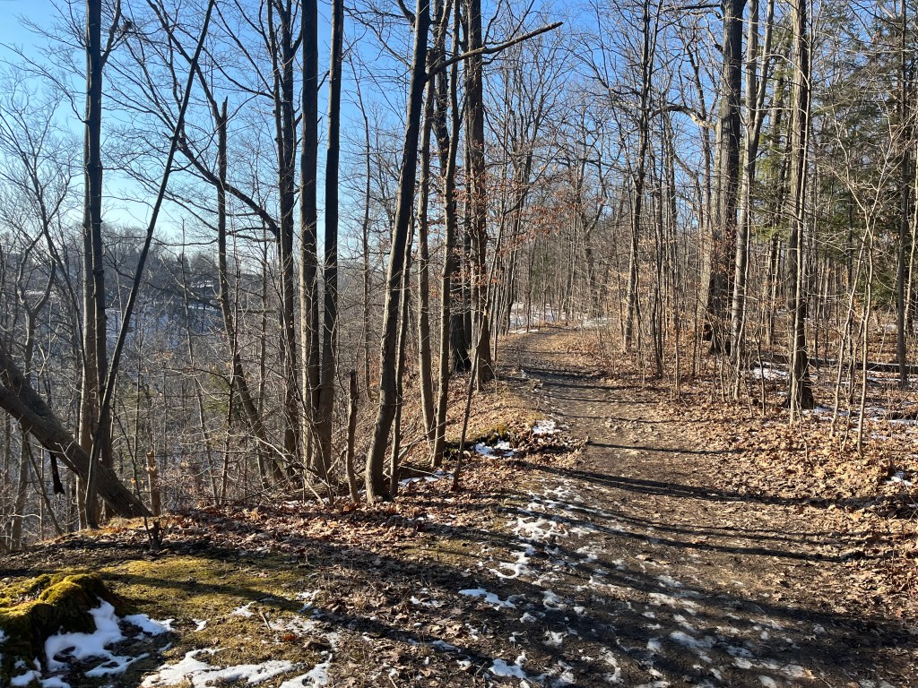
The trail follows 40 Mile Creek to an intersection with the Bruce Trail in Beamer Memorial Conservation Area. Starting in Queenston and running to Tobermory the Bruce Trail runs for over 890 kilometres. There are also over 400 kilomtres of side trails, such as this one. Many people record the sections of trail as they complete them so that they can get awarded end-to-end badges for each of the nine sections. When all sections have been completed you can get an end-to-end badge for the entire trail. I have a map and am in the process of highlighting various hikes but am nowhere near completing a section, let alone the entire trail. And, I’ve been at it for decades. But, then again, I’m all over the place when it comes to exploring.
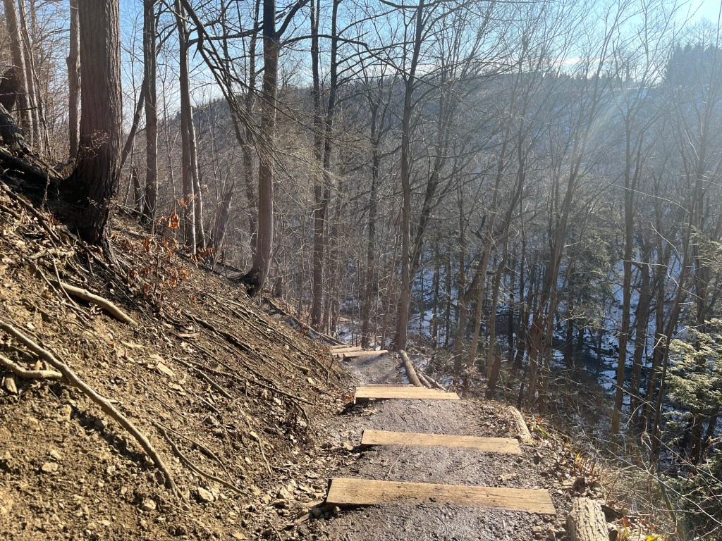
Lake Ontario can be seen in the distance. This is the opposite view to what Elizabeth Simcoe described 230 years ago, although the forest cover is much different today than it was back then.

The falls have a moderate amount of water at this time of year but can be much more spectacular after a heavy rainfall when they carry a lot bigger flow. There’s parking off Ridge Road in two separate little lots that allow you to easily access the falls.

Beamer Memorial Conservation Area has several interconnected trails, including the Bruce Trail and will likely be the focus of a future exploration. The two closest waterfalls to visit if you are in the area are The Devil’s Punch Bowl to the north and Balls Falls to the south.
Google Maps Link: Beamer Falls
Like us at http://www.facebook.com/hikingthegta
Follow us at http://www.hikingthegta.com
Also, look for us on Instagram
I was just in this area today going to pick up something in Pelham. Beautiful Beautiful area. I have made it a point to visit these falls when the weather gets warmer