July 9, 2016
The Royal Botanical Gardens (RBG) obtained permission from King George V in 1930 to use “Royal” in their name. Thomas Baker McQuesten who was an early environmentalist created the gardens during the Great Depression as a make work project to provide work for unemployed men. Since then the RGB has grown to include a series of properties that connect the Niagara Escarpment to Lake Ontario in a continuous greenbelt that includes the historic Cootes Paradise. They have 2300 acres of environmentally sensitive lands that are home to two of Canada’s most endangered tree species, one of which is found only in the park. In 1941 they received a provincial mandate to develop a program that would focus on conservation, education, horticulture and science. The RBG is a National Historic Site which encompasses much of the map below.
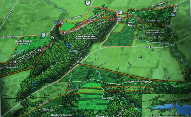
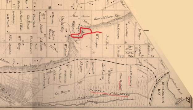
One of the properties owned by the RGB is known as the Berry Tract. After parking on Valley Road the Berry Tract is on the east side of the road. In the 1877 County Atlas shown below the properties are owned by John Hayes and William Simpson. These former pioneer land grants have been abandoned as farms and left to return to a more natural condition. Notice that the land owners in the lower right corner are the Rasberry families. They owned the properties adjacent to Cootes Paradise.
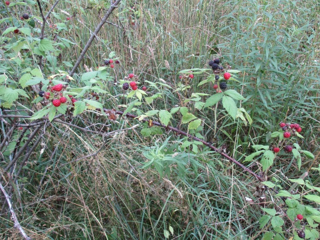
Black Raspberries grow in abundance on the Berry Tract. The ones in the picture below are starting to ripen and are only slightly smaller than usual. Most of the berries seen on other bushes are small and dry. A little rain at the right time might have made a big difference.
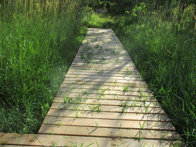
The Thornapple Trail is a 3.4 kilometer loop that runs through the Berry Tract. Near the start of the trail the boardwalk is being over run by wetland grasses. The trail runs through a small orchard which was planted in the 1930’s. Apple and pear trees were cultivated here until the 1960’s when the land was bought for conservation purposes. The apples and pears attract white tailed deer in the fall who come to enjoy a piece of fresh fruit.
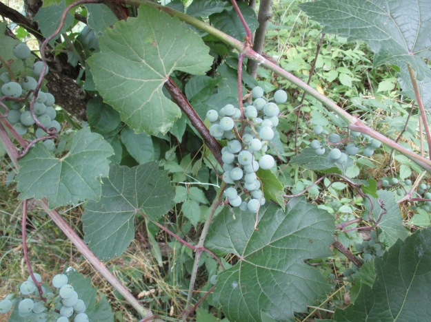
The wild grapes are doing quite well as the picture below shows. Canada Moonseed looks similar to wild grapes but has poisonous fruit. Moonseed does not have the tendrils that grape vines use to climb. Grape tendrils often grow opposite to a leaf and have a forked end. Moonseed fruit has a moon shaped seed and leaves that attach to the stem just in from the edge unlike grape leaves that attach at the edge. Another distinguishing feature of grapes is that the leaves taste like grapes.
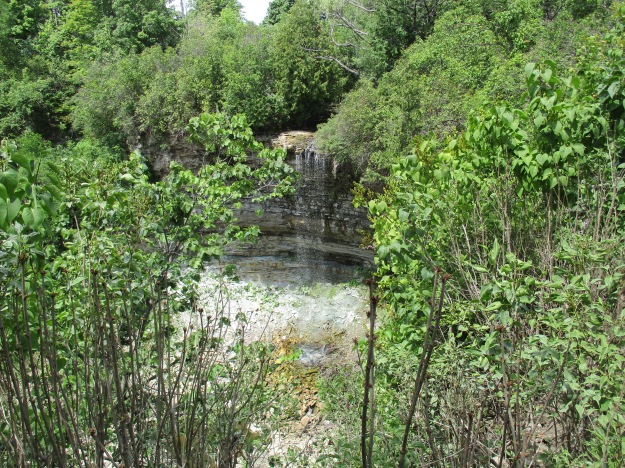
The Bruce Trail runs for 890 kilometers from Queenston to Tobermory but the idea originated with Raymond Lowes of Saskatchewan. Ray moved to Hamilton where he became interested in the Hamilton Naturalists Club. In the winter of 1959 he began to dream of a trail winding along the escarpment. He proposed to the idea to famous artist Robert Bateman suggesting a trail from one end of the escarpment to the other. On Sept. 23, 1960 the first Bruce Trail Committee meeting was held and by 1963 the trail was established with regional clubs obtaining landowner permission and building various sections. The trail is named after Bruce County which it runs through as well as the Bruce Peninsula where it terminates. Bruce County was named after James Bruce who was Governor General of the Province of Canada between 1847 and 1854. Today the trail has annual visits numbering 400,000 and the Bruce Trail Association stewards over 5,000 acres of escarpment protecting it from development. There are also over 400 kilometers of side trails marked with blue slashes. Crossing Valley Road the Bruce Trail leads past several of the 100 waterfalls in the Hamilton Area. There is a little cluster of five waterfalls near the trail. Unfortunately Patterson East and West Cascade, Valley Falls and Upper and Lower Hopkins Cascade are all dry on this day.
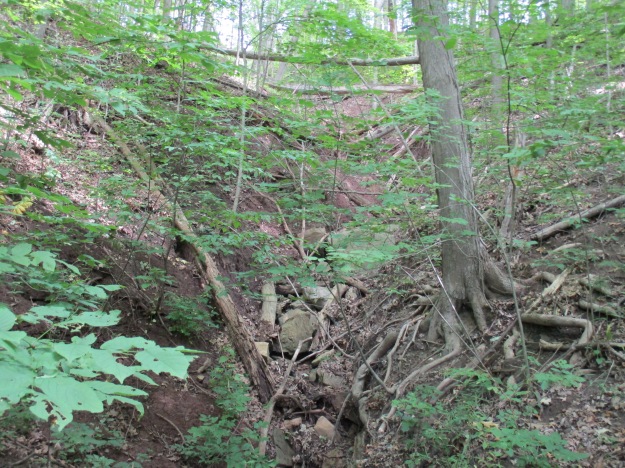
Another dry waterfall. A trip in the spring when the meltwater has swollen the streams would show these waterfalls off at their best.
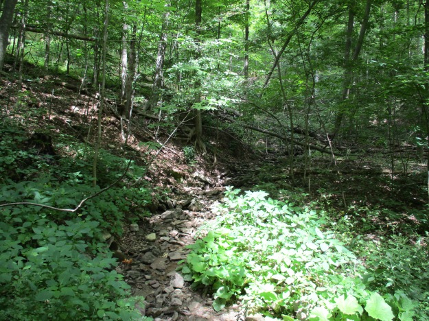
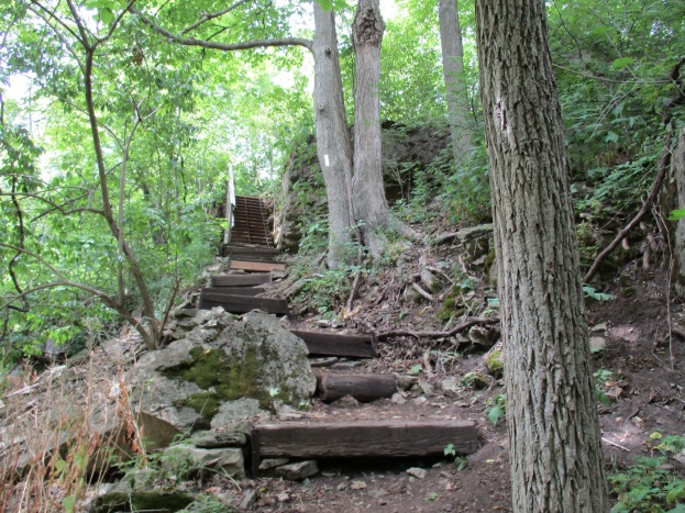
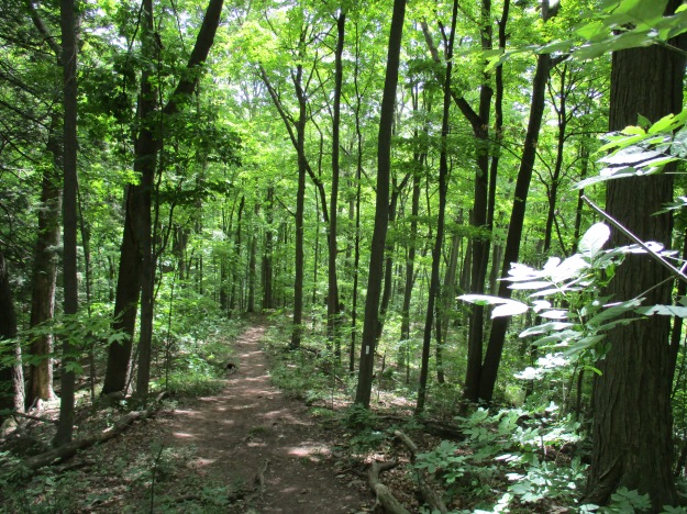
On hot summer days the shade of the Bruce Trail can be a welcome relief to the direct sunlight. The cover photo shows a set of stairs along the trail to Borer’s Falls.
On April 9th we visited Borer’s Falls and at that time we climbed up from the bottom to see the Lower Borer’s falls as well. John Borer owned the property with the falls on it at the time of the county atlas above. The falls drop 15 meters over the side of the escarpment where it powered the Borer family sawmill for almost 100 years. This sawmill supported the community of Rock Chapel.
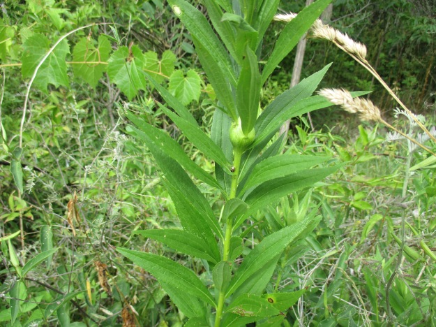
Goldenrod Gall Fly eggs were laid into the stems of the young plants during the two weeks that the adult fly lived. Although called a fly it really doesn’t fly that well and mostly just walks up and down the stems of goldenrod plants. In about 10 days the larva will hatch and begin to feast on the inside of the plant’s stock. It’s saliva causes the plant to grow a large ball, or gall, in which the insect lives. The gall fly can’t live without goldenrod and there are two species of wasps that rely on the goldenrod gall fly for their survival. They seek out the galls and deposit their eggs into the gall. When the wasp larva hatch they eat the gall fly larva which means that in effect there are three species fully reliant on the goldenrod for survival.
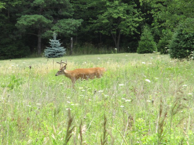
This male white tailed deer, known as a buck, was standing along the trail near the little community of Rock Chapel. In 1822 a small frame church was built there by the Episcopal Methodists. Later the Wesleyan Methodists took over and they built a new church in 1876 on Rock Chapel Road which is shown on the county atlas.
Google Maps link: Berry Tract
Like us at http://www.facebook.com/hikingthegta
Follow us at http://www.hikingthegta.com
