Tag Archives: Mayapples

What’s In Your Ravine?

Sunday, May 9, 2021

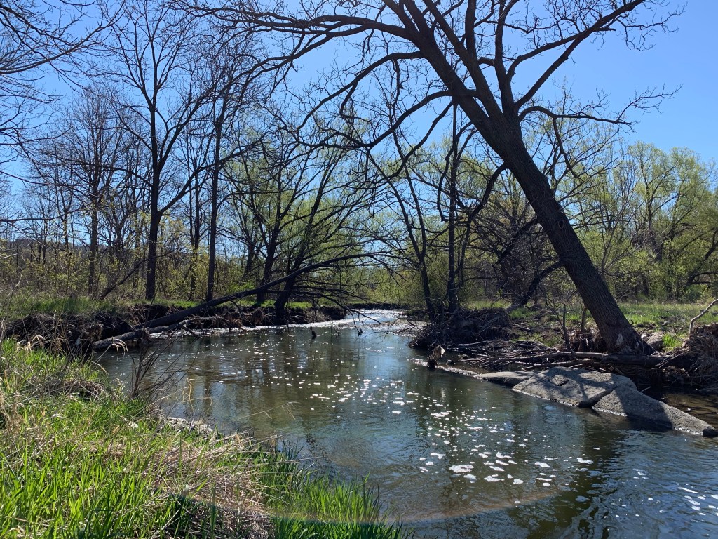
When the last ice age retreated about 12,000 years ago each of the rivers and streams that drain into Lake Ontario were swelled with meltwater. The Rouge River, Don River, Humber River and Credit River along with all the little creeks in between carved deep ravines. These are much wider than the modern rivers that flow through their valleys. After Hurricane Hazel in 1954 these ravines were transformed into conservation areas and parks. They have become greenbelts and migration corridors for the local wildlife. With ongoing travel restrictions it is important to remember that there is some good hiking with plenty of wildlife available right in our own part of the city. This post features a selection of the plants and animals we saw in a few hours on Saturday, May 1, 2021 along a section of Etobicoke Creek.

Most ravines will have more than one type of habitat and you should explore each one, slowly. Rivers and their banks will have a distinct group of plants and animals which they may share with local wetlands. Grasslands provide habitats to pollinators and small birds while new and old growth forests will each have their own distinct species. We customarily head for the water first, but move quietly or you might not see the heron, if there is one, until it’s in flight.
Mallard ducks and Canada Geese can be found almost anywhere there’s water. However, there’s lots of other types of waterfowl that you can watch for. The picture below shows a female (left) and male (right) Merganser. Their young will feed themselves a day or two after hatching and will be able to fly after about ten weeks.

An American Mink came running along the opposite creek bank and down a fallen branch to quietly slip into the water. After a moment it emerged with a small fish in its mouth which it then carried away out of sight.
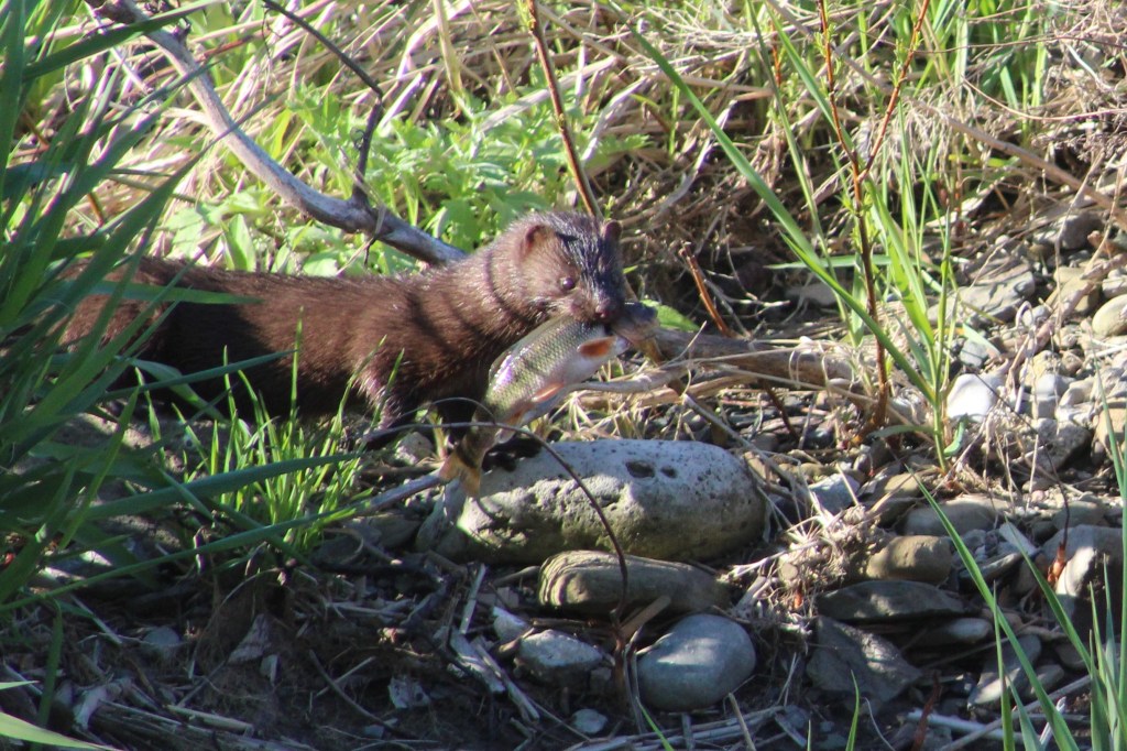
As we watched, the mink returned and went back into the same quiet pool behind some larger rocks. After coming up a couple of times to catch a breath it eventually came out with another fish, this one a little smaller. The mink kits will still have their eyes closed and won’t be weaned for a few weeks yet. As soon as their teeth start to come in their mother will feed them small bits of ripped up fish or mouse to get them started on solid food. The kits will eat every 90 minutes or so which means she will need extra food intake herself to be able to supply the milk they require.
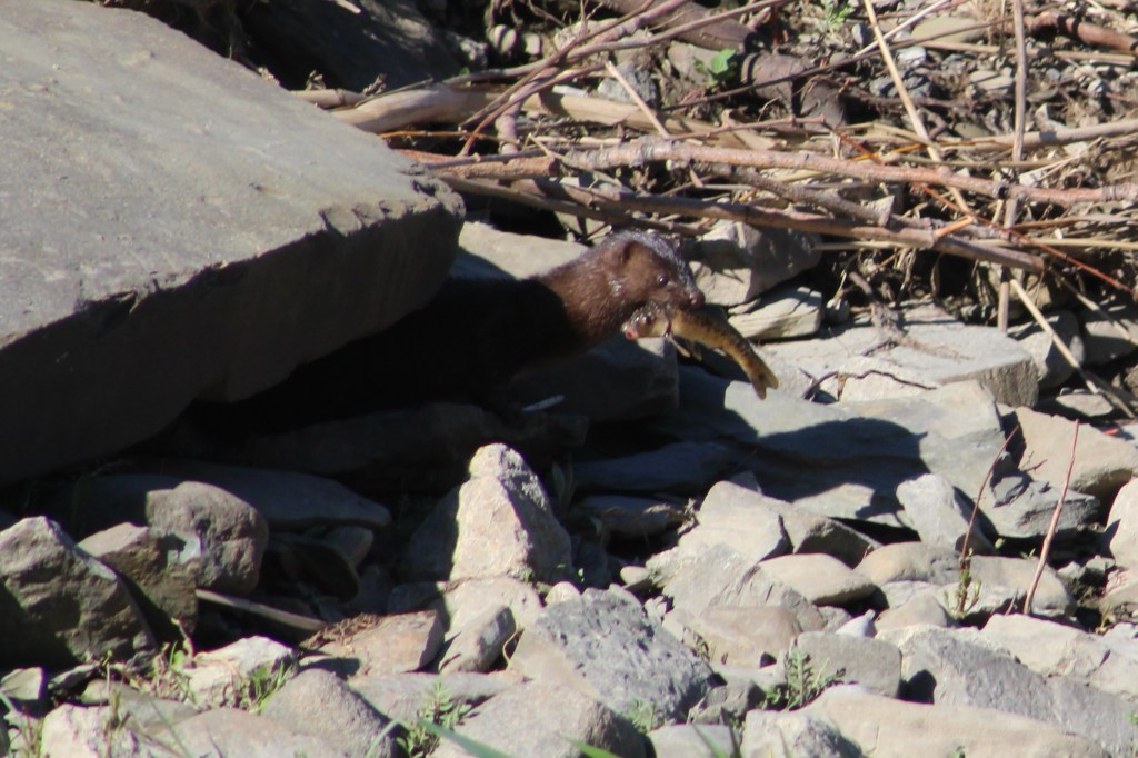
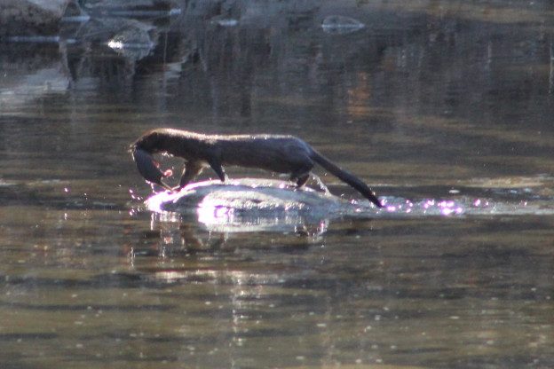
Last April 24th we witnessed a mother mink carrying her kits across Etobicoke Creek and into a den on the other side amongst the rocks. In all, we saw her carry four kits across the creek. The picture below was taken last year while she carried the first one. There’s lots more pictures of the other mink babies in our story Mink Kits.
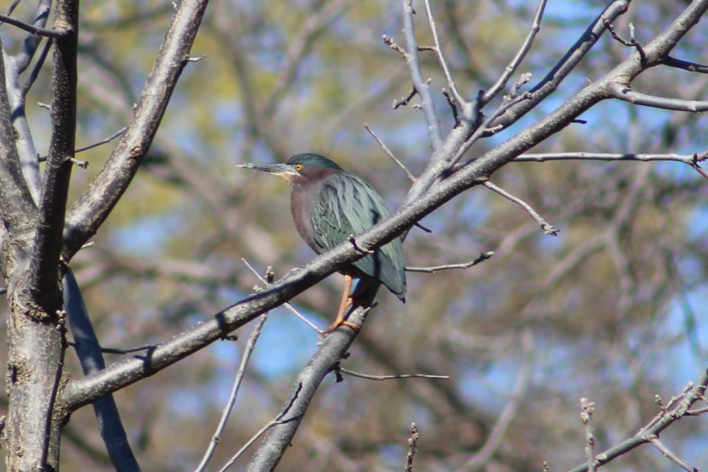
As we were watching the mink fishing a small heron flew upstream and briefly rested in a tree before moving along. It landed in another tree a little farther upstream. It seemed likely that people using the trail would scare it and there was a reasonable chance it would come back our way, which it did. The Green Heron is smaller than other herons and has a short stalky neck that is usually drawn down toward the body. The green on their back and head is set off by the chestnut colour of their chest.
The grasslands, especially tall grass prairie areas support a wide variety of flowering plants and grasses which attract birds and pollinators. On a sunny day you might see one of several, harmless species of snakes taking advantage of the sun to regulate their body temperature. Garter Snakes give birth to a litter of 20-30 live young in the late summer. This little one was likely born last year and will have a life expectancy of two years in the wild. Garter Snakes are sometimes kept as pets and average ten year life spans in captivity.

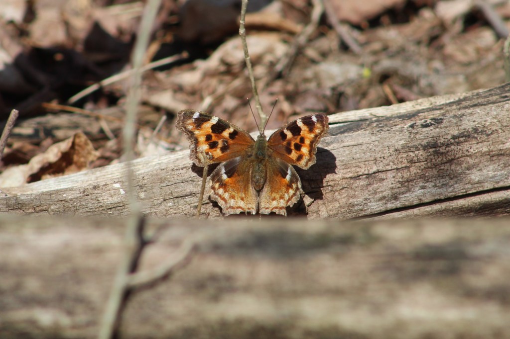
Butterflies and moths can be spotted on most days. The picture below shows a Compton Tortoiseshell butterfly which finally rested long enough for a photo op.
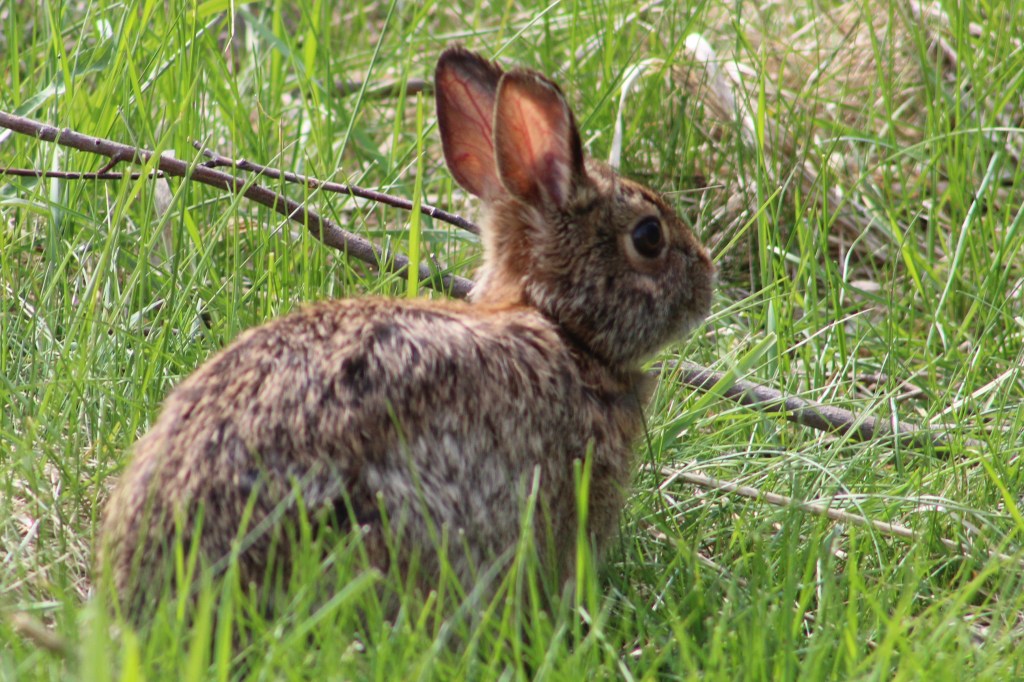
Eastern Cottontail Rabbits were not known in Southern Ontario until about 1860. Rabbits never stray far from a hedgerow, woodpile or burrow where they can escape their many predators. This is known as edge habitat and prior to the settlers cutting the forests there weren’t any of these places where fields gave way to shrubs. Their slow migration north didn’t bring them to the Ottawa area until as recently as 1931. They molt twice per year and this one is in the middle of its spring molting.
Not everything you see in your ravine belongs there. Unfortunately invasive species have taken over some areas of our parks and ravines. They grow quickly and overtake the natural species and eventually choke them out. Dog-strangling Vines are a key example of an invasive species as they routinely choke out the milkweed our Monarch Butterflies need. Garlic Mustard, pictured below, is another invader which is doing overly well. Once it gets going, Garlic Mustard will choke out the Trilliums and Trout Lilies (Dog’s-toothed Violet).

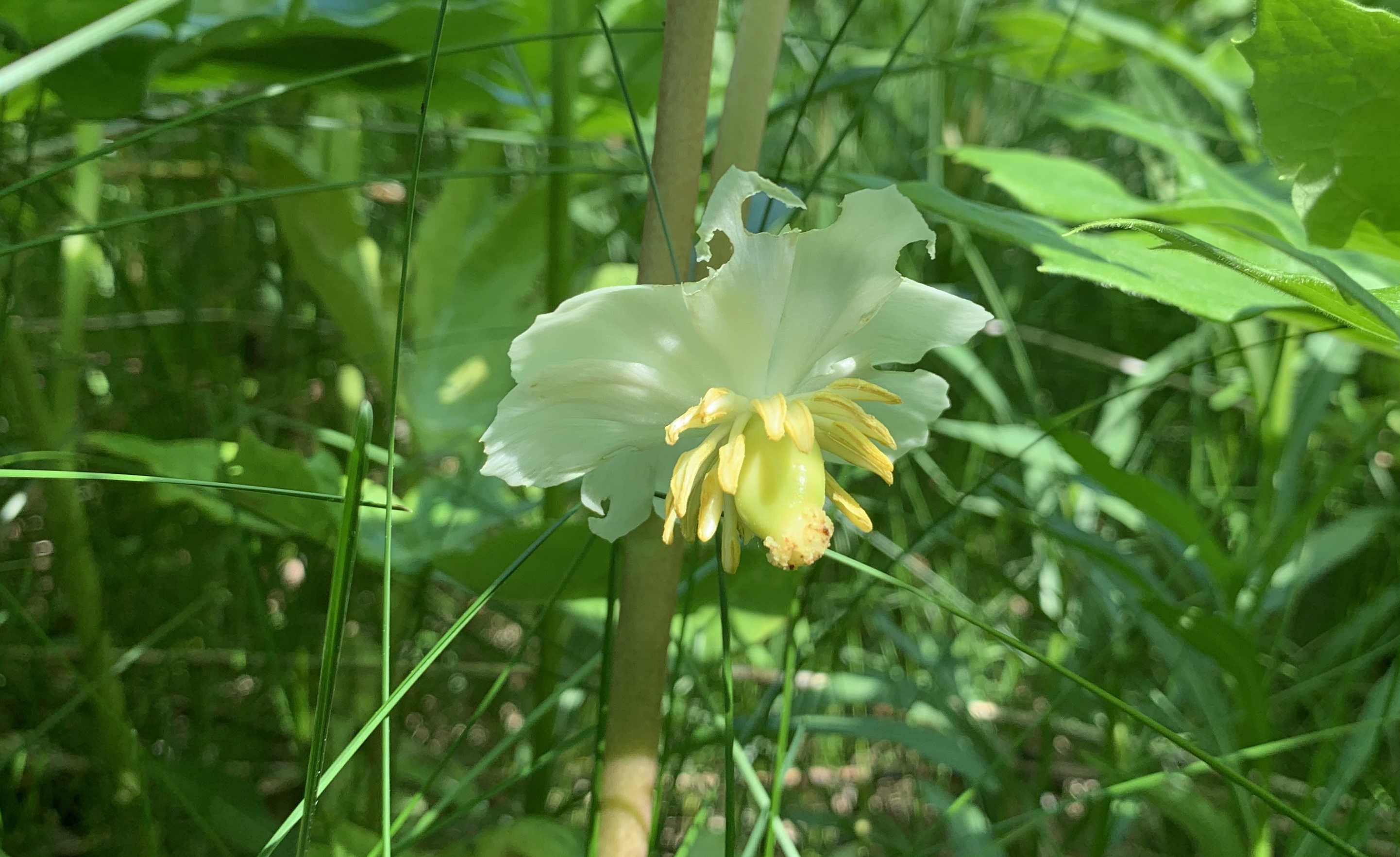
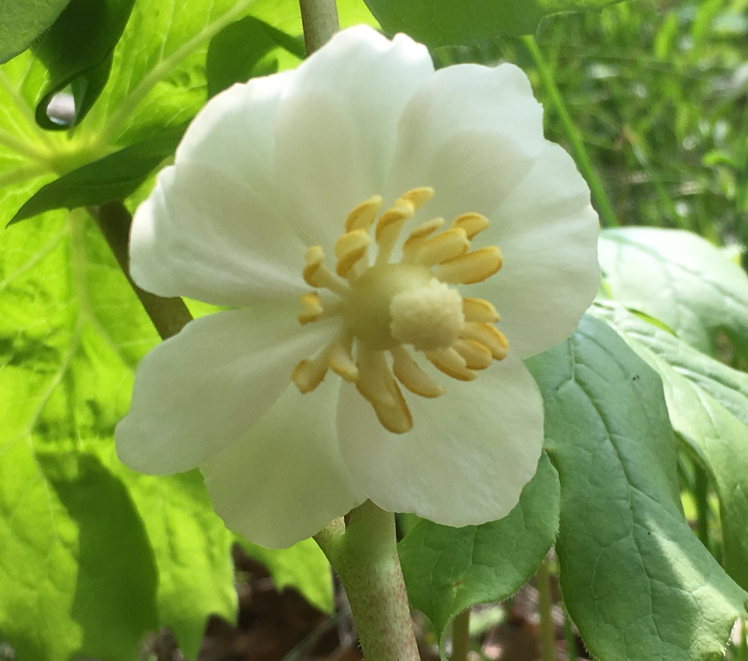
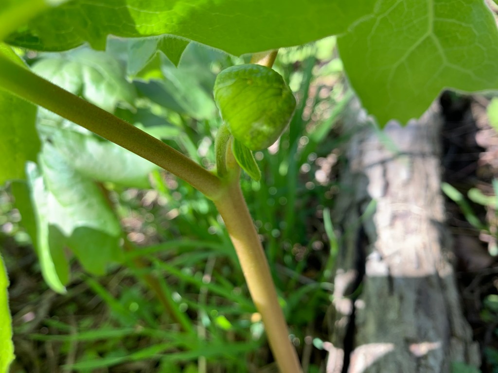
The Mayapples are just starting to form the bud that will open into the flower. Plants with a single leaf won’t flower but the colony along this stretch of the creek is almost all female. They have a pair of leaves and a flower bud forming in between. This particular patch appeared to be mostly flowering this year. These plants grow in patches from a single rhizome and will be found in the same location year after year.
Violets are a large family of plants that have over 525 species. This time of the year they form a purple or blue carpet on the forest floor. Many violets are perennials which means that the plant will live for more than one year.

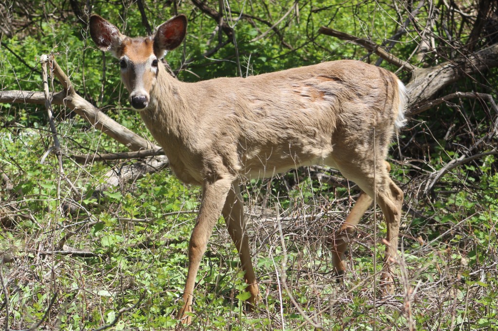
Experience has shown that almost every ravine in the GTA has both coyote and deer. The Etobicoke Creek is no exception. Although the local coyote didn’t make an appearance on this Saturday, the deer showed up in force. While walking a side trail a flash of white in the trees betrayed the presence of a White-tailed Deer. Upon closer examination a small herd of five was detected. Three of them went off along the ridge while the other two continued to browse. The pair are shown in the cover photo and the smaller of the two was very curious. It walked to within a few metres of where we were sitting as it casually munched leaves and grasses.
July 27, 2020 while taking an observation break, a fawn walked right up to us and pretty much said “Hello.” Its mother was nearby and called it back when she thought it was getting a little too curious. From the way the deer approached today, it was almost as if it was the same one with its mother and that it recognized a friendly acquaintance.

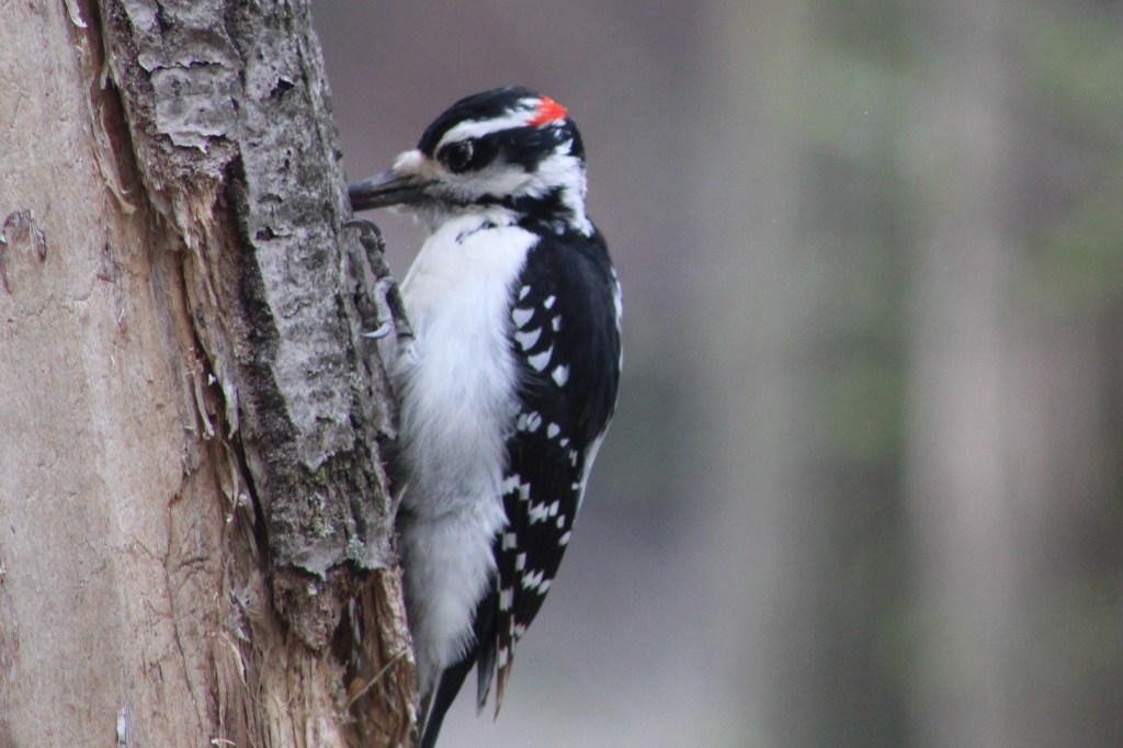
This male Hairy Woodpecker is in the process of digging some little snack out of a dead tree. The term “snag” applies to a standing dead tree and they make up an important part of the local ecosystem. They provide unobscured views for raptors such as the pair of hawks we saw circling high above at one point. Snags also provide homes for wood and bark boring beetles and their larvae. This is what attracts the woodpeckers and serves as a source of food for them. Small animals will nest in hollow snags and they’ll continue to serve as housing even after they fall.
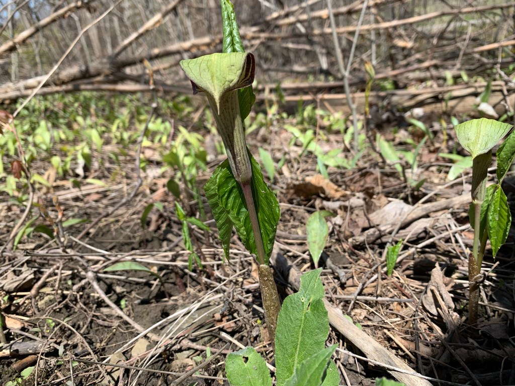
Once you know where to look for Jack-in-the-pulpit you should be able to go back every spring and see the same plants. This is because they can grow from the same underground corm for up to 100 years. It’s quite possible that this little plant in the picture below will outlive everyone reading this article today.
This is just a sample of the types of things you can expect to see in almost any ravine, watercourse, or major park in the GTA. So, the question is, “What’s in your local ravine and when are you going exploring?”

Related blogs: Mink Kits, Etobicoke Creek Trail

Google Maps Link: Etobicoke Creek

Like us at http://www.facebook.com/hikingthegta

Follow us at http://www.hikingthegta.com

Also look for us on Instagram.

Walker Woods

Saturday, June 6, 2020

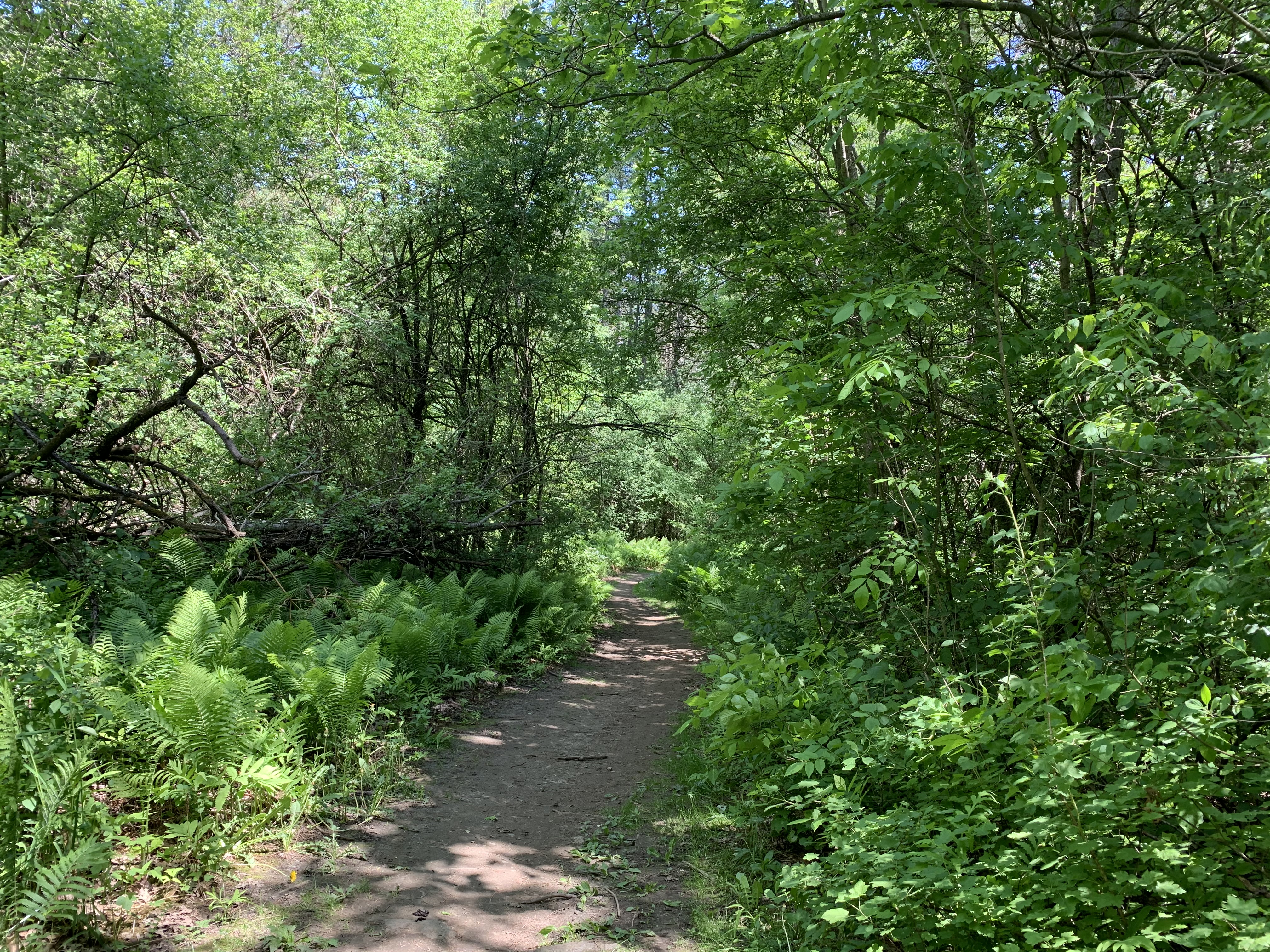
Uxbridge is known as the trails capital of Canada because of the 220 kilometres of trails that they manage near the community.  Of particular interest on this gorgeous Saturday morning was Walker Woods.  To explore we chose to park in the Glen Major Forest parking lot on 6th Concession so that we could do a brief exploration there and then follow the trail system north to Walker Woods.  The trails in the forest are fairly well marked with numbered posts that each have a map on top.  If you are following a specific route beware of side trails that are not marked as they will lead you astray.

Throughout Glen Major Forest there are extensive patches of Mayapples.  It appears that many of the flowers either failed to open or were never pollinated because they have shriveled up.  There are a few plants that have their single flower in full bloom.

IMG_3326

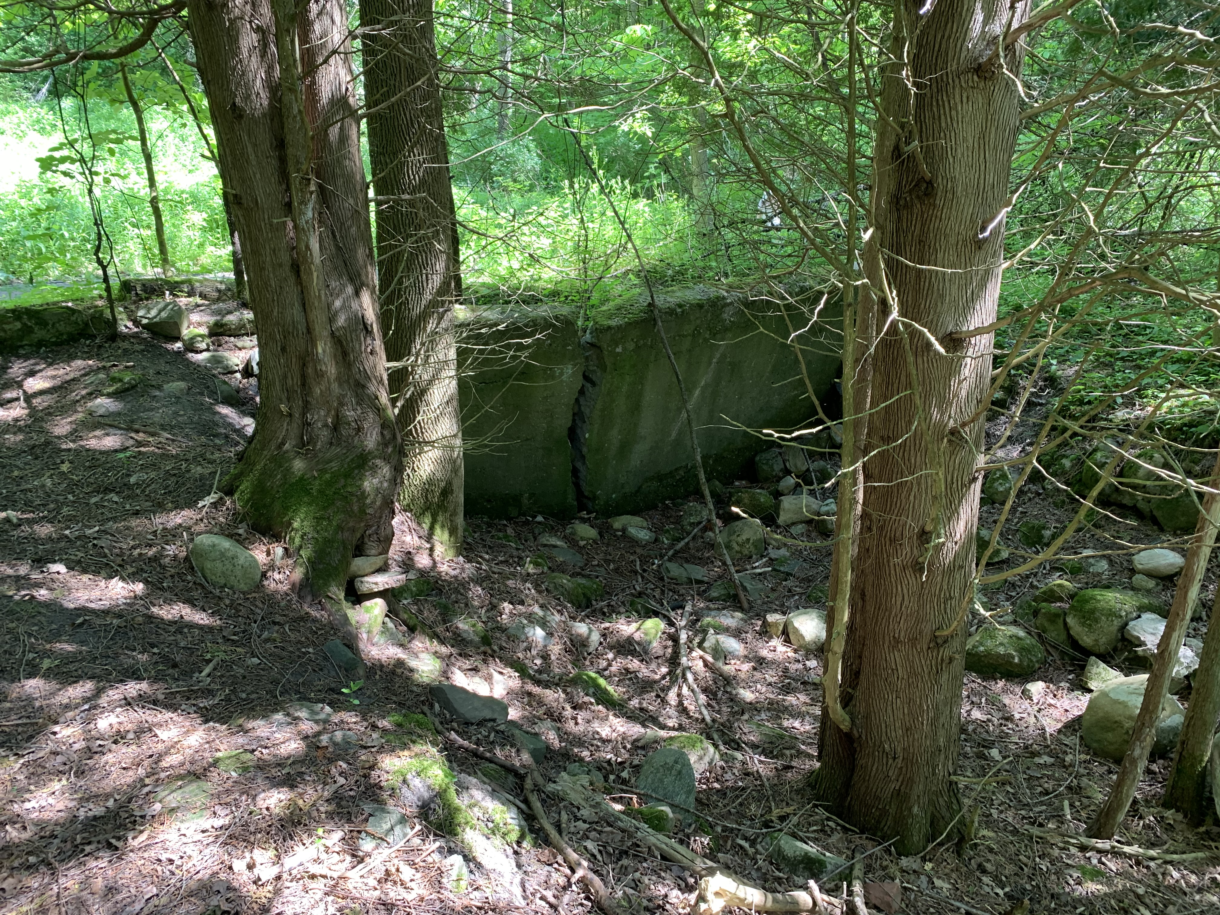
George Hopkins lived from 1818-1905 and in 1850 purchased 50 acres of land on Concession 6 in what is now Glen Major Forest.  He cleared most of the land and began growing potatoes, turnips, peas, carrots, wheat and oats.  He and his wife Margaret had nine children which they raised on the farm along with a variety of farm animals.  Only foundations remain of their buildings.

IMG_3316 (2)

We then started to follow the trails north toward Walker Woods.  The whole area had been open farmland at the turn of the twentieth century.  Thin soil and poor farming practices had left much of it underutilized.  James Walker was a Toronto lawyer who came to the area to ski in the 1930’s and took an interest in the abandoned farms in the area.  He bought his first four acres on the 6th concession in 1934 for $350.00.  When Walker returned home after the Second World War he started buying more properties in the area, eventually amassing 15 of them and 1,800 acres of land.  He then began the process of planting forests on the property to help curb the erosion that was taking place.

IMG_3342 (1)

Red Columbine are highly toxic if eaten and it is even recommended that you handle them with gloves.  The flower shape gives it the nick name Rock Bells.  They are also known as Canada Columbine or Aquilegia Canadensis.

IMG_3352

The bell shaped tubes, or spurs, are connected at the bottom and contain a sweet nectar that attracts hummingbirds, bees and hawk moths.

IMG_3362

Hawk Moths are a family that includes 1,450 species that can be found all around the world.  They are known for their rapid flying abilities which includes hovering.  This makes them perfectly adapted for getting at the nectar in Red Columbine flowers.

IMG_3337

Seeing a Canadian Flag hanging above the trail inspires a sense of patriotism even though anything else would be considered to be litter and make me upset.  It is interesting how a piece of cloth with this specific pattern can provoke pride in the country we live in.  For more on the design of our flag please see our National Flag Day post.

IMG_3345 (1)

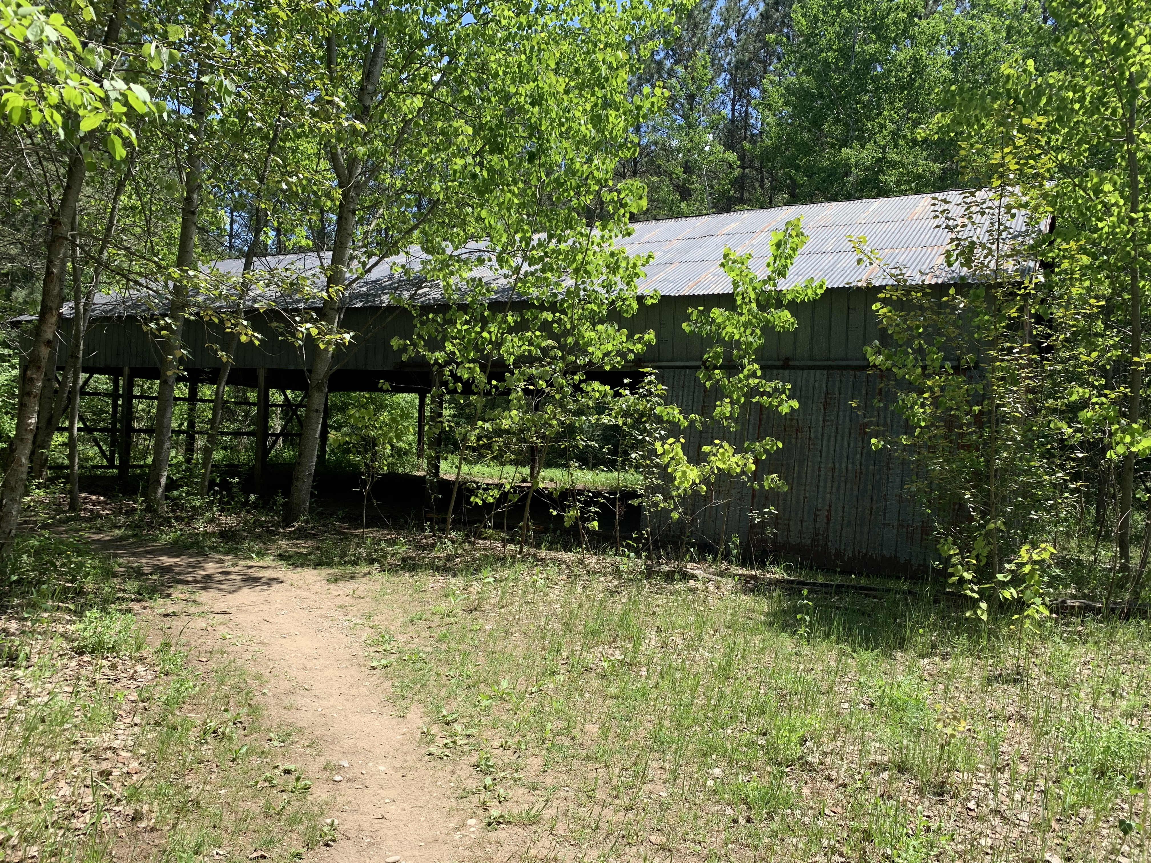
James Walker turned his properties into a forest by planting over 2,500,000 trees eventually starting a nursery and planting over 300,000 of his own saplings.  He planted both Scotch and Red Pine as well as Maple, Beech, Black Walnut and Oak trees.  Many parts of the trails make their way through straight rows of trees and follow old logging roads.  Eventually the forest was mature enough that James started to make a profit out of it,  He started selling Christmas Trees, fire wood, hardwood boards, cord wood and pulp wood.  He build several structures for his venture that still remain in the forest including the drying shed where wood was left to dry.

IMG_3380

Walker created some of his own equipment including an early home made version of a log-splitter.  Inside the old drying shed is a single piece of equipment.  Belts ran on both sides of the device which may have been used for finishing boards.

IMG_3379

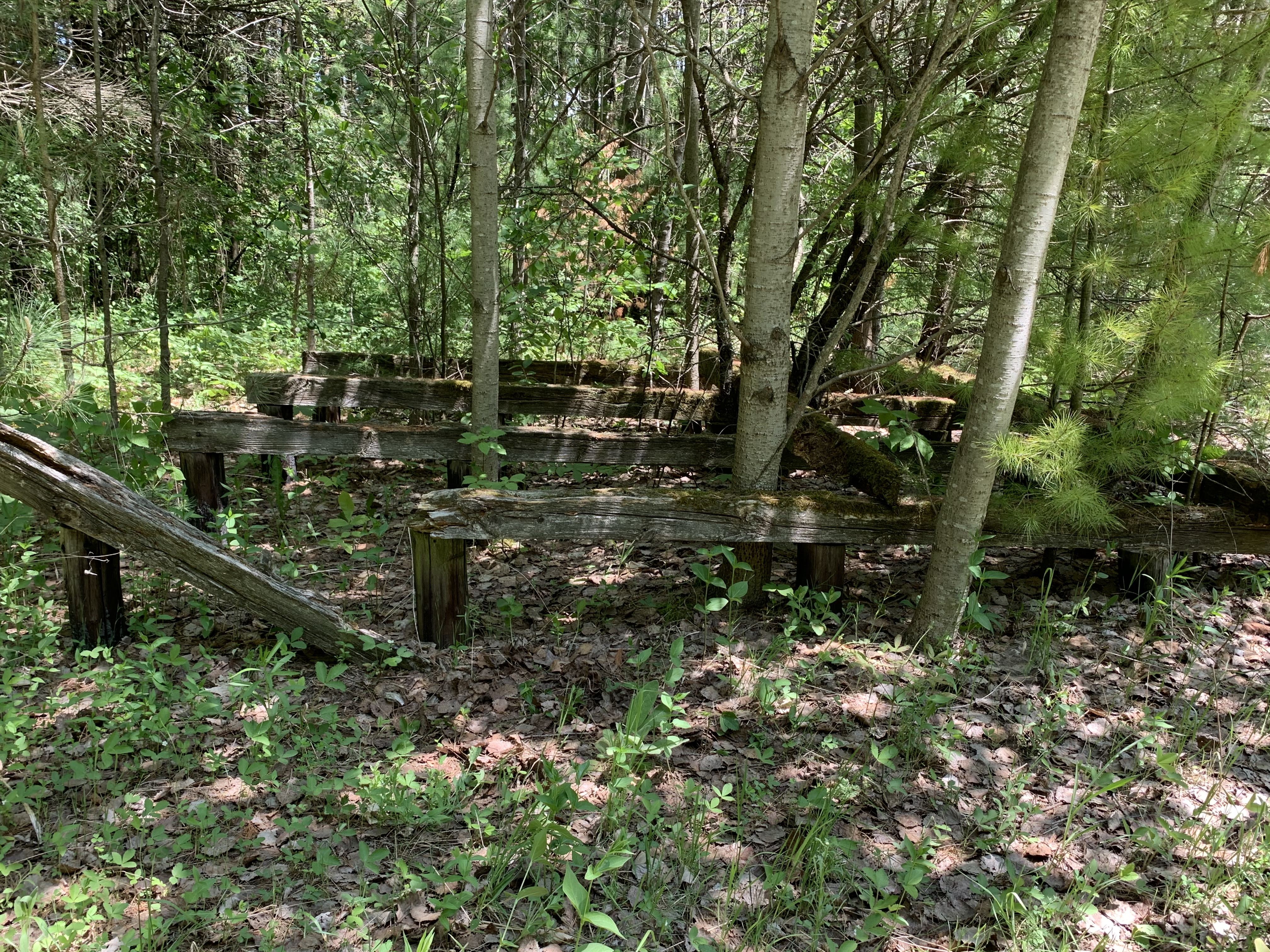
Outside the drying shed there are four cribs that were set up for drying wood on.  These  have been out of service for so long that new trees are growing up out of the middle of them.

IMG_3382

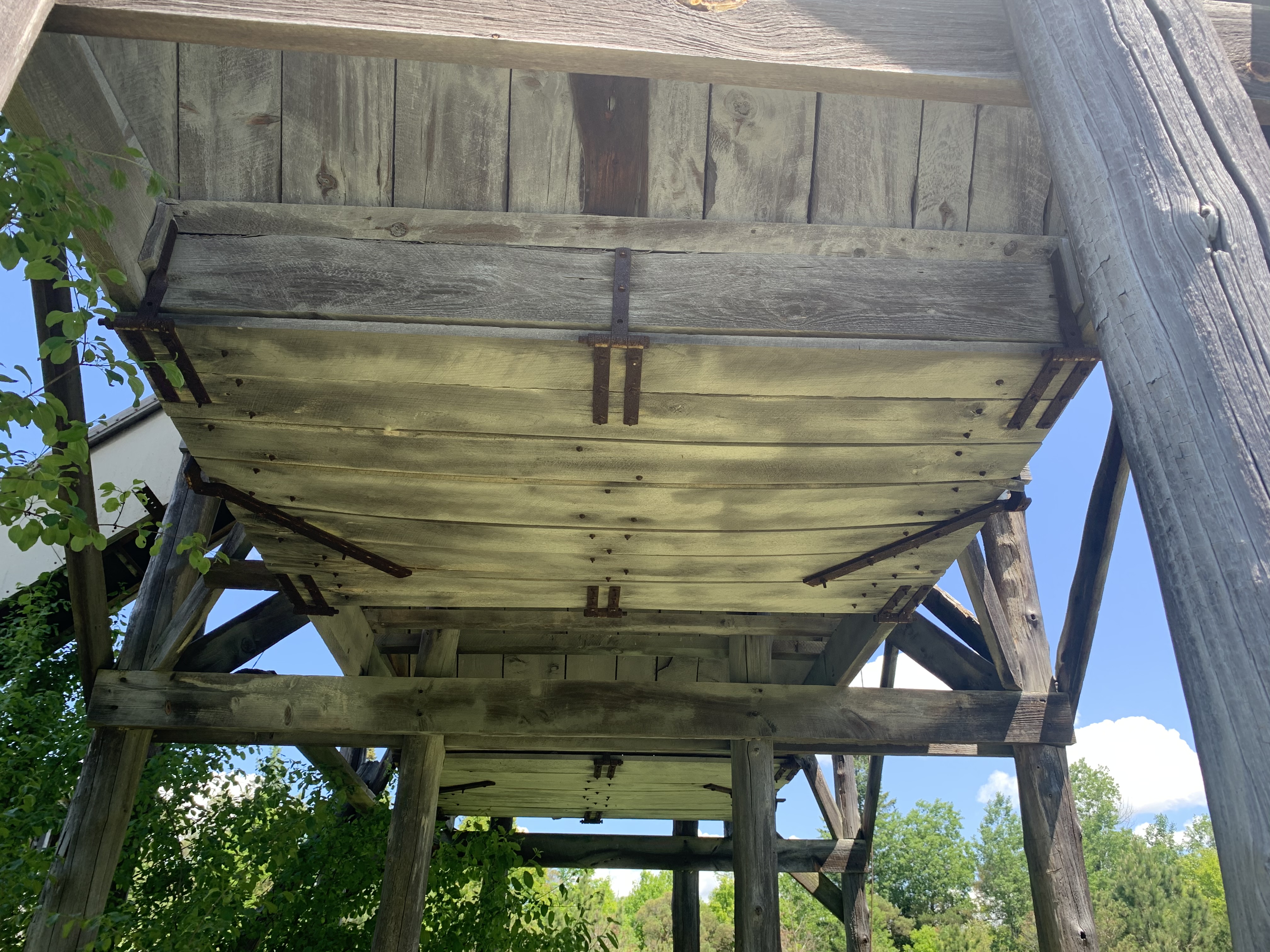
He had his own saw mill to cut the wood and it still stands a short distance away from the drying shed.  Several other of Walkers buildings are in use by the Toronto Region Conservation Authority as equipment sheds and they stand just off the trail on a bit of property that is off limits to the public.  The mill is interesting because it has a structure at the rear that resembles a grain elevator.  It contains two bays that were fed by a single conveyor belt.

IMG_3403

The elevator was likely used in the pulp wood side of the business.  Trap doors on the bottom of each bay could be opened to allow the pulp wood to be dumped into trucks or trailers.

IMG_3410

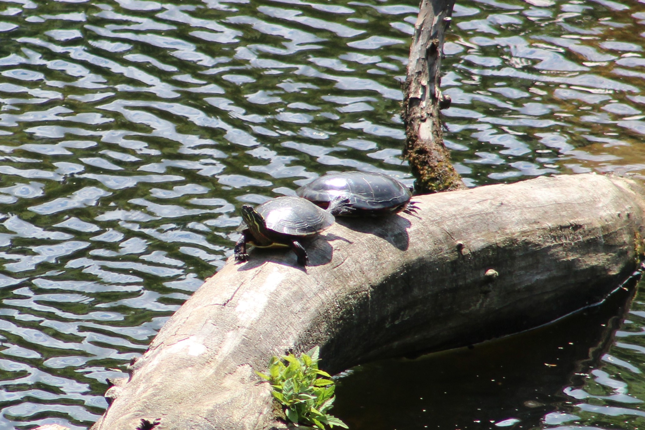
We returned to the drying shed and followed the trail west because we had decided to make our way back to the parking lot using the road.  Along the way there are several wetlands and ponds and we saw these two painted turtles sunning themselves on a log.

IMG_0186

Walker Woods and Glen Major Forest contain many trails, including some on the west side of Concession 6, which means that there is a lot more to explore on some future visit.

Here’s a link to the trail guide for all the local trails near Uxbridge.

Google Maps Link: Walker Woods

Like us at http://www.facebook.com/hikingthegta

Follow us at http://www.hikingthegta.com

\Also look for us on Instagram

York Lodge

Friday, May 8, 2020

A century ago the property that is home to Sunnybrook Hospital and Sunnybrook Park was a working farm and country estate for one of Toronto’s wealthy elite.  Joseph Kilgour was partners in the Canada Paper Company and made his fortune from flat-bottomed paper bags like the grocery bags some of us remember from our childhood.  With the COVID-19 lockdown still underway I went for another walk through the park with an eye to locating the remnants of his legacy.

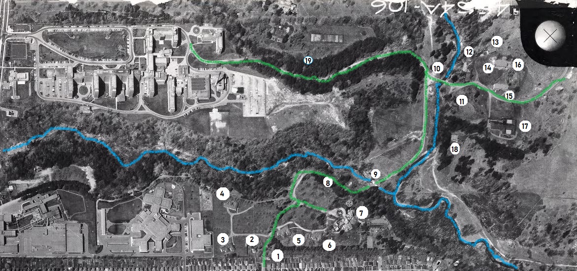
Joseph purchased several parcels of land to comprise the farm and estate he intended to create.  He added to the buildings on the old Burke farm to create Sunnybrook Farm where he raised horses and cattle.  Then he went to the top of the Burke Brook ravine and built a grand country estate that he named York Lodge.  At that time there were less trees and Kilgour had a grand view across the valley and his farm.  The picture below was captured from the City of Toronto archives collection of photos, this one was taken in 1964.  I’ve marked the roadways on the old estate in green and the waterways in blue.  I entered the ravine from Bayview avenue and followed the trail along the top of the ravine on the south side of the brook and made my way toward the original gates to the property.

1964

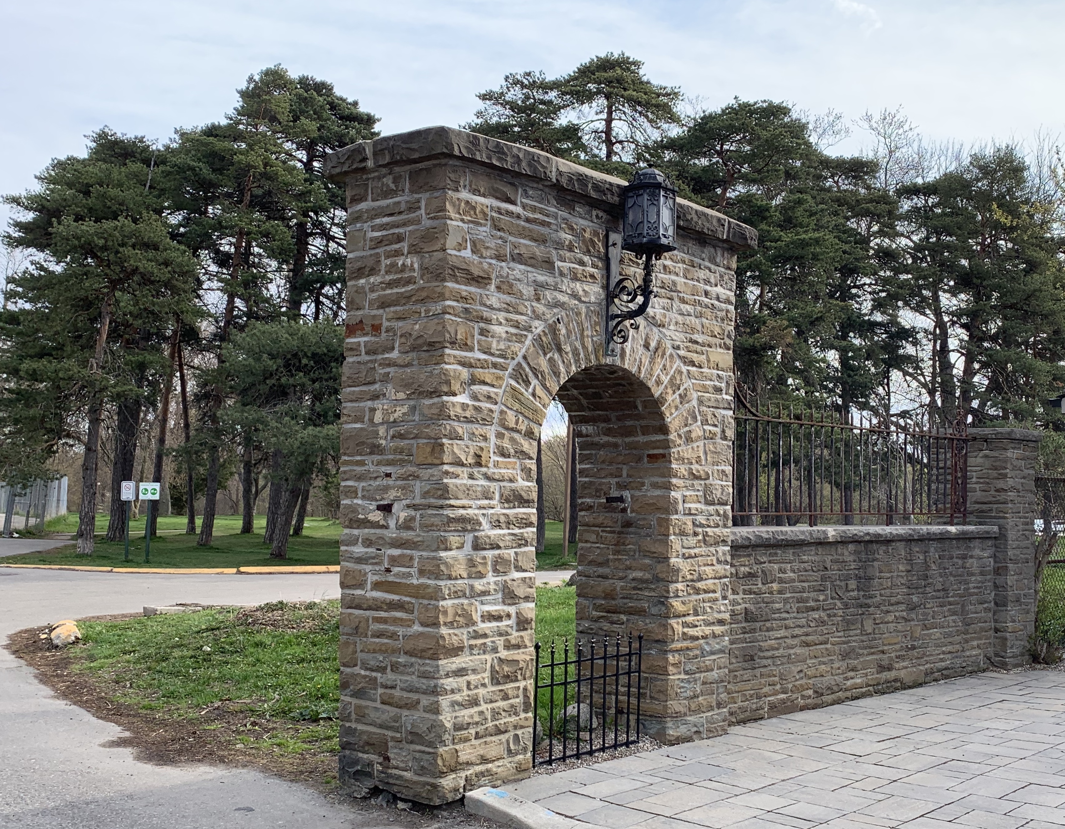
There were originally two sets of gates, one on Bayview directly across from the end of Blythwood Avenue.  This set led directly to Sunnybrook Farm and was removed when the hospital was built in the mid-1940s.  The second set can be found at the end of Sutherland Drive and it led directly to York Lodge.  The pair of stone gates feature ornate wrought iron lamp posts which must have looked quite spectacular to guests arriving for an afternoon fox hunt or social gathering.

IMG_2494

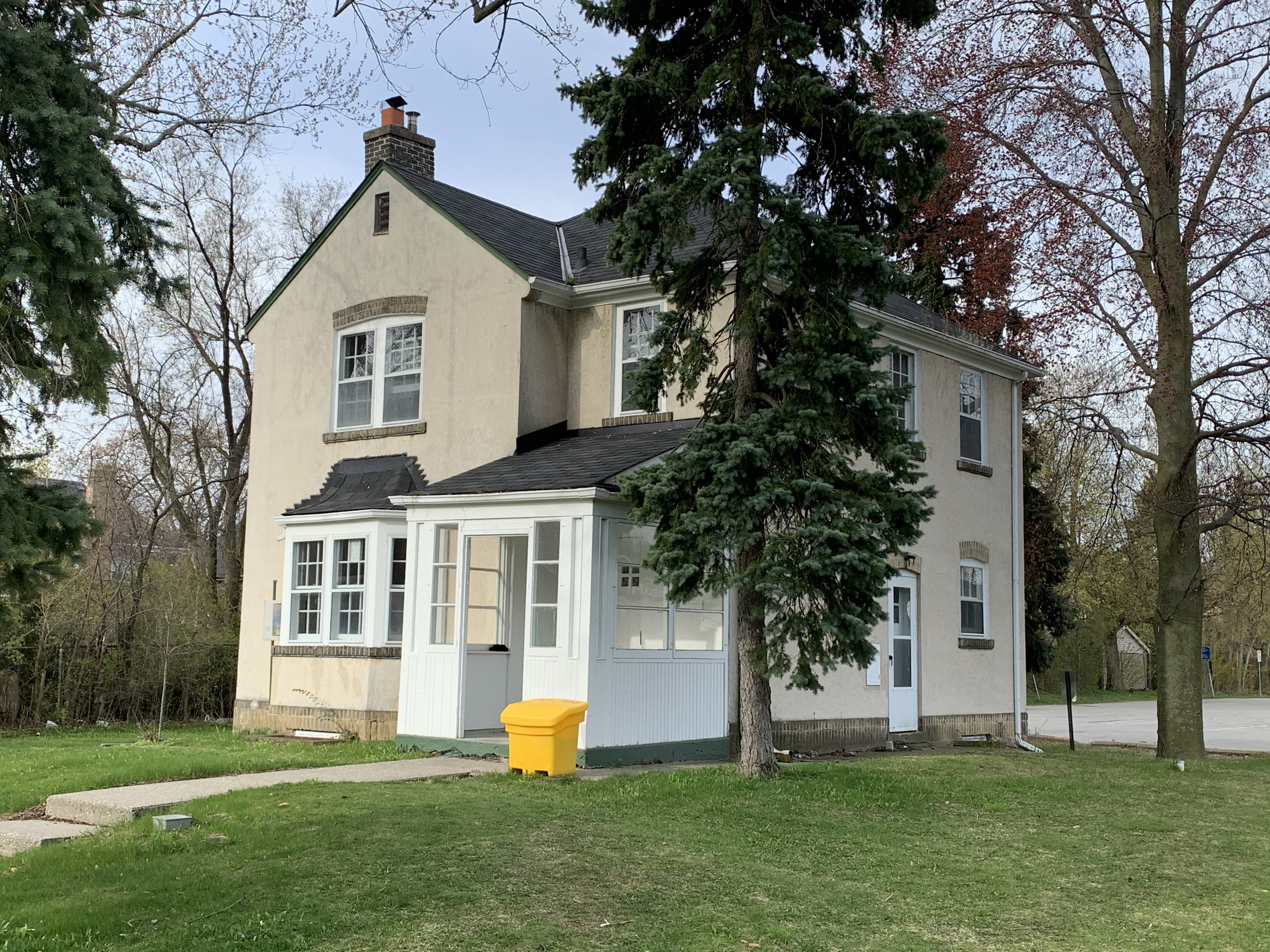
The only remaining building from the York Lodge estate is the gatehouse.  It stands just inside the gates and is identified as number two on the map.  Along with the gates, it was listed on the Toronto Heritage Register in 2005.

IMG_2496

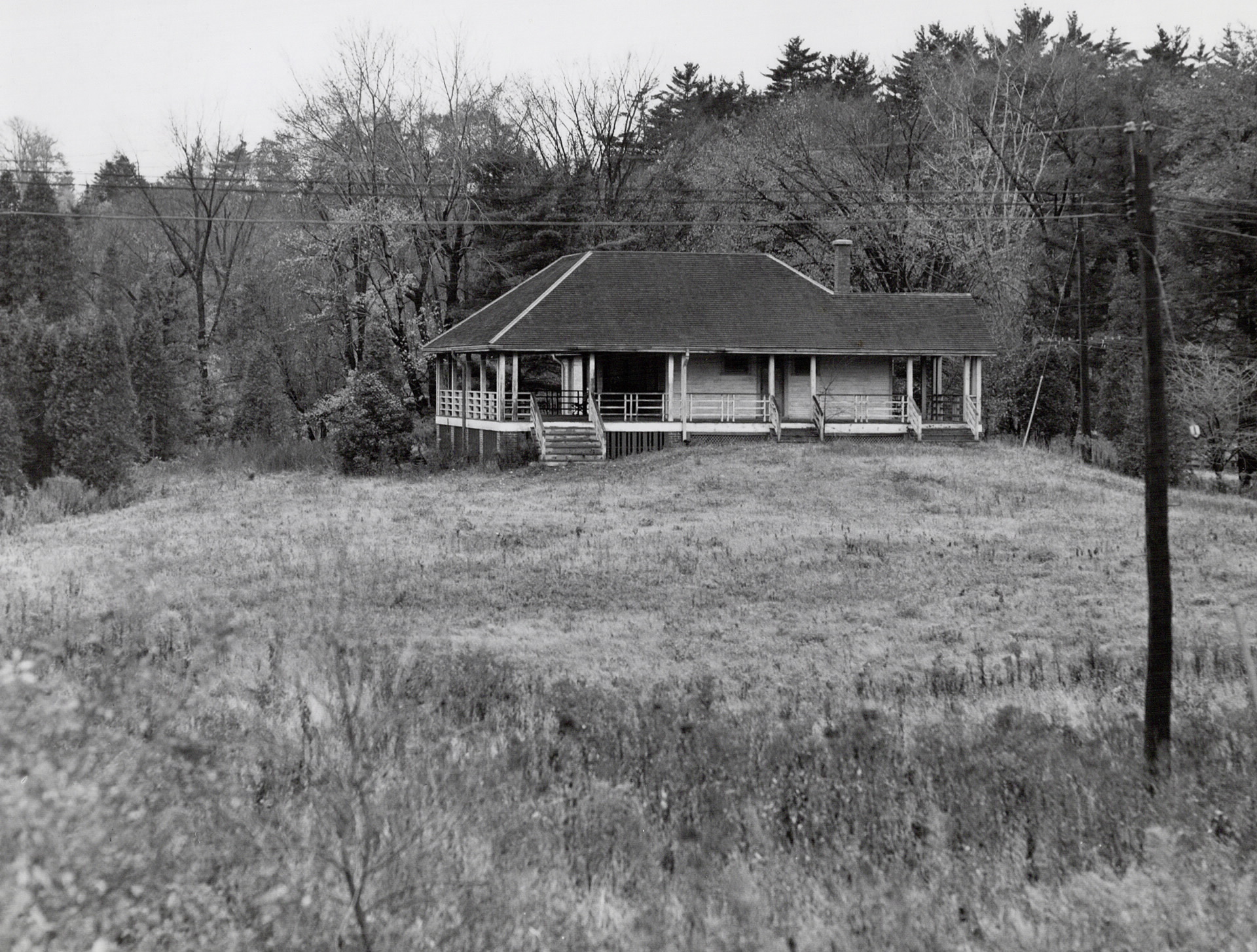
There were four summer cottages on the estate but they have all been demolished.  The picture below is from the Toronto Archives and shows one of them.  They’re marked 3-6 on the map above.

Kilgour cottage

When Alice donated the property to the city she kept ownership of York Lodge and continued to live there until 1930.  She sold it to another prominent Toronto business man named David Dunkelman.  He was the president of Tip Top Taylors.  Dunkelman only kept it for 6 years before selling it to Captain James Flanigan.  In 1943 Flanigan converted it into a military hospital renaming it Divadale after his daughter Diva.  In 1953 it was converted into a convalescent home for veterans but was demolished around 1980.  This archive photo is credited to John Chuckman and gives us a look at the outside of York Lodge after the name was changed.  It is marked as number 7 on our map.

Divadale

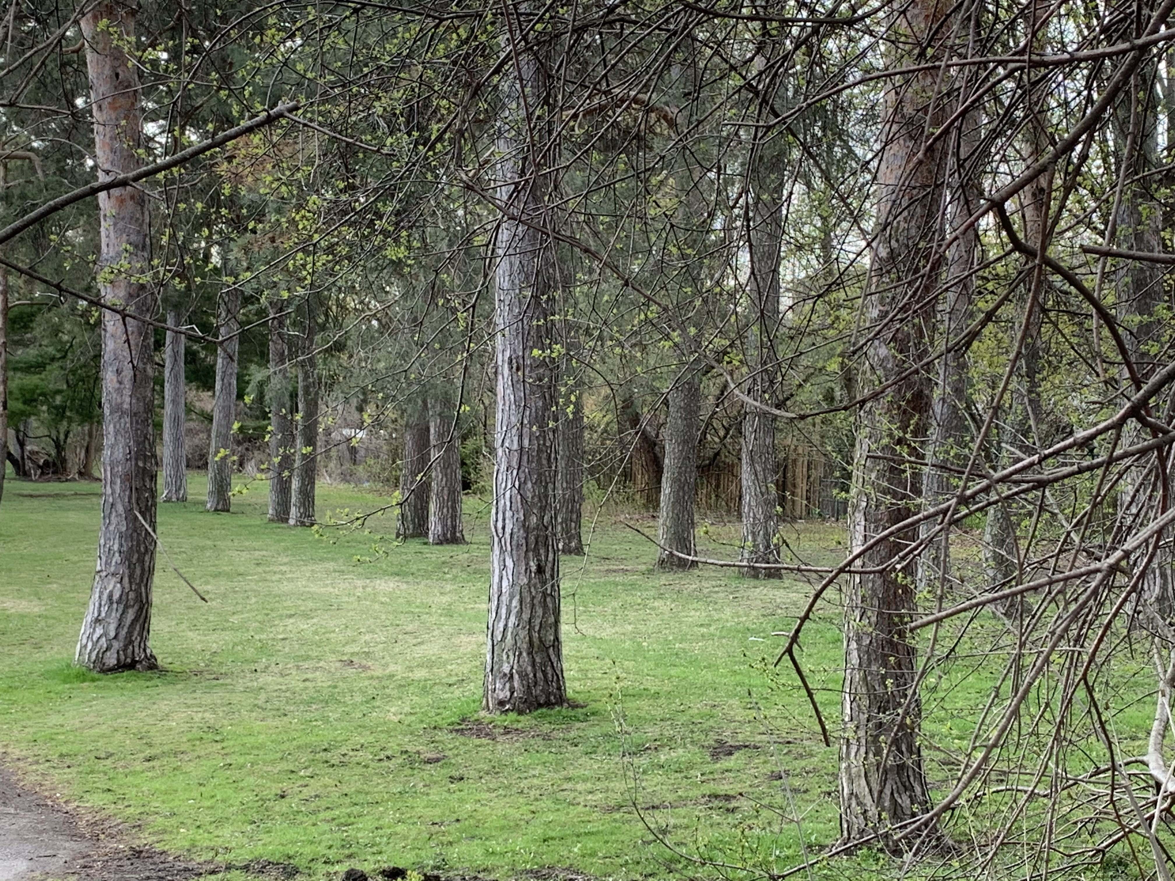
Lydhurst Hospital was constructed on the property in 1978 but some of the roadways and landscaping can still be found as well as rows of mature trees planted in straight lines.

IMG_2499

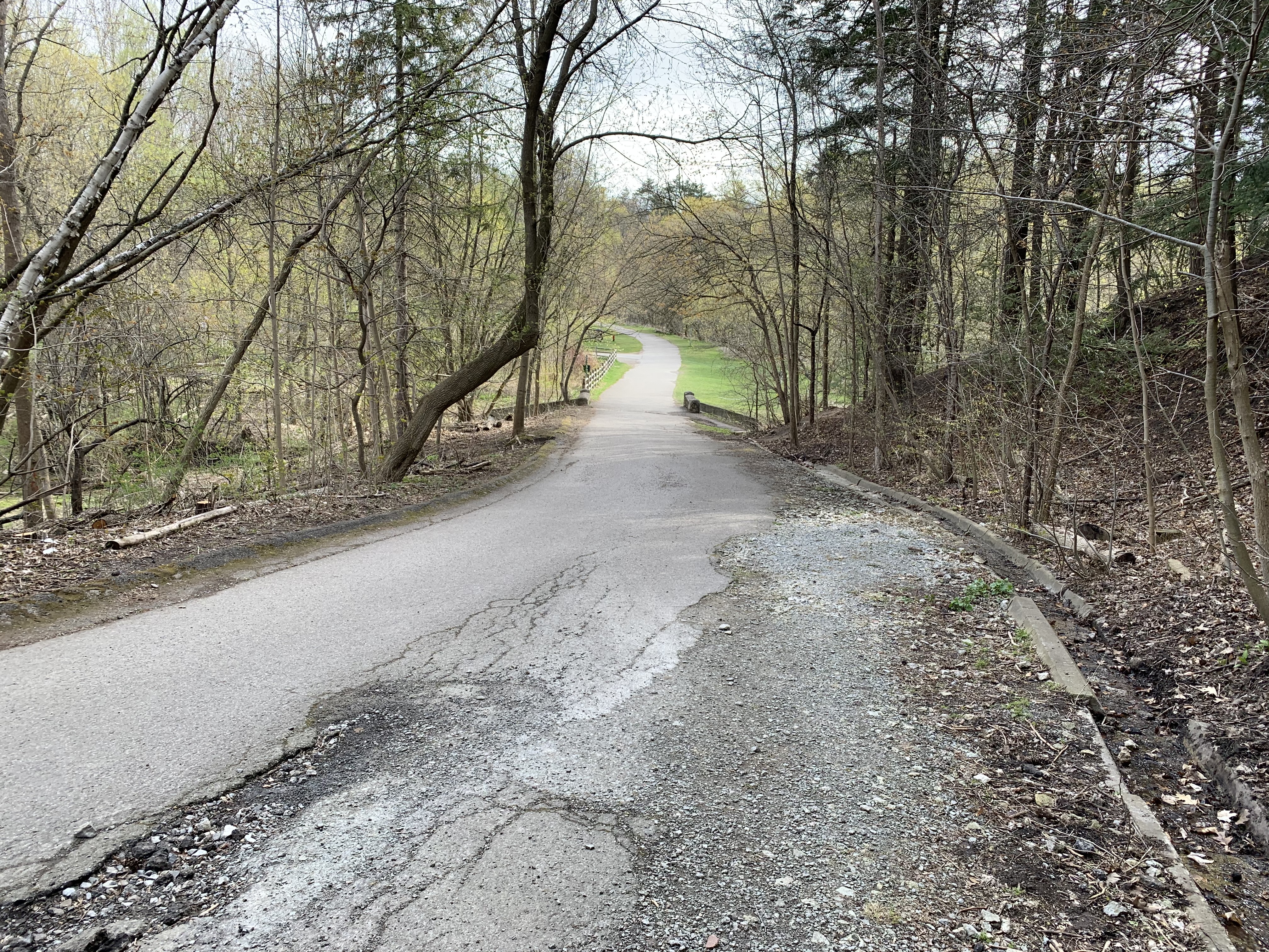
The lane way is shown as number 8 on the old photo above.  It led down the hill from York Lodge to Sunnybrook Farm and connected with the other lane way off of Bayview Avenue.  At the bottom of the hill the lane crossed Burke Brook at the point just before the brook enters into the Don River.  Burke Brook takes its name from Edward Burke who owned the 200 acre farm in 1860.

IMG_2515 (1)

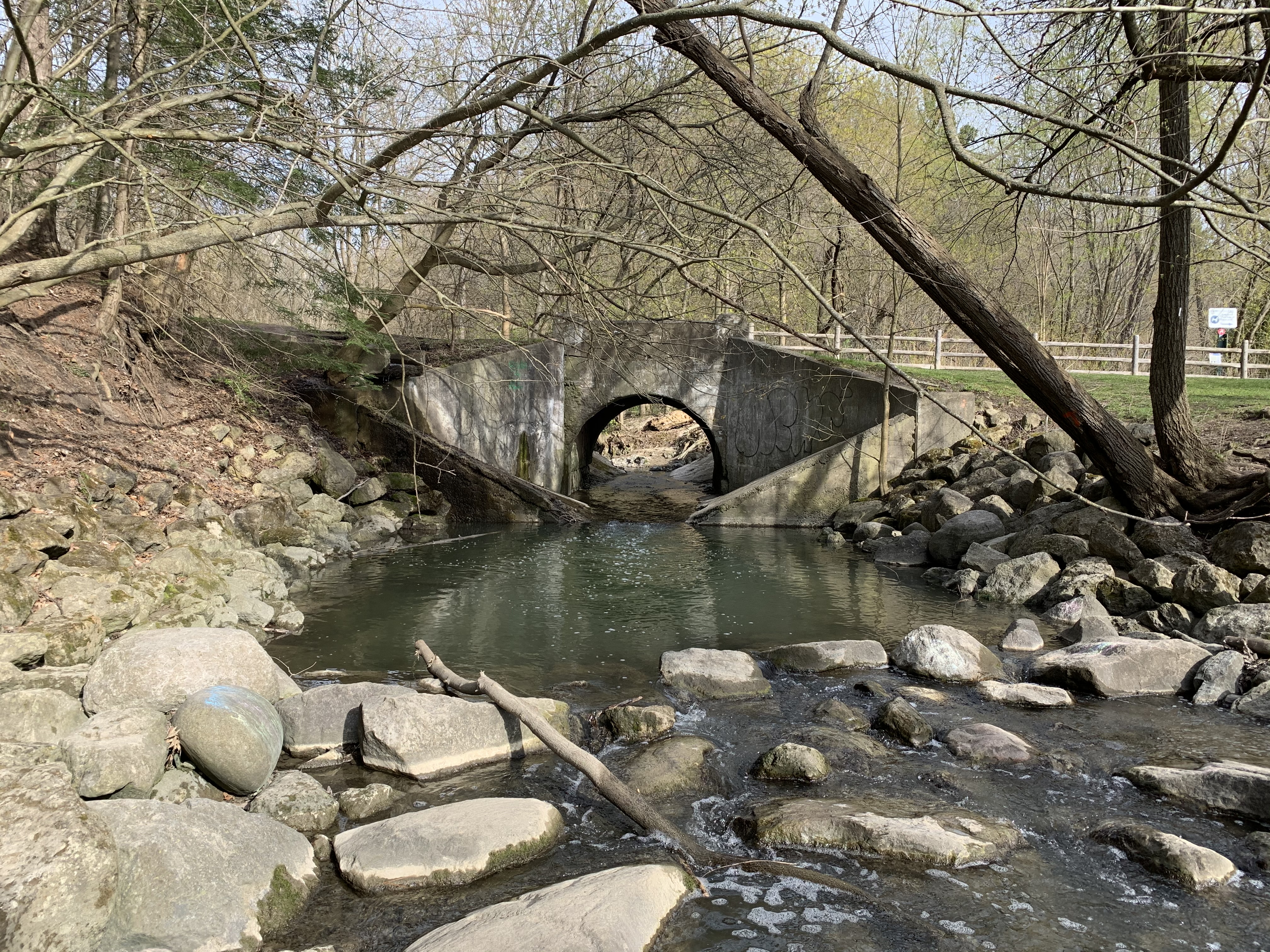
The Burke Brook bridge is architecturally interesting because of the wings on either side of the abutments.  When the water level is just right you can see a small waterfall through the centre of the bridge.  The off-leash dog park can be seen in the background.  It seems strange now that there are no dogs playing and chasing each other in the park.  This bridge is number 9 on the map above.  Near this bridge is a circular well or pumping station that we featured in last weeks companion post Staying Close To Home.

IMG_2509

The bridge over the Don River is more typical of one used by regular traffic.  This bridge was closed to vehicles when the farm was donated to the city as a park and is number 10 on the map.  Alice Kilgour decreed that the park should remain free of charge for the citizens to use and that no road should be allowed to pass from Bayview through to Leslie Street.

IMG_2516

The 1964 photo above shows a building identified as number 11.  This structure no longer exists but number 12 still stands, tucked in overlooking the river and bridge.  These homes were built for the use of various farm and estate workers.

IMG_2518

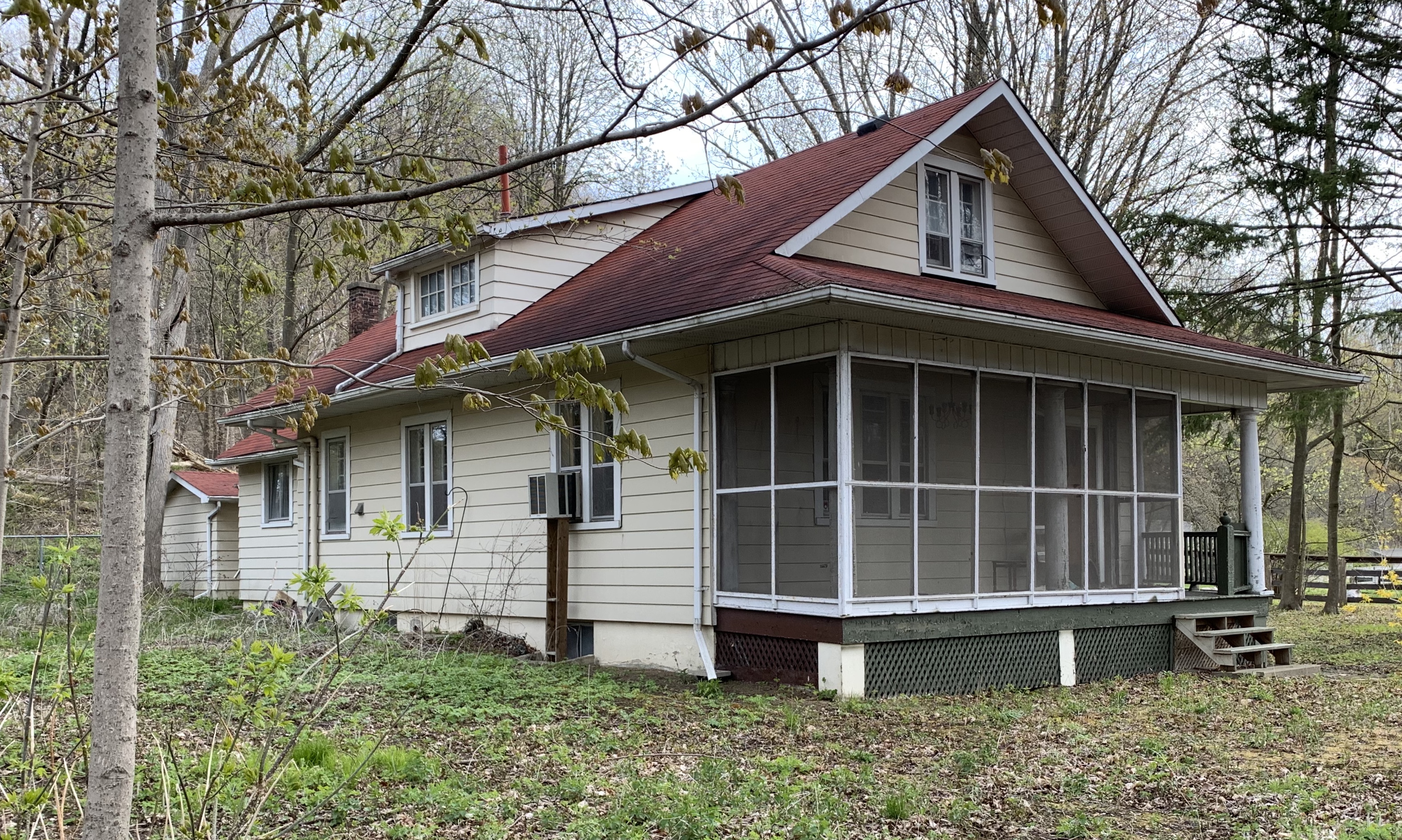
The house identified as 13 on the map was tucked in behind the horse barn and is another of the farm worker homes that were deeded to the city along with the land.

IMG_2520

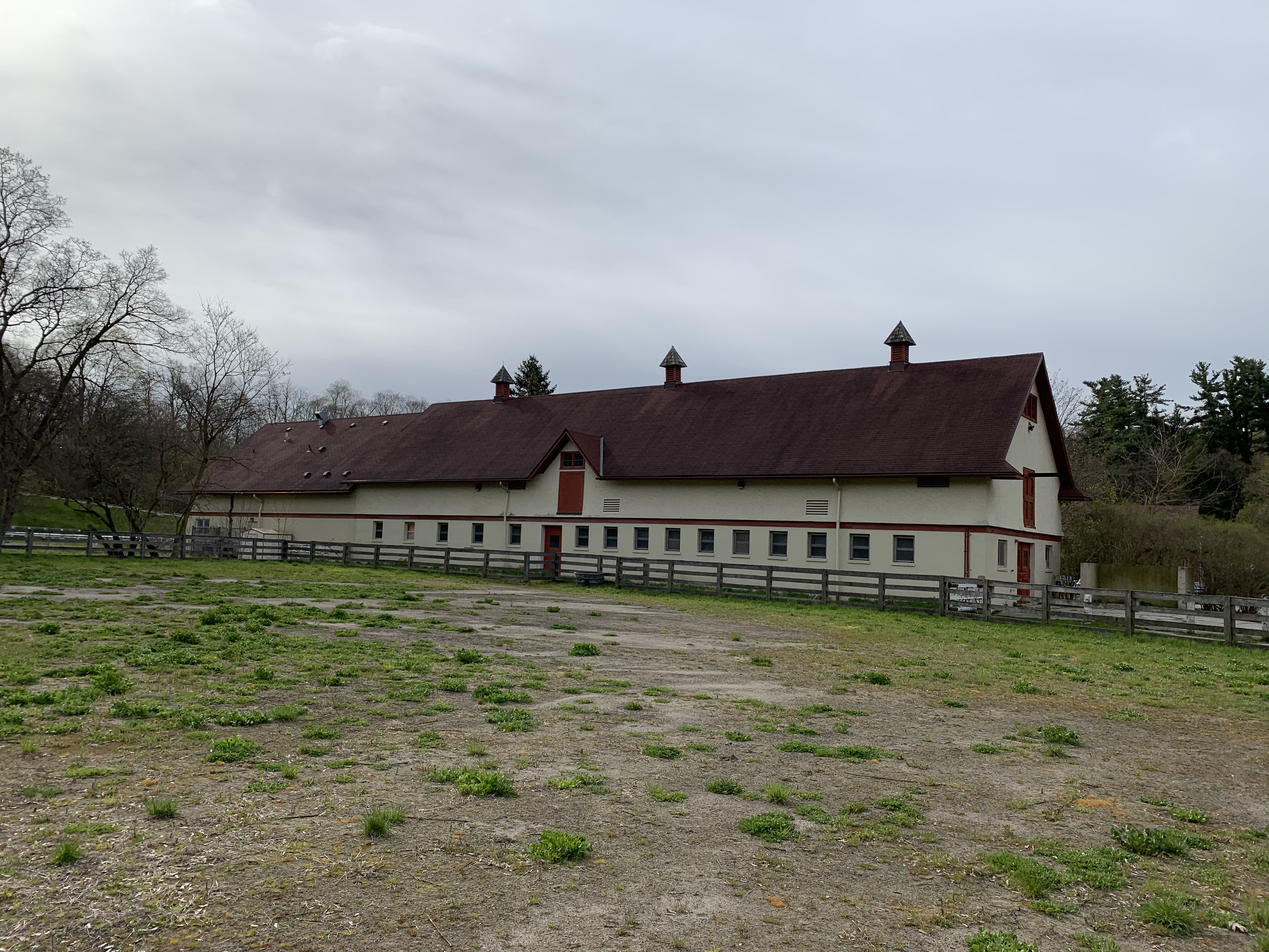
A very ornate barn with two silos is shown as number 14 on the map.  Unfortunately it was destroyed in a fire on May 21, 2018 killing 16 horses that were housed inside.  Another 13 horses were moved to another barn and were saved.  This barn was home to the Toronto Police horses for many years until they were relocated to the CNE grounds.  The picture below was taken from our Sunnybrook Park post.

img_0303 (1)

This picture was taken from the space where the barn formerly stood, now a vacant field with no trace of the barn or silo.  The outer fence for the horse paddock can be seen in the photo above as well as in the distance below.  Across the way is a second barn from Sunnybrook Farms where the cows and other farm animals were kept.  Horses that were rescued from the fire were moved over to this barn, labelled as 15 above.

IMG_2523

Kilgour erected one of the first indoor riding riding arenas in Canada which is shown as item 16.

IMG_2529

One other building in the compound, number 17, currently houses washrooms and has an equipment shed in the one end.

IMG_2533

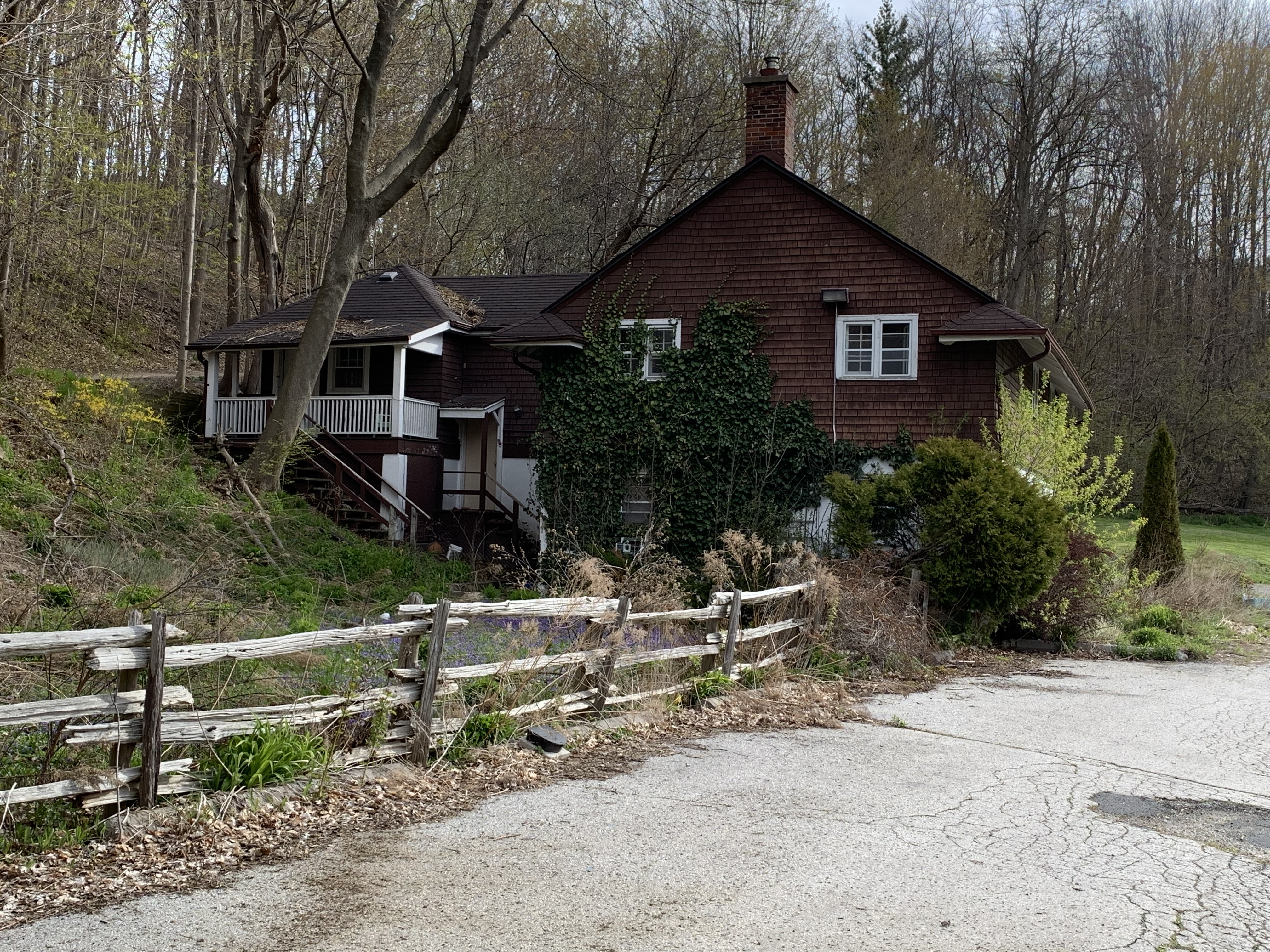
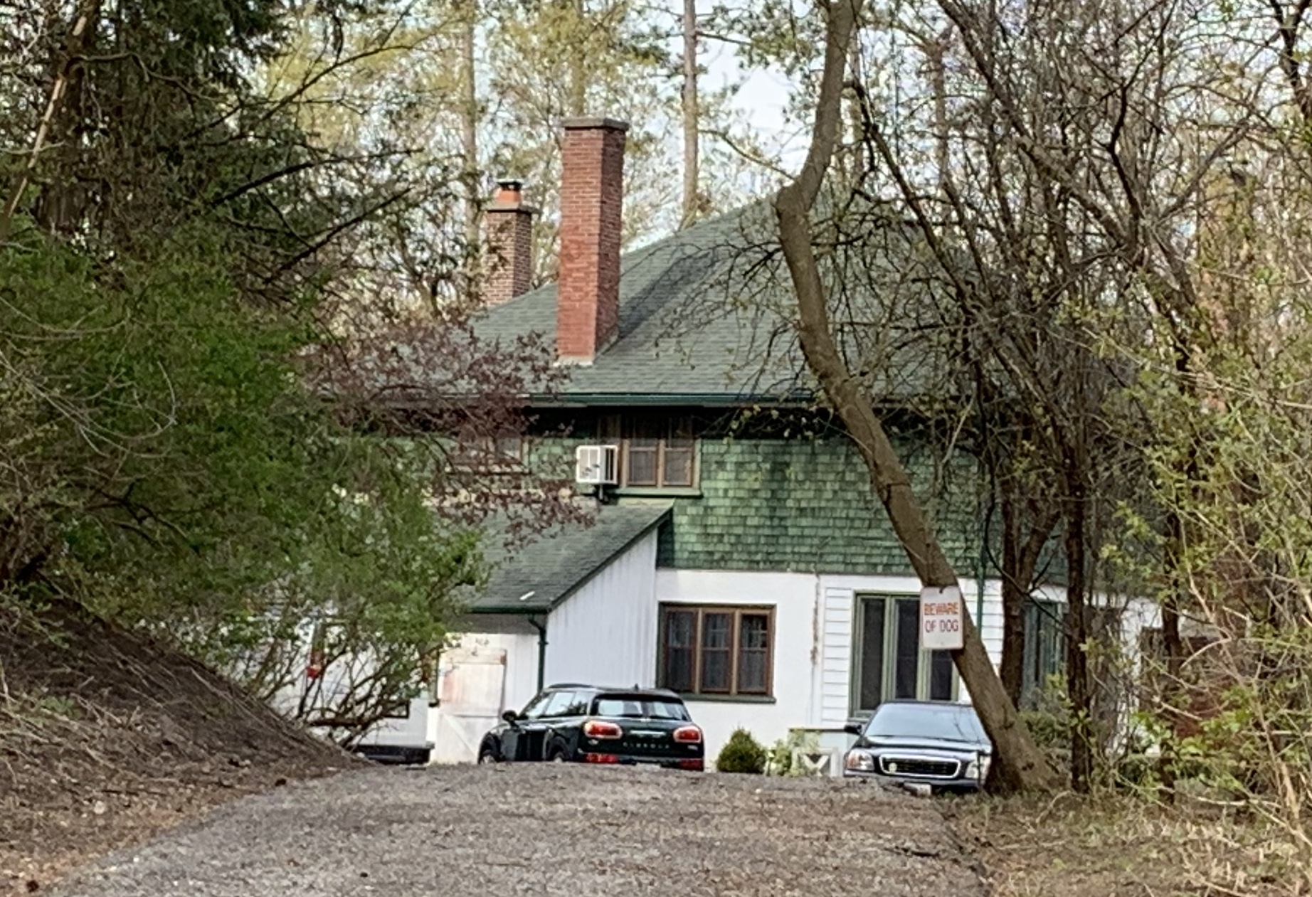
Building number 18 caught my attention because it looks like an older style of farm house.  This house is not listed on the heritage register but I wonder if it may have been erected by the Burke family before Joseph Kilgour bought their homestead farm to create his dream estate.  I had planned to walk right up and get a better view but the sign on the tree gave me reason to reevaluate that plan.

IMG_2534

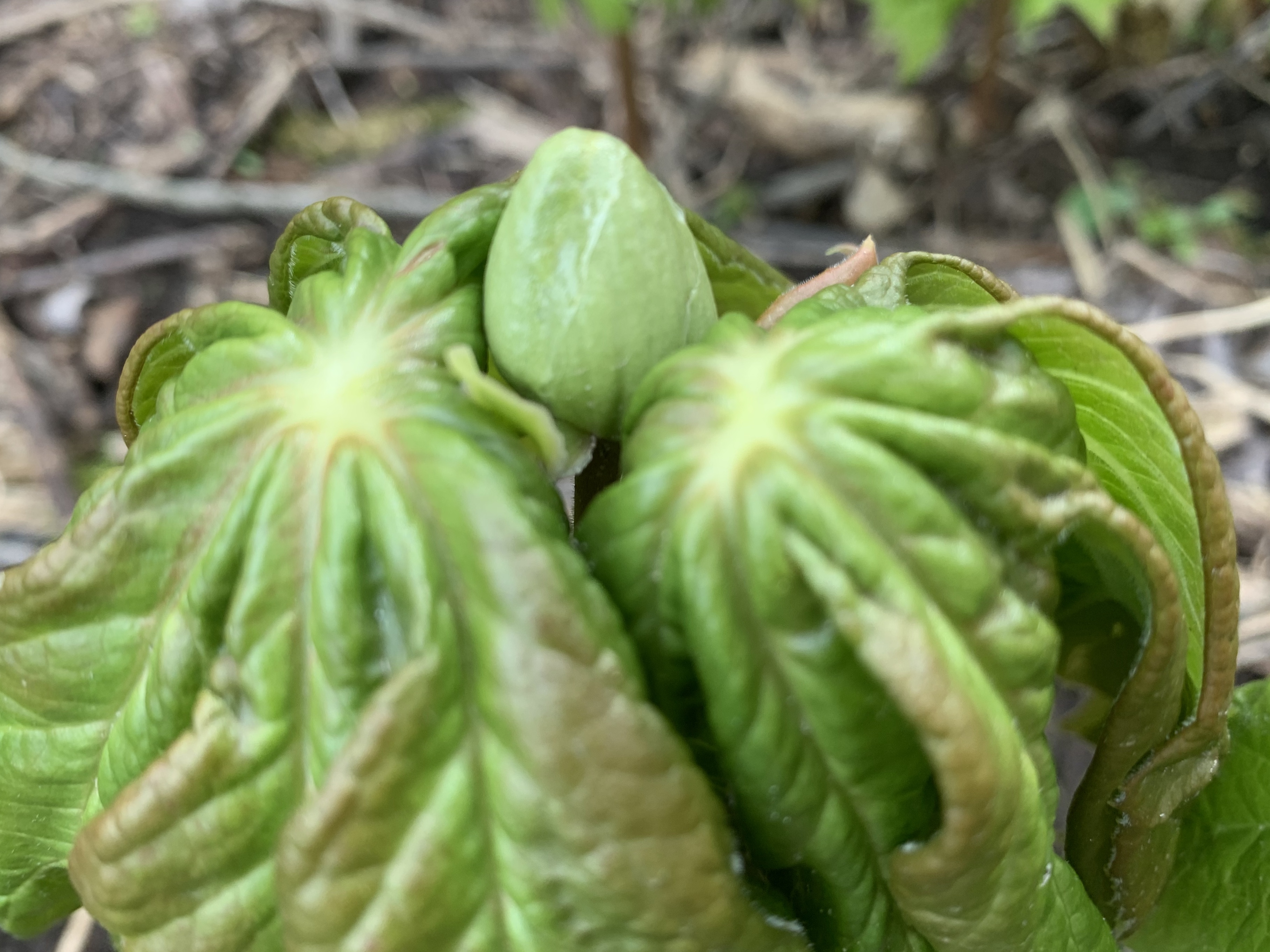
On the valley floor near the Don River is a large patch of Mayapples.  The plants with two leaves are the only ones that will produce buds and that appears to be the case for most of these plants.  The bud pictured below will open into a single flower that will later produce the lone fruit on this plant.

IMG_2546

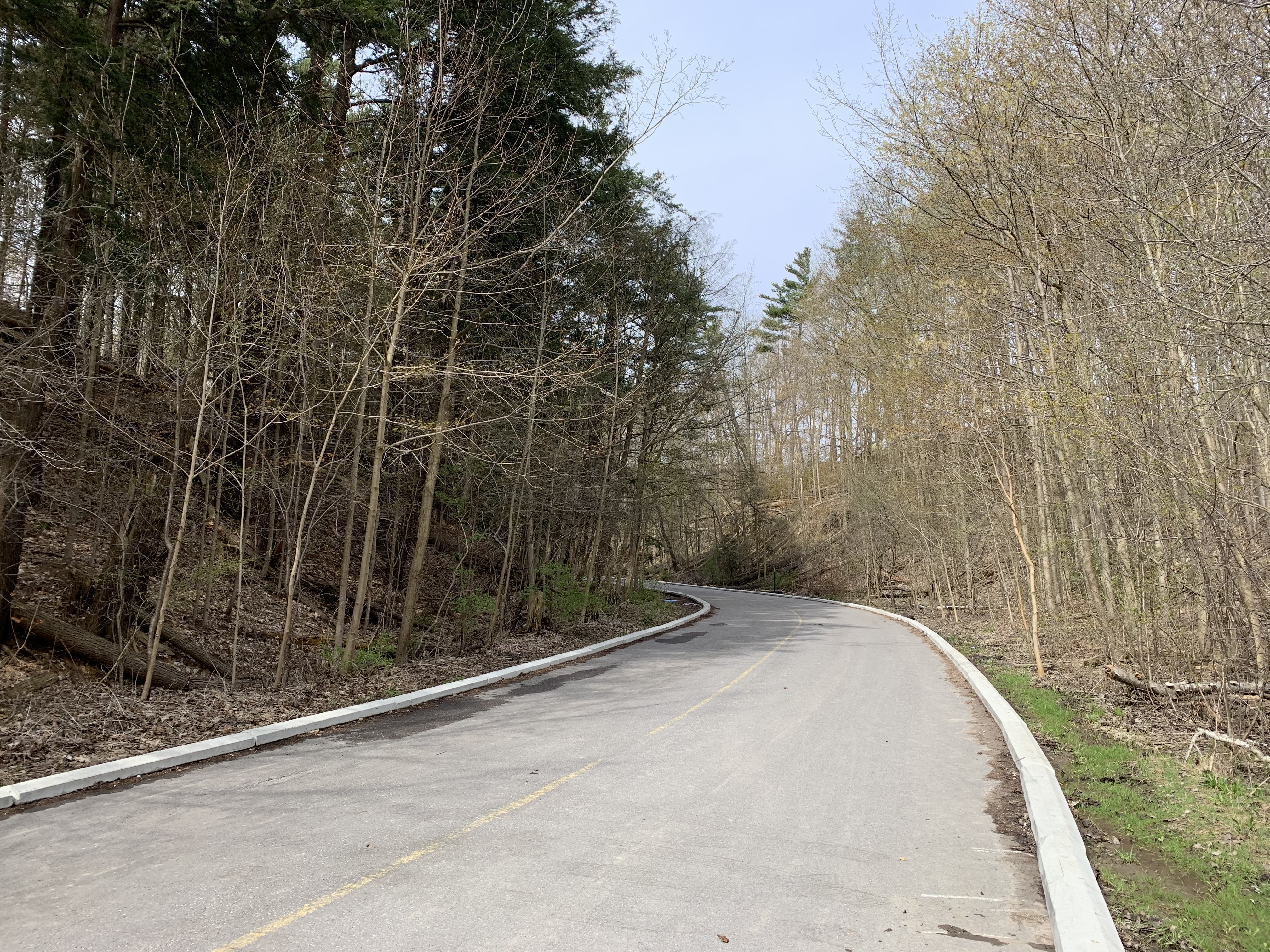
The lane way back to Bayview is marked as 19 on the map and now leads to the rear of Sunnybrook Hospital.  To the north of the hospital are three other country estates that were built by the wealthy so they could escape the city.  The stories and pictures of these former estates can found in our previous post entitled Bayview Estates.

IMG_2548 (1)

Although it has been nearly a century since the property was given over to the city a surprising number of artifacts remain from the days of Joseph and Alice Kilgour.

Google Maps Link: Sunnybrook Hospital and Park

Like us at http://www.facebook.com/hikingthegta

Follow us at http://www.hikingthegta.com

Also look for us on Instagram

The Bruce Trail – Waterdown

Saturday, June 1, 2019

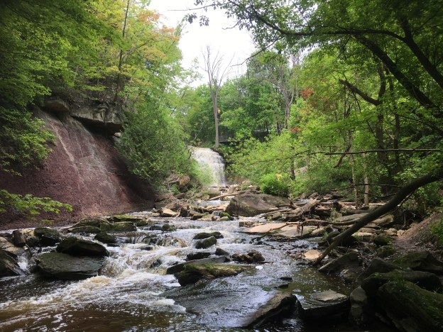
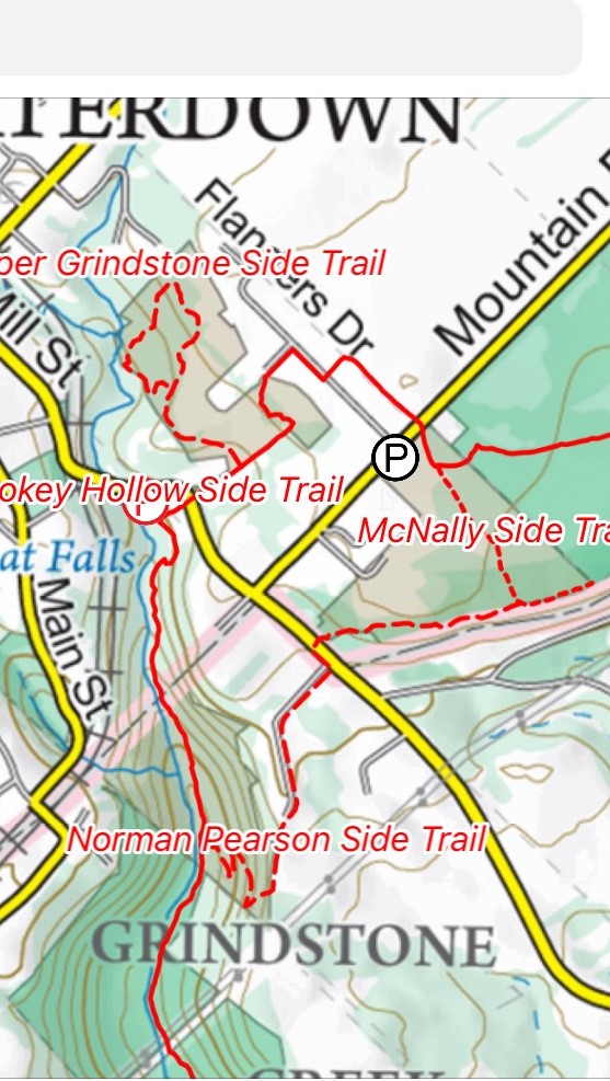
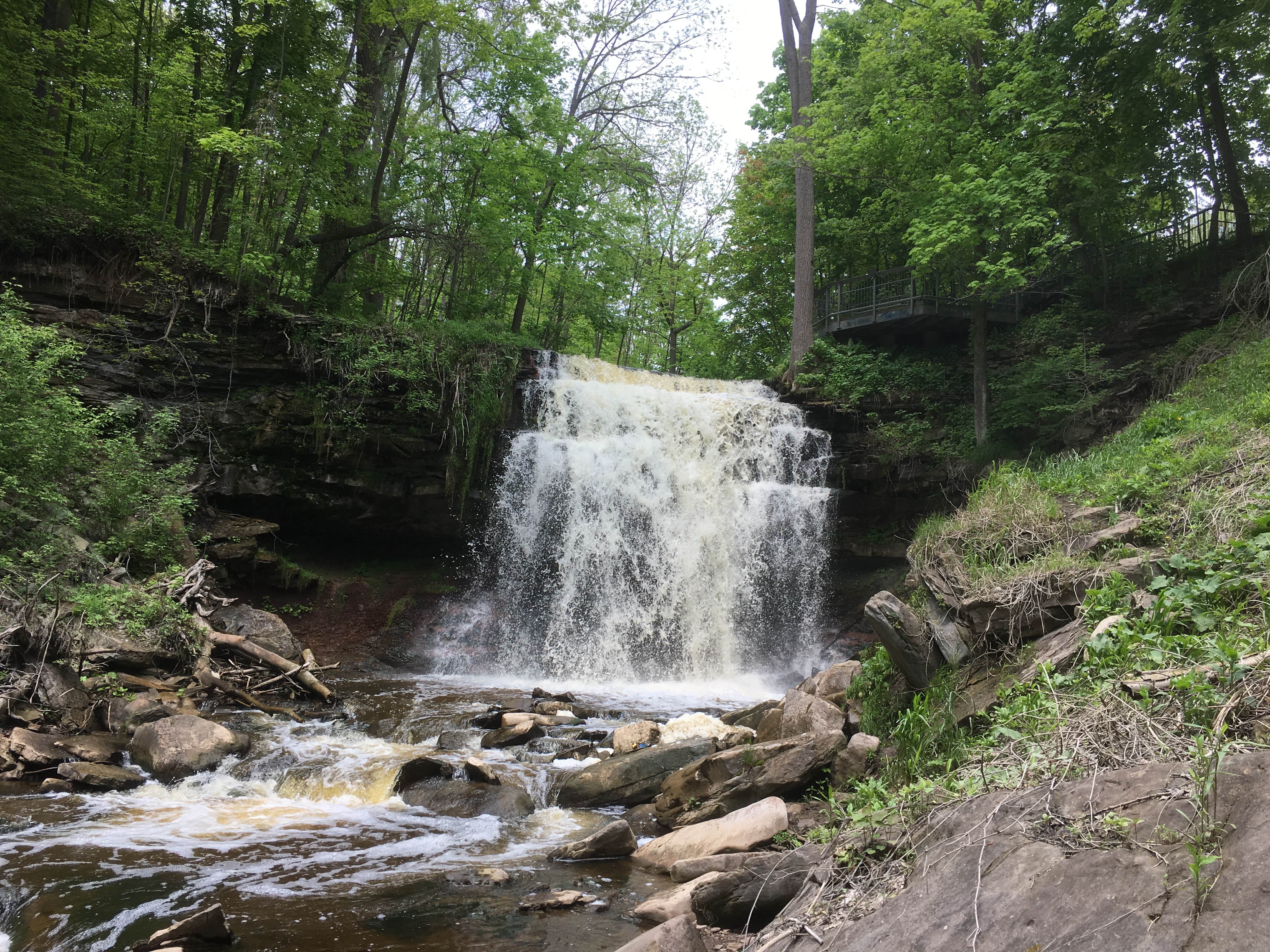
We had previously visited the falls in Waterdown in the winter and decided to return to see what the summer was like on the local trails.  There is free parking right beside the waterfalls which have gone by several names over the years including The Great Falls, and Grindstone Falls.  Our earlier story featured slackliners walking across the gorge above the falls and we called it Slacking in Smokey Hollow.  We followed Grindstone Creek downstream until we came to the Norman Pearson Side Trail.  This connects to the McNally Side Trail and returns you to the main trail.  There is an additional little side trail called the Upper Grindstone Side Trail that was part of the package.

Image-1 (6)

The Smokey Hollow Side Trail is only 50 metres long and connects the main trail to a viewing platform for Grindstone Falls.  The platform can be seen in the picture below and it provides an interesting view of the crest of the falls.  The Bruce Trail follows Grindstone Creek and has a set of stairs built into the side of the ravine to allow easier descent.  From the bottom a short trail leads back toward the bottom of the falls but be careful, we witnessed a guy showing off for his girlfriend who fell into the creek and got completely soaked.  If he would have been injured he’d have required a complicated rescue.

IMG_0605

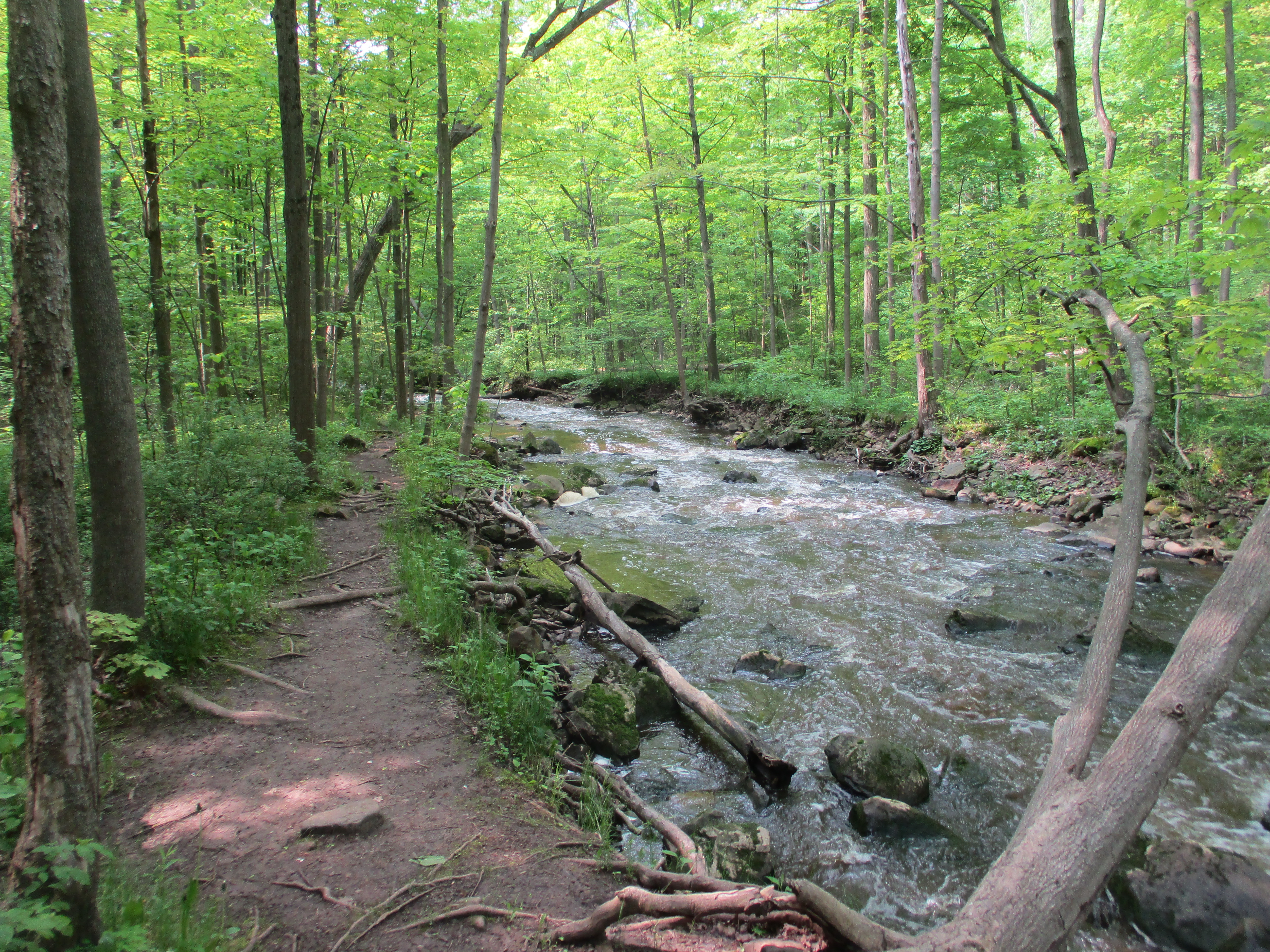
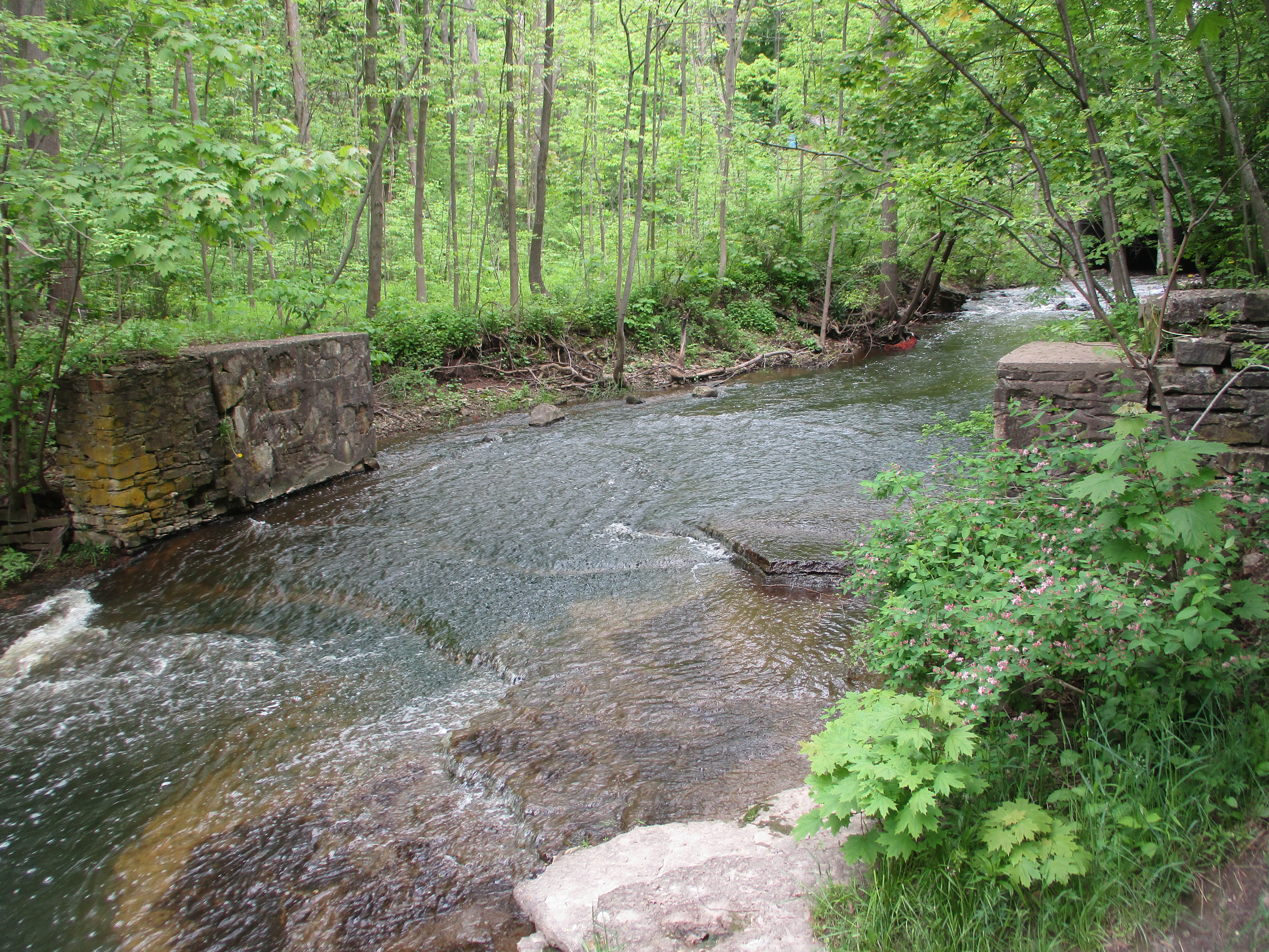
From there we followed the main trail along side Grindstone Creek.  This trail gives plenty of great views of the creek as it cascades over the large chunks of dolomite that have been eroded over the past 12,000 years since the last ice age retreated.

IMG_3904

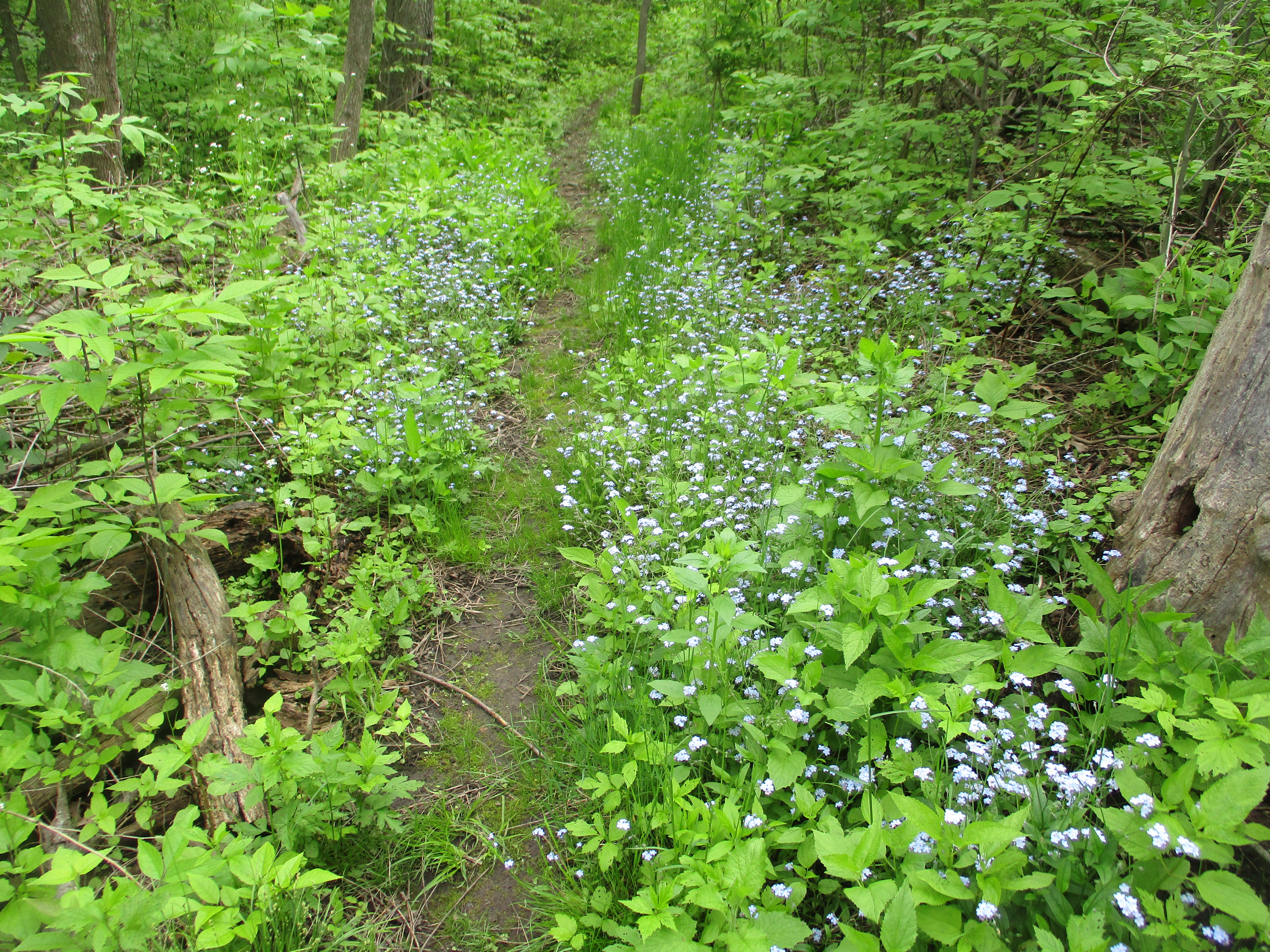
When you reach more level ground you can depart from the main trail onto the Norman Pearson Side Trail.  This 1.4 kilometre blue trail will bring you out to Waterdown Road where you can connect with the McNally Side Trail.  Both of these side trails are marked with blue blazes on the trees.  There’s also a couple of places where the trail is ablaze with blue from forget-me-nots.

IMG_3925

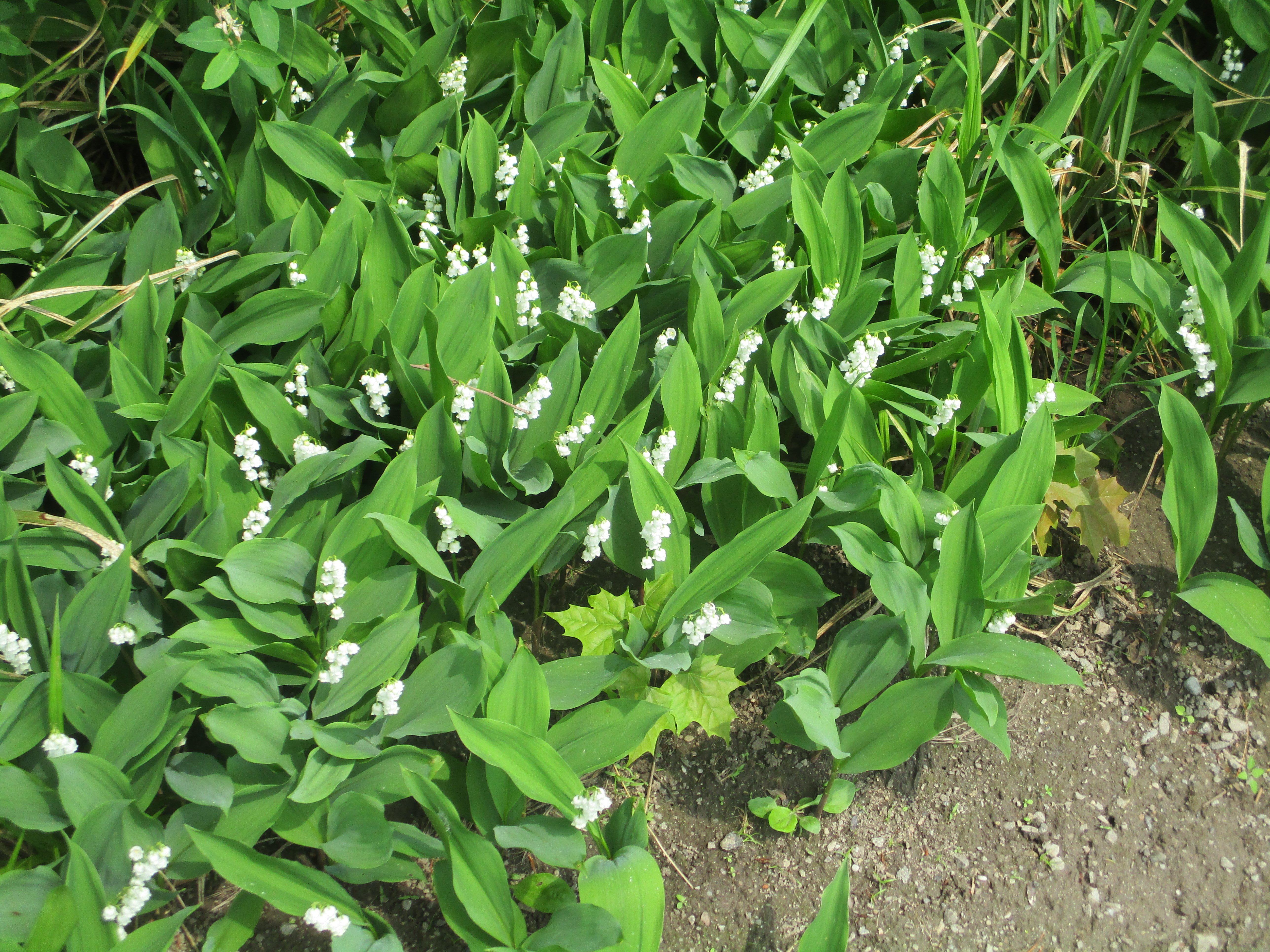
Lily of the valley is a highly poisonous plant that is native to Asia and Europe and has been introduced to North America as a garden plant.  It does well and can grow into large clusters under the right conditions.  The scent of the flower has been imitated for perfume and Kate Middleton carried lily of the valley in her bridal bouquet when she married Prince William.
IMG_3915

The Mayapples are finally in bloom with a single flower on each fertile plant.  These flowers will close up in a few days and begin to develop into the fruit.  The fruit will turn yellow when it ripens later in the summer.
IMG_0604

Near Waterdown there is a Bitternut Hickory tree that is estimated to be 128 years old and has a lifespan of 200 years.  It produces a large amount of very bitter tasting nuts that even the squirrels will only eat during food shortages.  There are 16 Bruce Trail heritage trees that have been identified along the route.  Their GPS locations can be found at this link.

IMG_3922

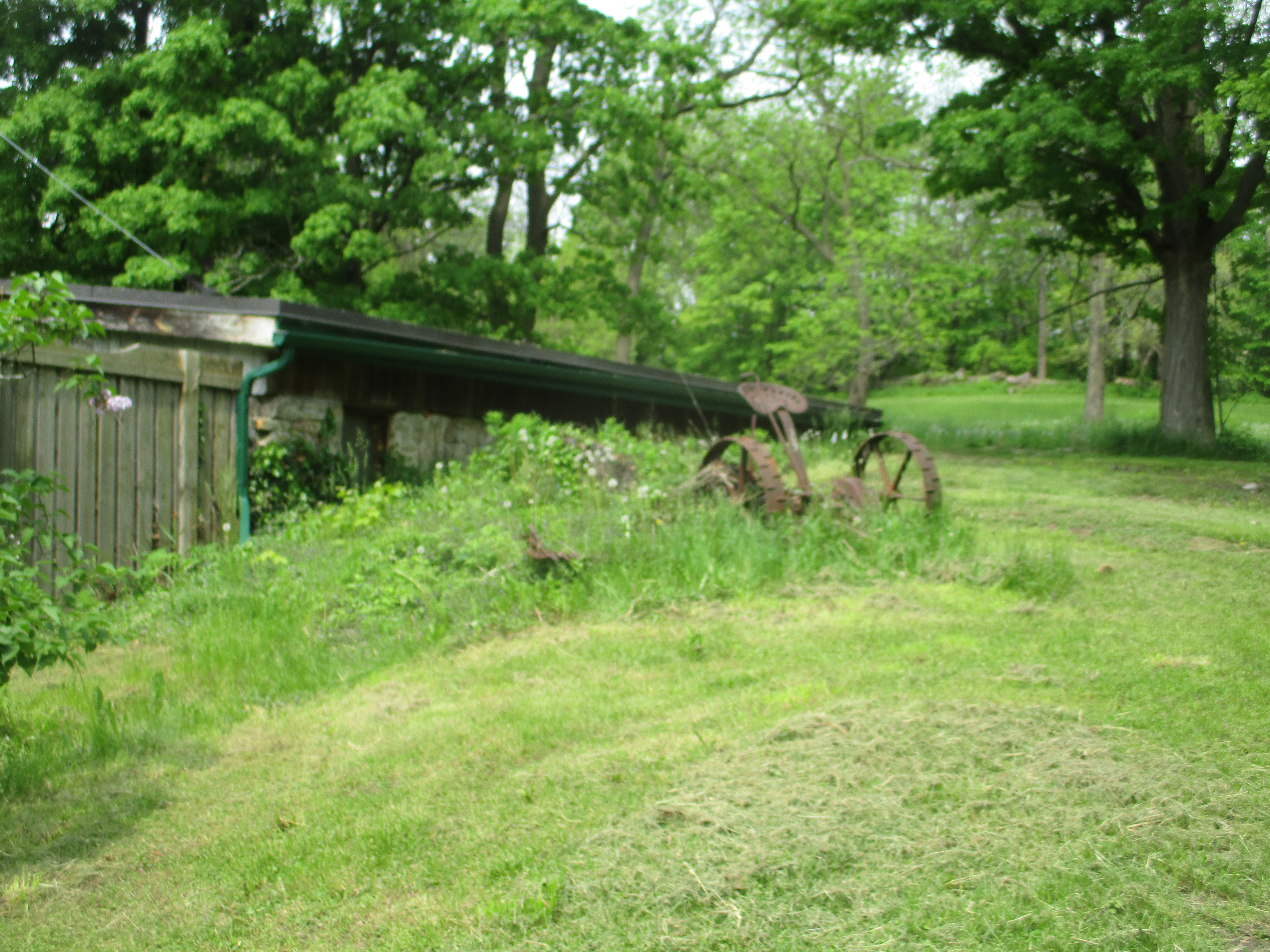
The properties that the trail runs through are mostly private farms and access is allowed by the good graces of the land owner.  Some of the land grants were poor farming land and have been allowed to return to forest.  Other areas are still operated as family farms, some of them into the fourth and fifth generations.  Many of these farmers still have old farm implements from their father or grandfather.  Somehow the seat on the old plow below doesn’t look very comfortable nor do the steel studded wheels look like they absorb much shock.

IMG_3914

The McNally Side Trail is only 0.48 kilometres long and brings you back to the main trail above Waterdown.  The Upper Grindstone Side Trail follows a lightly used path through a grassy field and back into the forest.  When you come to the little loop you can go left and down to the creek or you can go to the right and climb higher onto the ridge before descending to creek level.  It will then return you to the main trail very near to the parking lot.  Evidence of a former dam at the top of the falls is a reminder of the industrial past of this site.  Hidden among the trees on both sides of the creek are other traces of previous buildings, just waiting to be discovered and explored.

IMG_3930

This set of side trails along with the accompanying main trail make for an interesting loop which has the equivalent of 41 flights of stairs as it goes up and down the sides of the ravine.

Google Maps Link:  Great Falls Smokey Hollow

Check out the top 20, reader selected stories from our first five years: Back Tracks: 5 Years of Trails.

Like us at http://www.facebook.com/hikingthegta

Follow us at http://www.hikingthegta.com


The Great Esker

July 7, 2018

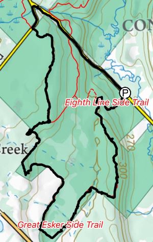
This week I bought the Bruce Trail App for my phone and so it got it’s first workout.  After identifying a section we hadn’t been on before we set out for the parking area on the map (8th line north of 22 Side road, north of Georgetown).  There are several places that you can pull off and park that are not on the map including where the main trail crosses the road a little farther north.  With the tracking feature turned on it marked our trail as we progressed and created a record of the hike that can be saved toward earning trail badges.

Great Esker

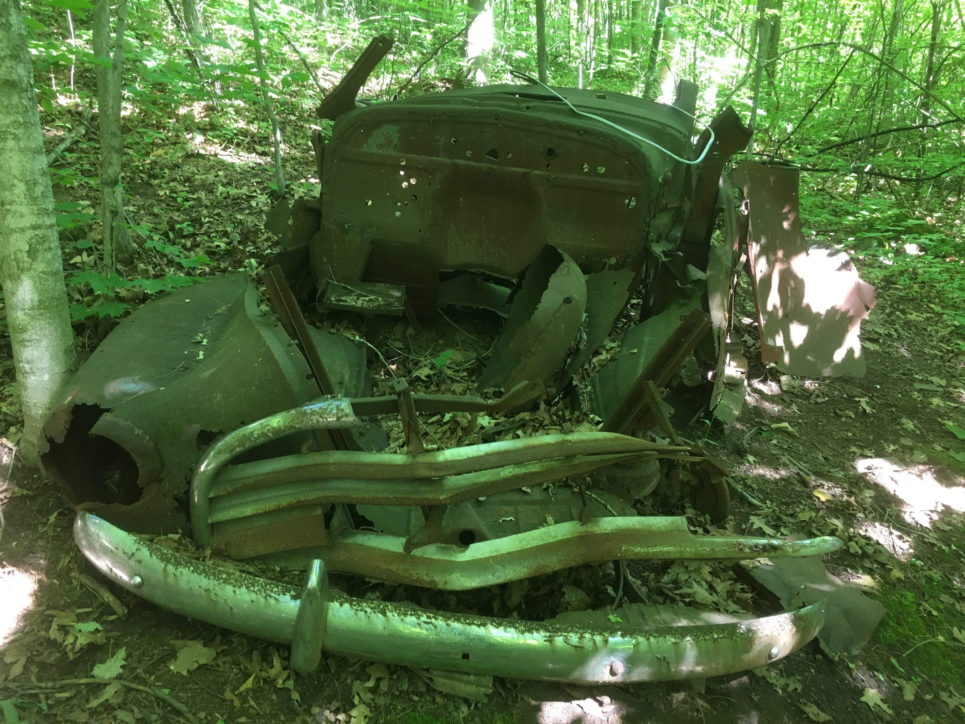
We entered on the Eight Line Side Trail and made our way to The Great Esker Side Trail.  Along the way we identified the remains of an old car in the woods.  It has clearly been there for decades as it has no motor and is surrounded by mature trees. It is in a very advanced state of decay.  The front bumpers and grill pattern were quite unique in the various car models of the 1940’s.  Having looked through hundreds of online pictures, positive identification wasn’t possible but the closest candidate was a 1946 Chevy Stylemaster.  That particular car was a sedan and this model was most likely a truck.

IMG_5128

Flowering Raspberries grow along the trail in many places.  Their flowers are quite large for the raspberry family and have a long period of blooms which also makes them of special interest to honey bees.  The fruit looks like a large flat raspberry and is used by mammals and birds.

IMG_5176

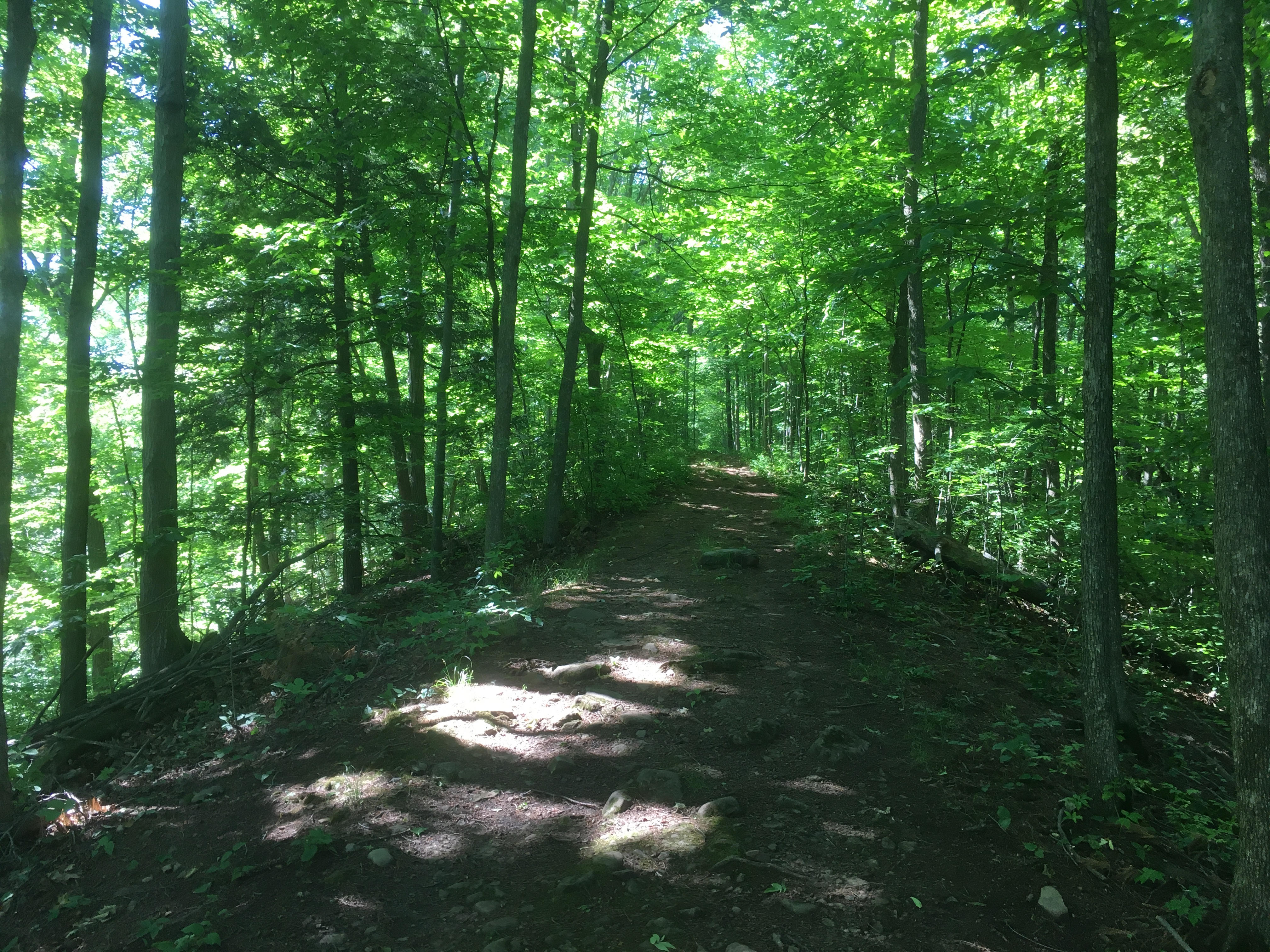
Eskers are glacial deposits that run in nearly straight lines and rise above the surrounding landscapes.  They are formed during the melting phase of the ice age when water is rushing in a river either over or under the ice.  The formation of eskers is described in greater detail in our earlier post The Brampton Esker.  The Great Esker Side Trail runs, in part, along the top of an esker.  It stands about 30 metres above the surrounding terrain but is much shorter than the one in Brampton.  As far as eskers go, the Great Esker isn’t so great.  The Thelon Esker is almost 800 kilomtres long.  The trail leads directly up the esker.

IMG_5133

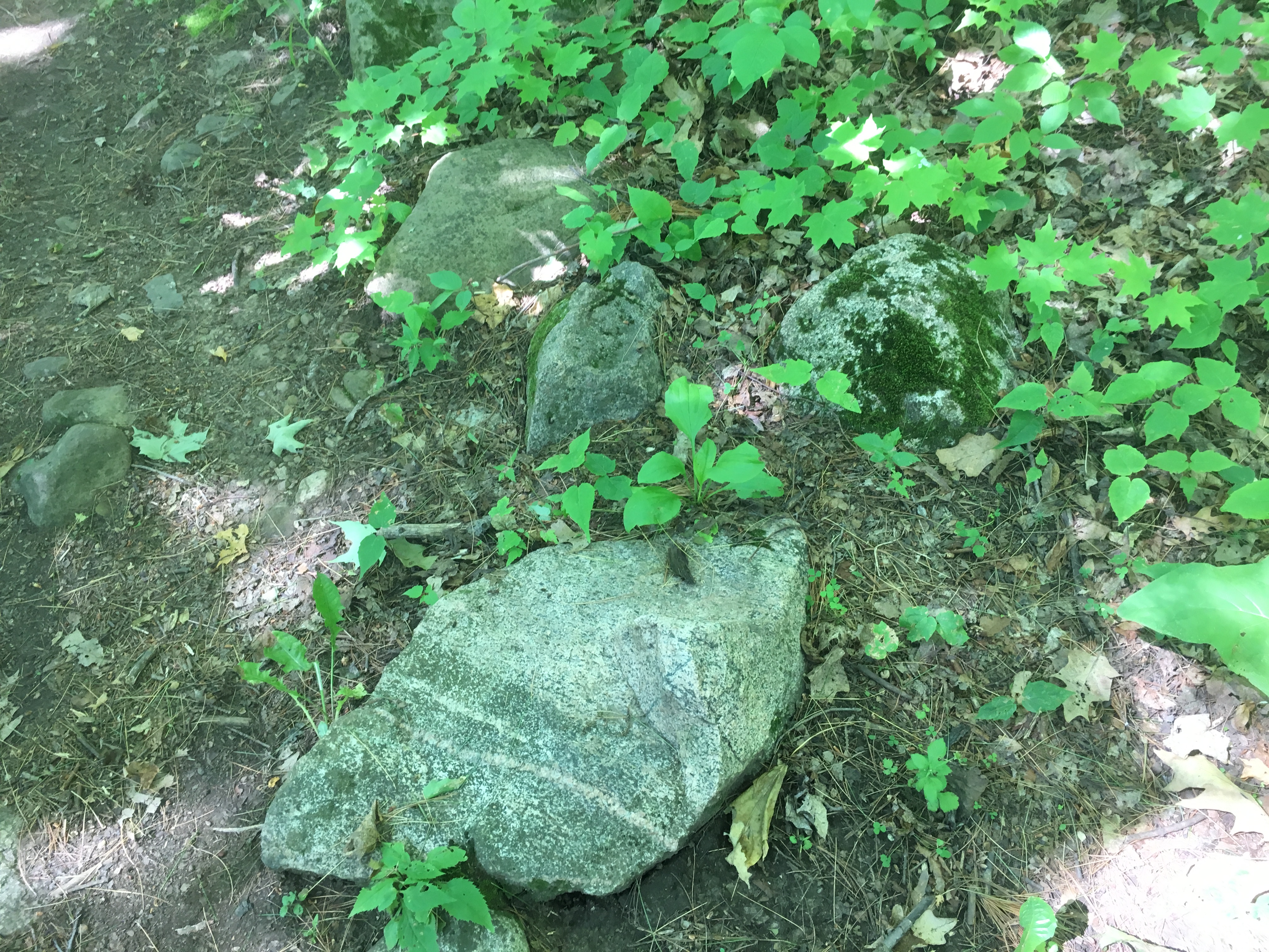
The escarpment is made up of limestone and harder layers of dolostone.  Scattered throughout the landscape are large granite boulders that appear to be out of place.  They have been carried by the glacier and deposited across the province by the retreating ice sheet.  Rocks that are different sizes or minerals than the ones common to where they are found are known as glacial erratics.

IMG_5134

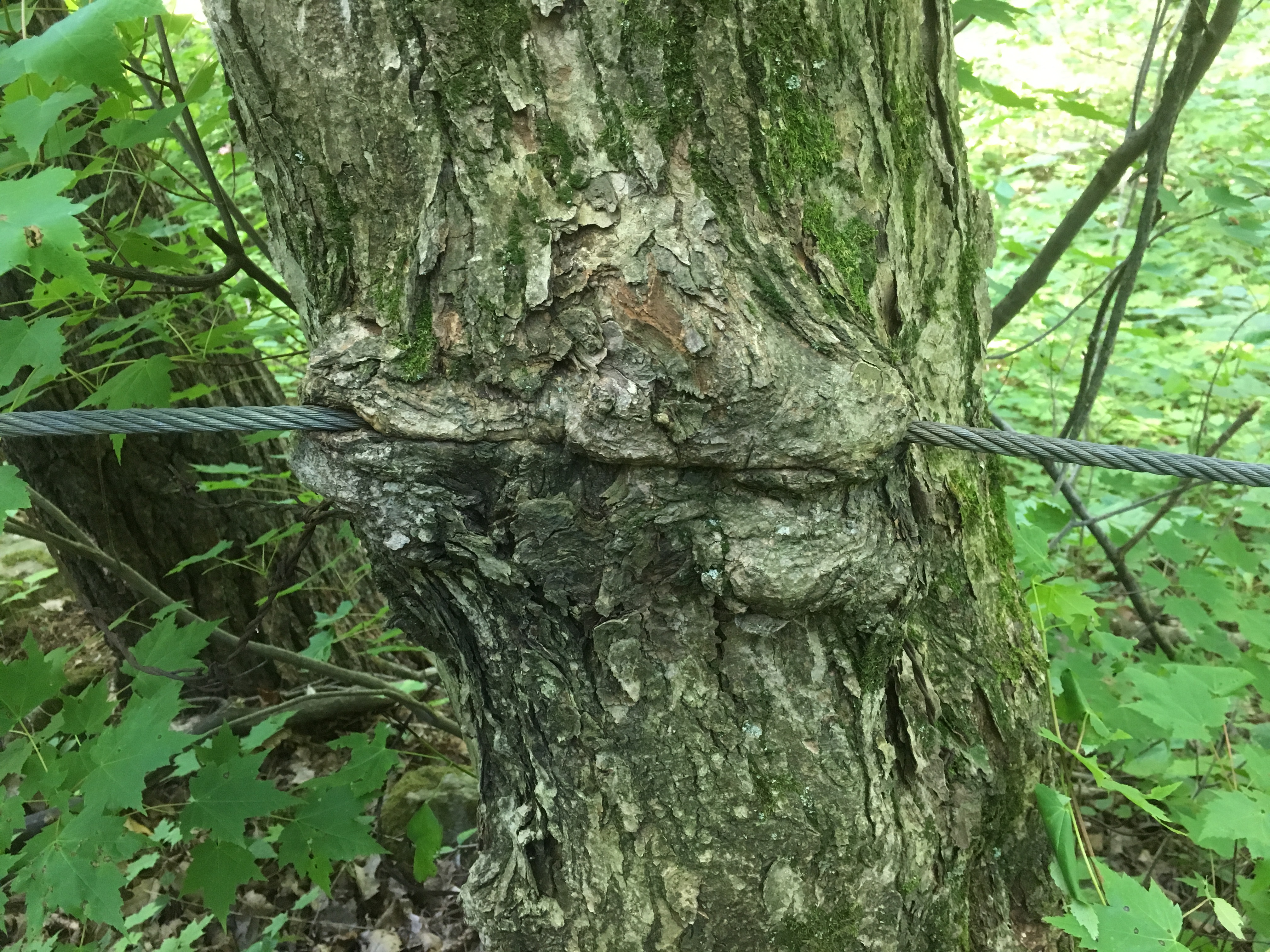
Old stone fences run through the trees marking off the earlier fields.  More recently some guide wires have been put in some places along the trail.  These are growing into the trees in several spots.

IMG_5135

Most of the mayapples, or mandrakes, have been harvested by the local wildlife but a couple large ones remained that are still green.  When they start to turn yellow they will put off a pungent odor that attracts raccoons. It is suggested to remove the seeds if you do happen to harvest some of this native fruit.  You’ll have to be lucky because the raccoons check daily for the newly ripening fruit.

IMG_5137

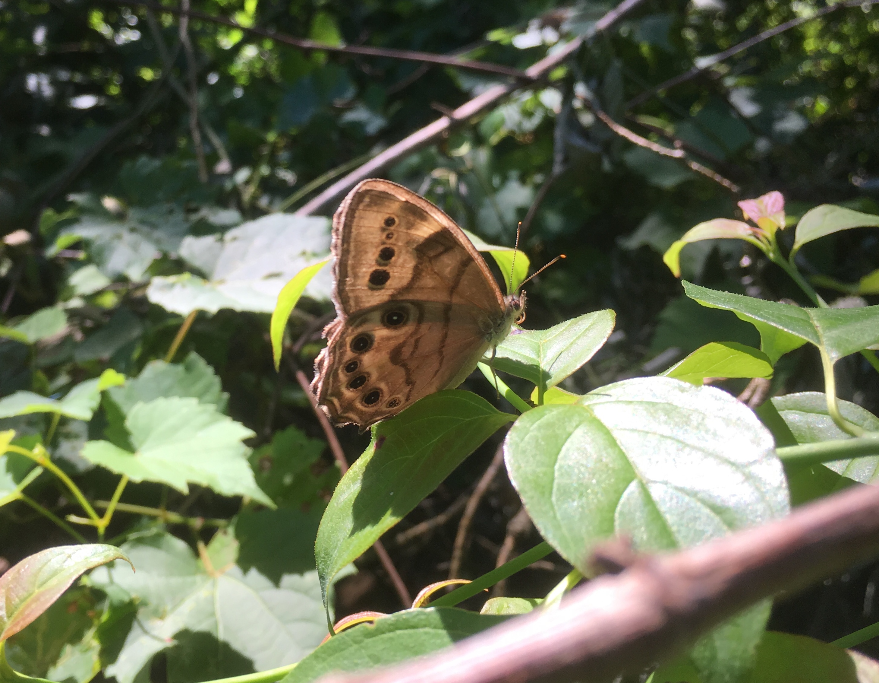
Butterflies abound along the trial and this Appalachian Brown was one of several flittering among the plants.

IMG_5141

The poison ivy doing very well along the sides of the trails.  Urushiol oil in the leaves and stem causes an allergic reaction in 85% of people.  It is white when the stem is broken but turns black upon exposure to oxygen.  The oil is highly concentrated and a drop the size of a pin head can cause an allergic reaction in 500 people.  In the United States about 350,000 people a year get a rash that can last for up to 3 weeks.

IMG_5144

One of the truly interesting boardwalks is this one that takes advantage of this tree and the massive root system to carry the trail.

IMG_5152

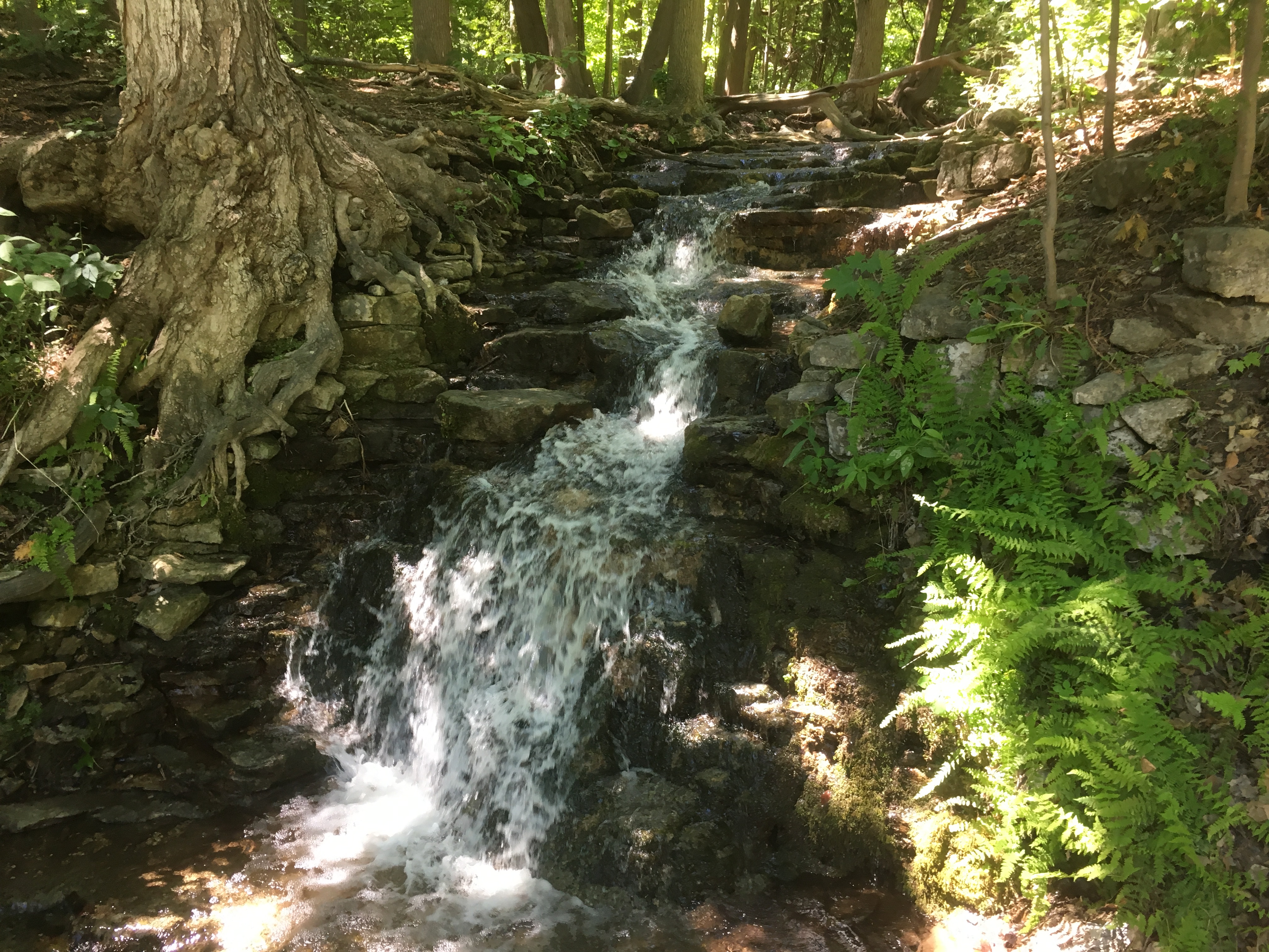
Snow’s Creek Falls are located at the intersection of 27th side road and the 8th line so we made a detour to see how much water was there at this time.

IMG_5163

It was certainly cool to check out the Great Esker Side Trail and take the Bruce Trail App for a test run.  It likely means more hikes on the Bruce in the near future.

Google Maps Link: The Great Esker Side Trail

Like us at http://www.facebook.com/hikingthegta

Follow us at http://www.hikinghtegta.com