Tag Archives: Wild Cucumber

Hornby – Ghost Towns of the GTA

Saturday, November 9, 2019

Beginning in the 1830s the area north of Oakville was opened for settlement and the community of Hornby found itself becoming an important stop on the trip into town.  Hotels were opened and in 1850 Trafalgar Road (7th Line) was planked as far north as Stewarttown with a toll station in Hornby.  However, by 1877 the railway had bypassed the town and Milton had been named as county seat.  Hornby began to decline back to a county village.  Today there isn’t much of the community that was named after Hornby Castle in Yorkshire but we went to see what could be found and photographed before it  disappears forever.

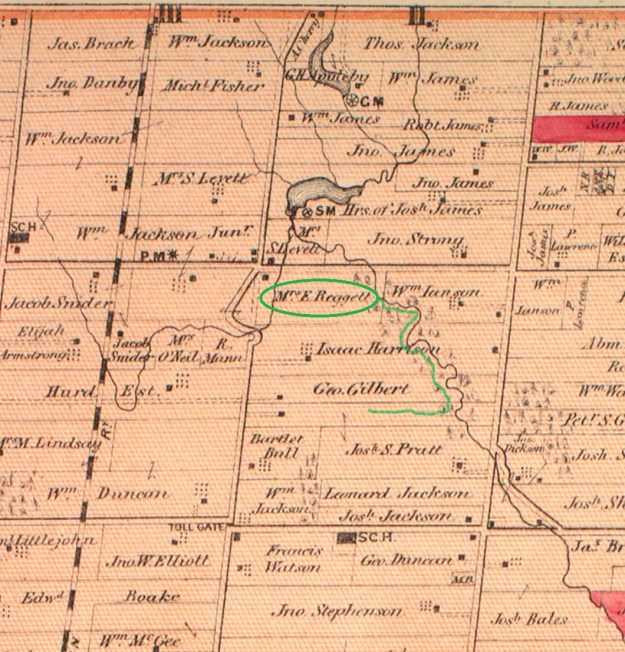
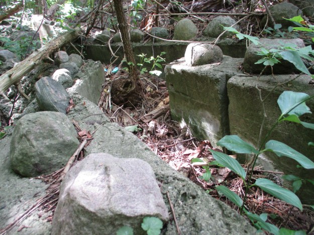
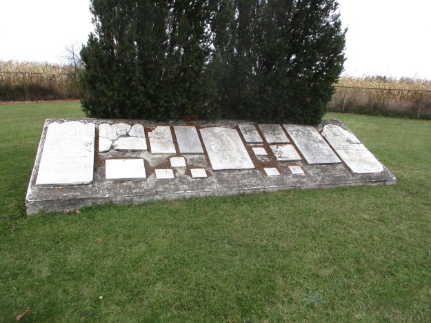
Hornby became stretched out along what is now Steeles Avenue to the point where it was referred to as Hornby and West Hornby.  Two cemeteries mark the eastern site of Hornby.  The Methodist church was originally located on Lot 1 Concession 8 on the corner of the William McKindsey lot.  On April 30, 1832 the land was sold to the Methodist Trustees.  The land actually belonged to Kings College until 1840 and so the indenture wasn’t registered until 1842.  The congregation built a small frame church and began a cemetery beside the church.  They soon outgrew the frame church and moved to a new location leaving the cemetery behind.  It has since been restored with the markers being gathered into a central location for preservation.

IMG_7573

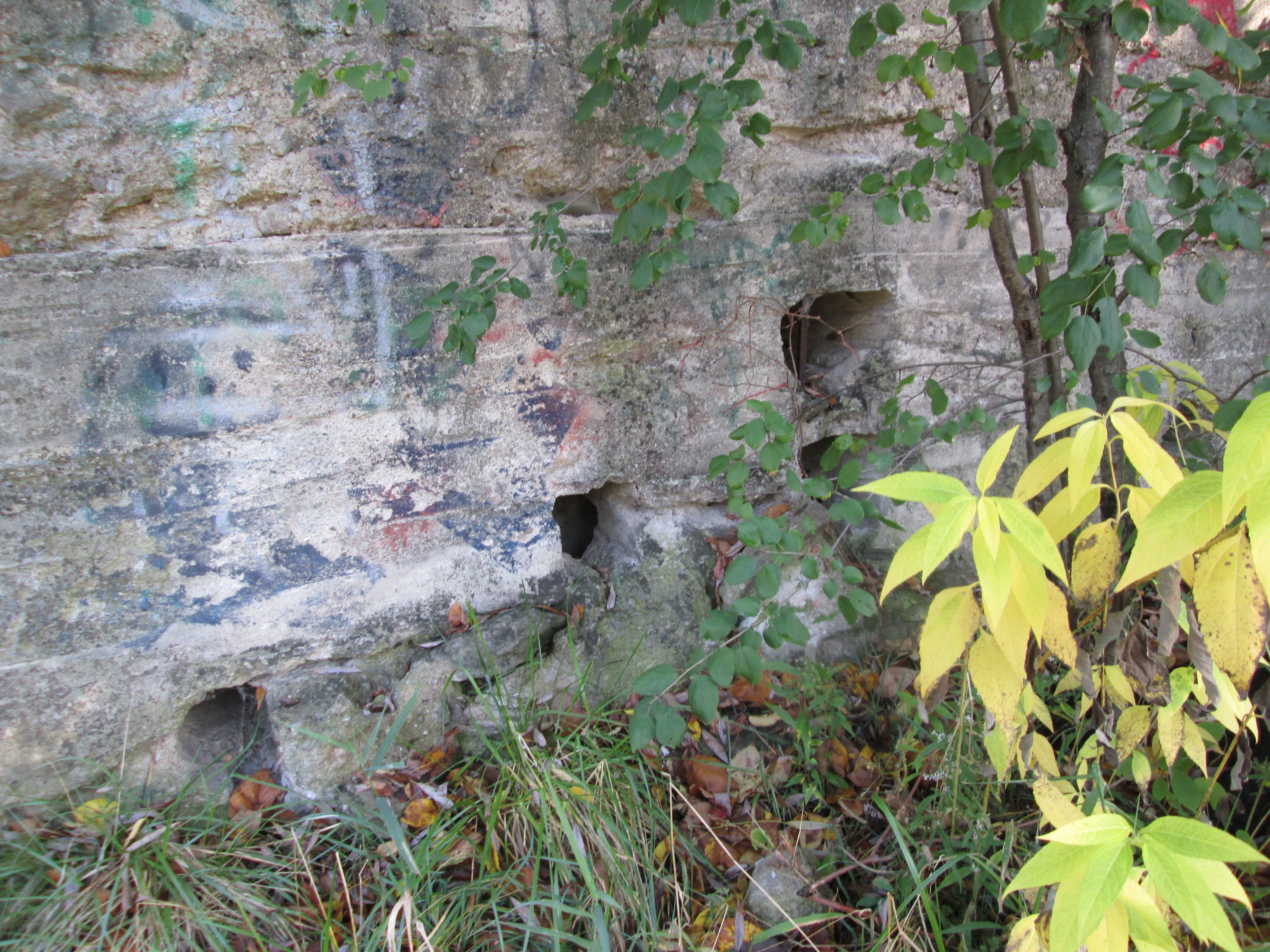
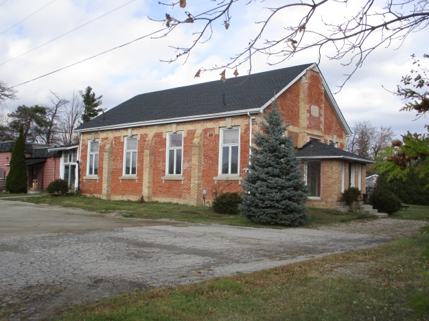
in 1856 the Wesleyan Methodist congregation built a new brick building a little farther west.  This brick building was part of a preaching circuit that included Bowers, Munns, McCurdy’s, Omagh and Bethel.  In 1925 the Methodists and Presbyterians joined to become The United Church of Canada.  This building served the congregation until November 17, 1968 when it was closed and the parishioners joined with the Ashgrove United Church.  Since then the building has been used as the Hornby Townhall.  The spire with finial was built by Gordon Brigden at his machine shop in Hornby.

IMG_7561

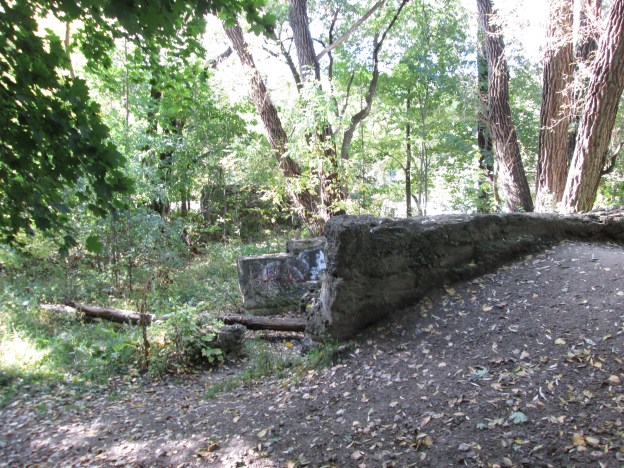
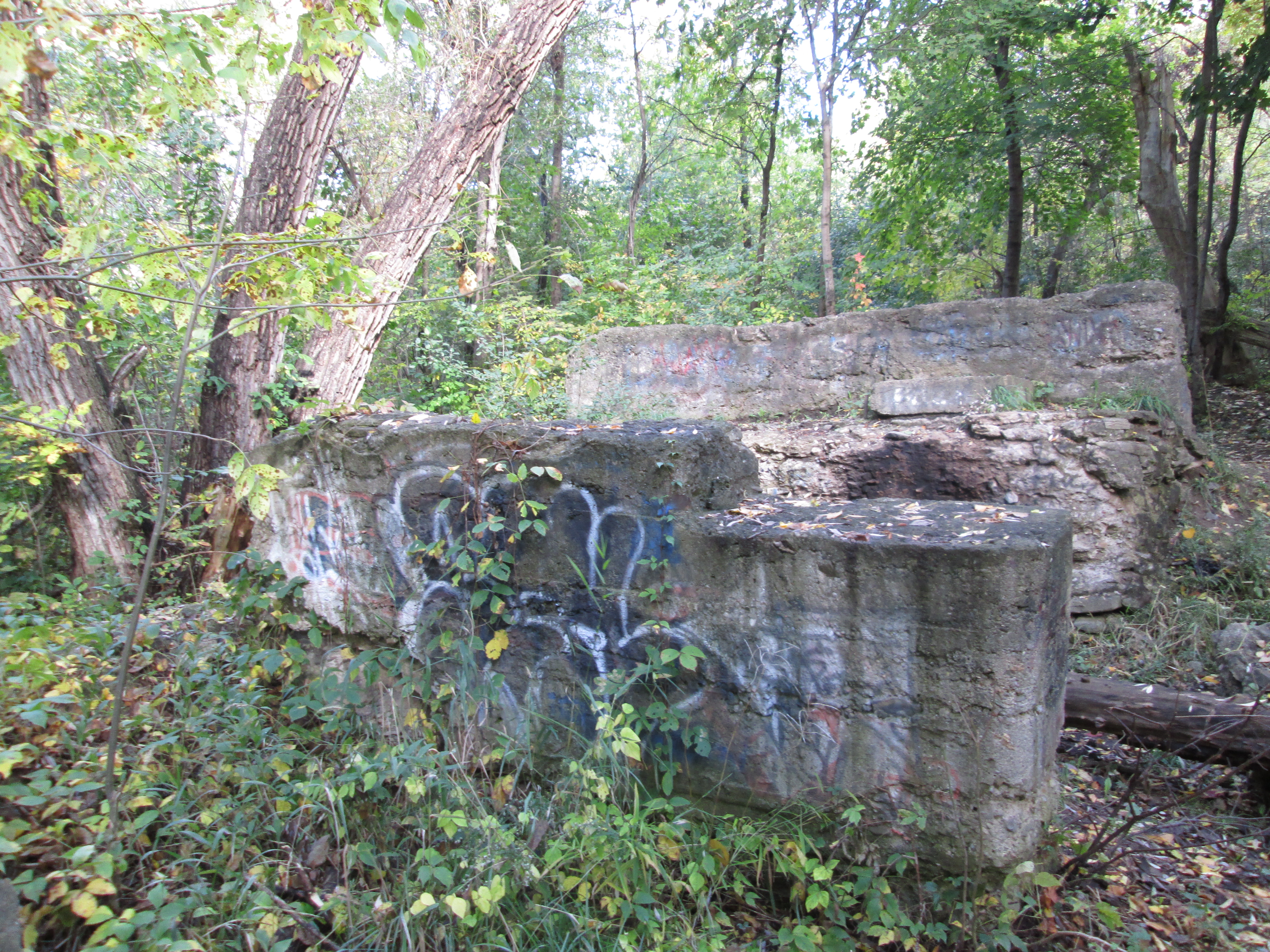
The first church built by the Presbyterian Church in Hornby was a frame structure constructed in 1835 across the street from the Wesleyan Methodist Church on Lot 1 Concession 9.  Many of the founding settlers of Hornby are interred here and the cemetery remains active today.  The original frame church was replaced in 1878 with a brick structure.  The congregation did not choose to join the United Church and remained active until 1971 when it was amalgamated with Knox Presbyterian in Milton.  The church building was destroyed by fire in 1978 and arson was suspected but never proven.

IMG_7566

The first school building in Hornby was in a log cabin built in 1826.  It was replaced with a new brick building in 1870.  It operated as a school until 1963 when Pineview school was built on 5th sideroad.

IMG_7565

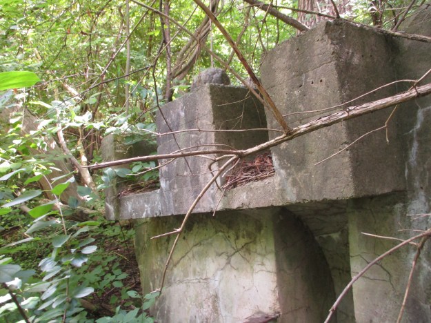
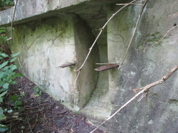
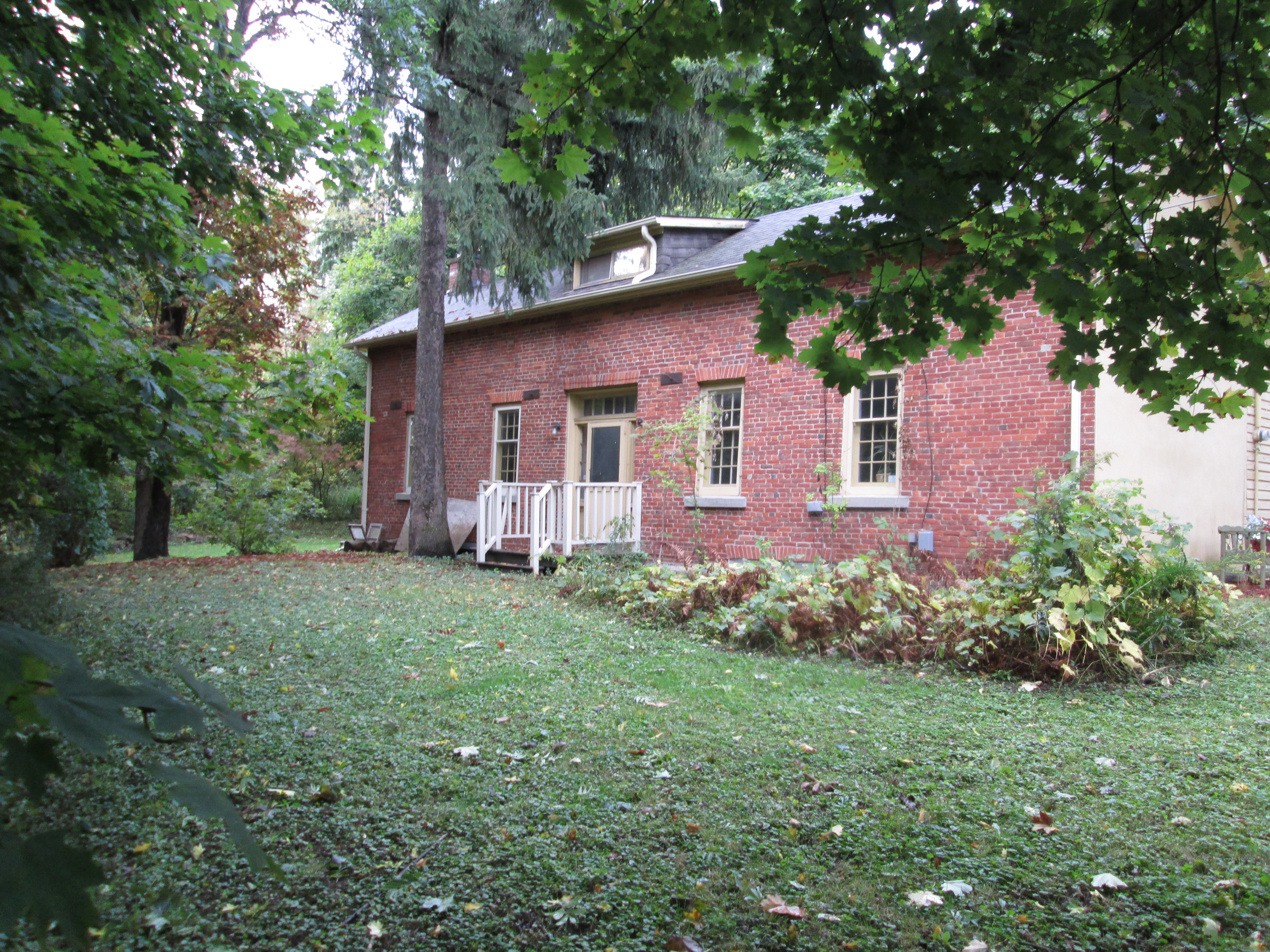
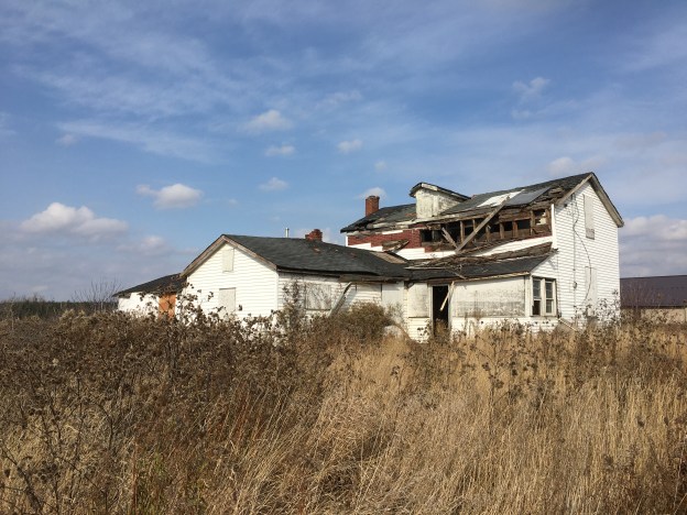
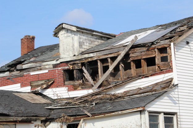
Samuel Brooks owned this one and a half story farm house in 1878.  The property changed hands several times until Frank Chisholm farmed the property through the middle of the twentieth century.  There have been multiple additions to the house over the years.  By the time it was assessed for cultural heritage in 2018 the structure was deteriorating and there was damage to the roof that had been covered over with plastic.

IMG_8401

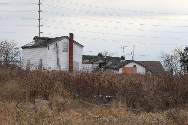
There has been a fire at the home since then and there is little doubt that the structure will be demolished for safety reasons.  As of our visit the back door was open providing access to a very unsafe structure.  It will likely be removed for safety reasons.

IMG_8420

The drive shed on the property is in similar condition and the former farm will likely soon fall prey to the urban expansion that is spreading along Steeles Avenue.

IMG_8435

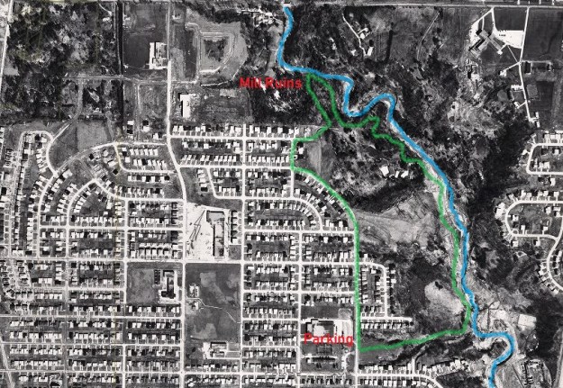
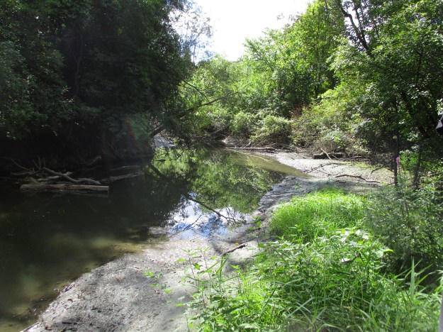
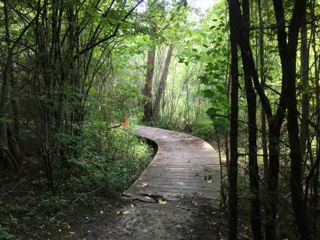
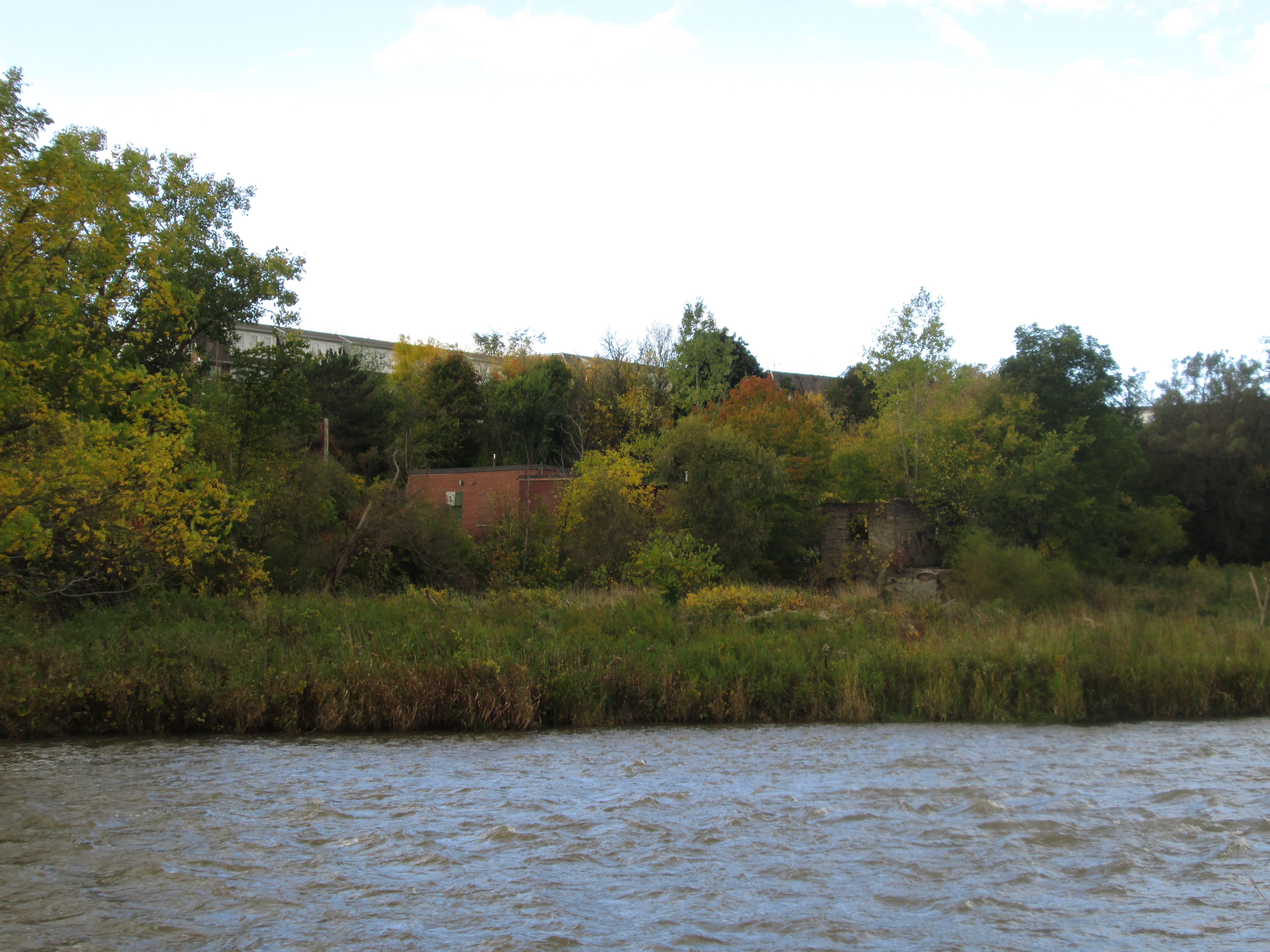
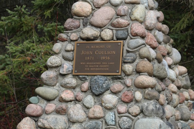
We had parked on Trafalgar Road where there is an entrance to the Halton County Forest.  After making our way through town and back up Hornby Road it was time to cut back through the forest to the car.  There is a cairn commemorating John Coulson who owned the property and bequeathed it to the county for reforestation.  The 89 acre tract was planted with white pine in 1959 and left to regenerate.

IMG_8440

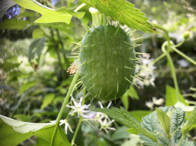
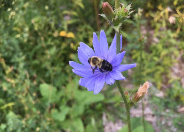
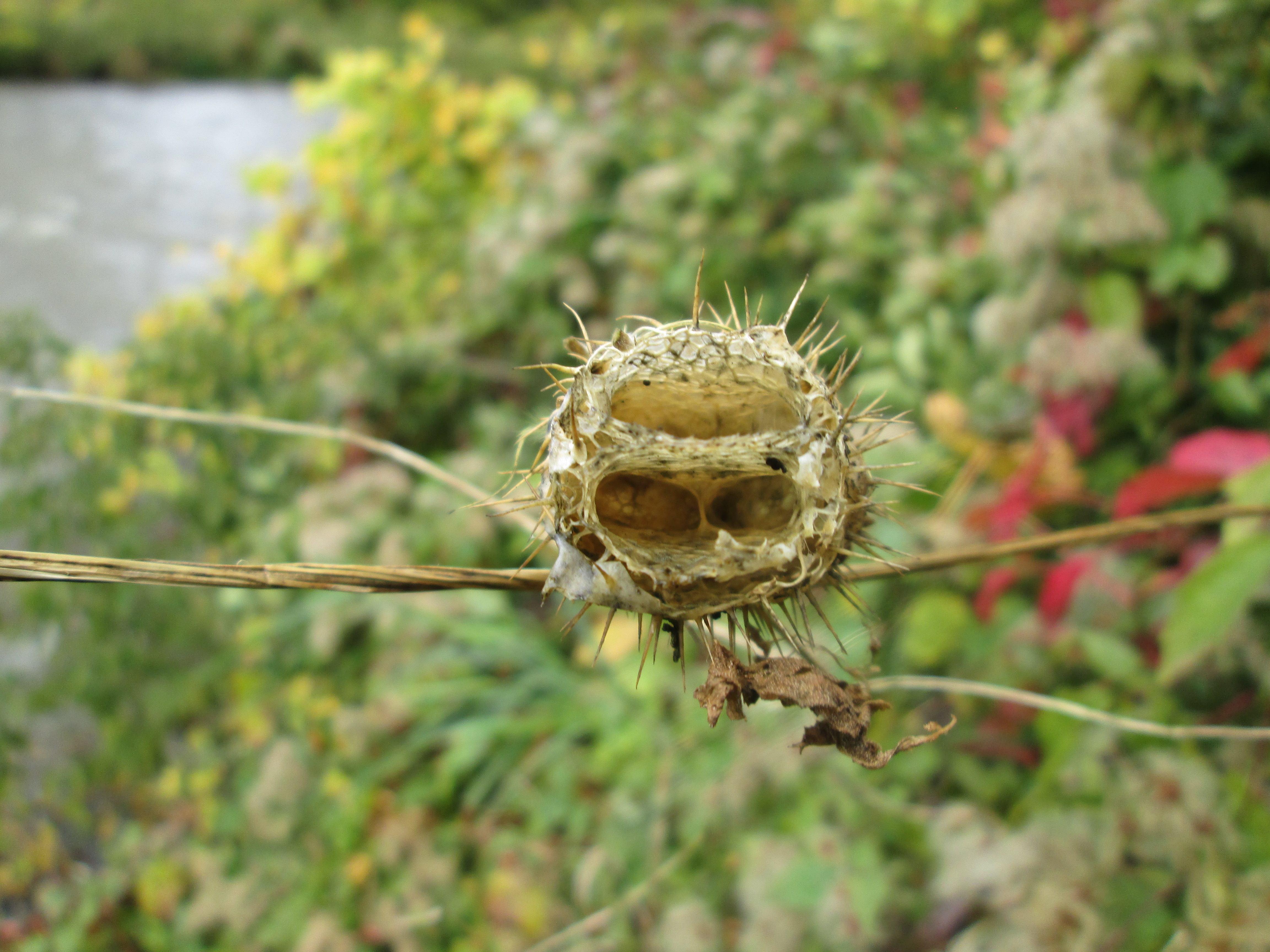
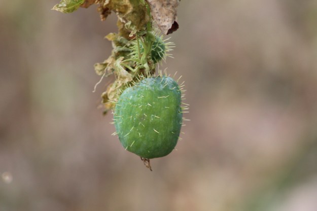
A summers worth of growth goes into producing seed pods to carry on the family line.  The wild cucumbers have produced their edible seed pods, each one containing four seeds.  In the next few weeks the bottom of each seed pod will open up and drop the seeds to the ground below.

IMG_8398

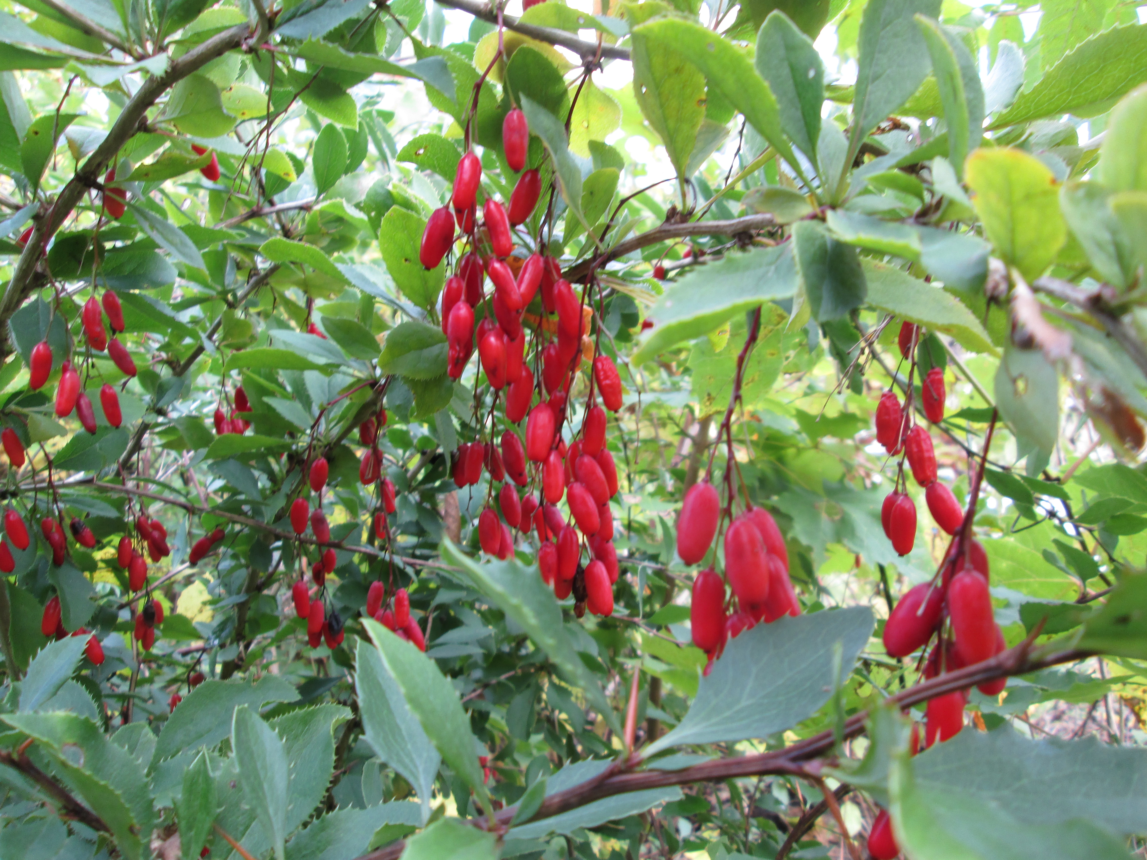
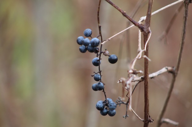
River grapes have also come along nicely this year.  These wild grapes have been bred into our table grapes to help produce a strain that is resistant to our climate.  These grapes can be turned into a tasty grape jelly.

IMG_8394

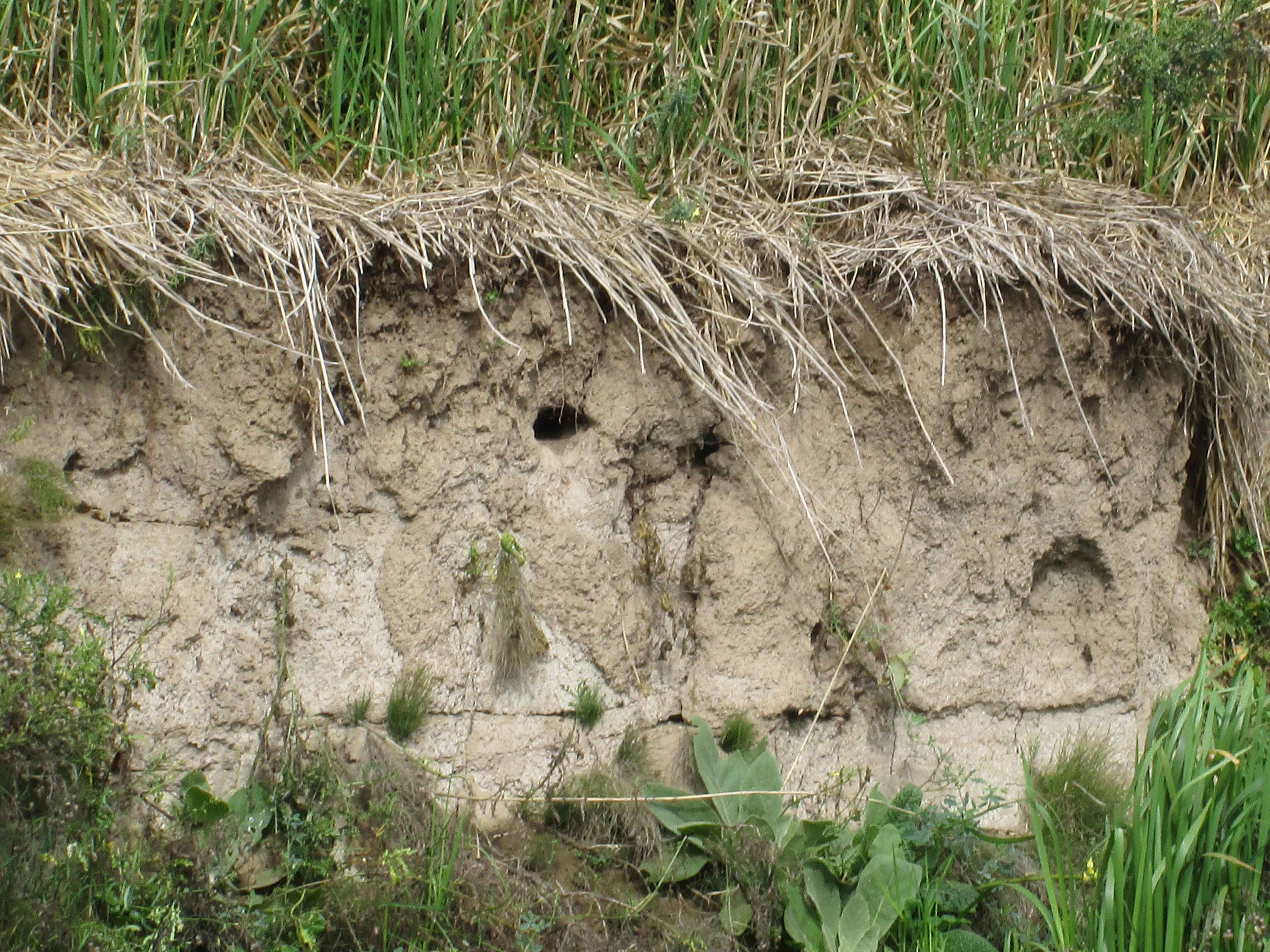
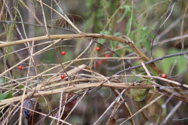
We followed Trafalgar Creek part way through the Coulson Tract and came across a cluster of asparagus that has no leaves but there are still many seeds on it.

IMG_8391

There are still several early twentieth century homes and farms in the Hornby area. but the former community is in danger of being over run by urban sprawl.

Google Maps link: Hornby

Like us at http://www.facebook.com/hikingthegta

Follow us at http://www.hikingthegta.com

Also look for us on Instagram

West Don Parkland

August 31, 2019

It was a perfect temperature for hiking and also for mosquitoes.  We decided to visit the West Don Parklands to explore the west side of the river and found parking on Maxwell Street where there is access under the power corridor.  We followed the West Don River north until we came to private property and were forced to turn back.  The picture below is a capture from the Toronto Archives of a 1960 aerial photograph of the area we explored.  Our trail has been roughly traced in green while the river is coloured in blue.

West Don

Japanese Beetles were plentiful in the field under the meadow that runs under the hydro corridor.  They are native to the islands of Japan and were first found in the United States in 1916 and in Canada in 1939.  Since then they have spread throughout North America.  The adults eat large amounts of foliage and severely damage over 250 different host plants that they feed on.  Although there are treatment programs designed to reduce the impact of these beetles the picture below gives a good indication of why they continue to thrive.

IMG_1642

At the bottom of the hill the West Don River flows over a small concrete dam and through a dissipator.  It is interesting to see the water that flows over the top of the dam and onto the concrete piers hitting them with considerable force and yet arriving at the bottom in a calm pool having dissipated all of the energy it gained through the drop.  The top of this dam has become clogged with branches and logs that have floated down stream and become caught up in the first row of piers.  Some of it has been there so long that it is silted up and vegetation is growing on the top.

IMG_6422

The valley floor has become overgrown with dog strangling vines and wild cucumber vines.  The wild cucumber is native to Africa but has become naturalized in the New World.  Unlike the dog strangling vine, the wild cucumber does not choke out and kill the vegetation that it grows along with.  The fruit are cultivated and eaten in many places such as Brazil where it is used in a meat and vegetable stew.

IMG_1644

The West Don River was running slow and at a very low level.  Just to the north of here G. Ross Lord Dam and Reservoir are used to collect storm water and release it slowly to prevent flooding in the lower reaches of the river.  Therefore, even after a heavy rainfall this section of the river will see a minimal rise in water levels.

IMG_6441

The chicory appears to have had a very good year and the plants and flowers were plentiful.  Chicory has been used for years as an alternative or additive to coffee.  Chicory is used during times of shortage such as The Depression and Second World War by mixing it up to 60% with 40% coffee.  It gives the coffee a slightly woody flavour.  Tender leaves can also be collected and added directly to salads.

IMG_1659

We came to a sign that said that if you find the log bridge to be impassable you should return and take an alternate side trail.  This naturally prompted us to go and have a look to see if the bridge was impassable.  It wasn’t in very good shape but we did manage to cross carefully.

IMG_6437

Once you clear the bridge there is an extended boardwalk that is not in perfect shape but is safe if you watch for the occasional broken board.

IMG_1664

The trail follows the river and leads to the Forest Valley Outdoor Education Centre which is operated by the Toronto District School Board.  The centre plays host to over 17,000 students each year from 170 different schools who come here to learn about and develop an appreciation for nature.  After you pass the buildings on this site you can follow the trail along the river which leads to a place where a pedestrian bridge once crossed the river.

IMG_6451

Orange Jewelweed has been used in traditional medicine for years as a remedy for poison ivy exposure.  The juice from the flower and leaves can be applied to skin that has been exposed to poison ivy and it has been proven effective at preventing a rash from forming.  The one caution is that some people are known to be allergic to jewelweed and can have an even more severe reaction to this plant than the one they may have had to the poison ivy.

IMG_1667

In the 1877 county atlas the property at the south east corner of modern Dufferin and Finch is shown as belonging to Mrs. E Reggett.  To the west of her property Dufferin street ran north on the Gore and Vaughan Plank Road of which there are still remnants in the valley where Dufferin is shown making its curve.  They can be seen at this link.  Interpretive signage in the park indicates that a grist mill was operated in this location but it wasn’t shown on the county atlas, indicating it was a later construction.

reggett

A little farther along the river we came to the location of the former Reggett grist mill.    The ruins themselves appear to be on a fairly small scale for an actual grist mill.  They are also made out of poured concrete which shows that they were built some time after 1900.  The mill has been gone for a long time but the ruins on the river can be seen in photographs that predate the construction of the outdoor education centre.  This suggests that they were not built as part of an educational display but were the actual Reggett mill ruins.

IMG_6473

Two steel brackets extend out of the concrete to mount the water wheel on.  The recess for the wheel is only a couple of feet in diameter which suggests that this was a very small wheel and was not used to generate significant power.

IMG_6472

The water was directed over the wheel or off to the side by moving a board from one channel to another in the head race.  Today the whole system is crumbling and a tree is starting to grow at the fork in the channel.

IMG_6477

We chose to follow the driveway from the education centre back to the road where we could make our way back to the car.  This is an interesting park and it would be cool to see what lies on the east side of the river.  Perhaps one day…

Google Maps Link: West Don Parklands

Like us at http://www.facebook.com/hikingthegta

Follow us at http://www.hikingthegta.com

Streetsville’s Forgotten Foundations

Saturday Oct. 4, 2014

Autumn has certainly set in.  It was cool at 14 degrees and the skies were dark with clouds.  We decided that it wouldn’t dare rain on us so we set out.  Having parked on Mill street in Streetsville we were right in the area where Timothy Street had built the mill in 1819 that got the town started.

In 1818 the final parcel of land along the Credit River was ceded by the natives to the government.  Timothy Street financed the task of surveying the area while Richard Bristol conducted the work.  In exchange for his work Timothy was given 1000 acres of land which is now known as Streetsville as well as 3,500 other acres scattered throughout Halton and Peel counties.   Timothy Street is listed in the town directories as a tanner.

In 1825 he built the house in the picture below which looked out over his business empire.  This house is believed to be the oldest remaining brick house in Peel County.

IMG_0461

Access covers are one of many items that are usually dated and can therefore tell a little of the tale of a place.  Main street crosses the Credit near Timothy’s house.  At this point the name changes to Bristol Road in honour of Richard Bristol for his work in surveying the area.  Access covers usually indicate the date on which a road or bridge was built or restored.  The cover featured in the photo below is unique in the fact that it has a fish on it.  Dated 2011 it came from St. George which is near Brantford.  It is appropriate because this bridge is a suitable place to stand and watch the fall salmon run in the river.  We didn’t see any this week because the river was too dirty and cloudy.

IMG_0462

From the west bank of the  Credit River we had seen a set of foundations that we believed were another of the five mills that once lined the Credit River around Streetsville.  We went north in Timothy Street Park along the Culham Trail.  When we finally had a chance to check them out they appear to be a little less obviously mill foundations.  There are four thick concrete pillars which run in a slightly curved line with the first one beside the river, pictured below, having four holes formed in the side.  The fourth one abutting against an earthen mound has a mounting surface on top of it.  The mound behind it runs in a curved line off through the trees.  The cover picture shows the four pillars from the side of the mound looking out toward the river.  Large trees growing in places between them.  Having visited the site it is hard to see this as a mill.  It looks more like an unfinished roadway of some kind.  A member of the Streetsville Historical Society suggested that it may be related to Timothy Street’s mills but the use of concrete suggests a date around 1900 or later.

IMG_0478

The picture below shows the third pillar in the foreground and the fourth behind it.  Notice the step down on the side of number three. The fourth one has a full ledge along the front as if something was mounted there. Forgotten by time and seemingly undocumented on the internet this project could be up to about 125 years old.  Older bridge supports would likely have been made of cut stone and not concrete. If anyone has any information about this artifact please feel free to leave a comment.

IMG_0488

When we visited Riverside Park on Sept. 9th the wild cucumber were in full fruit.  A seed grows in each of four chambers inside the cucumber.  In the fall the bottom of the fruit literally pops open and the seeds are dropped out.  The plant dies off every winter and relies on these seeds to carry on the following season.

IMG_0517

The fall is a time when many berries ripen.  Several types of berries last on the bush and provide food for birds that spend the winter here.  The red berries in this picture hang in clusters on a plant with serrated edged leaves.  After looking through countless sites dedicated to berries in Ontario, I have to conclude that this is not a native plant and that it has escaped from a garden somewhere.  One way plants can escape from gardens is when their berries are eaten and the seeds pass through the bird and remain viable.  A seed that gets dropped in a soil condition in which it can grow may be found miles from the original plant.

IMG_0555

The male Bank Swallow chooses a colony to join.  Colonies are founded in areas of loose soils for easy digging.  The male will then select a site for his burrow which is normally about 2/3 of the way up the embankment to reduce access to ground predators.  The tunnel will extend about 2 feet into the soil where temperatures are more stable and here a larger chamber will be dug for the nest.  When the nests are complete, female Bank Swallows will hover in front of the nests to choose a mate.  The female will then collect the grasses to line the bottom of the nest where she will lay her eggs.  Several holes were seen along the river bank, one of which is shown below.

IMG_0546

Here is another view of Hyde mills which clearly shows the 1840 part of the mill built of stone on the right (closer to the river) and the 1906 portion built of bricks on the left.  Having reached here we came to the most southern point on the Riverview Park hike a couple of weeks ago. This completes a section of the river but the mystery of the four concrete supports and the earthen wall remains, for now…

IMG_0534

Like us at http://www.facebook.com/hikingthegta

Follow us at http://www.hikingthegta.com