Saturday, November 2, 2019
The East Don River is in the process of having a trail developed along the length of the river. The East Don Trail is incomplete but has been constructed along some sections of the river. The formal trail runs south from Lawrence Avenue through the Charles Sauriol Conservation Area. We parked on Ruscica Drive and entered the greenbelt using the catwalk and stairs located there.
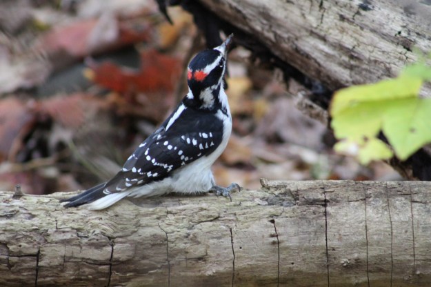
We followed the trail through a short ravine and into an open field where there are several options for trails. We chose to begin with the trail on the west end of the field. It wasn’t long before a small Downey Woodpecker arrived and began to put on a show for us. The male has two small spots of red on the back of the head which the female lacks.
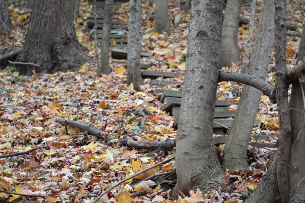
People who have properties that back onto ravines often create their own private access to the park systems. This is most often done using wooden stairs but sometimes we see elaborate sets of stone steps laid up the sides of the ravine.
The north trail leads toward Milne Hollow where the old Milne Homestead stands empty but protected from vandals while it awaits potential restoration. The old Don Valley Ski Club has become over-run but you can read about that park at Milneford Mills. As you go north along the river you come to a place where you can see a new bridge through the trees.

The East Don River winds back and forth through the park and two new bridges are being installed to carry the trail. Construction of the permanent bridges requires the use of heavy equipment which has been brought to the site using a temporary bailey bridge.

The East Don Trail is being extended through the park following what appears to be an old access road that was hidden in the new growth forest. This section of the park used to be limited to a couple of seldom used trails and I frequently saw the resident deer here. I wonder where they have moved to.

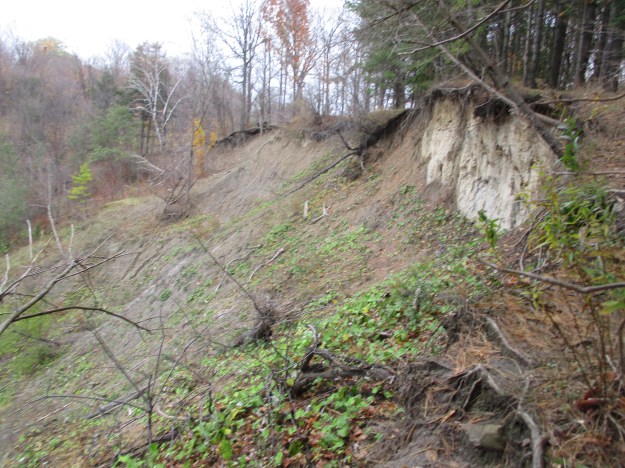
The width and the depth of the ravine are sometimes much higher than the current size of the river could have cut. During the melting phase of the most recent ice age 12,000 years ago the river was a raging torrent. Erosion is ongoing in many places and the trail is often under cut where the sand has fallen away below the roots of the trees that line the crest. These areas it is important to keep well back from the edge.
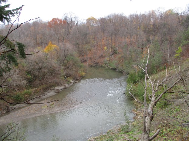
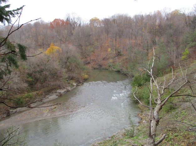
The view up river from the top of the ravine is quite nice and provides an opportunity to envision yourself out in the country rather than just a few kilometres from downtown Toronto. This little greenbelt is a well kept secret as there is seldom very many people using the park at any point in time. This will change when the recreational trail is complete and it is easy for people to access the park or to pass through on part of a longer hike or ride.
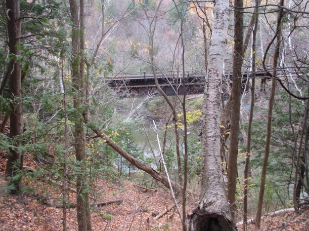
Active railway tracks divide the park in two and the picture below shows the rail bridge over the East Don River.
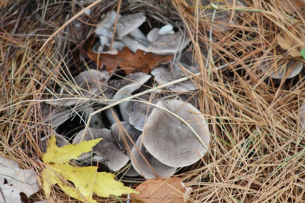
Purple Bloom Russula was growing in large clusters in the woods. This mushroom is considered good to eat but like all plants we recommend that you don’t harvest from our parks.
The trail isn’t complete under Eglinton Avenue and so at the present you have to cross the road at surface level. Please be careful or walk to the corner and cross at the lights. At one time there was an extensive network of bike trails through this section of the woods but it has been left to fall into disrepair. Large sections of it looked quite unsafe for either bike or pedestrian.

A short walk brings you to the remains of Old Eglinton Avenue which no longer extends to the bottom of the ravine.
Google Maps Link: Anewen Greenbelt
Like us at http://www.facebook.com/hikingthegta
Follow us at http://www.hikingthegta.com
Look for us on Instagram

The area looks beautiful 👌