Monthly Archives: August 2024

Riverdale Farm Summer 2024

August 24, 2024

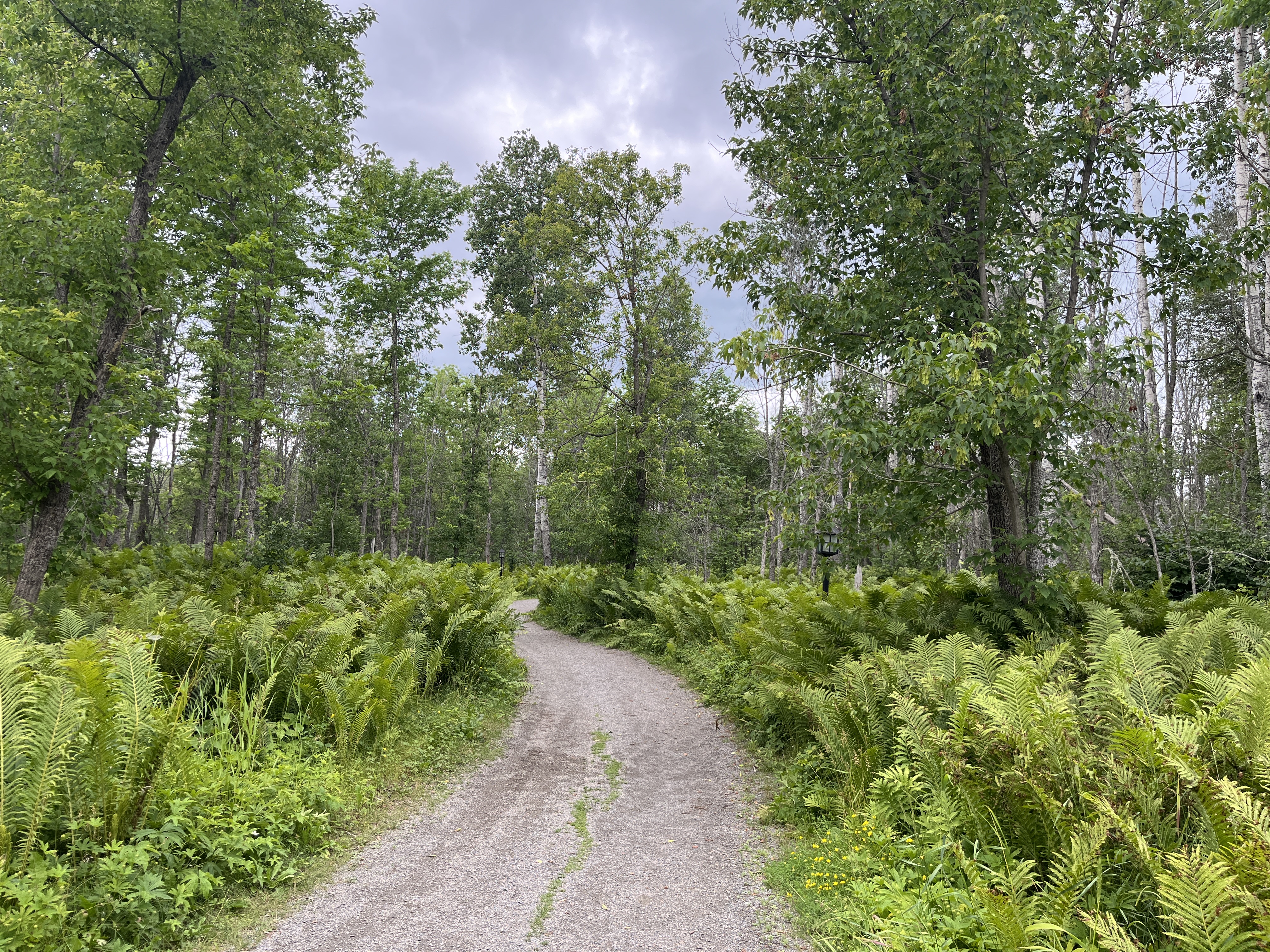
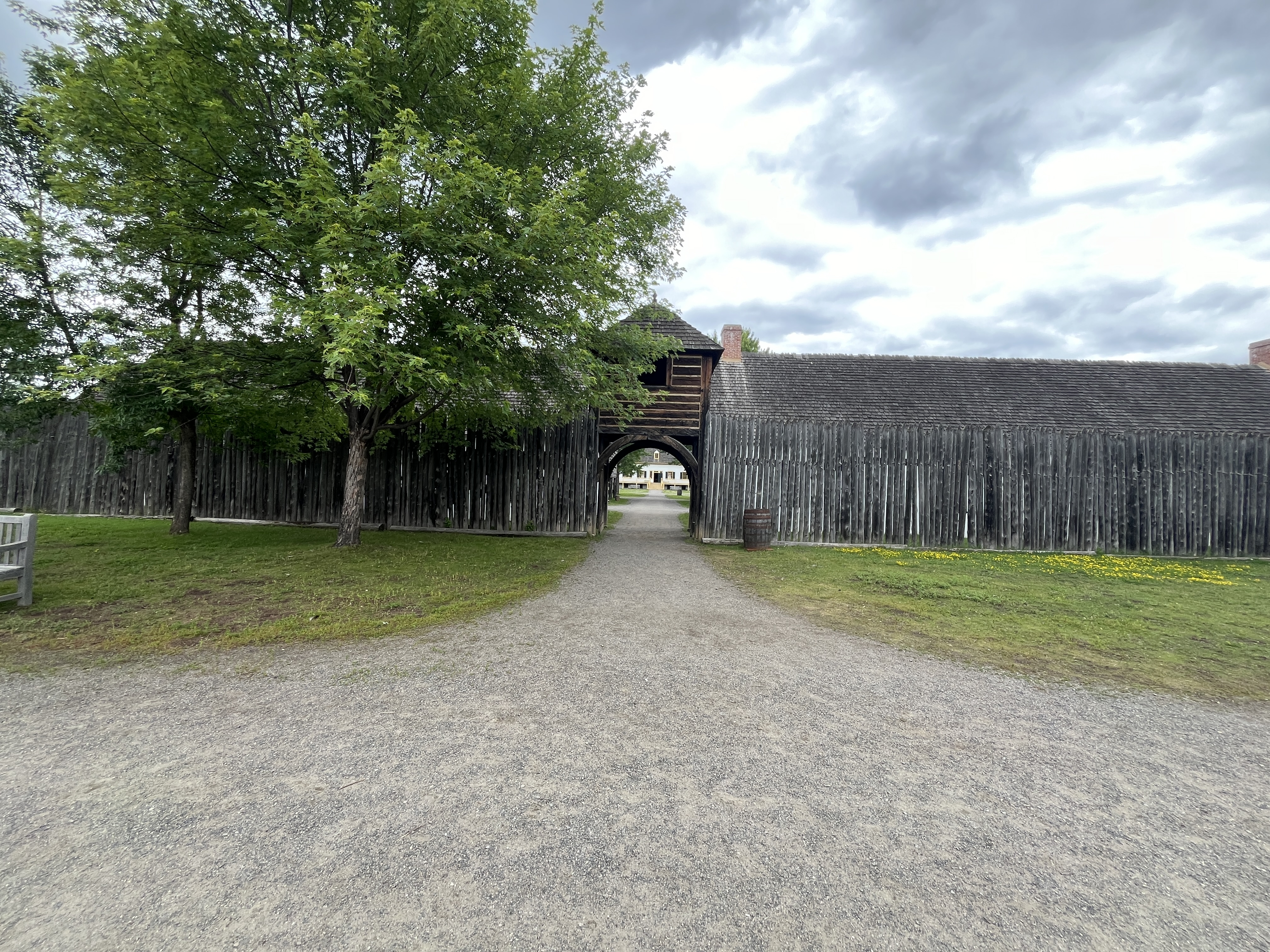
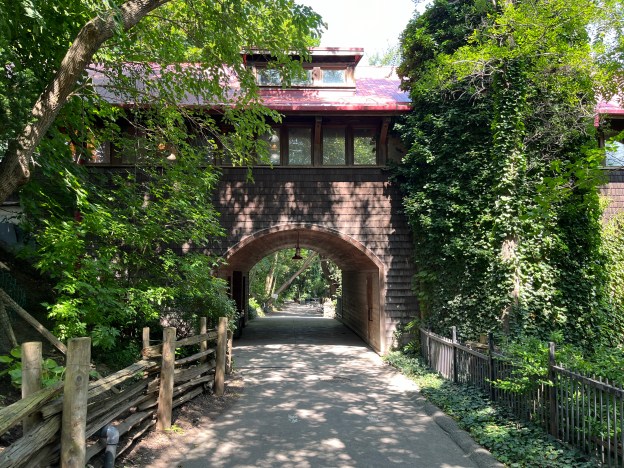
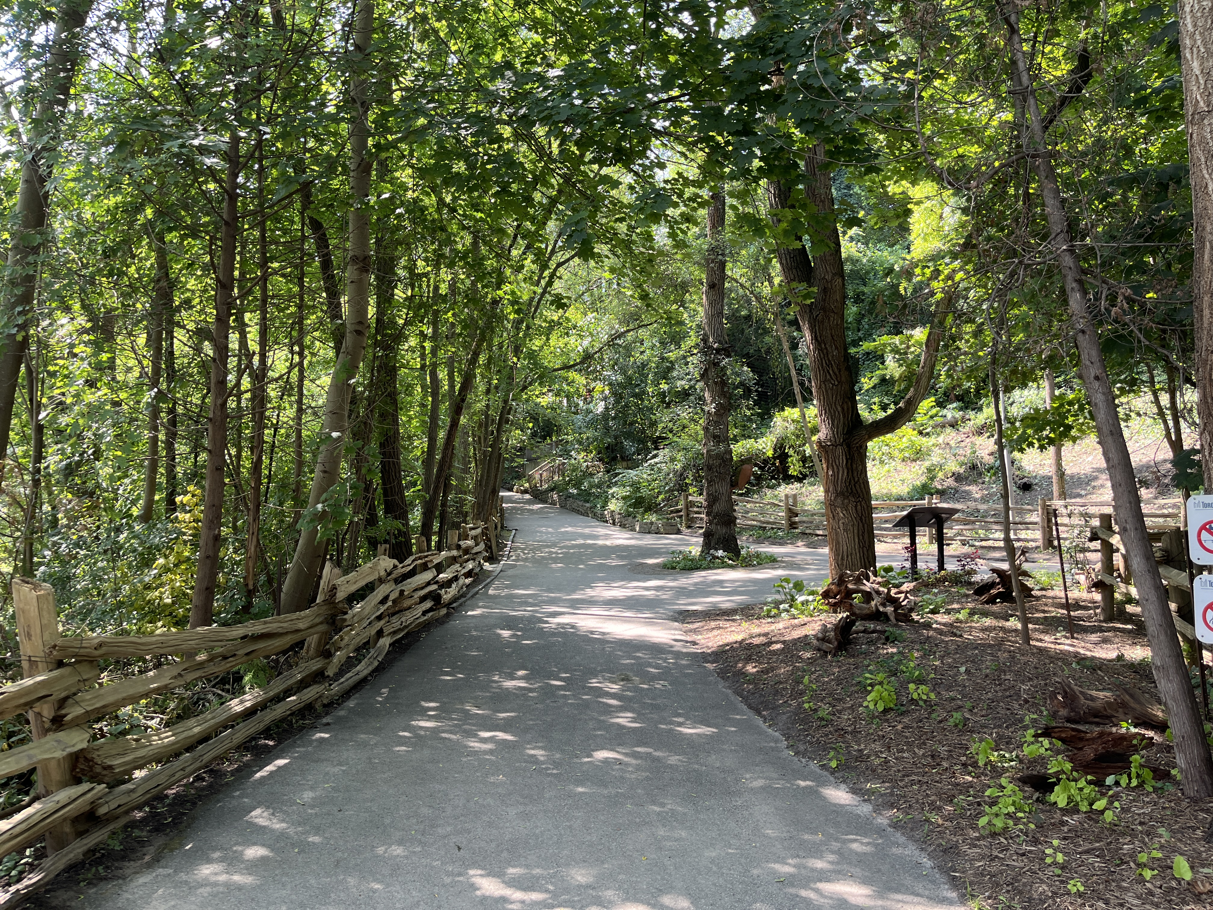
This summer marks the 50th anniversary of the opening of the Toronto Zoo in Scarborough on August 15, 1974. We’ve previously posted about the zoo at the link above. Before that, there was Riverdale Zoo. That facility transformed itself into Riverdale Farm after the new zoo was opened. Our previous story on Riverdale Farm was photographed on Family Day 2016 and featured a lot of snow. I recently had the chance to walk through there on a summer day and the pictures are much more cheerful than the previous ones. Therefore, I felt it might be good to publish a new set of pictures. We won’t be retelling the story as it can be found in our previous post. This will be more of a photo album than a historical post. Riverdale Farm can be entered for free from Riverdale Park off of Winchester Street and also from the bottom of Riverdale Park East. The image below shows the trail into the farm from Riverdale Park East.

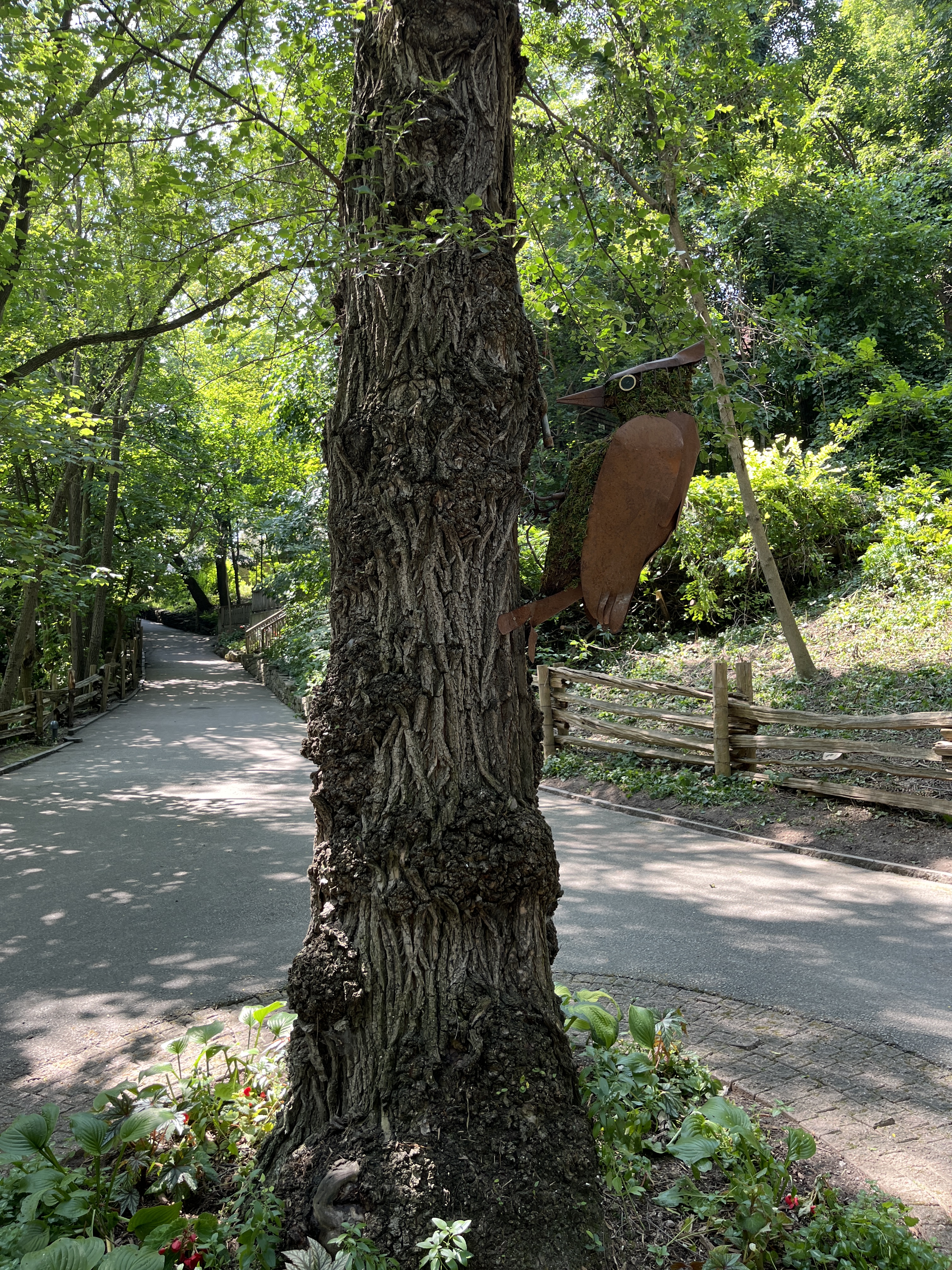
One of the first things you will notice as you enter the farm from the bottom end is this large steel woodpecker that seems to be endlessly trying to get a meal out of this tree.

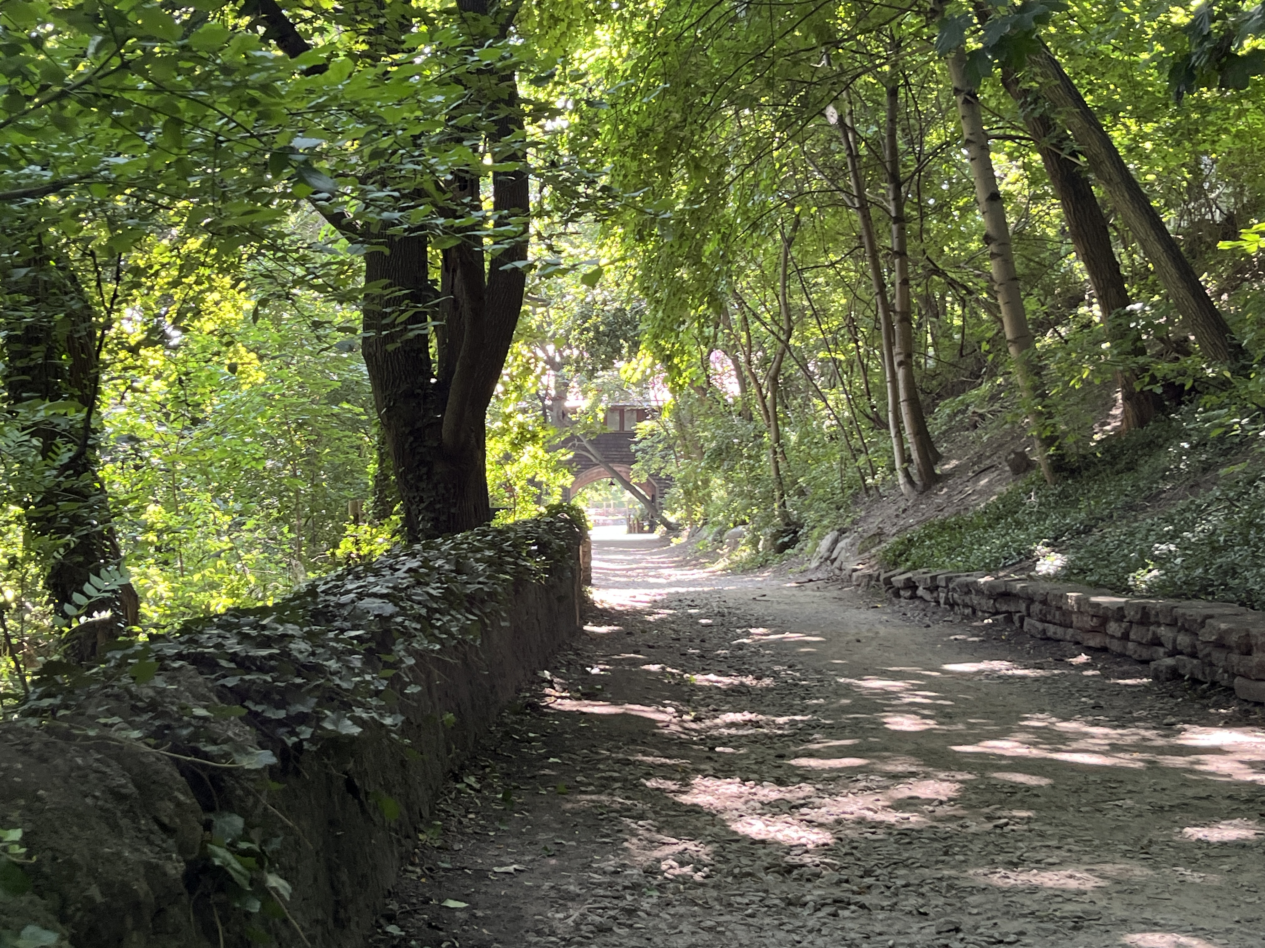
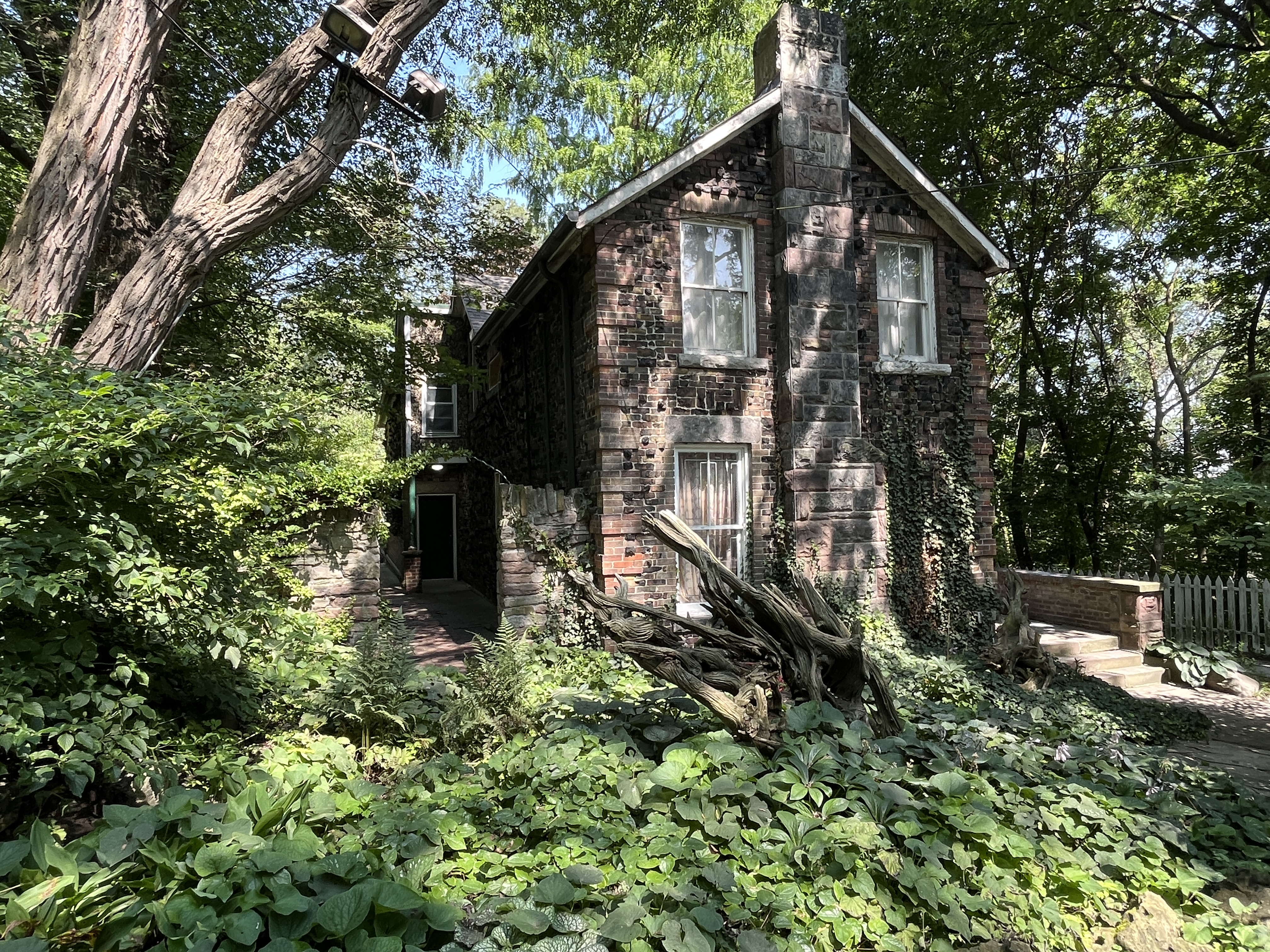
When I was here eight years ago you could still walk to the Island House. There are several old sections of the Don River that are in the farm that have been cut off from the main flow of the river. This happened when the city decided to straighten the river in the 1880s and left some oxbows stranded on the Riverdale Zoo property. The building on the little island was known as the Monkey House (later the Island House) and is one of only three original buildings that remain from the days of the zoo. The stone arch bridge that accesses the island has been determined to be unsafe and is now closed. This is likely permanent as there is little need to refurbish it since the Island House isn’t in use anymore.

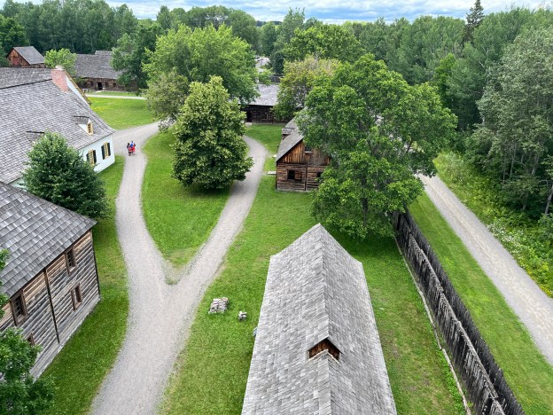
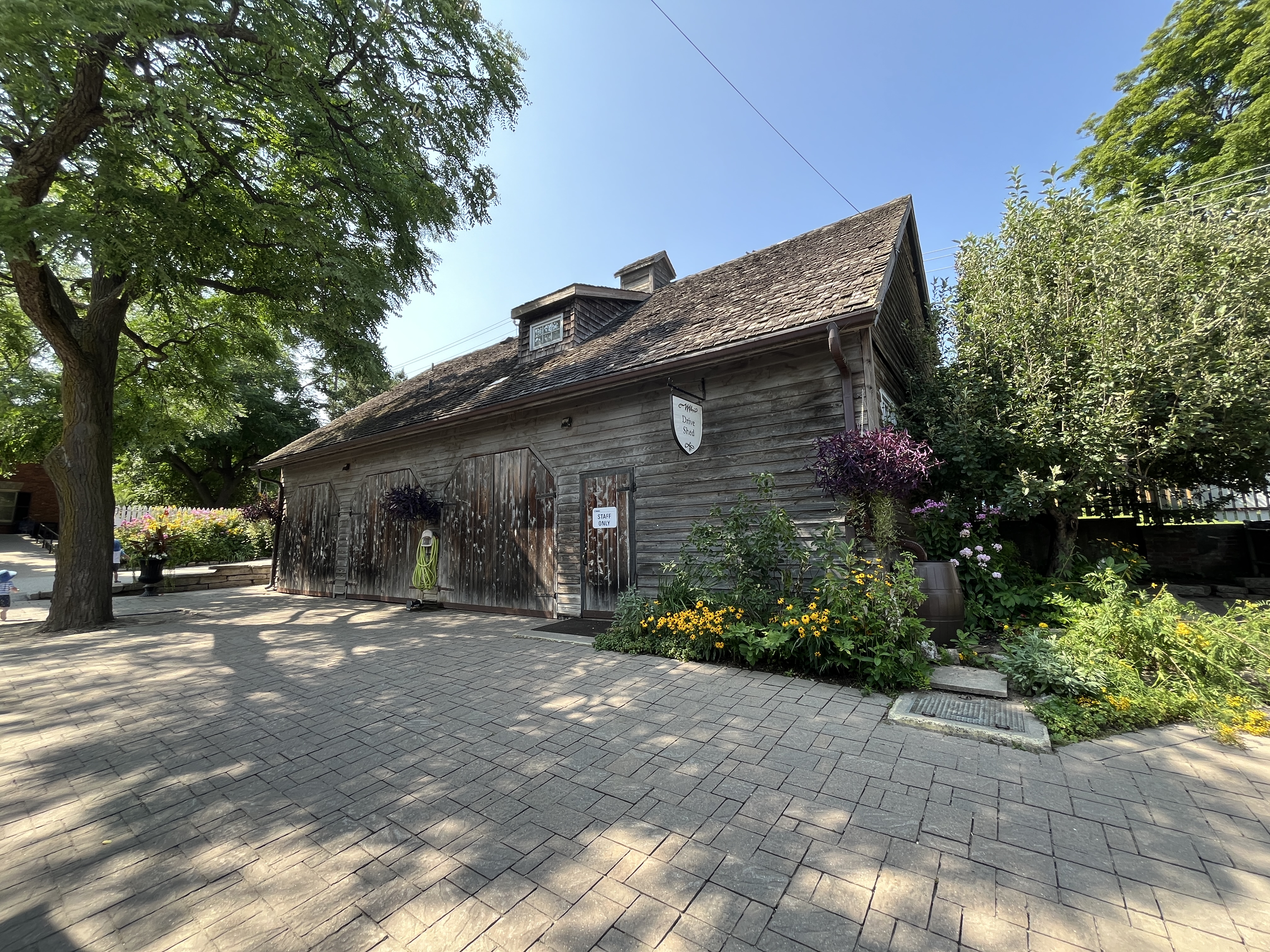
From the Island House you can follow the path back up the hill toward the main part of the farm. The archway under the Meeting House can be seen in the distance and more clearly in the cover photo to this post. This building was opened in 1993 and is used for visitor activities all year and includes a set of public washrooms.

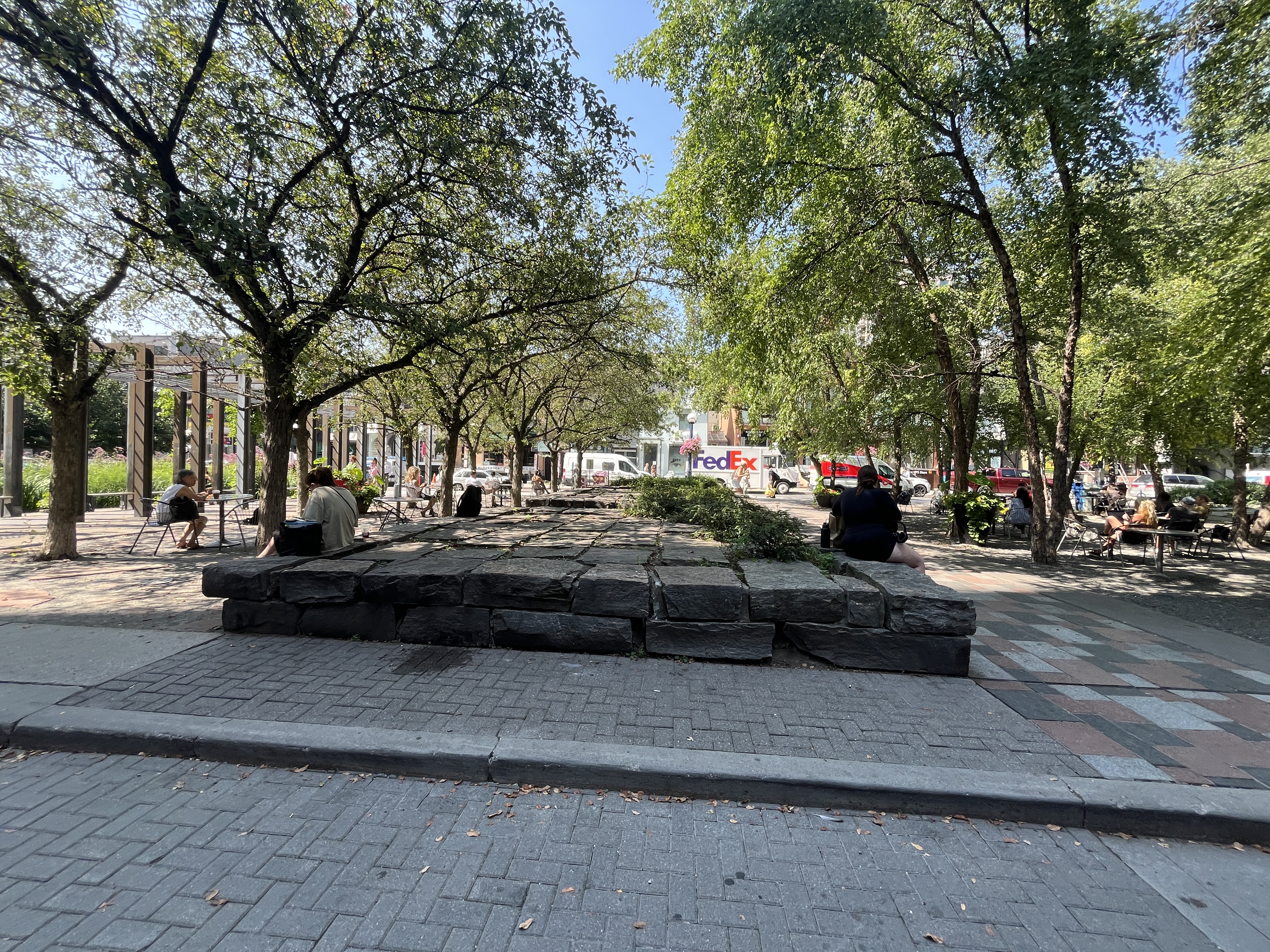
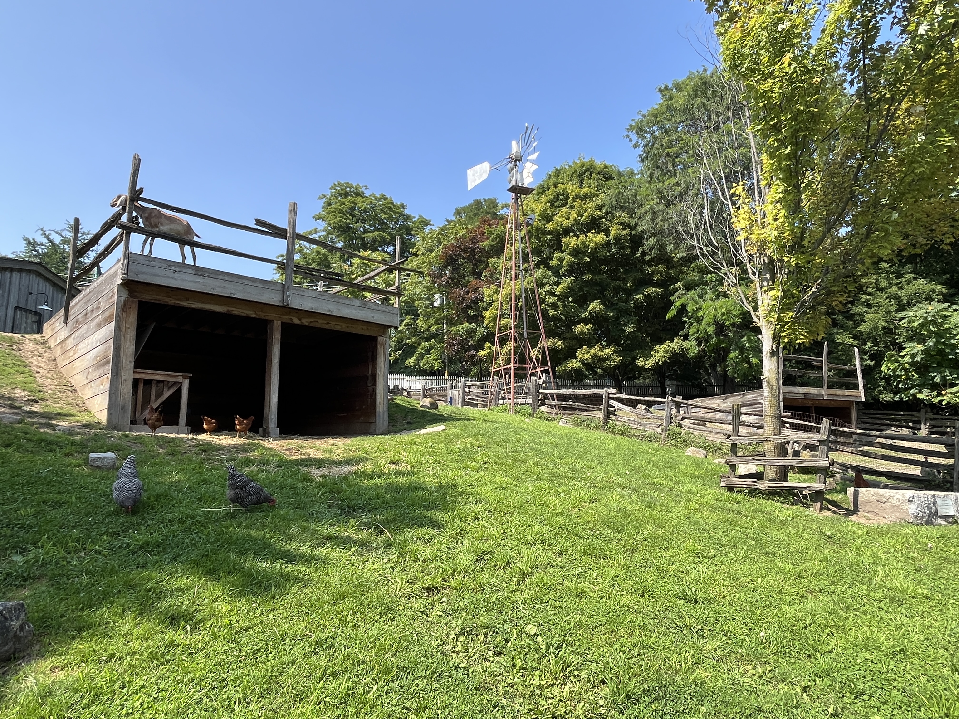
Riverdale Farm is a working farm located in the heart of the city. This allows people the ability to see farm animals without having to drive for an hour to reach one of the tourist farms in the country. I use the term tourist farms to describe places like Chudleighs or Downeys because they charge an admission so that urban dwellers can experience what life on a farm is like. Unlike these farms, Riverdale Farm is free to visit. However, it isn’t a petting zoo and you can’t feed or really interact with the animals. The goat in the picture above is standing on top of the shelter and keeping an eye on the people who are visiting.

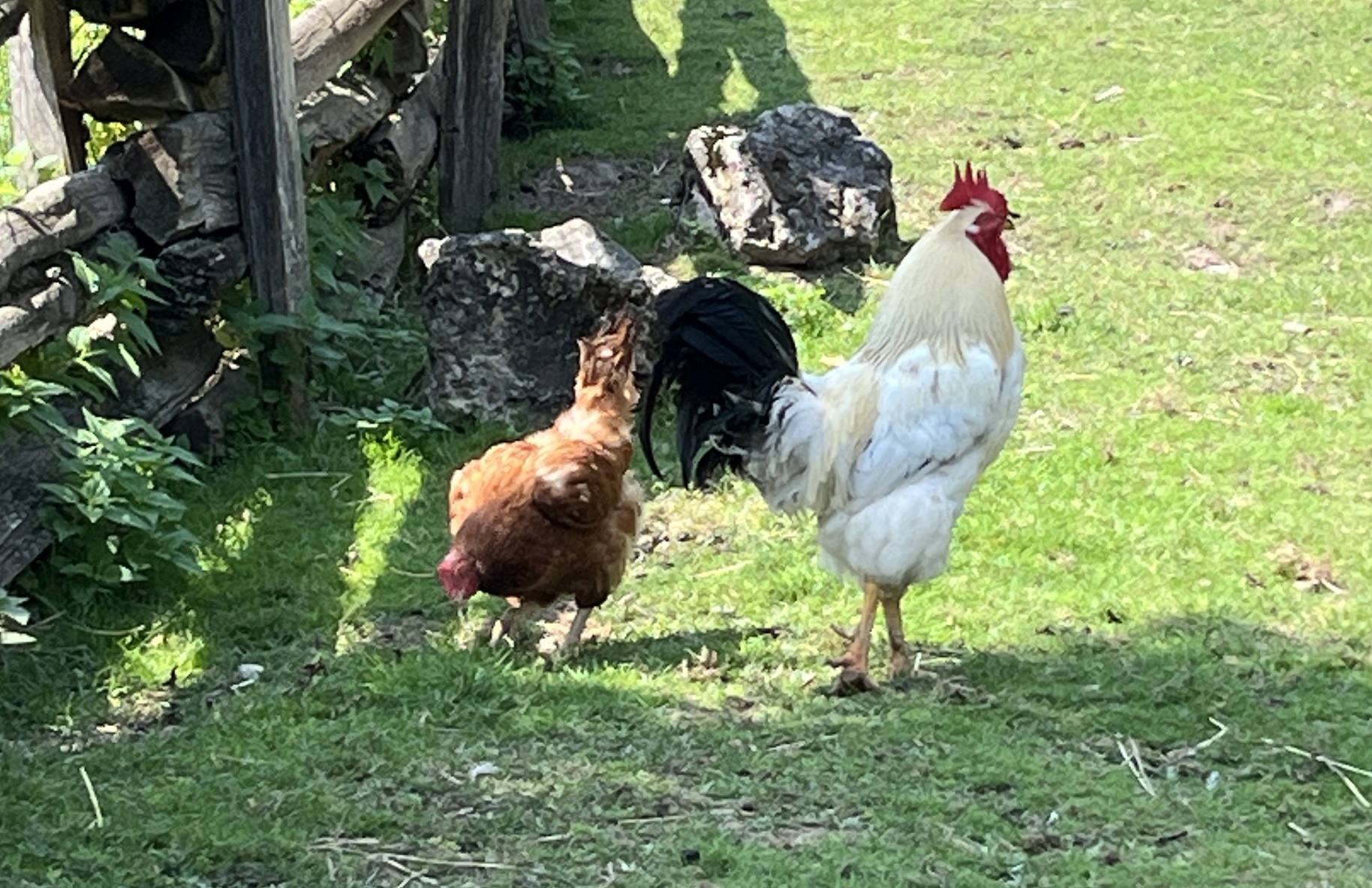
This rooster was crowing in the middle of the afternoon but perhaps it was just a show for the hen that seemed to be following him around. I guess this chicken is in love.

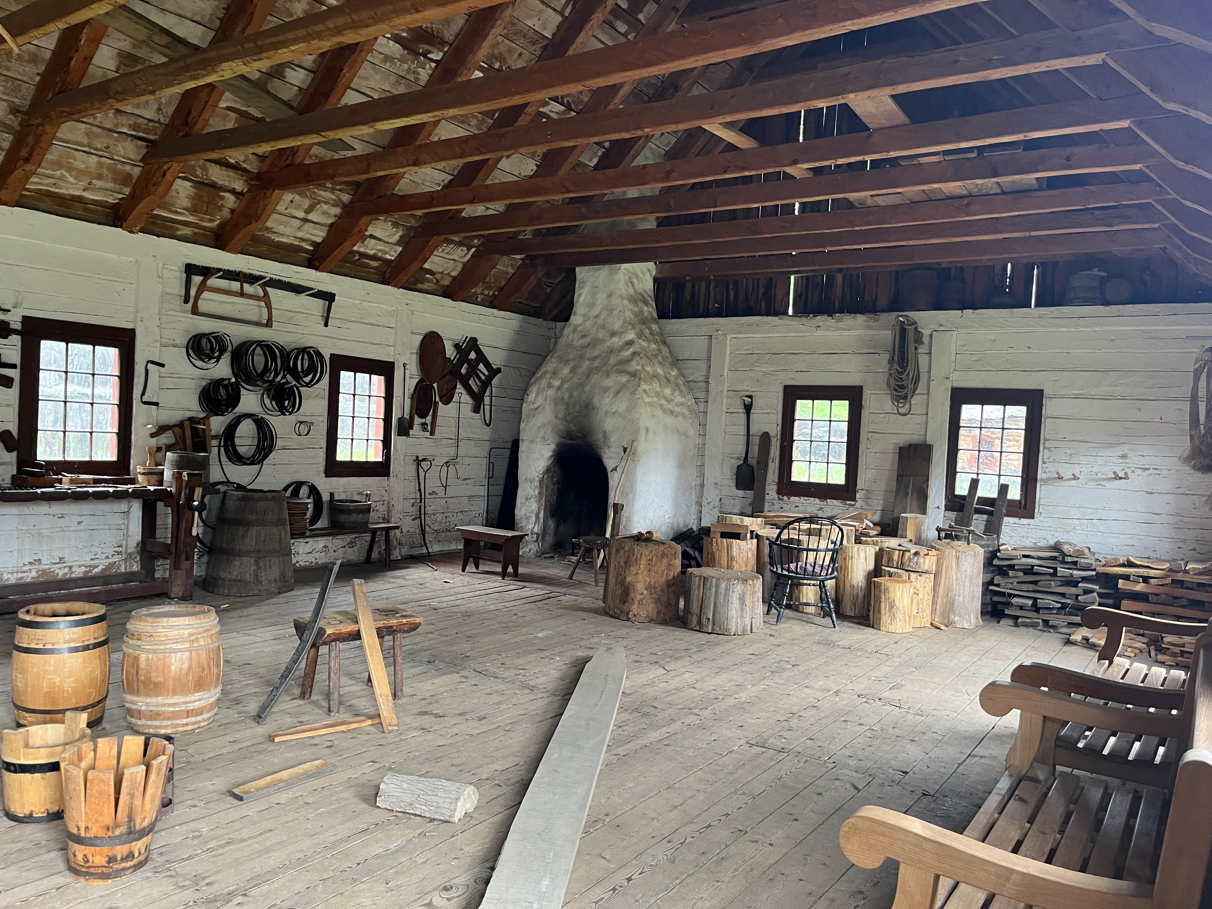
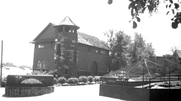
The zoo keepers residence was built in 1902 by inmates from The Don Jail across the river in what is now East Riverdale Park. The house served the zoo in several capacities including an animal hospital. It was also used as a temporary morgue for The Necropolis across the street. Along with the Monkey House and The Donneybrook, it is one of only three remaining structures from the zoo.

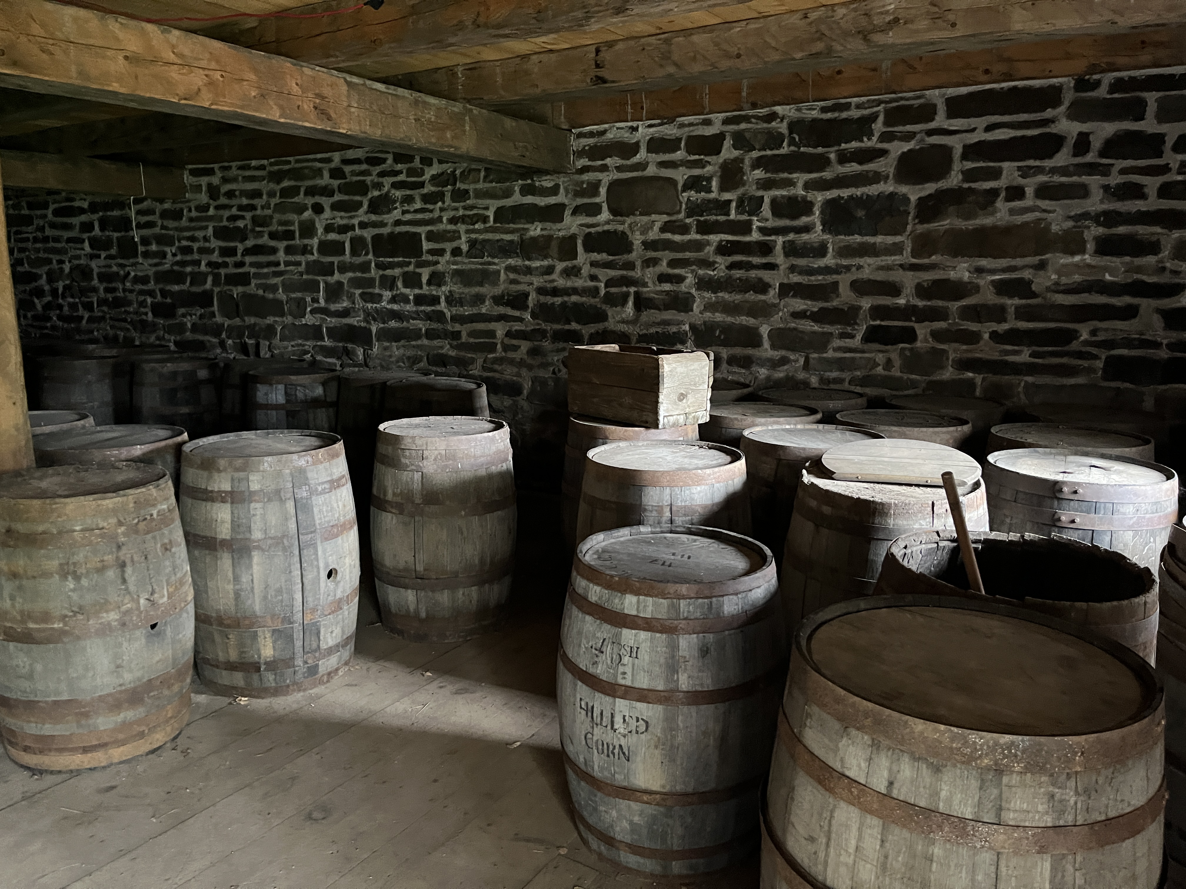
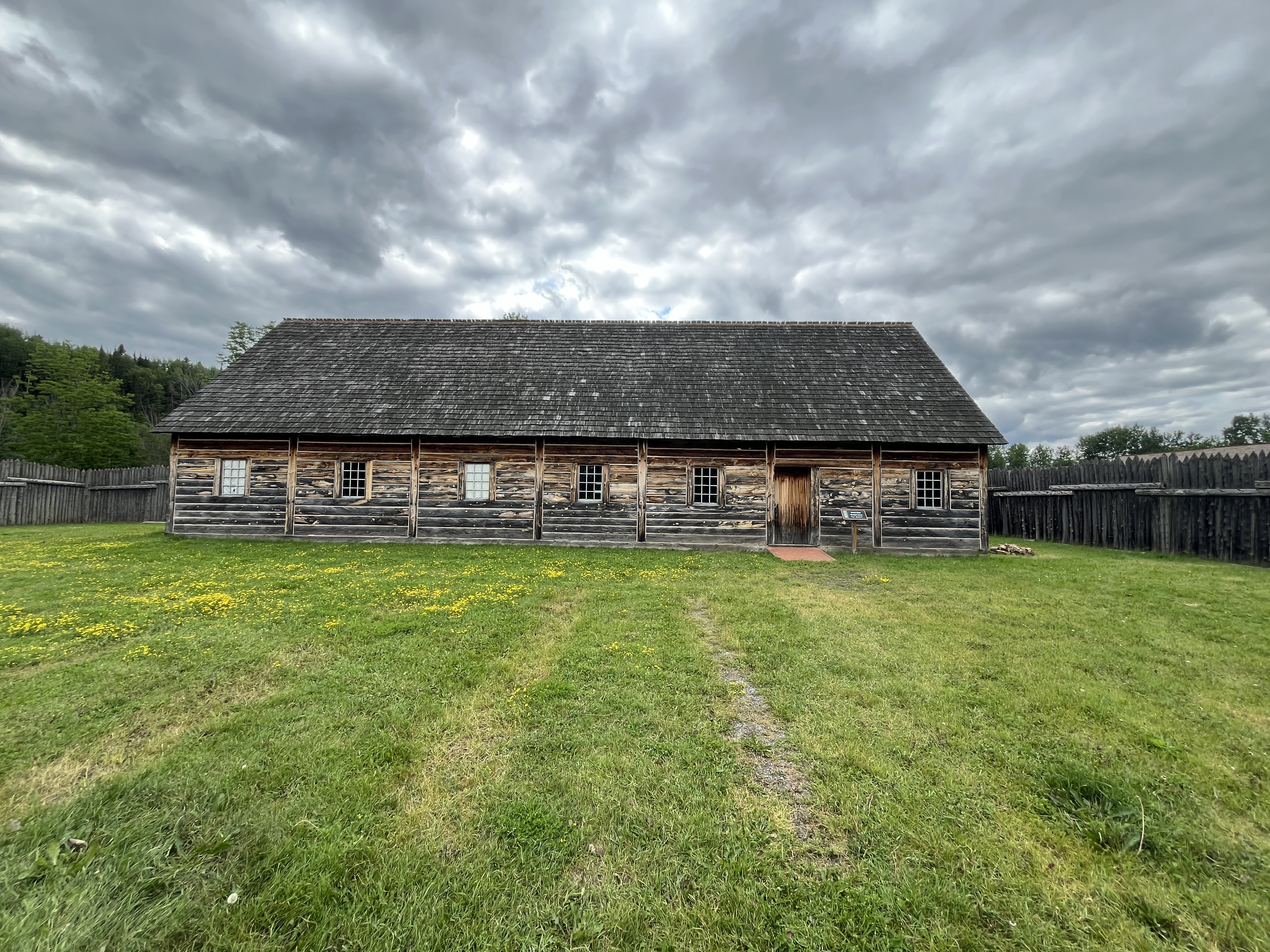
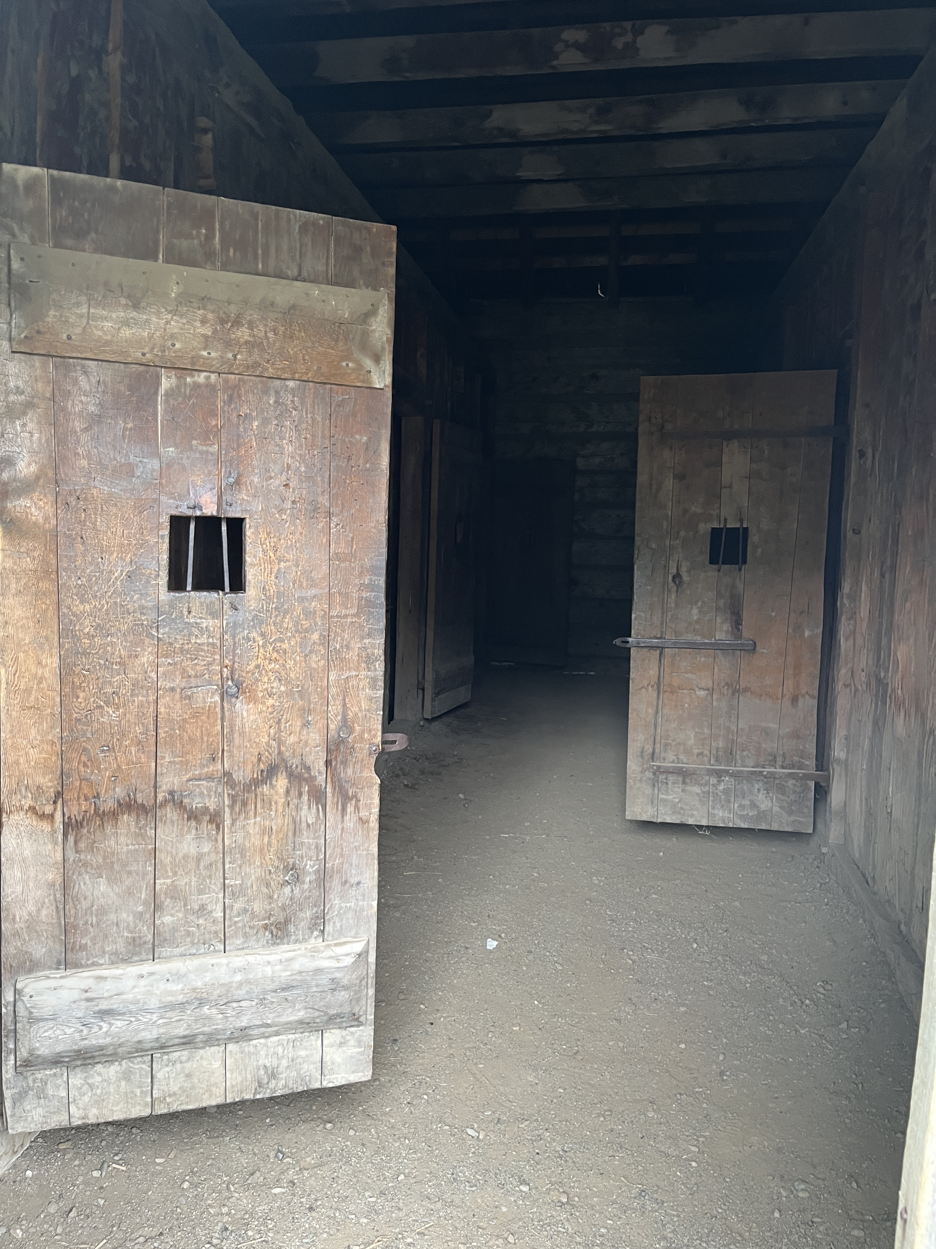
There are two barns on the farm, the smaller of which is home to the pigs and poultry. The larger barn is known as the Francey Barn. It was originally built in 1858 on a farm in Markham Township. It is a style of barn that is known as a Pennsylvania Bank Barn. This is because it was built into the side of an embankment or hill. This allowed access to the upper floor from one side and the lower level from the other. Animals were kept in the lower level while hay and straw were kept in the upper level.

The Francey barn was donated to the City of Toronto in 1977 and moved to Riverdale Farm. I was taken apart and moved in pieces and then reassembled on the farm. When you look at the main beams in the barn you can see the rough cut of them which shows they were cut by hand and not in a saw mill. This was common on early farms where the trees cut to clear the farm provided the materials for houses and barns. When you look carefully you will see that some of the beams have little cut out sections that indicate they were originally positioned differently before the barn was disassembled.

Beside the cow paddock is the Donnybrook ruins. This was originally a two story building that can be seen in this photo from the Toronto Archives.

The tower and ground floor are all that remain and the tower has been overgrown to the point where you can no longer see the stone details that are hiding behind the vines.

Riverdale Farm is a great place to visit any time of the year and has over 3 kilometres of trails to be explored. It also connects to the larger network of trails along the Don River. Parking is free (if you can find a spot on a street nearby) but you can also get there easily by TTC.

Related stories: Riverdale Farm, Toronto Zoo, The Don Jail, The Necropolis

Google Maps link: Riverdale Farm

Like us at: http://www.facebook.com/hikingthegta

Follow us at: http://www.hikingthegta.com

Also, look for us on Instagram

Fort William Historical Park

August 10, 2024

The fur trade was using the Kaministiquia River as early as 1681 when the French were trading with the Ojibwe. The river became an important trade route that lasted until the 1820s. In 1776 a group of fur traders from Montreal decided to join together to reduce competition among themselves and in 1779 they formed the North West Company (NWC). They entered into direct competition with the Hudson Bay Company for the North American fur trade with the indigenous peoples. In 1803 they build a trading fort at the mouth of the Kaministiquia River. The fort was named Fort William in 1807 after the Chief Superintendent of the North West Company who was named William McGillivroy.

I had the opportunity to visit the recreated fort while on a business trip to Thunder Bay. The image below shows the trail from the visitor centre to the Fort William Historical Park which is about an 8 minute walk.

The fort became a major transshipment point for the furs that the indigenous people collected and traded with the NWC. There was an annual rendezvous that occurred at the fort in the end of July and start of August. Furs were brought from the interior and traded at the fort. They would be shipped to Montreal and then off to Europe. The NWC needed a central meeting place because there wasn’t enough time for the furs to be taken all the way to Montreal and then make the trip back before the rivers would freeze for the winter. When you visit Fort William Historical Park you will find a small Indigenous camp outside the fort.

The NWC had good relationships with the indigenous peoples and although they chose to camp outside of the fort, there were plenty of opportunities to interact with the traders. The relationships were friendly and many inter-racial marriages took place. The image below shows the entrance to the fort from the river.

An incident on June 19, 1816 near modern day Winnipeg became known as the Seven Oaks Incident. This stemmed from a proclamation of the Hudson Bay Company in January 1814 that prohibited the export of pemmican from the colony for the next year. Pemmican was the main food of the fur traders as it could be transported easily. This proclamation was seen as an attempt to control the fur trade. Tensions rose and by 1816 they were at the breaking point. When things came to a head on June 19th a gun battle occurred that left 21 dead on the side of the Hudson Bay Company and 1 on the North West Company side.

The result was the occupation of Fort William by Lord Selkirk of the Hudson Bay Company for about 10 months between 1816-1817. By 1821 the North West Company was in financial troubles and the two companies agreed to a merger under the name of the Hudson Bay Company.

The fur trade then took on the routes of the Hudson Bay company and Fort William lost its significance. By 1883 it was closed. The image below shows the inside of the fur storage building complete with its 60 pound bundles of furs awaiting shipment to Montreal.

The site of the original fort was ideal for the Canadian Pacific Railway and its grain shipping facilities because it was accessible to the lake. The buildings of the fort were slowly demolished and replaced with railway facilities.

The last building standing was the Stone Stores building which was demolished in 1902. The image below shows the recreated building at the Fort William Historical Park.

In 1971 it was decided that the fort would be reconstructed as an historical and educational site. A location 14 kilometres upstream was chosen and the fort was meticulously rebuilt to match the original as close as possible.

When Lord Selkirk occupied the fort in 1816 he made detailed notes about every aspect of the fort, down to the size and number of windows and floorboards in each building. He measured out the number of steps between each building and what was stored in each one. His notes have survived and the details allowed for a very accurate representation of the original fort. The Naval Shed below is an example of the reconstruction.

The original goal (pronounced jail) is a dark and forbidding place with no windows where one could be put for causing the smallest disturbance.

The reconstruction includes storage buildings, accommodations, a hospital building and a couple of canoe buildings as seen earlier in this post. The image below is of the inside of the trades building where the people who maintained everything lived.

The powder storage building is one of the few stone buildings in the compound. The fort was a bustle of activity during the six weeks of Rendezvous each year but then went back to accommodating a handful of people for the remainder of the year.

Fort William Historical Park used to showcase life in 1816 when the fort was under the control of the Hudson Bay Company but has recently reverted to 1815 when it was independent. There is an entry fee but you can spend many hours here and learn a lot about the fur trade and relations with the indigenous people who made it all work. The staff role play and do an incredible job of pretending that it is 1815.

Google Maps Link: Fort William Historical Park

Like us at http://www.facebook.com/hikingthegta

Follow us at http://www.hikingthegta.com

Also, look for us on Instagram

Village of Yorkville Park

August 3, 2024

Yorkville has gone through many changes since its founding in 1830. The population reached 1,000 in 1853 which qualified it to be incorporated as a village. When it refused to buy water from Toronto it developed the Yorkville Water Works which we described in detail in the linked post. In 1883 it was annexed to Toronto and became known as St. Paul’s Ward. In the 1960s it was the centre of the Canadian Hippie movement and became a cultural home for budding artists including Joni Mitchell, Gordon Lightfoot and Neil Young. Today it is home to one of Toronto’s most prestigious shopping areas. The map below is from the 1884 Goads Fire Insurance maps. It shows the village of Yorkville at the time of annexation. The brickyards are set within the larger green square in the middle of the map while the area that would become the Village of Yorkville Park is located in the smaller green rectangle near the bottom.

Cumberland Avenue used to be lined with of a series of Victorian Homes that stood there until the building of the Bloor Subway Line in the 1950s. They were demolished and after the subway construction was finished the area was turned into a parking lot. It remained a surface parking lot for around 40 years until 1991 when ongoing pressure from the residents and Business Improvement Association resulted in the city agreeing to turn it into an urban park. But not the standard city park with a few trees and a couple of benches, This was to be a unique park which has become an oasis for local people as well as a tourist attraction for visitors. Joni Mitchell wrote her hit song Big Yellow Taxi in 1970 which was an environmental statement and included the line “They paved paradise and put up a parking lot.” It’s a bit ironic that the area in which she got her start decided to remove a parking lot and put up a bit of paradise.

The park is laid out in sections that are sized by the original property lots that used to stand here. There is a separate garden for each section of the park that reflects a different Canadian ecosystem.

Starting at the east end of the park beside Bellair Street you have a Pine Grove. These pine trees represent one of the many ecosystems that can be found within Canada. The trees are each surrounded with a concrete structure shaped like an inner tube of a tire. These are intended to be used as seating.

The Victorian homes that once stood on this property were adorned with a wide variety of gardens as was the fashion at the time.

The twelve gardens or zones in the park are 1) Pine Grove, 2) Prairie Wildflower Garden, 3) Birch Grove, 4) Fragrant Herb Rock Garden, 5) Crabapple Orchard, 6) Festival Walk, 7) Ontario Marsh, 8) Aider Grove, 9) Canadian Shield Clearing, 10) Herbaceous Border Garden, 11) Heritage Walk and 12) Amelanchier Grove.

The park is a great place to enjoy a cool drink or chat with friends. There is plenty of places to sit and lots of shade on a hot day. The little shops and boutiques of Yorkville are all close by as are the major retailers on The Mink Mile an upscale shopping district in Yorkville.

The Marshy Wetlands are traversed by a set of boardwalks in a crisscross pattern similar to what we find on many hiking trails.

The stainless steel water curtain sprays a mist on the local plants and turns into an icicle display in the winter.

Perhaps the most striking feature of the park is the Canadian Shield display. This 650 ton piece of rock was brought from the north in pieces on 20 flatbed trucks. It was reassembled in place and has become a focus of the park.

The park covers roughly one acre but has so much variety that it easily is one of the most interesting park designs in the city.

Although the Victorian homes on the south side of Cumberland Street were demolished the north side was left intact. Many of these buildings have been replaced over the years but a few original structures remain. The building at 122-124 Cumberland Street is an example of the type of homes that once stood where the park is now located. Until recently it had its original brick colour but has been painted black. In my opinion this isn’t an improvement.

The Village of Yorkville Park is an interesting place to visit if you find yourself in the area of Bloor and Bay Streets.

Related Posts: Yorkville Water Works, Ramsden Park – Yorkville Brickworks

Google Maps Link : Village of Yorkville Park

Like us at http://www.facebook.com/hikingthegta

Follow us at http://www.hikingthegta.com

Also, look for us on Instagram