Monthly Archives: September 2024

The Blair Sheave Tower

September 28, 2024

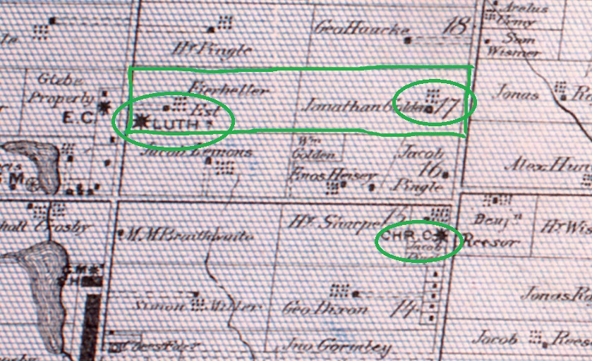
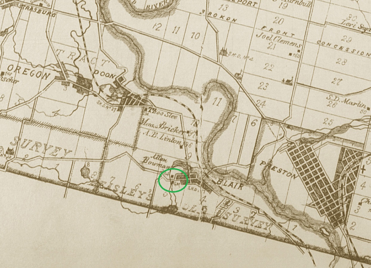
The first European in the area of Blair was a German Mennonite that took up a homestead in 1800 and owned most of the land that would later become the community. In 1817 Joseph Bowman bought the property and in 1830 he built a dam on Bowman (now Blair) creek to power a saw mill he had built. His son Samuel W. Bowman added a four-story grist mill near the saw mill. The map below from the 1877 County Atlas shows the location of the grist mill circled in green and just on the edge of the hamlet of Blair. This community had expanded to about 140 people by 1855 and boasted a school built in 1802 as well as a general store and a hotel. The post office was opened in 1858. In 1973 Blair, Preston, Helspler and Galt amalgamated to form Cambridge.

There is an interpretive sign at the site which shows the original four-story grist mill which was known as Carlisle Mill. In 1851 this mill was able to produce 7,000 barrels of flour per year. The mill was sold to Peter Sherk in 1866.

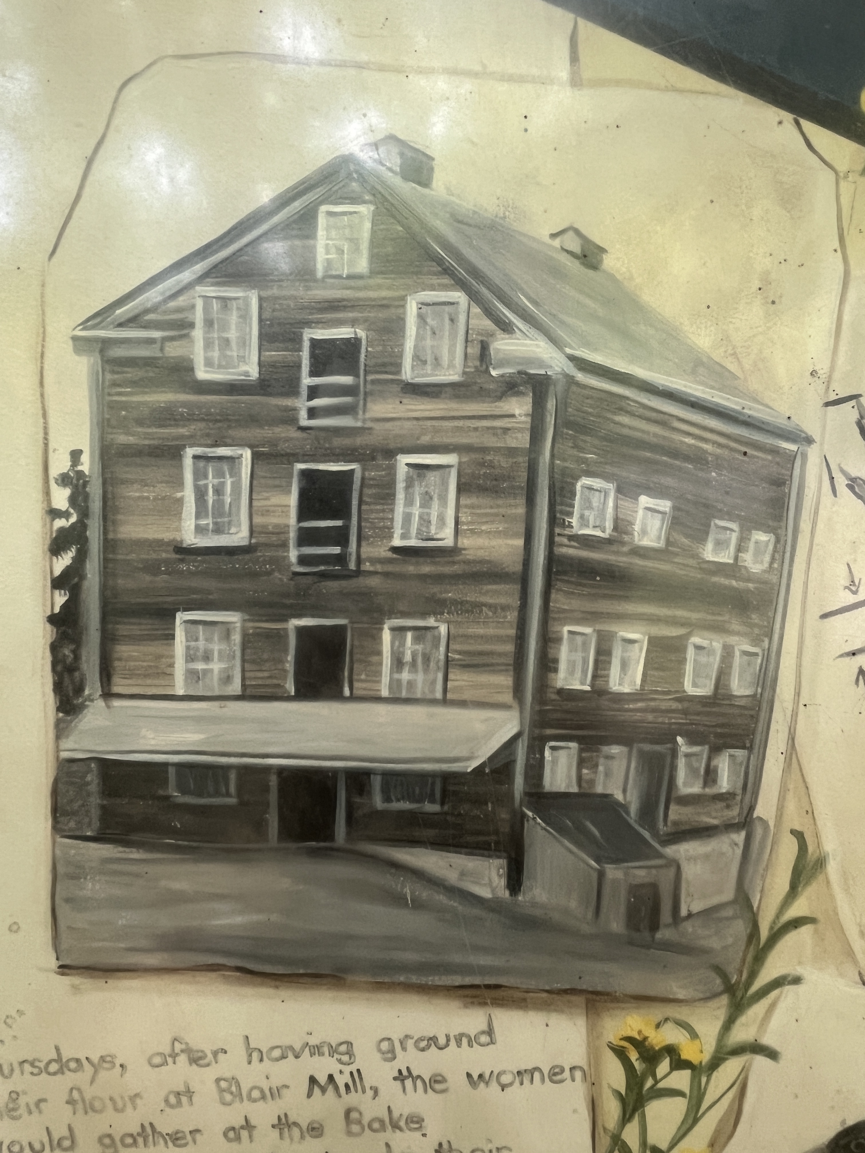
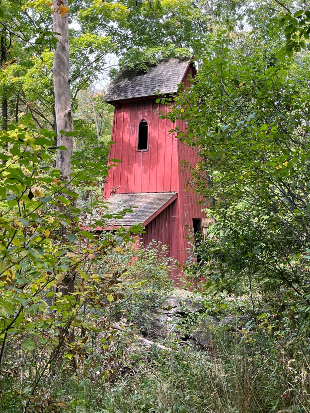
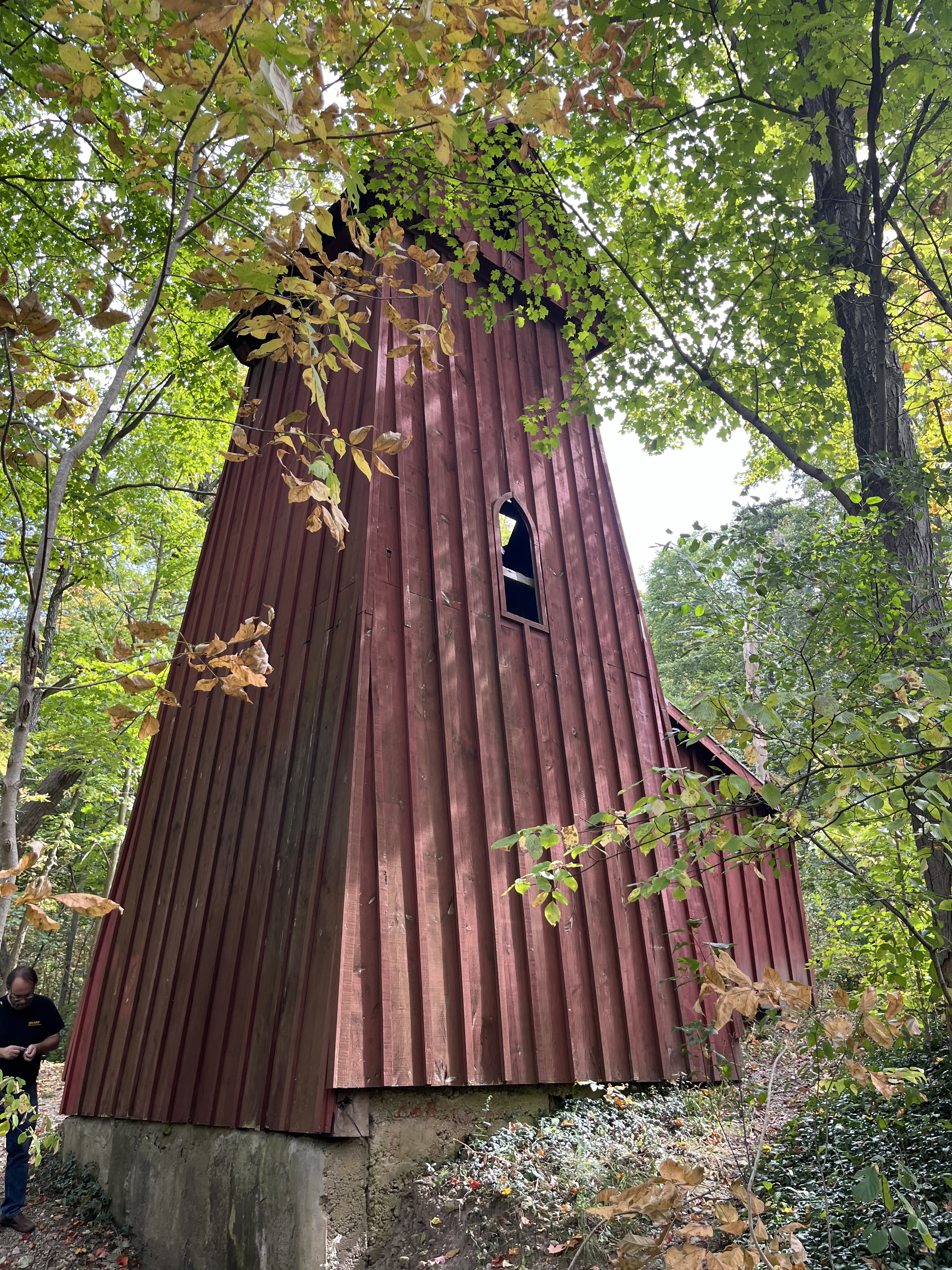
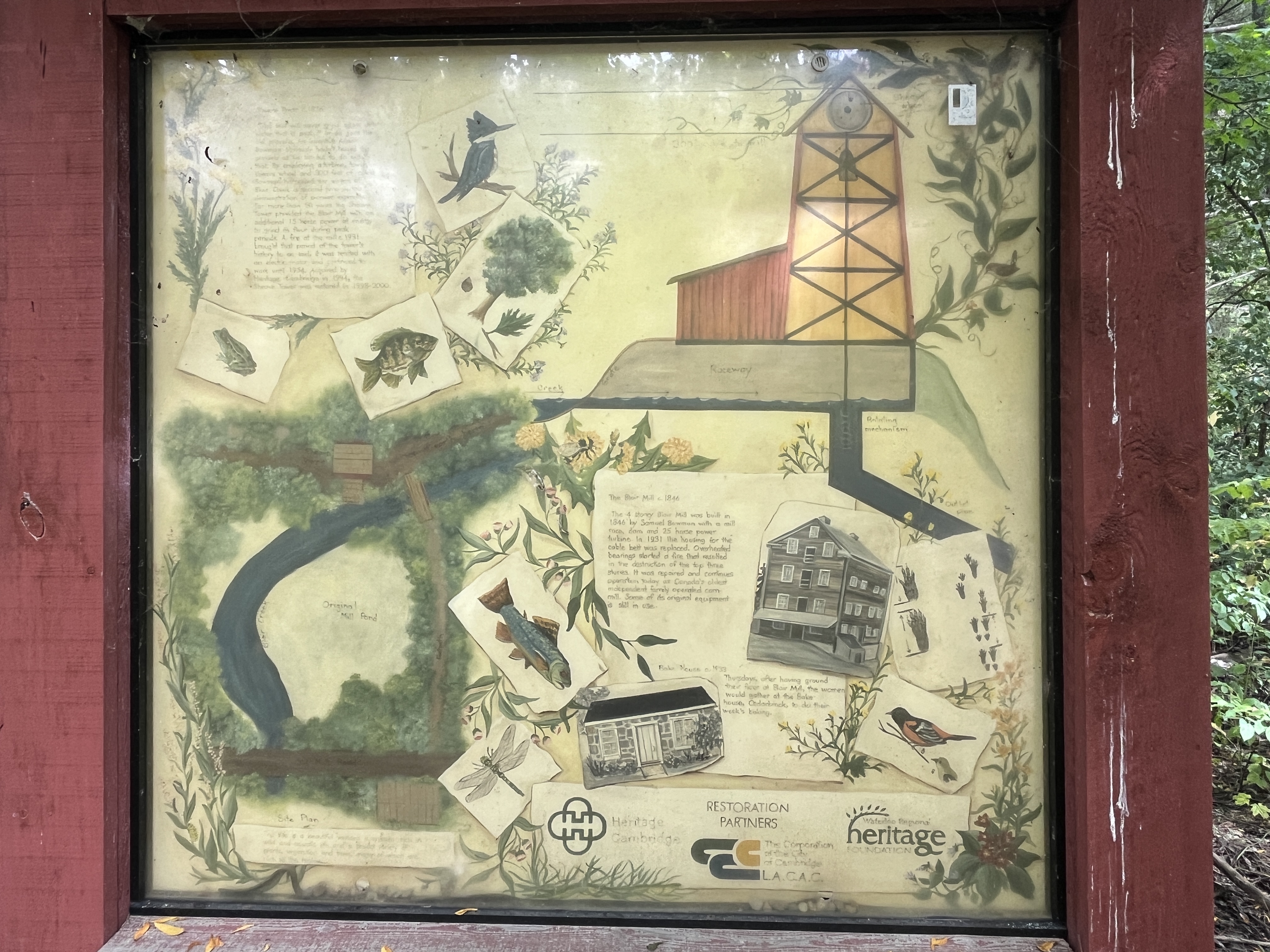
The mill was able to generate 25 horsepower from waterpower on it’s water wheel. It was decided in 1876 to supplement the power with an additional 15 horsepower that would be generated downstream. Samuel’s son, Allan, built a 31 foot (9 metre) wooden tower about 240 feet (70 metres) away on the other side of Old Mill Road. This allowed them to tap into the power of the creek twice.

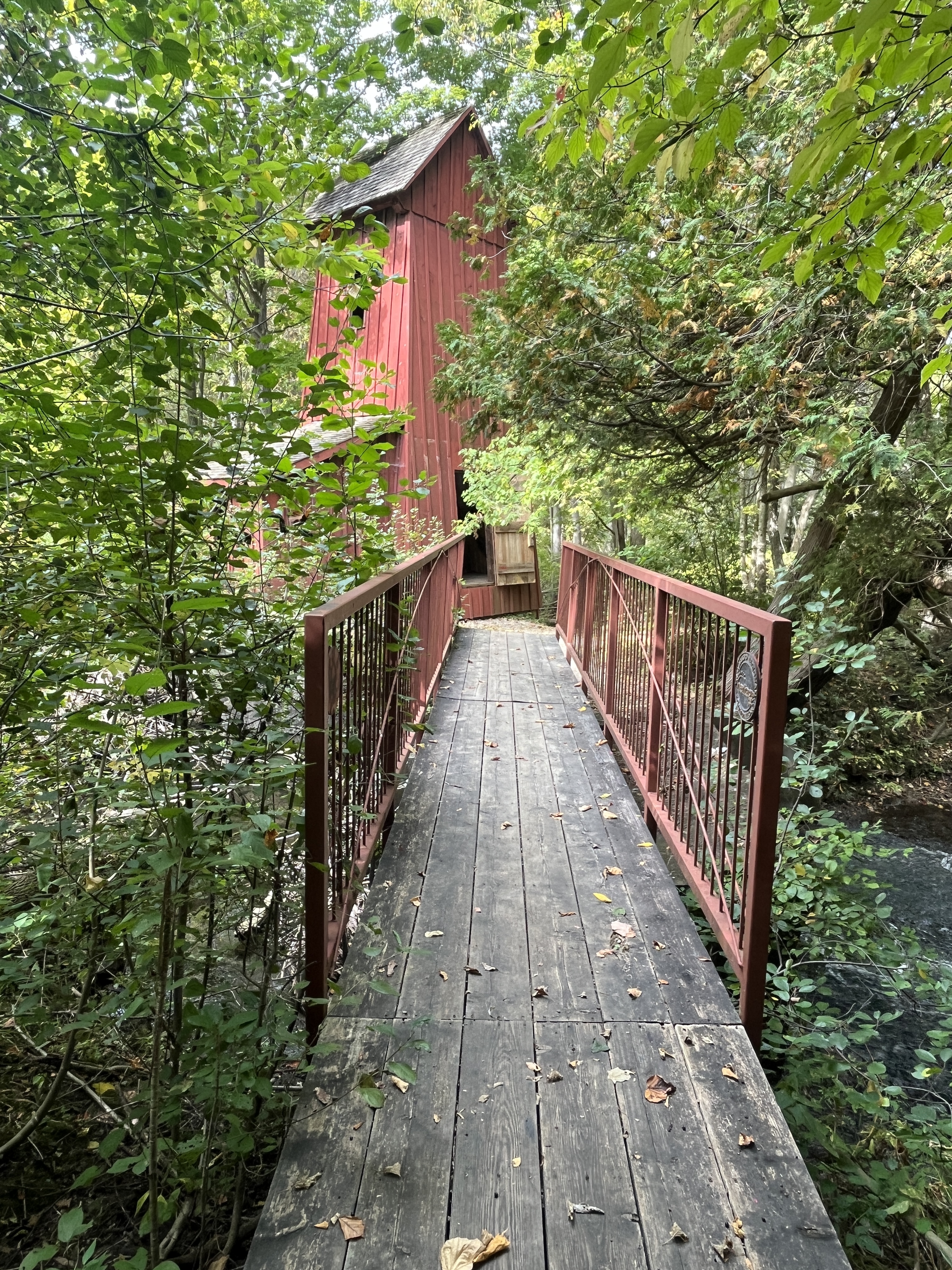
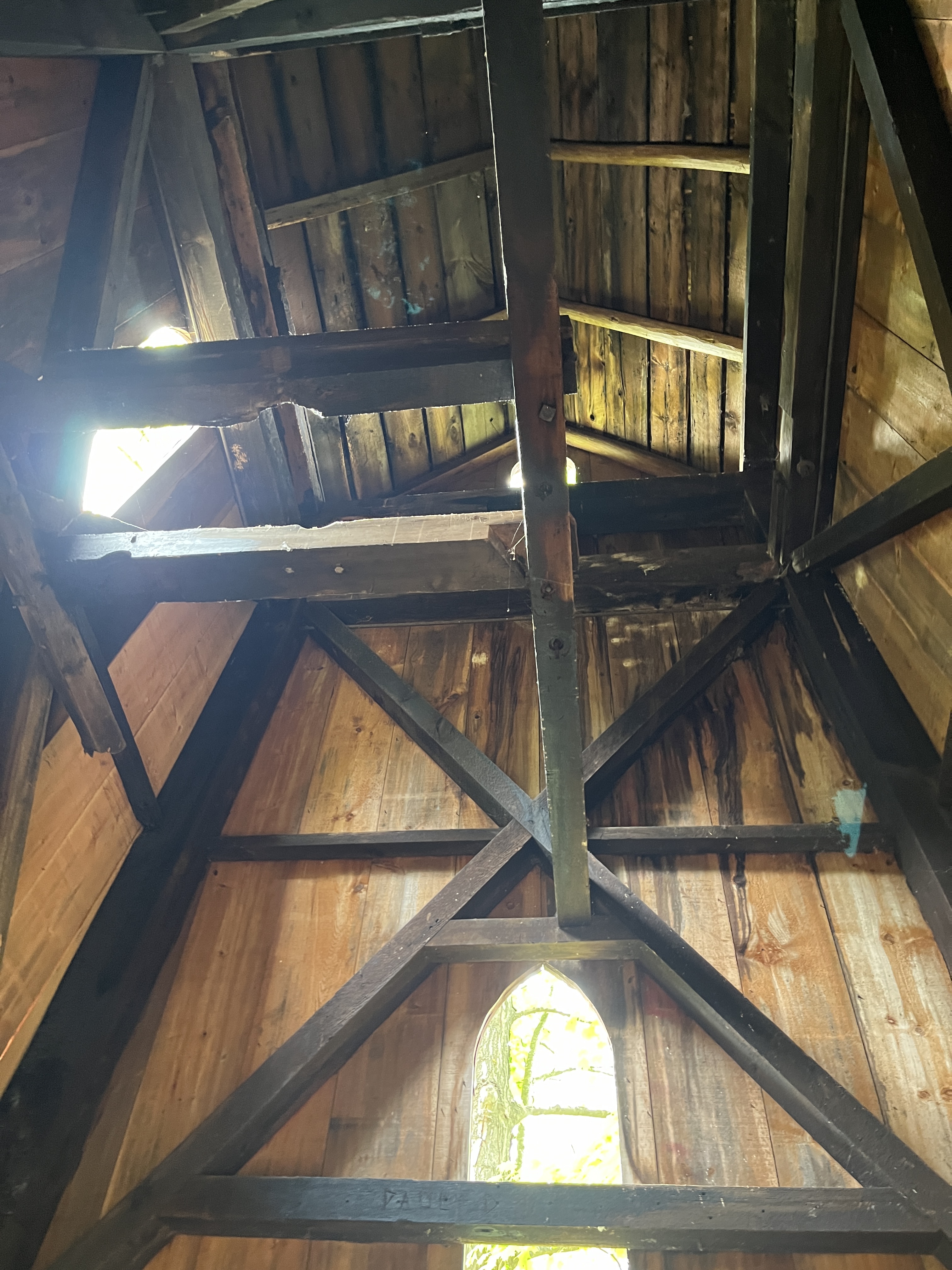
Known as a sheave tower it had a pulley and cable mechanism that connected it to the grist mill and transferred the power across the road.

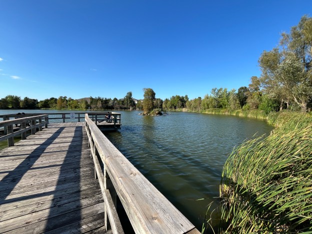
Water was diverted from the creek to the turbine that was set in the sluice at the entrance to the sheave tower.

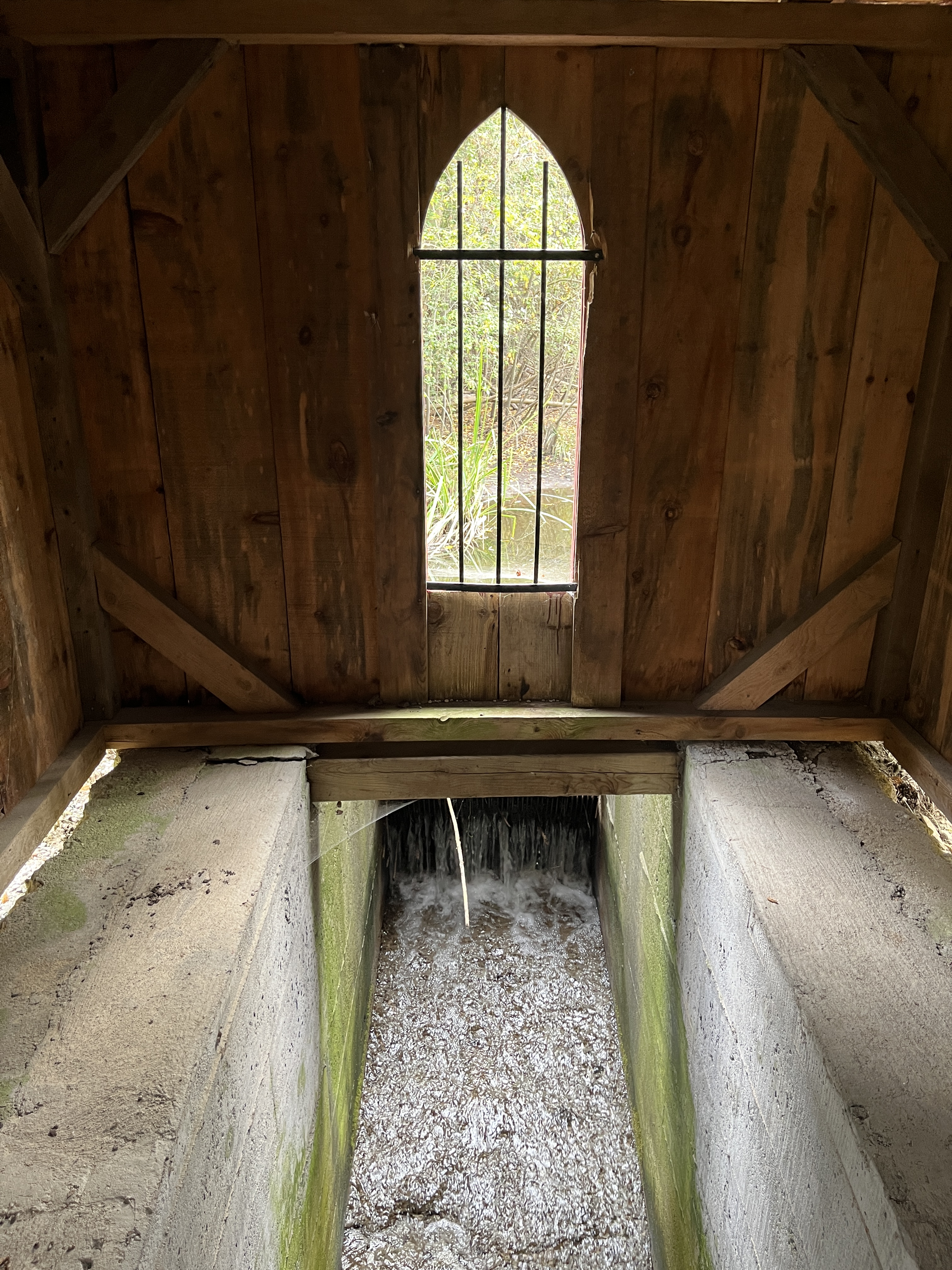
It turned a gear on a shaft that was connected to the sheave, which is a grooved wheel. This sheave turned and moved the pulley which bore a cable that ran across the road to the mill. This transferred the water power from the turbine to the grinding stones in the grist mill. There are grooves worn on the beams at the top of the tower although none of the original machinery remains inside the sheave tower.

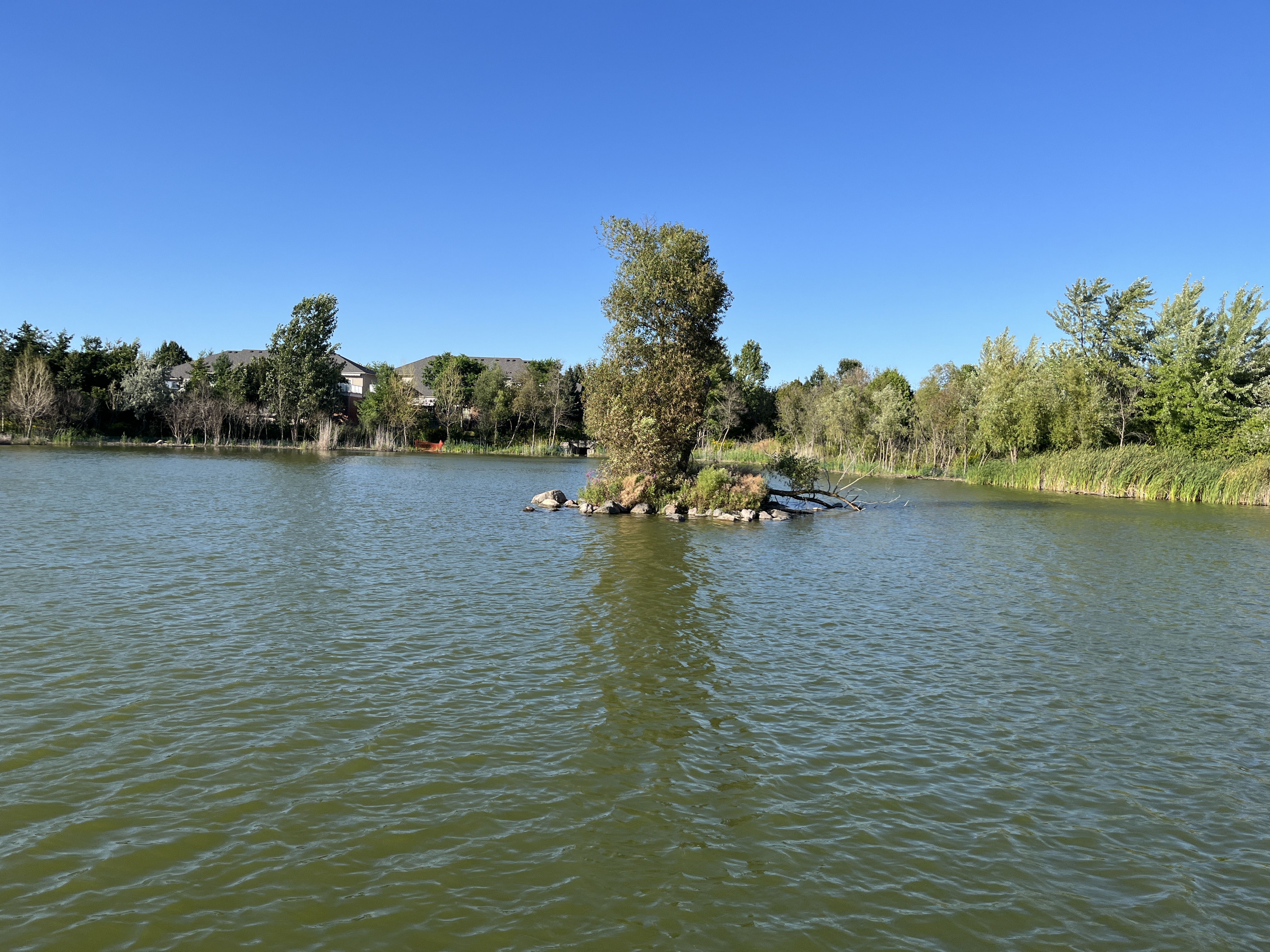
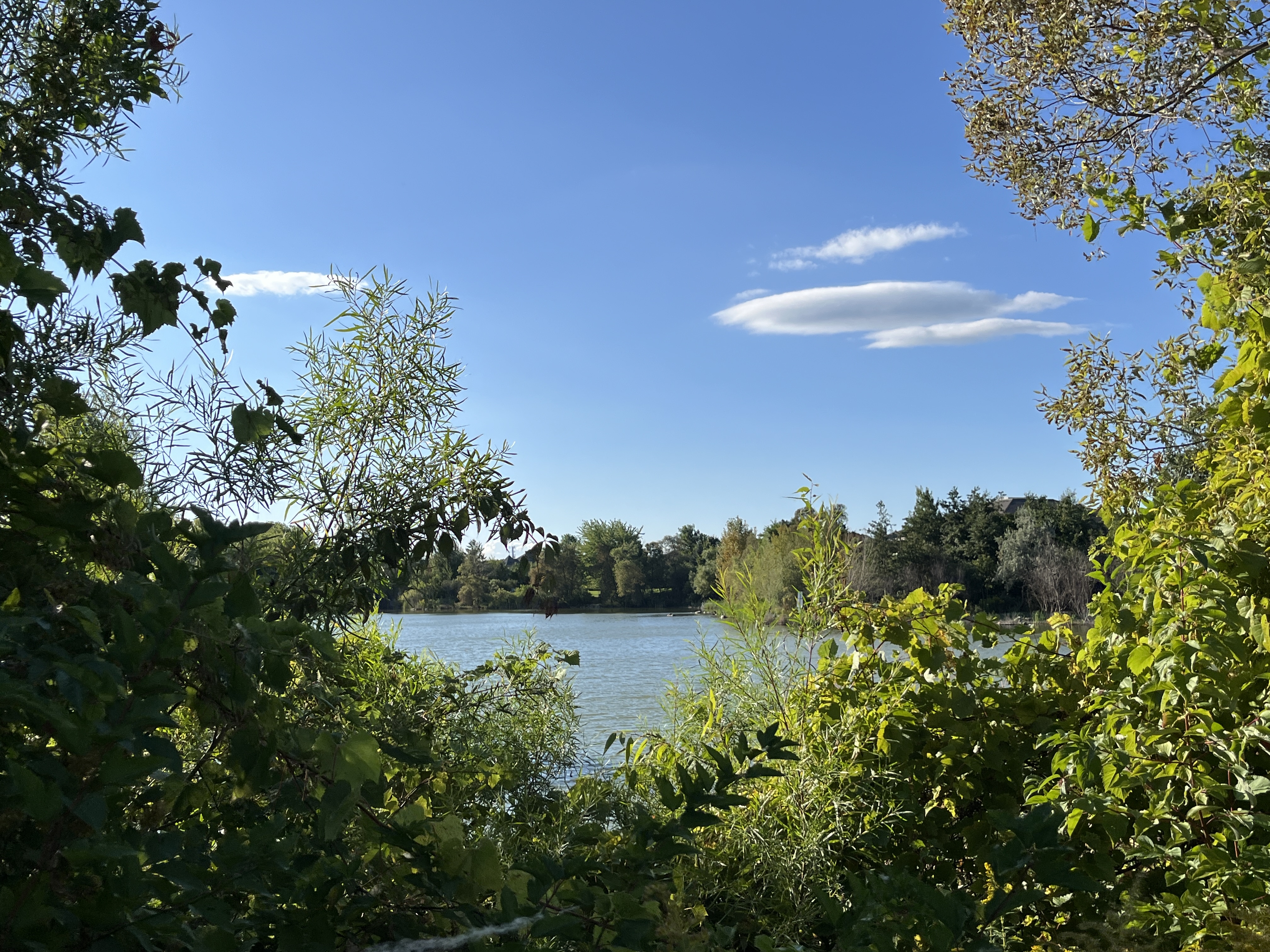
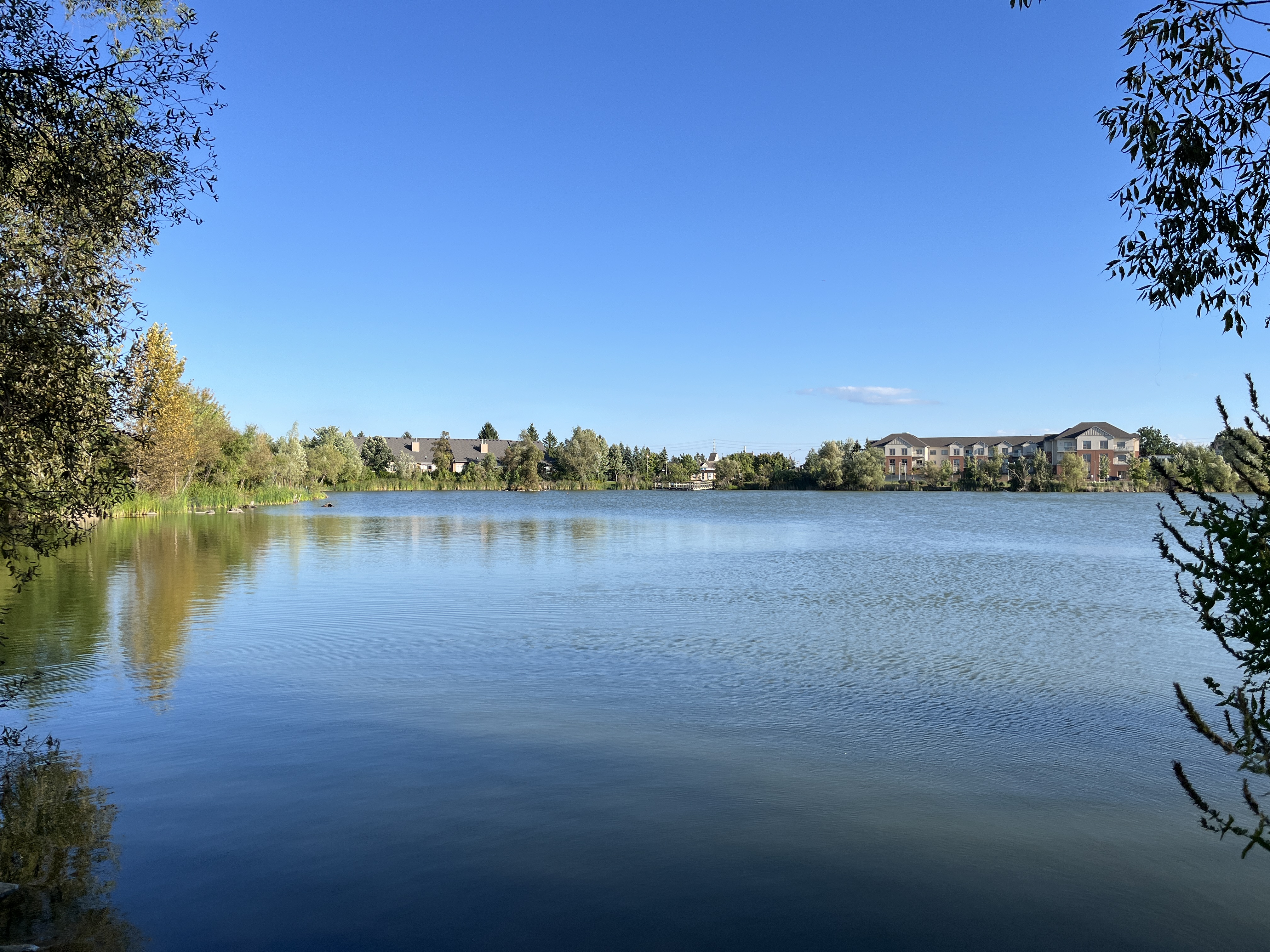
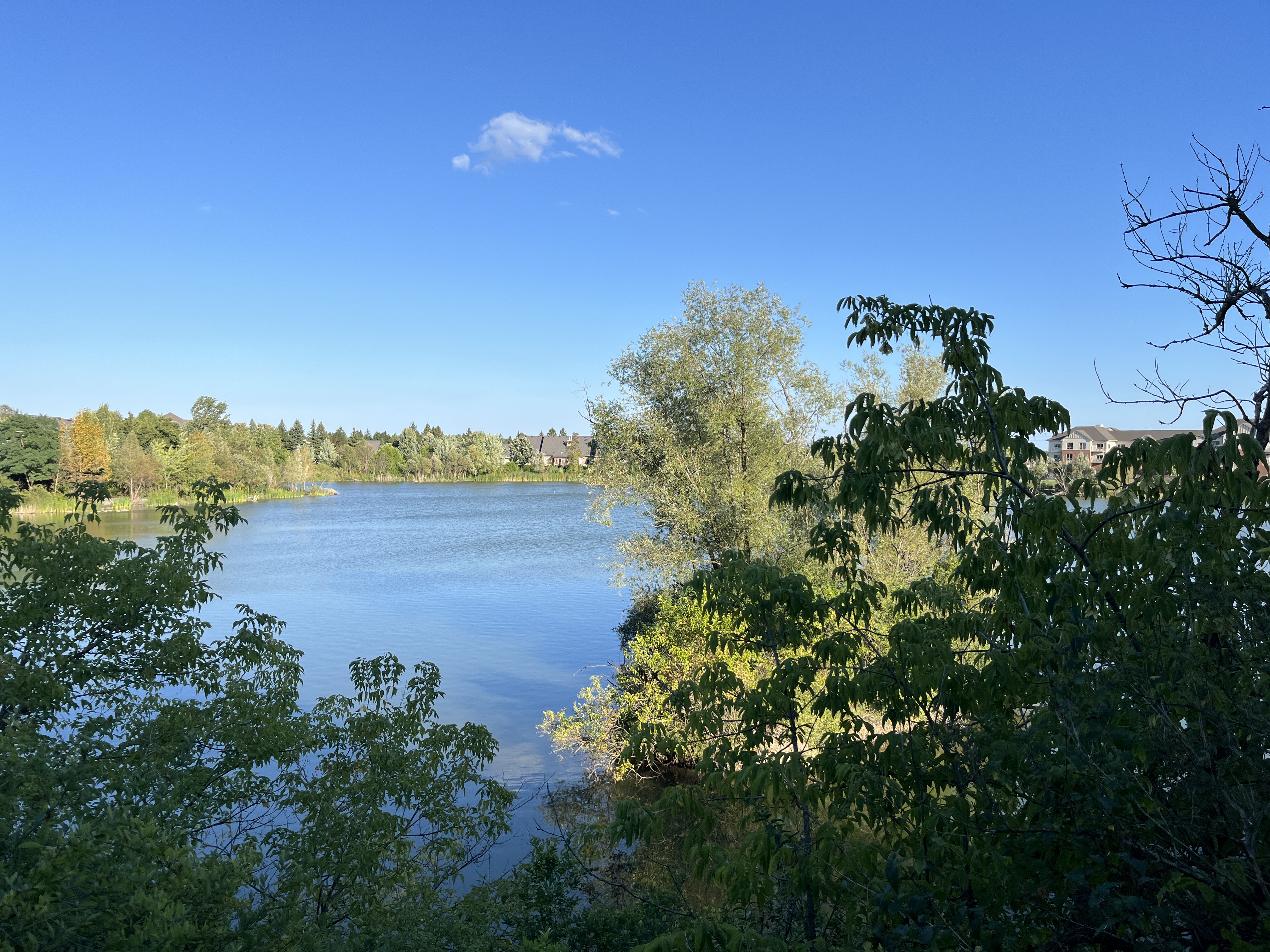
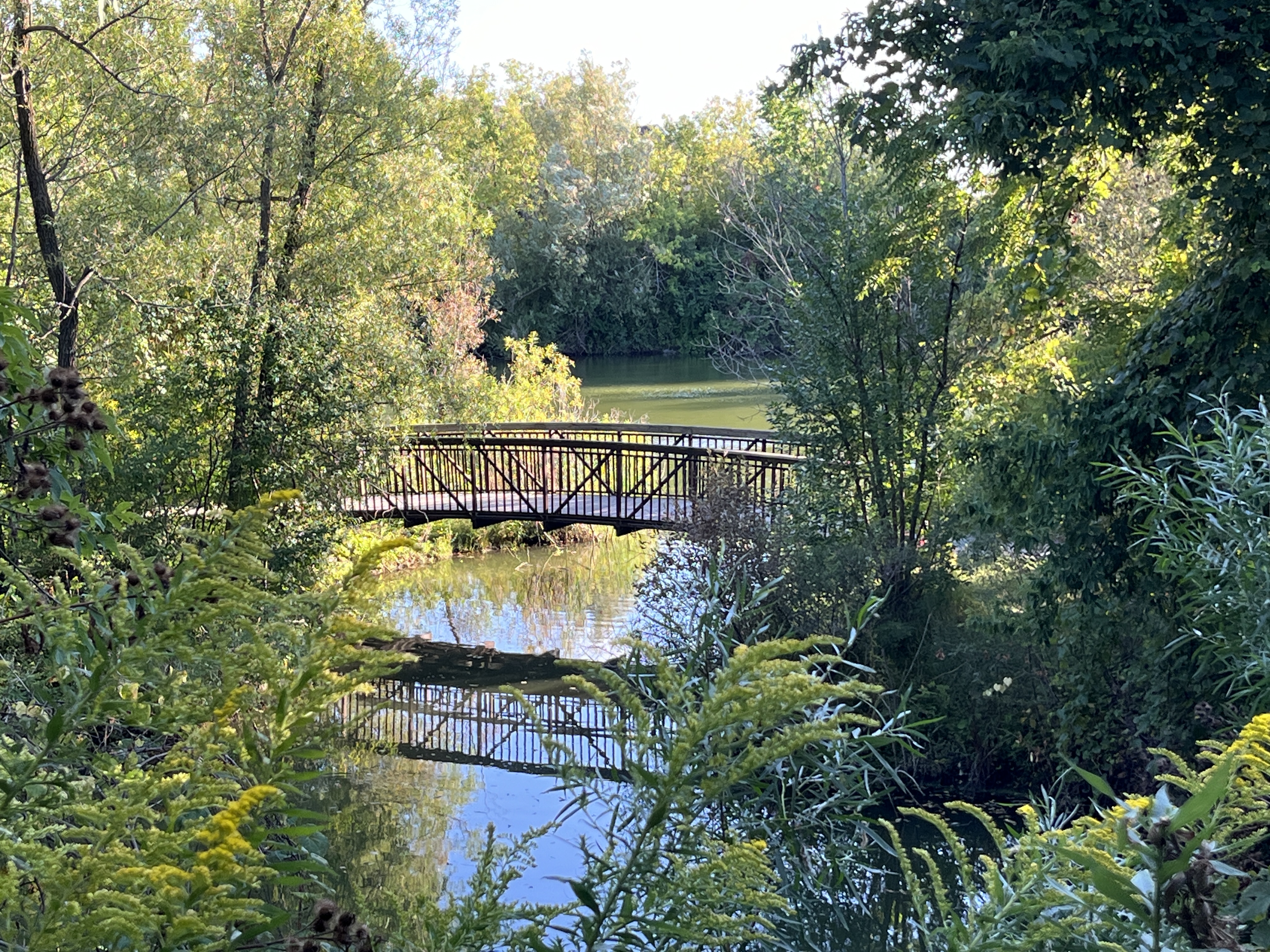
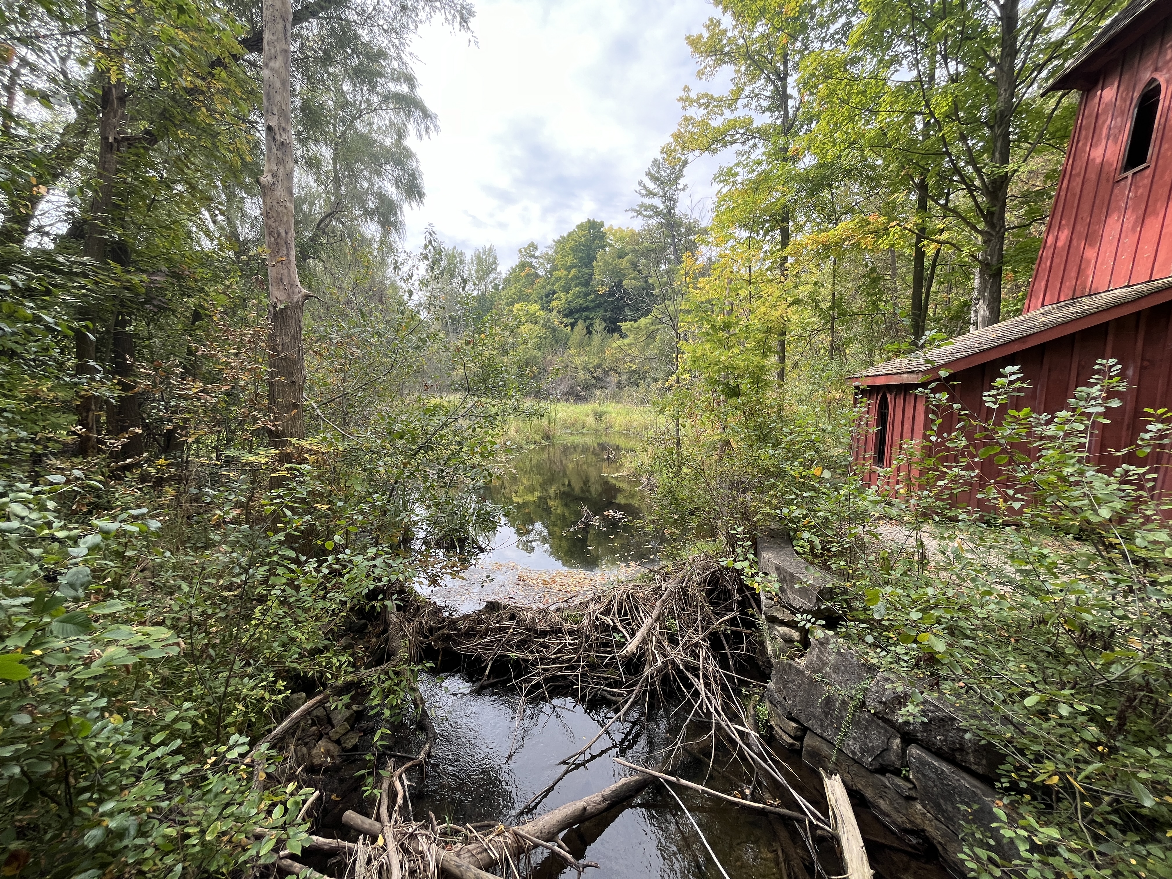
Blair Creek has a smaller water flow now than it did in earlier times before the water table was effected by the cutting of the local forests. After the days of water power were finished in 1954 the sheave tower was abandoned and fell into a state of disrepair. In 1998-1999 the tower was restored and is now a provincially designated heritage structure.

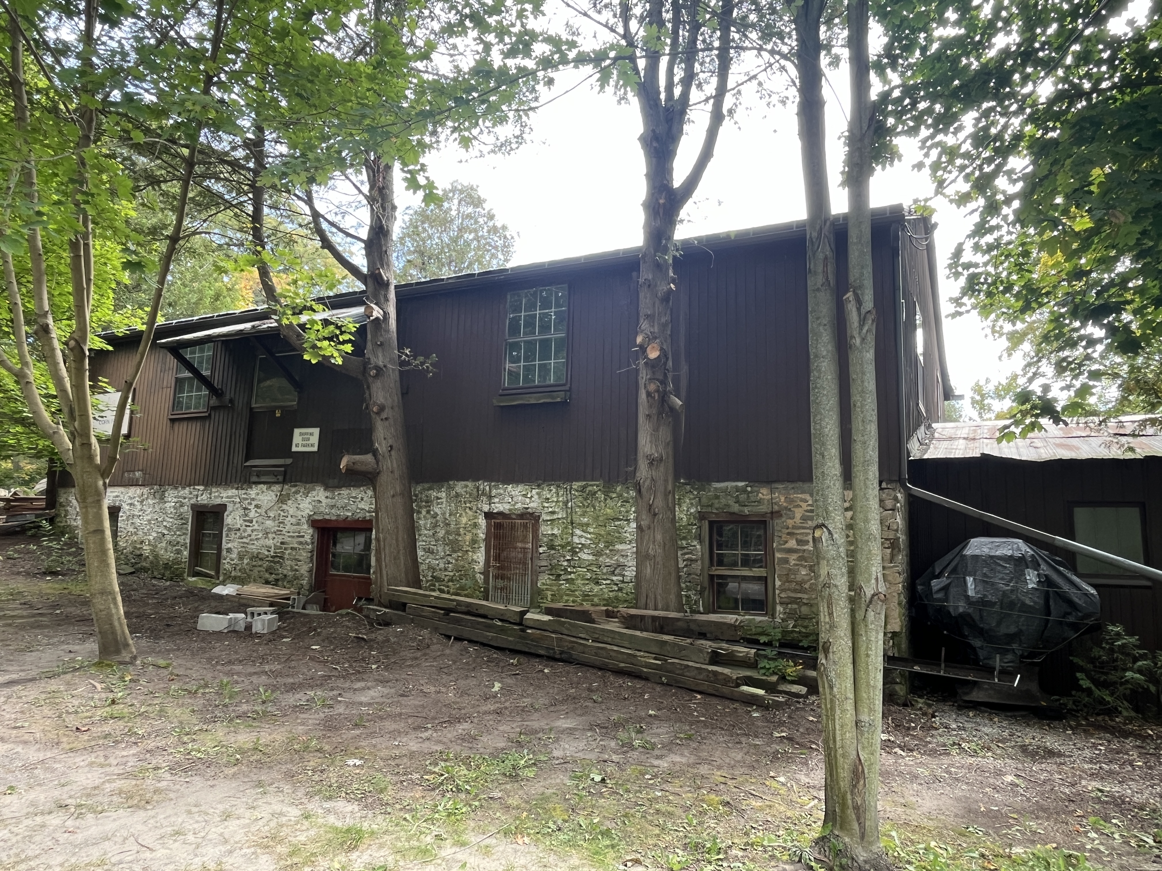
In 1888 Jacob Hilborn bought the mill and his son John took over in 1902. He ran the mill until 1925. The grist mill mechanisms overheated in 1928 and a fire started that destroyed the original mill. A new one-story mill was built on the old foundations and it operated for many decades. The mill was still in operation in 2000 and was declared to be the oldest independently operating corn mill in Ontario. Sadly, it only lasted another three years before it was shut down.

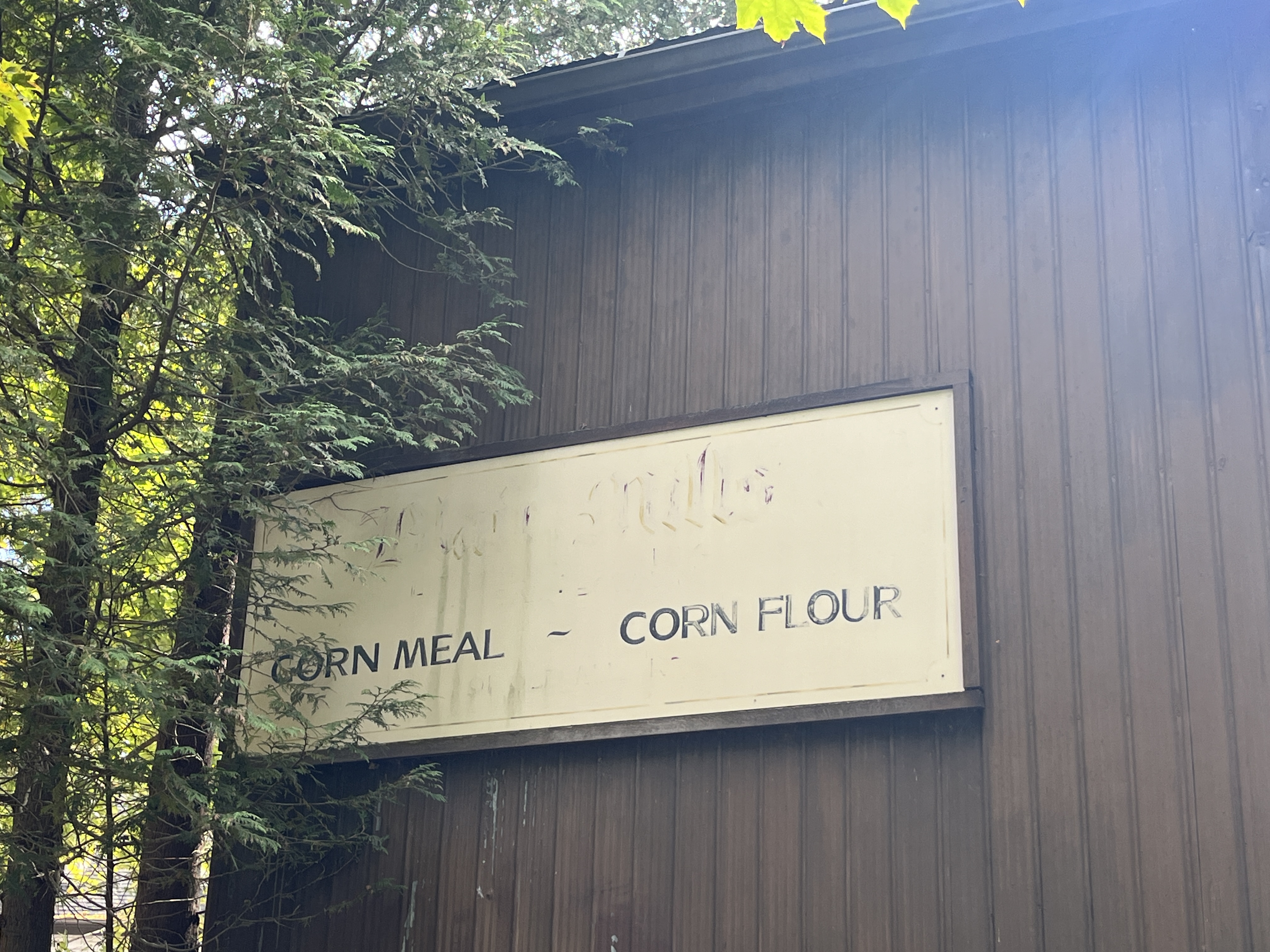
A old sign on the side of the mill still announces its purpose as a corn mill but there is no longer any corn being ground here.

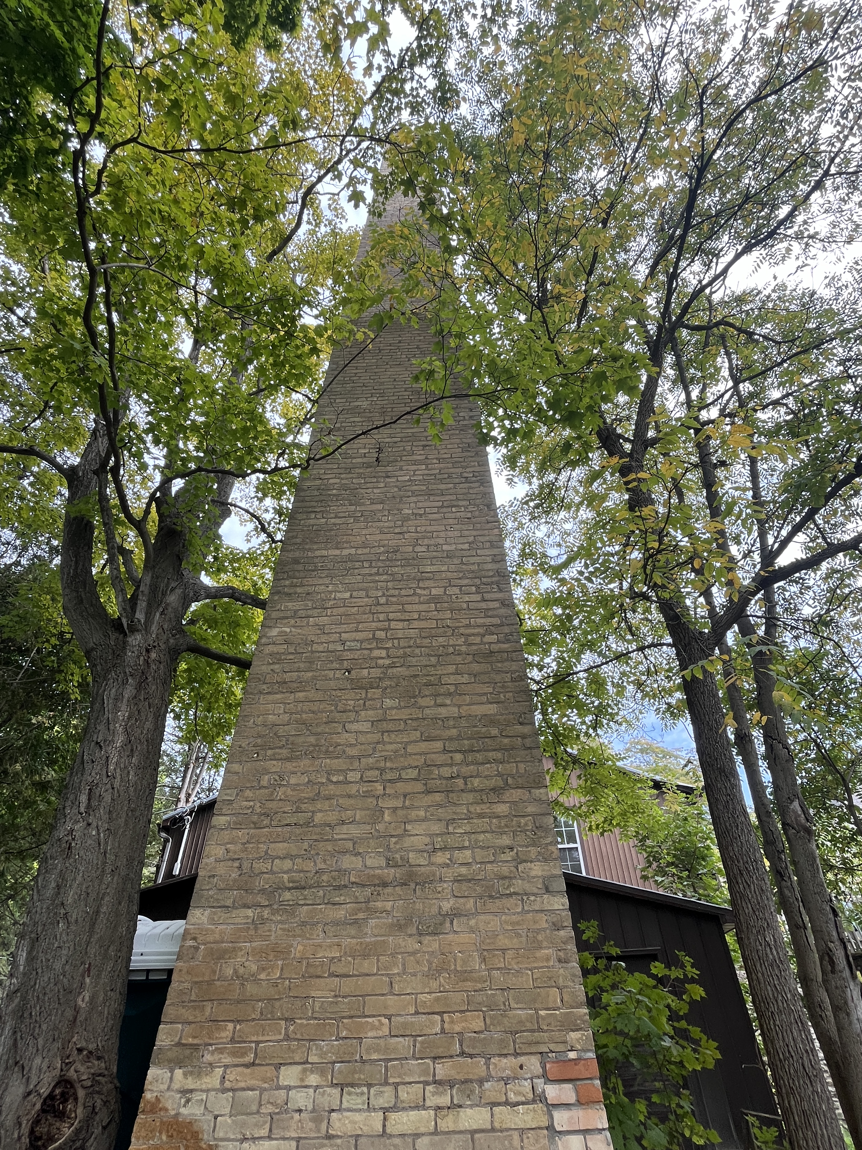
A few feet behind the new mill stands the original brick chimney which shows the height of the earlier mill.

There is an information board on the side of Blair creek which provides some basic information about the sheave tower. It is said to be the last remaining sheave tower in Ontario.

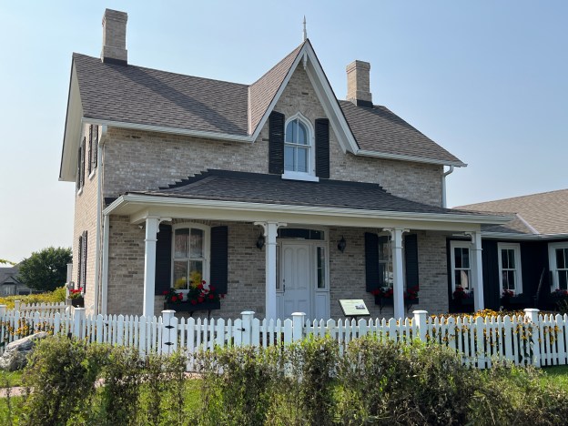
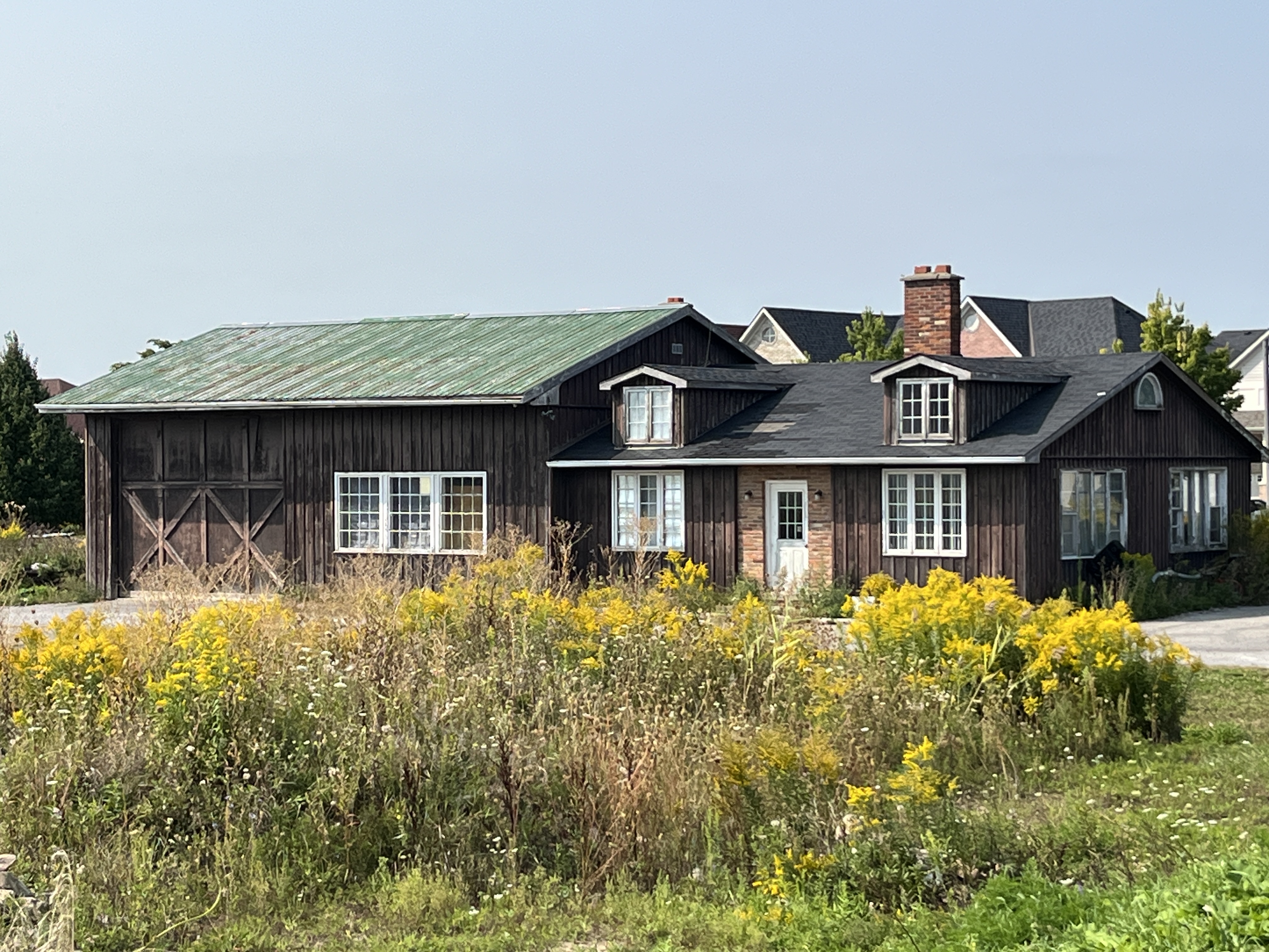
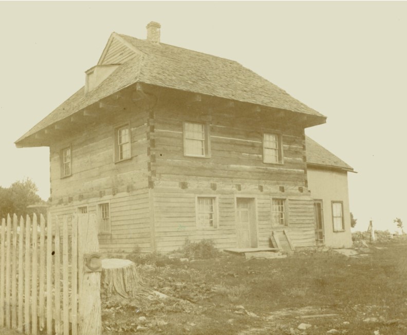
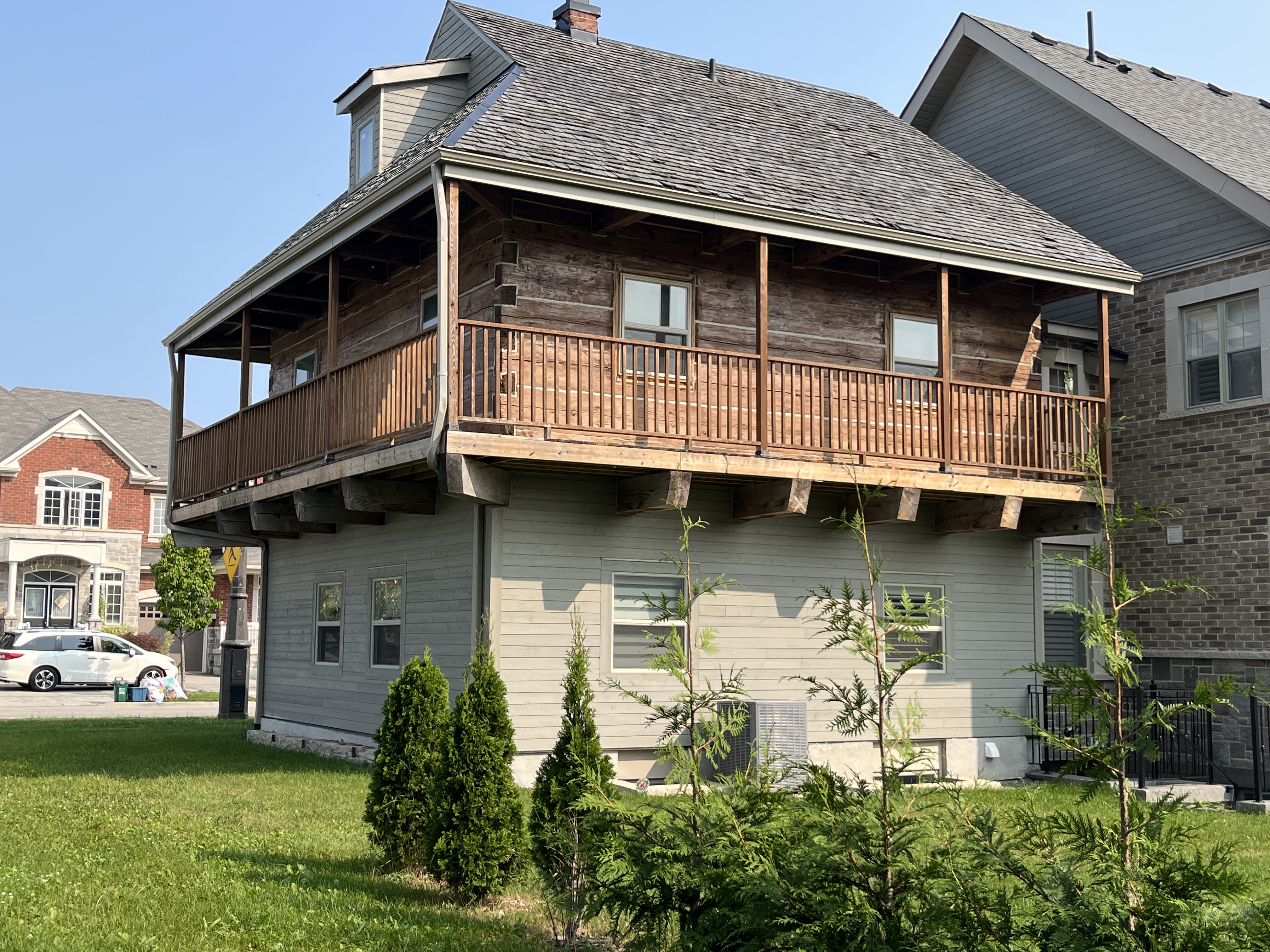
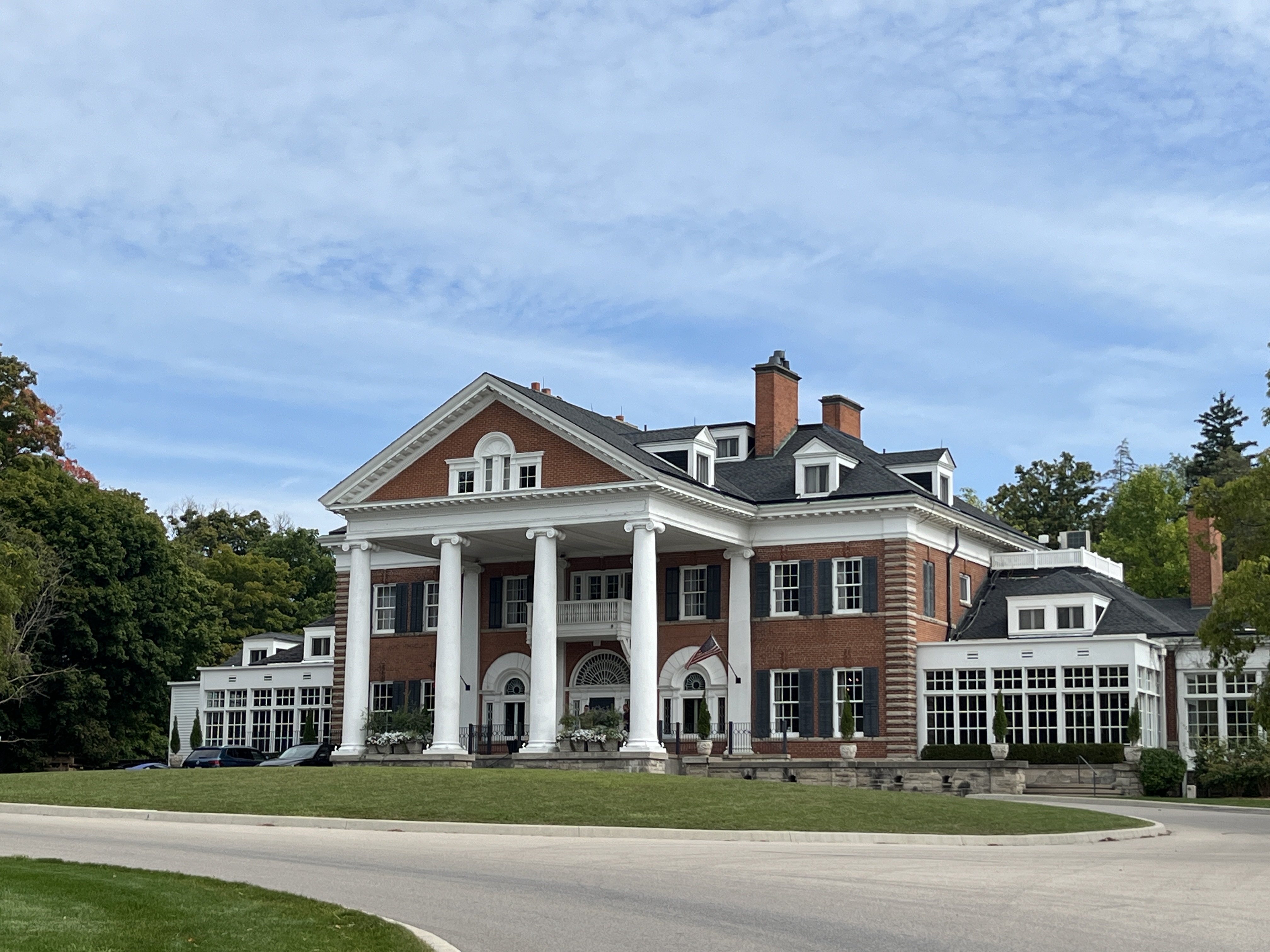
If you go to Blair to see the Sheave Tower, it’s worth a drive through town to see the historic buildings that still survive untouched as Cambridge expands around the old town. On the edge of town stands an old mansion that has been renovated into an inn.

The story begins in 1858 when Matthew Wilks, of New York, decided to buy a summer property in Upper Canada. He bought up 1000 acres and built Cruikston Park. His youngest son Eugene Langdon Wilks bought the 29 acres in the north west portion of the estate. He added another 76 acres and set about building Langdon Hall as his 32 room, 25,000 square foot mansion. Construction was completed in 1902 and after Eugene passed away in 1934 the mansion served two more generations of the Wilks family. In 1987 it was bought to be turned into the existing hotel and spa property.

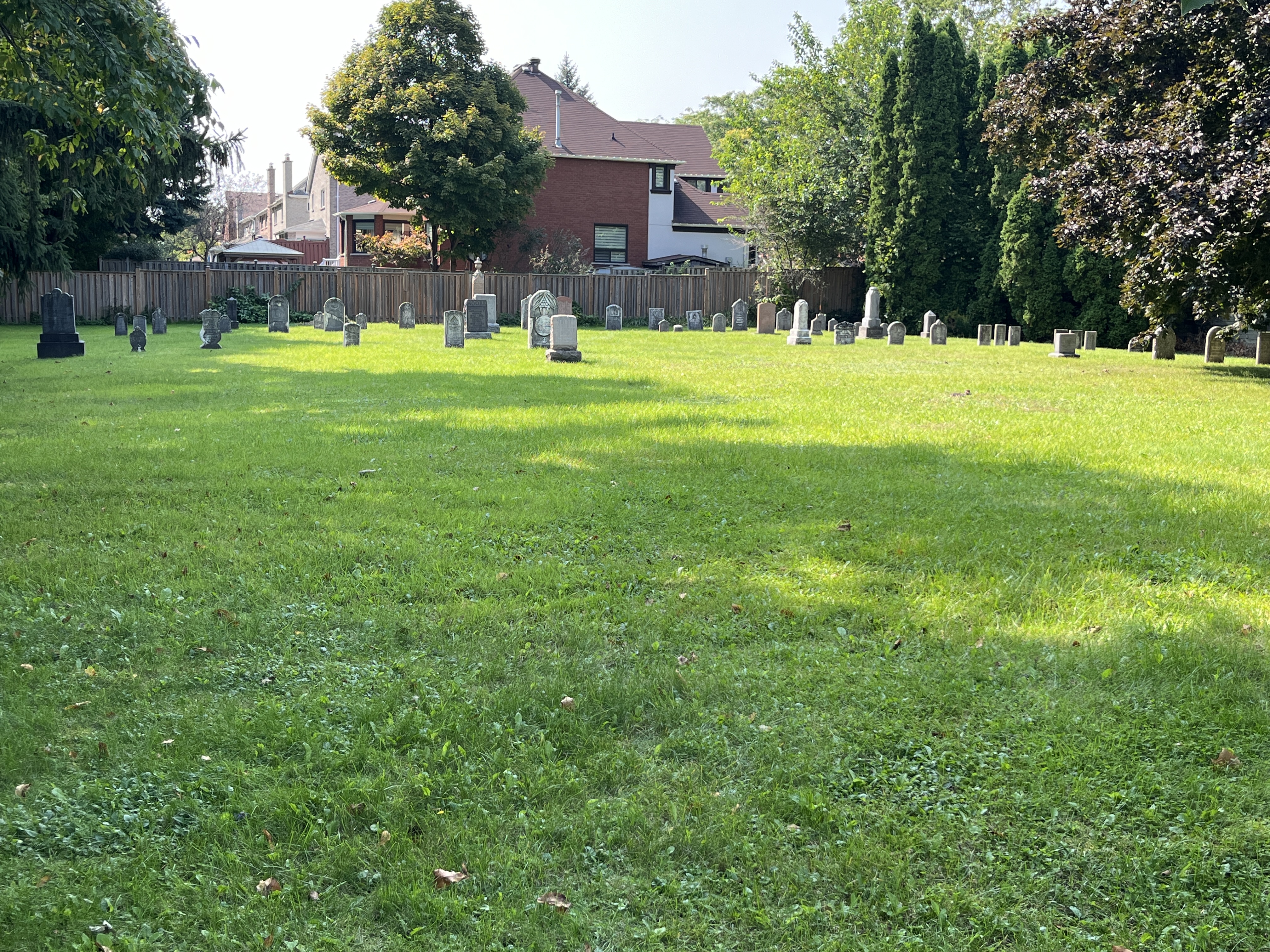
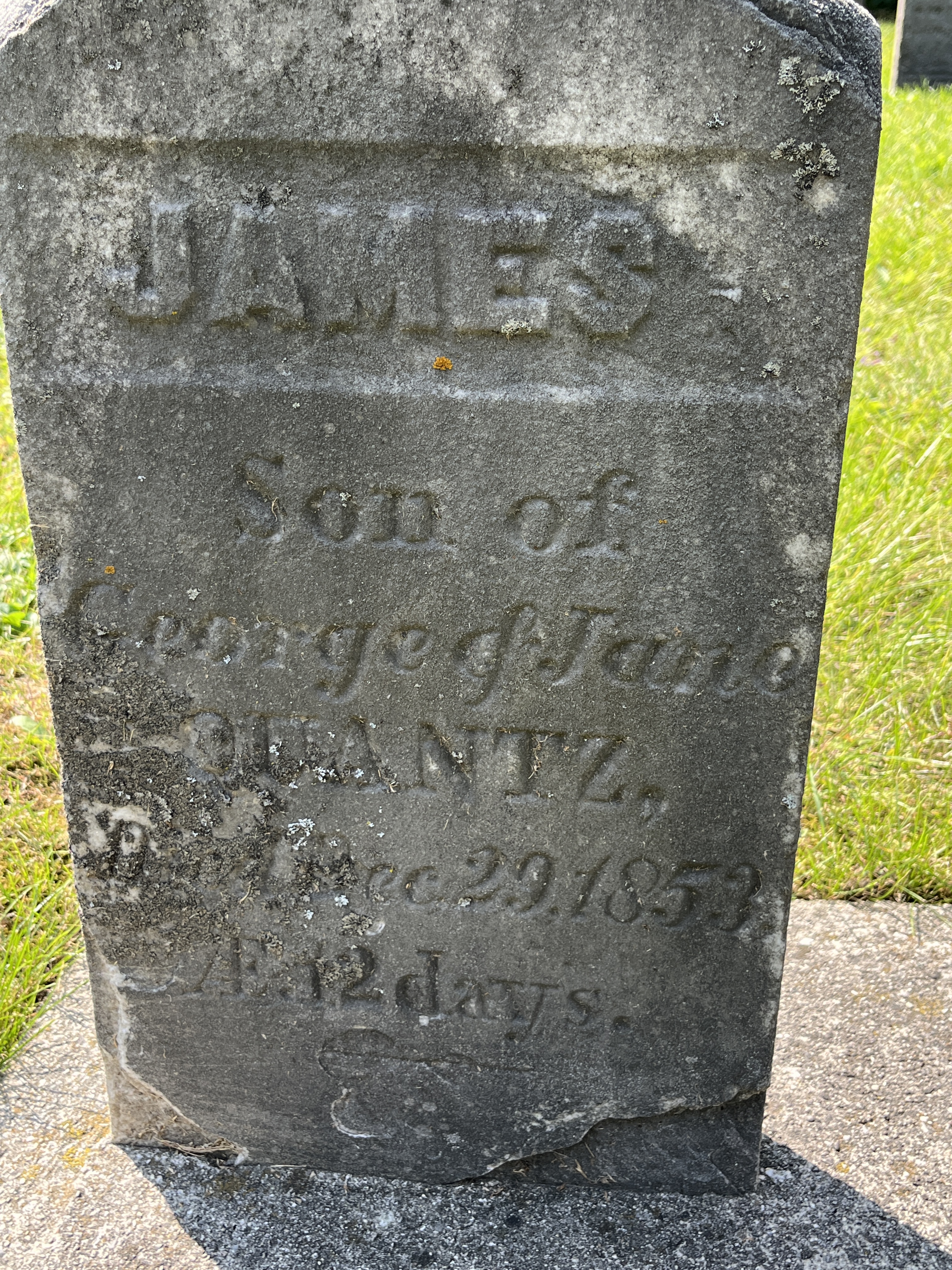
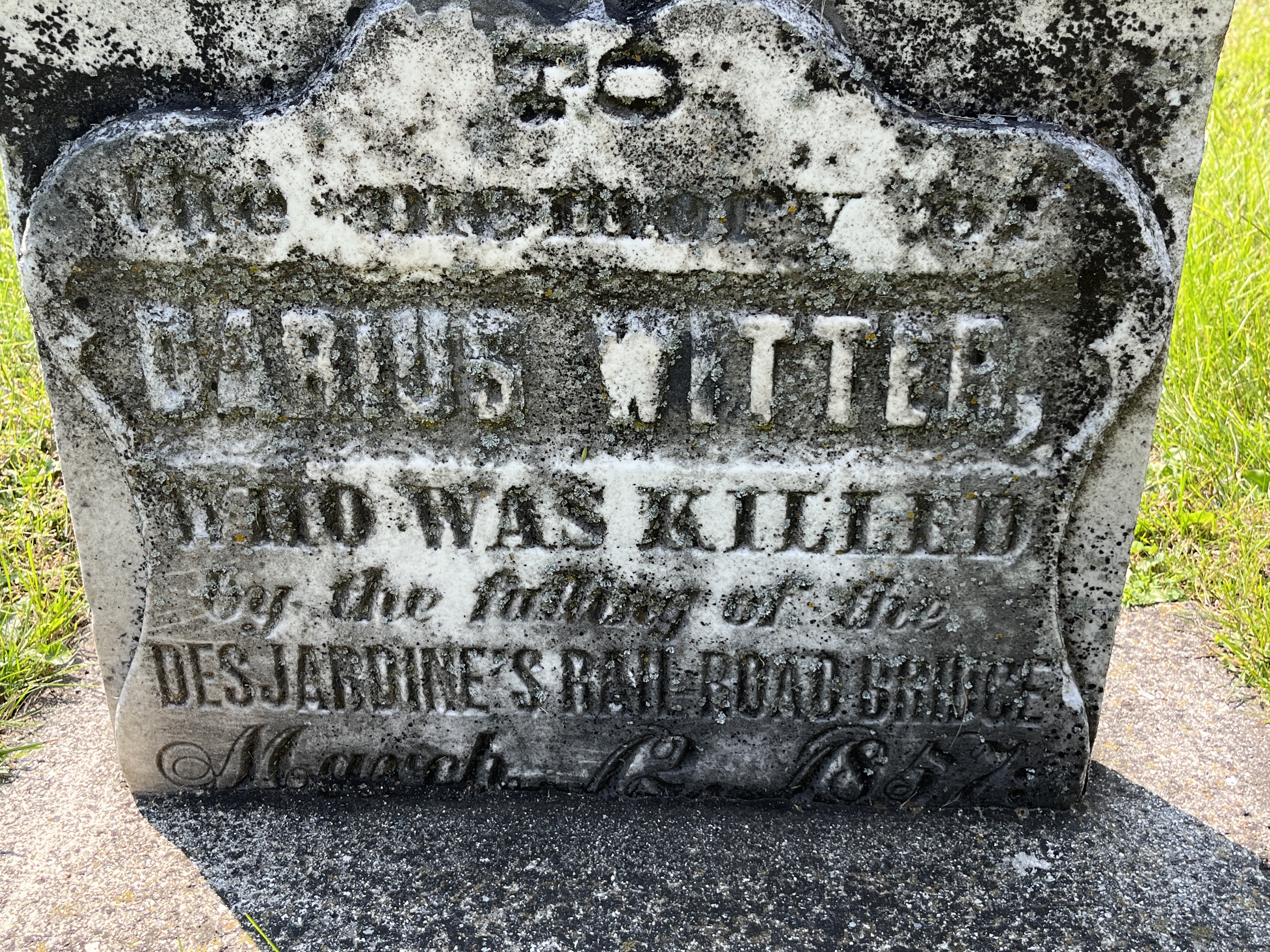
There is a lot of history preserved in Blair and perhaps one day we will revisit it and look at some of the historic buildings.

Google Maps Link: Blair Sheave Tower

Like us at http://www.facebook.com/hikingthegta

Follow us at http://www.hikingthegta.com

Quantztown – Ghost Towns of the GTA

September 21, 2024

In November 1794 William von Moll Berczy arrived in Markham with the first group of settlers to locate in the township. He was an architect, road builder and painter. Berczy and his fellow settlers had originally emigrated from Germany to New York but came to Upper Canada in 1794. They had a tough time in 1795 and 1796 when illness and famine reduced their numbers significantly. Those that survived helped establish the development of Markham Township. Berczy himself would move to Montreal in 1805 and earn a living as a painter. The 1877 county atlas image below is marked in green to show the sites that are discussed in this post. The area north of Milliken and East of Unionville was known as Quantztown after the settler Melchoir Quantz. Today there is little left of the hamlet of Quantztown except a couple of houses and two cemeteries.

Manhattan Woods is a small forest that is located just beside the old Quantztown Cemetery. It has a single trail that leads through the woods from one side to the other and acts as a shortcut from the subdivision behind to McCowan Road.

Mushrooms are growing by the thousands on the forest floor. These button mushrooms will last a couple of days and then wilt and disappear.

The Quantztown Cemetery is built on land donated by the son of Melchoir Quantz and has its earliest marker dated 1844. A Bible Christian Church was built on the edge of the cemetery but it is long gone. The cemetery saw its last interment in 1946.

Several members of the Quantz family are laid to rest in the cemetery. James Quantz was just 12 days old when he passed away on December 29, 1853. This was in an era when infant mortality was very high, and sadly many didn’t live to see their first birthday.

On March 12, 1857 the Great Western Railway train was going from Toronto to Hamilton. As it passed over the swing bridge across the Desjardins Canal the bridge collapsed and dumped the train into the frigid waters below. Of the 90 passengers on the train 59 were killed. Darius Witter was one of the unlucky ones and he passed away at just 30 years of age. He is buried in the Quantztown Cemetery. This railway disaster stands as one of the worst railway accidents in Canadian history.

Lydia Wismer died in January 1856 just a few days short of her 87th birthday. Her husband David, died in August of that year having reached the age of 87. Their son, David Jr., was a deacon in the church that used to meet beside the cemetery.

Lot 17, Concession 6 was originally granted to Frederick Ulrich Emelius Westphalen. He was a Berczy settler who received the deed in 1803. He sold the lot to John Butts in 1818 and he owned it until 1868. Butts had served in the War of 1812 and in 1837 was counted among the rebels following William Lyon Mackenzie. He had a one story frame house on the property in the 1851 census. Johnathan Gowland bought the farm in 1872 and in 1877 built the house that still stands on the property. The house is a typical one and a half story farmhouse with a centre gable like many Ontario homes of this era. The window under the gable is known as an ogee-headed window, and was found on only a handful of Markham Township homes. The farm was bought in 1930 by James and Elizabeth Penny who sold it to Michael and Veronica Larkin in 1965. The house was moved forward on the lot in 2015 to allow the development of the rest of the property for houses.

The barn still stands behind the house and is the only one remaining in the area.

A drive shed is also located just behind the house.

Philip Ekhardt came to the United States in 1792 and later moved to Upper Canada. He was one of the Berczy Settlers who moved to the Markham area in 1794. They were the first group of settlers to arrive in the area and although their settlement wasn’t a long term success they left their mark. Philip built his log home around 1803 and it appears to have originally been a two story home which was later modified to be a one story home in the 20th century. This archive photo shows the home in its original format.

Philip donated land for a Lutheran Church and cemetery but prior to the construction of a log church building in 1820, services were held in his home. This house has been restored and is now part of a modern home on the original site. It is the oldest surviving building in Markham Township.

The Bethesda Church and cemetery were located adjacent to the house and there are several Eckardt family members buried here. There is another Eckardt Cemetery on Markham Road near the present site of the 407 highway, but that’s another story for another day.

Quantztown has all but disappeared and is only represented by two cemeteries and a couple of houses tucked away amongst the urban sprawl of Markham.

Related stories: Unionville, Milliken, William Lyon Mackenzie

Google Maps Link: Quantztown

Like us at http://www.facebook.com/hikingthegta

Follow us at http://www.hikingthegta.com

Swan Lake – Markham

September 7, 2024

Swan Lake Park in Markham is a nice place to visit for a walk and to enjoy some time with nature. It is the second largest water body in Markham and is man made like the other two large lakes. Swan Lake can trace its history back to the 1850s when the site was found to be a large gravel deposit dating back to the last ice age about 12,000 years ago. Markham was founded around 1825 when a dam was built on the Rouge River to provide water for a mill that was located in the area of Milne Dam. Around 1840 another dam was built which created Toogood Pond near Unionville. We had previously written about these two ponds and so it was time to visit Swan Lake.

When you enter the park off of Swan Lake Boulevard the first thing you will see is a canoe full of plants. These canoe gardens have been showing up throughout Ontario and are used to create a space to plant shrubs and flowers that attract bees and other pollinators to the area. The first canoe garden was set up in 2013 near Fort York on the old waterway for Garrison Creek. Since then, dozens of them have been placed throughout Toronto, Markham and Richmond Hill. The idea is to improve habitat for pollinators as their populations have declined by over 45% since the 1980s.

Swan Lake was used as a gravel pit from the 1850s until the 1970s with the largest amount of gravel being removed in the 1960s and 1970s. Gravel is needed for construction purposes and as Markham and surrounding area were developed for houses and roads, a good local source was needed. It isn’t economically viable to truck gravel for long distances so it is usually extracted near where it will be used. When the gravel pit was closed it was allowed to fill up with water to become Swan Lake.

Swan Lake Park is 45 hectares (111 acres) and has many foot trails to be explored. There is a main trail that goes all the way around the lake and many secondary trails, especially through the wooded areas.

Although housing has been built up to the edges of the park and often encroaches on the ability to take natural looking photographs, there’s still plenty of places to get some great pictures.

The lake itself is 5.4 hectares (over 13 acres) and is somewhat smaller than the 21 hectare (52 acres) lake in Milne Dam Conservation Area. It is larger than the 3.5 hectare (8.6 acre) Toogood Pond.

The lake supports many turtles of which the Painted Turtles and Snapping Turtles are natural while the Red-eared Sliders are invasive. Red-eared Sliders are sold as pets and subsequently dumped into the lake by irresponsible owners.

The lake is a natural part of the local aquifer and it is estimated that 35% of all the water that enters the lake goes into sustaining local groundwater levels. Based on this, Swan Lake is considered to be a significant groundwater recharge area.

Swan Lake has been prone to large amounts algae which is related to excess phosphorus in the water. Canada Geese are one of the primary sources of nitrogen and phosphorus in the lake. The many enhancements in the past few years are an effort to manage the geese populations. These include changes to the shorelines to make them less attractive to geese as nesting areas. Lake bottom sediments also contribute to the high levels of phosphorus in the lake. In 2013 an application of Phoslok was done and the water improved but only for a couple of years. There is an ongoing program to monitor and treat the lake to prevent excess blooms of algae which can be toxic to pets and humans.

The north end of the park is forested and has a small hill that looks out over the lake. This is where you are most likely to see some of the 12 species of mammals that have been observed in the park. These include coyote, red fox, racoons, squirrels and chipmunks. Mink and muskrats have been found around the edge of the lake. 155 species of birds have been spotted in the park, many of them migratory. This makes the park a great place for bird watchers.

The Friends Of Swan Lake Park have made a request to the City of Markham to add the park to the Markham Natural Heritage Network. As an ecologically sensitive area it qualifies even though it isn’t part of the Rouge River watershed. Whether you’re looking to enjoy some time in nature, get some exercise or just take the dog for a walk, Swan Lake is a great place to visit.

We are definitely planning to return to Swan Lake in a few weeks when the trees are changing colours as it has many species of trees and is likely to be very colourful. Our walk can be seen on the map below.

Related stories: Milne Dam Conservation Area, Toogood Pond

Google Maps link: Swan Lake

Like us at http://www.facebook.com/hikingthegta

Follow us at http://www.hikingthegta.com