December 21, 2024
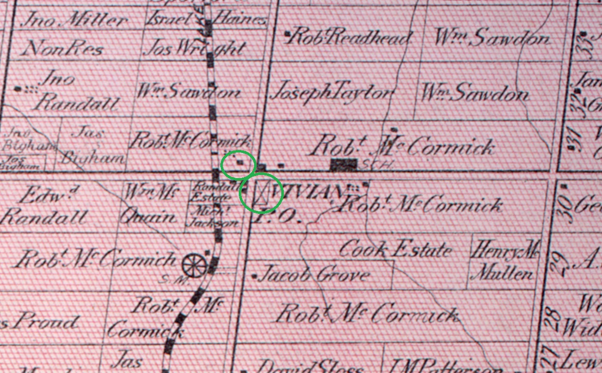
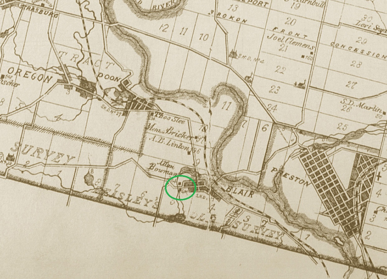
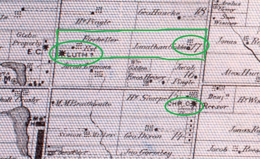
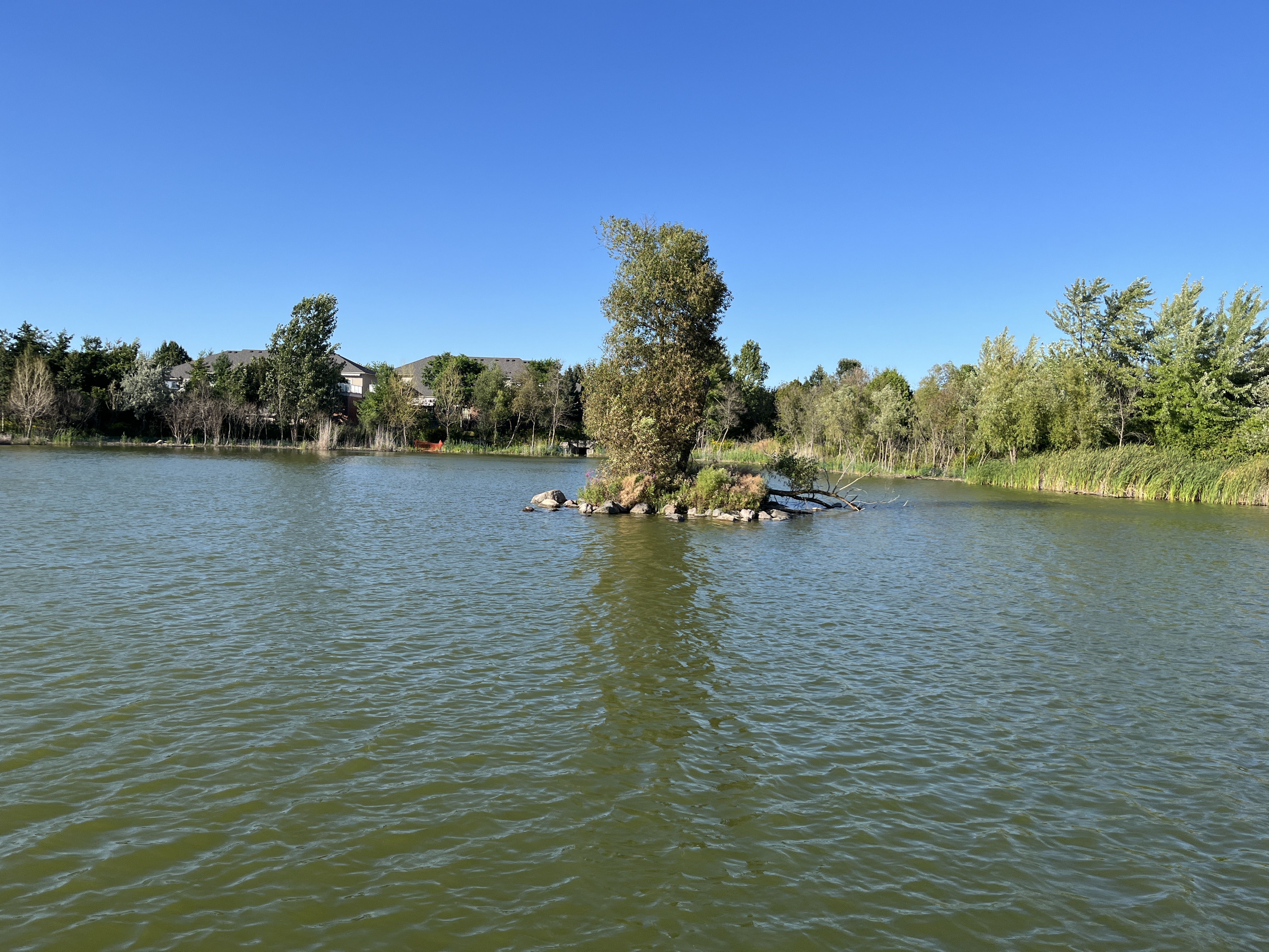
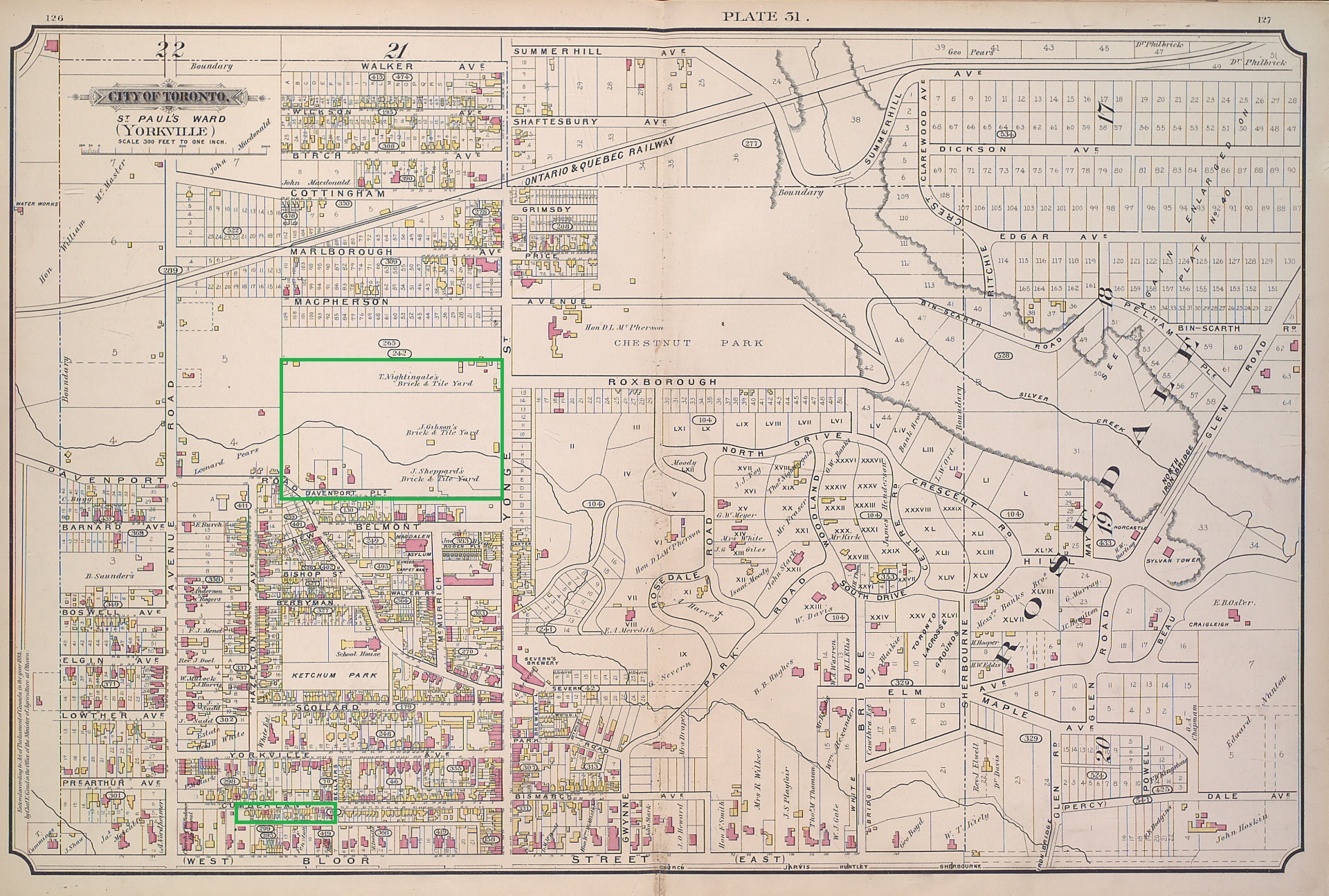
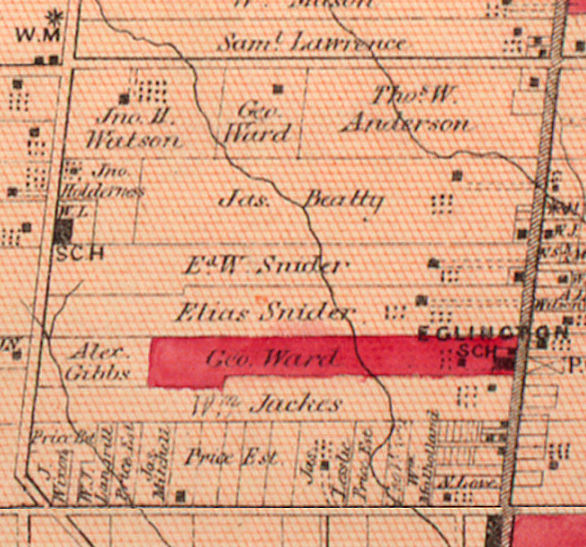
In 1900 the area around Avenue Road and Lawrence Avenue was still farms and country estates. The community of Eglinton had not expanded much west of Yonge Street and Lawrence Avenue was still a country road. The 1877 County Atlas image below shows the 1000 acres that was bordered by Eglinton avenue on the bottom, Yonge Street on the east, Lawrence Avenue on the north and Bathurst Street on the west. Avenue Road runs north to south through the middle of this block but has not been constructed at the time of the atlas.
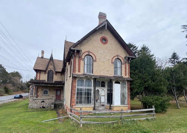
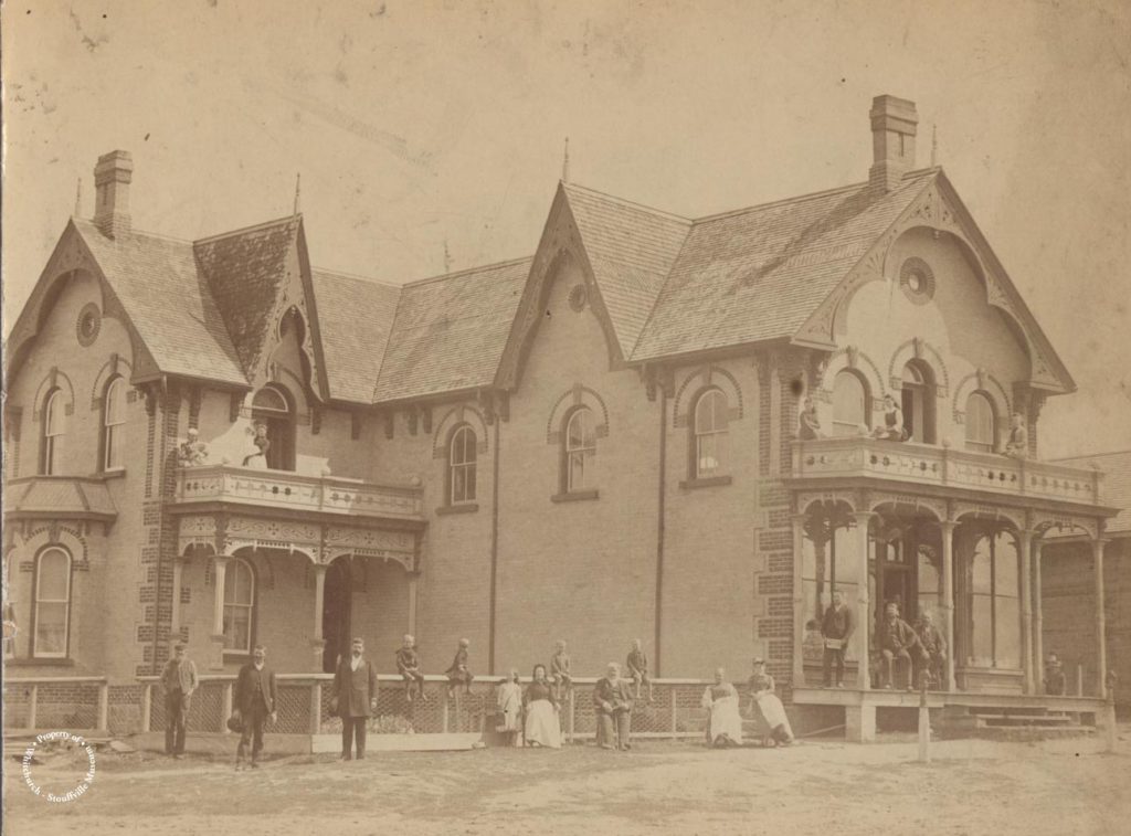
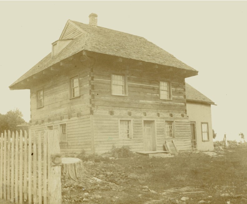
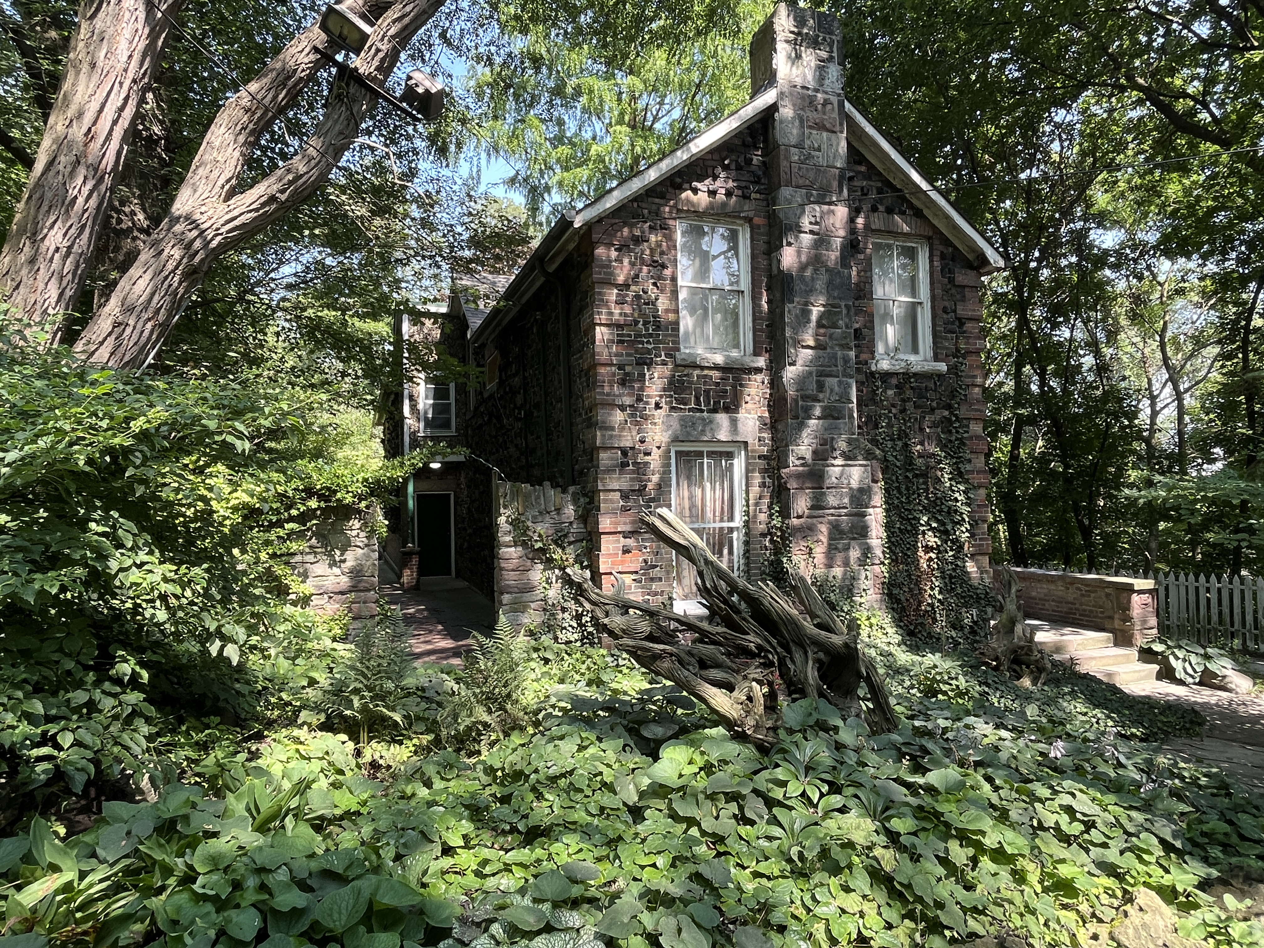
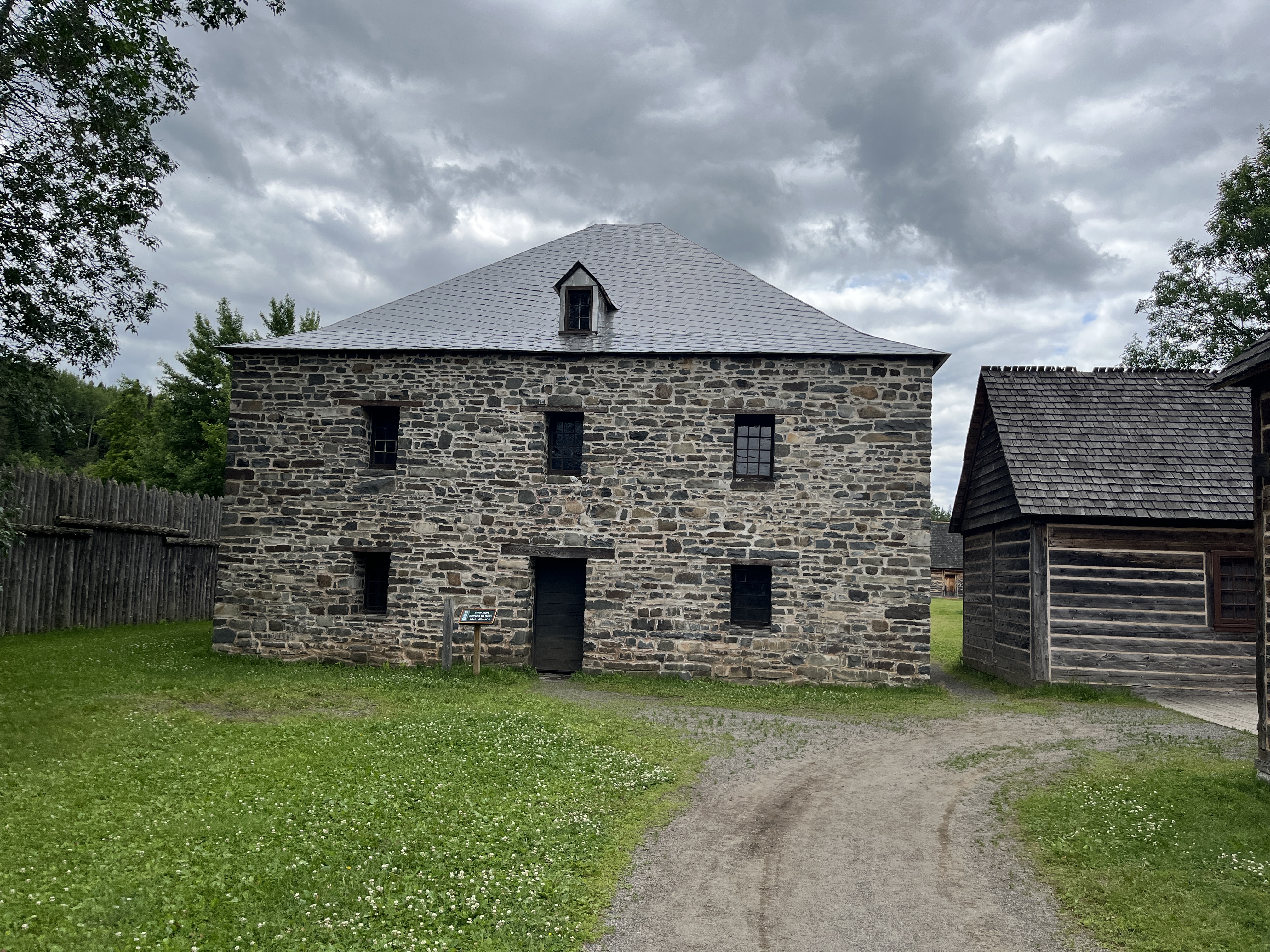
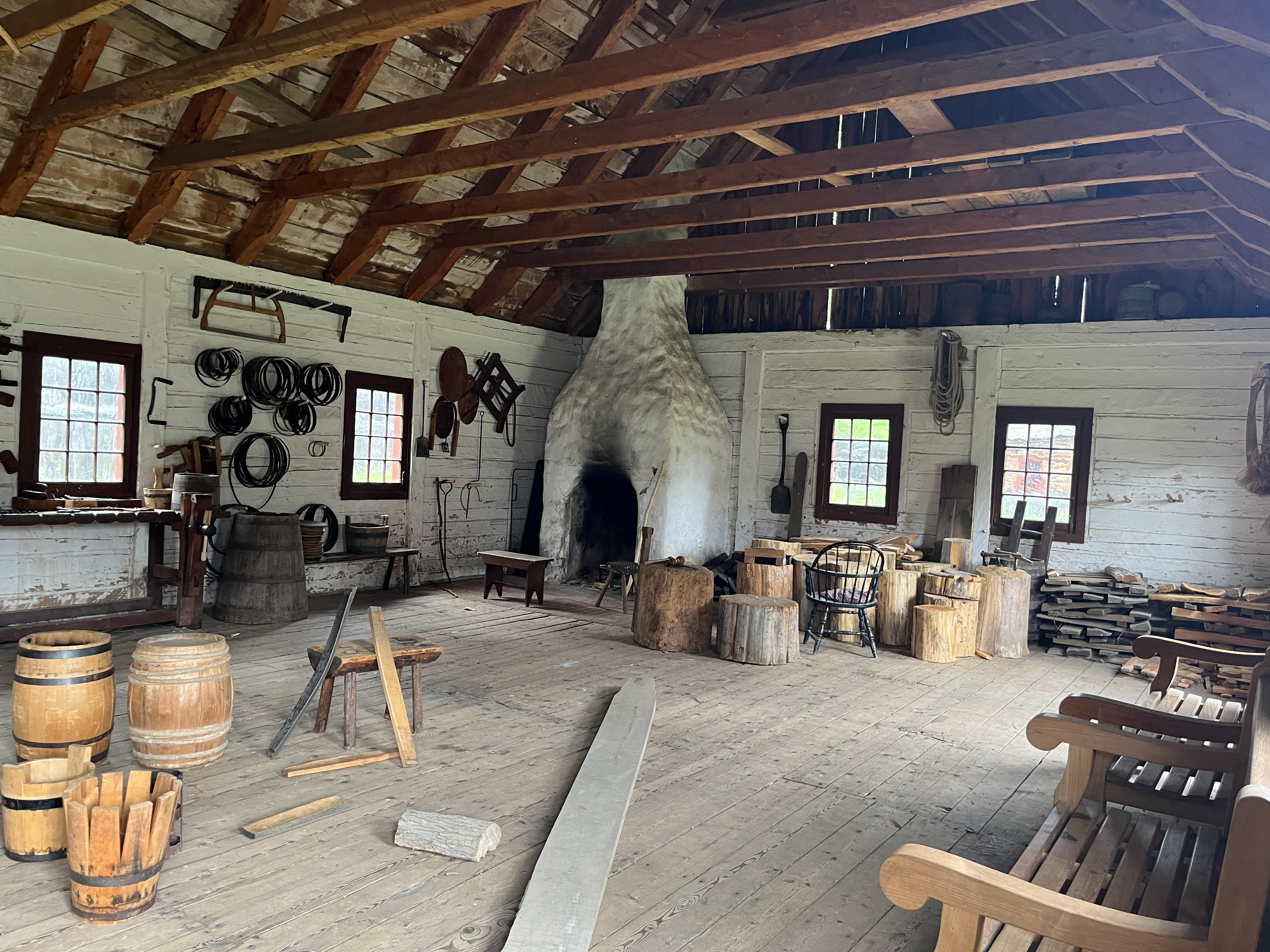
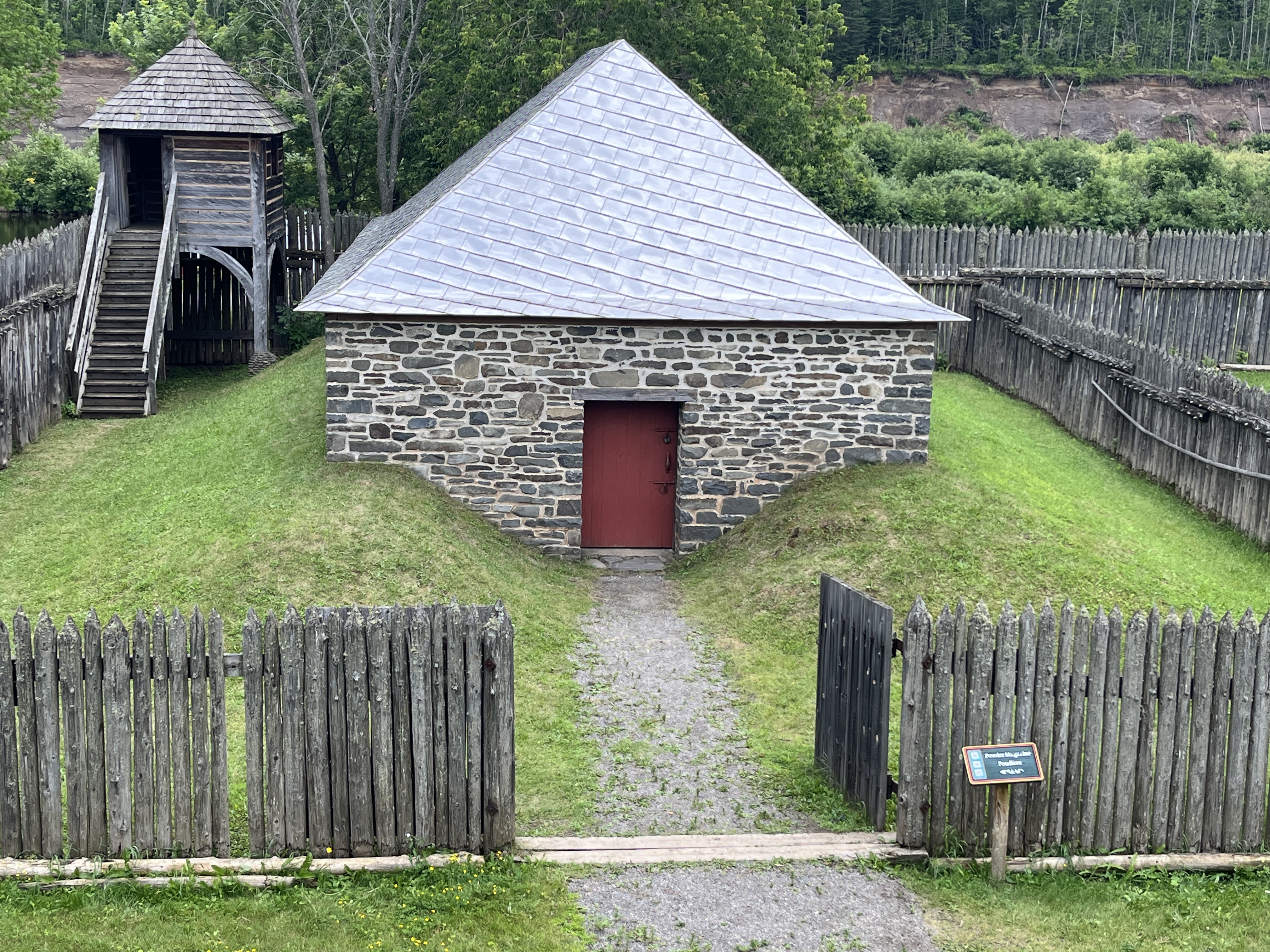
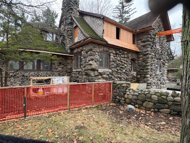
Historic records suggest that the house was built for Ernest Jury and constructed around 1909-1910. At that time the land was farm fields and there was the usual assortment of rocks and boulders available from years of clearing the ground for agriculture. Every year the frost pushes rocks toward the top of the field. The soil is plowed to prepare it for planting. The plow cuts a deep furrow through the soil and turns it over. This helps to kill the weeds. aerates the soil and distributes nutrients through the soil. This also turns the rocks over onto the top of the soil. These rocks are then picked up and stacked along fence lines and in piles. These provided a good source of building materials for stone houses.
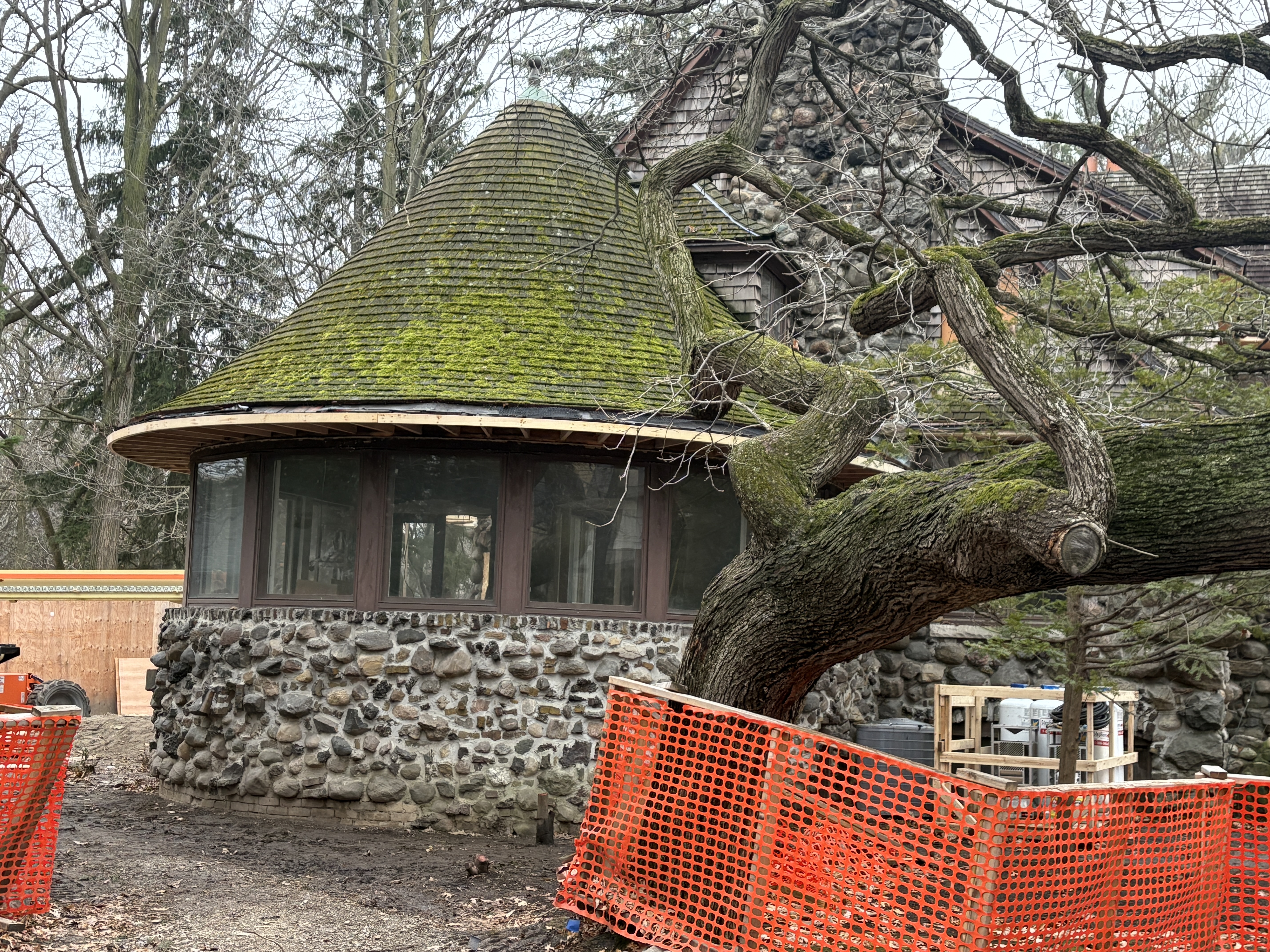
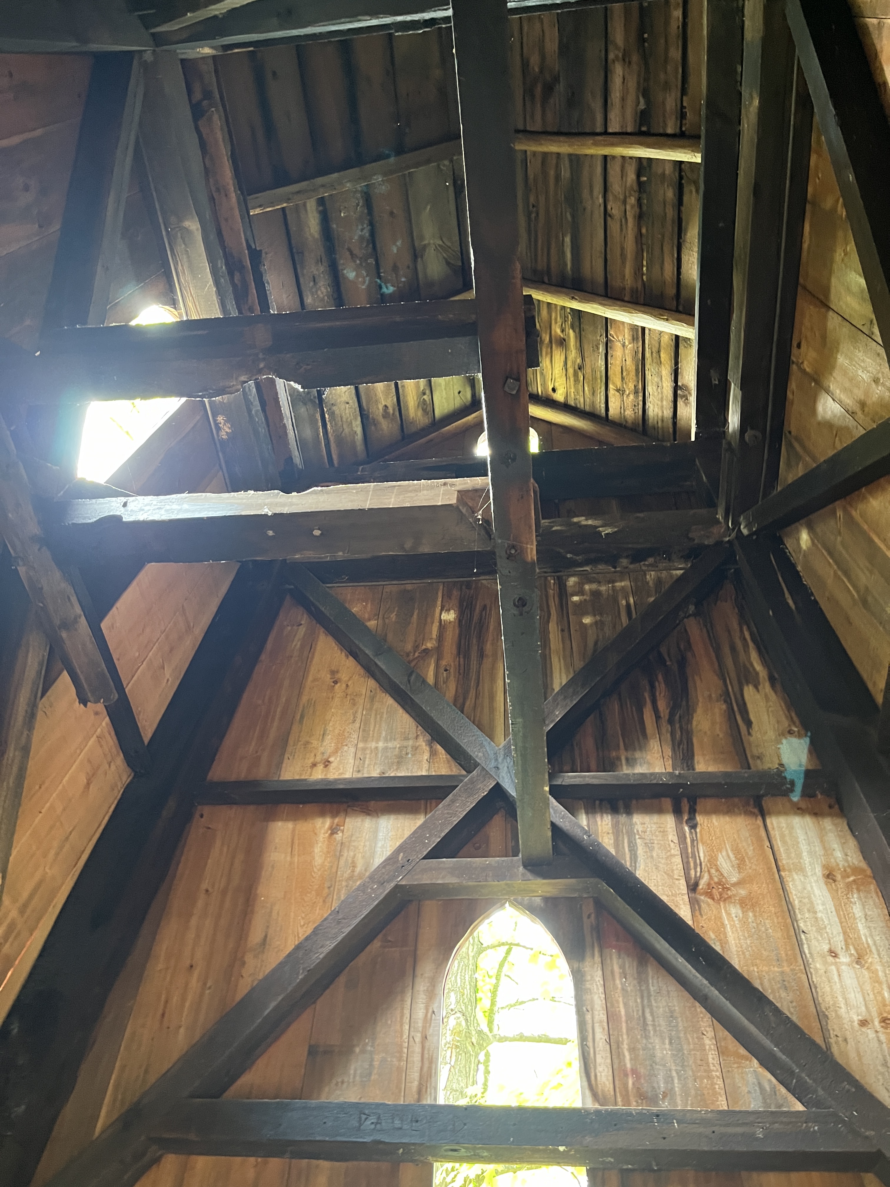
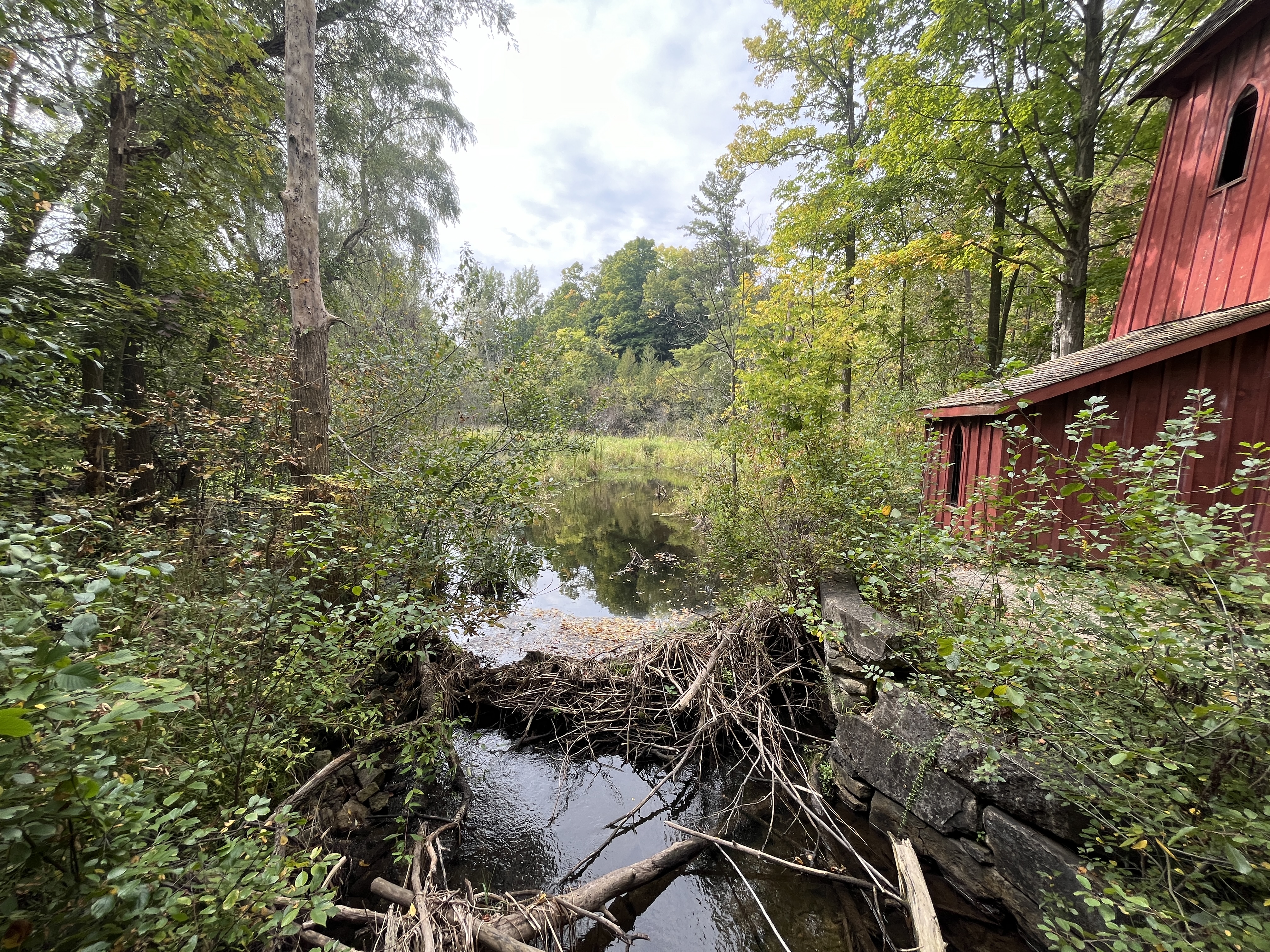
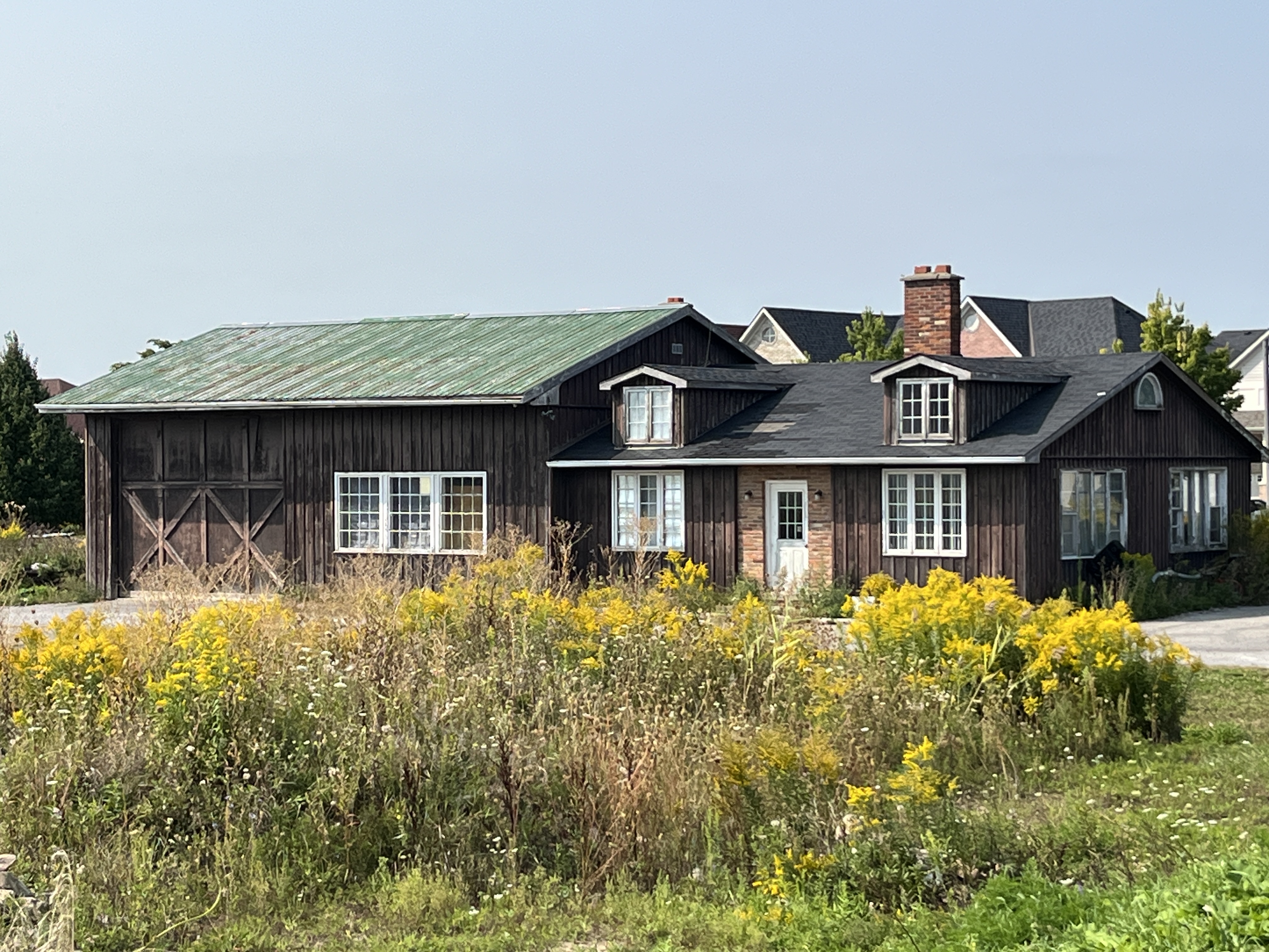
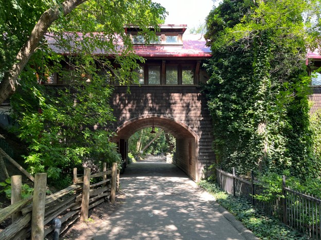
Originally bult for Jury, the home was later owned by Kimbark after whom Kimbark Boulevard is named. The home has become known as the Kimbark House. The house features a round sitting room with windows that look out over the gardens and lawns. The original property was a one acre ravine lot and the front of the home faced away from Kimbark Street. It was a later addition when the surrounding land was divided up for housing.
There are 4 bedrooms and 7 bathrooms in the house along with several fireplaces.

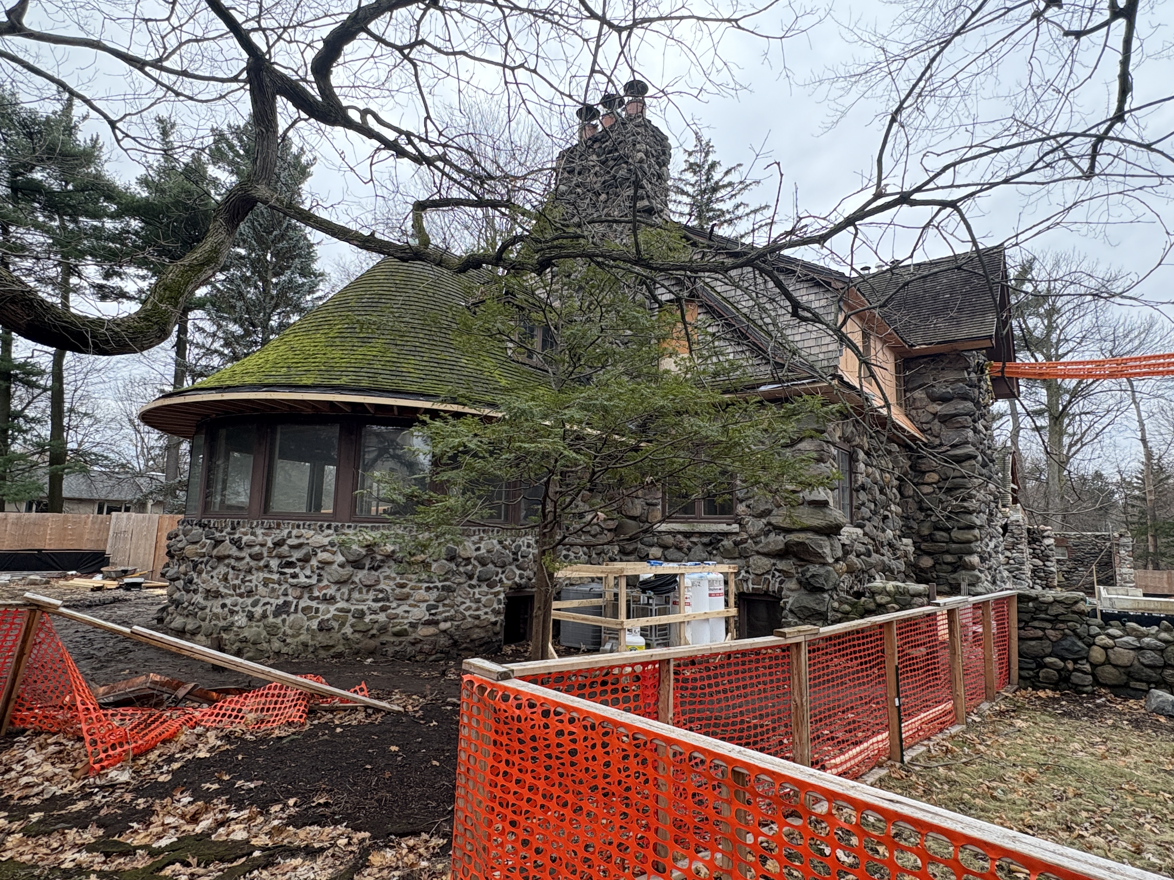
The house was given an historic designation in 1979 because it is one of only a few houses in the city of Toronto that are made of uncut stones. The house was then sold to the lawyer Edward Greenspan in 1984. Greenspan was one of the most known names amongst criminal defense lawyers in the Canada at the time. He worked on several high profile cases and wrote legal textbooks. He had a radio and later a tv series on CBC called Scales of Justice. He was also a strong advocate against the death penalty in Canada. Edward died of a heart attack on Christmas Eve 2014 at the age of 70. I see a little irony that a defense lawyer should live in a house built for a man named Jury.
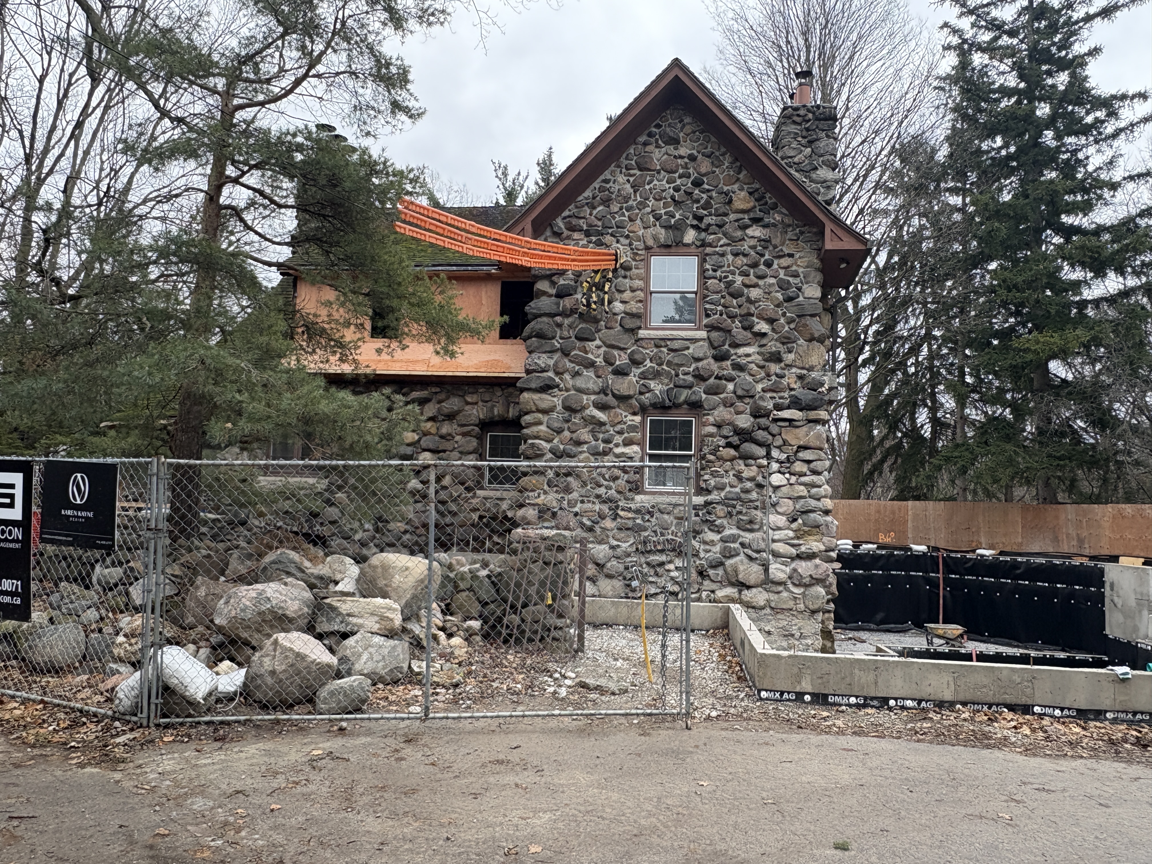
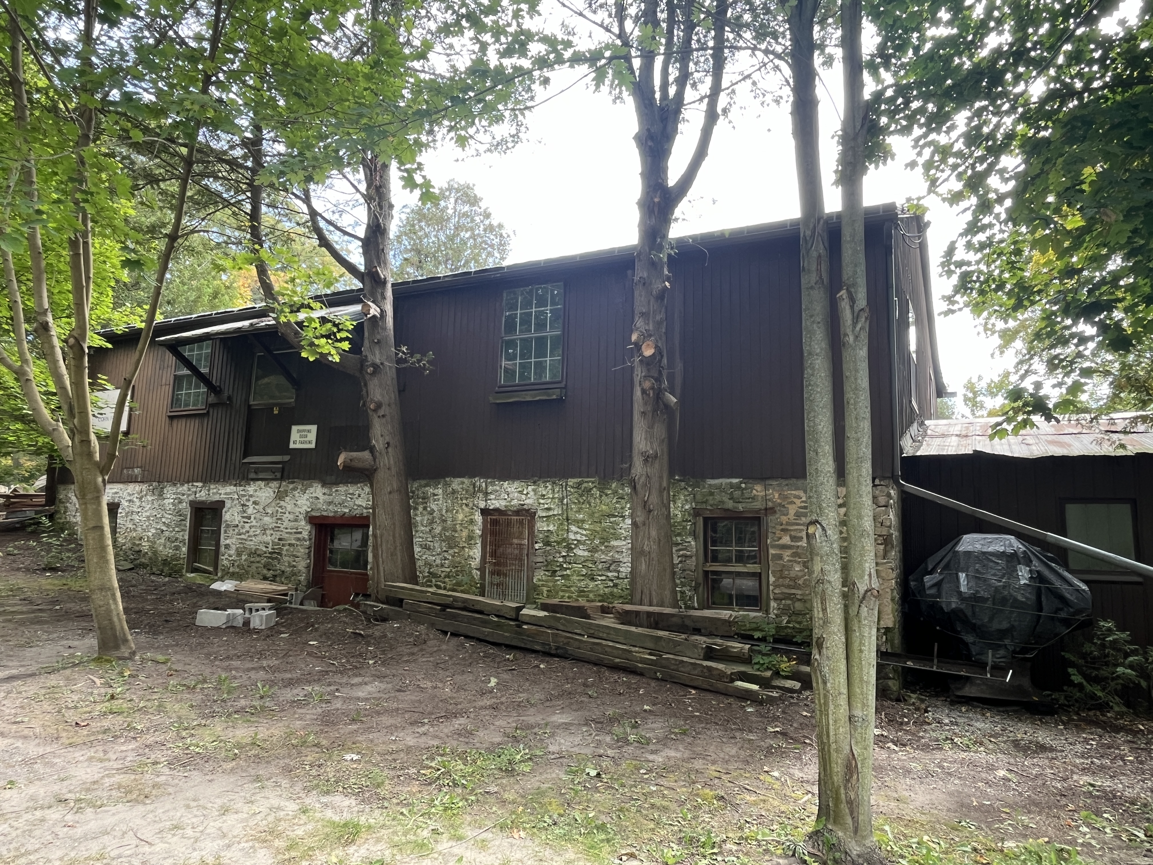
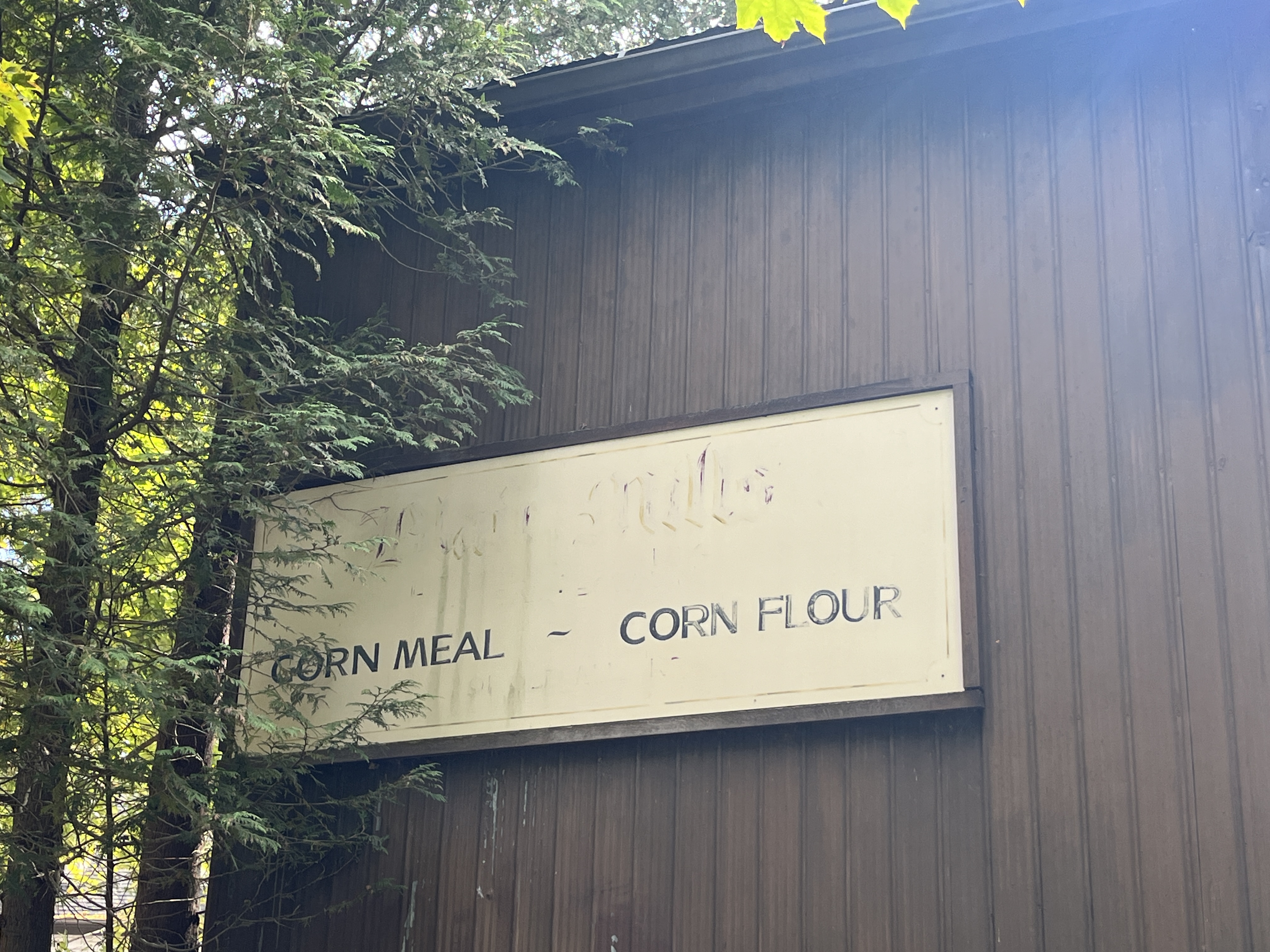
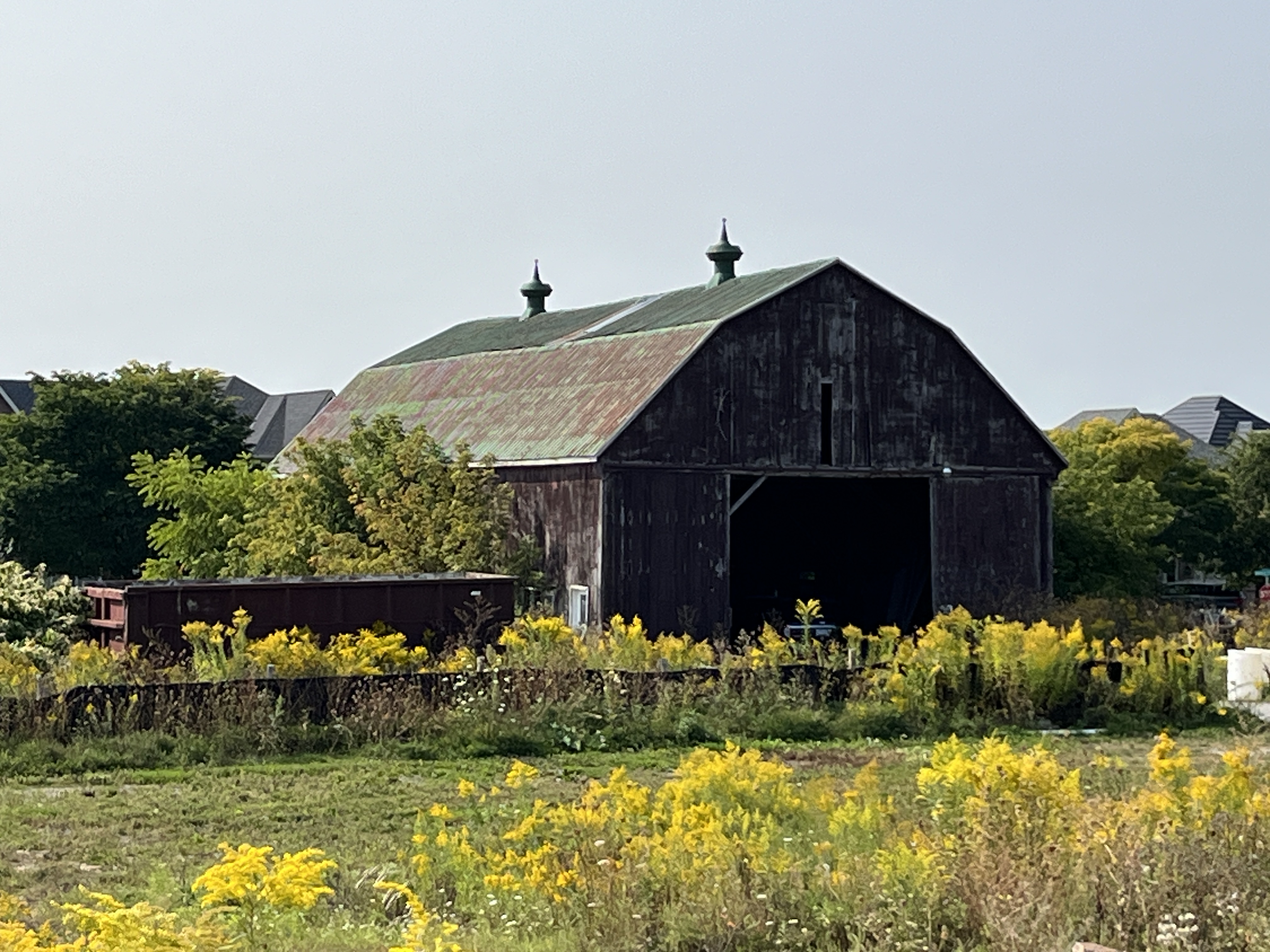
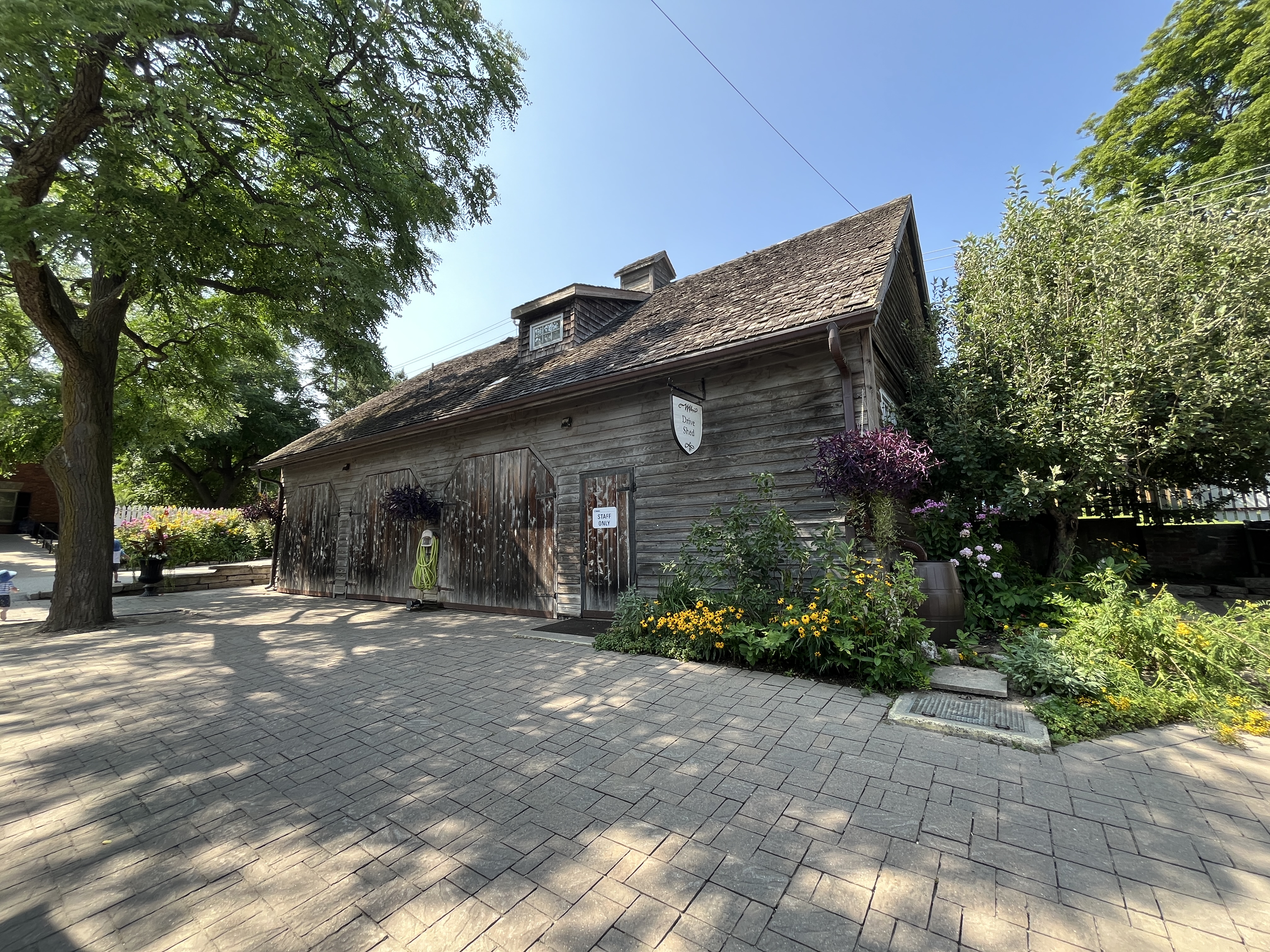
The house went onto the market recently and sold for below the asking price, realizing a mere $7.8 million dollars. There have been several renovations over the years and it looks like one of the most obvious ones, the garage facing Kimbark Boulevard has recently been removed. From the real estate photos it clearly wasn’t harmonious with the stone house that it was added onto. The house and the original drive shed have been retained as they are protected by the historic designation.
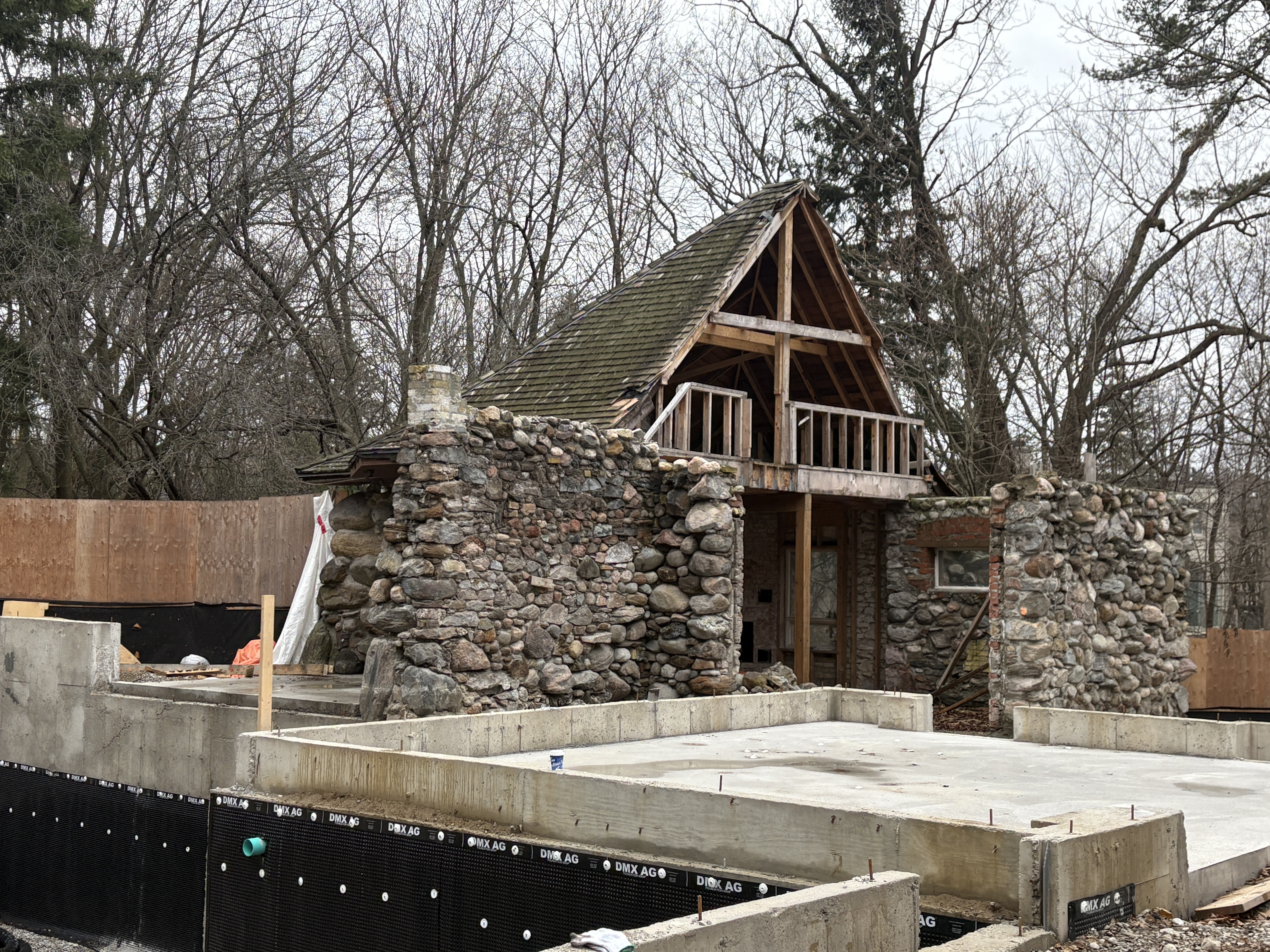
It will be interesting to return to the home in a year and see what has been done with the renovations and how they fit in, or don’t, with the older stone home.
Google Maps link: Kimbark House
Like us at http://www.facebook.com/hikingthegta
Follow us at http://www.hikingthegta.com