January 6, 2024
In July of 1958 nine villages and an inhabited island along the Canadian shoreline of the St. Lawrence River were flooded during the construction of the St. Lawrence Seaway and the Moses-Saunders Power Dam. 1,200 acres of reserves belonging to the Mohawks and Akwesane as well as 15,000 acres of traditional hunting grounds were also flooded. The indigenous peoples were not consulted or compensated and only in the last couple of decades has any attempt been made to correct this travesty. 6,500 residents of 6 villages and 3 hamlets were forced off their lands and given market value for their holdings. Unfortunately, the market values were already depressed due to the impending flooding. The lost villages were Aultsville, Dickinson’s Landing, Farran’s Point, Maple Grove, Mille Roches, Moulinette, Santa Cruz, Sheeks Island, Wales and Woodlands. Some of these can be seen in the map below taken from Wikipedia which shows the area prior to the flooding. We have often written about the ghost towns and lost villages of the GTA but this post focusses on some lost villages in Eastern Ontario that I visited on a business trip in September.

58,000 acres were flooded beginning on July 1, 1958 when 27 tonnes of explosives were used to destroy the cofferdam that was used during the construction of the power dam near Cornwall. The image below shows the same area as the one above as it exists following the flooding.
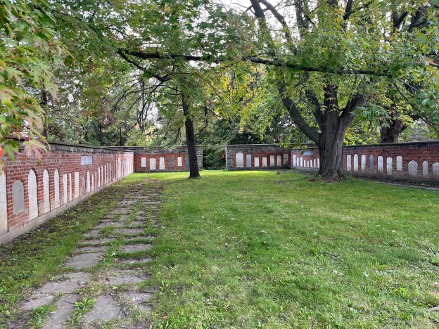
The story of the flooding has its origins as far back as 1871 when the Treaty of Washington made the St. Lawrence River the dividing line between Canada and the USA and allowed for shared use of the river for shipping purposes. In 1895 the Deep Waters Commission was established to explore additional navigation opportunities including the St. Lawrence Seaway. Political issues prevented progress from being made and by 1951 the Canadian Government decided to proceed alone on the construction of the seaway. This got the USA out of their deadlock and in 1952 the Seaway Project was approved by both countries. Construction began on August 19, 1954 resulting in the flooding in 1958. When the lost villages were evacuated the buildings were demolished and some of the bricks and stones were salvaged to be used in the planned memorial. Grave markers were taken up to be relocated in a memorial wall that was built near the site of Upper Canada Village and some of the buildings were moved there.

The Pioneer Memorial is laid out by community with a stone marker indicating each of the towns represented. This image shows the wall for Aultsville and Farran Point.

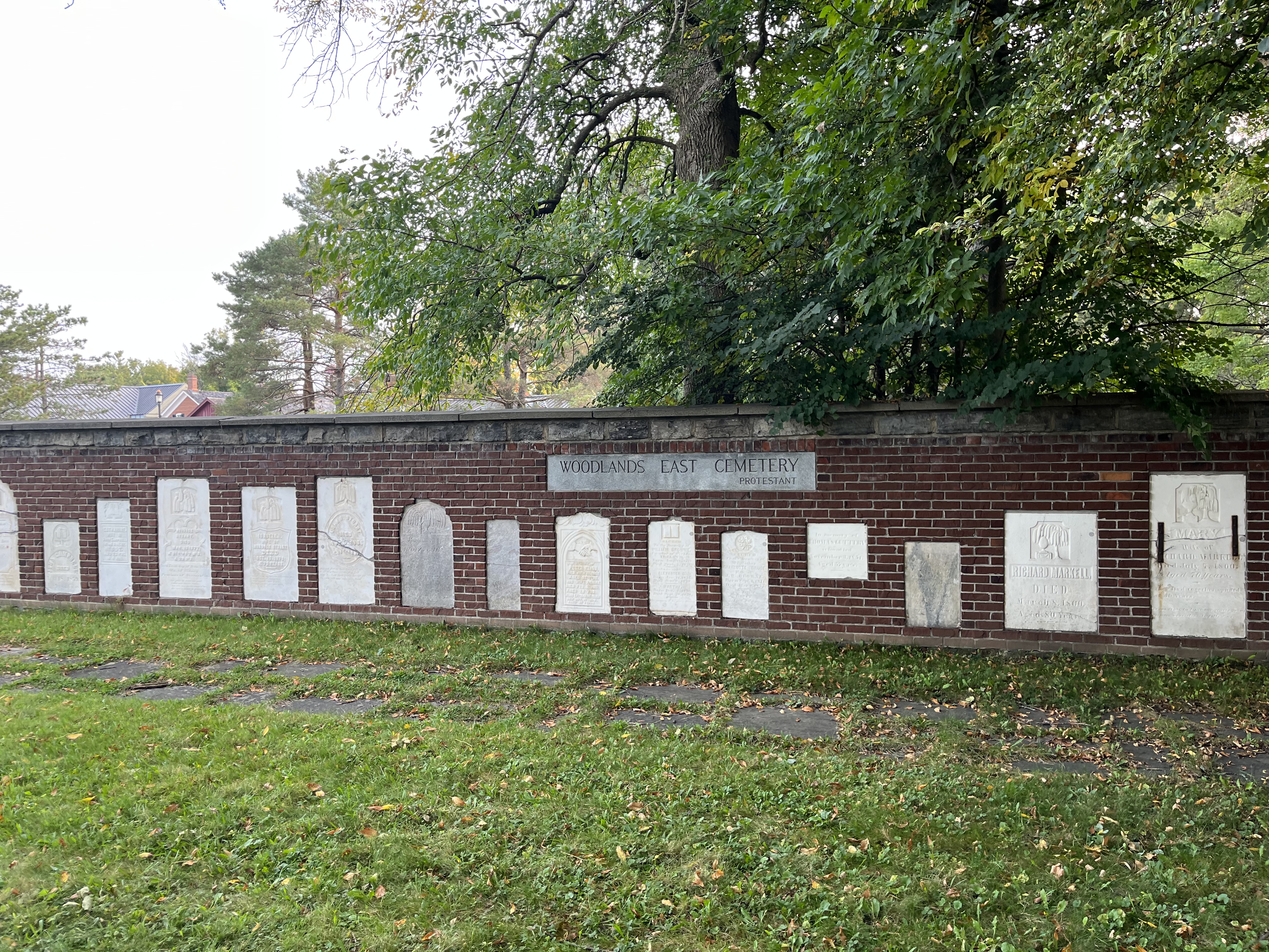
Woodlands East Protestant Cemetery is represented in the wall pictured below.
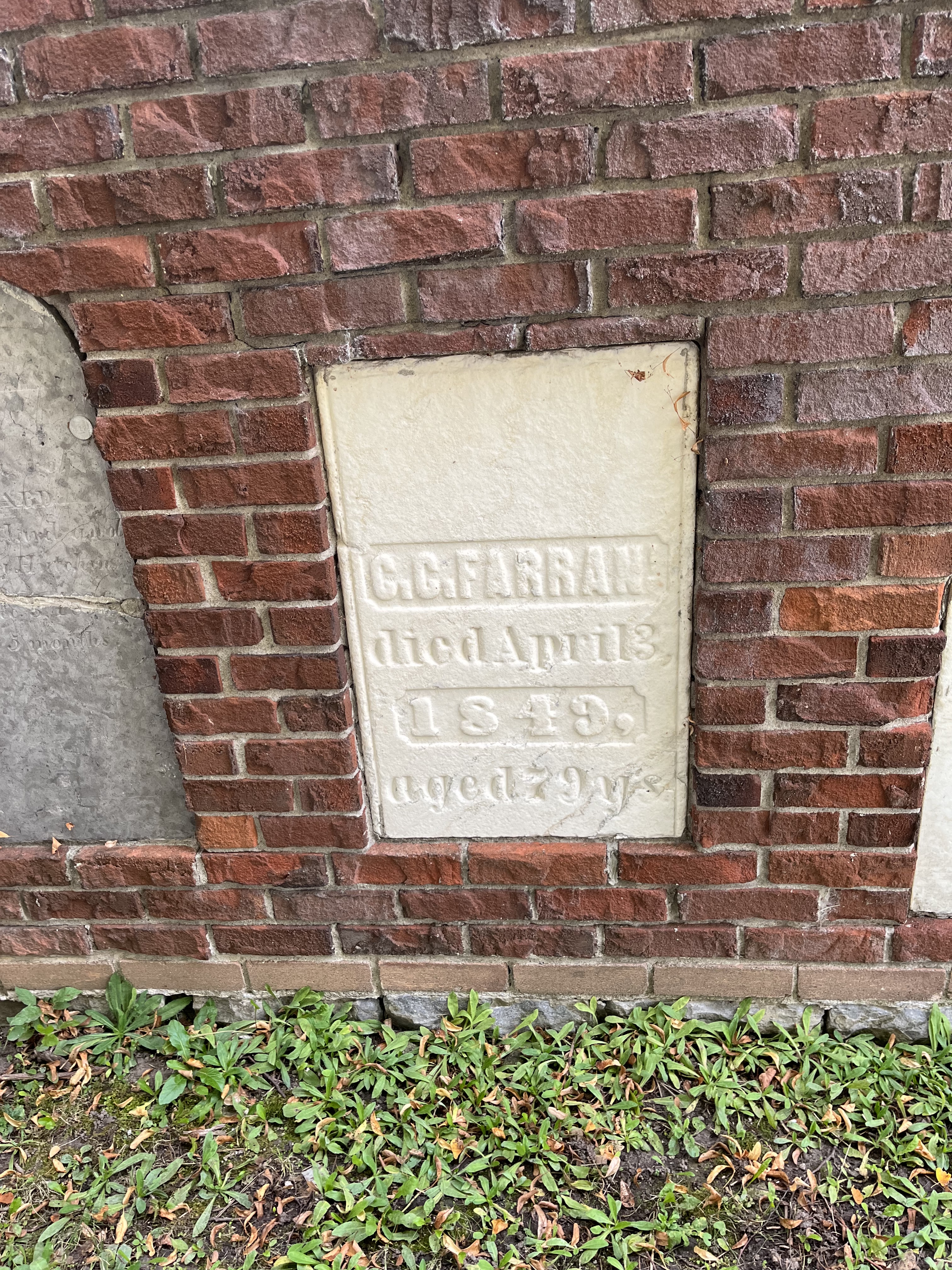
Not all of the people buried in the various flooded cemeteries have been represented in the memorial gardens because some stones graves were marked with wooden memorials or stones that were badly broken or deteriorated. One example of a salvaged memorial is seen in the picture below showing the marker for G. C Farran who died on April 3, 1849. They had been born in 1770. Their remains now lie below the St. Lawrence River in one of the flooded towns.
The plaque below is located near the site of the memorial gardens and tells of the building of the walls and gardens. It mentions eight villages but there are nine villages plus the residents of Sheeks Island that are covered in the online histories of the area.

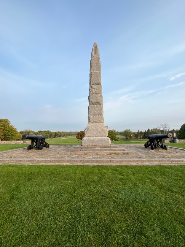
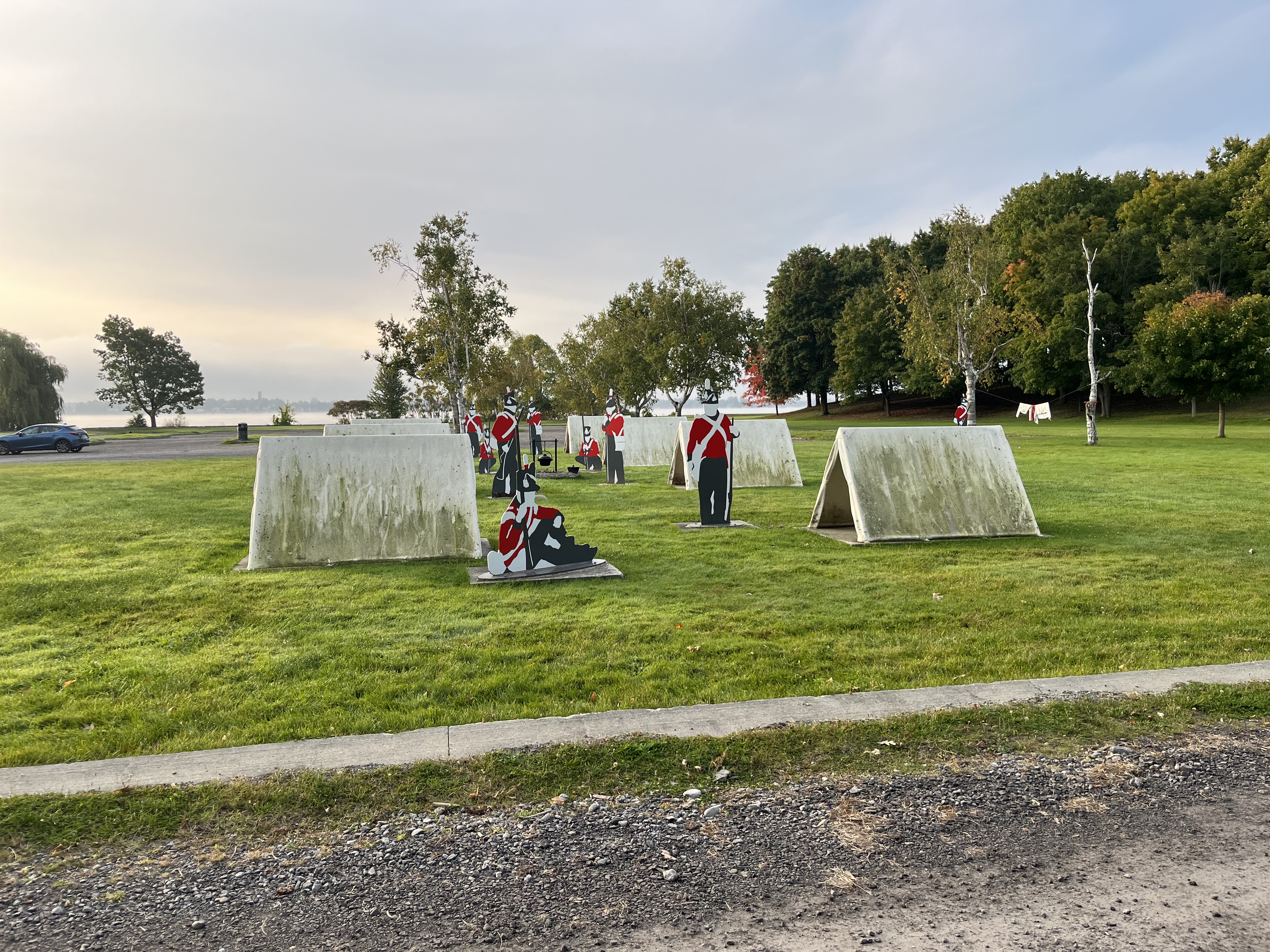
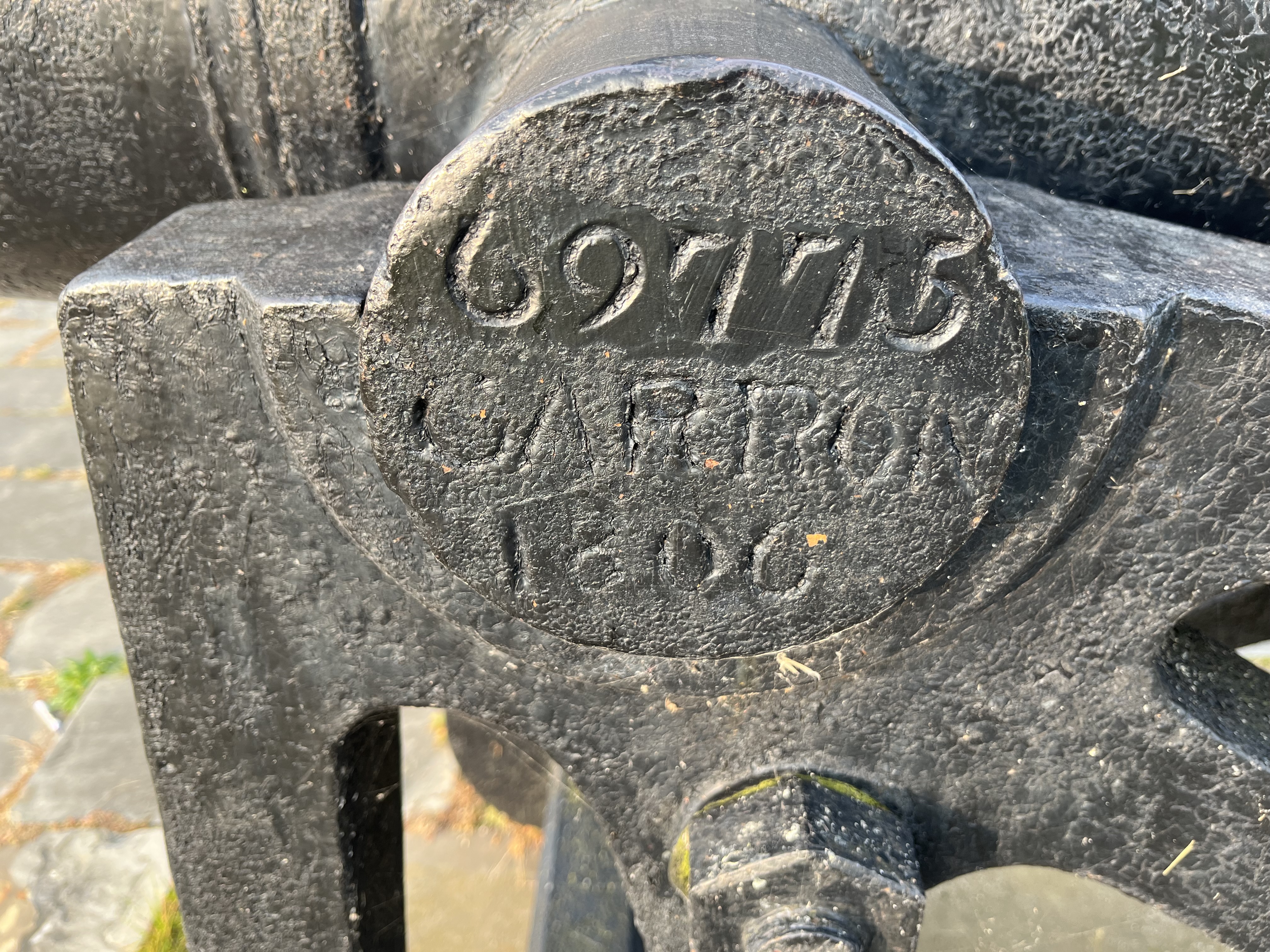
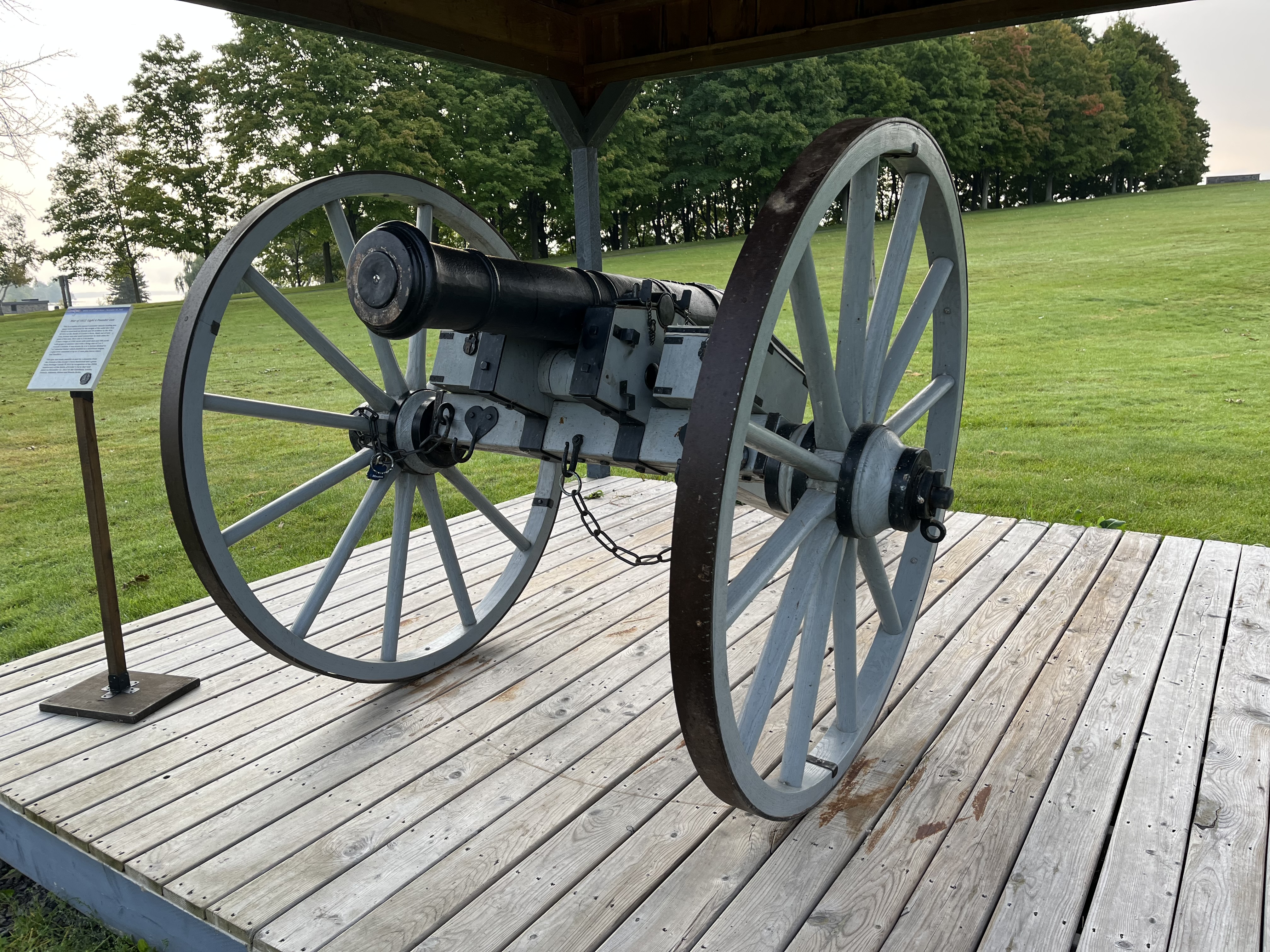
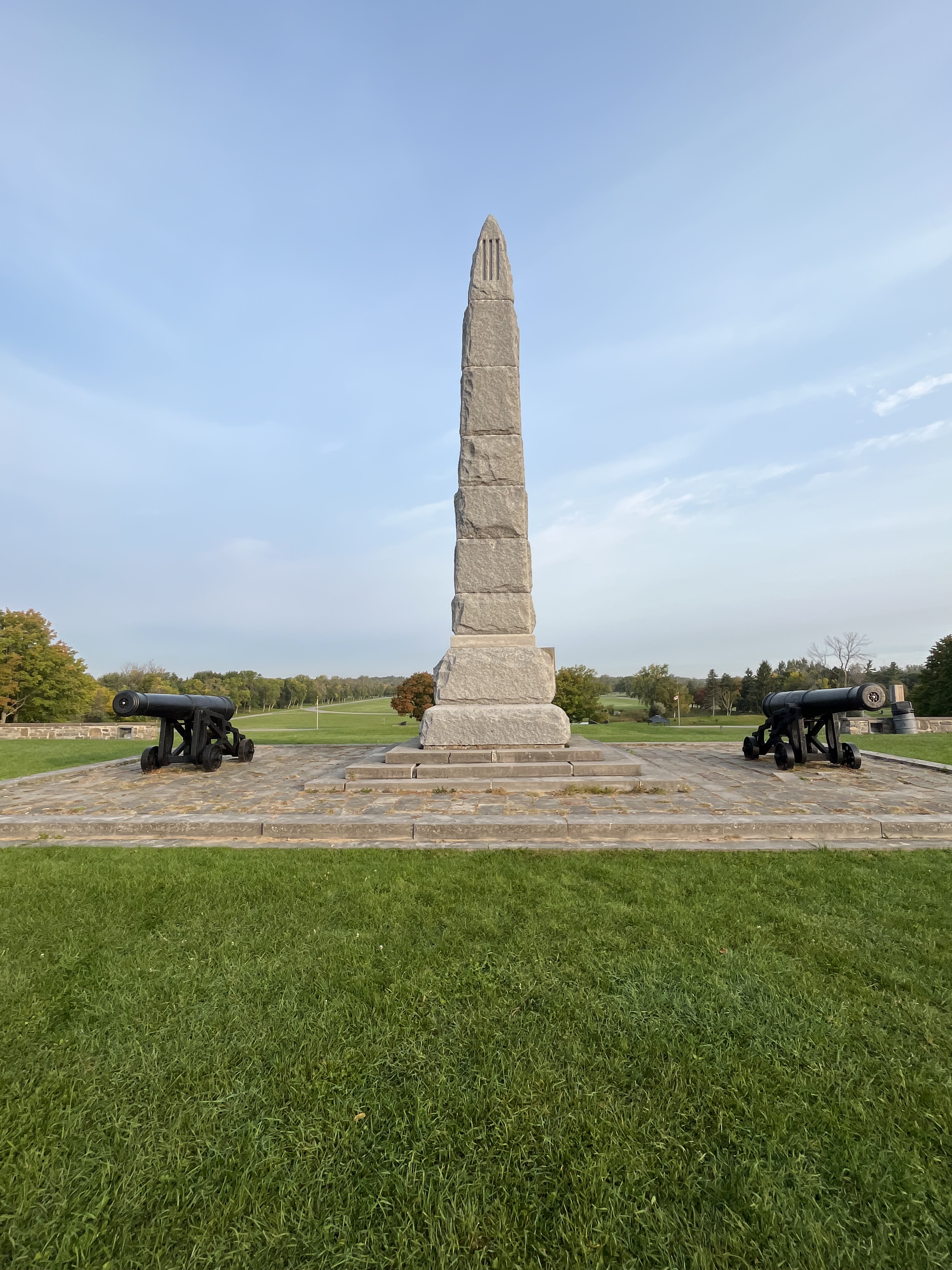
Crysler’s Farm was the site of a battle in the War of 1812. The battle took place on November 11, 1813 and the American forces were defeated but not without losses on both sides. The actual site of the battlefield is now submerged under the St. Lawrence River but it has been memorialized on a new site near Upper Canada Village. We’ve previously written about this battle in our post The Battle of Crysler’s Farm. The image below was taken from the 1877 County Atlas and shows the original battle ground.

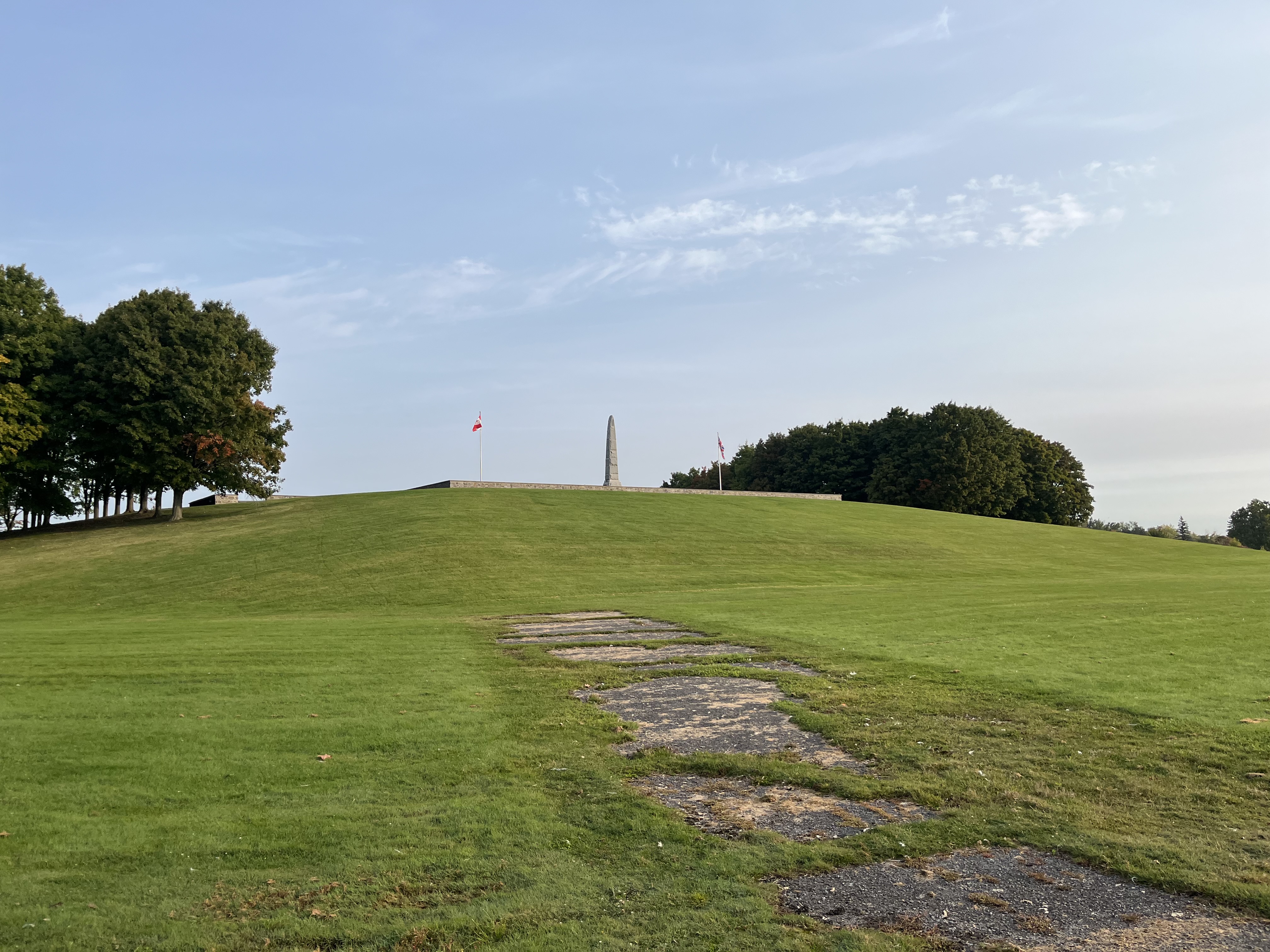
The Long Sault Parkway is a 10.1 kilometre drive that connects several islands that were created during the flooding. Along the route homage is paid to many of these lost villages and the drive is said to be very scenic. It’s on our bucket list for a future visit to the area.
Related Stories: The Battle of Crysler’s Farm
Google Maps link: Pioneer Memorial
Like us at http://www.facebook.com/hikingthegta
Follow us at http://www.hikingthegta.com
Also, look for us on Instagram