Tag Archives: Dundas Peak

Websters Falls 2023

Sunday, April 16, 2023

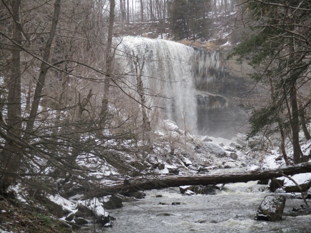
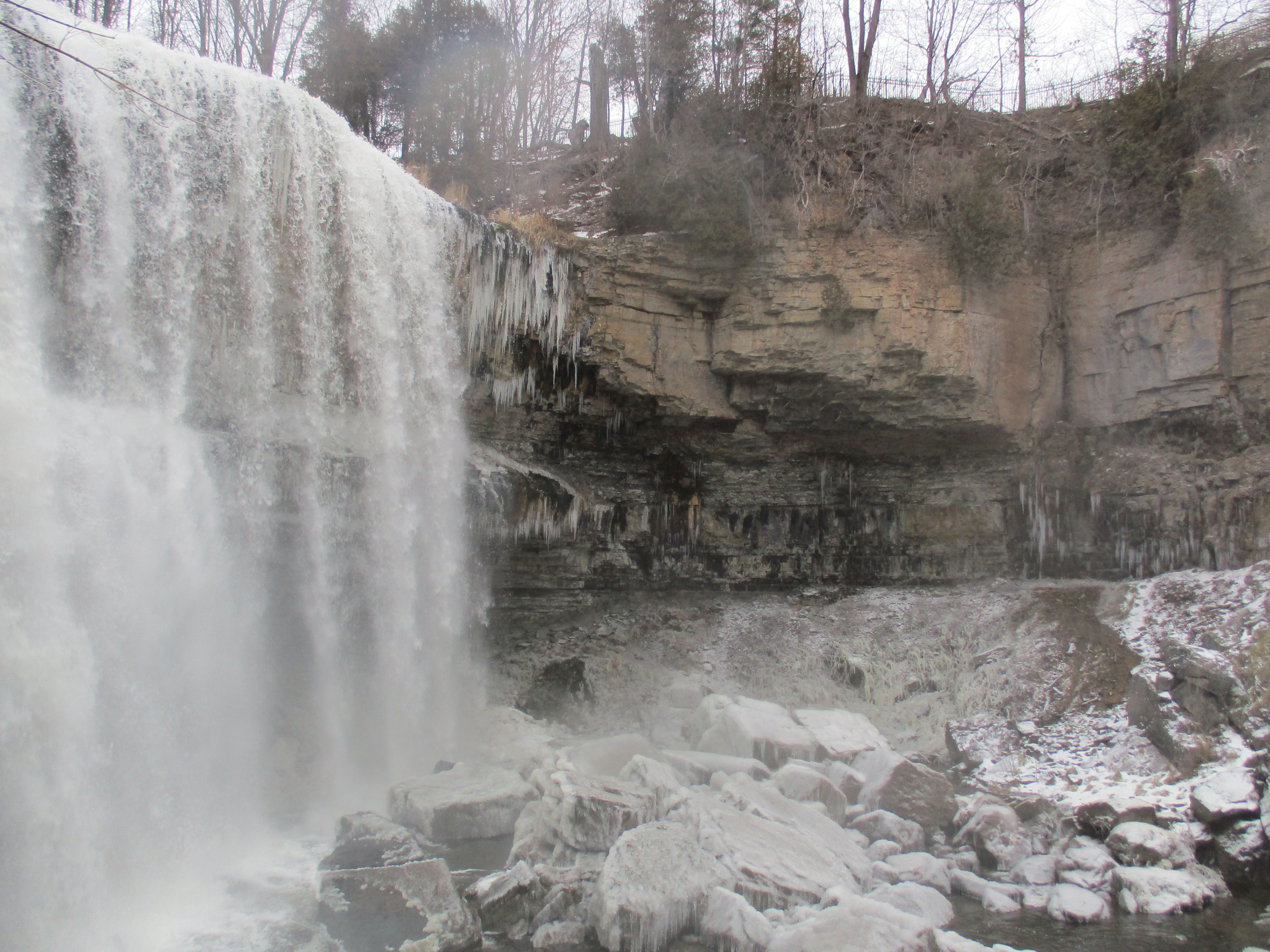
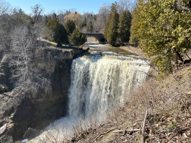
We went to Webster’s Falls for a visit on April 9th as it was a beautiful Spring day and this time of year is often the best for seeing the waterfalls. This is because the water levels are generally higher and there isn’t a lot of foliage to obscure the views. We previously visited Webster’s in January 2016 and wrote about the history of the falls and so we won’t cover all of that again in this post. That story can be found in our earlier blog The Spencer Gorge – Webster’s and Tews Falls. This post will focus mainly on information that wasn’t previously presented. Webster’s Falls has a nice long viewing area that provides plenty of space to see the falls and take pictures of it.

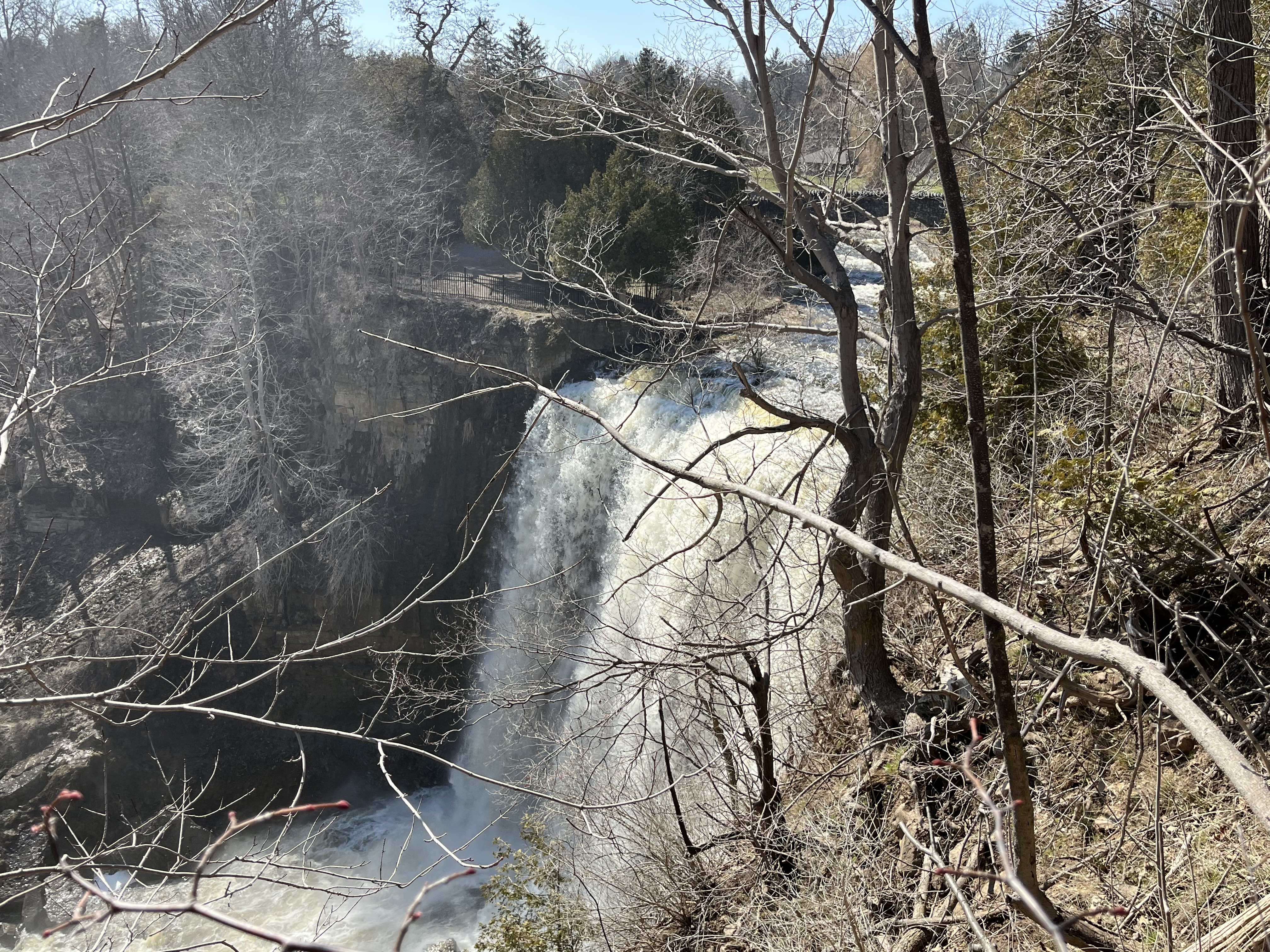
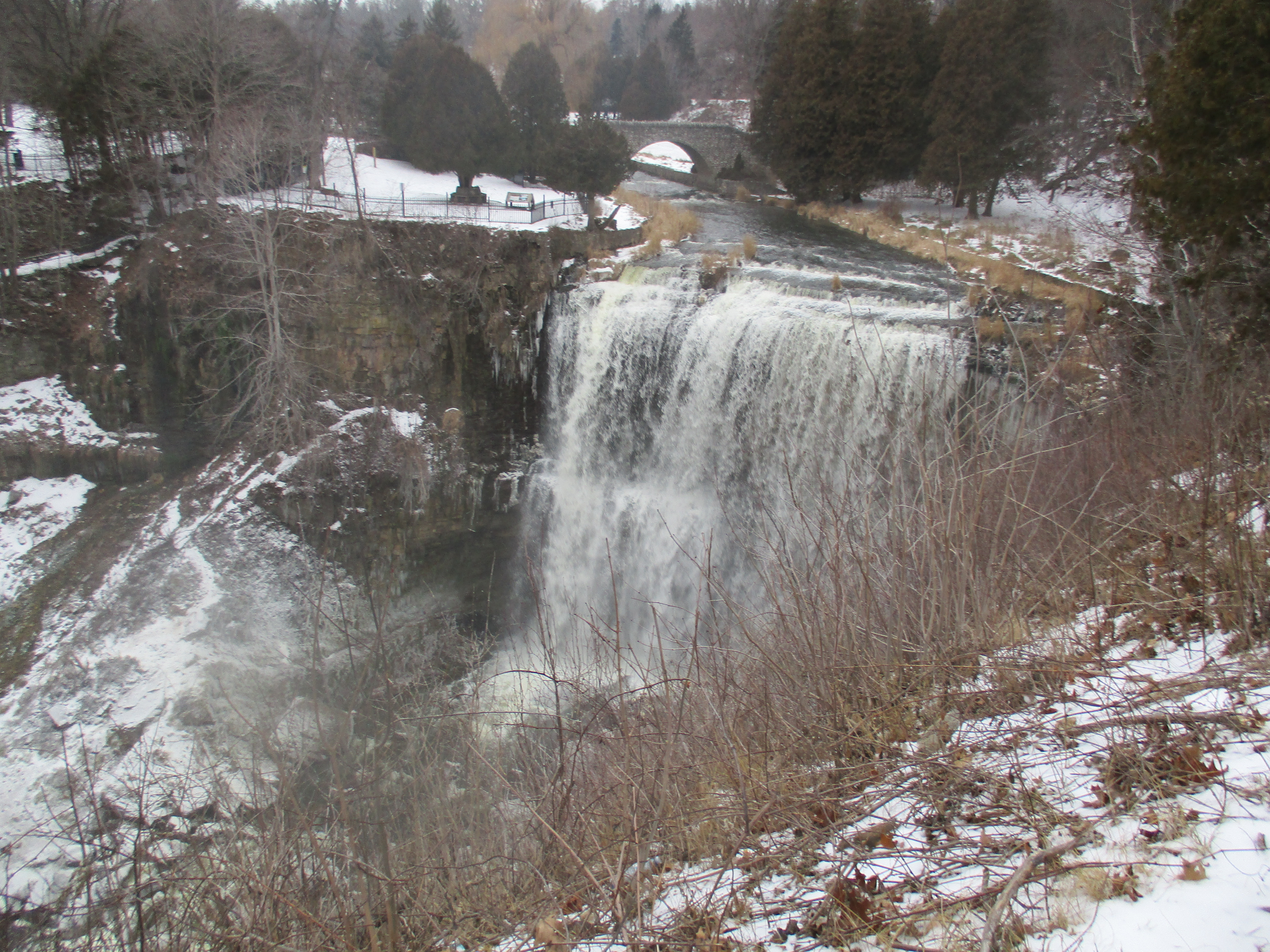
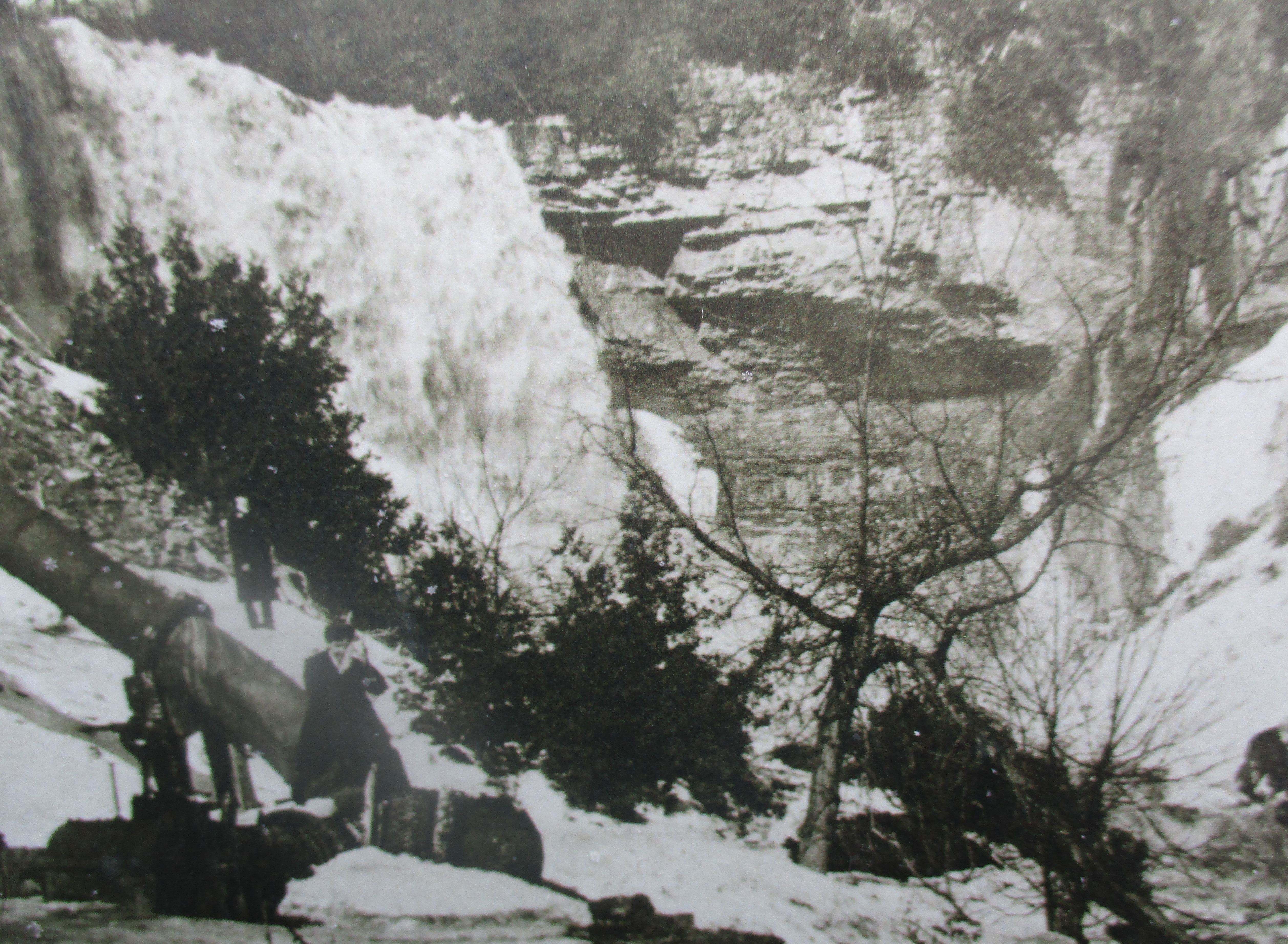
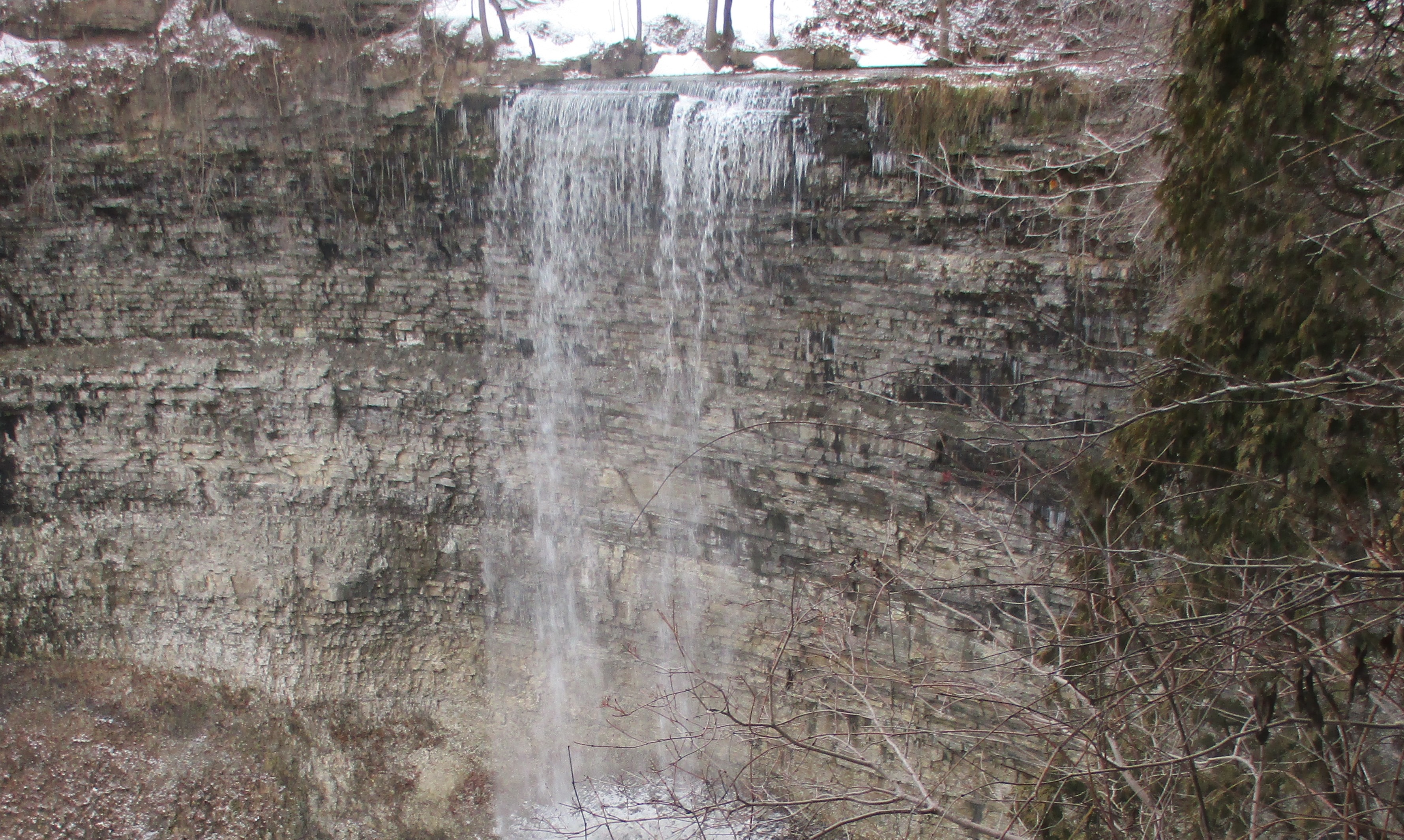
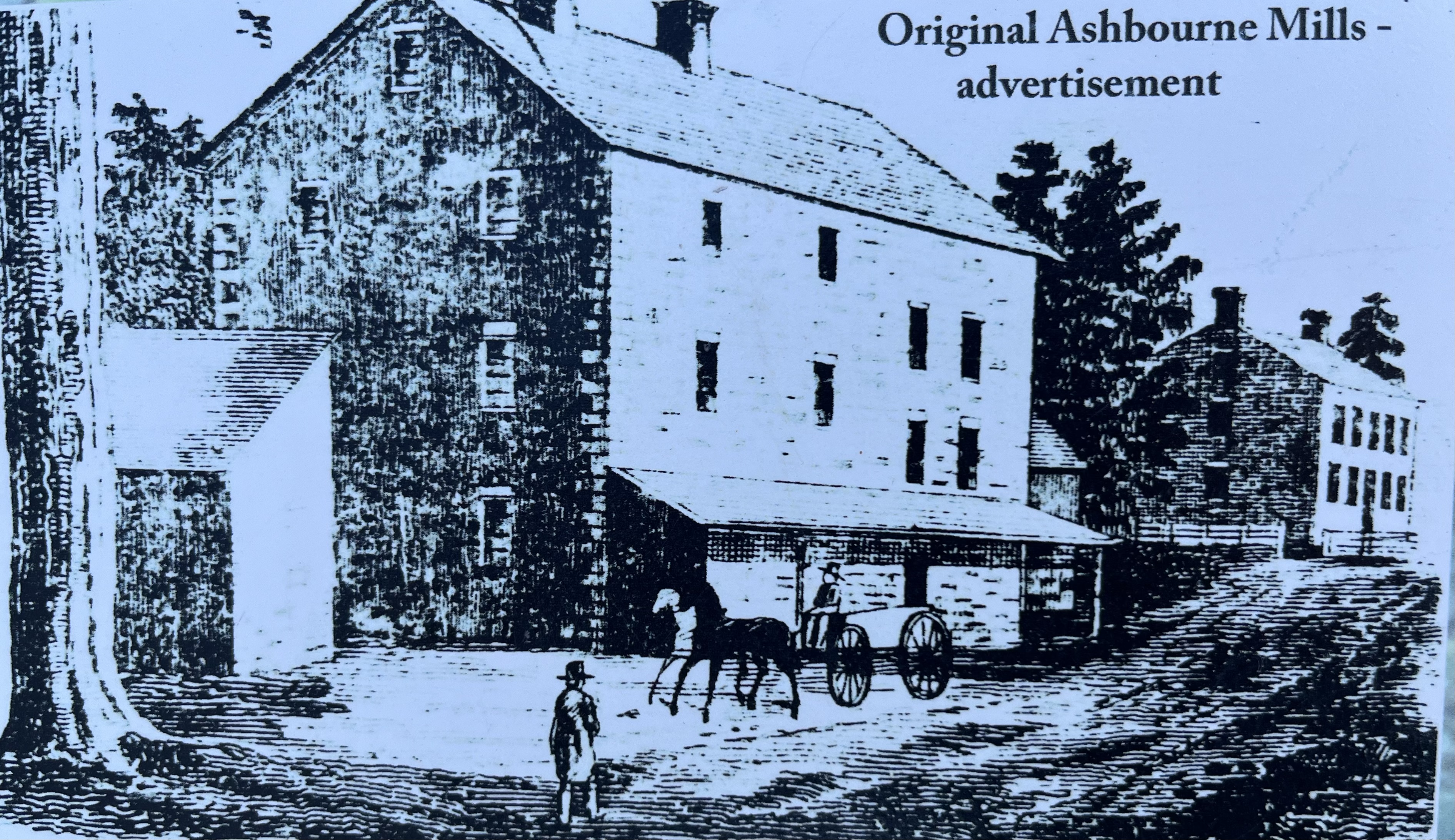
The crest of the waterfall is 24 metres wide and is the largest in the region. There are more antique postcards featuring this falls than any other in the area, which attests to the popularity of the falls a century ago when postcards were more popular than they are today. The historical image below shows Ashbourne Mills which were built in 1856 by Joseph Jr., the son of Joseph Webster. The flour mill operated until 1898 when it was destroyed in a fire.

Webster’s Falls has its own tragic legend in the style of Romeo and Juliet. The tale is told of a fair maiden who was the daughter of the local Ojibway Chief. Her name was Na-Go-She-Onong, which meant Evening Star. She was kind, gentle and fair and many of the local males dreamed of courting her. However, she fell for the charms of a white man much to the disappointment of her potential suitors. One overly jealous indigenous man decided to kill the white man to increase his chances of winning her. Instead, she was so distraught that she cradled the dead man to her chest and plunged into the waters above the falls.

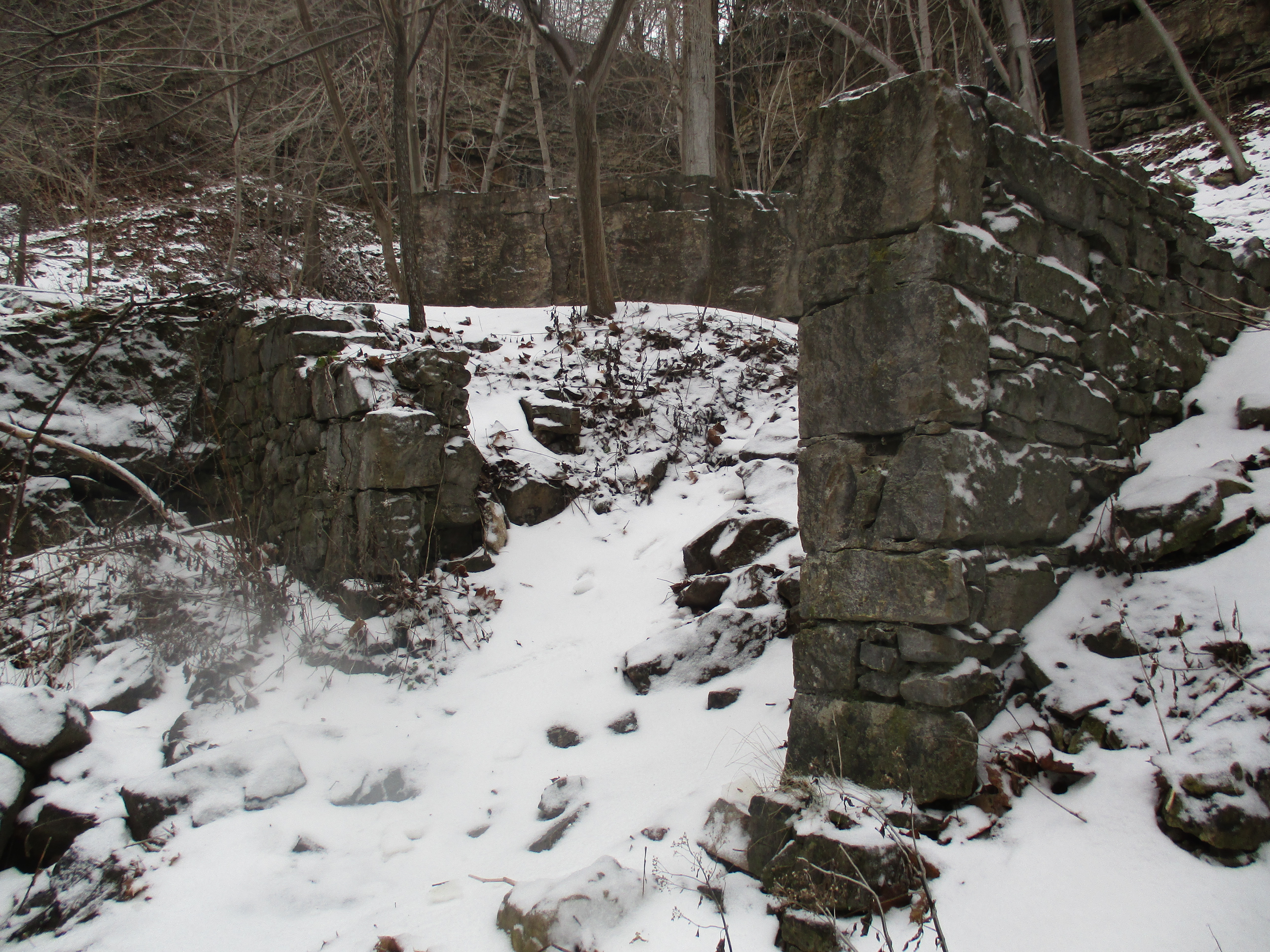
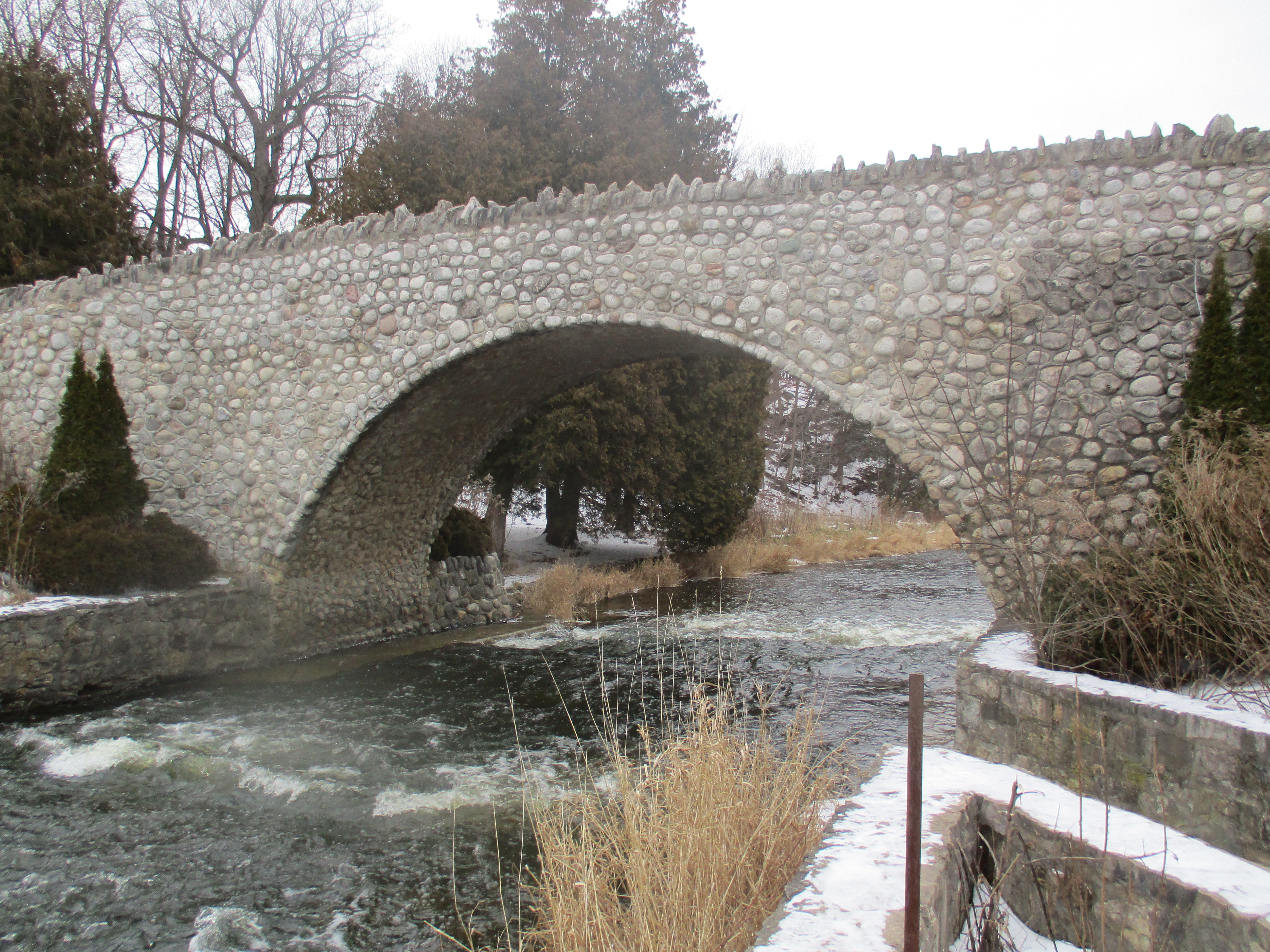
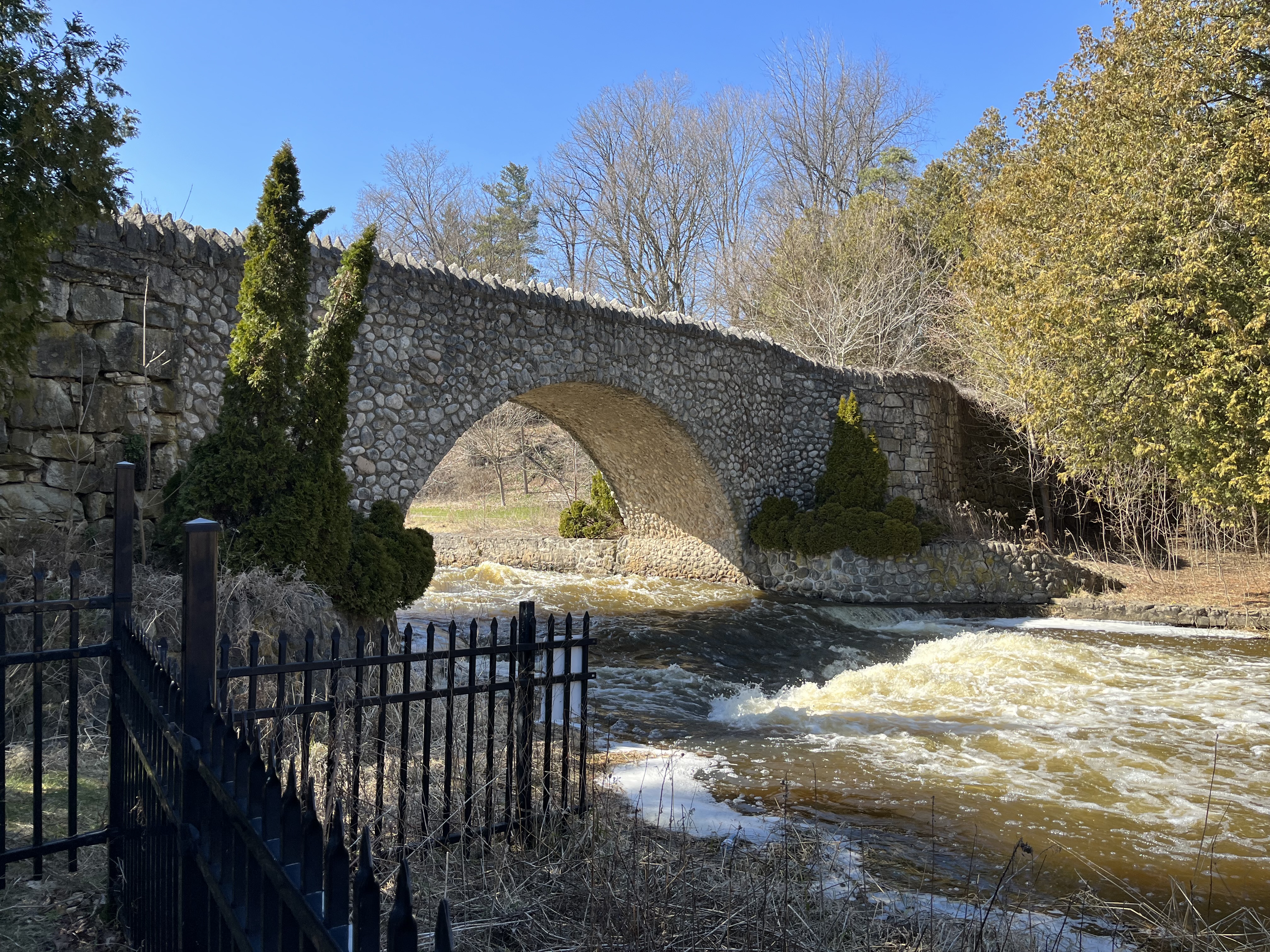
After the fire in the mill, the owner who was George Harper at this time, formed a partnership and created the Dundas Electric Company to generate electricity at the base of the falls. The falls and surrounding lands were purchased in 1917 by The Public Utilities Commission of Dundas as part of the local waterworks system. When Dundas Mayor Colonel W.E.S. Knowles died in 1931, it was revealed in his will that he bequeathed Webster’s Falls and surrounding areas for a public park. Two years later the grounds were landscaped, an iron fence was installed along the viewing platform and a stone arch bridge was constructed a short distance above the falls.

This little group of cedars has a stone and concrete bench constructed around them. These trees may be well over 100 years old but there are much older ones clinging to the cliff along side of the falls. Those Eastern White Cedars are over 500 years old. They are the remnants of an ancient forest that covered the area before Europeans arrived and cut everything down to create farmland.

On a sunny day, the view of the falls from beside it will also give the opportunity to observe a rainbow in the mist below.

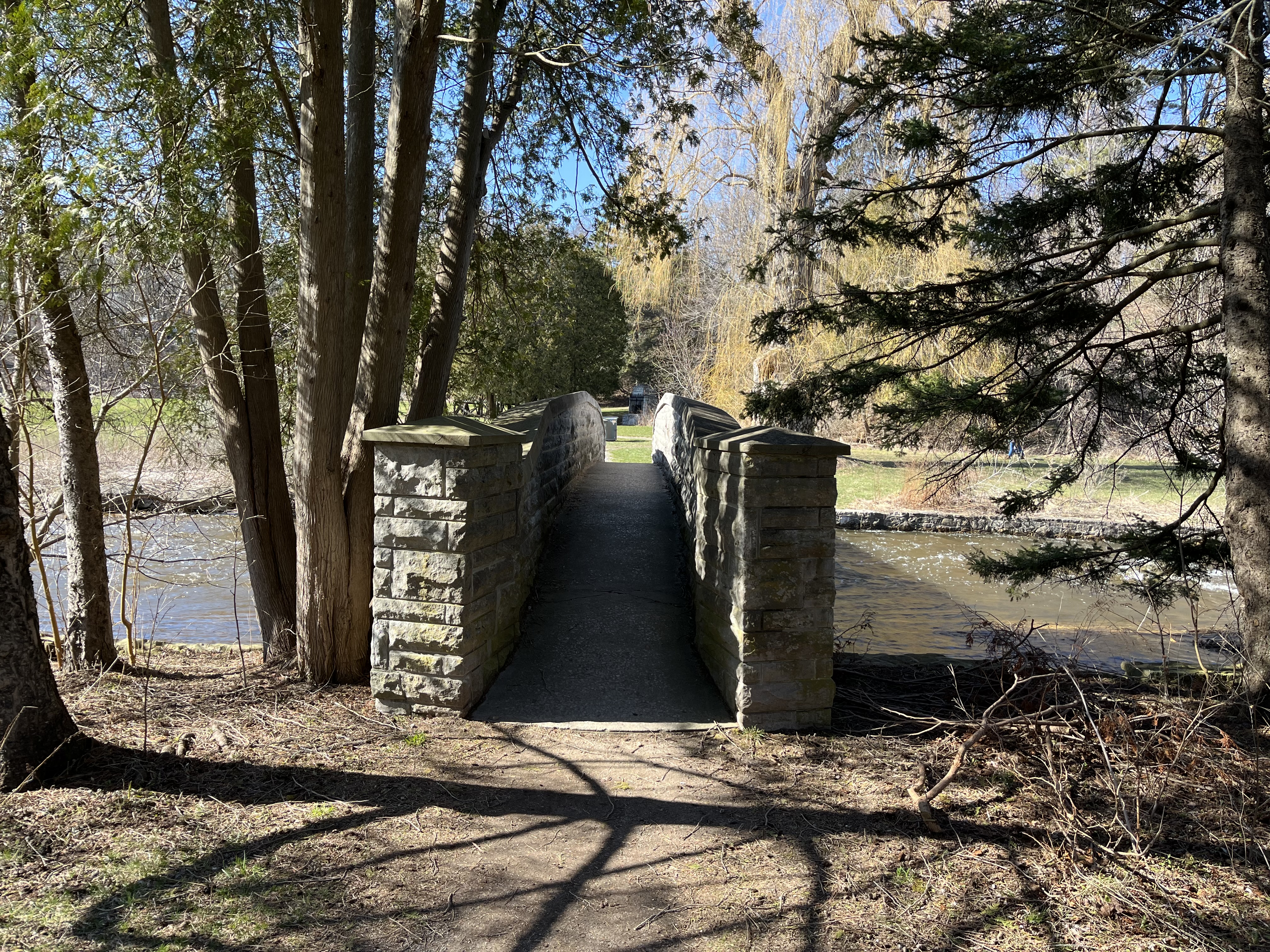
A second footbridge has been built across Spencer Creek just a short distance upstream from the stone one near the falls.

Growing alongside the trail is a patch of Lesser Periwinkle. This plant will grow in dense patches that choke out other types of plants that compete for sunlight.

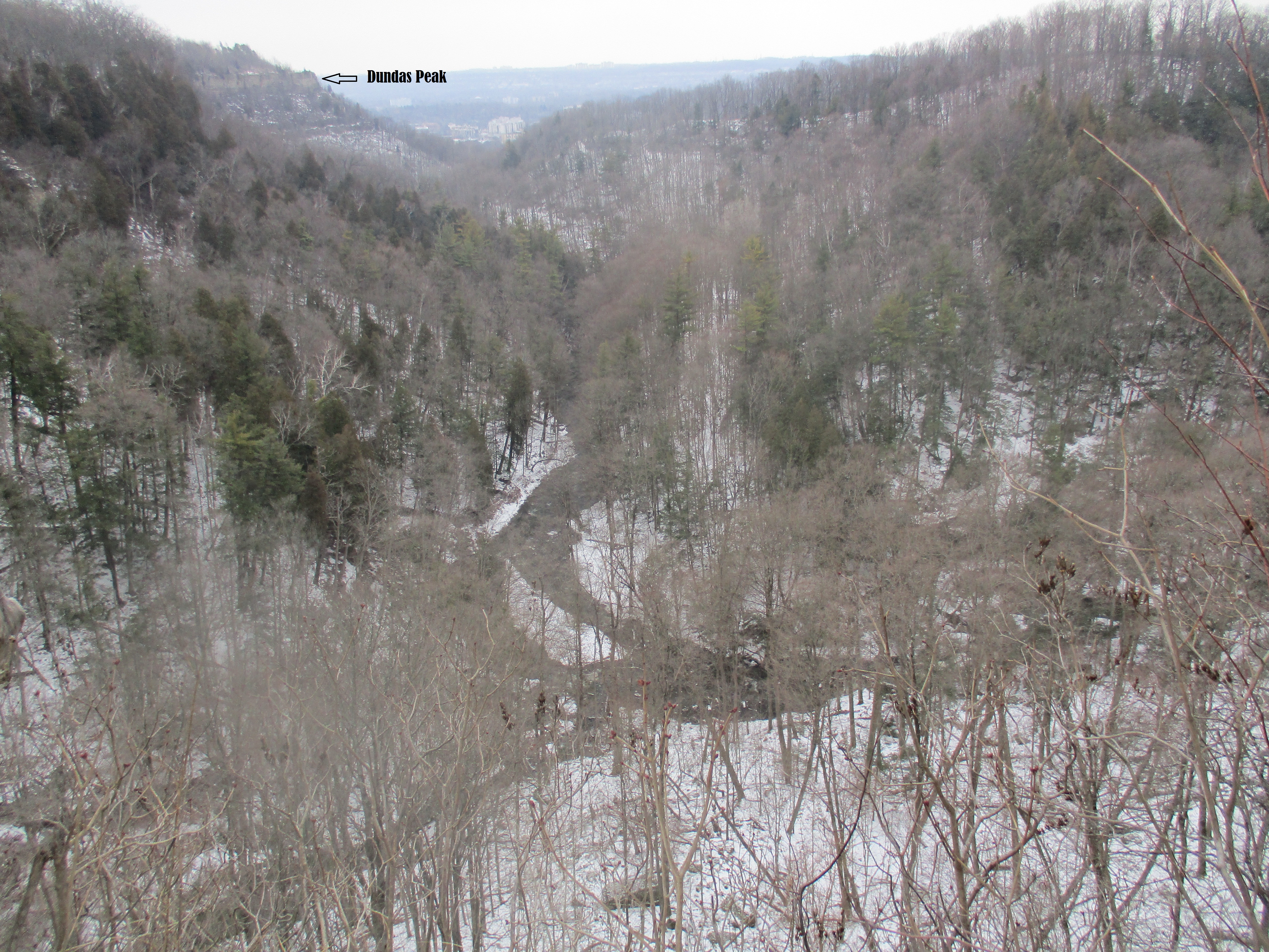
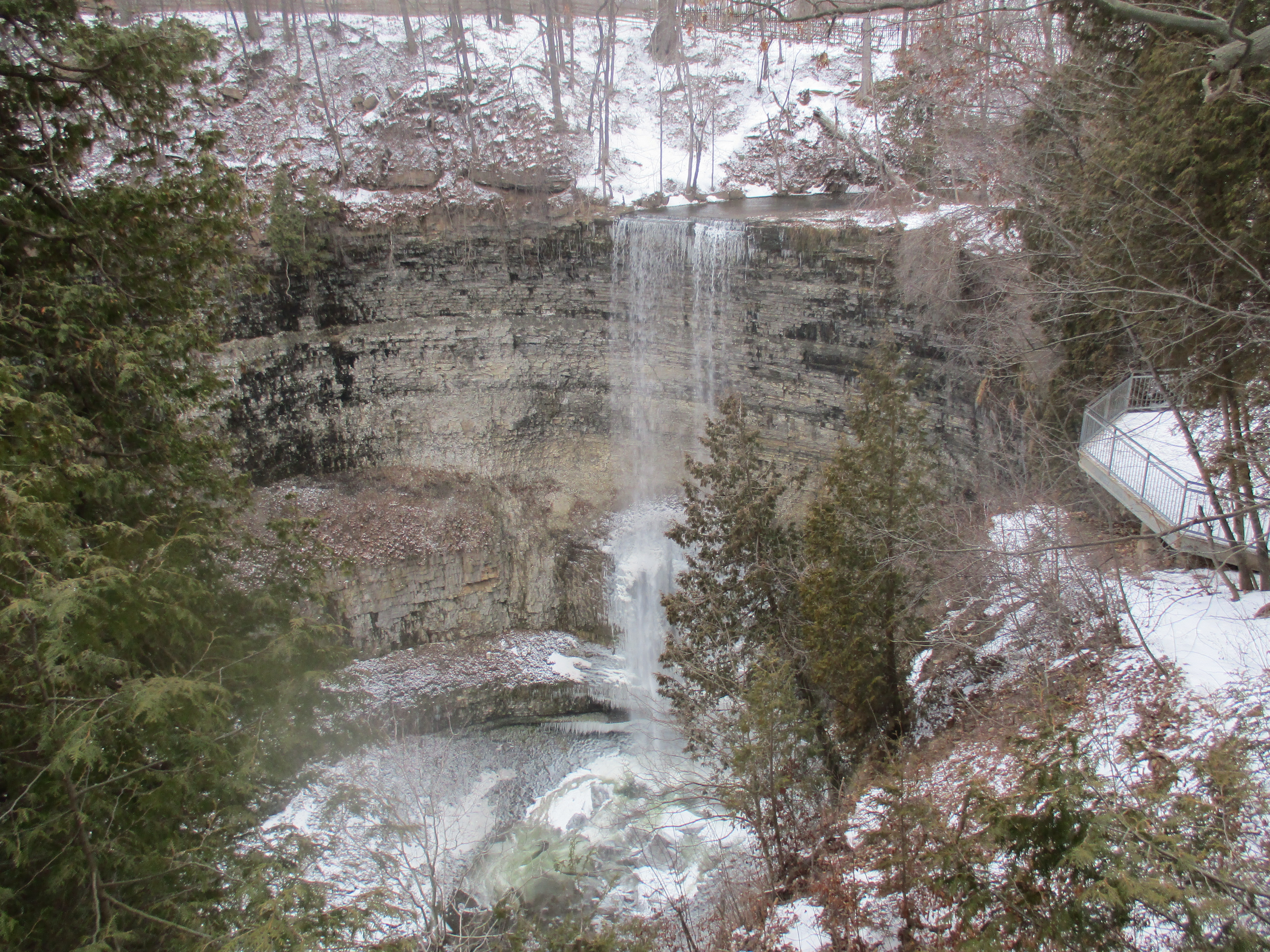
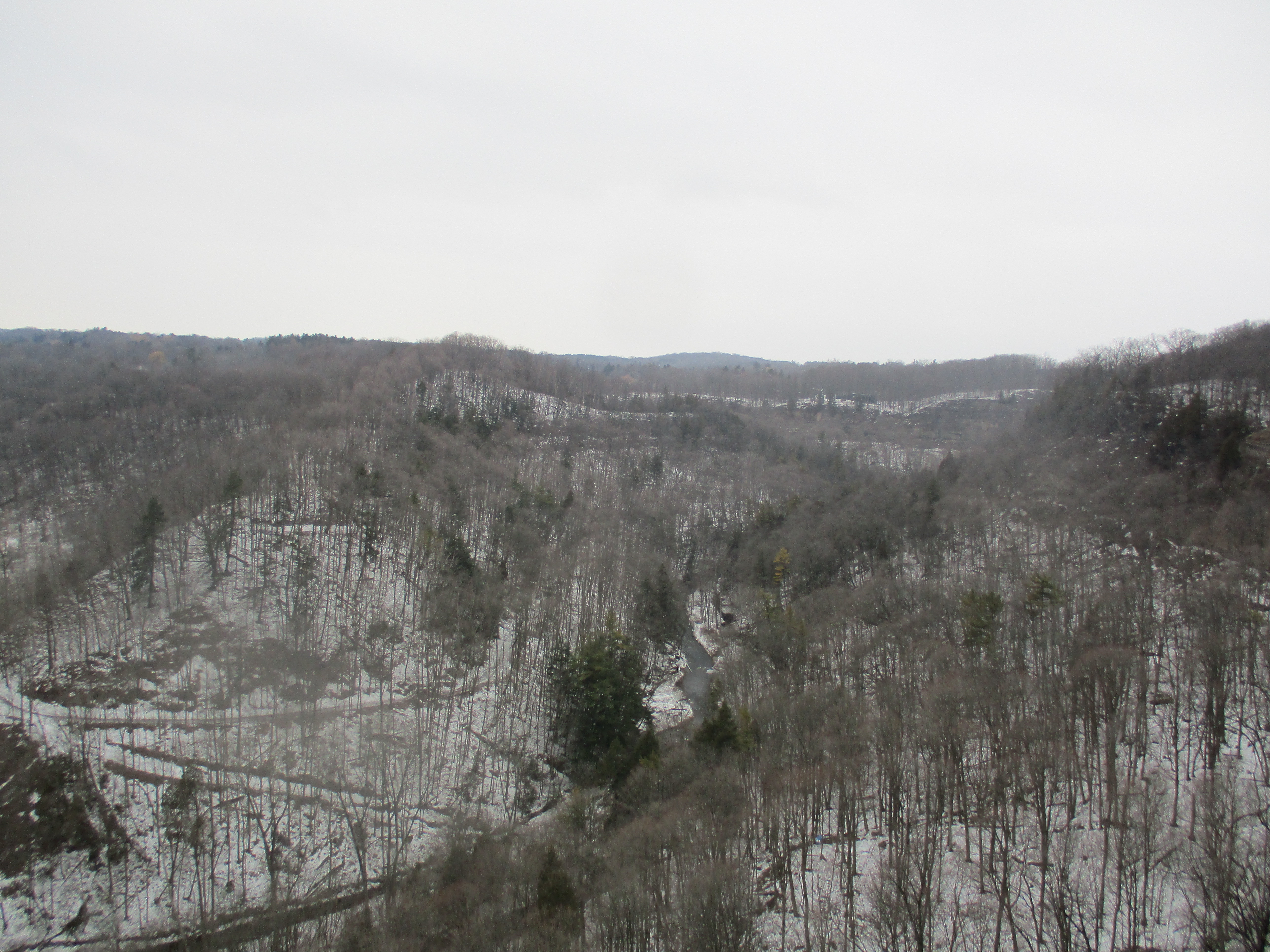
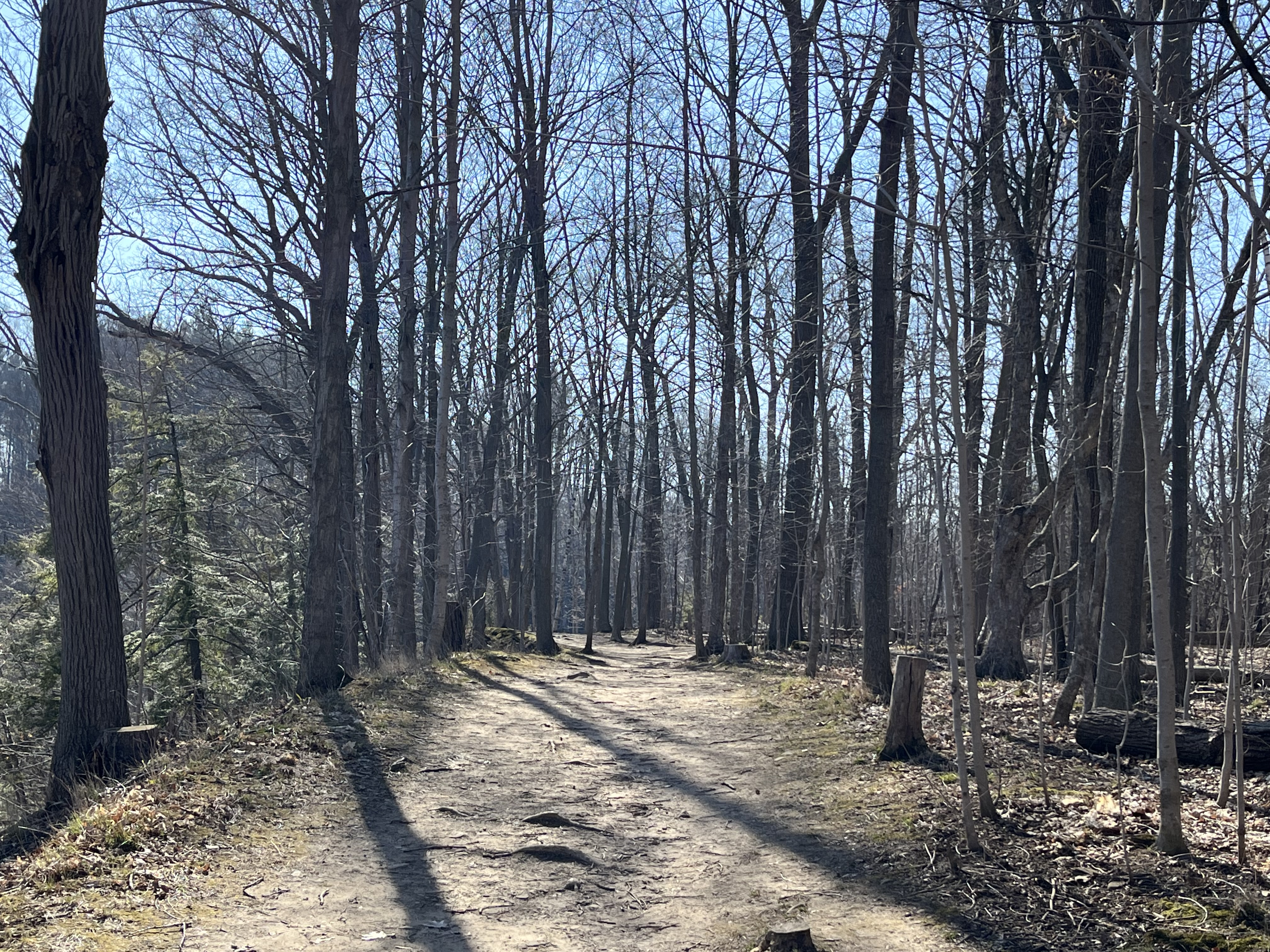
A two-kilometre trail used to follow the Spencer Gorge from Webster’s Falls, past Tews Falls and on to Dundas Peak. Unfortunately, people wouldn’t stay on the trail and one of the land owners closed his property to hikers. You now have to park at Tews Falls to see this other waterfalls.

Parking is $16.00 at Webster’s Falls and reservations are required from May until November.

Related Stories

Google Maps Link: Spencer Gorge – Websters Falls

Like us at http://www.facebook.com/hikingthegta

Follow us at http://www.hikingthegta.com

Also, look for us on Instagram

The Spencer Gorge – Webster’s and Tews Falls

Sat. Jan. 2, 2016

The Spencer Gorge is a Y-shaped cut in the escarpment that contains Tews Falls, a waterfall that may have rivaled Niagara Falls a few thousand years ago.  Webster’s Falls, seen in the cover photo, is found on the other arm of the Y.  To investigate the two of them we parked in Webster’s Falls Conservation Area.

Webster’s Falls is what is known as a classical plunge falls.  It drops 22 metres off of the Niagara Escarpment and has a width at the crest of 30 metres.  A plunge waterfall is one where the water loses contact with the surface of the bedrock due to it’s speed as it drops over the edge. They typically have deep pools at the bottom known as plunge pools.  A plunge waterfall where the water spreads out into a wider pool at the bottom is known as a punch bowl.  A local example of this is The Devil’s Punch Bowl.

IMG_2134

Joseph and Maria Webster emigrated from England in 1819 and bought the 78 acres of land surrounding what was then known as Dr. Hamilton’s Falls.  A small distillery and grist mill were operated by Joseph Jr., who expanded them in 1830 and again in 1842.  New owners George Harper and W.S. Merrill took over in 1891 and the mills were expanded for the last time.  Milling operations at the falls ended with a fire in 1898 which destroyed the buildings.

After the fire to the mills a new business venture was started.  George Harper turned to the idea of generating electricity.  It is said that he built one of Ontario’s first electrical generating plants at the base of the falls.  Harper’s power plant was able to turn on the street lights for January 27, 1899 and kept them supplied with power until the plant burned down in February 1901.  In actual fact The Barrie Light Company had predated Harper by over 10 years in providing light to Barrie in 1888. The picture below shows part of the old foundations at the base of the falls.

IMG_2226

The remaining structures were sold to the Cataract Power Company of Hamilton around this time.  An archive photo of the power plant as seen in 1910 is presented below.  The metal penstock that delivered water to the dynamo can be seen to the left of the falls.  It was removed before a subsequent shot of the falls was taken in 1920 by which time power was being delivered to the area from Niagara Falls.

IMG_2131

Some of the interesting features of the escarpment are the places where part of the geological column is exposed.  The escarpment was formed of sediment during a period of the earth’s history known as the Paleozoic era which included the Ordovician and Silurian periods.  At the escarpment top is the hard dolostone of the Lockport formation which formed along with the Rochester shale below it during the Silurian period more than 420 million years ago.  The Rochester shale is grey in colour and is a prime source of early marine fossils.  At Webster’s Falls this band is 2.5 metres thick and because of it’s relatively soft nature it erodes quickly leaving the dolostone on top undercut and ready to break away.  This can be clearly seen to the right of the falls where the shale is set back well below the dolomite.  The talus slopes below the Rochester shale are coated with ice from the mist of the falls.

IMG_2232

When Webster’s Falls was sold next in 1917 it became property of Dundas Public Utilities Commission who used it as part of their waterworks.  Originally known as Webster’s Falls Park the area was landscaped in the 1930’s and a cobblestone bridge constructed across Spencer Creek.  The bridge was restored in 2000 and the property became part of the Spencer Gorge Wilderness Area.

IMG_2206

The Webster family was buried on the property overlooking the Spencer Gorge and the creek below. Broken headstones have been collected into a small family plot where the pioneers are remembered.  Joseph Webster’s memorial stone is seen below.

IMG_2125

From Webster’s Falls a trail leads to Tews Falls and around to Dundas Peak.  We followed the trail to where we could see Logies Creek joining with Spencer Creek down in the valley below. Dundas Peak can be seen in the distance in this picture and it became the turning around point of our hike.  From this vantage point the city can be seen in the background and Tews Falls is in the gorge on the left while Webster’s is on the right.

IMG_2152

Tews Falls is known as a ribbon falls because the water flow is narrow compared to the rock face exposed around it.  Both Webster’s Falls and Tews Falls were formed at the end of the last ice age about 10,000 years ago when Spencer Gorge was forming.  Tews Falls flows over a distinct bowl shaped gorge that is actually the smallest of several bowls in the Spencer gorge. These get larger as one travels down the gorge until the final bowl is nearly as large as the one at Niagara Falls.  The height of Tews Falls is 41 metres while the Horseshoe Falls at Niagara is 52 metres.  Tews Falls is the highest waterfall in the Hamilton Area.  There is a Lower Tews Falls, just 3.7 metres high, which is just downstream from this one.

IMG_2169

In 1906 the falls were known as Hopkins Ravine after the family that owned the property at the time.  When the Tews bought it the falls took on their name.  The layers of shale and dolostone can be seen quite clearly at the falls where several lower formations are exposed that are hidden at Webster’s Falls.  The Rochester shale layer at Tews Falls is only 1.5 metres thick and can be seen just below the crest of the falls.

IMG_2165a

From Dundas Peak it is possible to see into Hamilton and Dundas.  There is also a spectacular view back up the Spencer Gorge with Spencer Creek flowing through the valley.  As we made our way along the edge of the gorge we were able to see many vistas that would be obscured by foliage during the summer months.

IMG_2181

On the way back from the peak we took the Glen Ferguson Side Trail which loops back to join with the Webster’s Falls Trail.  Along the way we surprised five white tailed deer.  They ran away as soon as they saw us revealing the original meaning behind the phrase “high-tailing it out of here”.

IMG_2184

Websters Falls is located at: 43.2764N 79.981W

Tews Falls is located at: 43.2815N 79.978W

Like us at http://www.facebook.com/hikingthegta