Saturday, February 10, 2018
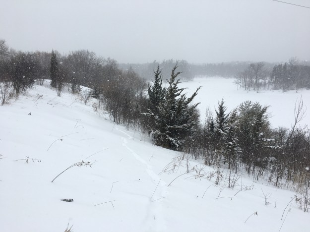
Here we have Hiking the GTA’s White Blog. It was minus five Celsius and snowing steady the entire time we explored G Ross Lord Park. The park was the subject of one of our earliest blogs, the seventh one, and so the local history won’t be repeated in this post, you can read it here. The Google Earth capture below has been marked to show where we wandered from the car, We did the southern section down to where we could see the G Ross Lord flood control dam. Then we returned and made our way to the Don River flood plain to check it out. There is a large section of the park to the east that could serve as an adventure for another day.

From the parking lot we went down to where Westminster Creek flows into the G Ross Lord reservoir. There is a small section of land along the west side of the creek that is home to one of the local coyotes
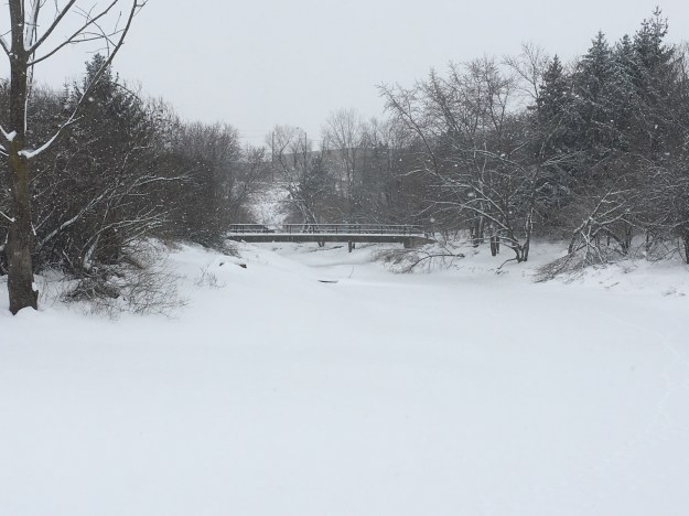
. There were coyote tracks everywhere but on this day squirrels were the main wildlife braving the storm. You have to return to the main path to cross this little industrial outflow. The foot bridge in the picture below will likely be flooded well above the hand rail during the spring melt when the reservoir is used retain a sudden inflow and then deliver a steady flow of water down stream. The water level in the entire reservoir can rise by over ten feet in a matter of a day or so making the bridge completely disappear.
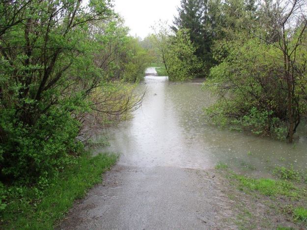
The picture below was taken on May 9th, 2017 when the water level in the reservoir had risen above the level of the hand rails on the bridge.
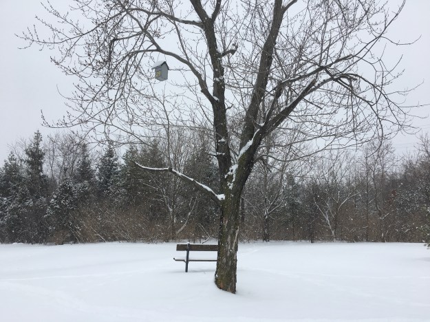
The southern parking lot is closed for the winter but as we passed through we noted this bird house. It is number 29 and many others can be found throughout the park. They were added last year.
There are several different terrain types in the park including grasslands, wetlands and meadows making the park an excellent place for bird watchers. Teasels grow in abundance in the park and their purple heads are quite spectacular when they are in bloom in early summer. Today they sport a white cap of snow.

The reservoir is frozen over but I don’t think the ice is very reliable because the water level fluctuates so much. The park was created in 1972 and G Ross Lord Dam is one of three flood control dams built following Hurricane Hazel. The Claireville Dam and Milne Dam are the other two. Three hydro towers stand on concrete platforms in the middle of the reservoir.

The picture below shows the reservoir looking north and helps give an idea of the size of the flood control pond. Also the amount of water required to fill the entire pond to the level seen in the spring flood picture above.
In a great example of re-purposing old things, a running shoe has been converted into a bird house.

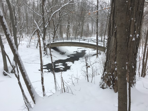
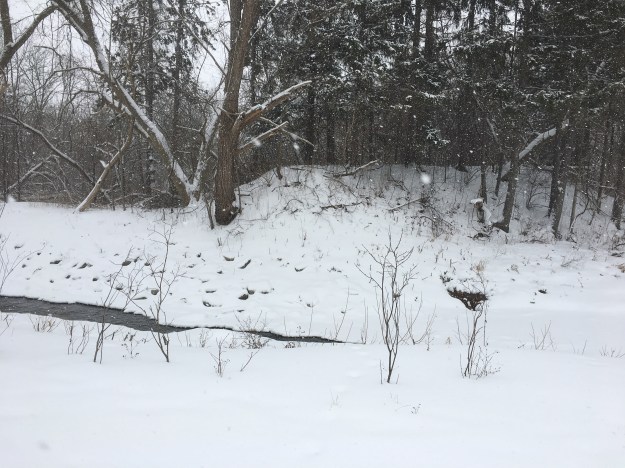
Returning to the bottom of the hill near the parking lot we turned right and crossed Westminster Creek on the foot bridge. Following the creek for a short distance we came to the roadway and the main parking lot. Beyond it the West Don River flows through a deep ravine. The cover photo shows the first of two foot bridges that cross the winding river. The original land owner was Jacob Fisher and he built a grist mill soon after settling. Aside from some foundations hidden under snow on the opposite side of the river, the only remaining evidence of his mill is the large earthen berm that used to hold back the mill pond. River bank restoration in 2017 resulted in the removal of a small amount of concrete from the dam that used to sit in the water. The berm can be seen on both sides of the trail and is clearly marked by the only row of tall pine trees in the area. It can be seen in the picture below as the berm rises just beyond the river bank.
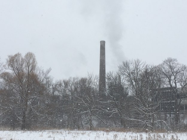
The mill closed in 1912 and the farm was later bought for the use of horse farming to facilitate the production of vaccines. Connaught Labs was the original facility and has a museum that Hiking the GTA was able to visit with a guided tour. Today, Sinofi Pasteur is a major provider of vaccines to the world and for decades was the sole producer of insulin for diabetics.
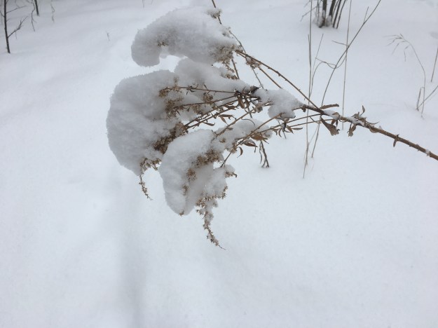
Just before the main trail turns toward Steeles Avenue and the former community of Fisherville, there is a short trail to the top of the ravine. We made the climb and followed the upper trail back toward the parking lots. By this time the snow was really starting to pile up and goldenrod were feeling the weight of it all.
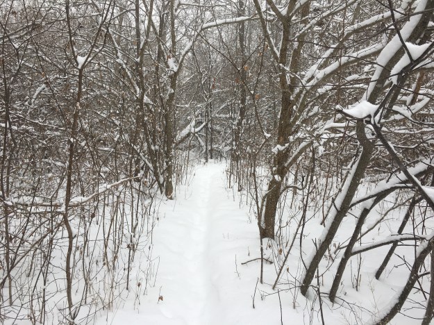
The trails were deserted and the fresh snow made them quite beautiful.
Here are the links mentioned in the story: G Ross Lord Park, Fisherville, Connaught Labs, Clairville Dam, Milne Dam
Google Maps Link: G Ross Lord Park
Like us at http://www.facebook.com/hikingthegta
Follow us at http://www.hikingthegta.com
