February 14, 2021
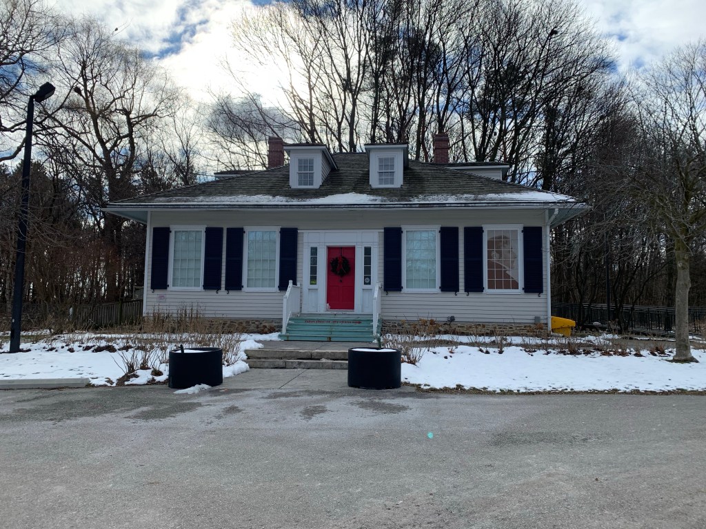
Bradley Museum is a collection of pioneer buildings situated near the waterfront in Mississauga. The Bradley house stands on its original property and the Anchorage has been moved from a neighbouring one. I went there on December 29, 2020 while on Christmas break from work to walk around the buildings and appreciate their architecture. While I was there I walked the narrow greenbelt down to Lake Ontario at Watersedge Park.
The oldest home in the collection is a Regency Cottage that was built in the early 1820’s near Lakeshore Road and Southdown Road. In 1838 it was purchased by a retired British Navy Commander named John Skynner. He is quoted as having referred to the home as being his anchorage and it became known as The Anchorage. After the home had been lived in as a private residence by various people, in 1953 Jim Davidson sold it to the National Sewer Pipe Company who used it as their offices until 1977. It was moved to the Bradley Museum in 1978 but wasn’t restored until 1991. The National Sewer Pipe Company is responsible for the red beach at Lakeside Park. Mississauga has another beautiful example of a Regency Cottage, this one from 1838. The Grange has considerably more detail in the doorcase windows with intricate side lights and transom.
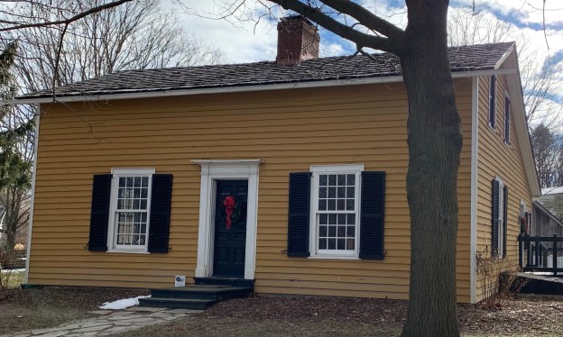
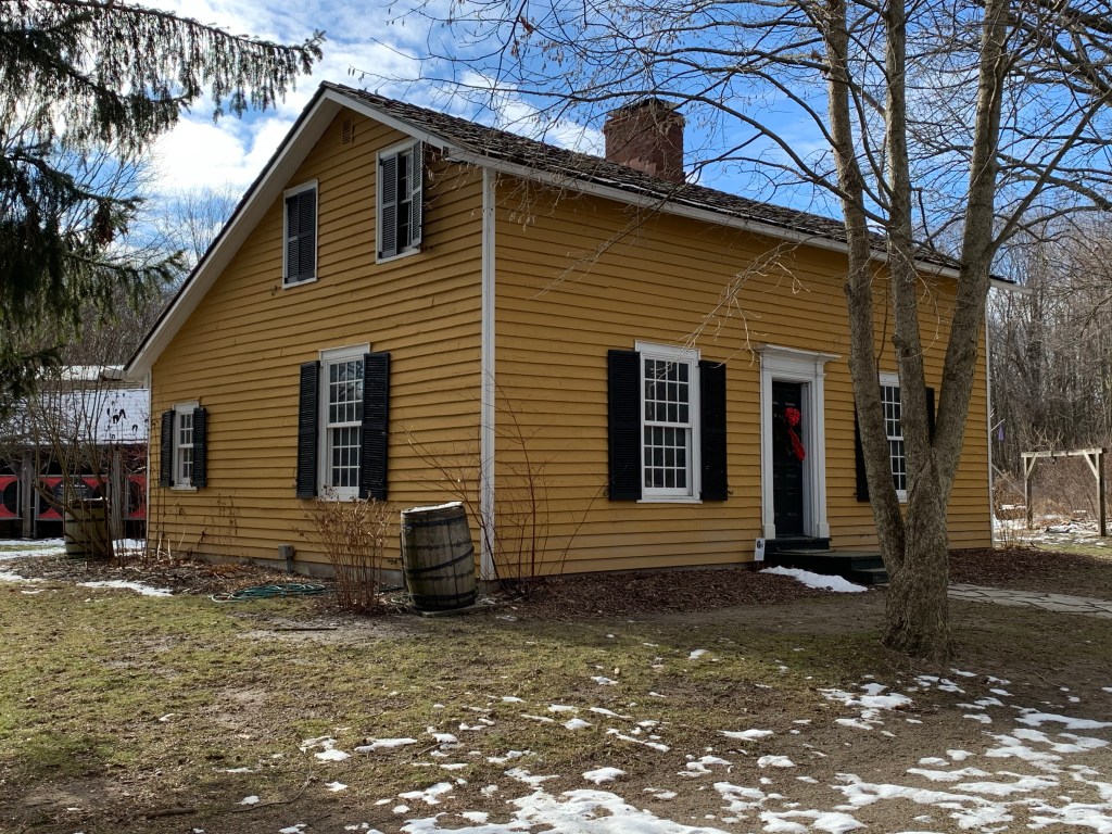
Lewis and Elizabeth Bradley arrived in 1830 from Savannah Georgia and built this small three bay story and a half house. It had become common to limit houses to a story and a half because a full two stories was taxed at a higher rate. This house features a roof style known as “salt box” because one side of the roof was longer than the other. Bradley House was occupied by the family until 1846 when Lewis died and Elizabeth sold the home. The British American Oil Company (now SUNCOR) eventually bought the property and planned to demolish the house in 1959. It was saved and moved a short distance farther from the lake where it was restored and opened as a museum in 1967.
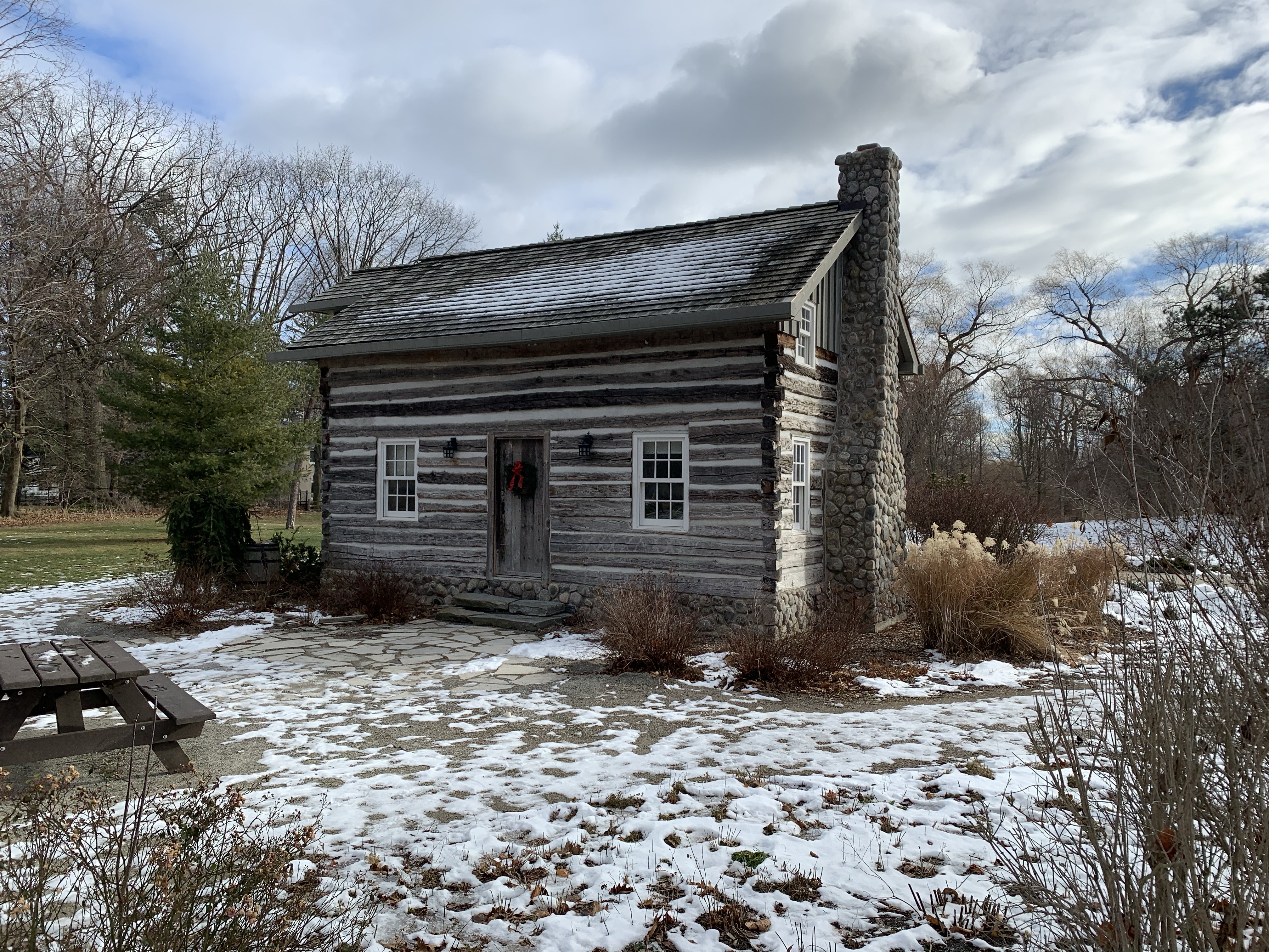
The log cabin on site is actually the newest of the three homes, having been built around 1850 near Mono Mills, Ontario. In 1967 the 4th Port Credit Scouts and Rovers moved it to the mouth of The Credit River and it seemed safe from neglect or demolition. This didn’t turn out to be the case as it was eventually slated for demolition again. The Bradley Museum got involved and added it to their small collection of buildings. It was rebuilt and opened to the public on December 15, 2007.
The drive shed was built on the site in 1973 from materials moved from a farm in Chingaucousy Township. The shed is typical of thousands that would have stood on farms and in church lots across the province. This one came from the Carberry farm and has the usual post and beam construction. Another great example of a drive shed in its original location can be seen at the Cober Dunkard Church in Vaughan.
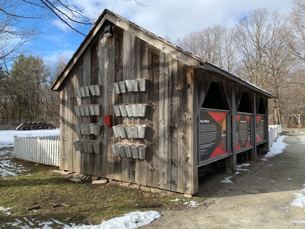
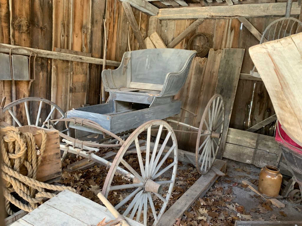
Several typical artifacts are stored inside the drive shed including this old buggy.
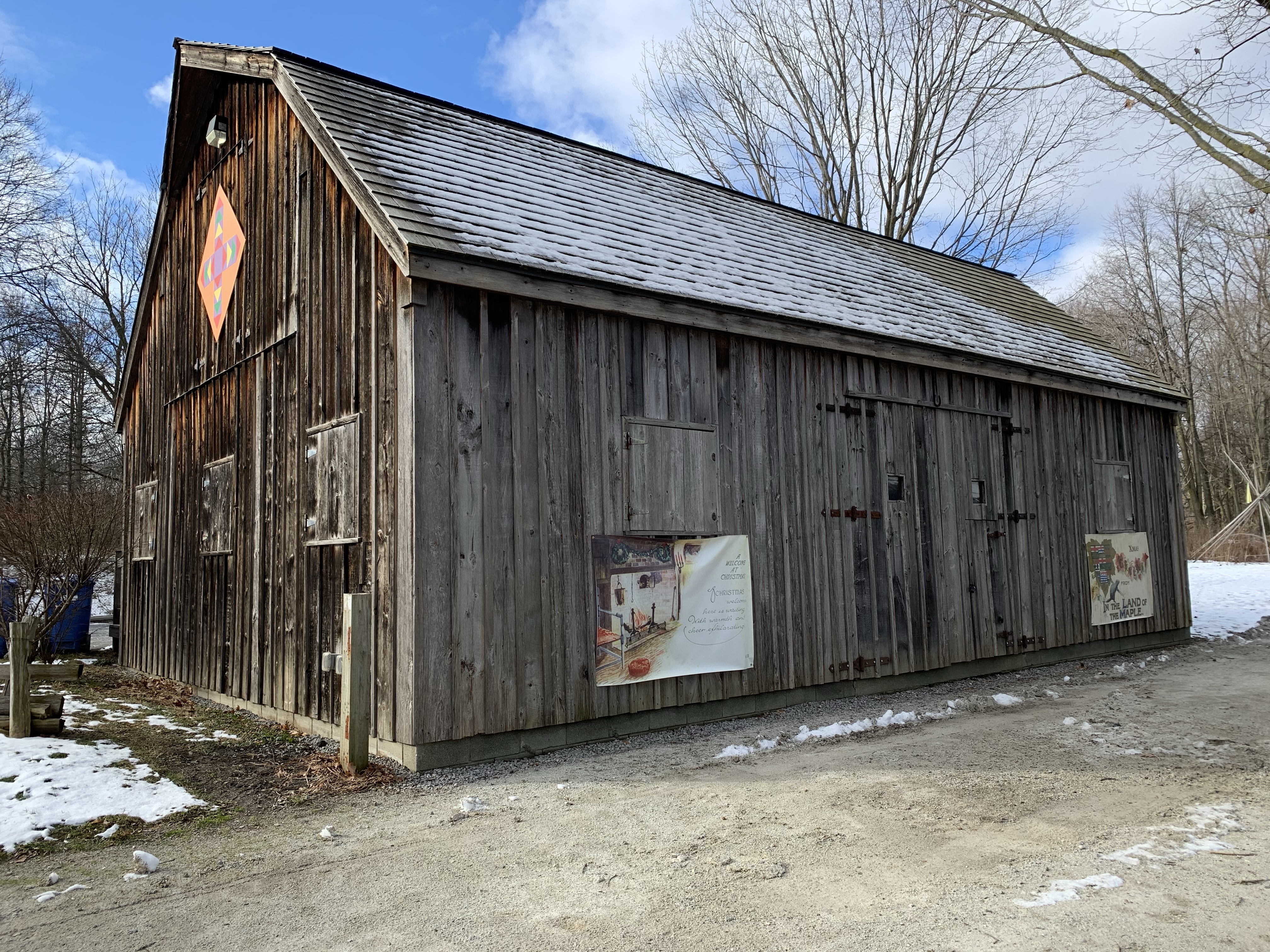
The barn was added to the collection in 1977 made of old planks from a barn that was located on the south east corner of Burnhamthorpe Road and Erin Mills Parkway. Architecture for domestic rather than public use which is average is referred to as being the local vernacular. This barn is Ontario vernacular although on a smaller scale than many of the late 19th and early 20th century barns. One of the most common styles of barns was known as the Gambrel-roofed Barn, named after its roof style where each side had two separate pitches. The extension at the front of the roof is known as a hay sling and it allowed feed to be lifted up to the loft through a larger door. Gambrel-roofed houses are even less common, which is probably why I always thought the house I spent ten years of my youth at in Hillsburgh looked like a barn.
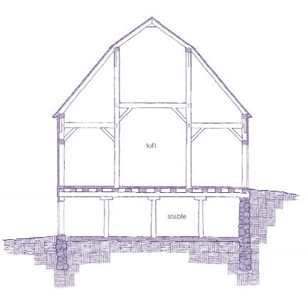
The image below shows the basic design of the Gambrel-roofed Barn. Livestock would be kept in the bottom while the loft would be used for hay or fodder. An earthen ramp would provide access to the loft from one side of the barn. Often the silo and this mound are the two remaining clues that mark the former site of a barn.
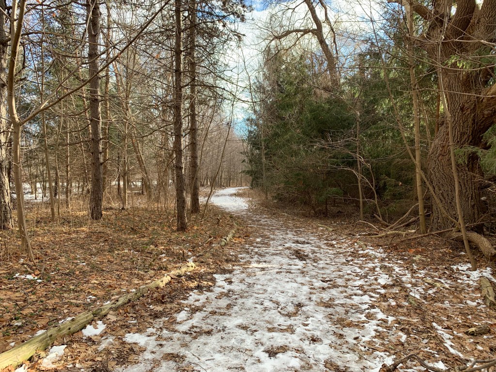
Heading toward the lake you can follow a main trail or one that runs a little closer to the fence on the edge of the SUNCOR oil tank farm. I followed the fence line but most of the tanks in the first row along the fence have been removed over the last few years. There’s hardly anywhere that you can even get a glimpse of one, even in winter. I imagine in summer it must be almost as if this big industrial tank farm wasn’t there.
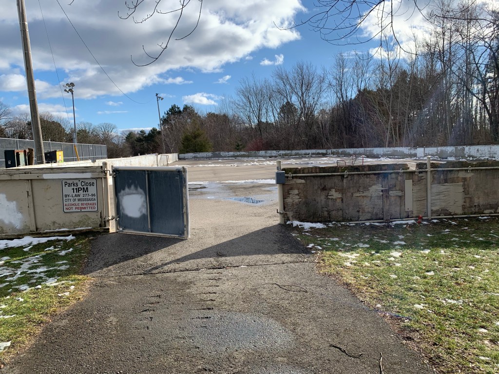
Meadowwood Park connects Bradley Museum to Lake Ontario at Watersedge Park. Meadowwood Tennis Club maintains three courts here and there’s also a unmaintained rink. I wonder if the rink is just out of use for 2020 or if it has been awhile since it was maintained?
It’s only a short walk to Watersedge Park and certainly worth it. Although small, the park does have a beach with some excellent views including the Toronto Skyline.
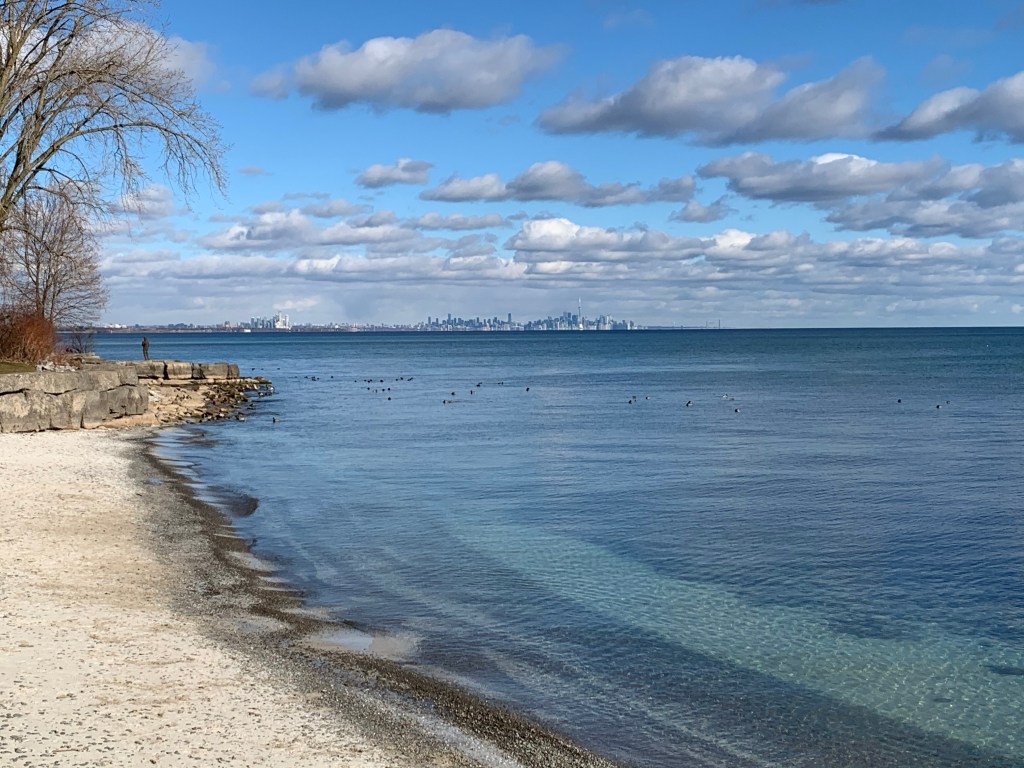
On a calm day the water here is quite colourful because of the different composition of the lake bottom near the shore. The small shells of Zebra Mussels cover parts of the beach and create a brighter patch in the water off shore. They were introduced to the lake in the 1980’s and since then have developed huge colonies. This beach is also considered to be one of the best places in Mississauga to catch a great sunset.

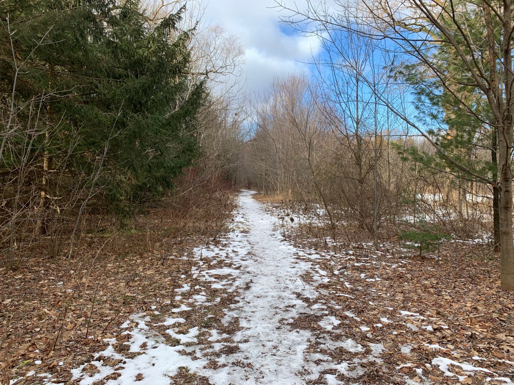
I would imagine that this area is likely busy much of the time but on this day I was by myself on the trail. This is a short walk and if you’re looking for more you can also take the trail that leads to Rattray Marsh. There’s boardwalks and lots of wildlife, including white-tailed deer, that can be seen at the marsh.
I’m looking forward to the time when I’ll be able to return and have a look inside the restored homes at Bradley Museum but for now it was nice to enjoy them even from the outside.
For more on the Boy Scouts see our feature Camp of the Crooked Creek. Additional pictures of a drive shed in its original function can found in the Cober Dunkard Church. The red shingle beach is at Lakeside Park. The intricate Regency Cottage is called The Grange. Additional local hiking can be enjoyed at Rattray Marsh.
Google Maps Link: Bradley Museum
Like us at http://www.facebook.com/hikingthegta
Follow us at http://www.hikingthegta.com
Also look for us in Instagram

Hi there. Thanks for all the effort and information you provide.
I’m doing a gentle renovation of a very old farmhouse at 241 Blythwood Rd. A decorators signing dates on the plaster for 1852. I’m wondering if you have any further information on the property. It’s been in the same family from 1872. They also own the property next door at 223 Blythwood
Thanks in advance
Eric Davies
241 Blythwood Road is my favourite building on this street. It likely predates the building of Blythwood Road (Victoria Avenue before 1912) which was opened in 1860. The building is a style that is unique to Toronto known as Bay and Gable. It has some very nice gingerbread in the gable above the bay window. The house is also known as Glen Brae and was built for Robert Crawford Braillie.
Hi there, very happy to see your post and thoughts about 241 Blythwood rd. As the contractor involved with the property, it was a pleasure to be able to return the front porch to perhaps its original design, we found a 1899 photo. The house was in a serious state of disrepair and now will have many more years of life! I believe that the current owners family was the second owner, since approximately 1880!
Thanks for all your wonderful observations
Eric
Hi There. Great site and information. I am wondering if you track your hikes with GPS and post them (e.g., Strava or MapMyRun, etc,)? Would you be willing to share this information as well? It would make it a bit easier to visualize the route and maybe even overlay over old maps (I am really interested in the ‘Ghost Towns’ write-ups you are doing). Just a thought, no worries if not.
Pingback: Log Cabins | Hiking the GTA