Category Archives: Don River

Half-Mile Bridge

Tuesday, Aug. 13, 2014

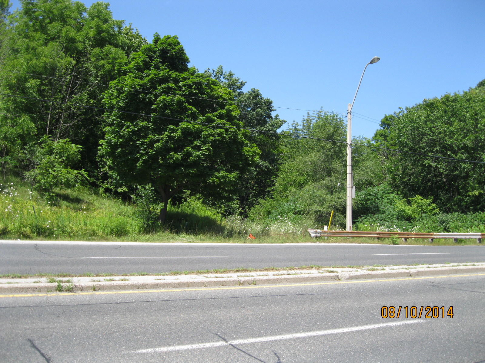
Tuesday evening and a couple of hours for a rare mid-week hike.  I parked on True Davidson Drive and went down beside the bridge to the abandoned CPR tracks.  Please note that all railway right of ways are private property and we are not promoting trespassing, simply recording the local history as it exists at this point in time.

The Canadian Pacific Railroad was founded in 1880 to complete a rail line across the continent and connect the provinces in the newly formed country of Canada.  When Confederation occurred on July 1, 1867 Ontario, Quebec, New Brunswick and Nova Scotia were the first four provinces.  Manitoba joined in 1870 and B.C. was enticed to join in 1871 by the promise of a transcontinental railway which was to be built within 10 years.

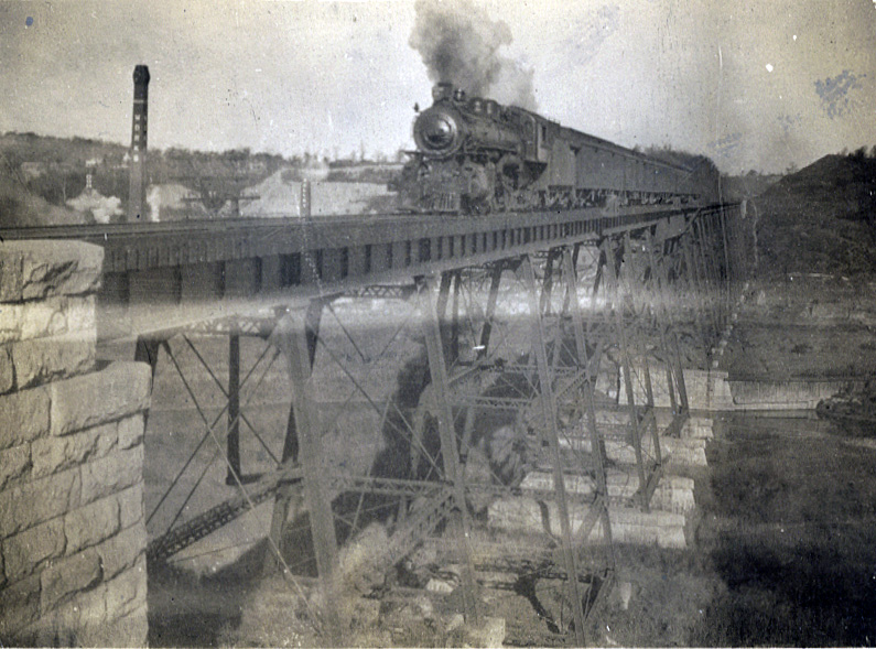
When the line was built it passed through Leaside and Toronto West Junction missing the city of Toronto.  Trains had to back up 5 miles from West Junction to Union Station.  In 1888 the CPR was granted permission to build a spur line from Leaside to Union Station along the west side of the Don River.  In 1891 the first freight train ran along this track into Toronto, with passenger service starting the following year.  A bridge was built to cross the Don River Valley.  One end was near Todmorden and the other ran past The Don Valley Brickworks.  A steel trestle bridge 1100 feet long (just under a quarter mile) and 75 feet high was constructed.  The bridge picked up the nick-name “half mile bridge” early on even though it is only half of that in length.  This photo is from the early 1920’s.

DonValley-Railway-Train-1920s-Brickworks-HalfMileBridge (1)

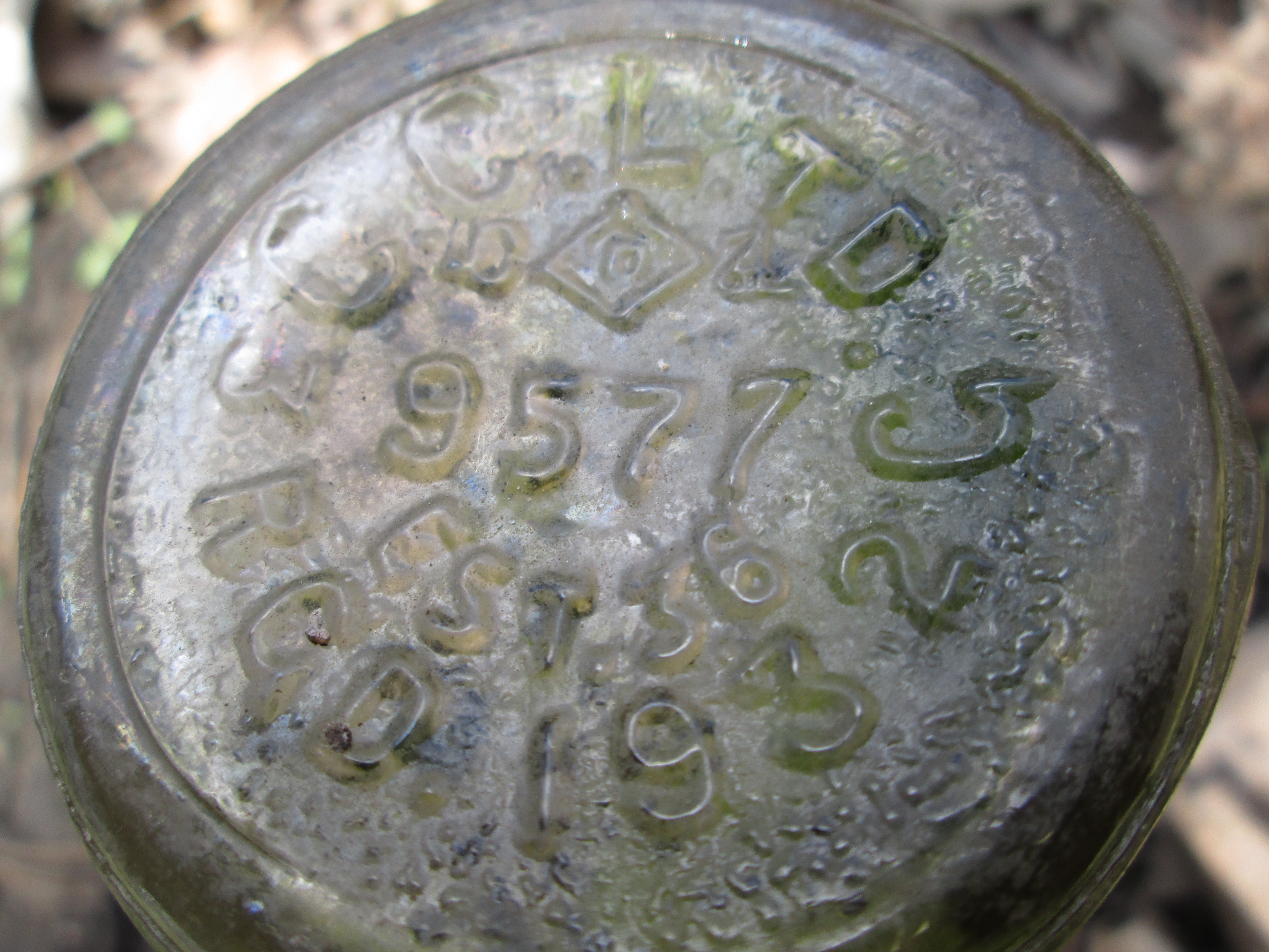
By the late 1920’s trains were becoming heavier and a new bridge was required.  As this bridge was the route of the Toronto to Montreal train it was decided not to interrupt service.  New concrete supports were built under the existing bridge.  Then new sections of steel were assembled beside the existing bridge.  When the train left for Montreal in the morning a crane would lift an existing section of bridge out.  The new section would be lifted into place and secured before the train came back that evening.  Finally the old girders were removed.  Throughout this section of track the steel plates that the rails are mounted on all read CPR 1953 indicating the last time a major restoration was done to the tracks and ties.  The bridge remained in use until 2007 when the line was abandoned. Metrolinx now owns the line and bridge with plans to integrate it into a future system.

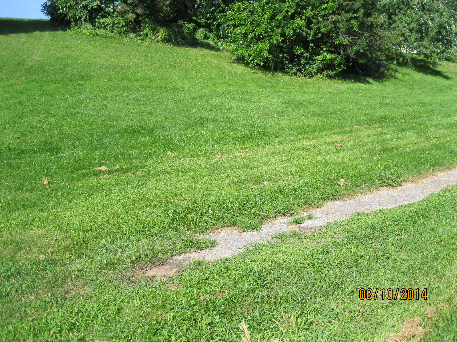
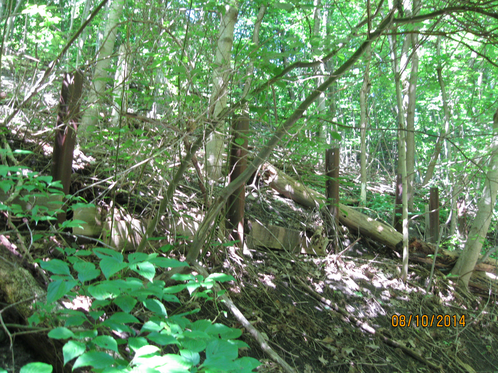
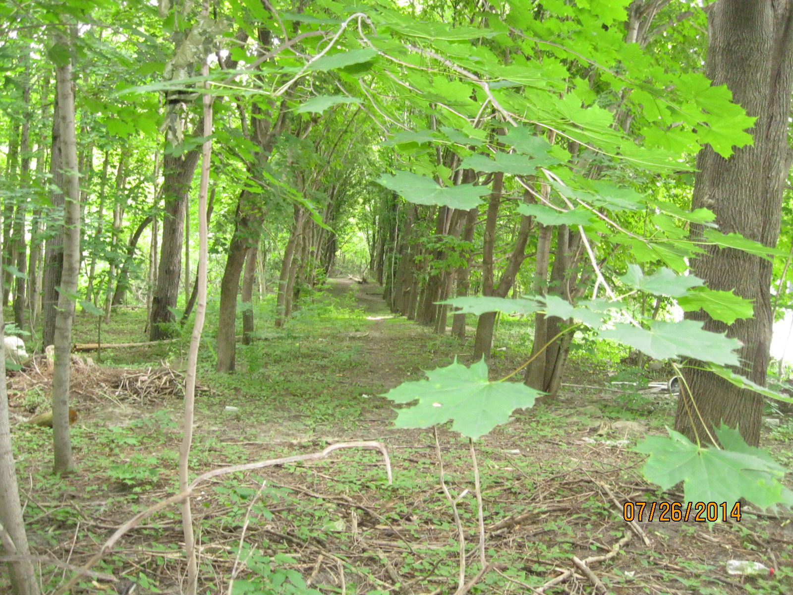
The picture below shows the overgrowth of just seven years.

IMG_2856

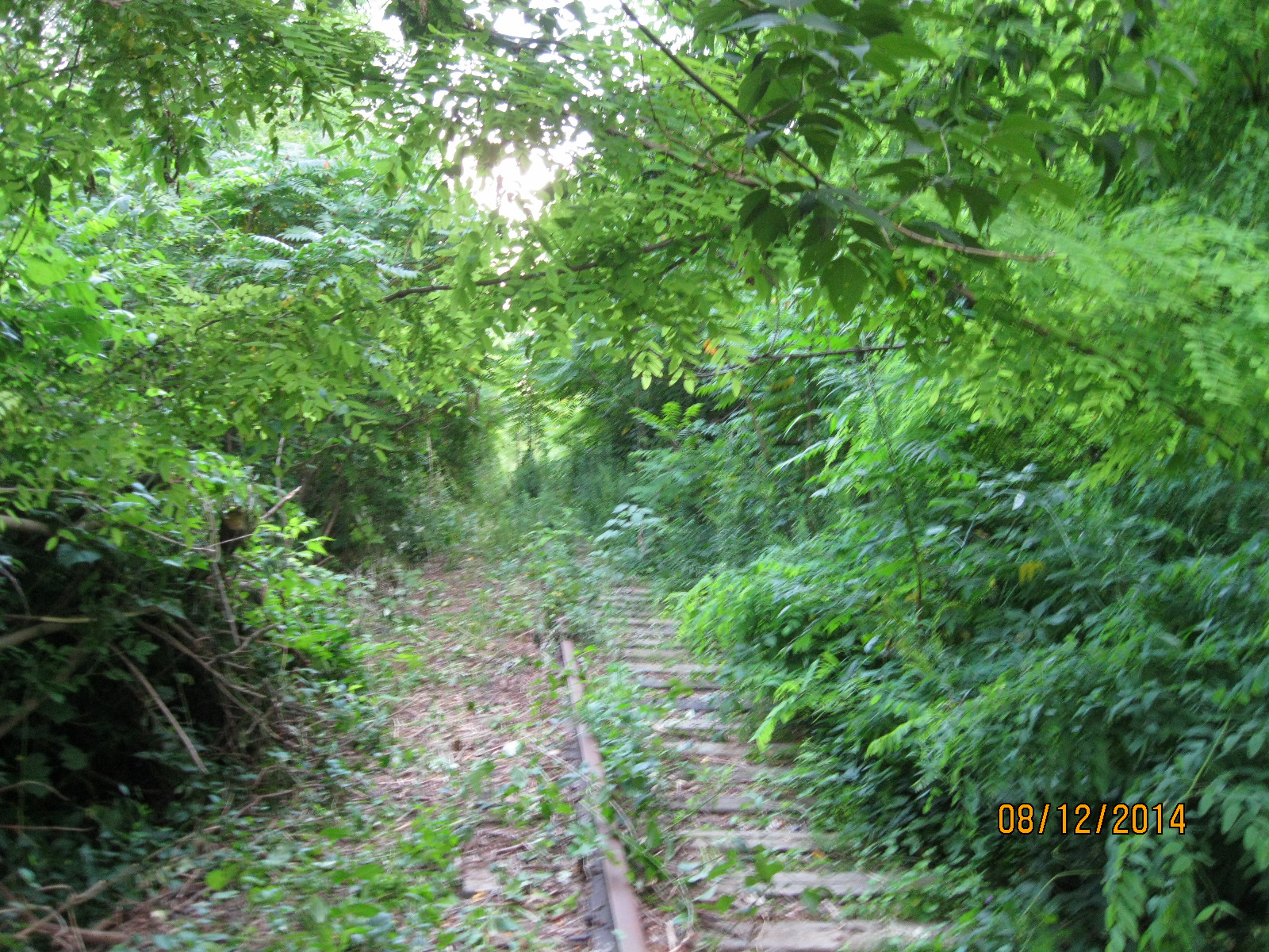
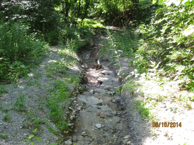
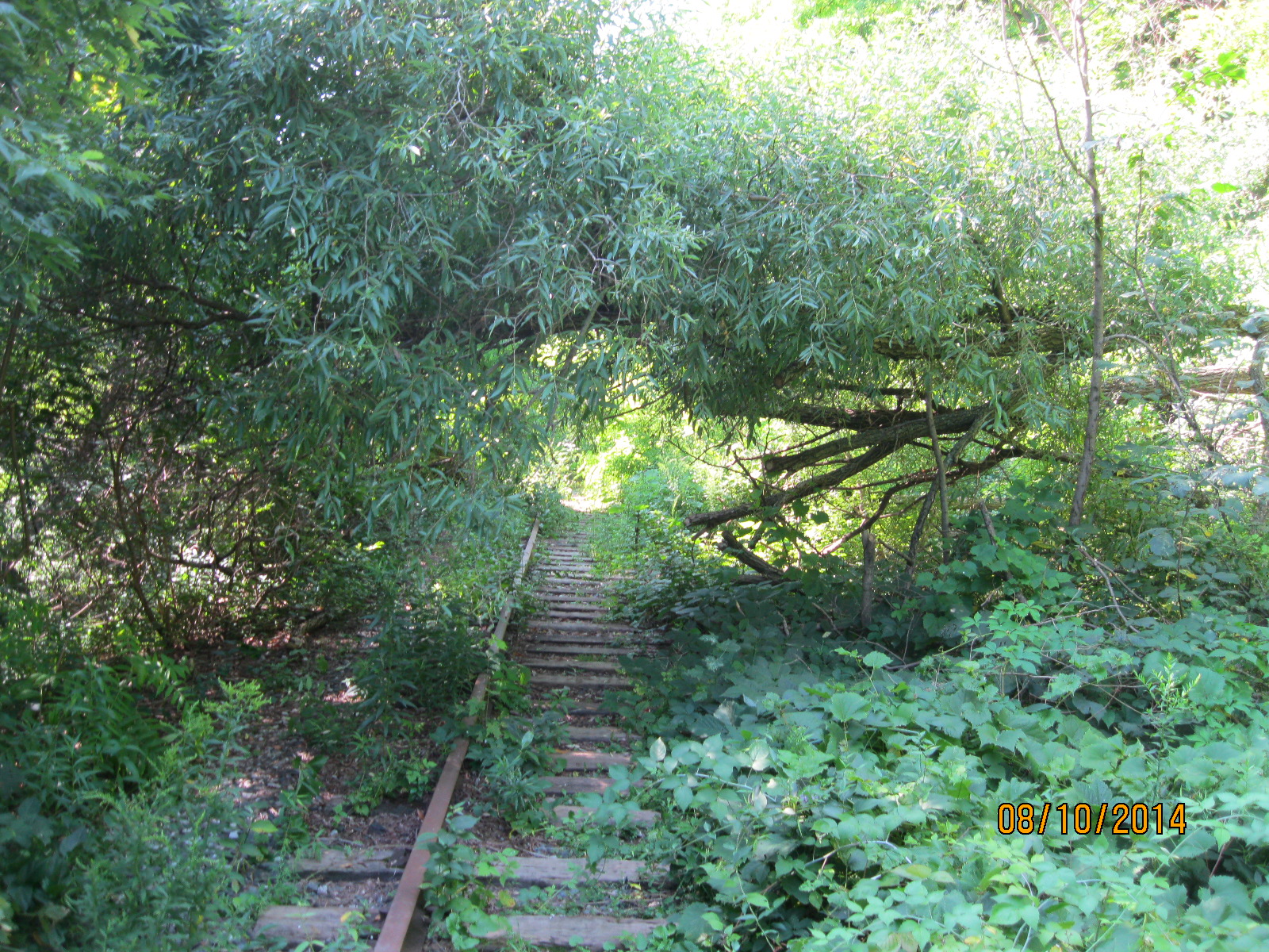
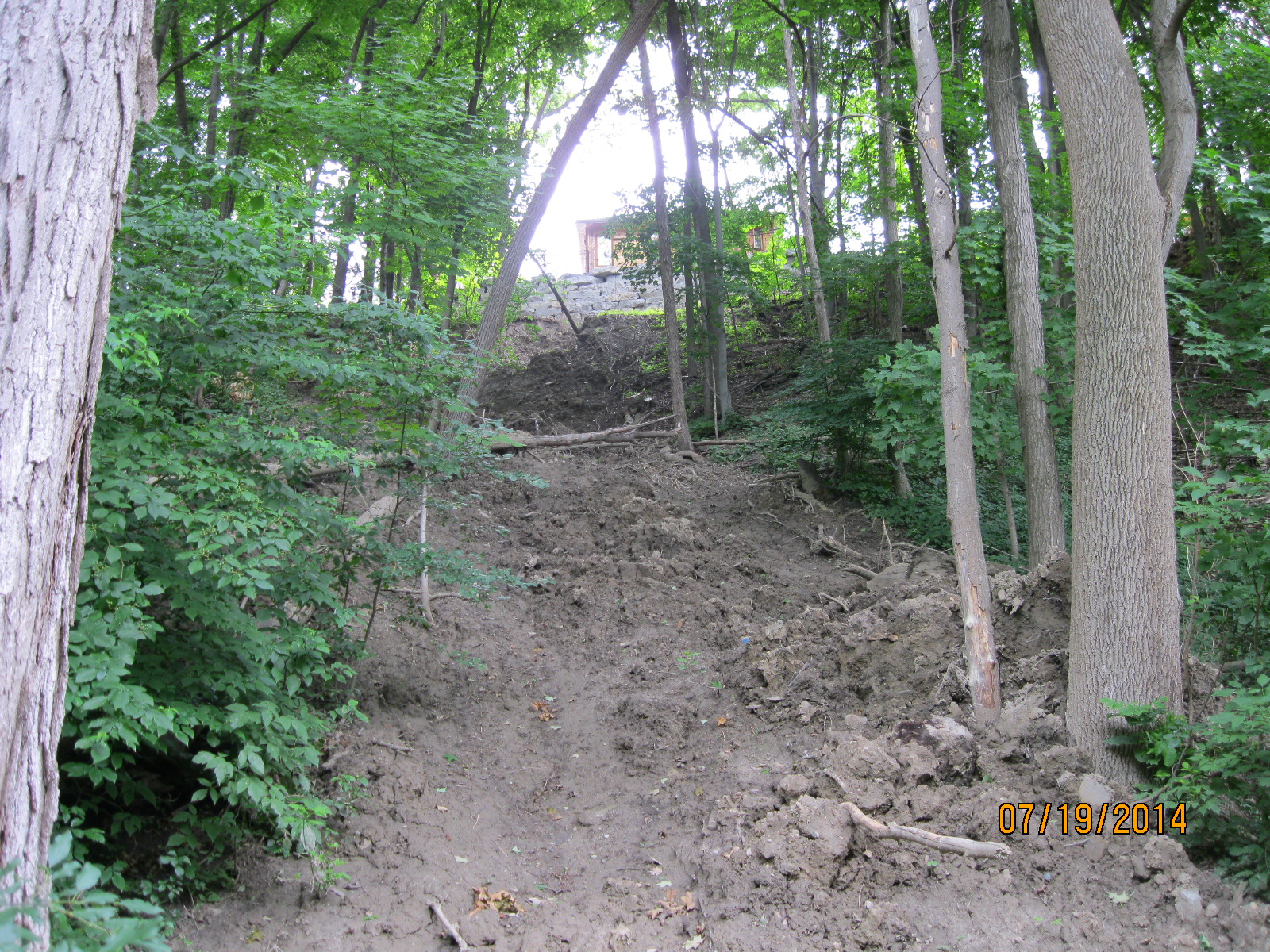
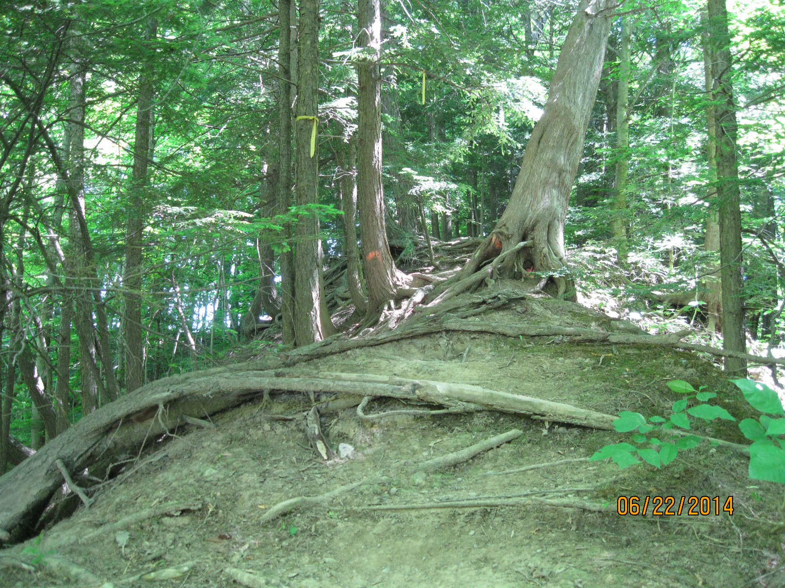
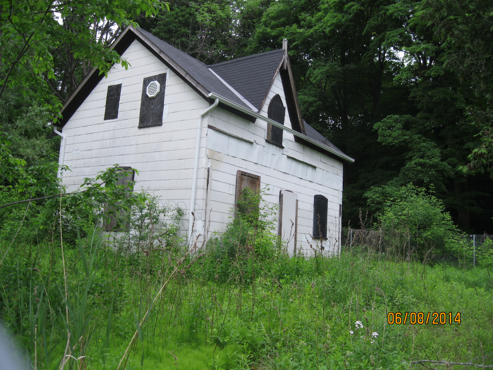
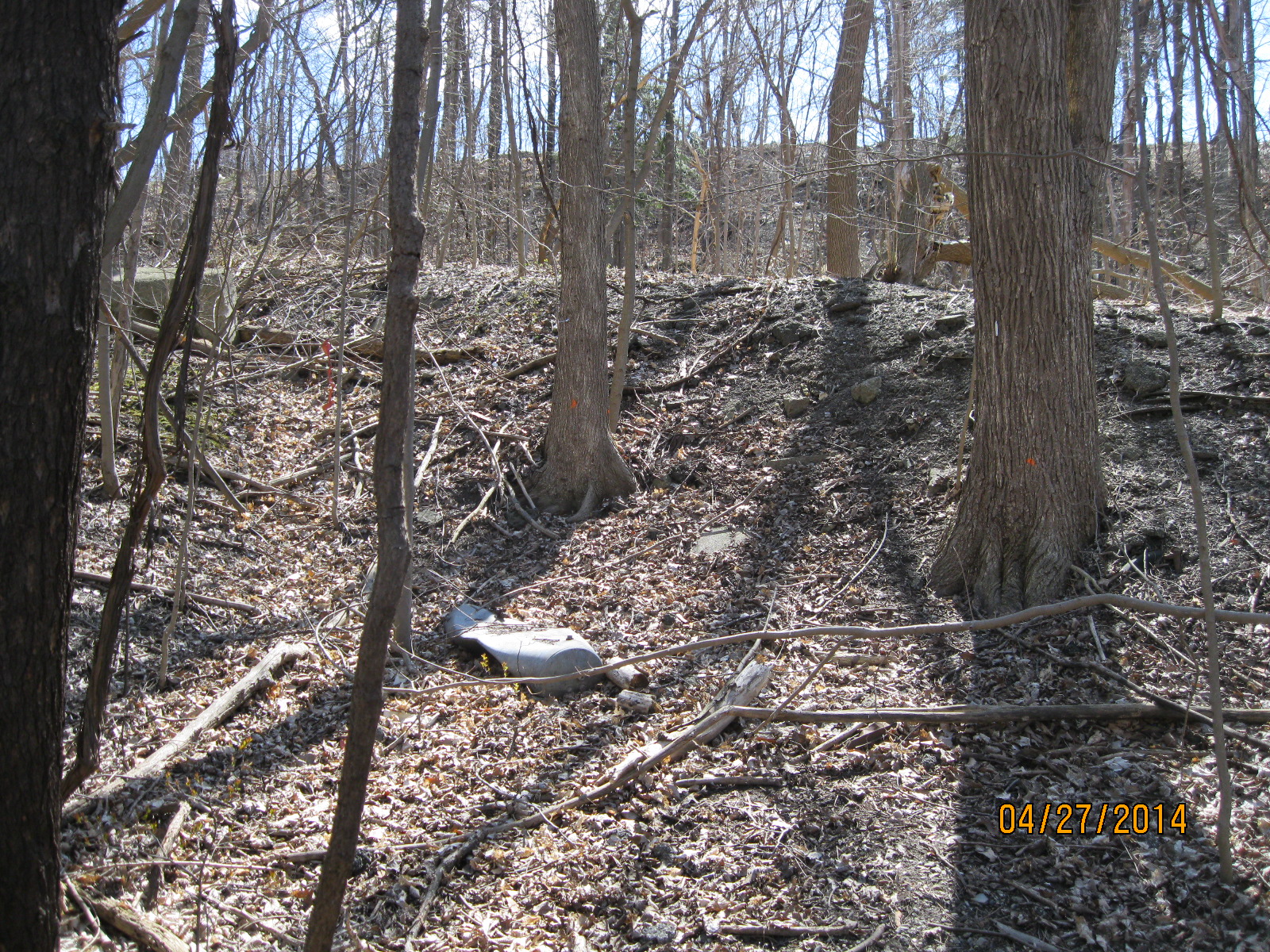
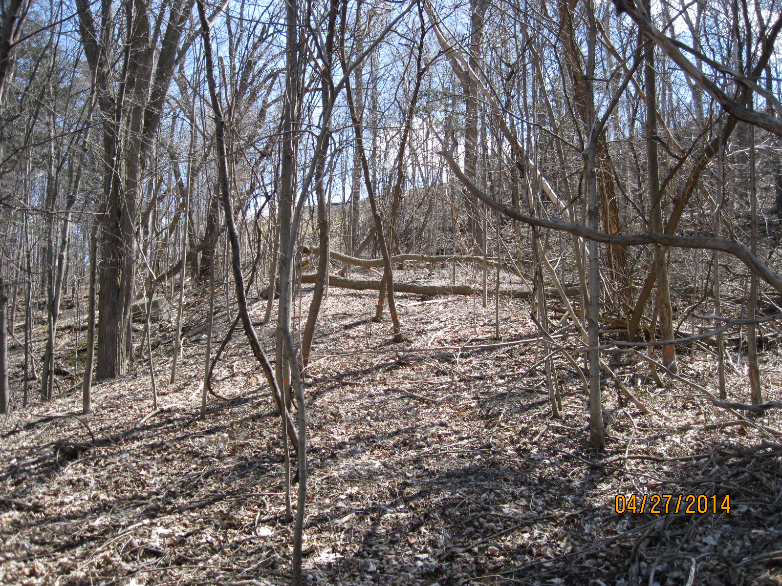
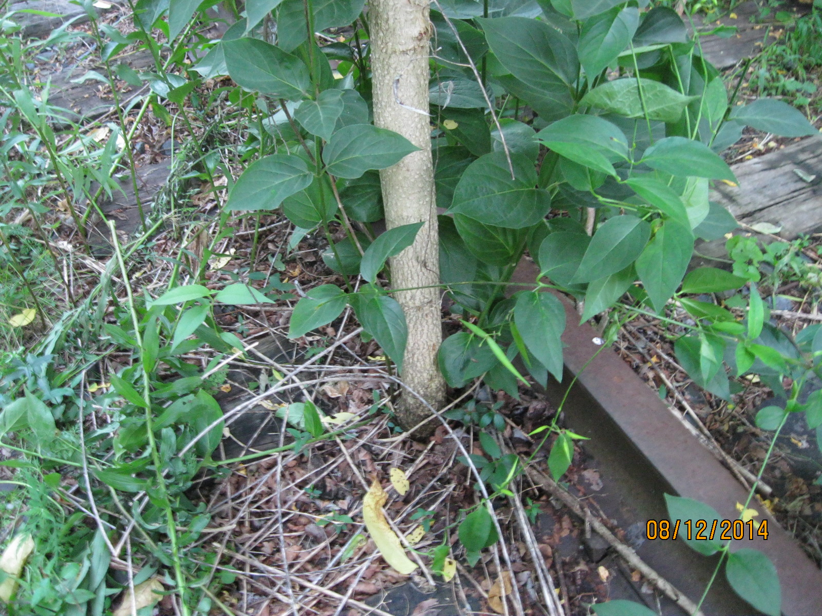
A rail line right-of-way is 200 feet wide. Steam engines would have used this track into the 1950’s and the entire strip of land would have been kept cleared of it’s trees to prevent engine sparks from starting fires.  Today, trees that are two inches across are growing right beside the rails.

IMG_2857

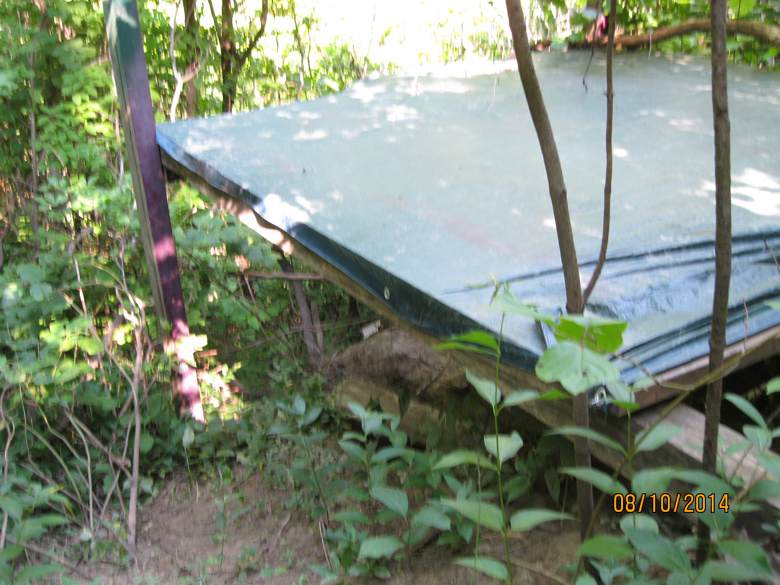
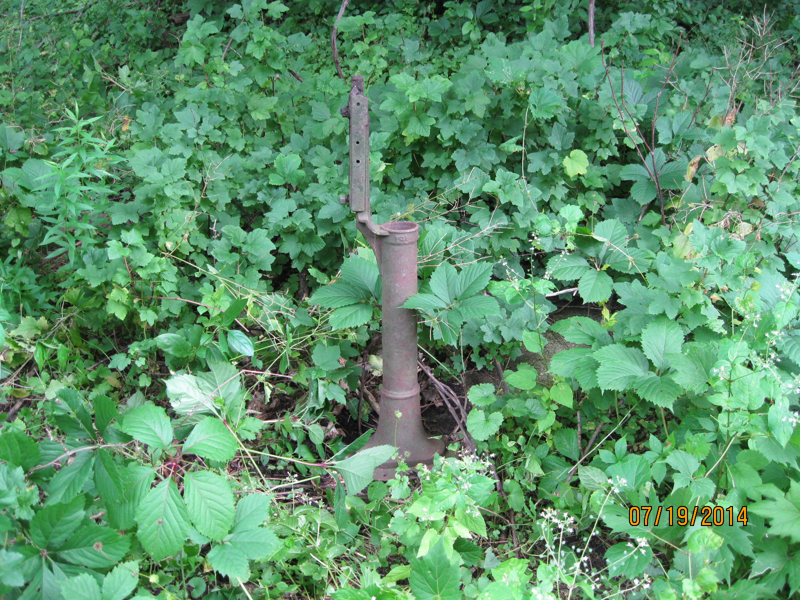
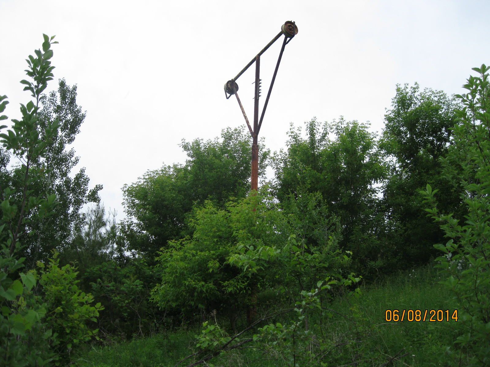
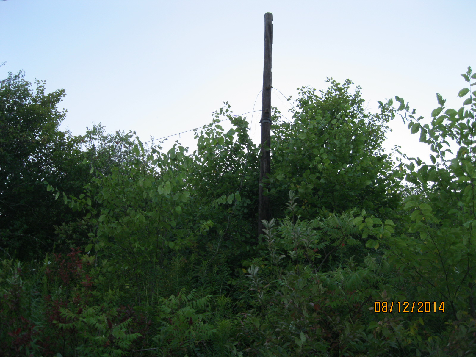
Some of the old electrical poles still stand along right of way, many still with short lengths of wire attached.

IMG_2864

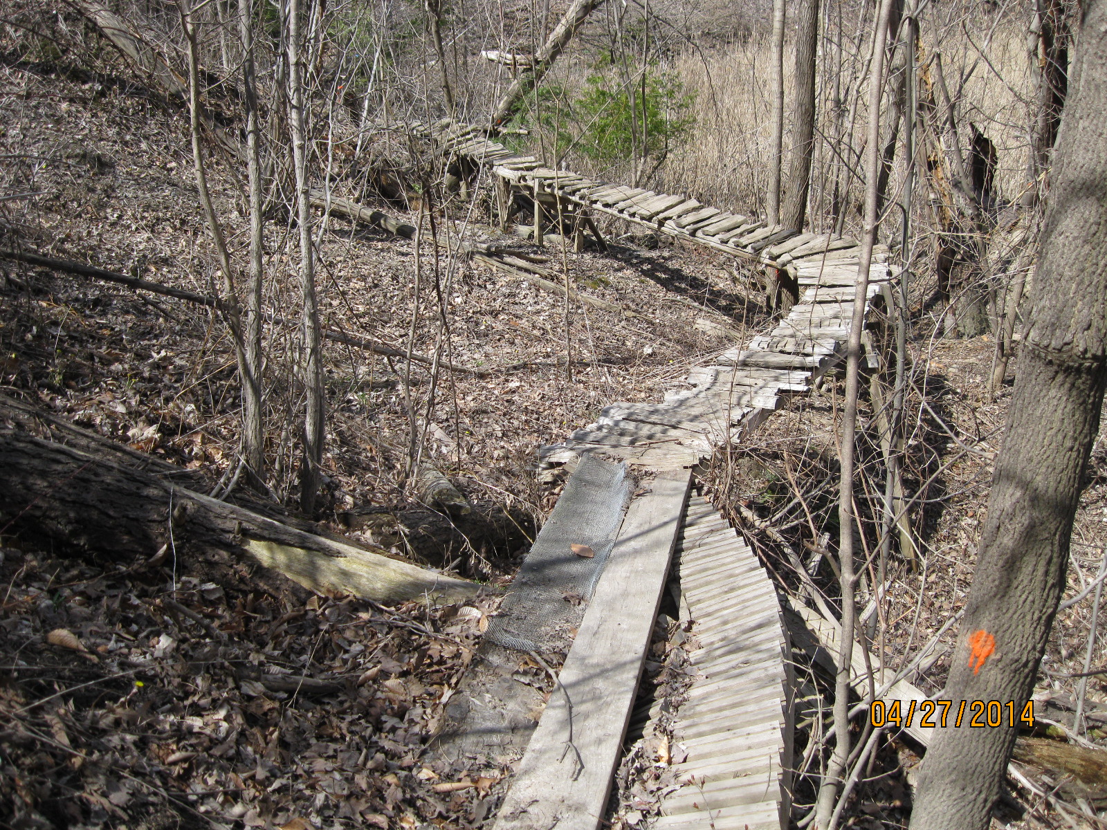
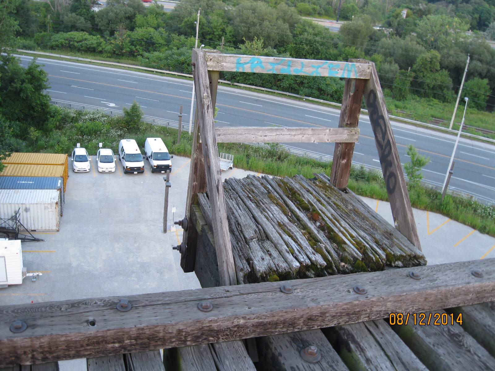
Walking along the tracks for a few minutes brings you to the half mile bridge.  There are 4 small platforms perched along the sides of the tracks.  Buckets of water were stored here and they may also have served as places of refuge for anyone caught on the tracks when a train approached.  Today these platforms would likely just drop you 75 feet to your death. Note how small the cars appear in the photo below.

IMG_2875

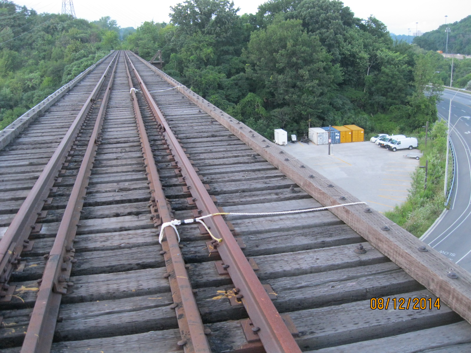
The idea of walking across this bridge could be scary enough, but for some it isn’t scary at all.  They prefer to jump off the bridge as the bungee jumping ropes tied in the middle of the tracks suggest.

IMG_2879

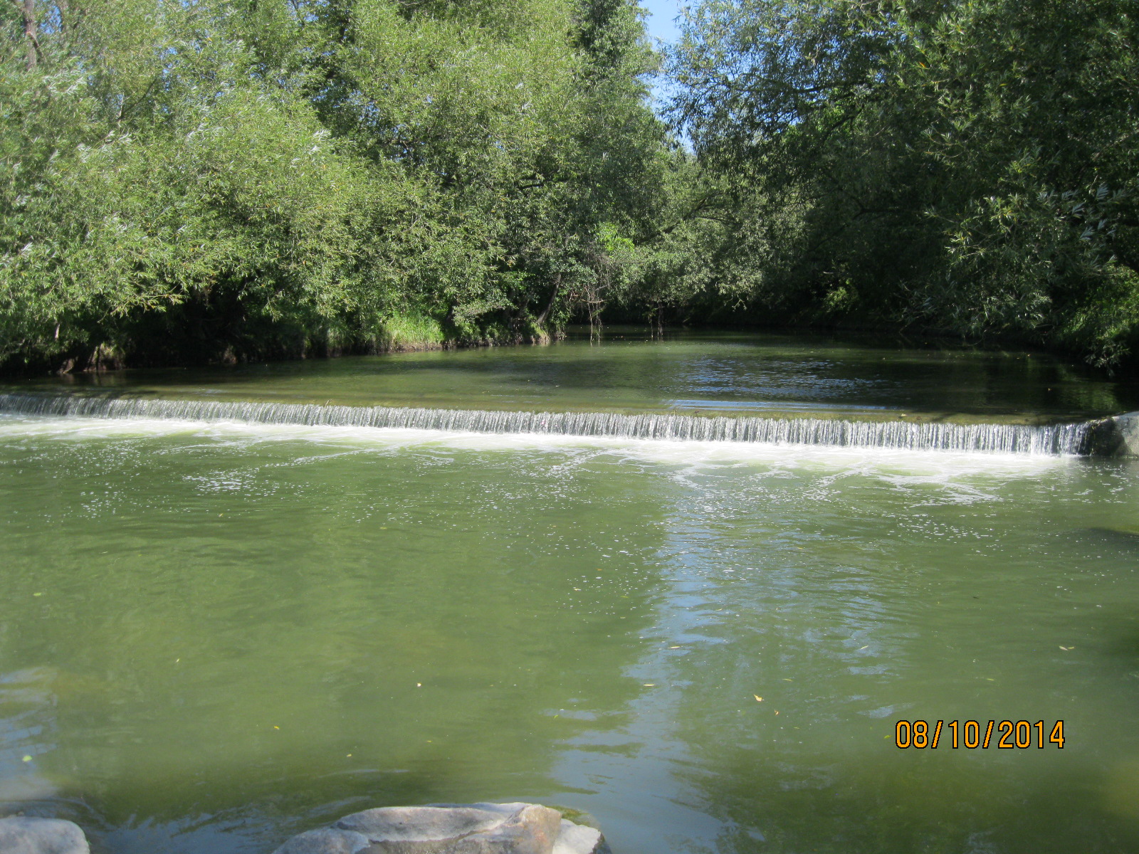
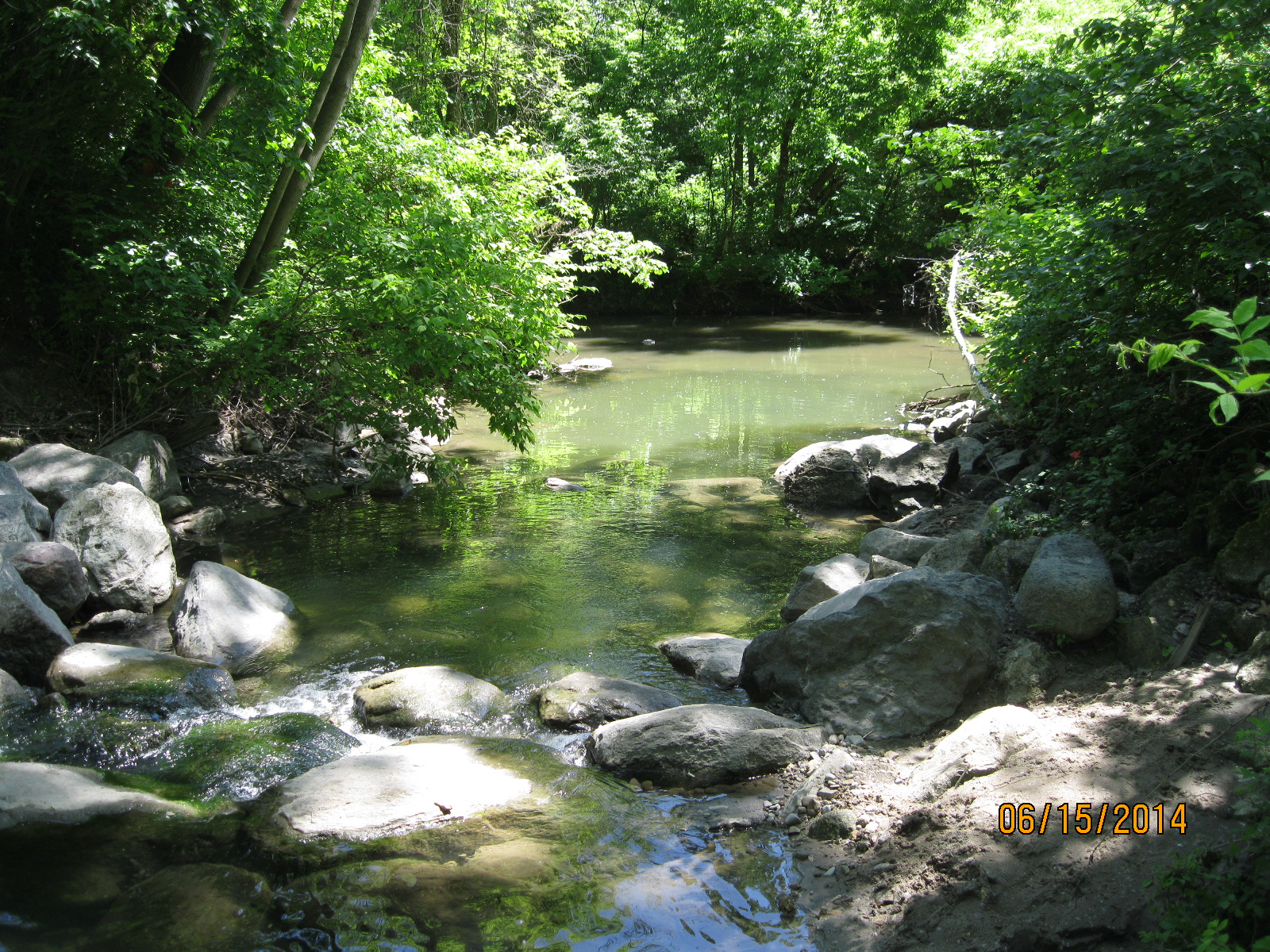
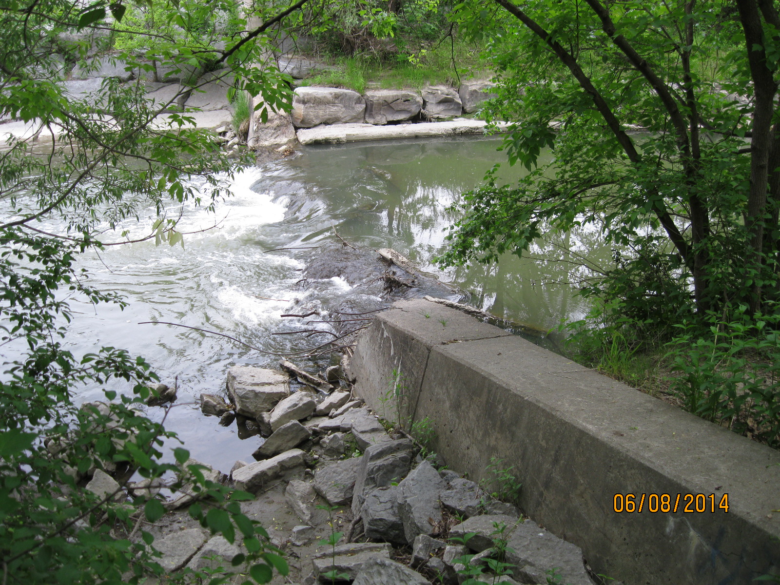
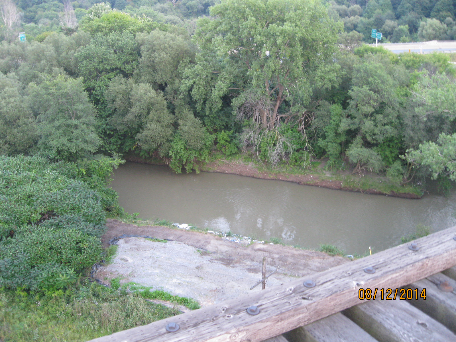
Two thirds of the way across the bridge you come to the Don River.

IMG_2881

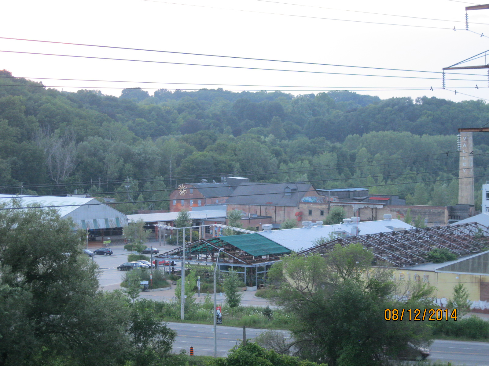
Looking back one can get a good view of the Don Valley Brickworks and it’s assortment of late 19th and early 20th century industrial buildings.

IMG_2889

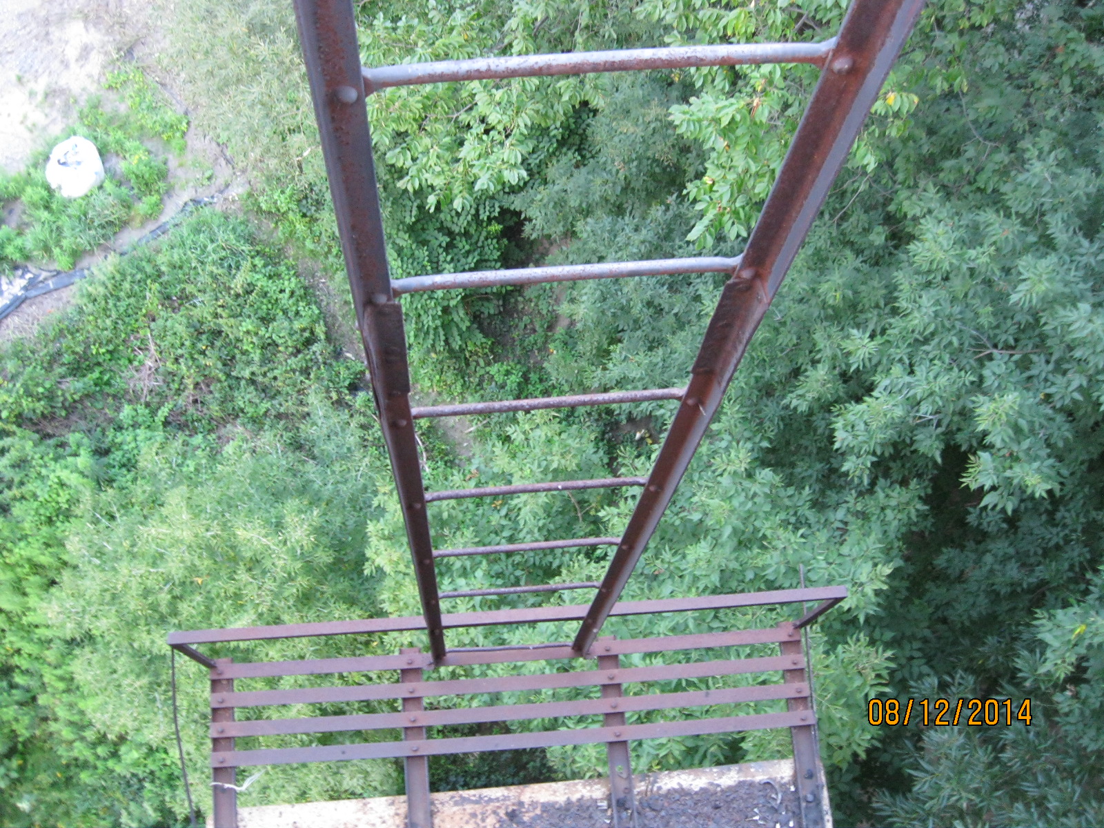
A steel ladder is secured to the side of the bridge allowing access to a platform several feet below.  Prudence prevented me from finding out what is down there.

IMG_2885

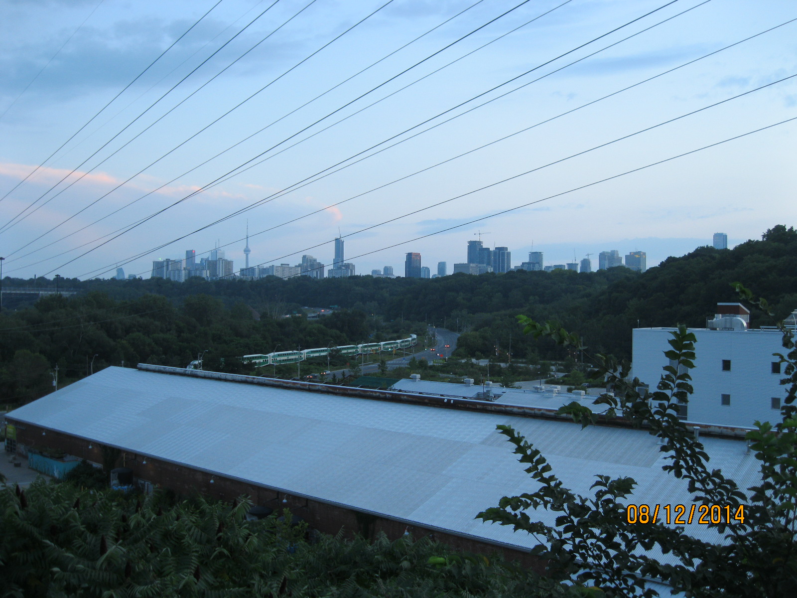
From up here the view of the towers in the downtown core is quite spectacular.

IMG_2901

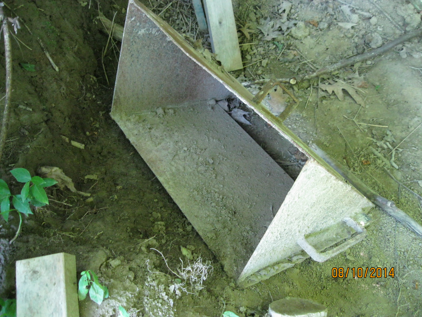
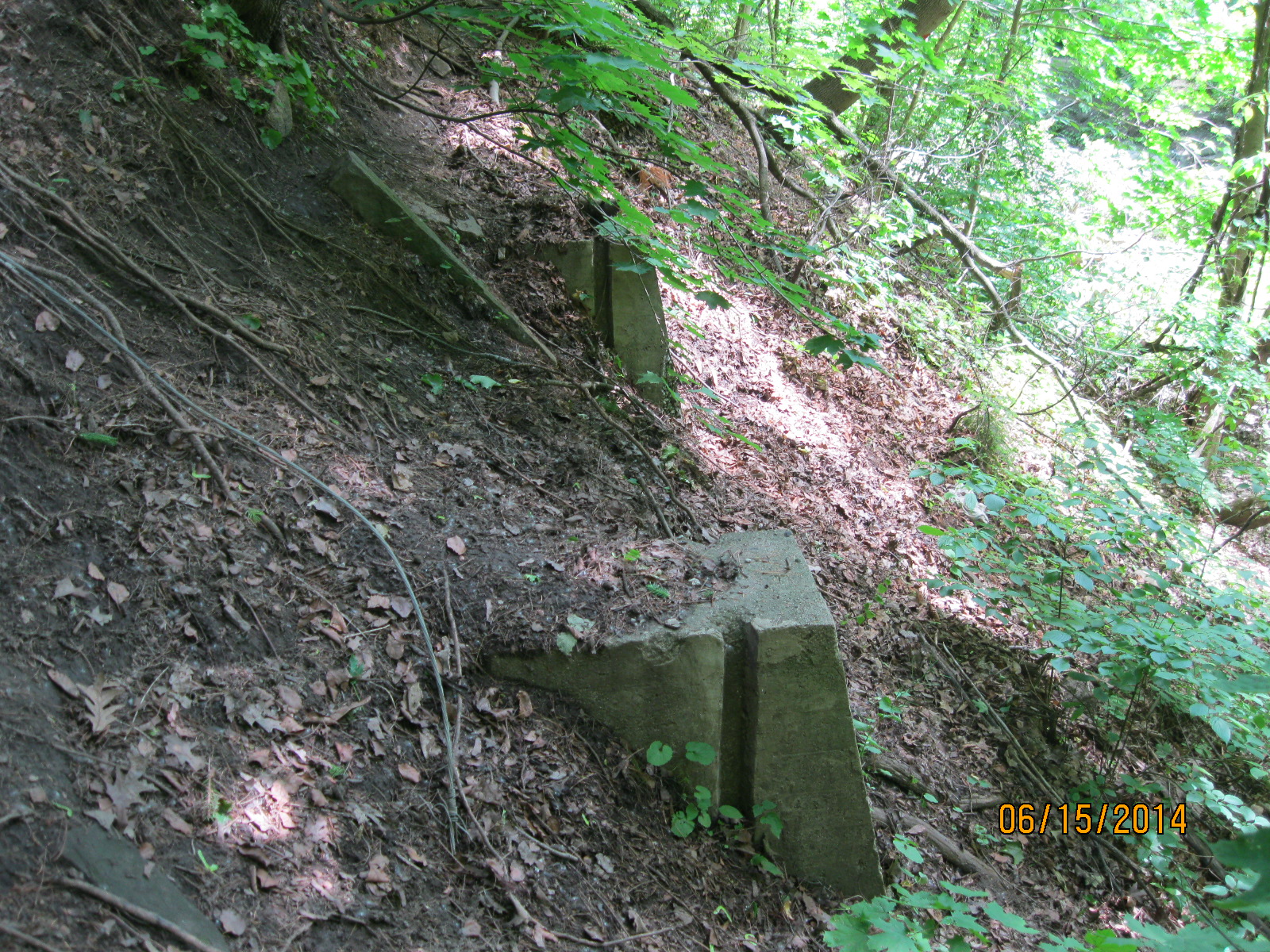
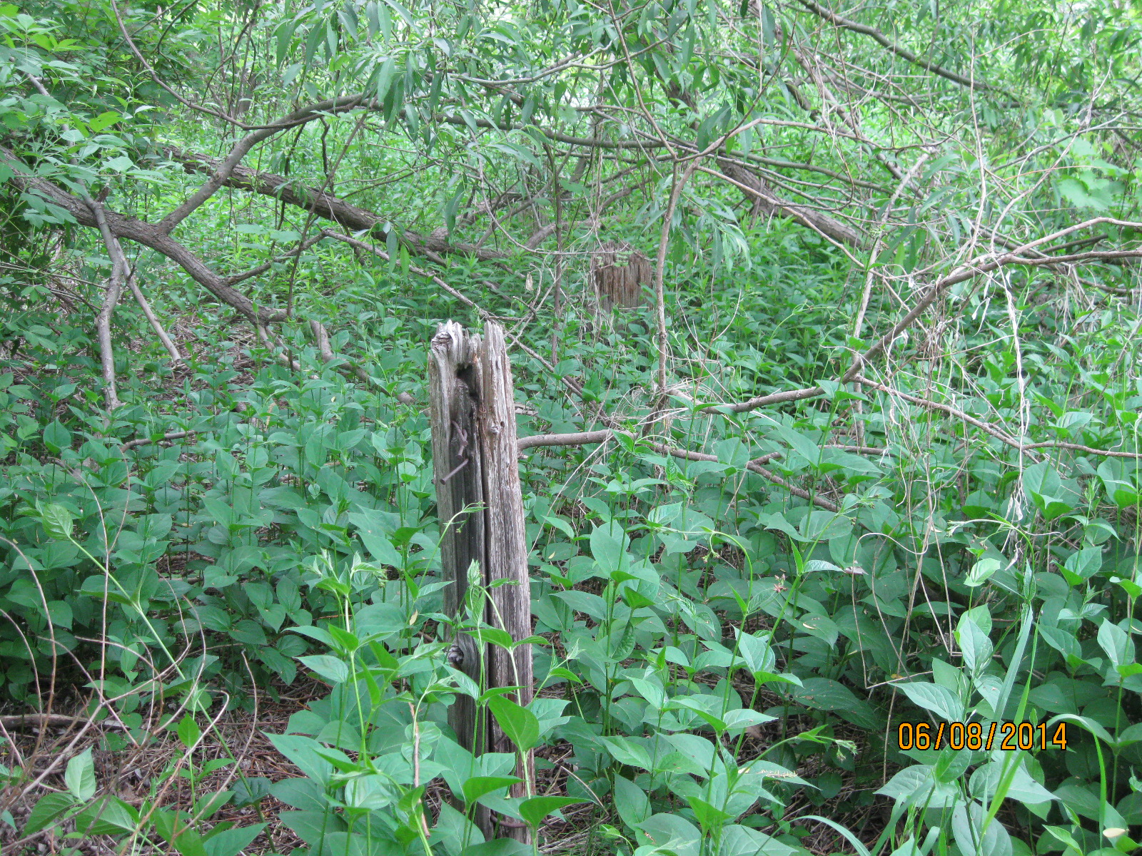
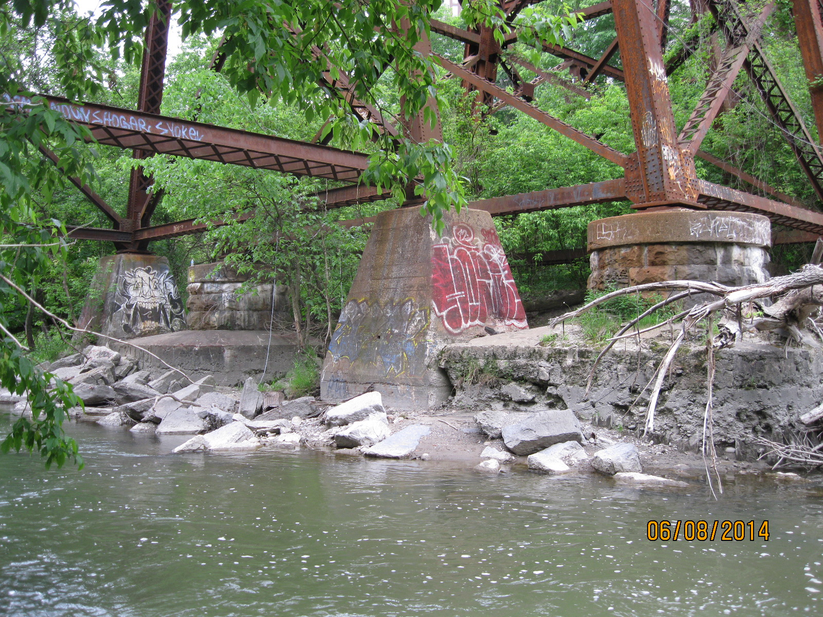
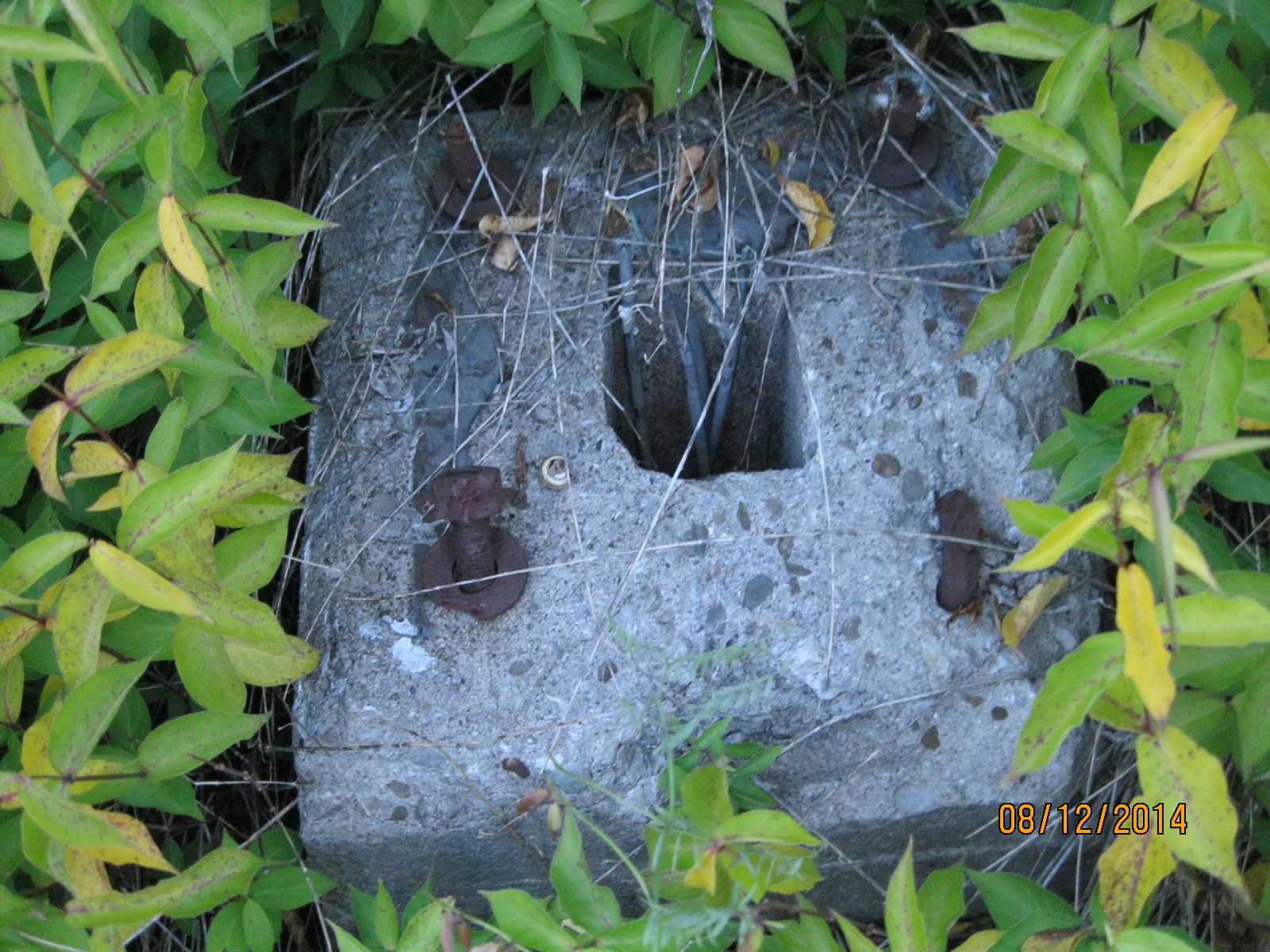
Along the way back I found one of the old concrete foundations for a signal post.  Track signals are used to inform trains of the location of other trains along the same track.

IMG_2906

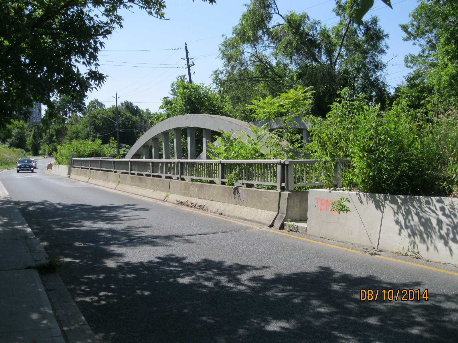
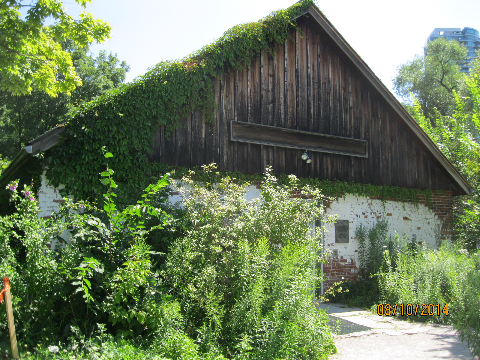
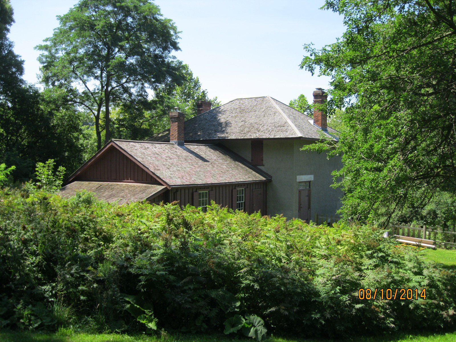
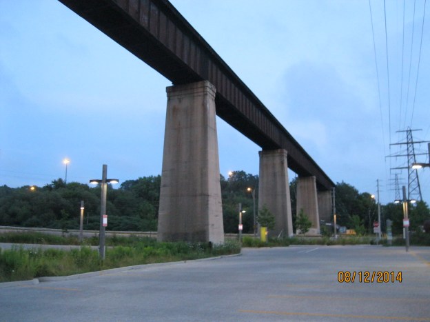
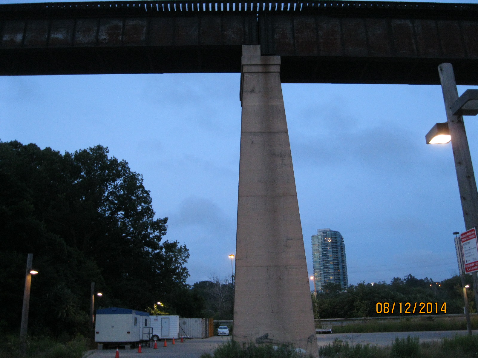
This view of the train bridge, along with the cover photo, is taken from the parking lot of the old brickworks.  It has recently been renovated to become Evergreen Brick Works and is now home to a farmer’s market, bike repair and rentals and many gardens.  The old brick kilns remain on display as well.

IMG_2909

Google maps link: Half Mile Bridge

Like us at http://www.facebook.com/hikingthegta

Follow us at http://www.hikingthegta.com


Abandoned Pottery Road

Sunday Aug. 10, 2014

I parked in the Loblaws parking lot at Bayview and Moore Avenue.  Another beautiful, sunny day, around 22 degrees.  Perfect for a hike.  If you look carefully you notice a sign on the laneway between the Pharma Plus and the Loblaws.  It says “Pottery Road”.  It seems out of place as there is another Pottery Road that runs down the hill from Broadview Ave. to  Bayview Ave., right past Todmorden.

The interesting thing is that, until about 55 years ago these pieces of Pottery Road were connected.  The picture below, from 1947, shows Pottery Road (in red) wiggling up the middle of the picture and crossing the CPR tracks  near the centre.  The CPR tracks run almost straight up the middle of the photo.  This section of the road is now abandoned.

pottery2


Pottery Road likely started off as part of an east-west Indian trail that  crossed the city along the present route of Davenport Road.  Today only about a third of the original Pottery Road remains.  The portion going south from Loblaws has been taken over as an access route to a new construction site.  I walked down it but it is a dead end now.  Along the way, parts of the old road can be seen sticking through the grass.   This is a dead end now and you will have to go back to Bayview Ave and walk to Nesbit Street.

IMG_2787

There is a little trail just off of True Davidson Drive just before the bridge that leads down to the old rail line.  The old road crossed the now abandoned CPR tracks that lead to the Half-Mile Bridge and descended along the edge of the Cudmore creek.

IMG_2792

I missed the connection to the roadway and so I tried to find it from the south end of True Davidson Drive.  I ended up in Rosedale Valley Ravine at the top of a 130 foot point of land.  I found this shelter someone had built into the side of the hill.  A place to sit in the sunshine, or retreat in the rain.

IMG_2797

Inside they were using part of an old metal chute as a large scoop to dig their little hide-away.

IMG_2796

There appeared to be no going down the side of the ravine (even the coyote only had two places he would go).  There was a rope tied to the trees just behind the fort and a series of steps were dug into the hillside.  I decided to go down the hill using the rope to steady my decent.  At the bottom I found my way across Cudmore Creek and onto Pottery Road.  It has deteriorated badly in the four years since I first walked through here.  With the erosion and new growth of trees it is hard to see that vehicles once roared up and down the hill here.

IMG_2798

In places the old road is washed out 3 feet deep.  Under the pavement is a mess of broken bricks.  The Don Valley Brick Works, owned by the Taylor brothers who were running Todmorden Mills in the 1890’s, is just south of here.  Any broken or defective brick had to be discarded and so they litter the Don river and every hillside in the area.  It appears that they also formed the base for Pottery Road.  I guess that when they paved over the bricks it was “Goodbye Red Brick Road”.

IMG_2800

Closer to the Bayview  Extension the old steel posts for the guard rail stand like sentinels along the side of the old roadway.  Their wooden facing has dropped off and is rotting on the ground.

IMG_2802

When the Bayview extension was built in 1959 Pottery Road was cut in two and the portion that climbed the hill along the Cudmore creek was cut off and abandoned.  Today as you drive up Bayview avenue it is hard to pick out the location of the former road.  Just at the end of the guardrail there is a chain with a red flag hanging on it.  This marks the old roadway.  It would have come straight across and connected with the bridge over the Don river.

IMG_2849

The 1928 bridge lies behind the newer one in the foreground.

IMG_2805

At the top of the hill the road currently curves to the south as it climbs the hill.  The road originally went straight up the hill and met Broadview Avenue where Charles Sauriol Parkette is today.  Broadview Avenue was built in 1798 by Timothy Skinner who ran the mills at Todmorden and was originally known as Mill Road until 1884.  The name was changed to reflect the “broad view” from the crest of the hill looking over the mills in the valley.  There is a Dairy Queen at the top of the hill which proved to be a distraction that kept me from getting to the parkette to take a last photo.

Google Maps link: Pottery Road

Like us at http://www.facebook.com/hikingthegta

Follow us at http://www.hikingthegta.com

Todmorden Mills

Sunday August 10, 2014

It was sunny and warm, a beautiful day for a hike.  I parked at the top end of Pottery Road in the Loblaws parking lot.  I also hiked along the old abandoned roadway of Pottery Road but that will have to be described separately due to length.

When Governor Simcoe arrived in 1793 to build his town of York (Toronto) he needed a large supply of sawn lumber.  The only other mill at the time was the King’s Mill (now Old Mill) on the Humber River.  As it was a government run mill it was unreliable and went through many changes of millers due to crazy rules that made it impossible to recoup your investment.  Simcoe brought Isaiah and Aaron Skinner in and granted them 200 acres of land in the Don River valley.  They built a sawmill in 1794 and a grist mill in 1795.  The Skinners sold the mills to Parshall Terry in 1798 and when he drowned in 1808 the mills passed to Timothy Skinner who ran them until he was killed in the war of 1812.

Terry built the older portion of the Terry House, that part at the back which was made of logs.  The front part with the two chimneys was a later addition.  Taxes were levied on the number of chimneys you had, so having three fireplaces was a luxury.

IMG_2838

This picture shows the back end of the paper mill.  The mill race ran down the left side of the mill and this is where the mill wheel would have been.  The tall chimney was added about 1900.  In the cover photo the chimney is contrasted with the urban towers of Toronto in the distance.

IMG_2817

In 1822 Colin Skinner came into a partnership with the idea of chasing a bounty for being the first paper mill in Upper Canada.  They didn’t win the bounty but did become the first mill to install paper making machinery.  Eventually the paper mills spread into three locations and became a major industry in early Toronto.  When the mills closed down they were used for awhile to stable the horses from the brick works.  Later they were the home of Whitewood’s Riding Stable.  The word “White” remains on the side of the old mill.  Also, note the old mill stone mounted on the lawn just outside the door.

IMG_2844

When the Don Valley parkway was built the Don River was re-routed so that the large curve that used to pass through Todmorden and power the mills was cut off by the berm of the highway.  The river was straightened to run along side the railway line.  The part that used to flow under the bridge still has water in it and backs up from the river down stream when there is flooding, providing some flood control.  The picture below is taken from the bridge looking east.

IMG_2829

In 1821 the mills were sold to Thomas Helliwell Sr. and John Eastwood.  Helliwell Sr. came from Todmorden in England and it is because of him that the name of Don Mills was changed to Todmorden Mills.  One of the first things Helliwell did was erect this building as the brewery and distillery.

IMG_2833

Thomas Helliwell Jr. built this house in 1837 out of bricks made from clay he dug out of the hillside behind the house.  The bricks were not baked but only sun dried and so they would crumble easily.  For this reason a protective coating of stucco was applied.

IMG_2840

The portion of the house at the rear has the notable characteristic of no windows breaking the roof line that suggests it was originally a log home.  The two story brick and stucco addition on the front was likely framed and then veneered with bricks and stucco.

IMG_2839

The old flag pole still stands on the front lawn of the Terry House.  Note the wooden cradle mount at the bottom of the pole.

IMG_2841

When Thomas Taylor died in 1880 the mills were handed over to George Taylor’s son’s who added the Don Valley Pressed Brickworks to their empire in 1891 just across the river from Todmorden.  The Don Valley Brickworks produced many of the bricks for the construction of Late Victorian Toronto.  Broken or defective bricks were dumped in the valley all around Todmorden.  The road leading to the bridge over the former Don River is made of bricks but is itself built on several feel of broken bricks.  The blue line on the bricks in the picture below shows the one time bank of the Don River.

IMG_2830

A little up stream is old Todmorden dam.  This is a very quiet place to just sit and contemplate the people who made this city out of the woods around them.

IMG_2812

The Don Station was built by the Canadian Pacific Railway in 1896 near Queen Street and the Don River.  Between 1969 and 2008 it was on display at Todmorden before being moved to it’s new home in Roundhouse Park.

Google Maps Link: Todmorden Mills

Like us at http://www.facebook.com/hikingthegta

Follow us at http://www.hikingthegta.com

Hinder Property

July 26, 2014

Moving day, but still time for a short hike before we have to get serious about hiking between the apartment and the truck.  It was a cooler day and overcast.  We parked in Bathurst Park on the West Don River.

We hiked south along the river into an area known as the Hinder Property.  An extensive mountain bike trail runs through the area making use of fallen trees and boardwalks.

IMG_2677

As we hiked along the side of the Don river we found this sewer cover which commemorates a point in history for the City of North York.  The Township of North York (NYT on this cover) was incorporated on June 13, 1922 out of the rural northern parts of York County.  It became the Borough of North York in 1967 meaning that there are not too many covers made after this one that would say NYT.  North York was incorporated as a city on Valentines day 1979, leading to it’s solgan “City with a Heart”.

IMG_2681

Near this we found another cover that was nearly buried in leaves and soil.  This one is unlike any I’ve ever seen before.

IMG_2685

As mentioned in an earlier post, the province of Ontario was well known for it’s brick buildings.  Some bricks are made with three round holes that reduce the amount of clay required and improve the speed of drying.  A lot of early brick buildings are originally wooden buildings that have been veneered in brick.  The holes are then used to tie the brick skin to the building using metal straps.  This brick is unique in it’s patterned holes.

IMG_2688

Pop began to be sold in cans in the 1930’s.  The can went through several changes, an early significant one being the inclusion of a liner to protect the contents from tasting like the can.  Originally a can opener was required to pierce a hole in the top.  In 1959 the invention of a pull tab eliminated the need of an opener but created a litter problem.  This was solved in the 1970’s by the push tab where a small raised blister was pushed into the can to open it.  This exposed the finger to sharp edges and was eliminated with the “sta-tab” that continues to be popular today.  7-Up was released just two weeks before the stock market crash in 1929.  There was 7 main ingredients in the original recipe, including the mood stabilizing drug lithium citrate.  Originally it was a patented medicine marketed as a cure for hang-overs.  Unlike bottles, cans were never dated and so coming up with a date can be tricky.  In this case we can define this can as 1975, the year in which the marketing slogan was “The Un-Cola.”

IMG_2694

Climbing the hill to the clearing above brought us face to face with a dragon.  This is part of a large memorial being erected in North York Cemetery.

IMG_2701

As we arrived back at the car we passed through a double row of trees that mark an old lane way.  That was our clue to head home and start hiking the lane way into the house where my wife and I were moving.

IMG_2712

Earl Bales Park

Saturday July, 19, 2014

It was a cloudy day and at 18 degrees, a little more comfortable than last week’s swelter. We parked in the lower parking lot for Earl Bales Park off of Finch.  Climbing the hill to the west of the parking lot brings you to John Bales homestead.

John Bales came to Canada from Yorkshire, England in 1819.  He bought the lot at the south west corner of what is now Bathurst and Shepperd (Lot 15 1-W).  In 1822 he built a log house which was later covered with a combination of cement and pebbles.  A kitchen wing was added around 1850 when the family reached 10 children.  The house still stands and is listed as the 8th oldest house in Toronto.

The picture below shows John’s storey and a half house.  The term storey and an half refers to the upper floor which was tucked under the roof so you could only stand up in the middle.  Log houses reveal themselves by the fact that no upstairs windows cut the roof line of the house.  There are four logs that run around the upper rim of the house, where the lower edge of the roof rests, that tie the structure together and cannot be cut through for windows.  In the cover picture of the house you can see that windows cut the roof line on the kitchen wing which was therefore not built from logs.  In the same picture the older wing has yellow brick chimneys and the newer one has red bricks.

IMG_2574

Early wells in Ontario were dug by hand and had to be large enough to allow a man to swing a pick axe.  They were dug in depths up to 30 meters or more.  Early wells had a hand crank which wound or unwound a rope that lowered a bucket into the well.  The invention of hand pumps allowed for easier access to water but were limited in the depth of their draw to about 15 meters.  The old well and pump still exists at the front of the house.

IMG_2565

In the woods just behind the old Bales house we disturbed a rookery of American Kestrels.  Kestrels are members of the falcon family and are often confused with hawks, to which they are not related.  There were at least four of them in this small area of trees.

???????????????????????????????

The park sits on land that used to be The York Downs Golf and Country Club and the land forms still show.  Just south of the house is a memorial to the Holocaust.  The memorial includes a chimney on the right which has the names of various death camps on it.  The black wall to the left of that contains the story of the holocaust on one side and 23 panels of names of victims and their country on the other.  This is certainly the most somber place we’ve come across while hiking.

IMG_2578

We went back down the hill towards the river.  There is an area where some stuff has been thrown down the hill.  Amongst it we found this old guitar.  It was sold by Eglinton Music Centre which still exists today.  It made me think of a song by Jethro Tull called Songs From The Wood.

IMG_2589

We walked back past the car and crossed the 1962 bridge to get to the path that leads down the east side.  We took a few minutes to have a look just north of the 401 and here we found a place where a large mudslide has ripped away part of the hill.  In all my years of hiking this is the first time I have seen this.

IMG_2594

An area without larger trees at the bottom of the hill suggests the need for investigation. The foundations of a building lie here.  Another hand pump was found inside the foundation.

IMG_2602

R. McDougall & Co. in Galt was a manufacturer of heavy steel equipment from the late 1880’s until they were bought out in 1951.  They specialized in lathes, but apparently also made water pumps.  The one we found here was dated 1921.

IMG_2598

Most of the things we find along our journey were designed to last, and so they have. Today, especially in computer technology, we have something called planned obsolescence.  When a new computer is released to the market the manufacturer is already working on a newer version which replace the older one.  From massive card operated machines in the 1950’s to hand held computers, that we call phones for some reason, the change has been swift.  When Apple released it’s iMac G3 computer in 1998 it eliminated all floppy drives and introduced the USB drive which has pretty much made all other external media connections obsolete.  Even as this new technology was being introduced, the vision was already set for cloud-based file storage.  The unit pictured below is a G4 released in early 1999.

IMG_2618

If you walk through the woods on a regular basis you start to see that although plants come and go, there is always something edible in season.  From Leeks and Fiddle Heads in the early spring through to Puff Balls in late fall it’s a changing menu.  This week the Black Raspberries are just getting going, but it looks like a good crop this year (and tasty too!). Wild Ginger, pictured below is also in season now.

IMG_2624

Wilket Creek

Sunday June 22, 2014

It was sunny and 25 degrees, a gorgeous Sunday afternoon.  I parked on Bridle Path and entered the gardens from there. The upper part of the gardens is an arboretum full of many varieties of mature trees.  The main trail will lead you down the bluff and into the Wilket Creek valley.  Wilket Creek was known as Milne Creek for the first 150 years of settlement.  Here, the creek has been dammed to create a small mill pond as seen in the cover photo.  A miniature water wheel has been recreated below the dam. This is an example of an “overshot” wheel where the water would be dropped into the buckets from above to turn the wheel.  Inside the mill, the drive shaft that the wheel is turning provides power to turn the gears and pulleys that run the factory.

IMG_2365

Alexander Milne and his family first settled on this property in 1817.  He built a three story mill and a small community grew around it.  The mill stood on the east side of the creek an the top floor was used as a saw mill while the lower two floors were a woolen mill. The wooden wheel in the Milne mill was an overshot wheel, 18 feet in diameter.  When the water level became inconsistent at Milne Creek, the Milnes moved to their property on the West Don River at Lawrence.  Here the town of Milneford Mills was re-established.  Two building survive from this era.  One is described separately in a post called “Milneford Mills”.  The second has been moved back to Edwards Gardens.  One of the buildings in Milneford Mills was a wagon shop.  The large door on the end of the upper floor in the picture below is typical of wagon shops where painting and drying were done upstairs.  A temporary ramp would allow access to the door.

IMG_2361

When the Milnes moved the property was left to turn into a weed patch.  In 1944 Rupert E.Edwards purchased the property with the intention of making a country estate.  Very soon the city was closing in on all sides and Edwards sold everything to the city for a public gardens.

Leaving Edwards Gardens you enter Wilket Creek Park.  As I walked along the west side of the river I found that there were a lot of small rivulets that cut steep channels through the hillside.  I kept having to go back down to the river to get around the valleys.  Fortunately there are several sets of “stairs” running up the sides of the hills made of tree roots.  In the picture below the trail runs between the large trees and climbs a point of land which is over 100 feet high.  These hill sides have been kept clean by the groundskeepers, but I did find a 1976 nonreturnable Pepsi bottle.

IMG_2379

Along the way the main path follows the creek crossing it on several bridges.  Just north of the fourth bridge up from the mouth of the creek lies the ruins of an old dam.  The centre piece has been broken out.  Erosion was a constant enemy of the settlers who built dams on the rivers.  Early wooden and earth dams often had to be rebuilt or repaired every spring.  Wilket Creek is prone to flooding and the one end of this dam has been washed clean so that water now flows around it.

IMG_2374

This may have been the mill race for this dam but I suspect that it is the original creek bed and that the old mill race has been taken over by the creek.

IMG_2377

The remains of another dam stand near the first foot bridge up from the mouth of Wilket Creek at the West Don River.  This one, like many others, was likely destroyed by the conservation authority as part of flood control measures implemented after Hurricane Hazel.  It has been difficult to find any information on these other millers in the Wilket Creek watershed.

IMG_2405

At one point along the top of the hill I began to follow a set of deer tracks through the woods.  It wasn’t too long before a young buck stepped out of the woods and posed for a few pictures.  I normally see the tail ends of deer as they try to get away but this one was looking me straight in the eye.  I had no way of knowing if he was used to being fed by humans or was thinking about trying out his new antlers.  He followed me through the woods until I found a place to get out onto Leslie Street.

White Tailed deer bucks grow a new set of antlers every year, beginning in the spring.  The antlers generally grow larger every year until the animal reaches it’s prime at 5-7 years of age.  Antlers can grow up to an inch per day and are covered with a tissue known as velvet during the growth period.  In late summer the antlers calcify, becoming hard and losing their velvet.  The antlers come in handy in the fall when the males fight for supremacy and the attention of the females.  At the start of winter when mating season is complete they lose their antlers.

IMG_2389

Having circled the deer I found a way back into the trees.  The trail makes its way along the crest of the ravine until it reaches Sunnybrook Park and the West Don River.

Wilket Creek empties into  the West Don River in a rather unspectacular way just beside the roadway into the park.

IMG_2402

Burke Brook

Sunday June 15, 2014

It was sunny and over 20 degrees.  I parked on Rosewell avenue and crossed the school playground.  Burke Brook flows under the playground and exits into an open channel just inside the woods at the east end of the baseball diamond.  This little section of the trail crosses the brook on a footbridge.  The ravine has been filled in at Duplex Ave which creates a steep climb up over the road.  The stretch of brook between Duplex and Yonge street is all underground.

One of the city workers who cleaned up the mess of fallen trees that littered the parks after last December’s ice storm turned this log into a bench.

IMG_2247

Burke Brook crosses Yonge street underground where it enters Alexander Muir Gardens.

Alexander Muir was born in Scotland in 1830.  He died in Toronto in 1906 after serving as a teacher in several Toronto area schools.  In October 1867 Muir wrote The Maple Leaf Forever to commemorate Confederation.   It was Canada’s National Song but was not adopted by the french who had written O Canada in french in 1880.  In 1980 we adopted O Canada for our official National Anthem.  A large garden was built in his honour in 1933 on Yonge St, just north of Lawton Blvd.  It was moved to this location in 1952 to facilitate construction of the Yonge street subway.  The garden has a wide variety of trees and flowers and many looping paths and trails that make it an ideal place to get lost for awhile.

IMG_2287

Just past the Alexander Muir gardens the brook flows out of its underground channel into the open.  It was lined with cut stone in 1964 to make a deep channel to prevent erosion. As the photo below shows, the water has little respect for the efforts of man.  The erosion extends out on both sides of the original stonework.  I was amazed at how much soil has been removed by such a small flow of water.

IMG_2253

The brook passes through Blythwood Ravine and then into Sherwood Park.  The Carolinian Forest in the park contains White Pine, Eastern Hemlock, American Beech, Red and White Oak and Sugar Maples that are over 150 years old.  Along the way there is a lot of groundwater discharge and the hillsides are seeping with water.  A long stretch of the trail is covered with a boardwalk that seems to contain one too many stairs.

IMG_2259

Just before you reach Bayview Avenue there are four concrete abutments about 10 feet up the hill on the north side of the valley.  They are somehow related to an old road alignment that brought Bayview down into the valley to cross Burke Brook.  It then climbed the hill behind what is now Sunnydene Crescent.

IMG_2264

Bayview Avenue (1st Line East) runs up the middle of the historical Atlas map below.  The jog in the road (and the actual road allowance) are seen in the centre of the map.  Bayview Ave makes a little “s” curve where it crosses Burke Brook.  The road allowance has been drawn in by the mapmaker with dotted lines.  Between 1947 and 1953 the ravine had a large culvert installed and then a berm was built to fill in the valley to straighten out the road and make it almost level.

Bayview 1887

When you cross Bayview Ave to go back down to the bottom of the ravine you will find the descent is one of the steepest slopes on any trail in the GTA.  For this reason, the settlers chose to run the road west along the hillside as it angled toward the bottom of the ravine and then back up on an angle on the other side.

You are now in the ravine below Sunnybrook Hospital.  This property belonged to Joseph Kilgour who made his fortune as head of Canada Paper Company.  He owned a large estate which his wife donated to the city in 1928 as a public park called Sunnybrook Park. Sunnybrook Veterans Hospital, built on the corner of the property, was opened in 1946 to help deal with the influx of veterans following the second world war.  It is likely that the straightening of the road was done to improve access to the hospital from the south.

A building from the 1950’s now stands abandoned in the woods near the hospital.  This appears to have been an electrical generating building that has since become obsolete.

IMG_2285

Turning to your right when you reach the main trail in Sunnybrook Park will bring you to the mouth of Burke Brook where it empties into the West Don River.

IMG_2274

Google Maps Link: Burke Brook

Like us at http://www.facebook.com/hikingthegta

Follow us at http://www.hikingthegta.com


Milneford Mills


Sunday June 8, 2014

It was cloudy but rain wasn’t predicted until later in the day.  I parked in the lower parking lot off of Lawrence just east of the Don Valley Parkway.  Lawrence Avenue used to take a small jog into the valley where it crossed the East Don River in Milne Hollow where the hamlet of Milneford Mills was developing.

Scottish miller, Alexander Milne, started a mill on his property on the South west corner of Leslie and Lawrence in 1817.  This site is currently home to Edwards Gardens.  Wilket Creek flows through the property but had inconsistent water levels and so he moved his mill and homestead to another property of his.

He owned 120 acres on the East Don river just south of Lawrence.  He moved his farmstead here in 1832.  The mill village that grew up near the mill was called Milneford Mills and included a dry goods store, a wagon shop and workers quarters.  In 1846 he built a woolen mill which was destroyed along with the entire mill village by the severe flooding of Sept. 13, 1878.  Milnes rebuilt and the woolen mill ran into the early 20th century. When the Don Valley Parkway was built in the mid 1950’s the remaining buildings were removed, all except the Milne family home.

In the 1880 County Atlas several buildings are marked as well as the two mills.  They are located on the river on the right hand side of the map, near the middle of the page.

Milne Hollow

The house was built in 1871 and is one of the oldest examples of gothic frame architecture in the city.  The front porch which used to look out over the mills has been removed.  Now abandoned, it is intended to be restored eventually.

IMG_2138

The eastern embankment south of the house was turned into a ski hill in the 1930’s and was run by the Don Valley Ski Club.  With three lifts, two rope and one Poma it also boasted a $70,000 snow making machine.  There were several 200 m runs dropping the 40 m of slope to the bottom of the hill.  It lasted until around 1976.  Today a lone ski lift tower stands halfway up the hill.  It is slowly disappearing in the new growth of trees that have been planted to rehabilitate the hill side.

IMG_2147

At the base of the hill, behind a large willow tree stands a series of wooden posts that once supported the loading platform for the ski lift.  Behind here two steel rails sit on the ground.

IMG_2144

As you walk along the edge of the river the trail is lush with sumac and aspen trees.  There are several wetlands along the way which are full of water fowl.  The trees are alive with the sounds of various songbirds.  A short walk past the old ski hill brings you to the ruins of an old dam.

IMG_2148

A little farther along I saw this group of silk worms.

IMG_2152

You will come to a bridge that gives you a choice to cross the river. Crossing the river leads to the display below and to Tim Horton’s a little farther along.

This display, known as High Water, marks the various flood waters.  The highest rock is from 1934 and must be at least 12 feet above the current water level.  Hurricane Hazel, which hit the west end of the city hardest, didn’t flood the Don severe enough to get a rock in the display.

IMG_2159

If you stay with the east side of the river you will have to climb up over the CN tracks.  On the far side the steep dirt hill leads to a trail that passes through a thick growth of trees.  After following the river for a while you will come to Anewen Park.

The Ontario & Quebec Railway was incorporated in 1871 and built a line north of the city of Toronto.  The high trestle bridge over the East Don River was constructed on round piers of cut stone.  When the CPR, who ran the line, double tracked it around 1898 new sets of piers were built of concrete.   In the photo below you can see the two original round bridge footings which were capped with concrete when the rail line was double tracked.

IMG_2164

The CPR bridge in the distance as it crosses the East Don river south of Lawrence Ave.

IMG_2166

Like us at http://www.facebook.com/hikingthegta

Follow us at http://www.hikingthegta.com

G. Ross Lord Park

G. Ross Lord Park runs from Steeles Ave south to Finch Ave. on the east side of Dufferin Street. The park was created in 1972, mostly for flood control purposes.  It was based on plans developed after Hurricane Hazel hit the Toronto area on Oct. 15, 1954 killing 81 people and causing $137 million worth of damage.

Two mills are marked on the 1887 map of the park area, along with their mill ponds.  A grist mill located on the second property south of Steeles Ave. is the site of Jacob Fisher’s original mill.  I have been unable to find any trace of the saw mill on the second property north of Finch.

Fisherville Mill

Fisherville was named after the Fisher family. Jacob Fisher emigrated from Pennsylvania with 22 members of his family in 1797. They were granted a tract of land which was on both sides of Steeles, east of Dufferin street. They ran a saw mill on the West Don River and later a grist mill which operated with different owners until about 1912.

The Presbyterian church that used to stand near the north east corner was built in 1856 on land donated by Jacob Fisher.  It was moved to Black Creek Pioneer Village in 1960 and I got married there in 2007.  It’s site is marked by a cemetery where this stone from 1840 marks an early settler in the area.

Fisherville stone

The park can be entered by a trail the follows the West Don River south from Steeles Ave. in the hollow east of here.  The trail follows the river winding its way through grand old trees like the one in the cover photo that dwarfs the park bench beside it.  When you are abreast of the old smoke stack on the left, you will be standing in the middle of the old Fisherville mill pond.

In the 1947 aerial photo below the dam still crosses the river in the lower right corner.  The three light patches that straddle the river just above it are the clear space at the bottom of the former mill pond.  The trail passes through the middle one of these.

mill pond 2

A little further along there is still some concrete from the old dam on the north side of the river.

IMG_0060

A curved wall of earth  about 10 feet high marks the retaining wall of the old mill pond.  There is a line of older trees behind it  that can be seen from the trail and marks the spot.  Staying on the foot path leads to a little bridge that will take you across the river.  From here it is possible to go back along the fence line to the old mill site.  The curve of the earthen wall is visible in this picture.

IMG_0062

The bottom of the mill pond is now growing over with small trees and brush.

IMG_0064

Across from Supertest Road there is an entrance to the park off of Dufferin Street.  Two parallel rows of evergreen trees mark the laneway of a home that stood here until the city bought the land and tore the home down in the early 70’s.  These trees were planted around 1950 and now are part of the off-leash area where dogs still run up and down the lane.

IMG_1877

The cluster of evergreen trees just to the south of the first parking lot was planted at the same time.  They were planted on the north side of the house to provide some shelter from the cold northern winter winds.  This was a common practice for country homes across Ontario.  This is the view from where the house once stood.  The house looked out over Westminster Creek down in the hollow.

IMG_1879

Close by in the woods is an old garbage dump, likely from this house.  The bottles here have all been smashed but date from the late 1800’s into the 1940’s.

IMG_0059

Following the trail will bring you to the parking lot off of Martin Ross Ave.  The lower mill pond and saw mill site is most likely somewhere below the new flood control pond built in 1973.  This picture looks at the possible site of the mill, now mud flats when the water level is low.

IMG_1880

Google Maps Link: G. Ross Lord Park

Like us at http://www.facebook.com/hikingthegta

Follow us at http://www.hikingthegta.com

Old Eglinton Road

Sunday April 27th, 2014

It was a bright sunny afternoon around 10 degrees.  I entered the woods at the east end of the Eglinton Ave. bridge over the East Don River.  As you go into the south east you come quickly to the first storm drain.  Cross above the drain and make your way through the cedar woods towards the bottom of the hill and the CPR tracks.

After skirting the edge of the hill for a short while you will come across a ramp coming down the hillside.  This is the end of Old Eglinton Road when it used to come down the hill and out to the railroad tracks as recently as the 1970’s.  There is some garbage along the north side of the roadway but nothing to specifically date the rubbish.  Lots of Ketchup bottles but unfortunately Heinz never took to dating their bottles.

Following the trail a little further brings you to a small stream that disappears under the railroad tracks and runs under the golf course to the East Don River.  If you take the trail away from the tracks and midway along the side of the hill you will come to a place to cross the stream where it flows out of a large culvert.  Crossing the culvert and turning to your right you will find a set of five footings from an old bridge.  The footings on the north side have been broken up, but still remain.  I disturbed a pair of cardinals who likely have a nest here.  As usual they’re a little camera shy and don’t sit still long enough to get their picture taken.

Old Eglinton Road as seen in this 1971 aerial photo.  The road can be seen cutting through the trees in the lower right hand corner.  The new Eglinton Ave is marked where it runs a couple hundred meters north of the old road.


Eglinton 1971

The north side of the bottom end of Old Eglinton Road as it descends the hill.

IMG_1839


Looking up the hill on Old Eglinton road the trees are well established.

IMG_1840


Hiking by myself, I decided not to try this bridge.  There is a little trail that will lead you up and around.

IMG_1844


Hiding in the trees and leading straight up the hill into the side of a building are five concrete supports for a bridge.  As of this writing I can’t find anything on them.


IMG_1848

Visit us at http://www.facebook.com/hikinthegta