May 31, 2025
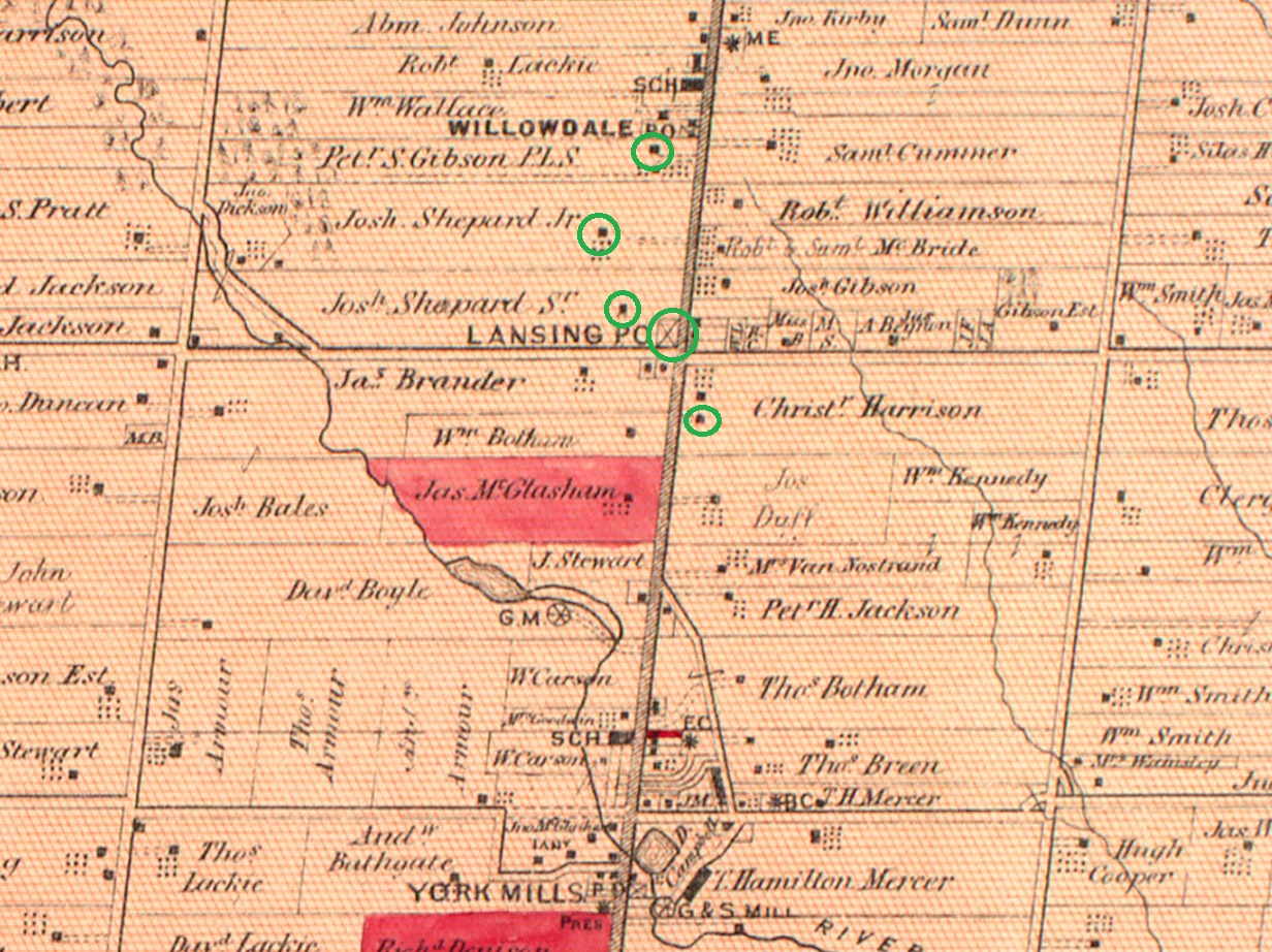
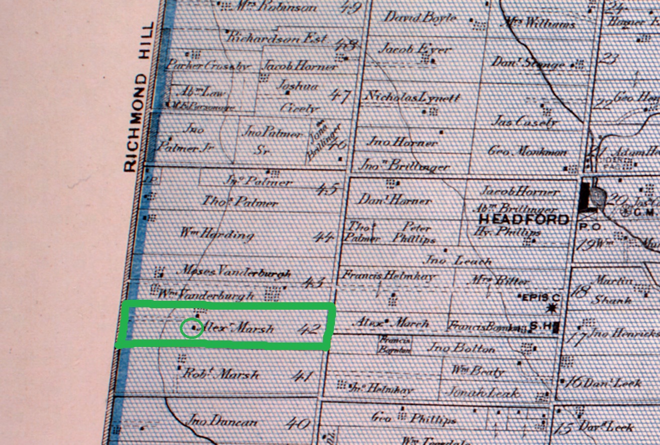
Richmond Hill is home to a hidden gem and National Historic Site in the David Dunlop Observatory. When the David Dunlop Observatory was opened in 1935 it was located on an isolated farm outside Richmond Hill. The location was Lot 42 in the first concession east of Yonge Street. Lot 42 had been granted to Robert Marsh who passed it on to Alexander Marsh in 1852.
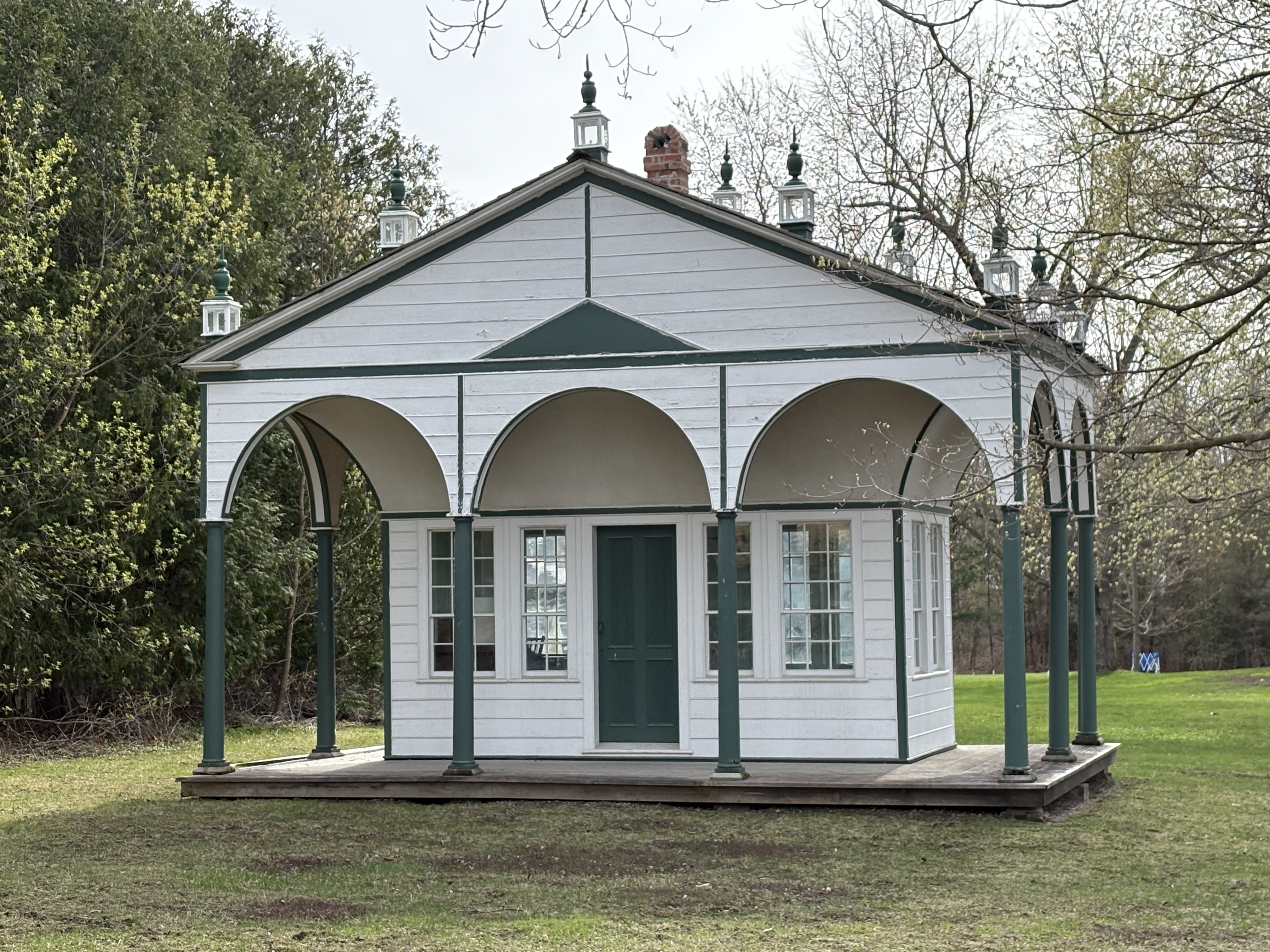
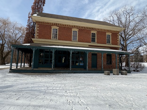
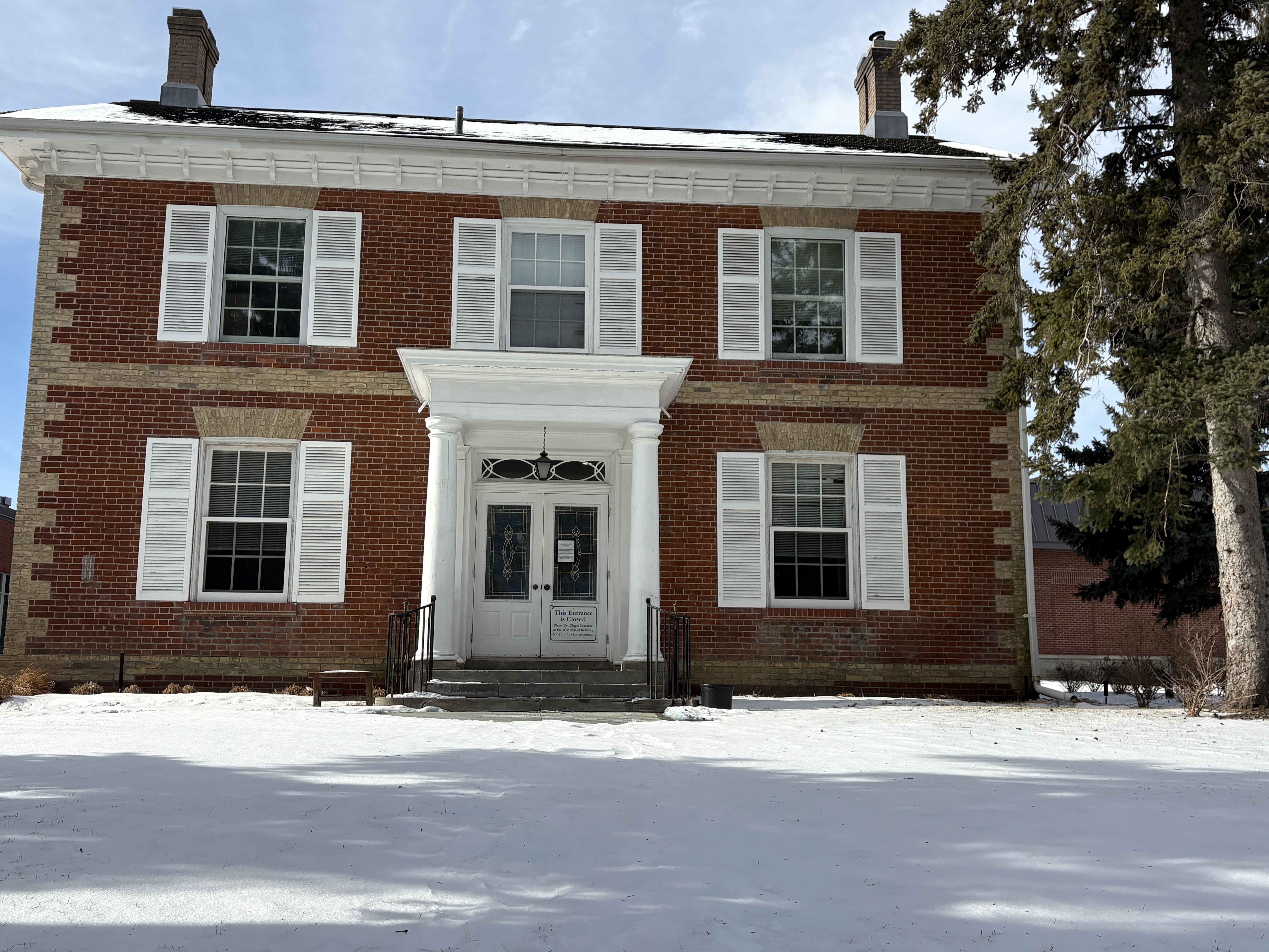
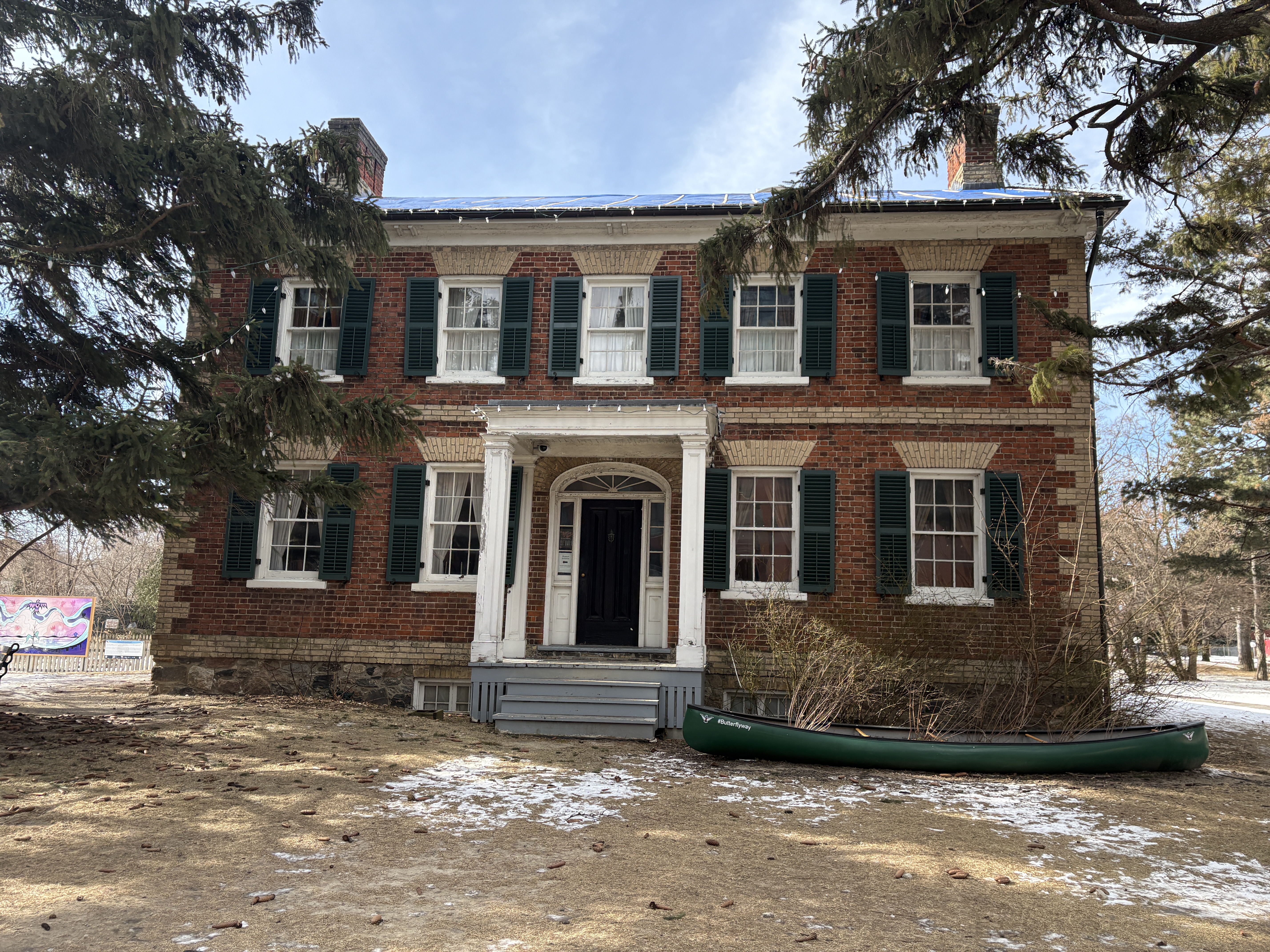
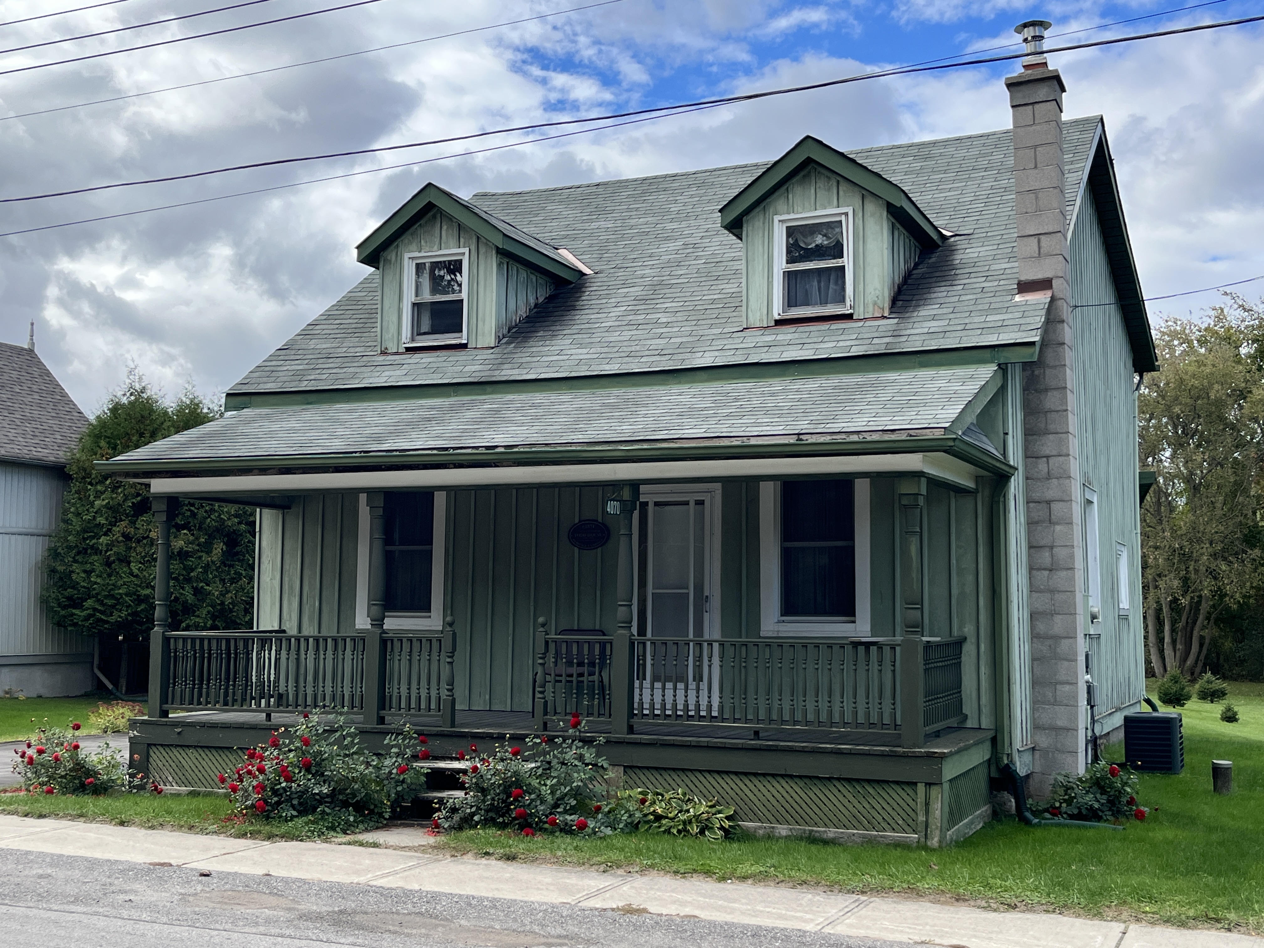
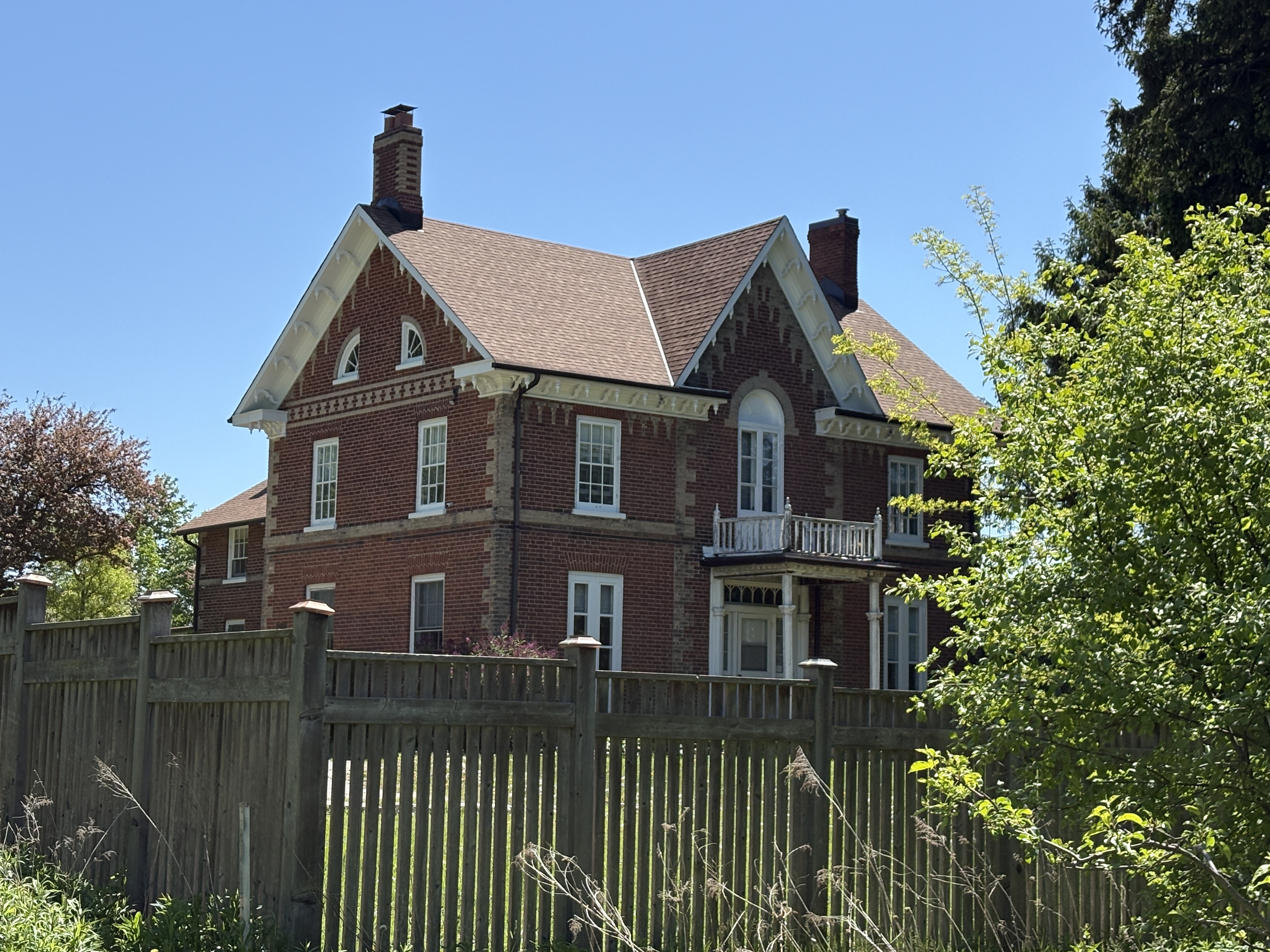
Alexander decided to replace his father’s home with a new one built in 1864. The home became known as “Elms Lea” and was beautifully designed with three symmetrical bays. The dichromate brickwork gives the home it’s elegant styling. The home has a “T” plan with the kitchen in the tail. When the farm was taken over for the observatory, this house became the home of C. A. Chant and later the directors of the David Dunlop Observatory lived here. It is now a private residence and is guarded by “No Trespassing” signs.
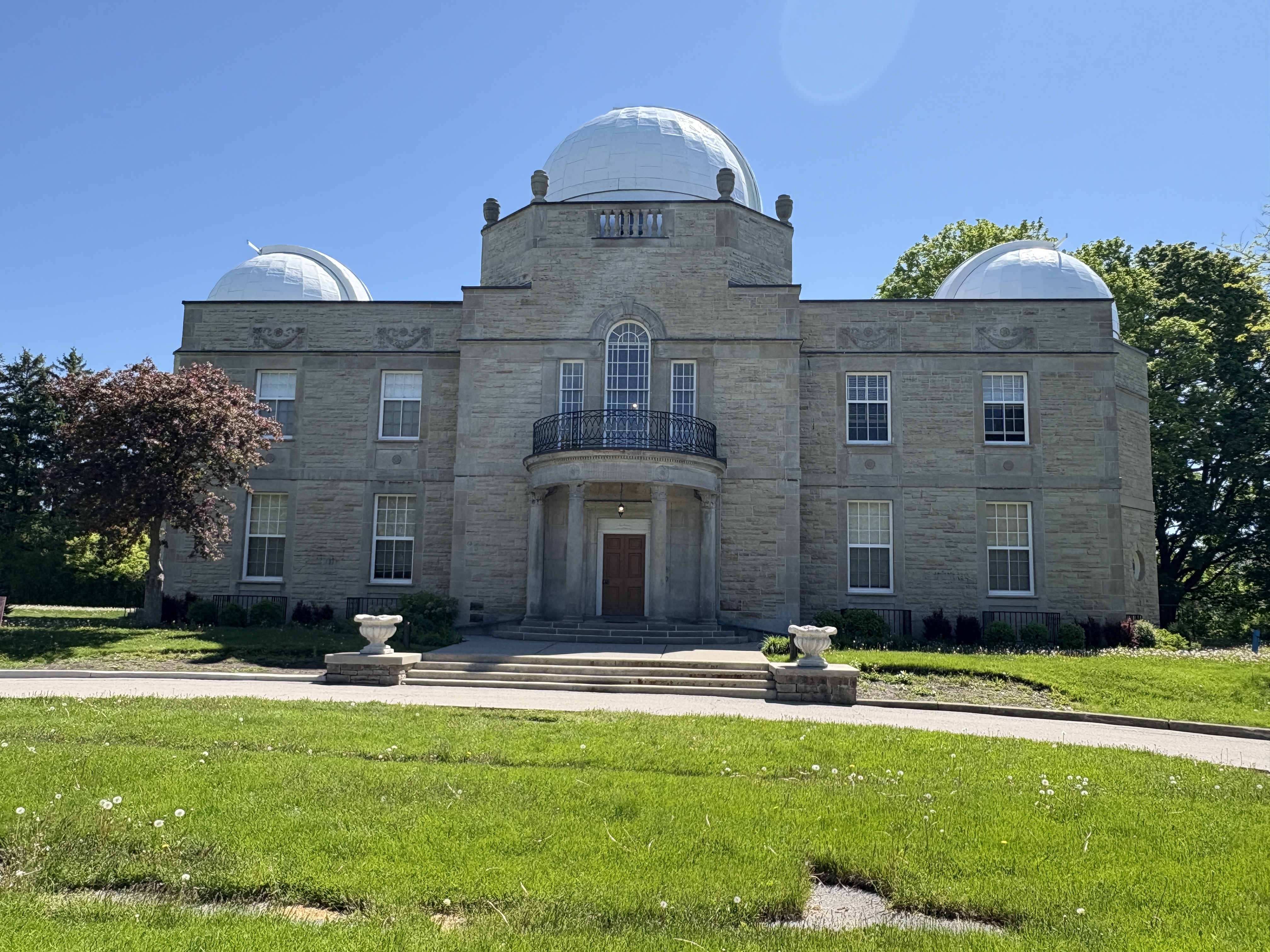
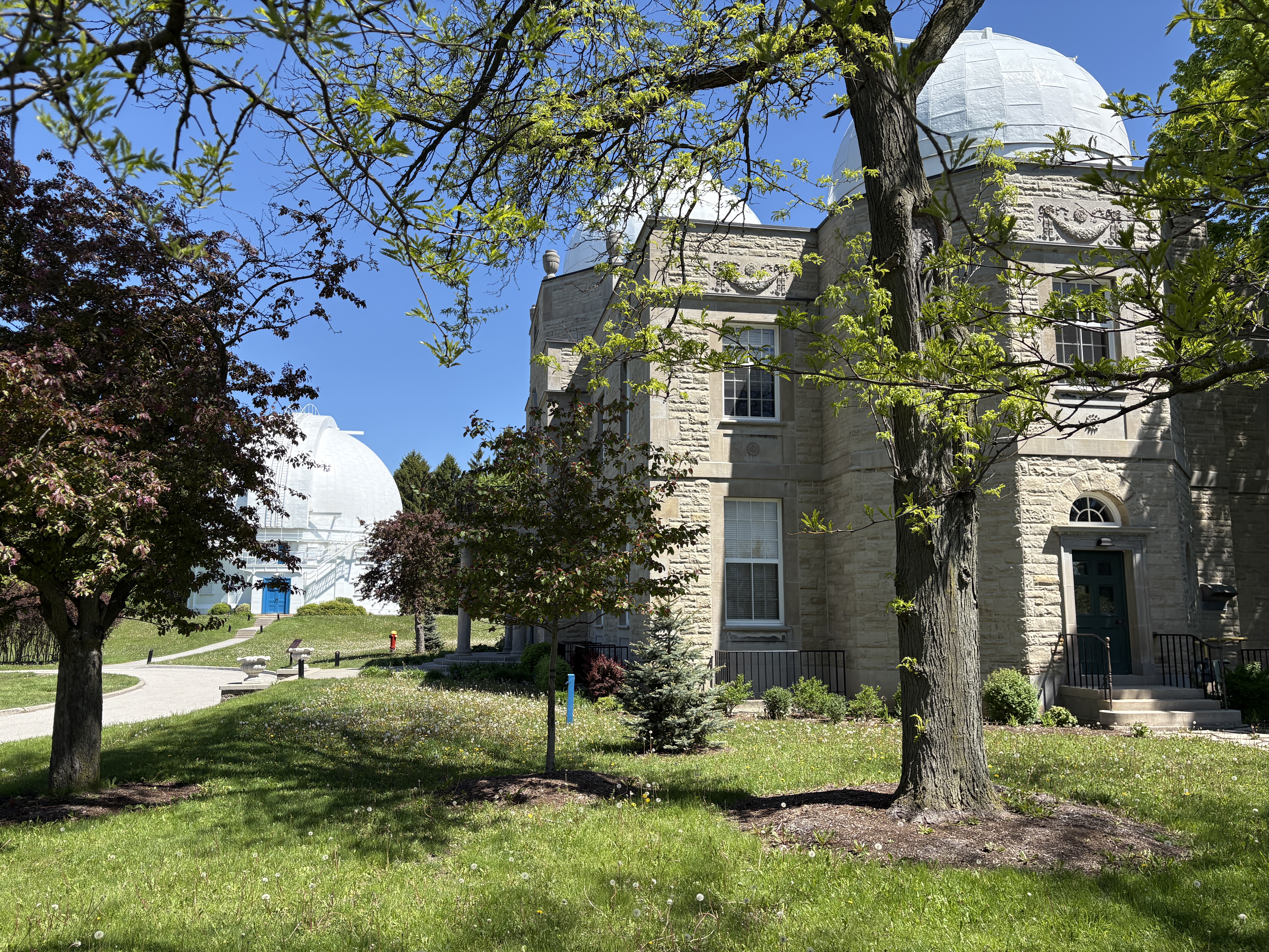
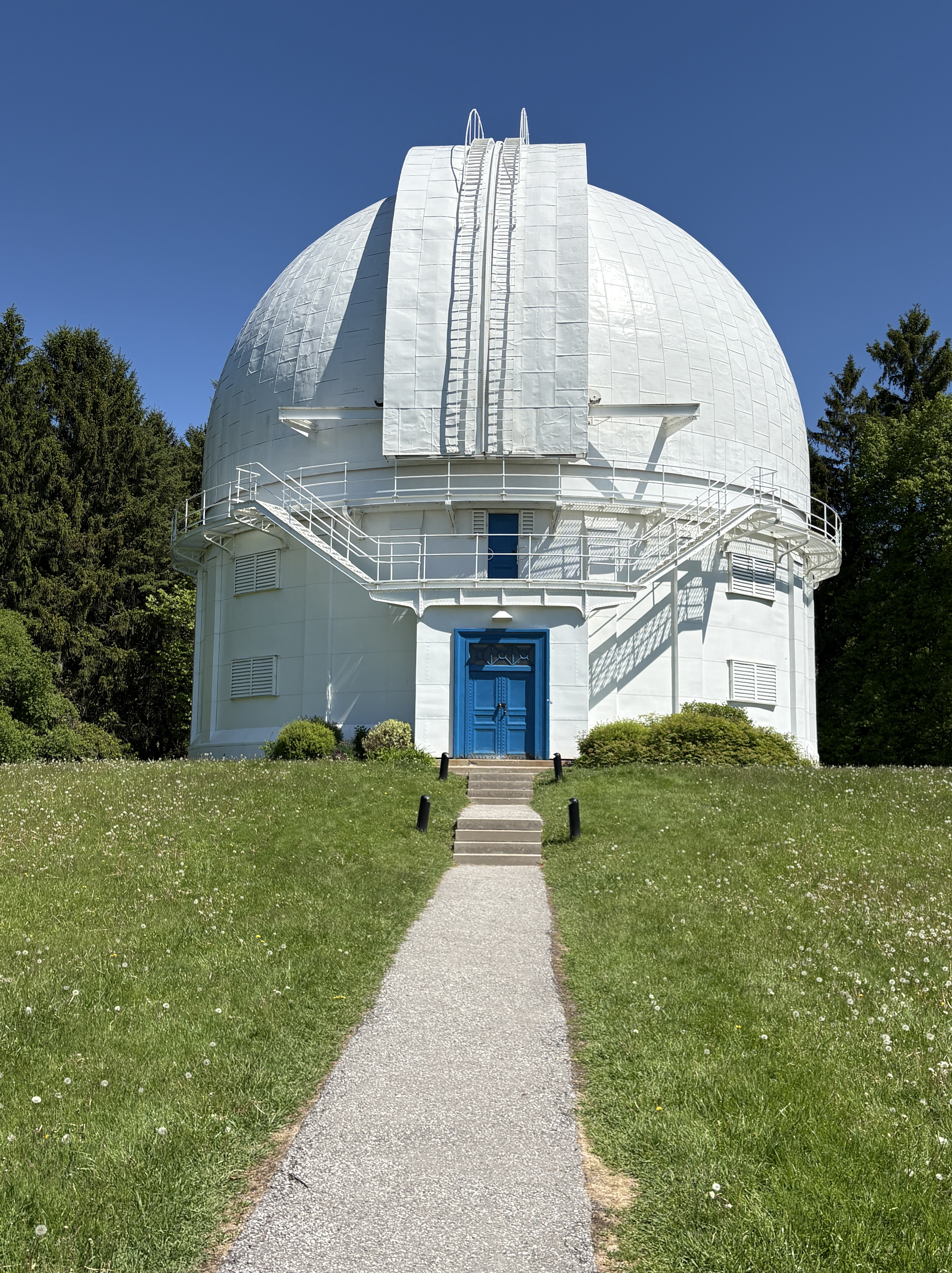
The University of Toronto had a telescope located downtown but by the early 20th century it had become almost useless due to light pollution. It was decided to move it out of the city and after rejecting a couple of potential sites a potential home was located on a high point of land about 20 kilometers north of Toronto. C. A. Chant had been working with David Dunlop on the idea of a new location for a larger telescope. After David died, his wife Jessie Donalda Dunlop purchased the Marsh farm and donated it in his name to the University of Toronto for their telescope. The Administration Building was designed in the Beaux-Arts Classicism style. The front facade has a symmetrical design with a second story balcony. The three domes each had a telescope but only one remains in this building.
The administration building and the observatory were built at right angles to each other and in line with the points of the compass.
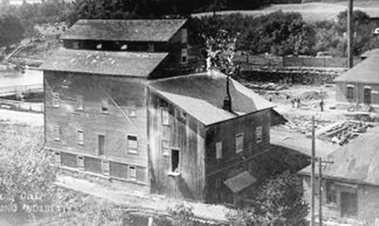
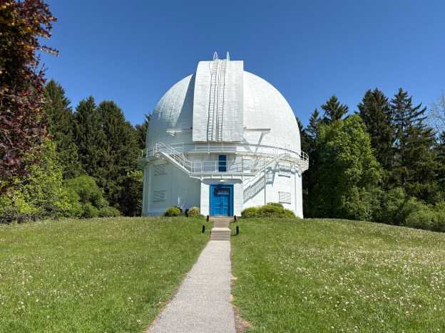
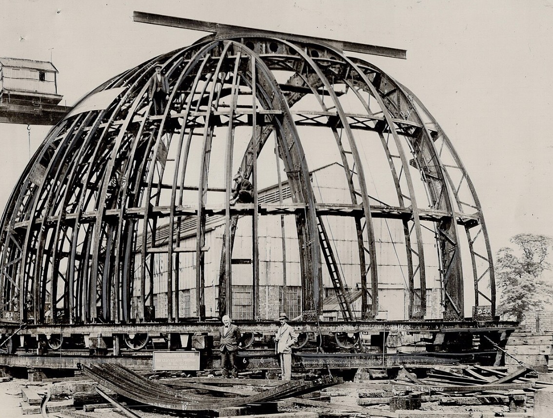
In 1933 earthworks were built on top of the knoll giving the observatory an even higher elevation compared to the surrounding tablelands. That same year a concrete core was poured to support the 5,000 pound mirror. The observatory was designed in England and preassembled there at Newcastle Upon Tyne. It was then taken apart and shipped to Toronto to be assembled on site. The image below is from Wikipedia and shows the assembly in England prior to shipping to the installation site.
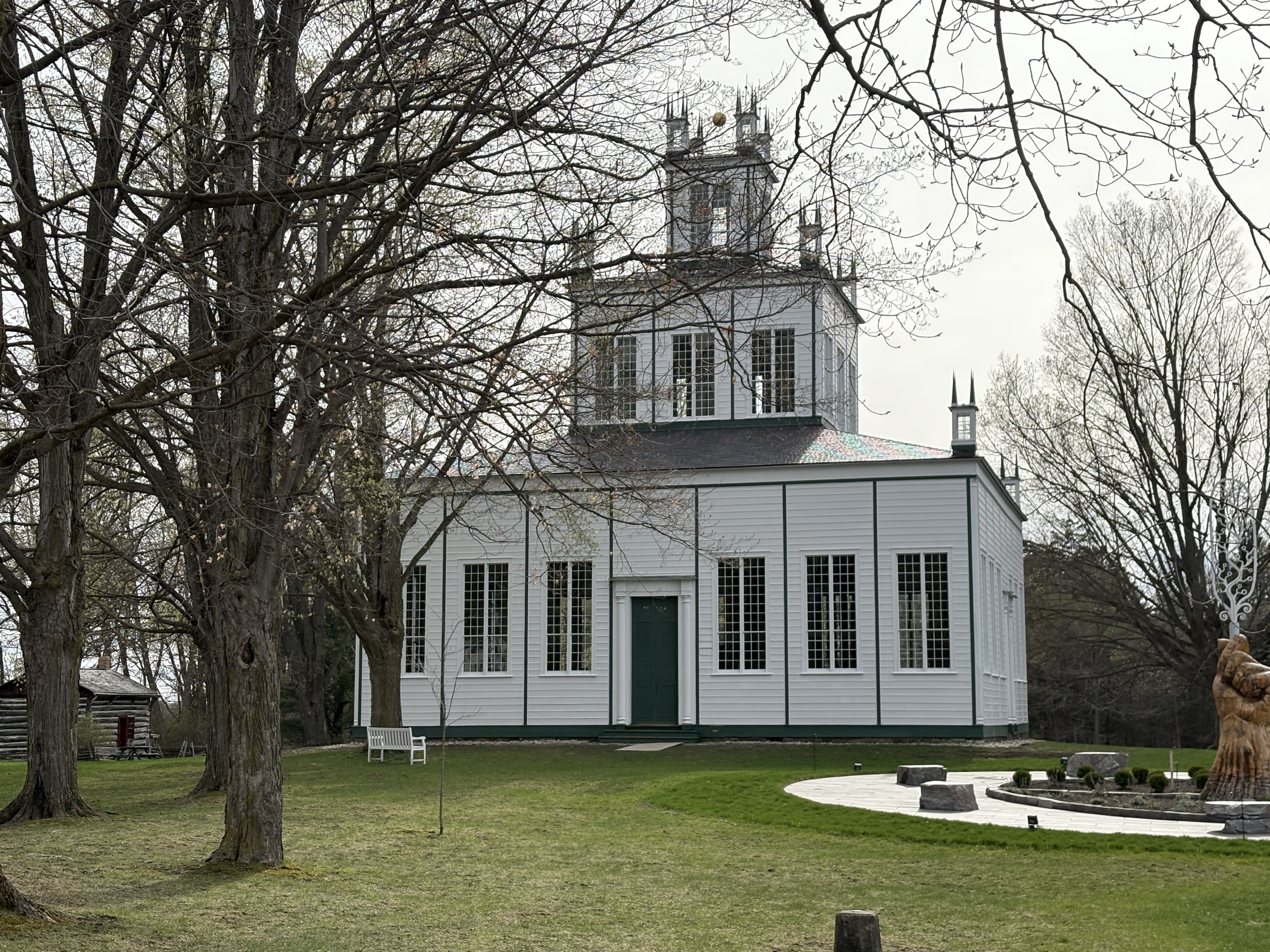
The observatory building is 61 feet in diameter and has a rotating copper dome with a set of retractable shutters. The grand opening was May 31, 1935 and was attended by Prime Minister William Lyon Mackenzie King. The 74 inch reflecting telescope was the largest in the British Commonwealth and second largest in the world at the time of opening. It made it possible for the University of Toronto to be the first Canadian school to offer a graduate degree in astronomy. In 1972 C. T. Bolton used the telescope to confirm the existence of black holes for the first time by showing that Cygnus X-1 is a black hole. Canadian rock band Rush would bring the presence of this particular black hole to the attention of their fans with the masterpiece “Cygnus X-1”. This extended story was told in two parts in 1977 and 1978 and is considered by some fans to be one of the crowning achievements of their career.
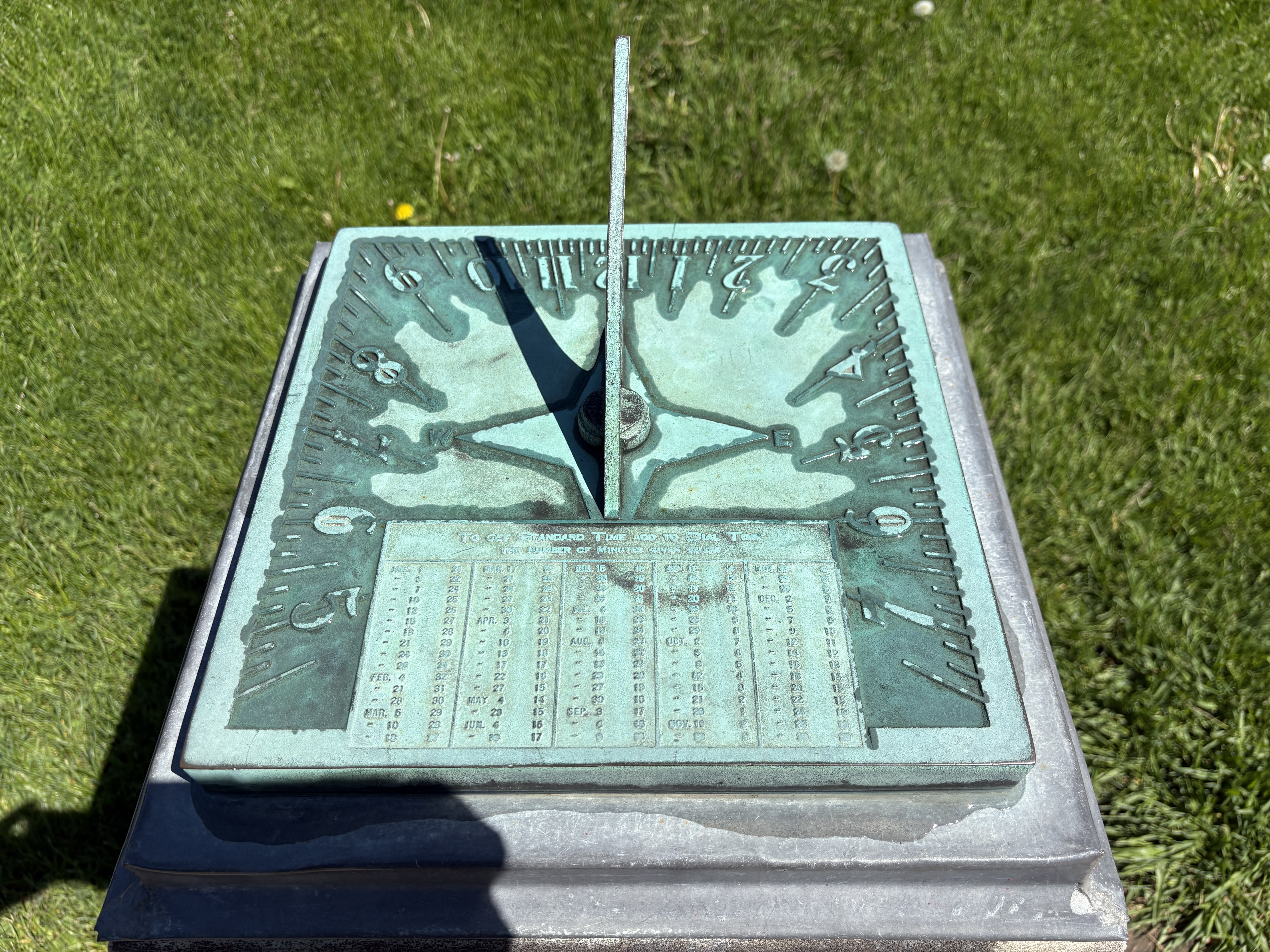
In 1959 there were changes made to the approach of the buildings to add an elliptical driveway and a sundial. In the 1960s a new entrance was made from Hillsview Drive. This laneway was designed in such a way that the headlights of approaching cars wouldn’t disturb the telescope.
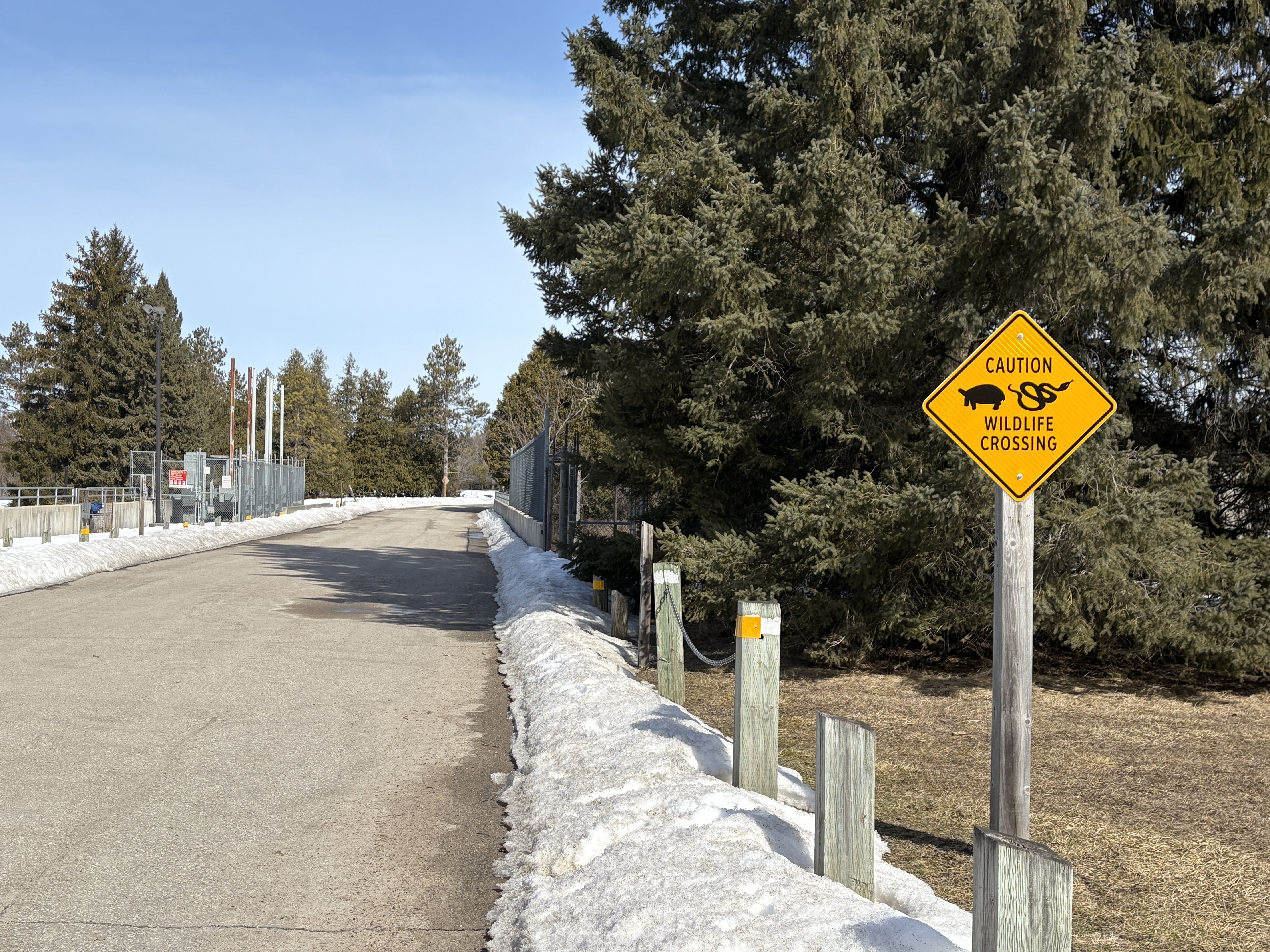
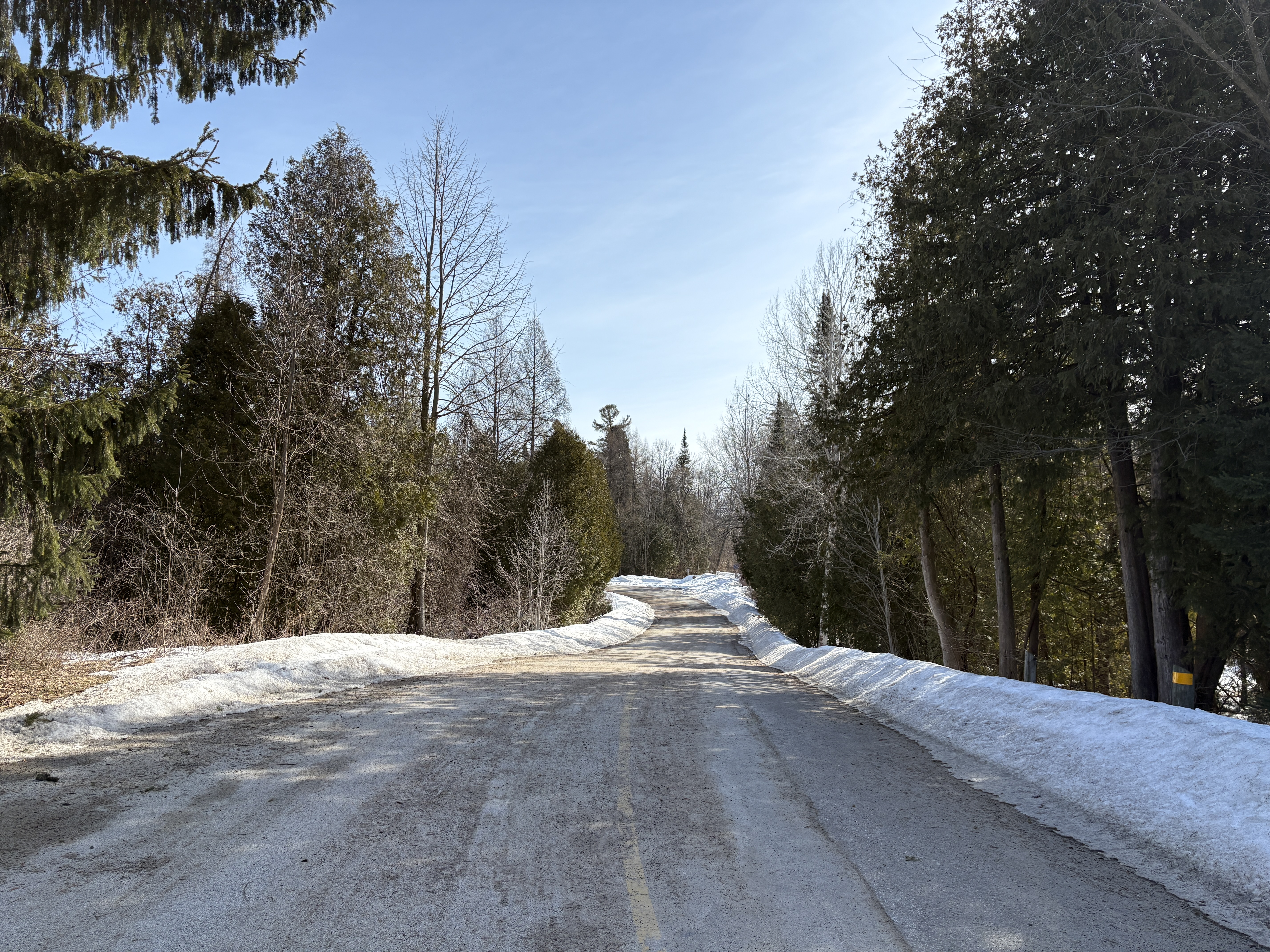
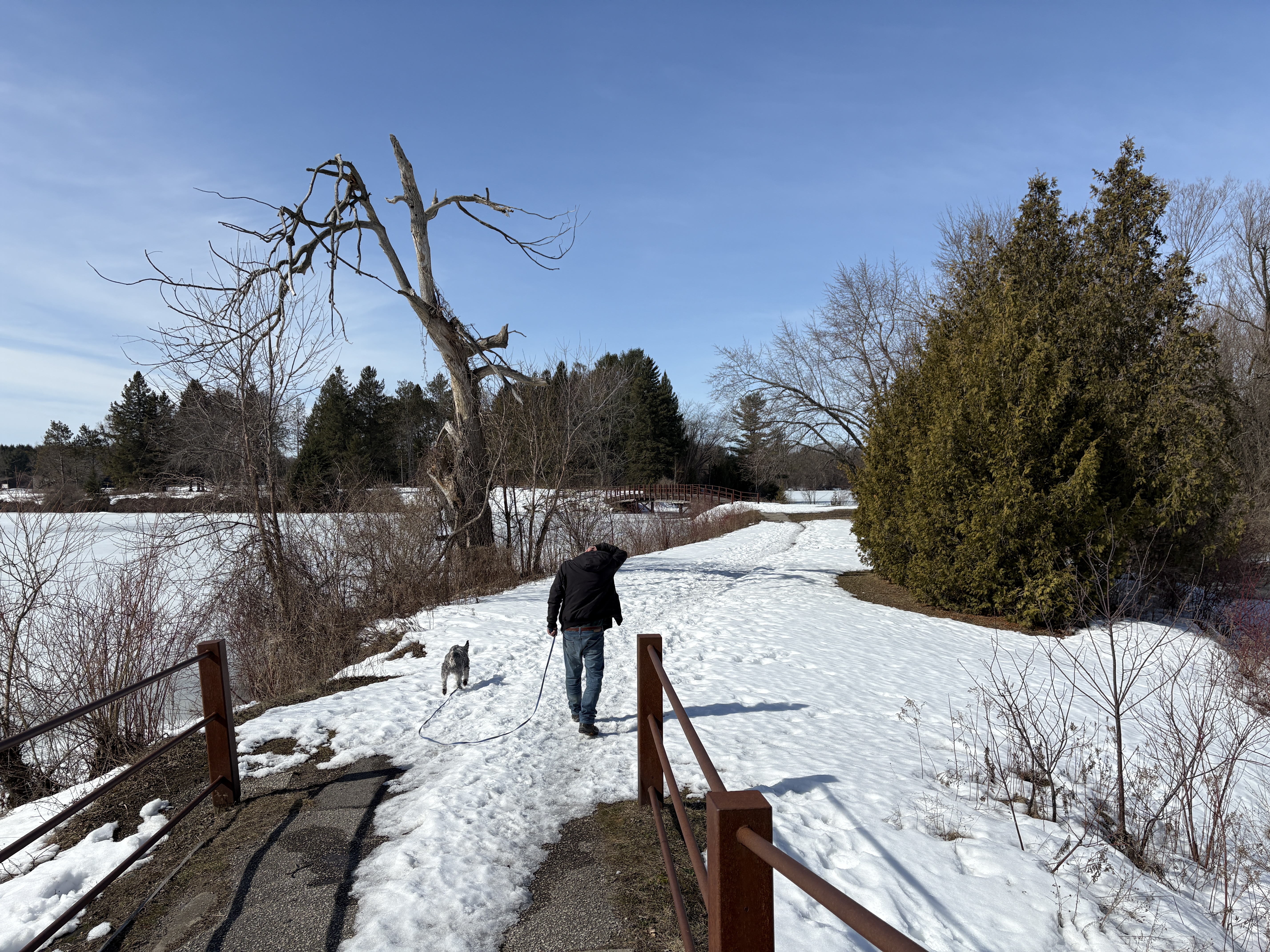
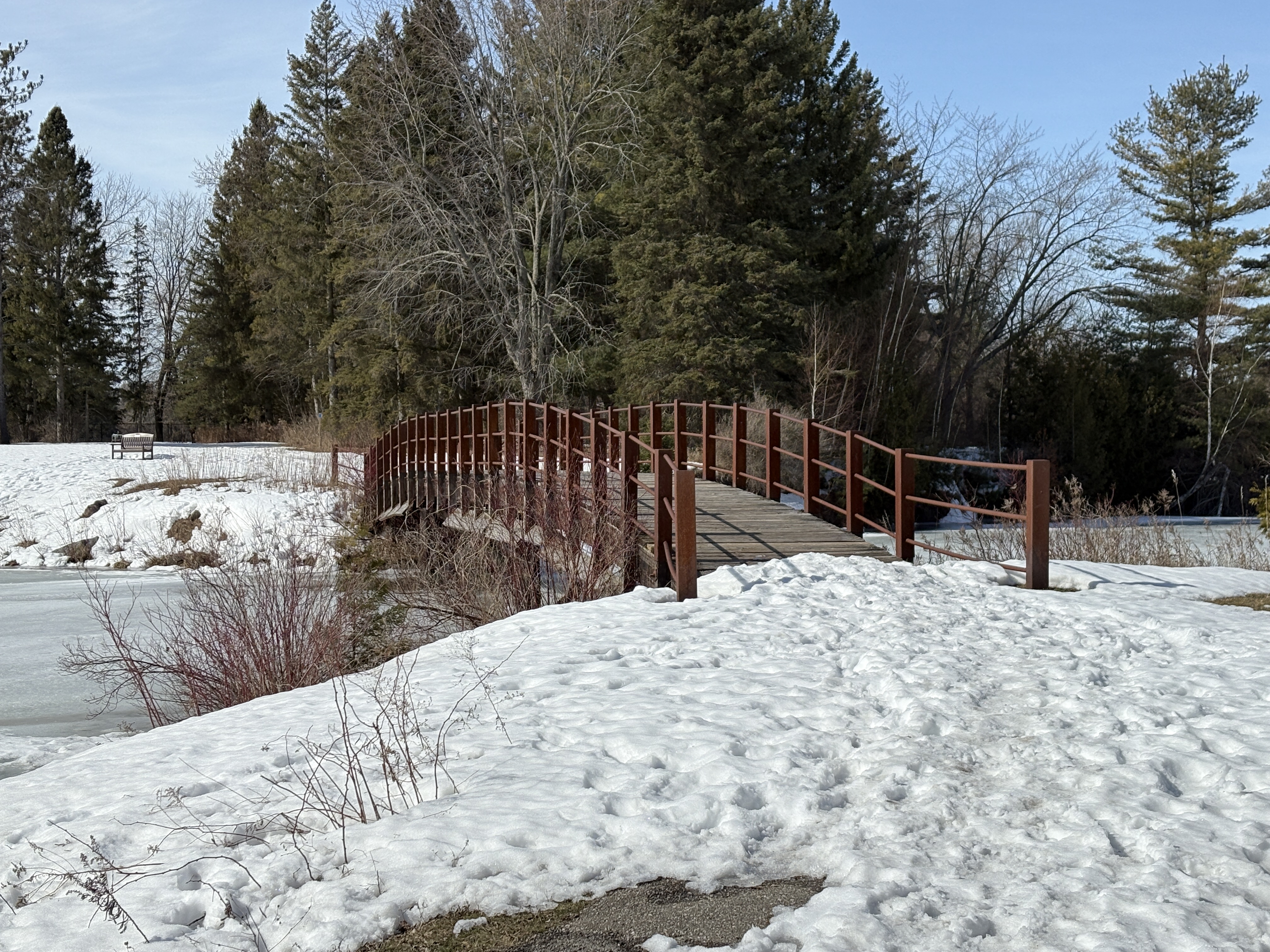
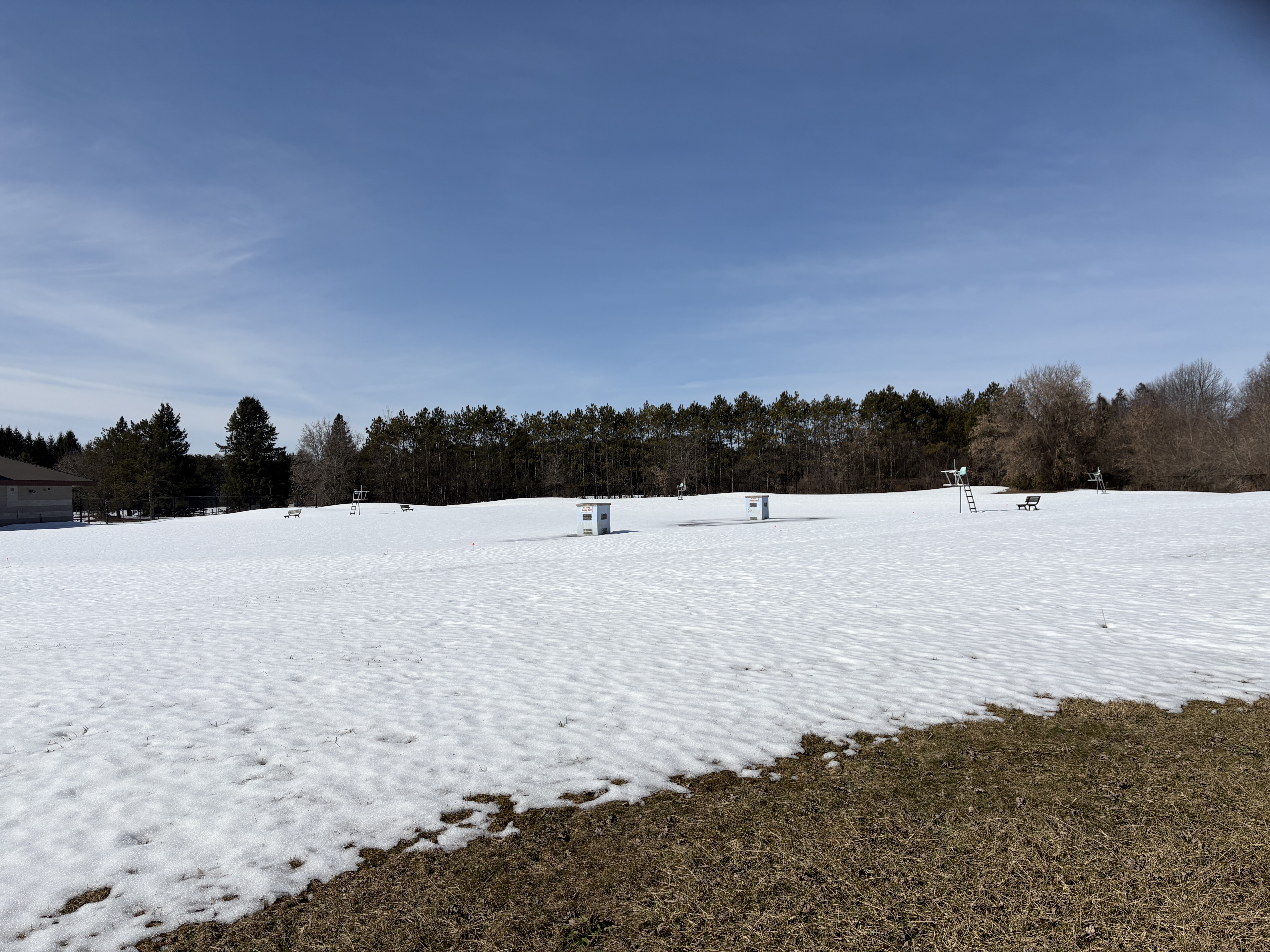
There are nine trails that take you around the property with some of them having a granular surface while one is paved with asphalt. All of the trails are listed as beginner level and are accessible.

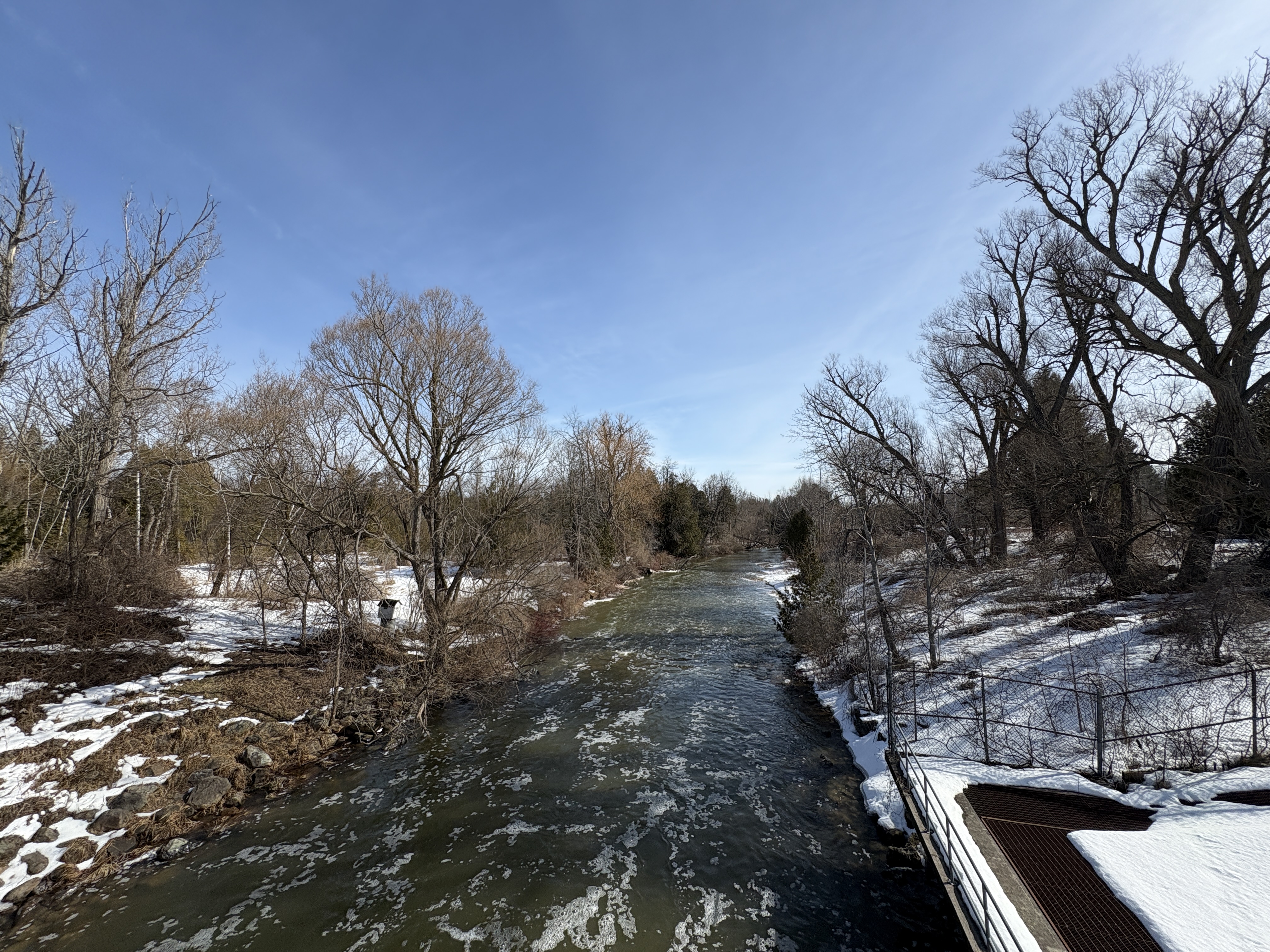
The combined trails are almost 4 kilometers long with mostly open sky but a few shaded areas with trees. As I had arrived during the middle of the day on a Monday there were very few people here and the trails were all mine.
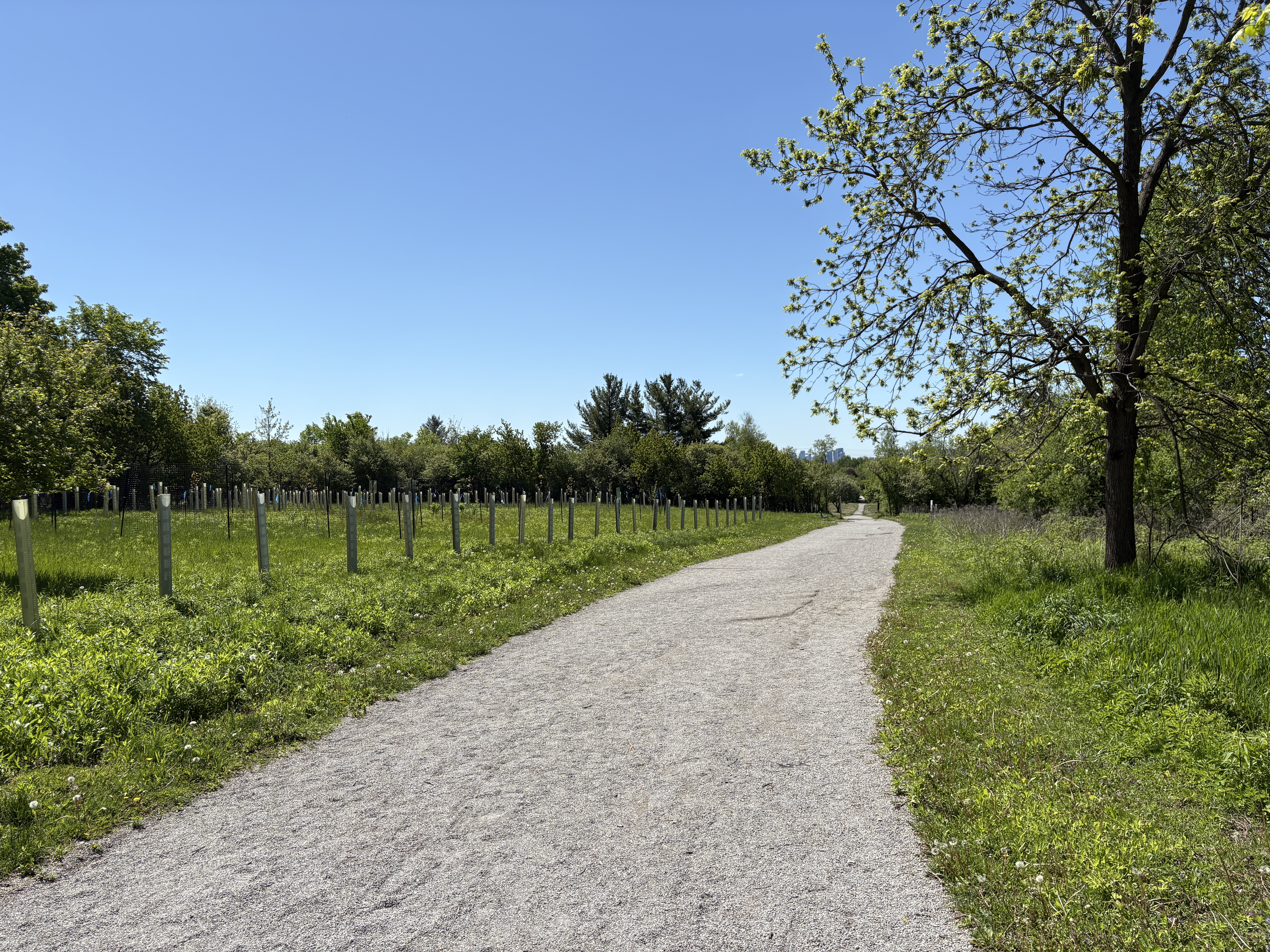
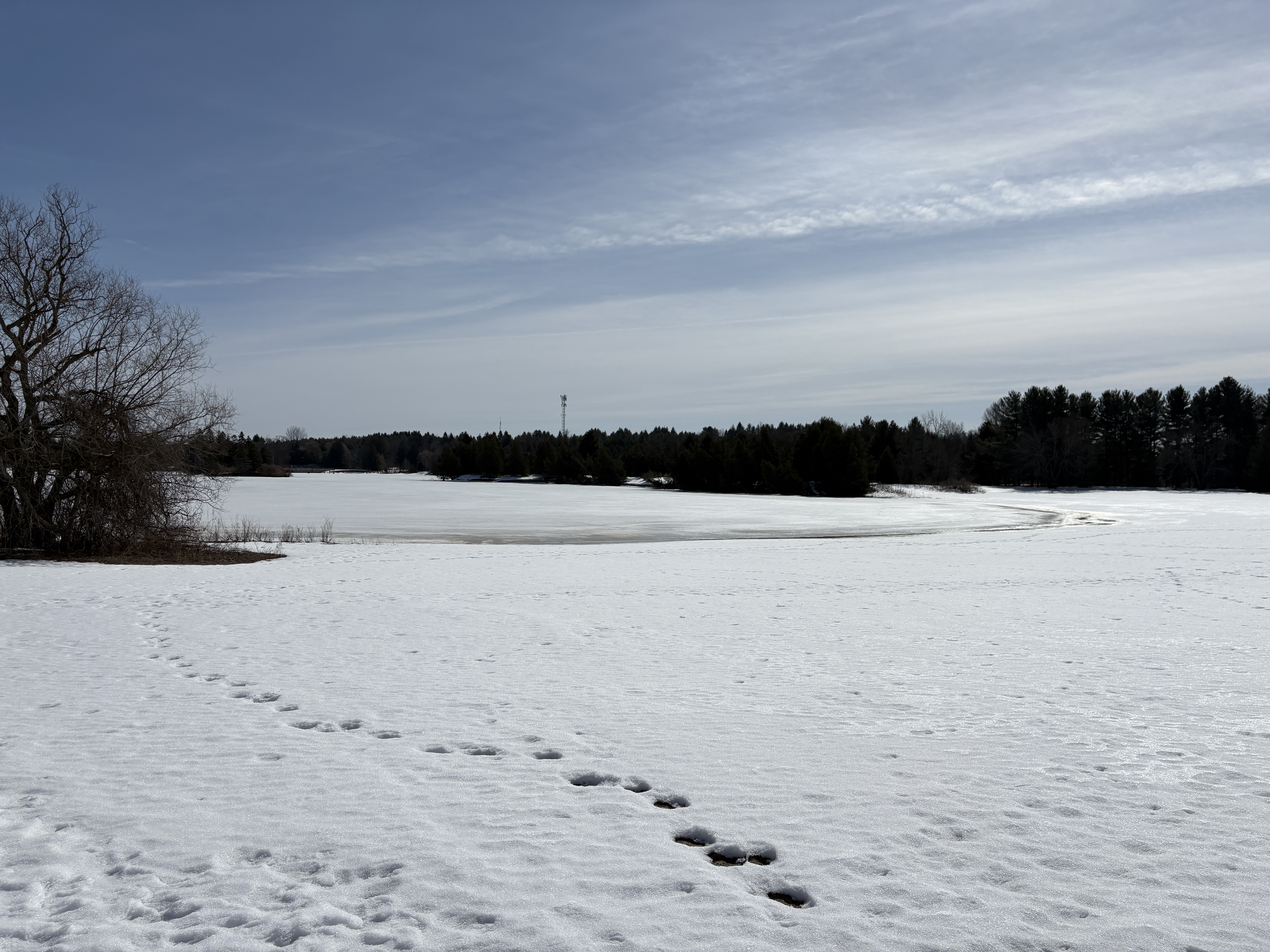
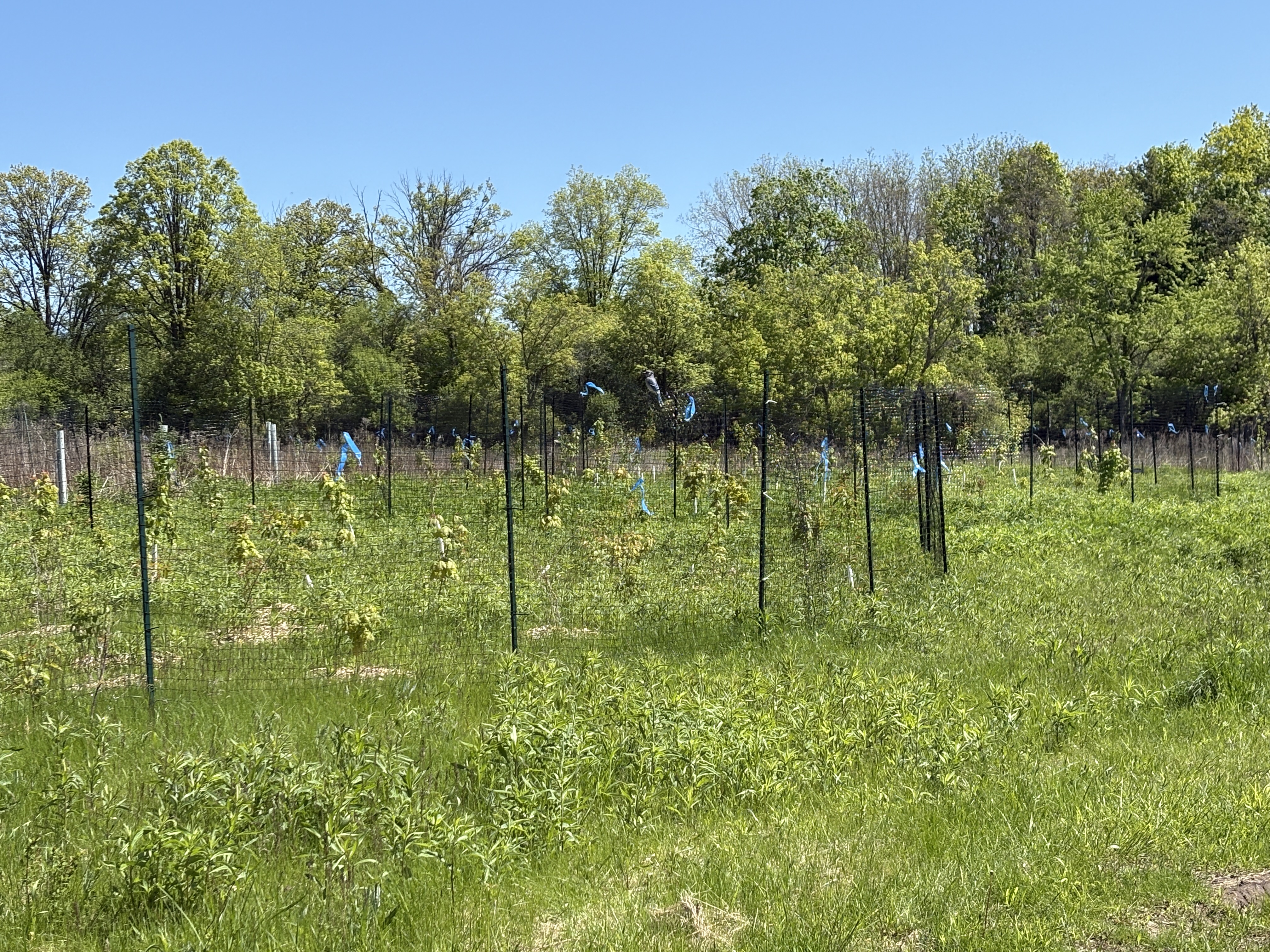
The University of Toronto has had several tree planting programs to introduce native and non native trees. There is a significant number of trees on the property that weren’t here when it was a farm. New plantings are still being added and are surrounded by a fence to keep the deer from getting to them. The sides of the trails are dotted with deer tracks so it looks like there may be quite a few living here.
The David Dunlop Observatory has many programs throughout the year to teach people about astronomy and the grounds look like a natural place within the city to watch for meteor showers. Best of all parking is free, if somewhat limited.
Google Maps Link: David Dunlap Observatory
Like us at http://www.facebook.com
Follow us at http://www.hikingthegta.com