Saturday, April 12. 2025
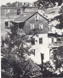
Peel County was surveyed in 1818 but the intersection of Sideroad 5 and Concession 1 in Chinguacousy Township (modern Queen and Main, aka The Four Corners) remained largely undeveloped until 1834. That was the year that John Elliot divided his land and started selling development lots for homes. The community was renamed Brampton after his home in Cumberland, England. By 1846 the population grew to about 150 and the community had 2 stores, 2 blacksmith shops, 2 tailors, a tannery, a tavern, and a cabinet maker. The community has done a remarkable job of preserving its civic buildings and that is the focus of this article. The image below shows the town in 1877 and is marked with the locations of the places that are detailed in this article.
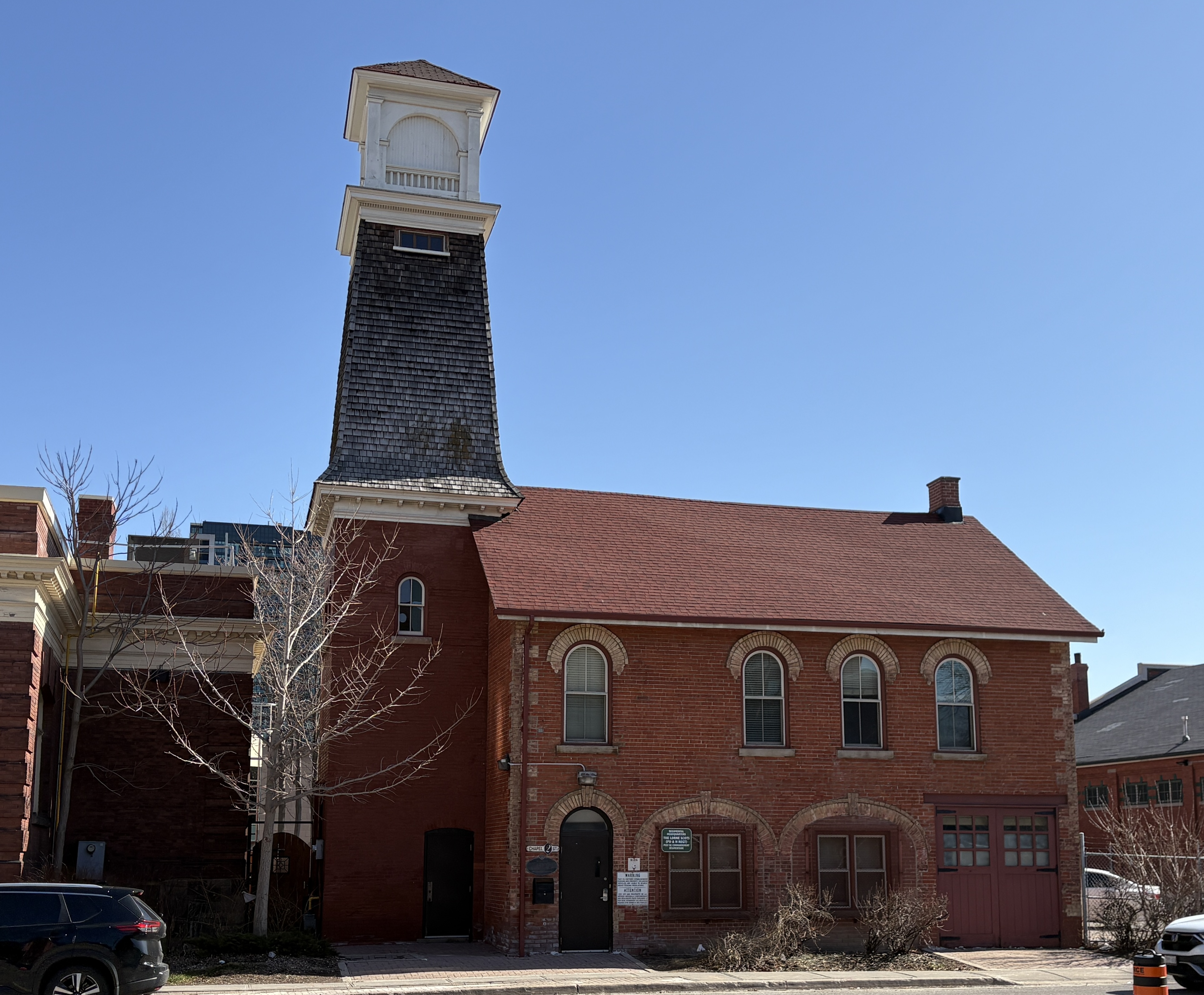
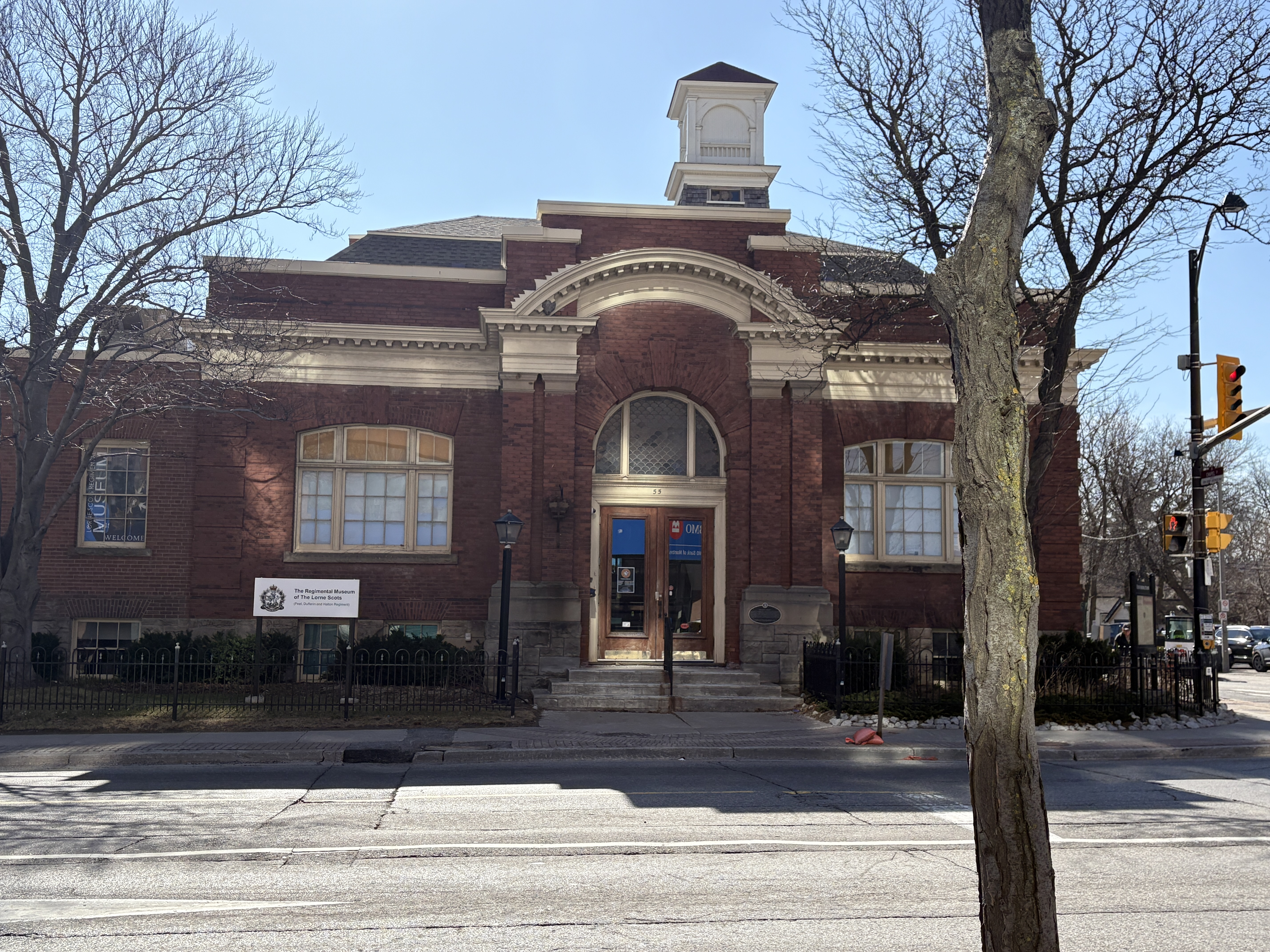
Originally built as the market and fire hall this building was constructed in 1854 as a single story structure. It originally had three arched doors on the ground level to allow access to the market. These were eventually closed and one of them was replaced with the double doors on the right hand side in the picture below. When a second floor was added, it became the council chambers which lasted from 1860 to 1911. The three windows on the second floor at the right hand side of the picture were for the council chamber. The tower was added in 1862 so the fire department could dry their hoses. The fire department used the building until the 1970s and now it is used as the regimental headquarters for the infantry regiment Lorne Scots.
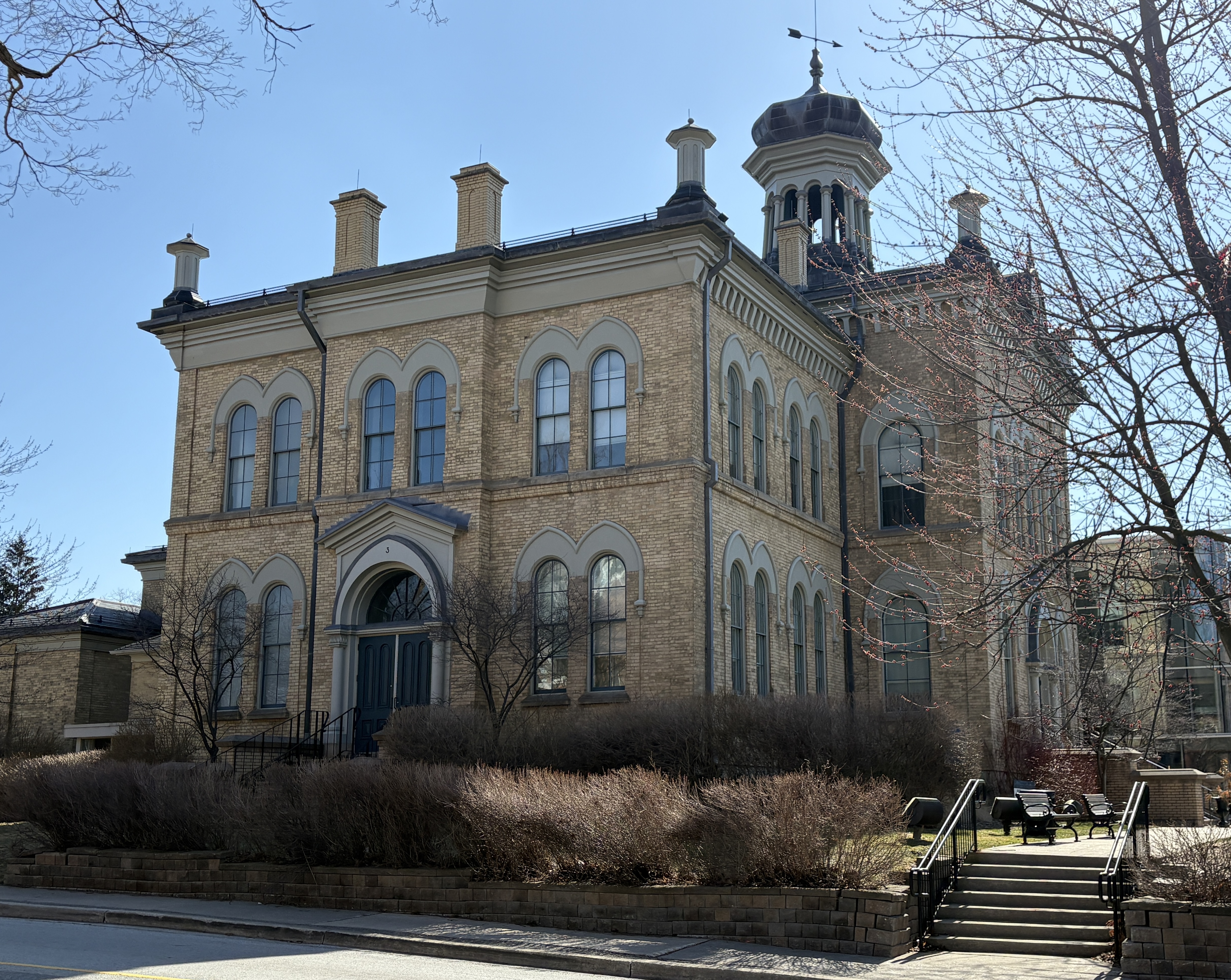
In 1867 Brampton was chosen as the County Seat for Peel County. This meant that a courthouse was built along with a jail. The stone for both of these buildings was quarried from the Etobicoke Creek on the south end of town. One of the defining features of the court house is the onion shaped dome on the top of the building.
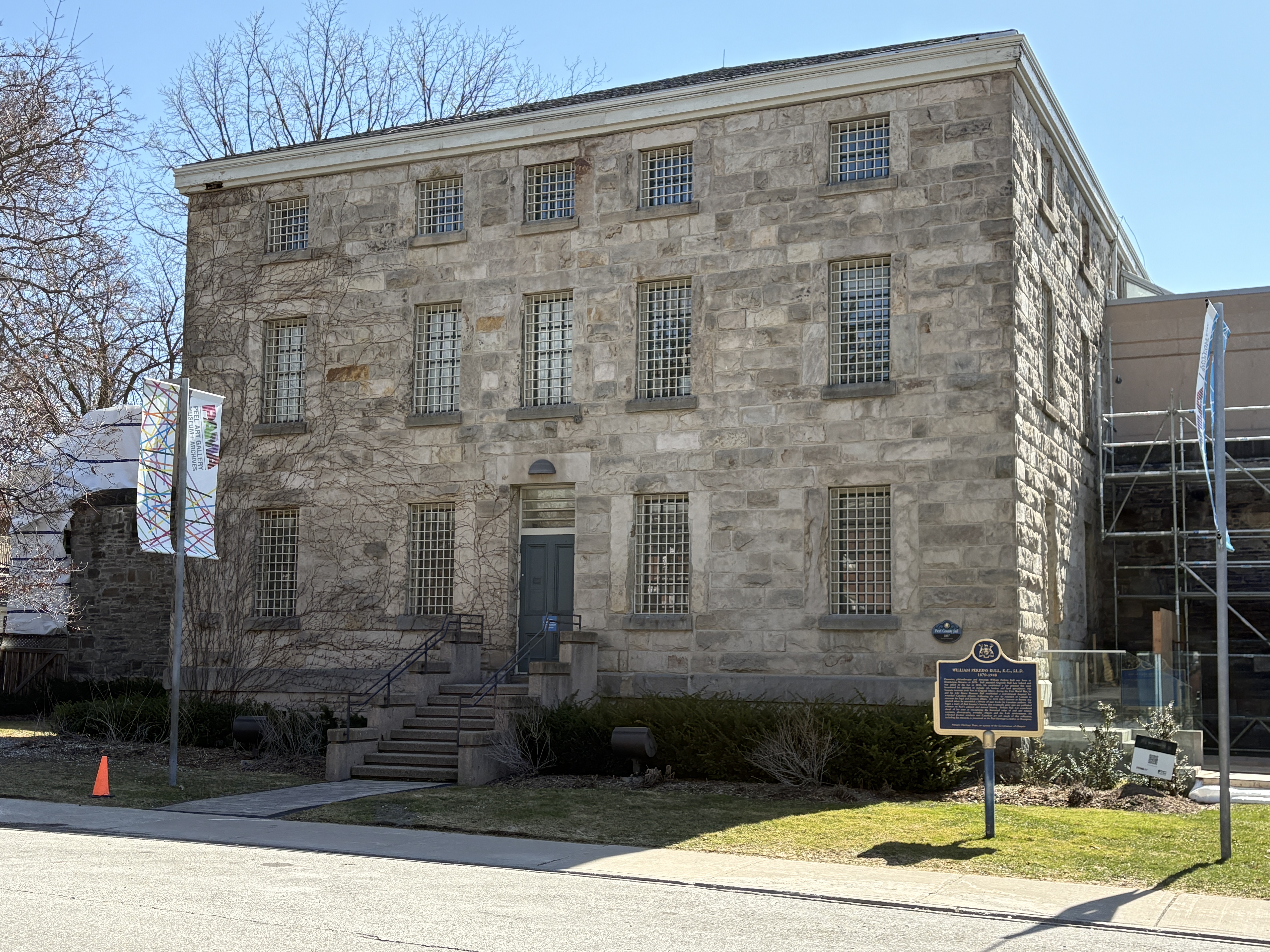
The Peel County Jail was also built in 1867 and was originally designed to hold 30 inmates. At times it was pressed into service for twice that many. Inside there are tiny 1 metre by 2 metre cells in which inmates would spend their nights. In the history of the jail, three people were hung for murder. These hangings took place in 1907, 1941 and 1946. Many people passed through this jail before it was closed in 1977. One of the most infamous was also one of the last ones. Huey Newton, who founded The Black Panthers, was held here in 1977 while awaiting extradition to the US on murder charges. For the inside view of a similar jail, see our article on the Owen Sound Jail.
The Dominion Building was erected in 1888 and officially opened in 1889. It served as the Post Office, City Planning Building and Police Headquarters. It was designed by Thomas Fuller who was the Government of Canada’s Chief Architect. Most of the building is clad in bricks but the Queen Street elevation is clad in Credit Valley sandstone that was quarried at the Forks of the Credit. The style is Romanesque Revival which Fuller also used on the original Centre Block of Parliament Buildings in Ottawa. The Dominion of Canada Coat Of Arms is carved above the windows on the third story while the clock tower was added a later date.

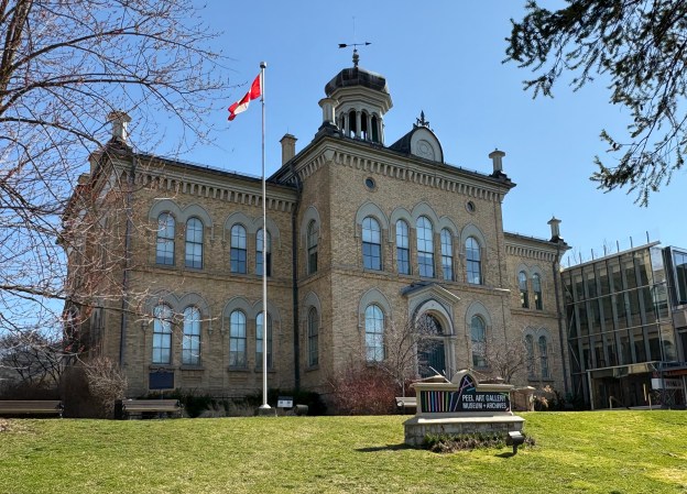
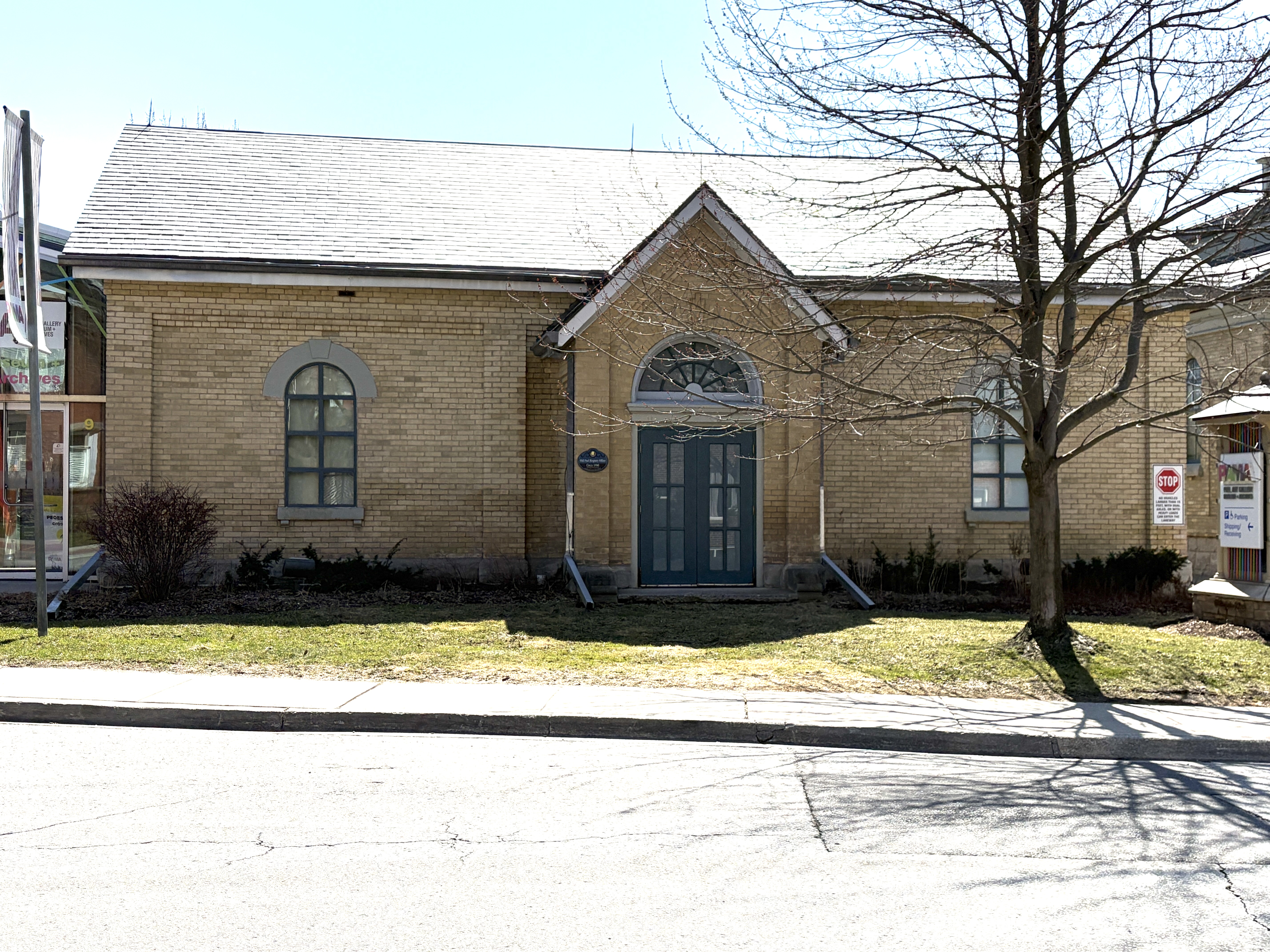
The County Registry Office was built in 1890 on the piece of land beside the jail. Also known as the Land Registry Office, this building was used to register land titles, transfer deeds between people and to store records. It was in use until 1959 as the registry office. In 1967 it was converted to Peel County Museum and Art Gallery.
Andrew Carnegie was a steel magnate who became one of the richest people ever in the United States. He lived in an era when wealthy people used their money for the betterment of society. A local example of this is the Massey Family who donated Massey Hall to the city of Toronto. Carnegie used his fortune to fund free public libraries. Between 1881 and 1917 he funded the construction of 156 libraries across Canada. The one in Brampton was funded by a $12,000 donation and the corner stone was laid in 1906. It was expanded in 1952 and has since been used by the Brampton Board of Trade and the Brampton Concert Band.
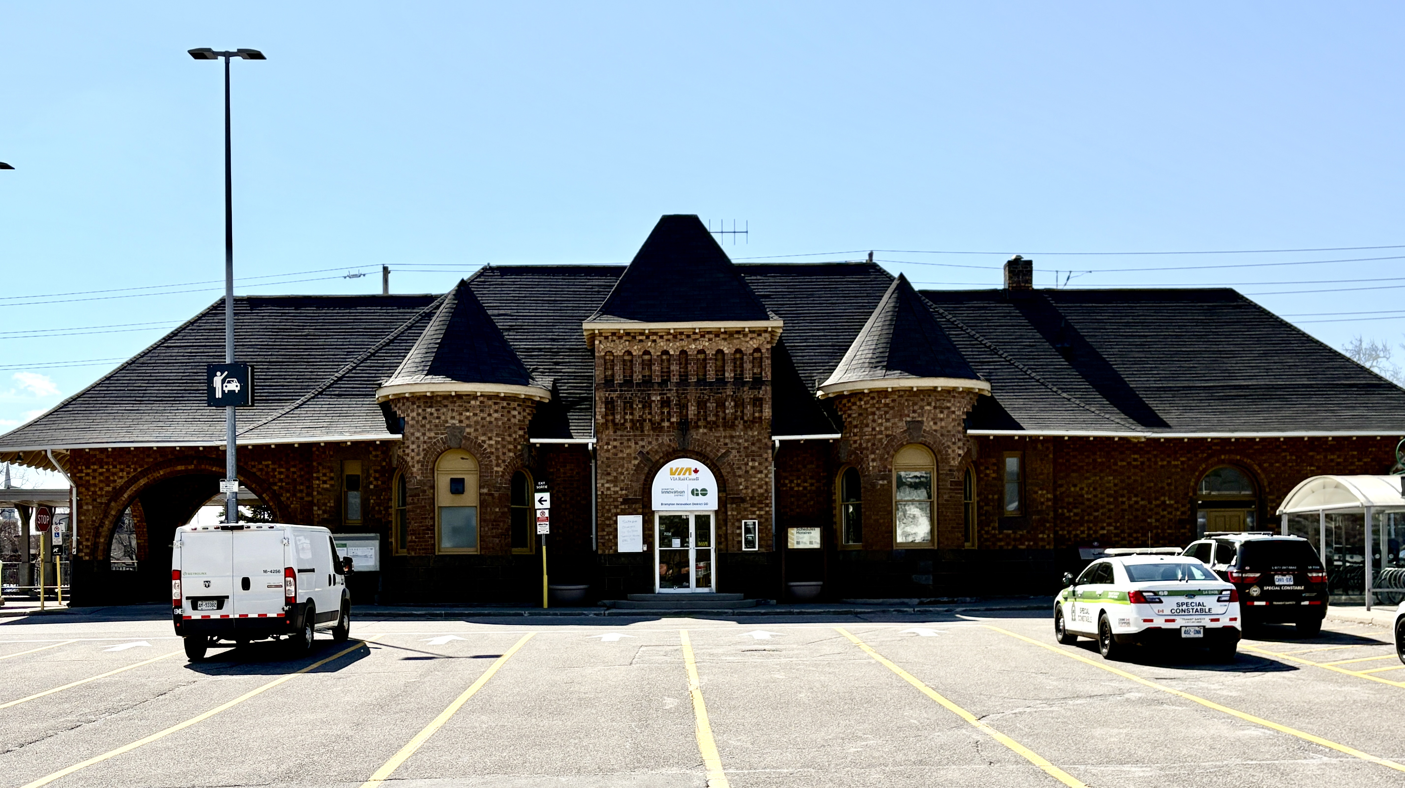
The Grand Trunk Railway arrived in town in 1856 and built a station near the downtown area. When the railway was booming at the turn of the century, it began to replace its earlier stations with new more impressive ones. The new station opened in 1907 with a combination of Romanesque Revival and Arts and Crafts styles to the architecture. Industry was attracted to the area around the station and many of these early industrial buildings still stand. The Hewetson Shoe Factory and Dominion Skate building being two examples.
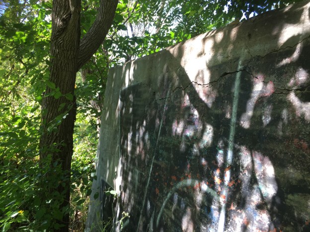
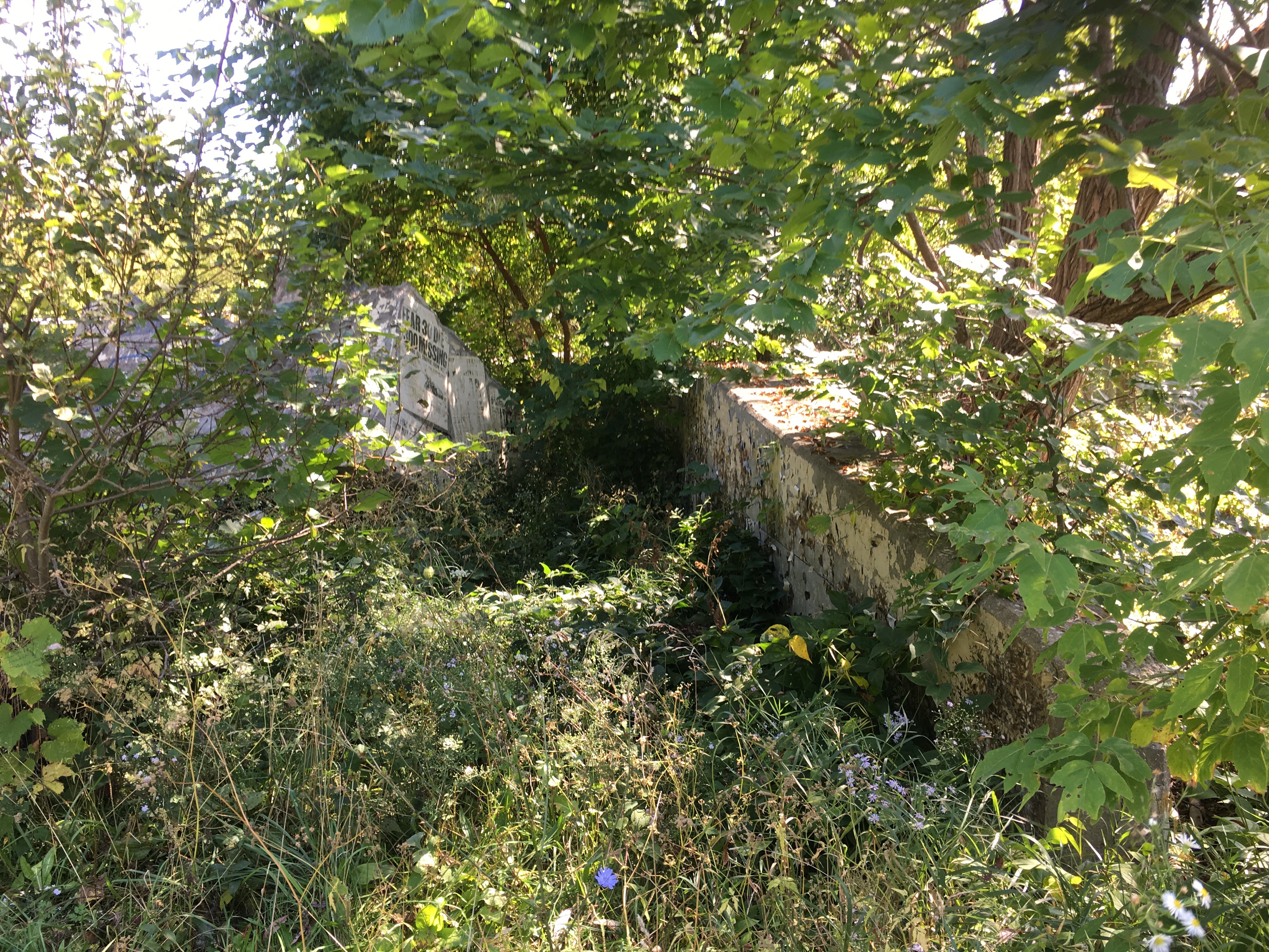
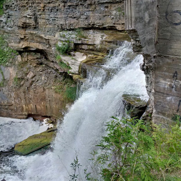
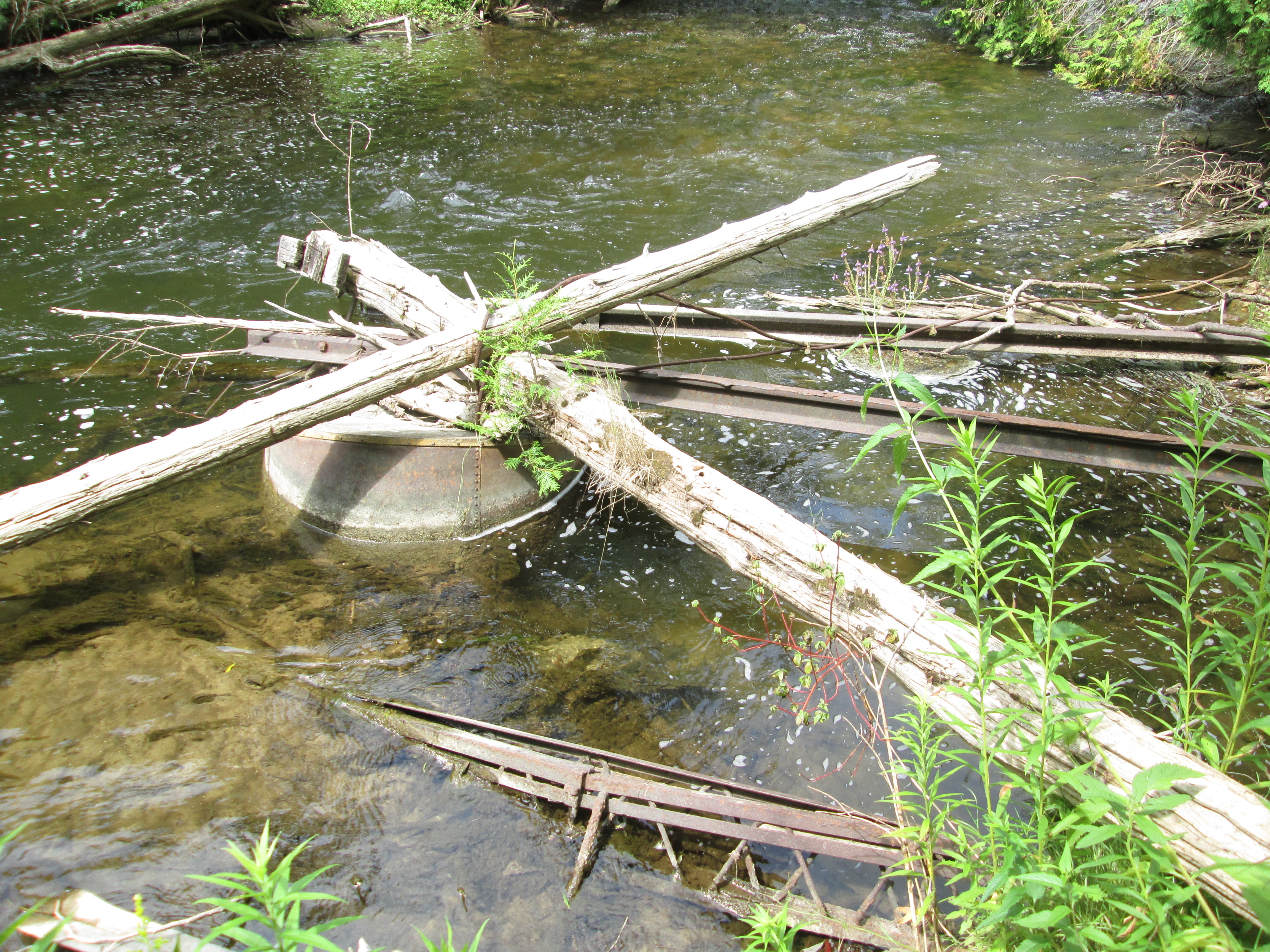
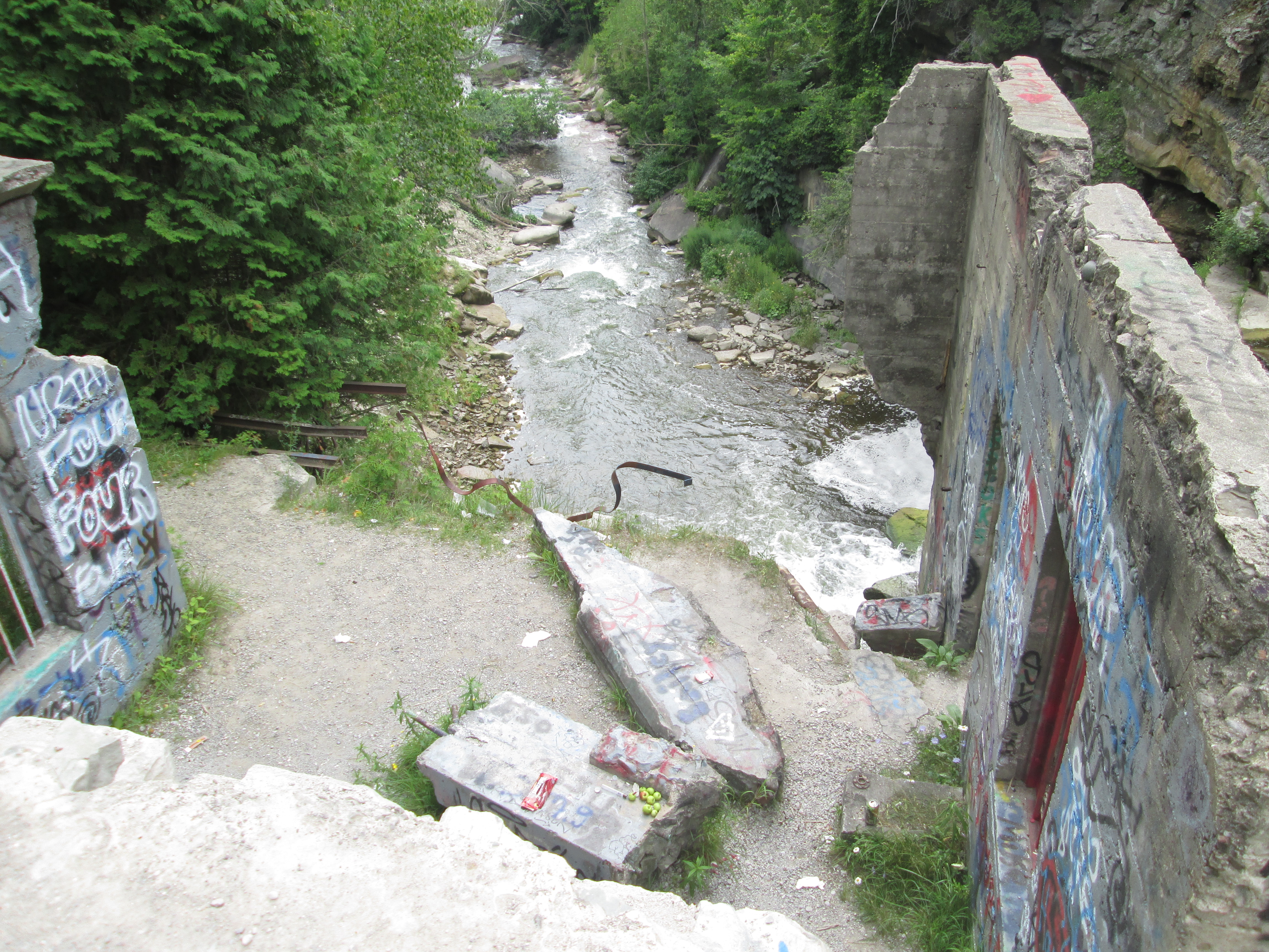
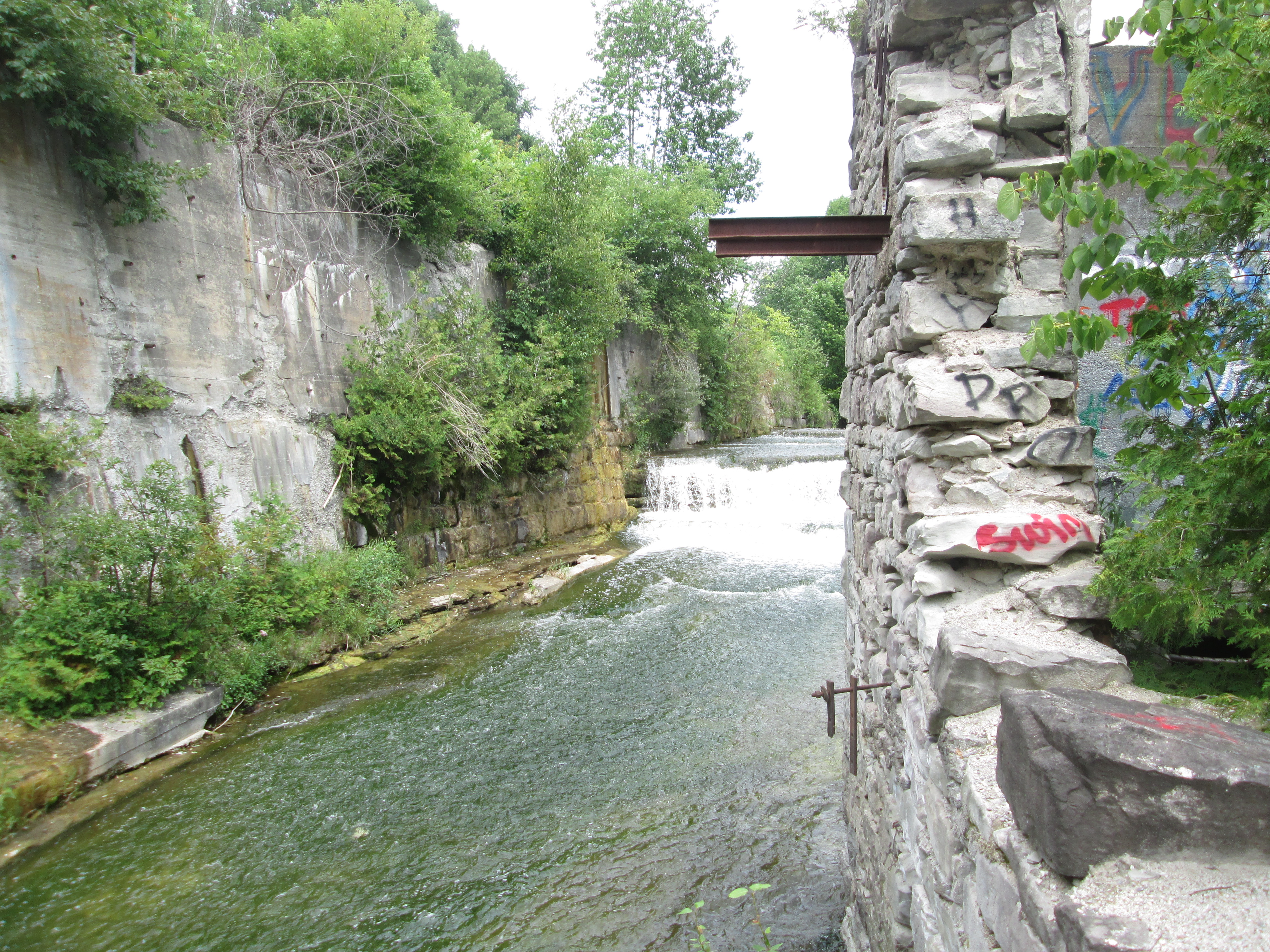
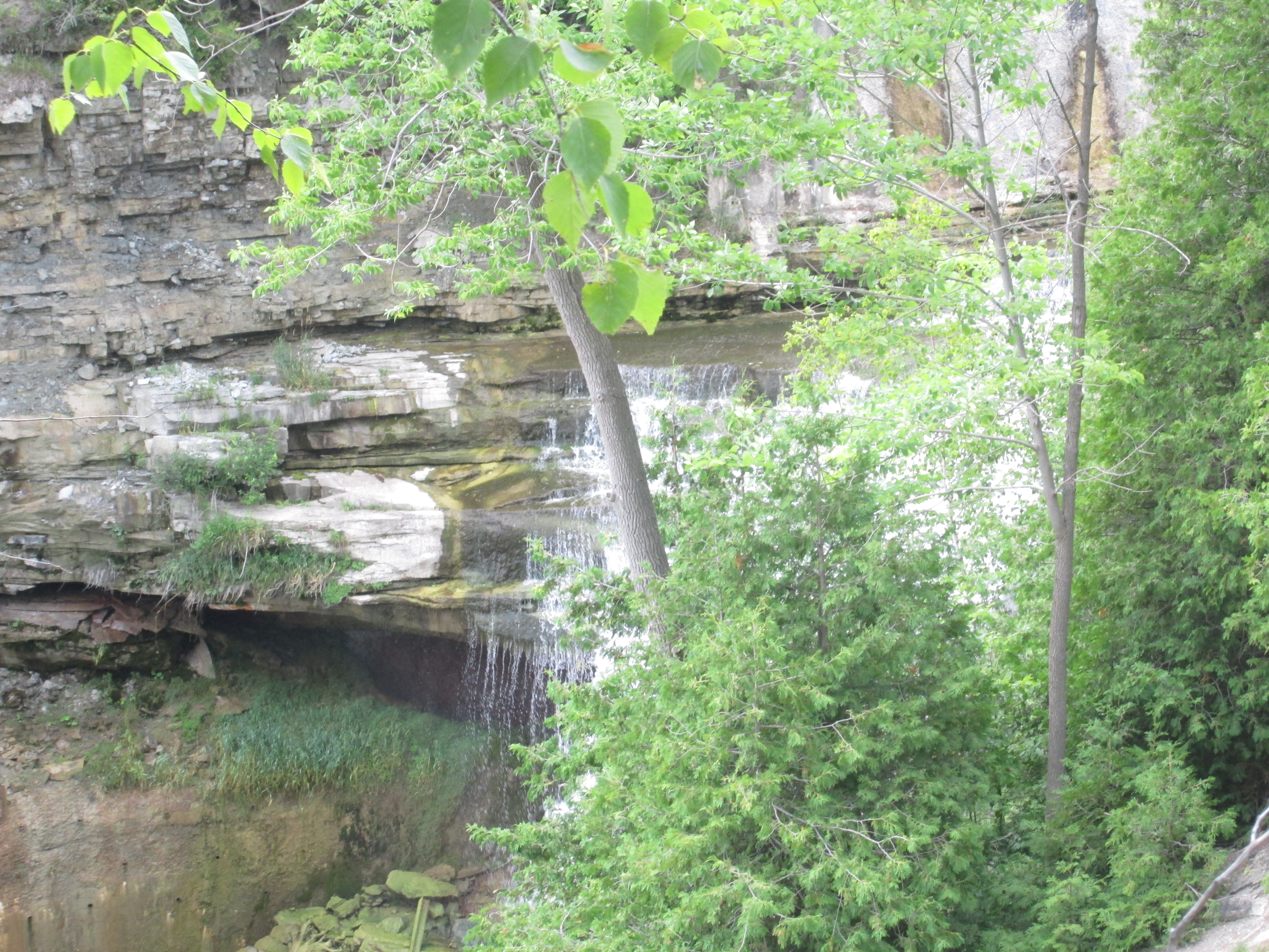
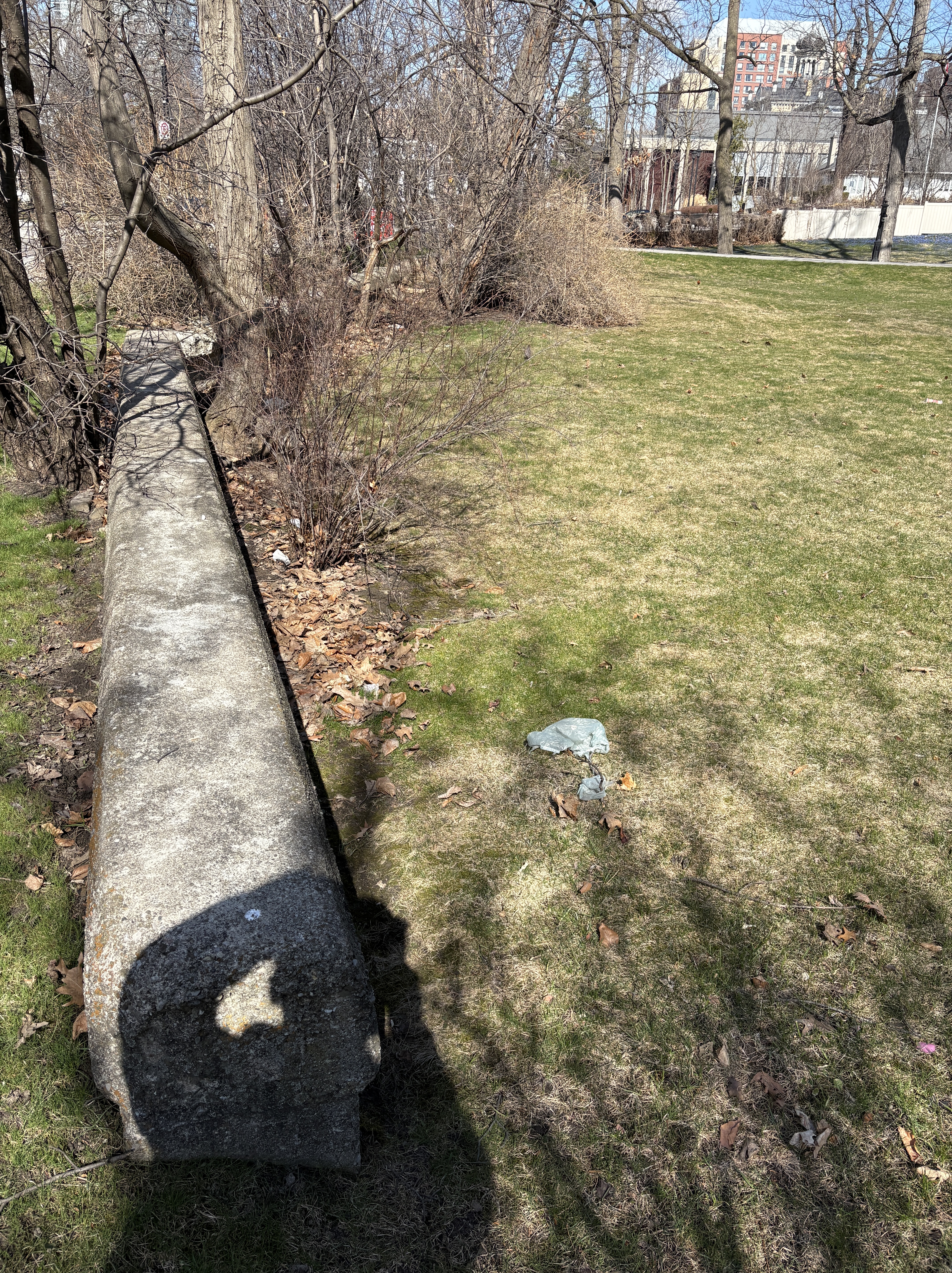
Etobicoke Creek flooded the downtown area almost every spring because it was a slow moving creek that couldn’t always contain all the flood waters from the spring melt. Part of the creek ran along side Main Street and a retaining wall was built in 1914. Part of this old wall can still be found in front of homes on Main Street. The old creek bed has been filled in and the bridges that allowed access to homes and businesses have been removed but there’s still traces of the old creek in downtown.
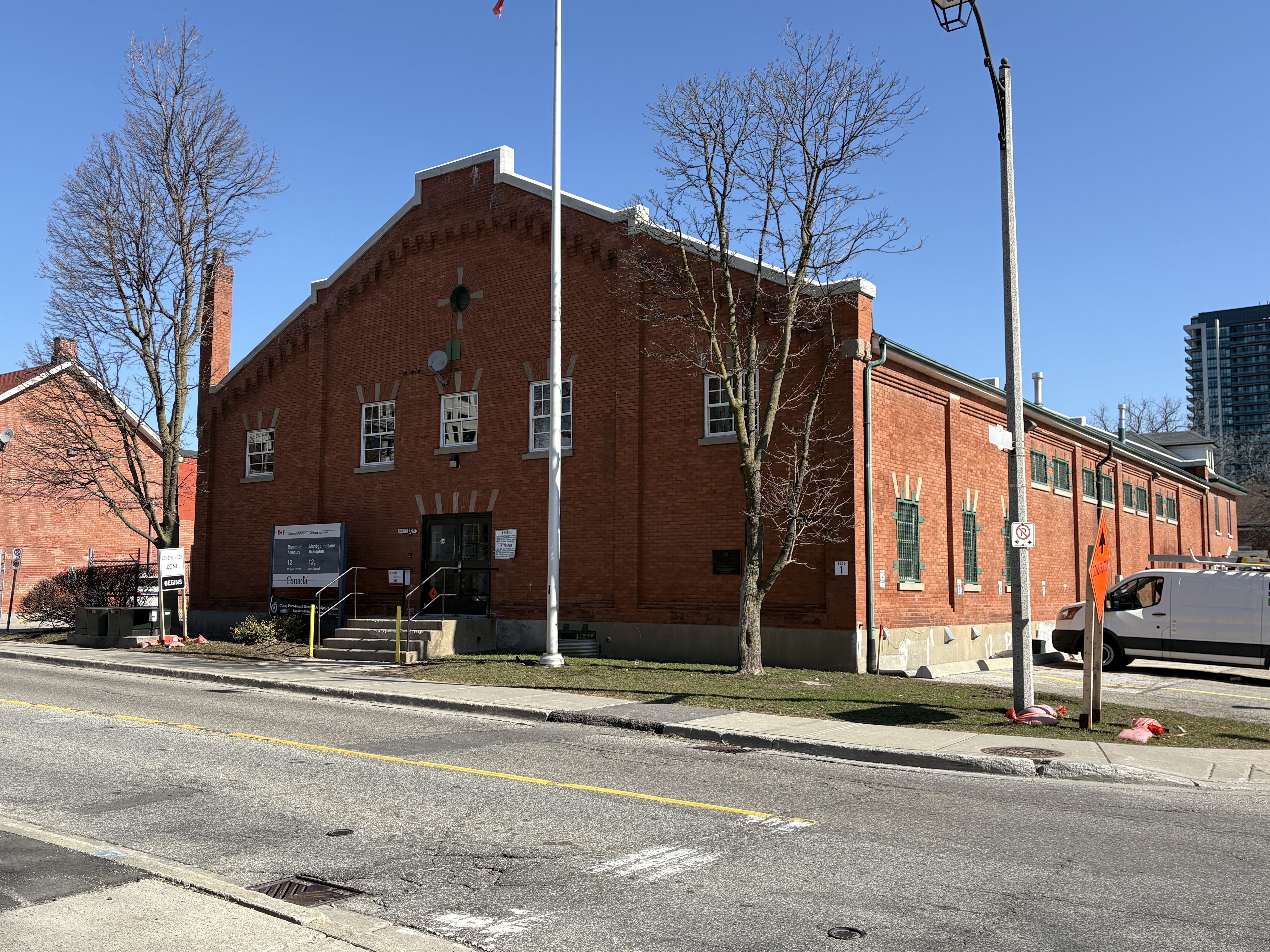
The Brampton Armoury was built in 1915 and was one of 56 armouries built across the country during the First World War. Between 1912 and 1914 these buildings were erected as drill halls and the one in Brampton was built on the “Type B Standard Plan”. The Lorne Scot Regiment has called the hall home since 1936.
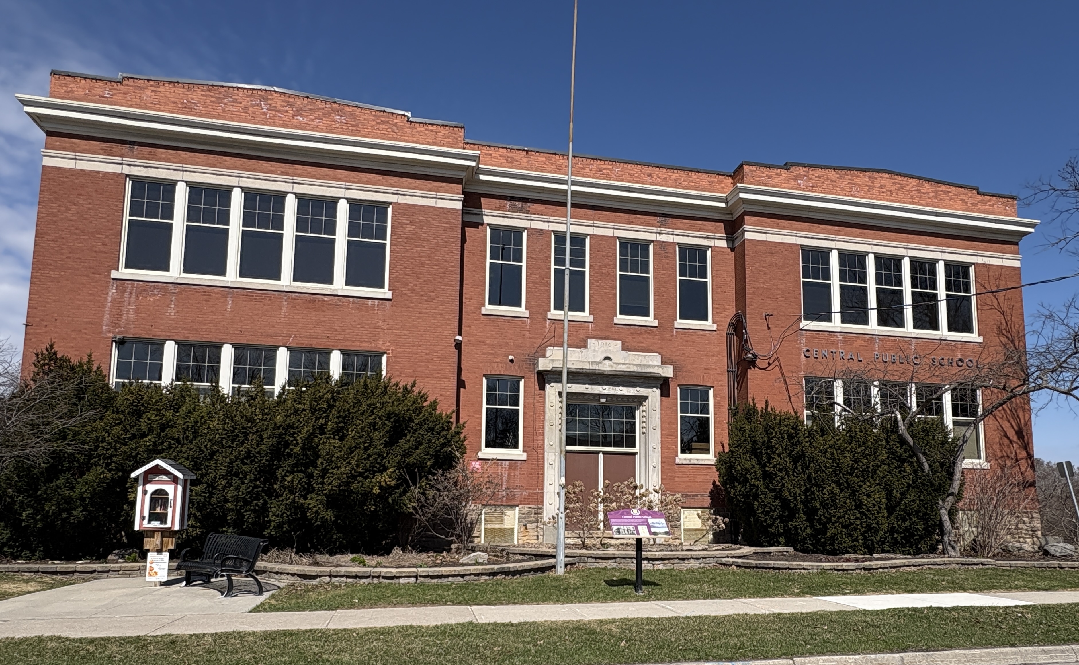
Central Public School is the oldest surviving school building in the downtown area. The site of the school had been the location of a previous school building that became overcrowded and needed to be updated. The new school opened in 1916 but was still under construction until 1920. The school operated until the end of the 1983 school year when it was closed and students enrolled in some of the newer schools in the area. The building was bought by the city and repurposed as a community centre.
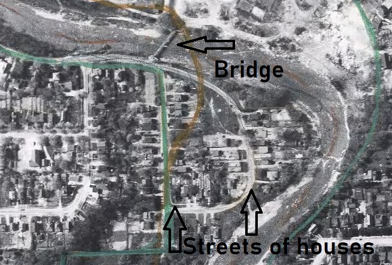
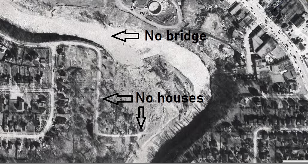
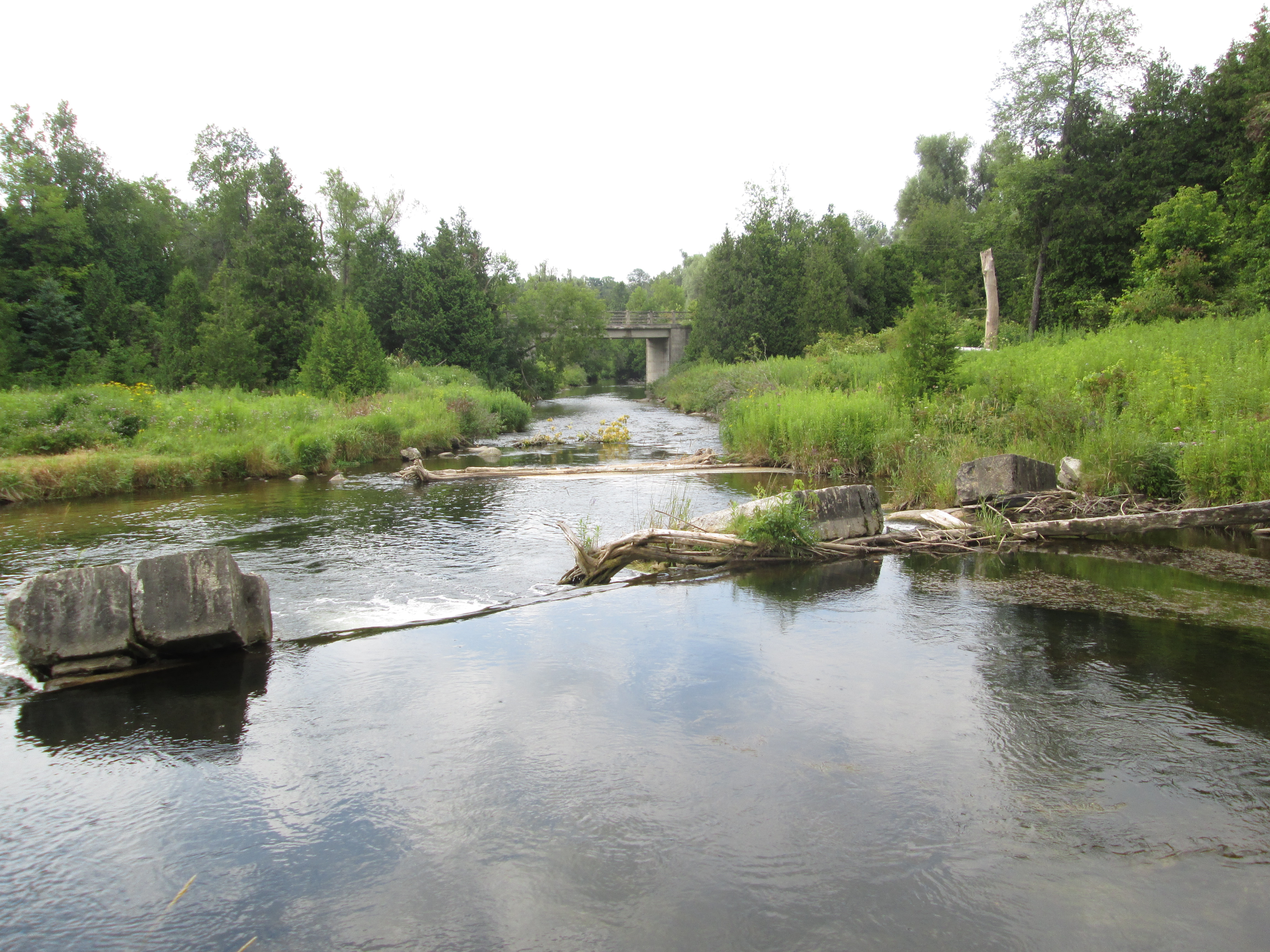
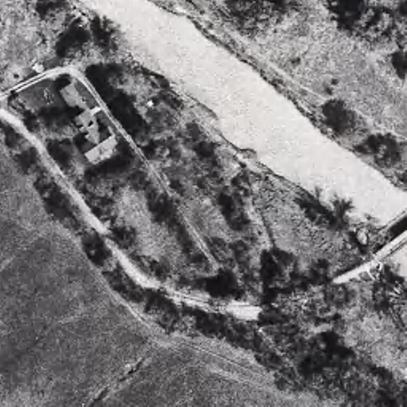
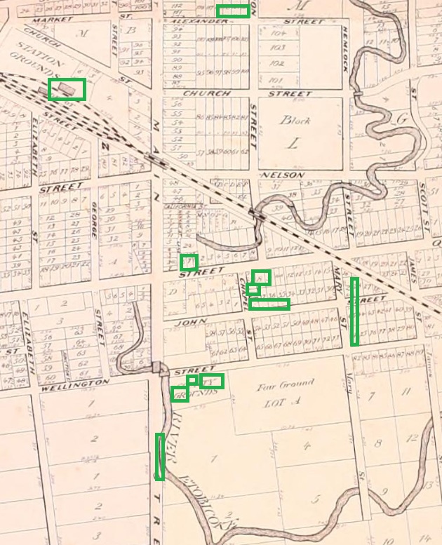
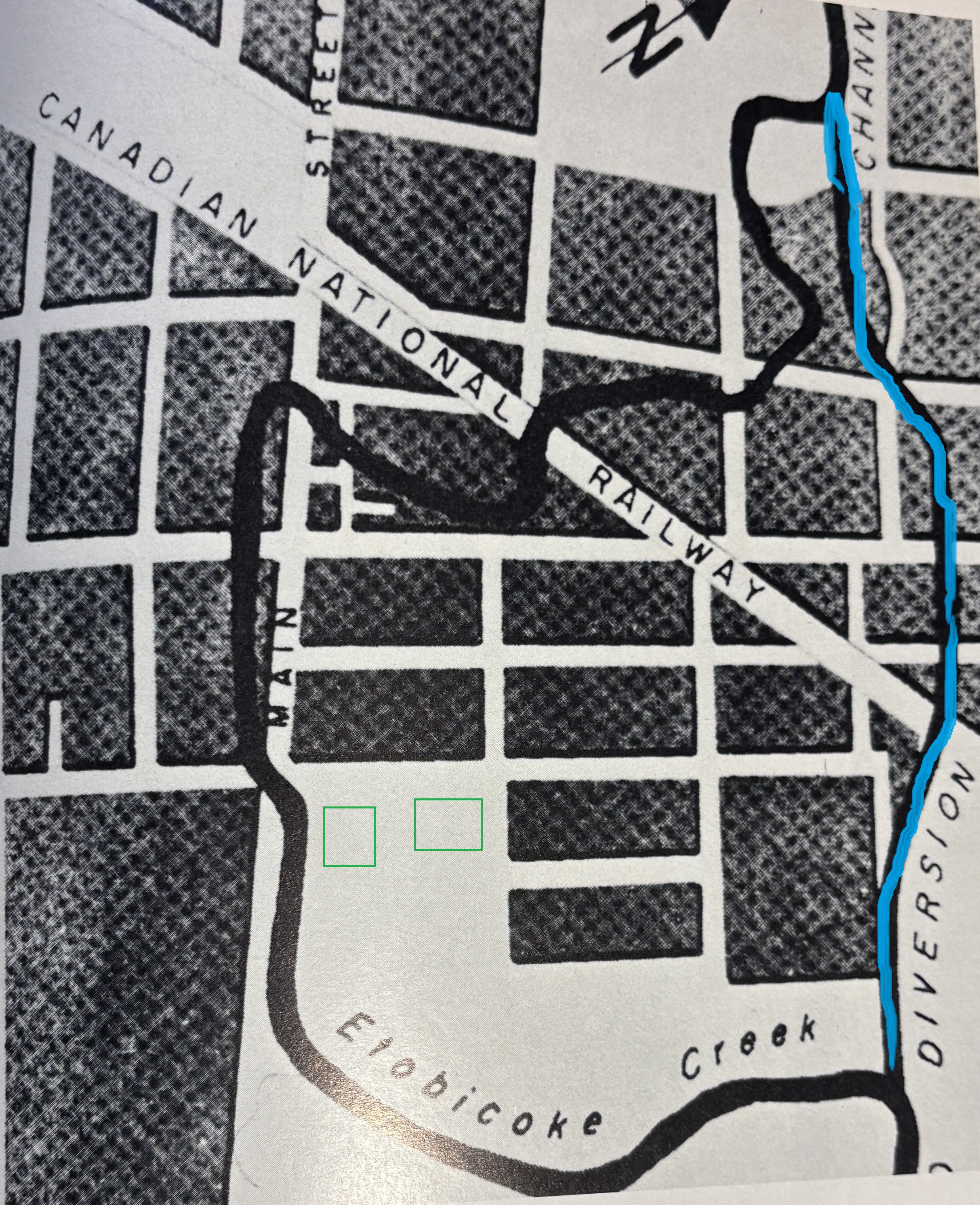
On March 16, 1948 the Etobicoke Creek overran its banks and flooded the downtown core in four feet of water. Floods had occurred in 1854, 1857 and 1873 but nothing was done. Flooding continued and occasionally people lost their lives. In the 1948 flood there was half a million dollars worth of damage and it was the deciding factor in building a diversion channel. Etobicoke Creek wound its way through downtown Brampton and the sharp curve just above Queen and Main Streets slowed the water down and caused the flooding to be worse. The course of the new channel is shown in blue on the map below, taken from Brampton An Illustrated History. The court house and jail at Main and Wellington are drawn in green as a reference.
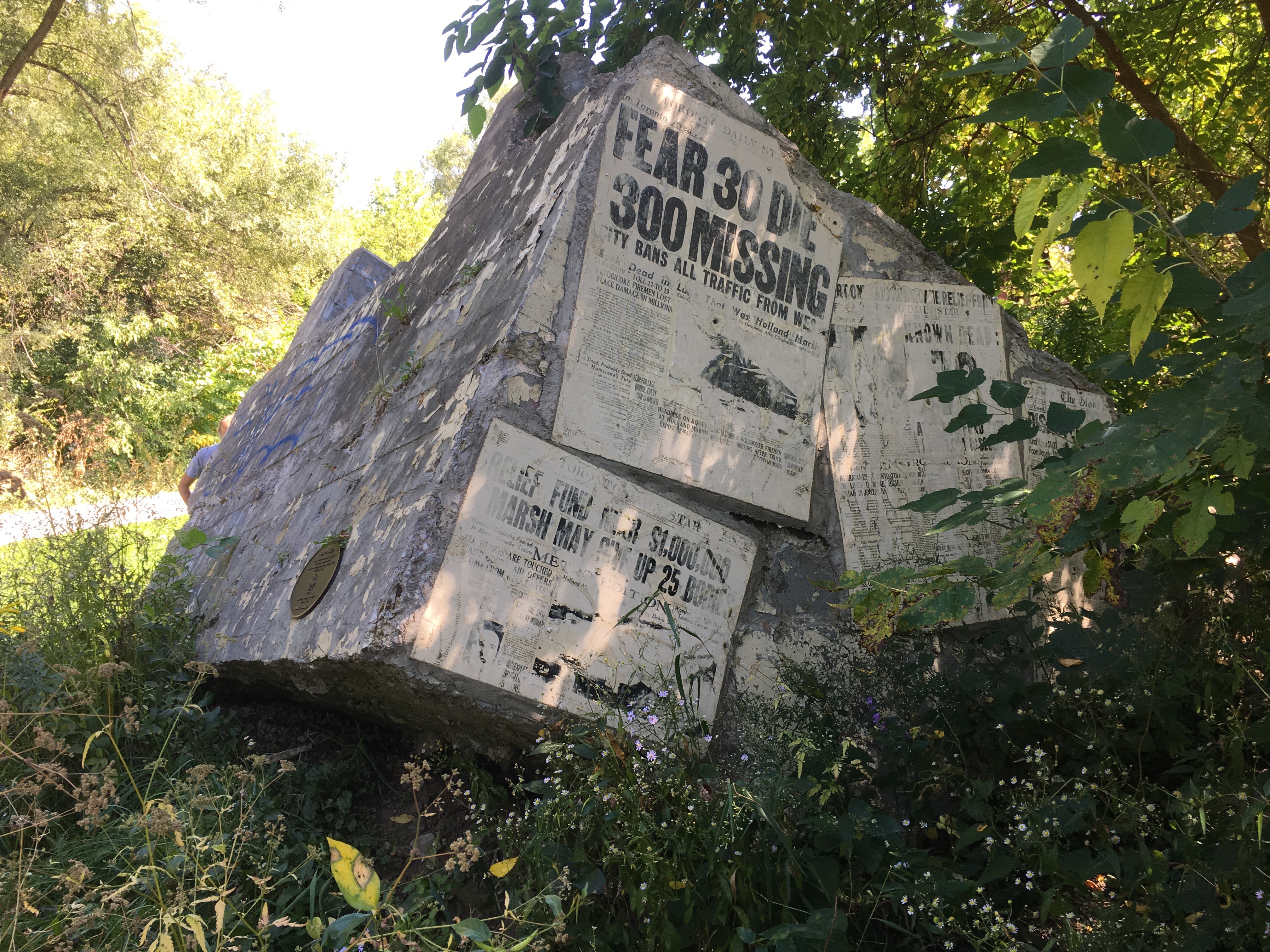
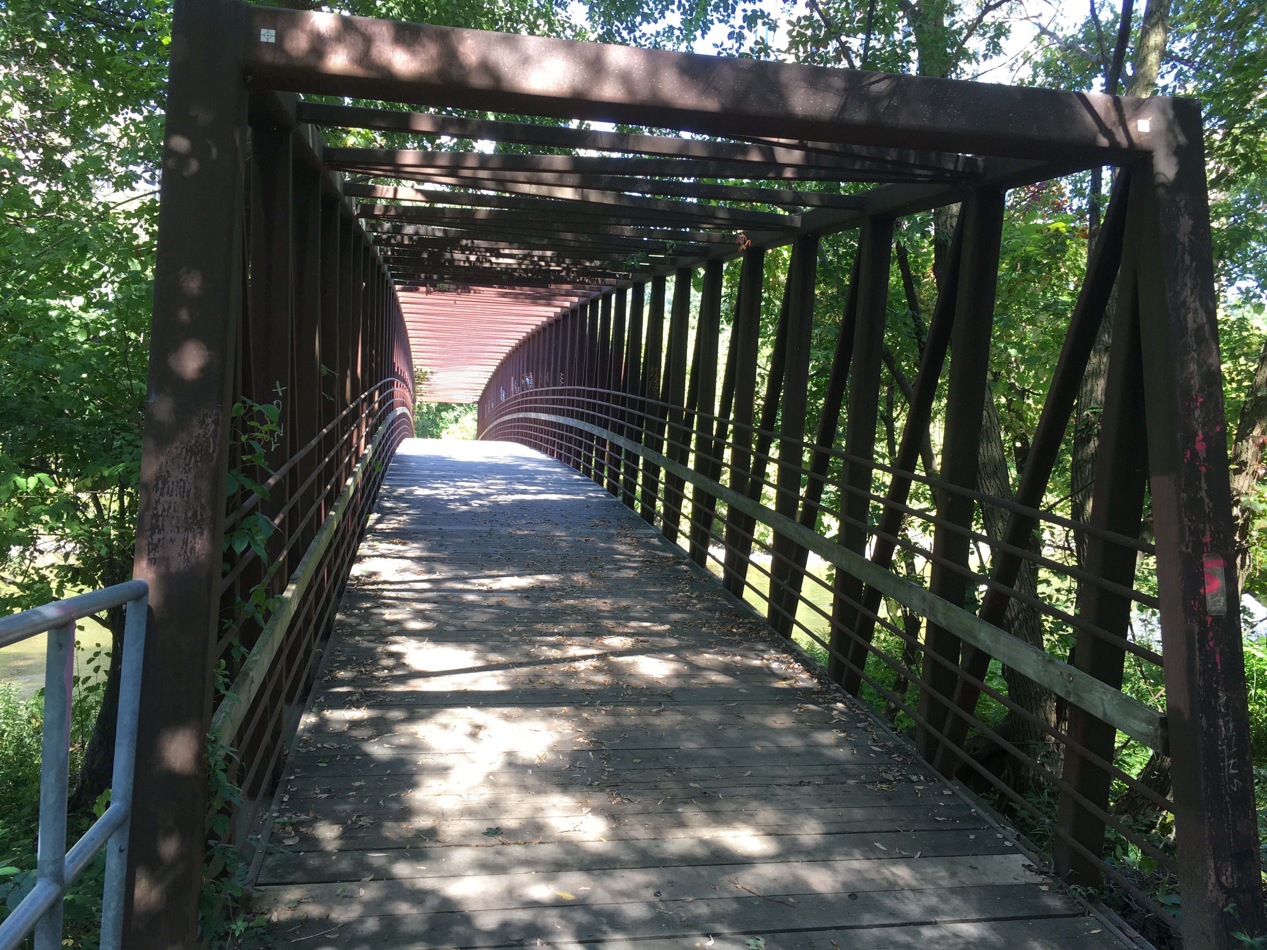
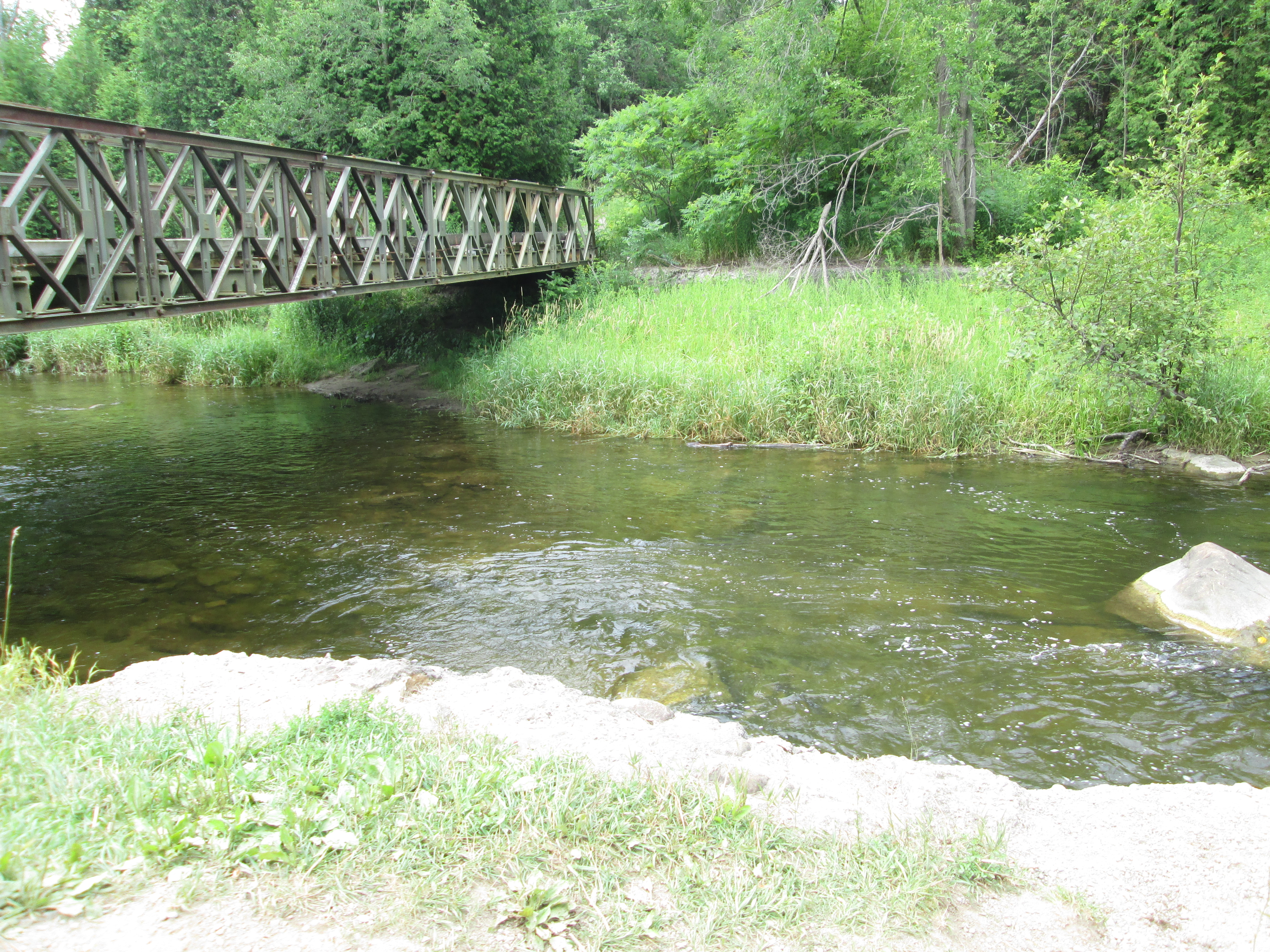
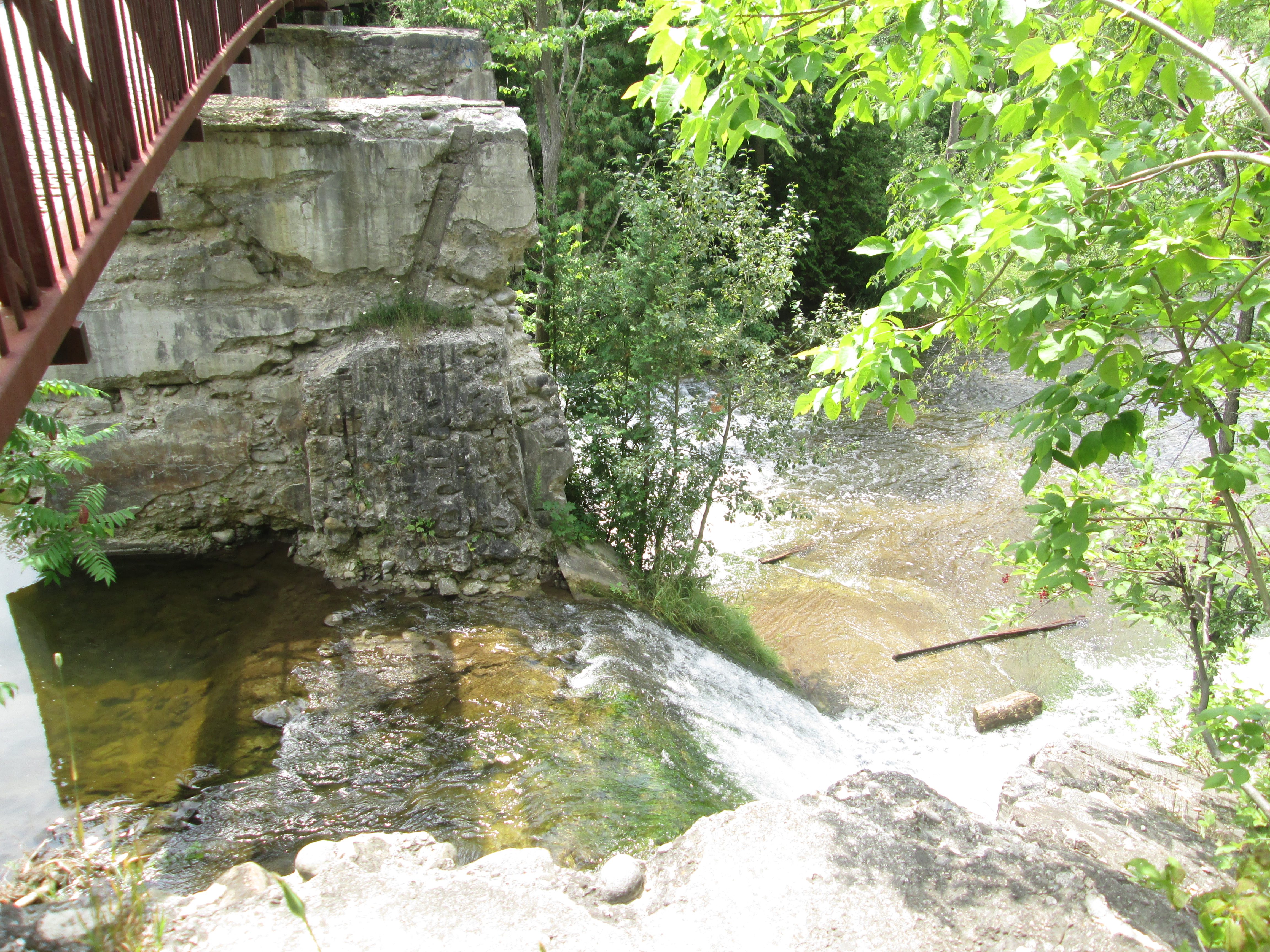
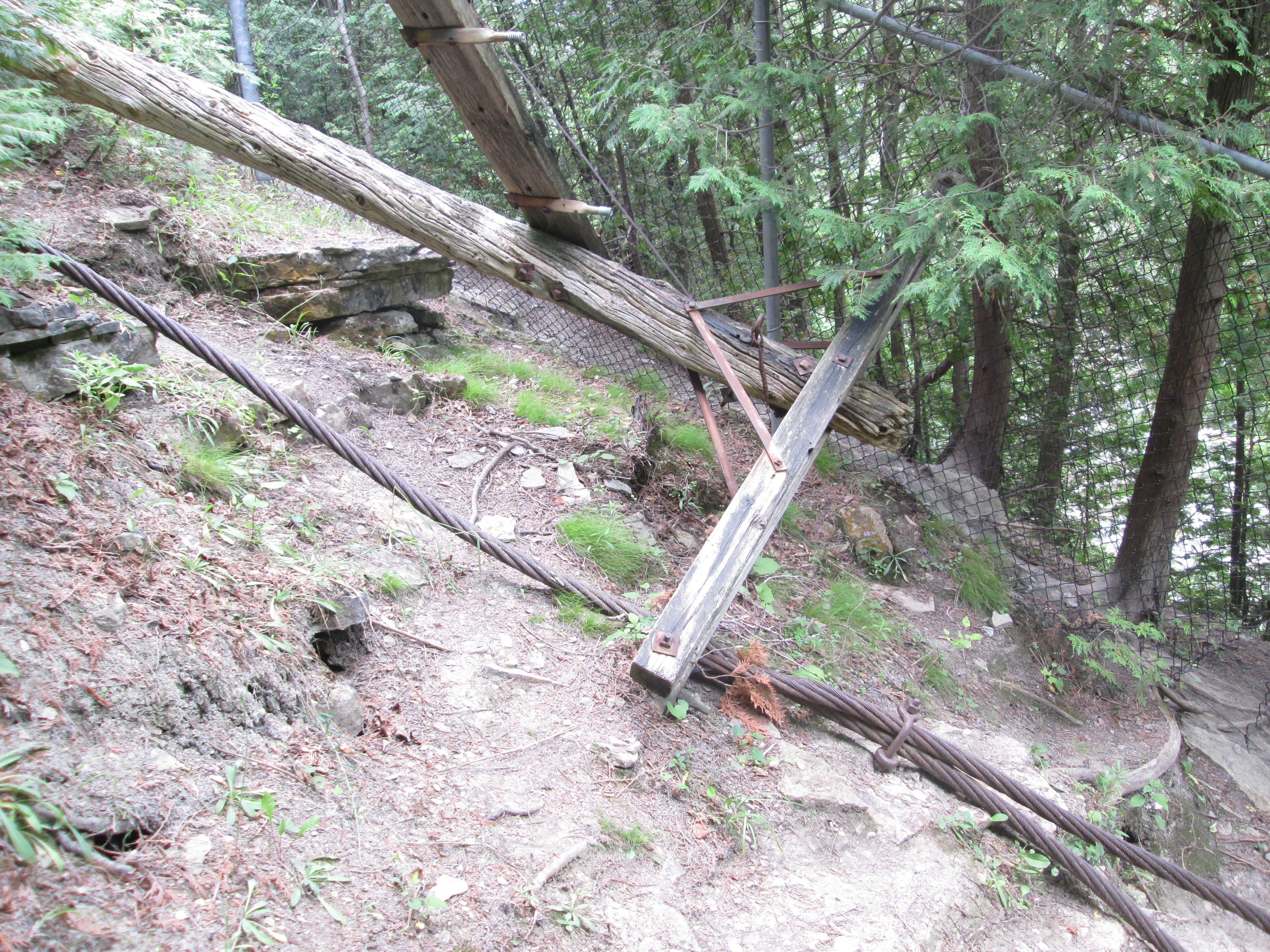
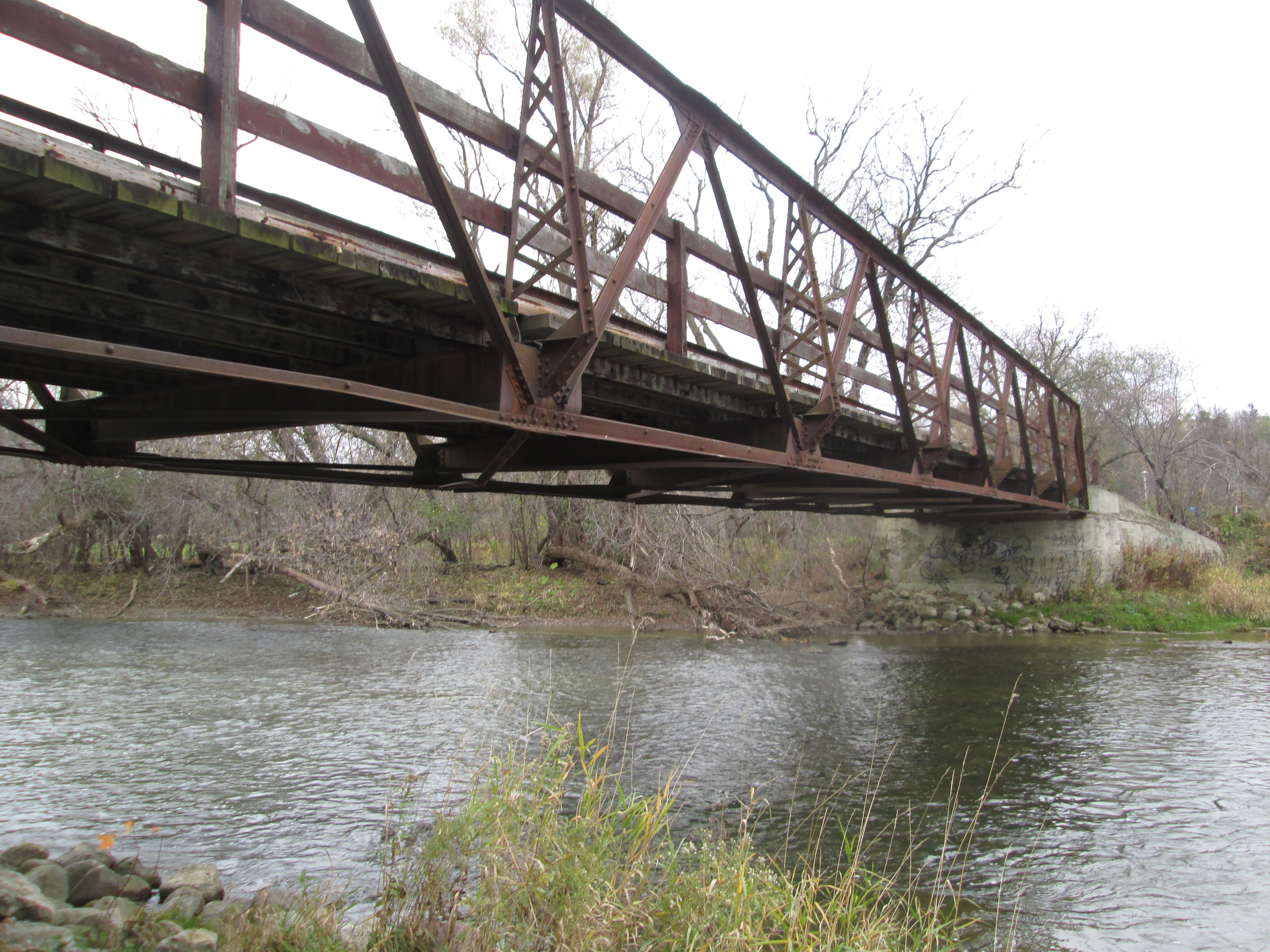
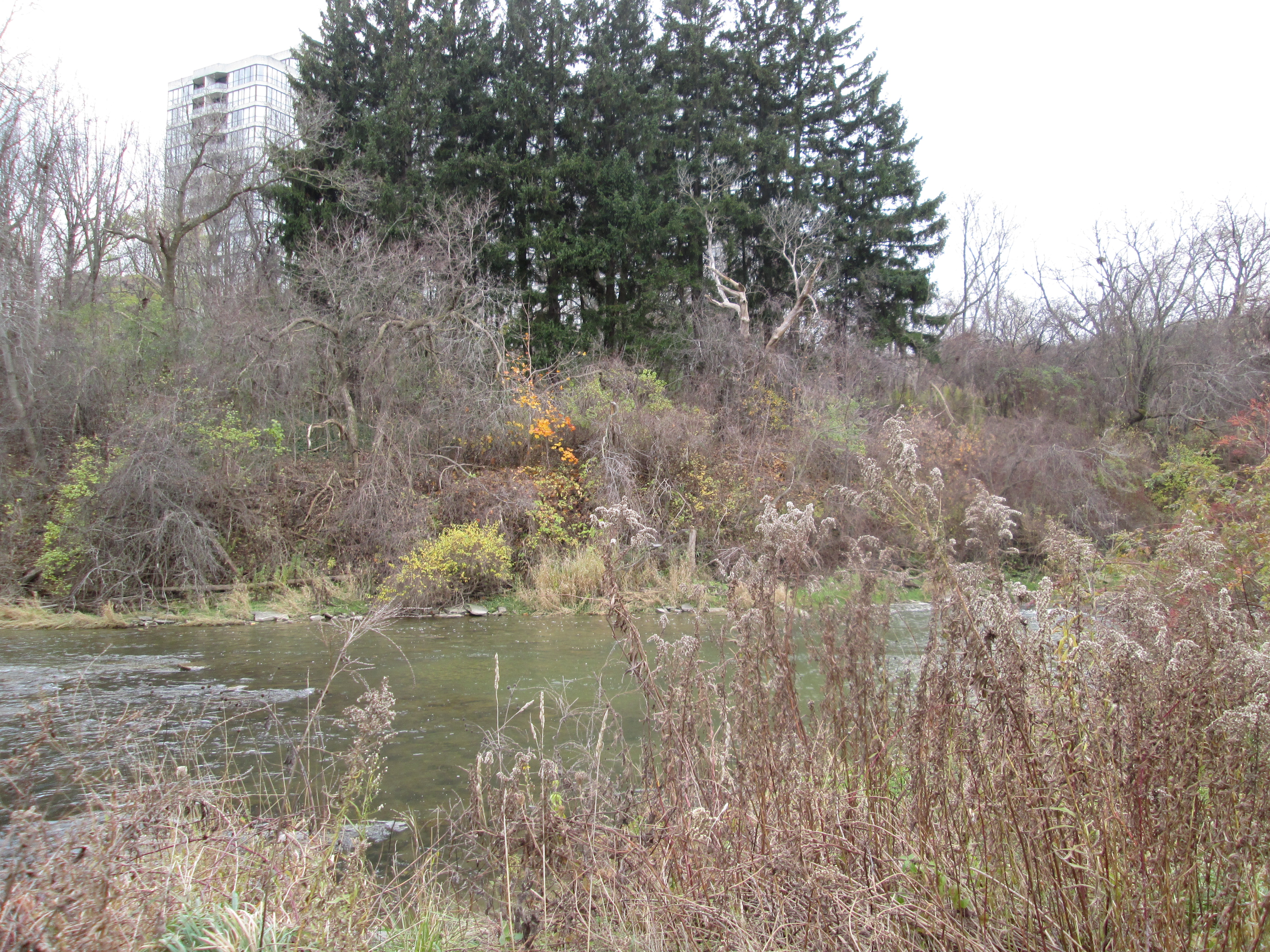
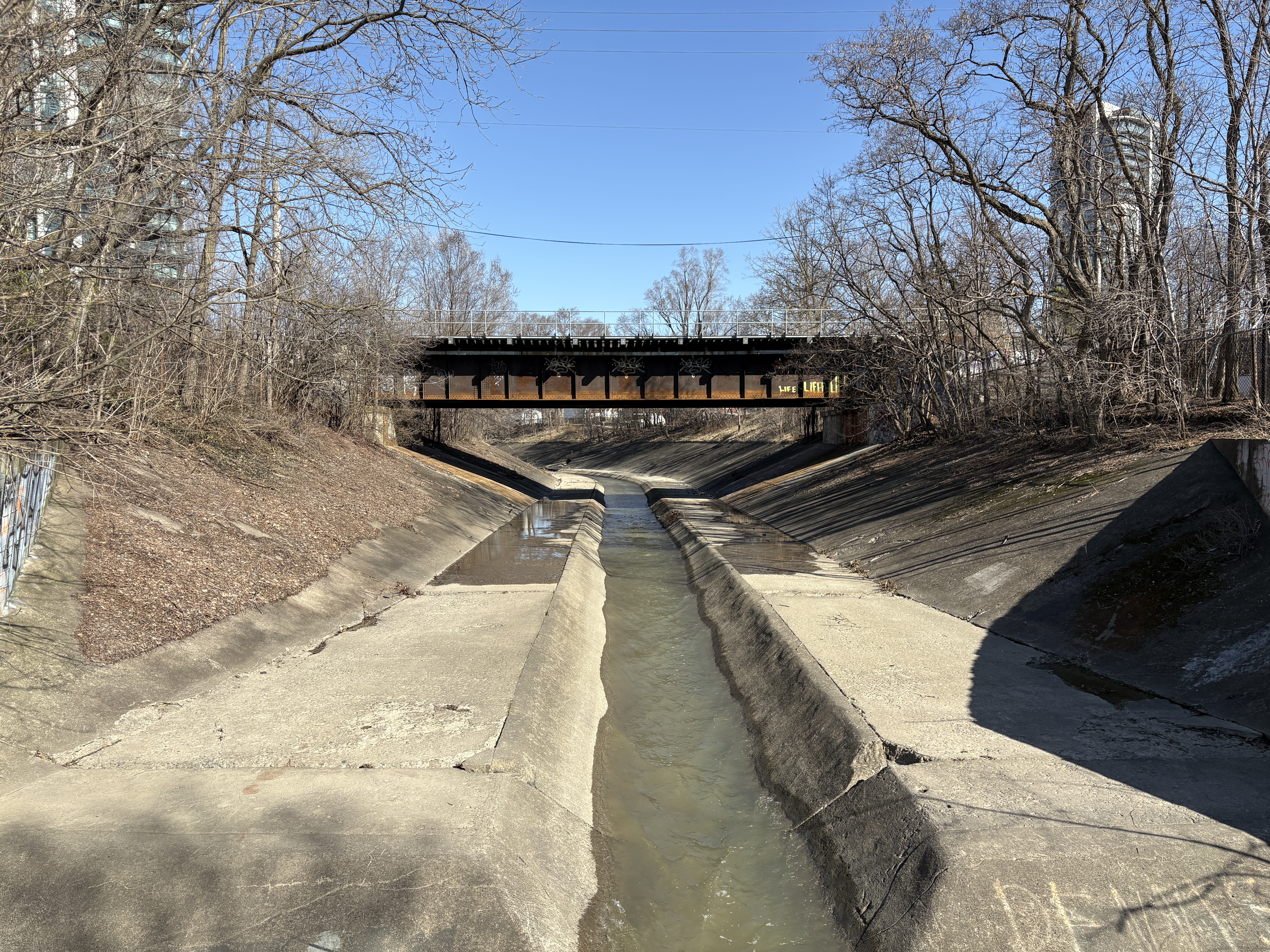
Starting in June 1950, the diversion channel was built at a cost of $250,000 and Ontario Premier Leslie Frost officially opened it on Nov. 10, 1952. Less than two years later, on Oct 15, 1954 the diversion channel would carry the waters of Hurricane Hazel away and spare the downtown from the destruction caused in other areas. The image below was taken at the end of Wellington Street. The straight lines allow the water to flow faster and although the channel was full to the top it was able to contain the swollen creek.
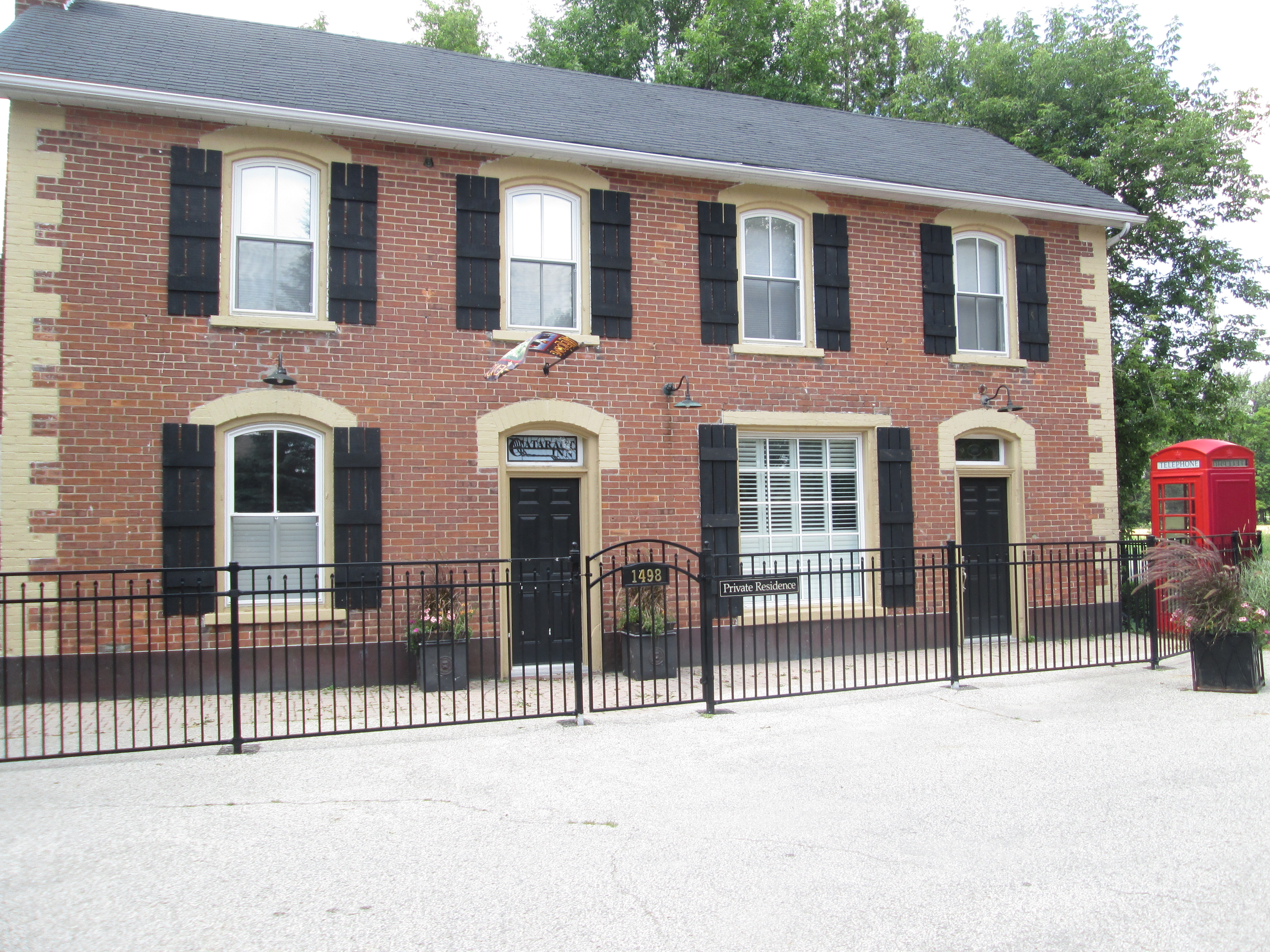
There is a considerable amount of other historic buildings in old Brampton but the amount of proposals for 40 or 50 story buildings suggests that this might not always be the case. If you’re interested in seeing it for yourself, Brampton has a great walking tour.
Related stories: Hurricane Hazel, Owen Sound Jail.
Google Maps Link: Downtown Brampton
Like us at http://www.facebook.com/hikingthegta
Follow us at http://www.hikingthegta.com