Sunday Mar. 6, 2016
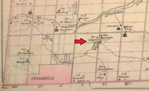
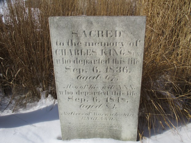
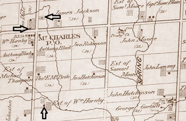
Mount Charles is a lost town at the corner of Dixie and Derry Road. In the 1870’s it was a small community of about 50 people but they had two wagon making shops to serve the needs of local farmers. The Second Purchase, or Treaty 19, was signed in 1818 in which the First Nations surrendered most of what is now Peel County. In 1819 it was surveyed and our modern Derry Road was simply a narrow trail cut through dense forest by the surveyors. Charles King Sr. arrived 1819 and took the 100 acre land grant on the north east corner of Dixie and Derry. Seven years later his son, Charles Jr., received the adjoining land grant. The community started to grow under the name of Kings Crossing or King’s Corners. Charles Jr. opened a post office in 1862 in his store on the south east corner (where the gas station is today). To avoid confusion with other communities they decided to drop King in favour of Charles. There are no hills, let alone mountains, in the area so the name Mount Charles may contain a bit of jest as well. By the time of the county atlas in 1877 the Kings had sold their homestead and it was owned by James Jackson. The pioneer cemetery is located on this lot. Also shown on the atlas are the two homes featured in the story below.
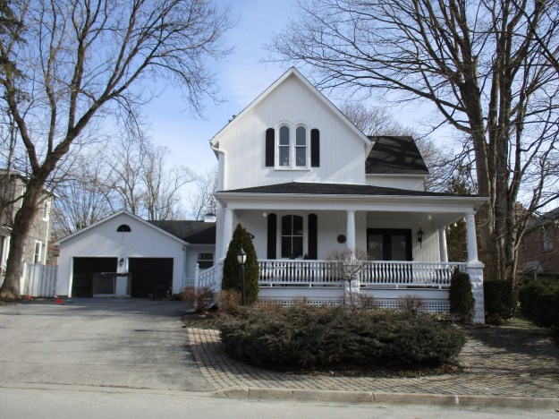
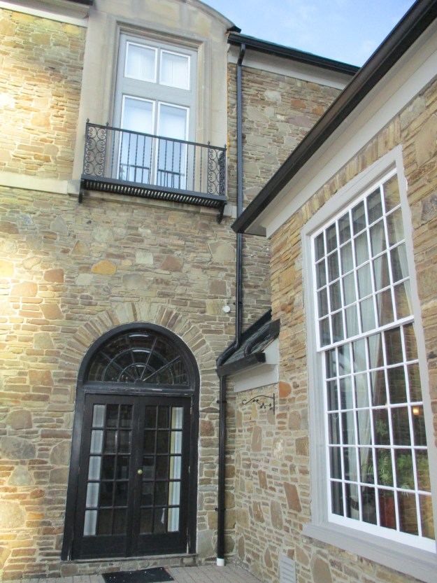
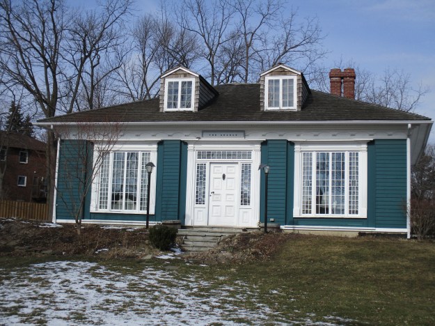
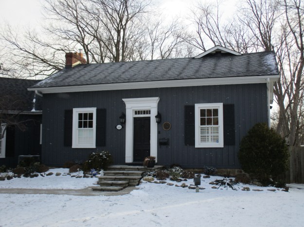
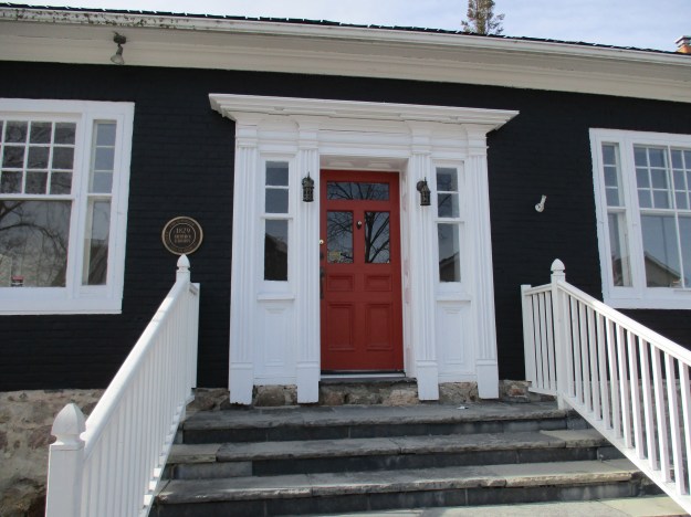
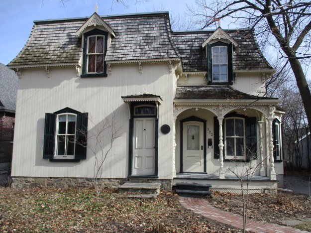
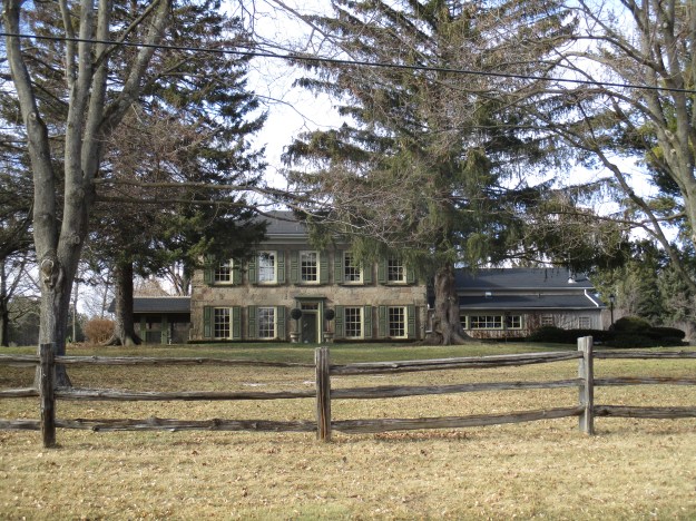
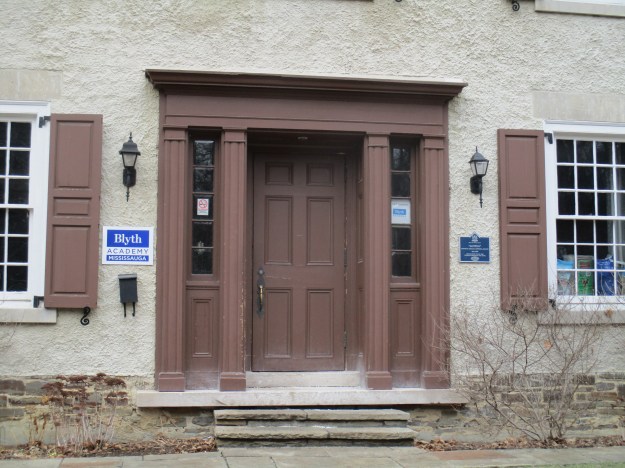
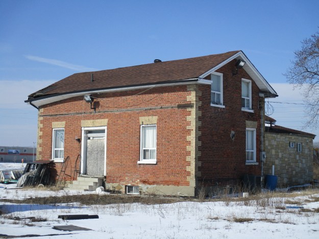
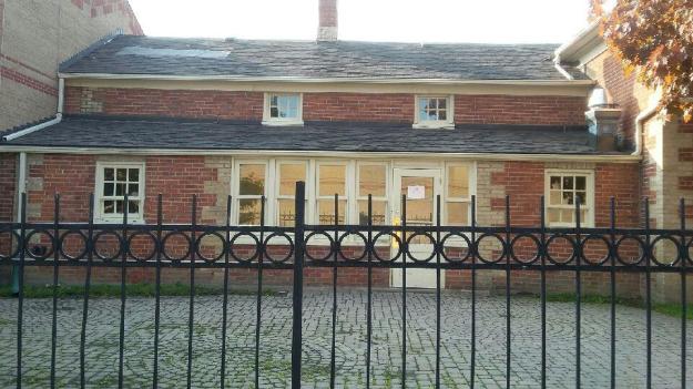
One of two surviving houses in Mount Charles is the former farmhouse of the Dale family. John Dale was a farmer and may also have been the Justice of the Peace. This three bay house also features an odd off-centre doorway. In Georgian styled homes the doorway is almost always centrally located in a well balanced layout. This home has recently been restored and is in use.
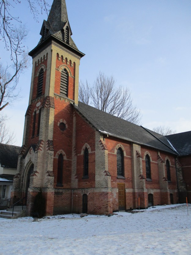
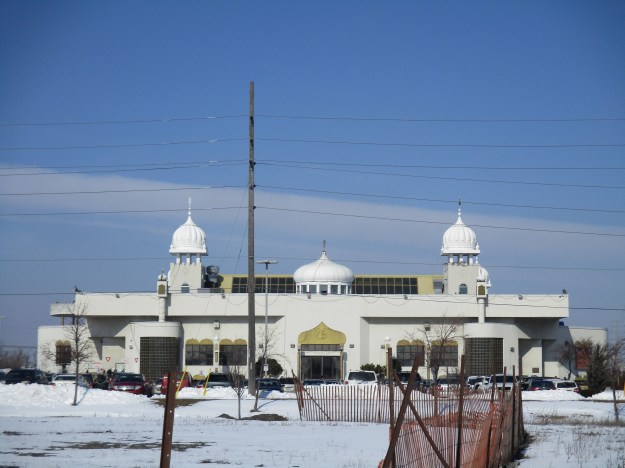
The Dale family farm is now home to the Ontario Khalsa Darbar which is one of the largest Sikh temples in Canada. Formally known as a gurdwara, or doorway to the Guru, this is the place of worship and celebration for the Sikh faith. This temple can attract up to 10,000 people for special days and in spite of it’s size can be over-crowded.
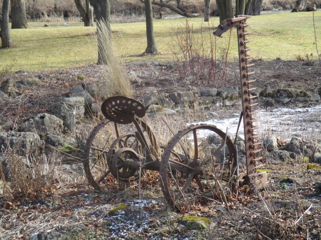
By the 1870’s the town was typical of rural Ontario with it’s own blacksmith shop, a carpenter shop in addition to the wagon makers. Being on a well traveled road, they also had need of an inn for travelers to rest their horses and wet their dry throats. The Primitive Methodists had a church in town until around 1859 when they appear to have joined with the congregation in the town of Palestine at the next crossroads. The community had already been sharing a school with Palestine.
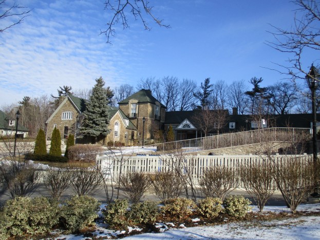
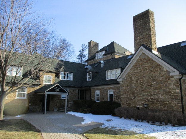
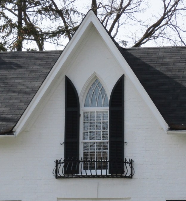
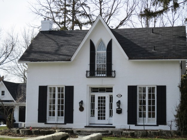
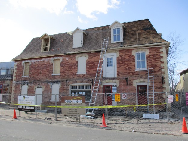
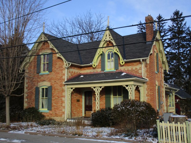
Built in 1860 the Hornby House went through several owners and so is listed on the heritage register as the Hornby-Scarlett Ambler-Courtney House. It is shown on the atlas at the end of a long lane way on the estate of William Hornby. Hornby also owned a corner lot in down town Mt. Charles. The house was moved from its original location on the lot so that it could be saved during the development of the farm as a subdivision. The five bay, one and a half story house has ornate brickwork with highly decorative wooden trim.
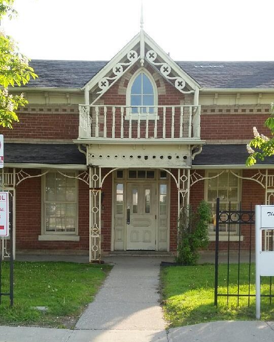
It now serves as the Old Scarlett House Restaurant and is located near the corner of Dixie Road and Courtney Park Drive East.
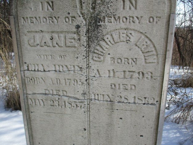
Charles Irvin and his wife Jane were both born in the 1790’s when the colony of Upper Canada was just getting it’s start. They came to Mount Charles where Charles worked as a weaver. Weavers provided a valuable service in the community because they freed the women up from the task of weaving all their own cloth. Weavers usually kept a small herb garden to grow plants used to dye the wool. Irvin became locally famous and his loom is now located in Black Creek Pioneer Village in the Charles Irvin Weaver’s Shop. The cemetery, which still contained a church on the county atlas, is the other remaining evidence of the community that once thrived here. Several of the King family are buried here including both Charles Sr. and Jr.
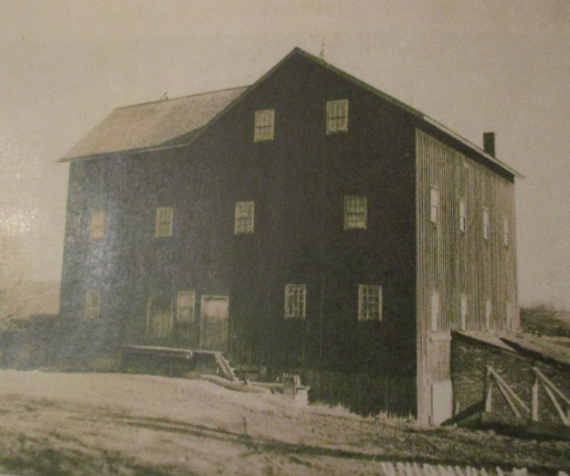
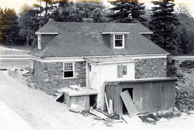
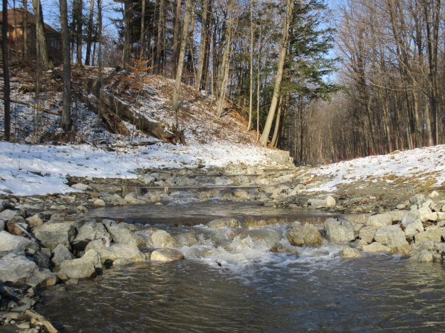
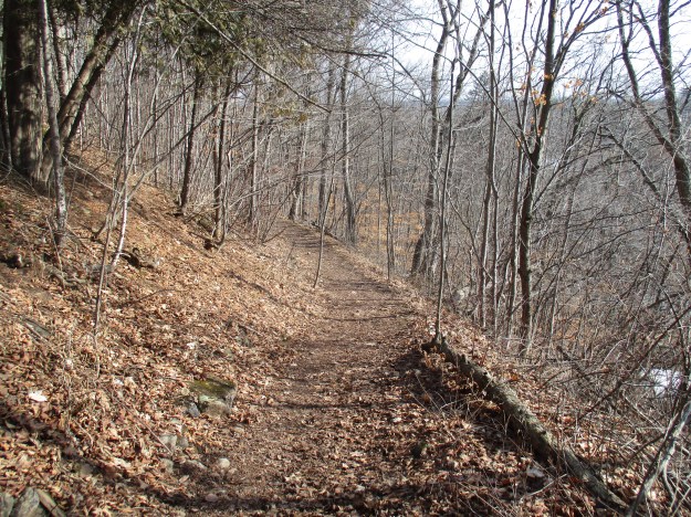
Mt. Charles is a ghost town that has been slowly wiped from existence by the huge industrial zone around the airport. Until a few years ago there were several other buildings which have since been lost. The south west corner contained three buildings in 2003, including the old blacksmith shop, but they have since been demolished. We followed Etobicoke Creek south along the west end of Toronto Pearson International Airport where a formal trail begins near Courtneypark Drive. We followed the trail south along the airport, at times right along side the fence. In 1937 the Toronto Harbour Commission began to buy farms in the area of Malton for the purpose of establishing an airport. When it opened in 1939 it was known as Malton Airport and the Chapman farmhouse served as both the offices and the original terminal. The archive photo below shows the house in 1937.
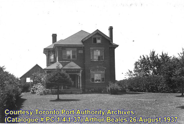
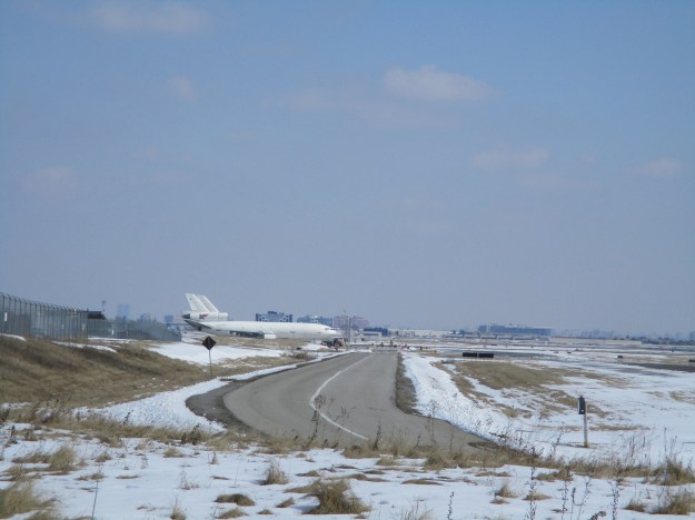
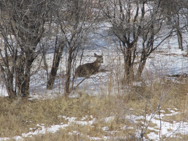
The trail is a great place for people who love to watch airplanes landing and taking off. Being in an industrial zone it was nearly empty and we saw plenty of wildlife which might be in hiding during lunch hours on a week day. We crested a hill in time to see half a dozen white tail deer who vanished into the thickets along the Etobicoke Creek. Today the view through the fence is quite different then it was in the 1937 picture above.
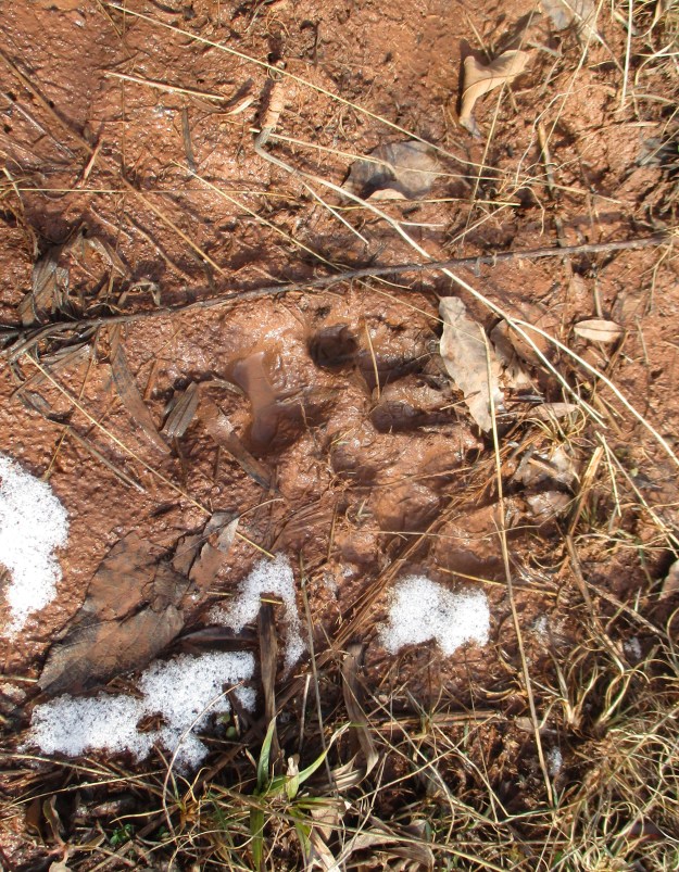
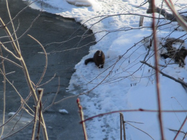
There are several local species of mammal that look similar and can be distinguished by their colouring and habitat. Along Etobicoke Creek we saw at least three different examples of the American Mink. They have dark brown fur with a white patch on the chin. They are very fast and refuse to pose for pictures. Their diet consists of small animals but can include rabbits and the occasional sea food in the form of crayfish and sometimes also unwary birds.
White tail deer give live birth to their fawns between late April and early July. This doe was sitting in the woods quietly observing us.
The former town of Mount Charles may have disappeared under the development of the airport but there still remains a few reminders of the community that was.
Google Maps link: Mount Charles
Like us at http://www.facebook.com/hikingthegta
Follow us at http://www.hikingthegta.com