Tag Archives: Hiking

Humber Bay to Bloor Street

Saturday May 24, 2014

It was a gorgeous sunny morning with temperatures soon rising into the 20’s C.  We parked in the parking lot near the Petro Canada on the South Kingsway.  This area was home to Jean Baptisite Rousseau who had a fur trading post at the mouth of the Humber River into the 1790’s.  He greeted Governor Simcoe when he arrived in 1793 to start Fort York, later to become Toronto.  We crossed the Humber on the Queensway and followed the river to the pedestrian bridge at the mouth of the river.

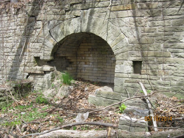
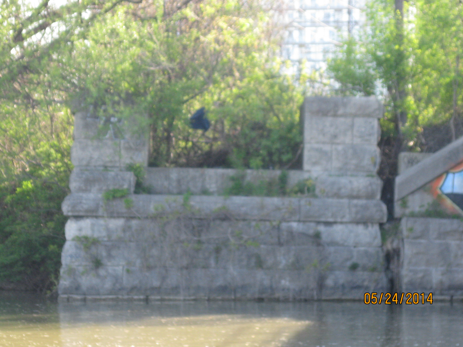
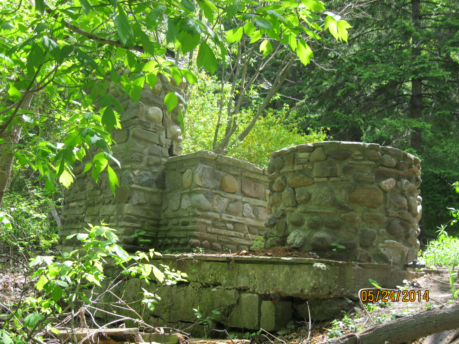
This 1860 bridge abutment for the Grand Trunk Railway stands just to the north side of the rail crossing near the mouth of the river.

IMG_2012

The Palace Pier was conceived in the early 1920’s as an 1800 foot long entertainment facility sticking out into the lake.  It was designed by the same company that had opened Brighton Pier in the UK in 1899.   The depression delayed construction and in 1941 the Dance Hall was opened.  The Pier was destroyed by an arson in Jan. 1963.  A footing is all that has been preserved.

IMG_2015

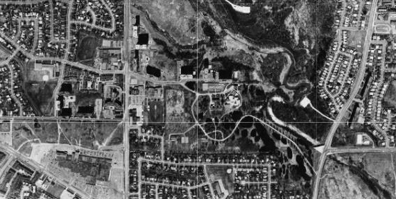
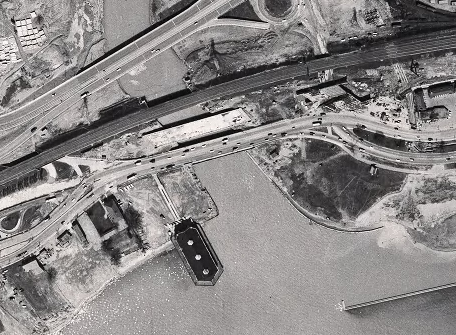
Shown in this 1957 aerial photo of the mouth of the river, the Palace Pier juts into the lake on the west side of the river.  Just above the Lakeshore bridge, construction is underway for the bridge for the new Gardiner Expressway.  The darker bridge is the railway tracks and the old bridge abutments can be seen just above, on either side of the river.

Humber mouth

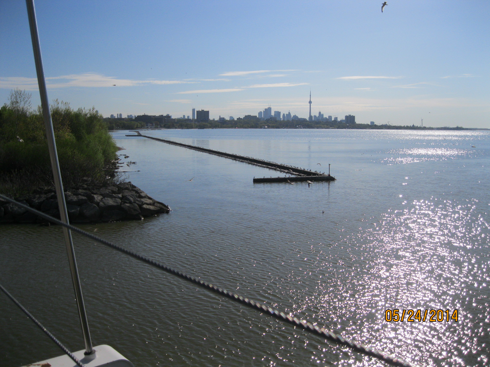
This view is from the footbridge across the Humber looking east to the downtown.  The shore line to the east was extended about 100 yards into the bay by extensive land fill projects in the late 1910’s and early 1920’s.

IMG_2019

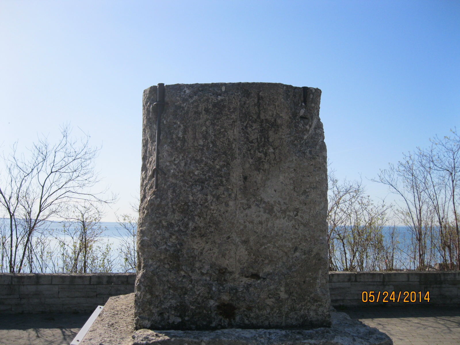
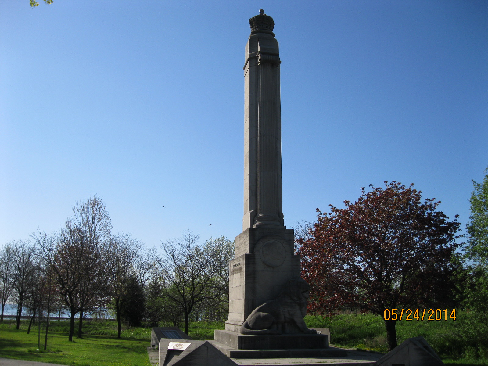
This monument to the east of the river mouth was dedicated on June 7, 1939 by King George VI and Queen Elizabeth to commemorate the QEW highway.  This was also the occasion of the first visit to Canada by a reigning monarch.

IMG_2020

In 1908 the Hydro Electric Power Commission of Ontario contracted to purchase electricity from Niagara Falls and began construction on a set of power lines that ran along the lake shore into Toronto.  The towers crossed the Humber just north of the current Petro Canada station from 1910 until 1940. The footings remain on the eastern embankment.

IMG_2022

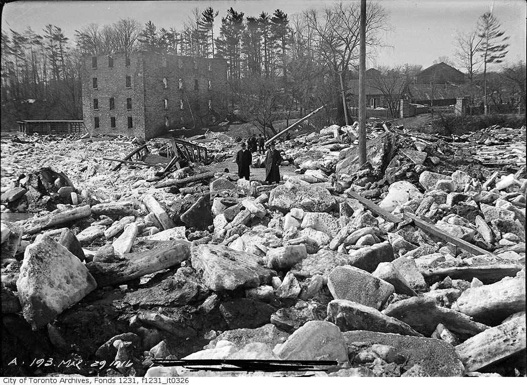
The photo below shows the hydro towers being dismantled at Sunnyside Beach just to the east of here in 1940.

Dismantling Pole

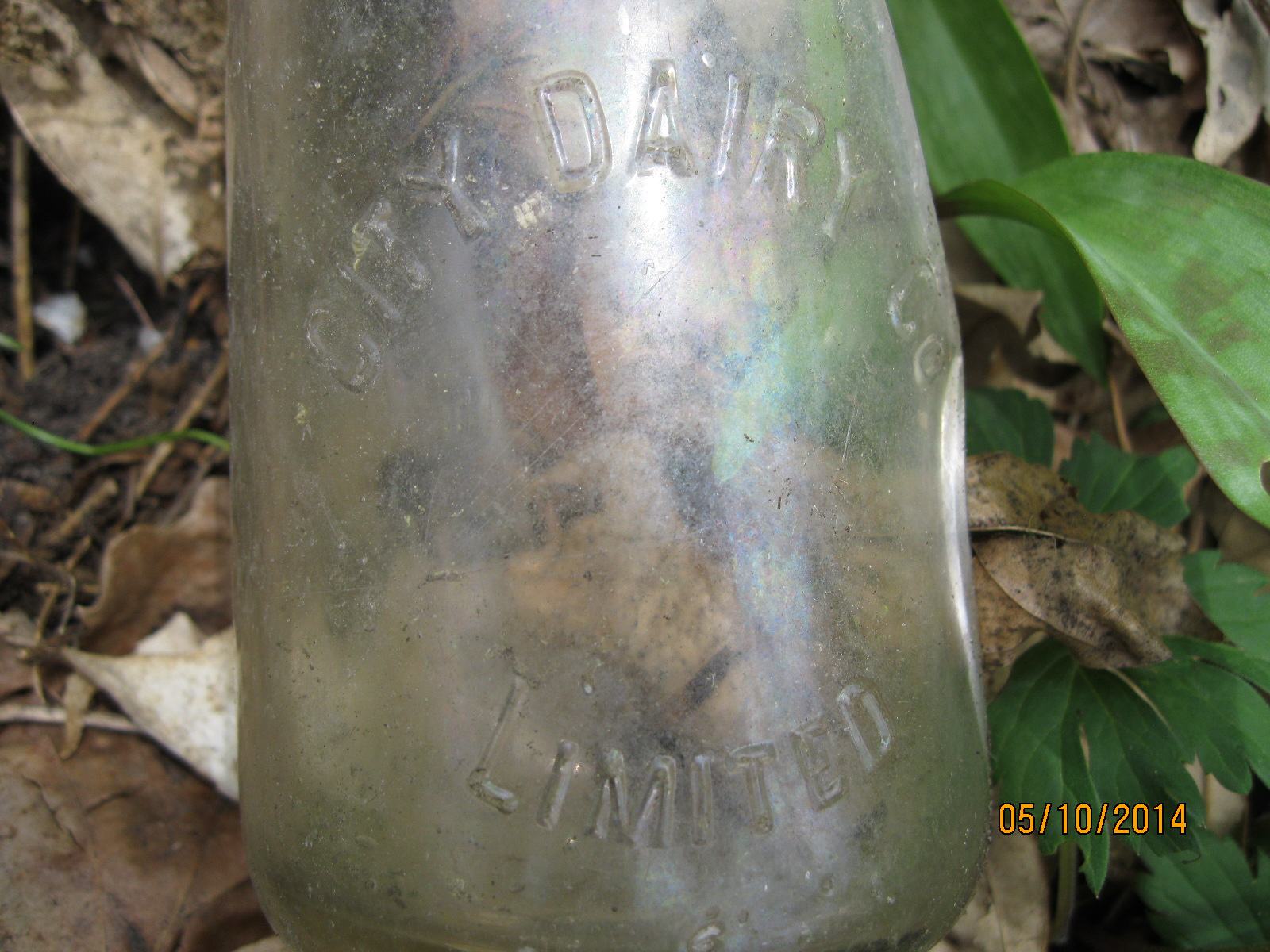
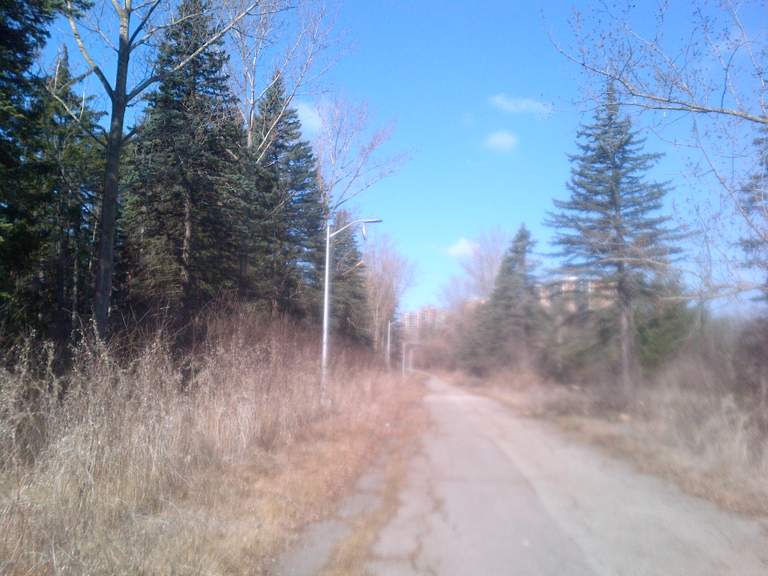
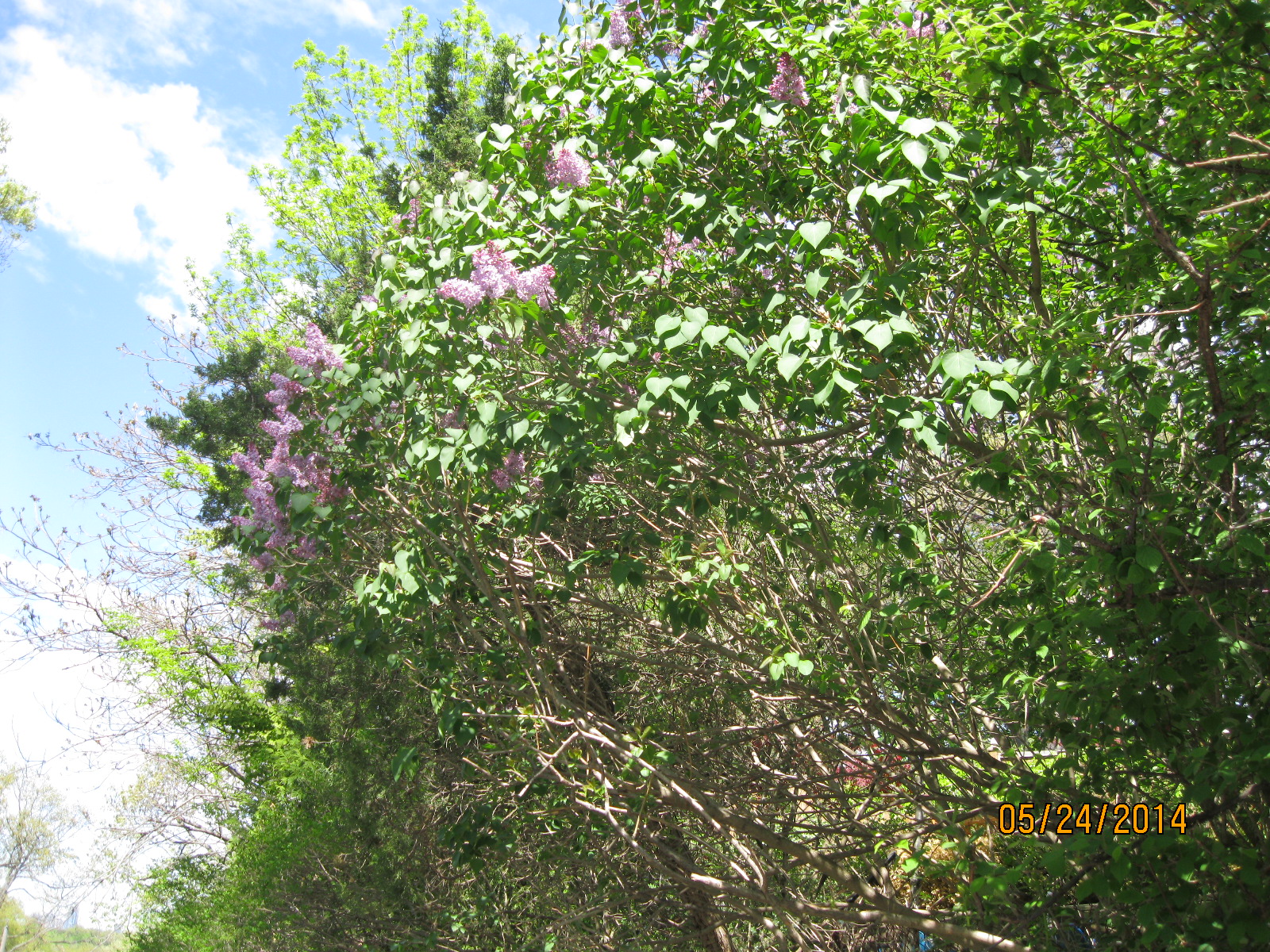
We attempted to follow the river’s edge north from there but found that it quickly became inaccessible.  We did find the bottom of a 1952 soda bottle along here but not much else as it is very overgrown.  We were forced to follow the path of the old Toronto Carrying Place trail which roughly follows Riverside Drive. The scent of lilacs and other garden trees made the walk along the streets a little more enjoyable.

IMG_2032

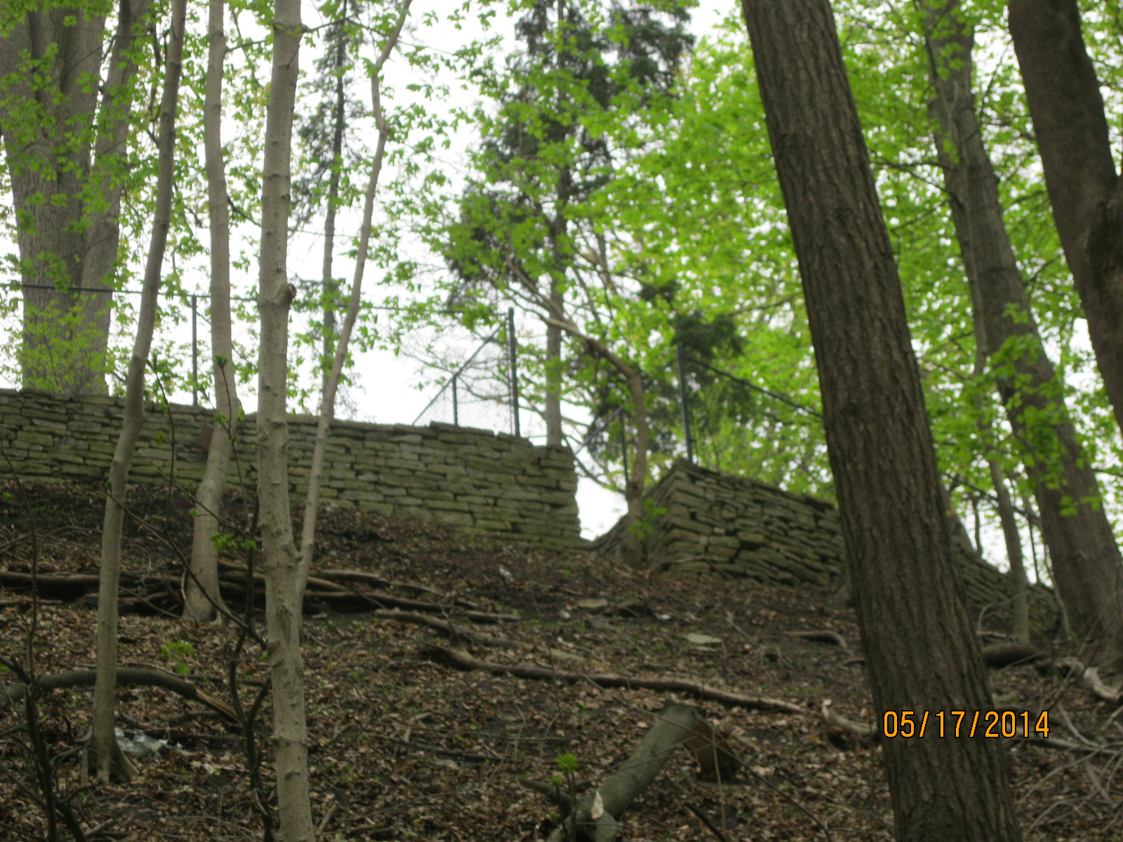
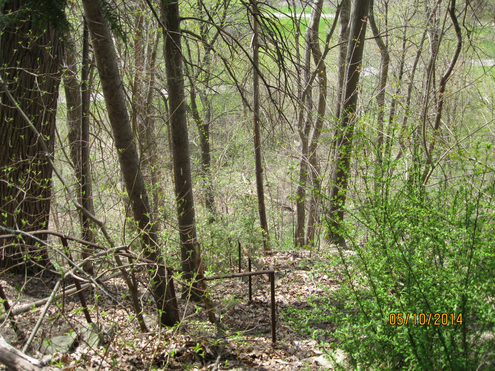
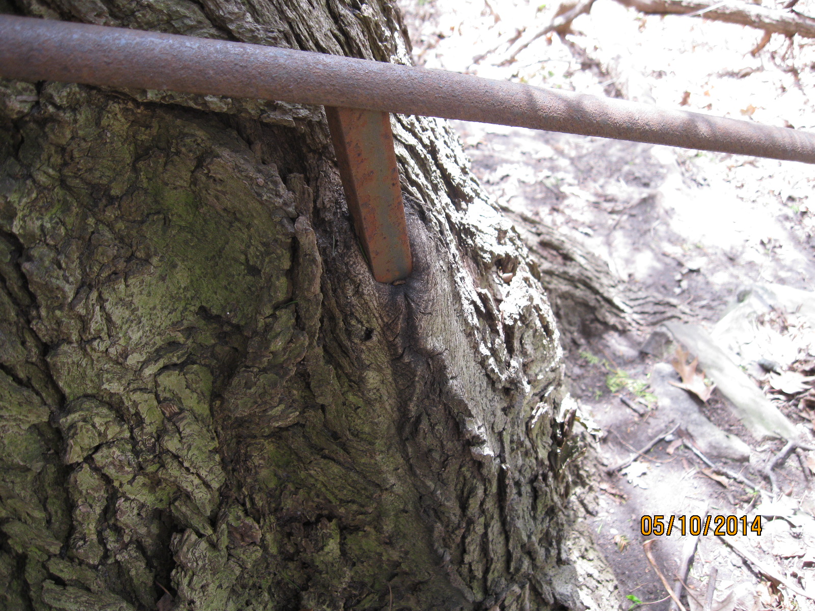
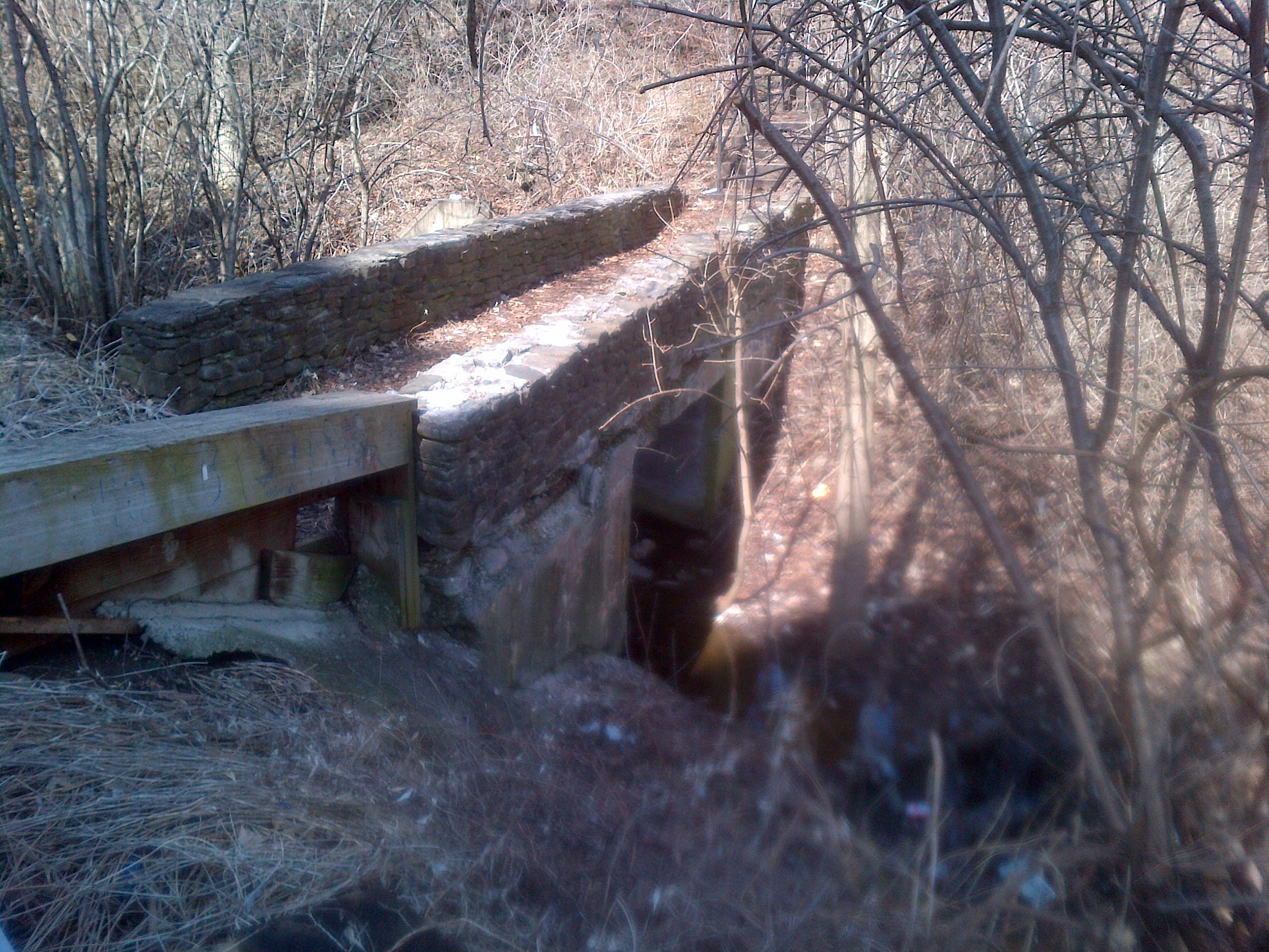
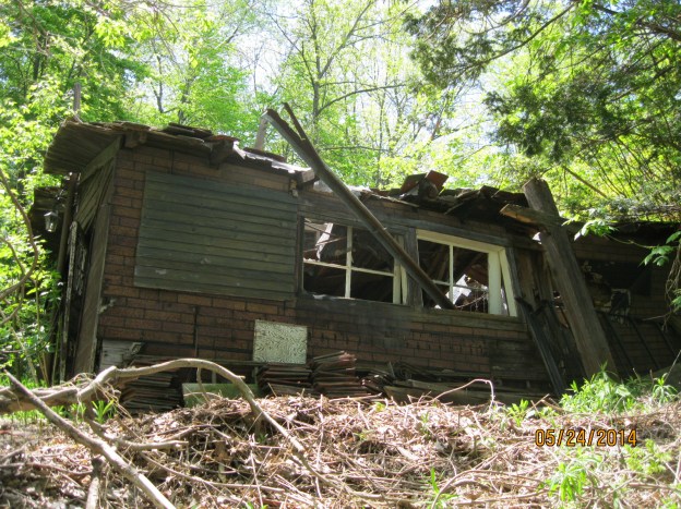
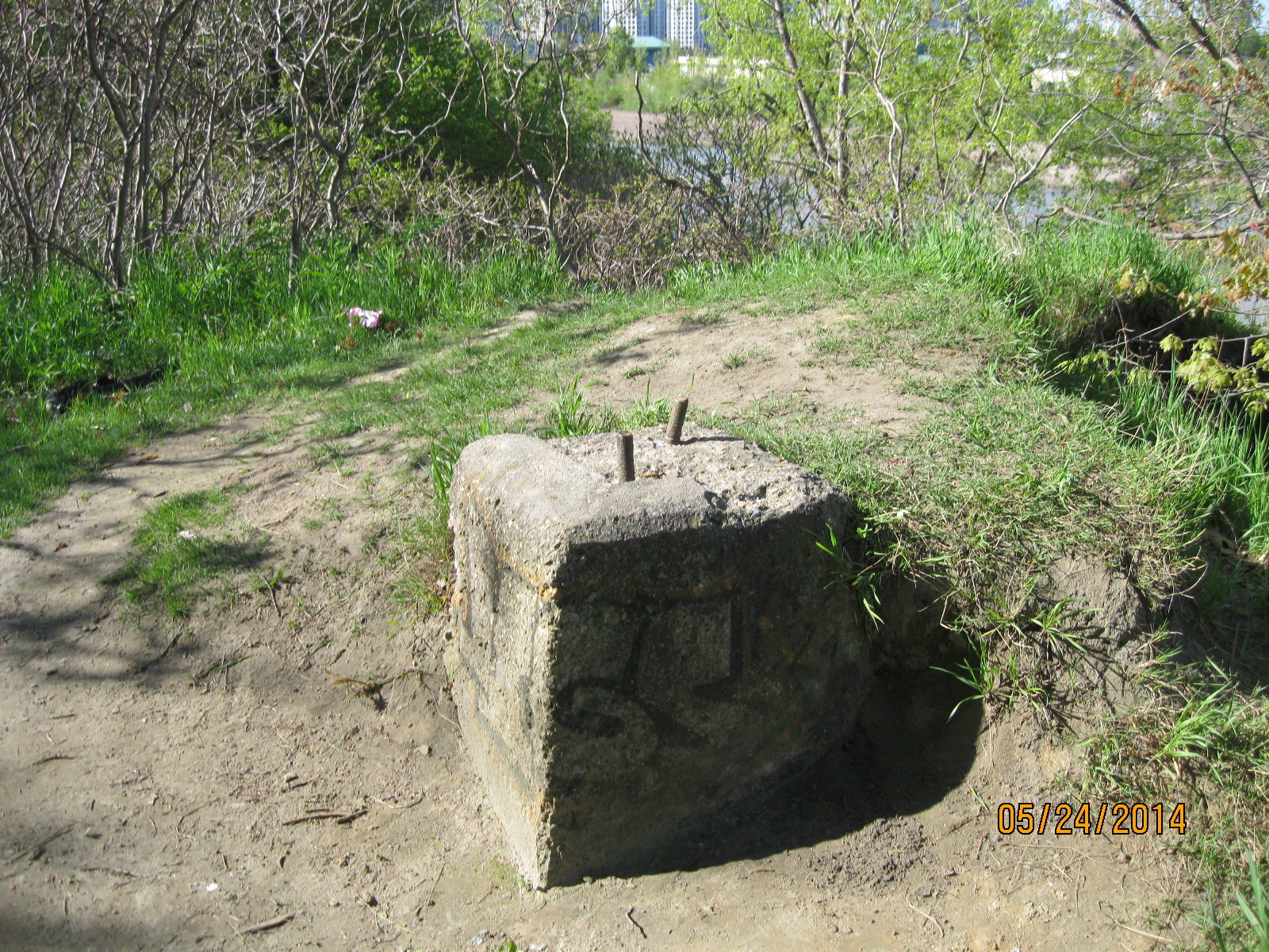
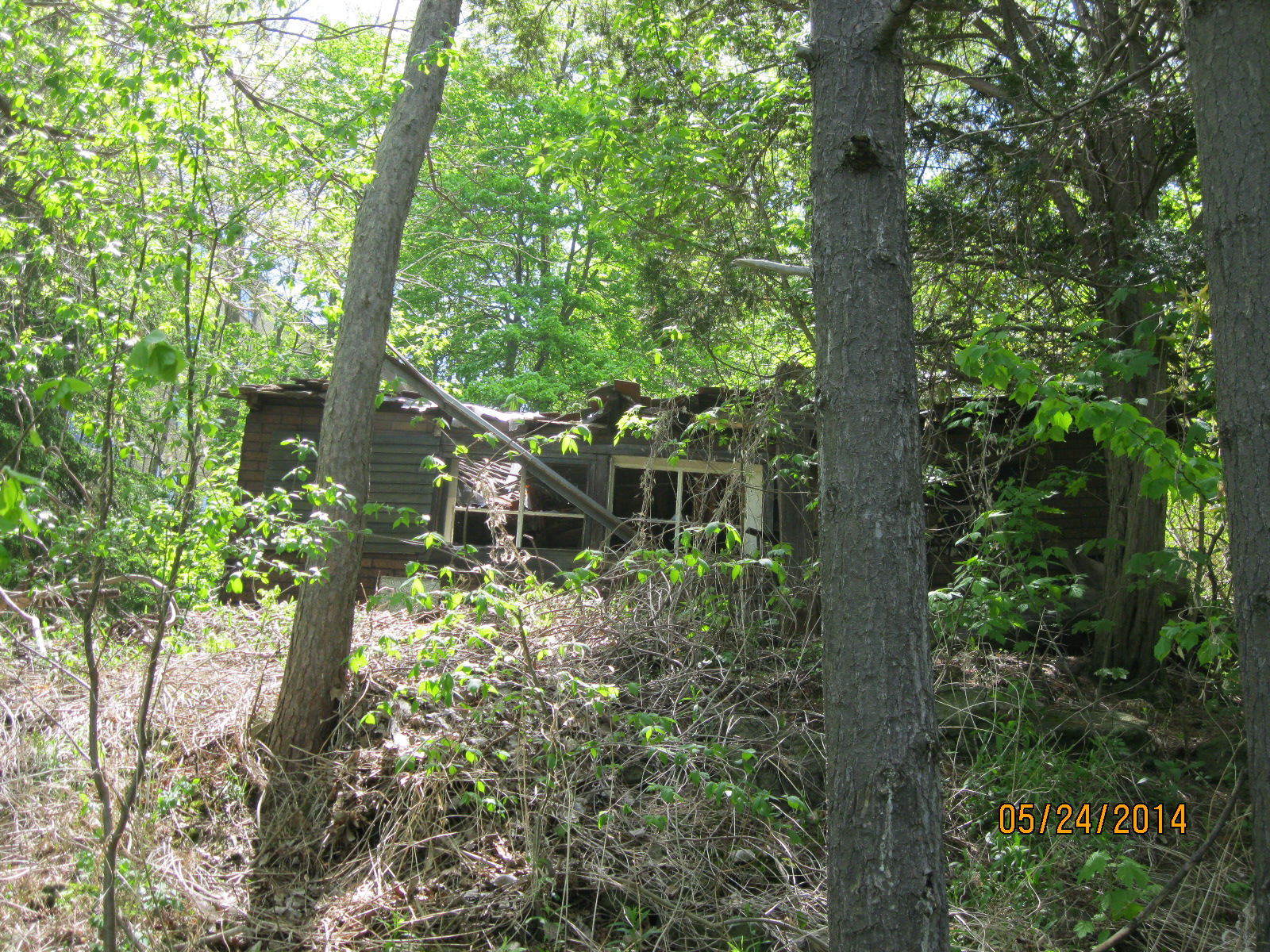
Unable to access the river again we crossed the bridge on Bloor street and started back down along the western river bank.  The main trail takes you behind the boat club and up onto Humber Valley Road.  If you stay with the river you will eventually be forced back up the hillside near this relic sitting in the trees.

IMG_2039

IMG_2041

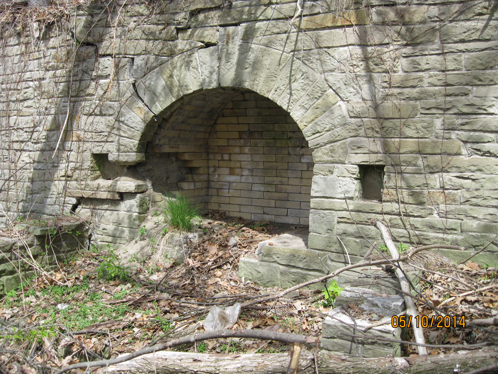
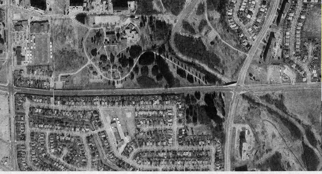
It’s possible to climb back down to the river bank at the end of Stephen Dr. but you will only be forced back up again very soon.  Following the Discovery Walks markings along Stephen Dr. will lead you back into the park a short way later.  This wooded area as well as the site of the water treatment plant a little farther along used to be the Humber Valley Golf Course.  Damaged extensively by Huricane Hazel this golf course was taken over by the city as part of it’s plan to control watershed floodplains.

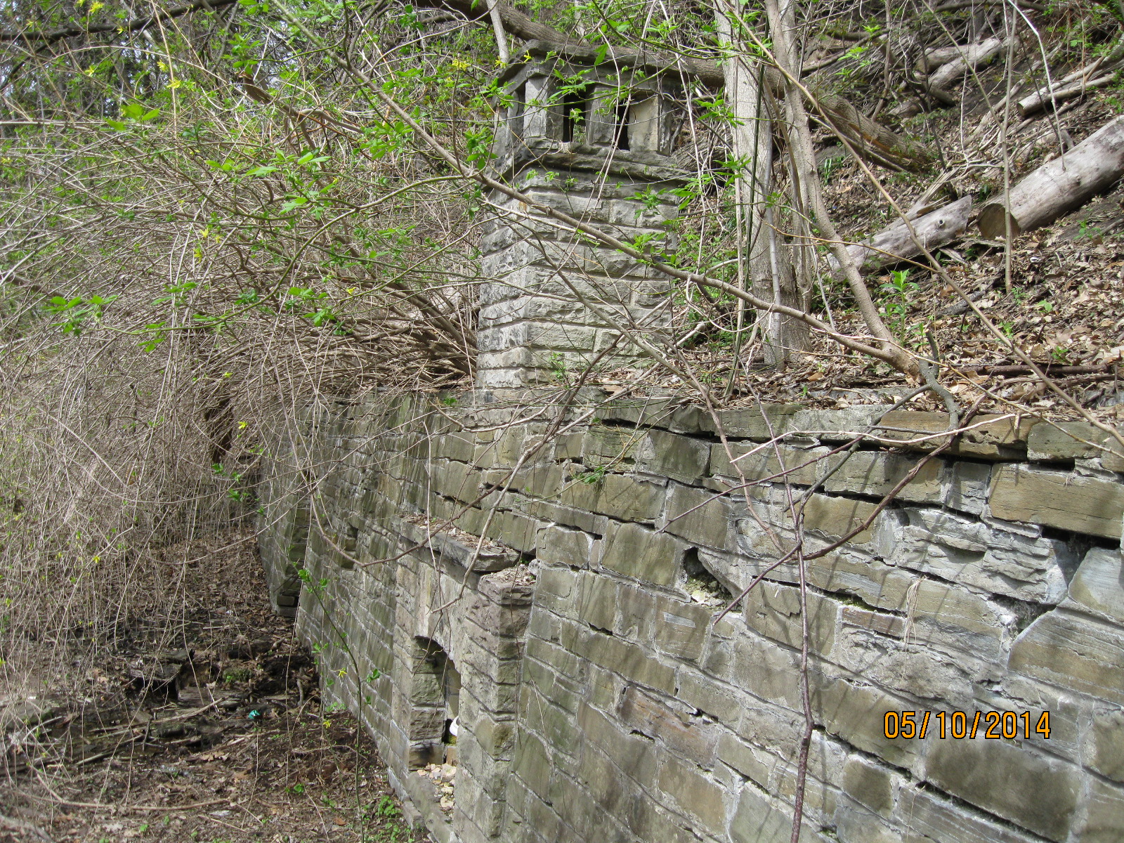
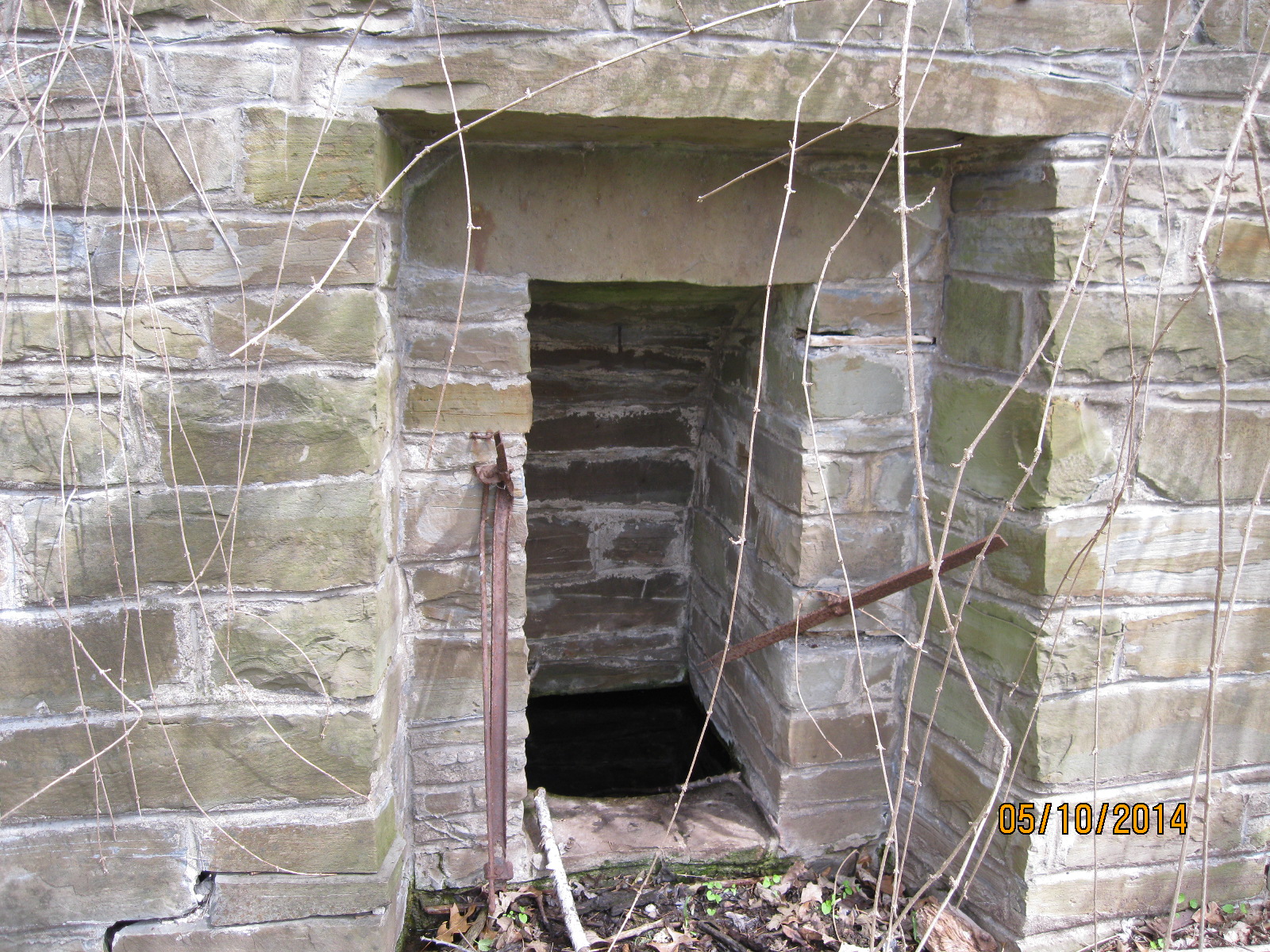
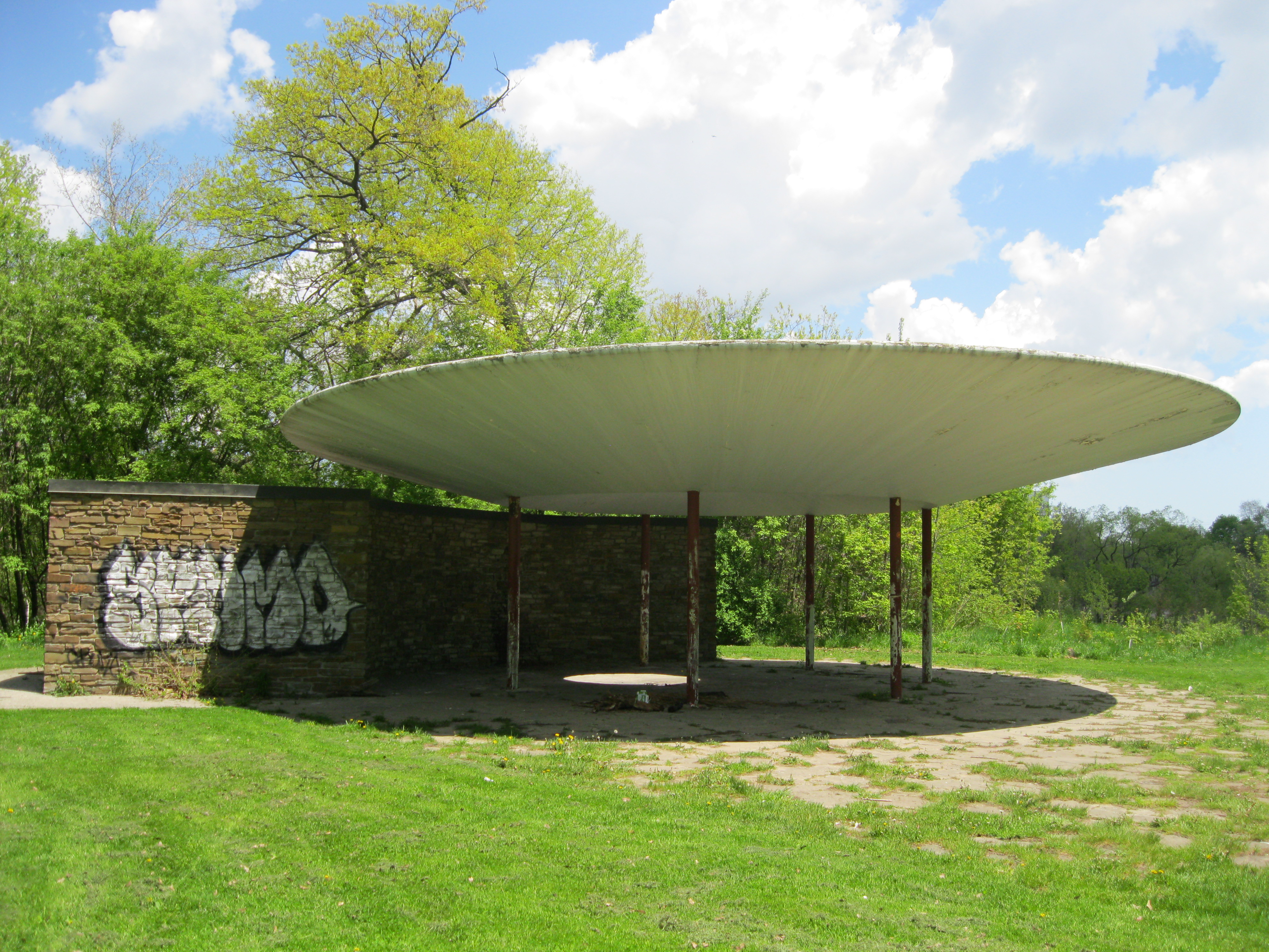
This structure, known as The Pavilion or The Oculus,  was built in 1959 as a public washroom.  It’s location makes security and maintenance difficult and it has been closed for several years.

IMG_2046

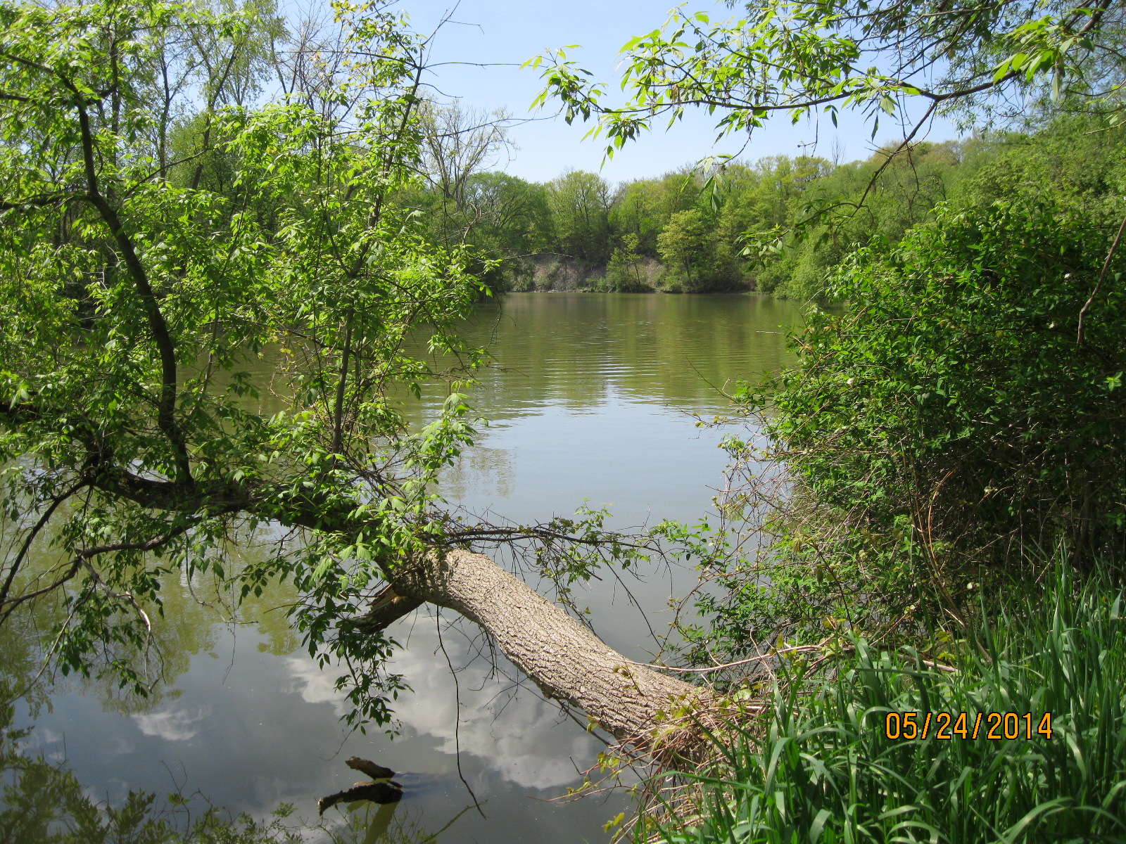
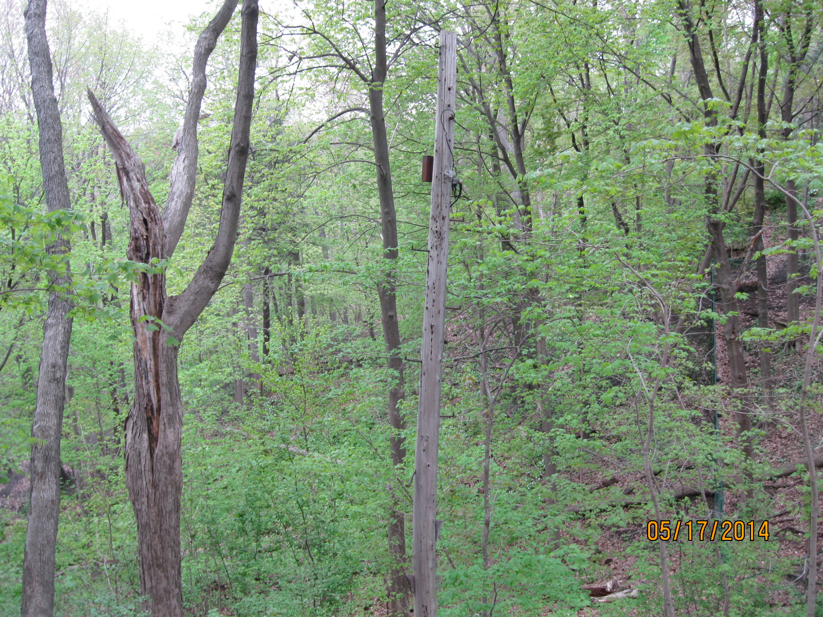
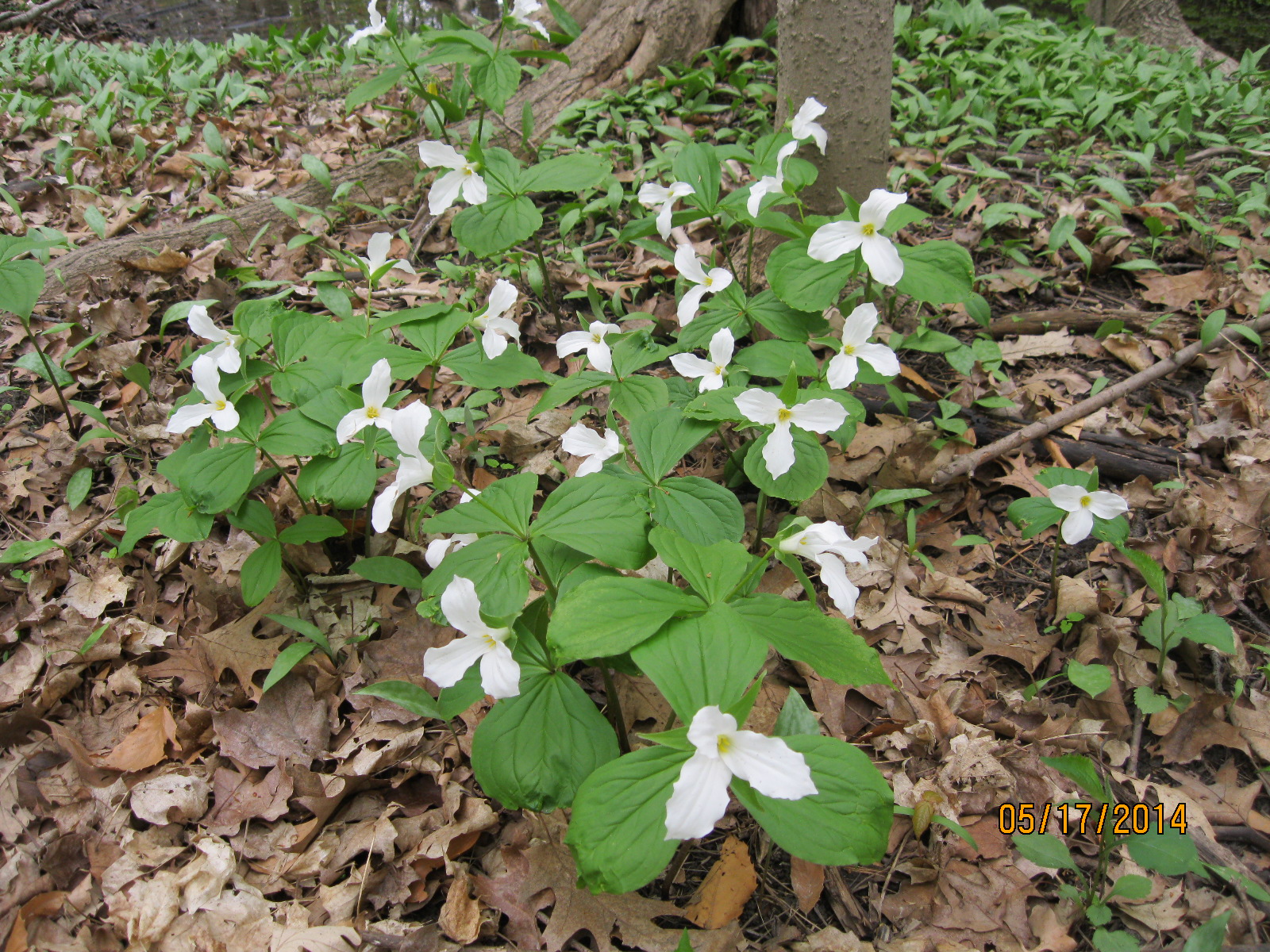
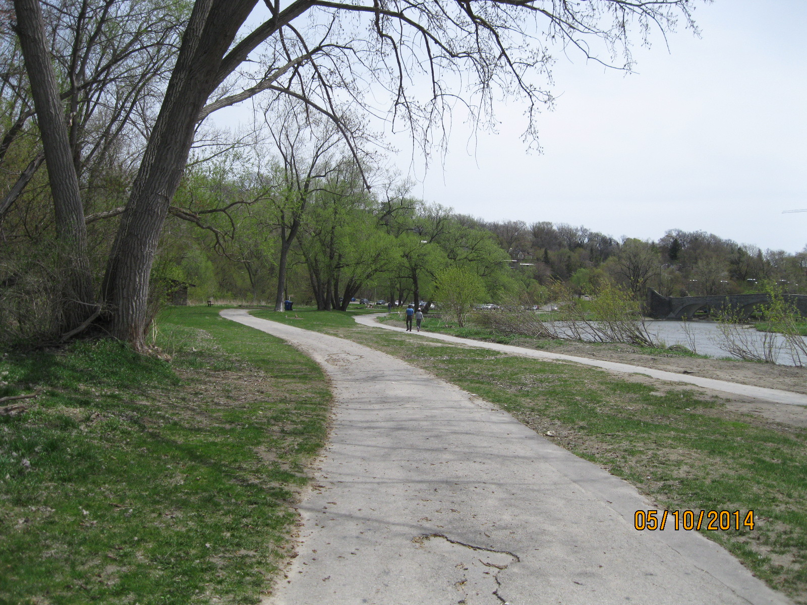
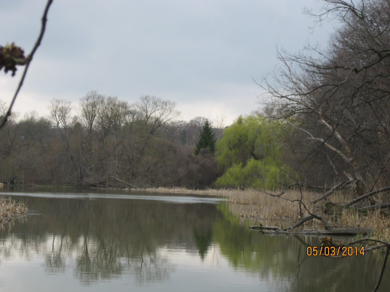
The leaf coverage is nearly full this week giving the river a secluded and peaceful feeling.

IMG_2036

Old Mill to Lambton Mills

Saturday May 17, 2014

The morning was overcast and cool at only 7 Celcius.  We parked again in the lower parking lot at the foot of the Old Mill bridge on Catherine street.  Here we met two guys preparing to go treasure hunting with metal detectors.  They told us that last year they had found a musket ball in this area.  French forts at this site date to 1720 when Magasin Royal stood near present day Baby Point.  The Toronto Carrying-Place trail, a main route to the upper great lakes, also ran up this side of the Humber River making this an ideal location for treasure hunting.

Keeping to the main trail we rounded Baby Point (home to last week’s stone ovens) before entering the woods on the north side of the point in an area known as Magwood Park.  There are several places along here where someone has taken the time to balance a lot of flat stones on top of each other.  This set is just below the third of six little waterfalls between Bloor street and Dundas street.

IMG_1944

This person obviously had a lot of spare time and a very steady hand.

IMG_1952

Along the top of the hill are several more impressive stone walls and decks looking out over the edge of what is often a hundred foot drop down to the river below.

IMG_1970

Along here we found an old utilities pole standing alone in the woods at the top of the hill.  It still had wooded steps at the bottom and metal rungs near the top from when someone used to climb it.  Those a little older than me might think of Eva Gabor climbing the pole to answer the phone in the late 60’s tv show Green Acres.

IMG_1975

Following the river you will come to the old town of Lambton Mills at Dundas street.  William Cooper opened a mill here in 1807 and the hamlet of Cooper’s mills was started.  In 1851 the name was changed to Lambton mills.  Soon a town of 500 people stood on either side of the Humber where the Dundas street bridge crossed.  The bridge in the photo below was destroyed in 1954 by Hurricane Hazel.

Humber River flood, Lambton Mills. - 1913

Lambton House was operated as a hotel from 1847 until it closed in 1988.  At one time it was surrounded by mills and a general store.  A fire in 1915 destroyed all the wooden structures on the east side of the river leaving the brick hotel standing by itself.  Today it is tucked in among a bunch of apartment buildings.  Along with the old bridge abutments this is all that’s left of the historic village of Lambton Mills.

IMG_1995

This week the trees are much greener than last week and visibility in the woods is becoming limited which makes it easy to walk right past a point of interest and not even see it.  The woods is an ever changing pallet of colour and this week Ontario’s Provincial Flower, the Trillium, appeared for the first time this season.

IMG_1961

Ovens Above Old Mill

Sat. May 10, 2014

This was the nicest day we’ve had so far this year for hiking.  It was sunny and 17 degrees C, warm enough to hike in a t-shirt but early enough in the season to be free from mosquitoes.  We parked in the lower parking lot beside the Old Mill bridge on the Humber river.  This magnificent stone bridge was built in 1916 as a replacement for the previous one which was washed out during the spring ice break-up that year.  In the photo below, from March 29, 1916, The Old Mill is abandoned and the earlier bridge is a twist of steel in the middle of the ice flow.

Old Mill Mar. 29 1916

The mill in this photo was built in 1849 and destroyed by fire in 1881. It is actually the fourth mill on this site and is the foundation for the restored inn and restaurant that currently form a local tourist attraction.  The first mill was constructed in 1793 at the request of Governor Simcoe and was the first industrial site in Toronto.

As is our habit we decided to stay away from the paved path going north along the east side of the river.  At this time of the year the ground along the base of the hill is marshy and we had to keep going up to avoid getting wet feet.  We climbed about half way up the forested embankment and made our way along the side of the hill.  There is an animal trail here which includes prints from the local deer.

From our position part way up the hill, we were able to see old stone walls further up the hillside.  Climbing up, my brother found an old stairway and railing in hiding in the trees.  In places, the trees have grown around the old railings.  In others, the railings and stairs go down the hill and suddenly end where the slope increases dramatically.

IMG_1899

The tree has grown completely around the fence rail.

IMG_1900

Old stairways in the woods always require investigation and this time it was well worth the climb.  We found a series of abandoned terraced gardens with at least 4 old ovens sitting at the top of the hill looking out over the old mill.  Some of these contain ornate stonework likely built with rock hauled up from the river below.

IMG_1901

James Baby served in the war of 1812 and when his property was damaged, and he was taken as prisoner, he was awarded land in the area of York (Toronto).  In 1815 he acquired the point of land that overlooked the Humber River and the Kings Mill (The Old Mill).  The land had been a Seneca village and Baby used it to build his estate.  Baby and his family lived on there until 1910 when the government purchased the land with the idea of building a military fortress and barracks.  When this idea was abandoned the land was sold to a developer named Home Smith.  He developed an enclave for the rich and many of these homes had grand views over the ravine.

IMG_1911

A set of stone pillars on Jane Street mark the entrance to this early version of a gated community.  Homes started developing the subdivision in 1912 and it is easy to envision Great Gatsby type of garden parties here in the 1920’s.

IMG_1913

We found a lot of broken bottles on the hillside as well with dates on them from 1938 to 1947.  Two of the more interesting ones were a Lavoris Chemical Co. bottle which would have contained mouth wash and a City Dairy milk bottle.  City Dairy opened in 1900 and operated until 1930 when it was bought up by Borden’s Dairy.  It was famous for it’s safe drinking milk, which was preferred by the city’s doctors for their own use.  City Dairy was started by Walter Massey, who’s father ran Massey-Harris, because at the time Toronto’s milk wasn’t safe and it was estimated that 400 children a year died from drinking it.

IMG_1927

It was a good day for enjoying the spring wild flowers.  Yellow, purple and white flowers carpet the woods.  This dog-toothed violet was one of the first to open itself to the morning sunshine.  A few days from now they will be out in the thousands.

IMG_1894

It’s amazing to see how much the leaves have opened on the trees in just one week.

IMG_1930

Google Maps link: Baby Point

Like us at http://www.facebook.com/hikingthegta

Follow us at http://www.hikingthegta.com


Humber Marshes – Urban Oasis

Saturday May 3, 2014

It was a cloudy morning around 7 degrees.  We entered the trail on the east side of the Humber River, south of Bloor St.  This is Etienne Brule park and it is undeveloped.  It is named after the first European to see the Toronto area and who arrived at the mouth of the Humber River in 1615.  Once down in here among the trees and the ample wild life it’s easy to imagine that you’re not in the heart of Canada’s largest city or perhaps its 1615 all over again.  The little trail quickly descends to the marshes and runs along the river bank.  We were surprised to find deer tracks, thinking they weren’t this far down the river.  We stayed along the river until the first pond was passed.  Here the trail climbs the hill and then drops back down.  If you follow the river you will soon come to a stretch of water you can’t get across.  There is a second pond in here which has a permanent opening to the river.  The two ponds on the right hand side of the river show up as green in the shot below because it was taken in late summer and they’re covered in algae.  At this time of year the ponds clear and are home to many wetland bird species.

Etienne Brule Park

We had seen that the deer tacks went into the woods so we followed and it wasn’t long before we saw a female deer.  It’s standing at the edge of the grass with its head hiding behind the tree that’s in the middle of this picture.

IMG_1861

We had already determined that you couldn’t get through around the back side of this pond because the hillside is steep and runs right down to the water’s edge.  However, we’d seen the deer come from that way and guessed it knew something we didn’t.  It turns out that the deer had made it’s way along the edge of the water and we could too.  We eventually came out at the river’s edge having got around the point we couldn’t cross.  Somewhere along the way we re-graded this hike from “advanced” to “daring”.  This part of the hike should not be tried.  For our efforts, we got to watch an Egret making it’s way along the opposite shore as it was fishing.

IMG_1865

IMG_1852

There was a small strip that contained hundreds of freshwater clam shells.

IMG_1868

This is an excellent hike if you like bird watching as we identified  more than 30 different species.  Among them were many waterbirds, including Egrets, King Fishers, Swans, Cormorants and Terns.

IMG_1871


It was also nice to see the willows turning green and everything else coming into bud.  It seems late this year, maybe that makes it a little more beautiful to see.

IMG_1867


Humber River at Finch and Islington

Saturday, April 20, 2014

Islington Avenue and Finch Avenue.

It was a sunny morning around 3 degrees C.  The first part of the hike was in the south-west corner of the intersection.  This is a small area where there is fairly recent growth with lots of underbrush.  We found an old culvert set in shale rocks in the brush.  The roadway that passed over it would have run north-south parallel to Islington.   Aside from the culvert, we saw plenty of deer tracks in the woods.

Crossing Finch, we hiked in the north-west corner of the intersection.  Here there is an old roadway which has been closed off from its connection with Finch Ave.   Research from the Toronto Archive aerial photographs shows this area was closed off between 1983 and 1992, likely when Finch was extended across the river.

A large deer, likely a buck was seen climbing the hill to the west of the old road.  We didn’t see it again but there are lots of trails littered with piles of deer poop.  We also saw the carcass of a dead animal, perhaps a beaver.  Lots of birds were seen including woodpeckers, robins, ducks and geese.  High up in the trees we could see that the buds were out but at ground level, there was still no sign of new growth.

1983 Aerial photo of Islington and Finch.

Finch 1983

1992 Aerial photo of Islington and Finch

Finch 1992

It has now been closed for about 25 years but it appears to be maintained at least enough that the broken trees from the Dec. 23, 2013 ice storm have been cleared away.  On the south side of Finch all traces are lost except the culvert.

IMG-20140419-00152

A little further along was found an older foot bridge across a side stream that runs through the ditch.  This bridge is made of poured concrete with a layer of river rocks on the top which gives it its aged look.

IMG-20140419-00153

An older pathway down from a school ground to the roadway has been totally overgrown.  The lamp posts are all that mark the pathway.

IMG-20140419-00154

(A return visit in October 2016, told the story of this site as the Country Hospital For Sick Children)

Like us at http://www.facebook.com/hikingthegta

Follow us at http://www.hikingthegta.com