Saturday May 14, 2016
Two man-made lakes hide among the mid-1970’s planned community of Meadowvale West. Lake Aquitaine and Lake Wabukayne form a beautiful green oasis in the middle of apartment buildings and townhouses.
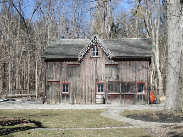
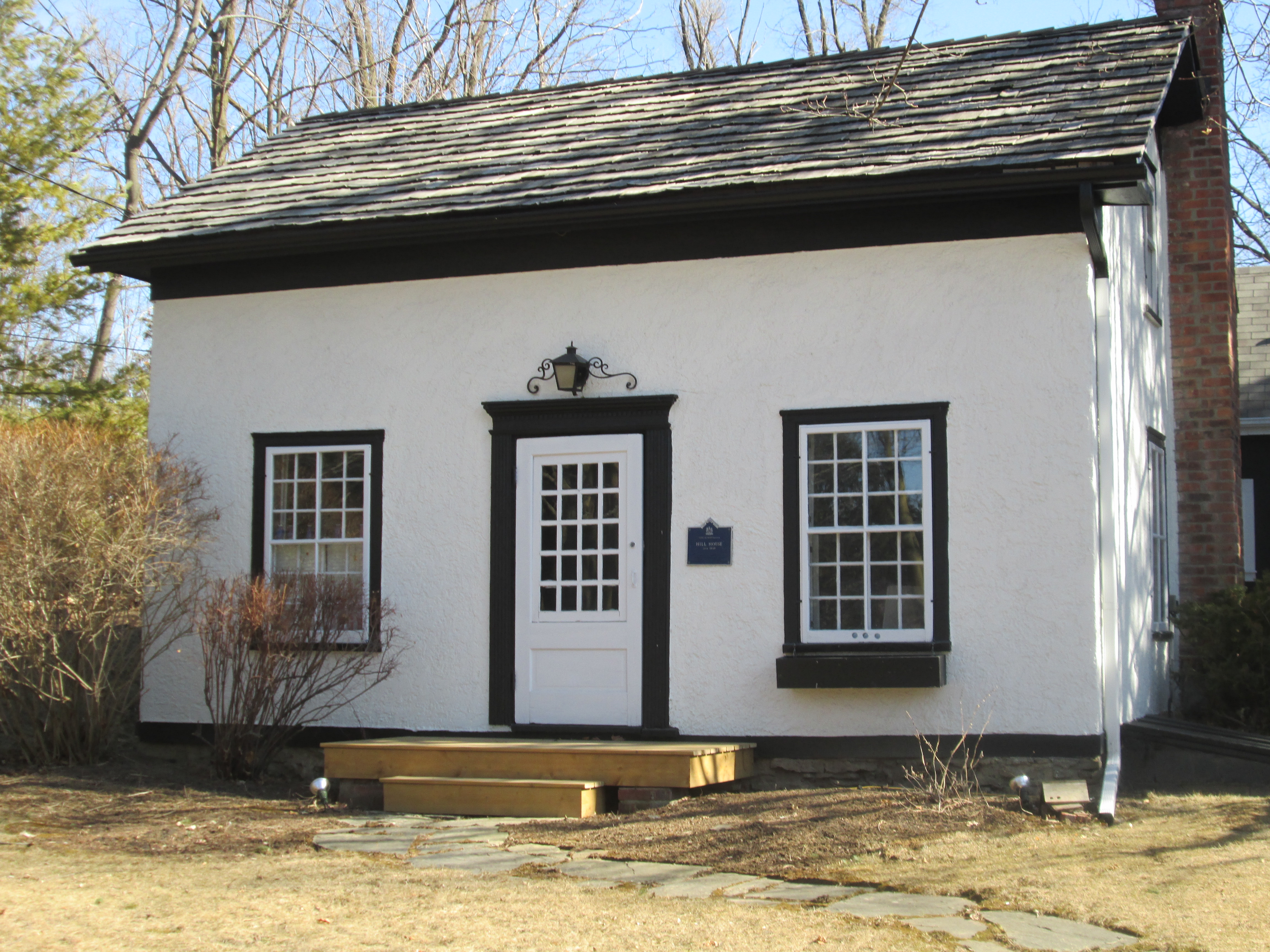
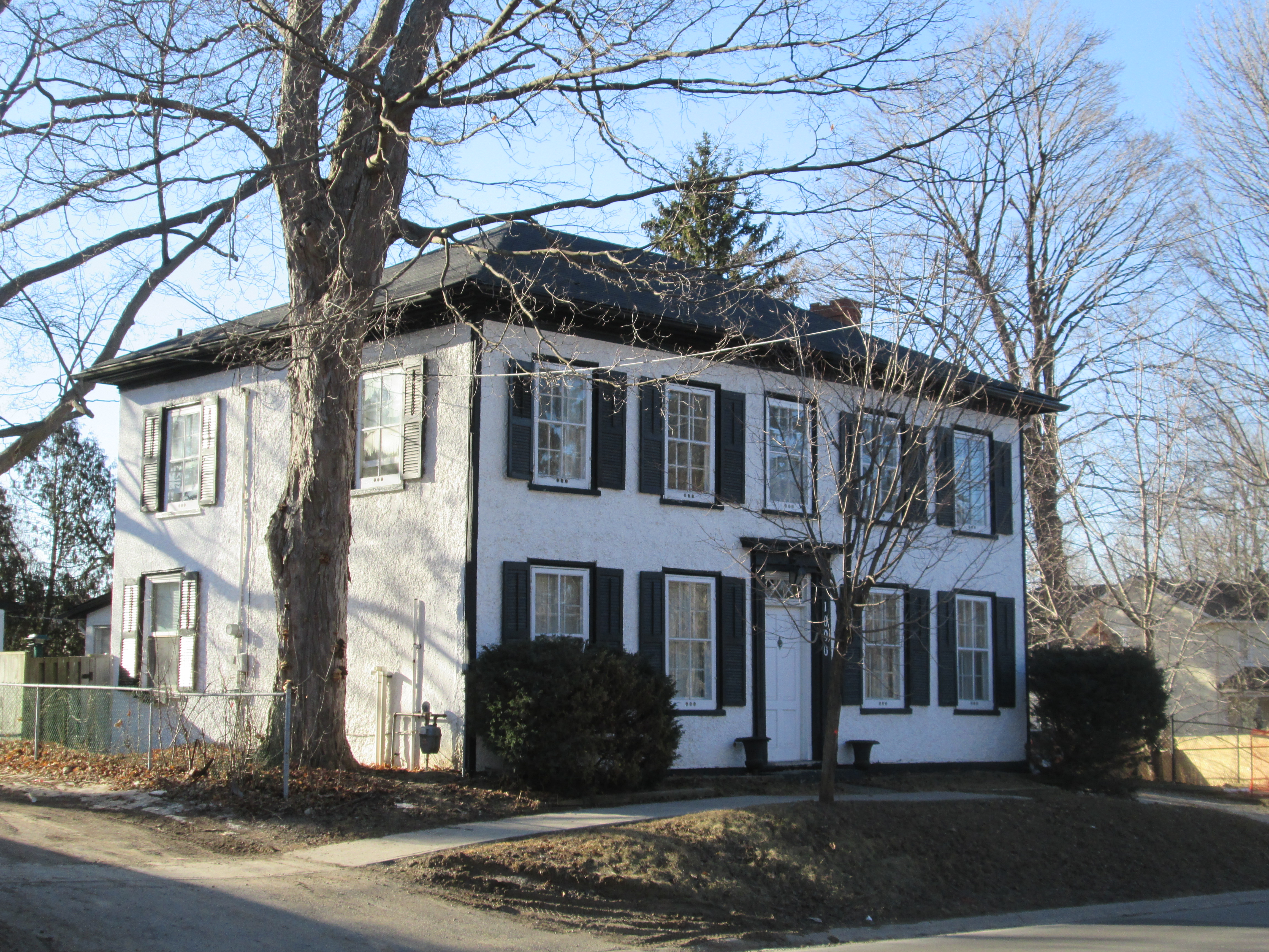
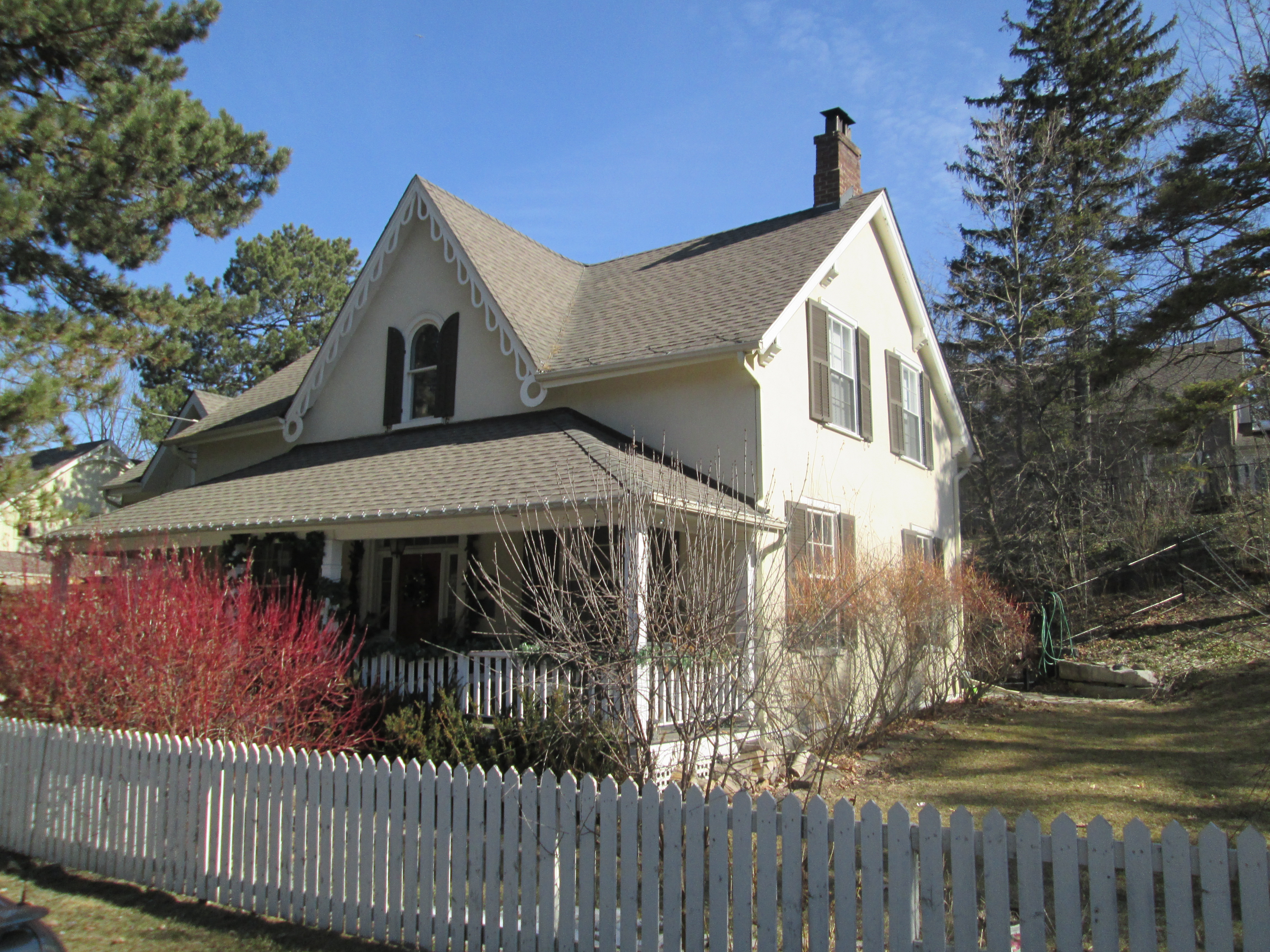
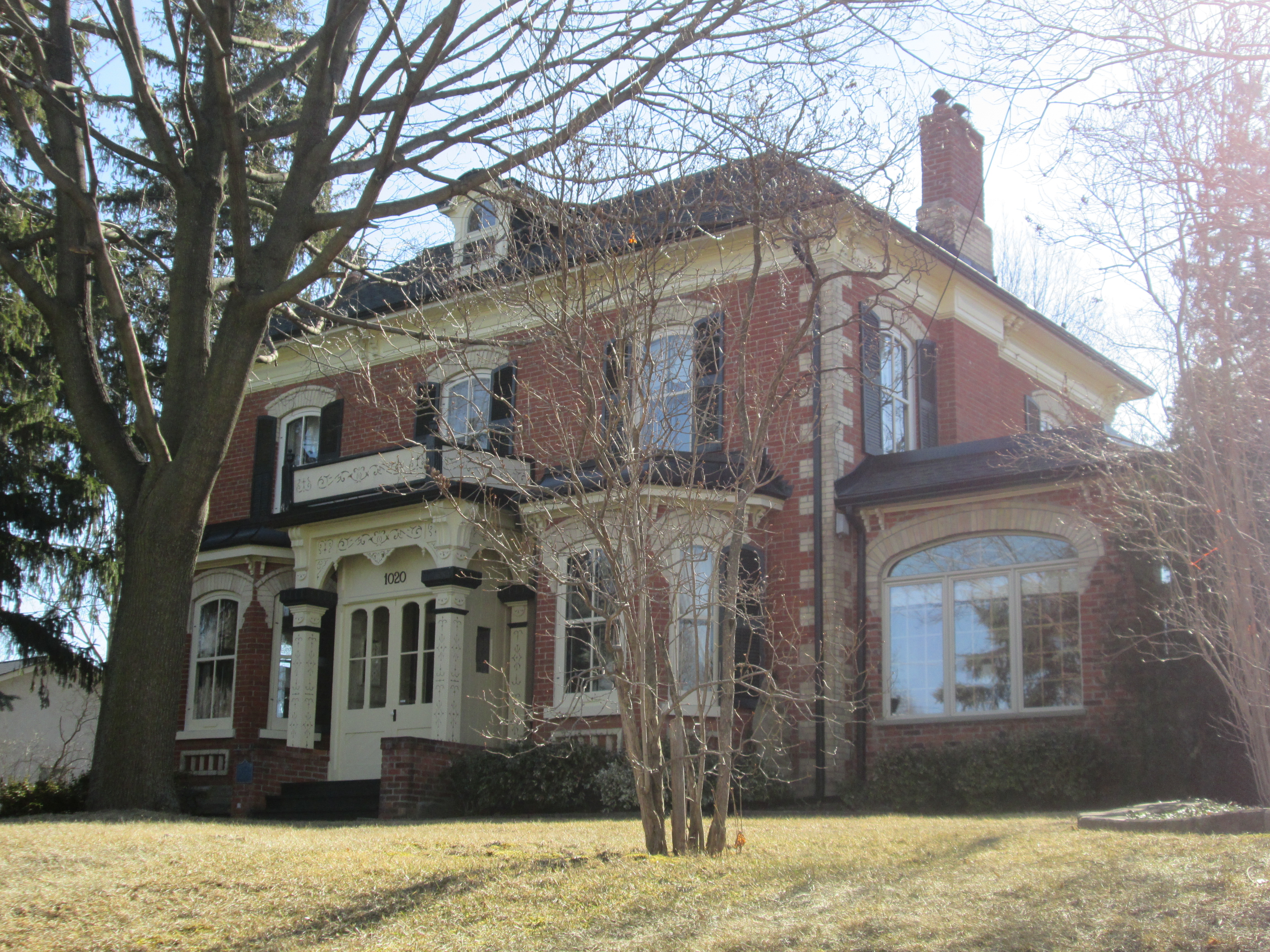
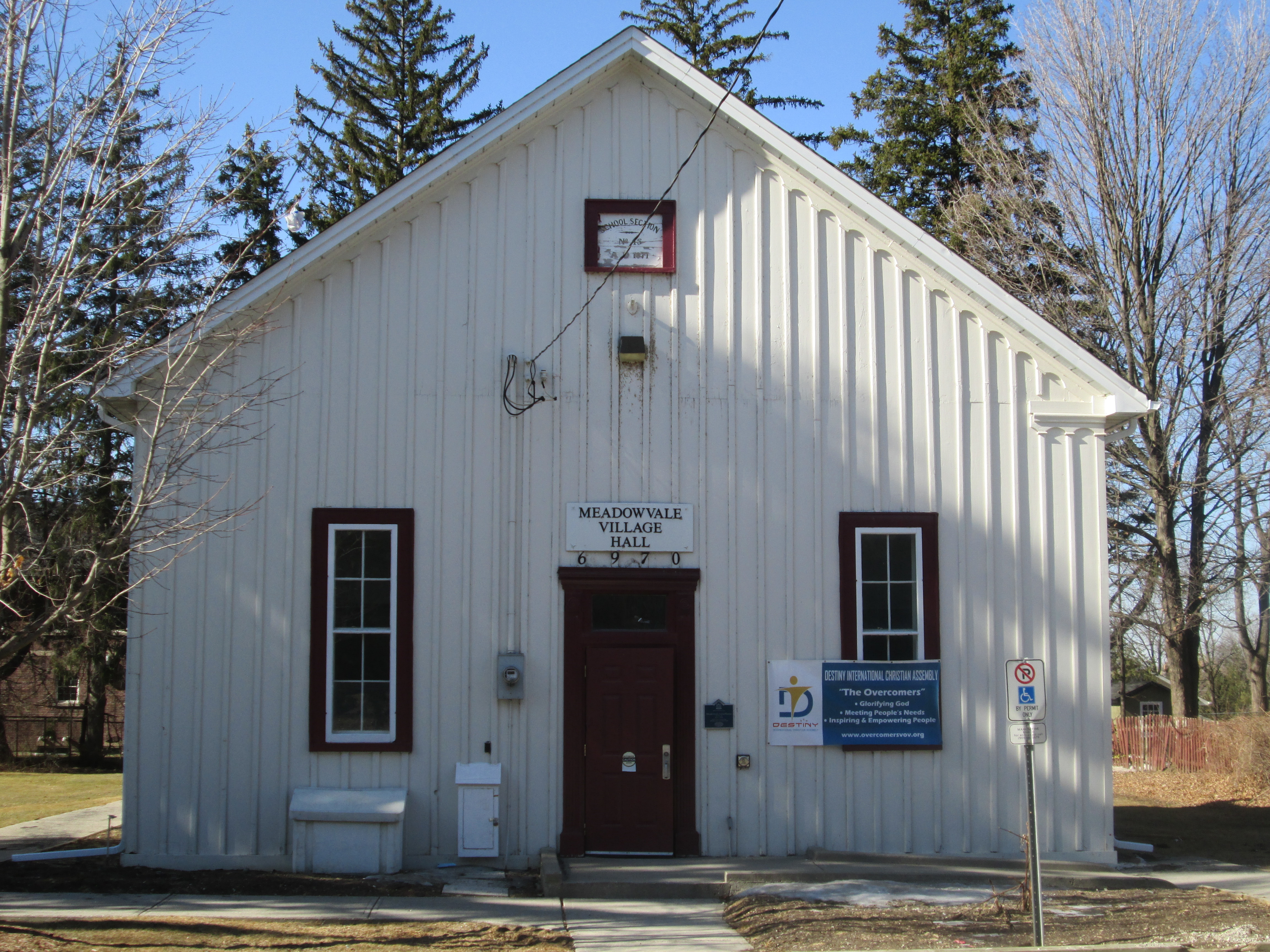
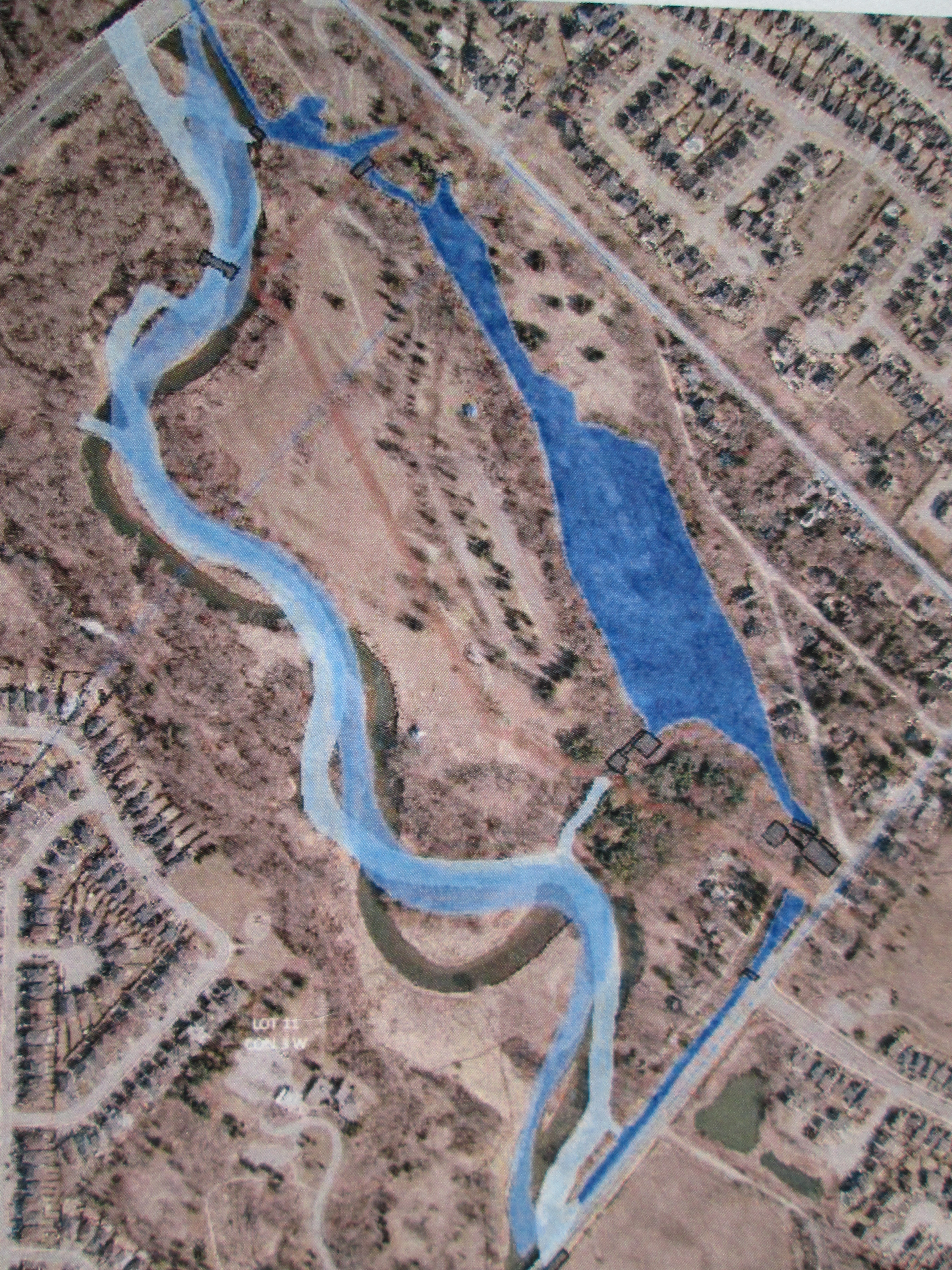
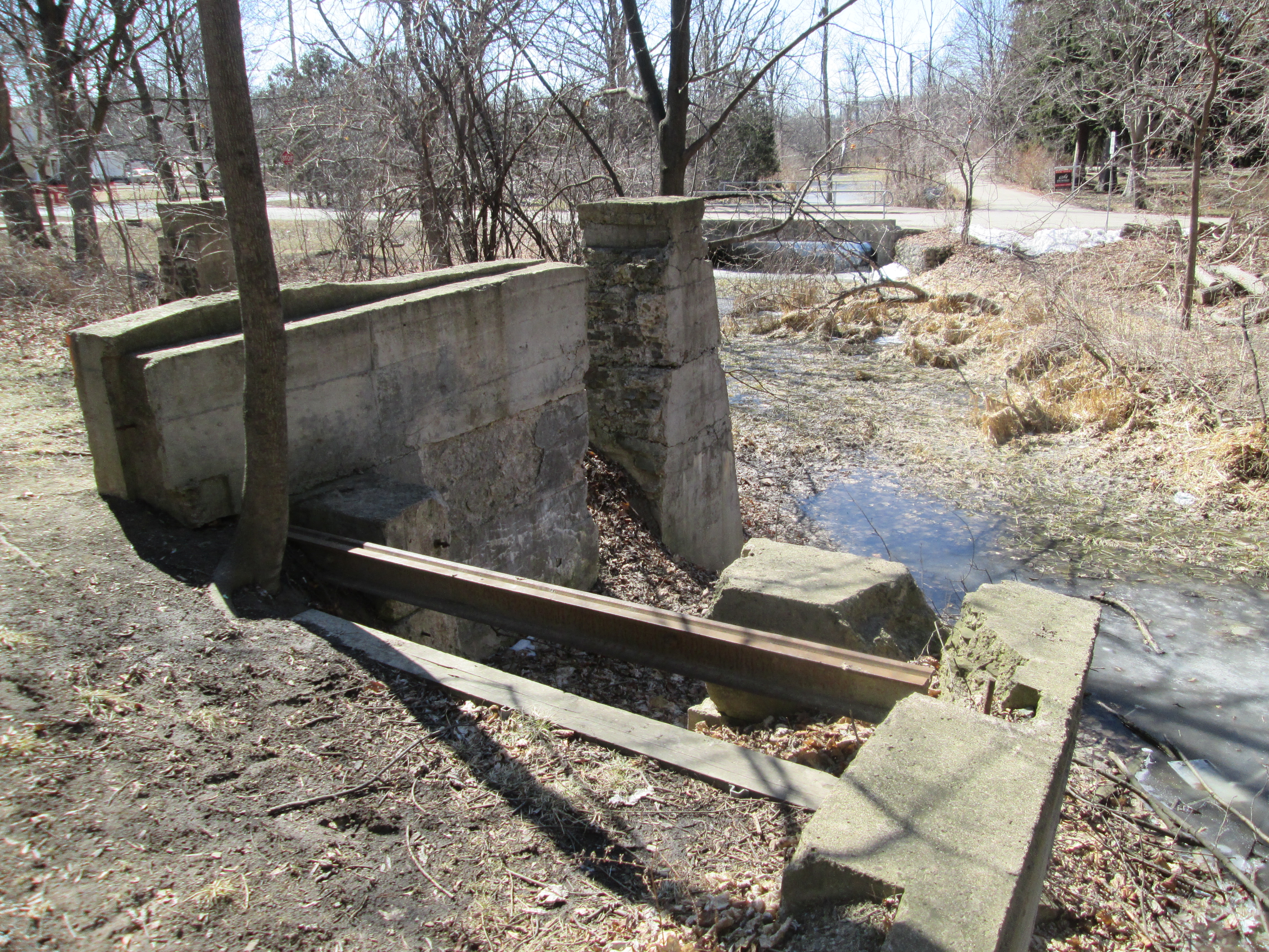
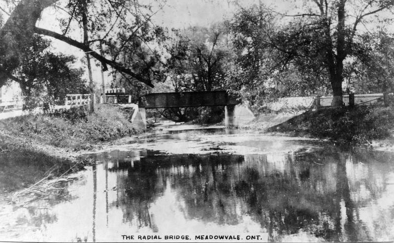
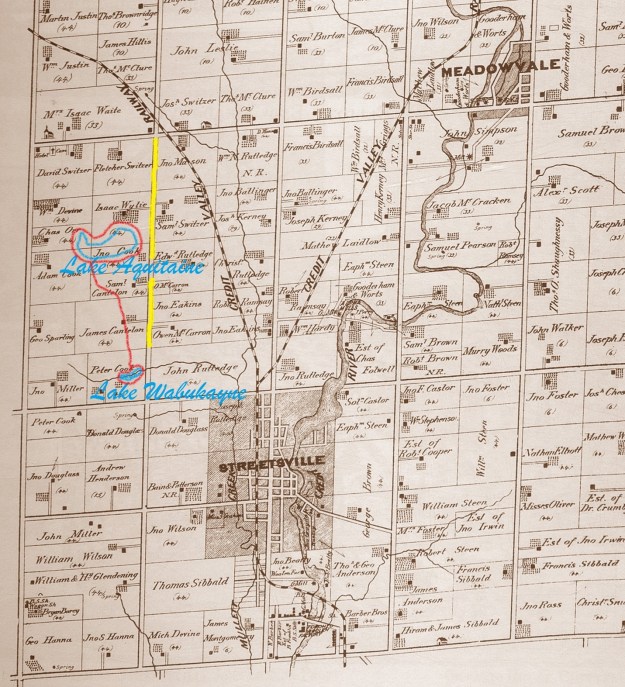
On April 25, 1969 Markborough Properties Limited announced their plans to develop a 3,000 acre community that would include three levels of schools, a community centre, a major retail centre and a park with a lake. A place where people could live, work, shop and play. The new community in the Streetsville and Meadowvale area would provide the biggest growth in the history of the new city of Mississauga. On Dec. 14, 1970 a tree was planted to mark the beginning of construction and to remind the contractors of the city in the country theme of the development. In 1971 Streetsville Mayor, Hazel McCallion, presided over the opening of the information centre that started to sell the community. By 1973 Fletcher Switzer’s property had been developed for townhouses but the farms south of it were still clearly visible in aerial photographs. By 1975 Isaac Wylie’s house had been removed and the section of the 5th line west coloured in yellow on the 1877 county atlas below had been closed and abandoned.
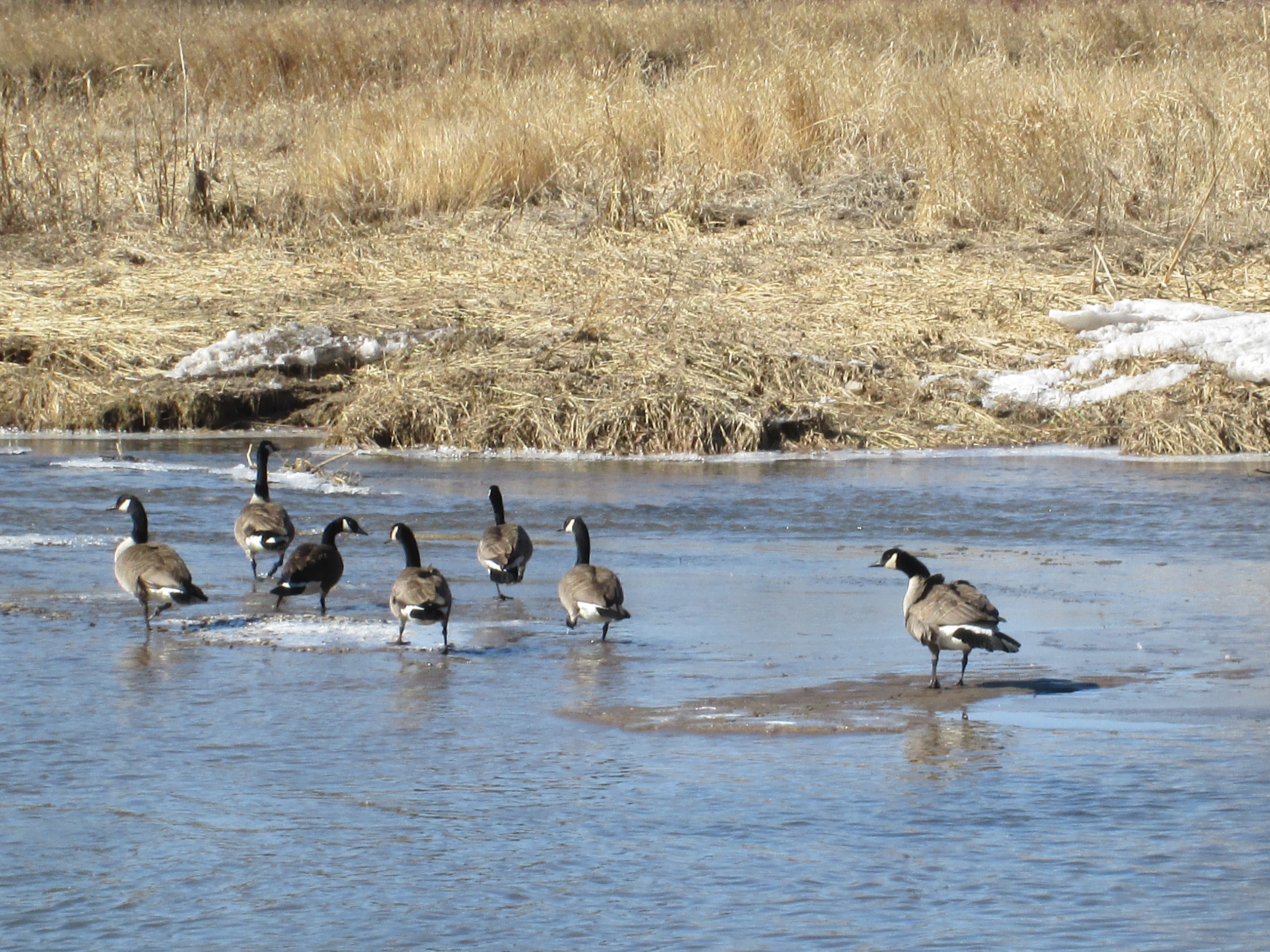
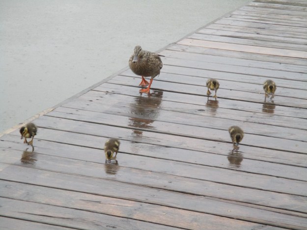
When the master plan was developed it was decided to include a large park with a man-made lake on it. The former Isaac Wylie property was chosen because of the small creek that flowed just south of the apple orchards. Excavation for the lake began in September 1976 and when completed in November 1977 a 41 acre piece of land had been transformed into a park. A 12 acre lake containing 37 million gallons of water had been created and it was surrounded by 28 acres of parkland. A 1 acre settling pool was included to remove pollutants before local run-off water was released into the lake. Lake Aquitaine is 460 feet wide and 1780 feet long and the depth of 14-16 feet is perfect for the 3,300 rainbow trout that were stocked in it. Robins, Canada Geese and Mallard Ducks all have hatched their little ones around the lake. This female Mallard has her brood of five new born ducklings and is going for a stroll along the boardwalk.
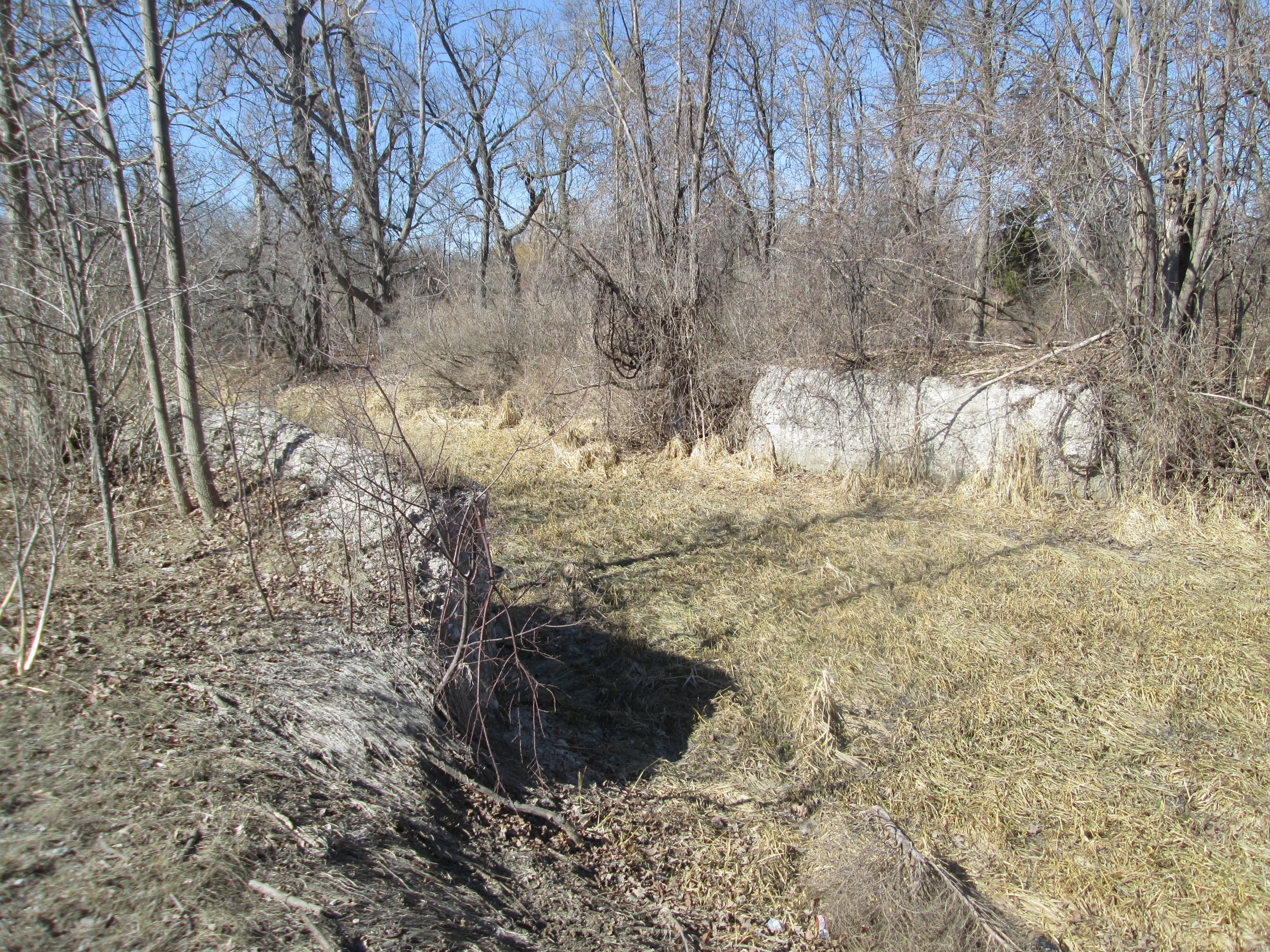
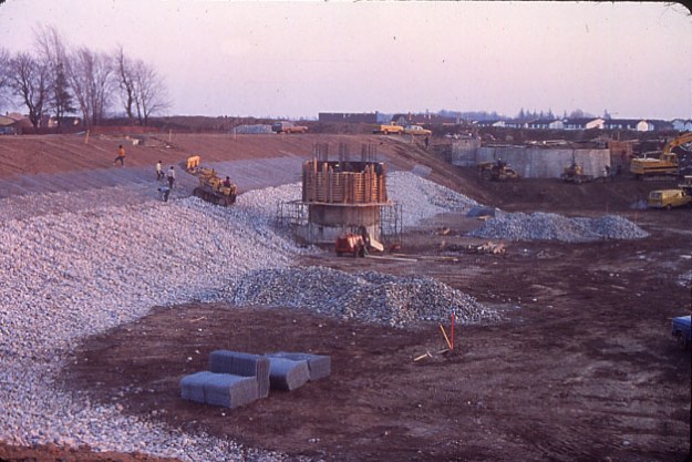
This archive photo shows the lake during construction looking north. A spillway was created to act as an overflow to control the level of the lake by allowing water to flow over the top if it rose too high.
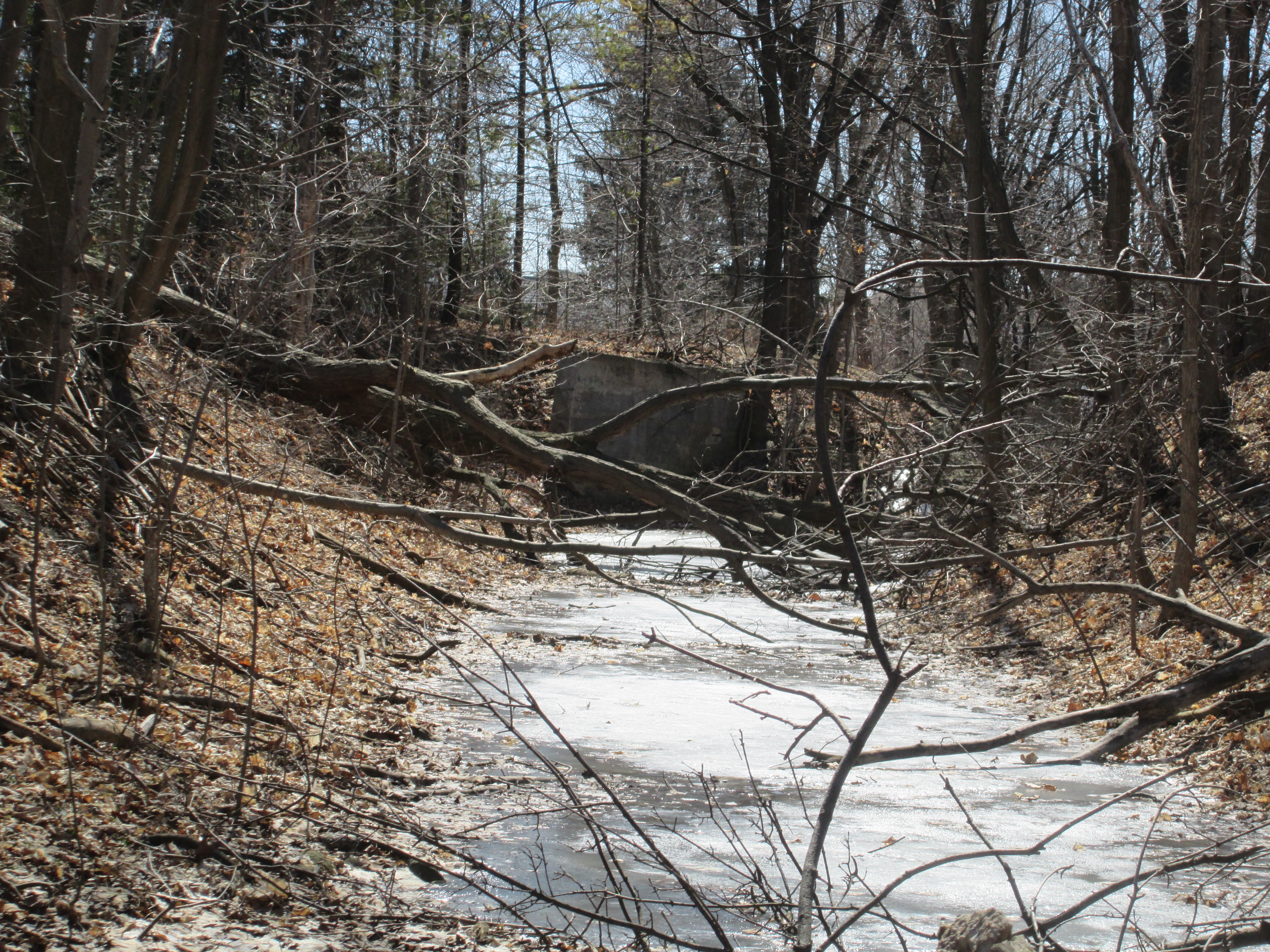
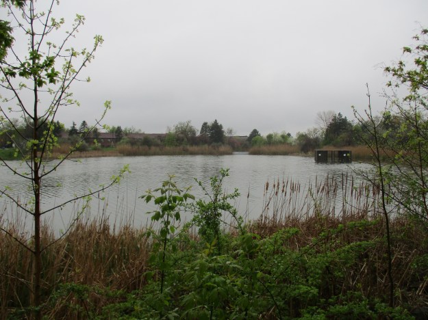
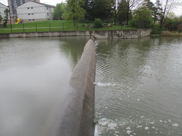
The picture below shows the Lake Aquitaine spillway as seen looking south today. Notice how wetland grasses have taken over the sides of the lake.
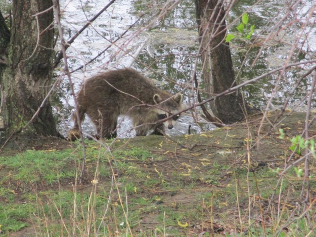
The trail continues past the spillway and along the shore of the lake. Here, a rather sickly looking raccoon was hanging around listlessly at the water’s edge. It is rare to see one so skinny in an urban environment where they have access to plenty of food. This animal likely has canine distemper which is the same disease that dogs can get.
Water flows over a small dam from the settling pond into Lake Aquitaine in the picture below.
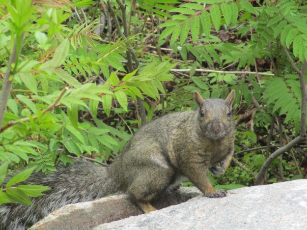
The residents of Meadowvale West have the luxury of a set of six exercise stations known as the Lake Aquitaine Exercise Circuit. These stations provide sets of exercise equipment spaced along the 1.4 kilometer trail that loops around the lake. Other residents, like a lady with a purse full of peanuts, walk the loop daily. This particular lady has a name for each of the local squirrels and stops to chat with them and throw them a peanut. As a result the local population is healthy and very friendly.
When Lake Aquitaine was nearing completion a massive landscaping project was initiated that included planting 1265 trees and over 15,000 shrubs. 130,000 square yards of sod were laid and the paved walkways were lined with benches and lanterns. Over the last 40 years the park has taken on a more mature feel and there are places where the hillsides are covered with hundreds of small maple trees. These will form the basis for a forest a couple of decades from now.
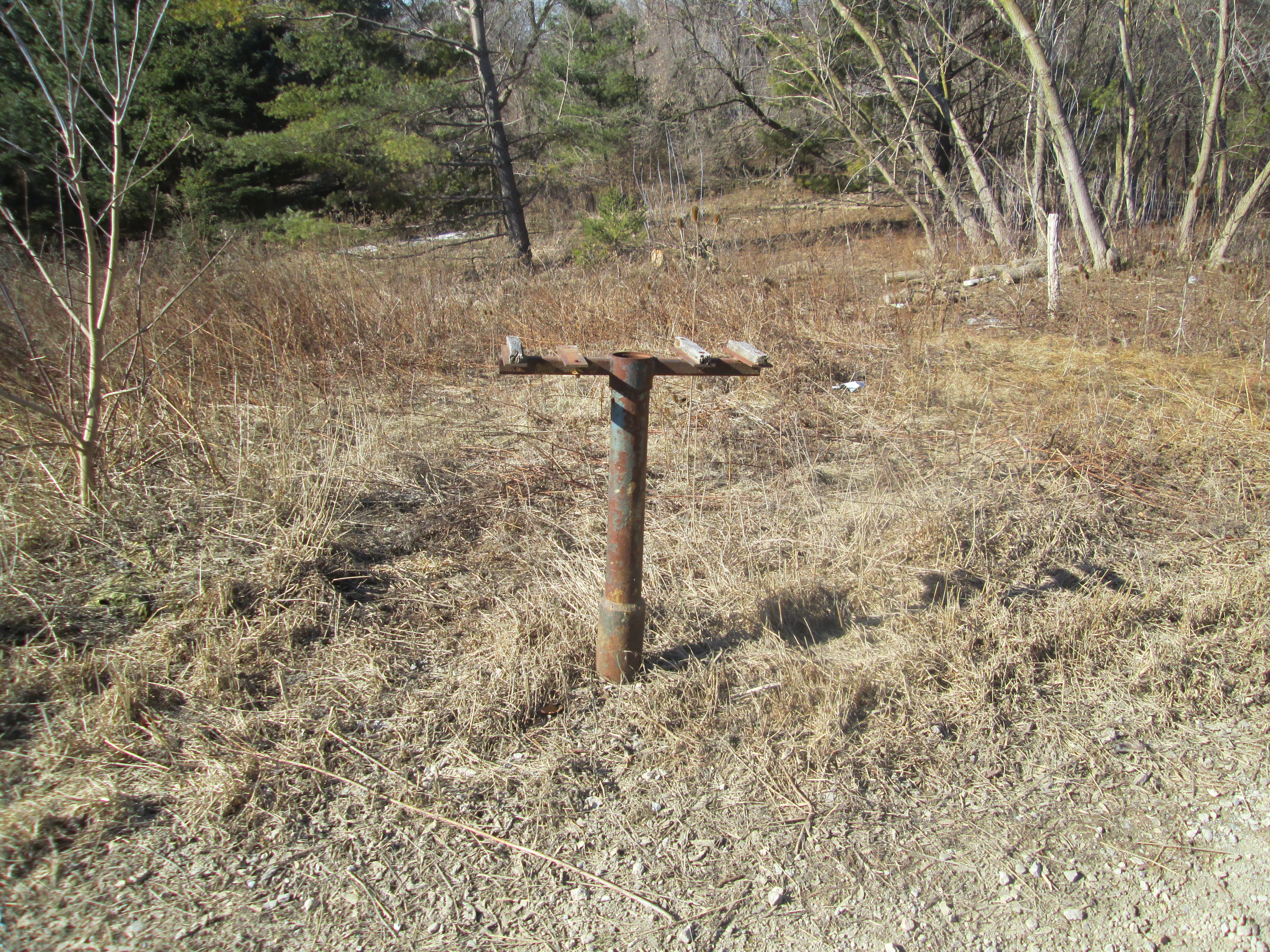
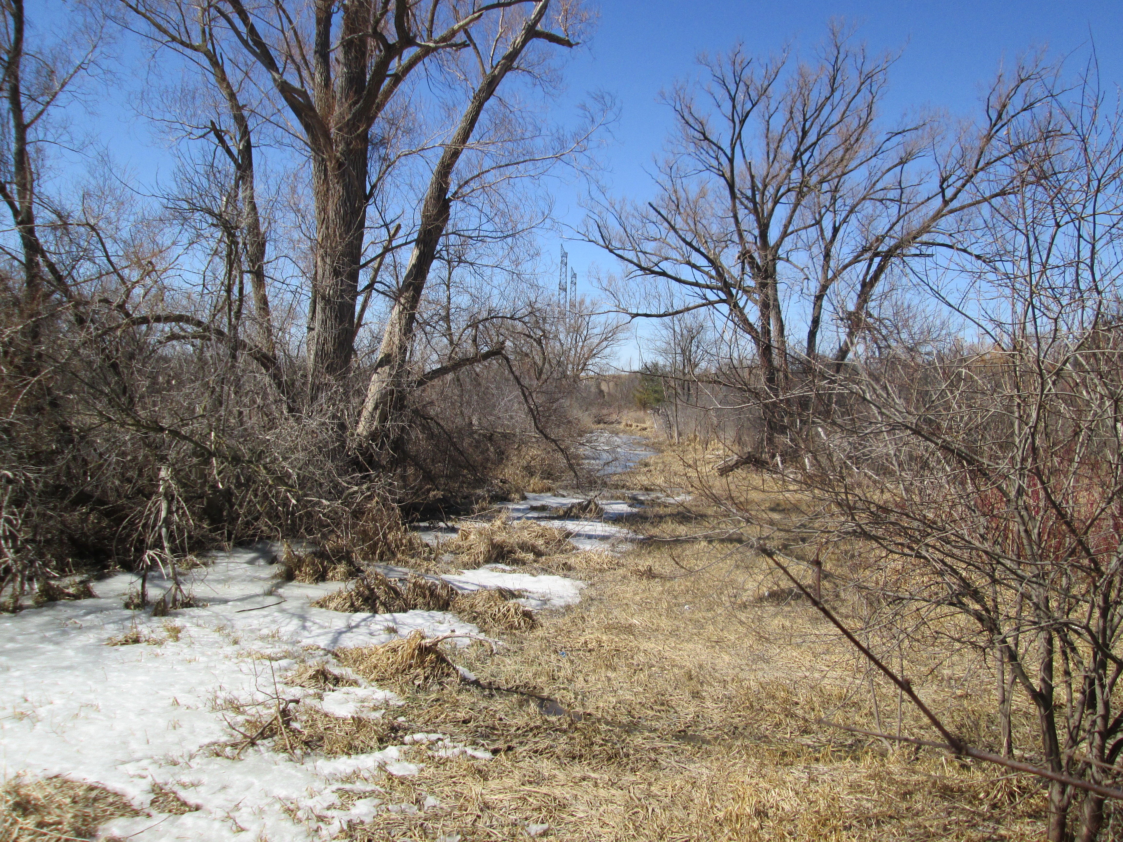
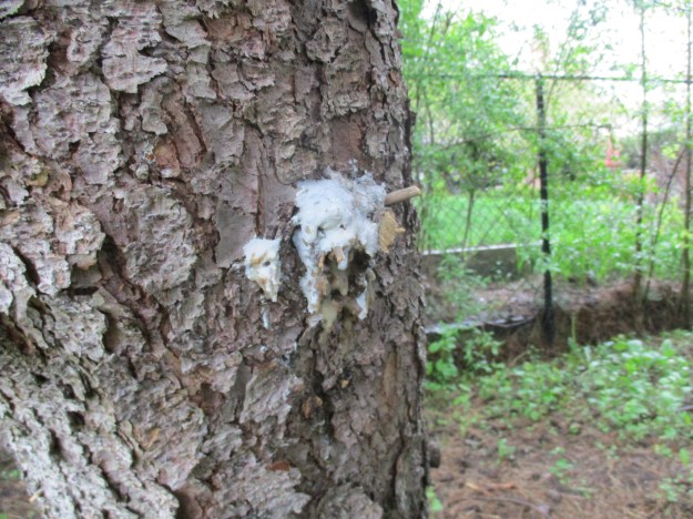
The Lake Wabukayne Trail runs south from Lake Aquitaine and forms a 4.9 km loop around the second lake. The trail was laid out in 1976 when the sewage system was set up for the new development. Mature pine trees now line the trail along one section and the one pictured below is leaking pine resin. This material, when collected and lit, makes an excellent candle that can burn for hours.
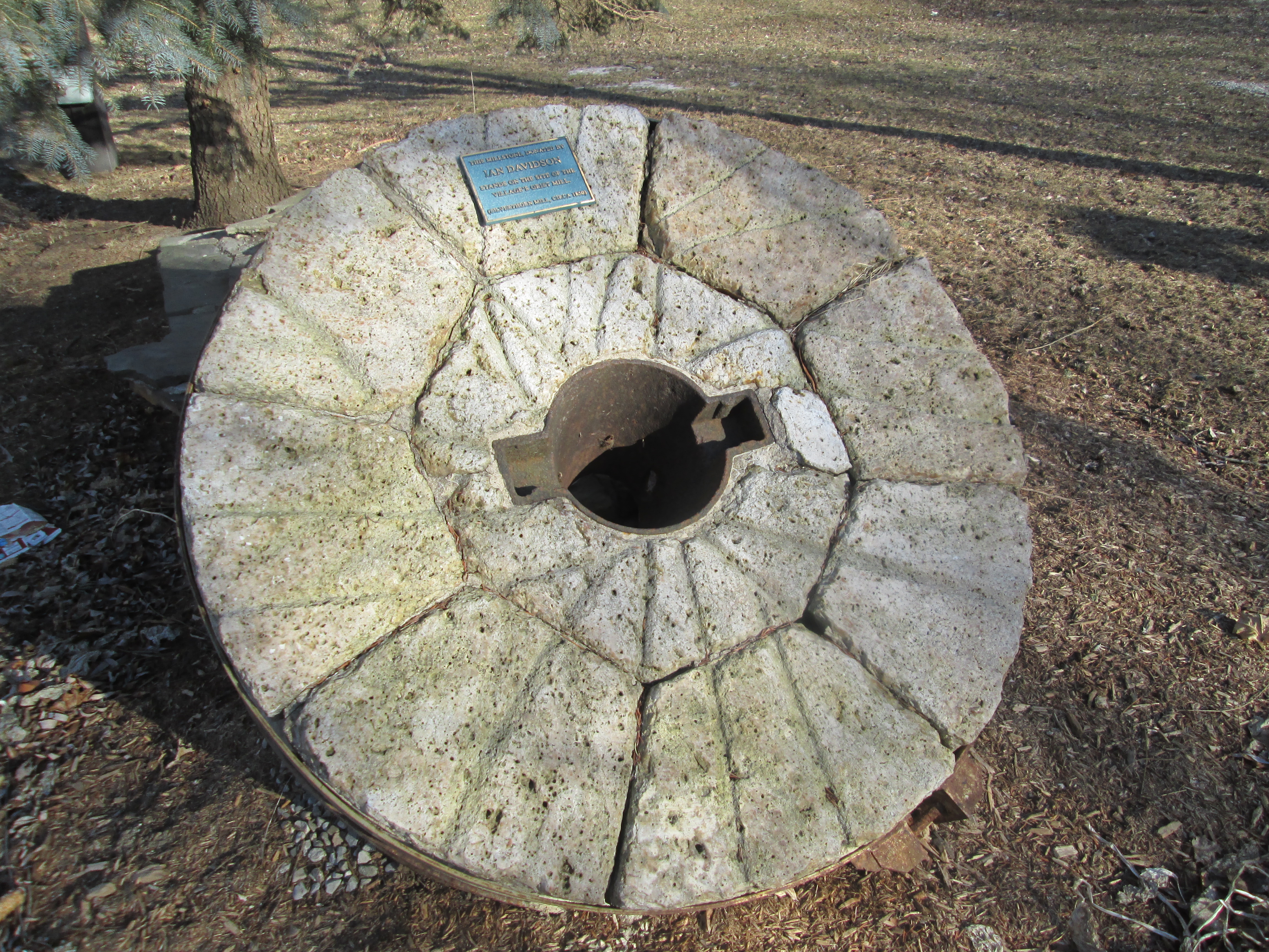
The county atlas above shows that almost every farm in the area included a large orchard. Orchards are illustrated as rows of dots, usually near the larger square dot that represents the house. Many apple trees remain in the parks and they are in blossom this weekend.

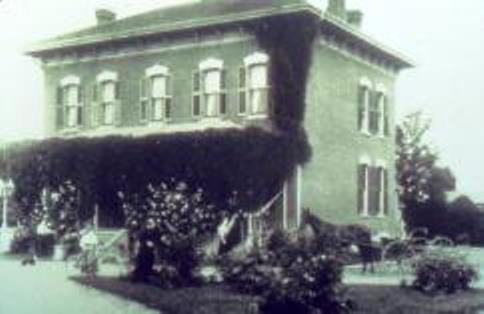
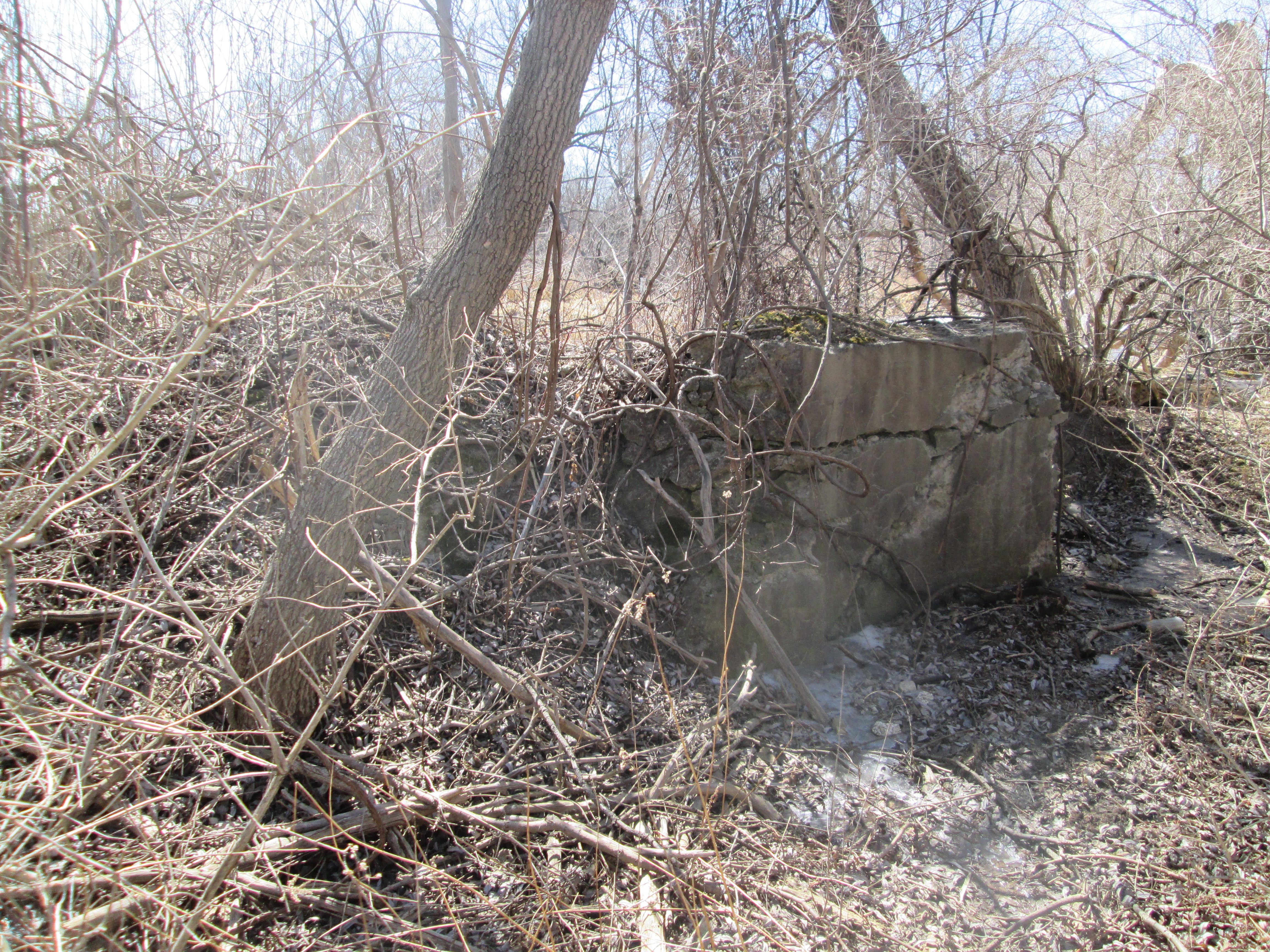
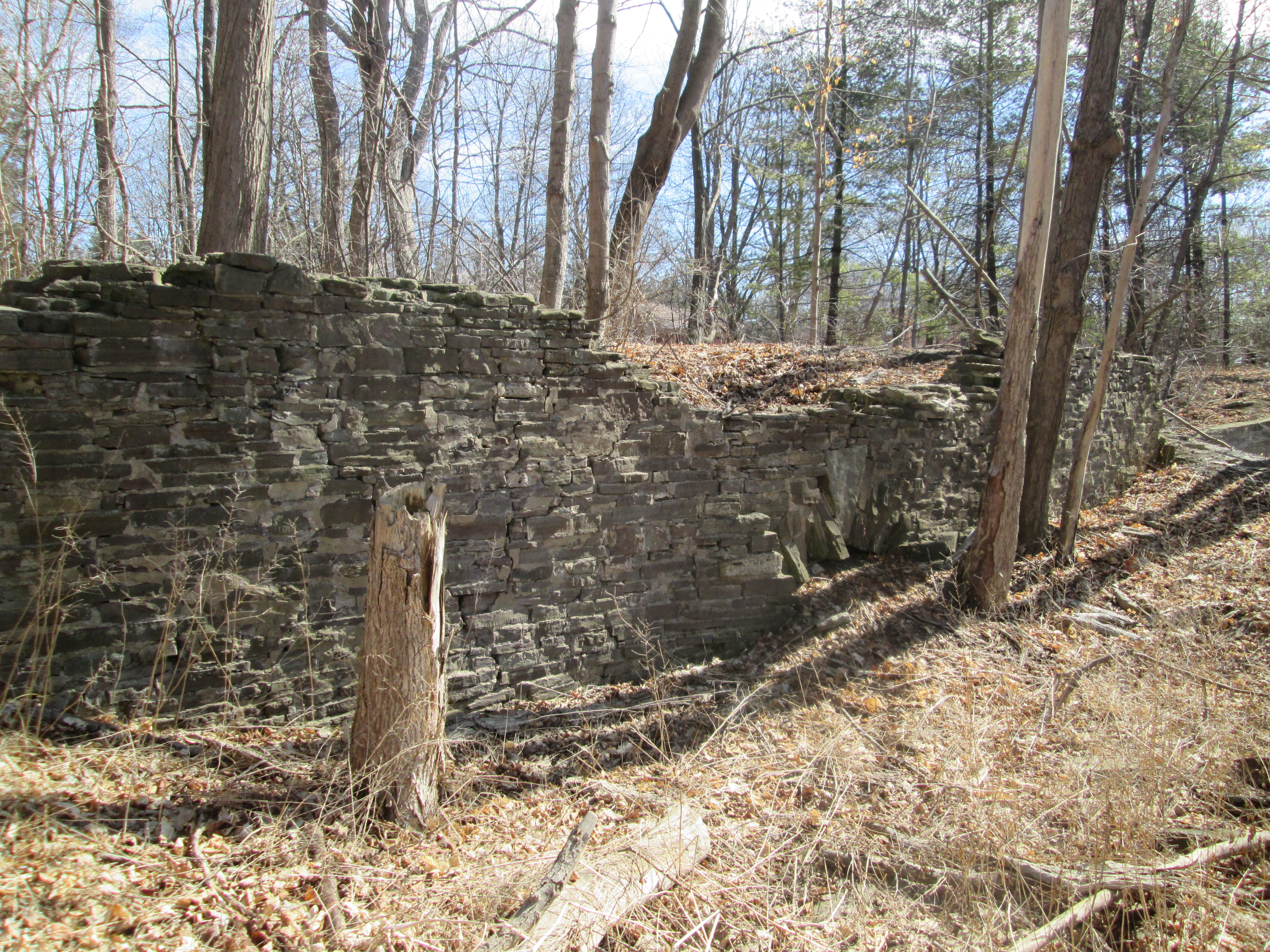
Lake Wabukayne is named after Chief Wabukanyne of the Eagle Clan of the Mississauga Natives who lived at the Credit River. His name appears on the “First Purchase”, the treaty of 1805 which sold much of the GTA to the British Government, and translates as White Snow. In 1829 Henry Cook settled on Lot 6. The farm stayed in the family with Peter being the owner at the time of the atlas above. In the 1940’s Cecil Cook built a dam across Wabukayne Creek to create a cattle pond on the property. When the planned community of Erin Mills was built the pond was converted to serve as flood control and was renamed after the creek that feeds it. It has since regenerated and is home to many species of wild life. Wabukayne Creek flows into Mullet Creek and eventually over a secret set of waterfalls before making it to the Credit River. The picture below shows the dam that controls the water level in Lake Wabukayne.

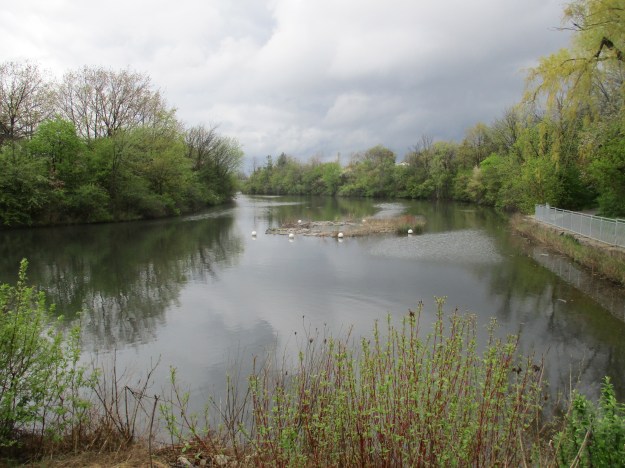
Lake Wabukayne includes a unique floating island. This island provides a safe habitat for ducks and other wild life. As well as providing protection from wind and wave erosion the roots from the floating plants also help to filter the lake. The floating island can be seen in the picture below surrounded by a series of white buoys.
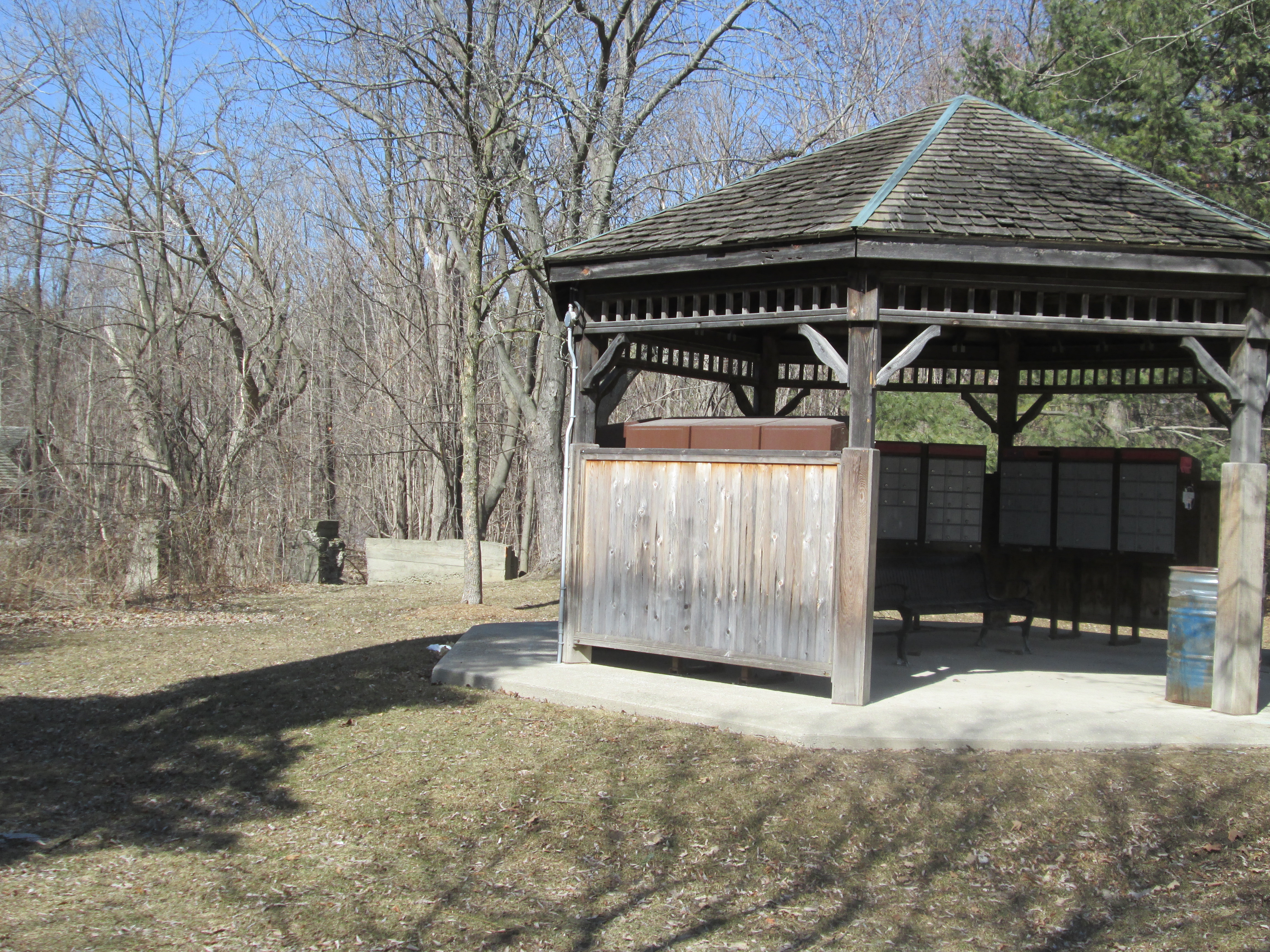
The Meadowvale Community Centre officially opened on Jan. 23, 1982 and would have made a great place to park for a hike around the two lakes except the parking lot is not accessible at the moment. After 3 years of planning, the 30 year old community centre was shut down in July 2014 for extensive updates and expansions. It is scheduled to re-open on Oct. 22, 2016. Parking is scarce in the neighbourhood but some can be found at the Meadowvale Town Centre. This retail mall was opened on Jan. 25th 1978 to serve the planned community.
Like us at http://www.facebook.com/hikingthegta
Follow us at http://www.hikingthegta.com