Tag Archives: Trans Canada Trail

The Tiny Tweed Jail

Sunday, February 20, 2022

The Village of Tweed is in the former Township of Hungerford and was founded in the 1830s under the name of Hungerford Mills. It became a bit of a boomtown during the mid-19th century because of local mining and lumber resources. In 1891 it was incorporated as a village and renamed Tweed after a river in Scotland. Originally, the Municipal Building housed the police constable and had a small jail in the basement. When it flooded the community began to look for an alternative place to keep the occasional miscreant. Being in town on business I decided to check out the new one.

R. F. Houston had founded the Tweed lumber company in 1893 and he stepped forward with a design for a small three-cell jail. The cells were located in the back with a small lobby inside the front door. The town paid him $10.00 for the design which they began to work on it in 1898. It didn’t open until 1900 which seems like a pretty long construction time for such a small building. The community paid $350.00 for it which is equivalent to $11, 700 in 2022 currency. The simple design has two small windows and a door in front and no other openings in the walls, which are made of cut stone. The one accent to the building is the gingerbread on the front gable, highlighted by the ball finial projecting above the roofline.

Tweed was never a community that had a lot of crime and the jail was rarely used, and then only for a few minor offenses. One exception was Gideon Butts who was held there for one night in 1903 before being sent to Napanee. He seems to have had severe issues, killing his wife under the delusion that she was a serpent. Constables were paid 20 cents to watch over prisoners and given 30 cents if they had to feed them as well. By 1950 the jail was deemed unnecessary as it was never actually in use. After it was closed the Ontario Provincial Police renovated the inside so that they could use it as a community station. They removed the three jail cells and replaced them with a single cell that allowed them to open the front up enough to put a desk in there. When the O.P.P. moved into the municipal building the former jail was converted into a tourist information centre which is open in the summer months.

So, does Tweed really have North America’s smallest jail? At just 15.74 feet wide by 19.68 feet deep it is certainly one of the smallest, however, several other communities also claim to have the smallest jail. The one in Creemore from 1892 is almost a foot narrower at 14.76 by 19.68 while Port Dalhousie has a jail built in 1845 that is 20 feet by 15 feet 2 inches. Several other small towns, including Coboconk, boast small jails and they are all within a few inches of each other in size. However, the ability to claim the smallest jail goes to the town of Rodney. Their tiny jail was built in 1890 and measures just 14.76 feet by 17.71 feet.

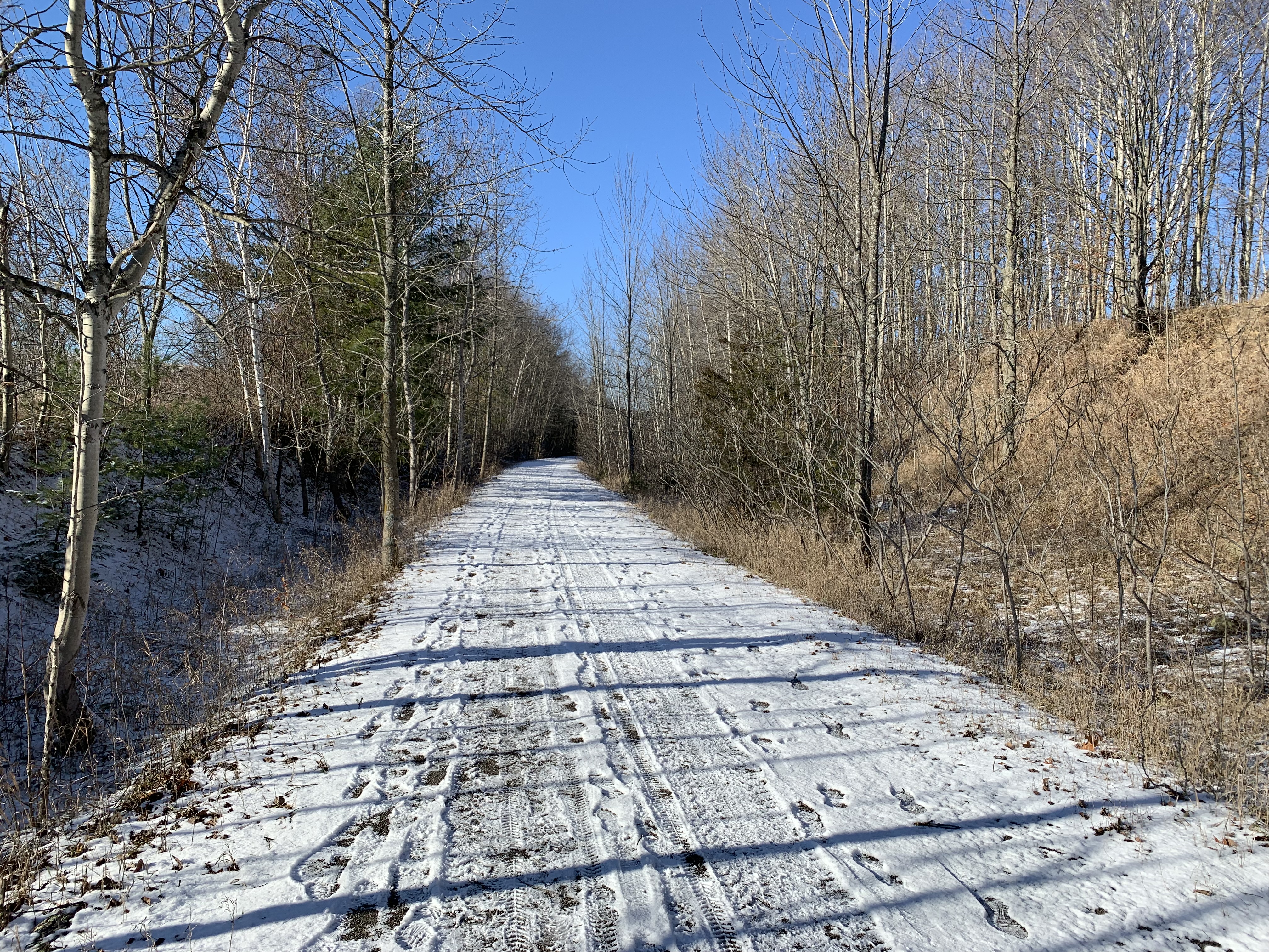
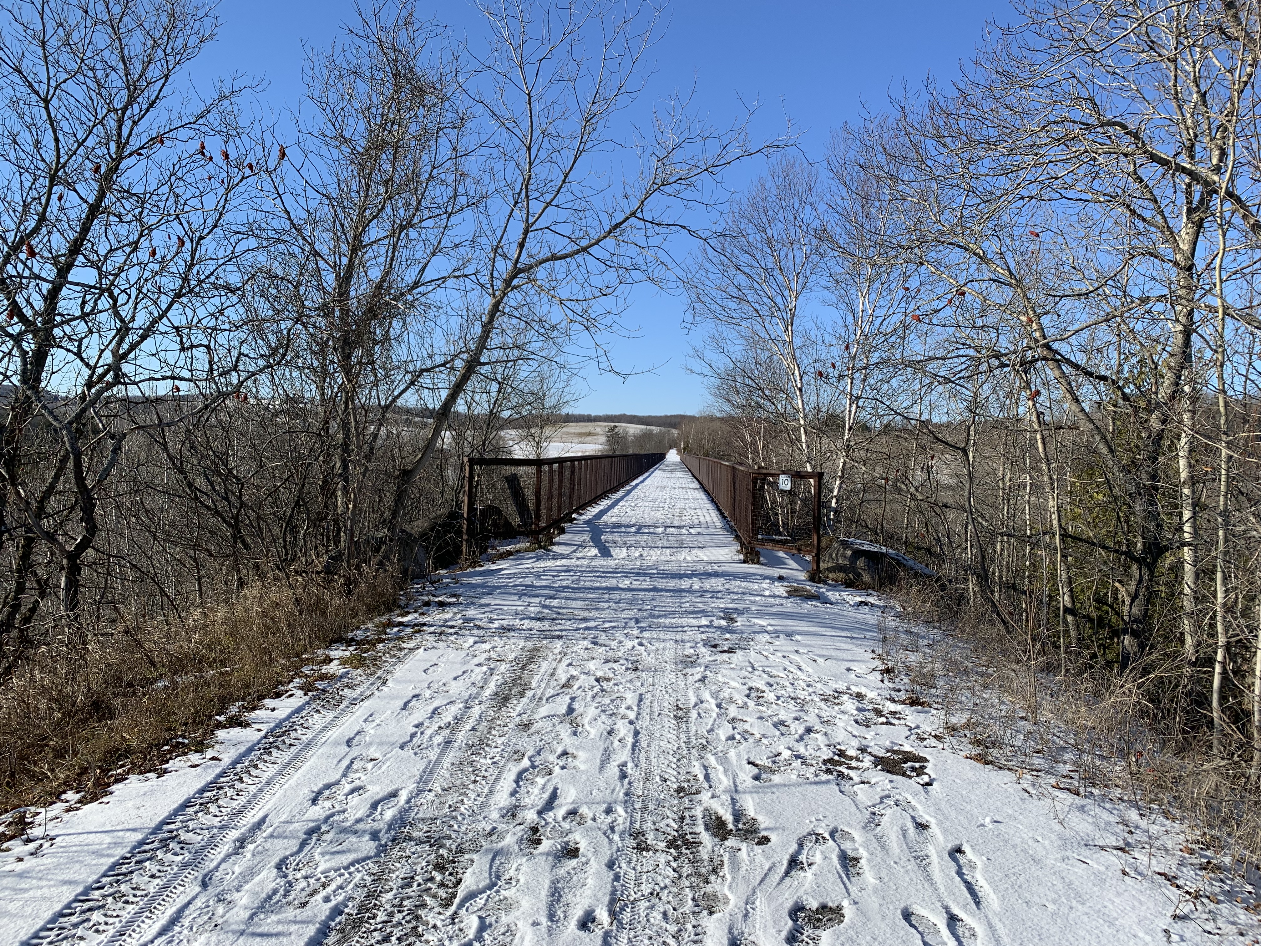
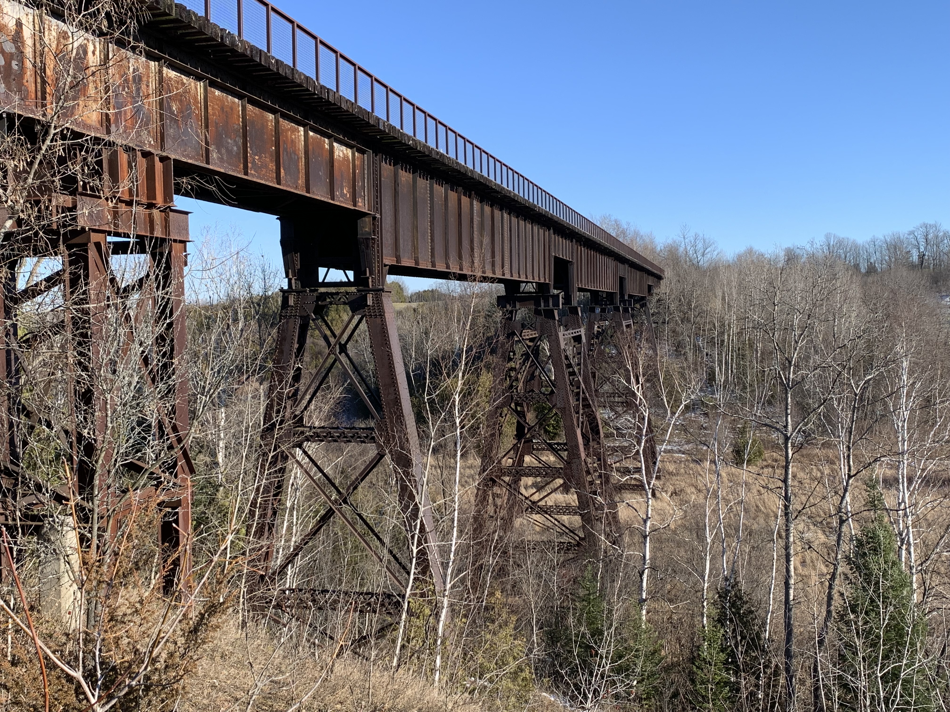
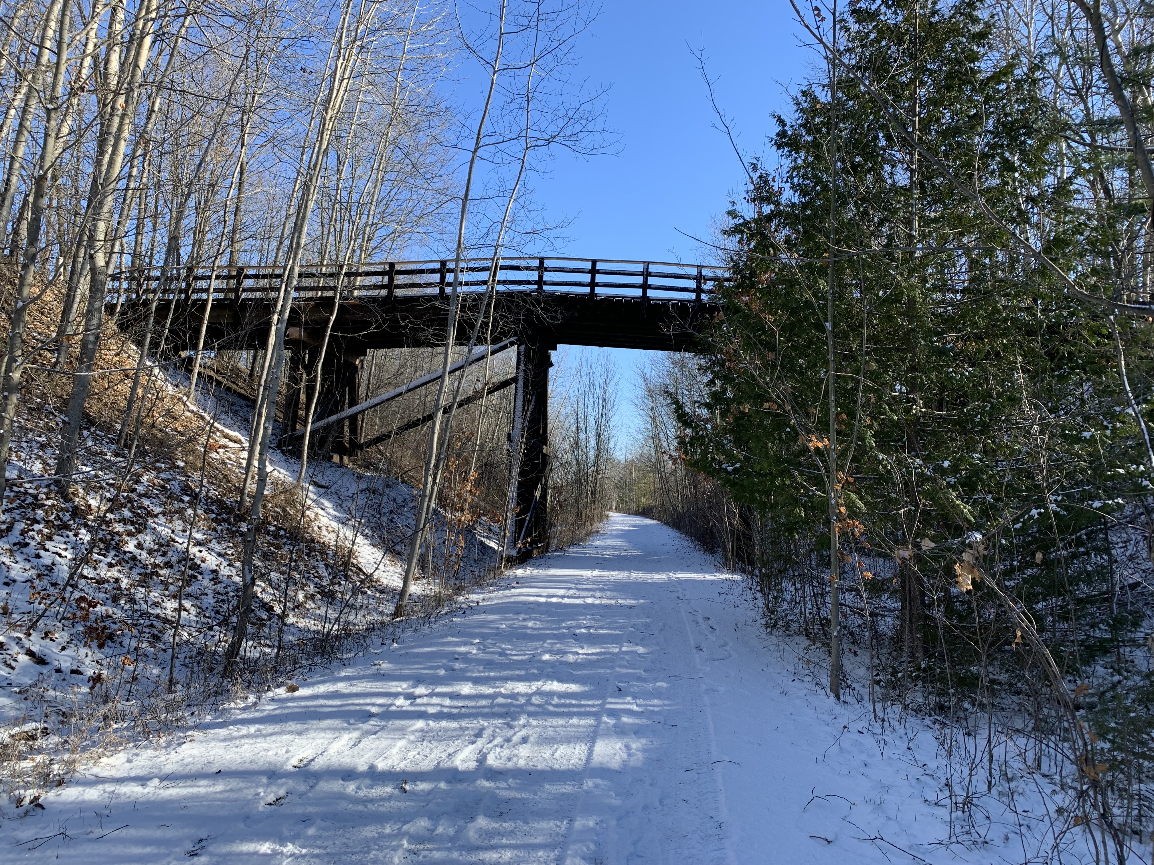
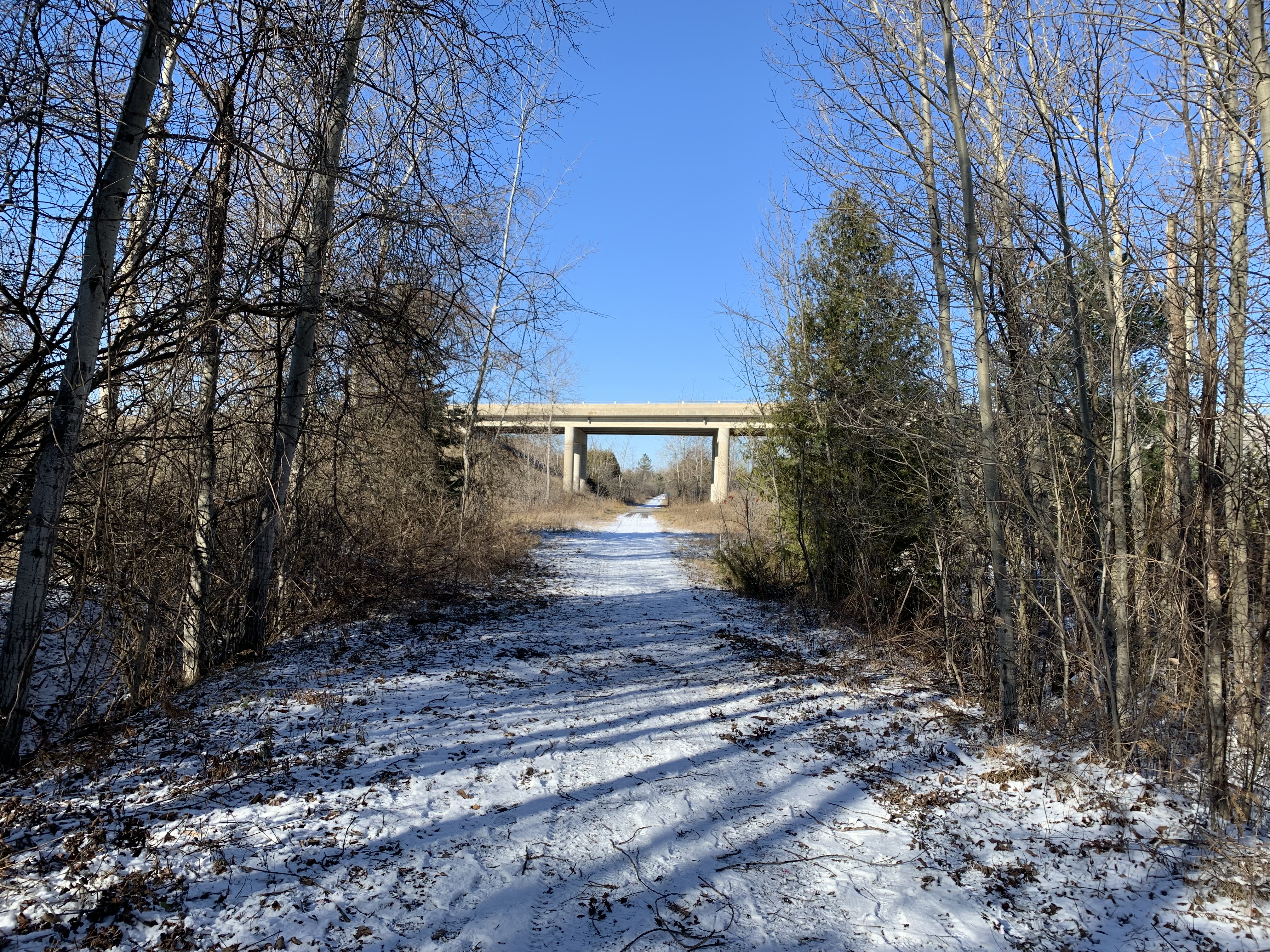
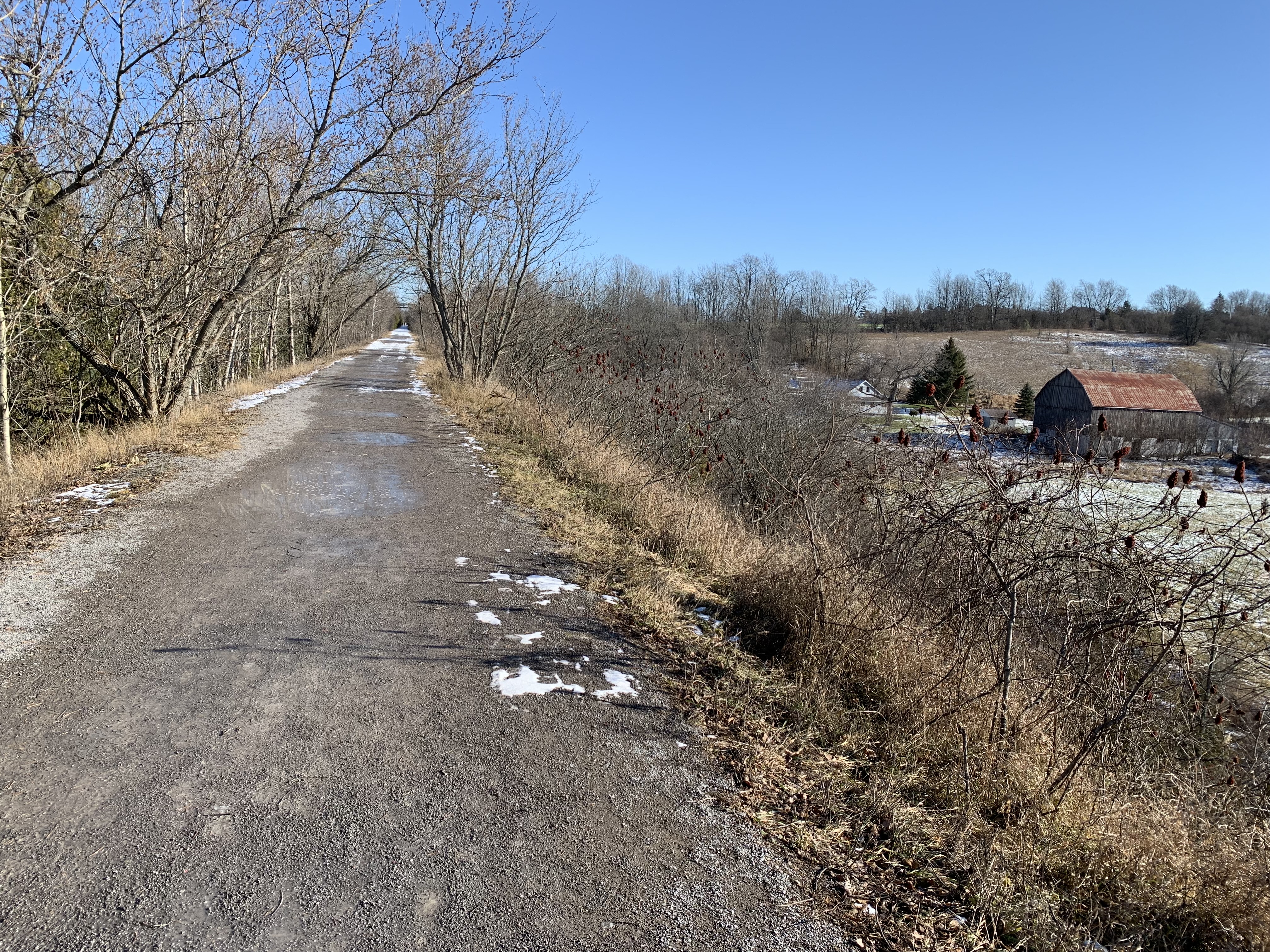
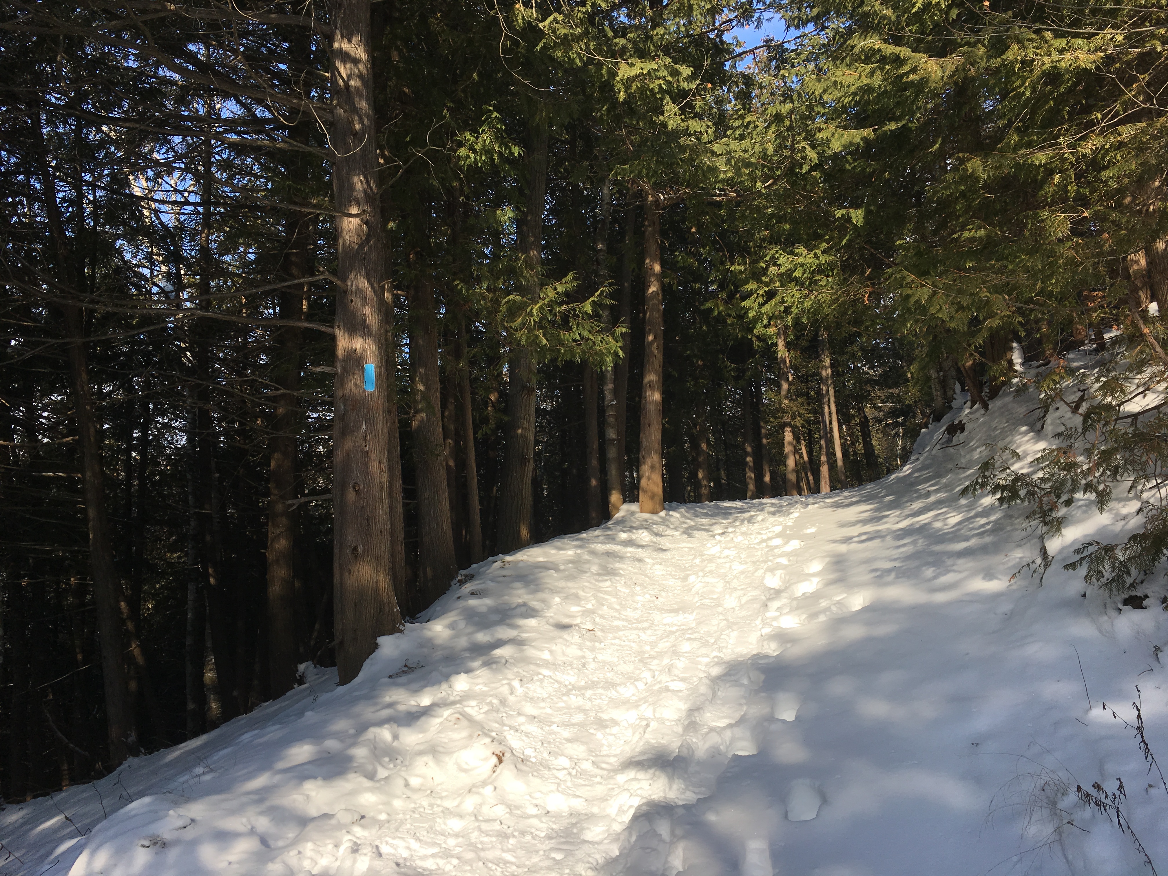
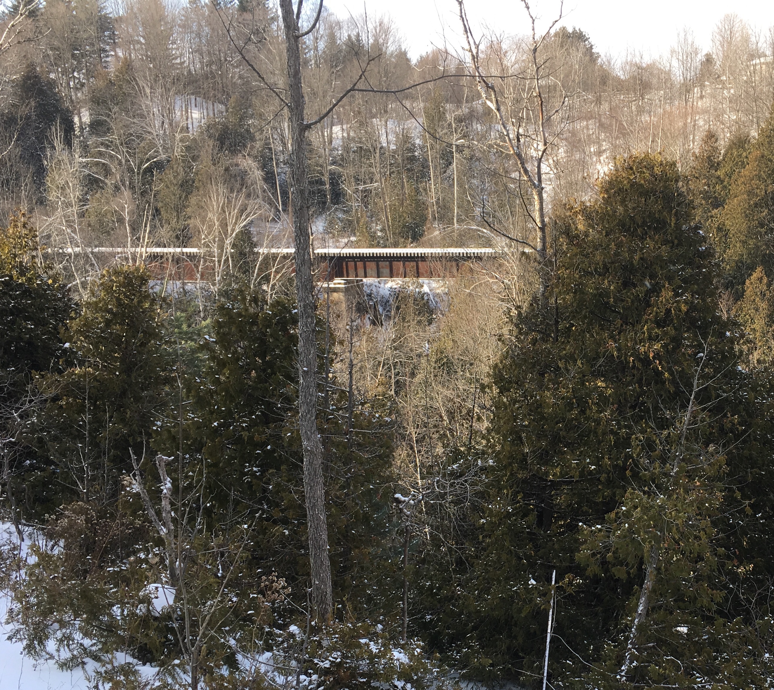
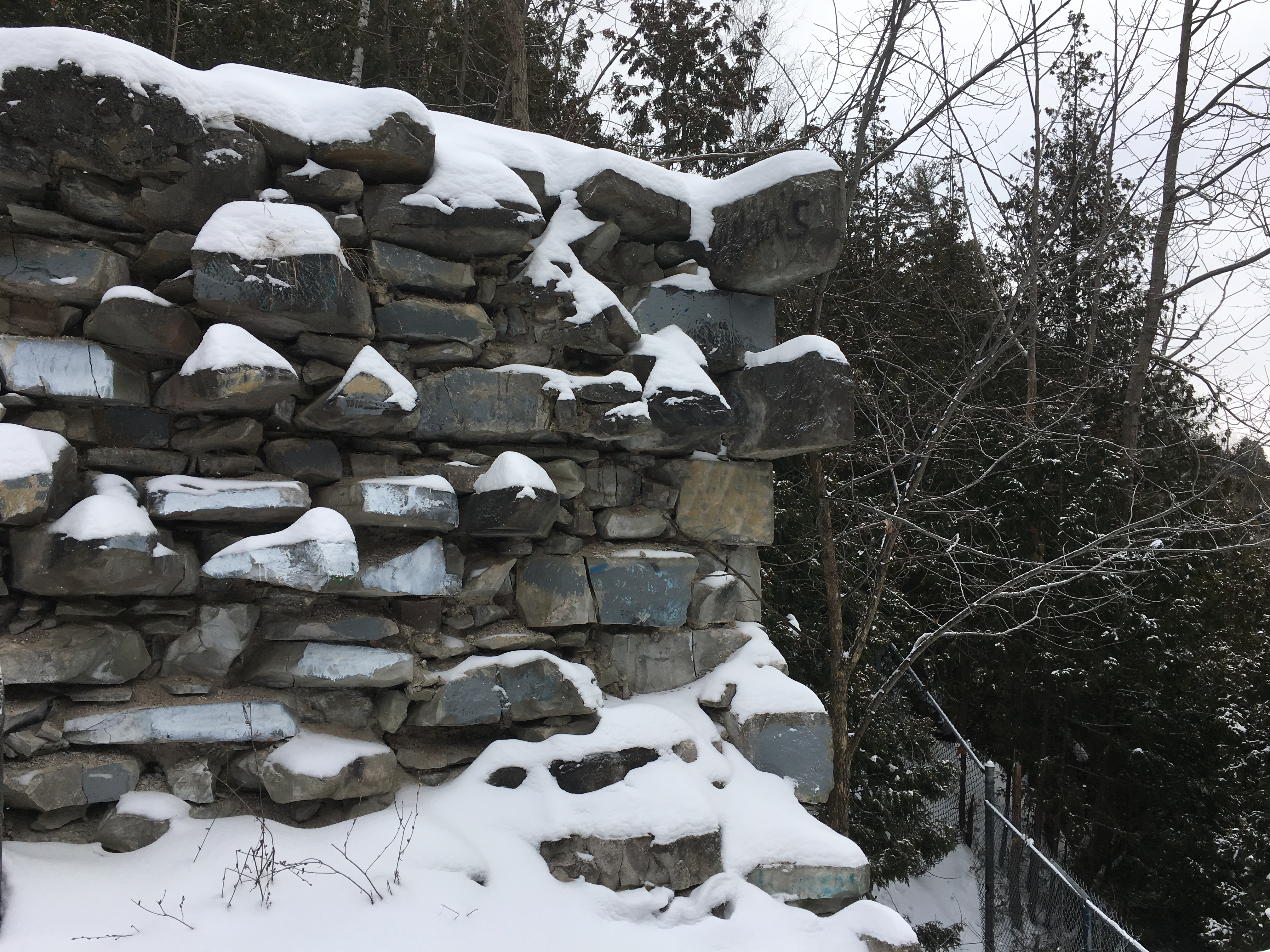
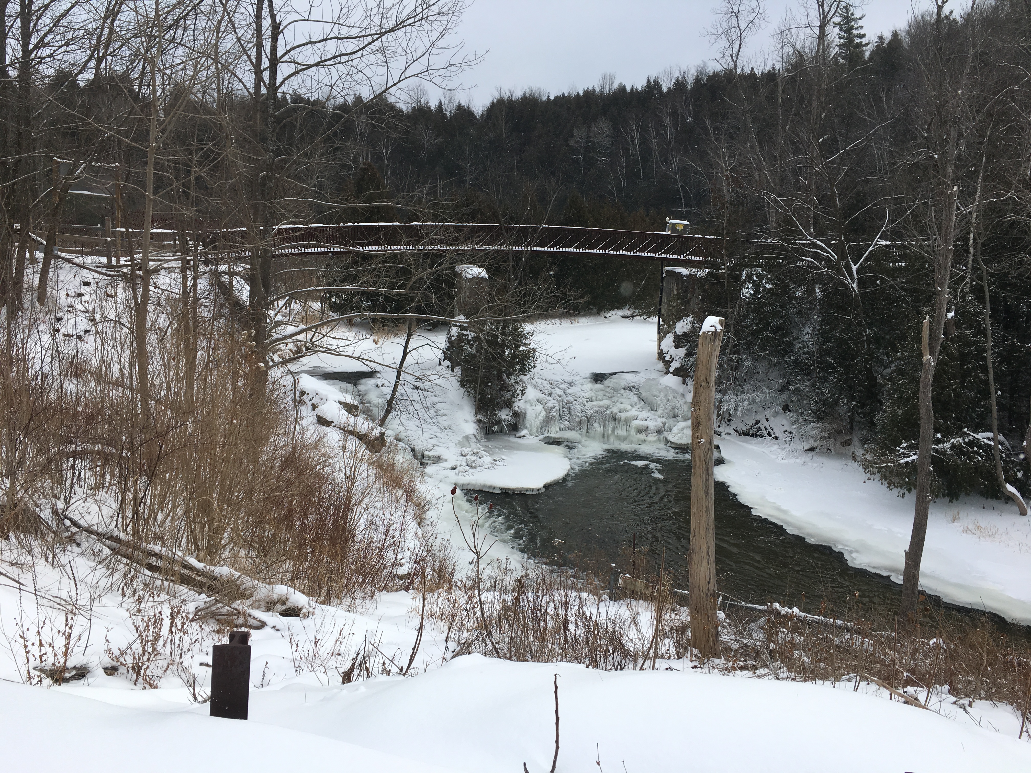
As it turns out, Tweed might not actually have the smallest jail in North America but they do have beautiful Stoco Lake, a well-preserved 19th-century main street, and the Trans Canada Trail which follows the old Bay of Quinte Railway line through town. I believe I will have to check out the trail the next time I’m in town.

We have previously posted about the Don Jail and the Owen Sound Jail

Google Maps Link: Tweed Jail

Like us at http://www.facebook.com/hikingthegta

Follow us at http://www.hikingthegta.com

Also, look for us on Instagram

Doube’s Trestle Bridge

Sunday, December 19, 2021

On June 1, 2021 The Great Trail reverted back to its origial name of The Trans Canada Trail, which better defines this 28,000 kilometre long national trail. There’s a 53.8 kilometre section of the trail that is known as The Kawartha Trans Canada Trail. I set out to cover a small section in the middle that contains the famous Doube’s Trestle Bridge. There are a few parking spots on Orange Corner Road where you can enjoy this location which is just a short drive north of the GTA.

Starting in the 1850s, several railway lines were run north from communities along Lake Ontario including Whitby, Port Hope, Cobourg, Trenton and Belleville. These lines were intended to draw business from the larger towns to the north to their harbours and access to Toronto and Hamilton markets. Eventually these lines were connected by east west lines running between these northern towns. Peterborough and Lindsay were not connected and part of the solution was to run a line between the two. This line had to cross Buttermilk Valley and they built a 1500 foot (457 metres) wooden trestle to carry the rail line. It stood about 100 feet (29 metres) above the valley floor on the Omemee-Peterborough Line which was locally known as The Missing Link. The line was taken over by The Canadian National Railway in 1921 and track and trestle improvements were completed to accommodate heavier trains. The trestle was filled in from both ends and the centre span over the creek was converted to a steel trestle 500 feet long (150 metres). By the end of 1988 the line was abandoned and the rails lifted. Although the line was purchased in 2000 as a potential rail trail corridor it was the construction of the Trans Canada Trail that really got things moving as this was identified as a major link. By the end of 2010, 53 kilometers of the Kawarthas Trans Canada Trail was 95% complete and it would be finished in 2014. The railings below identify the steel bridge structure.

The view looking south from the bridge shows the small size of Buttermilk Creek compared to the wide ravine that stretches out on either side. About 12,000 years ago the last ice age was retreating and there was a large sheet of ice up to a kilometer thick covering this area. A large river of meltwater was flowing under the ice creating the valley below and depositing the large drumlins made of sand and gravel that dot the local countryside.

The view looking north is equally impressive with the tops of the cedars far below.

The south west end of the trestle has a park bench where you can sit and rest and look out over the valley. There’s a small trail here that will allow you to get a view of the side of the trestle. Going very far down this trail would be unadvisable because it would be easy to slip and require a rescue.

The photo below was taken from the book The Last Trains From Lindsay by Keith Hansen and shows the trestle and berm in May 1974. It gives a good idea of the height of the trestle and the size of the berm created when the ends were filled in. Also notice how the trees have been kept cleared off of the berm.

Just beyond the trestle there was a herd of cattle wandering around in the trees on the side of the hill. When they saw that I had a camera they all came down closer to the fence. They started to “Moo” at me as if I was supposed to open the gate and let them out. That wasn’t happening, there was already enough horse poo on the trail without letting 50 cows have a go at it.

There are two old trestle overpasses between Orange Corner Road and Highway 7. They allowed farmers to move livestock and equipment from one side of the tracks to the other as the rail lines often cut through the centre of a farmer’s property. This is the second of the two as you walk west and this one shows the depth of cut that the line made when it emerged from the Buttermilk Creek Valley and back onto the local topography. This part of the province is dominated by some pretty impressive glacial formations including large drumlins on the farmlands on both sides of the trail.

One of the least likely things to see on top of a tall berm is a stranded canoe. It’s obviously not going to be paddled too far in its current condition. It looks like it should have some wildflowers planted in it so that at least the local polinators can enjoy it.

Fire was always a threat in the days of steam engines because of sparks and cinders that would blow out of the smoke stack. To reduce the potential to start a fire the railway would keep the trees cleared away from the tracks for 50 feet on either side. That would have left the berm along this railway exposed to the sun and the wind and it would not have been a very nice hike on days with extreme weather conditions. Fortunately the slopes of the berm have been allowed to grow into a nice little strip of woodland.

Highway 7 passes over the old rail line on a high level concrete bridge and this is the point at which I turned around. According to the trail map at the trestle bridge, this is 3.5 kilometres from the parking spots on Orange Corner Road.

You really get to appreciate the height of the trestle above the surrounding farmland on the eastbound part of the trail. The filled-in section of the former wooden trestle runs well above the roof of the barn and the farm house just beyond it.

The views from the trestle will change with the seasons making this a year-round trail but we wonder how great it would be on a cold windy day in the middle of winter.

Google Maps Link: Doube’s Trestle Bridge

Like us at http://www.facebook.com/hikingthegta

Follow us at http://www.hikingthegta.com

Also, look for us on Instagram

Forks of the Credit Provincial Park

Saturday, December 30, 2017

Forks of the Credit Provincial Park has many things to offer from hiking trails to closed roads and historic ruins.  A Niagara Escarpment study in 1968 made the recommendation that a park should be created near the Forks of the Credit.  The Government of Ontario accepted the proposal and in 1985 the Forks of the Credit Provincial Park was officially opened.  Official parking is found off of Mclaren Road but it is metered and $7.50 for 4 hours or $14.00 for the full day.  We roughly followed the route marked in green on the 1877 county atlas below.

Forks of Credit (2)

From the parking lot, you can follow the Meadow Trail past Kettle Lake, featured below, and on until you come to a washroom facility at the junction of the Dominion Trail.  Along the way, you will pass a short trail called Kettle Trail which links to the Trans Canada Trail.  To get to the falls you will use a portion of the Bruce Trail as a link.  It is good that someone has taken the time to mark the trails with little white signs “falls” and “return to parking” to make the direct route less confusing.

IMG_2018

The Credit River runs through the park as does The Bruce Trail.  From the south, the Bruce Trail follows old Dominion Road north from Forks of the Credit Road through the ghost town of Brimstone until it reaches the entrance to the park.  From this point the old road becomes Dominion Trail and the road is closed.  A portion of it was washed out in 1912 and never replaced.  There are also blue Bruce Trail side trails that lead to the ruins at the cataract falls, making the park a great place to hike.

IMG_2040

In 1879 the Credit Valley Railway built a1,146-foot wooden trestle, 85 feet high to cross the valley.  At the time it was the longest curved trestle in Ontario but safety concerns led to much of it being filled in by dumping gravel through the trestle.  From there the line heads north through the area of the park.  It runs along the edge of the river and crosses it on the bridge shown below.

IMG_2044

Cataract Falls is 13 metres tall and 9 metres wide.  Like many waterfalls, it takes on a spectacular formation of ice in the winter months.  The falls appear to be much wider because there are so many cracks in the shale layers that seep water which adds to the majesty of the falls.

IMG_2052

A sawmill and two grist mills stood on this site before it was converted to the production of electricity.  The older parts of the mill were constructed of stone which was apparently quarried behind the waterfalls in the winter time.

IMG_2068

The foundations of the Cataract Electric Company stand on the crest of the falls.  This had been the site of mills since 1820 and the power company operated from 1899 until 1947 when it was deemed to be too inefficient to continue.  The frozen waterfalls can be seen to the right of the picture below.

IMG_2064

Cataract Lake was held behind the dam and was allowed to survive the closing of the electric power generating plant.  John Deagle was interested to increase the output of his power generating plant and so had begun to construct a tunnel from the lake to the mill wheel.  A major flood in 1912 washed out the dam and put an end to Deagles dreams of tunnelling.  A concrete dam was built as a replacement.    In 1953 the dam was destroyed by dynamite and the lake was drained.  The railway had been concerned that the lake was undermining the railway tracks.  The sluice gates remain from the old dam and are now used as abutments for the footbridge on the Ruins Trail.

IMG_2071

A better perspective of the old mill buildings can be gained from the footbridge.

IMG_2074

The Forks of the Credit Provincial Park has many trails and interesting things to see but parking fees apply.  It is perhaps better to park at the end of Dominion Road and walk in along The Bruce Trail.

Google Maps Link: Forks of the Credit Provincial Park

Like us at http://www.facebook.com/hikingthegta

Follow us at www.hikingthegta.com