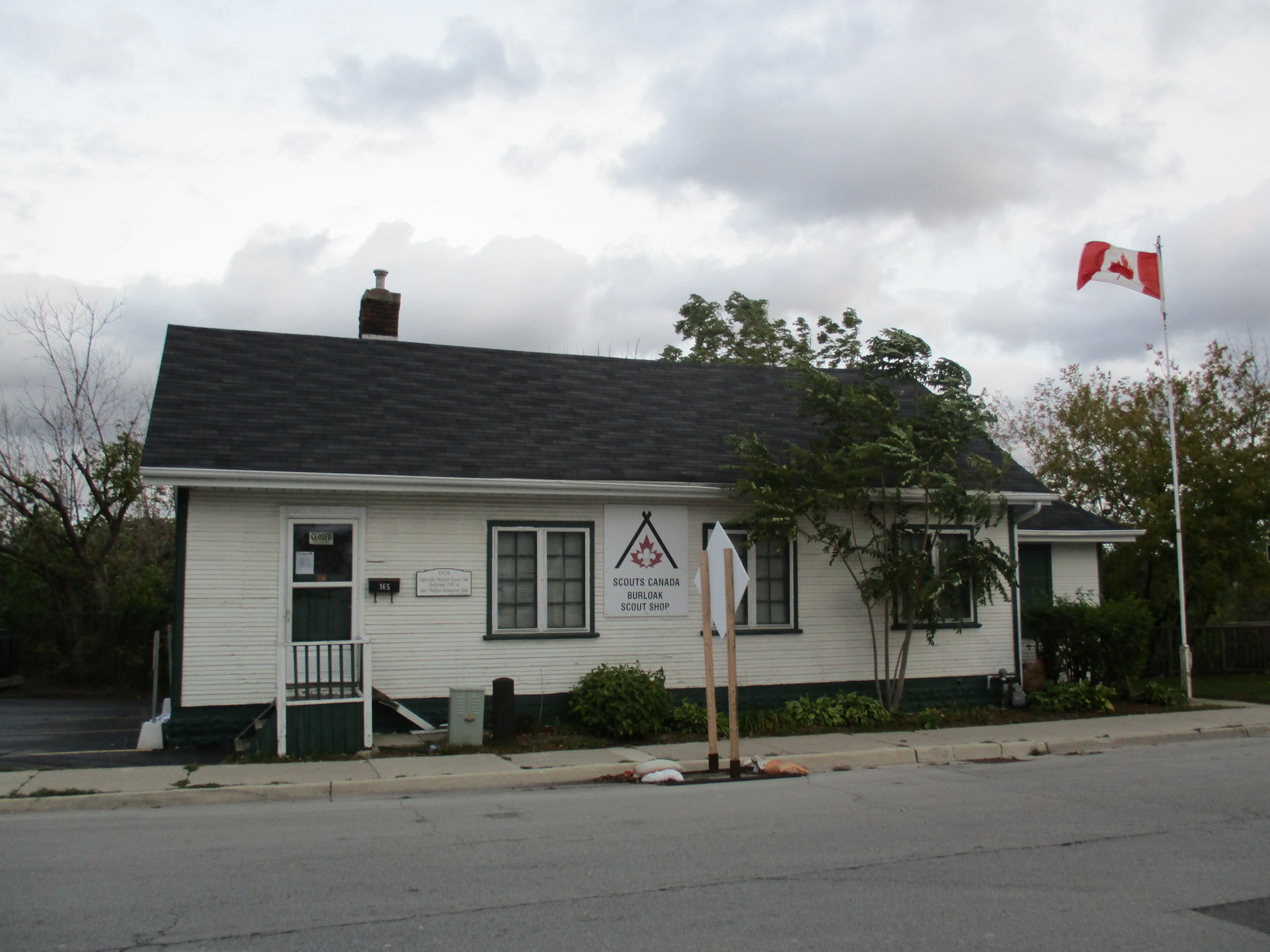
Saturday, Nov. 7, 2015
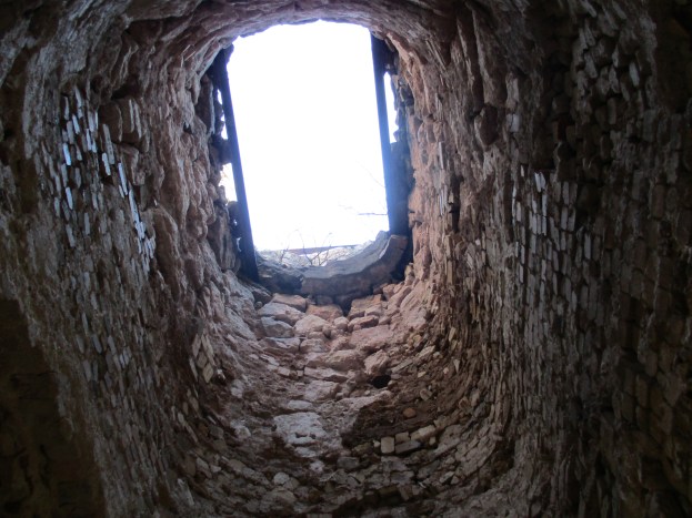
Four different men, all named Adam Alexander, owned and operated this innovative family farm between 1836 and 1961. Today it has been converted to house the Halton Region Museum. Having visited Kelso’s Kilns we made our way through the conservation area toward where we had parked on Kelso Road. Light rain was falling but we took the time to look around the outside of the buildings.
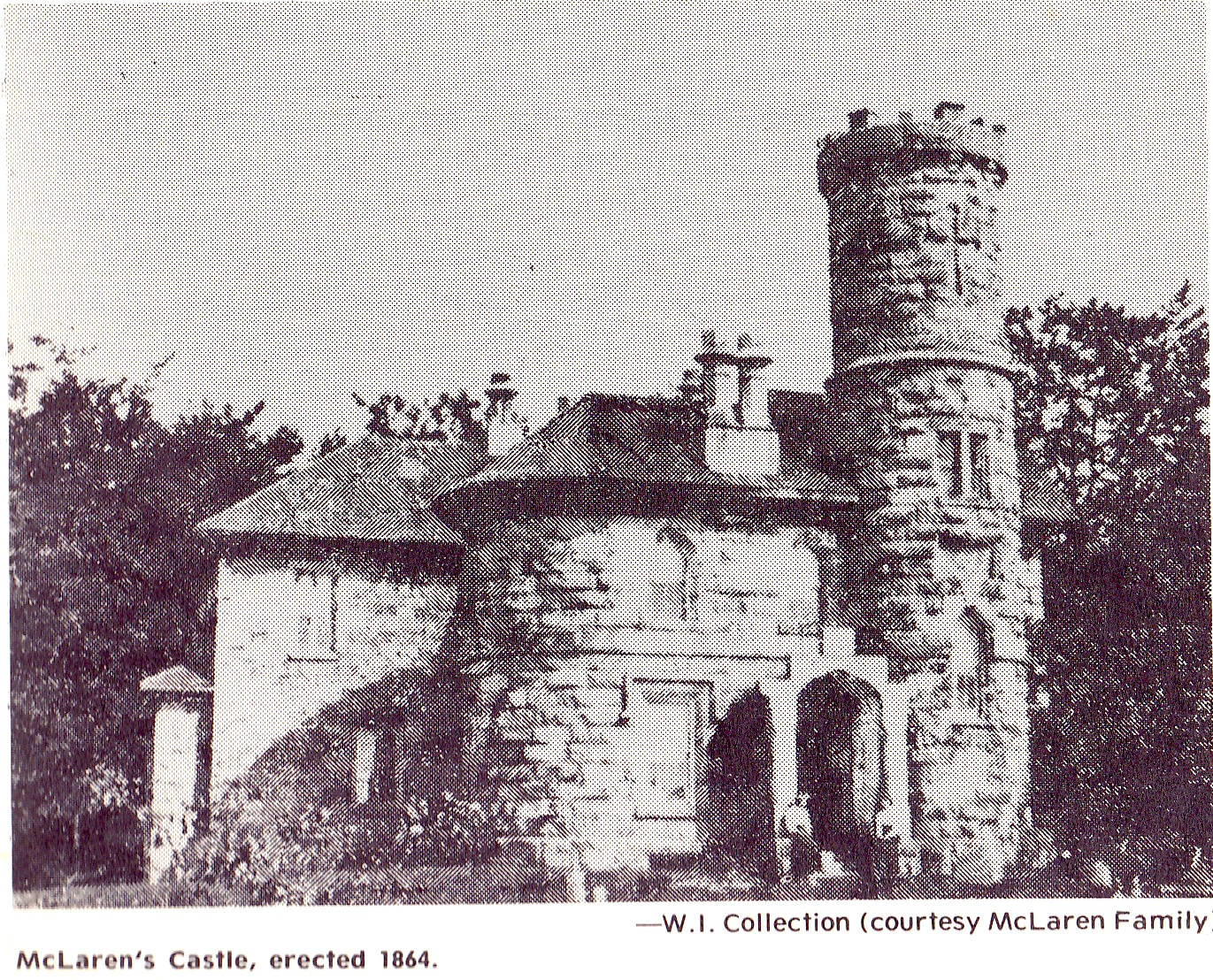
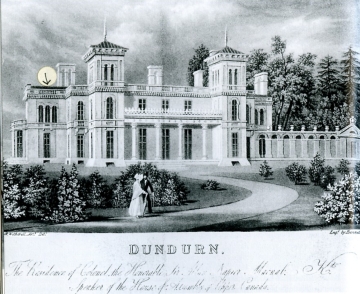
In 1826 Aberdeen in Scotland experienced a severe drought that led to some of the worst crops in the previous sixty years. Potatoes and turnips didn’t form at all and many people left for greener places. Among them were Adam and Margaret Alexander who decided to move to Upper Canada. They brought their four children, including Adam Alexander II, with them on the voyage to Montreal which typically would have lasted about 44 days. From Montreal, it was on to Ancaster which had become Upper Canada’s second largest town, next to Kingston. The Alexanders lived in Ancaster for ten years and Adam was able to ply his trade as a stone mason. One significant project that he worked on was Dunburn Castle built for Allan McNabb between 1832 and 1835. The old postcard below shows the castle around the turn of the century.
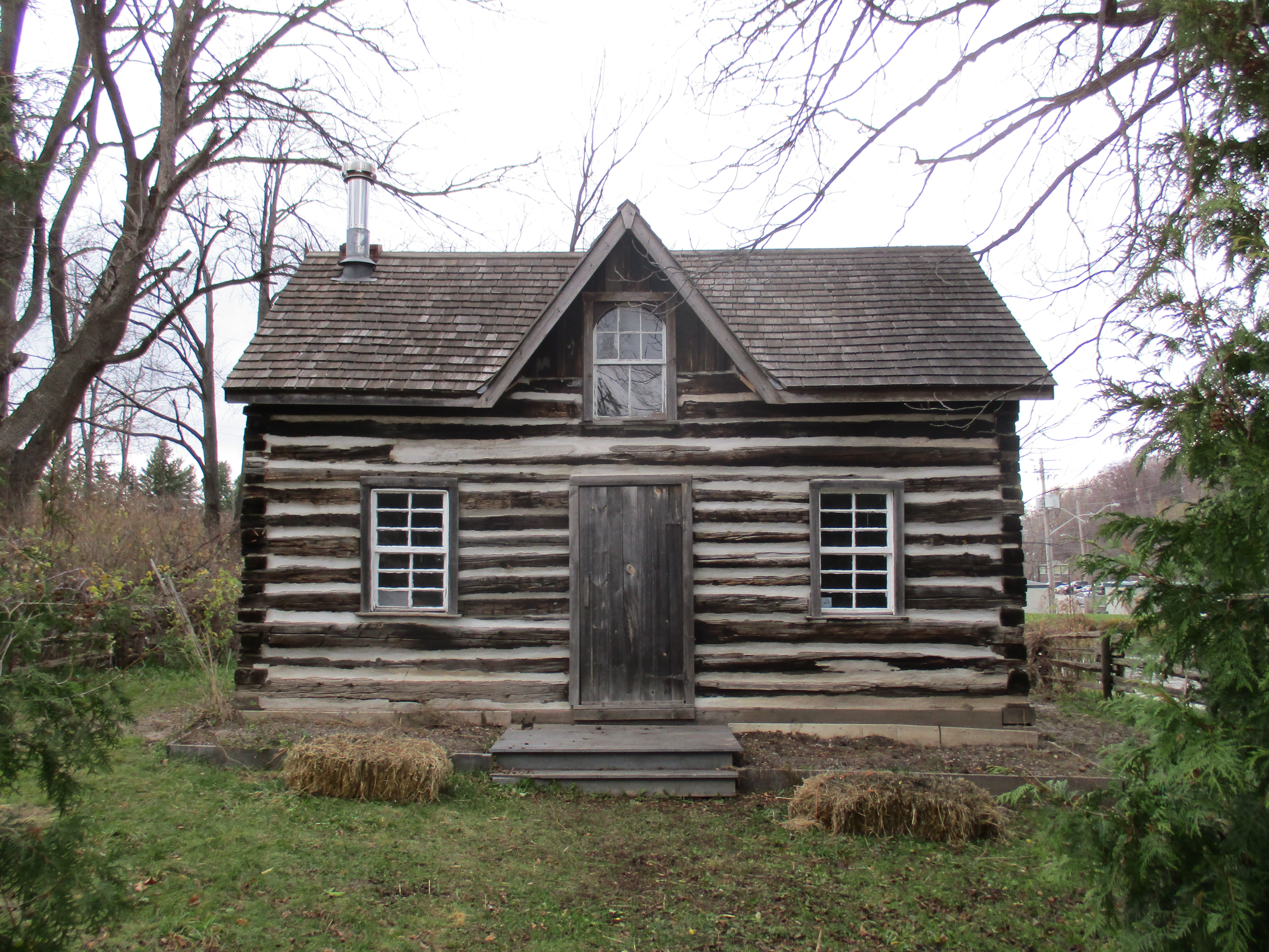
In 1836 Adam purchased this 200-acre lot of land at near the foot of the escarpment just west of Milton. The land was covered in a forest of trees that were up to 200 feet tall and four feet across at the base. The trees that were cut down to make the first clearing were used to build a log cabin for the family. The original log house has been removed. A different log house has been moved to the approximate location of the original one. This cabin was found in a forest tract north of Campbellville and the details of its construction are not known. It has two rooms inside and is typical of first homes built by Scottish and Irish settlers.
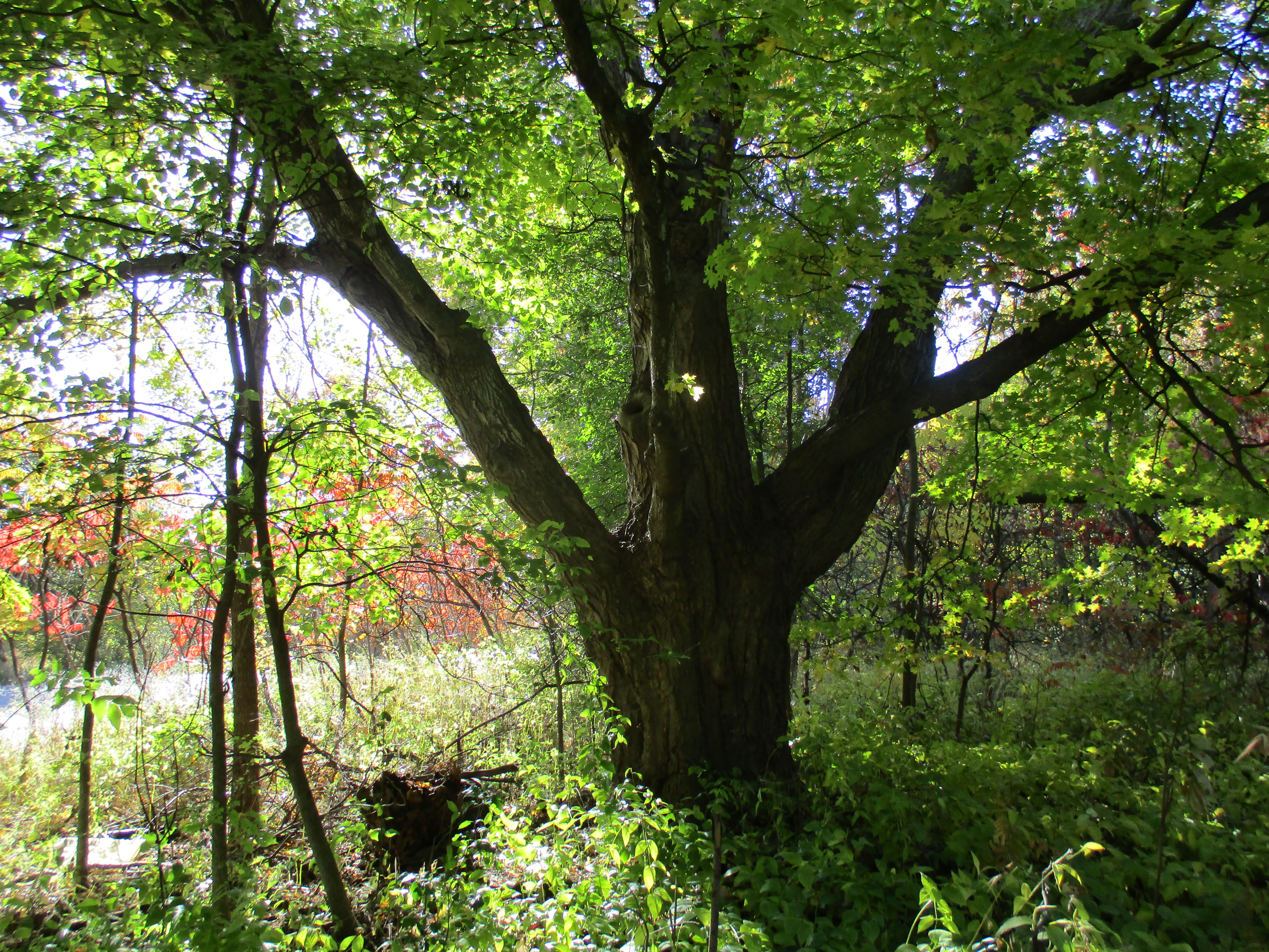
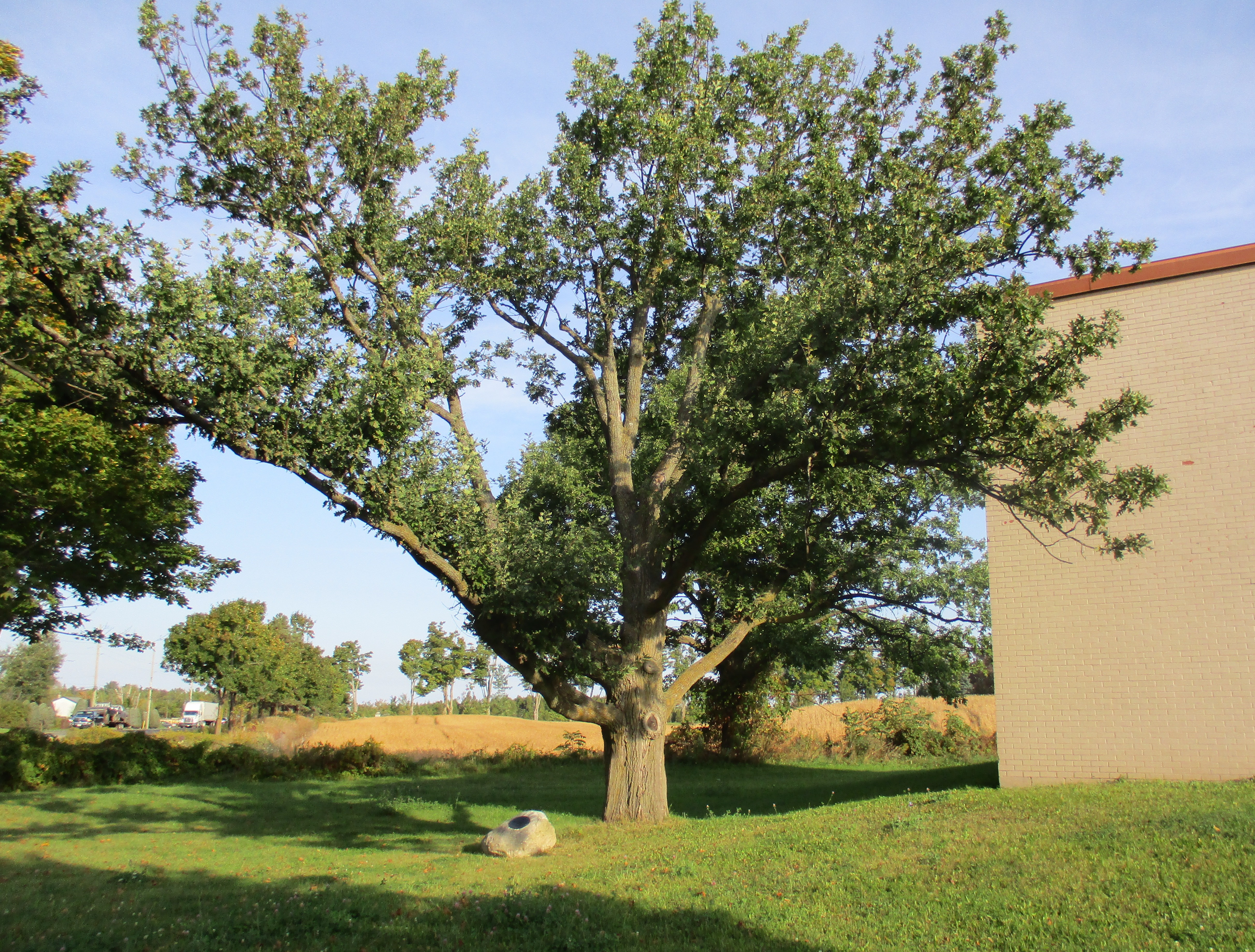
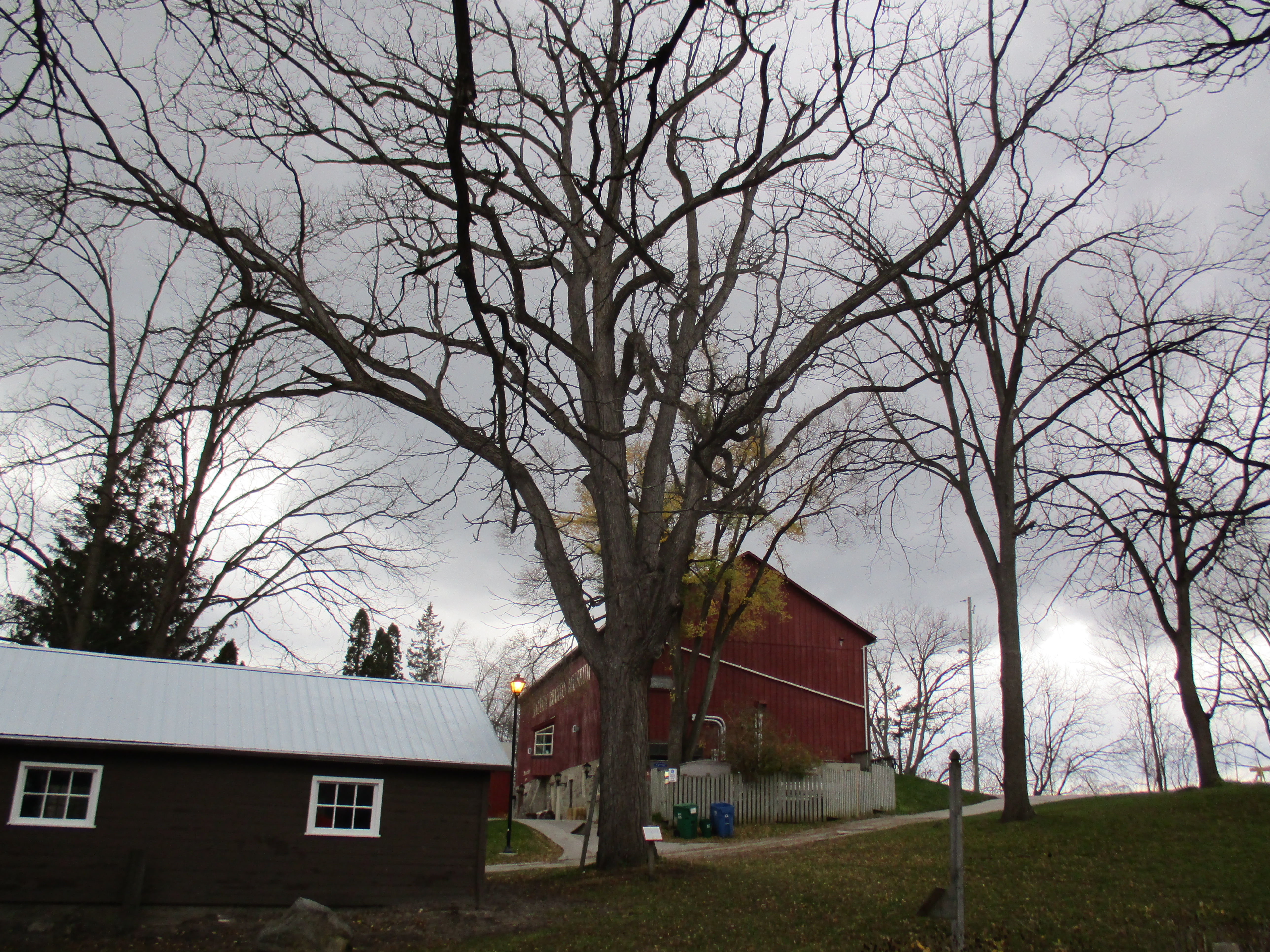
Clearing the land was a major chore and it took over 25 years for the Alexanders to slowly cut down all the original forest cover. Trees were normally cut during the winter when other farm work was greatly reduced. As soon as the frost was out of the ground the work of grubbing the stumps would begin. A grubbing axe was used to dig around the stump and cut off the smaller roots. Pulling oak tree stumps was hard work and would often take a whole day to remove a single stump. It was normal to leave the stumps in the ground for a few years to let the roots rot and crops were grown around the stumps while they waited. The Alexanders saved and bought a stump puller to ease the work. The walnut tree in the picture below was planted in 1893 to celebrate the birth of Adam Alexander IV.
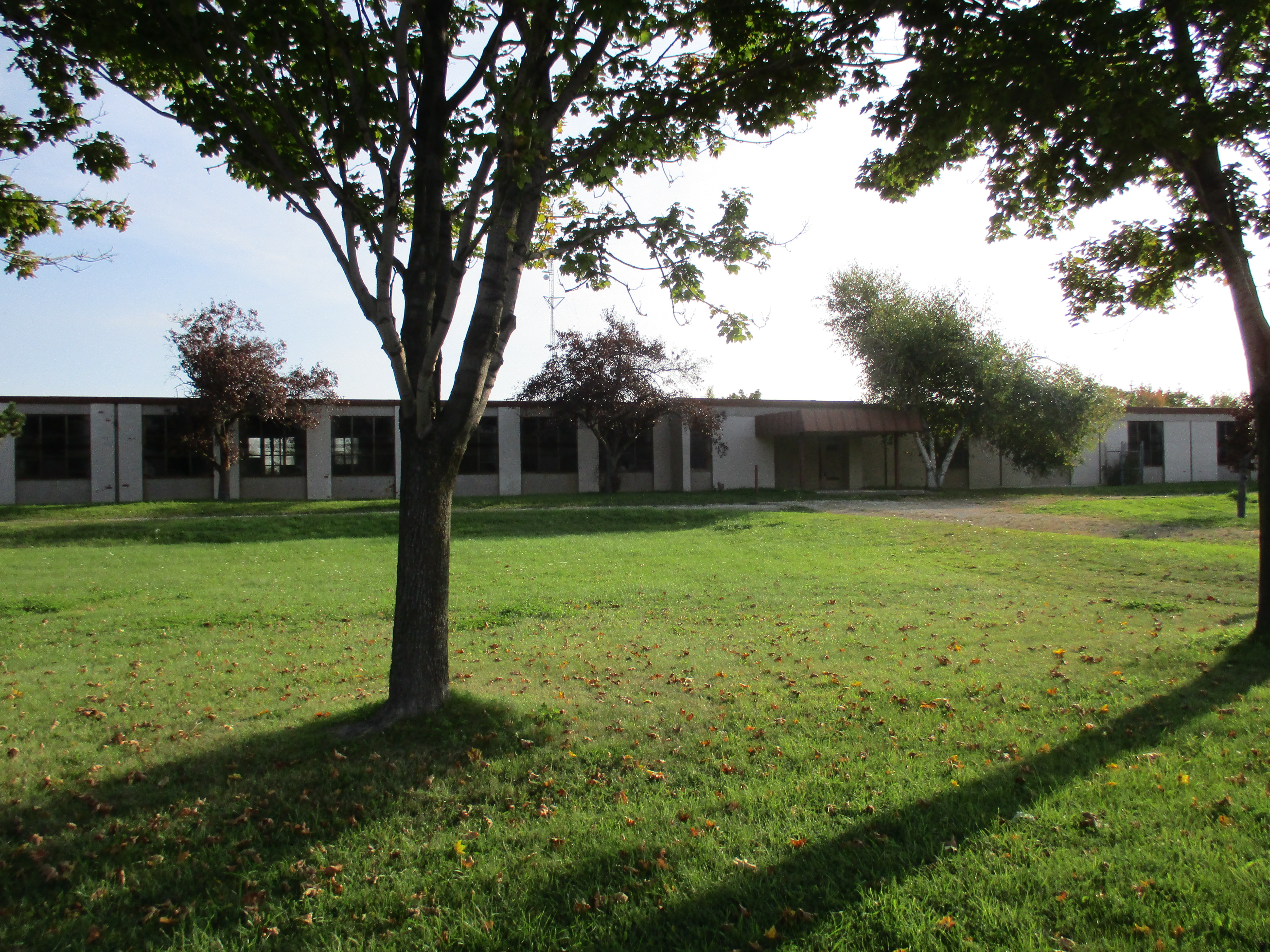
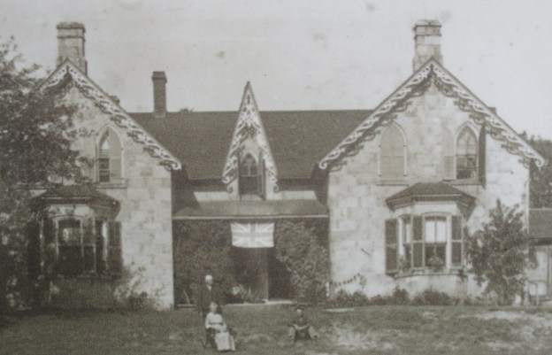
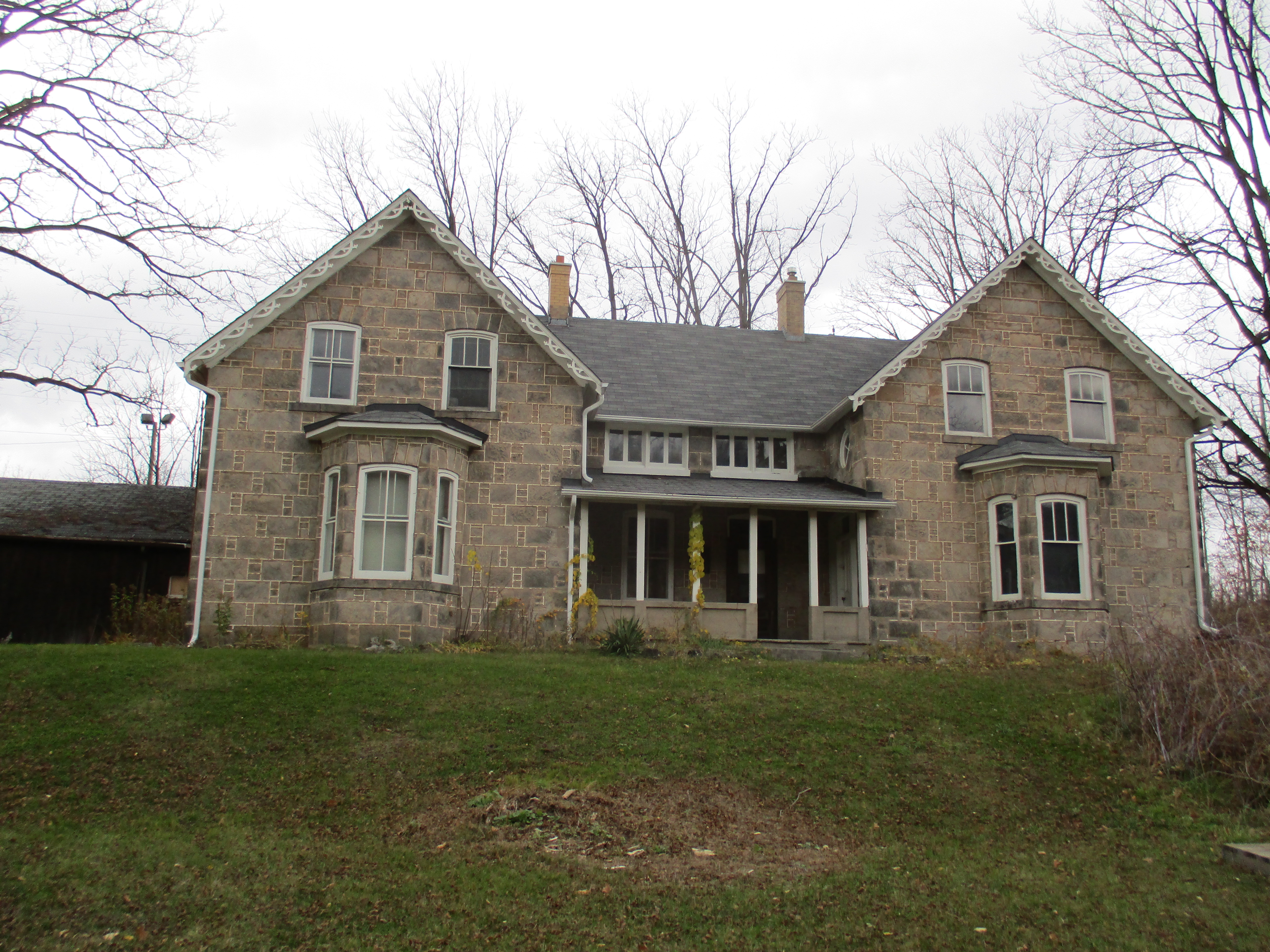
When the family had been settled long enough to have a productive farm they turned their attention to a more comfortable dwelling. Adam Alexander used his skills as a stone mason to build a home out of local limestone. The style was Gothic Revival which was popular from 1830 until about 1900. One of the most common elements of the style is the pointed arch, often used in windows. The original home is seen in the cover photo and these pointed window arches are seen on all the second story windows. The house was damaged by fire and rebuilt in 1918 at which time the windows were changed to the more vernacular ones seen today. Steeply pitched roof lines with front facing gables are also common to the Gothic Revival style. This element used to adorn the centre of the original house but was removed after the home was rebuilt.
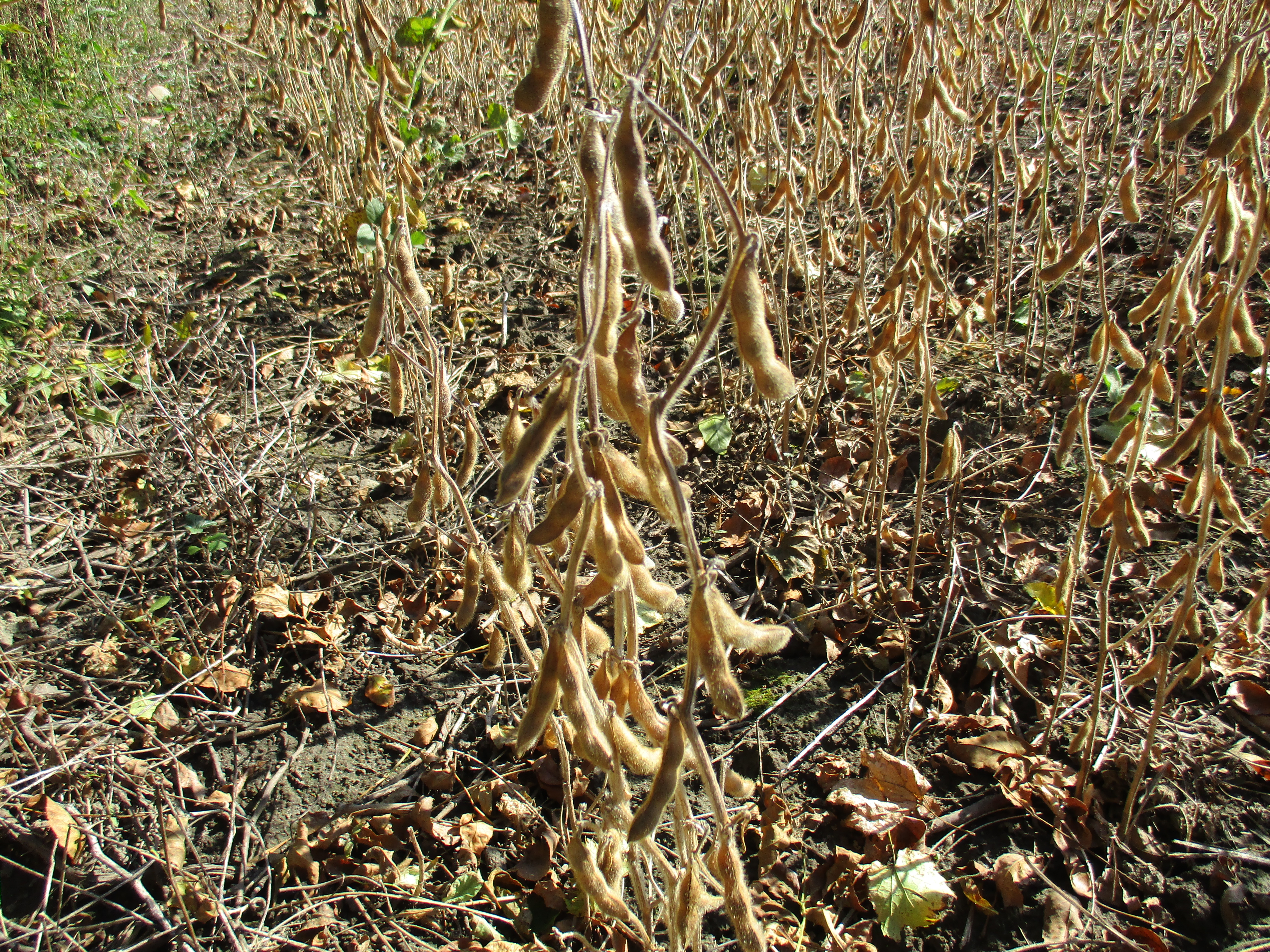
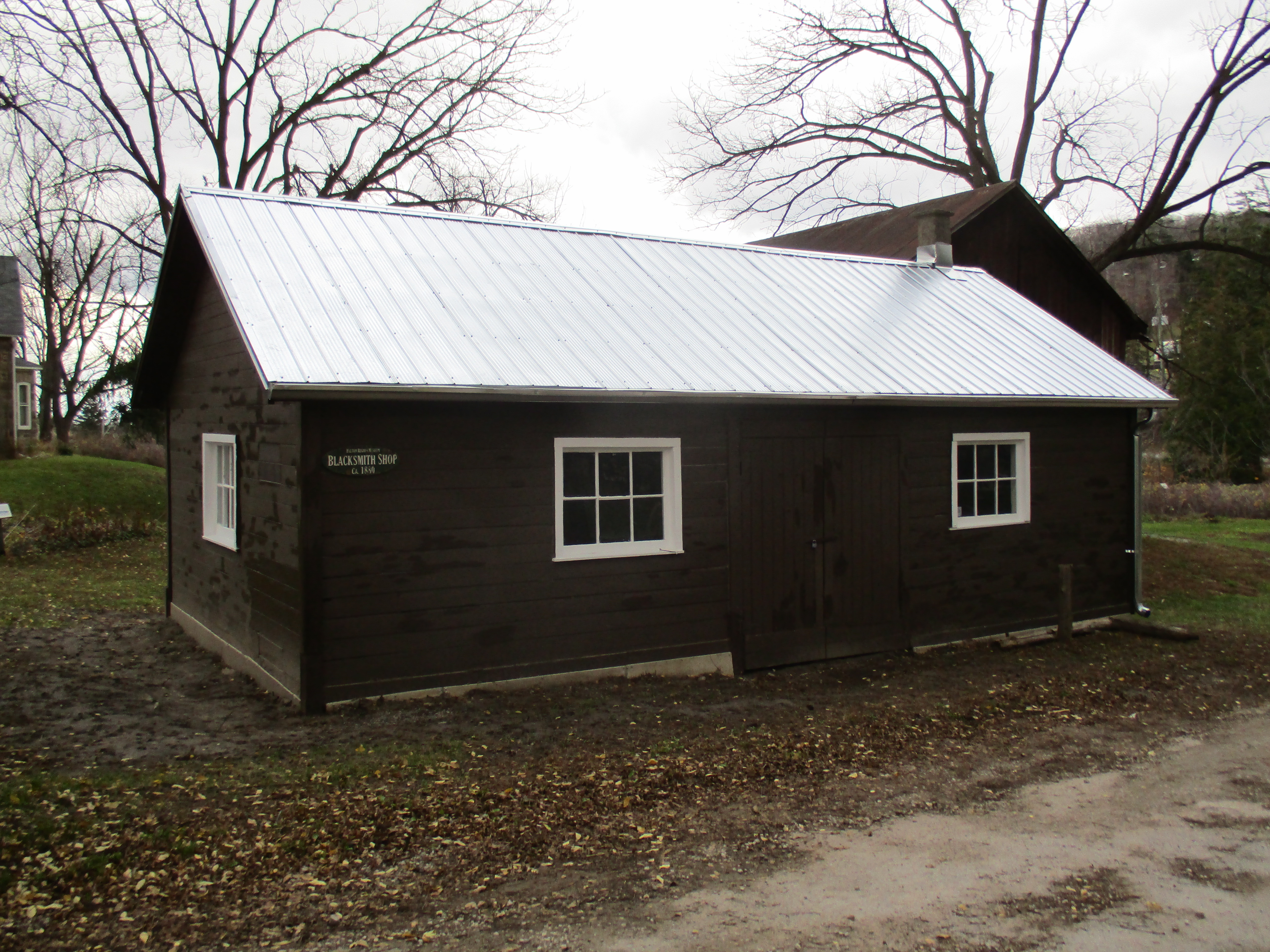
The family prospered selling cash crops like wheat, butter, potatoes, timber and wool. They also raised cattle sheep and pigs. The family was self-sufficient and built their own blacksmith shop for shoeing the horses and making repairs to equipment.
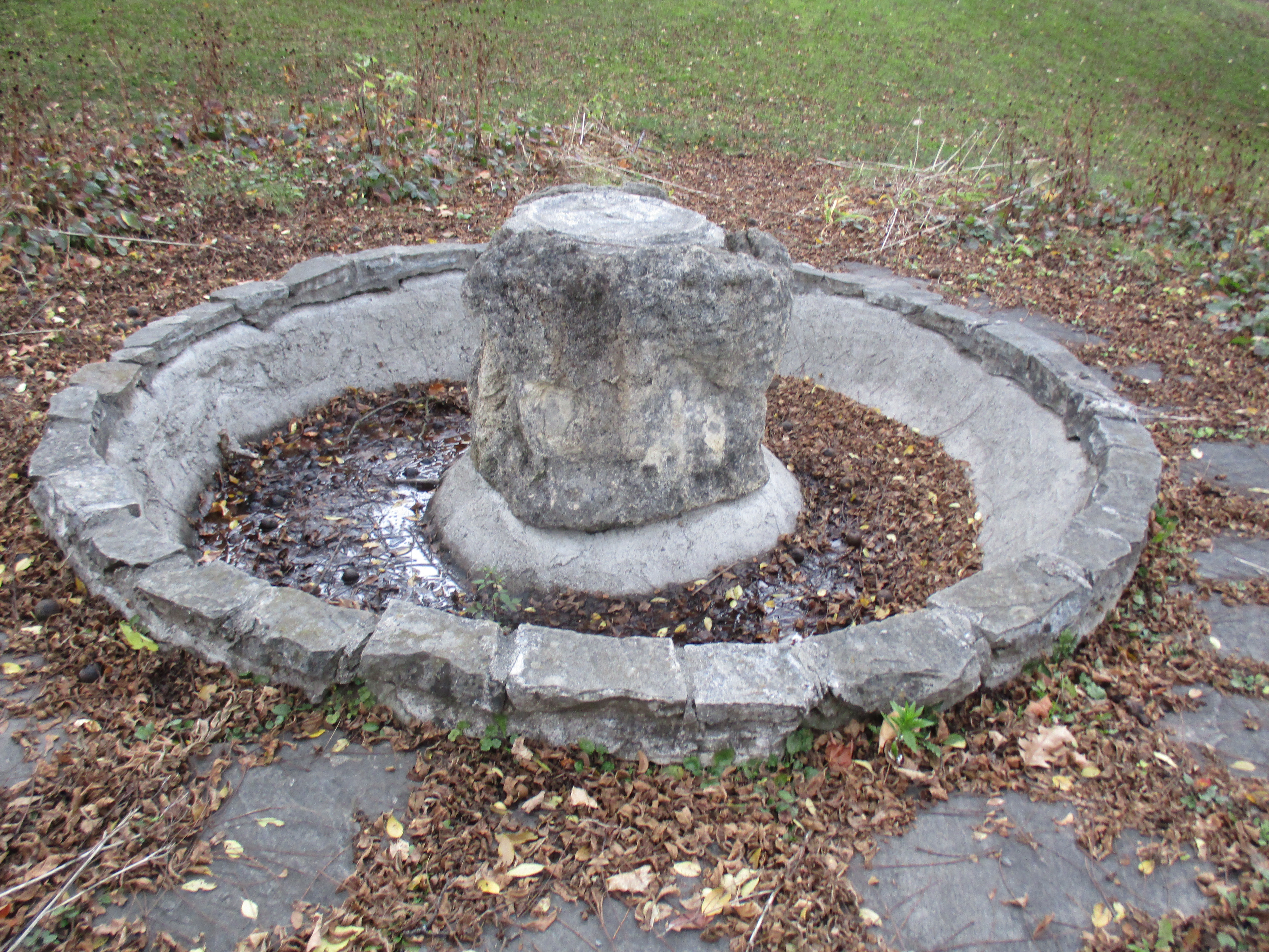
By the 1880’s they family had built a large Pennsylvania style barn. The barn was renovated in 2001 and a third story was added. The barn can be seen in the photo above of the walnut tree. In 1898 Adam Alexander III tapped into a stream flowing in the escarpment above the property. He piped the water to the barn and house where he installed water motors. These motors created electricity to power farm and household equipment. In the barn a fanning mill, circular saw and grain crusher were a few of the automated devices Alexander ran. In the house, the chores were simplified with an electric washing machine, cream separator, butter churn and meat chopper. While other local farms were lit with kerosene and run by manual labour the Alexanders had comparative luxury. The water was also used for a small fountain in the yard of the house.
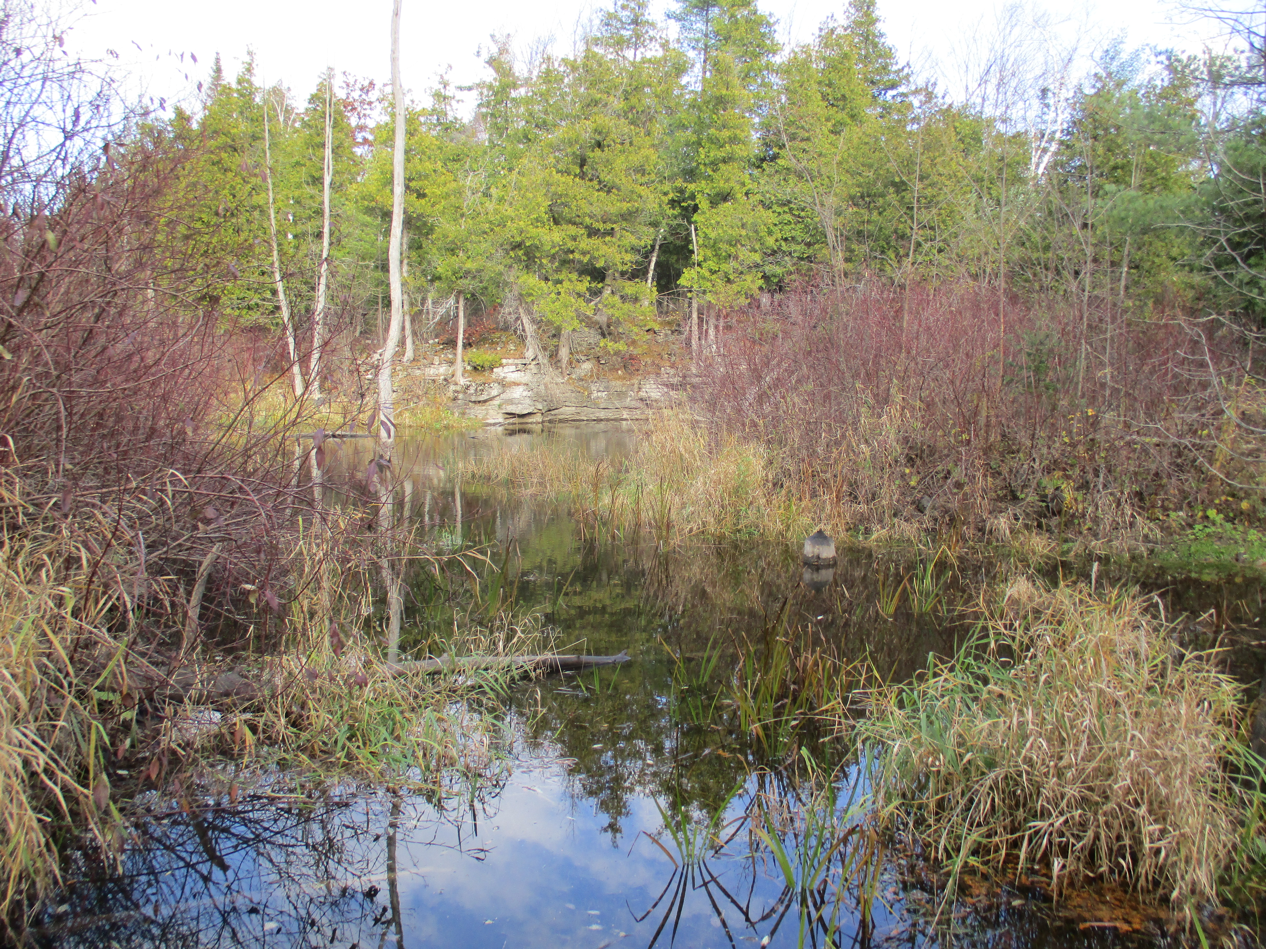
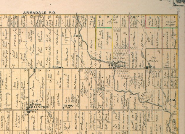
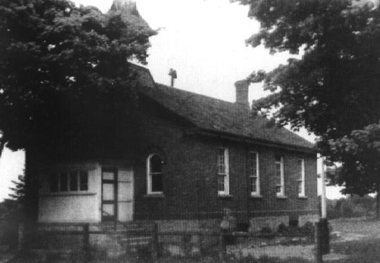
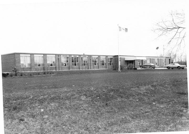
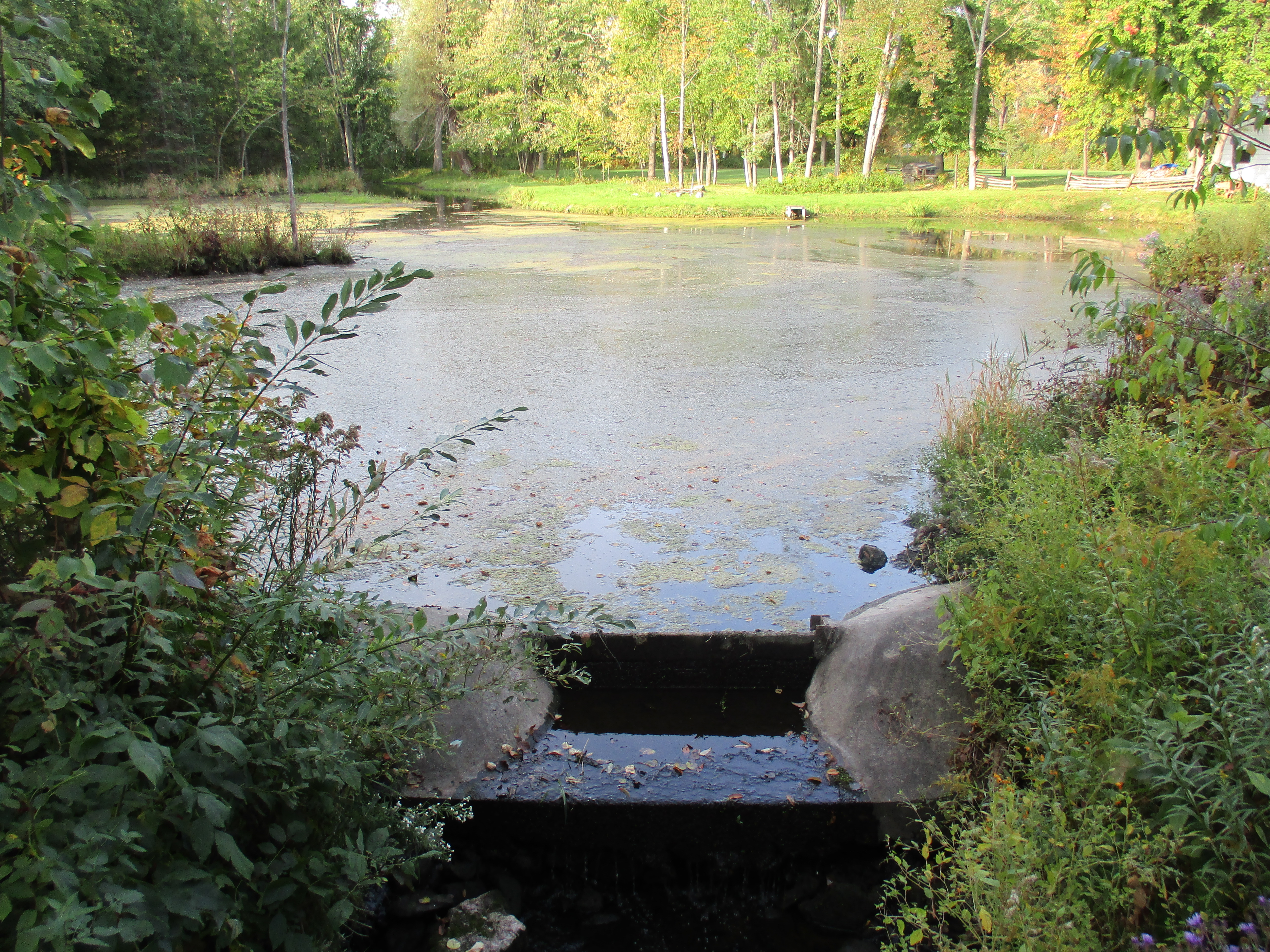
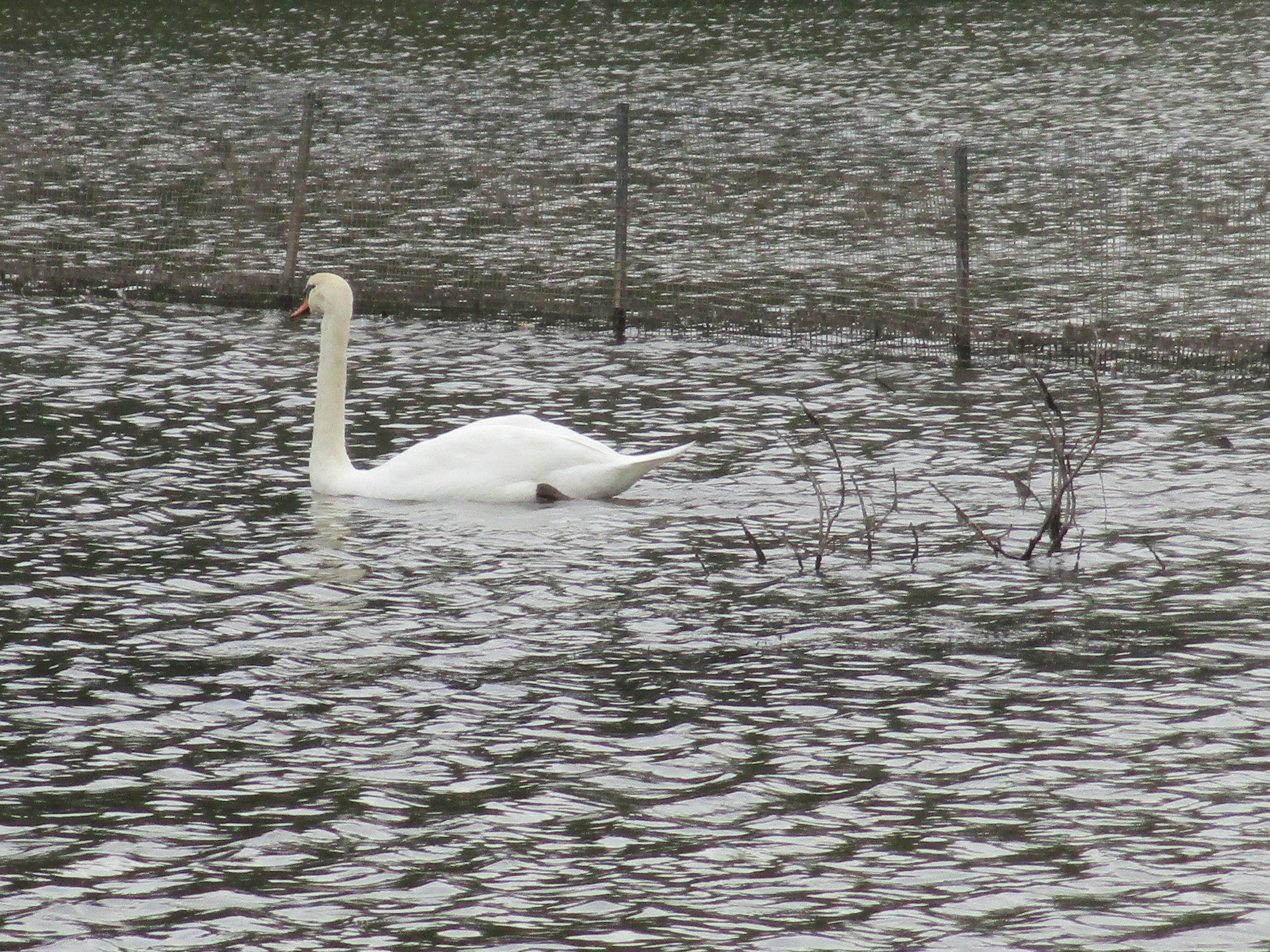
Parts of the farm were sold off over the years including a small piece for the erection of a one-room school. When the Credit Valley Railroad was being constructed the Alexanders sold a strip of land for its construction. Finally, in 1961 Adam Alexander IV retired and sold the farm to the Sixteen Mile Creek Conservation Authority for use as a park and flood control facility. Starting the following year the farm buildings were slowly converted to house the Halton Region Museum. The pond was created in 1967 to feed the snow making machines but it was soon discovered that it was far too small and now has been left to develop a more natural condition.
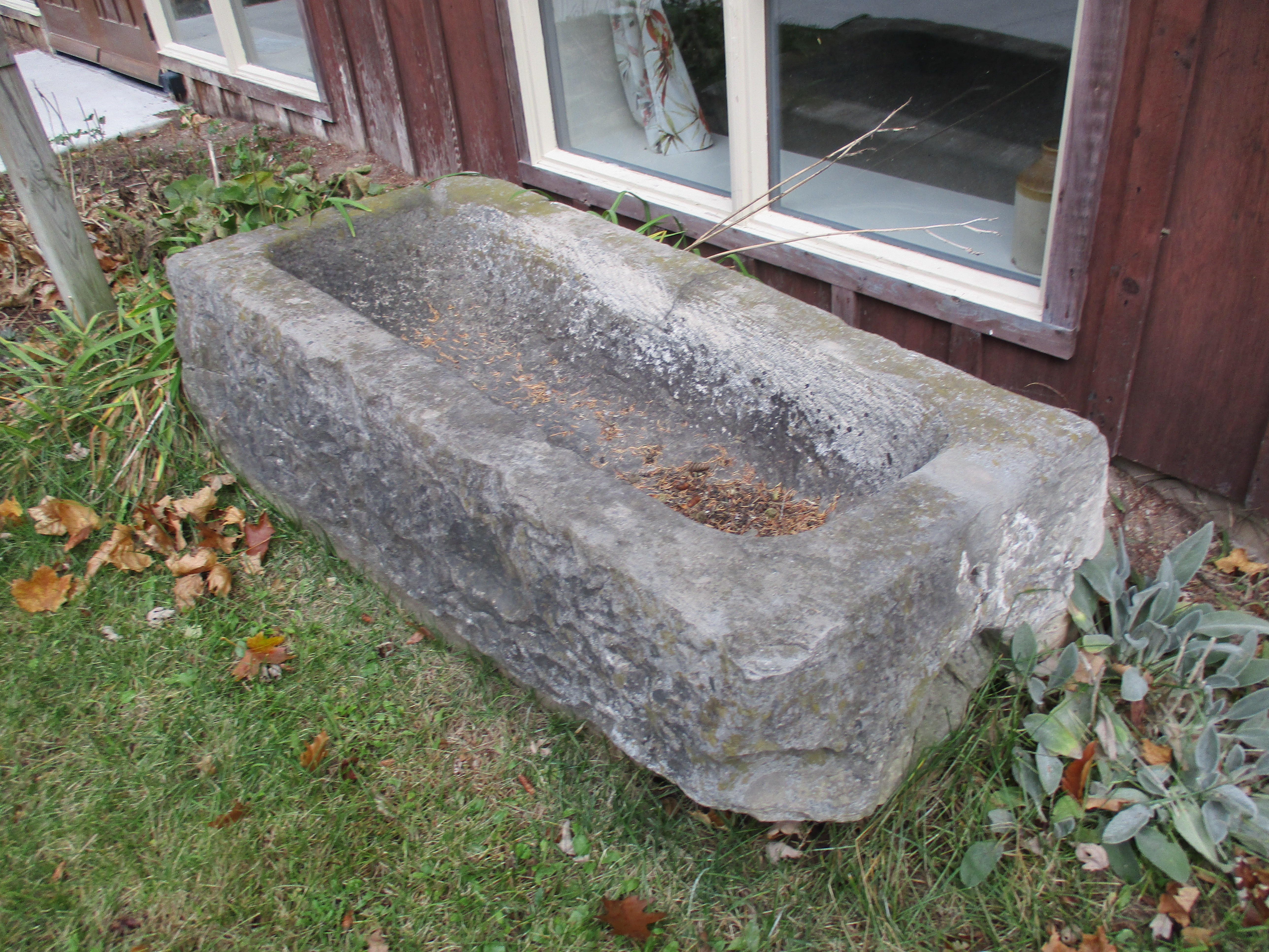
Travellers have always needed service centres to keep the fluid topped up in their vehicles. The stone trough pictured below was supplied by Halton County and carved out of local limestone. Originally located on Steeles Avenue west of Hornby it was provided for horses to get a drink along the road. It has been moved to the Alexander farm as part of the museum display.
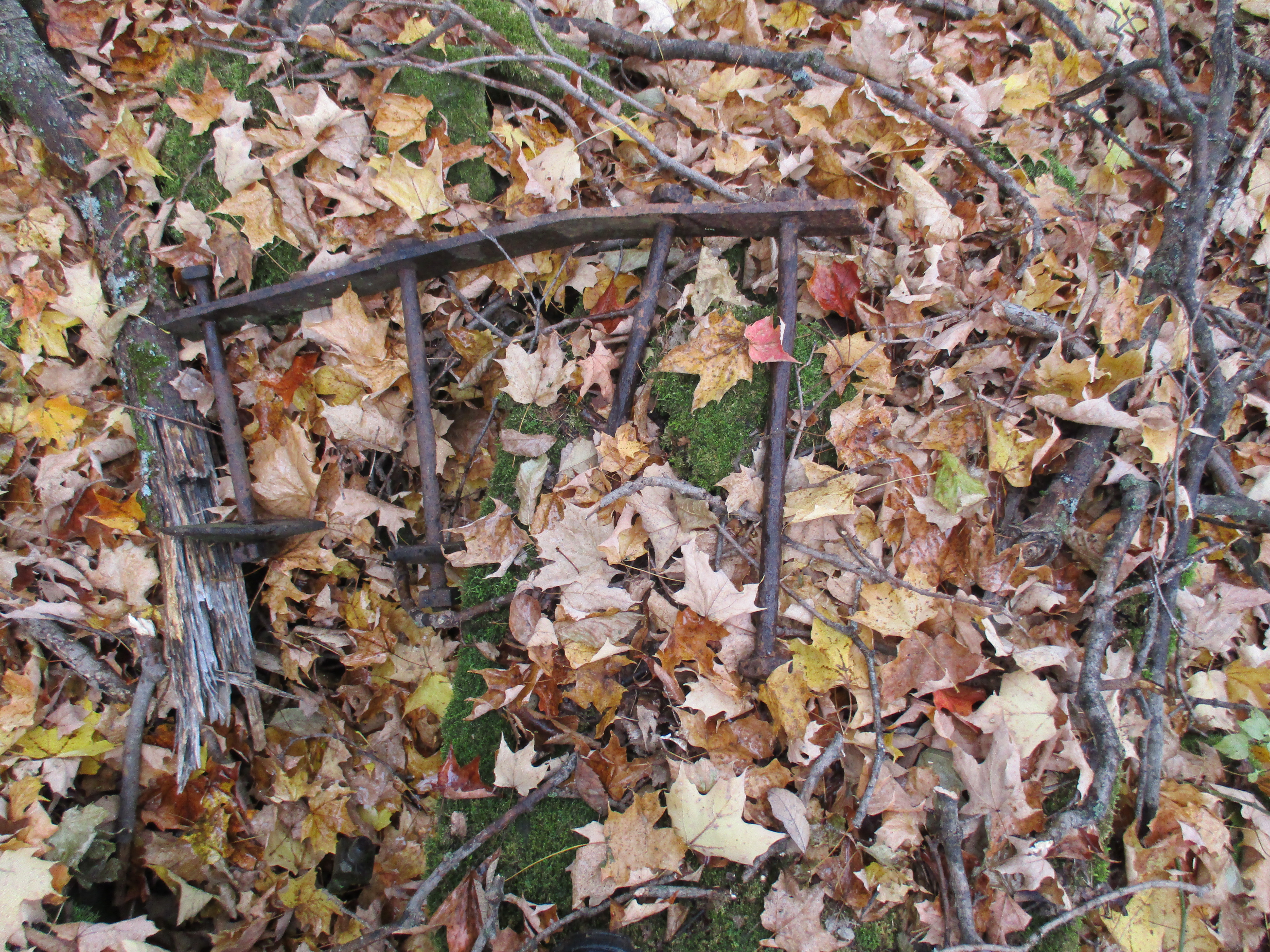
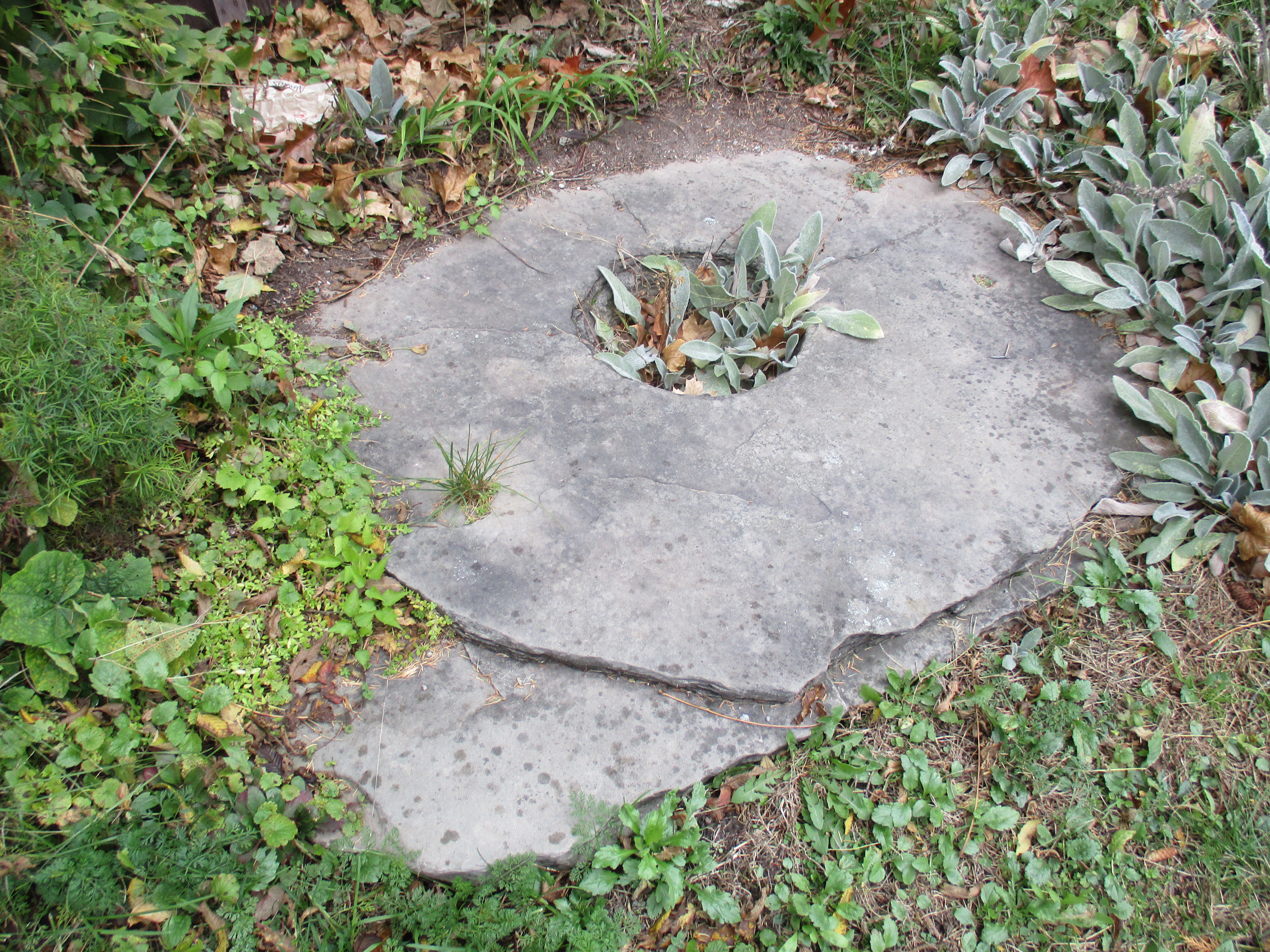
Old millstones were sometimes converted into tire setting stones. They would be used to hold a wooden wagon wheel while an iron tire, shaped like a loop, was slipped around the outside. The heated metal was allowed to cool on the wheel leaving it set in place.
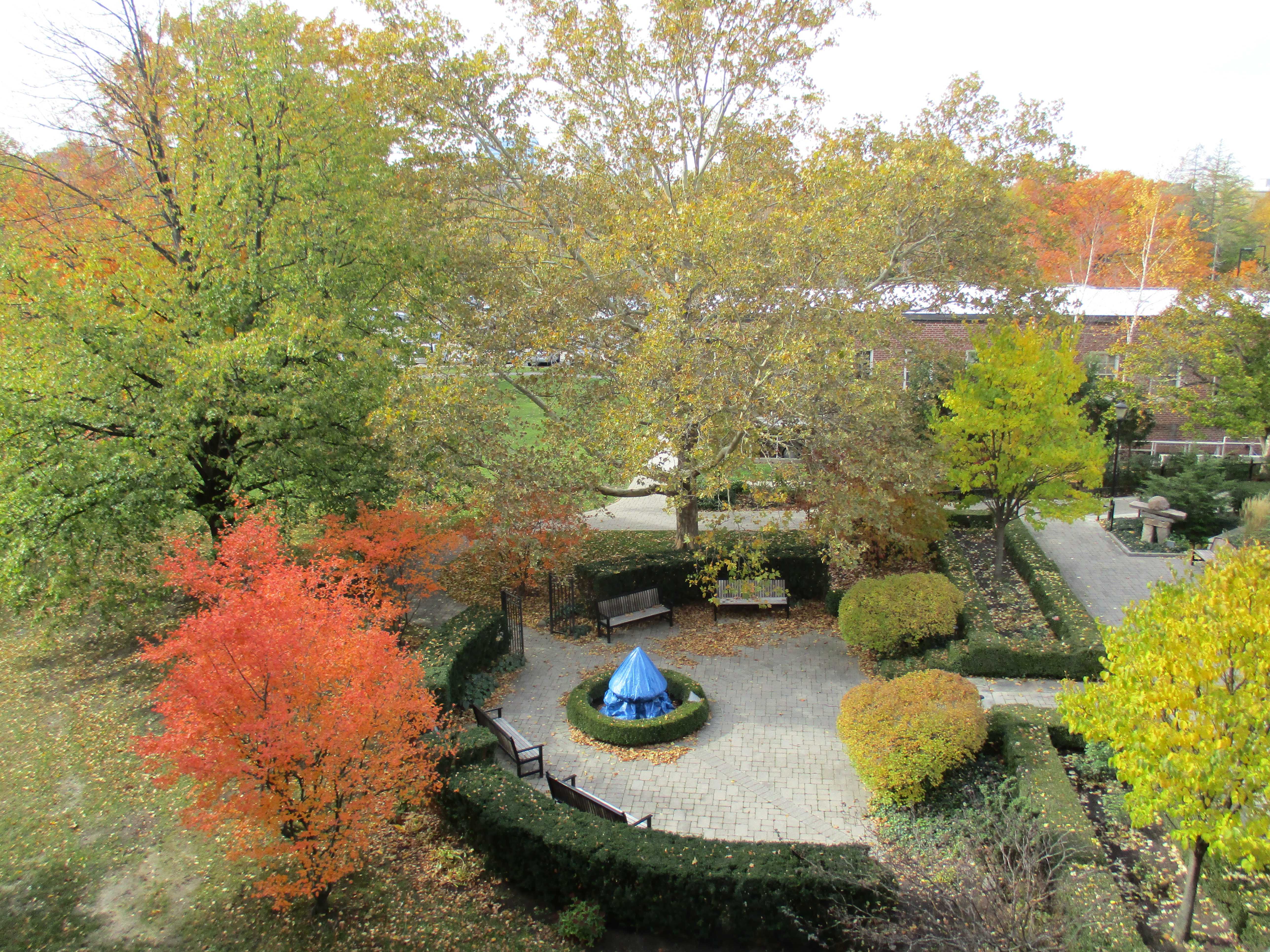
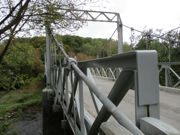
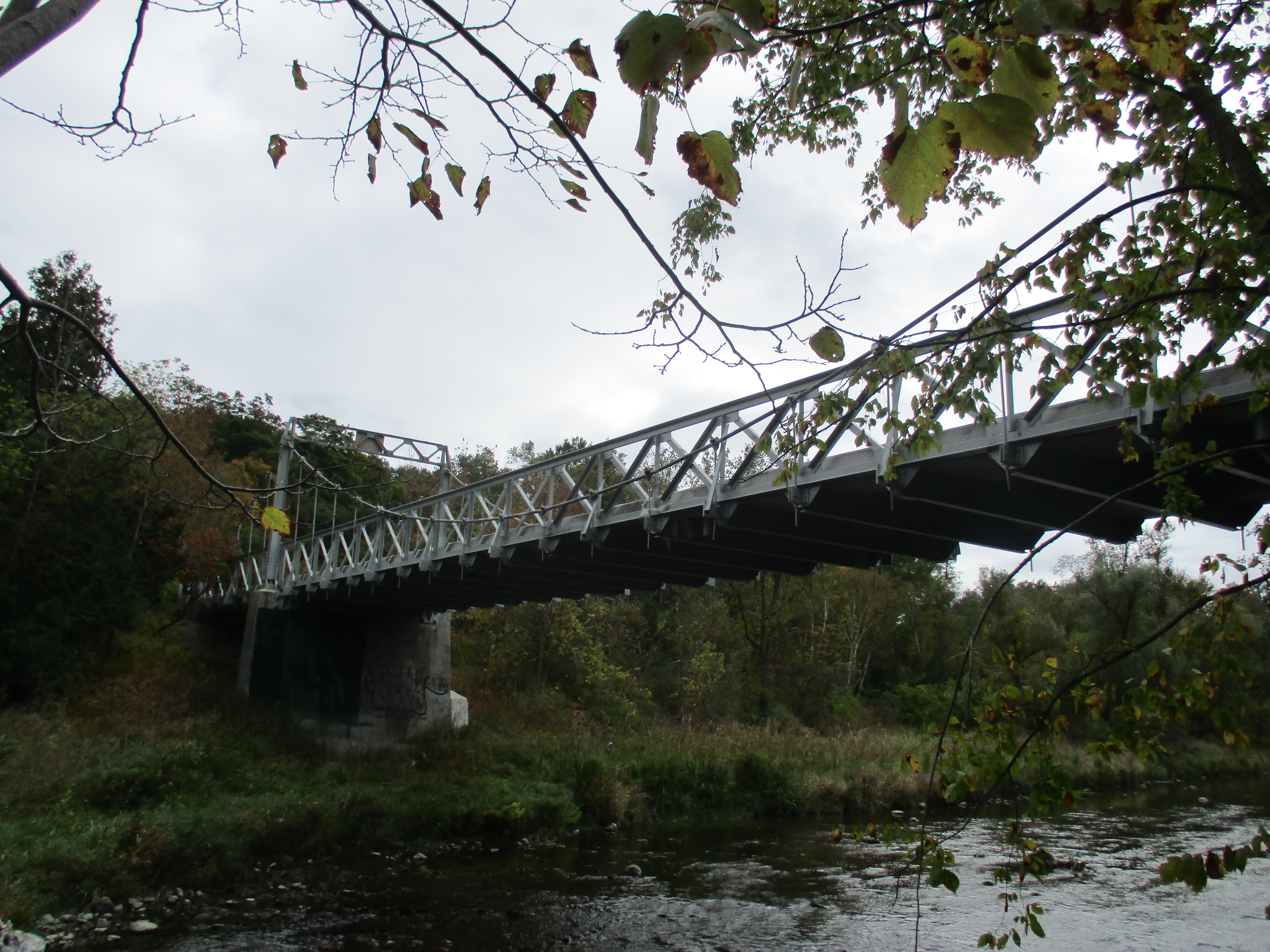
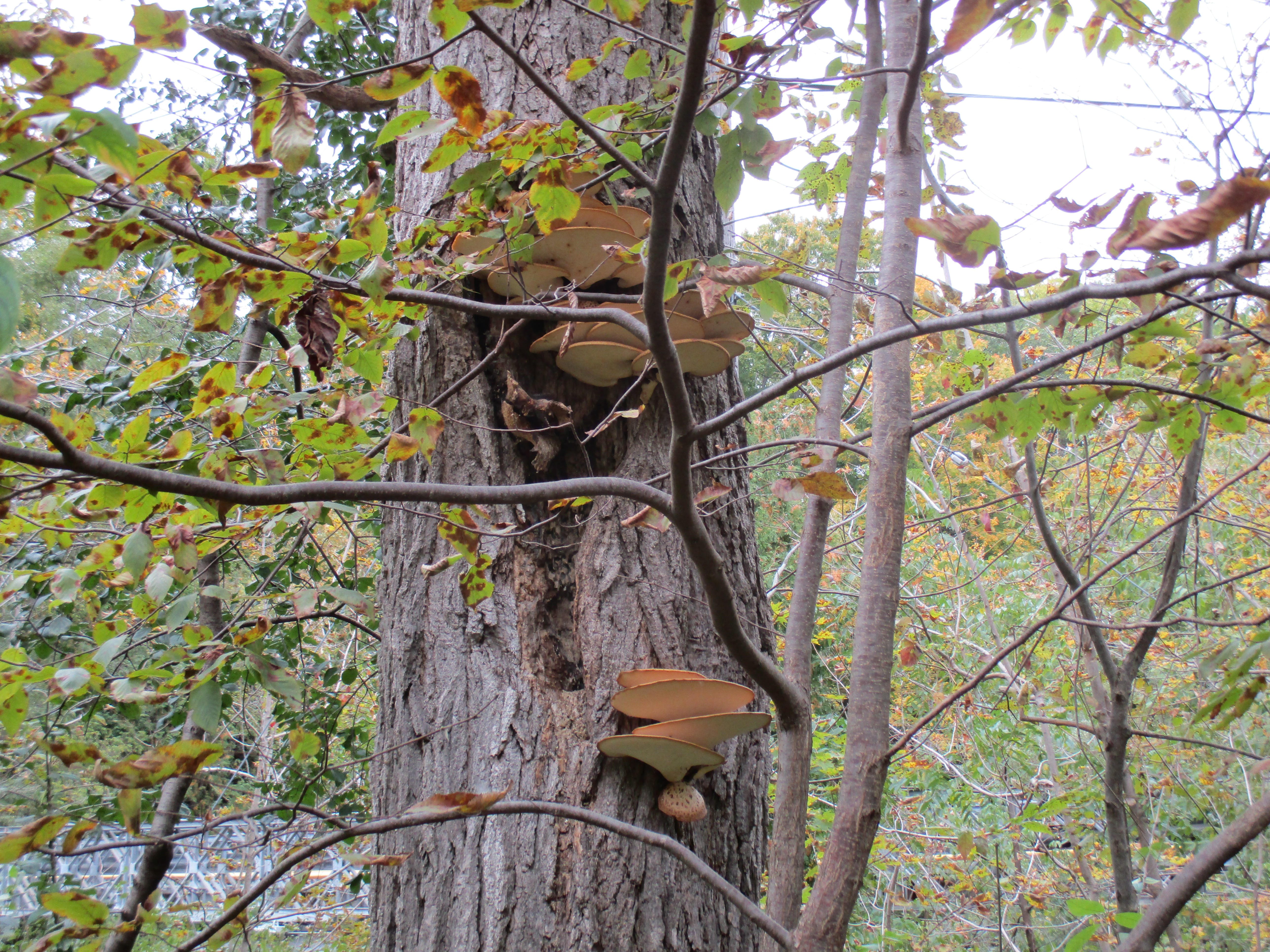
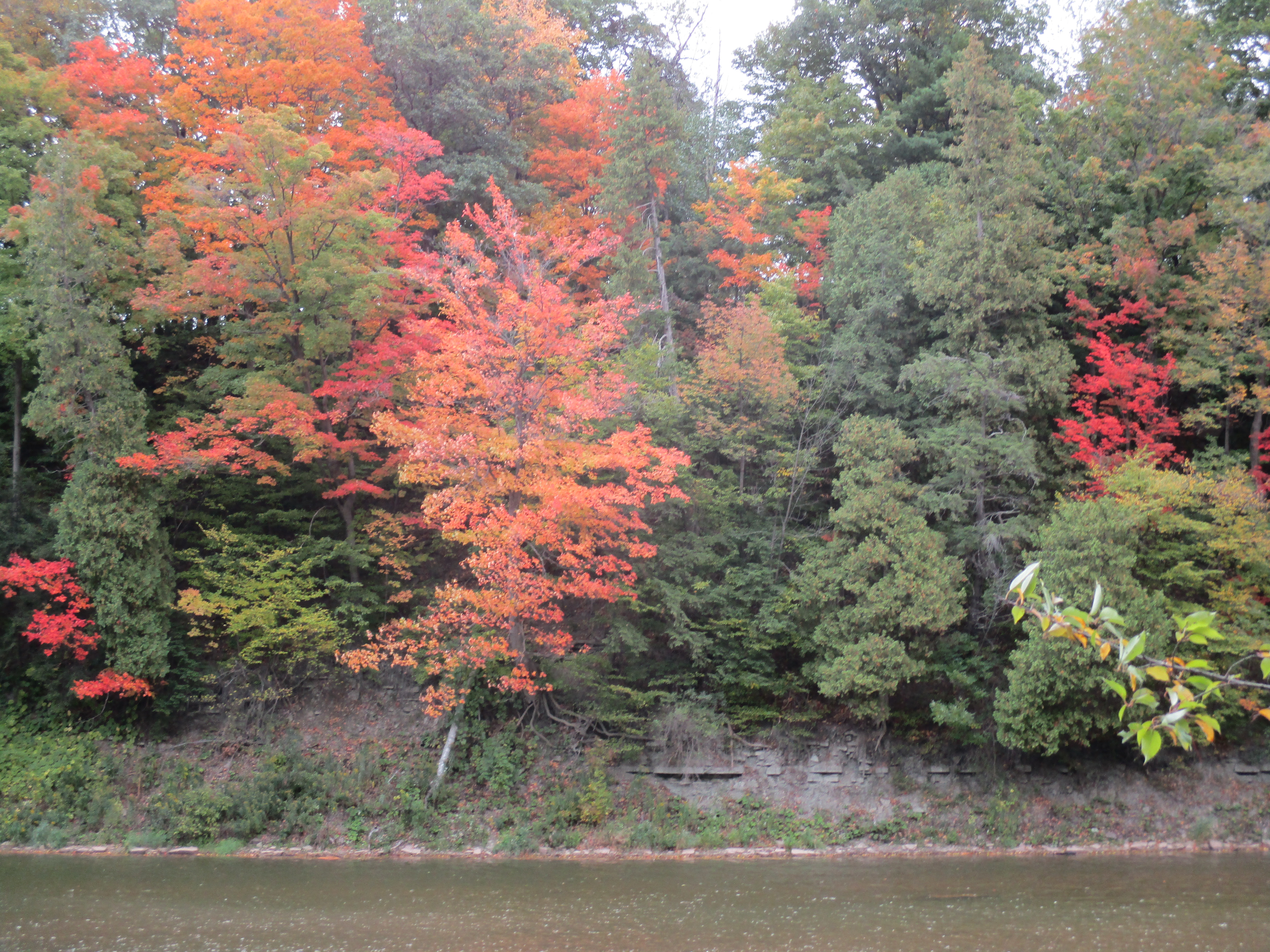
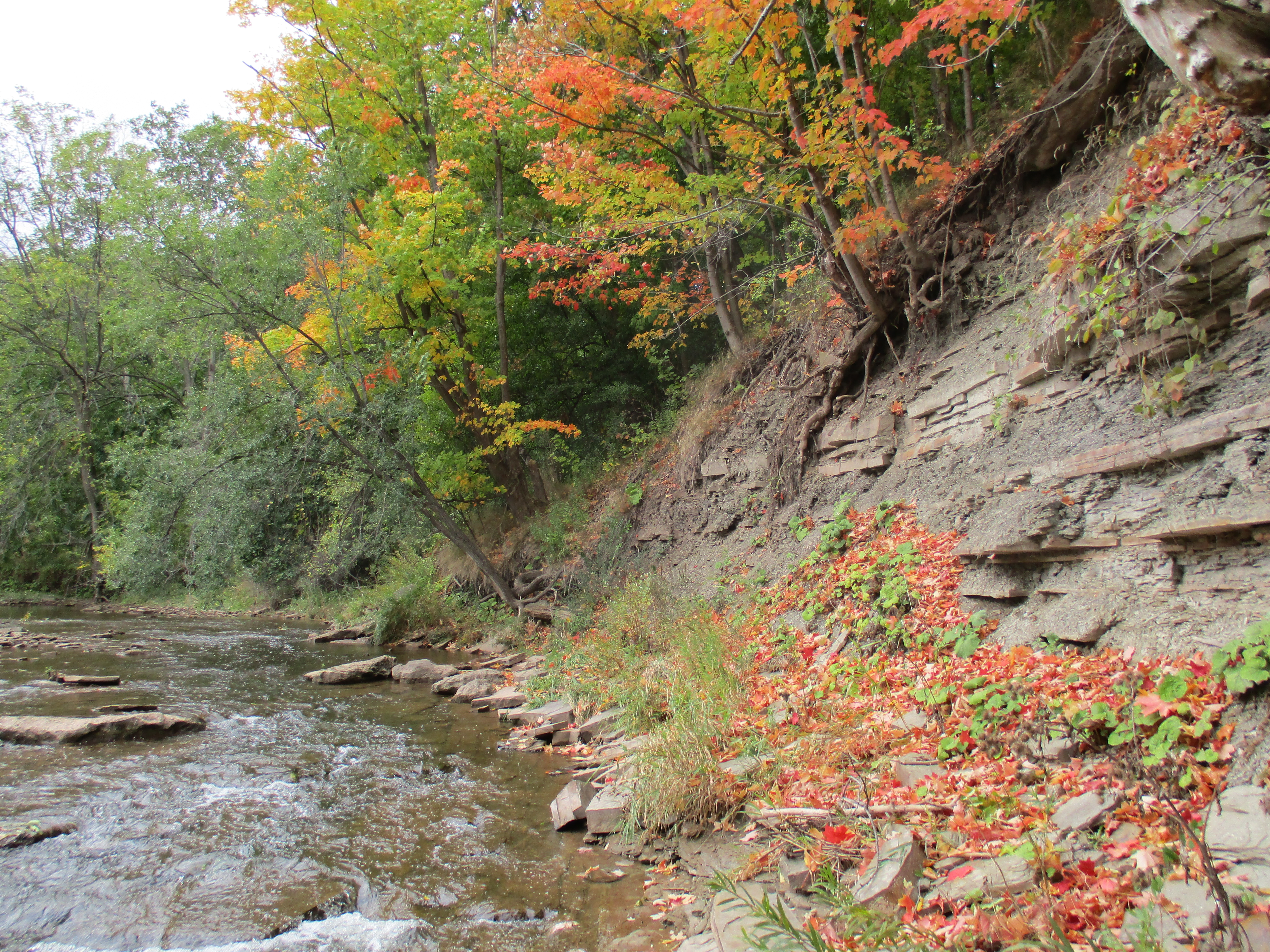
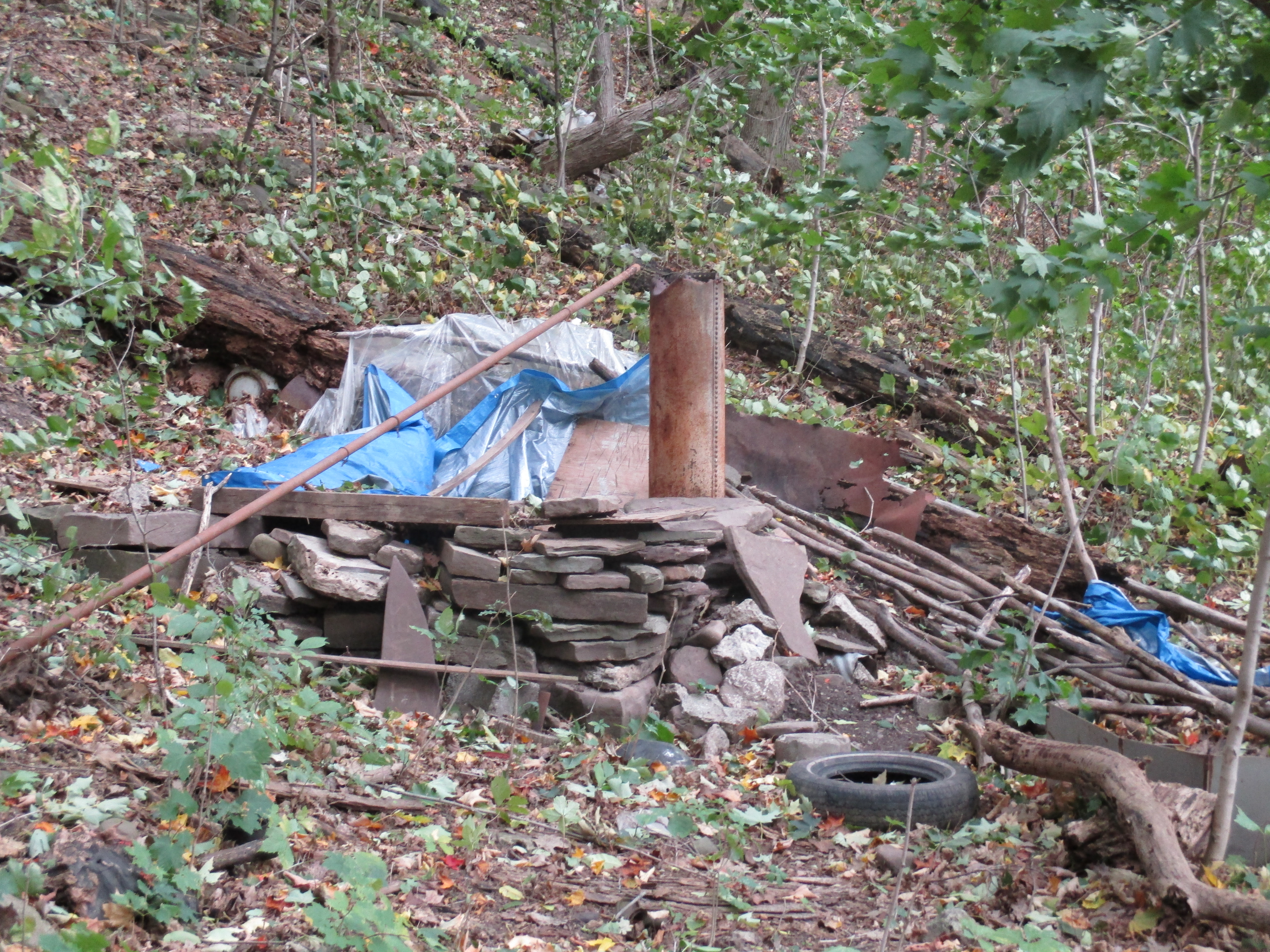
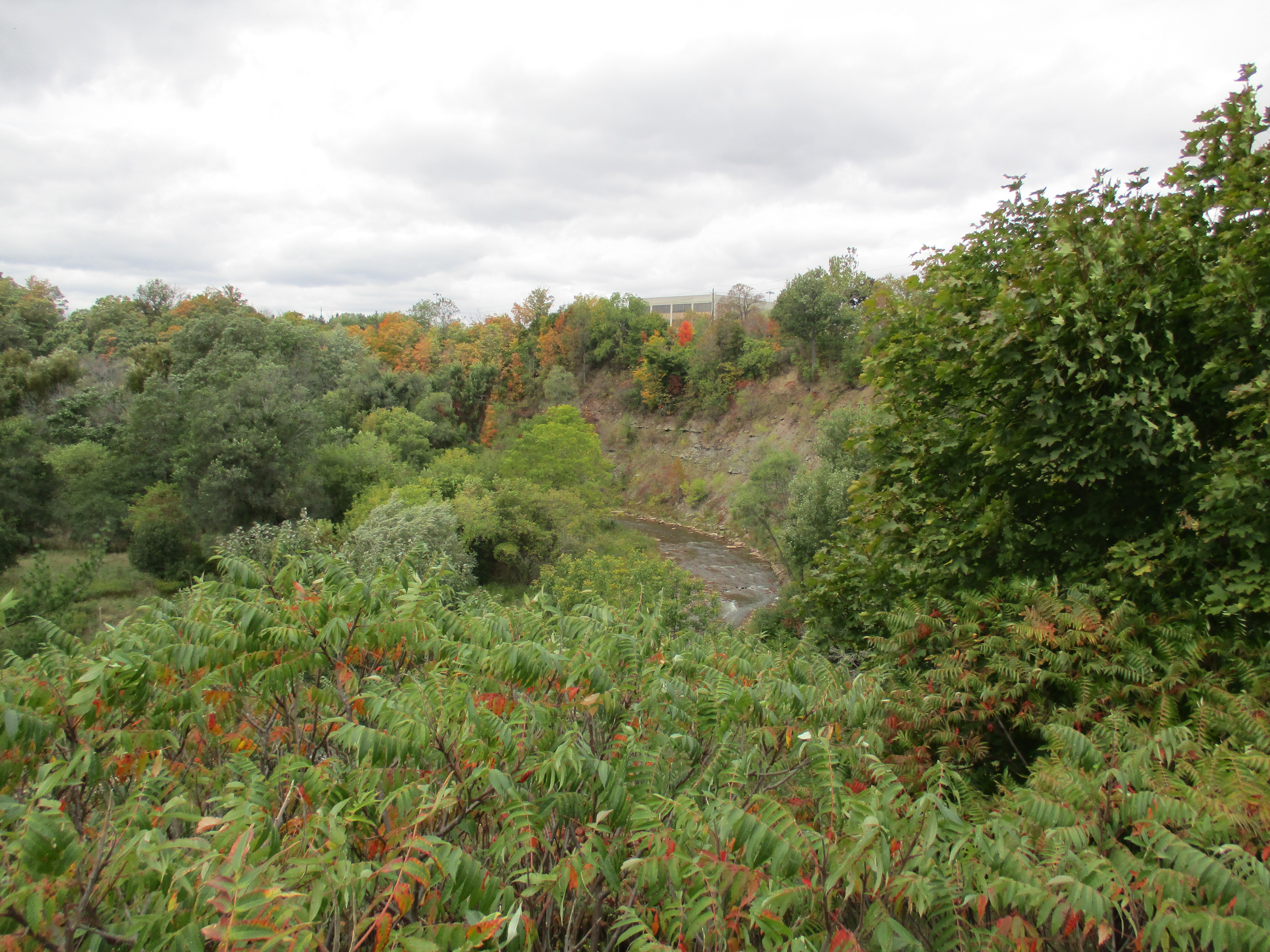
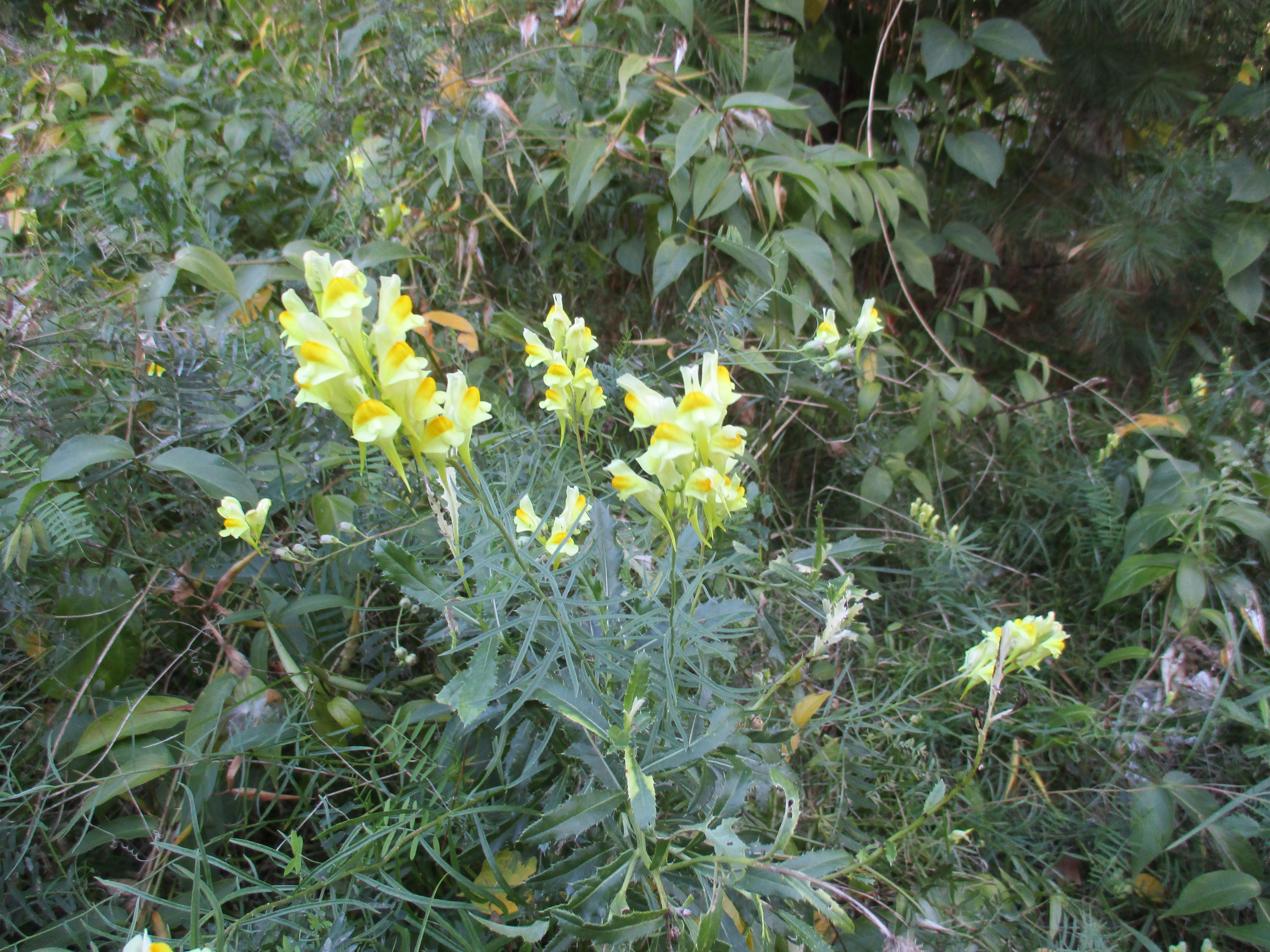
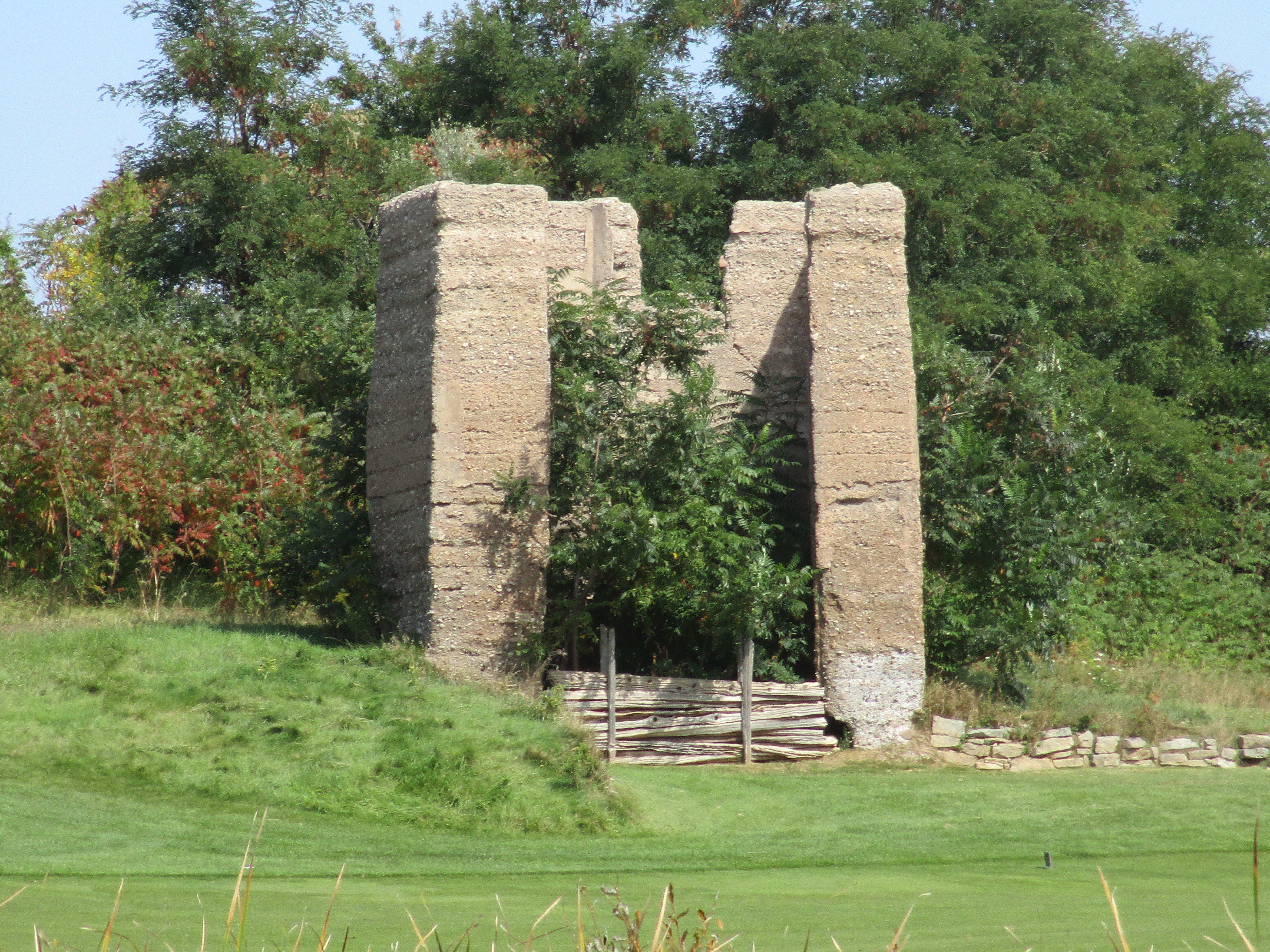
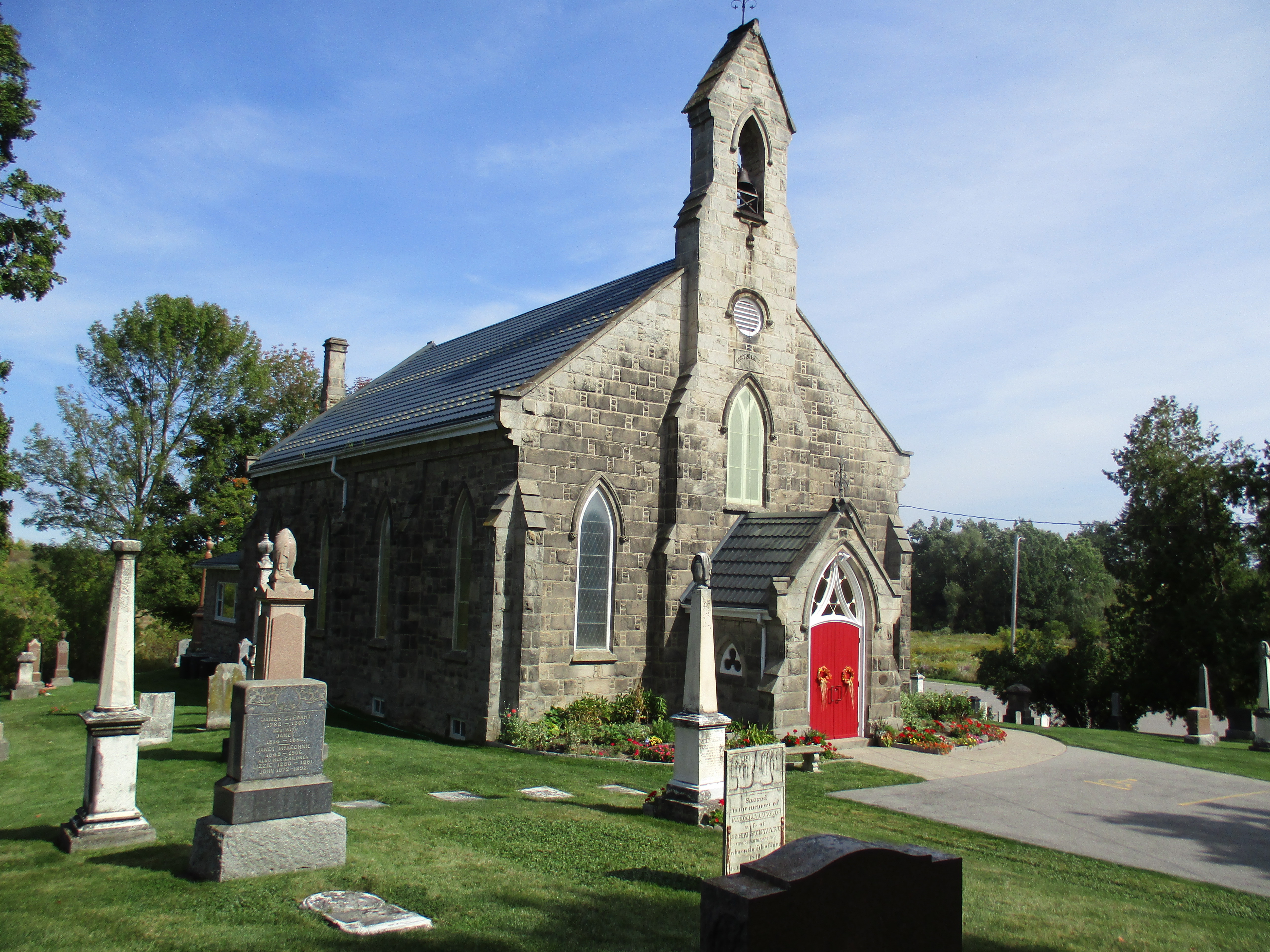
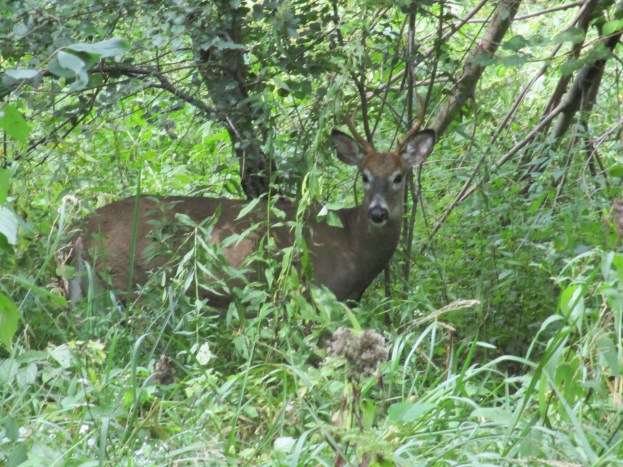
There are plenty of other trails remaining in the area for possible future exploration.
Like us at http://www.facebook.com/hikingthegta
Follow us at http://www.hikingthegta.com