March 28, 2026
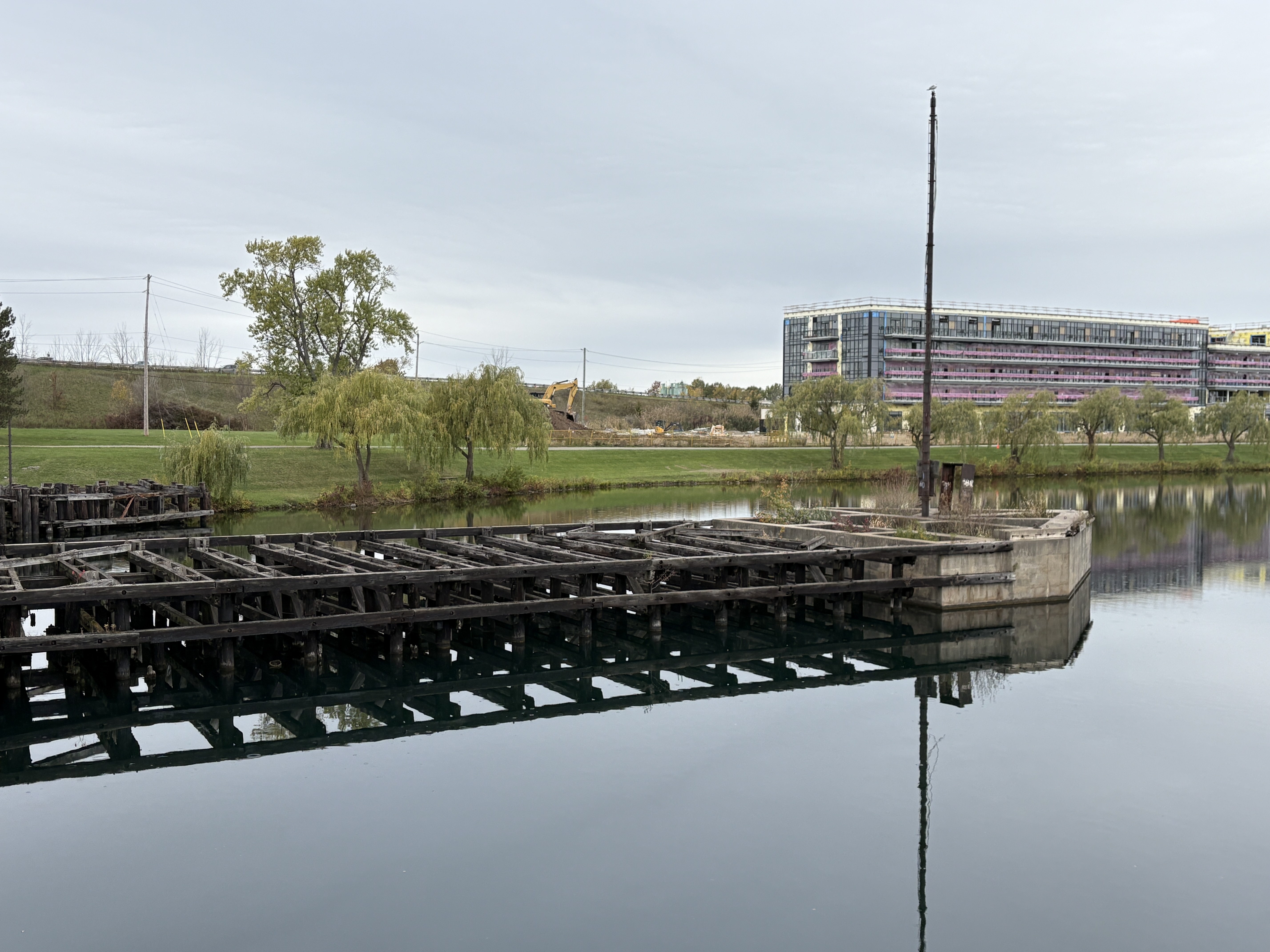
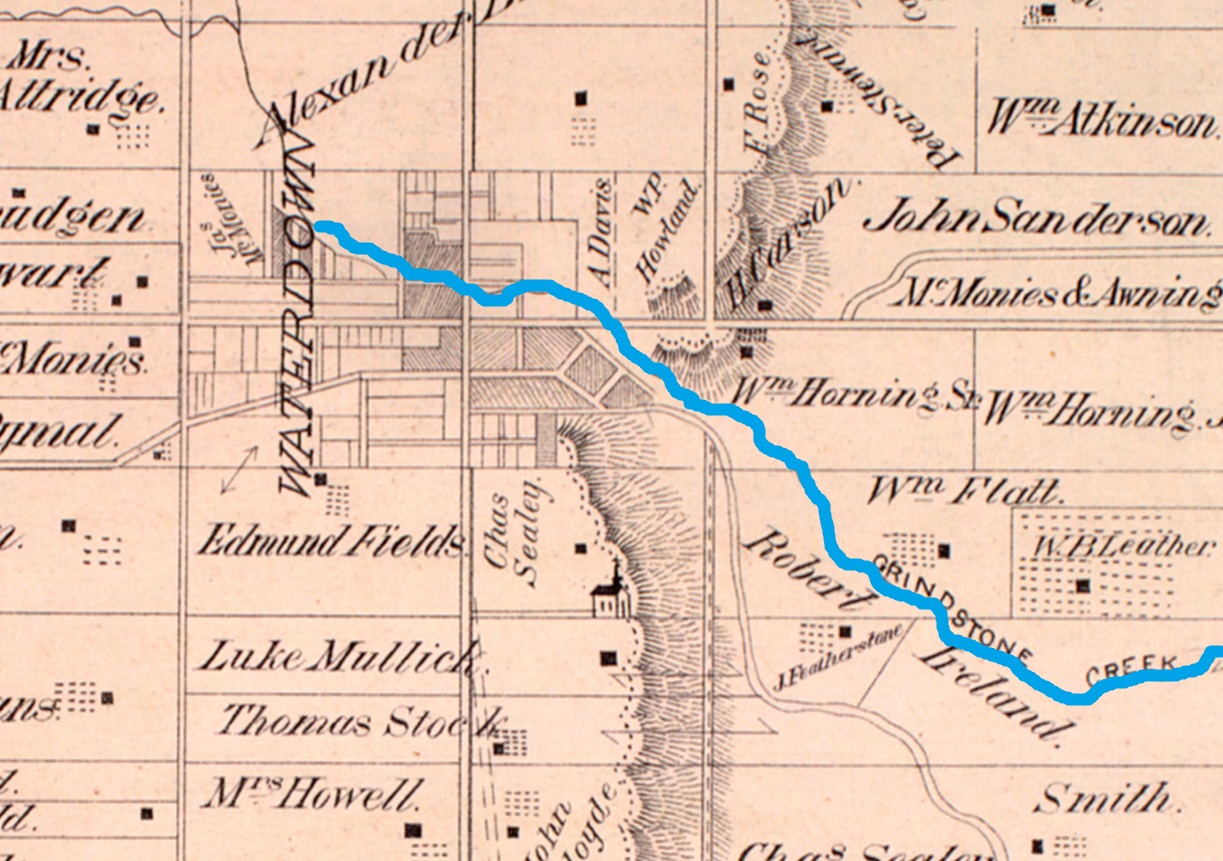
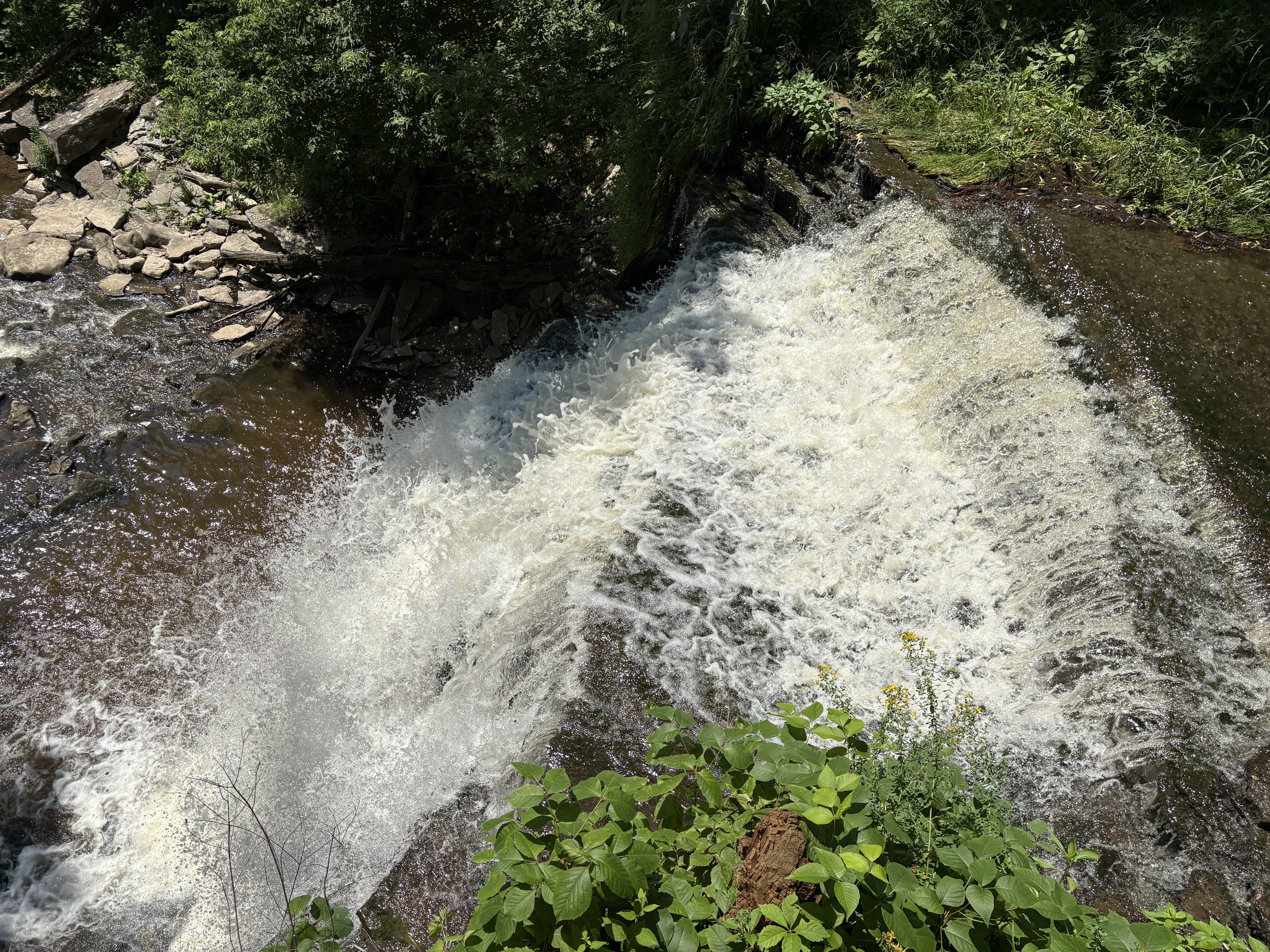
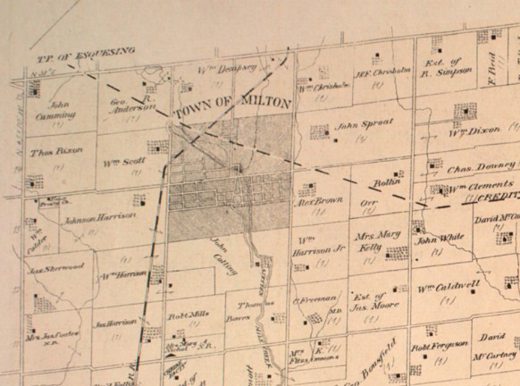
The town of Milton, Ontario got its start in 1820 when Jasper Martin settled on Sixteen Mile Creek and built a grist mill. He also built a dam to supply his mill with consistent water power and created the mill pond that still sits in the heart of Milton. See our separate feature story on the Milton Mill Pond. The town grew and by 1864 was looking for a new place for the town council to meet. Joseph Martin was the second son of the town founder and he offered the town a site for the new hall. The 1877 County Atlas image below shows the size of the town at that time.
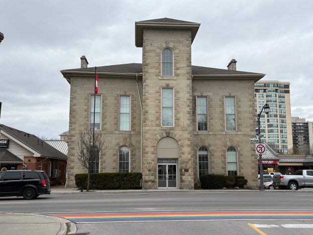
The new town hall was to be 40 feet deep by 60 feet long and built out of local limestone. The original estimate called for a $4,000 construction cost but this was unrealistic. Eventually Joseph Martin resigned his seat with the intention of building it himself. He spent $5,000 and the town refused to pay for it. Finally in 1867 committee recommended making the payment and moving into the town hall. The first council meeting was held in the hall in September 1867. The bell tower wasn’t completed until June 1868.
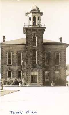
The original building was altered several time over the years. The brick addition at the rear of the building was added in 1894. The front entrance was modified in the 1940s and in 1952 the dome was removed from the bell tower. Town council moved from this building to the old courthouse in 1985.
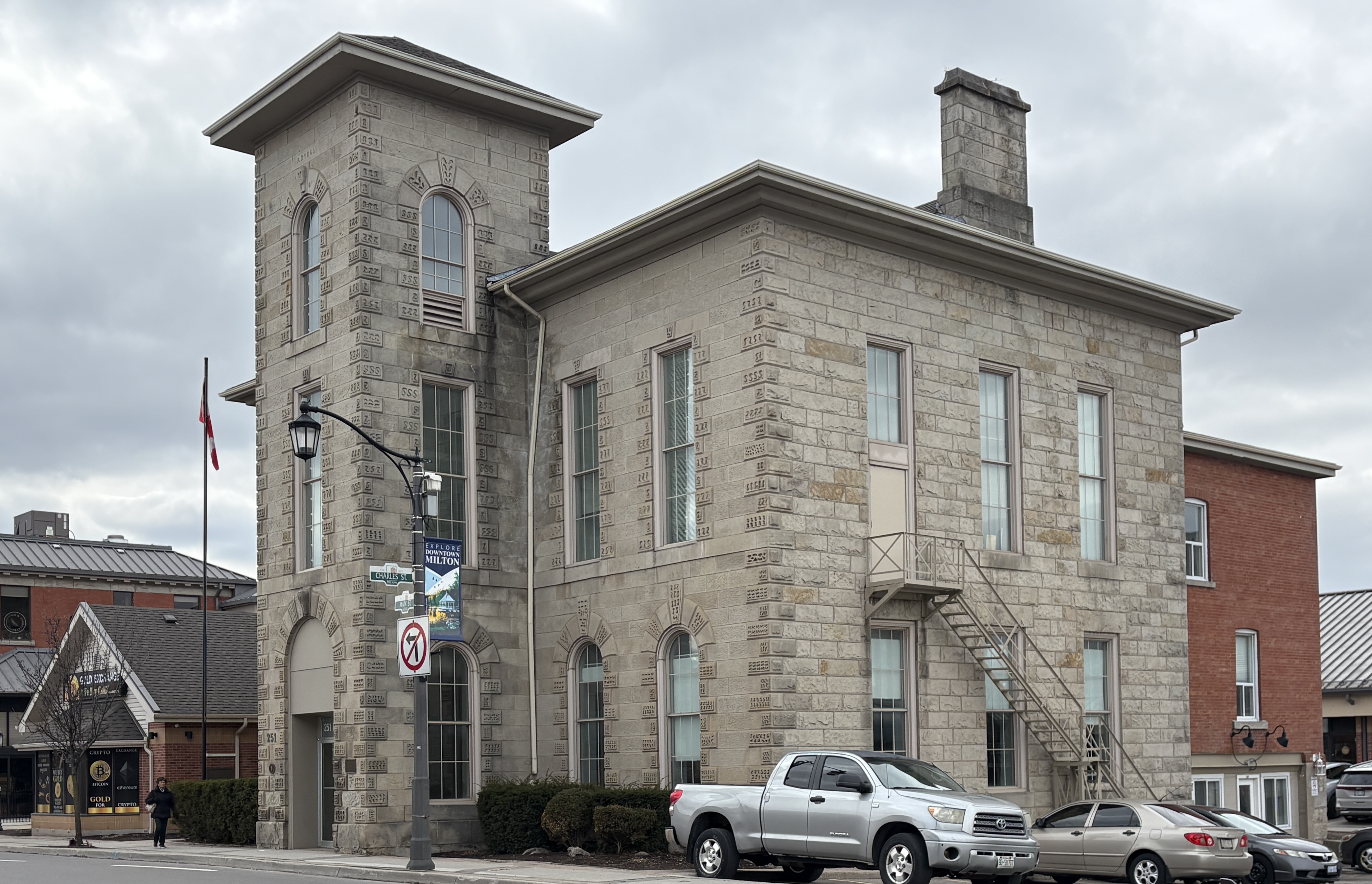
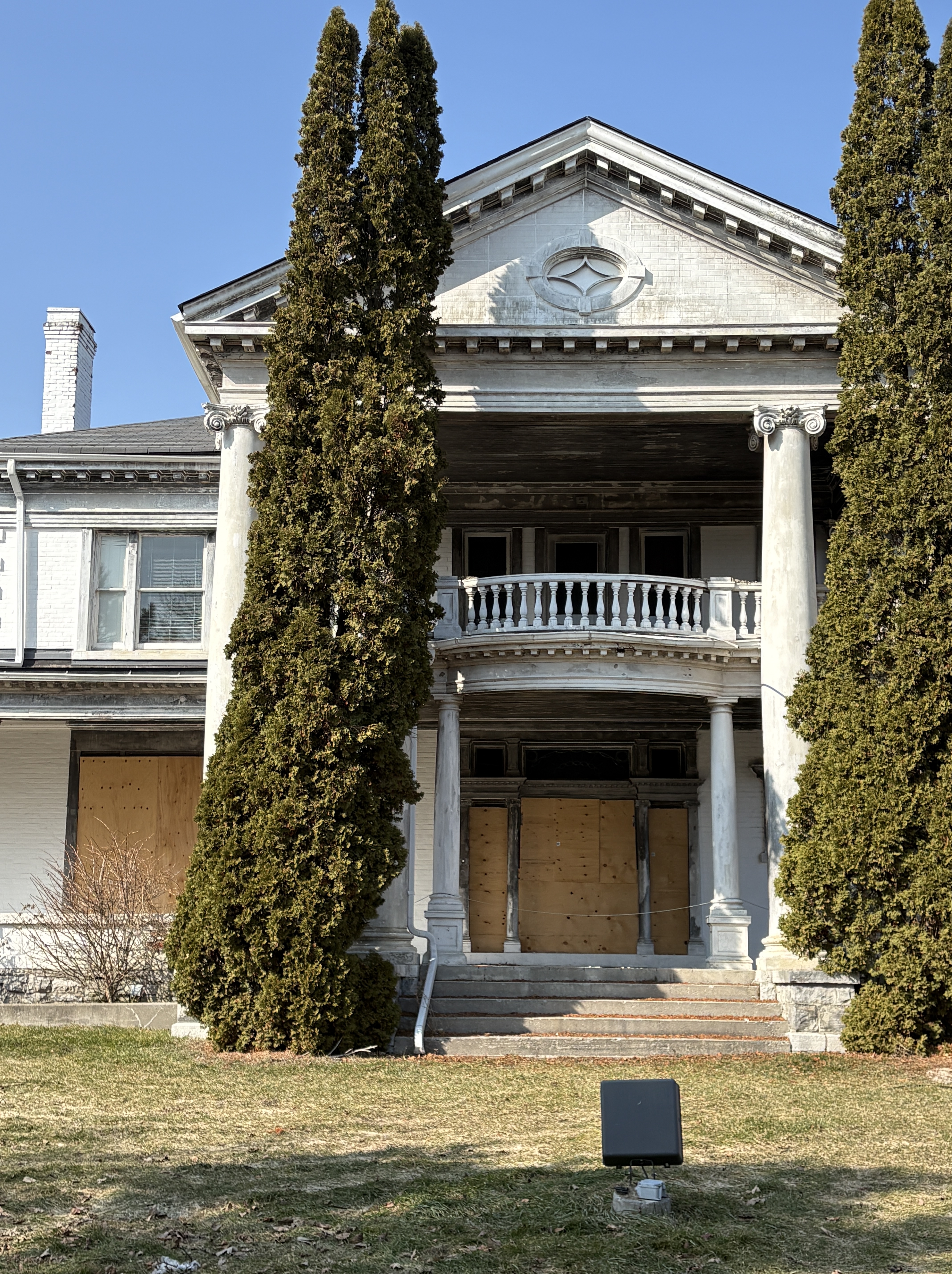
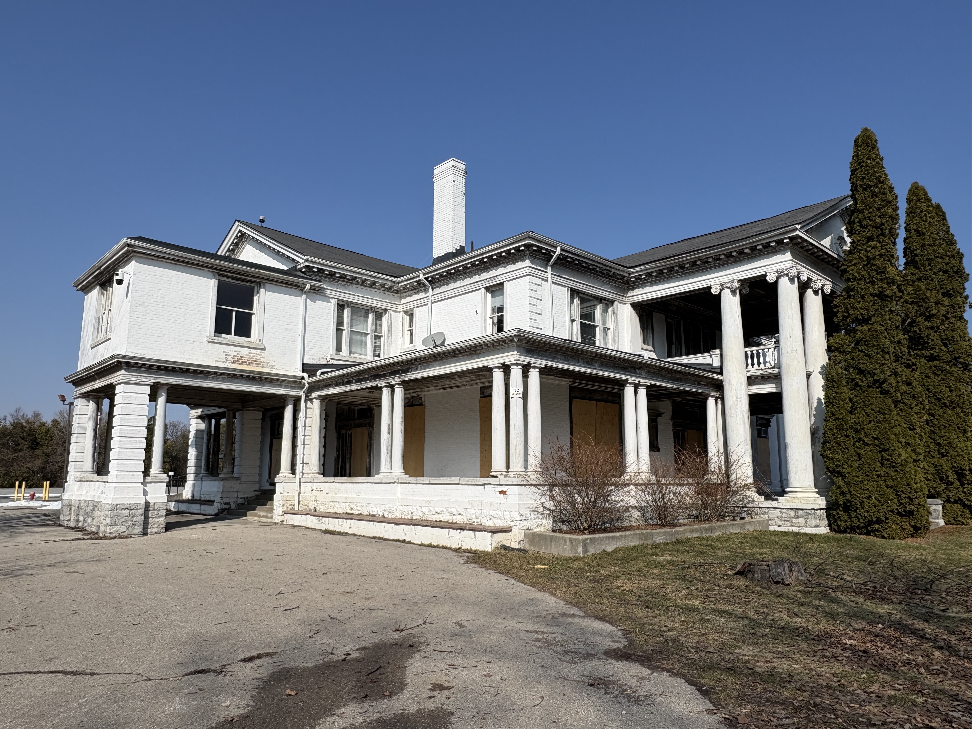
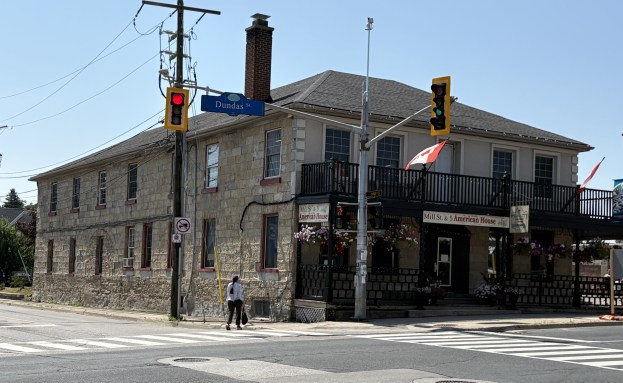
The courthouse was built in 1855 a year after the town had been selected as the County Town for the County of Halton. The limestone blocks were taken from the nearby escarpment and the building was designed to look heavily fortified to impress offenders with the weight of the law.
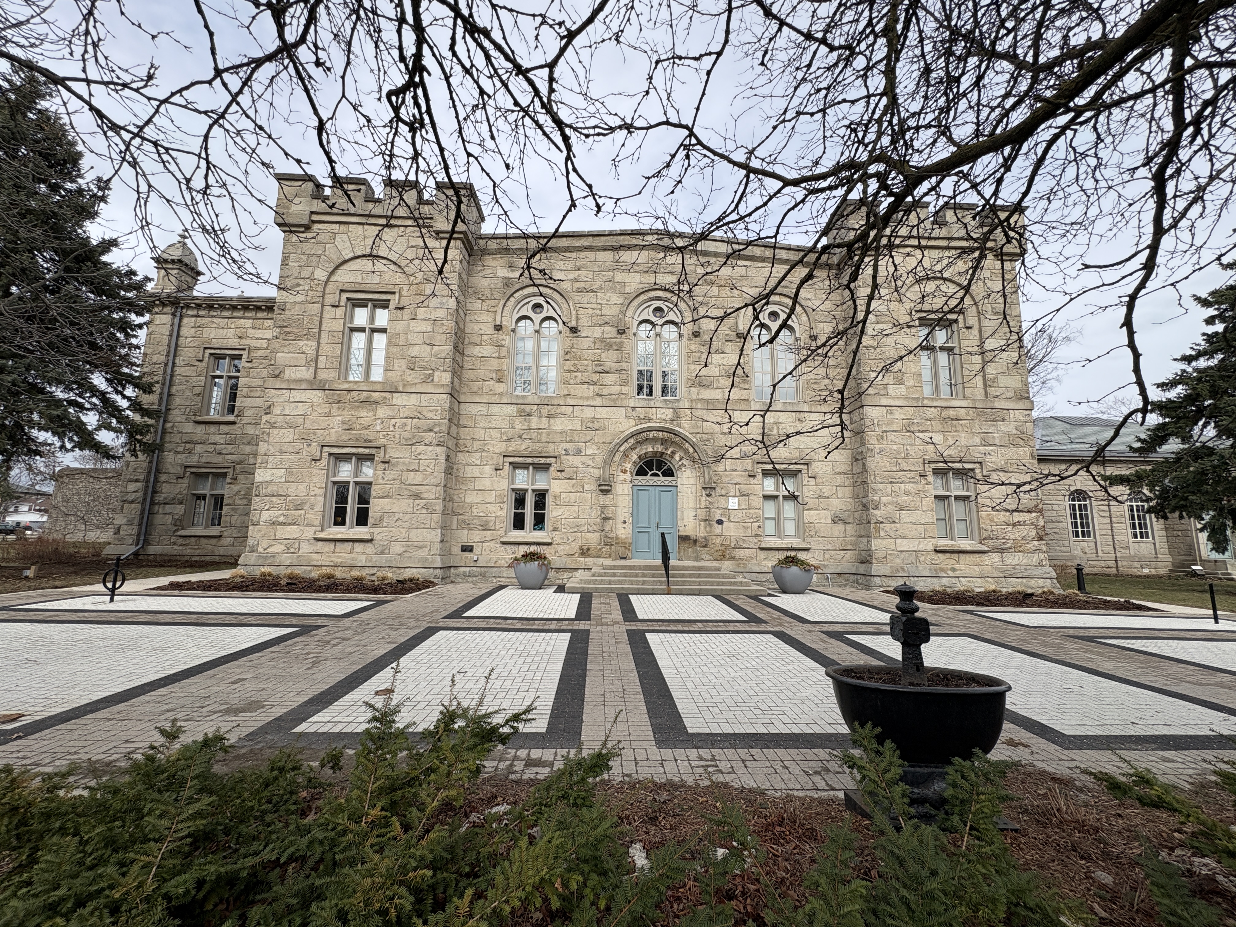
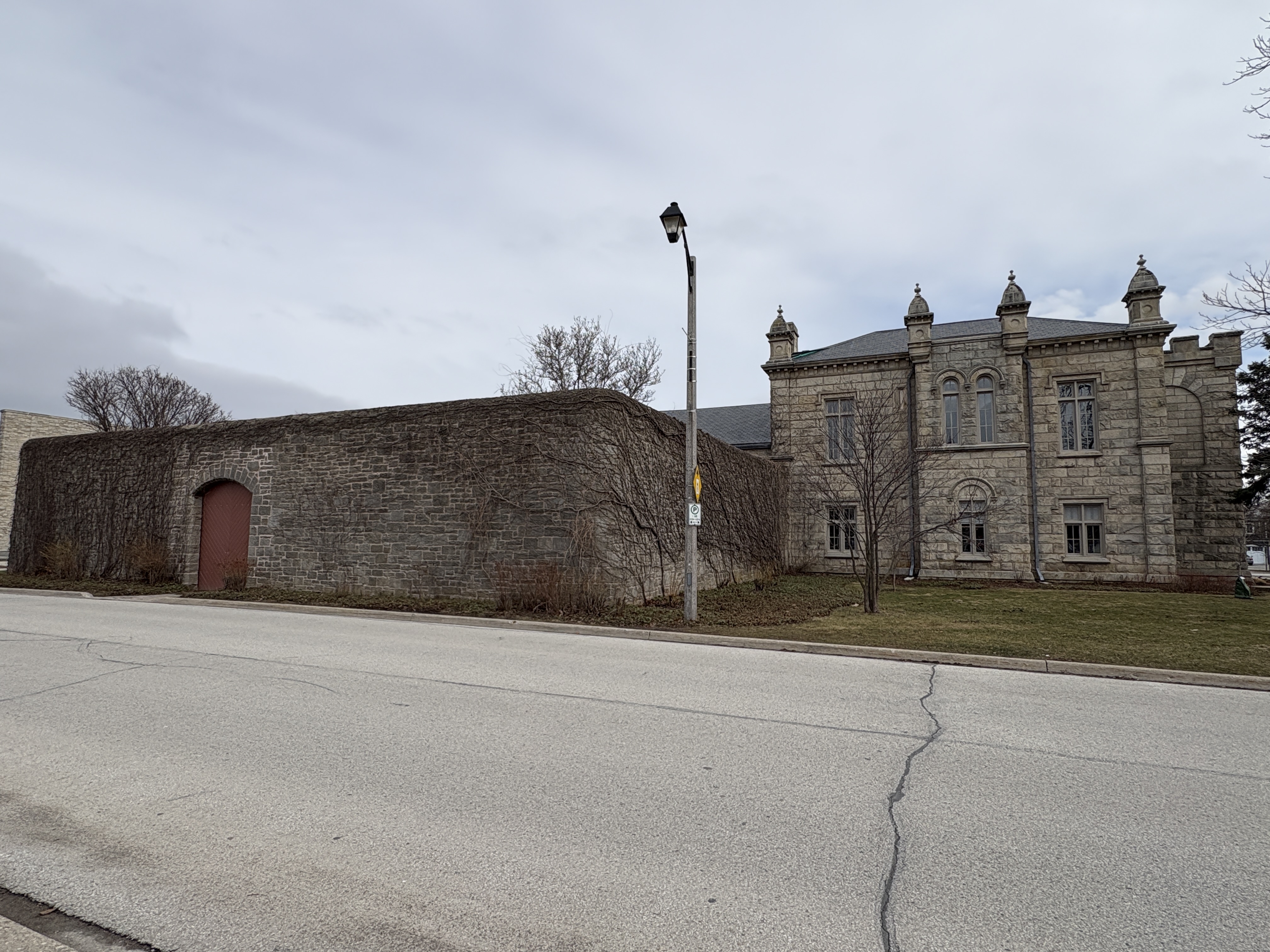
The north wing was added in 1877 along with the walled in exercise yard, Three people were executed for murder in the earlier days of the jail. The 1858 and 1862 hangings were done in front of the courthouse as a public spectacle. The final hanging was done in 1883 and it took place behind the wall of the exercise yard. The province opened Maplehurst Correctional Centre in Milton in 1974 and it replaced several older jails in the county including the Milton Jail.
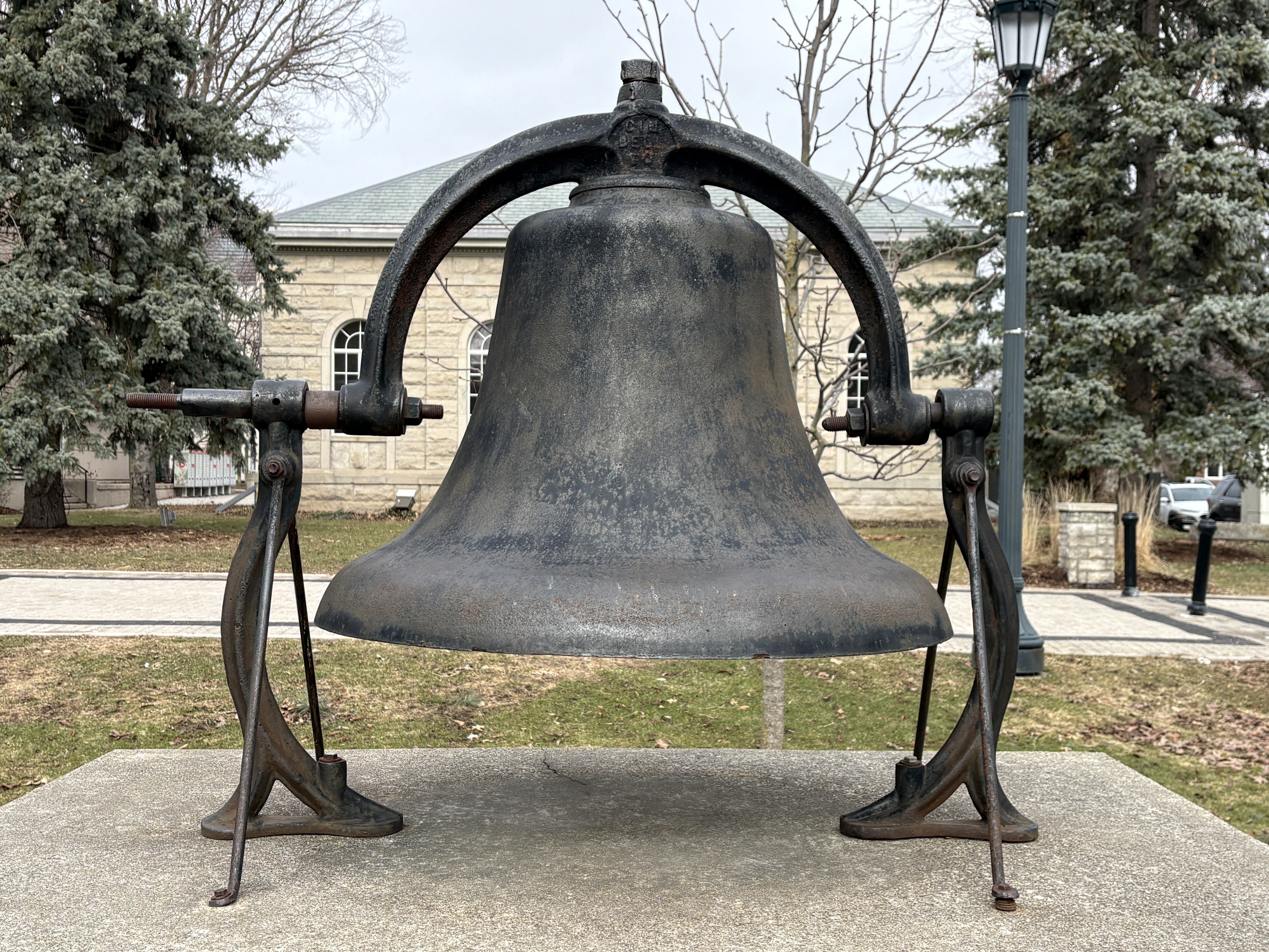
The town of Milton approved the purchase of a town bell in 1877 to be placed in the top of the town hall tower. The original one weighed 400 pounds but it quickly got cracked and was replaced in 1894 with an 800 pound bell. It was rung three times on Sunday to announce church services. It was also used for some time to call volunteer firefighters to respond to an emergency. The bell has now been placed in front of Victoria Park near the old water fountain.
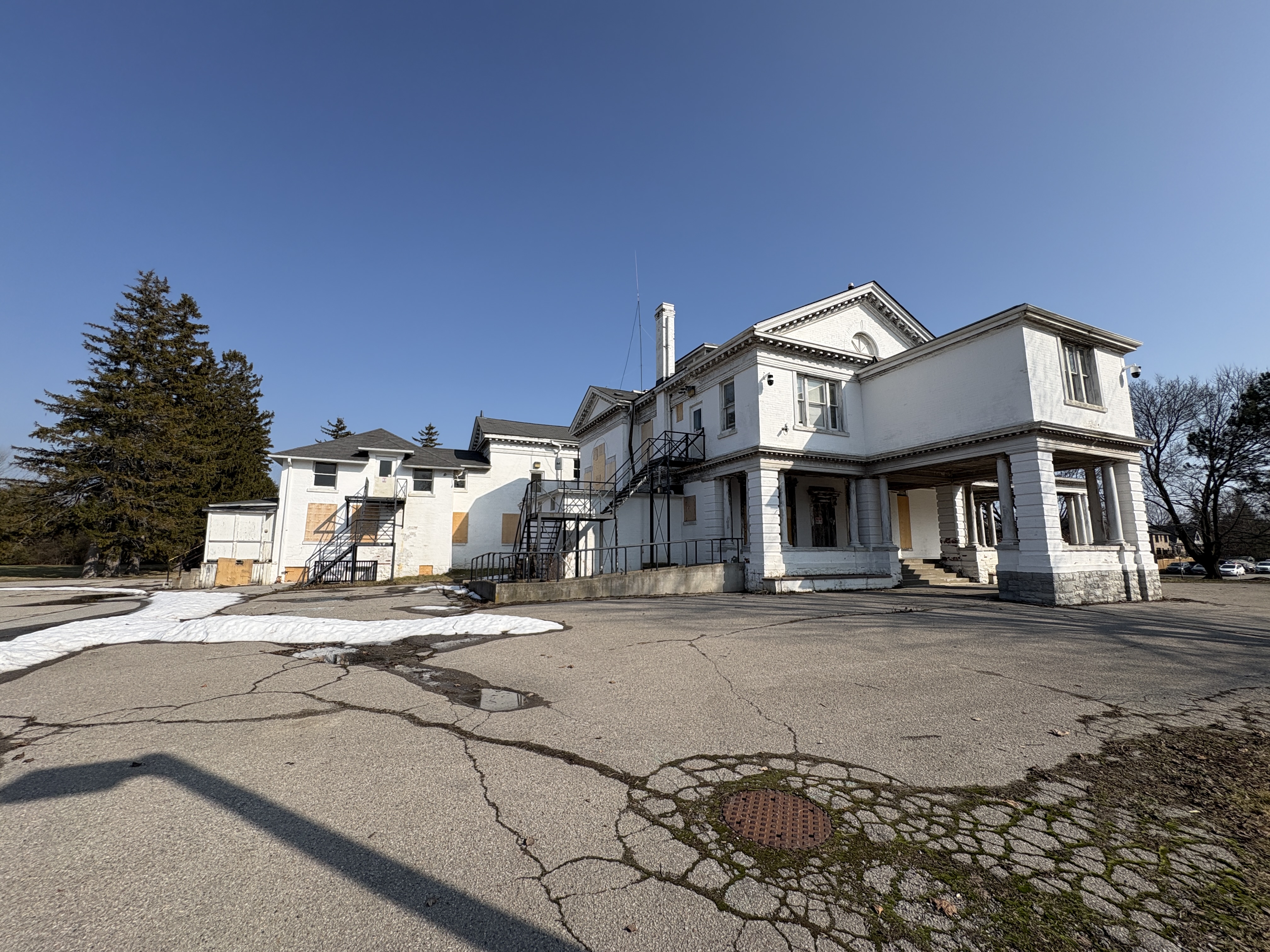
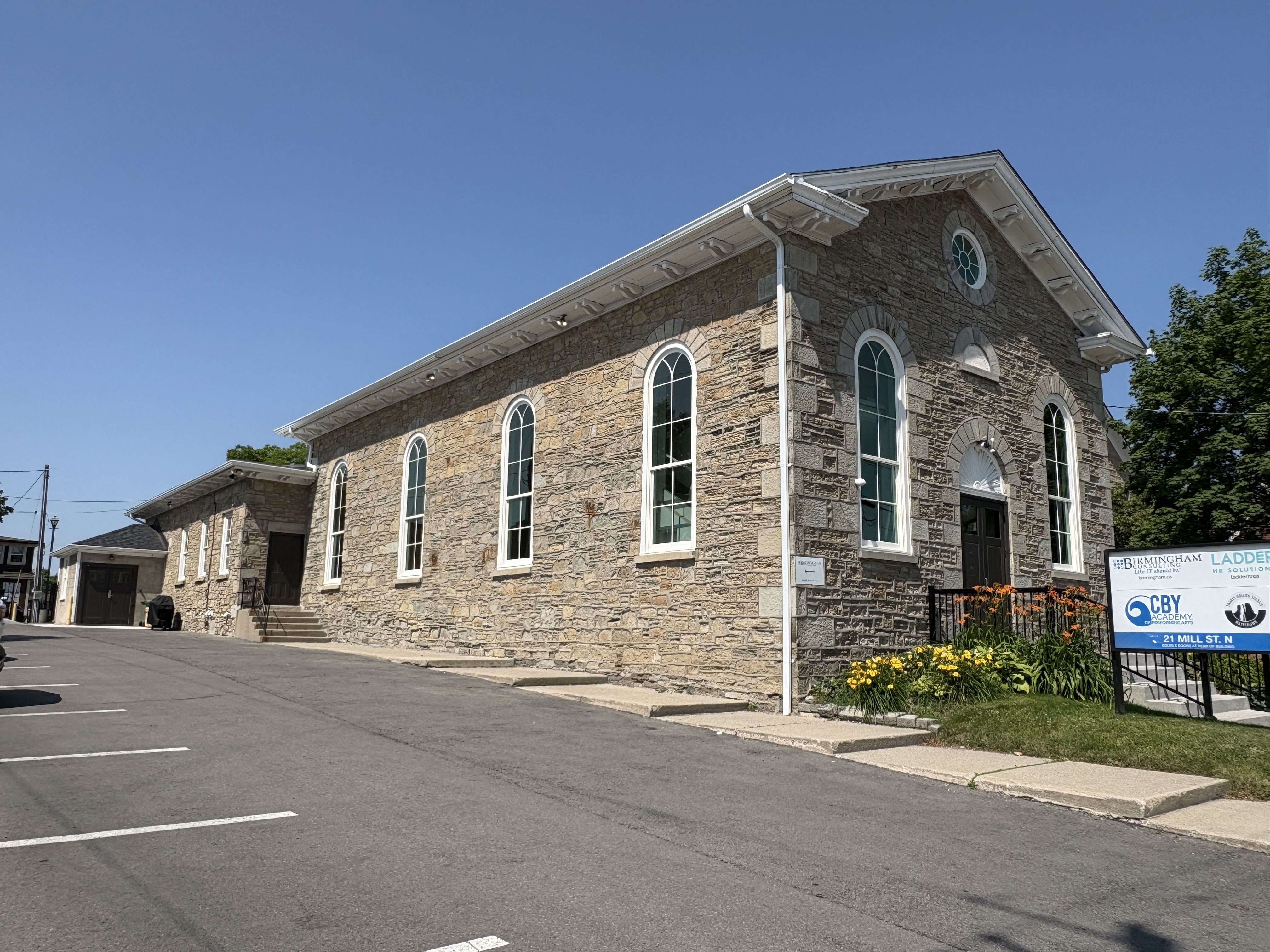
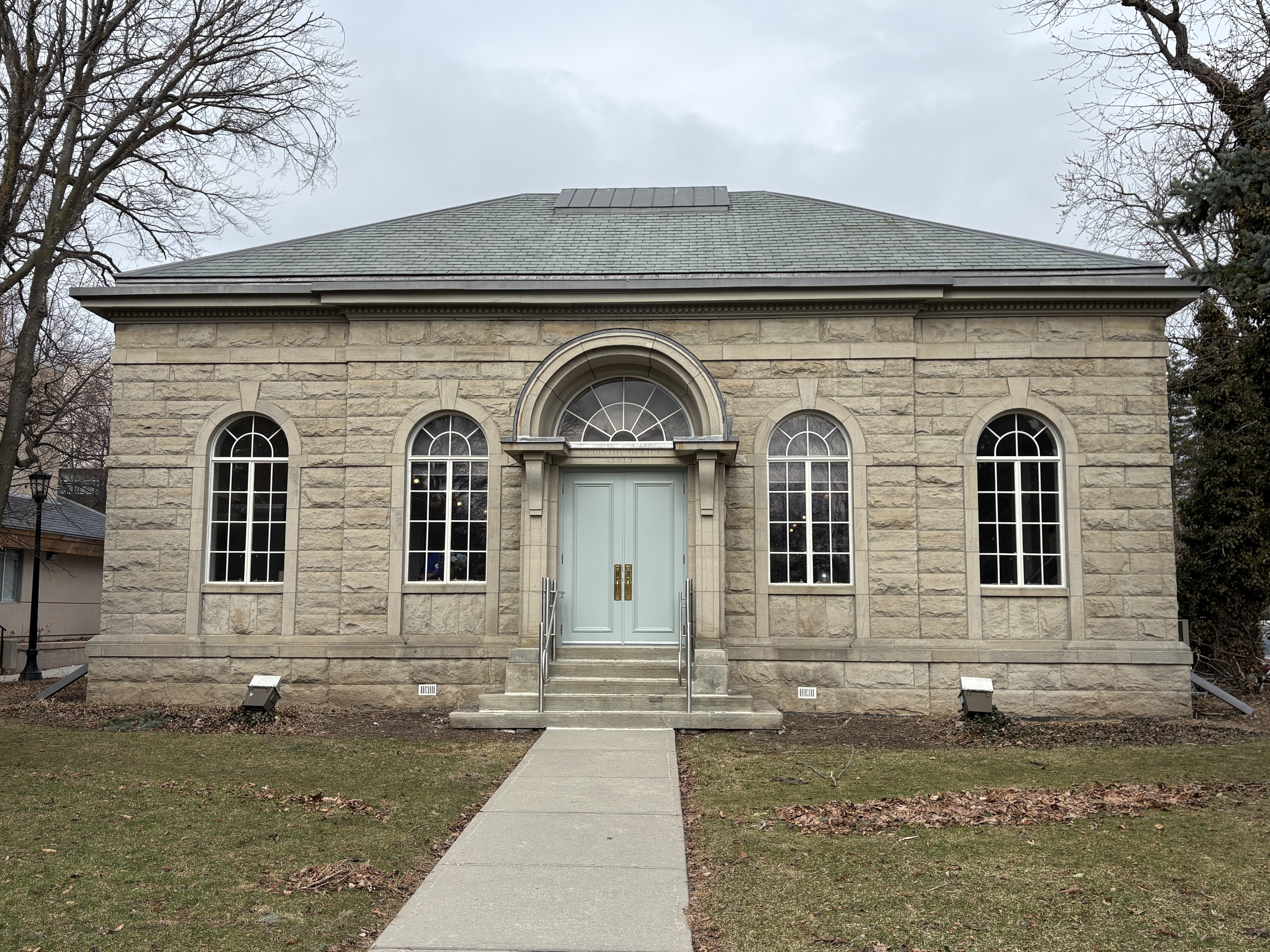
The Land Registry Office building stands beside the courthouse and can be seen behind the bell in the image above. It was built in 1915 and was renovated in 1980. It is now used as a special event centre and can be rented out.
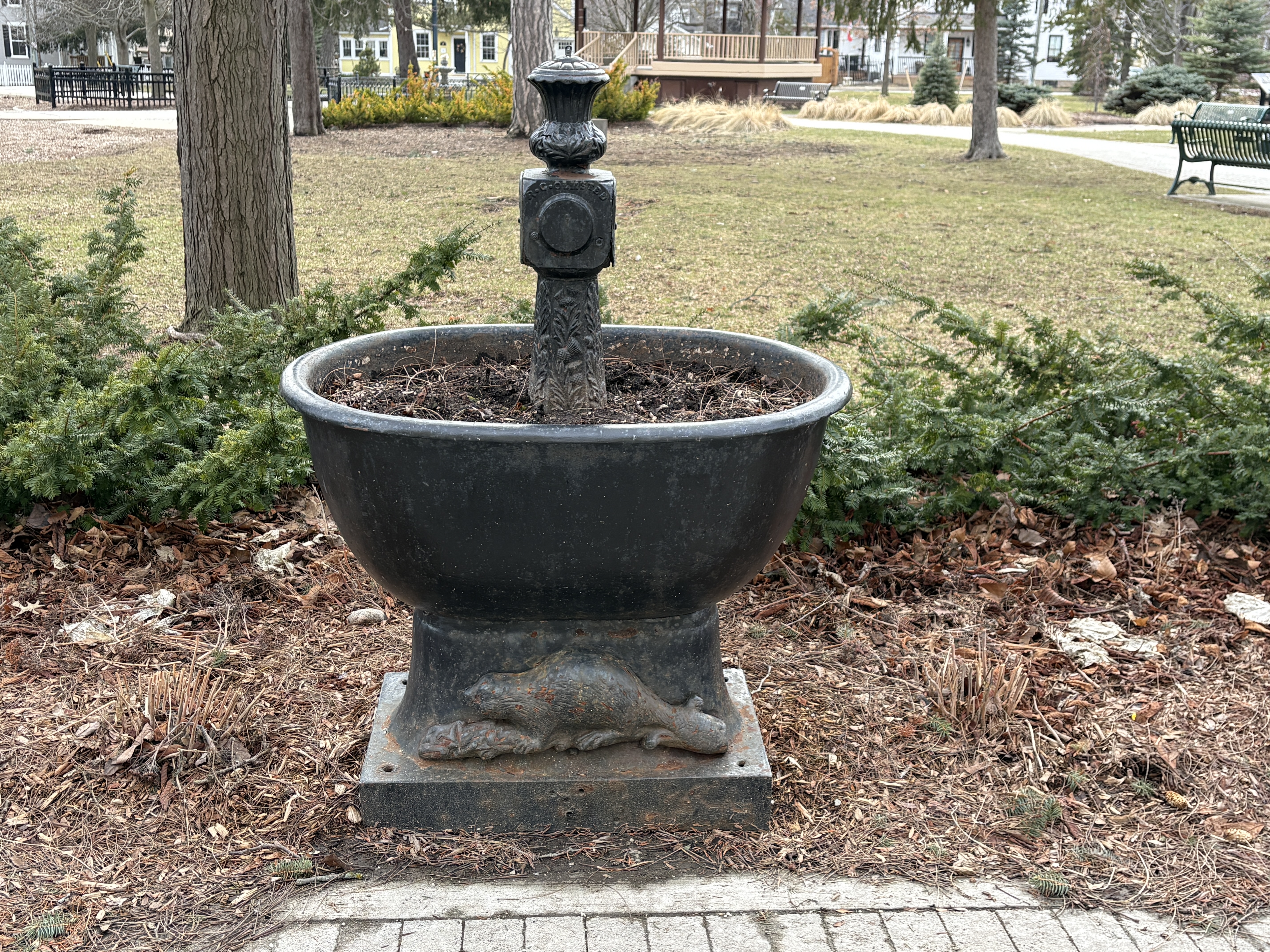
On March 28, 1889 the town received a gift from the Royal Tempers Of Temperance. They felt that a water fountain with cold water should be supplied for the use of people and their horses. They felt that providing clean drinking water might reduce the use of alcohol in the community. A beaver adorns the base of the fountain and one can also be found on the coat of arms for the town. It was placed in front of the town hall and there it stood until council moved to the new city hall. It has since been moved to Victoria Park where it stands today.
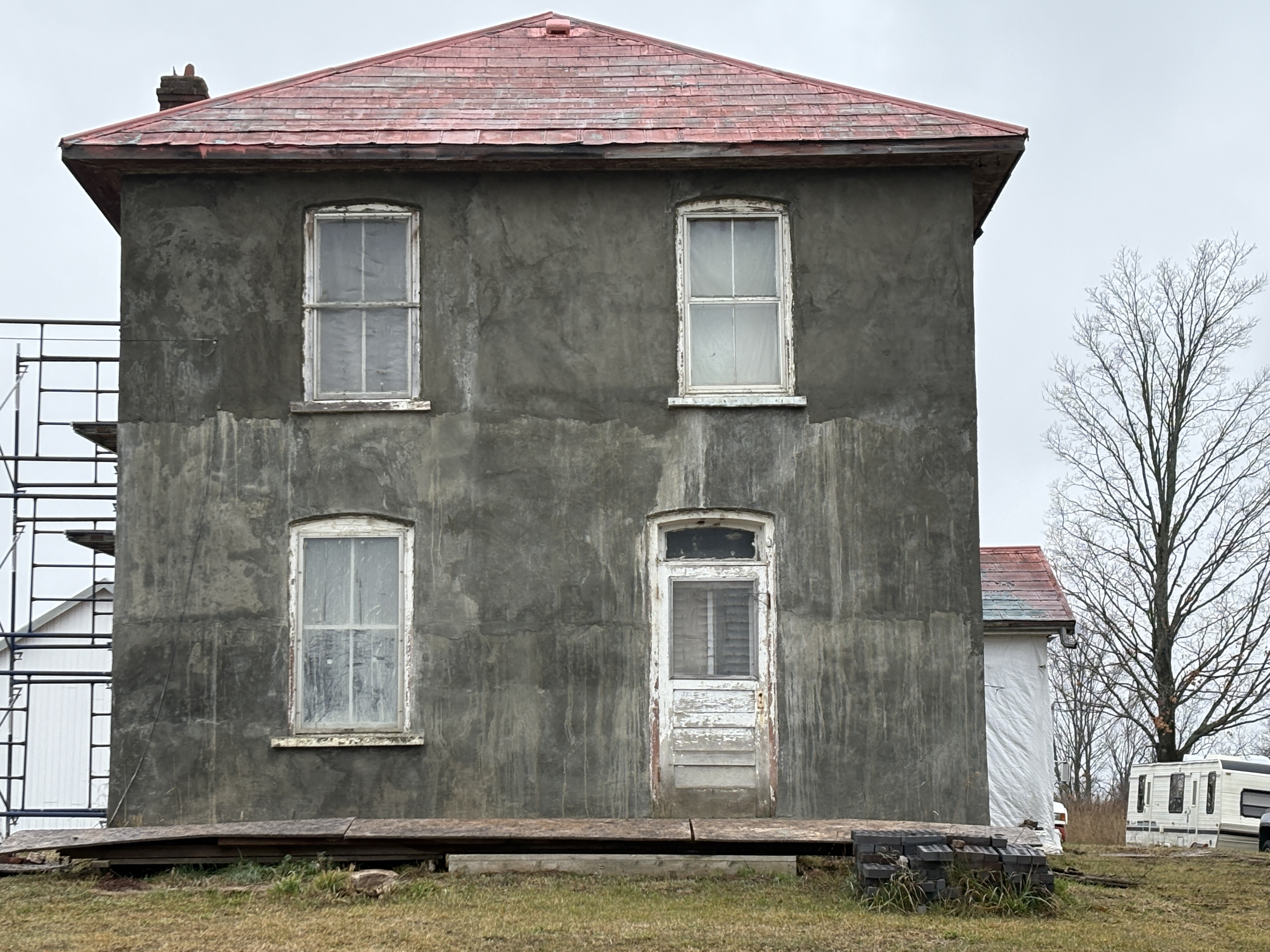
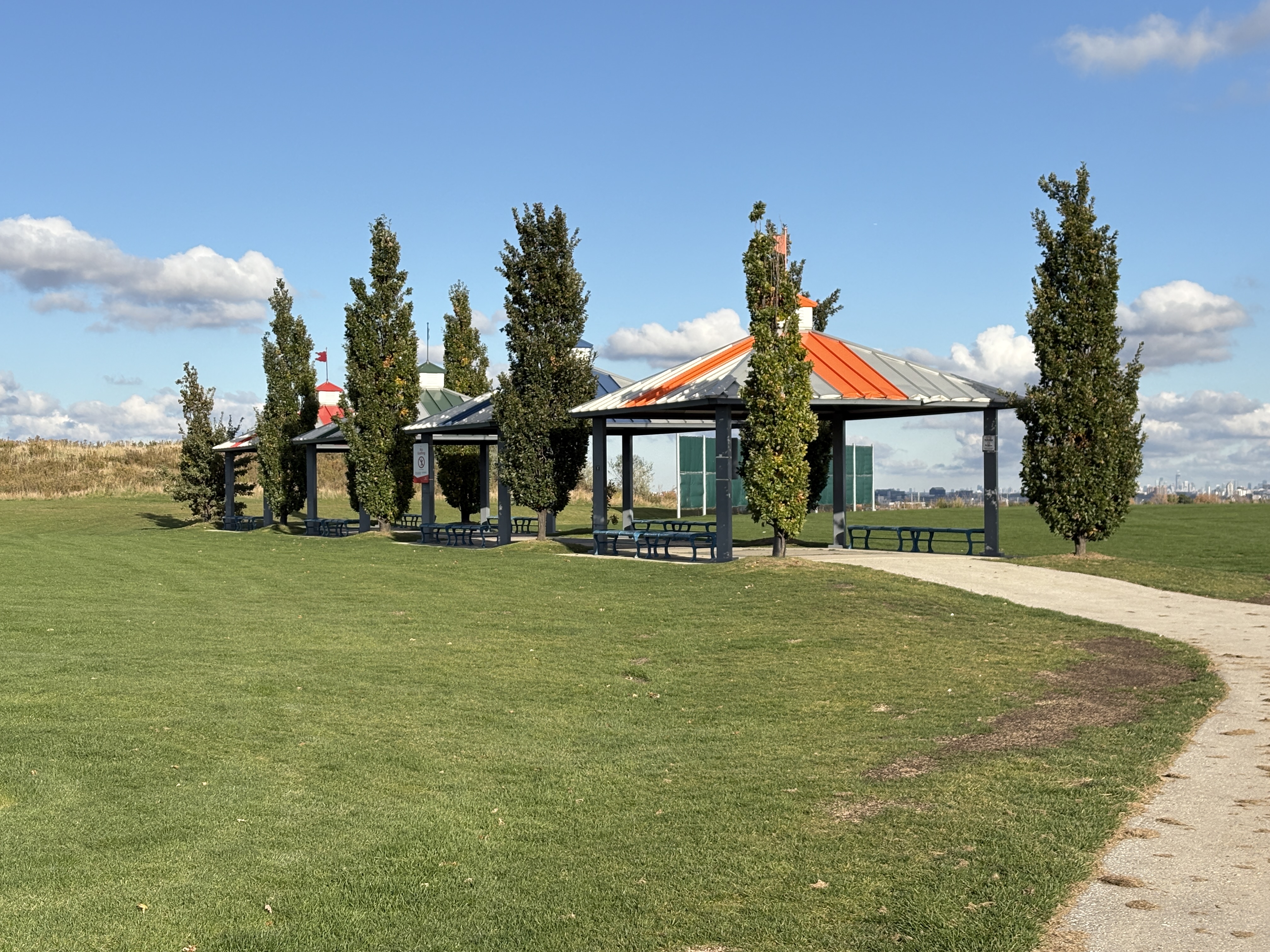
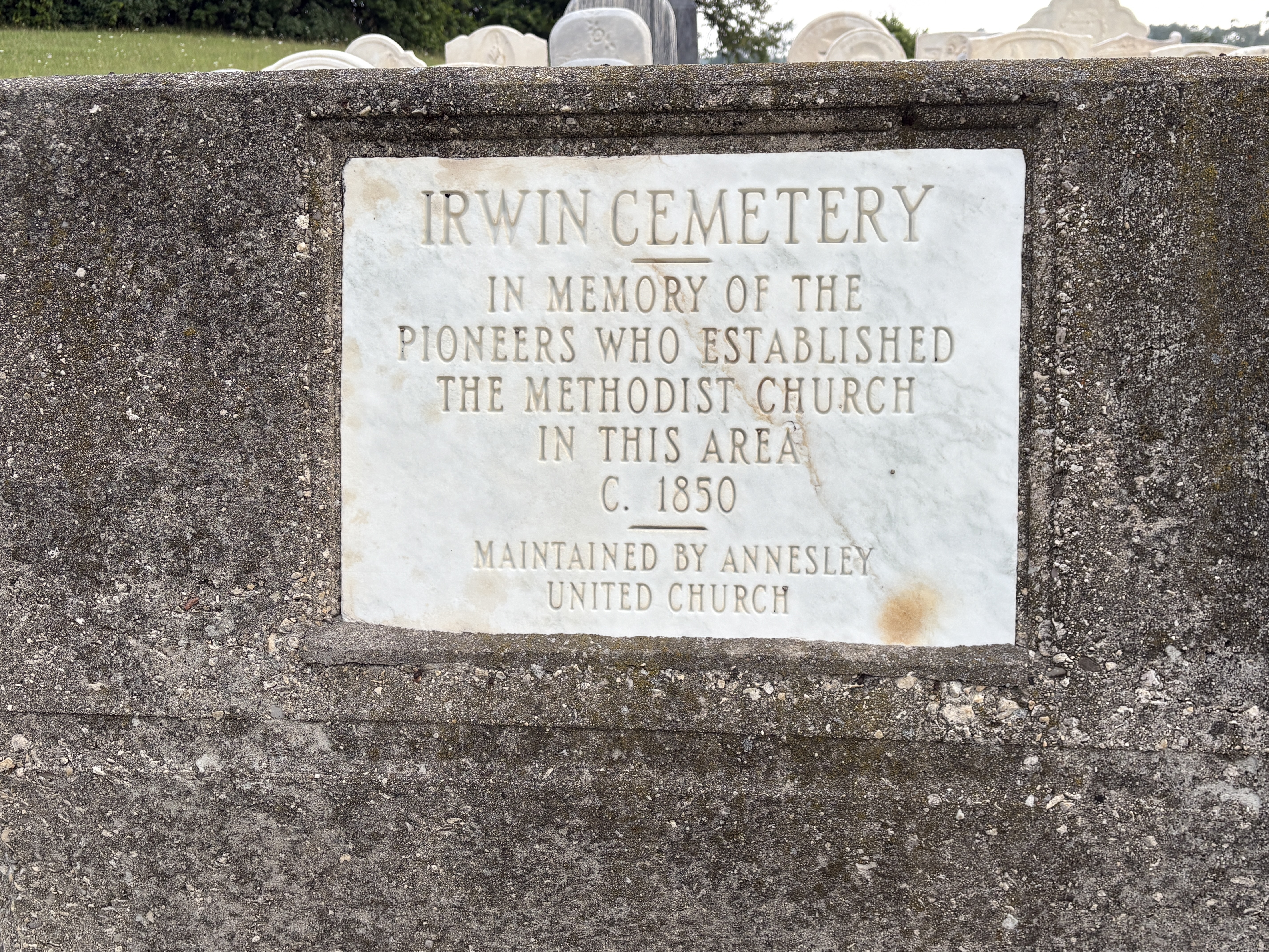
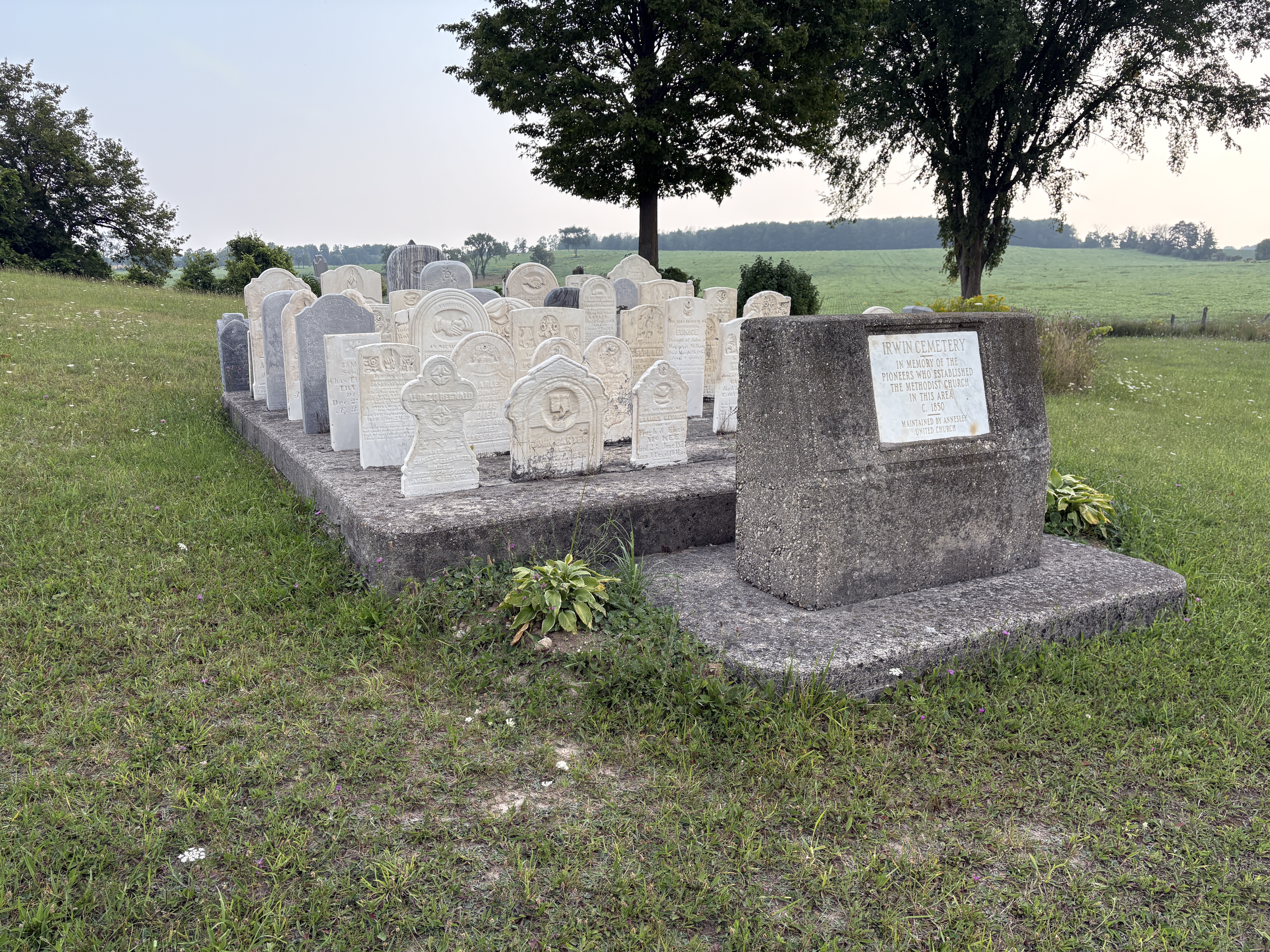
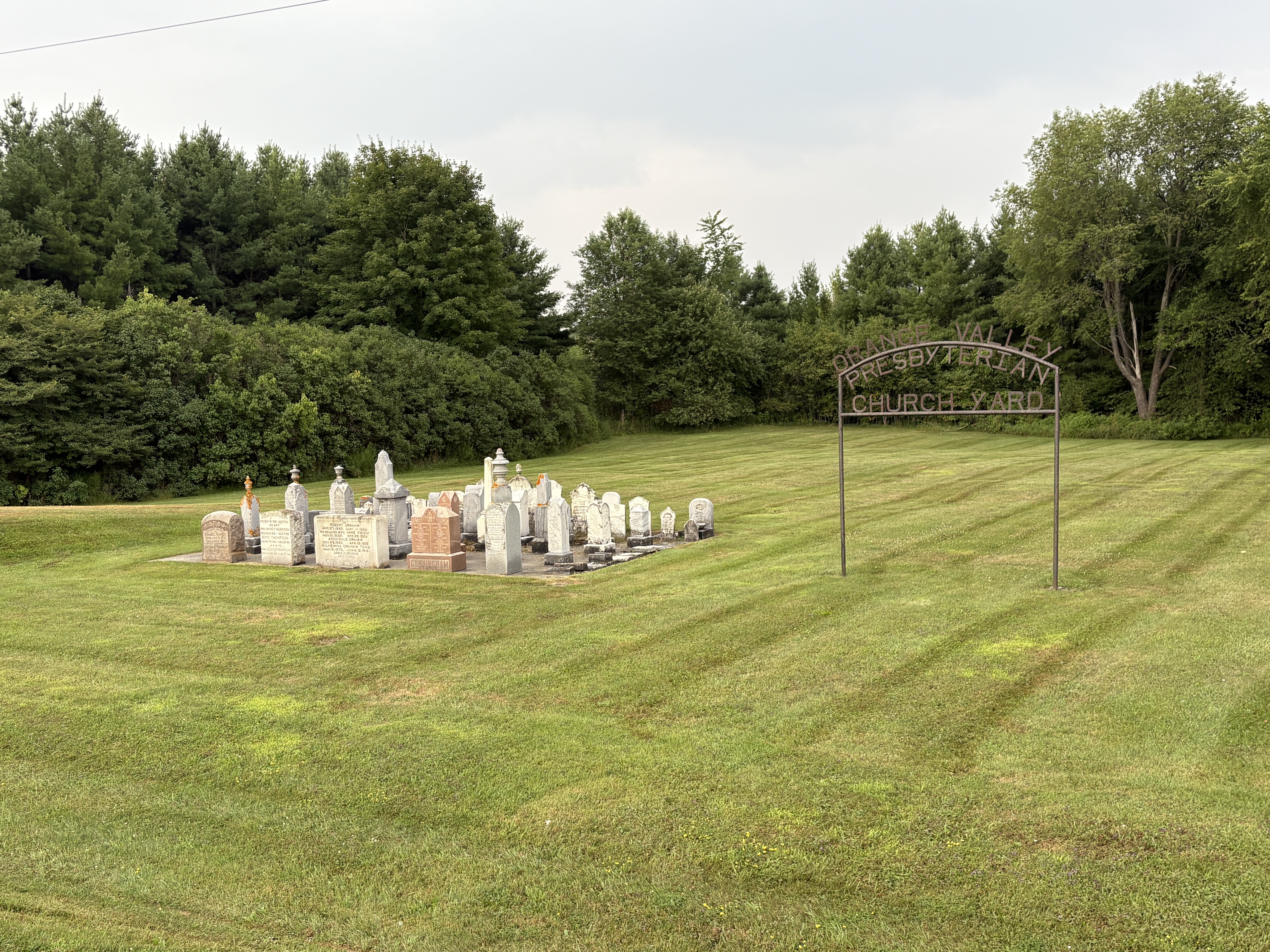
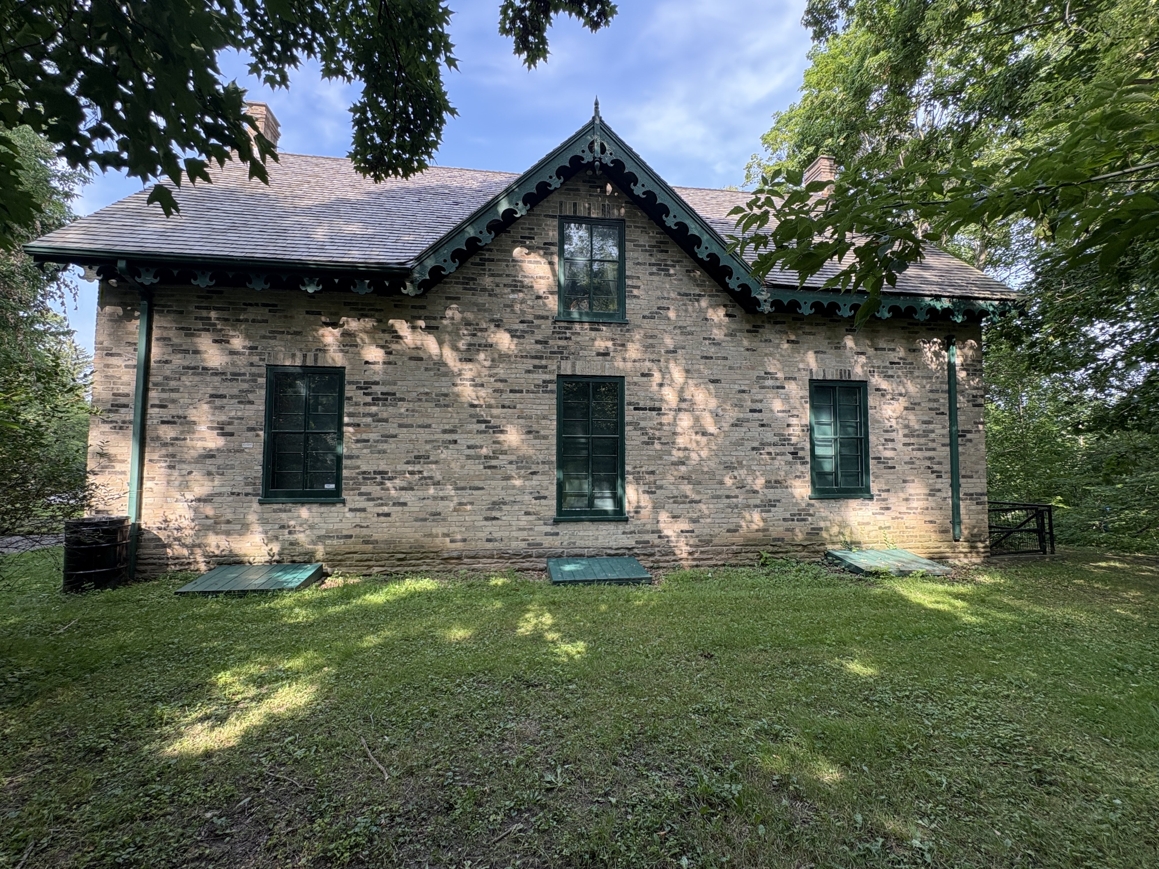
The Town of Milton has an active Historical Society that has done a great job of preserving their past. Many historical buildings in the community have information boards detailing when the home was built and who the original occupant was.
Related stories: Milton Mill Pond
Google Maps Link: Old Town Hall
Like us at http://www.facebook.com/hikingthegta
Follow us at http://www.hikingthegta.com