August 10, 2024
The fur trade was using the Kaministiquia River as early as 1681 when the French were trading with the Ojibwe. The river became an important trade route that lasted until the 1820s. In 1776 a group of fur traders from Montreal decided to join together to reduce competition among themselves and in 1779 they formed the North West Company (NWC). They entered into direct competition with the Hudson Bay Company for the North American fur trade with the indigenous peoples. In 1803 they build a trading fort at the mouth of the Kaministiquia River. The fort was named Fort William in 1807 after the Chief Superintendent of the North West Company who was named William McGillivroy.
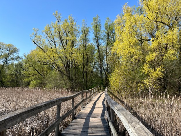
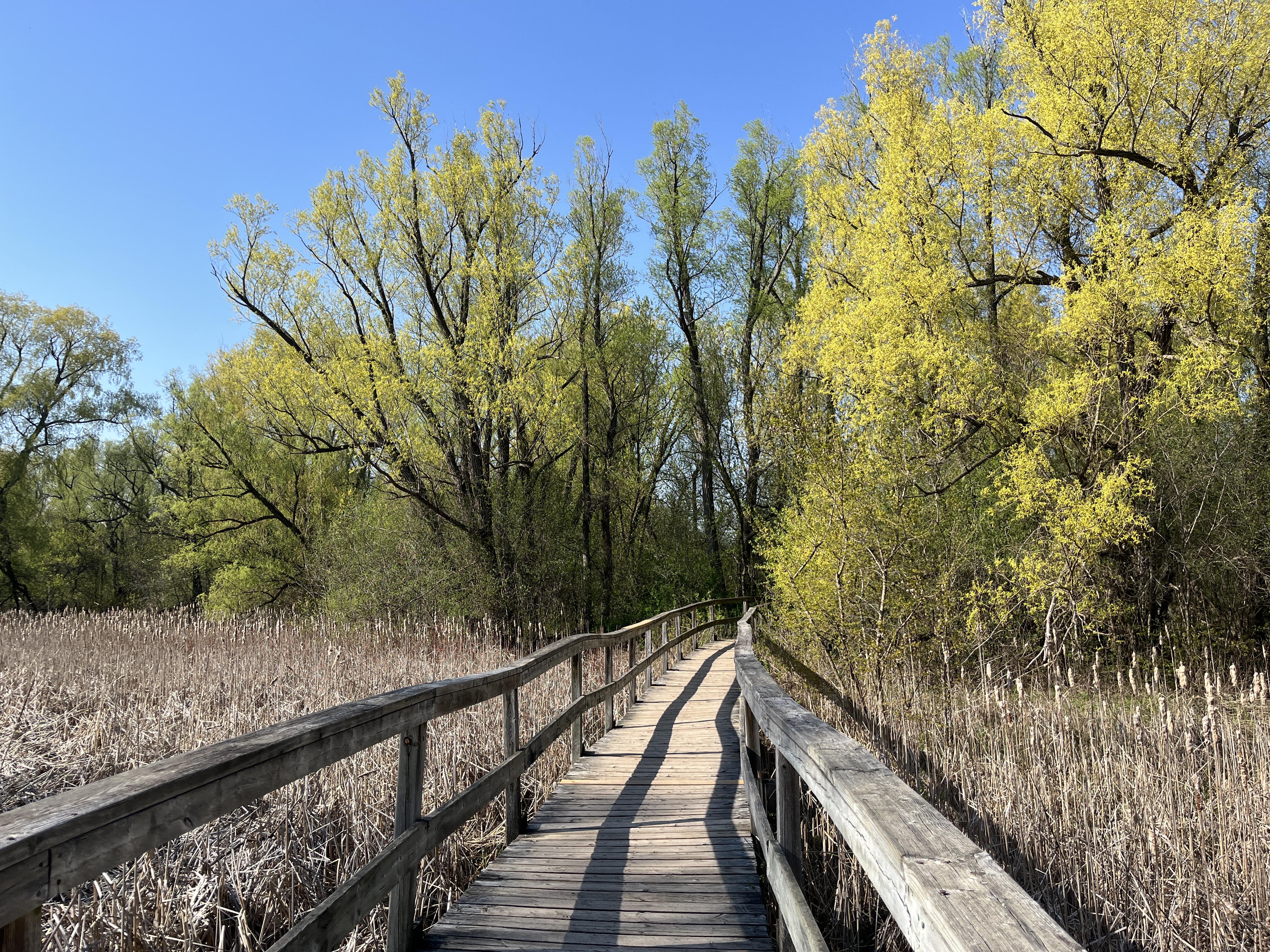
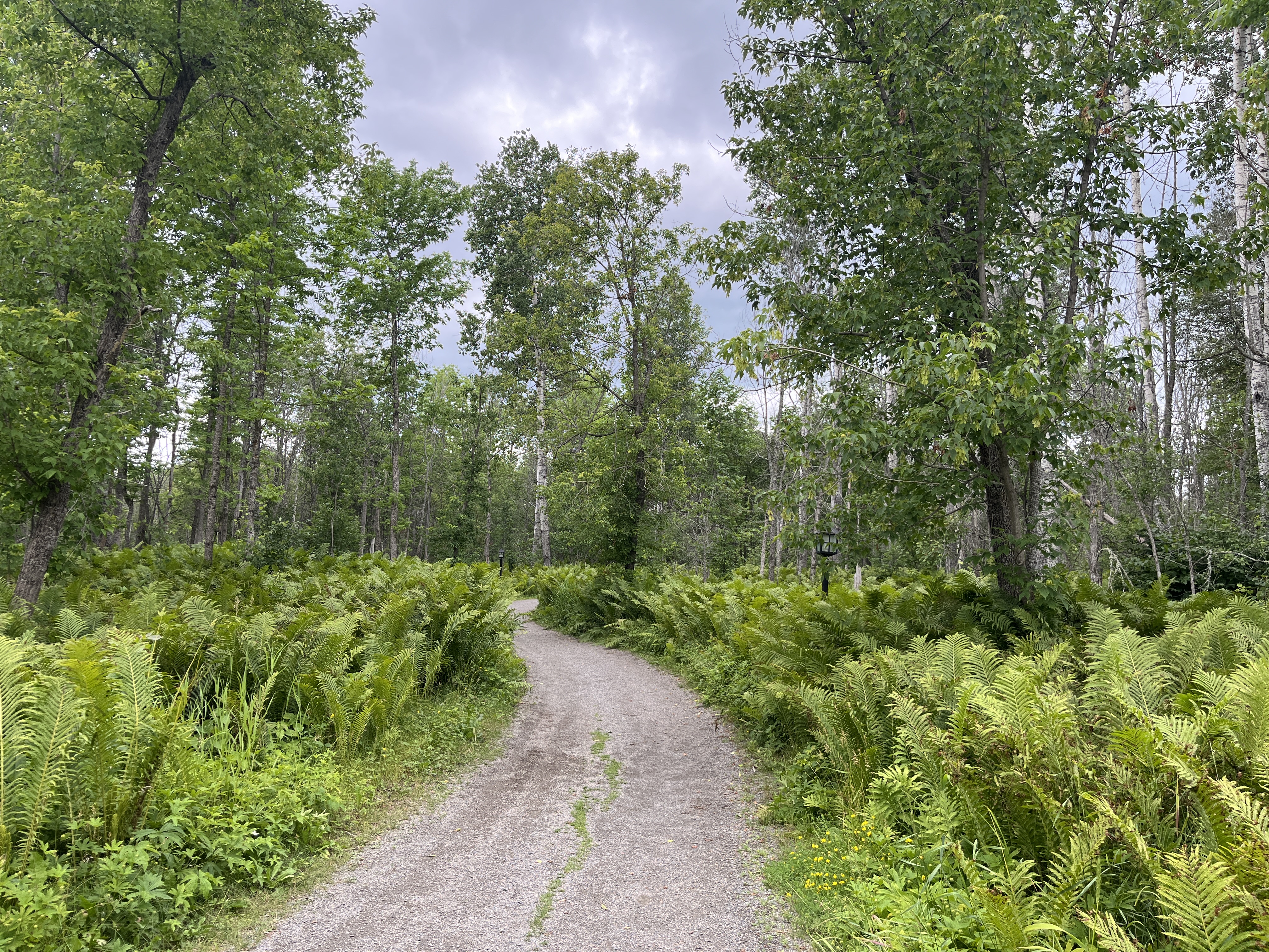
I had the opportunity to visit the recreated fort while on a business trip to Thunder Bay. The image below shows the trail from the visitor centre to the Fort William Historical Park which is about an 8 minute walk.
The fort became a major transshipment point for the furs that the indigenous people collected and traded with the NWC. There was an annual rendezvous that occurred at the fort in the end of July and start of August. Furs were brought from the interior and traded at the fort. They would be shipped to Montreal and then off to Europe. The NWC needed a central meeting place because there wasn’t enough time for the furs to be taken all the way to Montreal and then make the trip back before the rivers would freeze for the winter. When you visit Fort William Historical Park you will find a small Indigenous camp outside the fort.
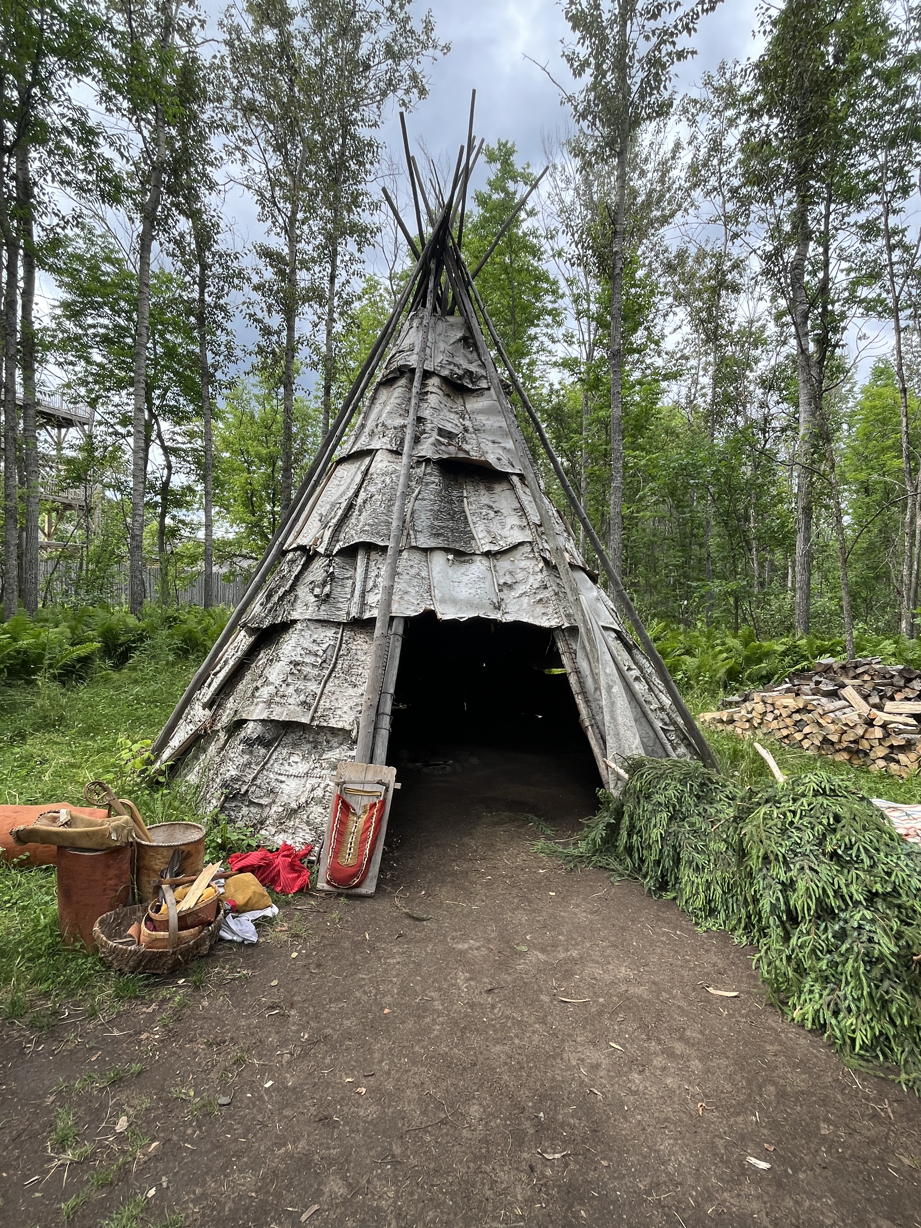
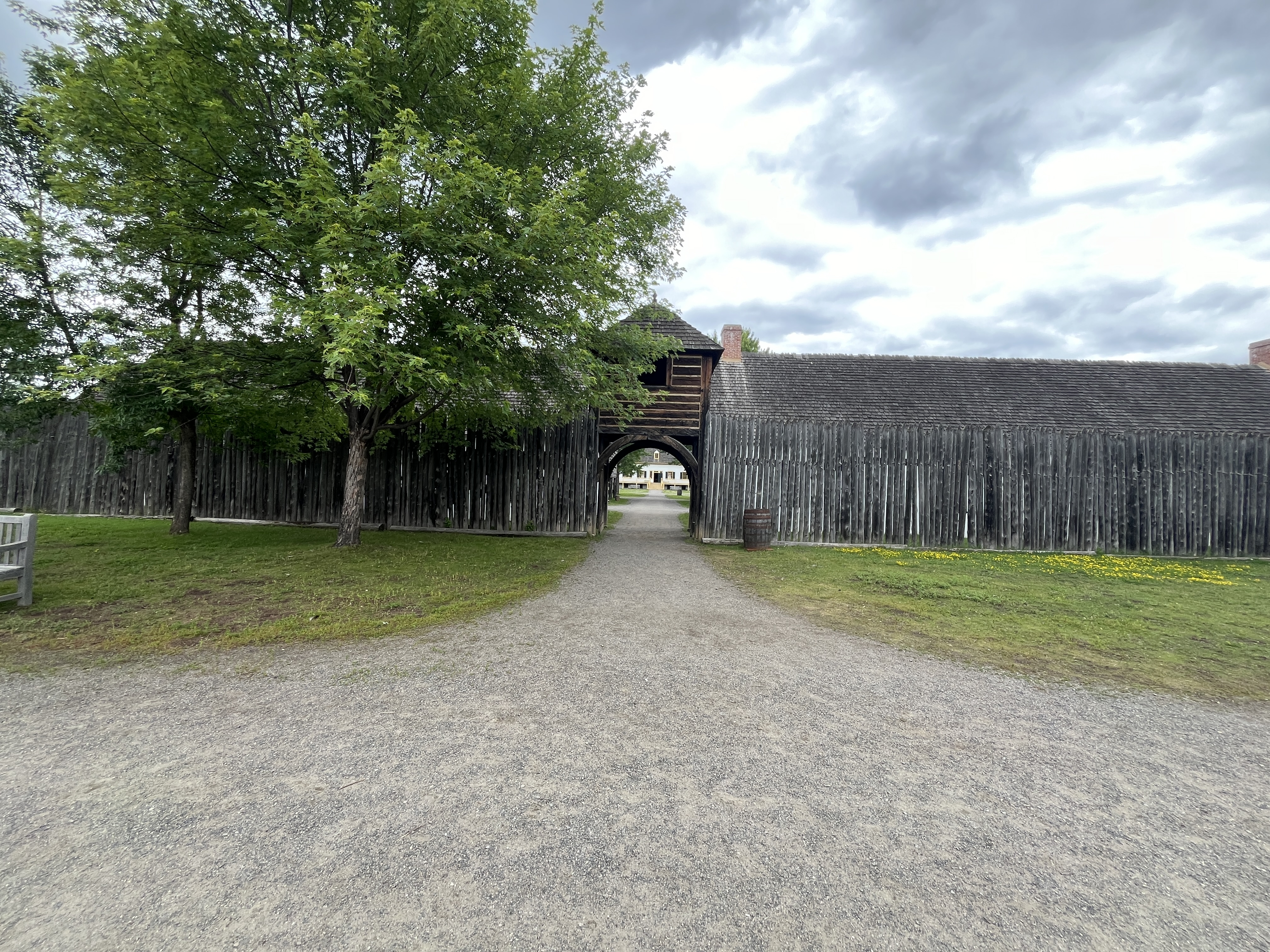
The NWC had good relationships with the indigenous peoples and although they chose to camp outside of the fort, there were plenty of opportunities to interact with the traders. The relationships were friendly and many inter-racial marriages took place. The image below shows the entrance to the fort from the river.
An incident on June 19, 1816 near modern day Winnipeg became known as the Seven Oaks Incident. This stemmed from a proclamation of the Hudson Bay Company in January 1814 that prohibited the export of pemmican from the colony for the next year. Pemmican was the main food of the fur traders as it could be transported easily. This proclamation was seen as an attempt to control the fur trade. Tensions rose and by 1816 they were at the breaking point. When things came to a head on June 19th a gun battle occurred that left 21 dead on the side of the Hudson Bay Company and 1 on the North West Company side.
The result was the occupation of Fort William by Lord Selkirk of the Hudson Bay Company for about 10 months between 1816-1817. By 1821 the North West Company was in financial troubles and the two companies agreed to a merger under the name of the Hudson Bay Company.
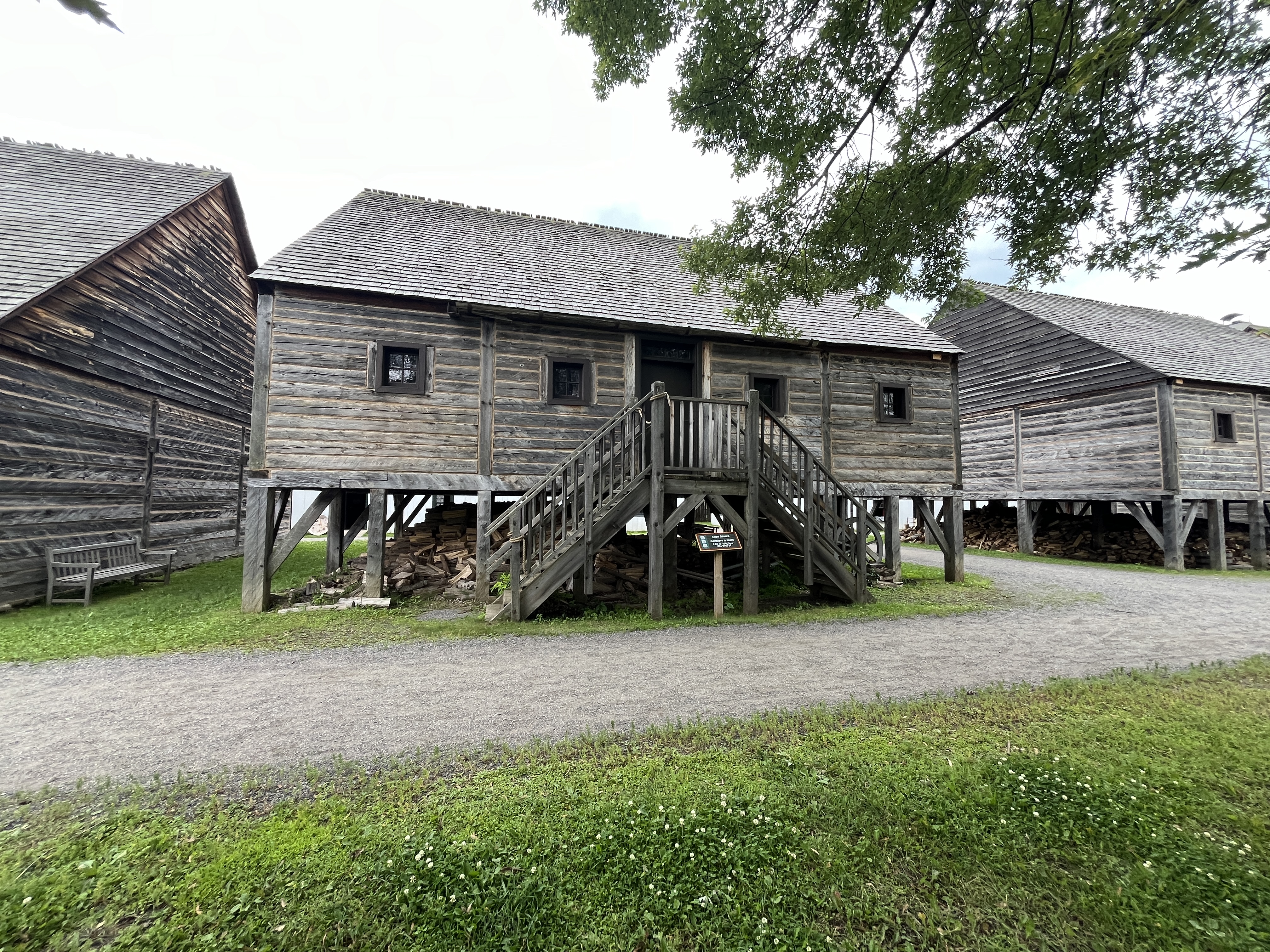
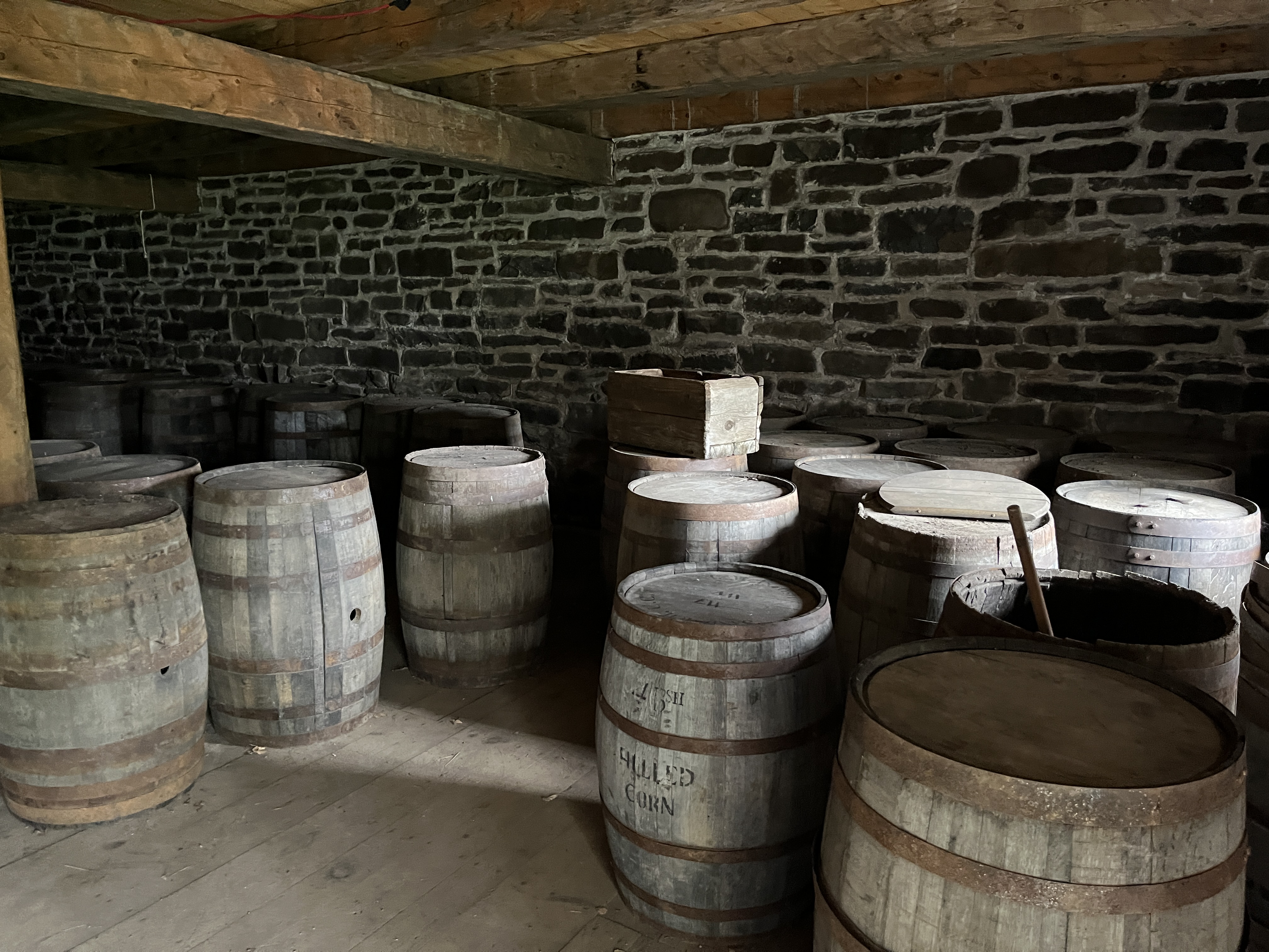
The fur trade then took on the routes of the Hudson Bay company and Fort William lost its significance. By 1883 it was closed. The image below shows the inside of the fur storage building complete with its 60 pound bundles of furs awaiting shipment to Montreal.

The site of the original fort was ideal for the Canadian Pacific Railway and its grain shipping facilities because it was accessible to the lake. The buildings of the fort were slowly demolished and replaced with railway facilities.
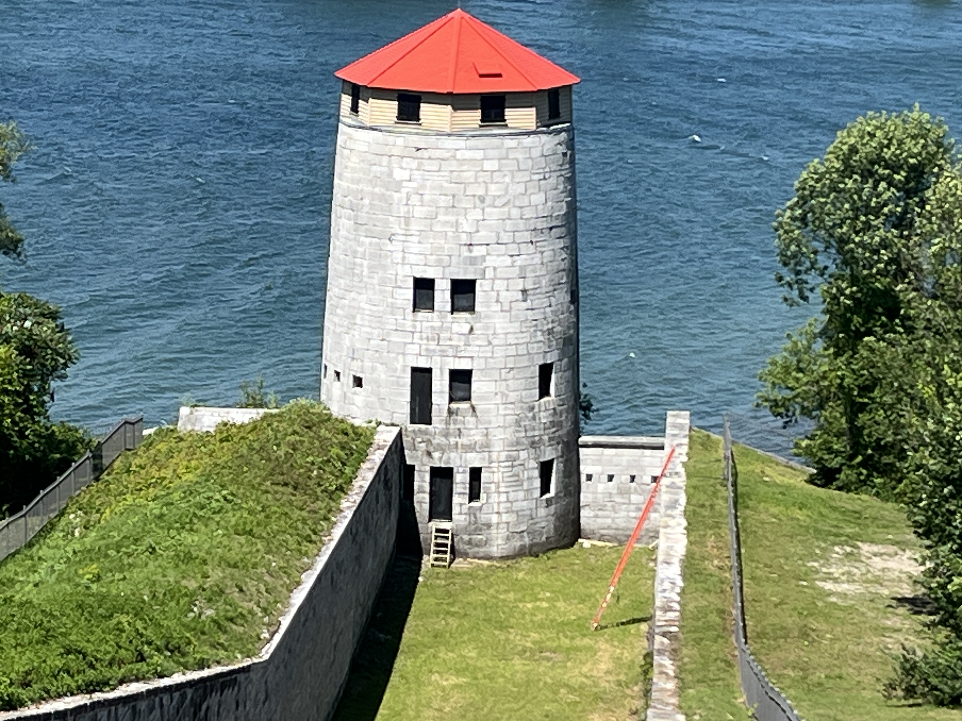
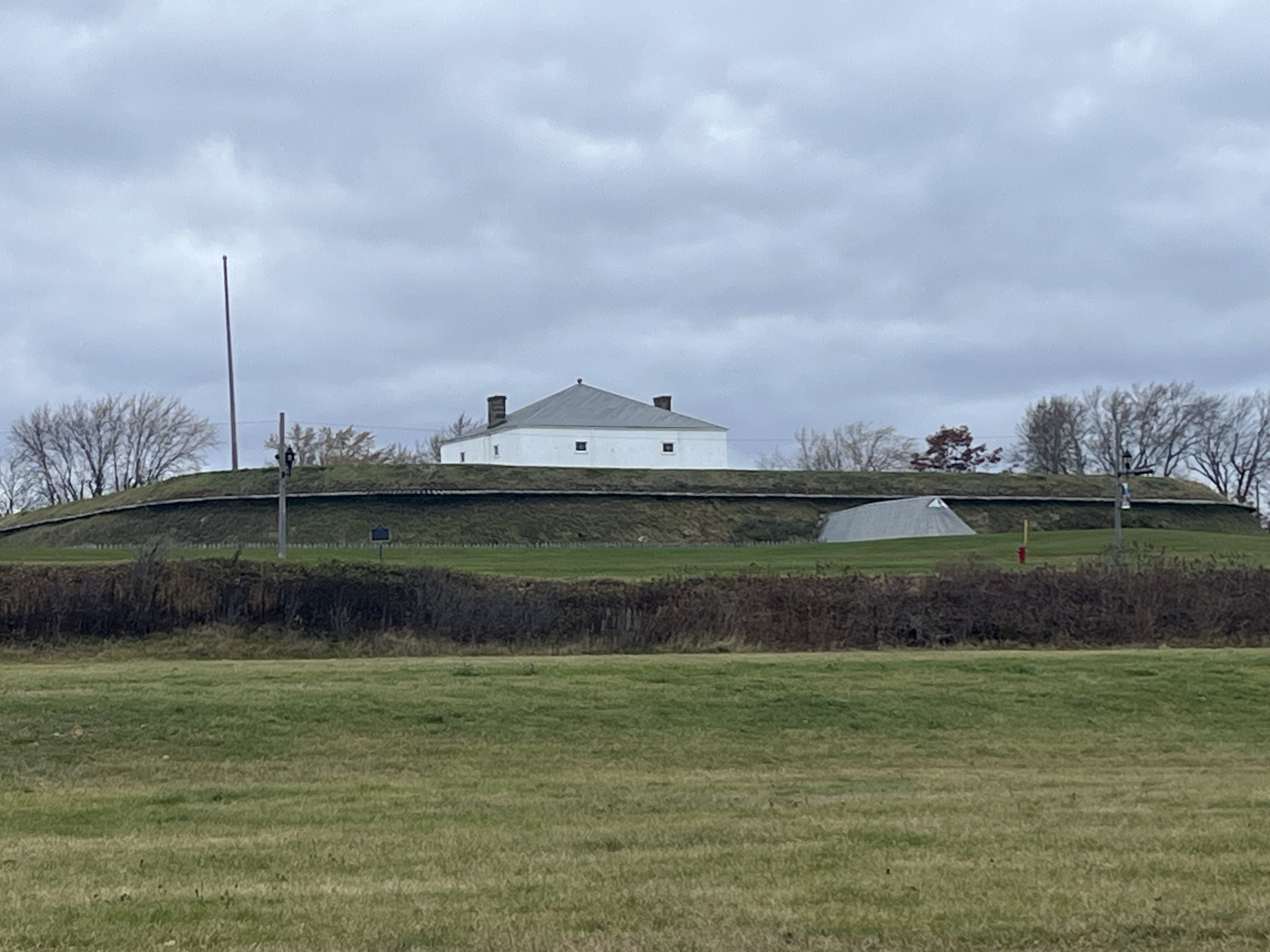
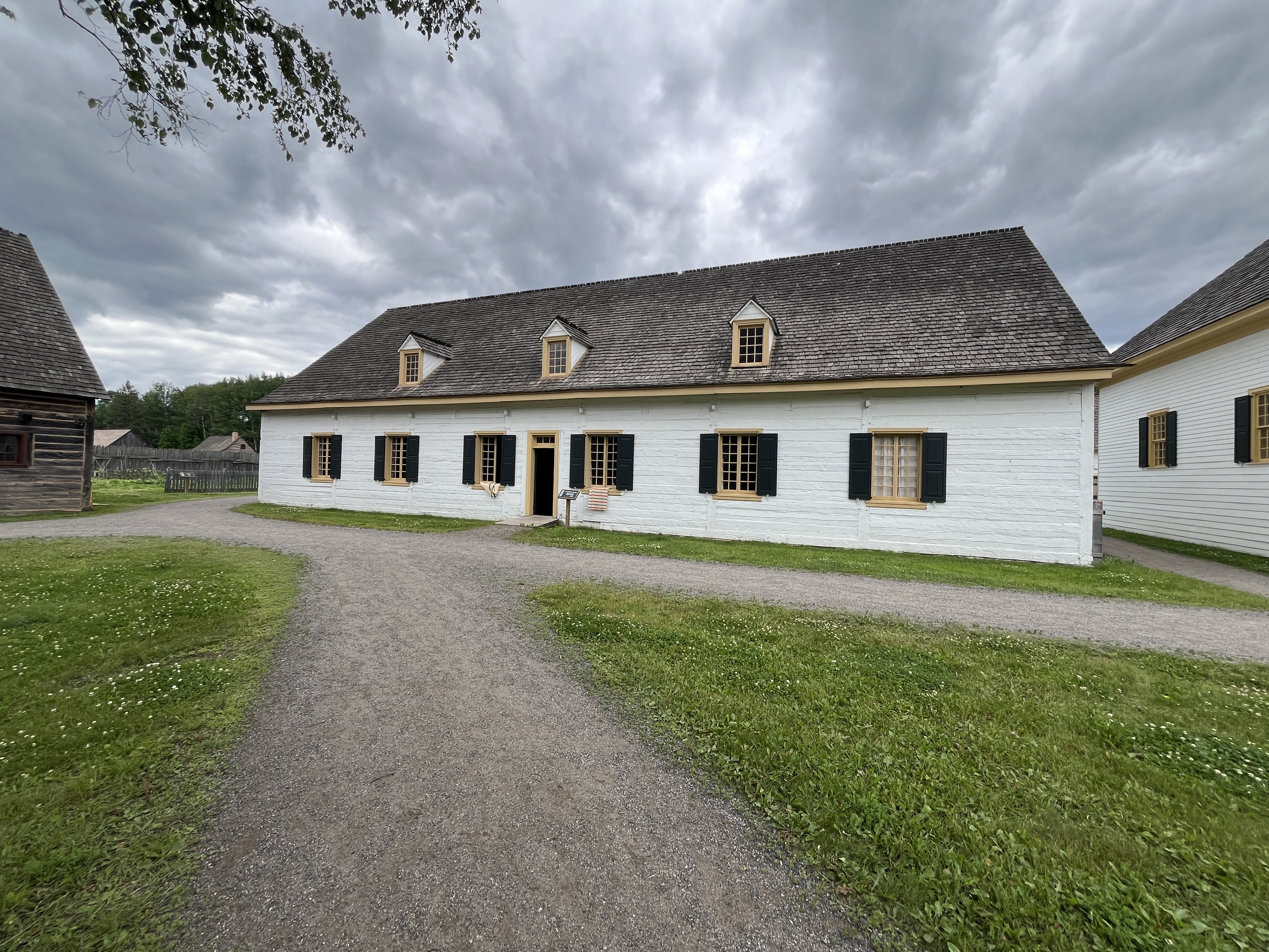
The last building standing was the Stone Stores building which was demolished in 1902. The image below shows the recreated building at the Fort William Historical Park.
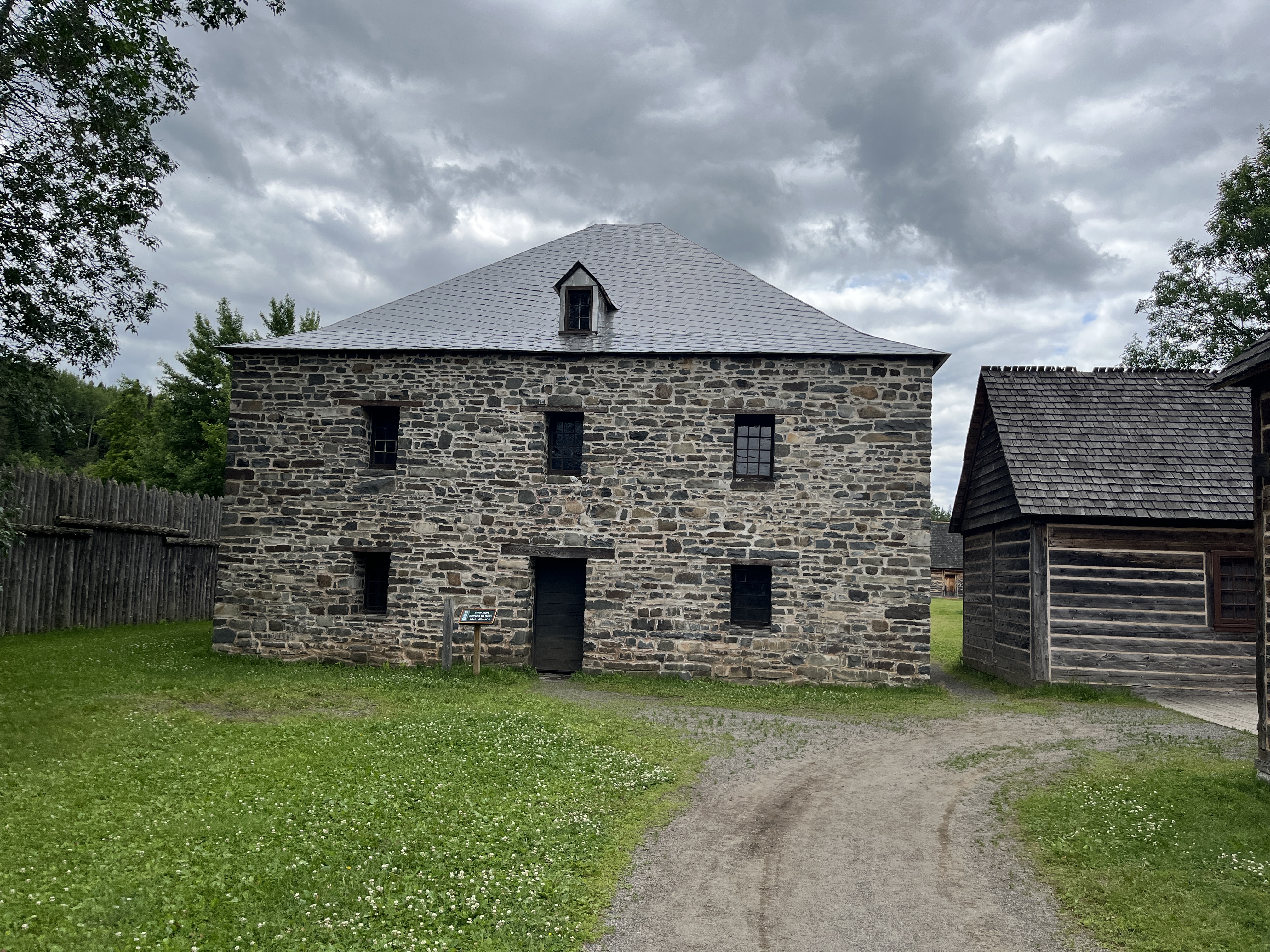
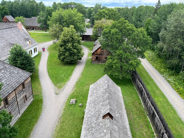
In 1971 it was decided that the fort would be reconstructed as an historical and educational site. A location 14 kilometres upstream was chosen and the fort was meticulously rebuilt to match the original as close as possible.
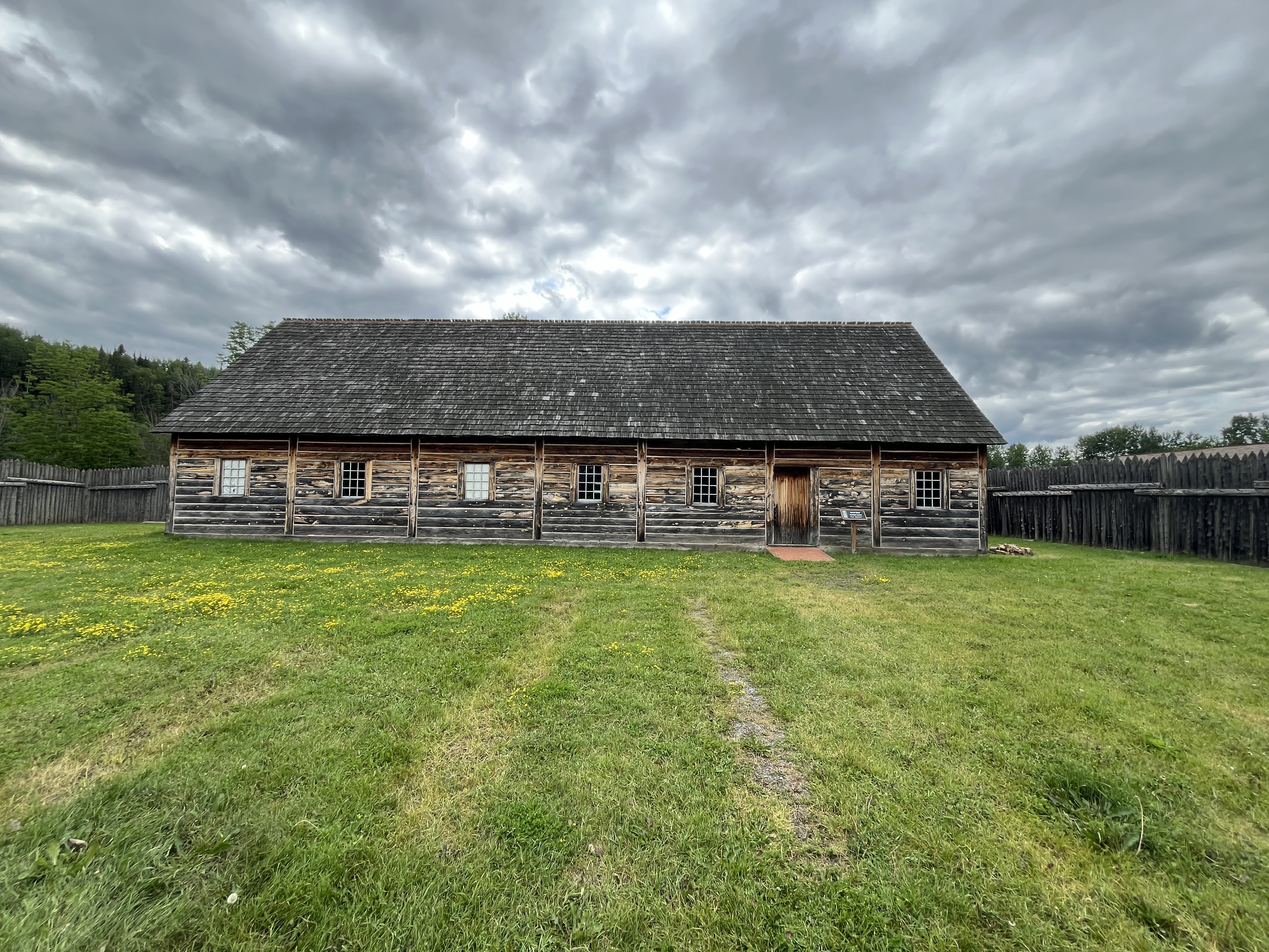
When Lord Selkirk occupied the fort in 1816 he made detailed notes about every aspect of the fort, down to the size and number of windows and floorboards in each building. He measured out the number of steps between each building and what was stored in each one. His notes have survived and the details allowed for a very accurate representation of the original fort. The Naval Shed below is an example of the reconstruction.
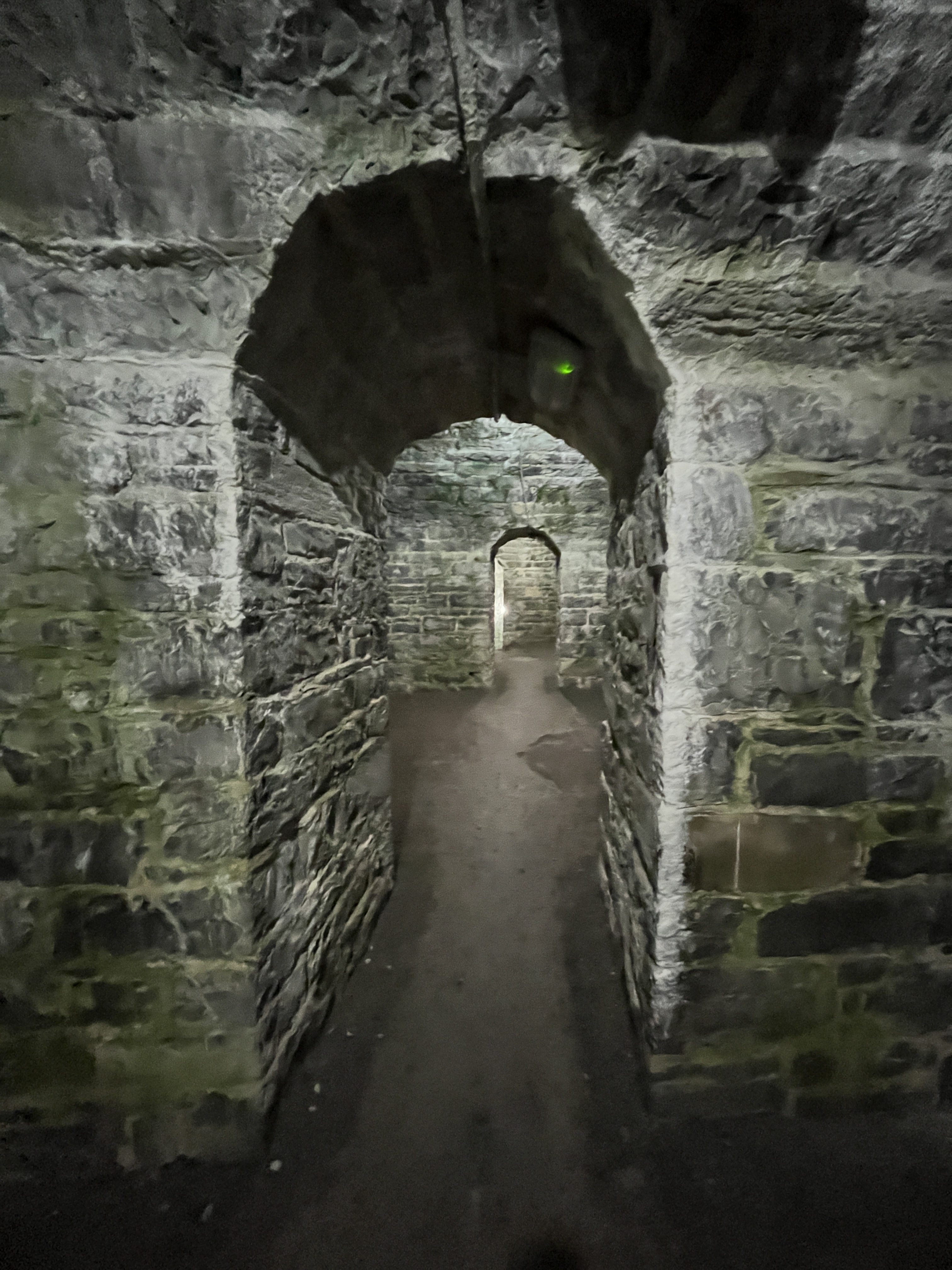
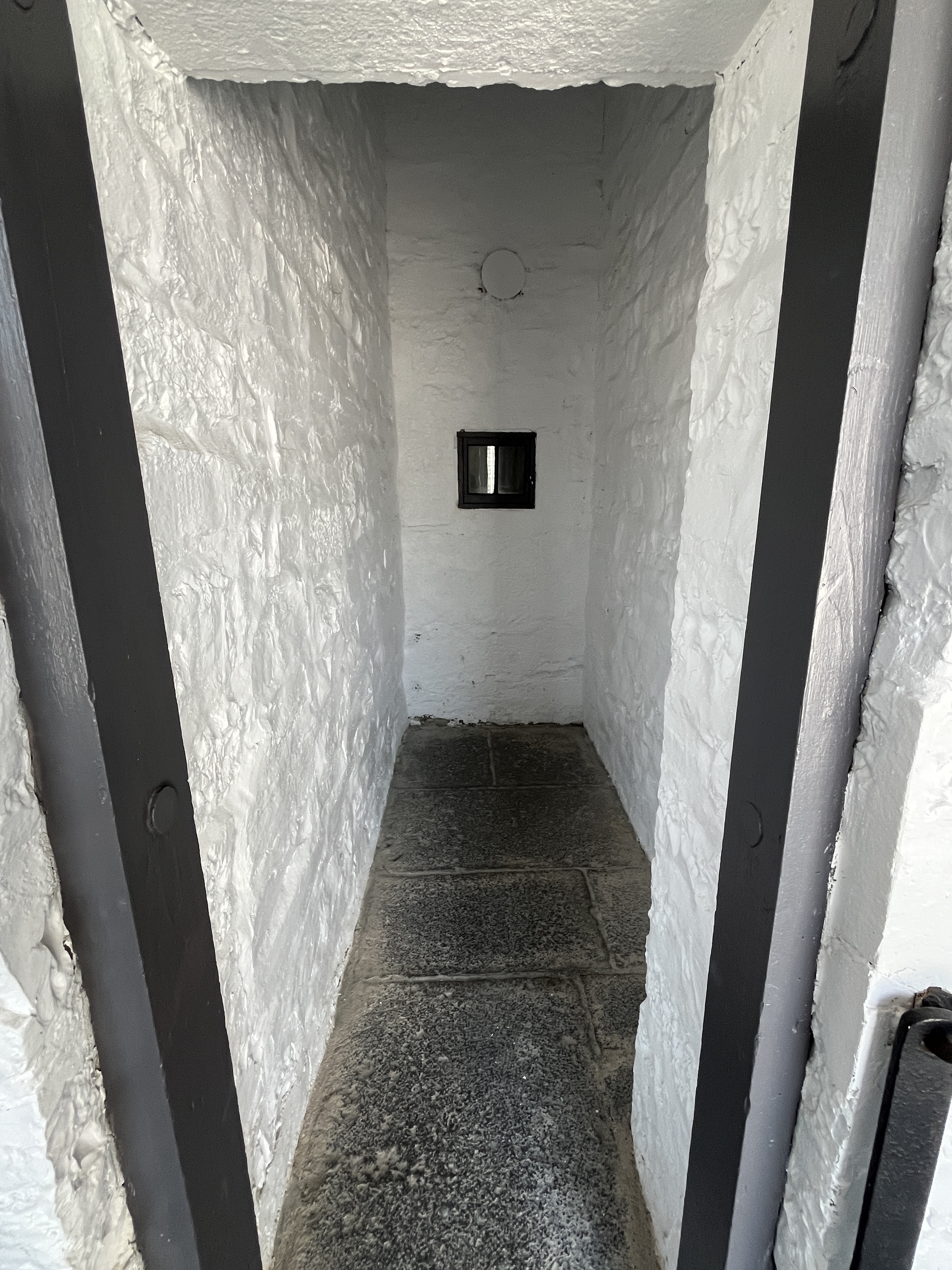
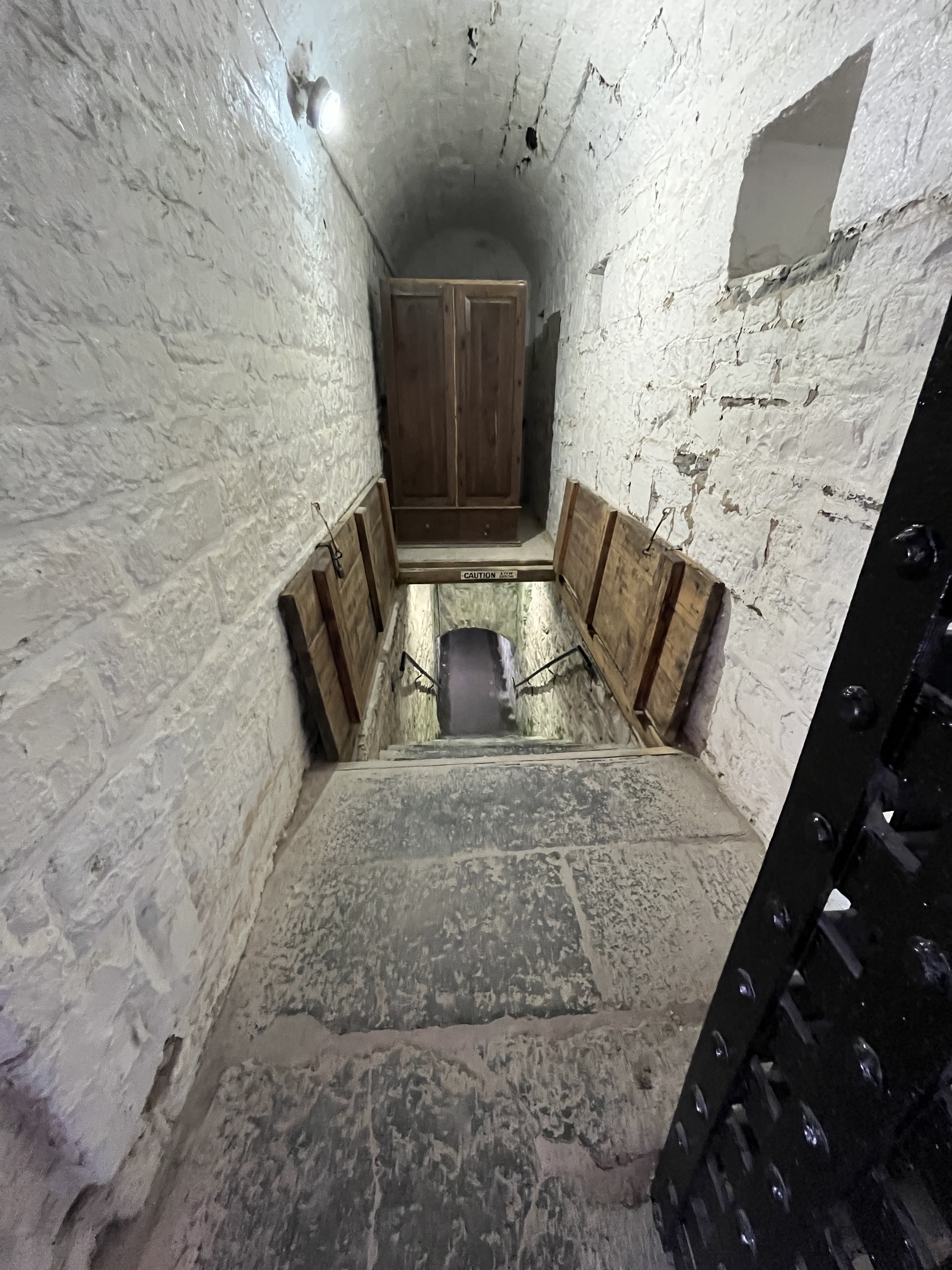
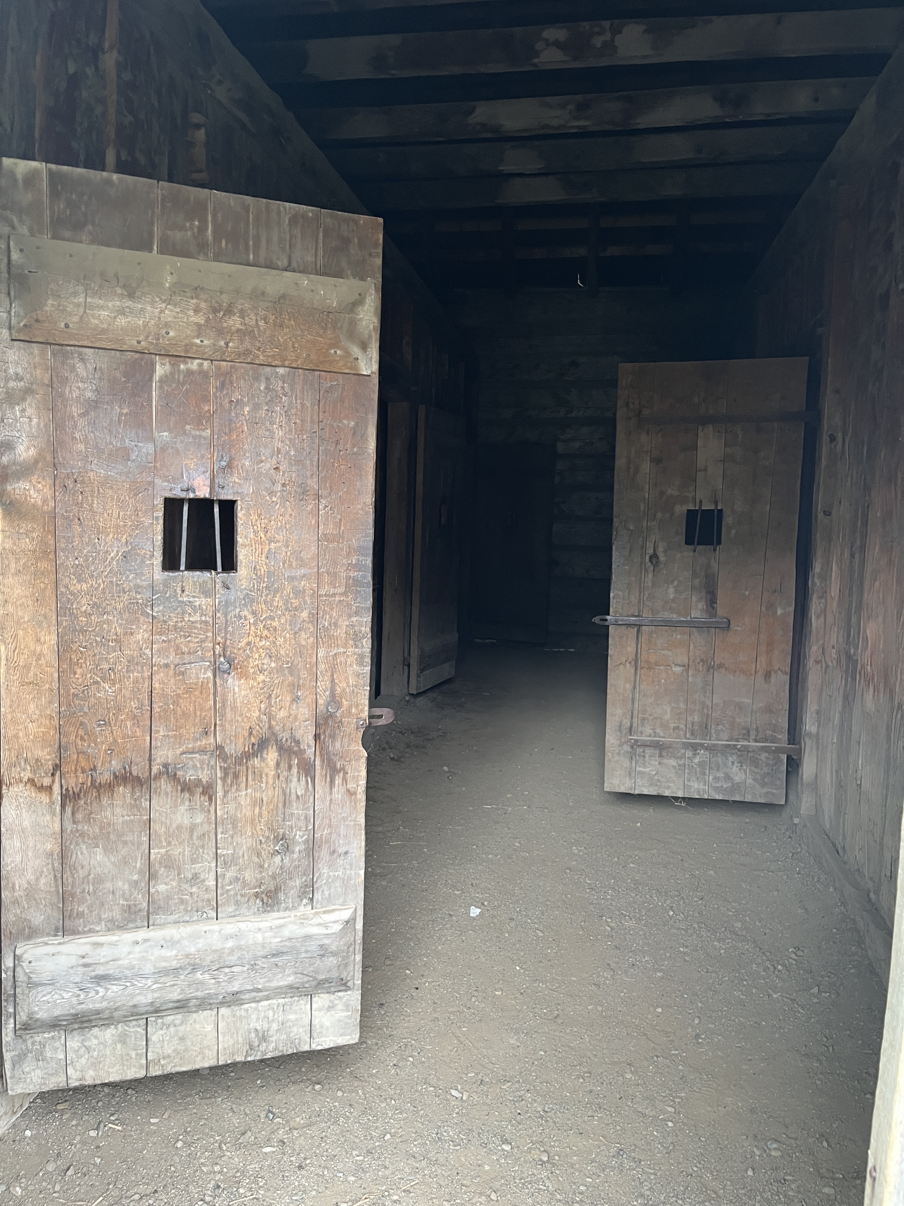
The original goal (pronounced jail) is a dark and forbidding place with no windows where one could be put for causing the smallest disturbance.
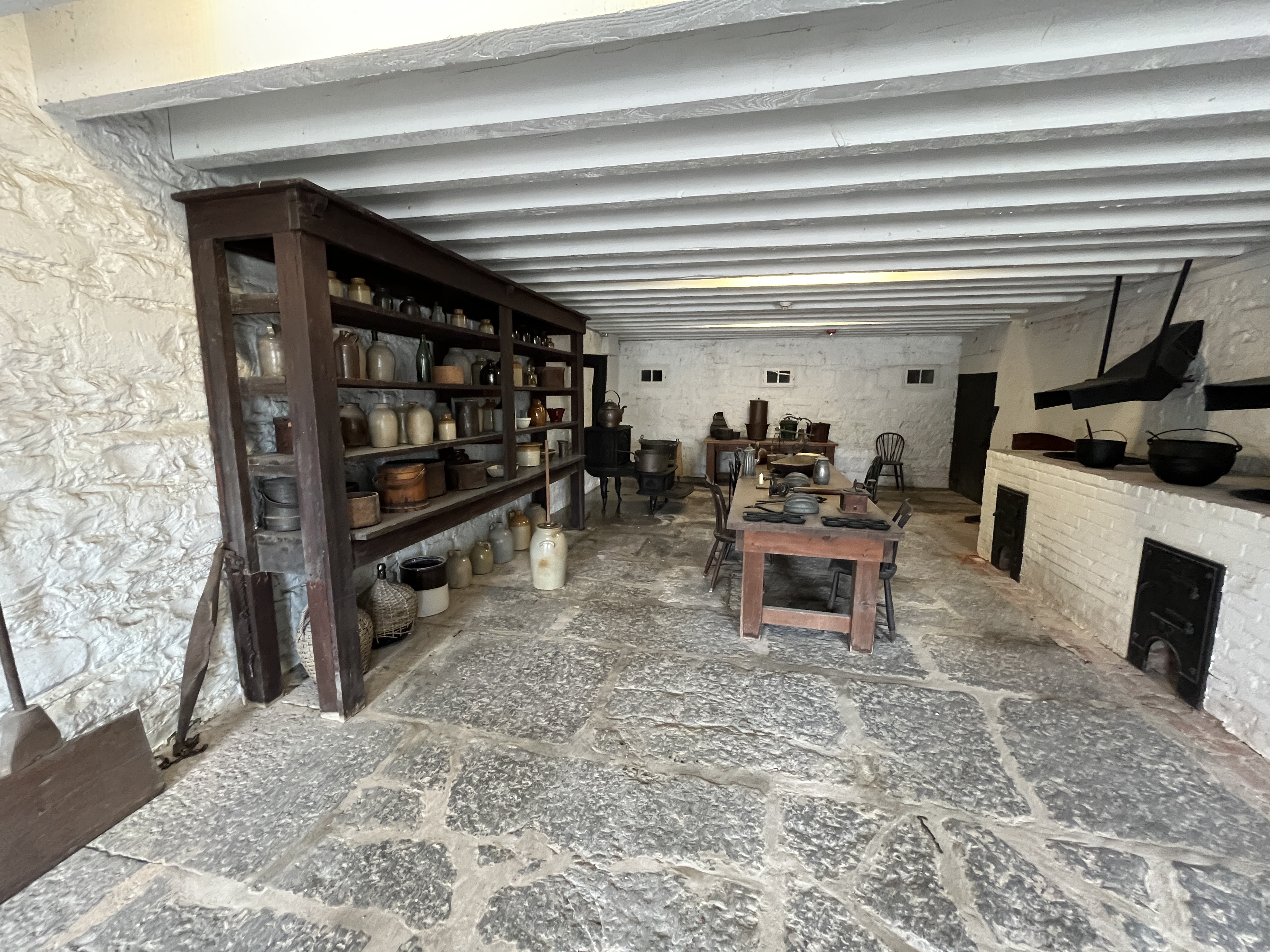
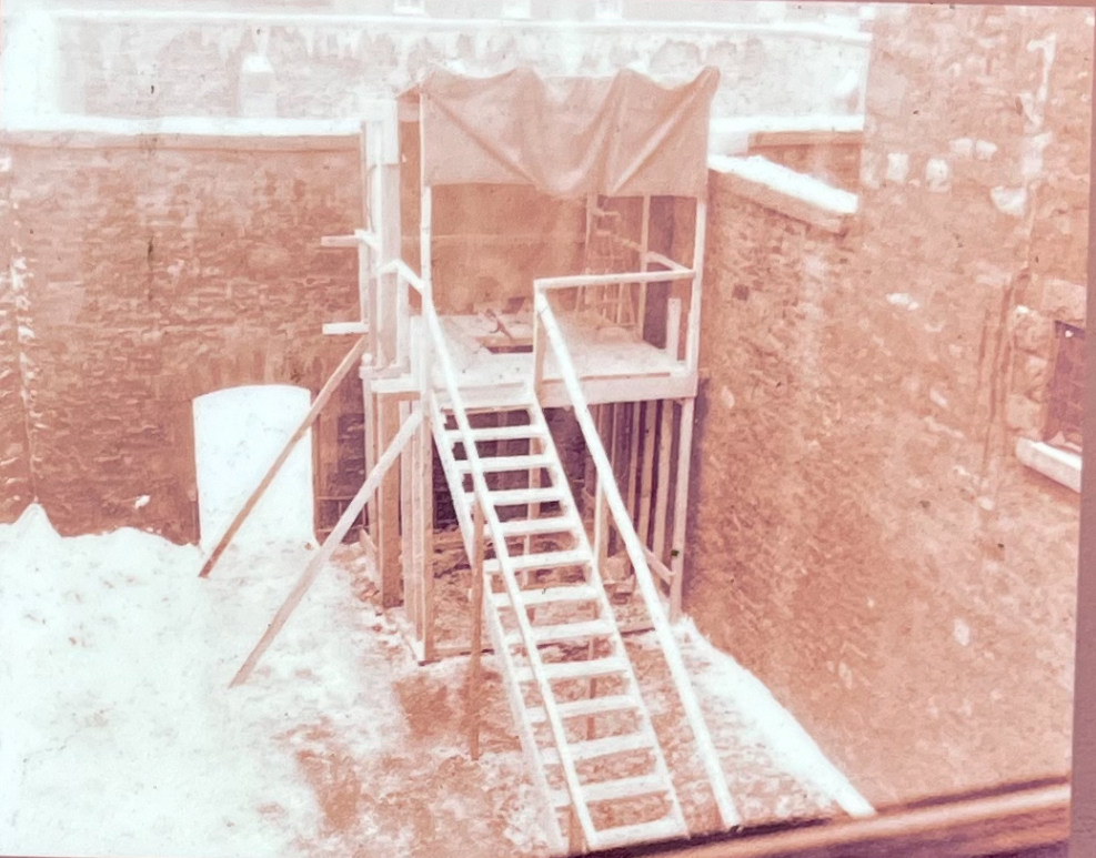
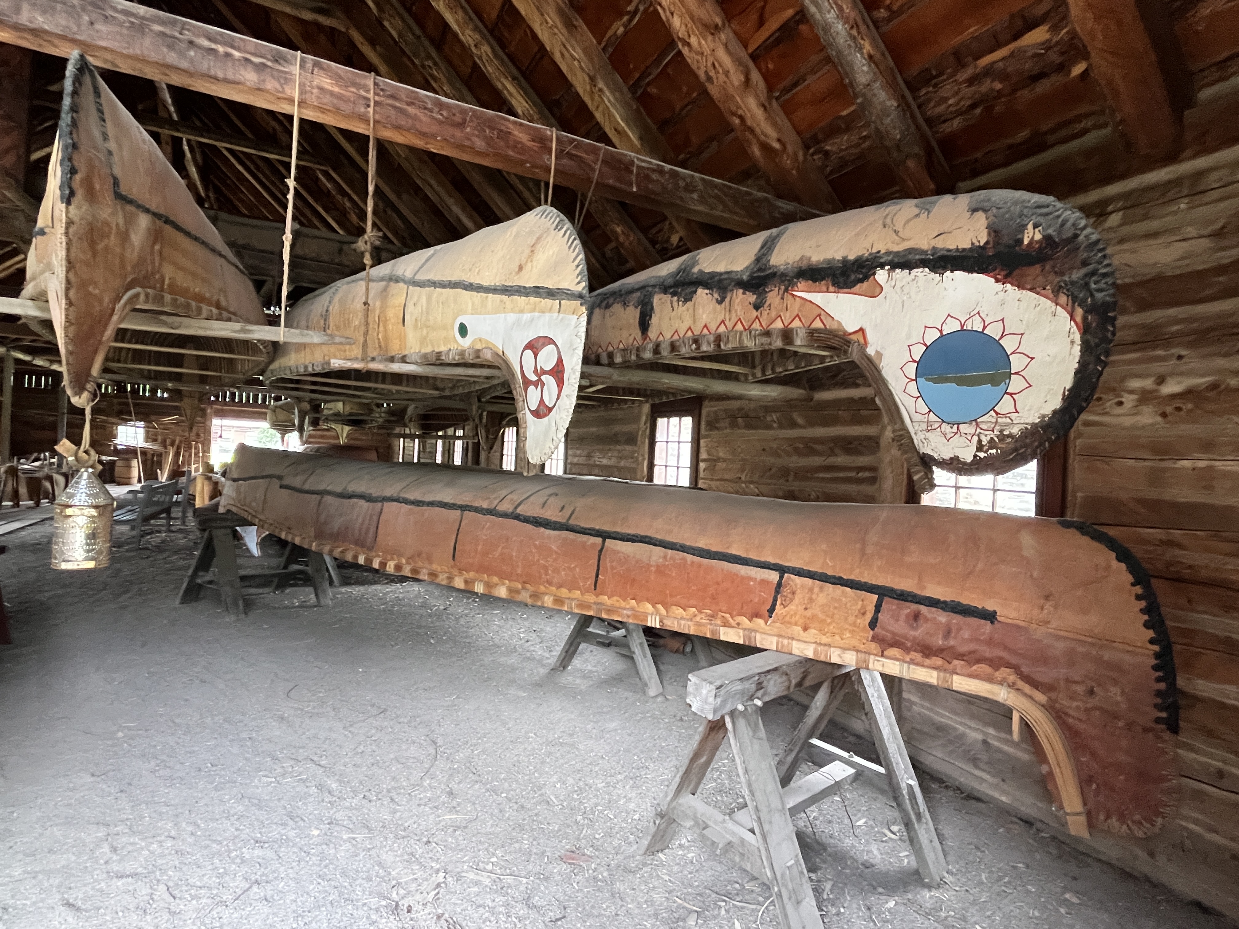
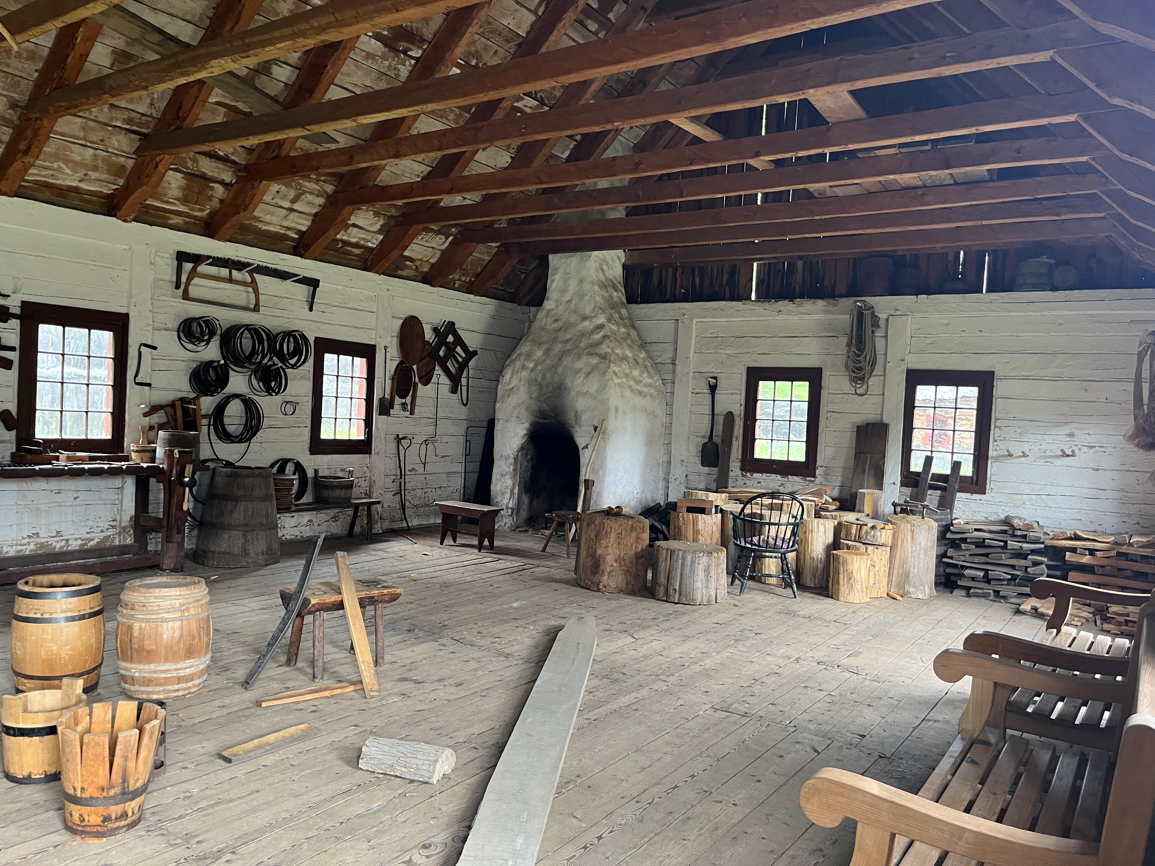
The reconstruction includes storage buildings, accommodations, a hospital building and a couple of canoe buildings as seen earlier in this post. The image below is of the inside of the trades building where the people who maintained everything lived.
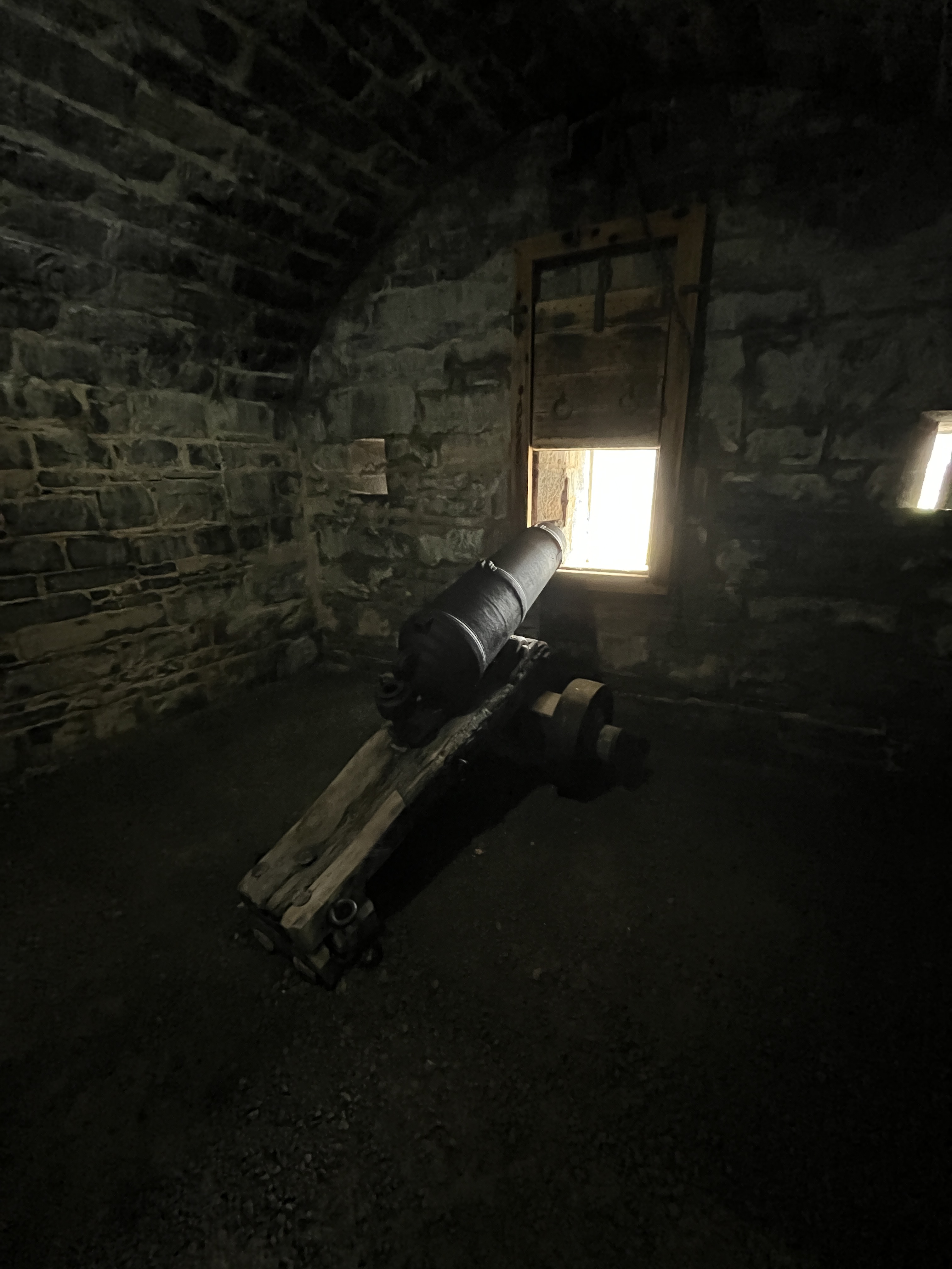
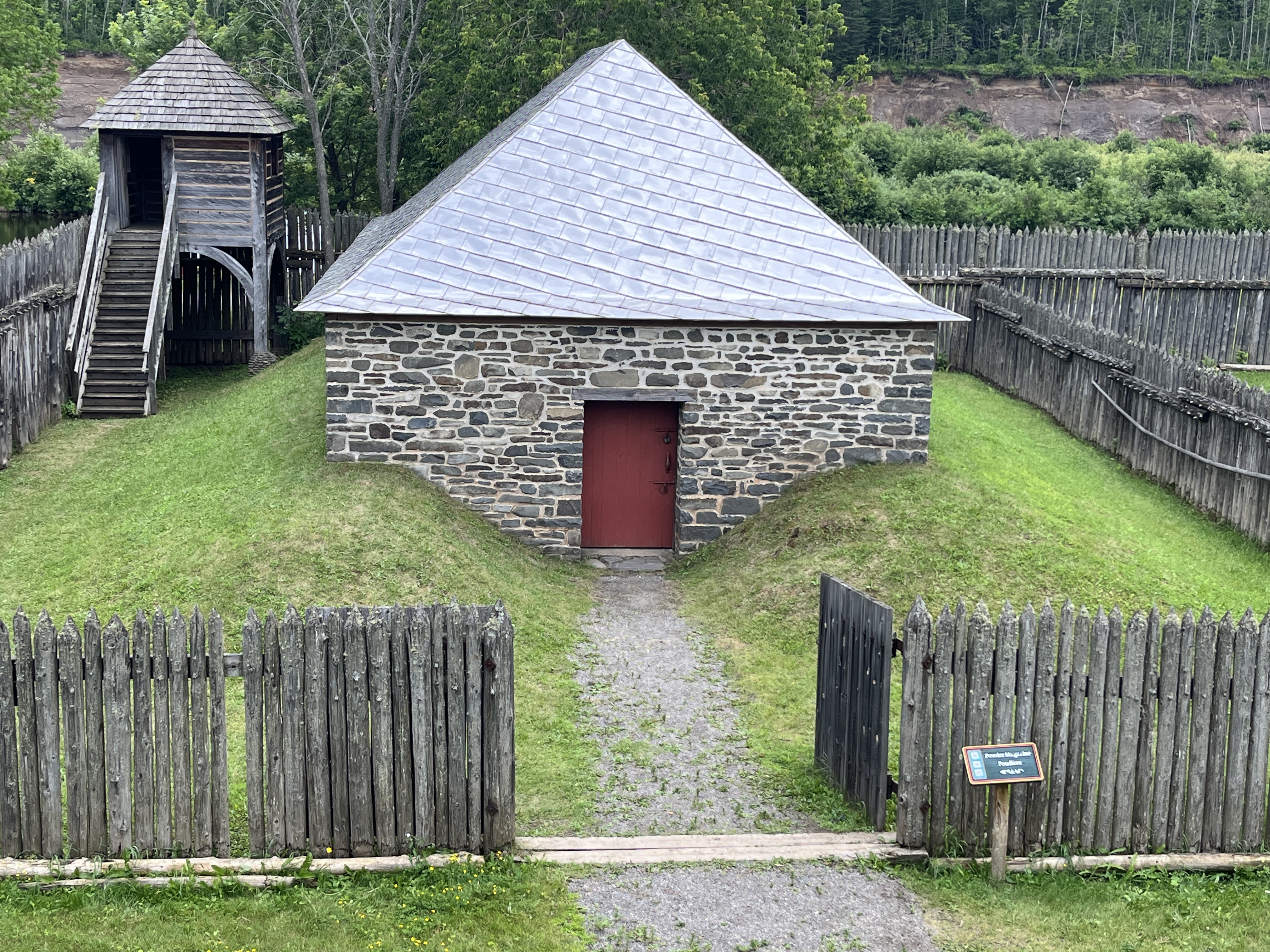
The powder storage building is one of the few stone buildings in the compound. The fort was a bustle of activity during the six weeks of Rendezvous each year but then went back to accommodating a handful of people for the remainder of the year.
Fort William Historical Park used to showcase life in 1816 when the fort was under the control of the Hudson Bay Company but has recently reverted to 1815 when it was independent. There is an entry fee but you can spend many hours here and learn a lot about the fur trade and relations with the indigenous people who made it all work. The staff role play and do an incredible job of pretending that it is 1815.
Google Maps Link: Fort William Historical Park
Like us at http://www.facebook.com/hikingthegta
Follow us at http://www.hikingthegta.com
Also, look for us on Instagram